Trails in Germany
36,852 hiking trails, each with its route, climb, walking time and grade.
All trails, page 675 of 768
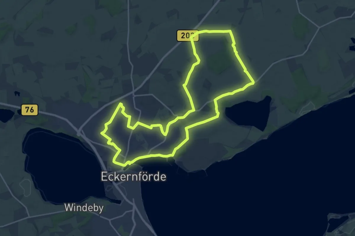
Medium · Trail
Wanderroute Hemmelmark - Mohrberg - Borby
16.4 km · ↑ 71 m · 4 h 15 min
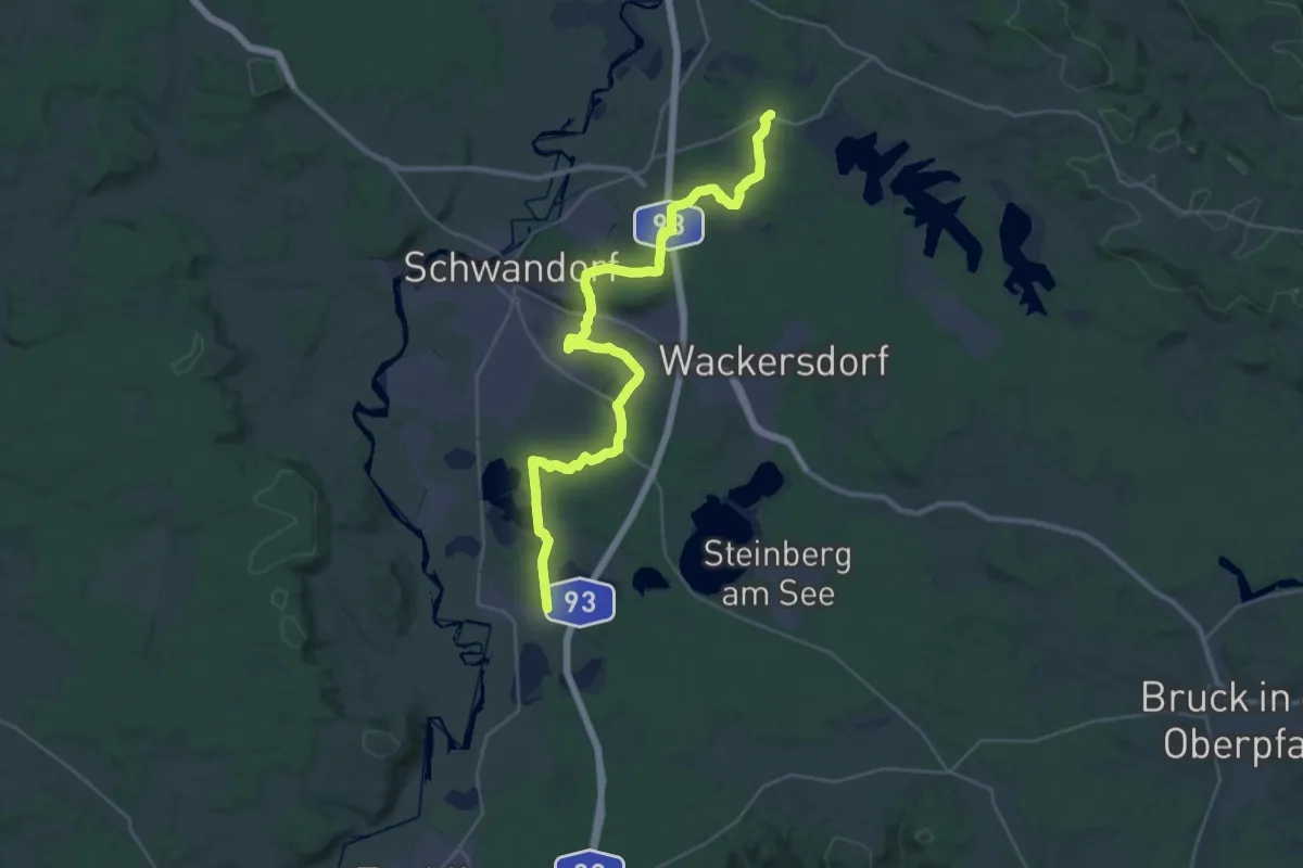
Medium · Trail
Wanderroute Holzhaus-Klardorf Bhf
16.7 km · ↑ 176 m · 4 h 35 min
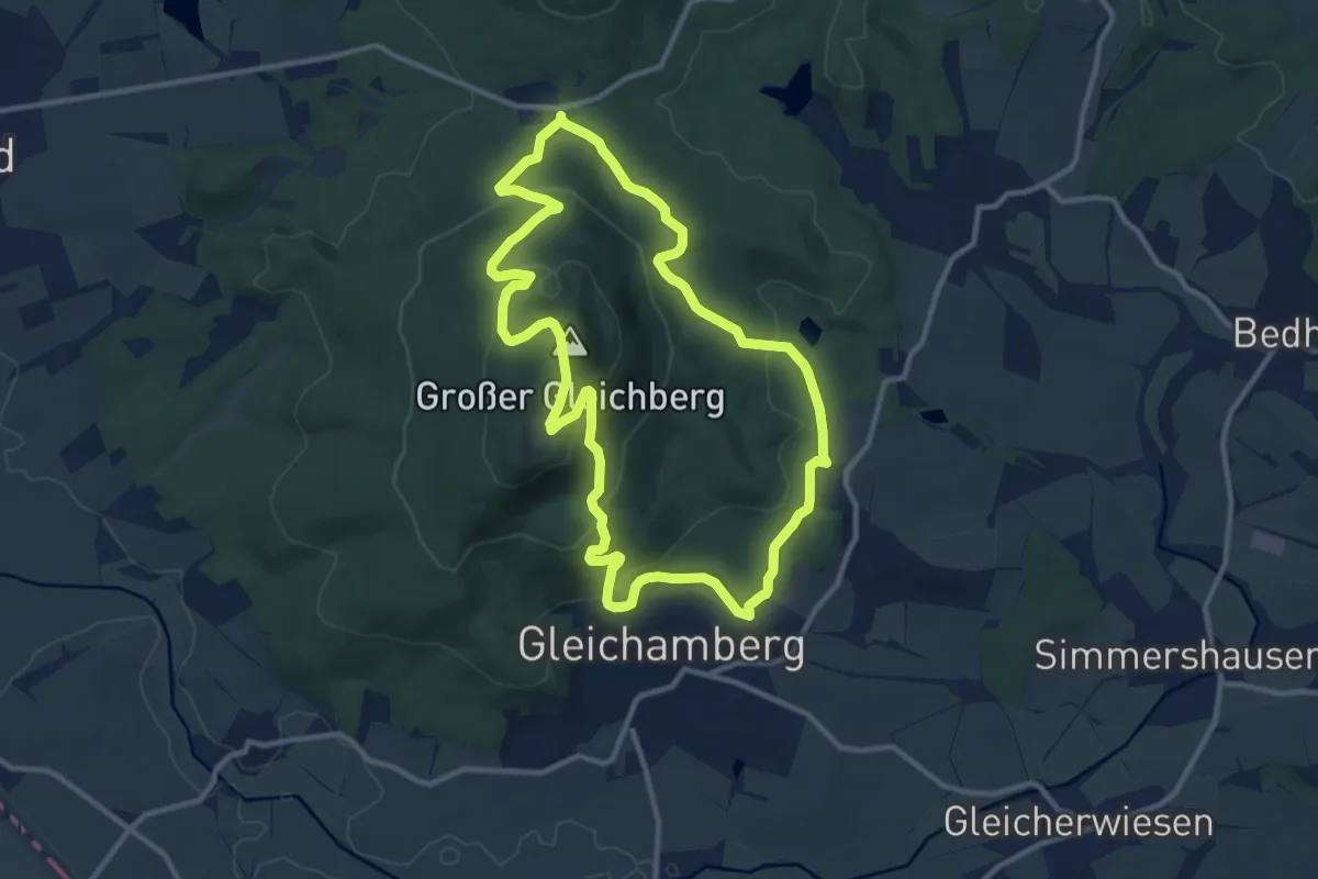
Medium · Summit
Wanderroute II im Gleichberggebiet
10.3 km · ↑ 405 m · 3 h 27 min
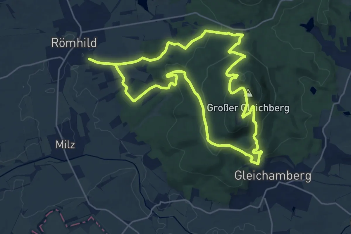
Medium · Summit
Wanderroute I im Gleichberggebiet
14.6 km · ↑ 528 m · 4 h 48 min
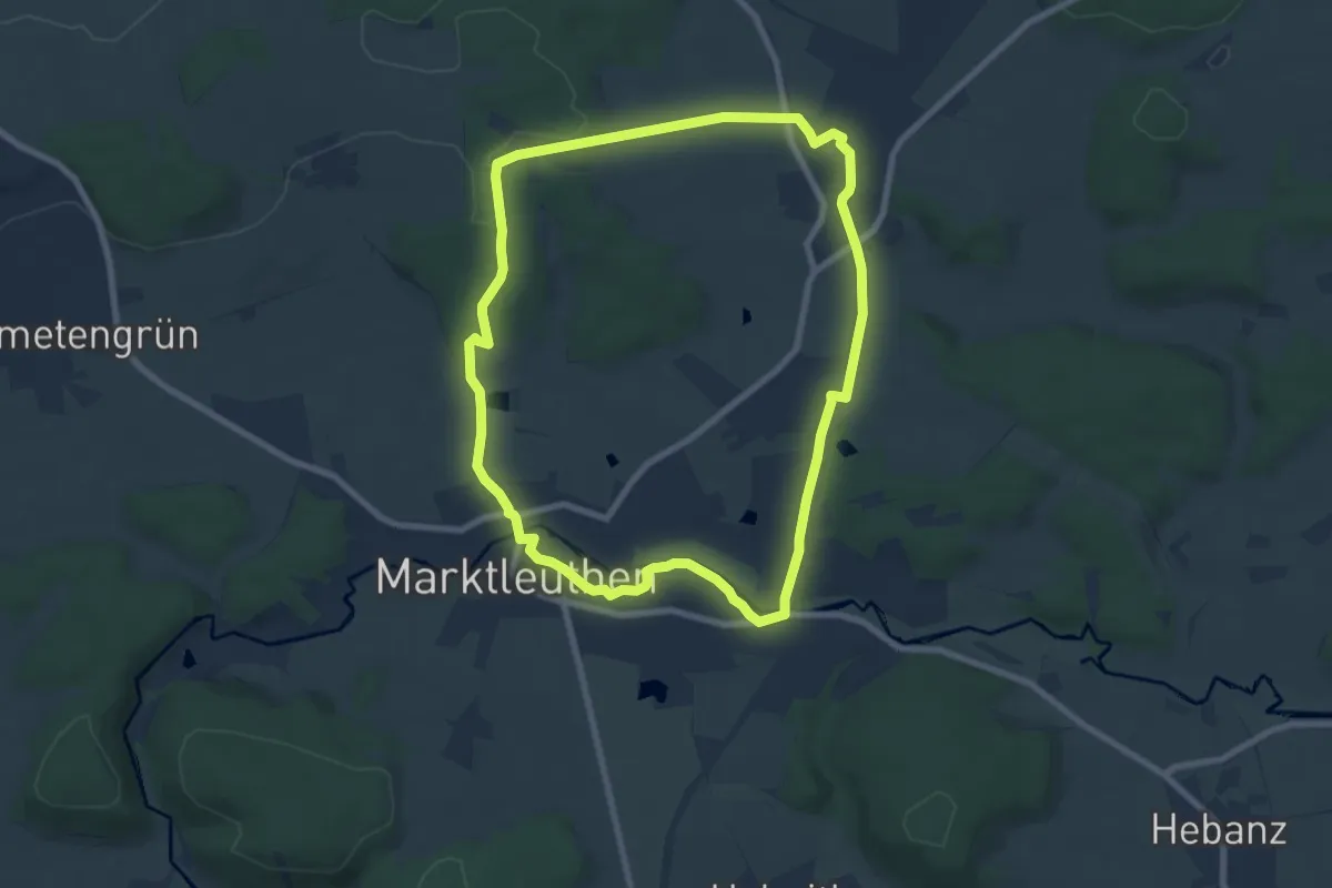
Easy · Trail
Wanderroute Marktleuthen - Großwendern
7.3 km · ↑ 88 m · 2 h 1 min
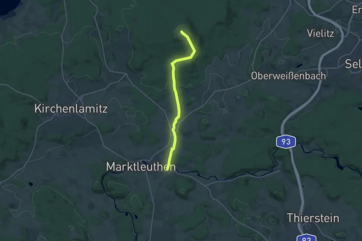
Medium · Summit
Wanderroute Marktleuthen - Kornberg
14.6 km · ↑ 309 m · 4 h 7 min
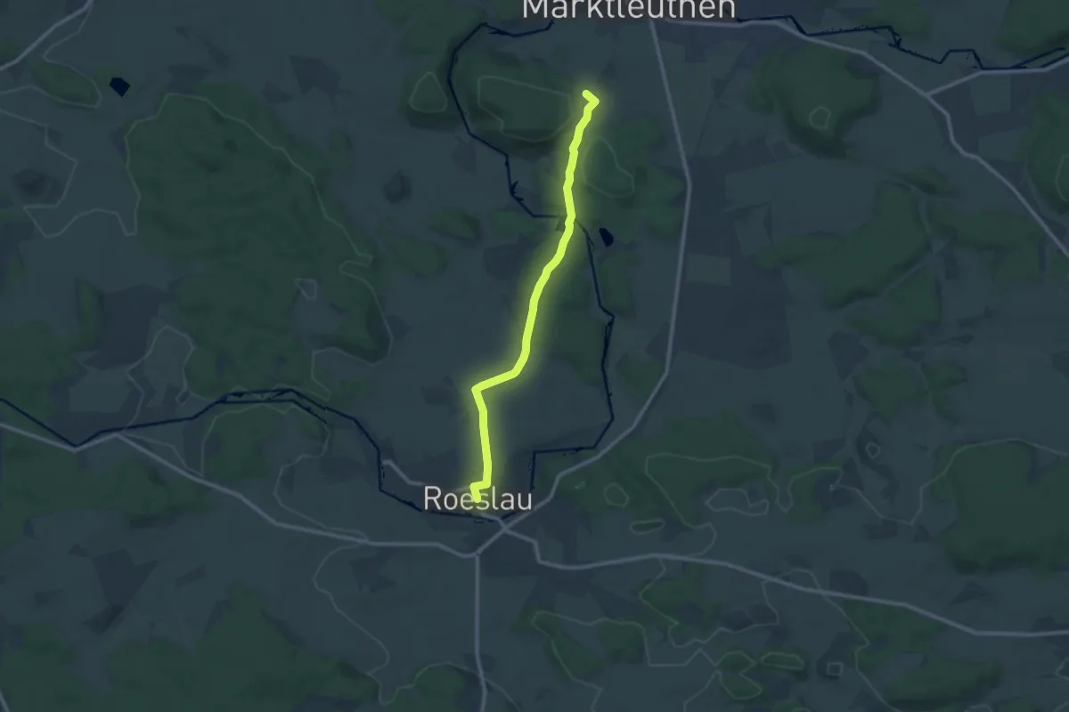
Medium · Summit
Wanderroute Niederlamitz - Röslau
9.2 km · ↑ 136 m · 2 h 27 min
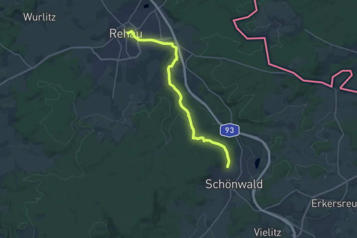
Medium · Trail
Wanderroute Rehau - Schönwald
15.9 km · ↑ 237 m · 4 h 17 min
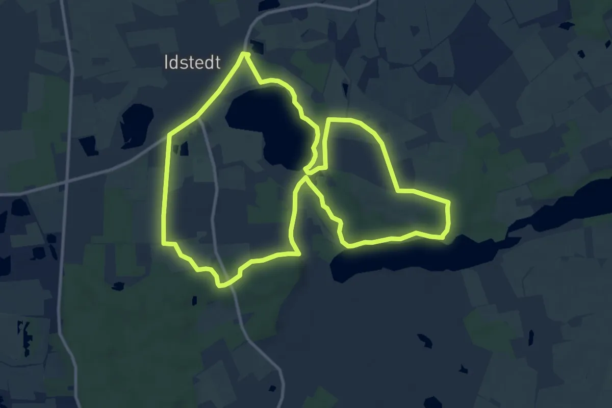
Medium · Trail
Wanderroute, rot
9.4 km · ↑ 53 m · 2 h 29 min
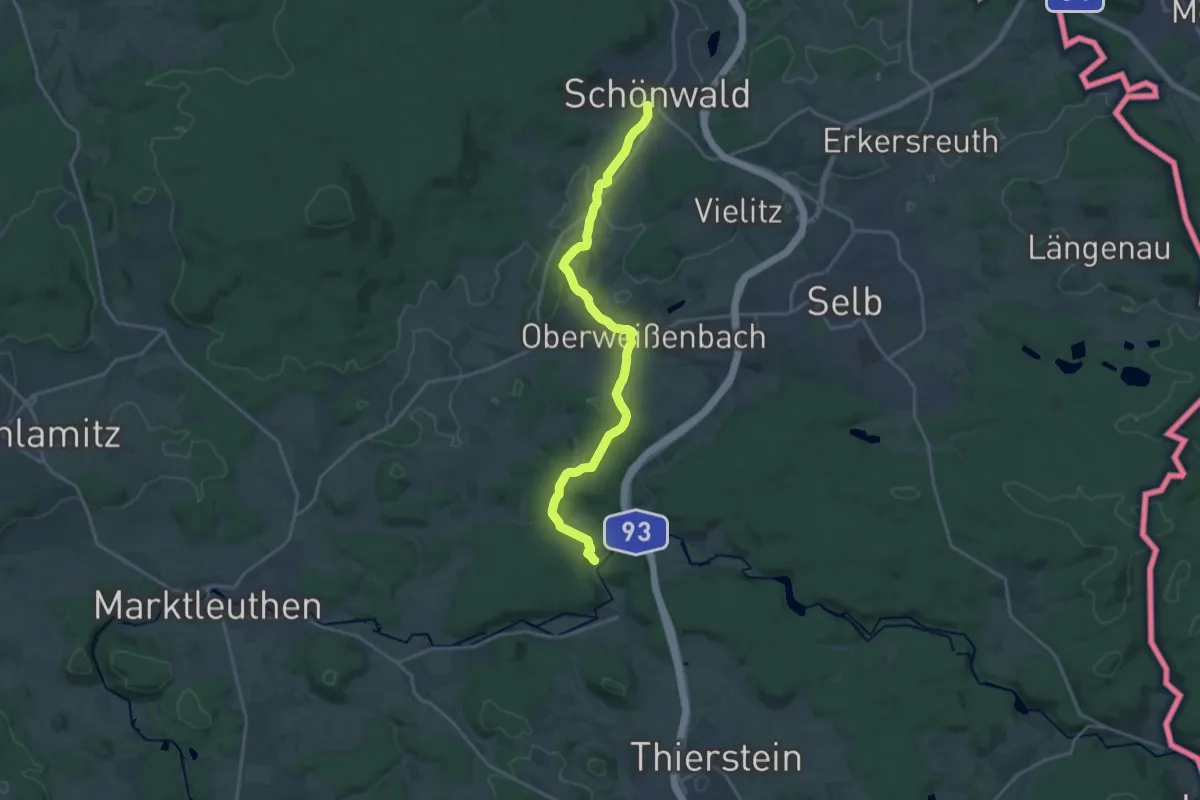
Demanding · Trail
Wanderroute Schönwald-Schwarzenhammer
18.1 km · ↑ 328 m · 4 h 59 min
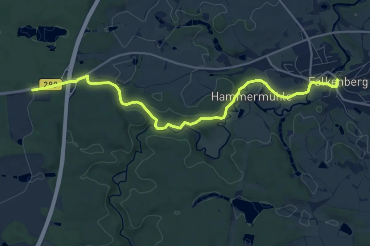
Medium · Trail
Wanderroute Tannenlohe - Falkenberg
9.4 km · ↑ 107 m · 2 h 27 min
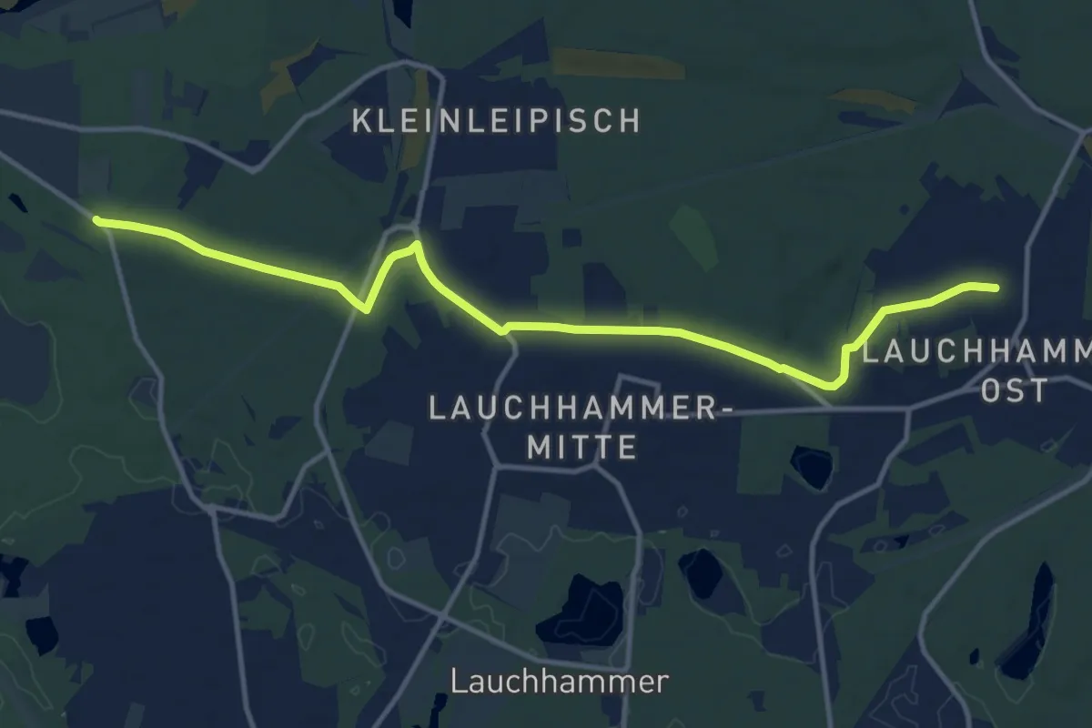
Medium · Trail
Wanderroute vom Grünewalde zum Kunstgusmuseum Lauchhammer
12.3 km · ↑ 69 m · 3 h 4 min
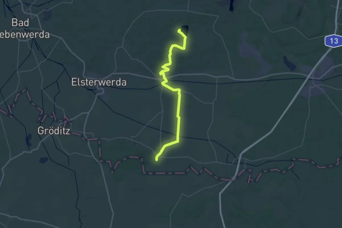
Demanding · Trail
Wanderroute vom Hirschfeld über Plessa zum Grünewalder Lauch
22.1 km · ↑ 53 m · 5 h 39 min
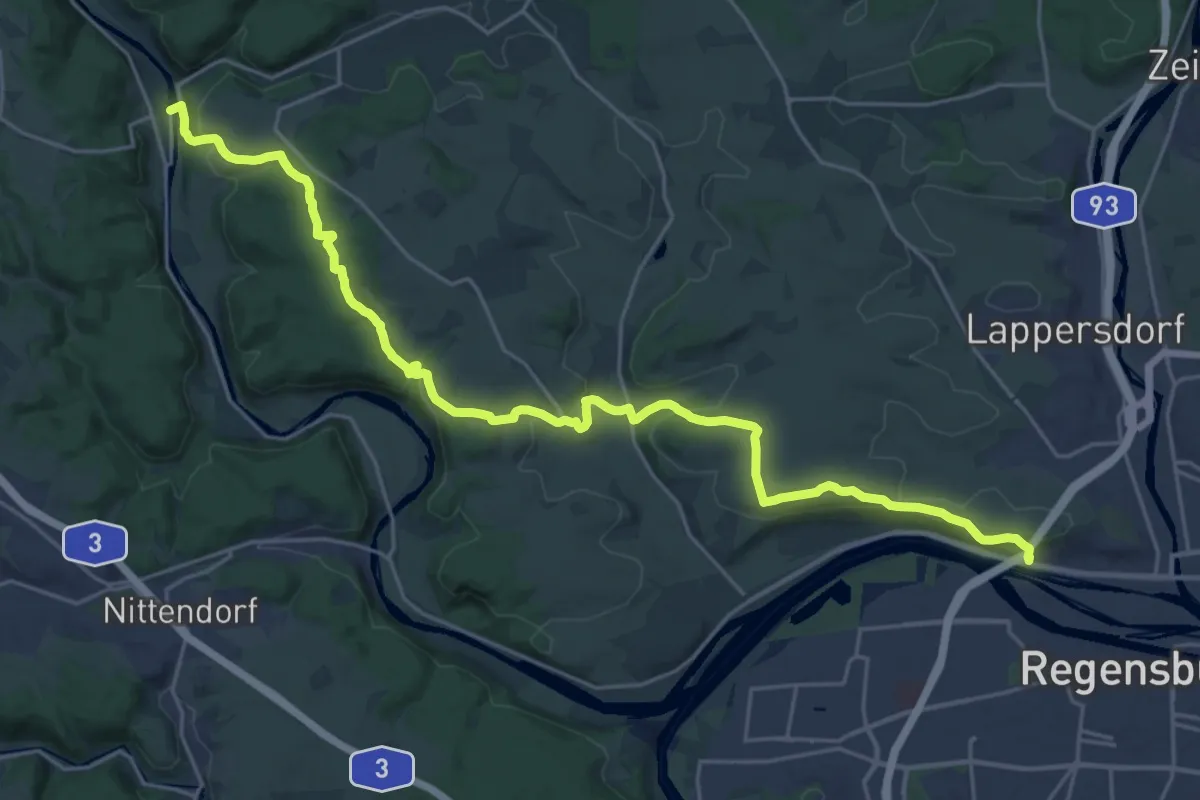
Demanding · Trail
Wanderroute W 01 Regensburg - Pielenhofen (Rotes Dreieck)
26.4 km · ↑ 604 m · 7 h 33 min
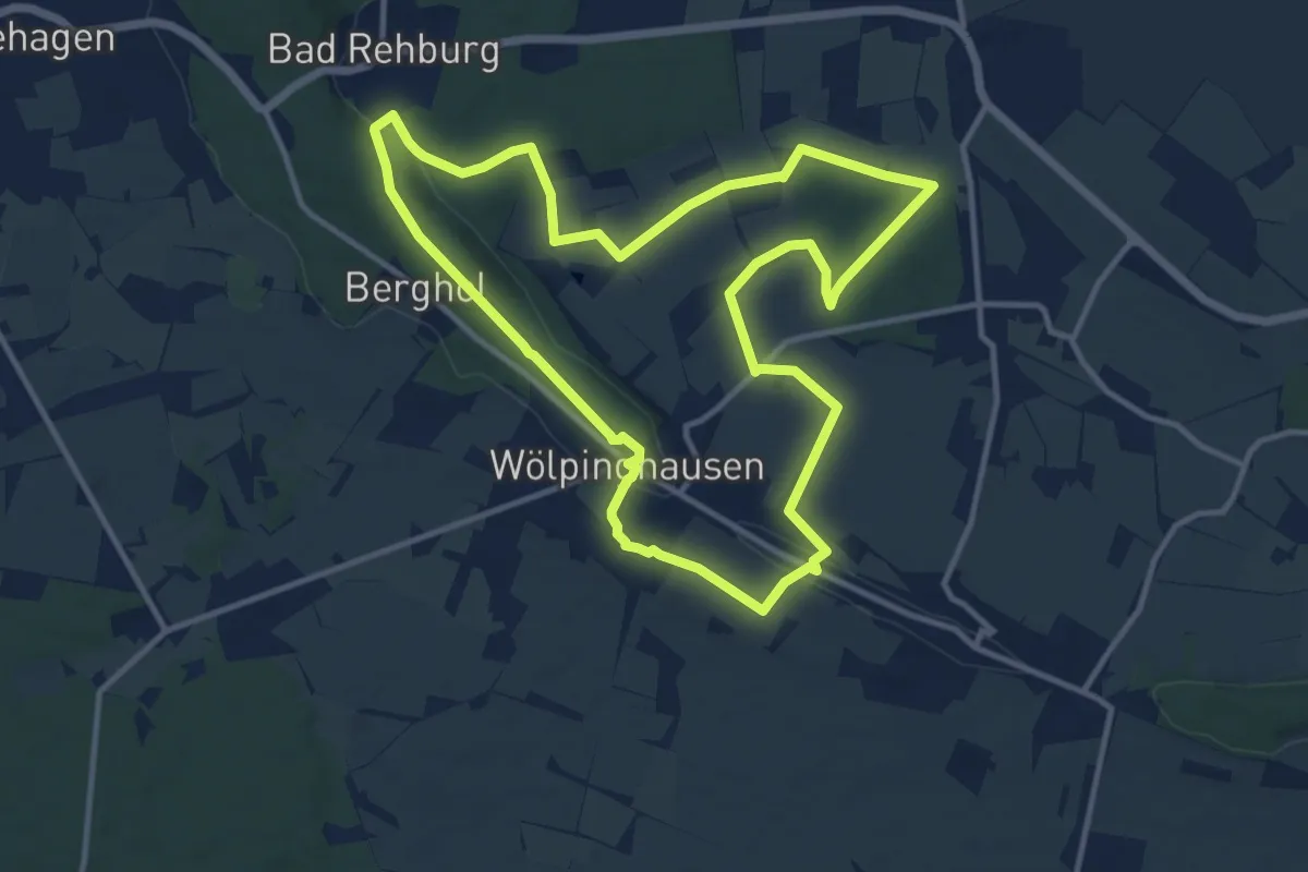
Medium · Trail
Wanderroute Wölpinghausen
10.9 km · ↑ 128 m · 3 h
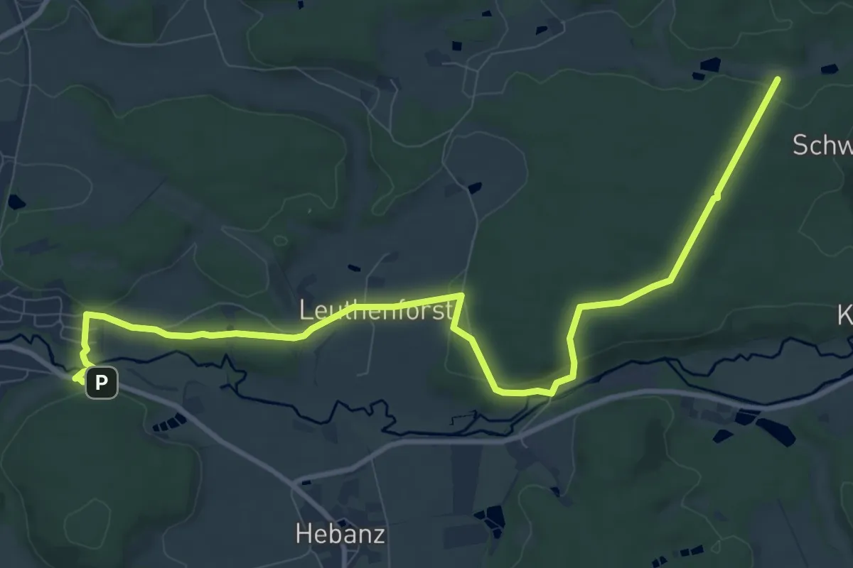
Medium · Trail
Wanderroute Zubringer Fränkischer Gebirgsweg (Marktleuthen)
11.2 km · ↑ 194 m · 3 h 4 min
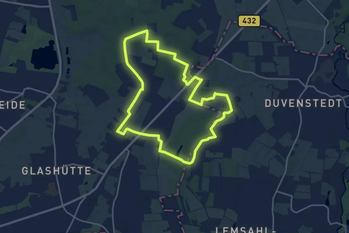
Medium · Trail
Wanderrunde zwischen den Mooren
10.2 km · ↑ 31 m · 2 h 36 min
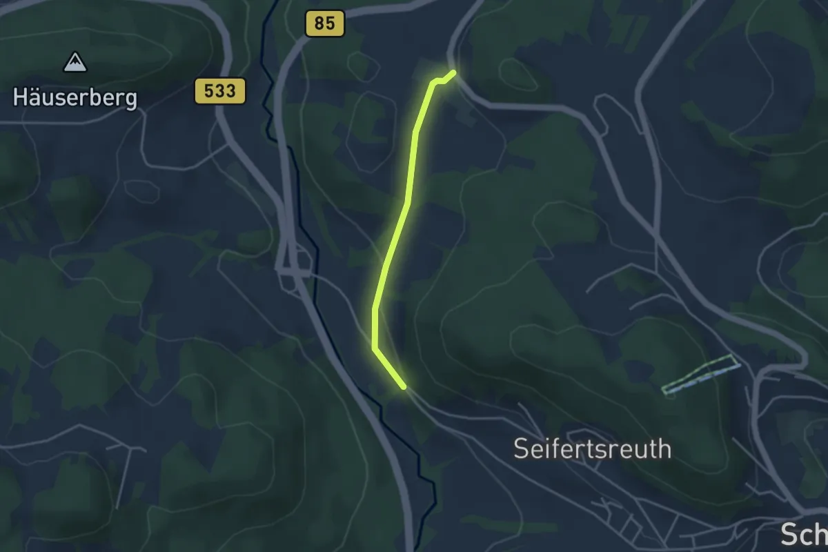
Easy · Trail
Wanderrundweg Nr.: 13
2.7 km · ↑ 71 m · 48 min
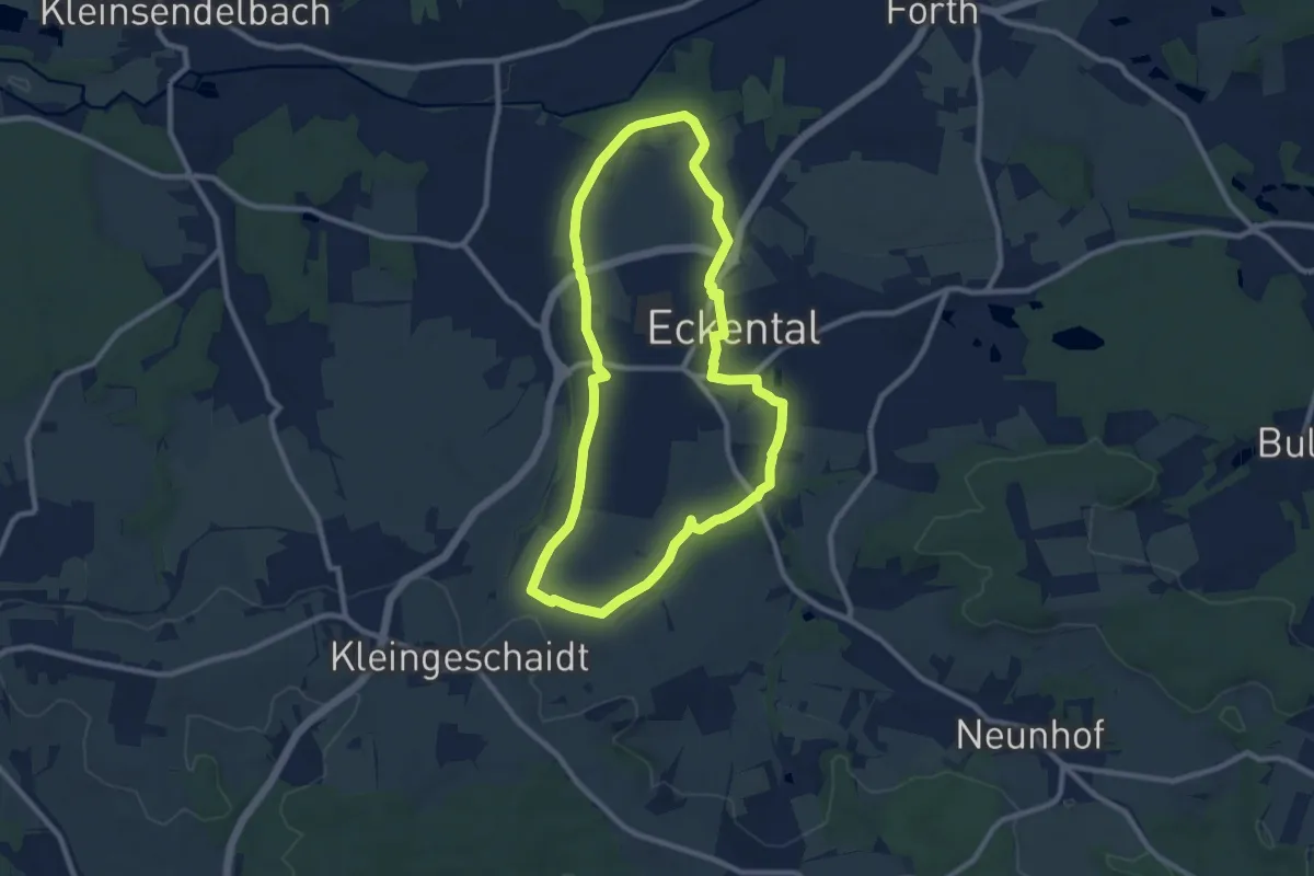
Medium · Trail
Wanderrundweg um Eschenau
8.3 km · ↑ 90 m · 2 h 16 min
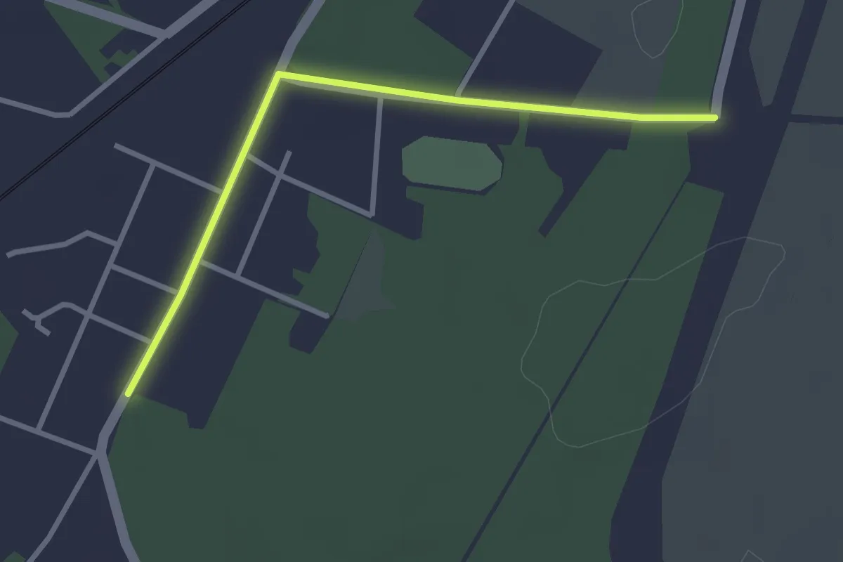
Easy · Trail
Wanderrweg Welzow
2.6 km · ↑ 9 m · 37 min
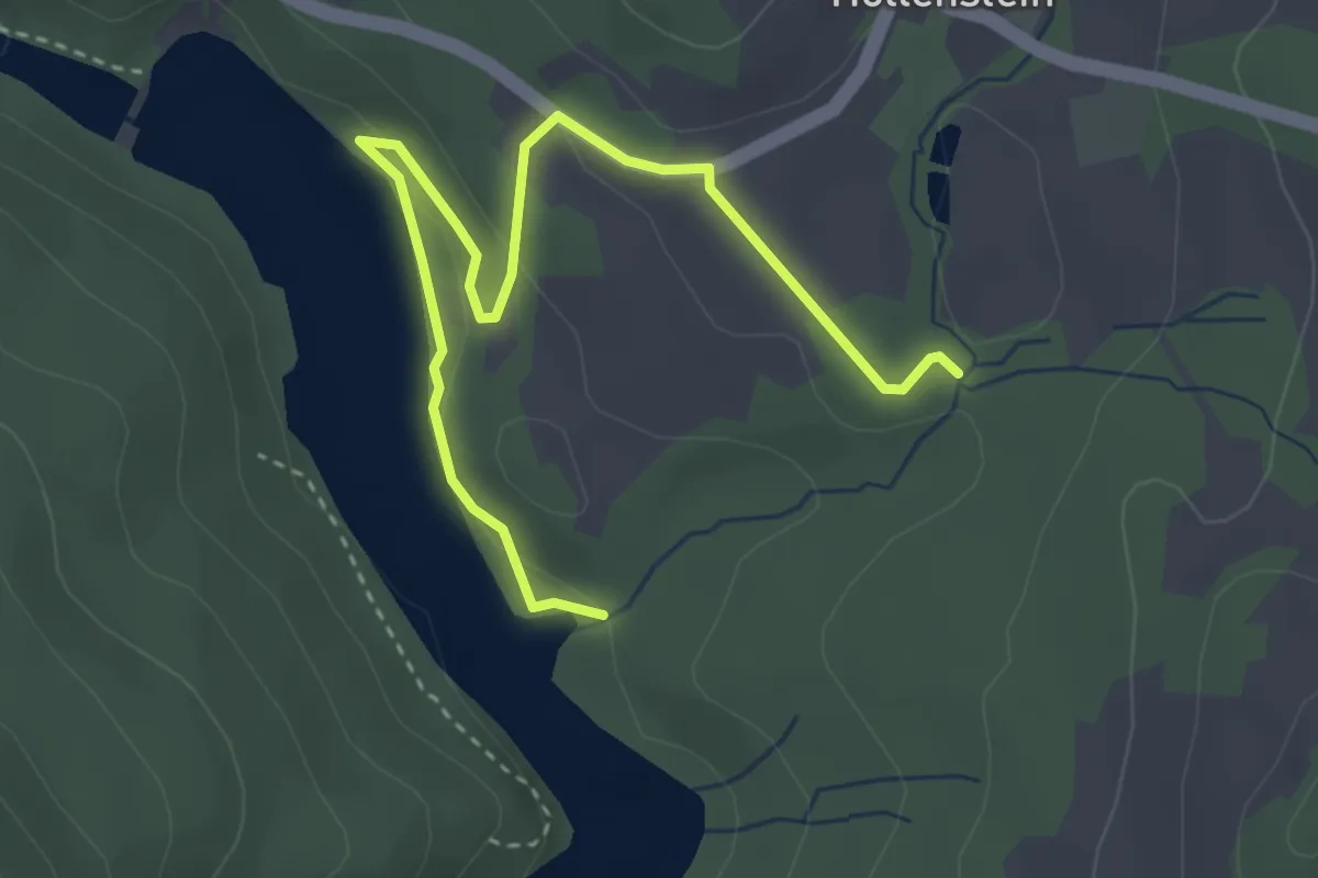
Easy · Trail
Wandersteig Höllensteinsee
1.9 km · ↑ 38 m · 35 min
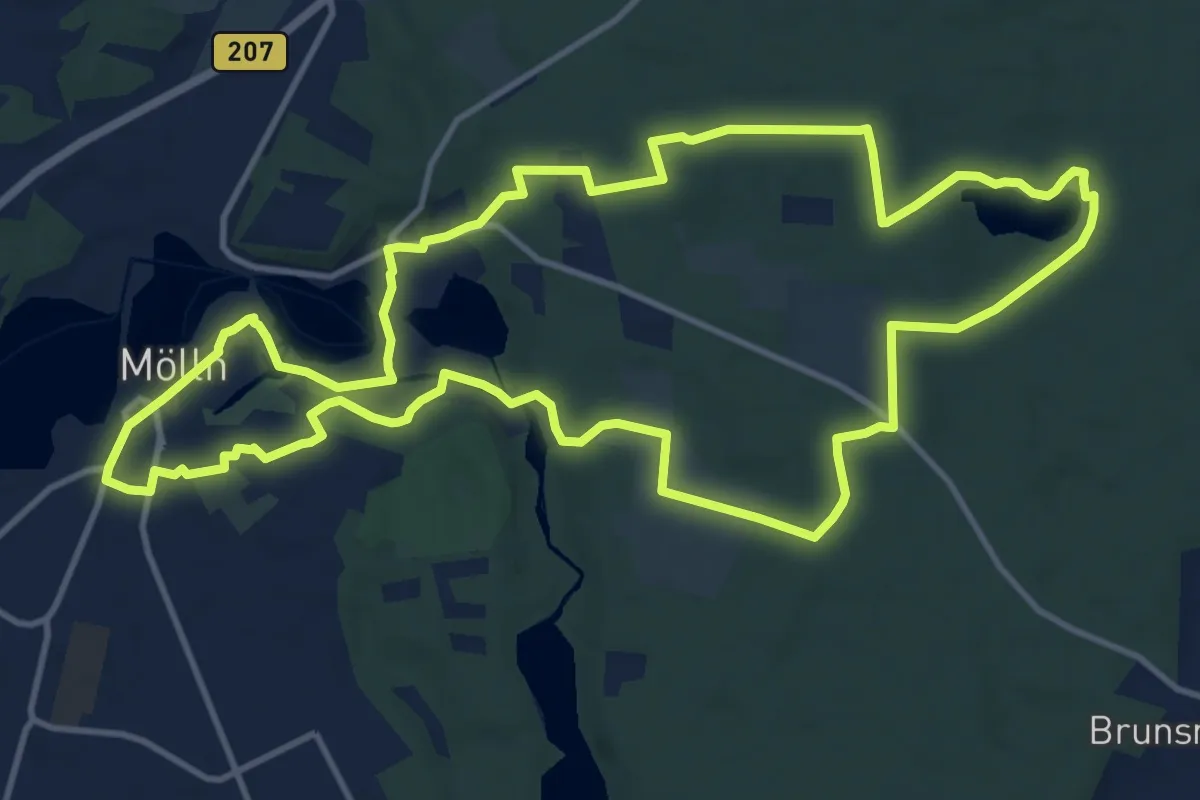
Medium · Trail
Wandertour Blauer Till-Schuh
11.9 km · ↑ 112 m · 3 h 13 min
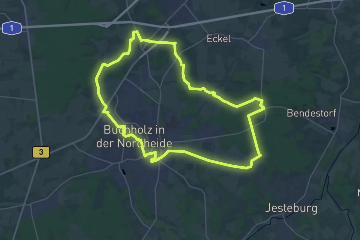
Demanding · Summit
Wander-Tour Buchholz
22.4 km · ↑ 151 m · 5 h 55 min
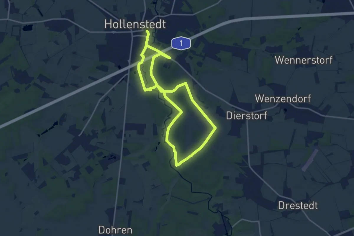
Demanding · Trail
Wander-Tour Este Ost
20.1 km · ↑ 70 m · 4 h 54 min
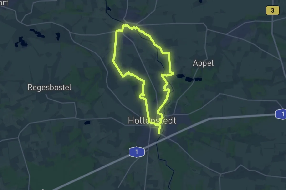
Demanding · Trail
Wander-Tour Este West
27.4 km · ↑ 129 m · 6 h 45 min
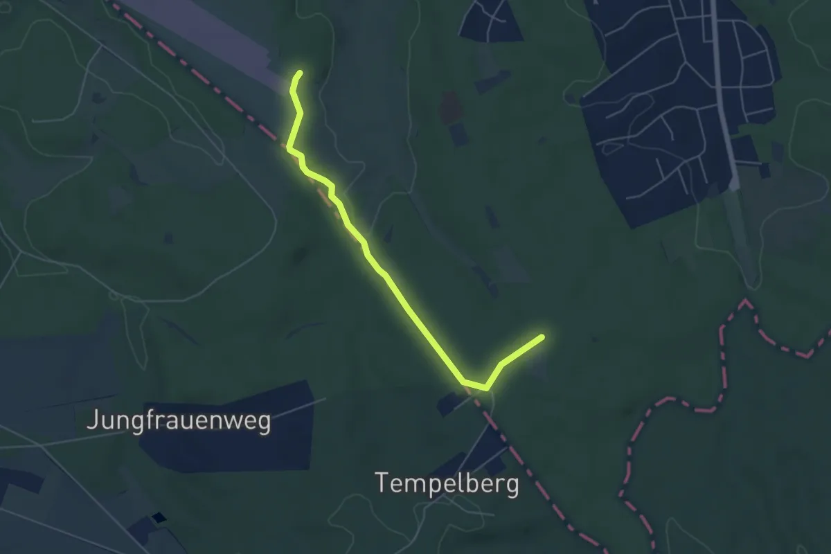
Easy · Trail
Wander-Tour Fischbeker Heide
4.5 km · ↑ 40 m · 1 h 9 min
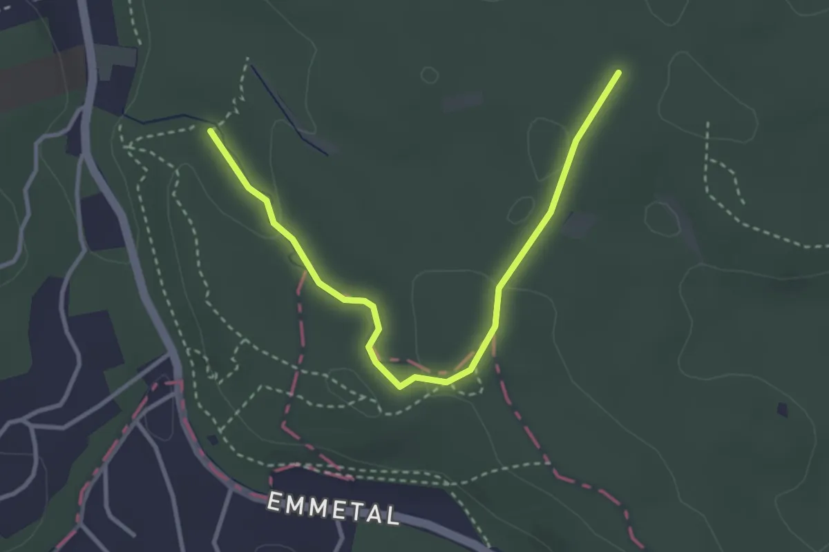
Easy · Trail
Wander-Tour Harburger Berge
1.5 km · ↑ 37 m · 27 min
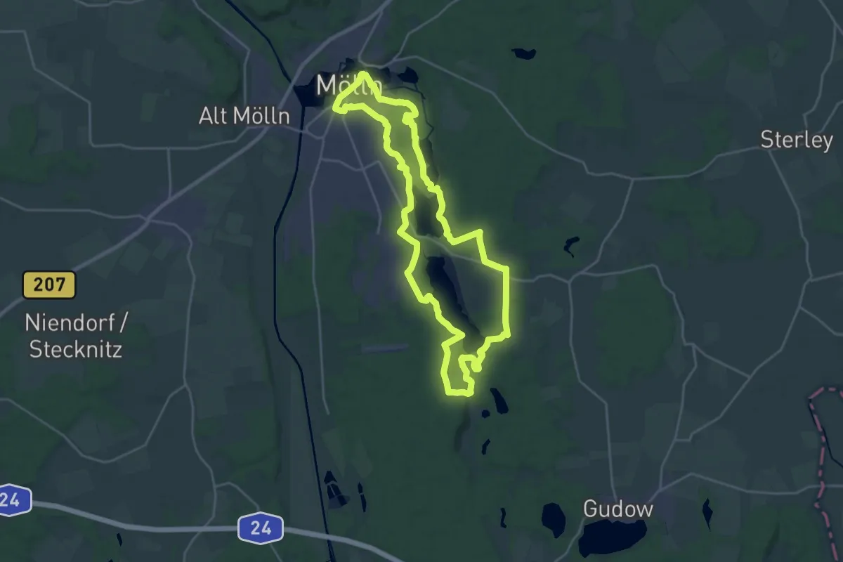
Demanding · Trail
Wandertour Orangener Till-Schuh
19.2 km · ↑ 183 m · 5 h 12 min
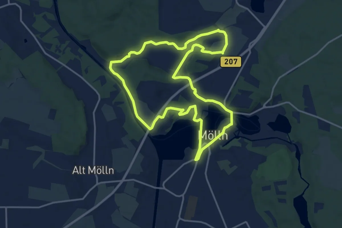
Medium · Trail
Wandertour Roter Till-Schuh
9.9 km · ↑ 93 m · 2 h 41 min
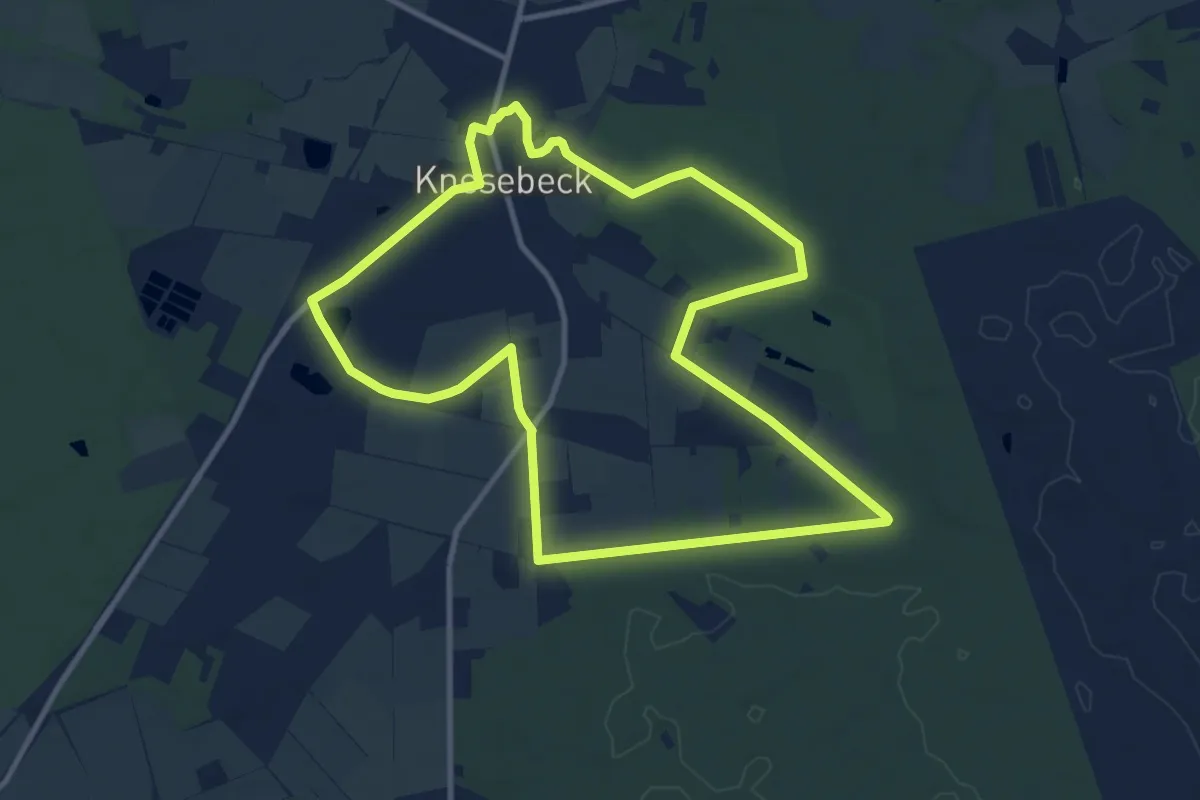
Medium · Summit
Wandertour Sagenhaftes Knesebeck (kleiner Rundkurs)
9.9 km · ↑ 27 m · 2 h 32 min
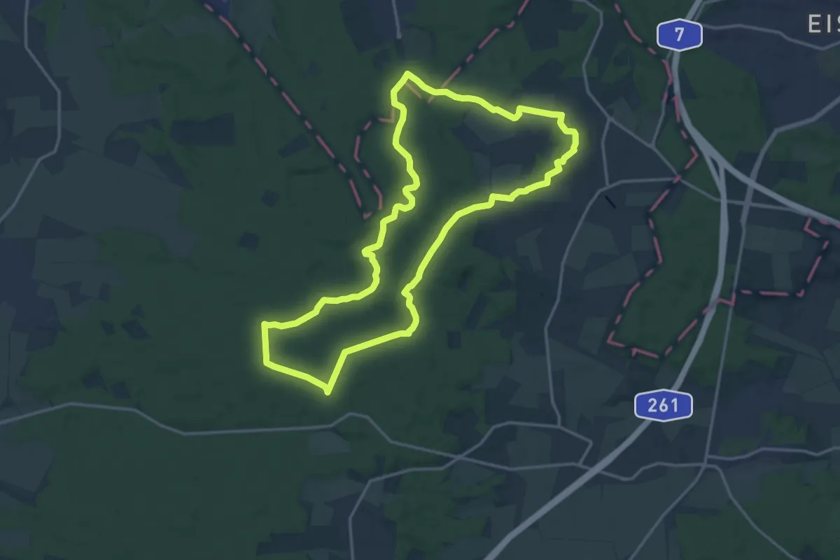
Medium · Summit
Wander-Tour Schwarze Berge
13.9 km · ↑ 172 m · 3 h 51 min
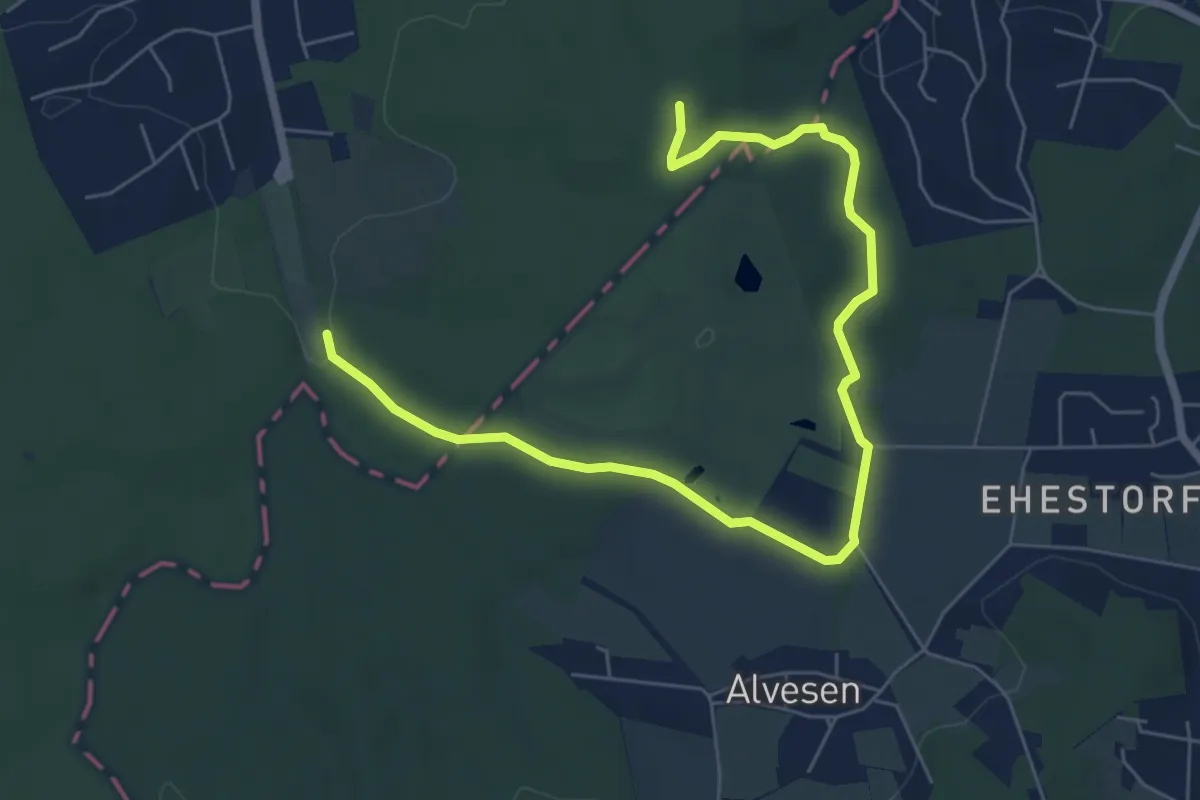
Easy · Trail
Wander-Tour Wildpark
6.8 km · ↑ 77 m · 1 h 46 min
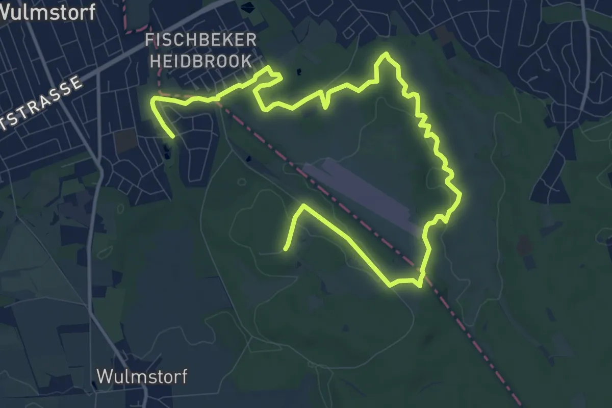
Medium · Trail
Wander-Tour Wulmstorfer Heide
14.0 km · ↑ 142 m · 3 h 37 min
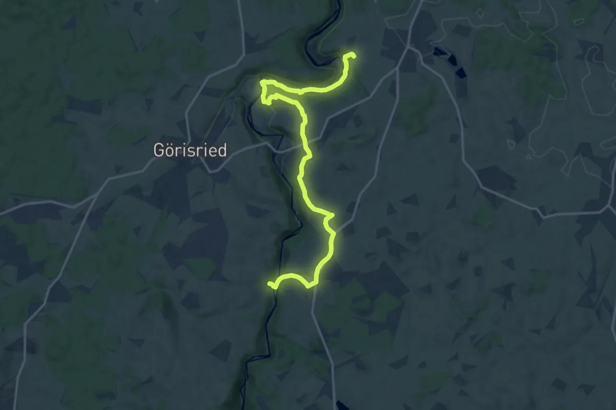
Medium · Trail
Wandertrilogie Allgäu Etappe 21 Görisried - Leuterschach
15.6 km · ↑ 290 m · 4 h 19 min
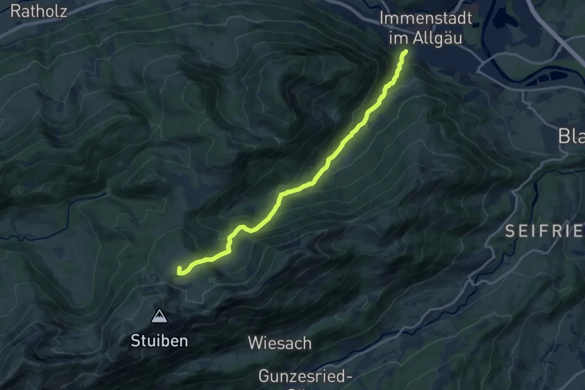
Medium · Summit
Wandertrilogie Etappe 13 Alpe Gund - Immenstadt/Bühl am Alpsee
11.8 km · ↑ 762 m · 4 h 26 min
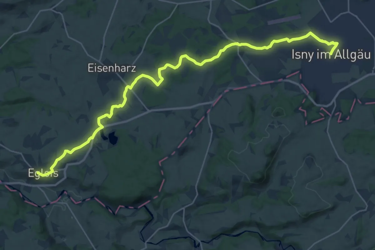
Demanding · Trail
Wandertrilogie Etappe 16 Eglofs-Isny
24.3 km · ↑ 245 m · 6 h 17 min
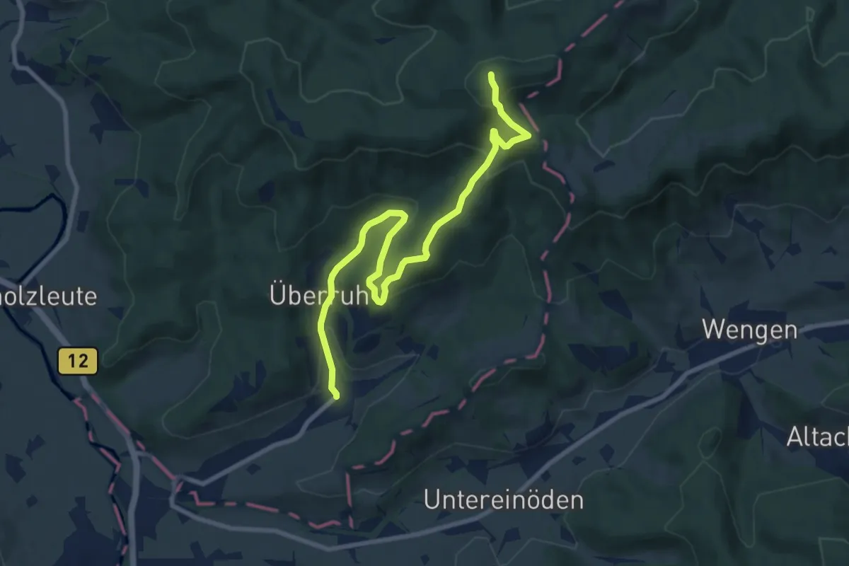
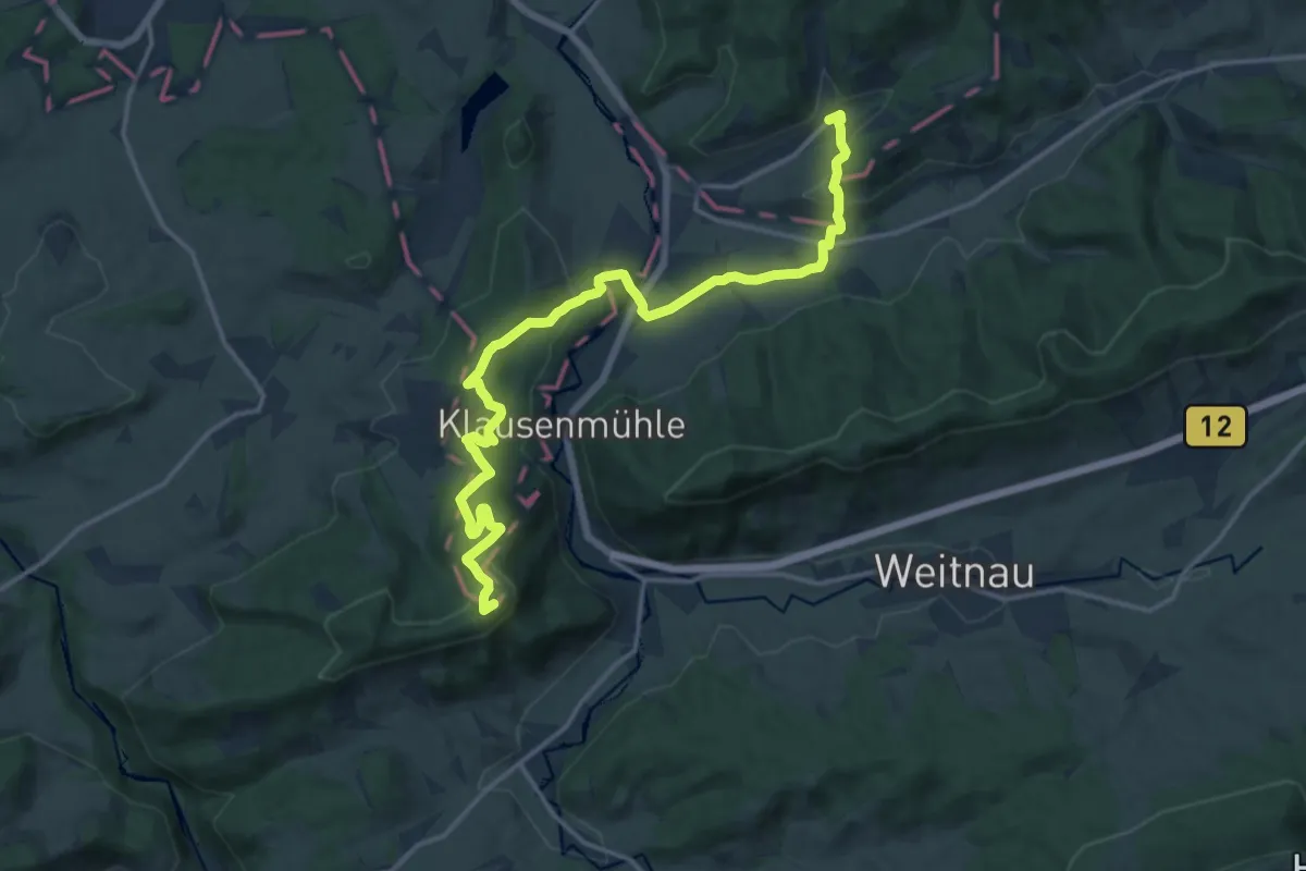
Medium · Summit
Wandertrilogie Etappe 17 Bolsternang-Ermengerst
8.8 km · ↑ 370 m · 2 h 53 min
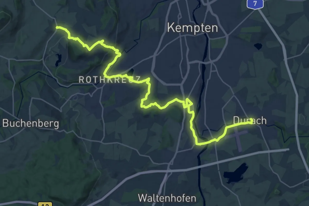
Medium · Summit
Wandertrilogie Etappe 17 Isny-Bolsternang
16.7 km · ↑ 498 m · 5 h 1 min
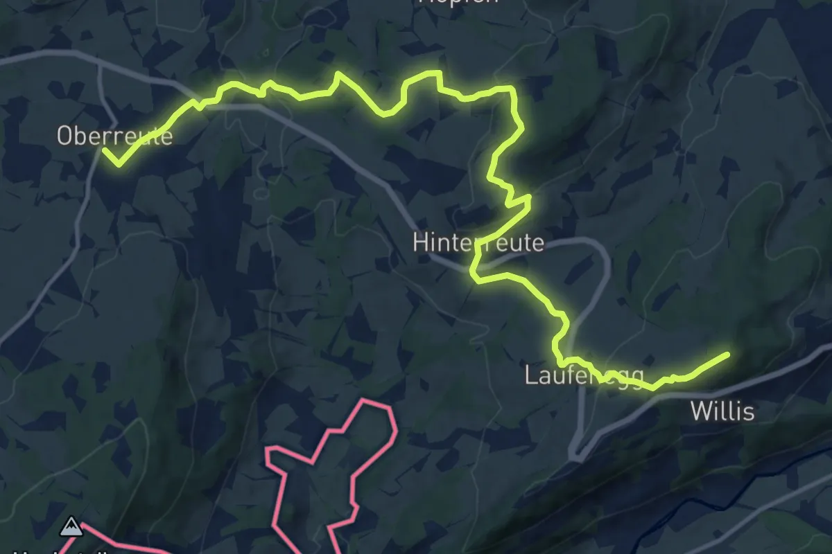
Demanding · Trail
Wandertrilogie Etappe 18 Ermengerst-Durach
28.9 km · ↑ 523 m · 7 h 57 min
Medium · Summit
Wandertrilogie Etappe 36 Oberstaufen-Oberreute
17.0 km · ↑ 576 m · 5 h 15 min
Demanding · Trail
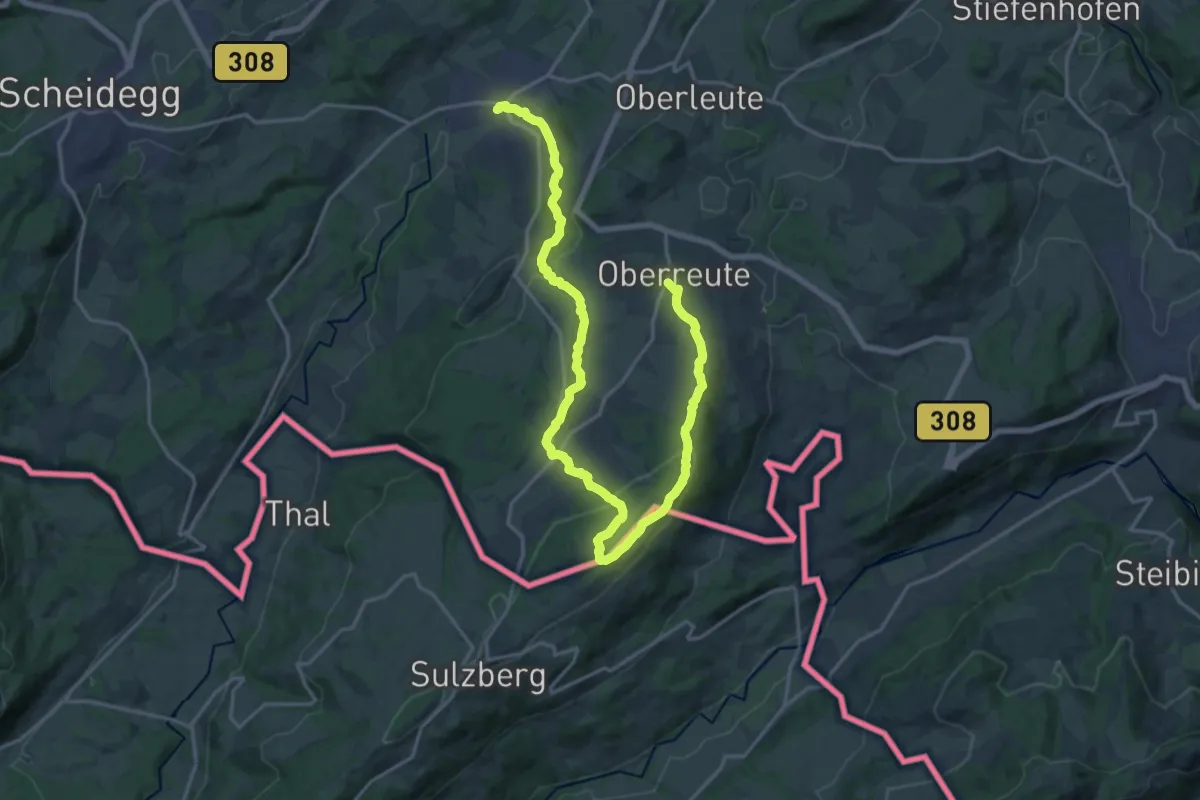
Wandertrilogie Etappe 37 Oberreute-Weiler
23.3 km · ↑ 632 m · 6 h 53 min
Demanding · Summit
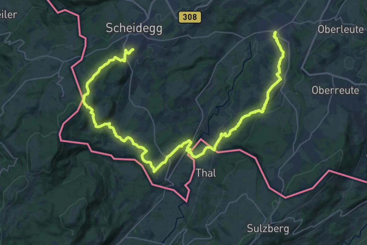
Wandertrilogie Etappe 38 Weiler-Scheidegg
35.2 km · ↑ 1115 m · 10 h 44 min
Demanding · Trail
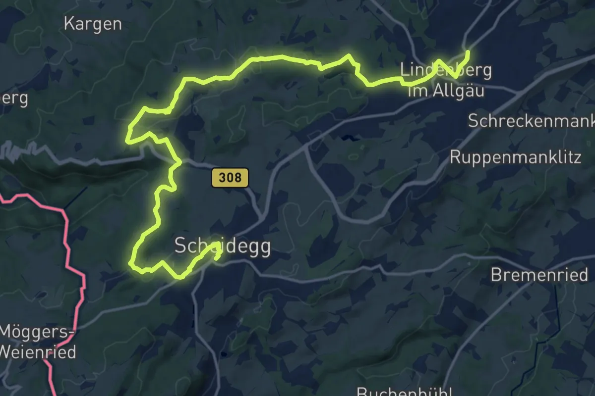
Wandertrilogie Etappe 39 Scheidegg-Lindenberg
19.8 km · ↑ 333 m · 5 h 24 min
Easy · Trail
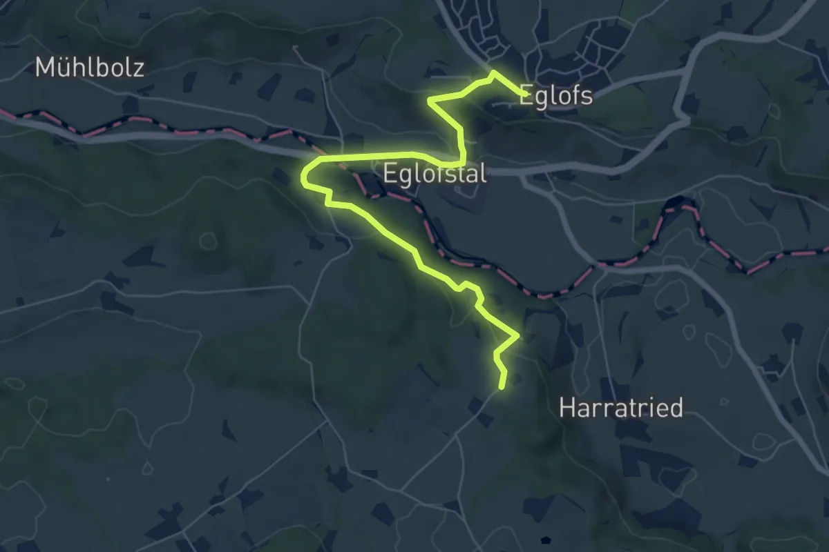
Wandertrilogie Etappe 40 Lindenberg-Eglofs
6.8 km · ↑ 184 m · 2 h
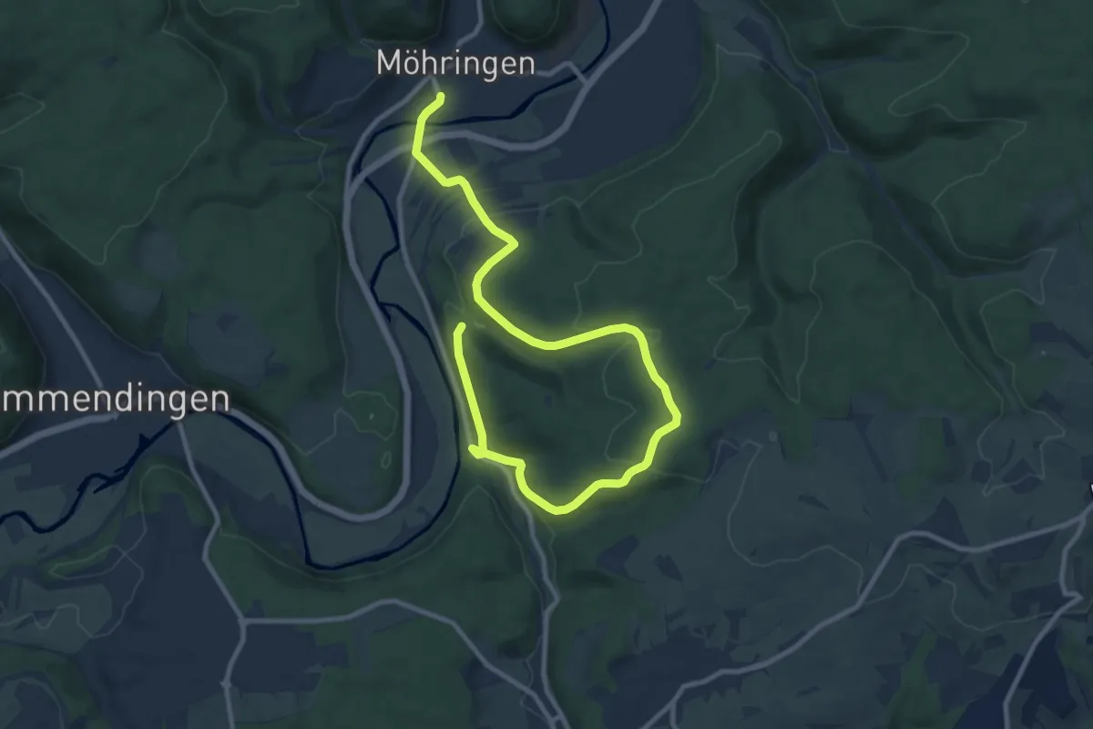
Medium · Trail
Wanderung an die Donauversickerung
13.0 km · ↑ 390 m · 3 h 55 min
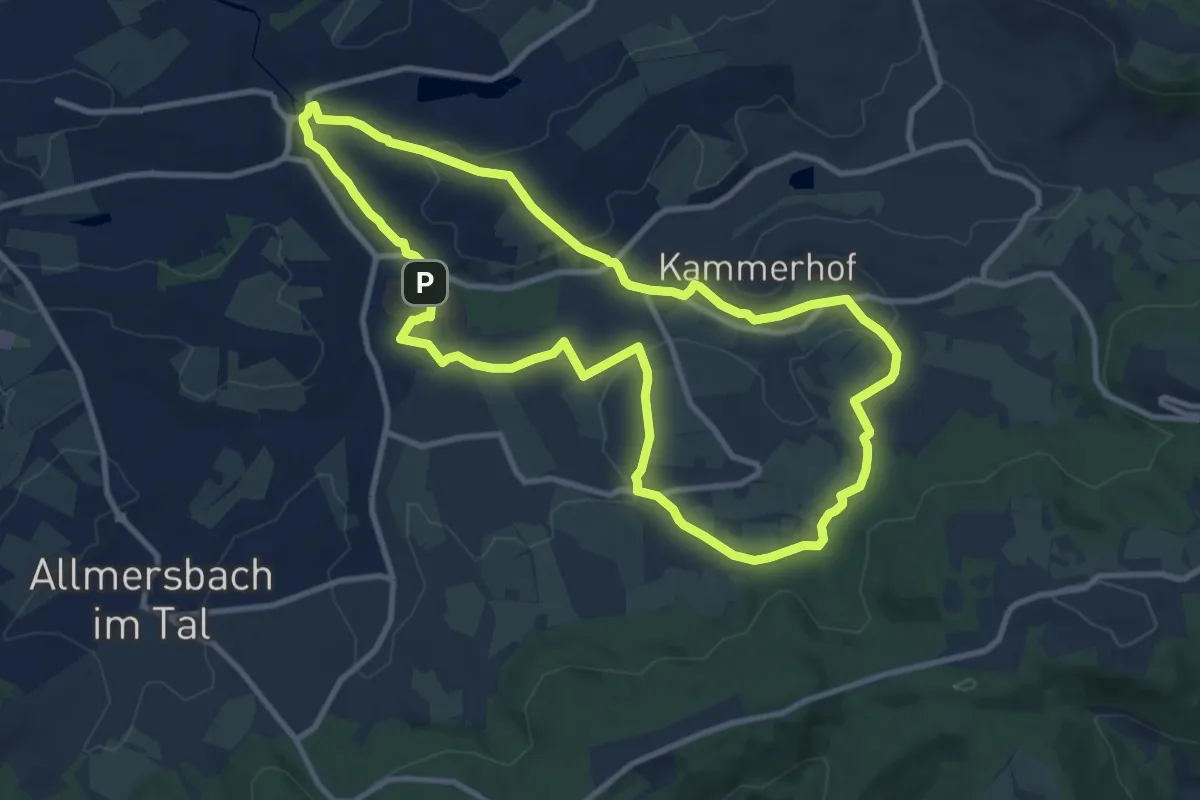
Medium · Summit
Wanderung durch die Ortsteile
9.9 km · ↑ 150 m · 2 h 47 min
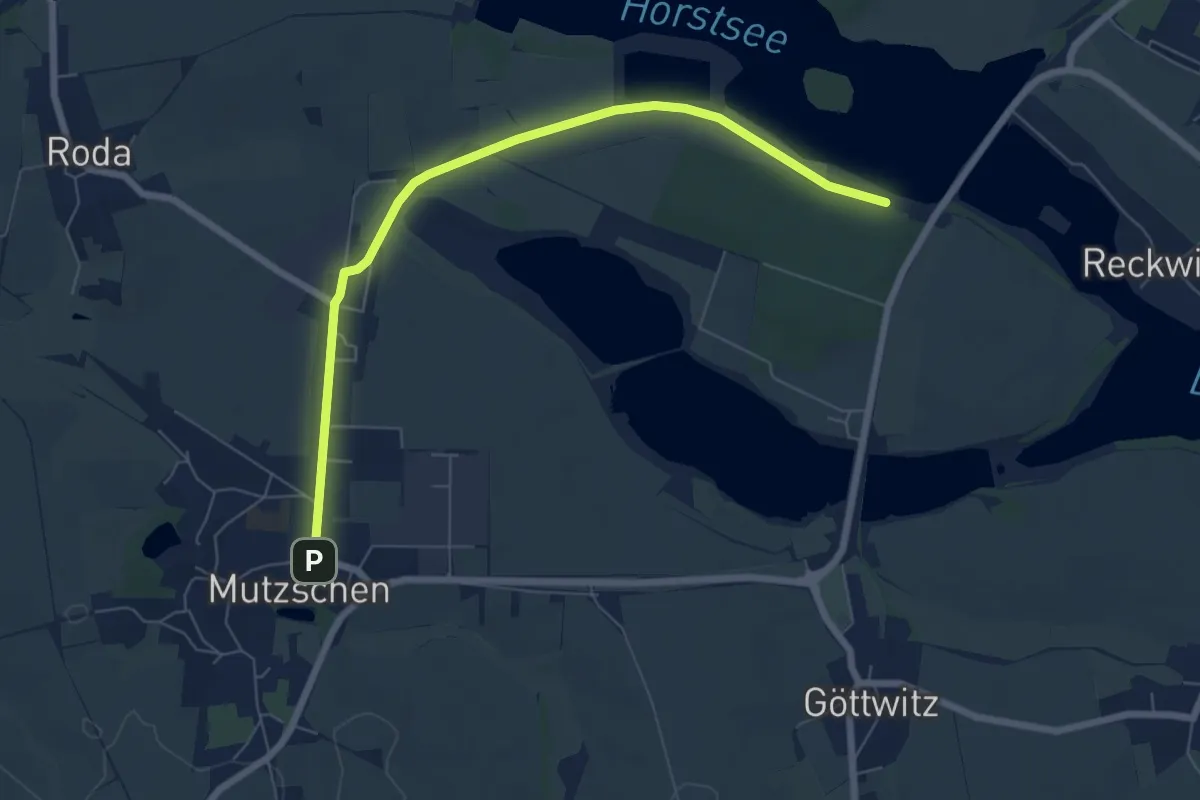
Easy · Trail
Wanderung nach Mutzschen
6.5 km · ↑ 25 m · 1 h 36 min
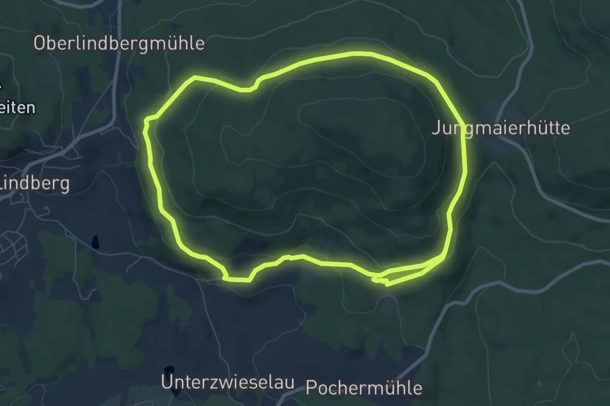
Medium · Trail
Wanderung um den Riesberg
15.8 km · ↑ 431 m · 4 h 39 min