Trails in Germany
36,852 hiking trails, each with its route, climb, walking time and grade.
All trails, page 676 of 768
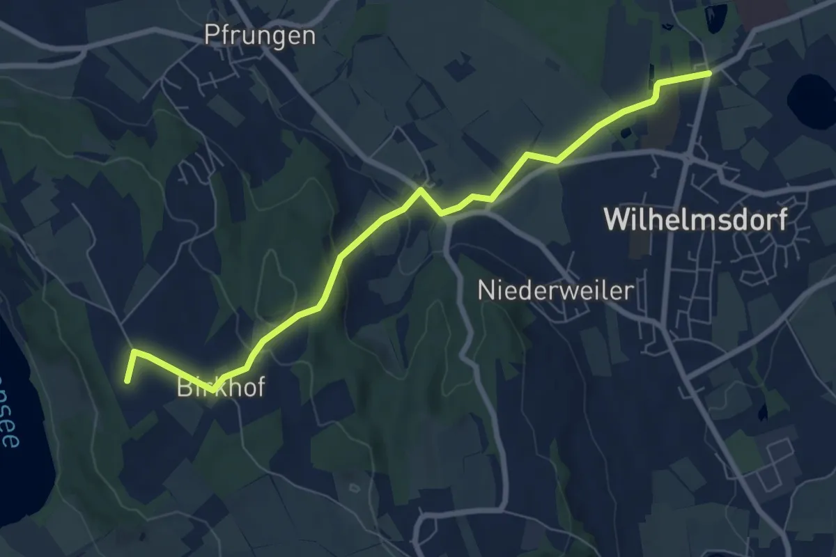
Easy · Summit
Wanderung zum Naturschutzzentrum Wilhelmsdorf
7.3 km · ↑ 163 m · 2 h 5 min
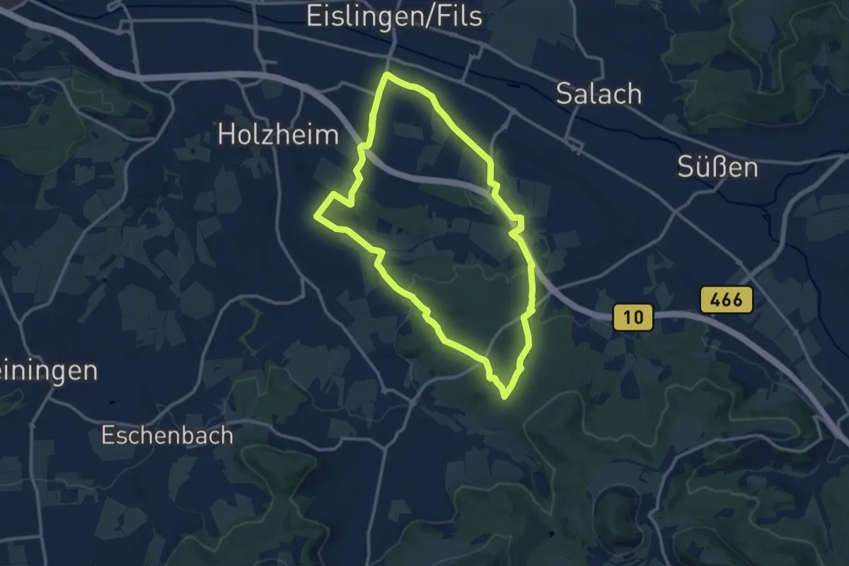
Medium · Trail
Wanderung zur Dicken Eiche
10.8 km · ↑ 161 m · 3 h 3 min
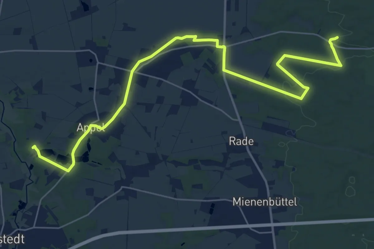
Demanding · Trail
Wander-Verbindung Appelbeck-Karlstein
24.3 km · ↑ 203 m · 6 h 10 min
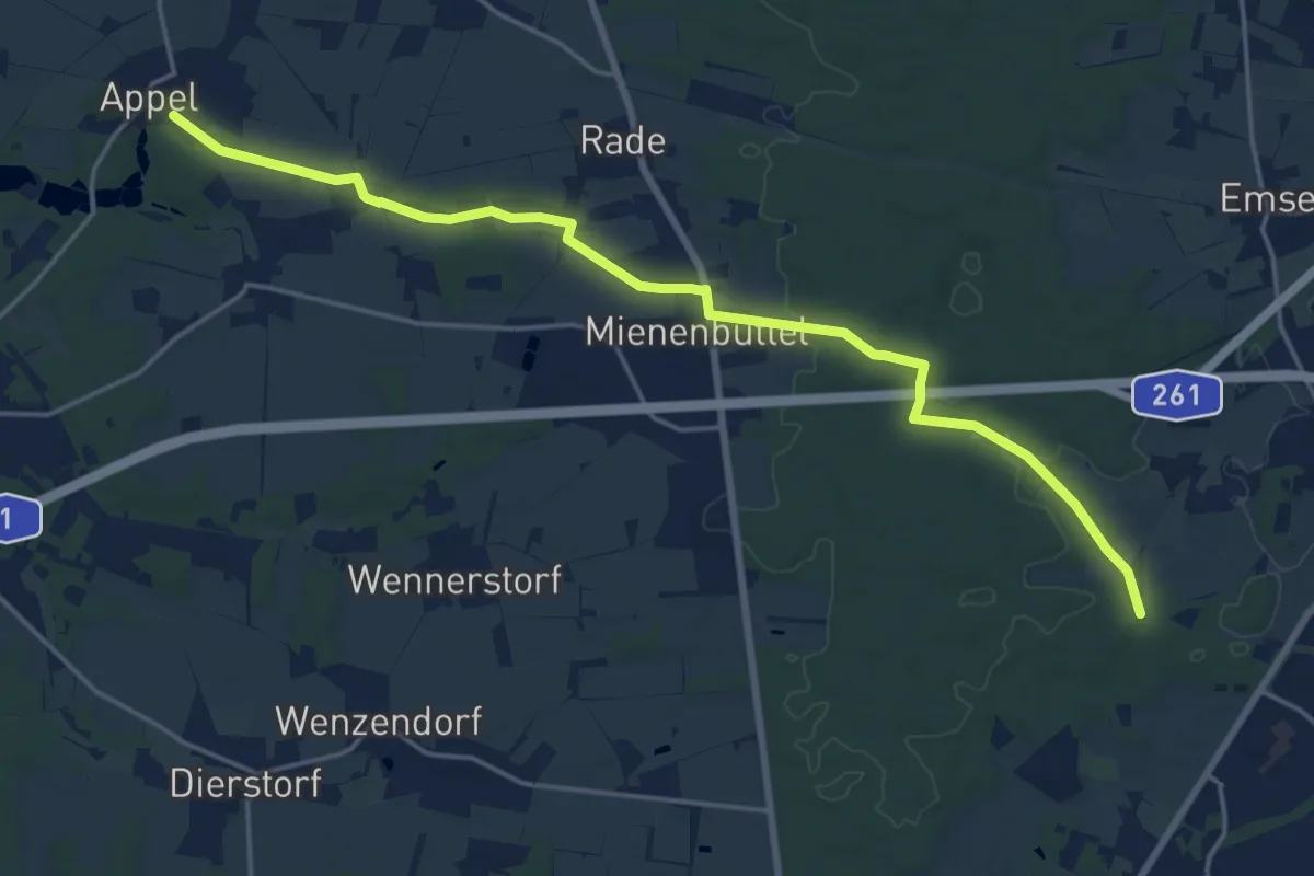
Medium · Trail
Wander-Verbindung Buchholz-Appel
17.0 km · ↑ 162 m · 4 h 22 min
Demanding · Trail
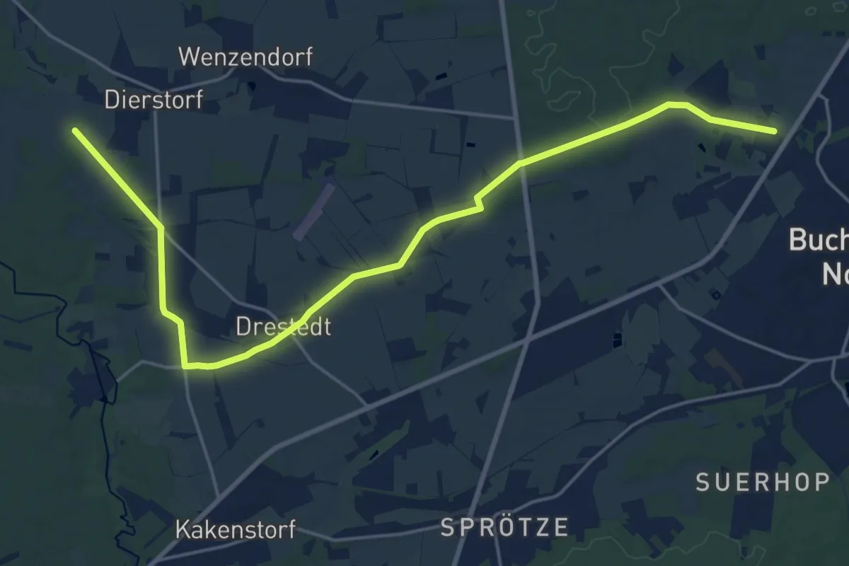
Wander-Verbindung Buchholz-Drestedt
19.4 km · ↑ 101 m · 4 h 47 min
Easy · Trail
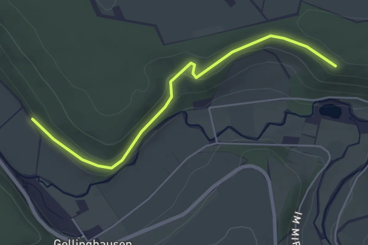
Wander-Vögel
4.0 km · ↑ 100 m · 1 h 10 min
Medium · Trail
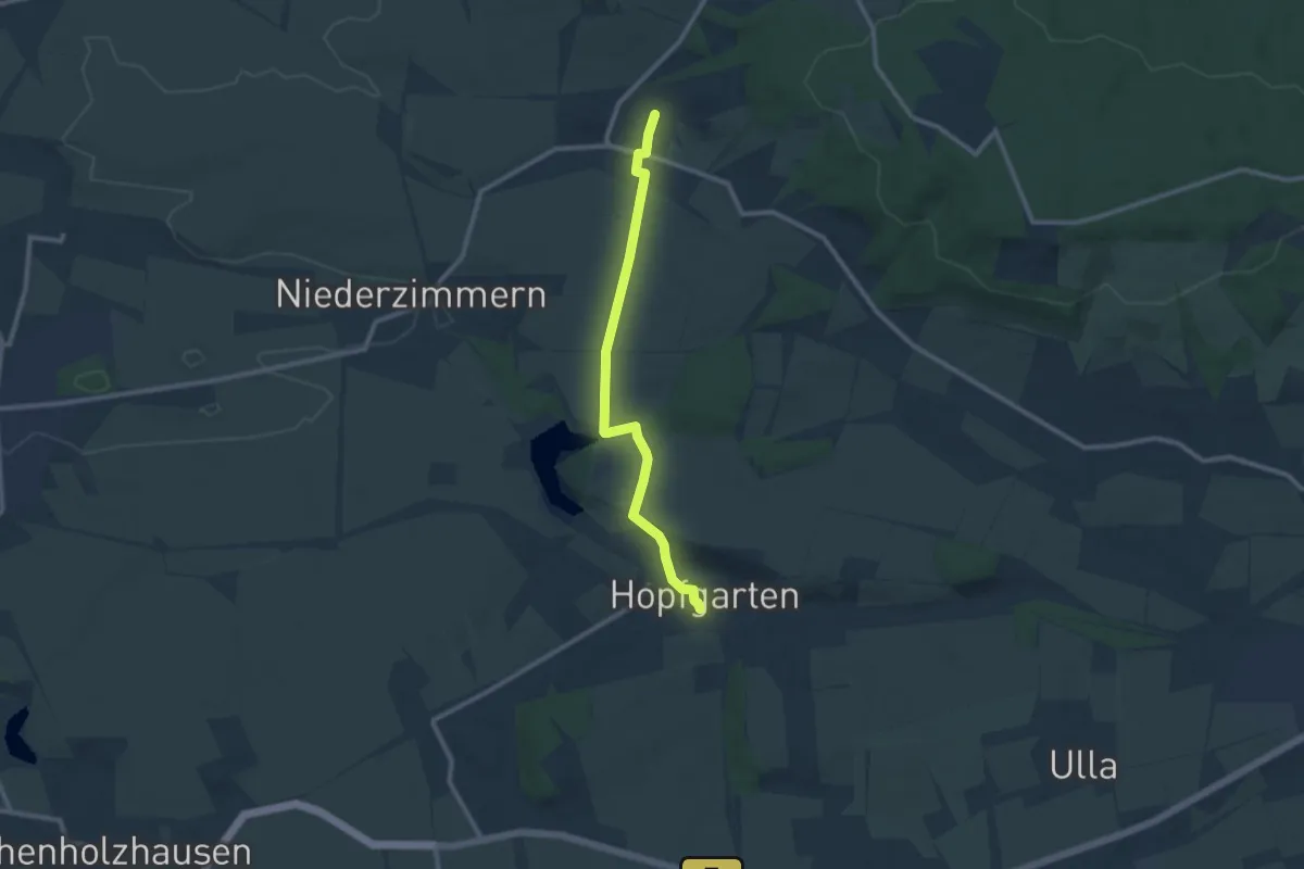
Wanderweg
9.0 km · ↑ 107 m · 2 h 21 min
Medium · Trail
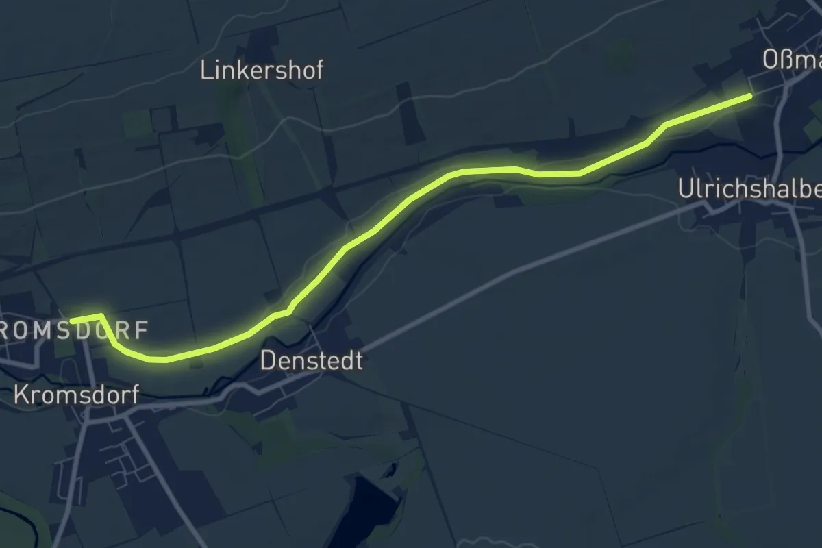
Wanderweg
8.3 km · ↑ 27 m · 2 h 2 min
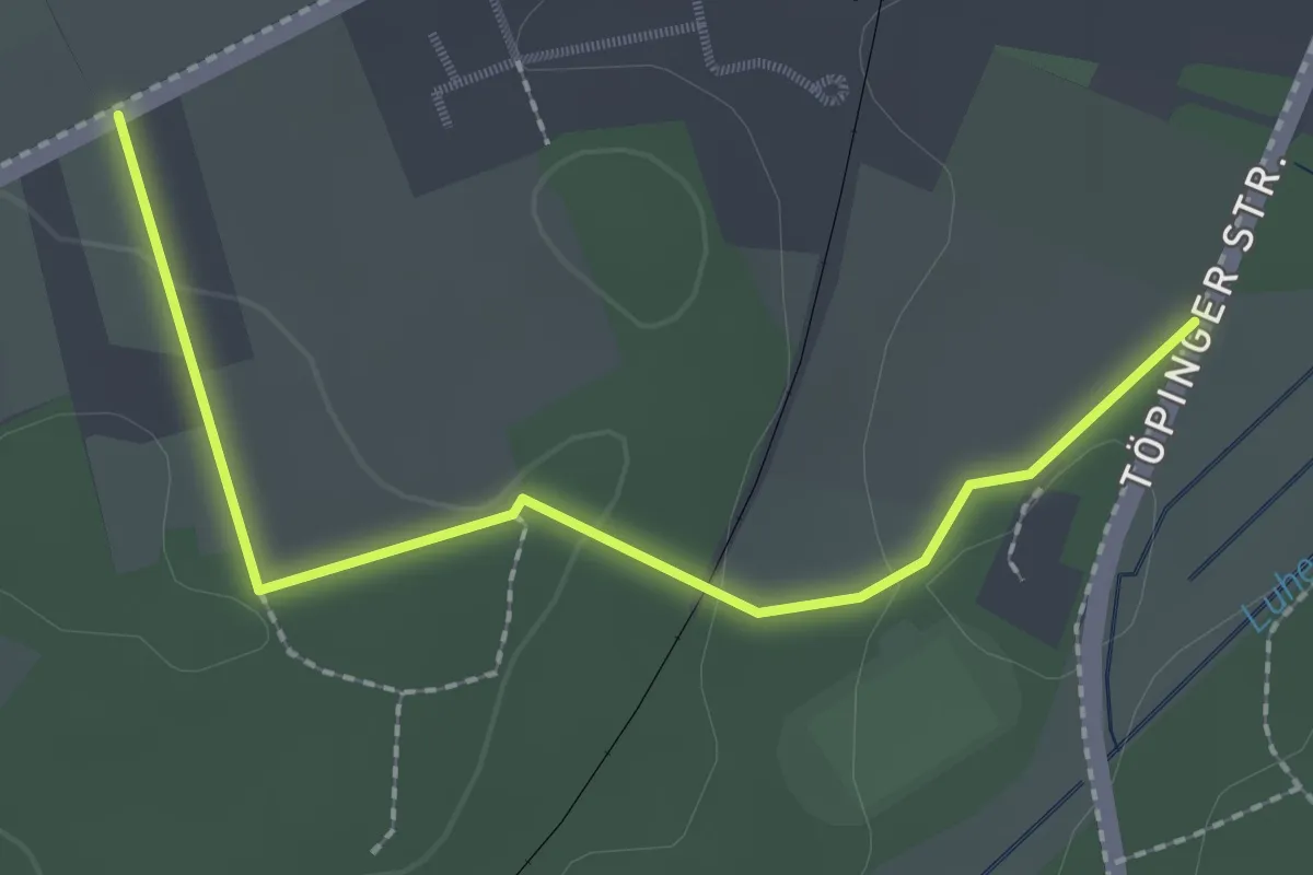
Easy · Trail
Wanderweg
2.0 km · ↑ 29 m · 33 min
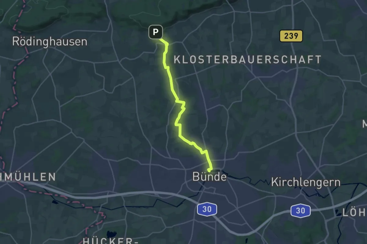
Medium · Trail
Wanderweg *
16.6 km · ↑ 175 m · 4 h 17 min
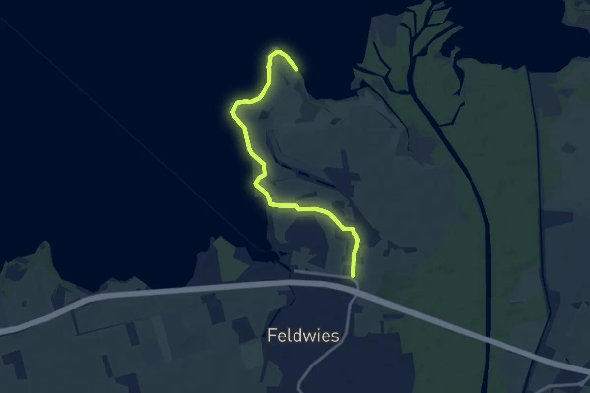
Easy · Trail
Wanderweg 01 - Übersee
7.9 km · ↑ 13 m · 1 h 54 min
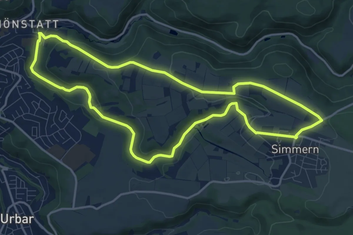
Medium · Trail
Wanderweg 08
9.4 km · ↑ 235 m · 2 h 52 min
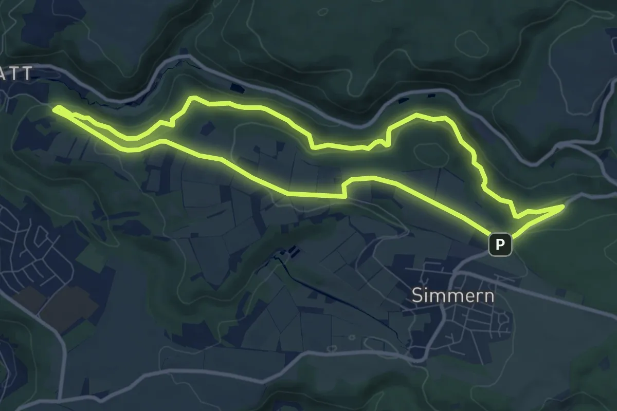
Medium · Trail
Wanderweg 09
8.5 km · ↑ 329 m · 2 h 51 min
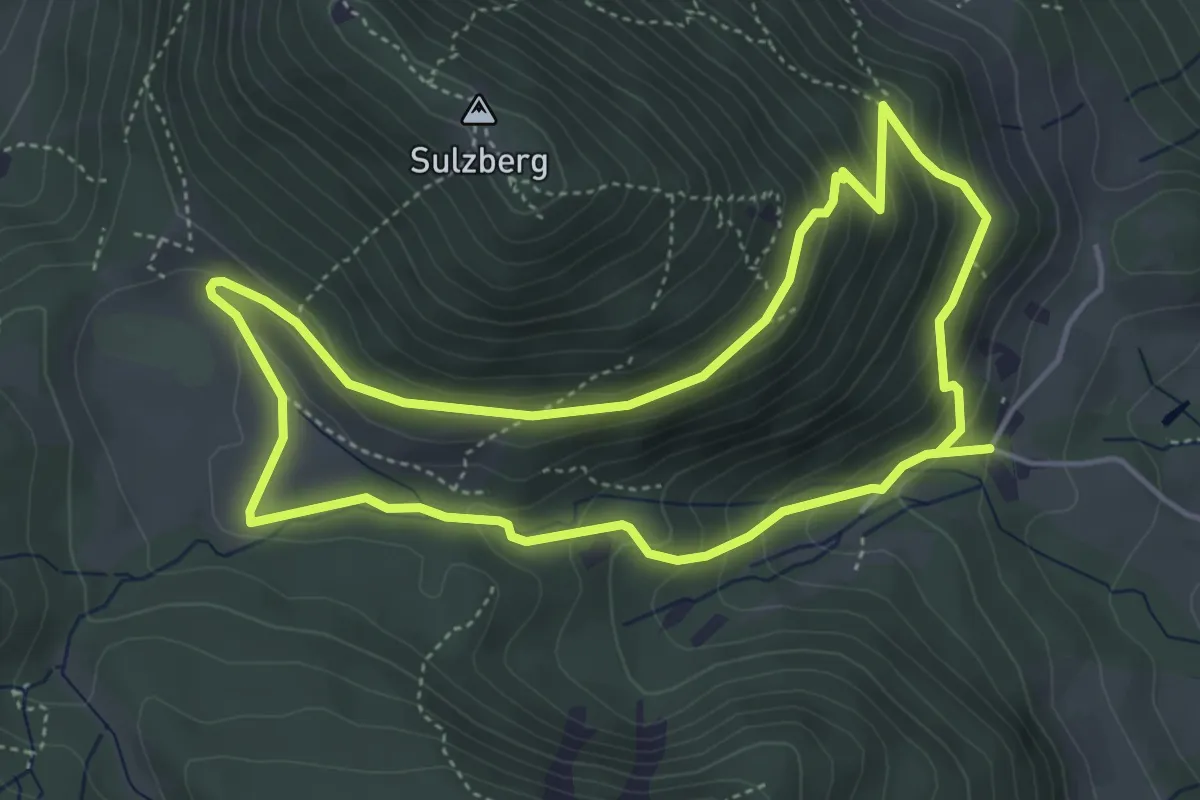
Demanding · Trail
Wanderweg 0 - Brannenburg
4.4 km · ↑ 240 m · 1 h 37 min
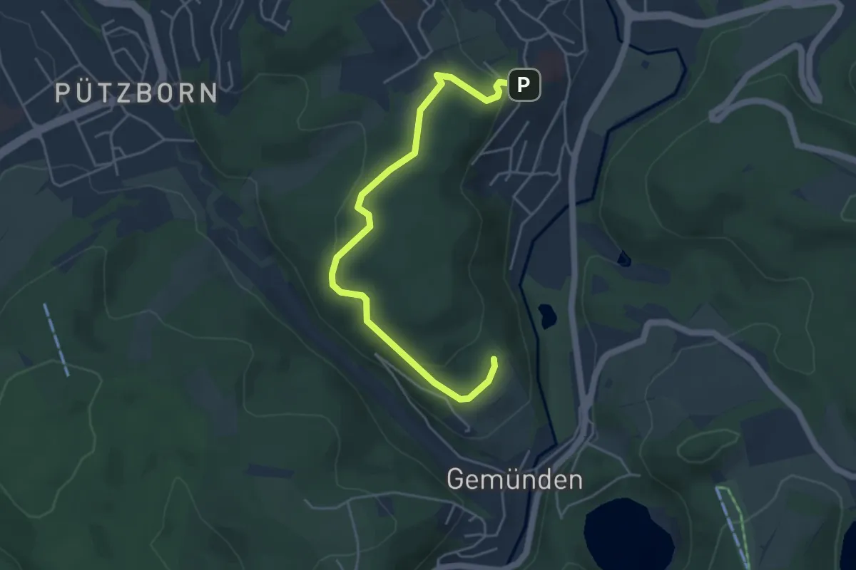
Easy · Trail
Wanderweg 0 Daun
4.5 km · ↑ 187 m · 1 h 28 min
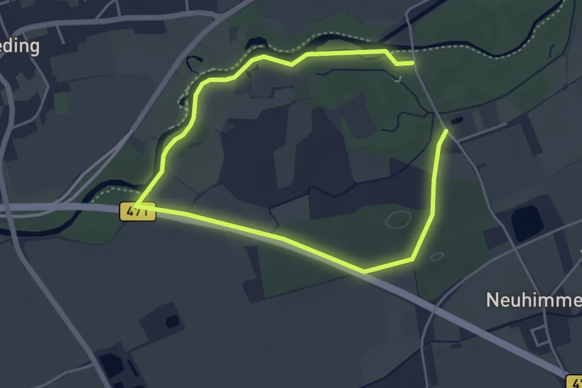
Easy · Trail
Wanderweg 1
3.1 km · ↑ 4 m · 47 min
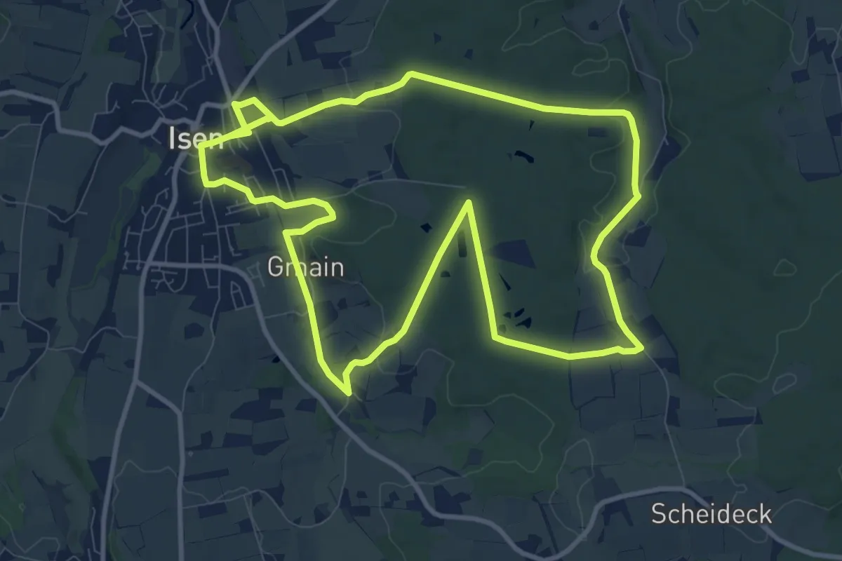
Medium · Trail
Wanderweg 1
10.0 km · ↑ 140 m · 2 h 48 min
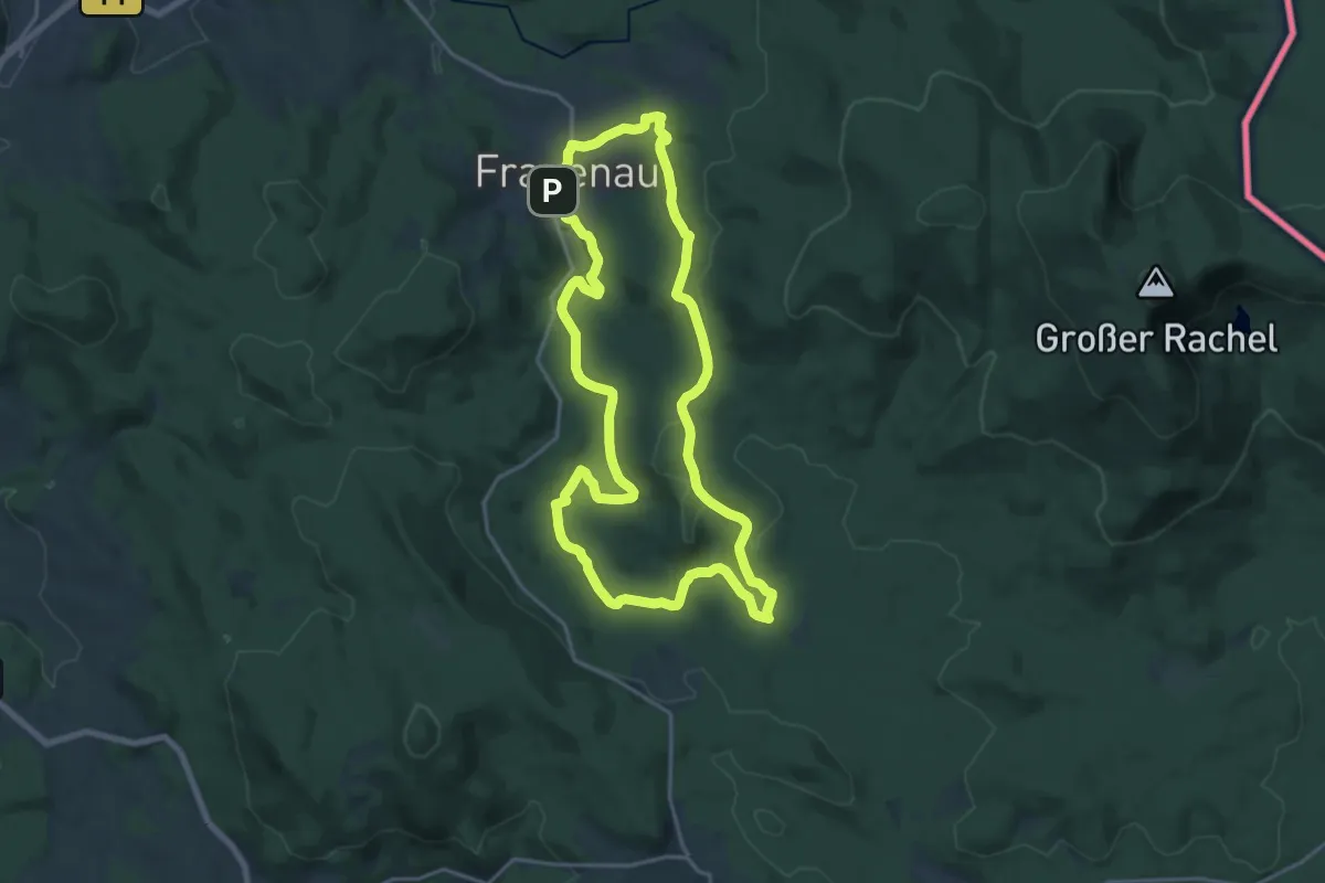
Medium · Trail
Wanderweg 1
17.5 km · ↑ 312 m · 5 h 4 min
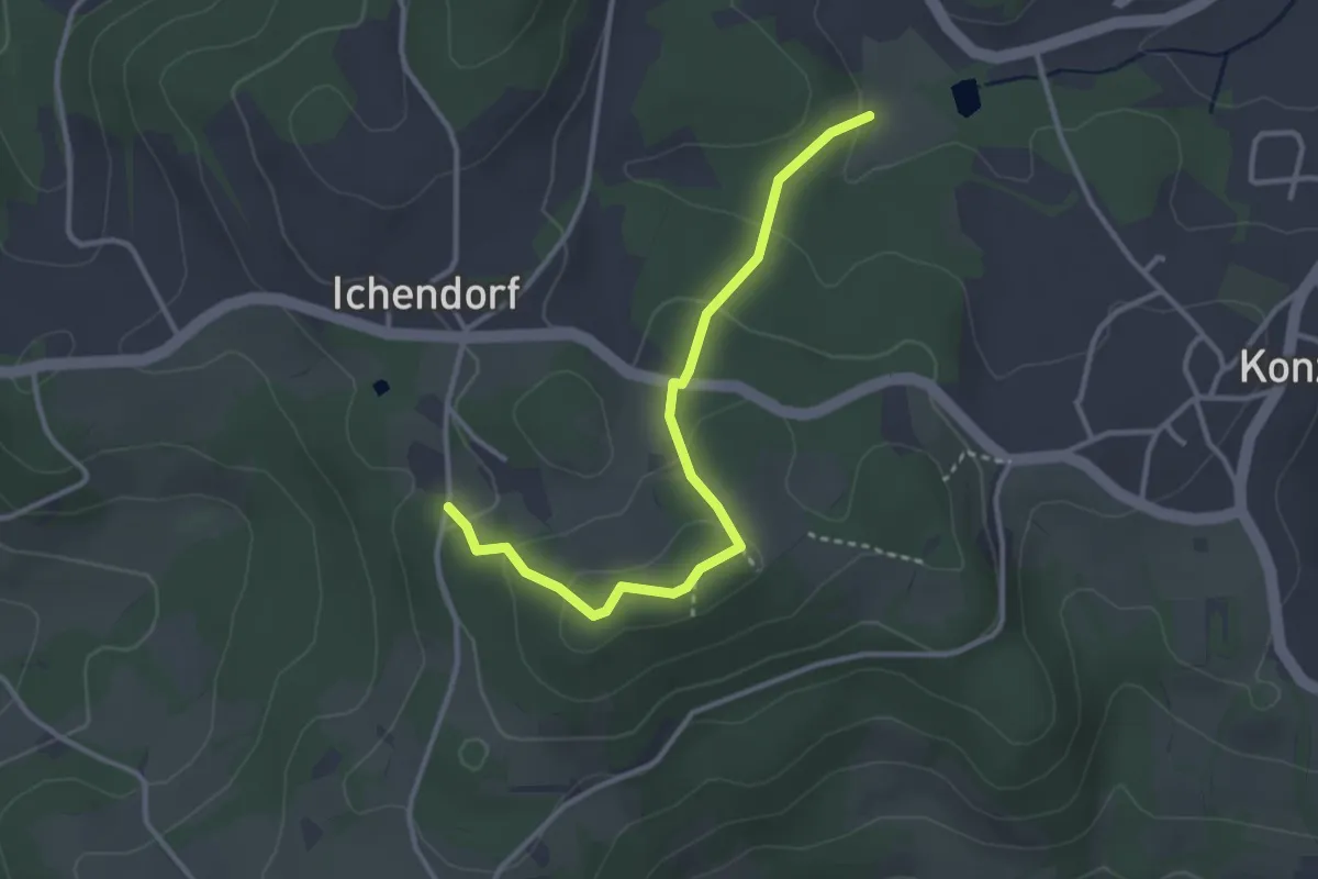
Easy · Trail
Wanderweg 1
3.1 km · ↑ 128 m · 1 h 1 min
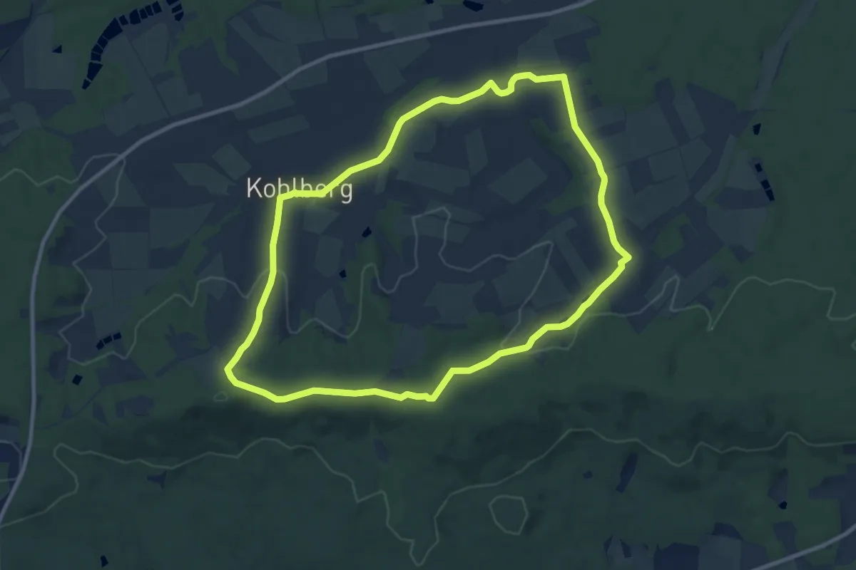
Medium · Summit
Wanderweg 1
9.1 km · ↑ 193 m · 2 h 42 min
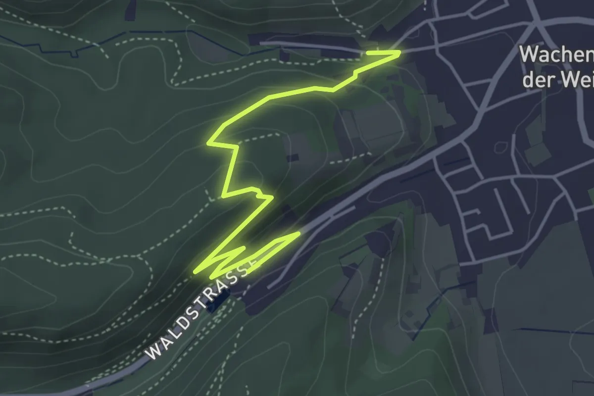
Medium · Trail
Wanderweg 1
4.5 km · ↑ 188 m · 1 h 29 min
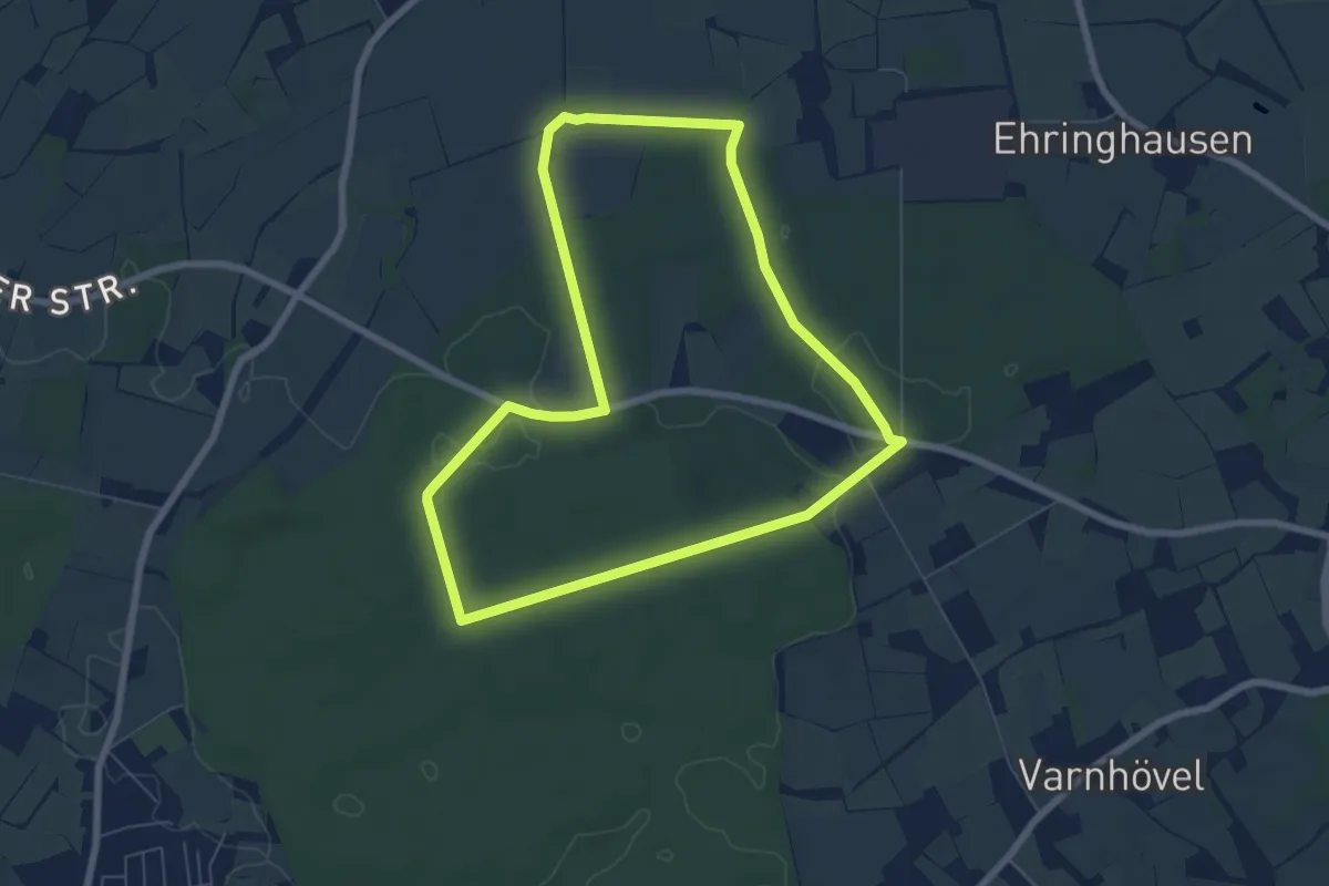
Easy · Trail
Wanderweg 1
6.0 km · ↑ 41 m · 1 h 36 min
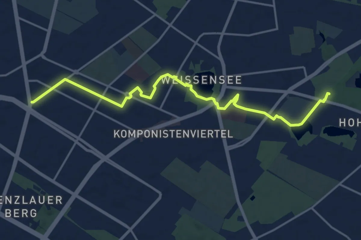
Medium · Trail
Wanderweg 1
10.6 km · ↑ 13 m · 2 h 32 min
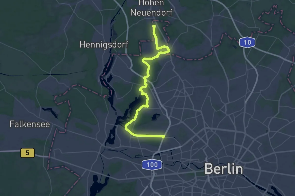
Demanding · Trail
Wanderweg 1
23.4 km · ↑ 82 m · 6 h 2 min
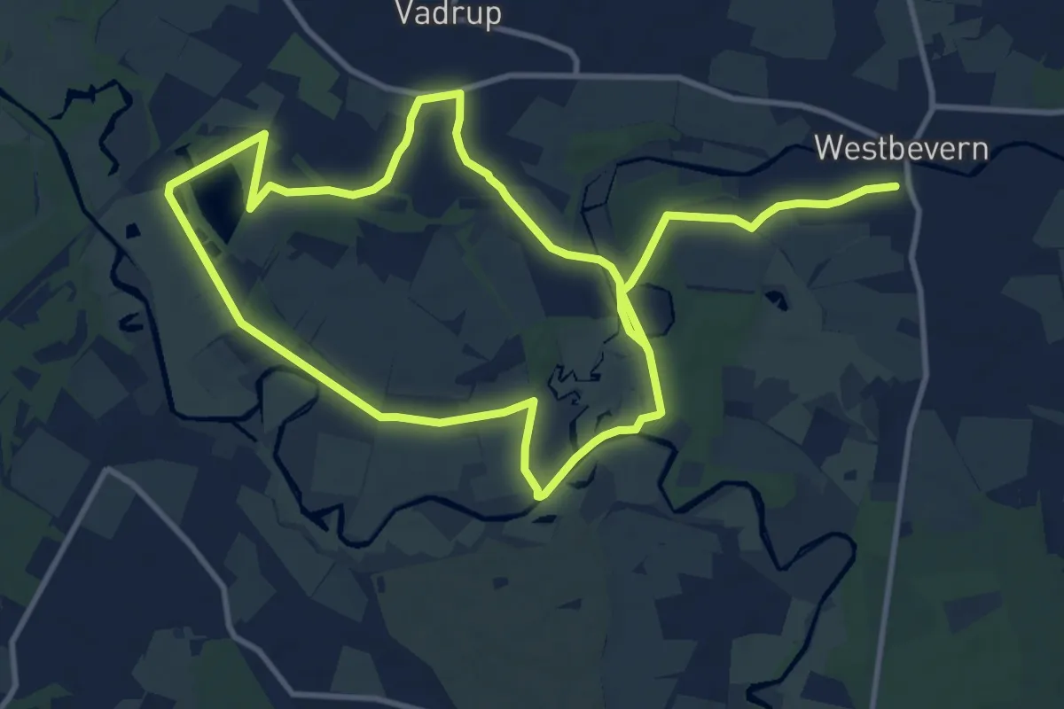
Medium · Trail
Wanderweg 1
9.1 km · ↑ 27 m · 2 h 21 min
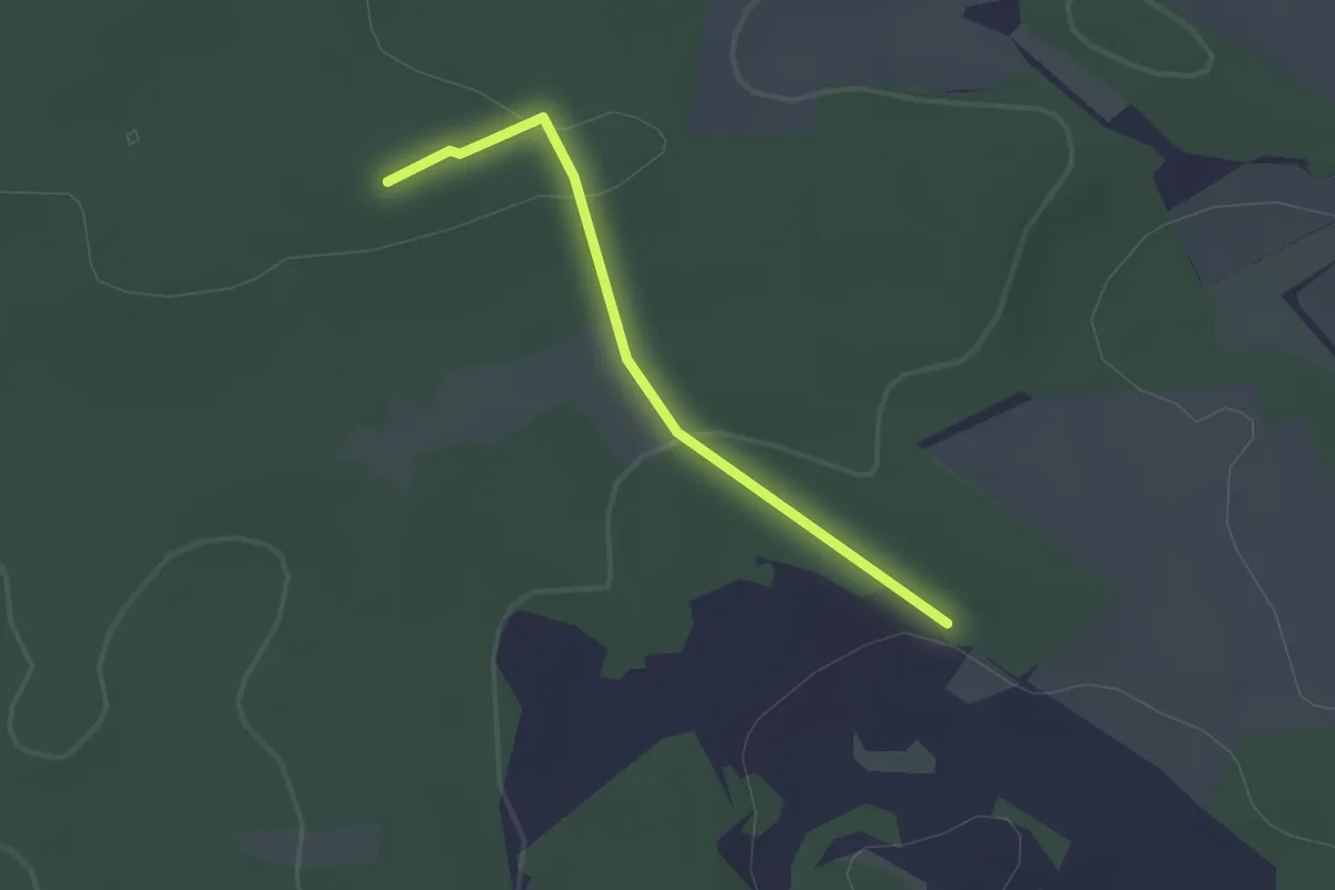
Easy · Summit
Wanderweg 1
1.8 km · ↑ 40 m · 30 min
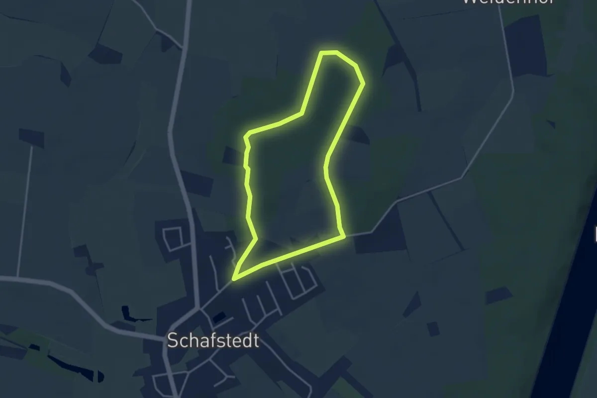
Easy · Trail
Wanderweg 1
2.8 km · ↑ 21 m · 44 min
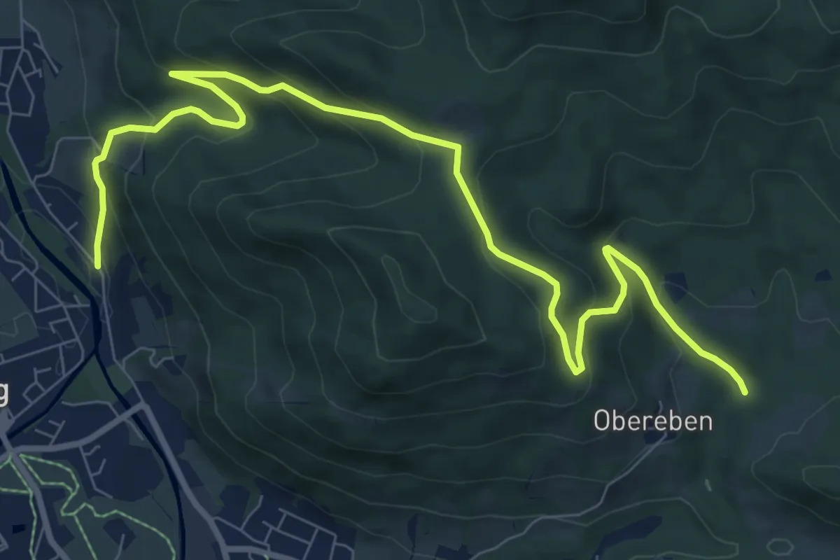
Medium · Trail
Wanderweg 10
10.1 km · ↑ 515 m · 3 h 30 min
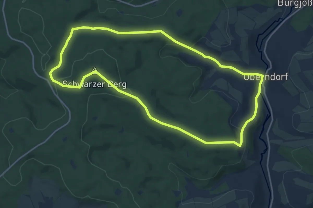
Medium · Summit
Wanderweg 10
10.2 km · ↑ 236 m · 3 h 4 min
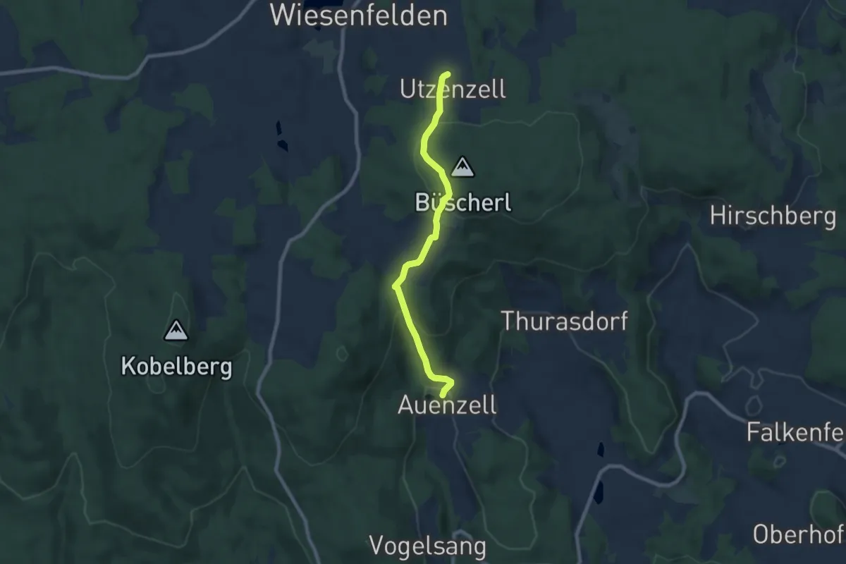
Easy · Trail
Wanderweg 10a
6.7 km · ↑ 275 m · 2 h 11 min
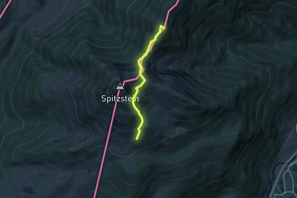
Medium · Summit
Wanderweg 10 - Aschau
3.5 km · ↑ 384 m · 1 h 39 min
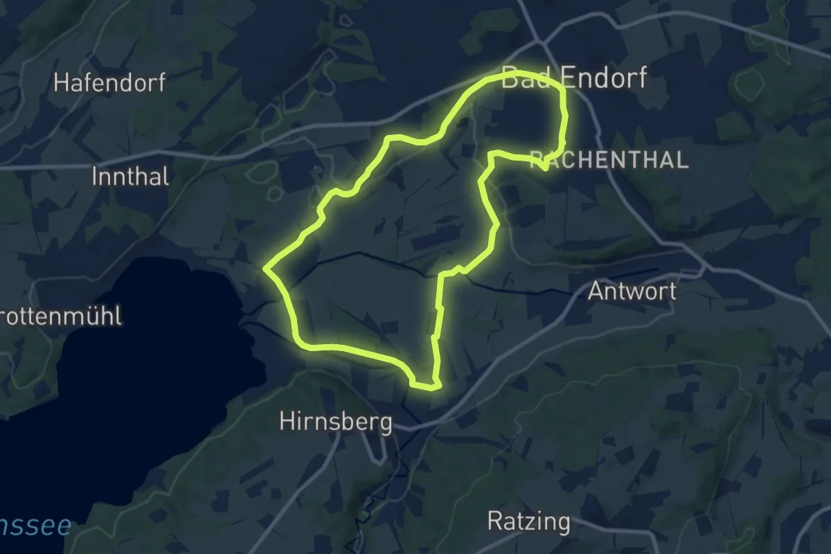
Medium · Trail
Wanderweg 10 - Bad Endorf
8.9 km · ↑ 89 m · 2 h 25 min
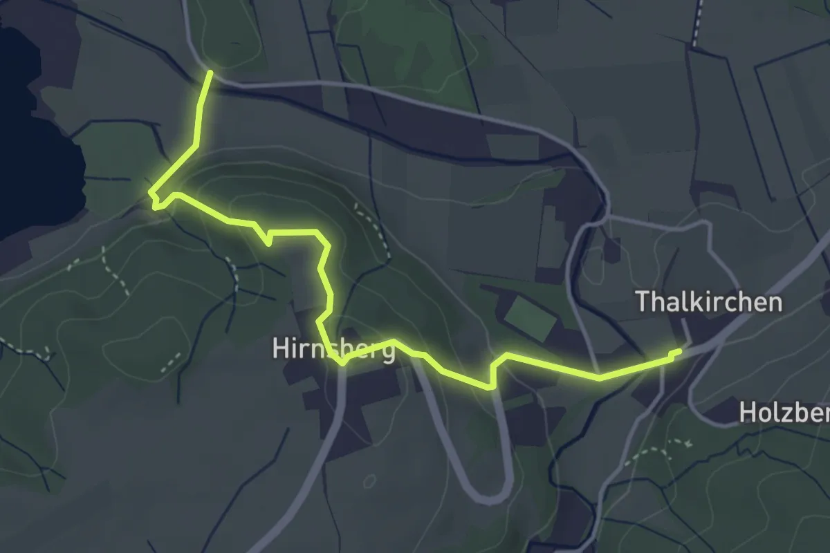
Easy · Trail
Wanderweg 10b - Bad Endorf
4.1 km · ↑ 188 m · 1 h 23 min
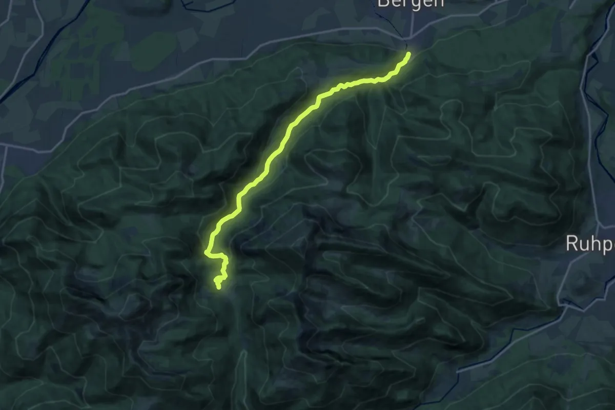
Medium · Trail
Wanderweg 10 - Bergen
15.5 km · ↑ 640 m · 5 h 3 min
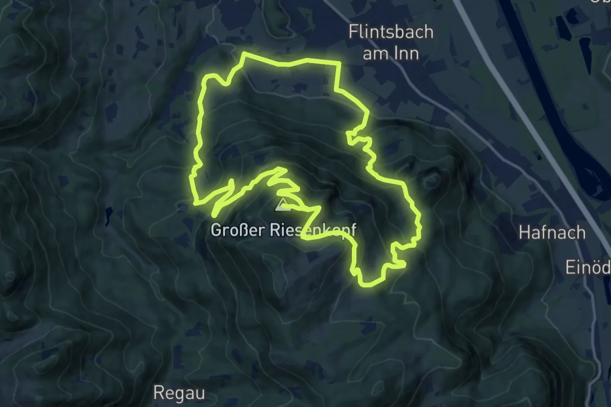
Demanding · Summit
Wanderweg 10 - Brannenburg
13.6 km · ↑ 935 m · 5 h 23 min
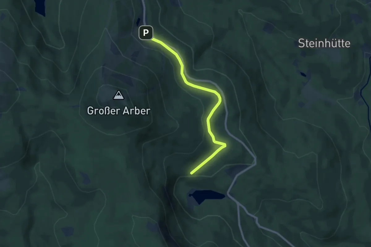
Easy · Trail
Wanderweg 10b (Rot)
6.4 km · ↑ 118 m · 1 h 47 min
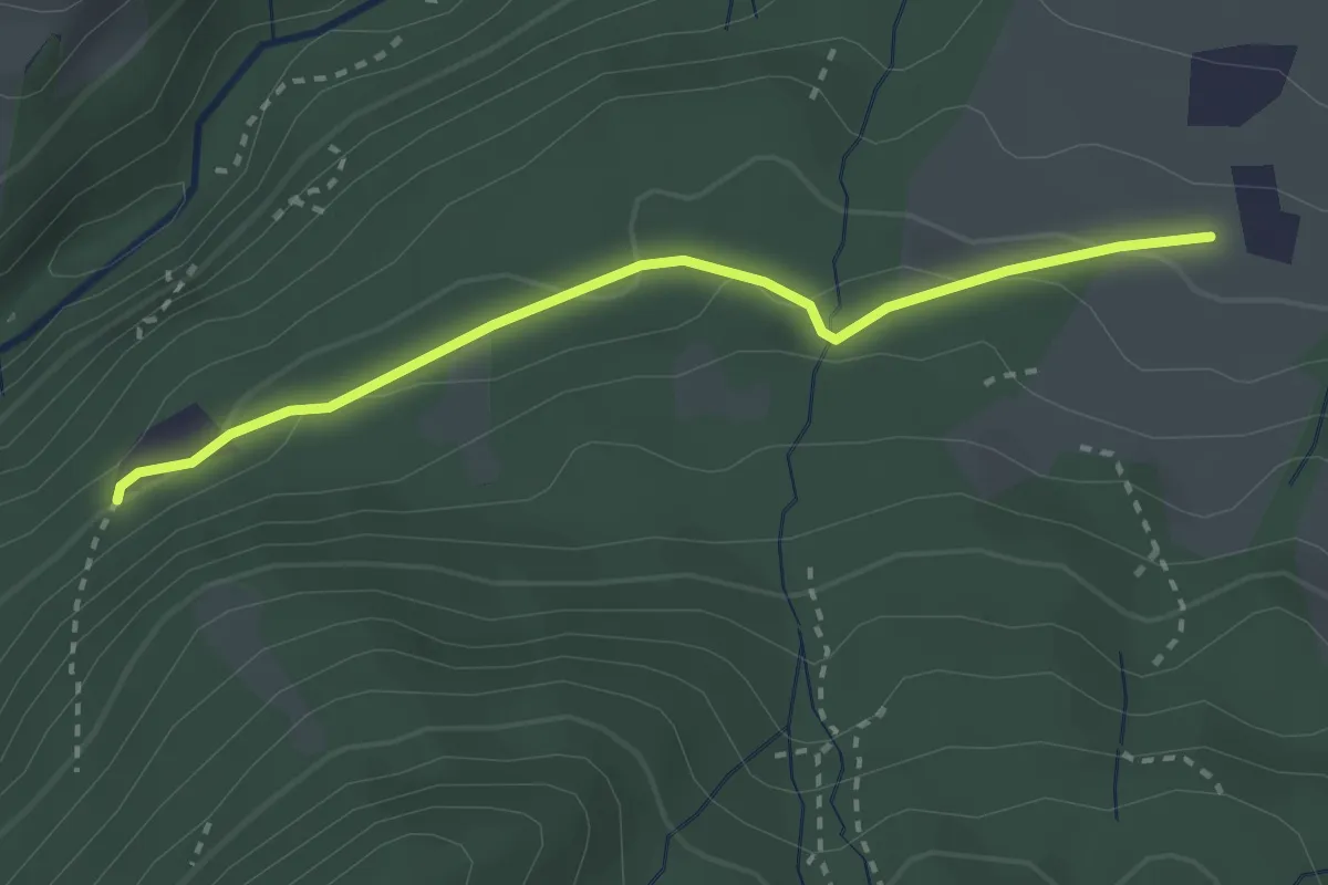
Easy · Trail
Wanderweg 10 - Nußdorf
2.7 km · ↑ 69 m · 47 min
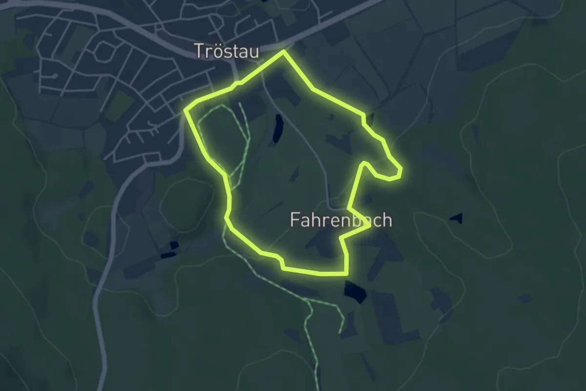
Easy · Trail
Wanderweg 10 Tröstau
3.6 km · ↑ 84 m · 1 h 4 min
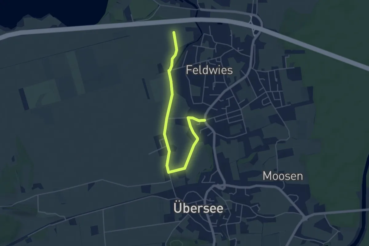
Easy · Trail
Wanderweg 10 - Übersee
5.3 km · ↑ 4 m · 1 h 16 min
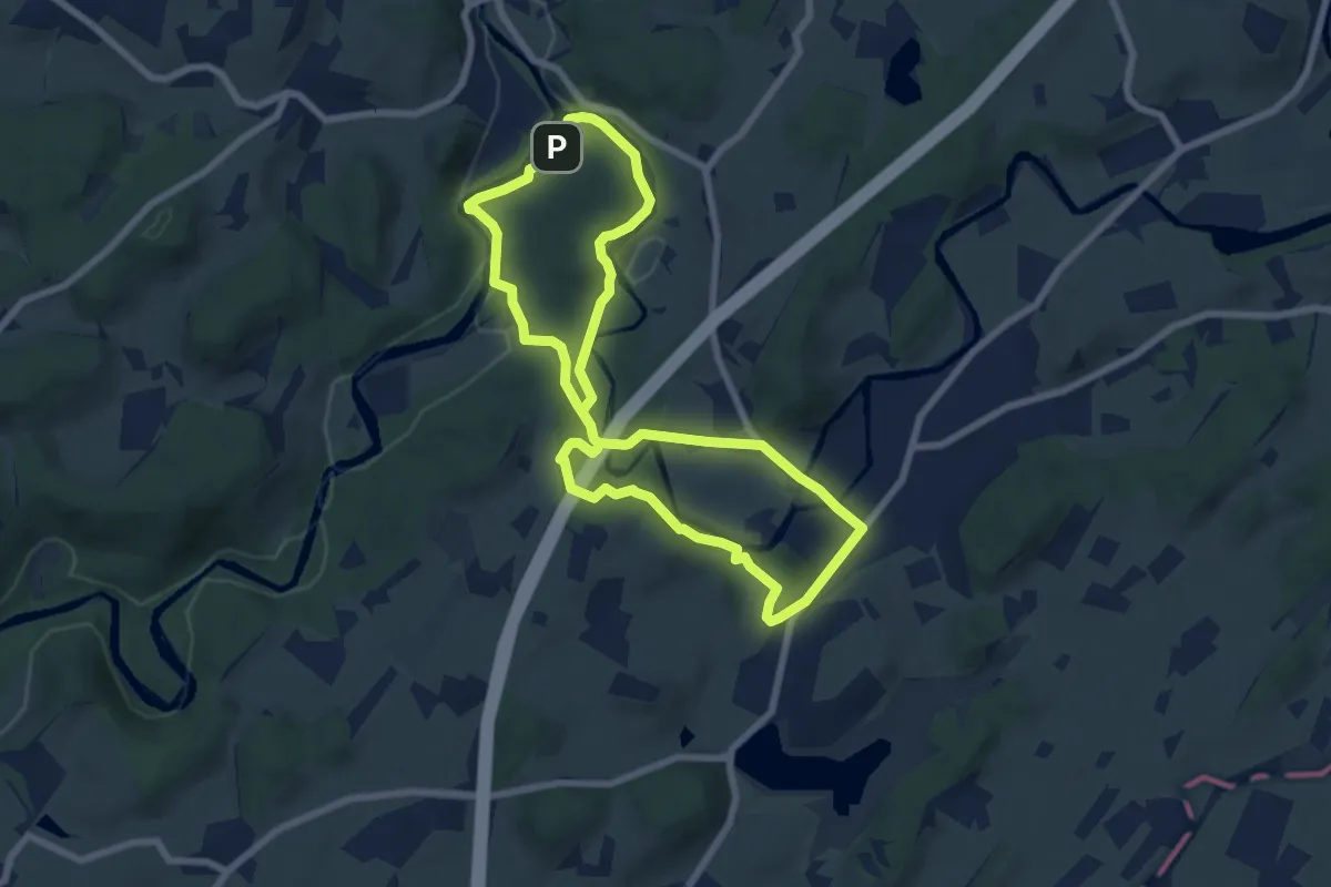
Easy · Summit
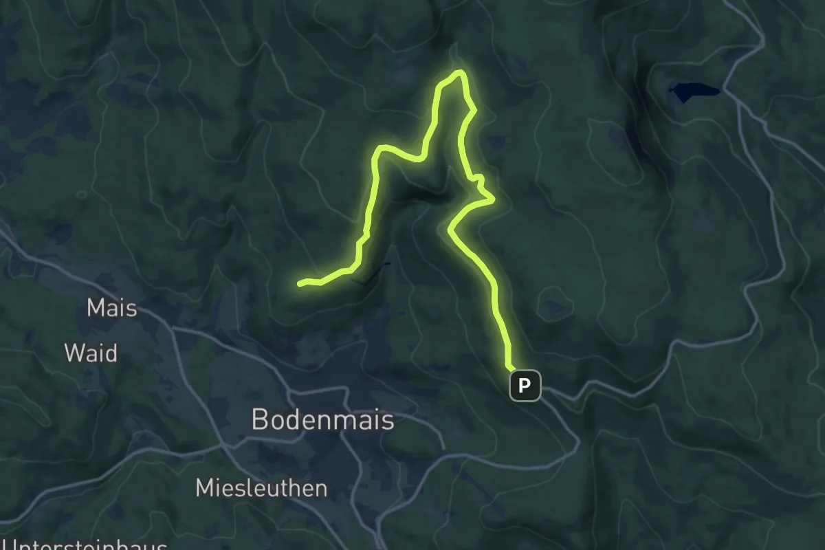
Wanderweg 10 Wangen im Allgäu
6.8 km · ↑ 130 m · 1 h 59 min
Demanding · Trail
Wanderweg 11
15.5 km · ↑ 463 m · 4 h 39 min
Easy · Trail
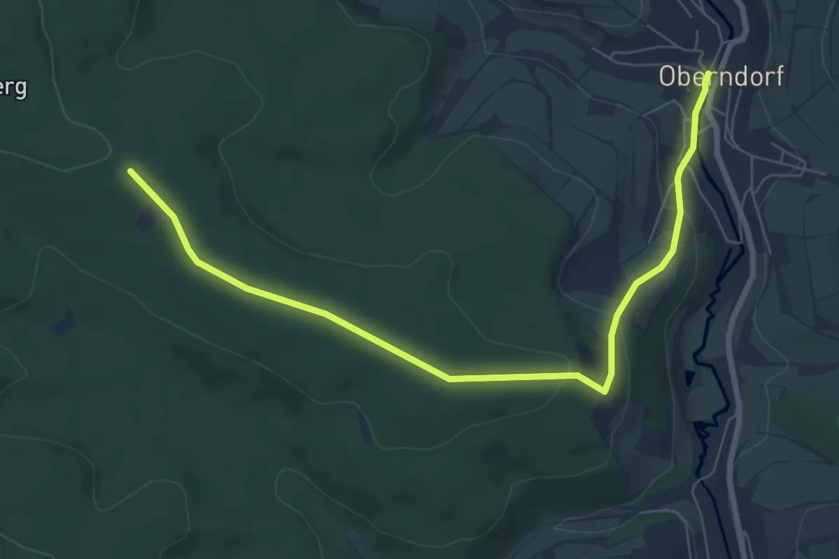
Wanderweg 11
7.2 km · ↑ 175 m · 2 h 4 min
Demanding · Summit
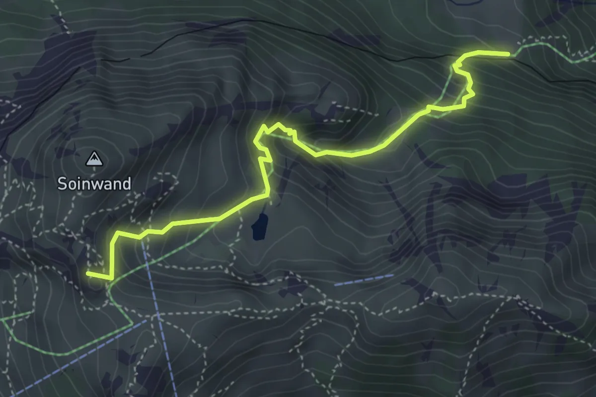
Wanderweg 11a - Mitteralm - Soinhütte
4.3 km · ↑ 519 m · 2 h 8 min
Easy · Trail
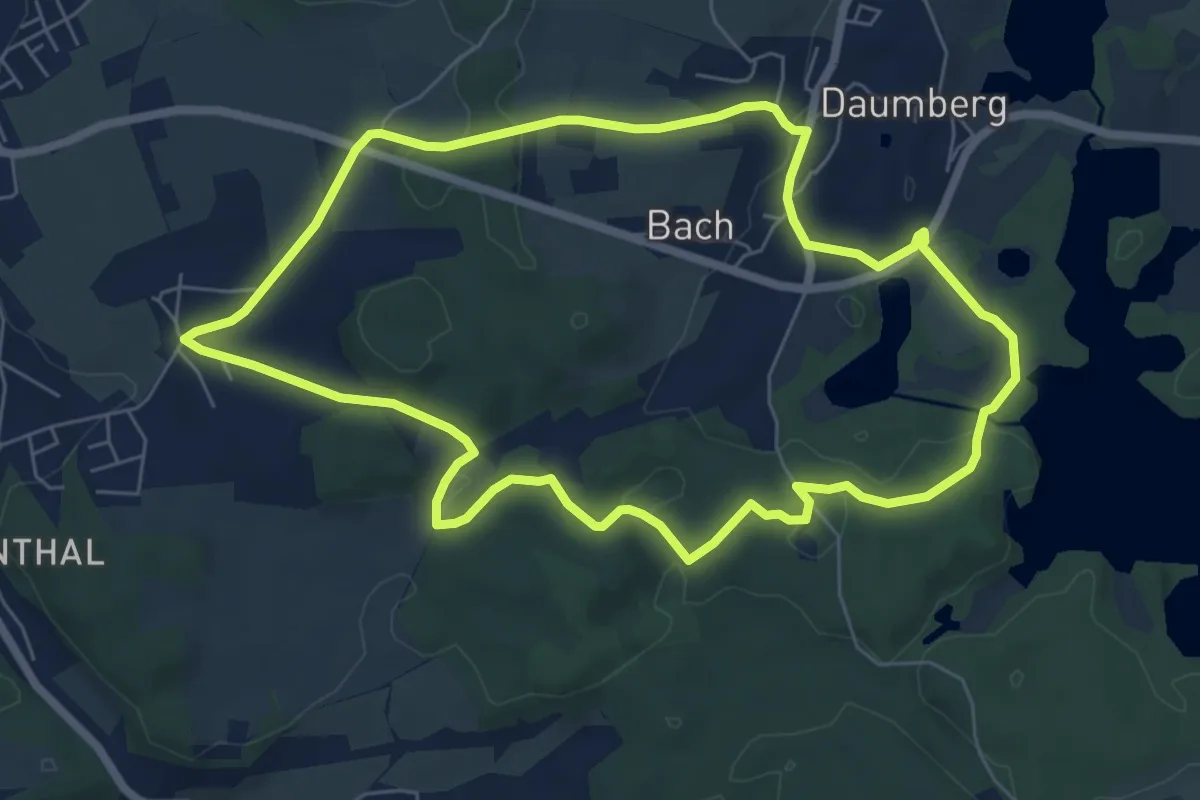
Wanderweg 11 - Bad Endorf
6.6 km · ↑ 117 m · 1 h 54 min
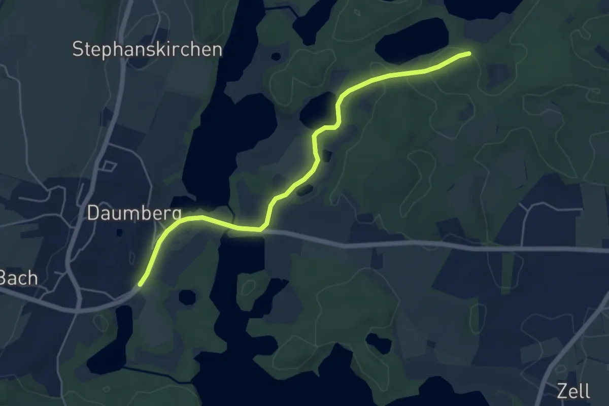
Easy · Trail
Wanderweg 11b - Bad Endorf
4.9 km · ↑ 52 m · 1 h 16 min
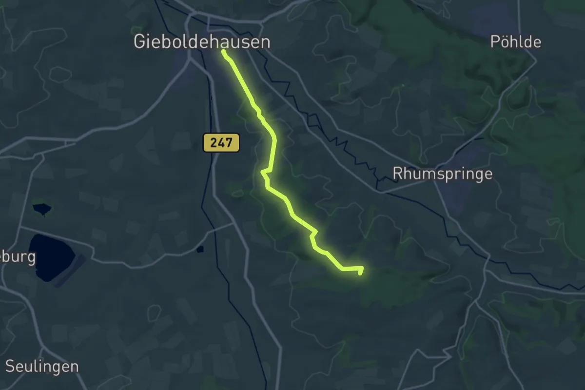
Medium · Summit
Wanderweg 11 Gieboldehausen (Schloss) - Forsthaus Hübental
14.2 km · ↑ 189 m · 3 h 45 min
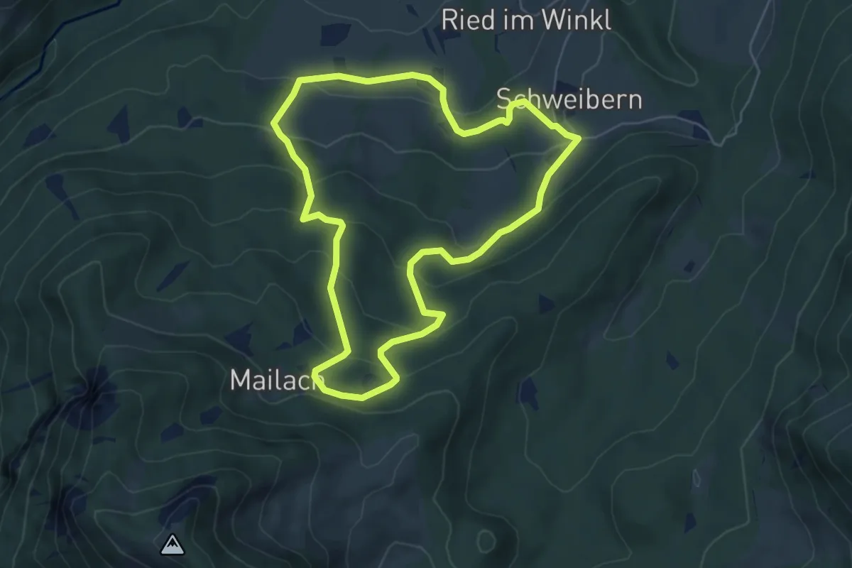
Medium · Trail
Wanderweg 11 - Nußdorf
5.0 km · ↑ 312 m · 1 h 56 min
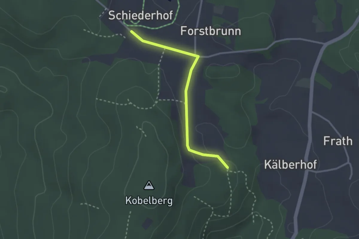
Easy · Trail
Wanderweg 11: Schiederhof - Saulburg
2.4 km · ↑ 27 m · 37 min