Trails in Germany
36,852 hiking trails, each with its route, climb, walking time and grade.
All trails, page 677 of 768
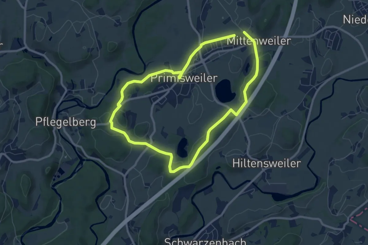
Easy · Trail
Wanderweg 11 Wangen im Allgäu
6.5 km · ↑ 84 m · 1 h 48 min
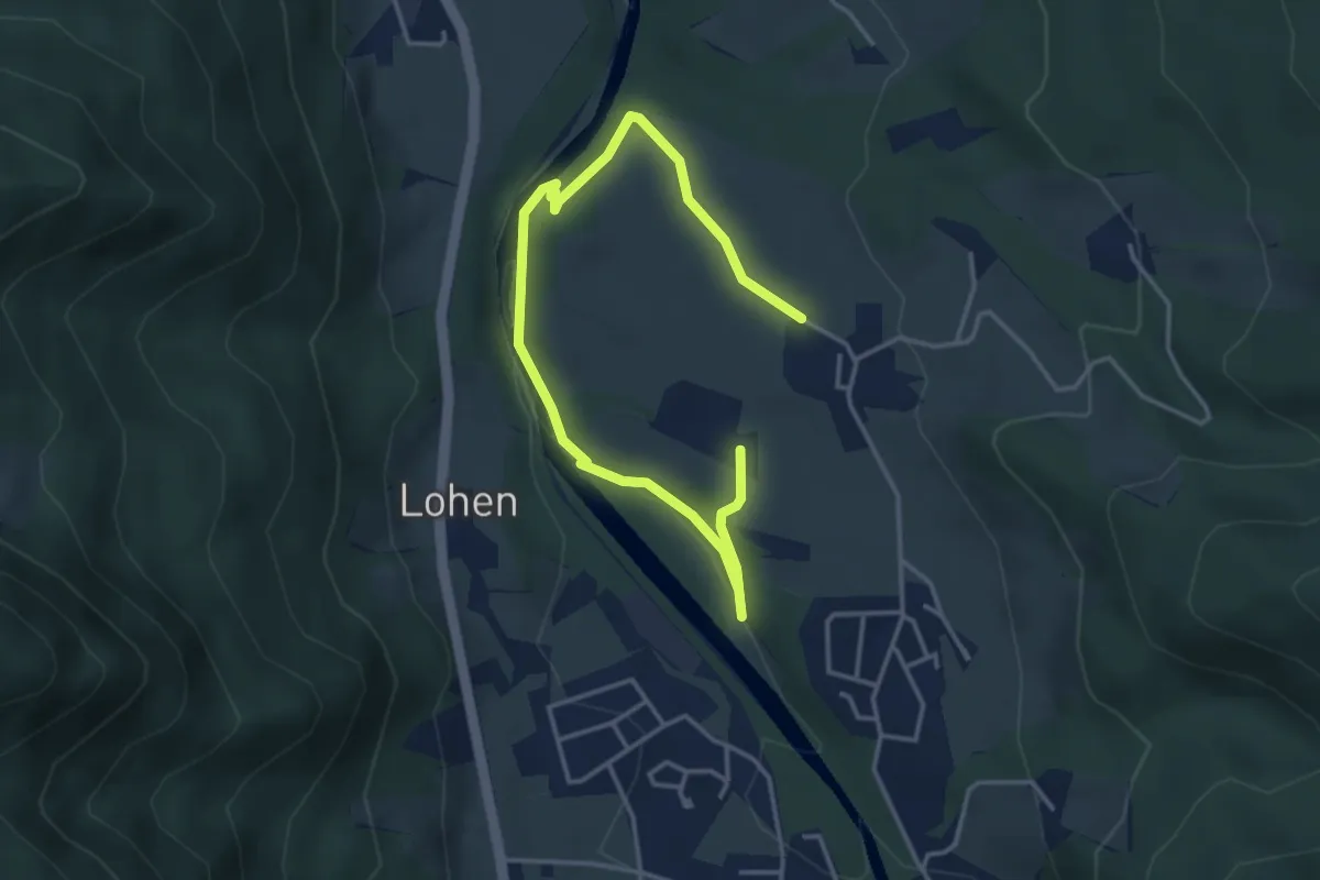
Medium · Trail
Wanderweg 12
4.8 km · ↑ 81 m · 1 h 19 min
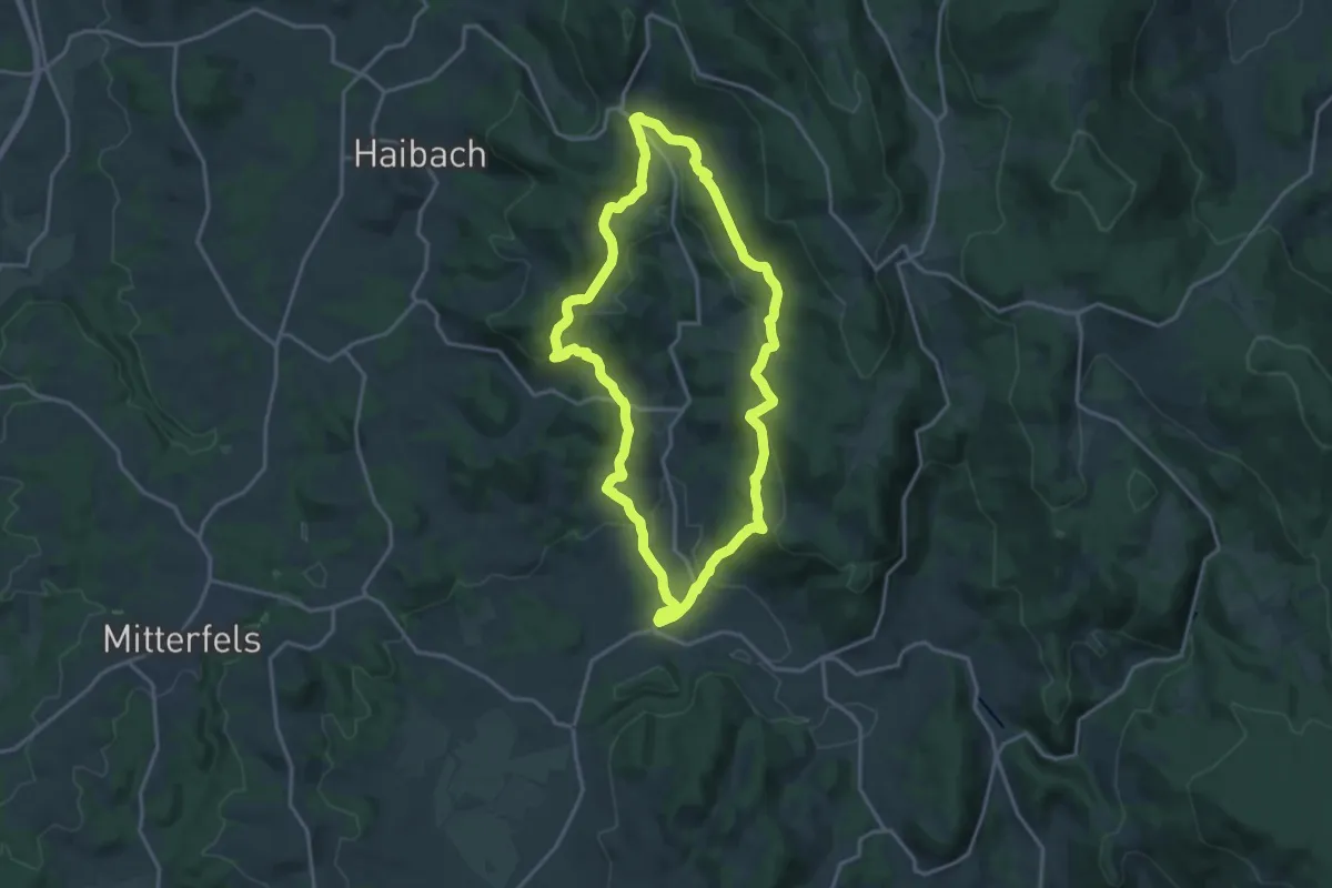
Medium · Trail
Wanderweg 12
16.8 km · ↑ 538 m · 5 h 21 min
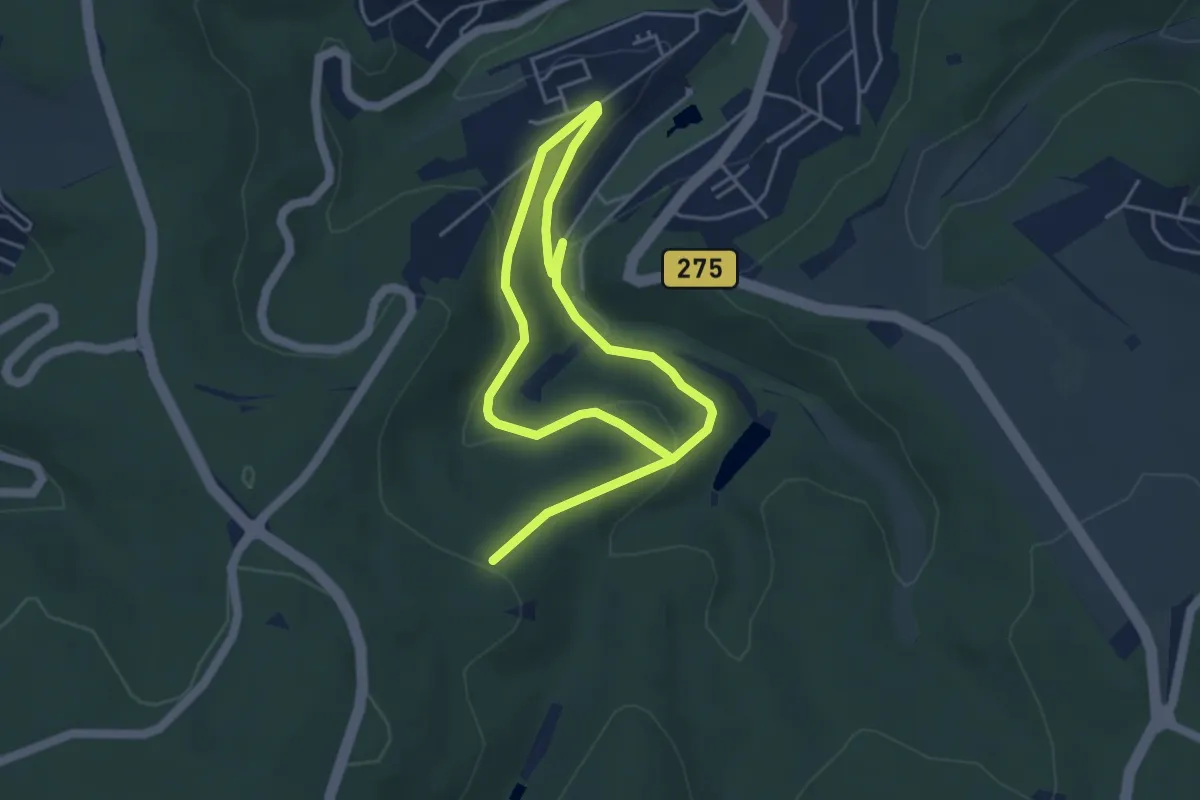
Easy · Trail
Wanderweg 12
6.7 km · ↑ 198 m · 2 h 1 min
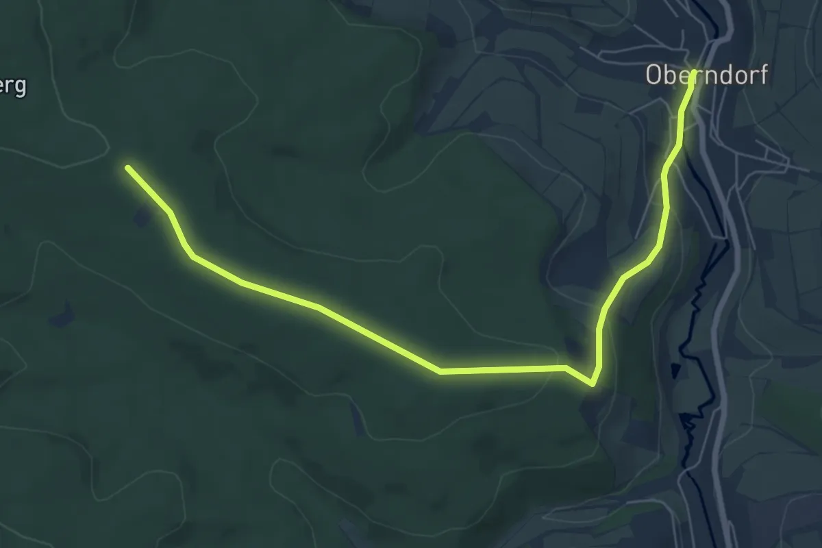
Easy · Trail
Wanderweg 12
7.2 km · ↑ 175 m · 2 h 4 min
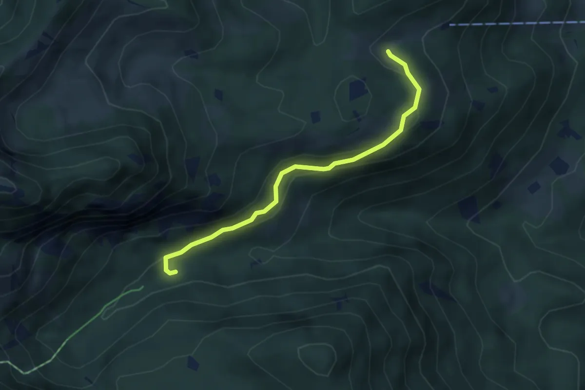
Medium · Trail
Wanderweg 12 - Aipl - Breitenberghütte
3.9 km · ↑ 192 m · 1 h 20 min
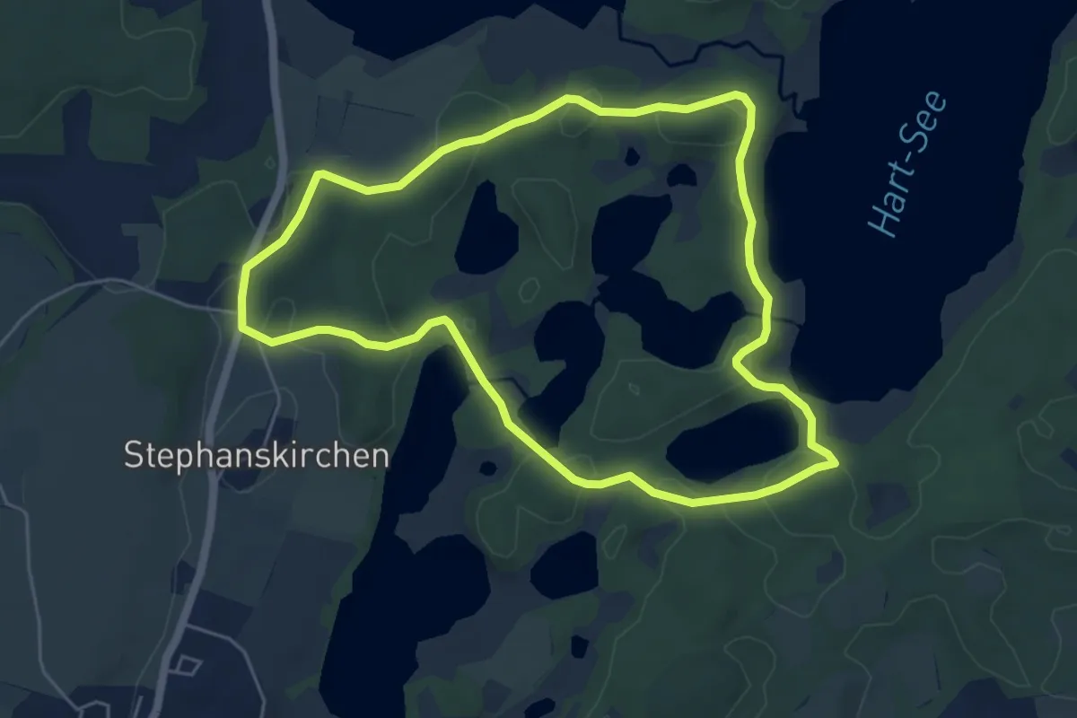
Easy · Trail
Wanderweg 12 - Bad Endorf
5.2 km · ↑ 67 m · 1 h 26 min
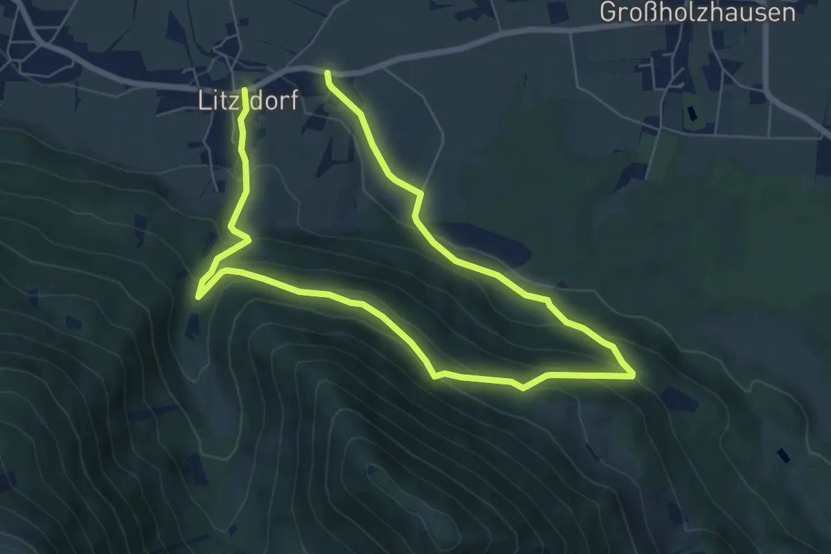
Medium · Trail
Wanderweg 12 - Bad Feilnbach
10.5 km · ↑ 552 m · 3 h 41 min
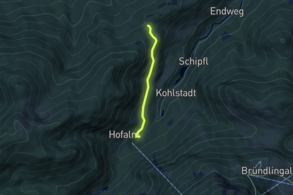
Easy · Trail
Wanderweg 12 - Bergen
3.1 km · ↑ 188 m · 1 h 9 min
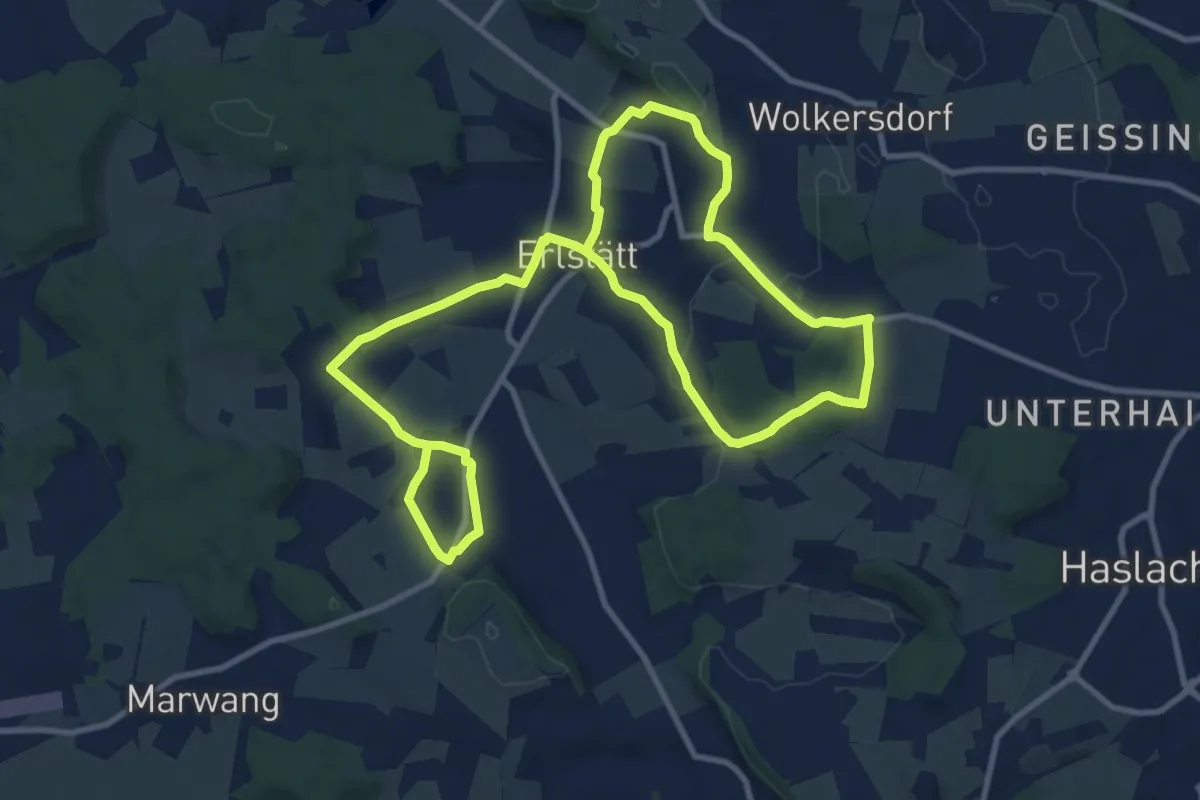
Demanding · Trail
Wanderweg 12 - Erlstätt Rundweg
18.2 km · ↑ 239 m · 4 h 50 min
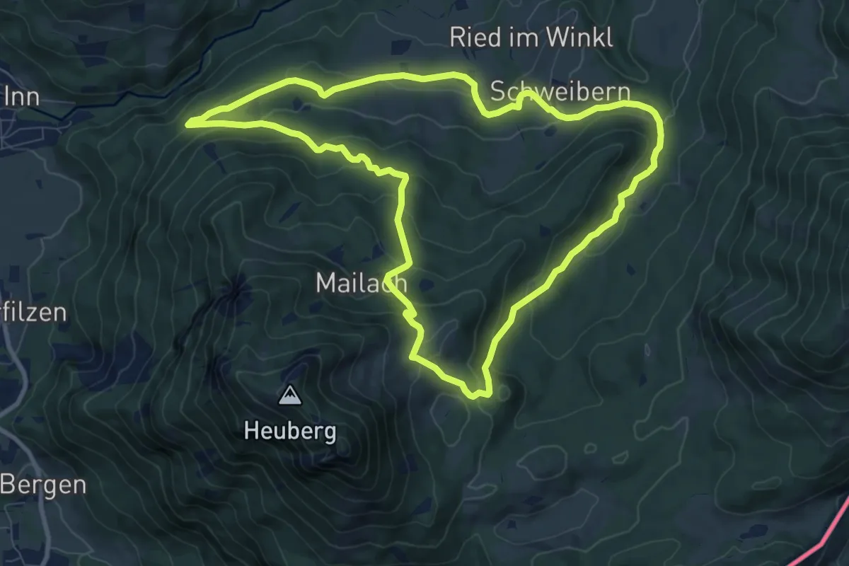
Medium · Trail
Wanderweg 12 - Nußdorf
8.7 km · ↑ 432 m · 3 h 6 min
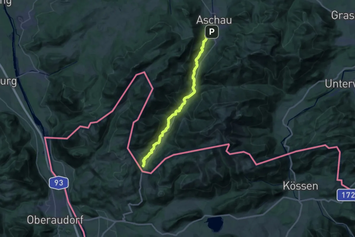
Demanding · Trail
Wanderweg 12 - Prientalwanderweg
26.0 km · ↑ 597 m · 7 h 26 min
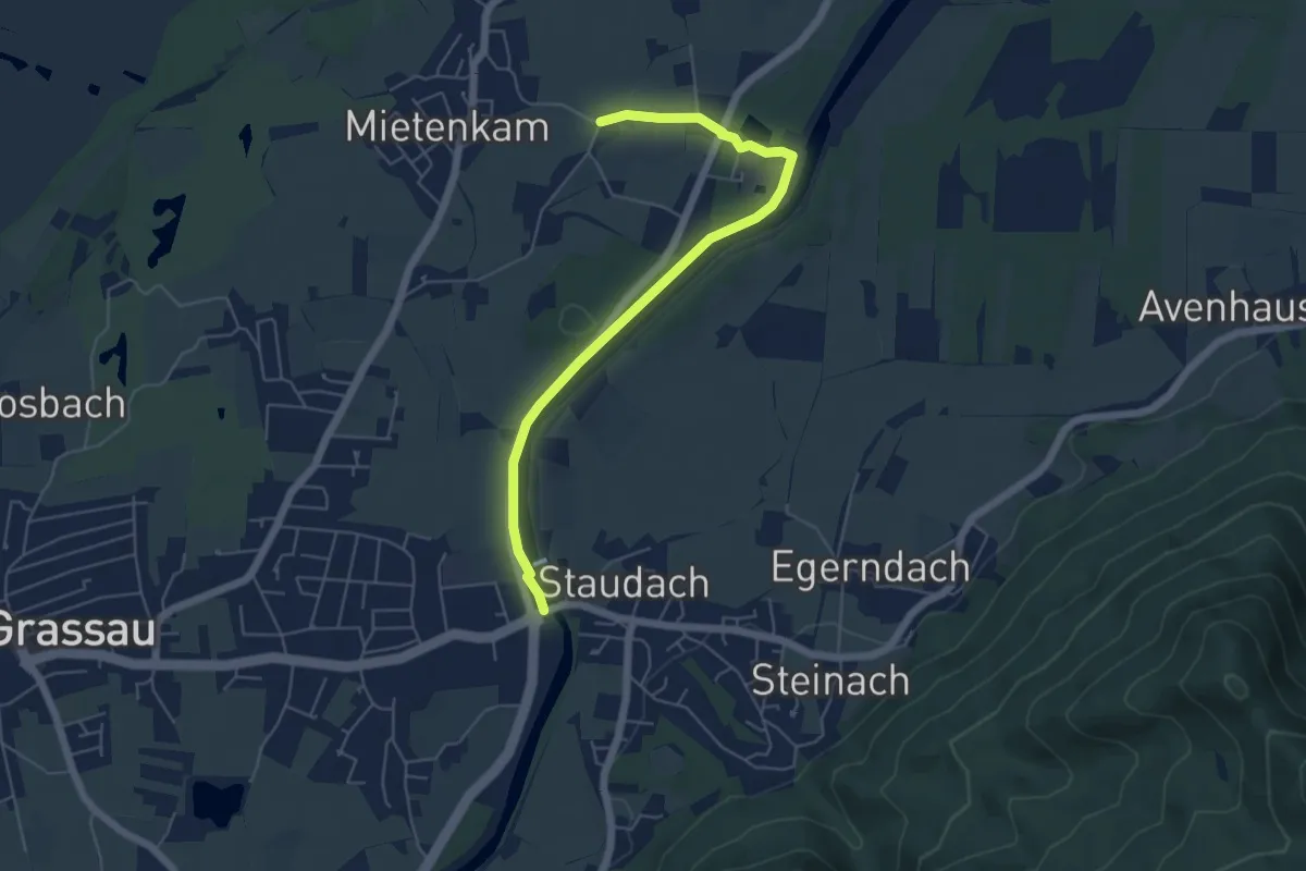
Easy · Trail
Wanderweg 12 - Staudach
5.6 km · ↑ 33 m · 1 h 24 min
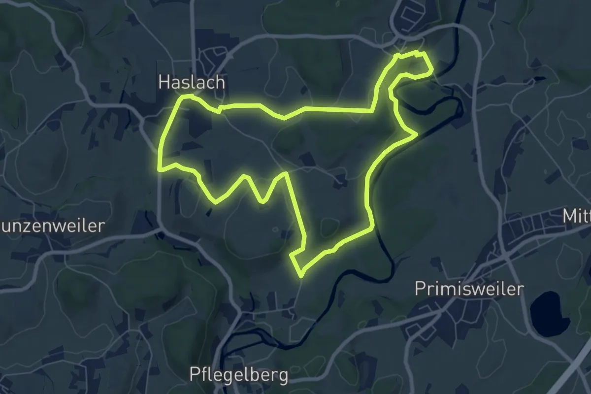
Easy · Trail
Wanderweg 12 Wangen im Allgäu
7.1 km · ↑ 139 m · 2 h 4 min
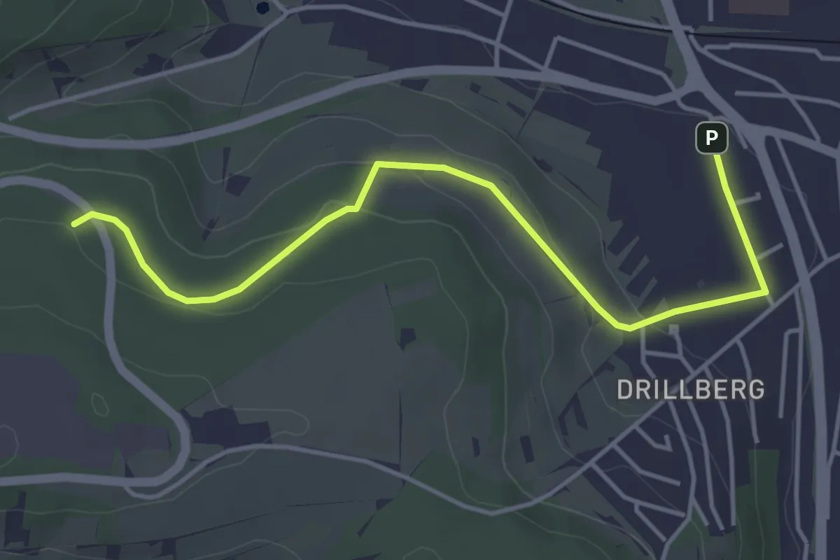
Easy · Trail
Wanderweg 13
4.3 km · ↑ 90 m · 1 h 13 min
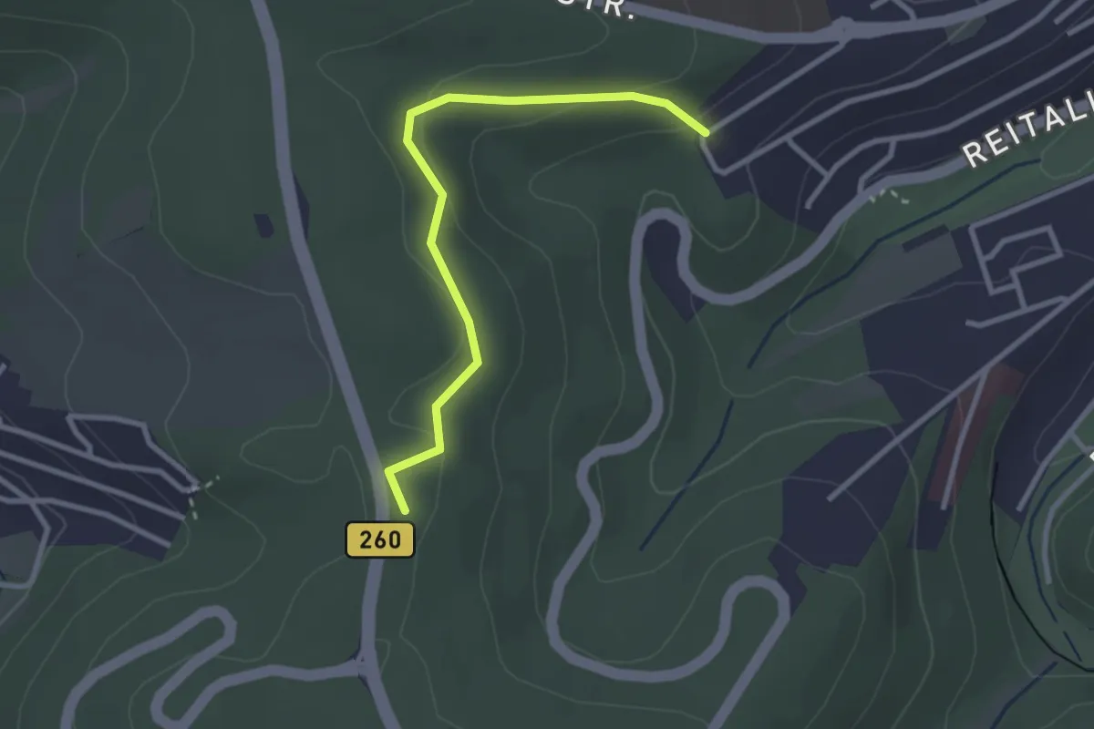
Easy · Summit
Wanderweg 13
2.6 km · ↑ 76 m · 47 min
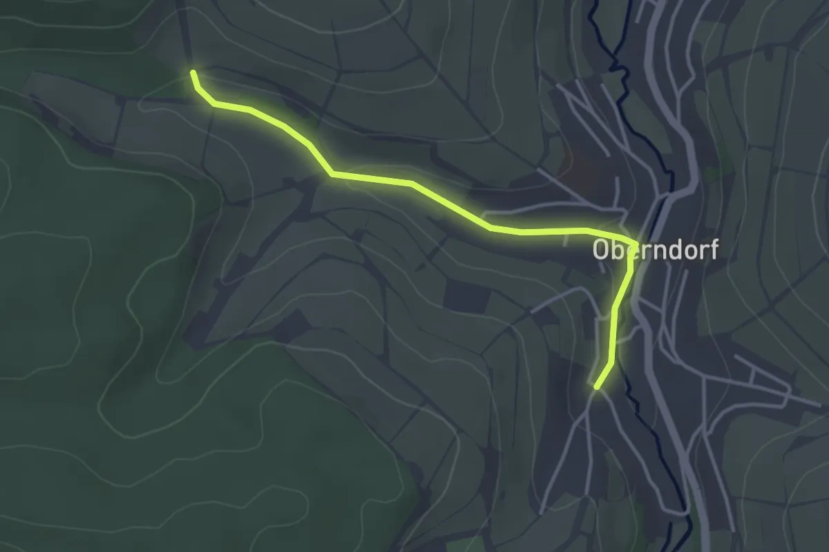
Easy · Trail
Wanderweg 13
3.3 km · ↑ 53 m · 53 min
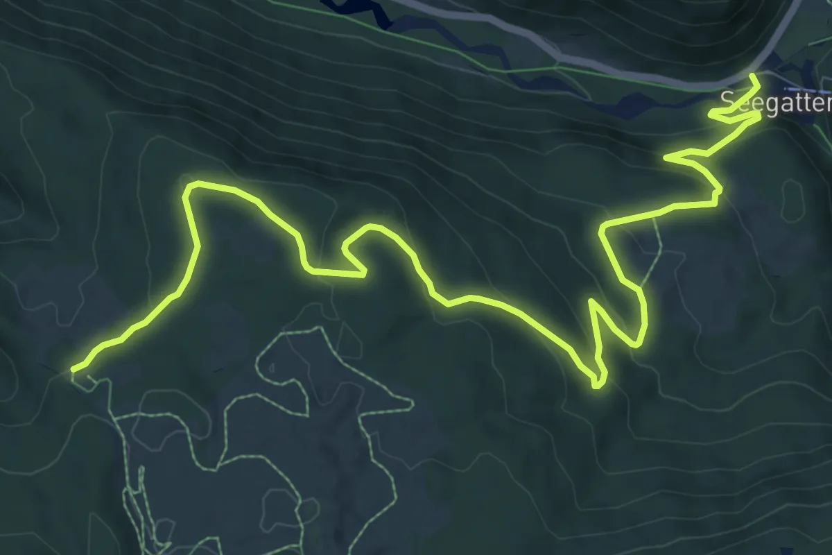
Medium · Trail
Wanderweg 131 - Reit im Winkl
13.1 km · ↑ 488 m · 4 h 9 min
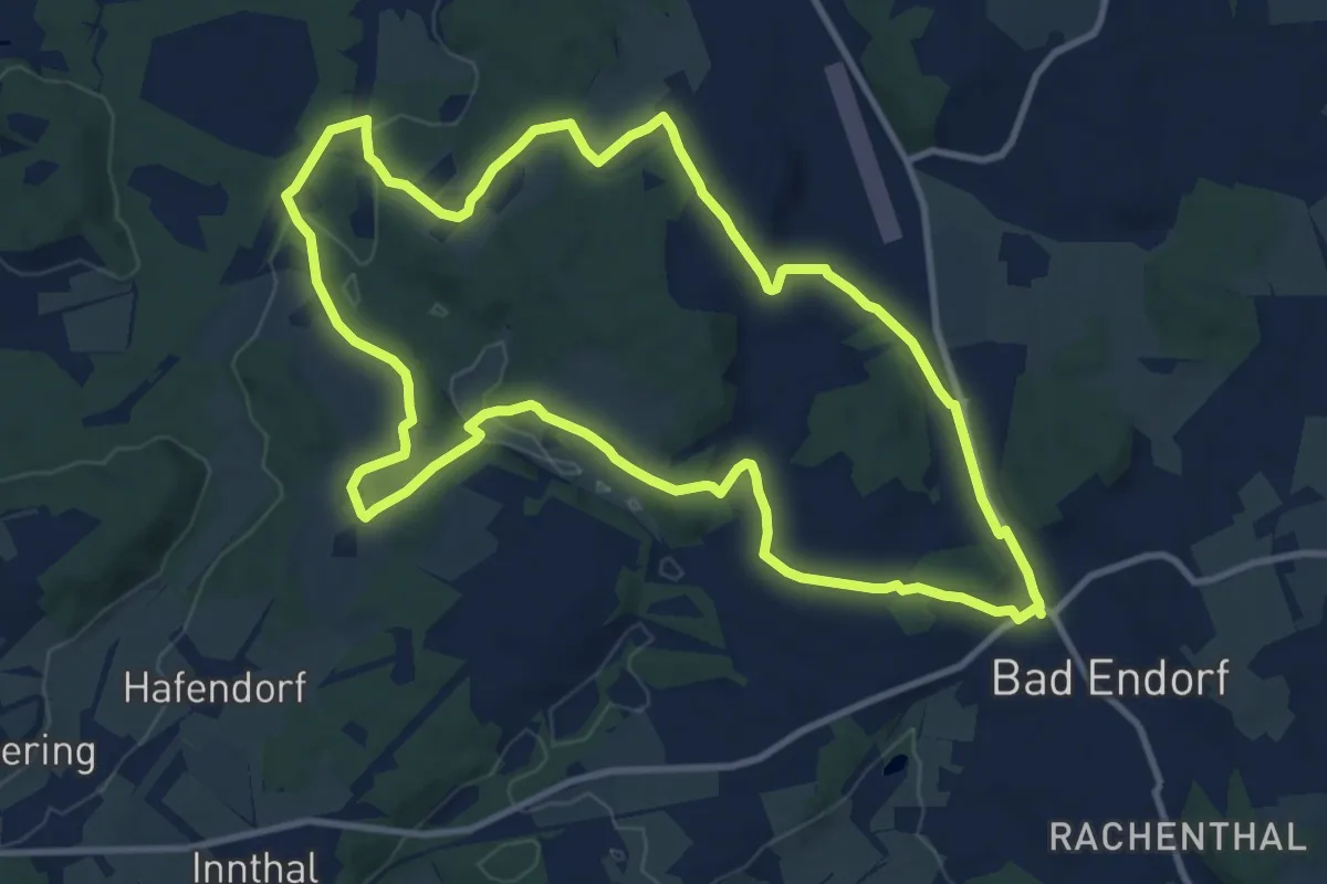
Medium · Trail
Wanderweg 13 - Bad Endorf
11.0 km · ↑ 163 m · 3 h 6 min
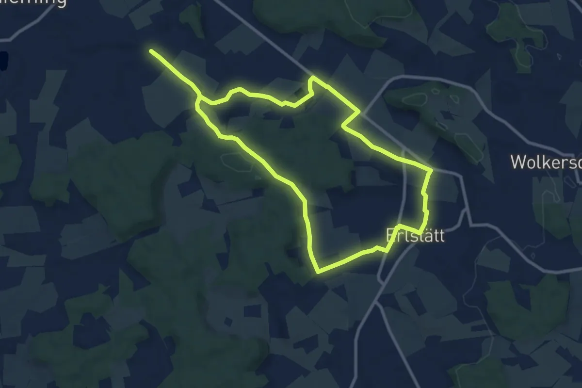
Medium · Trail
Wanderweg 13 - Kraimoos-Rundweg
15.6 km · ↑ 123 m · 3 h 58 min
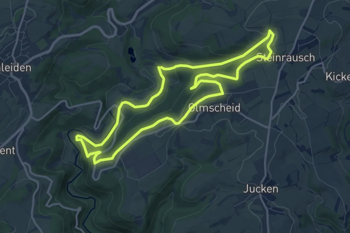
Medium · Trail
Wanderweg 13 Olmscheid Naturpark Südeifel
8.9 km · ↑ 284 m · 2 h 50 min
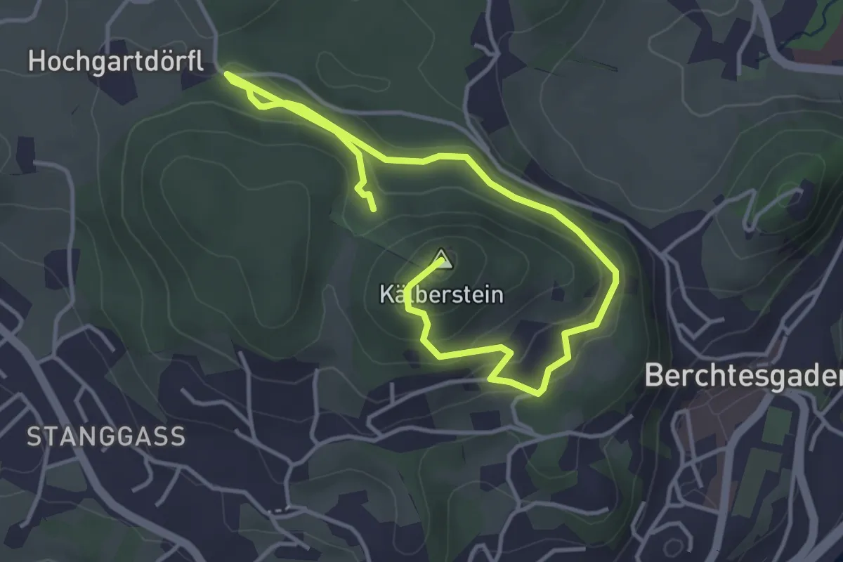
Easy · Summit
Wanderweg 13 (Rund um den Kälberstein)
5.3 km · ↑ 239 m · 1 h 47 min
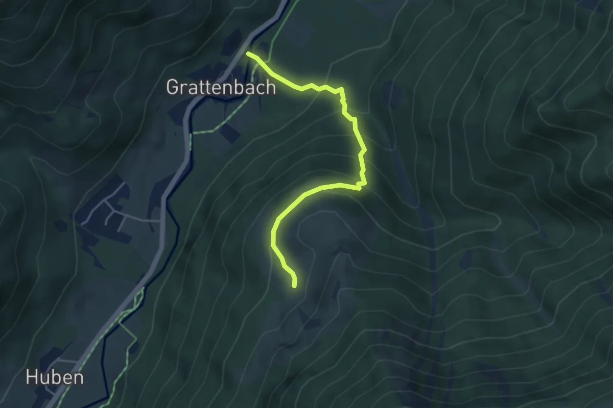
Medium · Trail
Wanderweg 13 - Über den Schachenberg nach Huben
3.7 km · ↑ 330 m · 1 h 36 min
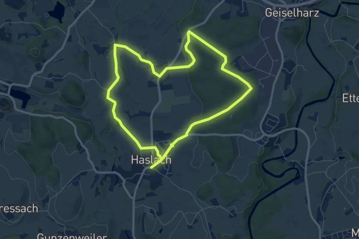
Easy · Trail
Wanderweg 13 Wangen im Allgäu
6.8 km · ↑ 74 m · 1 h 51 min
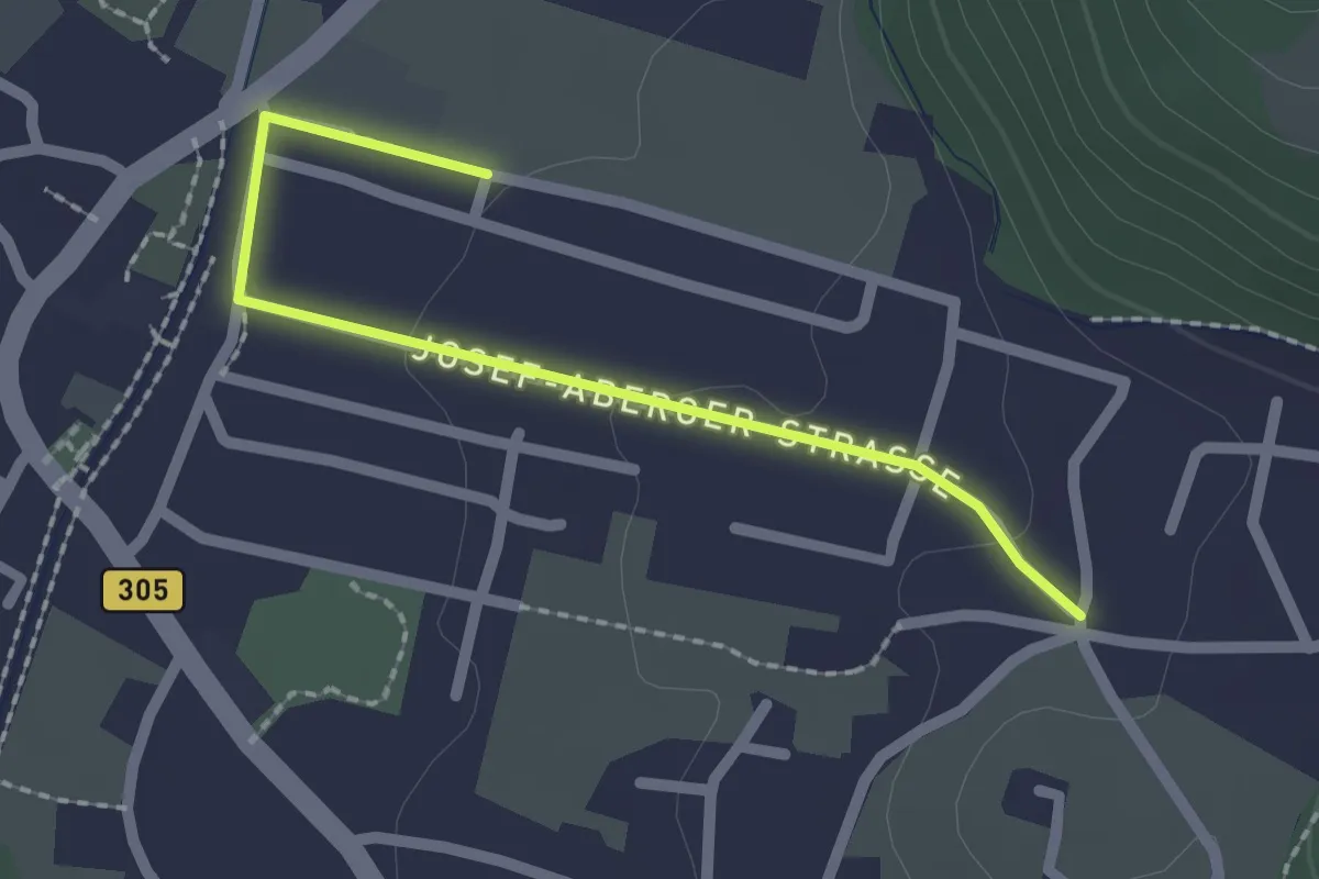
Easy · Trail
Wanderweg 13 - Wössen
2.0 km · ↑ 34 m · 33 min
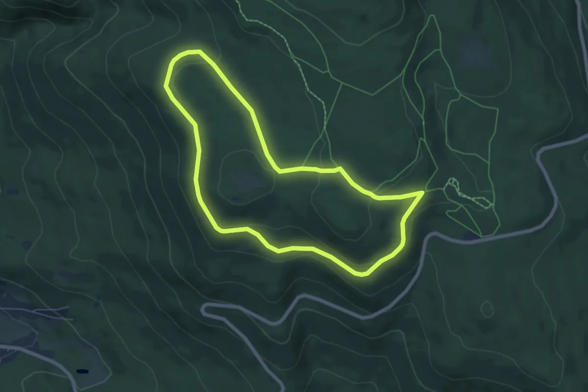
Easy · Trail
Wanderweg 14
5.5 km · ↑ 113 m · 1 h 37 min
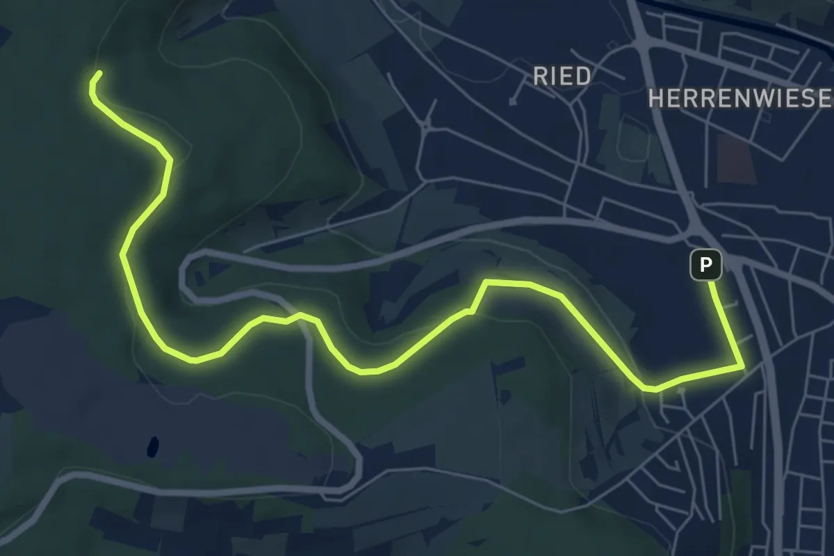
Easy · Trail
Wanderweg 14
7.4 km · ↑ 154 m · 2 h 5 min
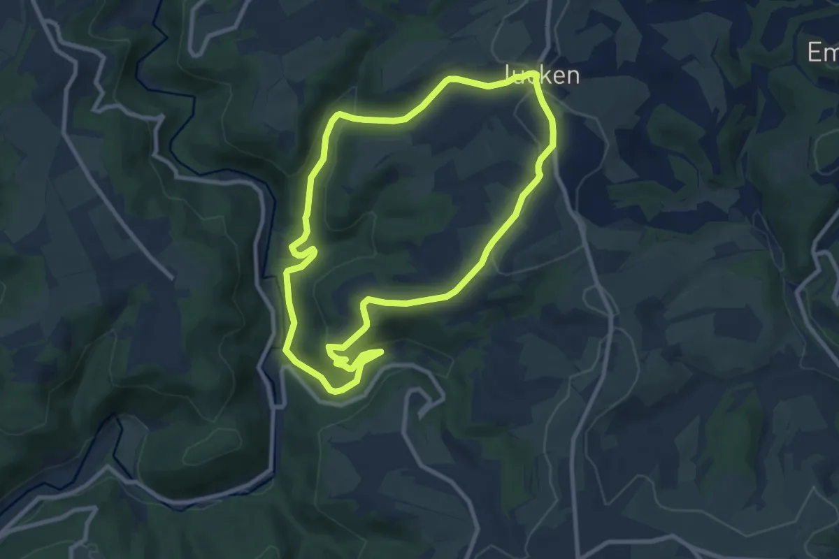
Easy · Trail
Wanderweg 14 Jucken Naturpark Südeifel
7.5 km · ↑ 210 m · 2 h 20 min
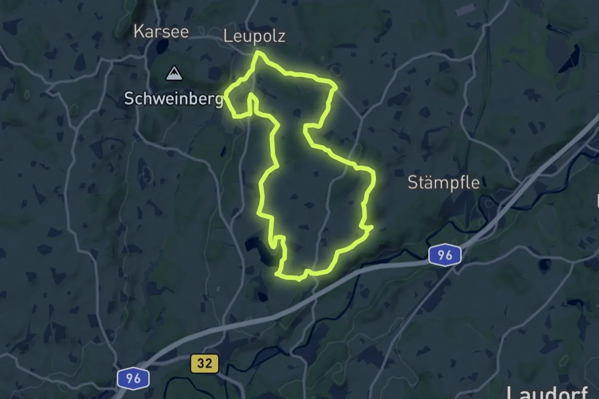
Medium · Trail
Wanderweg 14 Wangen im Allgäu
11.6 km · ↑ 184 m · 3 h 18 min
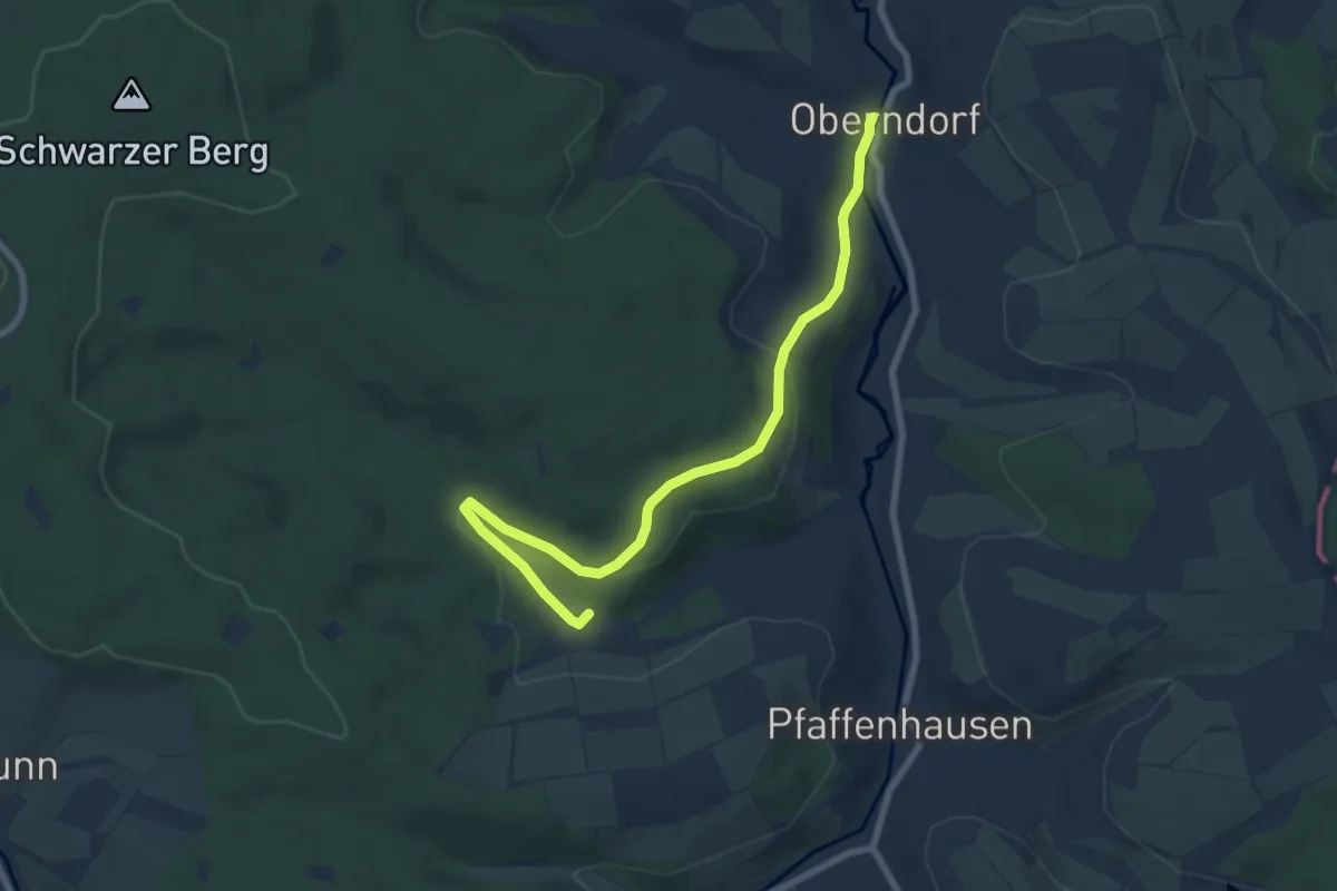
Easy · Trail
Wanderweg 15
7.6 km · ↑ 184 m · 2 h 11 min
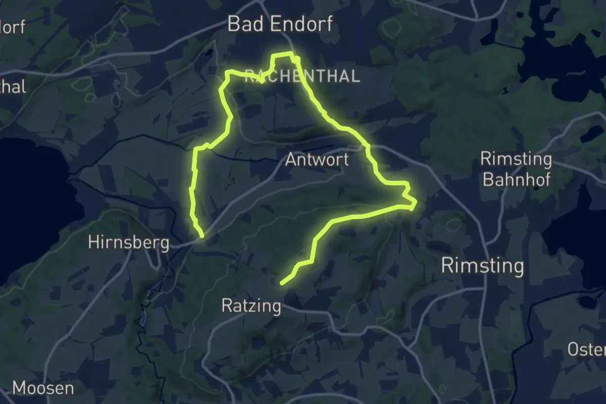
Medium · Trail
Wanderweg 15 - Bad Endorf
17.9 km · ↑ 319 m · 4 h 54 min
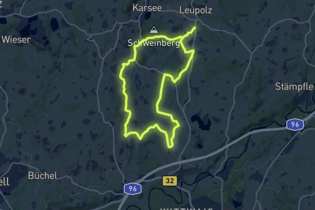
Medium · Trail
Wanderweg 15 Wangen im Allgäu
12.2 km · ↑ 238 m · 3 h 34 min
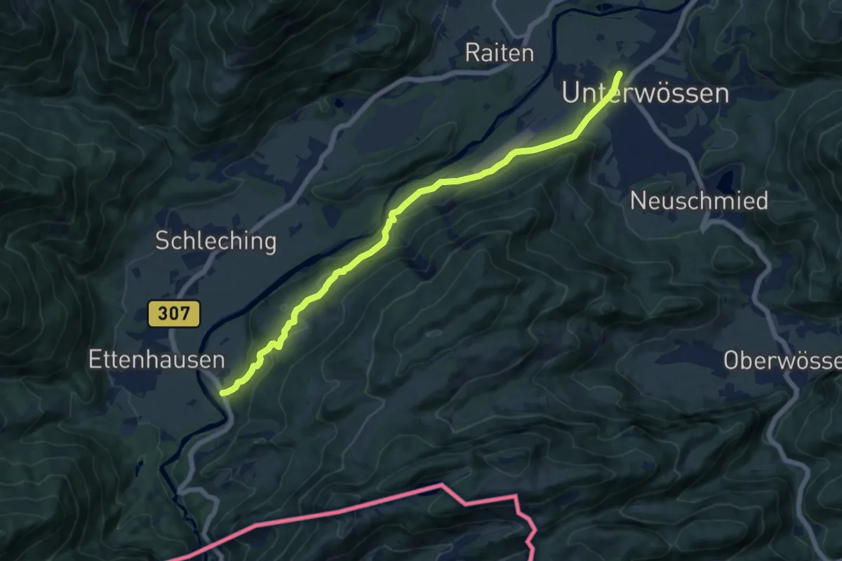
Medium · Trail
Wanderweg 15 - Wössen
12.5 km · ↑ 353 m · 3 h 43 min
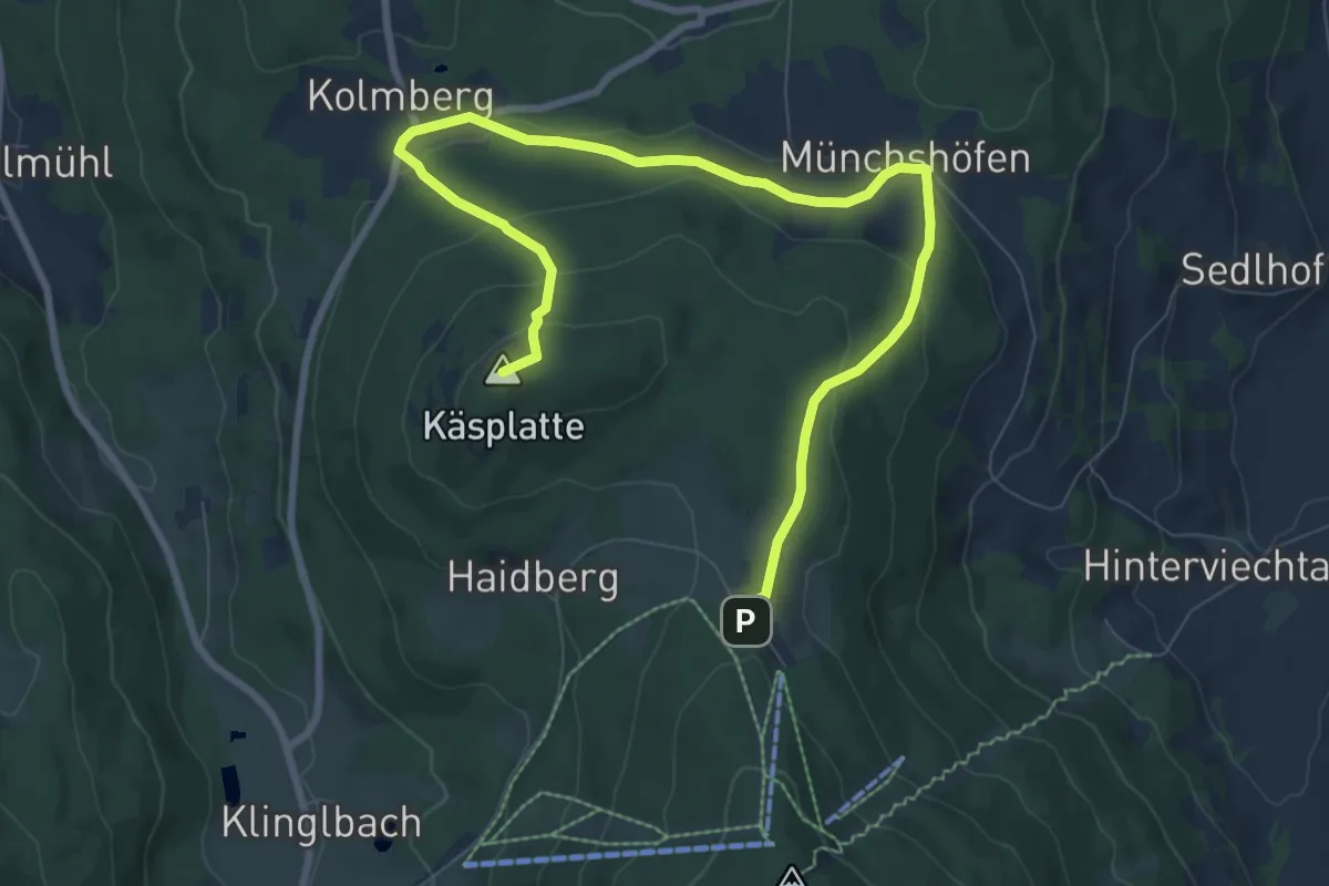
Medium · Summit
Wanderweg 16
10.0 km · ↑ 372 m · 3 h 10 min
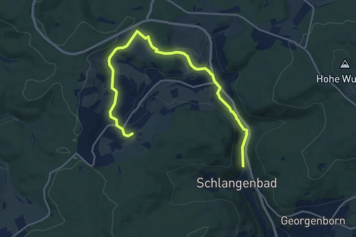
Medium · Trail
Wanderweg 16
12.0 km · ↑ 287 m · 3 h 27 min
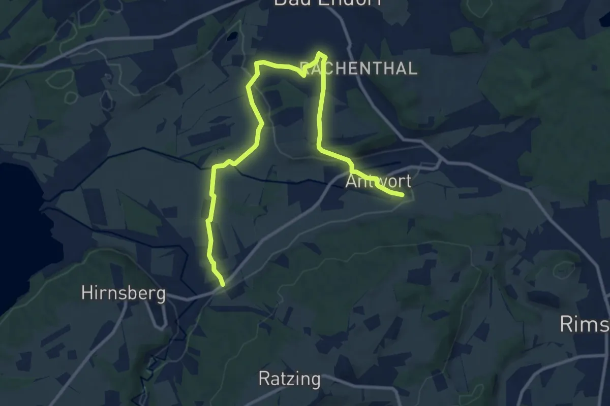
Medium · Trail
Wanderweg 16 - Bad Endorf
10.6 km · ↑ 141 m · 2 h 48 min
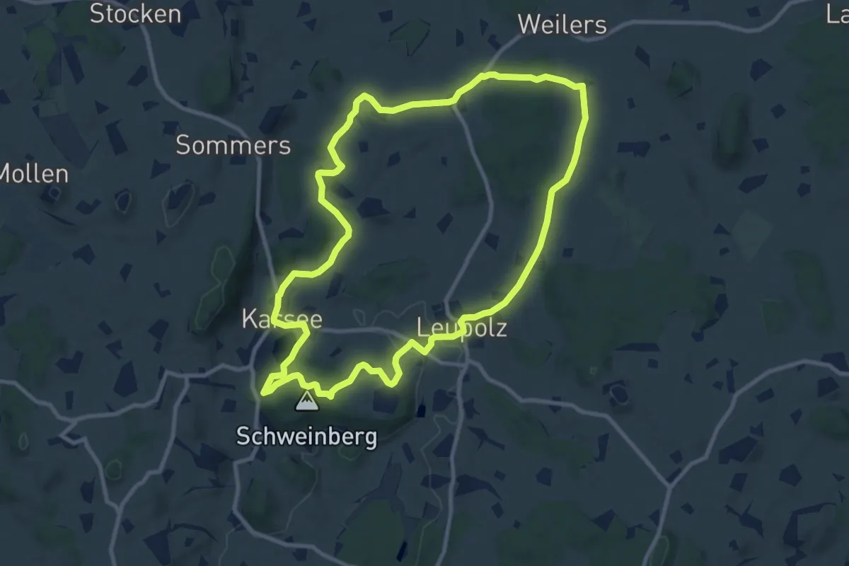
Medium · Trail
Wanderweg 16 Wangen im Allgäu
9.6 km · ↑ 178 m · 2 h 46 min
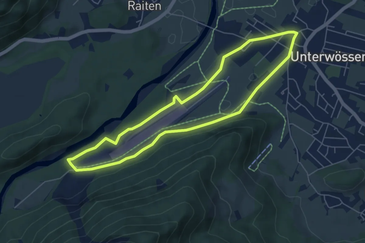
Easy · Trail
Wanderweg 16 - Wössen
5.1 km · ↑ 30 m · 1 h 20 min
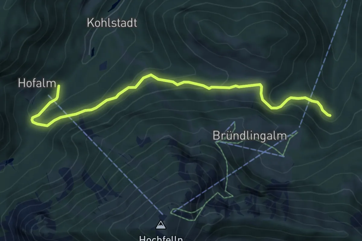
Medium · Trail
Wanderweg 17 - Hochfelln
7.0 km · ↑ 431 m · 2 h 34 min
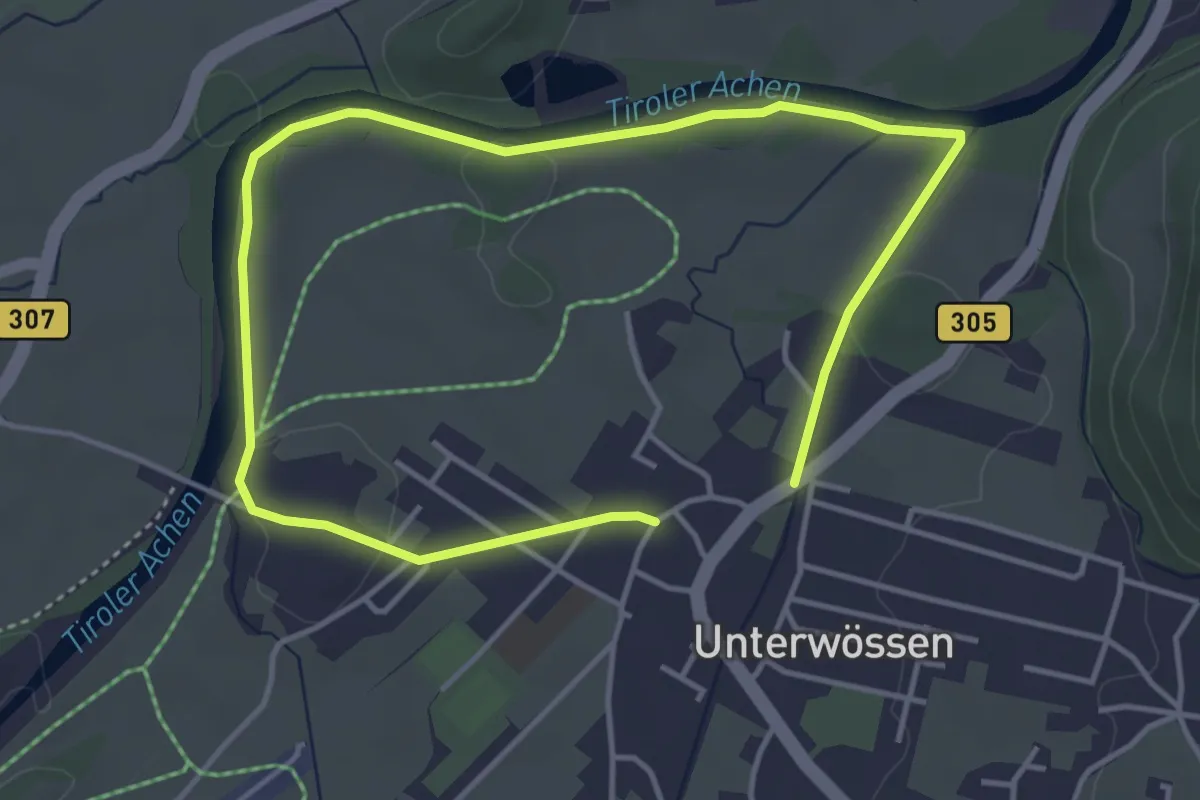
Easy · Trail
Wanderweg 18 - Wössen
3.2 km · ↑ 14 m · 50 min
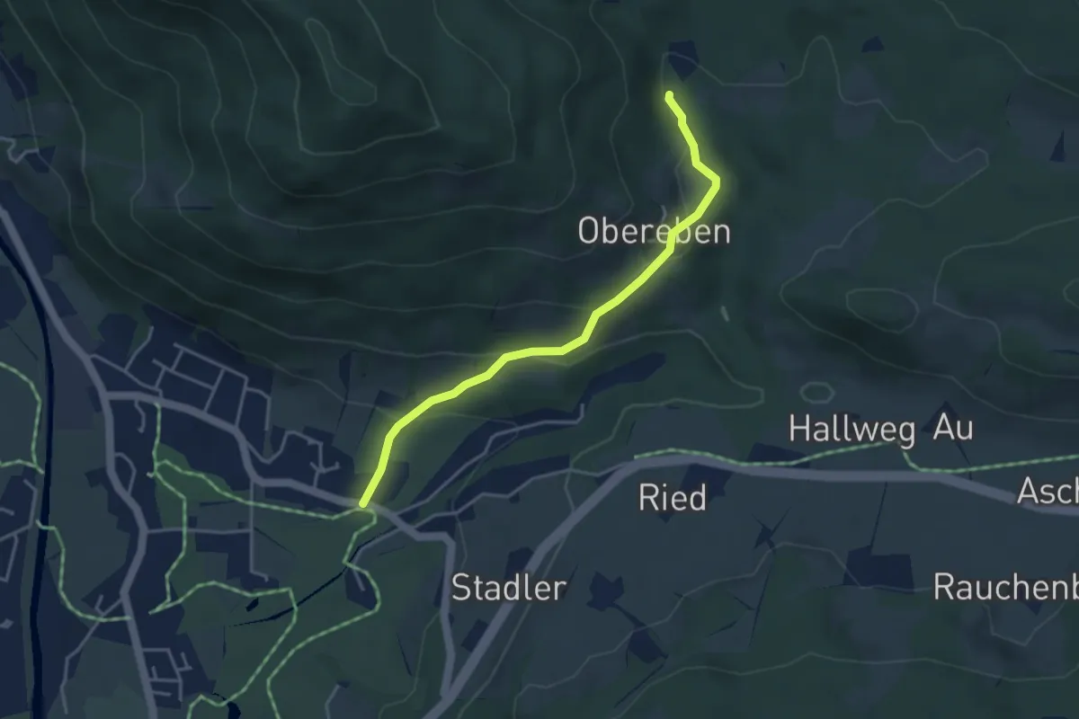
Easy · Trail
Wanderweg 19
3.7 km · ↑ 157 m · 1 h 12 min
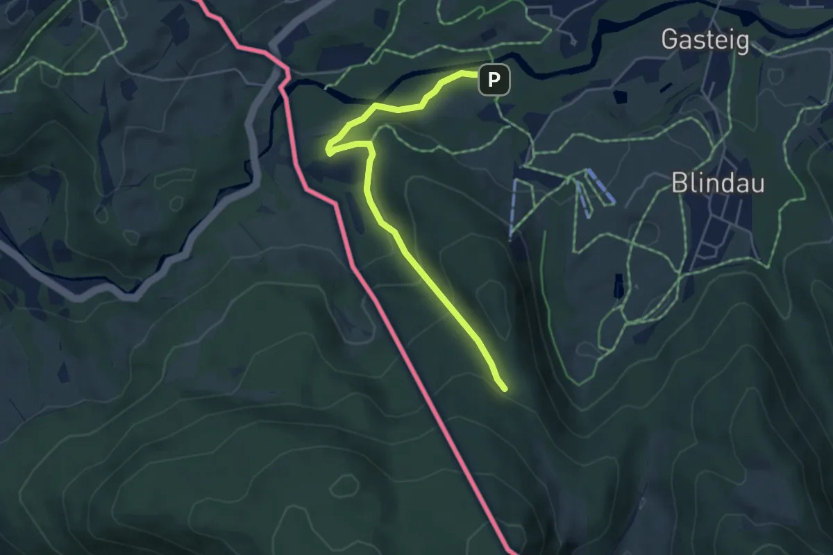
Easy · Trail
Wanderweg 191 - Reit im Winkl
4.5 km · ↑ 196 m · 1 h 30 min
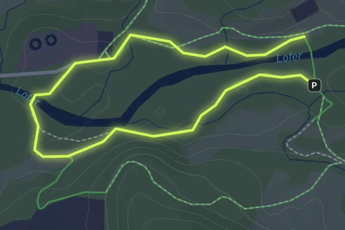
Easy · Trail
Wanderweg 19 - Reit im Winkl
1.7 km · ↑ 17 m · 28 min
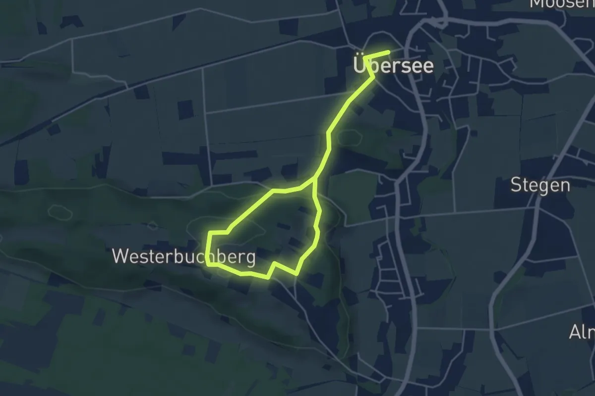
Easy · Trail
Wanderweg 19 - Übersee
6.0 km · ↑ 173 m · 1 h 47 min
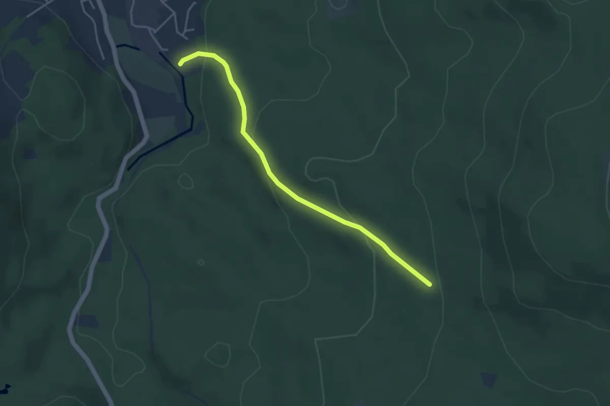
Easy · Trail
Wanderweg 1a
3.7 km · ↑ 161 m · 1 h 13 min
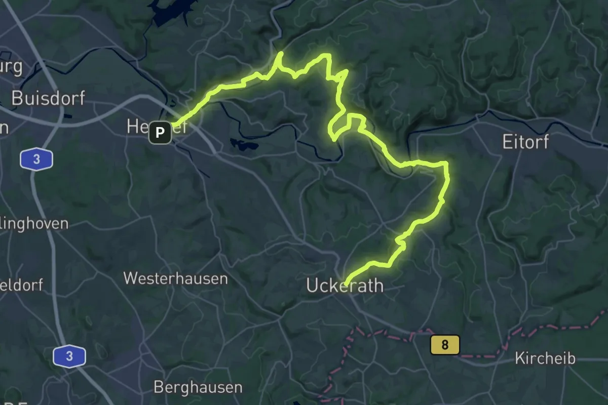
Demanding · Trail
Wanderweg 1a des KEV Etappe 1
23.1 km · ↑ 473 m · 6 h 44 min
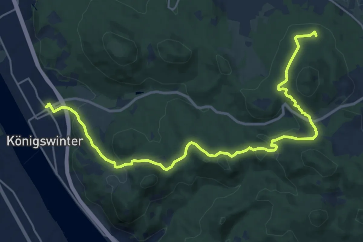
Medium · Summit
Wanderweg 1a des KEV Etappe 2
15.2 km · ↑ 421 m · 4 h 30 min
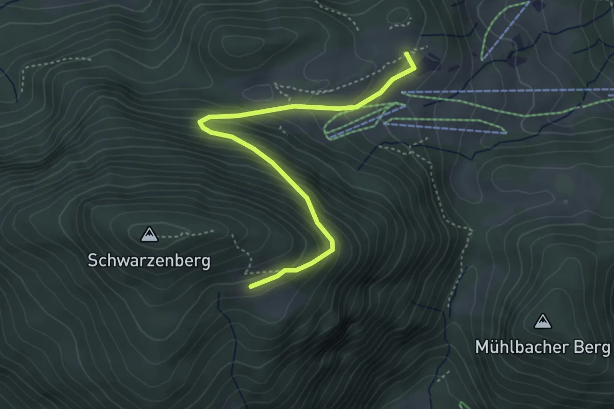
Medium · Summit
Wanderweg 1a - Oberaudorf
4.1 km · ↑ 326 m · 1 h 40 min