Trails in Germany
36,852 hiking trails, each with its route, climb, walking time and grade.
All trails, page 678 of 768
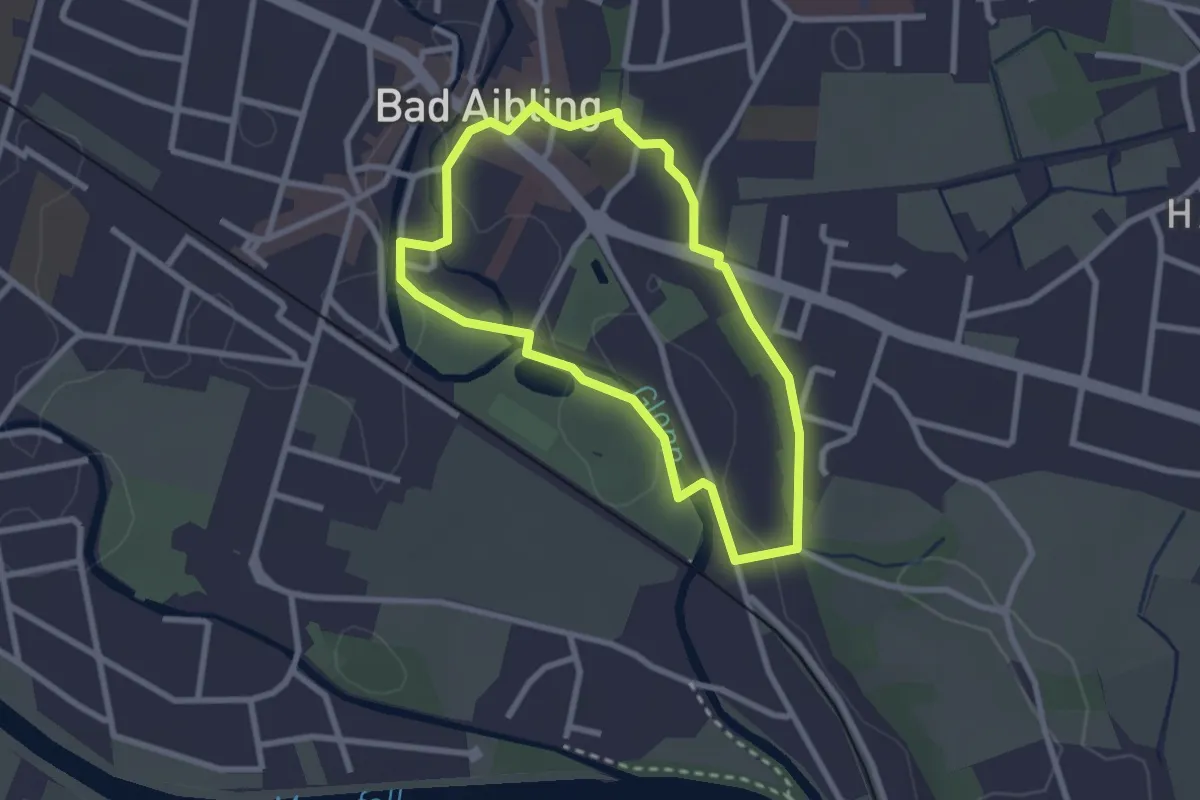
Easy · Trail
Wanderweg 1 - Bad Aibling
2.3 km · ↑ 14 m · 36 min
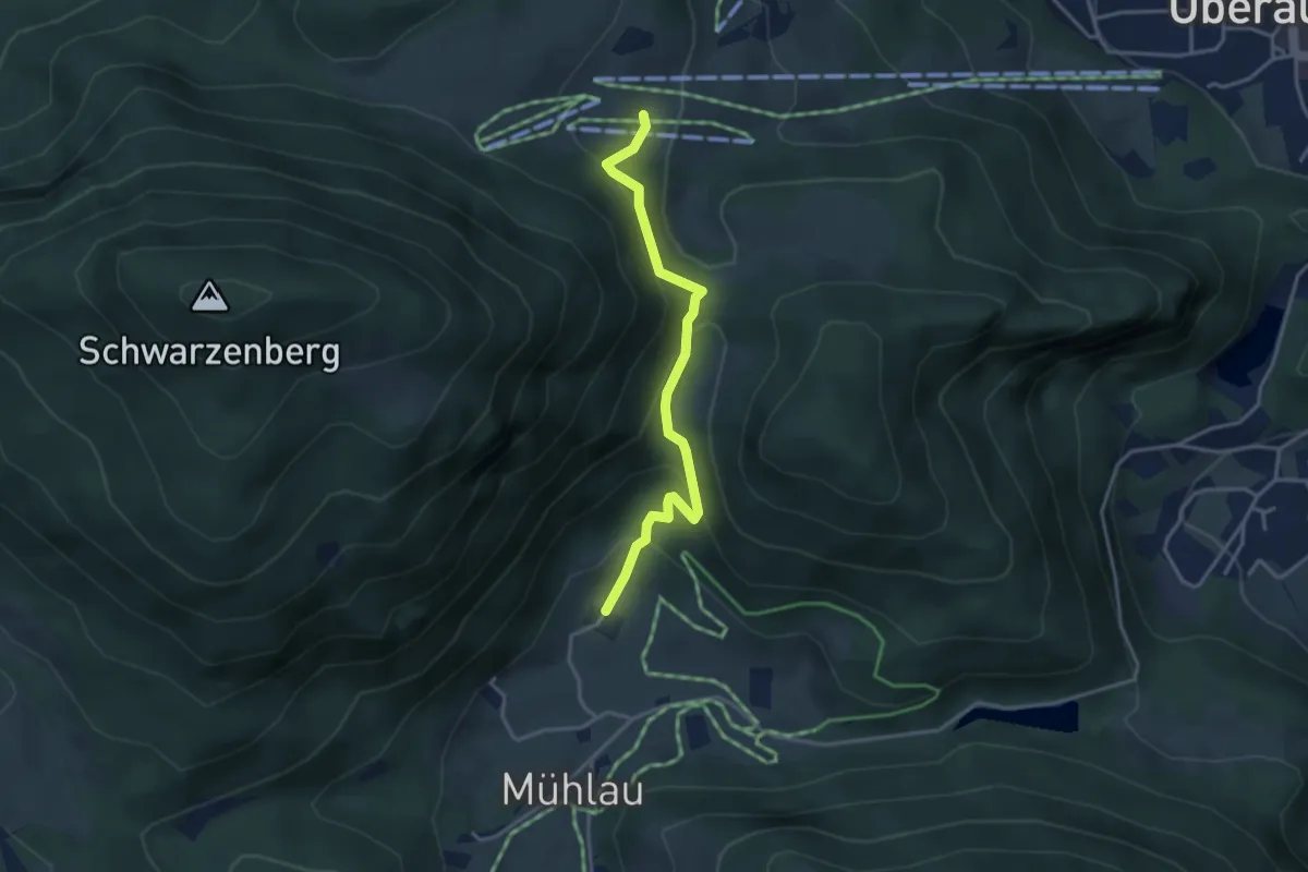
Medium · Trail
Wanderweg 1b - Oberaudorf
3.4 km · ↑ 209 m · 1 h 15 min
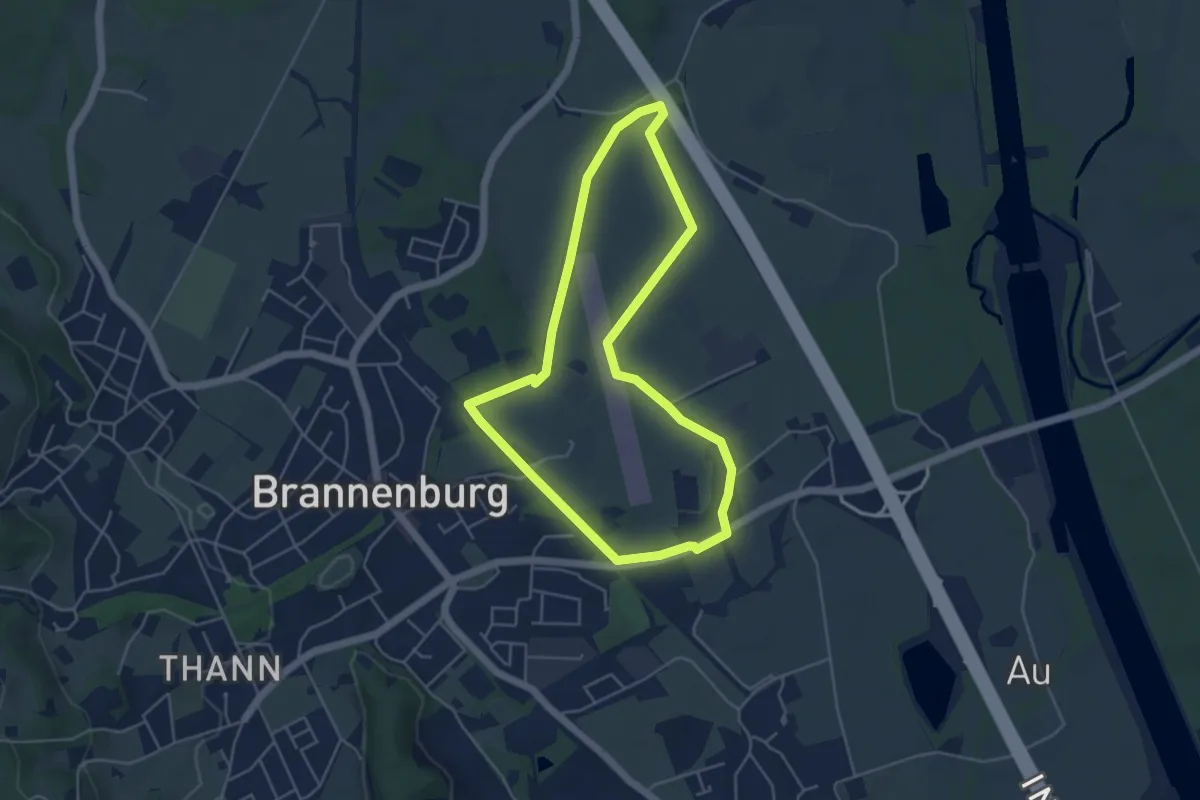
Easy · Trail
Wanderweg 1 - Brannenburg
4.5 km · ↑ 17 m · 1 h 9 min
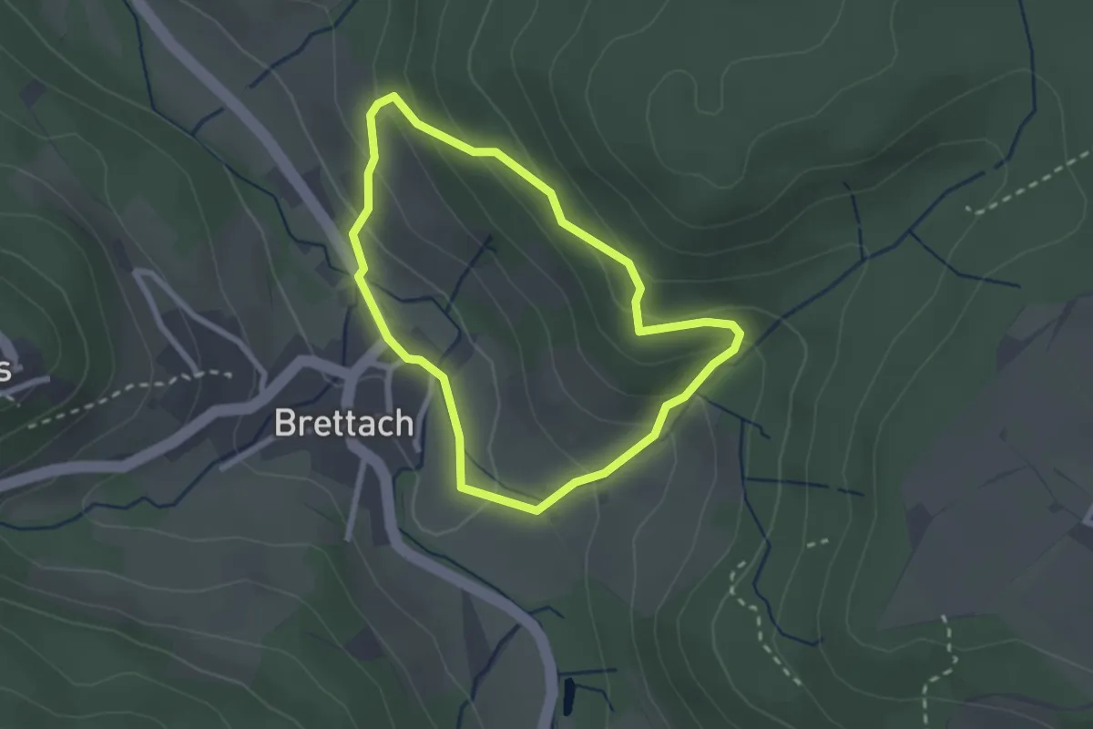
Easy · Trail
Wanderweg 1 Brettach
2.0 km · ↑ 130 m · 47 min
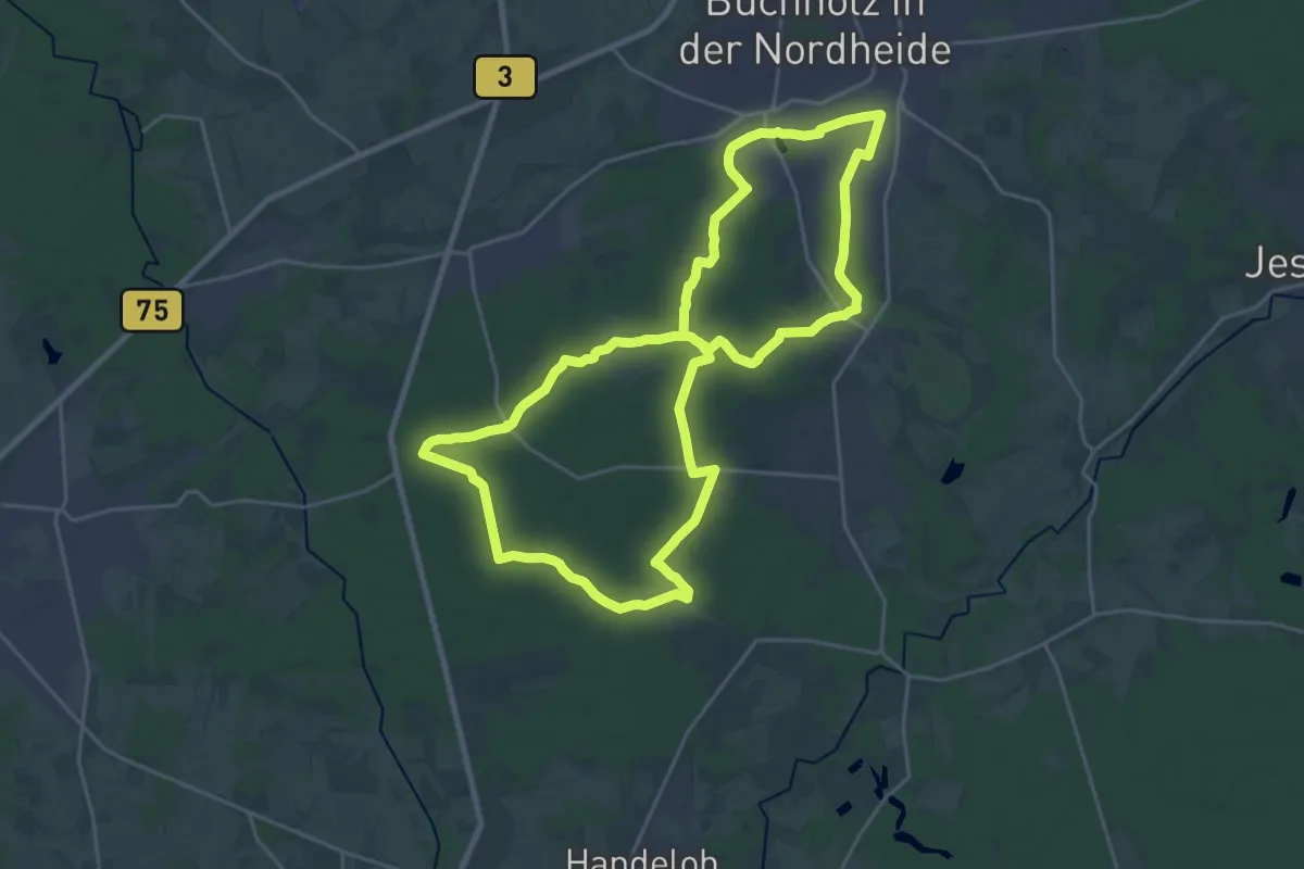
Demanding · Summit
Wanderweg 1 Buchholz
21.1 km · ↑ 177 m · 5 h 40 min
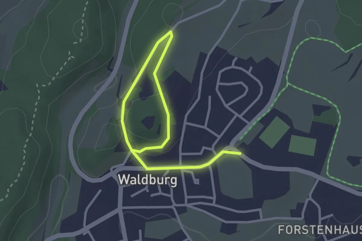
Easy · Trail
Wanderweg 1 der Gemeinde Waldburg
1.6 km · ↑ 16 m · 26 min
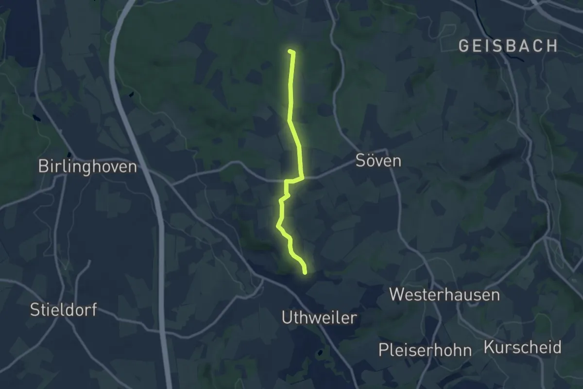
Easy · Summit
Wanderweg 1 des KEV [Hennef]
7.0 km · ↑ 106 m · 1 h 52 min
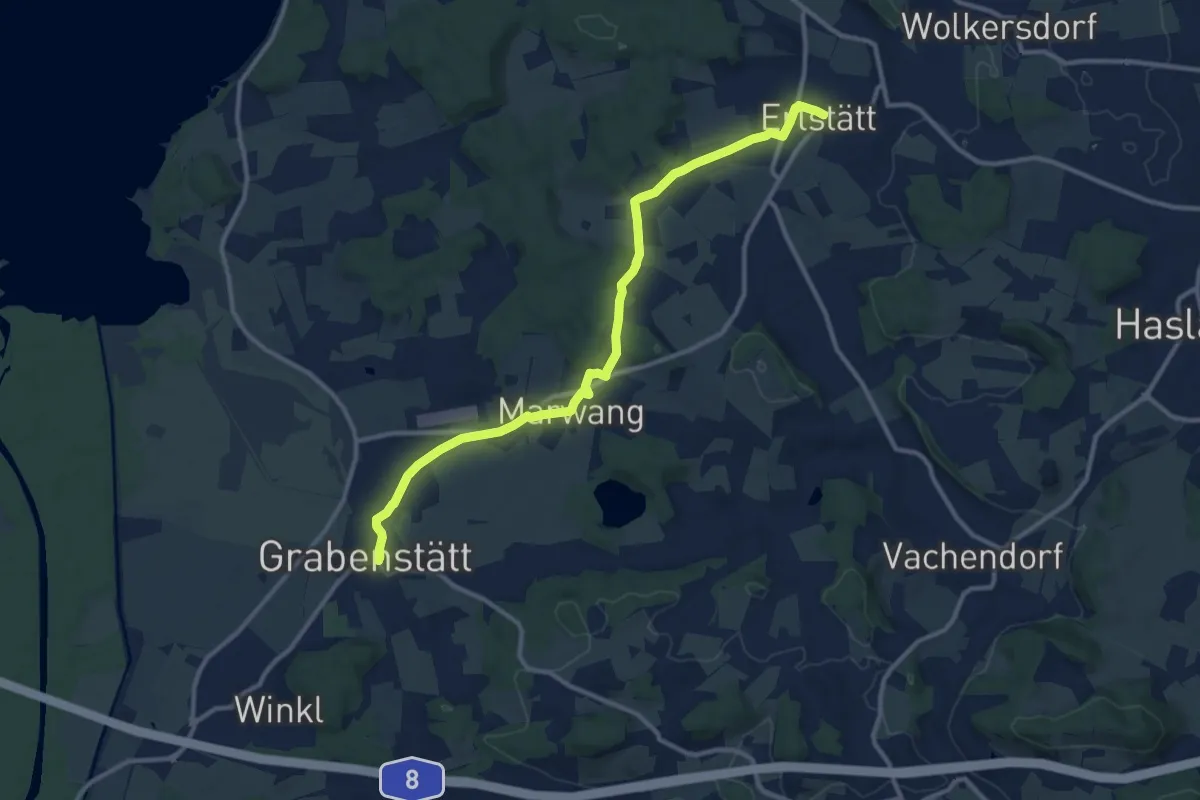
Medium · Trail
Wanderweg 1 - Erlstätt
11.8 km · ↑ 156 m · 3 h 8 min
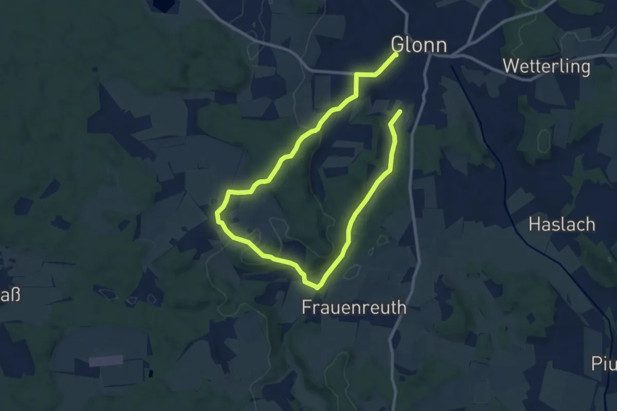
Medium · Trail
Wanderweg 1, Glonn
12.8 km · ↑ 313 m · 3 h 42 min
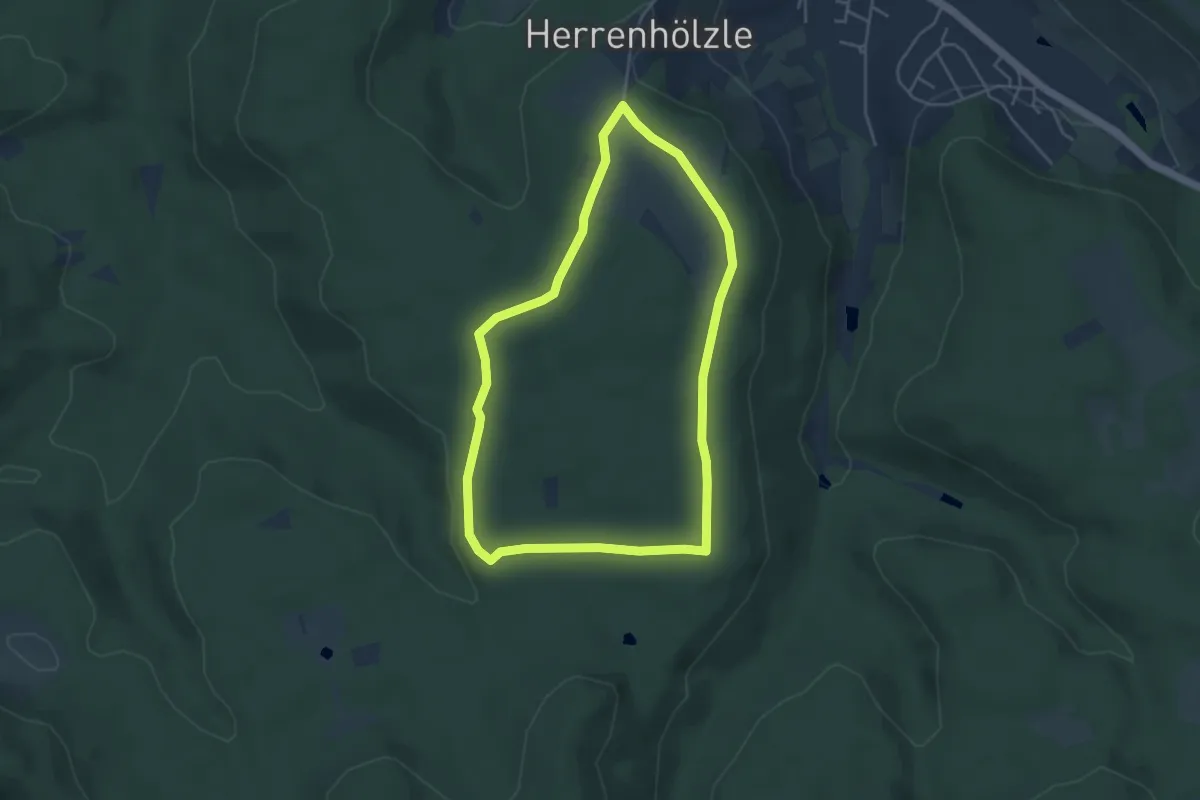
Easy · Trail
Wanderweg 1 Herrenhölzle
4.0 km · ↑ 27 m · 1 h 3 min
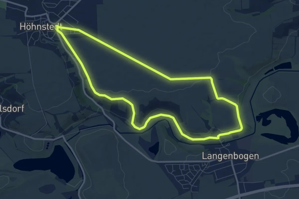
Easy · Trail
Wanderweg 1 Höhnstedt
7.8 km · ↑ 79 m · 2 h 7 min
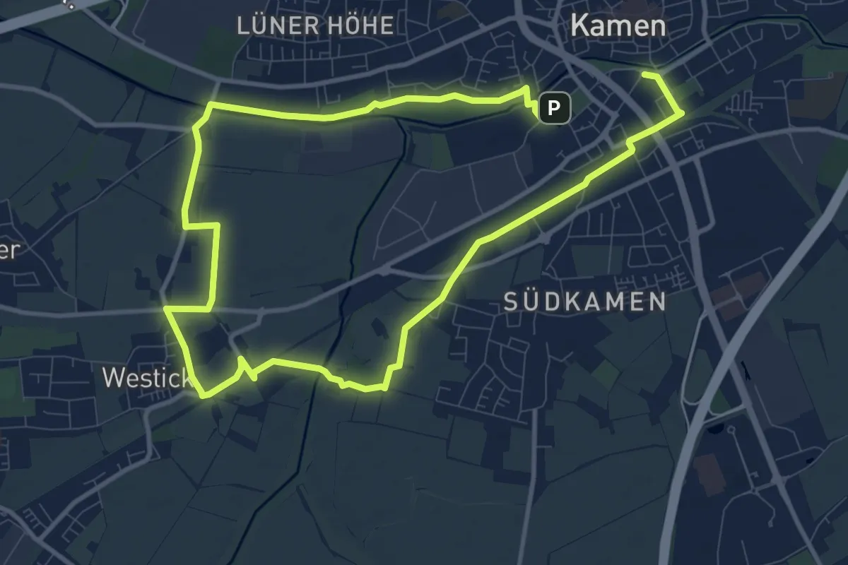
Medium · Trail
Wanderweg 1 Kamen
16.4 km · ↑ 37 m · 3 h 58 min
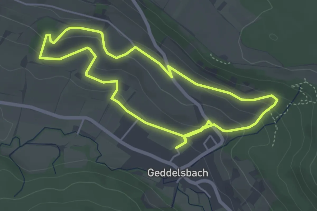
Easy · Trail
Wanderweg 1 Kelter Geddelsbach
3.9 km · ↑ 124 m · 1 h 15 min
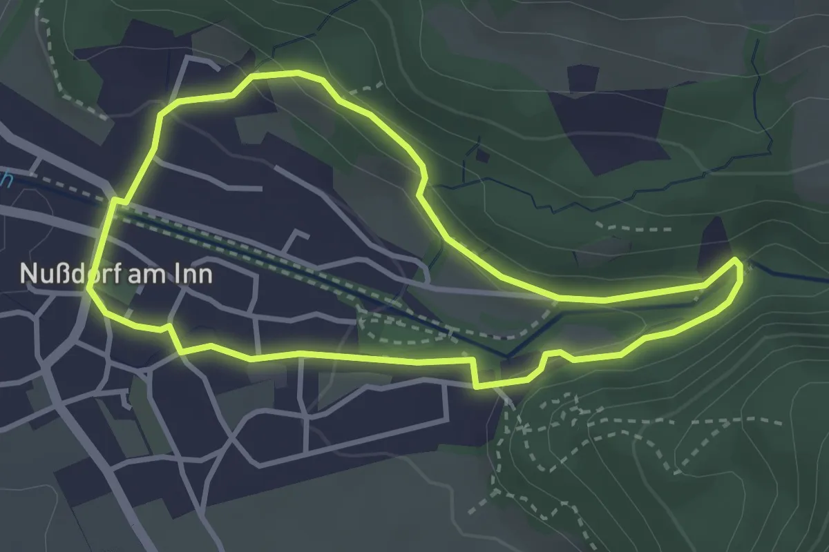
Easy · Trail
Wanderweg 1 - Nußdorf
2.9 km · ↑ 81 m · 55 min
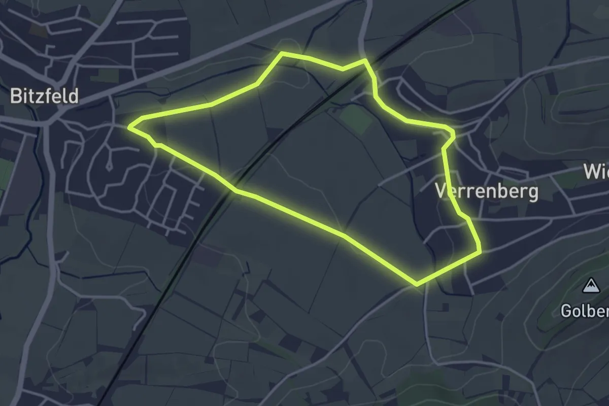
Easy · Trail
Wanderweg 1 Rose Bitzfeld
3.4 km · ↑ 28 m · 54 min
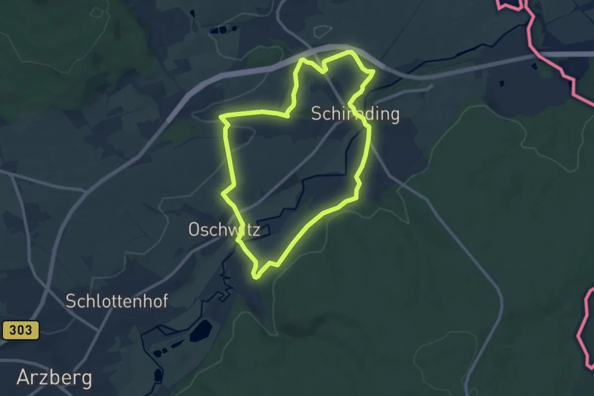
Easy · Trail
Wanderweg 1 Schirnding
7.0 km · ↑ 107 m · 1 h 59 min
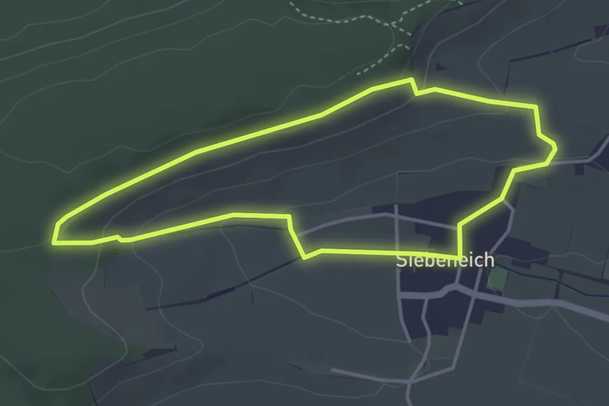
Easy · Trail
Wanderweg 1 Siebeneich
3.3 km · ↑ 80 m · 1 h
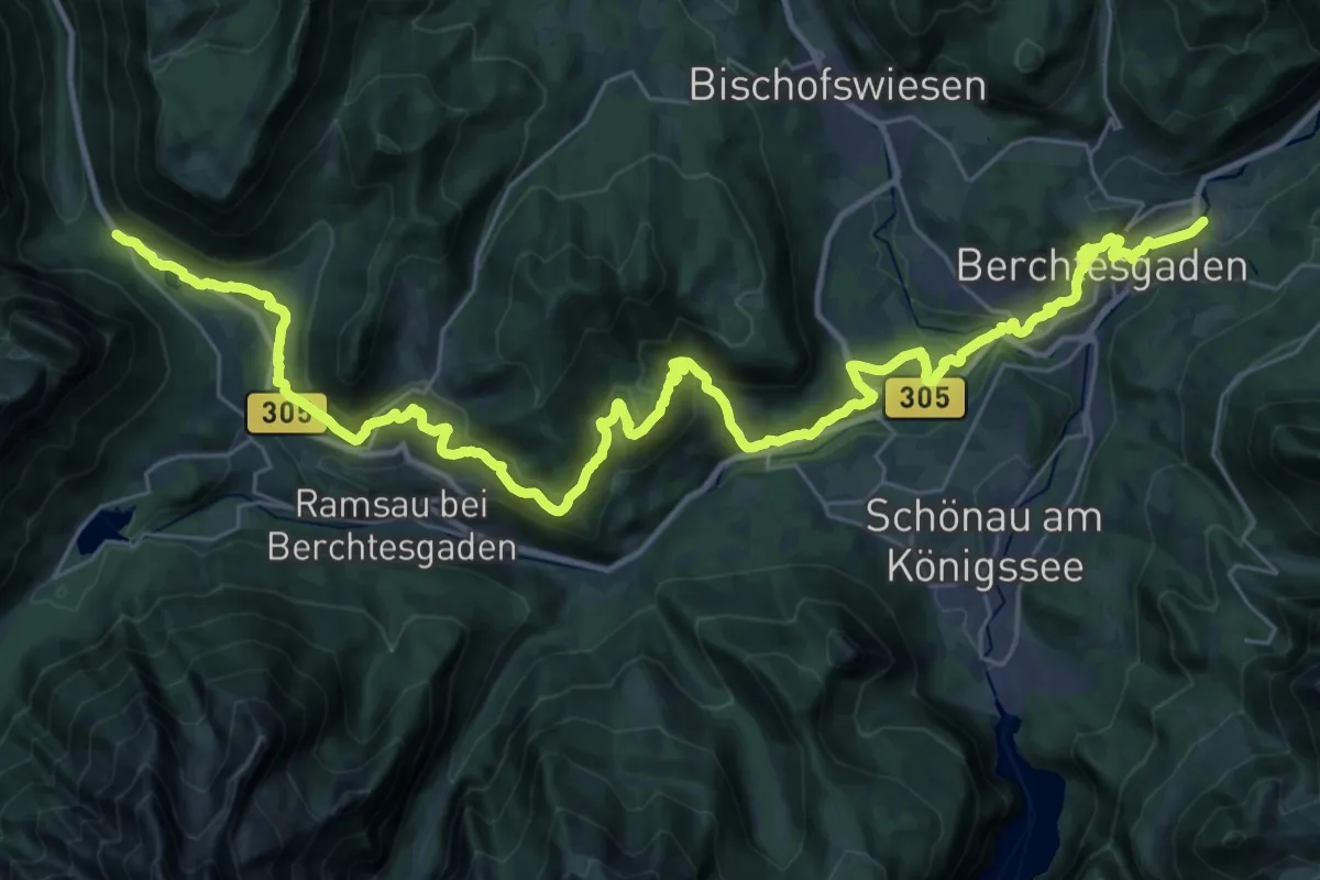
Demanding · Trail
Wanderweg 1 (Soleleitungsweg)
20.7 km · ↑ 636 m · 6 h 43 min
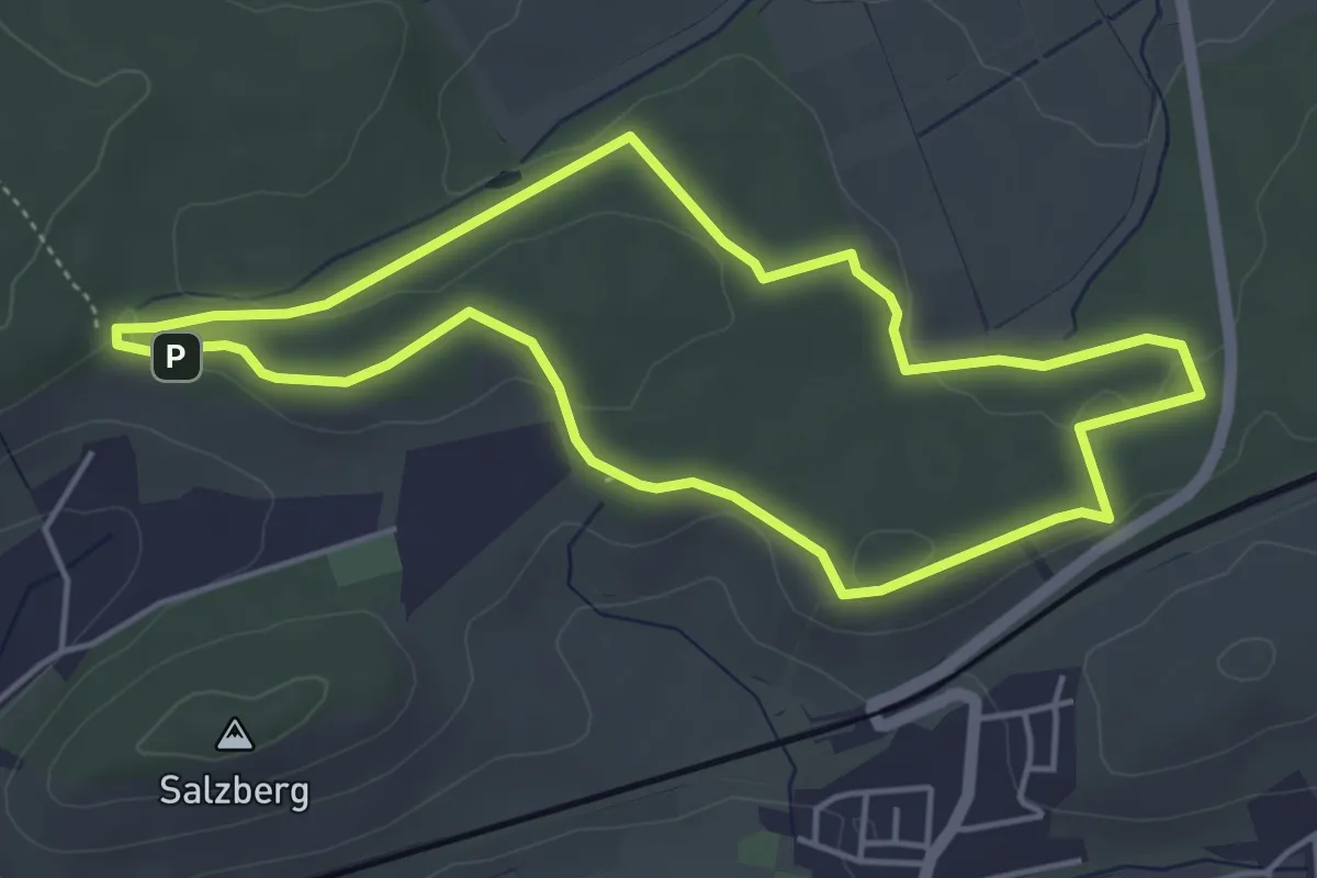
Easy · Trail
Wanderweg 1 Sperbelhau
4.4 km · ↑ 60 m · 1 h 13 min
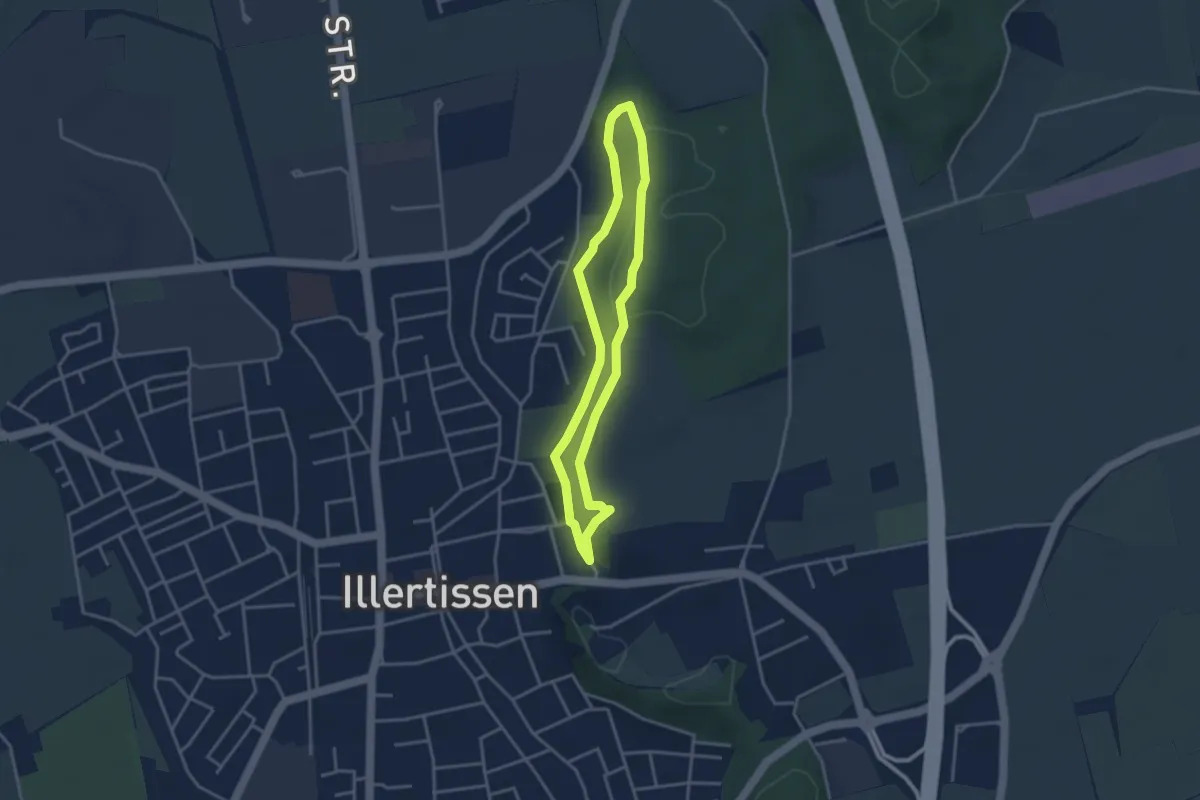
Easy · Trail
Wanderweg 1 Stadt Illertissen
3.0 km · ↑ 62 m · 53 min
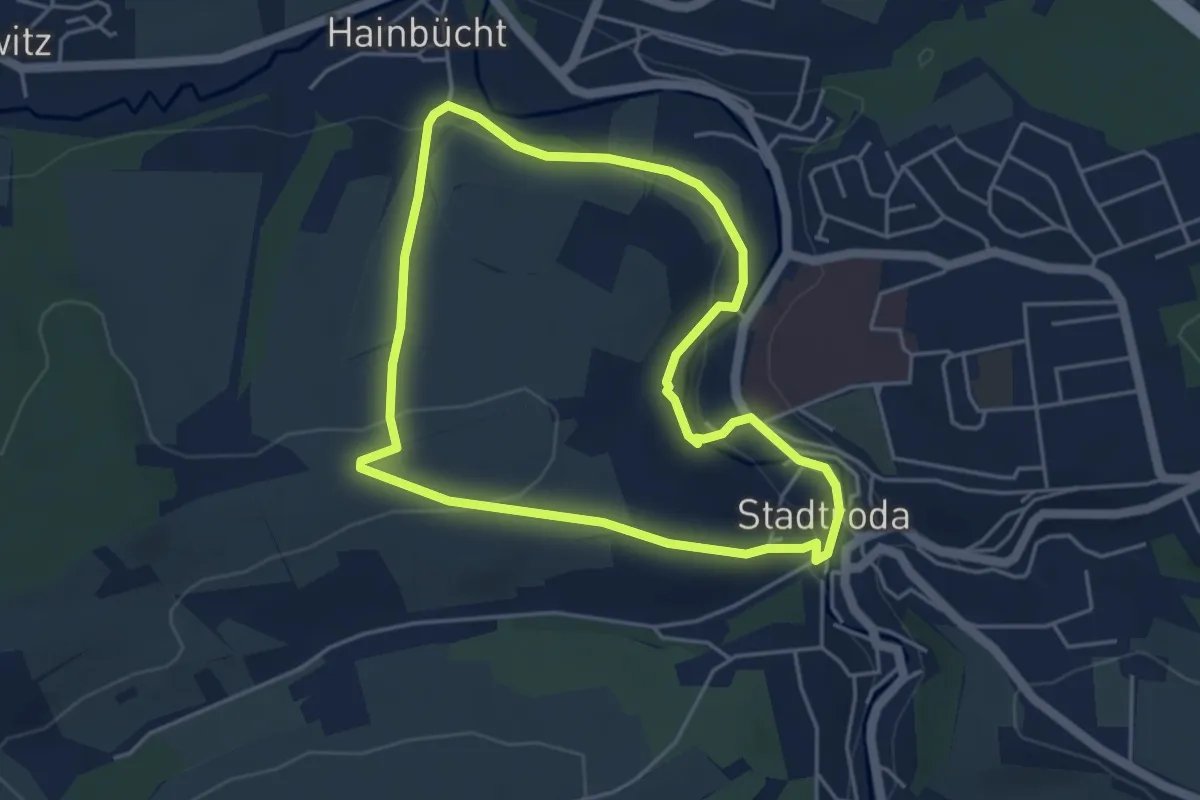
Easy · Trail
Wanderweg 1 Stadtroda
4.0 km · ↑ 80 m · 1 h 10 min
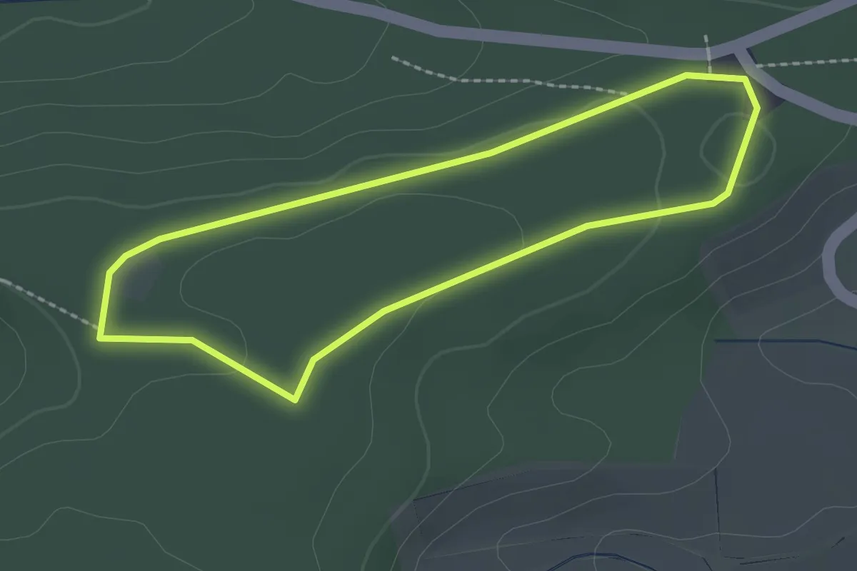
Easy · Trail
Wanderweg 1 Steinerner Tisch
1.9 km · ↑ 17 m · 30 min
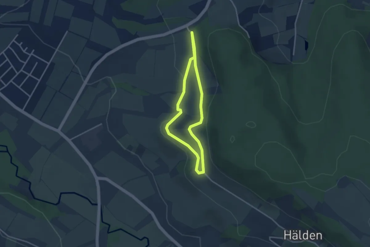
Easy · Trail
Wanderweg 1 Stöckig
2.3 km · ↑ 37 m · 39 min
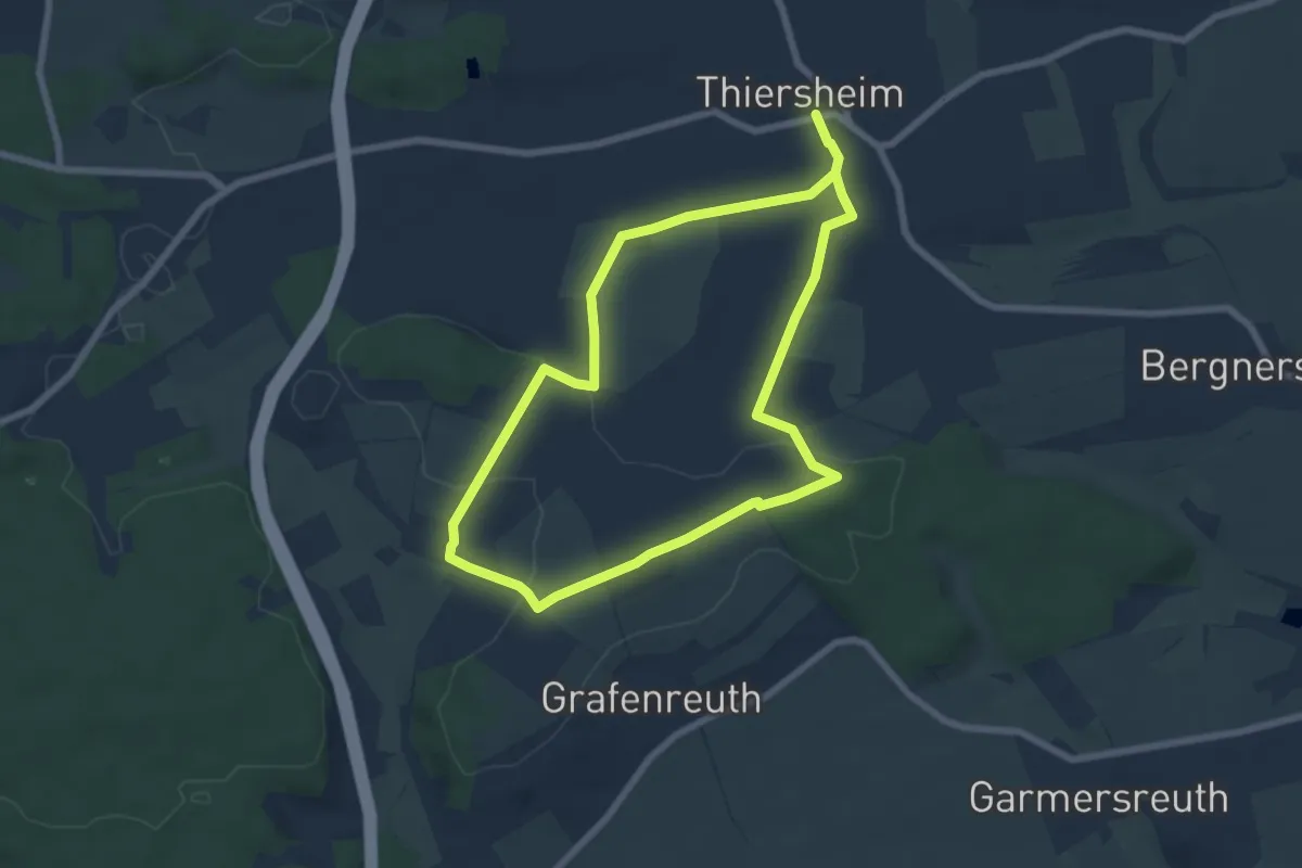
Easy · Summit
Wanderweg 1 Thiersheim
5.9 km · ↑ 124 m · 1 h 44 min
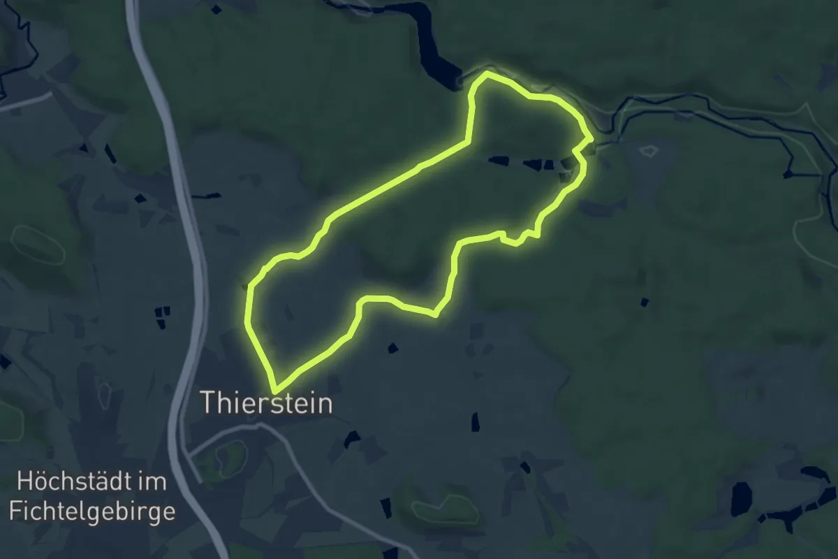
Easy · Trail
Wanderweg 1 Thierstein
7.5 km · ↑ 166 m · 2 h 15 min
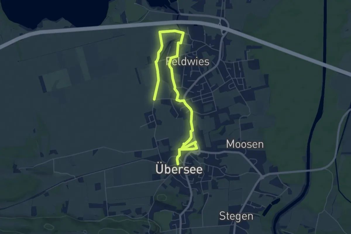
Medium · Trail
Wanderweg 1 - Übersee
8.5 km · ↑ 4 m · 2 h 1 min
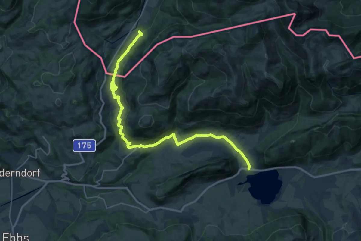
Demanding · Trail
Wanderweg 1 - Von Sachrang nach Walchsee
21.2 km · ↑ 434 m · 5 h 56 min
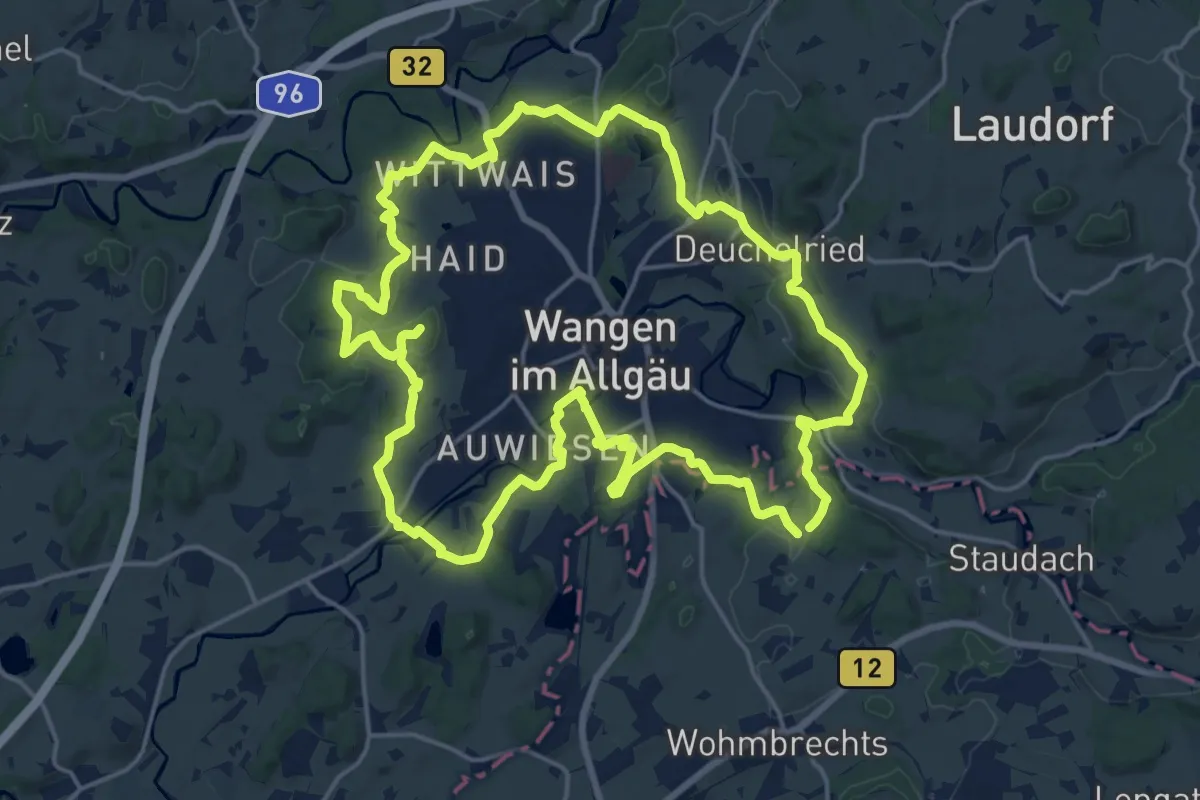
Demanding · Trail
Wanderweg 1 Wangen im Allgäu
19.6 km · ↑ 282 m · 5 h 31 min
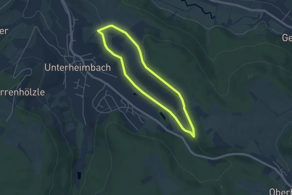
Easy · Trail
Wanderweg 1 Weinsteige
3.4 km · ↑ 88 m · 1 h 2 min
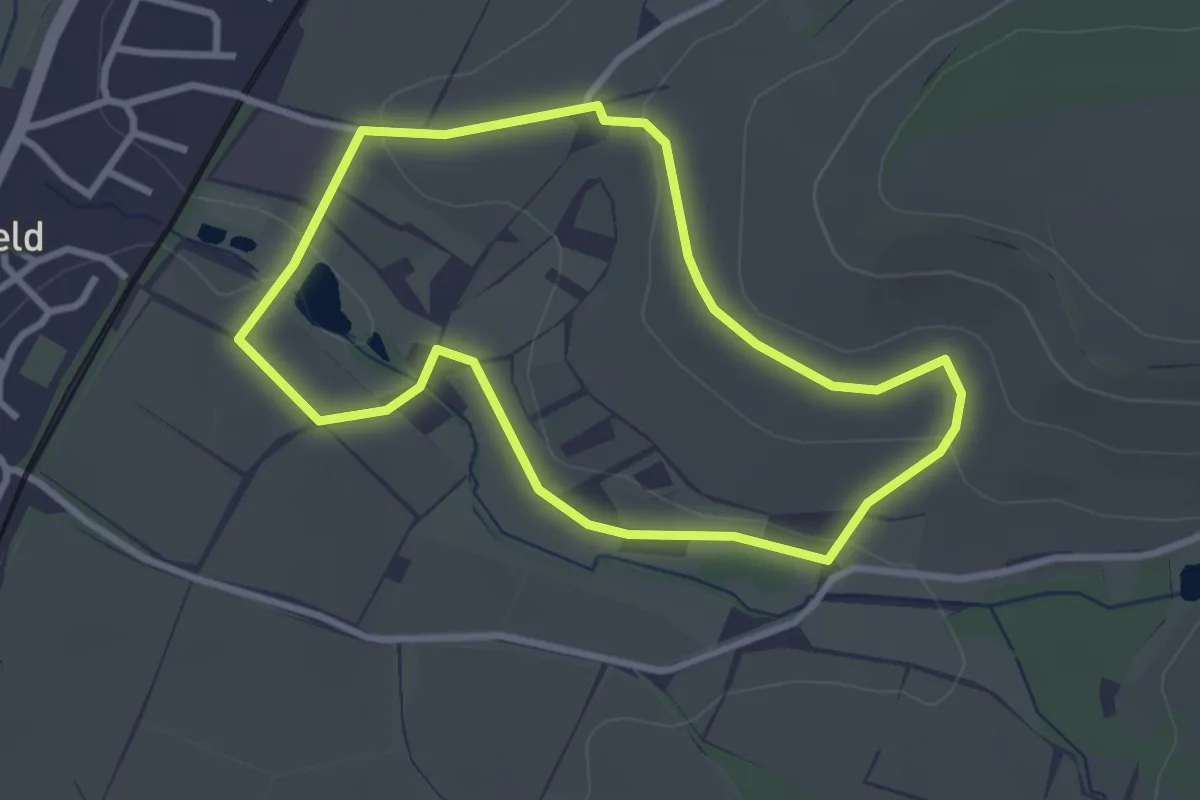
Easy · Trail
Wanderweg 1 Wiesenkelter
2.7 km · ↑ 49 m · 47 min
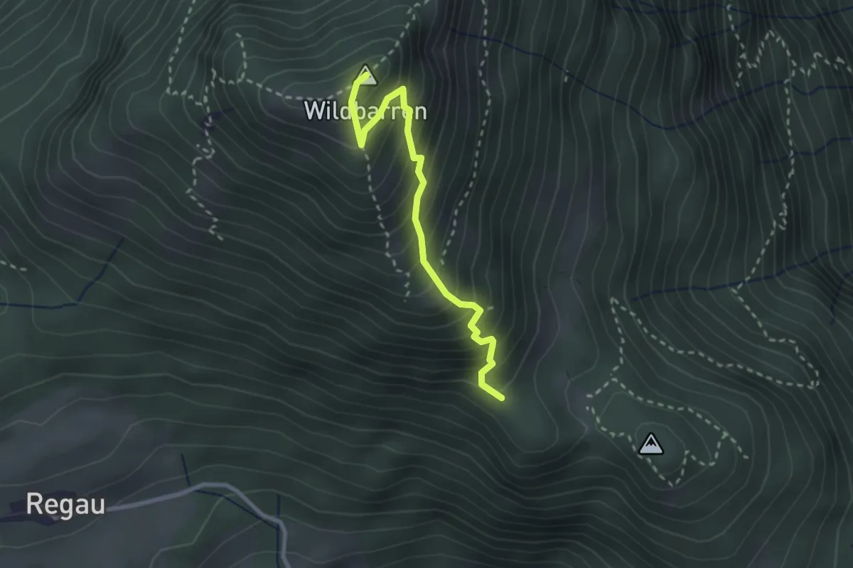
Medium · Summit
Wanderweg 1 - Wildbarren
2.5 km · ↑ 352 m · 1 h 21 min
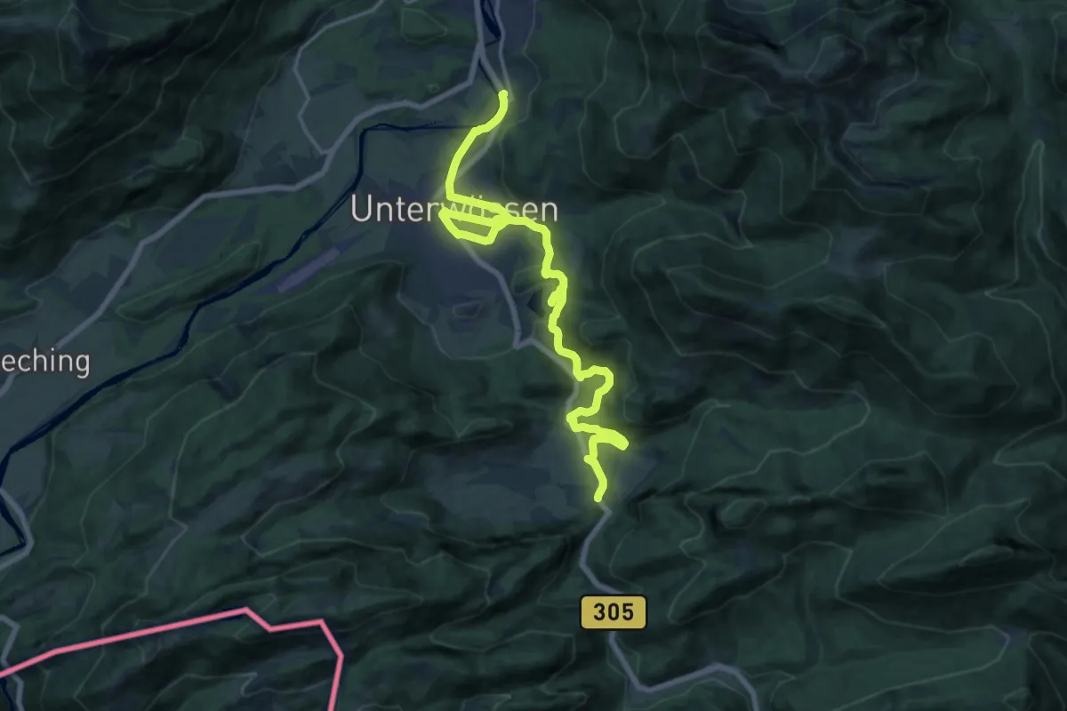
Demanding · Trail
Wanderweg 1 - Wössen
19.5 km · ↑ 613 m · 5 h 55 min
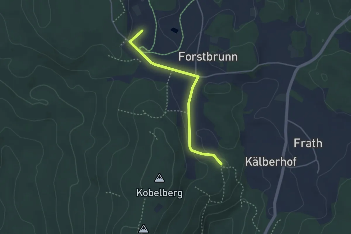
Easy · Trail
Wanderweg 1: Zinzenzell - Schiederhof - Saulburg - Münster
2.9 km · ↑ 32 m · 46 min
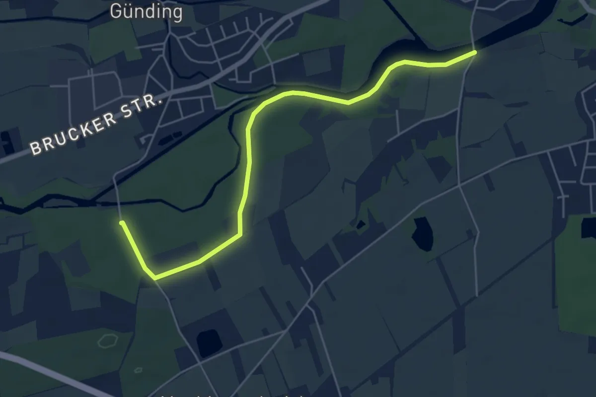
Easy · Trail
Wanderweg 2
5.2 km · ↑ 13 m · 1 h 15 min
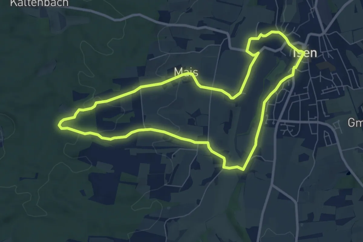
Easy · Trail
Wanderweg 2
7.2 km · ↑ 111 m · 2 h 3 min
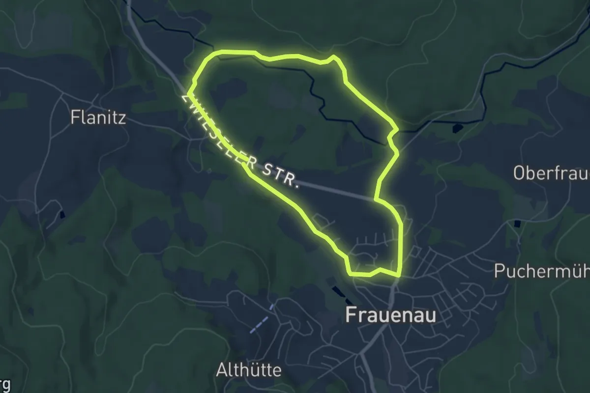
Easy · Trail
Wanderweg 2
5.4 km · ↑ 50 m · 1 h 28 min
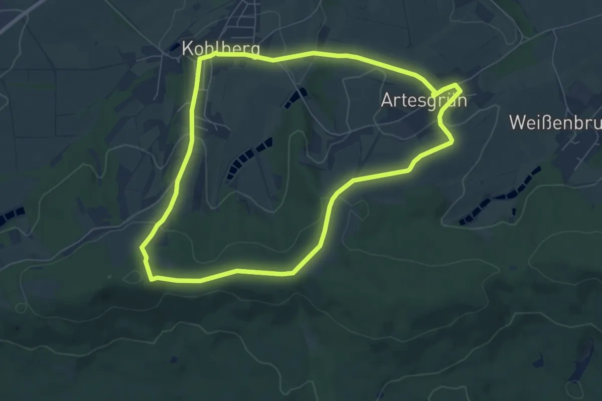
Easy · Summit
Wanderweg 2
6.5 km · ↑ 177 m · 2 h 1 min
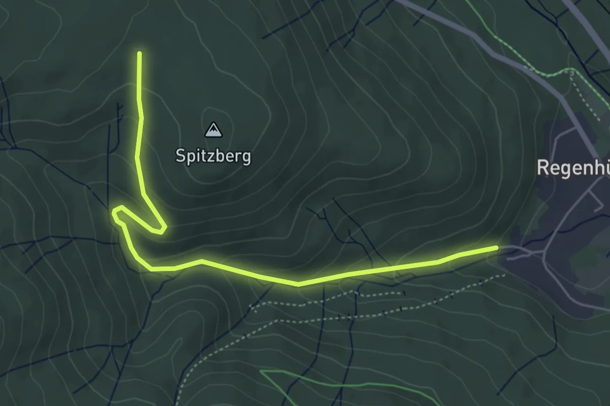
Easy · Trail
Wanderweg 2
5.1 km · ↑ 245 m · 1 h 45 min
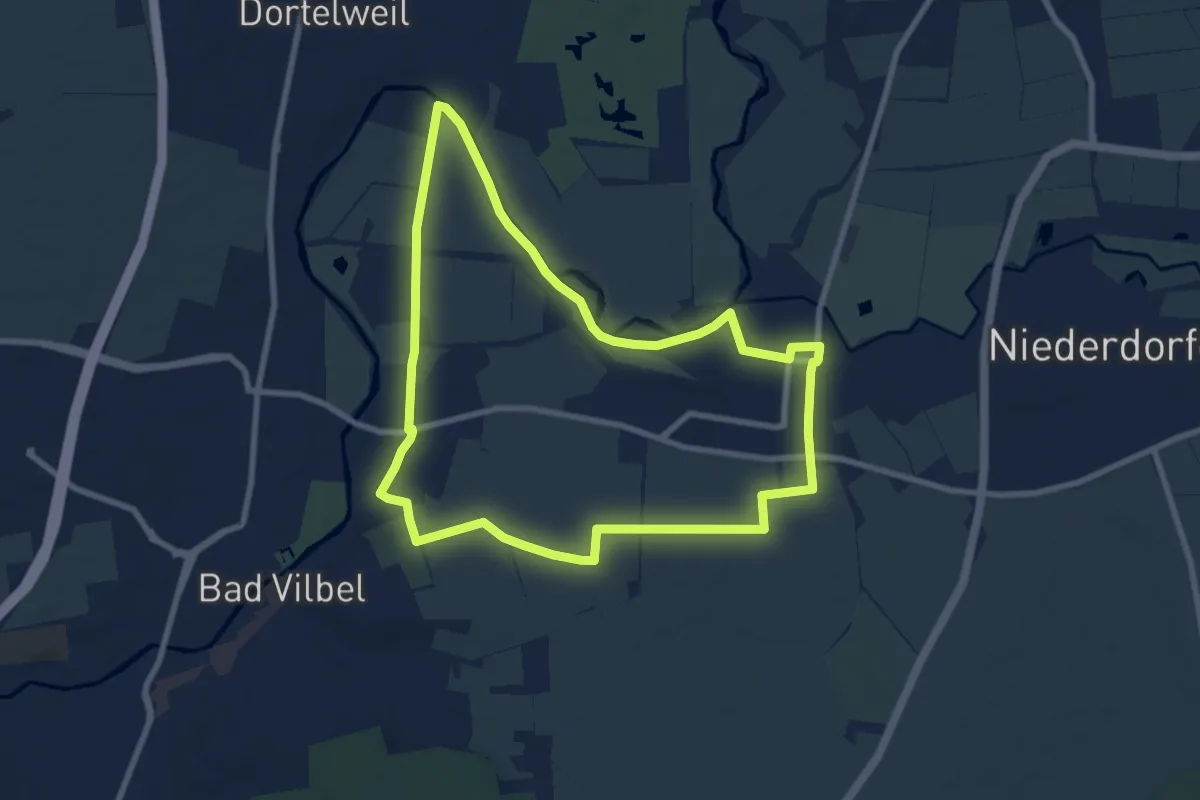
Easy · Trail
Wanderweg 2
8.0 km · ↑ 40 m · 2 h 5 min
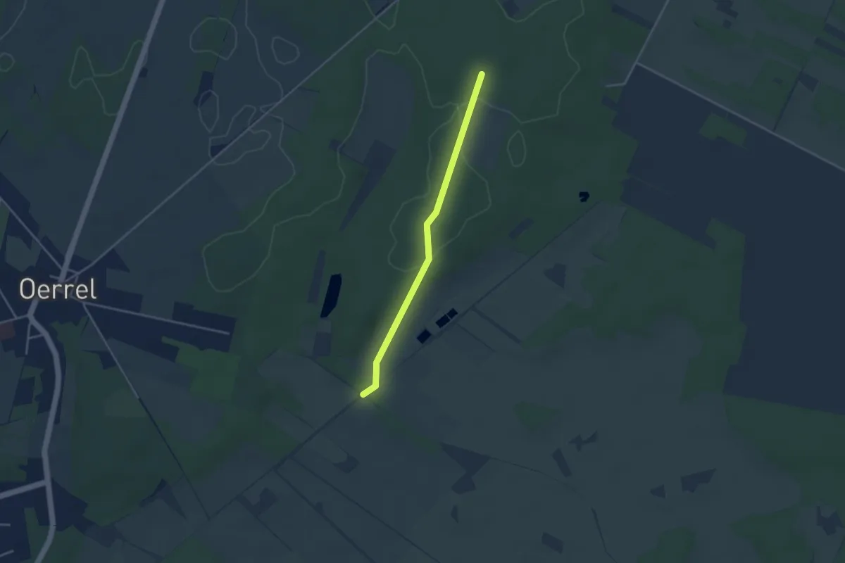
Easy · Trail
Wanderweg 2
2.9 km · ↑ 35 m · 46 min
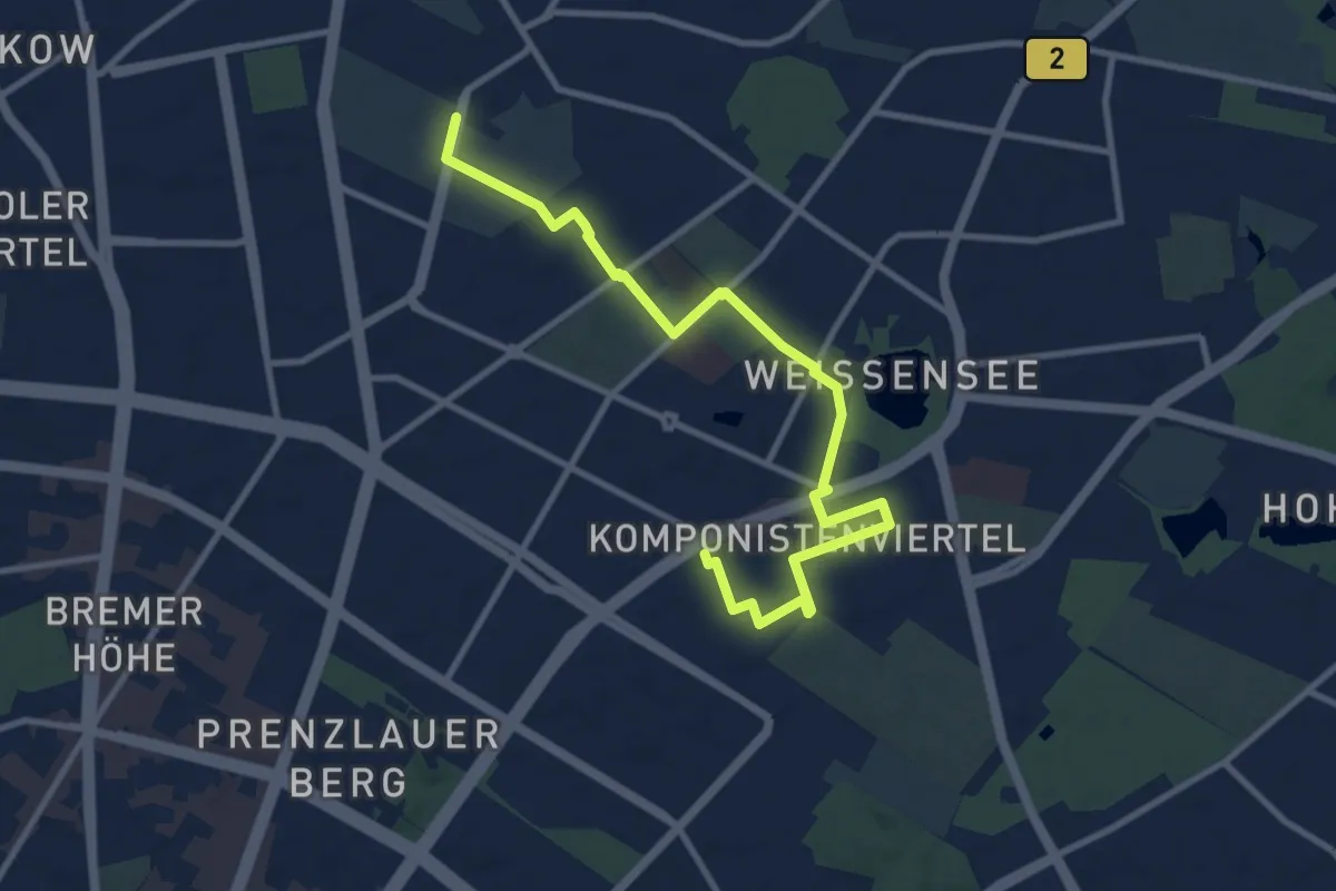
Medium · Trail
Wanderweg 2
9.9 km · ↑ 13 m · 2 h 23 min
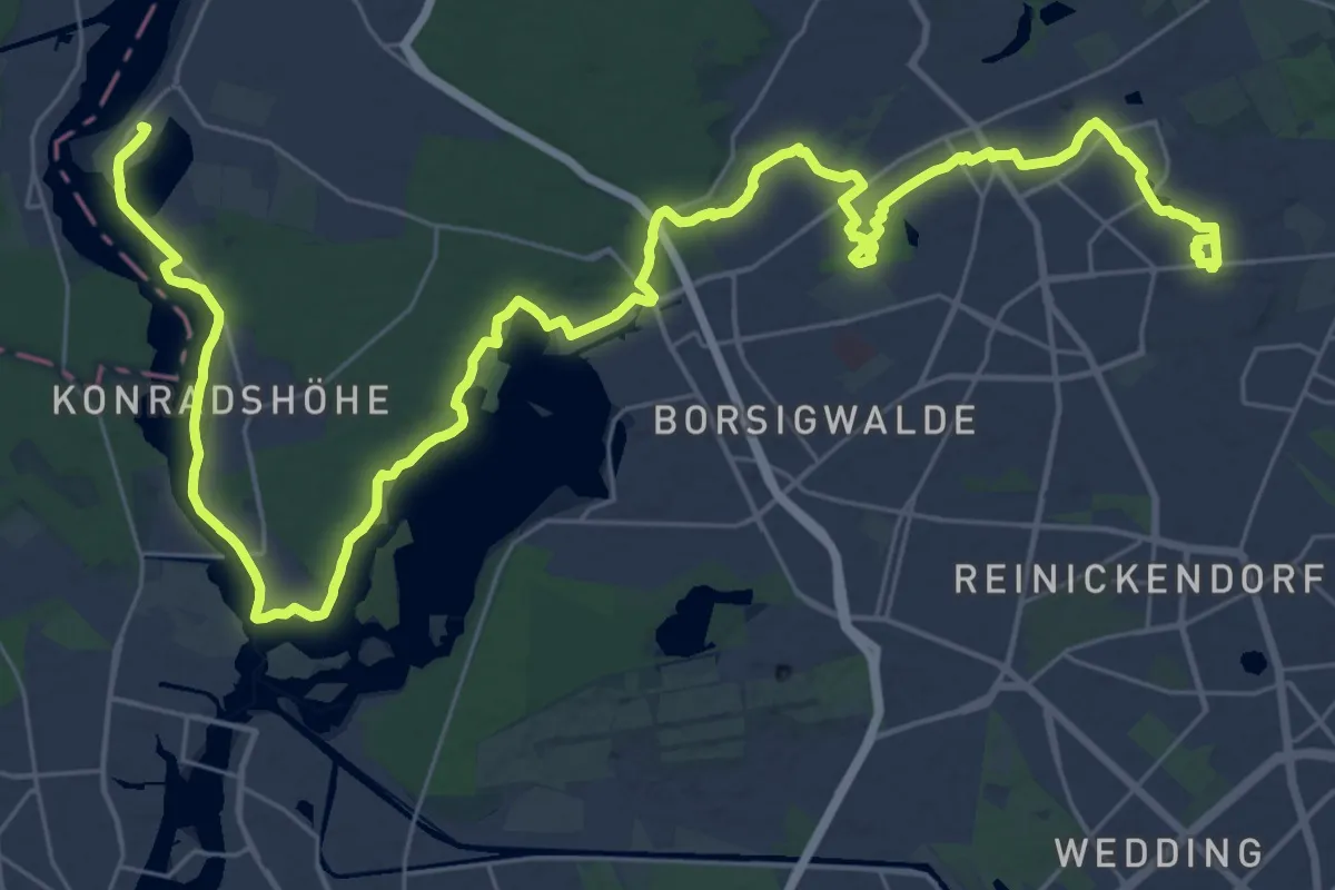
Demanding · Trail
Wanderweg 2
21.6 km · ↑ 72 m · 5 h 35 min
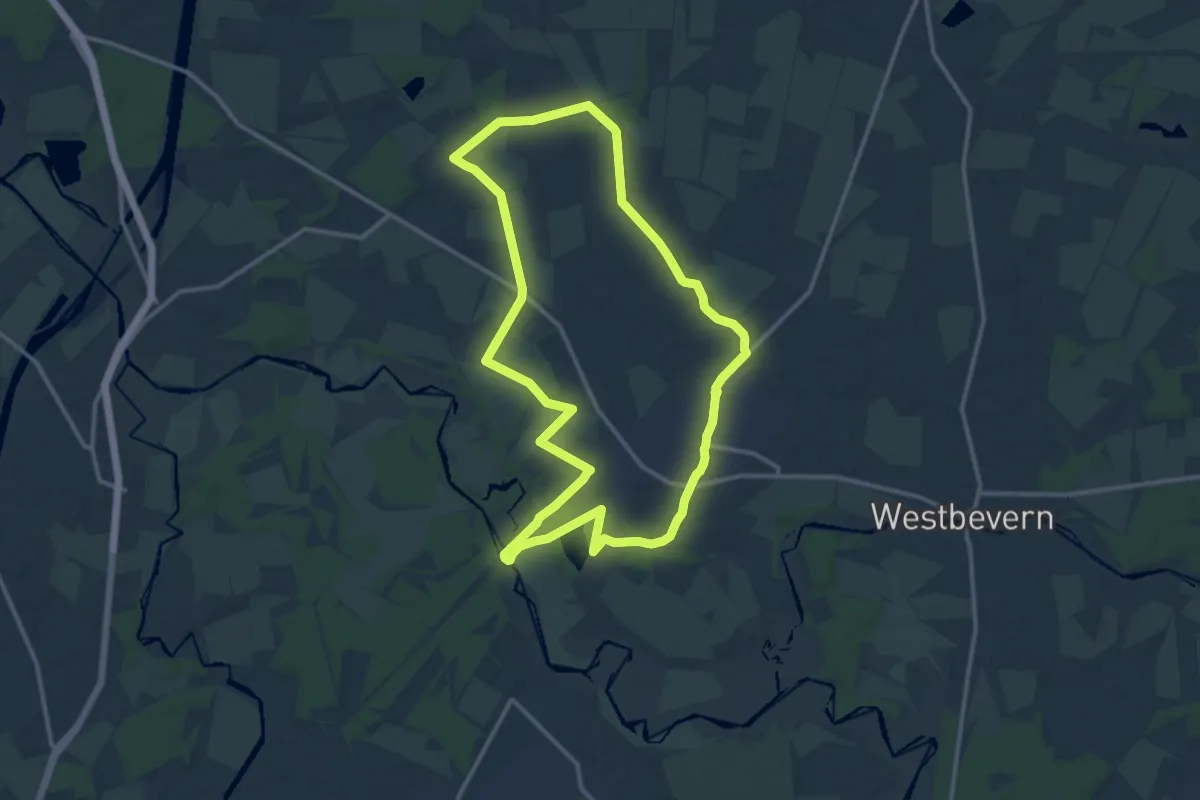
Medium · Trail
Wanderweg 2
11.8 km · ↑ 13 m · 2 h 59 min
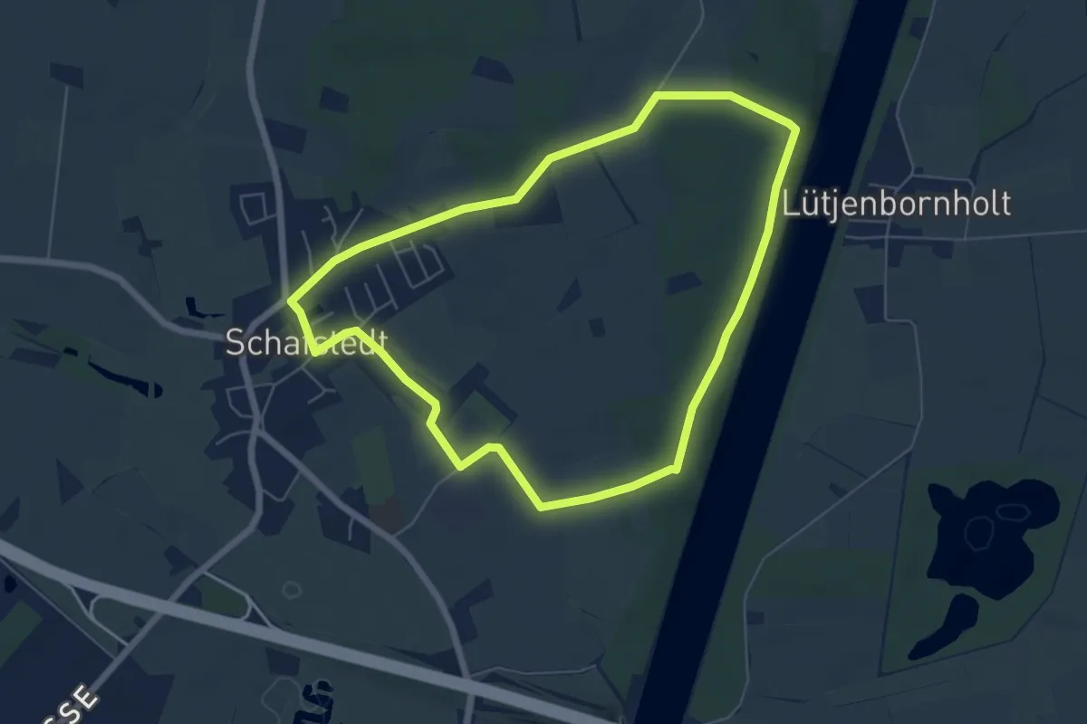
Easy · Trail
Wanderweg 2
5.0 km · ↑ 34 m · 1 h 20 min
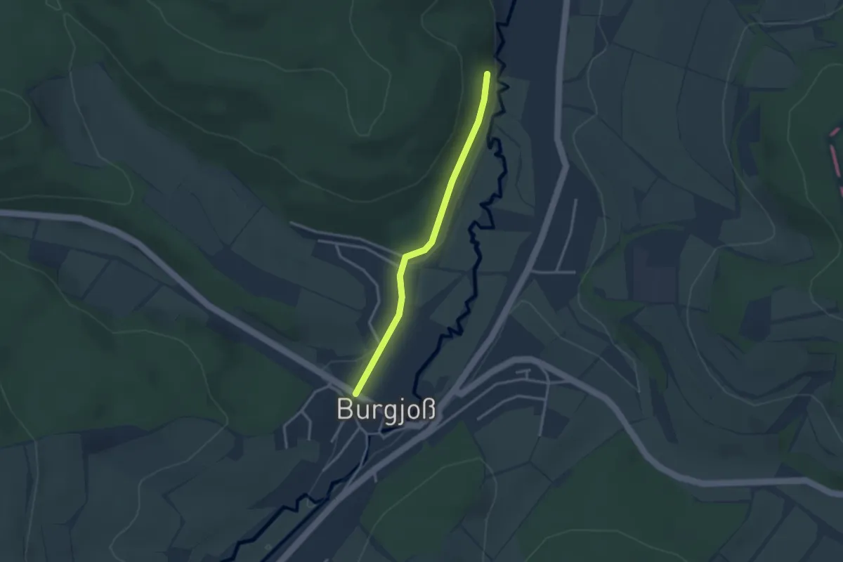
Easy · Trail
Wanderweg 20
2.5 km · ↑ 35 m · 40 min
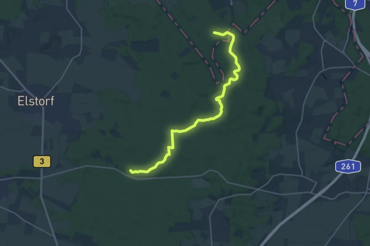
Medium · Trail
Wanderweg 20
14.2 km · ↑ 186 m · 3 h 45 min
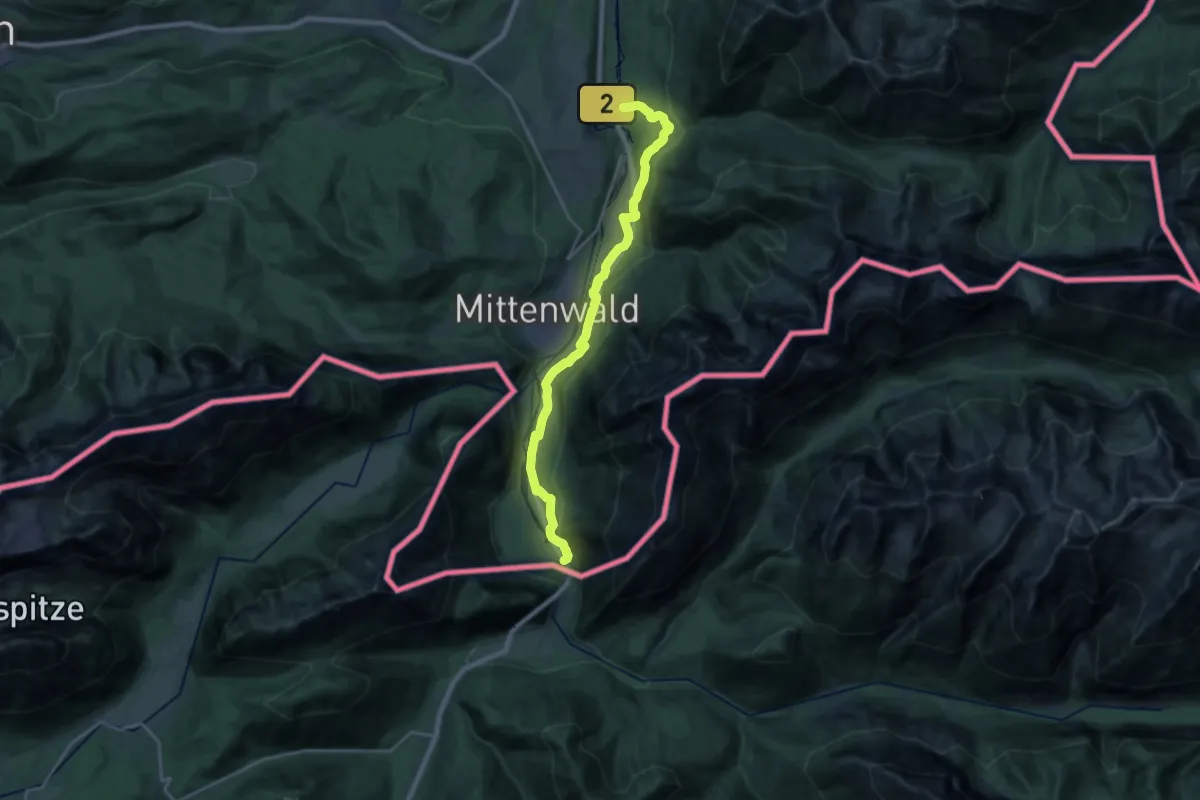
Demanding · Trail
Wanderweg 200
21.8 km · ↑ 480 m · 6 h 11 min
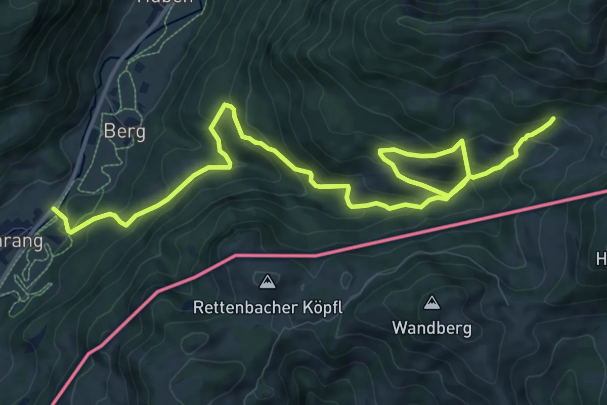
Demanding · Trail
Wanderweg 200 - Geigelstein/Kampenwand
13.3 km · ↑ 882 m · 5 h 3 min