Trails in Germany
36,852 hiking trails, each with its route, climb, walking time and grade.
All trails, page 679 of 768
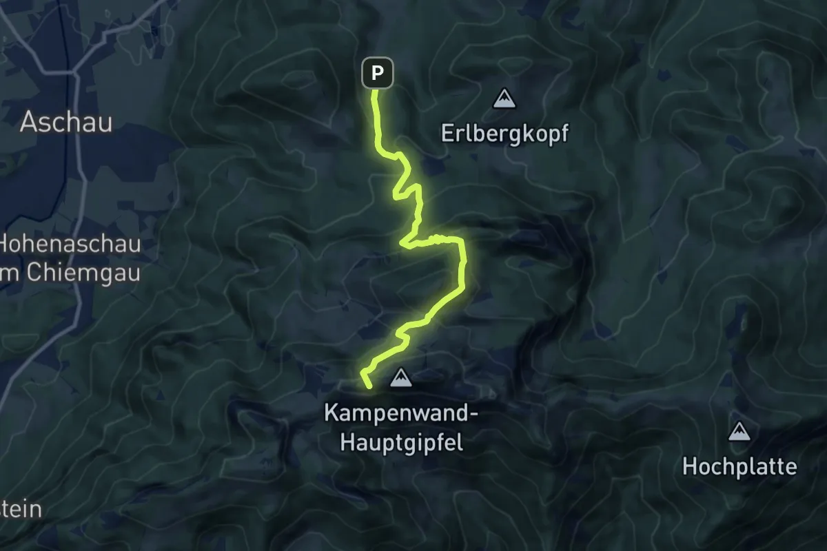
Medium · Summit
Wanderweg 202 - Kampenwand
9.6 km · ↑ 700 m · 3 h 48 min
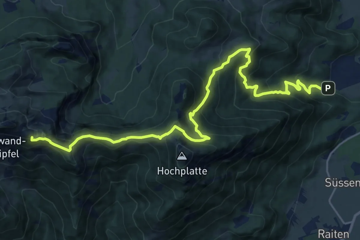
Demanding · Summit
Wanderweg 205 - Marquartstein
17.1 km · ↑ 1321 m · 6 h 54 min
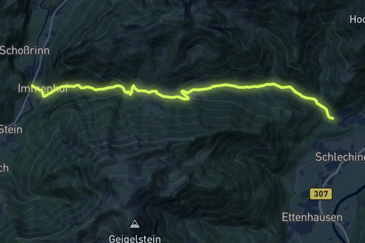
Demanding · Trail
Wanderweg 206 - Chiemgauer Alpen
16.0 km · ↑ 863 m · 5 h 39 min
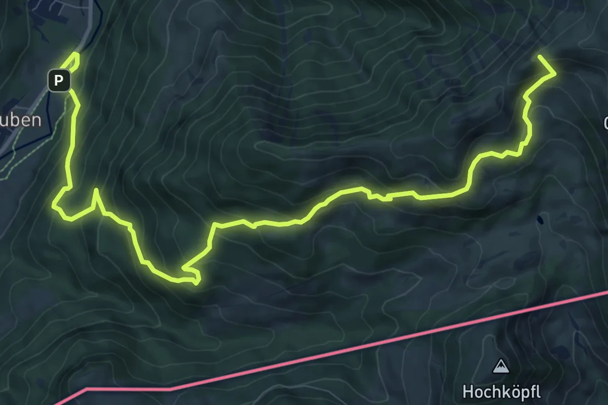
Demanding · Summit
Wanderweg 207 - Geigelstein
13.4 km · ↑ 1034 m · 5 h 24 min
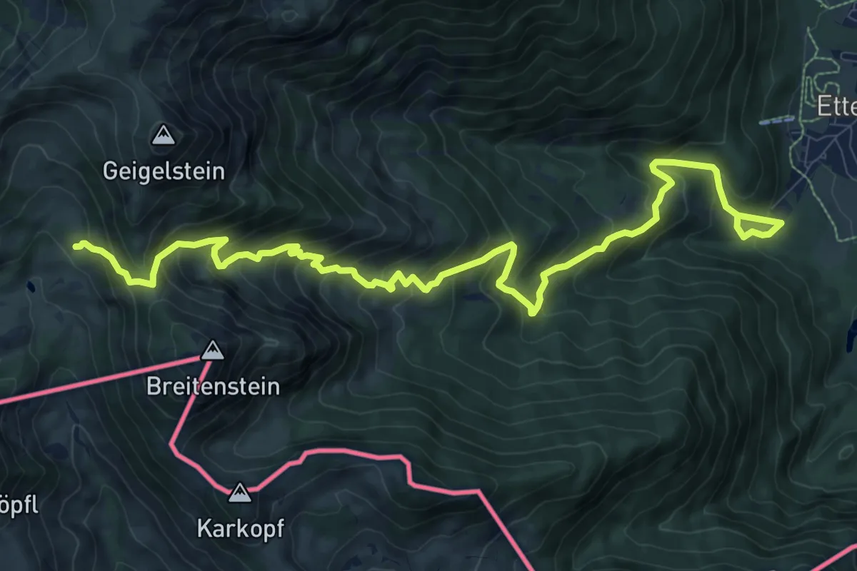
Demanding · Cabin
Wanderweg 208 - Geigelstein
12.7 km · ↑ 1035 m · 5 h 15 min
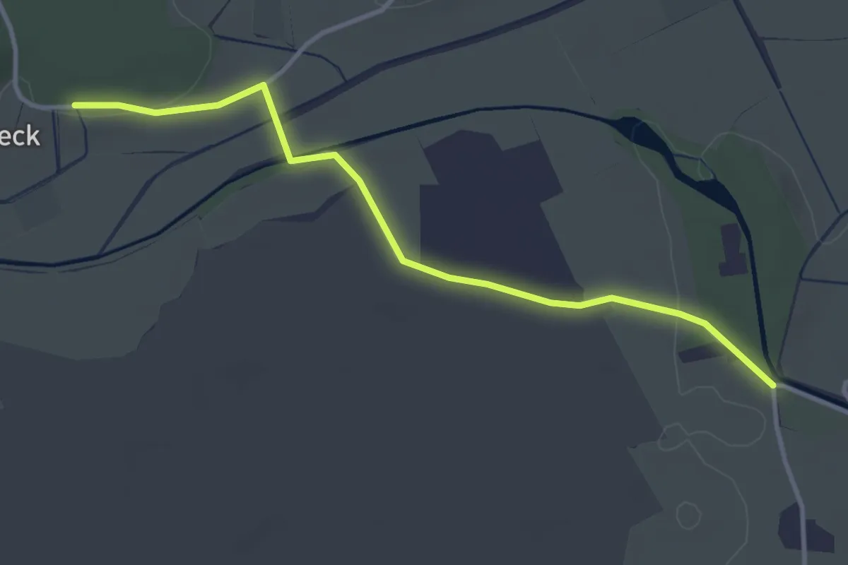
Easy · Trail
Wanderweg 20 - Bergen
3.5 km · ↑ 29 m · 53 min
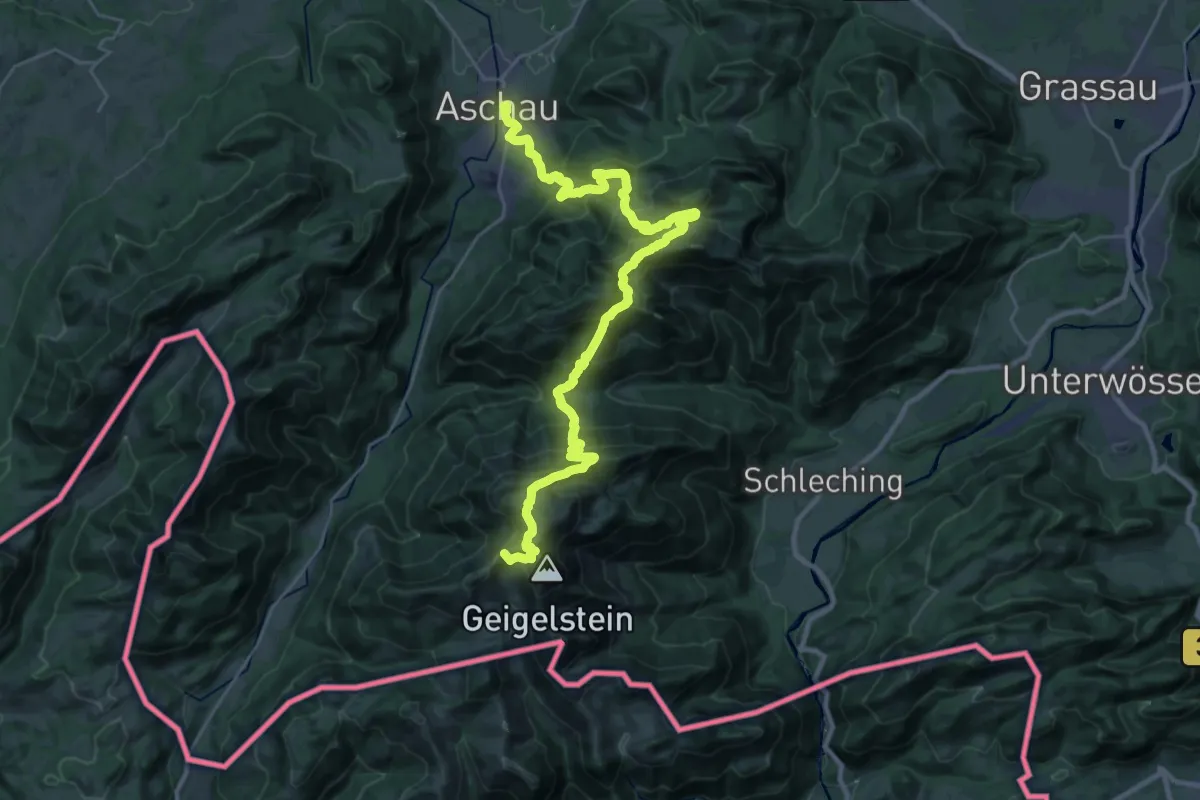
Demanding · Summit
Wanderweg 20 - Über die Kampenwand zum Geigelstein
32.4 km · ↑ 2253 m · 12 h 32 min
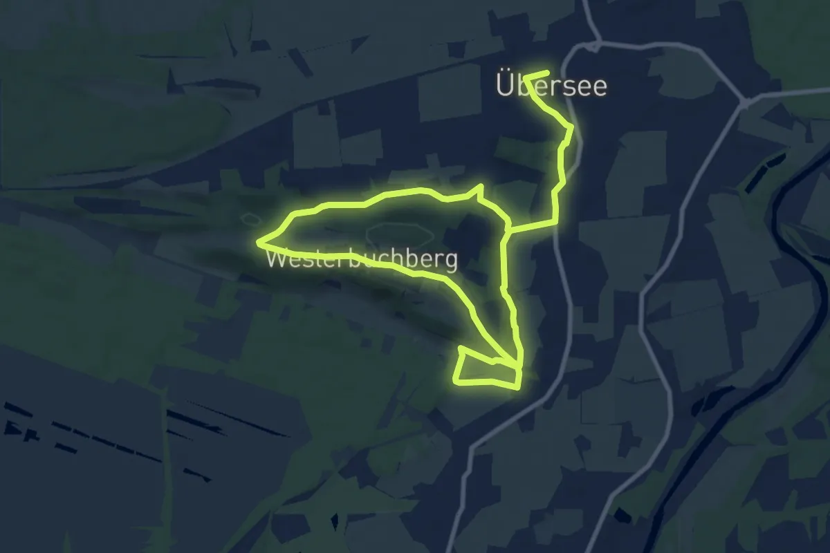
Medium · Trail
Wanderweg 20 - Westerbuchberg Rundweg
14.7 km · ↑ 223 m · 3 h 58 min
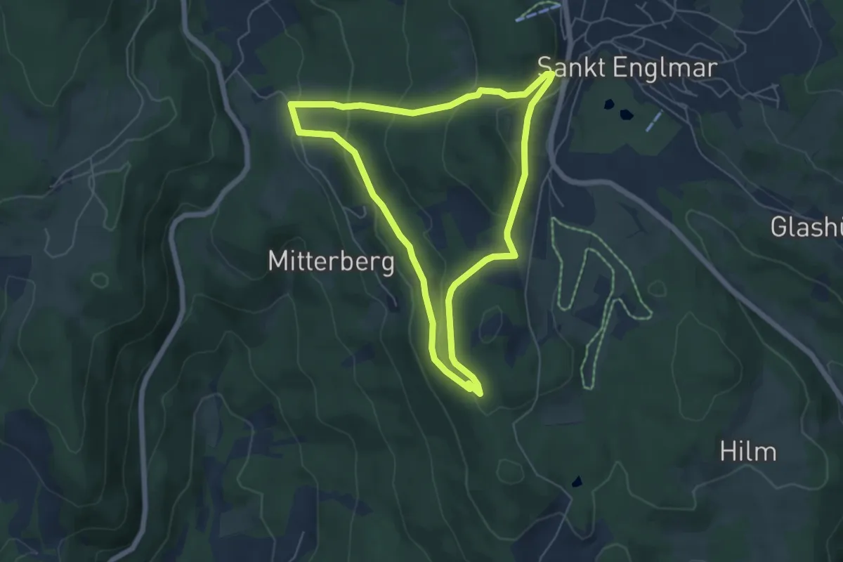
Easy · Trail
Wanderweg 21
5.1 km · ↑ 212 m · 1 h 44 min
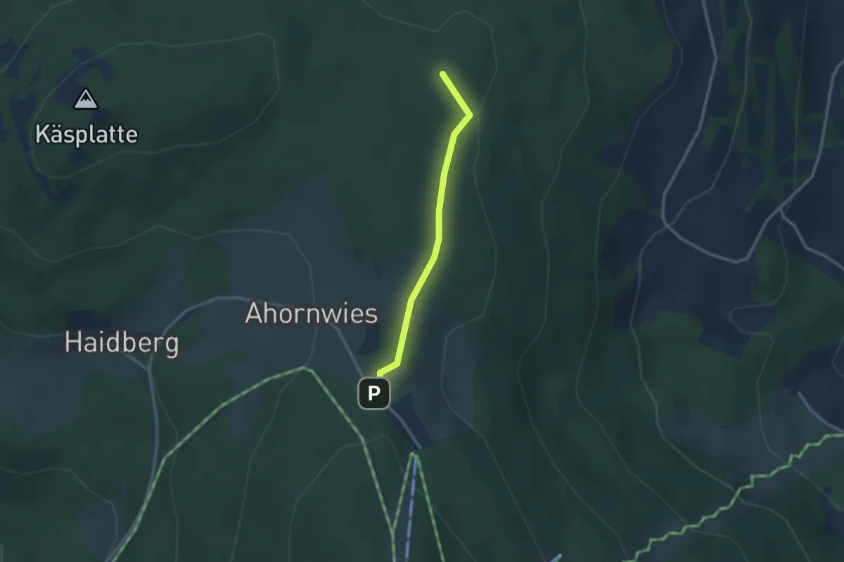
Medium · Summit
Wanderweg 21
2.1 km · ↑ 26 m · 34 min
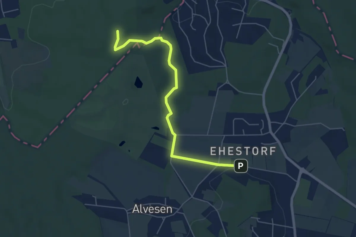
Easy · Trail
Wanderweg 21
4.7 km · ↑ 53 m · 1 h 13 min
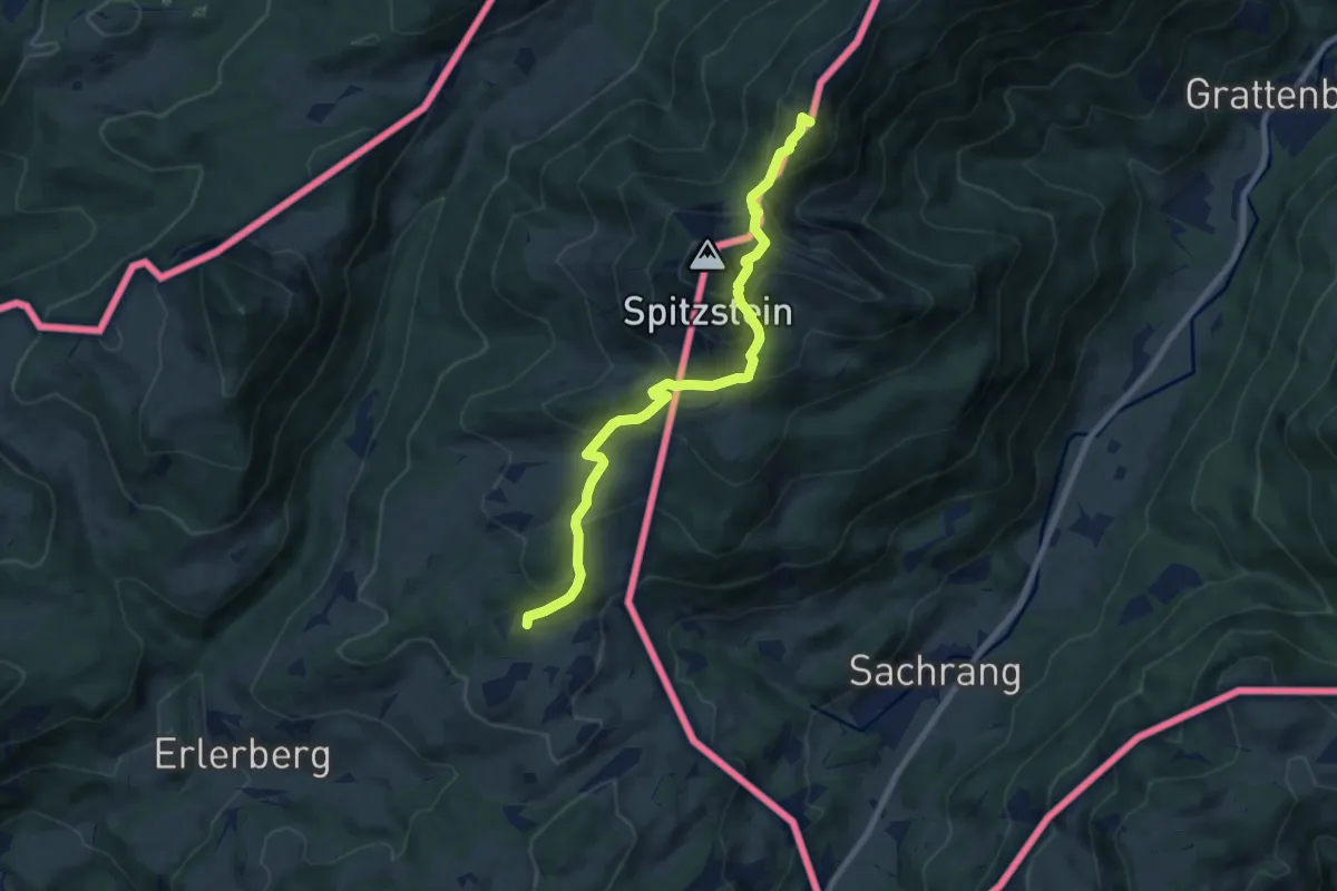
Medium · Summit
Wanderweg 211 - Spitzstein
8.1 km · ↑ 691 m · 3 h 25 min
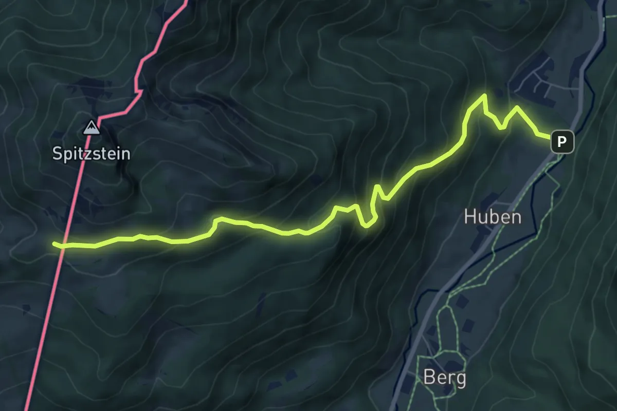
Medium · Cabin
Wanderweg 212 - Spitzstein
8.1 km · ↑ 649 m · 3 h 19 min
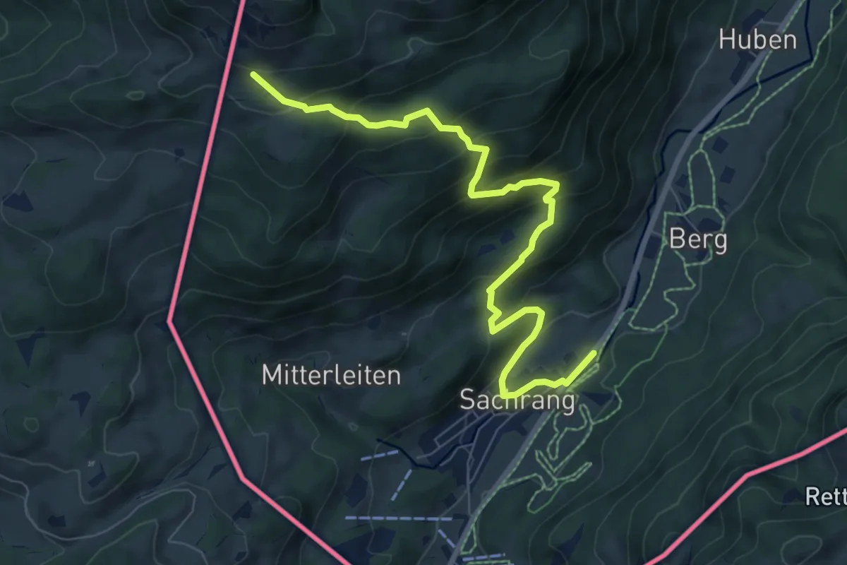
Medium · Trail
Wanderweg 213 - Spitzstein
8.1 km · ↑ 567 m · 3 h 9 min
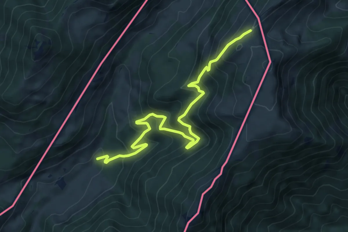
Medium · Trail
Wanderweg 214 - Spitzstein
9.0 km · ↑ 583 m · 3 h 24 min
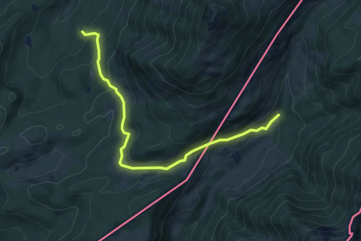
Medium · Trail
Wanderweg 215a - Hochries
7.5 km · ↑ 254 m · 2 h 19 min
Medium · Trail
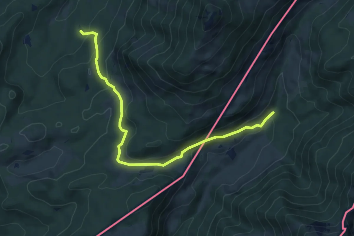
Wanderweg 215b - Hochries
7.5 km · ↑ 254 m · 2 h 19 min
Medium · Trail
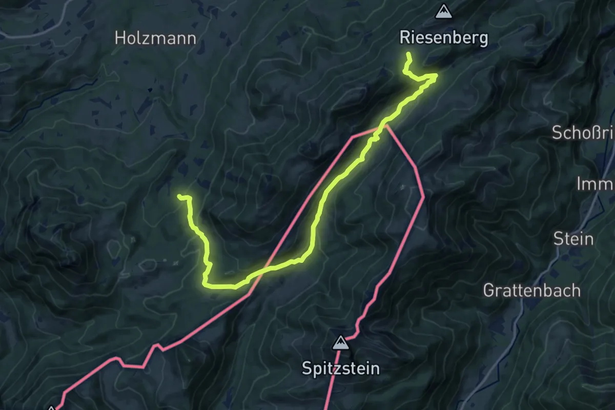
Wanderweg 215 - Hochries
17.1 km · ↑ 683 m · 5 h 31 min
Demanding · Summit
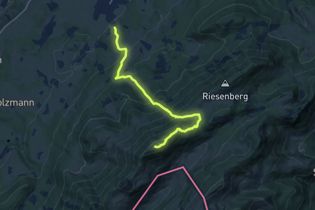
Wanderweg 216a - Hochries
10.4 km · ↑ 864 m · 4 h 20 min
Medium · Summit
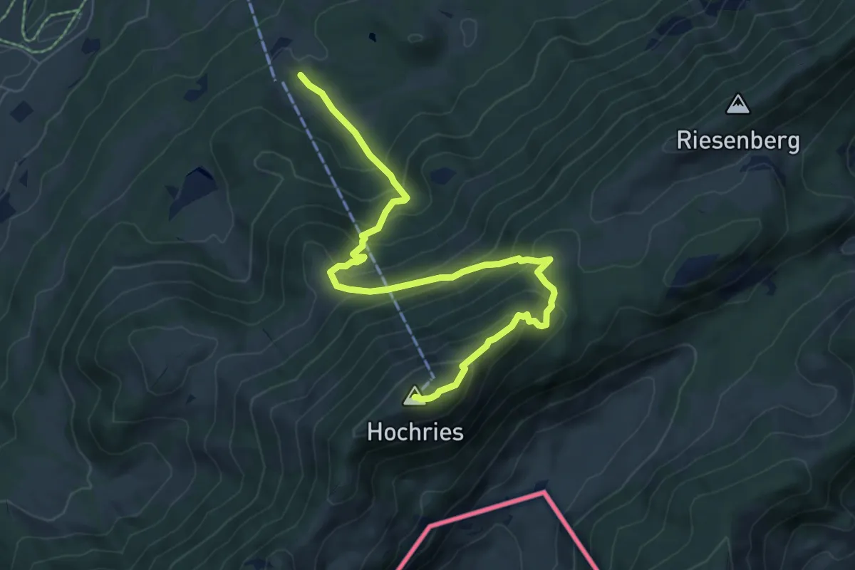
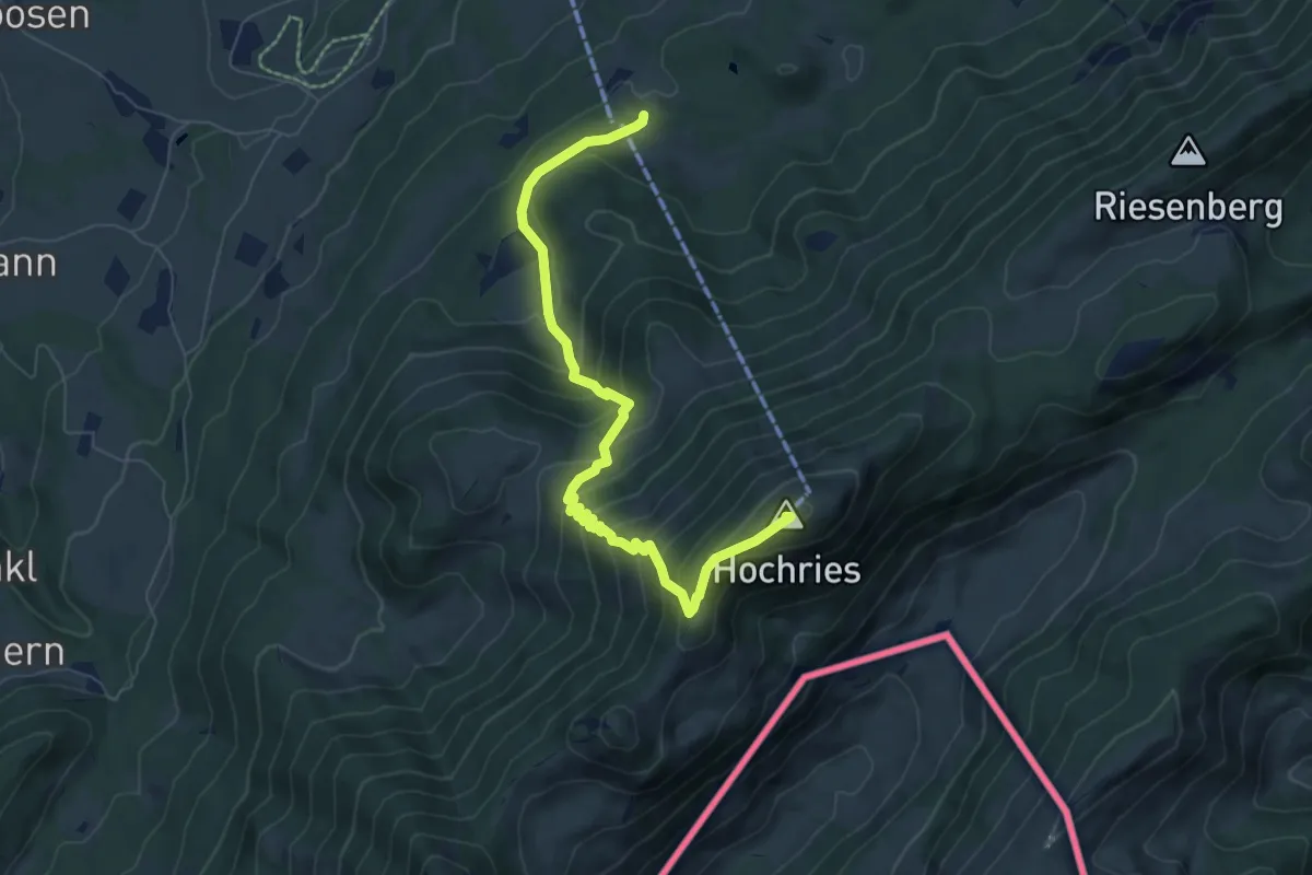
Wanderweg 216b - Hochries
7.7 km · ↑ 637 m · 3 h 12 min
Medium · Summit
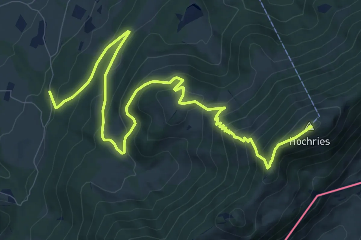
Wanderweg 216c - Hochries
7.3 km · ↑ 641 m · 3 h 6 min
Demanding · Summit
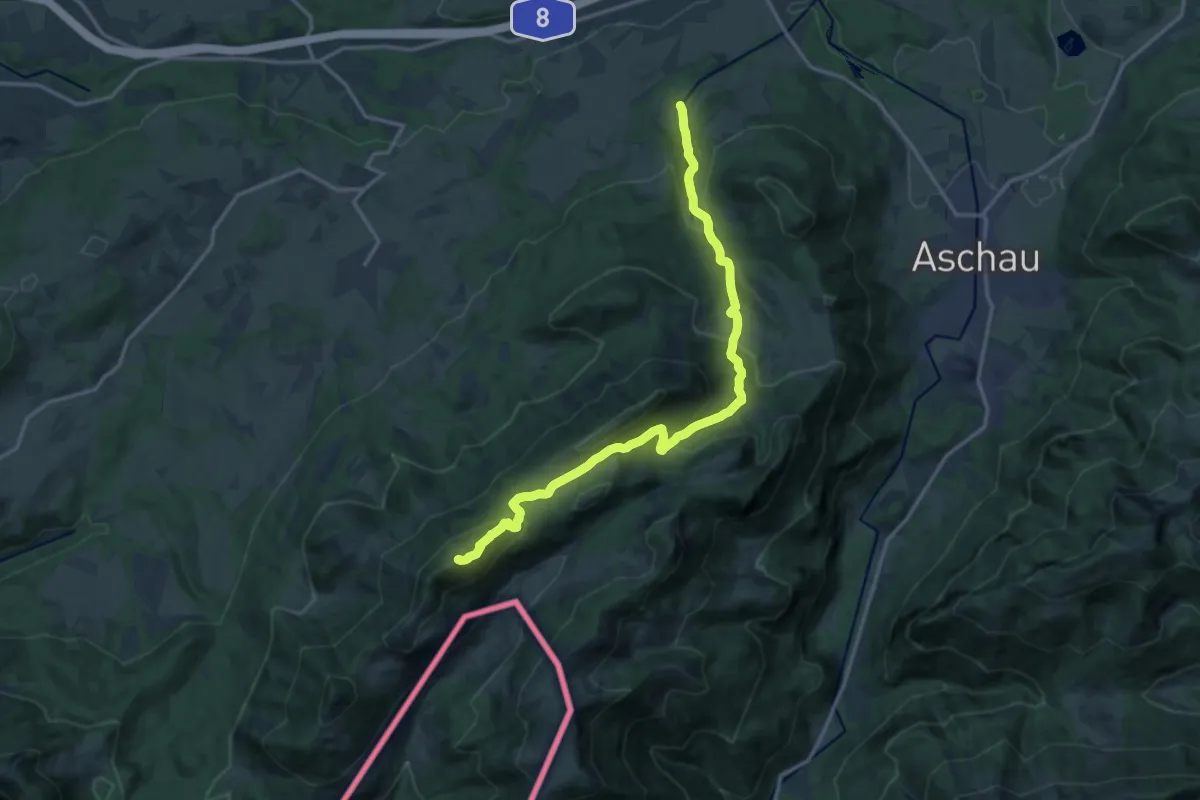
Wanderweg 216d - Hochries
11.9 km · ↑ 835 m · 4 h 37 min
Demanding · Summit
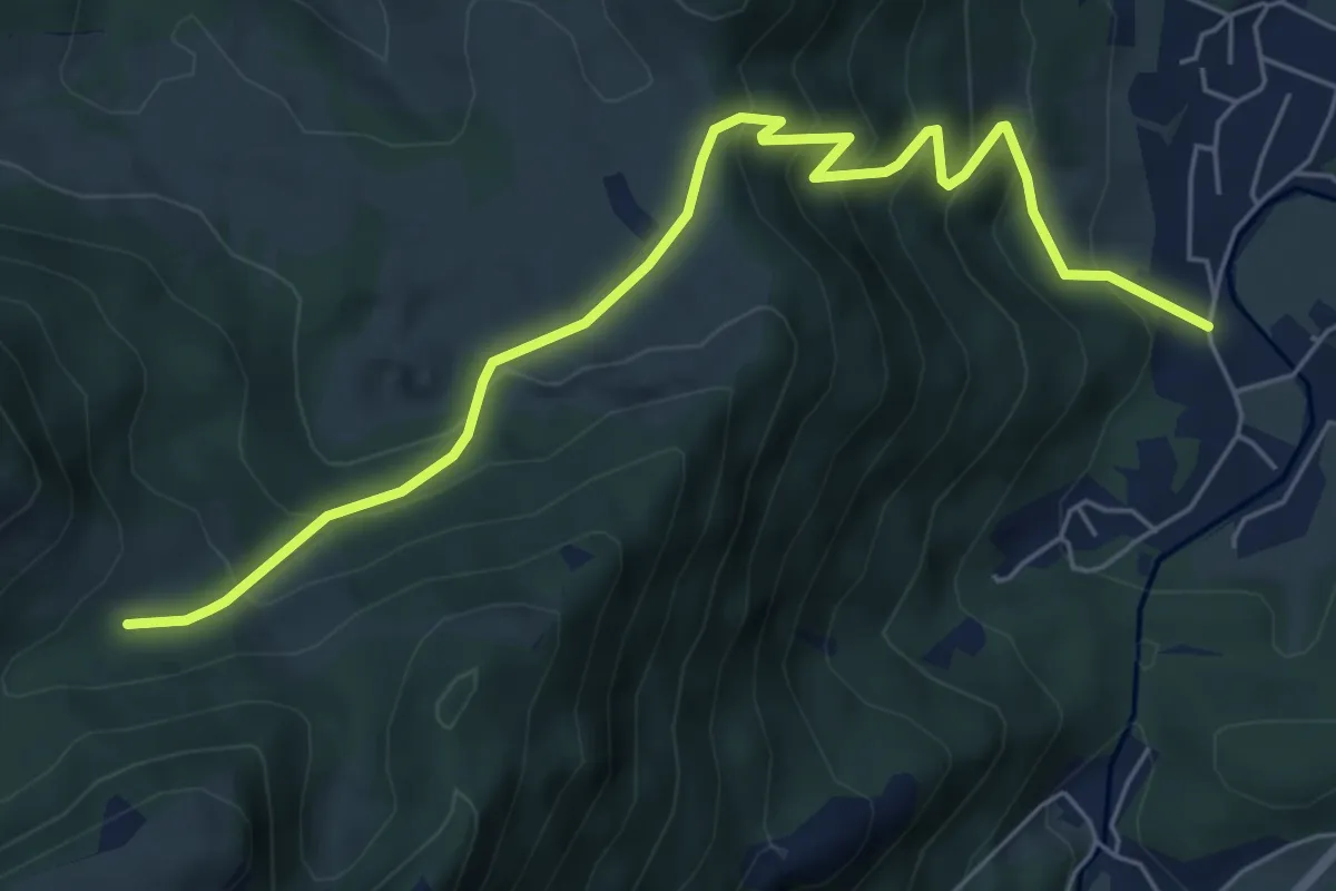
Wanderweg 216 - Hochries
15.7 km · ↑ 887 m · 5 h 38 min
Medium · Trail
Wanderweg 217 - Chiemgauer Alpen
6.6 km · ↑ 528 m · 2 h 42 min
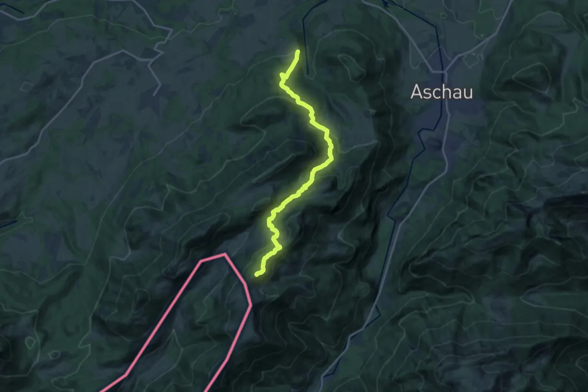
Demanding · Summit
Wanderweg 218 - Klausenhütte
14.9 km · ↑ 827 m · 5 h 19 min
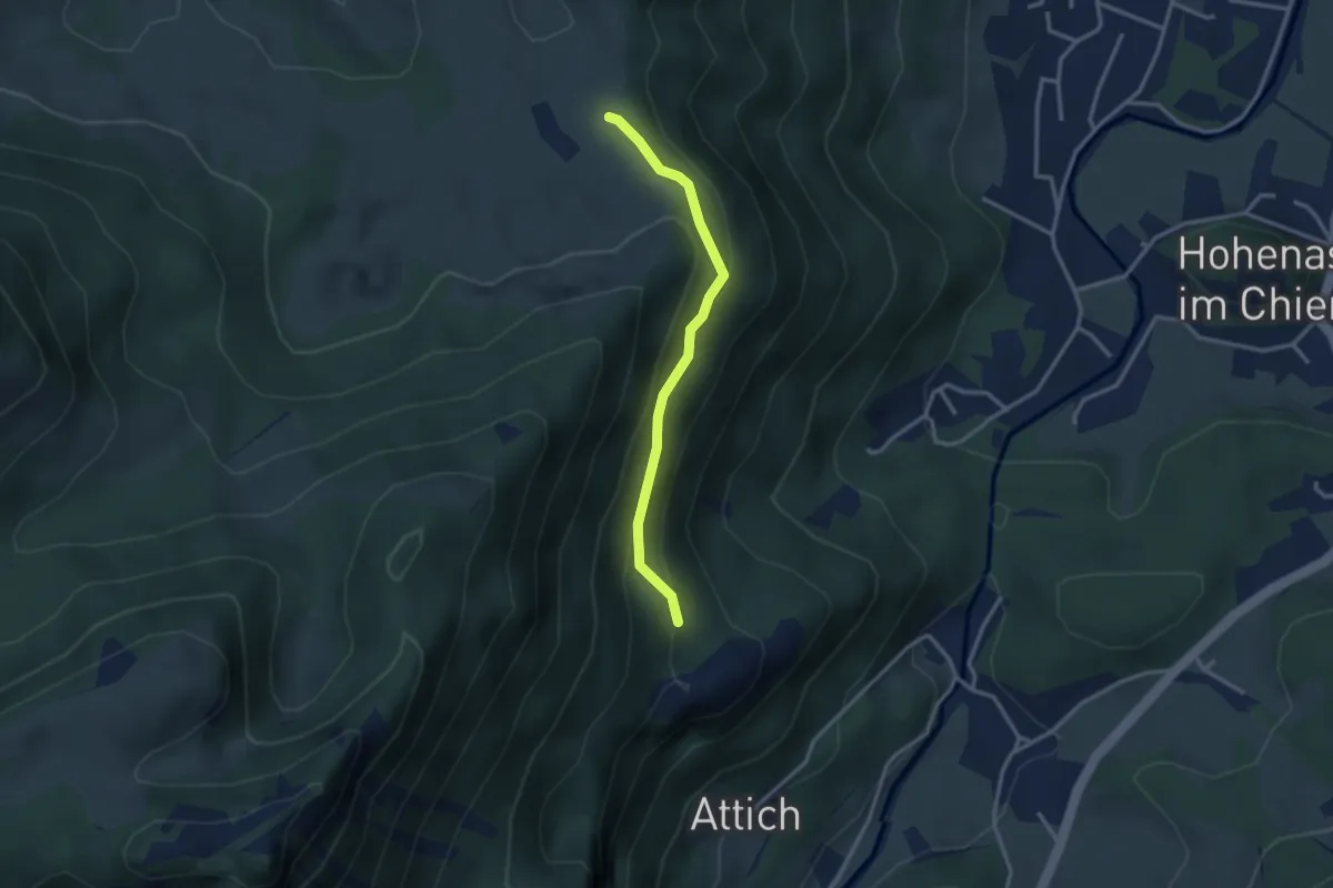
Medium · Trail
Wanderweg 219a - Hofalm
2.7 km · ↑ 191 m · 1 h 3 min
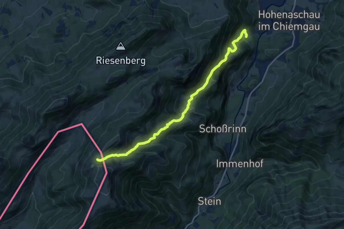
Demanding · Trail
Wanderweg 219 - Klausenhütte
11.2 km · ↑ 936 m · 4 h 41 min
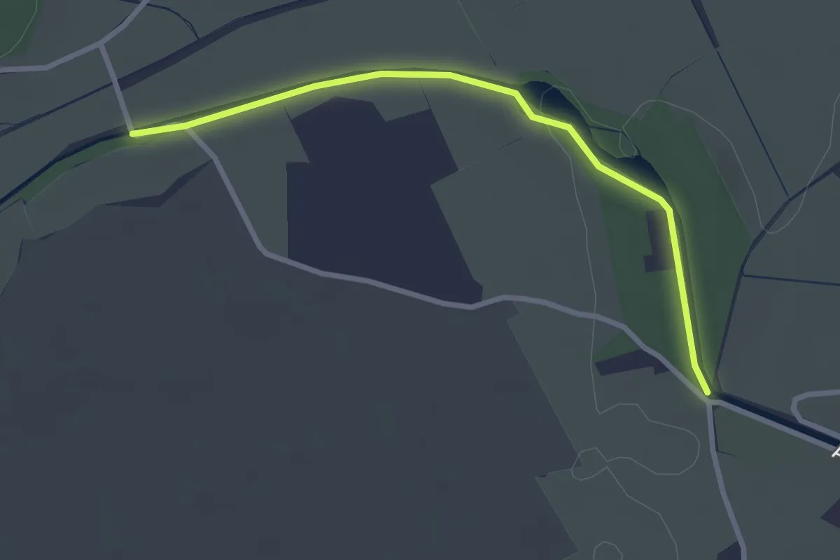
Easy · Trail
Wanderweg 21a - Bergen
2.7 km · ↑ 31 m · 42 min
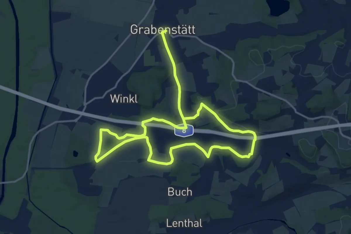
Demanding · Trail
Wanderweg 21 - Aitrach Rundweg
19.6 km · ↑ 230 m · 5 h 8 min
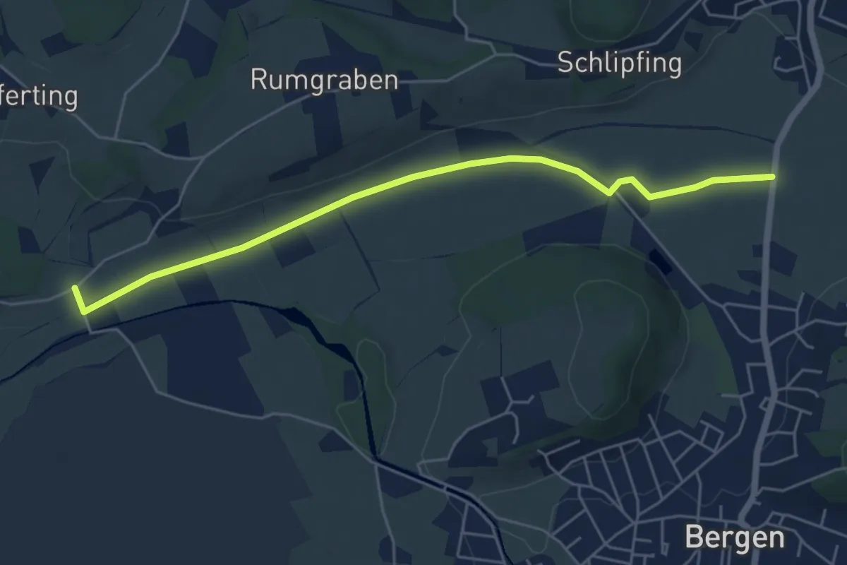
Easy · Trail
Wanderweg 21 - Bergen
5.3 km · ↑ 4 m · 1 h 15 min
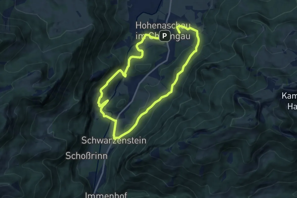
Medium · Summit
Wanderweg 21 - Über`s Wasserthal Schwarzenstein
15.6 km · ↑ 618 m · 5 h 1 min
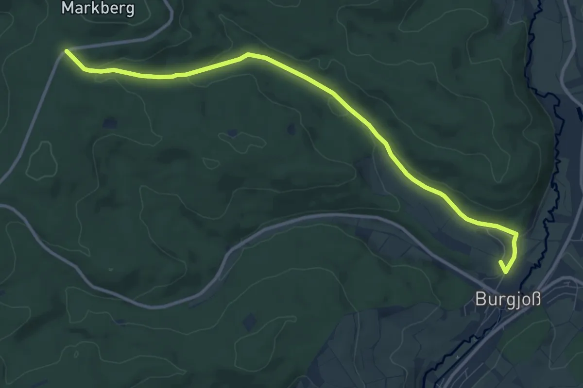
Medium · Trail
Wanderweg 22
9.4 km · ↑ 176 m · 2 h 36 min
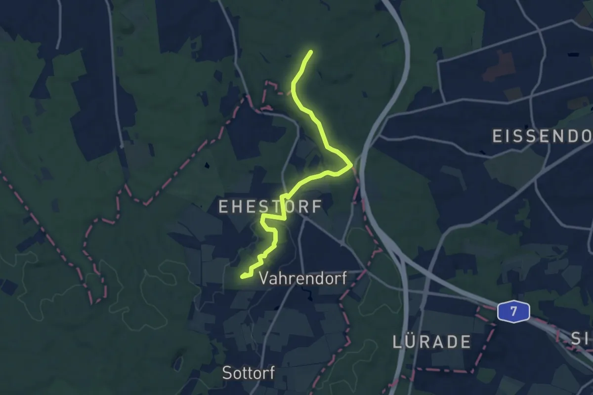
Medium · Summit
Wanderweg 22
10.1 km · ↑ 78 m · 2 h 34 min
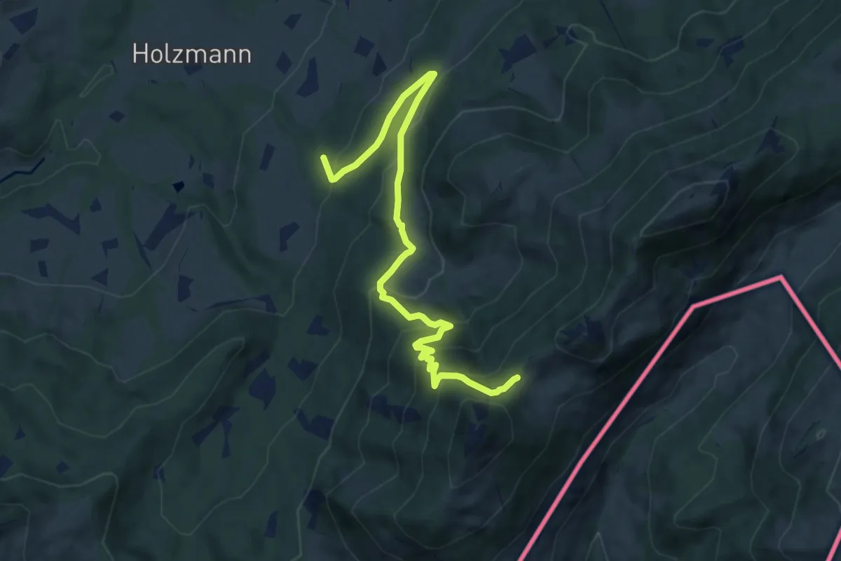
Medium · Trail
Wanderweg 221a - Hochries
9.4 km · ↑ 607 m · 3 h 33 min
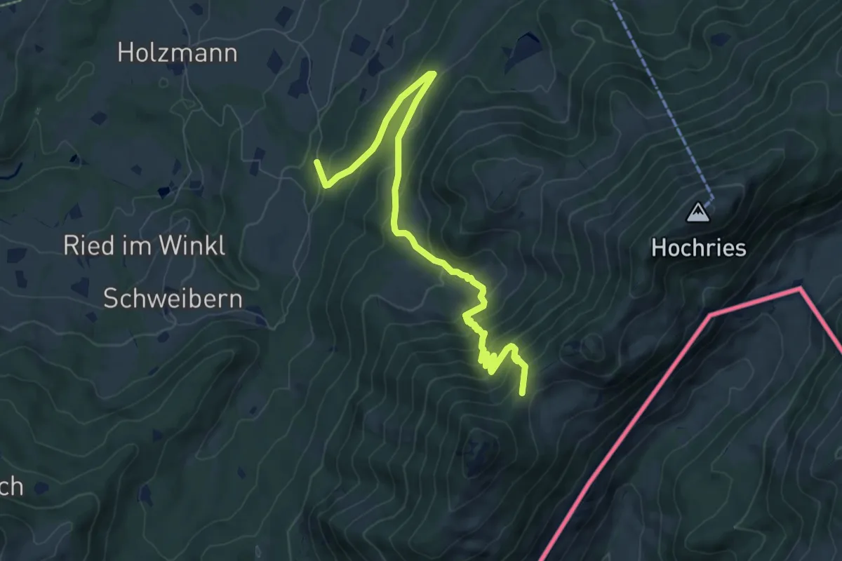
Medium · Trail
Wanderweg 221b - Hochries
8.7 km · ↑ 604 m · 3 h 21 min
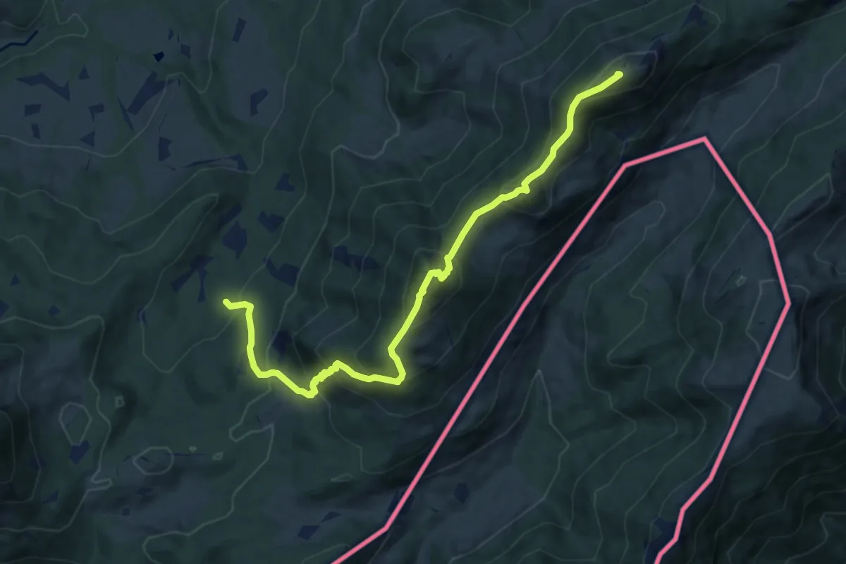
Expert · Summit
Wanderweg 221 - Hochries
10.3 km · ↑ 1071 m · 4 h 46 min
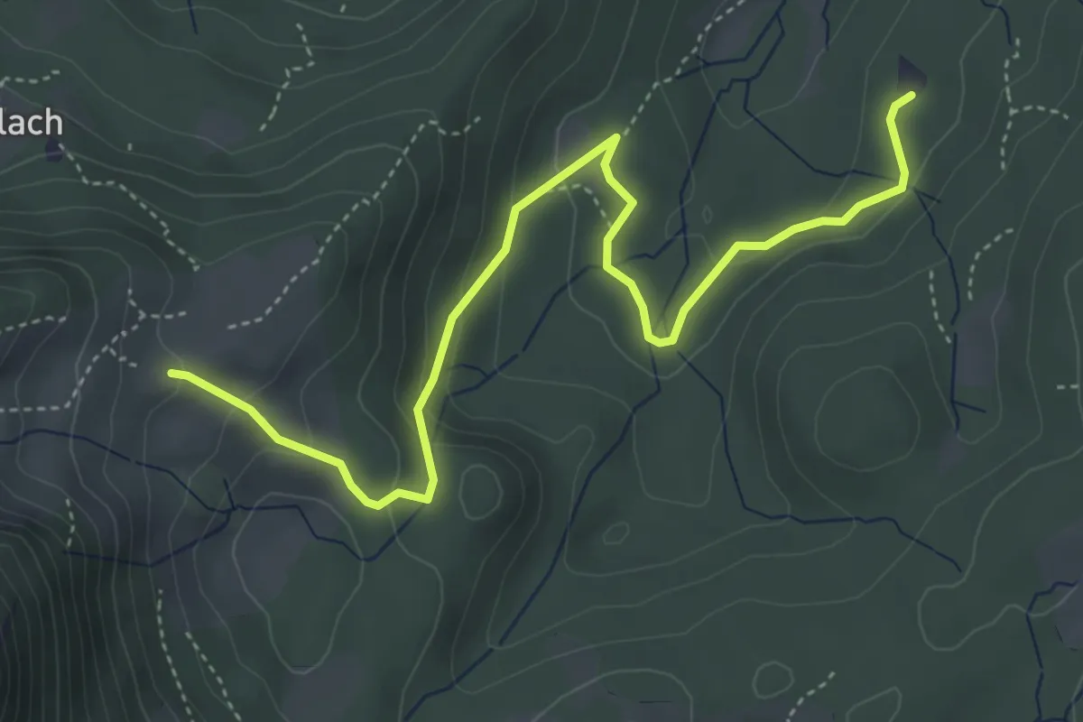
Medium · Cabin
Wanderweg 223a - Heuberg
5.0 km · ↑ 207 m · 1 h 38 min
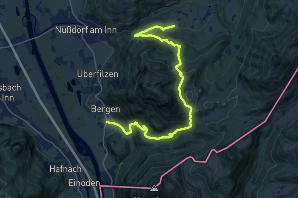
Demanding · Trail
Wanderweg 223 - Heuberg
18.4 km · ↑ 1090 m · 6 h 42 min
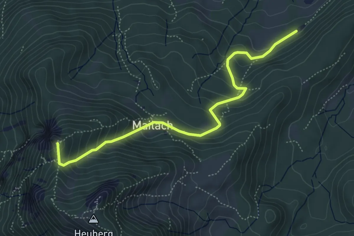
Medium · Summit
Wanderweg 224a - Heuberg
5.5 km · ↑ 392 m · 2 h 9 min
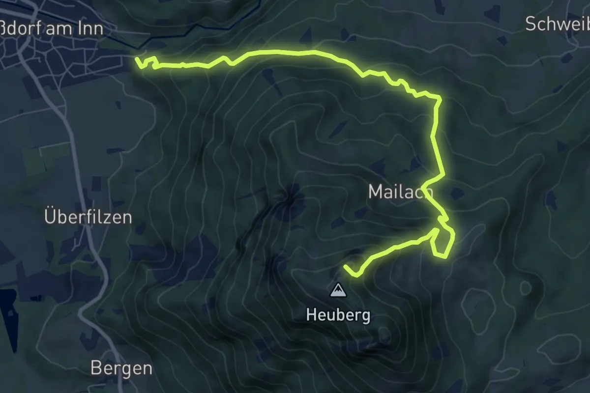
Demanding · Summit
Wanderweg 224 - Heuberg
9.5 km · ↑ 823 m · 4 h 1 min
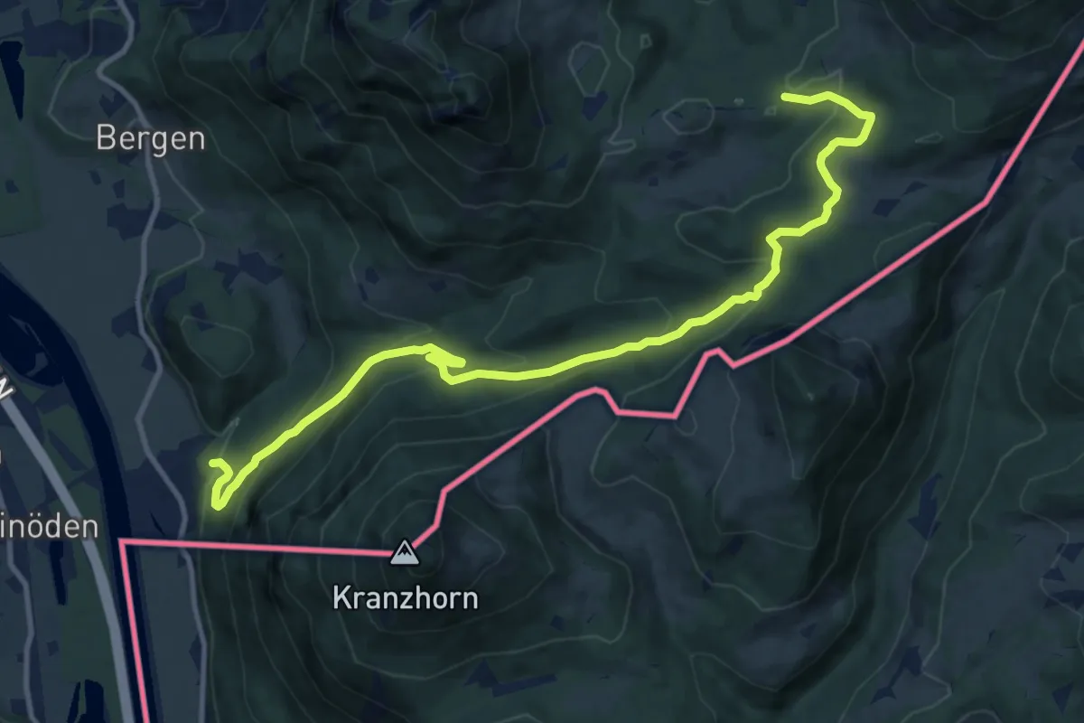
Medium · Trail
Wanderweg 225a - Kranzhorn
12.6 km · ↑ 671 m · 4 h 26 min
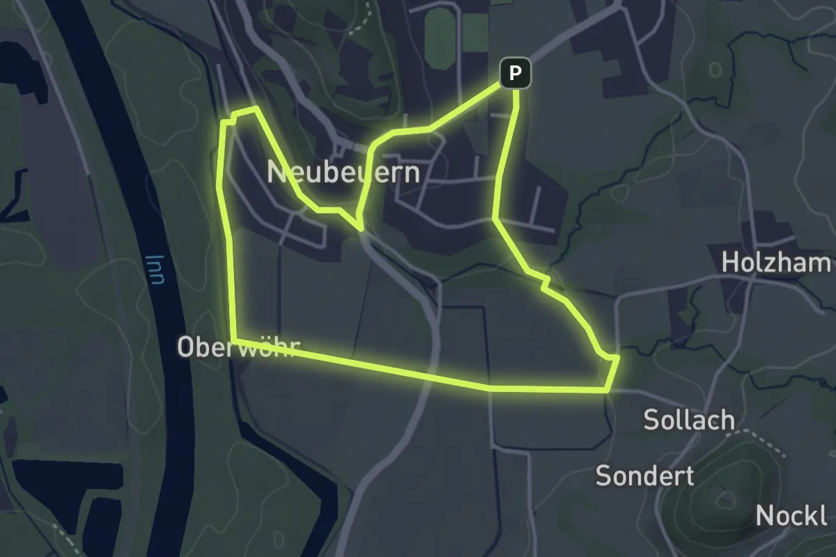
Easy · Summit
Wanderweg 22 - Neubeuern
3.7 km · ↑ 52 m · 1 h 3 min
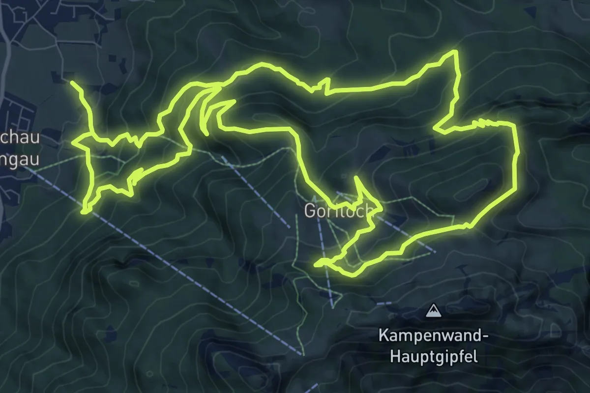
Demanding · Summit
Wanderweg 22 - Von Aschau auf die Kampenwand
13.2 km · ↑ 942 m · 5 h 20 min
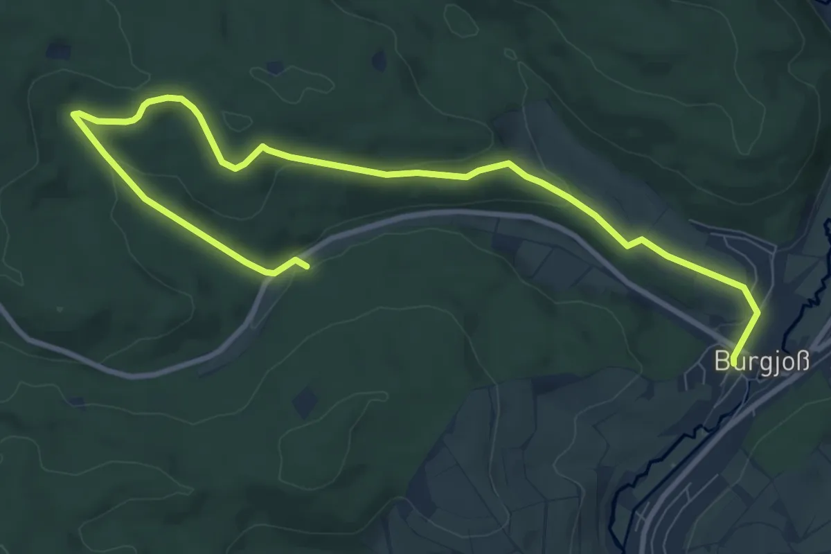
Medium · Trail
Wanderweg 23
10.6 km · ↑ 244 m · 3 h 2 min
Easy · Trail
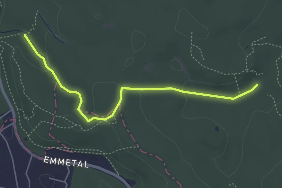
Wanderweg 23
3.7 km · ↑ 75 m · 1 h 2 min
Medium · Trail
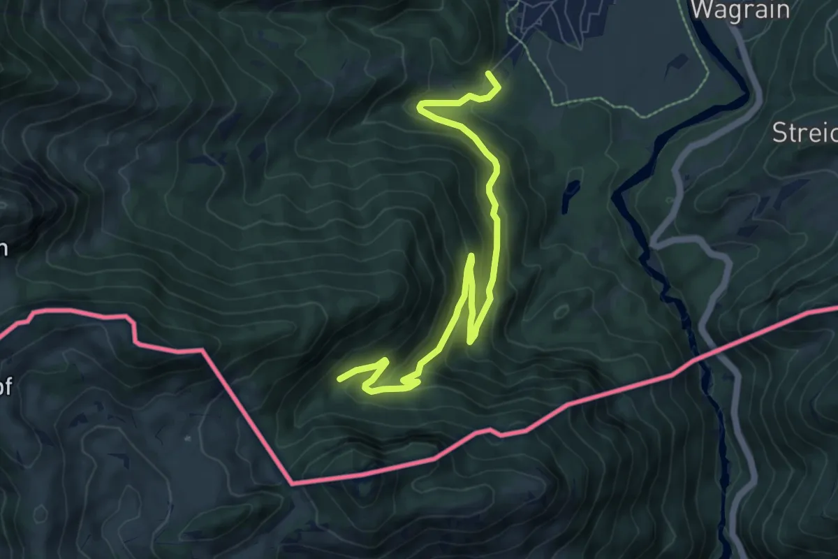
Wanderweg 230 - Rudersburg
8.6 km · ↑ 498 m · 3 h 7 min
Medium · Summit
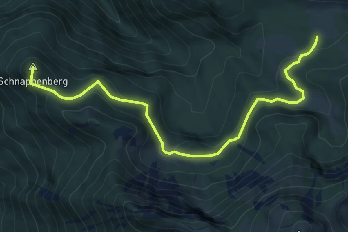
Wanderweg 231 - Achental
7.5 km · ↑ 320 m · 2 h 28 min
Medium · Summit
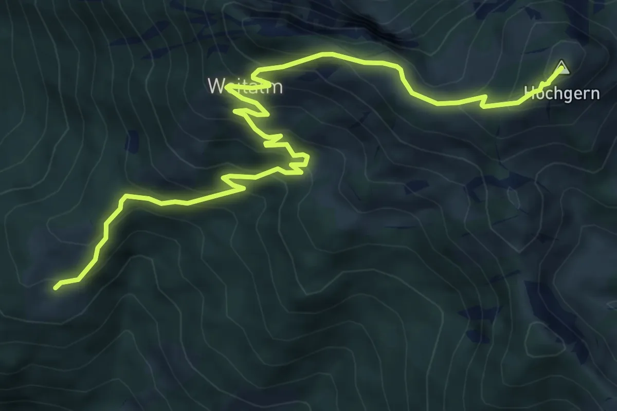
Wanderweg 232 - Achental
8.6 km · ↑ 772 m · 3 h 43 min