Trails in Germany
36,852 hiking trails, each with its route, climb, walking time and grade.
All trails, page 683 of 768
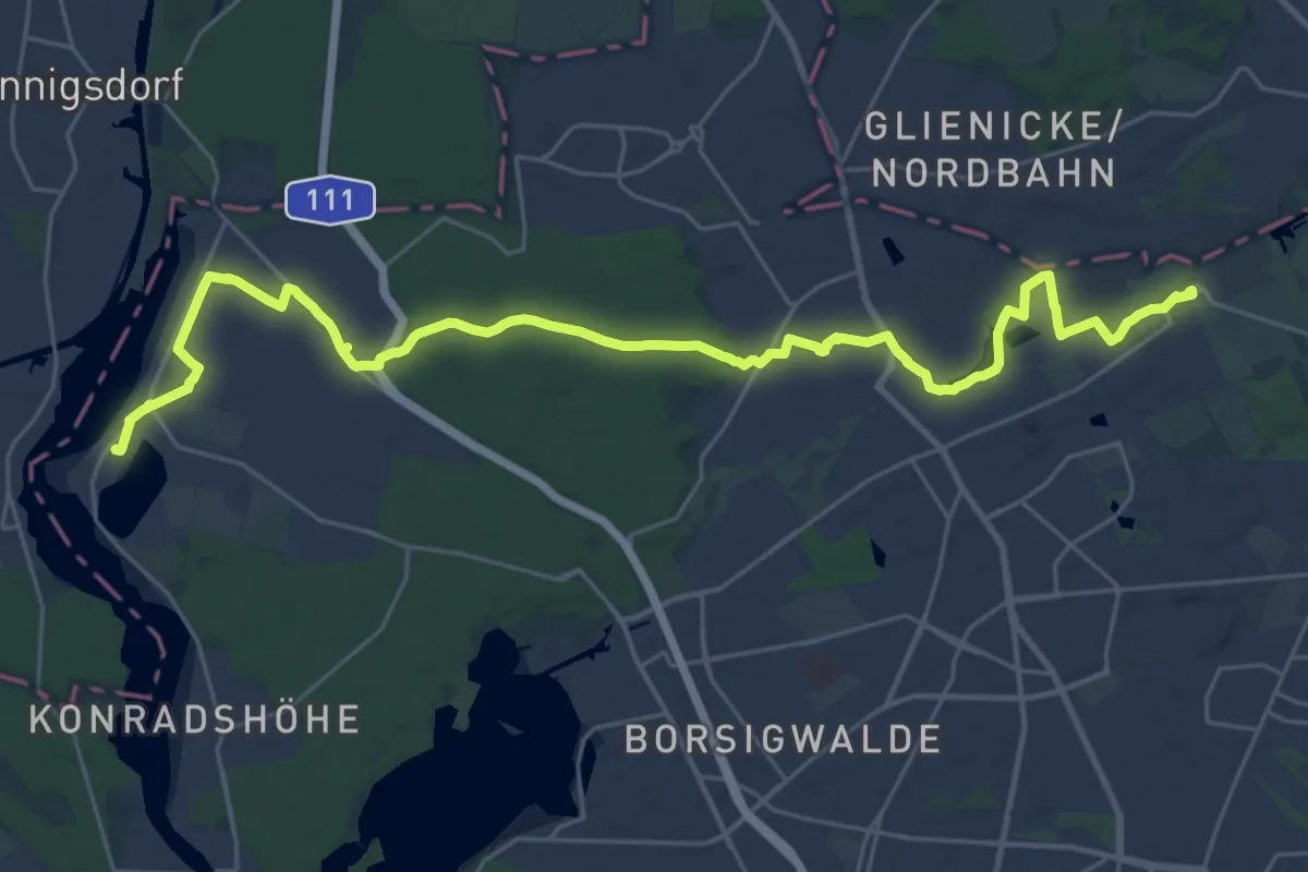
Demanding · Trail
Wanderweg 4
28.6 km · ↑ 43 m · 6 h 51 min
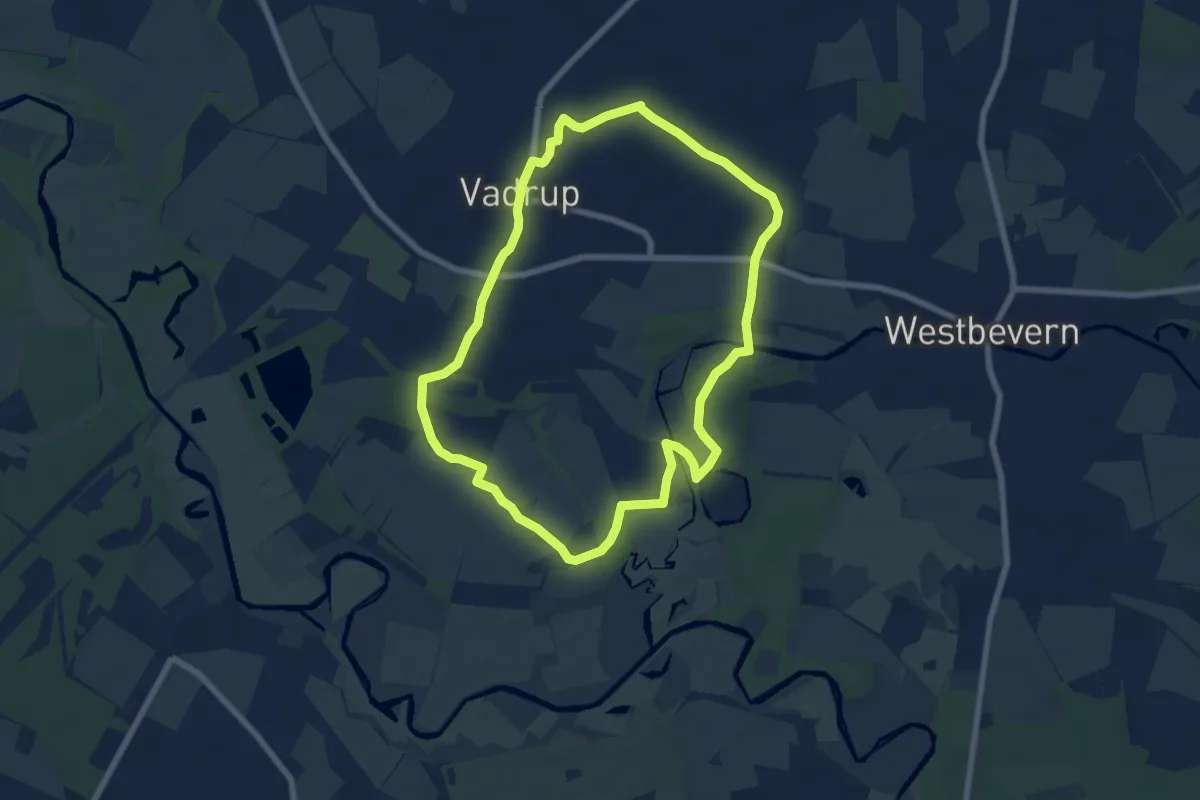
Easy · Trail
Wanderweg 4
6.2 km · ↑ 13 m · 1 h 35 min
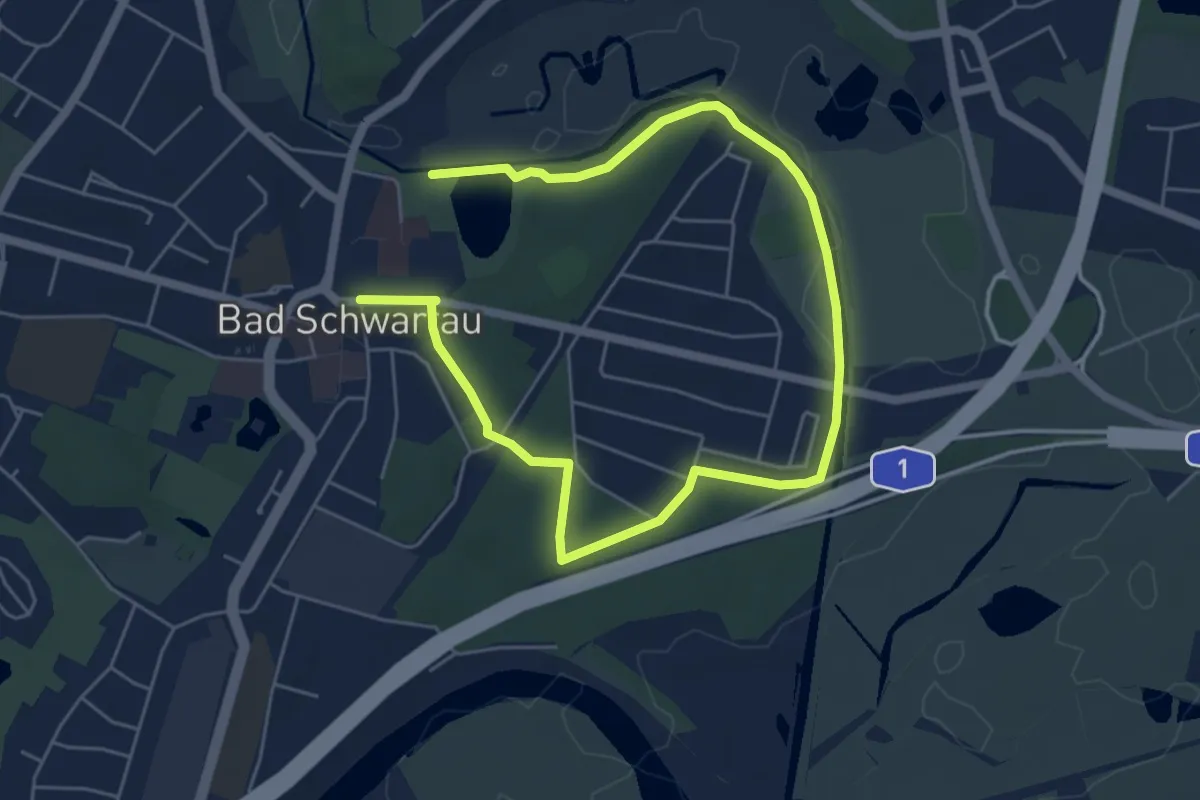
Easy · Trail
Wanderweg 4
7.0 km · ↑ 42 m · 1 h 45 min
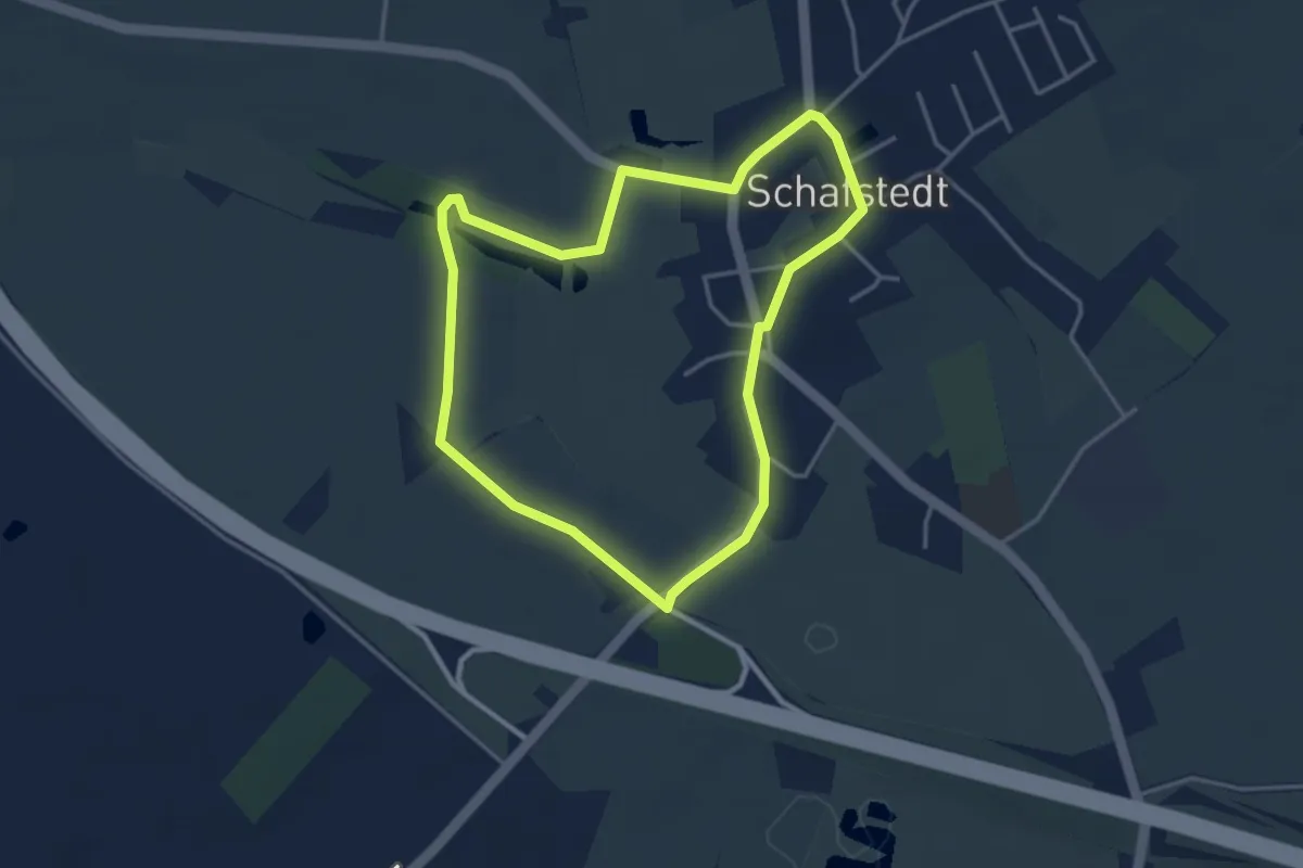
Easy · Trail
Wanderweg 4
3.0 km · ↑ 0 m · 45 min
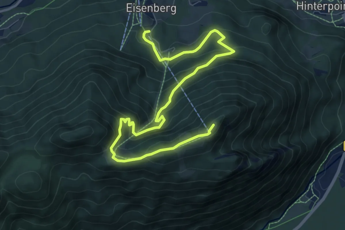
Medium · Summit
Wanderweg 40
10.4 km · ↑ 650 m · 3 h 51 min
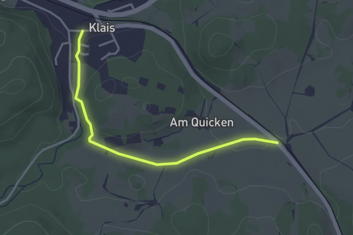
Easy · Trail
Wanderweg 401 (grün)
2.9 km · ↑ 37 m · 46 min
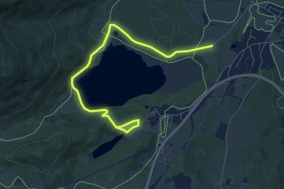
Easy · Trail
Wanderweg 405 (blau)
7.7 km · ↑ 175 m · 2 h 12 min
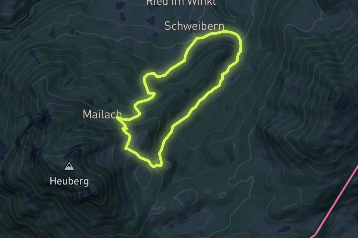
Medium · Trail
Wanderweg 40 - Samerberg
5.8 km · ↑ 310 m · 2 h 7 min
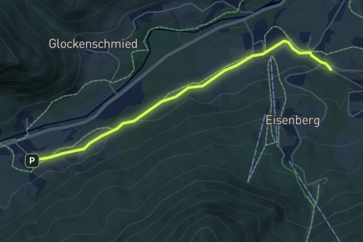
Easy · Trail
Wanderweg 41
5.0 km · ↑ 100 m · 1 h 23 min
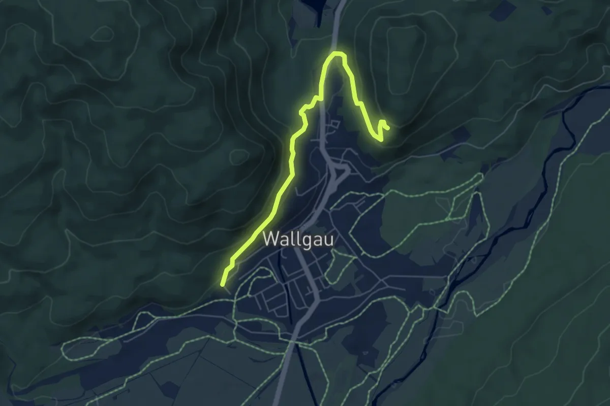
Easy · Trail
Wanderweg 417 (Magdalena Neuner Panoramaweg, grün)
5.8 km · ↑ 259 m · 1 h 56 min
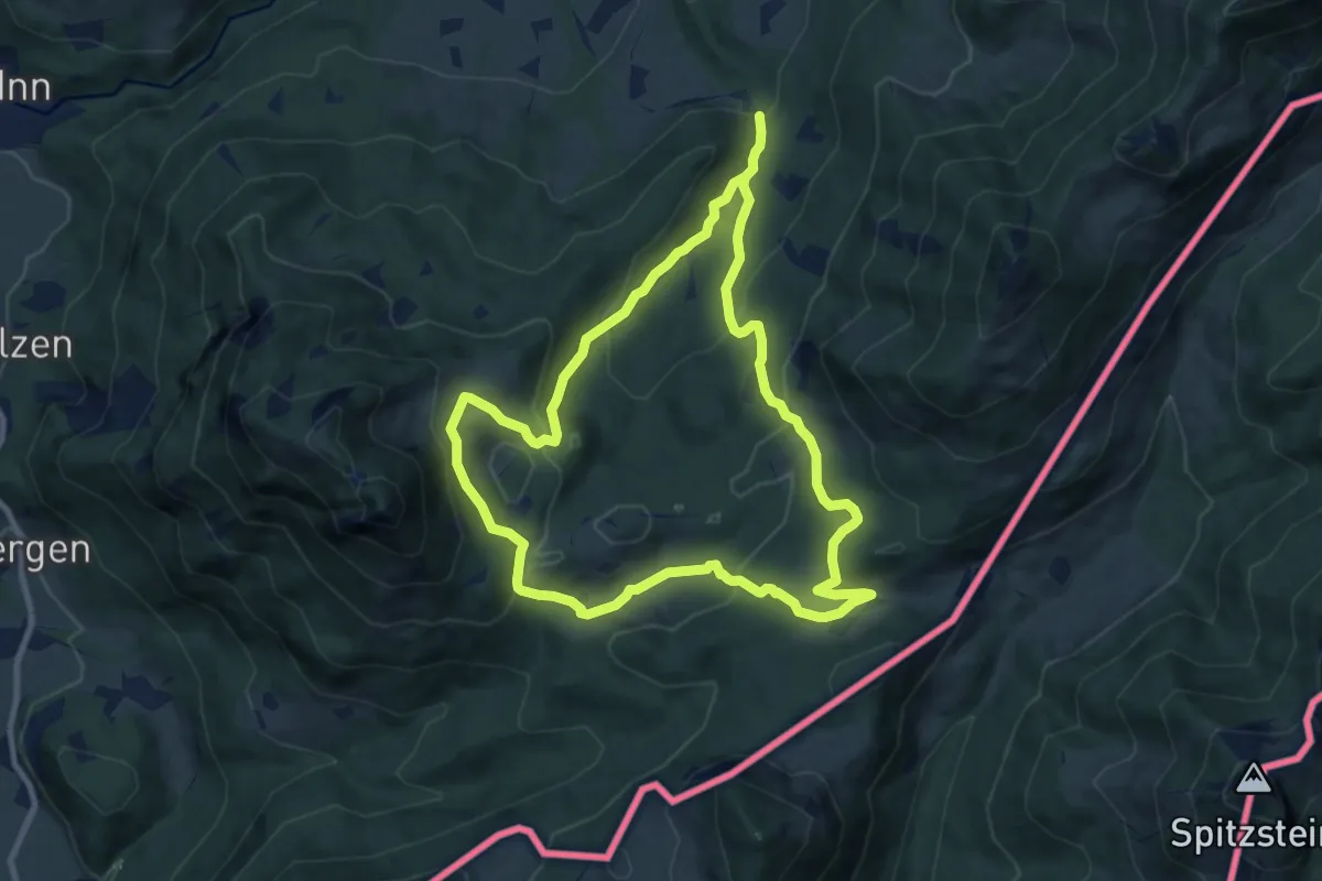
Medium · Trail
Wanderweg 41 - Samerberg
17.4 km · ↑ 776 m · 5 h 48 min
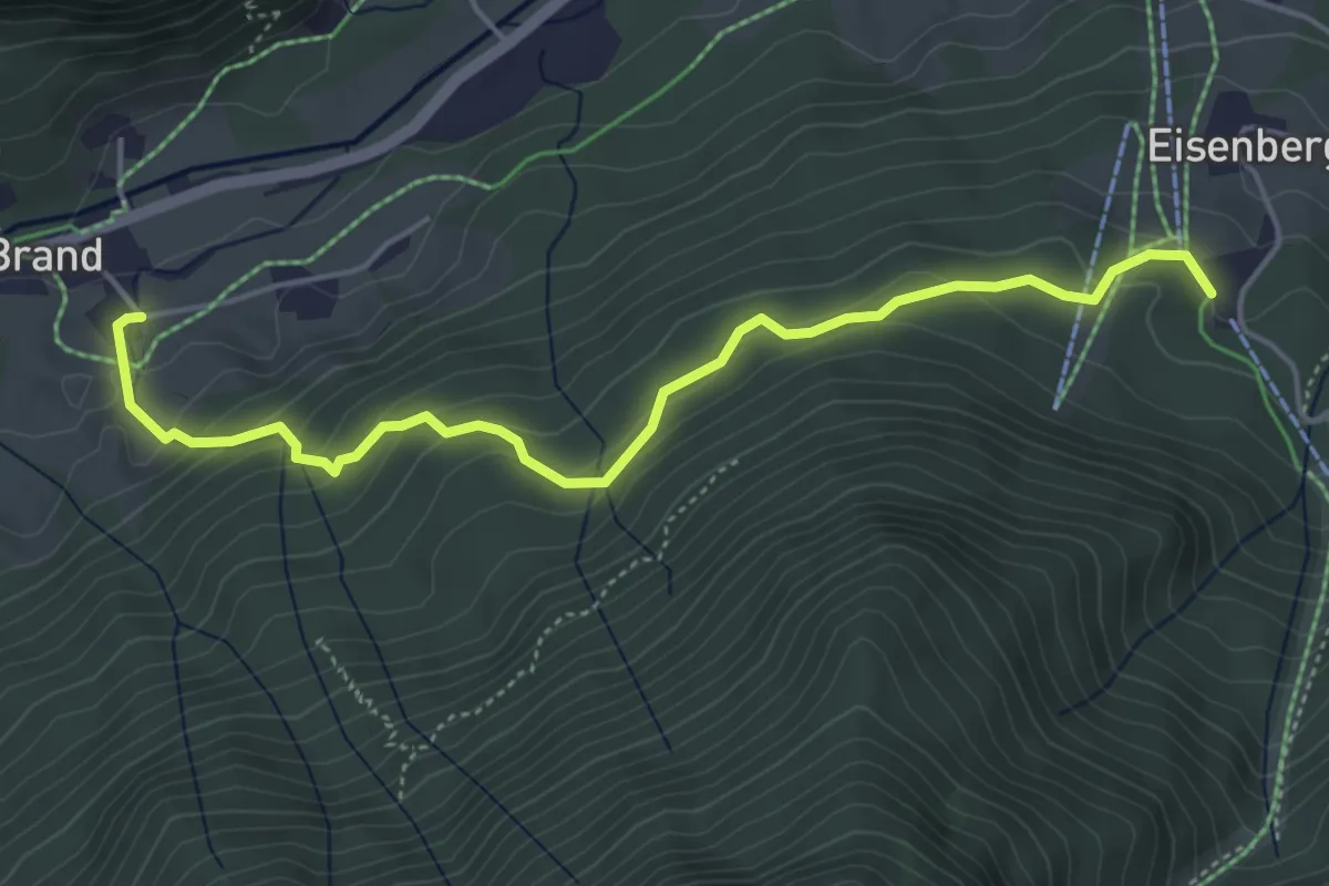
Easy · Trail
Wanderweg 42
4.9 km · ↑ 286 m · 1 h 46 min
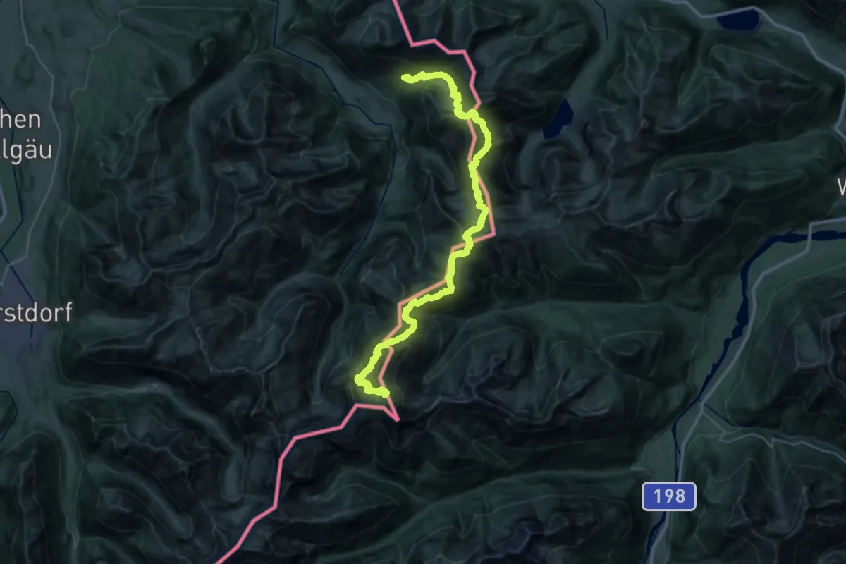
Expert · Summit
Wanderweg 421
38.1 km · ↑ 3331 m · 16 h 13 min
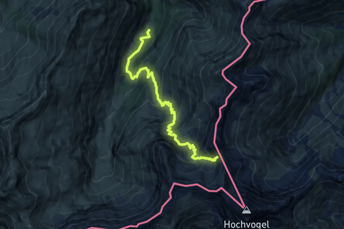
Demanding · Summit
Wanderweg 427
10.2 km · ↑ 1061 m · 4 h 43 min
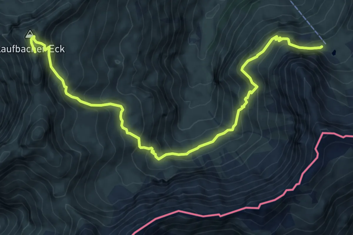
Demanding · Summit
Wanderweg 428
10.2 km · ↑ 935 m · 4 h 26 min
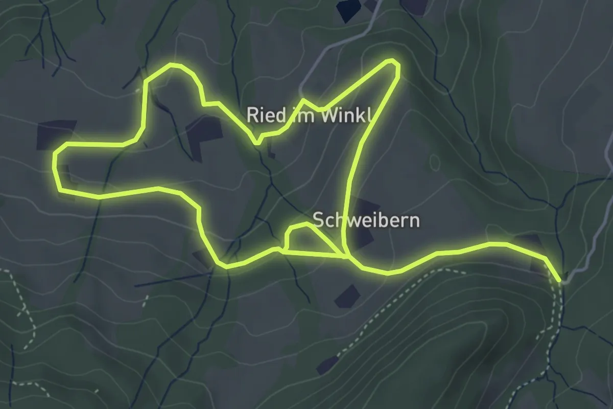
Medium · Trail
Wanderweg 42 - Samerberg
8.6 km · ↑ 298 m · 2 h 41 min
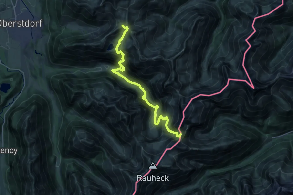
Demanding · Summit
Wanderweg 431
24.0 km · ↑ 2296 m · 10 h 38 min
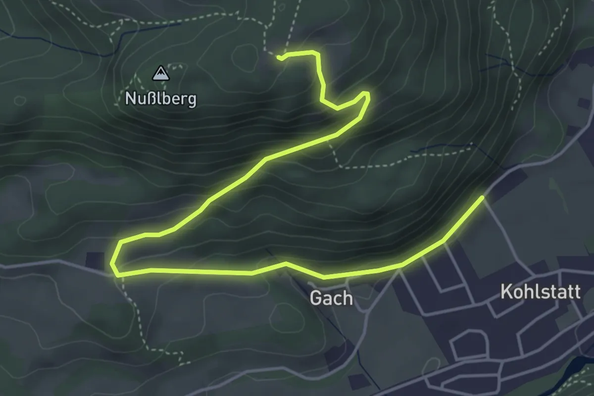
Medium · Trail
Wanderweg 43 - Kiefersfelden
5.7 km · ↑ 335 m · 2 h 4 min
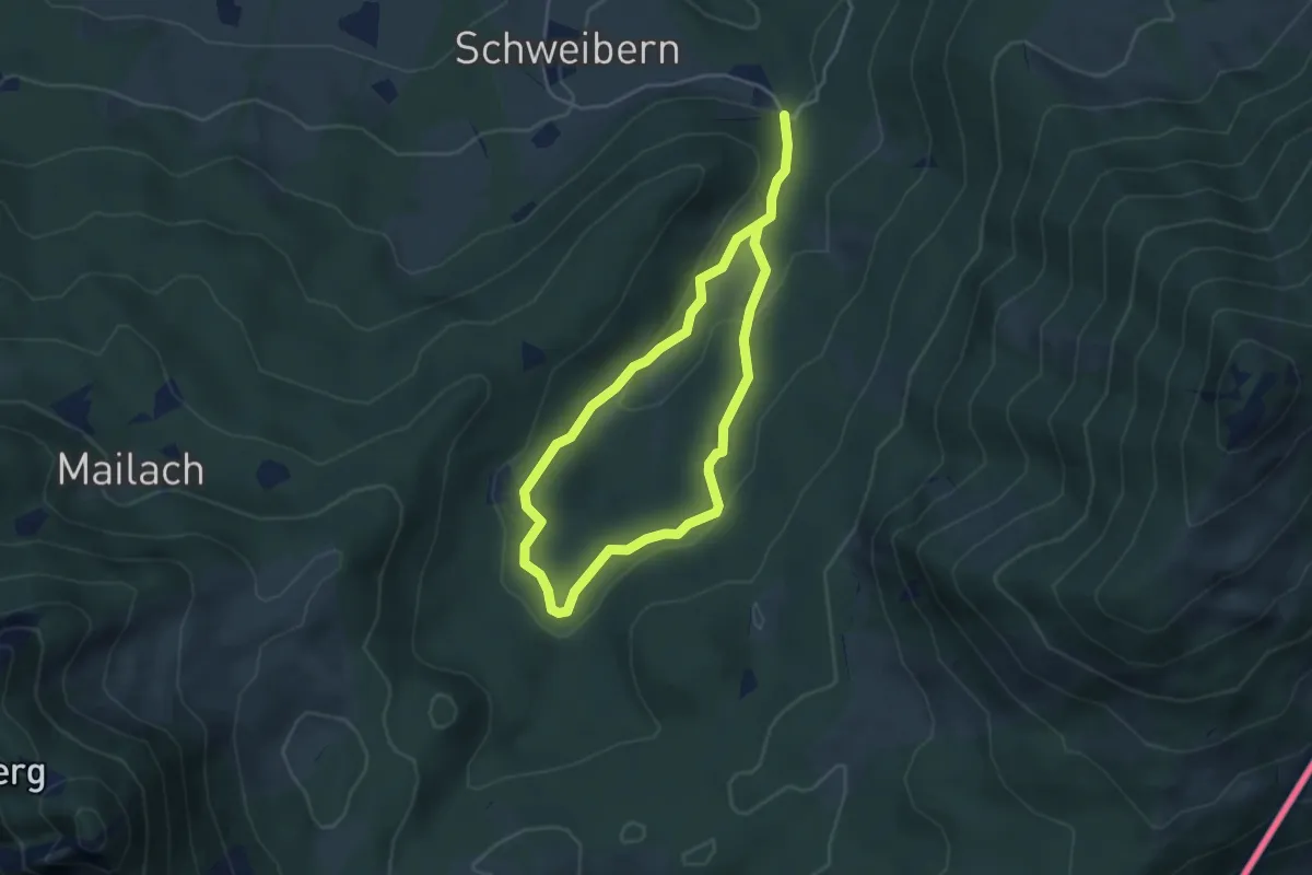
Medium · Trail
Wanderweg 43 - Samerberg
6.2 km · ↑ 164 m · 1 h 50 min
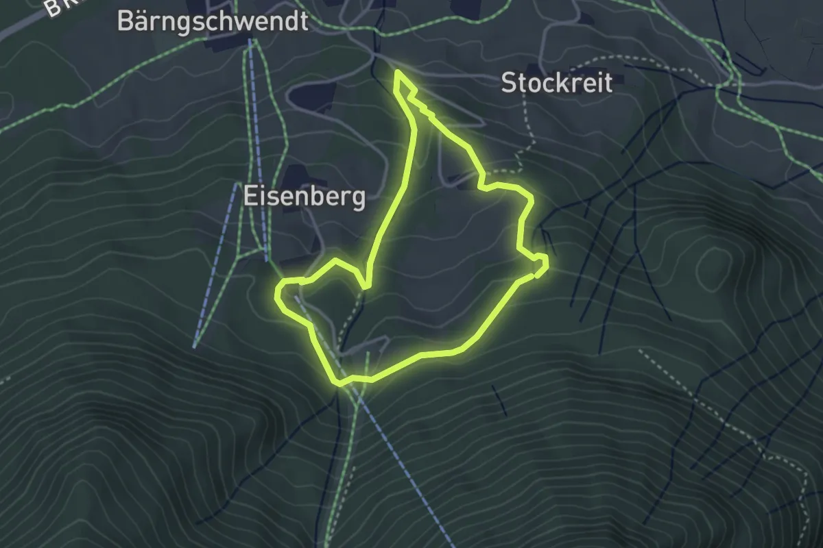
Medium · Trail
Wanderweg 43 Weingartenweg
3.0 km · ↑ 184 m · 1 h 9 min
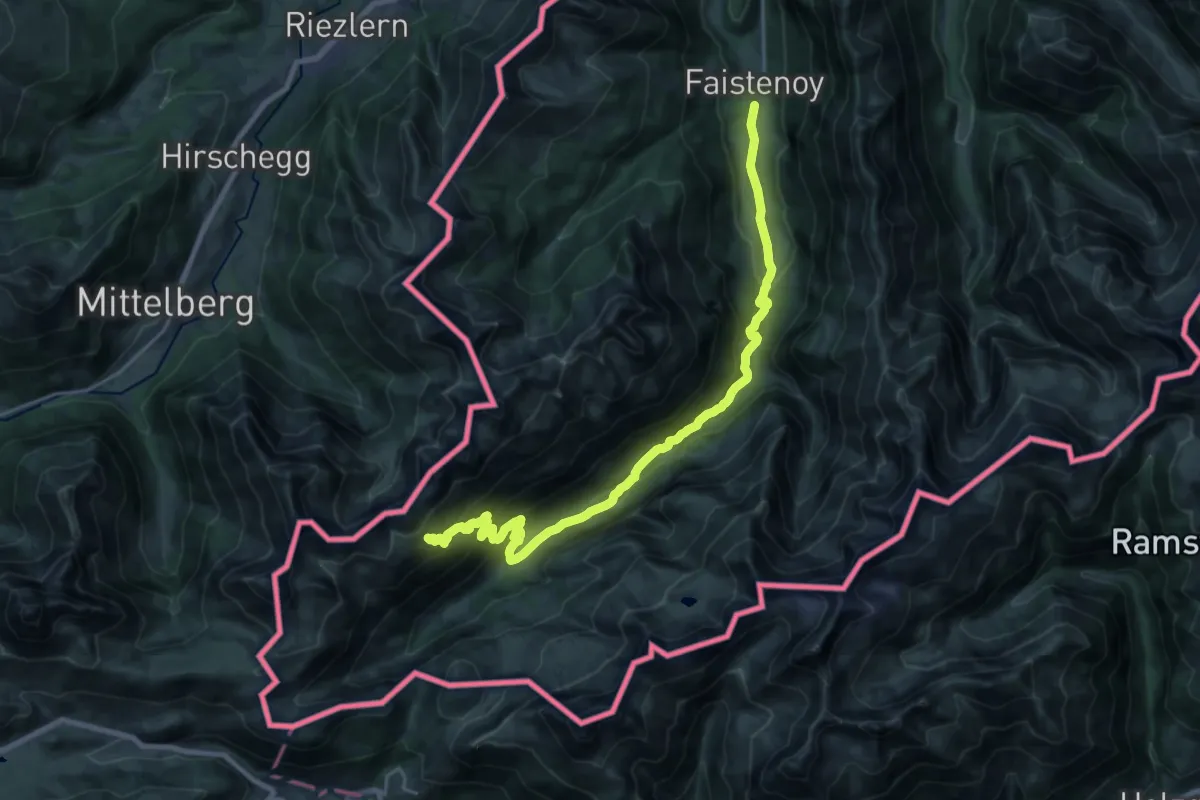
Demanding · Trail
Wanderweg 441
12.2 km · ↑ 1144 m · 5 h 2 min
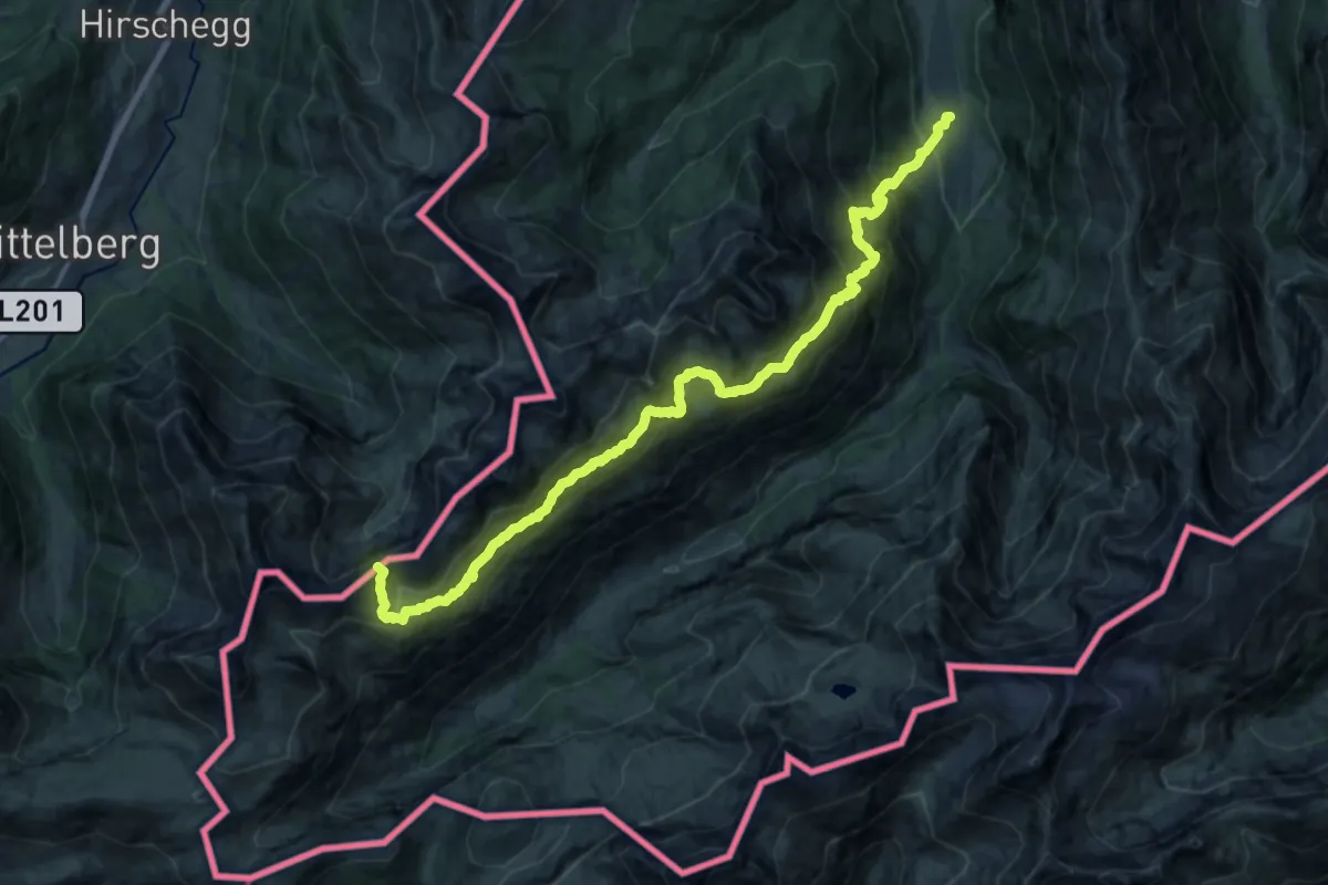
Demanding · Summit
Wanderweg 442
19.7 km · ↑ 1671 m · 8 h 16 min
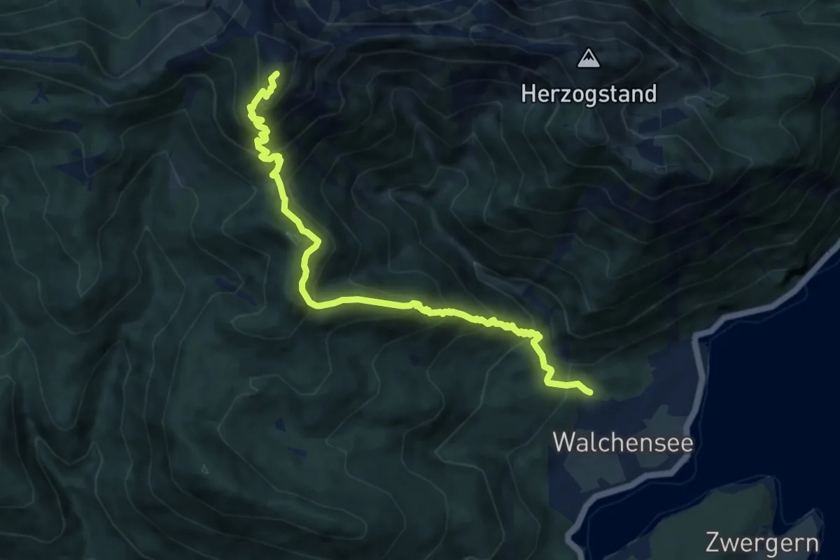
Demanding · Summit
Wanderweg 445 (blau)
9.8 km · ↑ 1040 m · 4 h 34 min
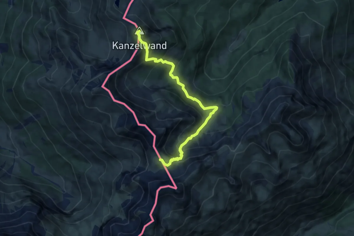
Demanding · Summit
Wanderweg 446
8.3 km · ↑ 801 m · 3 h 41 min
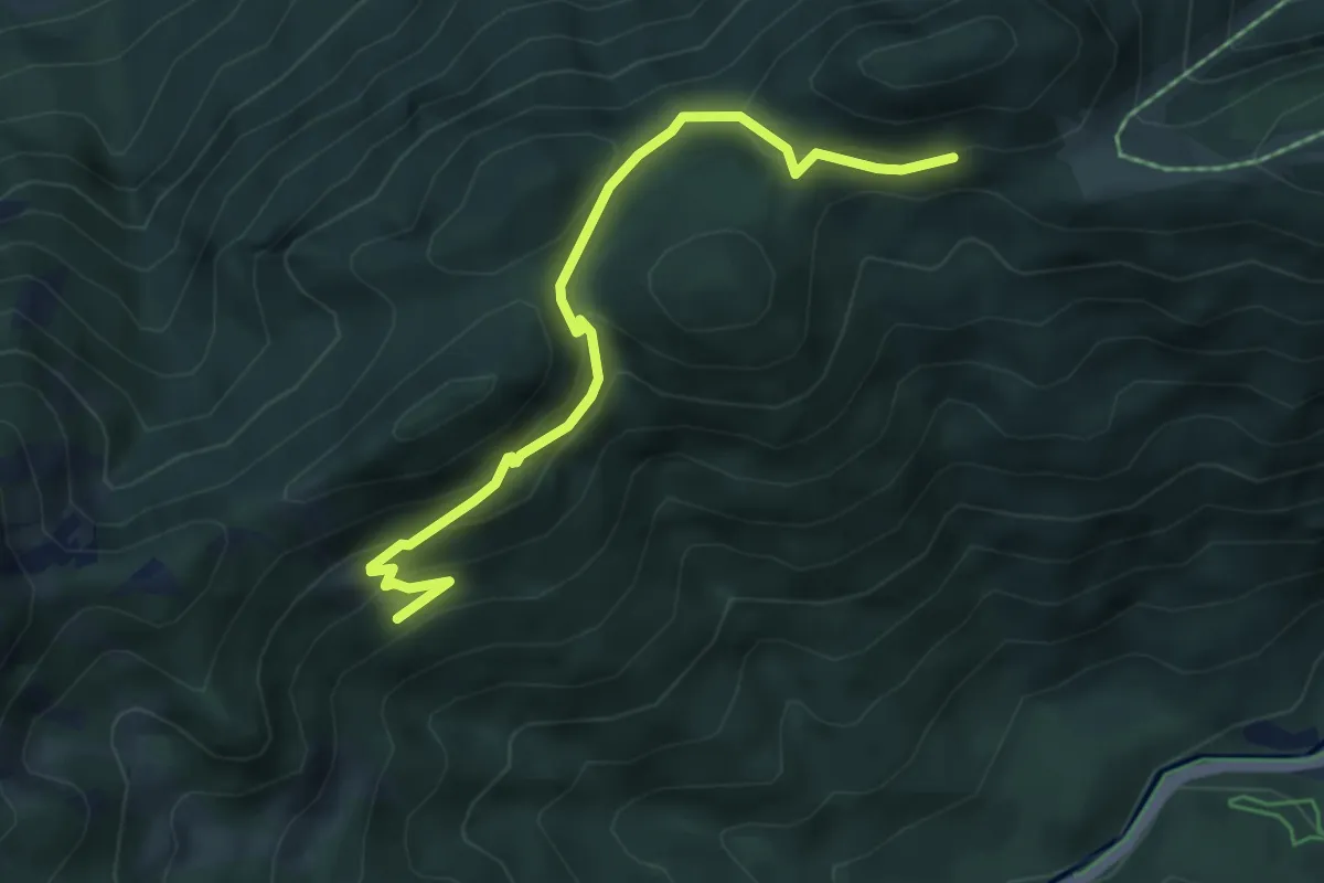
Medium · Trail
Wanderweg 44a
5.1 km · ↑ 244 m · 1 h 45 min
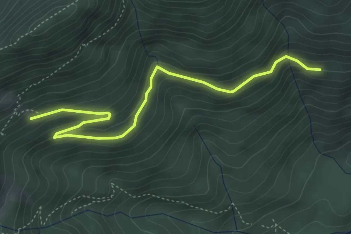
Medium · Trail
Wanderweg 44b
4.6 km · ↑ 261 m · 1 h 39 min
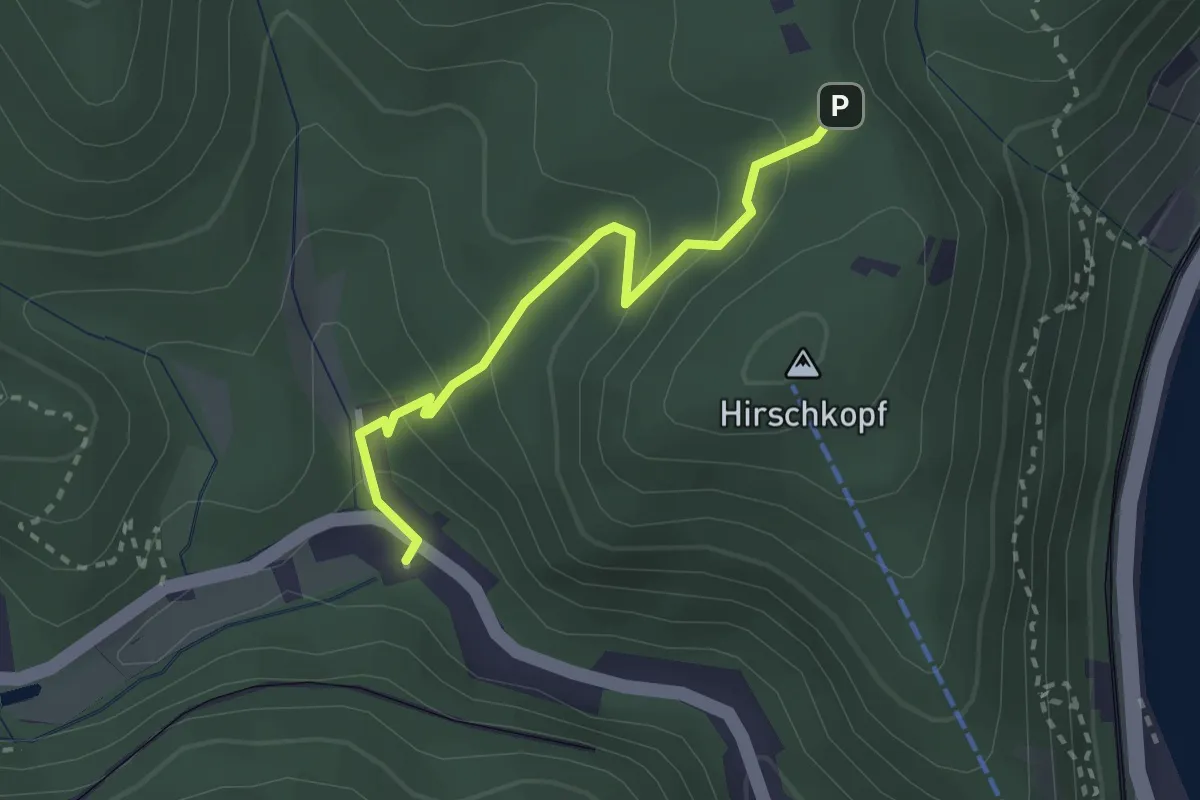
Easy · Trail
Wanderweg 45
2.3 km · ↑ 145 m · 52 min
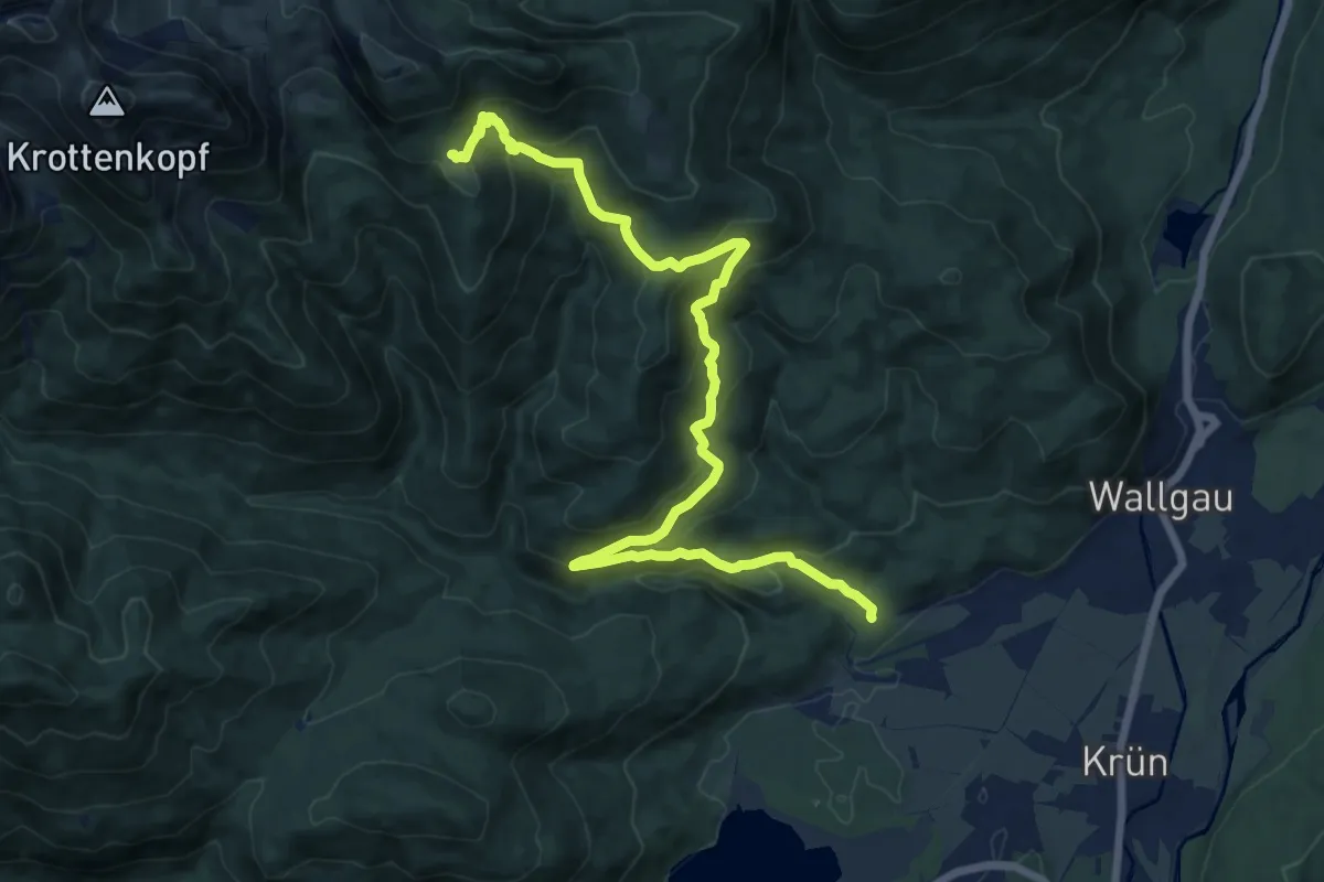
Demanding · Trail
Wanderweg 450 (blau)
16.0 km · ↑ 827 m · 5 h 34 min
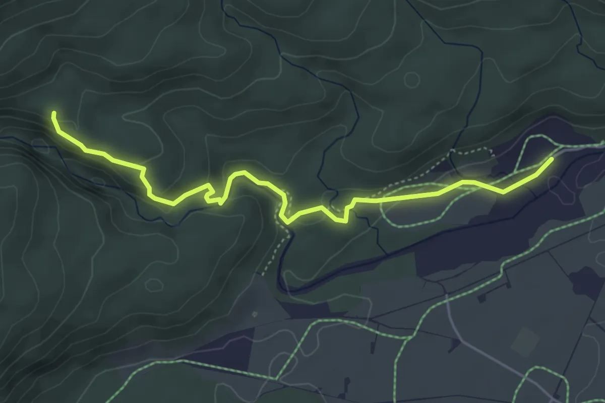
Medium · Trail
Wanderweg 451 (blau)
4.9 km · ↑ 146 m · 1 h 29 min
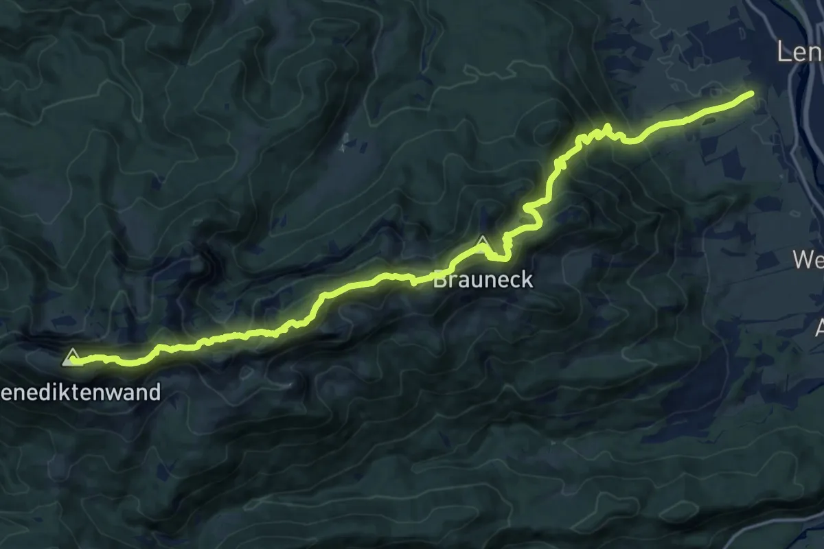
Demanding · Summit
Wanderweg 451 - Isarwinkel
20.8 km · ↑ 1853 m · 8 h 56 min
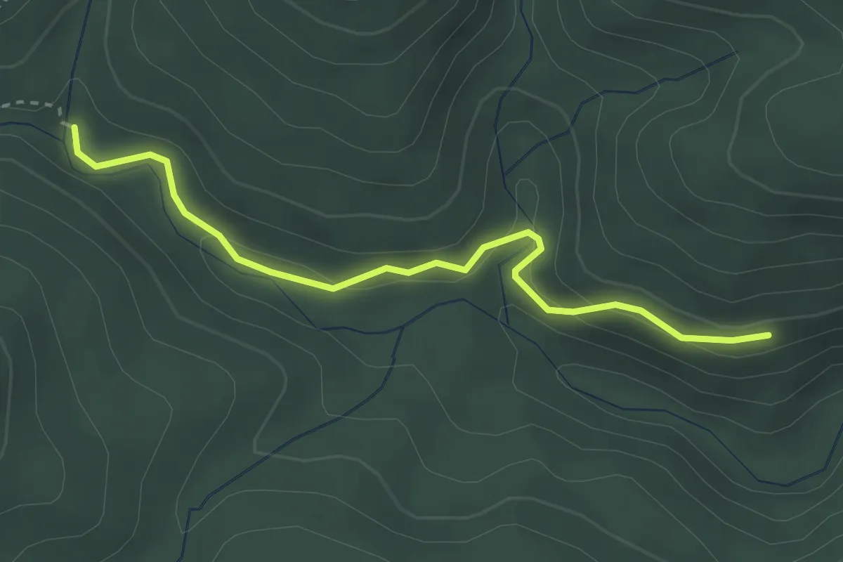
Easy · Trail
Wanderweg 452 (blau)
3.0 km · ↑ 115 m · 58 min
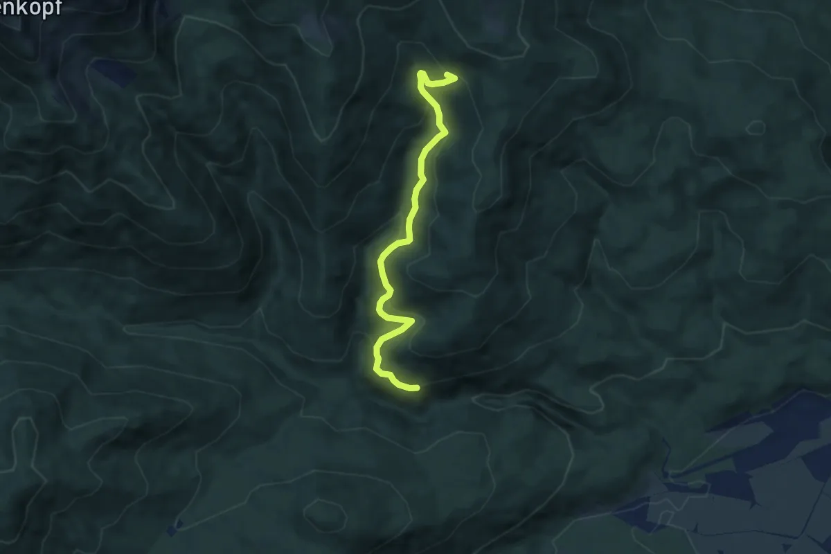
Medium · Trail
Wanderweg 453
6.9 km · ↑ 396 m · 2 h 30 min
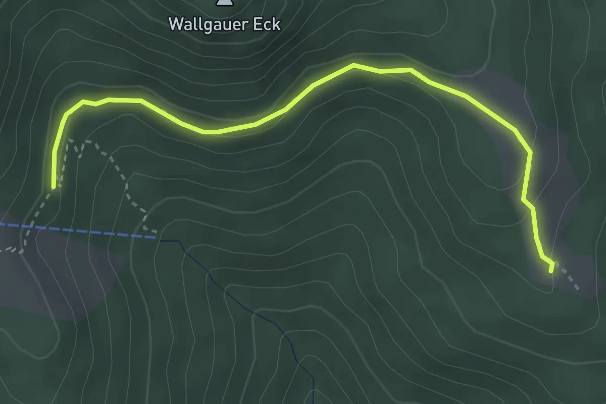
Medium · Trail
Wanderweg 454 (blau)
3.4 km · ↑ 84 m · 59 min
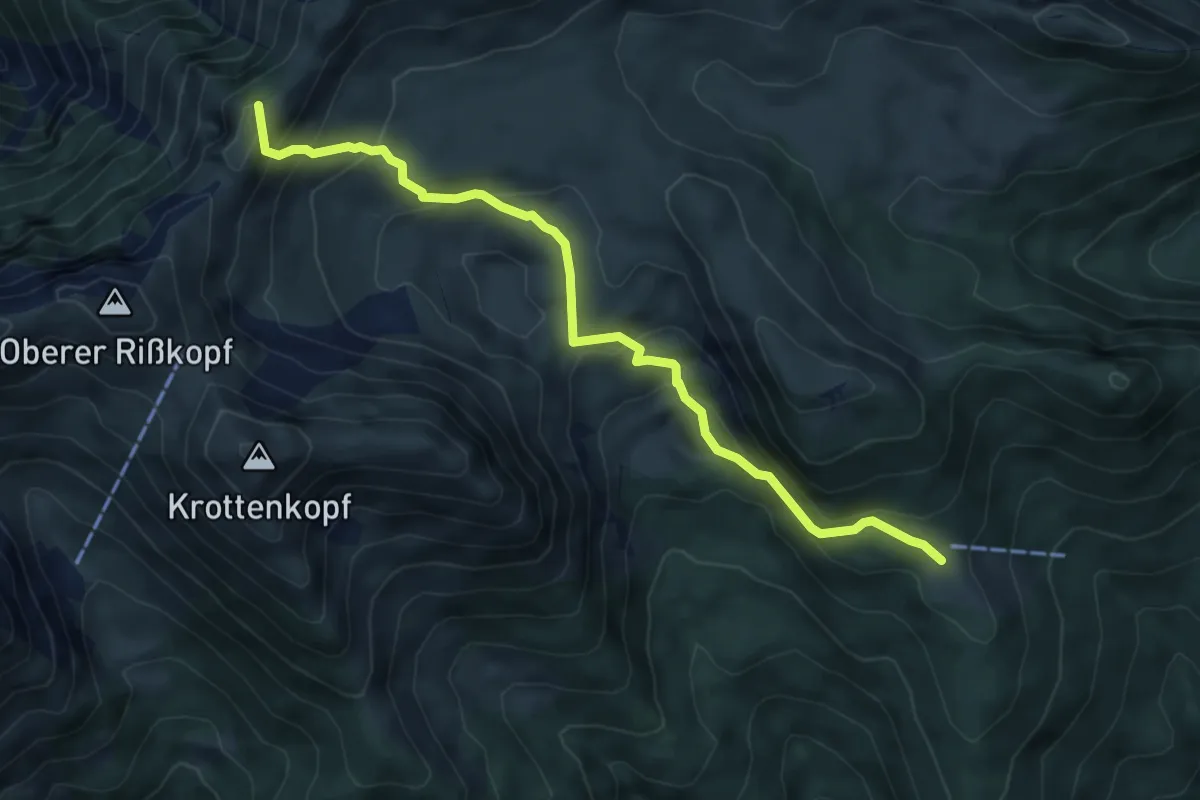
Medium · Summit
Wanderweg 455 (blau)
6.5 km · ↑ 427 m · 2 h 27 min
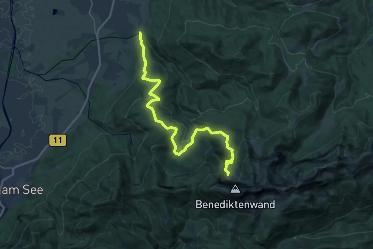
Demanding · Cabin
Wanderweg 455 - Isarwinkel
20.1 km · ↑ 872 m · 6 h 38 min
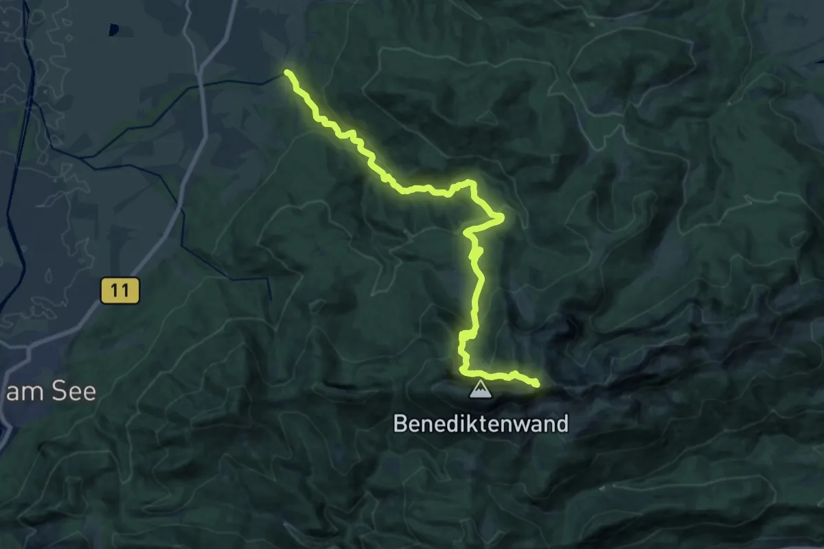
Demanding · Trail
Wanderweg 456 - Isarwinkel
21.5 km · ↑ 1088 m · 7 h 26 min
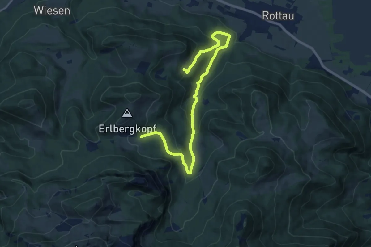
Medium · Trail
Wanderweg 45 - Bernau
11.6 km · ↑ 613 m · 4 h 4 min
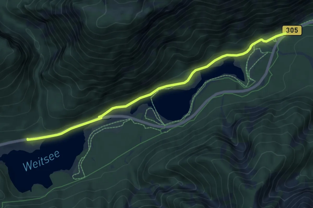
Easy · Trail
Wanderweg 45 - Reit im Winkl
7.6 km · ↑ 173 m · 2 h 10 min
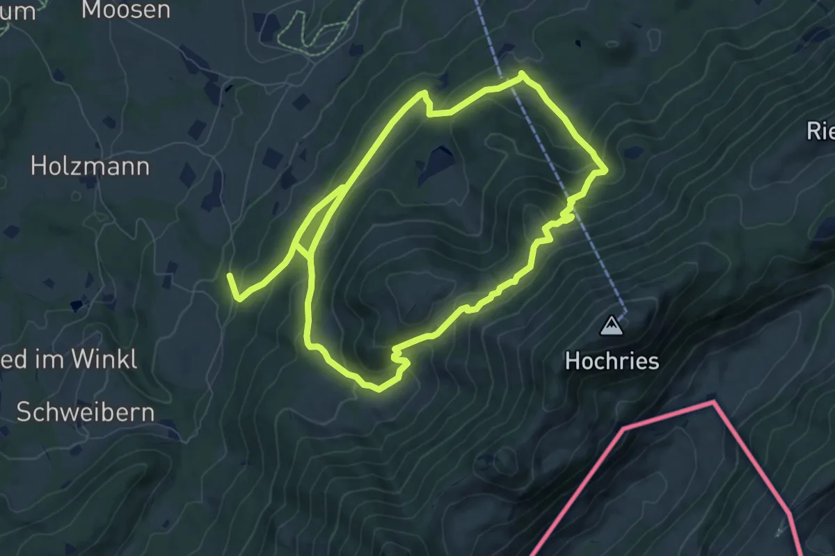
Demanding · Trail
Wanderweg 45 - Samerberg
15.4 km · ↑ 912 m · 5 h 37 min
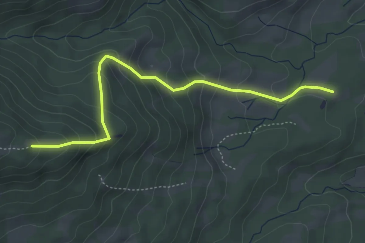
Medium · Trail
Wanderweg 464 - Isarwinkel
4.4 km · ↑ 329 m · 1 h 46 min
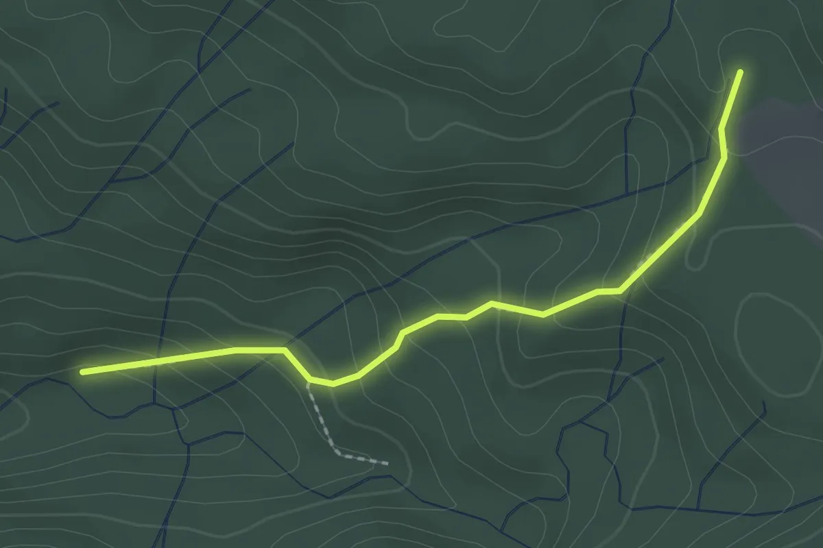
Medium · Trail
Wanderweg 465 - Isarwinkel
2.1 km · ↑ 150 m · 49 min
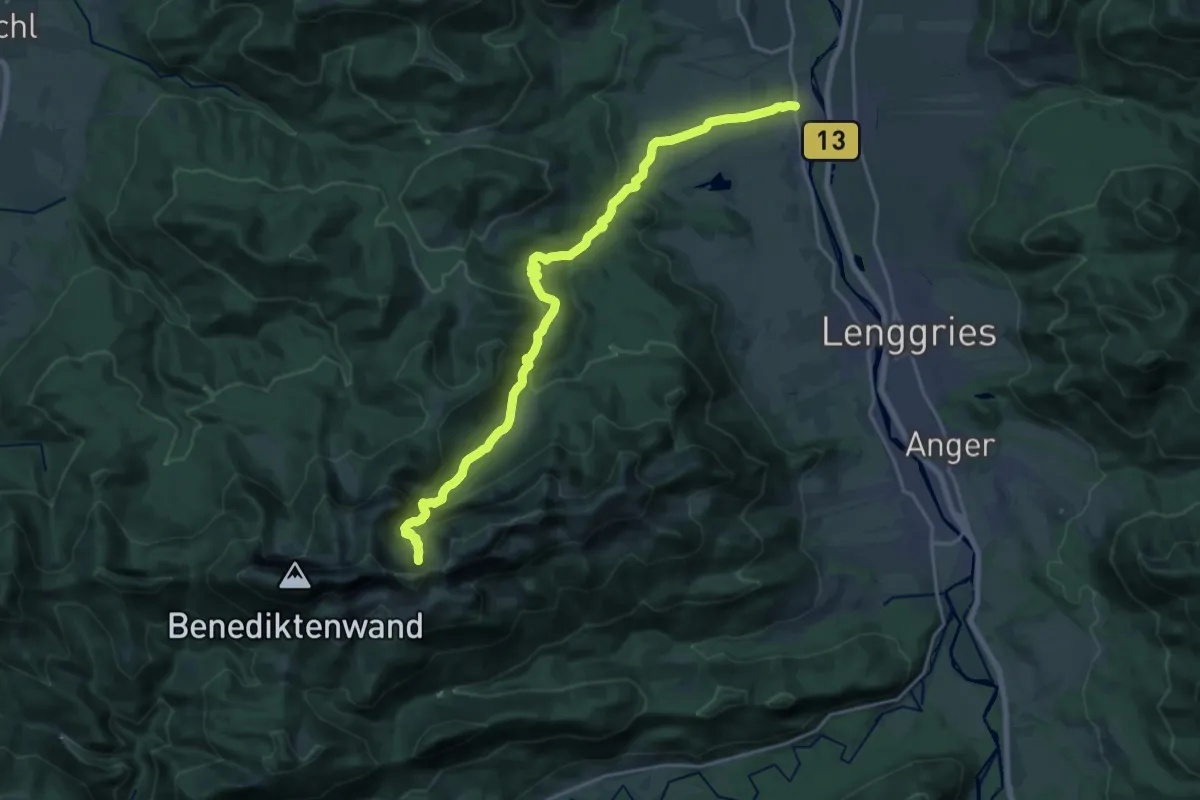
Demanding · Trail
Wanderweg 466 - Isarwinkel
20.6 km · ↑ 927 m · 6 h 53 min
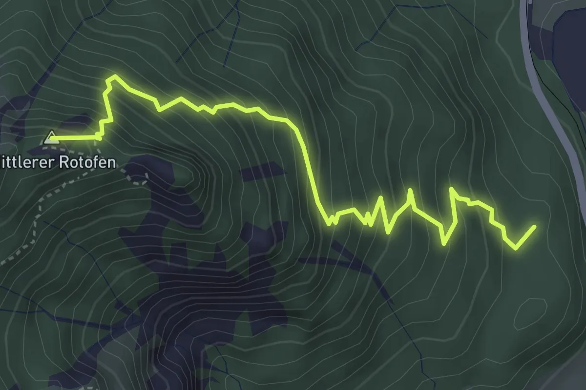
Medium · Summit
Wanderweg 469
4.7 km · ↑ 589 m · 2 h 24 min
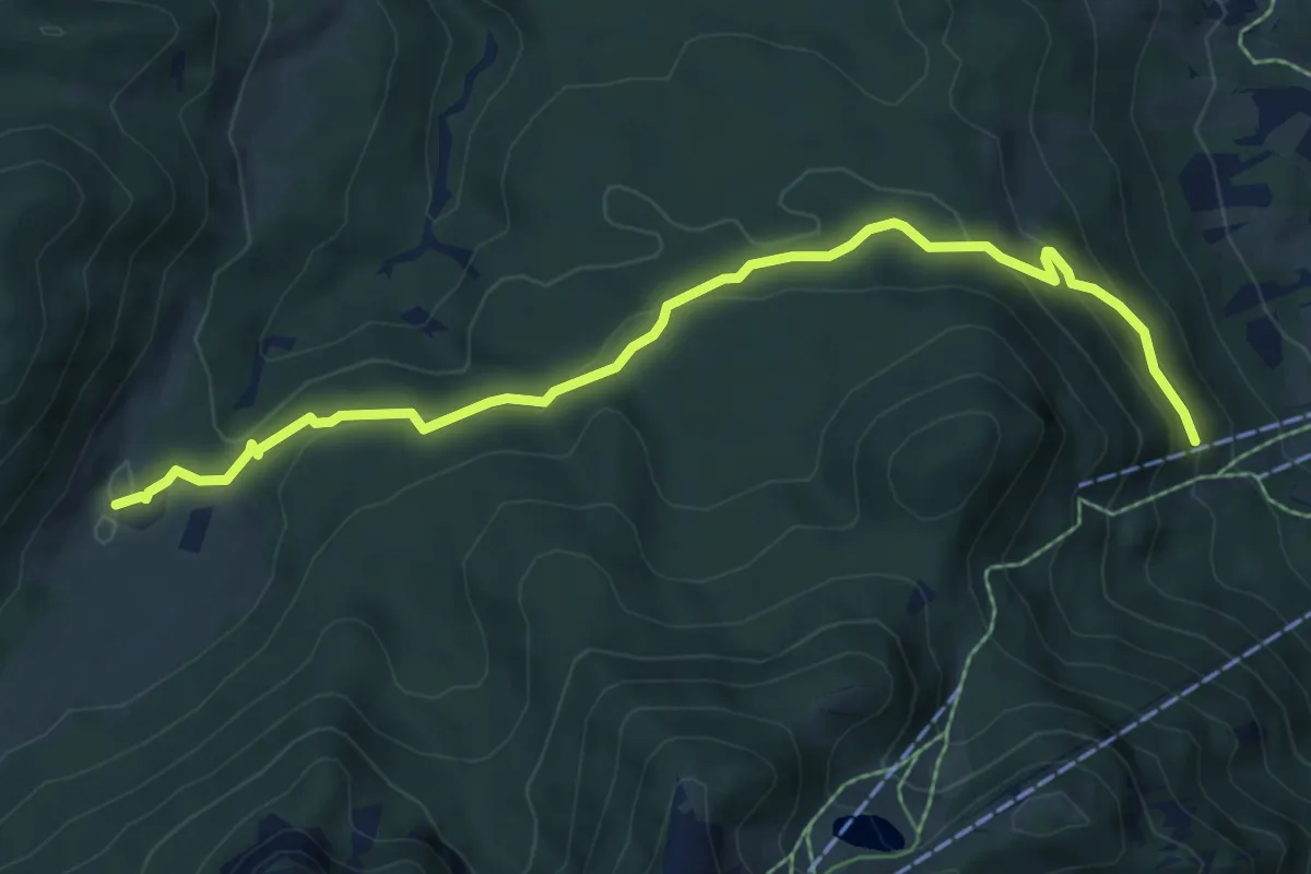
Medium · Trail
Wanderweg 469 - Isarwinkel
7.3 km · ↑ 307 m · 2 h 23 min
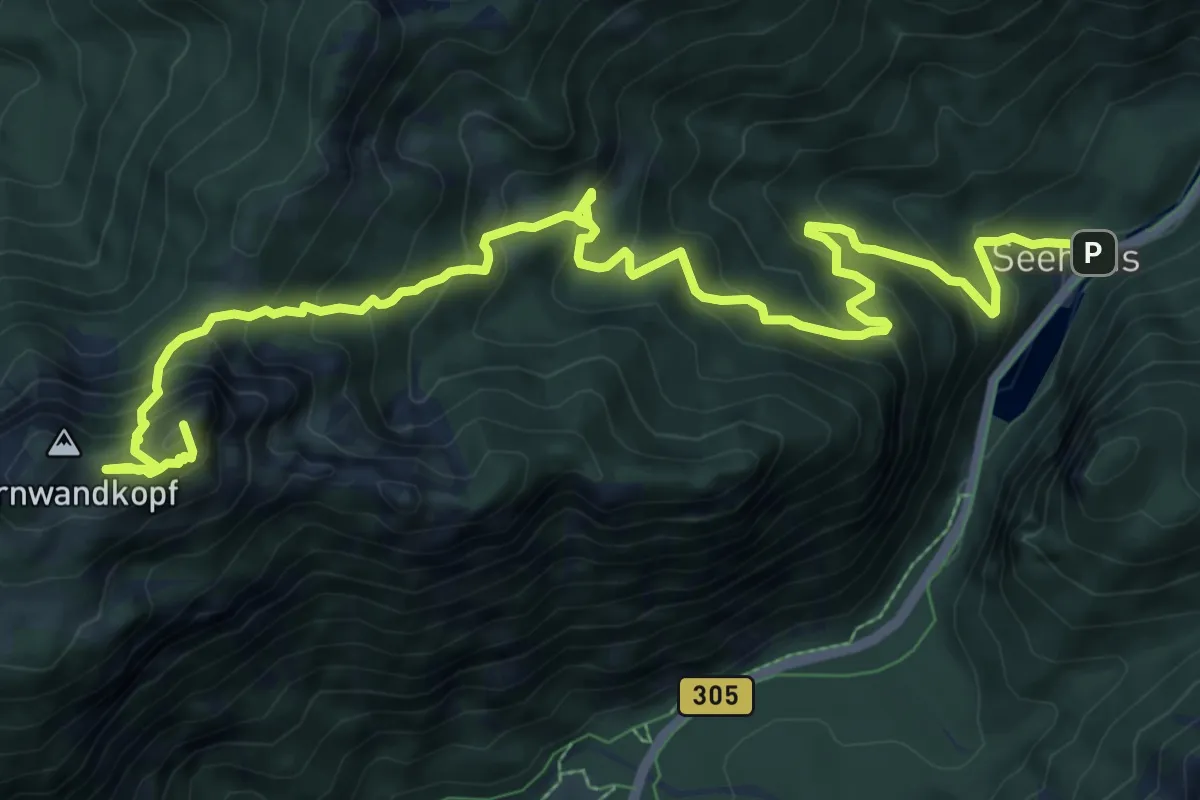
Expert · Summit
Wanderweg 46 - Hörndlwandsteig
12.3 km · ↑ 1039 m · 5 h 9 min
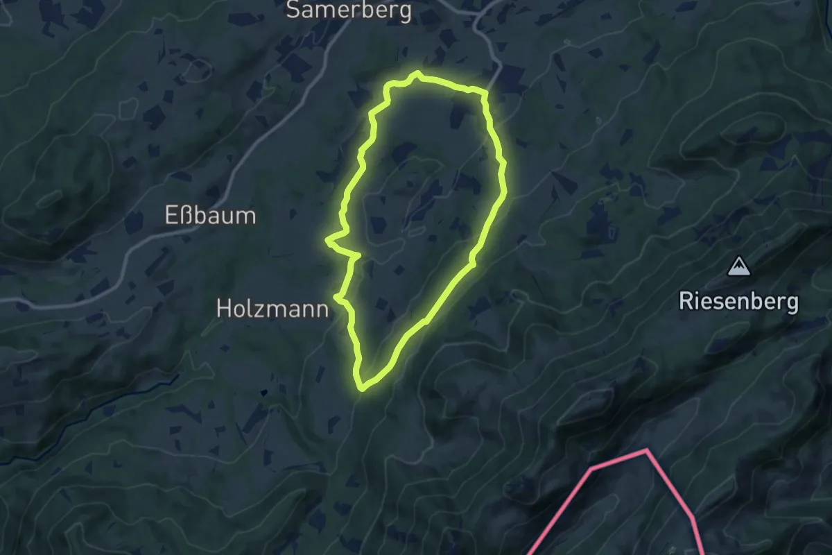
Medium · Trail
Wanderweg 46 - Samerberg
8.5 km · ↑ 254 m · 2 h 41 min
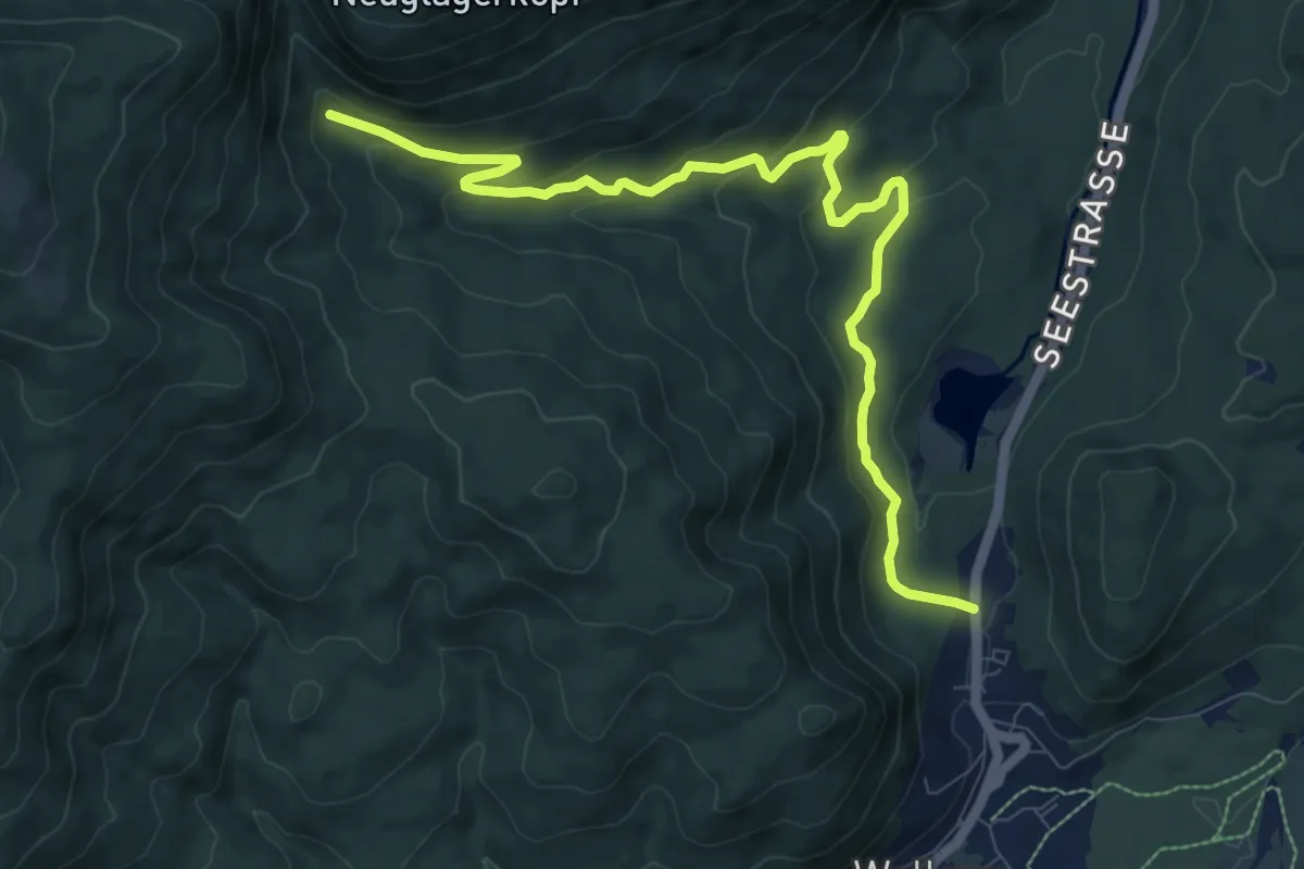
Medium · Trail
Wanderweg 470 (blau)
10.2 km · ↑ 338 m · 3 h 8 min
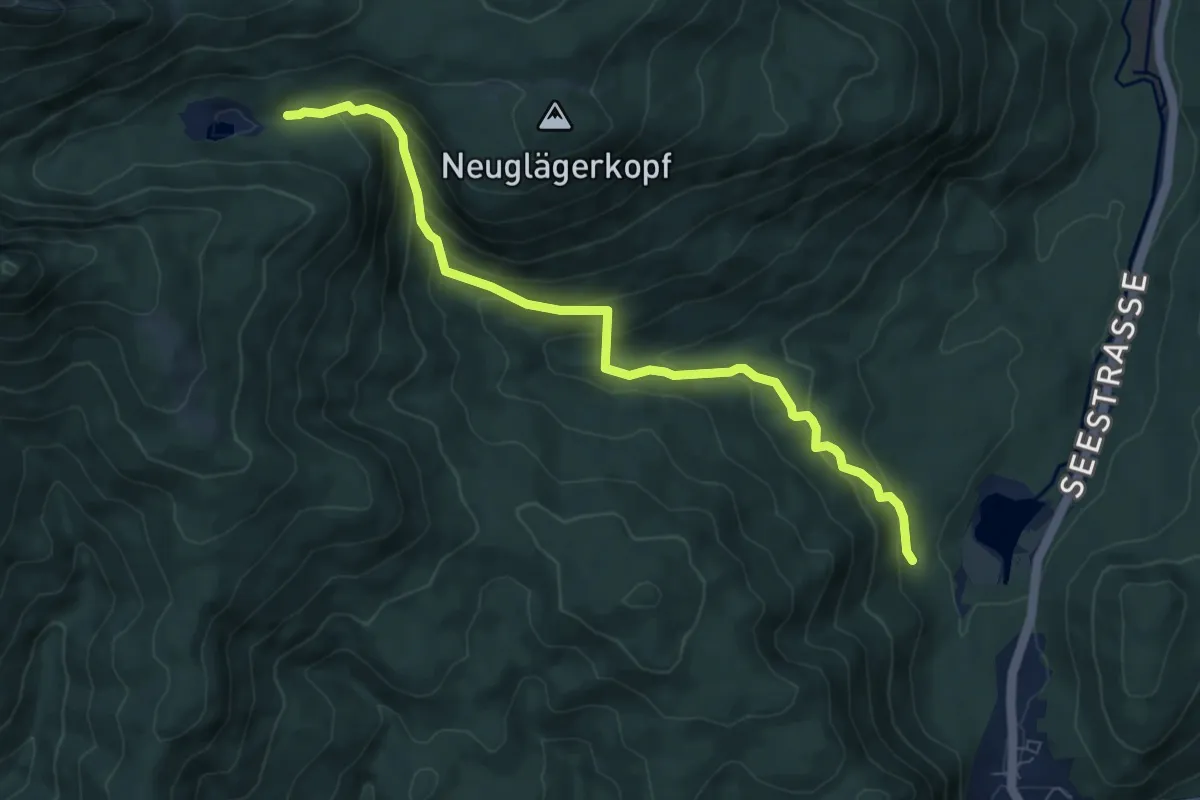
Medium · Trail
Wanderweg 471 (blau)
7.8 km · ↑ 474 m · 2 h 52 min