Trails in Germany
36,852 hiking trails, each with its route, climb, walking time and grade.
All trails, page 684 of 768
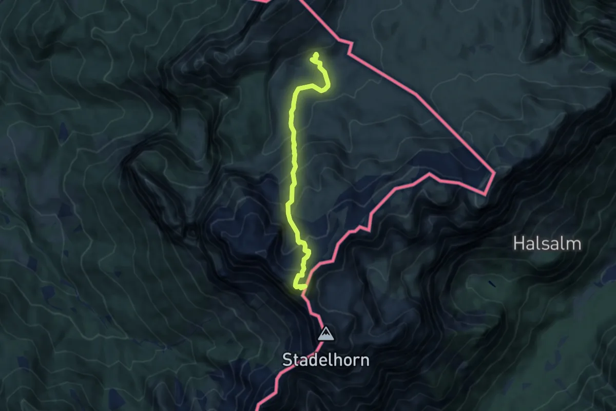
Expert · Summit
Wanderweg 473
8.2 km · ↑ 767 m · 3 h 35 min
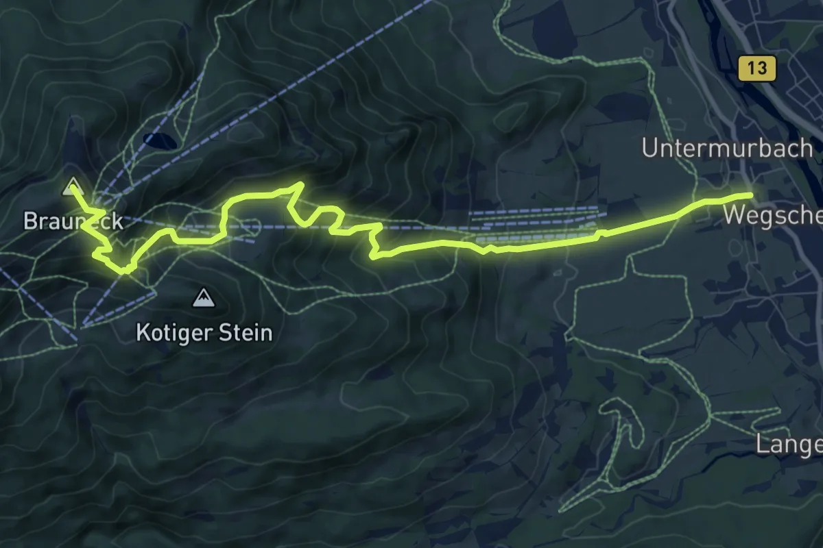
Demanding · Summit
Wanderweg 473 - Bayerische Voralpen
11.2 km · ↑ 877 m · 4 h 33 min
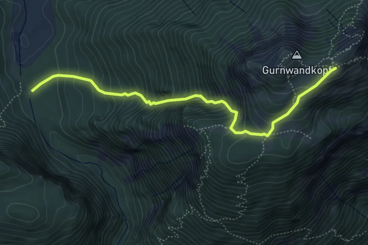
Demanding · Trail
Wanderweg 47 - Ruhpolding
5.4 km · ↑ 747 m · 2 h 53 min
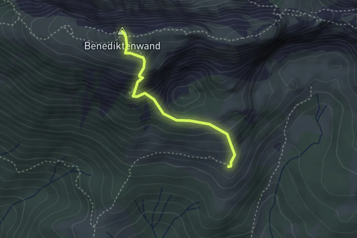
Demanding · Summit
Wanderweg 480 - Isarwinkel
2.7 km · ↑ 357 m · 1 h 24 min
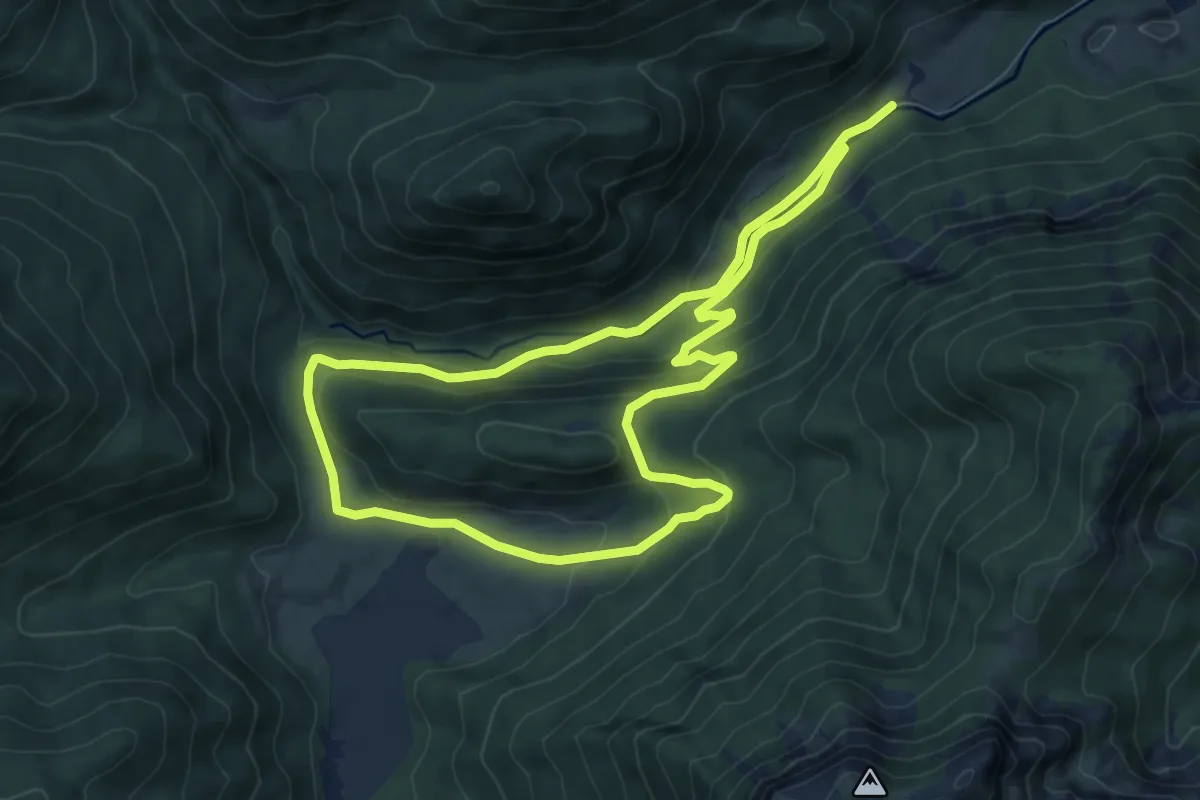
Medium · Trail
Wanderweg 48 - Bergwalderlebnispfad
7.2 km · ↑ 282 m · 2 h 24 min
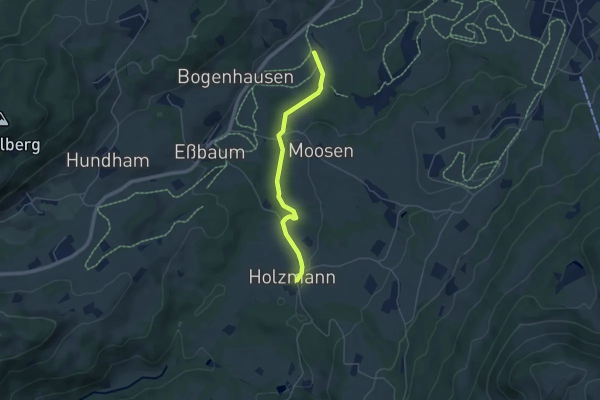
Easy · Trail
Wanderweg 48 - Samerberg
4.2 km · ↑ 54 m · 1 h 6 min
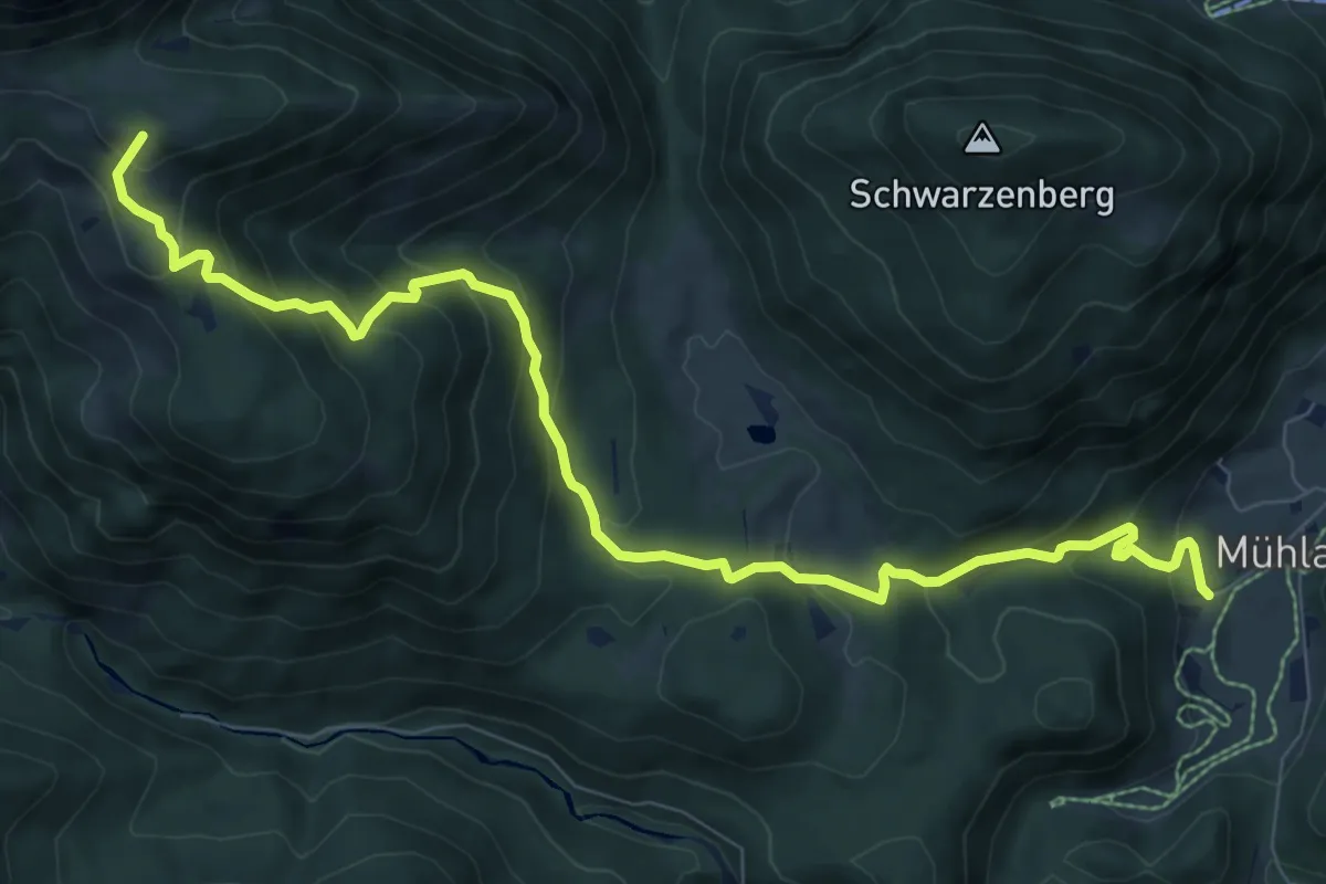
Medium · Summit
Wanderweg 49 - Kiefersfelden
10.0 km · ↑ 715 m · 3 h 54 min
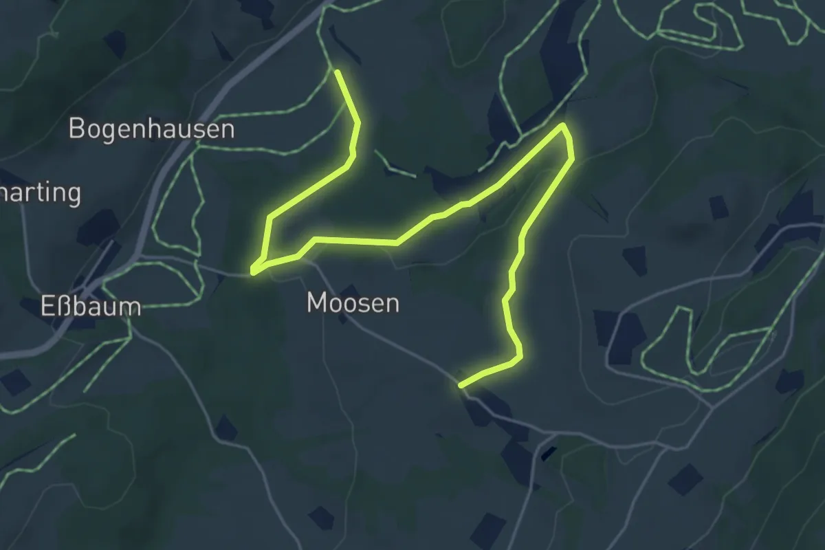
Easy · Trail
Wanderweg 49 - Samerberg
6.0 km · ↑ 85 m · 1 h 36 min
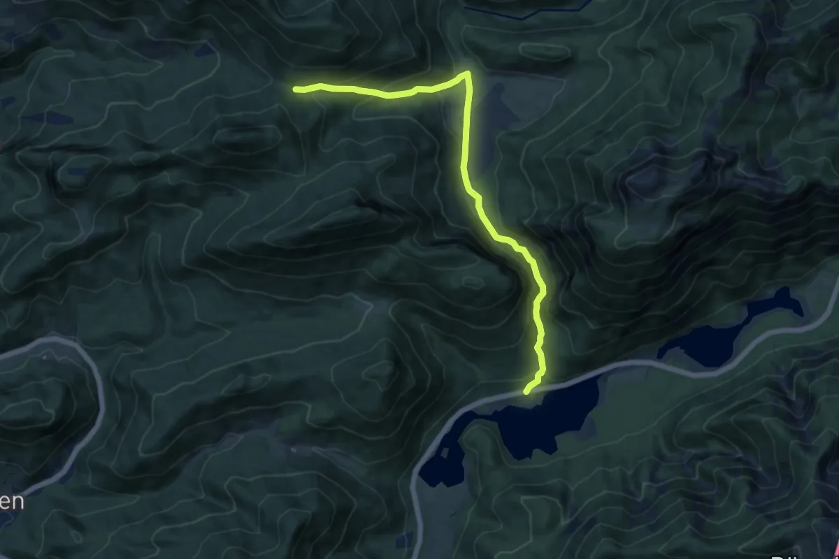
Medium · Trail
Wanderweg 49 - Wappbachtal
11.0 km · ↑ 391 m · 3 h 26 min
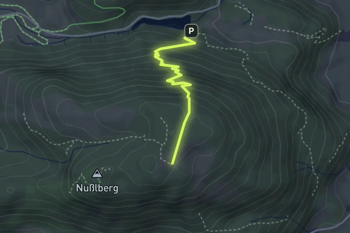
Easy · Trail
Wanderweg 4a - Oberaudorf
2.8 km · ↑ 268 m · 1 h 15 min
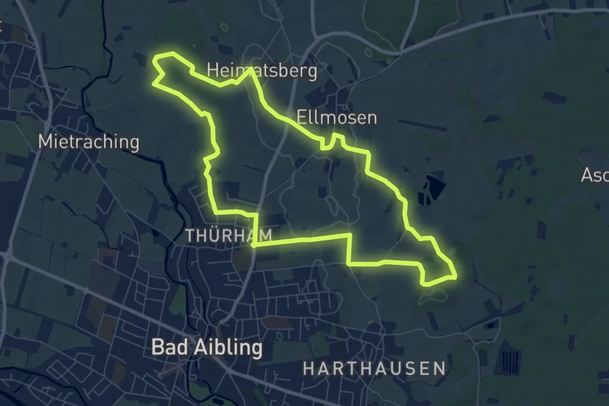
Easy · Trail
Wanderweg 4 - Bad Aibling
7.9 km · ↑ 51 m · 2 h 5 min
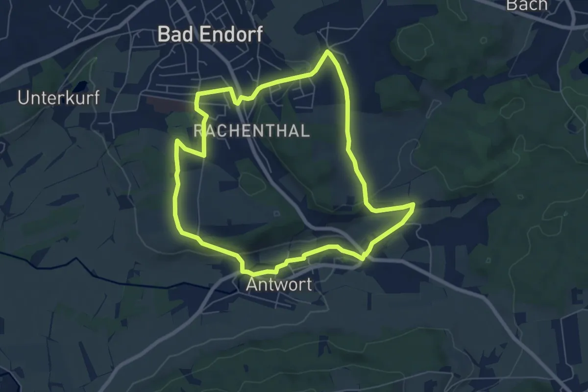
Easy · Trail
Wanderweg 4 - Bad Endorf
6.1 km · ↑ 97 m · 1 h 44 min
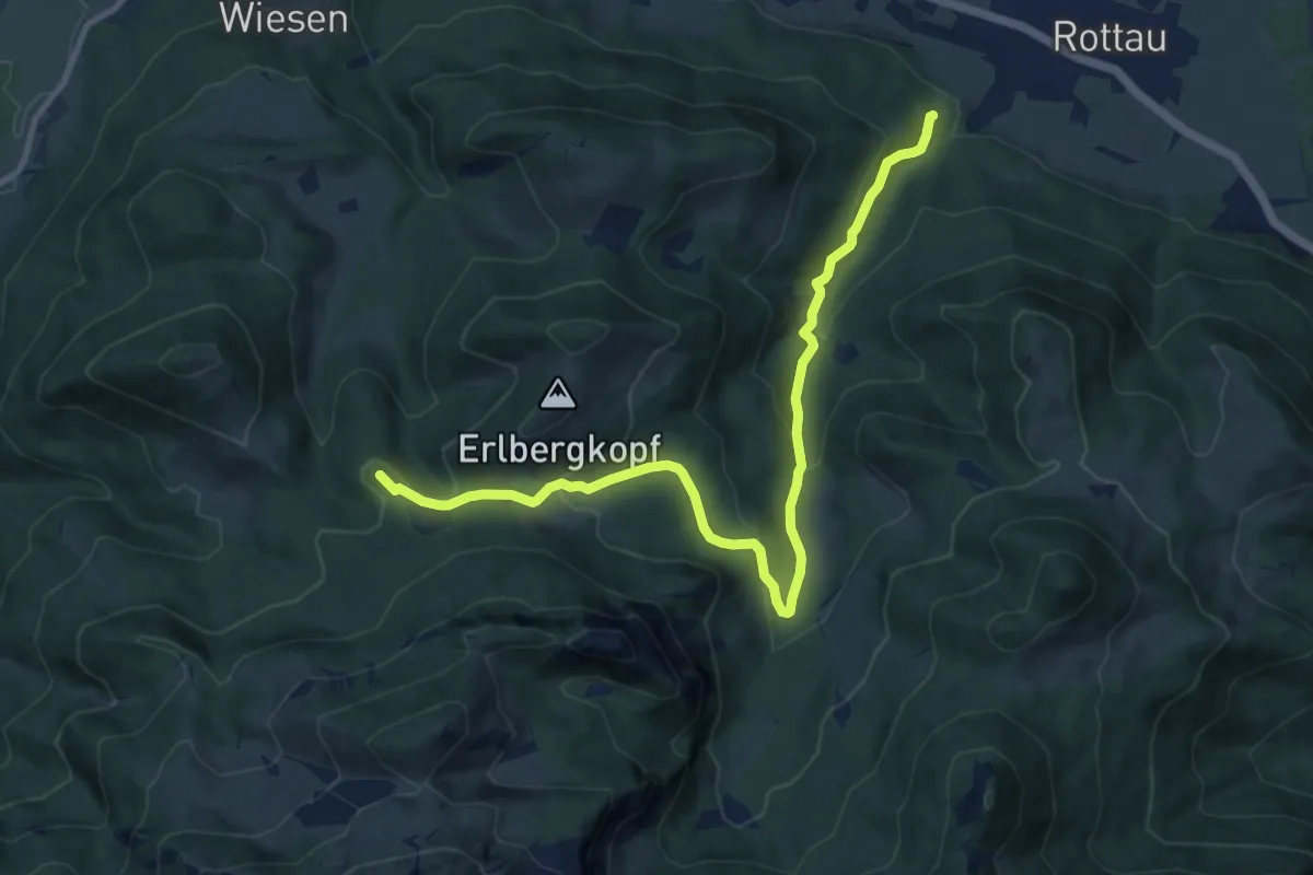
Medium · Summit
Wanderweg 4 - Bernau
11.1 km · ↑ 485 m · 3 h 40 min
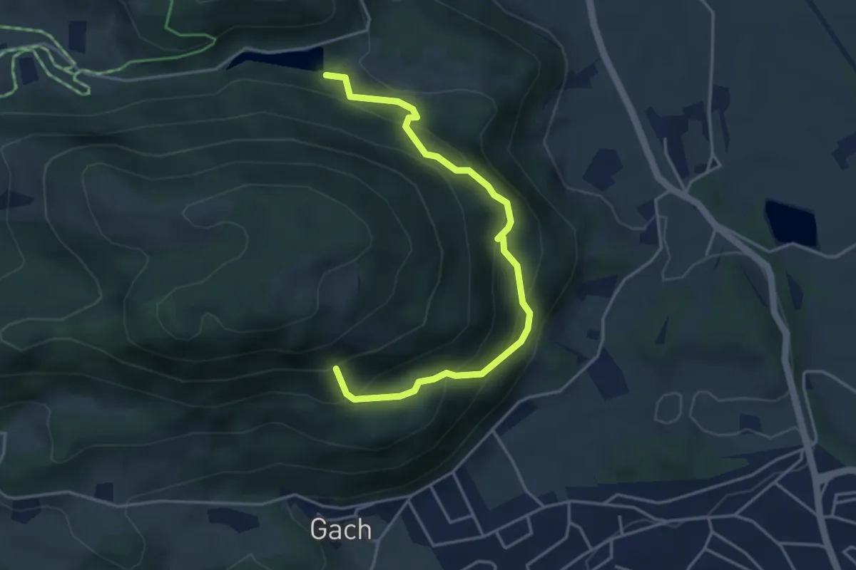
Medium · Trail
Wanderweg 4b - Oberaudorf
4.2 km · ↑ 438 m · 1 h 56 min
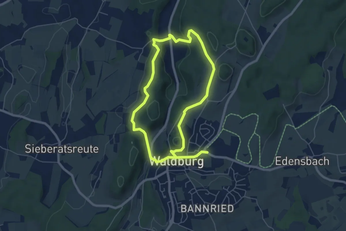
Easy · Trail
Wanderweg 4 der Gemeinde Waldburg
4.8 km · ↑ 121 m · 1 h 28 min
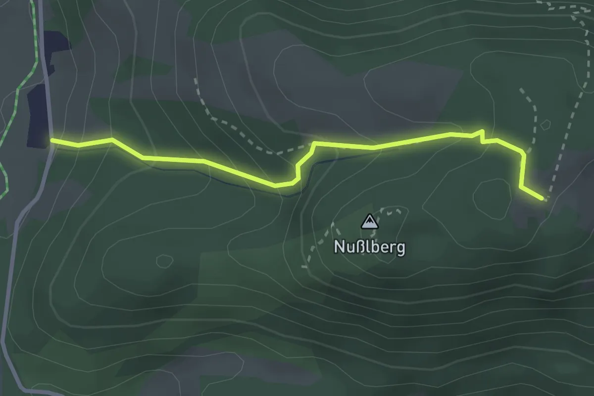
Medium · Trail
Wanderweg 4d - Oberaudorf
1.3 km · ↑ 0 m · 26 min
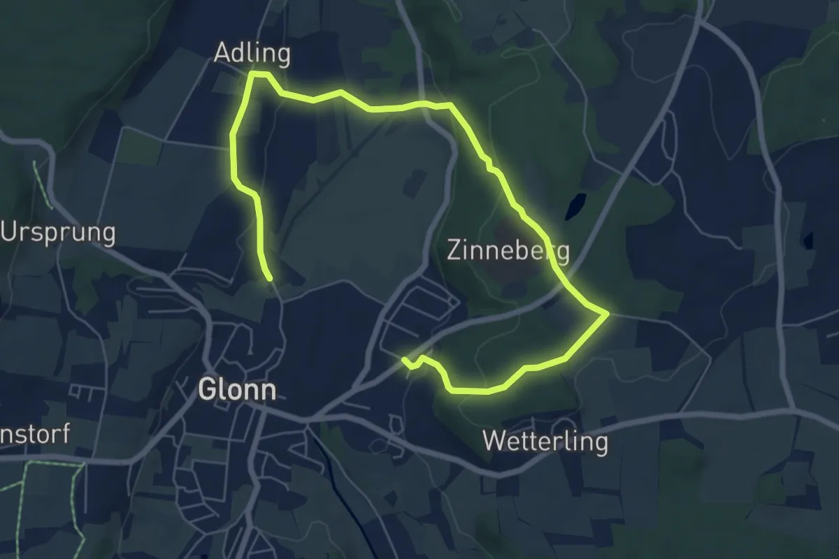
Medium · Trail
Wanderweg 4, Glonn
8.4 km · ↑ 259 m · 2 h 33 min
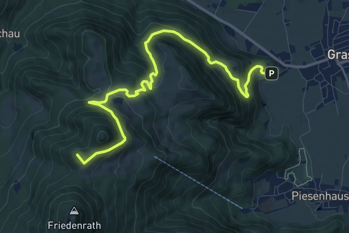
Medium · Summit
Wanderweg 4 - Grassau
12.0 km · ↑ 697 m · 4 h 21 min
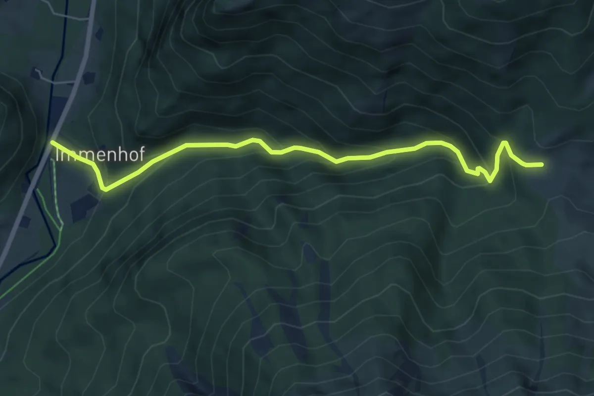
Medium · Trail
Wanderweg 4 - Hainbach - Dalsenalm
5.9 km · ↑ 414 m · 2 h 18 min
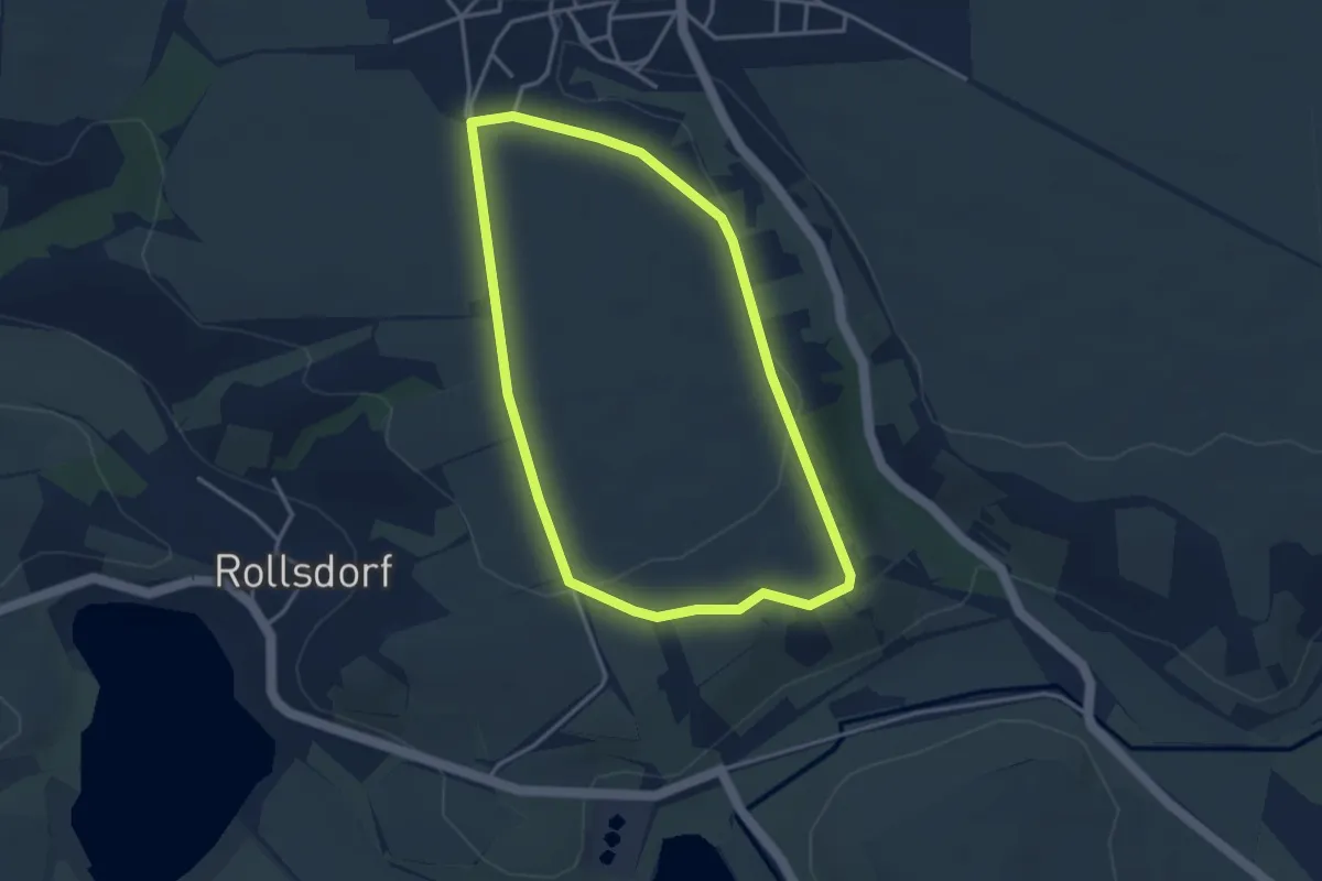
Easy · Trail
Wanderweg 4 Höhnstedt
3.1 km · ↑ 36 m · 51 min
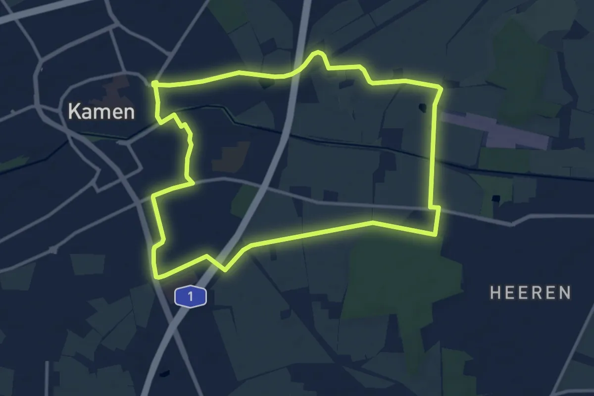
Medium · Trail
Wanderweg 4 Kamen
8.9 km · ↑ 18 m · 2 h 15 min
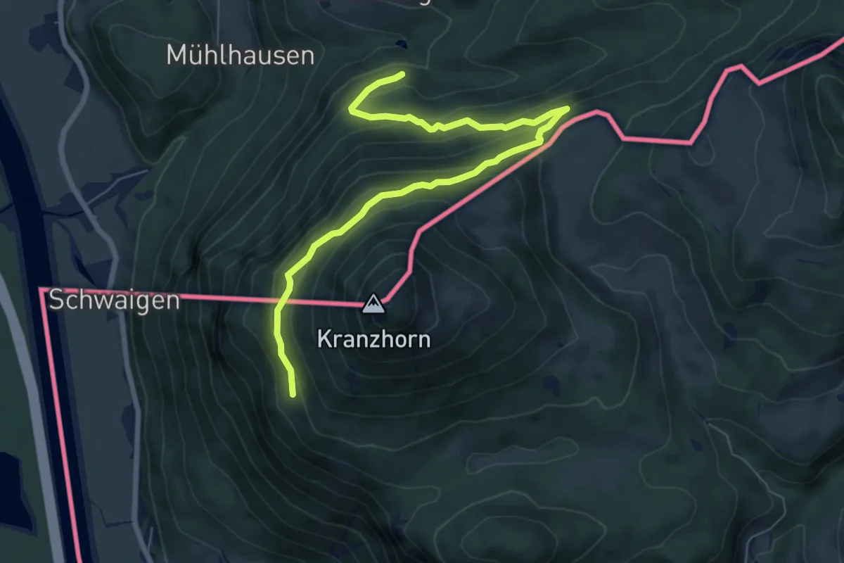
Medium · Trail
Wanderweg 4 - Kranzhorn
7.3 km · ↑ 401 m · 2 h 35 min
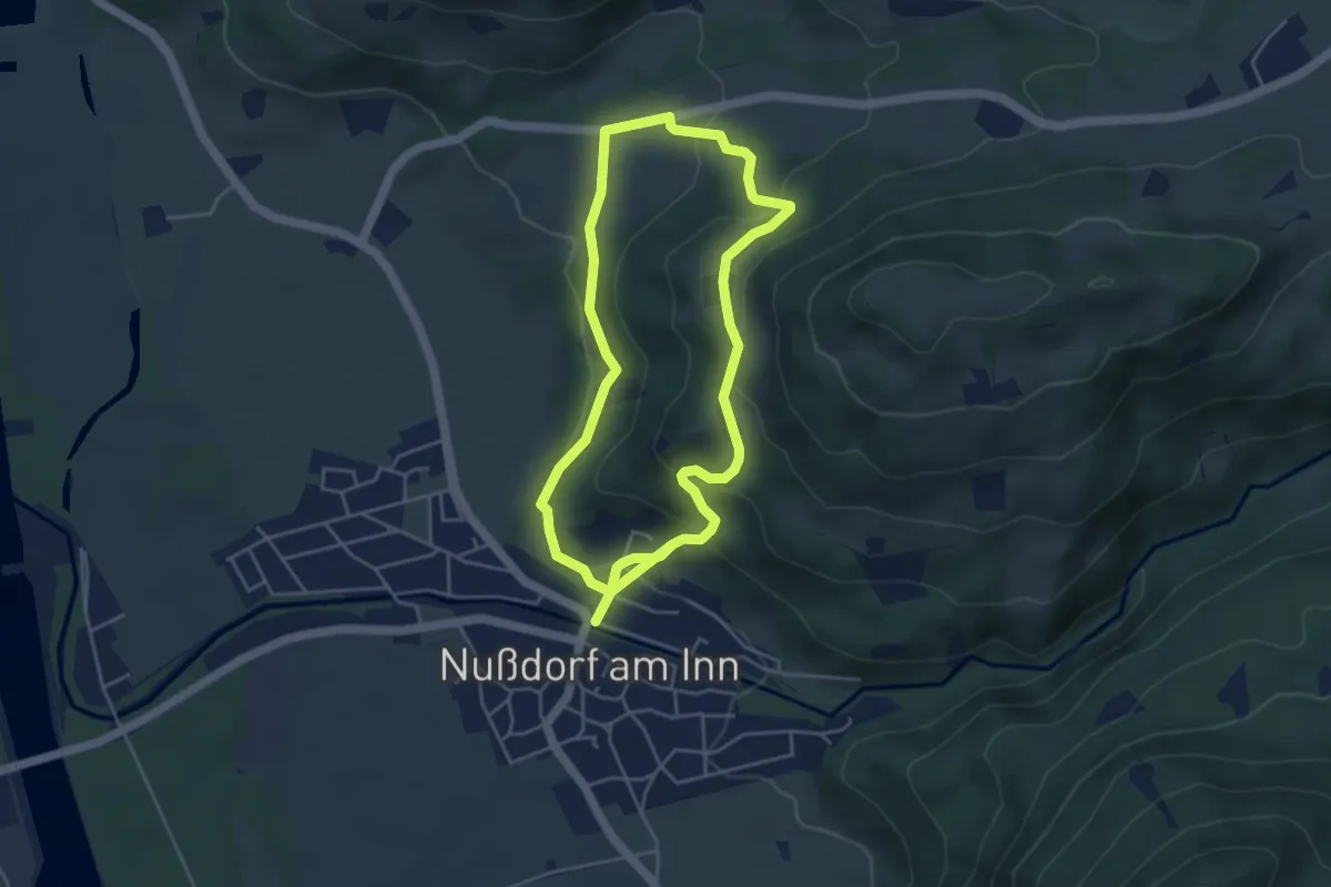
Medium · Trail
Wanderweg 4 - Nußdorf
8.2 km · ↑ 347 m · 2 h 42 min
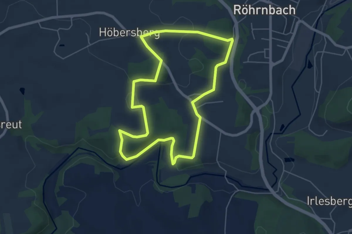
Medium · Trail
Wanderweg 4 Röhrnbach
4.8 km · ↑ 123 m · 1 h 28 min
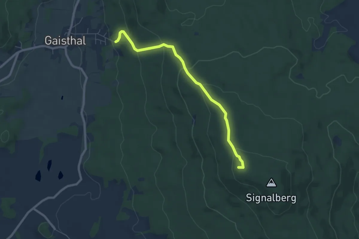
Easy · Summit
Wanderweg 4, Signalberg
5.5 km · ↑ 260 m · 1 h 52 min
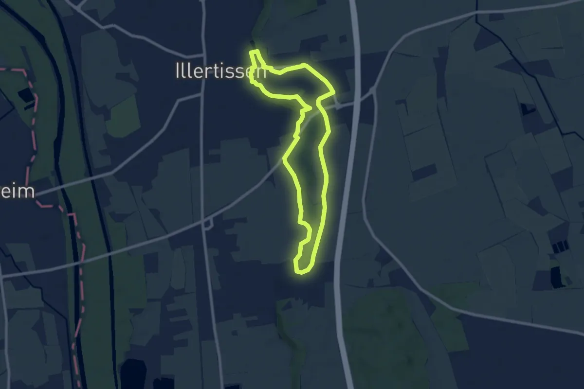
Easy · Trail
Wanderweg 4 Stadt Illertissen
6.7 km · ↑ 96 m · 1 h 52 min
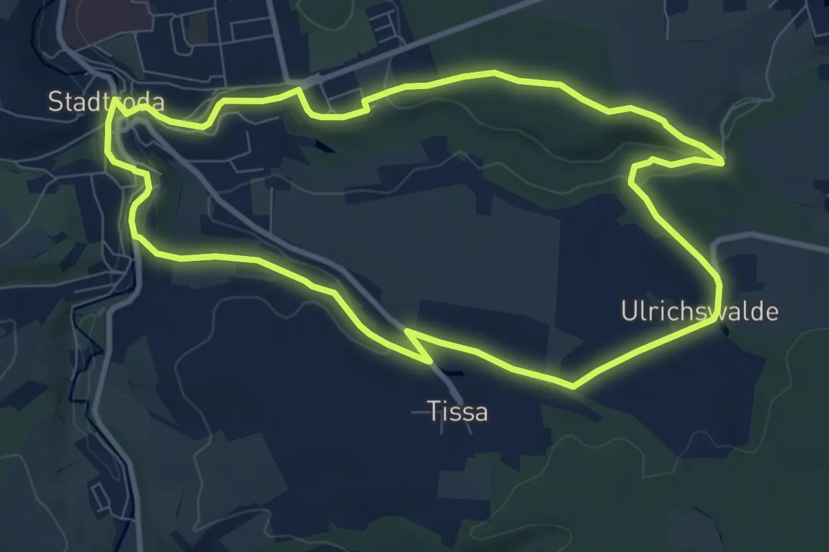
Easy · Trail
Wanderweg 4 Stadtroda
7.9 km · ↑ 131 m · 2 h 15 min
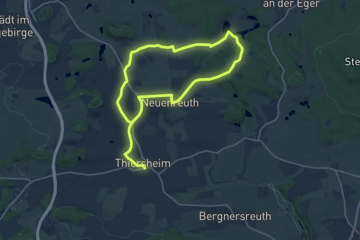
Medium · Trail
Wanderweg 4 Thiersheim
8.7 km · ↑ 92 m · 2 h 23 min
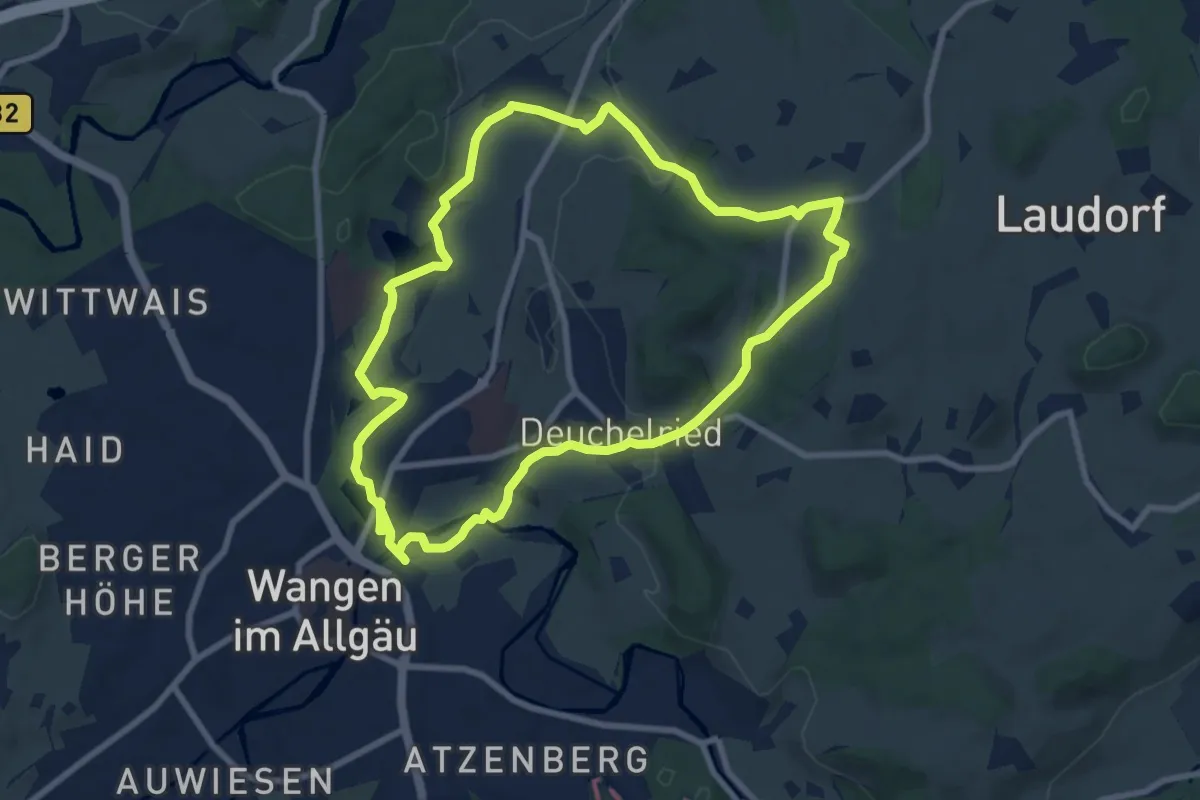
Medium · Trail
Wanderweg 4 Wangen im Allgäu
8.3 km · ↑ 121 m · 2 h 20 min
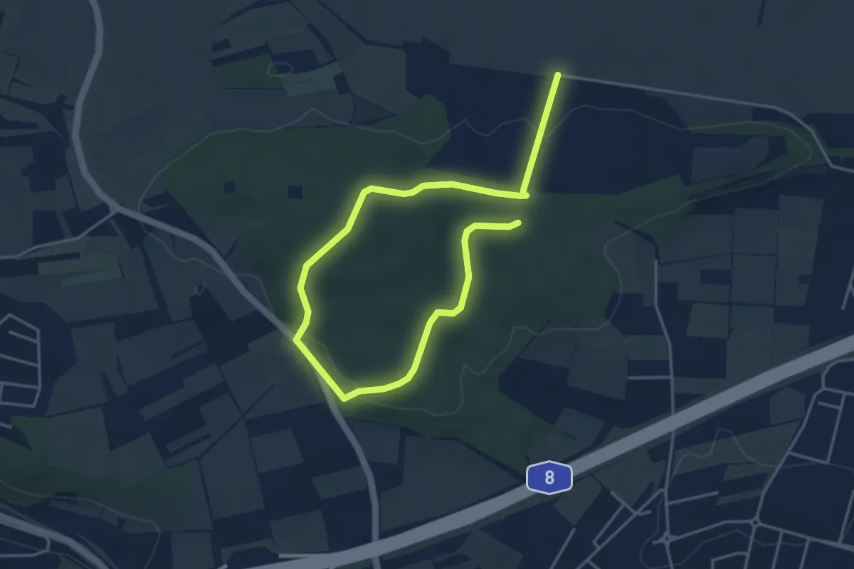
Easy · Trail
Wanderweg 5
5.6 km · ↑ 127 m · 1 h 36 min
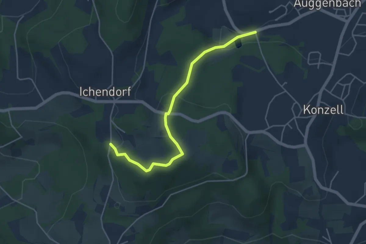
Easy · Trail
Wanderweg 5
3.7 km · ↑ 138 m · 1 h 11 min
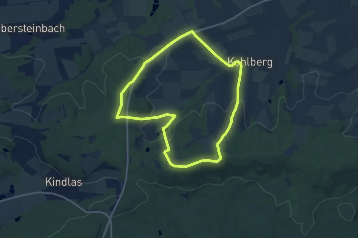
Easy · Summit
Wanderweg 5
7.5 km · ↑ 207 m · 2 h 20 min
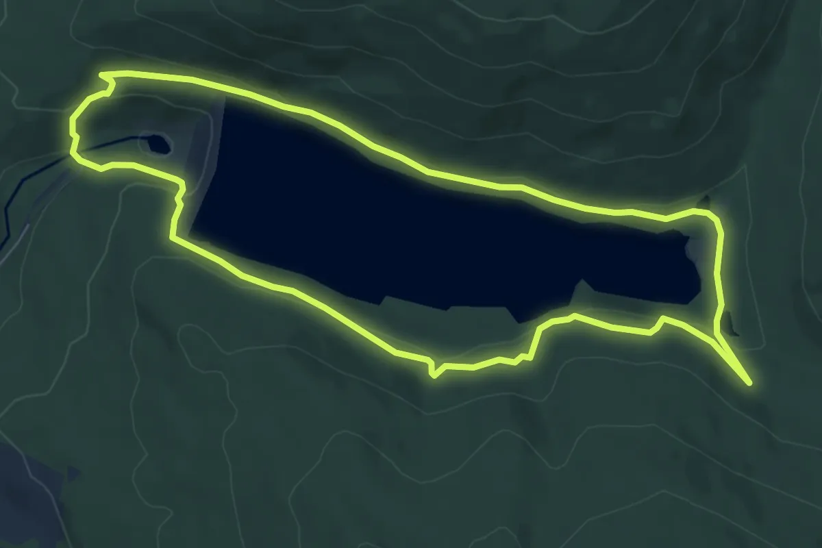
Medium · Trail
Wanderweg 5
7.1 km · ↑ 252 m · 2 h 19 min
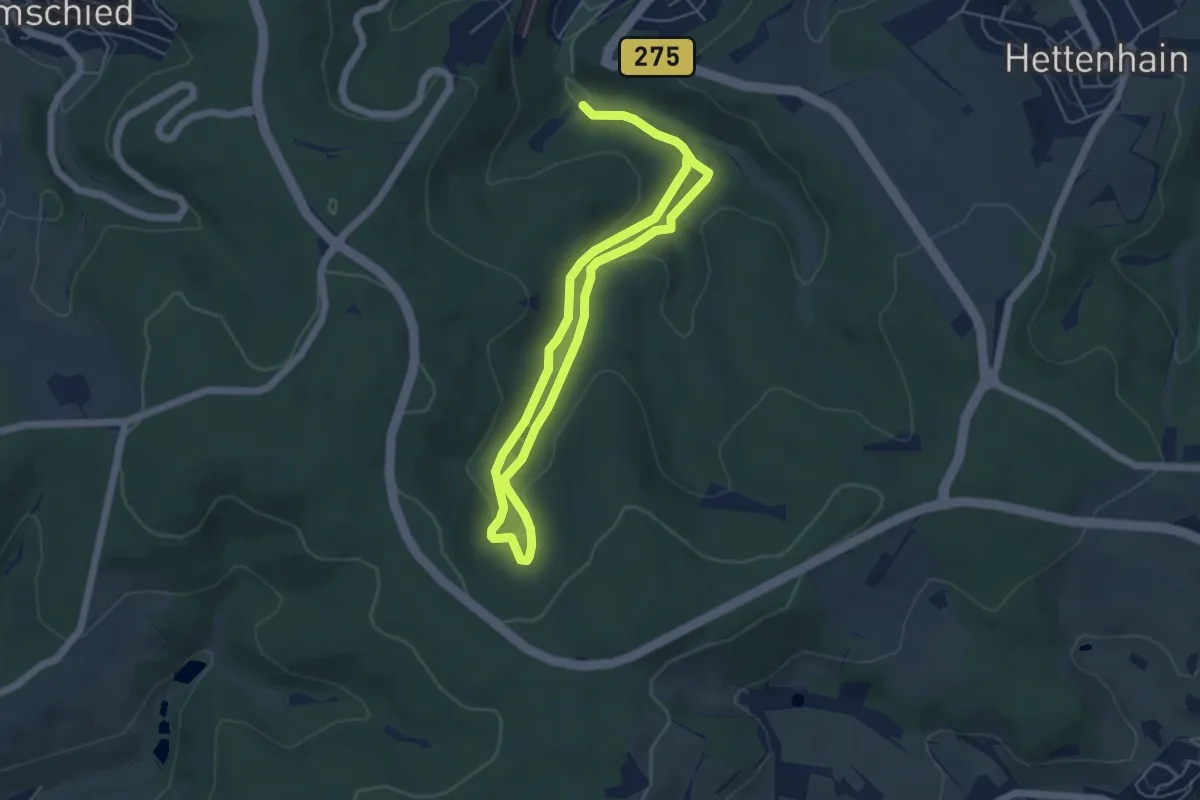
Medium · Trail
Wanderweg 5
8.2 km · ↑ 223 m · 2 h 25 min
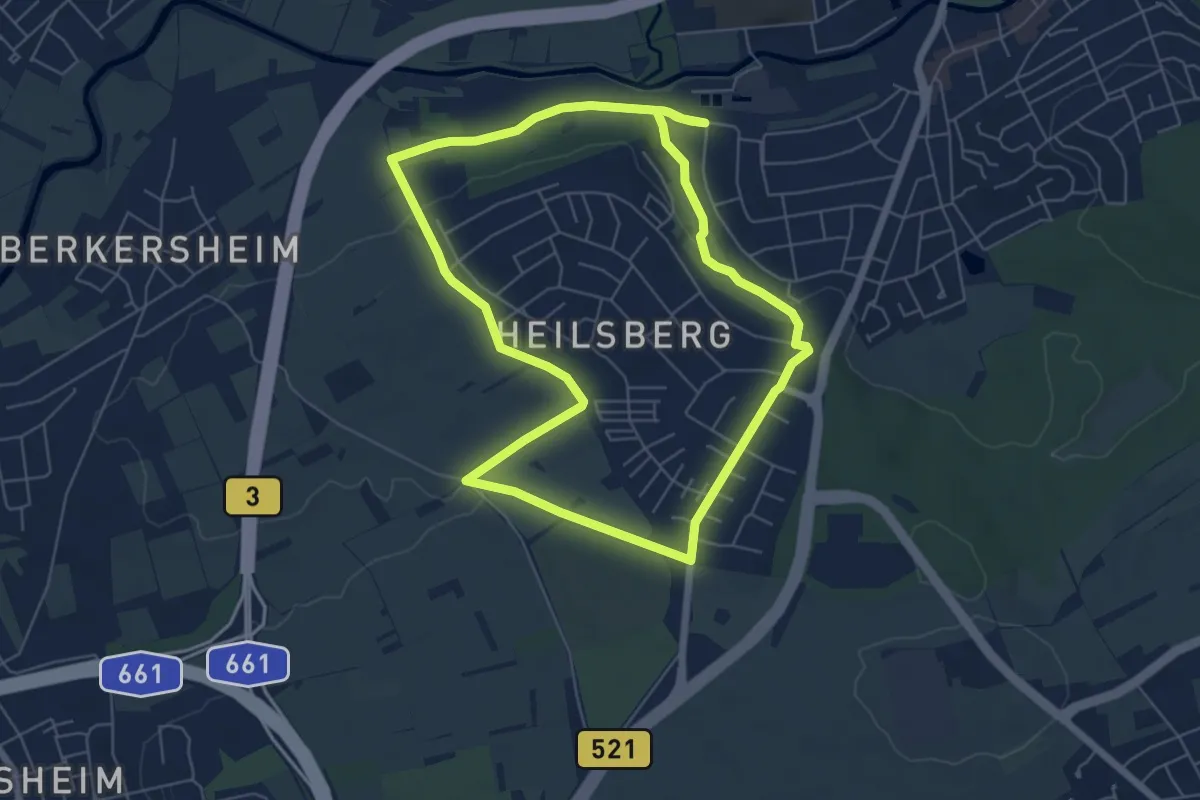
Easy · Trail
Wanderweg 5
5.8 km · ↑ 74 m · 1 h 36 min
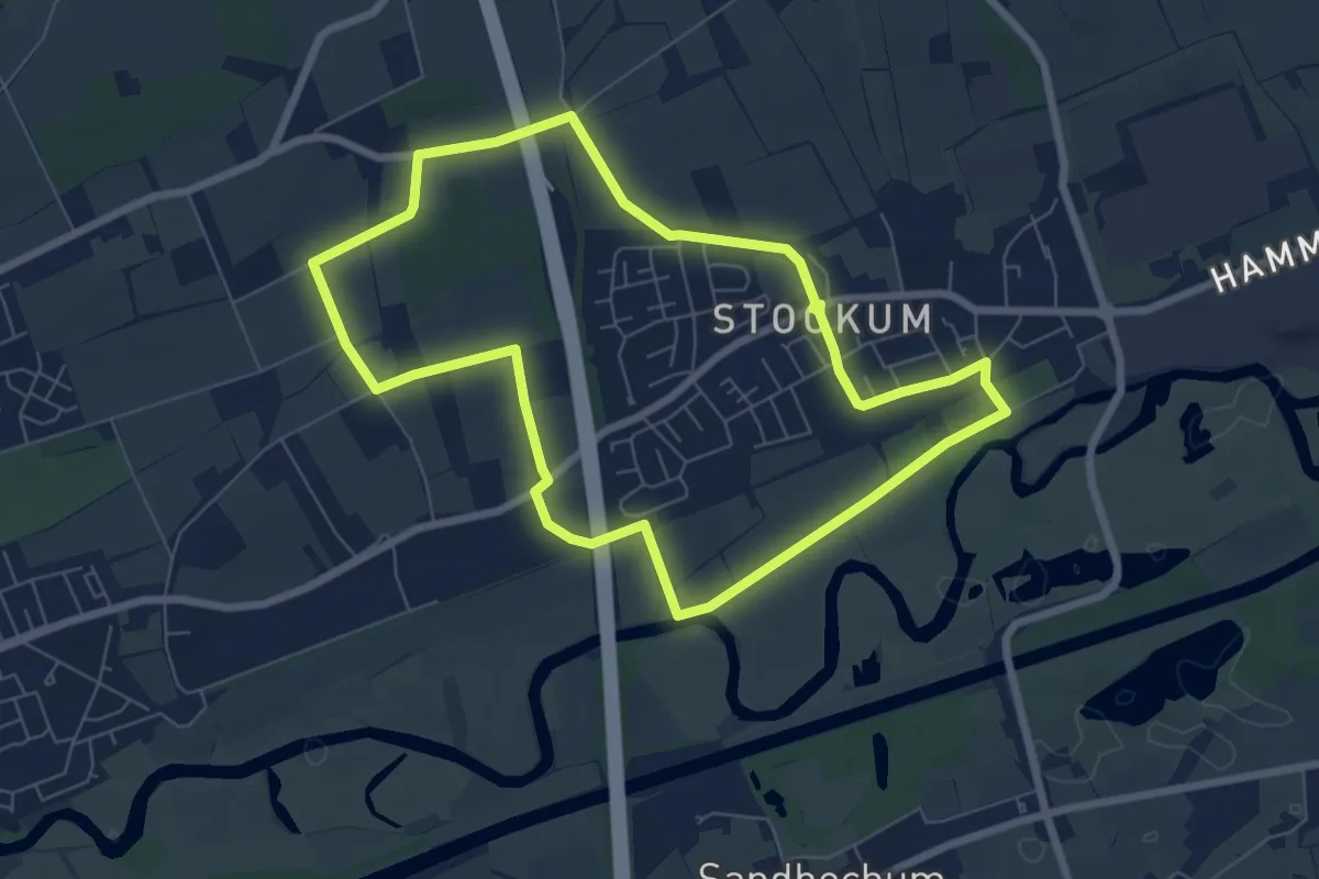
Easy · Trail
Wanderweg 5
6.3 km · ↑ 35 m · 1 h 39 min
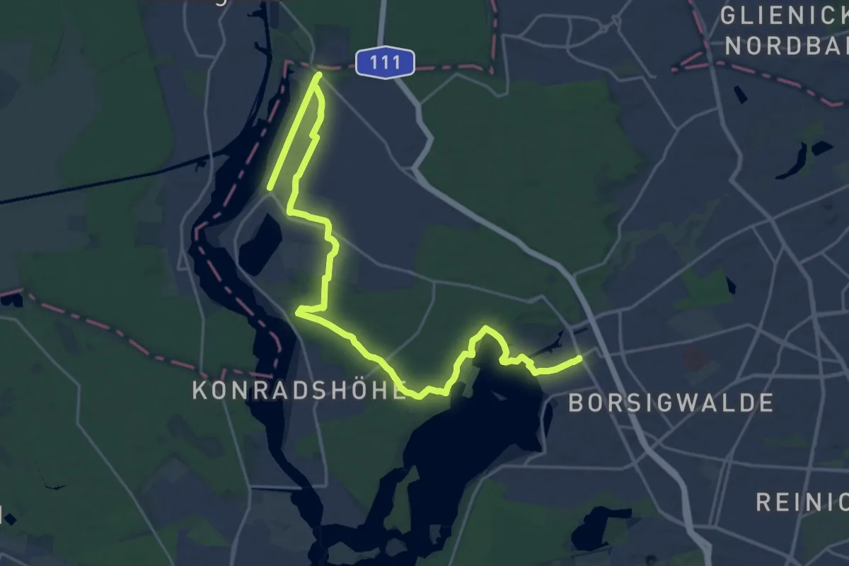
Demanding · Trail
Wanderweg 5
24.3 km · ↑ 72 m · 5 h 54 min
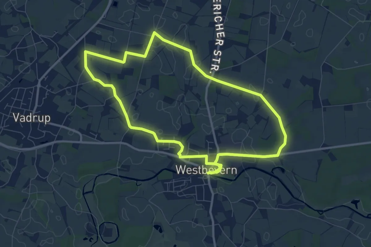
Easy · Trail
Wanderweg 5
7.5 km · ↑ 9 m · 1 h 54 min
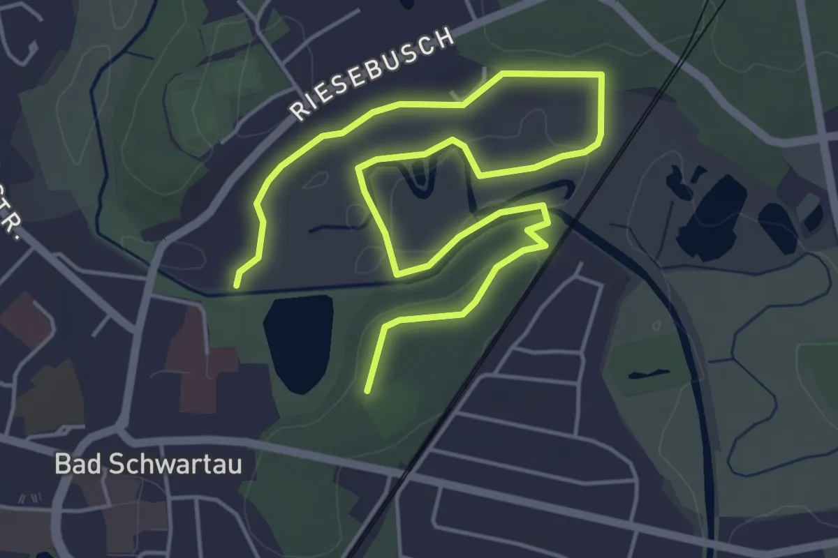
Easy · Trail
Wanderweg 5
6.1 km · ↑ 54 m · 1 h 34 min
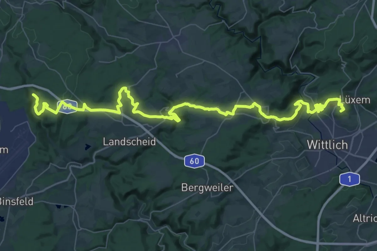
Demanding · Summit
Wanderweg 50. Breitengrad
45.4 km · ↑ 845 m · 12 h 33 min
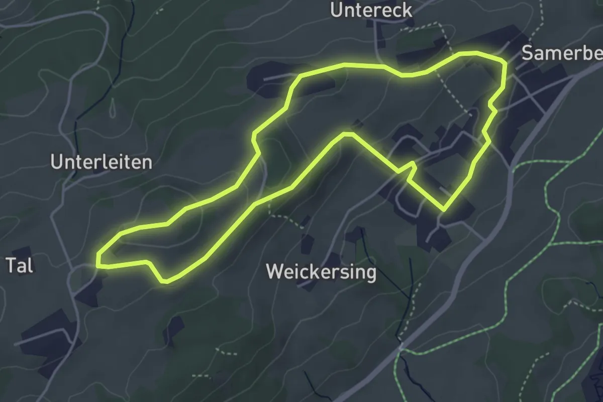
Easy · Trail
Wanderweg 50 - Samerberg
4.4 km · ↑ 110 m · 1 h 20 min
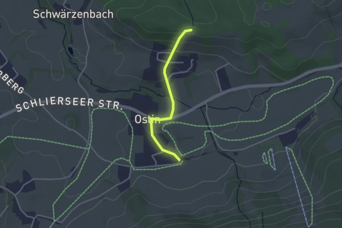
Easy · Trail
Wanderweg 510a
2.3 km · ↑ 79 m · 43 min
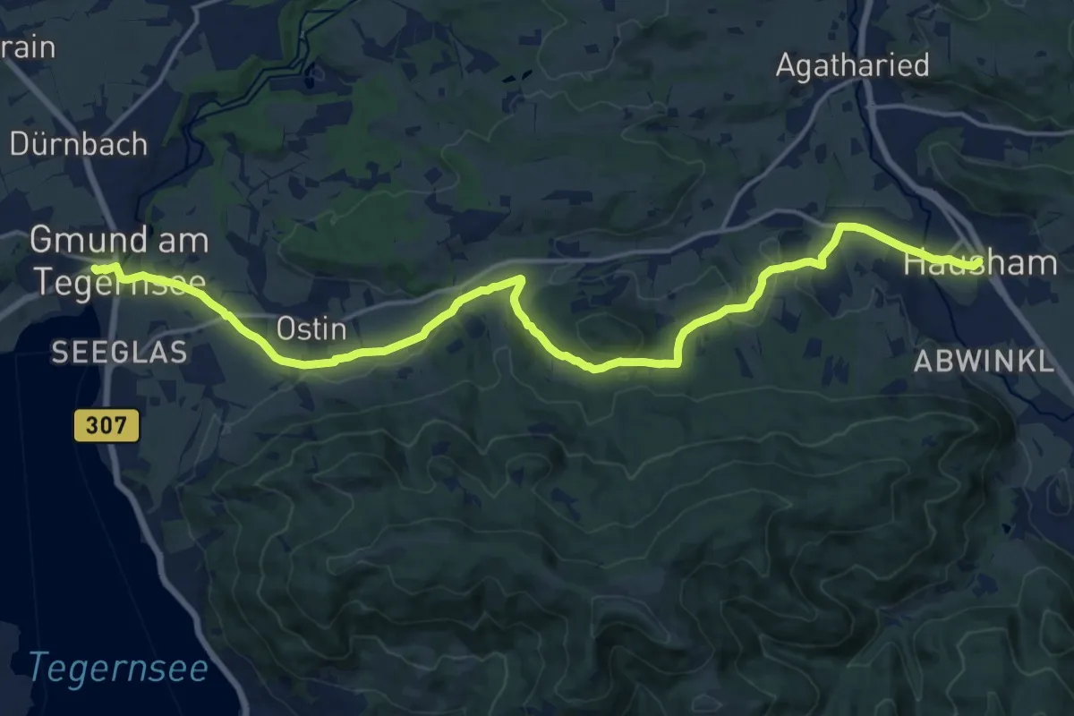
Demanding · Trail
Wanderweg 515 - Hausham/Gmund am Tegernsee
19.4 km · ↑ 402 m · 5 h 27 min
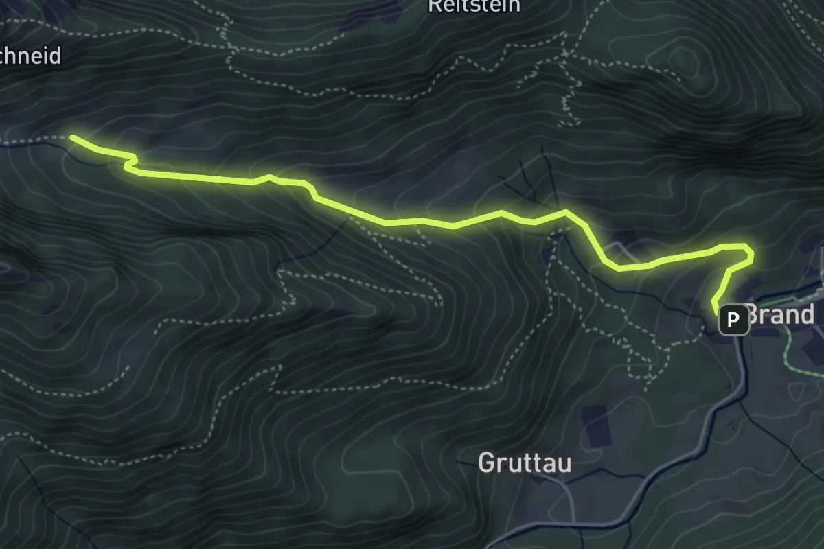
Medium · Trail
Wanderweg 51 - Brand - Nesslauer Alm
5.1 km · ↑ 368 m · 2 h
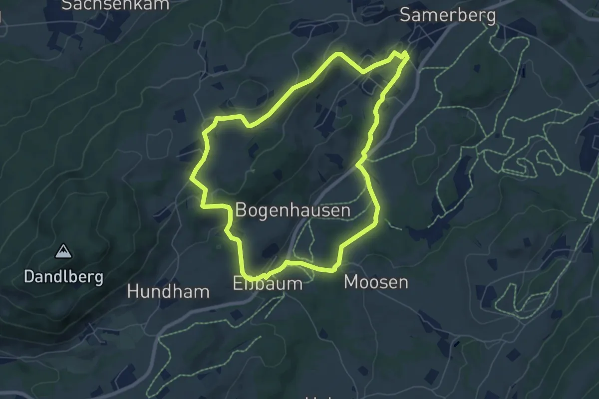
Easy · Trail
Wanderweg 51 - Samerberg
6.3 km · ↑ 180 m · 1 h 58 min
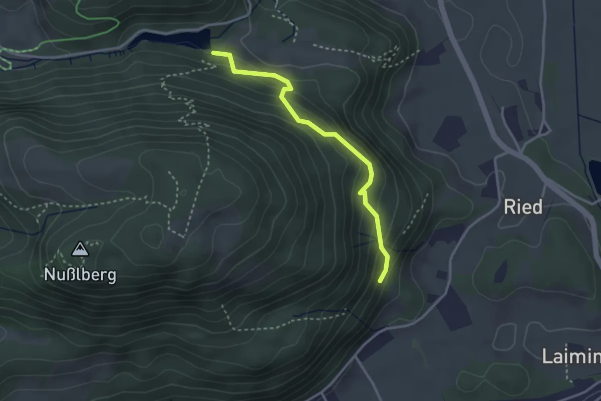
Medium · Trail
Wanderweg 52 - Kiefersfelden
2.7 km · ↑ 250 m · 1 h 11 min
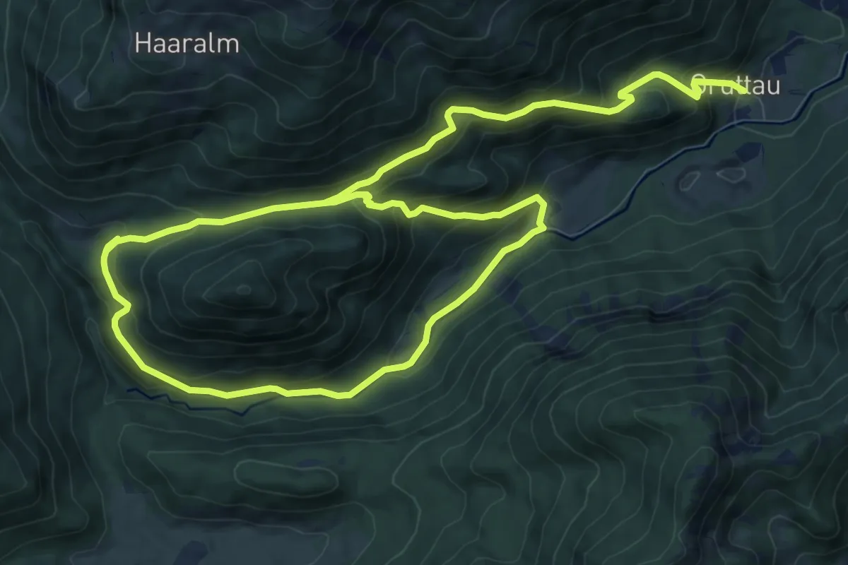
Demanding · Trail
Wanderweg 52 - Rundweg Gründberg
17.0 km · ↑ 983 m · 6 h 9 min
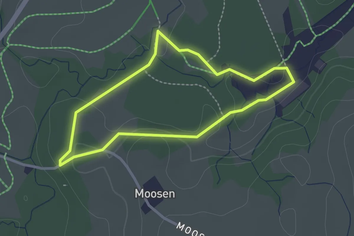
Easy · Trail
Wanderweg 52 - Samerberg
2.1 km · ↑ 31 m · 35 min