Trails in Germany
36,852 hiking trails, each with its route, climb, walking time and grade.
All trails, page 685 of 768
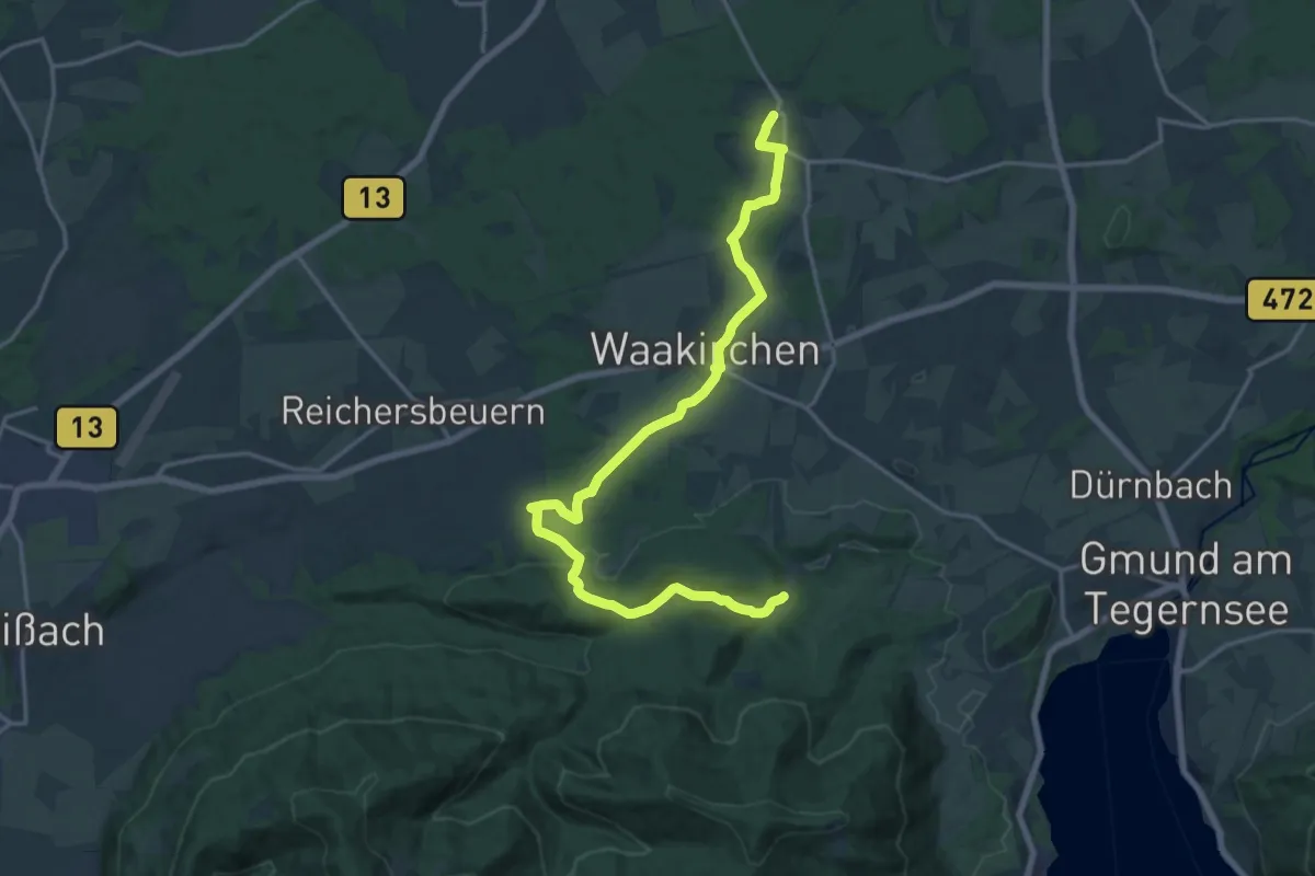
Demanding · Trail
Wanderweg 532
19.7 km · ↑ 284 m · 5 h 16 min
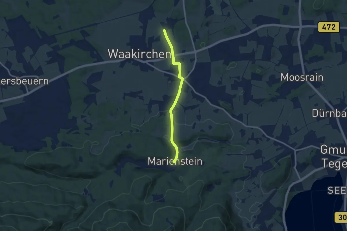
Easy · Trail
Wanderweg 532a
6.9 km · ↑ 64 m · 1 h 46 min
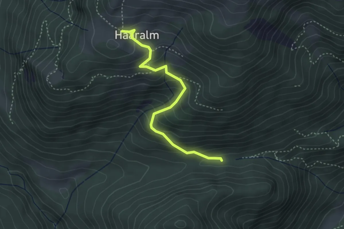
Easy · Trail
Wanderweg 53 - Haaralm
3.4 km · ↑ 298 m · 1 h 27 min
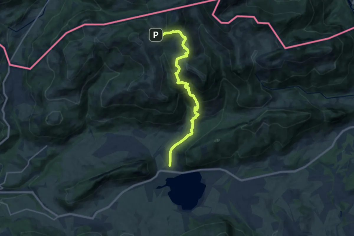
Medium · Trail
Wanderweg 53 - Kaiserwinkl
13.1 km · ↑ 798 m · 4 h 49 min
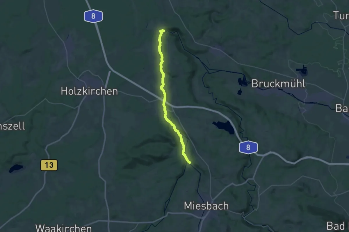
Demanding · Trail
Wanderweg 540
26.0 km · ↑ 561 m · 7 h 21 min
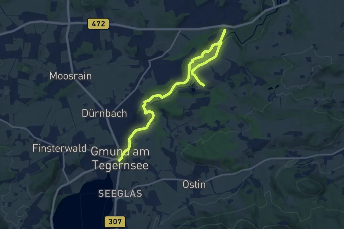
Medium · Trail
Wanderweg 540
12.9 km · ↑ 210 m · 3 h 30 min
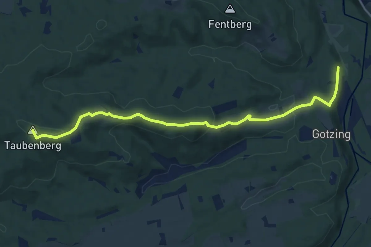
Medium · Summit
Wanderweg 541
10.7 km · ↑ 286 m · 3 h 9 min
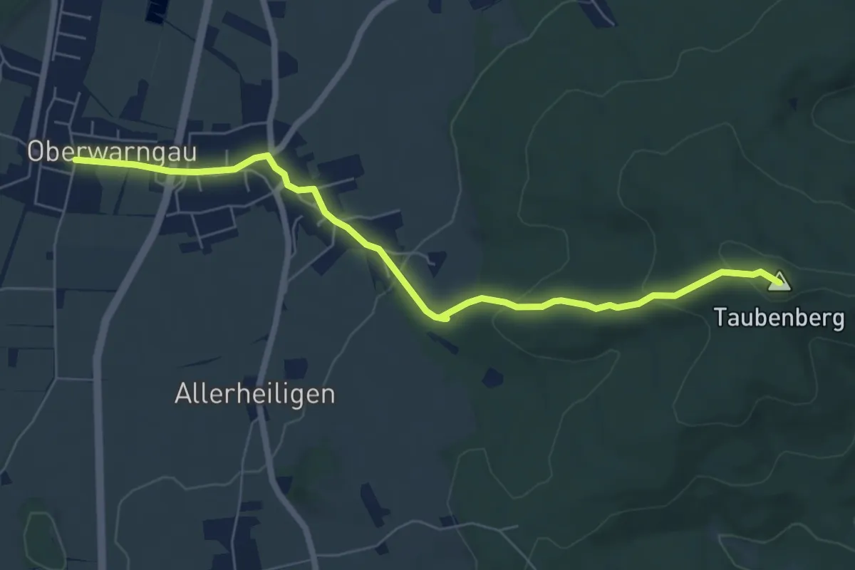
Easy · Summit
Wanderweg 542
6.6 km · ↑ 188 m · 1 h 58 min
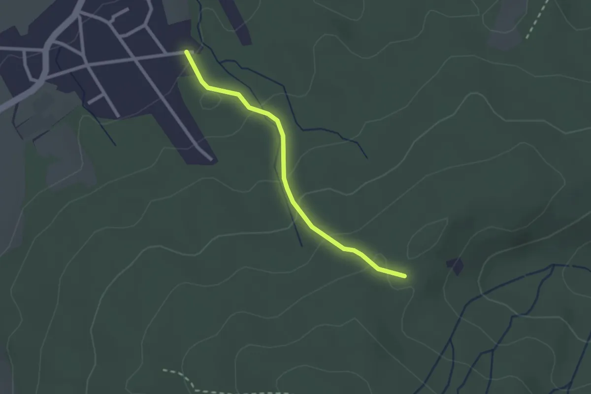
Easy · Trail
Wanderweg 543
2.1 km · ↑ 106 m · 43 min
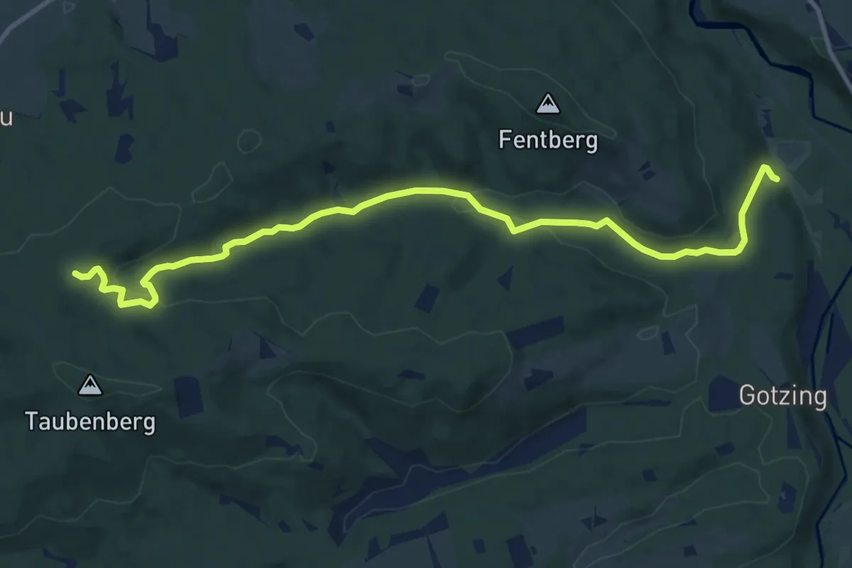
Medium · Trail
Wanderweg 544
11.2 km · ↑ 270 m · 3 h 13 min
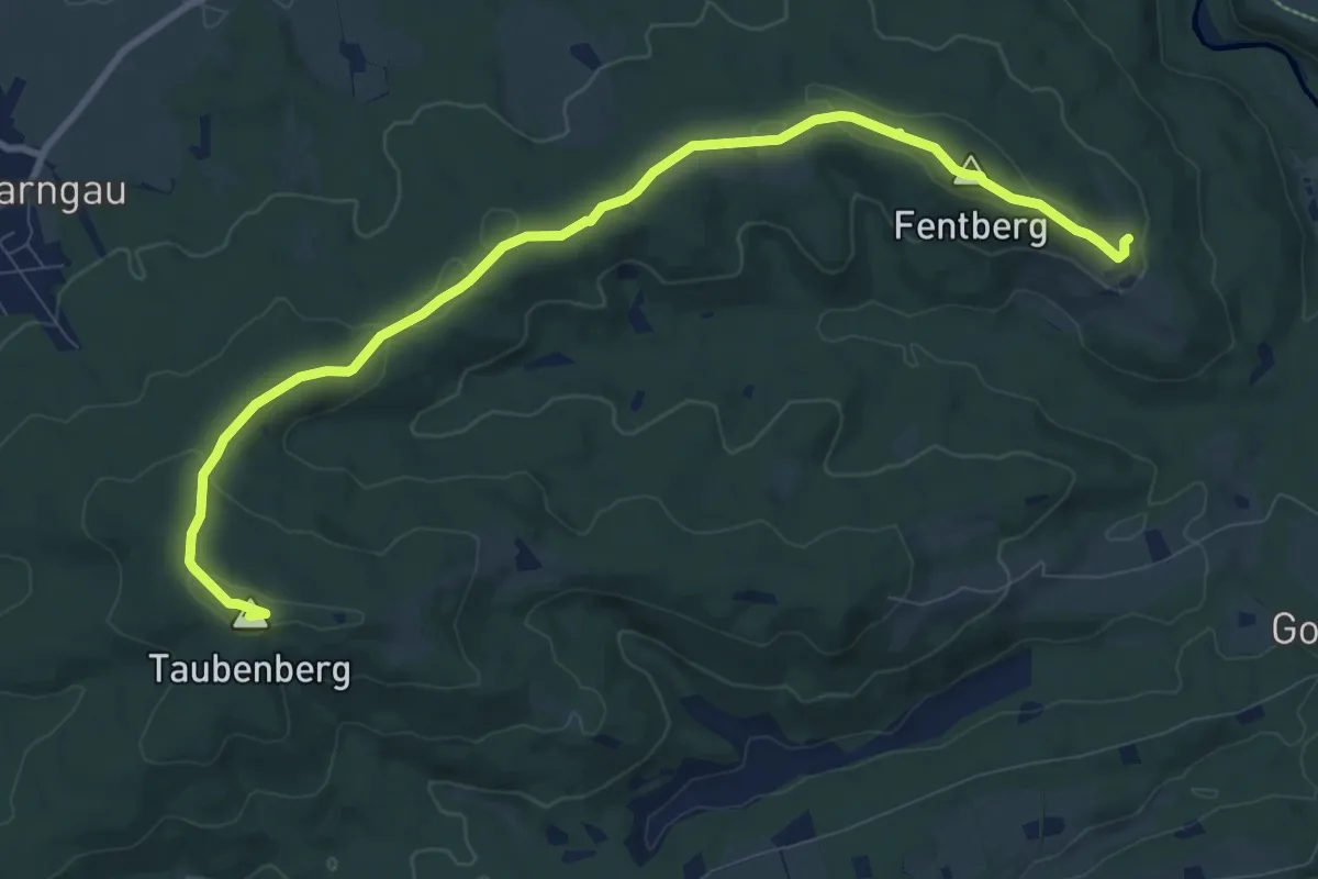
Medium · Summit
Wanderweg 545
10.3 km · ↑ 212 m · 2 h 53 min
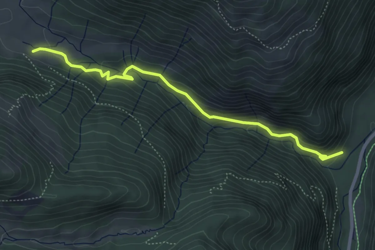
Medium · Trail
Wanderweg 545a - Bayrischzell
5.2 km · ↑ 241 m · 1 h 44 min
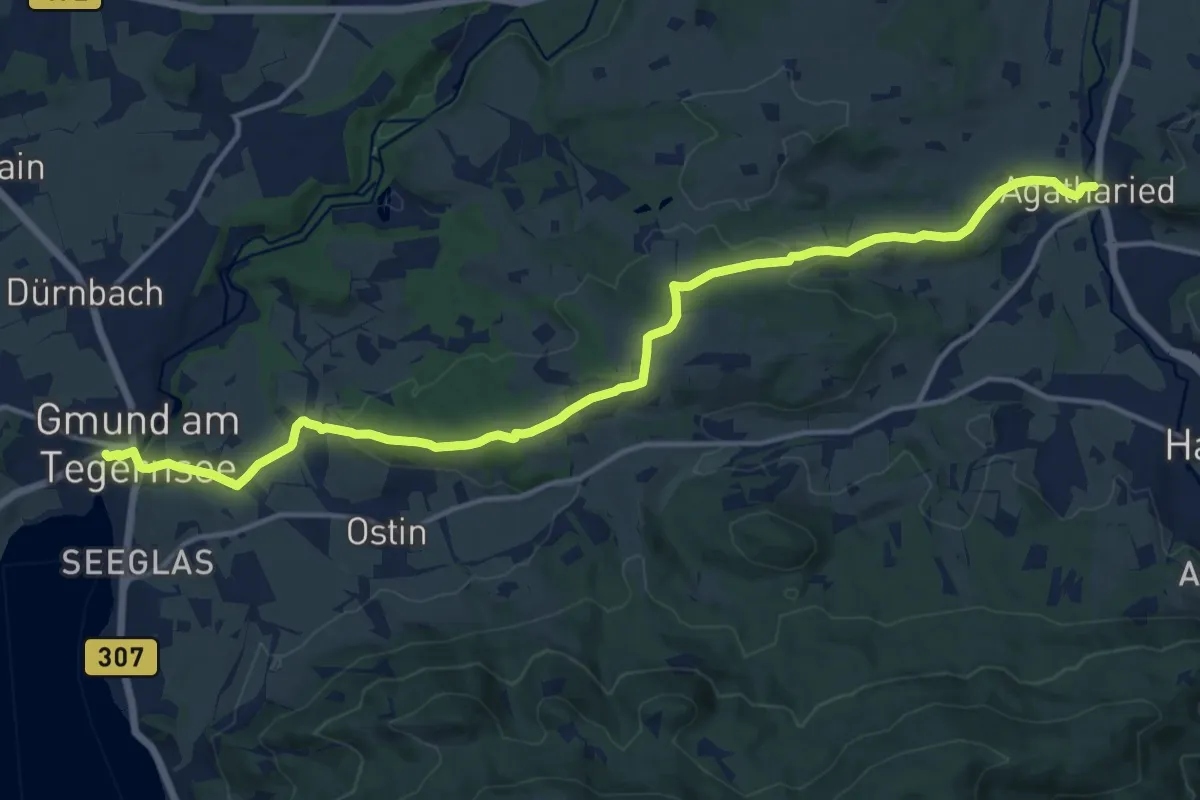
Medium · Trail
Wanderweg 545 - Agatharied/Gmund am Tegernsee
16.0 km · ↑ 331 m · 4 h 30 min
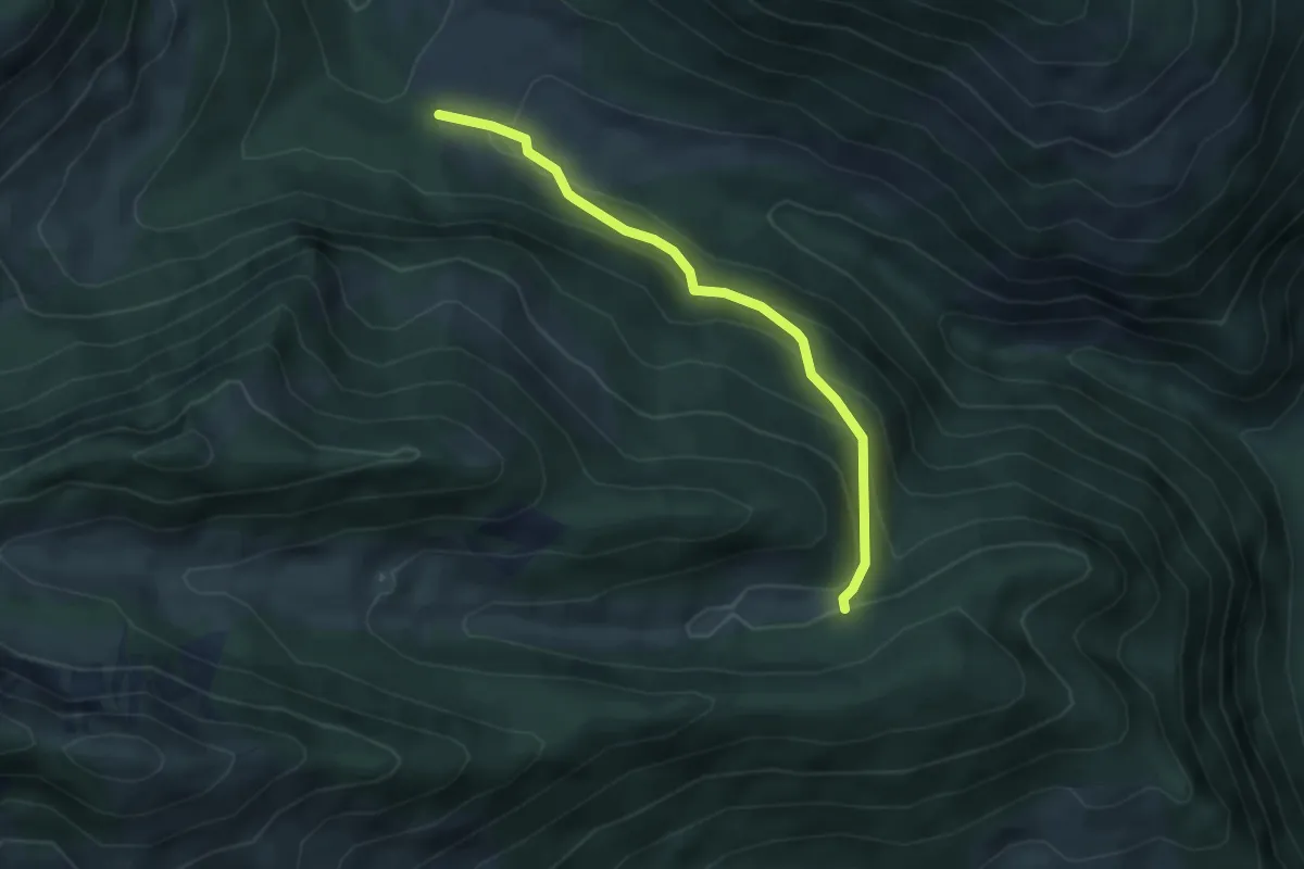
Easy · Trail
Wanderweg 545b - Bayrischzell
3.9 km · ↑ 216 m · 1 h 24 min
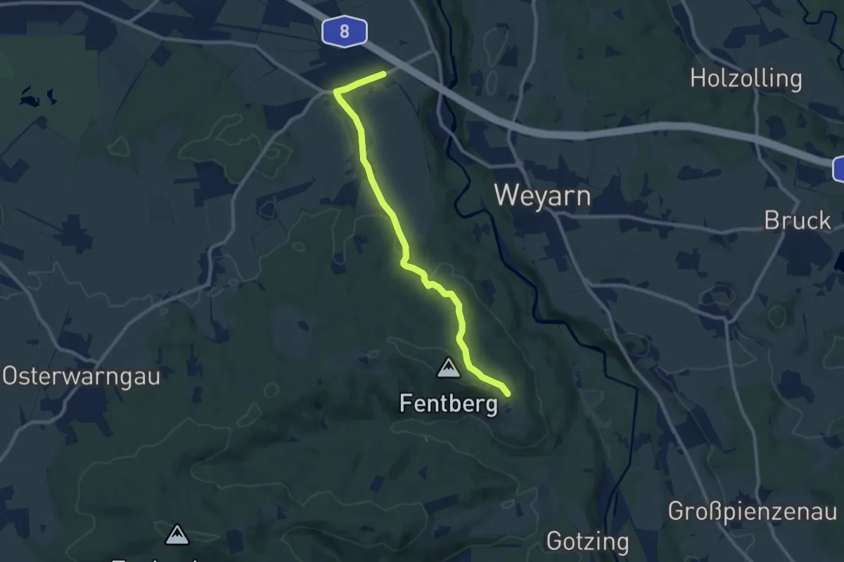
Medium · Trail
Wanderweg 546 - Valley
8.9 km · ↑ 172 m · 2 h 28 min
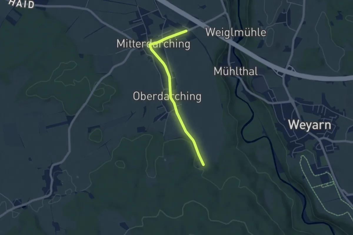
Easy · Trail
Wanderweg 546 - Valley
4.6 km · ↑ 26 m · 1 h 9 min
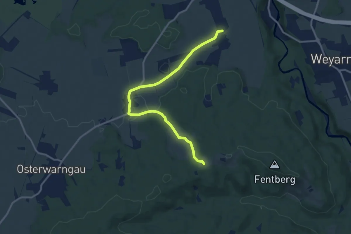
Medium · Trail
Wanderweg 547 - Valley
8.2 km · ↑ 119 m · 2 h 12 min
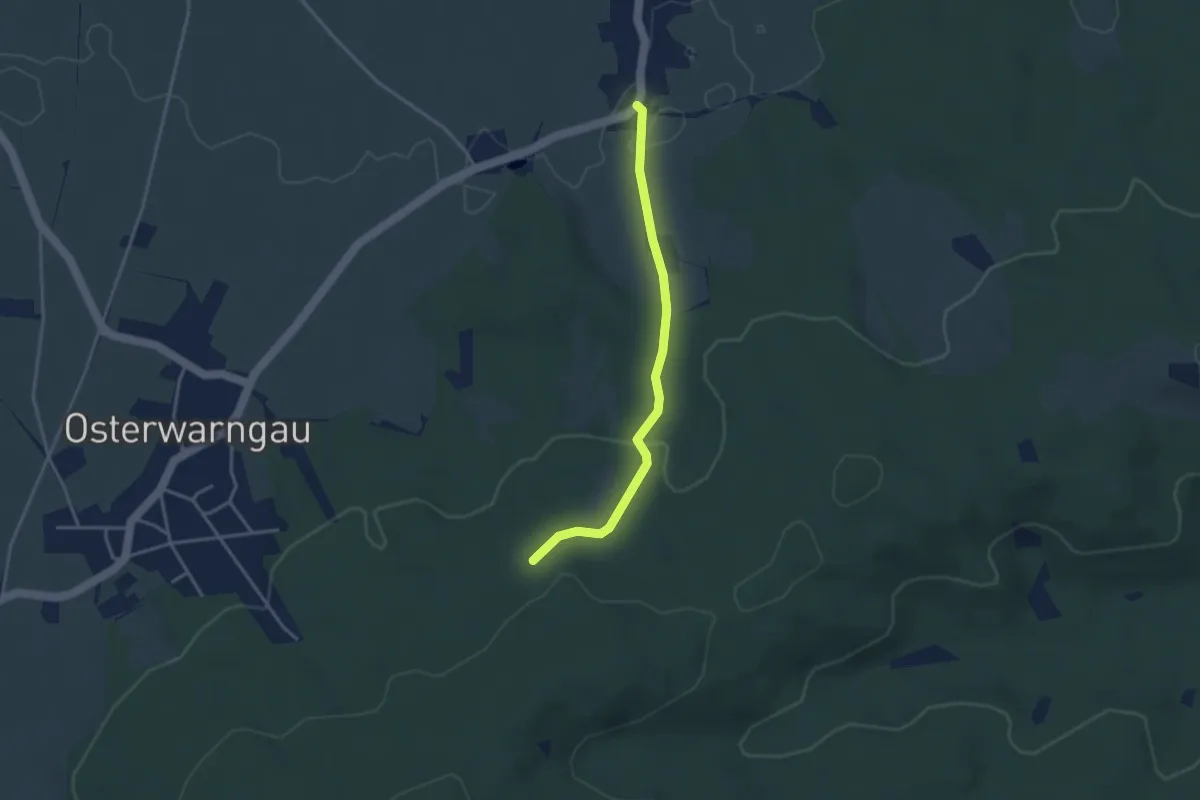
Easy · Trail
Wanderweg 548 - Valley
3.1 km · ↑ 79 m · 55 min
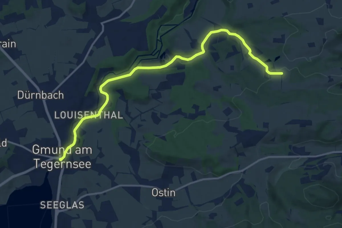
Medium · Trail
Wanderweg 549a - Gmund am Tegernsee Richtung Miesbach
11.0 km · ↑ 250 m · 3 h 8 min
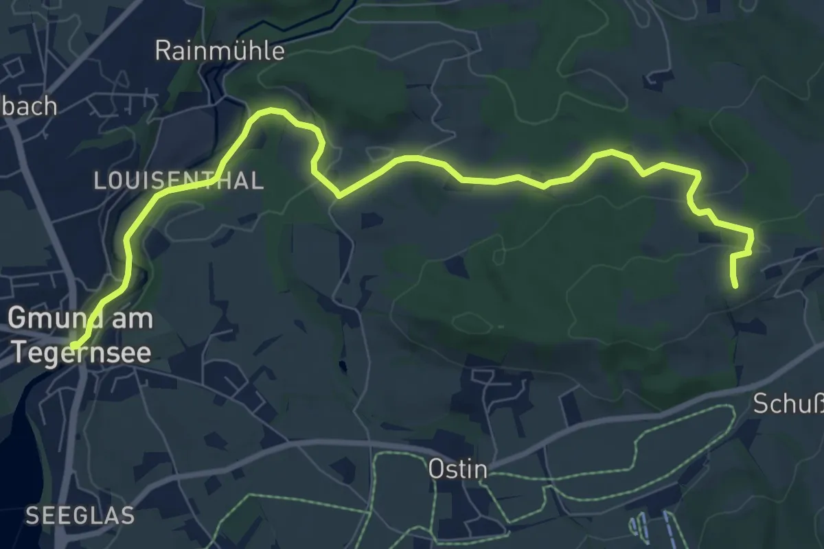
Medium · Trail
Wanderweg 549 - Gmund am Tegernsee Richtung Miesbach
9.3 km · ↑ 241 m · 2 h 43 min
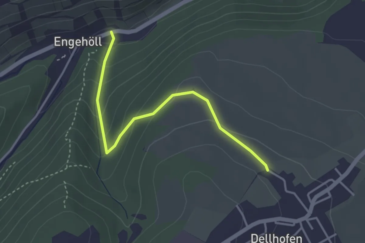
Easy · Trail
Wanderweg 54: Dellhofen-Enghoell
3.1 km · ↑ 165 m · 1 h 5 min
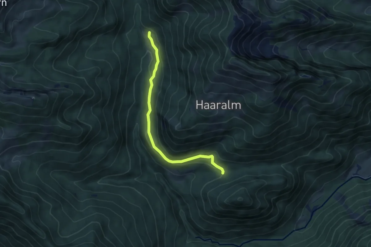
Easy · Trail
Wanderweg 54 - Ruhpolding
5.5 km · ↑ 166 m · 1 h 39 min
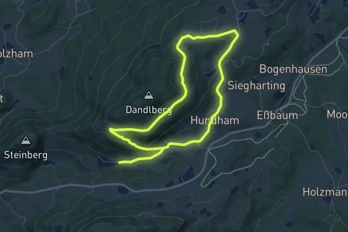
Medium · Trail
Wanderweg 54 - Samerberg
11.9 km · ↑ 372 m · 3 h 37 min
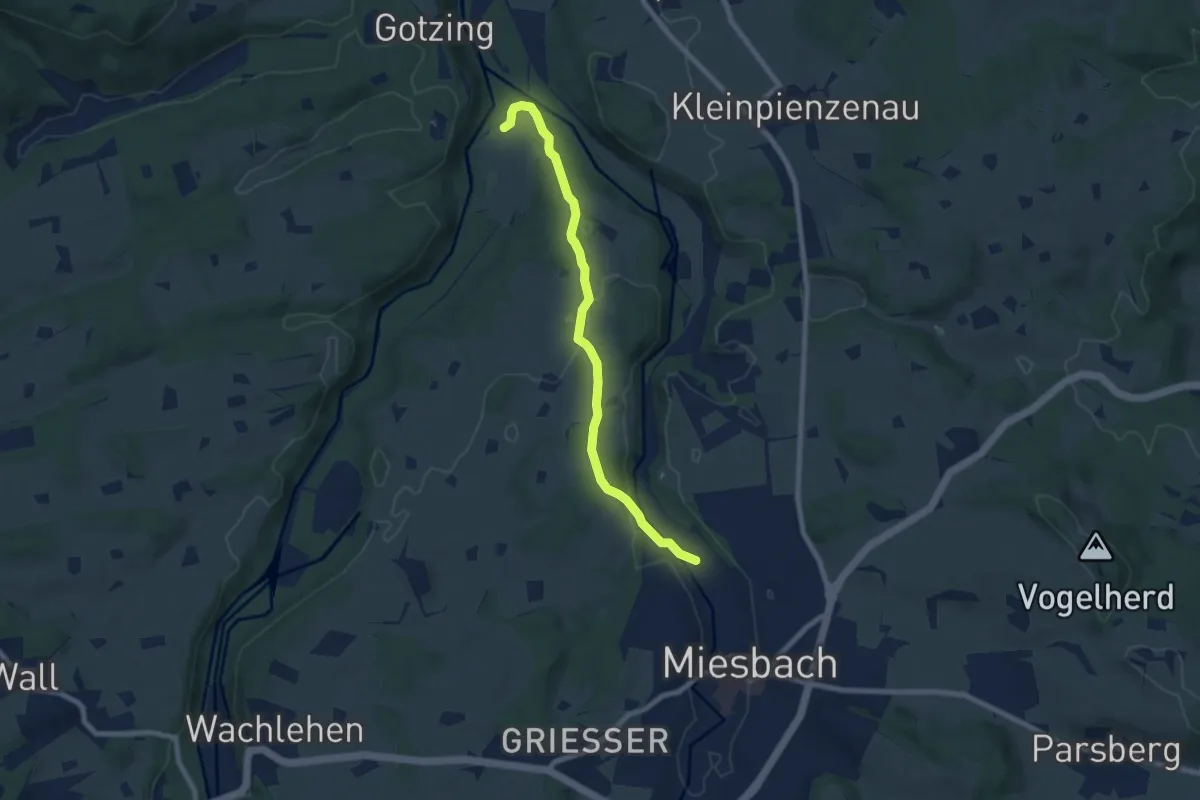
Easy · Trail
Wanderweg 550a - Wasserschloß/Miesbach
7.4 km · ↑ 140 m · 2 h 3 min
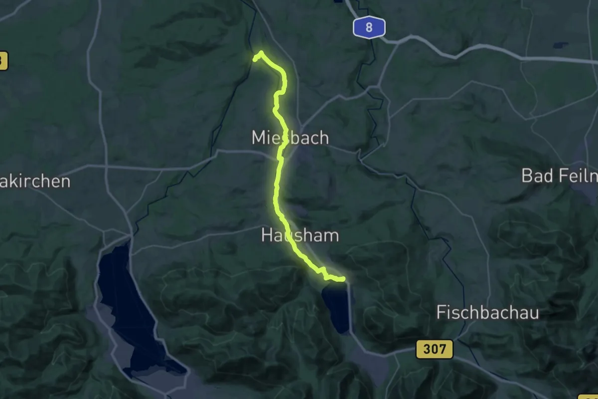
Demanding · Trail
Wanderweg 550 - Wasserschloß/Miesbach/Hausham/Schliersee
28.1 km · ↑ 254 m · 7 h 11 min
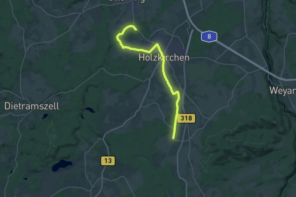
Demanding · Trail
Wanderweg 551
22.1 km · ↑ 132 m · 5 h 30 min
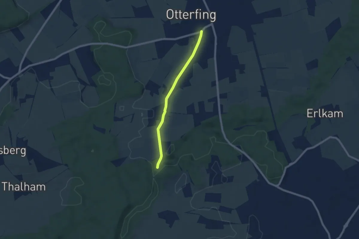
Easy · Trail
Wanderweg 552a - Otterfing
4.5 km · ↑ 22 m · 1 h 7 min
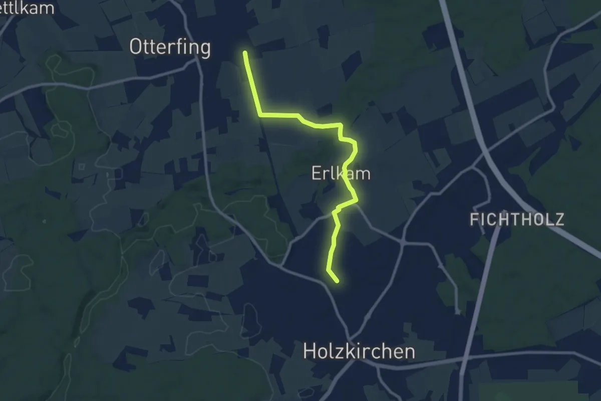
Medium · Trail
Wanderweg 552b Otterfing - Holzkirchen
8.2 km · ↑ 31 m · 2 h
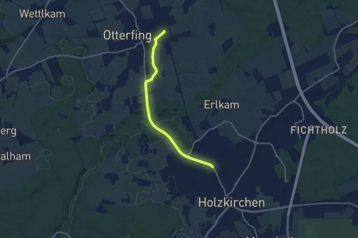
Easy · Trail
Wanderweg 552 - Otterfing
7.9 km · ↑ 67 m · 2 h 1 min
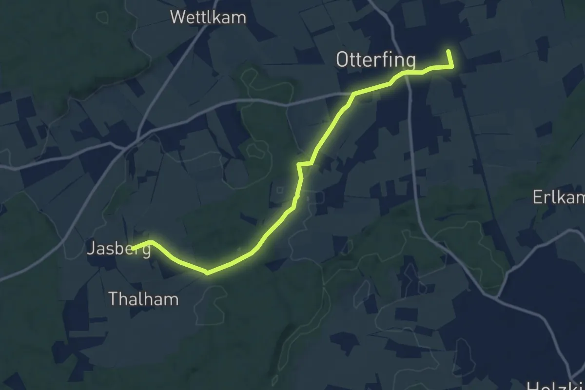
Medium · Trail
Wanderweg 553 - Otterfing
10.0 km · ↑ 118 m · 2 h 37 min
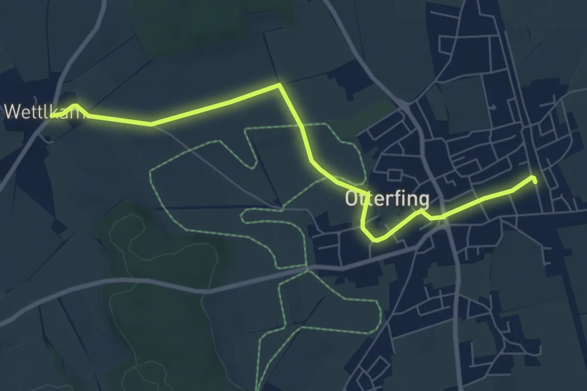
Easy · Trail
Wanderweg 554
6.8 km · ↑ 27 m · 1 h 39 min
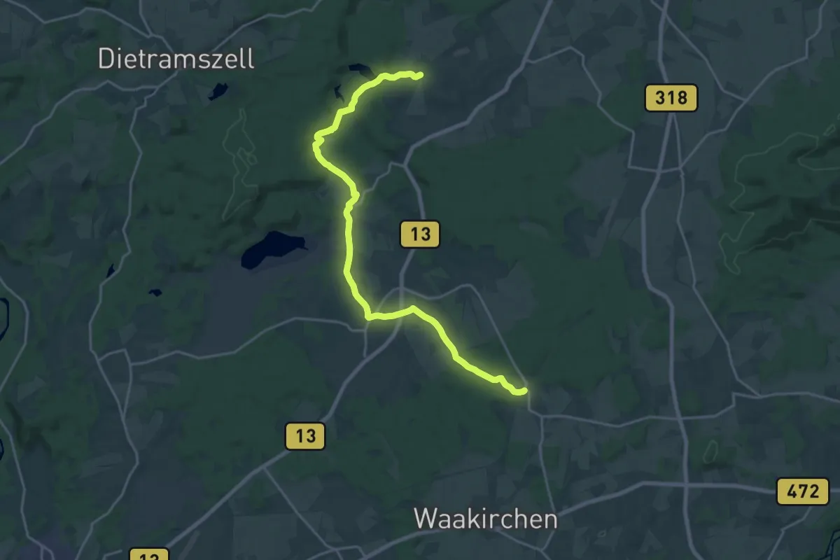
Demanding · Trail
Wanderweg 556
20.9 km · ↑ 202 m · 5 h 22 min
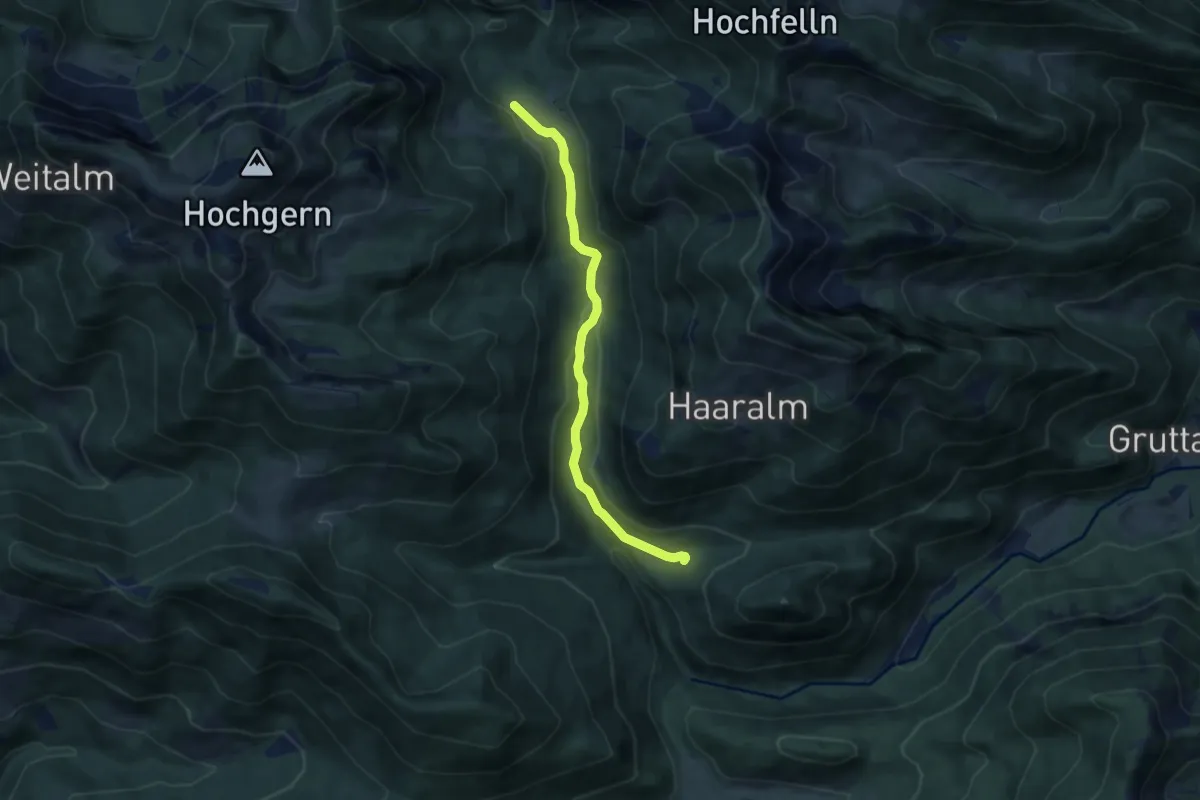
Easy · Trail
Wanderweg 55 - Ruhpolding
7.3 km · ↑ 165 m · 2 h 5 min
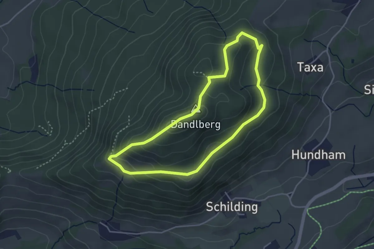
Medium · Summit
Wanderweg 55 - Samerberg
3.2 km · ↑ 129 m · 1 h 5 min
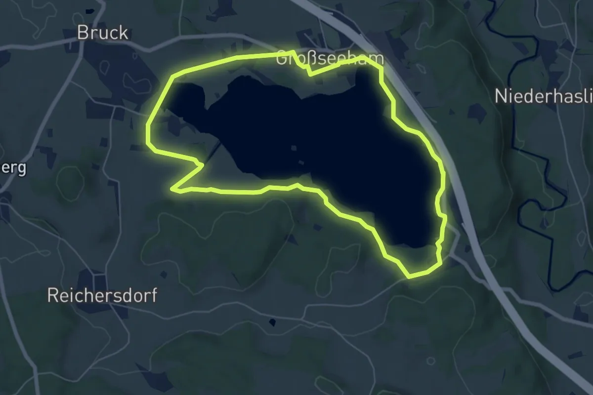
Easy · Trail
Wanderweg 566 - Seerundweg
6.2 km · ↑ 43 m · 1 h 39 min
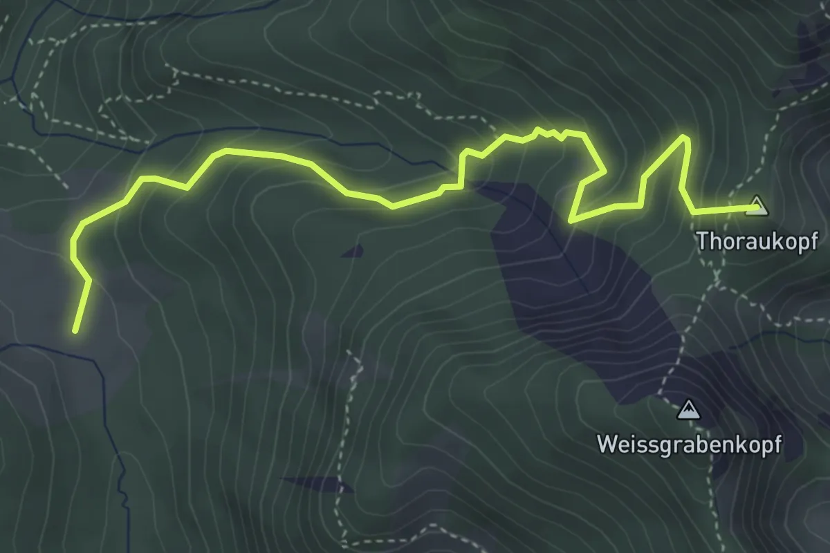
Medium · Summit
Wanderweg 56 - Ruhpolding
4.6 km · ↑ 388 m · 1 h 56 min
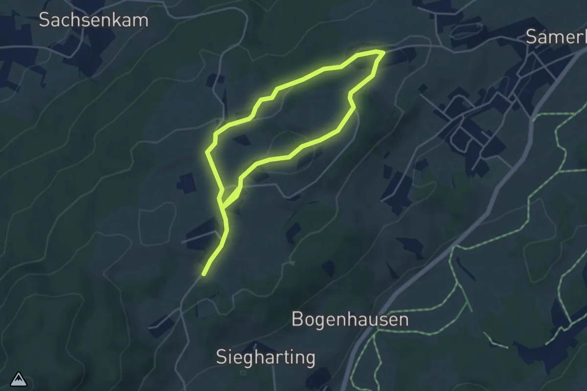
Easy · Trail
Wanderweg 56 - Samerberg
6.7 km · ↑ 181 m · 1 h 58 min
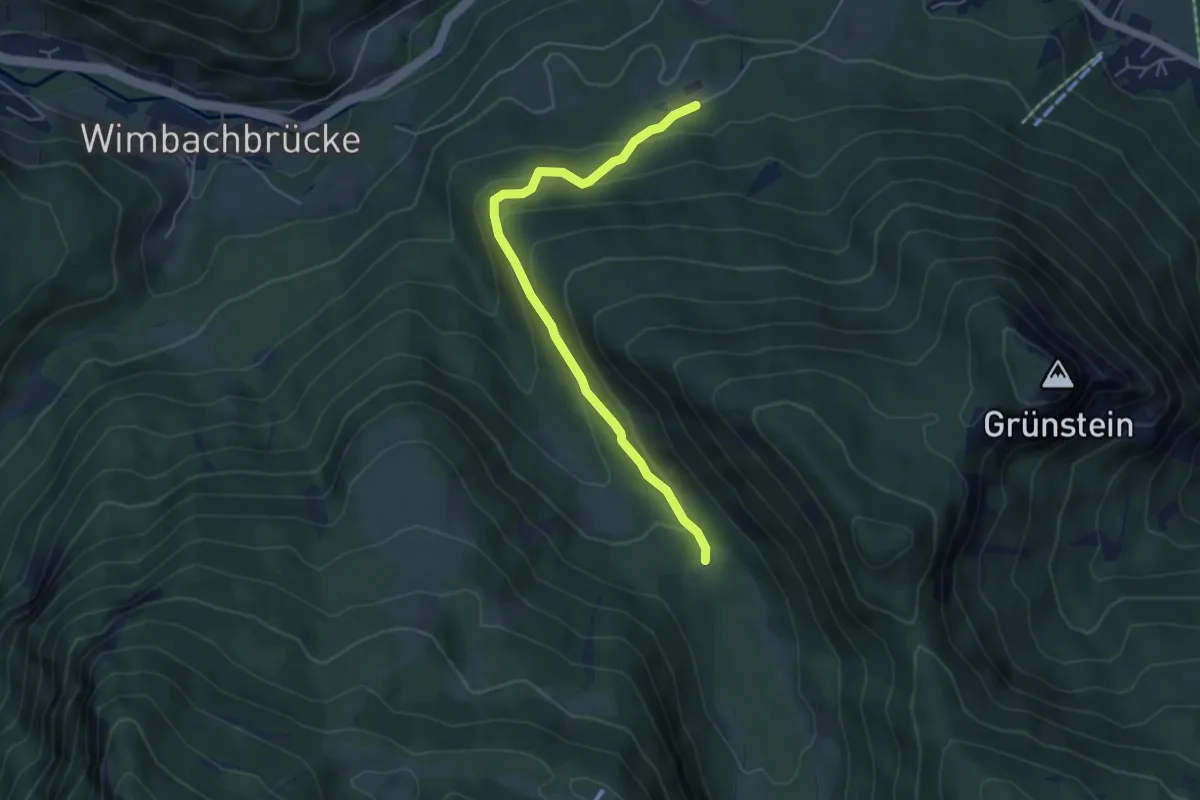
Easy · Trail
Wanderweg 57
4.9 km · ↑ 236 m · 1 h 41 min
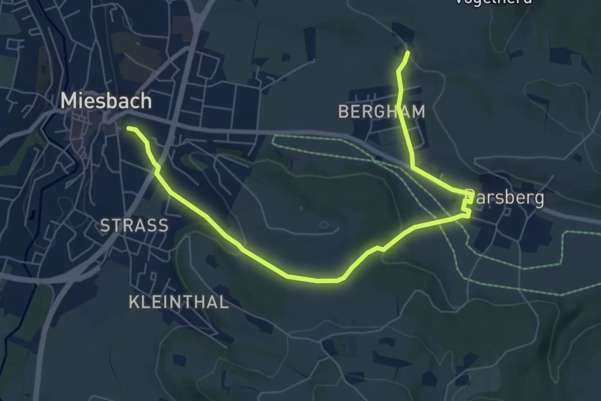
Easy · Trail
Wanderweg 570a - Miesbach/Irschenberg
7.5 km · ↑ 136 m · 2 h 4 min
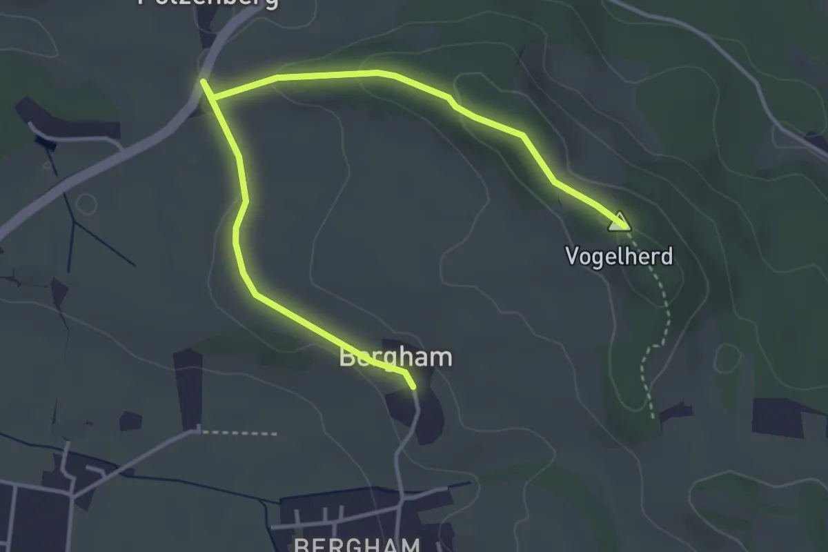
Easy · Summit
Wanderweg 570b
4.5 km · ↑ 81 m · 1 h 14 min
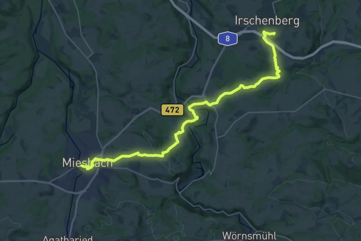
Demanding · Summit
Wanderweg 570 - Miesbach/Irschenberg
24.0 km · ↑ 485 m · 6 h 42 min
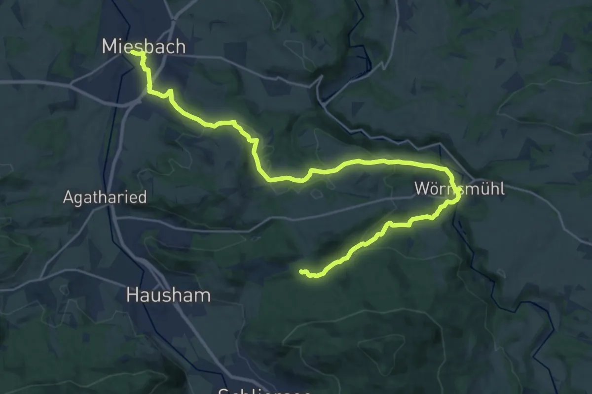
Demanding · Trail
Wanderweg 571a - Wörnsmühl/Miesbach
23.3 km · ↑ 599 m · 6 h 48 min
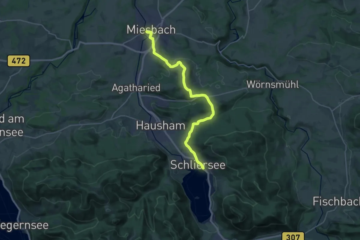
Demanding · Trail
Wanderweg 571 - Miesbach/Schliersee
20.0 km · ↑ 493 m · 5 h 48 min
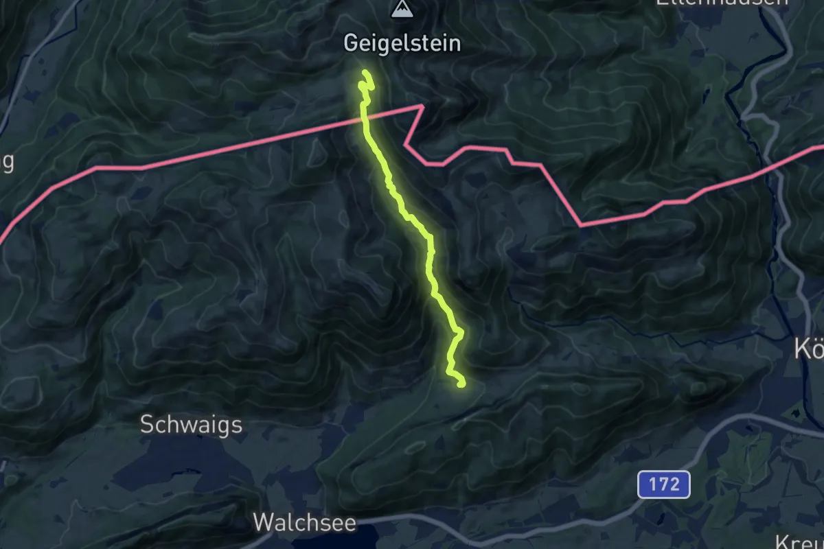
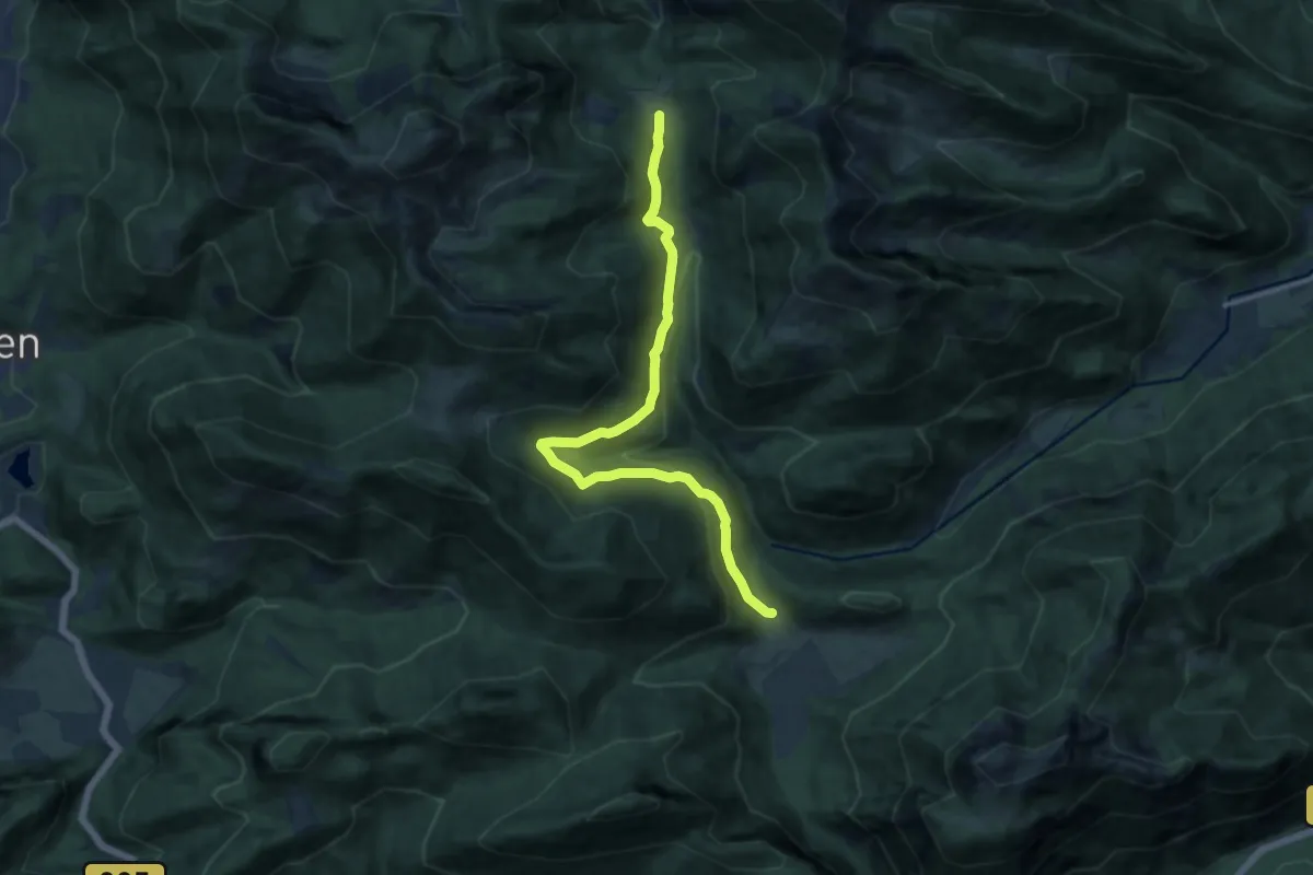
Medium · Trail
Wanderweg 57 - Kaiserwinkl
9.5 km · ↑ 537 m · 3 h 25 min
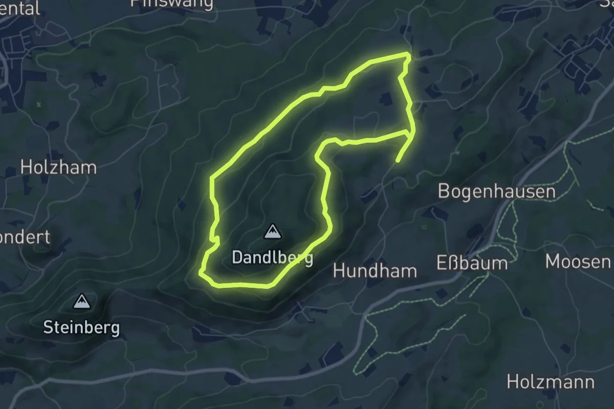
Medium · Trail
Wanderweg 57 - Ruhpolding
12.7 km · ↑ 450 m · 3 h 58 min
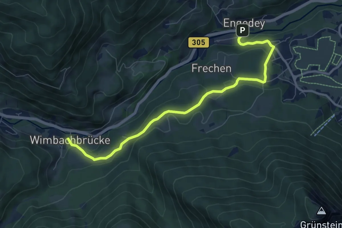
Easy · Trail
Wanderweg 57 - Samerberg
6.5 km · ↑ 202 m · 2 h 3 min
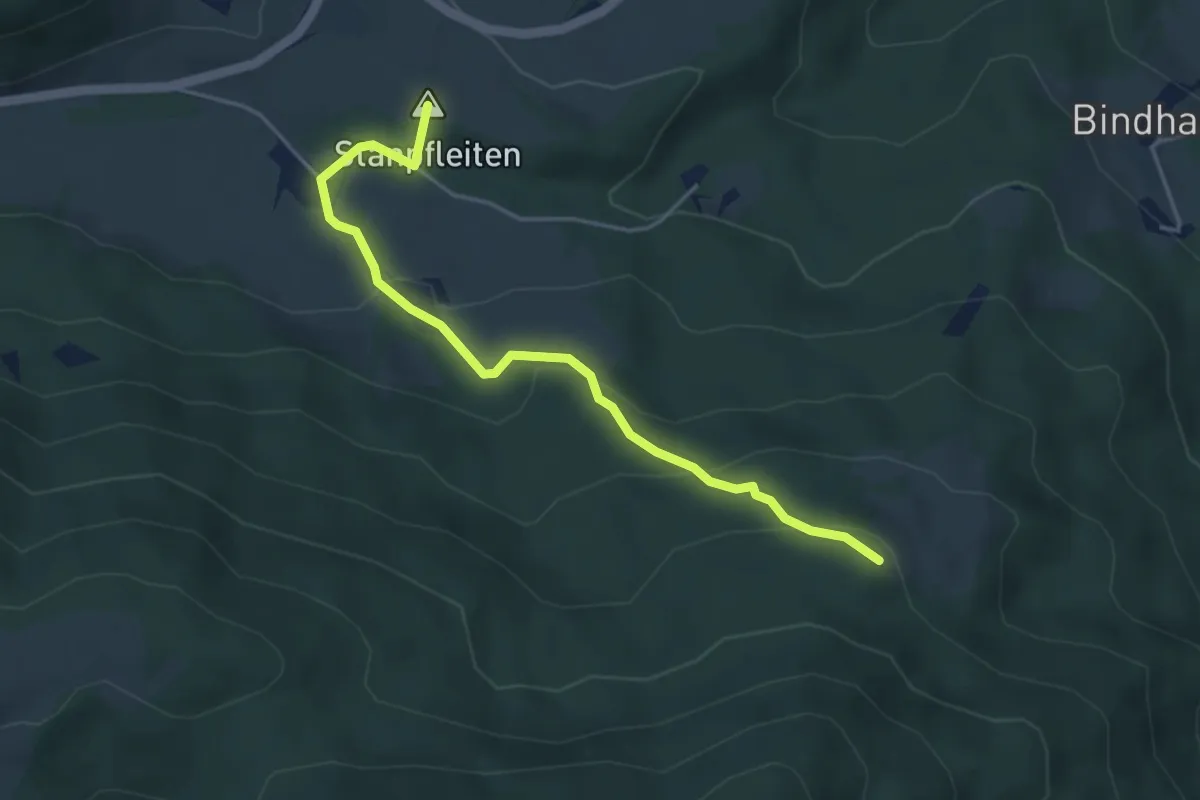
Easy · Trail
Wanderweg 58
8.0 km · ↑ 264 m · 2 h 28 min
Medium · Summit
Wanderweg 588 - Fischbachau
4.3 km · ↑ 183 m · 1 h 25 min