Trails in Germany
36,852 hiking trails, each with its route, climb, walking time and grade.
All trails, page 686 of 768
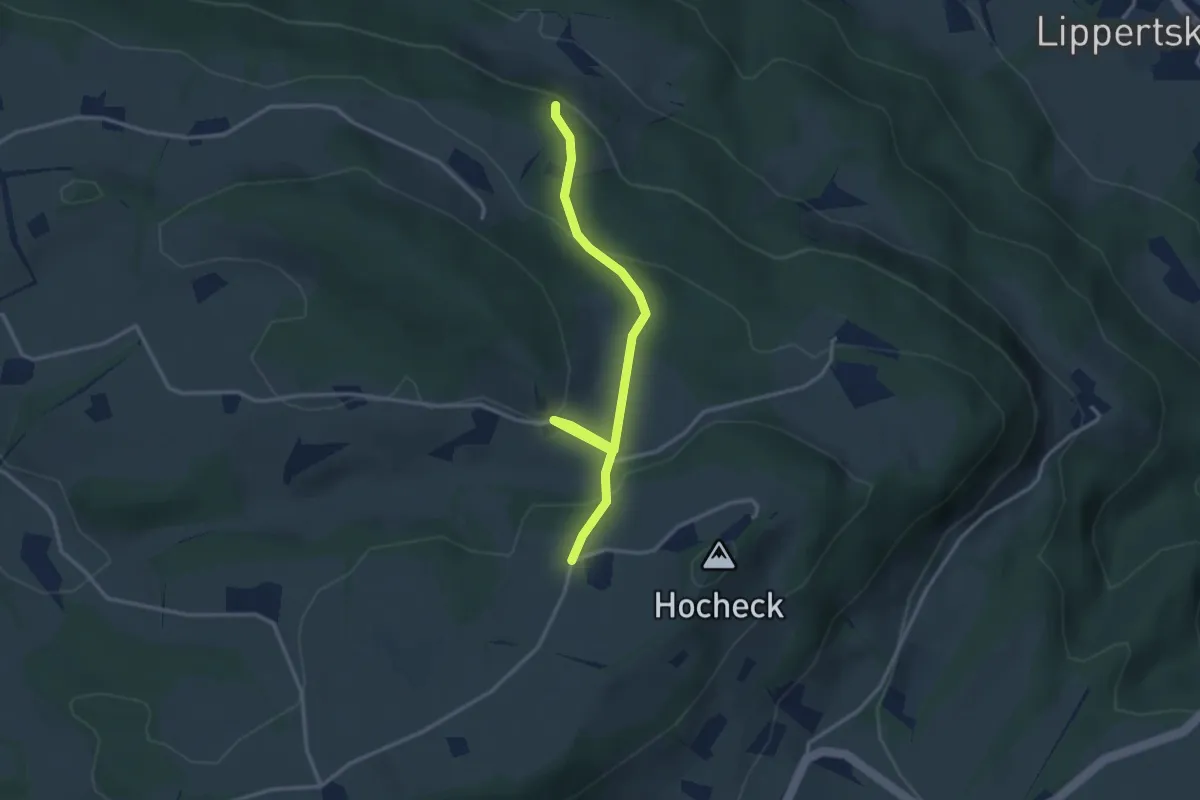
Easy · Trail
Wanderweg 589a - Fischbachau
3.2 km · ↑ 124 m · 1 h 2 min
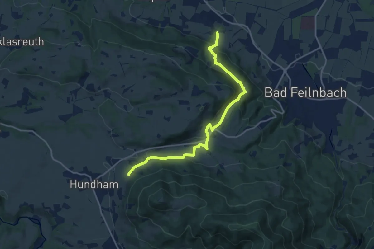
Medium · Trail
Wanderweg 589 - Fischbachau
11.7 km · ↑ 390 m · 3 h 37 min
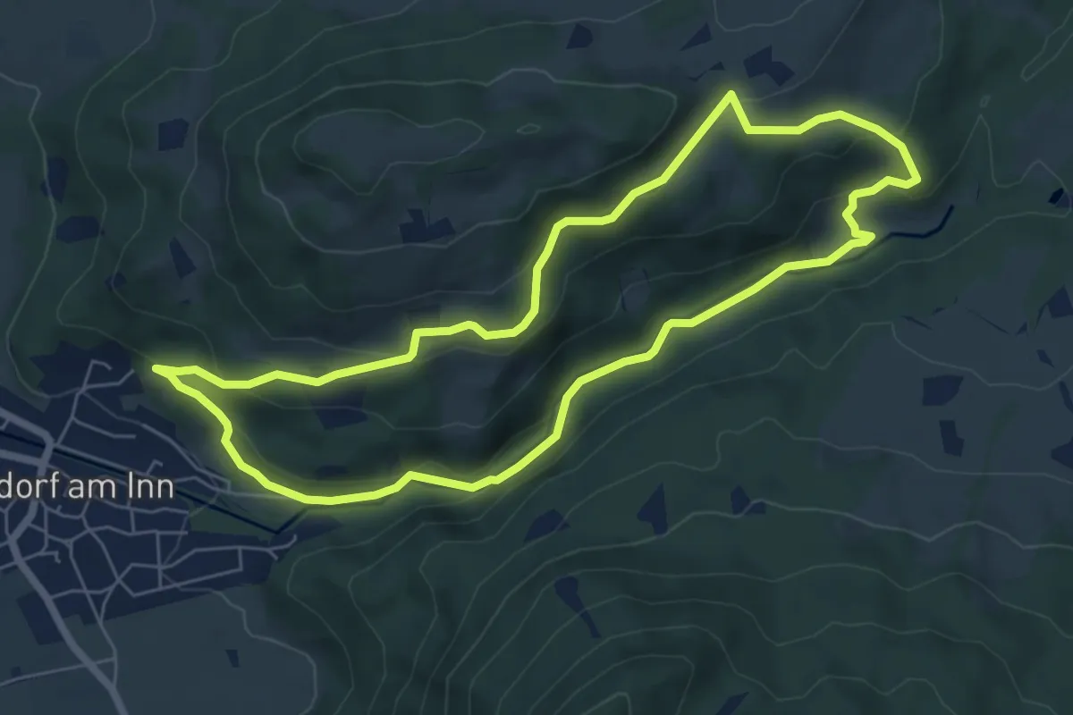
Easy · Trail
Wanderweg 58 - Samerberg
6.1 km · ↑ 267 m · 2 h 6 min
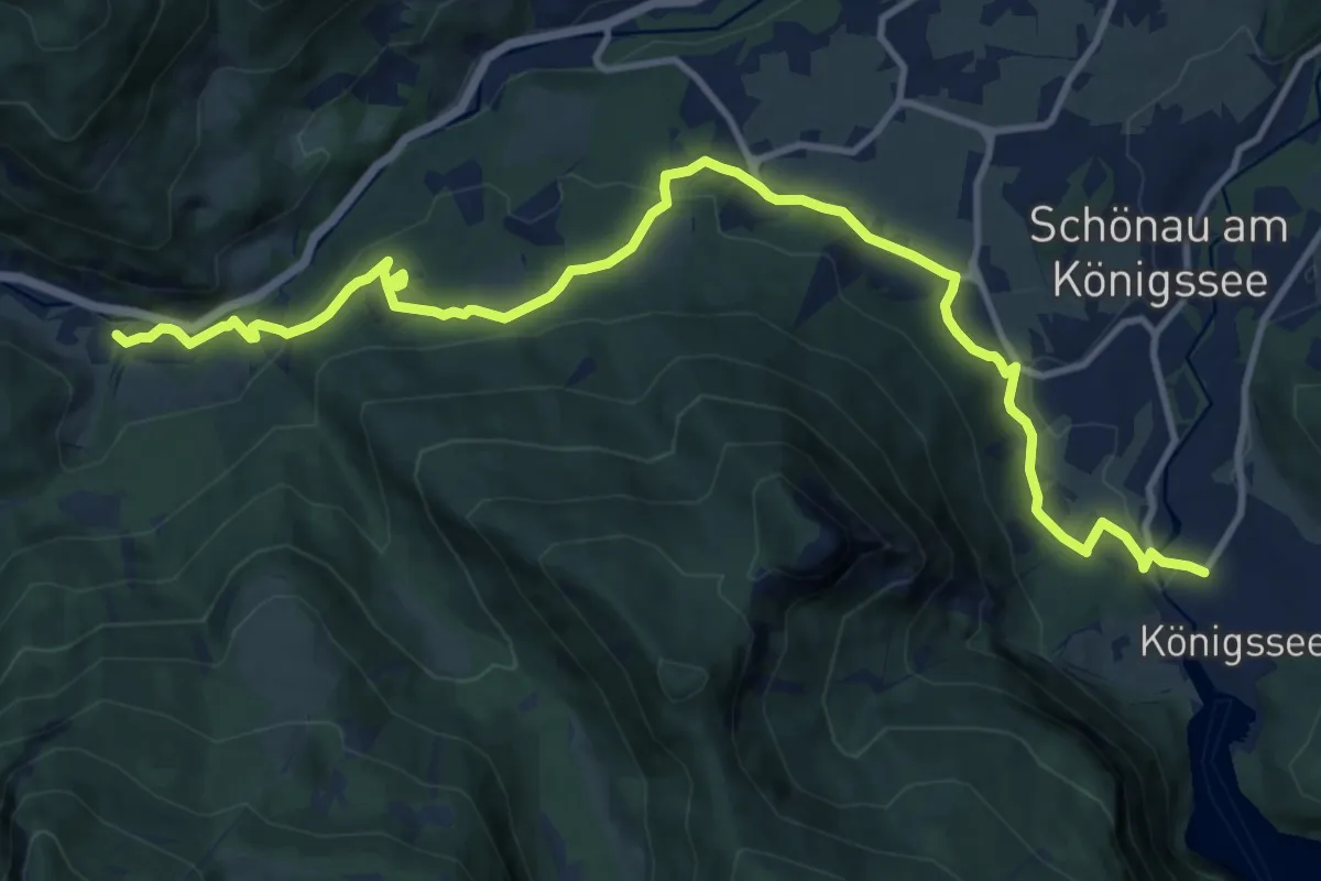
Medium · Trail
Wanderweg 59
14.3 km · ↑ 398 m · 4 h 14 min
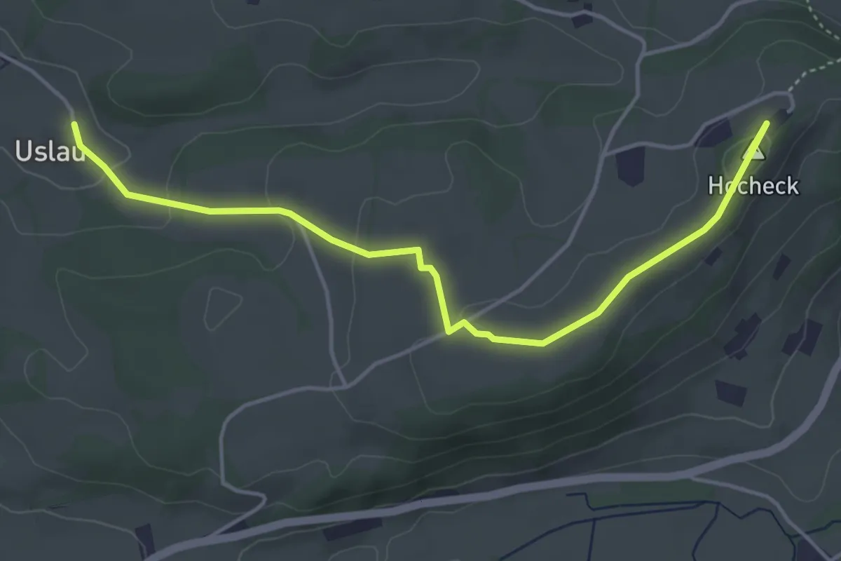
Easy · Summit
Wanderweg 590a - Fischbachau
4.7 km · ↑ 108 m · 1 h 20 min
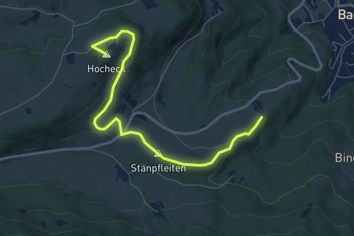
Easy · Summit
Wanderweg 590 - Fischbachau
6.4 km · ↑ 223 m · 2 h
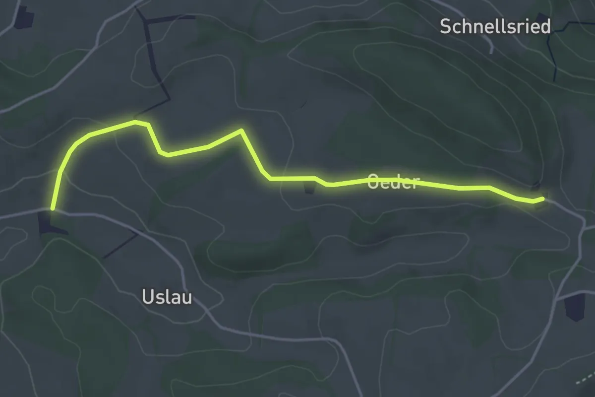
Easy · Trail
Wanderweg 591a - Fischbachau
4.2 km · ↑ 62 m · 1 h 7 min
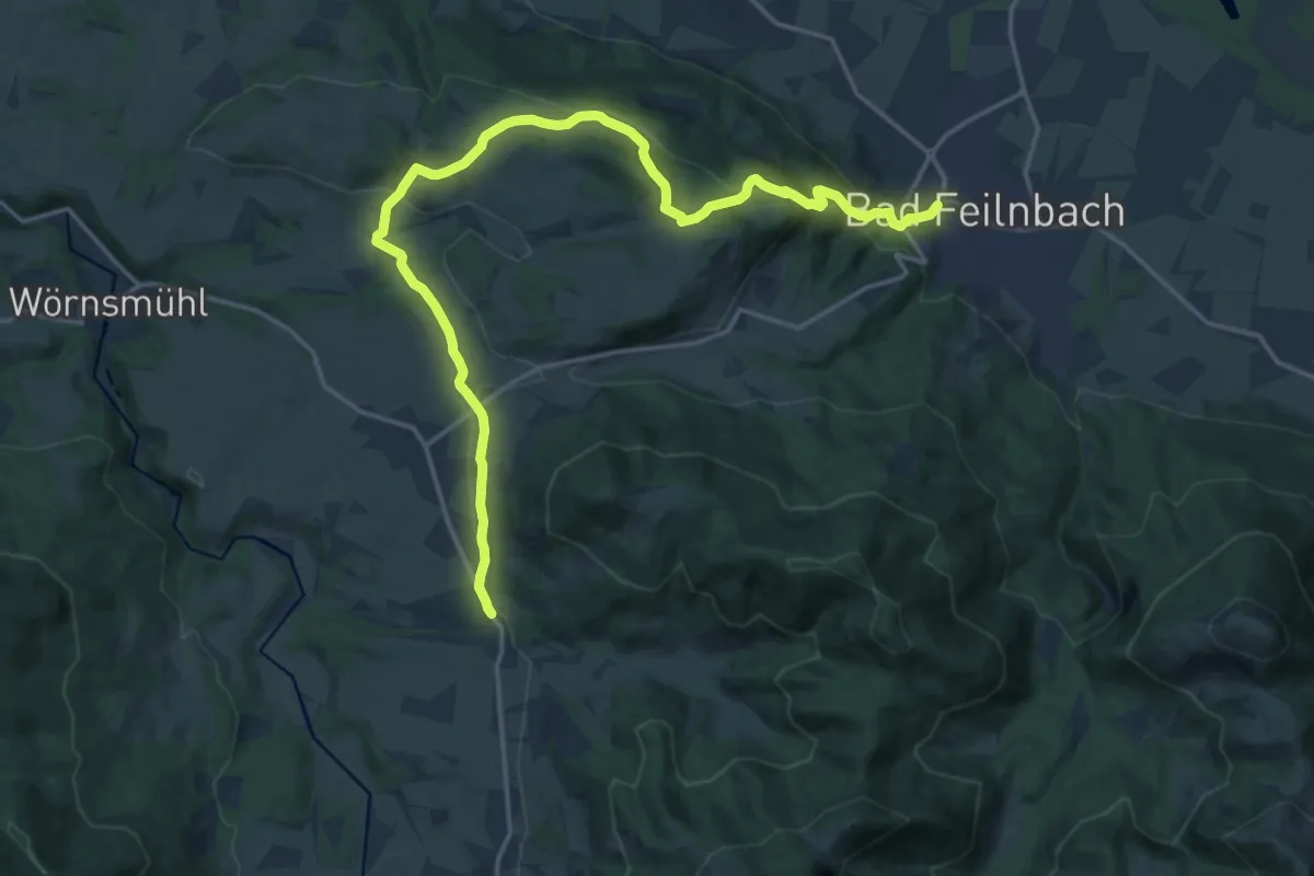
Demanding · Trail
Wanderweg 591 - Elbach - Bad Feilnbach
20.3 km · ↑ 616 m · 6 h 8 min
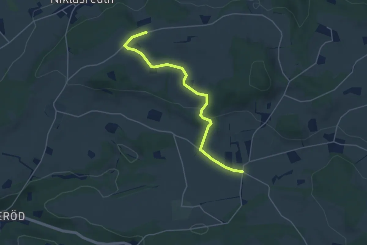
Easy · Trail
Wanderweg 592a - Fischbachau
4.0 km · ↑ 65 m · 1 h 6 min
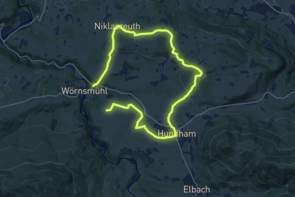
Demanding · Trail
Wanderweg 592 - Fischbachau
22.1 km · ↑ 437 m · 6 h 10 min
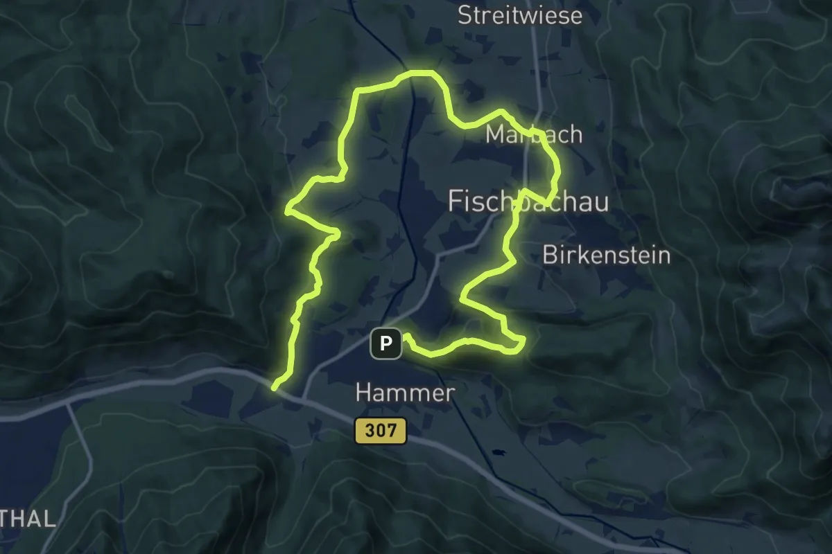
Demanding · Trail
Wanderweg 593 - Fischbachau
21.2 km · ↑ 742 m · 6 h 37 min
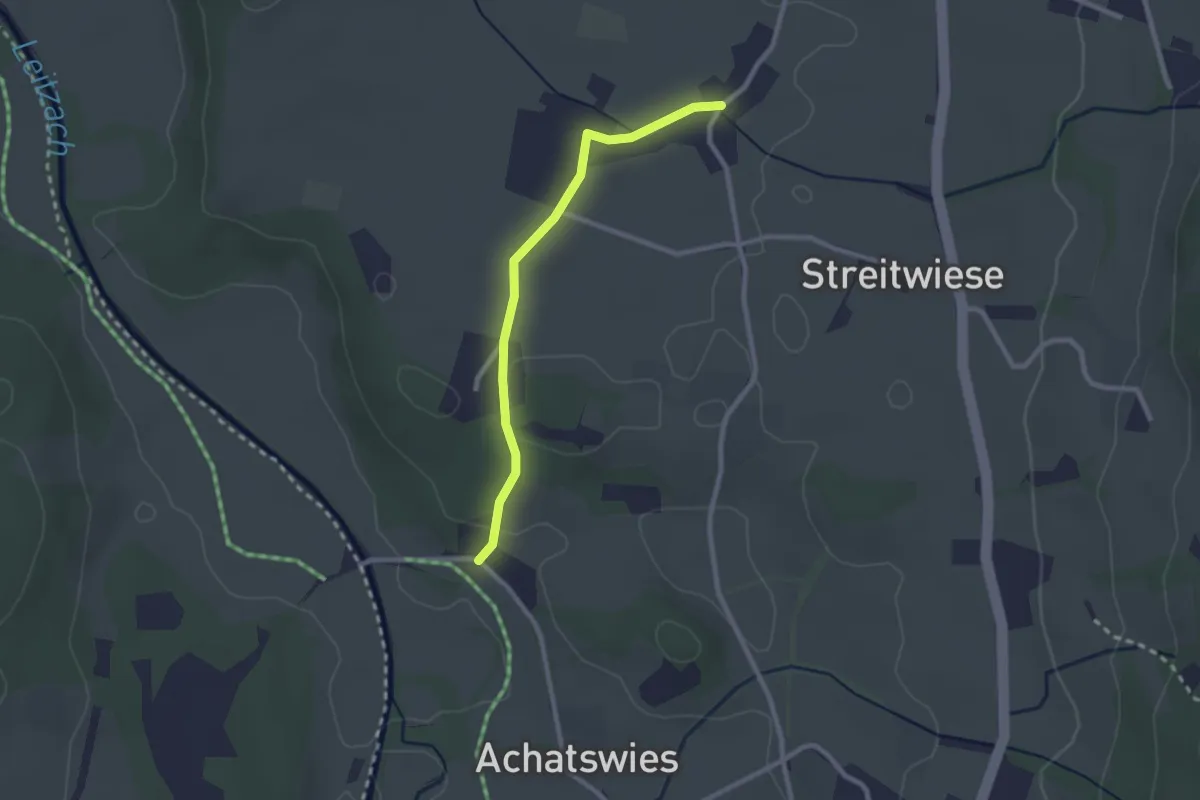
Easy · Trail
Wanderweg 594a - Fischbachau
2.3 km · ↑ 25 m · 35 min
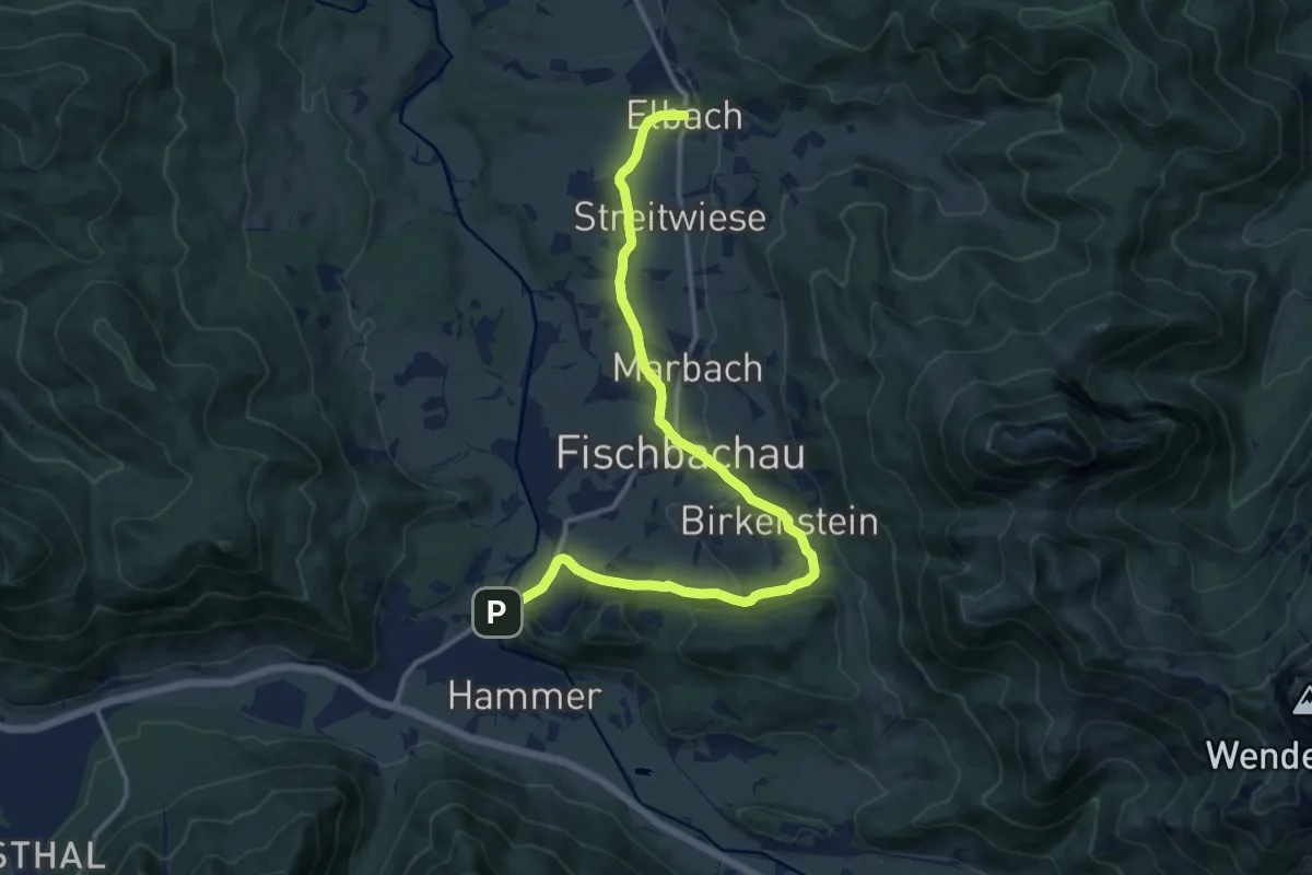
Medium · Trail
Wanderweg 594 - Fischbachau
13.6 km · ↑ 268 m · 3 h 47 min
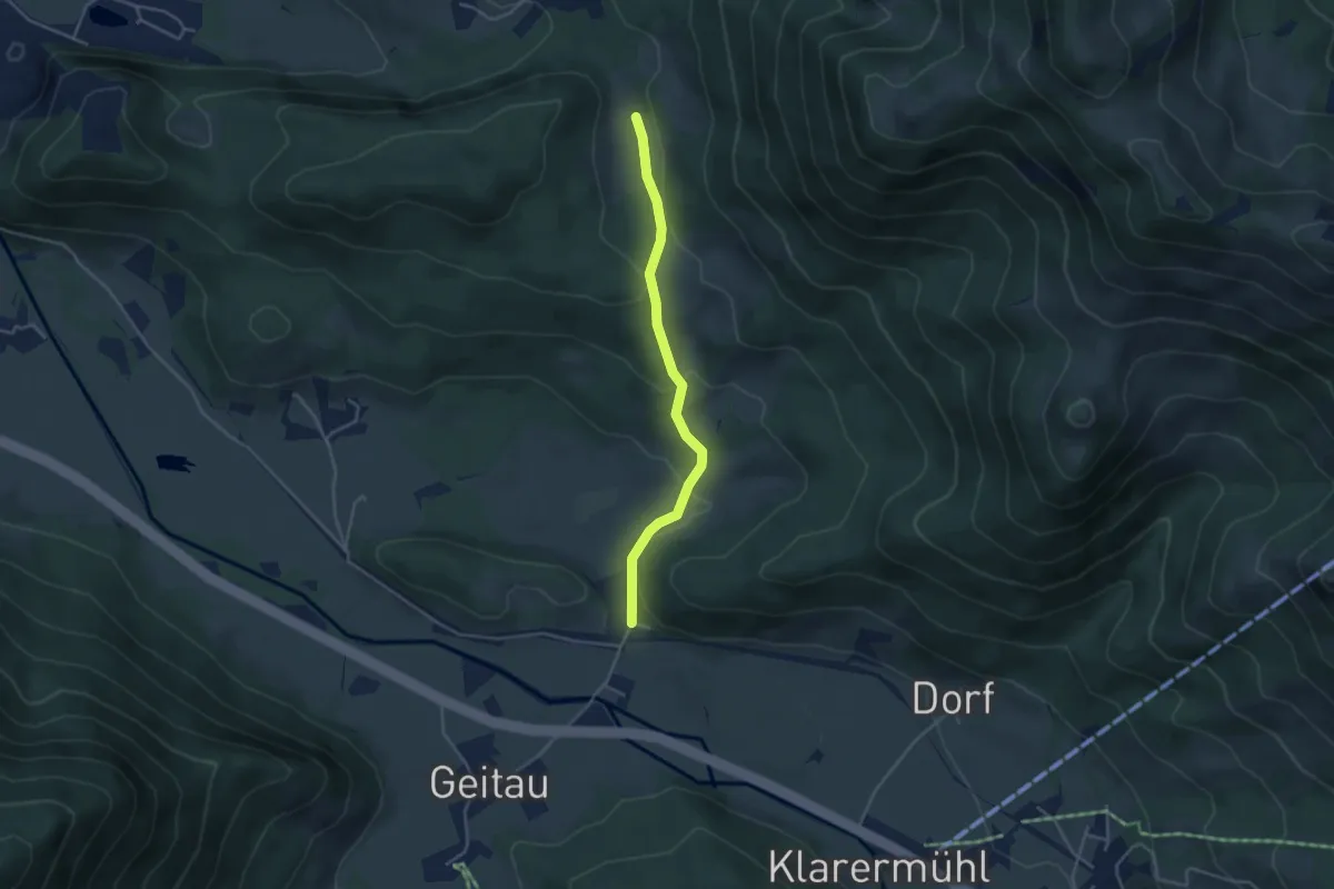
Easy · Trail
Wanderweg 595a - Bayrischzell
3.6 km · ↑ 126 m · 1 h 8 min
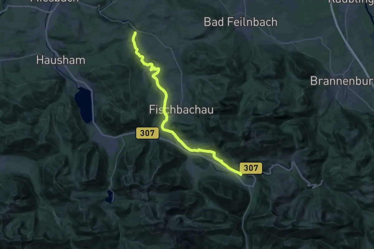
Medium · Trail
Wanderweg 595 - Bayrischzell - Birkenstein - Fischbachau - Neuhaus - Wörnsmühl
16.2 km · ↑ 281 m · 4 h 36 min
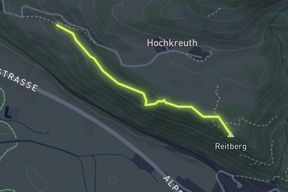
Medium · Summit
Wanderweg 595b - Bayrischzell - Osterhofen
2.6 km · ↑ 108 m · 50 min
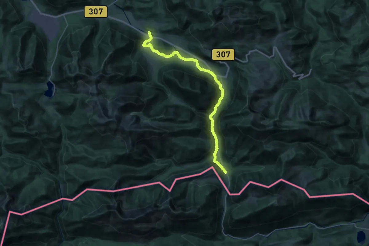
Demanding · Trail
Wanderweg 596 - Bayrischzell
25.0 km · ↑ 449 m · 6 h 53 min
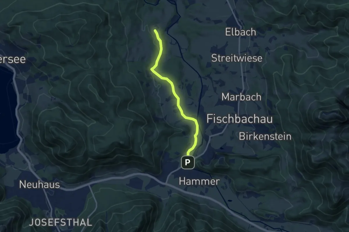
Medium · Trail
Wanderweg 597 - Fischbachau
9.1 km · ↑ 137 m · 2 h 26 min
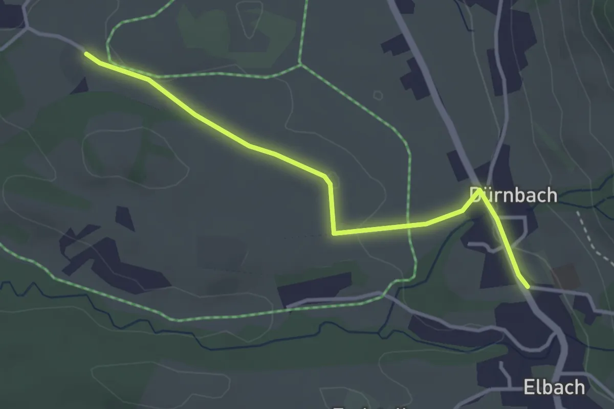
Easy · Trail
Wanderweg 599a - Fischbachau
3.2 km · ↑ 37 m · 50 min
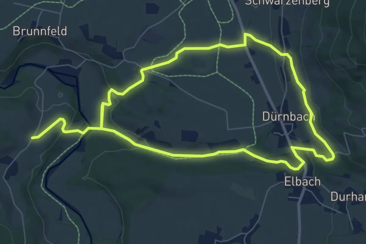
Medium · Trail
Wanderweg 599 - Fischbachau
12.4 km · ↑ 285 m · 3 h 33 min
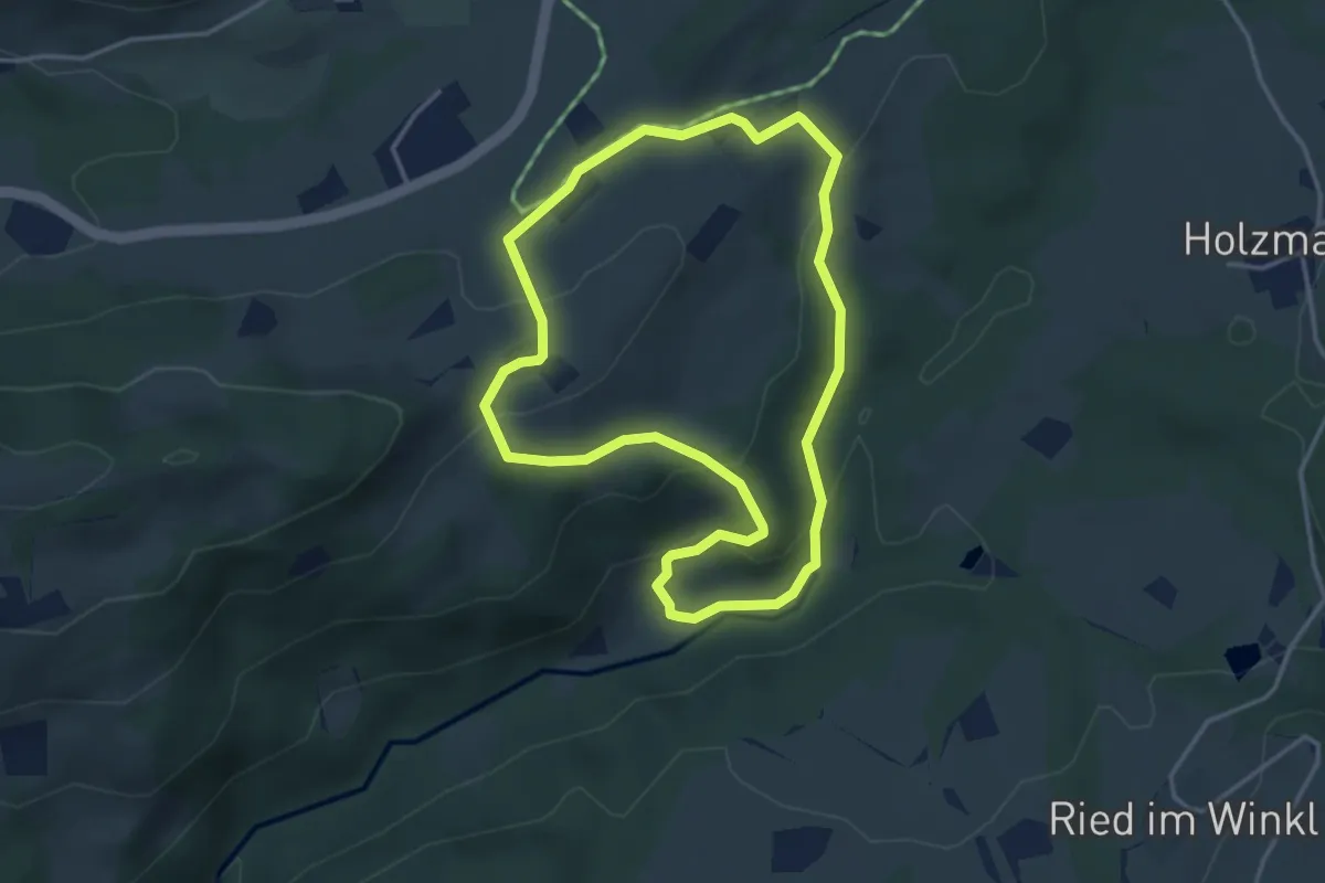
Easy · Trail
Wanderweg 59 - Samerberg
3.5 km · ↑ 138 m · 1 h 11 min
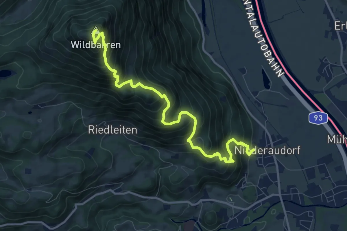
Demanding · Summit
Wanderweg 5a - Oberaudorf
9.9 km · ↑ 977 m · 4 h 27 min
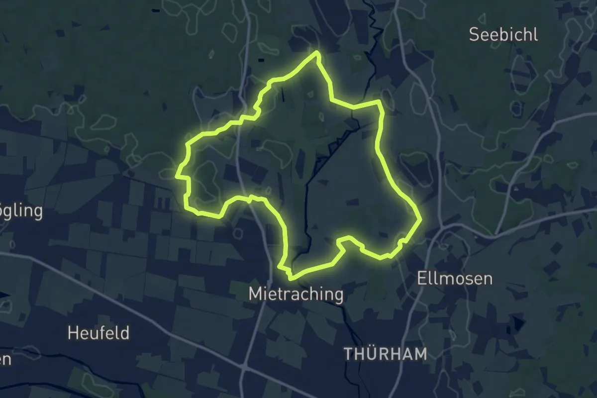
Medium · Trail
Wanderweg 5 - Bad Aibling
10.7 km · ↑ 82 m · 2 h 51 min
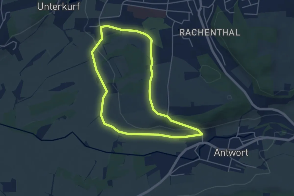
Easy · Trail
Wanderweg 5 - Bad Endorf
3.5 km · ↑ 46 m · 58 min
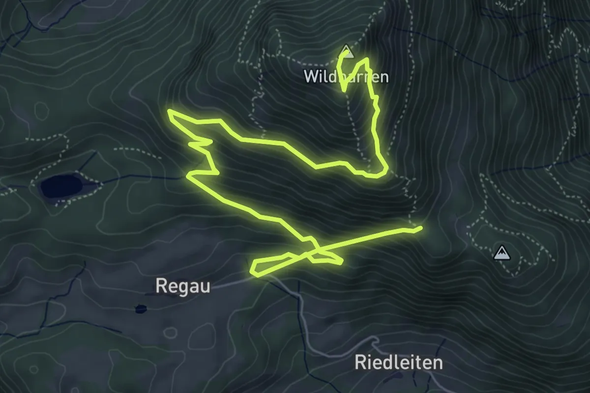
Demanding · Summit
Wanderweg 5b - Oberaudorf
8.9 km · ↑ 809 m · 3 h 51 min
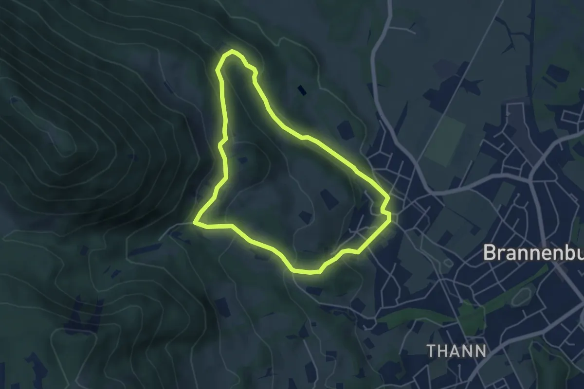
Medium · Trail
Wanderweg 5 - Brannenburg
4.3 km · ↑ 182 m · 1 h 28 min
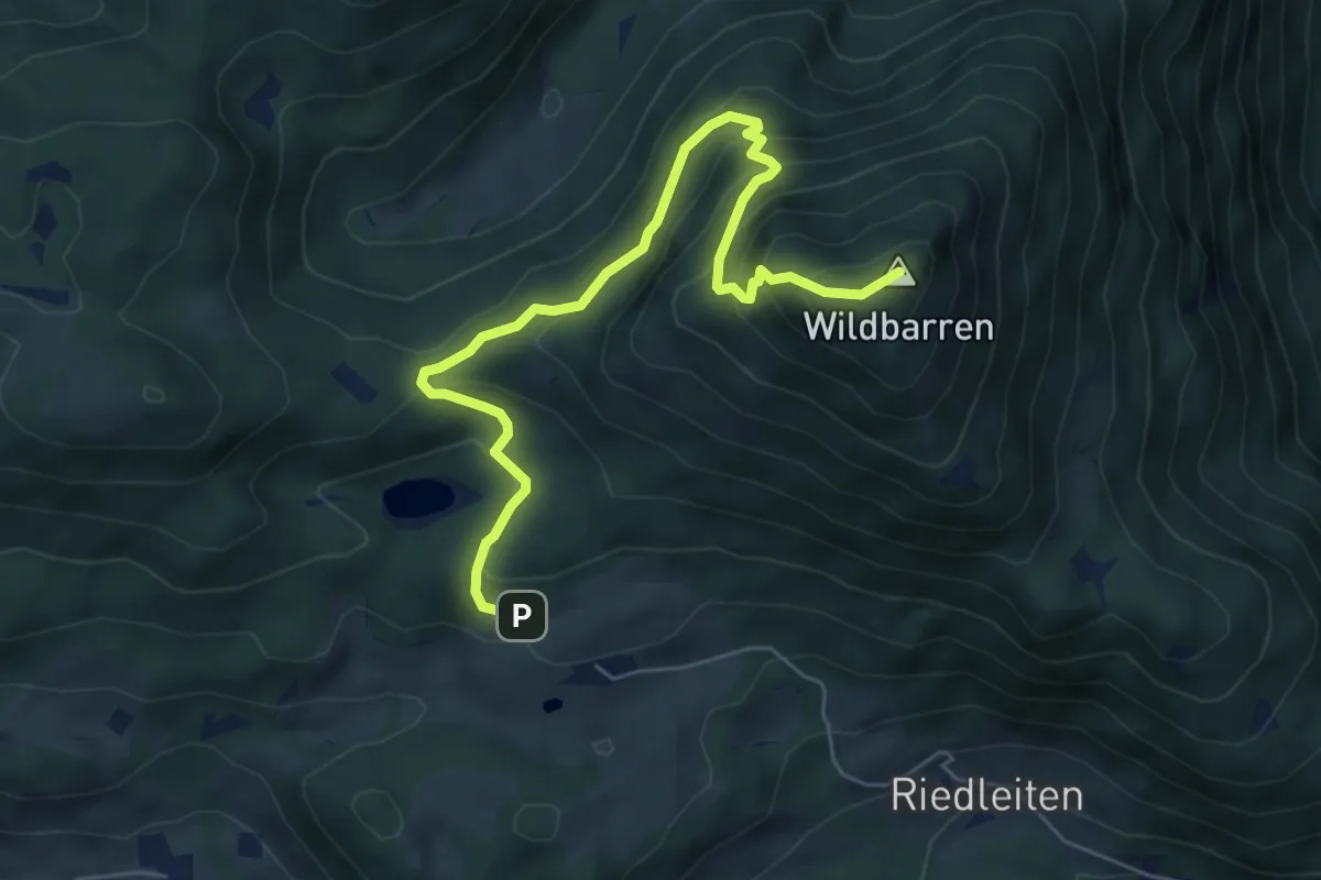
Medium · Summit
Wanderweg 5c - Oberaudorf
6.4 km · ↑ 568 m · 2 h 44 min
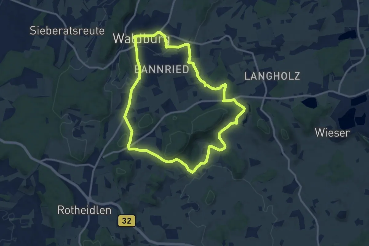
Medium · Trail
Wanderweg 5 der Gemeinde Waldburg
8.4 km · ↑ 148 m · 2 h 25 min
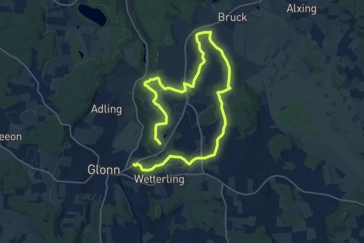
Demanding · Trail
Wanderweg 5, Glonn
22.3 km · ↑ 478 m · 6 h 18 min
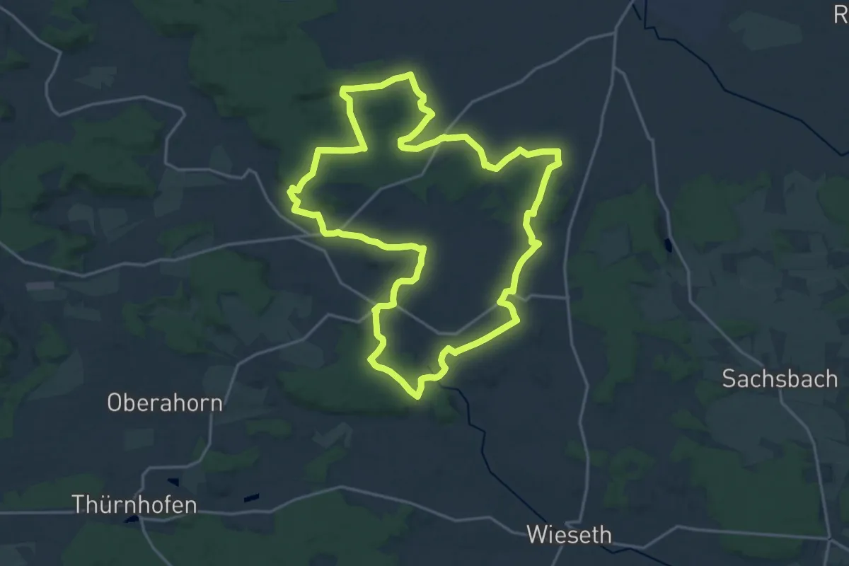
Demanding · Trail
Wanderweg 5 Herrieden
18.2 km · ↑ 266 m · 5 h 8 min
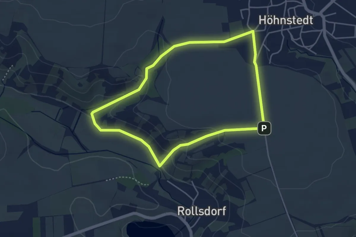
Easy · Trail
Wanderweg 5 Höhnstedt
3.3 km · ↑ 78 m · 1 h
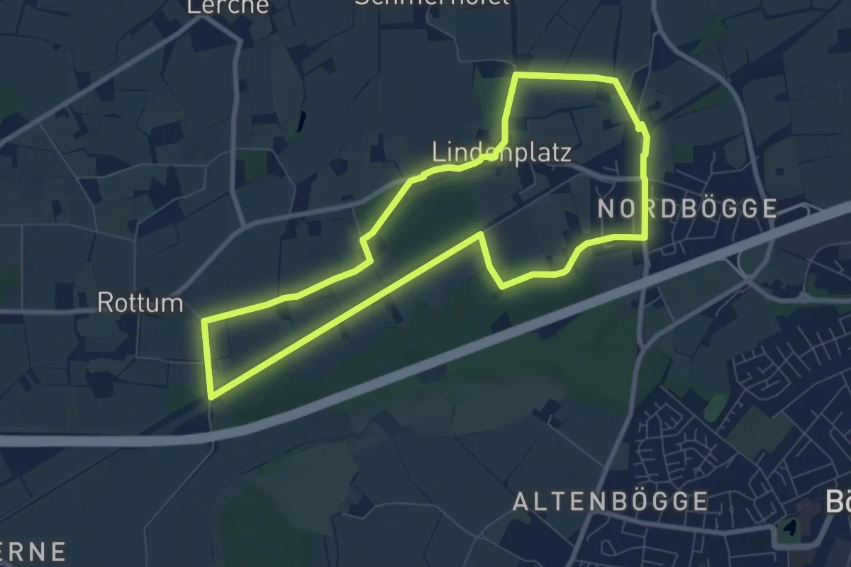
Easy · Trail
Wanderweg 5 Kamen
7.0 km · ↑ 23 m · 1 h 49 min
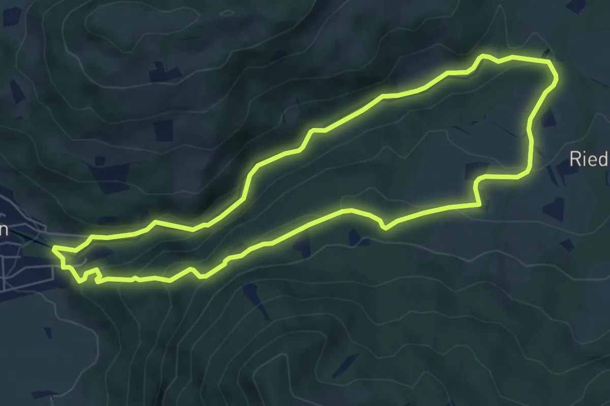
Medium · Trail
Wanderweg 5 - Nußdorf
6.4 km · ↑ 243 m · 2 h 8 min
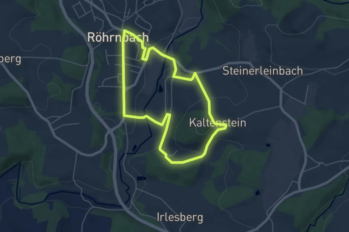
Easy · Trail
Wanderweg 5 Röhrnbach
4.3 km · ↑ 123 m · 1 h 21 min
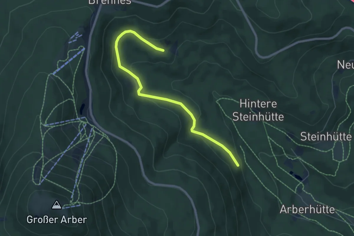
Easy · Trail
Wanderweg 5 (Rot)
6.0 km · ↑ 190 m · 1 h 49 min
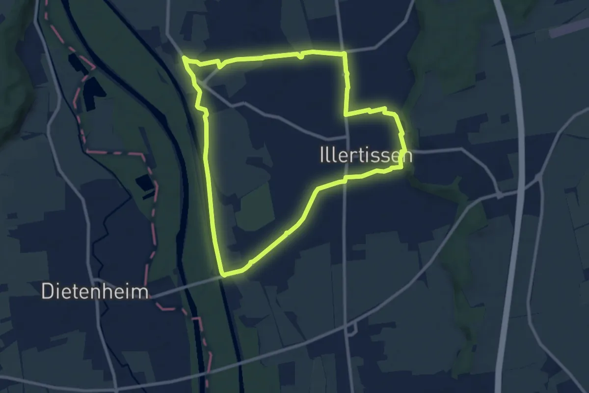
Easy · Trail
Wanderweg 5 Stadt Illertissen
7.7 km · ↑ 28 m · 2 h
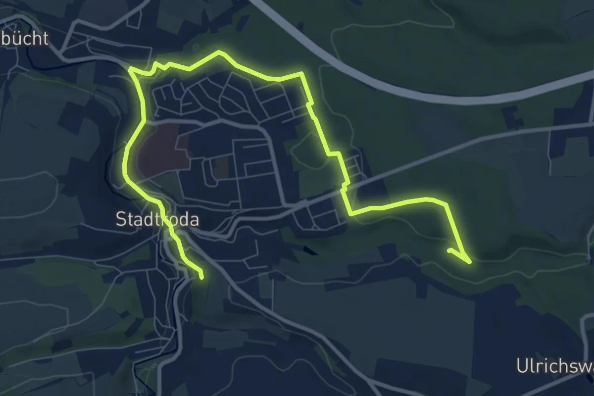
Easy · Trail
Wanderweg 5 Stadtroda
4.8 km · ↑ 39 m · 1 h 19 min
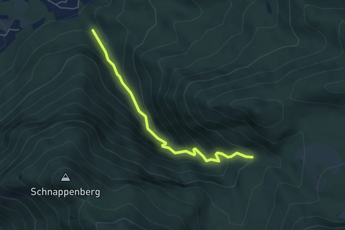
Medium · Trail
Wanderweg 5 - Staudach
4.1 km · ↑ 358 m · 1 h 45 min
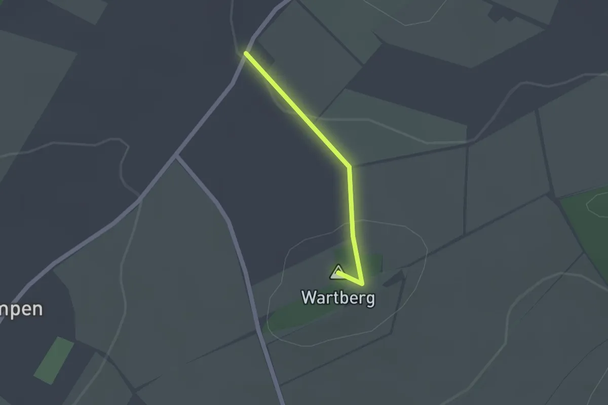
Easy · Summit
Wanderweg 5 Thiersheim
1.2 km · ↑ 28 m · 21 min
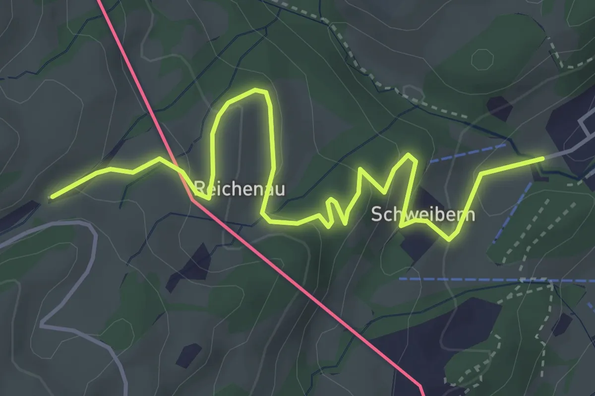
Easy · Trail
Wanderweg 5 - Von Sachrang zum Gasthof Moosbauer
4.6 km · ↑ 167 m · 1 h 27 min
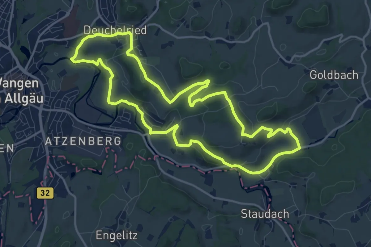
Medium · Trail
Wanderweg 5 Wangen im Allgäu
10.4 km · ↑ 238 m · 3 h 8 min
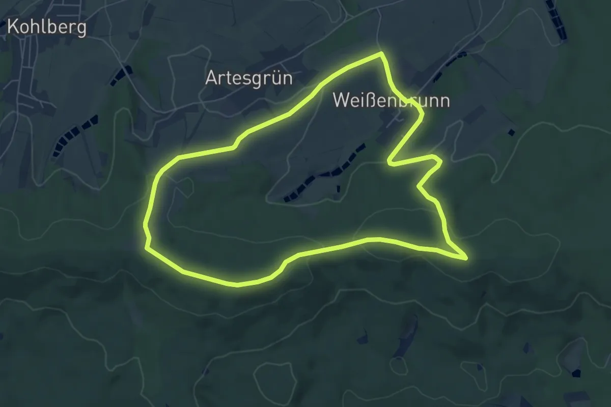
Easy · Summit
Wanderweg 6
6.9 km · ↑ 151 m · 2 h 2 min
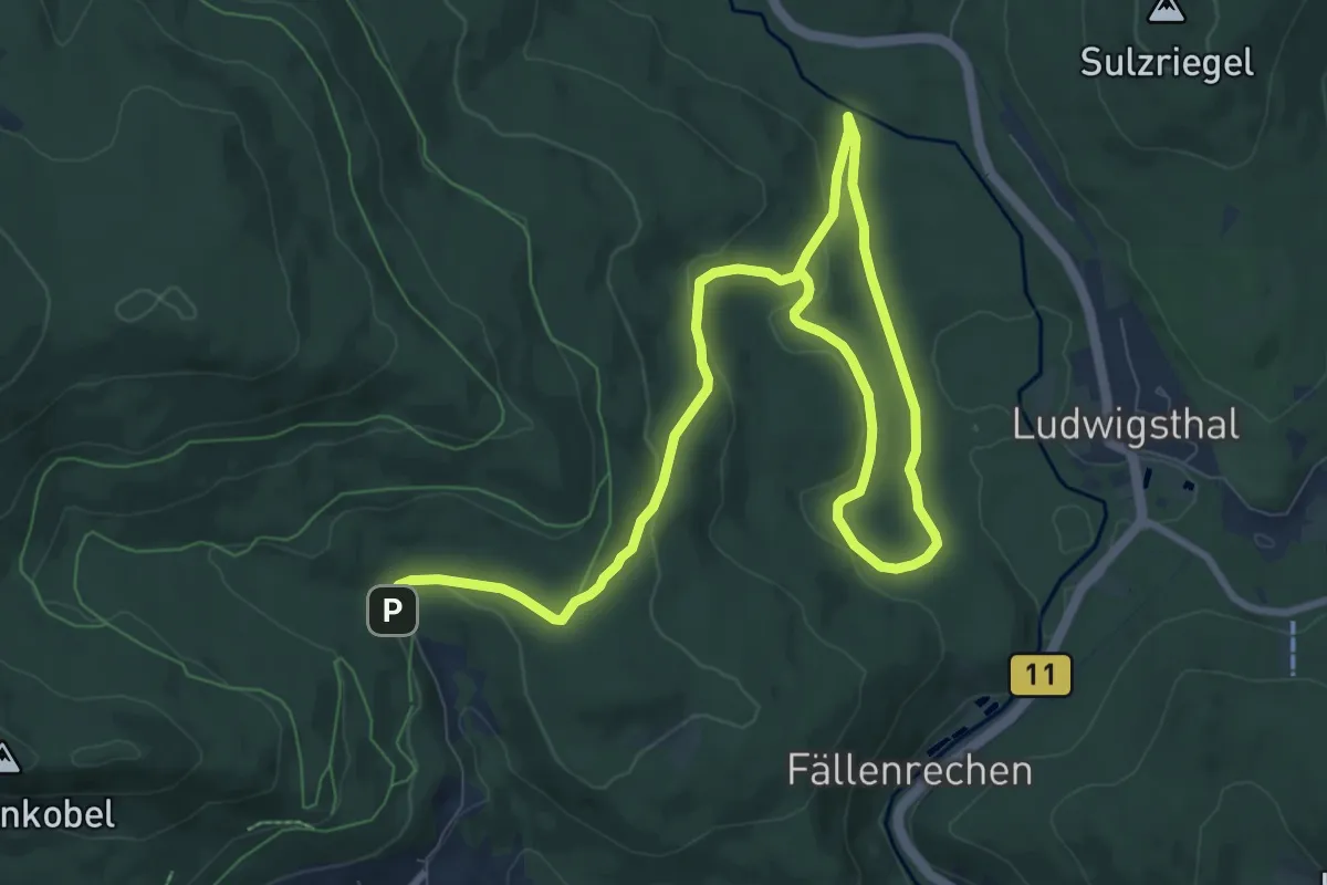
Medium · Trail
Wanderweg 6
12.6 km · ↑ 295 m · 3 h 37 min
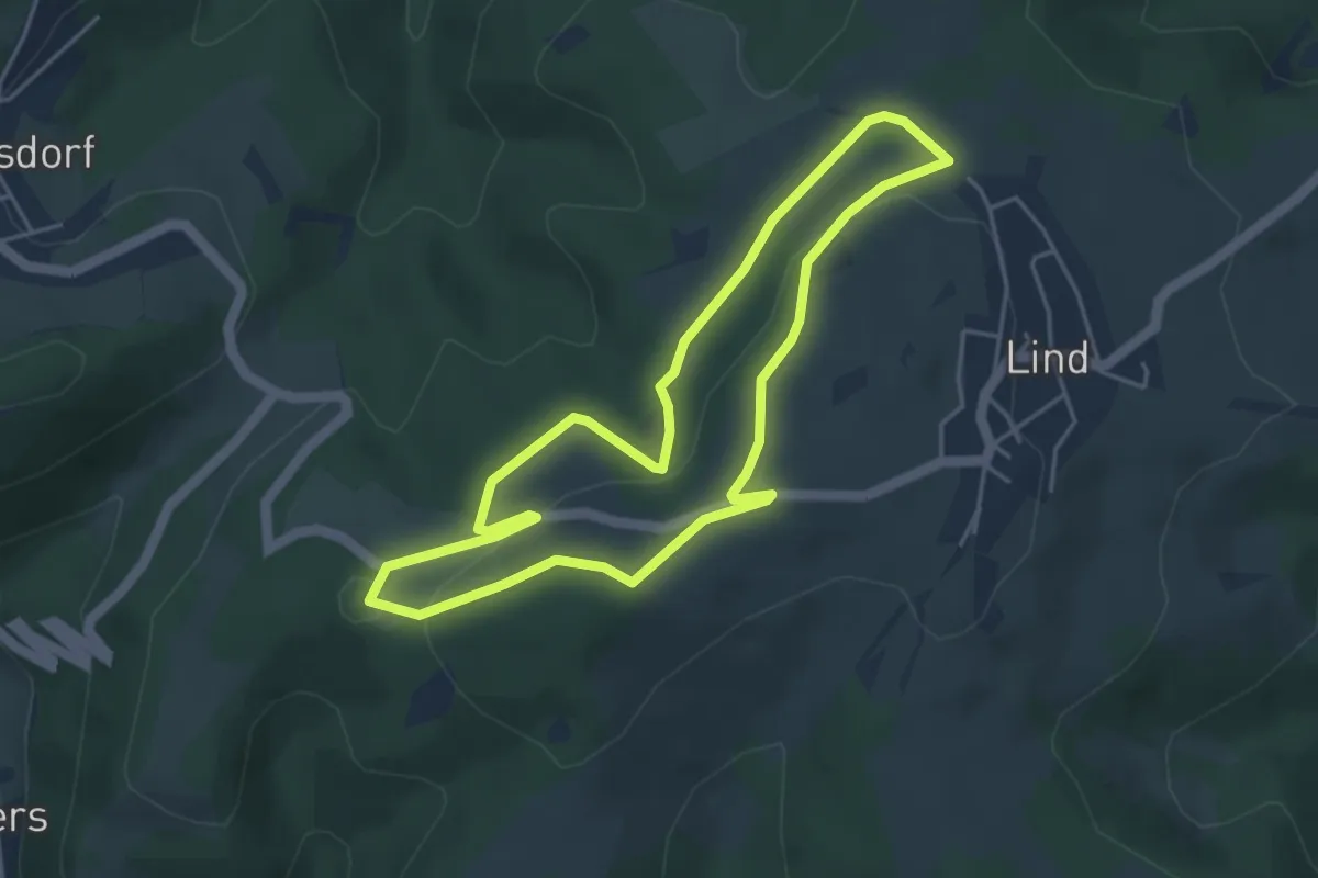
Easy · Summit
Wanderweg 6
3.9 km · ↑ 64 m · 1 h 7 min
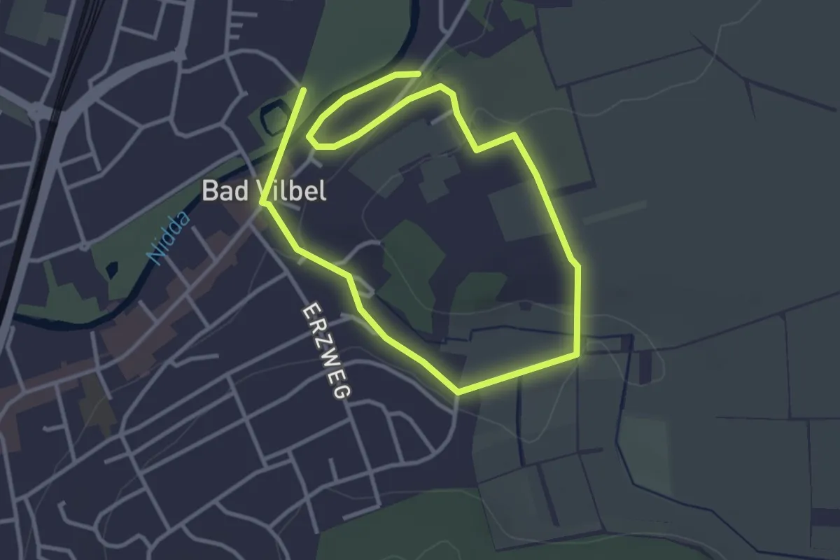
Easy · Trail
Wanderweg 6
2.6 km · ↑ 38 m · 44 min
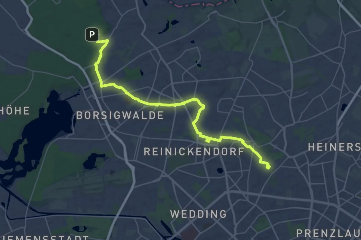
Demanding · Trail
Wanderweg 6
29.3 km · ↑ 45 m · 7 h 1 min
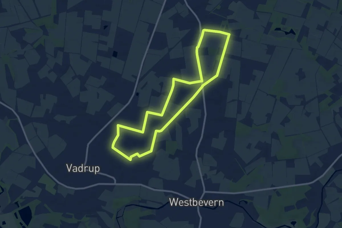
Easy · Trail
Wanderweg 6
7.7 km · ↑ 8 m · 1 h 57 min
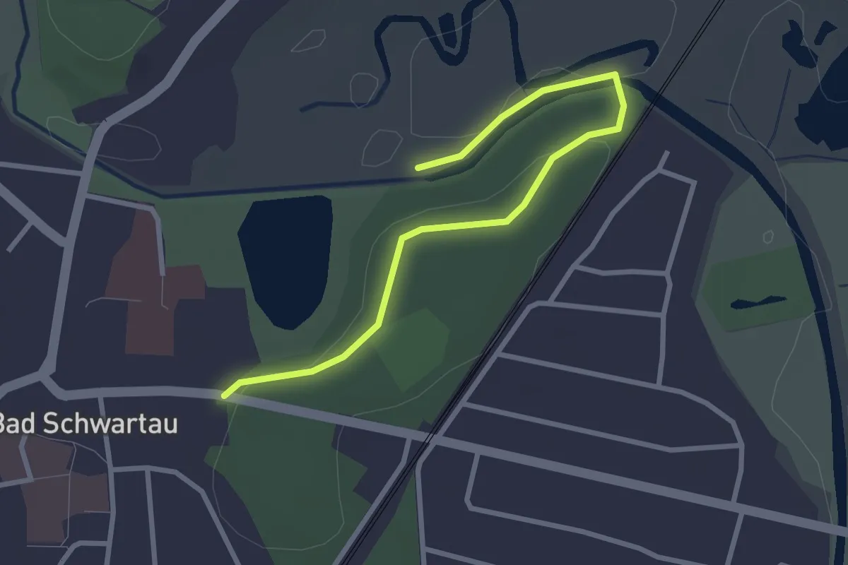
Easy · Trail
Wanderweg 6
2.6 km · ↑ 17 m · 39 min