Trails in Germany
36,852 hiking trails, each with its route, climb, walking time and grade.
All trails, page 687 of 768
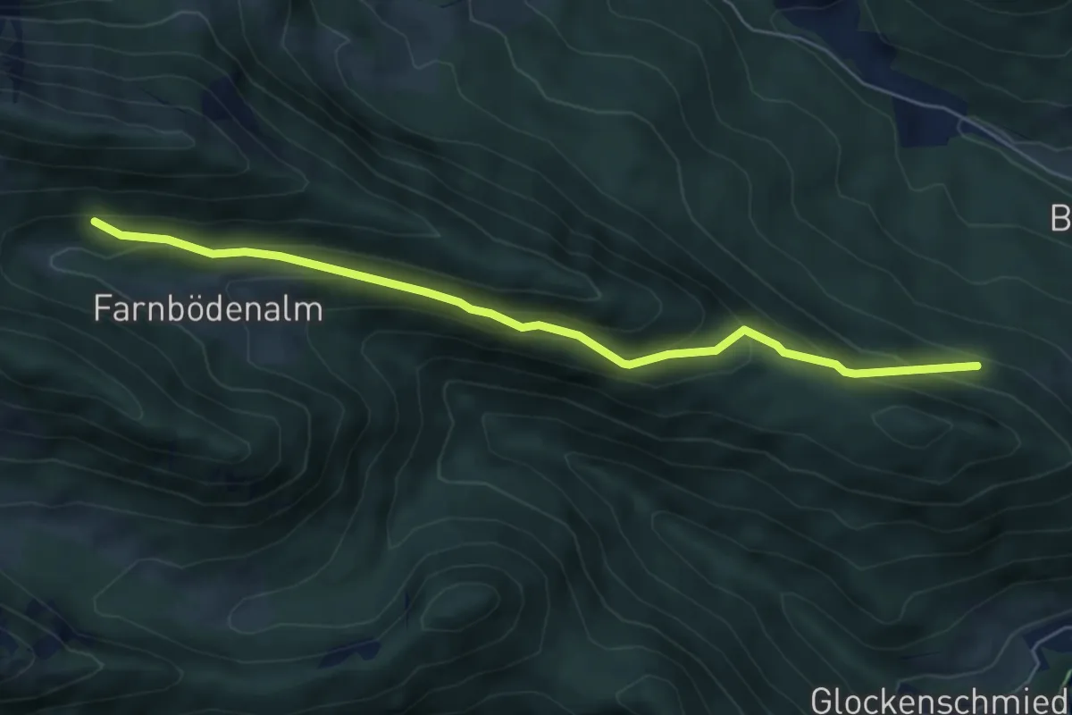
Medium · Trail
Wanderweg 60
5.7 km · ↑ 364 m · 2 h 8 min
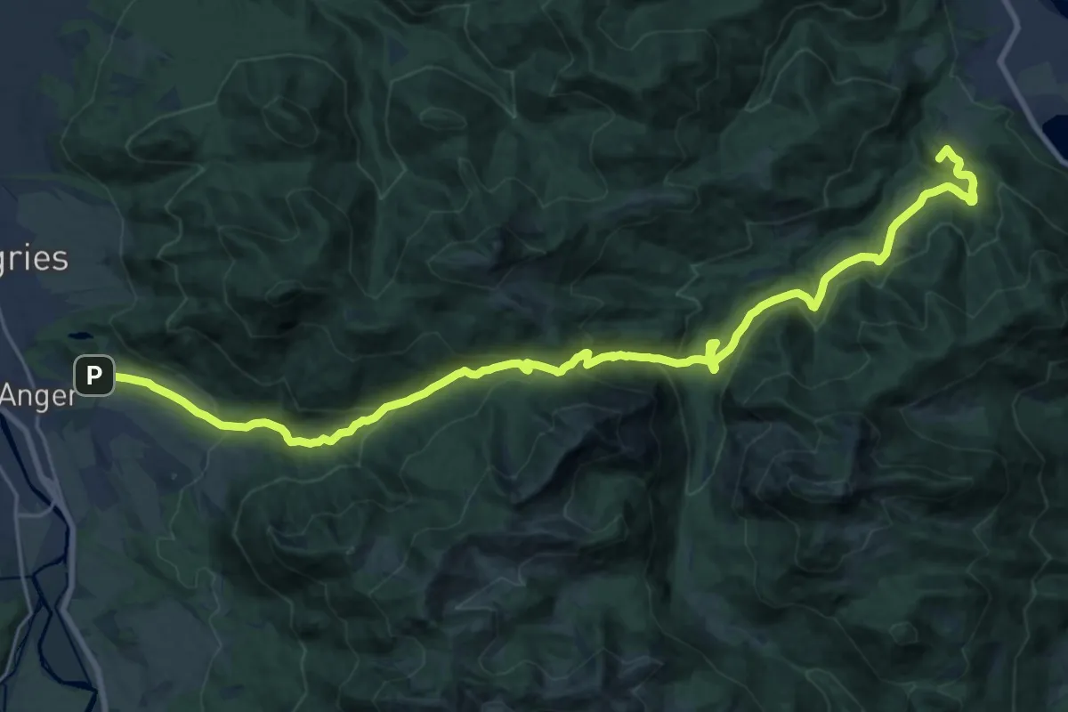
Demanding · Summit
Wanderweg 601 - Bayerische Voralpen
27.0 km · ↑ 1090 m · 8 h 45 min
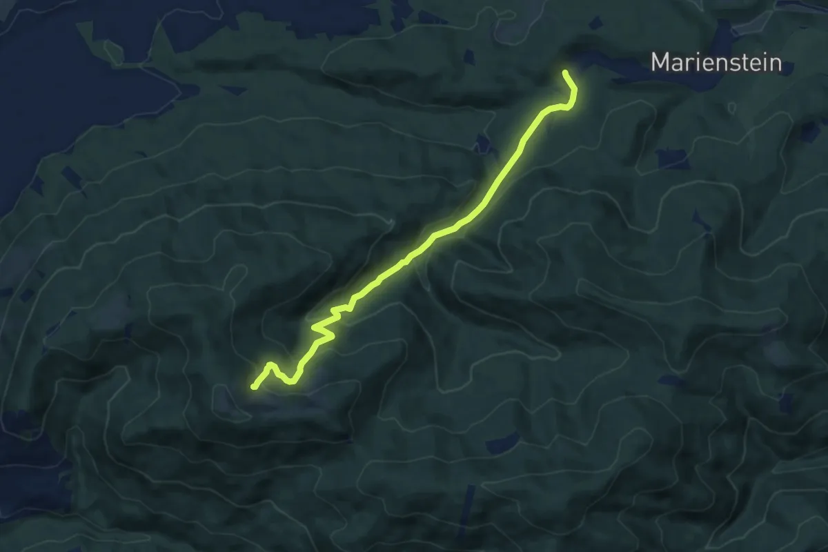
Medium · Trail
Wanderweg 602
9.7 km · ↑ 455 m · 3 h 17 min
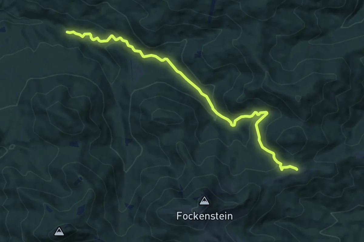
Medium · Cabin
Wanderweg 603 - Bayerische Voralpen
11.8 km · ↑ 472 m · 3 h 48 min
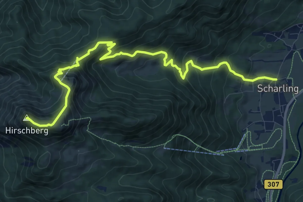
Demanding · Summit
Wanderweg 607
14.1 km · ↑ 907 m · 5 h 17 min
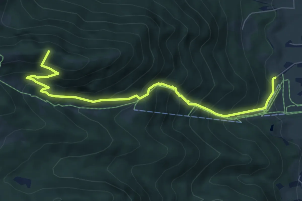
Medium · Summit
Wanderweg 607a
6.7 km · ↑ 702 m · 3 h 6 min
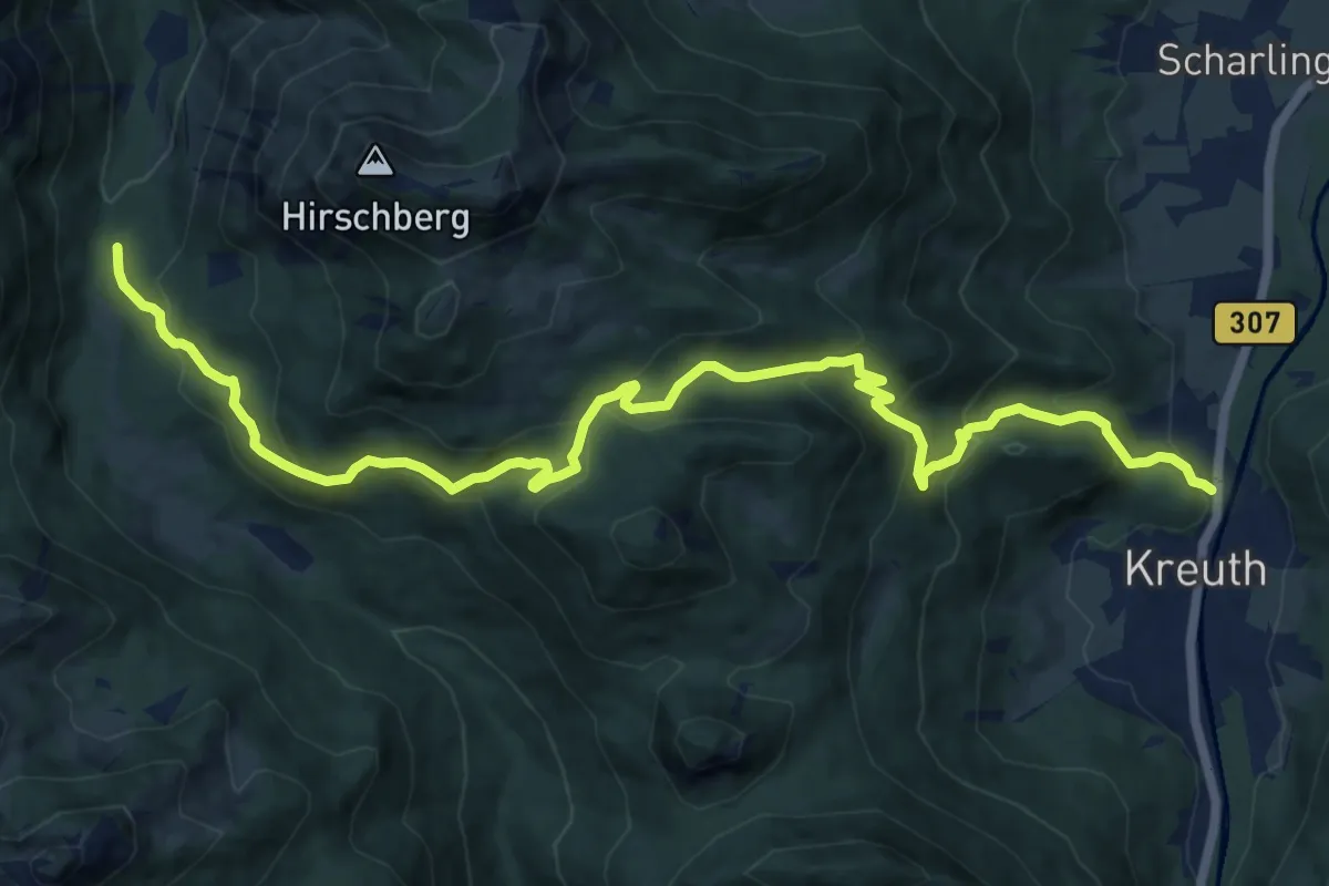
Demanding · Trail
Wanderweg 607b
14.9 km · ↑ 823 m · 5 h 18 min
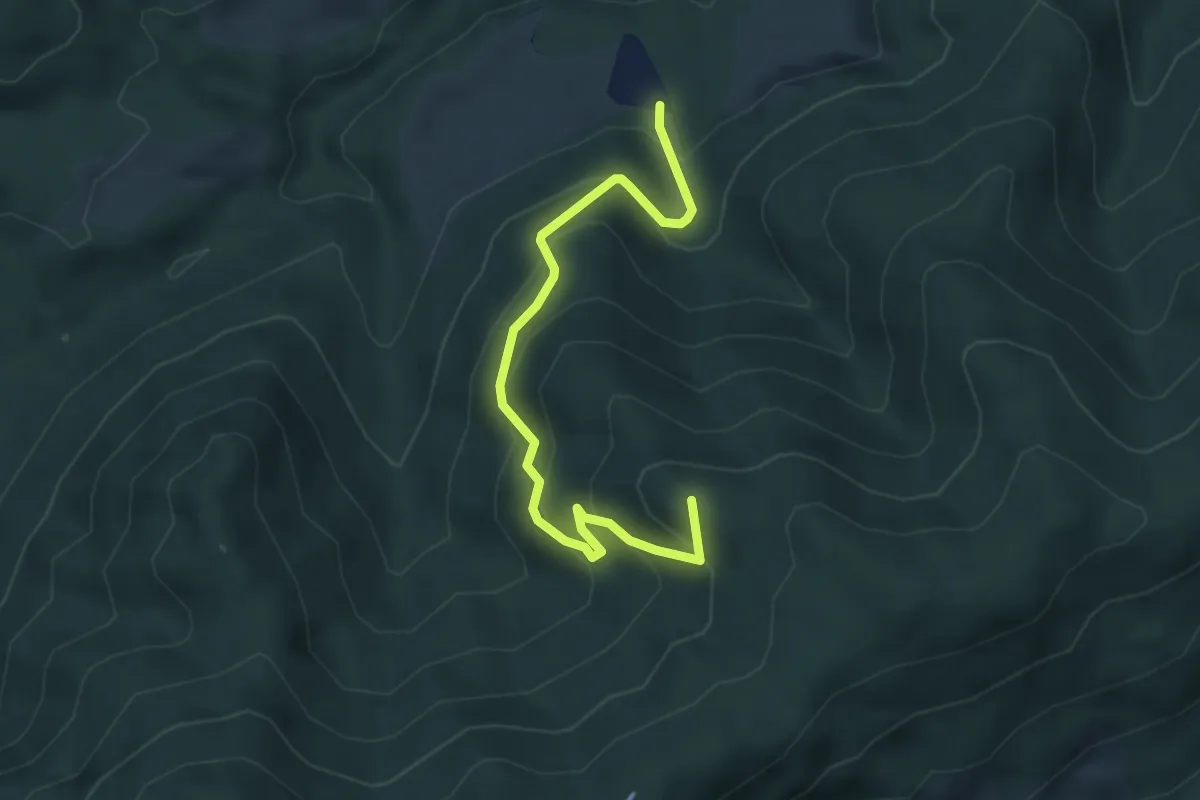
Demanding · Summit
Wanderweg 607c
4.4 km · ↑ 346 m · 1 h 47 min
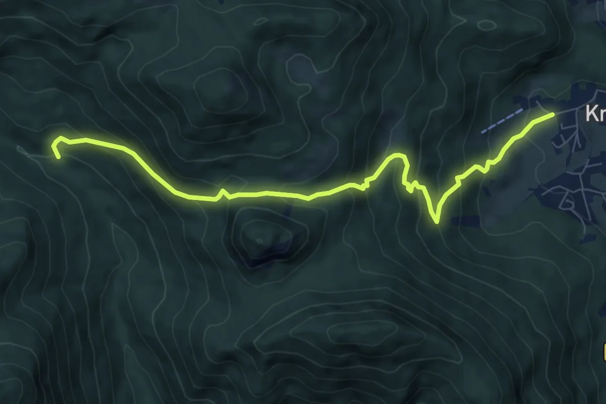
Demanding · Trail
Wanderweg 608
8.5 km · ↑ 646 m · 3 h 24 min
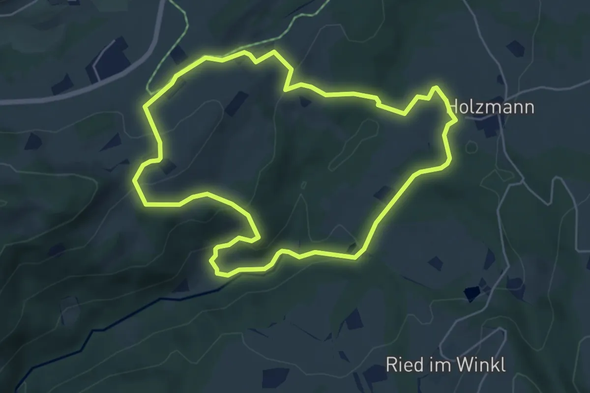
Medium · Trail
Wanderweg 60 - Samerberg
4.9 km · ↑ 163 m · 1 h 35 min
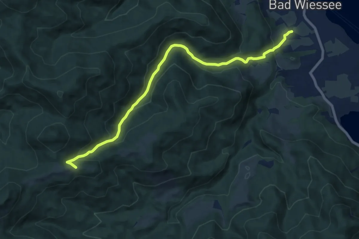
Medium · Trail
Wanderweg 611a - Bayerische Voralpen
10.3 km · ↑ 511 m · 3 h 33 min
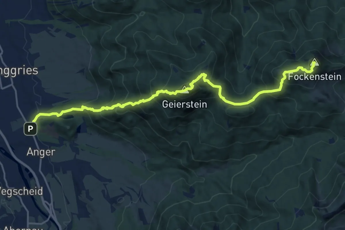
Demanding · Summit
Wanderweg 611 - Bayerische Voralpen
14.8 km · ↑ 1249 m · 6 h 11 min
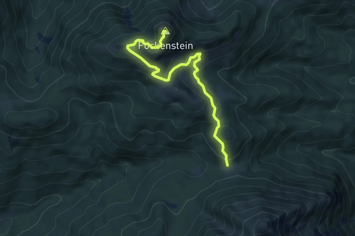
Demanding · Summit
Wanderweg 614 - Bayerische Voralpen
6.3 km · ↑ 352 m · 2 h 15 min
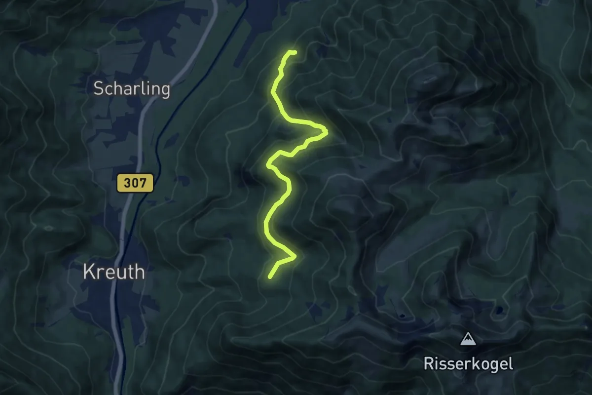
Medium · Trail
Wanderweg 618a - Wallberg
8.8 km · ↑ 552 m · 3 h 16 min
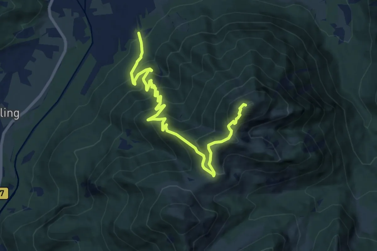
Demanding · Summit
Wanderweg 618 - Wallberg
12.3 km · ↑ 1031 m · 5 h 9 min
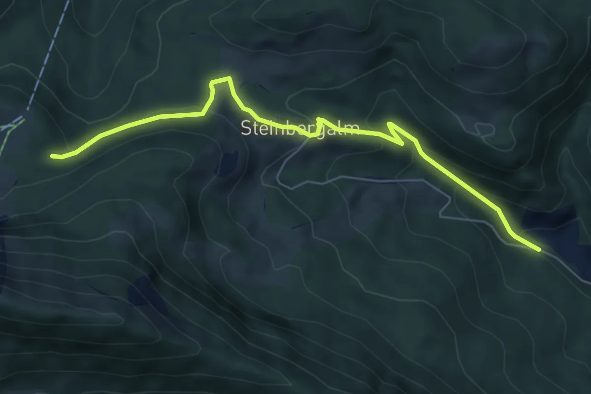
Demanding · Trail
Wanderweg 61 - Hochfelln
5.9 km · ↑ 333 m · 2 h 7 min
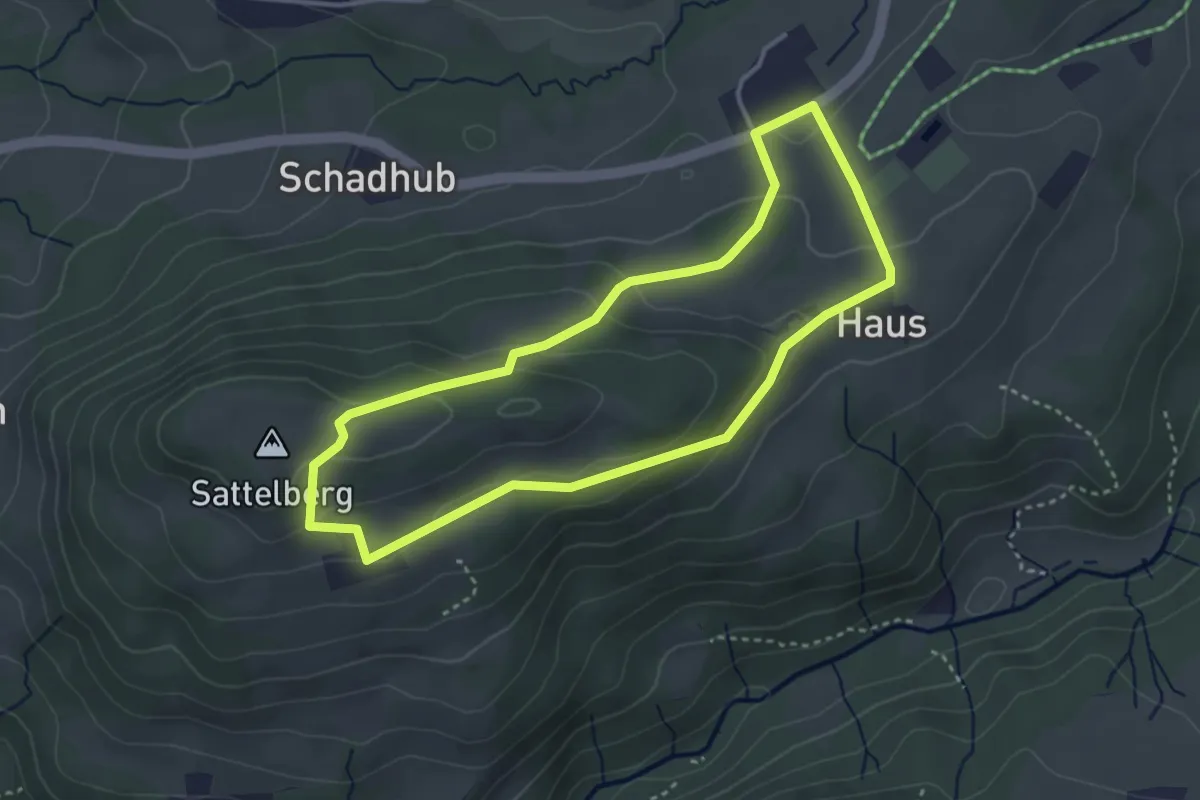
Medium · Summit
Wanderweg 61 - Samerberg
3.3 km · ↑ 128 m · 1 h 6 min
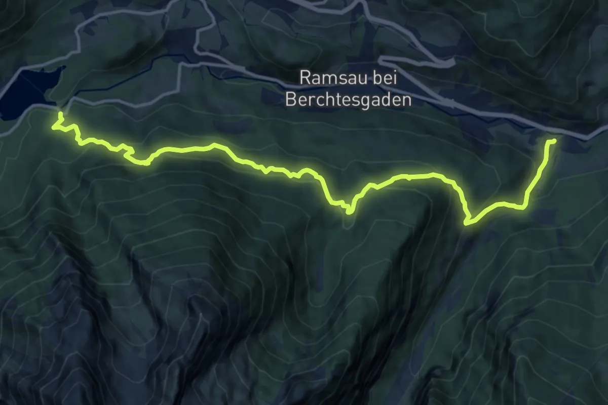
Demanding · Trail
Wanderweg 61 (Schattseitweg)
14.5 km · ↑ 879 m · 5 h 20 min
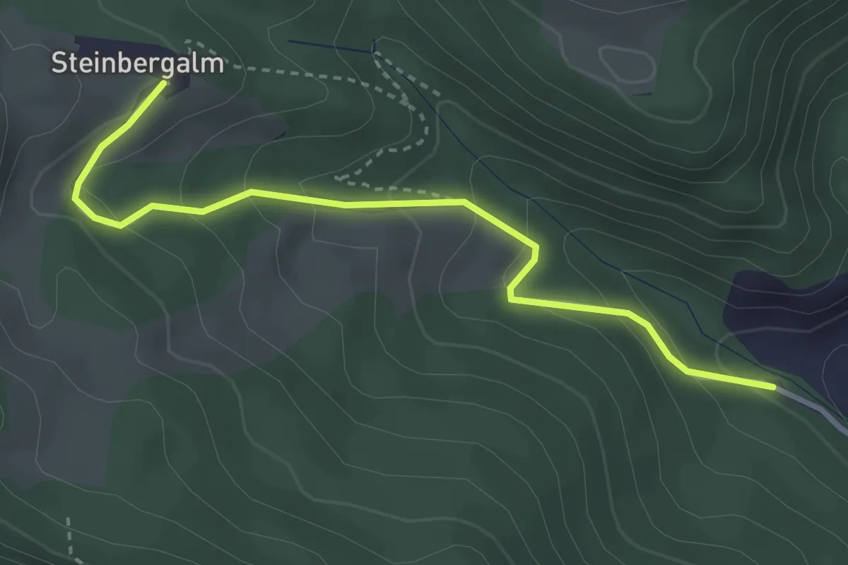
Easy · Trail
Wanderweg 62
3.3 km · ↑ 208 m · 1 h 14 min
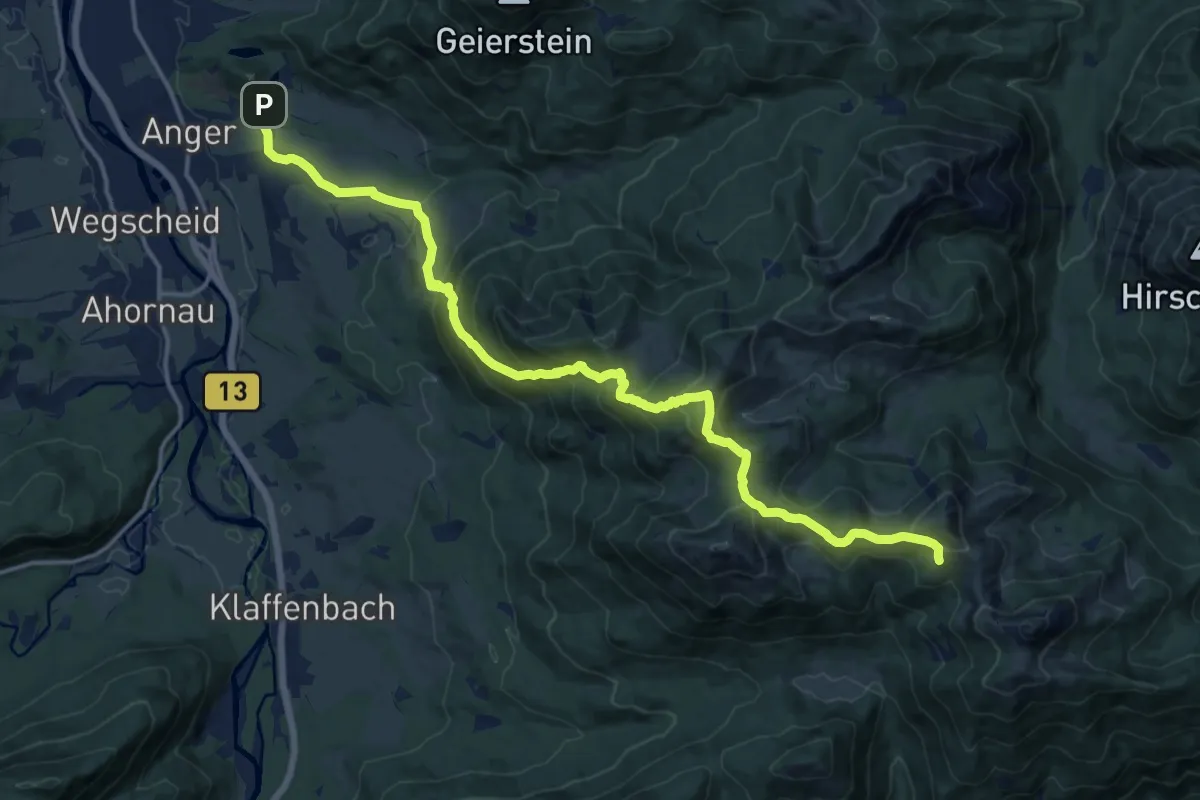
Expert · Trail
Wanderweg 621 - Bayerische Voralpen
17.4 km · ↑ 1147 m · 6 h 36 min
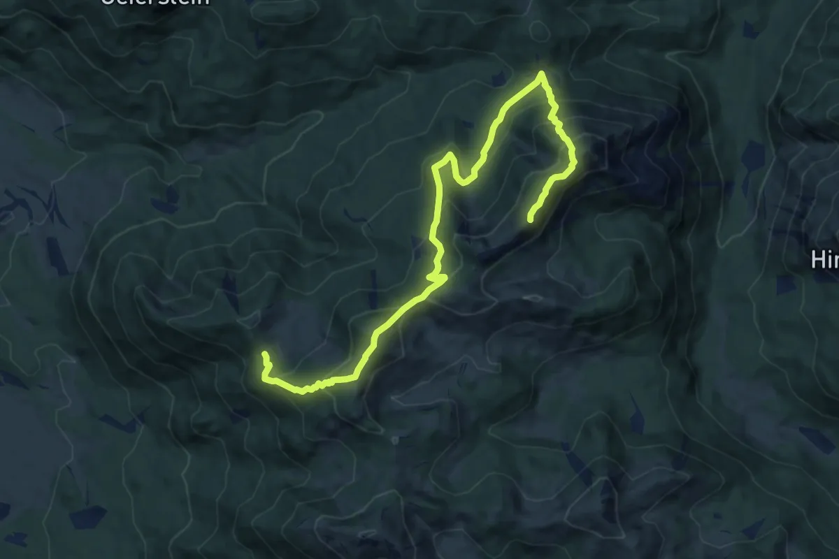
Demanding · Summit
Wanderweg 622 - Bayerische Voralpen
12.6 km · ↑ 1003 m · 5 h 9 min
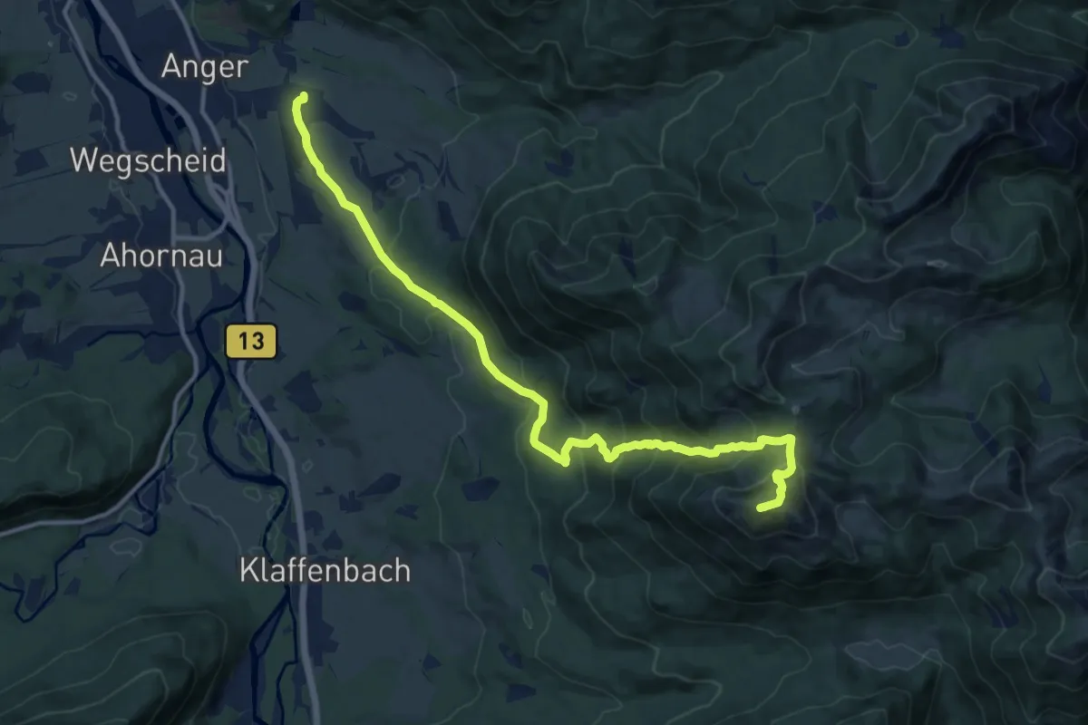
Demanding · Summit
Wanderweg 624 - Bayerische Voralpen
13.7 km · ↑ 899 m · 5 h 12 min
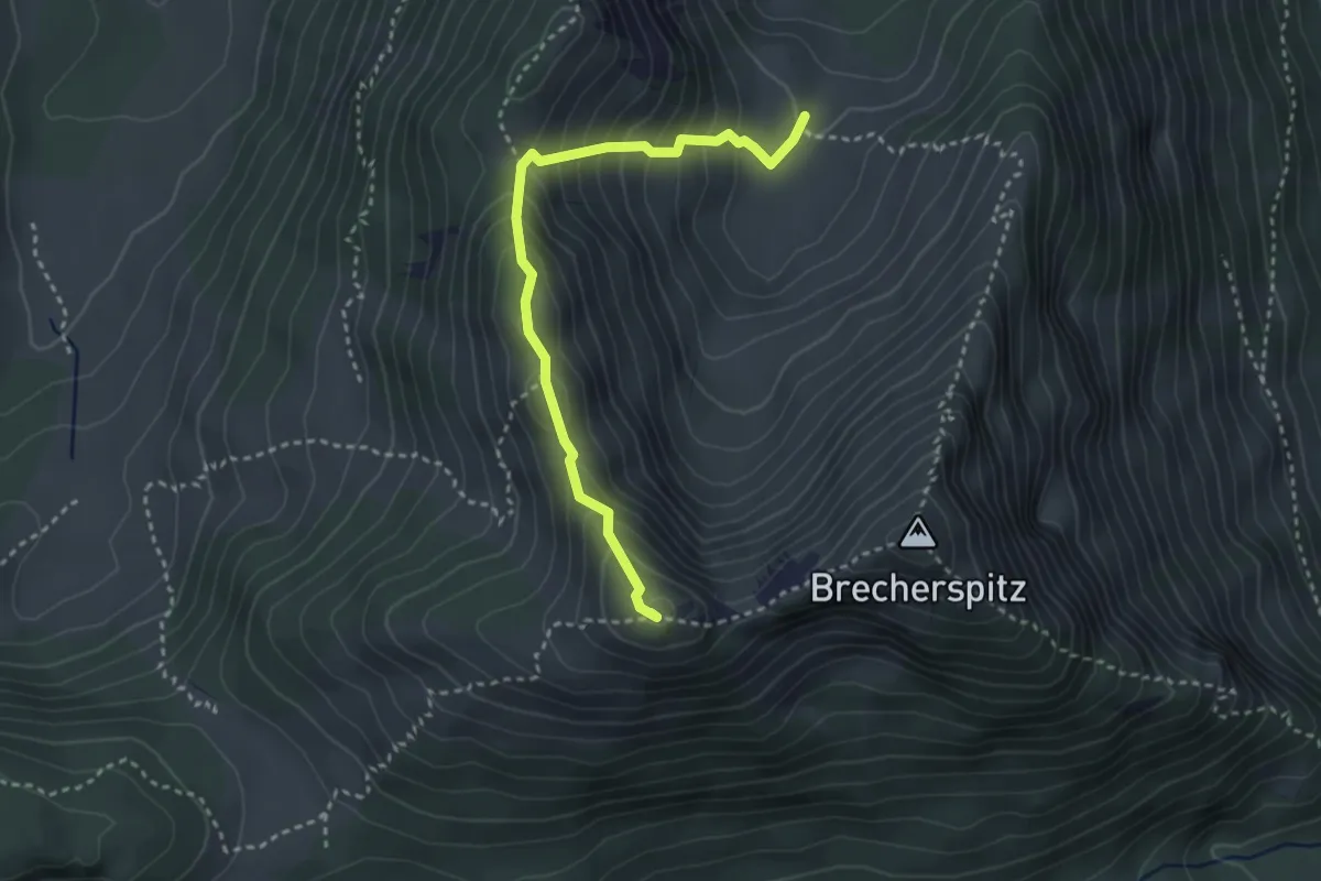
Demanding · Summit
Wanderweg 625a - Spitzingsee
3.1 km · ↑ 307 m · 1 h 24 min
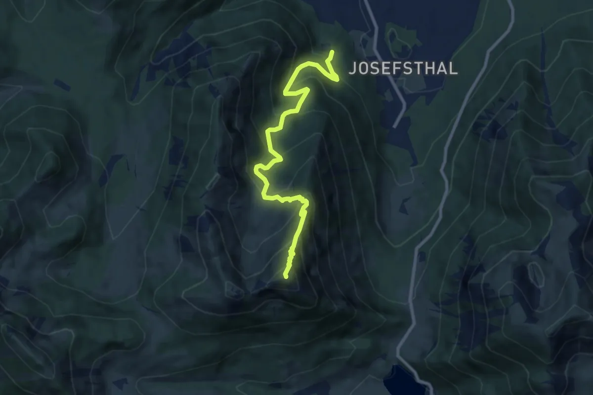
Demanding · Summit
Wanderweg 625 - Spitzingsee
8.0 km · ↑ 768 m · 3 h 33 min
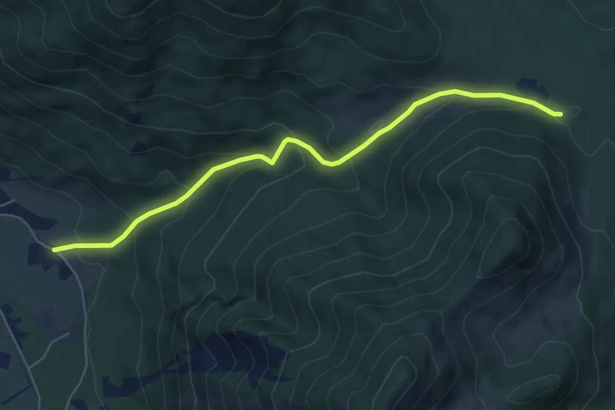
Medium · Trail
Wanderweg 626a - Spitzingsee
5.5 km · ↑ 366 m · 2 h 6 min
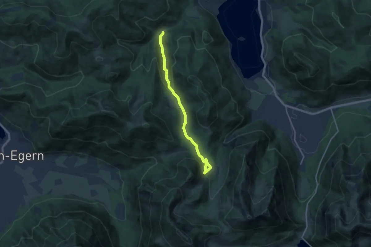
Medium · Trail
Wanderweg 626b - Schliersee/Spitzingsee
10.3 km · ↑ 380 m · 3 h 15 min
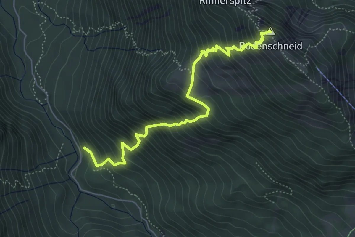
Medium · Summit
Wanderweg 626 - Schliersee/Spitzingsee
5.5 km · ↑ 729 m · 2 h 53 min
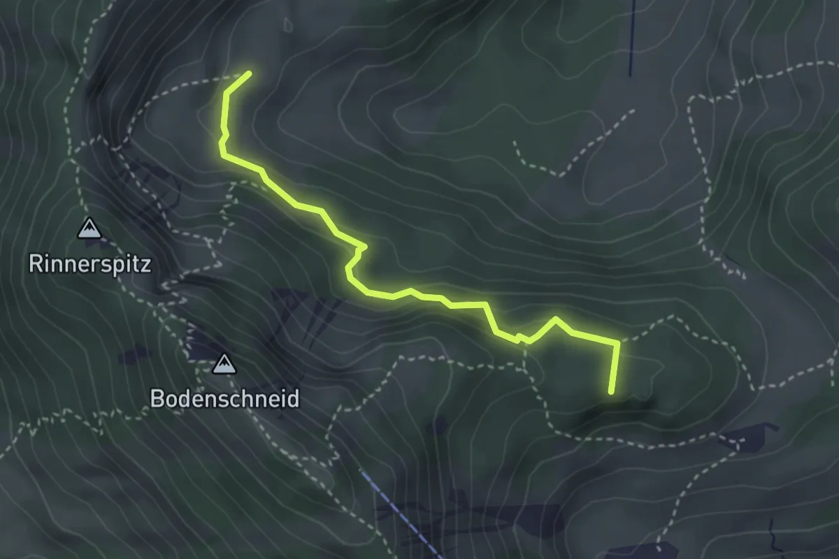
Demanding · Summit
Wanderweg 627 - Schliersee/Spitzingsee
3.1 km · ↑ 148 m · 1 h 3 min
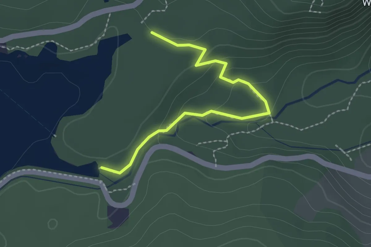
Easy · Trail
Wanderweg 62a (Zauberwald-Rundweg)
2.2 km · ↑ 83 m · 42 min
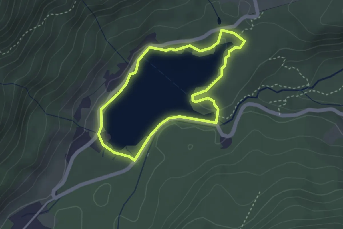
Easy · Trail
Wanderweg 62 (Prinzregent-Luitpold-Weg)
2.6 km · ↑ 46 m · 45 min
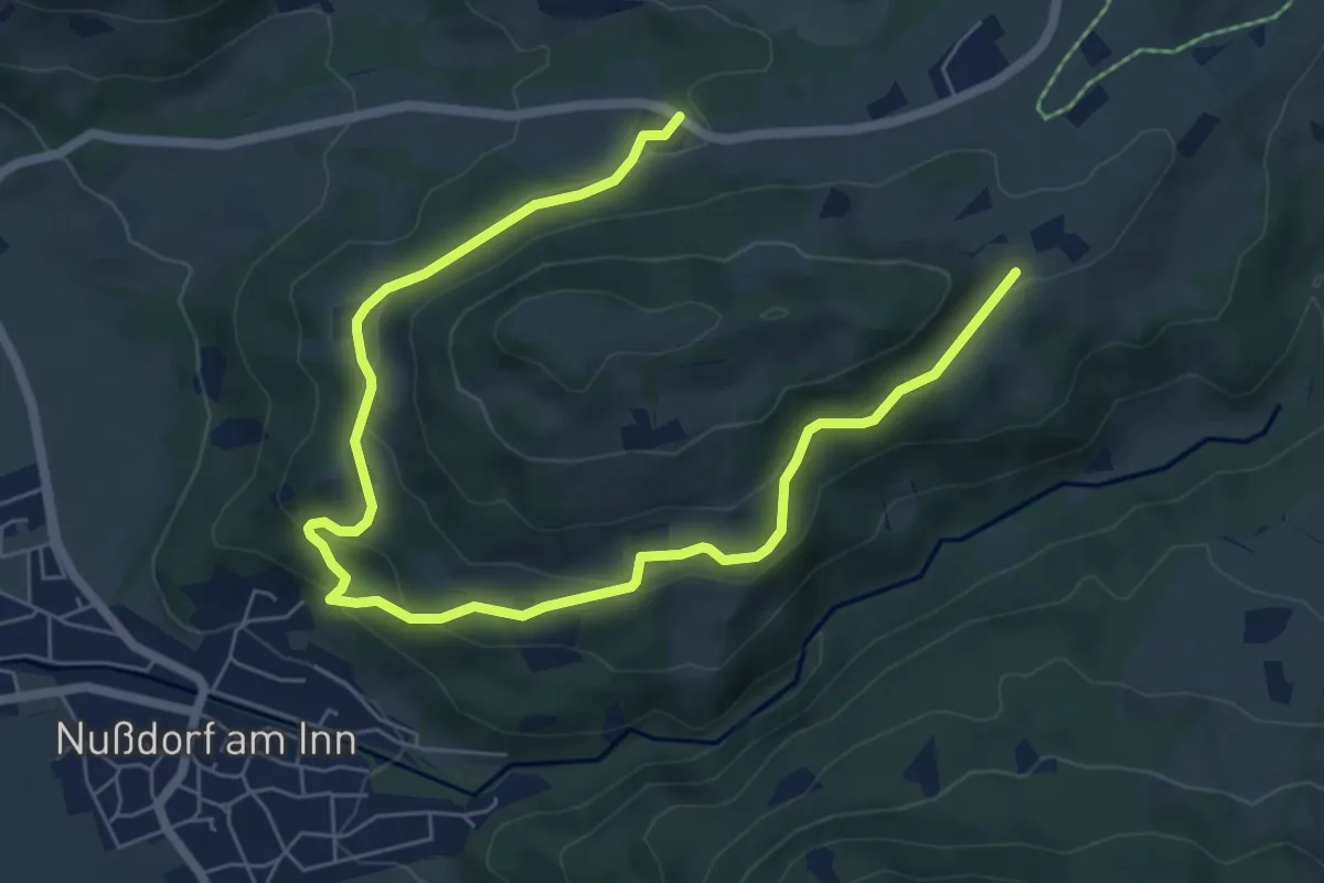
Medium · Trail
Wanderweg 62 - Samerberg
8.4 km · ↑ 419 m · 2 h 54 min
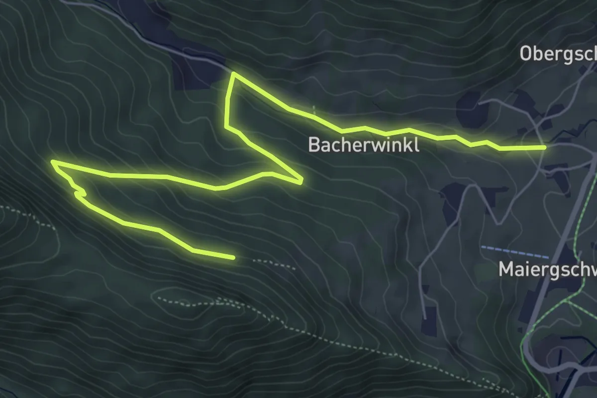
Medium · Trail
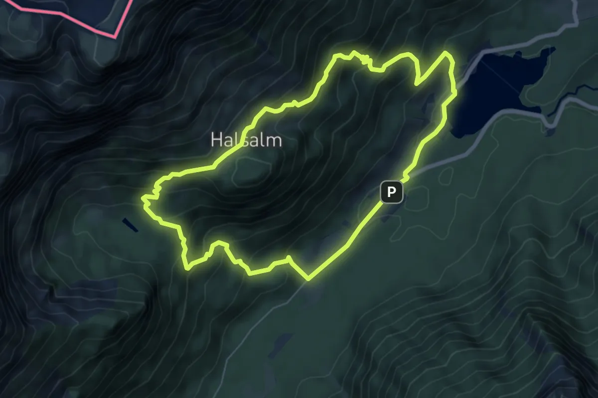
Wanderweg 63
7.8 km · ↑ 369 m · 2 h 38 min
Medium · Trail
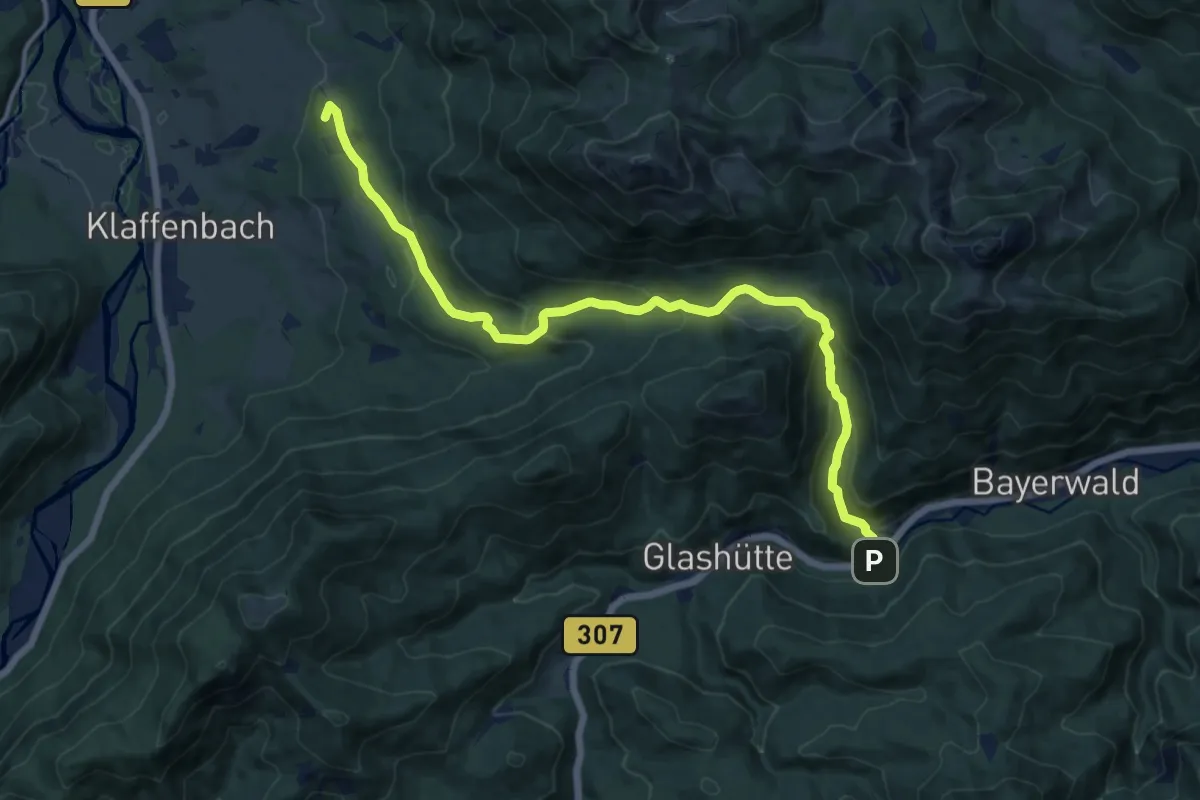
Wanderweg 63
6.3 km · ↑ 433 m · 2 h 31 min
Medium · Summit
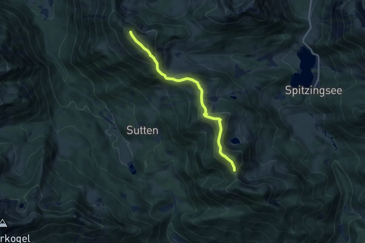
Wanderweg 631 - Bayerische Voralpen
14.5 km · ↑ 573 m · 4 h 40 min
Demanding · Summit
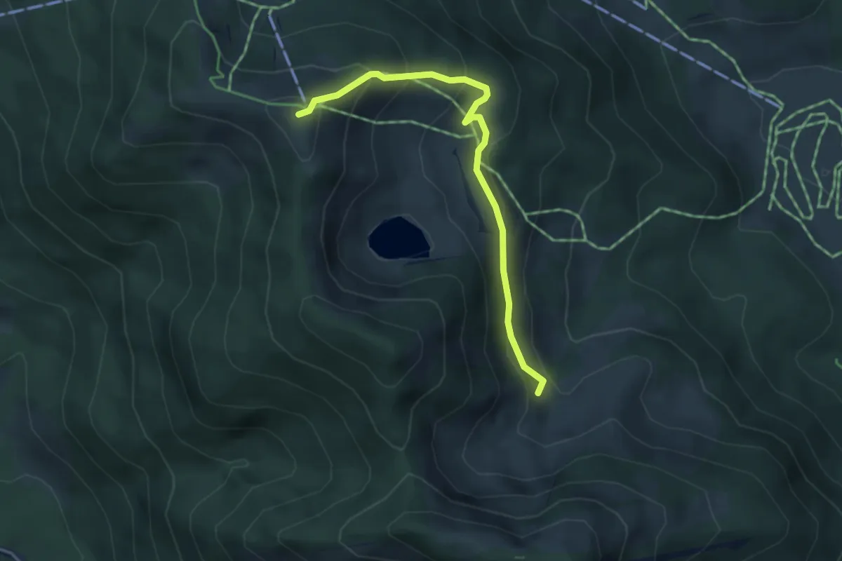
Wanderweg 634 - Spitzingsee
8.4 km · ↑ 577 m · 3 h 13 min
Medium · Summit
Wanderweg 635c Spitzingsee
3.7 km · ↑ 253 m · 1 h 26 min
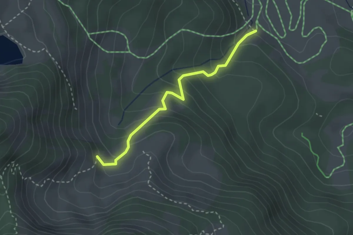
Easy · Trail
Wanderweg 635 Spitzingsee
2.5 km · ↑ 246 m · 1 h 7 min
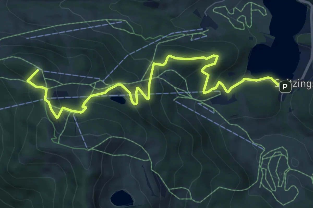
Medium · Summit
Wanderweg 636 - Sutten
8.4 km · ↑ 481 m · 3 h 1 min
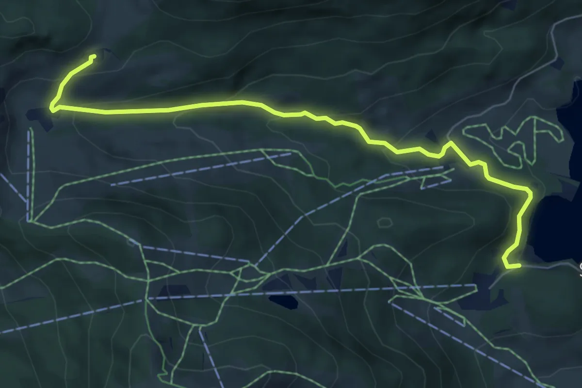
Easy · Cabin
Wanderweg 637a - Spitzingsee
6.6 km · ↑ 307 m · 2 h 13 min
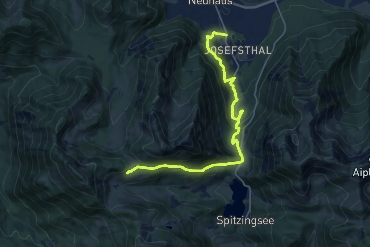
Demanding · Cabin
Wanderweg 637 - Spitzingsee
14.3 km · ↑ 812 m · 5 h 8 min
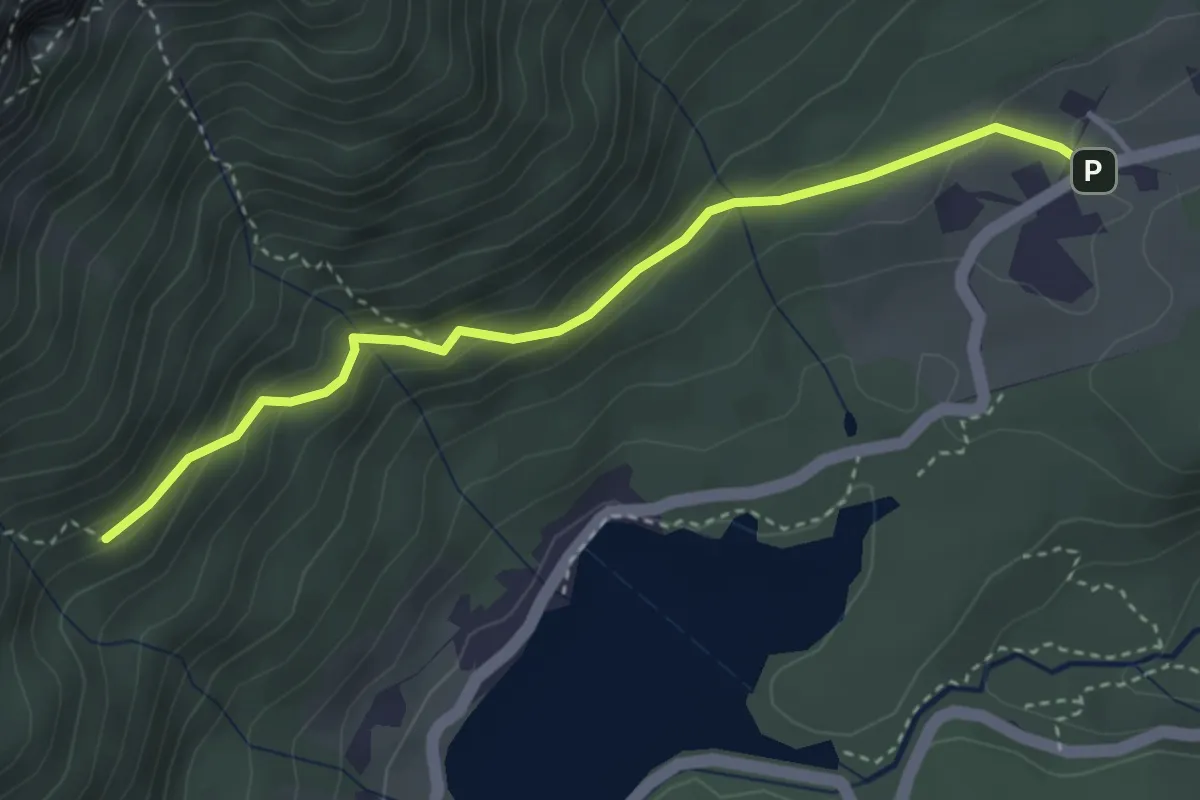
Easy · Trail
Wanderweg 63a
3.5 km · ↑ 253 m · 1 h 23 min
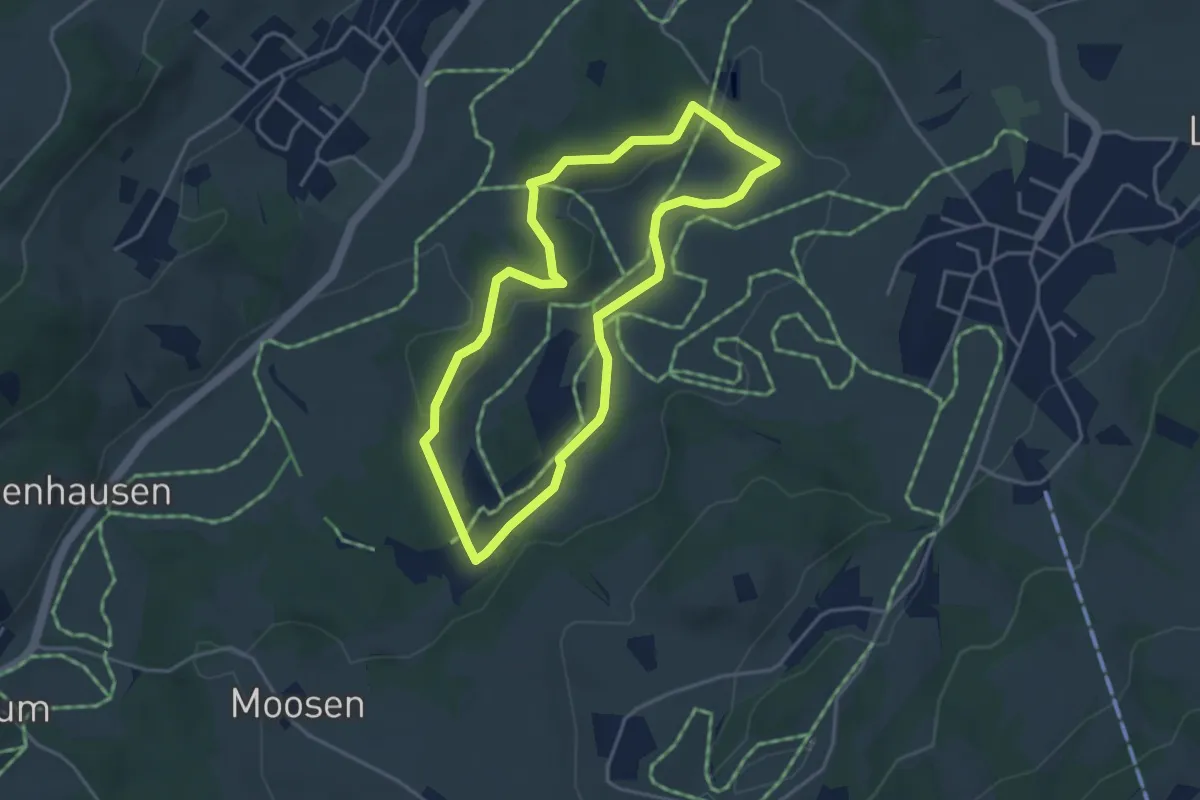
Easy · Trail
Wanderweg 63 - Samerberg
3.6 km · ↑ 48 m · 1 h
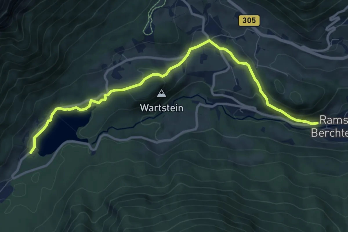
Medium · Trail
Wanderweg 64
8.7 km · ↑ 272 m · 2 h 38 min
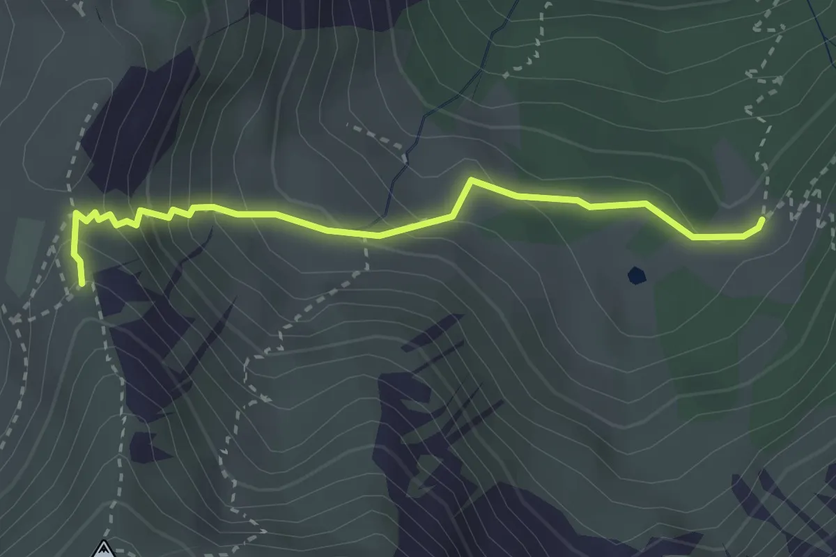
Medium · Trail
Wanderweg 641a - Spitzingsee
2.8 km · ↑ 250 m · 1 h 12 min
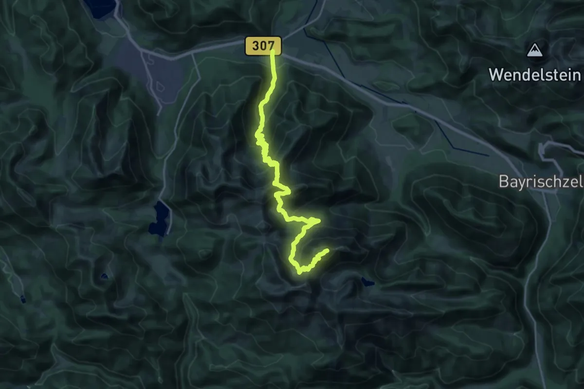
Expert · Summit
Wanderweg 641 - Spitzingsee
22.1 km · ↑ 1918 m · 9 h 23 min
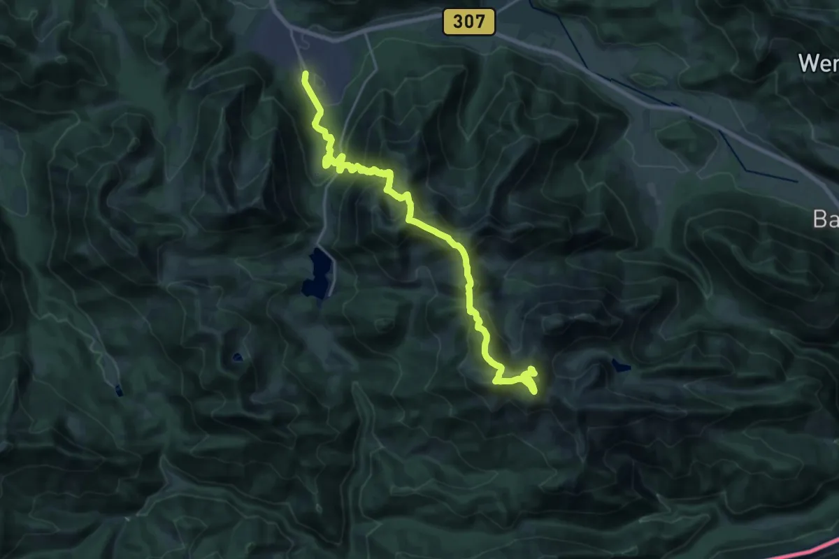
Demanding · Summit
Wanderweg 642 - Spitzingsee
21.2 km · ↑ 1689 m · 8 h 41 min
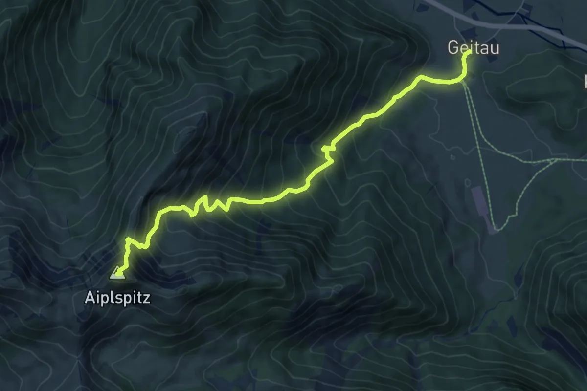
Expert · Summit
Wanderweg 643 - Spitzingsee
8.9 km · ↑ 932 m · 4 h 7 min
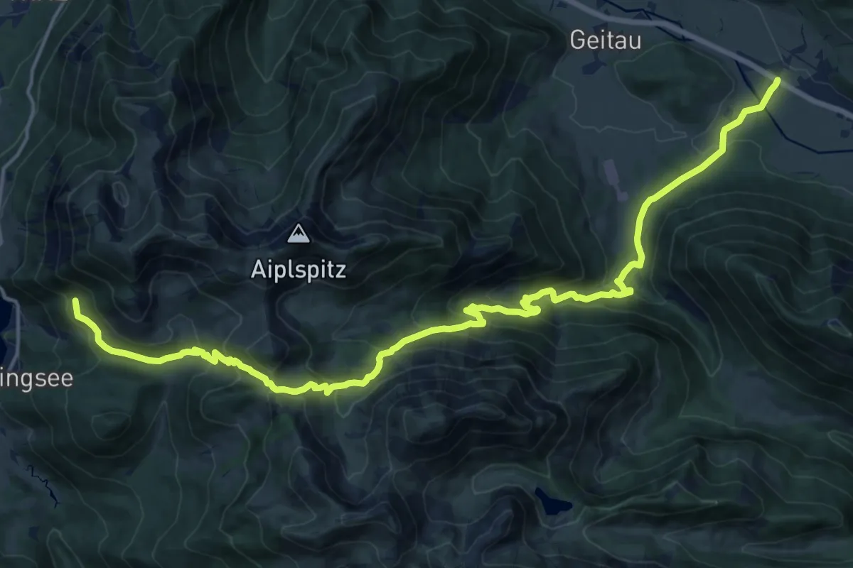
Demanding · Trail
Wanderweg 644 - Spitzingsee
20.2 km · ↑ 1160 m · 7 h 16 min