Trails in Germany
36,852 hiking trails, each with its route, climb, walking time and grade.
All trails, page 688 of 768
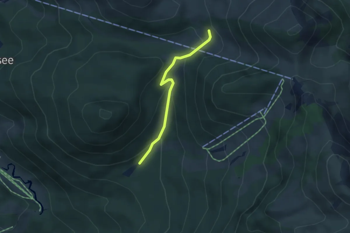
Easy · Trail
Wanderweg 645a - Spitzingsee
2.9 km · ↑ 142 m · 1 h
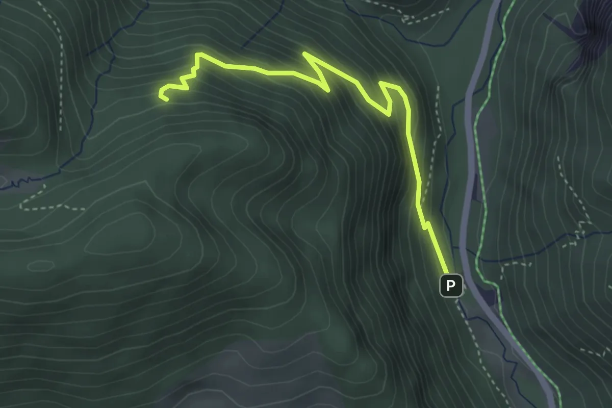
Medium · Trail
Wanderweg 646a
3.8 km · ↑ 355 m · 1 h 40 min
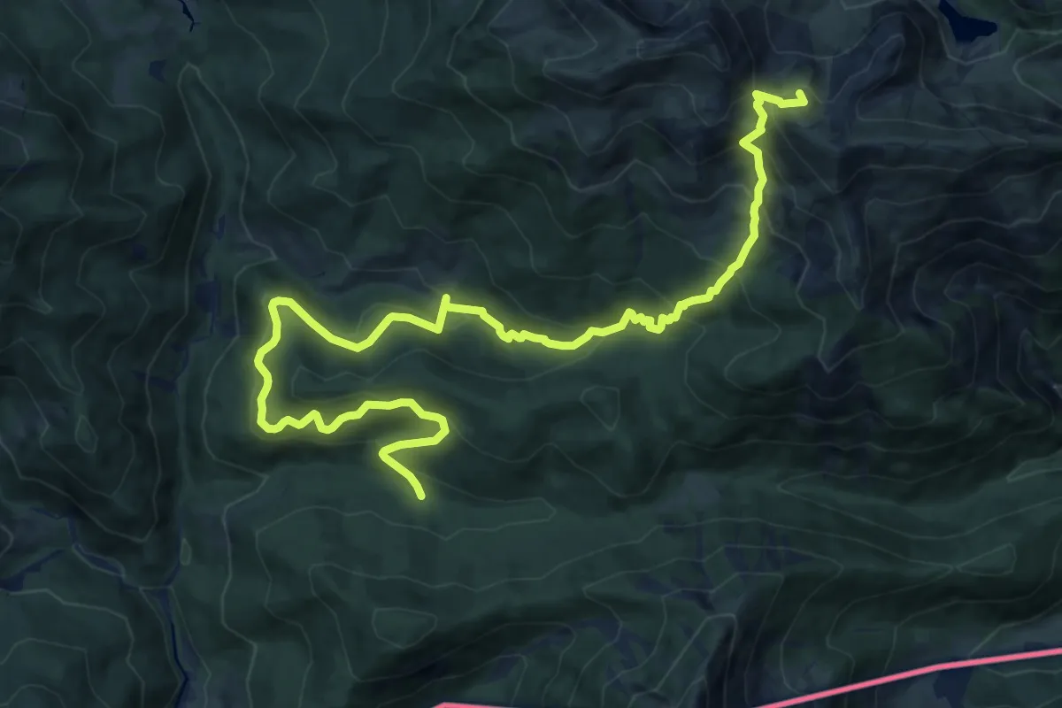
Demanding · Summit
Wanderweg 646 - Spitzingsee
16.5 km · ↑ 1105 m · 6 h 17 min
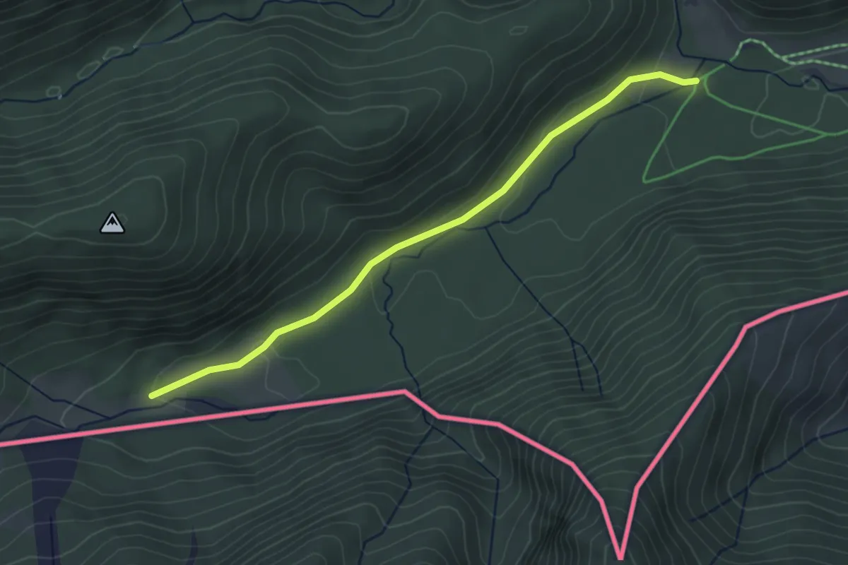
Easy · Trail
Wanderweg 647a - Rotwand
3.7 km · ↑ 83 m · 1 h 3 min
Demanding · Trail
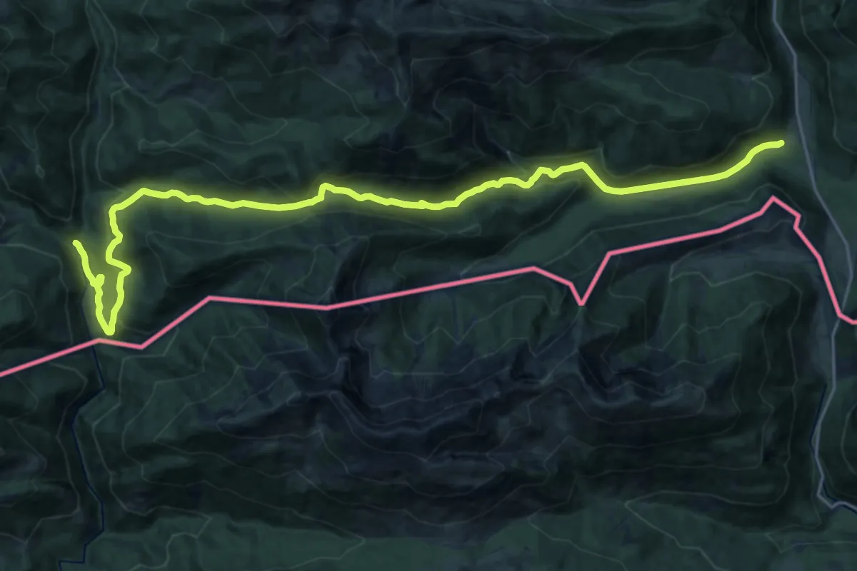
Wanderweg 647 - Valepp
25.5 km · ↑ 793 m · 7 h 45 min
Medium · Trail
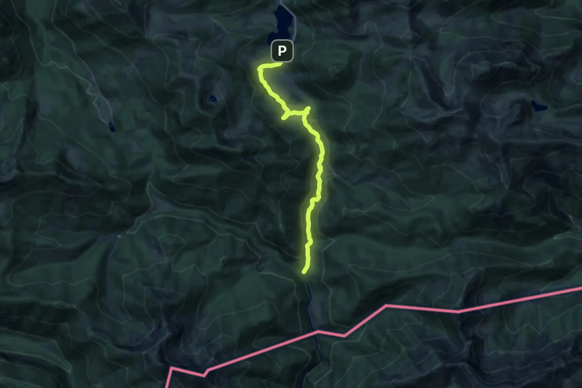
Wanderweg 649 Forsthaus Valepp - Spitzingsee
12.9 km · ↑ 363 m · 3 h 49 min
Medium · Trail
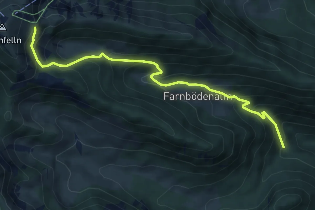
Wanderweg 65
6.4 km · ↑ 554 m · 2 h 43 min
Demanding · Summit
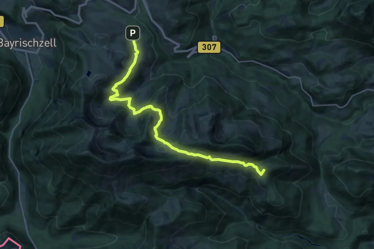
Wanderweg 651 - Brünnstein
17.2 km · ↑ 952 m · 6 h 7 min
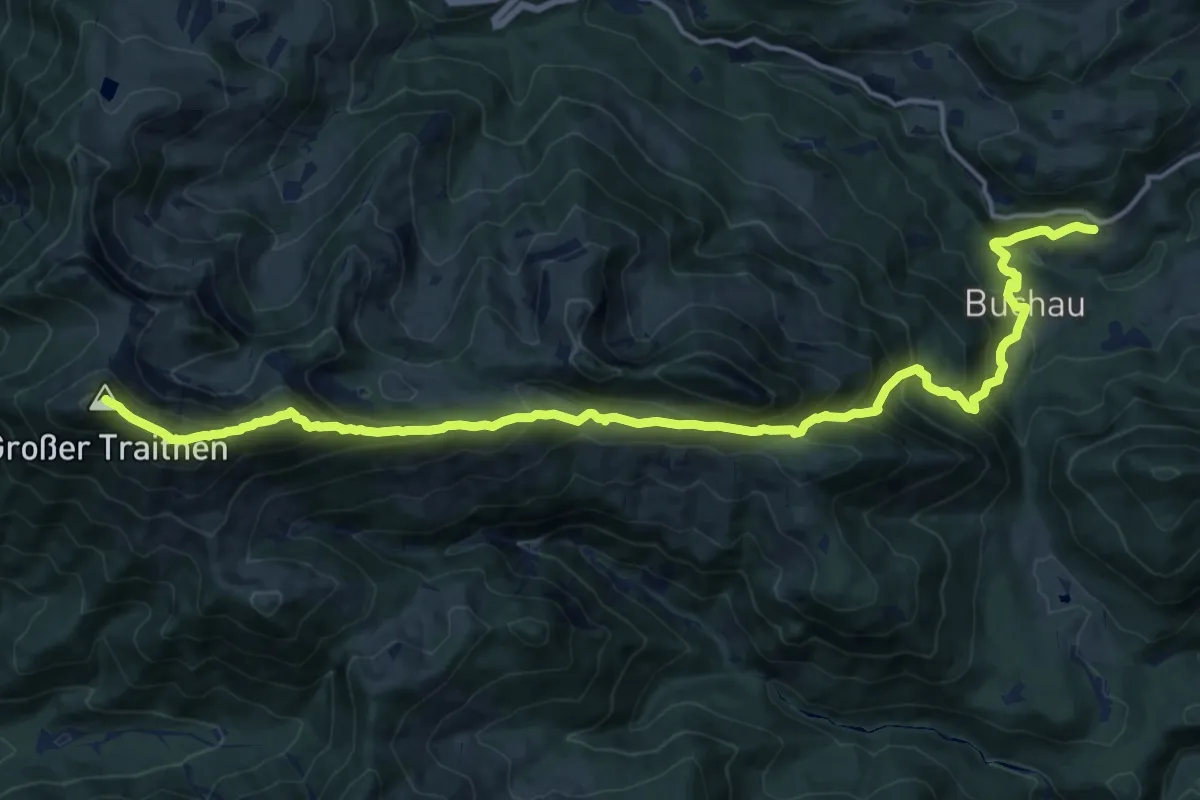
Expert · Summit
Wanderweg 652 - Brünnstein
18.3 km · ↑ 1612 m · 7 h 49 min
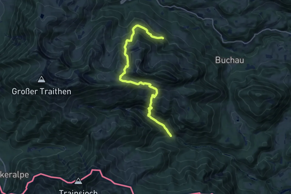
Demanding · Trail
Wanderweg 653 - Brünnstein
14.7 km · ↑ 1275 m · 6 h 14 min
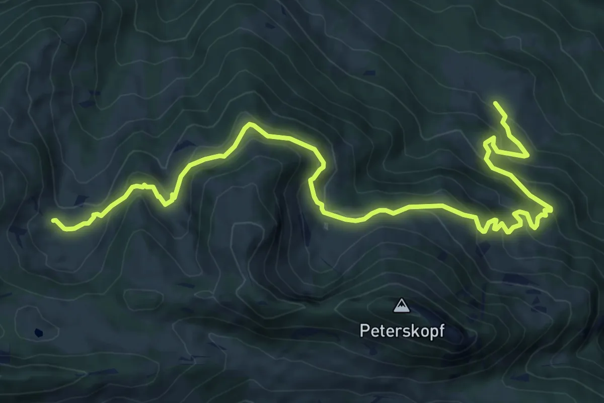
Medium · Trail
Wanderweg 654 - Brünnstein
11.5 km · ↑ 703 m · 4 h 14 min
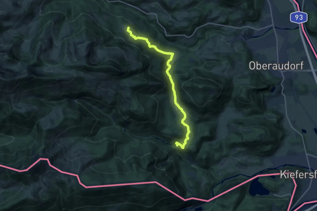
Medium · Summit
Wanderweg 655 - Brünnstein
13.0 km · ↑ 615 m · 4 h 25 min
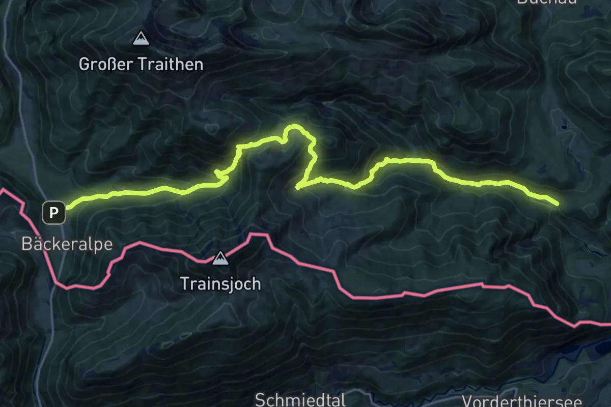
Demanding · Trail
Wanderweg 656 - Brünnstein
22.0 km · ↑ 1184 m · 7 h 45 min
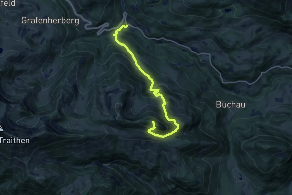
Demanding · Summit
Wanderweg 657 - Brünnstein
12.1 km · ↑ 955 m · 4 h 55 min
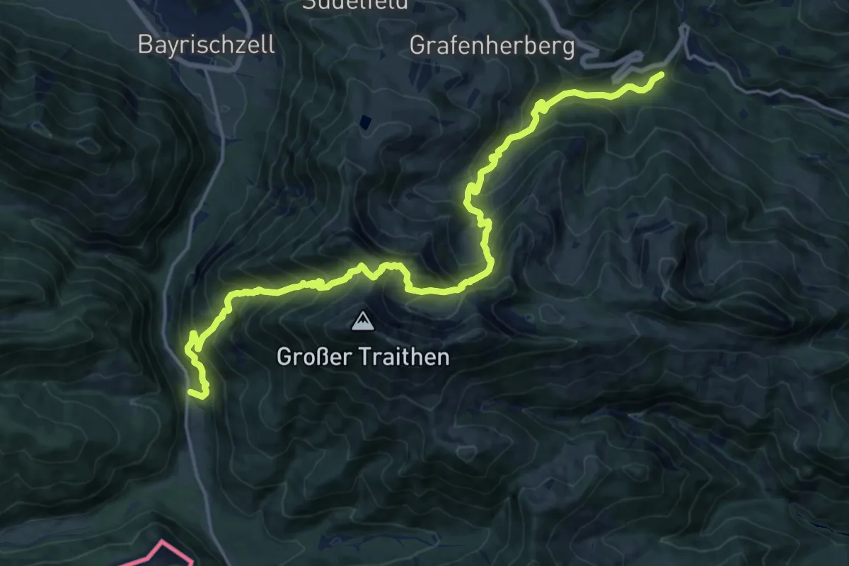
Demanding · Trail
Wanderweg 658 - Brünnstein
9.8 km · ↑ 827 m · 4 h 14 min
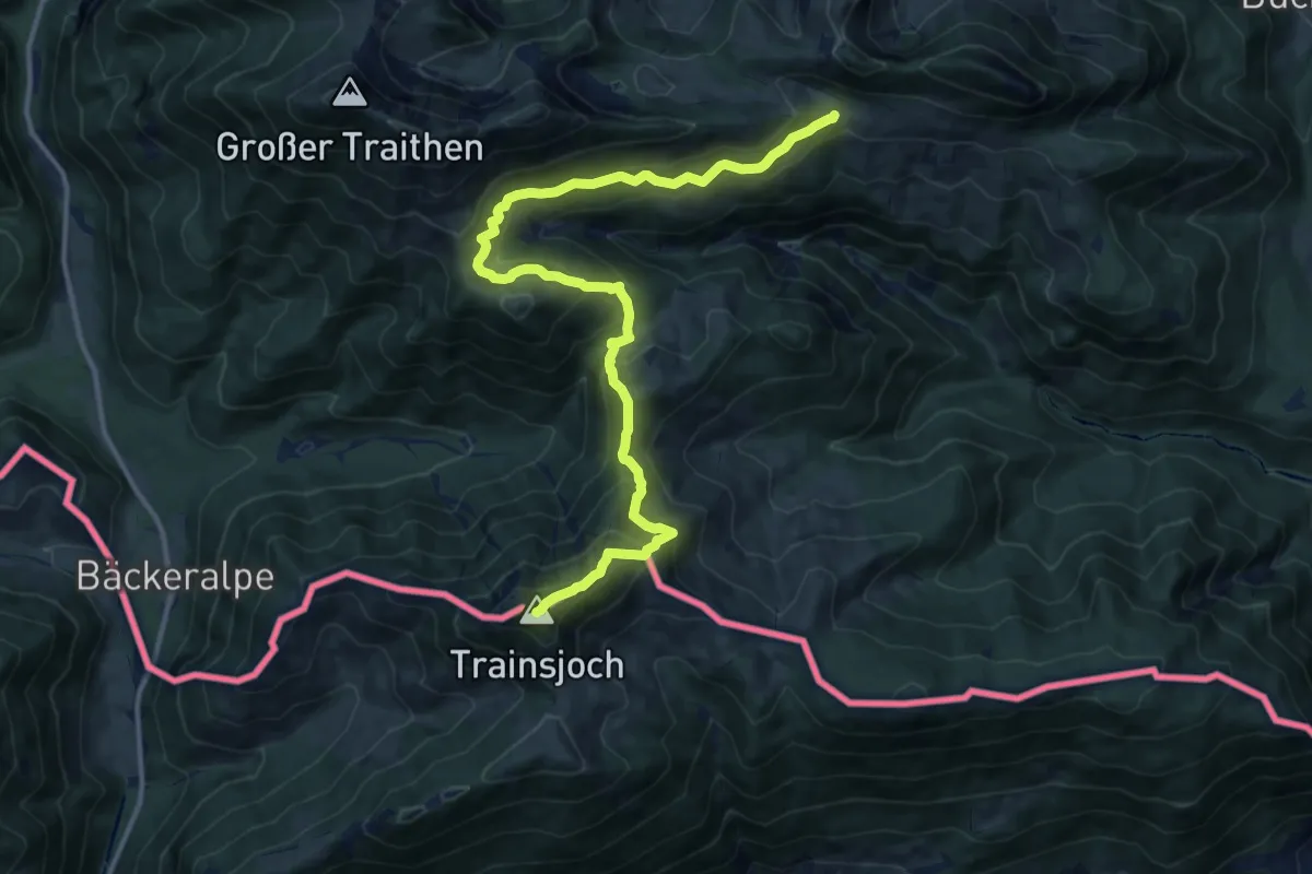
Demanding · Summit
Wanderweg 659 - Trainsjoch
14.7 km · ↑ 1075 m · 5 h 48 min
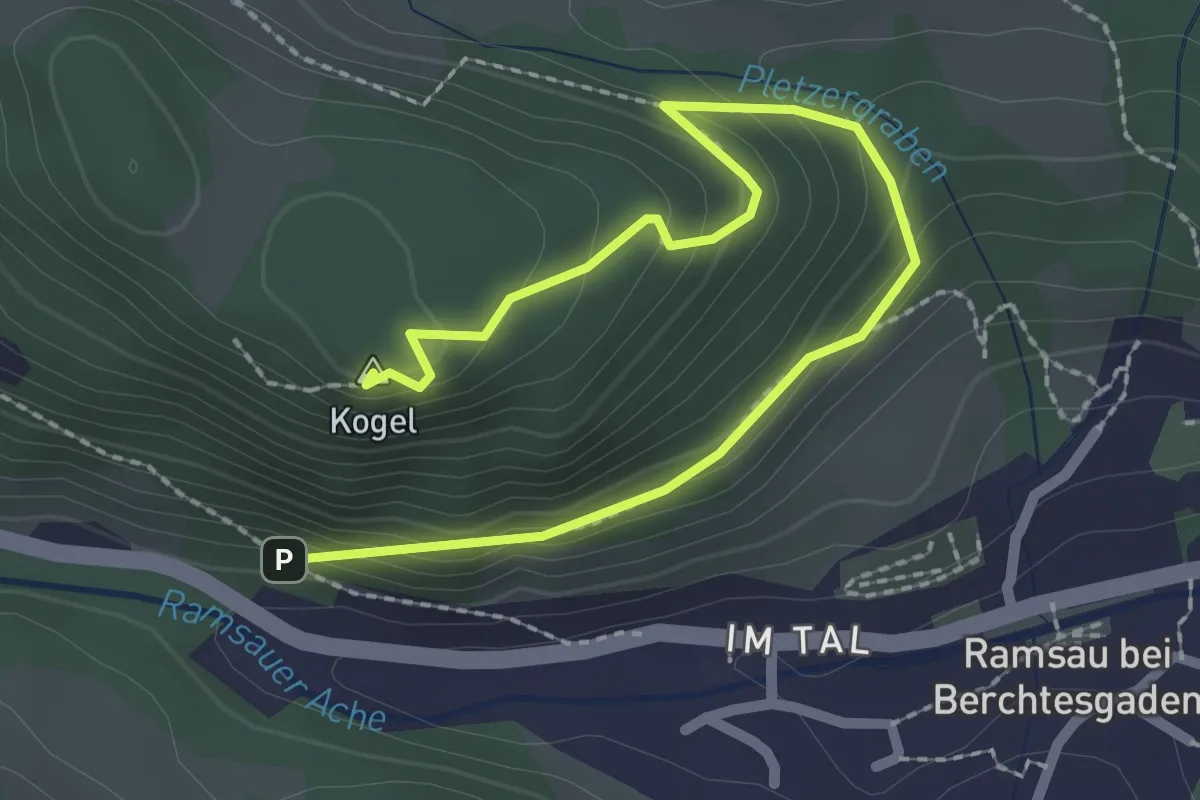
Easy · Summit
Wanderweg 65a
2.9 km · ↑ 182 m · 1 h 5 min
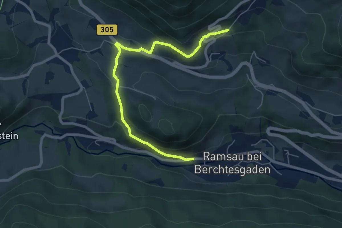
Easy · Trail
Wanderweg 65 (Kunterweg)
5.4 km · ↑ 257 m · 1 h 50 min
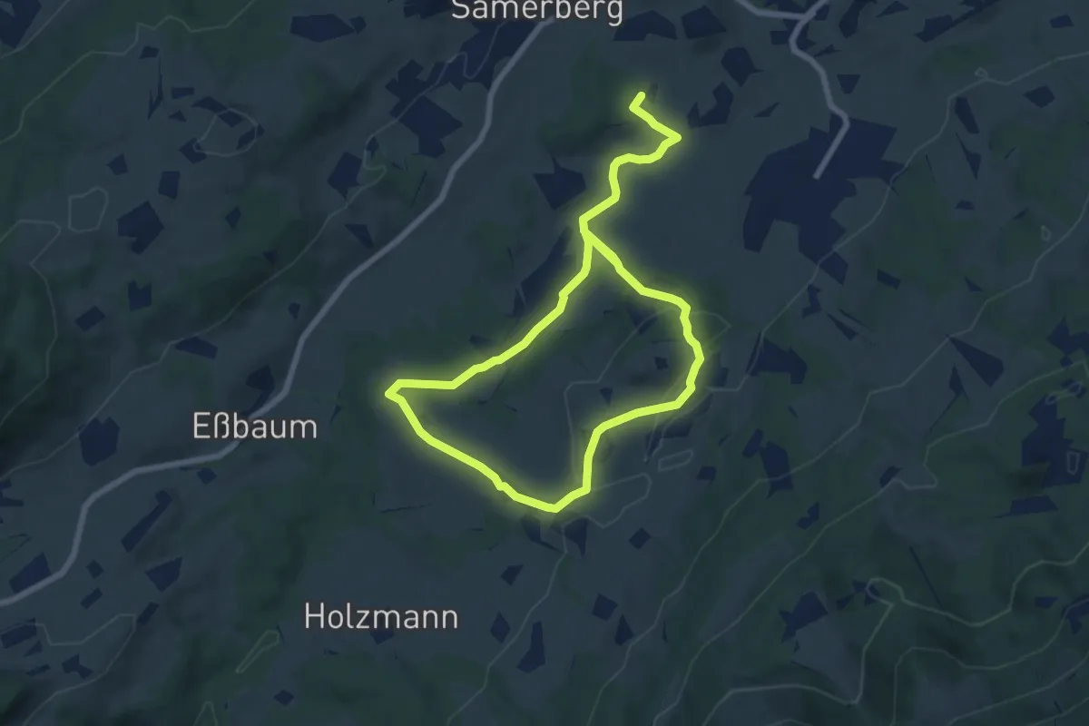
Medium · Trail
Wanderweg 65 - Samerberg
11.9 km · ↑ 206 m · 3 h 15 min
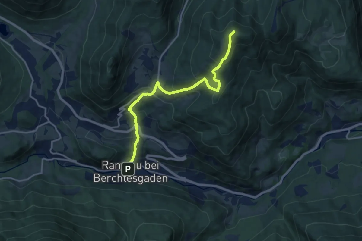
Medium · Summit
Wanderweg 66
9.9 km · ↑ 725 m · 3 h 55 min
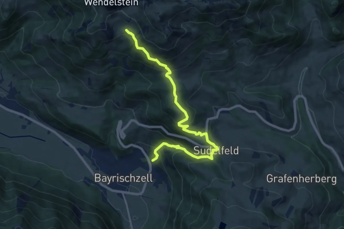
Medium · Trail
Wanderweg 660a - Bayrischzell - Wendelsteinalmen
10.1 km · ↑ 643 m · 3 h 47 min
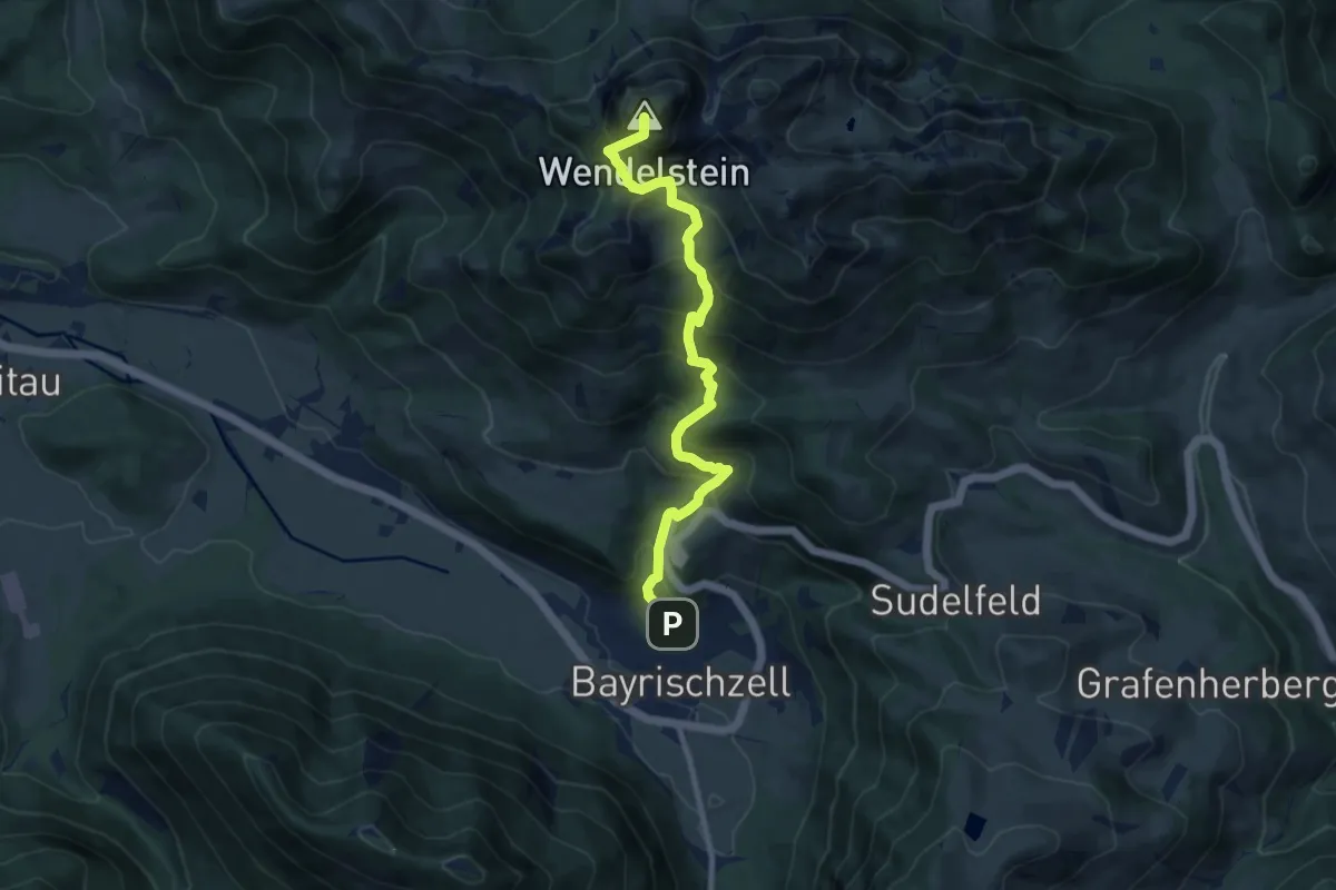
Demanding · Summit
Wanderweg 660 - Bayrischzell - Wendelstein
8.9 km · ↑ 990 m · 4 h 15 min
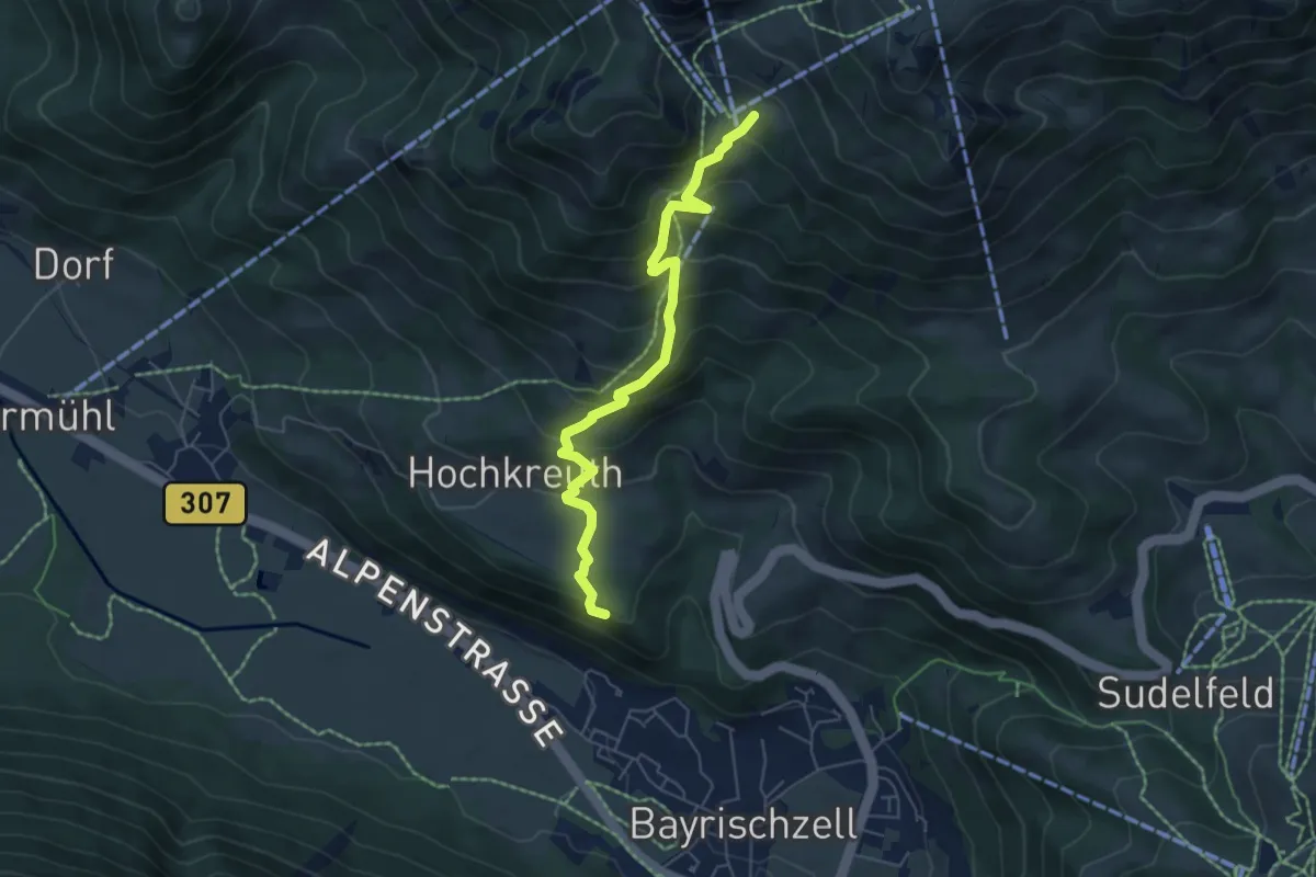
Medium · Summit
Wanderweg 660b - Bayrischzell - Wendelsteinalmen
5.6 km · ↑ 484 m · 2 h 22 min
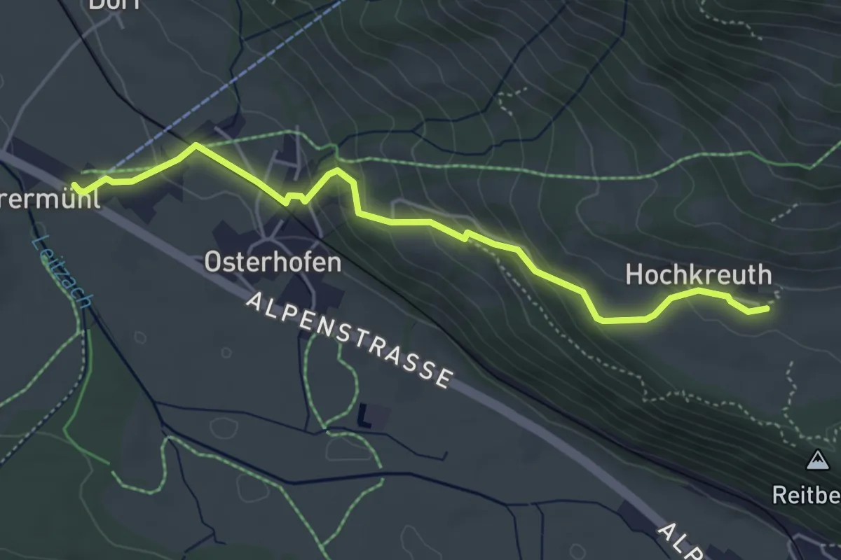
Medium · Trail
Wanderweg 660c - Osterhofen - Hochkreuth
4.6 km · ↑ 205 m · 1 h 32 min
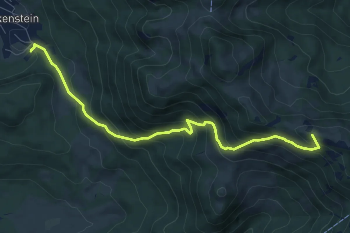
Medium · Summit
Wanderweg 661 - Fischbachau
7.6 km · ↑ 638 m · 3 h 10 min
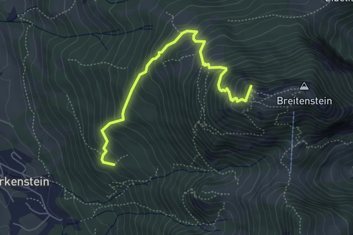
Medium · Summit
Wanderweg 665a - Fischbachau
4.9 km · ↑ 528 m · 2 h 18 min
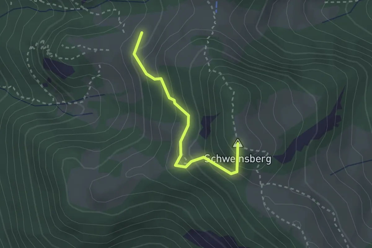
Medium · Summit
Wanderweg 665b - Fischbachau
2.1 km · ↑ 215 m · 57 min
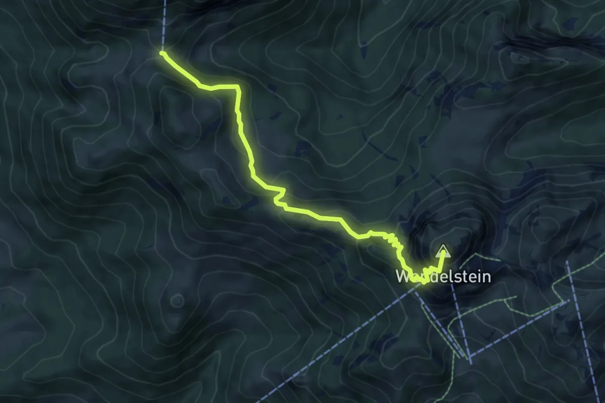
Medium · Summit
Wanderweg 665c - Fischbachau
6.9 km · ↑ 657 m · 3 h 3 min
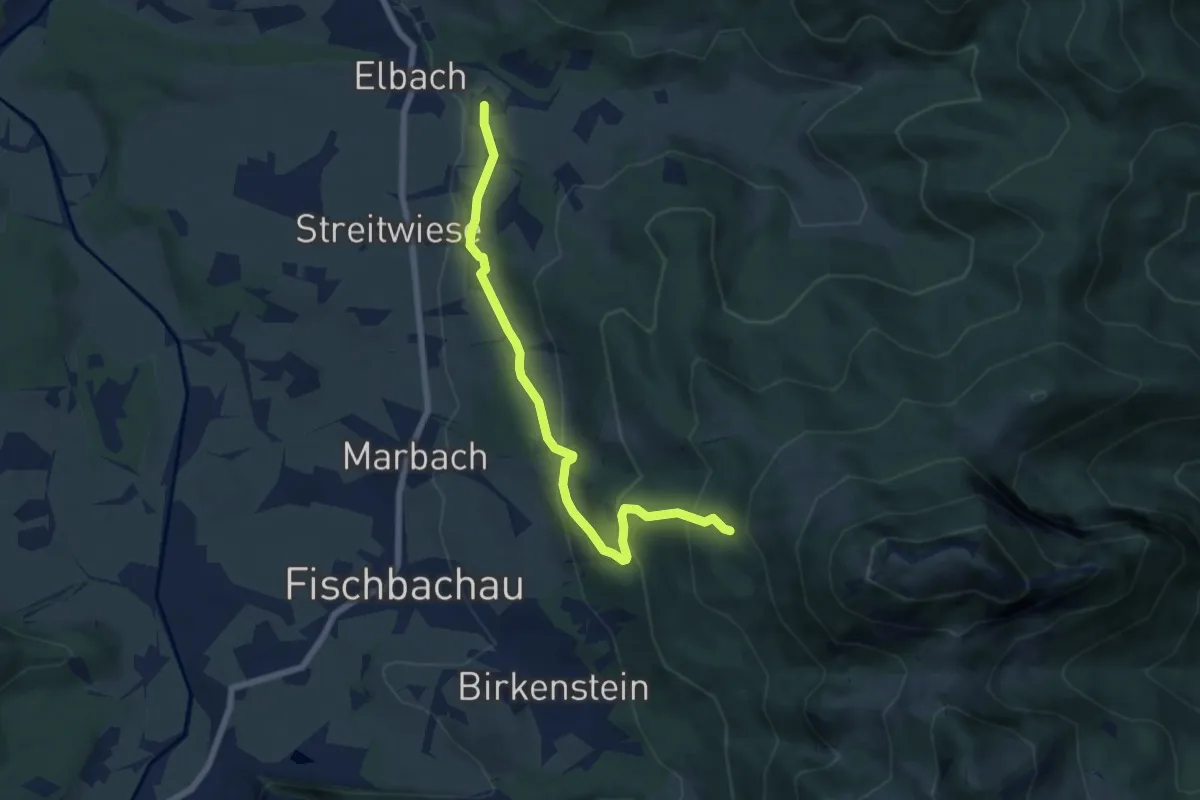
Medium · Trail
Wanderweg 665d - Fischbachau
6.7 km · ↑ 395 m · 2 h 26 min
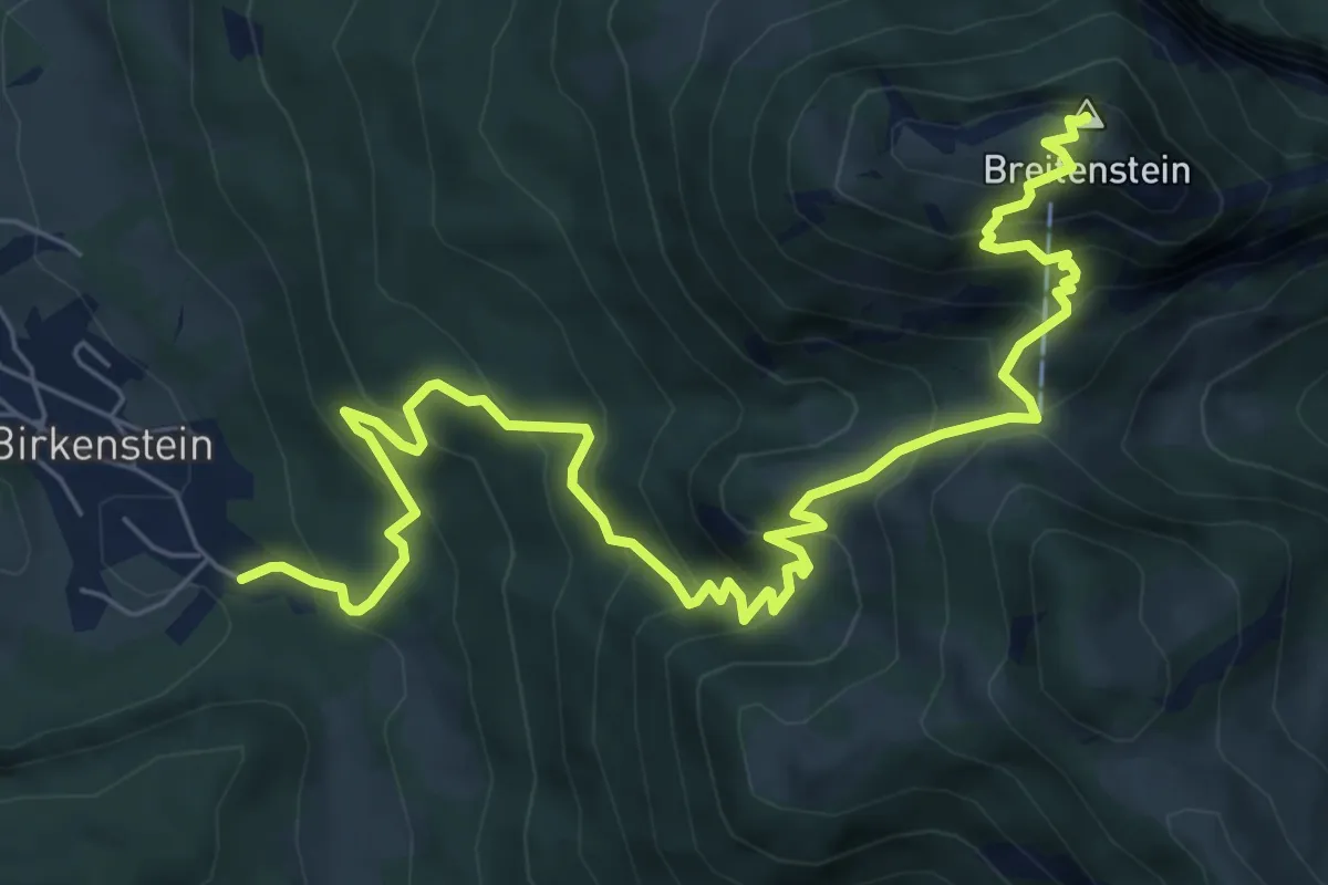
Medium · Summit
Wanderweg 665 - Fischbachau
8.9 km · ↑ 728 m · 3 h 40 min
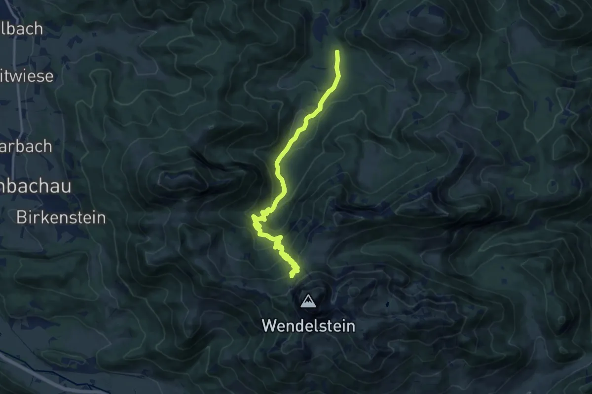
Medium · Trail
Wanderweg 666
11.4 km · ↑ 657 m · 4 h 7 min
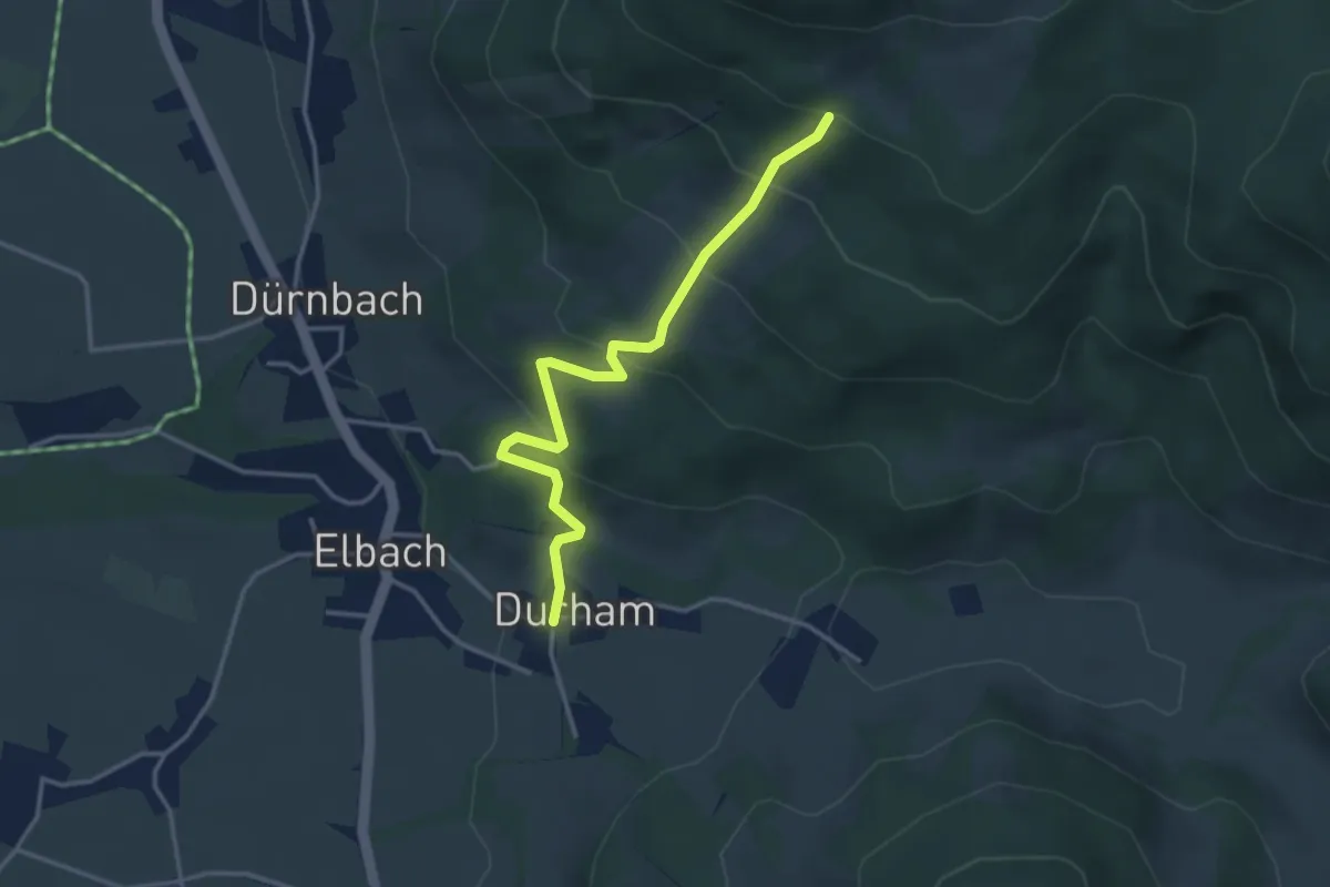
Easy · Trail
Wanderweg 667a - Fischbachau
3.5 km · ↑ 254 m · 1 h 22 min
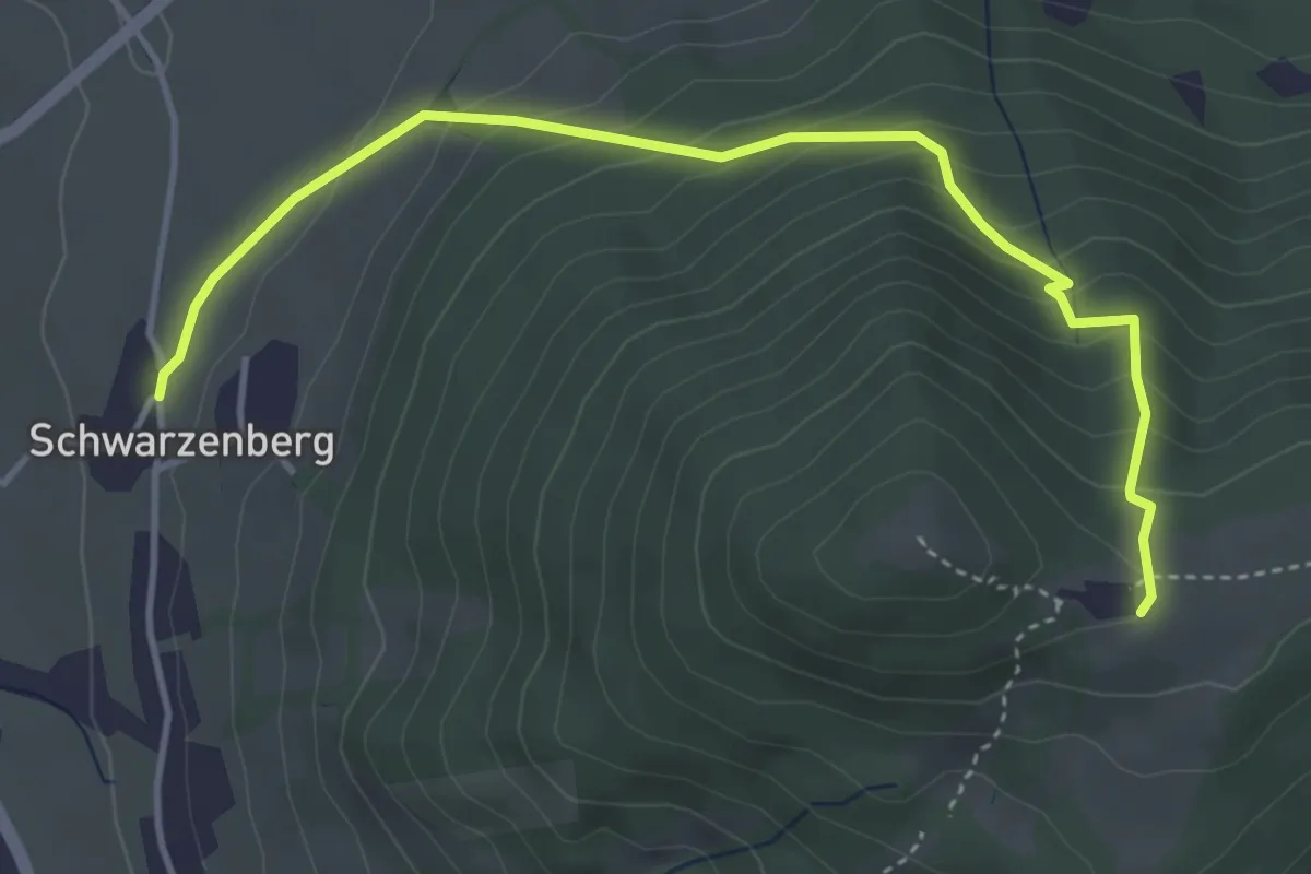
Medium · Trail
Wanderweg 667b - Fischbachau
4.4 km · ↑ 309 m · 1 h 42 min
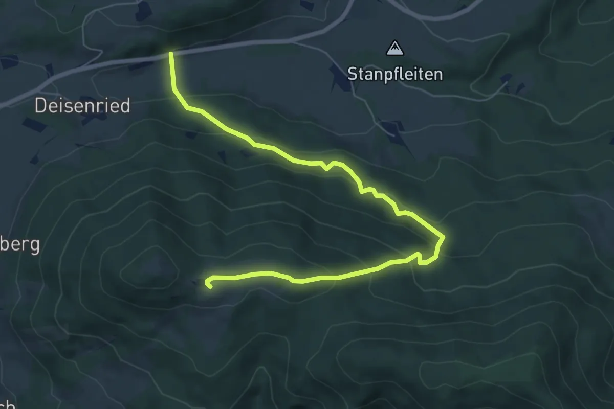
Medium · Trail
Wanderweg 667c - Fischbachau
7.2 km · ↑ 415 m · 2 h 36 min
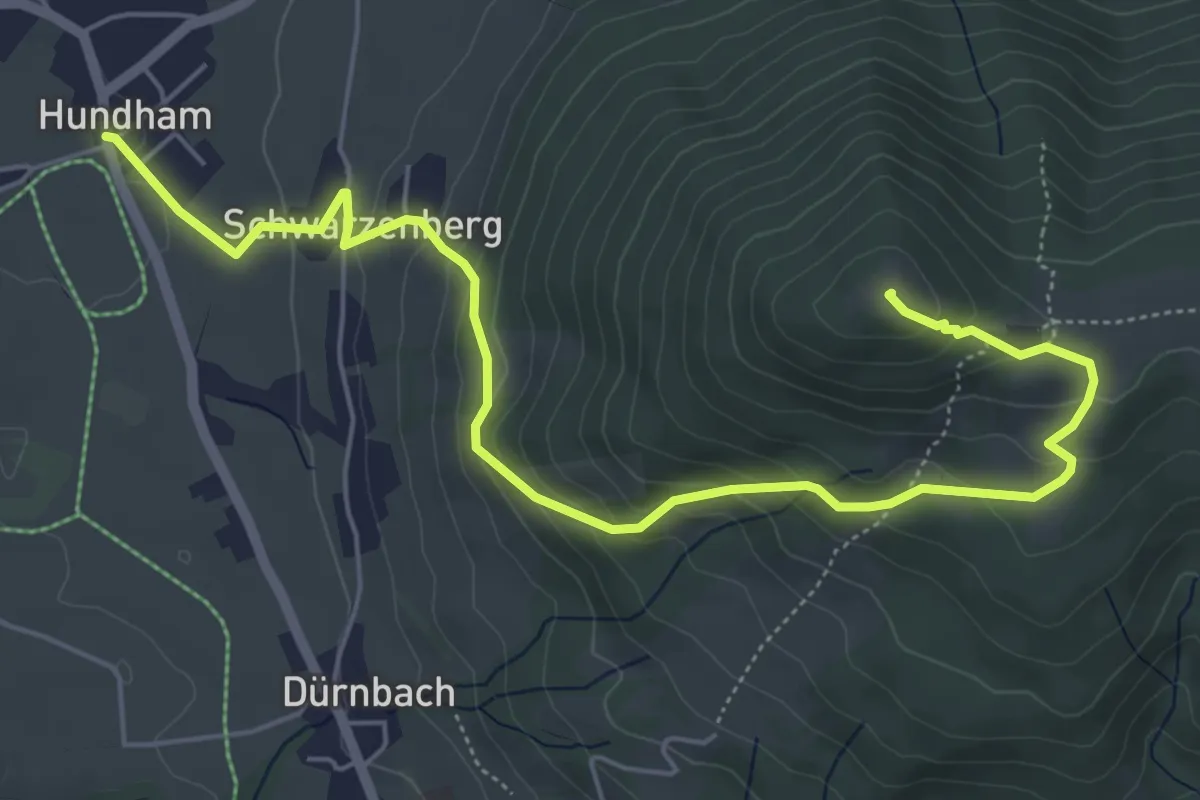
Medium · Summit
Wanderweg 667 - Fischbachau
6.8 km · ↑ 406 m · 2 h 29 min
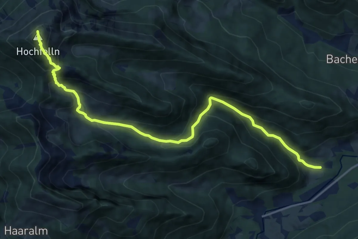
Demanding · Summit
Wanderweg 66 - Hochfelln
12.1 km · ↑ 948 m · 4 h 54 min
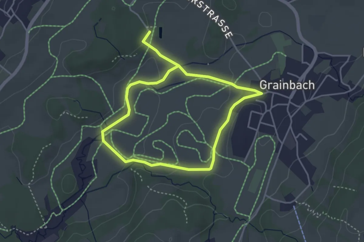
Easy · Trail
Wanderweg 66 - Samerberg
3.0 km · ↑ 55 m · 52 min
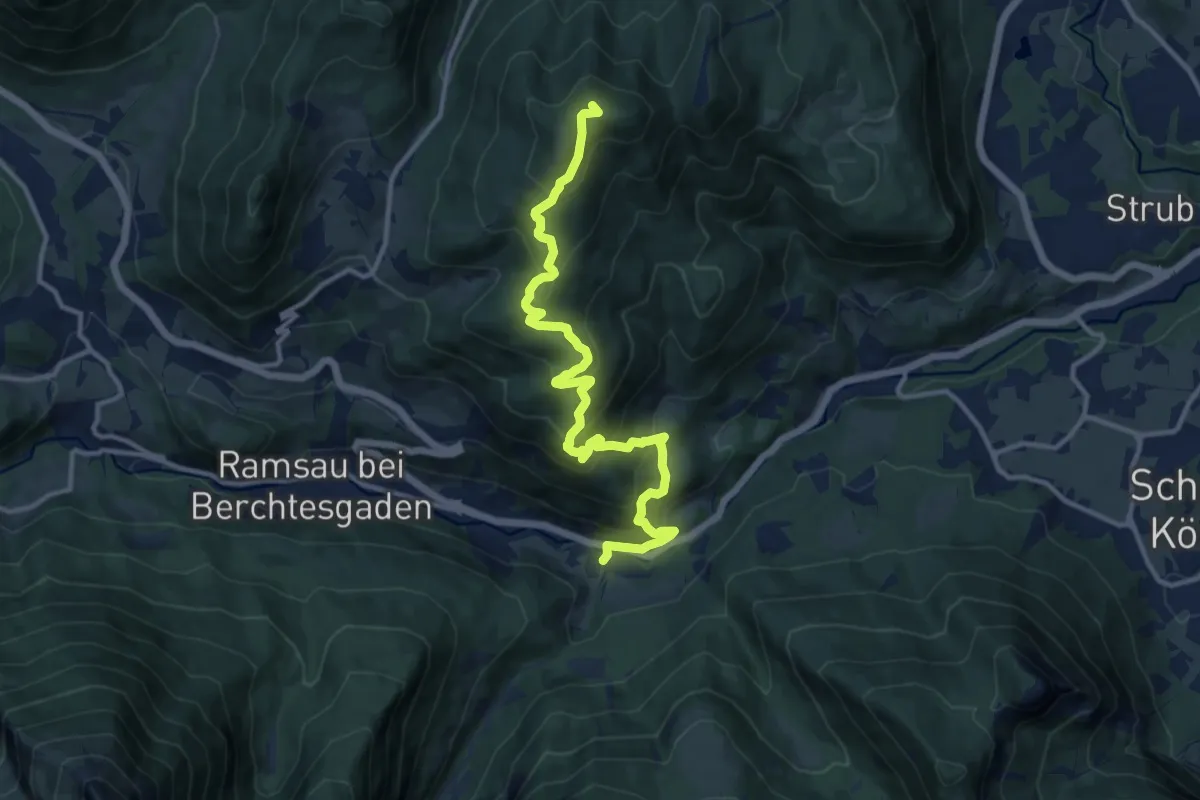
Medium · Summit
Wanderweg 67
12.8 km · ↑ 795 m · 4 h 45 min
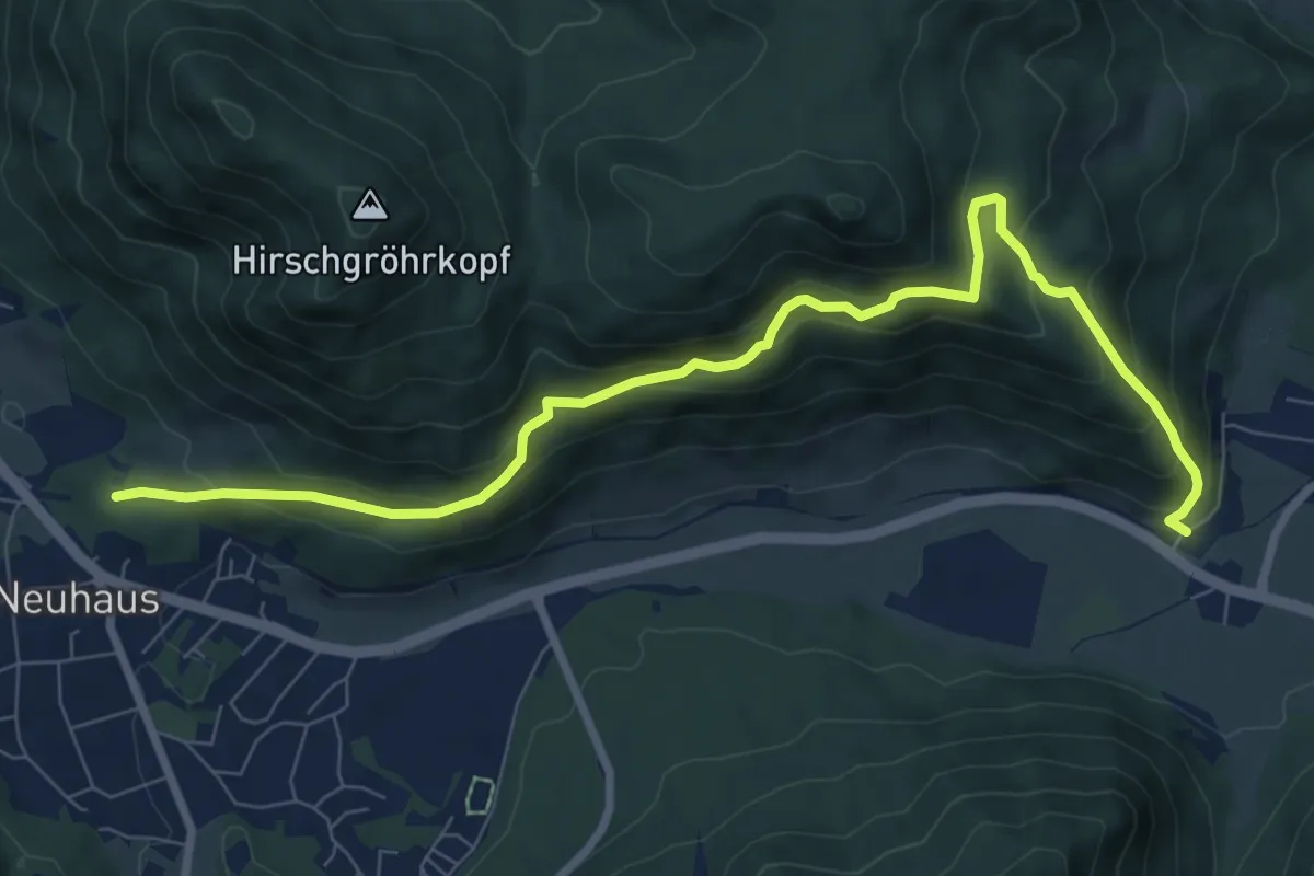
Medium · Trail
Wanderweg 670
9.1 km · ↑ 590 m · 3 h 26 min
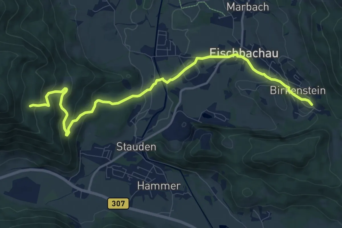
Medium · Trail
Wanderweg 670b
10.8 km · ↑ 410 m · 3 h 27 min
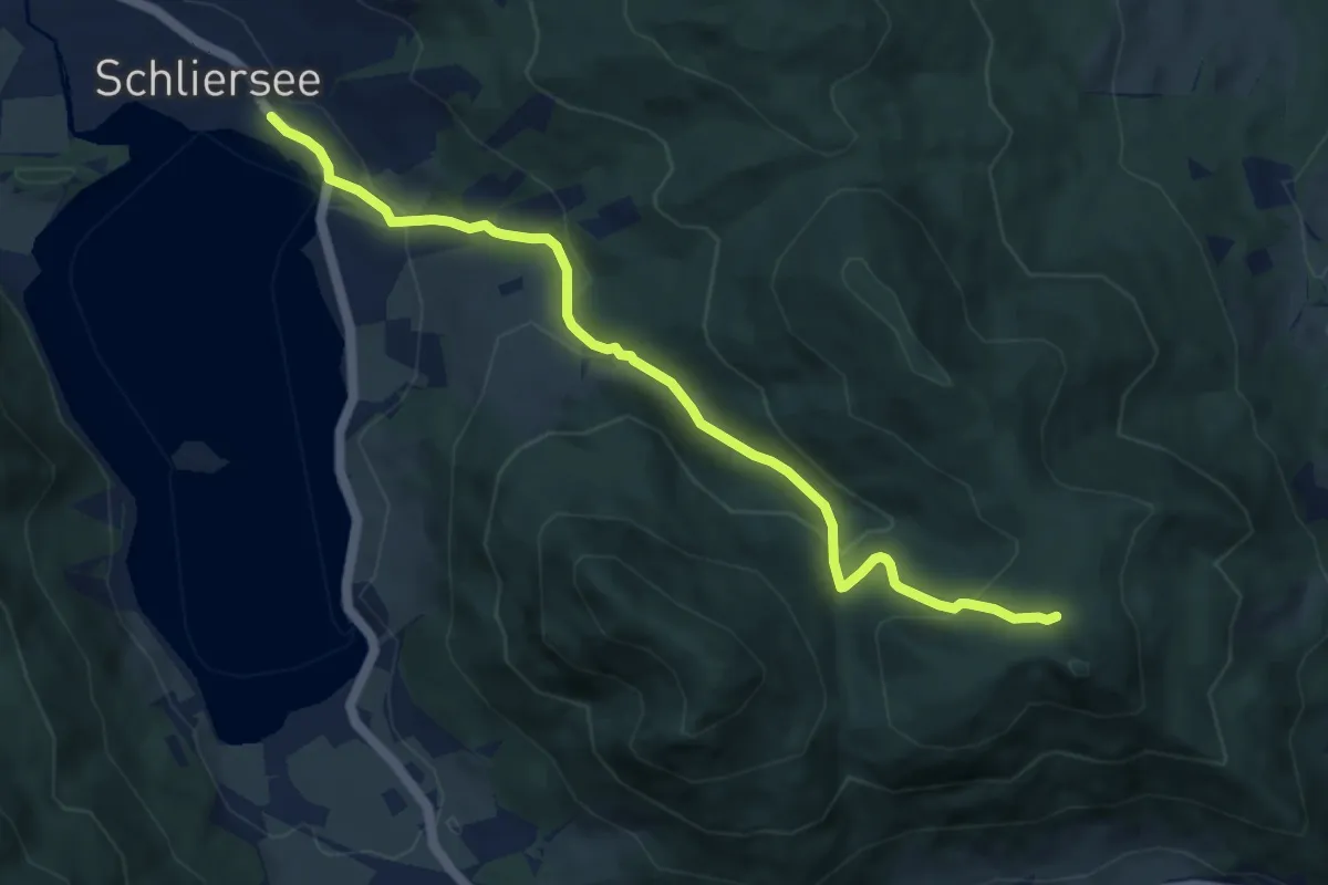
Medium · Trail
Wanderweg 671 - Schliersee/Fischbachau
8.6 km · ↑ 368 m · 2 h 50 min
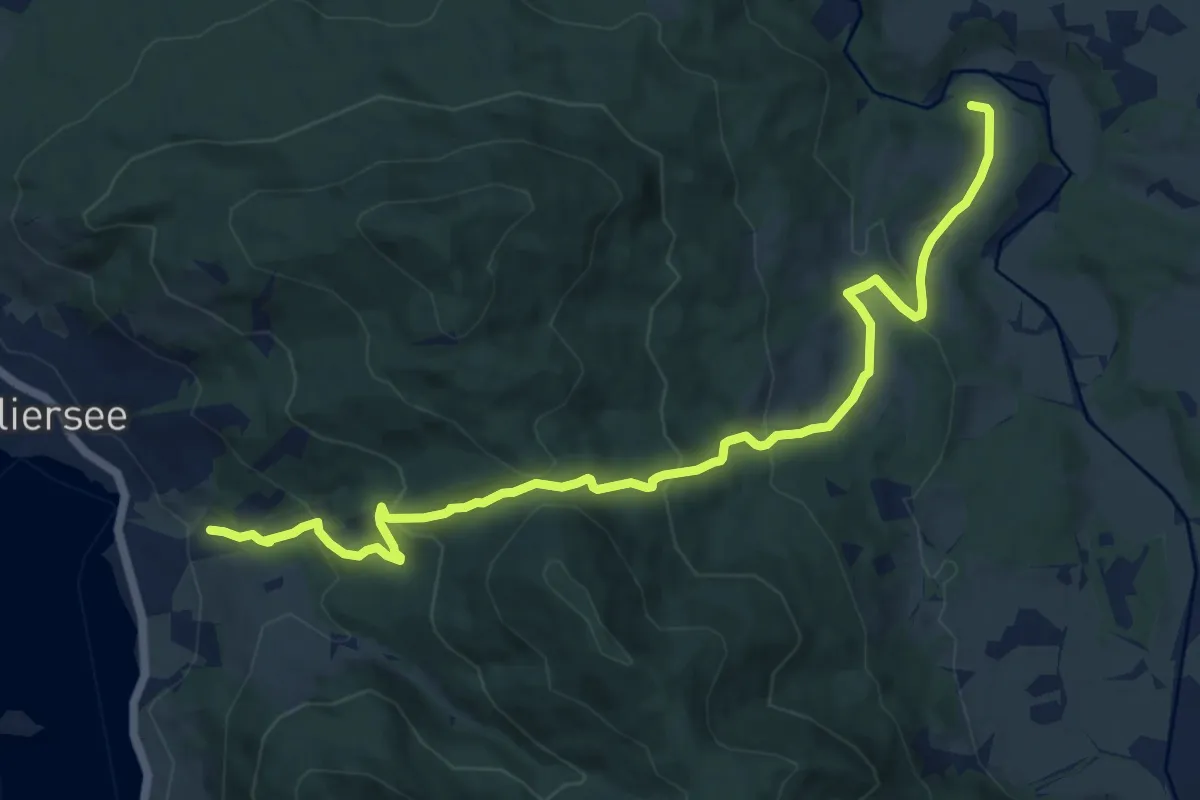
Medium · Trail
Wanderweg 672 - Ortswanderwege Fischbachau/Schliersee
12.5 km · ↑ 644 m · 4 h 21 min
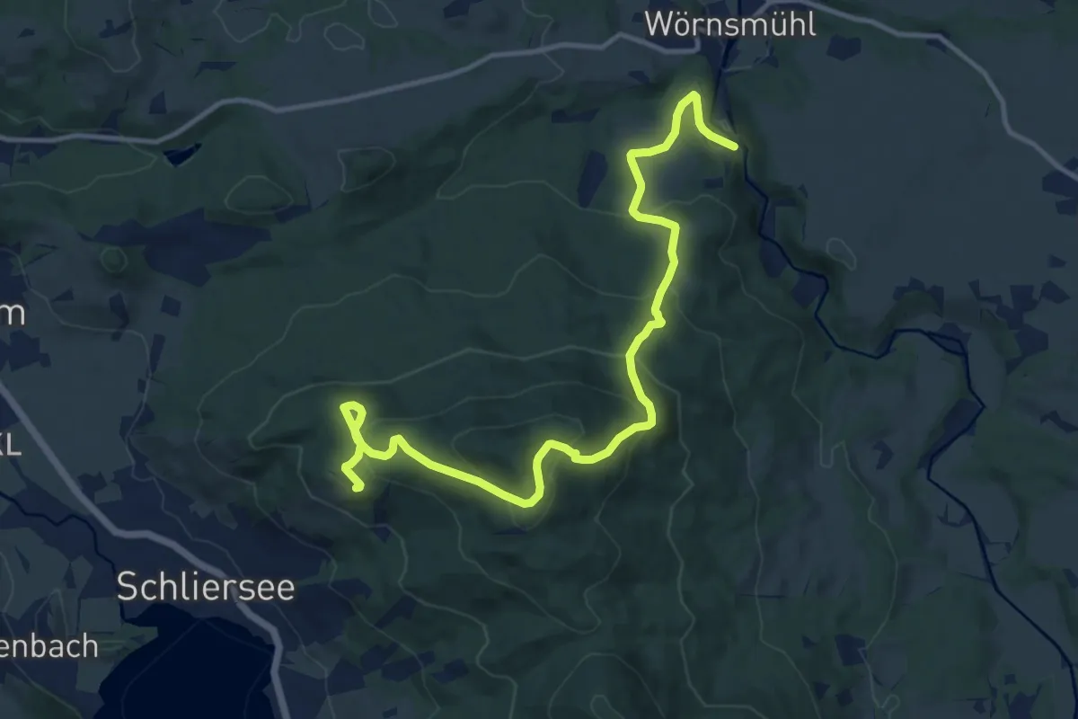
Medium · Trail
Wanderweg 673
13.7 km · ↑ 753 m · 4 h 52 min
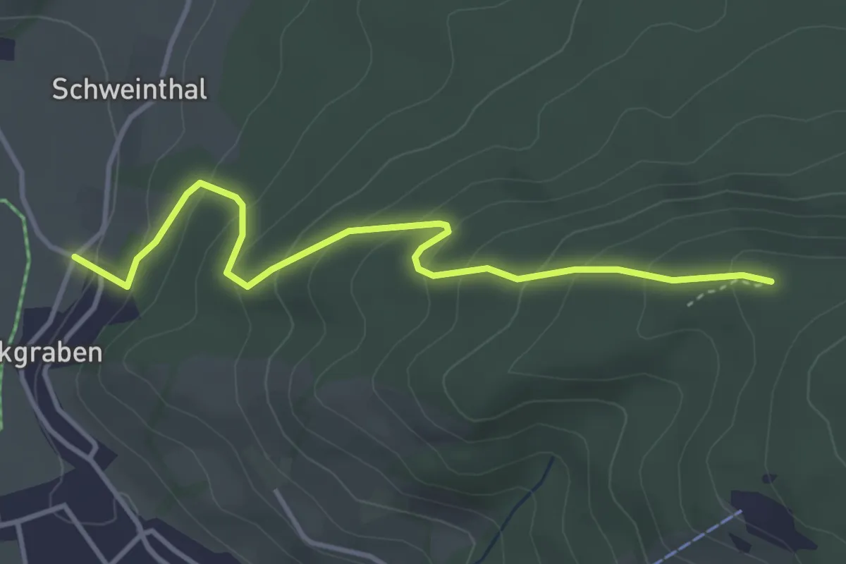
Easy · Trail
Wanderweg 673b
3.8 km · ↑ 264 m · 1 h 28 min
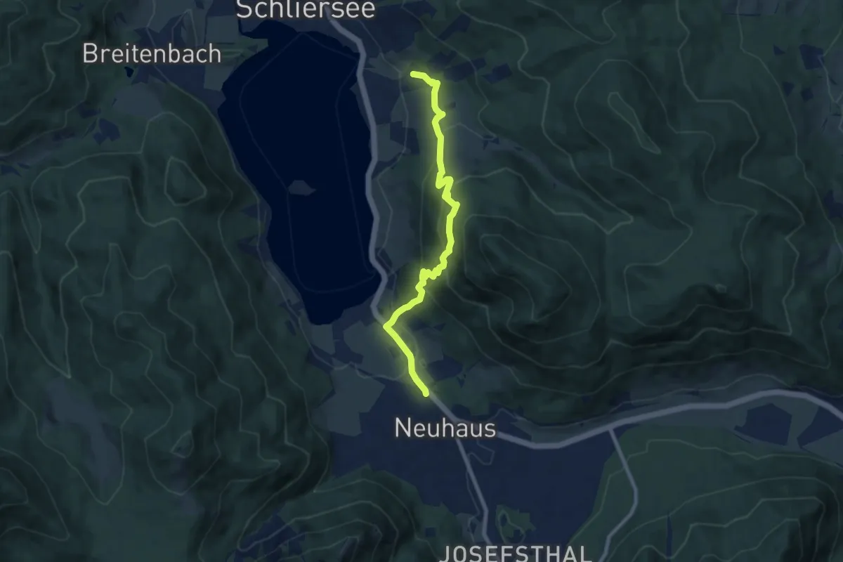
Medium · Trail
Wanderweg 674 - Schliersee
7.6 km · ↑ 526 m · 2 h 56 min
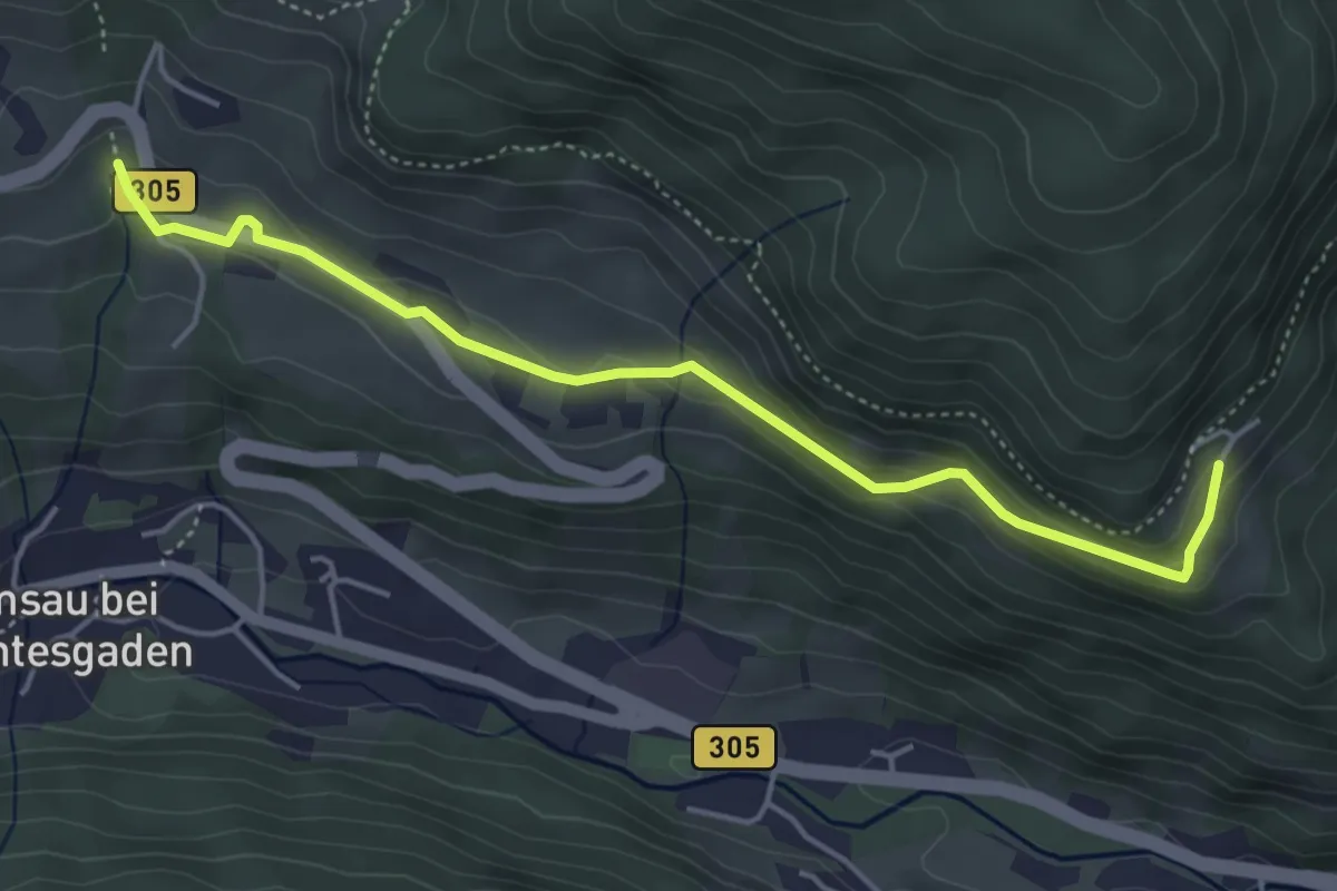
Easy · Trail
Wanderweg 67a
4.7 km · ↑ 194 m · 1 h 31 min
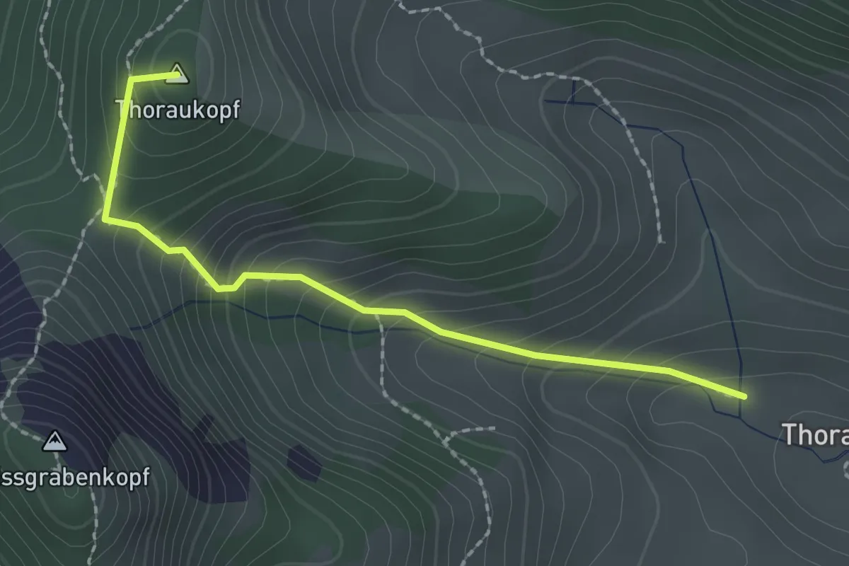
Demanding · Summit
Wanderweg 67 - Hochfelln
2.0 km · ↑ 203 m · 55 min
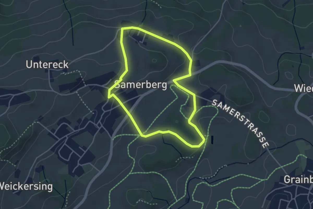
Easy · Trail
Wanderweg 67 - Samerberg
3.2 km · ↑ 72 m · 57 min