Trails in Germany
36,852 hiking trails, each with its route, climb, walking time and grade.
All trails, page 689 of 768
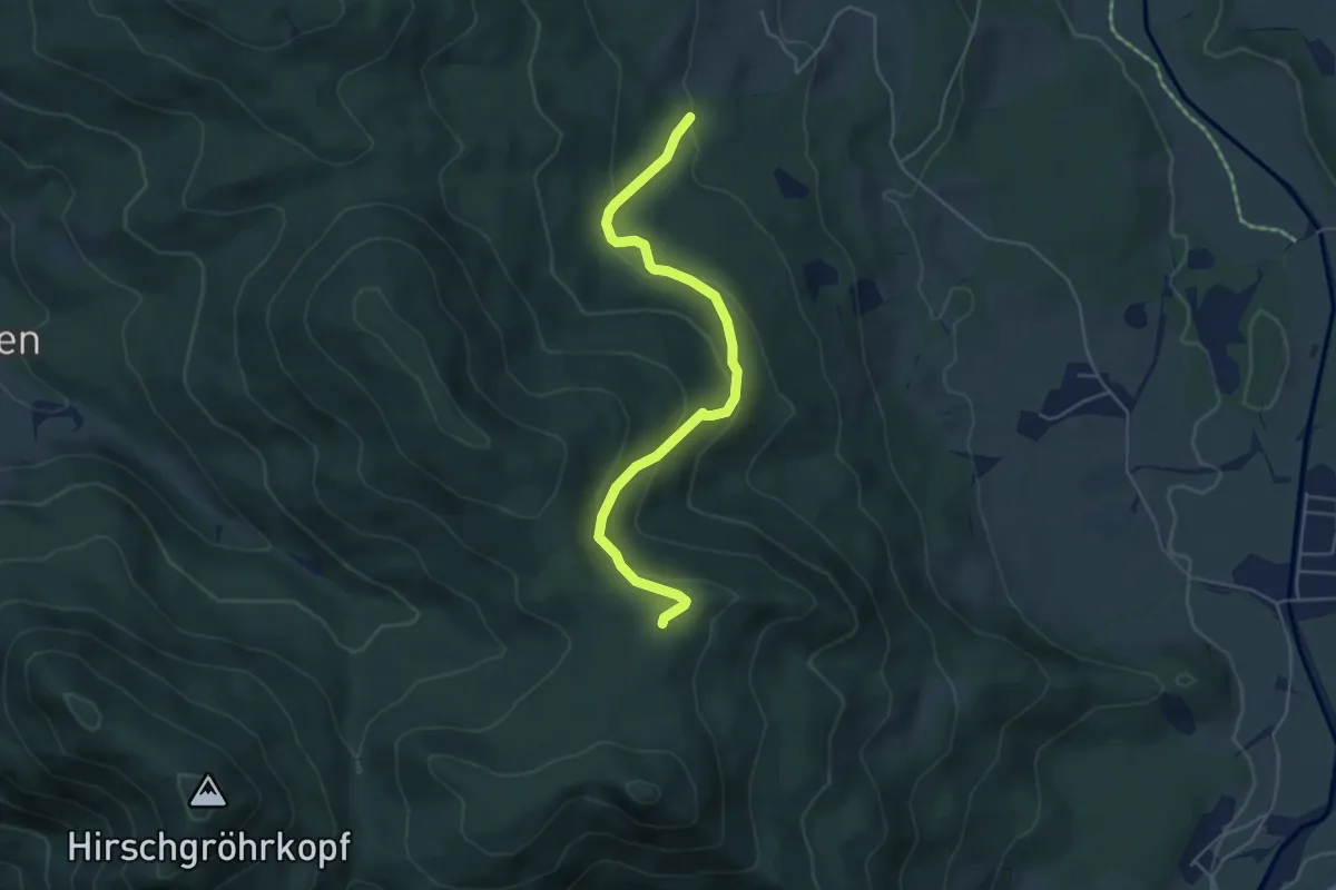
Medium · Trail
Wanderweg 680a
4.8 km · ↑ 251 m · 1 h 41 min
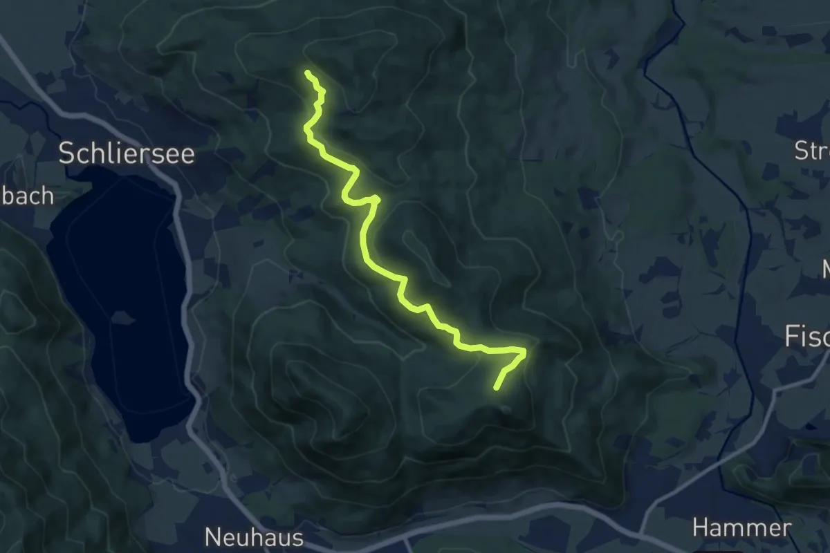
Medium · Trail
Wanderweg 680 Schliersberg - Breitenberg
9.8 km · ↑ 432 m · 3 h 14 min
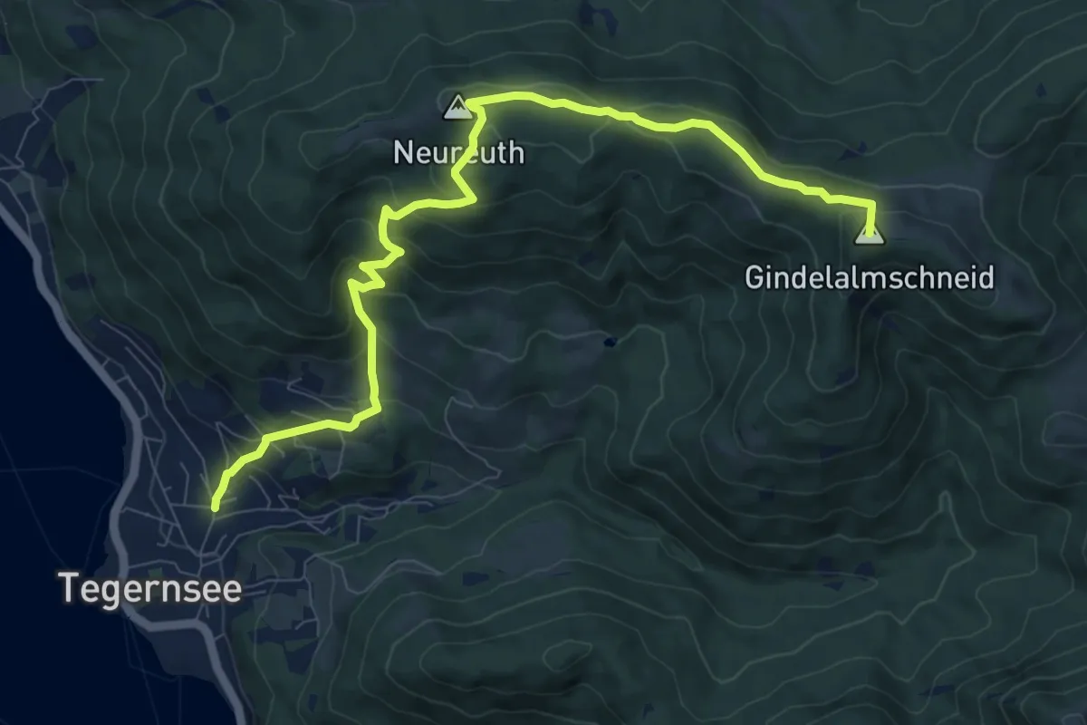
Medium · Summit
Wanderweg 681 - Bayrische Voralpen
10.1 km · ↑ 593 m · 3 h 40 min
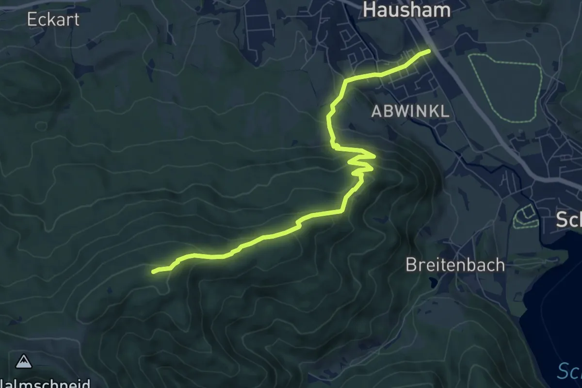
Medium · Summit
Wanderweg 682a - Bayrische Voralpen
9.2 km · ↑ 494 m · 3 h 14 min
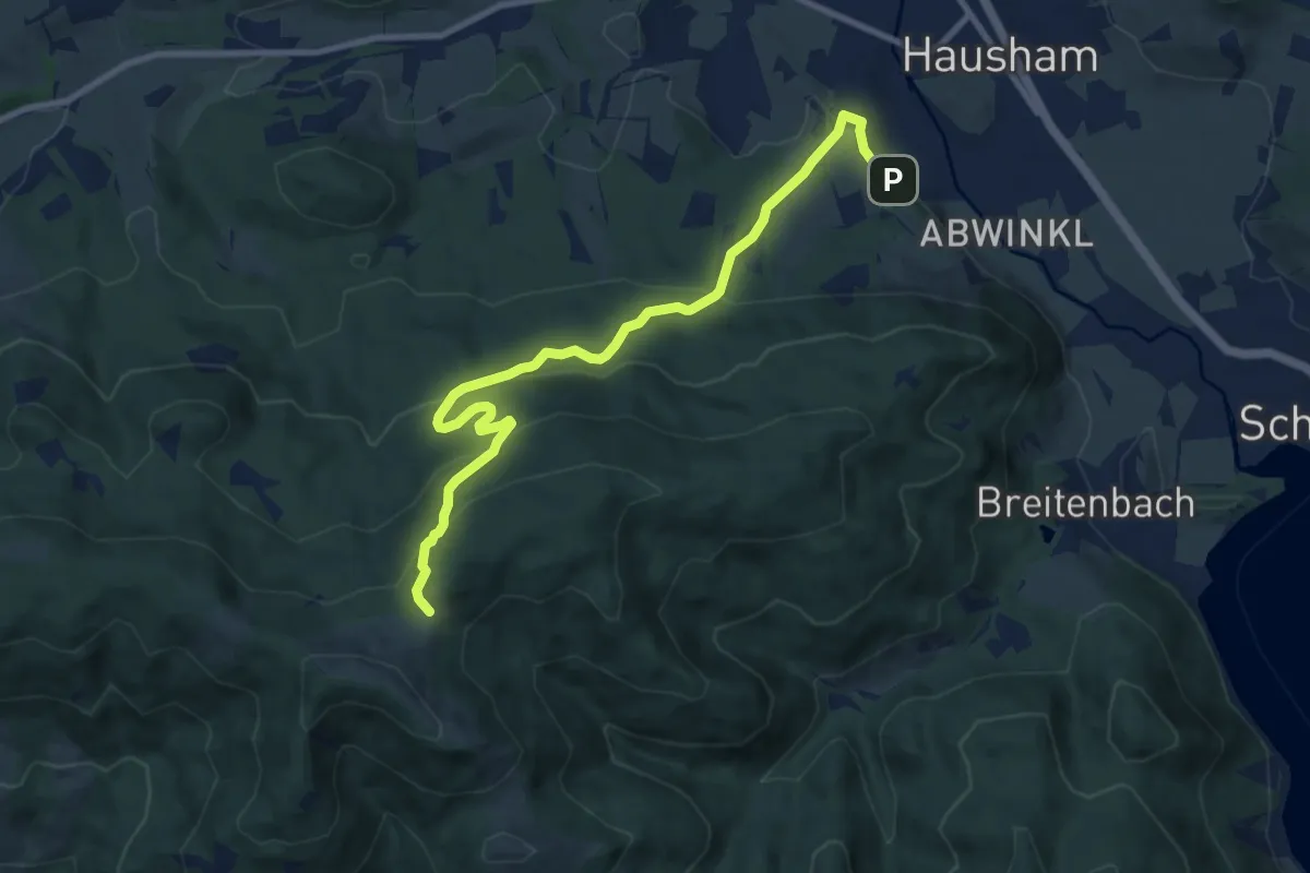
Medium · Trail
Wanderweg 682 - Bayrische Voralpen
9.8 km · ↑ 488 m · 3 h 23 min
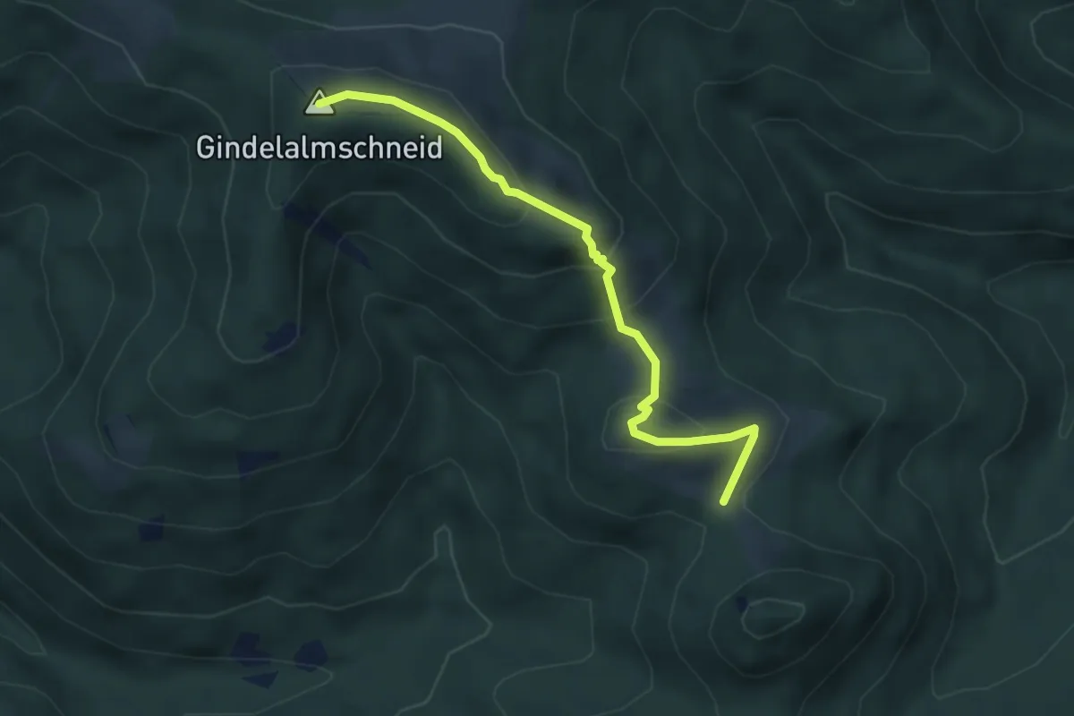
Medium · Summit
Wanderweg 684 - Bayrische Voralpen
4.1 km · ↑ 229 m · 1 h 28 min
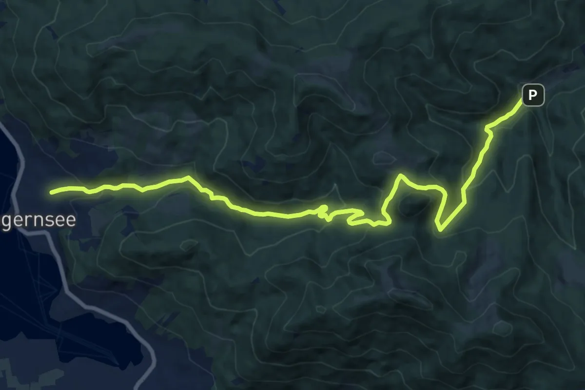
Medium · Trail
Wanderweg 685 - Bayrische Voralpen
16.5 km · ↑ 741 m · 5 h 30 min
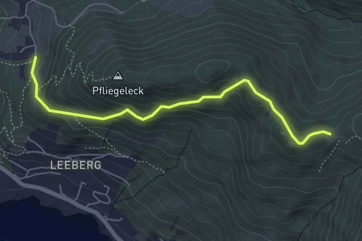
Medium · Trail
Wanderweg 686a - Bayrische Voralpen
4.8 km · ↑ 330 m · 1 h 50 min
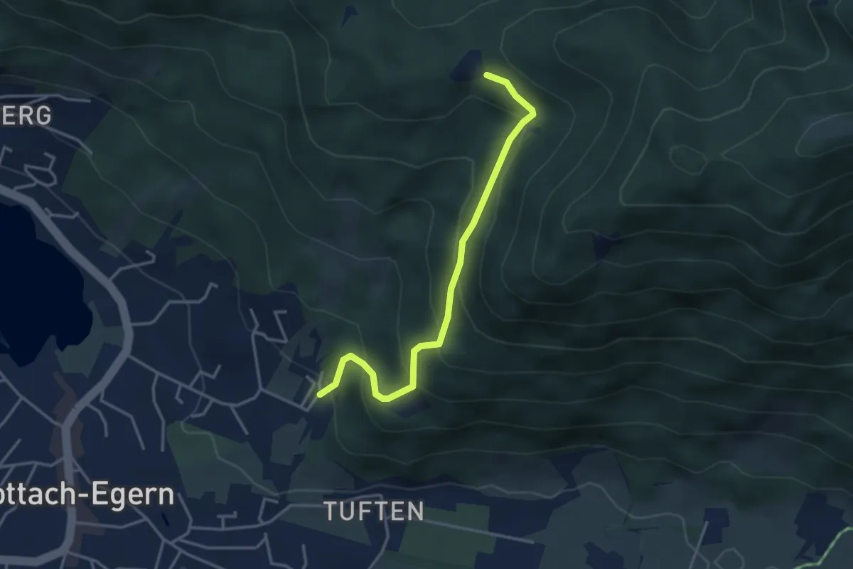
Easy · Trail
Wanderweg 686b - Bayrische Voralpen
3.4 km · ↑ 284 m · 1 h 26 min
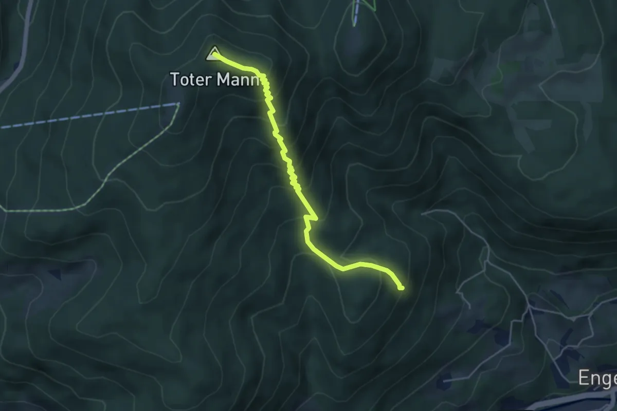
Medium · Summit
Wanderweg 68 - Ramsau
4.5 km · ↑ 410 m · 1 h 57 min
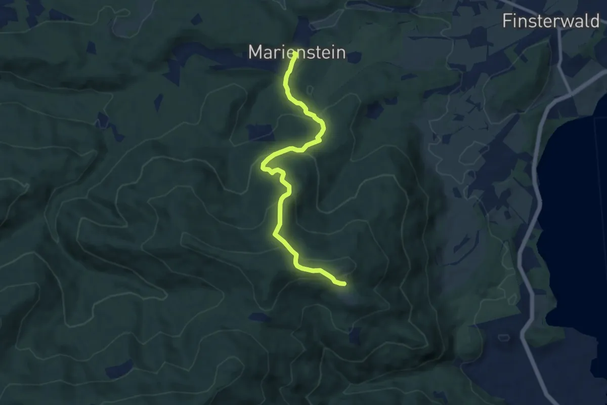
Medium · Trail
Wanderweg 699
7.9 km · ↑ 459 m · 2 h 52 min
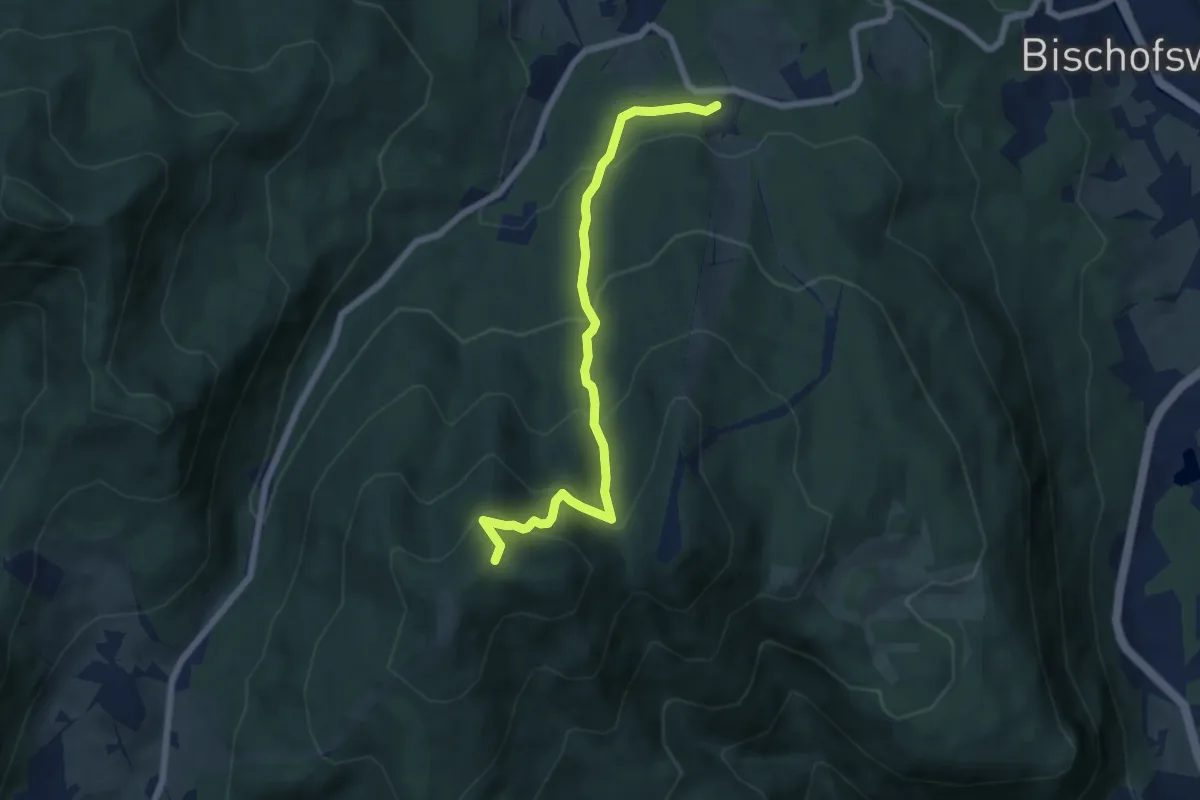
Medium · Summit
Wanderweg 69 - Ramsau
6.4 km · ↑ 522 m · 2 h 39 min
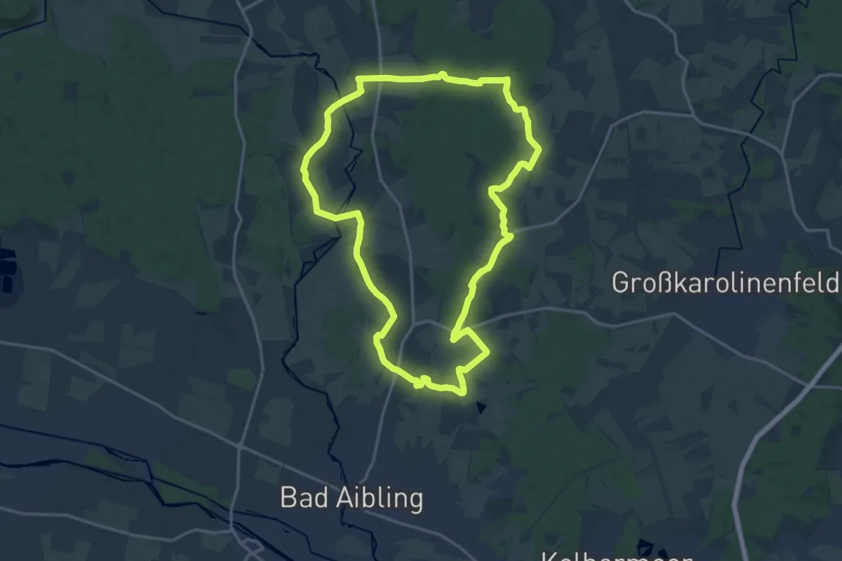
Medium · Trail
Wanderweg 6 - Bad Aibling
15.2 km · ↑ 117 m · 4 h 3 min
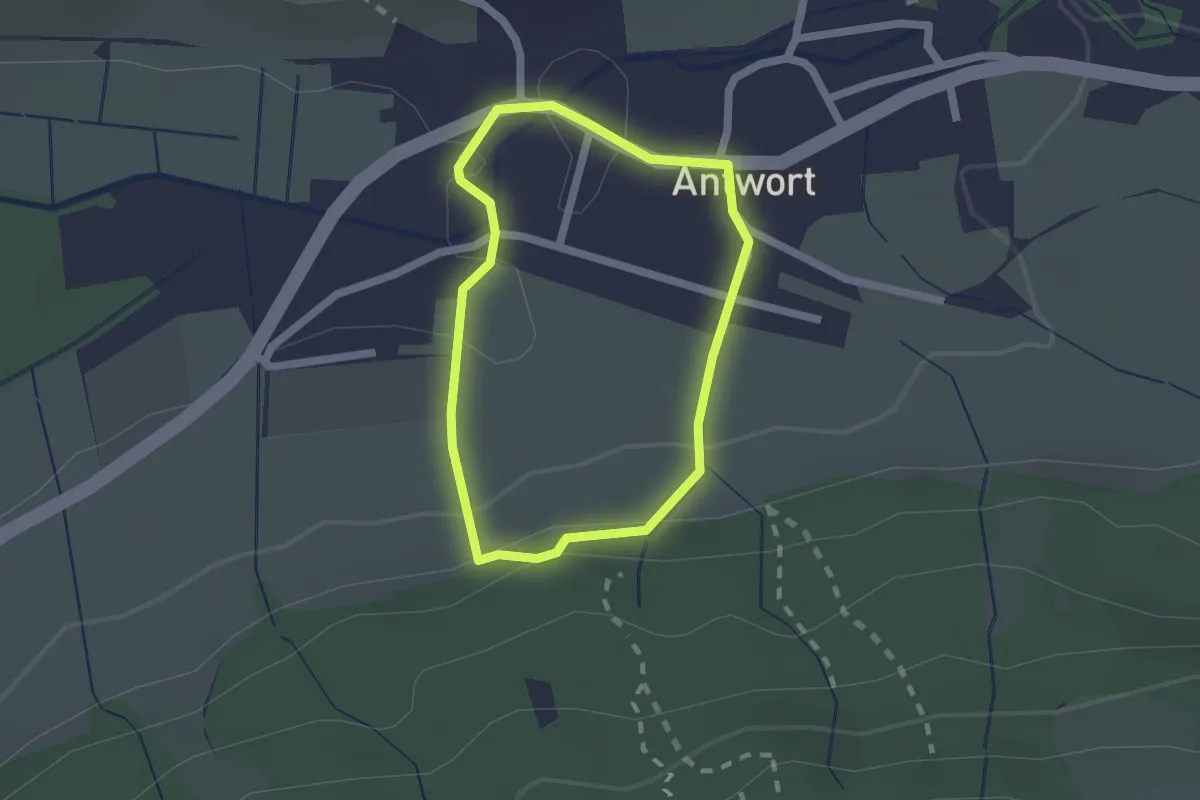
Easy · Trail
Wanderweg 6 - Bad Endorf
1.5 km · ↑ 38 m · 27 min
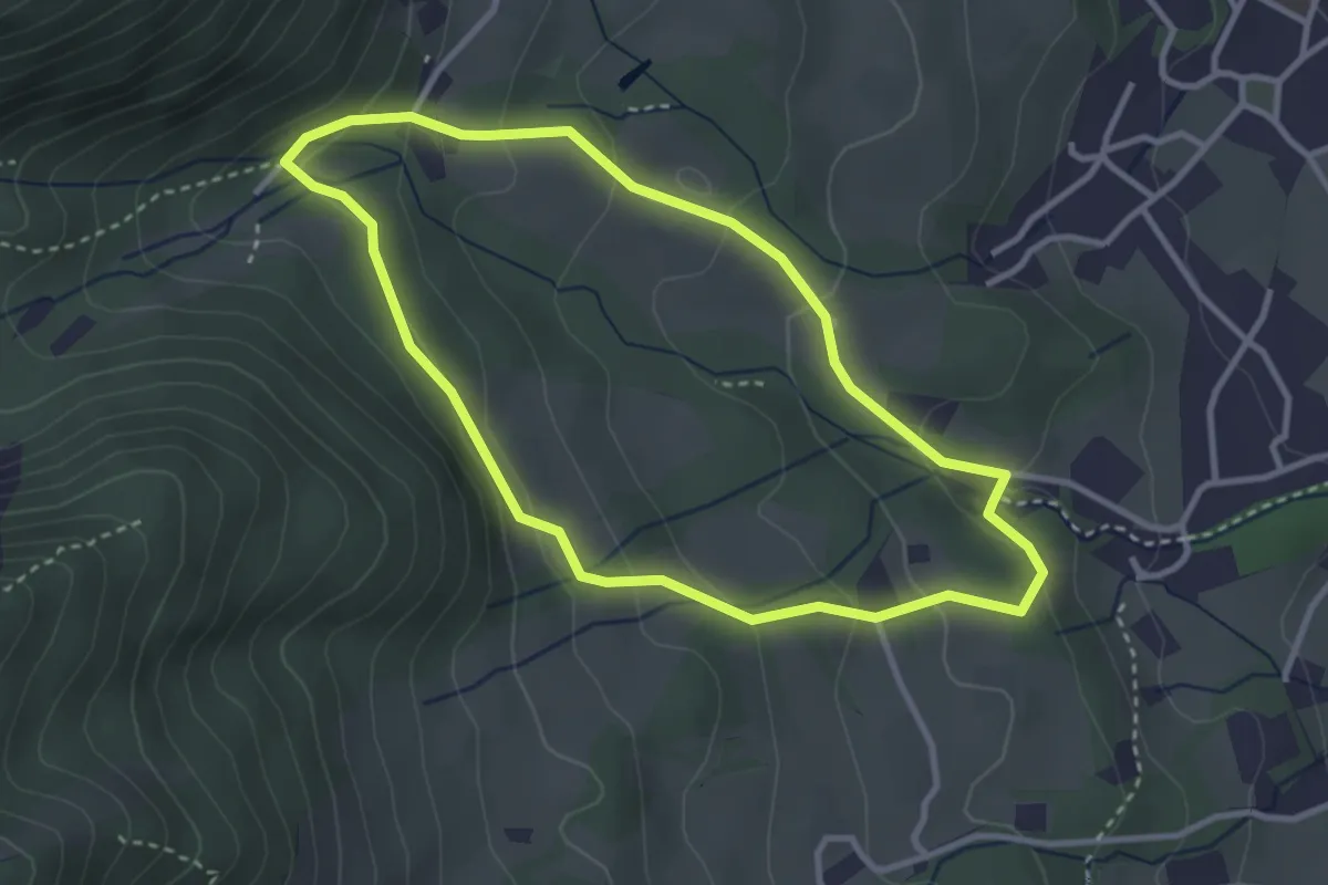
Easy · Trail
Wanderweg 6 - Brannenburg
3.0 km · ↑ 157 m · 1 h 6 min
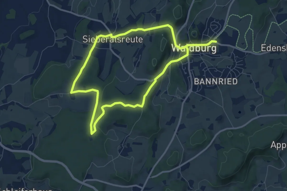
Easy · Trail
Wanderweg 6 der Gemeinde Waldburg
6.9 km · ↑ 162 m · 2 h 5 min
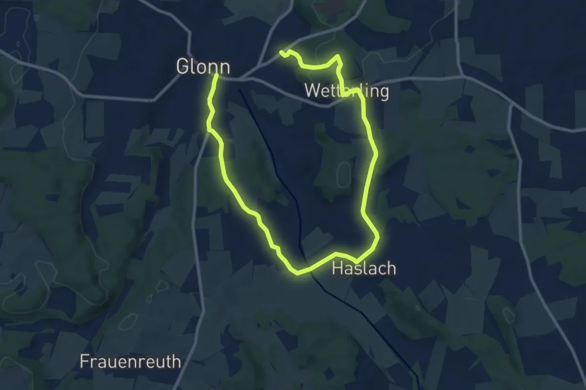
Medium · Trail
Wanderweg 6, Glonn
11.7 km · ↑ 261 m · 3 h 19 min
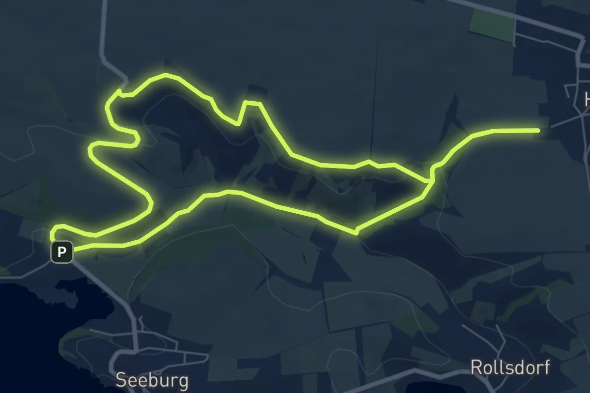
Easy · Trail
Wanderweg 6 Höhnstedt
6.7 km · ↑ 104 m · 1 h 55 min
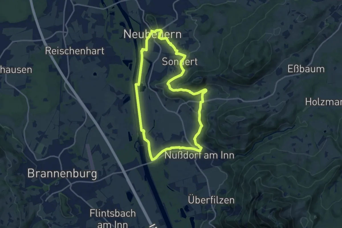
Medium · Summit
Wanderweg 6 - Nußdorf
11.7 km · ↑ 196 m · 3 h 21 min
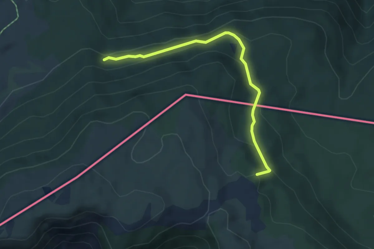
Medium · Summit
Wanderweg 6 - Reit im Winkl
4.6 km · ↑ 288 m · 1 h 43 min
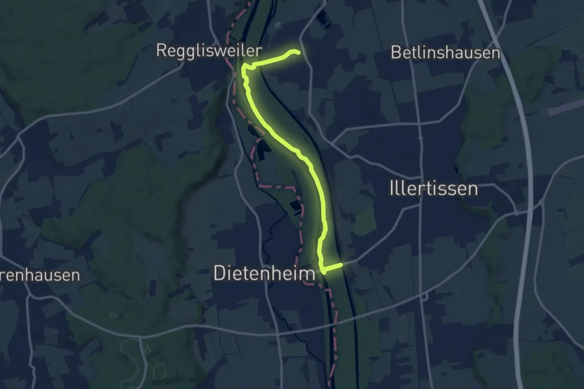
Easy · Trail
Wanderweg 6 Stadt Illertissen
5.2 km · ↑ 5 m · 1 h 19 min
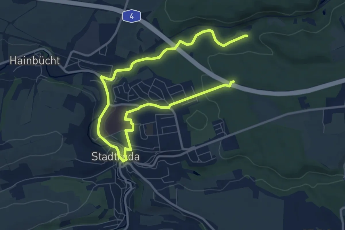
Easy · Trail
Wanderweg 6 Stadtroda
5.4 km · ↑ 36 m · 1 h 27 min
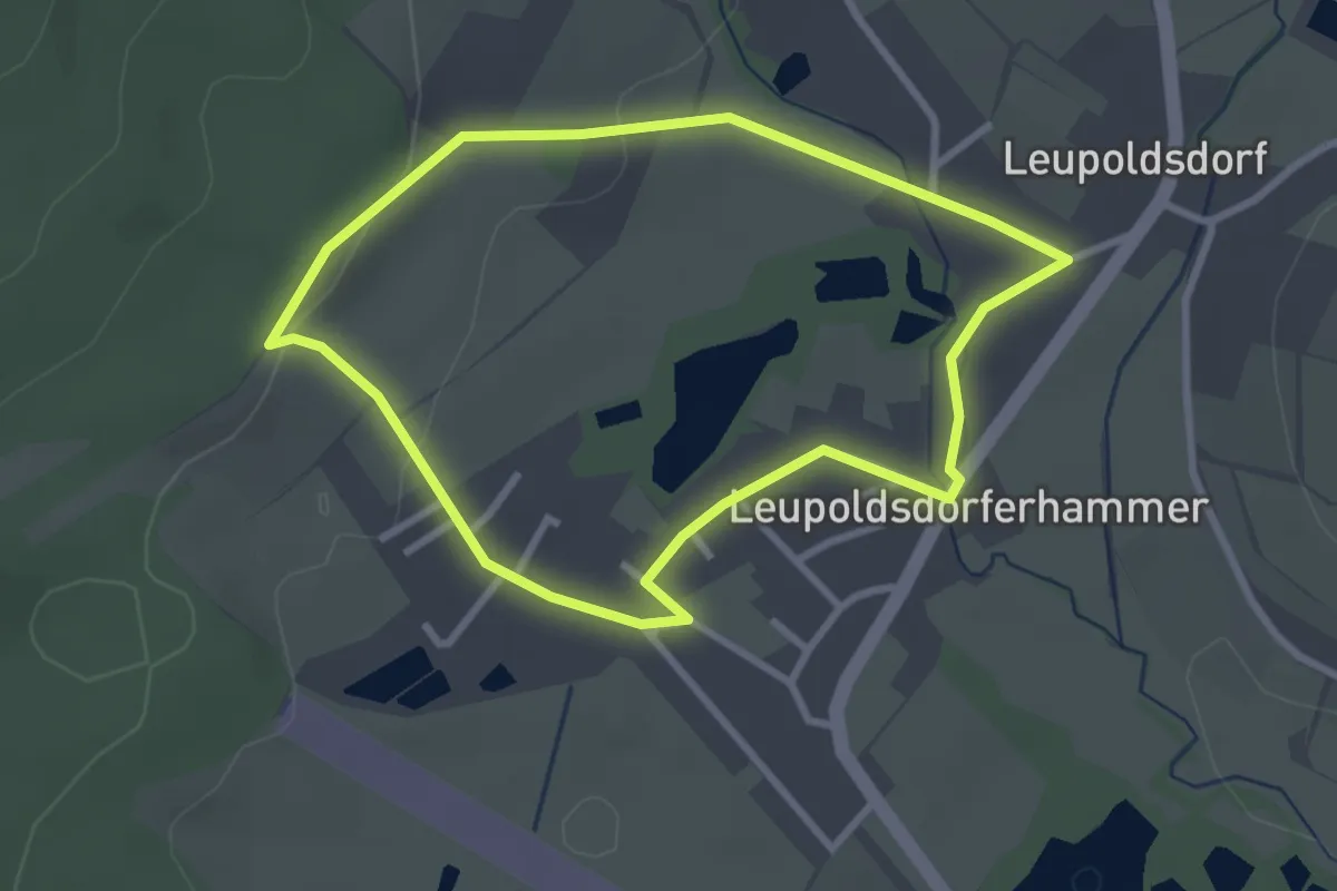
Easy · Trail
Wanderweg 6 Tröstau
2.6 km · ↑ 43 m · 44 min
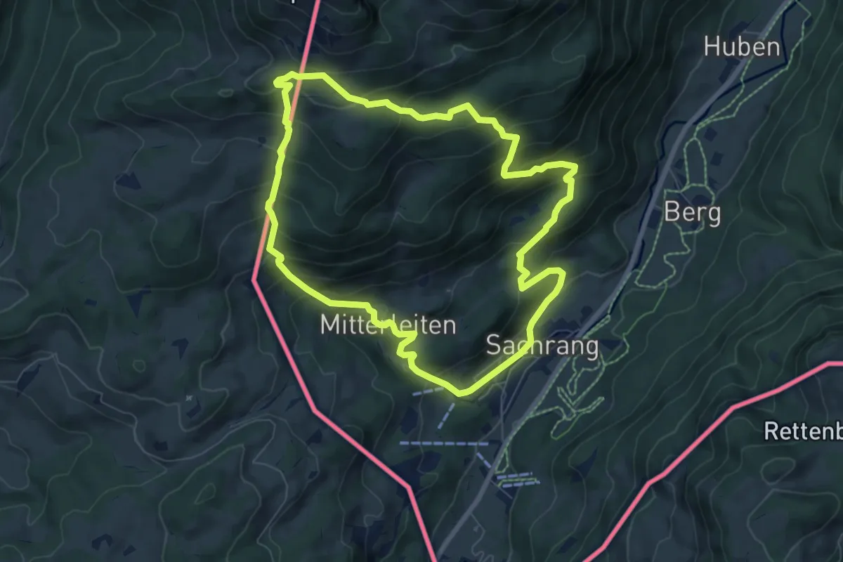
Medium · Trail
Wanderweg 6 - Von Sachrang zum Spitzstein
7.1 km · ↑ 564 m · 3 h
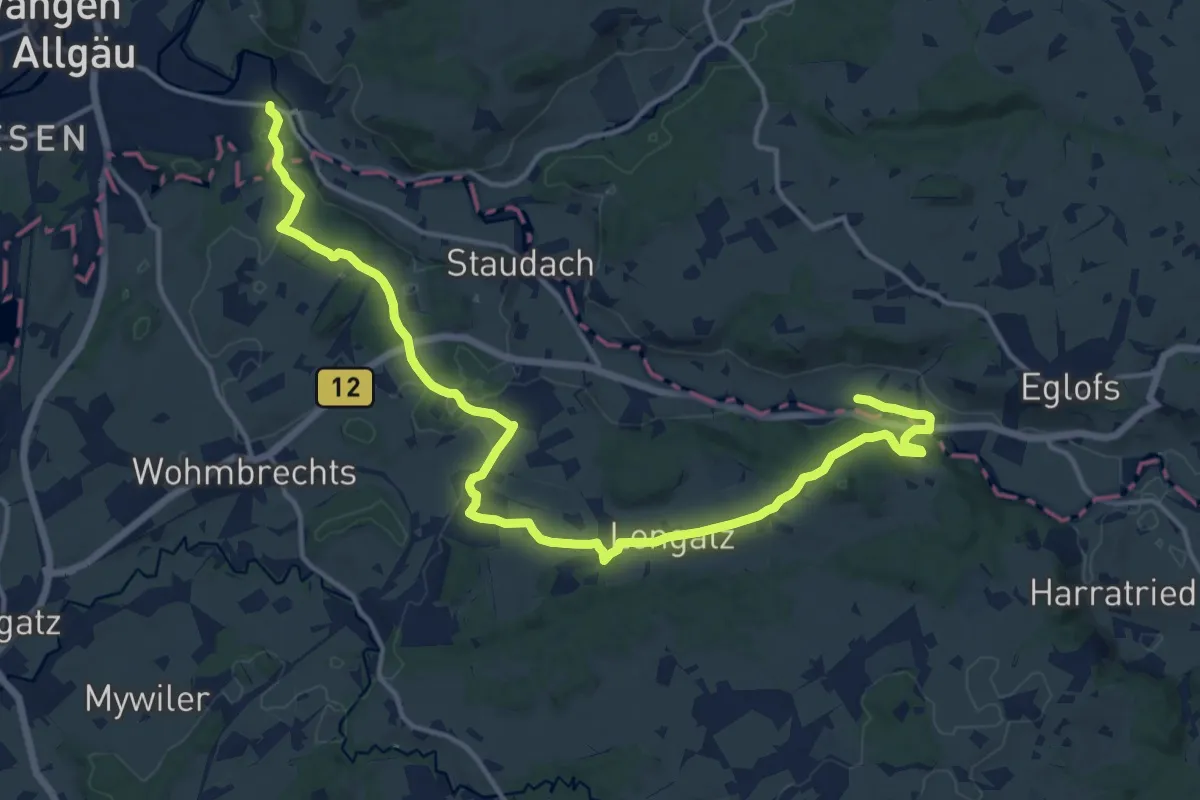
Medium · Trail
Wanderweg 6 Wangen im Allgäu
9.1 km · ↑ 147 m · 2 h 36 min
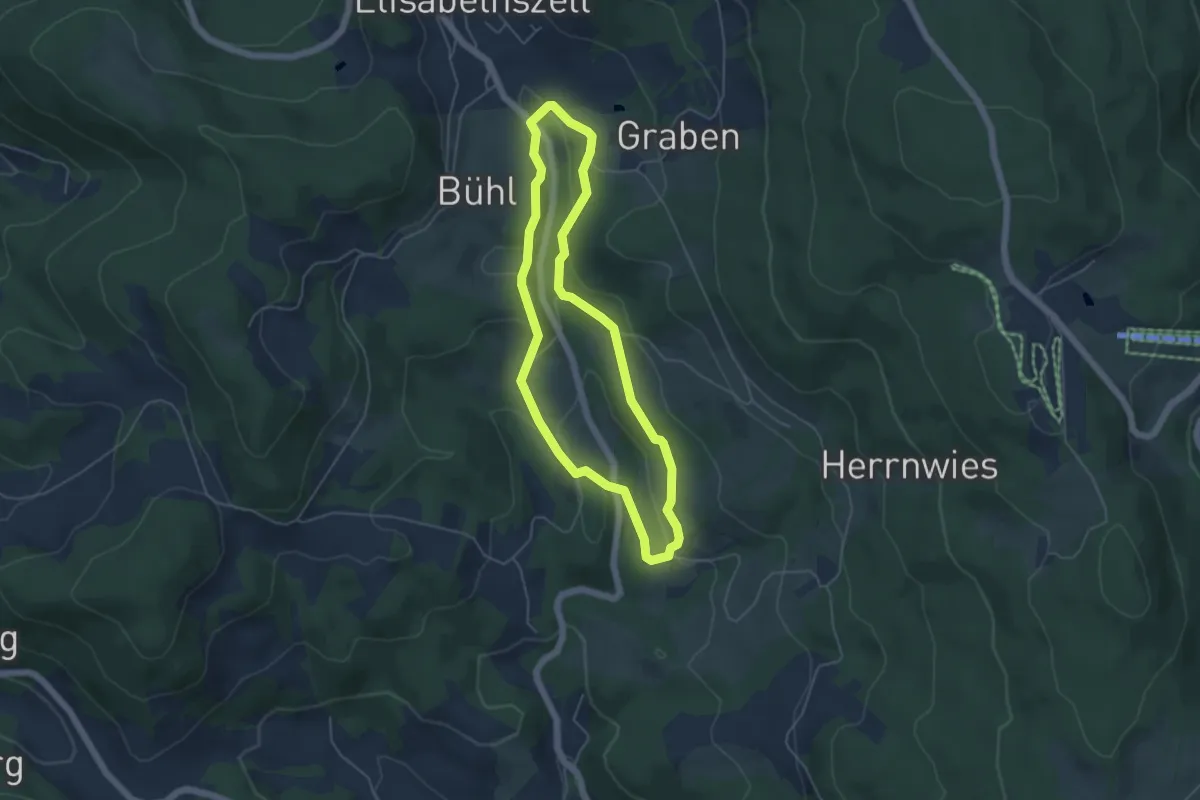
Easy · Trail
Wanderweg 7
4.3 km · ↑ 115 m · 1 h 20 min
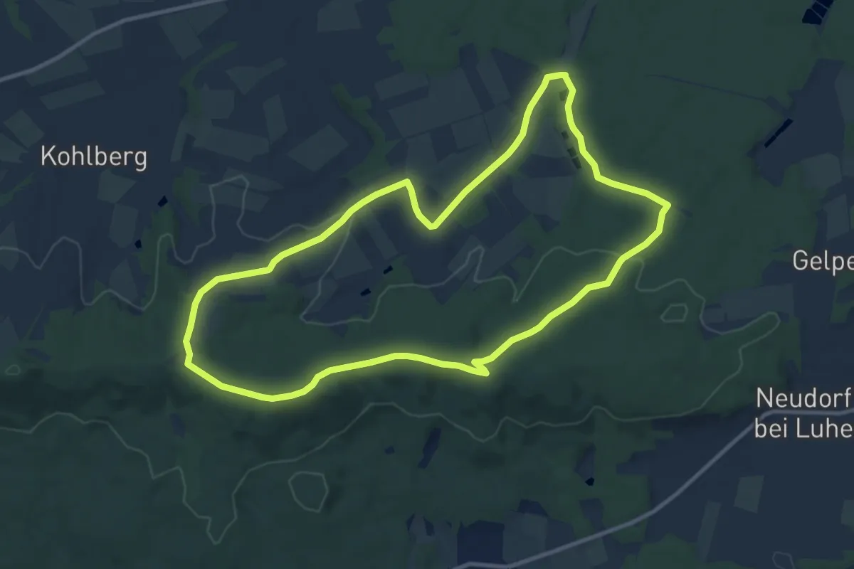
Medium · Summit
Wanderweg 7
10.1 km · ↑ 179 m · 2 h 54 min
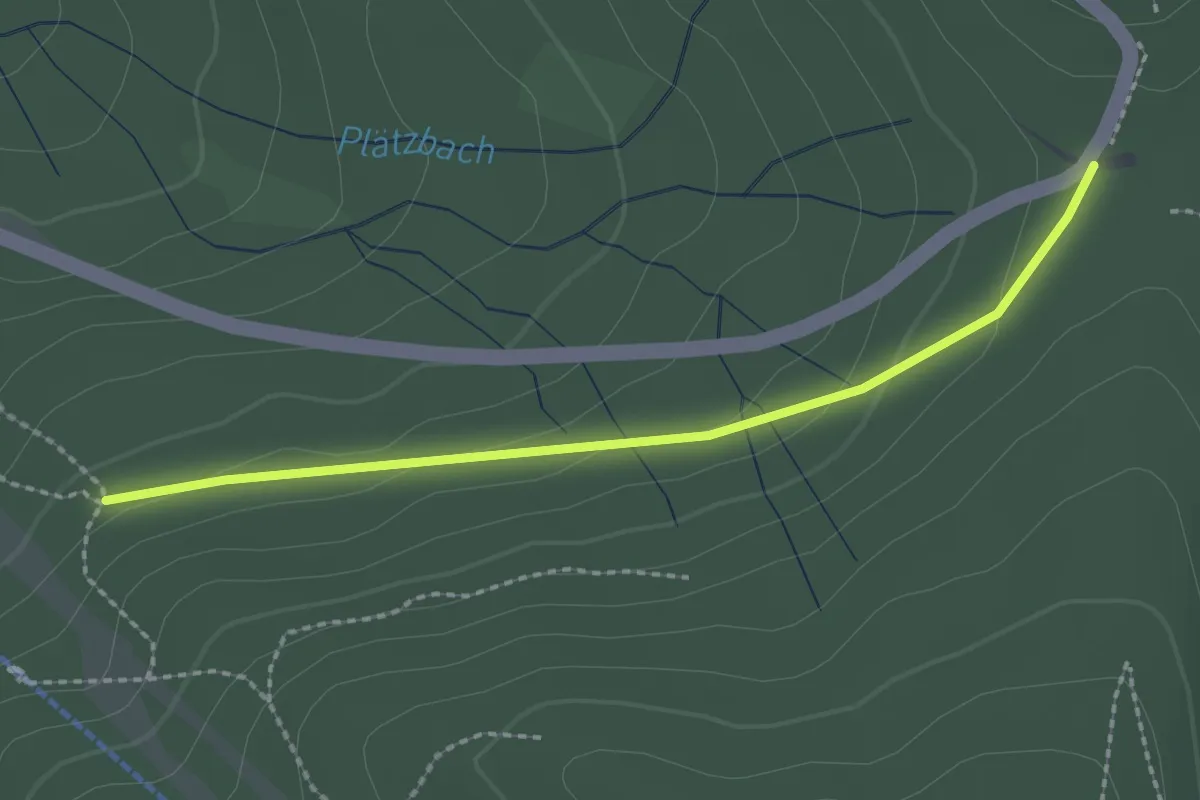
Easy · Trail
Wanderweg 7
2.1 km · ↑ 62 m · 38 min
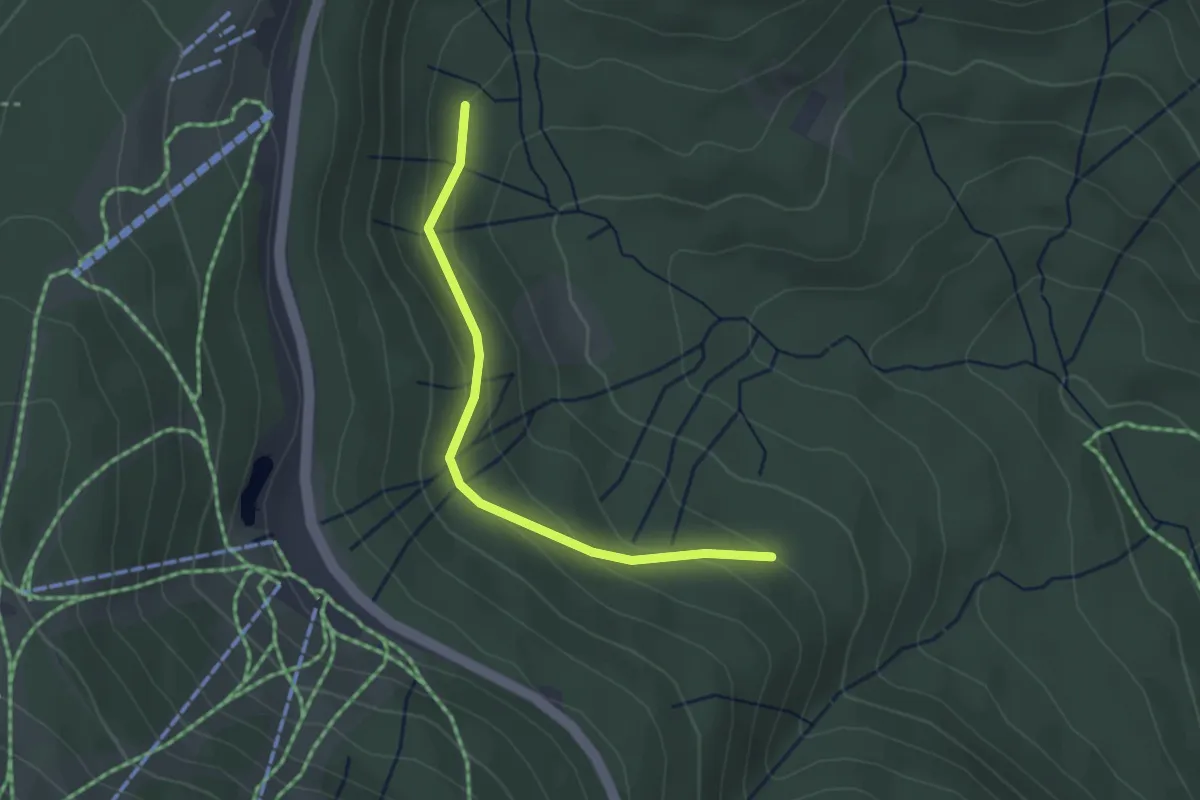
Easy · Trail
Wanderweg 7
2.8 km · ↑ 99 m · 52 min
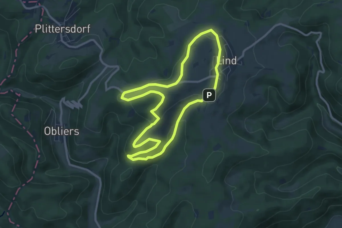
Easy · Summit
Wanderweg 7
6.4 km · ↑ 148 m · 1 h 55 min
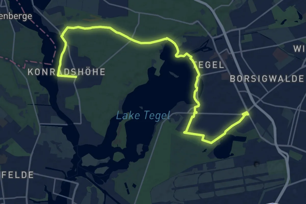
Demanding · Trail
Wanderweg 7
21.4 km · ↑ 63 m · 5 h 12 min
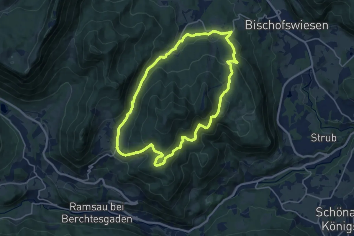
Medium · Trail
Wanderweg 70 (Rund um den Toten Mann)
12.2 km · ↑ 478 m · 4 h 6 min
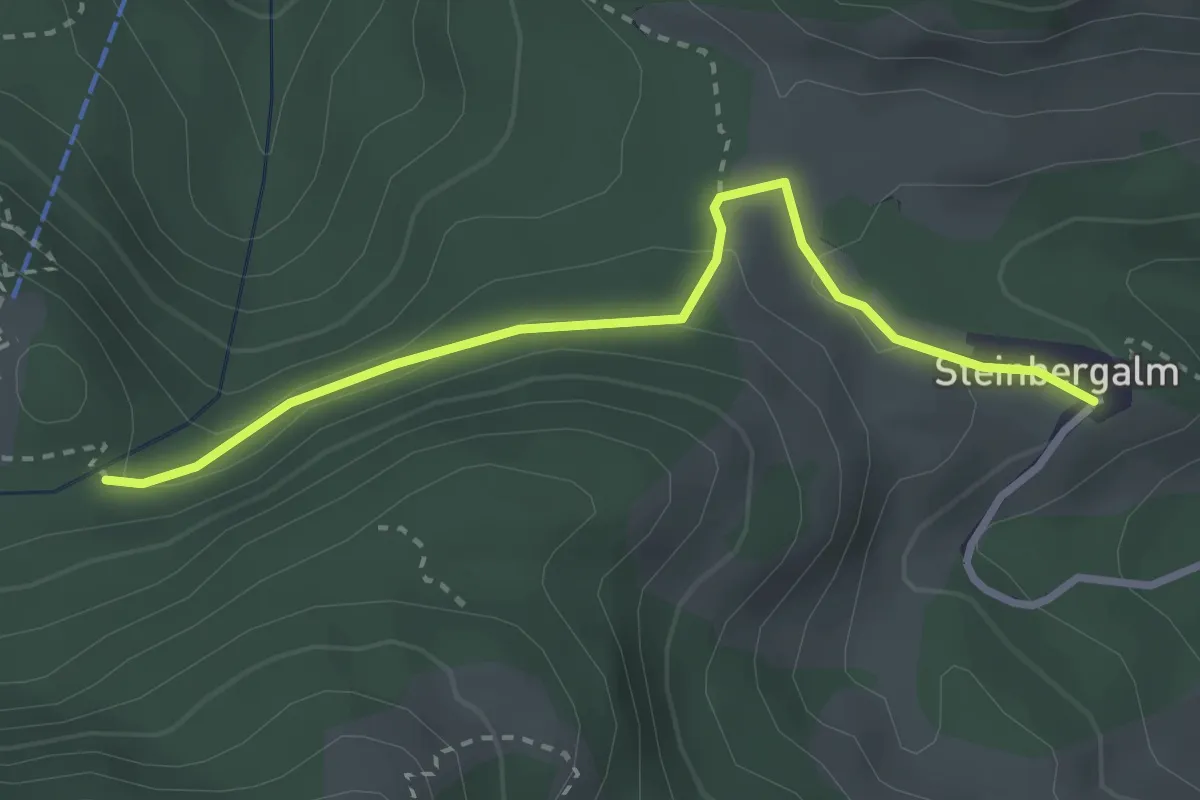
Demanding · Trail
Wanderweg 71 - Hochfelln
2.9 km · ↑ 114 m · 55 min
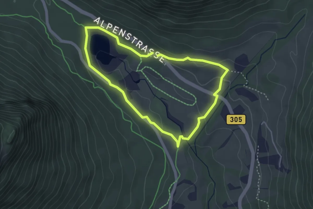
Easy · Trail
Wanderweg 71 (Rund um den Taubensee)
3.2 km · ↑ 64 m · 56 min
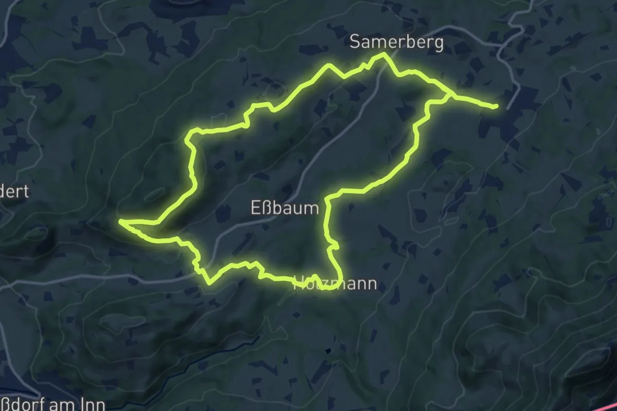
Medium · Trail
Wanderweg 71 - Samerberg
14.4 km · ↑ 323 m · 4 h 17 min
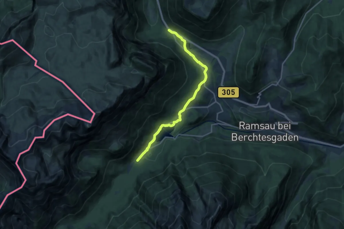
Medium · Trail
Wanderweg 72 (König-Max-Weg)
12.0 km · ↑ 175 m · 3 h 12 min
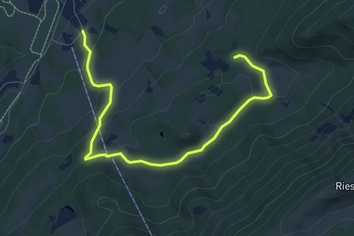
Easy · Trail
Wanderweg 72 - Samerberg
7.7 km · ↑ 247 m · 2 h 21 min
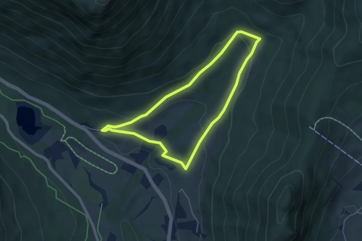
Medium · Trail
Wanderweg 73 (Pfaffenthal-Rundweg)
3.6 km · ↑ 114 m · 1 h 9 min
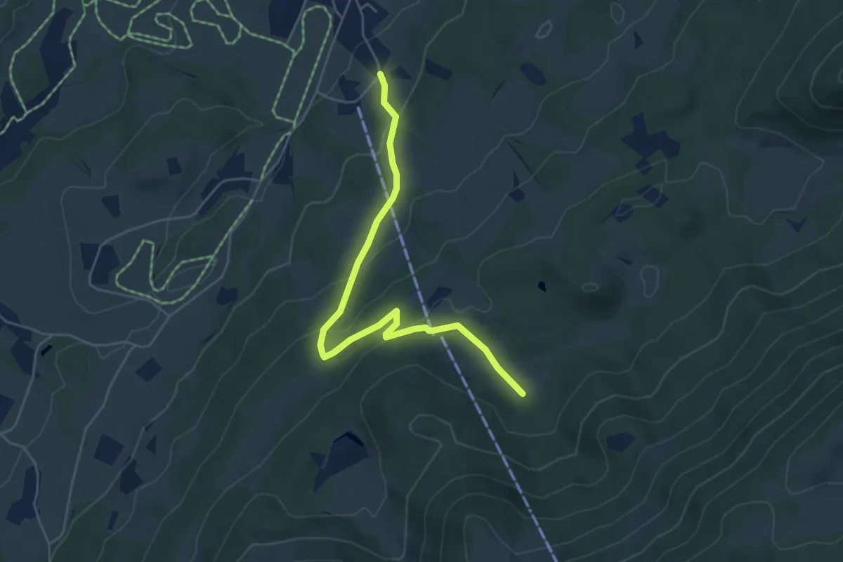
Medium · Trail
Wanderweg 73 - Samerberg
5.1 km · ↑ 202 m · 1 h 39 min
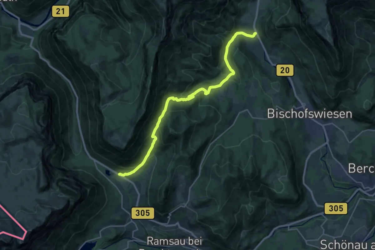
Demanding · Trail
Wanderweg 74
19.2 km · ↑ 826 m · 6 h 19 min
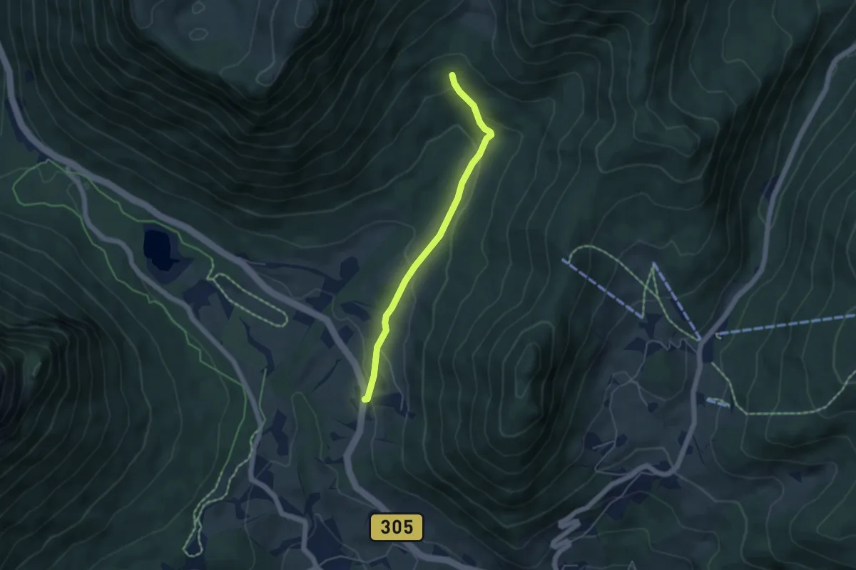
Easy · Trail
Wanderweg 74a
4.2 km · ↑ 181 m · 1 h 22 min
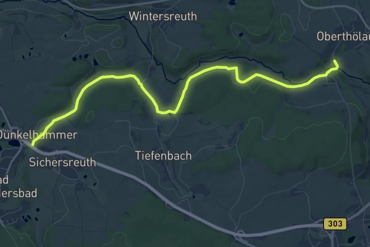
Medium · Trail
Wanderweg 74-Röslauweg
10.9 km · ↑ 142 m · 2 h 53 min
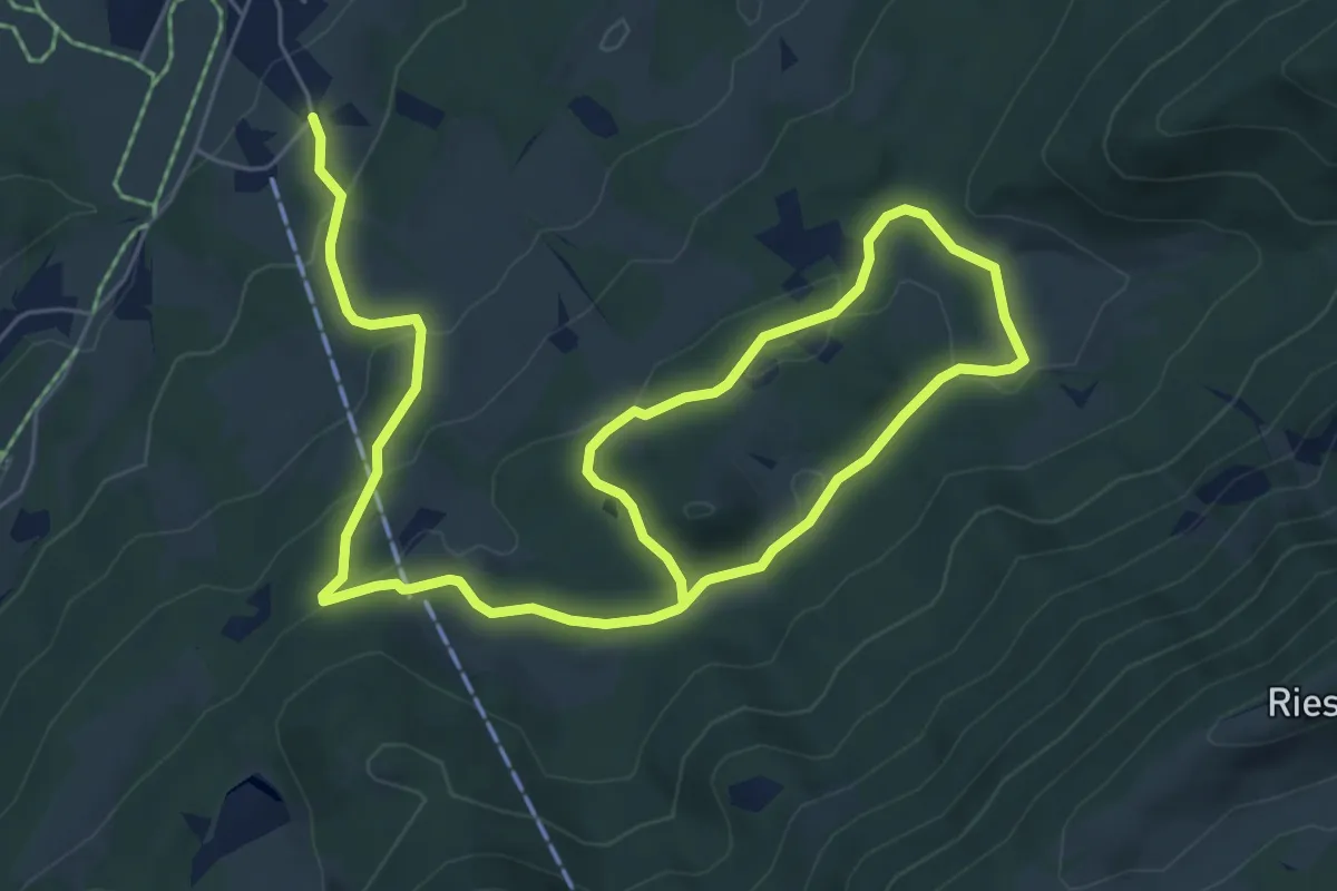
Medium · Trail
Wanderweg 74 - Samerberg
10.5 km · ↑ 309 m · 3 h 9 min
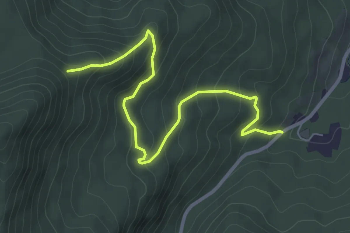
Medium · Trail
Wanderweg 75a
5.7 km · ↑ 334 m · 2 h 4 min
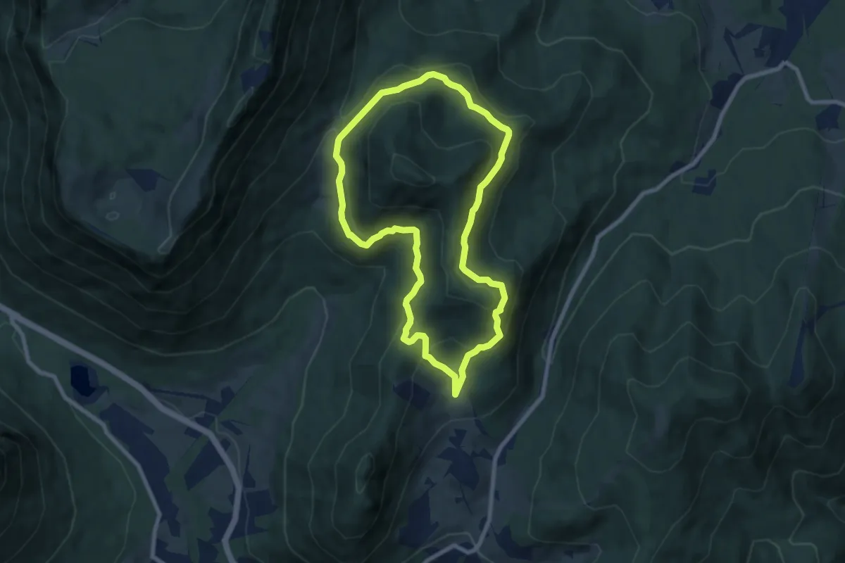
Medium · Trail
Wanderweg 75 (Rund um den Schmuckenstein)
6.8 km · ↑ 373 m · 2 h 31 min
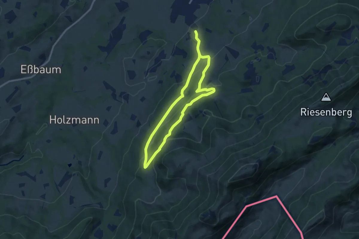
Medium · Trail
Wanderweg 75 - Samerberg
12.5 km · ↑ 584 m · 4 h 13 min
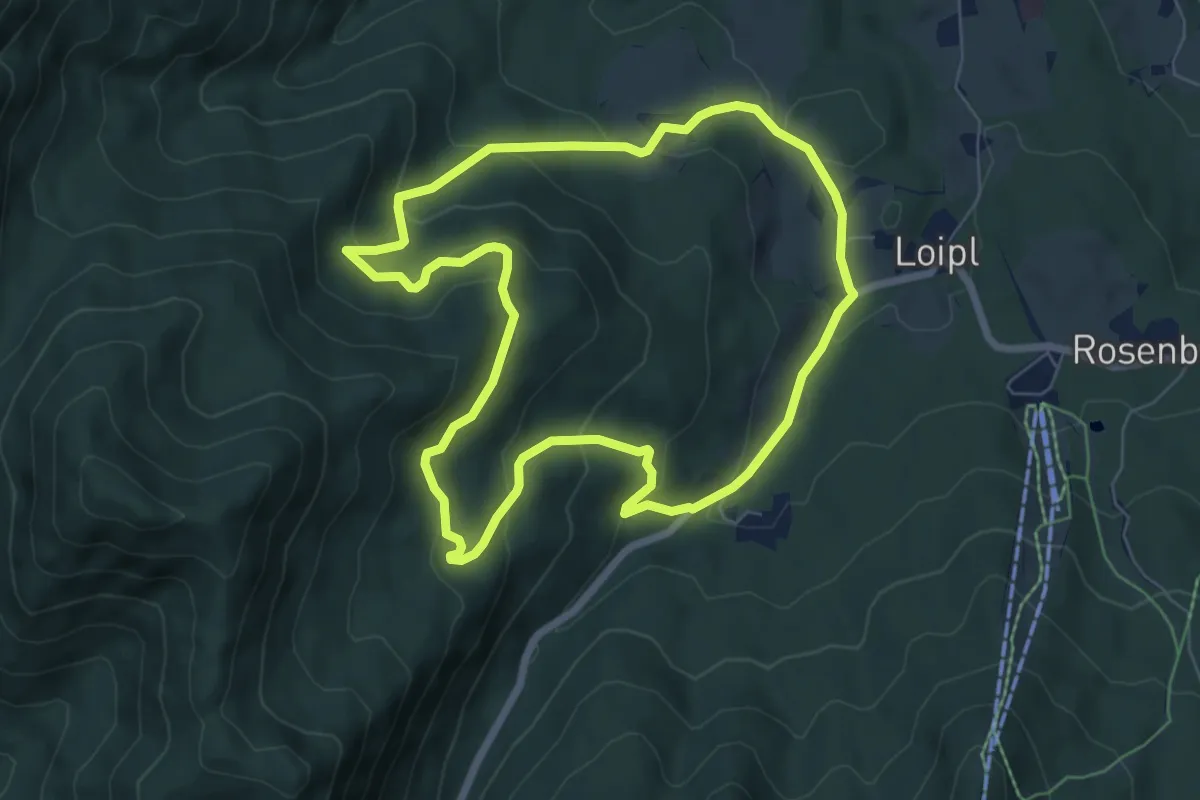
Easy · Trail
Wanderweg 76 (Rund um den Ochsenkopf)
6.6 km · ↑ 299 m · 2 h 18 min
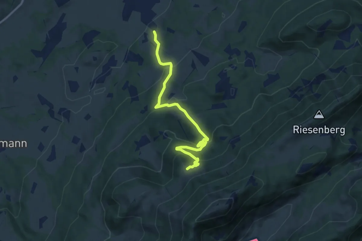
Medium · Trail
Wanderweg 76 - Samerberg
7.9 km · ↑ 485 m · 2 h 55 min