Trails in Germany
36,852 hiking trails, each with its route, climb, walking time and grade.
All trails, page 691 of 768
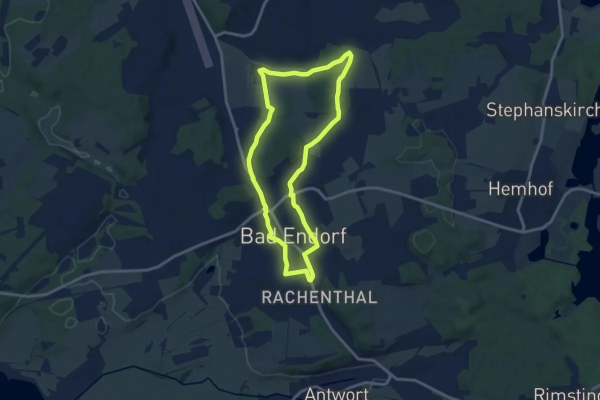
Easy · Trail
Wanderweg 8 - Bad Endorf
7.0 km · ↑ 70 m · 1 h 55 min
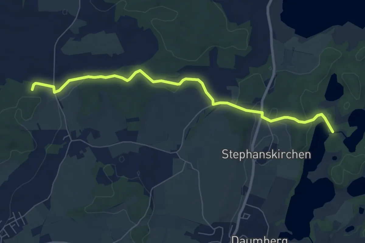
Easy · Trail
Wanderweg 8b - Bad Endorf
7.1 km · ↑ 92 m · 1 h 52 min
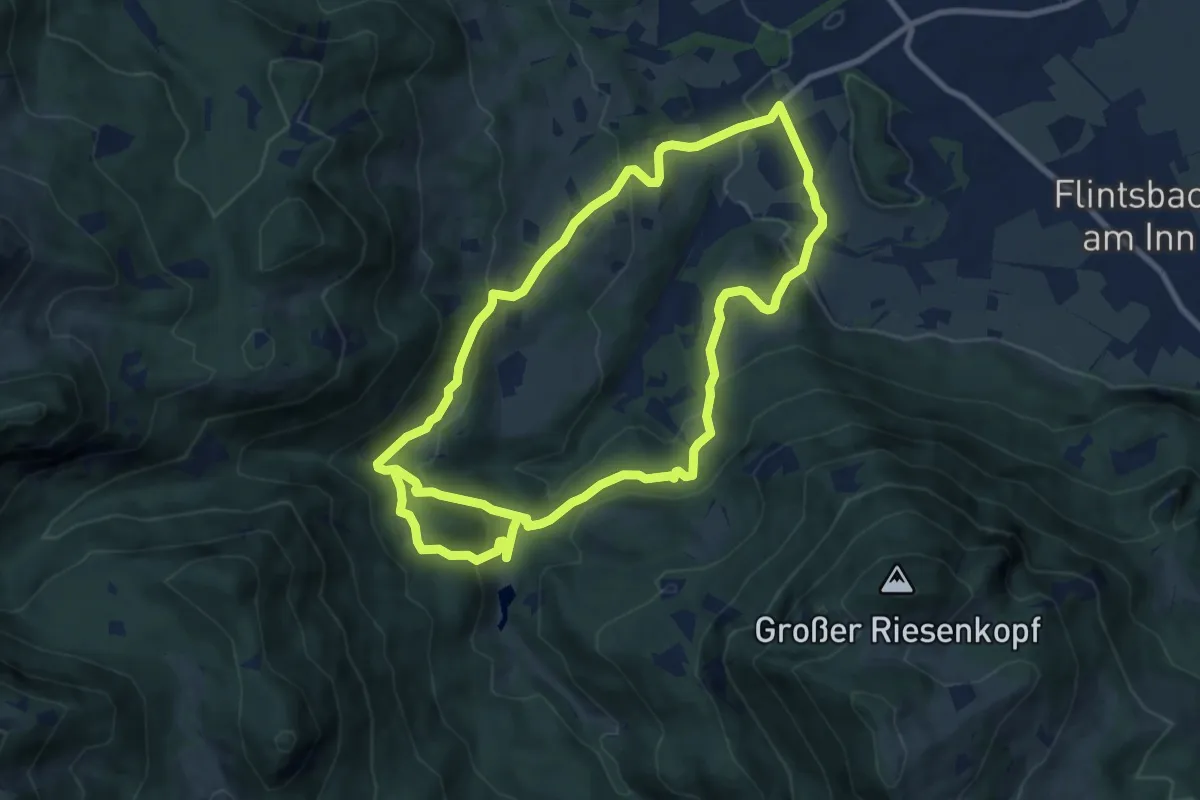
Medium · Summit
Wanderweg 8 - Brannenburg
8.9 km · ↑ 306 m · 2 h 56 min
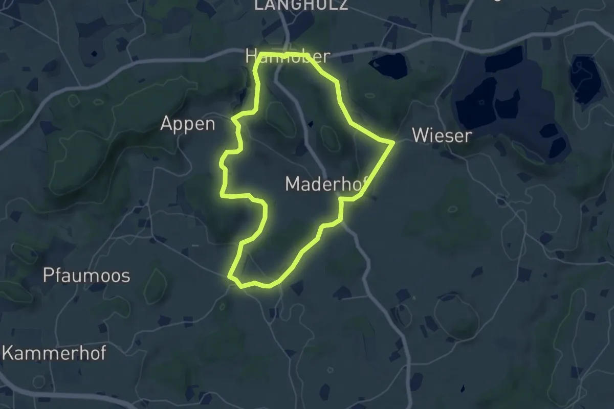
Easy · Trail
Wanderweg 8 der Gemeinde Waldburg
5.5 km · ↑ 103 m · 1 h 36 min
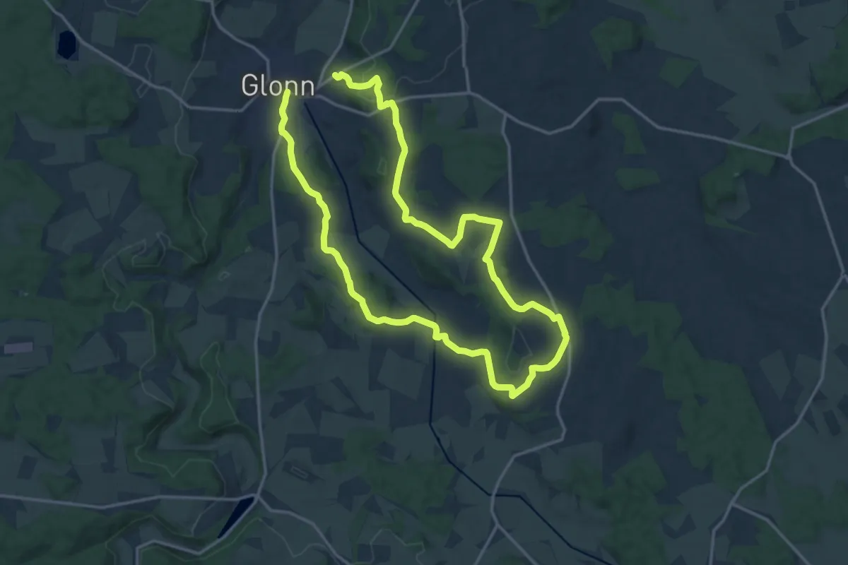
Demanding · Trail
Wanderweg 8, Glonn
27.2 km · ↑ 469 m · 7 h 26 min
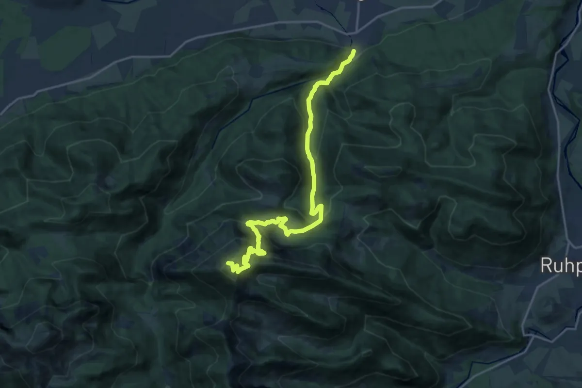
Demanding · Summit
Wanderweg 8 - Hochfelln
16.0 km · ↑ 1155 m · 6 h 16 min
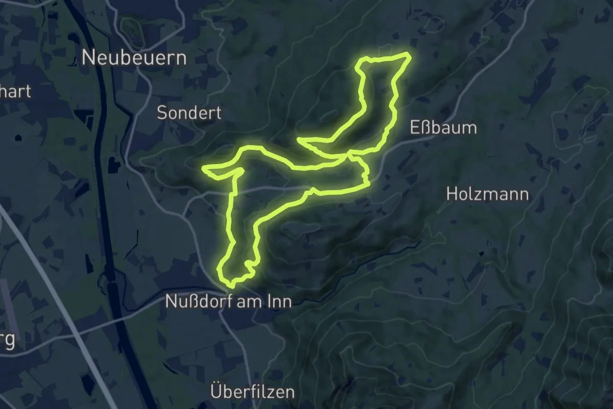
Medium · Trail
Wanderweg 8 - Nußdorf
13.9 km · ↑ 431 m · 4 h 25 min
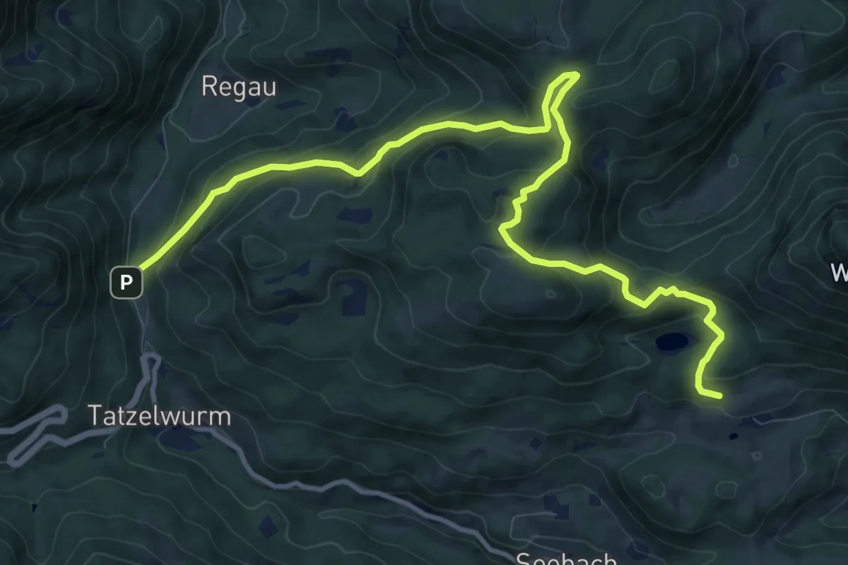
Medium · Trail
Wanderweg 8 - Oberaudorf
12.5 km · ↑ 634 m · 4 h 20 min
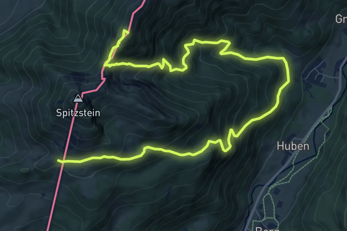
Demanding · Summit
Wanderweg 8 - Von Innerwald zum Spitzsteinhaus bzw. Klausenhütte
13.7 km · ↑ 1355 m · 6 h 11 min
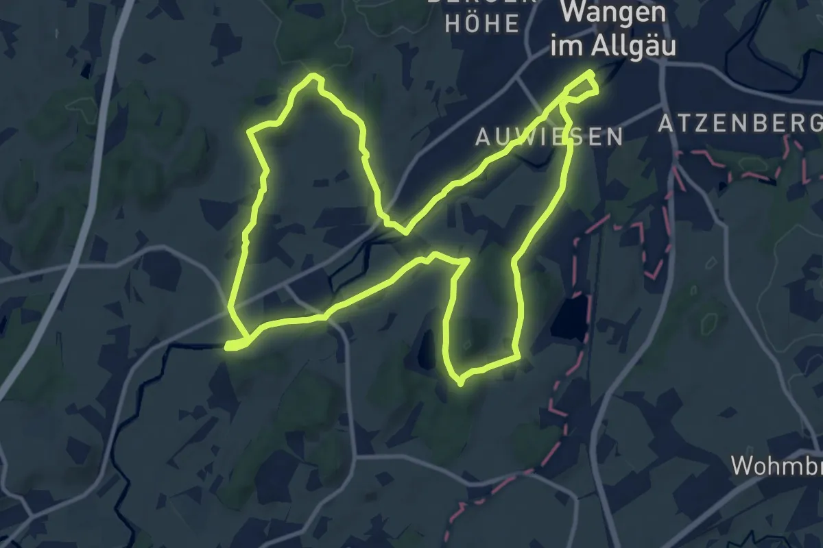
Medium · Trail
Wanderweg 8 Wangen im Allgäu
11.7 km · ↑ 132 m · 3 h 13 min
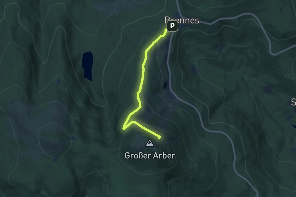
Medium · Cabin
Wanderweg 9
6.6 km · ↑ 331 m · 2 h 16 min
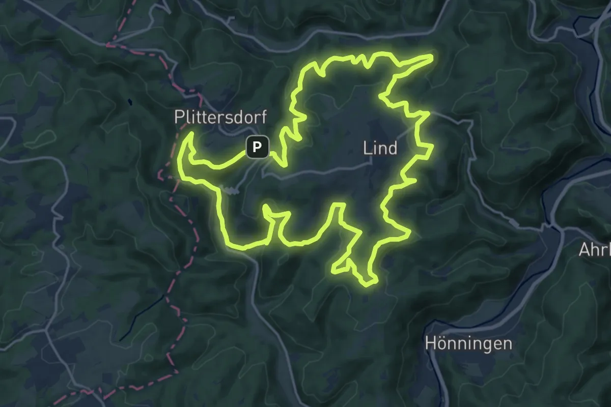
Demanding · Trail
Wanderweg 9
18.5 km · ↑ 630 m · 6 h
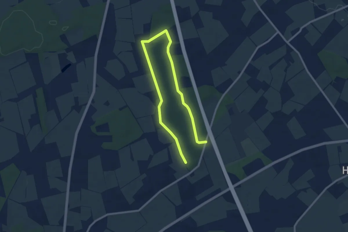
Easy · Trail
Wanderweg 9
4.2 km · ↑ 29 m · 1 h 7 min
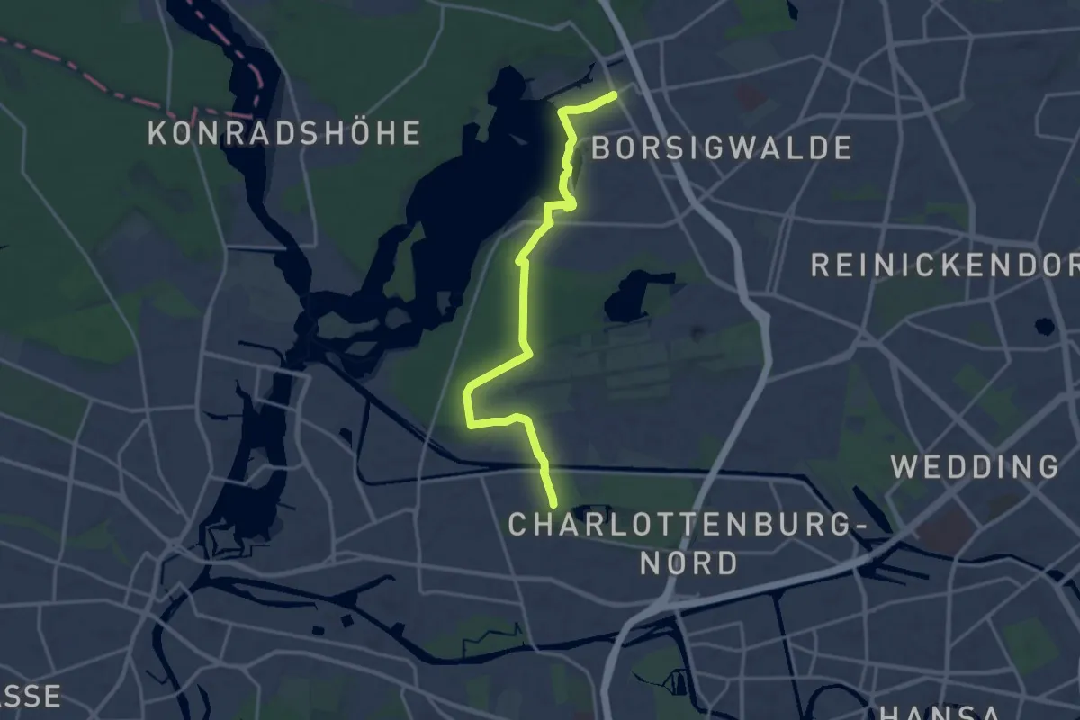
Medium · Trail
Wanderweg 9
15.7 km · ↑ 43 m · 3 h 48 min
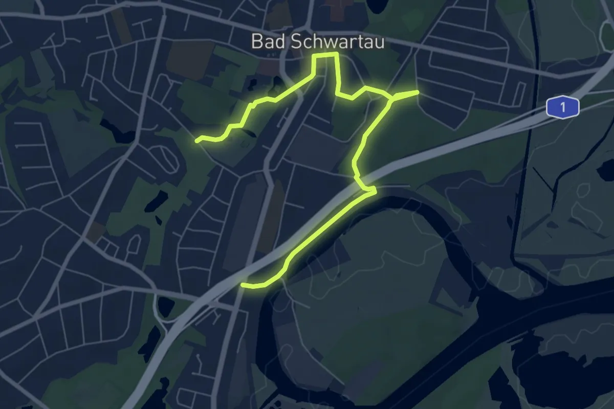
Easy · Trail
Wanderweg 9
6.9 km · ↑ 59 m · 1 h 46 min
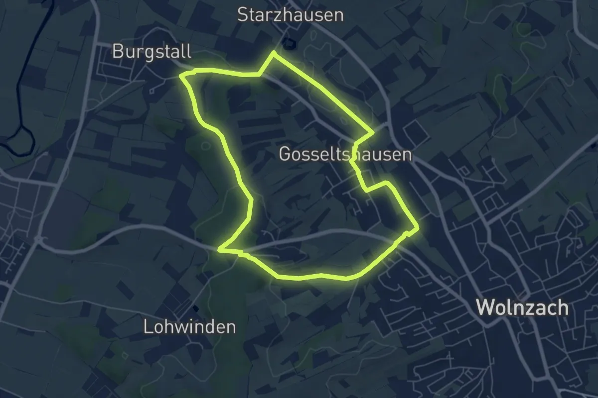
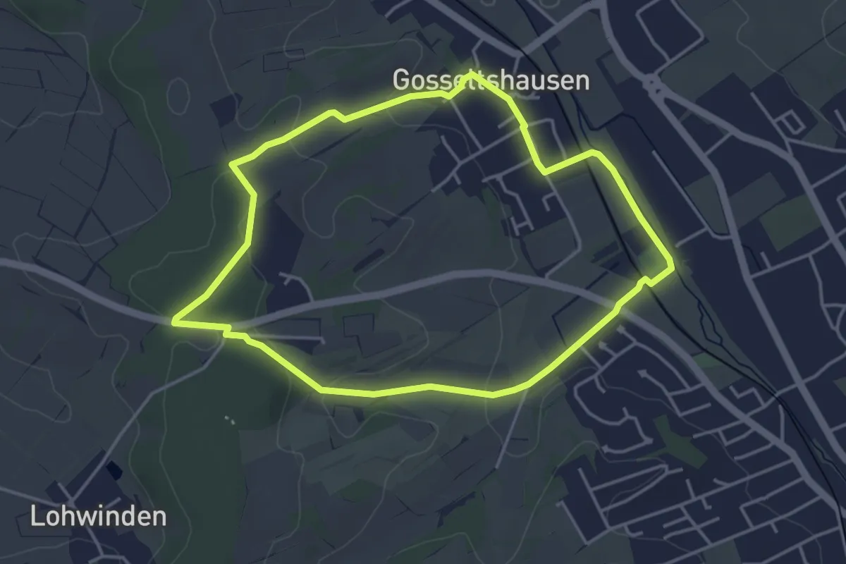
Easy · Trail
Wanderweg 90
5.9 km · ↑ 72 m · 1 h 37 min
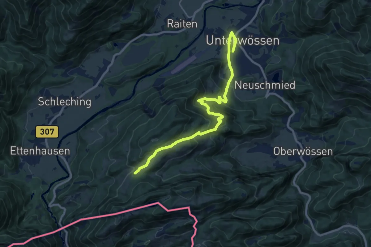
Easy · Trail
Wanderweg 90a
3.9 km · ↑ 63 m · 1 h 6 min
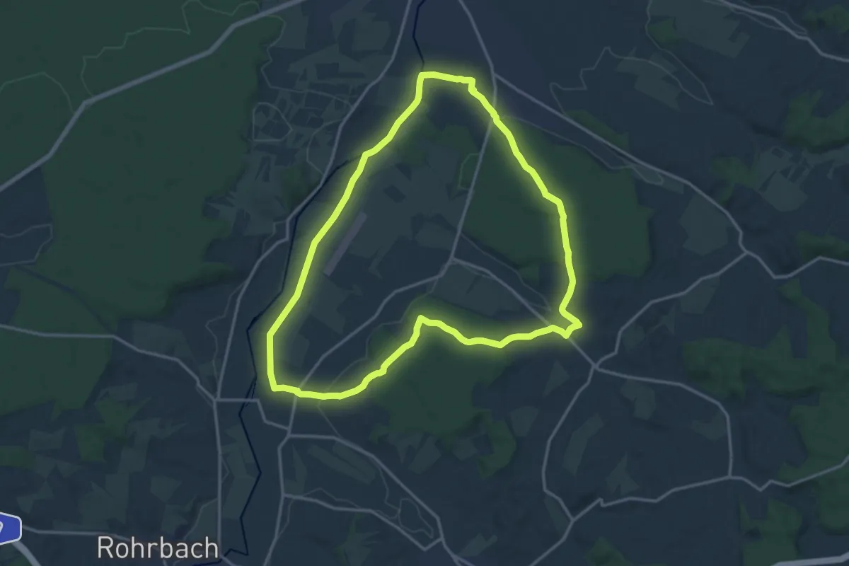
Medium · Trail
Wanderweg 91 - Wössen
15.1 km · ↑ 708 m · 5 h 7 min
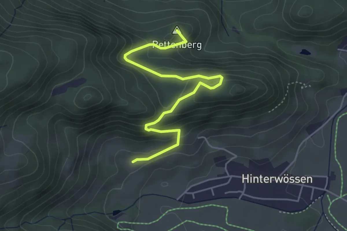
Medium · Trail
Wanderweg 93a
14.1 km · ↑ 132 m · 3 h 48 min
Easy · Summit
Wanderweg 93 - Wössen
4.6 km · ↑ 225 m · 1 h 35 min
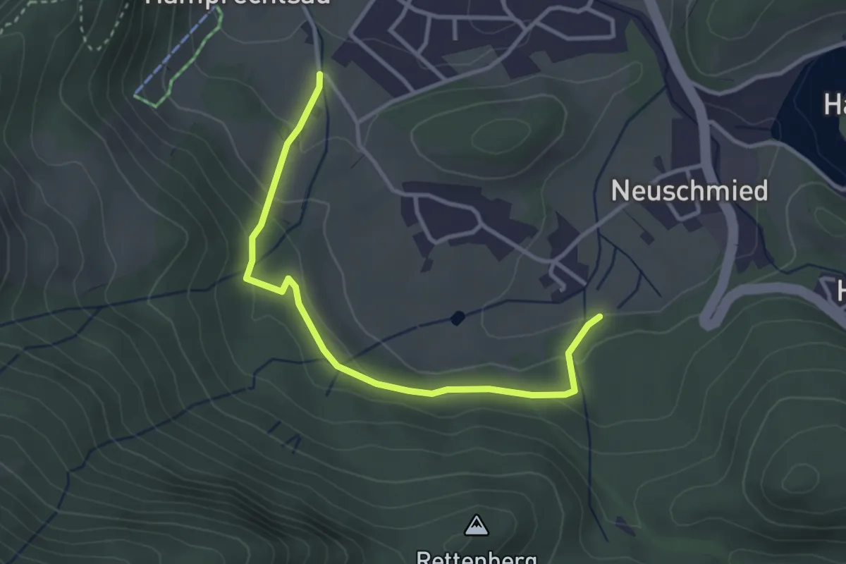
Easy · Trail
Wanderweg 97 - Wössen
3.3 km · ↑ 174 m · 1 h 10 min
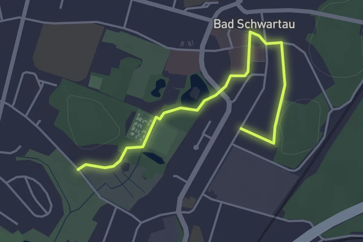
Easy · Trail
Wanderweg 9a
3.3 km · ↑ 17 m · 49 min
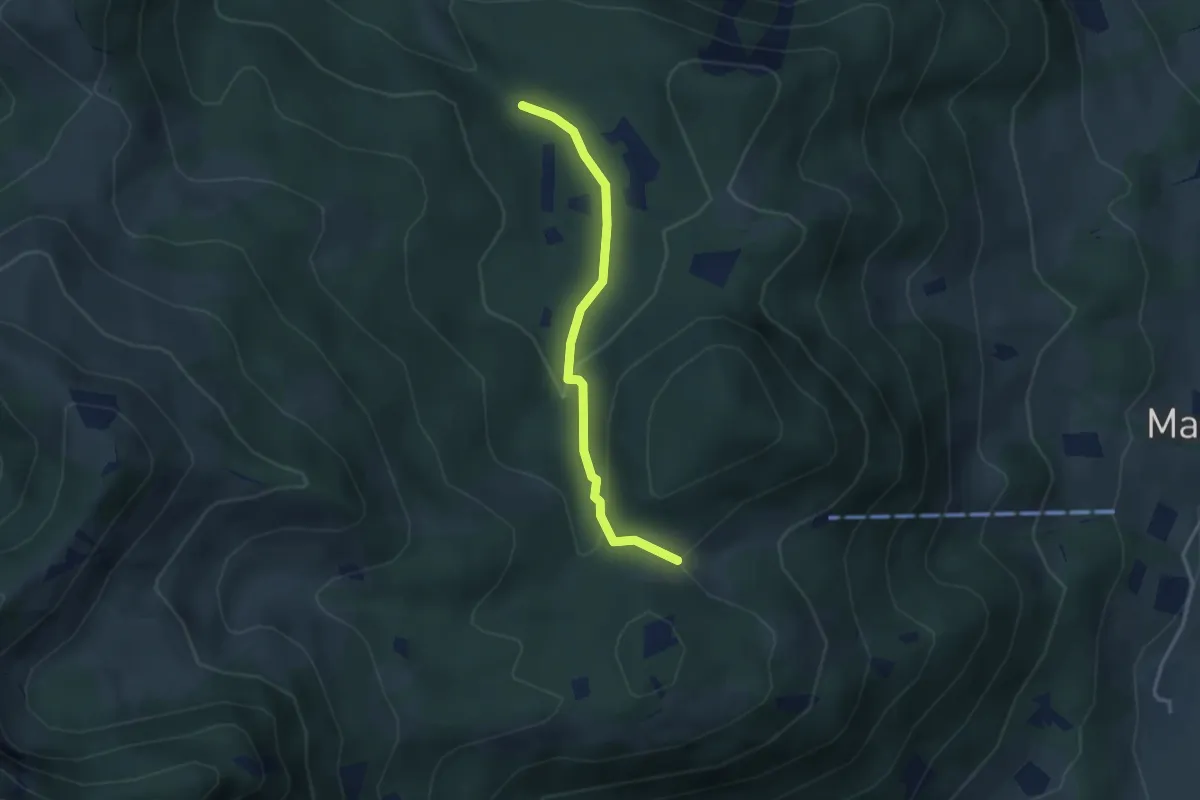
Medium · Trail
Wanderweg 9a - Brannenburg
3.0 km · ↑ 117 m · 57 min
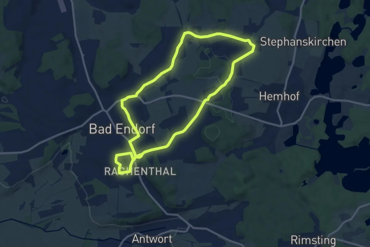
Medium · Trail
Wanderweg 9 - Bad Endorf
8.0 km · ↑ 115 m · 2 h 15 min
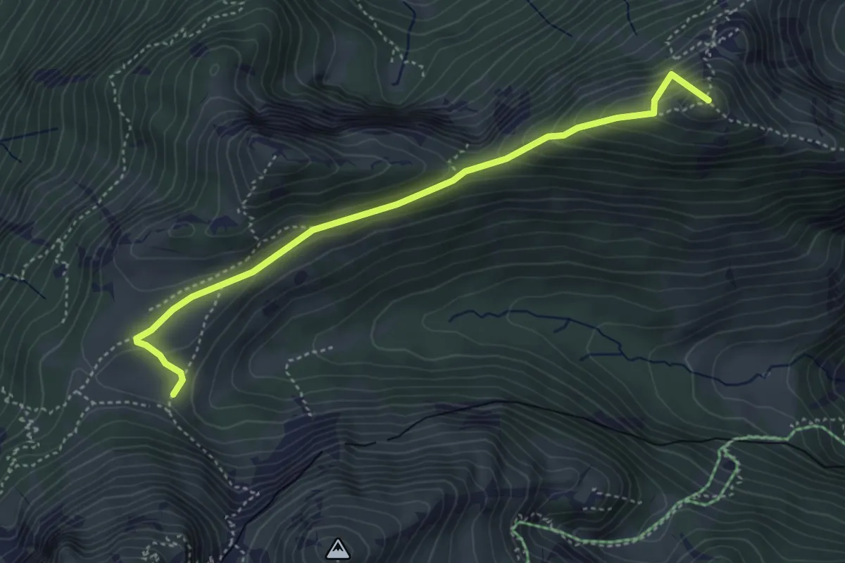
Demanding · Summit
Wanderweg 9b - Hochsalwand
4.3 km · ↑ 264 m · 1 h 36 min
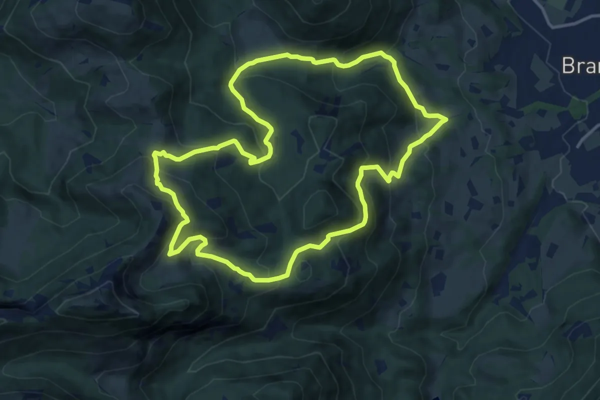
Demanding · Summit
Wanderweg 9 - Brannenburg
10.6 km · ↑ 675 m · 4 h 6 min
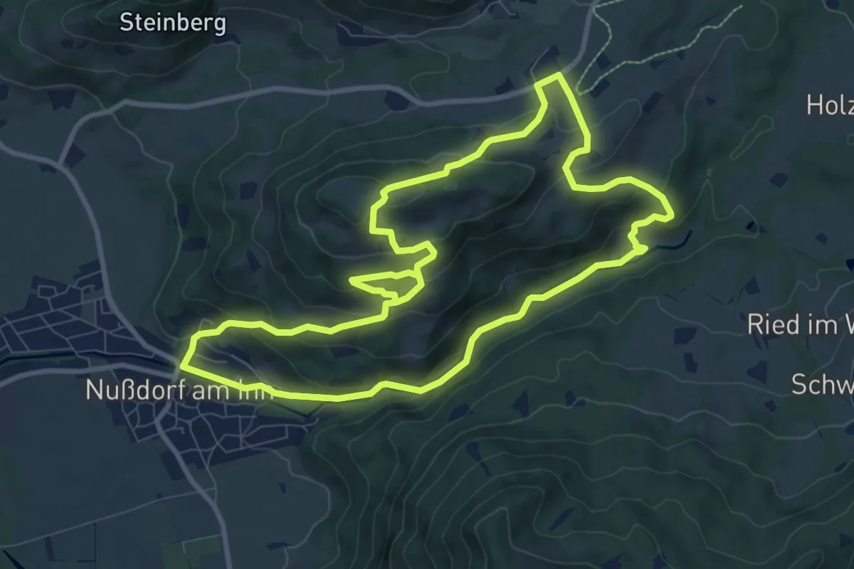
Medium · Summit
Wanderweg 9 - Nußdorf
8.9 km · ↑ 391 m · 3 h 6 min
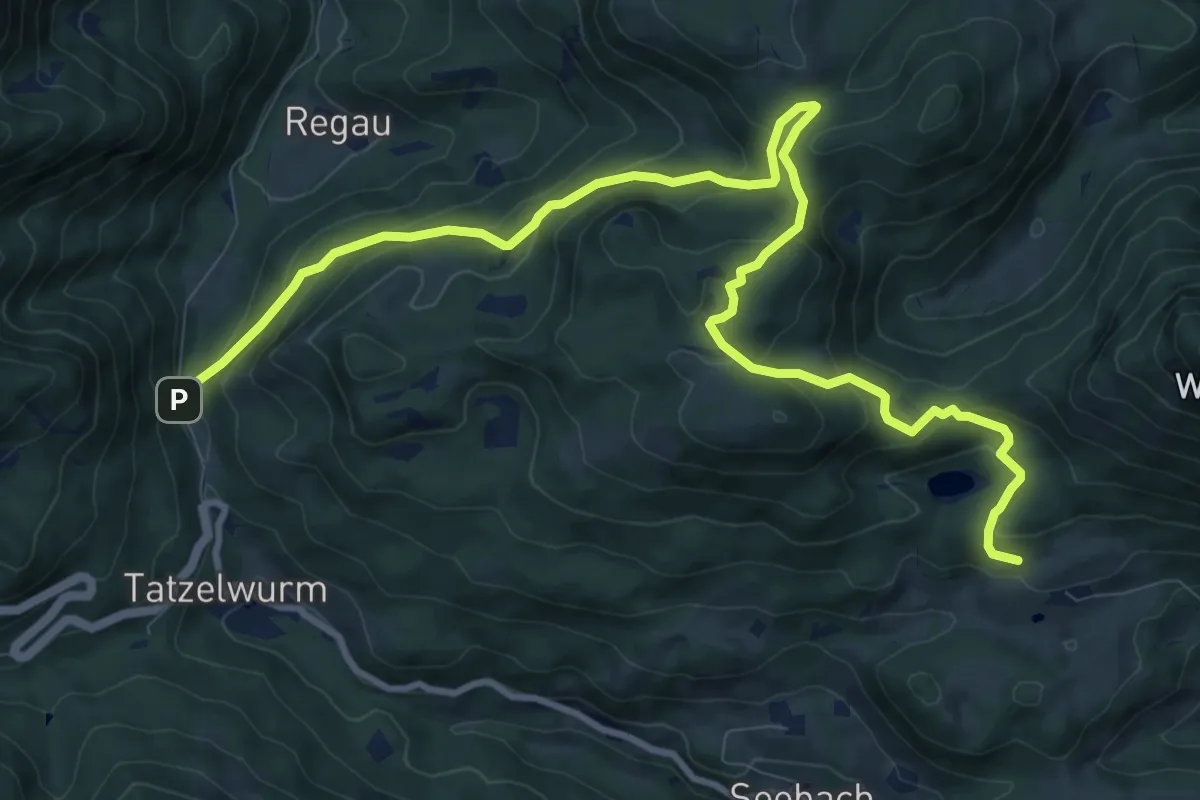
Medium · Trail
Wanderweg 9 - Oberaudorf
12.5 km · ↑ 634 m · 4 h 20 min
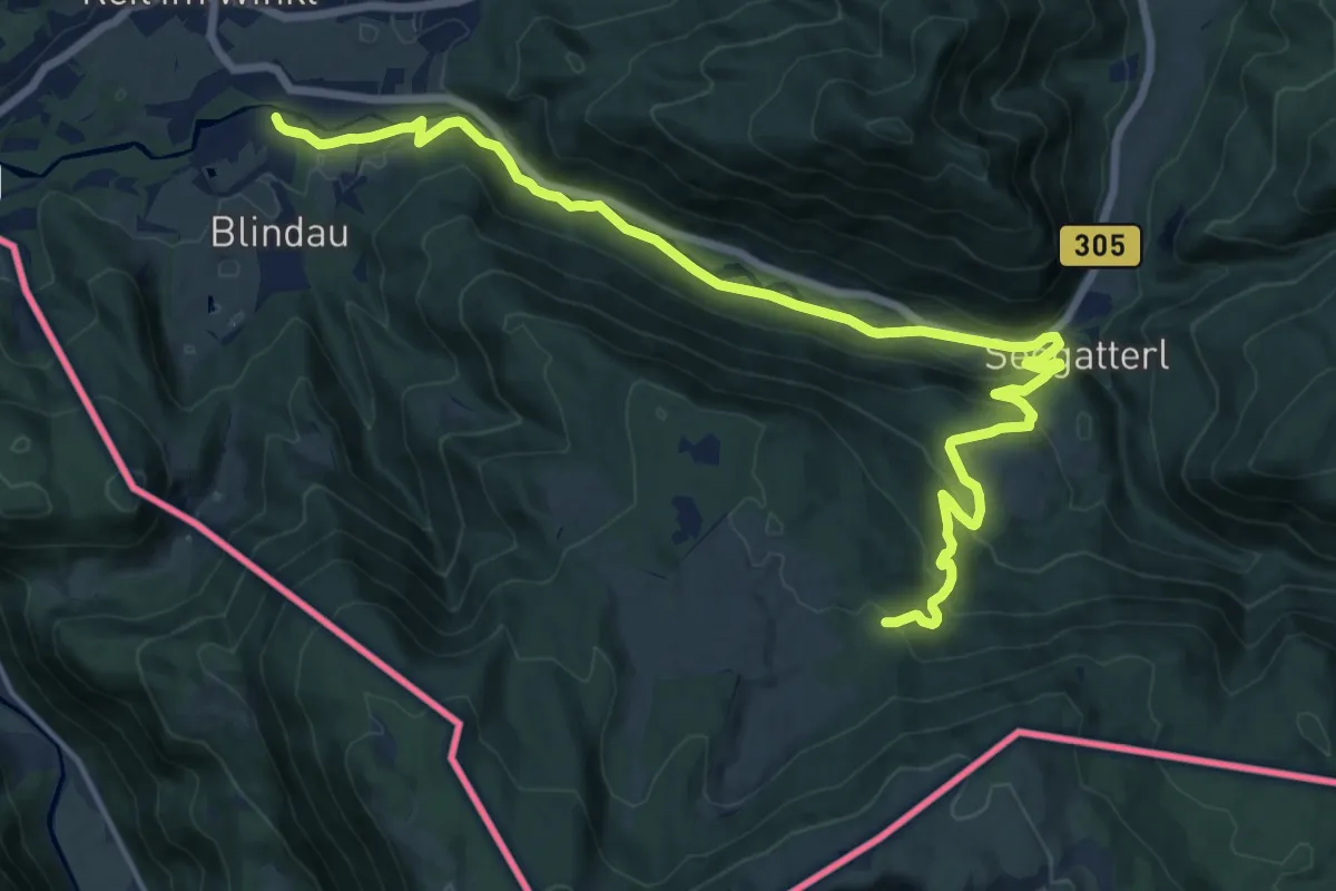
Demanding · Trail
Wanderweg 9 - Reit im Winkl
18.6 km · ↑ 635 m · 5 h 46 min
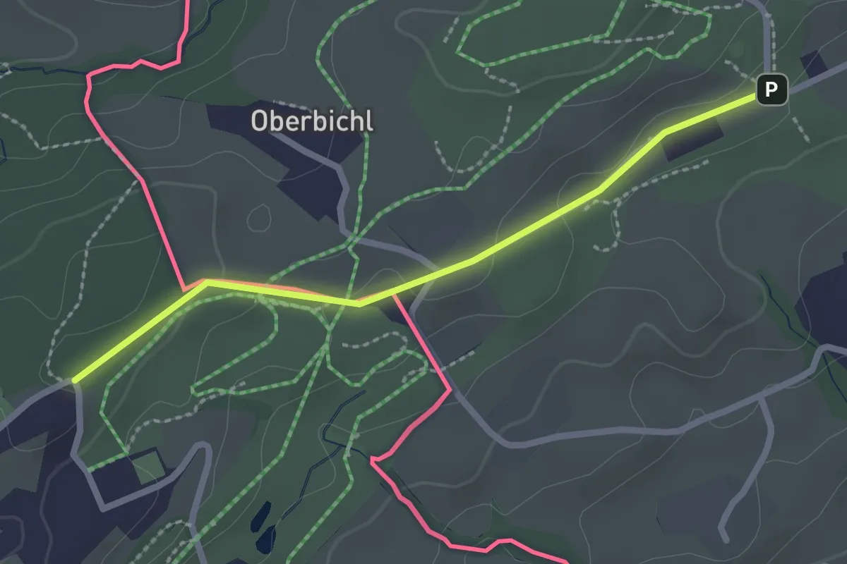
Easy · Trail
Wanderweg 9 - Reit im Winkl - Kössen
2.2 km · ↑ 34 m · 35 min
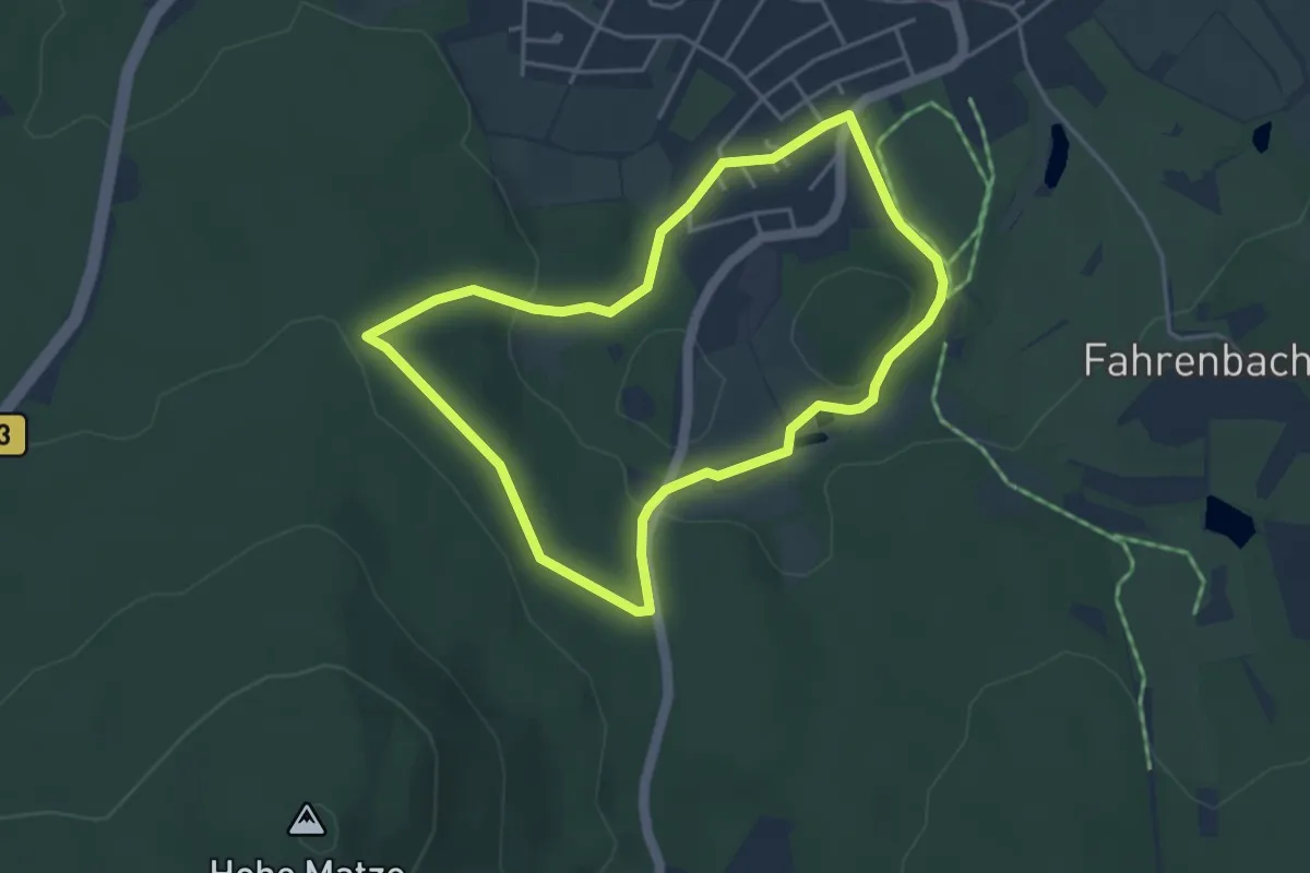
Easy · Trail
Wanderweg 9 Tröstau
3.7 km · ↑ 95 m · 1 h 7 min
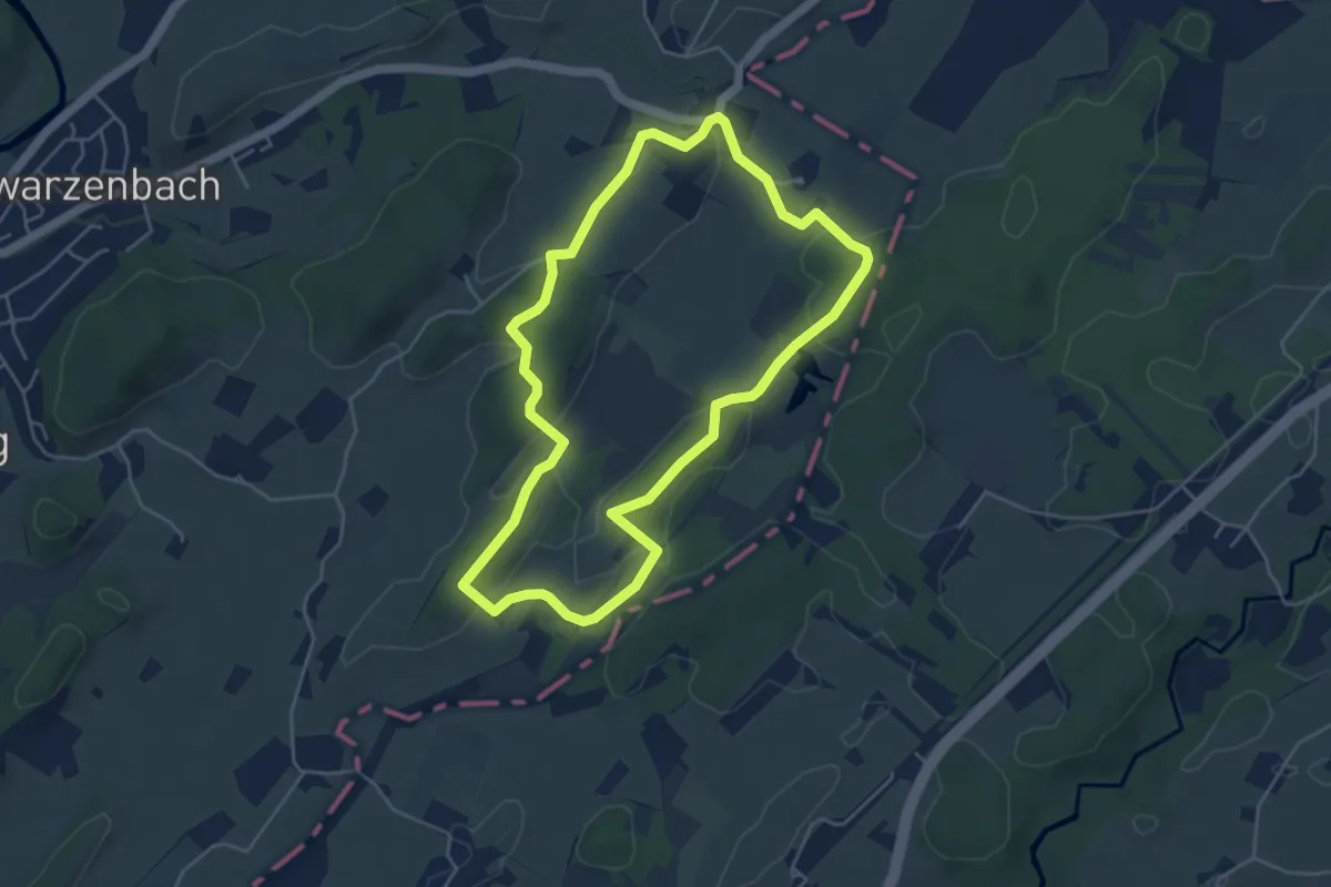
Easy · Trail
Wanderweg 9 Wangen im Allgäu
4.6 km · ↑ 64 m · 1 h 18 min
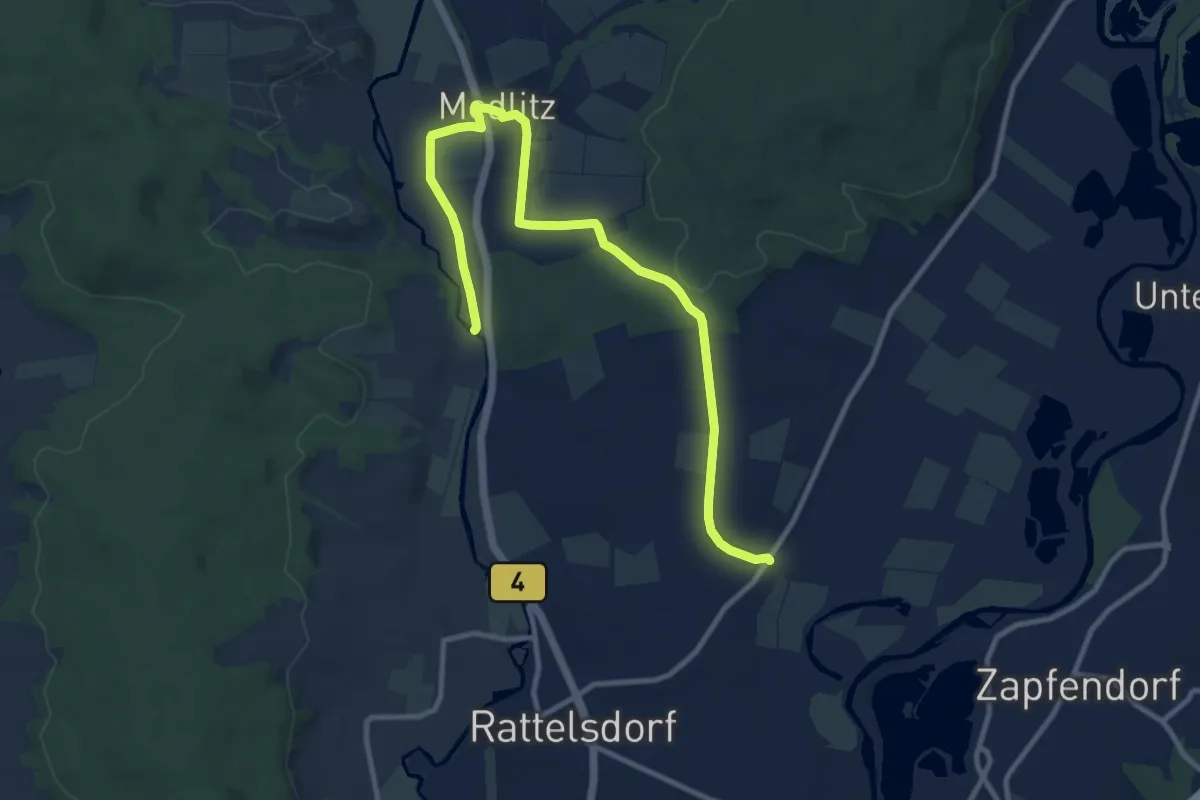
Medium · Trail
Wanderweg A
11.3 km · ↑ 99 m · 2 h 52 min
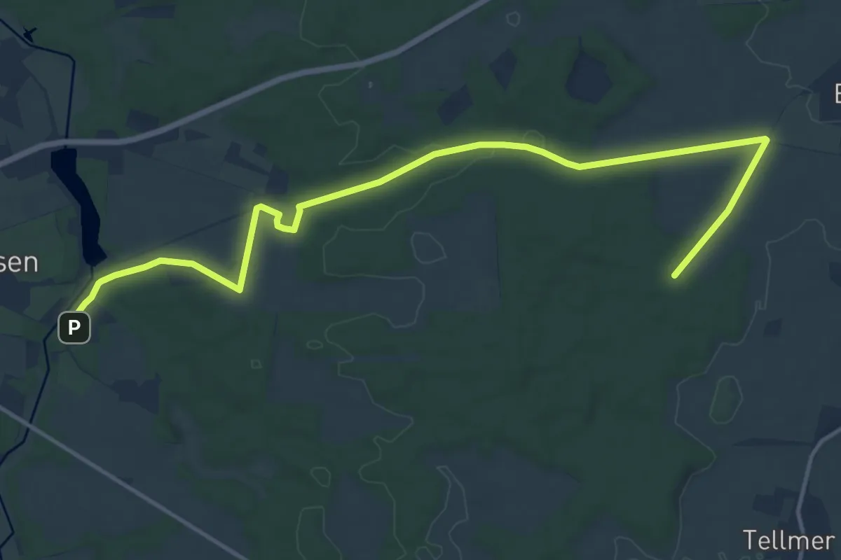
Medium · Trail
Wanderweg A1 Amelinghausen
13.5 km · ↑ 109 m · 3 h 25 min
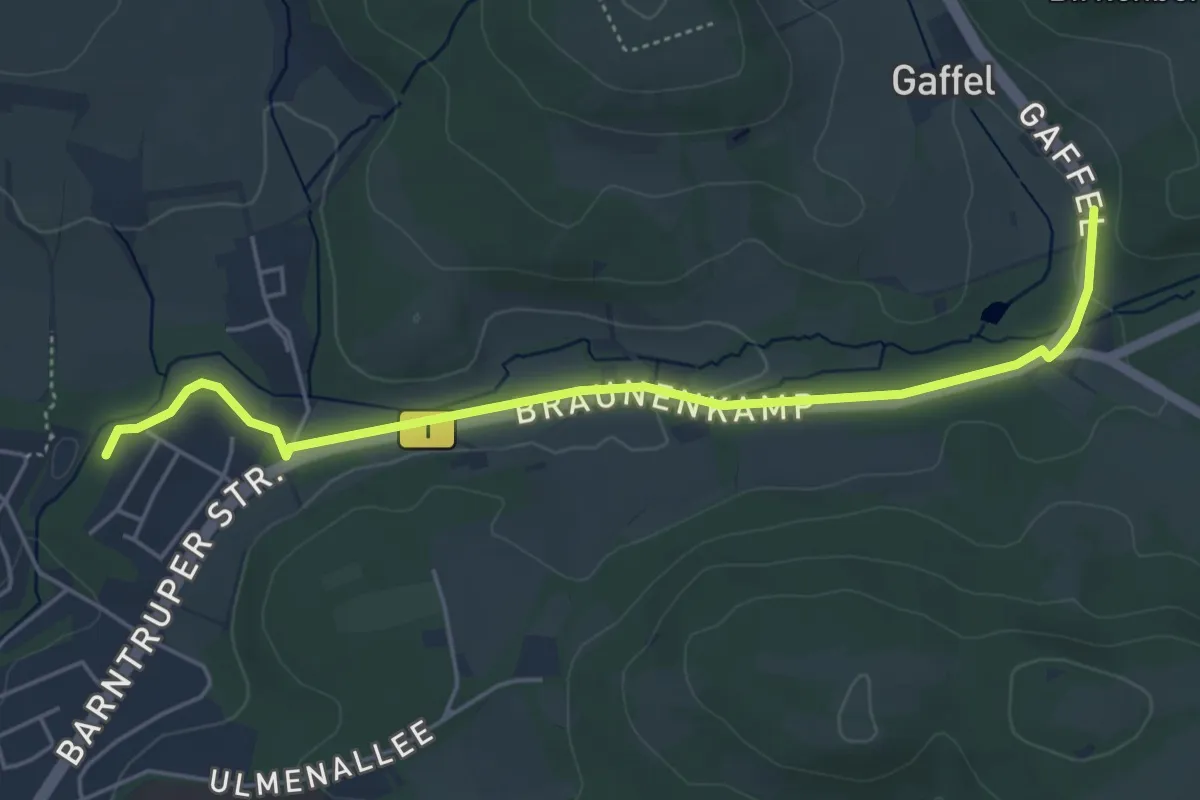
Easy · Trail
Wanderweg A1 bei Blomberg
4.7 km · ↑ 35 m · 1 h 11 min
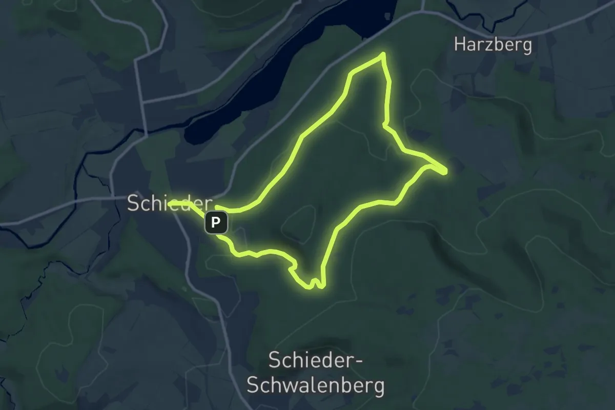
Medium · Trail
Wanderweg A1 bei Schieder
17.1 km · ↑ 388 m · 4 h 52 min
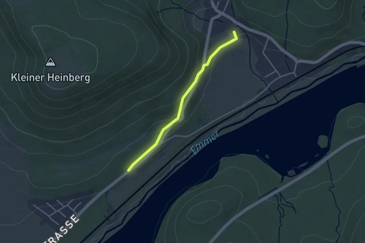
Easy · Trail
Wanderweg A1 Glashütte
2.4 km · ↑ 58 m · 41 min
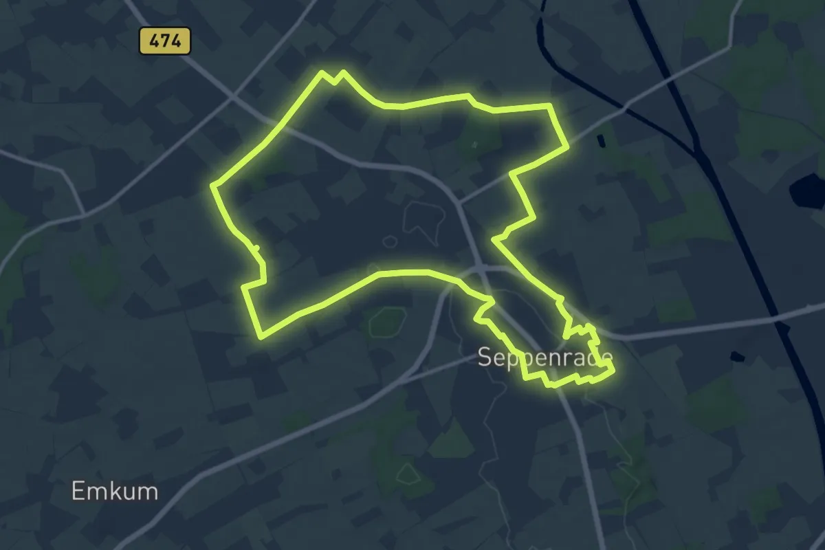
Medium · Trail
Wanderweg A1 "Leversum"
11.8 km · ↑ 74 m · 3 h 7 min
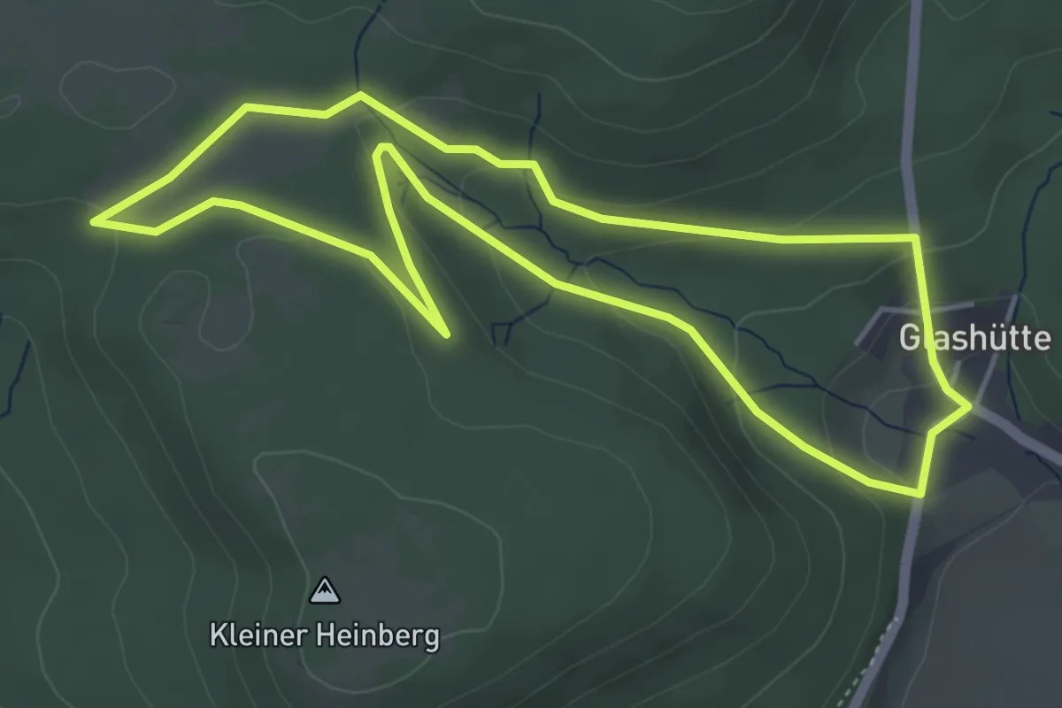
Easy · Trail
Wanderweg A2 Glashütte Siekholz
4.2 km · ↑ 130 m · 1 h 20 min
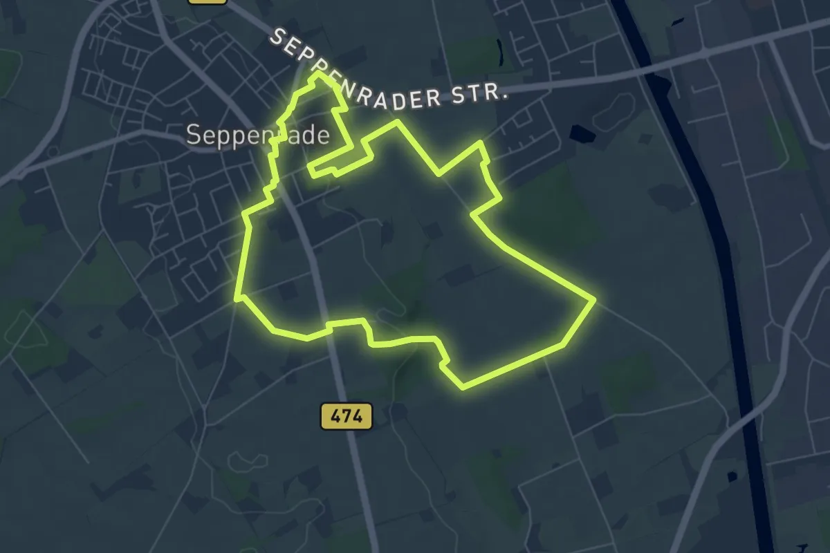
Easy · Trail
Wanderweg A2 "Lippsches Holt"
6.5 km · ↑ 60 m · 1 h 46 min
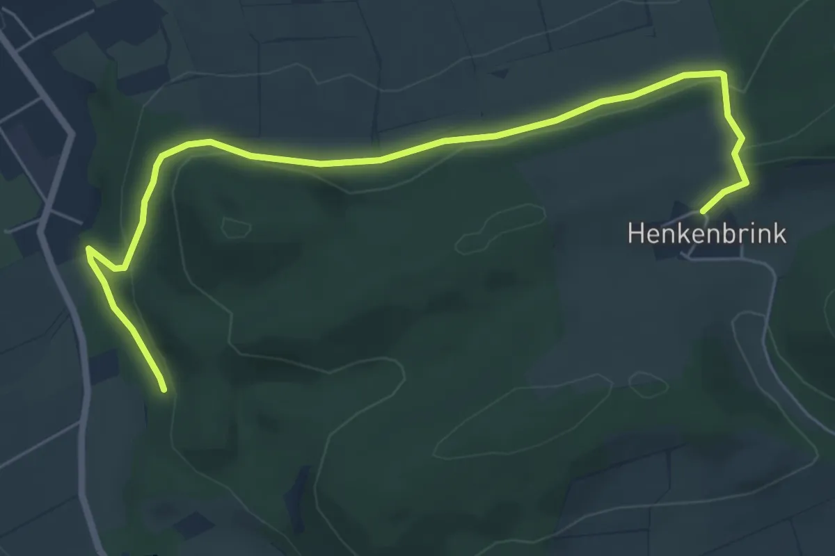
Easy · Trail
Wanderweg A3 bei Elbrinxen
6.2 km · ↑ 201 m · 1 h 54 min
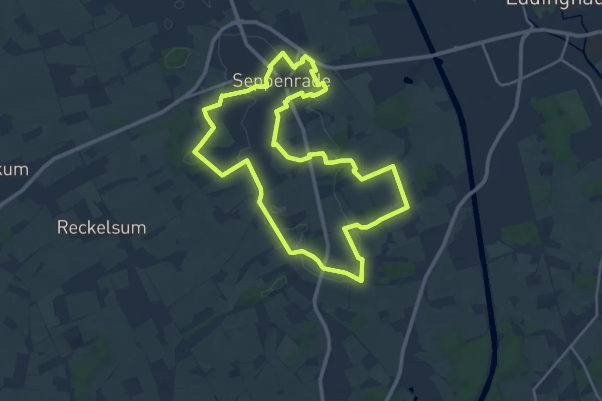
Medium · Trail
Wanderweg A3 "Seppenrader Schweiz"
11.0 km · ↑ 83 m · 2 h 56 min
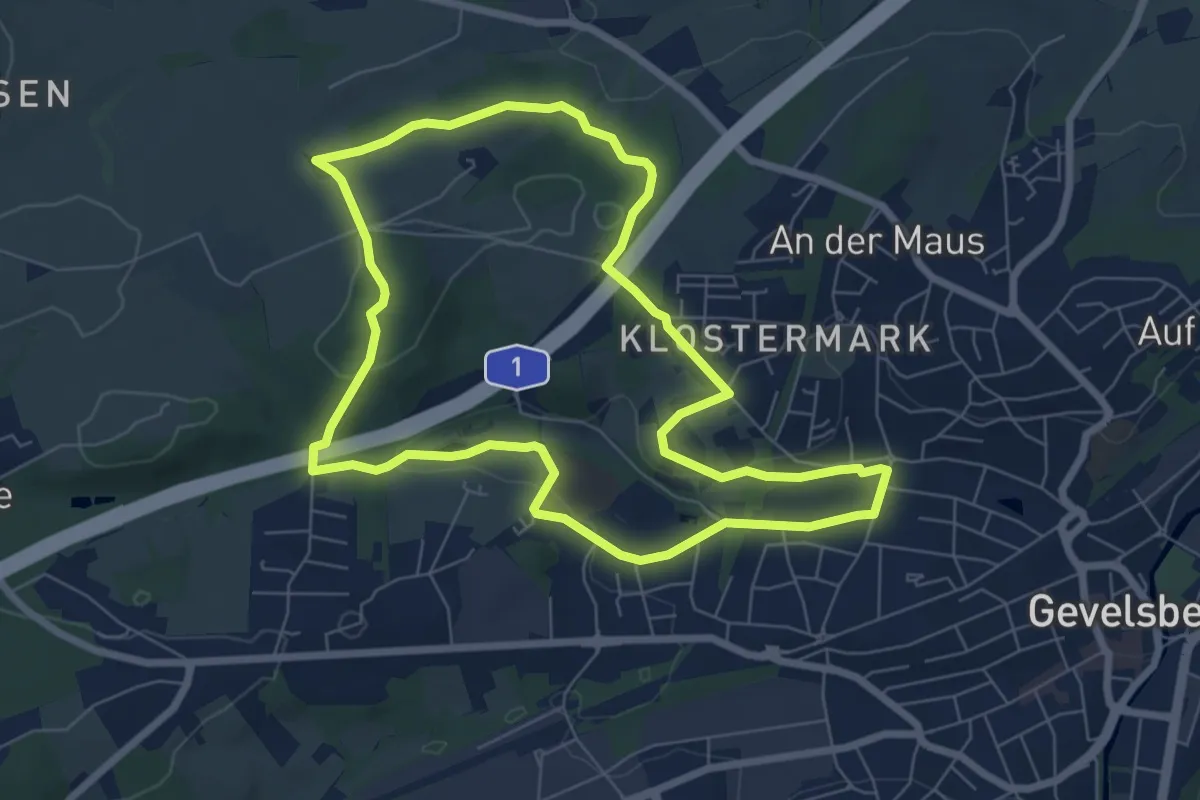
Easy · Trail
Wanderweg A5
6.5 km · ↑ 120 m · 1 h 53 min
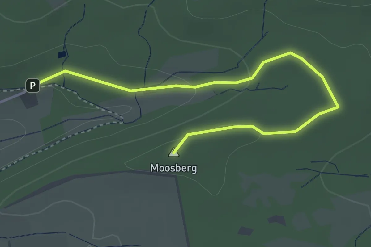
Easy · Summit
Wanderweg A5 (bei Schieder)
3.5 km · ↑ 76 m · 1 h
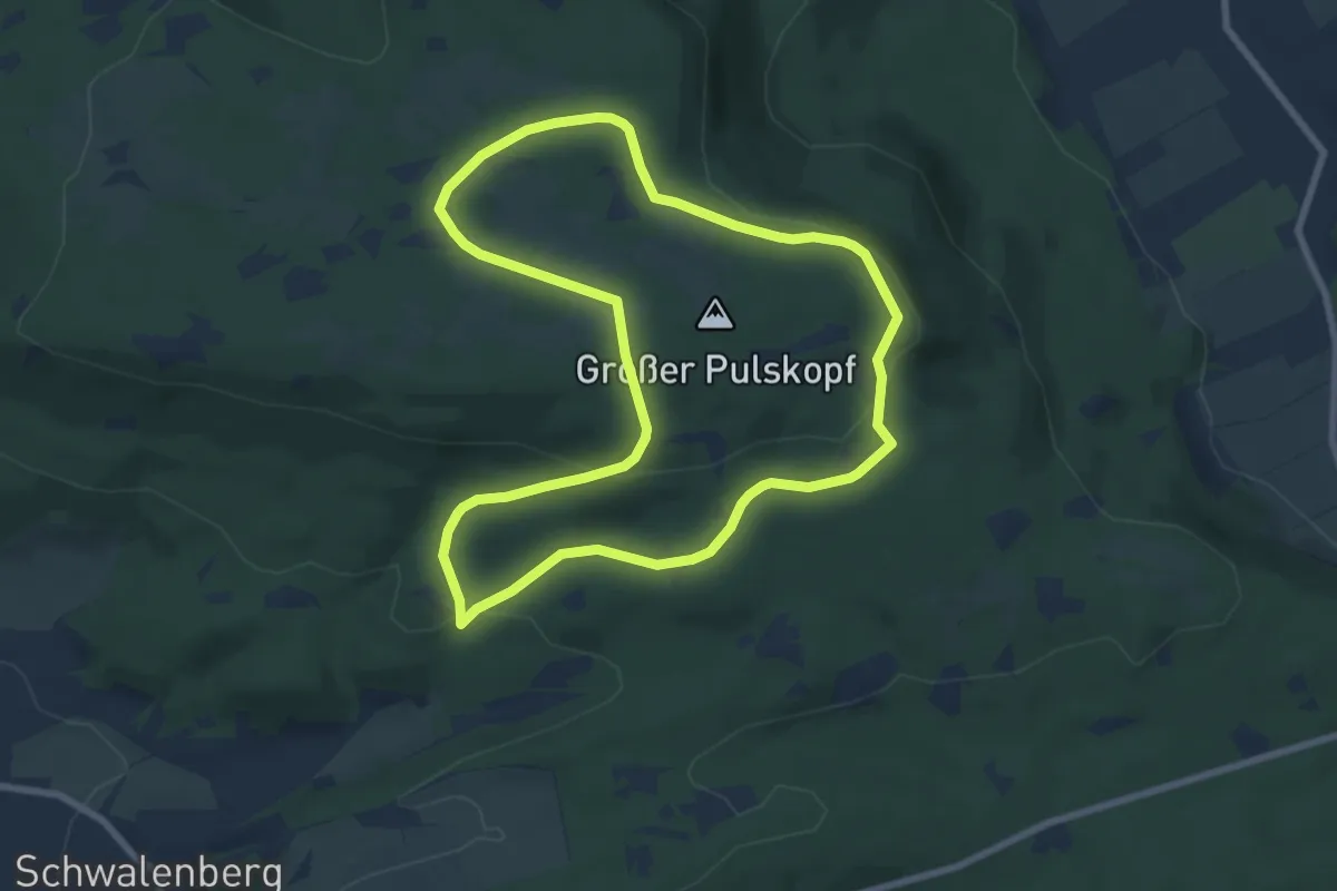
Easy · Summit
Wanderweg A6 (bei Schwalenberg)
7.0 km · ↑ 174 m · 2 h 7 min
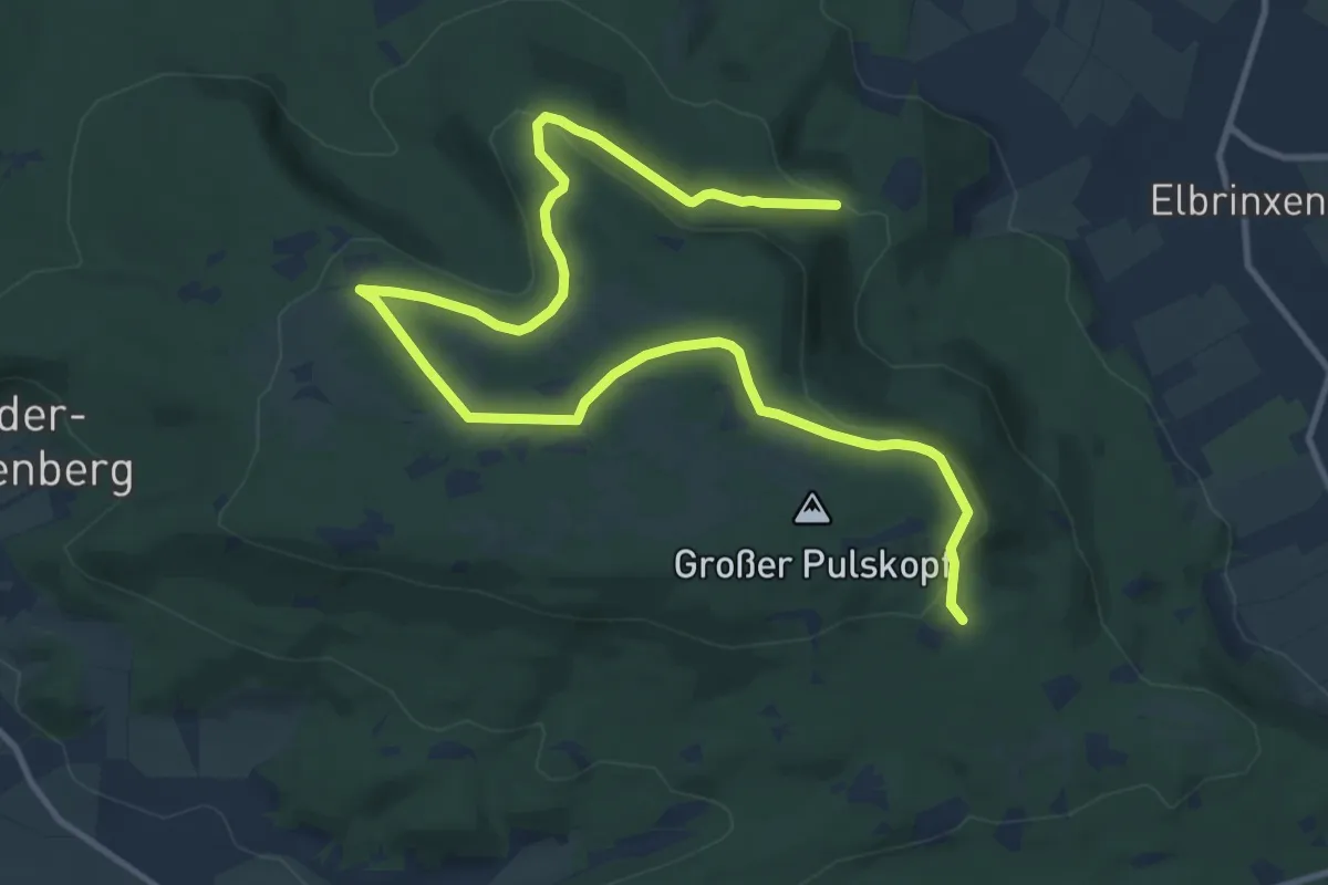
Medium · Trail
Wanderweg A7 (bei Schieder)
14.1 km · ↑ 284 m · 3 h 56 min
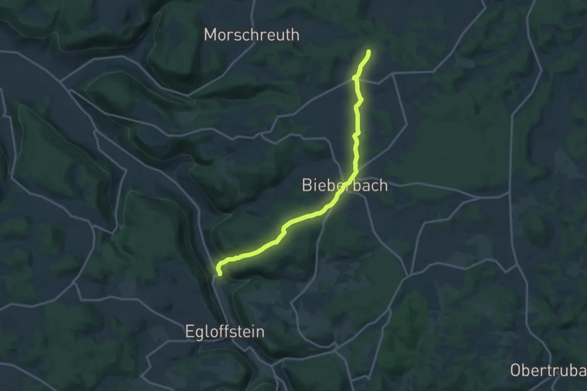
Medium · Trail
Wanderweg Adlersteig - Bartelskirche
12.7 km · ↑ 360 m · 3 h 47 min
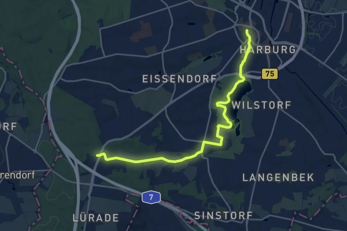
Medium · Trail
Wanderweg A-H
12.6 km · ↑ 117 m · 3 h 14 min