Trails in Germany
36,852 hiking trails, each with its route, climb, walking time and grade.
All trails, page 692 of 768
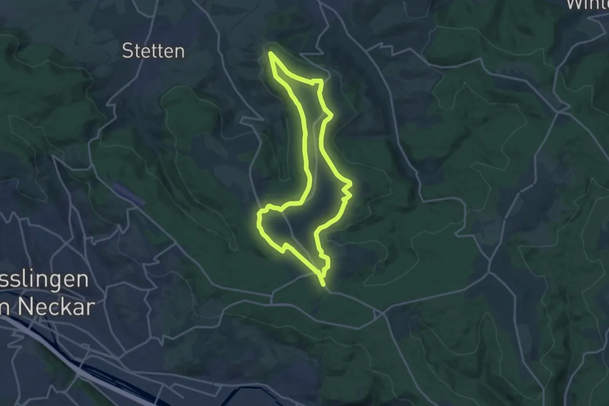
Medium · Trail
Wanderweg Aichwald 1
13.8 km · ↑ 144 m · 3 h 46 min
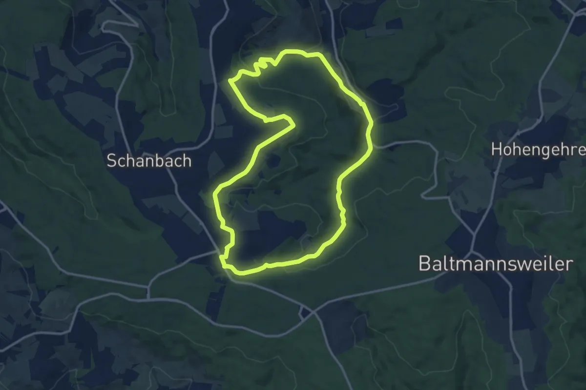
Medium · Trail
Wanderweg Aichwald 2
11.1 km · ↑ 251 m · 3 h 19 min
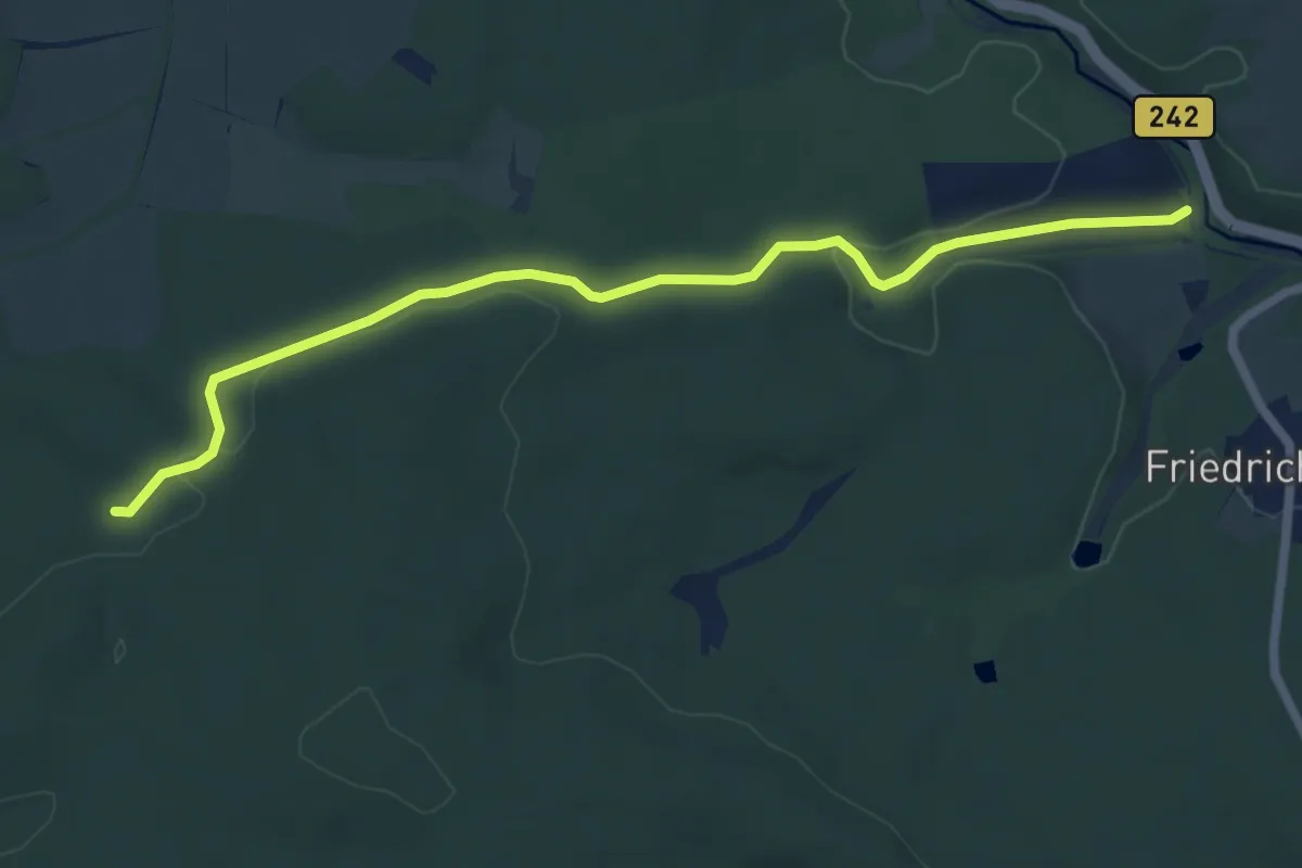
Easy · Trail
Wanderweg Albrechtshaus-Birkenmoor
6.1 km · ↑ 102 m · 1 h 40 min
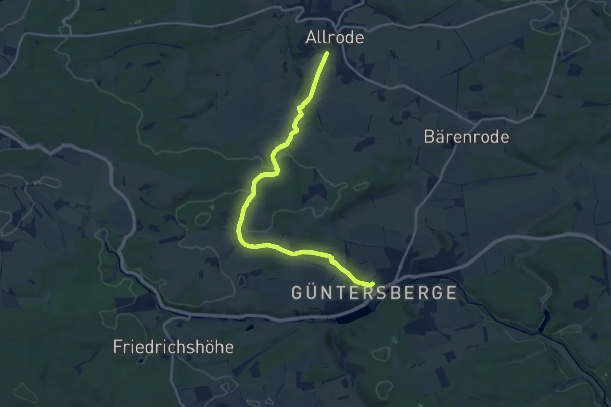
Medium · Trail
Wanderweg Allrode-Güntersberge
11.5 km · ↑ 192 m · 3 h 8 min
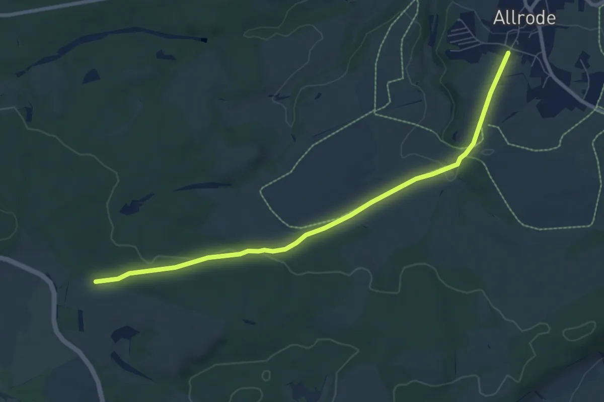
Easy · Trail
Wanderweg Allrode - Stiege
7.3 km · ↑ 114 m · 1 h 58 min
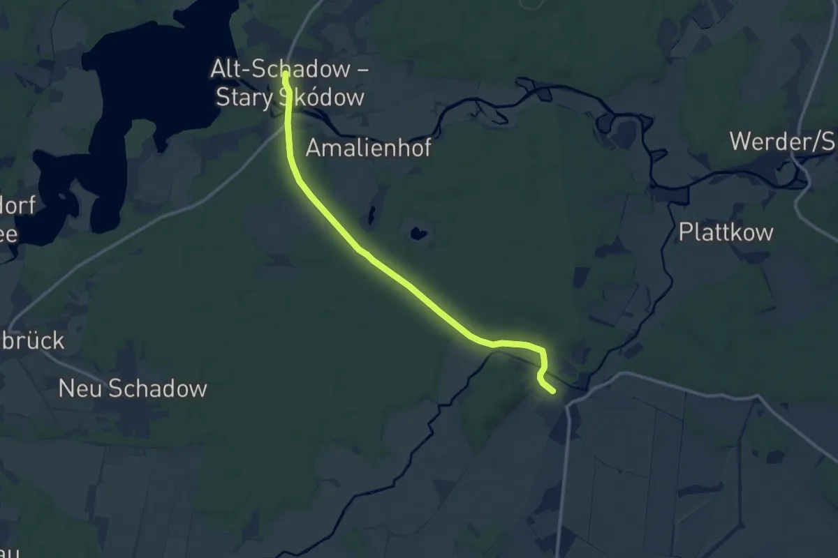
Medium · Trail
Wanderweg Alt Schadow-Pretschen
10.0 km · ↑ 44 m · 2 h 27 min
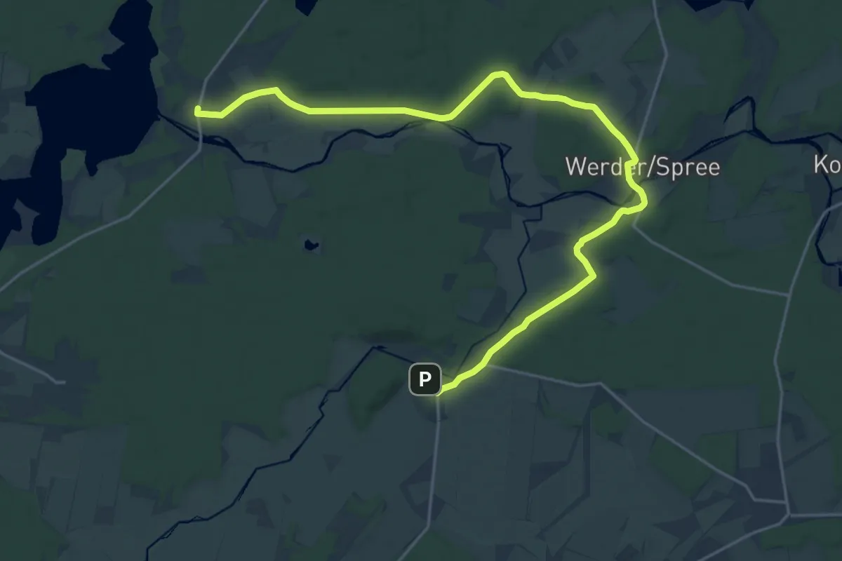
Demanding · Trail
Wanderweg Alt Schadow-Werder-Plattkow
22.8 km · ↑ 149 m · 5 h 42 min
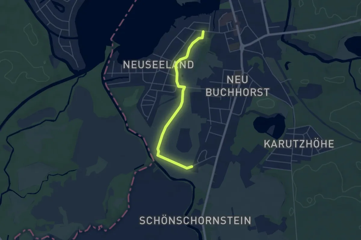
Easy · Trail
Wanderweg am Bretterschen Graben
4.5 km · ↑ 4 m · 1 h 4 min
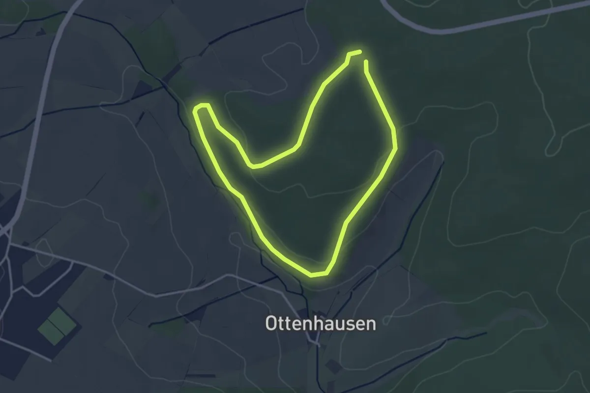
Easy · Trail
Wanderweg "Ameise"
2.9 km · ↑ 47 m · 50 min
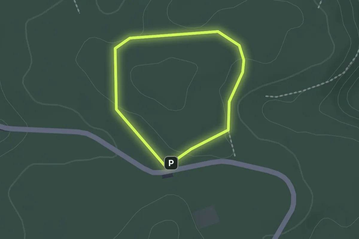
Easy · Trail
Wanderweg Am Hirschsprung 1
1.3 km · ↑ 5 m · 20 min
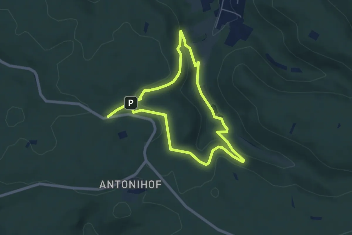
Easy · Trail
Wanderweg Am Hirschsprung 2
3.9 km · ↑ 121 m · 1 h 14 min
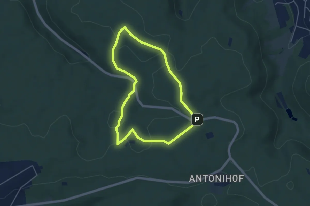
Easy · Trail
Wanderweg Am Hirschsprung 3
3.5 km · ↑ 45 m · 58 min
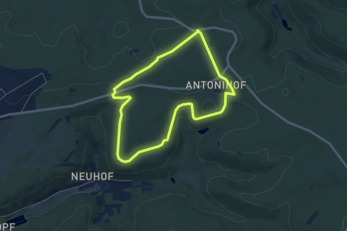
Medium · Trail
Wanderweg Am Hirschsprung 4
4.5 km · ↑ 58 m · 1 h 15 min
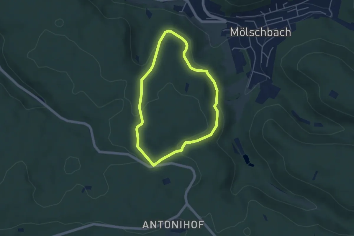
Easy · Trail
Wanderweg Am Hirschsprung 5
3.3 km · ↑ 83 m · 1 h 1 min
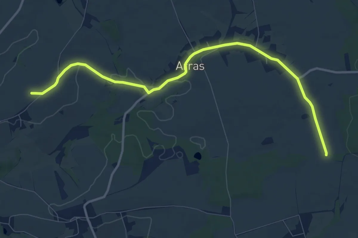
Medium · Summit
Wanderweg Arras – Obstmühle
9.1 km · ↑ 65 m · 2 h 17 min
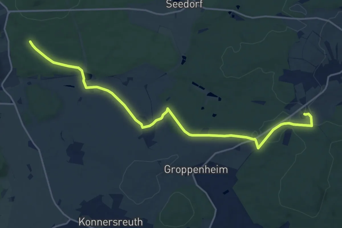
Medium · Trail
Wanderweg Arzberg-Kappl
13.9 km · ↑ 190 m · 3 h 41 min
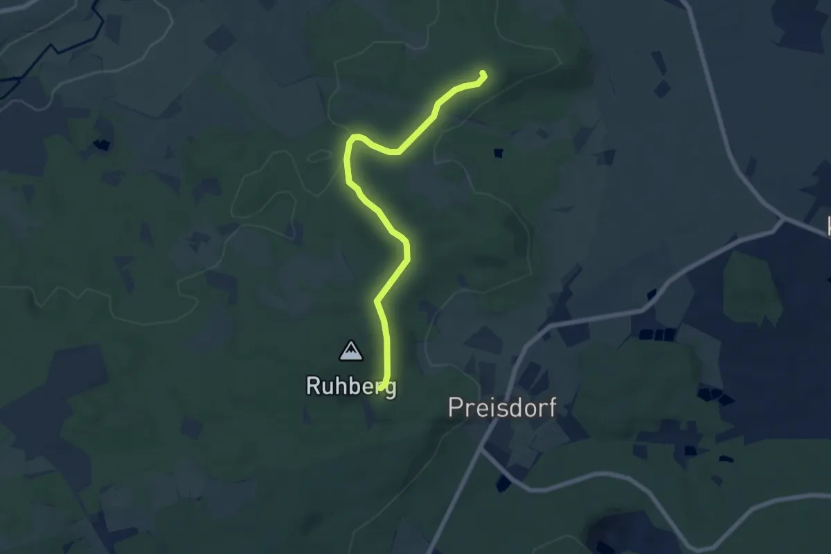
Easy · Summit
Wanderweg Arzberg-Ruhberg
5.6 km · ↑ 71 m · 1 h 28 min
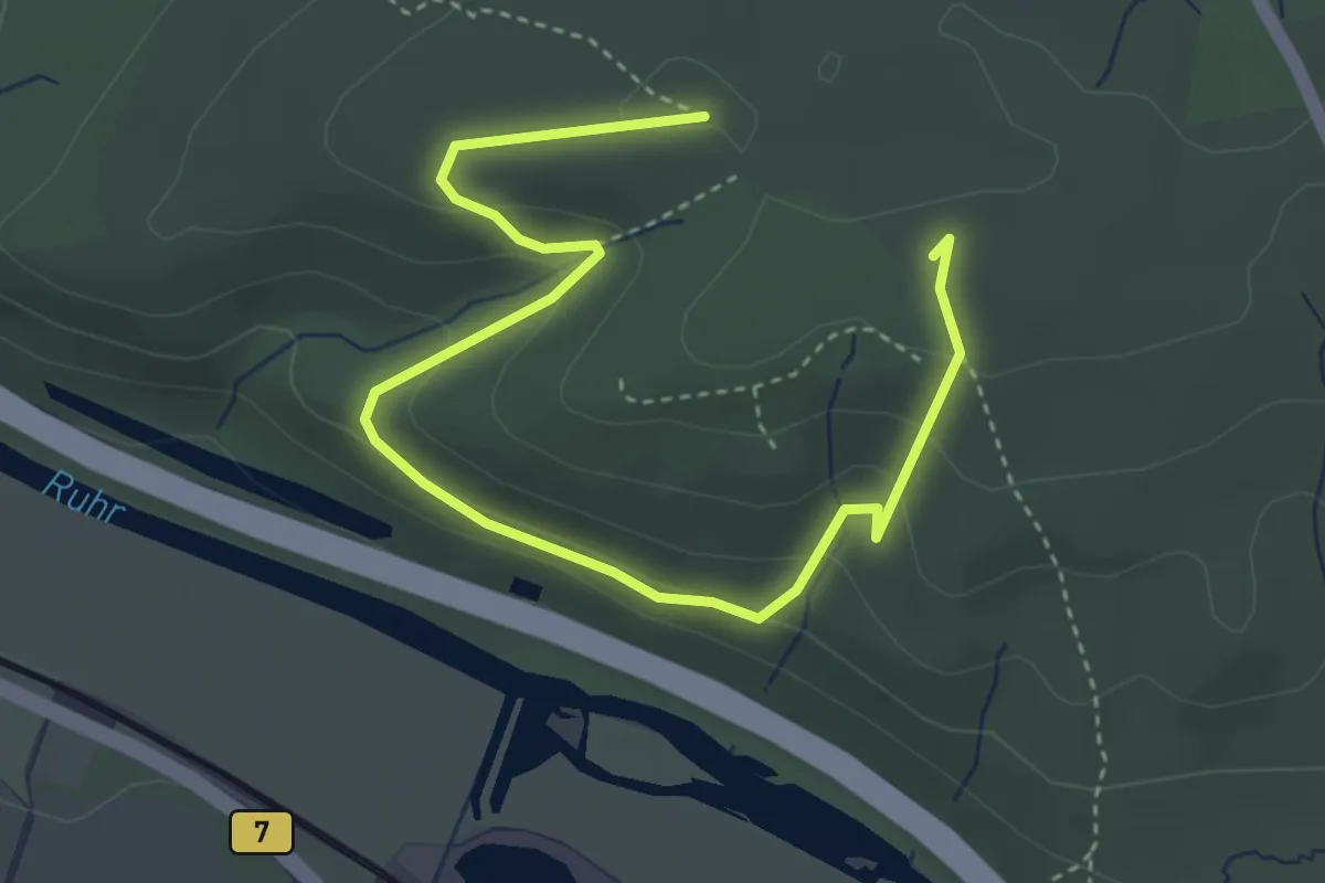
Easy · Summit
Wanderweg auf dem Fürstenberg
4.3 km · ↑ 196 m · 1 h 26 min
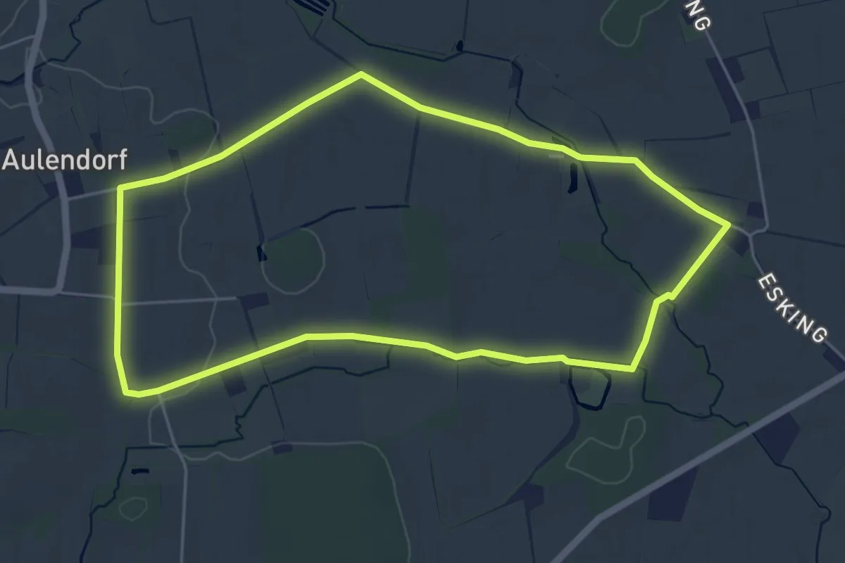
Easy · Trail
Wanderweg Aulendorf A1
4.4 km · ↑ 17 m · 1 h 7 min
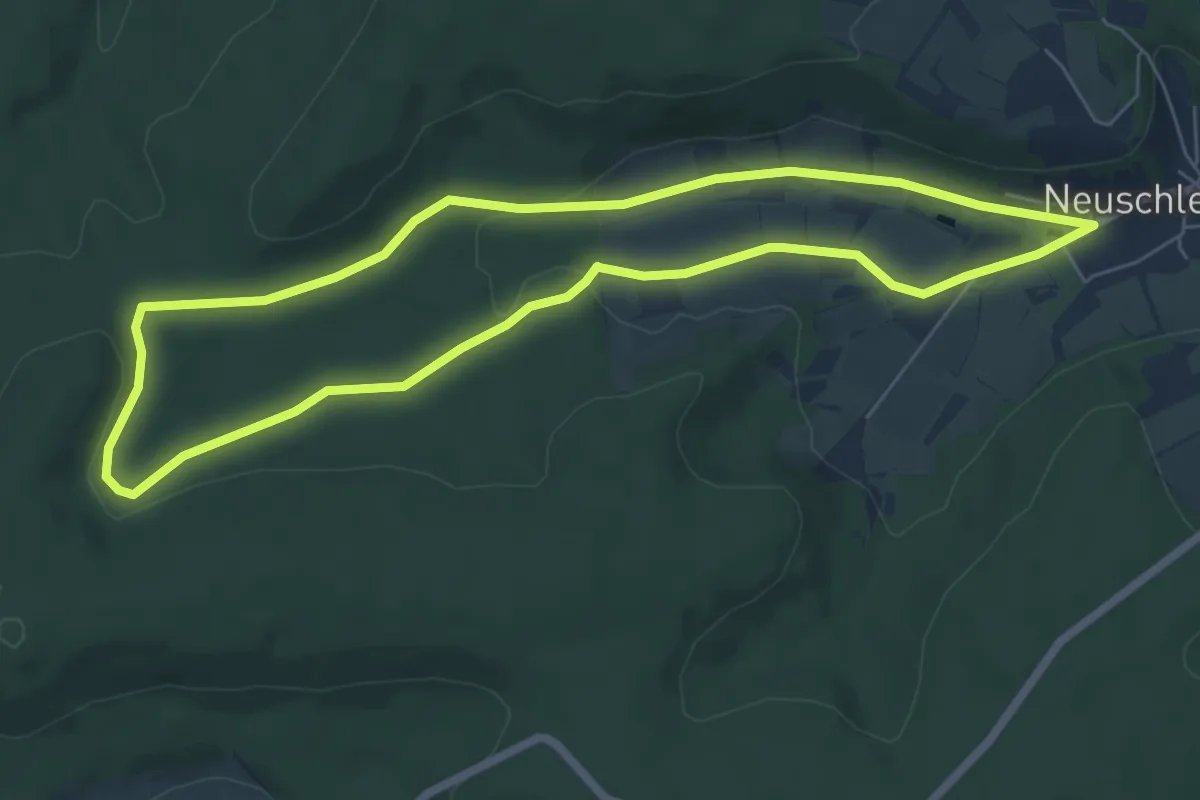
Easy · Trail
Wanderweg Aurachquelle
6.0 km · ↑ 88 m · 1 h 41 min
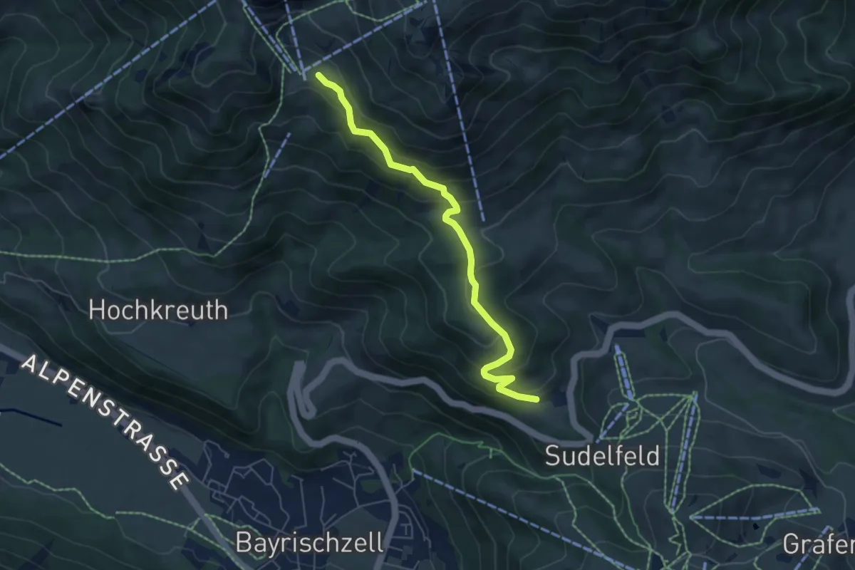
Medium · Trail
Wanderweg B1a - Wendelsteinalmen
5.6 km · ↑ 350 m · 2 h 5 min
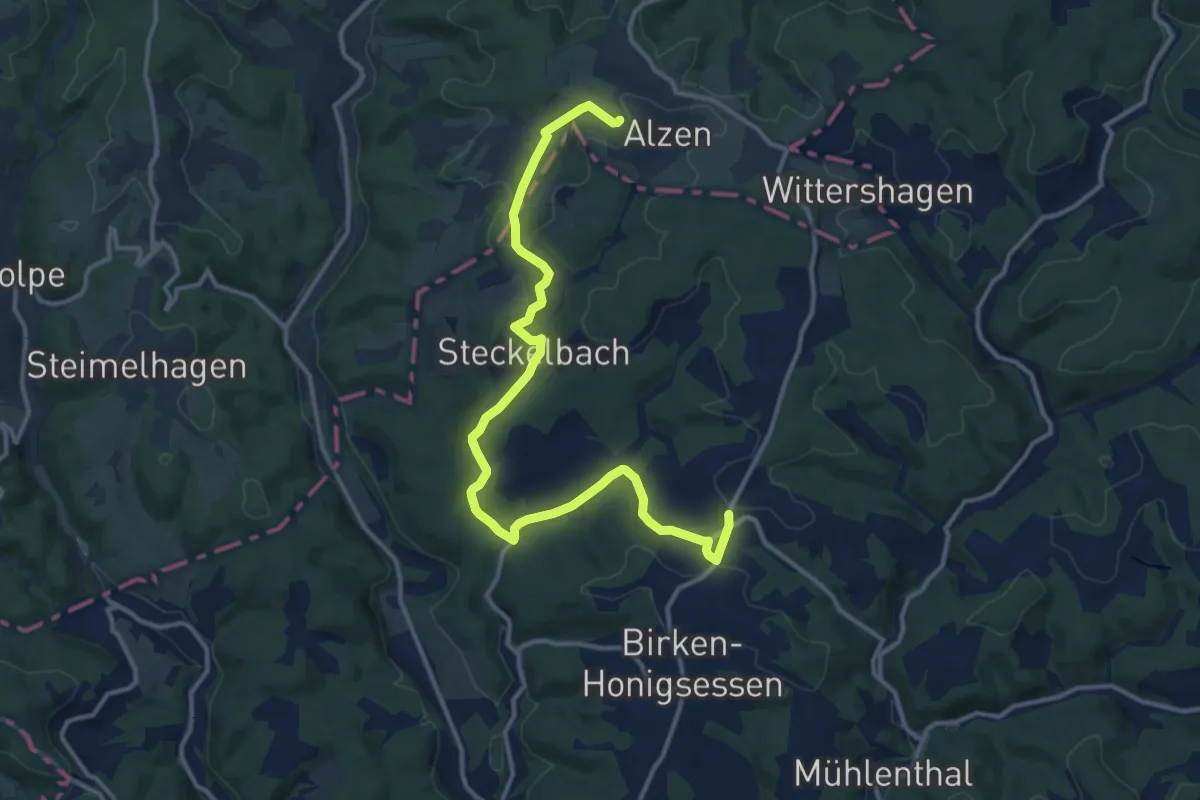
Medium · Trail
Wanderweg B1 (Birken-Honigsessen)
13.5 km · ↑ 287 m · 3 h 48 min
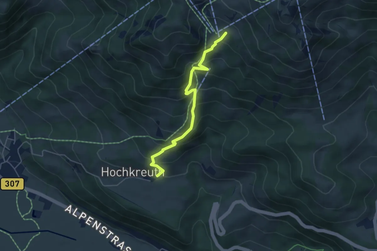
Medium · Trail
Wanderweg B1c - Wendelsteinalmen
4.3 km · ↑ 422 m · 1 h 56 min
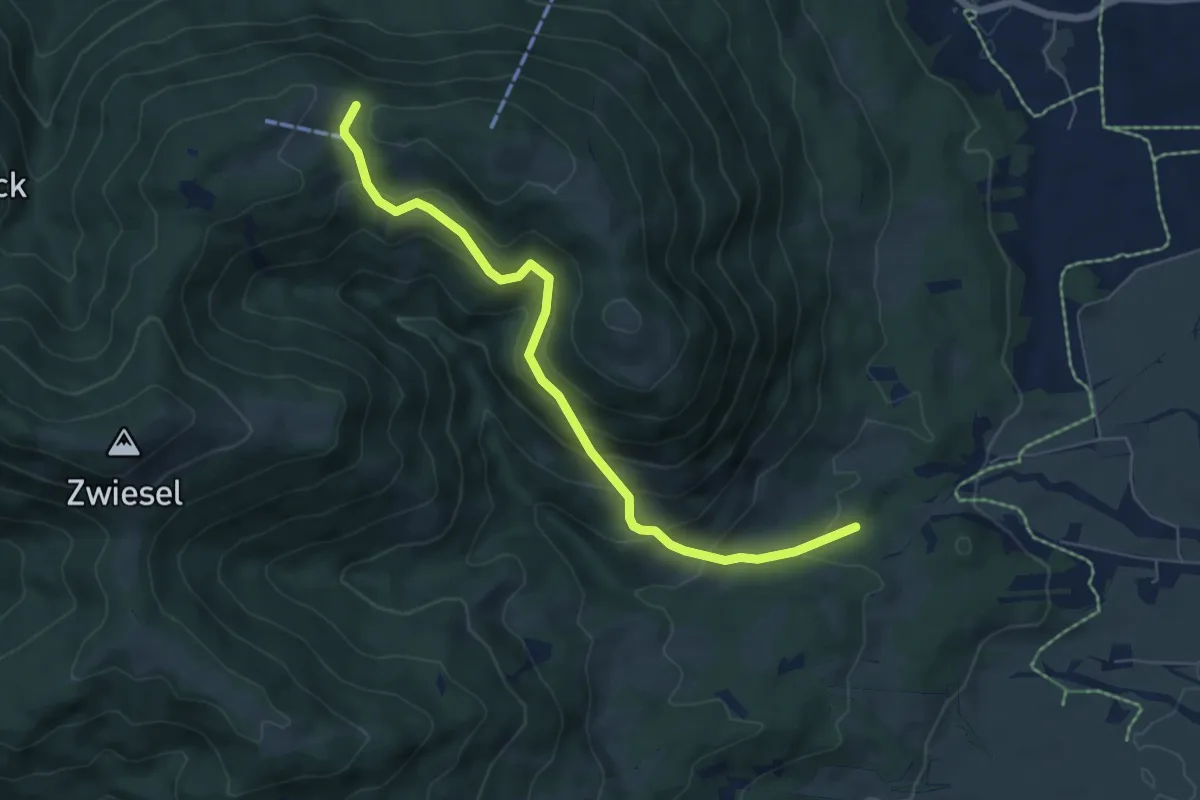
Medium · Trail
Wanderweg B 1 - Isarwinkel
6.2 km · ↑ 425 m · 2 h 24 min
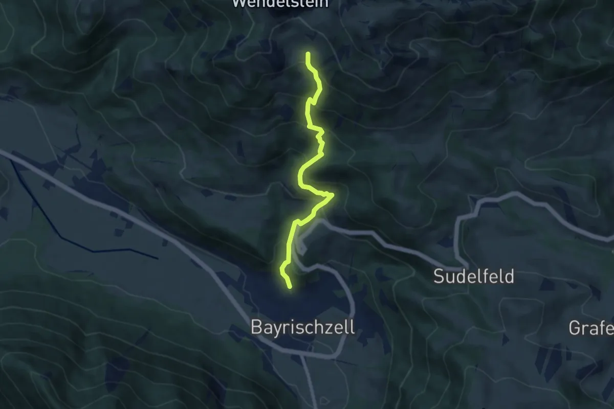
Medium · Trail
Wanderweg B1 - Wendelsteinalmen
6.1 km · ↑ 612 m · 2 h 46 min
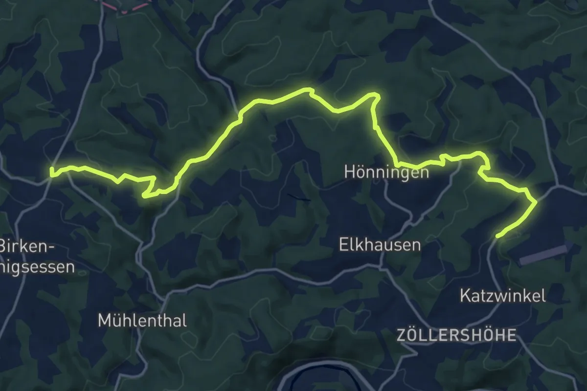
Demanding · Trail
Wanderweg B2 (Birken-Honigsessen)
18.5 km · ↑ 475 m · 5 h 24 min
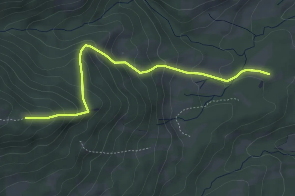
Medium · Trail
Wanderweg B 2 - Isarwinkel
4.4 km · ↑ 329 m · 1 h 46 min
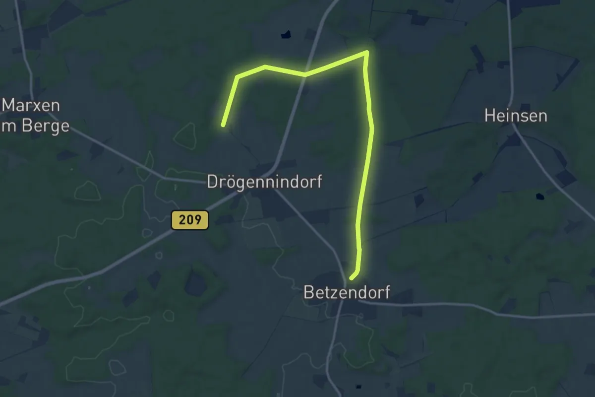
Medium · Trail
Wanderweg B3 Amelinghausen
11.3 km · ↑ 79 m · 2 h 50 min
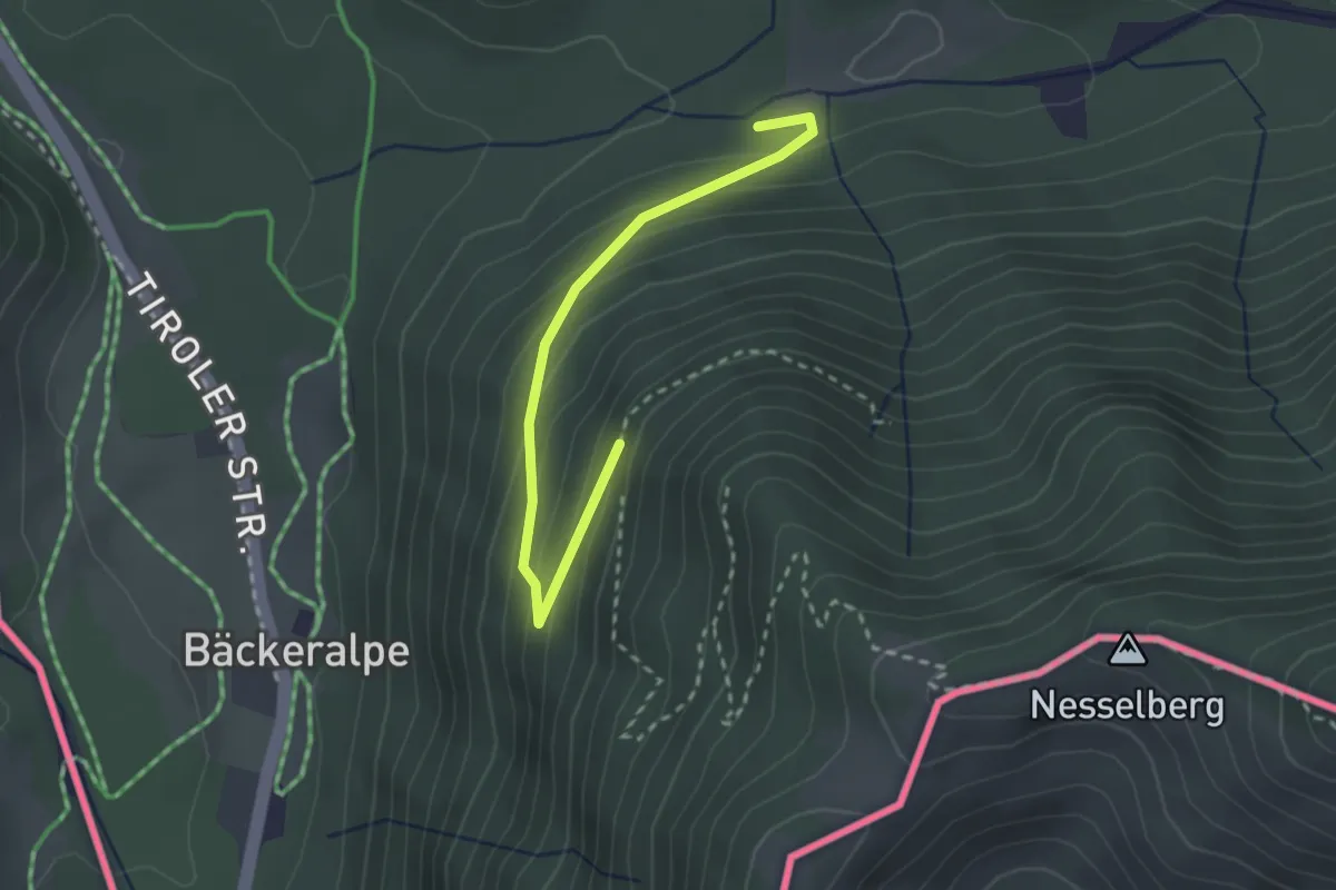
Easy · Trail
Wanderweg B8
2.6 km · ↑ 165 m · 58 min
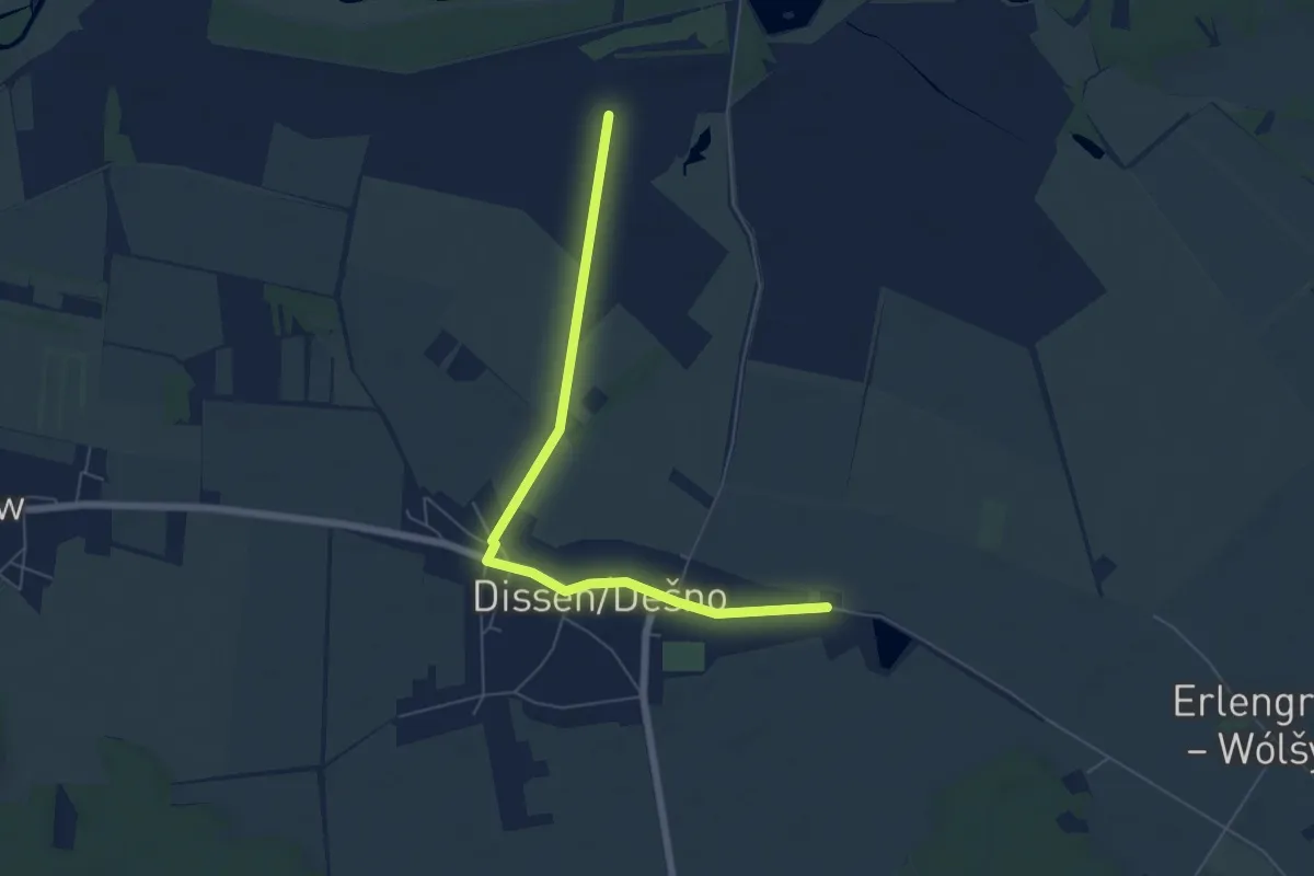
Easy · Trail
Wanderweg Backslash
5.7 km · ↑ 0 m · 1 h 21 min
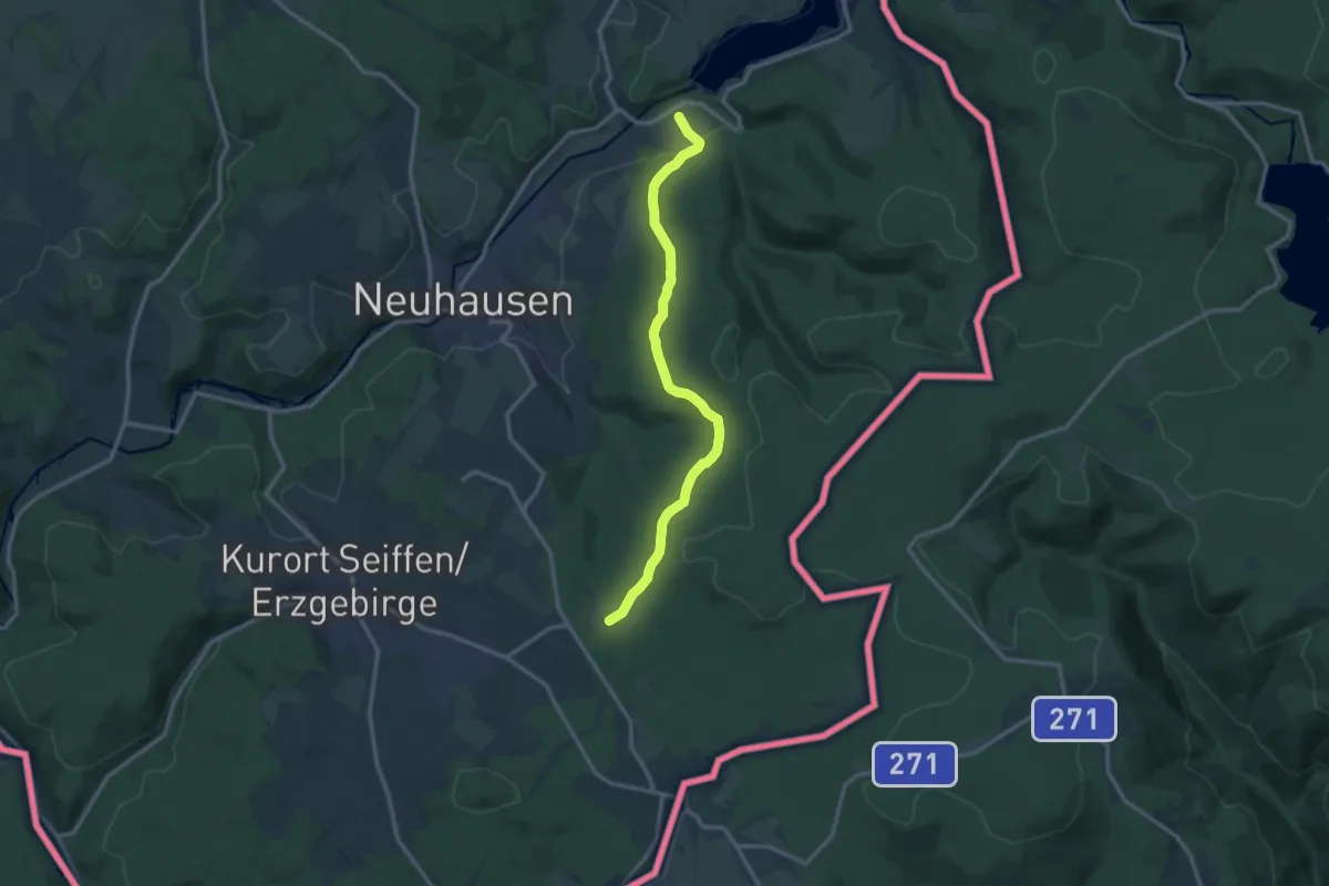
Medium · Trail
Wanderweg Bad Einsiedel - Rauschenbach
12.1 km · ↑ 226 m · 3 h 21 min
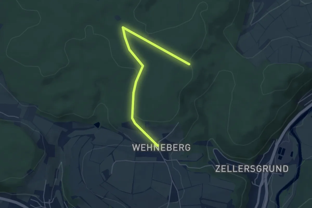
Easy · Trail
Wanderweg Bad Hersfeld 3
2.4 km · ↑ 18 m · 39 min
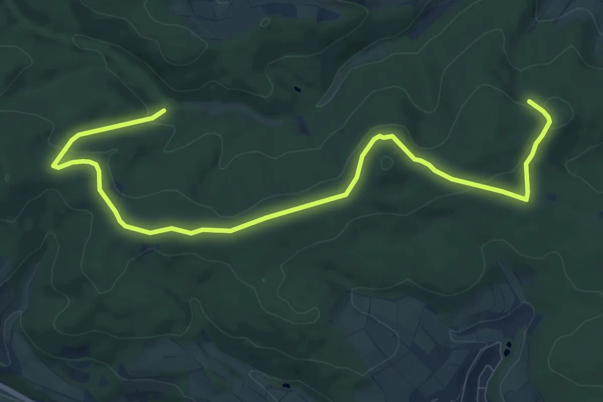
Easy · Summit
Wanderweg Bad Hersfeld 7
5.5 km · ↑ 133 m · 1 h 38 min
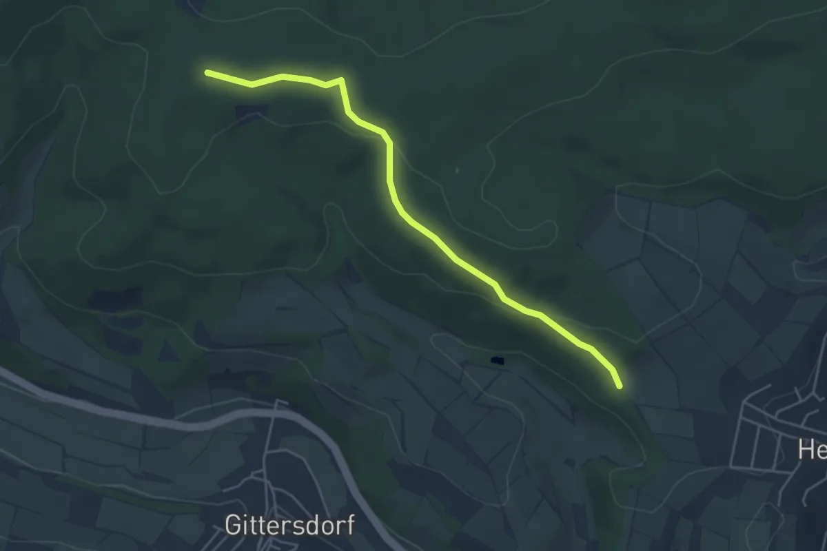
Easy · Trail
Wanderweg Bad Hersfeld 8
2.1 km · ↑ 0 m · 35 min
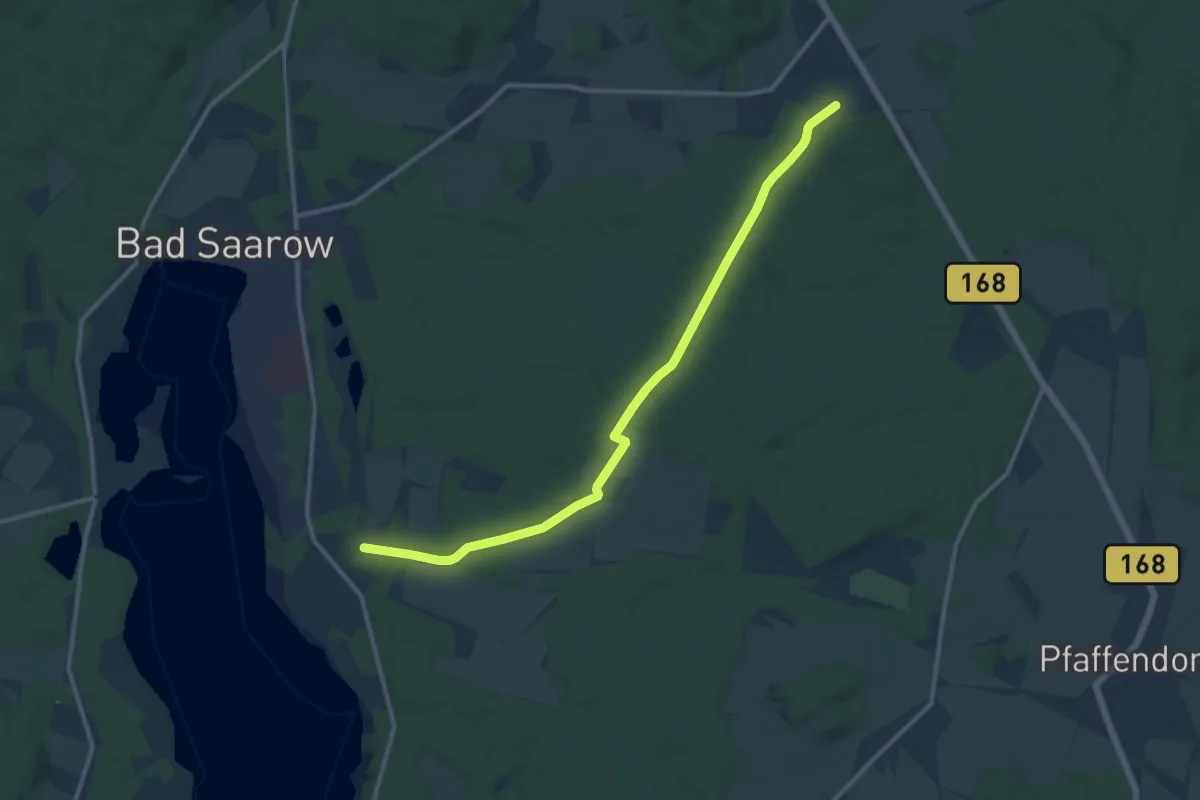
Medium · Trail
Wanderweg Bad Saarow-Pieskow - Alt Golm
11.6 km · ↑ 71 m · 2 h 54 min
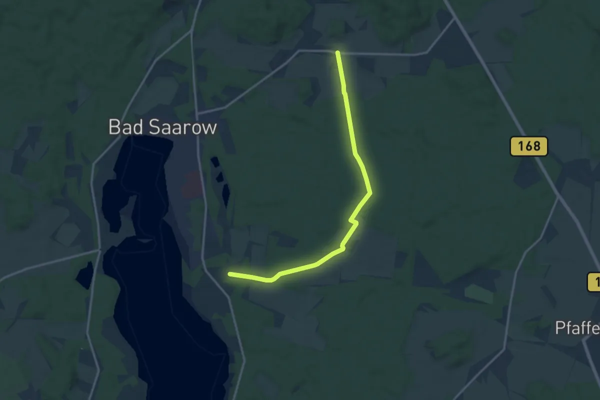
Medium · Trail
Wanderweg Bad Saarow-Pieskow - Neu Golm
11.0 km · ↑ 63 m · 2 h 45 min
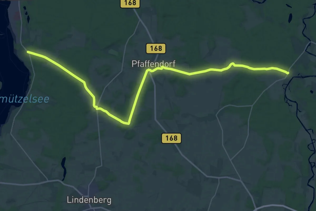
Medium · Trail
Wanderweg Bad Saarow-Pieskow - Raßmannsdorf
16.6 km · ↑ 156 m · 4 h 29 min
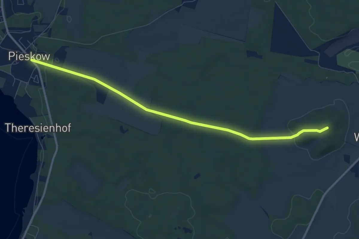
Medium · Summit
Wanderweg Bad Saarow-Pieskow - Wilmersdorf
8.1 km · ↑ 98 m · 2 h 8 min
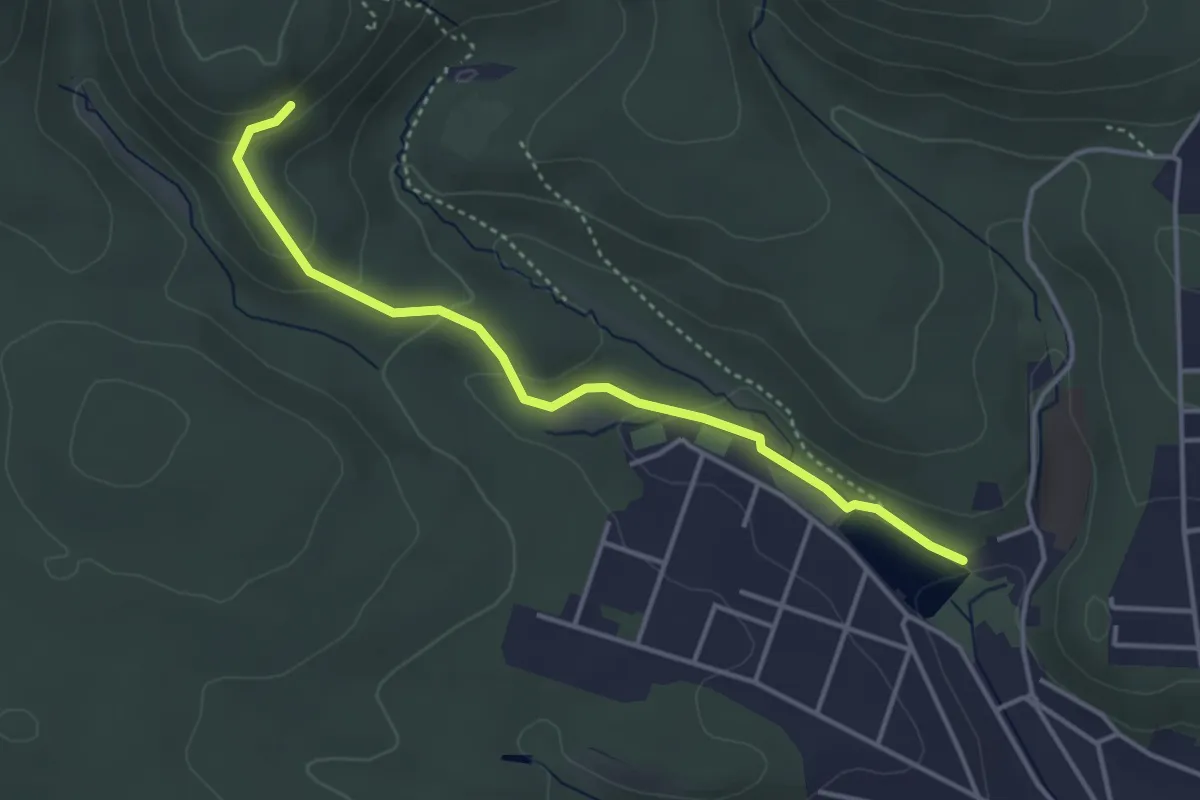
Easy · Trail
Wanderweg Bad Sachsa - Philipsgruß
3.5 km · ↑ 126 m · 1 h 7 min
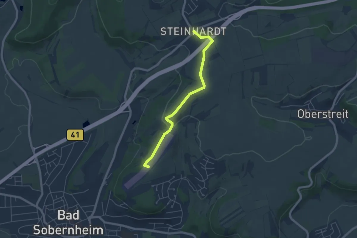
Easy · Summit
Wanderweg Bad Sobernheim - Steinhardt
4.5 km · ↑ 79 m · 1 h 14 min
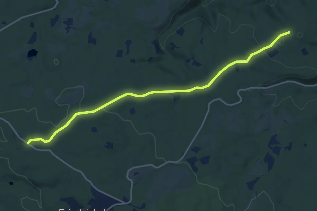
Medium · Trail
Wanderweg Bad Suderode Friedrichsbrunn-Schirmbuche Rote Steiger (rotes Quadrat)
10.7 km · ↑ 149 m · 2 h 51 min
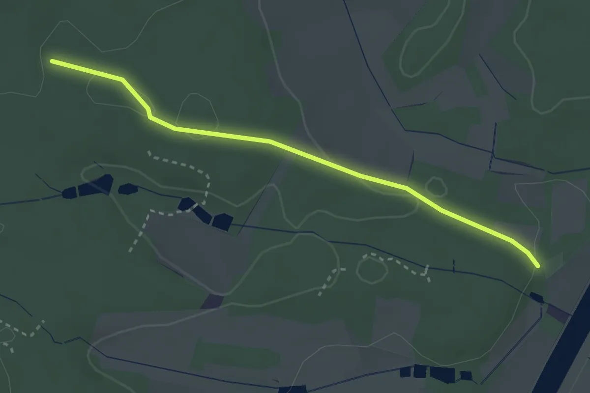
Easy · Trail
Wanderweg Baiersdorf – Röttenbach
2.7 km · ↑ 50 m · 45 min
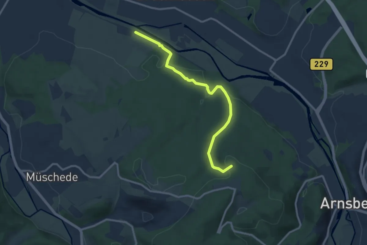
Easy · Summit
[-] Wanderweg Balken (Arnsberg)
6.6 km · ↑ 161 m · 1 h 55 min
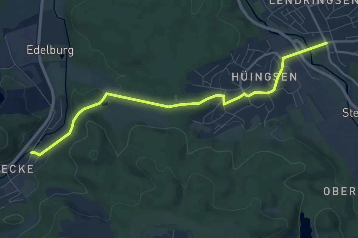
Easy · Trail
Wanderweg Balken Lendringsen-Becke
7.8 km · ↑ 185 m · 2 h 15 min
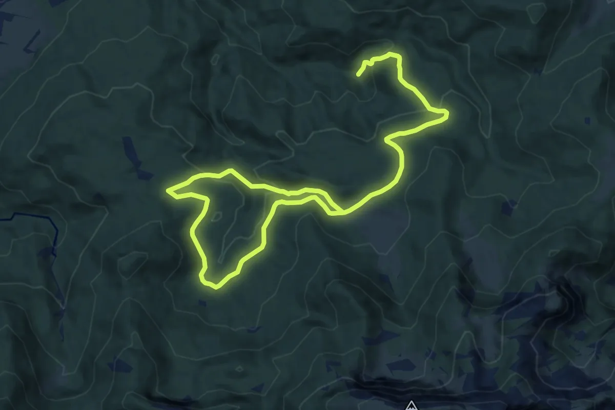
Medium · Trail
Wanderweg BE 2 - Isarwinkel
16.1 km · ↑ 502 m · 4 h 53 min
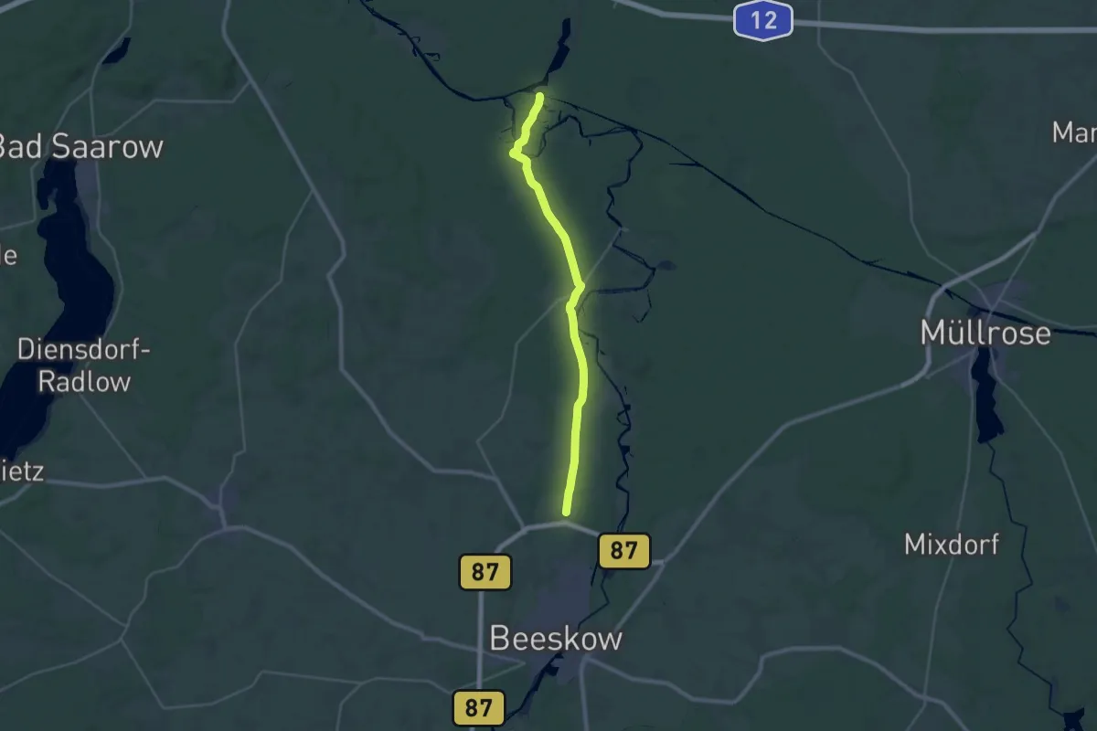
Demanding · Trail
Wanderweg Beeskow - Kersdorfer Schleuse
24.7 km · ↑ 93 m · 6 h 1 min
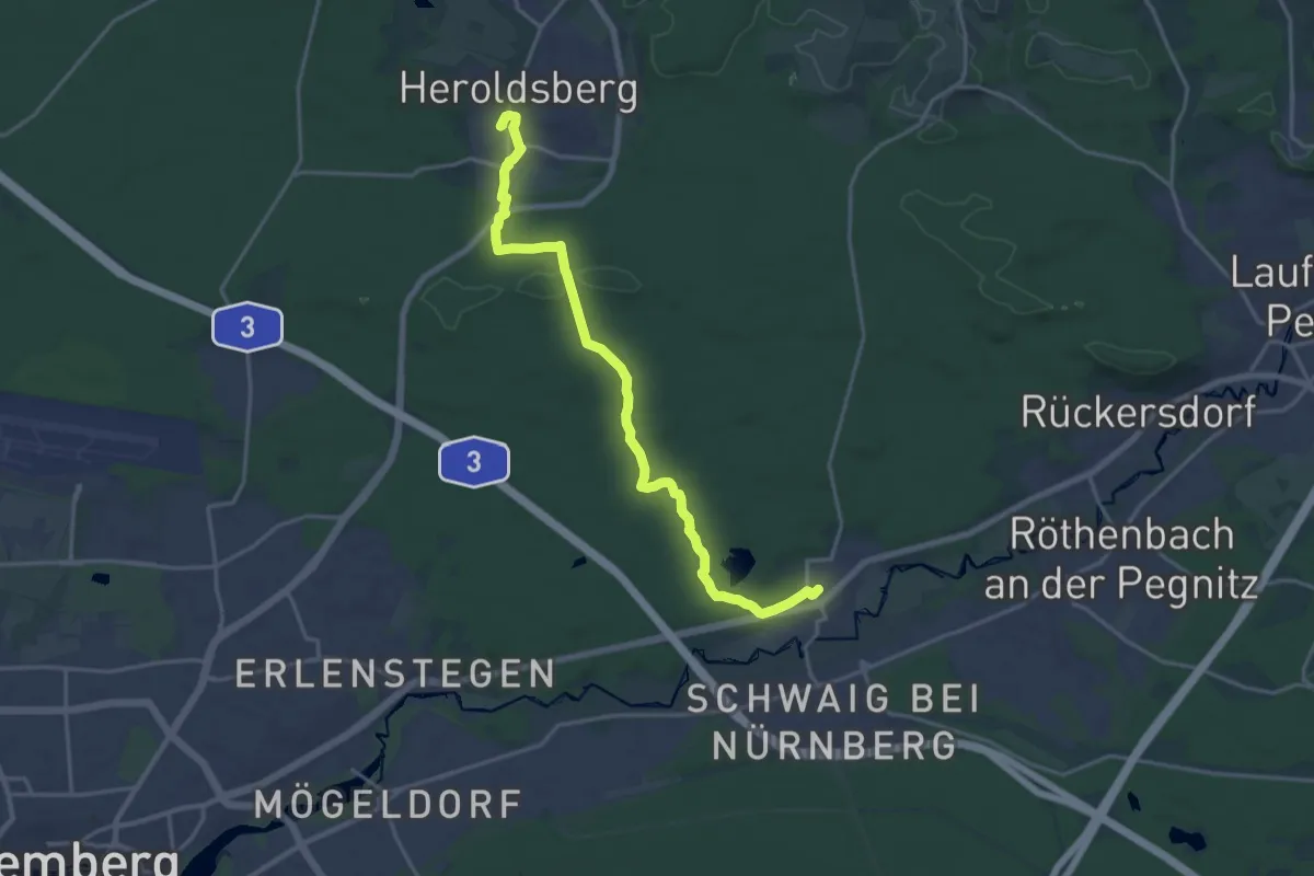
Medium · Trail
Wanderweg Behringersdorf-Heroldsberg
17.9 km · ↑ 161 m · 4 h 35 min
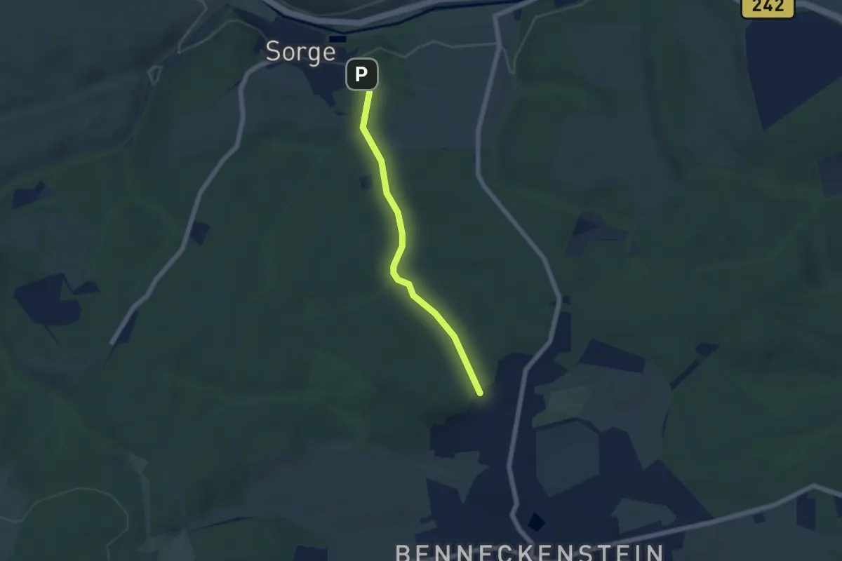
Easy · Trail
Wanderweg Benneckenstein-Sorge
4.1 km · ↑ 54 m · 1 h 5 min