Trails in Germany
36,852 hiking trails, each with its route, climb, walking time and grade.
All trails, page 693 of 768
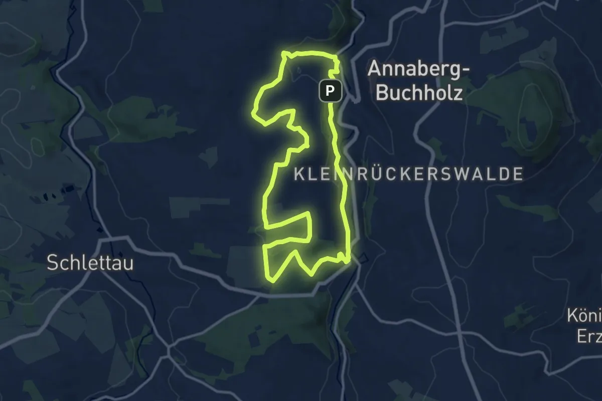
Medium · Trail
Wanderweg Bergbaulehrpfad durch den Buchholzer Wald
10.8 km · ↑ 259 m · 3 h 16 min
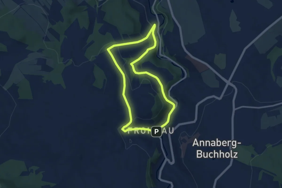
Easy · Trail
Wanderweg Bergbaulehrpfad Frohnauer Weg
6.0 km · ↑ 174 m · 1 h 53 min
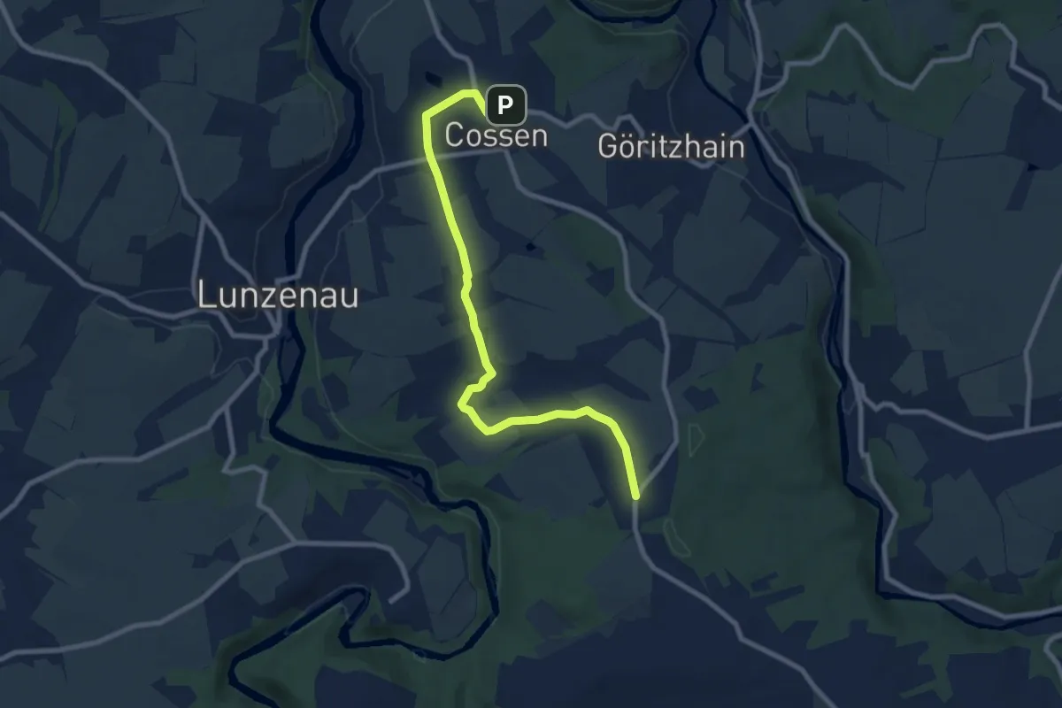
Medium · Trail
Wanderweg Berthelsdorf – Hohenkirchen – Lunzenau
8.1 km · ↑ 144 m · 2 h 13 min
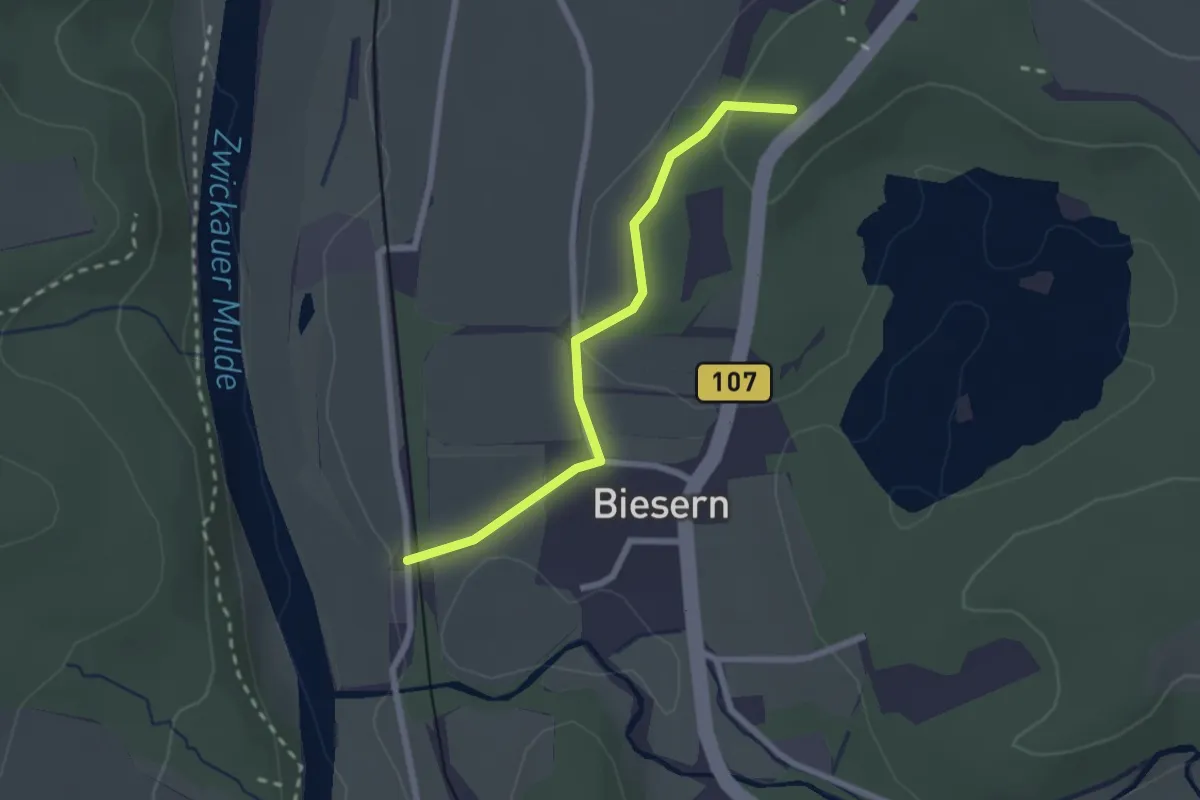
Easy · Summit
Wanderweg Biesern - Rochlitz
2.0 km · ↑ 46 m · 35 min
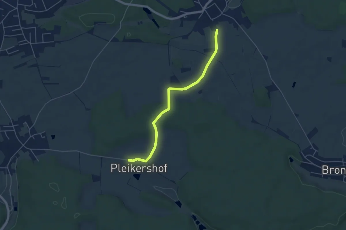
Easy · Trail
Wanderweg Blaue Raute
4.4 km · ↑ 52 m · 1 h 9 min
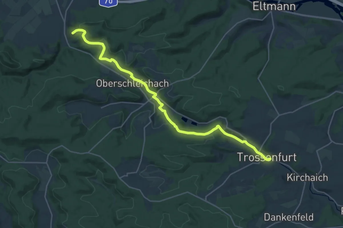
Demanding · Summit
Wanderweg Blaue Raute von Knetzgau nach Trossenfurt
20.1 km · ↑ 349 m · 5 h 30 min
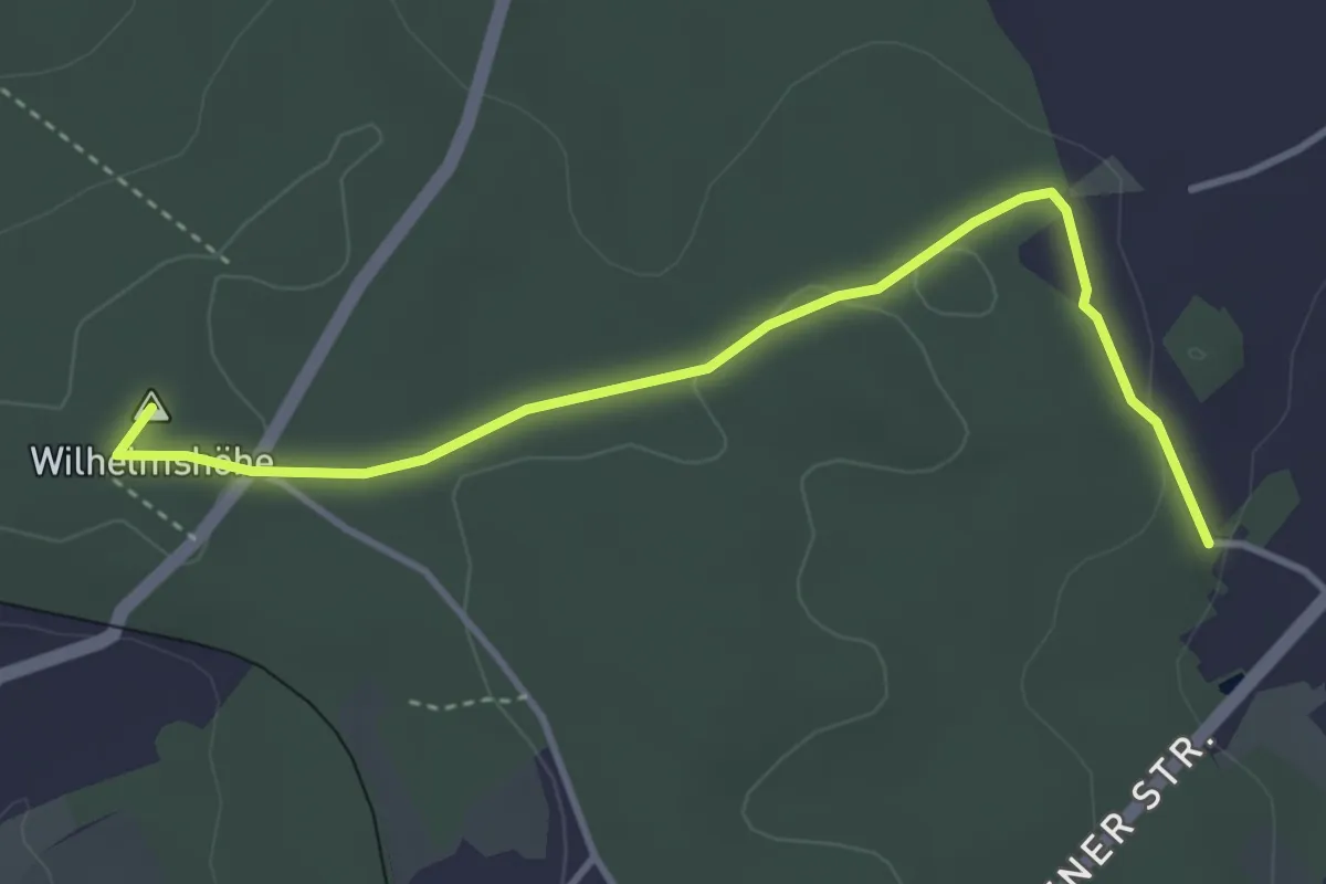
Easy · Summit
Wanderweg blauer Balken
3.6 km · ↑ 50 m · 58 min
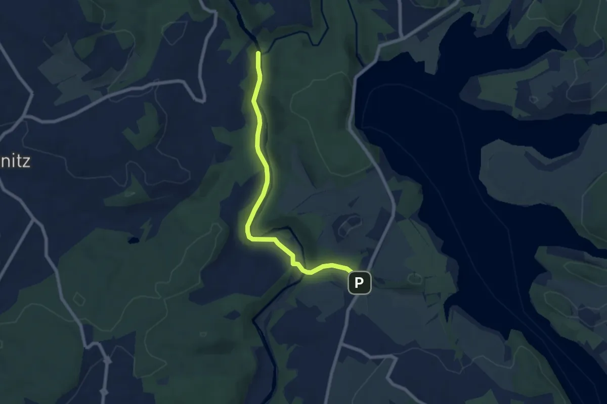
Easy · Trail
Wanderweg blauer Balken
5.7 km · ↑ 107 m · 1 h 35 min
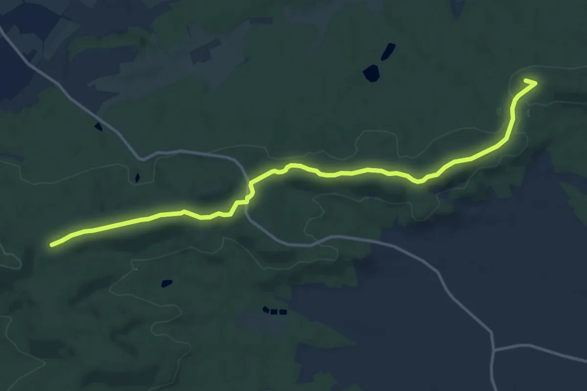
Medium · Summit
Wanderweg Blauer Flieger von Bullenheim nach Uehlfeld
12.1 km · ↑ 169 m · 3 h 14 min
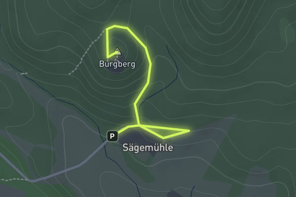
Easy · Summit
Wanderweg "blauer Punkt"
2.1 km · ↑ 91 m · 42 min
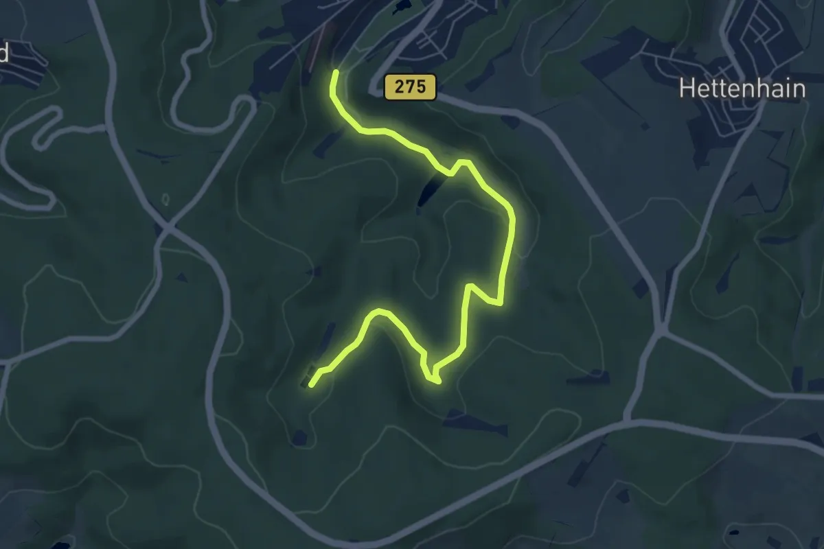
Easy · Trail
Wanderweg Blauer Punkt
6.7 km · ↑ 117 m · 1 h 50 min
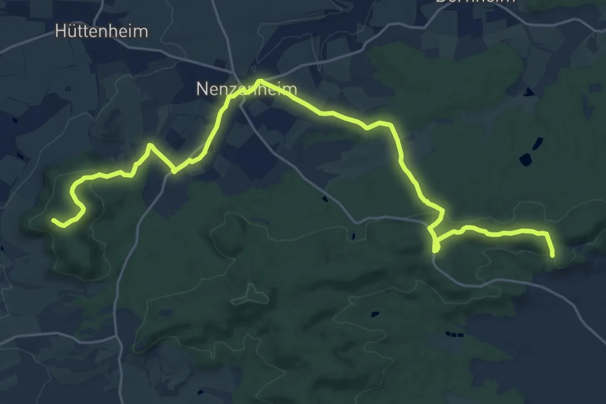
Demanding · Summit
Wanderweg Blauer Tropfen / Markt Nordheim - Bullenheim
22.3 km · ↑ 398 m · 6 h 8 min
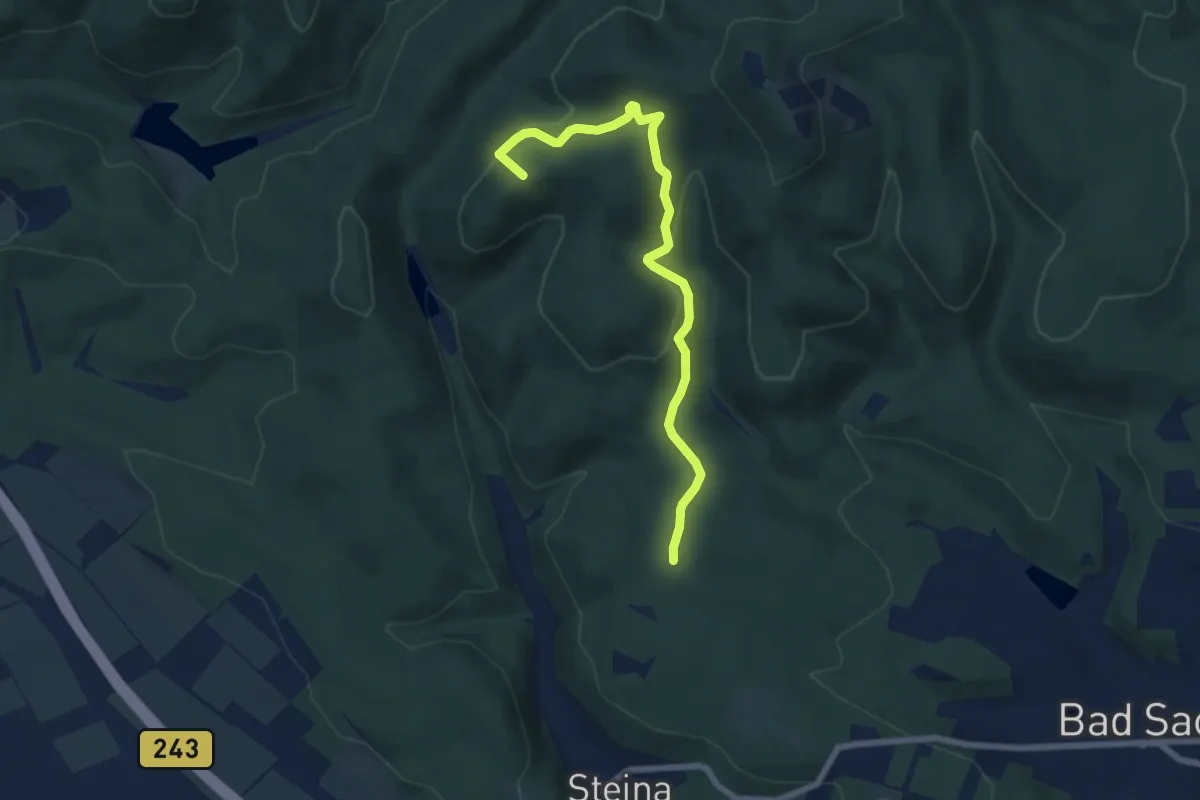
Easy · Summit
Wanderweg blaues Dreieck
6.5 km · ↑ 263 m · 2 h 6 min
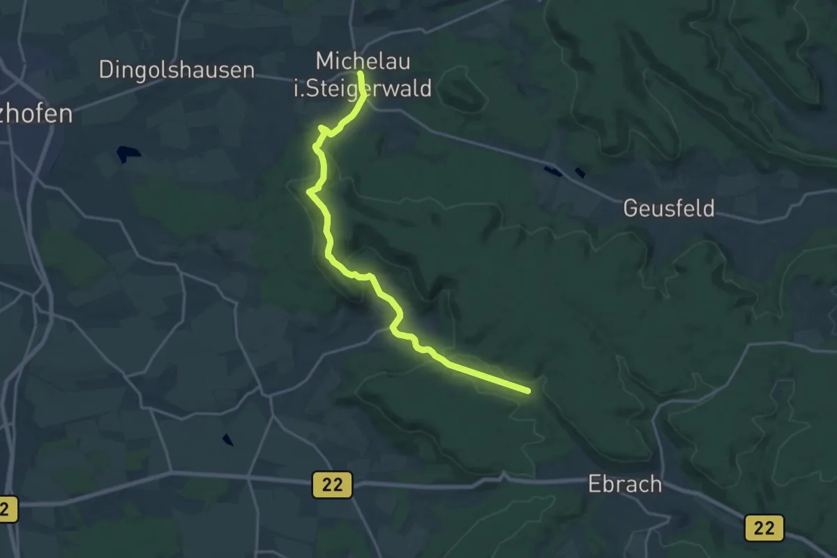
Medium · Trail
Wanderweg Blaues Dreieck von Michelau nach Ebrach
16.3 km · ↑ 478 m · 4 h 53 min
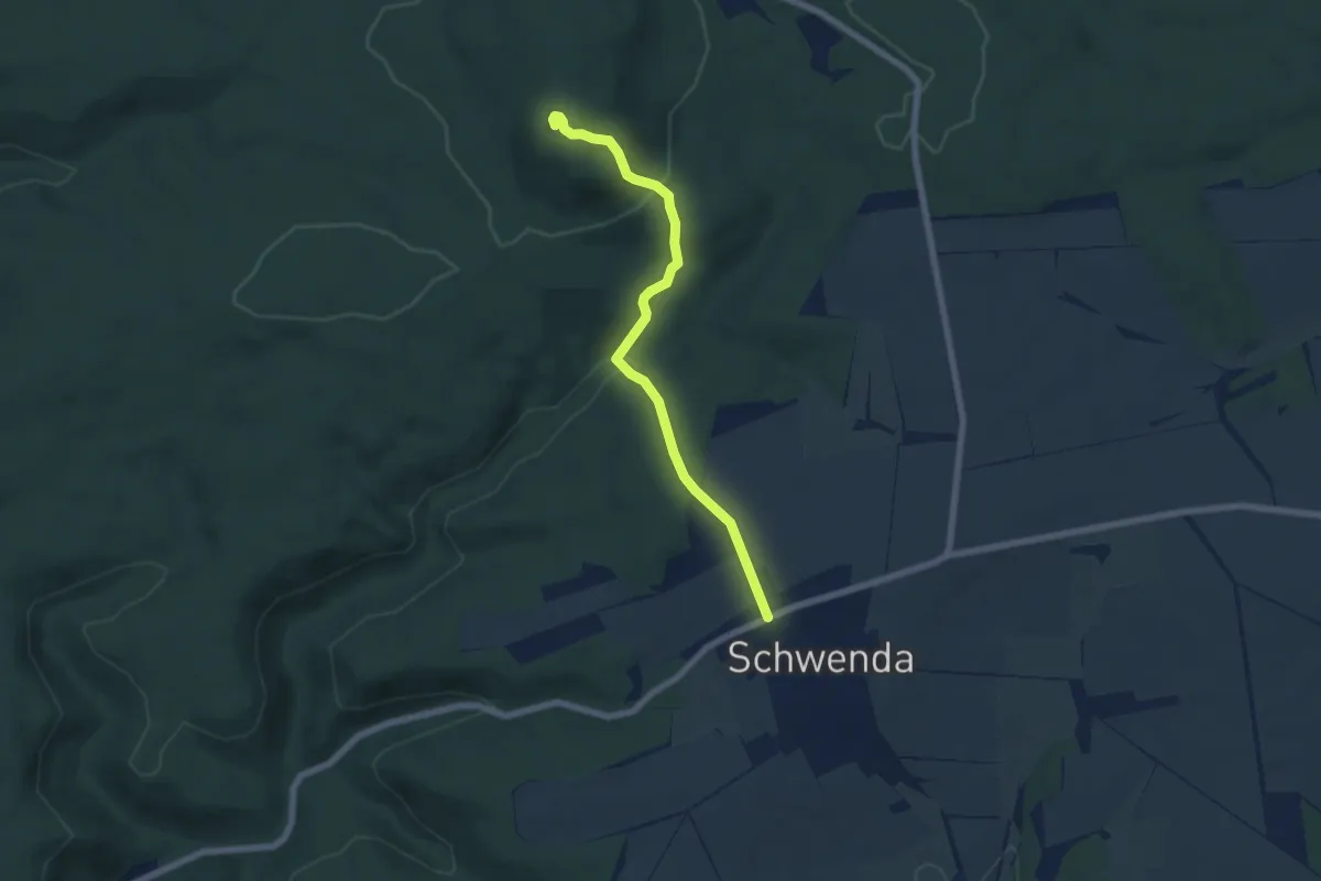
Medium · Summit
Wanderweg "Blaues Kreuz" Schwenda- Auerberg
5.6 km · ↑ 248 m · 1 h 52 min
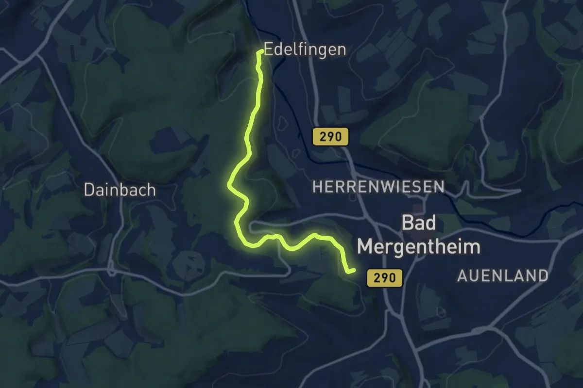
Medium · Trail
Wanderweg blaues, liegendes U (Badwegele)
10.3 km · ↑ 252 m · 2 h 59 min
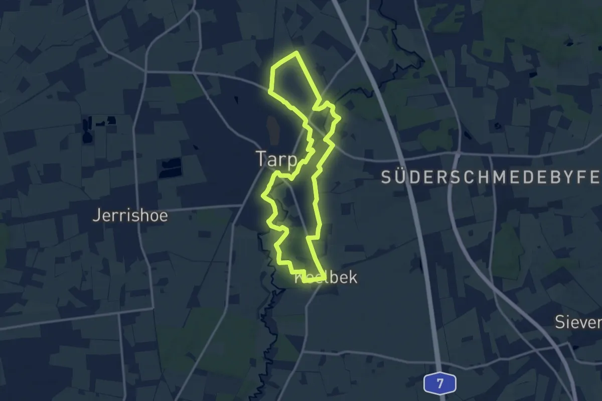
Medium · Trail
Wanderweg Blau, Tarp
9.6 km · ↑ 26 m · 2 h 27 min
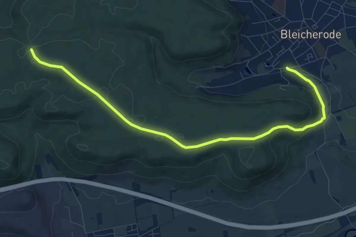
Medium · Trail
Wanderweg Bleicherode-Ascherode
10.4 km · ↑ 177 m · 2 h 50 min
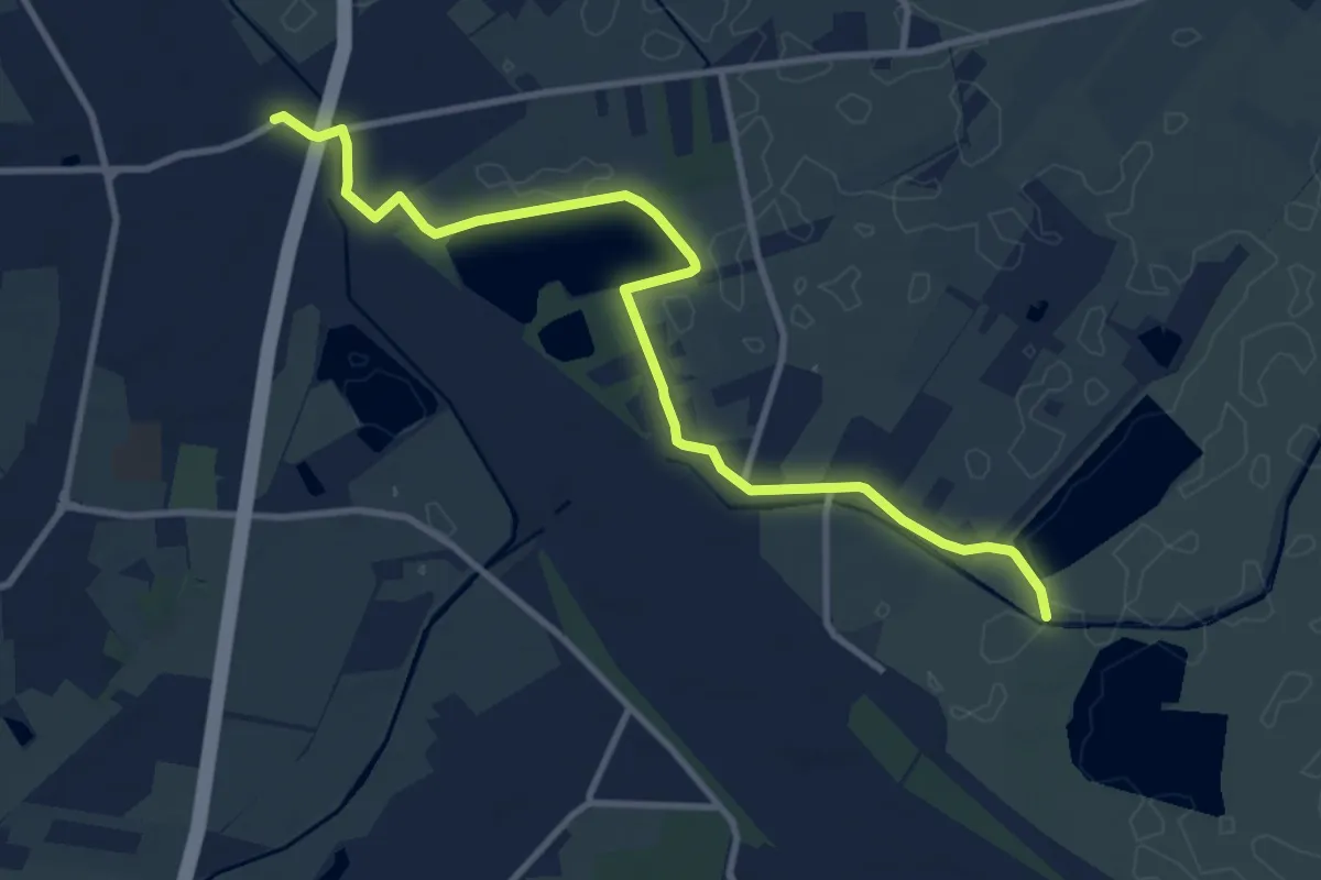
Medium · Trail
Wanderweg BME
9.6 km · ↑ 12 m · 2 h 17 min
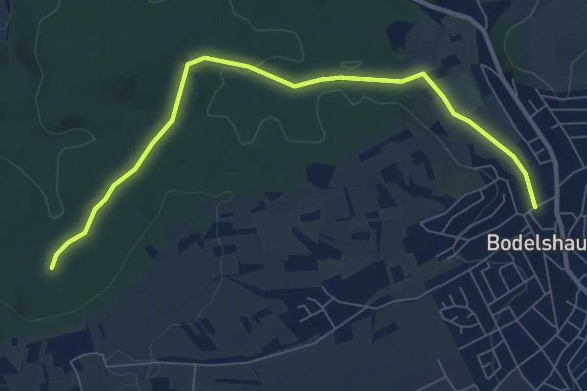
Easy · Trail
Wanderweg - Bodelshausen - Weg-4 - Bodelshausen - Richtung Hirrlingen bis zum HW3
6.5 km · ↑ 70 m · 1 h 41 min
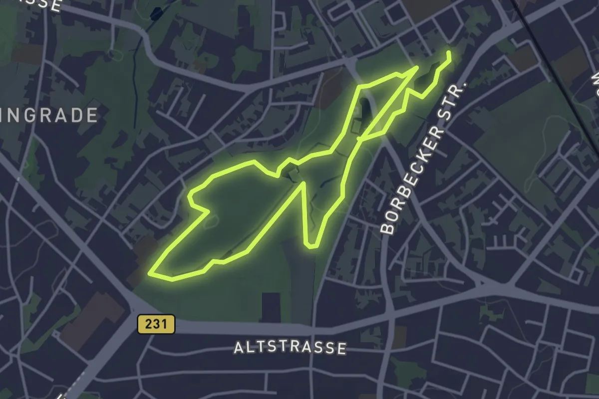
Easy · Trail
Wanderweg Borbeck A1
6.7 km · ↑ 58 m · 1 h 42 min
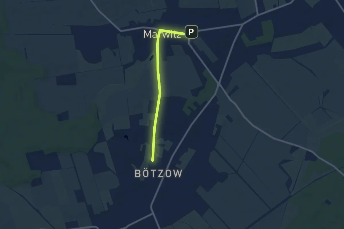
Easy · Trail
Wanderweg Bötzow - Velten (Bhf)
5.2 km · ↑ 17 m · 1 h 16 min
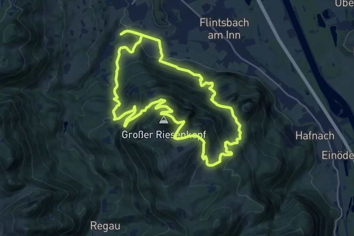
Demanding · Summit
Wanderweg BR2 - Brannenburg
13.8 km · ↑ 890 m · 5 h 23 min
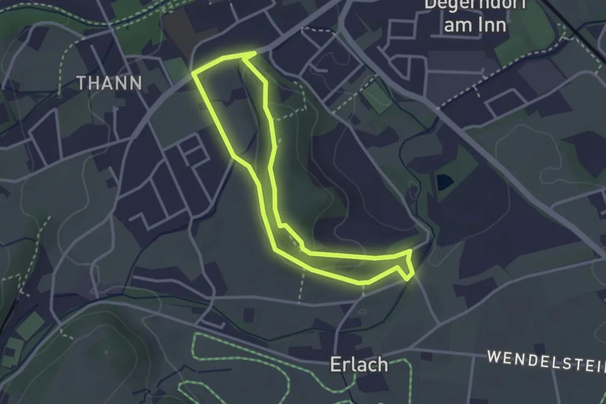
Easy · Trail
Wanderweg BR3 - Biberrundweg
2.7 km · ↑ 45 m · 46 min
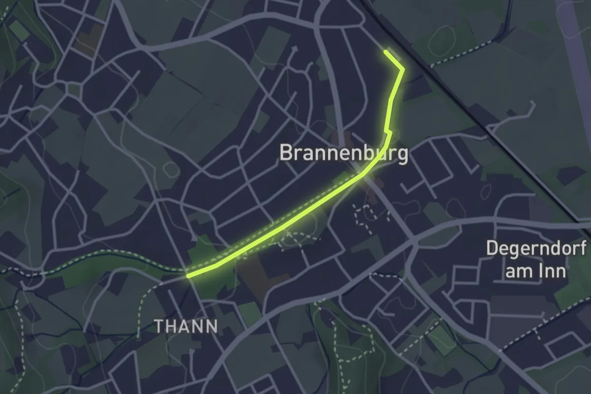
Easy · Trail
Wanderweg BR4 - Brannenburg
2.5 km · ↑ 31 m · 39 min
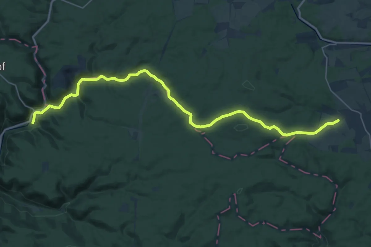
Demanding · Trail
Wanderweg Breitenstein - Eisfelder Talmühle
21.8 km · ↑ 314 m · 5 h 50 min
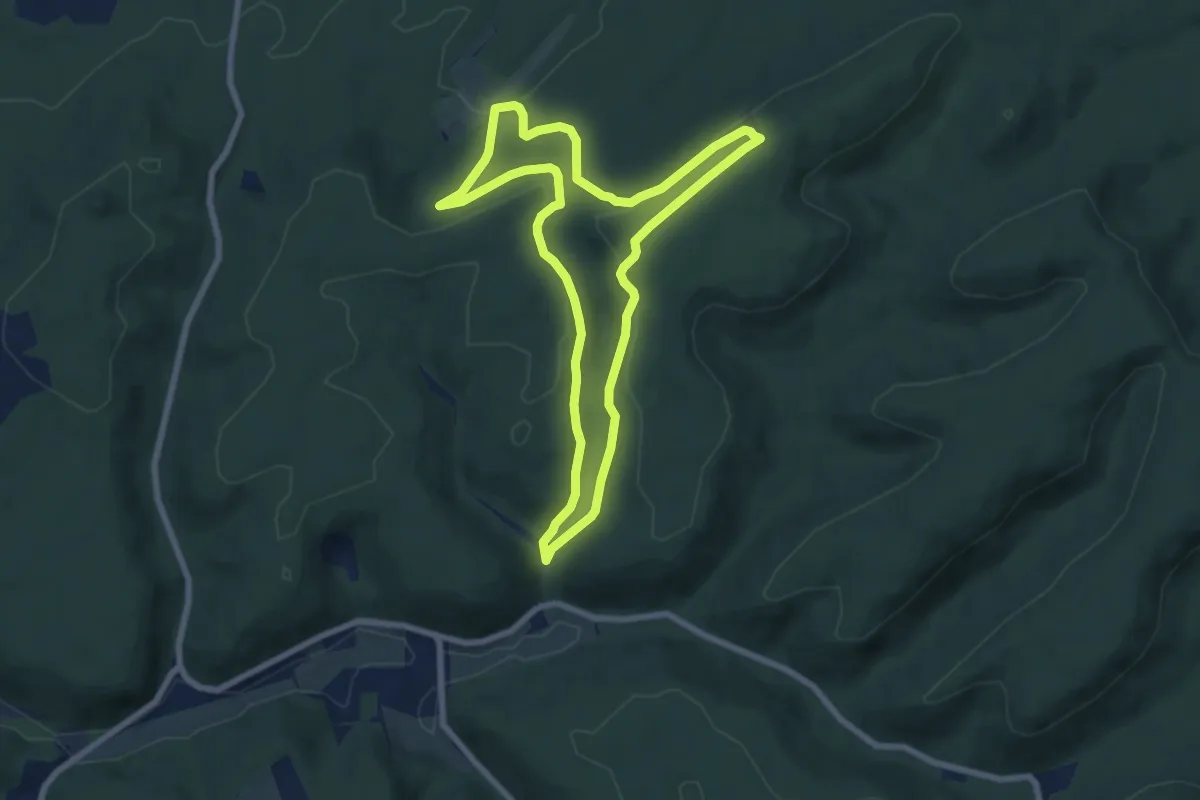
Easy · Summit
Wanderweg Bremerhof 2 alt und neu
6.8 km · ↑ 214 m · 2 h 9 min
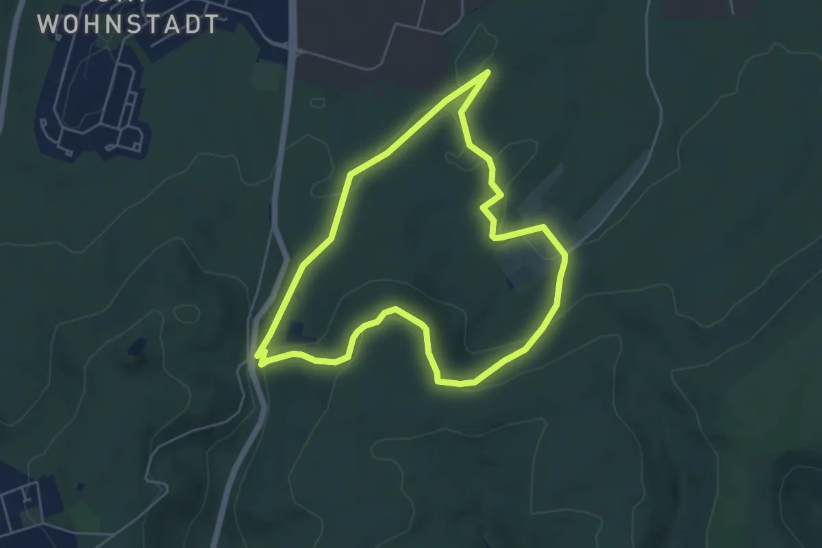
Easy · Summit
Wanderweg Bremerhof 3
4.6 km · ↑ 110 m · 1 h 23 min
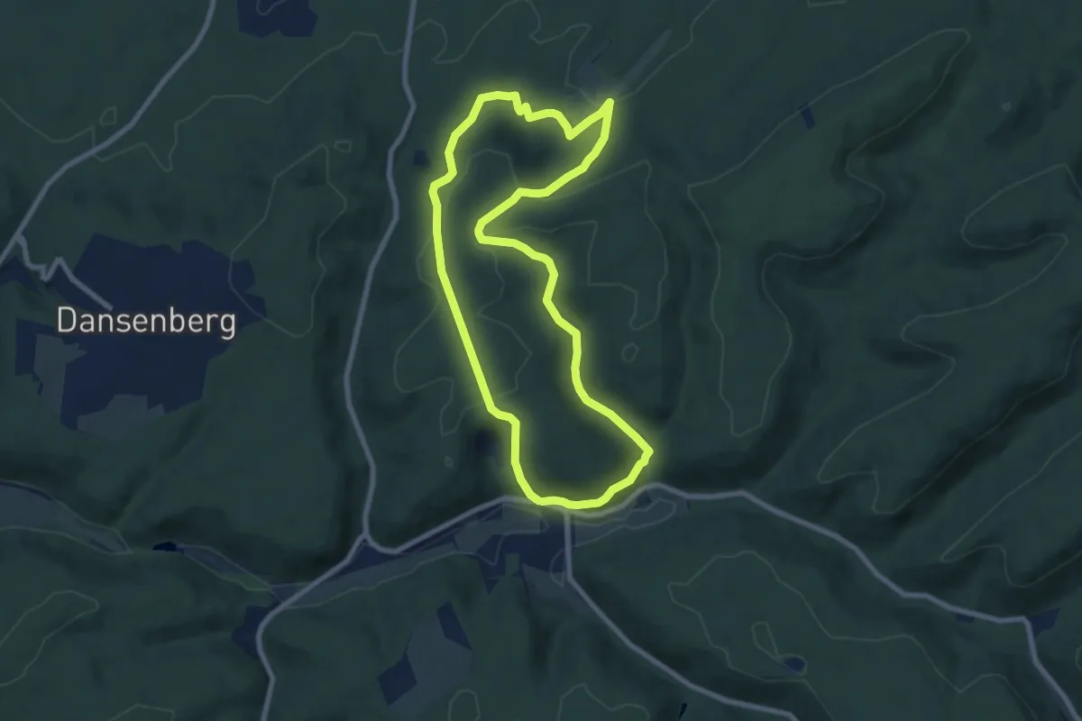
Easy · Trail
Wanderweg Bremerhof 4
7.2 km · ↑ 238 m · 2 h 19 min
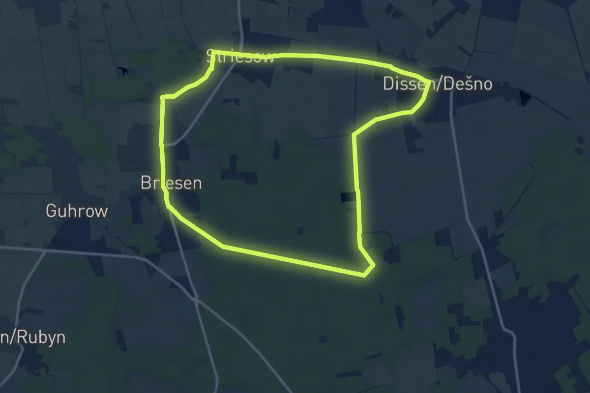
Medium · Trail
Wanderweg Briesen-Striesow-Dissen-...
10.1 km · ↑ 22 m · 2 h 34 min
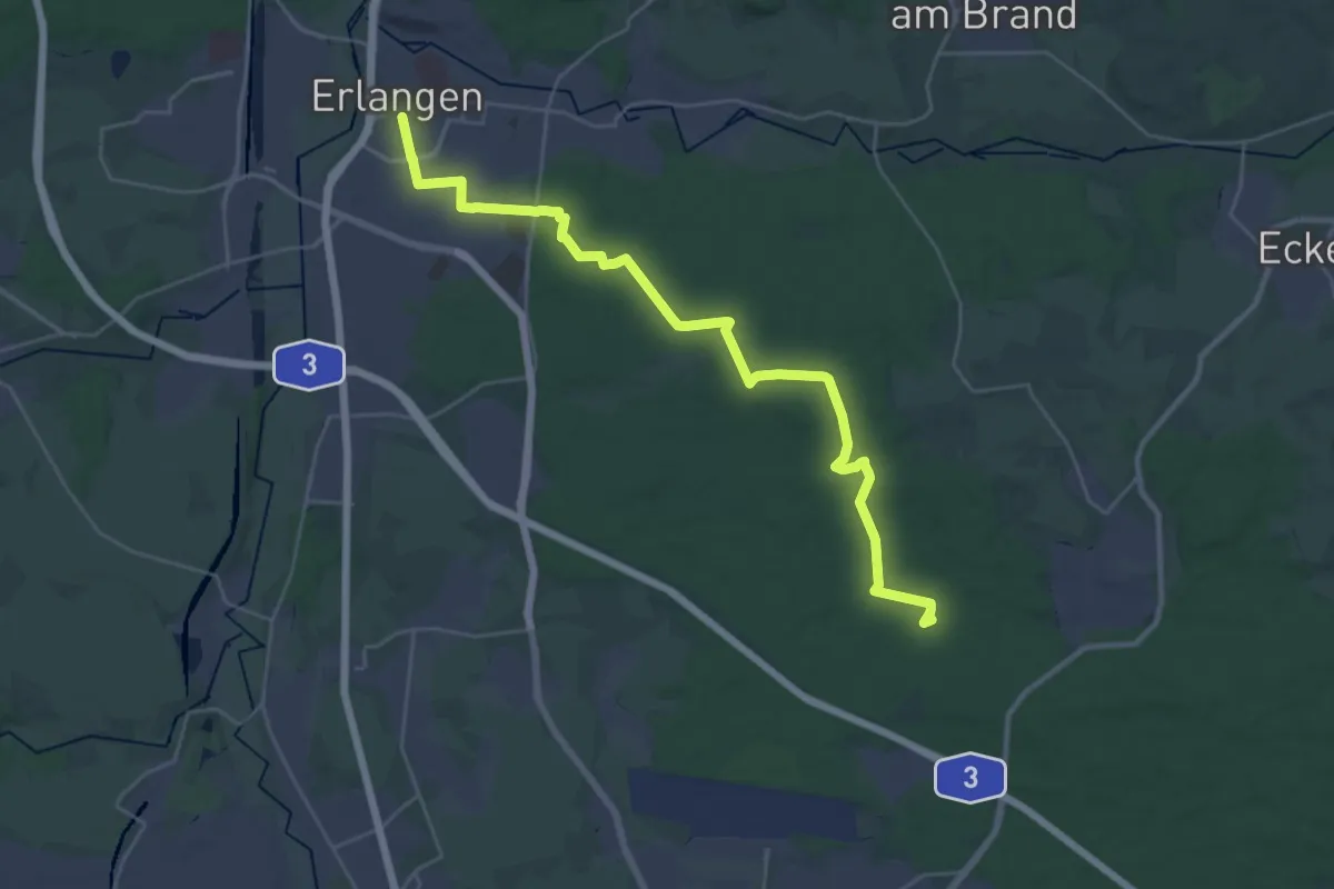
Demanding · Trail
Wanderweg Buchenbühl – Erlangen
30.6 km · ↑ 224 m · 7 h 43 min
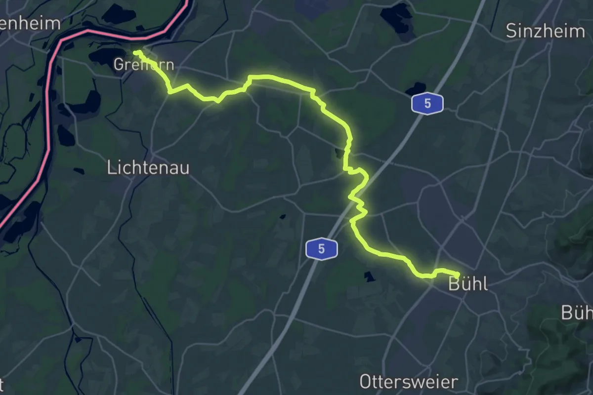
Demanding · Trail
Wanderweg Bühl-Schwarzach-Rhein
33.4 km · ↑ 46 m · 7 h 59 min
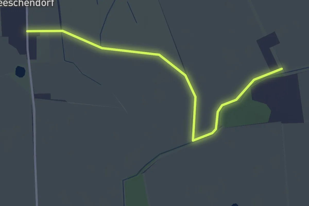
Easy · Trail
Wanderweg Bürau-Meeschendorf
2.8 km · ↑ 0 m · 39 min
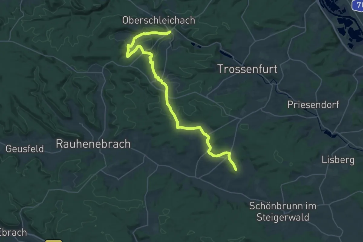
Demanding · Trail
Wanderweg Burgebrach - Unterschleichach "Roter Tropfen"
29.2 km · ↑ 482 m · 7 h 57 min
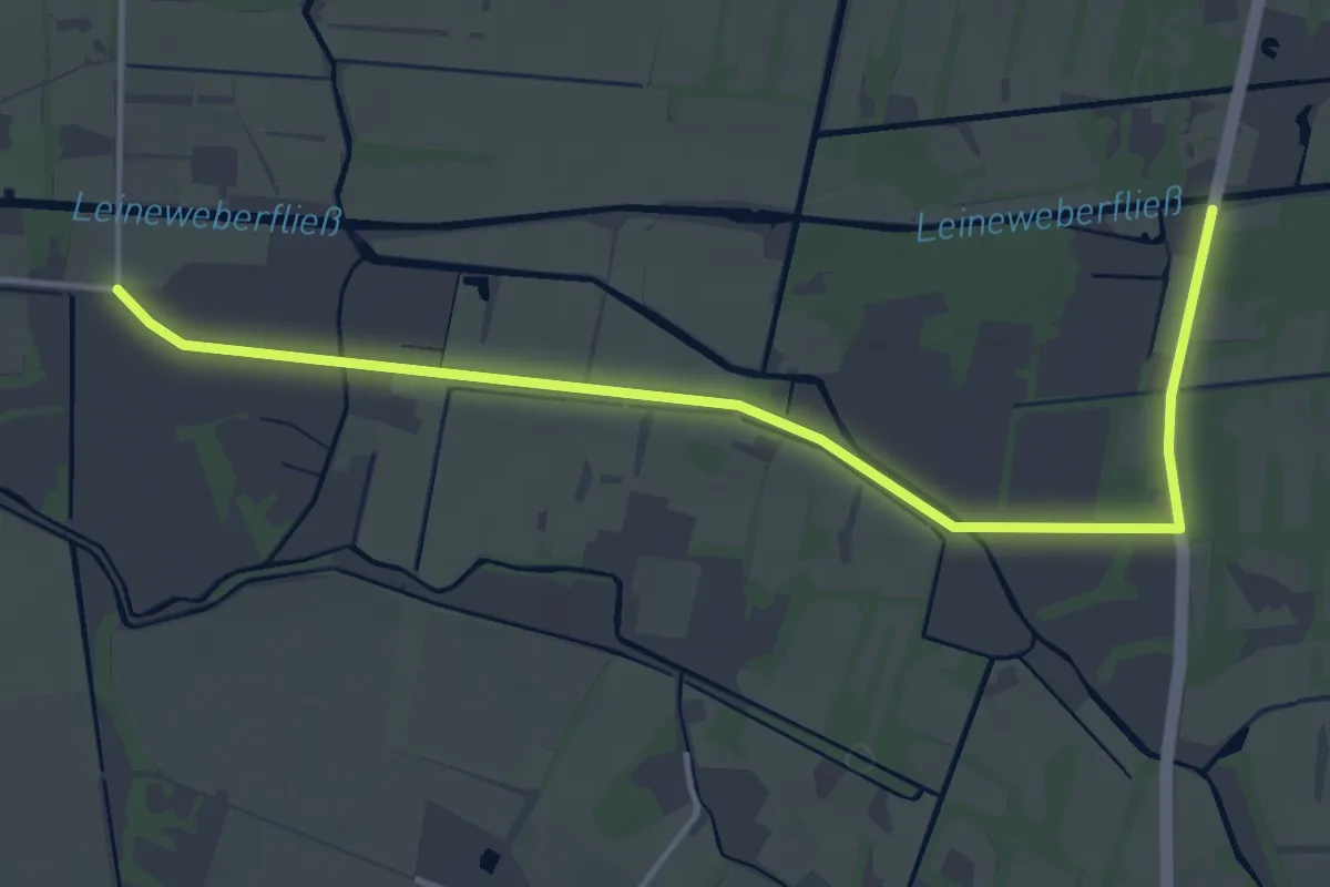
Easy · Trail
Wanderweg Burg Kolonie->...
4.1 km · ↑ 0 m · 58 min
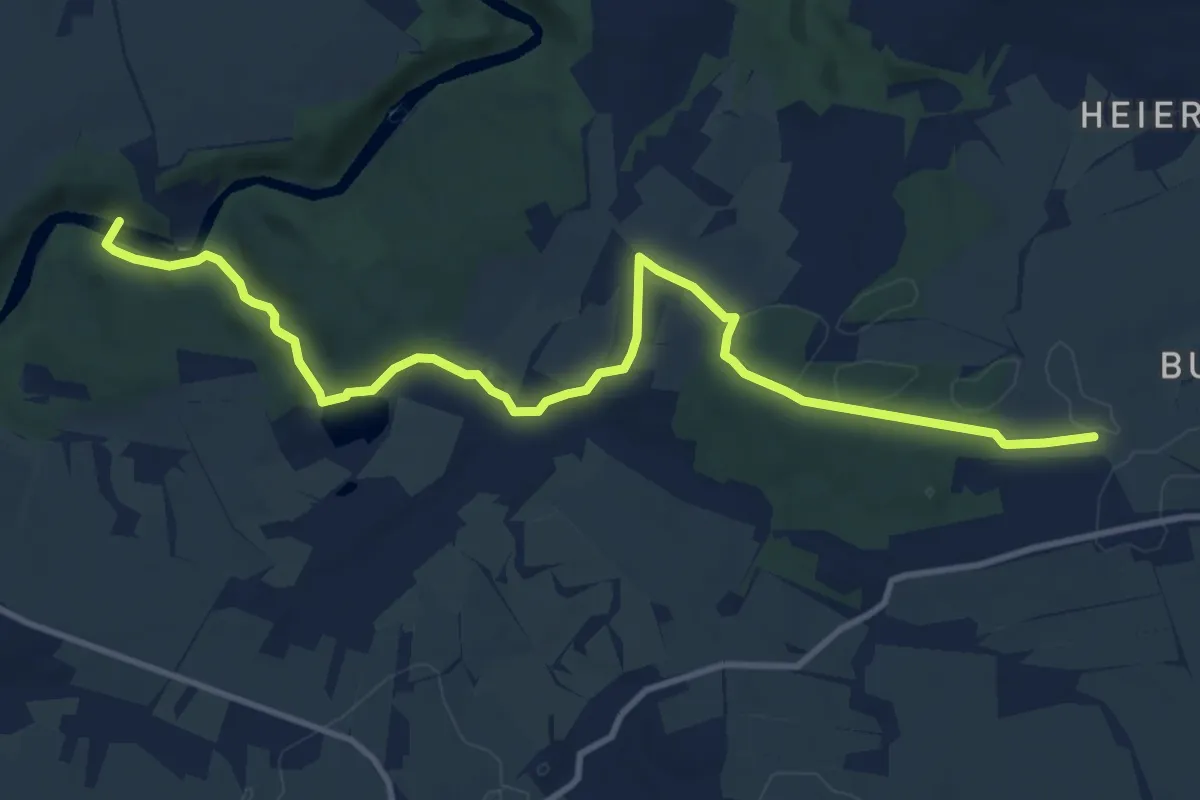
Medium · Trail
Wanderweg Burgstädt – Höllmühle – Amerika
11.5 km · ↑ 156 m · 3 h 3 min
Medium · Summit
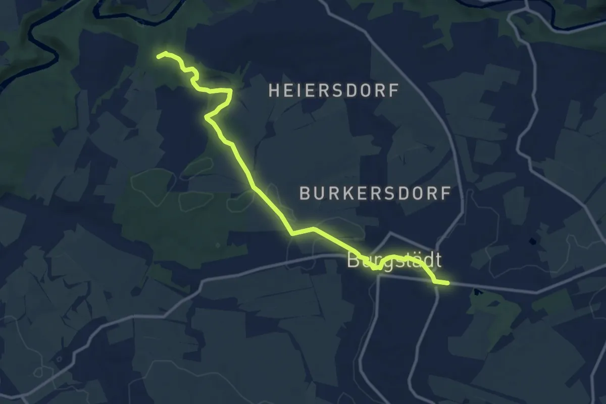
Wanderweg Burgstädt – Rochsburg
9.9 km · ↑ 113 m · 2 h 36 min
Medium · Trail
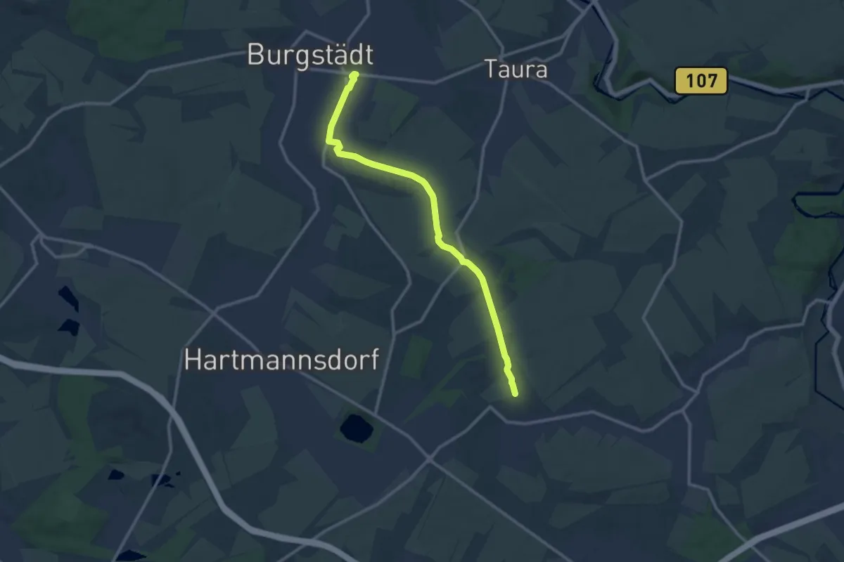
Wanderweg Burgstädt – Wittgensdorf Oberer Bhf. (Bahnweg)
10.4 km · ↑ 60 m · 2 h 35 min
Easy · Trail
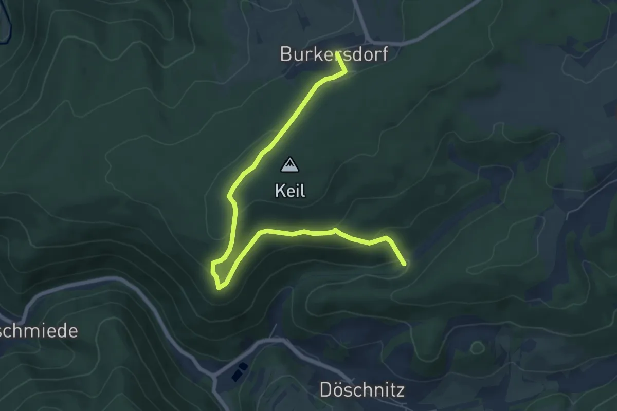
Wanderweg Burkersdorf
7.0 km · ↑ 267 m · 2 h 14 min
Medium · Trail
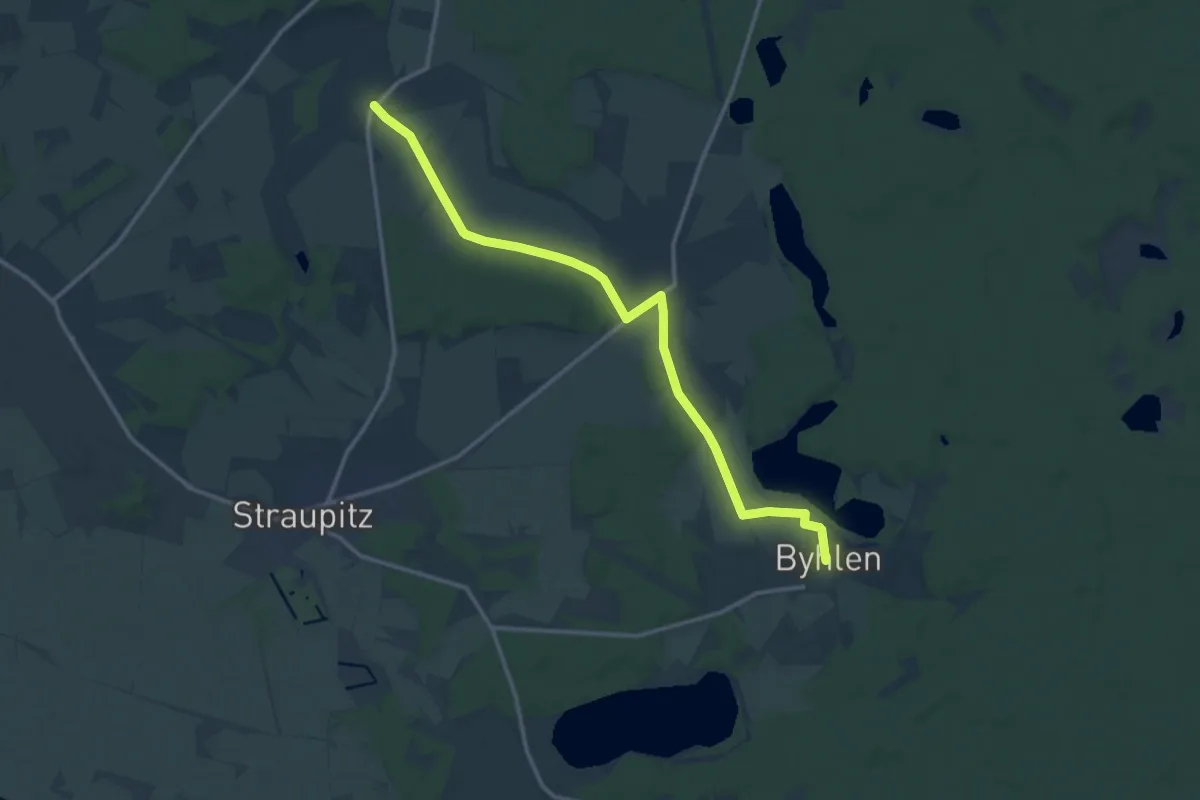
Wanderweg Butzen-Byhlener See
12.9 km · ↑ 32 m · 3 h 7 min
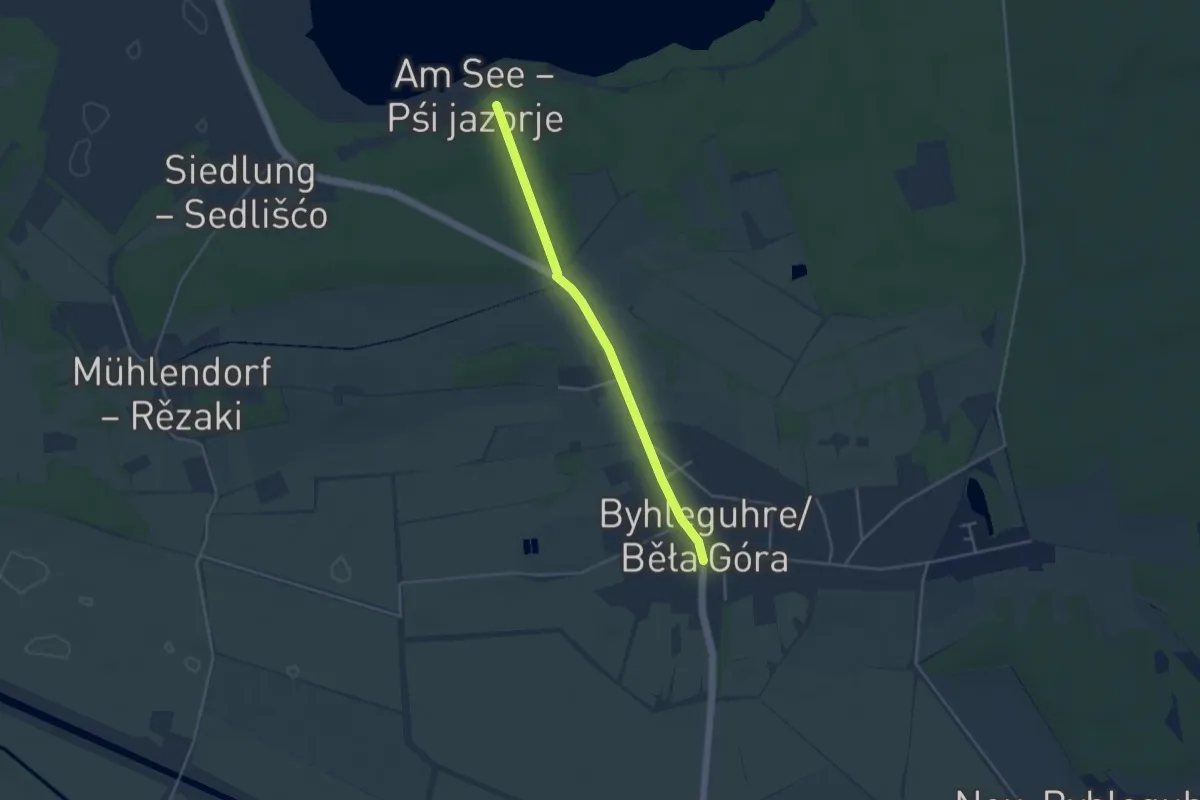
Easy · Trail
Wanderweg Byhleguhre-Byhleguhrer See
3.4 km · ↑ 9 m · 49 min
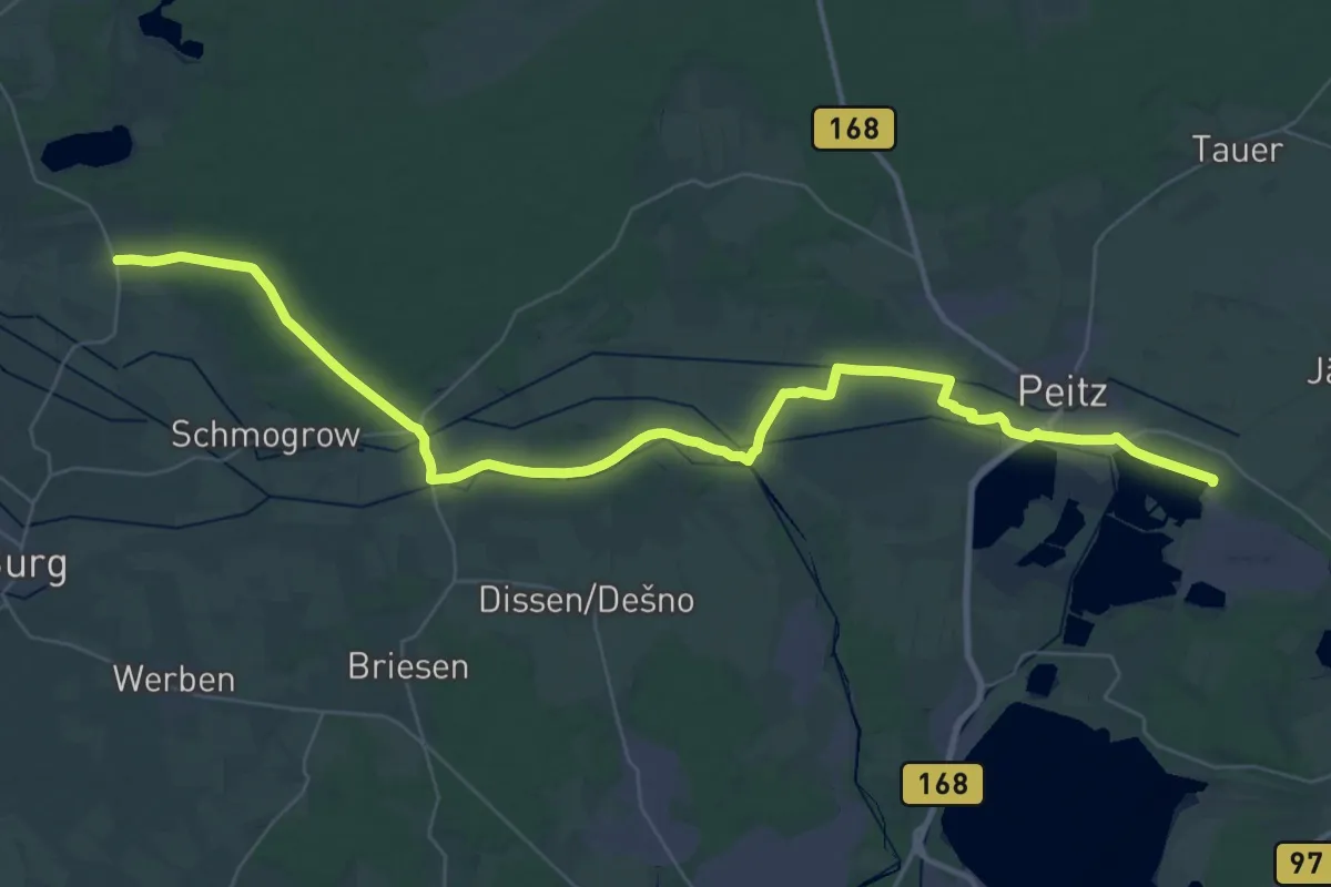
Demanding · Trail
Wanderweg Byhleguhre-Fehrow-Maiberg-Peitz,-Bahnhof Ost
23.5 km · ↑ 38 m · 5 h 58 min
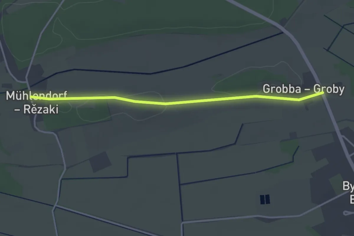
Easy · Trail
Wanderweg Byhleguhre-Mühlendorf
3.1 km · ↑ 8 m · 45 min
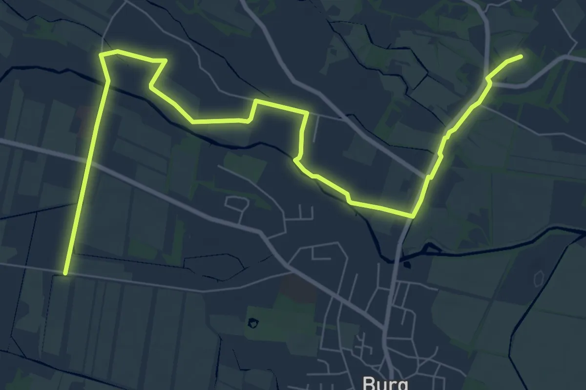
Medium · Summit
Wanderweg Byhleguhrer See-Byhleguhre-Bismarkturm-Burg
9.0 km · ↑ 13 m · 2 h 9 min
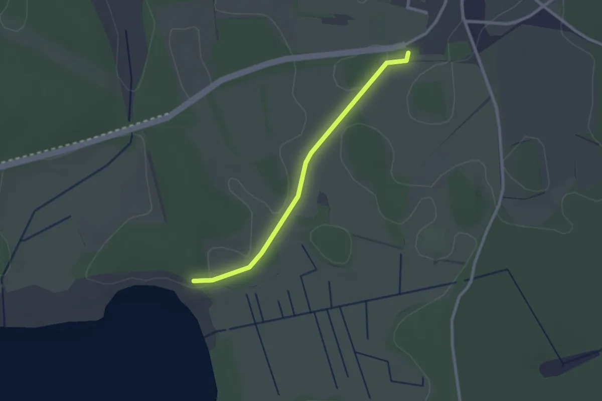
Easy · Trail
Wanderweg Byhleguhrer See-Byhlen
2.0 km · ↑ 4 m · 29 min
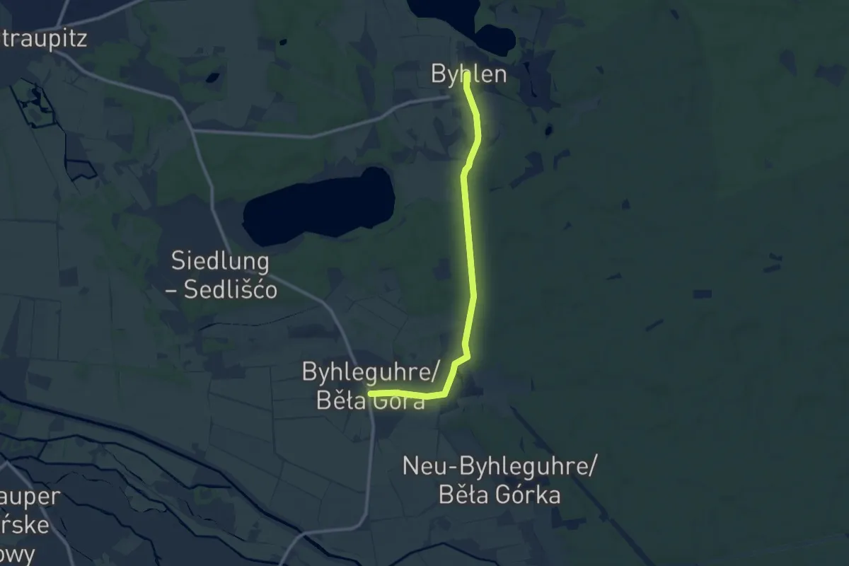
Medium · Trail
Wanderweg Byhlen-Byhleguhre
8.5 km · ↑ 35 m · 2 h 5 min
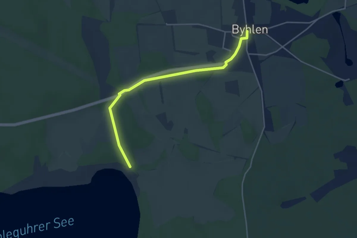
Easy · Trail
Wanderweg Byhlen-Byhleguhre...
3.3 km · ↑ 5 m · 47 min
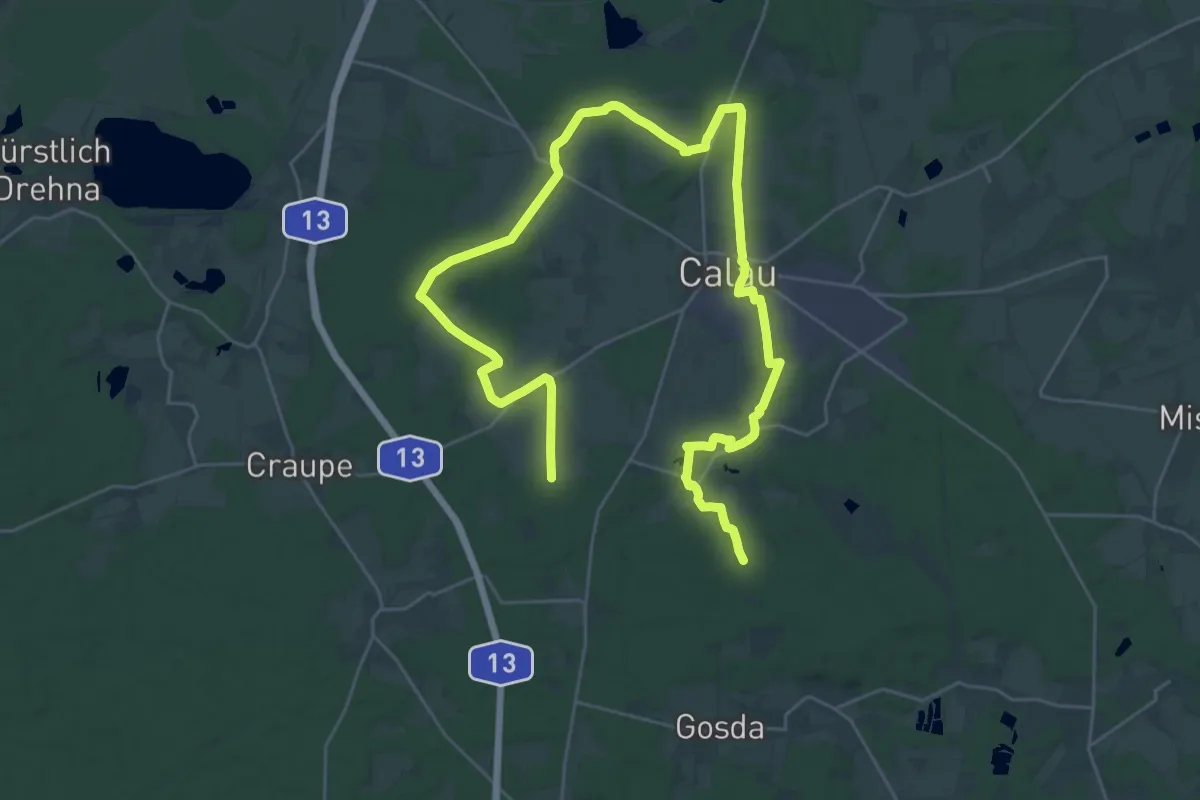
Demanding · Trail
Wanderweg Cabeler Berge-Kemmen-...
20.3 km · ↑ 128 m · 5 h 22 min