Trails in Germany
36,852 hiking trails, each with its route, climb, walking time and grade.
All trails, page 694 of 768
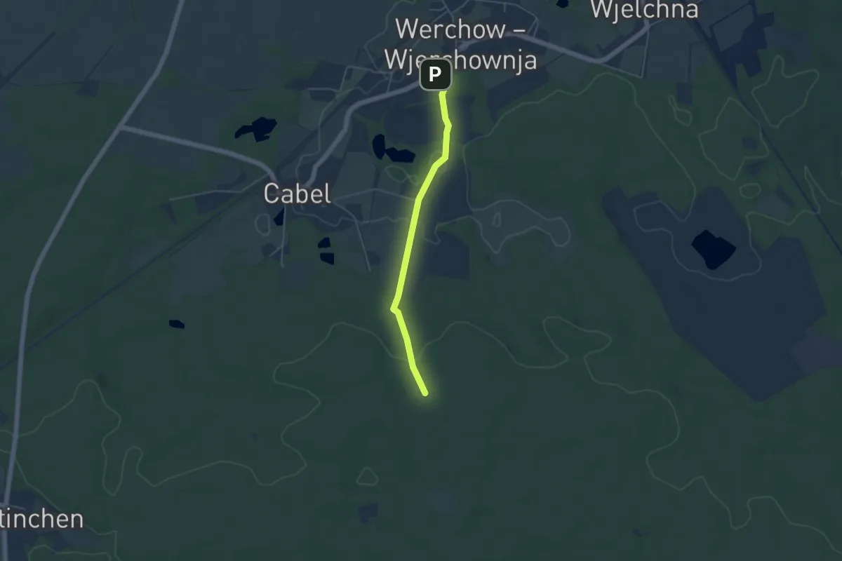
Easy · Trail
Wanderweg Cabeler Berge-Werchow
3.8 km · ↑ 65 m · 1 h 2 min
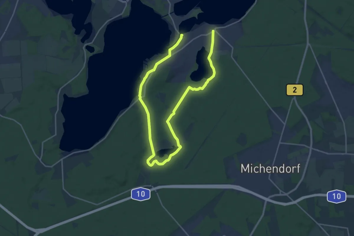
Demanding · Trail
Wanderweg Caputh - Lienewitzseen - Caputh
22.2 km · ↑ 118 m · 5 h 29 min
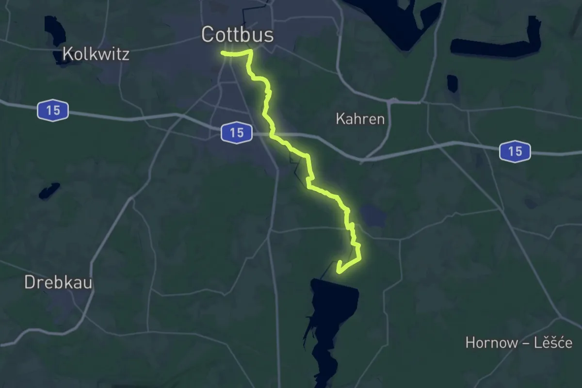
Demanding · Trail
Wanderweg CB - SPB
32.3 km · ↑ 80 m · 7 h 48 min
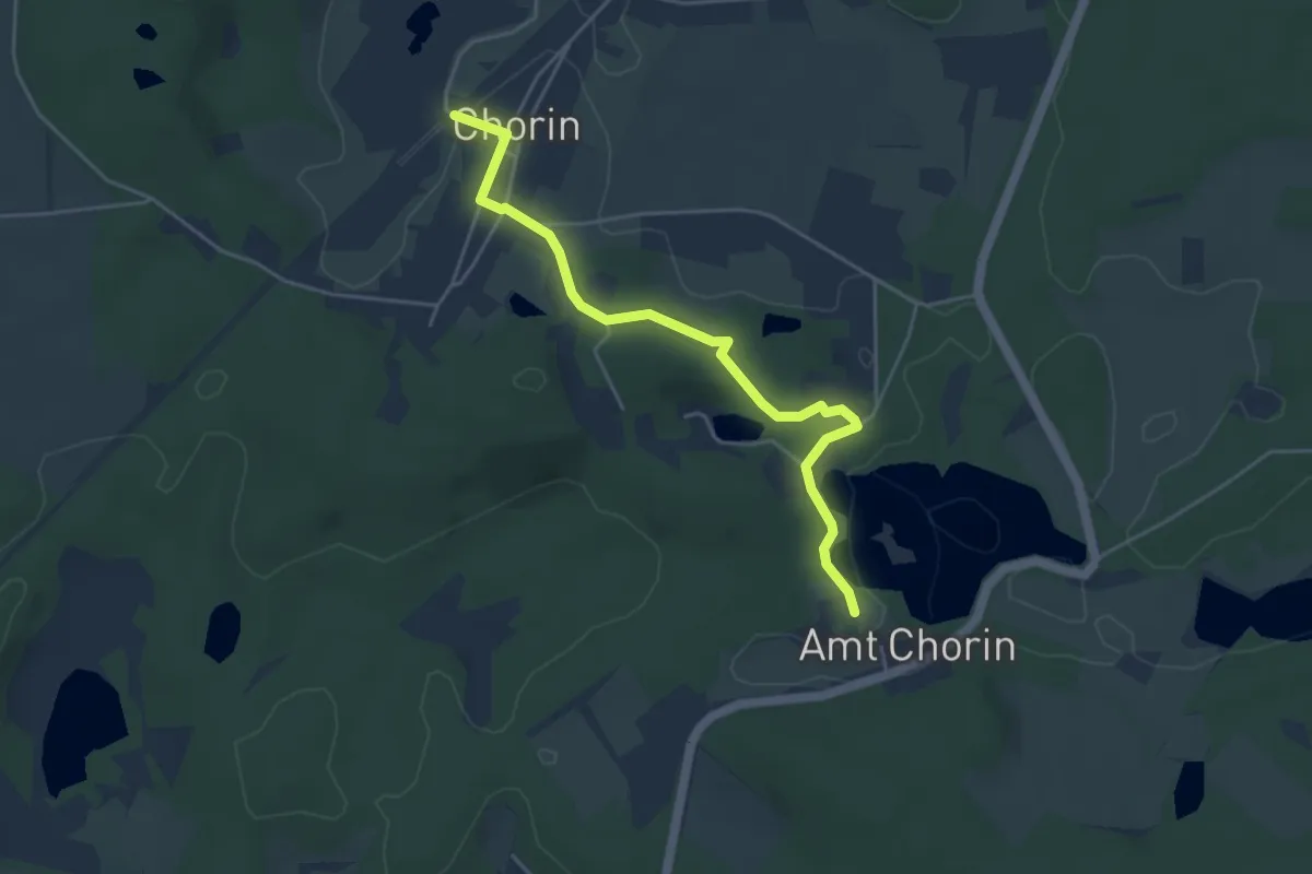
Easy · Trail
Wanderweg Chorin Bahnhof - Kloster Chorin
4.0 km · ↑ 49 m · 1 h 3 min
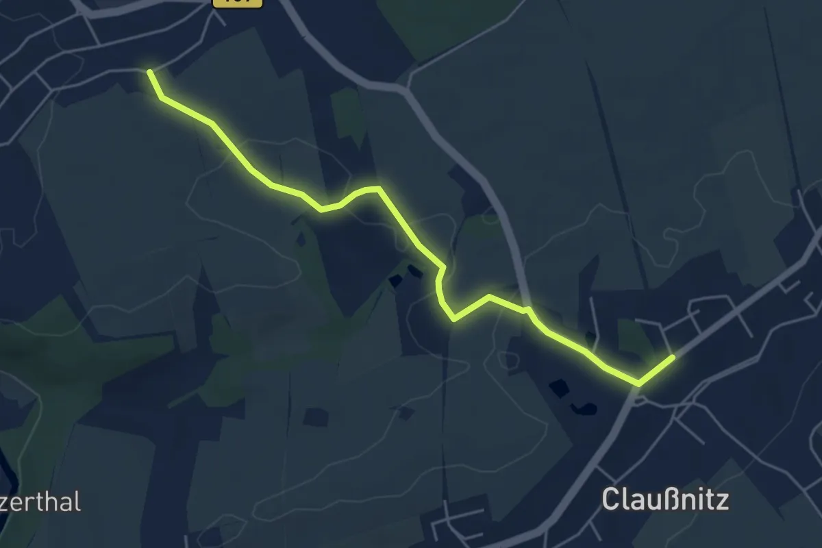
Easy · Trail
Wanderweg Claußnitz – Diethensdorf (Kirchsteig)
4.7 km · ↑ 32 m · 1 h 11 min
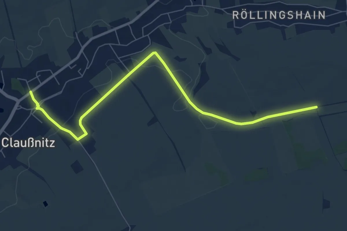
Easy · Trail
Wanderweg Claußnitz – Röllingshain (Hinterm Zaun)
7.3 km · ↑ 76 m · 1 h 54 min
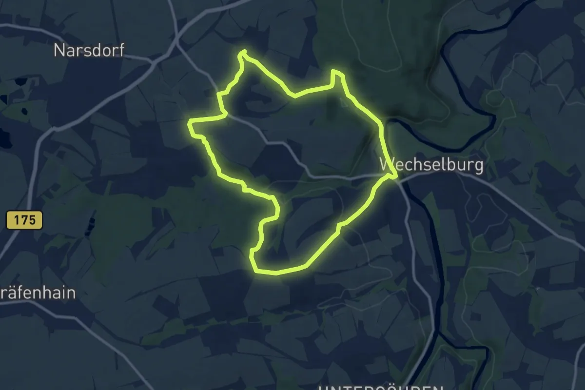
Medium · Summit
Wanderweg Corba – Mutzscheroda – Wechselburg
8.9 km · ↑ 177 m · 2 h 36 min
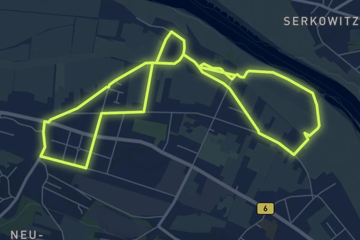
Easy · Trail
Wanderweg Cossebaude C1
6.6 km · ↑ 4 m · 1 h 39 min
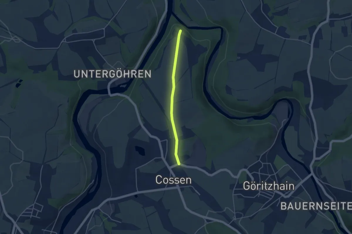
Easy · Trail
Wanderweg Cossen – Chemnitzmündung
3.0 km · ↑ 38 m · 48 min
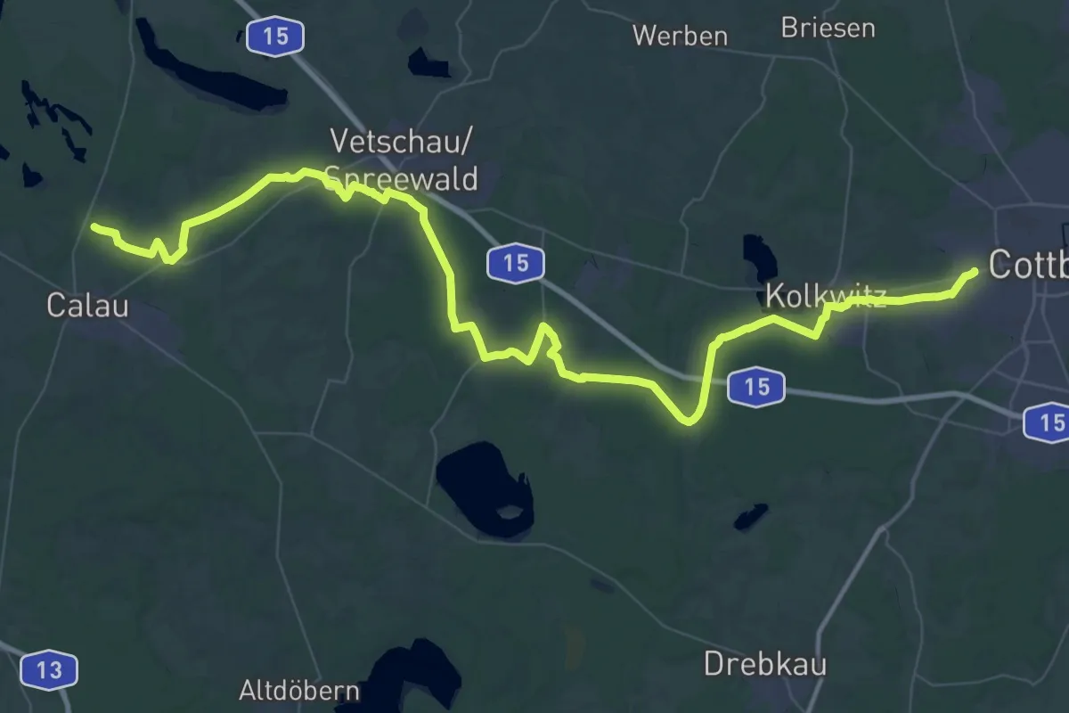
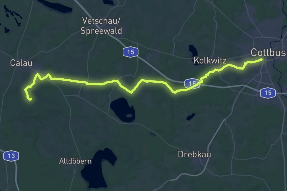
Demanding · Trail
Wanderweg Cottbus-Calau
35.9 km · ↑ 143 m · 9 h 17 min
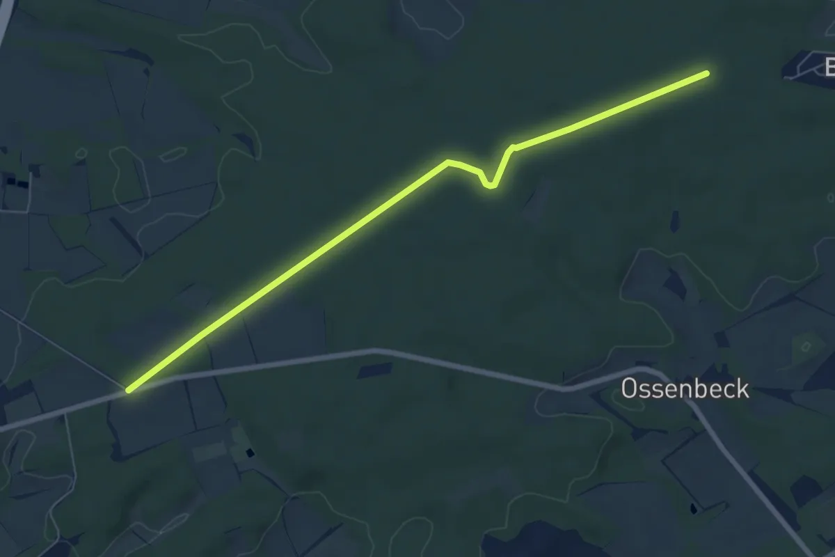
Demanding · Summit
Wanderweg Cottbus - Kuhringsberg
66.4 km · ↑ 279 m · 16 h 16 min
Easy · Trail
Wanderweg D
6.3 km · ↑ 32 m · 1 h 33 min
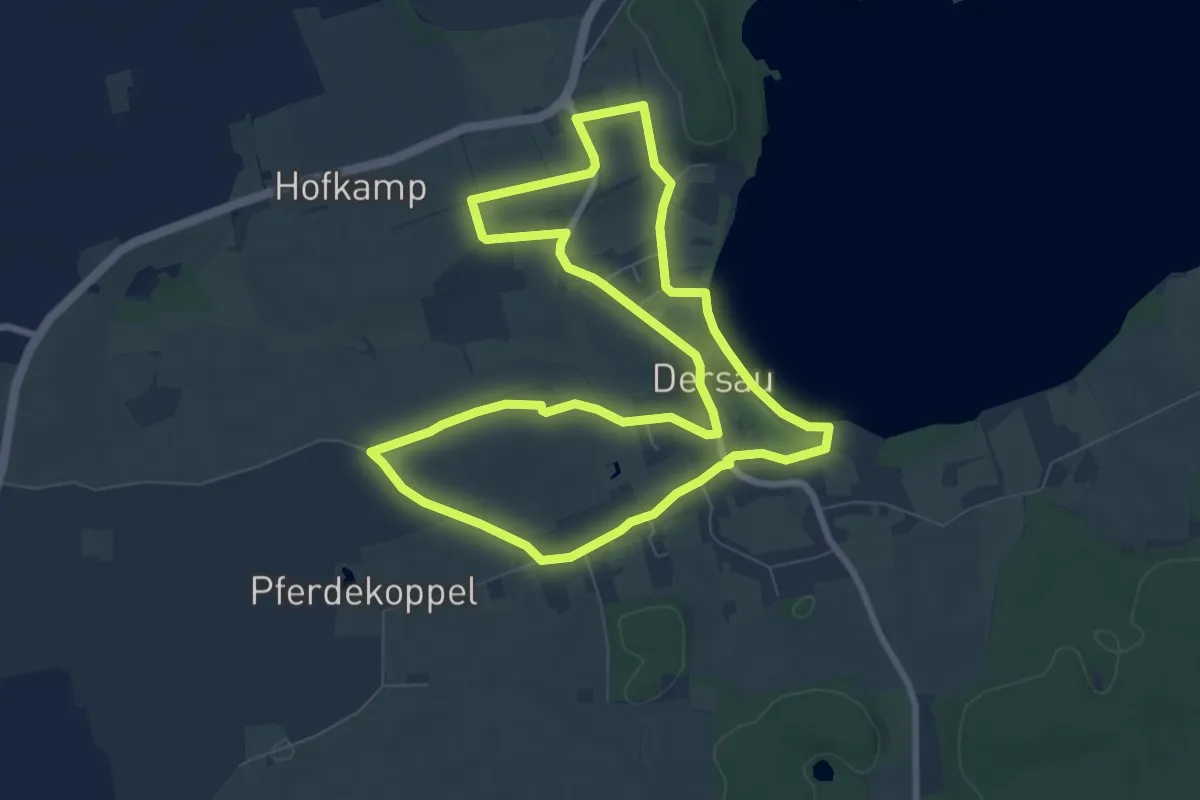
Easy · Trail
Wanderweg D1
7.1 km · ↑ 30 m · 1 h 51 min
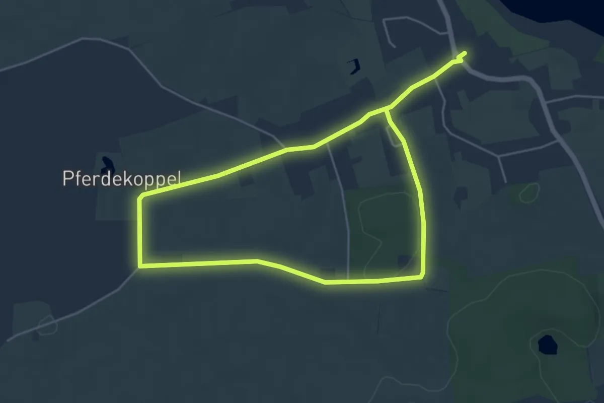
Easy · Trail
Wanderweg D4
3.5 km · ↑ 26 m · 55 min
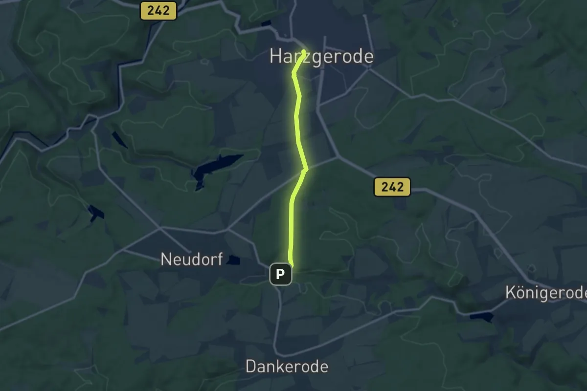
Medium · Trail
Wanderweg Dankerode - Harzgerode
8.1 km · ↑ 132 m · 2 h 12 min
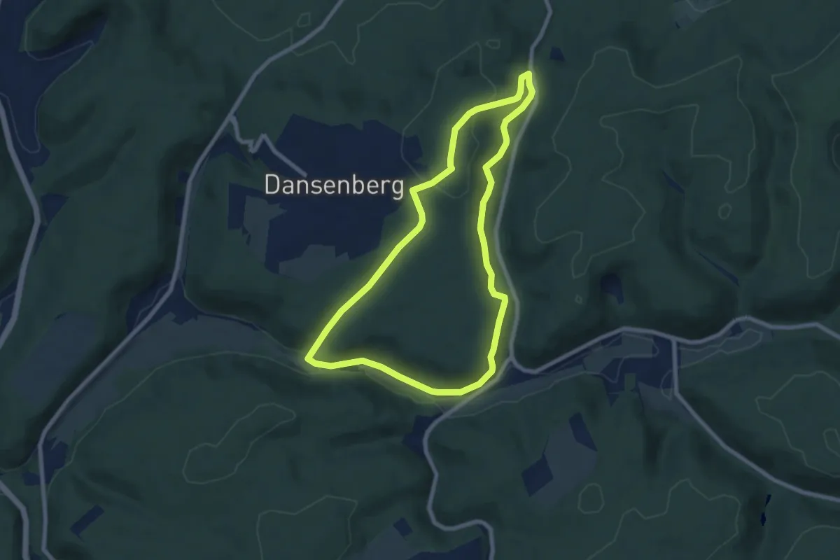
Easy · Trail
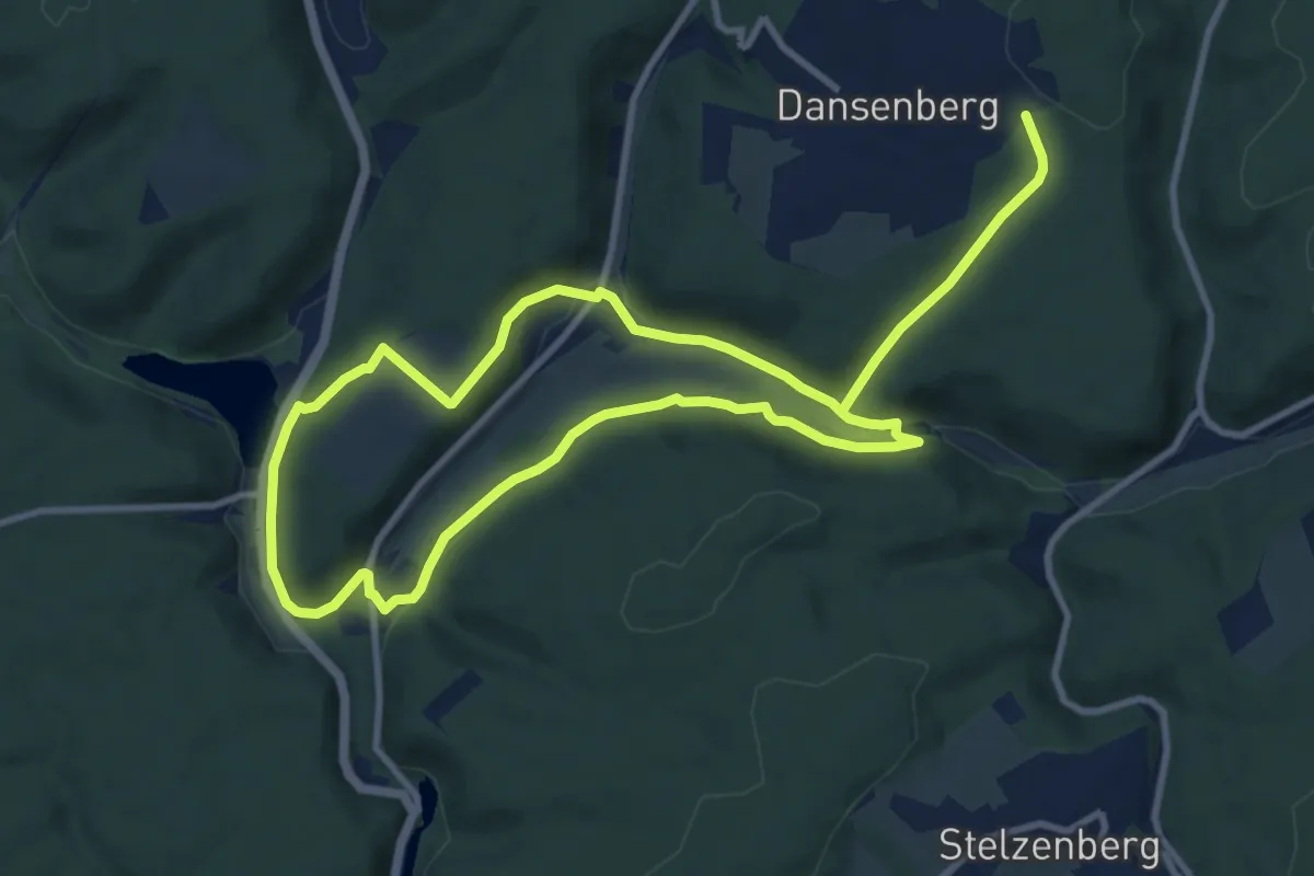
Wanderweg Dansenberg 1
6.5 km · ↑ 172 m · 2 h
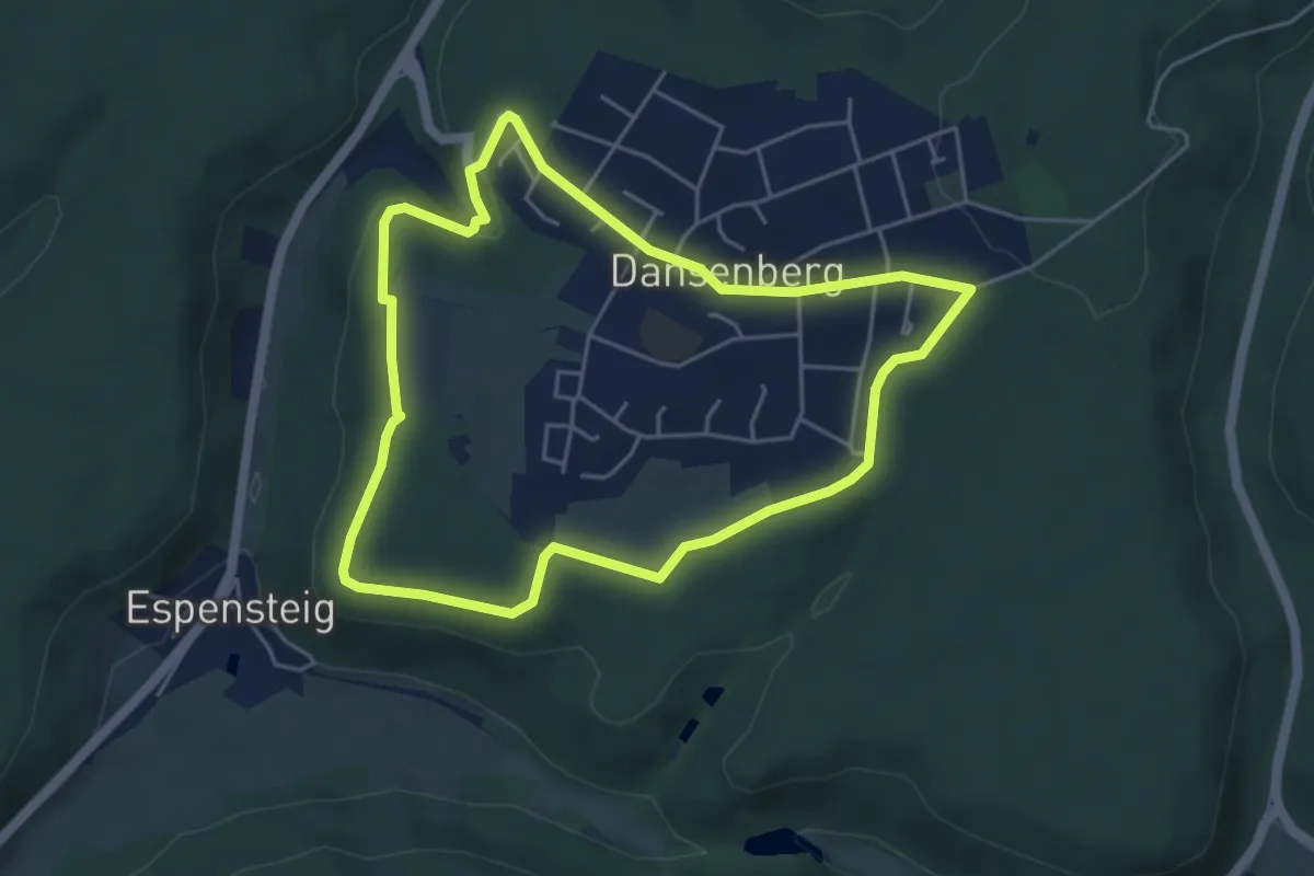
Medium · Trail
Wanderweg Dansenberg 2
16.9 km · ↑ 367 m · 4 h 47 min
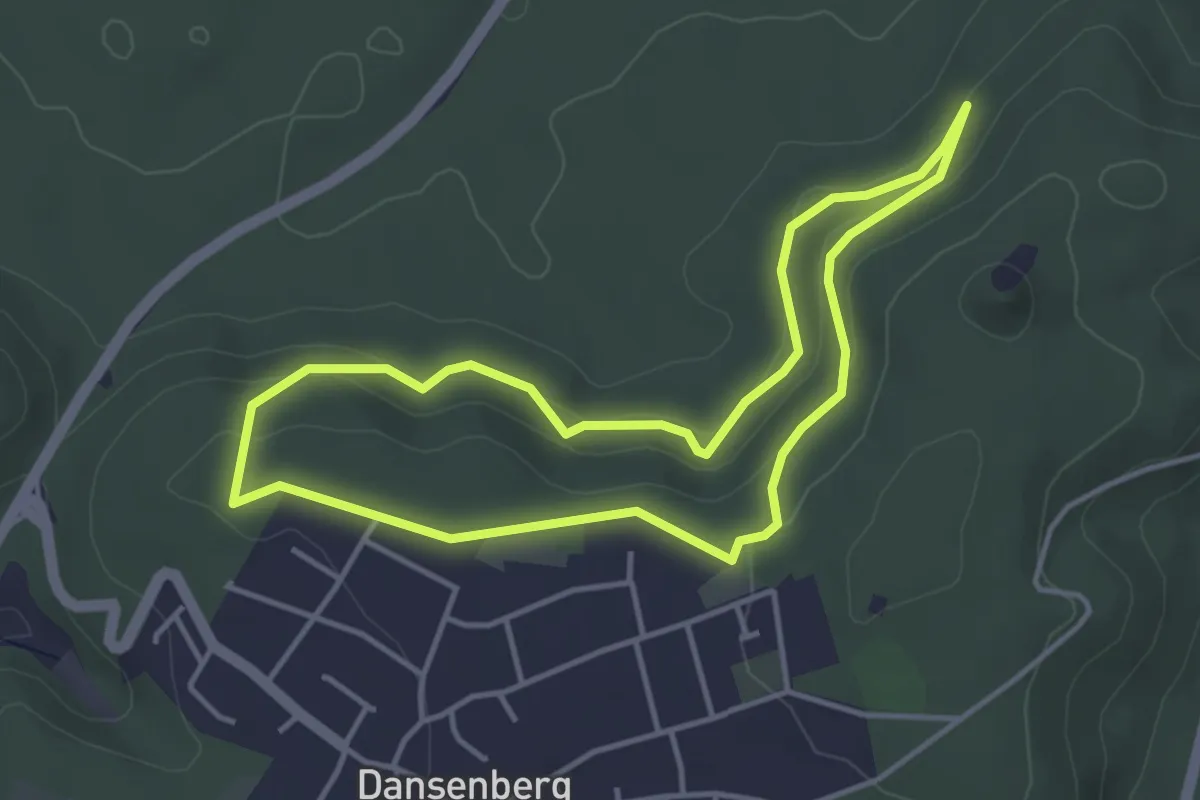
Easy · Trail
Wanderweg Dansenberg 3
4.4 km · ↑ 79 m · 1 h 17 min
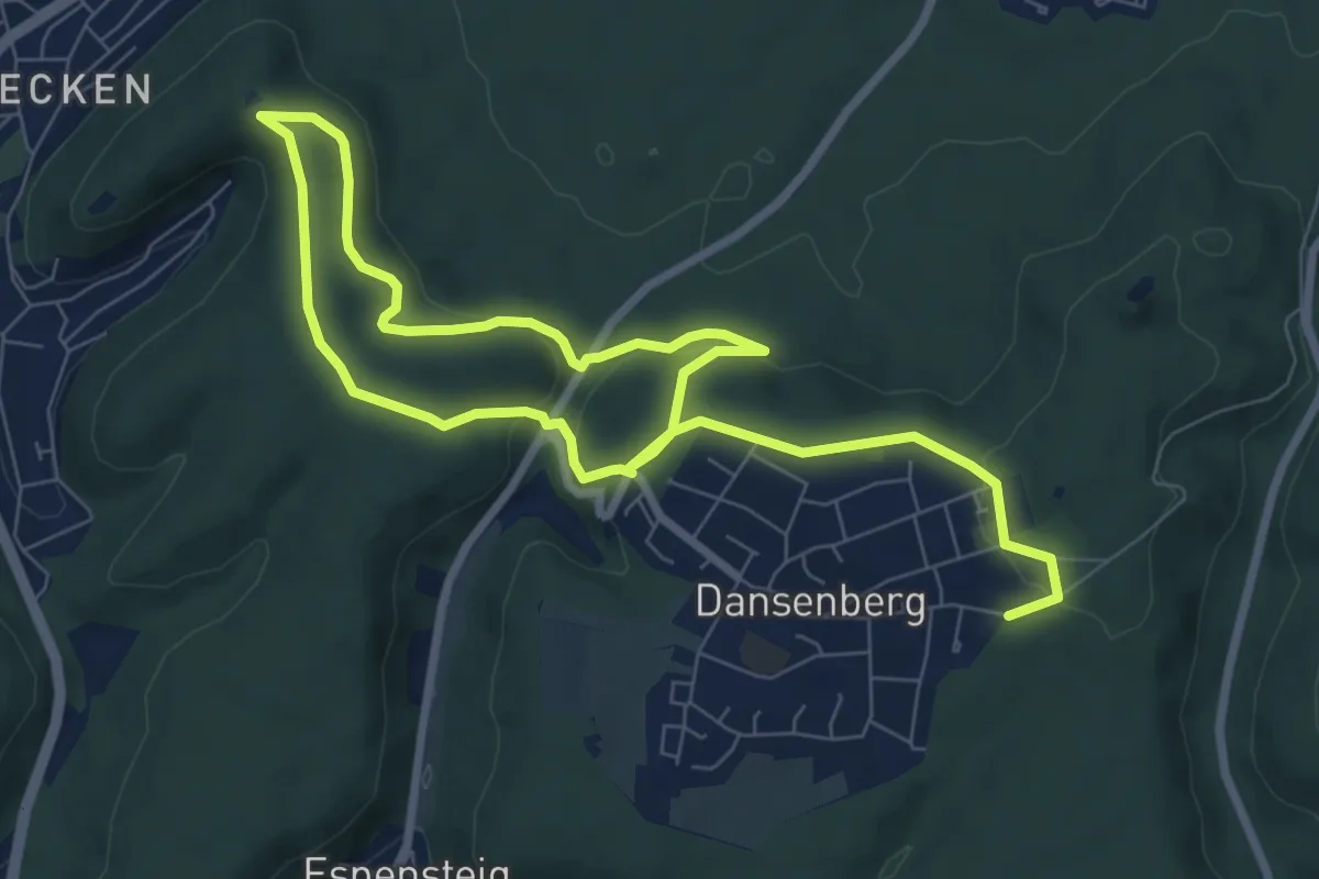
Easy · Trail
Wanderweg Dansenberg 4
3.6 km · ↑ 98 m · 1 h 7 min
Medium · Trail
Wanderweg Dansenberg 5 Zur Burg Hohenecken
12.0 km · ↑ 322 m · 3 h 32 min
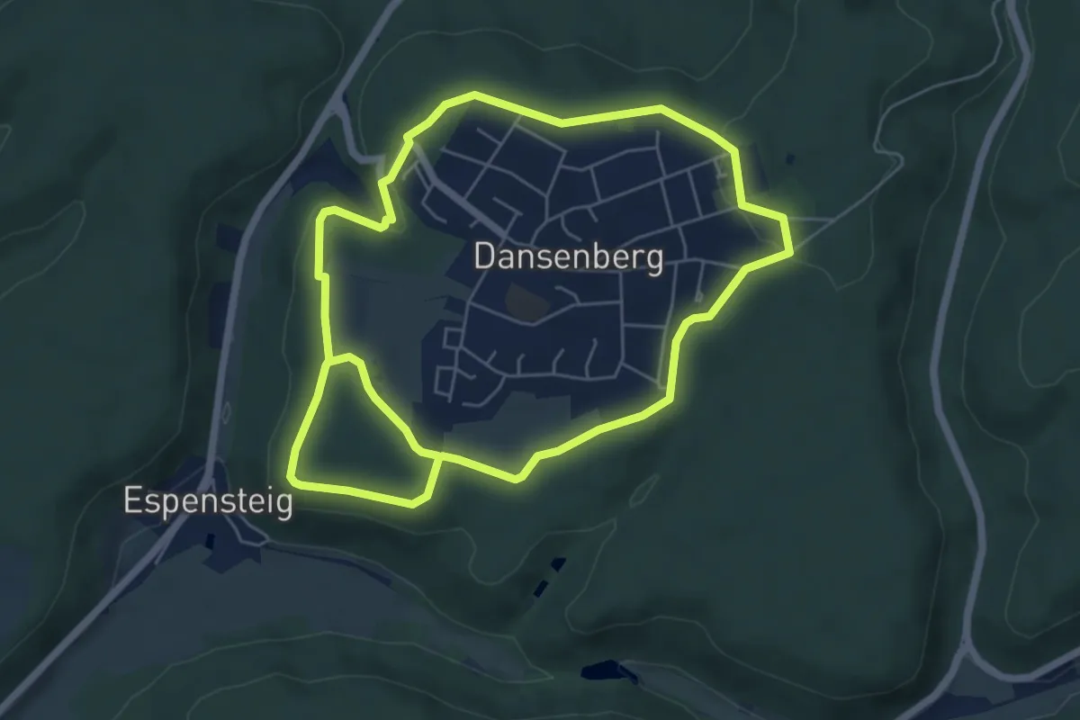
Medium · Trail
Wanderweg Dansenberg Kerscheknabberweg
10.8 km · ↑ 233 m · 3 h 4 min
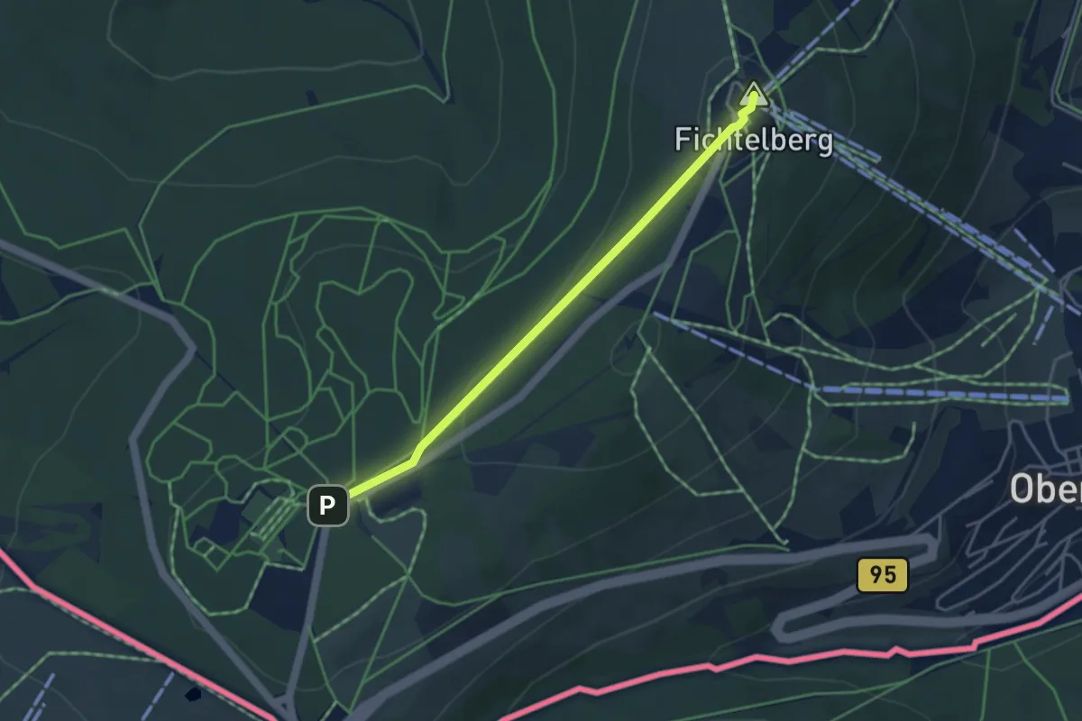
Easy · Summit
Wanderweg der Deutschen Einheit (Fichtelberg – Hof)
3.5 km · ↑ 90 m · 1 h 2 min
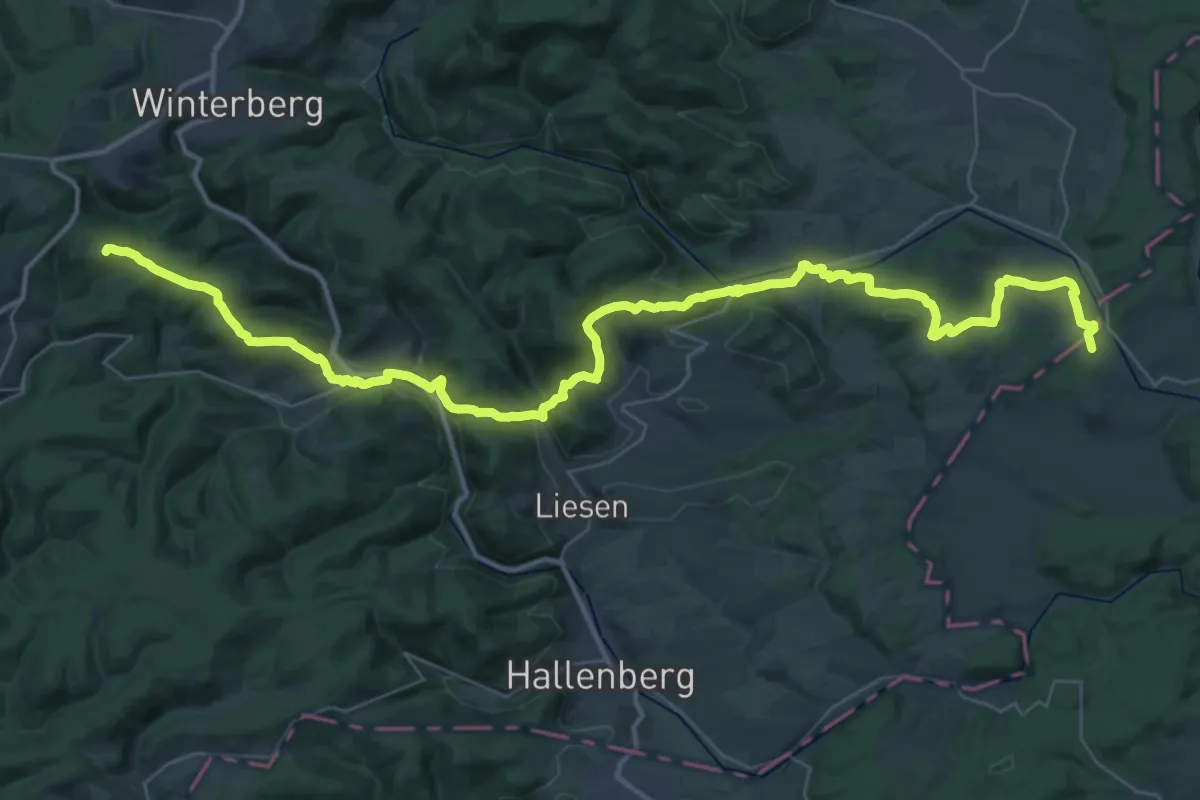
Demanding · Summit
Wanderweg der Deutschen Einheit (Fritzlar - Winterberg)
45.6 km · ↑ 1365 m · 13 h 44 min
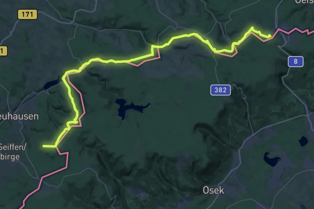
Demanding · Summit
Wanderweg der Deutschen Einheit (Görlitz - Seiffen)
56.7 km · ↑ 1204 m · 16 h
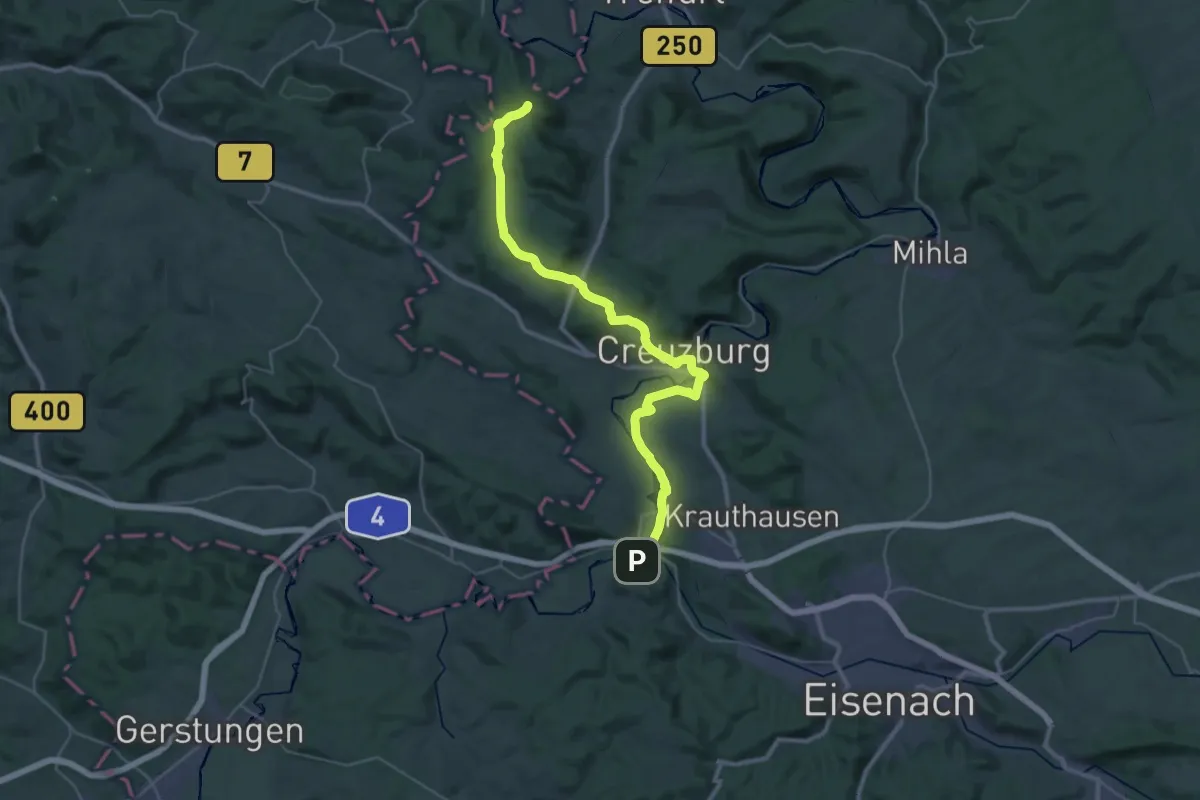
Demanding · Summit
Wanderweg der Deutschen Einheit (Hörschel - Fritzlar)
35.9 km · ↑ 559 m · 9 h 42 min
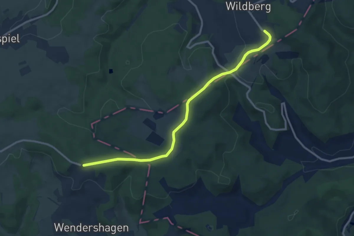
Easy · Trail
Wanderweg der Deutschen Einheit (Olpe -- Waldbröl)
7.4 km · ↑ 155 m · 2 h 5 min
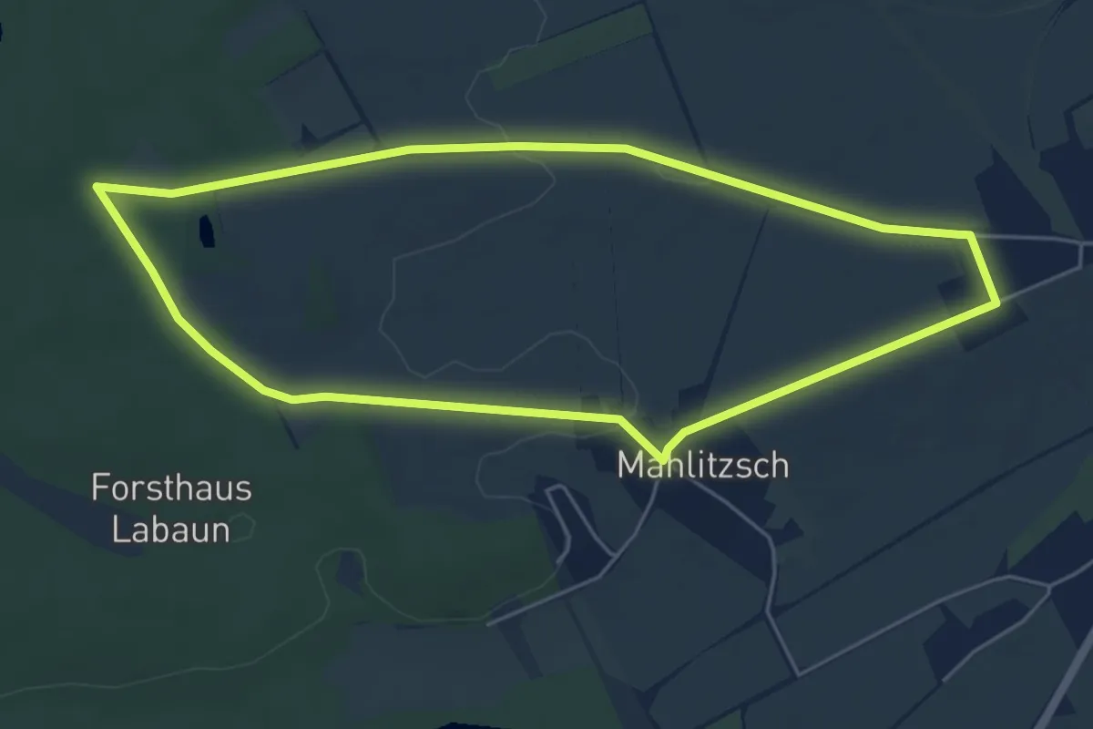
Easy · Trail
Wanderweg der Gedichte
4.7 km · ↑ 26 m · 1 h 14 min
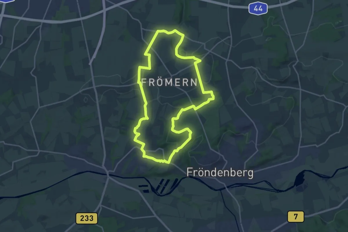
Medium · Summit
Wanderweg der Geotope
15.2 km · ↑ 219 m · 4 h 17 min
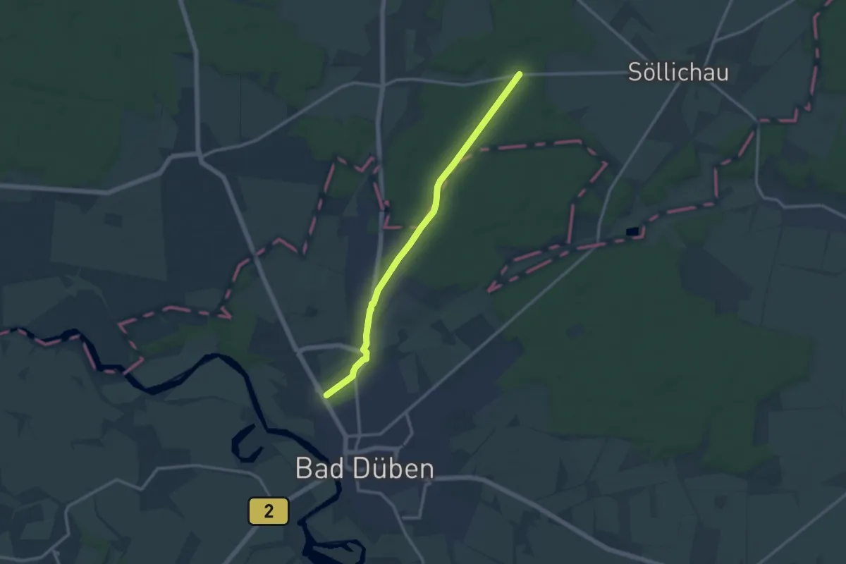
Medium · Trail
Wanderweg der Lieder
9.7 km · ↑ 41 m · 2 h 23 min
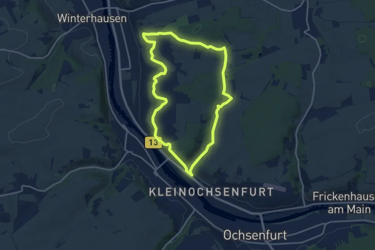
Medium · Trail
Wanderweg der Ortsgeschichte
9.6 km · ↑ 190 m · 2 h 48 min
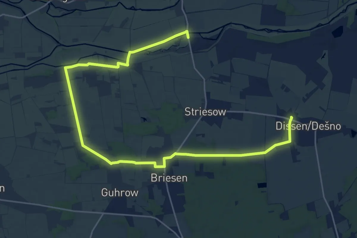
Demanding · Trail
Wanderweg Dissen-Fehrow-Guhrow
21.5 km · ↑ 53 m · 5 h 11 min
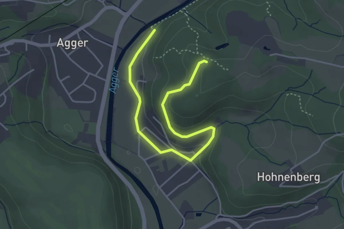
Easy · Trail
Wanderweg Doppelbalken Neuhonrath
4.0 km · ↑ 136 m · 1 h 15 min
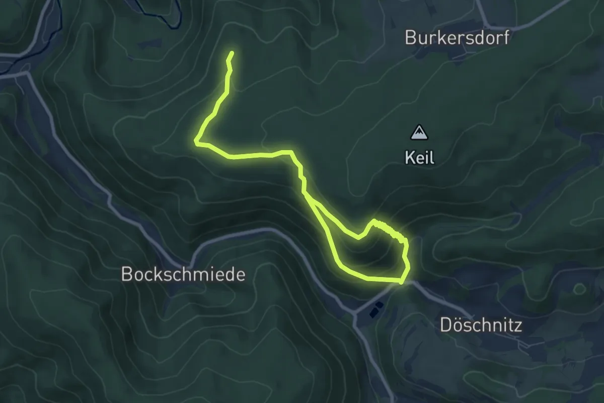
Medium · Trail
Wanderweg Döschnitz
9.4 km · ↑ 486 m · 3 h 16 min
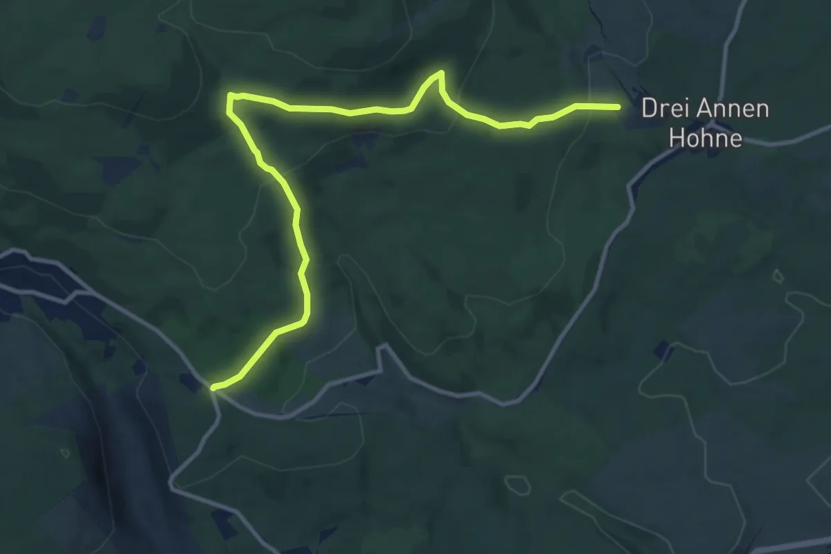
Medium · Trail
Wanderweg Drei Annen Hohne - Schierke
10.1 km · ↑ 343 m · 3 h 8 min
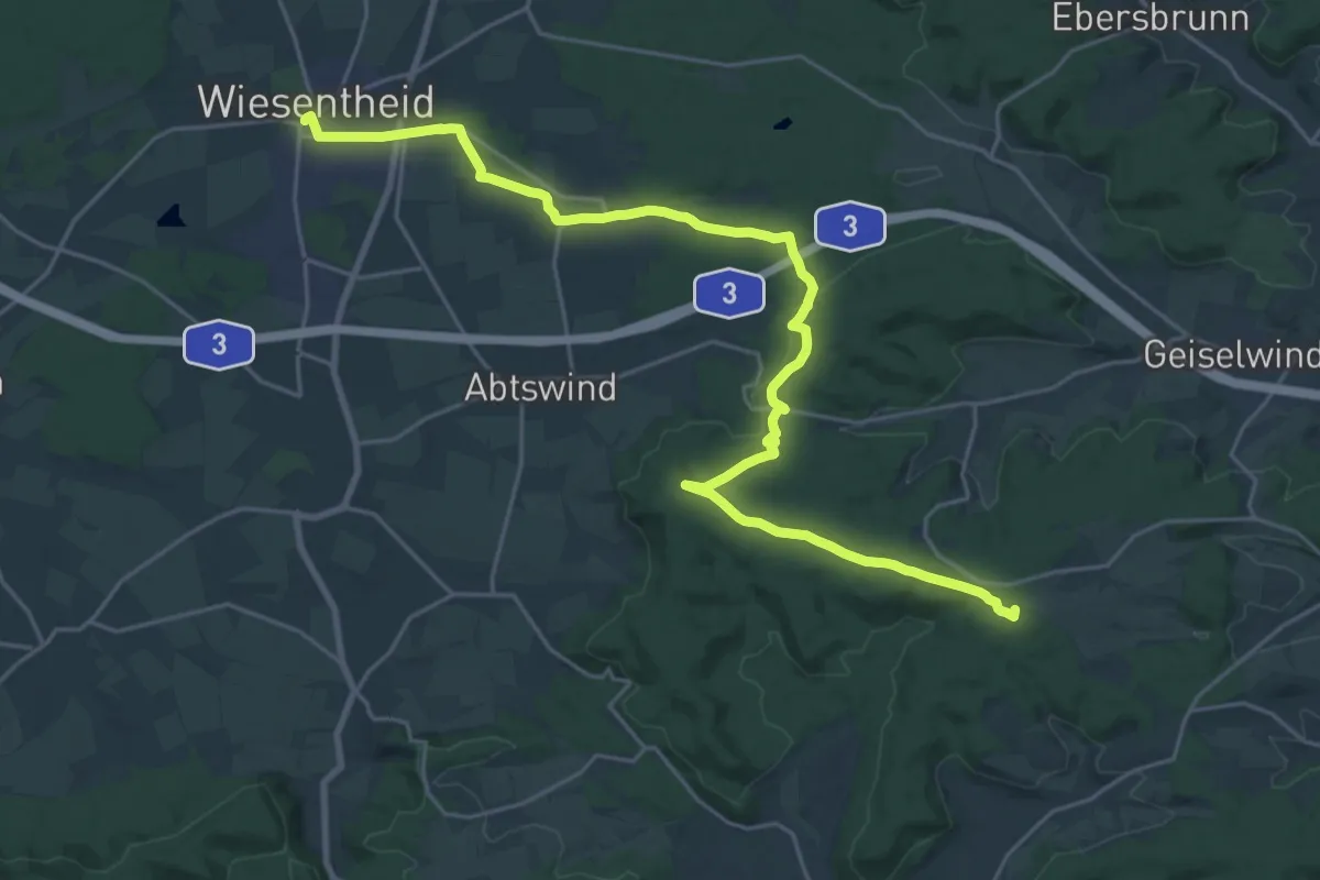
Demanding · Summit
Wanderweg Drei-Franken-Weg (Blauer Löffel)
26.0 km · ↑ 379 m · 6 h 58 min
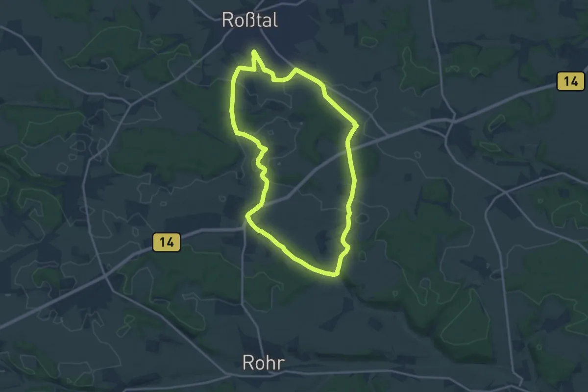
Medium · Trail
Wanderweg "Drei-Gründles-Weg"
11.7 km · ↑ 129 m · 3 h 12 min
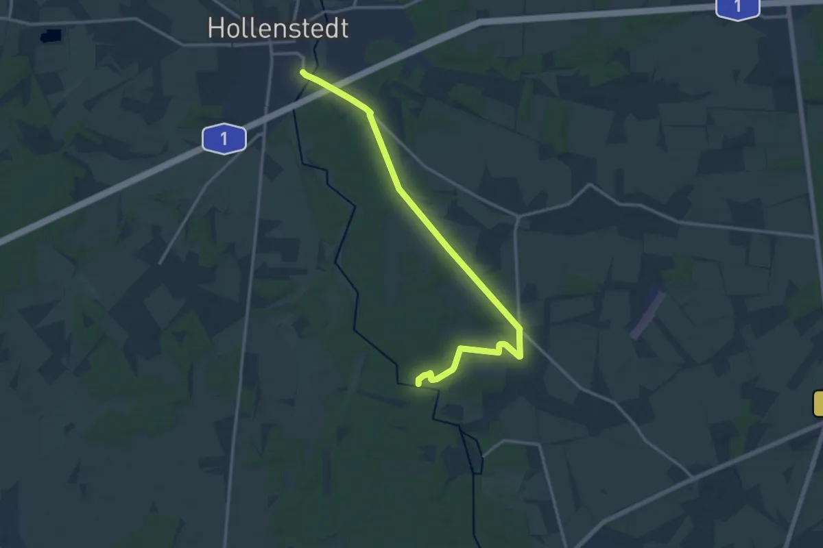
Medium · Trail
Wanderweg Drestedt - Hollenstedt
12.4 km · ↑ 50 m · 3 h 2 min
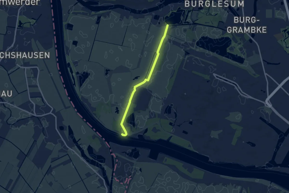
Easy · Trail
Wanderweg Dunger See - Moorlosen Kirche
7.3 km · ↑ 4 m · 1 h 43 min
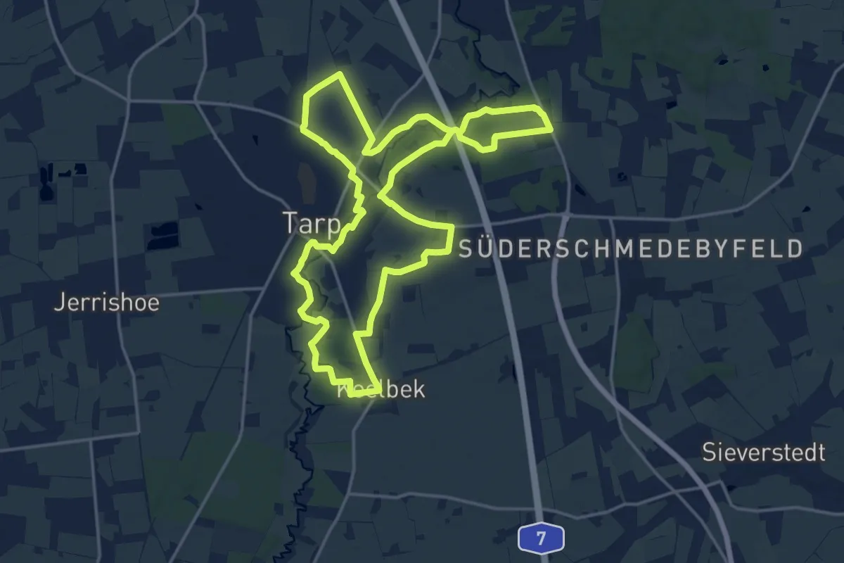
Medium · Trail
Wanderweg durch das Treenetal
14.1 km · ↑ 57 m · 3 h 38 min
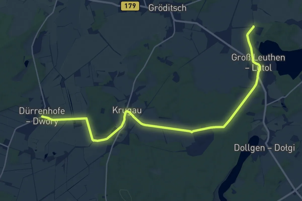
Demanding · Trail
Wanderweg Dürrenhofe-Krugau-Groß Leuthen
19.0 km · ↑ 43 m · 4 h 34 min
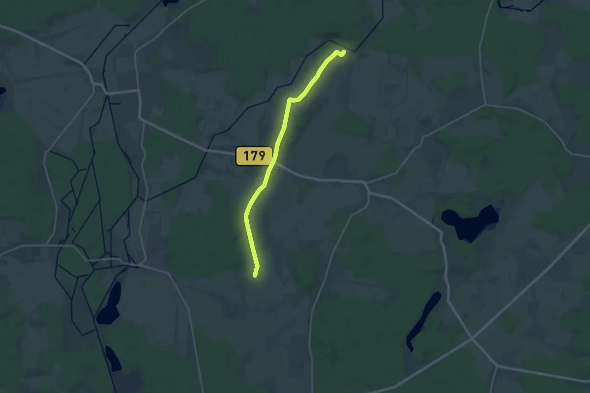
Medium · Trail
Wanderweg Dürrenhofe-Kuschkow-Pretschen
17.3 km · ↑ 79 m · 4 h 16 min
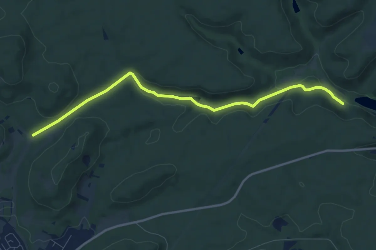
Medium · Trail
Wanderweg E
8.2 km · ↑ 158 m · 2 h 17 min
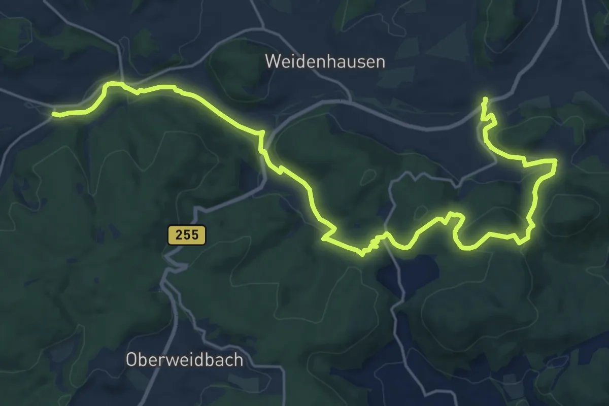
Demanding · Trail
Wanderweg E10 / Koppe-Turm
22.1 km · ↑ 496 m · 6 h 17 min
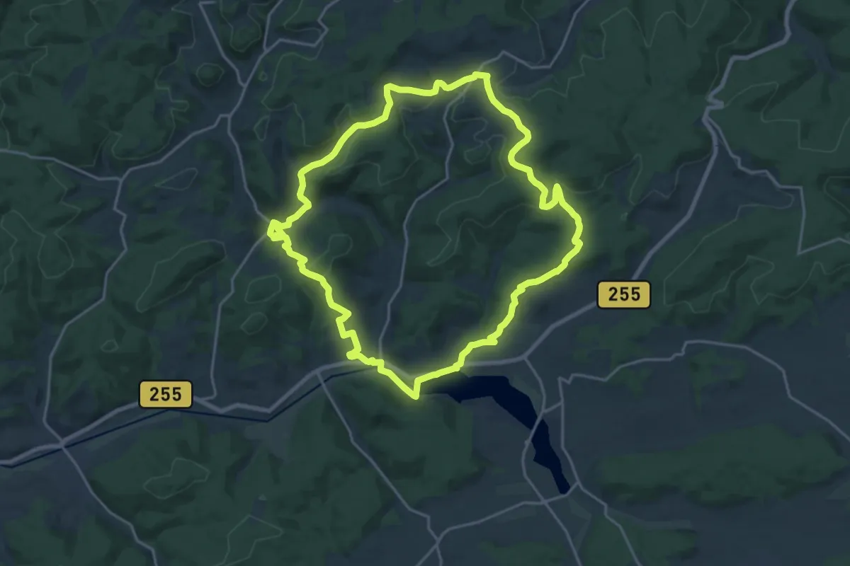
Demanding · Trail
Wanderweg E11 / Berg und Tal
19.7 km · ↑ 459 m · 5 h 55 min
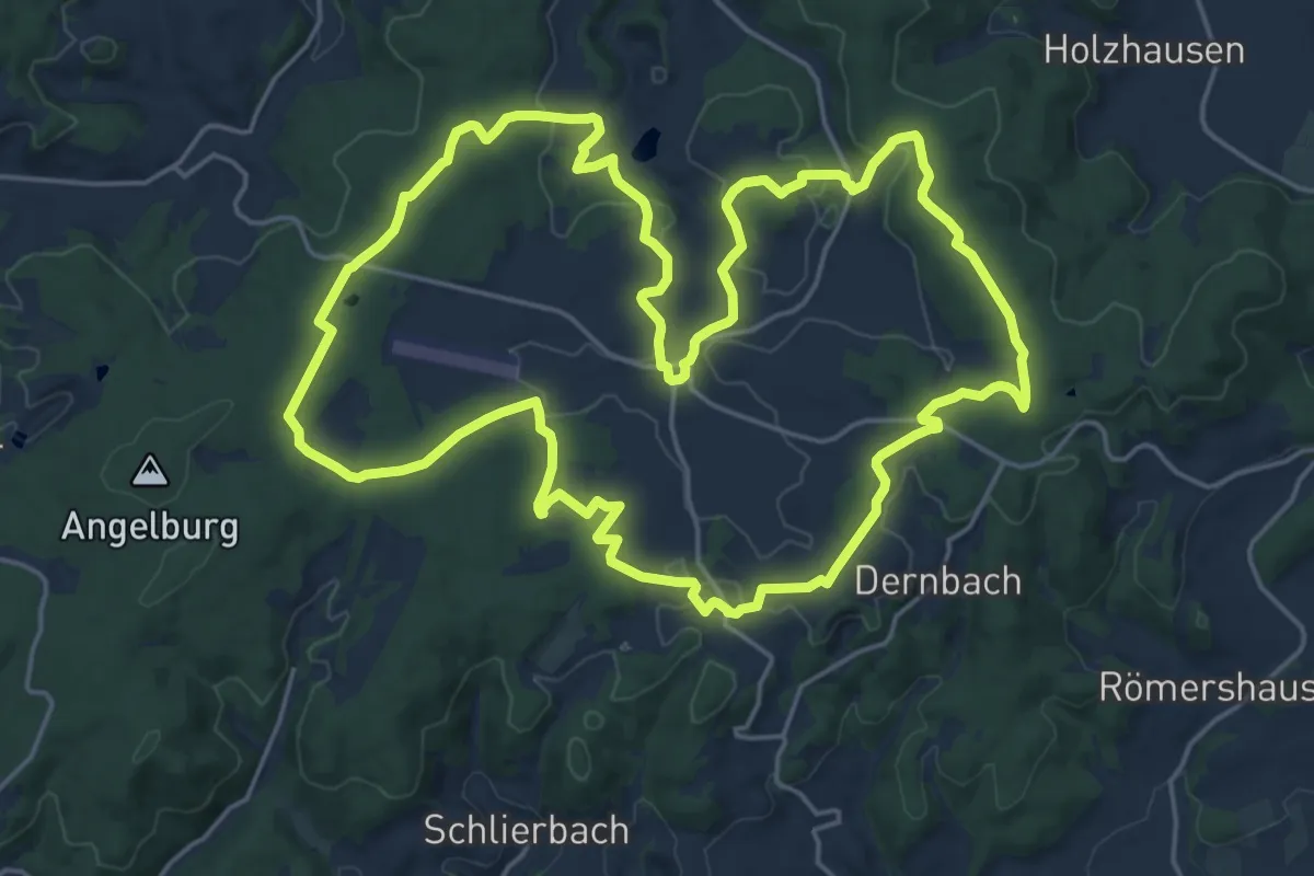
Demanding · Summit
Wanderweg E12 / Bottenhorner Heide
19.9 km · ↑ 330 m · 5 h 42 min
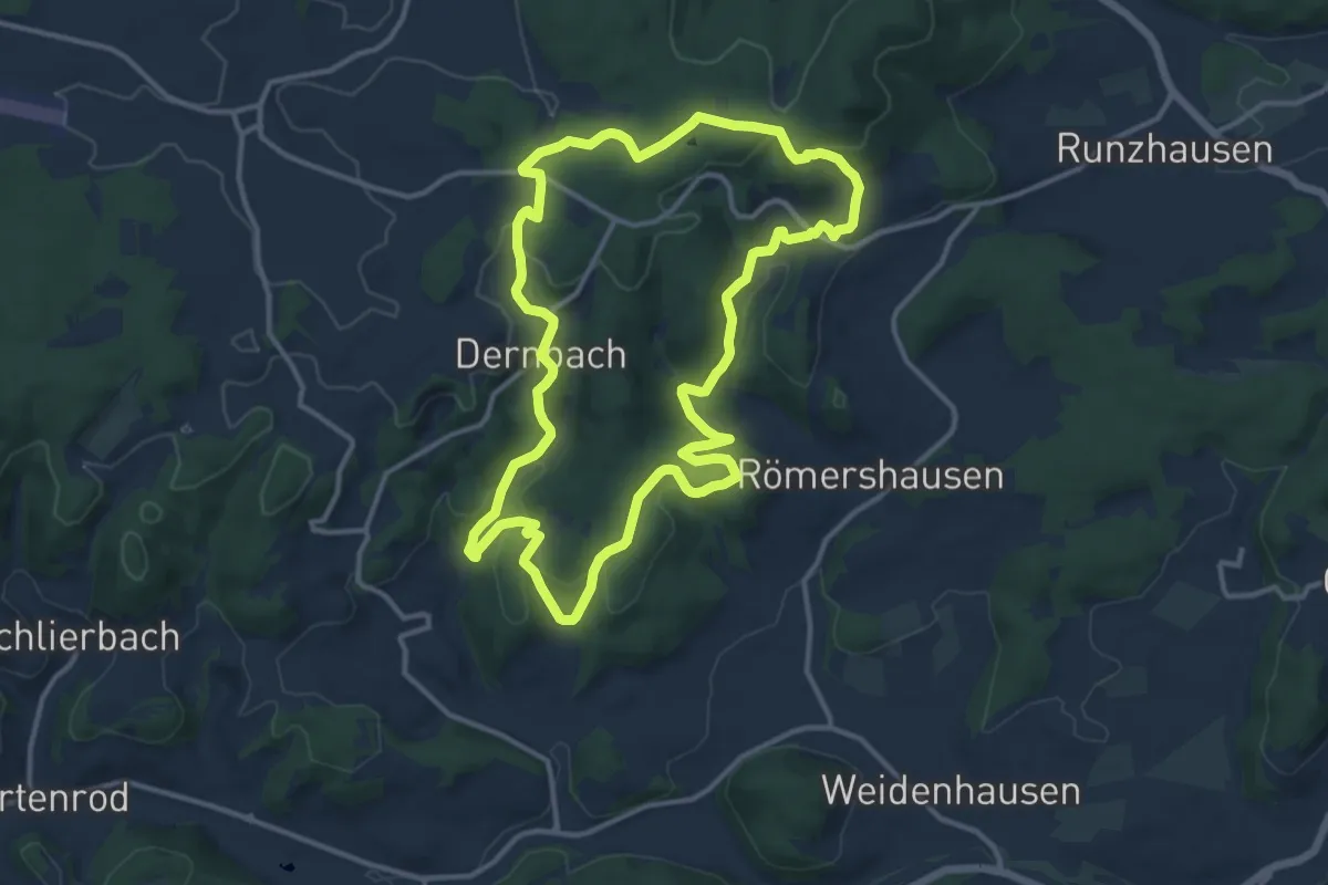
Medium · Trail
Wanderweg E13 / Hünsteinweg
11.7 km · ↑ 332 m · 3 h 39 min
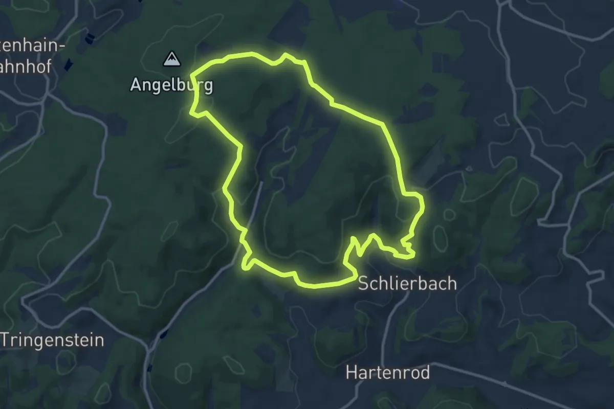
Medium · Trail
Wanderweg E14 / Wilhelmsteine
9.9 km · ↑ 254 m · 3 h 1 min
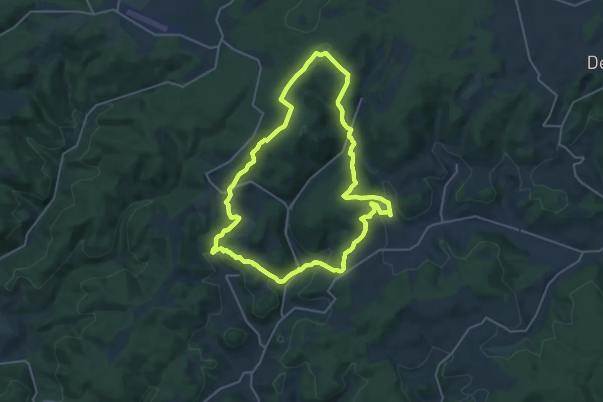
Medium · Summit
Wanderweg E15 / Schlossbergweg
13.1 km · ↑ 390 m · 4 h 7 min