Trails in Germany
36,852 hiking trails, each with its route, climb, walking time and grade.
All trails, page 695 of 768
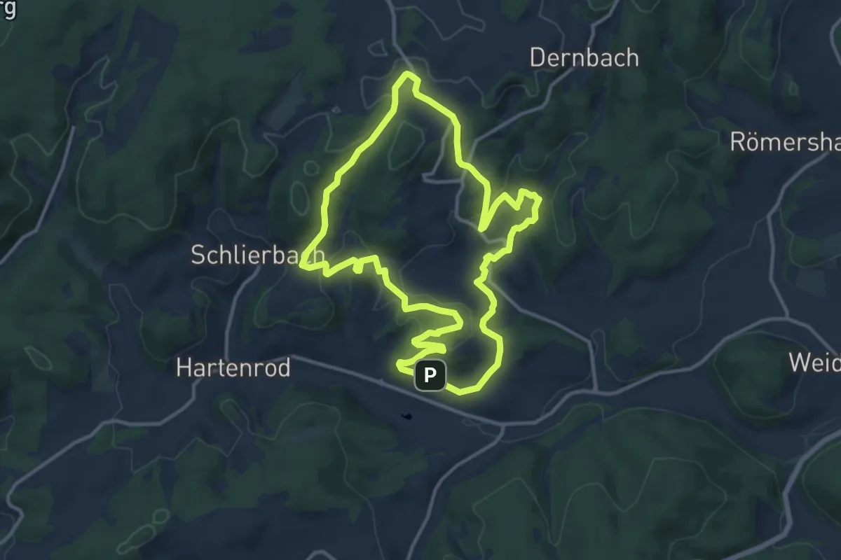
Medium · Summit
Wanderweg E16 / Schmetterlingsweg
10.7 km · ↑ 261 m · 3 h 14 min
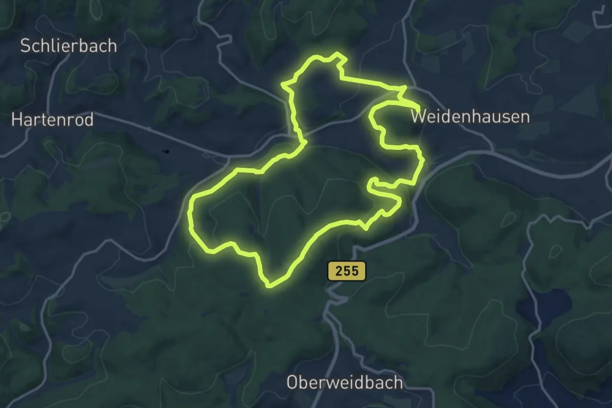
Medium · Trail
Wanderweg E17 / Endbacher Platte
13.1 km · ↑ 380 m · 4 h 6 min
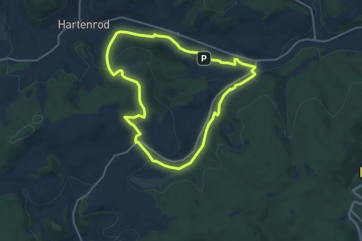
Easy · Trail
Wanderweg E1 / Wiesengrund
7.1 km · ↑ 155 m · 2 h 7 min
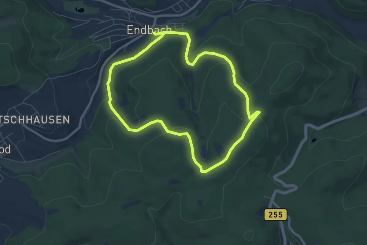
Easy · Trail
Wanderweg E2 / Kopps Klippe
5.8 km · ↑ 172 m · 1 h 49 min
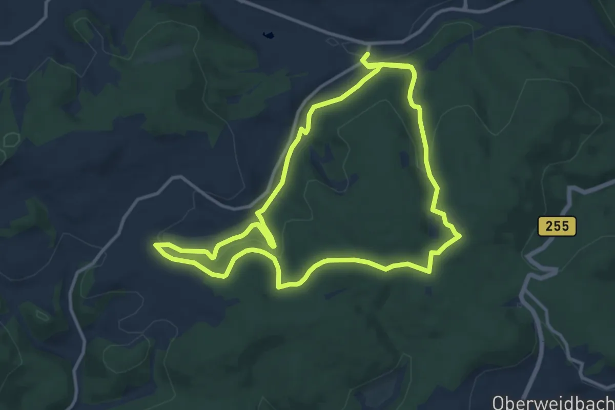
Medium · Summit
Wanderweg E3 / Waldrand
9.2 km · ↑ 216 m · 2 h 47 min
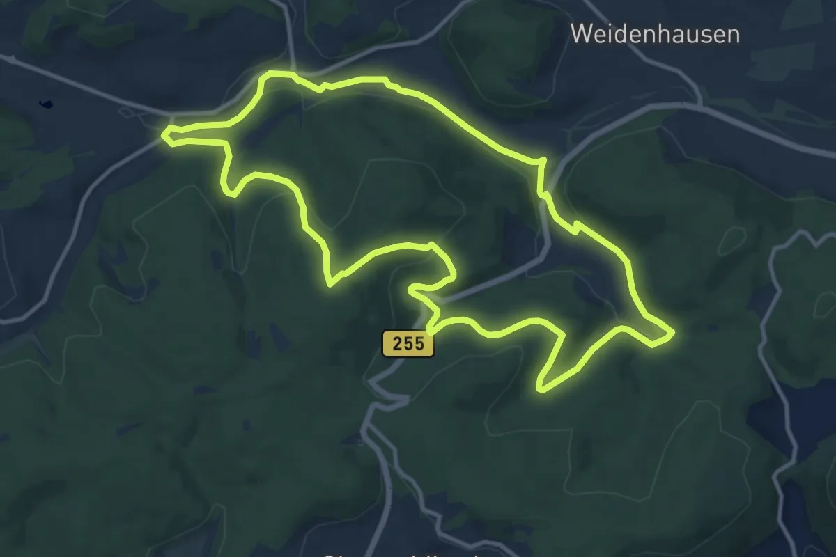
Medium · Trail
Wanderweg E4 / Seibertshäuser Grund
10.7 km · ↑ 232 m · 3 h 11 min
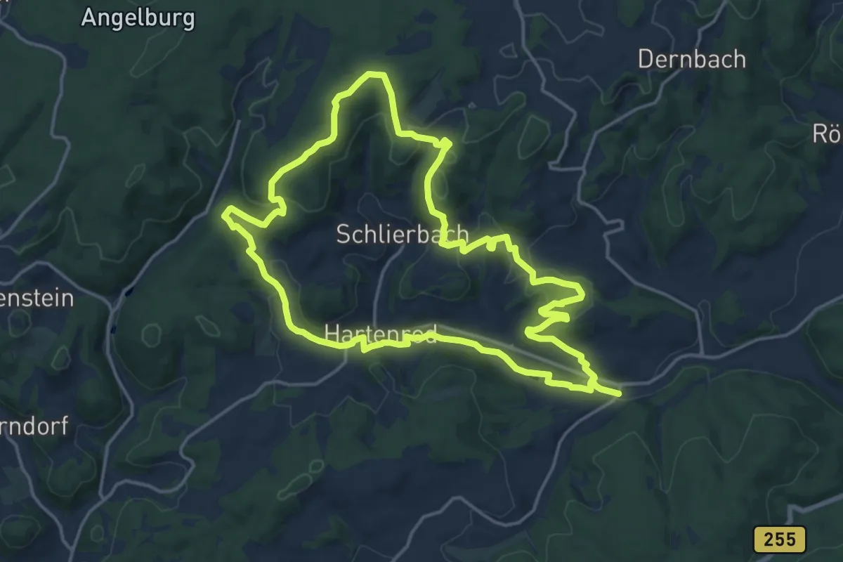
Medium · Summit
Wanderweg E5 / Quellweg
14.3 km · ↑ 316 m · 4 h 16 min
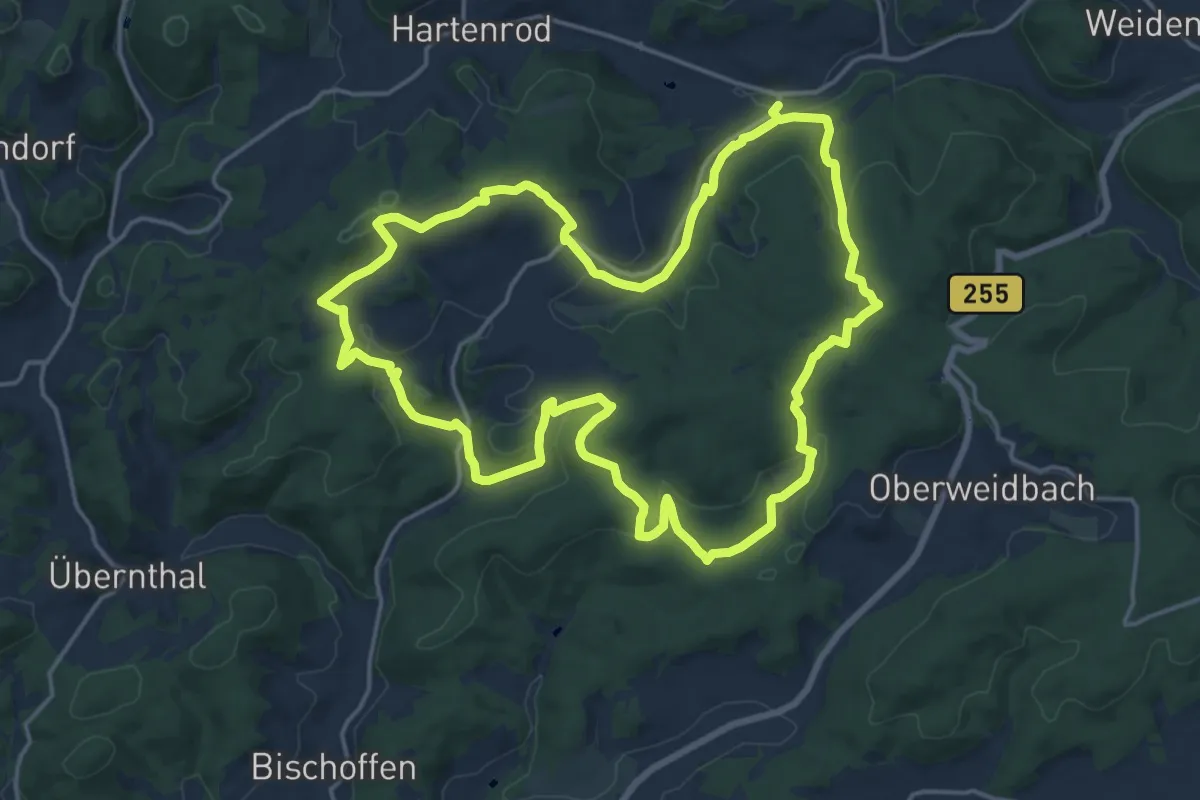
Medium · Summit
Wanderweg E6 / Viertälerweg
16.7 km · ↑ 443 m · 5 h 8 min
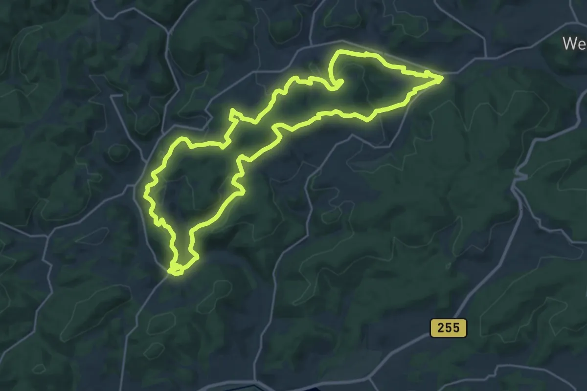
Demanding · Summit
Wanderweg E7 / Panoramaweg
18.9 km · ↑ 477 m · 5 h 46 min
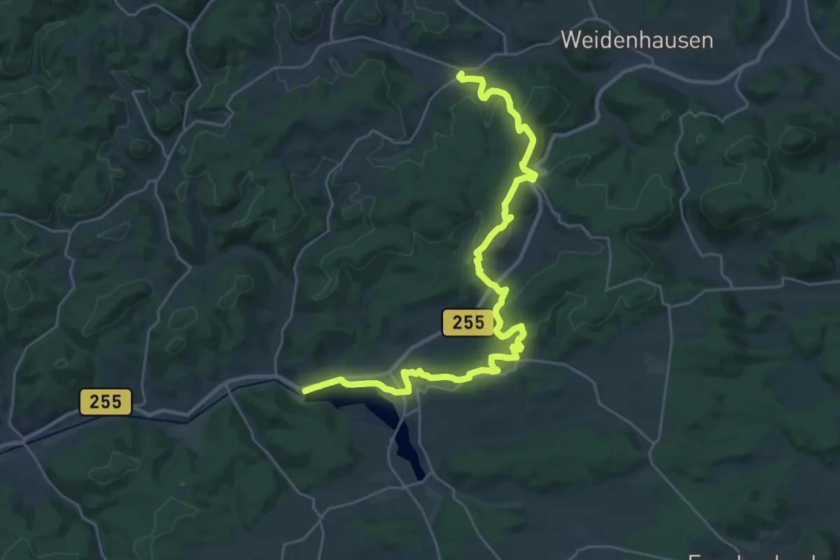
Demanding · Trail
Wanderweg E8 / Alte Bäume
27.5 km · ↑ 672 m · 7 h 57 min
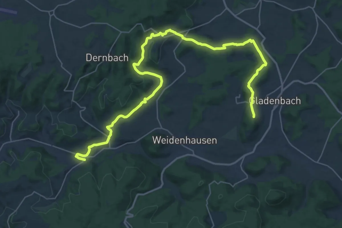
Demanding · Summit
Wanderweg E9 / Hinterländer Schweiz
27.7 km · ↑ 581 m · 7 h 48 min
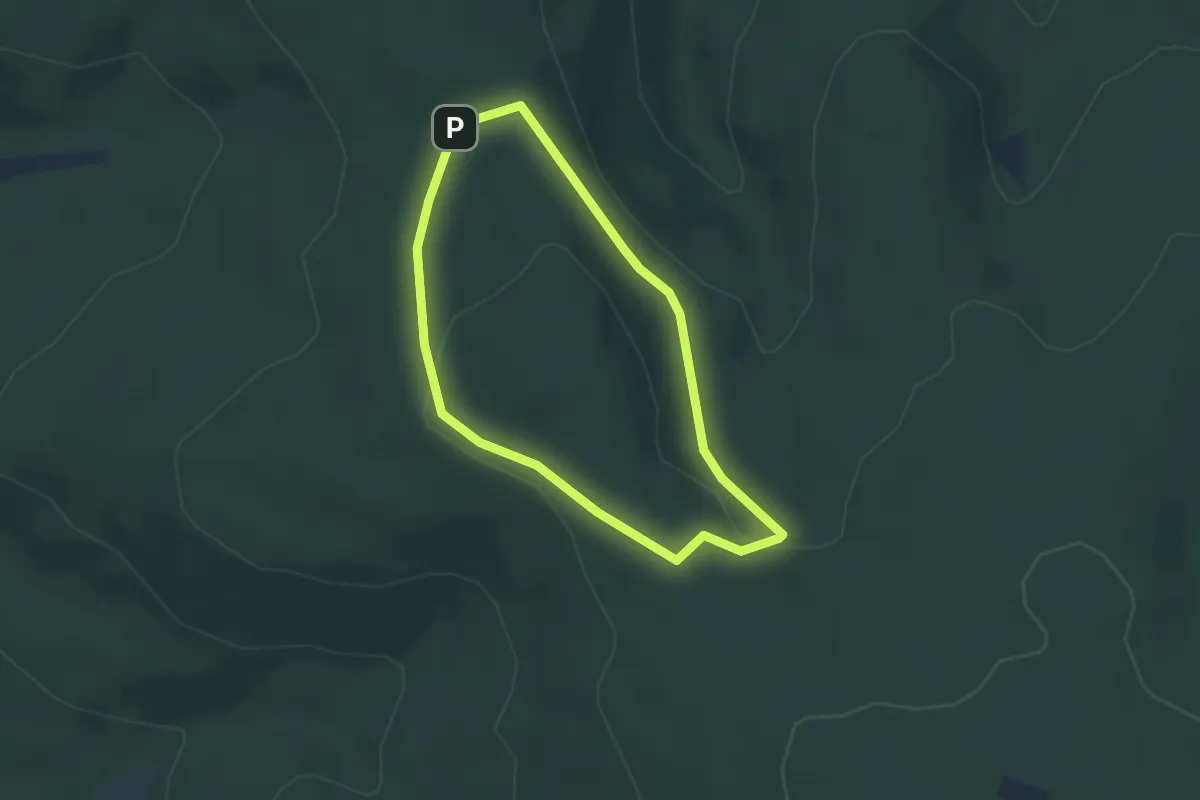
Easy · Trail
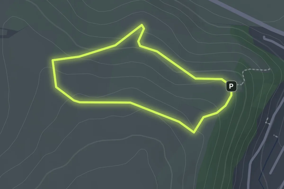
Wanderwege Bad Orb Fuchs
2.8 km · ↑ 53 m · 48 min
Easy · Trail
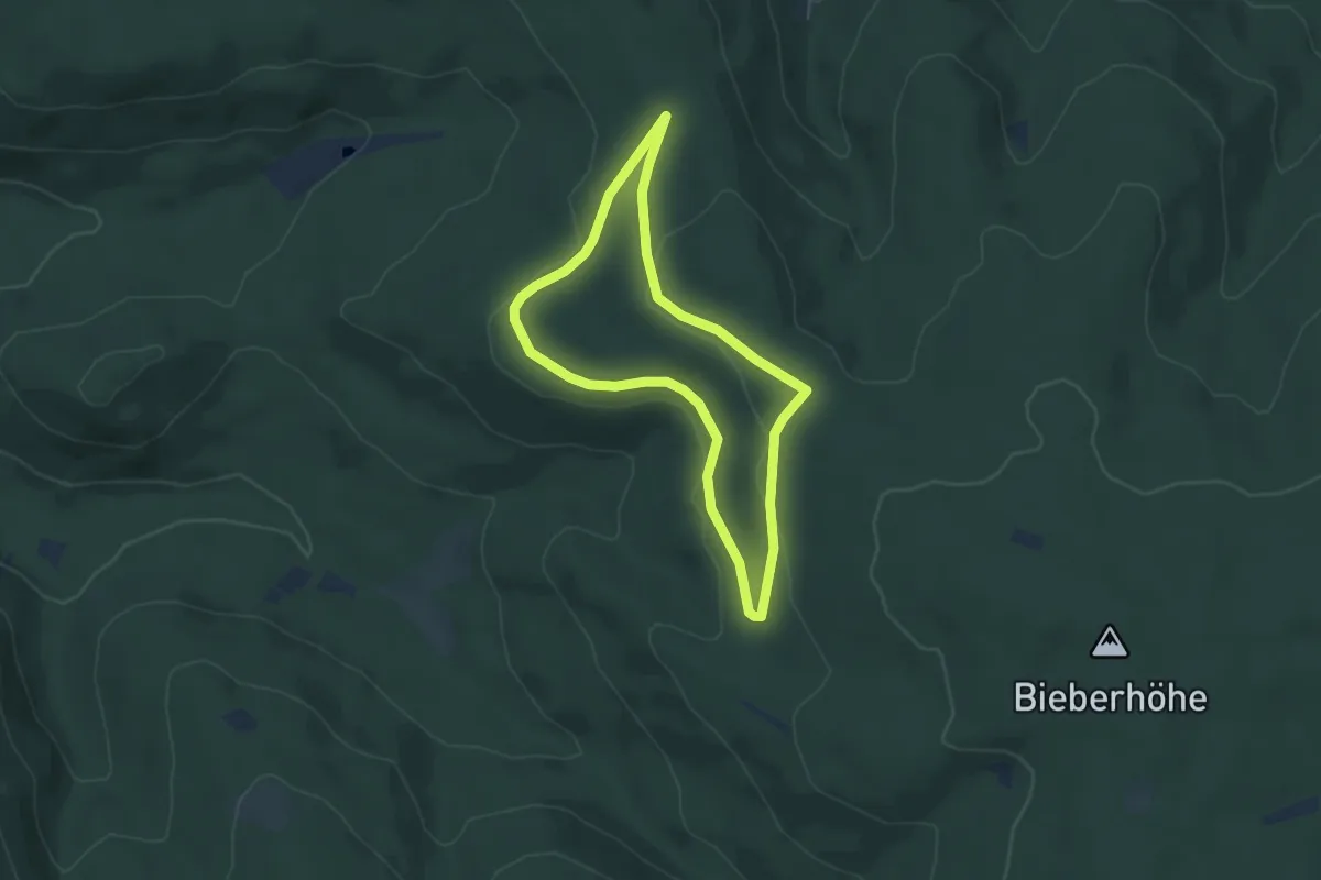
Wanderwege Bad Orb Hase
1.7 km · ↑ 50 m · 32 min
Easy · Trail
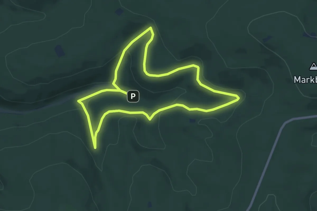
Wanderwege Bad Orb Keiler
4.5 km · ↑ 70 m · 1 h 16 min
Easy · Trail
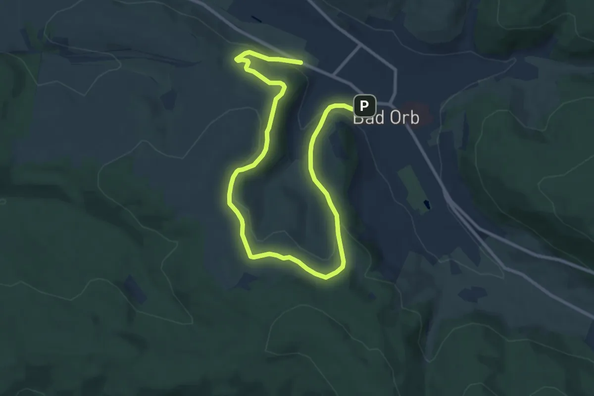
Wanderwege Bad Orb Libelle
5.4 km · ↑ 141 m · 1 h 40 min
Easy · Trail
Wanderwege Bad Orb Nr. 10
5.7 km · ↑ 150 m · 1 h 45 min
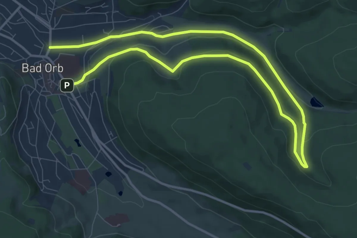
Medium · Trail
Wanderwege Bad Orb Nr. 13
14.2 km · ↑ 352 m · 4 h 6 min
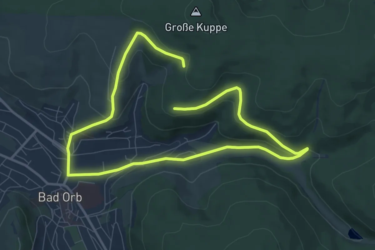
Medium · Trail
Wanderwege Bad Orb Nr. 14
12.8 km · ↑ 333 m · 3 h 45 min
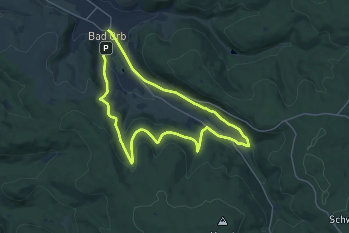
Demanding · Trail
Wanderwege Bad Orb Nr. 15
23.0 km · ↑ 571 m · 6 h 40 min
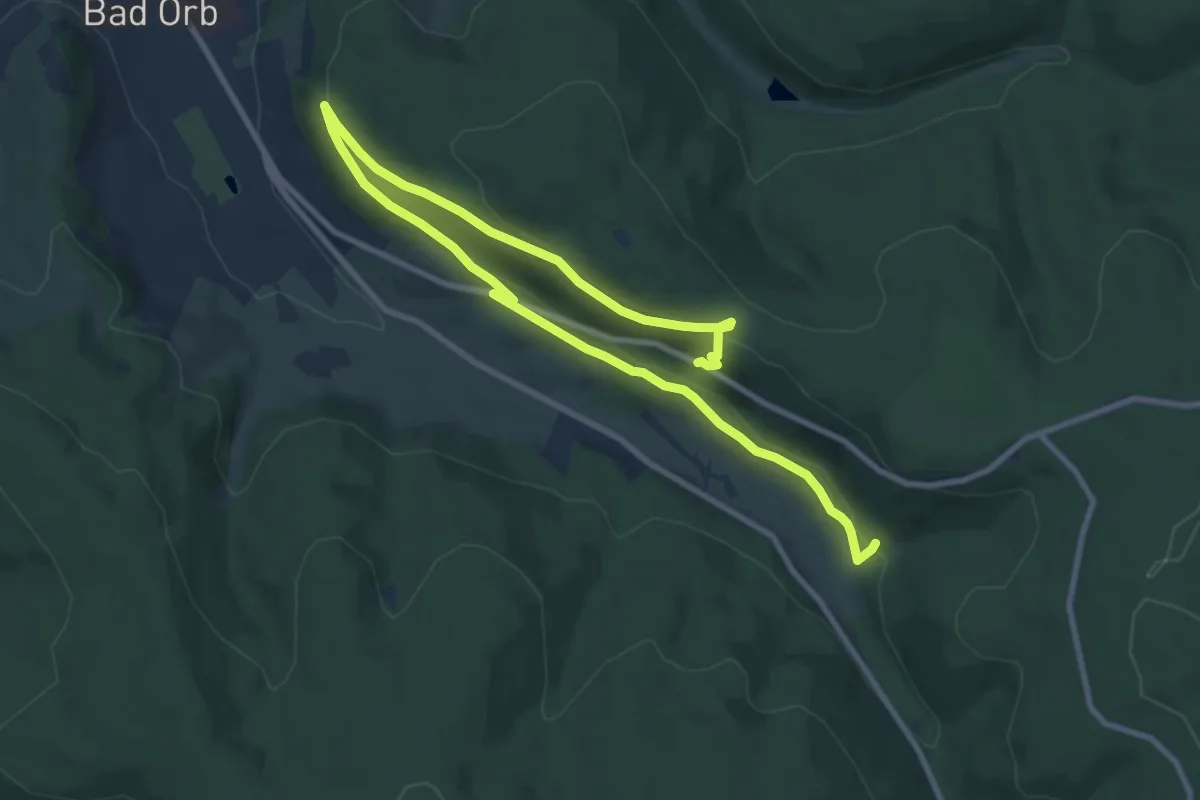
Medium · Trail
Wanderwege Bad Orb Nr. 21
12.3 km · ↑ 295 m · 3 h 32 min
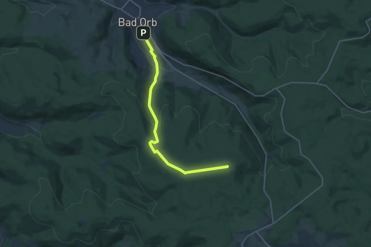
Medium · Summit
Wanderwege Bad Orb Nr. 4
12.6 km · ↑ 392 m · 3 h 50 min
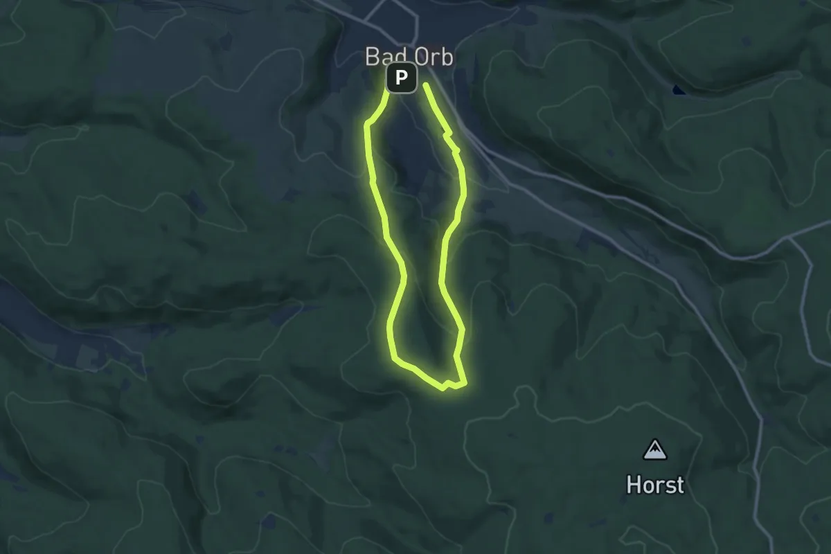
Easy · Trail
Wanderwege Bad Orb Nr. 5
7.6 km · ↑ 275 m · 2 h 30 min
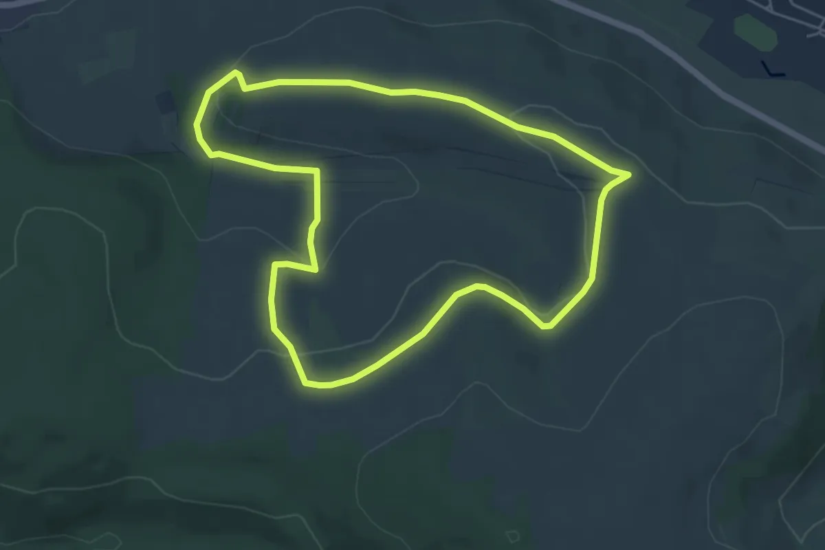
Easy · Trail
Wanderwege Bad Orb St. Wendelin
4.7 km · ↑ 86 m · 1 h 22 min
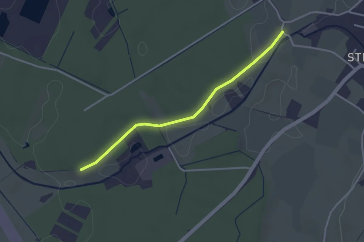
Easy · Trail
Wanderwege Bad Waldsee (8)
1.3 km · ↑ 9 m · 20 min
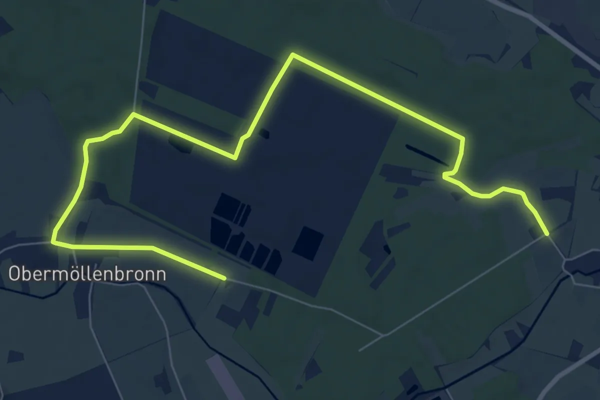
Easy · Trail
Wanderwege Bad Waldsee (9)
4.7 km · ↑ 33 m · 1 h 15 min
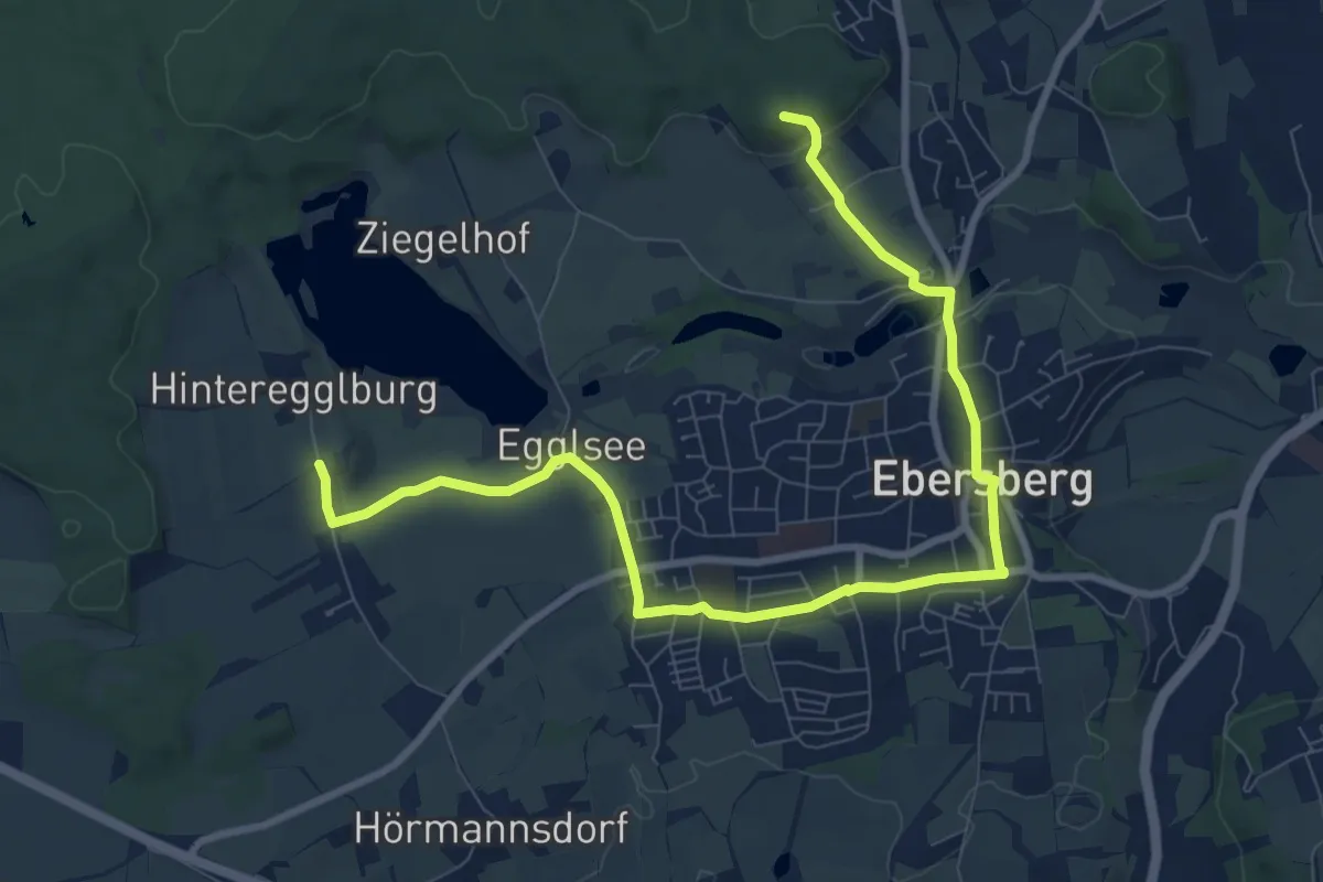
Medium · Summit
Wanderweg Eber 2
10.4 km · ↑ 150 m · 2 h 46 min
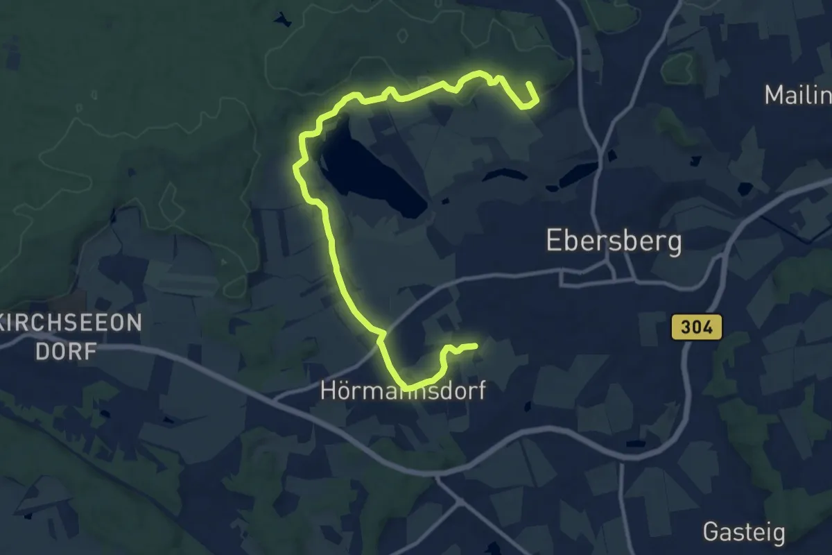
Medium · Summit
Wanderweg Eber 3 / 3a
11.9 km · ↑ 199 m · 3 h 15 min
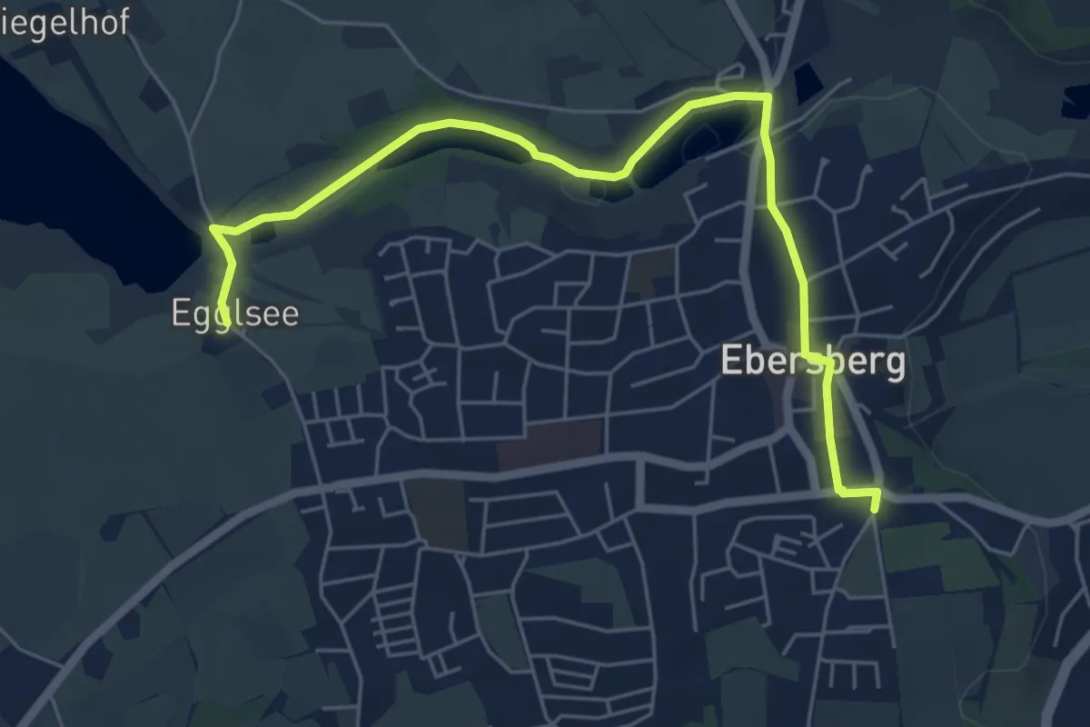
Easy · Trail
Wanderweg Eber 4 / 4a
3.1 km · ↑ 32 m · 50 min
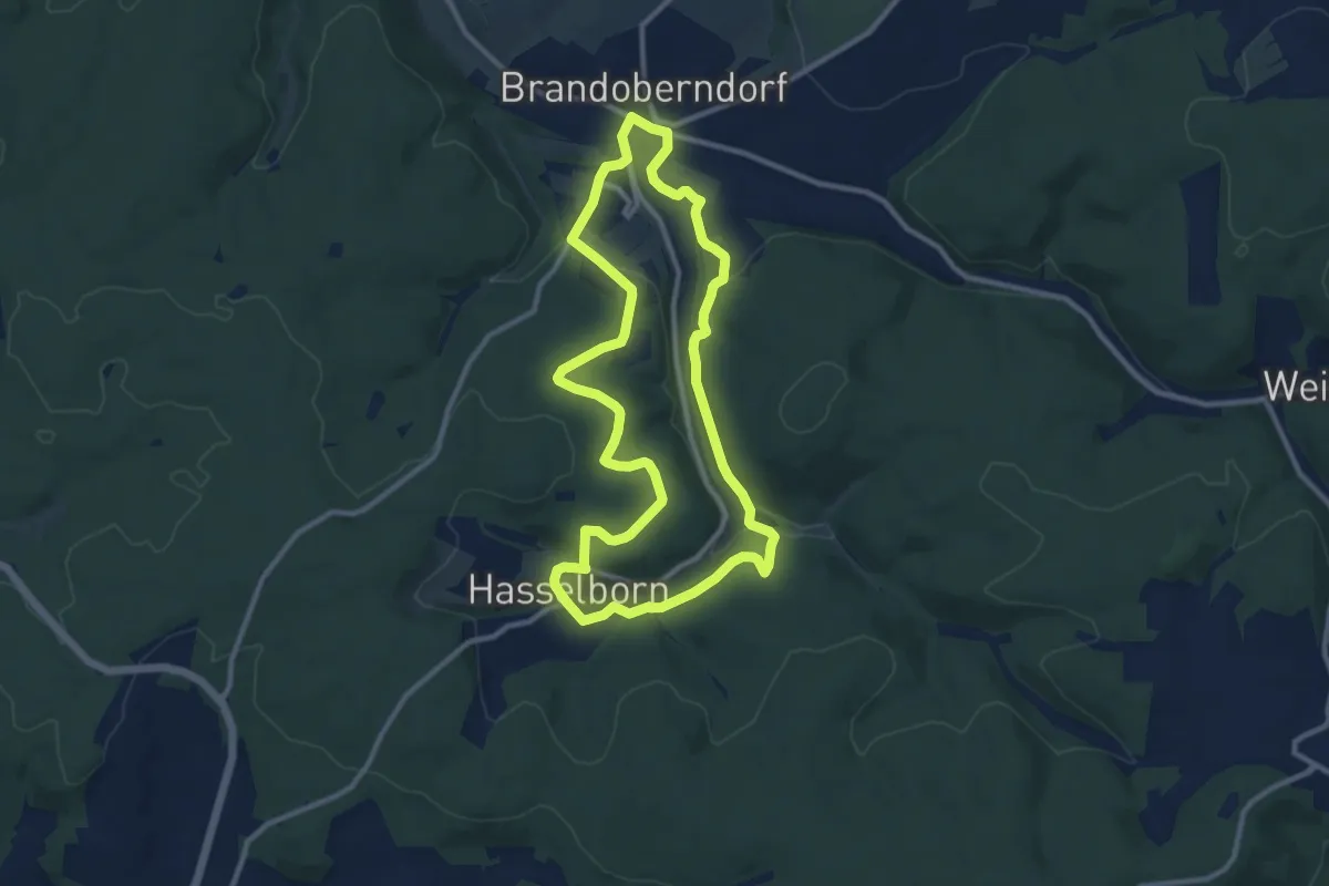
Medium · Trail
Wanderwege Brandoberndorf - Hirschkäfer
9.5 km · ↑ 222 m · 2 h 52 min
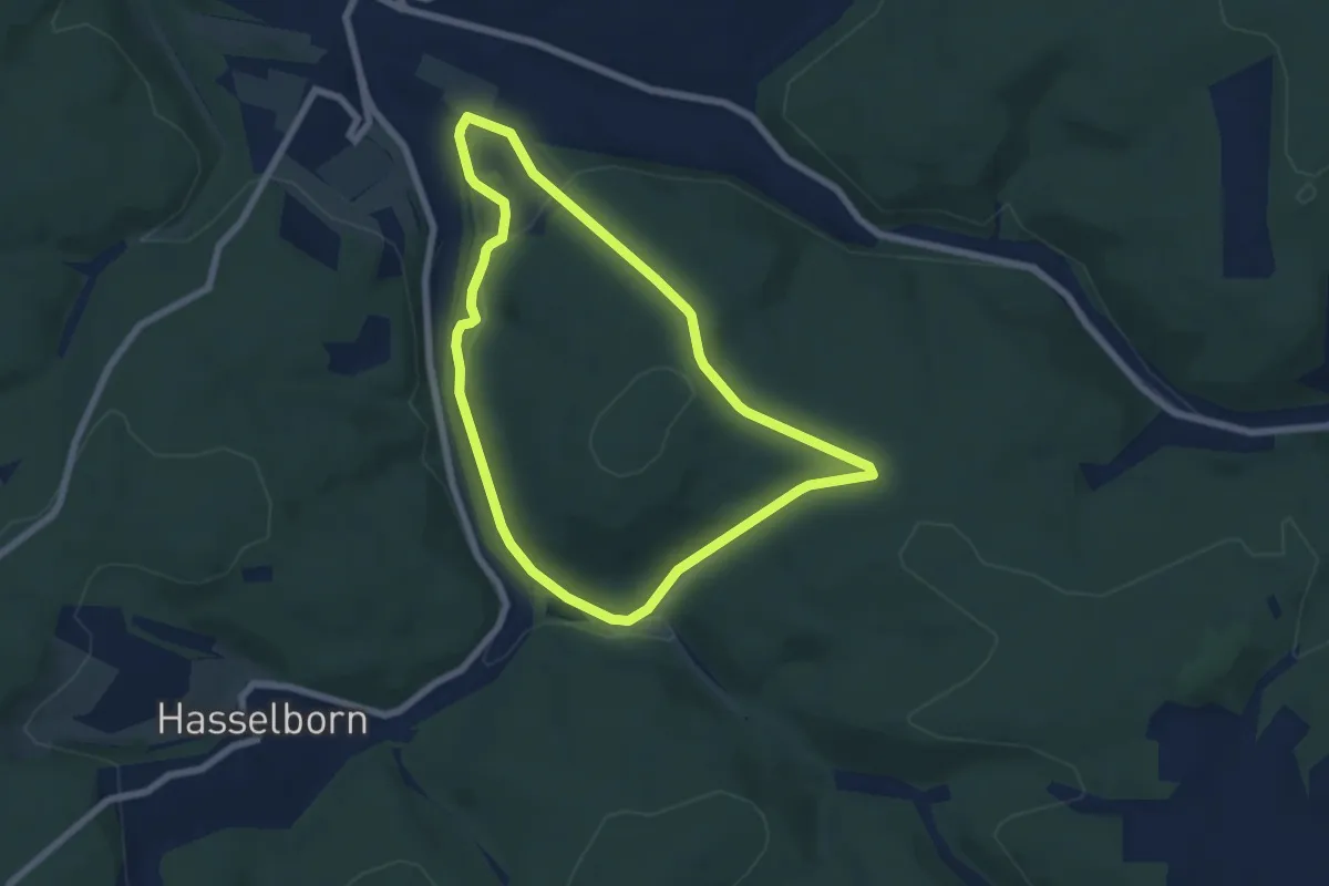
Easy · Trail
Wanderwege Brandoberndorf - Keiler
5.7 km · ↑ 146 m · 1 h 45 min
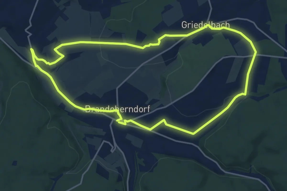
Medium · Trail
Wanderwege Brandoberndorf - Schmetterling
11.0 km · ↑ 188 m · 3 h 9 min
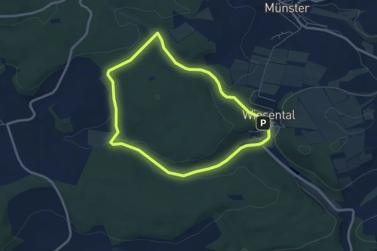
Easy · Trail
Wanderwege Buchbaum - Rehbock
4.9 km · ↑ 104 m · 1 h 27 min
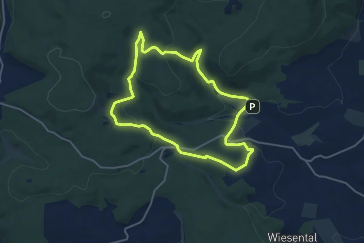
Easy · Trail
Wanderwege Buschbaum - Fuchs
7.8 km · ↑ 246 m · 2 h 29 min
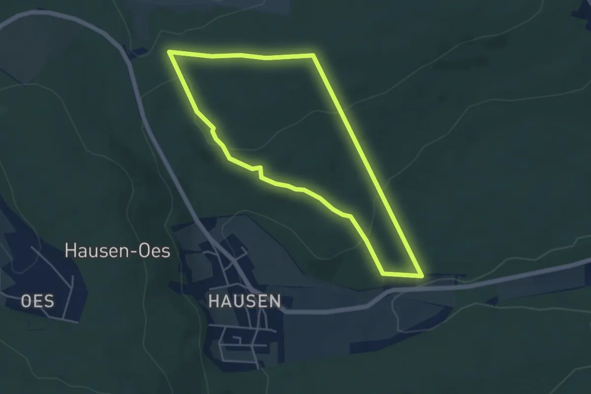
Easy · Trail
Wanderwege Butzbach - Hase
3.9 km · ↑ 110 m · 1 h 13 min
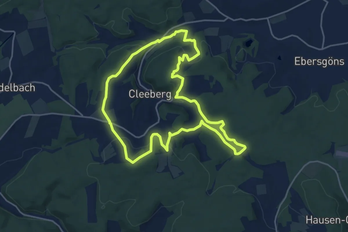
Medium · Trail
Wanderwege Cleeberg Panoramaweg Cleeberg
12.4 km · ↑ 327 m · 3 h 49 min
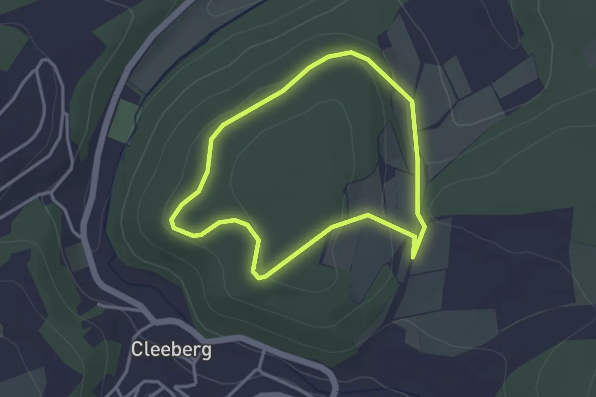
Easy · Summit
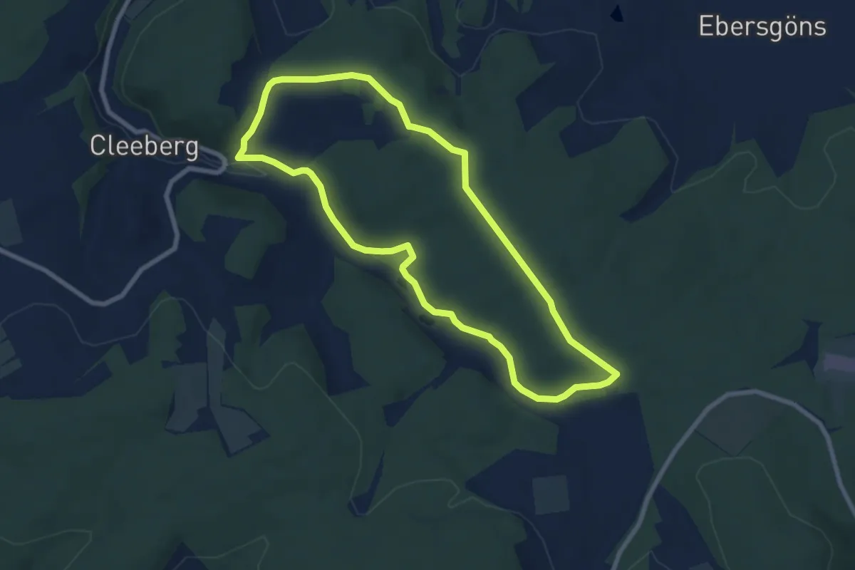
Wanderwege Cleeberg Rund um den Cleeberg
2.4 km · ↑ 49 m · 42 min
Easy · Summit
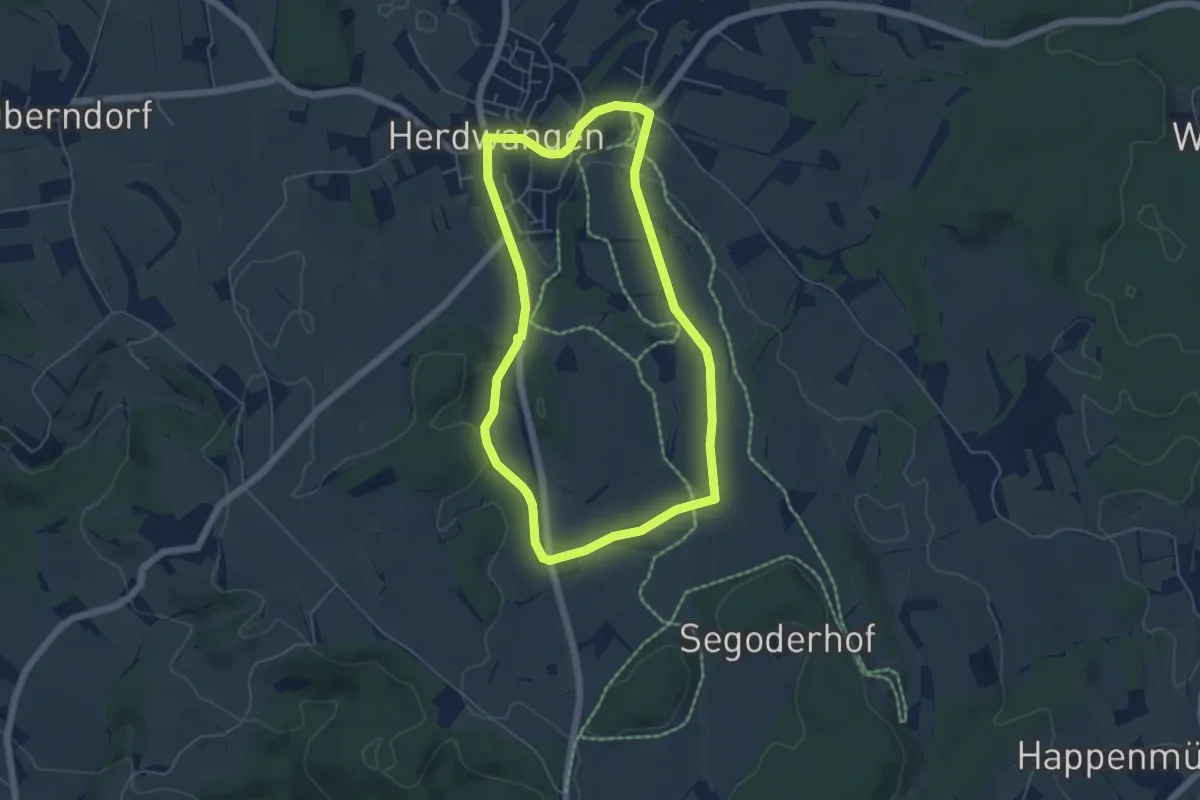
Wanderwege Cleeberg Seegrund Rundweg
6.4 km · ↑ 83 m · 1 h 47 min
Easy · Trail
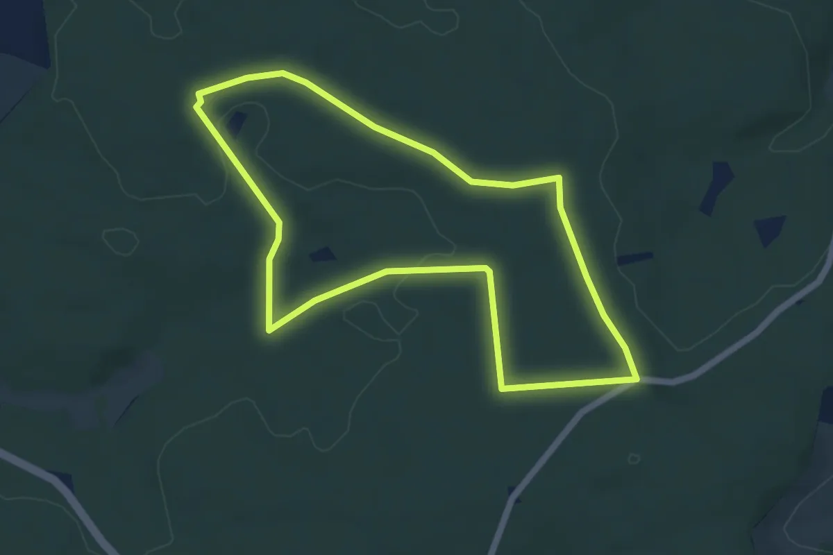
Wanderwege der Gemeinde Herdwangen-Schönach
5.0 km · ↑ 51 m · 1 h 21 min
Easy · Trail
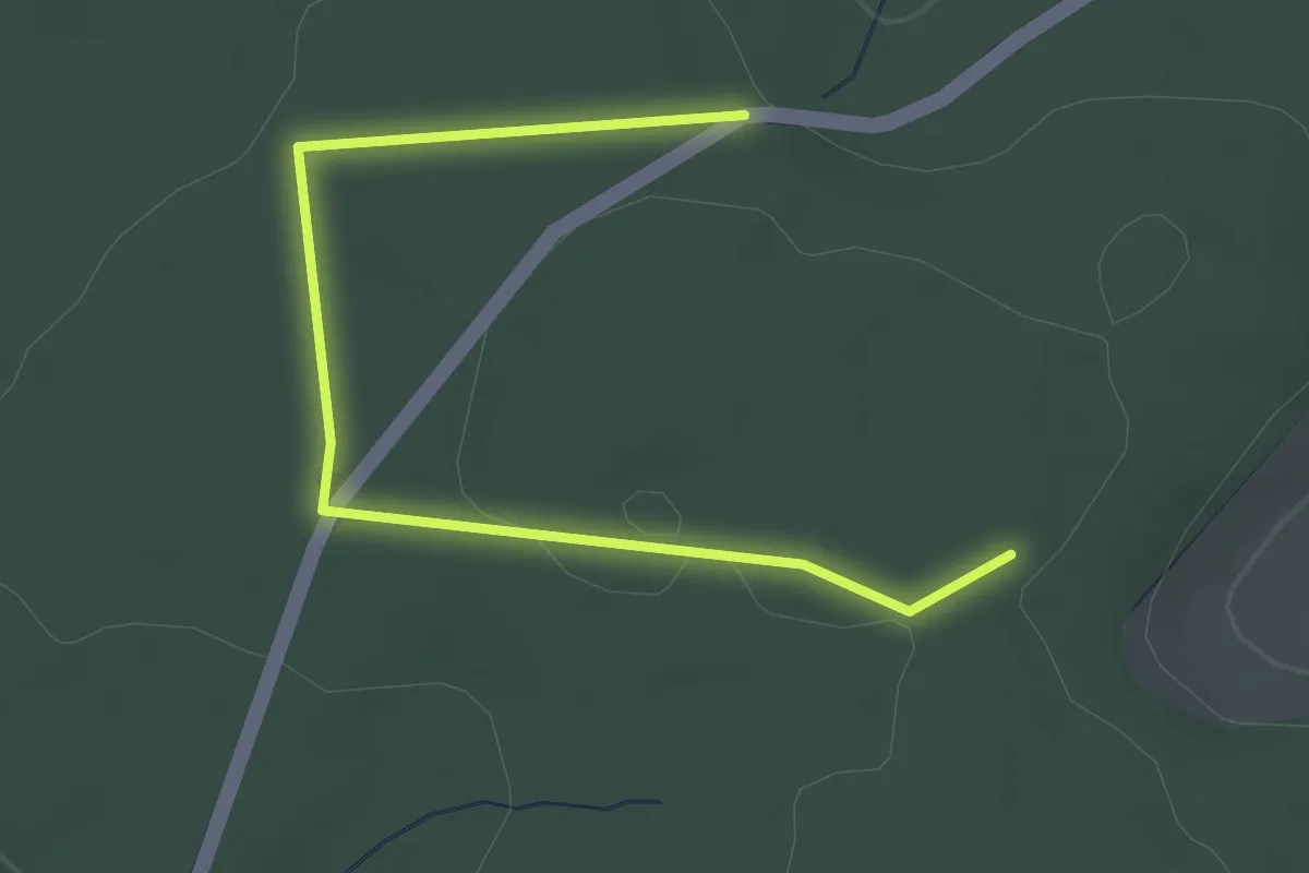
Wanderwege Grävenwiesbach - Alttier
4.6 km · ↑ 50 m · 1 h 15 min
Easy · Trail
Wanderwege Grävenwiesbach - Eichenblatt
1.5 km · ↑ 8 m · 25 min
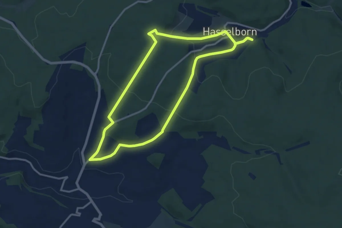
Easy · Trail
Wanderwege Grävenwiesbach - Lindenblatt
7.7 km · ↑ 241 m · 2 h 26 min
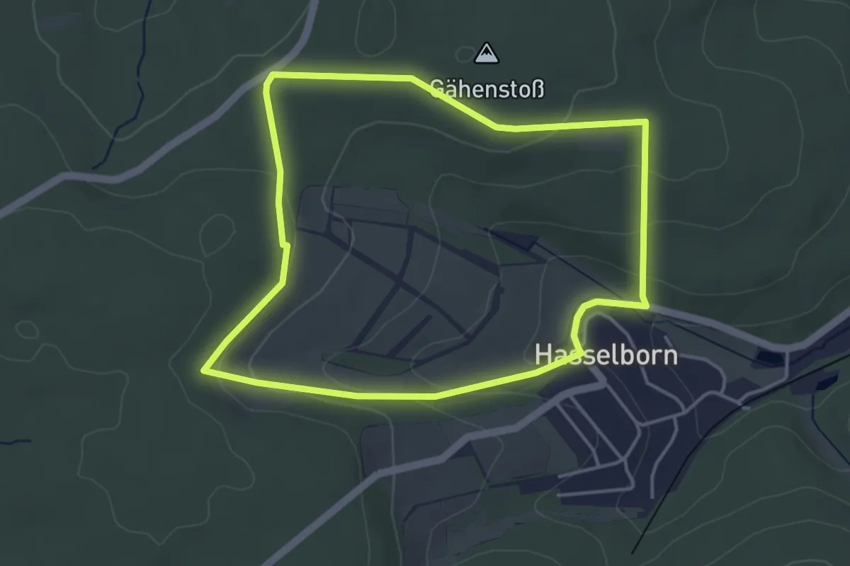
Easy · Trail
Wanderwege Hasselborn - Hase
3.7 km · ↑ 105 m · 1 h 9 min
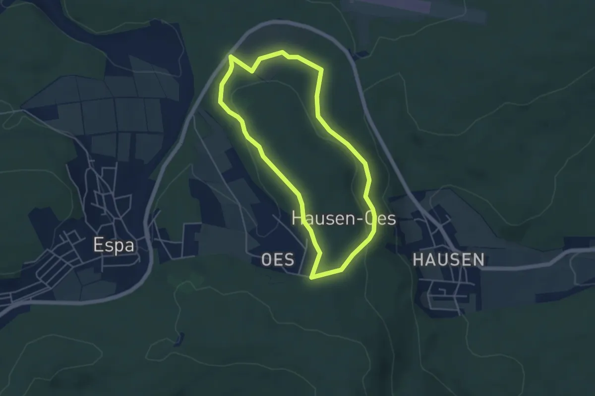
Easy · Trail
Wanderwege Hausberg - Eichenblatt
4.0 km · ↑ 84 m · 1 h 10 min
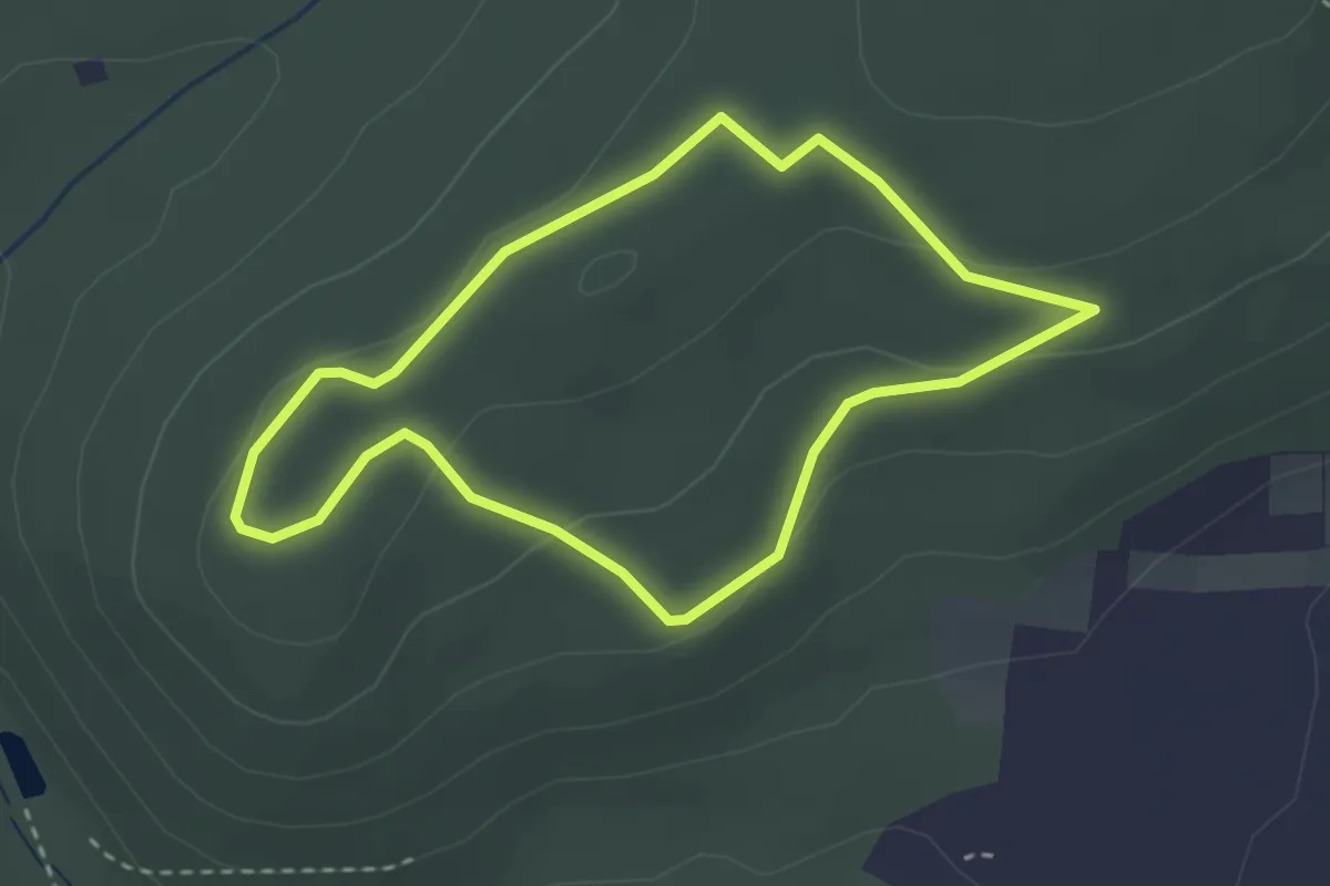
Easy · Summit
Wanderwege Hausberg - Hirschkäfer
2.6 km · ↑ 58 m · 46 min
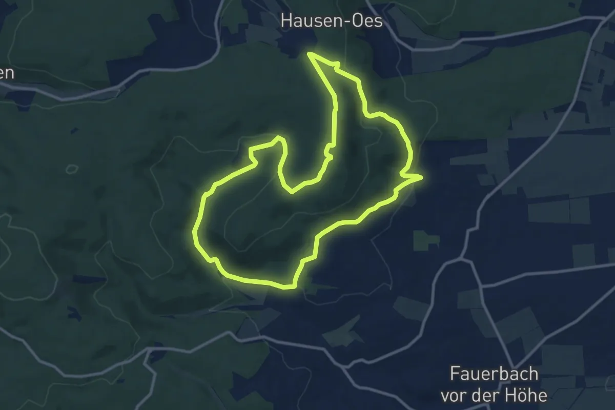
Medium · Summit
Wanderwege Hausberg - Milan
9.7 km · ↑ 260 m · 2 h 59 min
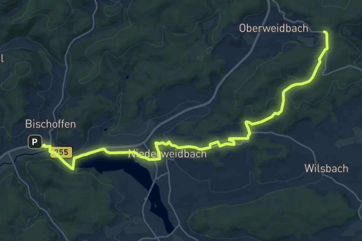
Demanding · Trail
Wanderweg EH / Endbacher Höhenring
19.7 km · ↑ 368 m · 5 h 27 min
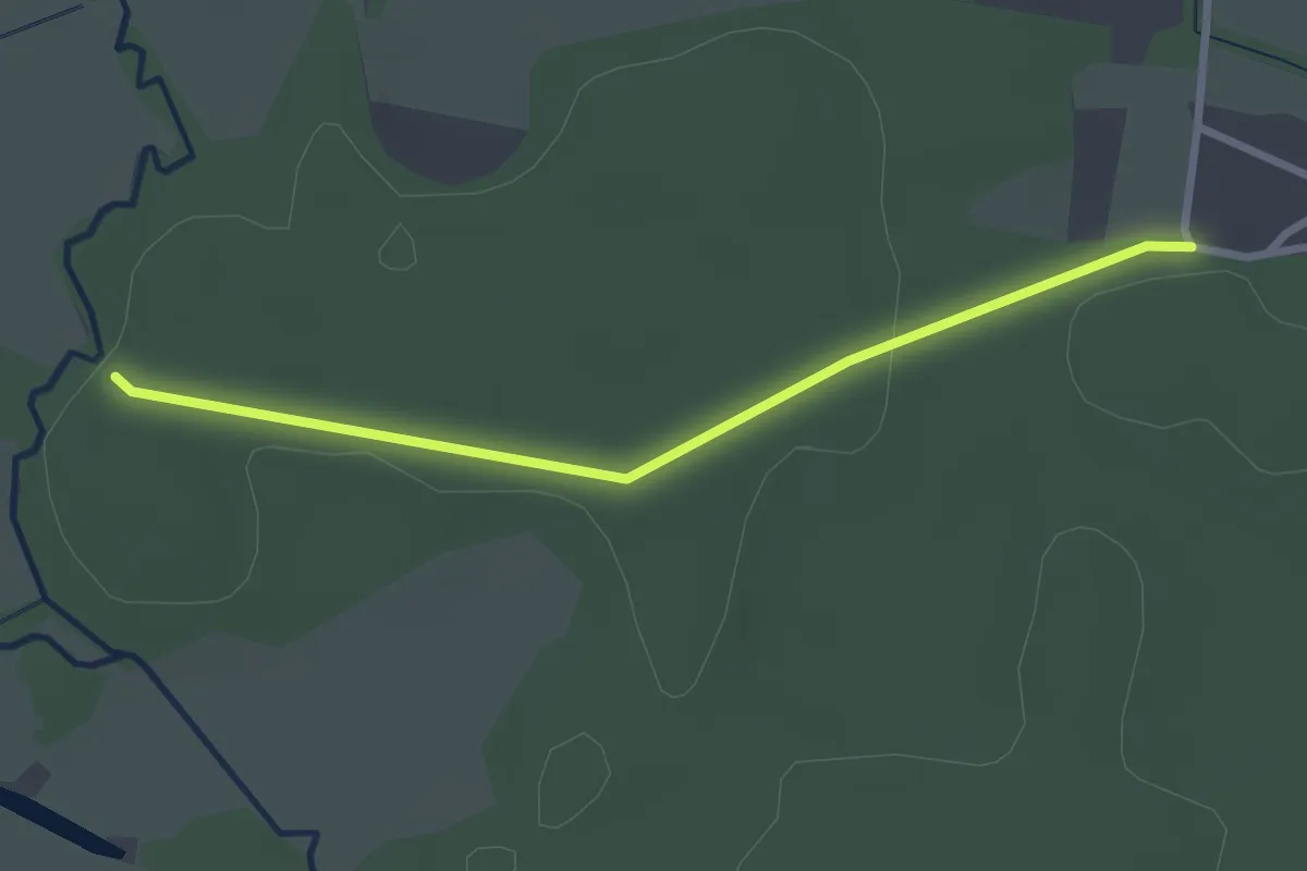
Easy · Trail
Wanderweg Eichberge
2.4 km · ↑ 14 m · 36 min
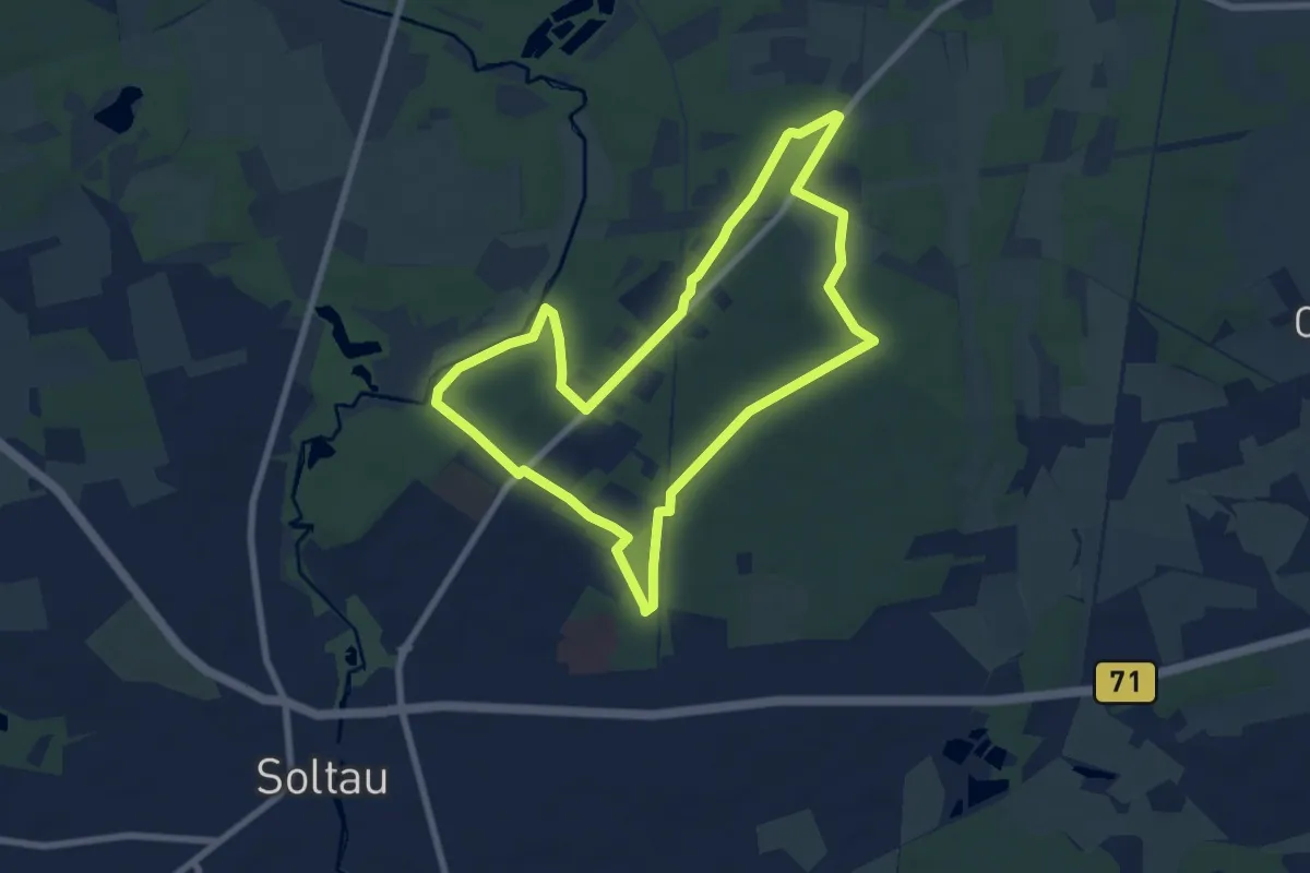
Easy · Trail
Wanderweg Eichhörnchen
6.7 km · ↑ 26 m · 1 h 44 min