Trails in Germany
36,852 hiking trails, each with its route, climb, walking time and grade.
All trails, page 700 of 768
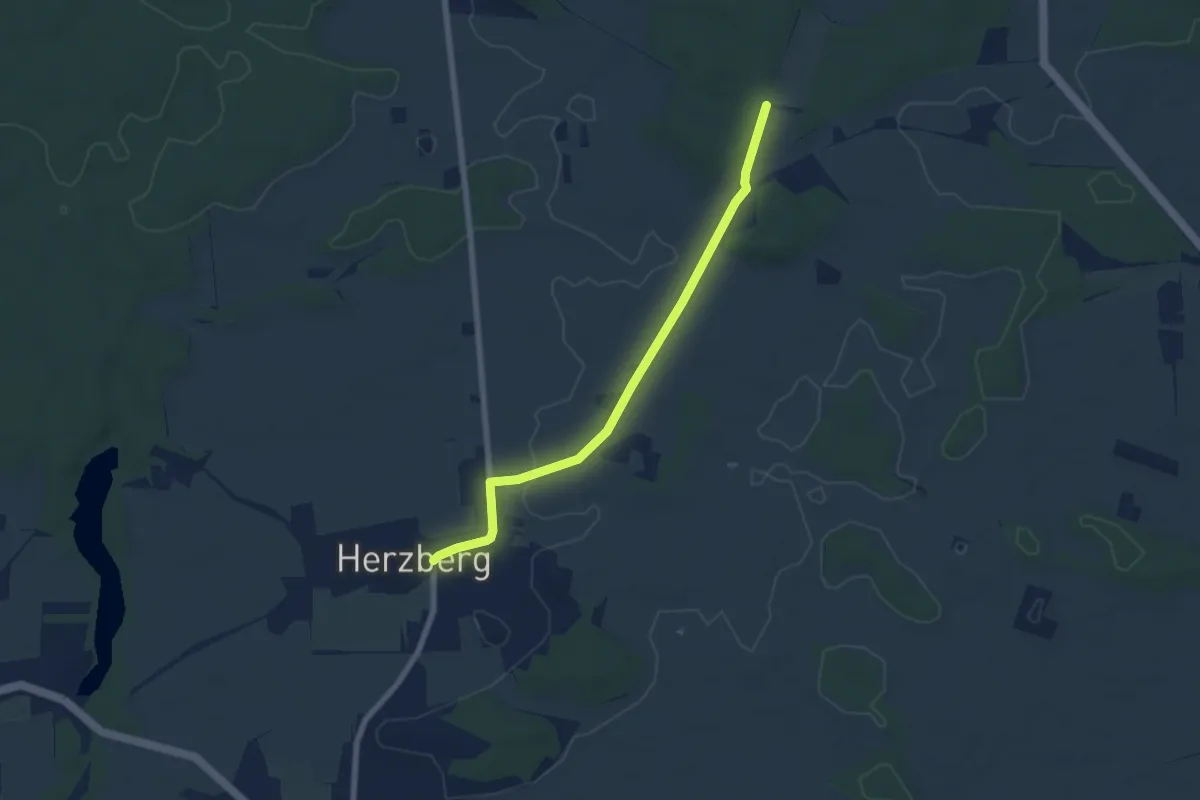
Easy · Trail
Wanderweg Herzberg - Krachtsheide
5.9 km · ↑ 26 m · 1 h 26 min
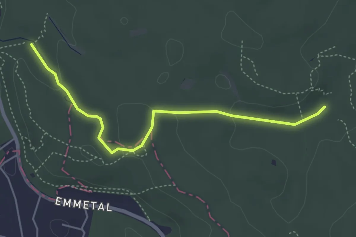
Easy · Trail
Wanderweg HF-WFR
3.7 km · ↑ 75 m · 1 h 2 min
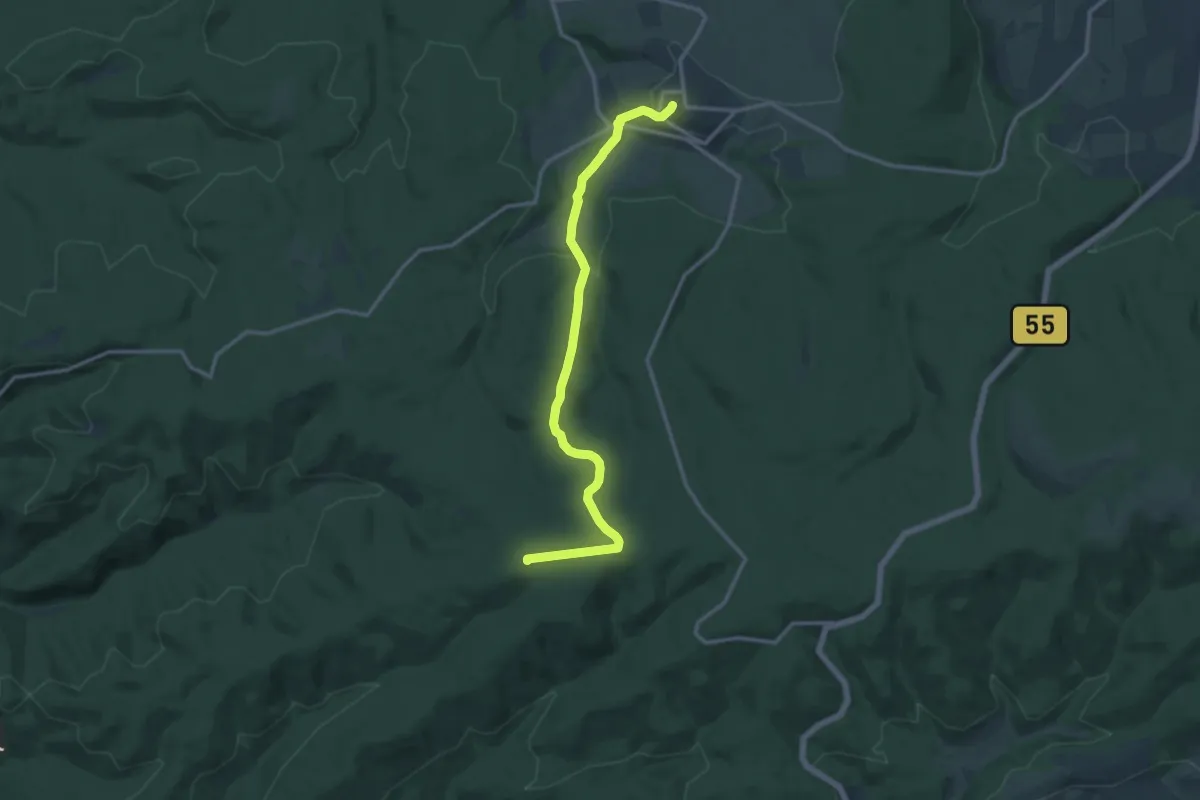
Medium · Summit
Wanderweg Hirschberg-Freienohl
12.4 km · ↑ 330 m · 3 h 39 min
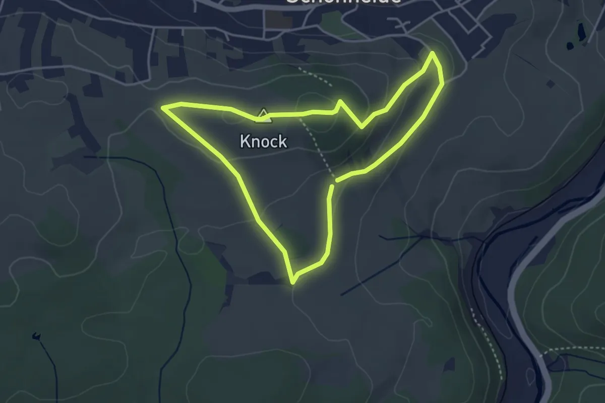
Easy · Summit
Wanderweg Historische Ski
3.3 km · ↑ 77 m · 1 h
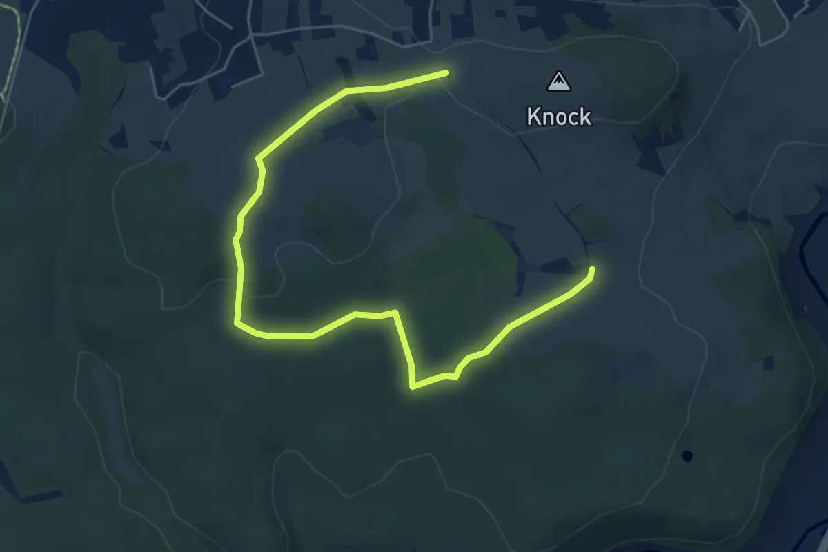
Easy · Trail
Wanderweg Historische Ski - Erweiterung 1
6.0 km · ↑ 79 m · 1 h 35 min
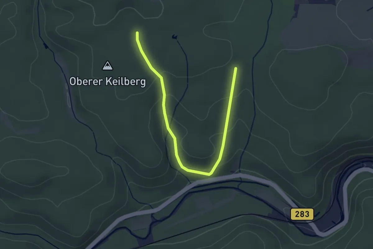
Easy · Trail
Wanderweg Historische Ski - Erweiterung 2
3.5 km · ↑ 127 m · 1 h 7 min
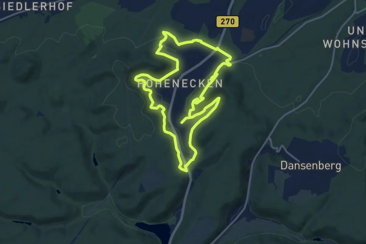
Medium · Trail
Wanderweg Hohenecken 1
9.9 km · ↑ 402 m · 3 h 20 min
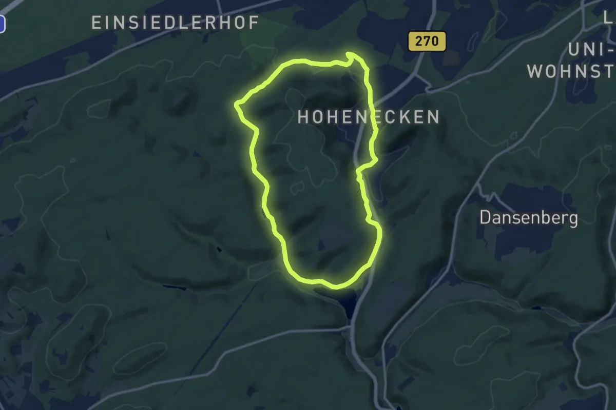
Medium · Trail
Wanderweg Hohenecken 2
9.4 km · ↑ 156 m · 2 h 41 min
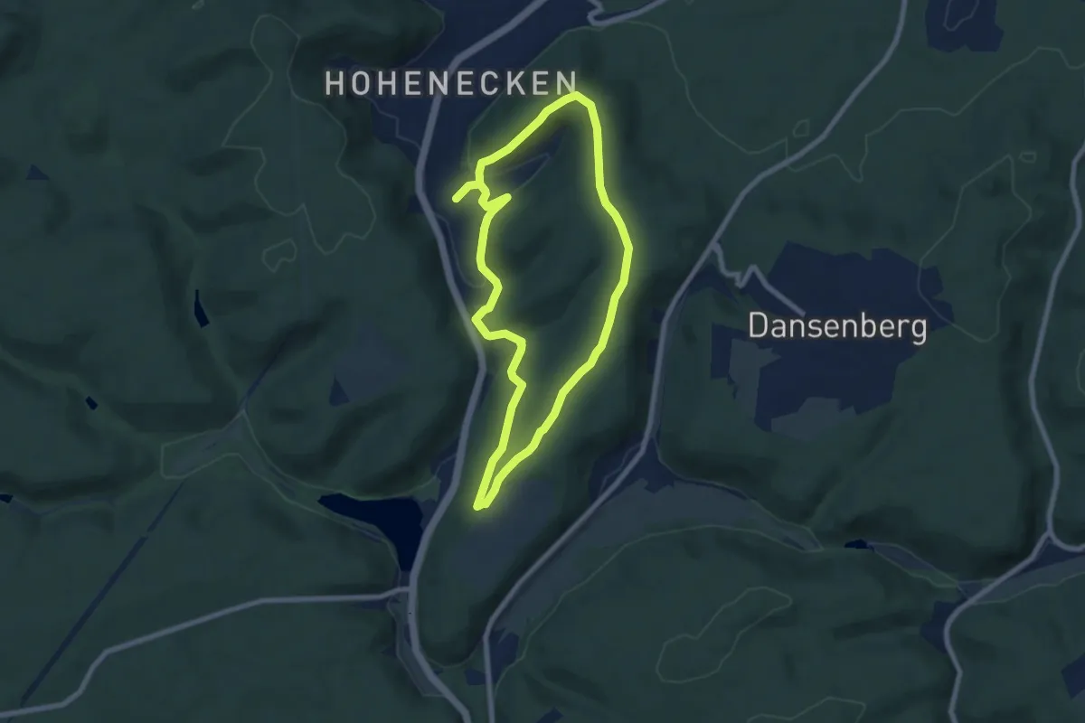
Easy · Trail
Wanderweg Hohenecken 3
6.3 km · ↑ 137 m · 1 h 52 min
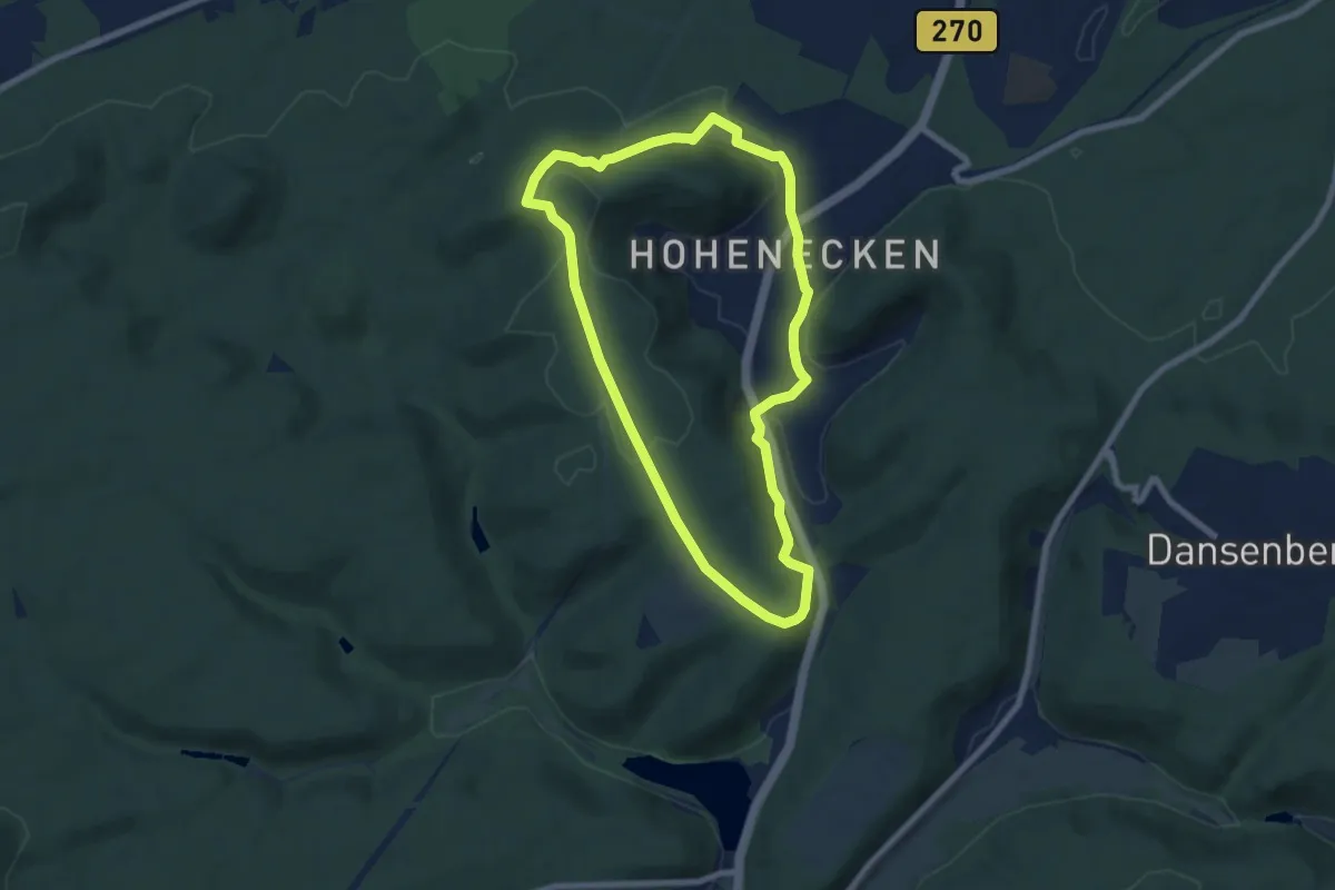
Easy · Summit
Wanderweg Hohenecken 4
6.6 km · ↑ 157 m · 2 h
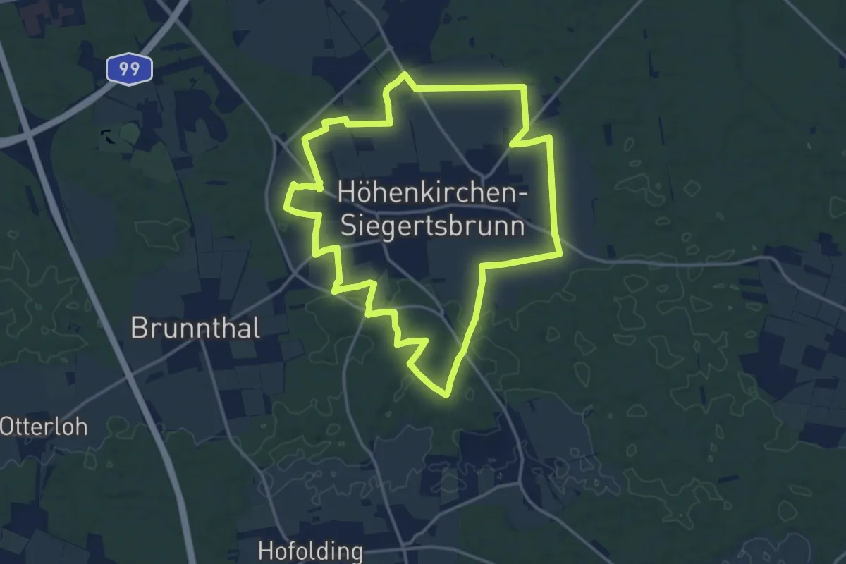
Medium · Trail
Wanderweg Höhenkirchen-Siegertsbrunn
14.0 km · ↑ 59 m · 3 h 38 min
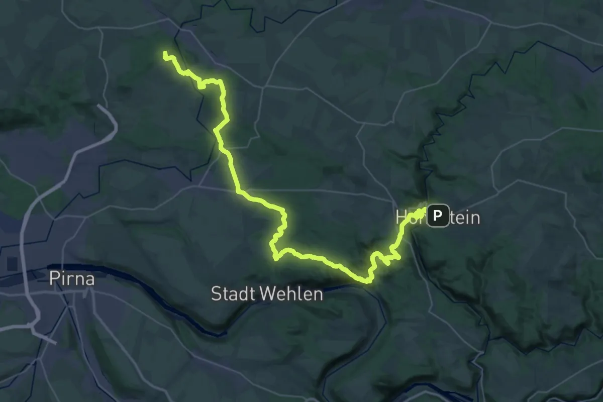
Demanding · Summit
Wanderweg Hohnstein-Schöne Höhe
41.1 km · ↑ 1164 m · 12 h 13 min
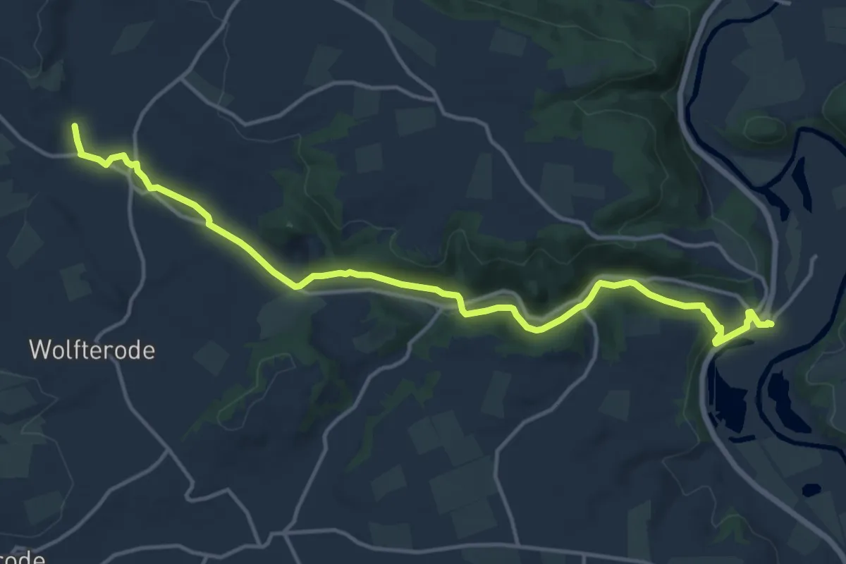
Medium · Trail
Wanderweg Höllental
13.6 km · ↑ 177 m · 3 h 36 min
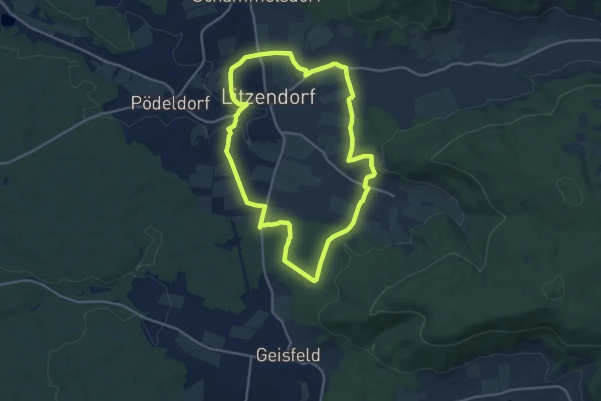
Medium · Trail
Wanderweg Hügelgräber - Sängerehrenmal
9.5 km · ↑ 144 m · 2 h 41 min
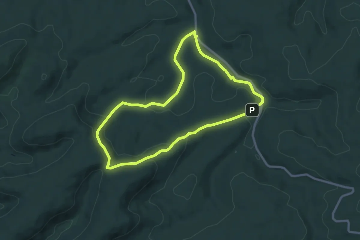
Easy · Trail
Wanderweg Hungerbrunnen 2
5.8 km · ↑ 146 m · 1 h 45 min
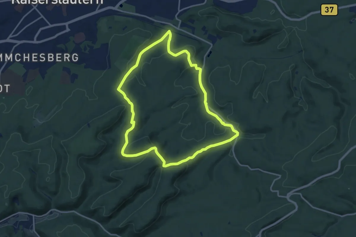
Medium · Summit
Wanderweg Hungerbrunnen / Quack 3
11.0 km · ↑ 274 m · 3 h 21 min
Demanding · Summit
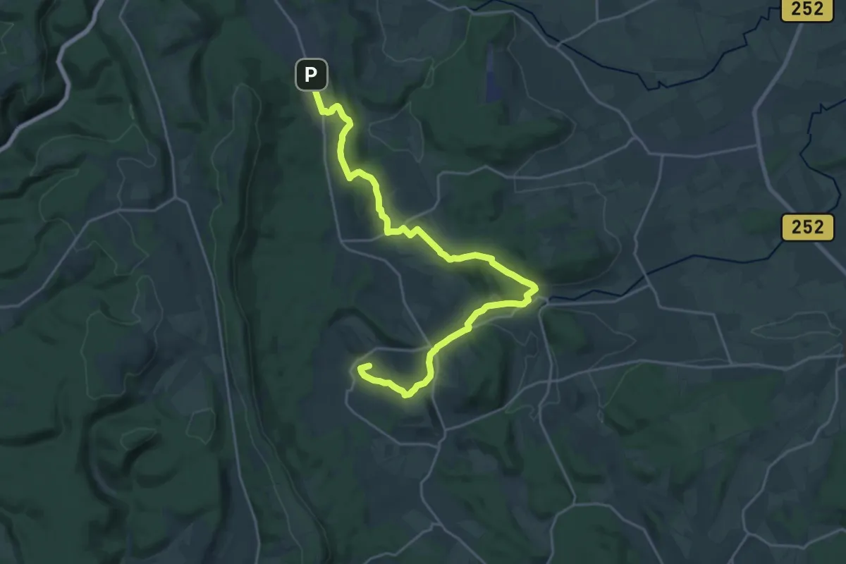
Wanderweg II Horn-Bad Meinberg - Altenbeken
21.9 km · ↑ 410 m · 6 h 4 min
Demanding · Summit
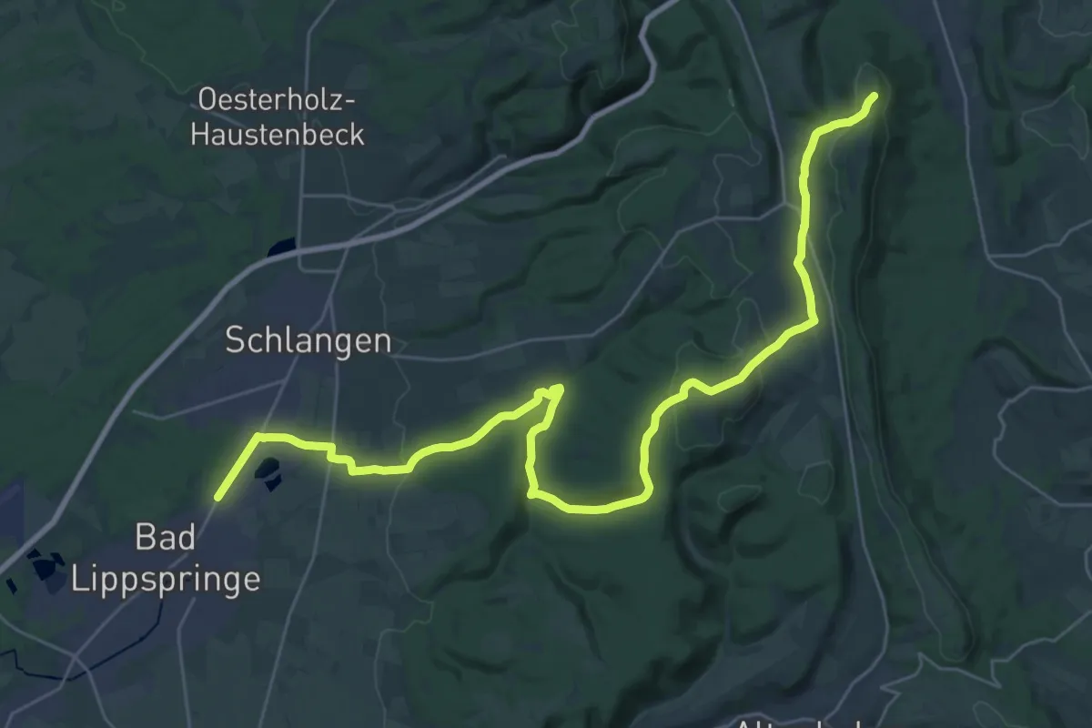
Wanderweg I Leopoldstal-Bad Lippspringe
33.1 km · ↑ 622 m · 9 h 10 min
Easy · Trail
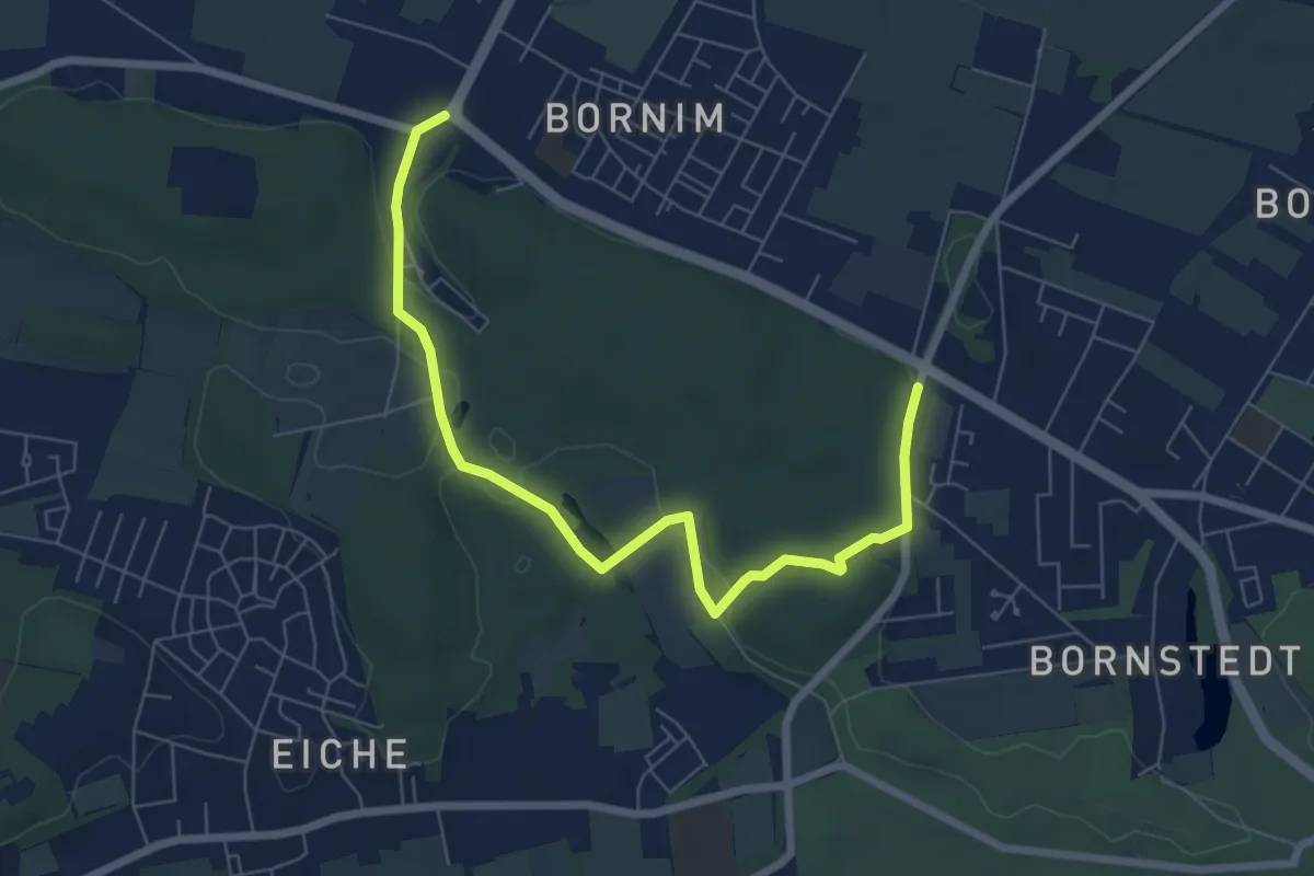
Wanderweg Im Katharinenholz
6.8 km · ↑ 81 m · 1 h 47 min
Medium · Trail
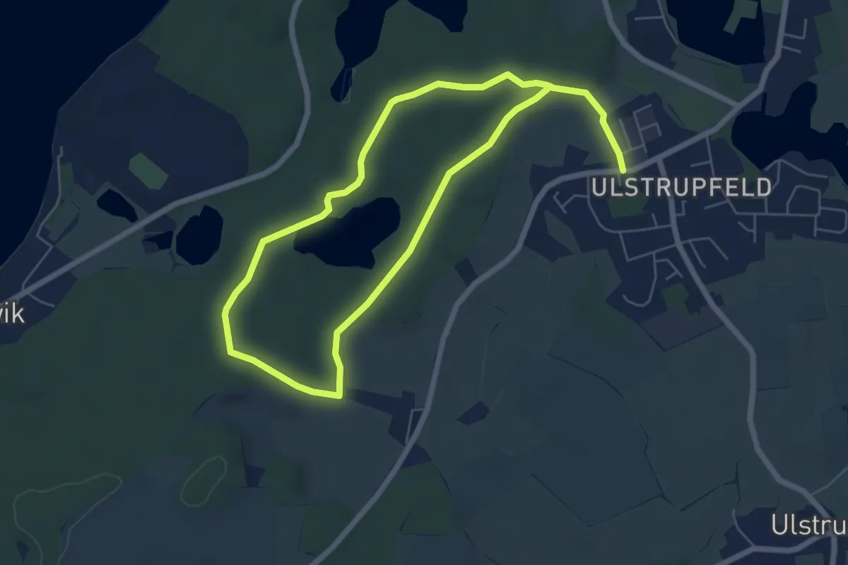
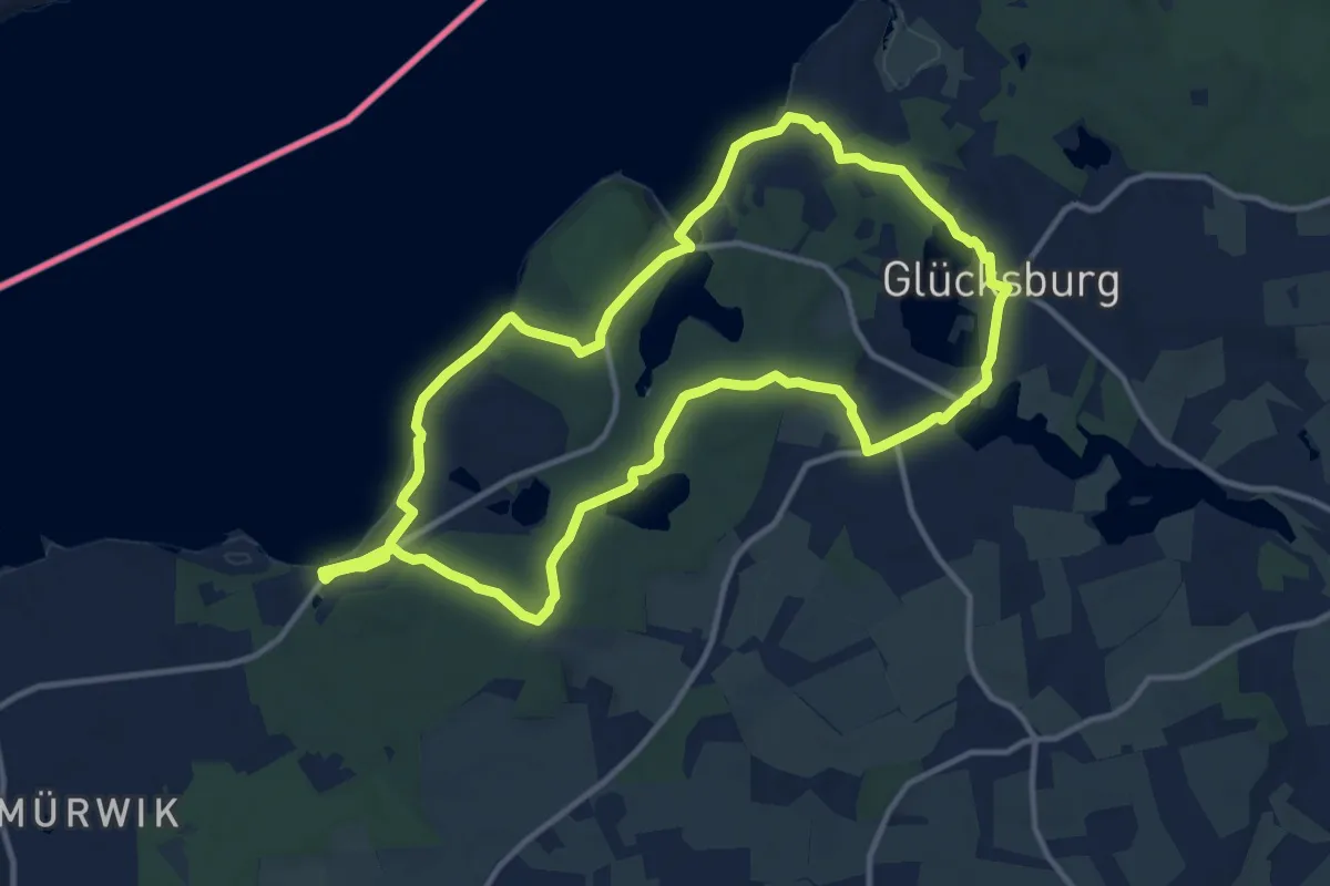
Wanderweg in Glücksburg
8.7 km · ↑ 73 m · 2 h 13 min
Medium · Trail
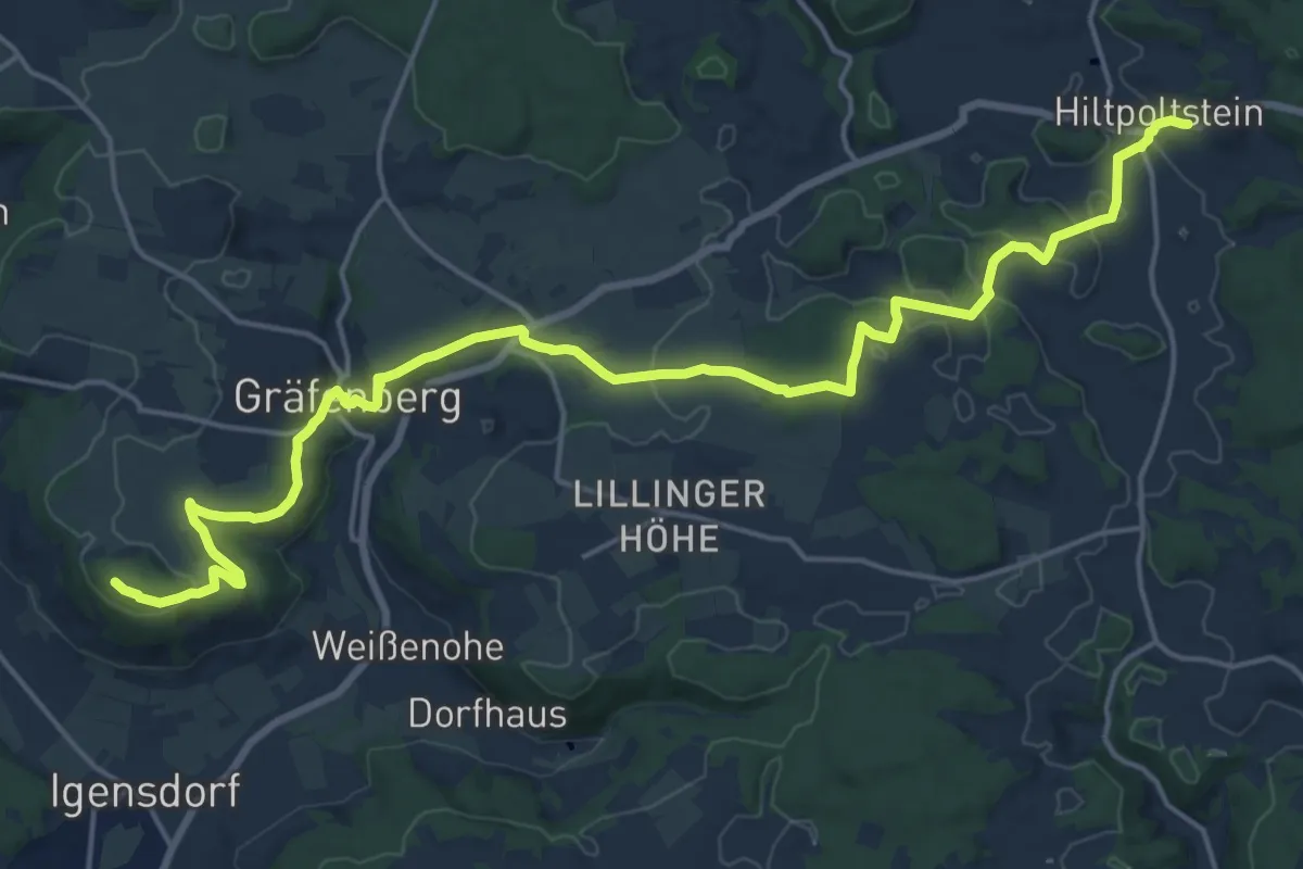
Wanderweg in Glücksburg
10.2 km · ↑ 99 m · 2 h 46 min
Demanding · Summit
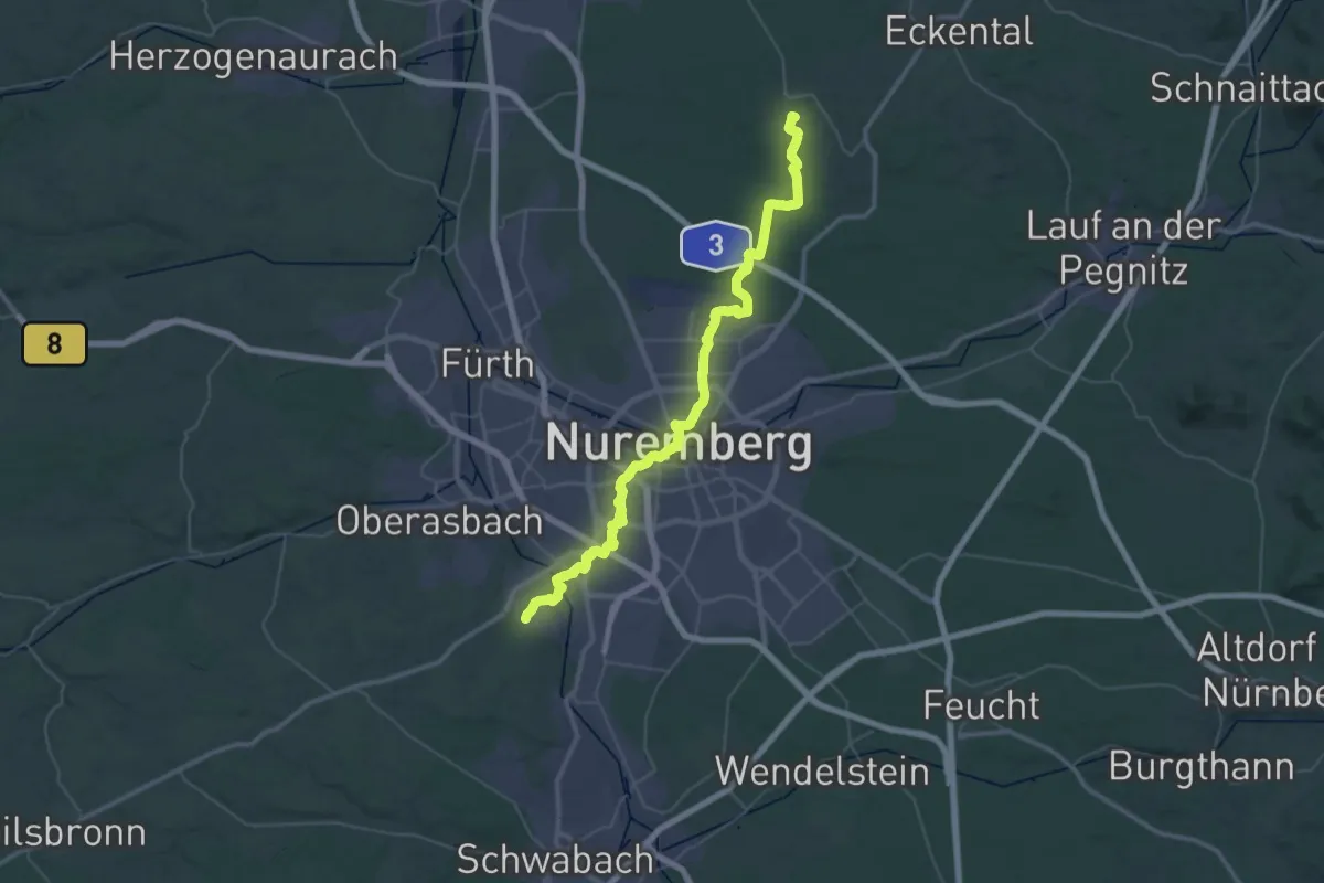
Wanderweg Jakobsweg Hiltpoltstein - Kleinsendelbach
20.9 km · ↑ 402 m · 5 h 49 min
Demanding · Summit
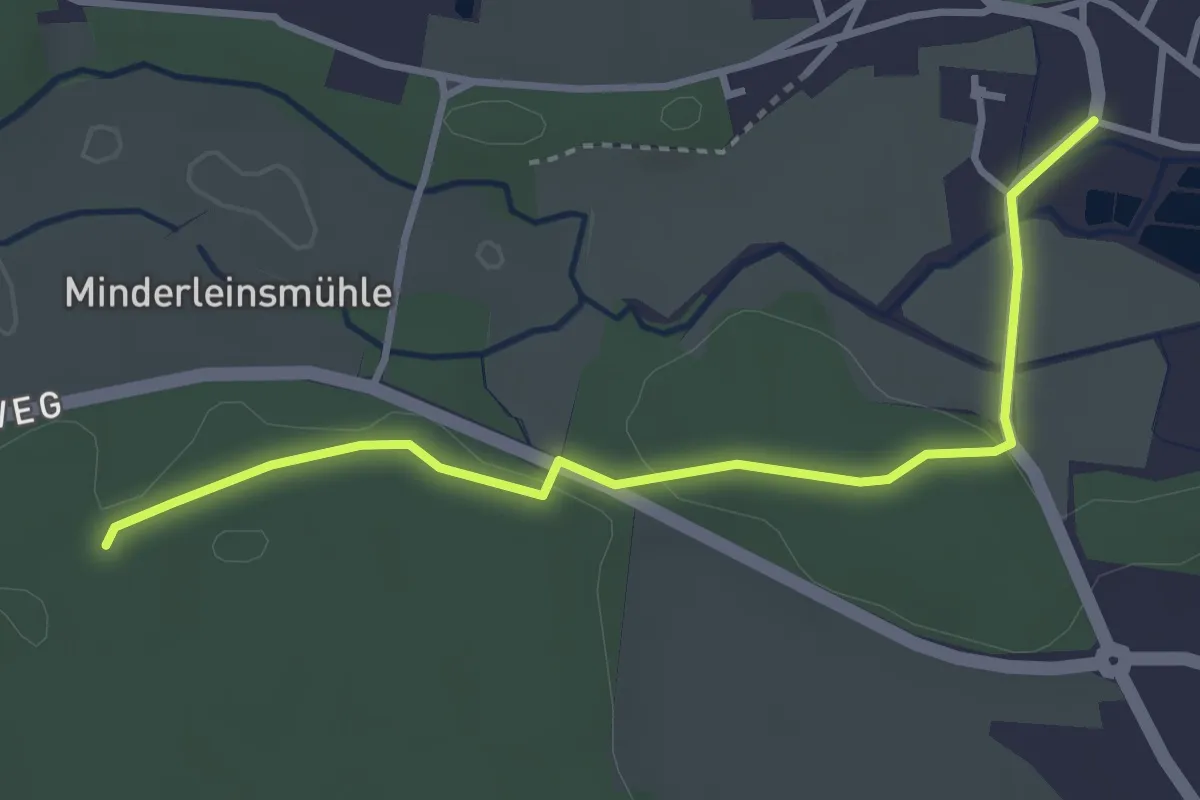
Wanderweg Jakobsweg III
25.9 km · ↑ 205 m · 6 h 53 min
Easy · Pilgrim path
Wanderweg Jakobsweg IV
1.7 km · ↑ 15 m · 27 min
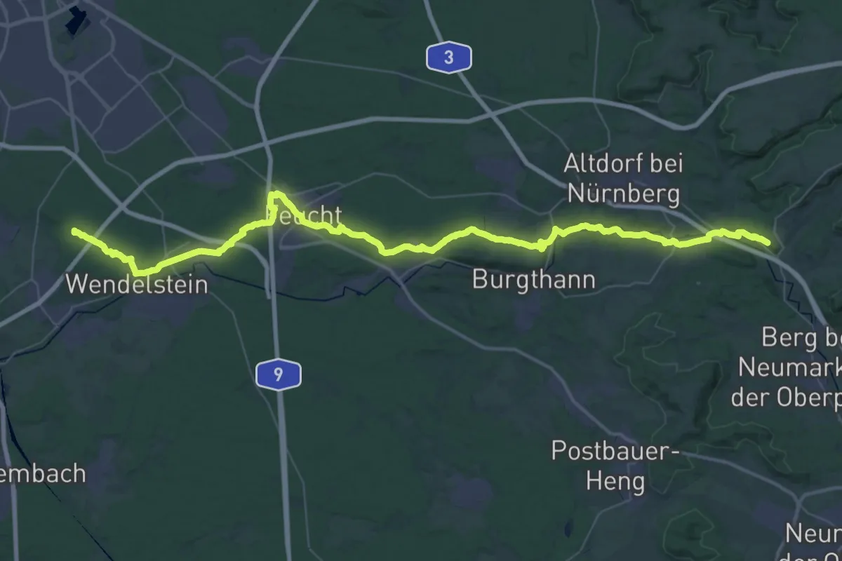
Demanding · Summit
Wanderweg Jakobsweg Tillyschanz > Nürnberg, Abschnitt Ensdorf - Stein
56.2 km · ↑ 641 m · 14 h 39 min
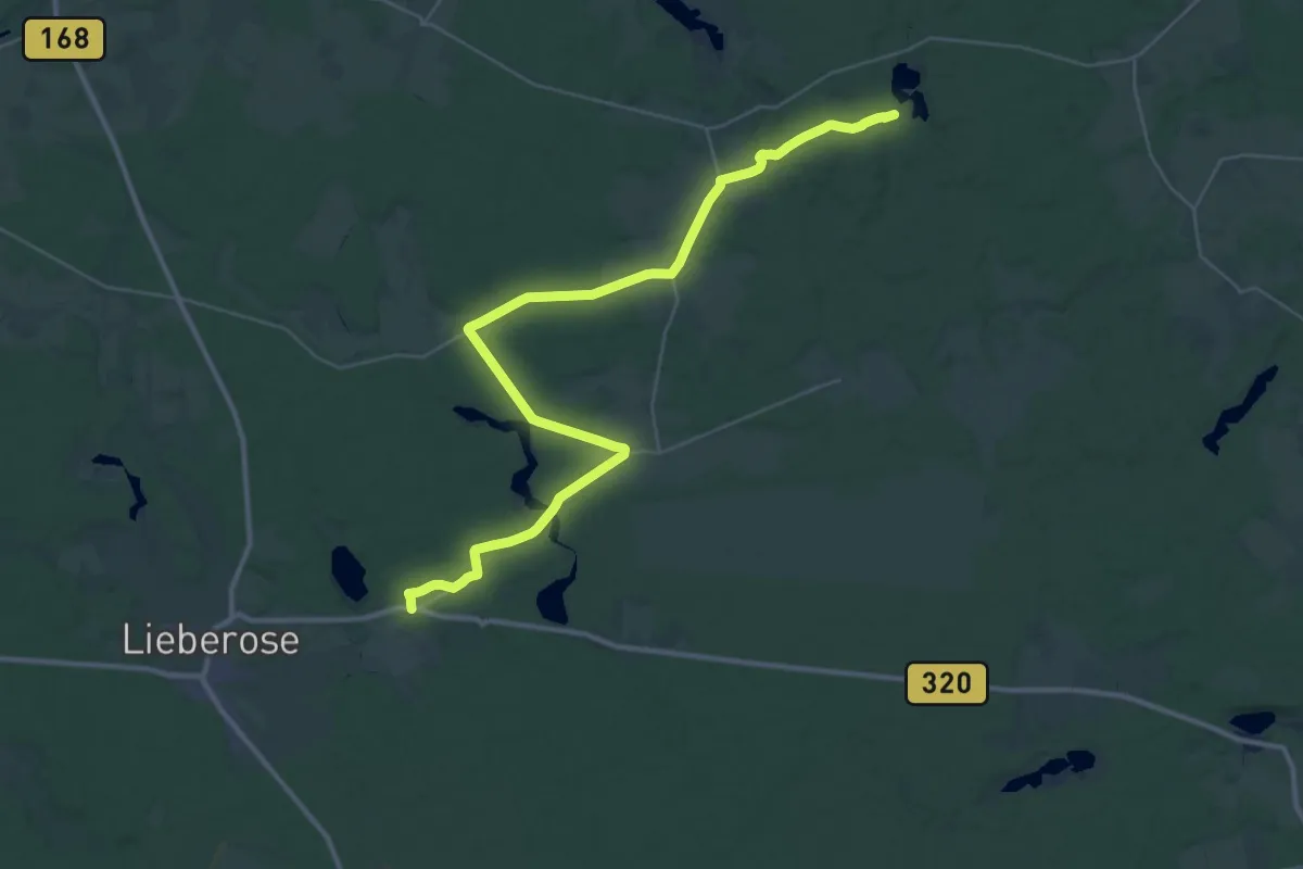
Demanding · Trail
Wanderweg Jämlitz-Leeskow- Ullersdorf-Groß Mukrow-Wirchensee.
18.7 km · ↑ 125 m · 4 h 56 min
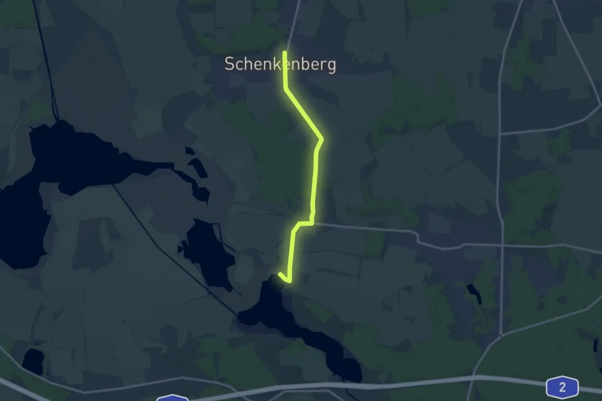
Medium · Summit
Wanderweg Jeserig - Trechwitz - Netzen
9.2 km · ↑ 34 m · 2 h 15 min
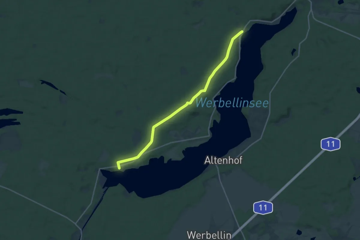
Medium · Trail
Wanderweg Joachimsthal - Gaststätte Spring
13.4 km · ↑ 73 m · 3 h 19 min
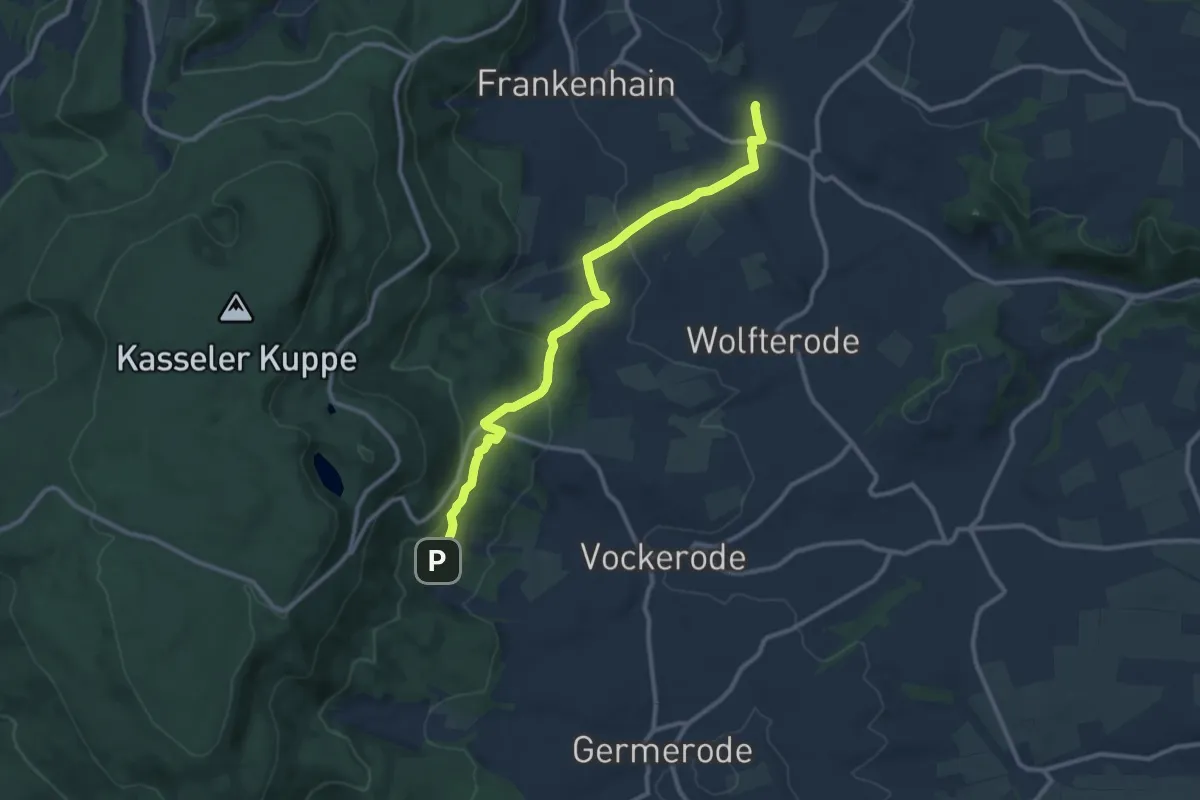
Medium · Trail
Wanderweg Jugenddorf - Hielöcher
10.0 km · ↑ 308 m · 3 h 2 min
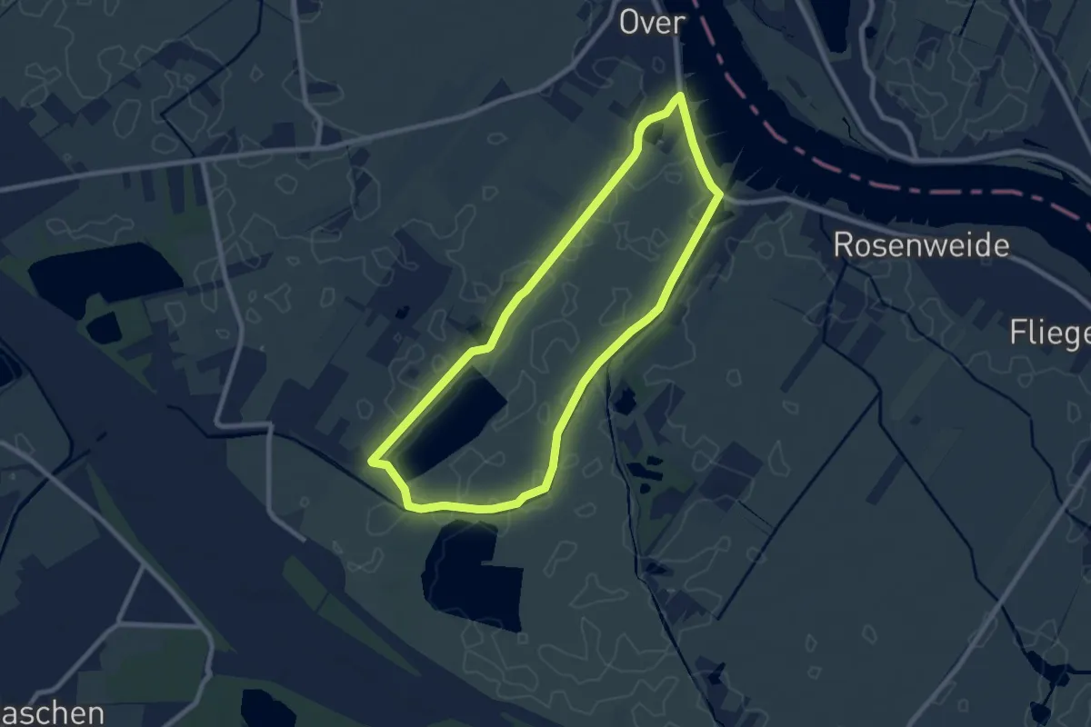
Easy · Trail
Wanderweg Junkernfeld
7.0 km · ↑ 4 m · 1 h 45 min
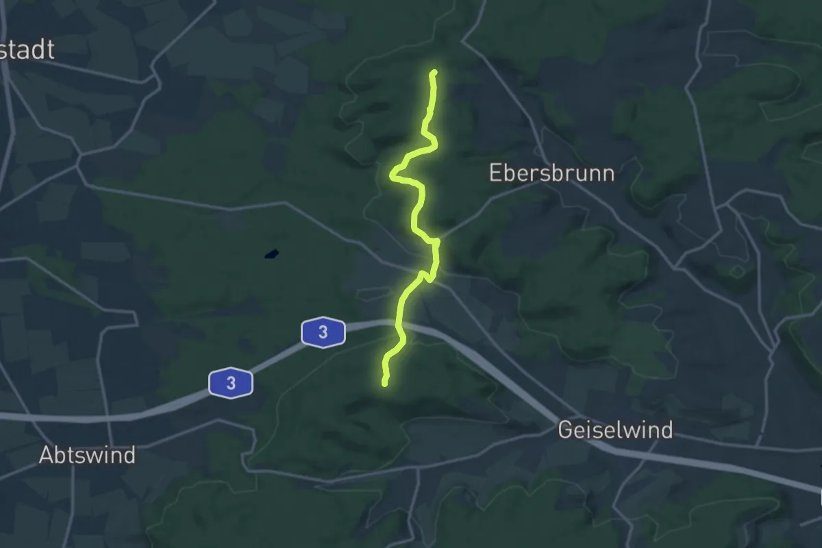
Medium · Summit
Wanderweg K2
11.0 km · ↑ 242 m · 3 h 7 min
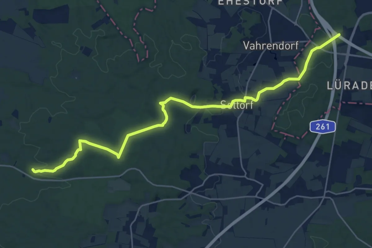
Demanding · Trail
Wanderweg KA-A
18.8 km · ↑ 192 m · 4 h 51 min
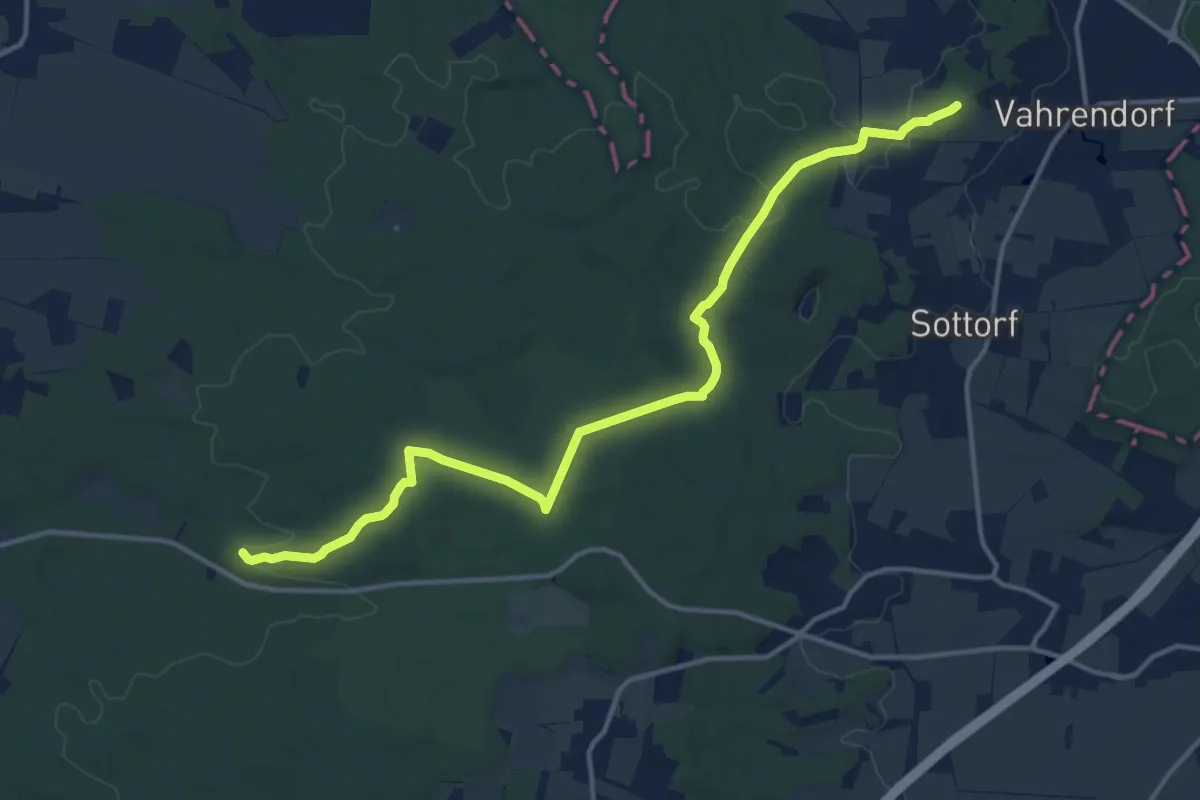
Medium · Summit
Wanderweg KA-KI
13.5 km · ↑ 212 m · 3 h 39 min
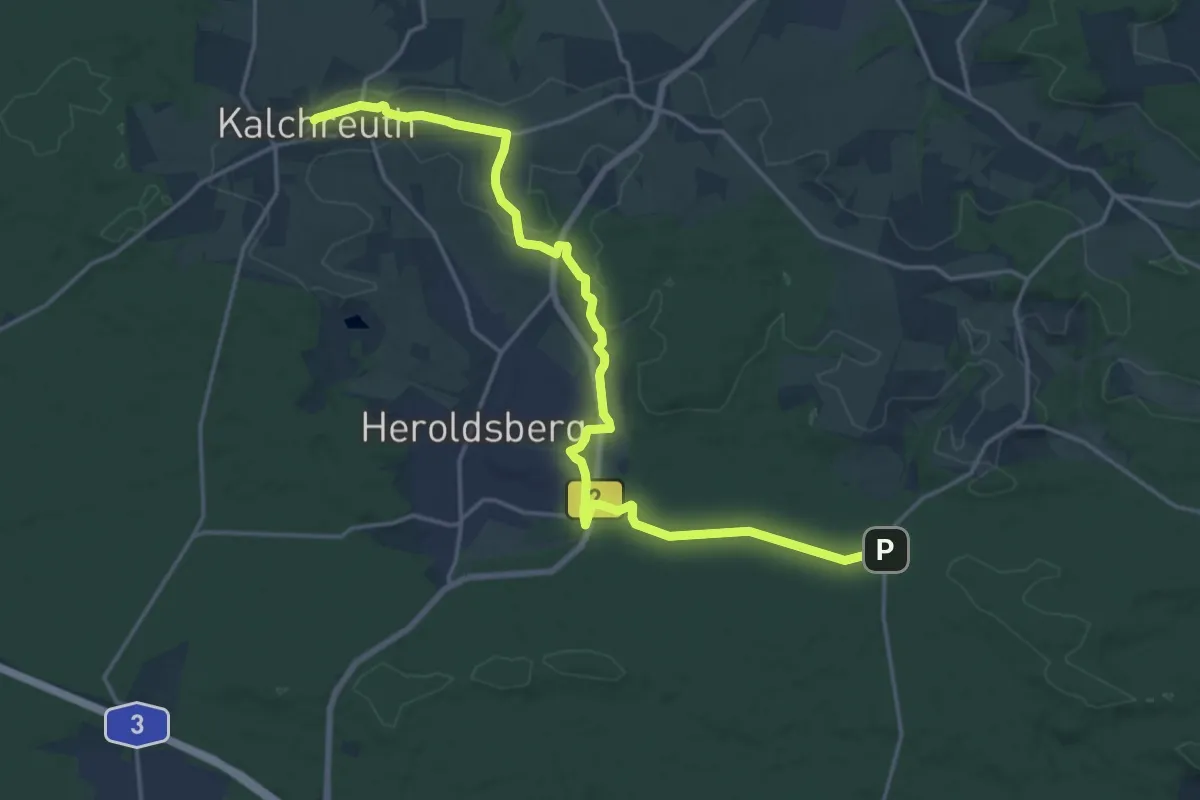
Demanding · Trail
Wanderweg Kalchreuth – Haidberg
19.6 km · ↑ 207 m · 5 h 5 min
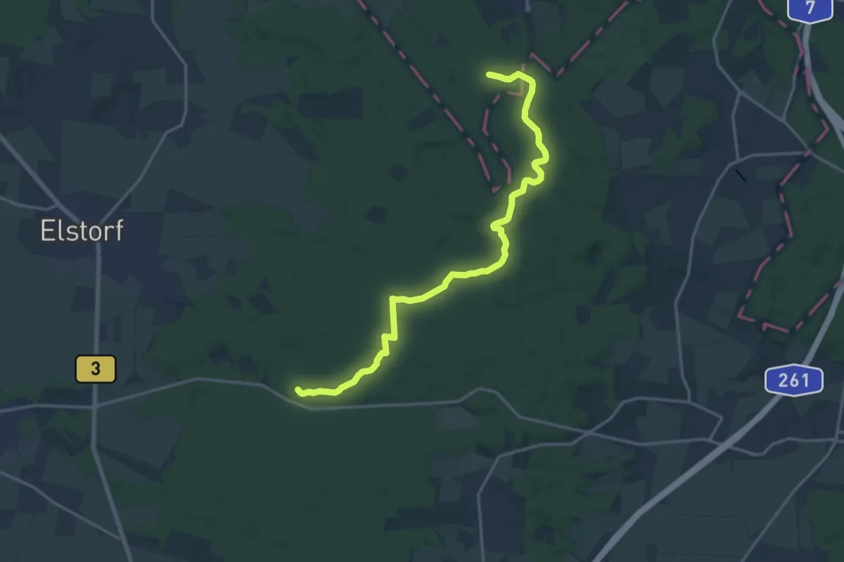
Medium · Trail
Wanderweg KA-N
14.2 km · ↑ 186 m · 3 h 45 min
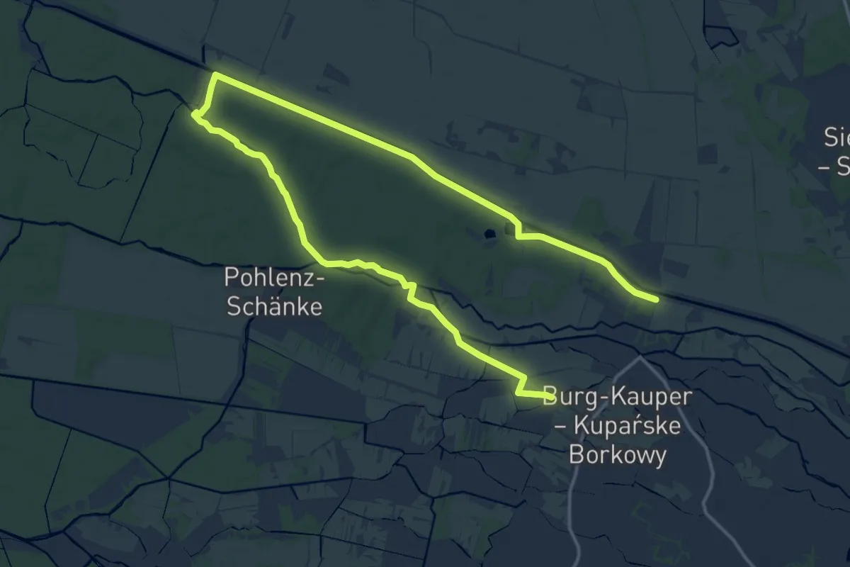
Demanding · Trail
Wanderweg Kannomühle-Burg...
20.3 km · ↑ 18 m · 4 h 50 min
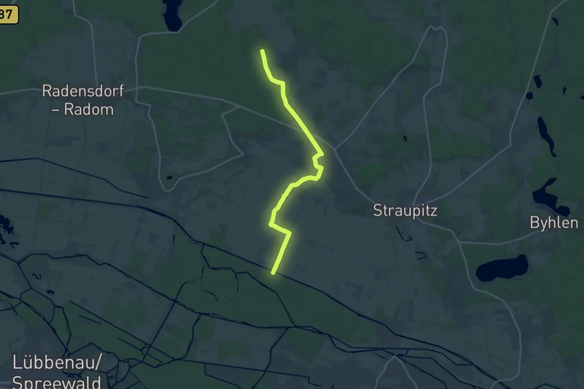
Medium · Trail
Wanderweg Kannomühle - Neu Zauche - Caminchen
17.7 km · ↑ 50 m · 4 h 18 min
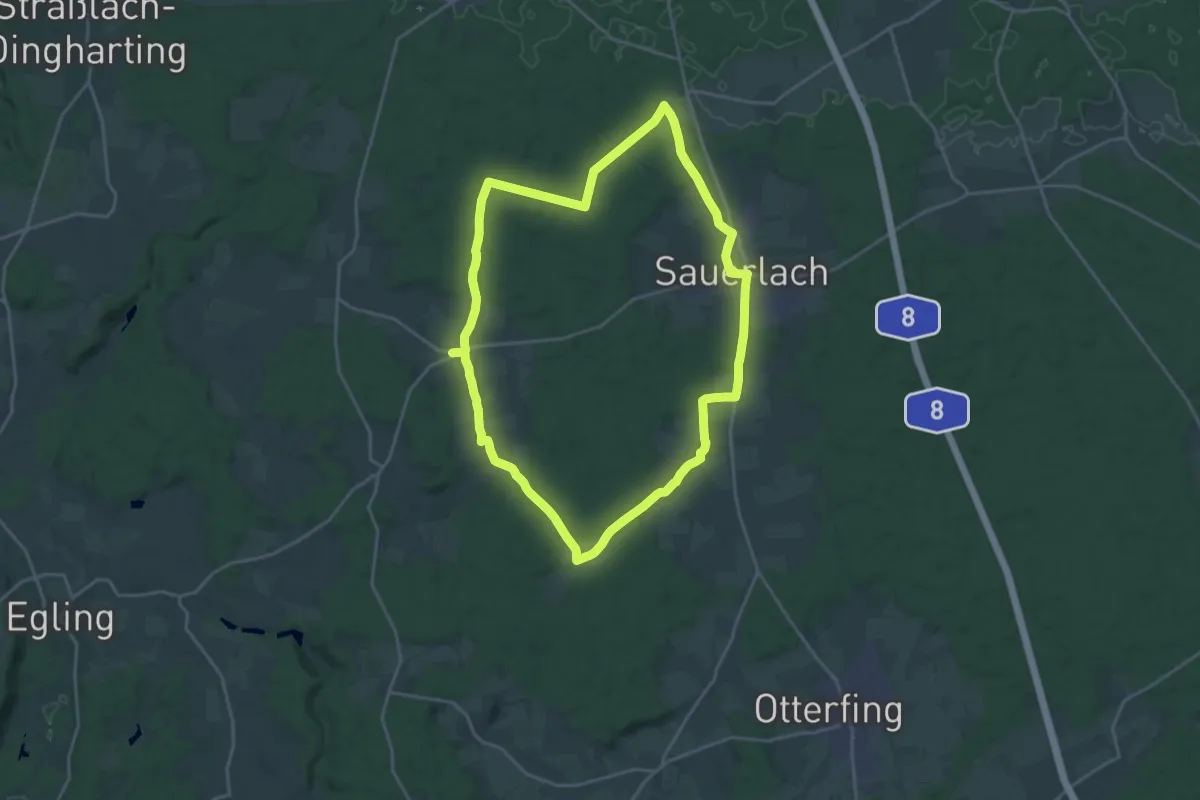
Demanding · Trail
Wanderweg Kapellen und Kirchen Sauerlach
20.1 km · ↑ 161 m · 5 h 23 min
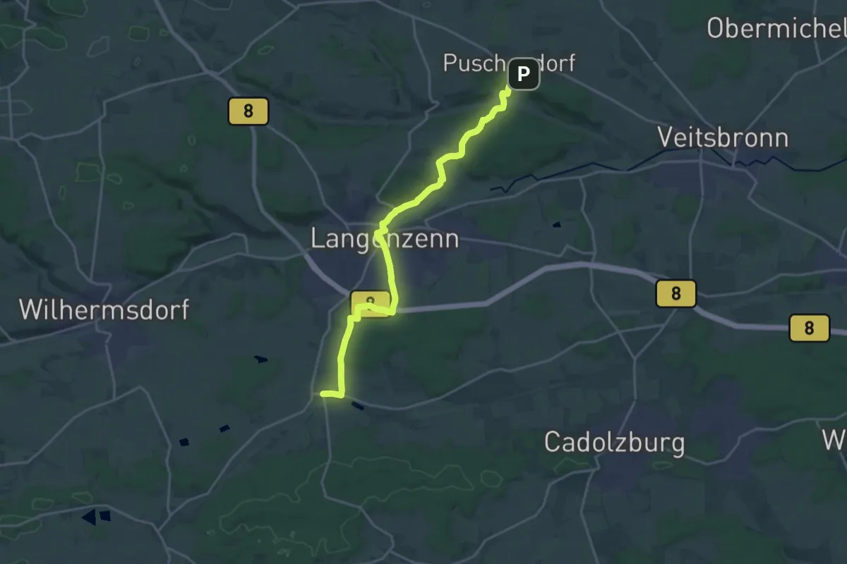
Demanding · Trail
Wanderweg Keidenzell - Puschendorf
19.1 km · ↑ 268 m · 5 h 5 min
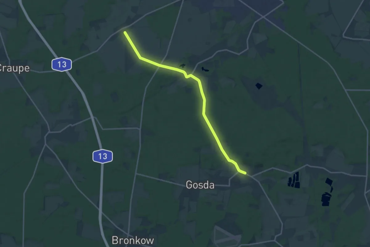
Medium · Trail
Wanderweg Kemmen-Weißag
13.2 km · ↑ 182 m · 3 h 31 min
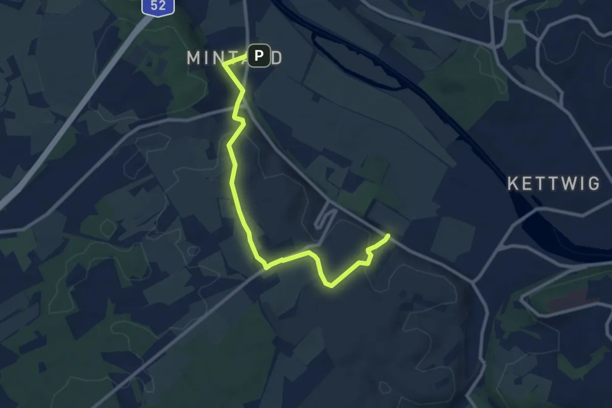
Easy · Trail
Wanderweg Kettwig A6
7.0 km · ↑ 142 m · 1 h 57 min
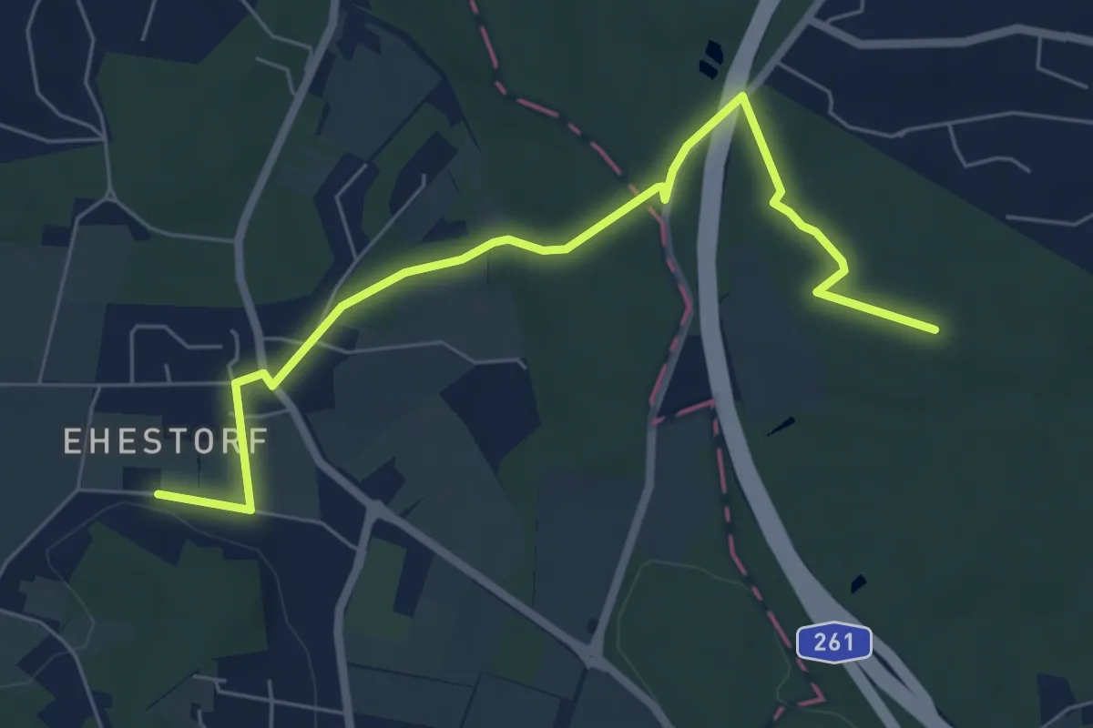
Easy · Trail
Wanderweg KI-A
5.9 km · ↑ 50 m · 1 h 31 min
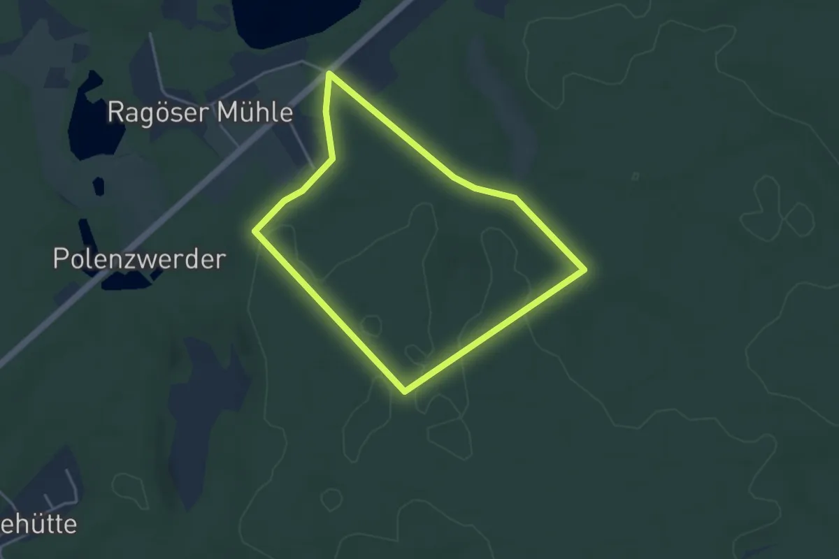
Easy · Trail
Wanderweg Kiefern Europas
3.0 km · ↑ 14 m · 47 min
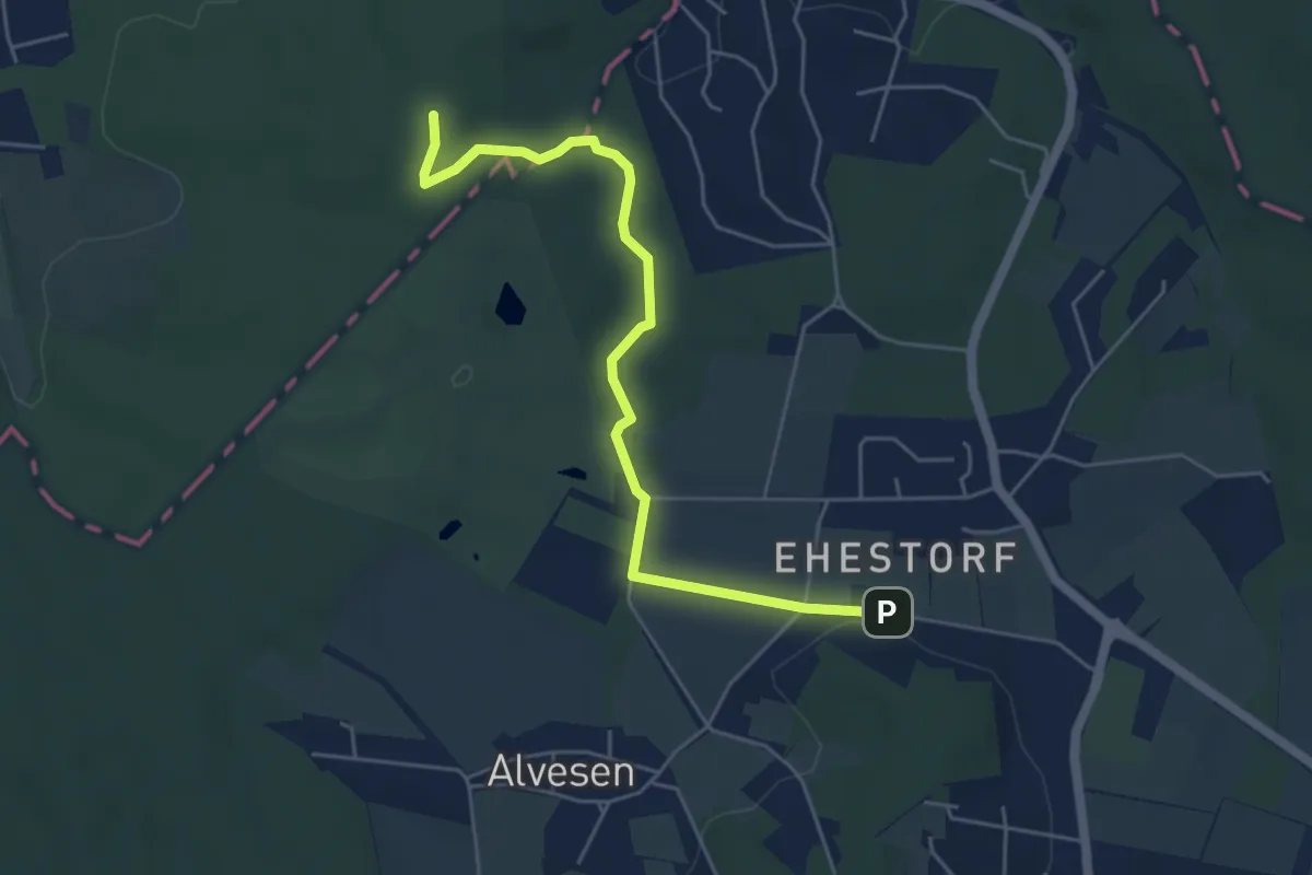
Easy · Trail
Wanderweg KI-N
4.7 km · ↑ 53 m · 1 h 13 min
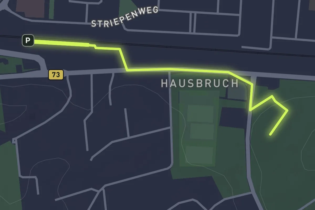
Easy · Summit
Wanderweg KI-NW
3.6 km · ↑ 20 m · 54 min
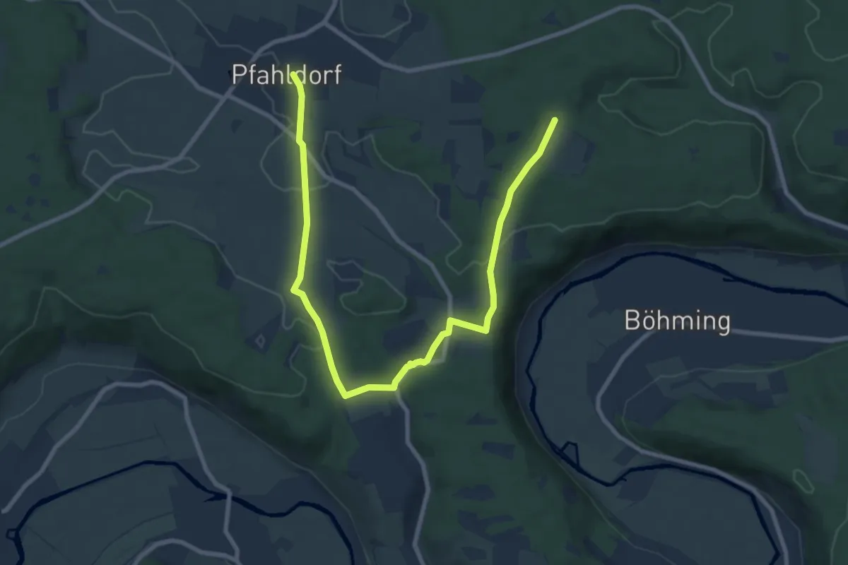
Medium · Trail
Wanderweg Kipfenberg 17
10.0 km · ↑ 155 m · 2 h 41 min
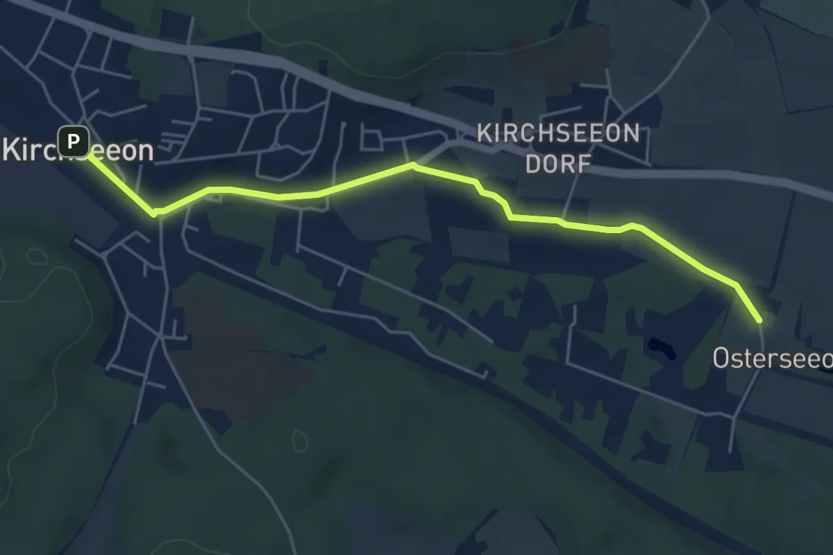
Easy · Trail
Wanderweg Kirchseeon - Grafing
5.0 km · ↑ 31 m · 1 h 14 min
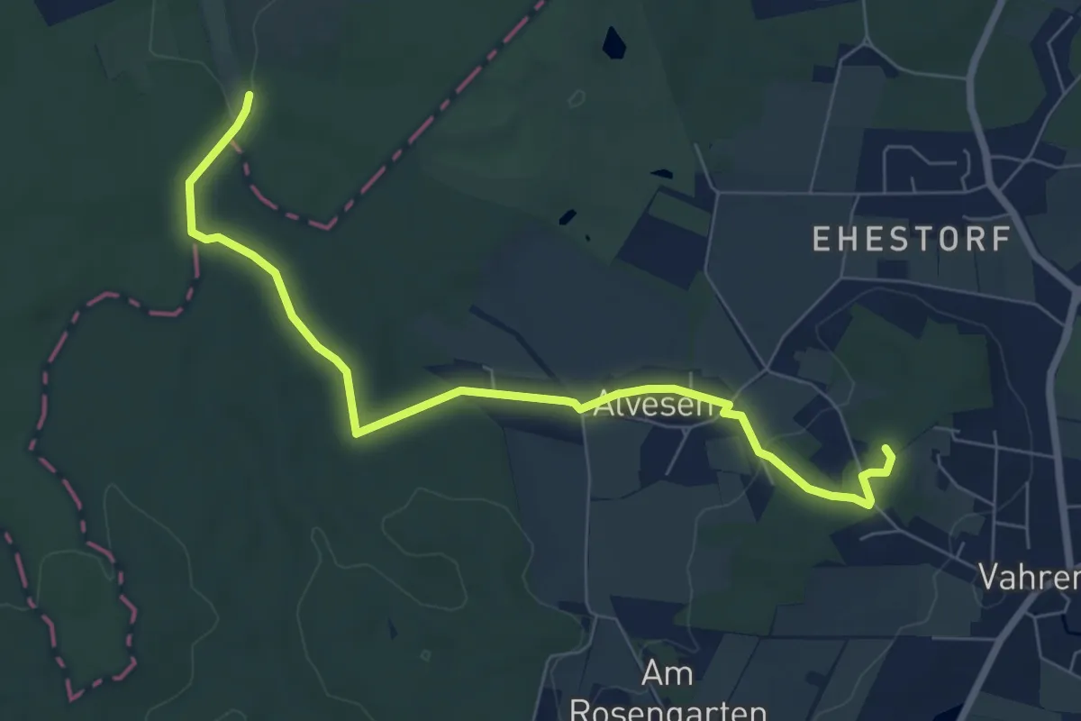
Easy · Summit
Wanderweg KI-WFR
6.6 km · ↑ 87 m · 1 h 44 min