Trails in Germany
36,852 hiking trails, each with its route, climb, walking time and grade.
All trails, page 701 of 768
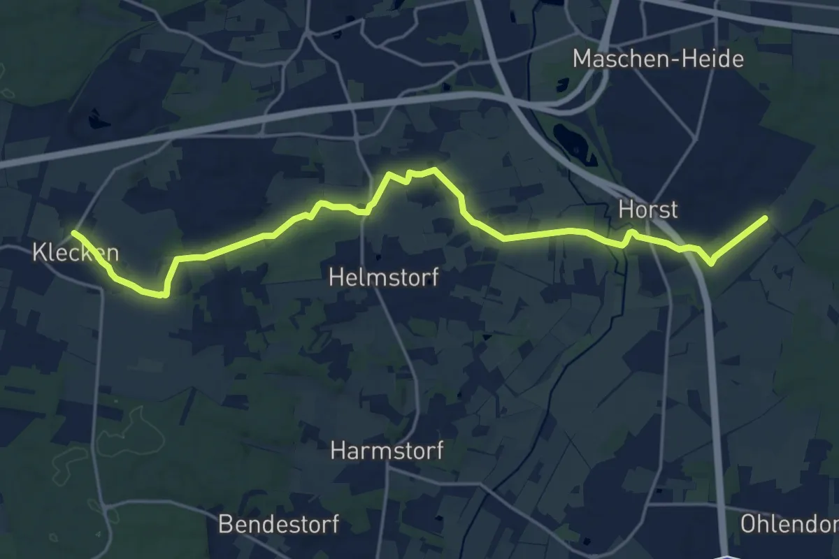
Medium · Trail
Wanderweg KL
18.0 km · ↑ 96 m · 4 h 27 min
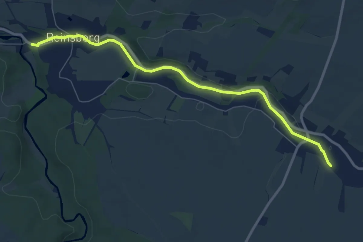
Easy · Trail
Wanderweg Kleinbahnstrecke
6.3 km · ↑ 44 m · 1 h 36 min
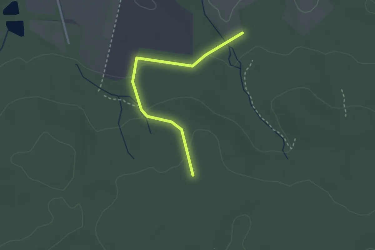
Easy · Trail
Wanderweg Kleine Hölle
2.3 km · ↑ 71 m · 42 min
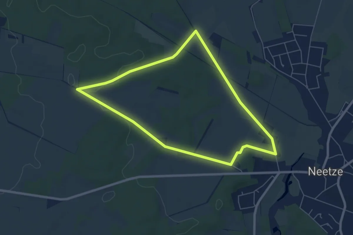
Easy · Trail
Wanderweg Kleiner Rehberg
5.0 km · ↑ 37 m · 1 h 20 min
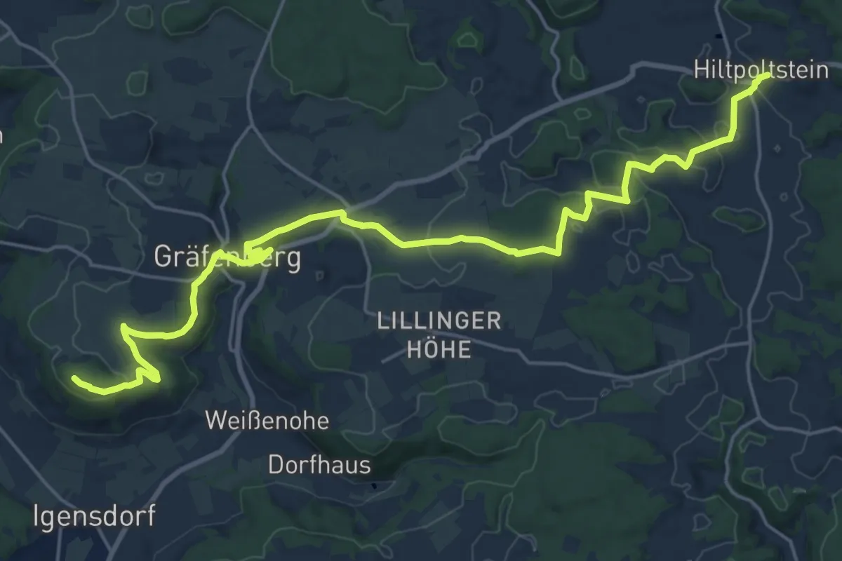
Demanding · Summit
Wanderweg Kleinsendelbach - Hiltpoltstein
22.0 km · ↑ 436 m · 6 h 8 min
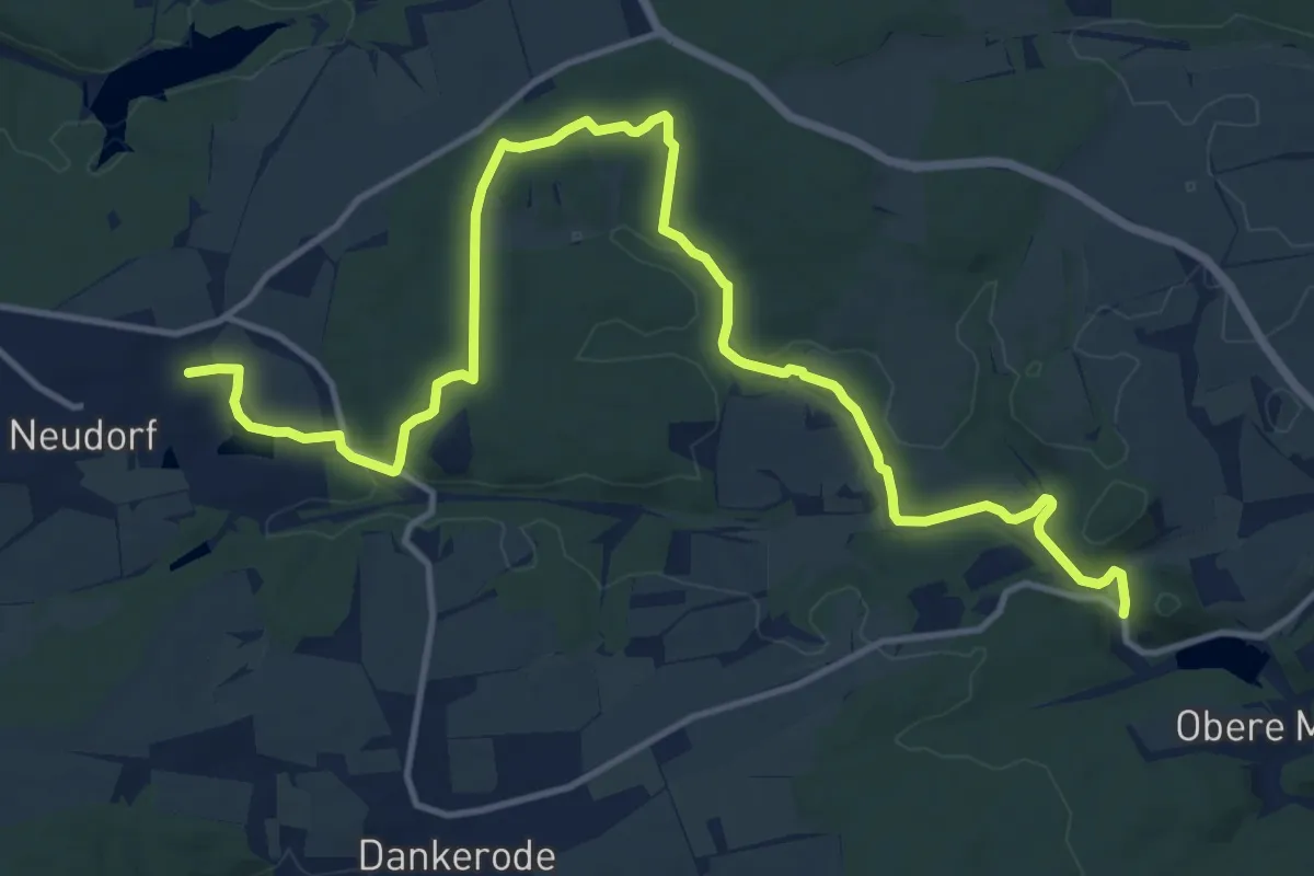
Medium · Trail
Wanderweg Königerode - Neudorf
15.1 km · ↑ 196 m · 3 h 59 min
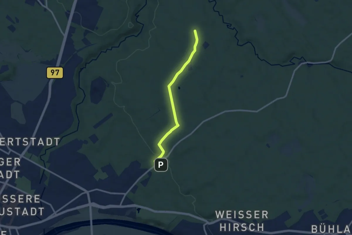
Easy · Trail
Wanderweg Königsplatz-Fischhaus
6.9 km · ↑ 88 m · 1 h 49 min
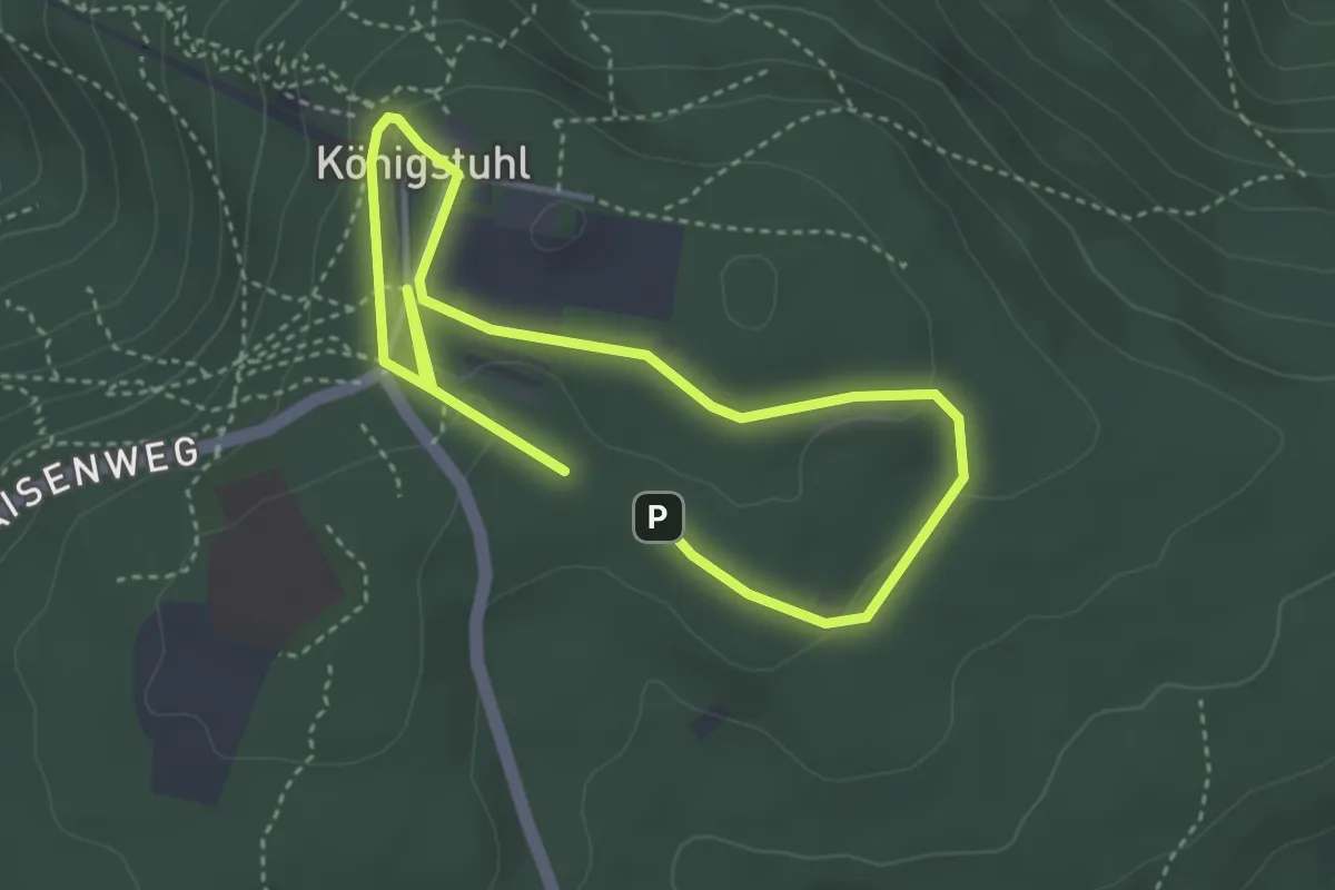
Easy · Summit
Wanderweg Königstuhl 1
2.8 km · ↑ 51 m · 48 min
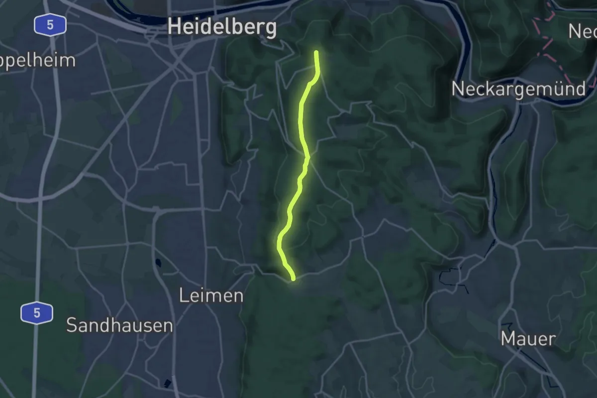
Medium · Trail
Wanderweg Königstuhl 10
12.2 km · ↑ 267 m · 3 h 27 min
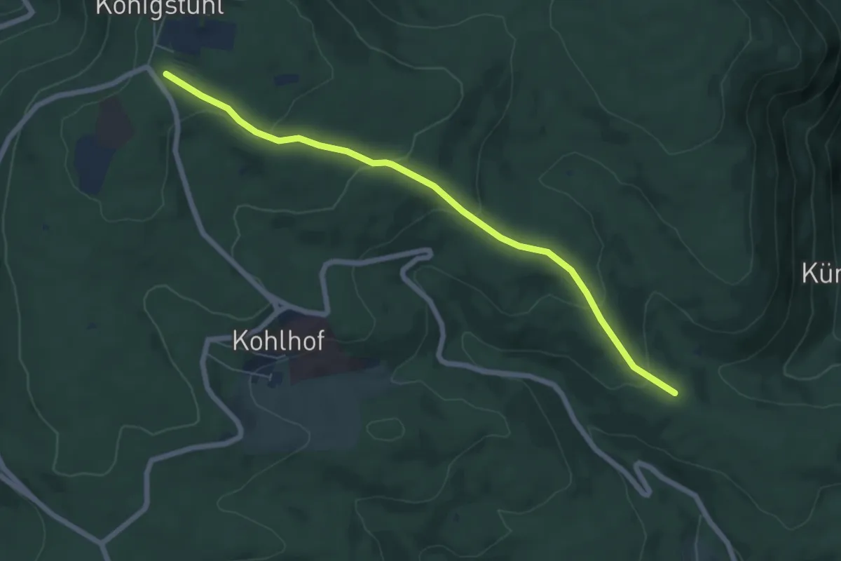
Easy · Trail
Wanderweg Königstuhl 11
6.0 km · ↑ 216 m · 1 h 54 min
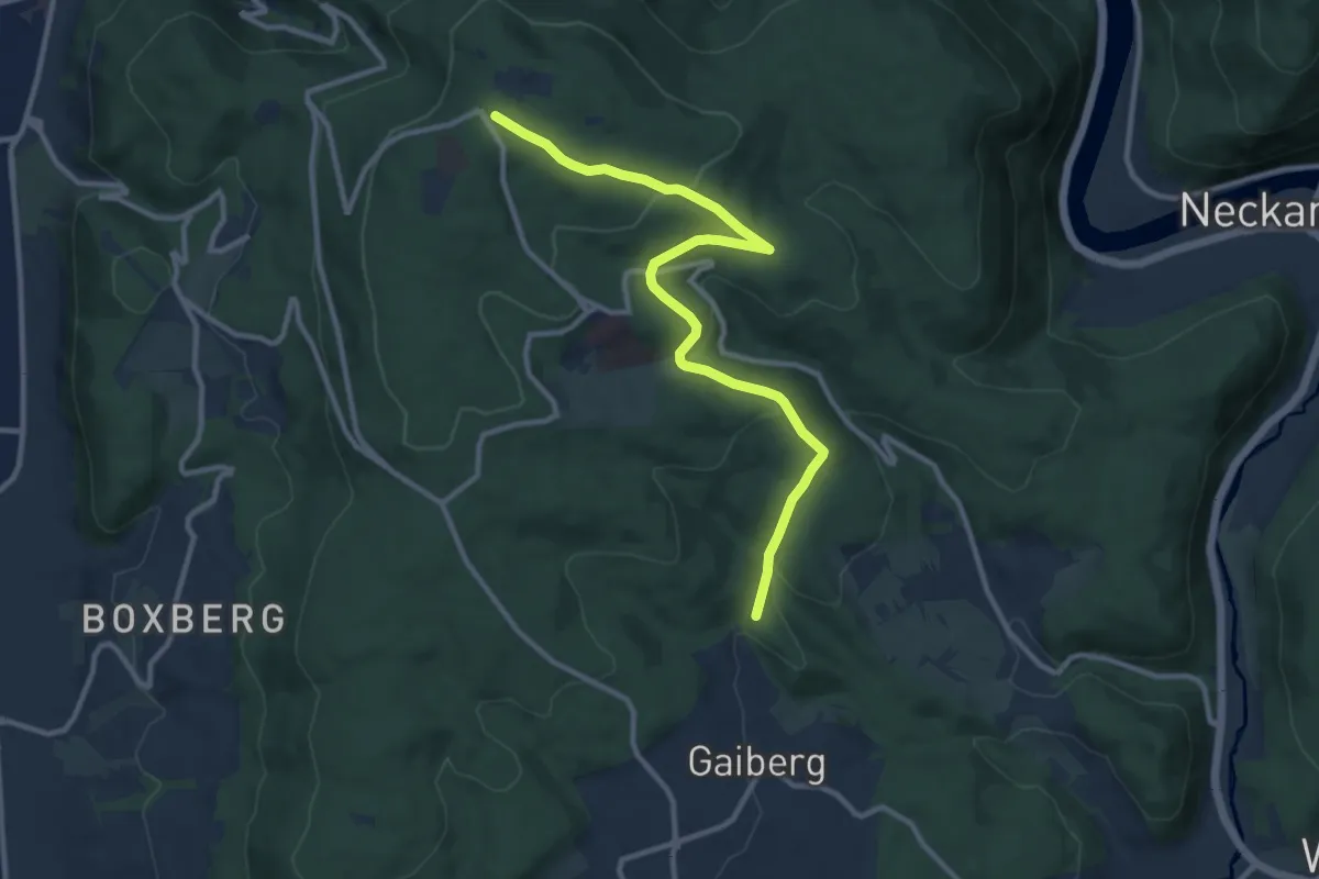
Medium · Trail
Wanderweg Königstuhl 12
10.7 km · ↑ 300 m · 3 h 11 min
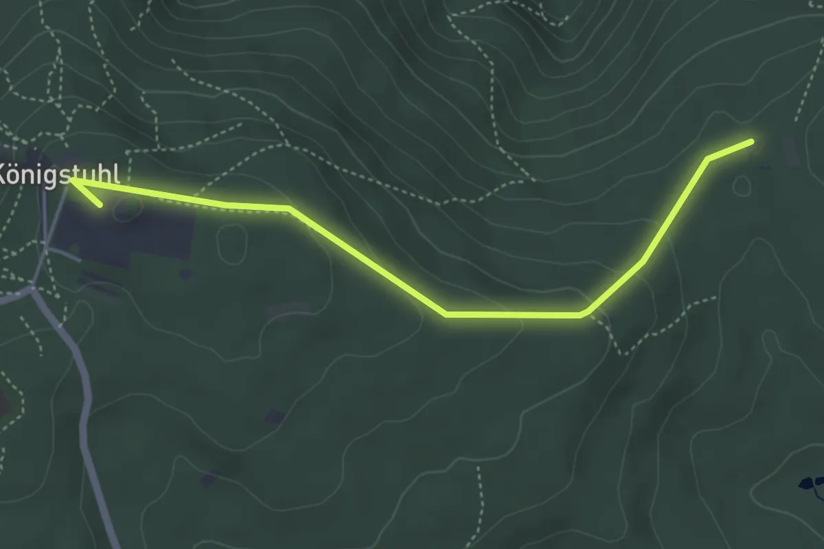
Easy · Summit
Wanderweg Königstuhl 13 nach Neckargemünd
4.4 km · ↑ 130 m · 1 h 19 min
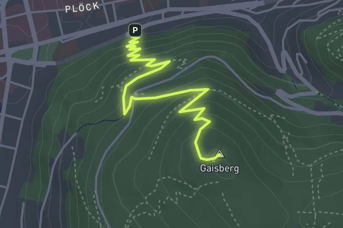
Medium · Summit
Wanderweg Königstuhl 2
4.1 km · ↑ 258 m · 1 h 32 min
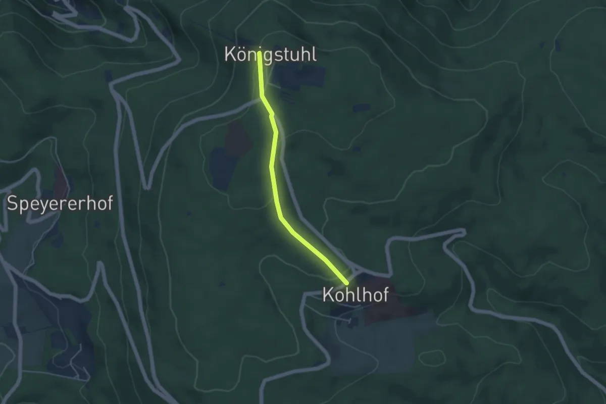
Easy · Trail
Wanderweg Königstuhl 4
3.5 km · ↑ 85 m · 1 h 1 min
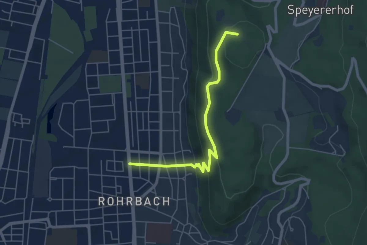
Easy · Summit
Wanderweg Königstuhl 7
4.6 km · ↑ 249 m · 1 h 38 min
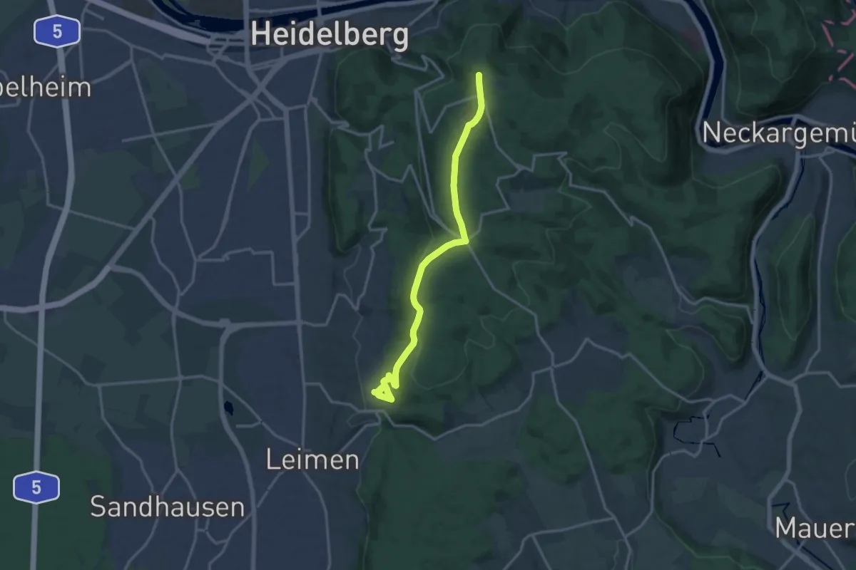
Medium · Trail
Wanderweg Königstuhl 8
14.0 km · ↑ 406 m · 4 h 11 min
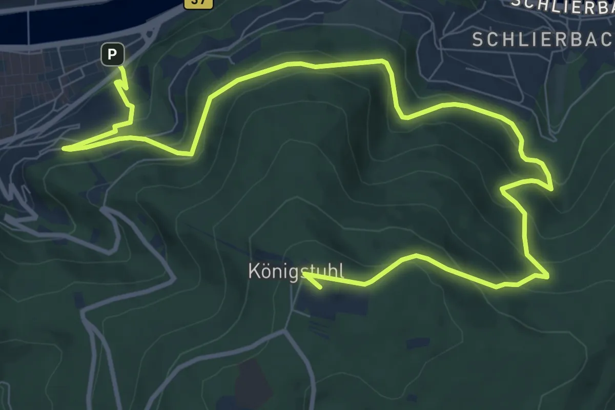
Medium · Summit
Wanderweg Königstuhl 9 nach Heidelberg
12.6 km · ↑ 706 m · 4 h 30 min
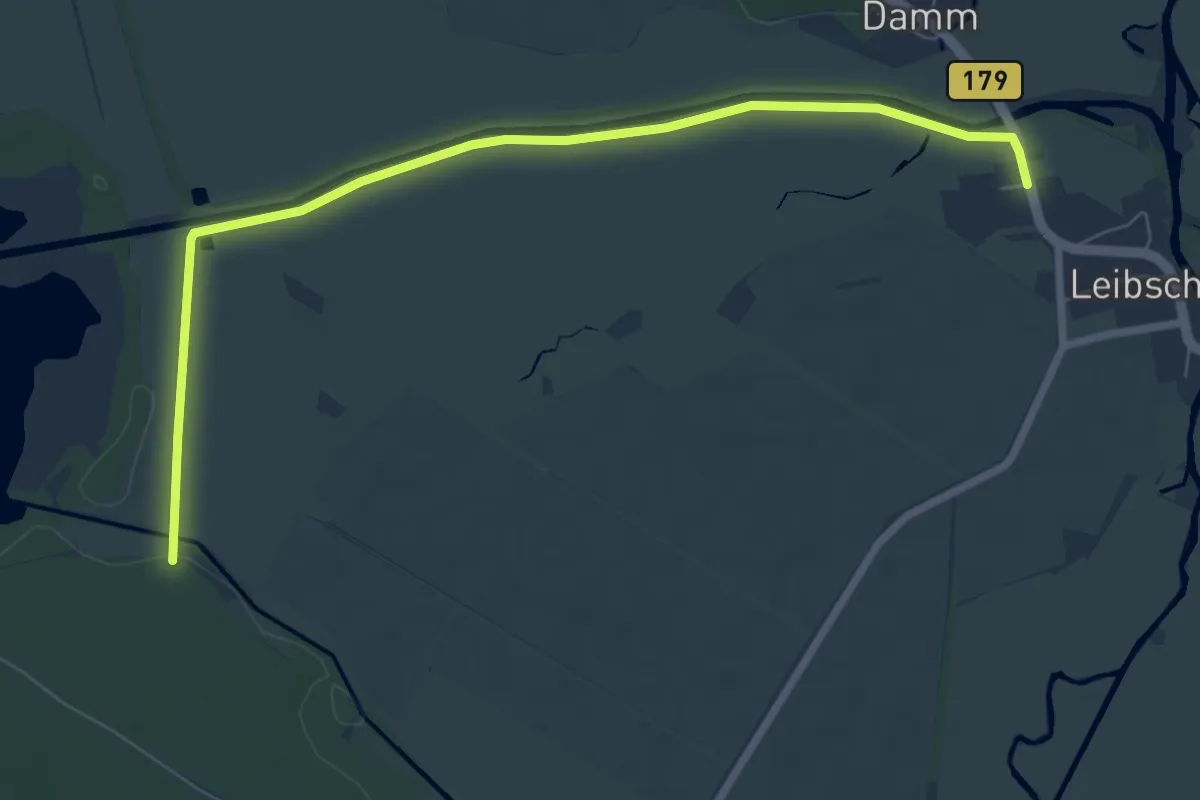
Easy · Trail
Wanderweg Köthener See-Leibsch
7.2 km · ↑ 4 m · 1 h 42 min
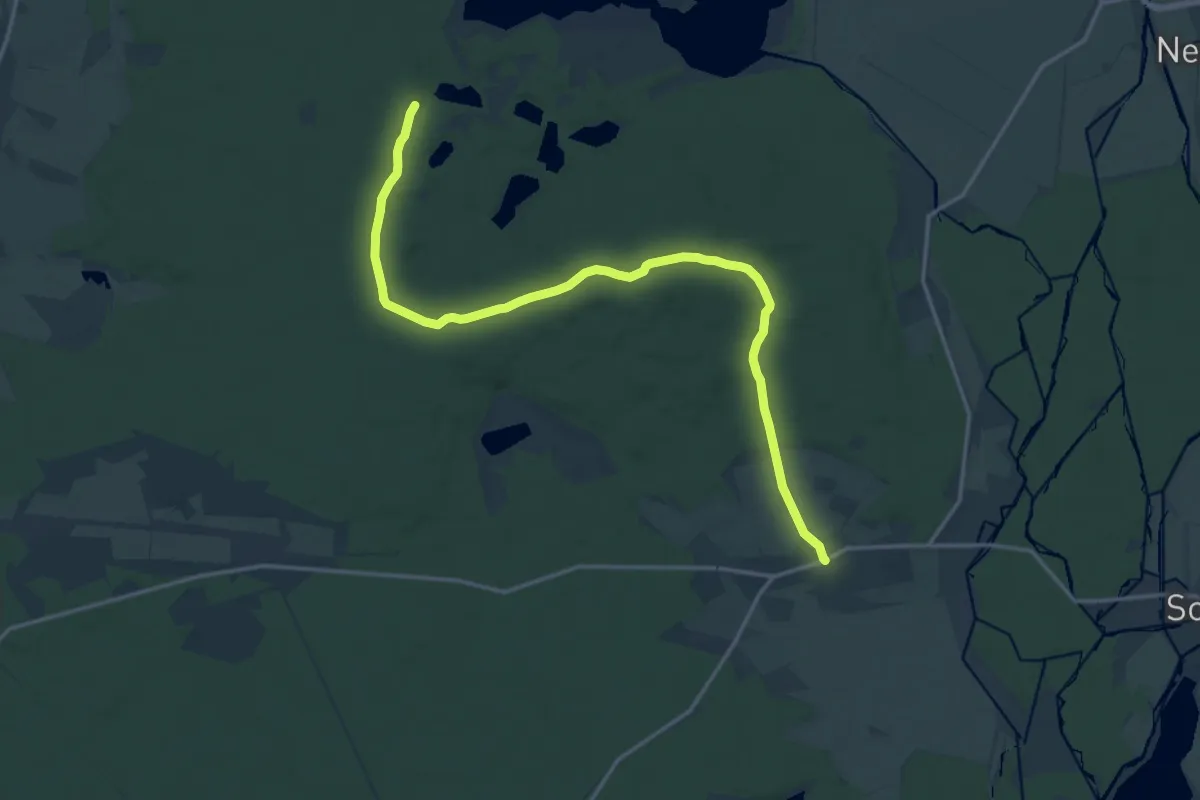
Medium · Trail
Wanderweg Krausnick-Krausnicker Berge-Heideseen-Köthen-Märkisch Buchholz
16.7 km · ↑ 176 m · 4 h 19 min
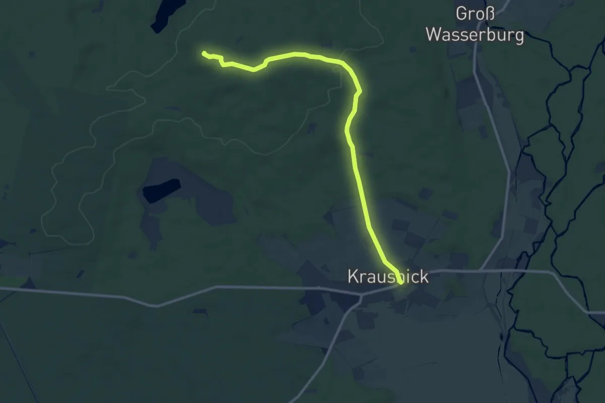
Medium · Summit
Wanderweg Krausnick-Wehlaberg (Ausichtsturm)
9.5 km · ↑ 100 m · 2 h 28 min
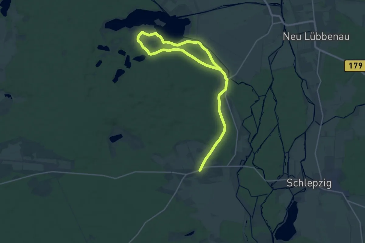
Demanding · Trail
Wanderweg Krausnik-Groß Wasserburg-Köthen (grüner Balken)
22.1 km · ↑ 121 m · 5 h 29 min
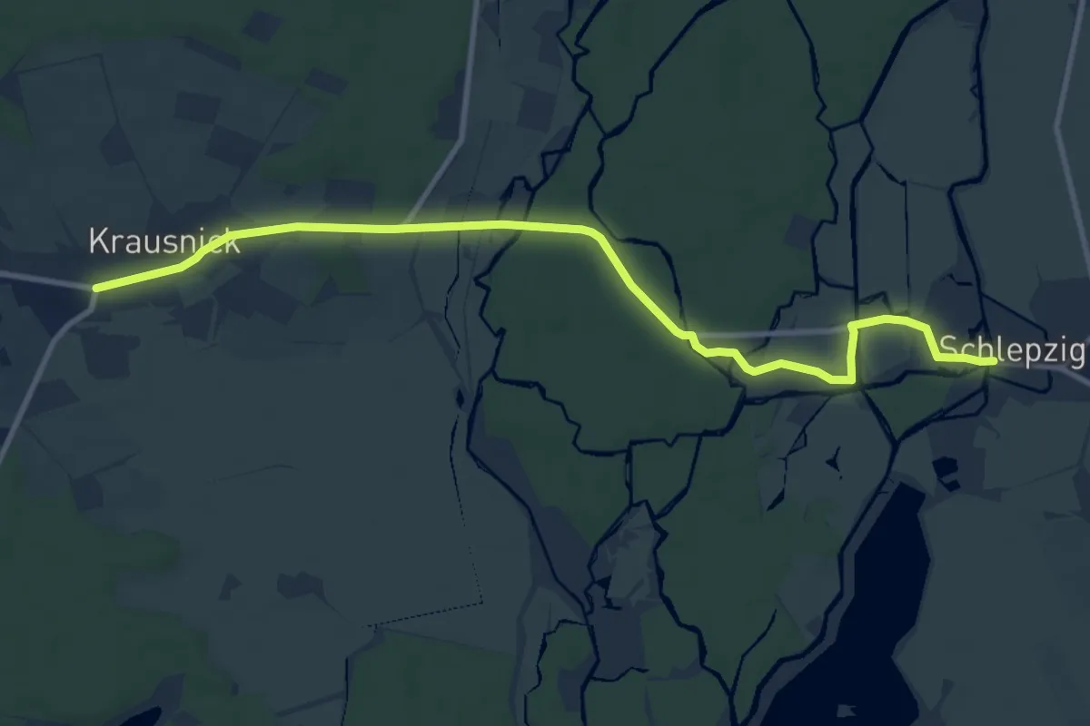
Medium · Trail
Wanderweg Krausnik-Schlepzig (gelber Balken)
9.9 km · ↑ 21 m · 2 h 22 min
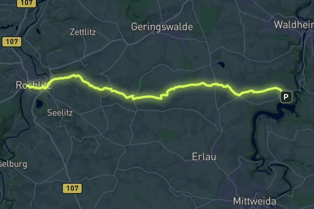
Medium · Trail
Wanderweg Kriebstein – Rochlitz
17.6 km · ↑ 118 m · 4 h 42 min
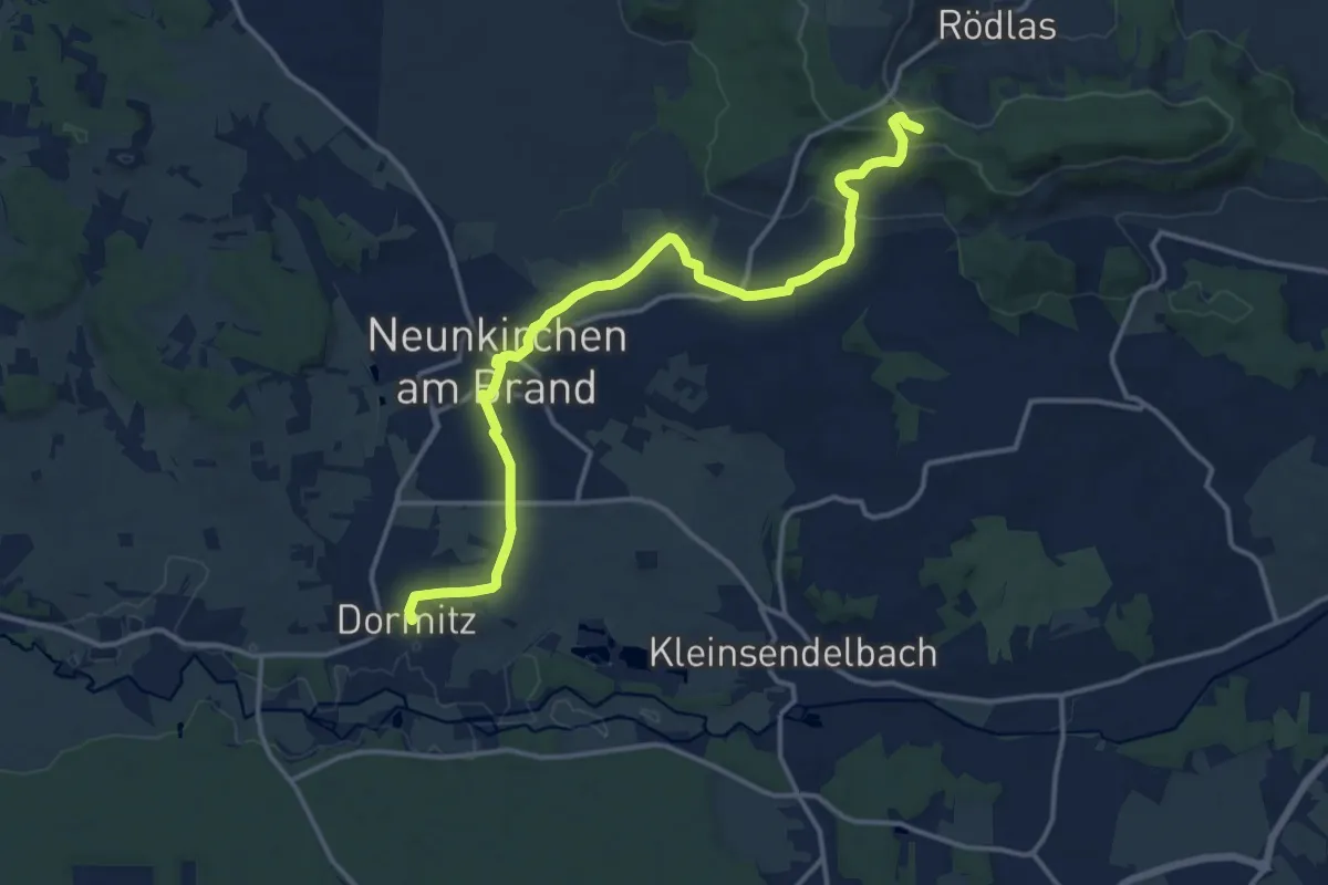
Medium · Summit
Wanderweg Kulturerlebnis Fränkische Schweiz - Gräfenberg-Weingarts
14.6 km · ↑ 244 m · 3 h 59 min
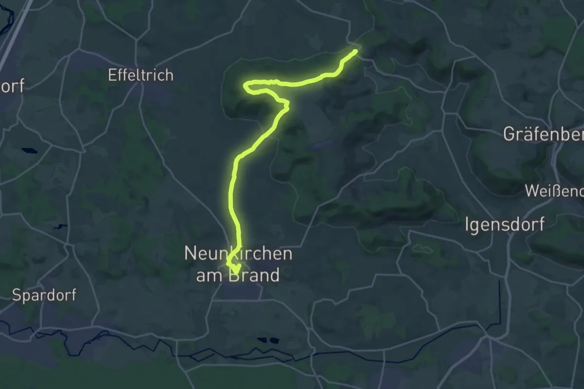
Demanding · Trail
Wanderweg Kulturerlebnis Fränkische Schweiz - Weingarts-Neunkirchen
21.5 km · ↑ 368 m · 5 h 52 min
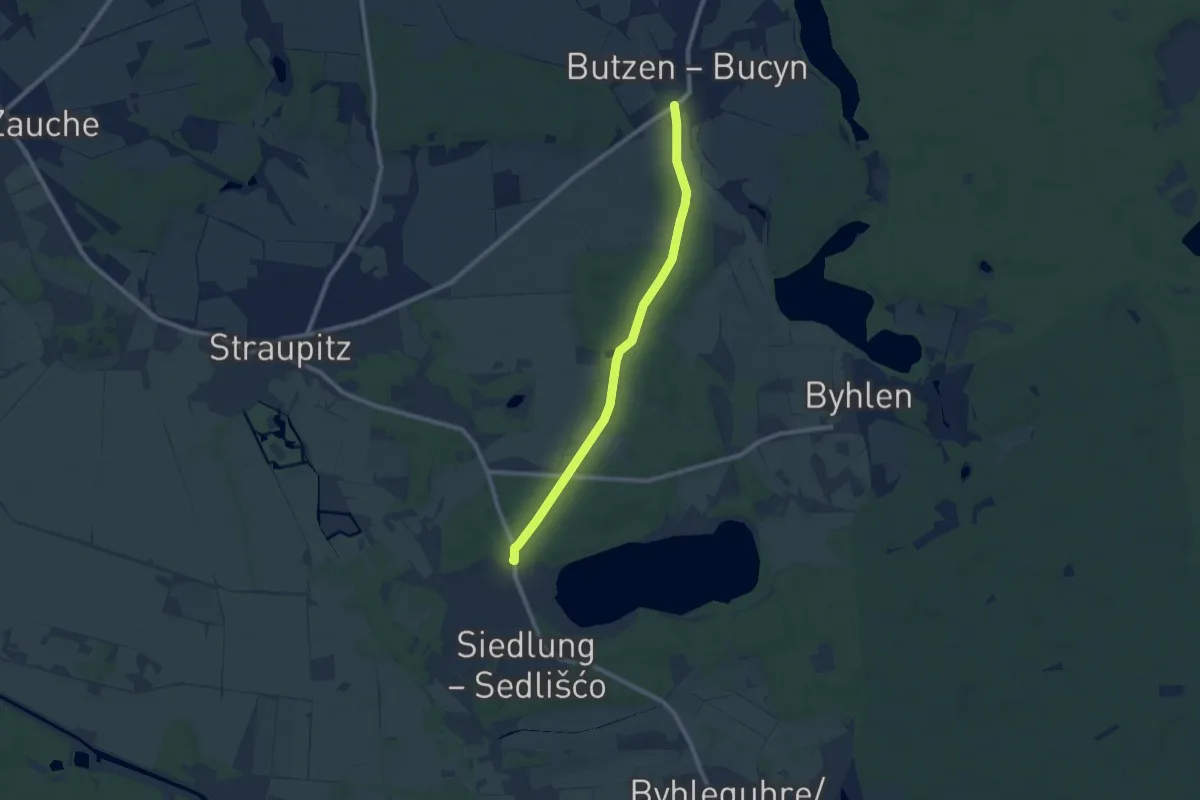
Easy · Trail
Wanderweg Laasow - Butzen - L51
7.8 km · ↑ 51 m · 1 h 58 min
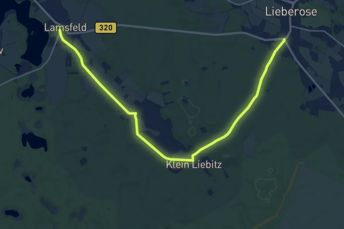
Medium · Trail
Wanderweg Lamsfeld-Klein Liebitz-Lieberose
17.4 km · ↑ 131 m · 4 h 24 min
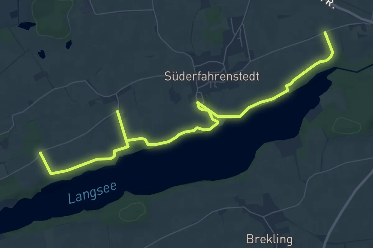
Medium · Trail
Wanderweg Langsee
8.5 km · ↑ 54 m · 2 h 7 min
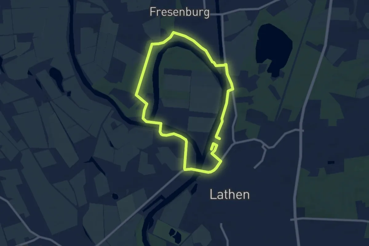
Easy · Trail
Wanderweg Lathener Wehr - Fresenburg
5.4 km · ↑ 5 m · 1 h 22 min
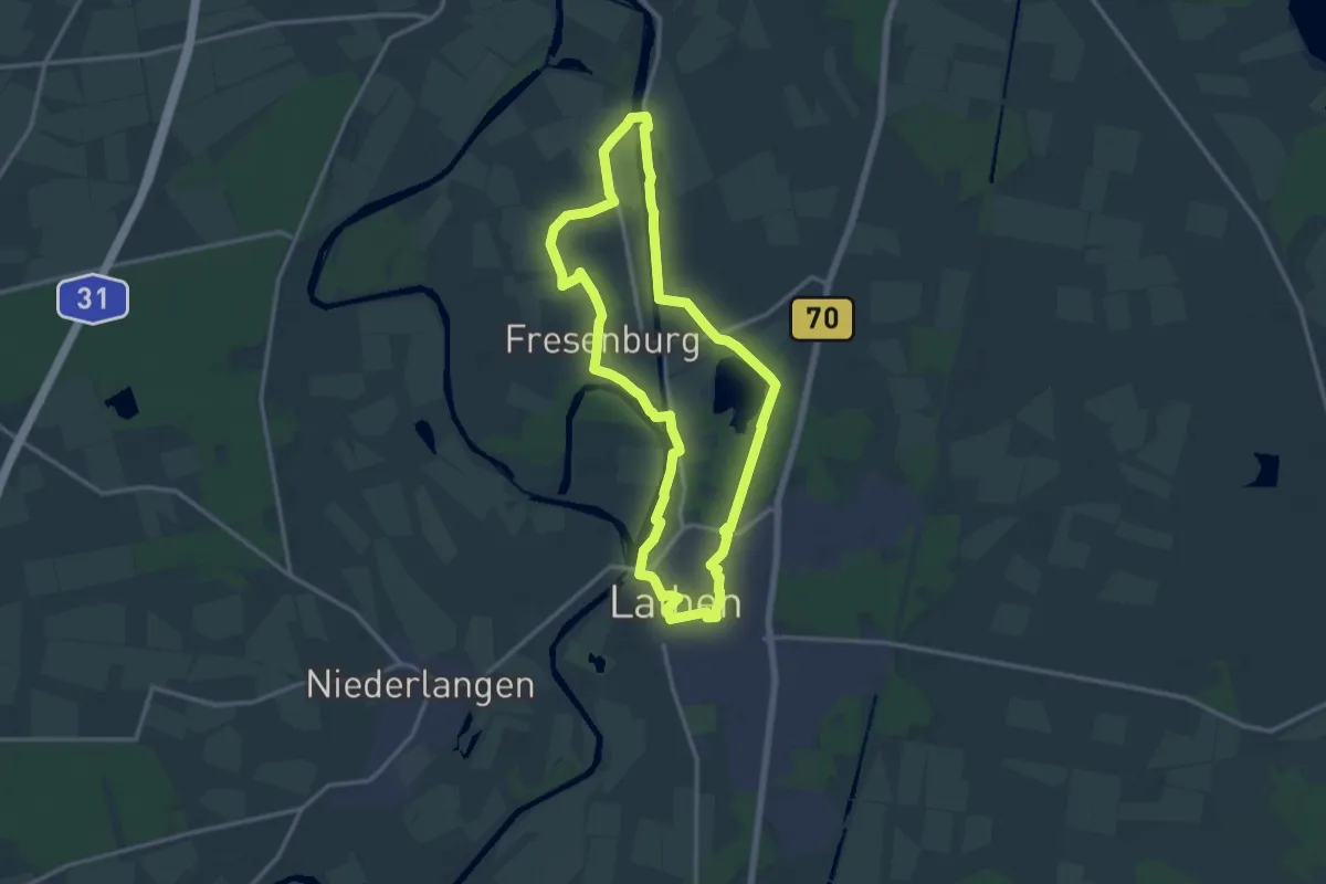
Medium · Trail
Wanderweg Lathen Fresenburg Düthe
12.4 km · ↑ 30 m · 3 h 10 min
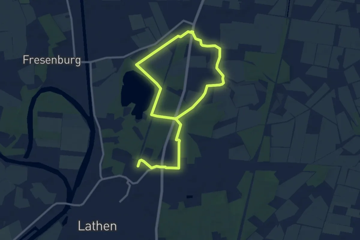
Easy · Trail
Wanderweg Lathen Fresenburg Melstrup 16
5.7 km · ↑ 8 m · 1 h 26 min
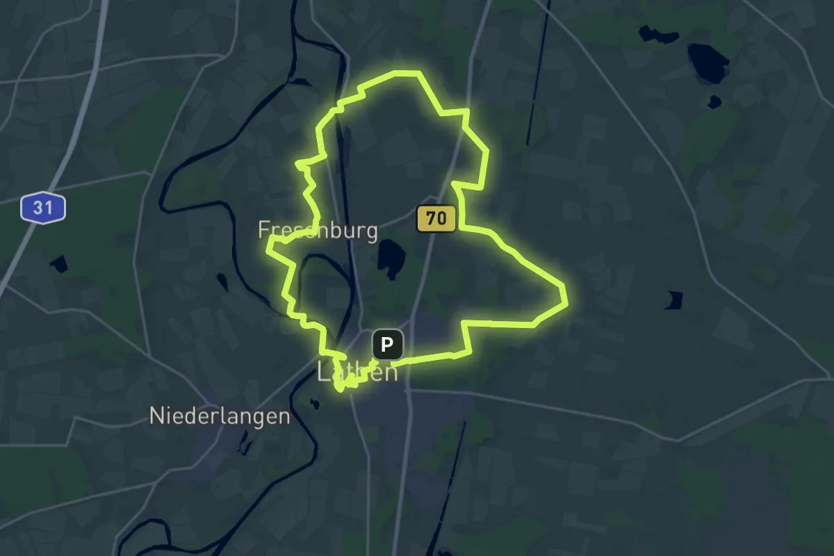
Demanding · Trail
Wanderweg Lathen Fresenburg Melstrup Ströhn 19
21.4 km · ↑ 52 m · 5 h 29 min
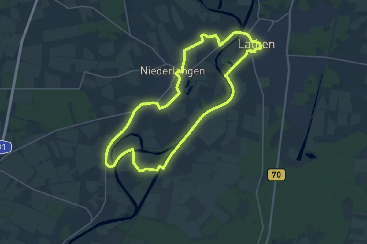
Medium · Trail
Wanderweg Lathen Oberlangen Niederlangen
14.9 km · ↑ 17 m · 3 h 46 min
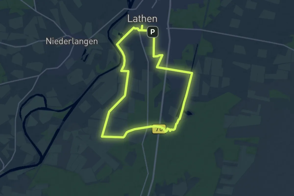
Medium · Trail
Wanderweg Lathen-Süd Kathen-Siedlung Hilterberg
12.8 km · ↑ 21 m · 3 h 14 min
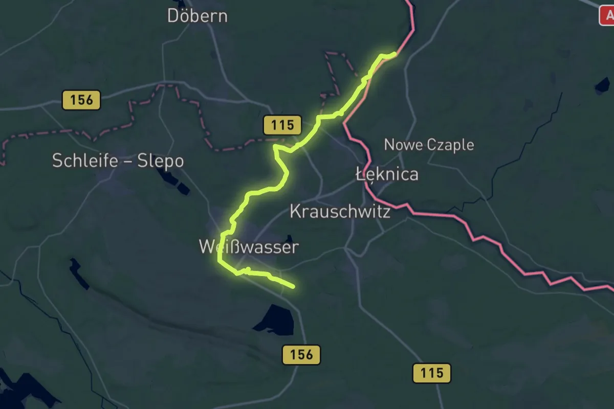
Demanding · Trail
Wanderweg "Lausitz"
22.8 km · ↑ 130 m · 6 h
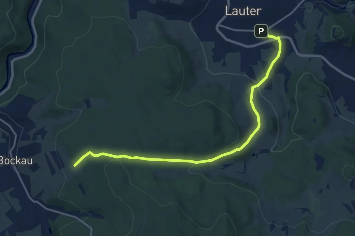
Medium · Trail
Wanderweg Lauter-Bockau
10.3 km · ↑ 339 m · 3 h 9 min
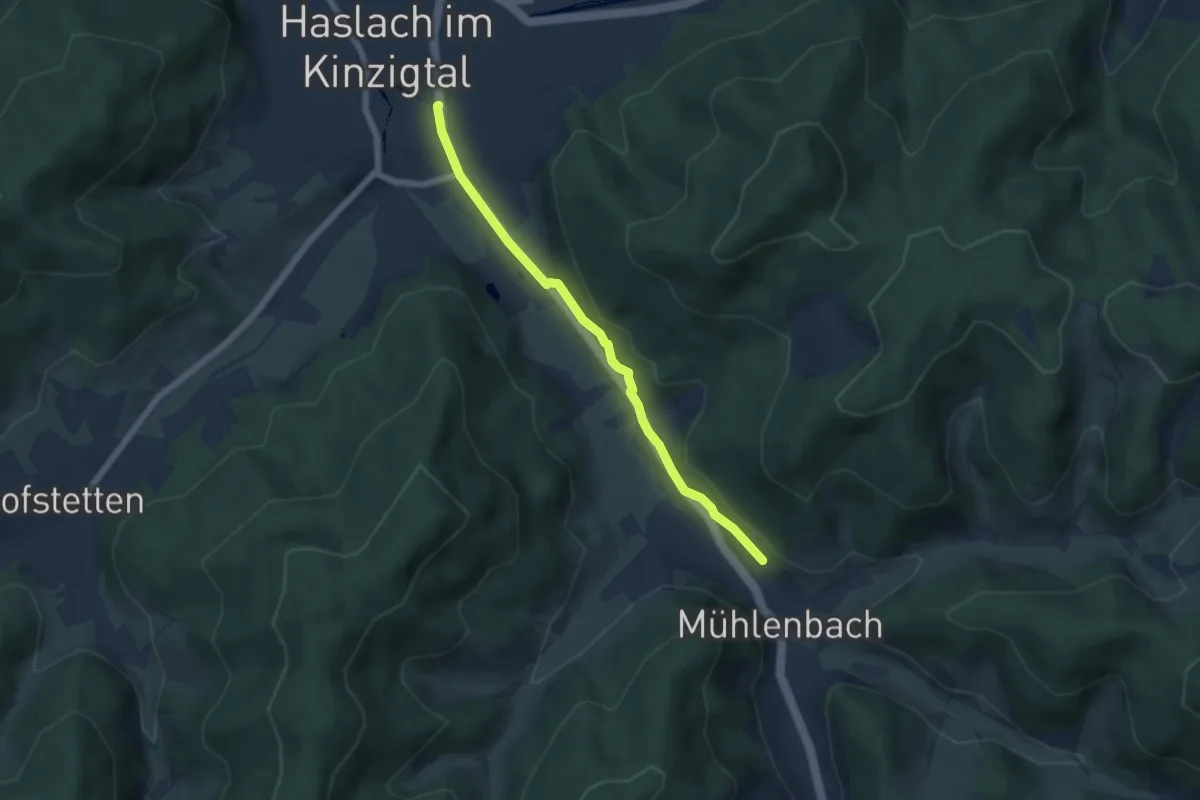
Medium · Trail
Wanderwegle Haslach-Mühlenbach
5.2 km · ↑ 94 m · 1 h 25 min
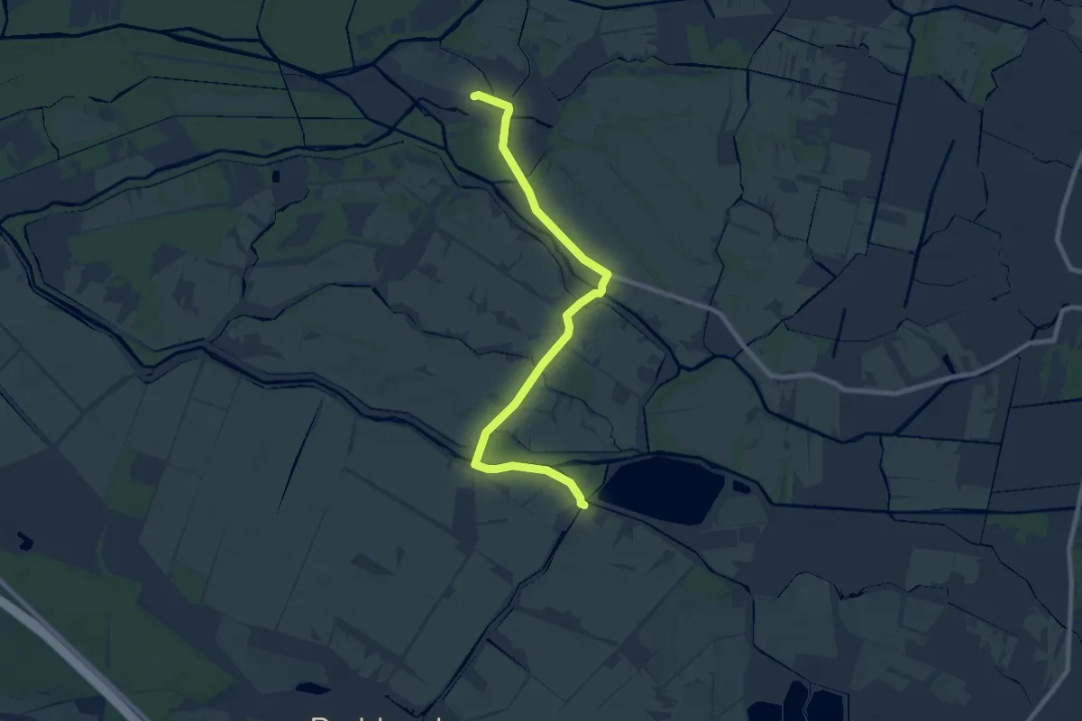
Medium · Trail
Wanderweg Leipe-Kossateich
8.0 km · ↑ 0 m · 1 h 54 min
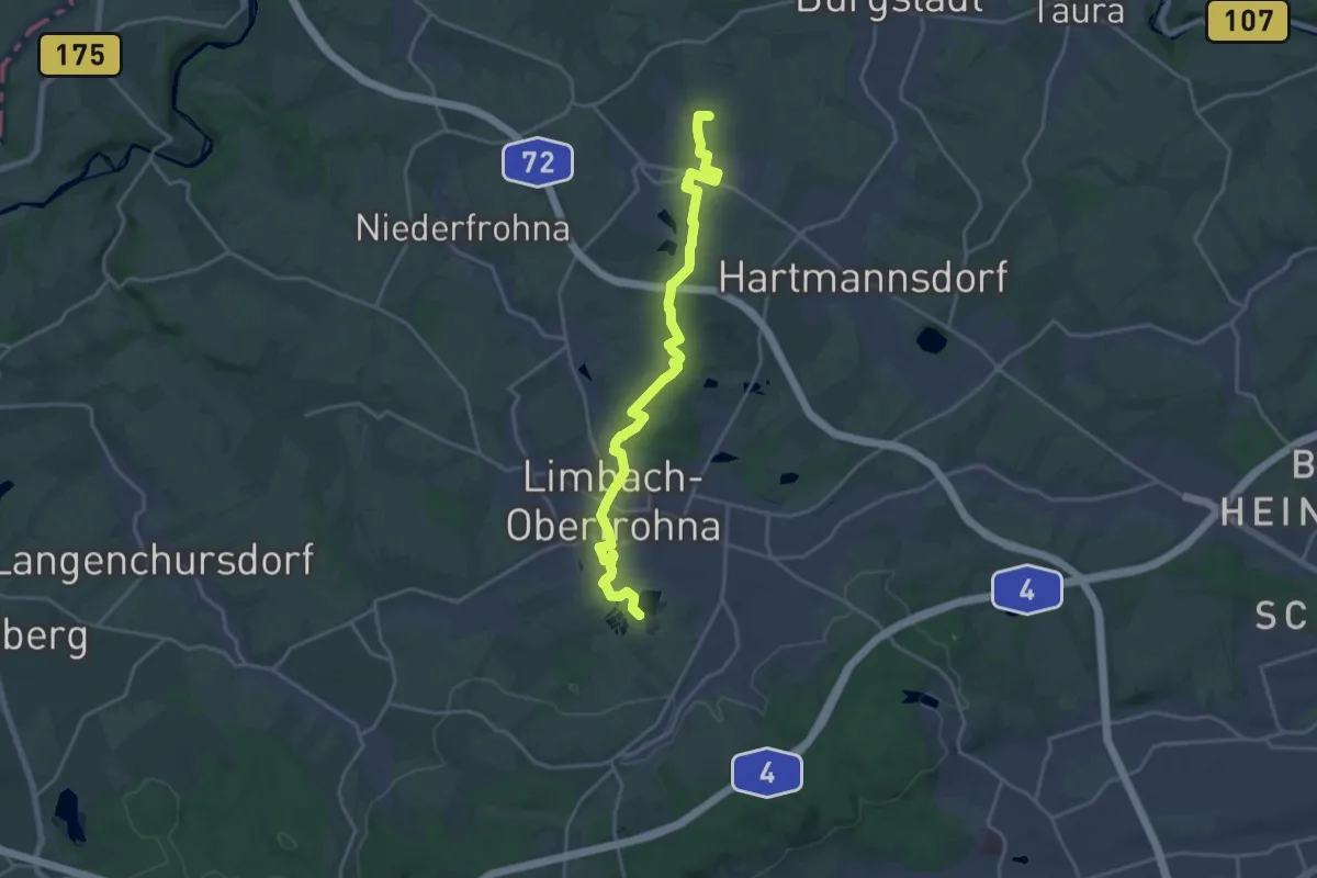
Demanding · Summit
Wanderweg Limbach – Mühlau - Höllmühle
19.0 km · ↑ 235 m · 5 h
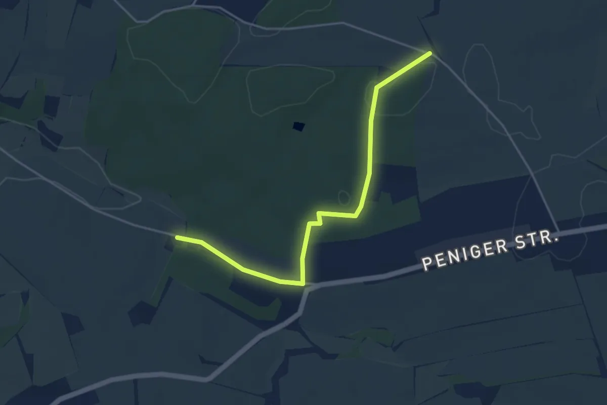
Easy · Trail
Wanderweg (Limbach) – Rochsburg
3.7 km · ↑ 40 m · 58 min
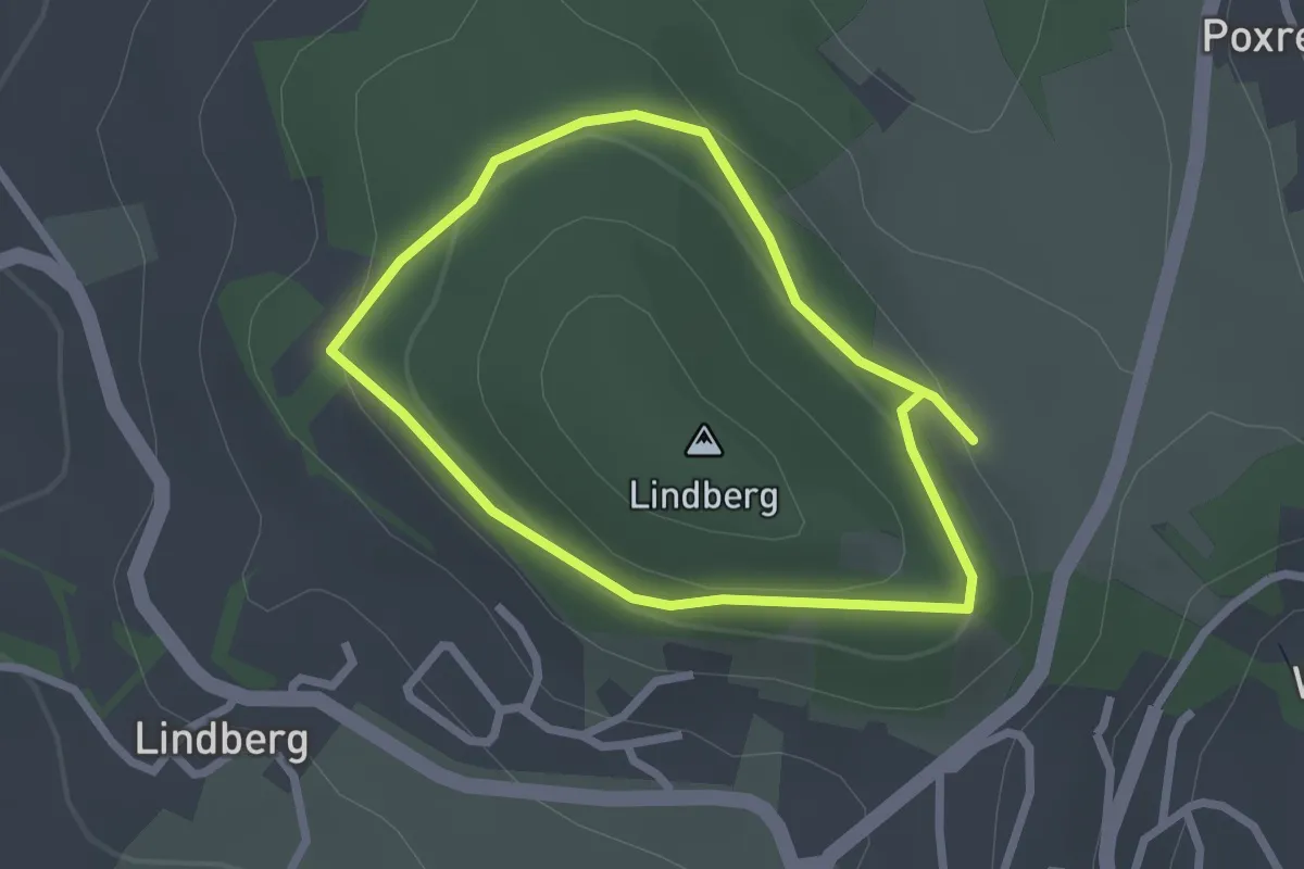
Easy · Trail
Wanderweg Lindberg
2.0 km · ↑ 66 m · 38 min
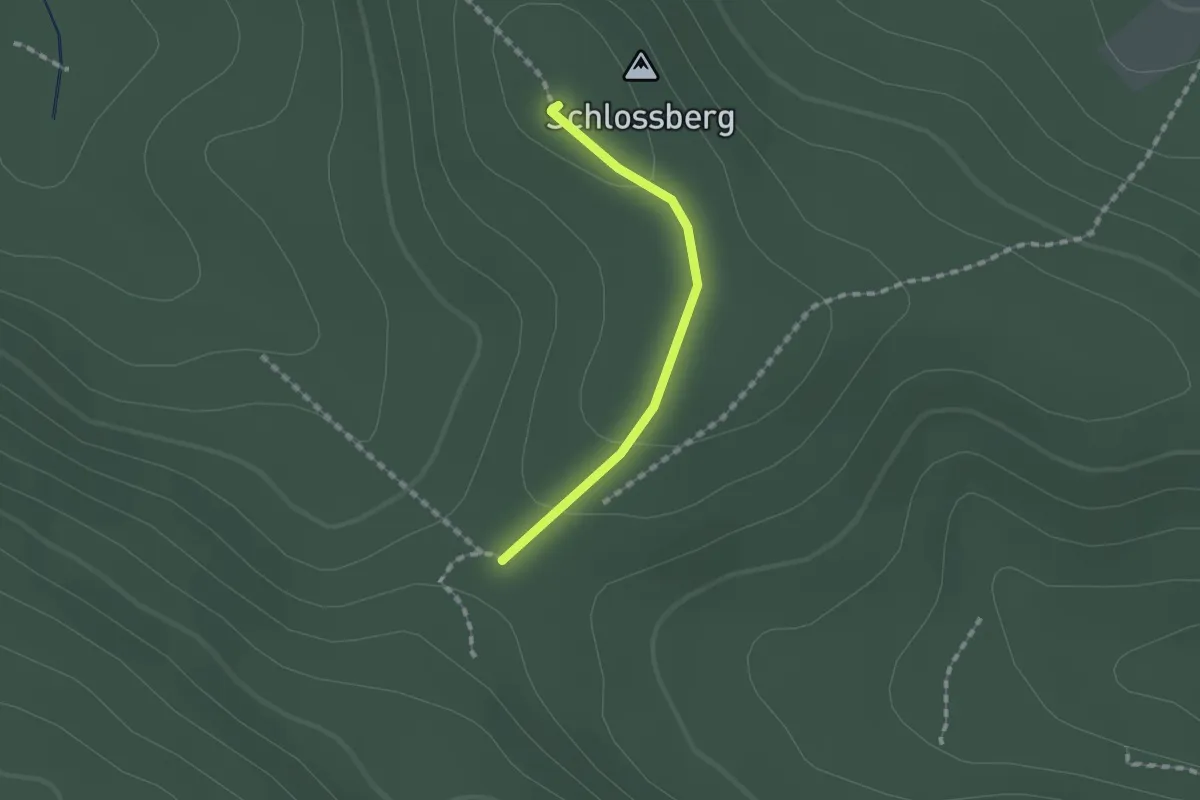
Easy · Summit
Wanderweg Lindenstein - Kuhhalterwiesen
1.2 km · ↑ 23 m · 19 min
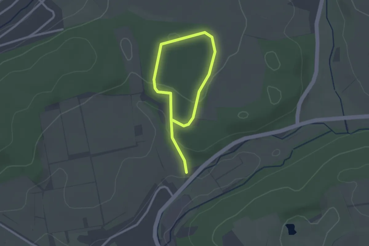
Easy · Trail
Wanderweg Lohbrunnen-Trippelberg
2.9 km · ↑ 83 m · 52 min
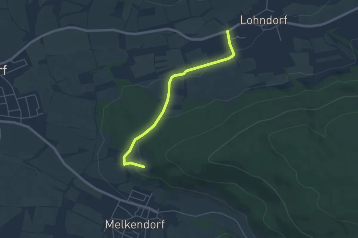
Easy · Trail
Wanderweg Lohndorf - Sängerherenmal
4.0 km · ↑ 125 m · 1 h 13 min
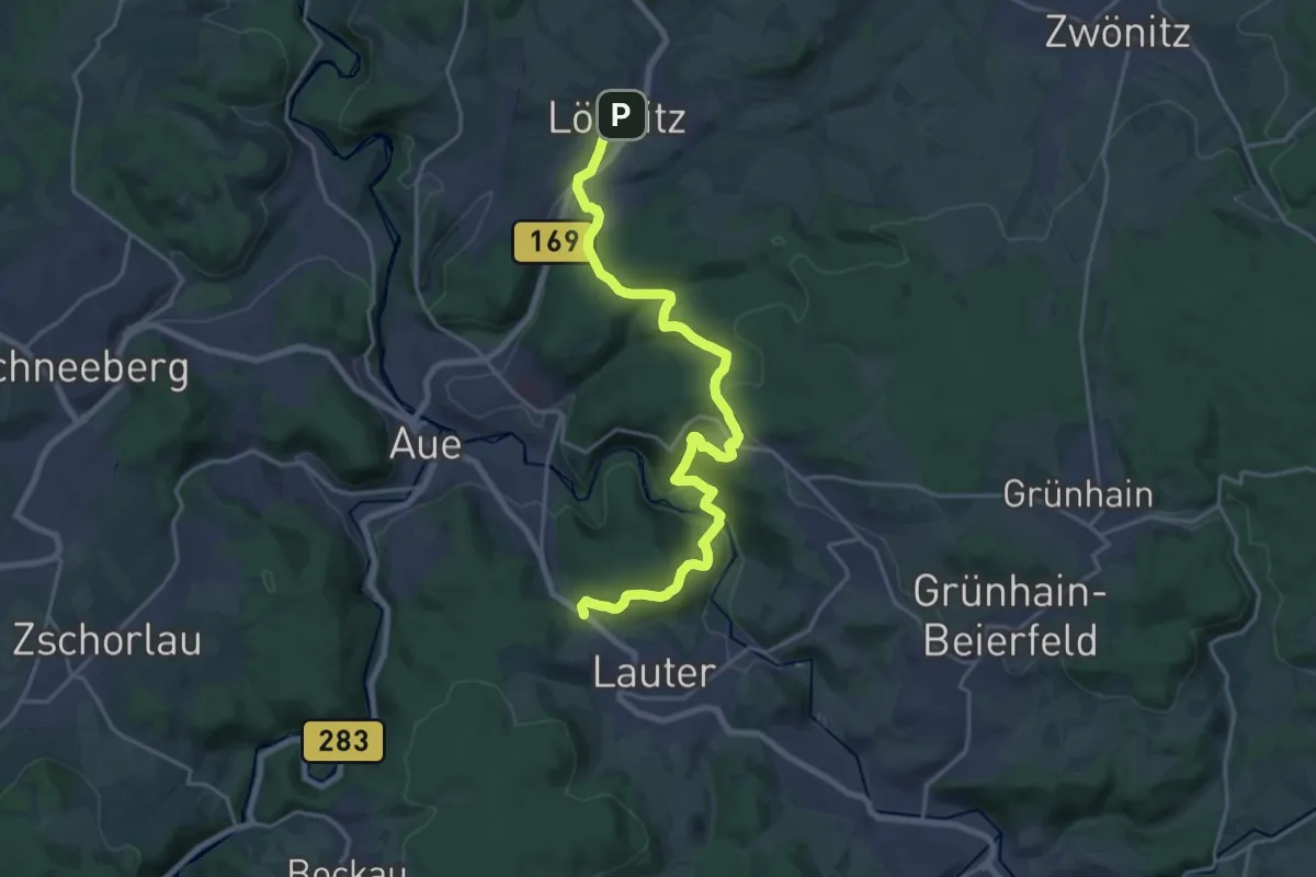
Demanding · Trail
Wanderweg Lößnitz - Lauter
20.6 km · ↑ 731 m · 6 h 27 min
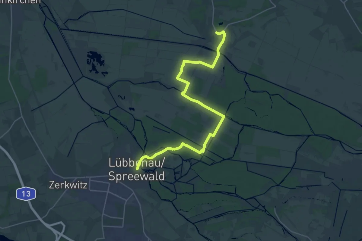
Demanding · Trail
Wanderweg Lübbenau - Alt Zauche
23.9 km · ↑ 36 m · 5 h 43 min
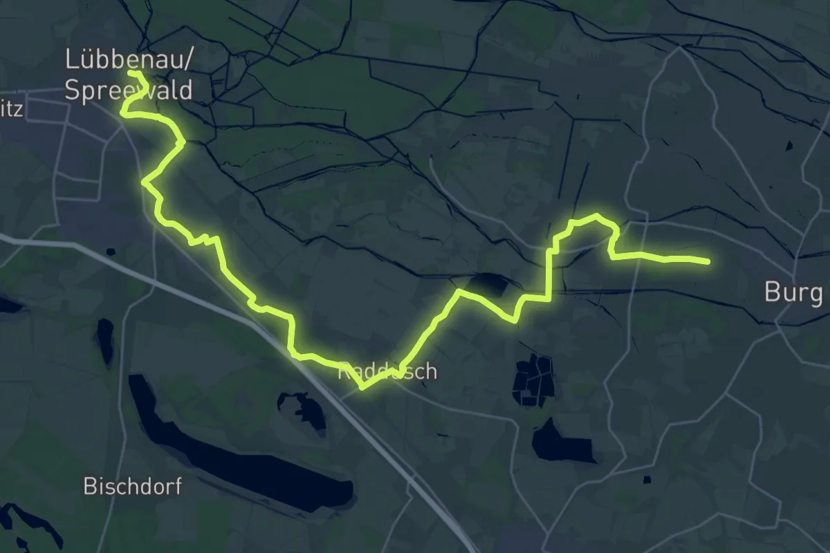
Demanding · Trail
Wanderweg Lübbenau-Boblitz-Raddusch-Leipe-Burg
20.2 km · ↑ 25 m · 5 h 7 min
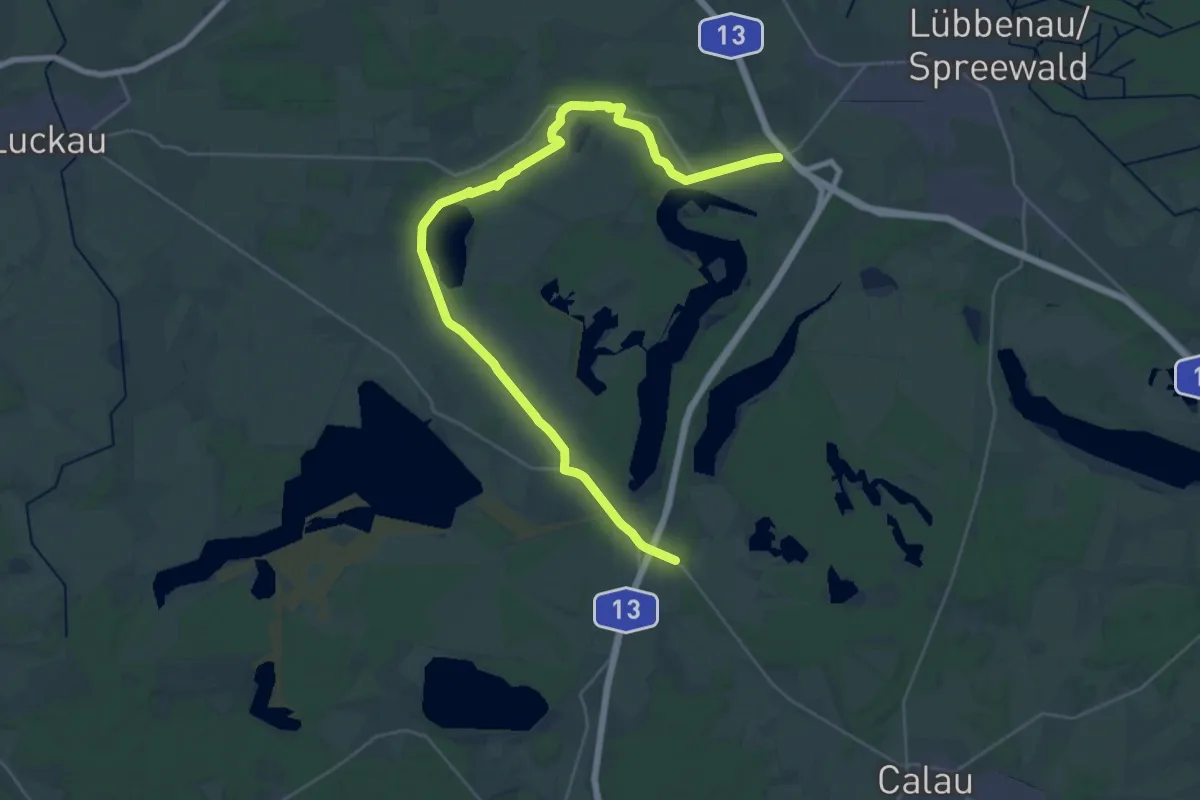
Medium · Trail
Wanderweg Lübbenau-Groß Beuchow-Zinnitz-Bathow
16.9 km · ↑ 21 m · 4 h 17 min