Trails in Germany
36,852 hiking trails, each with its route, climb, walking time and grade.
All trails, page 702 of 768
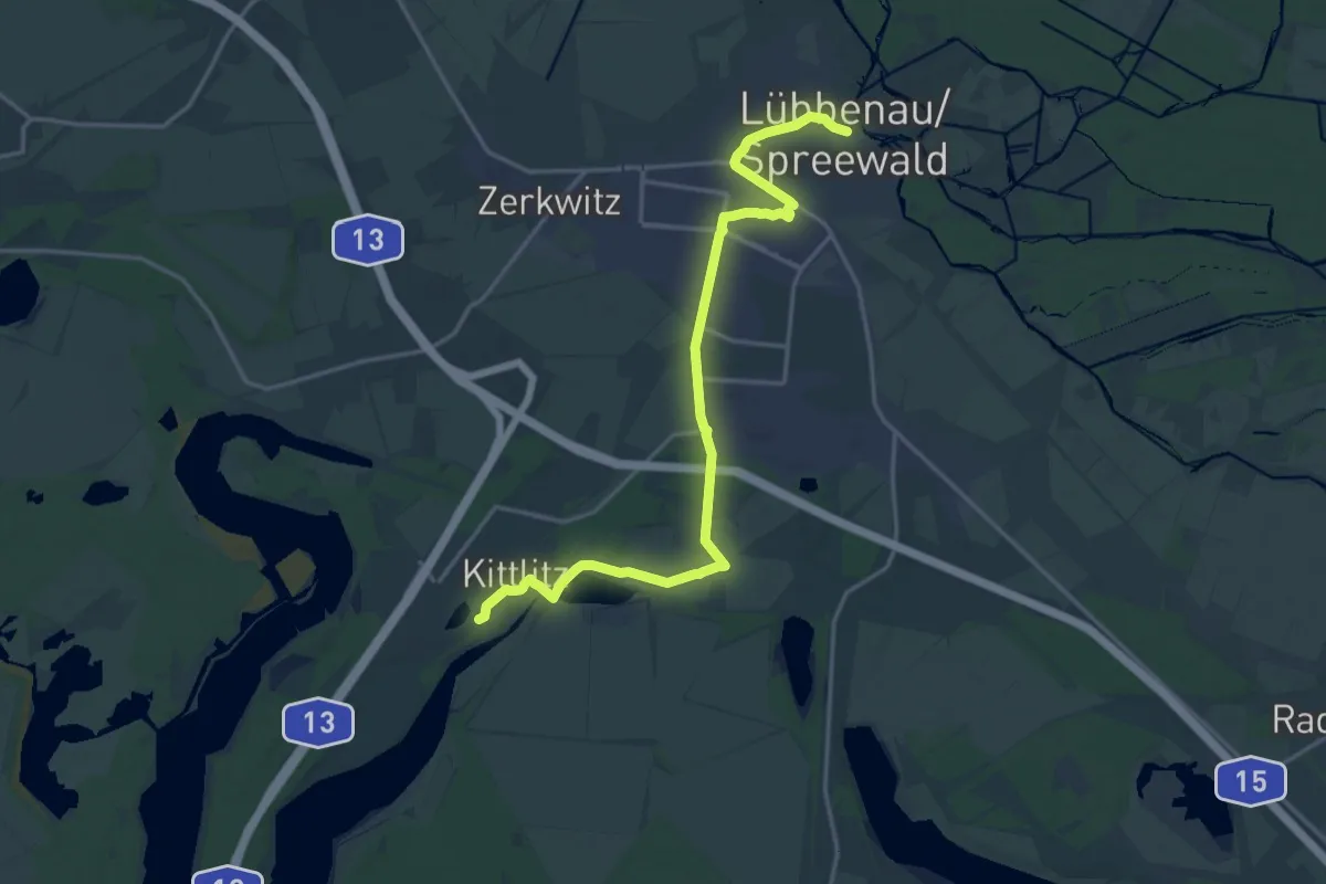
Medium · Trail
Wanderweg Lübbenau-Groß Klessow-...
17.9 km · ↑ 25 m · 4 h 16 min
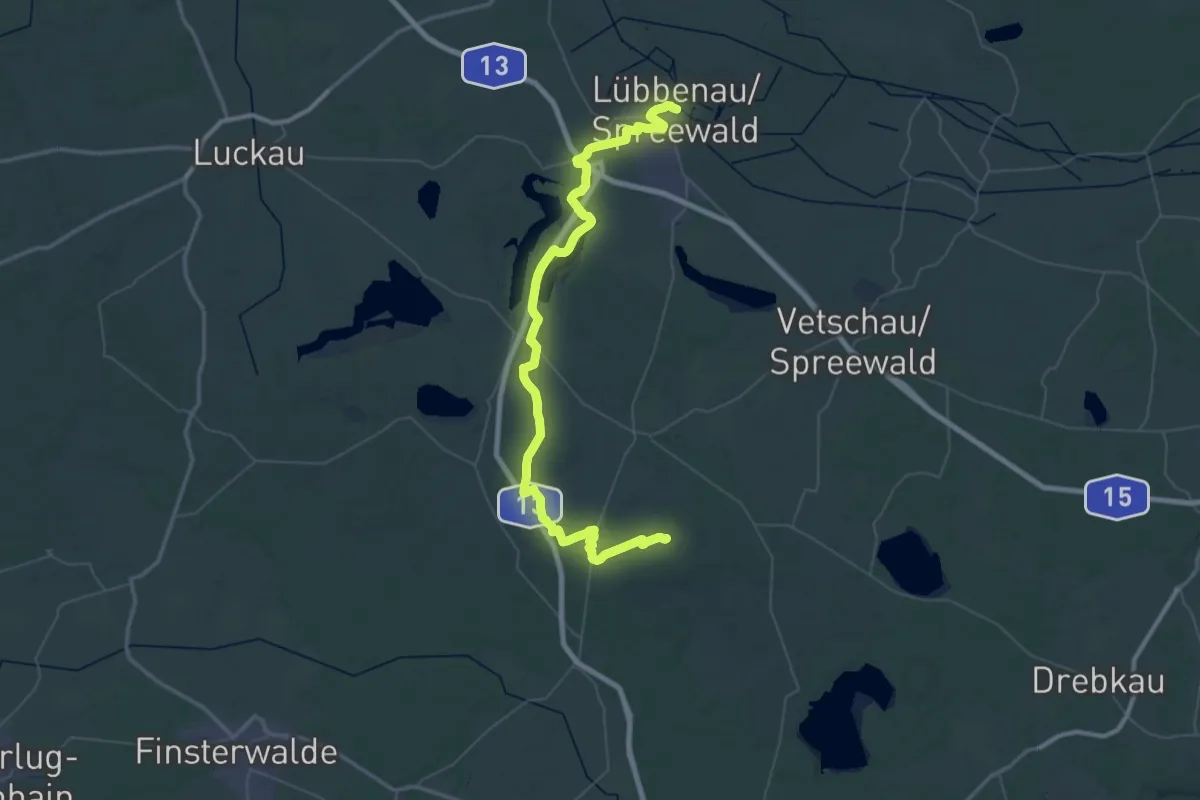
Demanding · Trail
Wanderweg Lübbenau-Kittlitz-Batow-Groß Jehser-Weißag
33.2 km · ↑ 174 m · 8 h 37 min
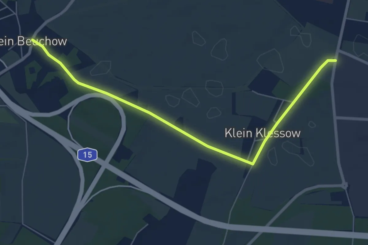
Easy · Trail
Wanderweg Lübbenau-Klein Klessow-...
5.7 km · ↑ 10 m · 1 h 22 min
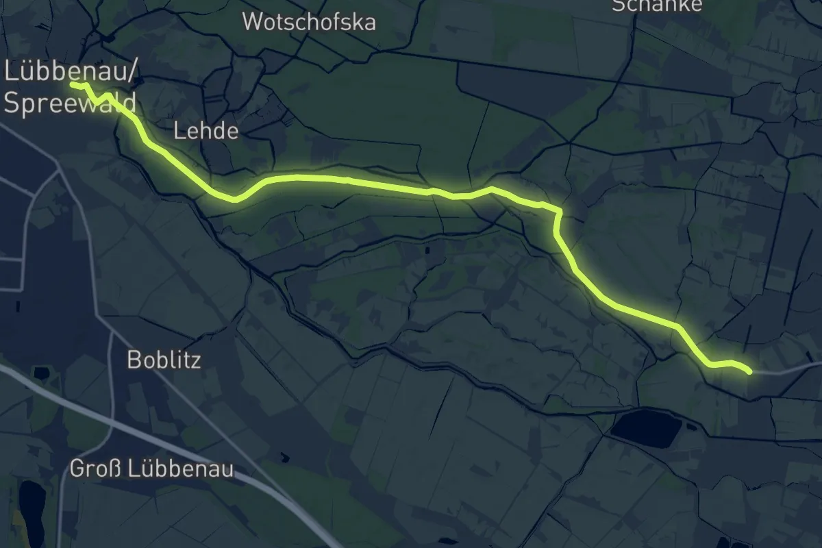
Demanding · Trail
Wanderweg Lübbenau-Leipe-Burg Kolonie
19.1 km · ↑ 0 m · 4 h 30 min
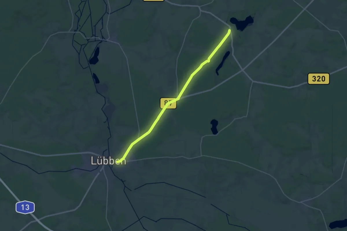
Demanding · Trail
Wanderweg Lübben-Biebersdorf-Groß Leuthen
28.4 km · ↑ 116 m · 6 h 57 min
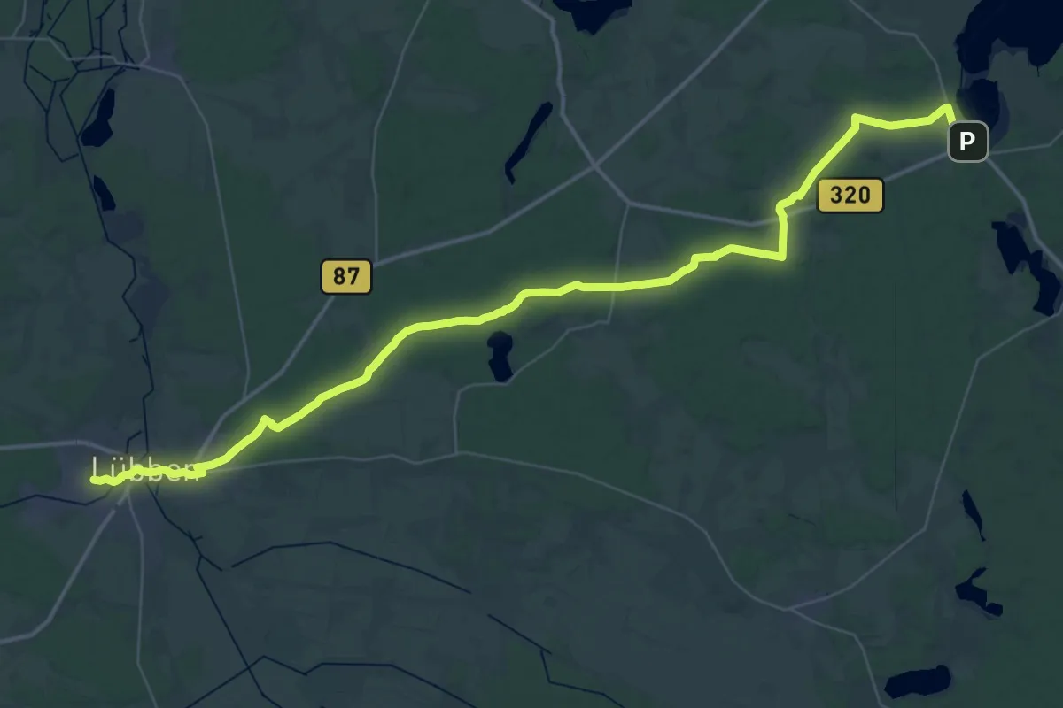
Demanding · Trail
Wanderweg Lübben-Goyatz
26.5 km · ↑ 110 m · 6 h 52 min
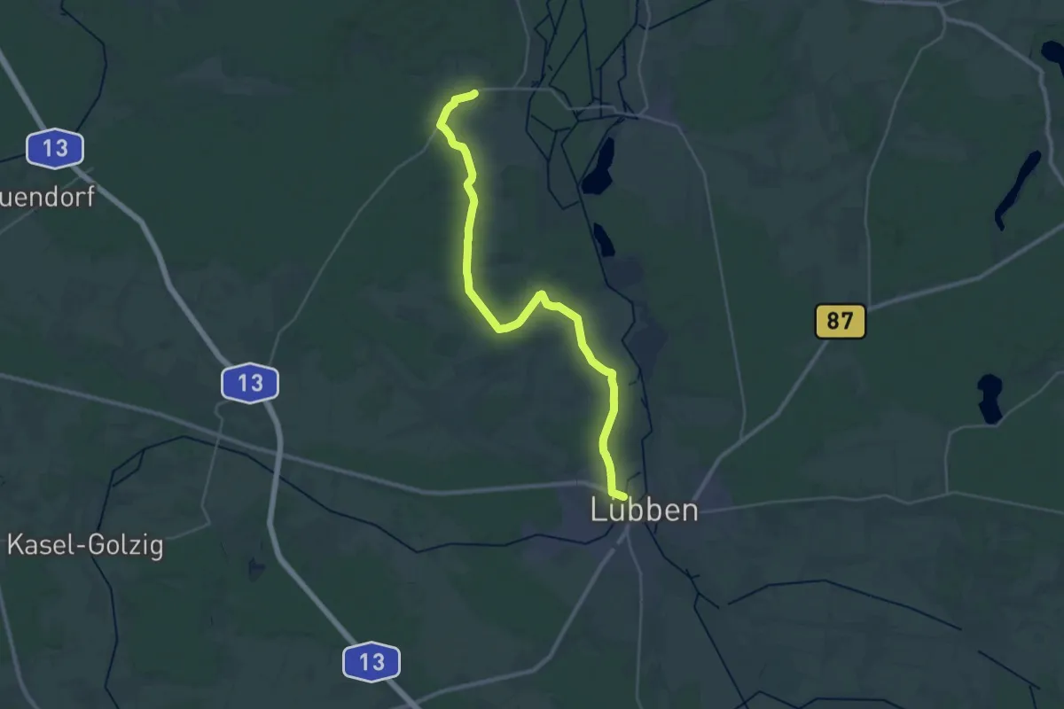
Demanding · Trail
Wanderweg Lübben-Hartmannsdorf-Krausnick
28.9 km · ↑ 74 m · 6 h 59 min
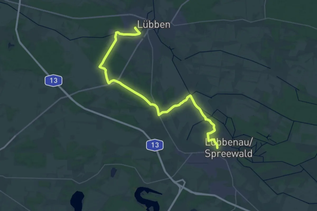
Medium · Trail
Wanderweg Lübben - Lübbenau
18.0 km · ↑ 34 m · 4 h 34 min
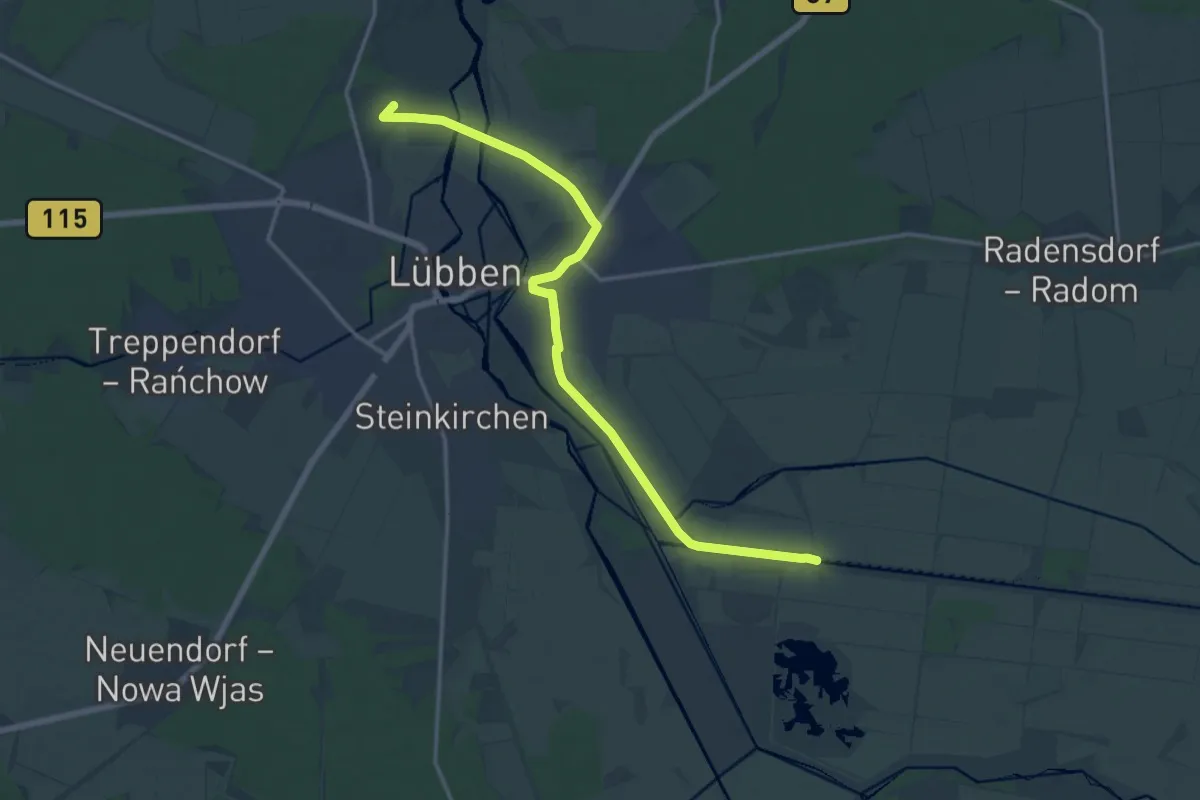
Medium · Summit
Wanderweg Lübben-Lübben/Ost - Eichkanalschleuse
15.2 km · ↑ 17 m · 3 h 37 min
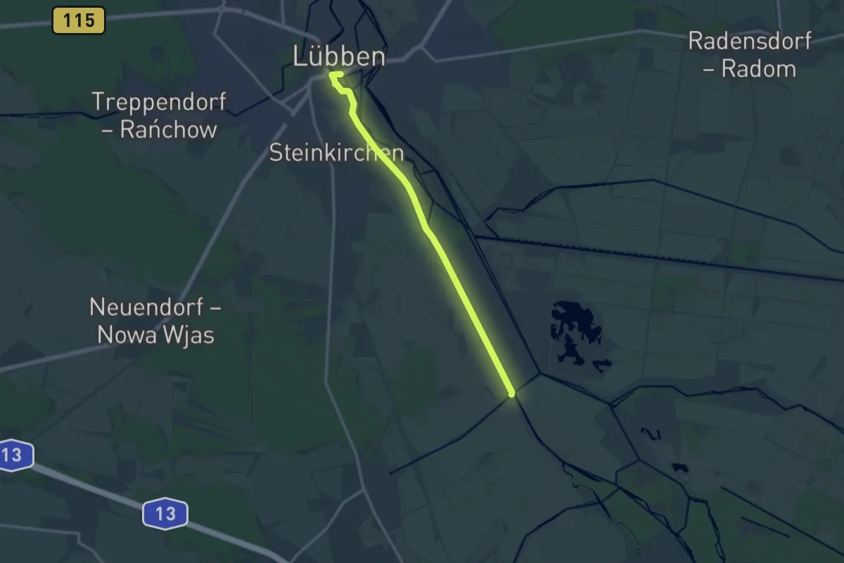
Medium · Trail
Wanderweg Lübben - Ragower Kahnfahrt
10.8 km · ↑ 4 m · 2 h 33 min
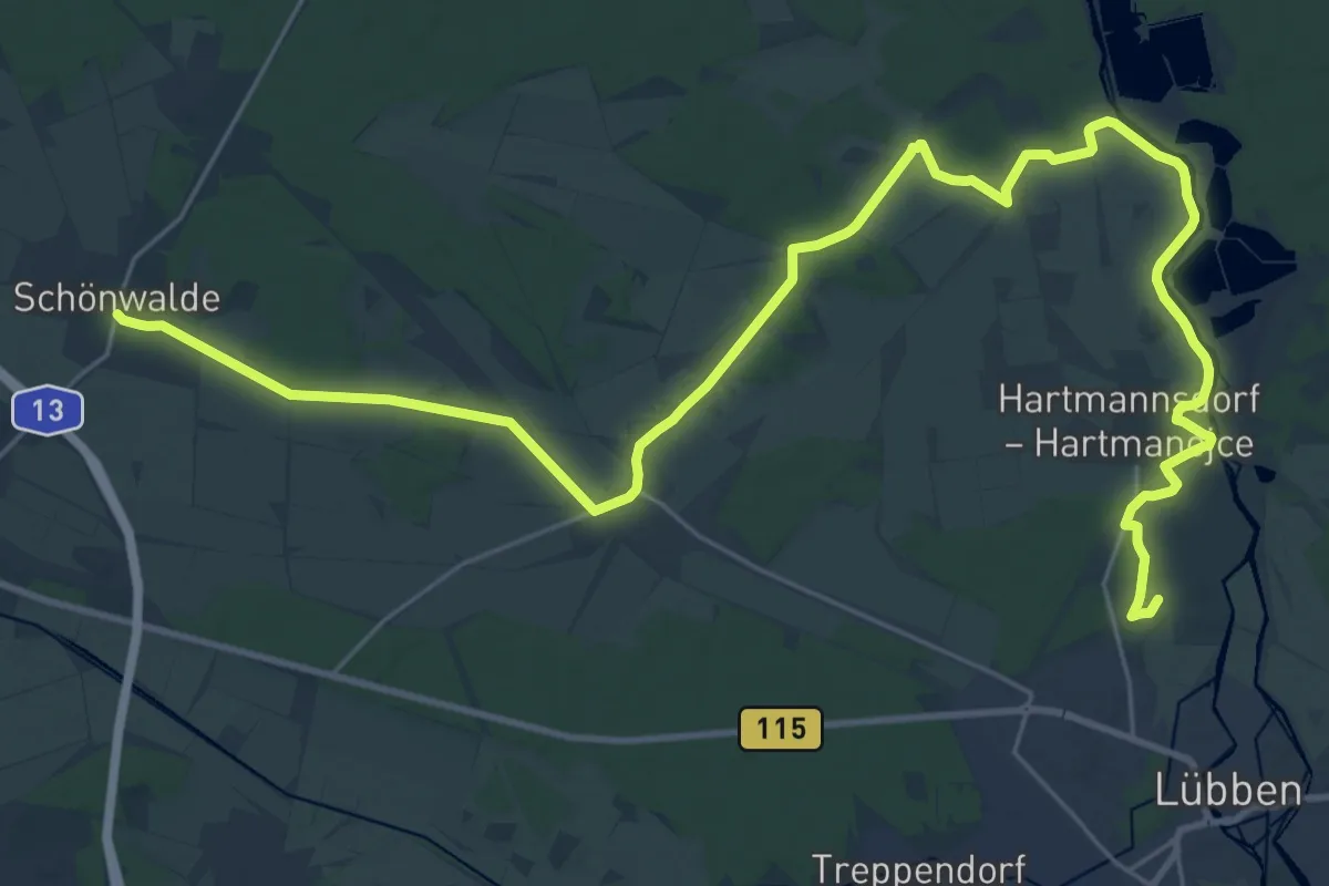
Demanding · Summit
Wanderweg Lübben-Schönwalde
33.6 km · ↑ 66 m · 8 h 4 min
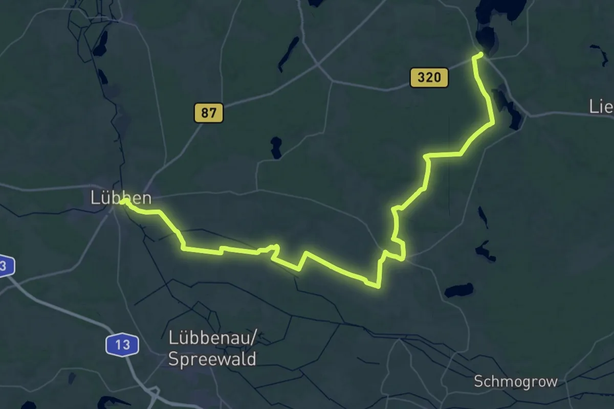
Demanding · Trail
Wanderweg Lübben-Straupitz-Goyatz
36.7 km · ↑ 66 m · 9 h 19 min
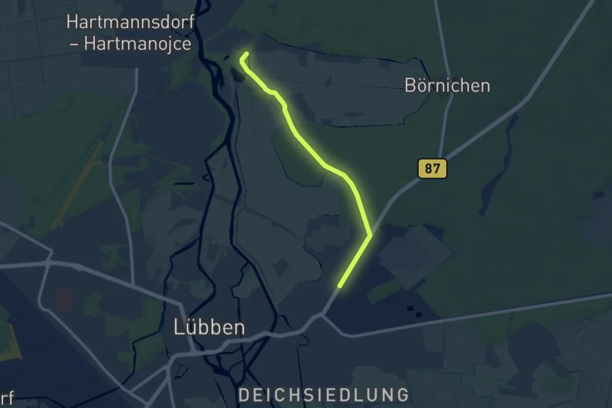
Easy · Trail
Wanderweg Lübben-Wiesenau
6.0 km · ↑ 17 m · 1 h 27 min
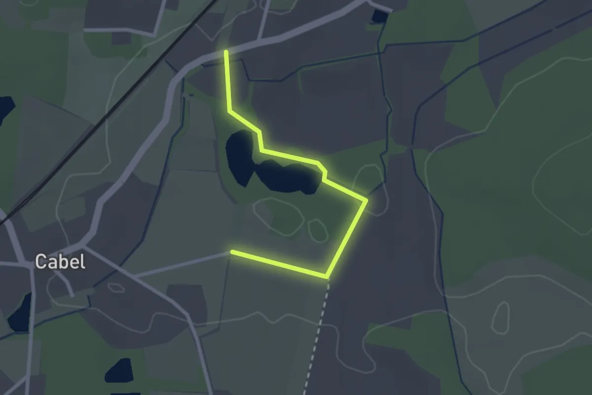
Easy · Trail
Wanderweg Lugteich
2.1 km · ↑ 13 m · 31 min
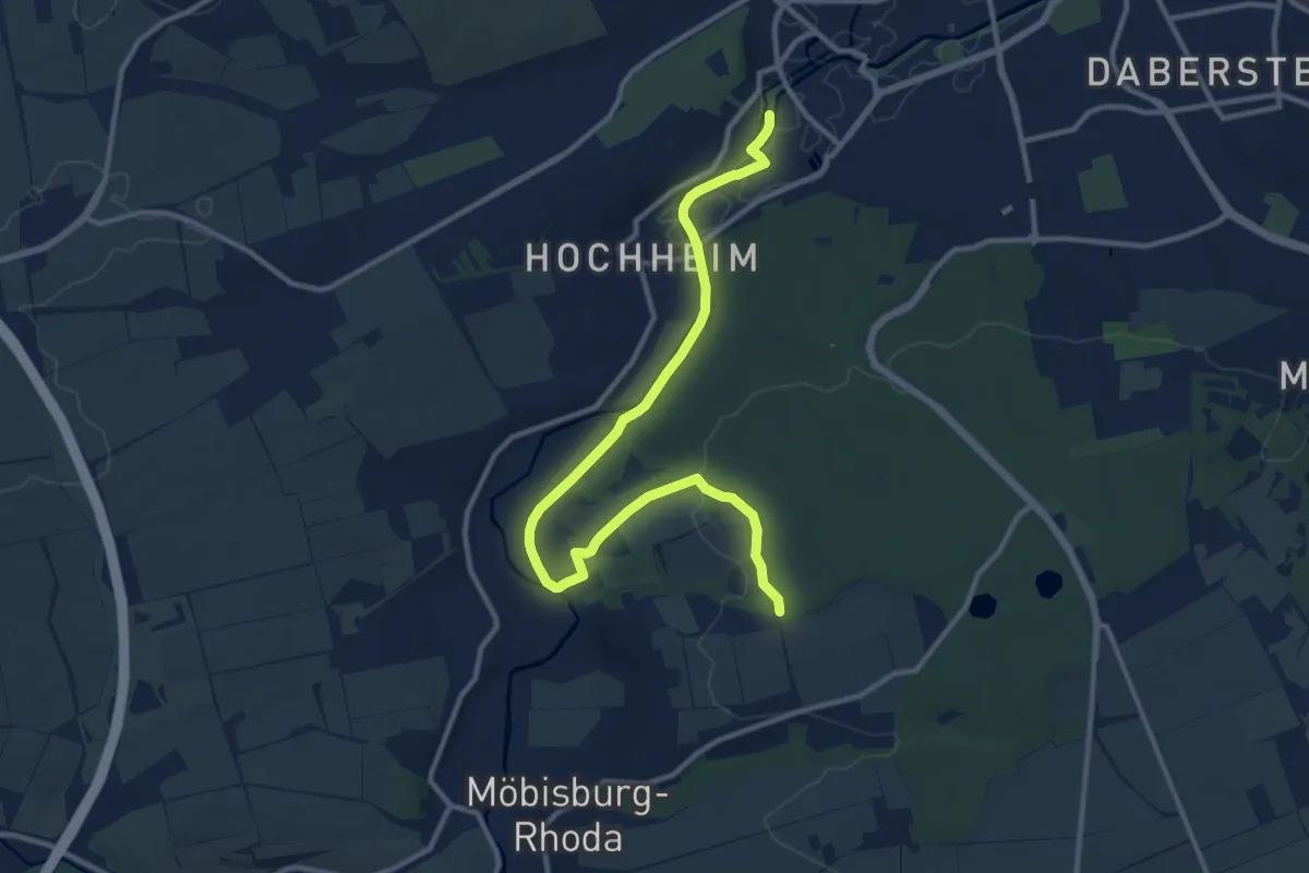
Medium · Trail
Wanderweg Luisenpark - Waldhaus Rhoda
12.1 km · ↑ 162 m · 3 h 13 min
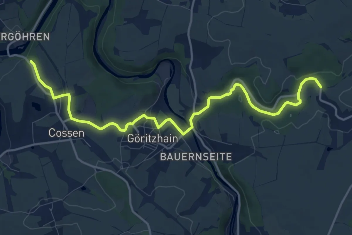
Medium · Trail
Wanderweg Lunzenau – Göritzhain
11.0 km · ↑ 146 m · 2 h 54 min
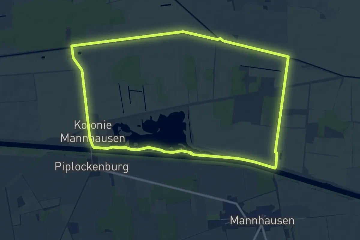
Easy · Trail
Wanderweg Mannhausen (groß)
7.8 km · ↑ 9 m · 1 h 59 min
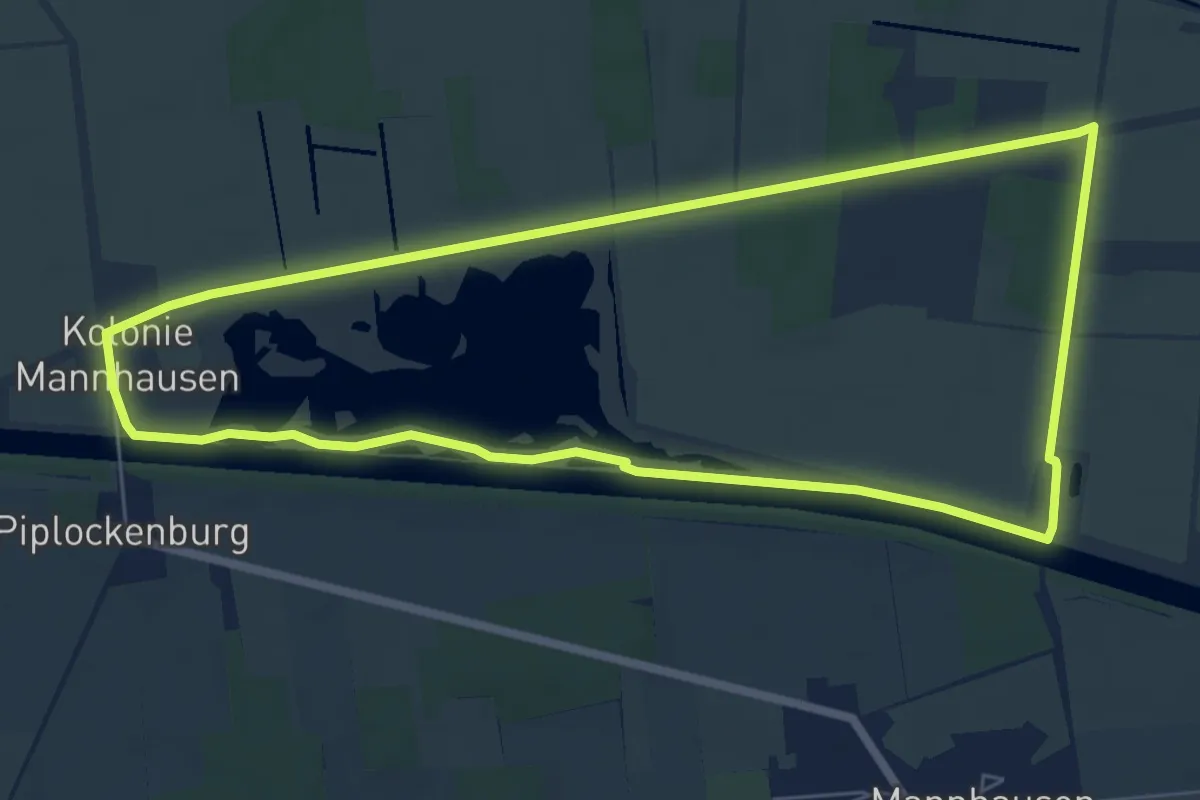
Easy · Trail
Wanderweg Mannhausen (klein)
6.1 km · ↑ 9 m · 1 h 33 min
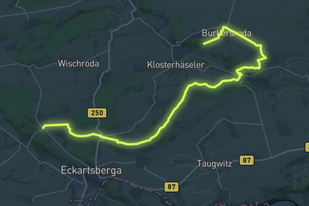
Medium · Trail
Wanderweg Marienthal-Burgheßler
16.4 km · ↑ 207 m · 4 h 34 min
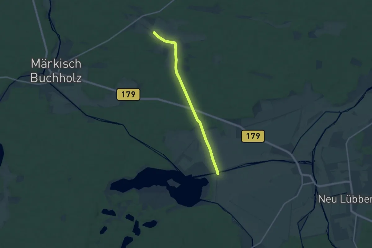
Medium · Trail
Wanderweg ...-Märkisch Buchholz
9.9 km · ↑ 22 m · 2 h 23 min
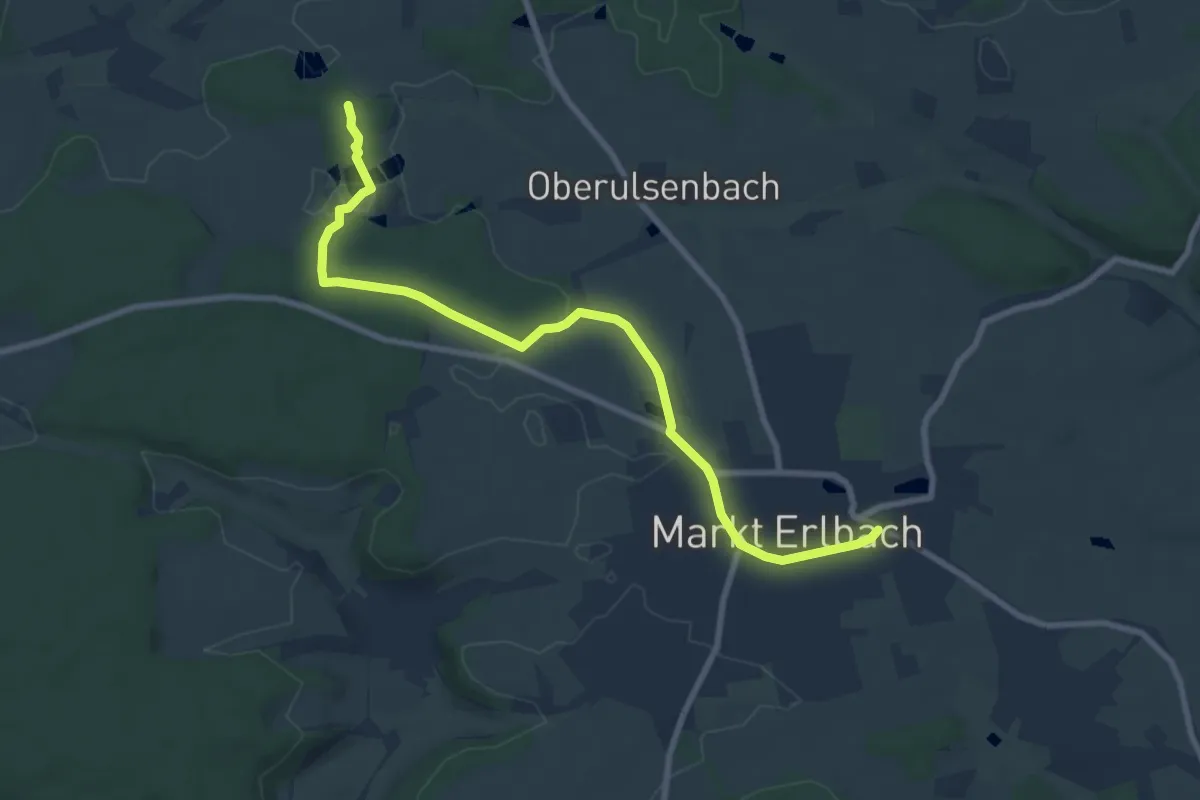
Medium · Trail
Wanderweg Markt-Erlbach – Klausaurach
8.5 km · ↑ 88 m · 2 h 12 min
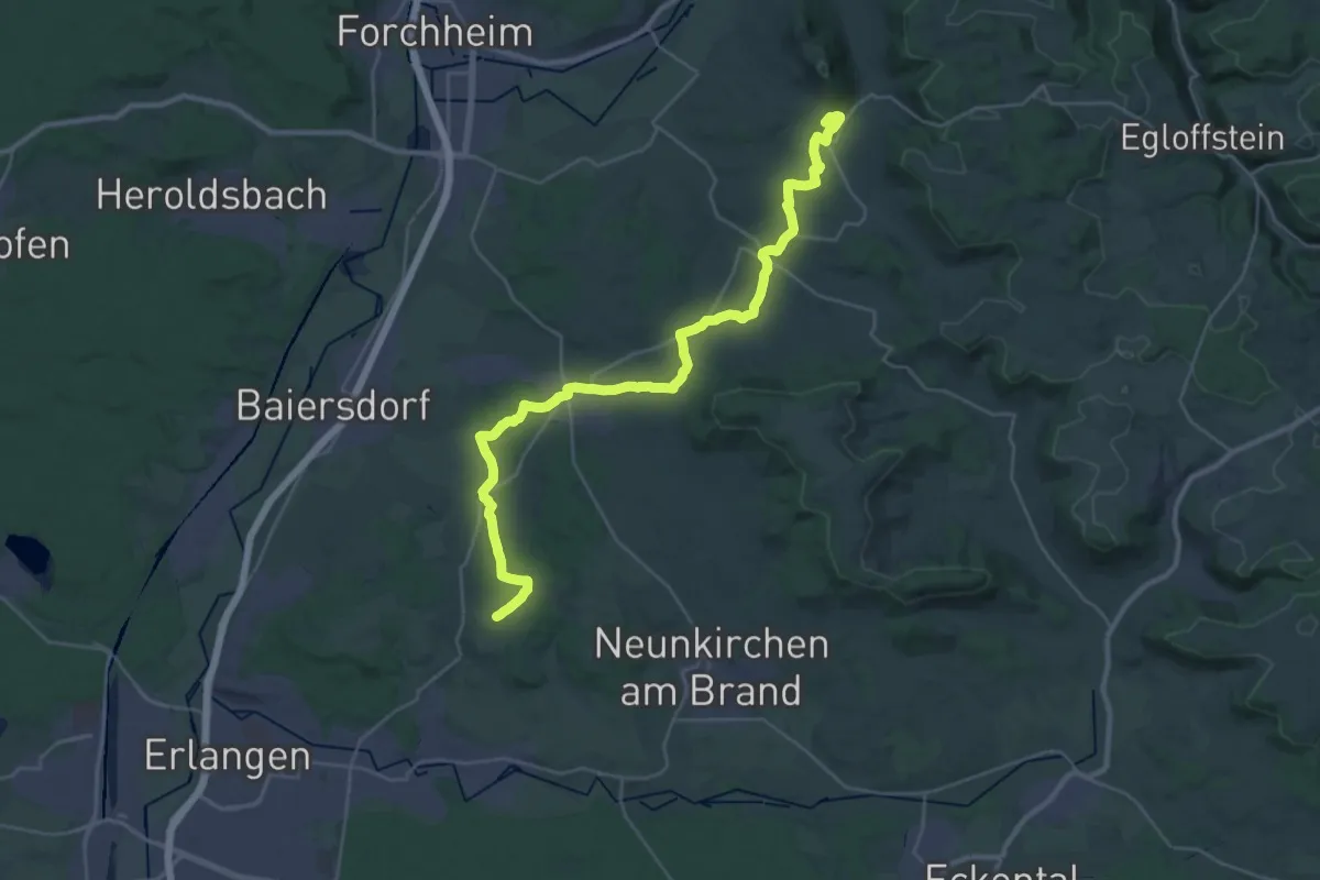
Demanding · Summit
Wanderweg Marloffstein-Schlaifhausen
33.4 km · ↑ 546 m · 9 h 4 min
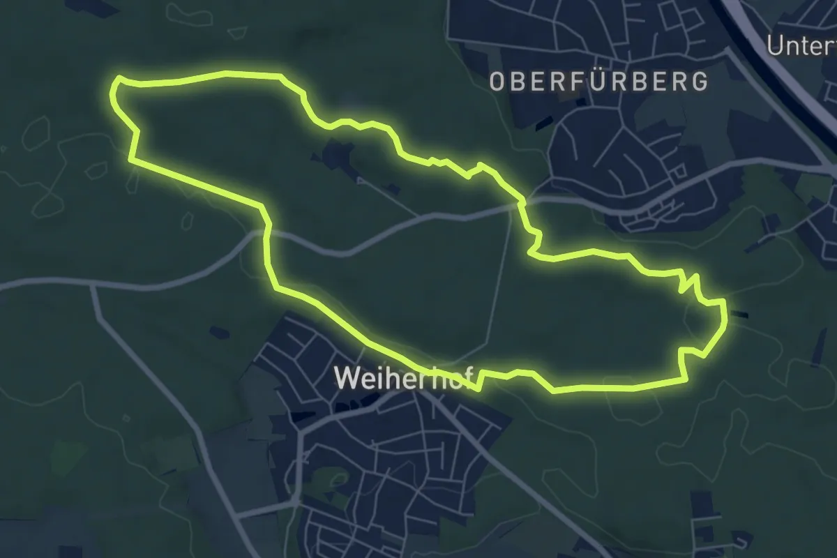
Easy · Trail
Wanderweg "Marmaris"
7.1 km · ↑ 66 m · 1 h 55 min
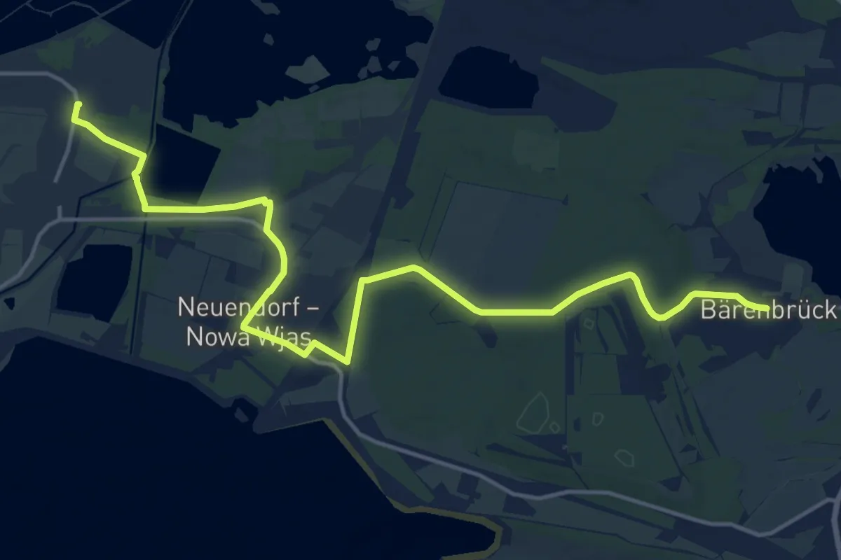
Easy · Trail
Wanderweg Maust - Bärenbrück
7.9 km · ↑ 22 m · 2 h 2 min
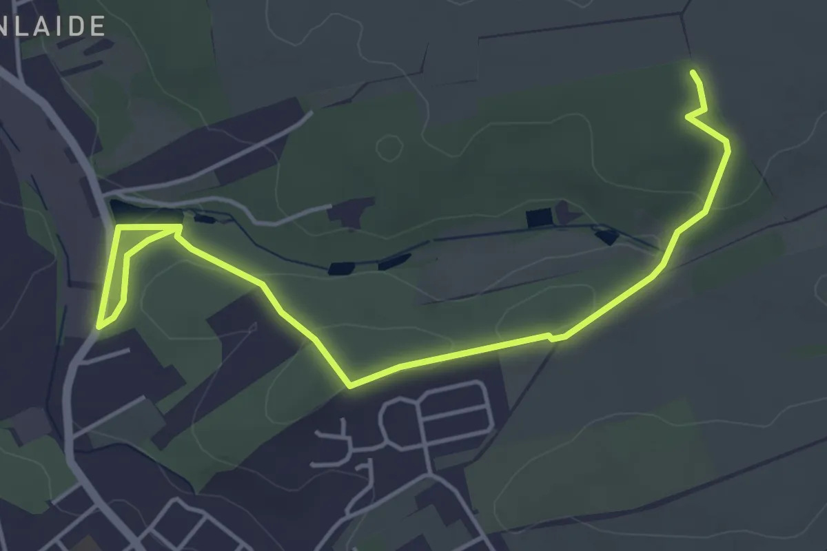
Easy · Trail
Wanderweg Meerane Grün
4.9 km · ↑ 83 m · 1 h 20 min
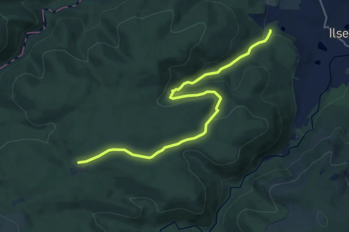
Demanding · Trail
Wanderweg Meineberg - Ernstburg
10.7 km · ↑ 335 m · 3 h 16 min
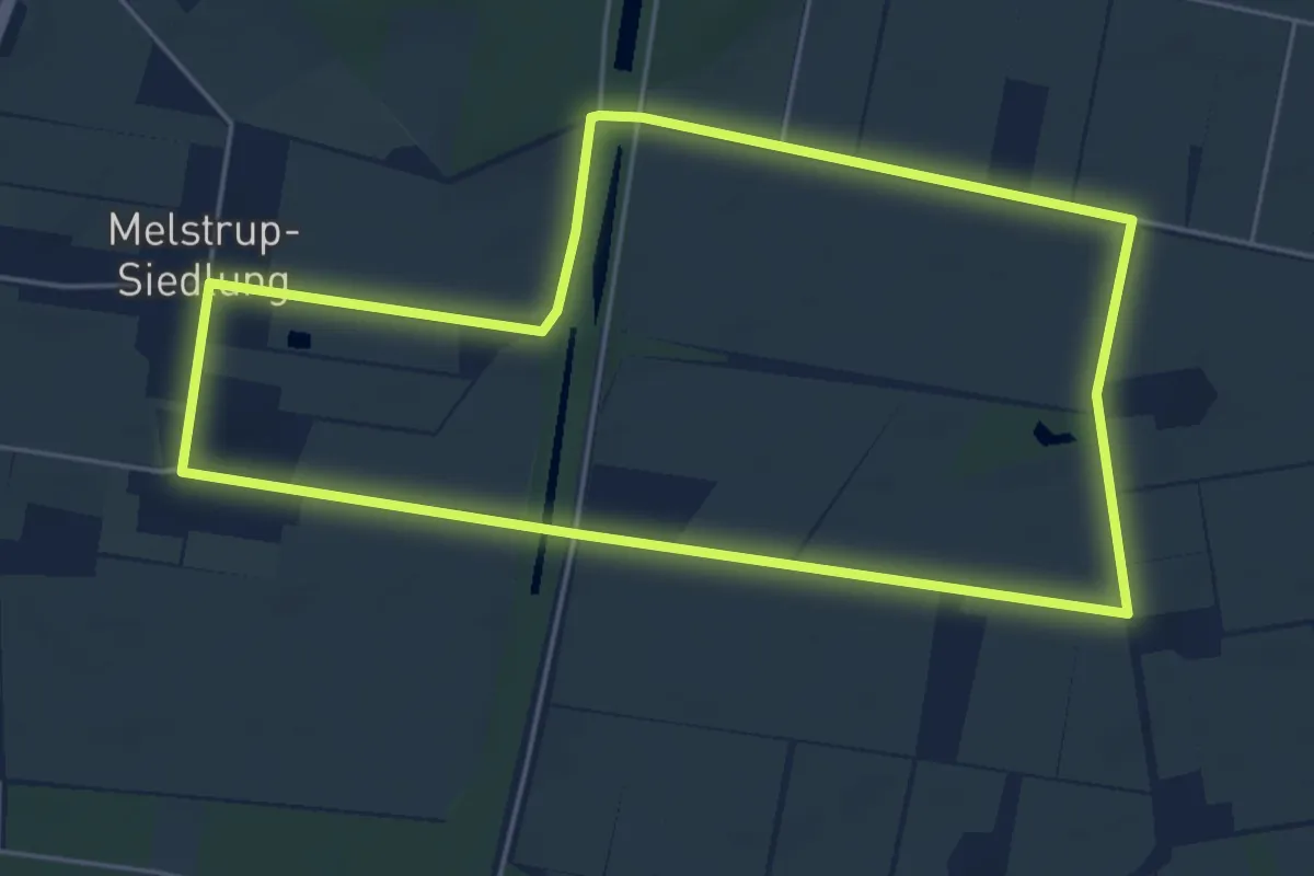
Easy · Trail
Wanderweg Melstrup-Siedlung
4.7 km · ↑ 0 m · 1 h 10 min
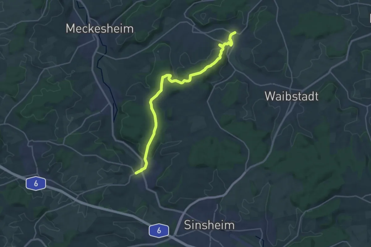
Medium · Trail
Wanderweg Menachem und Fred, Neidenstein - Hoffenheim
17.9 km · ↑ 419 m · 5 h 8 min
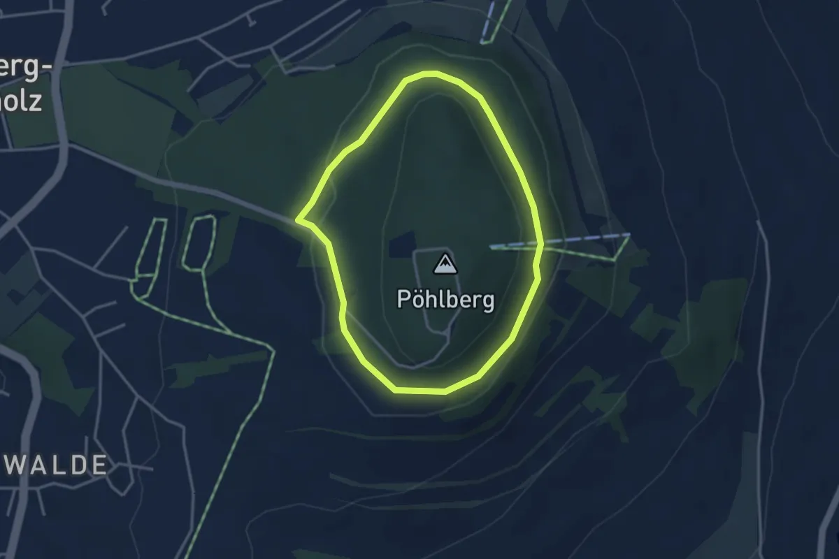
Easy · Trail
Wanderweg Mittlerer Rundgang
2.8 km · ↑ 41 m · 47 min
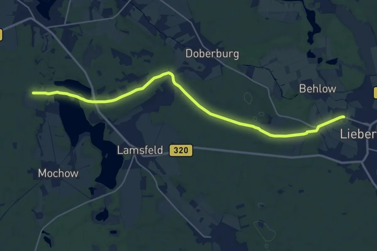
Medium · Trail
Wanderweg Mochowsee-Baroldmühle-Lieberose.
16.7 km · ↑ 139 m · 4 h 14 min
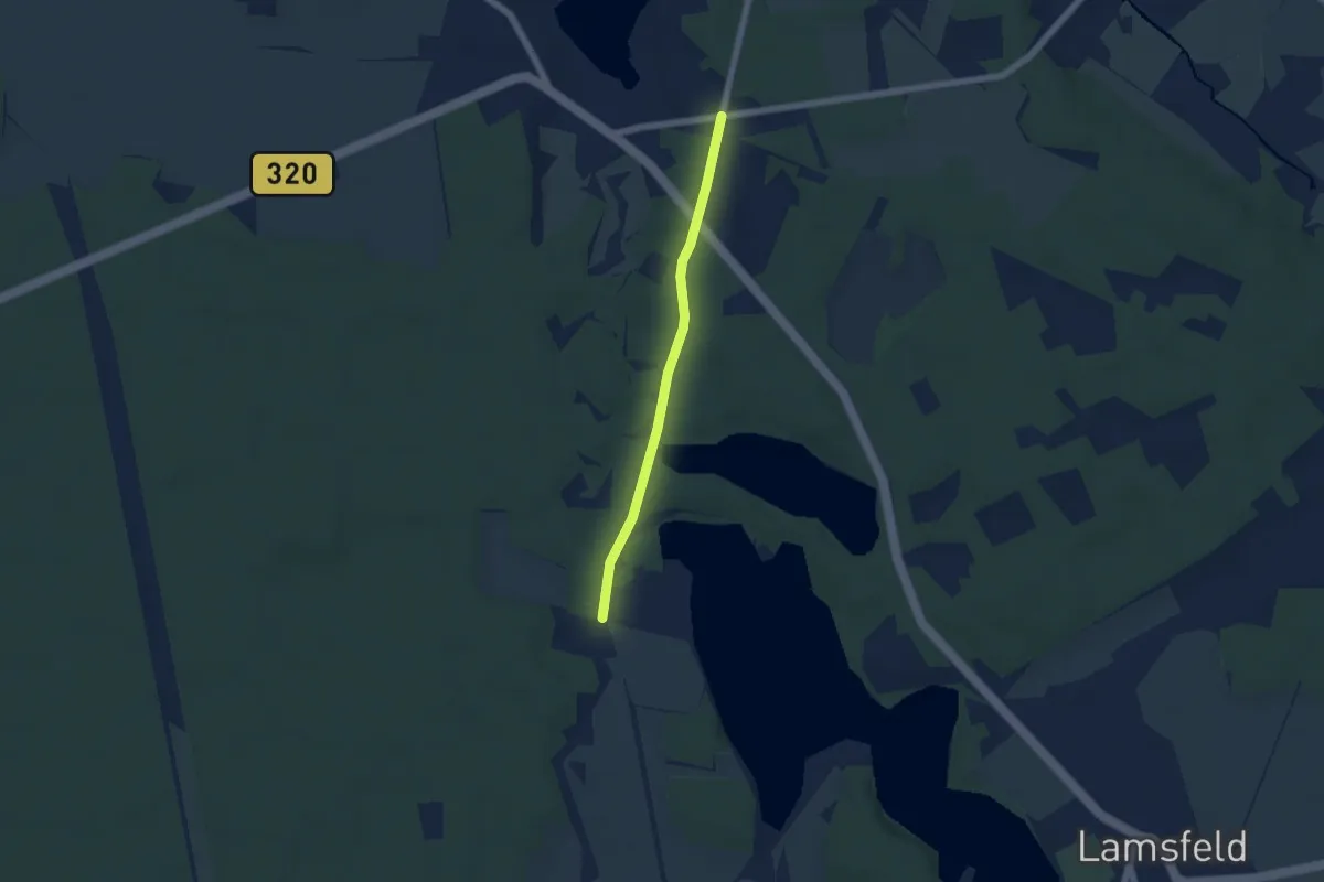
Easy · Trail
Wanderweg Mochowsee-Goyatz-Hoffnungsbay
4.3 km · ↑ 4 m · 1 h 1 min
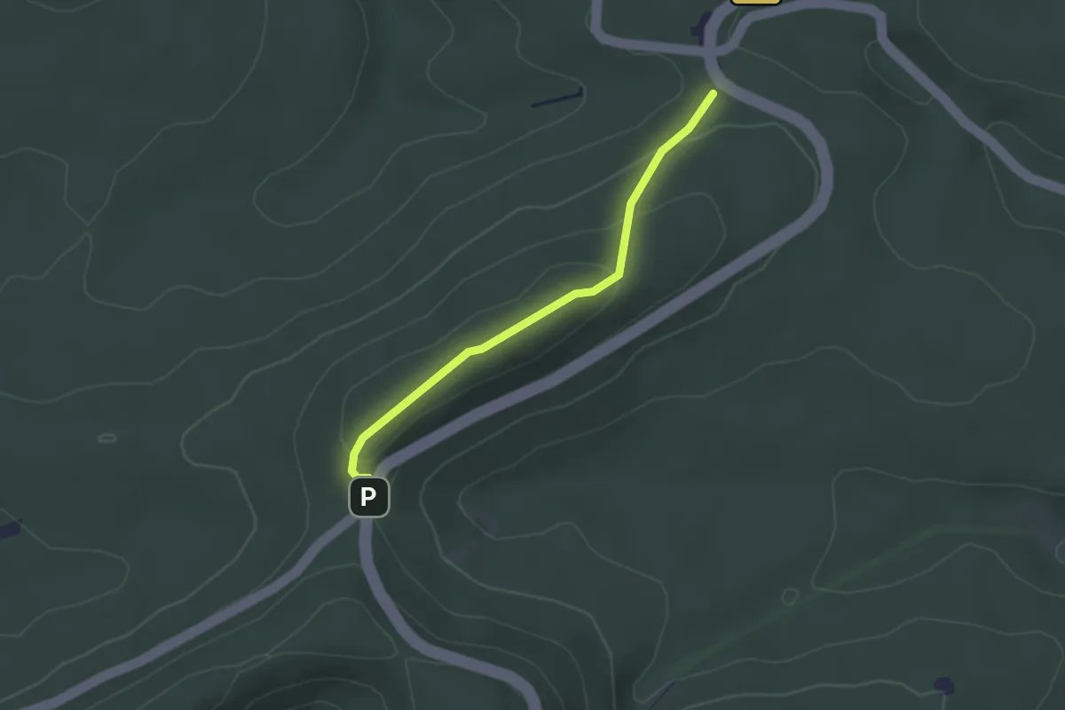
Easy · Trail
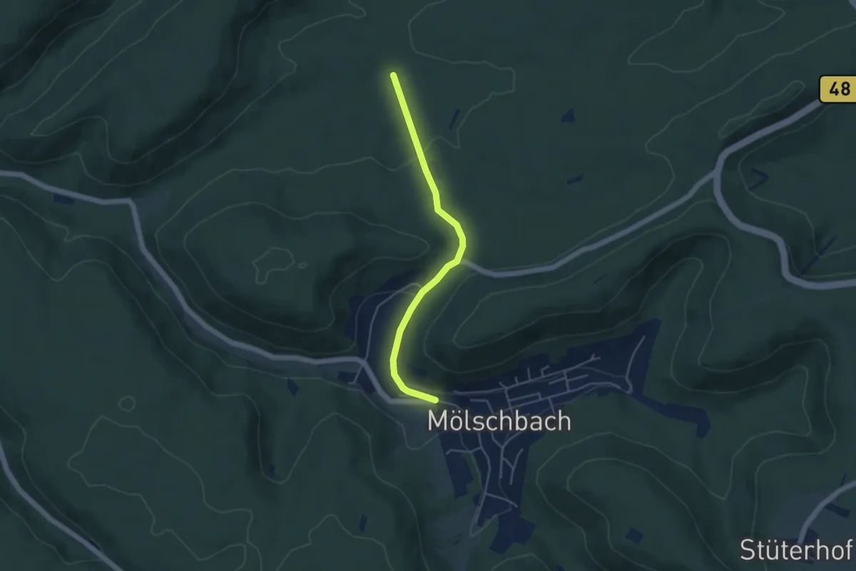
Wanderweg Mölschbach 10
2.3 km · ↑ 81 m · 44 min
Easy · Trail
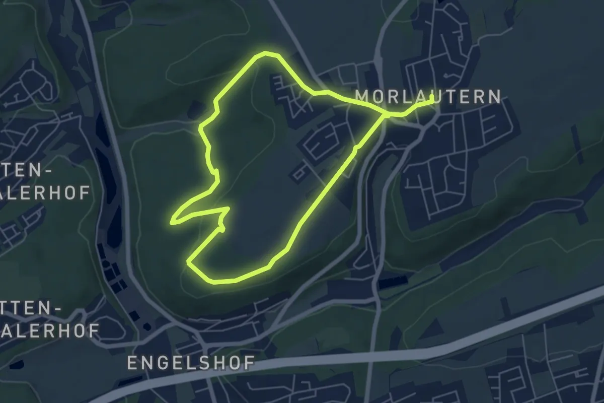
Wanderweg Mölschbach 4
4.0 km · ↑ 74 m · 1 h 6 min
Easy · Trail
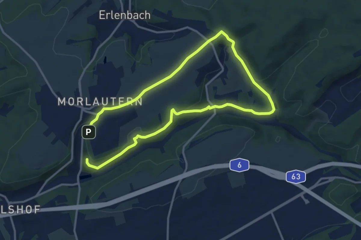
Wanderweg Morlautern 1
4.8 km · ↑ 91 m · 1 h 23 min
Medium · Trail
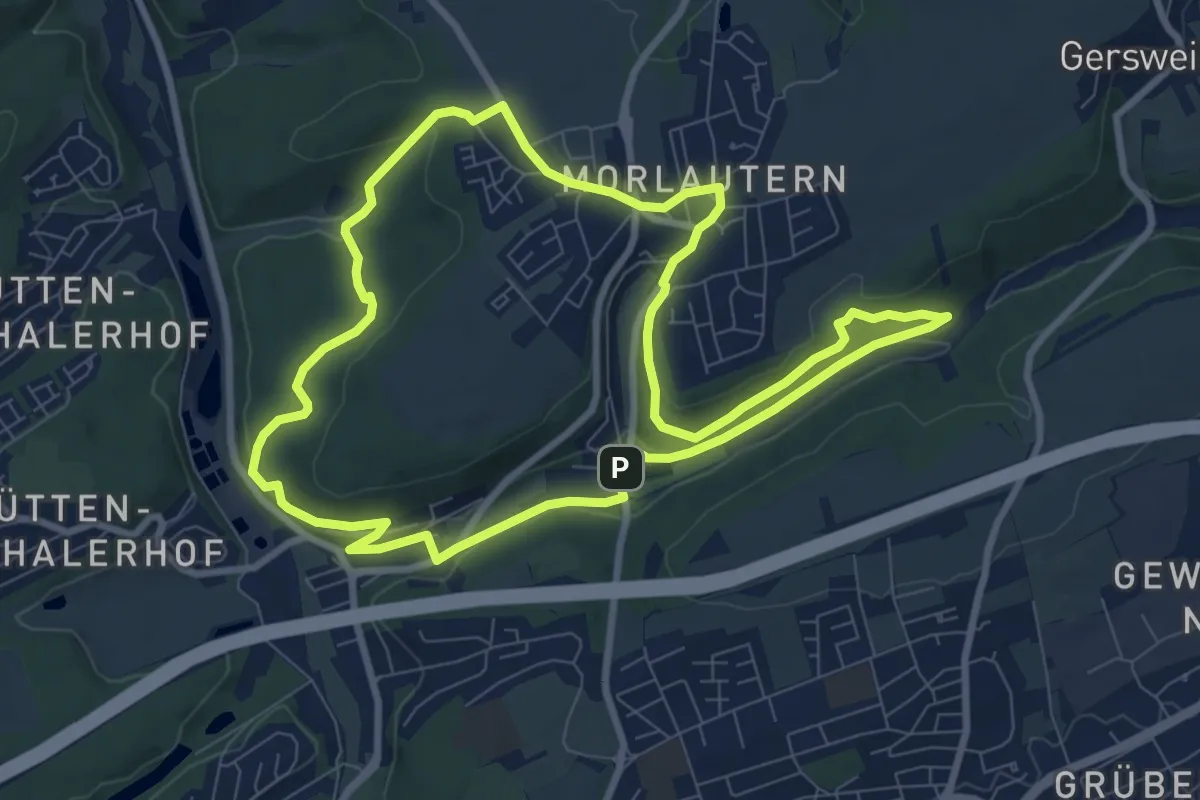
Wanderweg Morlautern 2
13.8 km · ↑ 248 m · 3 h 48 min
Medium · Trail
Wanderweg Morlautern 3
8.4 km · ↑ 181 m · 2 h 29 min
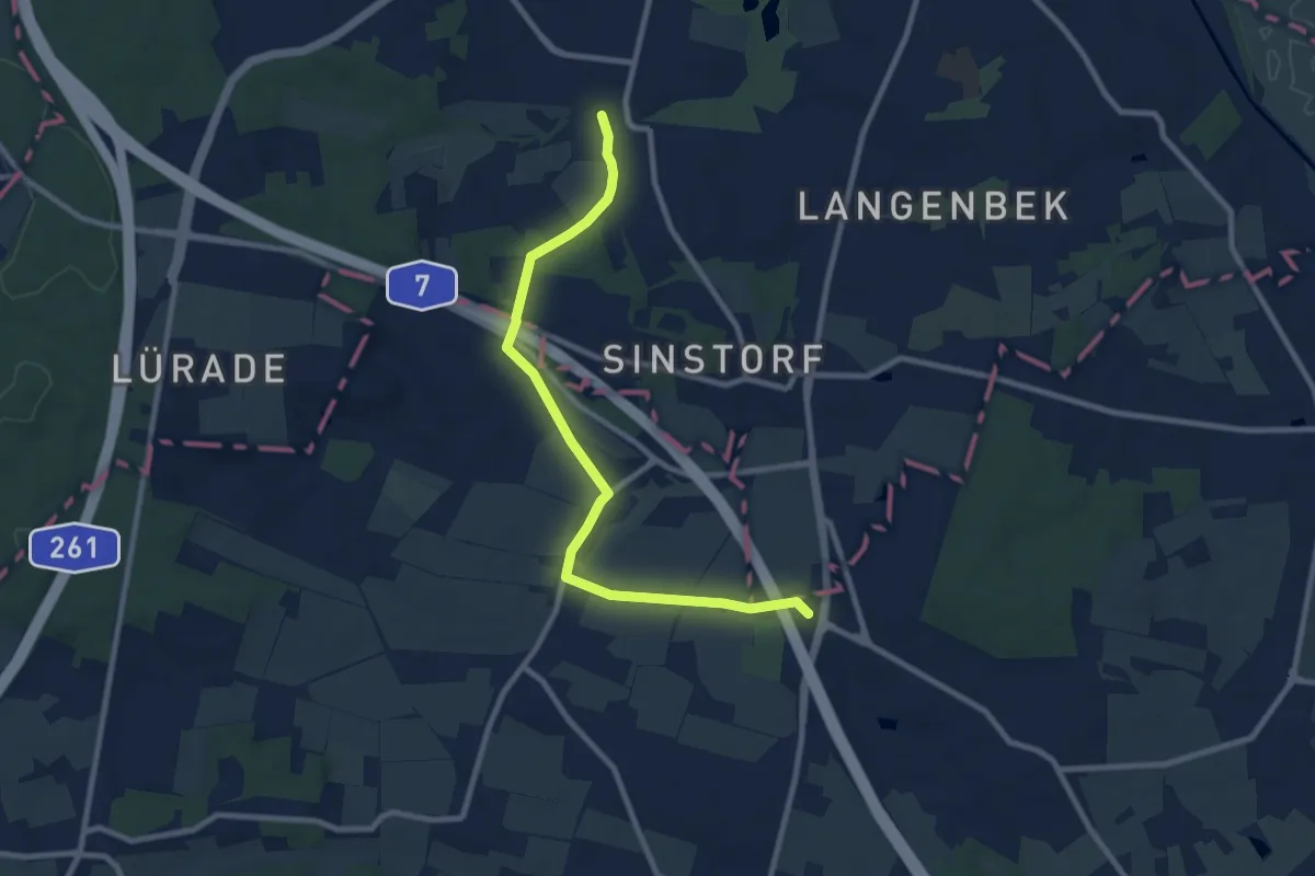
Medium · Summit
Wanderweg MT
8.3 km · ↑ 82 m · 2 h 8 min
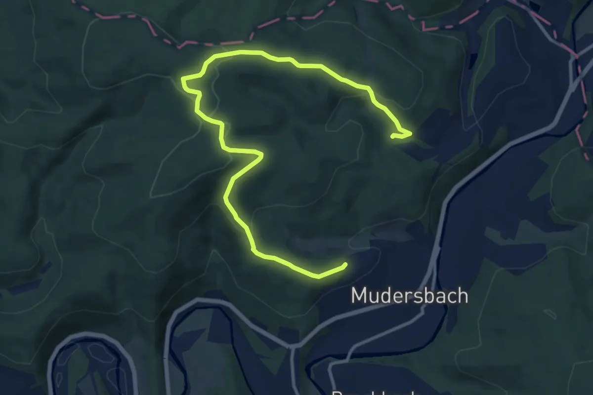
Medium · Trail
Wanderweg Mudersbach M5
11.0 km · ↑ 378 m · 3 h 26 min
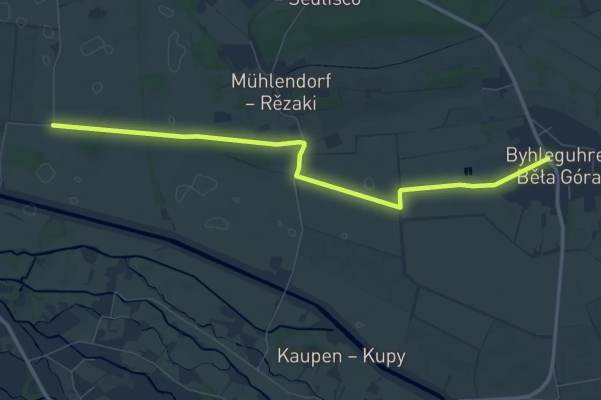
Easy · Trail
Wanderweg Mühlendorf-Byhleguhre-Burg-Kauper-Straupitz
7.3 km · ↑ 13 m · 1 h 45 min
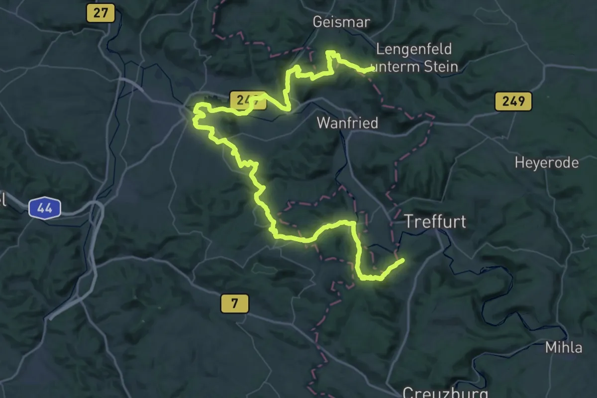
Demanding · Summit
Wanderweg Mühlhausen - Eschwege - Mühlhausen
39.0 km · ↑ 756 m · 11 h 26 min
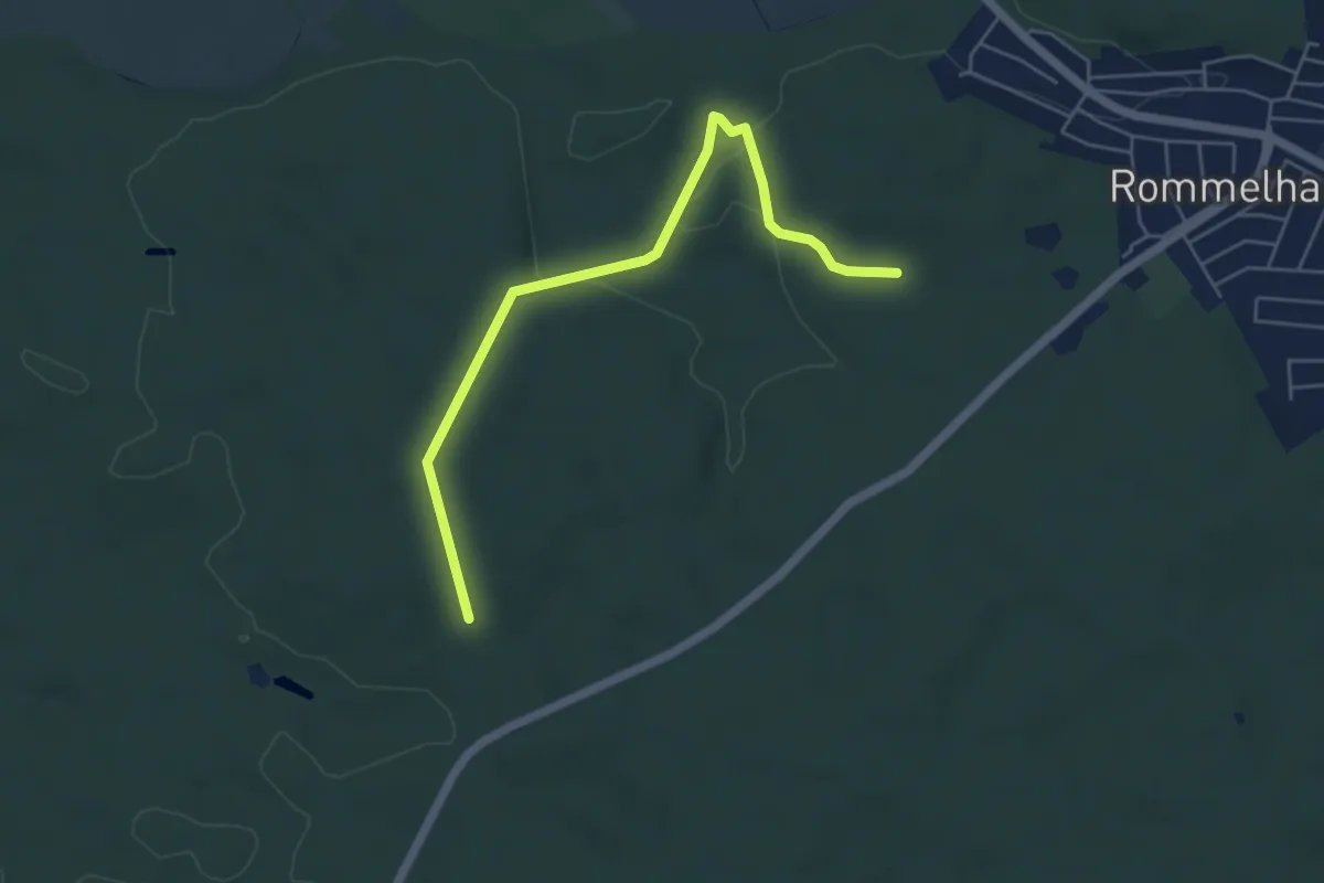
Easy · Trail
Wanderweg N1
4.9 km · ↑ 57 m · 1 h 18 min
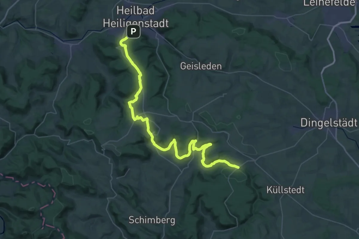
Demanding · Trail
Wanderweg nach Effelder (Roter Balken)
21.6 km · ↑ 648 m · 6 h 43 min
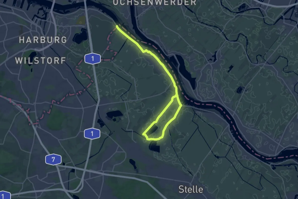
Demanding · Trail
Wanderweg NE
24.7 km · ↑ 0 m · 5 h 50 min
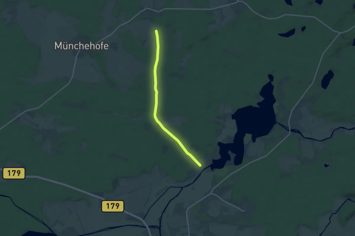
Medium · Trail
Wanderweg Neuendorf-Eichholz-...
11.7 km · ↑ 39 m · 2 h 51 min
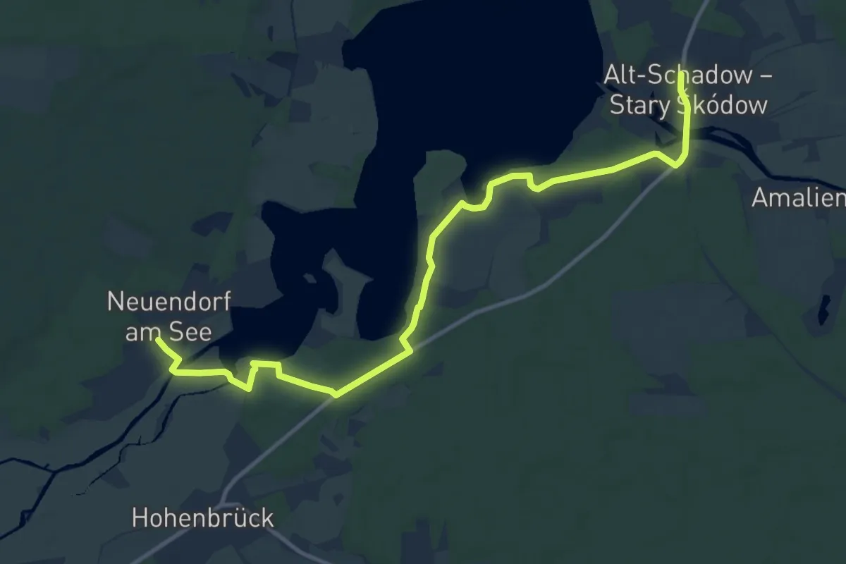
Medium · Trail
Wanderweg Neuendorf-Hohenbrücker Strand-Alt Schadow
11.1 km · ↑ 44 m · 2 h 43 min
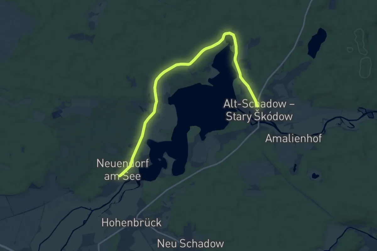
Medium · Trail
Wanderweg Neuendorf-Tschinka-Alt Schadow
13.8 km · ↑ 34 m · 3 h 20 min
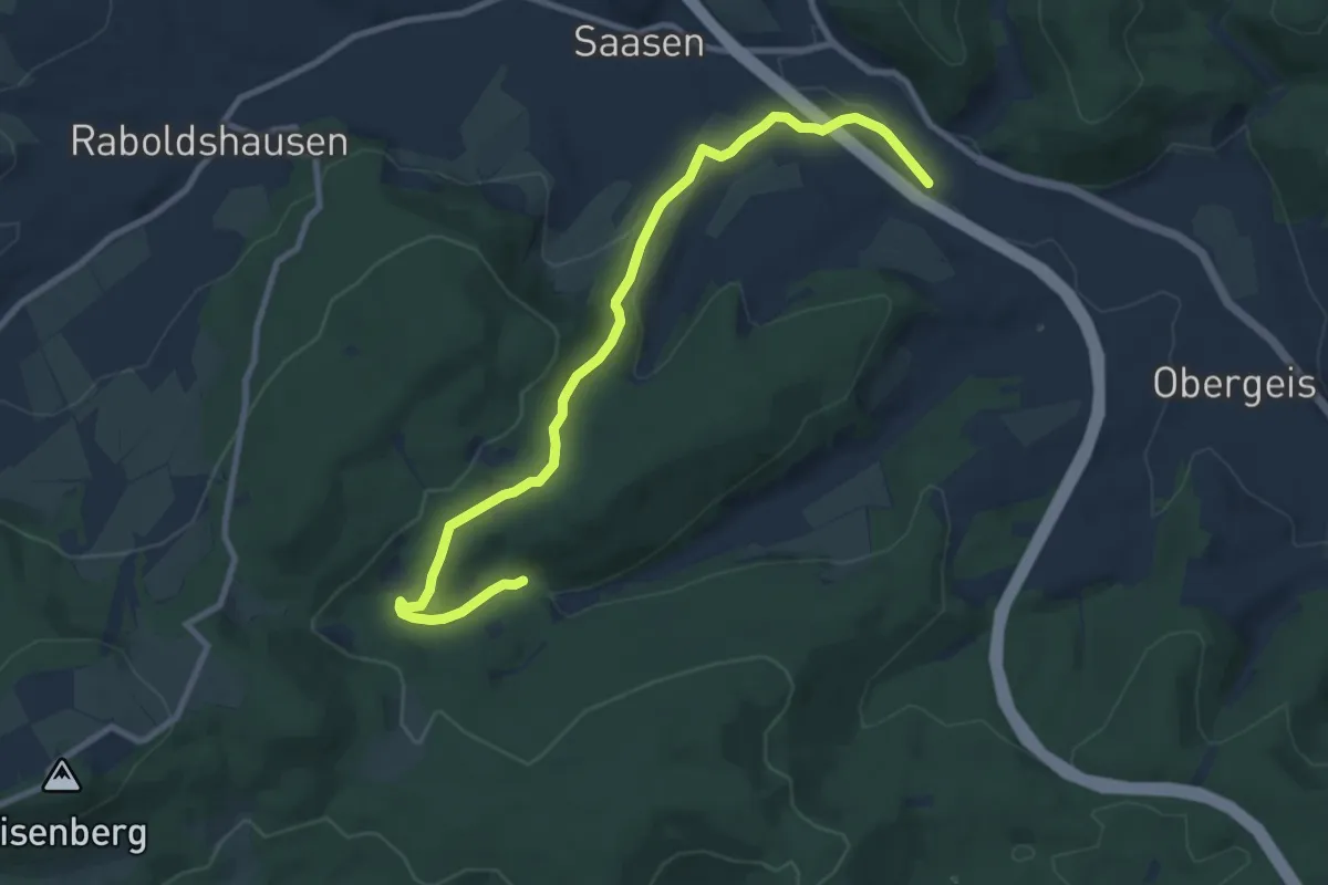
Medium · Trail
Wanderweg Neuenstein (N1)
9.5 km · ↑ 241 m · 2 h 46 min
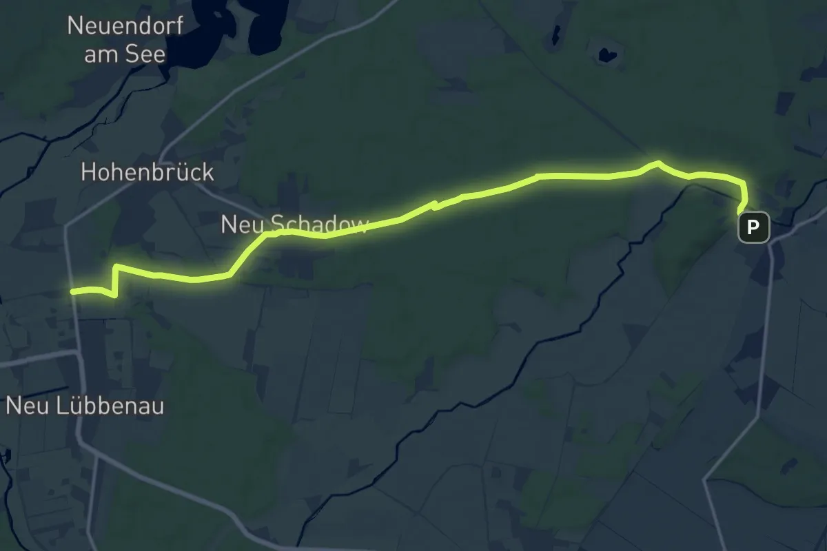
Medium · Trail
Wanderweg Neu Lübbenau-Neu Schadow-Pretschen
15.6 km · ↑ 47 m · 3 h 48 min