Trails in Germany
36,852 hiking trails, each with its route, climb, walking time and grade.
All trails, page 704 of 768
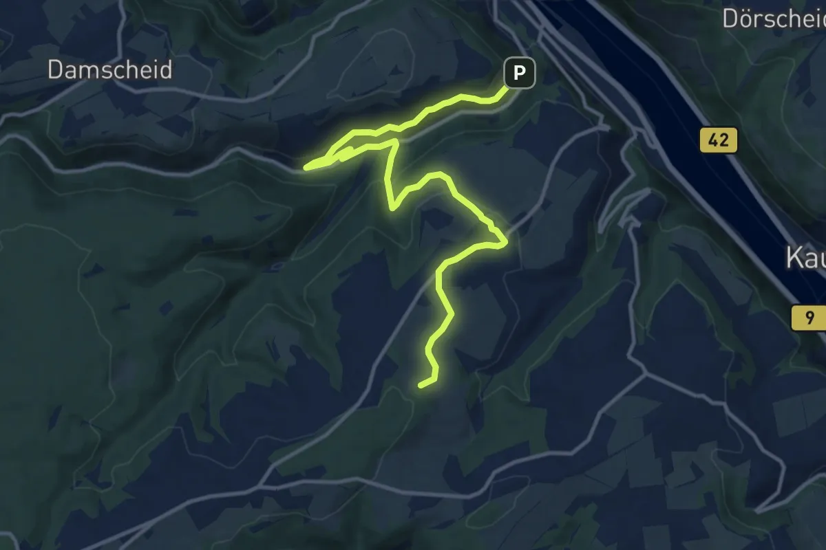
Medium · Trail
Wanderweg orange Verschlingung auf blau
12.9 km · ↑ 423 m · 3 h 58 min
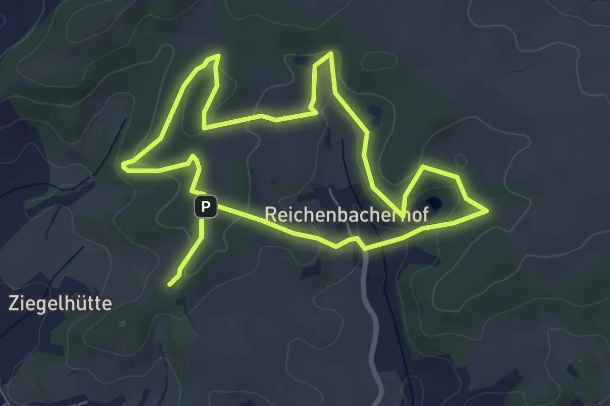
Medium · Trail
Wanderweg Otterbach 2
10.1 km · ↑ 313 m · 3 h 4 min
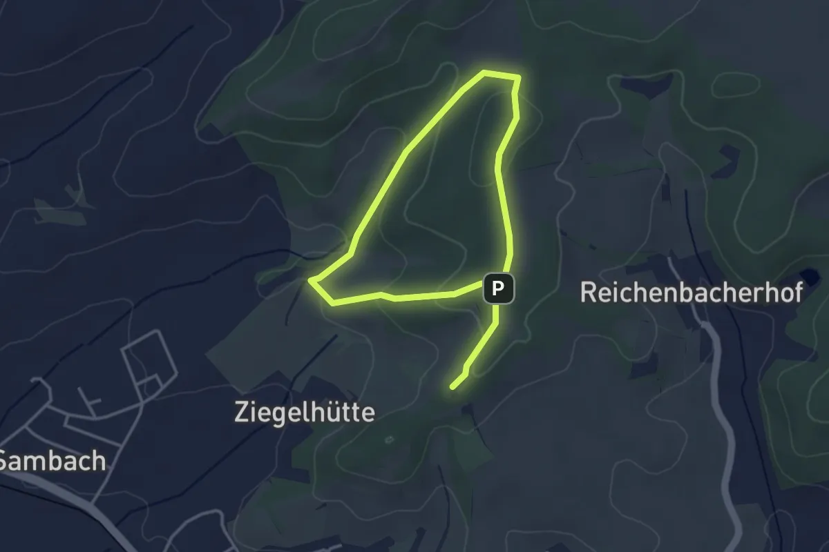
Easy · Trail
Wanderweg Otterbach 3
5.0 km · ↑ 133 m · 1 h 28 min
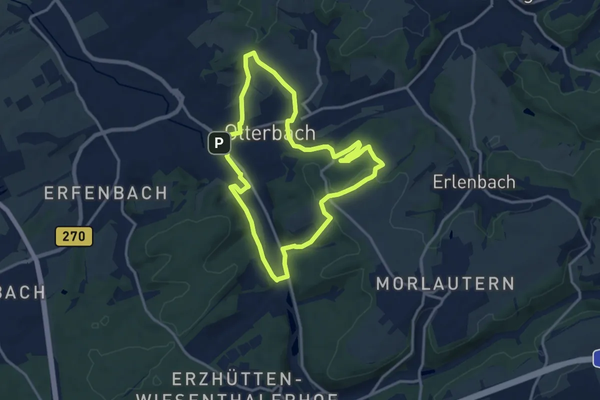
Medium · Trail
Wanderweg Otterbach 4
9.1 km · ↑ 184 m · 2 h 40 min
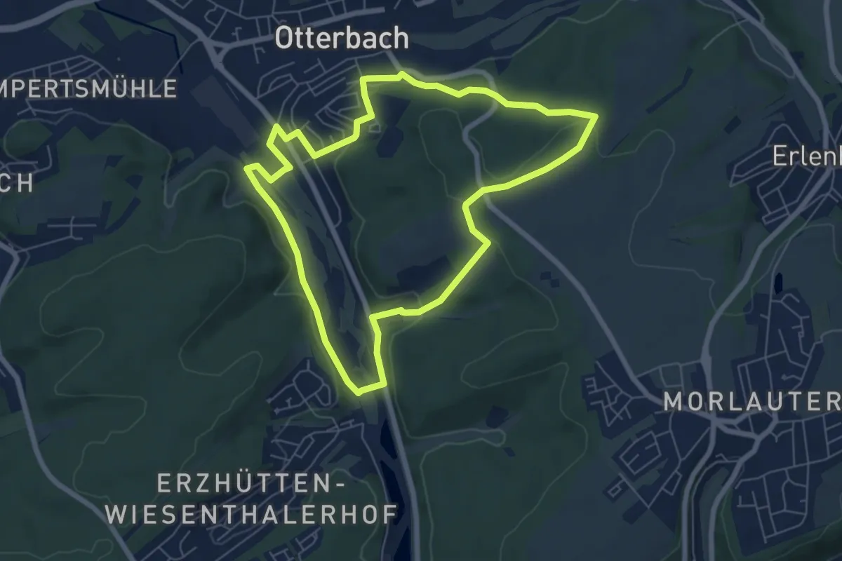
Easy · Trail
Wanderweg Otterbach 5
6.0 km · ↑ 133 m · 1 h 47 min
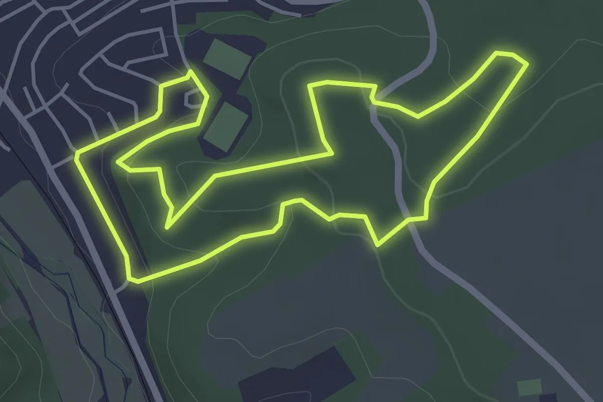
Easy · Trail
Wanderweg Otterbach 6
4.0 km · ↑ 123 m · 1 h 16 min
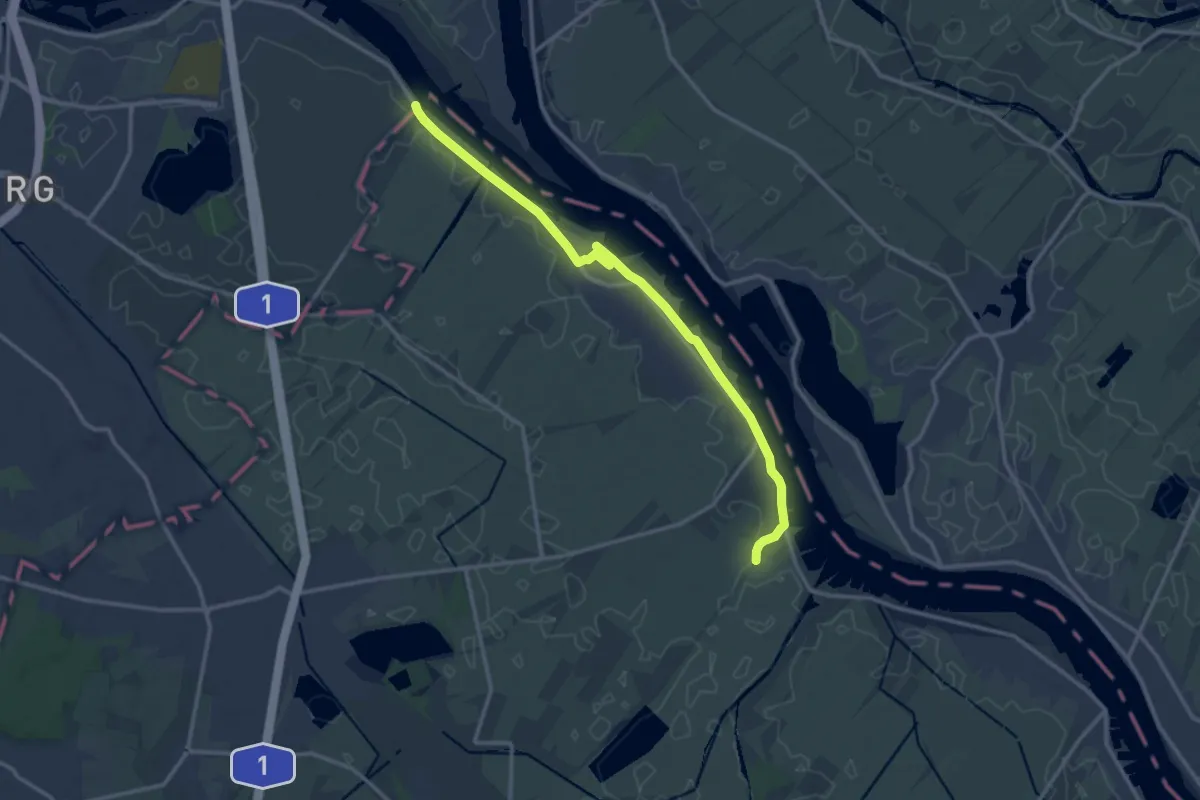
Medium · Trail
Wanderweg OV
12.4 km · ↑ 8 m · 2 h 57 min
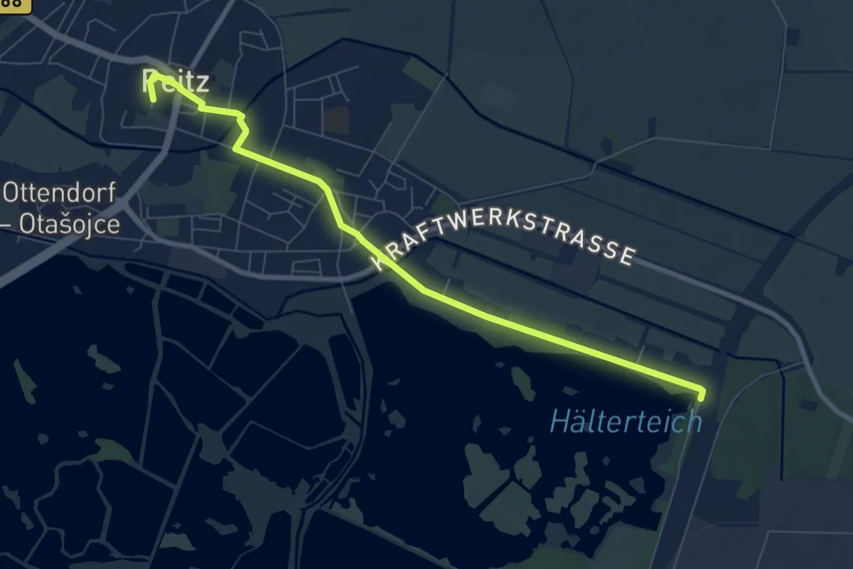
Easy · Trail
Wanderweg Peitz Ostbahnhof - Peitz Festung
7.1 km · ↑ 9 m · 1 h 42 min
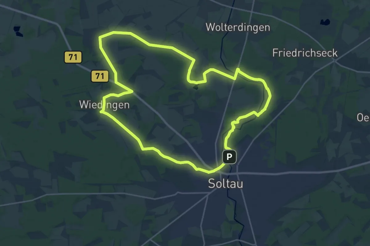
Medium · Trail
Wanderweg Pilz
16.7 km · ↑ 61 m · 4 h 18 min
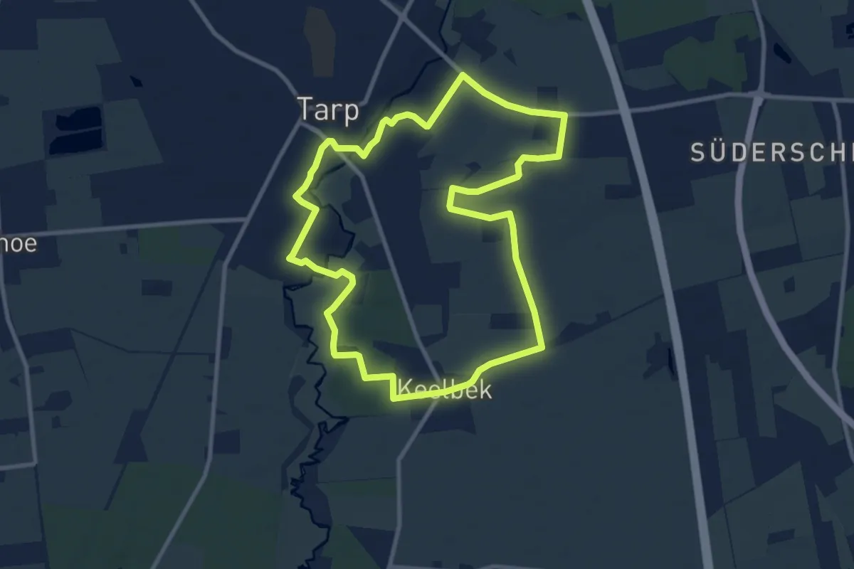
Easy · Trail
Wanderweg Pink, Tarp
7.6 km · ↑ 34 m · 1 h 59 min
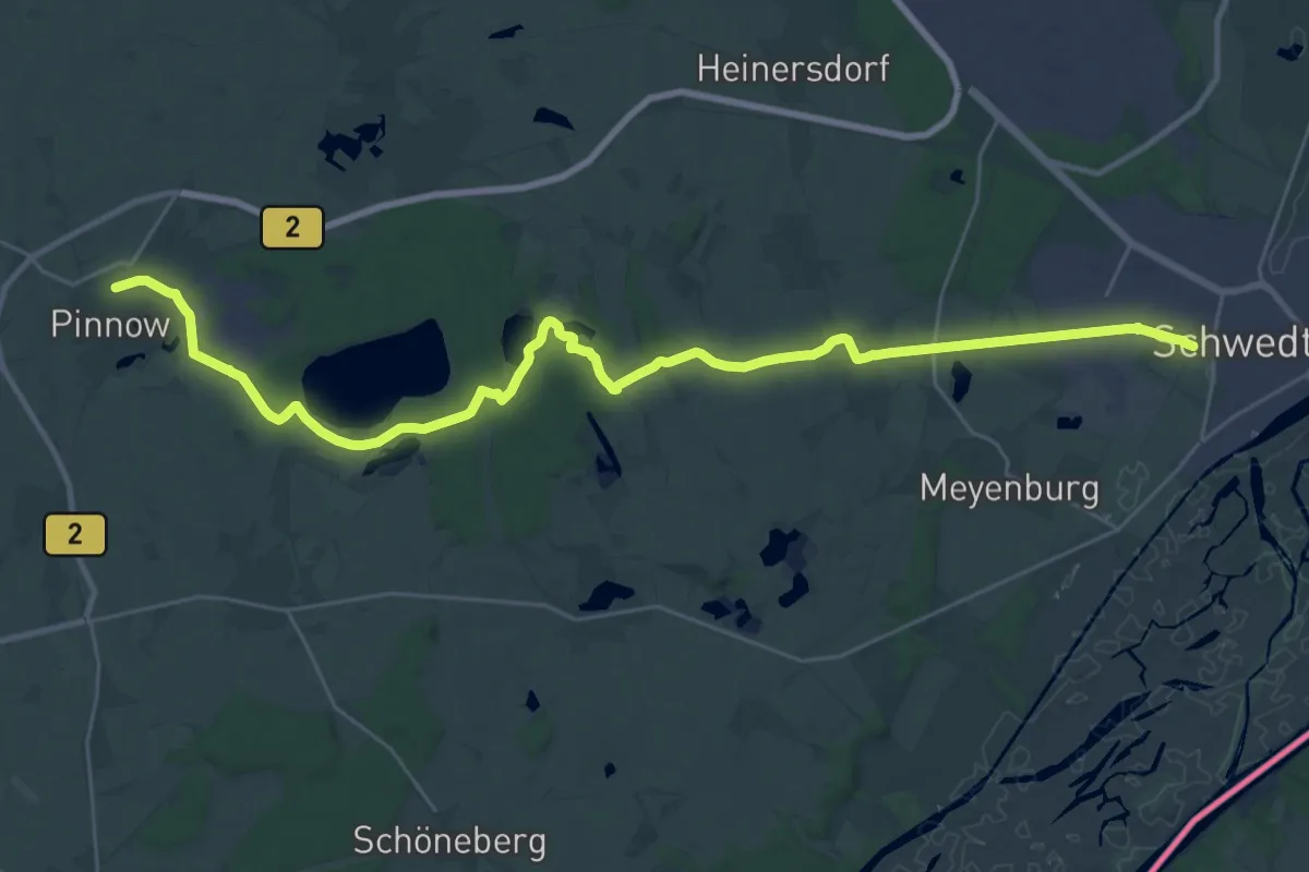
Demanding · Trail
Wanderweg Pinnow-Schwedt/Oder
30.3 km · ↑ 153 m · 7 h 29 min
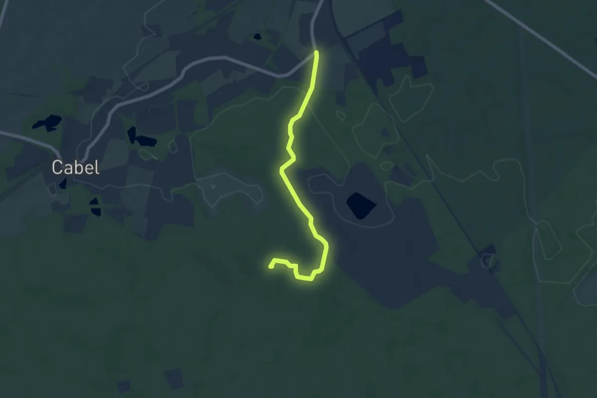
Easy · Summit
Wanderweg Pliskendorf - Kuhringsberg
5.1 km · ↑ 81 m · 1 h 22 min
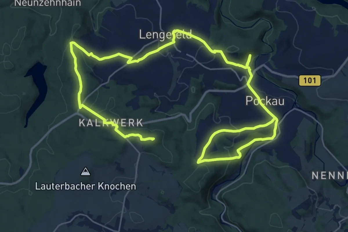
Demanding · Summit
Wanderweg Pockau-Lengefeld-Talsperre Neunzenhain II-Kalkwerk-Ulmknochen
31.8 km · ↑ 894 m · 9 h 27 min
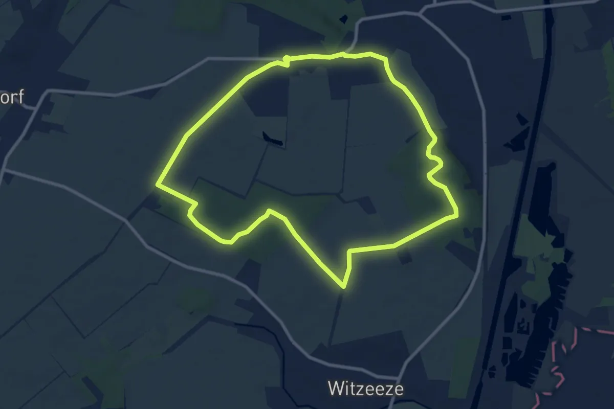
Easy · Trail
Wanderweg Pötrau
7.5 km · ↑ 56 m · 2 h
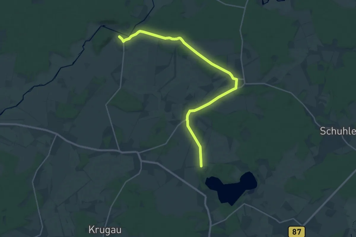
Demanding · Trail
Wanderweg Pretschen-Wittmannsdorf-Bückchen-Groß Leuthen
19.0 km · ↑ 98 m · 4 h 42 min
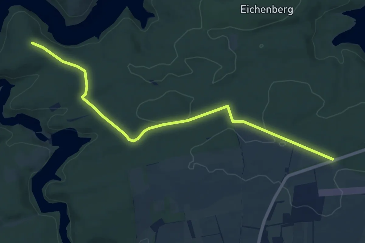
Easy · Trail
Wanderweg Pullman City-Trageburg
8.0 km · ↑ 86 m · 2 h 4 min
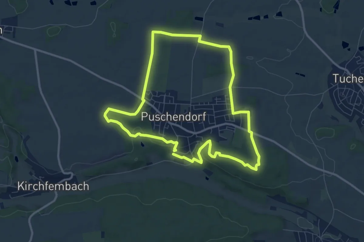
Easy · Trail
Wanderweg Puschendorf 1
7.7 km · ↑ 107 m · 2 h 9 min
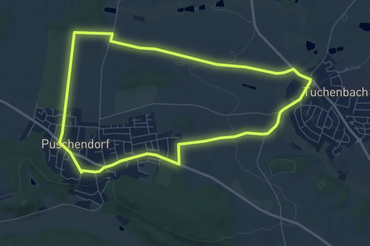
Easy · Trail
Wanderweg Puschendorf 2
6.7 km · ↑ 62 m · 1 h 49 min
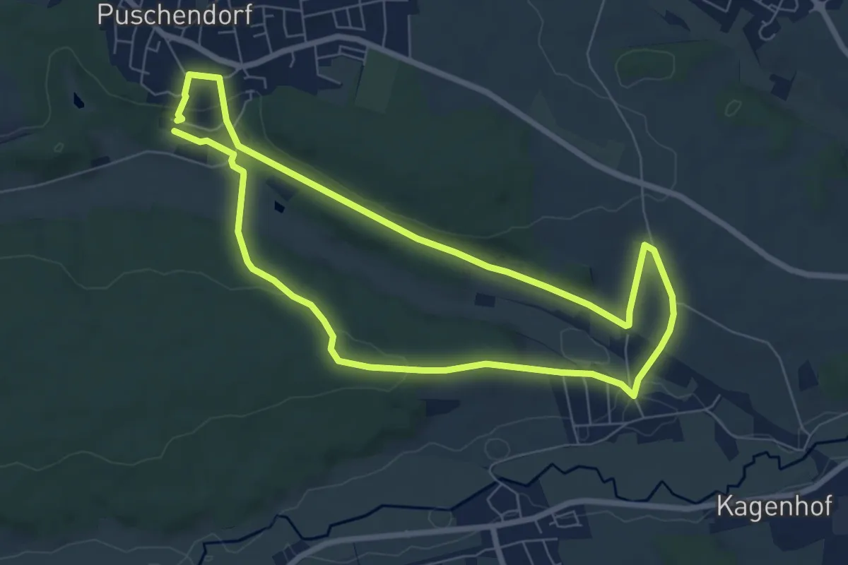
Easy · Trail
Wanderweg Puschendorf 5A
6.3 km · ↑ 155 m · 1 h 54 min
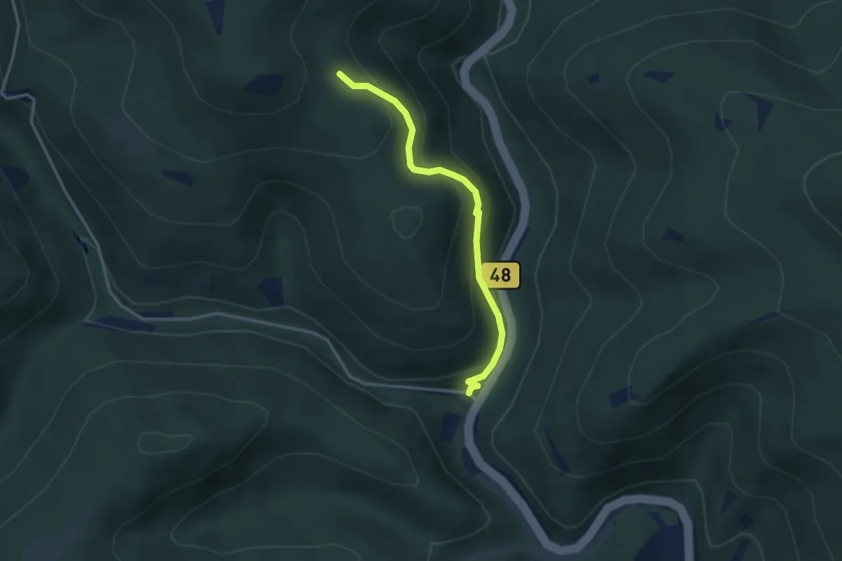
Easy · Trail
Wanderweg P Zwiesel - Kirschfelsen
2.8 km · ↑ 188 m · 1 h 4 min
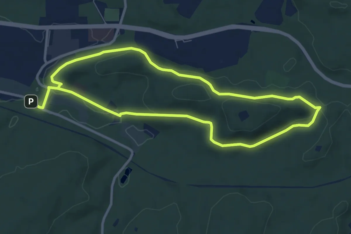
Easy · Summit
Wanderweg Quack 2
6.2 km · ↑ 154 m · 1 h 53 min
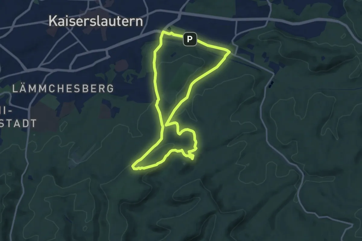
Medium · Summit
Wanderweg Quack / Kniebrech 1
10.0 km · ↑ 224 m · 3 h
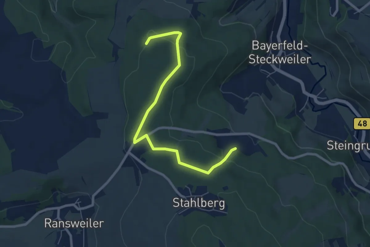
Easy · Trail
Wanderweg "R"
6.0 km · ↑ 138 m · 1 h 43 min
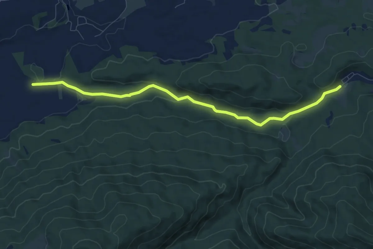
Medium · Trail
Wanderweg R 6 - Bayrische Voralpen
9.0 km · ↑ 161 m · 2 h 29 min
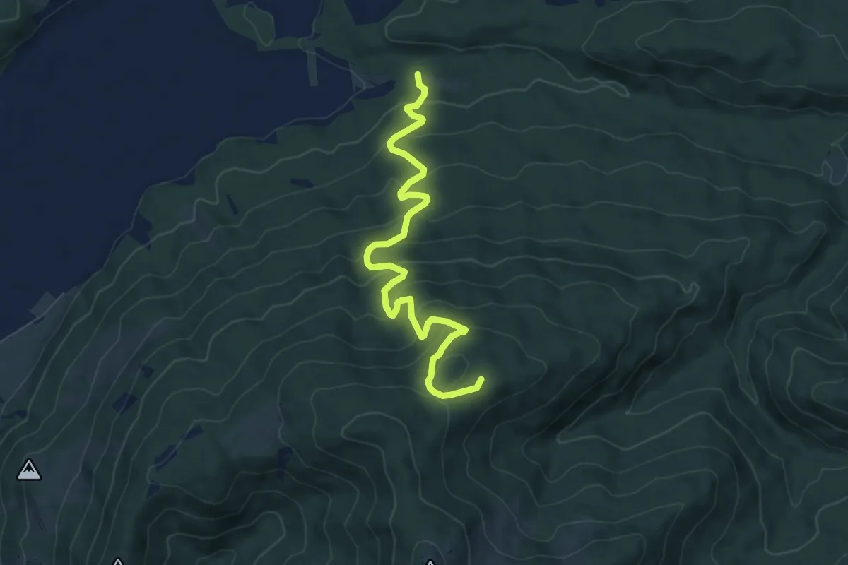
Medium · Trail
Wanderweg R 7 - Bayrische Voralpen
7.8 km · ↑ 493 m · 2 h 54 min
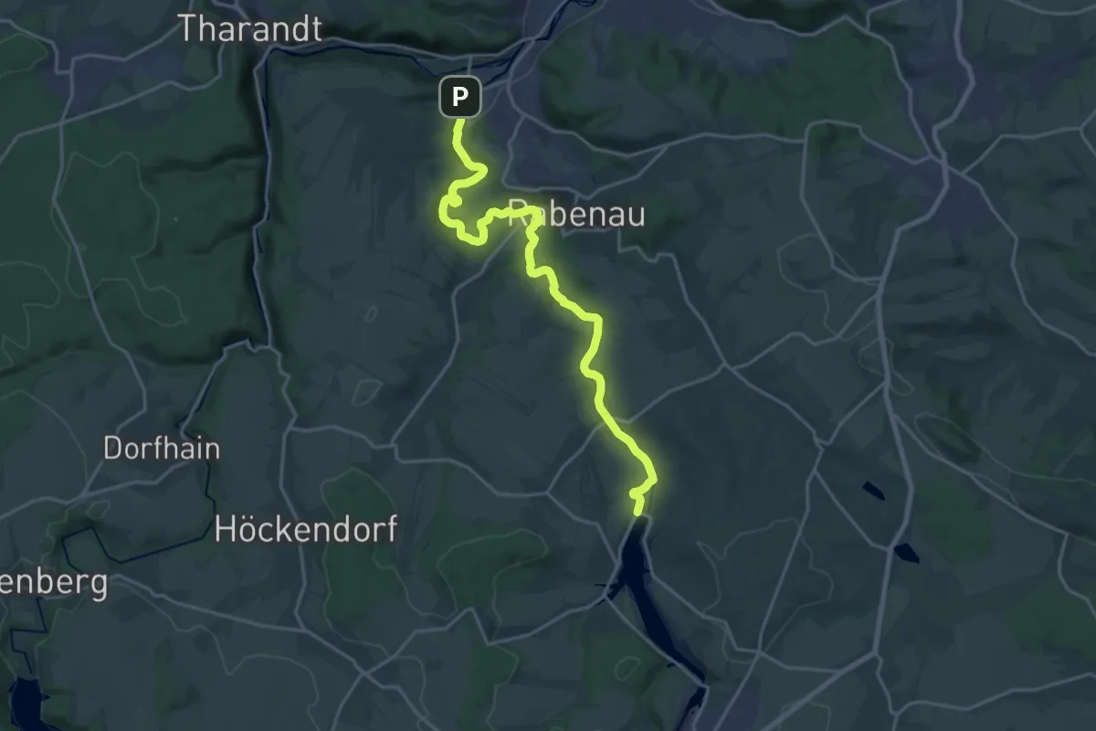
Demanding · Trail
Wanderweg Rabenauer Grund
19.3 km · ↑ 293 m · 5 h 11 min
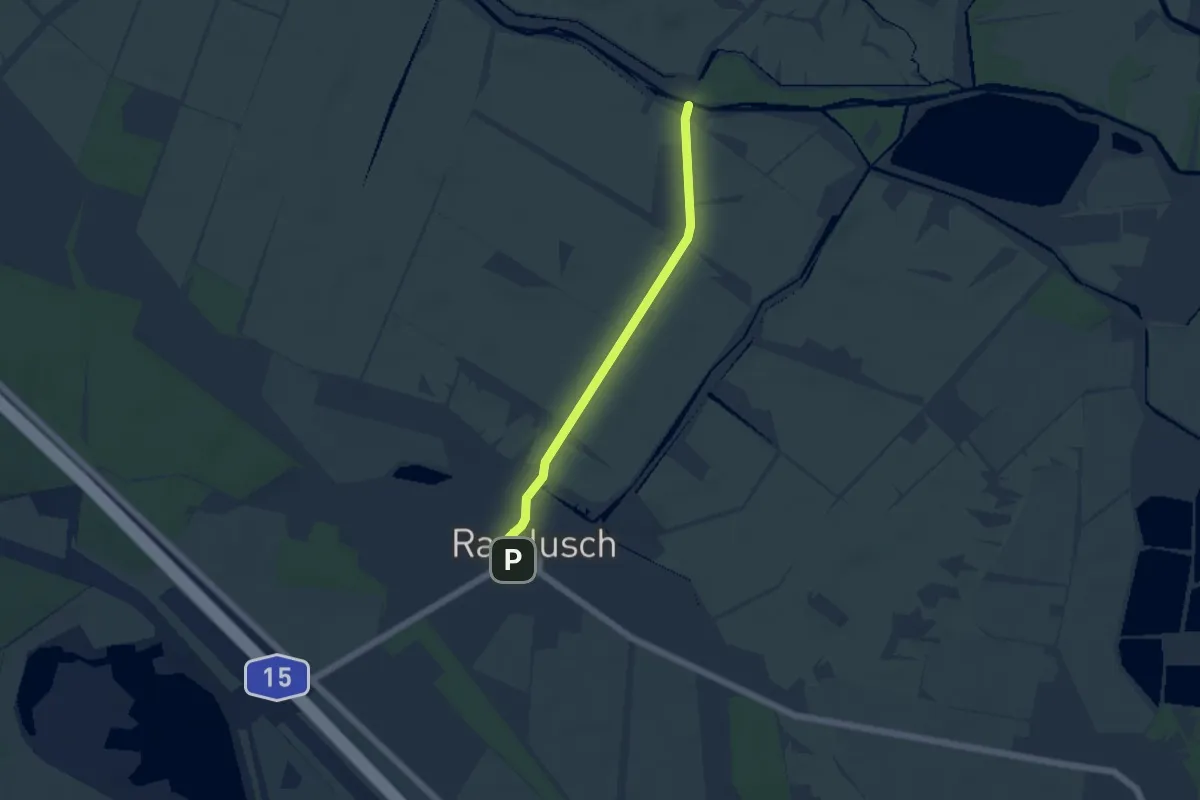
Easy · Trail
Wanderweg Raddusch-> Radduscher Buschmühle
4.0 km · ↑ 4 m · 58 min
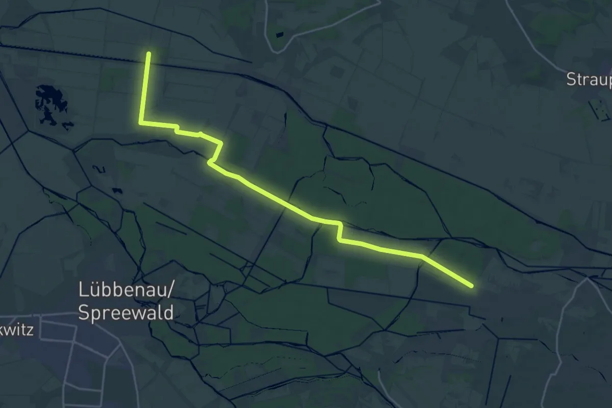
Demanding · Trail
Wanderweg Radensdorf-Polenzschenke-Burg
21.4 km · ↑ 25 m · 5 h 7 min
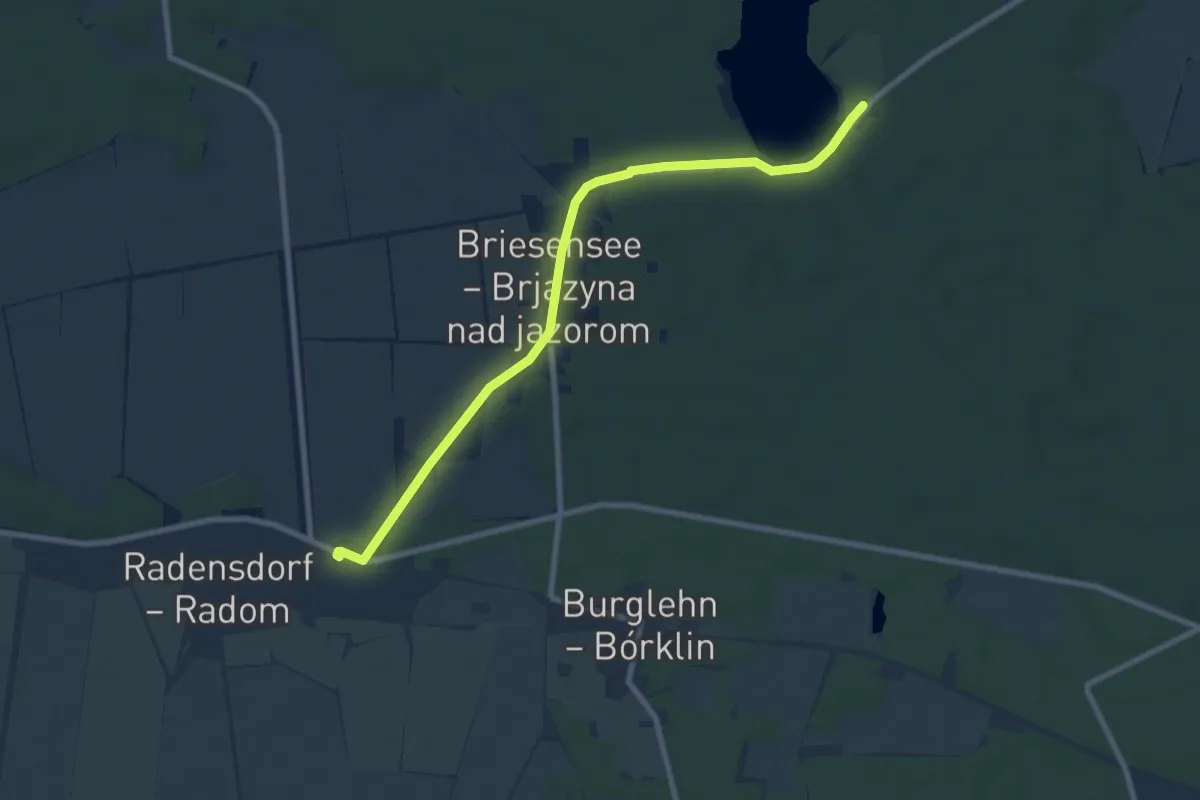
Easy · Trail
Wanderweg Radensforf-Briesener See
7.6 km · ↑ 42 m · 1 h 54 min
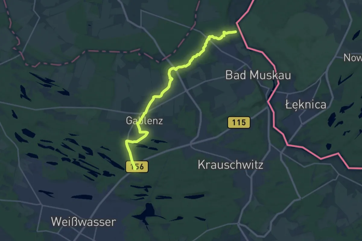
Medium · Trail
Wanderweg Räderschnitza
15.9 km · ↑ 64 m · 3 h 53 min
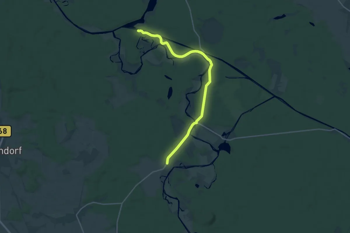
Medium · Trail
Wanderweg Raßmannsdorf - Kersdorfer Schleuse
16.2 km · ↑ 39 m · 3 h 54 min
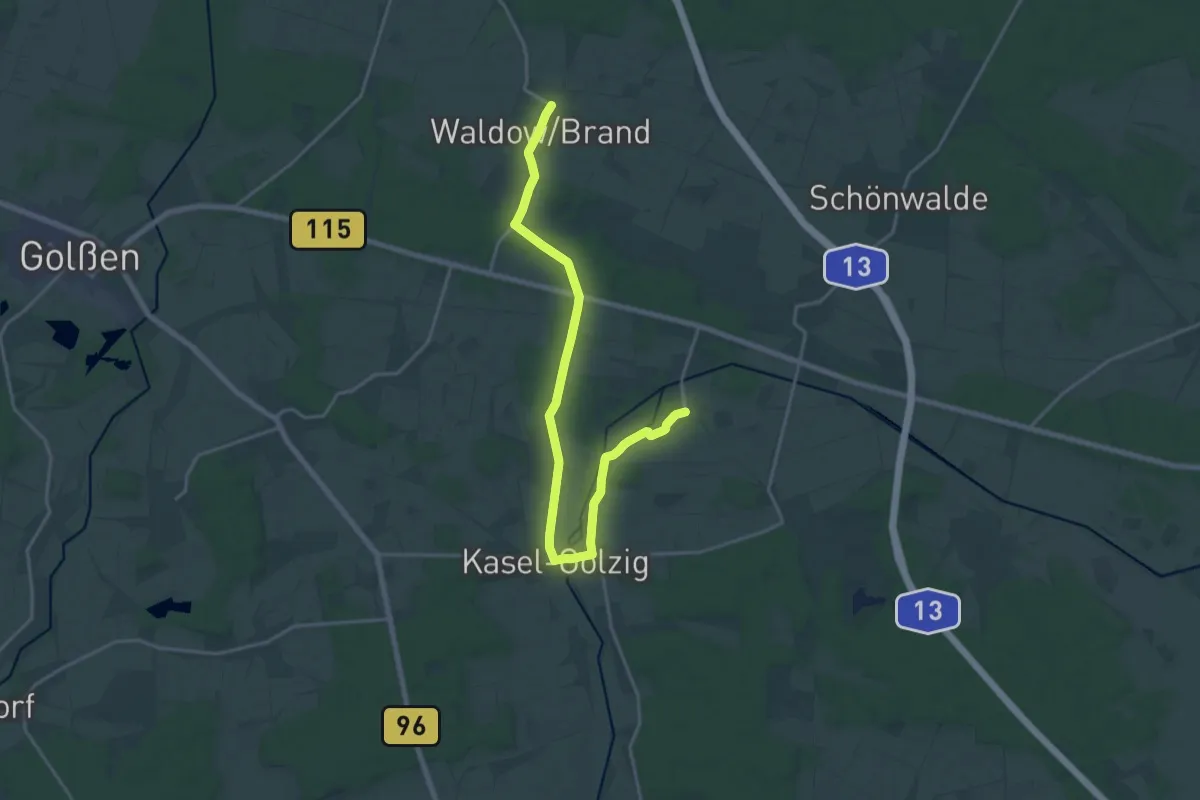
Demanding · Trail
Wanderweg Reichwalde-Kasel-Golzig-Waldow
19.8 km · ↑ 47 m · 4 h 46 min
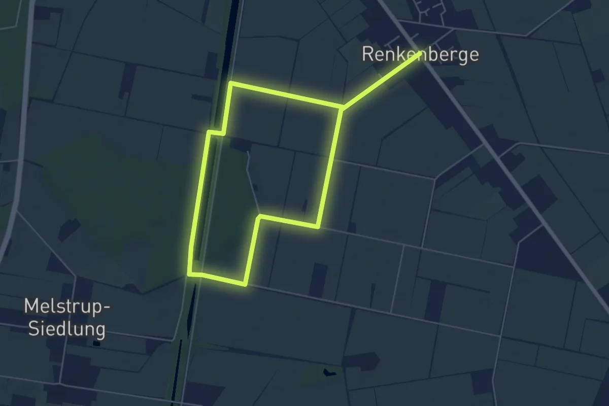
Medium · Trail
Wanderweg Renkenberge
8.3 km · ↑ 9 m · 1 h 59 min
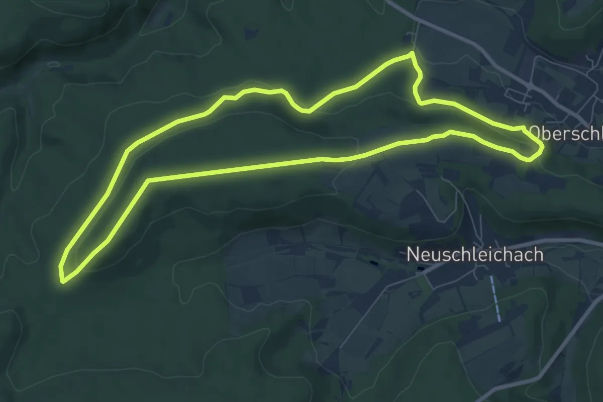
Easy · Summit
Wanderweg Rennerkreuz
7.5 km · ↑ 141 m · 2 h 11 min
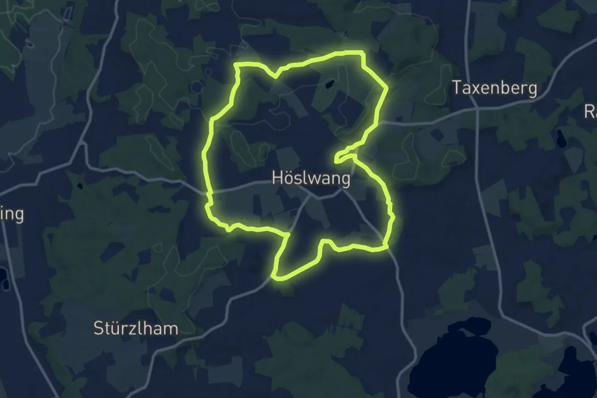
Medium · Trail
Wanderweg R - Höslwang
10.2 km · ↑ 141 m · 2 h 51 min
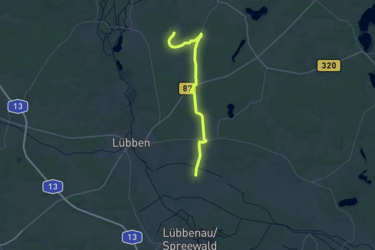
Medium · Trail
Wanderweg Richtung Dürrenhofe, Krugau
17.7 km · ↑ 28 m · 4 h 30 min
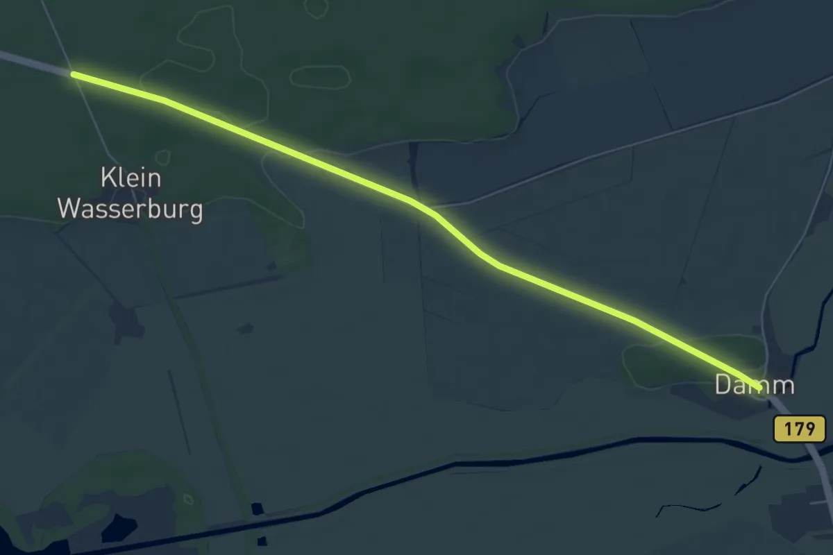
Easy · Trail
Wanderweg Richtung Leibsch
6.5 km · ↑ 21 m · 1 h 34 min
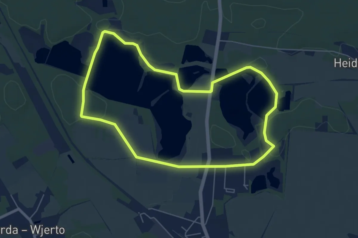
Easy · Trail
Wanderweg Rietschener Teichgebiet
4.7 km · ↑ 21 m · 1 h 14 min
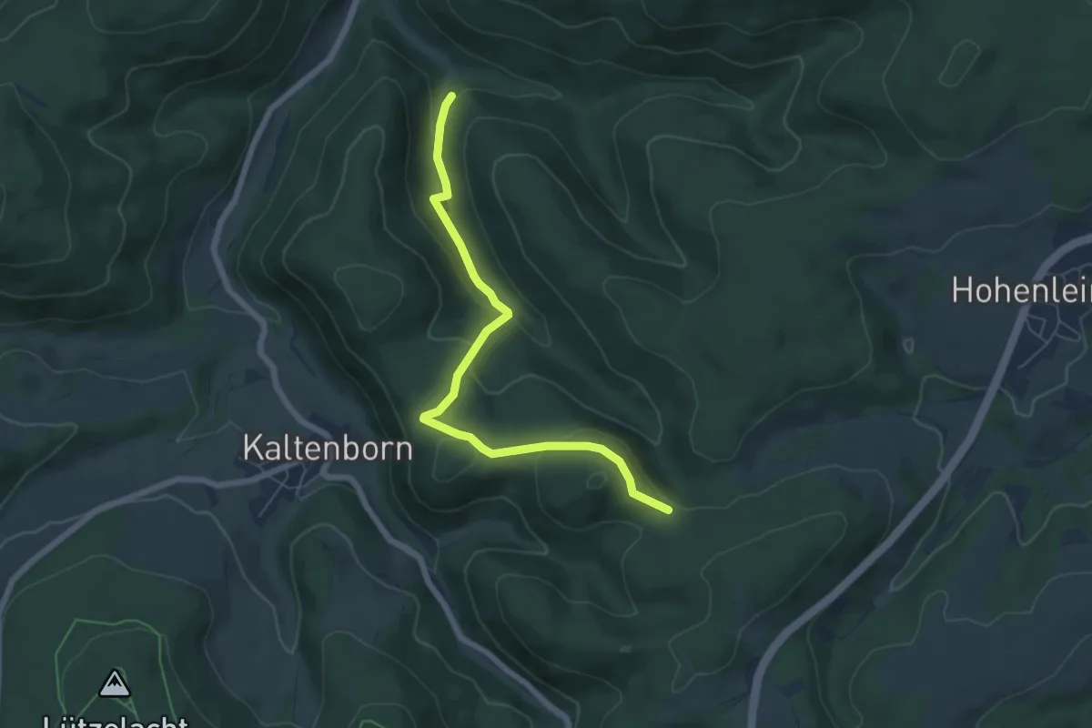
Easy · Trail
Wanderweg (R) Kaltenborn
5.7 km · ↑ 196 m · 1 h 46 min
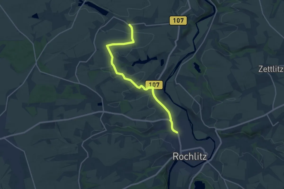
Medium · Trail
Wanderweg Rochlitz – Doberenz – Schwarzbach
12.2 km · ↑ 138 m · 3 h 11 min
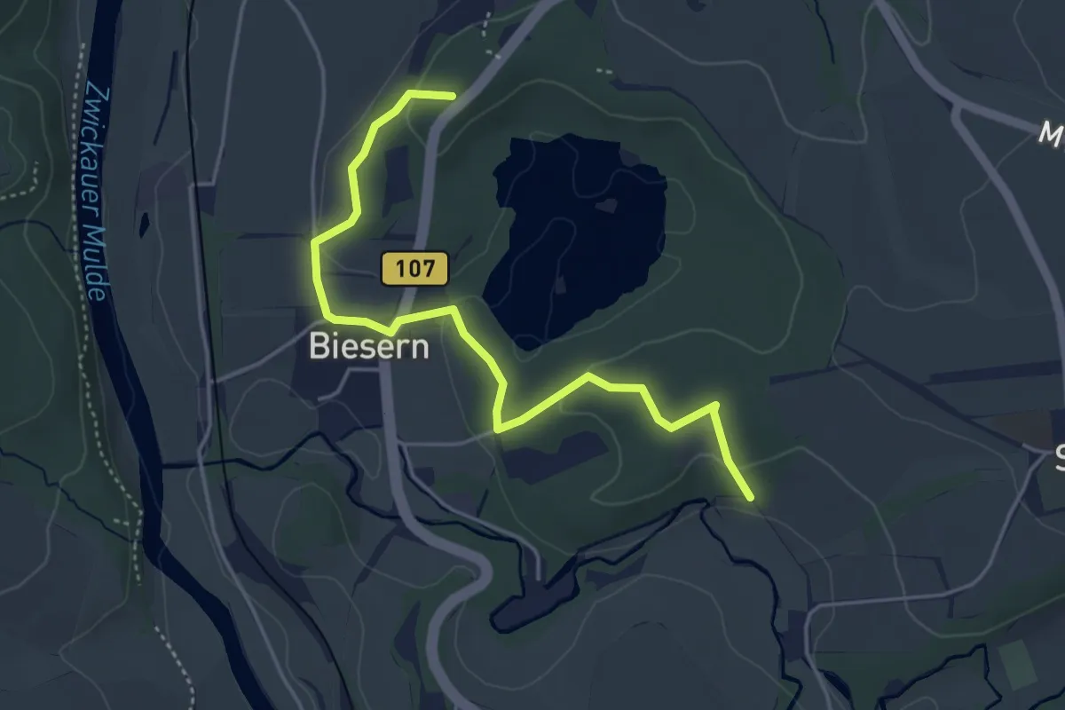
Easy · Summit
Wanderweg Rochlitz – Erlbachtal
4.2 km · ↑ 85 m · 1 h 11 min
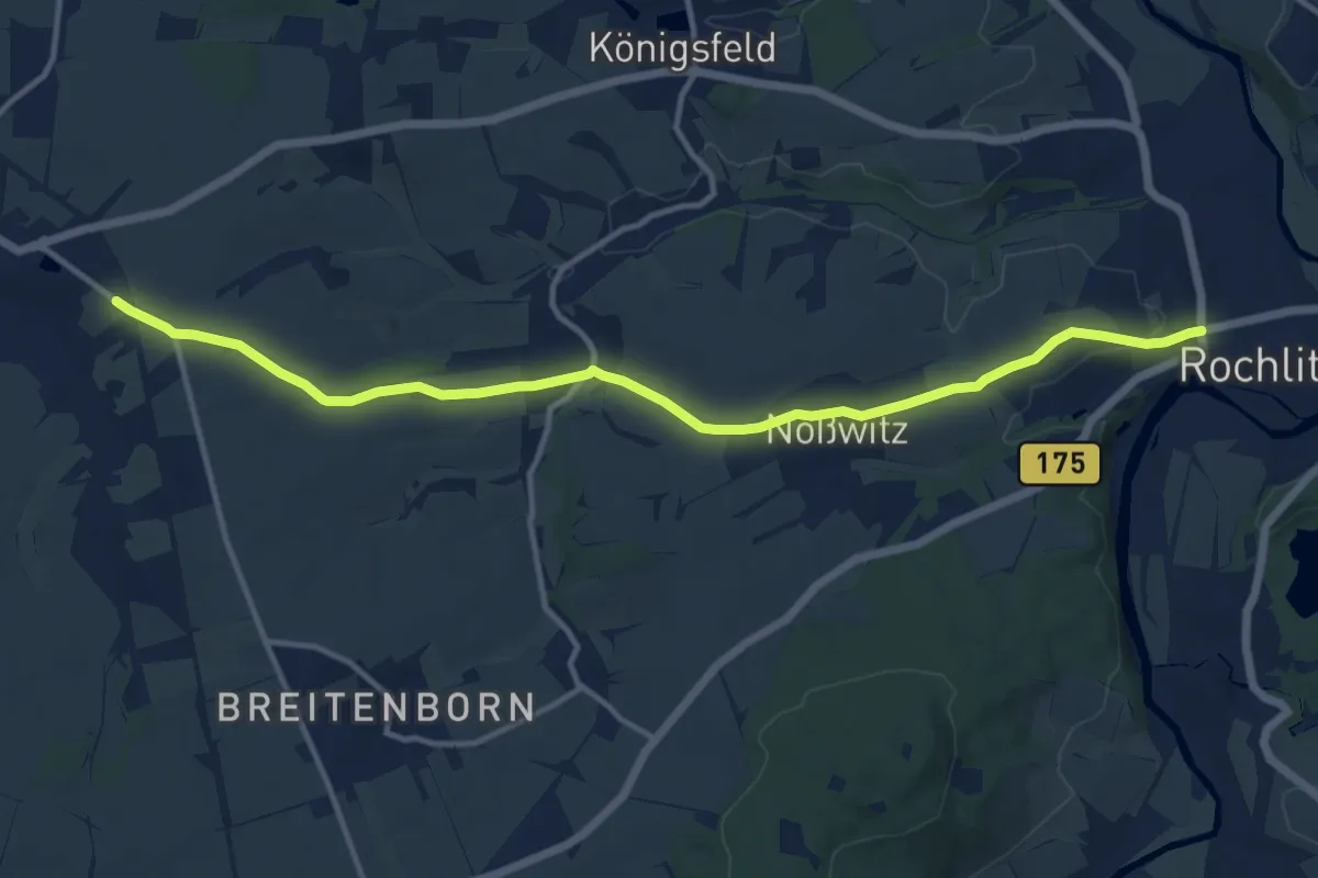
Medium · Trail
Wanderweg Rochlitz – Noßwitz (– Geithain)
12.4 km · ↑ 176 m · 3 h 18 min
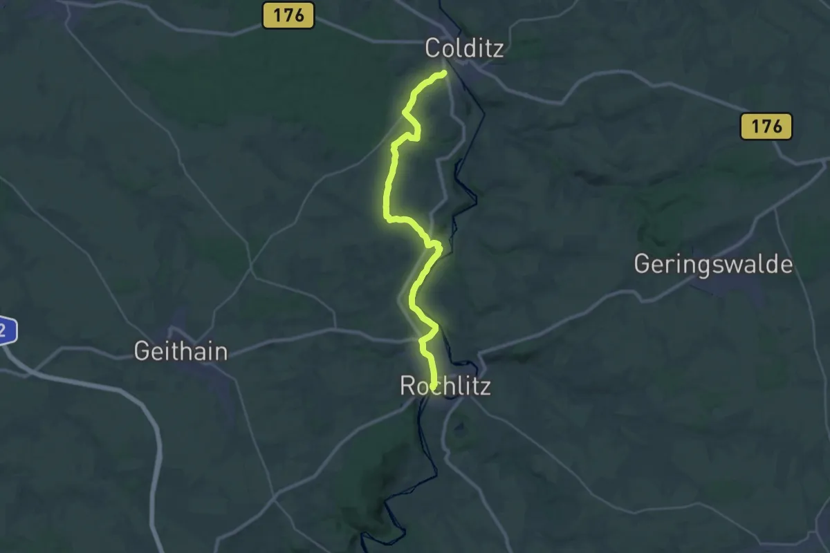
Demanding · Trail
Wanderweg Rochlitz – Schwarzbach (– Colditz)
24.1 km · ↑ 206 m · 6 h 8 min
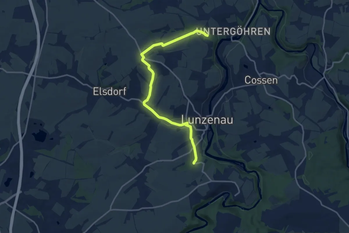
Medium · Trail
Wanderweg Rochsburg – Elsdorf – Göhren
11.3 km · ↑ 165 m · 3 h 1 min
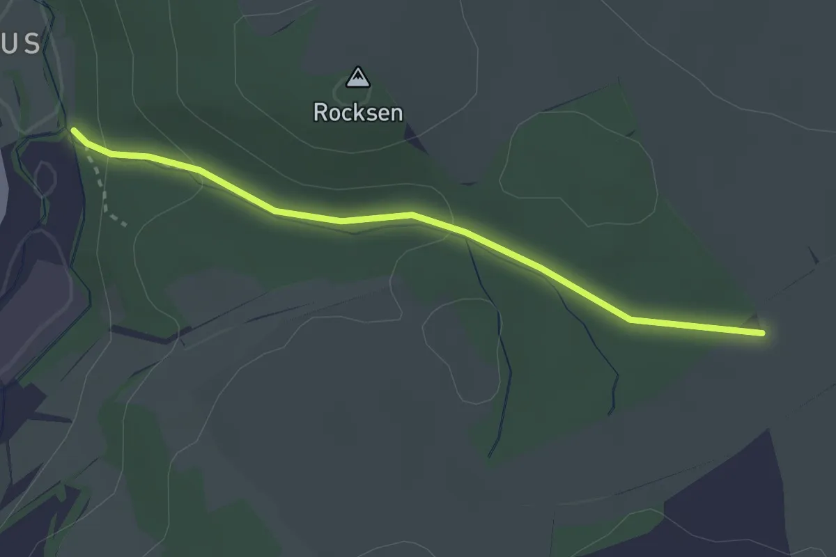
Medium · Trail
Wanderweg Rocksengrund
2.6 km · ↑ 60 m · 44 min
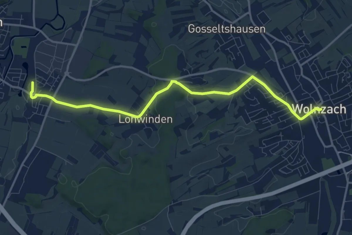
Medium · Trail
Wanderweg Rohrbach (Bf) Wolnzach
9.7 km · ↑ 123 m · 2 h 34 min
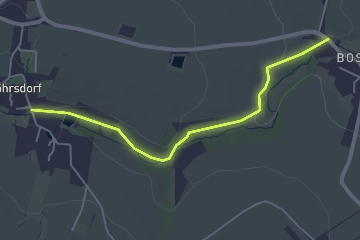
Easy · Trail
Wanderweg Röhrsdorf gelb
3.4 km · ↑ 37 m · 52 min
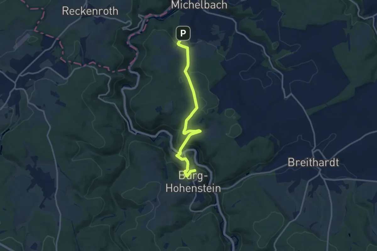
Medium · Trail
Wanderweg Rote Raute
10.2 km · ↑ 418 m · 3 h 19 min