Trails in Germany
36,852 hiking trails, each with its route, climb, walking time and grade.
All trails, page 705 of 768
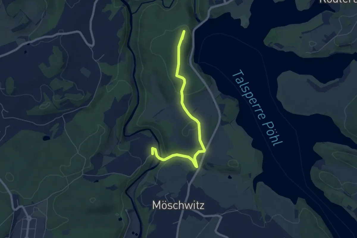
Easy · Summit
Wanderweg roter Balken
5.8 km · ↑ 149 m · 1 h 42 min
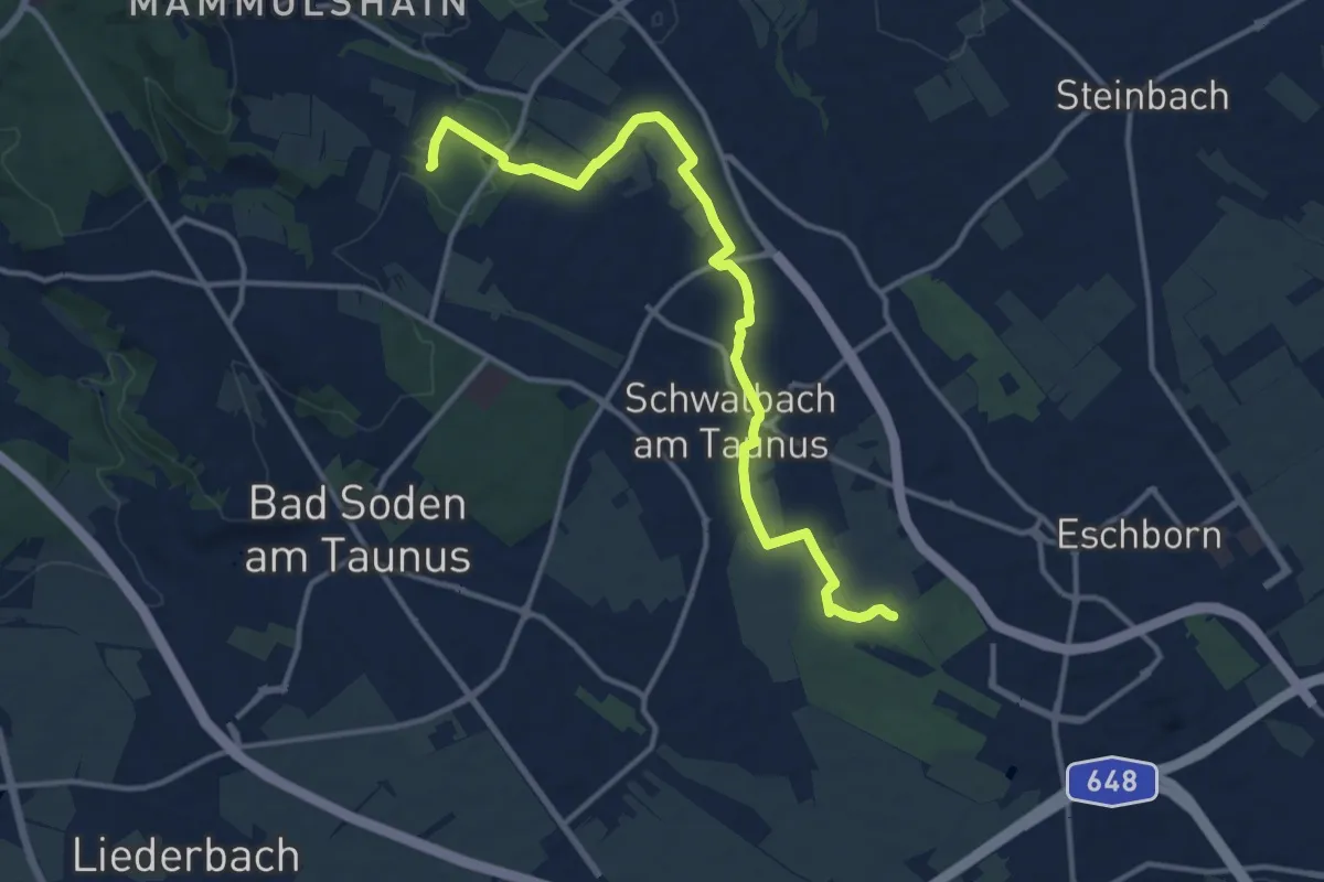
Medium · Trail
Wanderweg Roter Kreis
13.0 km · ↑ 114 m · 3 h 18 min
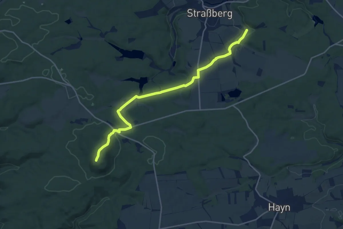
Medium · Summit
Wanderweg "Roter Punkt"
13.2 km · ↑ 257 m · 3 h 40 min
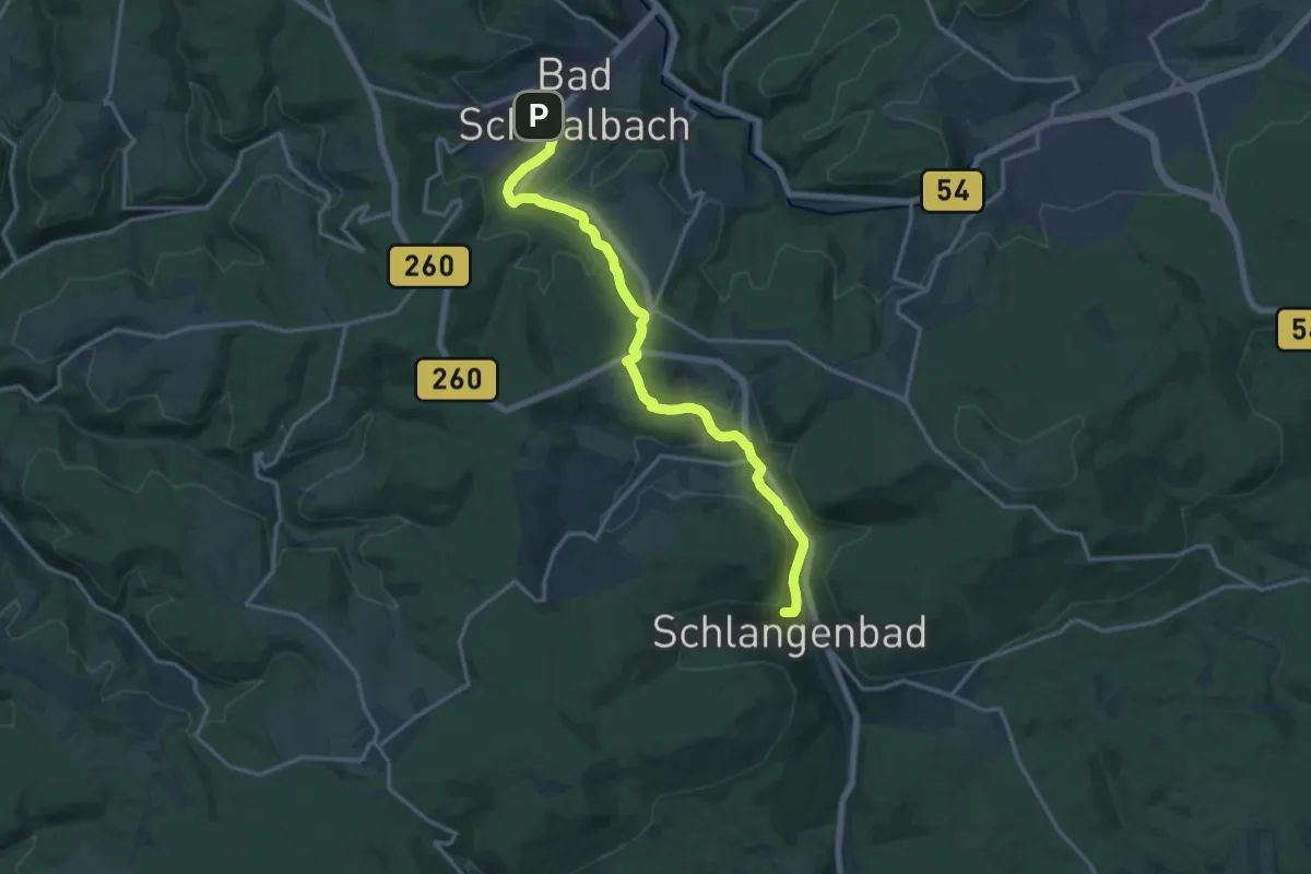
Medium · Summit
Wanderweg Roter Punkt
15.0 km · ↑ 396 m · 4 h 24 min
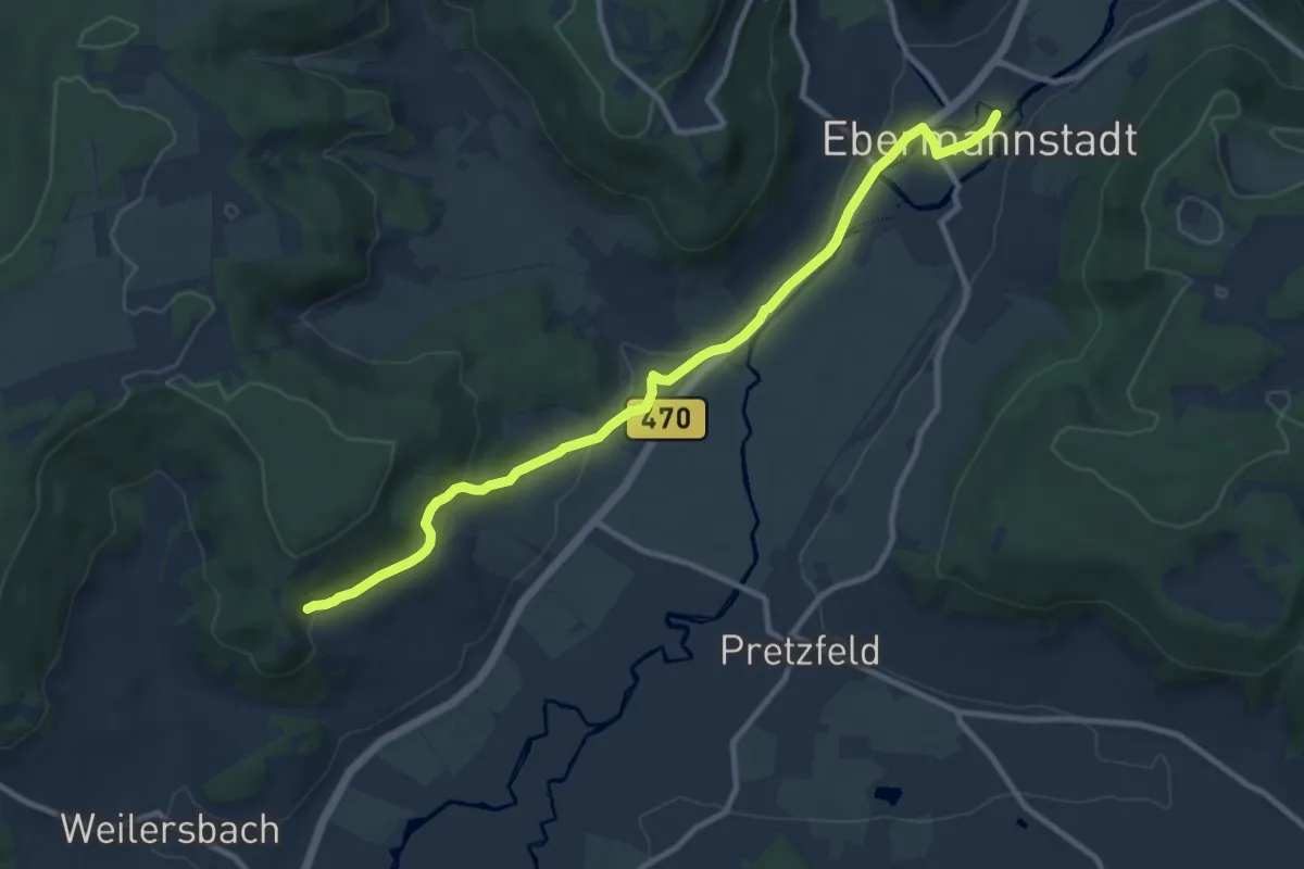
Medium · Trail
Wanderweg Roter Schrägbalken
10.2 km · ↑ 161 m · 2 h 45 min
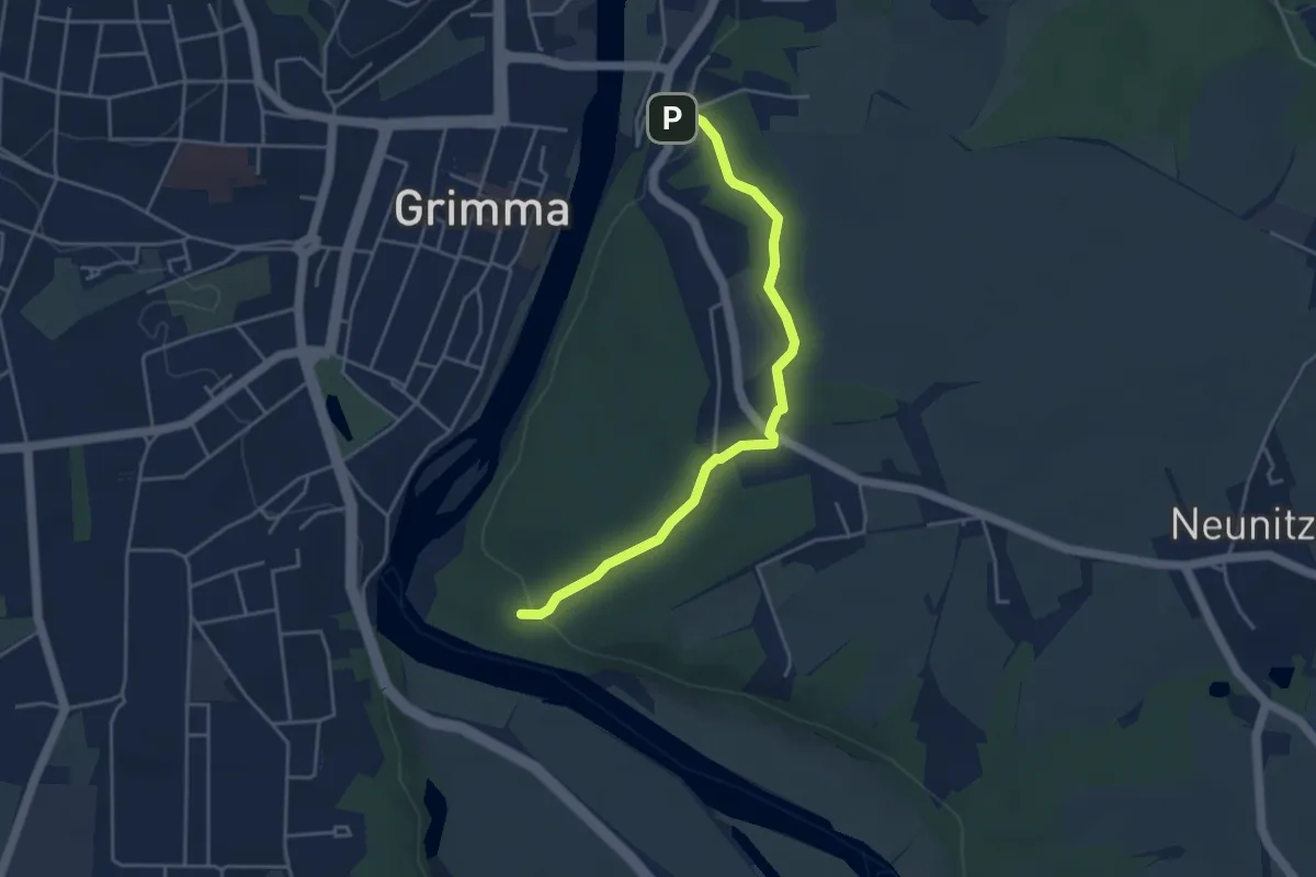
Easy · Trail
Wanderweg roter Strich (? - Grimma - Hospitalkapelle - Schlangengrund - ?)
3.9 km · ↑ 61 m · 1 h 3 min
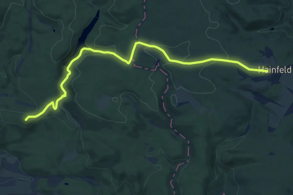
Medium · Summit
Wanderweg "Roter Strich" Stolberg - Burgruine Hohnstein
13.3 km · ↑ 262 m · 3 h 42 min
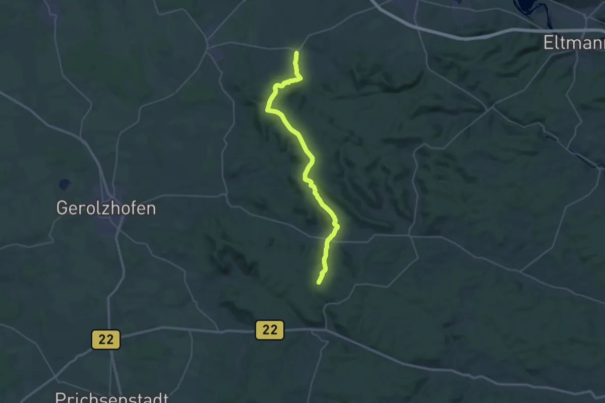
Medium · Trail
Wanderweg Roter Tropfen
14.4 km · ↑ 371 m · 4 h 20 min
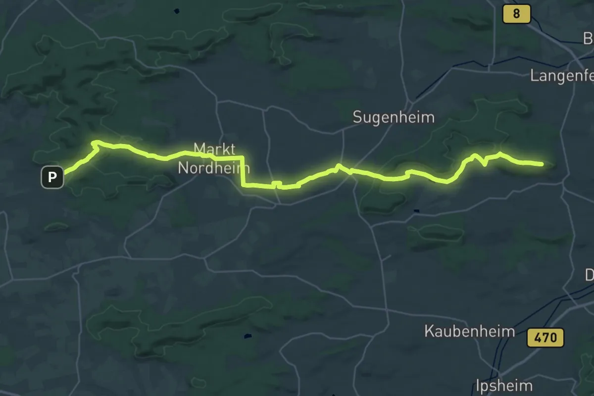
Demanding · Summit
Wanderweg Roter Tropfen vom Heidebuck nach Neustadt/Aisch
37.7 km · ↑ 623 m · 10 h 15 min
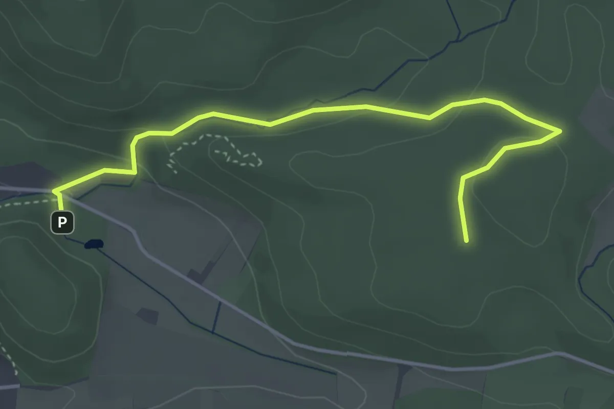
Easy · Trail
Wanderweg "rotes Andreaskreuz"
3.8 km · ↑ 95 m · 1 h 7 min
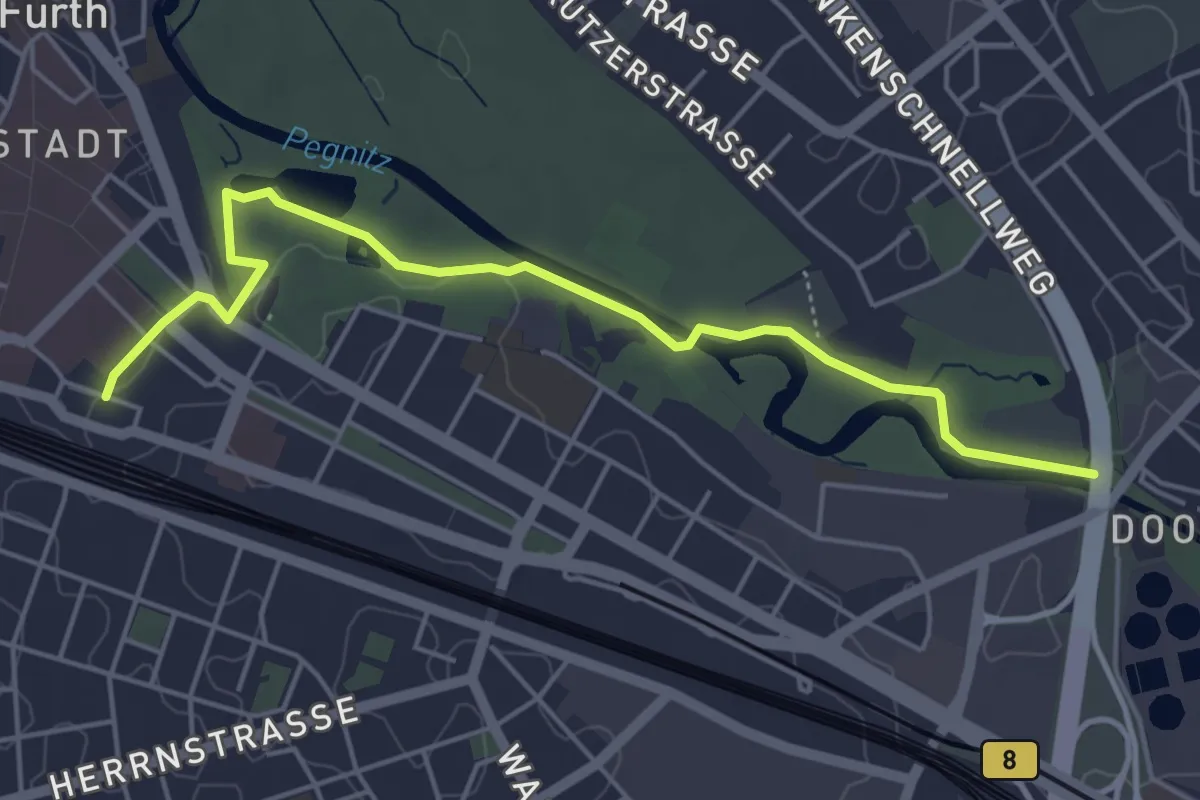
Easy · Trail
Wanderweg Rotes Andreaskreuz
5.0 km · ↑ 22 m · 1 h 13 min
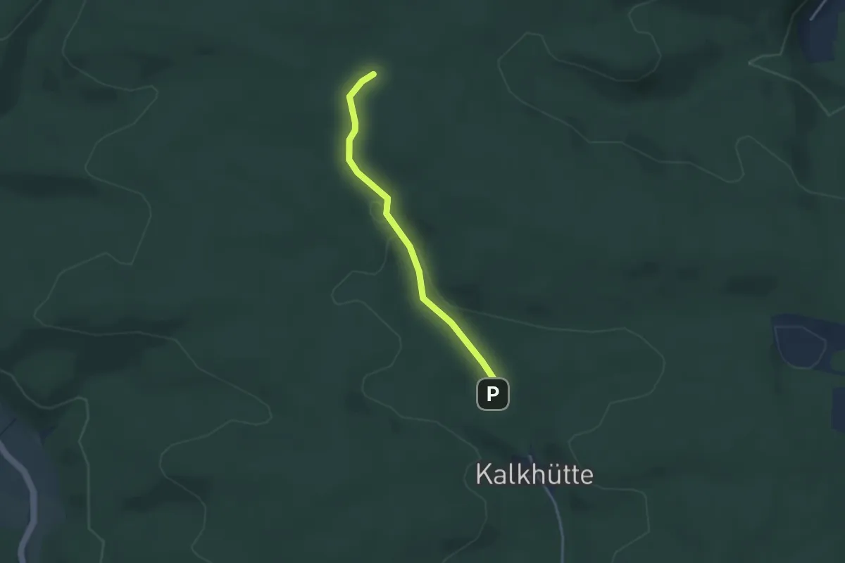
Easy · Trail
Wanderweg "rotes Dreieck"
2.6 km · ↑ 49 m · 44 min
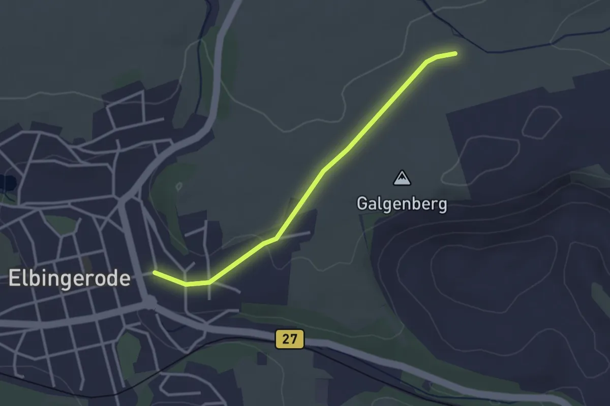
Easy · Trail
Wanderweg rotes Dreieck
2.6 km · ↑ 27 m · 41 min
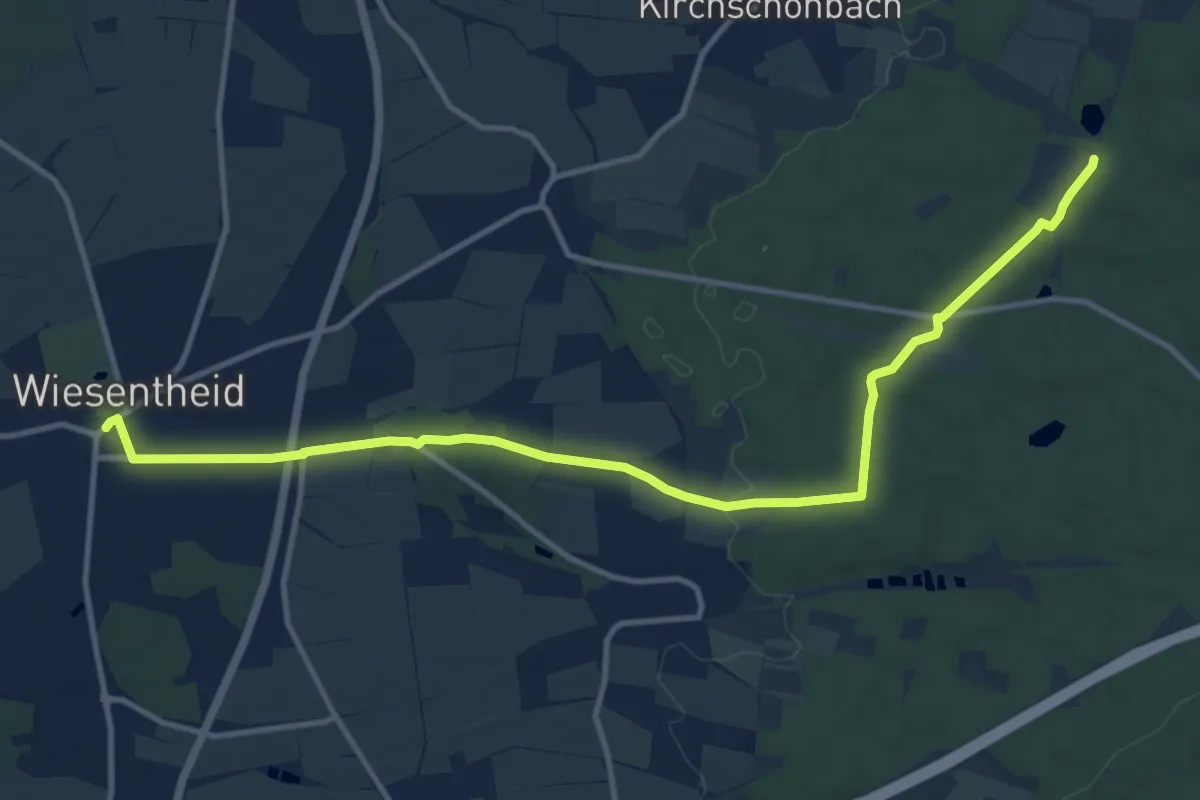
Medium · Trail
Wanderweg Rotes Dreieck
12.7 km · ↑ 179 m · 3 h 23 min
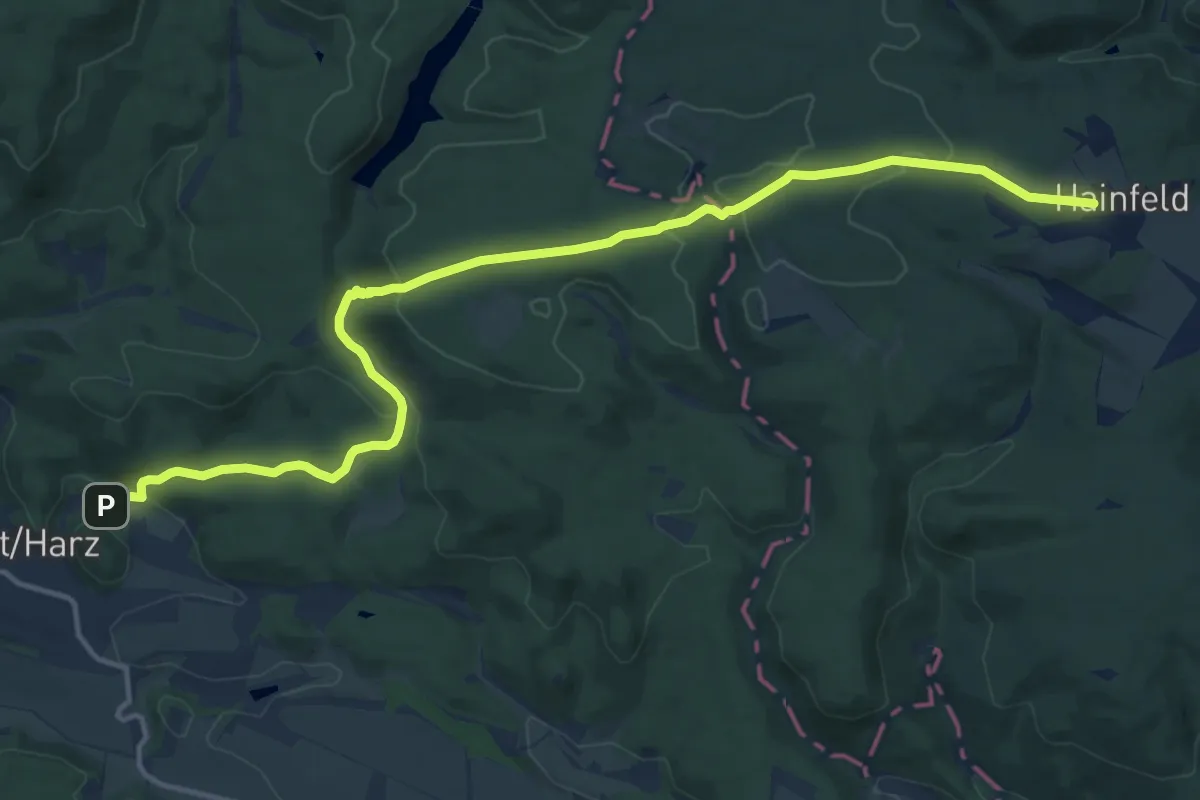
Medium · Trail
Wanderweg "Rotes Kreuz"
14.4 km · ↑ 349 m · 4 h 10 min
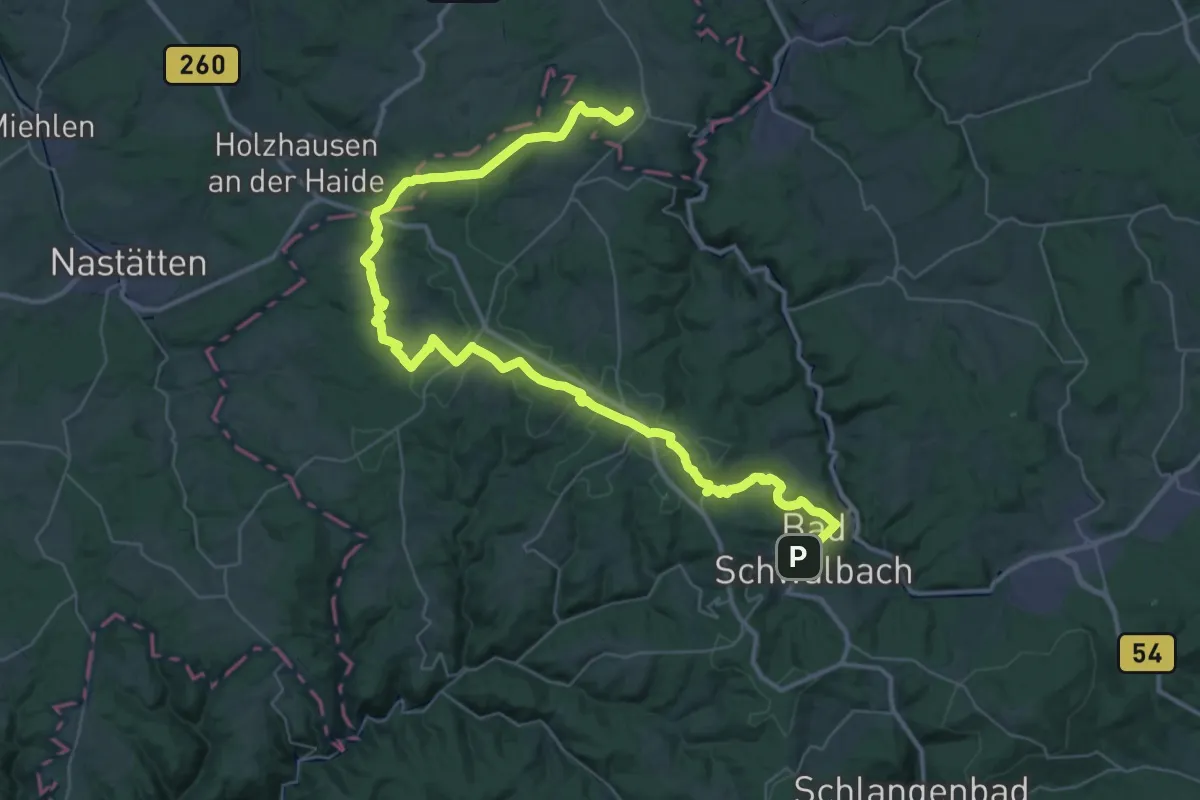
Demanding · Trail
Wanderweg Rotes Kreuz
25.7 km · ↑ 571 m · 7 h 38 min
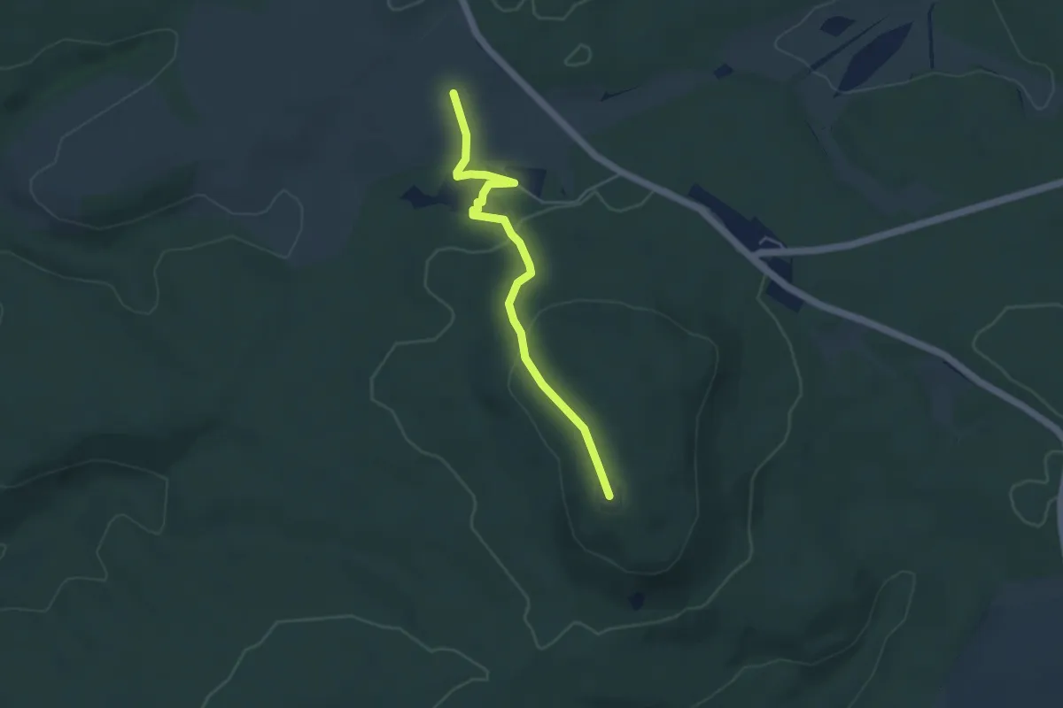
Easy · Summit
Wanderweg "Rotes Kreuz" Josephskreuz - Schindelbruch
3.9 km · ↑ 104 m · 1 h 8 min
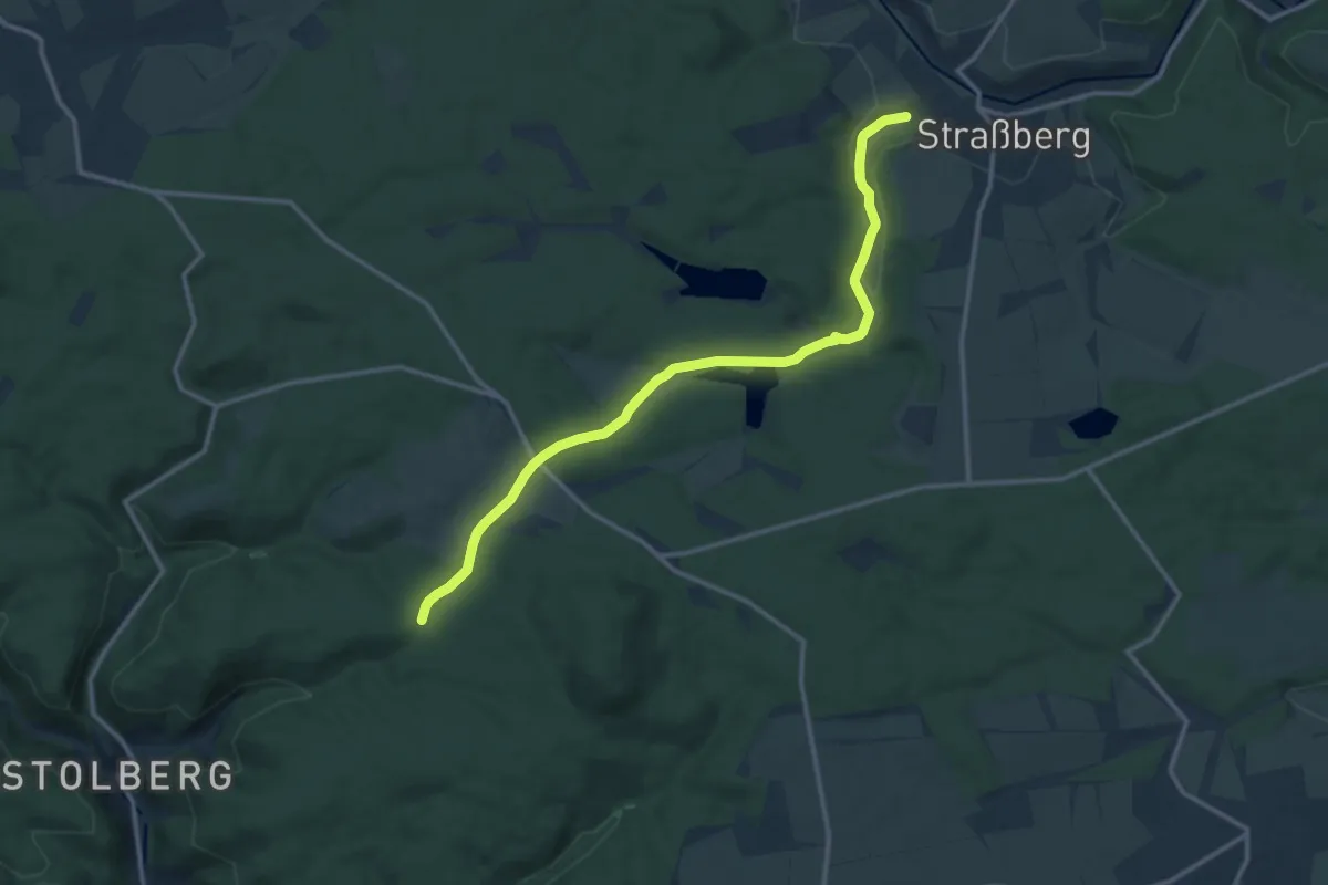
Medium · Trail
Wanderweg "Rotes Kreuz" Sieben Wege - Strassberg
12.3 km · ↑ 194 m · 3 h 19 min
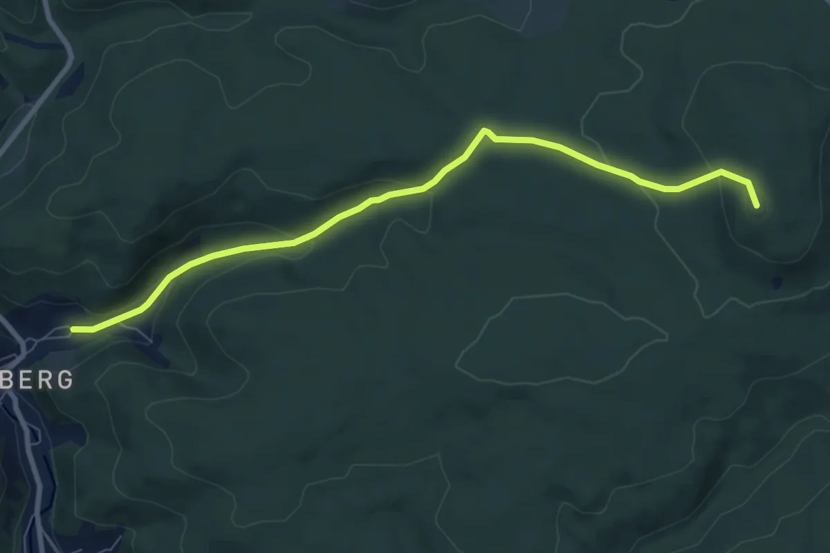
Easy · Summit
Wanderweg "Rotes Kreuz" Stolberg - Josephskreuz
7.2 km · ↑ 252 m · 2 h 15 min
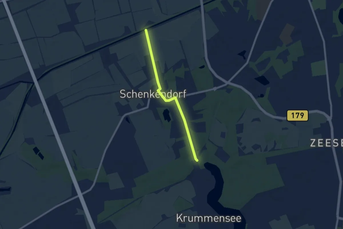
Easy · Trail
Wanderweg Rudolf-Mosse
4.6 km · ↑ 9 m · 1 h 6 min
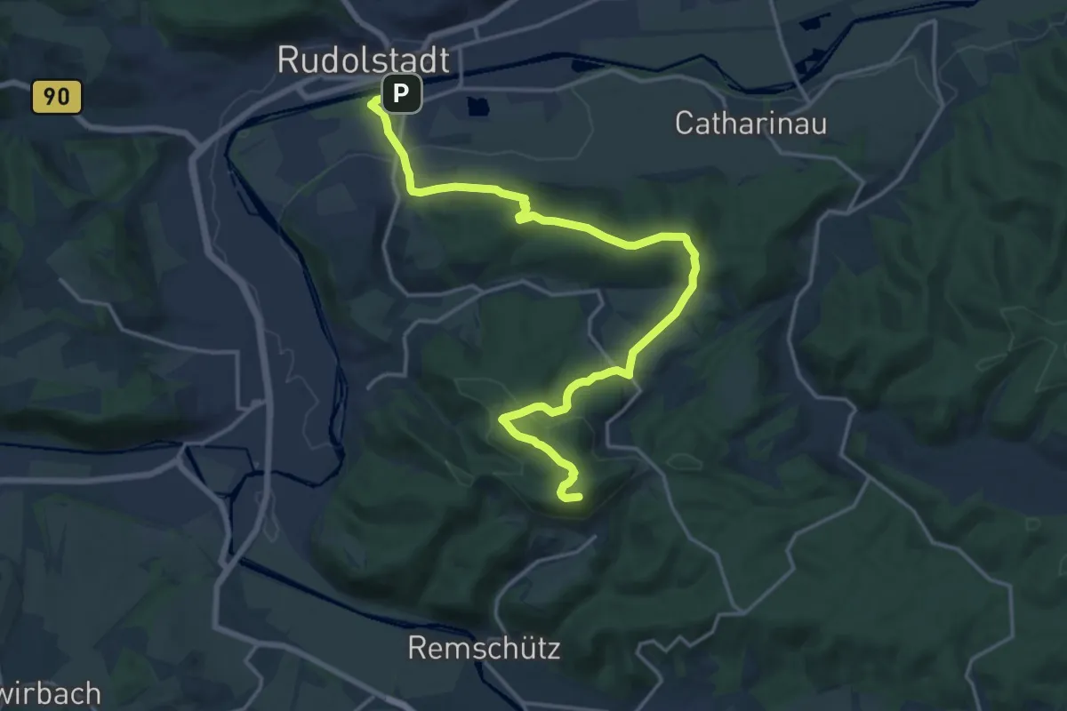
Medium · Summit
Wanderweg Rudolstadt - Kulm
17.3 km · ↑ 443 m · 5 h 2 min
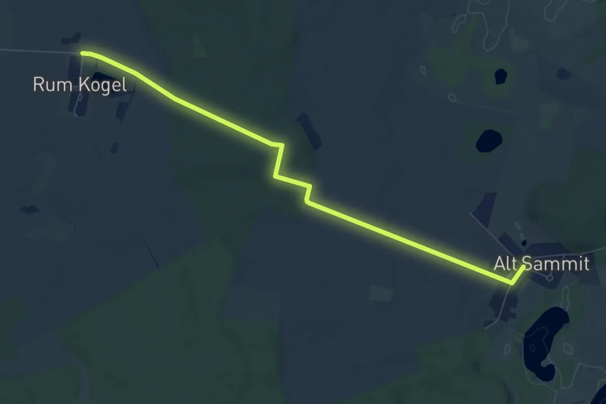
Easy · Trail
Wanderweg Rum Kogel-Alt Sammit
7.6 km · ↑ 57 m · 1 h 55 min
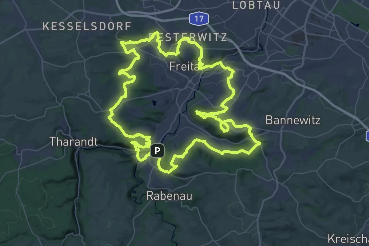
Demanding · Summit
Wanderweg rund um Freital
37.7 km · ↑ 895 m · 11 h 22 min
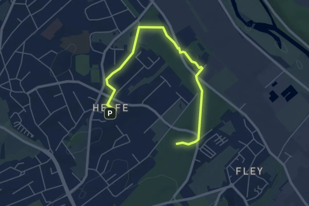
Easy · Trail
Wanderweg Rund um Haus Busch
4.9 km · ↑ 61 m · 1 h 17 min
Medium · Trail
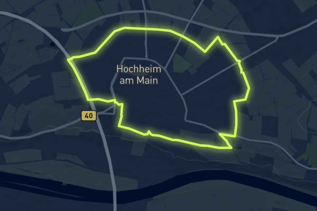
Wanderweg rund um Hochheim
8.7 km · ↑ 31 m · 2 h 15 min
Easy · Trail
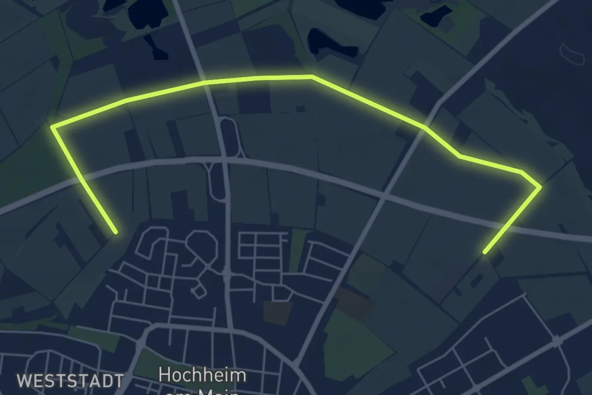
Wanderweg Rund um Hochheim Nord
6.4 km · ↑ 4 m · 1 h 31 min
Medium · Trail
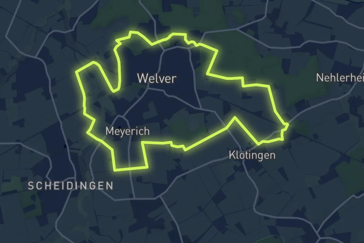
Wanderweg rund um Welver
14.1 km · ↑ 62 m · 3 h 39 min
Medium · Trail
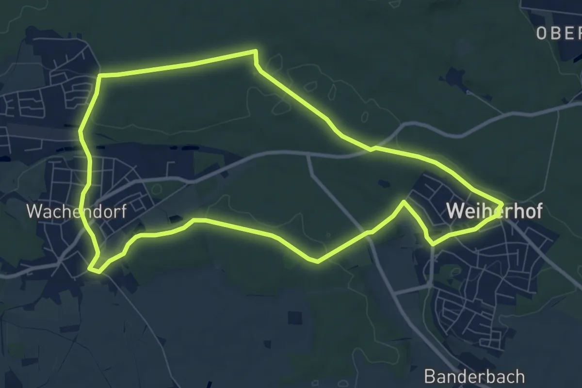
Wanderweg Rundwanderweg 7
8.2 km · ↑ 83 m · 2 h 14 min
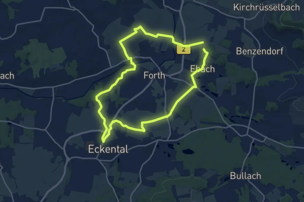
Medium · Trail
Wanderweg Rundweg um Forth
11.2 km · ↑ 146 m · 3 h 6 min
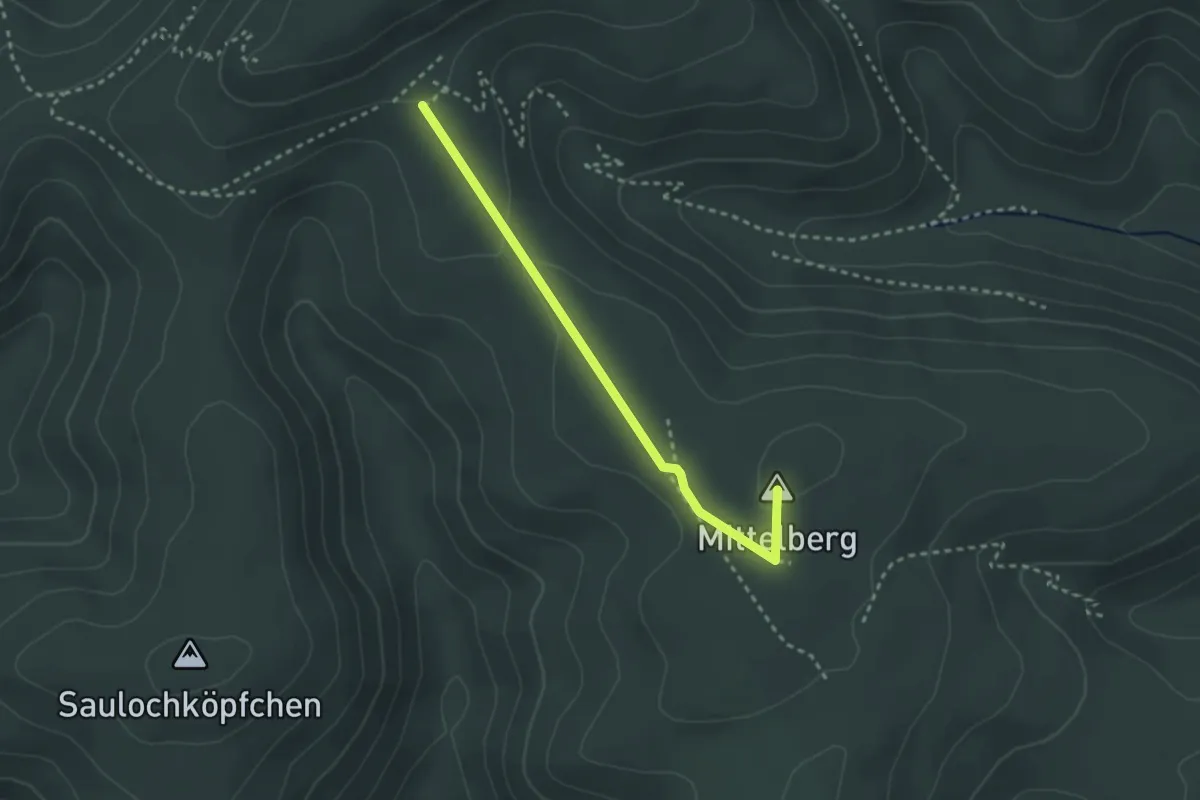
Easy · Summit
Wanderweg S
2.6 km · ↑ 50 m · 43 min
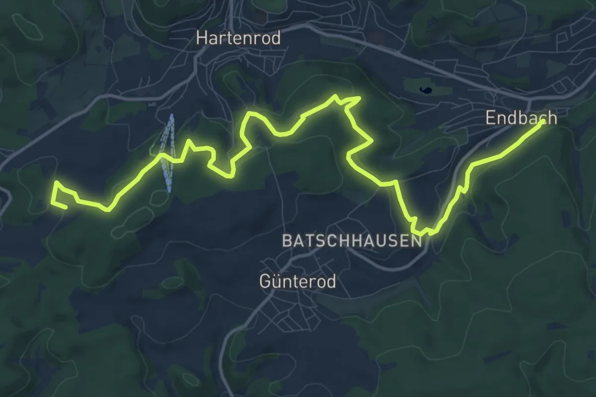
Medium · Trail
Wanderweg S
14.5 km · ↑ 369 m · 4 h 13 min
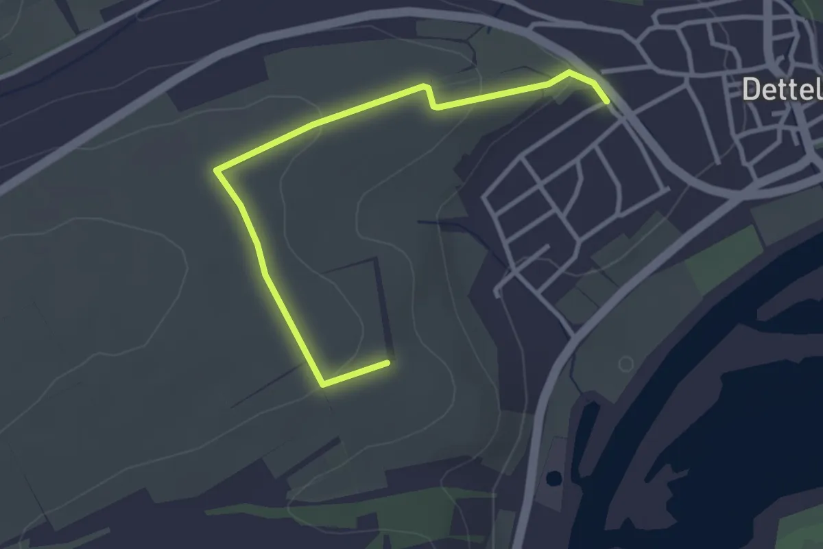
Easy · Trail
Wanderweg Sagen- und Mythenweg
3.0 km · ↑ 72 m · 52 min
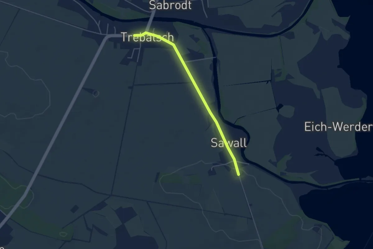
Easy · Trail
Wanderweg Sawall-Kossenblatt-...
3.8 km · ↑ 13 m · 55 min
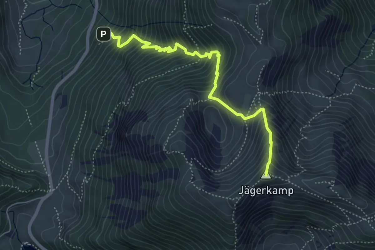
Medium · Summit
Wanderweg SB 2 - Spitzingsee
5.0 km · ↑ 686 m · 2 h 41 min
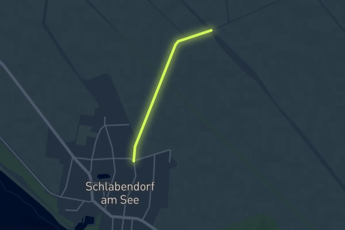
Easy · Trail
Wanderweg Schlabendorf - Wanninchen - Höllberghof
2.2 km · ↑ 0 m · 32 min
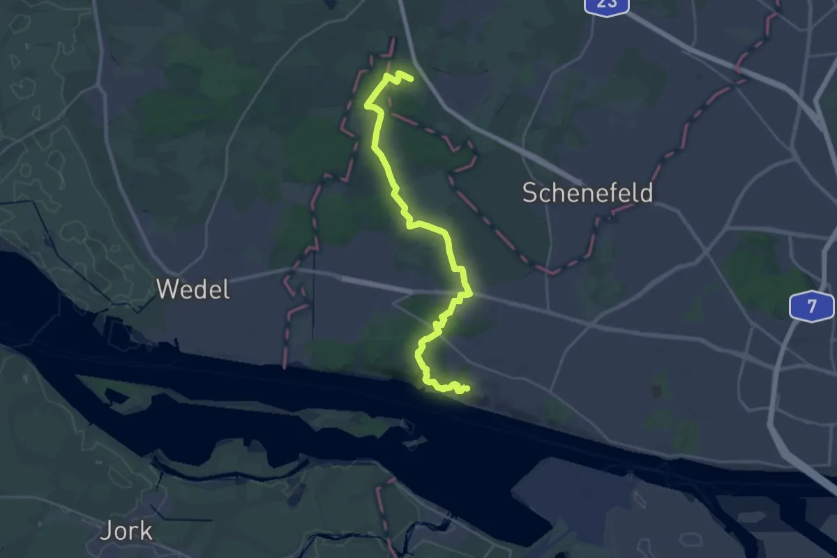
Demanding · Summit
Wanderweg Schlei-Eider-Elbe / Fernwanderweg E1, Schleswig-Holstein, Westvariante
22.7 km · ↑ 225 m · 5 h 51 min
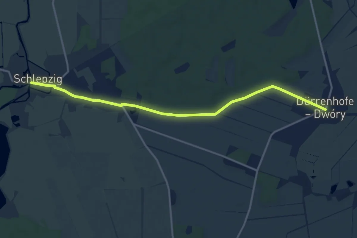
Medium · Trail
Wanderweg Schlepzig-Dürrenhofe
8.6 km · ↑ 17 m · 2 h 4 min
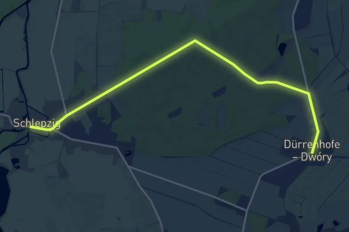
Medium · Trail
Wanderweg Schlepzig-Dürrenhofe
10.9 km · ↑ 27 m · 2 h 38 min
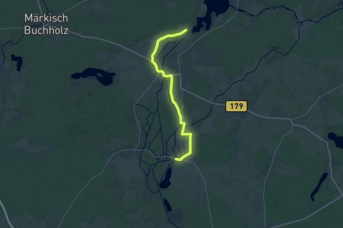
Demanding · Trail
Wanderweg Schlepzig-Neuendorf am See
25.2 km · ↑ 43 m · 6 h 2 min
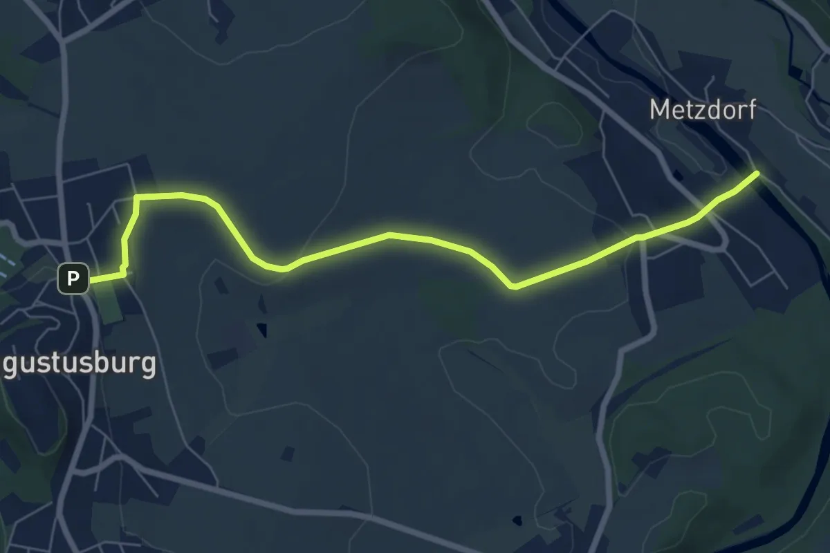
Easy · Trail
Wanderweg Schloß Augustusburg - Eppendorf
6.5 km · ↑ 153 m · 1 h 52 min
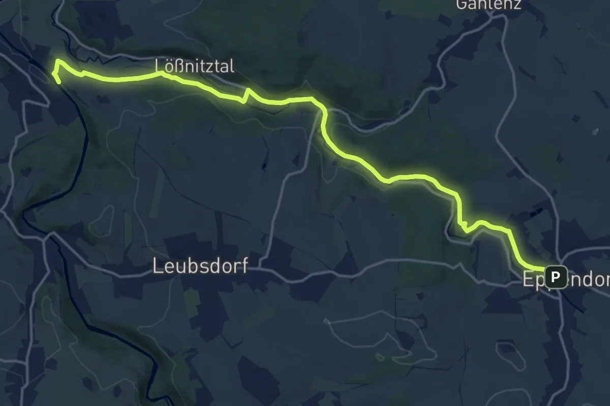
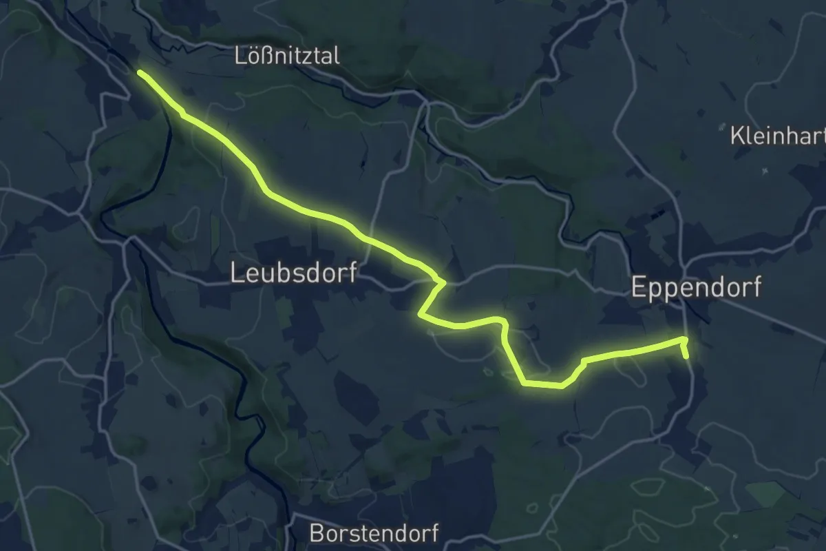
Medium · Trail
Wanderweg Schloß Augustusburg - Eppendorf
16.6 km · ↑ 217 m · 4 h 23 min
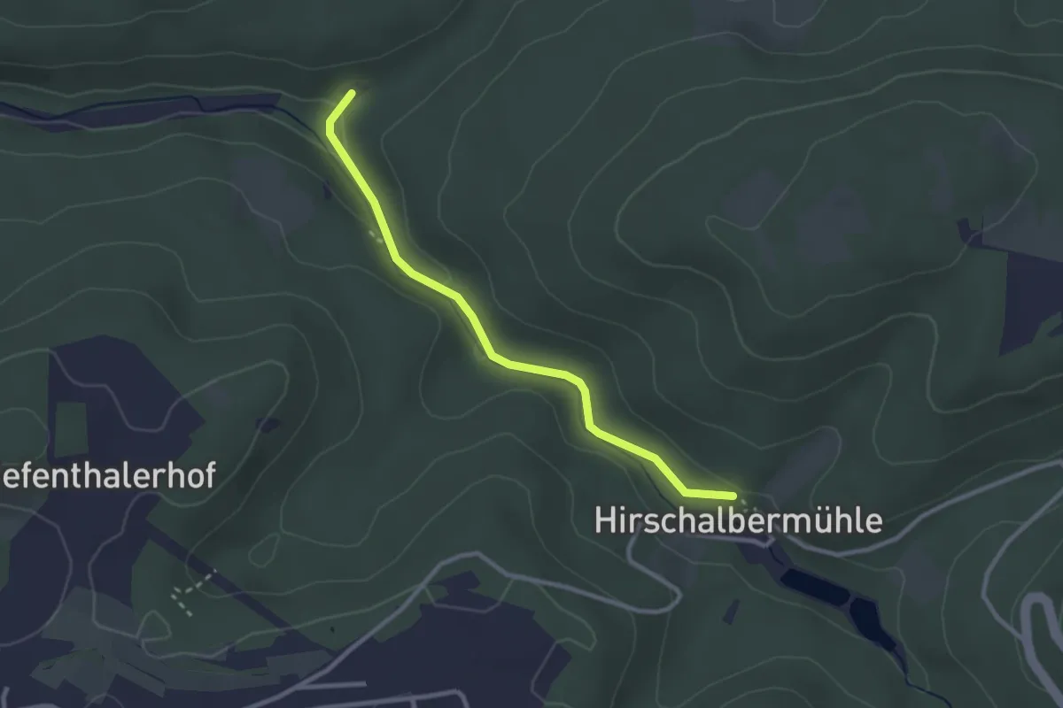
Medium · Trail
Wanderweg Schloß Augustusburg - Eppendorf
17.6 km · ↑ 350 m · 4 h 55 min
Easy · Trail
Wanderweg Schmalenberg 8
2.5 km · ↑ 45 m · 42 min
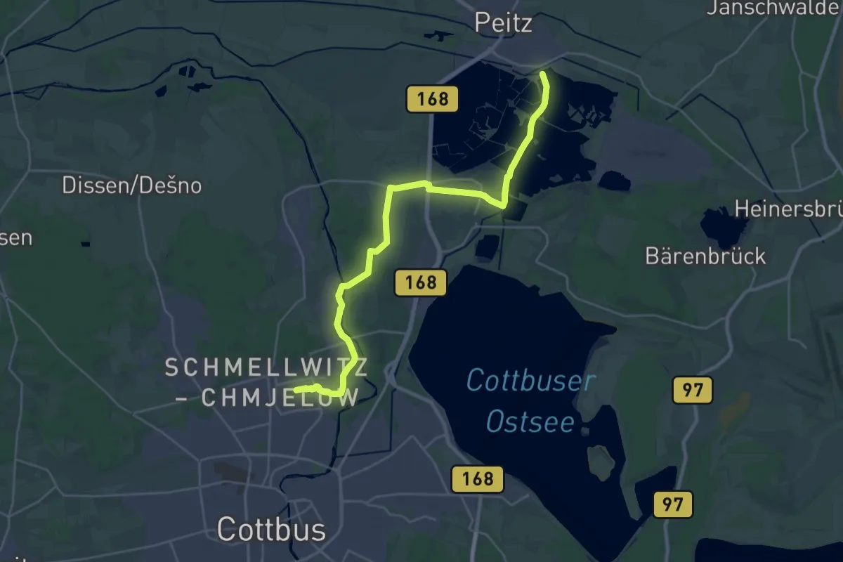
Demanding · Trail
Wanderweg Schmelwitz, Zuschka - Peitz, Hütte
25.1 km · ↑ 58 m · 6 h 3 min
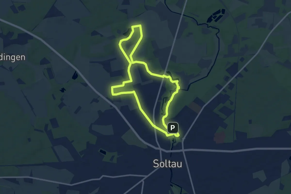
Easy · Trail
Wanderweg Schmetterling
7.4 km · ↑ 26 m · 1 h 55 min
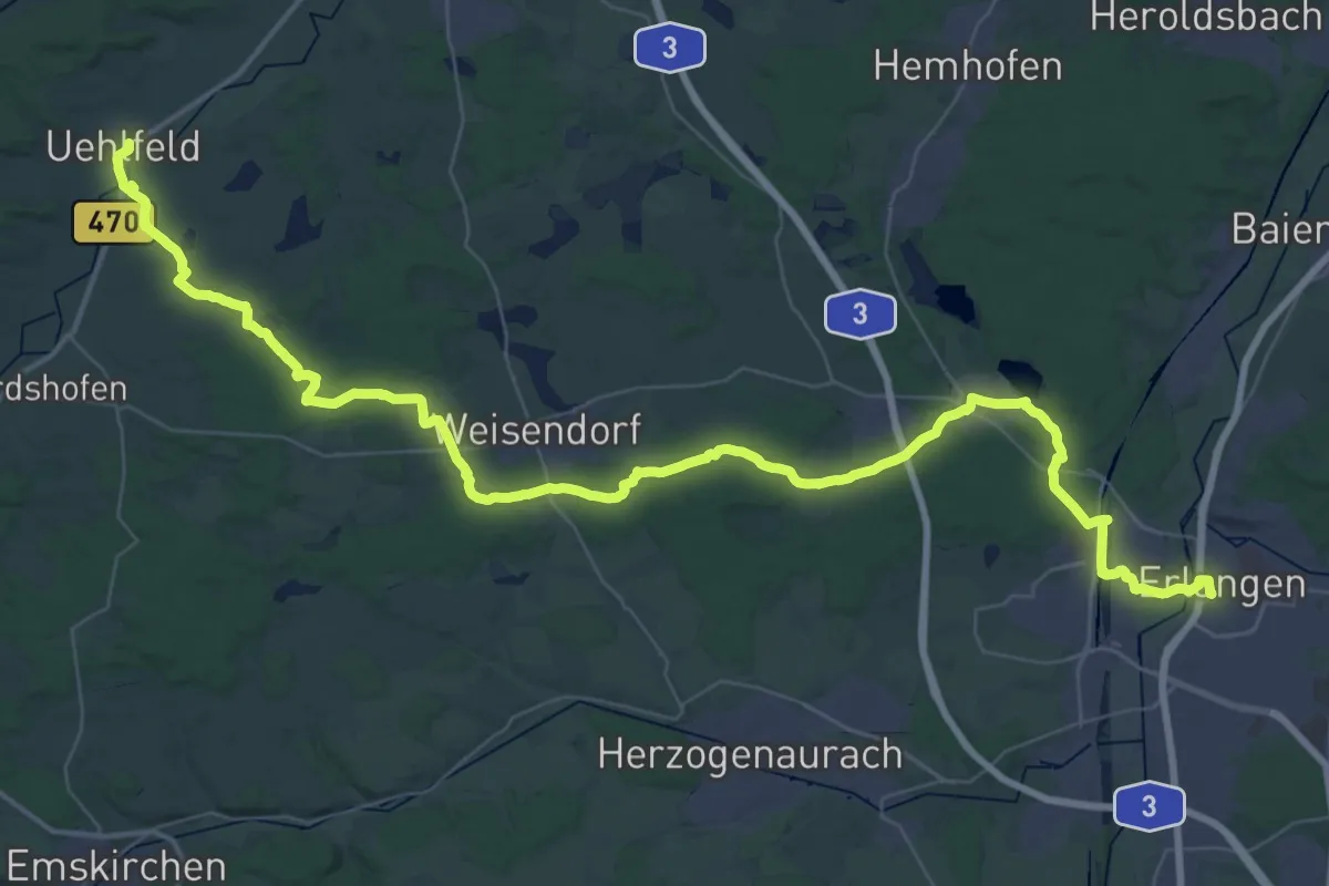
Demanding · Trail
Wanderweg Schneider-Scheumann-Weg
30.8 km · ↑ 285 m · 8 h 19 min
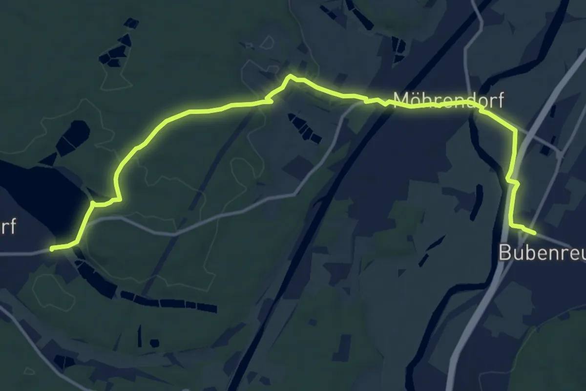
Medium · Trail
Wanderweg Schneider-Scheumann-Weg (Zubringer Bubenreuth)
12.7 km · ↑ 132 m · 3 h 17 min
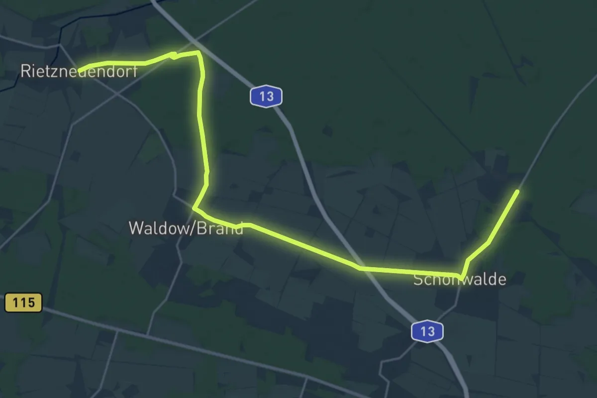
Demanding · Trail
Wanderweg Schönwalde (Badeteich)-Waldow-Rietzneuendorf
23.7 km · ↑ 52 m · 5 h 42 min