Trails in Germany
36,852 hiking trails, each with its route, climb, walking time and grade.
All trails, page 706 of 768
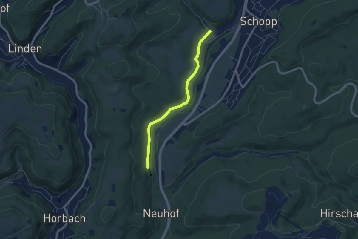
Easy · Trail
Wanderweg Schopp(?) 2
4.6 km · ↑ 127 m · 1 h 22 min
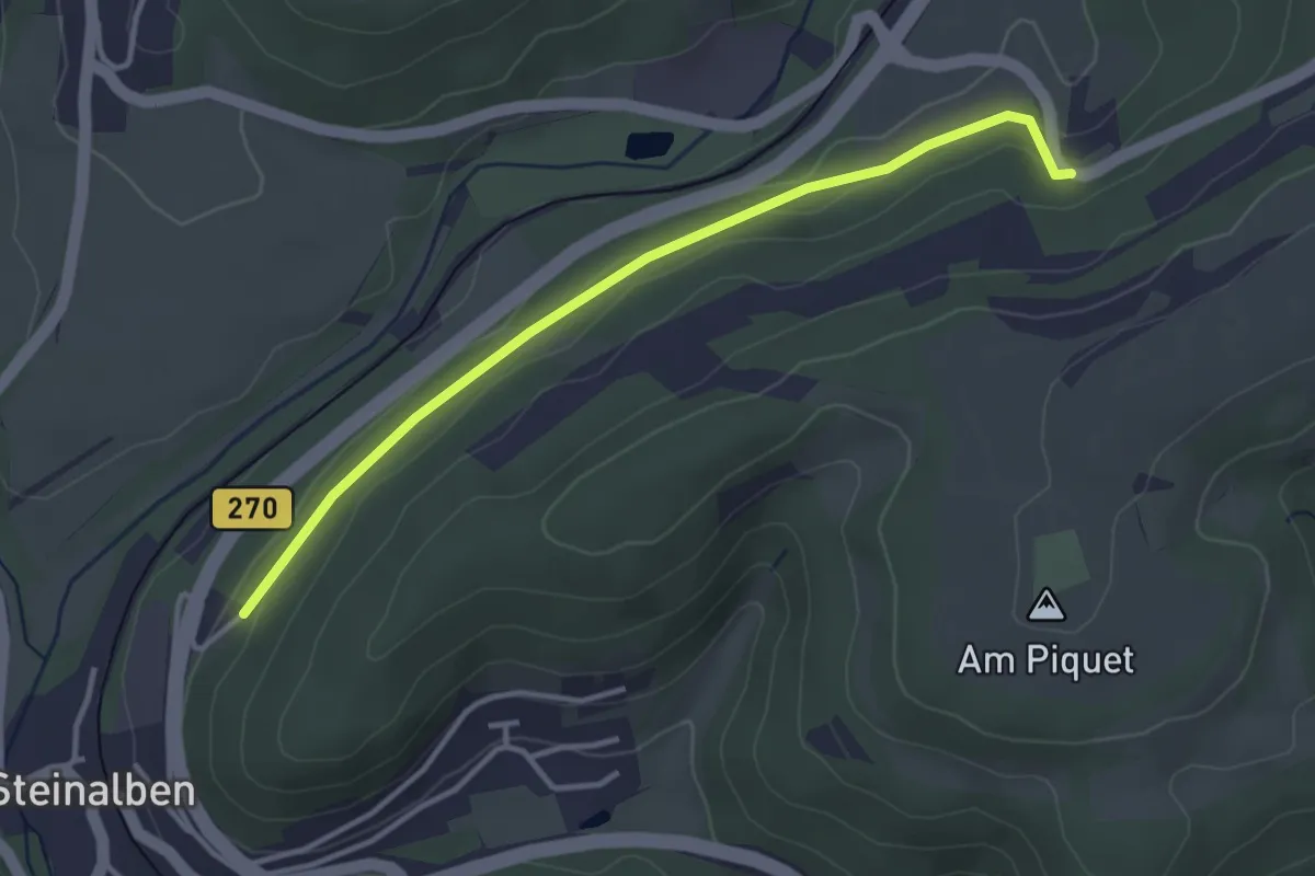
Easy · Trail
Wanderweg Schopp(?) 8
3.3 km · ↑ 62 m · 55 min
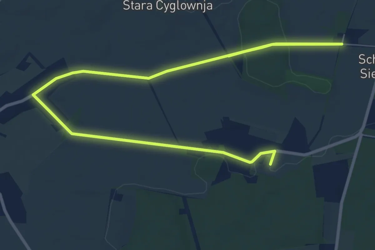
Medium · Summit
Wanderweg Schorbuser Rundweg
9.4 km · ↑ 51 m · 2 h 21 min
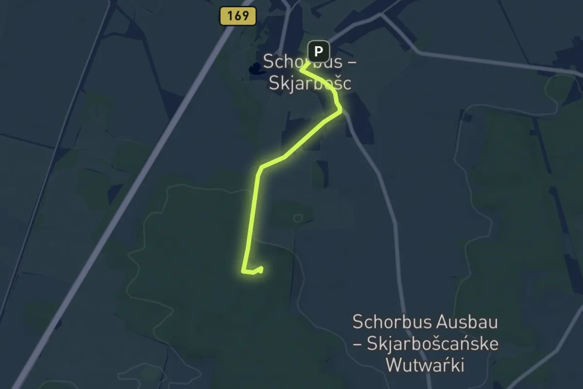
Easy · Summit
Wanderweg Schorbus Vereinshaus - Teufelstein
4.1 km · ↑ 32 m · 1 h 2 min
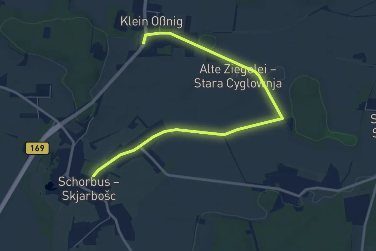
Easy · Trail
Wanderweg Schorbus Vereinsheim - Restaurant Klein Oßnig
7.0 km · ↑ 17 m · 1 h 41 min
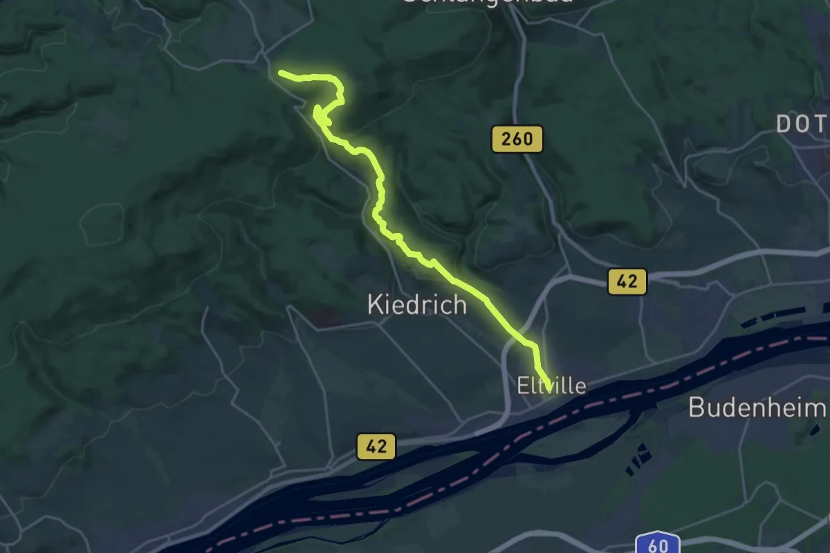
Demanding · Trail
Wanderweg Schwarze Raute
20.6 km · ↑ 594 m · 6 h 9 min
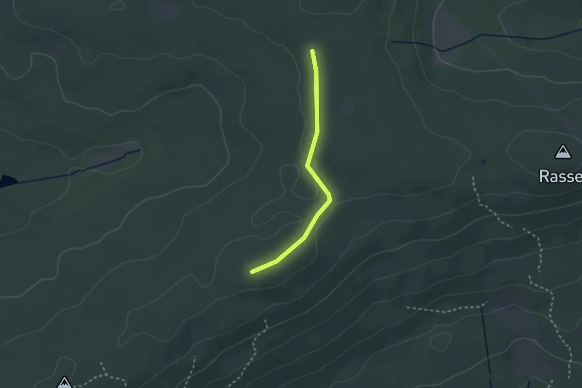
Easy · Trail
Wanderweg schwarzer Kasten
2.1 km · ↑ 13 m · 31 min
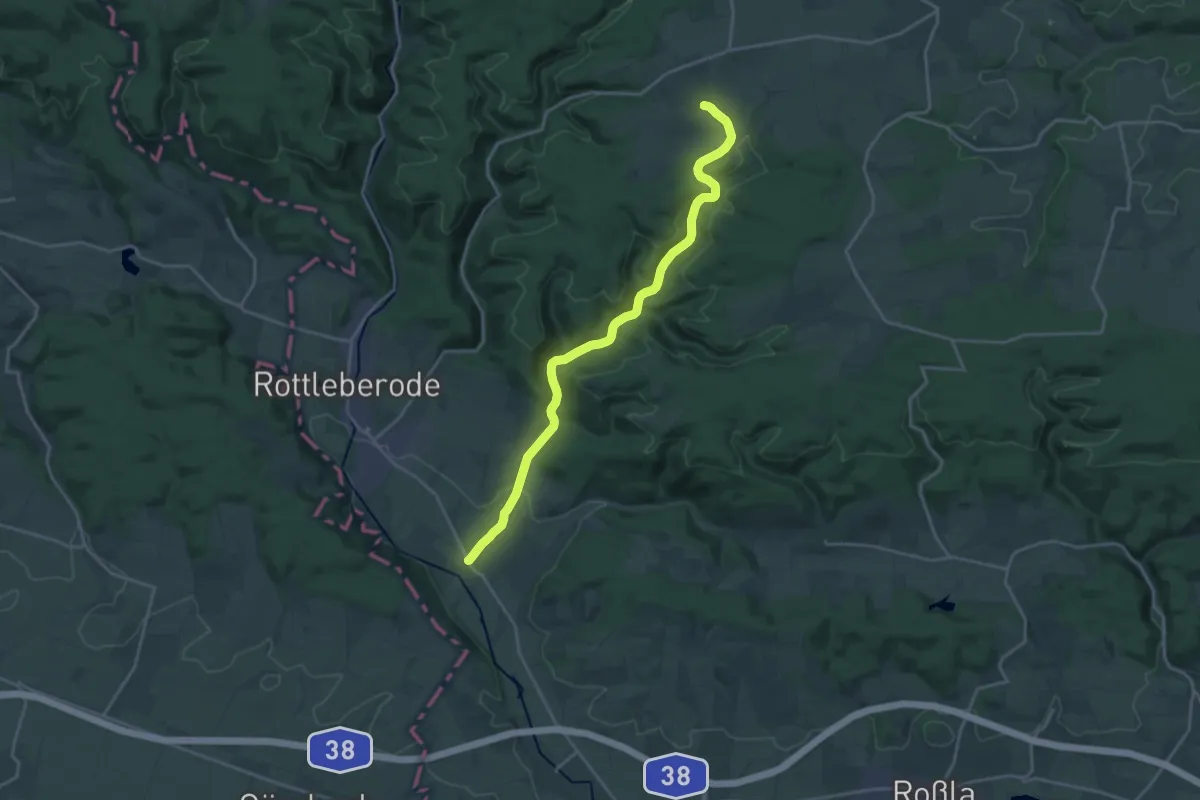
Demanding · Trail
Wanderweg Schwenda
18.7 km · ↑ 332 m · 5 h 7 min
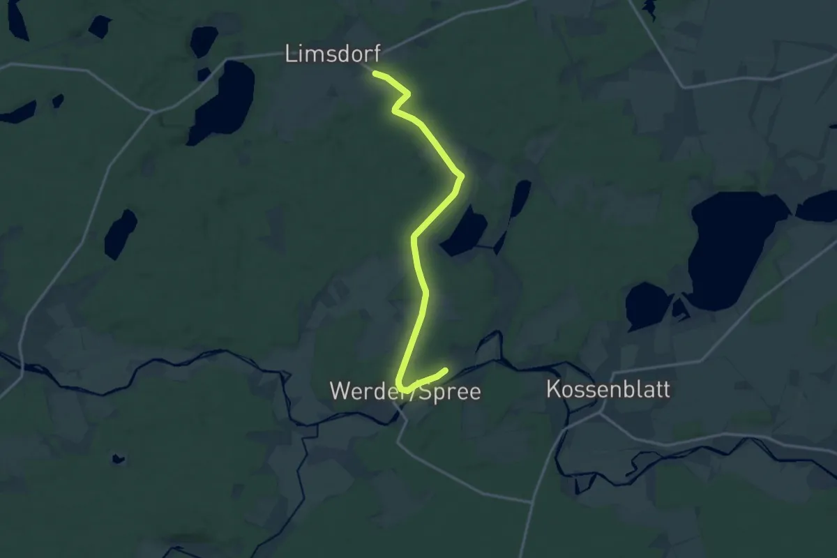
Medium · Trail
Wanderweg ...-Schwenow-Kossenblatt-...
13.0 km · ↑ 65 m · 3 h 12 min
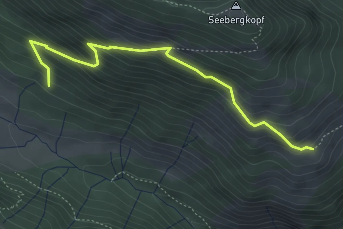
Medium · Trail
Wanderweg Seebergkopf
4.4 km · ↑ 456 m · 2 h 1 min
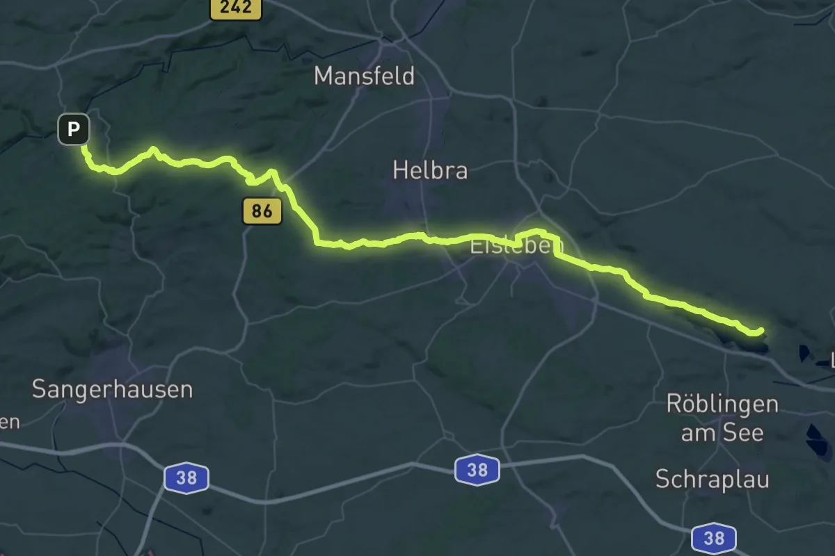
Demanding · Trail
Wanderweg Seeburg- Wippra - Falkenstein
37.5 km · ↑ 420 m · 10 h 21 min
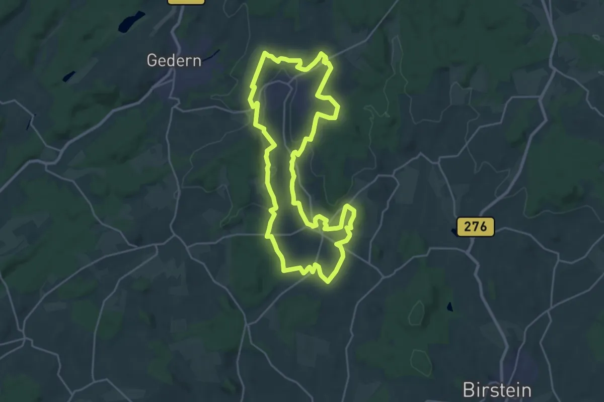
Demanding · Trail
Wanderweg Seemental
20.0 km · ↑ 360 m · 5 h 47 min
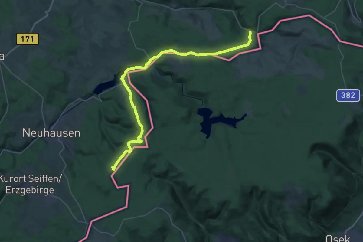
Demanding · Summit
Wanderweg Seiffen - Bad Einsiedel - Neuwernsdorf - Deutschgeorgenthal - Teichhaus
30.3 km · ↑ 662 m · 8 h 35 min
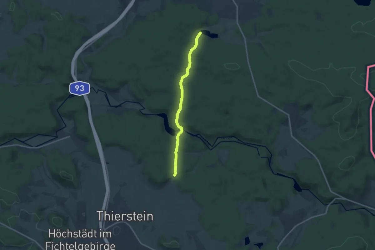
Medium · Trail
Wanderweg Selb-Thierstein
8.3 km · ↑ 164 m · 2 h 19 min
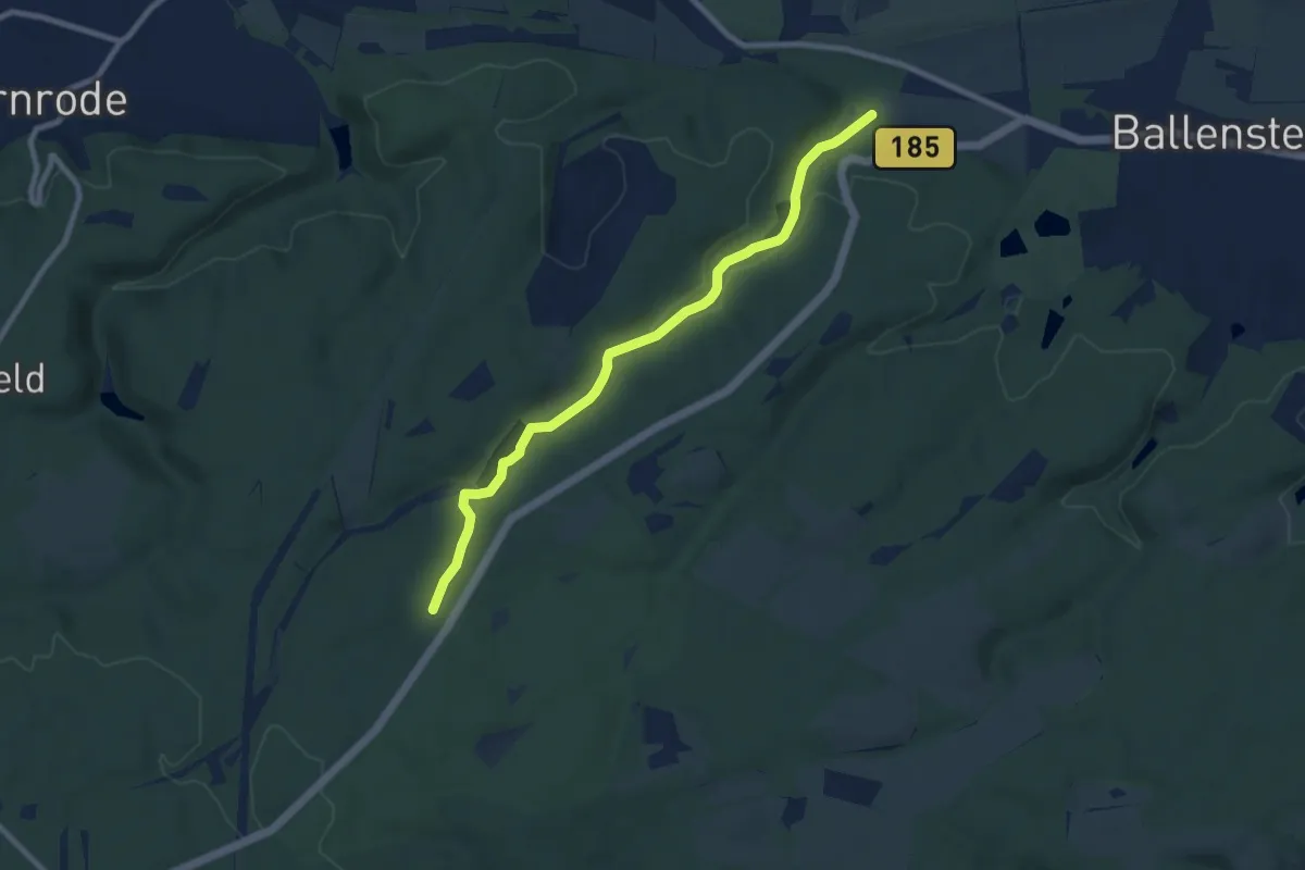
Easy · Trail
Wanderweg Siebersteinstal
7.6 km · ↑ 171 m · 2 h 10 min
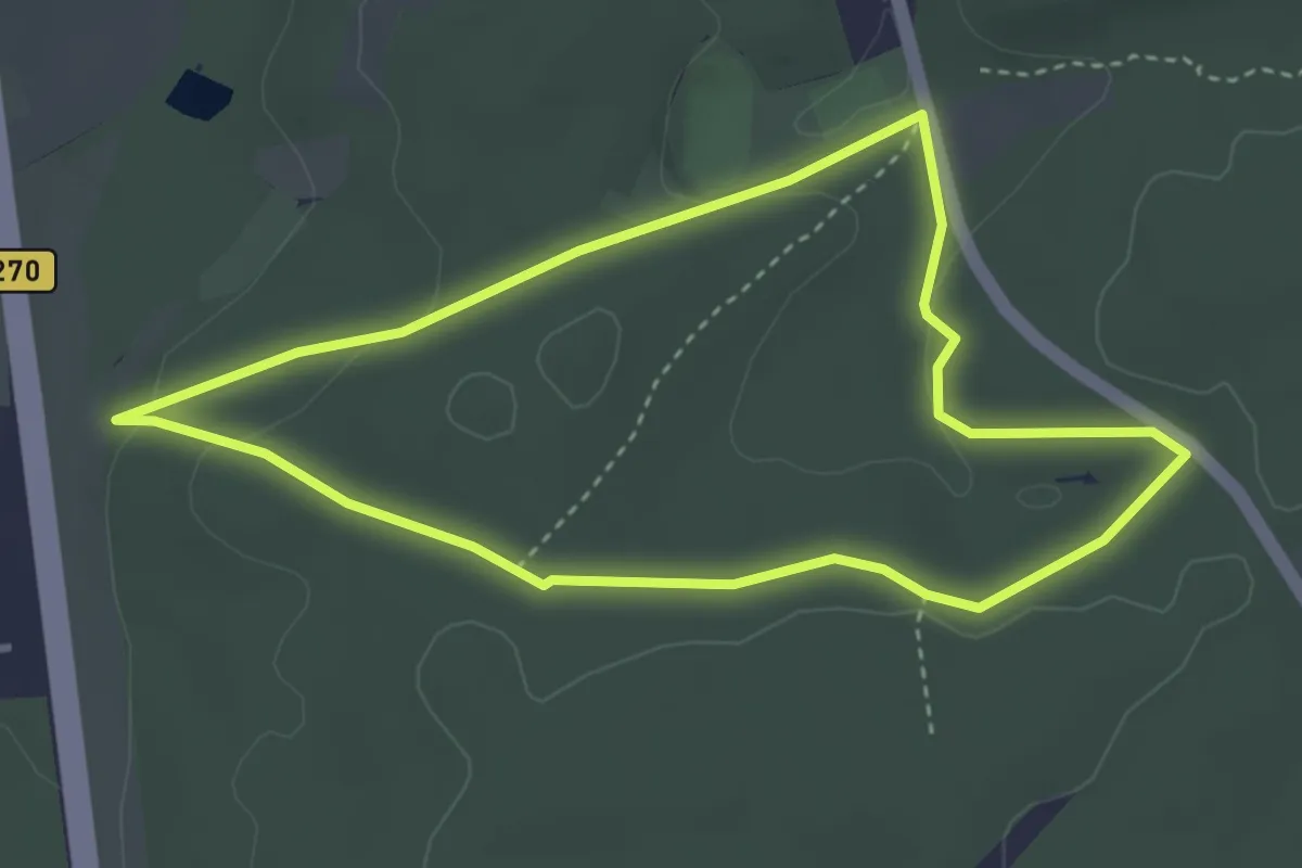
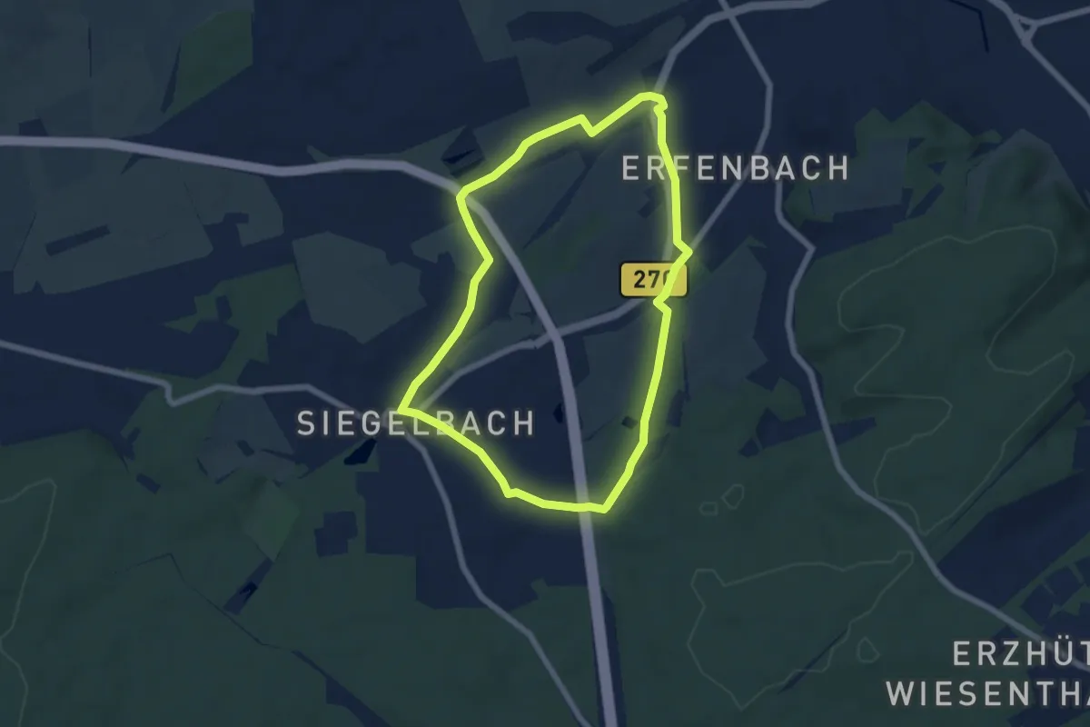
Easy · Trail
Wanderweg Siegelbach 1
3.2 km · ↑ 68 m · 57 min
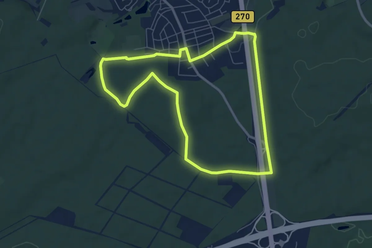
Easy · Trail
Wanderweg Siegelbach 2
5.4 km · ↑ 67 m · 1 h 30 min
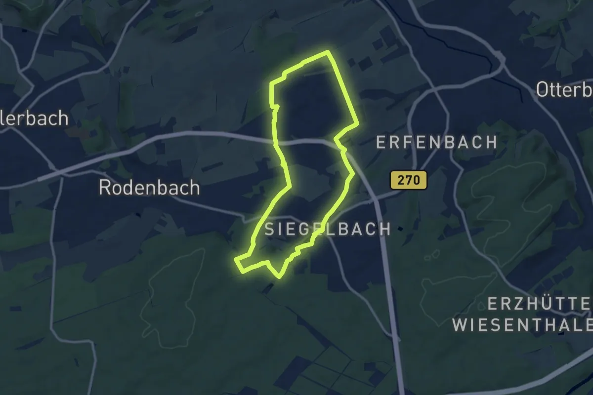
Easy · Trail
Wanderweg Siegelbach 3
6.1 km · ↑ 59 m · 1 h 39 min
Medium · Trail
Wanderweg Siegelbach 4
8.3 km · ↑ 103 m · 2 h 18 min
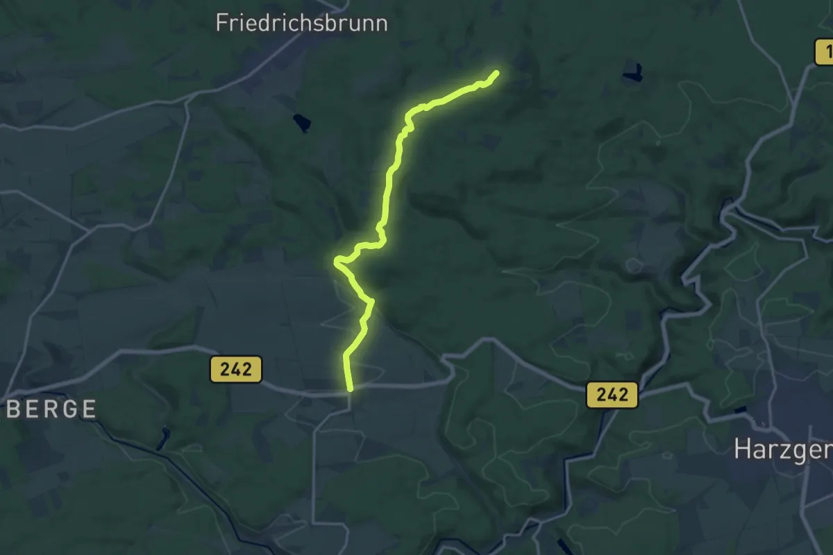
Medium · Summit
Wanderweg Siptenfelde-Friedrichsbrunn
13.0 km · ↑ 251 m · 3 h 36 min
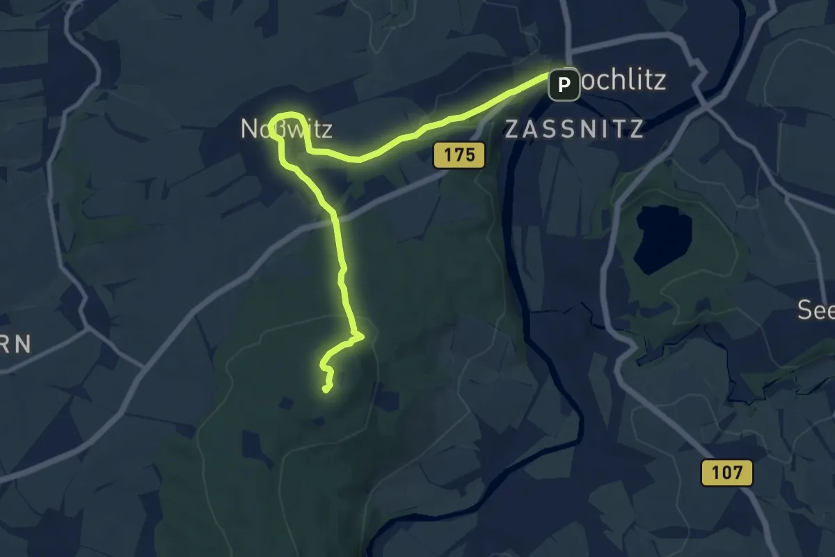
Medium · Summit
Wanderweg Sörnzig – Noßwitz – Rochlitz
9.5 km · ↑ 202 m · 2 h 41 min
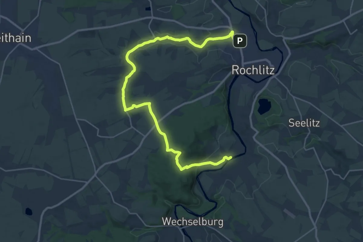
Demanding · Trail
Wanderweg Sörnzig – Welsche – Rochlitz
22.0 km · ↑ 371 m · 6 h
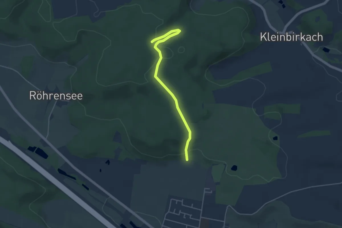
Easy · Trail
Wanderweg Specht
3.7 km · ↑ 112 m · 1 h 6 min
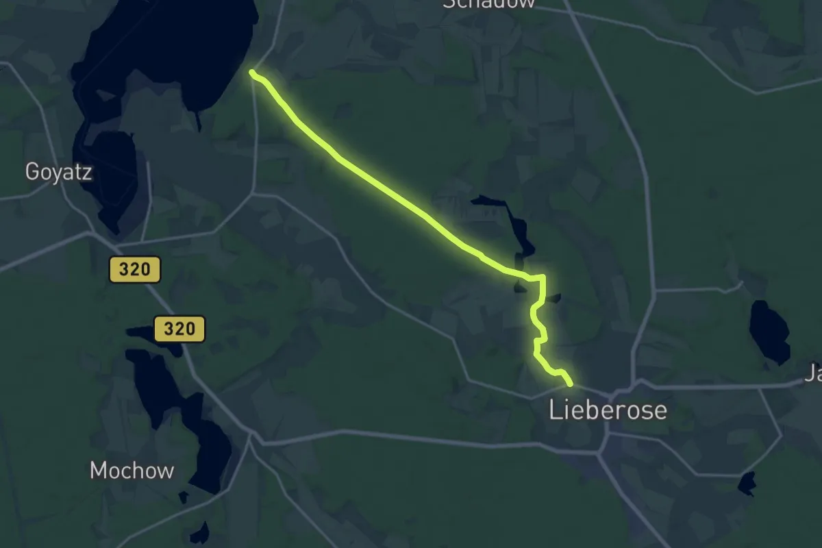
Medium · Trail
Wanderweg Speicherow-Damme-Lieberose
15.7 km · ↑ 107 m · 3 h 56 min
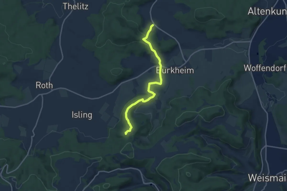
Medium · Trail
Wanderweg Spiesberg
9.3 km · ↑ 307 m · 2 h 51 min
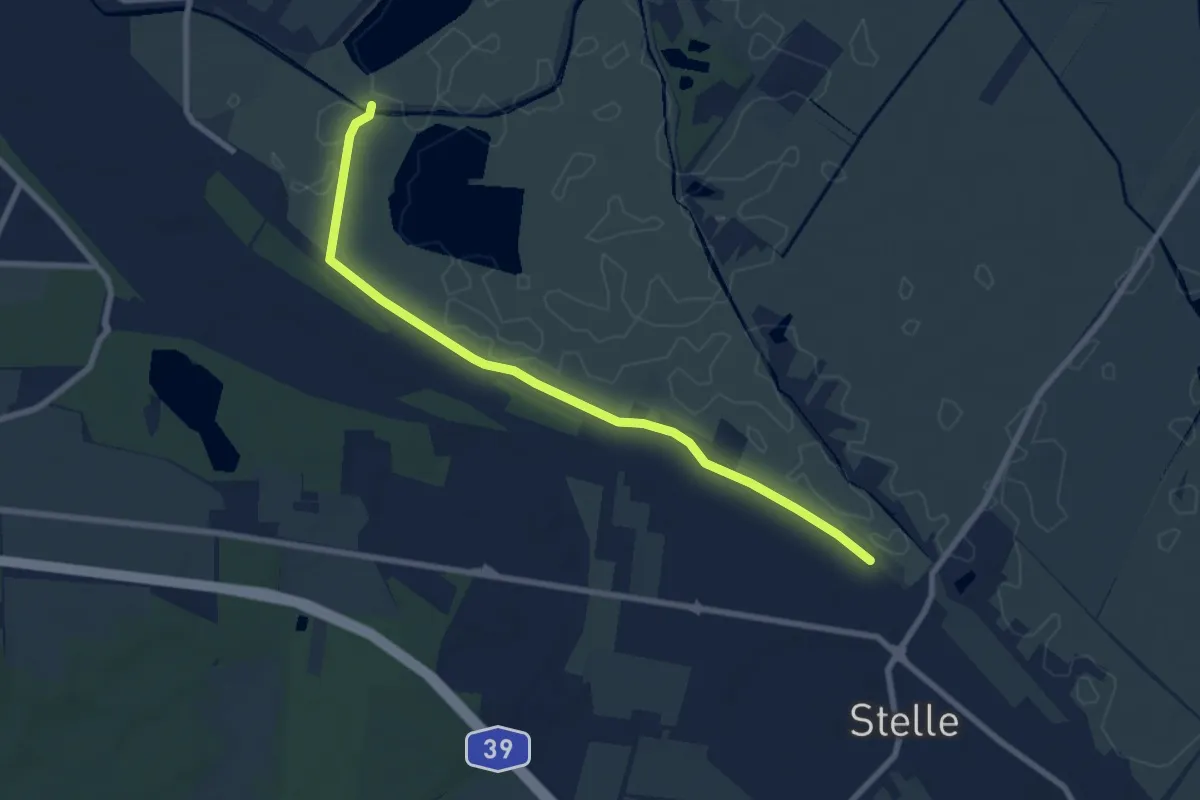
Easy · Trail
Wanderweg ST
7.2 km · ↑ 4 m · 1 h 43 min
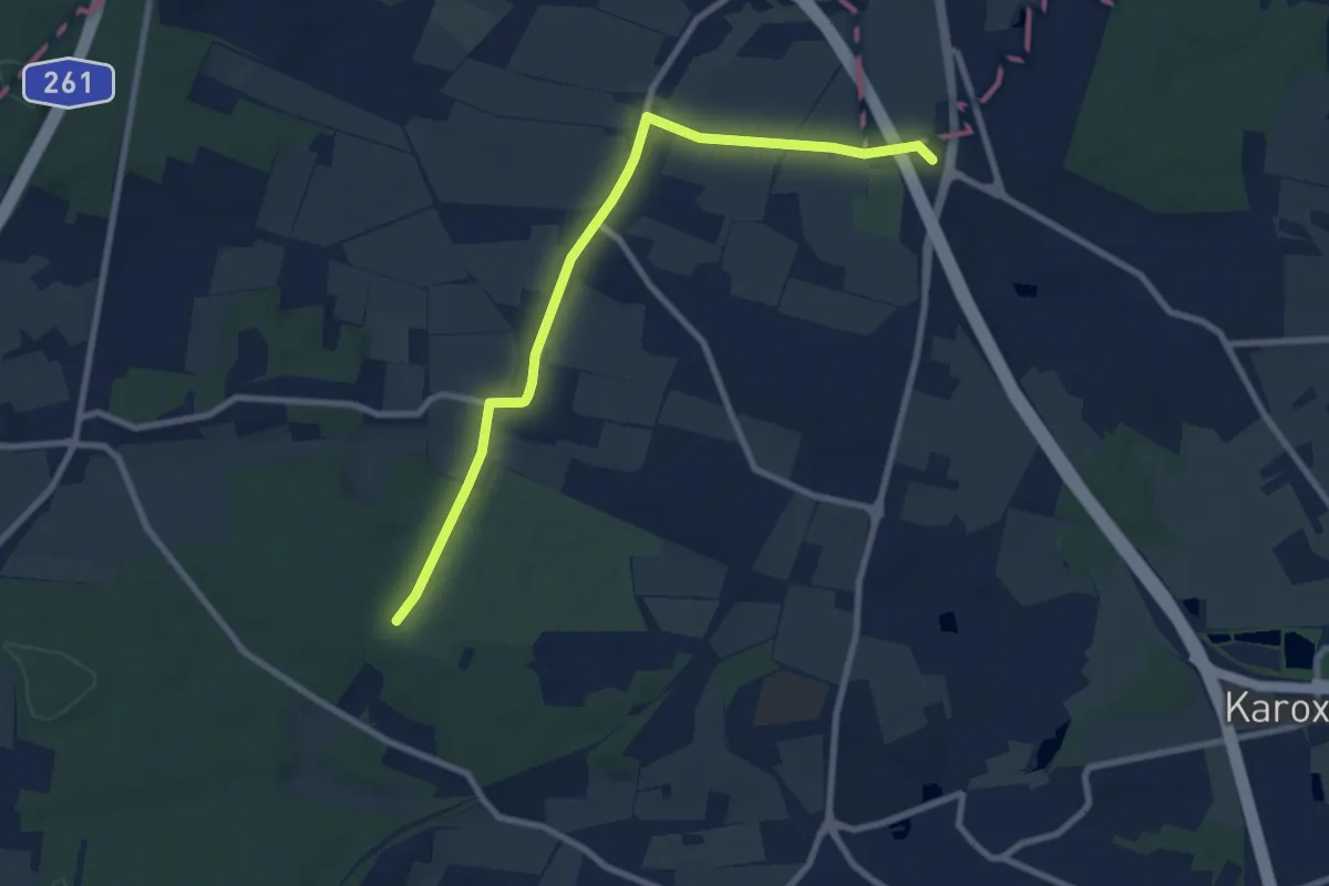
Easy · Summit
Wanderweg ST
7.7 km · ↑ 83 m · 2 h
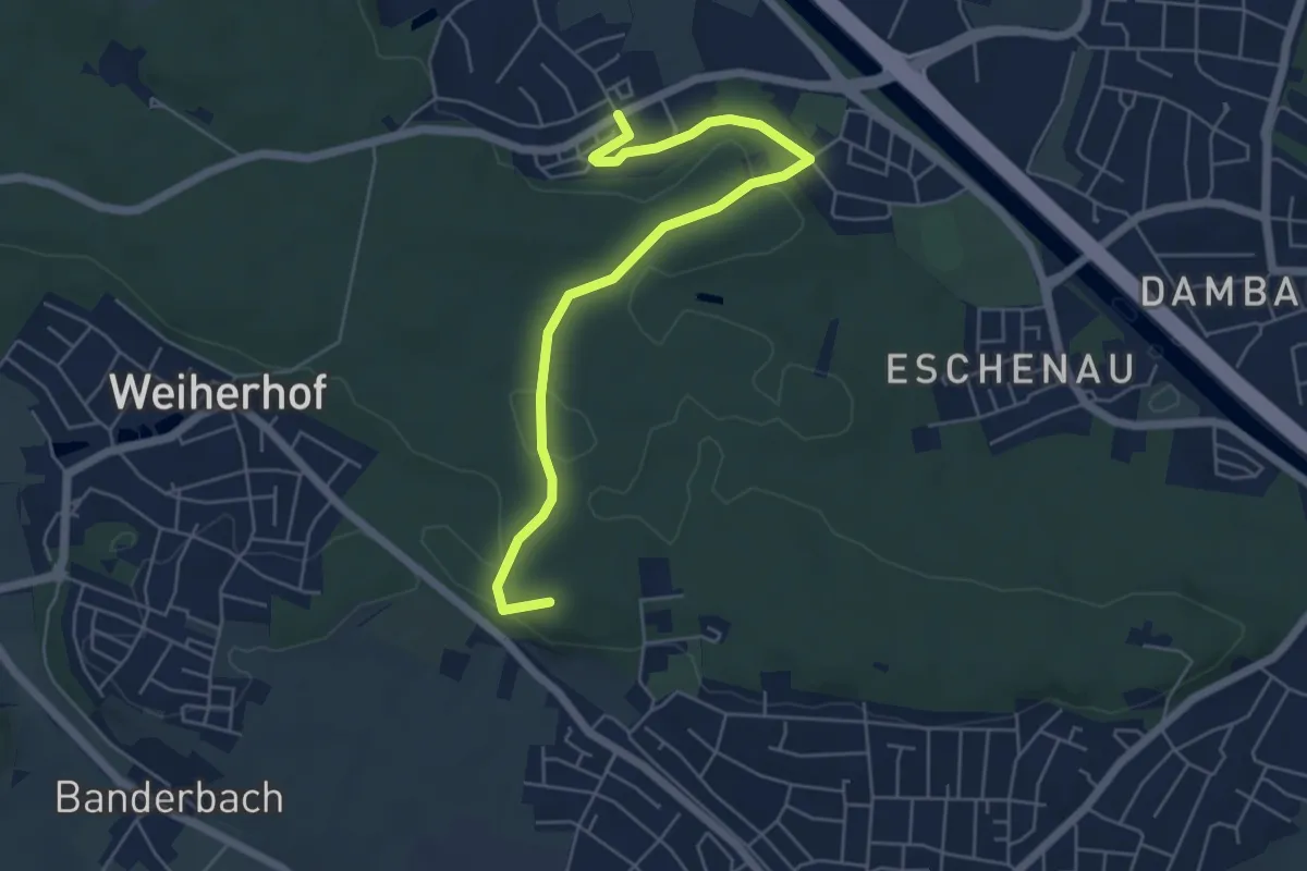
Easy · Summit
Wanderweg Stadtwaldweg
5.6 km · ↑ 63 m · 1 h 28 min
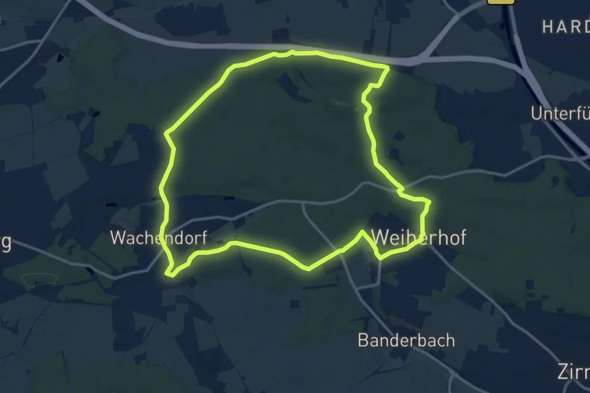
Medium · Trail
Wanderweg Stadtwaldweg
10.6 km · ↑ 148 m · 2 h 58 min
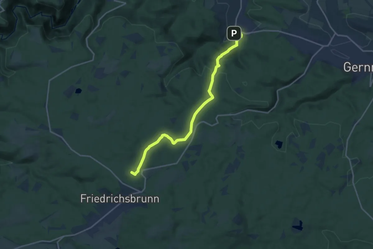
Medium · Summit
Wanderweg Stecklenberg - Friedrichsbrunn (grüner Balken)
11.8 km · ↑ 398 m · 3 h 39 min
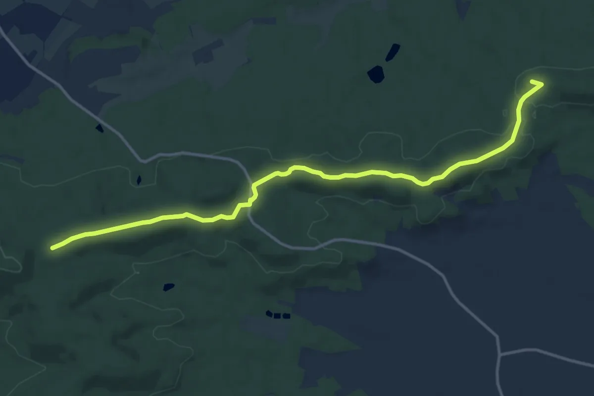
Easy · Summit
Wanderweg Steigerwälder Jakobsweg
6.1 km · ↑ 69 m · 1 h 41 min
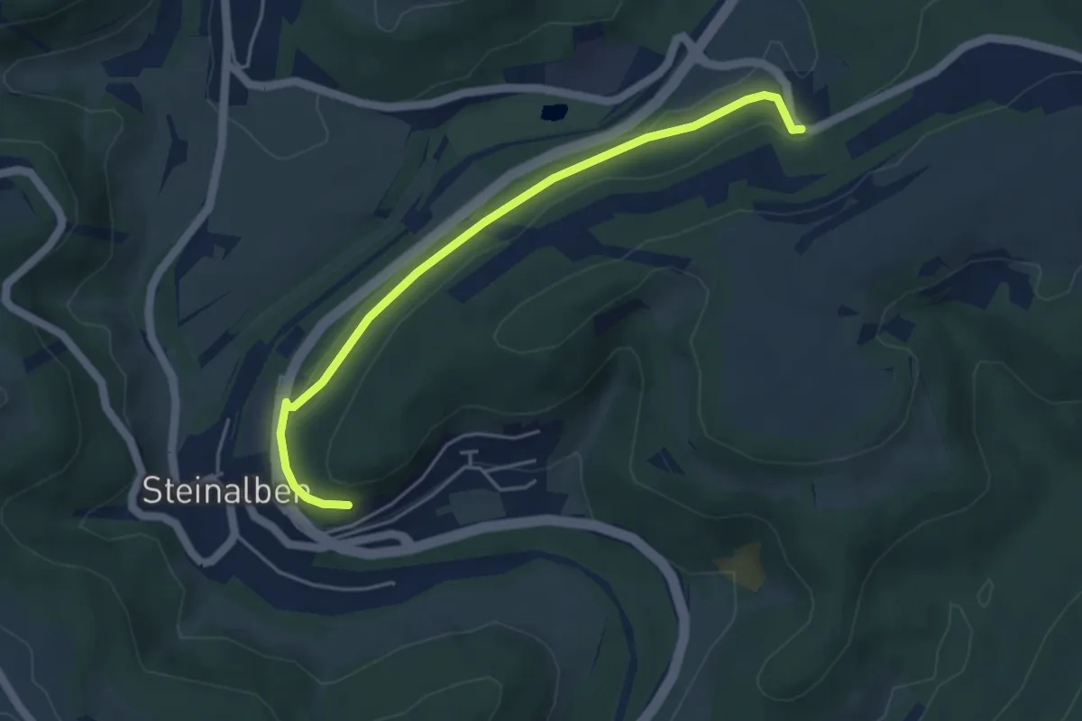
Easy · Trail
Wanderweg Steinalben 1
4.3 km · ↑ 102 m · 1 h 15 min
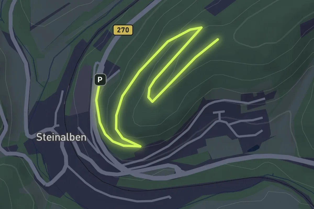
Easy · Trail
Wanderweg Steinalben 2
3.8 km · ↑ 110 m · 1 h 9 min
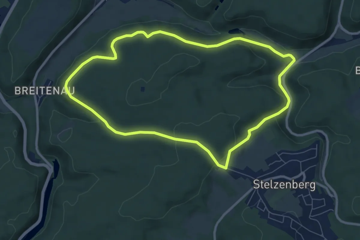
Easy · Trail
Wanderweg Stelzenberg Horst 1
6.6 km · ↑ 214 m · 2 h 7 min
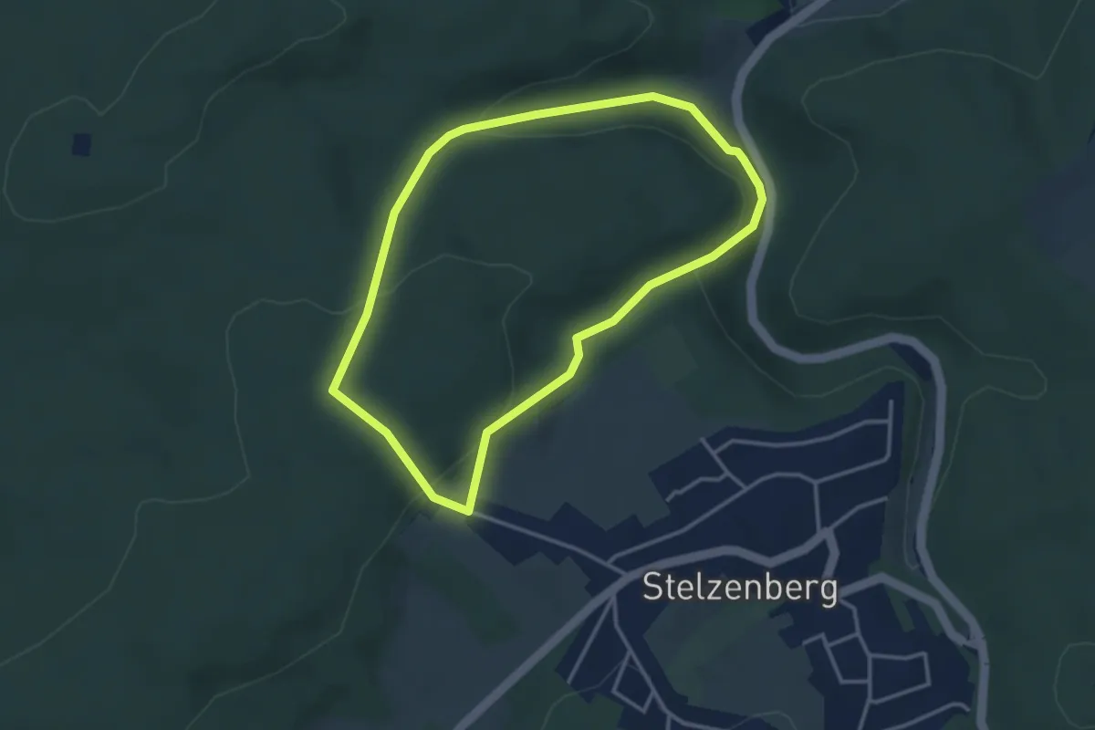
Easy · Trail
Wanderweg Stelzenberg Horst 2
3.0 km · ↑ 109 m · 59 min
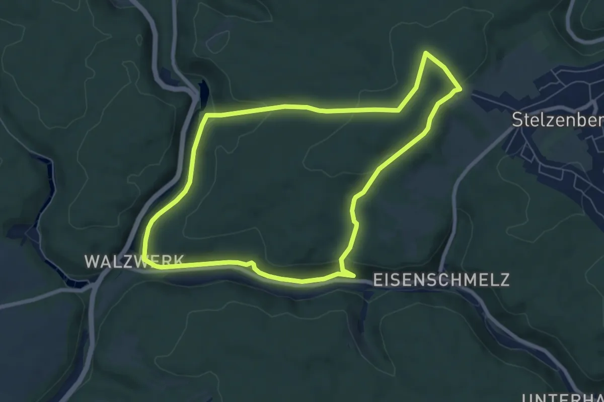
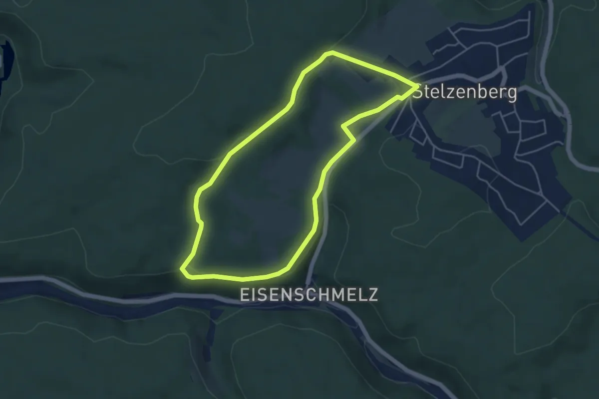
Easy · Trail
Wanderweg Stelzenberg Horst 3
6.4 km · ↑ 157 m · 1 h 56 min
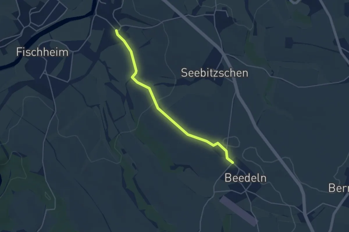
Easy · Trail
Wanderweg Stelzenberg Horst 4
4.0 km · ↑ 68 m · 1 h 8 min
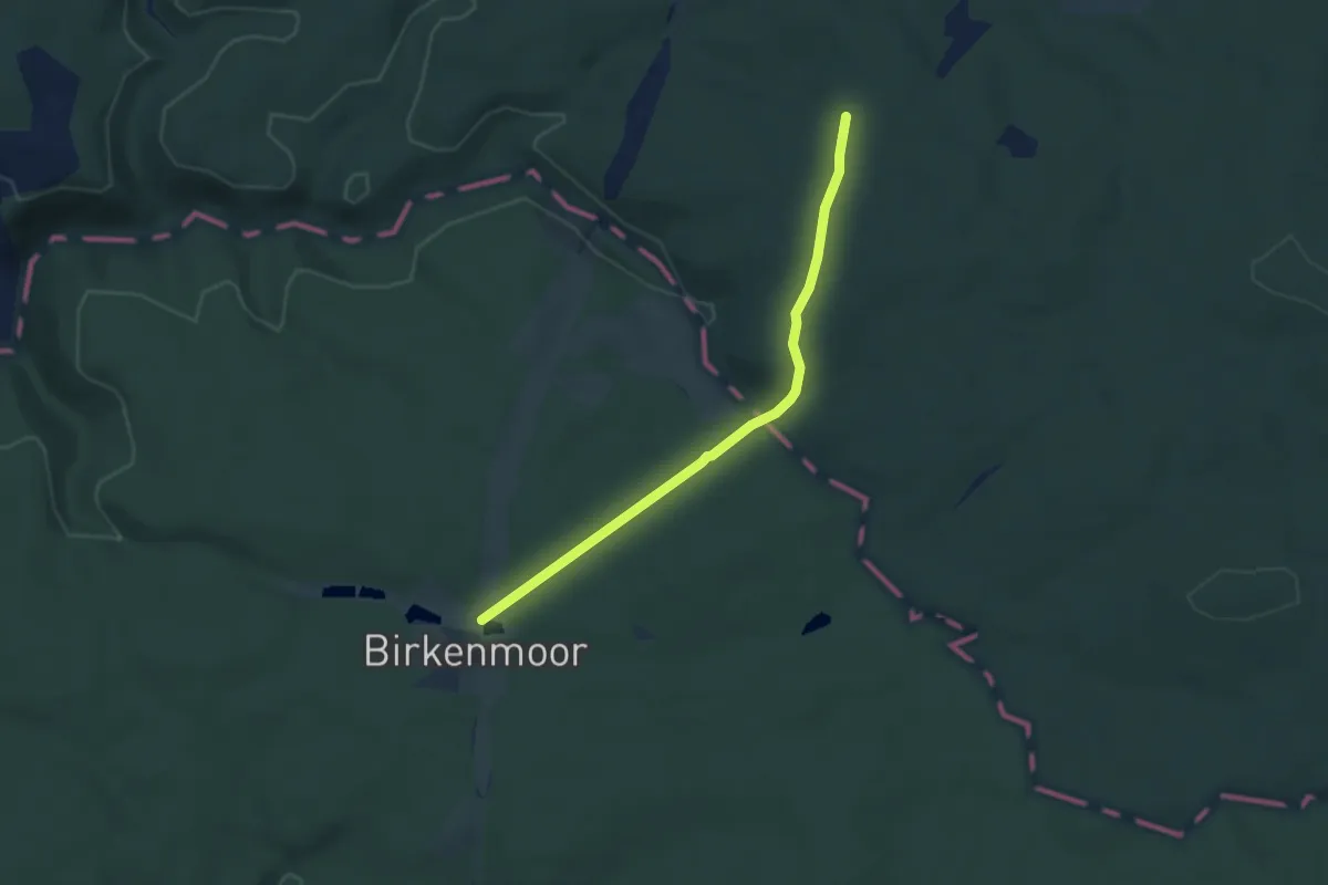
Easy · Trail
Wanderweg Steudten – Beedeln
3.5 km · ↑ 69 m · 59 min
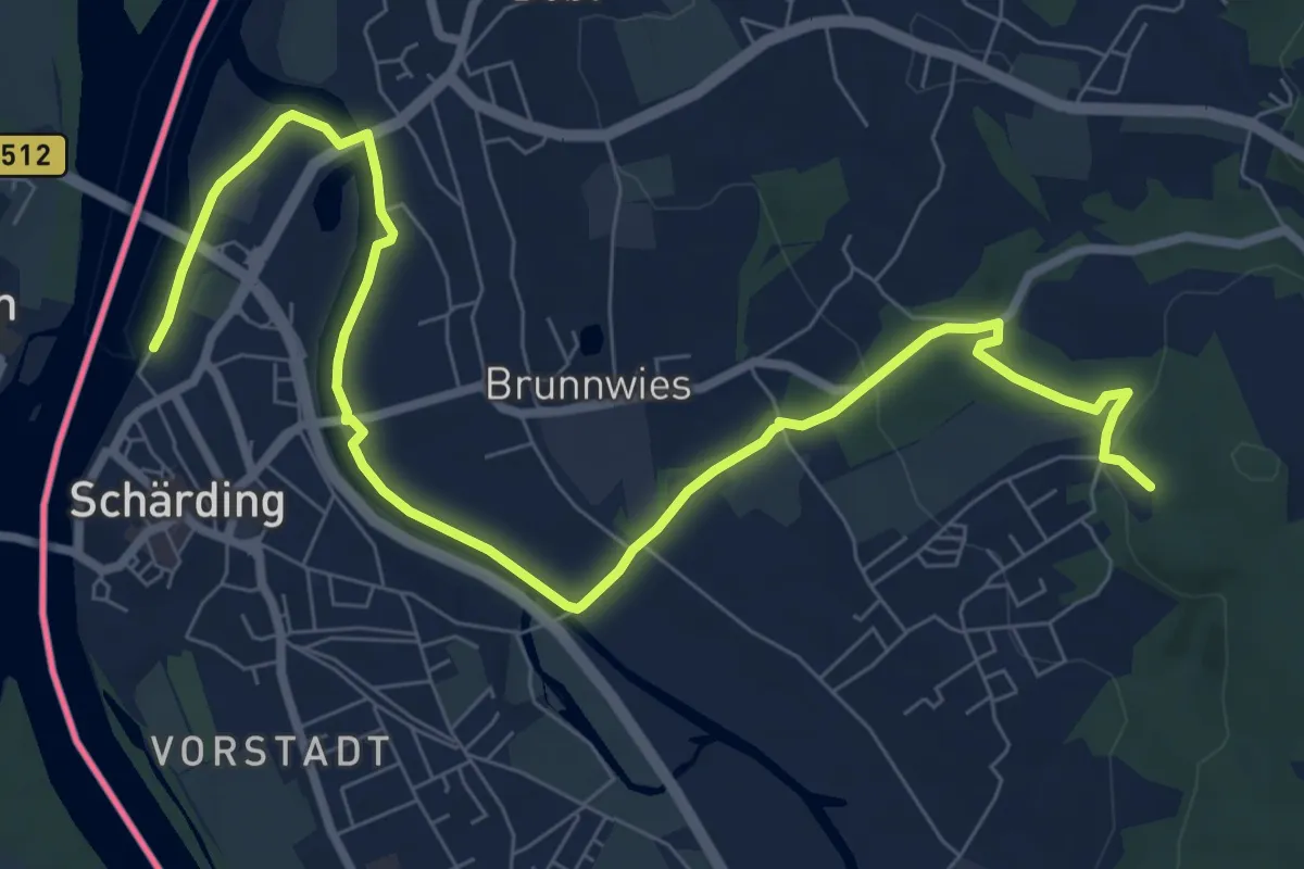
Easy · Trail
Wanderweg Stiege - Hufhaus
5.1 km · ↑ 101 m · 1 h 25 min
Medium · Trail
Wanderweg "Stoananes Bankerl"
9.8 km · ↑ 106 m · 2 h 33 min
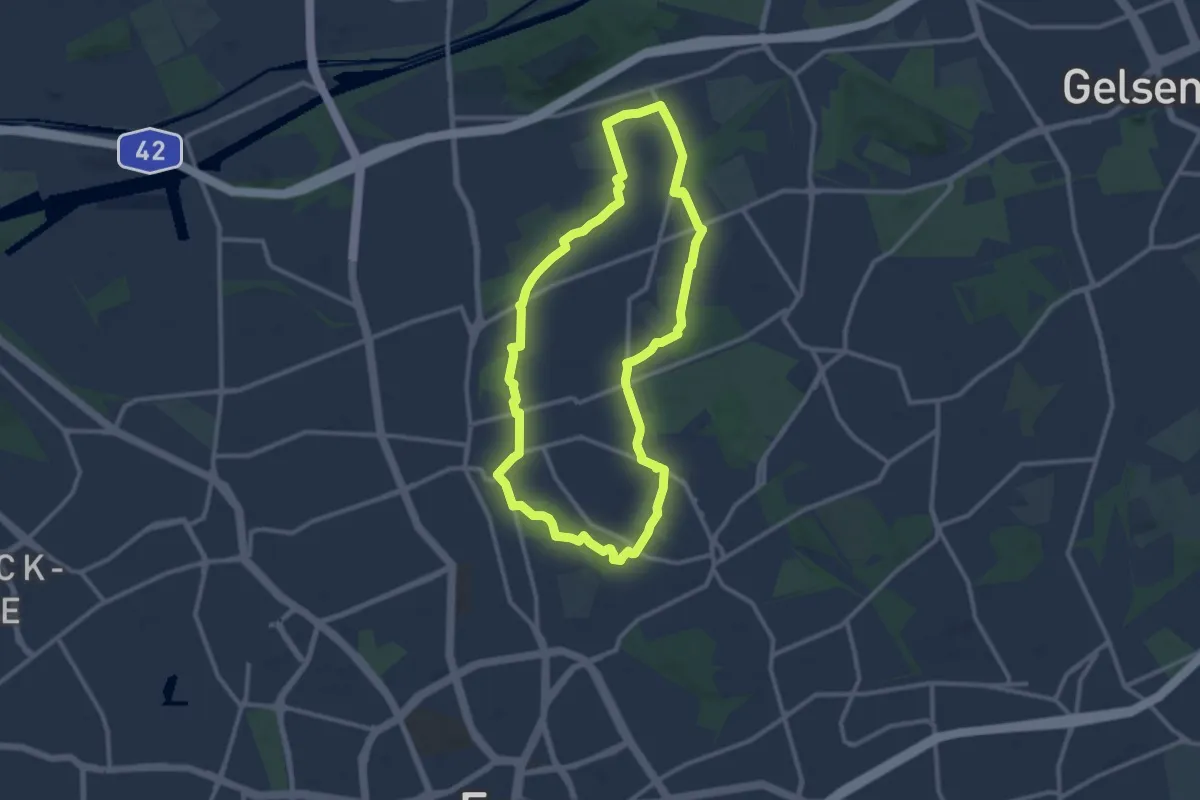
Medium · Trail
Wanderweg Stoppenberg A3
9.9 km · ↑ 39 m · 2 h 33 min
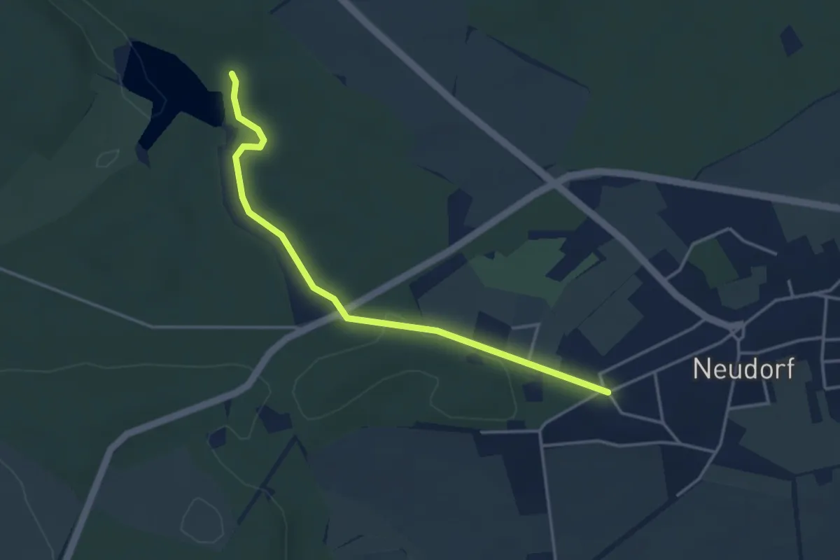
Easy · Trail
Wanderweg Straßberg-Neudorf
3.4 km · ↑ 59 m · 56 min
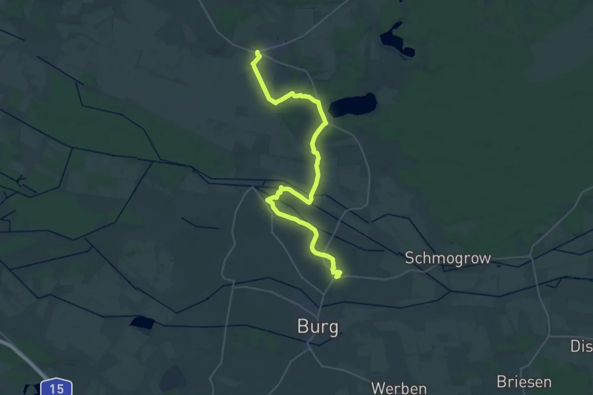
Demanding · Summit
Wanderweg Straupitz-Burg-Cottbus
26.7 km · ↑ 44 m · 6 h 24 min
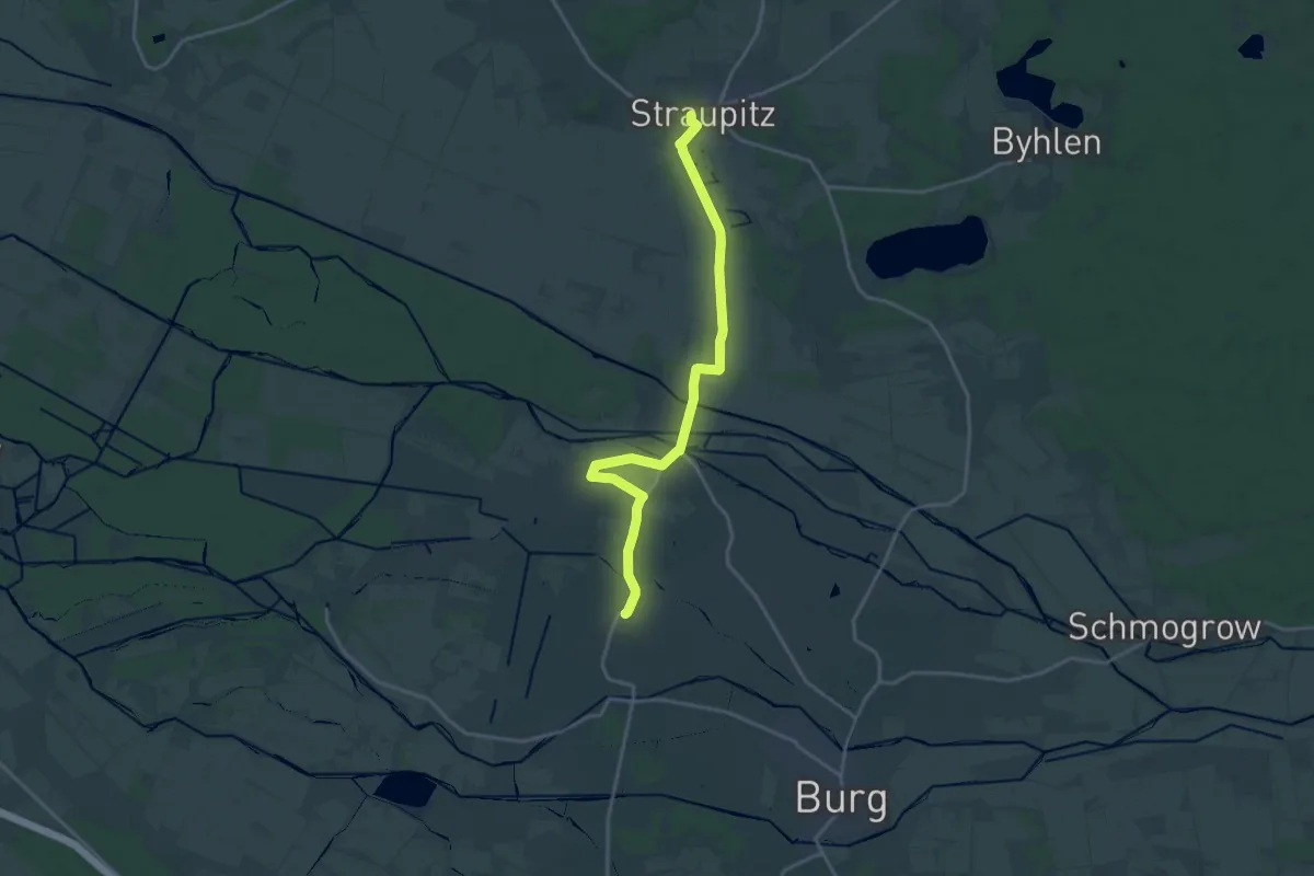
Medium · Trail
Wanderweg-Straupitz-Buschmühle-Burg...
17.4 km · ↑ 13 m · 4 h 8 min
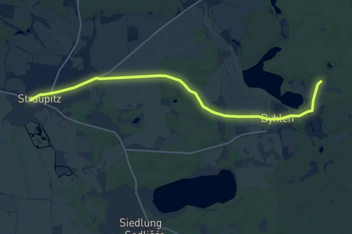
Medium · Trail
Wanderweg Straupitz (L44)-Byhlen-Pintschens Quell
12.6 km · ↑ 40 m · 3 h 4 min
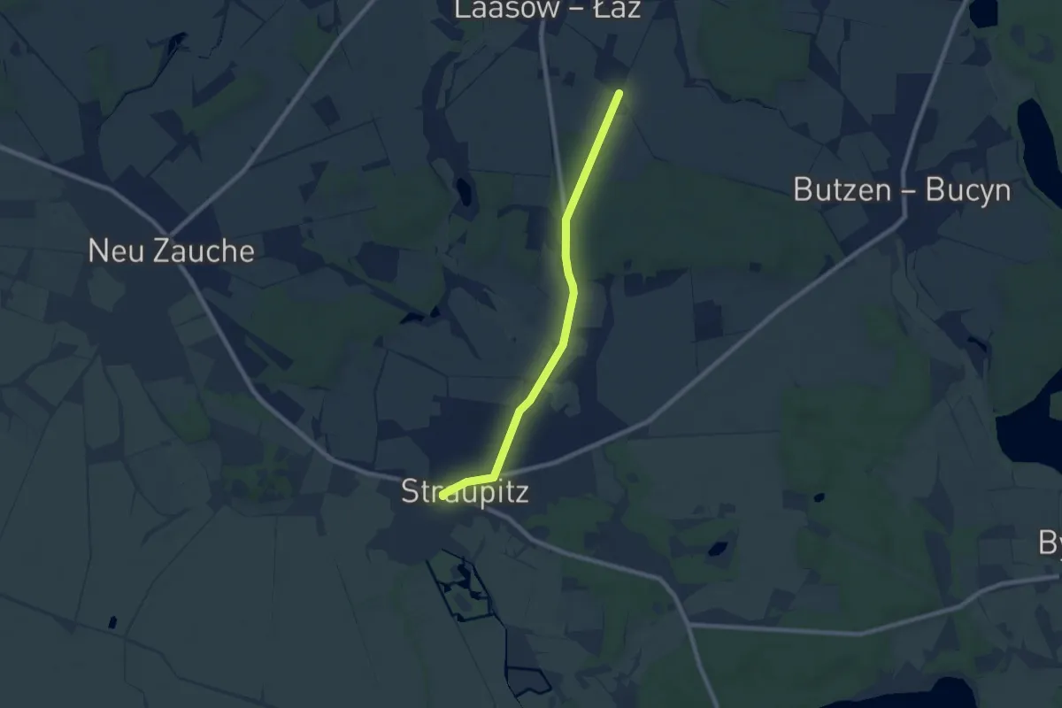
Easy · Trail
Wanderweg Straupitz-Lieberose (gelber Balken)
6.8 km · ↑ 17 m · 1 h 38 min
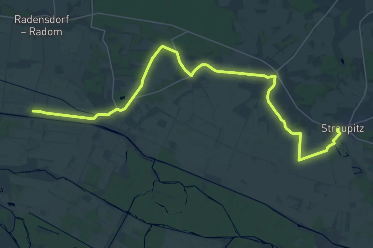
Demanding · Trail
Wanderweg Straupitz-Lübben (gelber Balken)
30.2 km · ↑ 38 m · 7 h 13 min
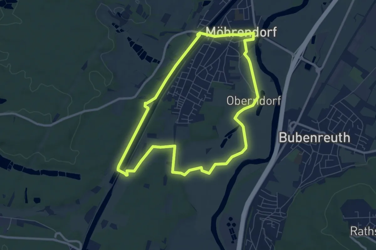
Easy · Trail
Wanderweg Südlicher Möhrendorfer Rundweg
7.0 km · ↑ 38 m · 1 h 50 min