Trails in Germany
36,852 hiking trails, each with its route, climb, walking time and grade.
All trails, page 708 of 768
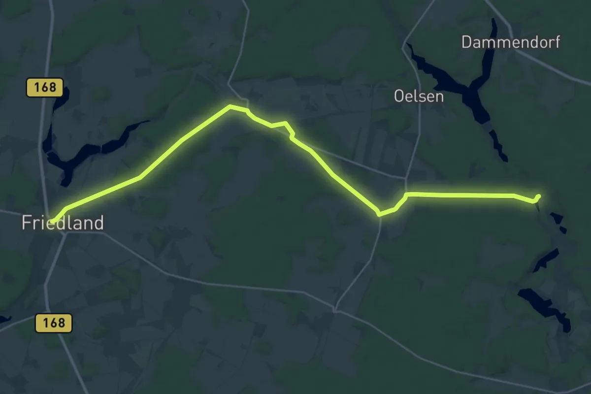
Demanding · Trail
Wanderweg vom Jankenmühle nach Friedland.
26.9 km · ↑ 160 m · 6 h 41 min
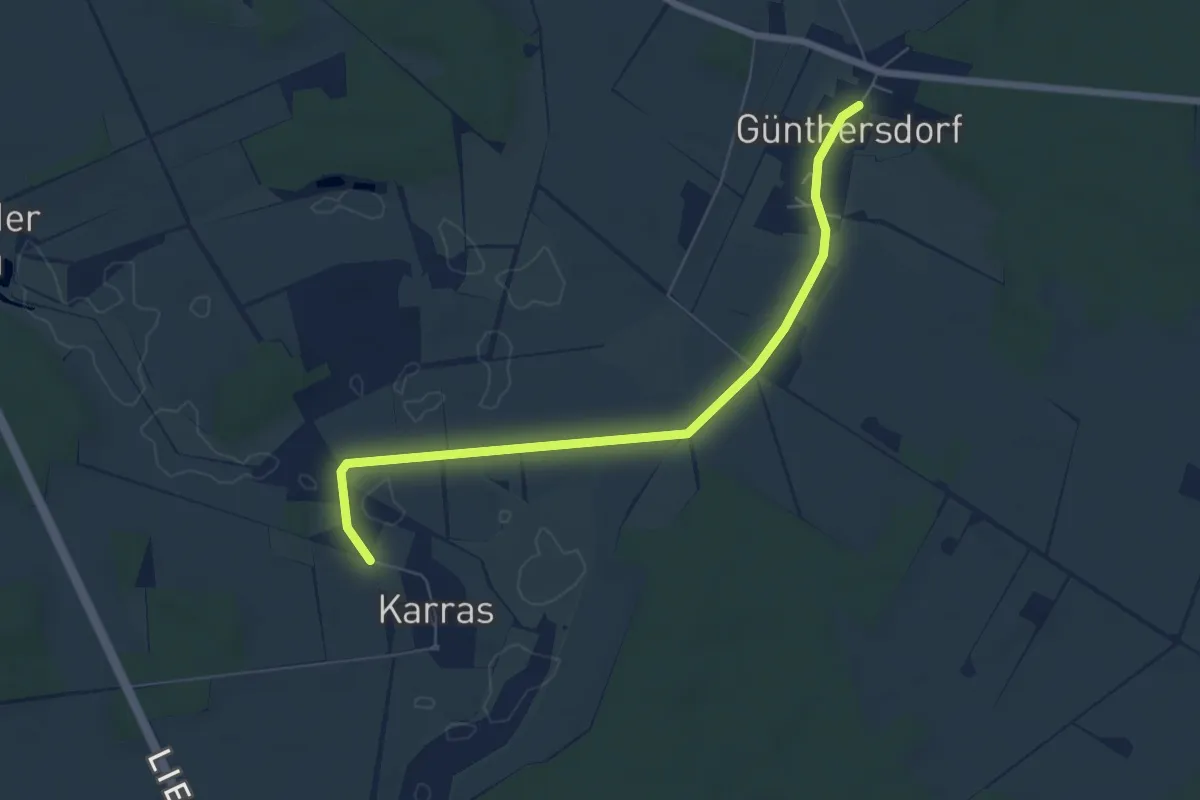
Easy · Trail
Wanderweg vom Karras nach Günthersdorf.
6.0 km · ↑ 4 m · 1 h 25 min
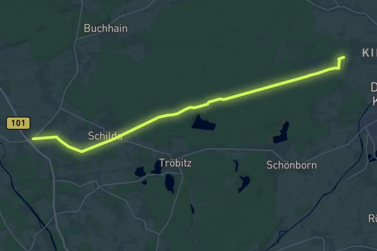
Demanding · Trail
Wanderweg vom Kirchhain-Waldhufe zum Elsterwanderweg.
28.5 km · ↑ 182 m · 7 h 7 min
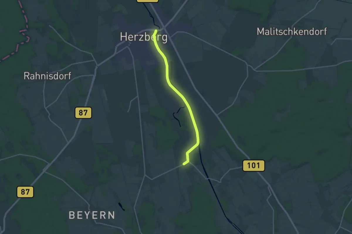
Medium · Trail
Wanderweg vom Kleinrössen nach Herzberg.
13.5 km · ↑ 4 m · 3 h 12 min
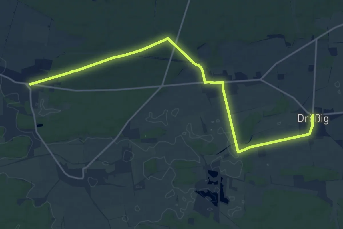
Medium · Trail
Wanderweg vom Lugau über Eichholz nach Drößig
13.5 km · ↑ 84 m · 3 h 22 min
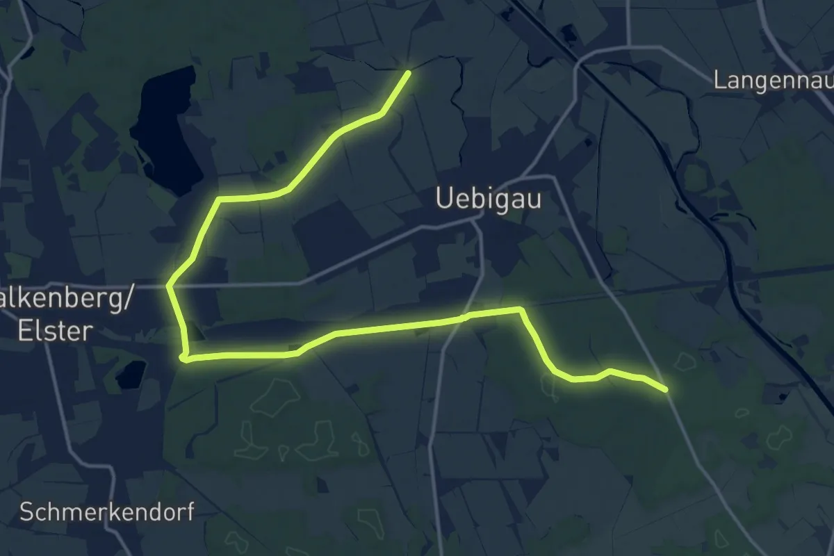
Medium · Trail
Wanderweg vom Mark Grabo nach Kiebitz.
17.3 km · ↑ 26 m · 4 h 8 min
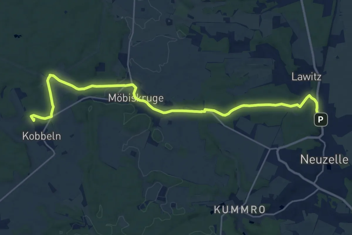
Medium · Trail
Wanderweg vom Neuzelle Bahnhof zum Kobelner Stein
16.9 km · ↑ 128 m · 4 h 16 min
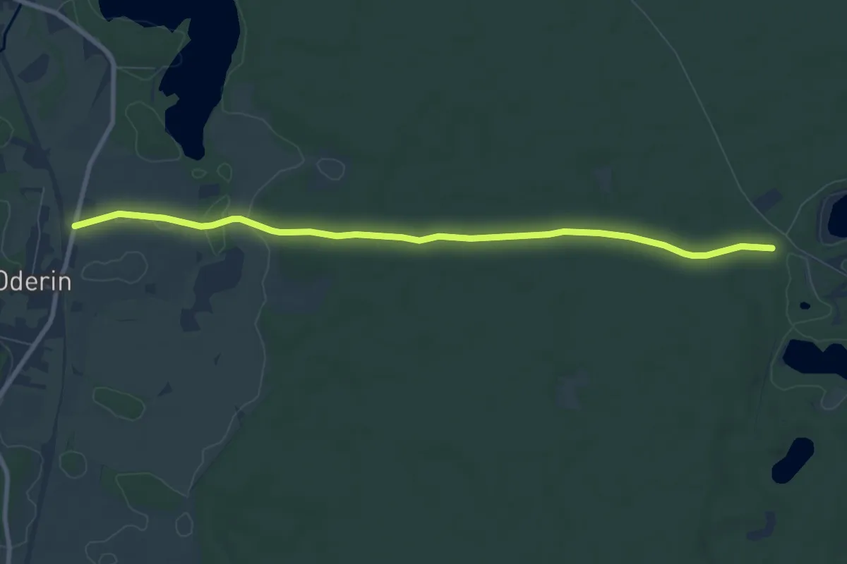
Easy · Trail
Wanderweg vom Oderin nach Krausnick.
7.7 km · ↑ 36 m · 1 h 54 min
Easy · Trail
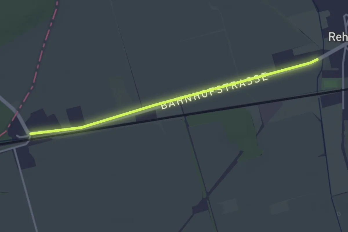
Wanderweg vom Rehfeld Bahnhof nach E G Kiebitz.
2.9 km · ↑ 0 m · 41 min
Demanding · Summit
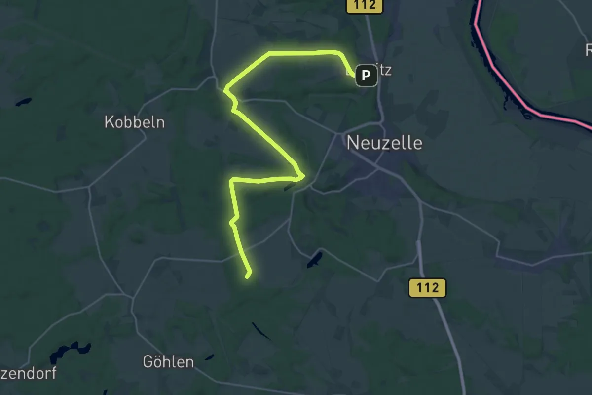
Wanderweg vom Schwerzko über Kummro und Möbiskruge nach Lawitz
22.5 km · ↑ 205 m · 5 h 46 min
Demanding · Trail
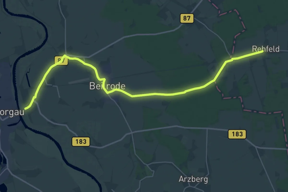
Wanderweg vom Uebigau über Großrössen, Rehfeld, Beilrode...
28.3 km · ↑ 25 m · 6 h 44 min
Demanding · Trail
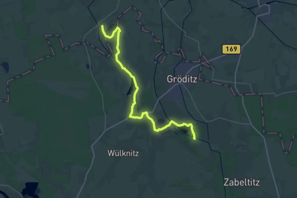
Wanderweg vom Zabeltitz nach Kröbeln.
29.7 km · ↑ 30 m · 7 h 5 min
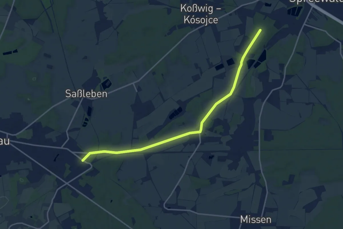
Medium · Trail
Wanderweg von Altnau zu den westlichen Reptener Teichen
13.1 km · ↑ 44 m · 3 h 12 min
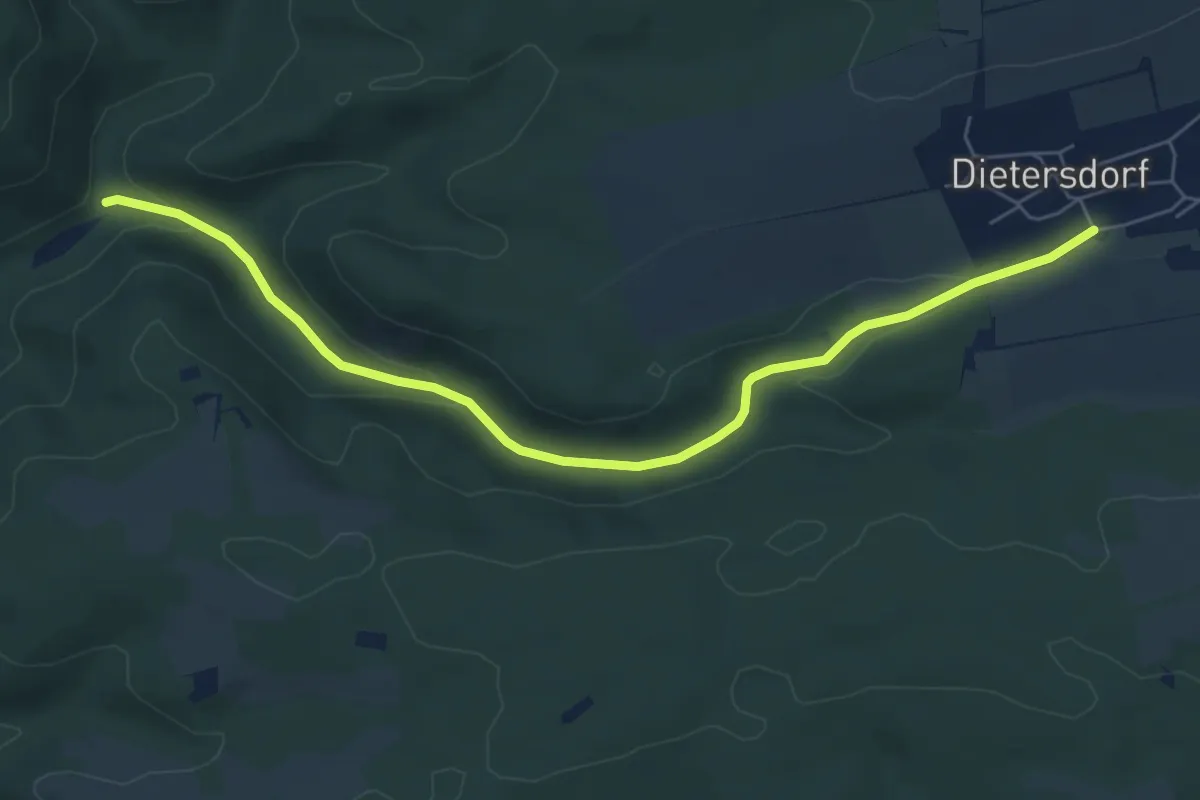
Easy · Trail
Wanderweg von Dietersdorf in's Haseltal
6.2 km · ↑ 120 m · 1 h 44 min
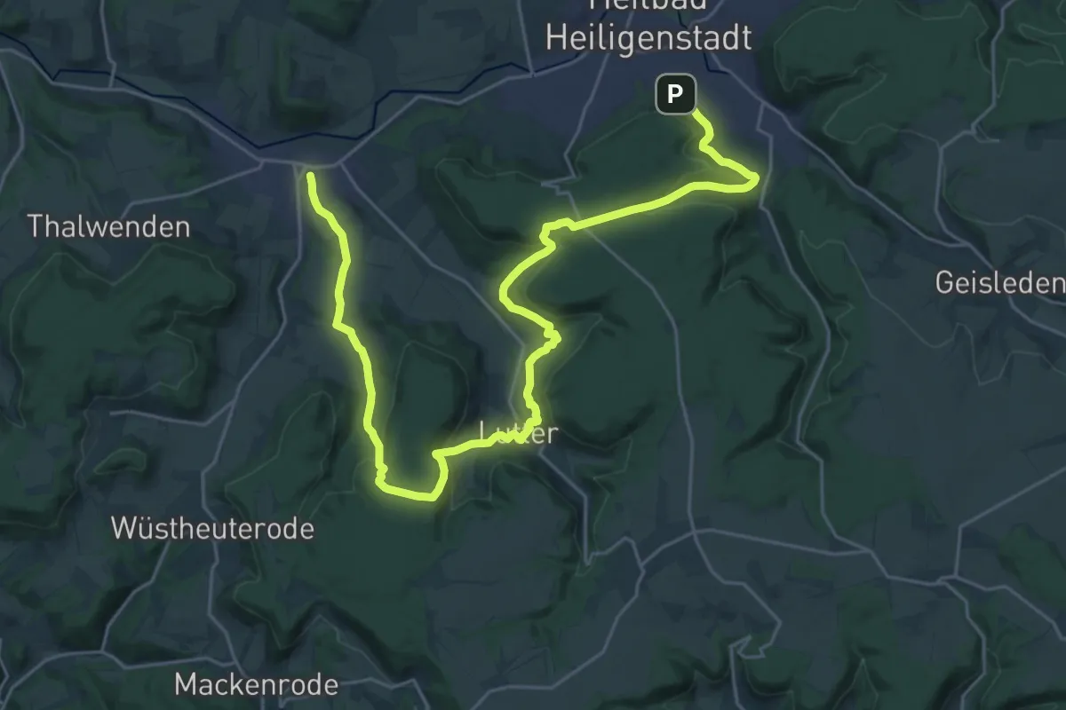
Medium · Trail
Wanderweg von Heilbad Heiligenstadt nach Uder (Roter Punkt)
14.8 km · ↑ 425 m · 4 h 40 min
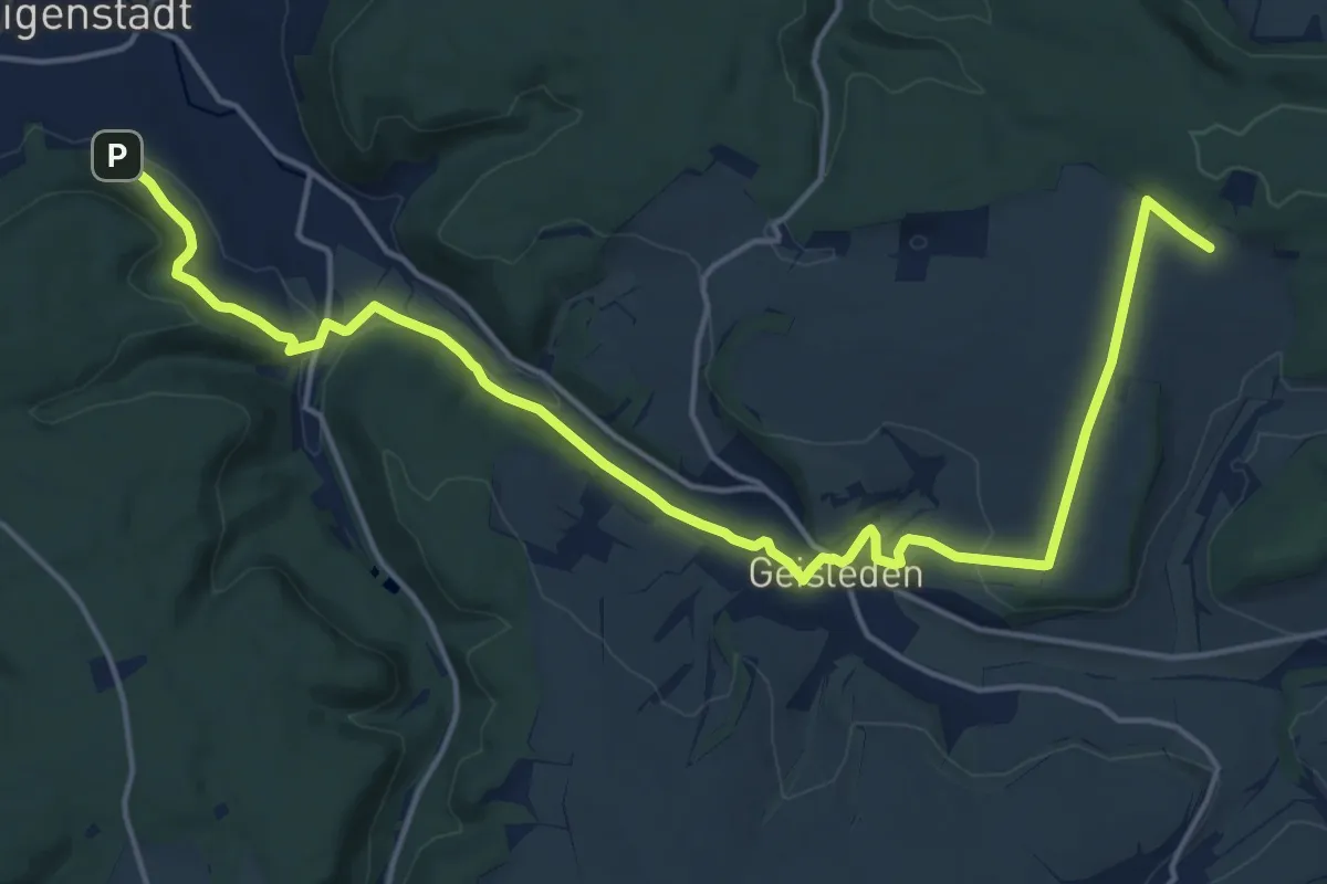
Demanding · Trail
Wanderweg von Heilbad Heiligenstadt zur Kapelle Steinhagen
19.1 km · ↑ 356 m · 5 h 17 min
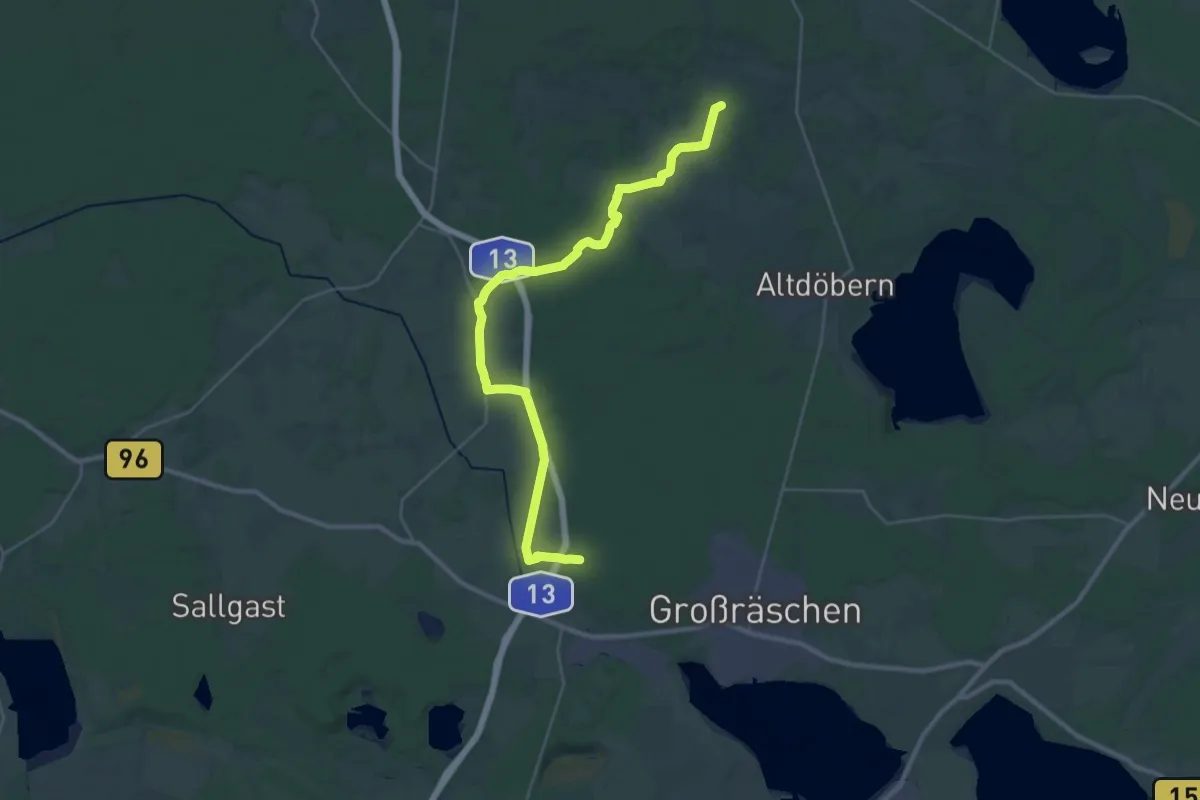
Demanding · Trail
Wanderweg von Luckaitztal Bahnhof-nach Barzig
31.3 km · ↑ 128 m · 7 h 40 min
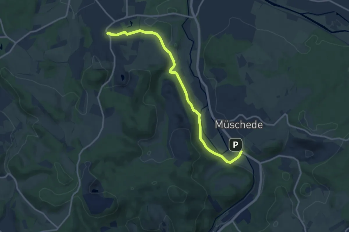
Medium · Trail
[=] Wanderweg von Müschede nach Herdringen
9.1 km · ↑ 205 m · 2 h 36 min
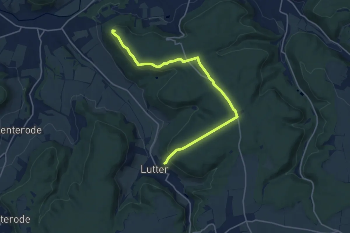
Medium · Summit
Wanderweg von Uder nach Lutter (Grünes X)
12.7 km · ↑ 267 m · 3 h 35 min
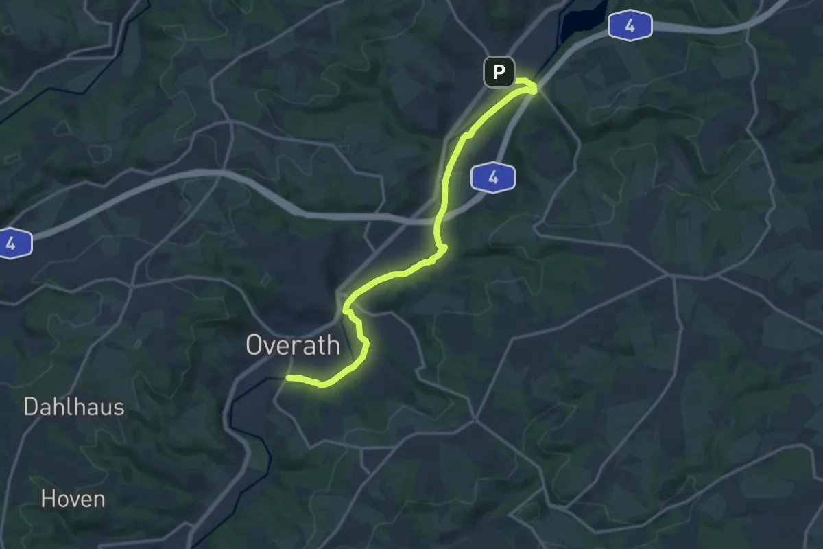
Medium · Trail
Wanderweg Von Vilkerath zum Hallenbad in Overath
12.5 km · ↑ 162 m · 3 h 18 min
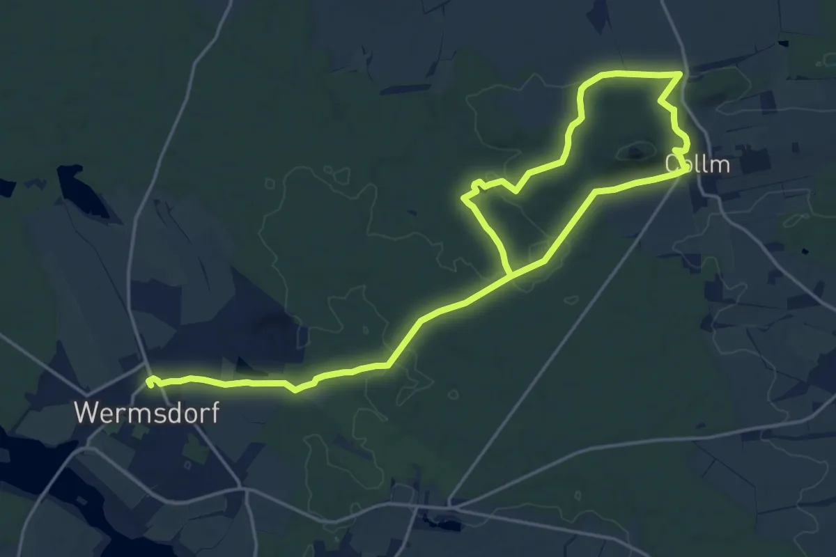
Demanding · Trail
Wanderweg "Von Wermsdorf zum Collm"
23.5 km · ↑ 285 m · 6 h 10 min
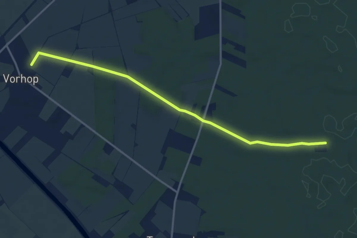
Medium · Trail
Wanderweg Vorhop-Malloh
8.5 km · ↑ 35 m · 2 h 5 min
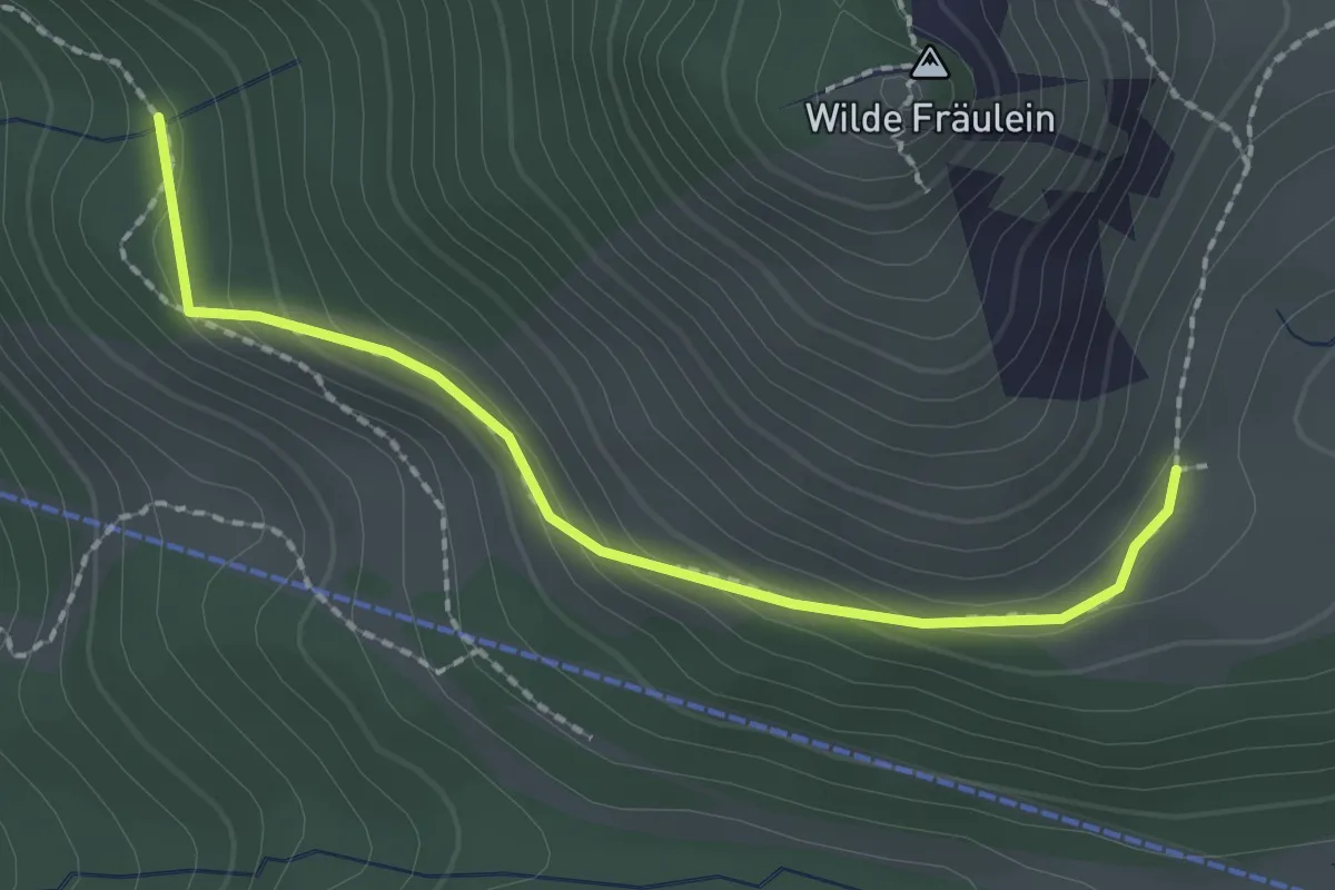
Medium · Cabin
Wanderweg W 23 - Spitzingsee
2.0 km · ↑ 91 m · 40 min
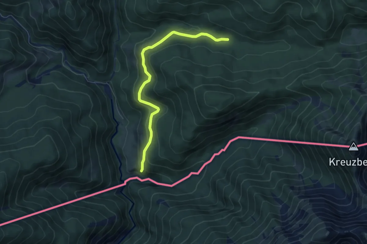
Easy · Trail
Wanderweg W24
6.1 km · ↑ 205 m · 1 h 53 min
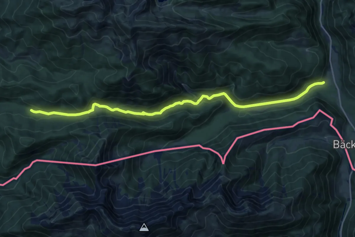
Medium · Trail
Wanderweg W7
16.4 km · ↑ 513 m · 4 h 59 min
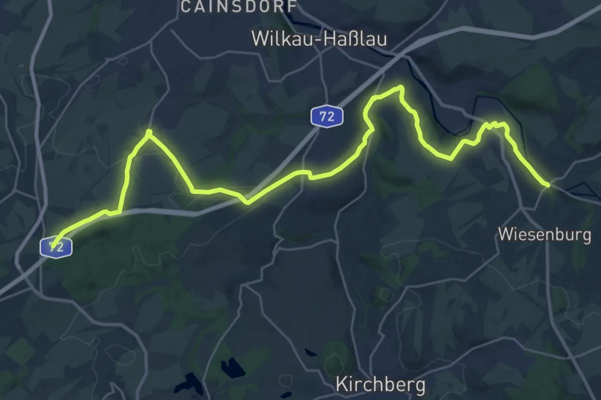
Demanding · Trail
Wanderweg Waldhaus Ebersbrunn-Rottmannsdorf-Culitzsch-Silberstraße-Wiesenburg
26.4 km · ↑ 407 m · 7 h 6 min
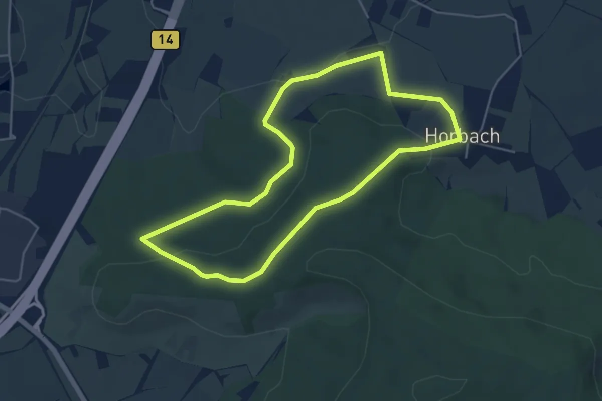
Easy · Summit
Wanderweg Waldrems 2
3.8 km · ↑ 89 m · 1 h 9 min
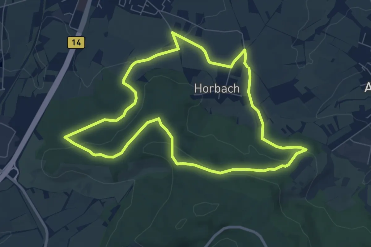
Easy · Summit
Wanderweg Waldrems 3
6.6 km · ↑ 131 m · 1 h 55 min
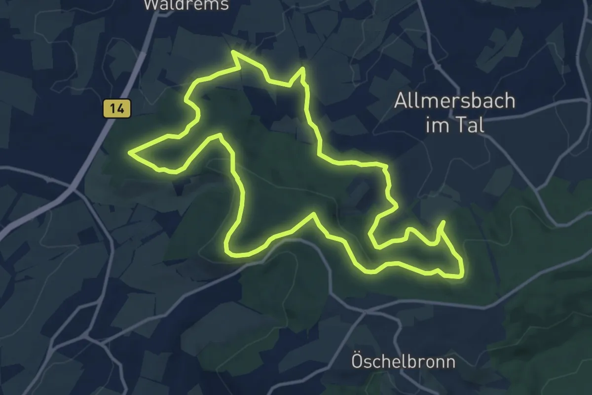
Medium · Summit
Wanderweg Waldrems 4
11.3 km · ↑ 237 m · 3 h 20 min
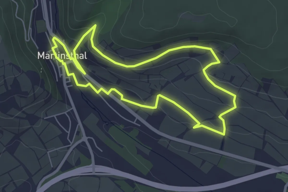
Easy · Trail
Wanderweg Wappen
4.8 km · ↑ 116 m · 1 h 27 min
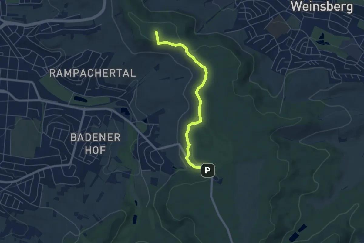
Easy · Summit
Wanderweg Wartberg - Weinsberger Sattel - Jägerhaus
4.9 km · ↑ 102 m · 1 h 23 min
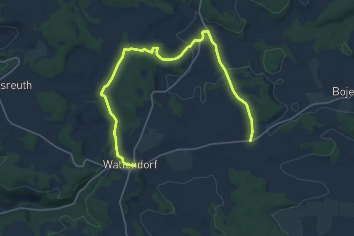
Medium · Trail
Wanderweg Wattendorf - Mährenhüll
12.1 km · ↑ 217 m · 3 h 20 min
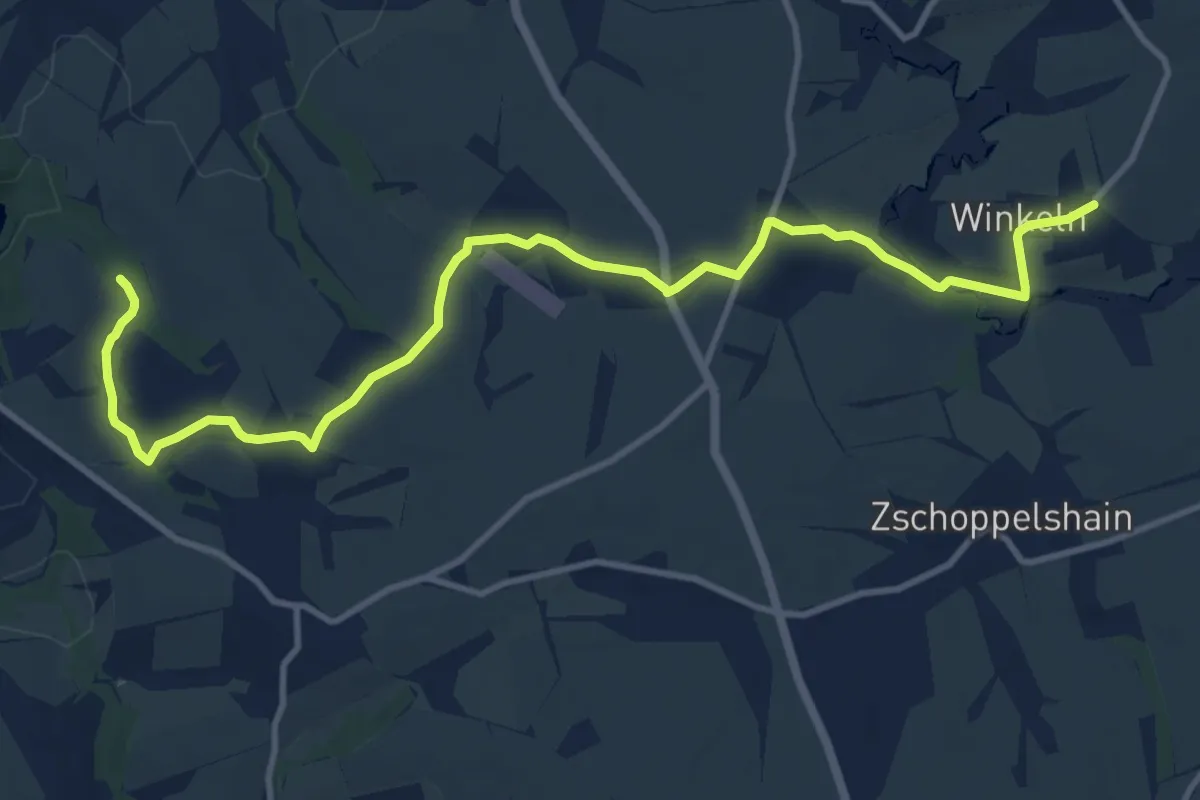
Medium · Trail
Wanderweg Wechselburg – Winkeln
12.2 km · ↑ 132 m · 3 h 10 min
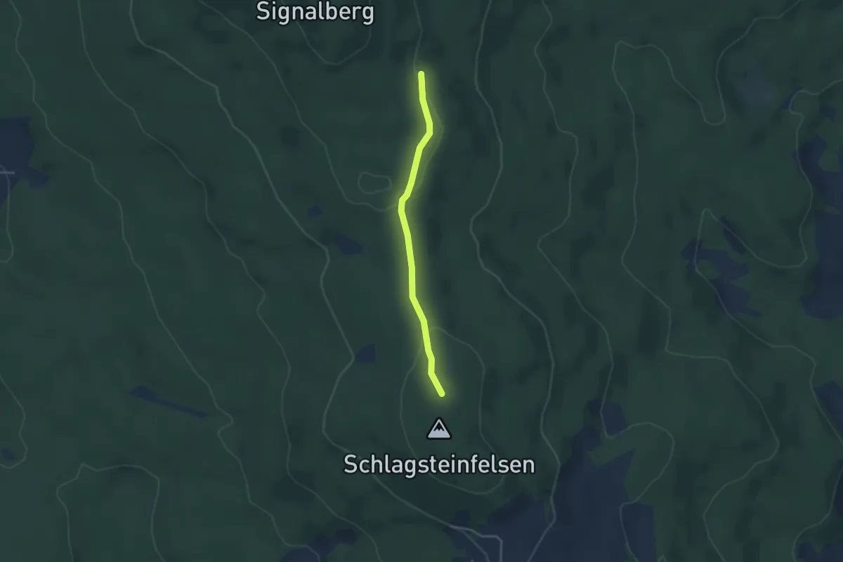
Easy · Trail
Wanderweg Weiding - Signalberg - Altenschneeberg
3.0 km · ↑ 41 m · 47 min
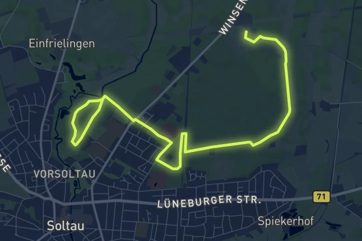
Easy · Trail
Wanderweg Weihe
6.3 km · ↑ 36 m · 1 h 39 min
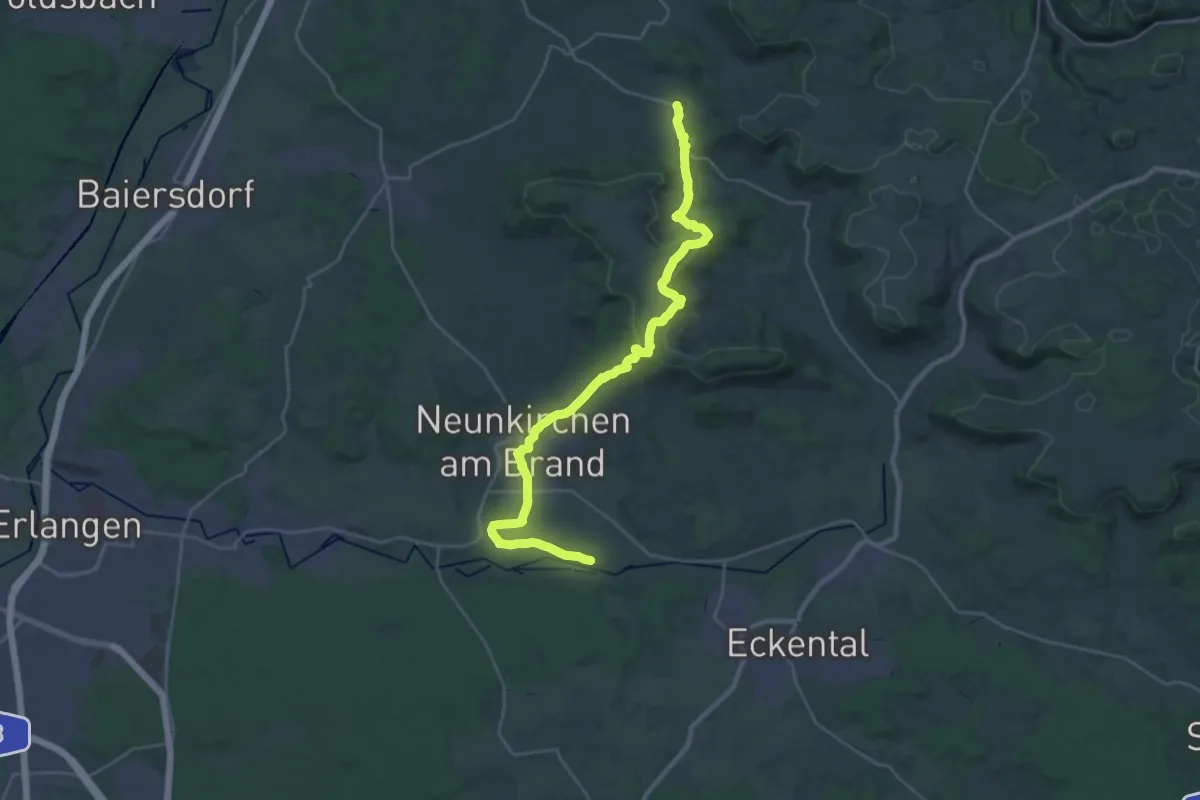
Medium · Trail
Wanderweg Weingarts-Dormitz
14.8 km · ↑ 323 m · 4 h 22 min
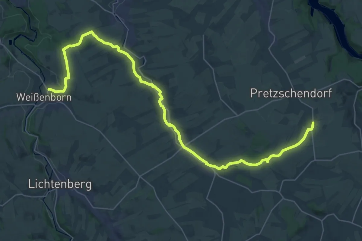
Medium · Trail
Wanderweg Weißenborn - Pretzschendorf
15.7 km · ↑ 204 m · 4 h 18 min
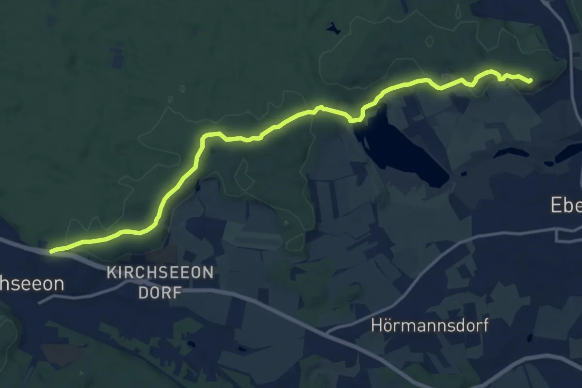
Medium · Summit
Wanderweg weiß-rot
12.3 km · ↑ 248 m · 3 h 27 min
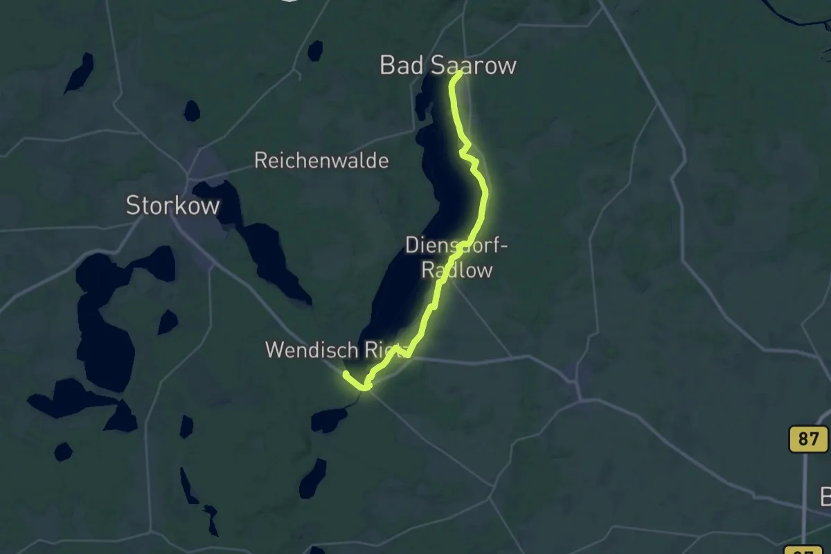
Demanding · Trail
Wanderweg Wendisch Rietz - Bad Saarow
26.8 km · ↑ 70 m · 6 h 28 min
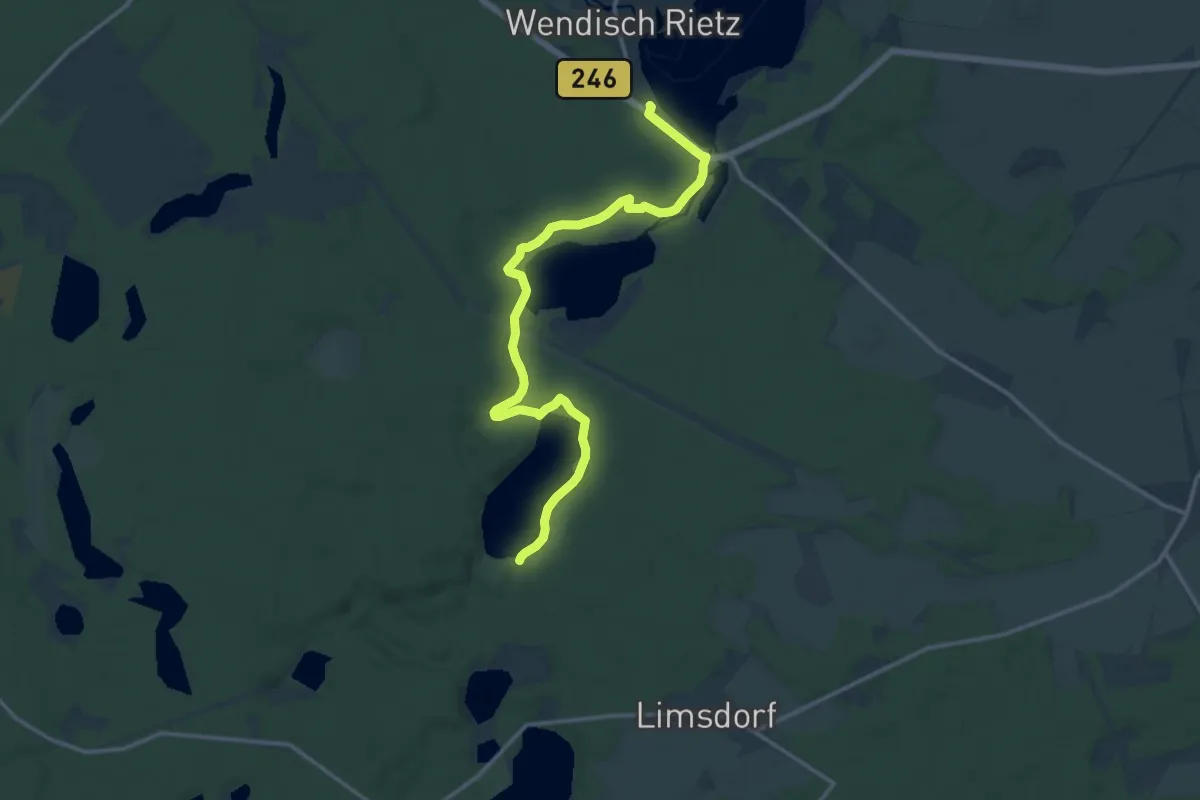
Medium · Trail
Wanderweg Wendisch Rietz - Springsee
13.8 km · ↑ 75 m · 3 h 26 min
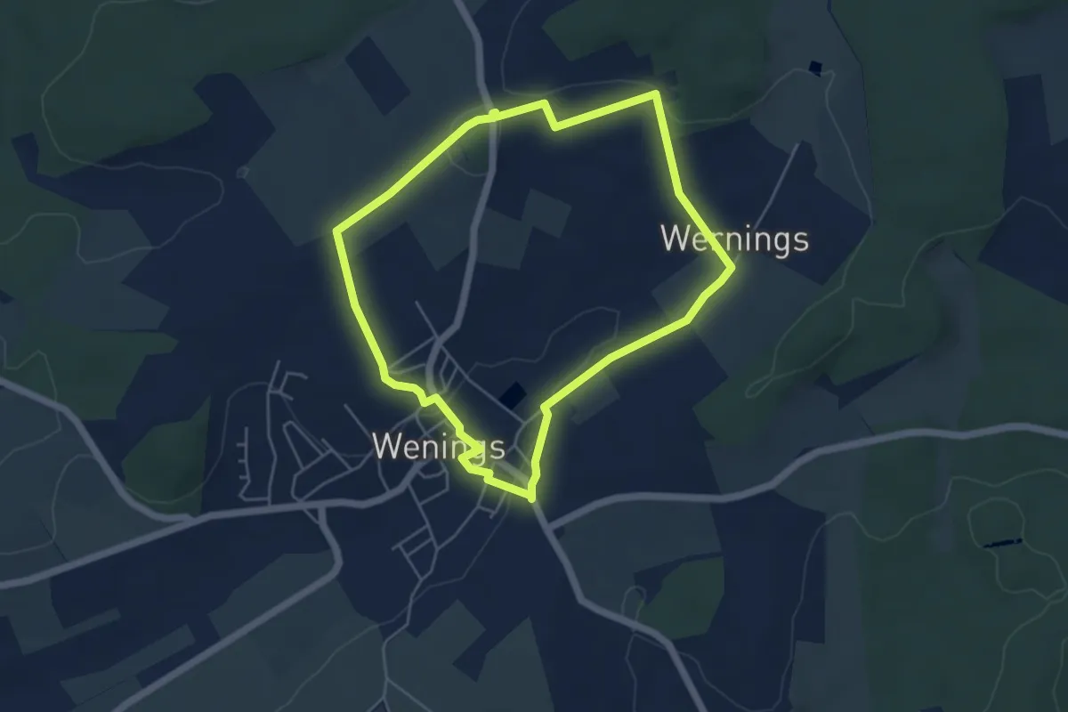
Easy · Trail
Wanderweg Wenings Nordschleife
4.4 km · ↑ 64 m · 1 h 14 min
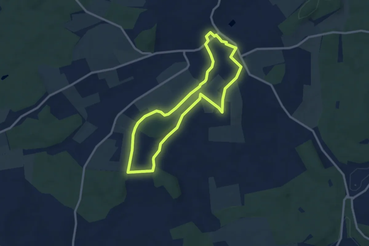
Easy · Trail
Wanderweg Wenings Südschleife
6.0 km · ↑ 73 m · 1 h 39 min
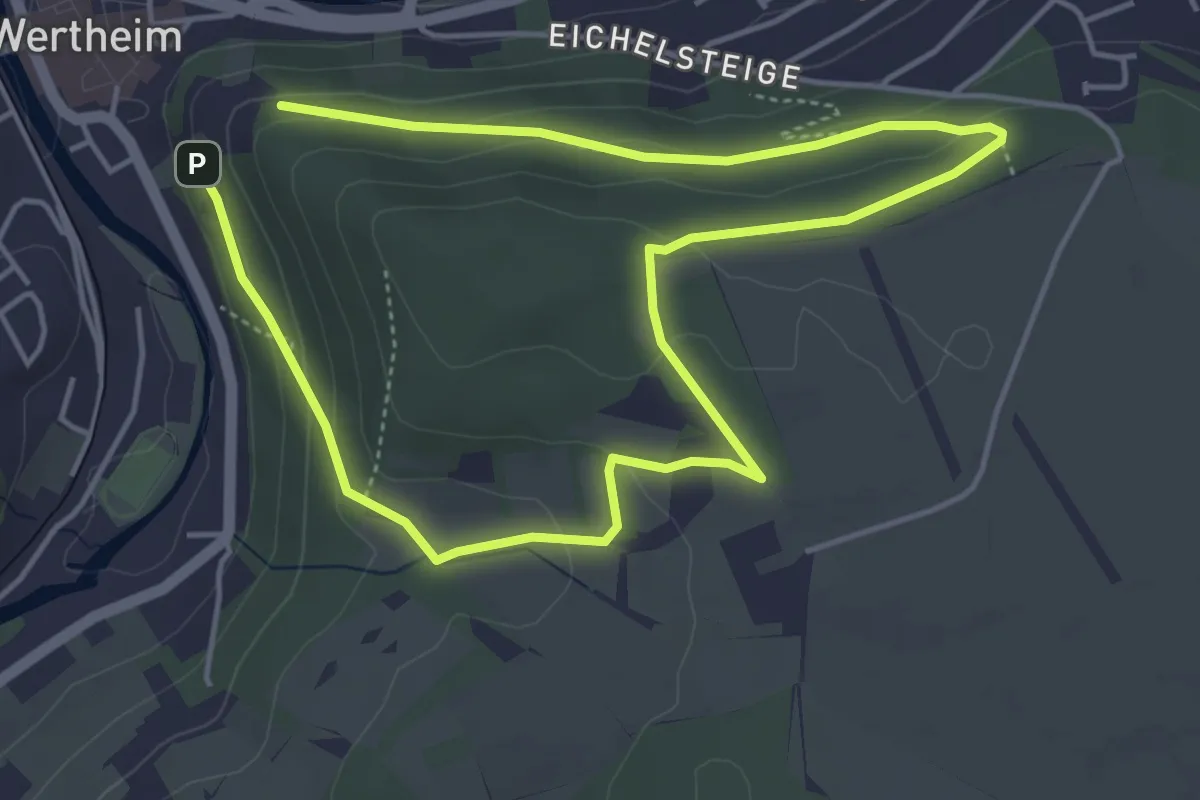
Easy · Trail
Wanderweg Wertheim 1
3.8 km · ↑ 111 m · 1 h 10 min
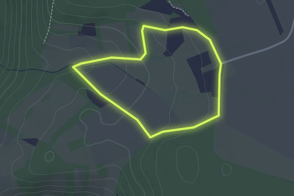
Easy · Trail
Wanderweg Wertheim 2
1.8 km · ↑ 41 m · 32 min
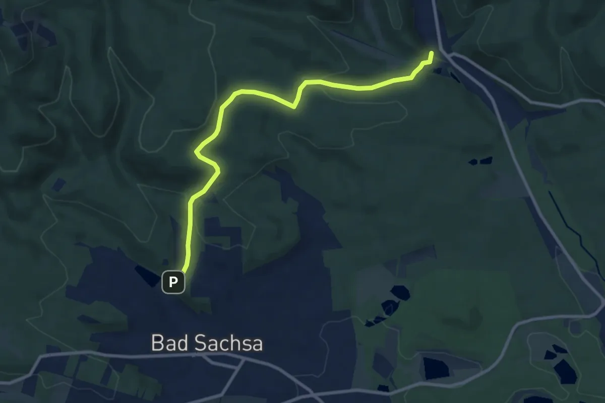
Medium · Trail
Wanderweg Wieda - Bad Sachsa
8.0 km · ↑ 278 m · 2 h 30 min
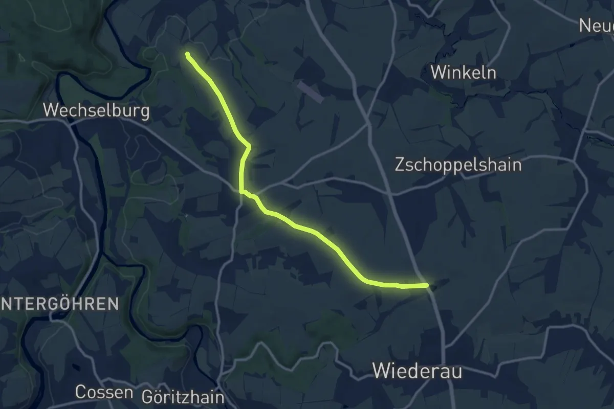
Medium · Summit
Wanderweg Wiederau – Nöbeln – Wechselburg
10.2 km · ↑ 120 m · 2 h 41 min
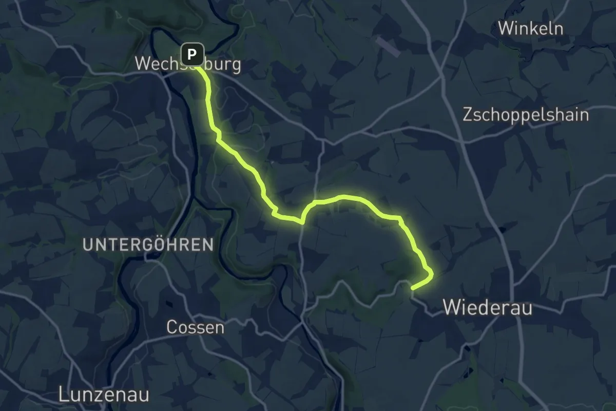
Medium · Trail
Wanderweg Wiederau – Seitenhain – Wechselburg
12.9 km · ↑ 171 m · 3 h 24 min
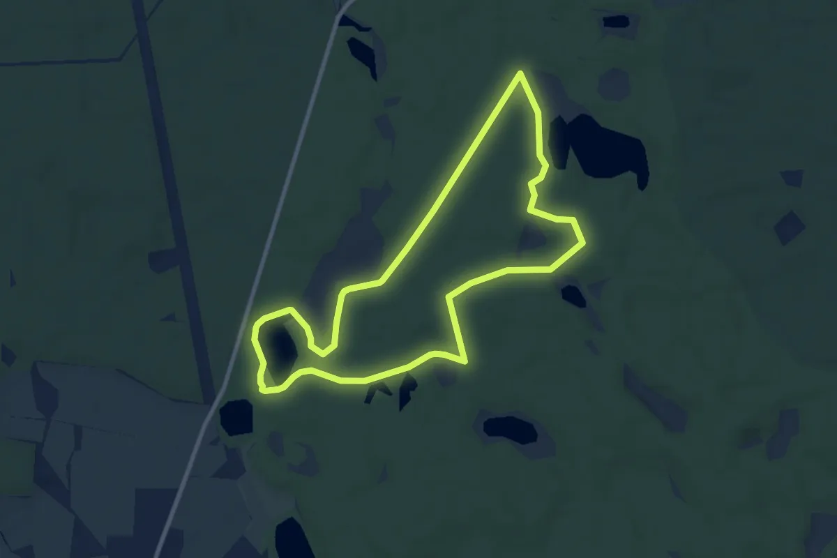
Easy · Summit
Wanderweg Wildnispfad
7.3 km · ↑ 42 m · 1 h 55 min