Trails in Germany
36,852 hiking trails, each with its route, climb, walking time and grade.
All trails, page 709 of 768
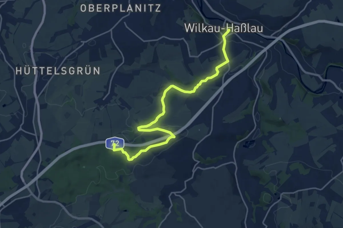
Medium · Summit
Wanderweg Wilkau-Haßlau – Quarksteine – Niedercrinitz – Filzteich (gelb)
14.7 km · ↑ 188 m · 3 h 53 min
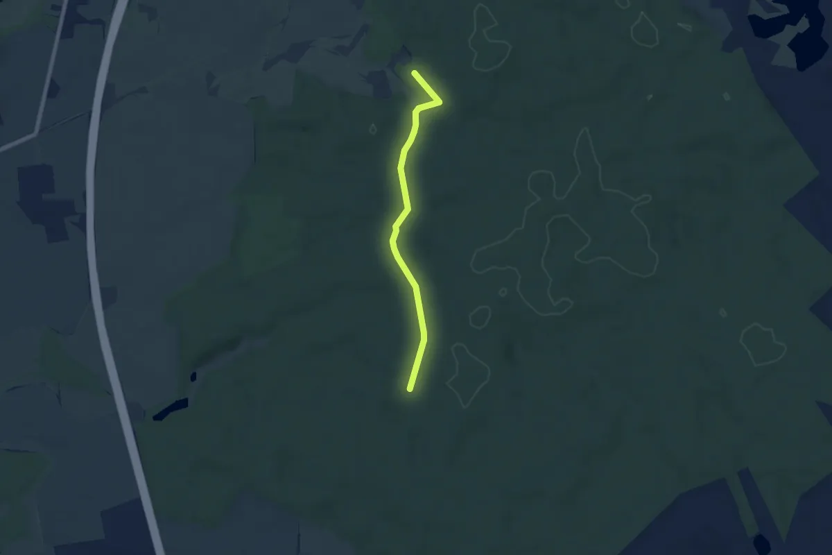
Easy · Trail
Wanderweg Wilsen-Gr. Bäbelin
5.0 km · ↑ 18 m · 1 h 13 min
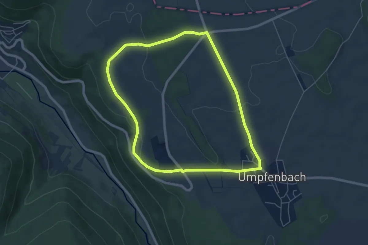
Easy · Trail
Wanderweg Winkelschlag-Weg U1
4.8 km · ↑ 80 m · 1 h 22 min
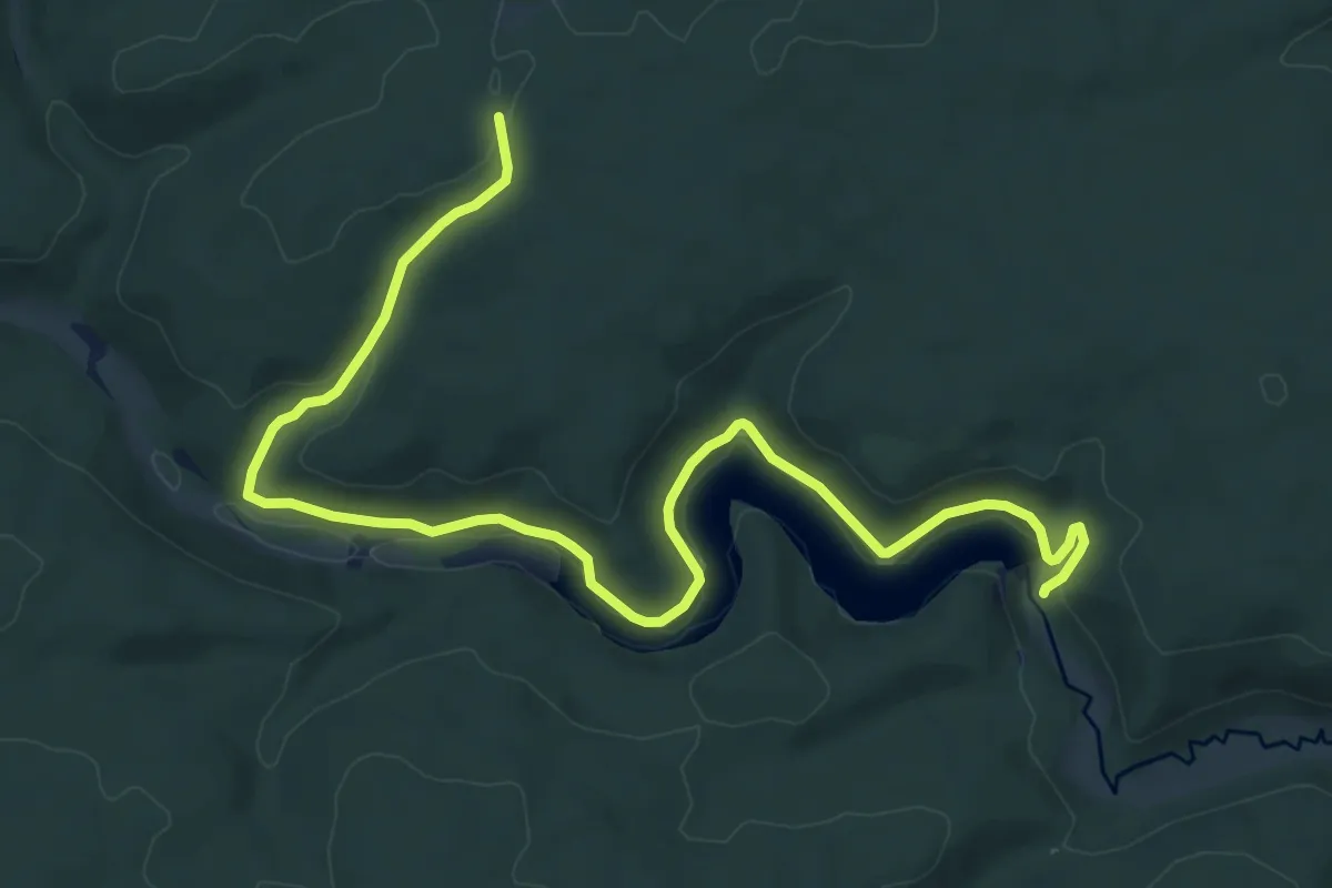
Medium · Trail
Wanderweg Wippra-Dankerode
10.0 km · ↑ 249 m · 2 h 55 min
Demanding · Trail
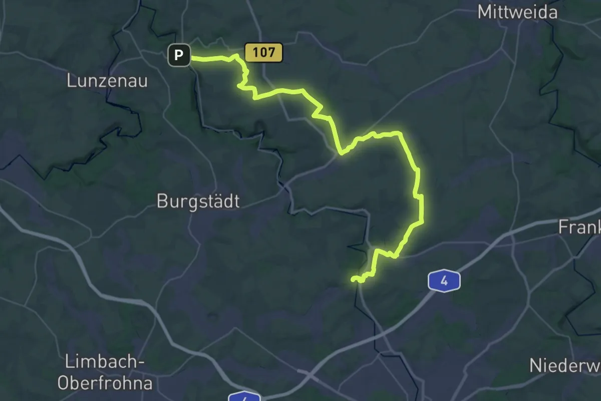
Wanderweg Wittgensdorf – Göritzhain
21.4 km · ↑ 288 m · 5 h 55 min
Demanding · Summit
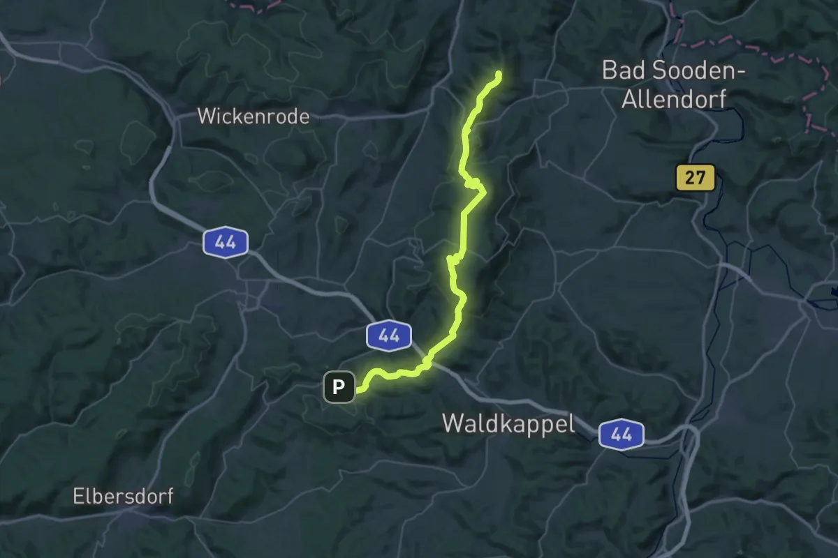
Wanderweg Witzenhausen - Reichenbach
39.9 km · ↑ 1148 m · 11 h 55 min
Medium · Trail
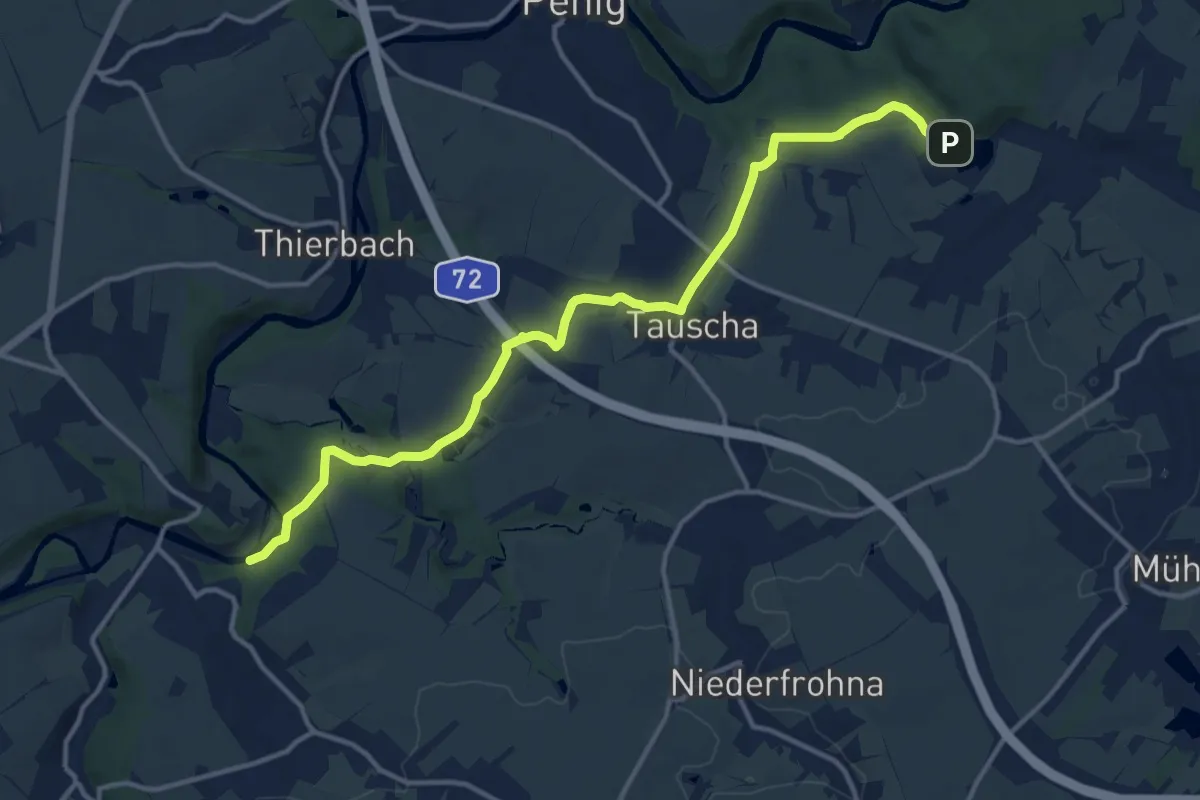
Wanderweg Wolkenburg – Tauscha – Höllmühle
13.4 km · ↑ 242 m · 3 h 41 min
Easy · Trail
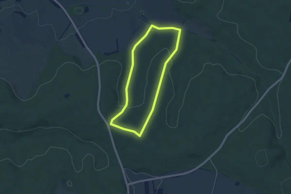
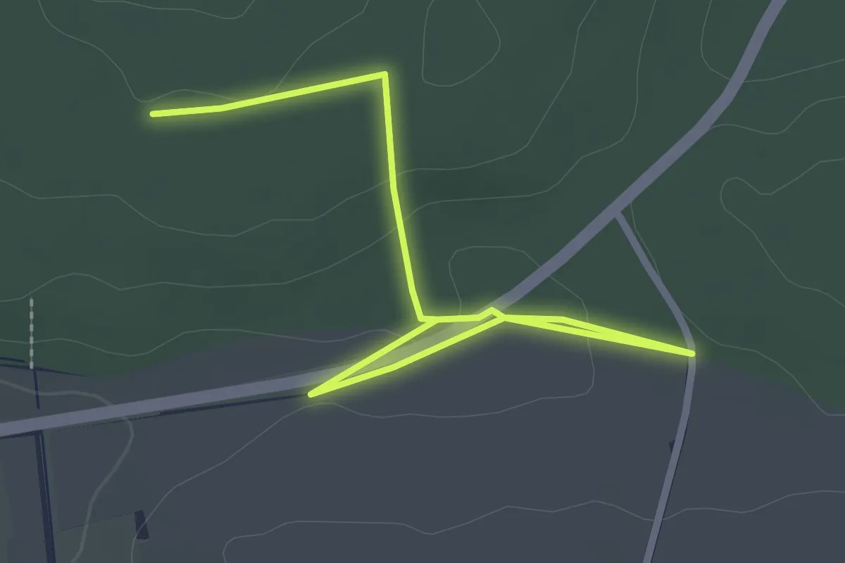
Wanderweg Wössingen 1
3.4 km · ↑ 75 m · 1 h 1 min
Easy · Trail
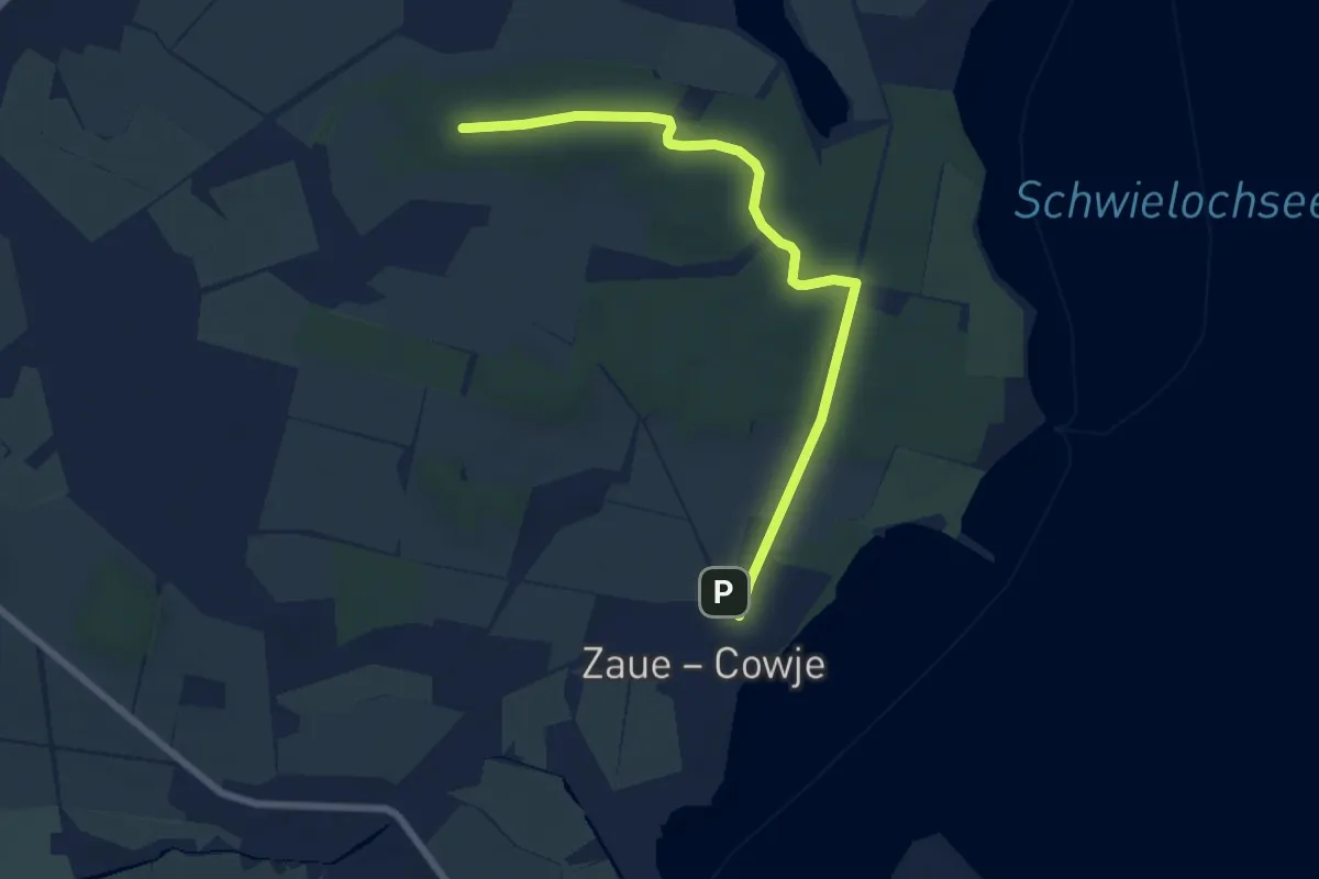
Wanderweg Wössingen 3
3.1 km · ↑ 39 m · 49 min
Easy · Trail
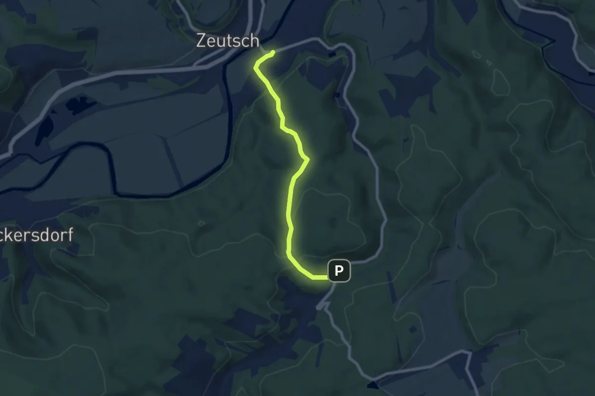
Wanderweg Zaue-??
6.7 km · ↑ 26 m · 1 h 39 min
Easy · Trail
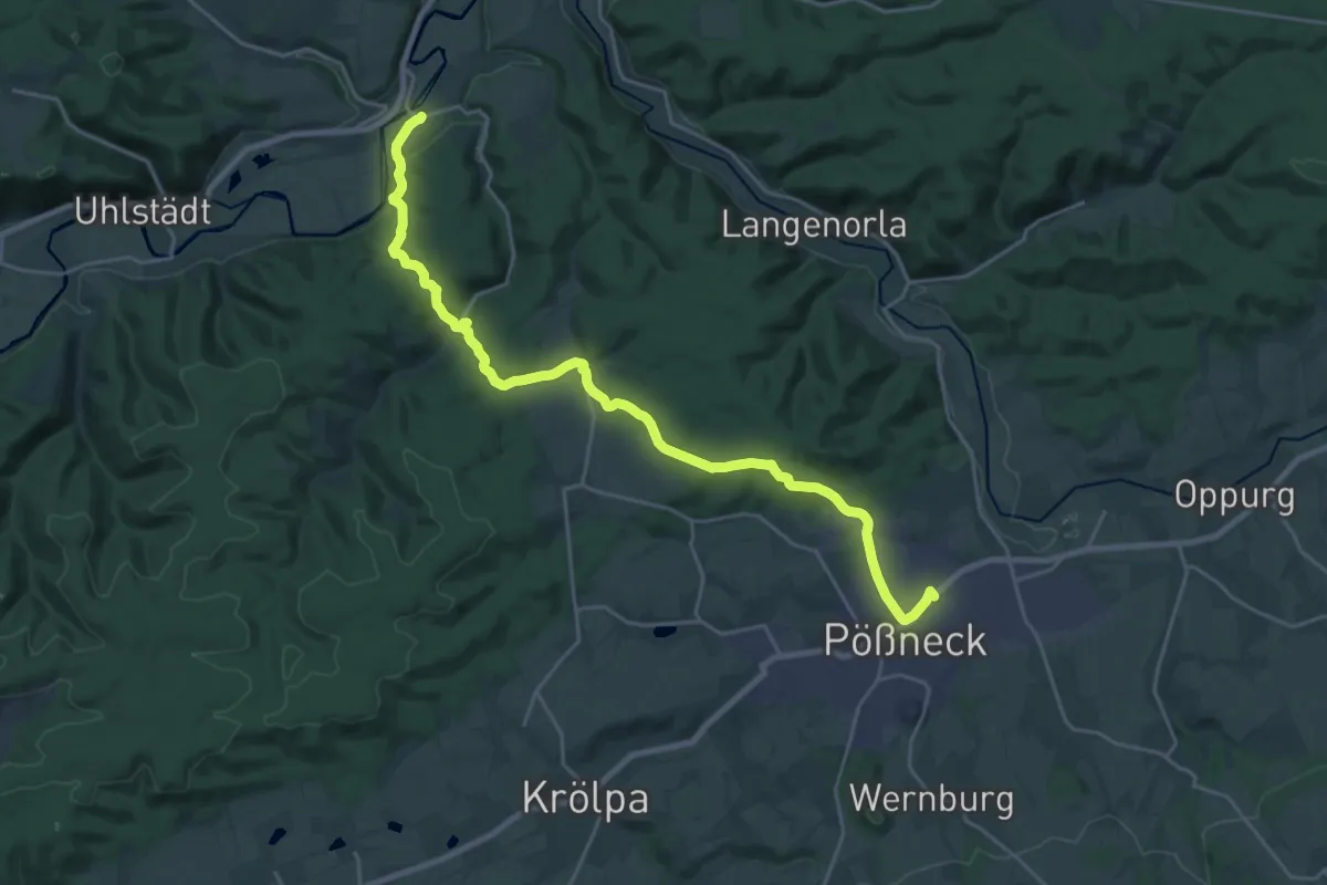
Wanderweg Zeutsch - Friedebach Riethwand (Gelber Punkt)
6.0 km · ↑ 224 m · 1 h 55 min
Demanding · Trail
Wanderweg Zeutsch-Pößneck (Gelber Balken)
23.8 km · ↑ 644 m · 7 h 1 min
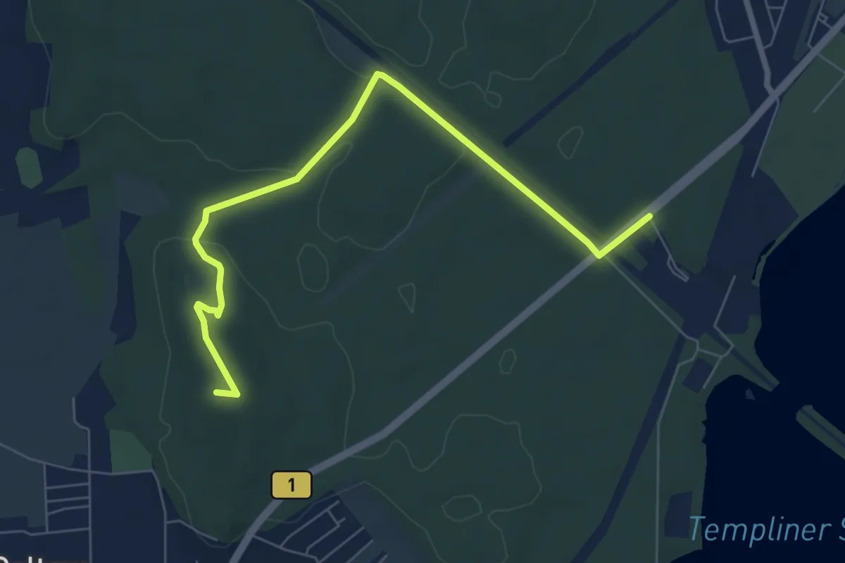
Easy · Summit
Wanderweg zum Bayrischen Haus
6.6 km · ↑ 70 m · 1 h 43 min
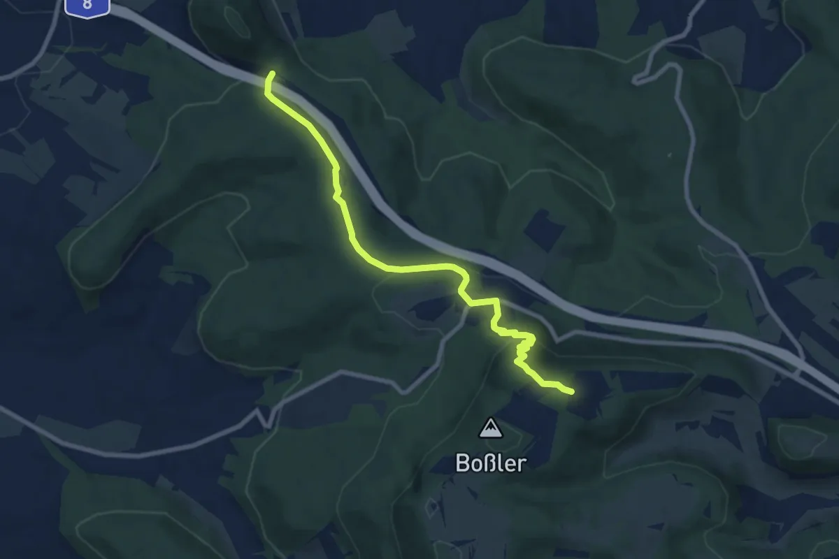
Easy · Cabin
Wanderweg zum Boßlerhaus
7.5 km · ↑ 299 m · 2 h 25 min
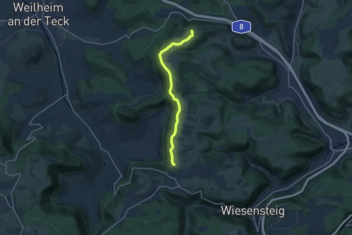
Medium · Cabin
Wanderweg zum Boßlerhaus
10.0 km · ↑ 189 m · 2 h 47 min
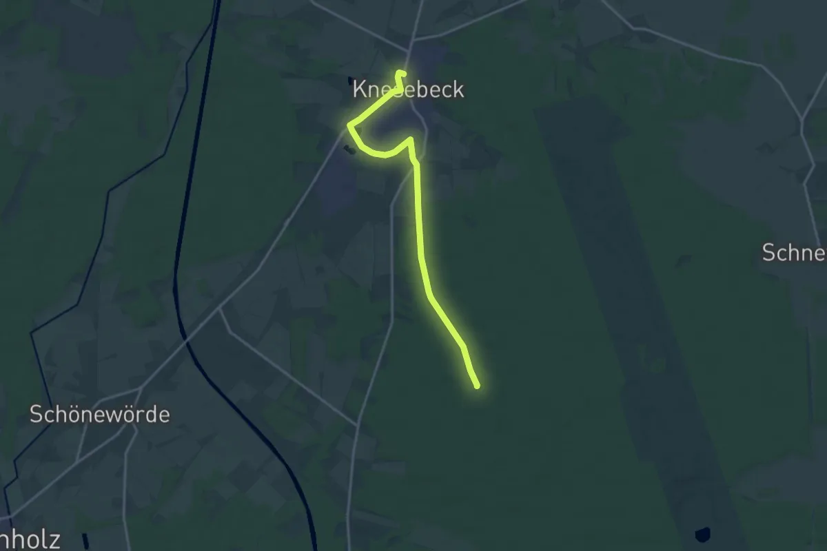
Medium · Trail
Wanderweg zum Forsthaus Malloh
14.0 km · ↑ 39 m · 3 h 23 min
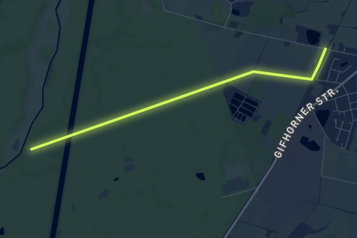
Easy · Trail
Wanderweg zum Isetal
6.9 km · ↑ 12 m · 1 h 39 min
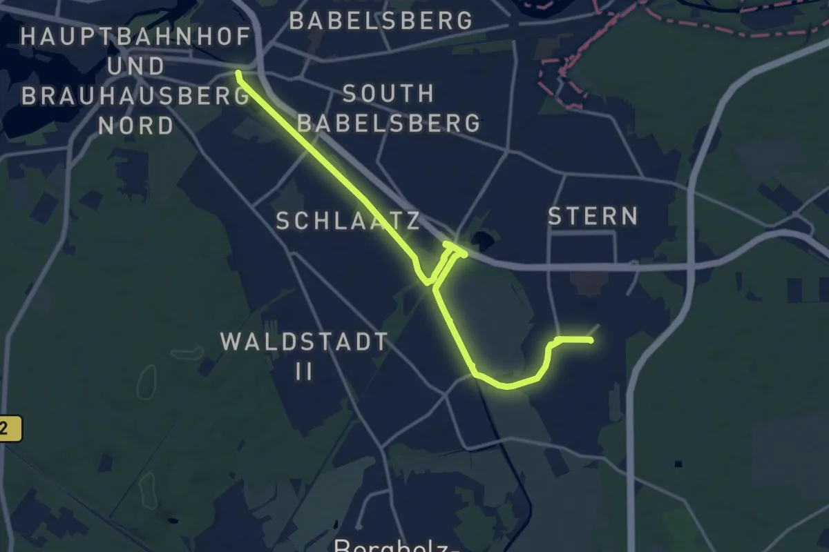
Medium · Trail
Wanderweg zum Kirchsteigfeld
13.7 km · ↑ 12 m · 3 h 16 min
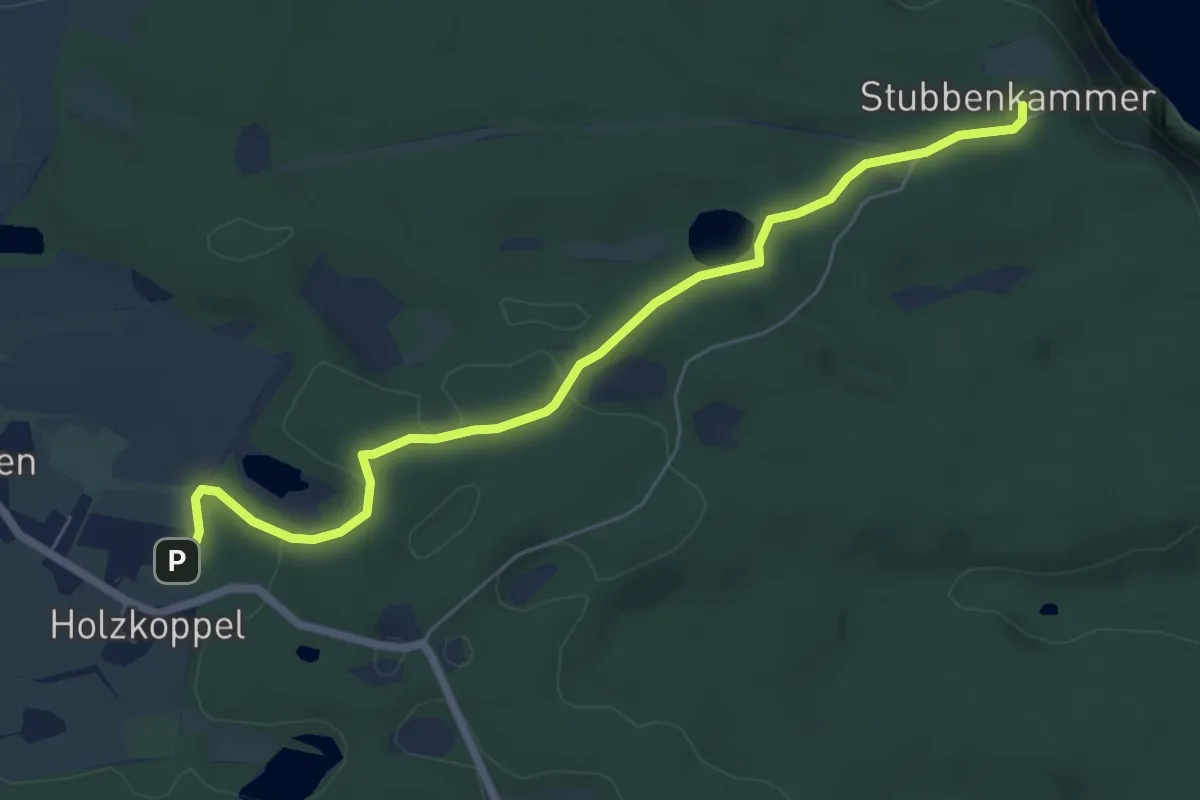
Easy · Trail
Wanderweg zum Königstuhl
5.6 km · ↑ 61 m · 1 h 28 min
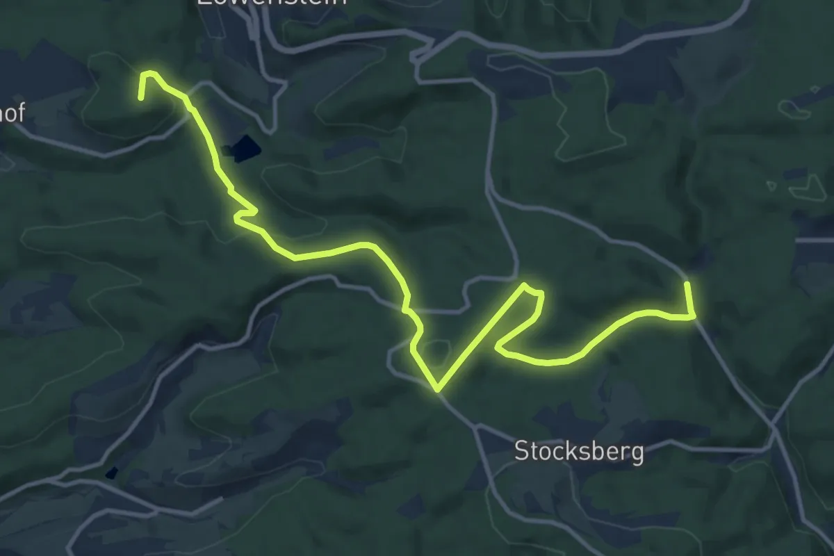
Medium · Summit
Wanderweg zum NaturFreundehaus Steinknickle
13.0 km · ↑ 324 m · 3 h 46 min
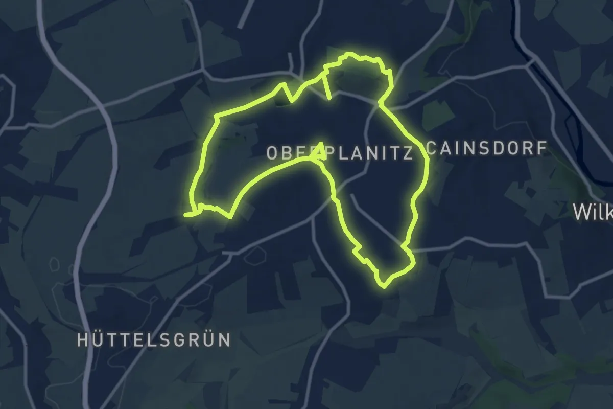
Medium · Summit
Wanderweg Zwickau-Planitz
8.6 km · ↑ 133 m · 2 h 26 min
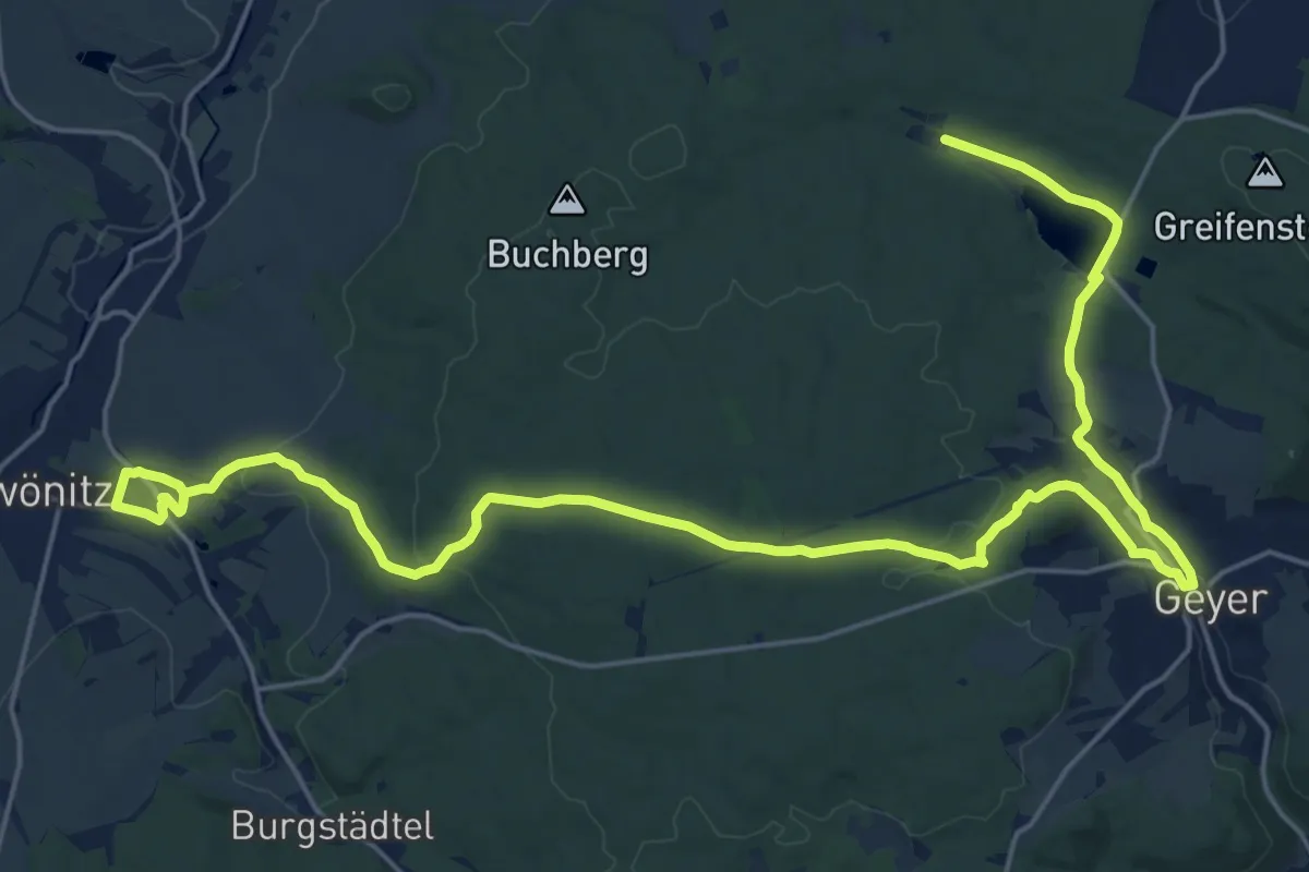
Demanding · Trail
Wanderweg Zwönitz - Geyerscher Teich
27.9 km · ↑ 520 m · 7 h 43 min
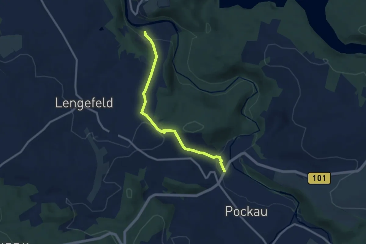
Easy · Trail
Wanderwweg Rauenstein- Pockau
5.8 km · ↑ 200 m · 1 h 48 min
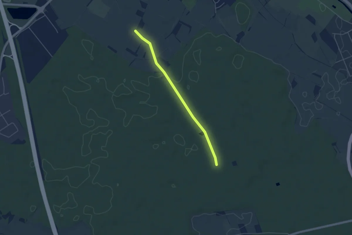
Easy · Trail
Wandhöhe - Allmend Mitte
4.0 km · ↑ 18 m · 59 min
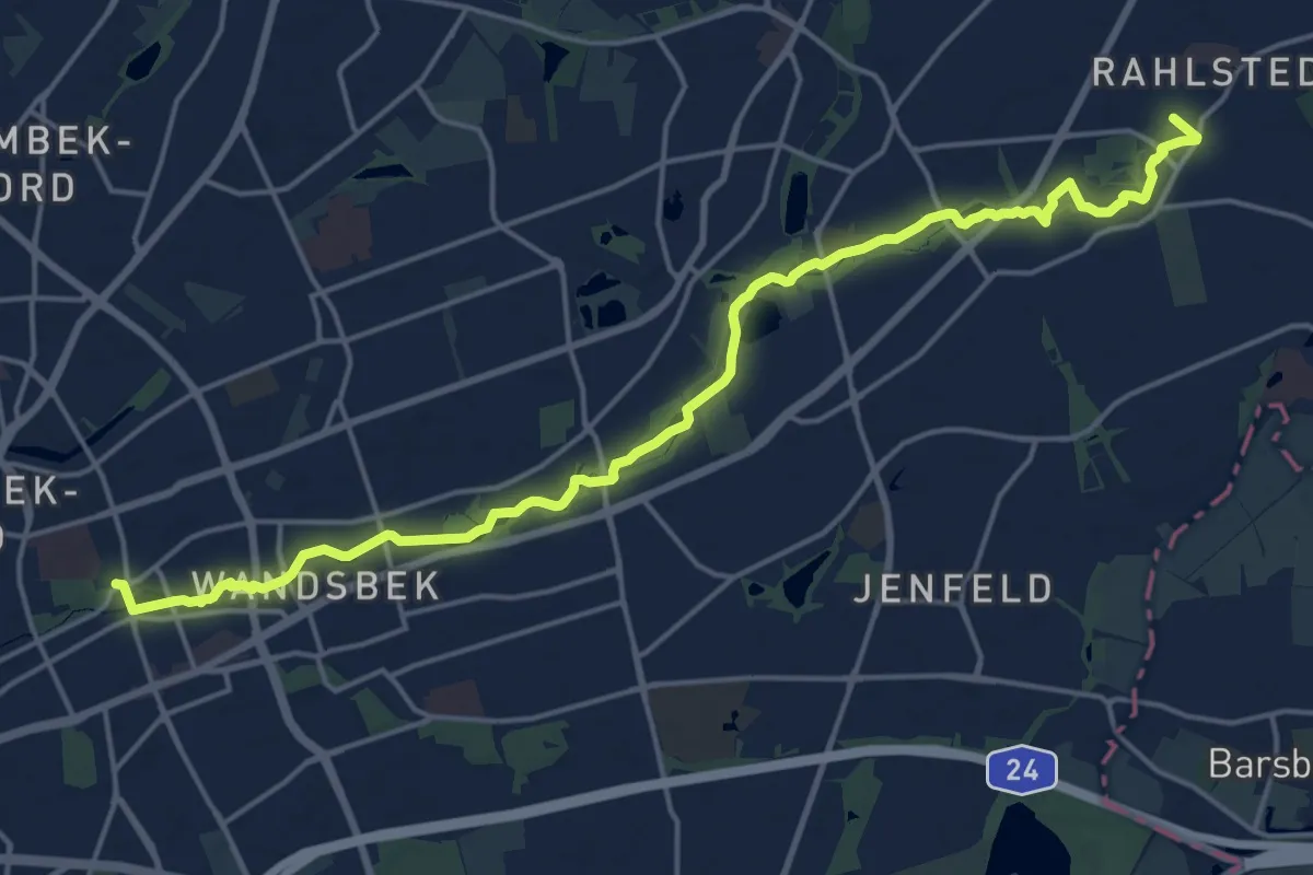
Medium · Trail
Wandse-Wanderweg (WA-RA)
17.7 km · ↑ 12 m · 4 h 12 min
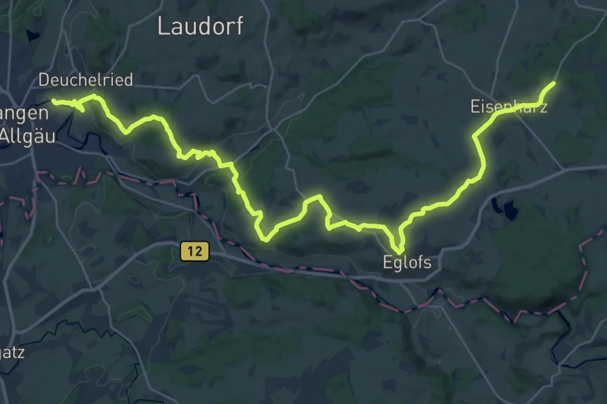
Medium · Trail
Wangen - Eisenharz
15.9 km · ↑ 160 m · 4 h 23 min
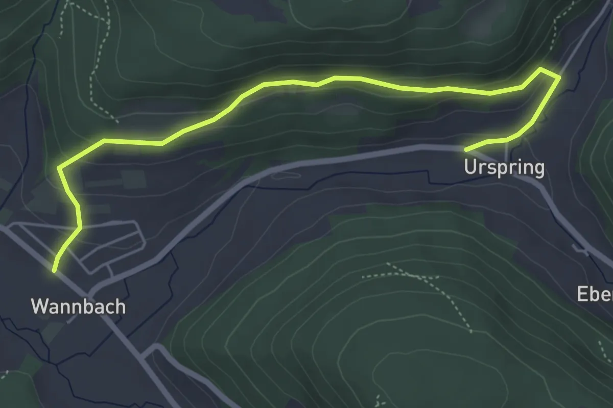
Easy · Trail
Wannbach-Röthelfels
5.3 km · ↑ 235 m · 1 h 45 min
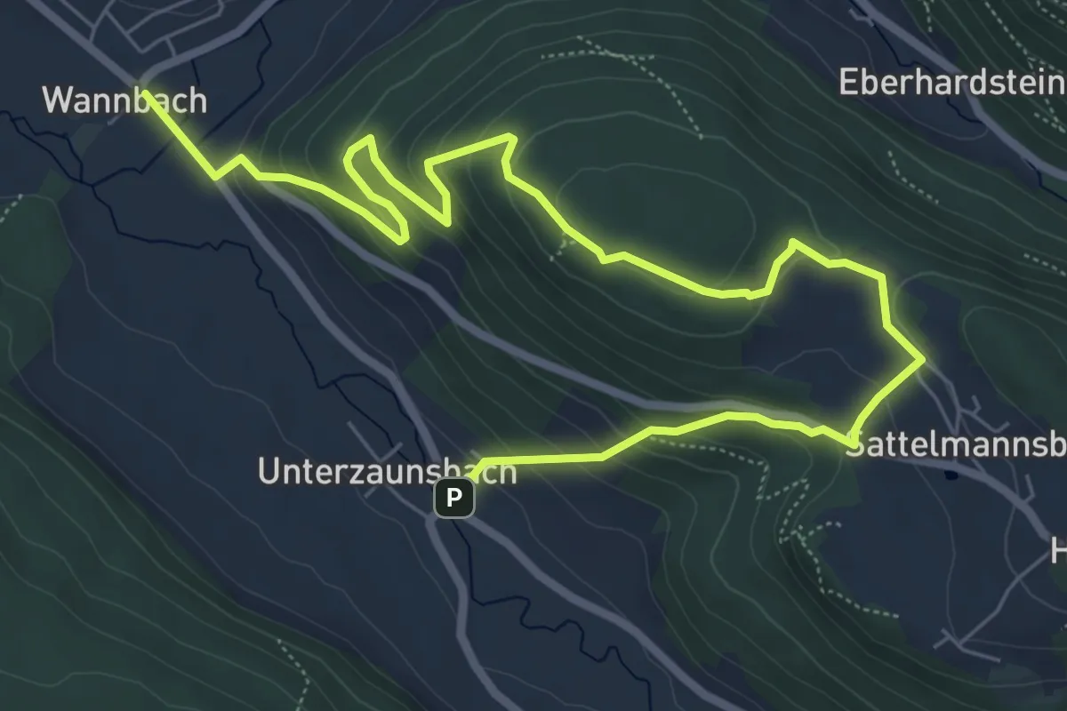
Medium · Trail
Wannbach-Unterzaunsbach
8.7 km · ↑ 451 m · 3 h 2 min
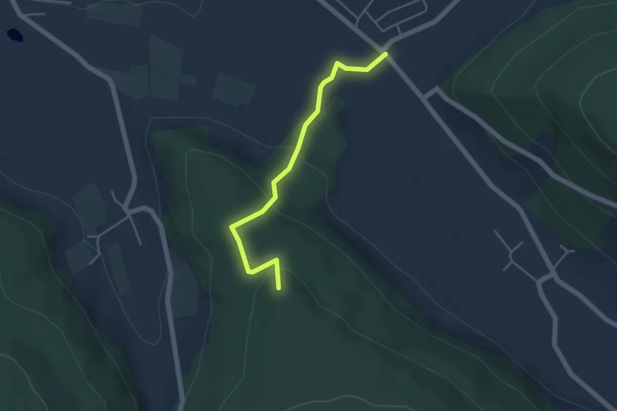
Easy · Summit
Wannbach - Wildgehege Hundshaupten
3.2 km · ↑ 163 m · 1 h 6 min
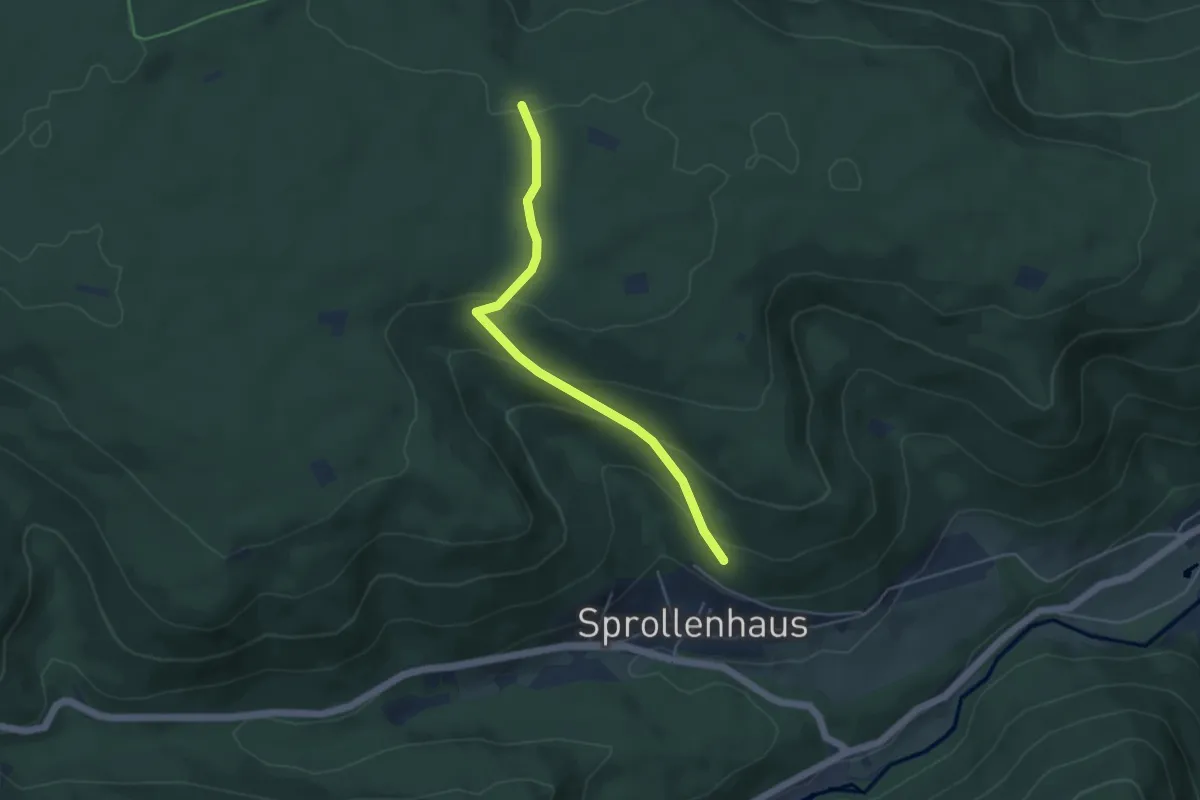
Easy · Trail
Wannenebene - Wannenschleifweg
4.2 km · ↑ 215 m · 1 h 28 min
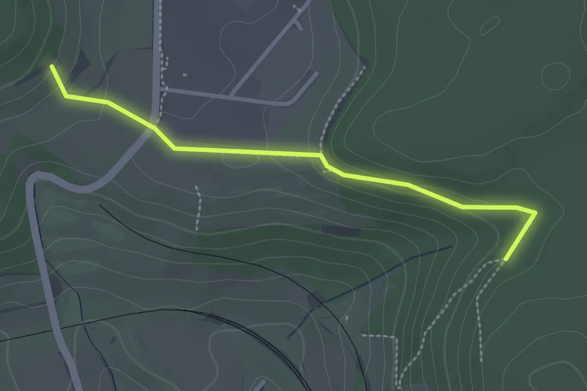
Easy · Trail
Wannen - Heilinbuck Steinbruch
2.5 km · ↑ 83 m · 46 min
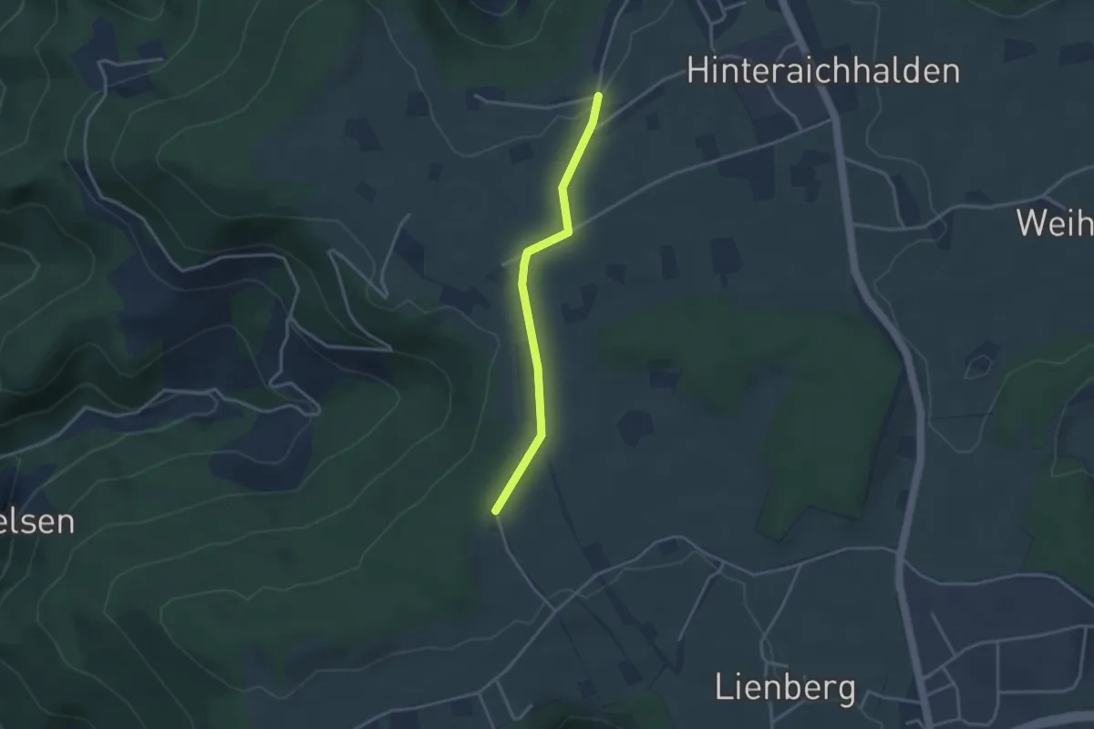
Easy · Trail
Wanne Riesen - Waldeslust
2.9 km · ↑ 34 m · 45 min
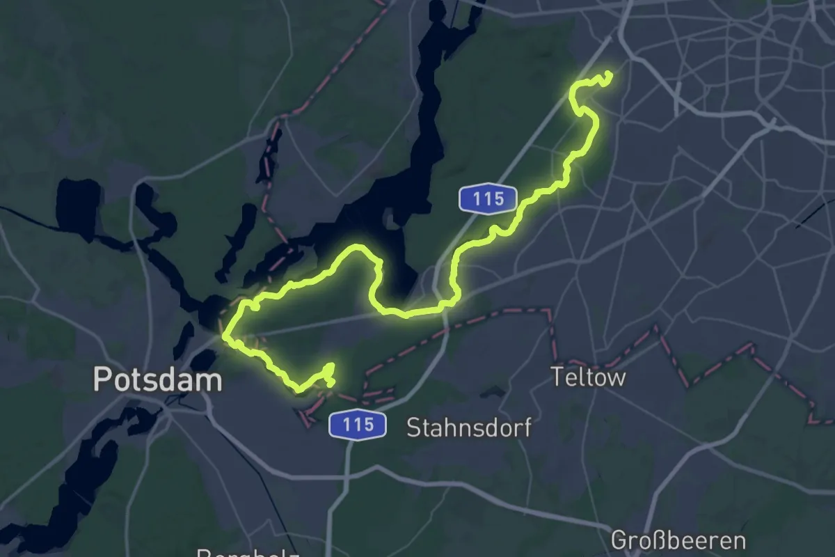
Demanding · Trail
Wannseeweg
29.9 km · ↑ 166 m · 7 h 50 min
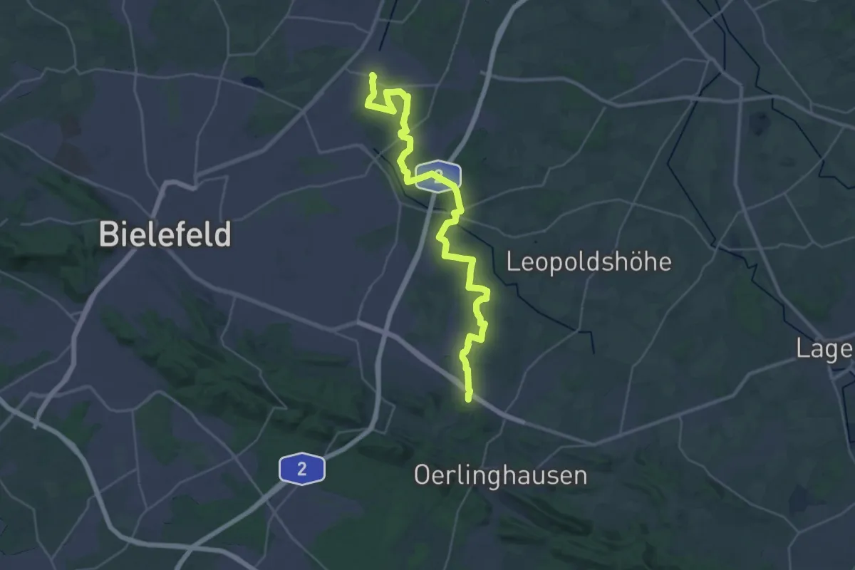
Demanding · Trail
Wappenweg - Etappe 1
30.7 km · ↑ 206 m · 7 h 42 min
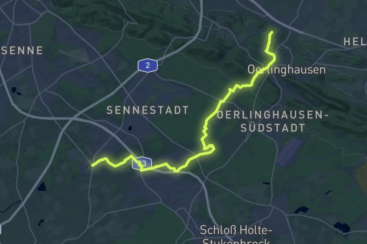
Demanding · Summit
Wappenweg - Etappe 2
26.5 km · ↑ 187 m · 6 h 40 min
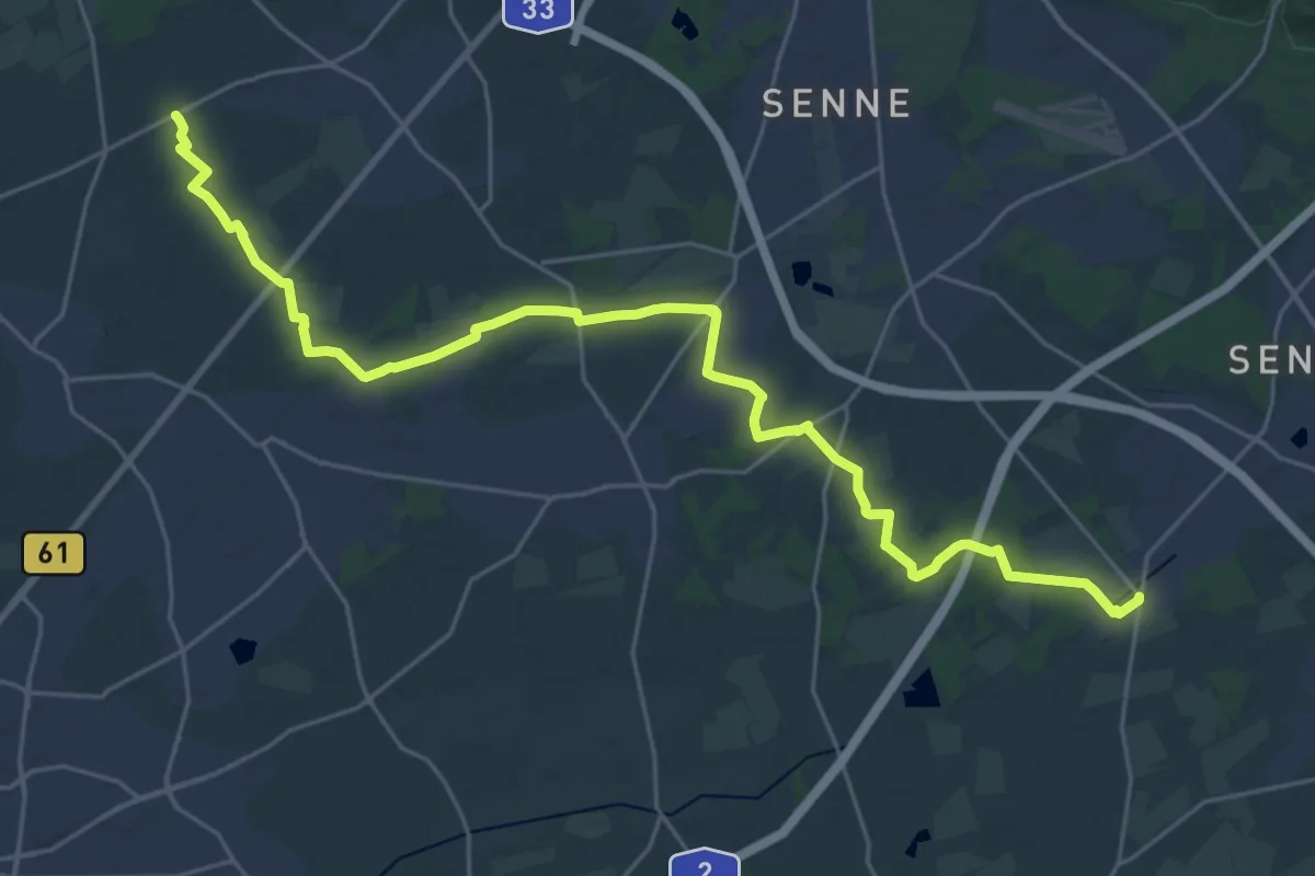
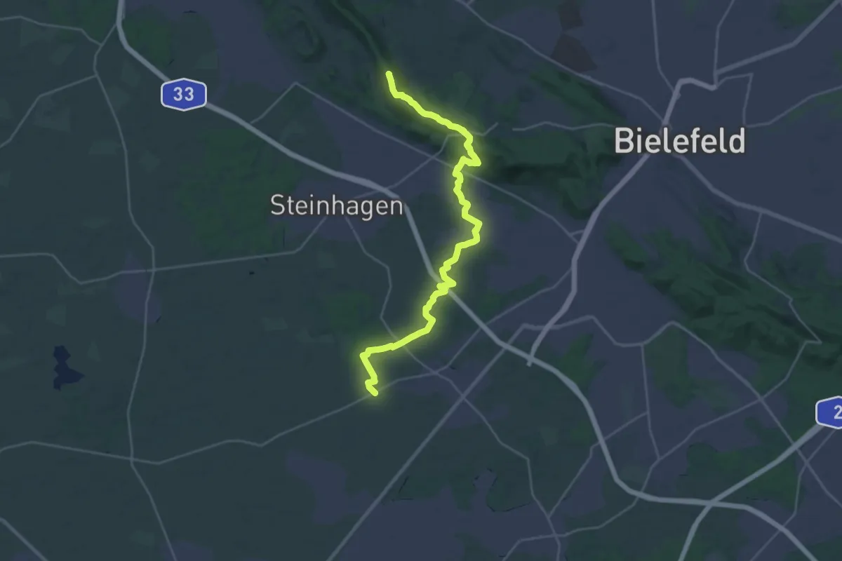
Demanding · Trail
Wappenweg - Etappe 3
26.9 km · ↑ 76 m · 6 h 32 min
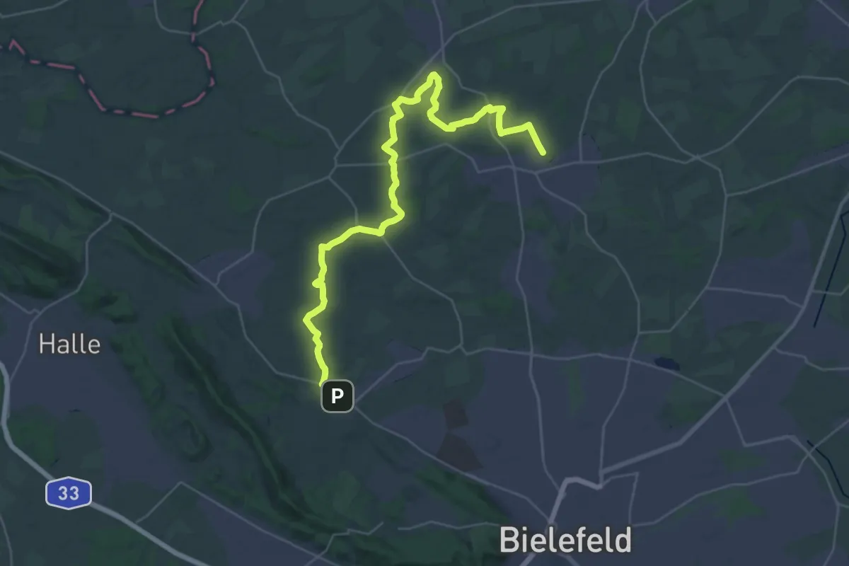
Demanding · Summit
Wappenweg - Etappe 4
25.3 km · ↑ 262 m · 6 h 33 min
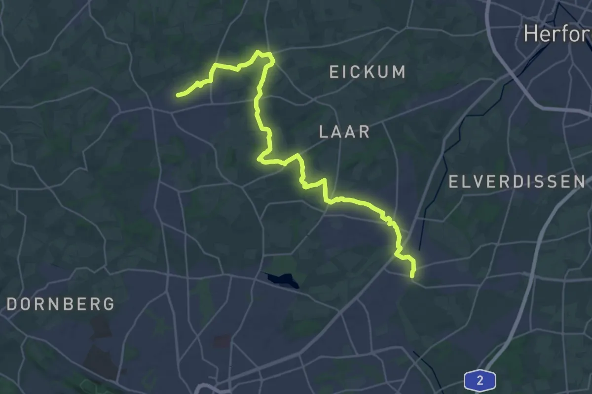
Medium · Trail
Wappenweg - Etappe 5
16.3 km · ↑ 191 m · 4 h 29 min
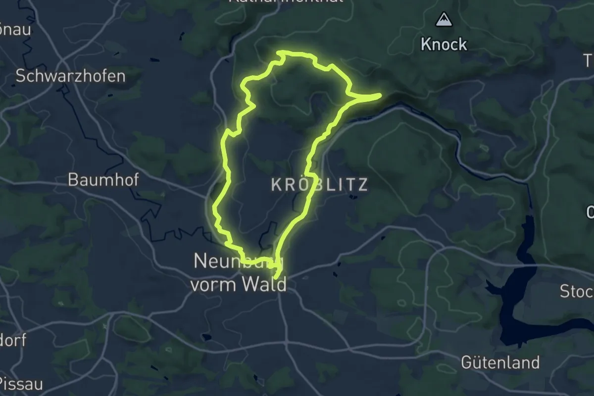
Demanding · Trail
Wappenweg - Etappe 6
27.6 km · ↑ 240 m · 7 h 2 min
Medium · Trail
Warbergweg
11.7 km · ↑ 229 m · 3 h 26 min
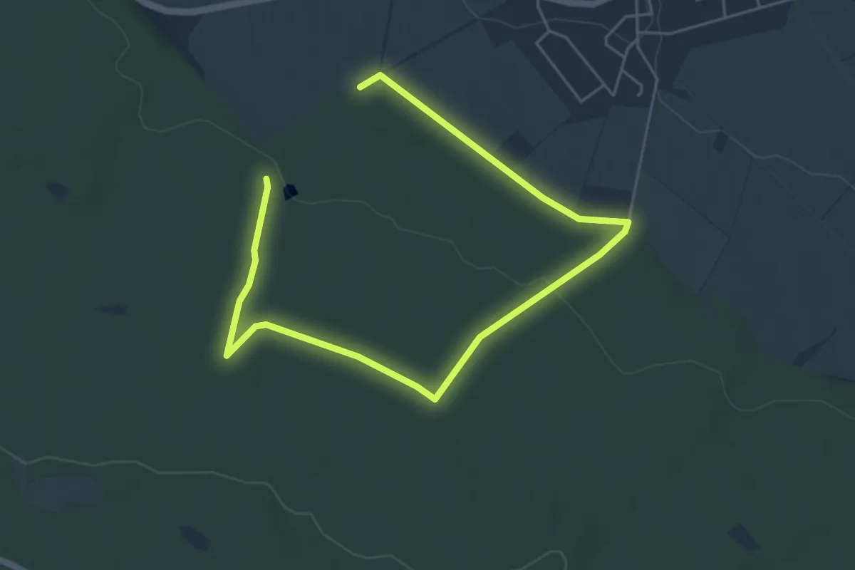
Easy · Trail
Warburg Rundwanderweg
6.2 km · ↑ 84 m · 1 h 39 min
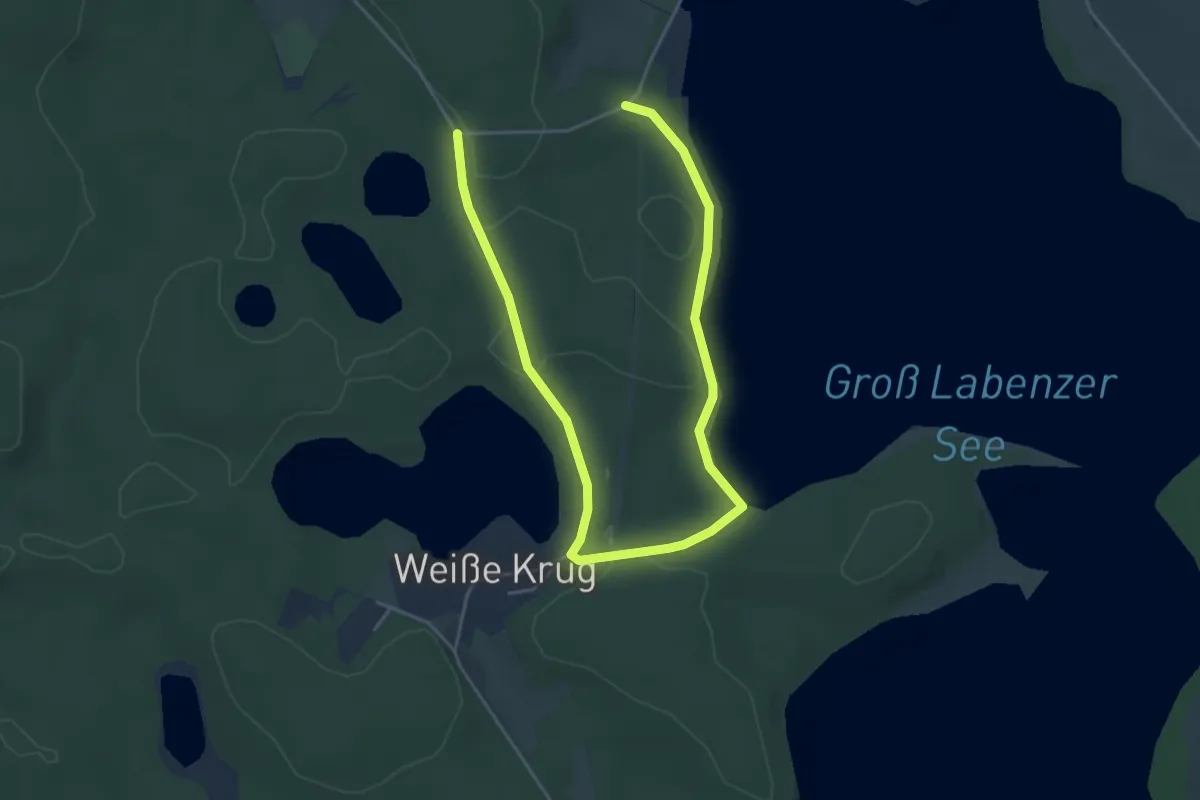
Easy · Trail
Warin-Klein Labenz
5.4 km · ↑ 54 m · 1 h 24 min
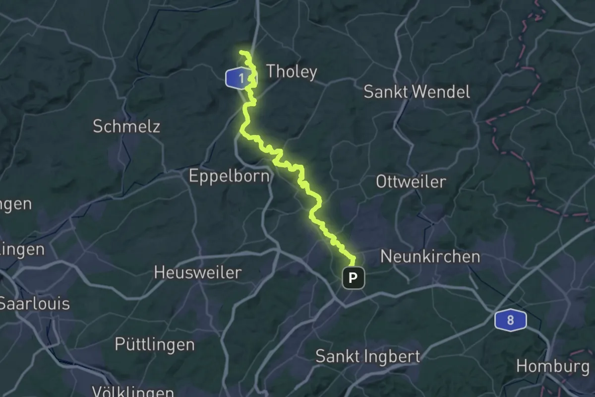
Demanding · Trail
Warken-Eckstein-Weg
33.8 km · ↑ 812 m · 10 h 13 min
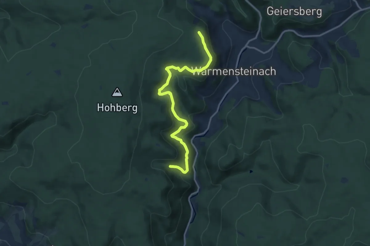
Medium · Trail
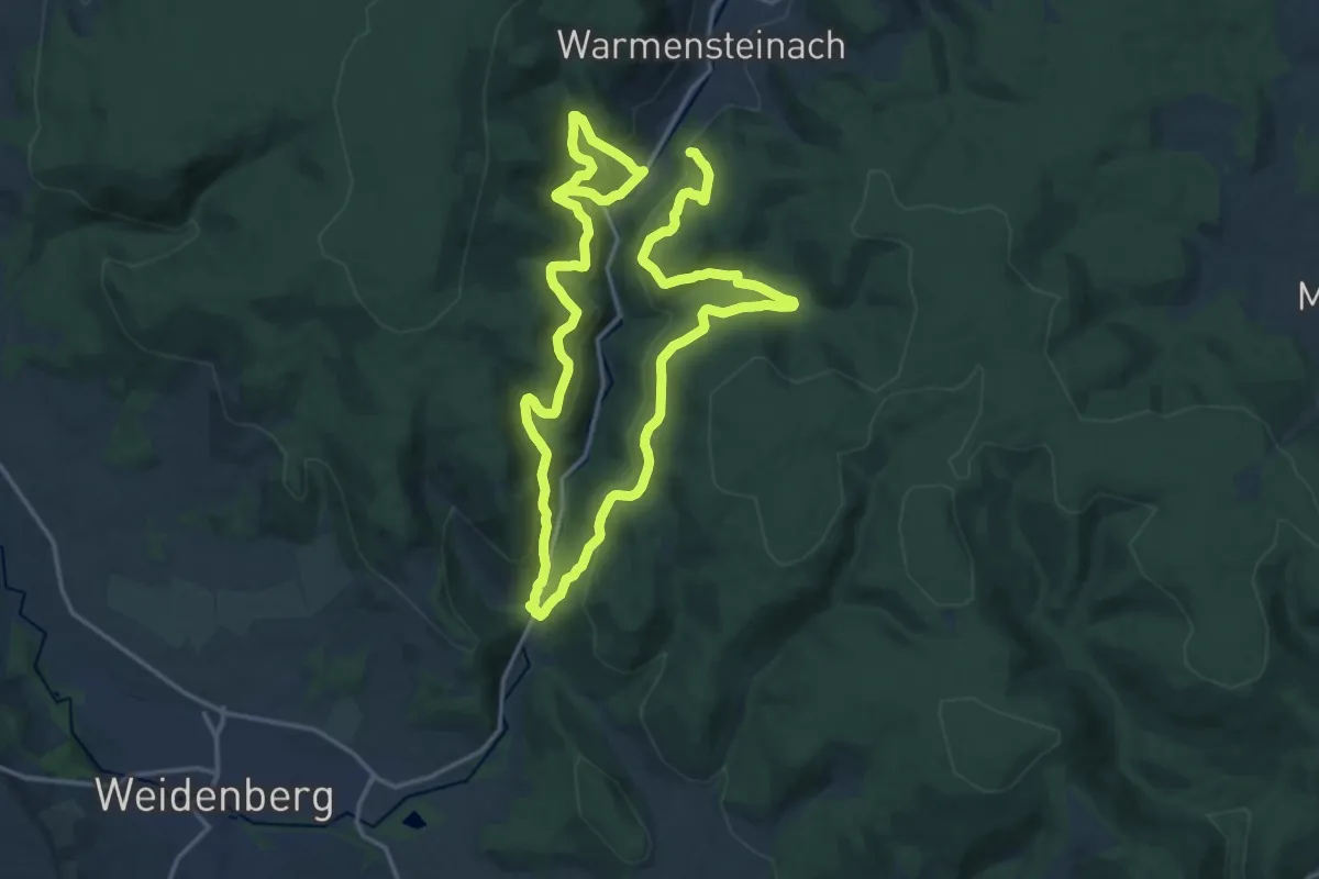
Warmensteinacher Jägersteig
9.5 km · ↑ 380 m · 3 h 3 min
Demanding · Summit
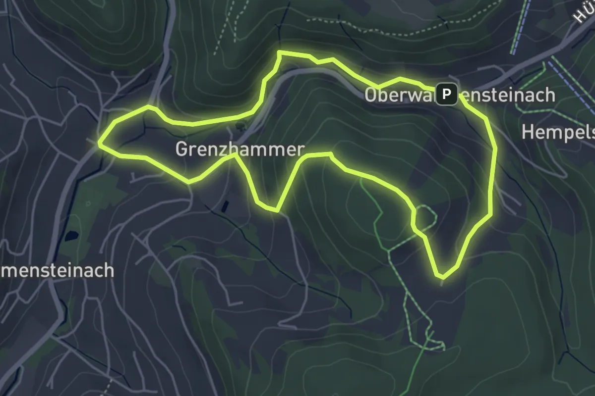
Warmensteinach Gelber Ringweg
27.6 km · ↑ 1215 m · 9 h 8 min
Easy · Summit
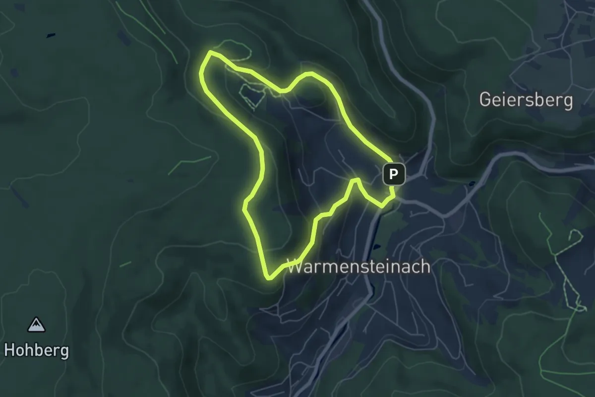
Warmensteinach Rundwanderweg "Historische Spuren"
4.4 km · ↑ 195 m · 1 h 32 min
Easy · Summit
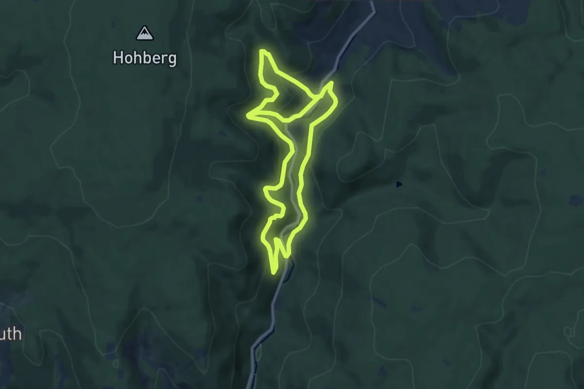
Warmensteinach Rundwanderweg Nr. 1
5.0 km · ↑ 206 m · 1 h 42 min
Easy · Trail
Warmensteinach Rundwanderweg Nr. 10
7.4 km · ↑ 300 m · 2 h 33 min