Trails in Germany
36,852 hiking trails, each with its route, climb, walking time and grade.
All trails, page 711 of 768
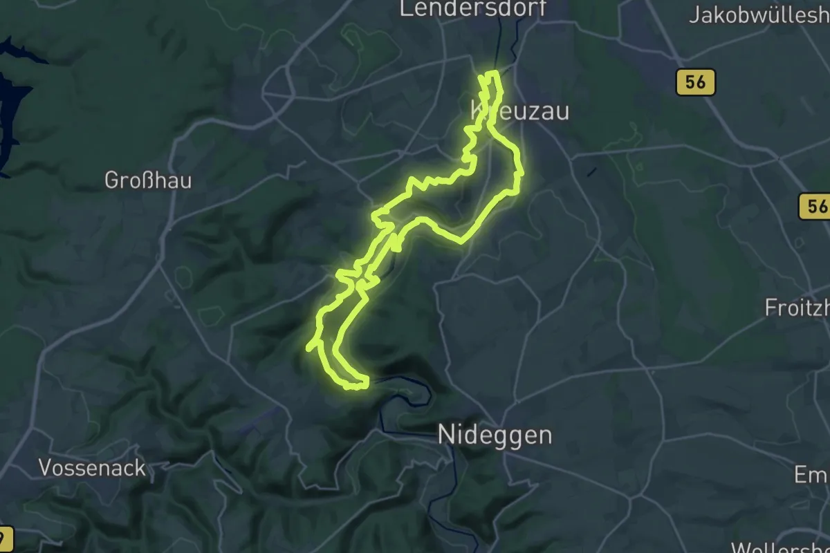
Demanding · Summit
Wassererlebnispfad Kreuzau
21.8 km · ↑ 381 m · 6 h 17 min
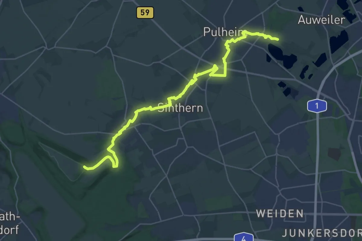
Demanding · Summit
Wassererlebnispfad Pulheimer Bach
27.4 km · ↑ 155 m · 6 h 49 min
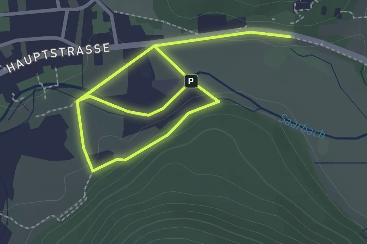
Easy · Trail
Wasser-Erlebnisweg
1.8 km · ↑ 17 m · 30 min
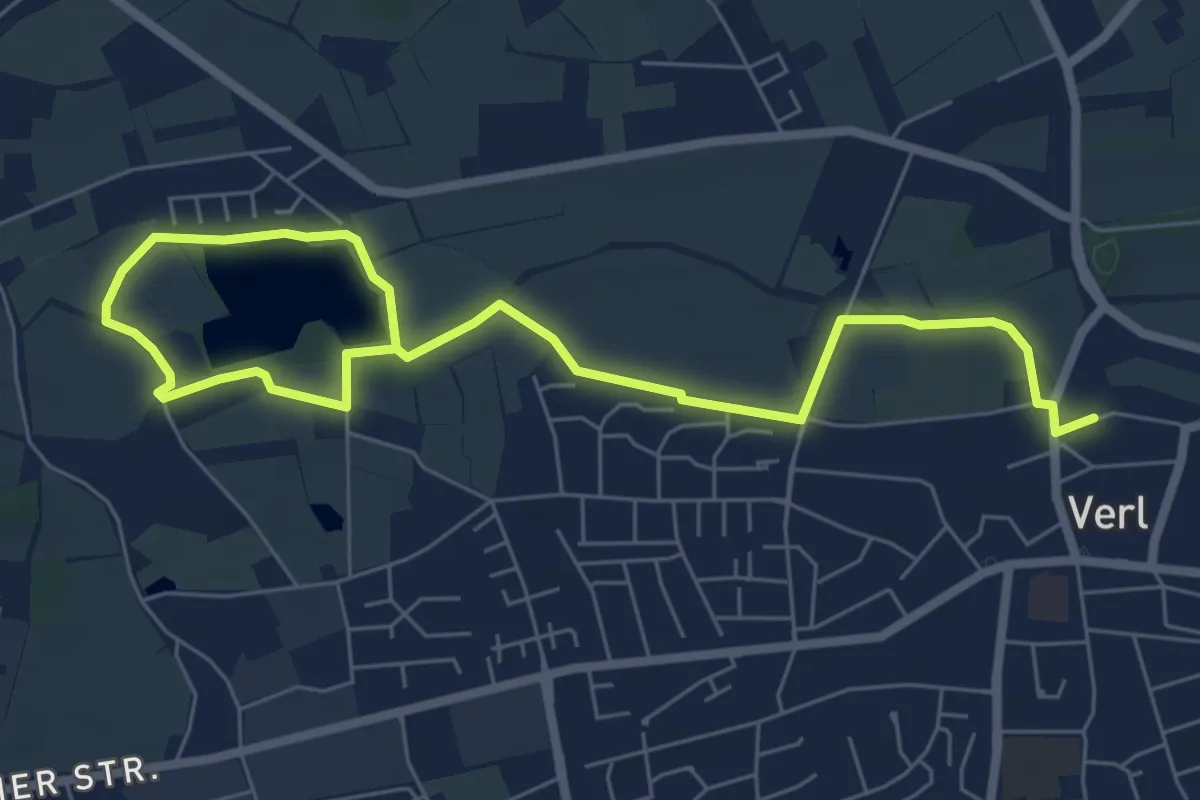
Easy · Trail
Wassererlebnisweg Ölbach
4.0 km · ↑ 0 m · 1 h
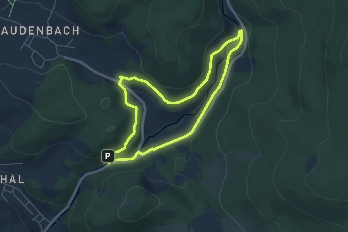
Easy · Trail
Wasserfallgraben Rundweg
3.9 km · ↑ 106 m · 1 h 13 min
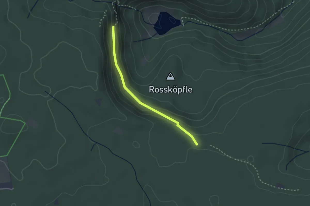
Easy · Trail
Wasserfallhütte - Weihermisse
2.3 km · ↑ 69 m · 42 min
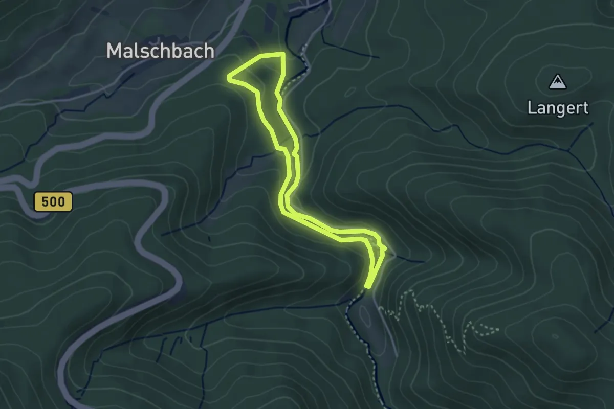
Medium · Trail
Wasserfall-Rundweg
2.8 km · ↑ 115 m · 57 min
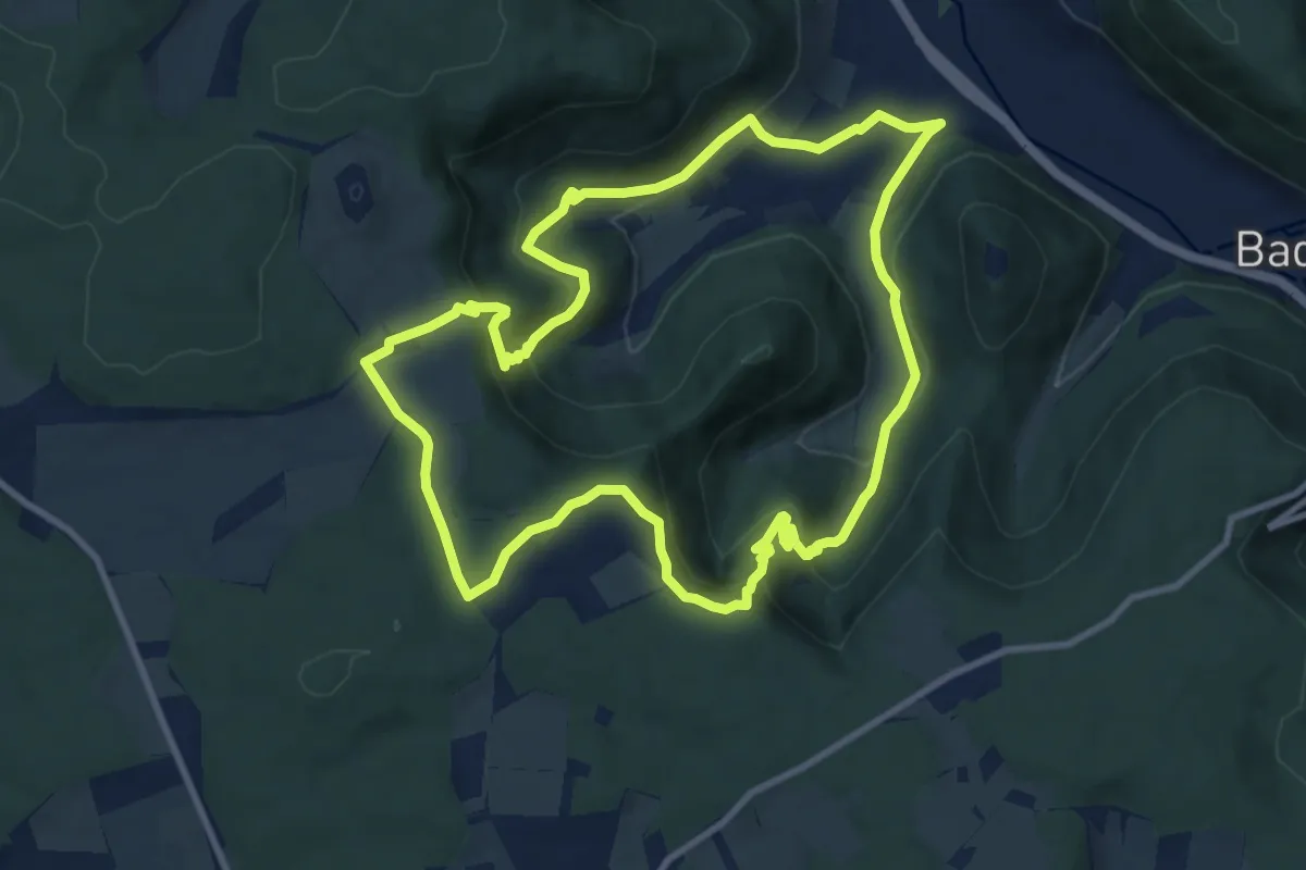
Medium · Trail
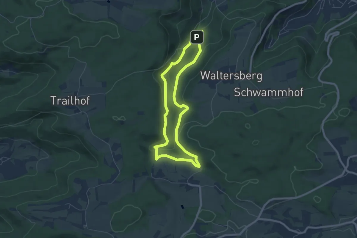
Wasserfallsteig
9.6 km · ↑ 426 m · 3 h 20 min
Medium · Trail
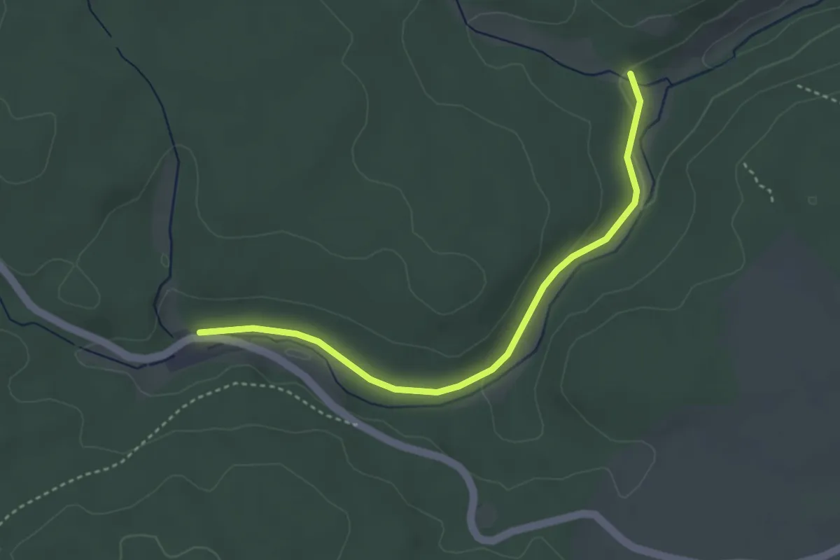
Wasserfallweg
5.3 km · ↑ 156 m · 1 h 40 min
Easy · Trail
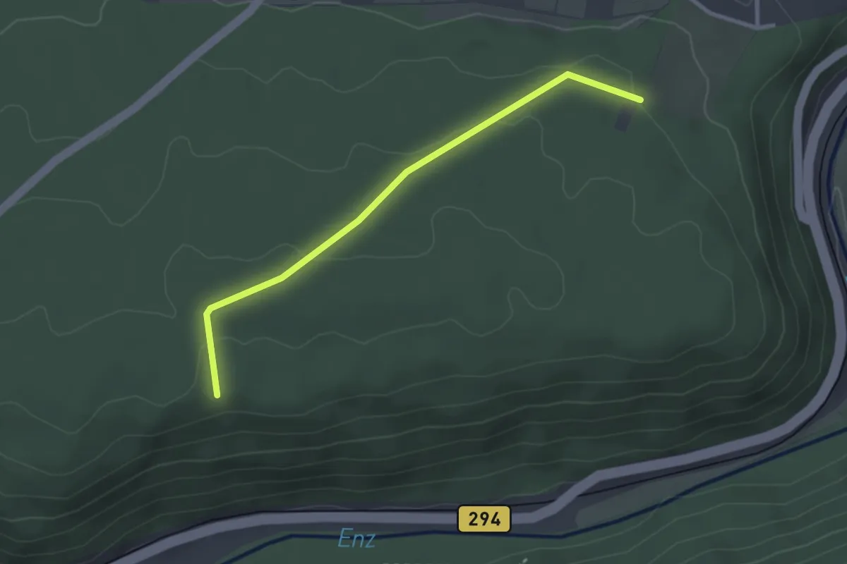
Wasserhäusle - Waldsägmühle
3.5 km · ↑ 46 m · 55 min
Easy · Trail
Wasserhochbehälter - Eichwald
2.7 km · ↑ 69 m · 47 min
Easy · Trail
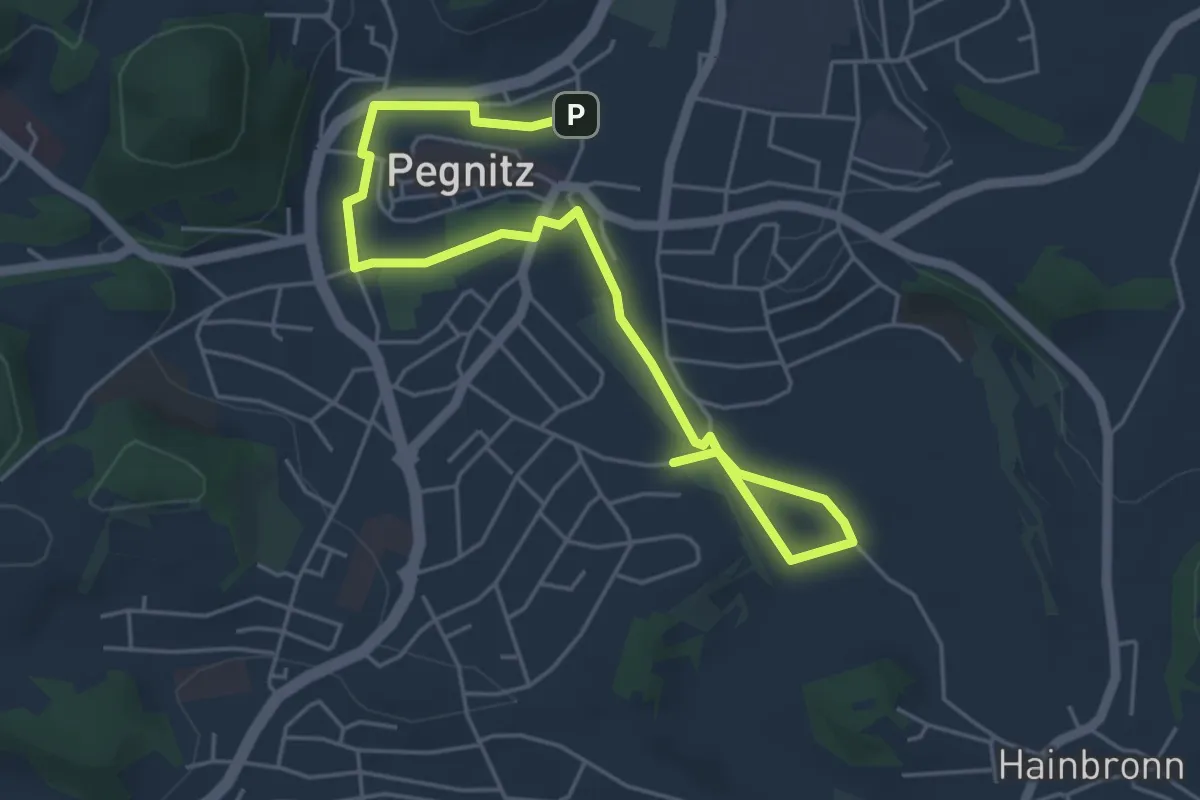
Wasser in der Stadt Pegnitz
5.9 km · ↑ 31 m · 1 h 28 min
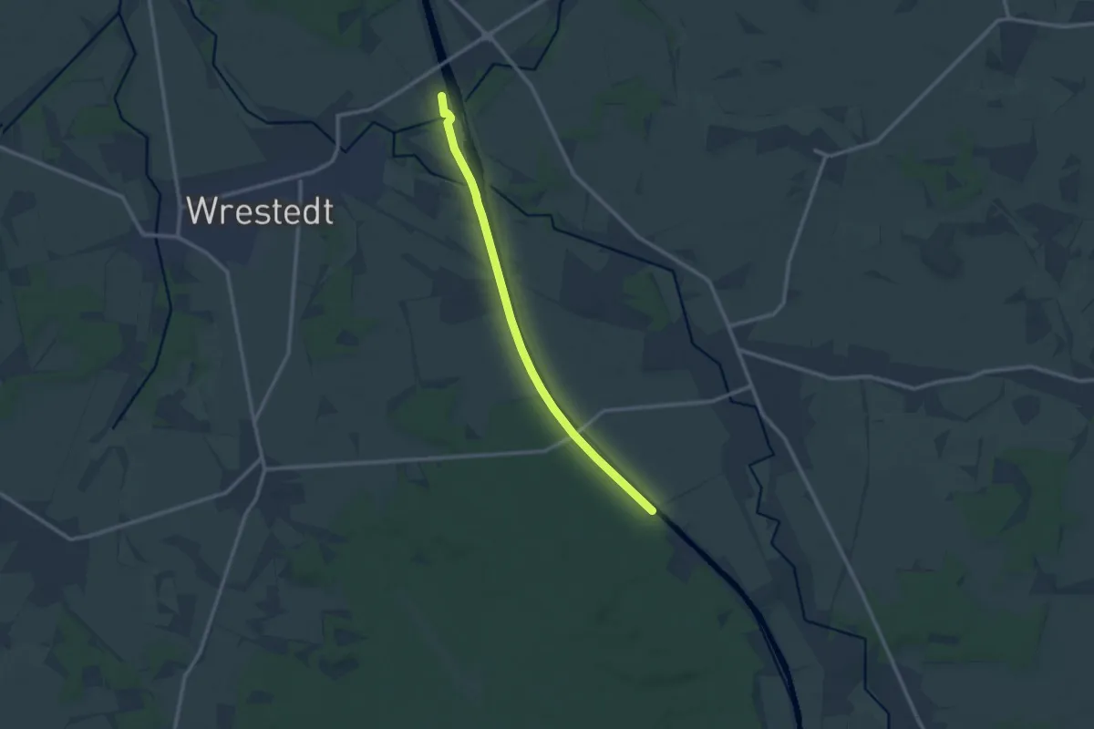
Medium · Trail
Wasser Informations-Pfad
9.4 km · ↑ 30 m · 2 h 17 min
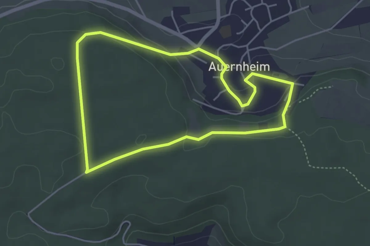
Easy · Trail
Wasser & Klang-Pfad
3.8 km · ↑ 92 m · 1 h 9 min
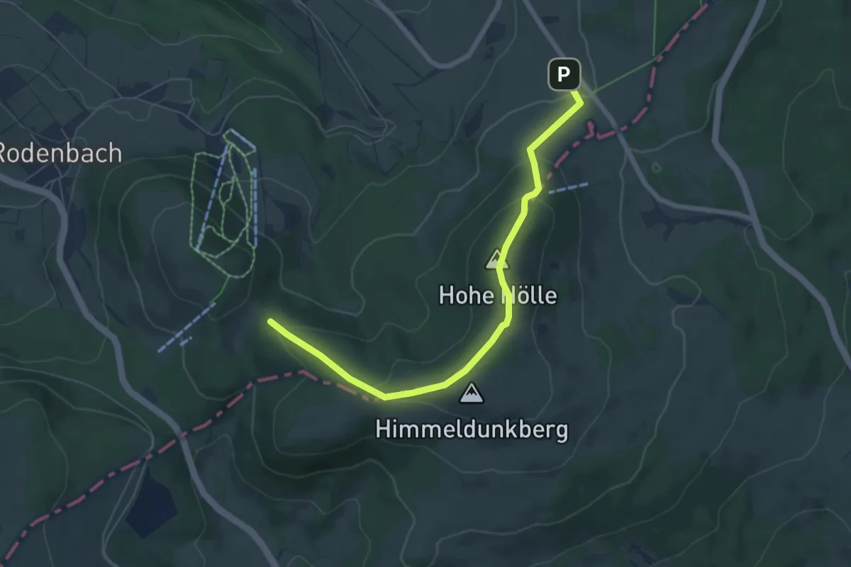
Easy · Summit
Wasserkuppenrundweg
3.1 km · ↑ 160 m · 1 h 5 min
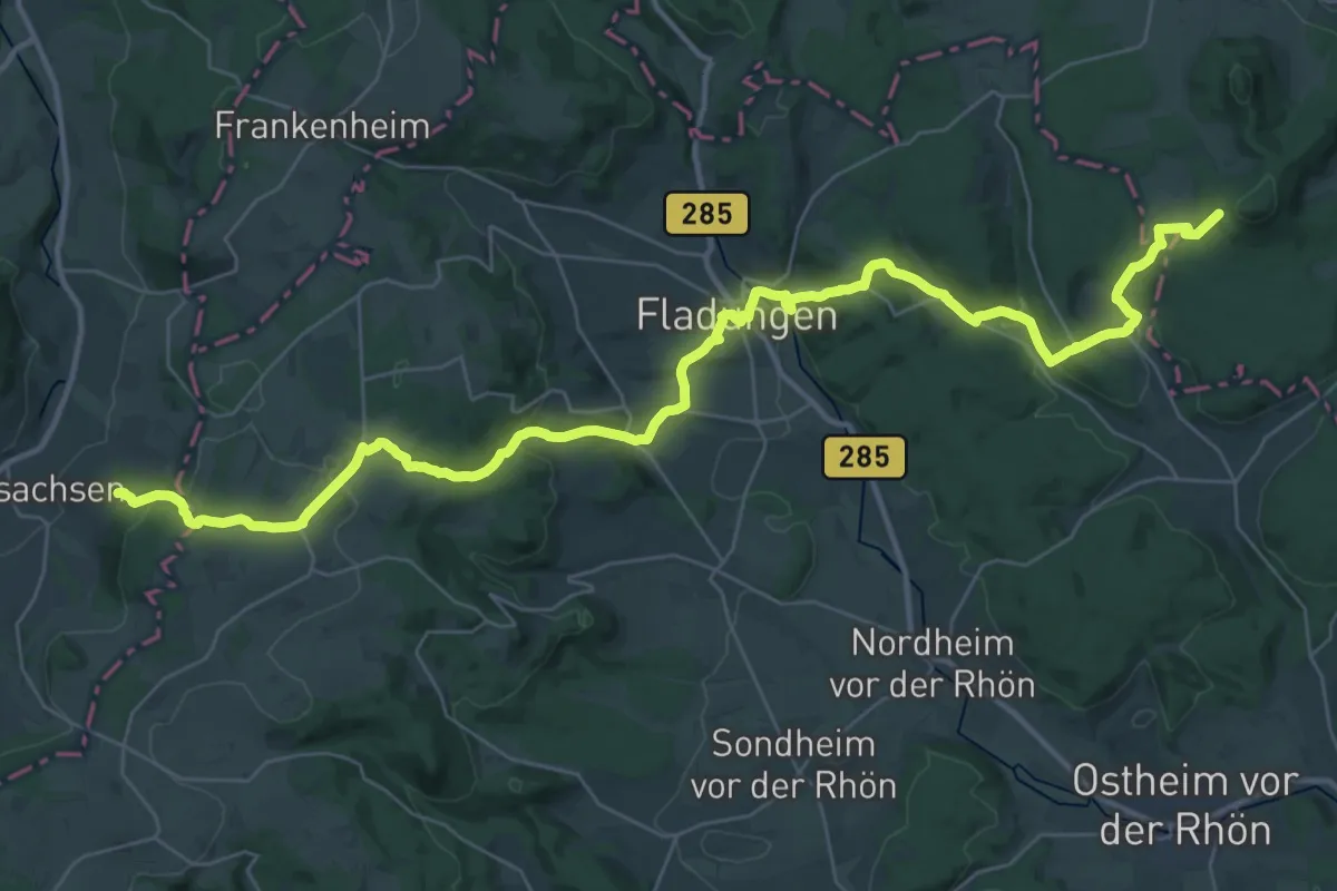
Demanding · Trail
Wasserkuppenweg
21.3 km · ↑ 674 m · 6 h 43 min
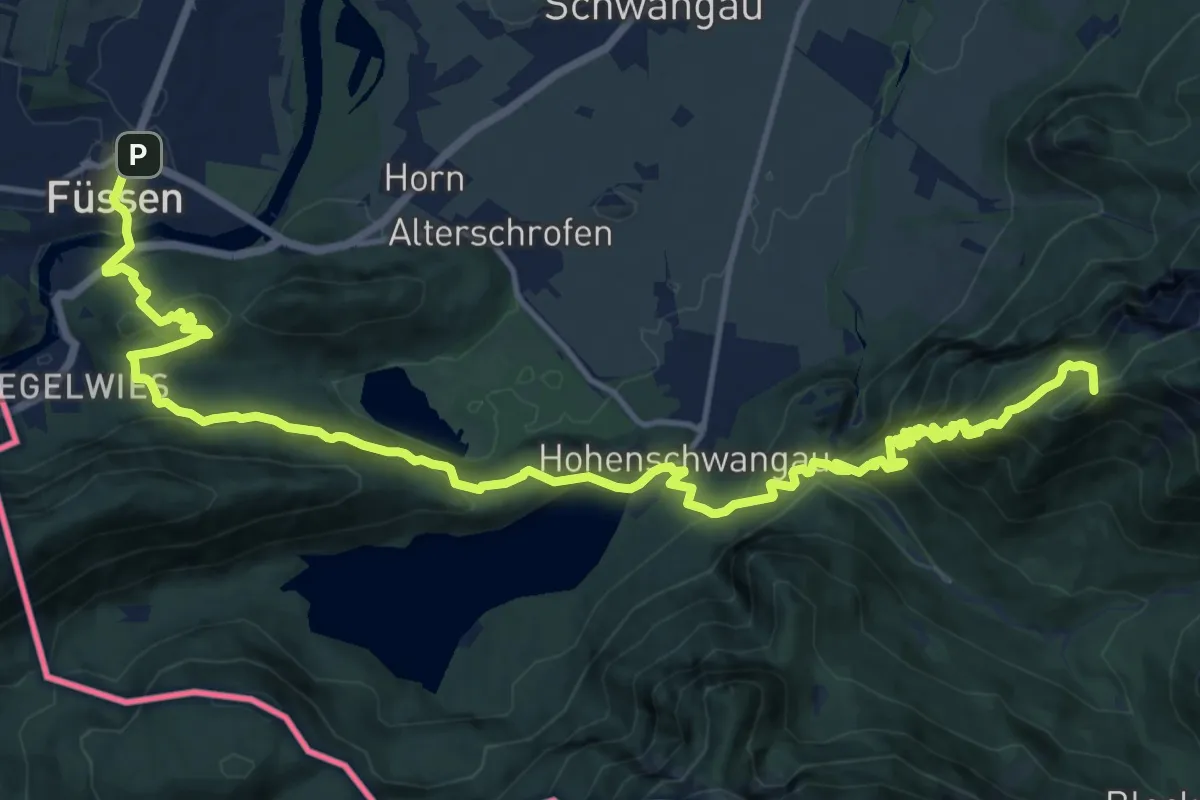
Expert · Summit
Wasserläufer-Route Etappe 6 / Himmelsstürmer-Route Etappe 3
19.8 km · ↑ 1678 m · 8 h 19 min
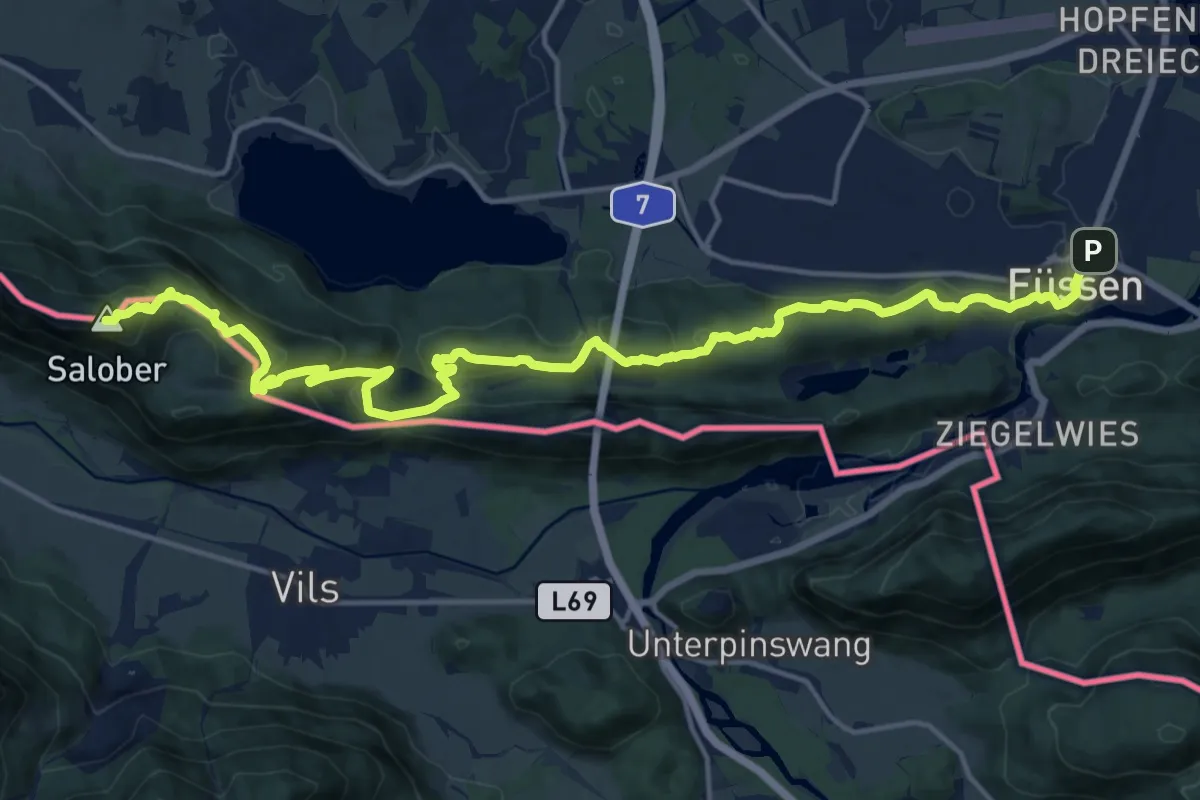
Demanding · Summit
Wasserläufer-Route Etappe 7 / Himmelsstürmer-Route Etappe 4
19.6 km · ↑ 944 m · 6 h 40 min
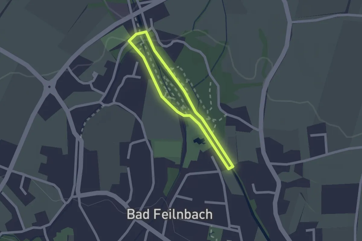
Easy · Trail
Was(s)erleben
1.3 km · ↑ 9 m · 21 min
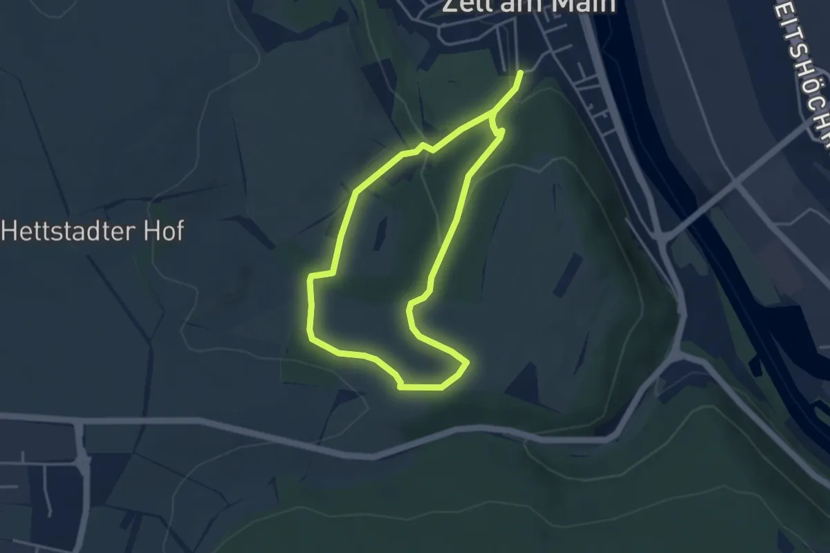
Easy · Trail
Wasserlehrpfad Zell
3.1 km · ↑ 93 m · 59 min
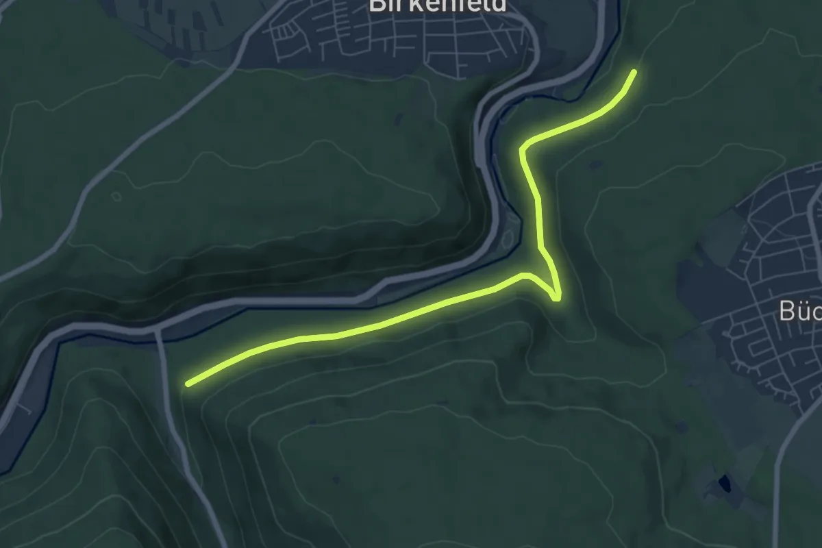
Easy · Trail
Wasserleitungsweg - Brötzinger Schlag
7.0 km · ↑ 164 m · 2 h
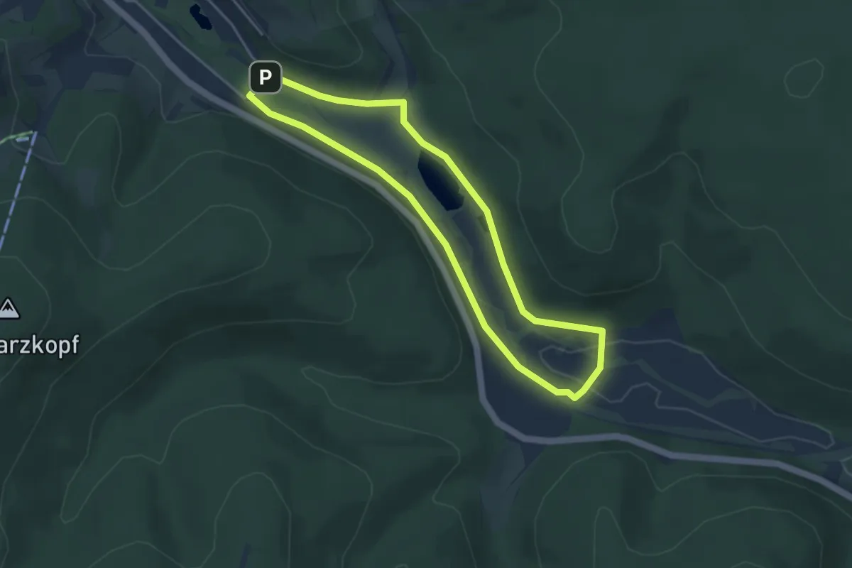
Easy · Trail
Wasserlernpfad
3.5 km · ↑ 22 m · 55 min
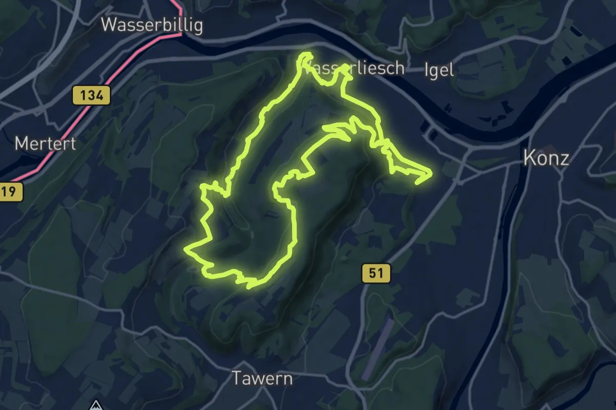
Medium · Trail
Wasserliescher Panoramasteig
15.9 km · ↑ 518 m · 5 h 6 min
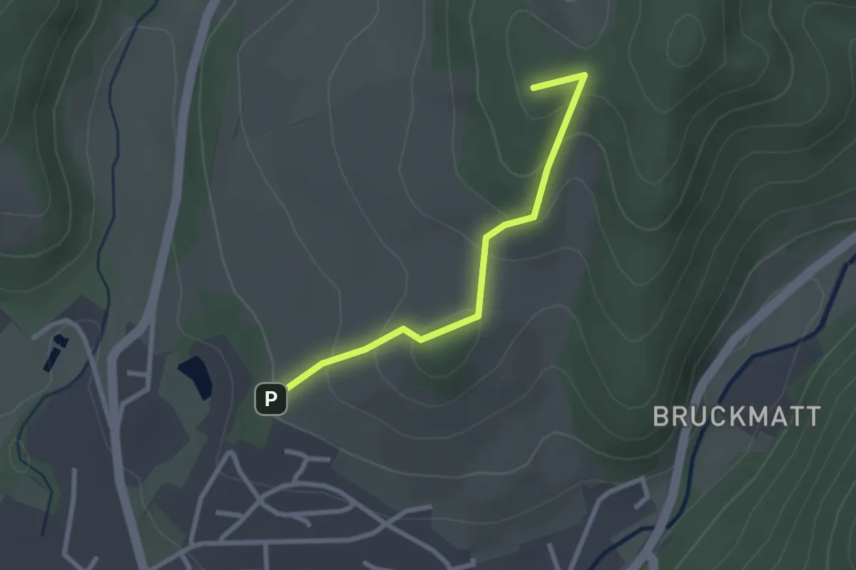
Easy · Summit
Wässerliwald - Im Loh
2.3 km · ↑ 125 m · 49 min
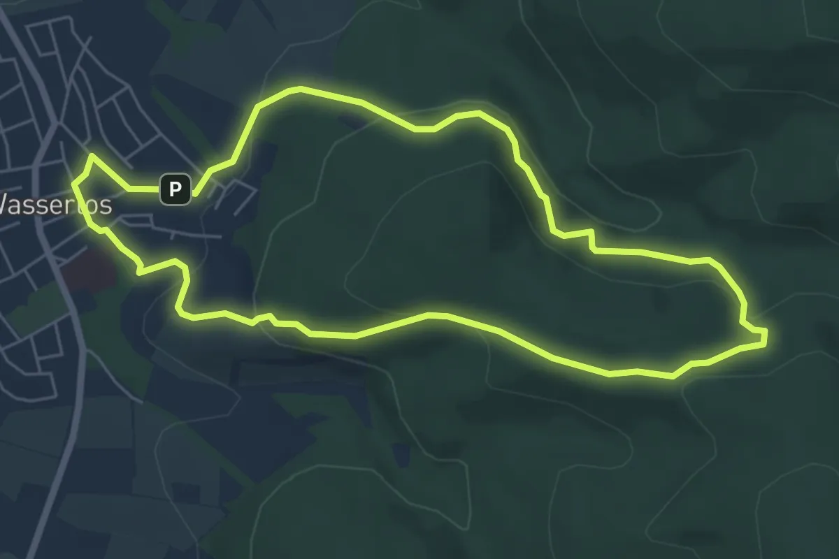
Easy · Trail
Wasserlos - Rundwanderweg Milan
5.3 km · ↑ 198 m · 1 h 45 min
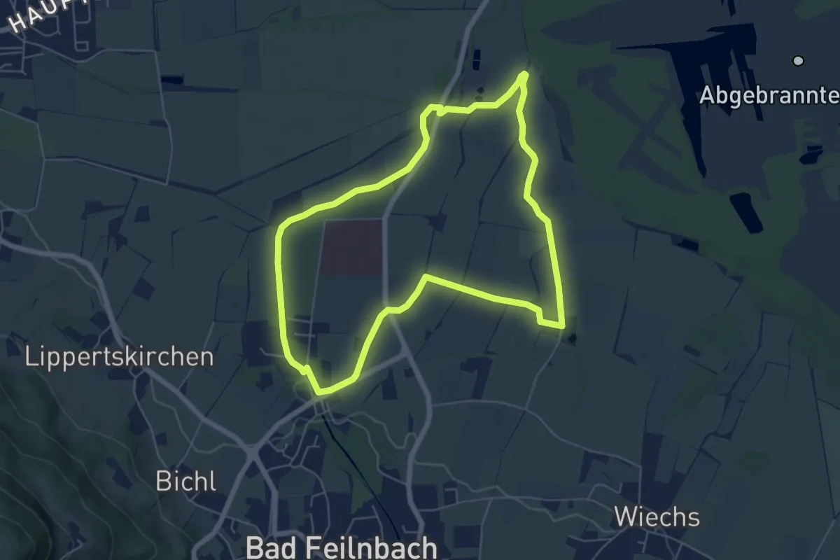
Easy · Trail
Wasser & Moor
5.7 km · ↑ 26 m · 1 h 29 min
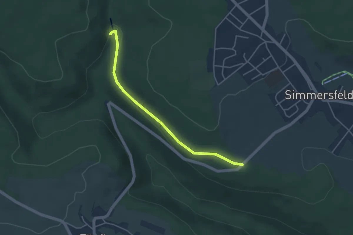
Easy · Trail
Wasserrad - Wolfsberghütte
3.1 km · ↑ 28 m · 47 min
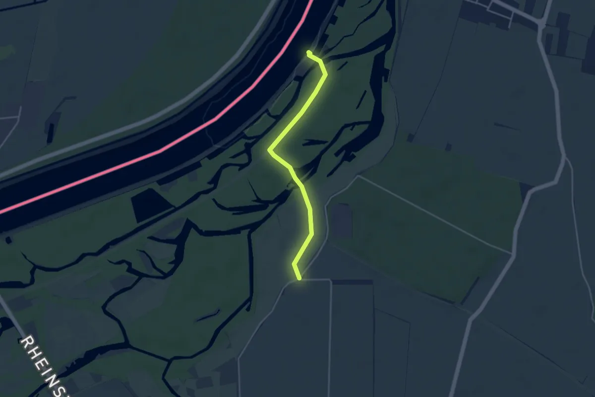
Easy · Trail
Wasserrallenweg
3.4 km · ↑ 9 m · 50 min
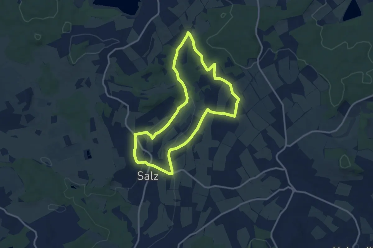
Medium · Trail
Wasserrebellweg
8.1 km · ↑ 160 m · 2 h 22 min
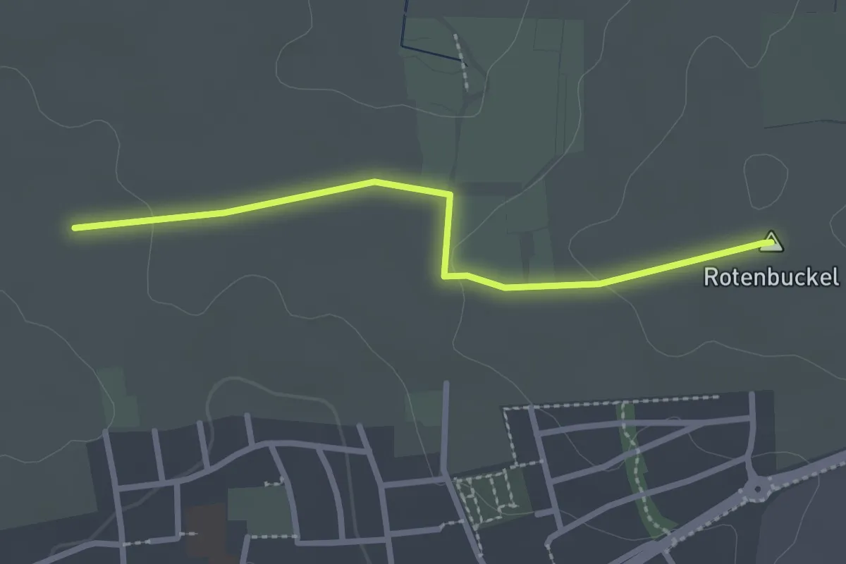
Easy · Summit
Wasserreservoir - Am Zehntpfad
2.3 km · ↑ 30 m · 37 min
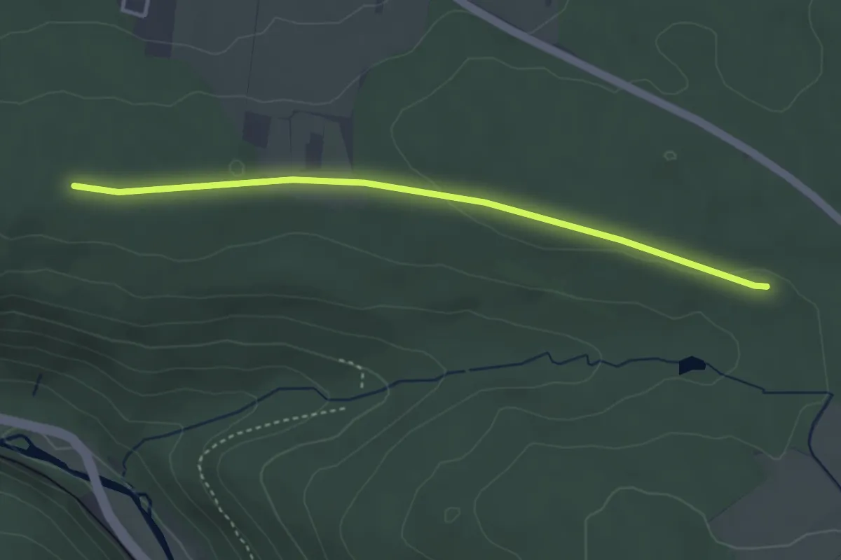
Easy · Trail
Wasserreservoir - Breitenwald
3.5 km · ↑ 32 m · 54 min
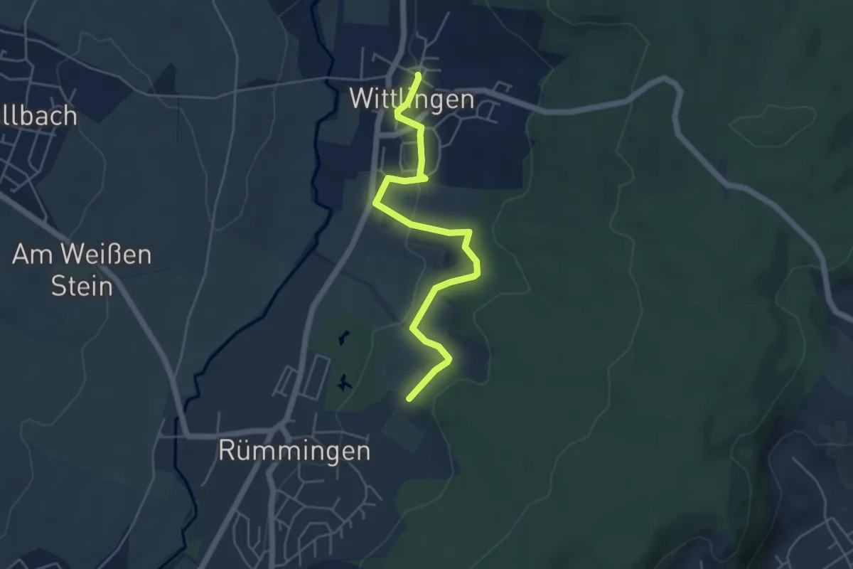
Easy · Trail
Wasserreservoir - Wittlingen Am Rathaus
4.7 km · ↑ 110 m · 1 h 21 min
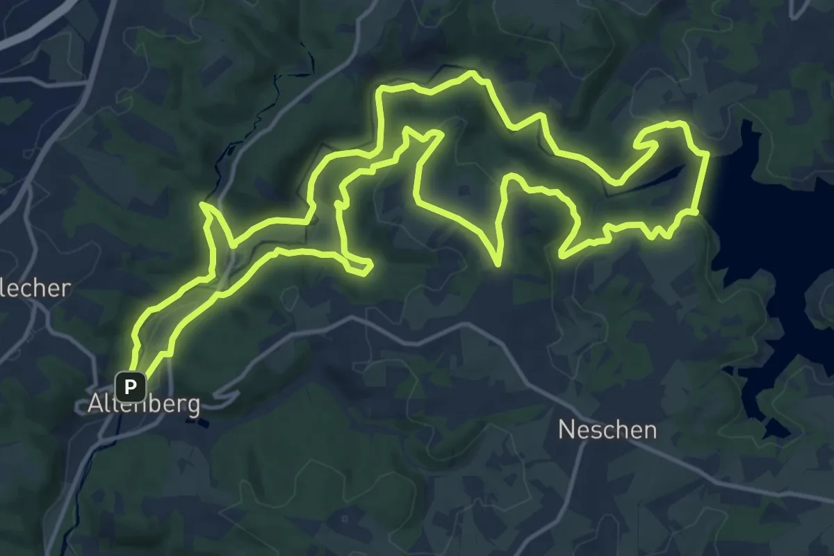
Medium · Trail
Wasserroute
15.2 km · ↑ 371 m · 4 h 37 min
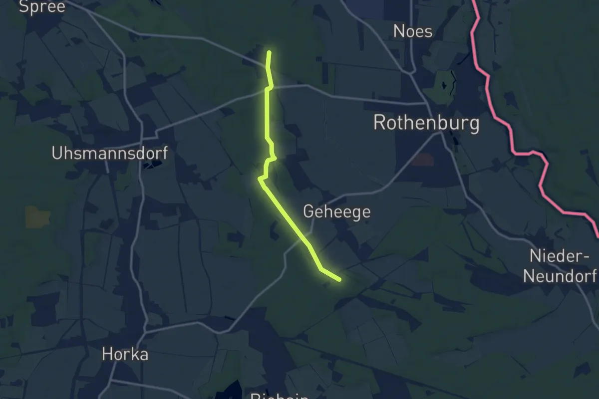
Medium · Trail
Wasserscheide - Dunkelhäuser
8.5 km · ↑ 30 m · 2 h 5 min
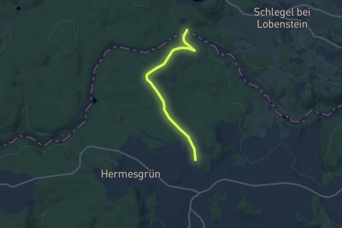
Easy · Trail
Wasserscheidenweg
7.4 km · ↑ 103 m · 1 h 58 min
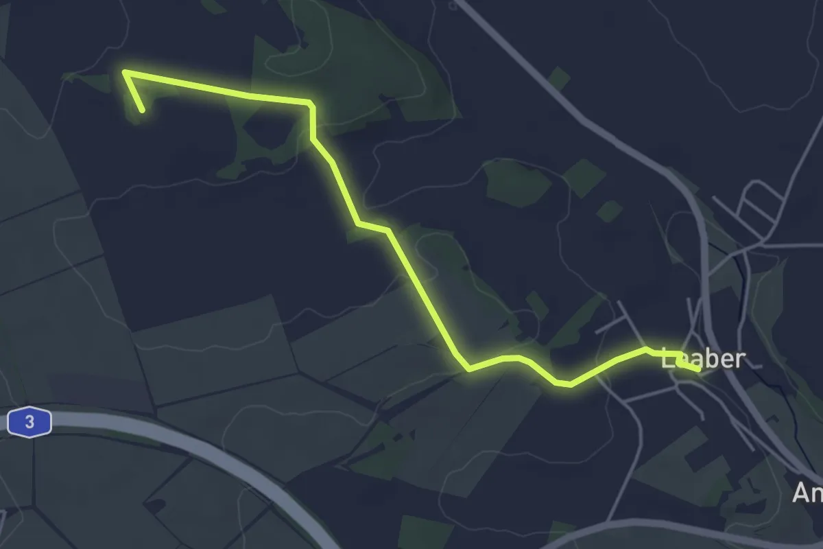
Easy · Summit
Wasserscheideweg
4.6 km · ↑ 86 m · 1 h 16 min
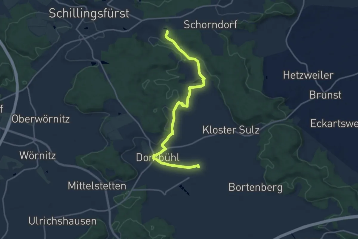
Medium · Trail
Wasserscheideweg Zubringer Dombühl - Schillingsfürst
11.7 km · ↑ 136 m · 3 h 3 min
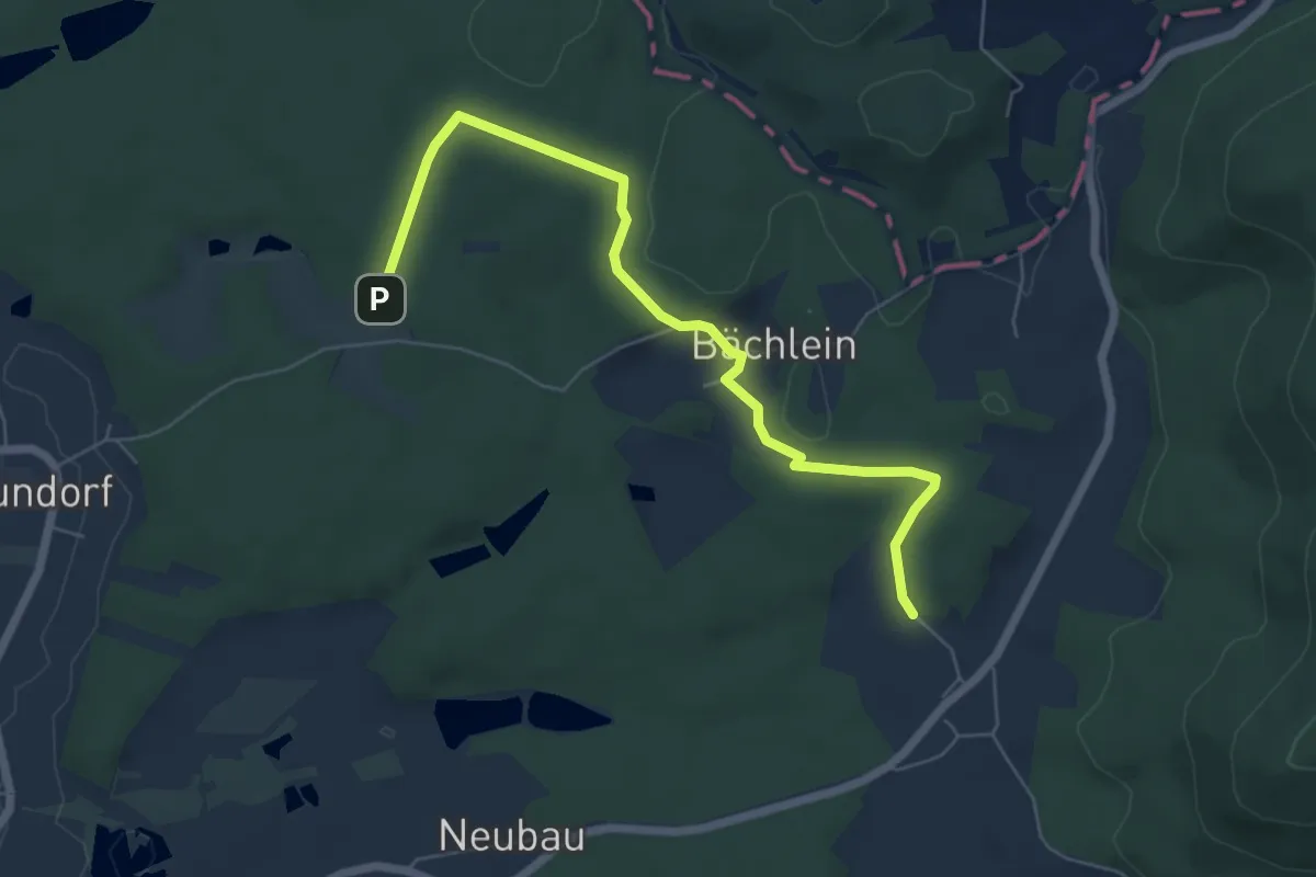
Easy · Trail
Wasserschloss-Runde
3.1 km · ↑ 35 m · 51 min
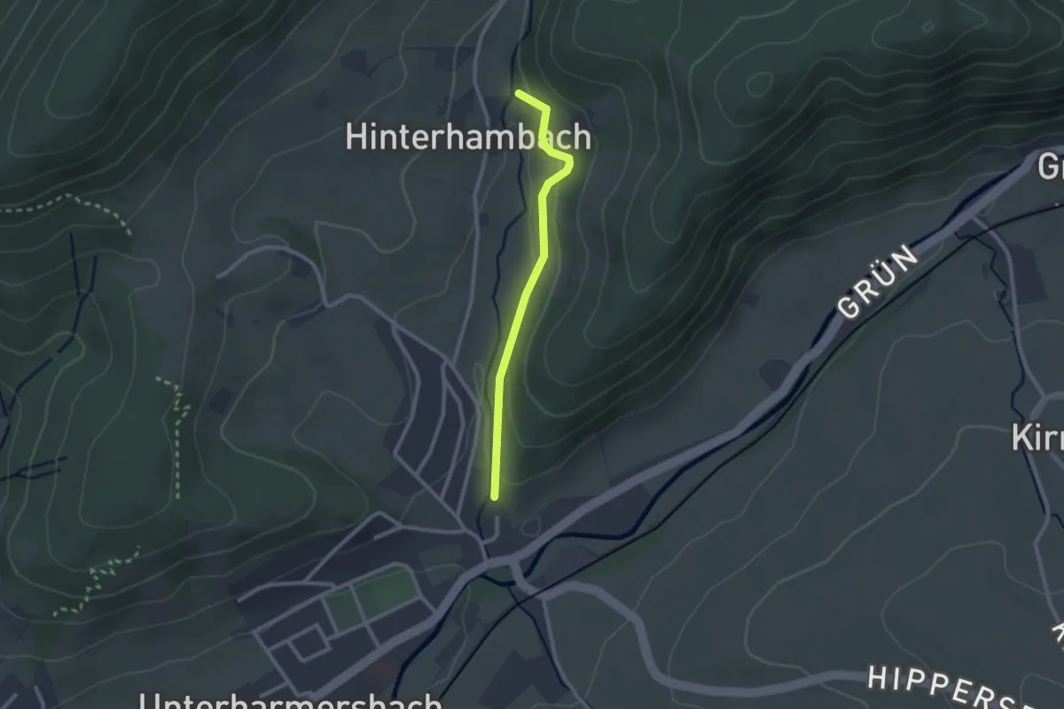
Easy · Trail
Wassertretstelle Hinterhambach - Unterharmersbach Bachwegle
2.1 km · ↑ 74 m · 39 min
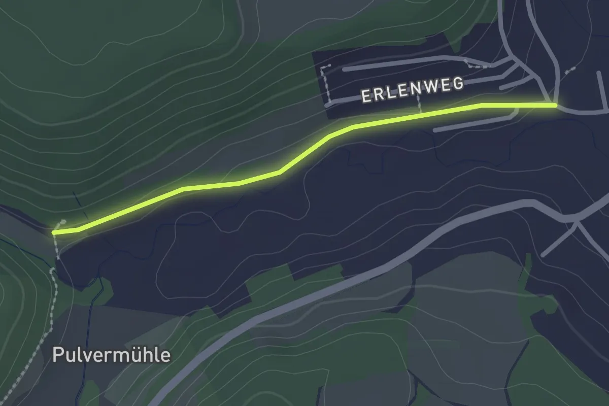
Easy · Trail
Wassertretstelle Teufenbachtal - Horgen Teufenstraße
2.1 km · ↑ 18 m · 32 min
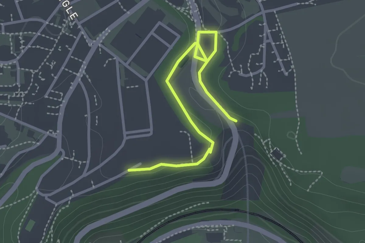
Easy · Trail
Wasserturm Hohenberg - Rauschbart Parkplatz
2.8 km · ↑ 39 m · 44 min
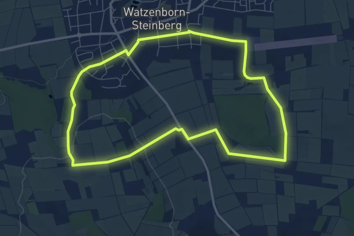
Easy · Trail
Wasserversorgung von Watzenborn-Steinberg
6.6 km · ↑ 97 m · 1 h 52 min
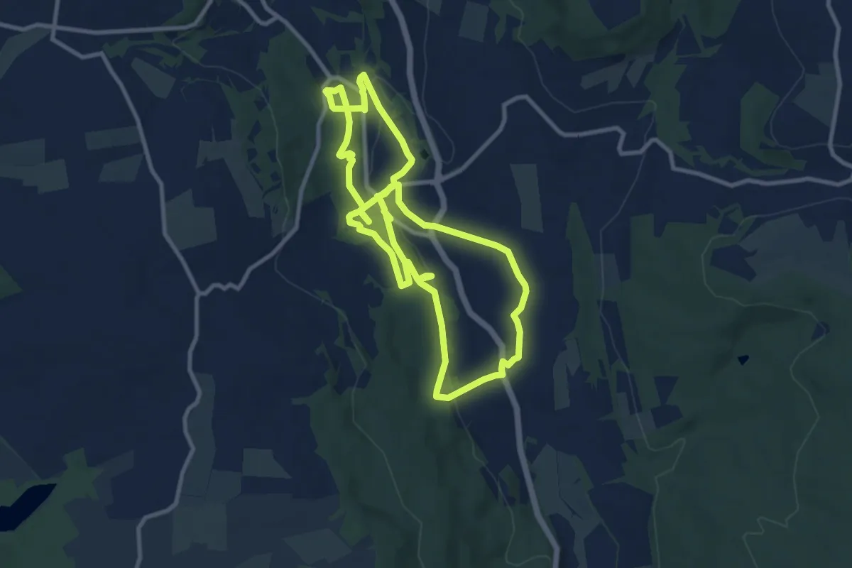
Medium · Trail
Wasser von Brachttal
17.1 km · ↑ 390 m · 4 h 53 min
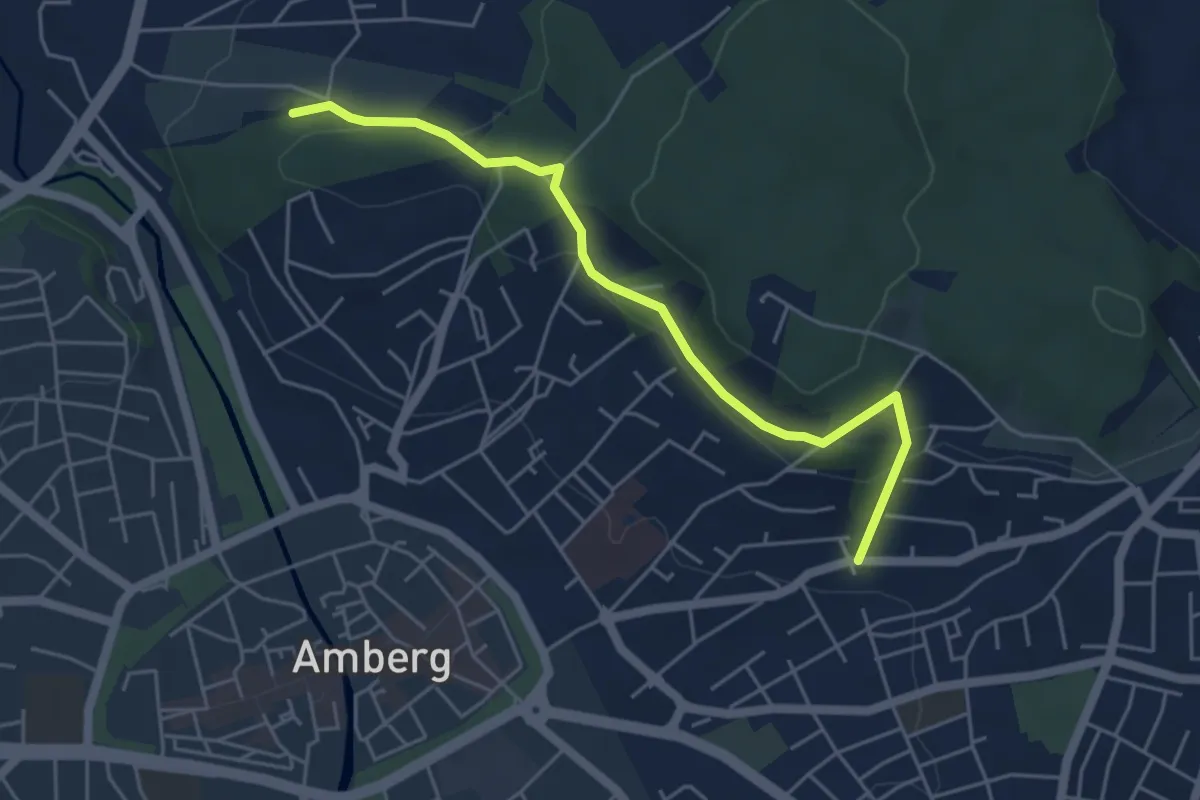
Easy · Trail
WasserWanderWeg
4.7 km · ↑ 161 m · 1 h 28 min
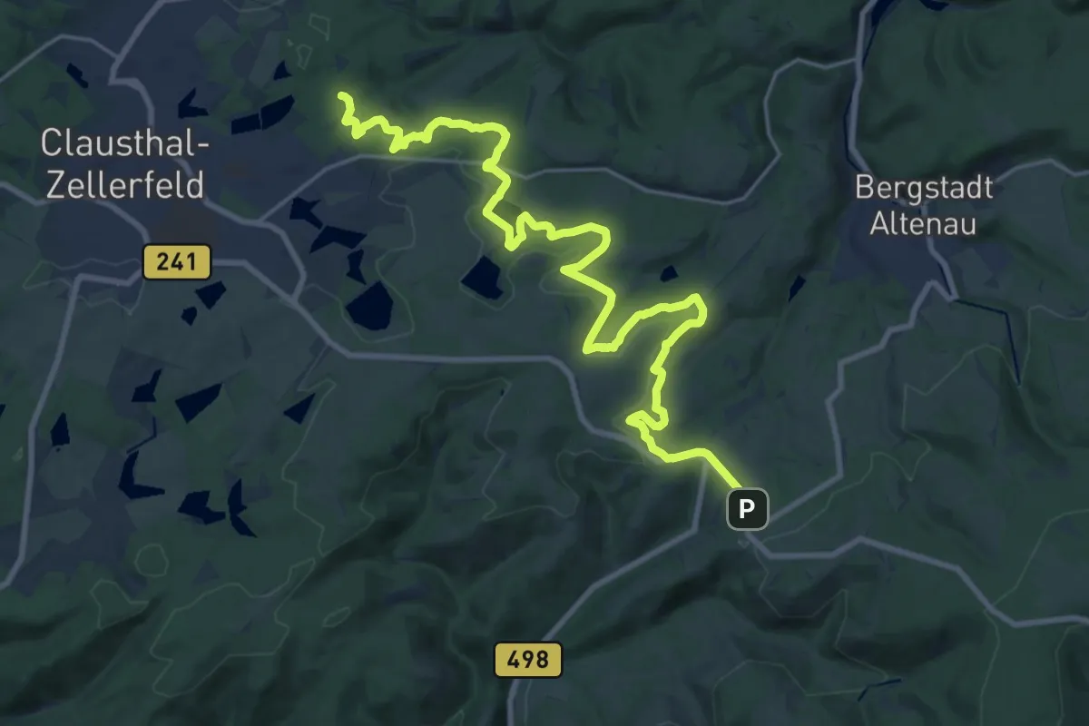
Demanding · Trail
WasserWanderWeg Alter Dammgraben
23.8 km · ↑ 204 m · 6 h 3 min
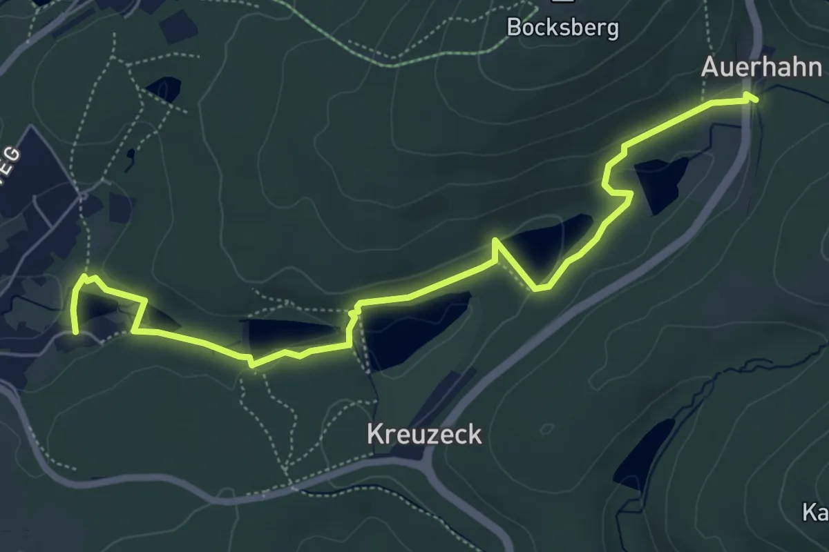
Easy · Trail
WasserWanderWeg Auerhahn Teiche
2.9 km · ↑ 117 m · 56 min
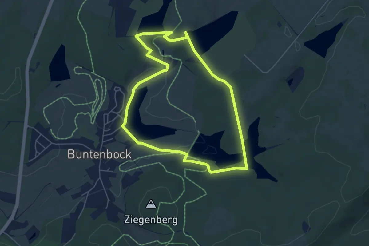
Easy · Trail
WasserWanderWeg Buntenbocker Teiche
4.5 km · ↑ 76 m · 1 h 17 min
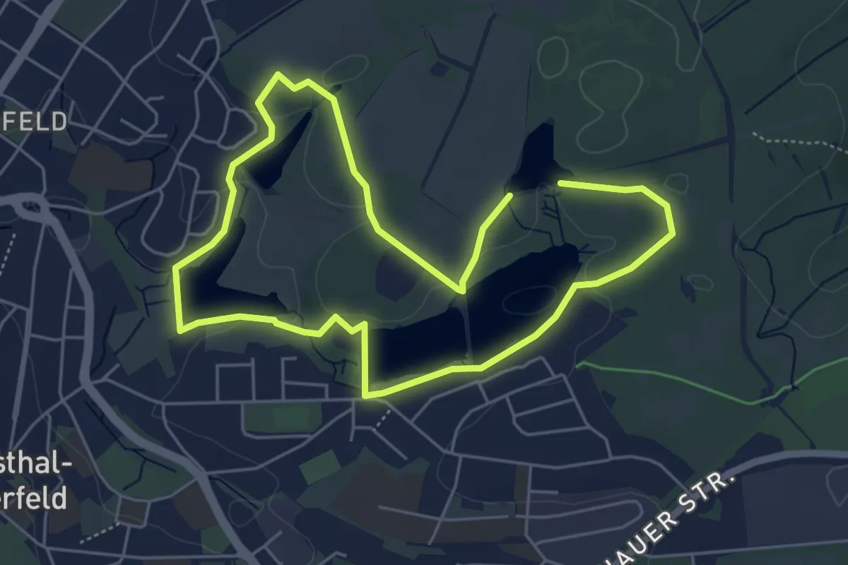
Easy · Trail
WasserWanderWeg Clausthaler Teiche
4.2 km · ↑ 54 m · 1 h 10 min