Trails in Germany
36,852 hiking trails, each with its route, climb, walking time and grade.
All trails, page 712 of 768
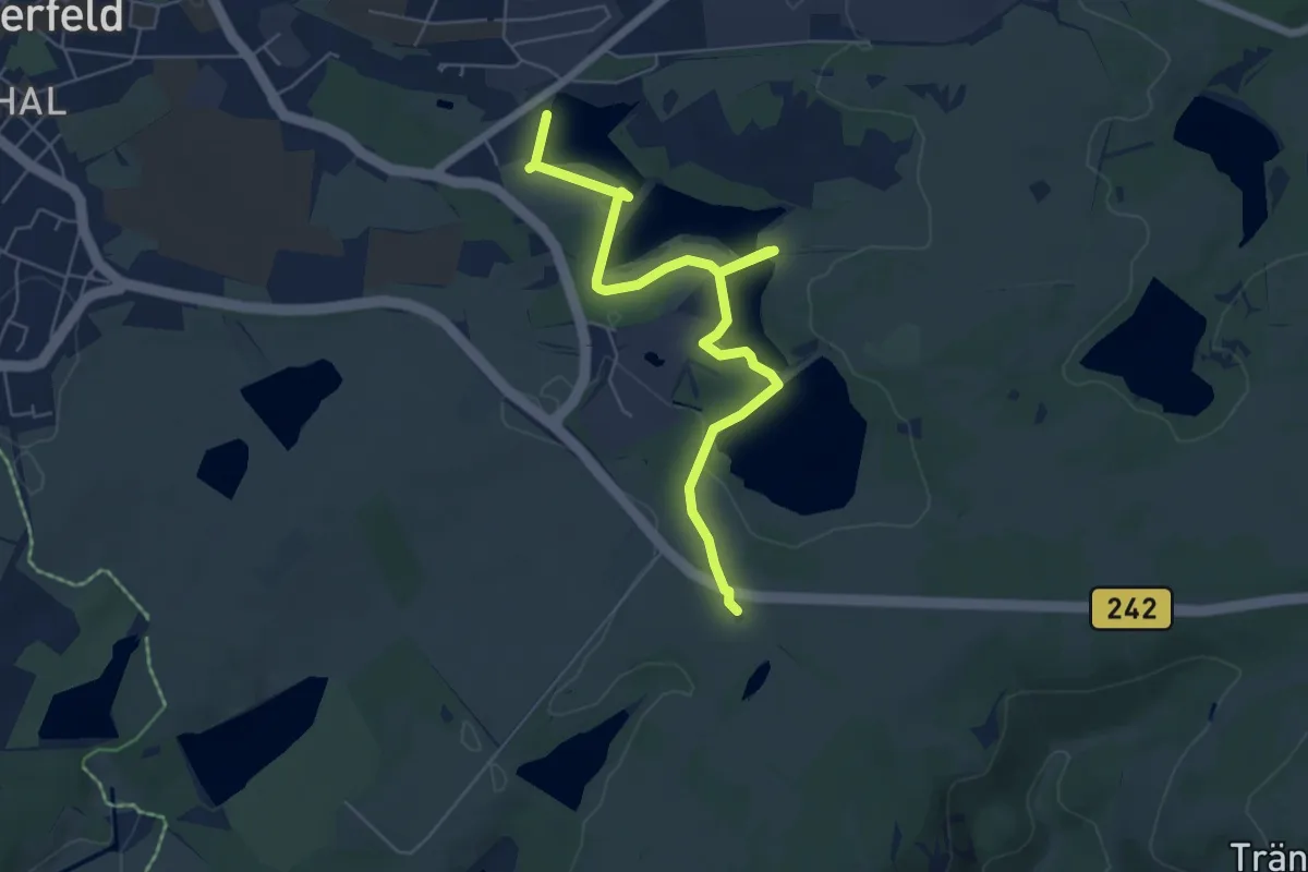
Easy · Trail
WasserWanderWeg Hirschler-/Pfauenteiche
5.9 km · ↑ 71 m · 1 h 33 min
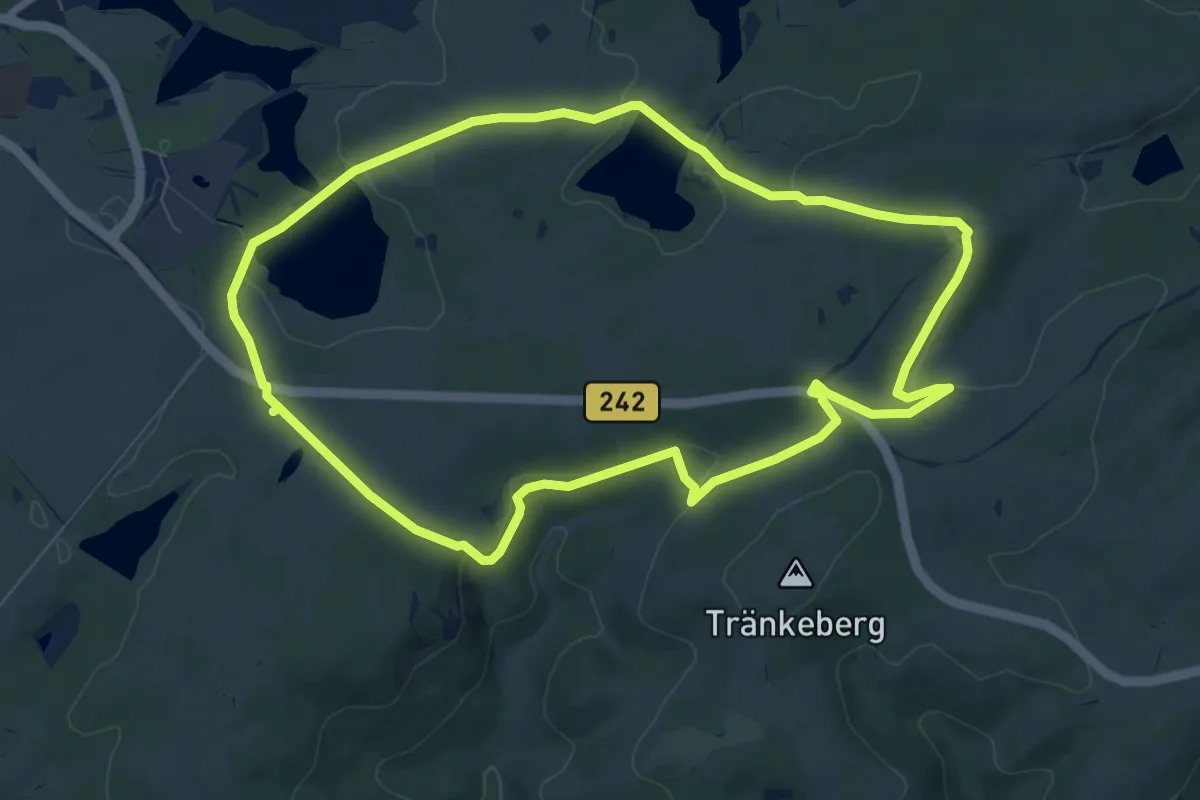
Easy · Trail
WasserWanderWeg Hutthaler Widerwaage
7.4 km · ↑ 126 m · 2 h 7 min
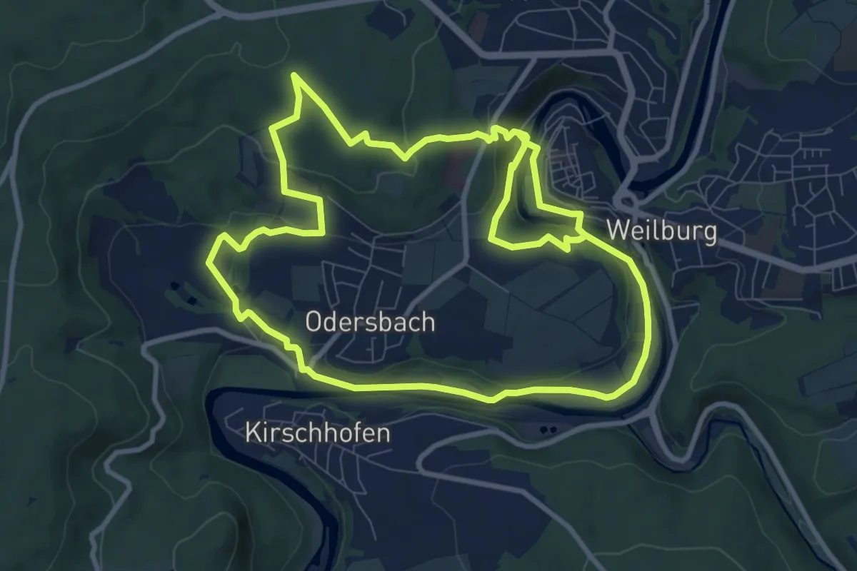
Medium · Trail
Wasserwanderweg - Jugendherberge - Kettenbrücke
8.6 km · ↑ 218 m · 2 h 36 min
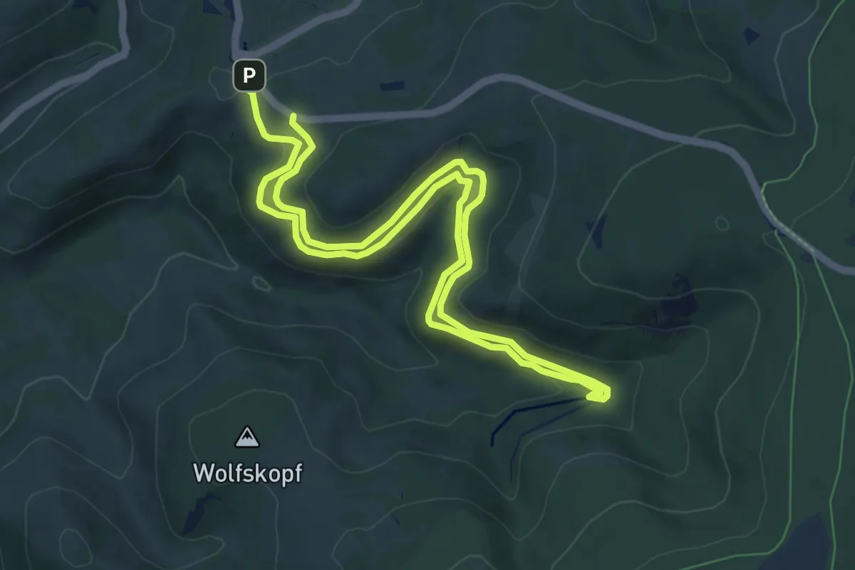
Easy · Trail
WasserWanderWeg Morgenbrodtsthaler Graben
6.6 km · ↑ 210 m · 2 h 6 min
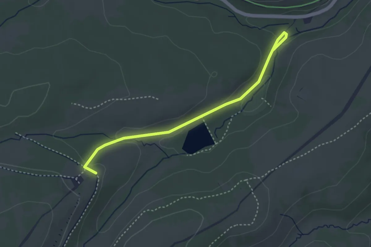
Easy · Trail
WasserWanderWeg Polsterthal
3.2 km · ↑ 69 m · 55 min
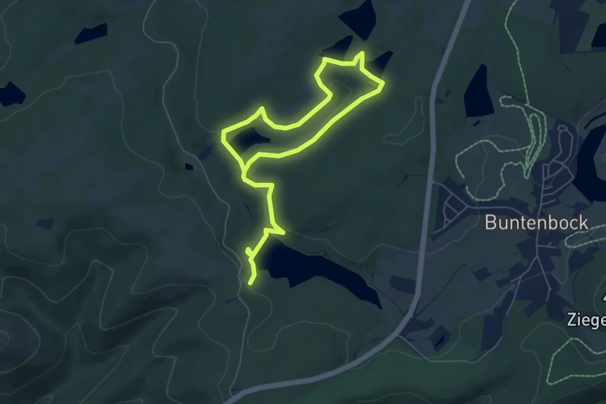
Easy · Trail
WasserWanderWeg Prinzen / Flambacher Teiche
4.0 km · ↑ 66 m · 1 h 9 min
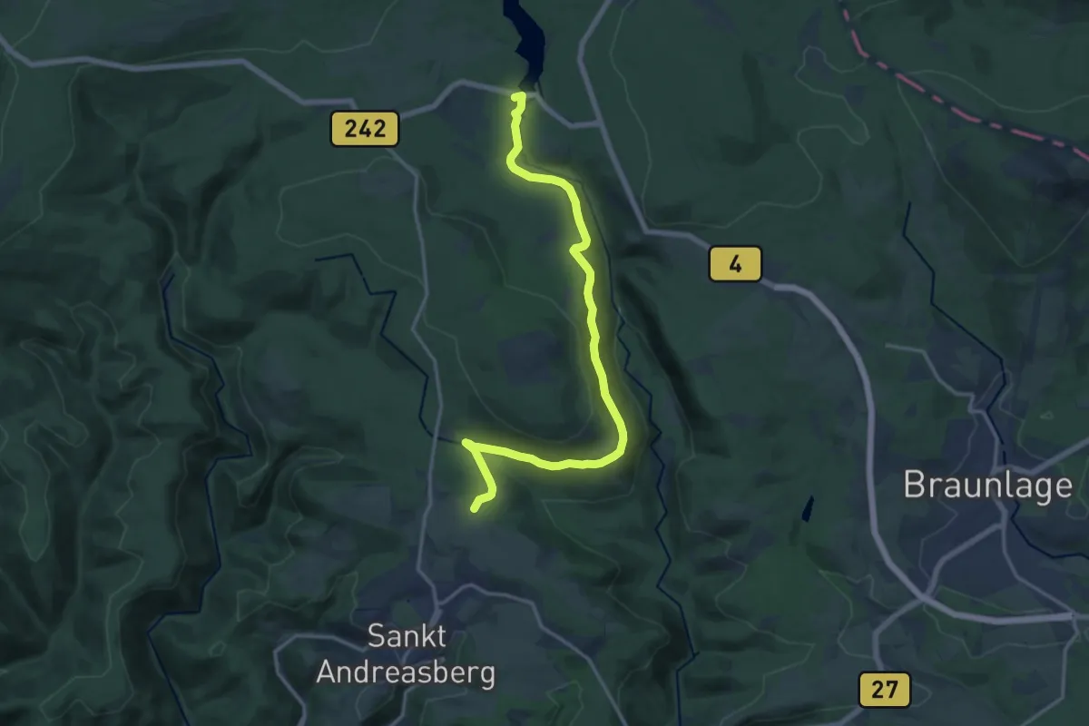
Medium · Trail
WasserWanderWeg Rehberger Graben
14.7 km · ↑ 264 m · 4 h 3 min
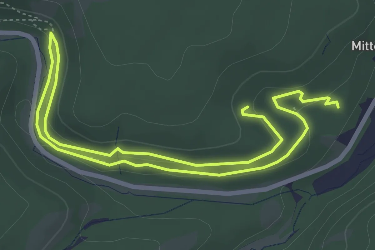
Easy · Trail
WasserWanderWeg Schulenberger Bergbau
3.4 km · ↑ 55 m · 59 min
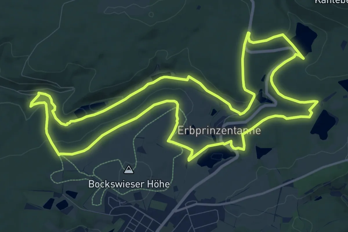
Medium · Trail
WasserWanderWeg Zellerfelder Kunstgraben
11.6 km · ↑ 213 m · 3 h 22 min
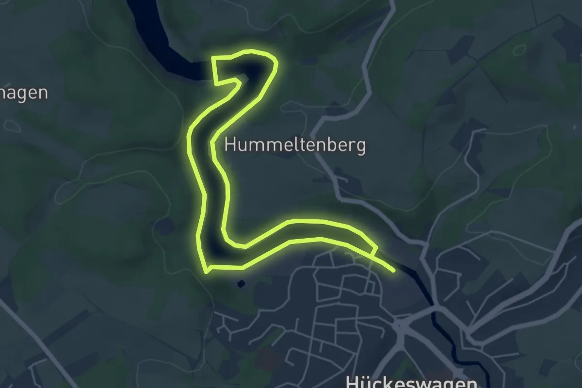
Easy · Trail
Wasserweg [Hückeswagen]
4.3 km · ↑ 60 m · 1 h 11 min
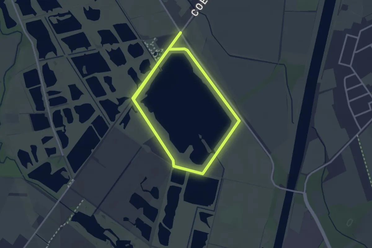
Easy · Trail
Wasserweg (Rieselfelder Münster)
4.7 km · ↑ 0 m · 1 h 6 min
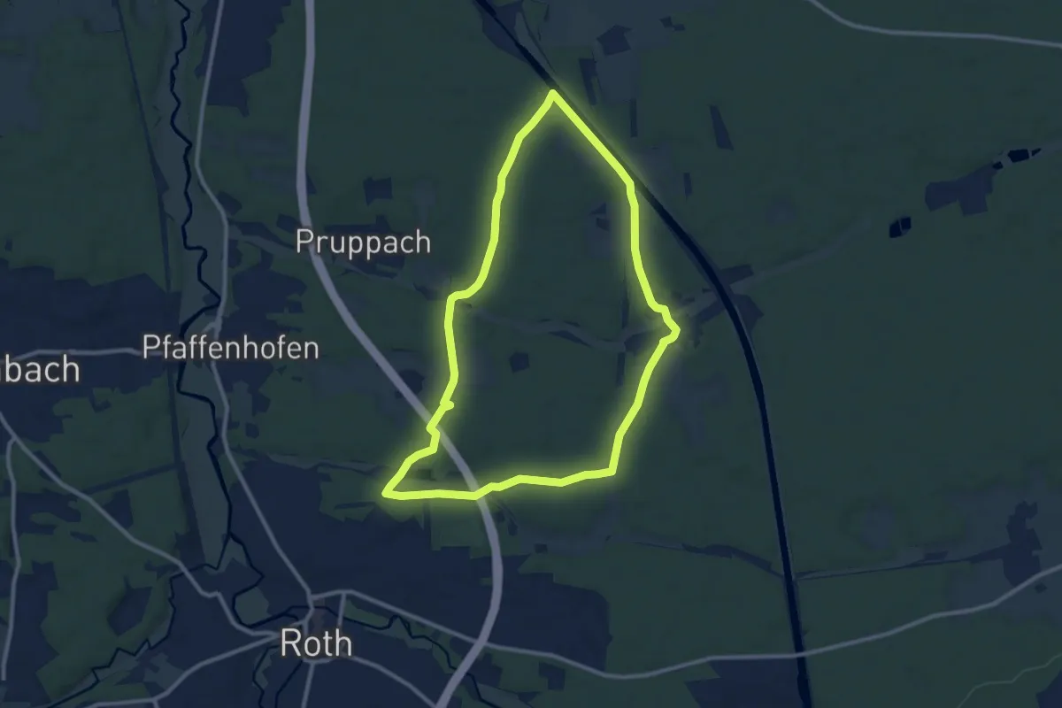
Medium · Trail
Wasserweg (Roth)
9.5 km · ↑ 96 m · 2 h 35 min
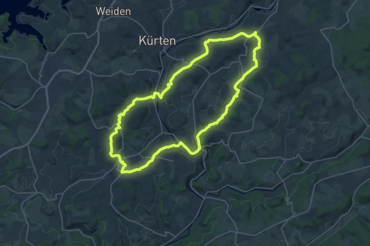
Medium · Trail
Wasserweg Rundweg B4
17.0 km · ↑ 393 m · 5 h 7 min
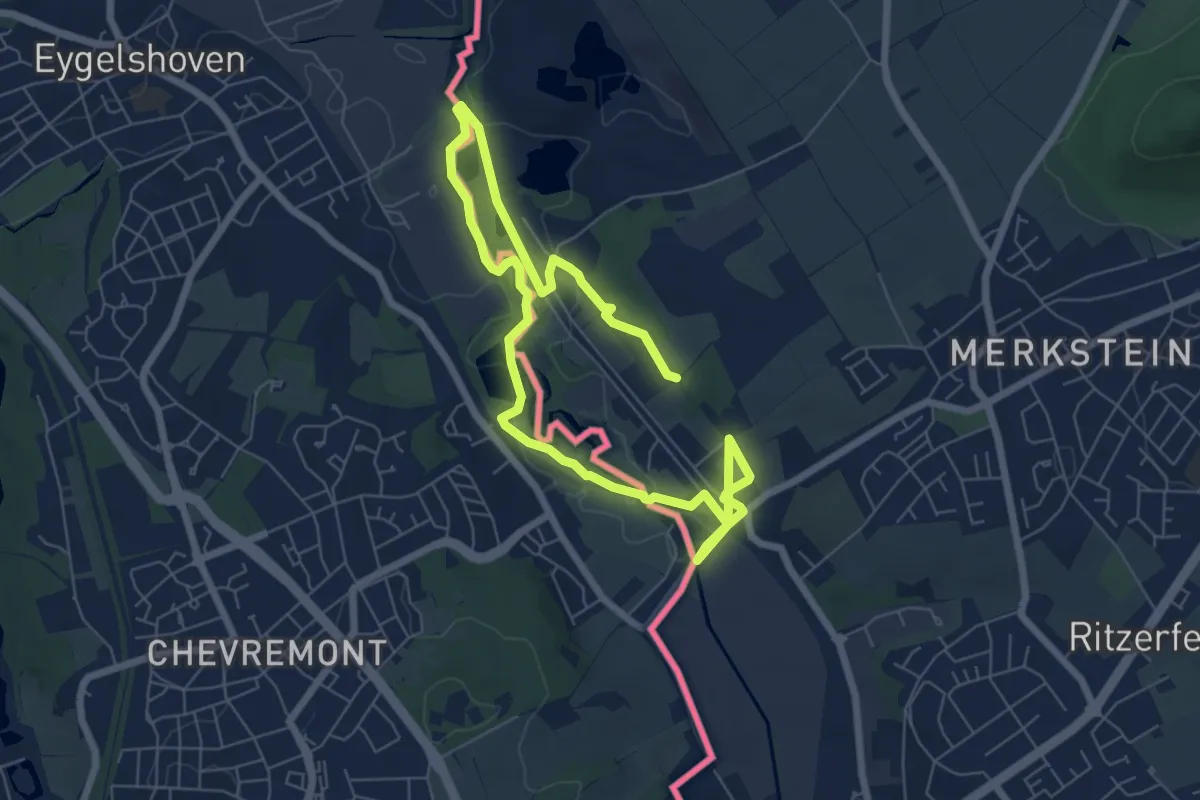
Easy · Trail
Wasserweg Wurm
4.8 km · ↑ 44 m · 1 h 18 min
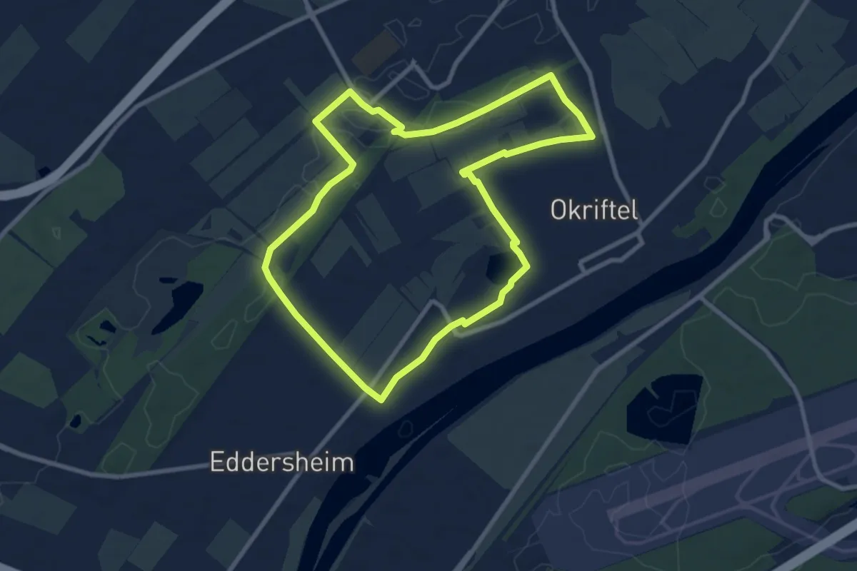
Easy · Trail
Wasserwerk-Parcours Maxi
7.6 km · ↑ 13 m · 1 h 55 min
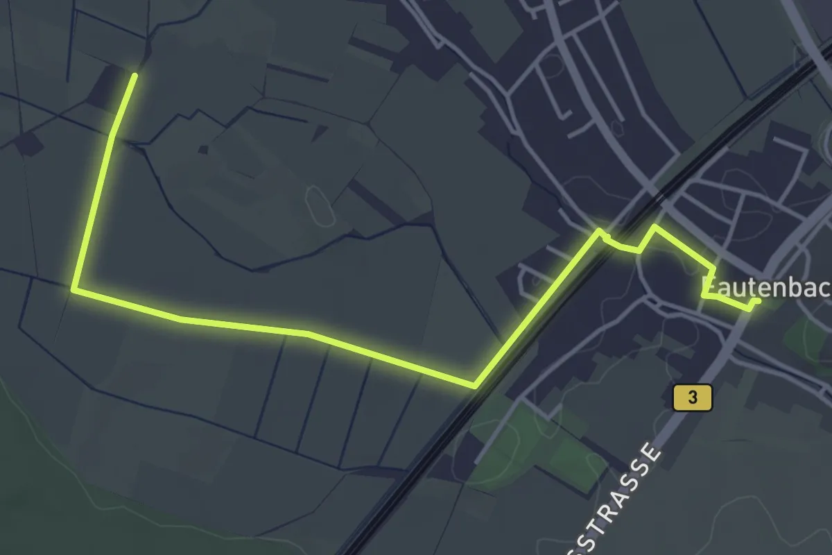
Easy · Trail
Wasserwerk Rotherst - Fautenbach Rathaus
4.8 km · ↑ 8 m · 1 h 9 min
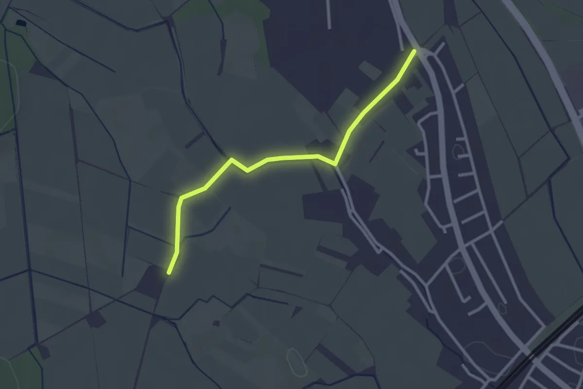
Easy · Trail
Wasserwerk Rotherst - Schwanzgass
2.5 km · ↑ 0 m · 36 min
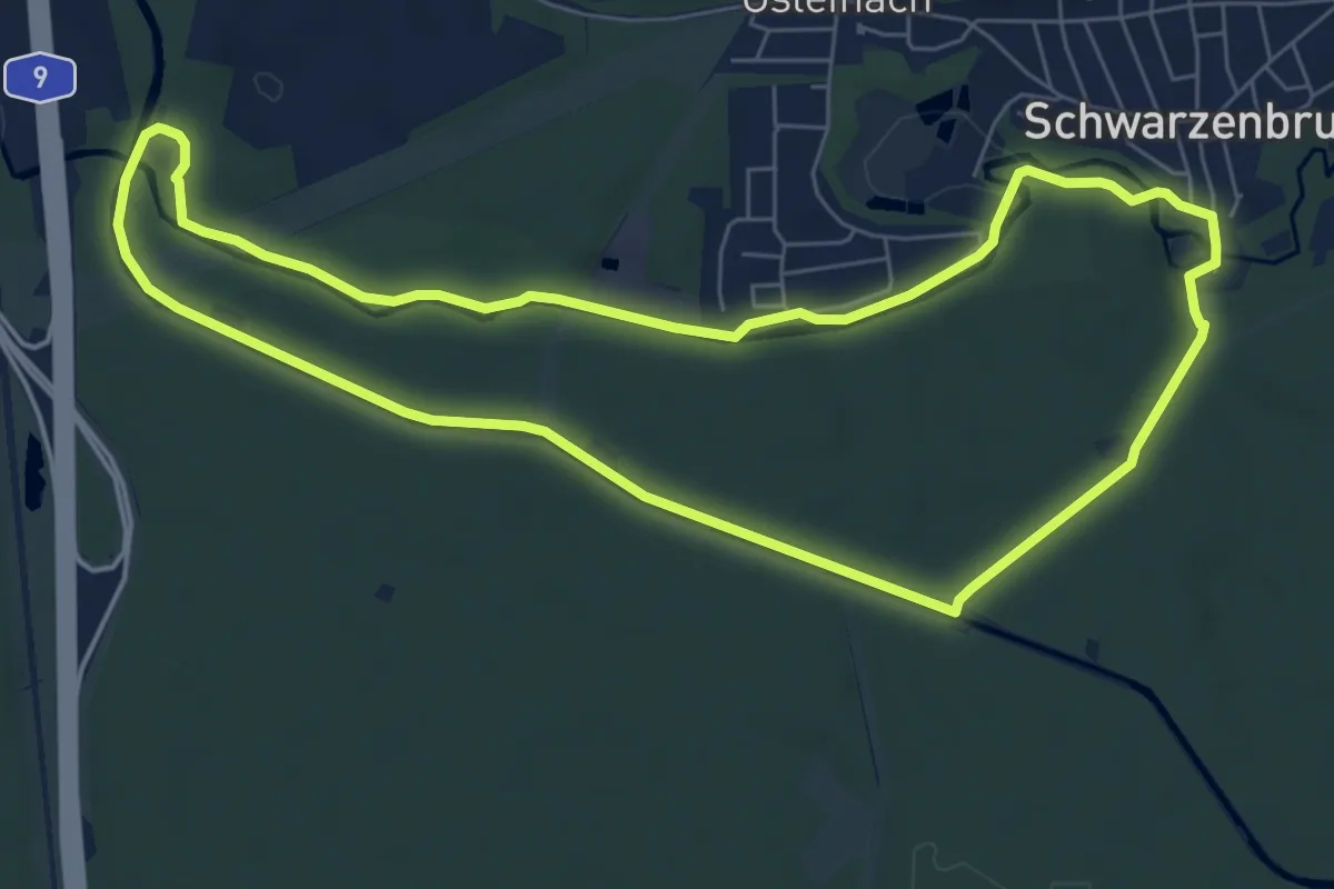
Easy · Trail
Wasserwirtschaftlicher Lehrpfad
6.7 km · ↑ 40 m · 1 h 46 min
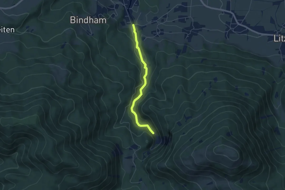
Easy · Trail
Wasserwissen
4.6 km · ↑ 177 m · 1 h 29 min
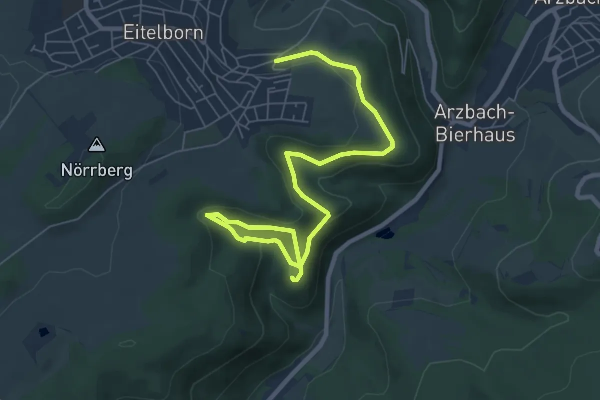
Easy · Summit
Wattehahn-Sporkenburg-Nörr
6.8 km · ↑ 238 m · 2 h 8 min
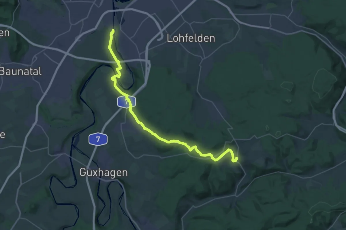
Medium · Trail
Wattenbach - Neue Mühle
14.9 km · ↑ 231 m · 4 h 20 min
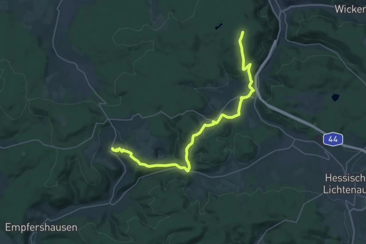
Demanding · Summit
Wattenbach - Oberkaufungen
23.2 km · ↑ 660 m · 6 h 55 min
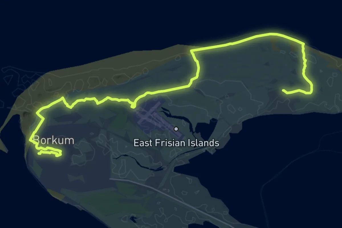
Demanding · Trail
Watteninsel Wanderweg Borkum 01
29.3 km · ↑ 31 m · 7 h
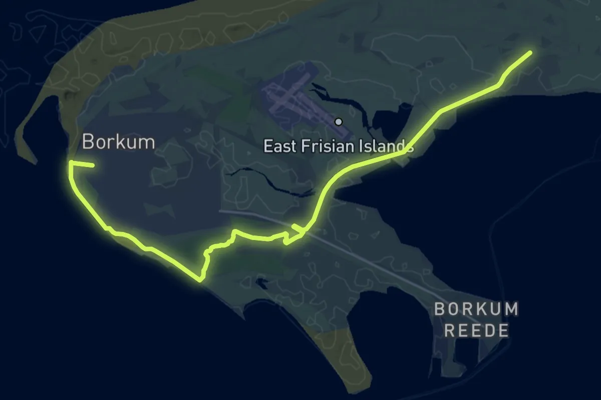
Demanding · Trail
Watteninsel Wanderweg Borkum 02
21.4 km · ↑ 13 m · 5 h 4 min
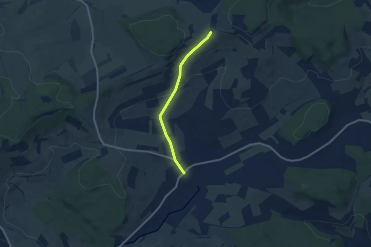
Easy · Trail
Watterdingen Dorfplatz - Haslerhof
4.8 km · ↑ 153 m · 1 h 27 min
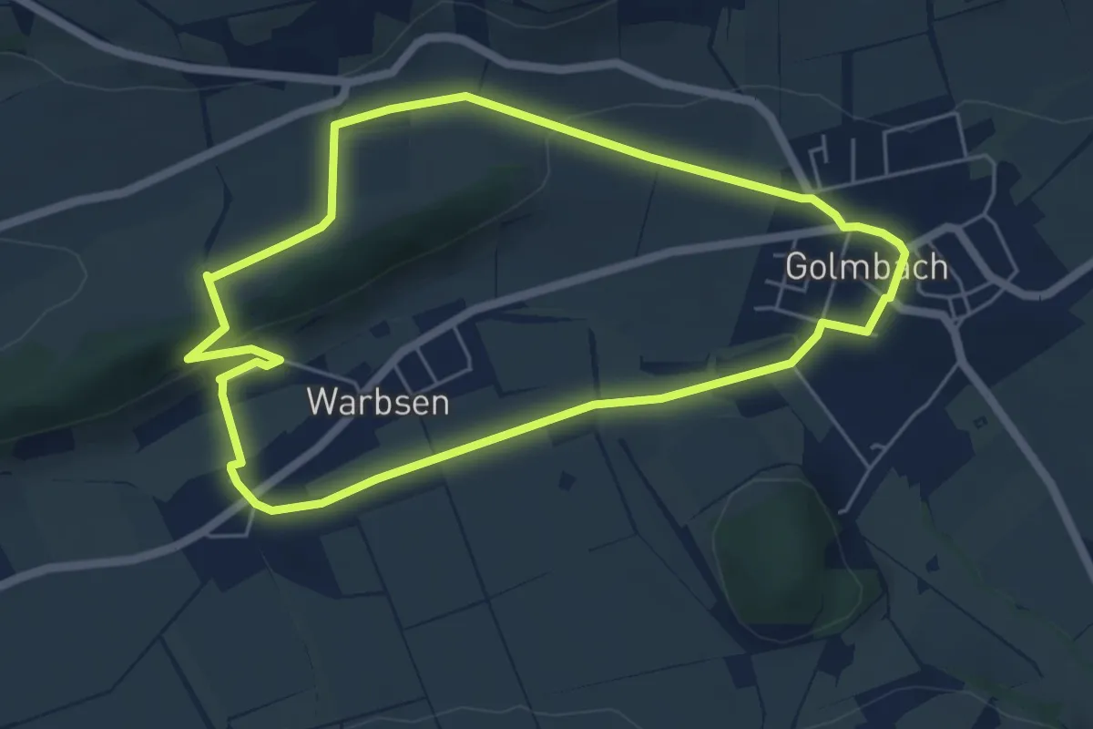
Easy · Summit
Wb 1
4.8 km · ↑ 90 m · 1 h 24 min
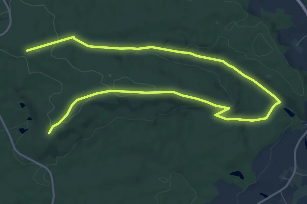
Medium · Trail
Wb6, 38, Naturpark Vorderer Bayerischer Wald
13.8 km · ↑ 229 m · 3 h 45 min
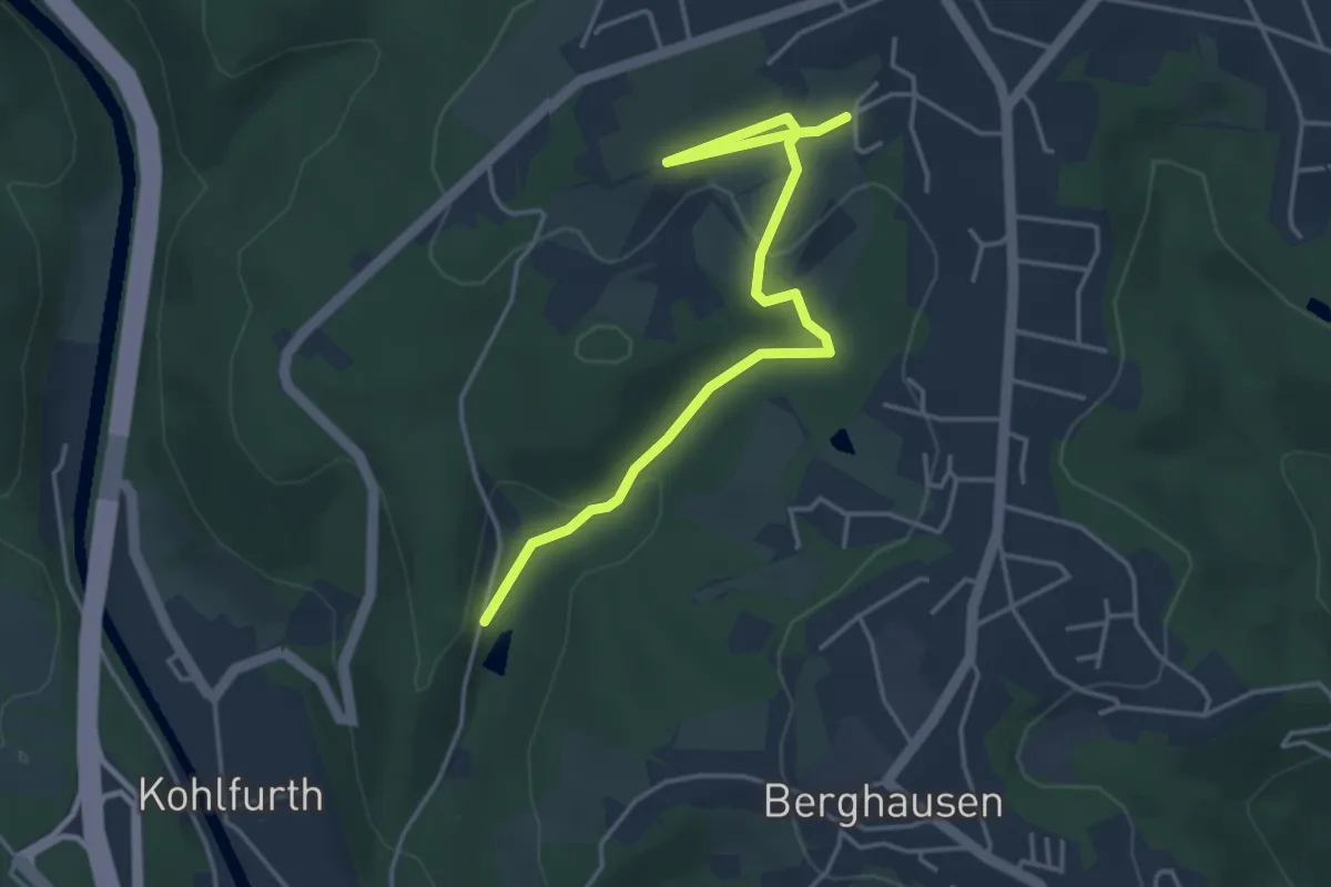
Easy · Trail
W Cronenberg-Friedrichshammer
4.1 km · ↑ 88 m · 1 h 9 min
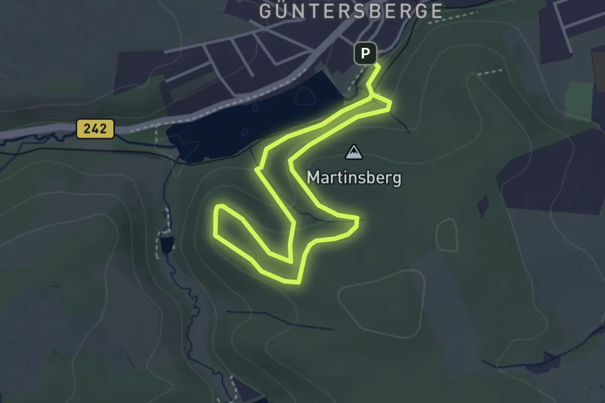
Easy · Summit
WdKuK - Bodendenkmal Güntersburg
2.7 km · ↑ 99 m · 53 min
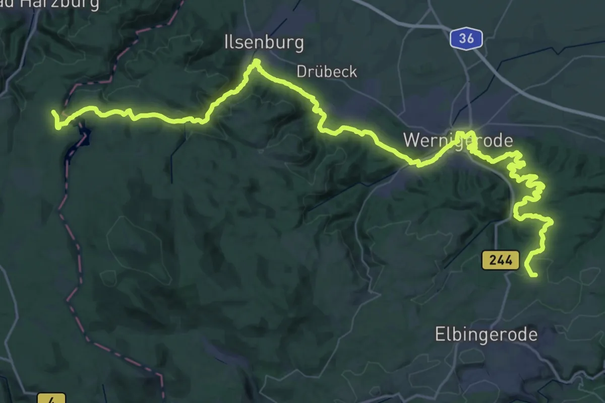
Demanding · Summit
WdKuK - Vom Kaiserweg zur Pfalz Bodfeld
71.2 km · ↑ 1600 m · 20 h 17 min
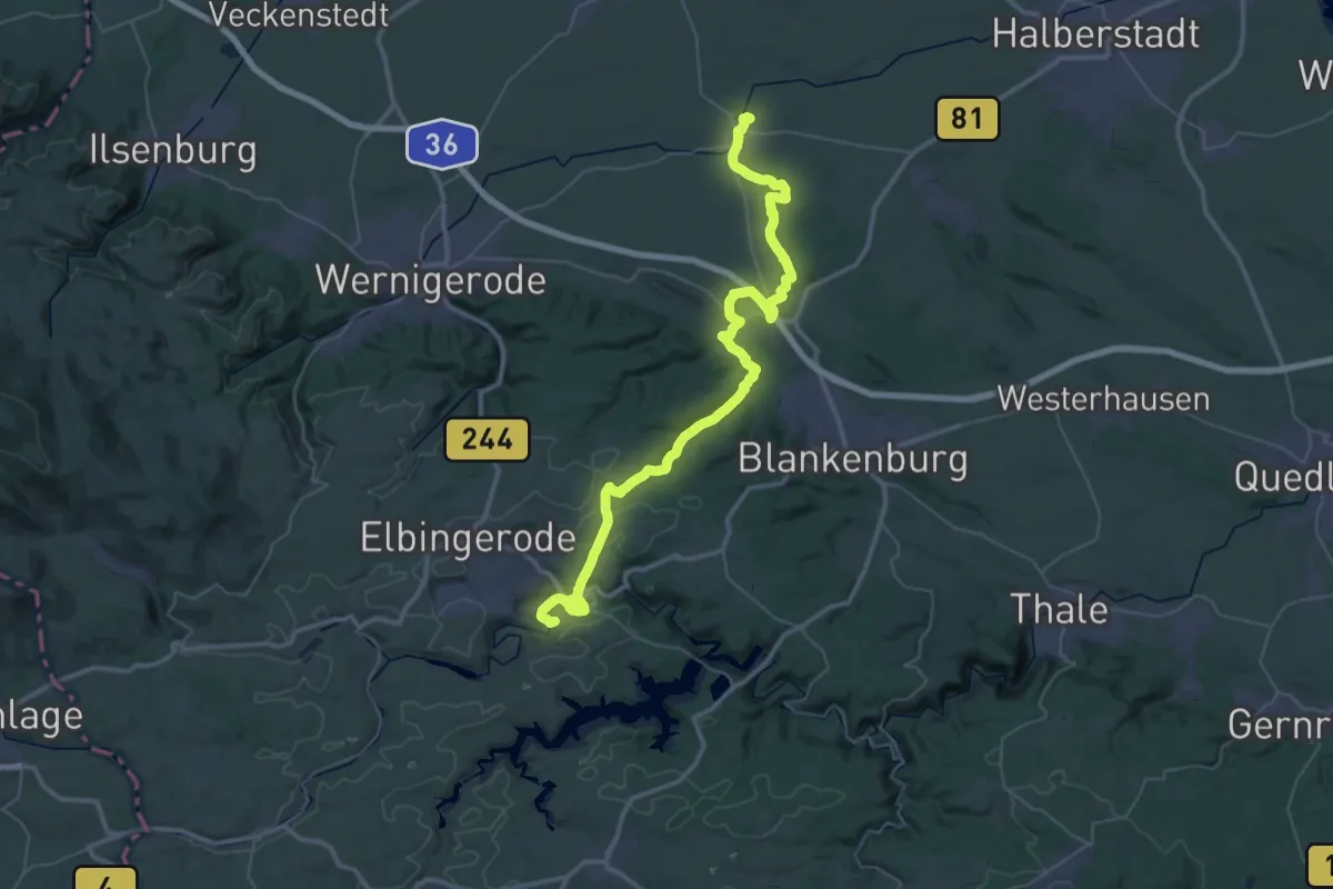
Demanding · Summit
WdKuK - Von der Pfalz Derenburg in den Harz
50.2 km · ↑ 902 m · 13 h 48 min
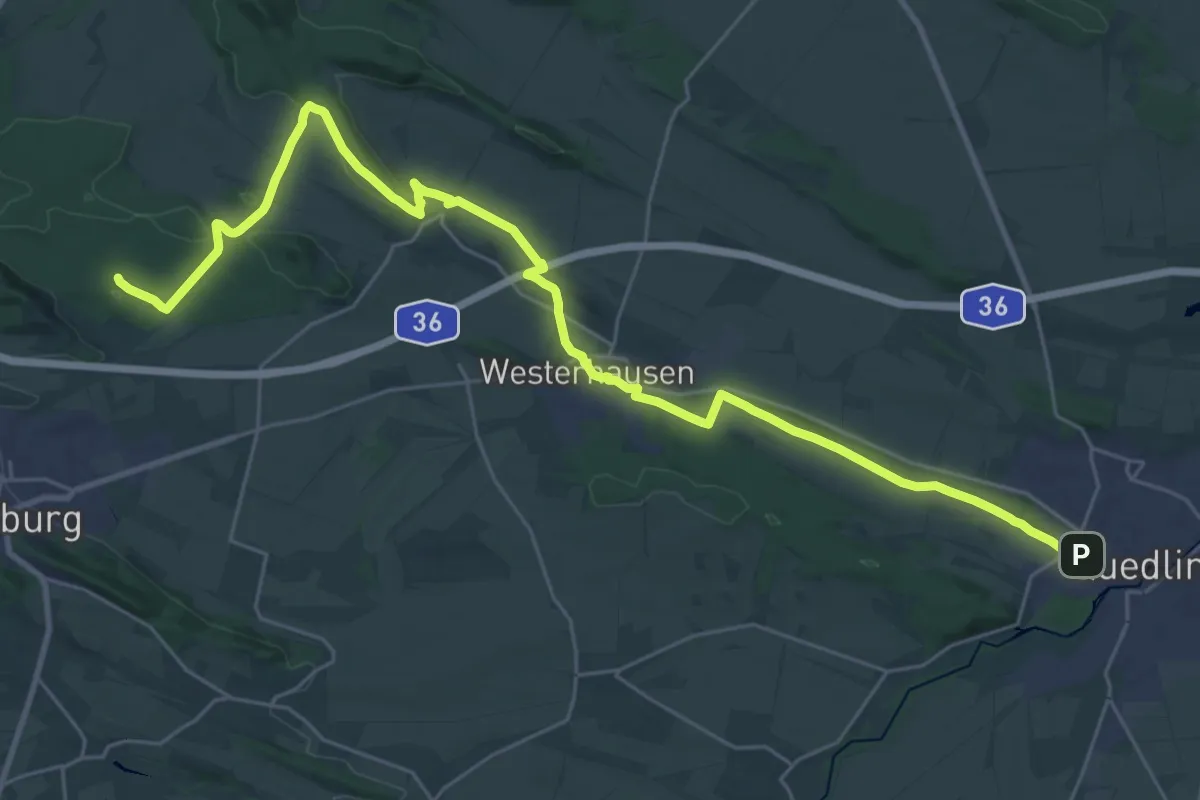
Demanding · Summit
WdKuK - Von der Welterbestadt Quedlinbnurg in die Domstadt Halberstadt
31.9 km · ↑ 313 m · 8 h 12 min
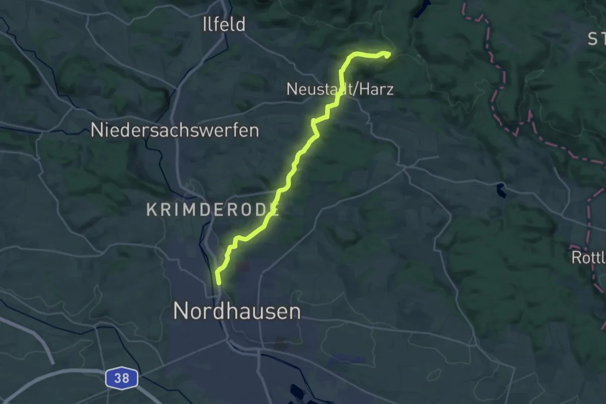
Demanding · Summit
WdKuK - Von Stiege in die Rolandsstadt Nordhausen
19.4 km · ↑ 494 m · 5 h 38 min
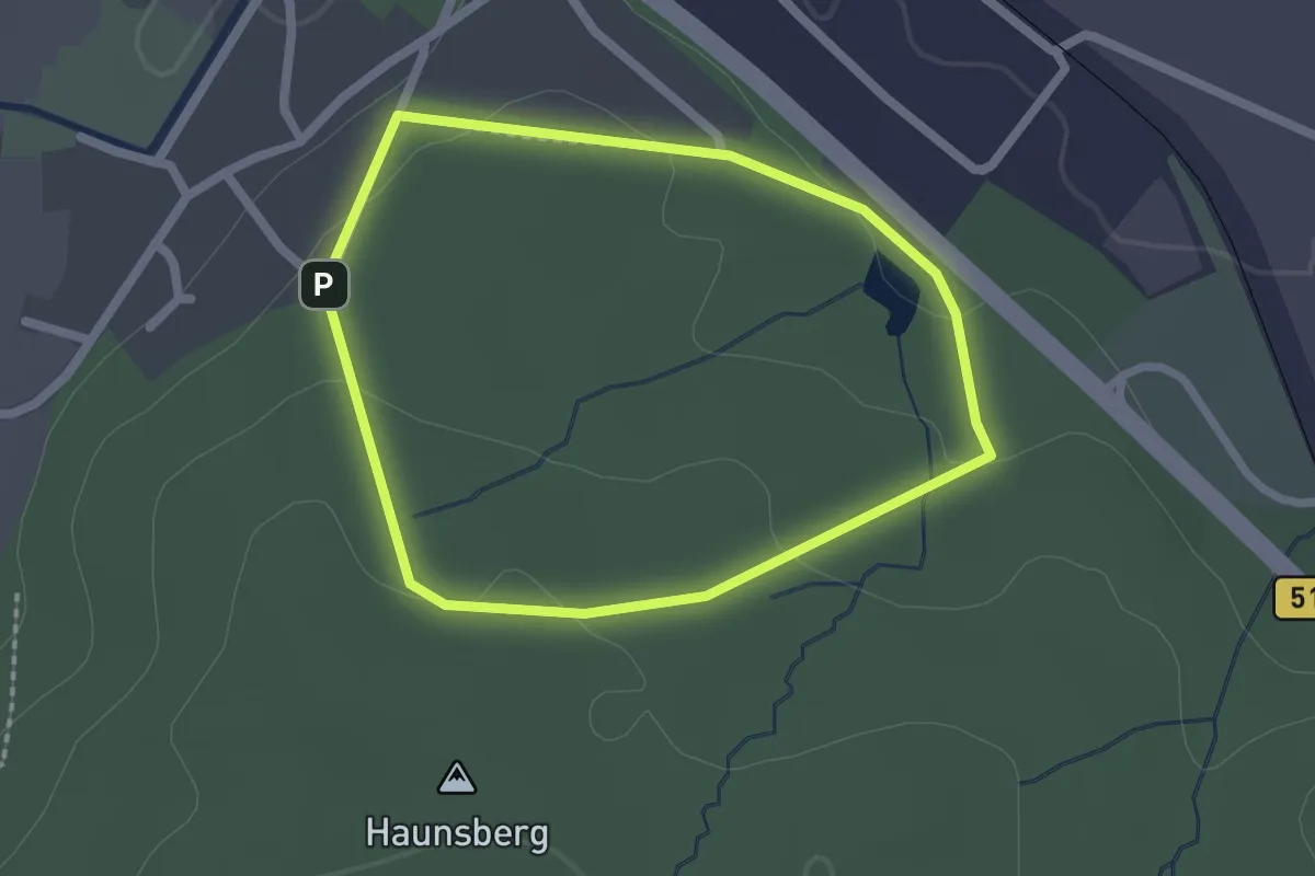
Easy · Trail
[WdL] Wanderweg der Lieder
1.7 km · ↑ 32 m · 29 min
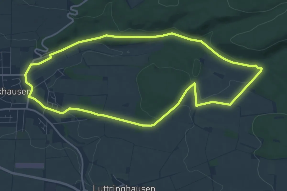
Easy · Trail
WE 1 Flöttenbach
7.8 km · ↑ 123 m · 2 h 13 min
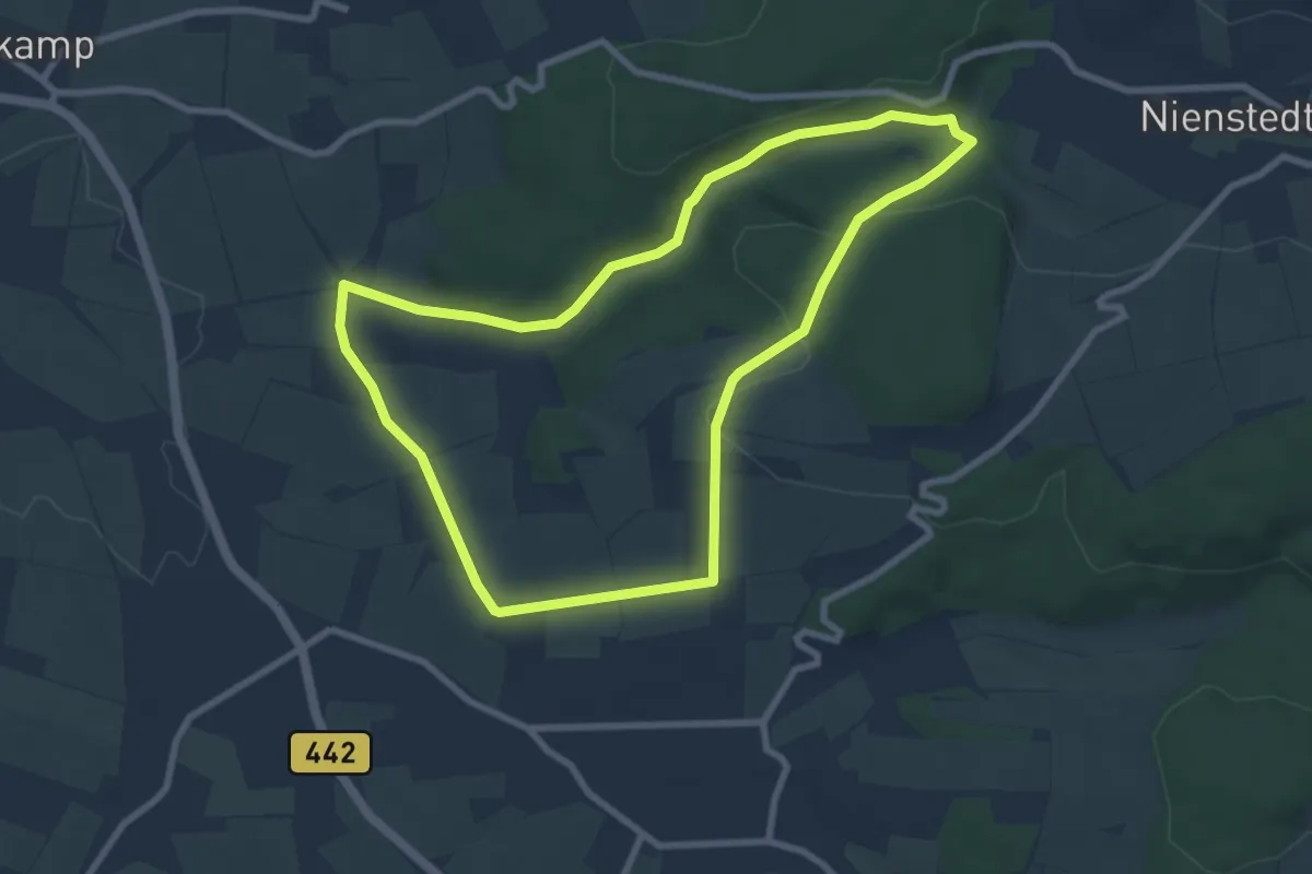
Easy · Trail
WE 2 Das liebliche Walterbachtal
7.2 km · ↑ 123 m · 2 h 3 min
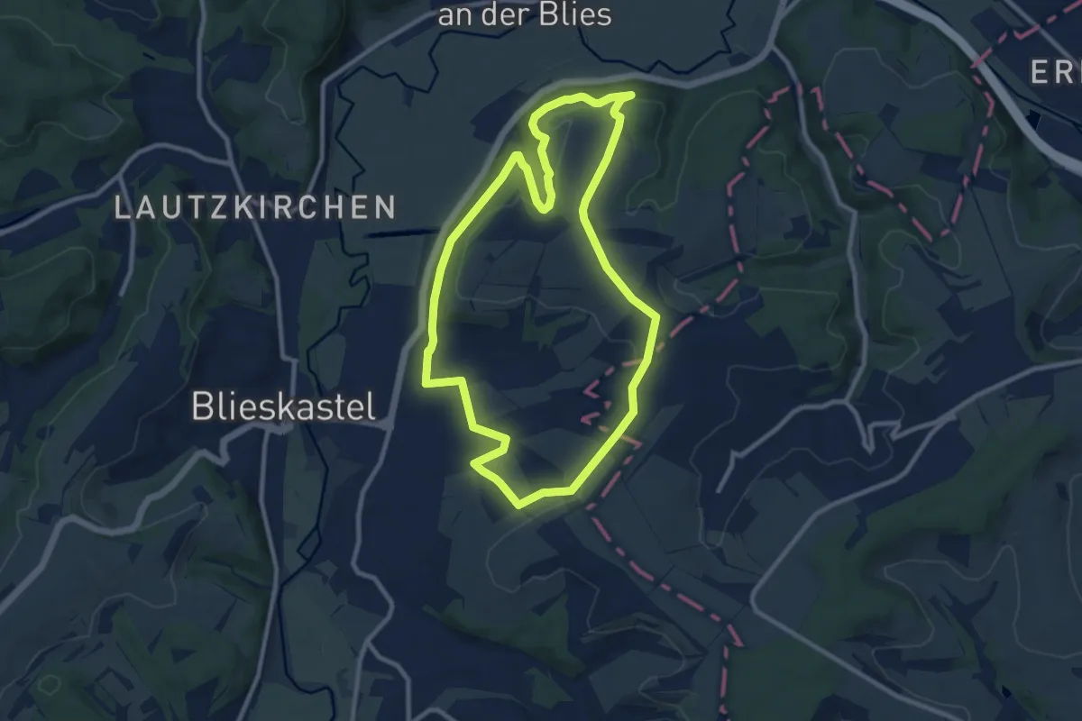
Medium · Summit
Webenheim Runde
9.0 km · ↑ 212 m · 2 h 42 min
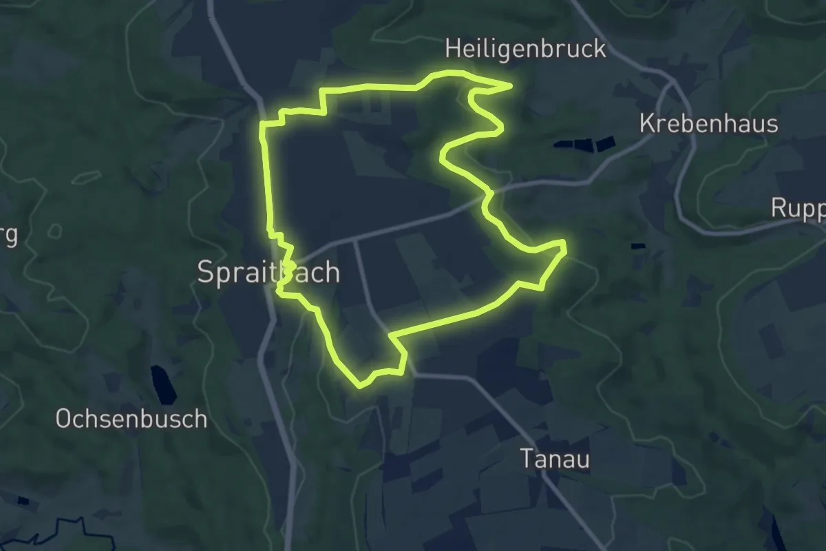
Medium · Trail
Weberhaldenweg
8.5 km · ↑ 148 m · 2 h 26 min
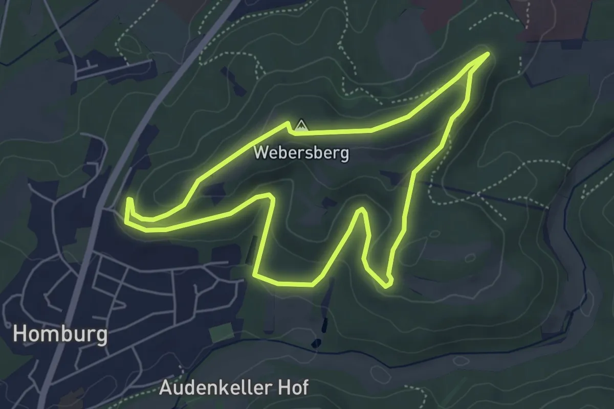
Easy · Summit
Webersberg Runde
4.7 km · ↑ 119 m · 1 h 27 min
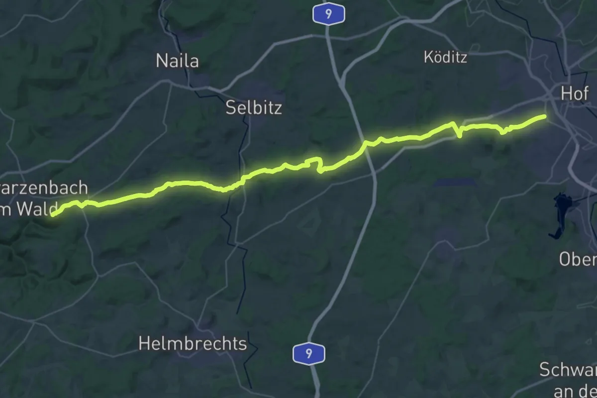
Demanding · Summit
Webersteig Döbra-Hof
43.3 km · ↑ 833 m · 12 h 2 min
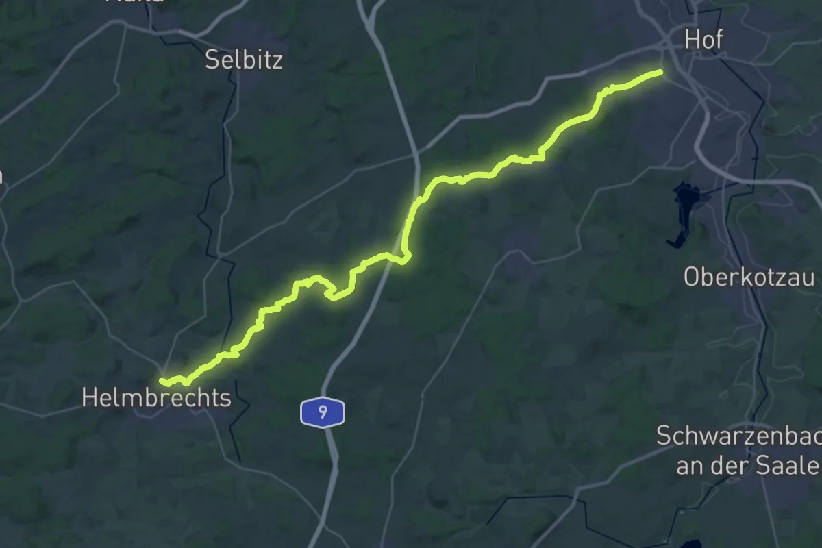
Demanding · Trail
Webersteig Hof-Helmbrechts
19.5 km · ↑ 372 m · 5 h 38 min
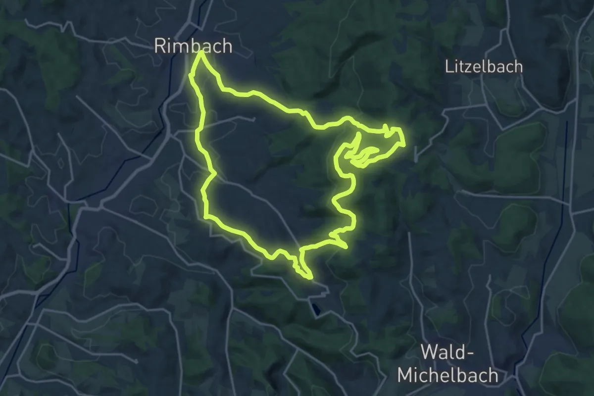
Demanding · Summit
Wechnitztaler Berg-Tour
18.4 km · ↑ 577 m · 5 h 52 min
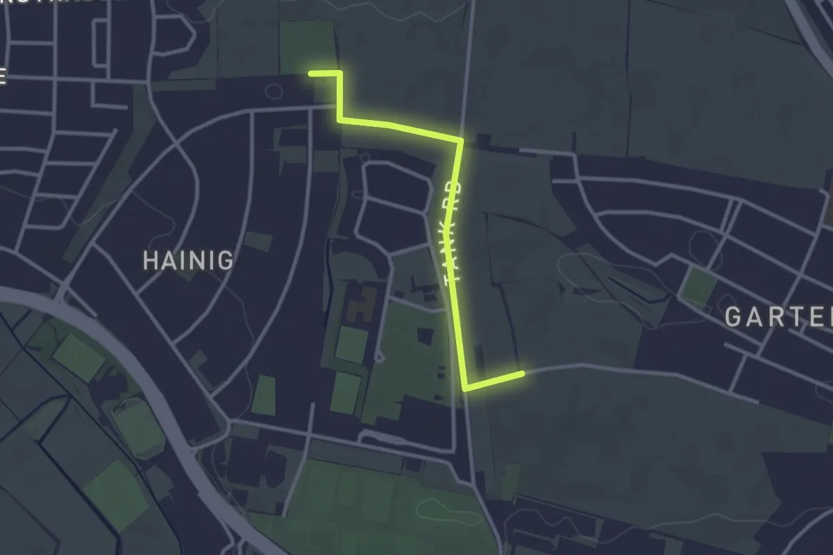
Easy · Trail
Weg 1
2.5 km · ↑ 19 m · 37 min
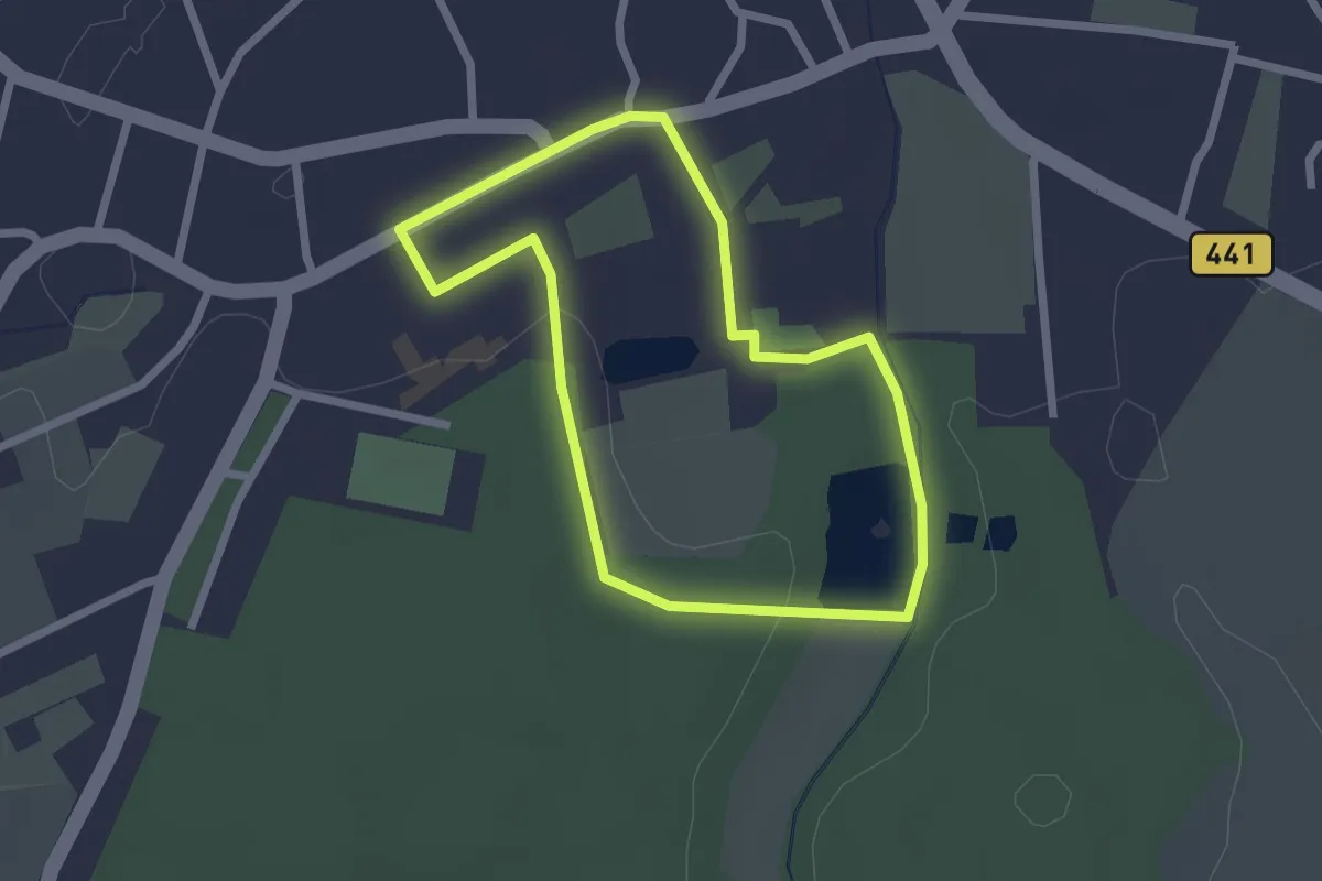
Easy · Trail
Weg 1 - blau - Wanderung im Loccumer Klosterwald
1.8 km · ↑ 9 m · 29 min
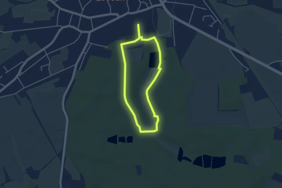
Easy · Trail
Weg 2 - grün - Wanderung im Loccumer Klosterwald
2.5 km · ↑ 14 m · 40 min
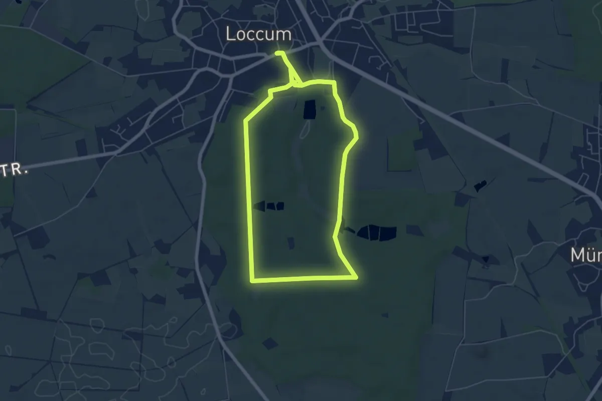
Medium · Trail
Weg 3 - gelb - Wanderung im Loccumer Klosterwald
10.6 km · ↑ 69 m · 2 h 40 min
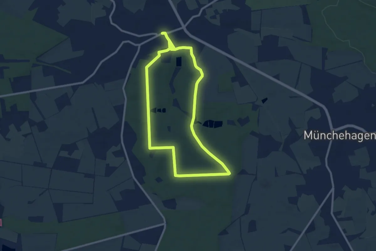
Medium · Trail
Weg 4 - rot - Wanderung im Loccumer Klosterwald
13.4 km · ↑ 82 m · 3 h 21 min
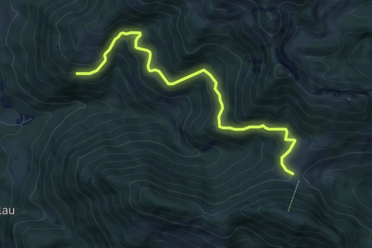
Medium · Trail
Weg 51 Unterwössen - Agergschwendalm - Jochbergalm
8.5 km · ↑ 496 m · 3 h 5 min