Trails in Germany
36,852 hiking trails, each with its route, climb, walking time and grade.
All trails, page 717 of 768
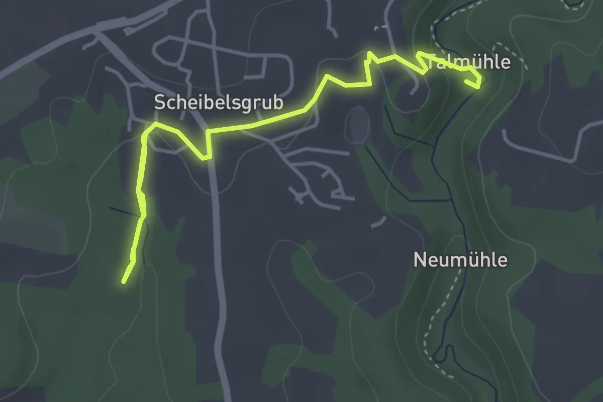
Easy · Summit
Weingartenweg Variante B
4.7 km · ↑ 101 m · 1 h 19 min
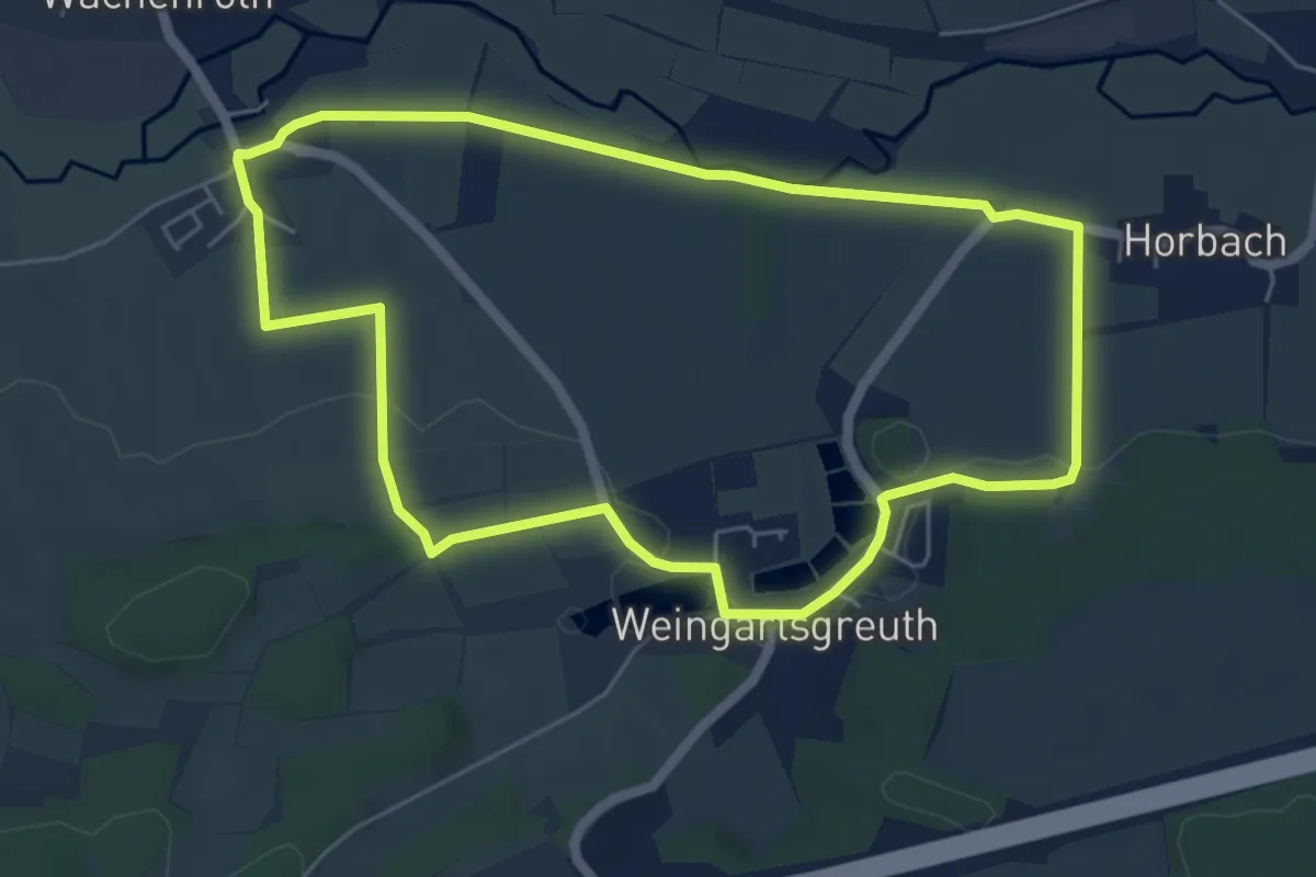
Easy · Trail
Weingartsgreuth W1
5.3 km · ↑ 53 m · 1 h 27 min
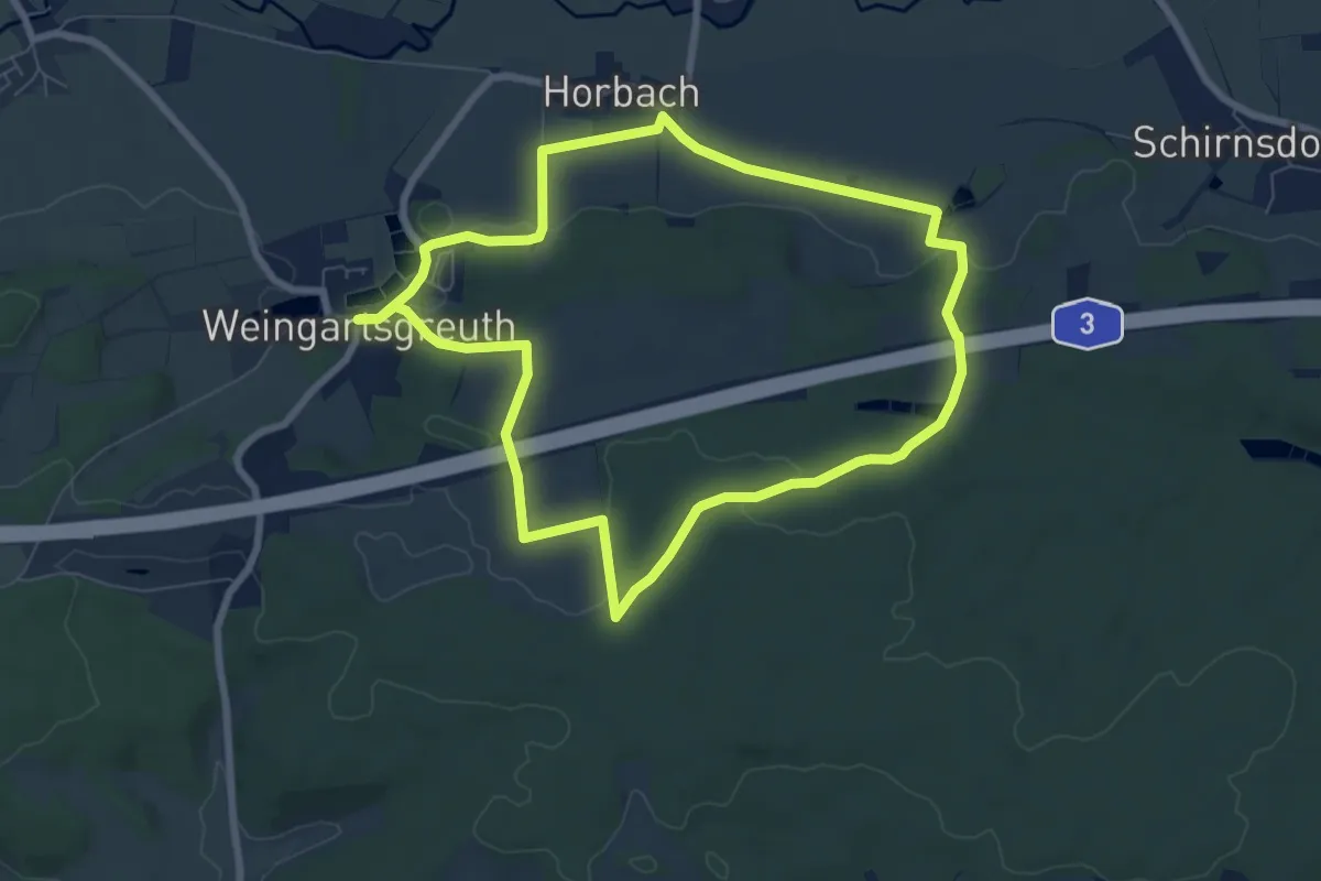
Easy · Trail
Weingartsgreuth W3
7.0 km · ↑ 93 m · 1 h 57 min
Easy · Trail
Weingartsgreuth W4
7.0 km · ↑ 93 m · 1 h 57 min
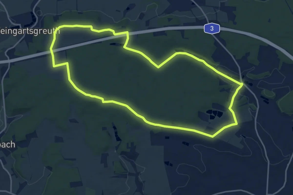
Medium · Summit
Weingartsgreuth W5
11.3 km · ↑ 119 m · 3 h 4 min
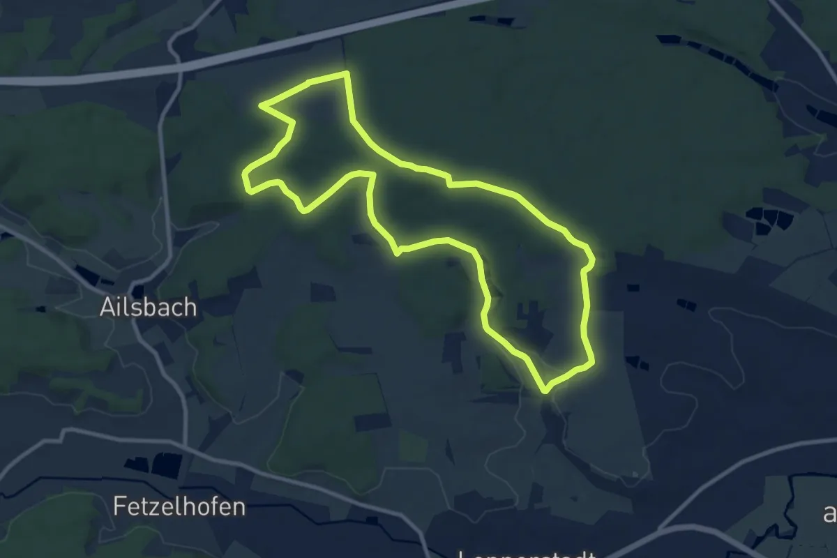
Medium · Summit
Weingartsgreuth W6
8.9 km · ↑ 118 m · 2 h 30 min
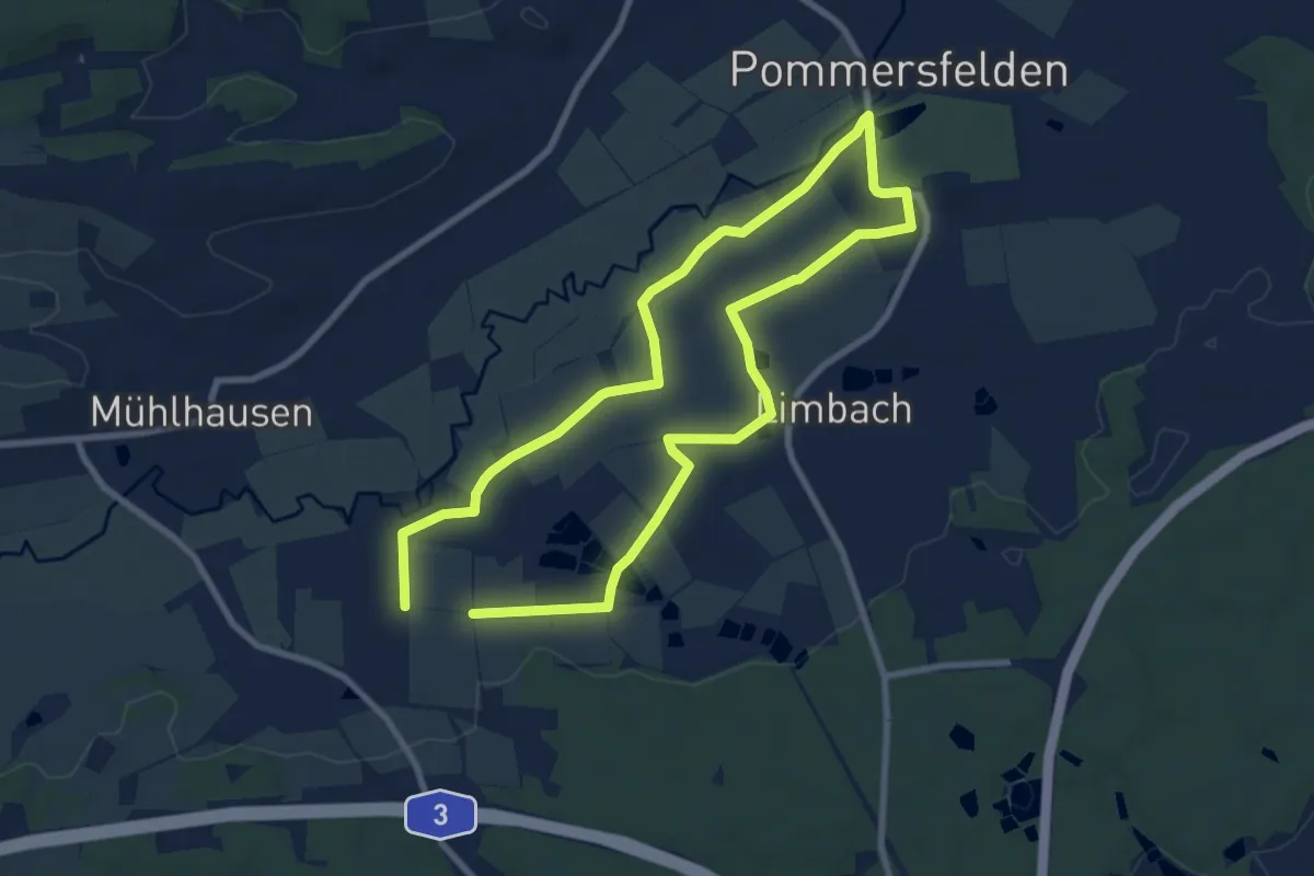
Easy · Trail
Weingartsgreuth W7
7.3 km · ↑ 30 m · 1 h 54 min
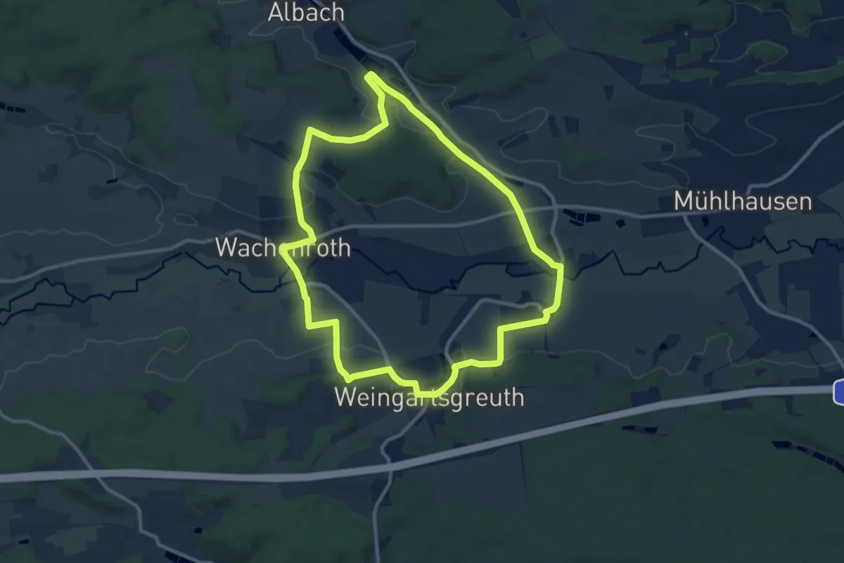
Medium · Trail
Weingartsgreuth W8
9.8 km · ↑ 101 m · 2 h 40 min
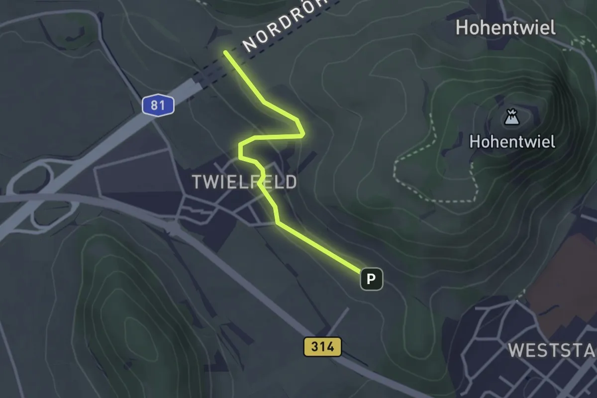
Easy · Trail
Weingut Vollmayer - Rennweg
2.7 km · ↑ 65 m · 46 min
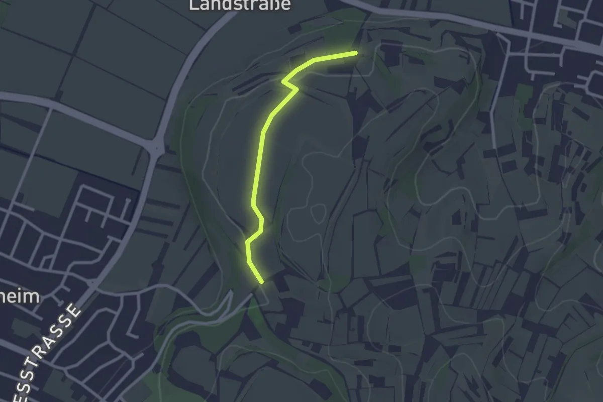
Easy · Trail
Weingut Weber - Winzerdenkmal
2.1 km · ↑ 35 m · 34 min
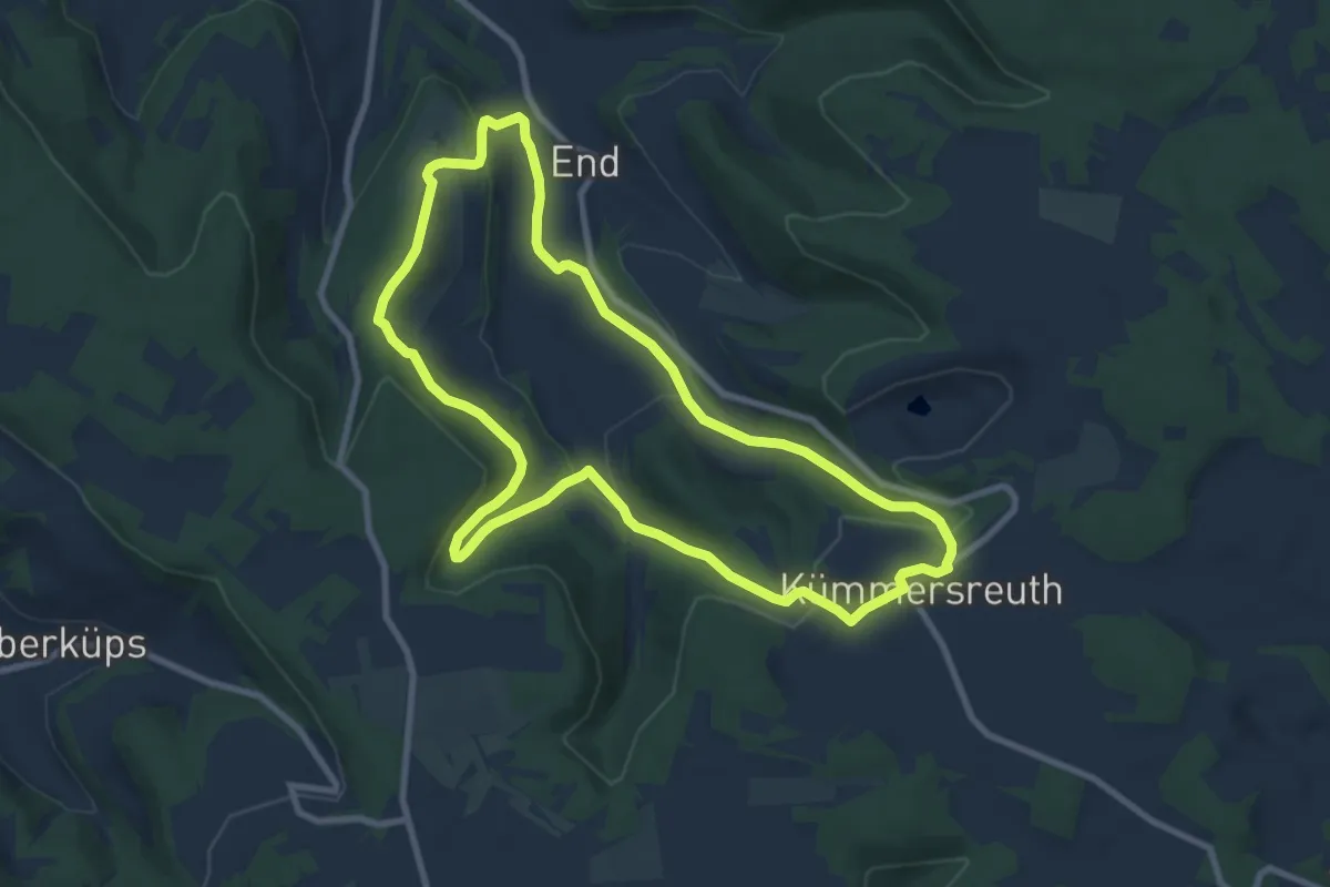
Medium · Summit
Weinhügel-Rundweg
8.4 km · ↑ 310 m · 2 h 46 min
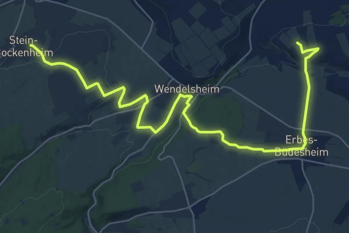
Demanding · Trail
Weinkelch
22.2 km · ↑ 341 m · 5 h 58 min
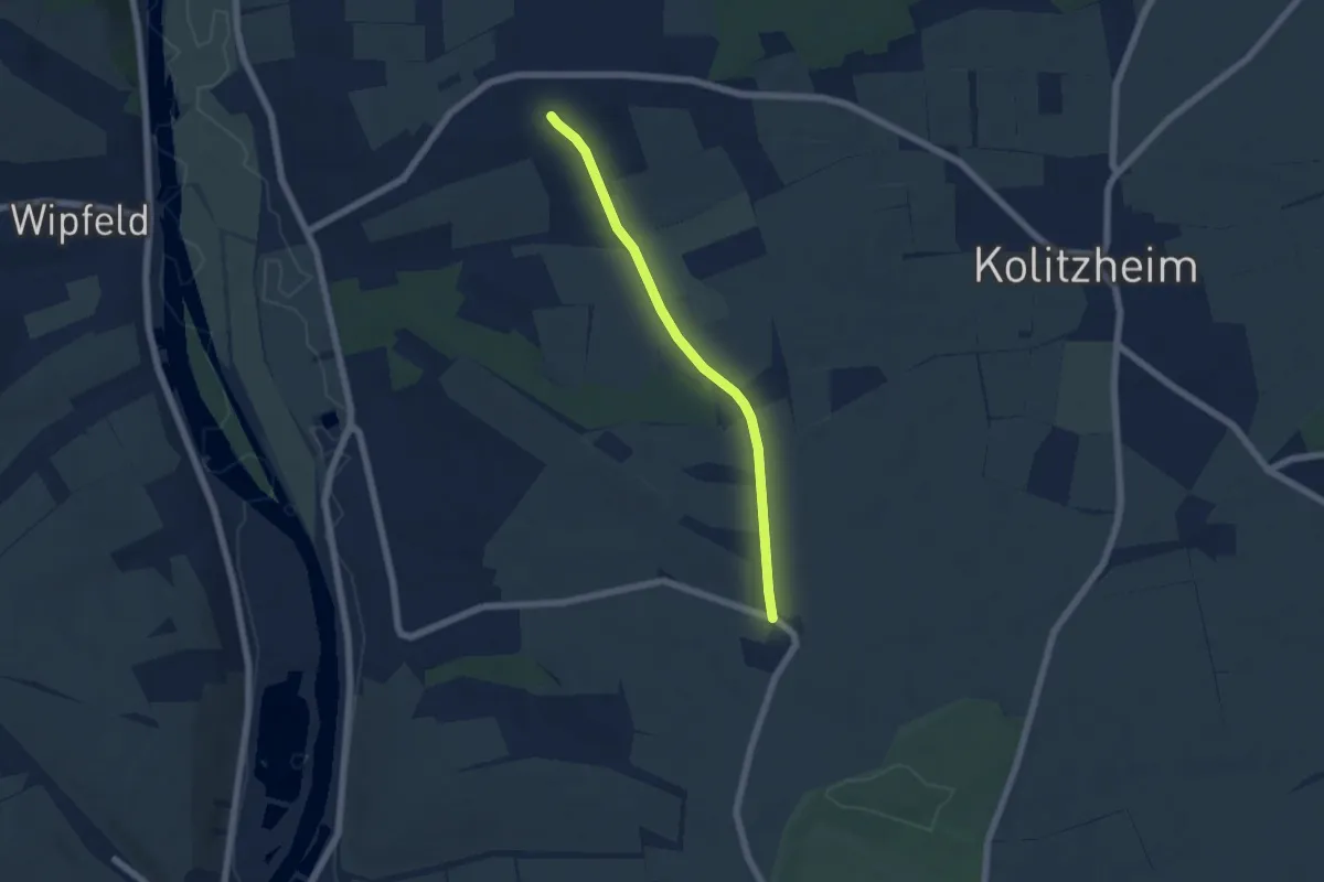
Easy · Trail
Wein-KultTour Lindach-Stammheim-Zeilitzheim
5.0 km · ↑ 49 m · 1 h 17 min
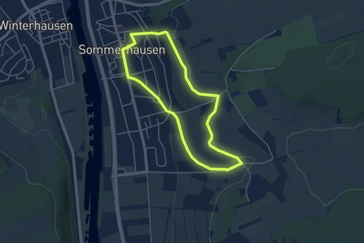
Easy · Trail
Wein-Kultur-Weg
3.2 km · ↑ 65 m · 57 min
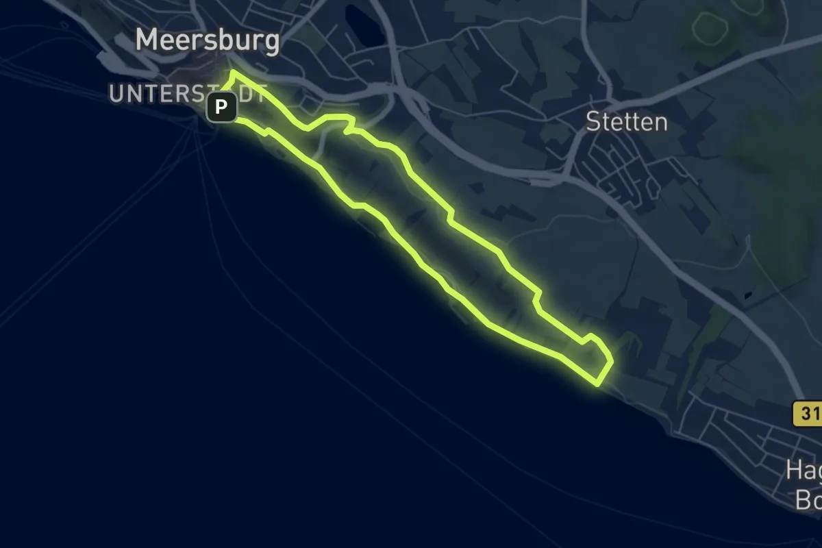
Easy · Trail
Weinkundeweg
5.7 km · ↑ 78 m · 1 h 36 min
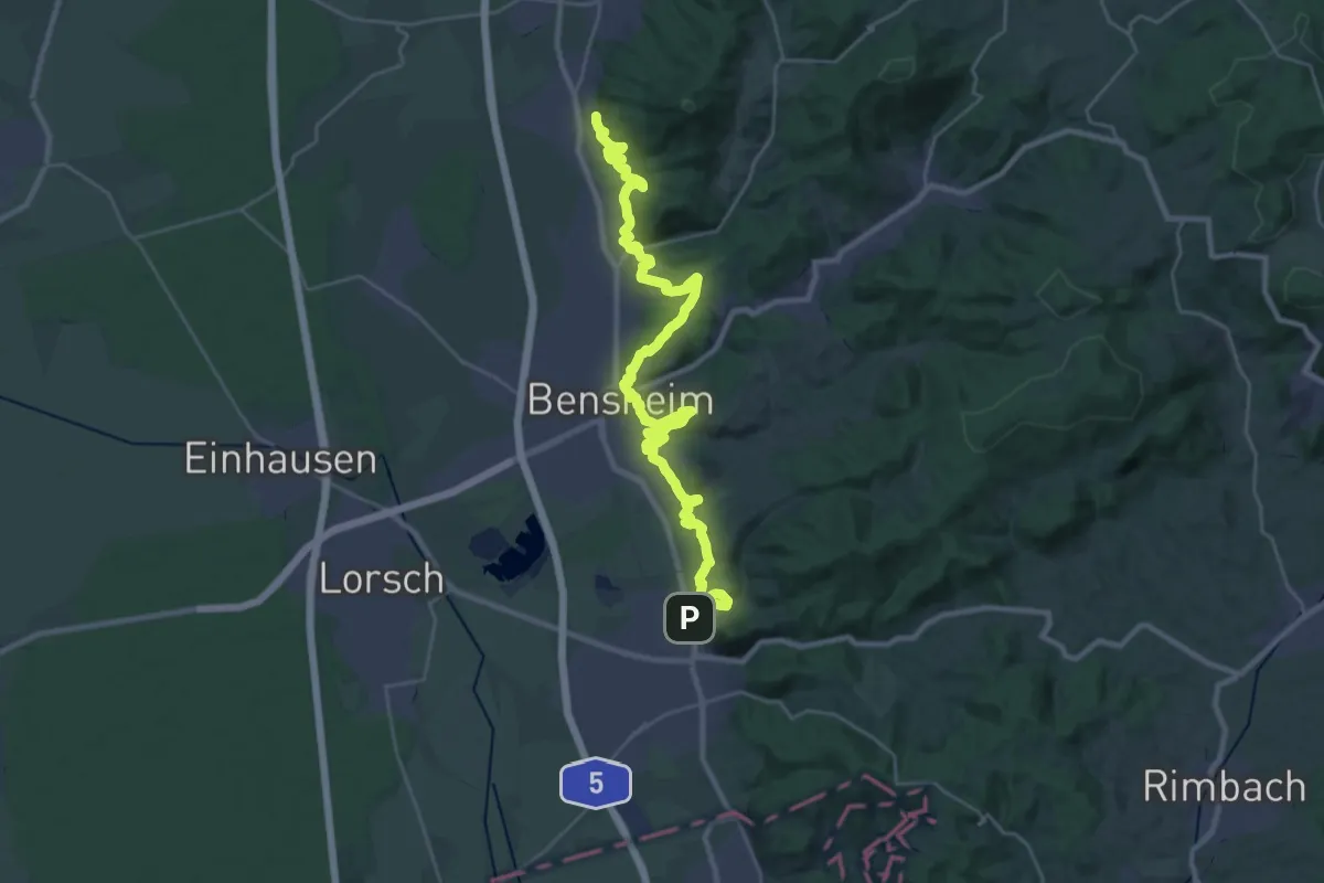
Medium · Trail
Weinlagenwanderung (2022)
16.4 km · ↑ 550 m · 5 h 16 min
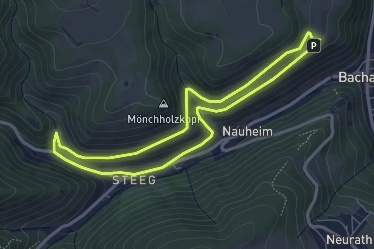
Easy · Trail
Weinlagenweg
4.6 km · ↑ 155 m · 1 h 29 min
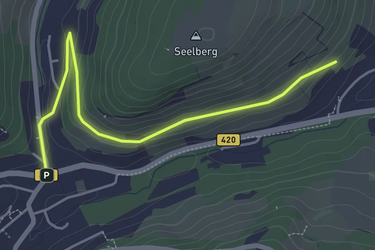
Easy · Trail
Weinlehrpfad
3.4 km · ↑ 72 m · 57 min
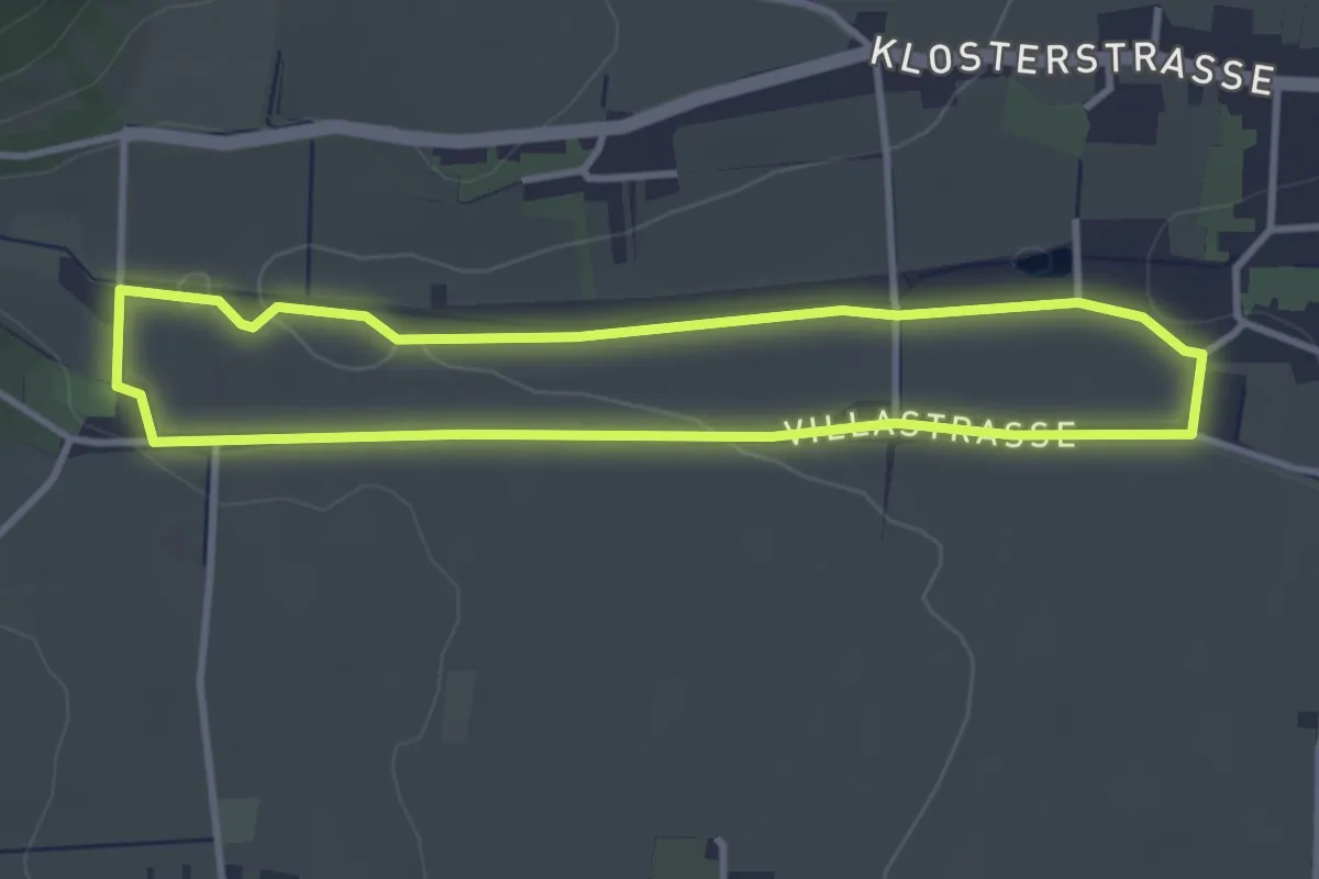
Easy · Trail
Weinlehrpfad
3.1 km · ↑ 28 m · 50 min
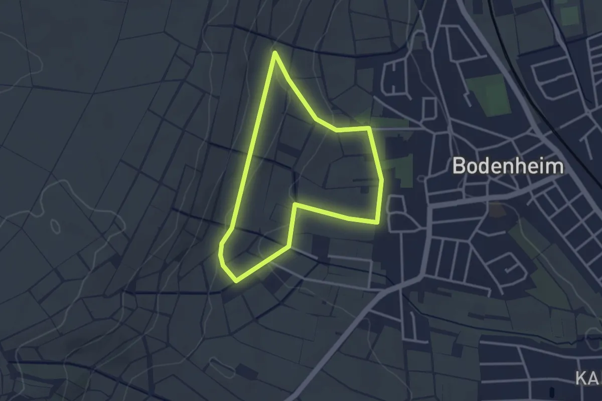
Easy · Trail
Weinlehrpfad
2.5 km · ↑ 46 m · 44 min
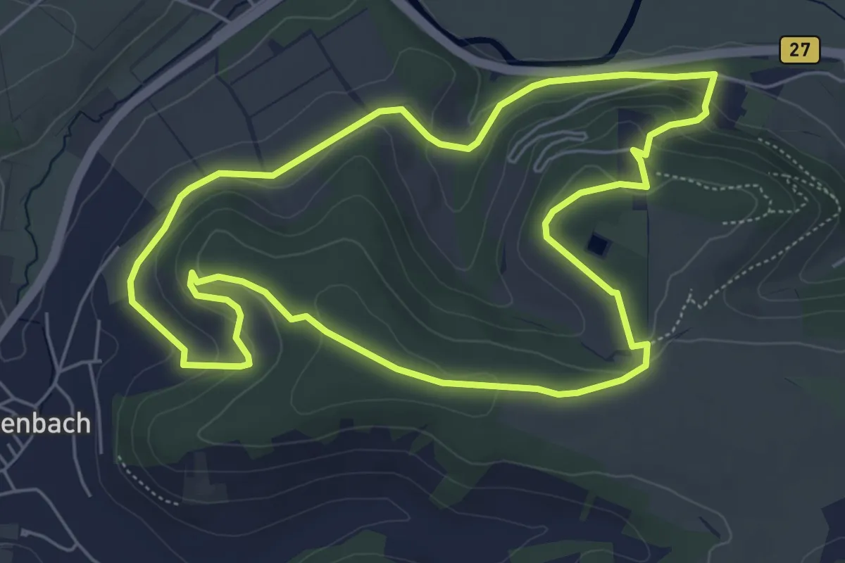
Easy · Trail
Weinlehrpfad
5.5 km · ↑ 172 m · 1 h 45 min
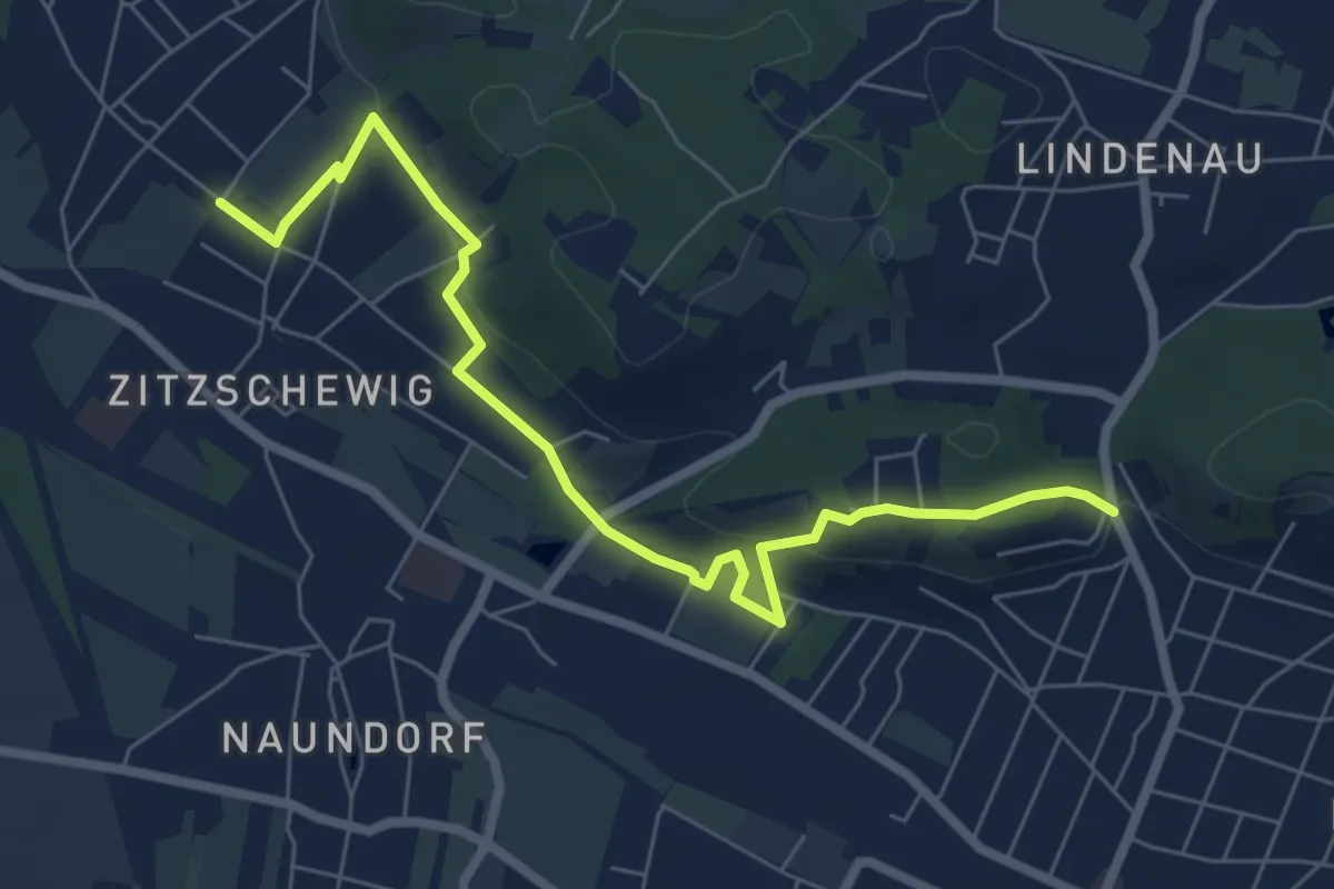
Easy · Trail
Weinlehrpfad
6.8 km · ↑ 237 m · 2 h 7 min
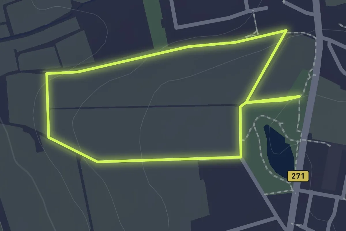
Easy · Trail
Wein-Lehr-Pfad
1.6 km · ↑ 35 m · 29 min
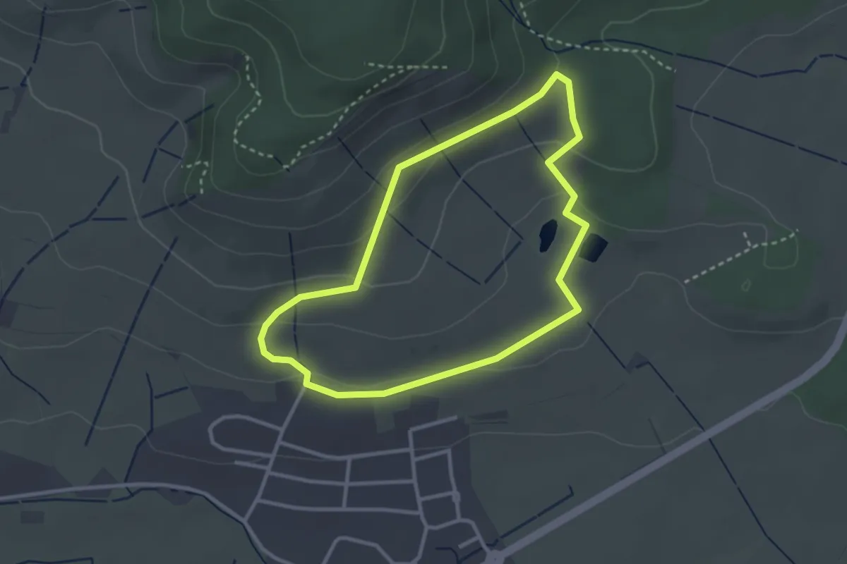
Easy · Trail
Weinlehrpfad am Klosterberg
2.7 km · ↑ 77 m · 50 min
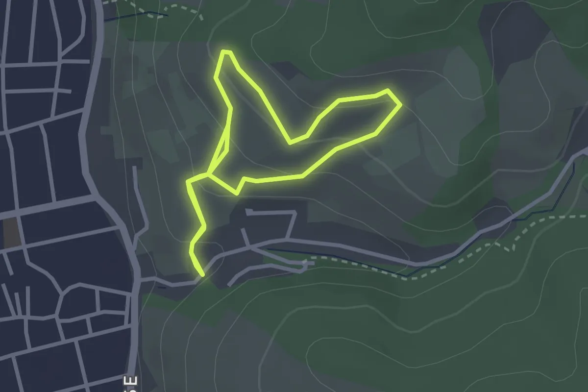
Easy · Trail
Weinlehrpfad Hemsbach
2.1 km · ↑ 127 m · 47 min
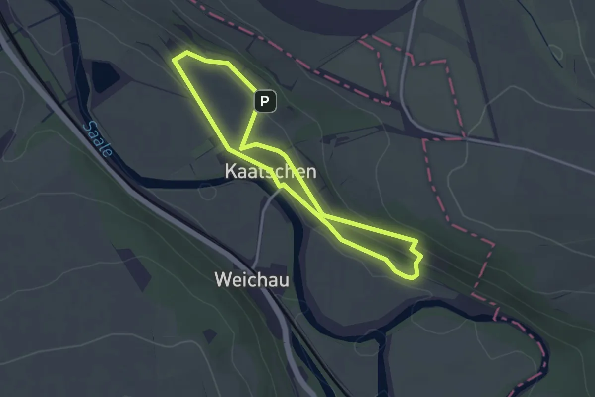
Easy · Trail
Weinlehrpfad Kaatschen
2.5 km · ↑ 76 m · 47 min
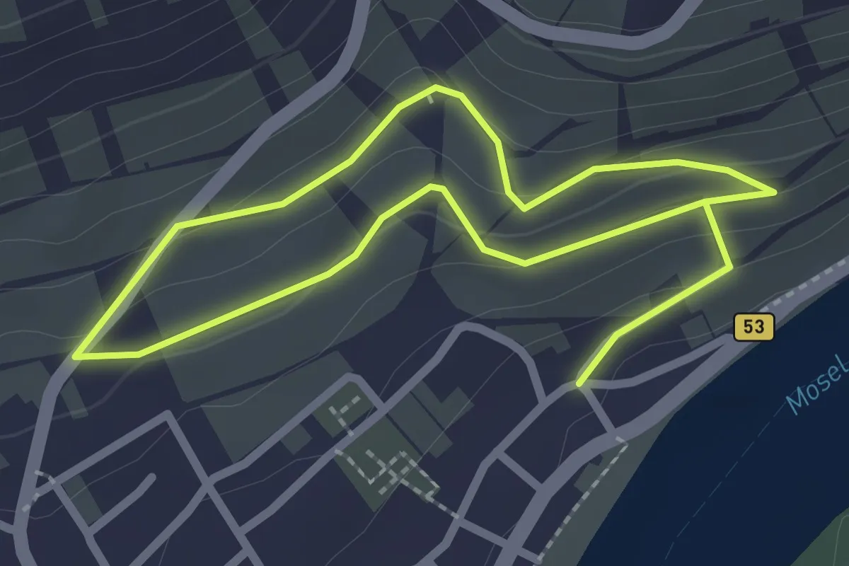
Easy · Trail
Weinlehrpfad Kröv
3.7 km · ↑ 114 m · 1 h 8 min
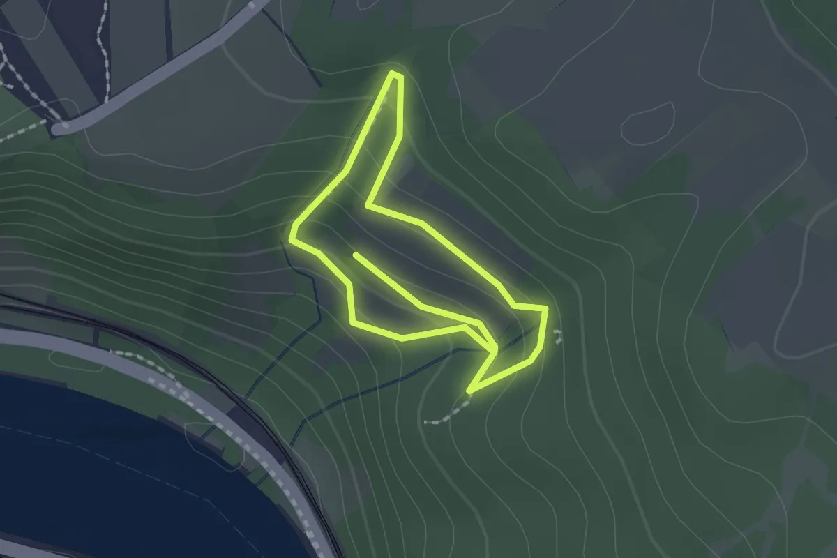
Easy · Trail
Weinlehrpfad Loreley
2.8 km · ↑ 170 m · 1 h 1 min
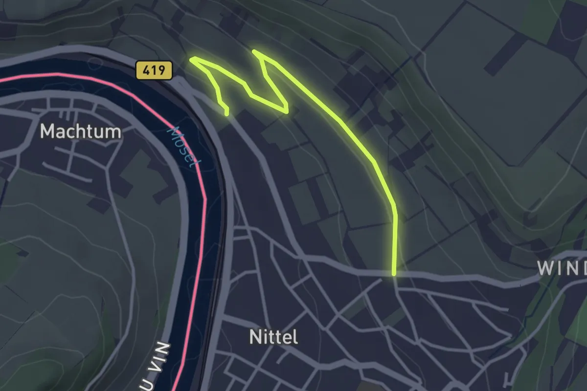
Easy · Trail
Weinlehrpfad Nittel
3.2 km · ↑ 60 m · 53 min
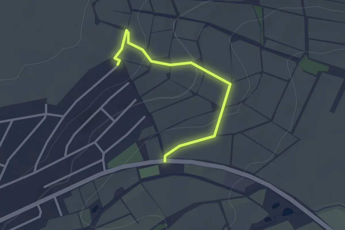
Easy · Trail
Weinlehrpfad Zornheim
2.2 km · ↑ 58 m · 39 min
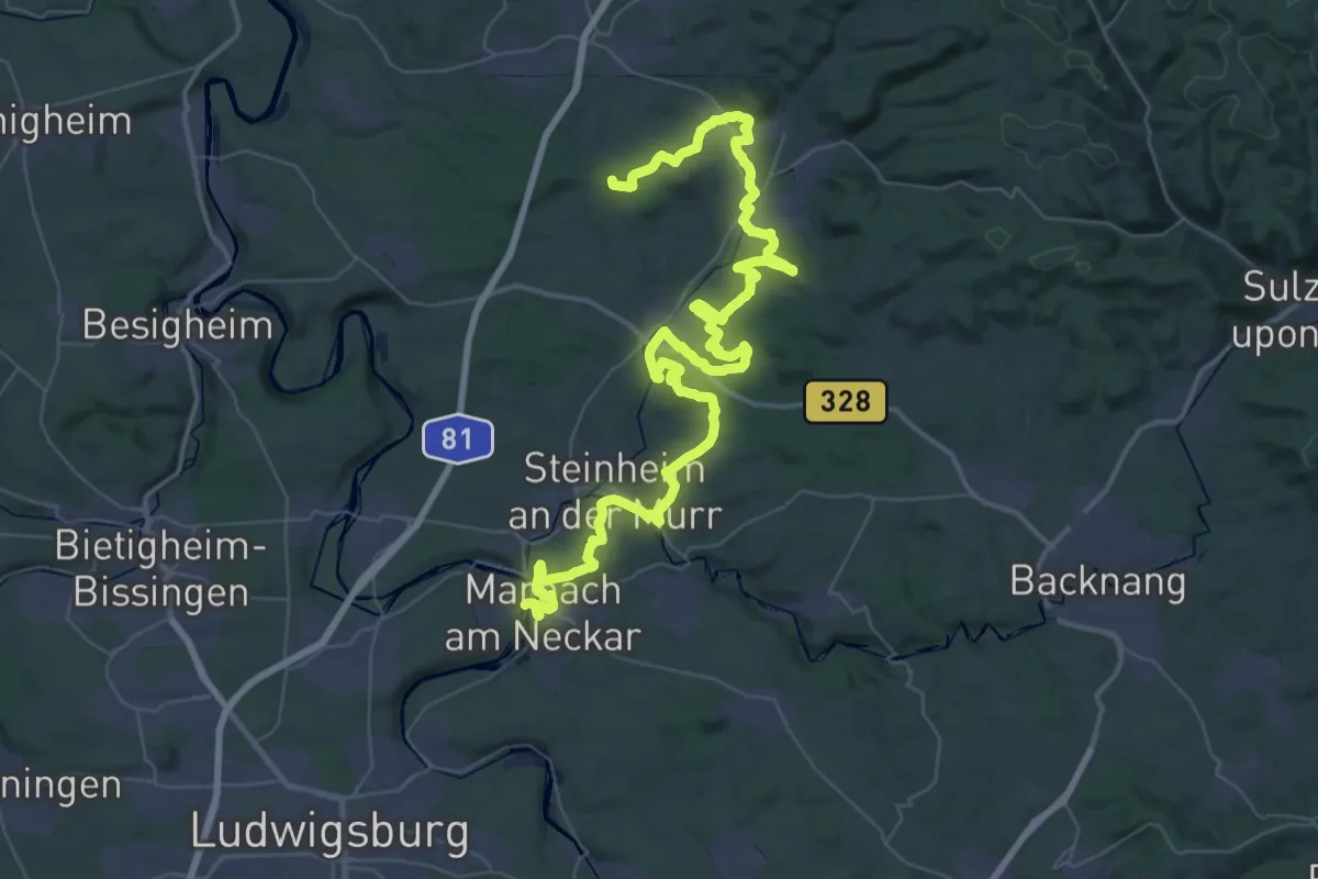
Demanding · Summit
Wein-Lese-Weg
67.7 km · ↑ 1594 m · 19 h 27 min
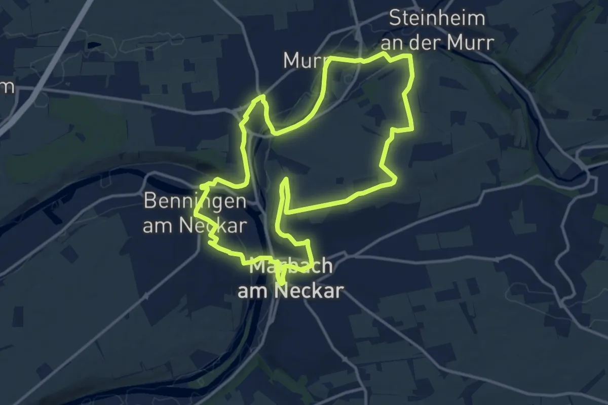
Medium · Summit
Wein-Lese-Weg Tour 1
11.6 km · ↑ 199 m · 3 h 21 min
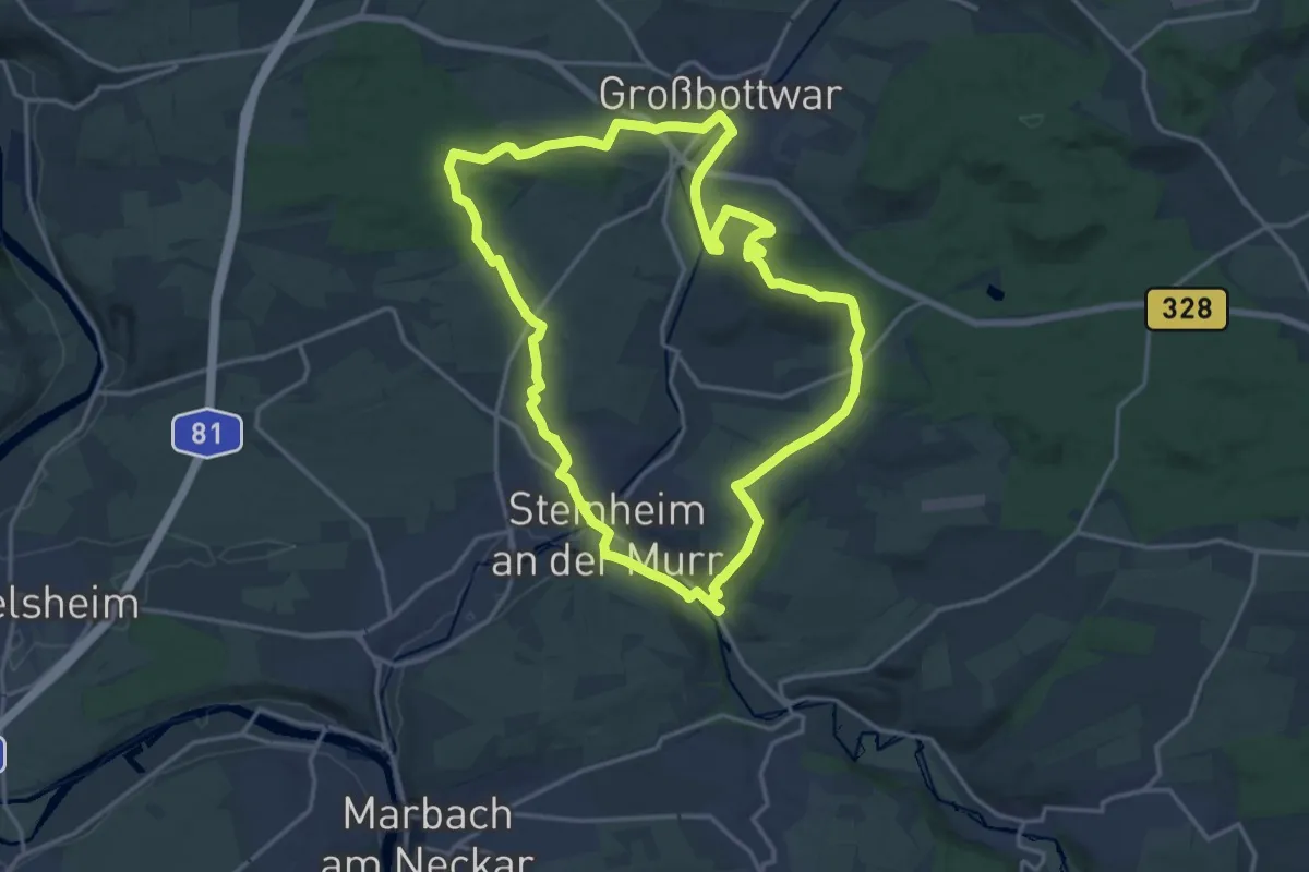
Medium · Summit
Wein-Lese-Weg Tour 2
16.2 km · ↑ 292 m · 4 h 41 min
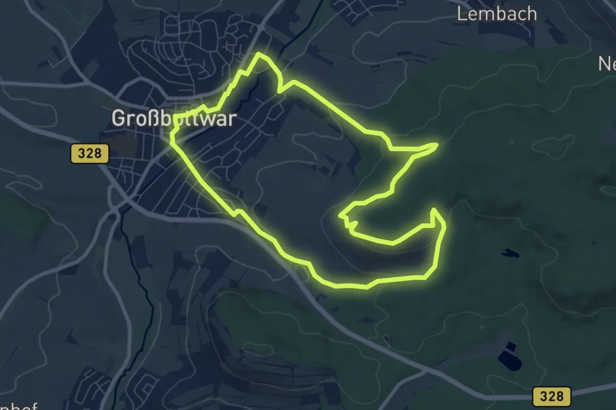
Easy · Summit
Wein-Lese-Weg Tour 3
7.8 km · ↑ 220 m · 2 h 25 min
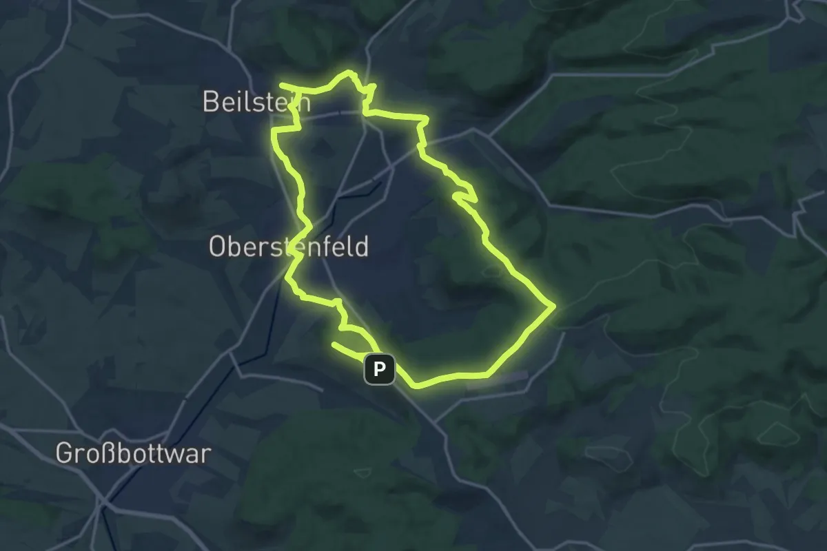
Medium · Summit
Wein-Lese-Weg Tour 4
15.7 km · ↑ 300 m · 4 h 35 min
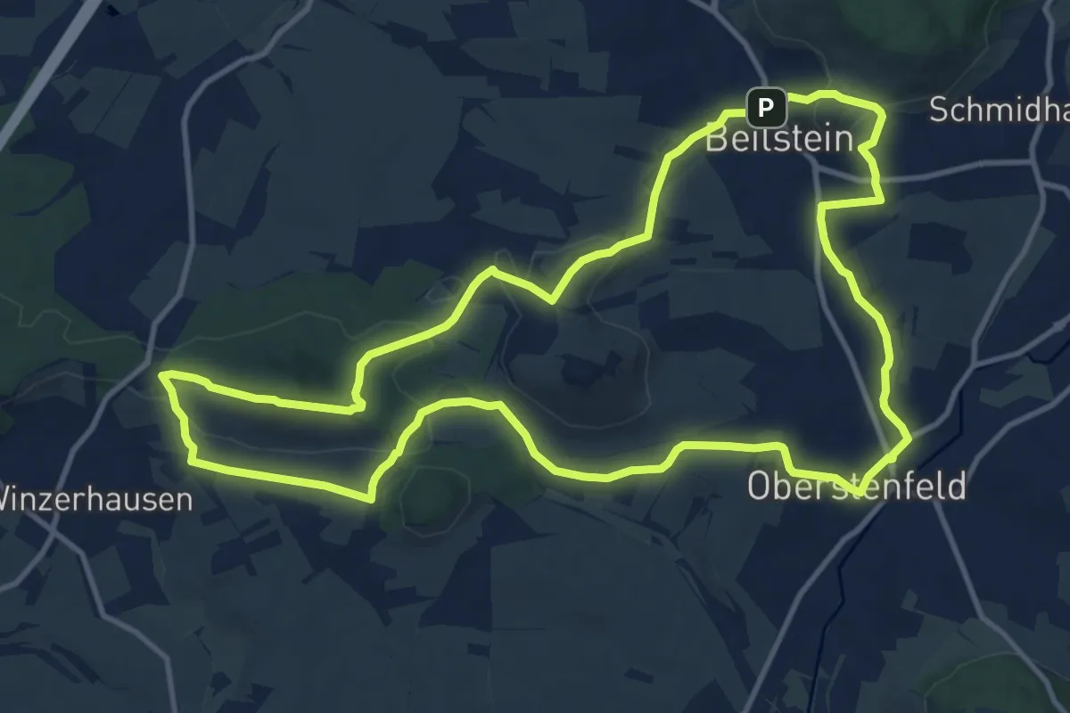
Medium · Summit
Wein-Lese-Weg Tour 5
11.9 km · ↑ 273 m · 3 h 34 min
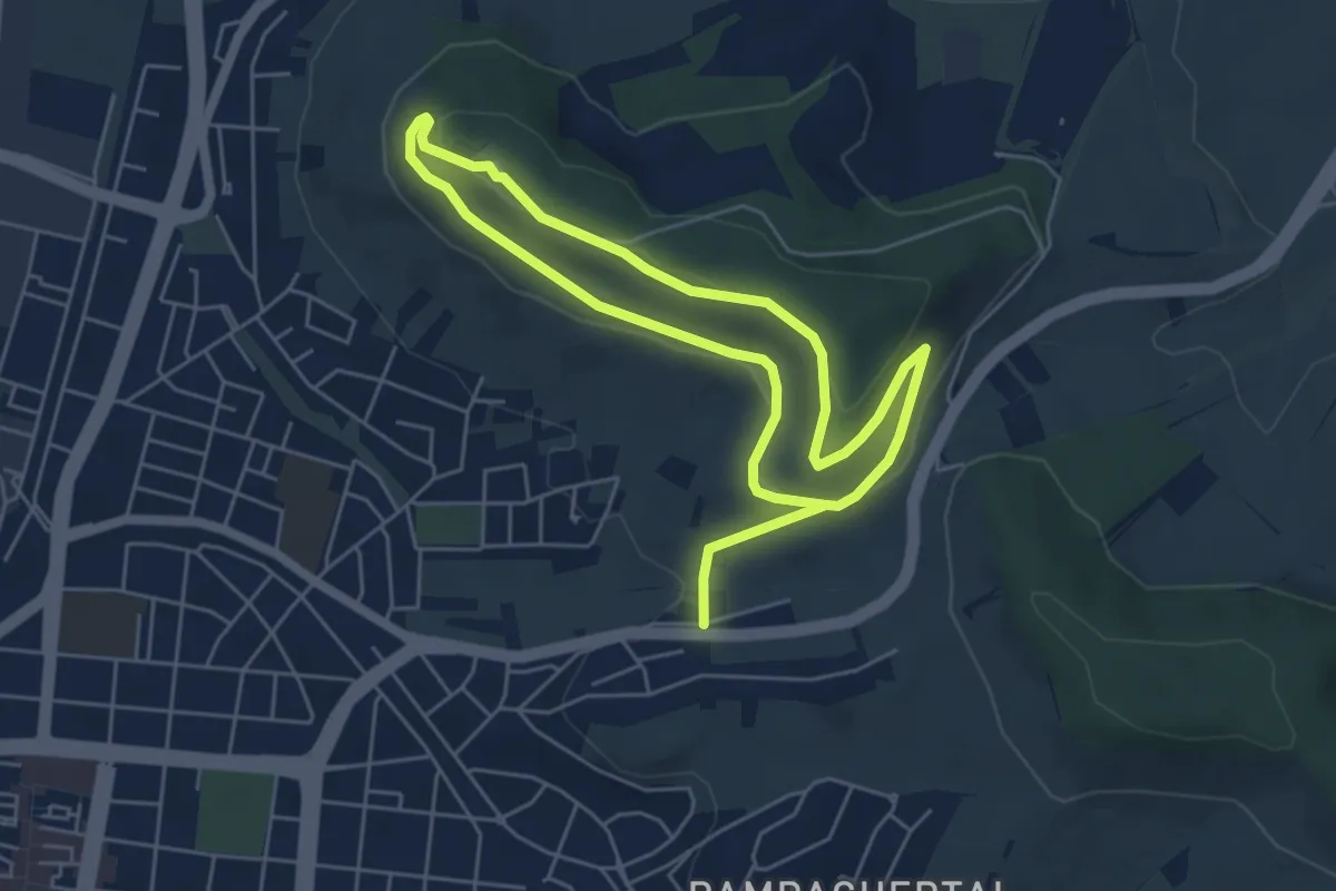
Easy · Summit
Wein Panorama Weg
4.5 km · ↑ 81 m · 1 h 19 min
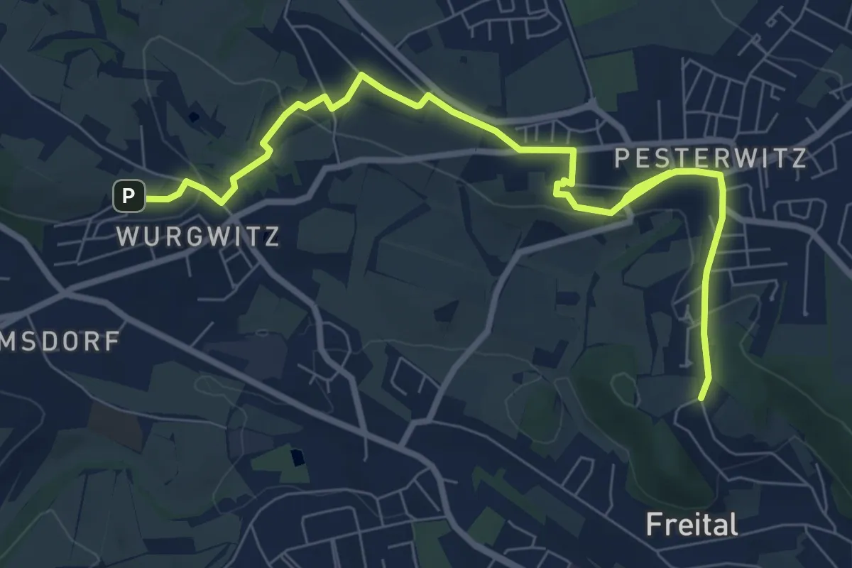
Medium · Trail
Weinpfad
8.4 km · ↑ 172 m · 2 h 21 min
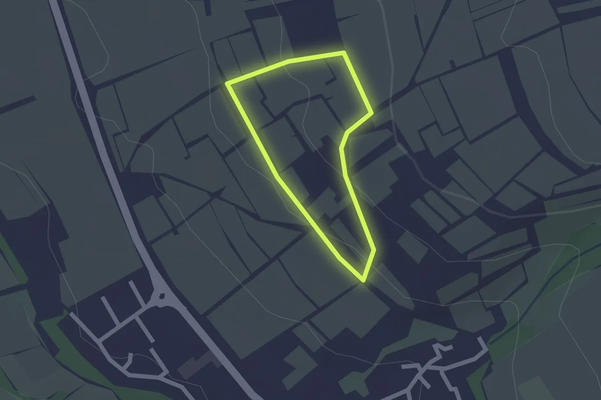
Easy · Trail
Weinpfad Großwinternheim
1.3 km · ↑ 33 m · 23 min
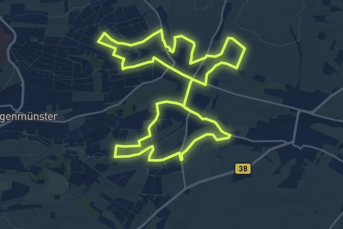
Medium · Trail
Weinrundwanderweg Heuchelheim-Klingen
13.6 km · ↑ 137 m · 3 h 42 min
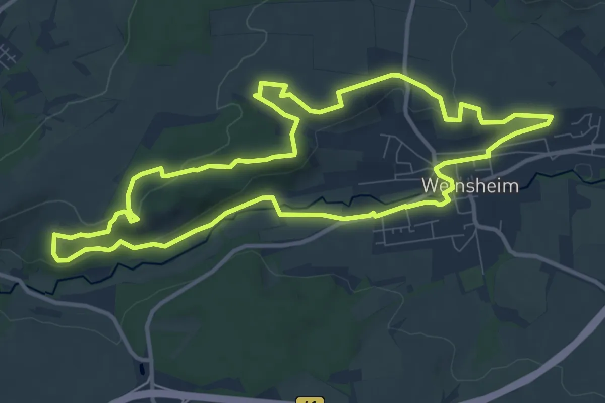
Medium · Trail
Weinsheimer Wingertsweg
8.3 km · ↑ 147 m · 2 h 24 min
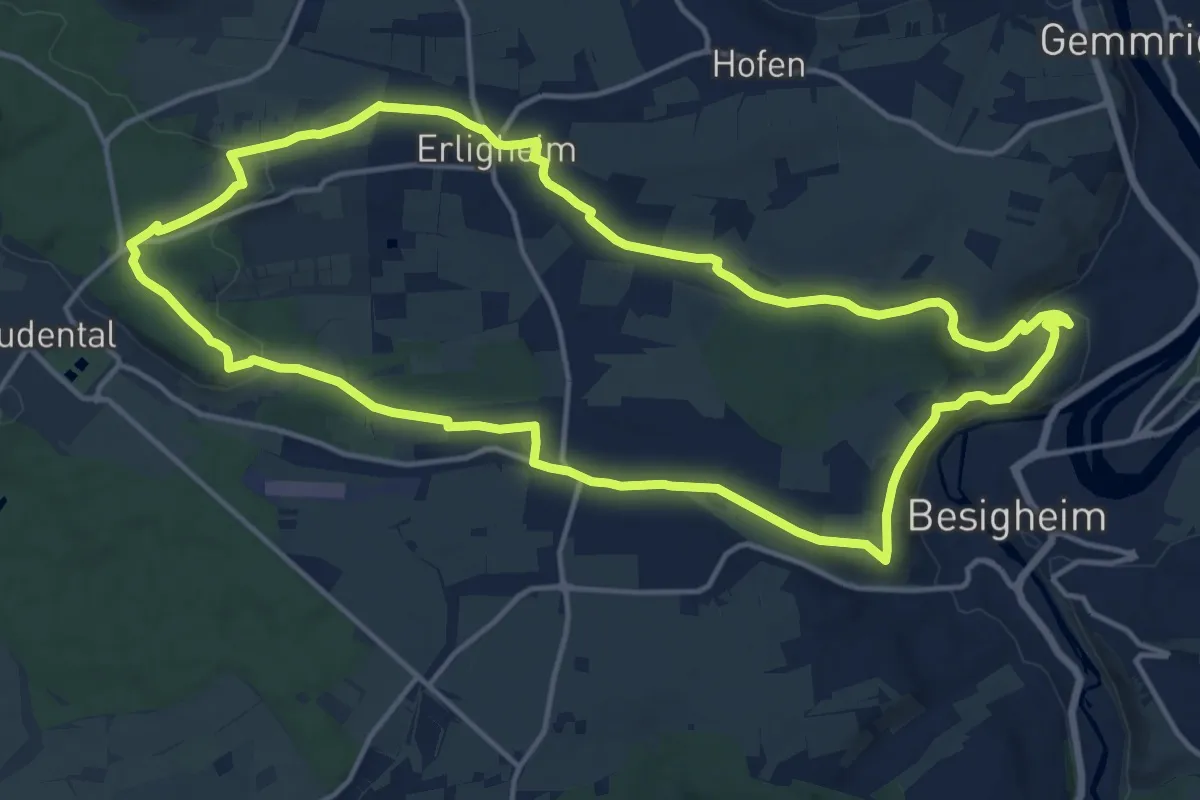
Medium · Trail
Weinsichten
15.0 km · ↑ 173 m · 4 h 8 min
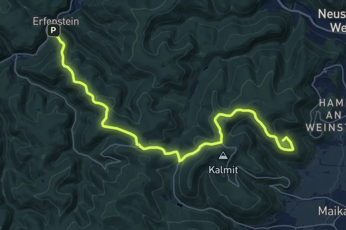
Demanding · Summit
Weinspange
23.7 km · ↑ 735 m · 7 h 11 min
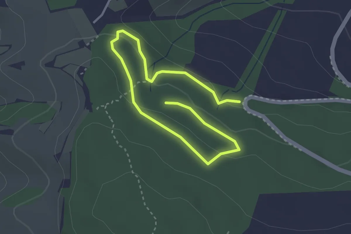
Easy · Trail
Weinstädter Waldwichtelweg
3.9 km · ↑ 99 m · 1 h 8 min
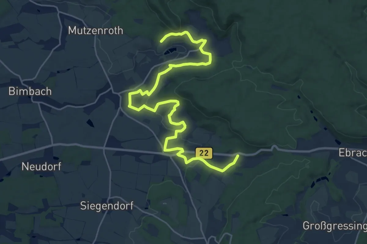
Demanding · Trail
Weinsteiger
21.1 km · ↑ 412 m · 5 h 52 min
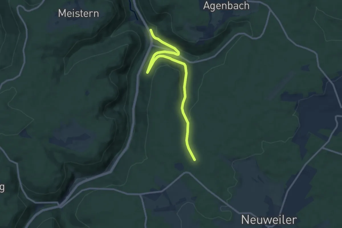
Medium · Trail
Weinsträßle - Agenbacher Sägmühle
8.6 km · ↑ 267 m · 2 h 36 min
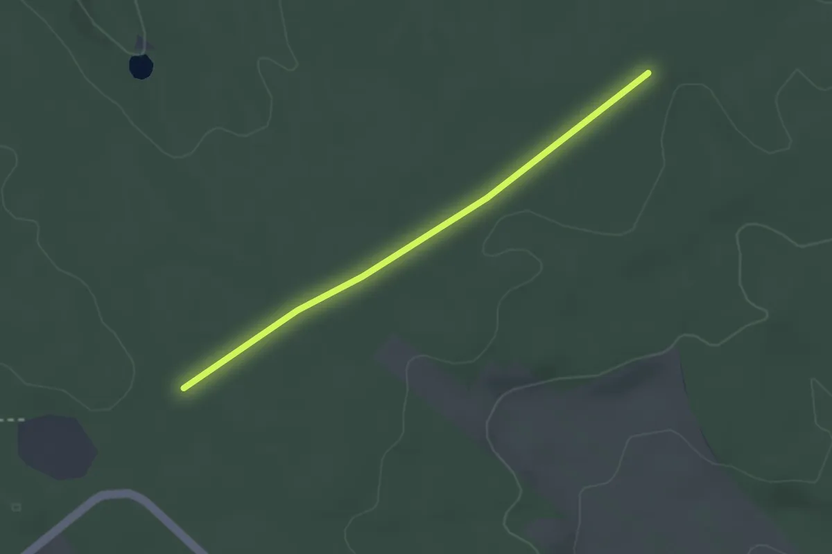
Easy · Trail
Weinsträßle - Neuweiler Eck
2.5 km · ↑ 4 m · 36 min
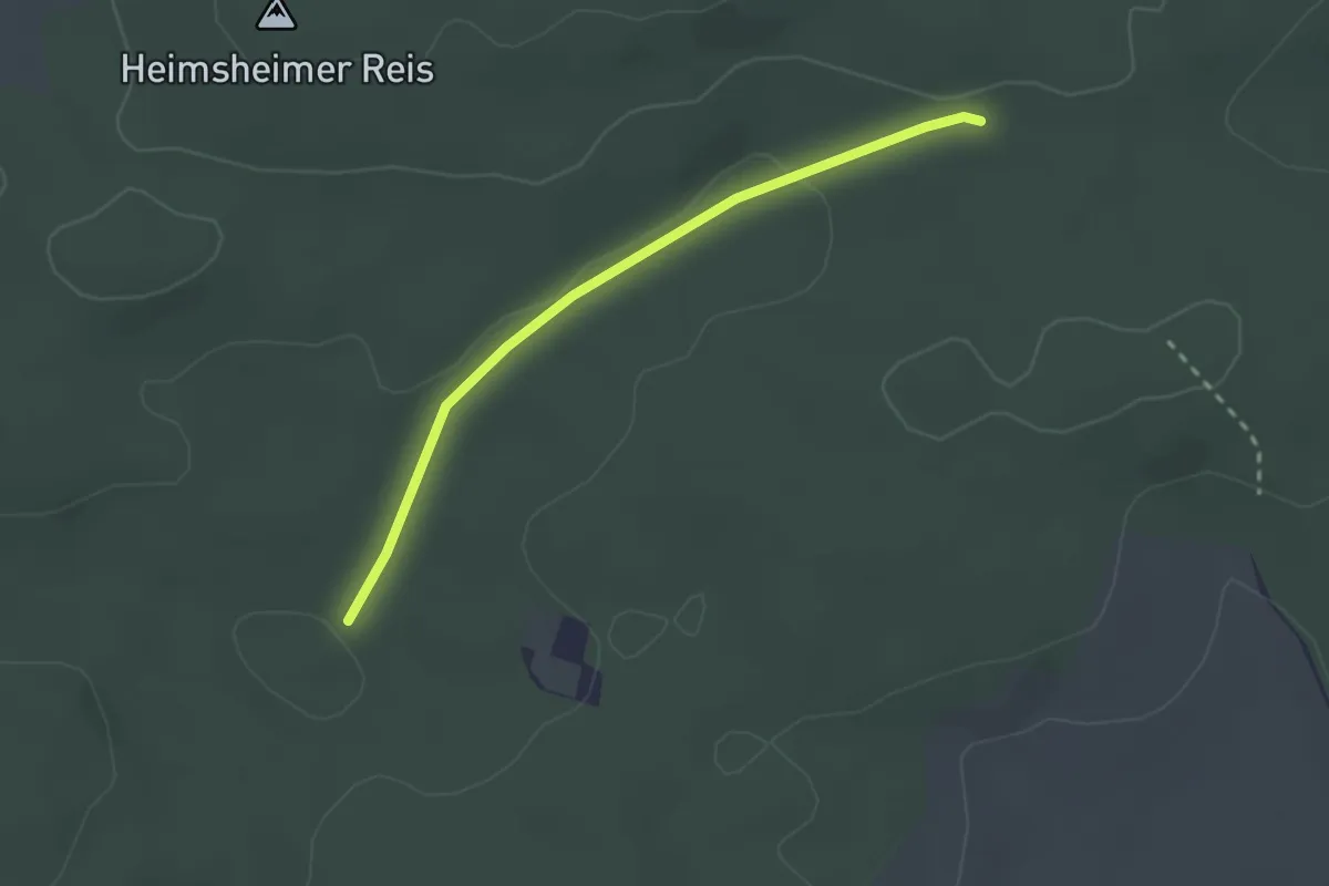
Easy · Trail
Weinsträßle - Waldsackpfeife
2.2 km · ↑ 36 m · 36 min