Trails in Germany
36,852 hiking trails, each with its route, climb, walking time and grade.
All trails, page 718 of 768
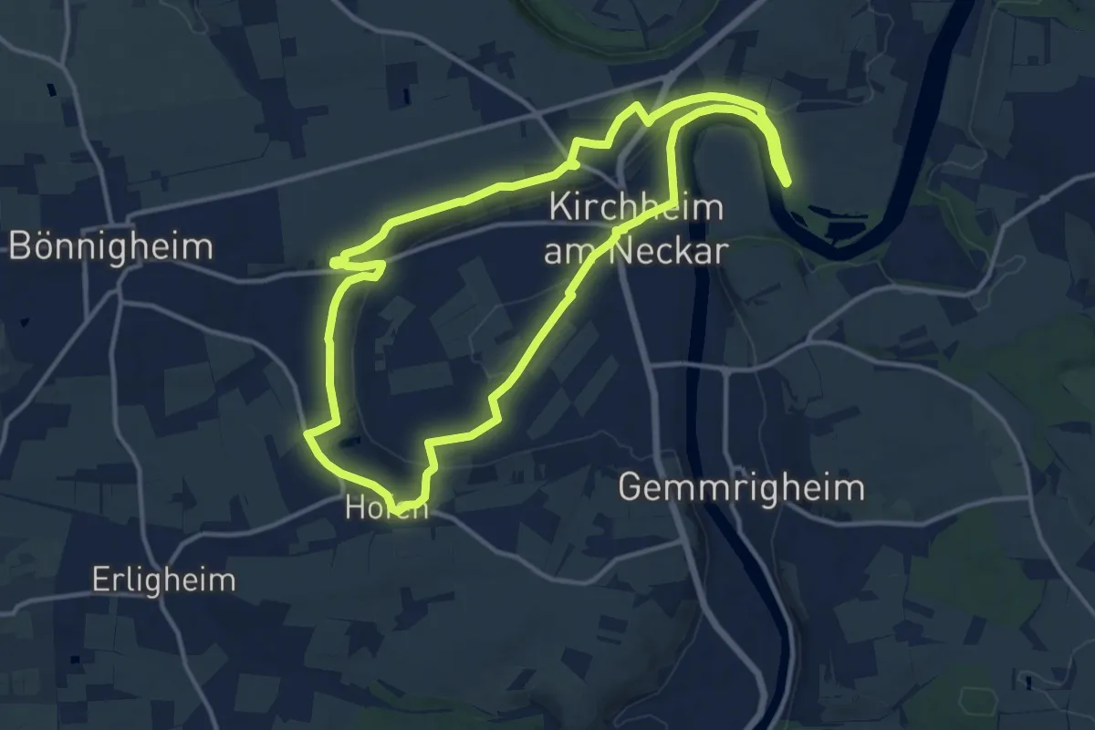
Medium · Trail
Weinterrassen
12.4 km · ↑ 158 m · 3 h 26 min
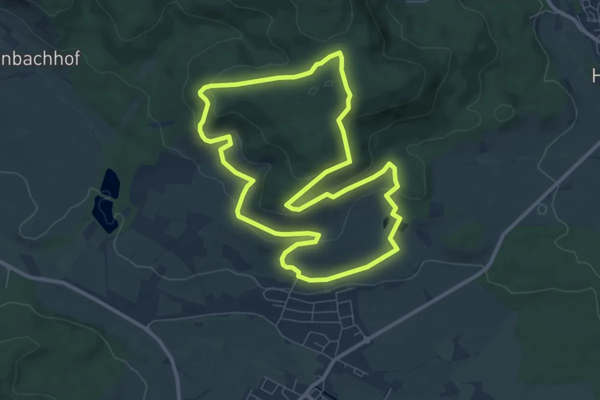
Easy · Trail
Wein- und Kloster-Rundweg
6.9 km · ↑ 237 m · 2 h 15 min
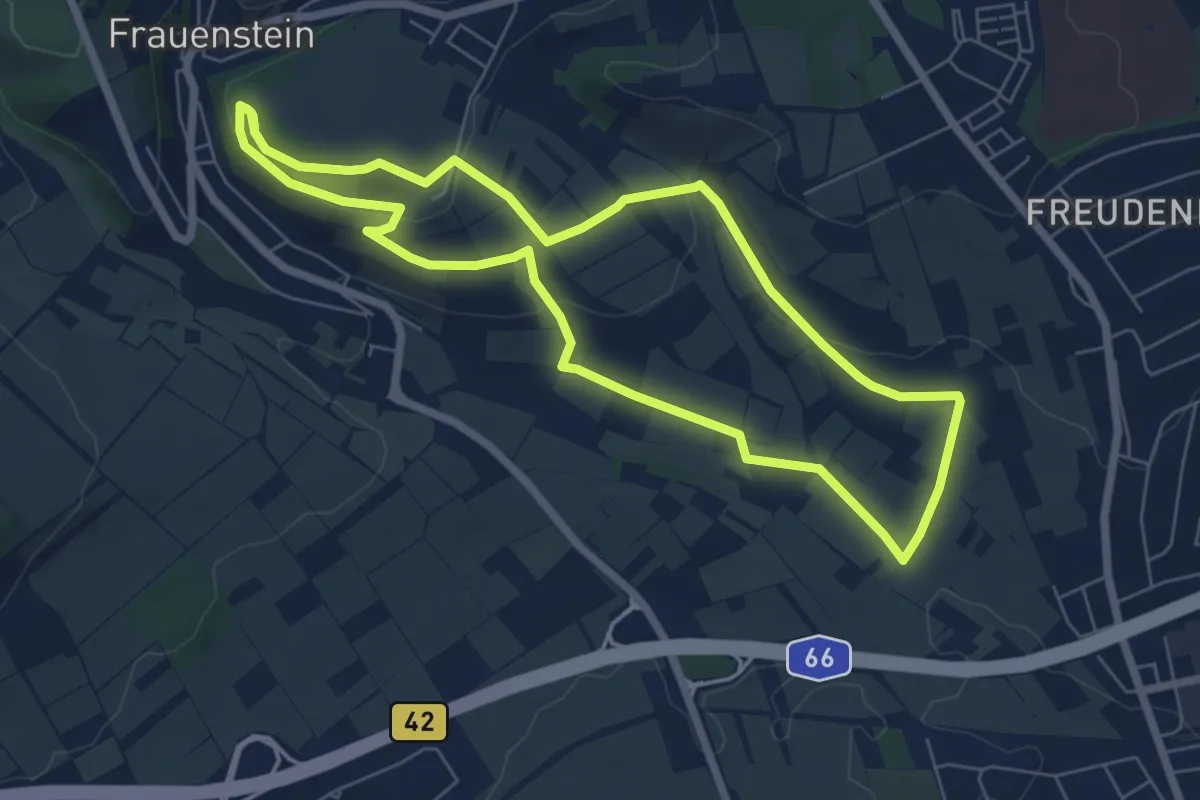
Easy · Trail
Wein- und Naturlehrpfad Frauenstein
6.2 km · ↑ 141 m · 1 h 51 min
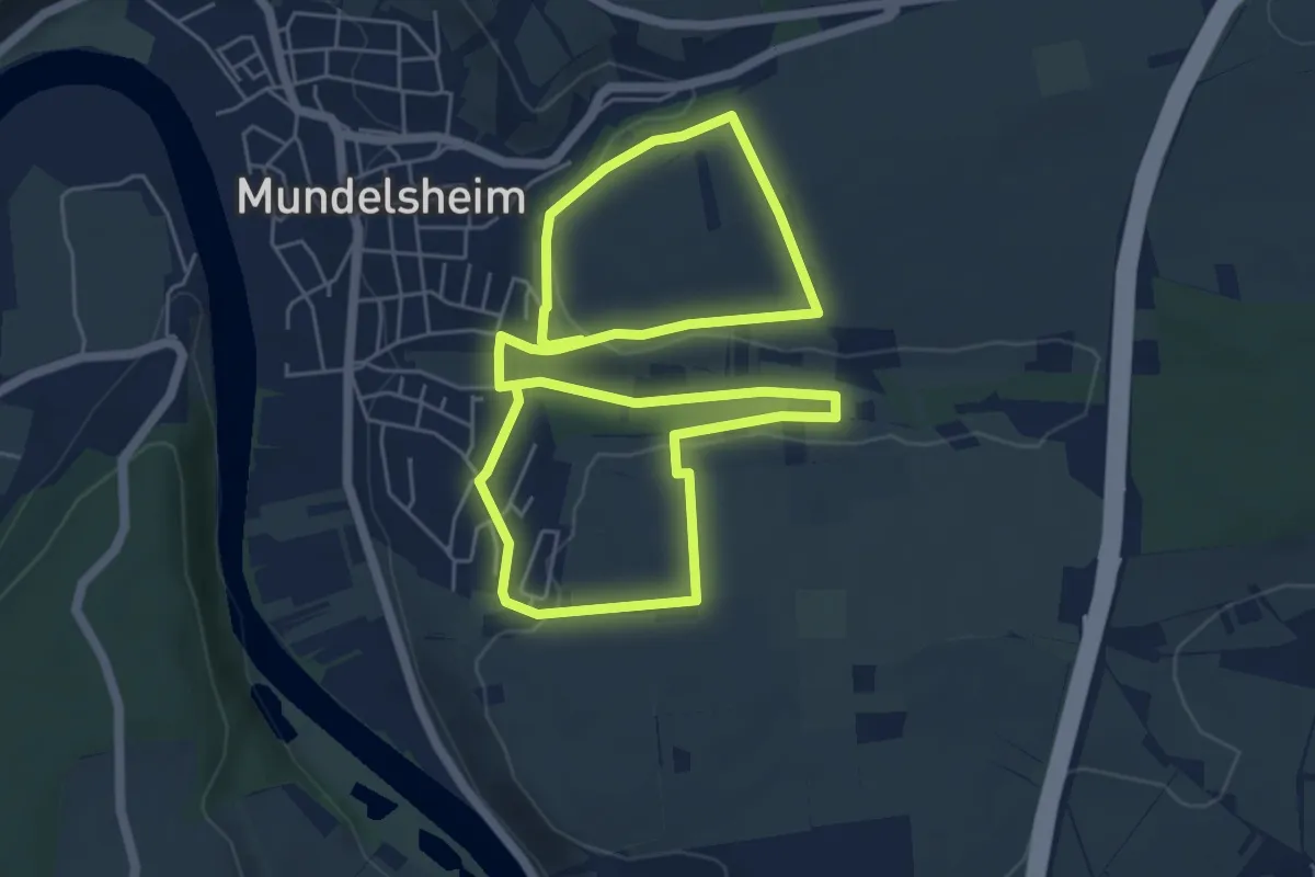
Easy · Trail
Wein- und Obstwanderweg Mundelsheim 1
5.2 km · ↑ 109 m · 1 h 32 min
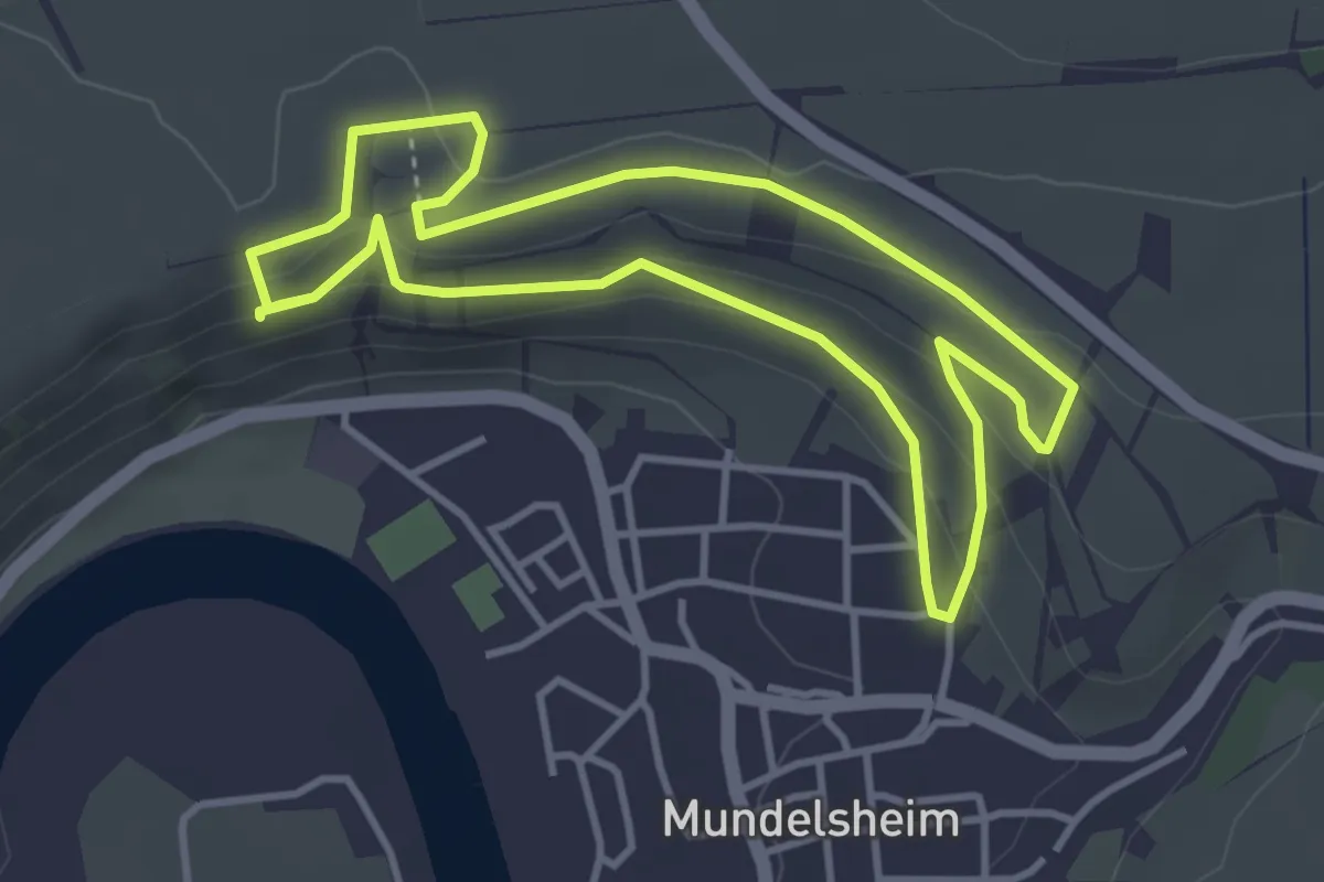
Medium · Trail
Wein- und Obstwanderweg Mundelsheim 2
3.6 km · ↑ 110 m · 1 h 8 min
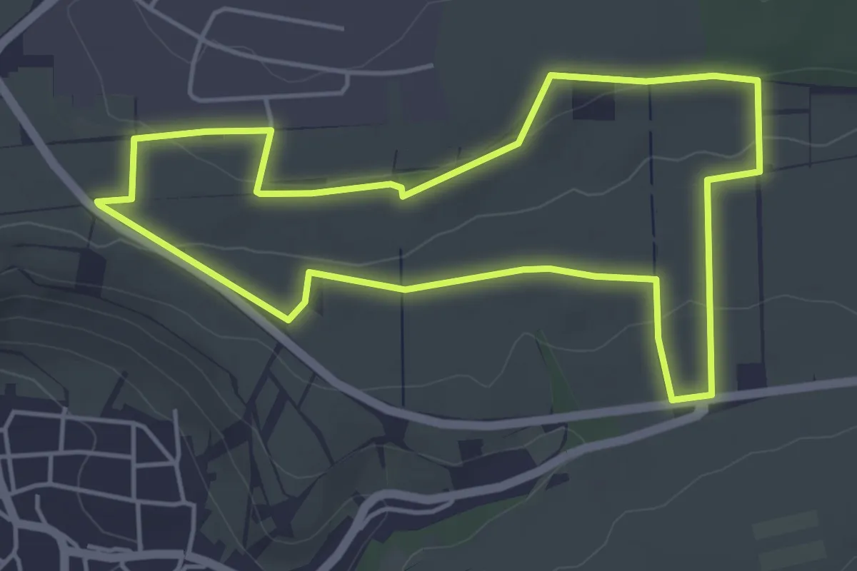
Easy · Trail
Wein- und Obstwanderweg Mundelsheim 3
4.3 km · ↑ 68 m · 1 h 14 min
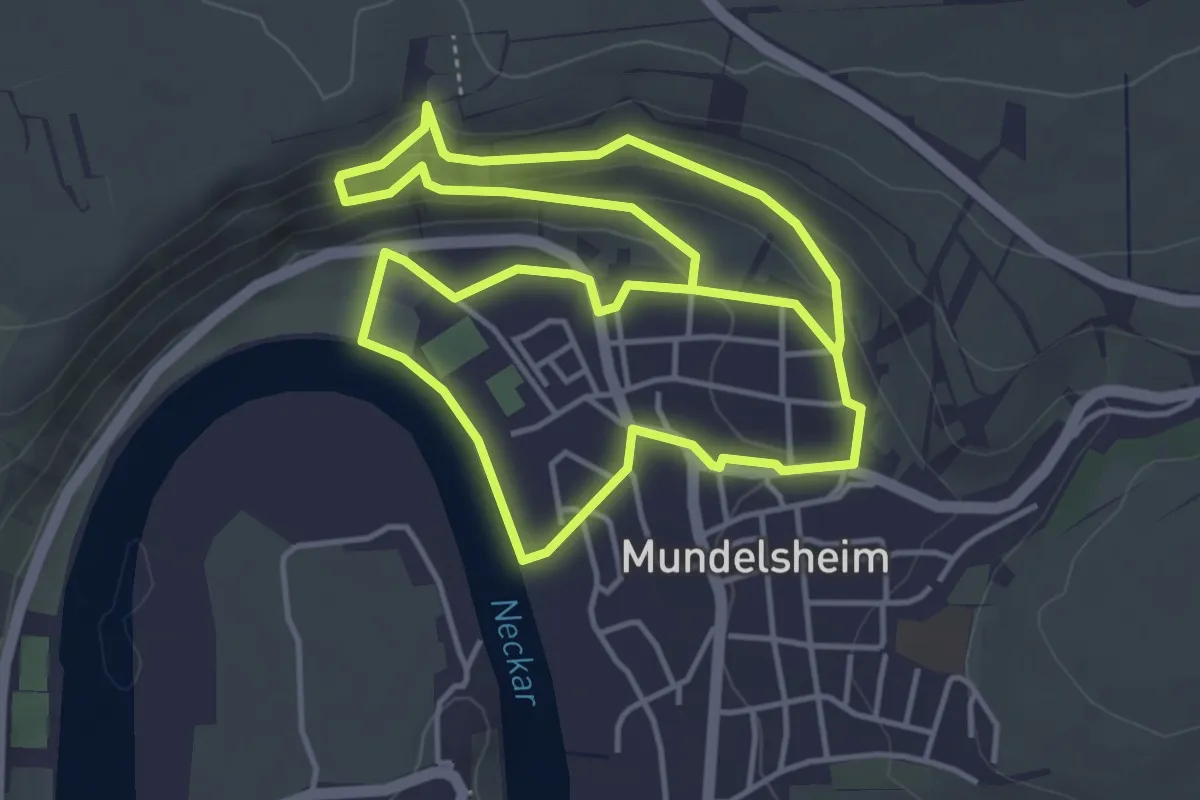
Medium · Trail
Wein- und Obstwanderweg Mundelsheim 4
4.4 km · ↑ 137 m · 1 h 23 min
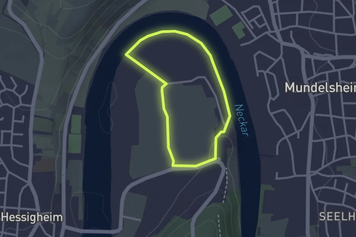
Easy · Trail
Wein- und Obstwanderweg Mundelsheim 5
1.9 km · ↑ 18 m · 31 min
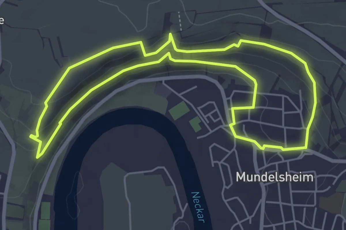
Medium · Trail
Wein- und Obstwanderweg Mundelsheim 6
4.8 km · ↑ 160 m · 1 h 33 min
Easy · Trail
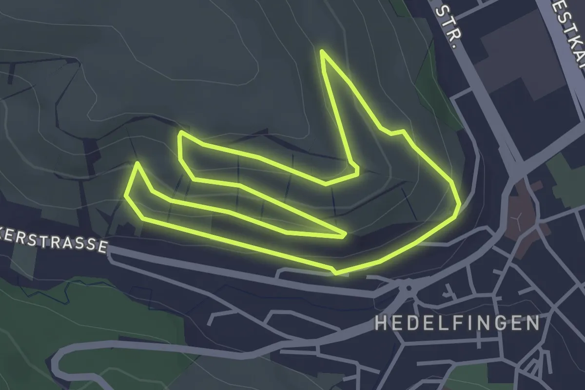
Weinwandern in Hedelfingen
3.2 km · ↑ 102 m · 1 h 1 min
Medium · Trail
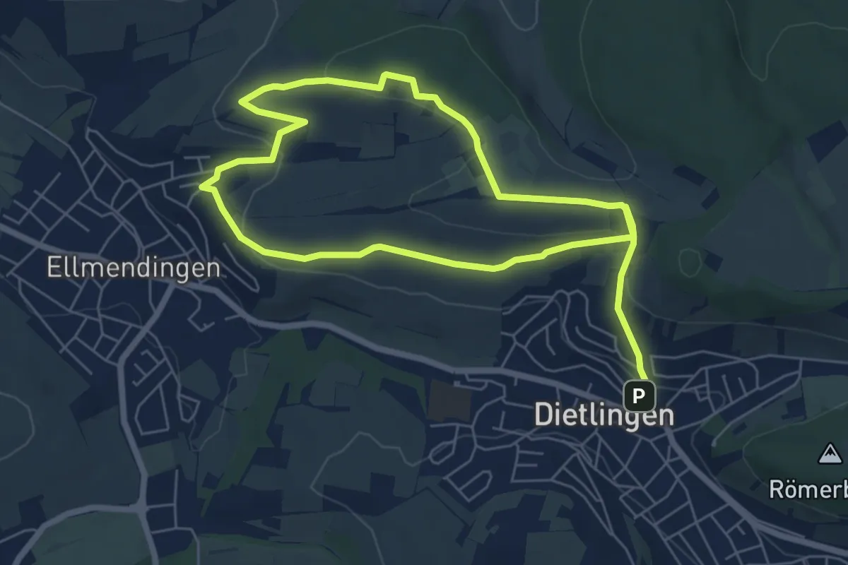
Weinwanderweg
10.4 km · ↑ 275 m · 3 h 3 min
Medium · Summit
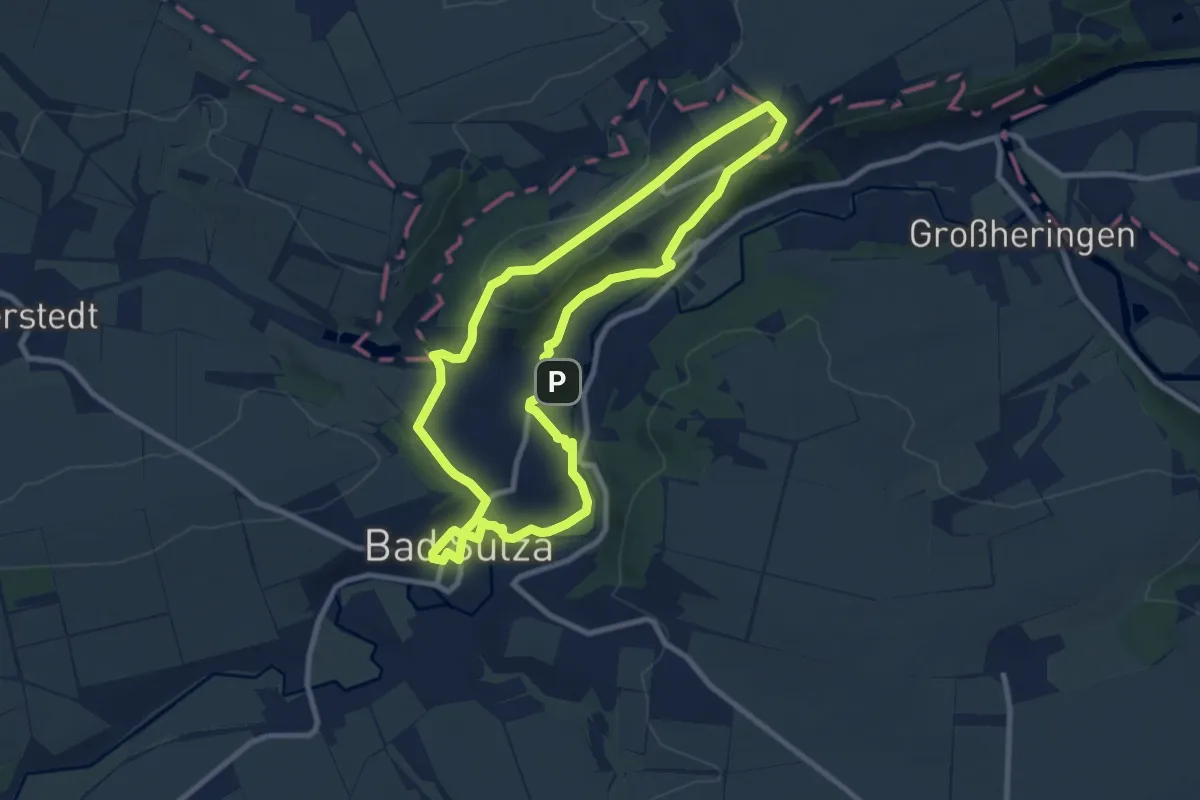
Weinwanderweg Bad Sulza
8.3 km · ↑ 162 m · 2 h 26 min
Easy · Summit
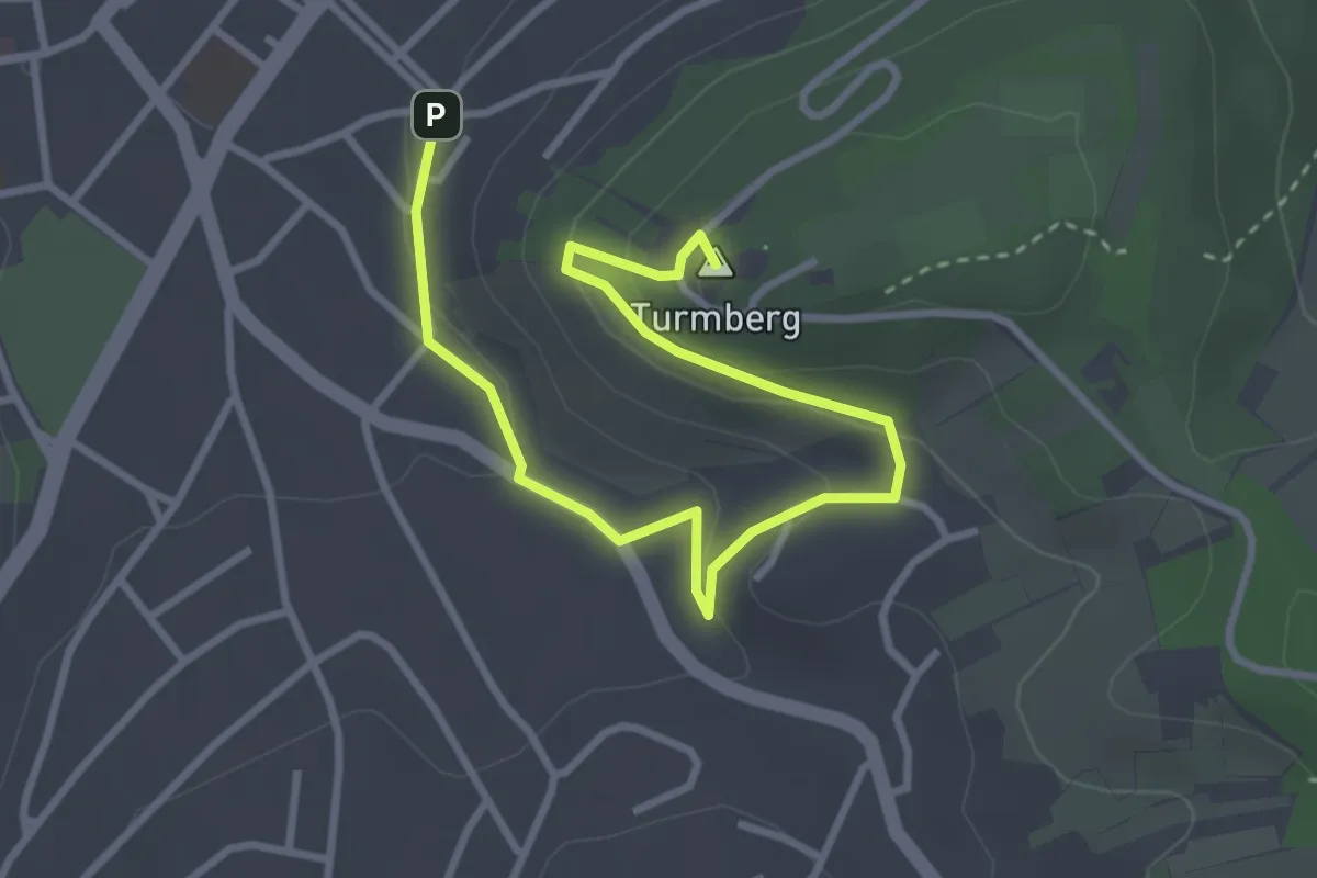
Weinwanderweg Durlach (grüne Route)
3.9 km · ↑ 148 m · 1 h 14 min
Easy · Summit
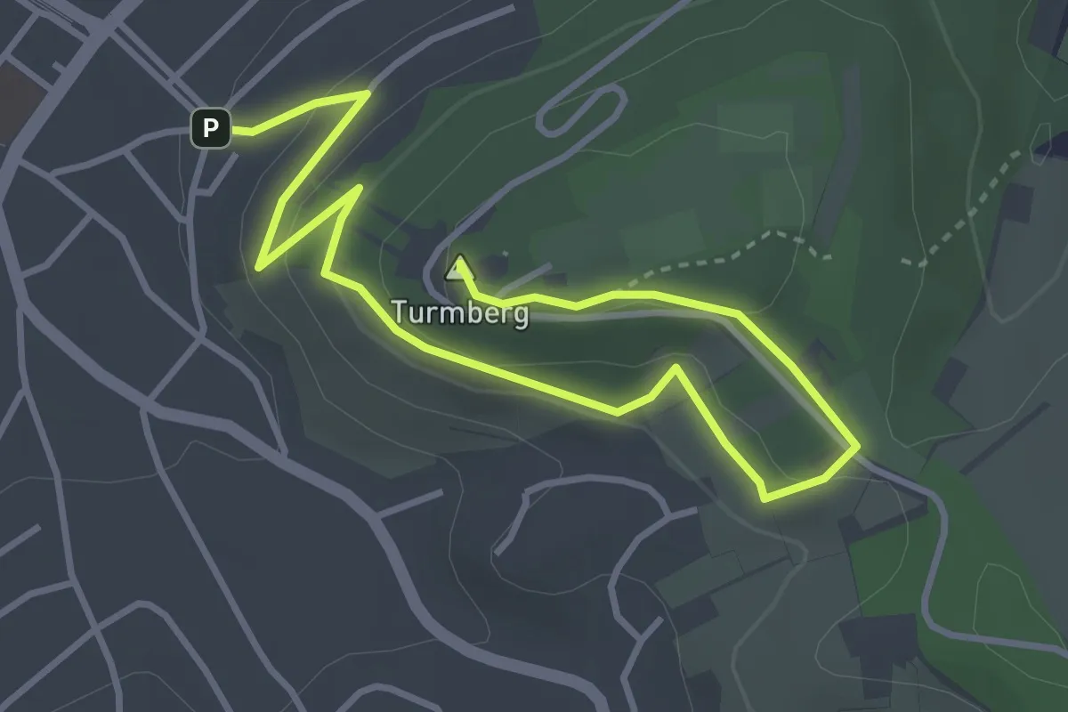
Weinwanderweg Durlach (lila Route)
4.6 km · ↑ 160 m · 1 h 26 min
Easy · Summit
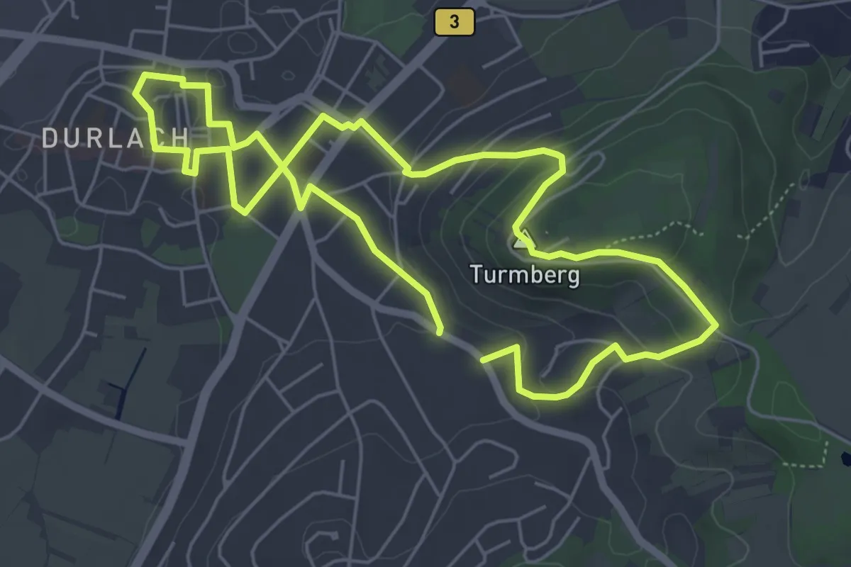
Weinwanderweg Durlach (rote Route)
5.0 km · ↑ 127 m · 1 h 31 min
Medium · Trail
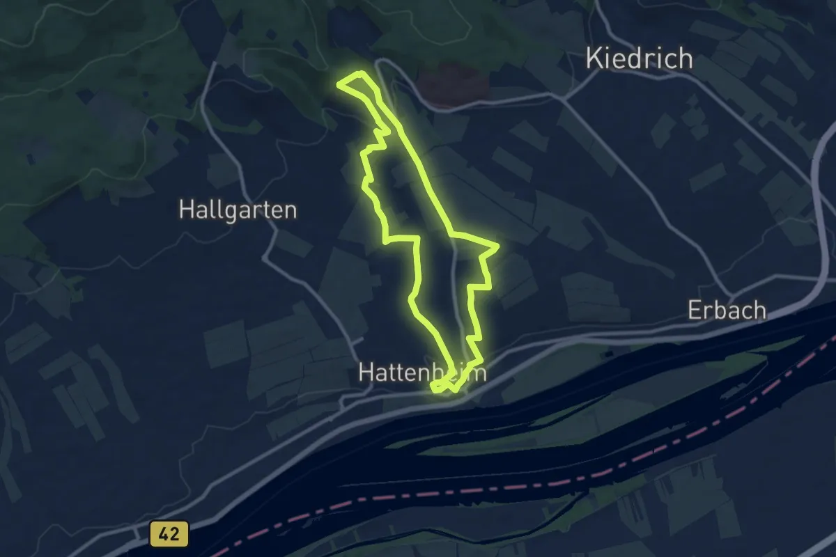
Weinwanderweg Hattenheim
8.4 km · ↑ 214 m · 2 h 34 min
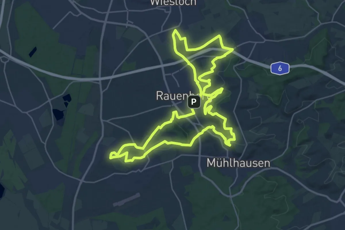
Demanding · Summit
Weinwanderweg Mannaberg
21.6 km · ↑ 416 m · 6 h 18 min
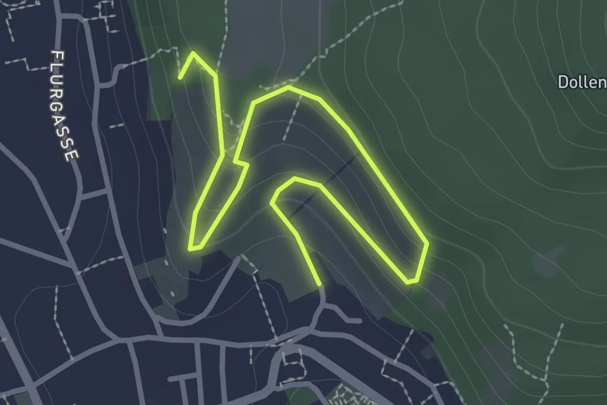
Easy · Trail
Weinwanderweg Oberdollendorf
3.2 km · ↑ 157 m · 1 h 5 min
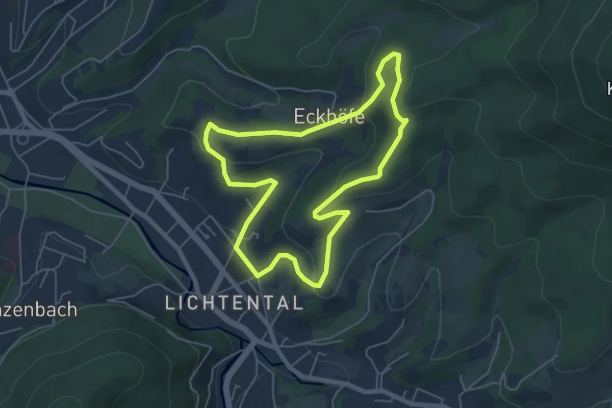
Easy · Trail
Weinweg Eckberg/Schafberg
4.2 km · ↑ 151 m · 1 h 23 min
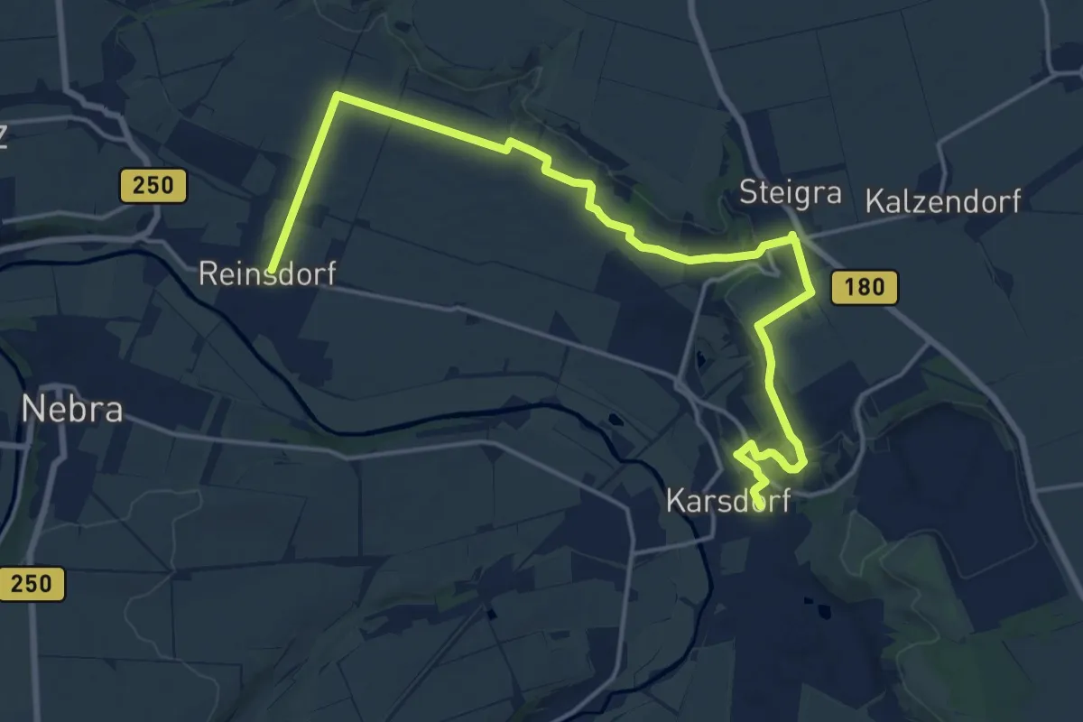
Demanding · Trail
Weinweg Reinsdorf-Steigra-Karsdorf
18.3 km · ↑ 278 m · 4 h 55 min
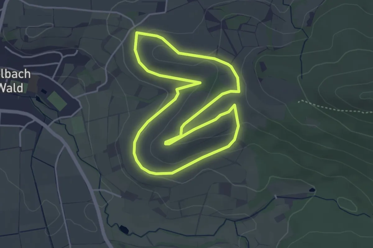
Easy · Trail
Wein Weg - Wissenspfad "Wein-Anbau"
3.8 km · ↑ 86 m · 1 h 8 min
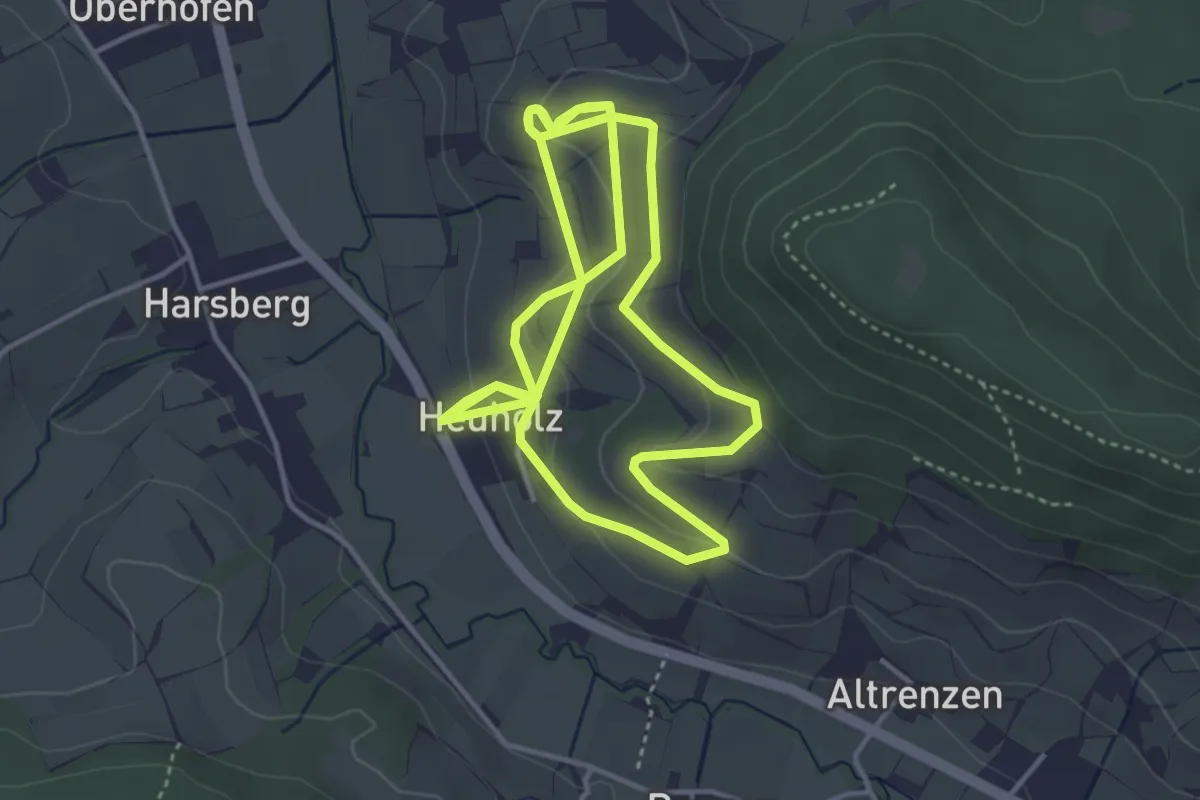
Medium · Trail
Wein Weg - Wissenspfad "Wein-Genuss"
8.0 km · ↑ 278 m · 2 h 30 min
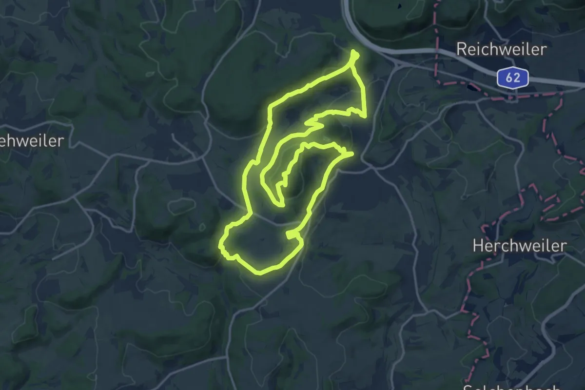
Demanding · Summit
Weiselberg-Gipfeltour
14.7 km · ↑ 514 m · 4 h 47 min
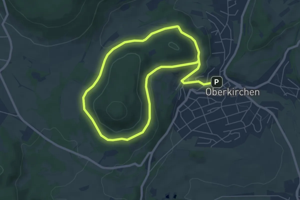
Easy · Trail
Weiselberg Rundweg
4.8 km · ↑ 158 m · 1 h 31 min
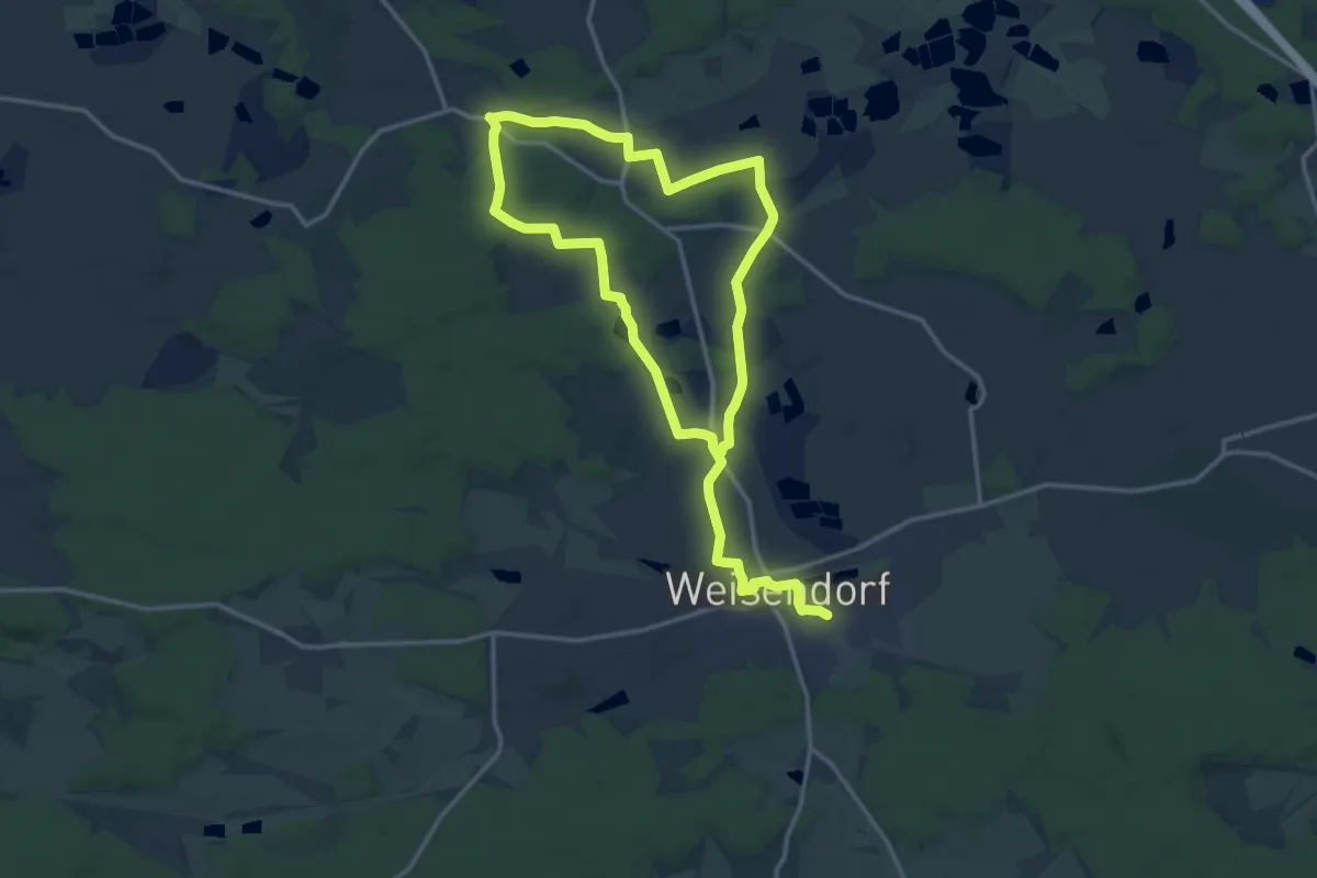
Medium · Trail
Weisendorfer Rundwanderweg 1
11.9 km · ↑ 124 m · 3 h 15 min
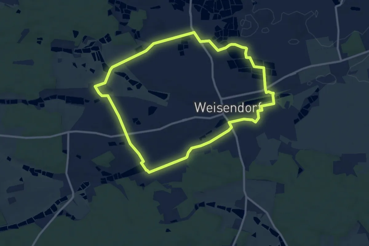
Easy · Trail
Weisendorfer Rundwanderweg 10
8.0 km · ↑ 37 m · 2 h 4 min
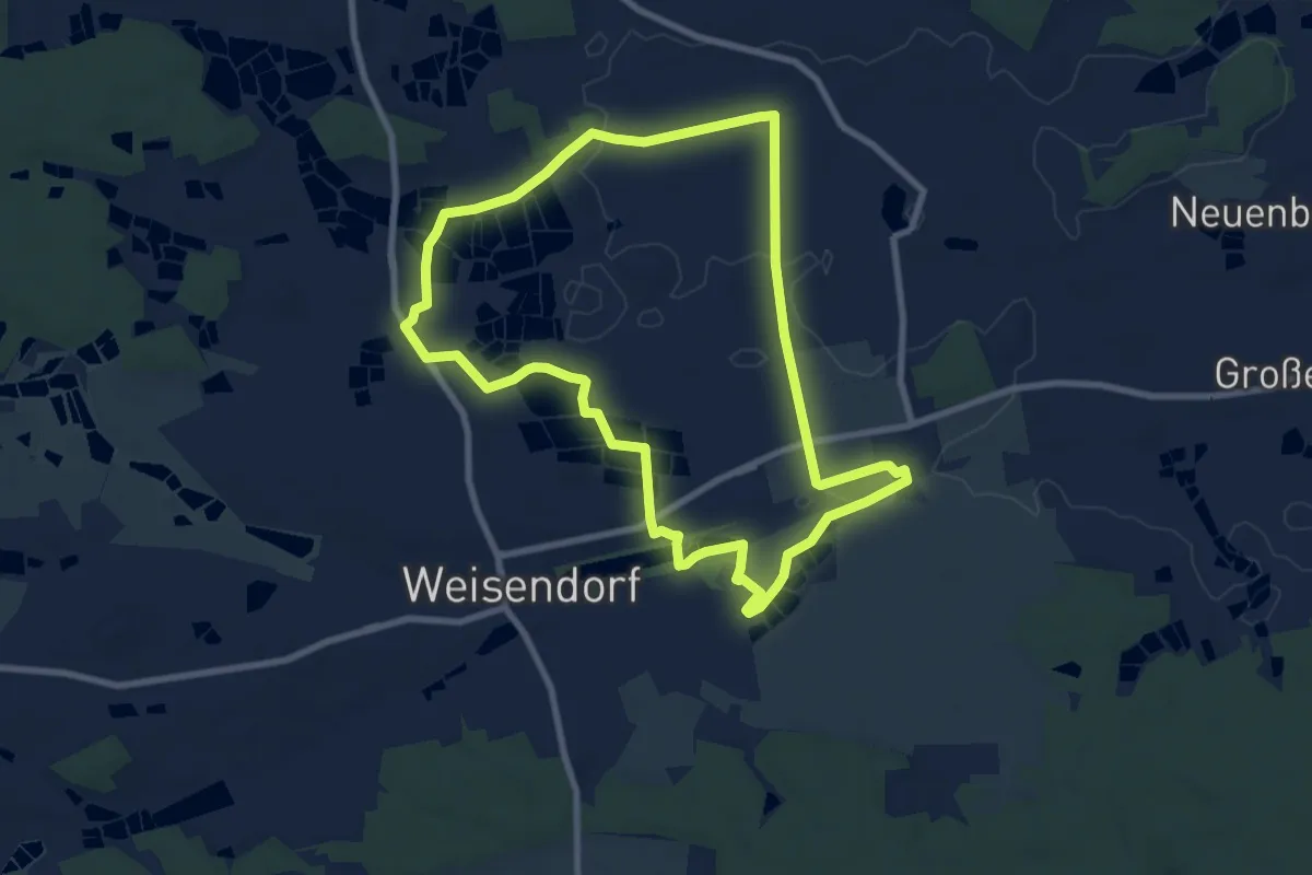
Easy · Trail
Weisendorfer Rundwanderweg 2
7.9 km · ↑ 27 m · 2 h 3 min
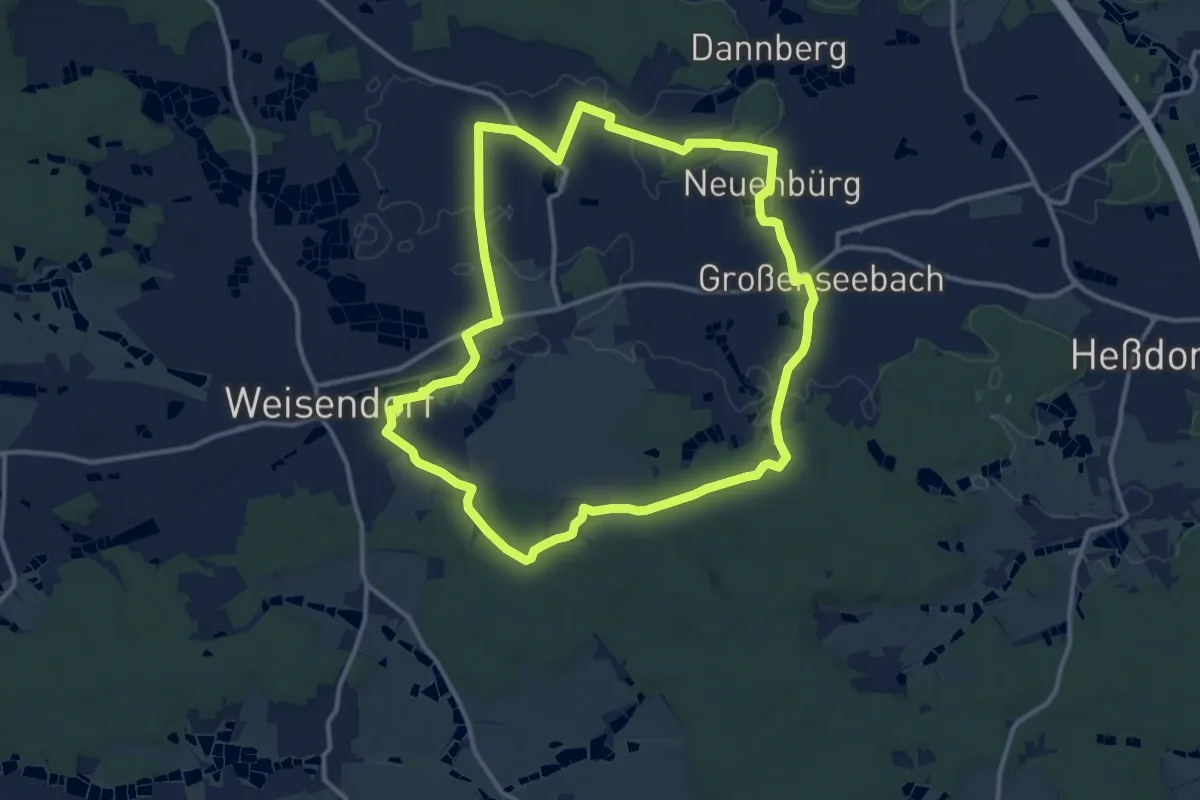
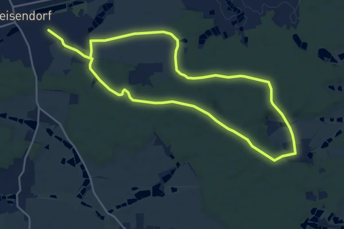
Medium · Trail
Weisendorfer Rundwanderweg 3
12.0 km · ↑ 88 m · 3 h 12 min
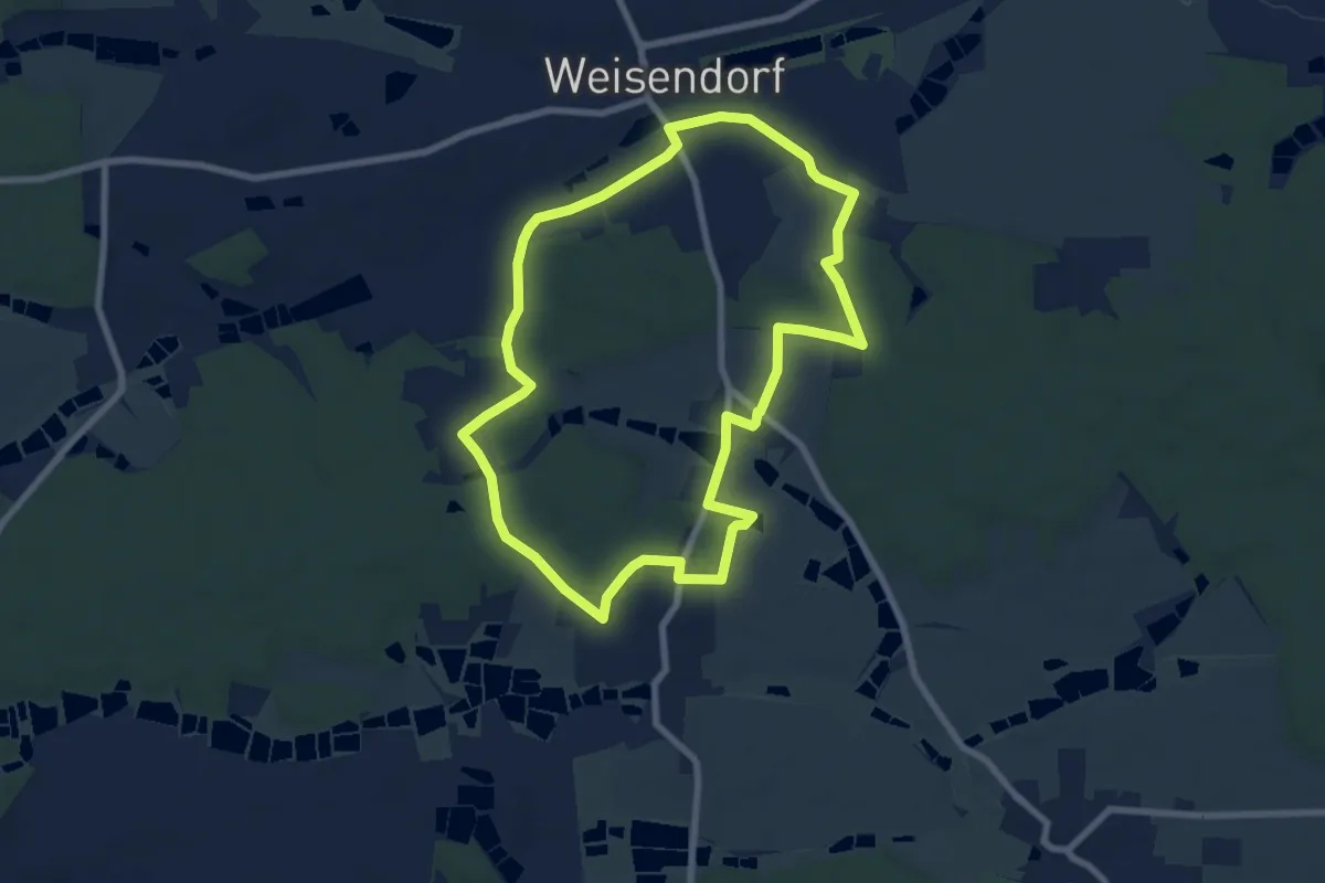
Medium · Trail
Weisendorfer Rundwanderweg 4
9.1 km · ↑ 116 m · 2 h 31 min
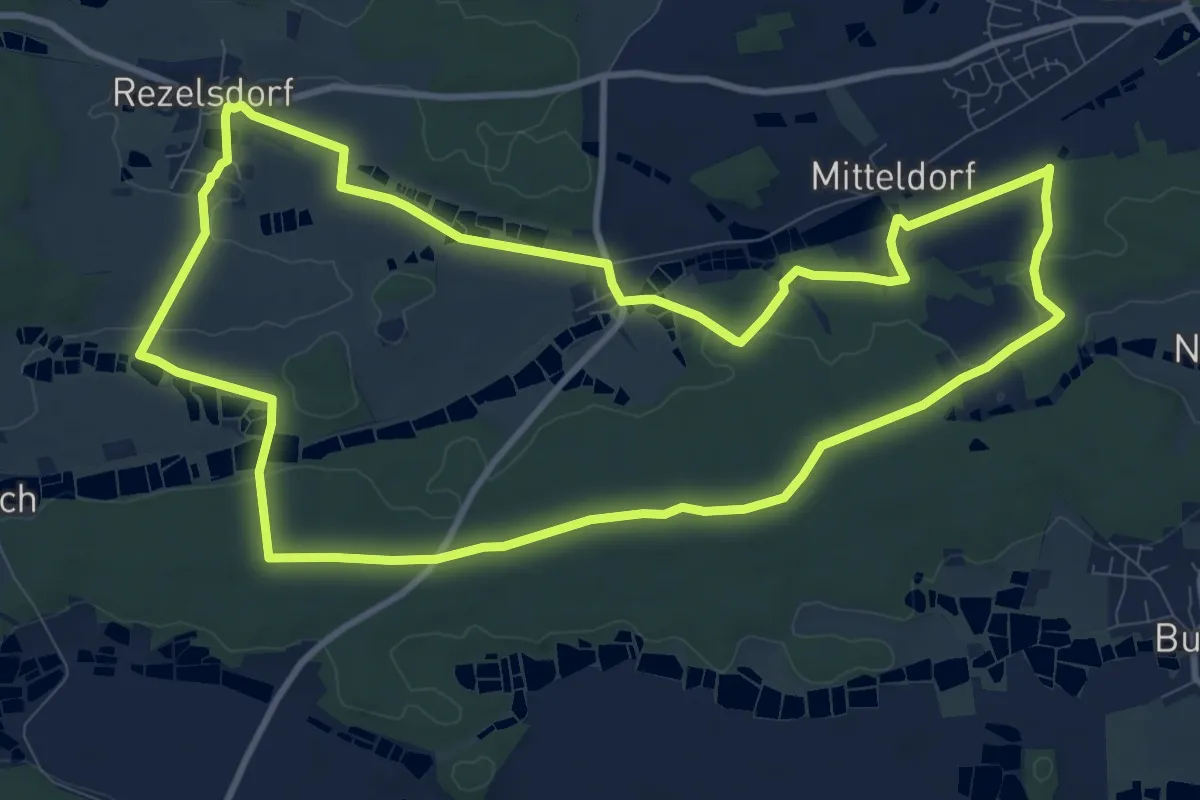
Easy · Summit
Weisendorfer Rundwanderweg 5
7.2 km · ↑ 91 m · 2 h
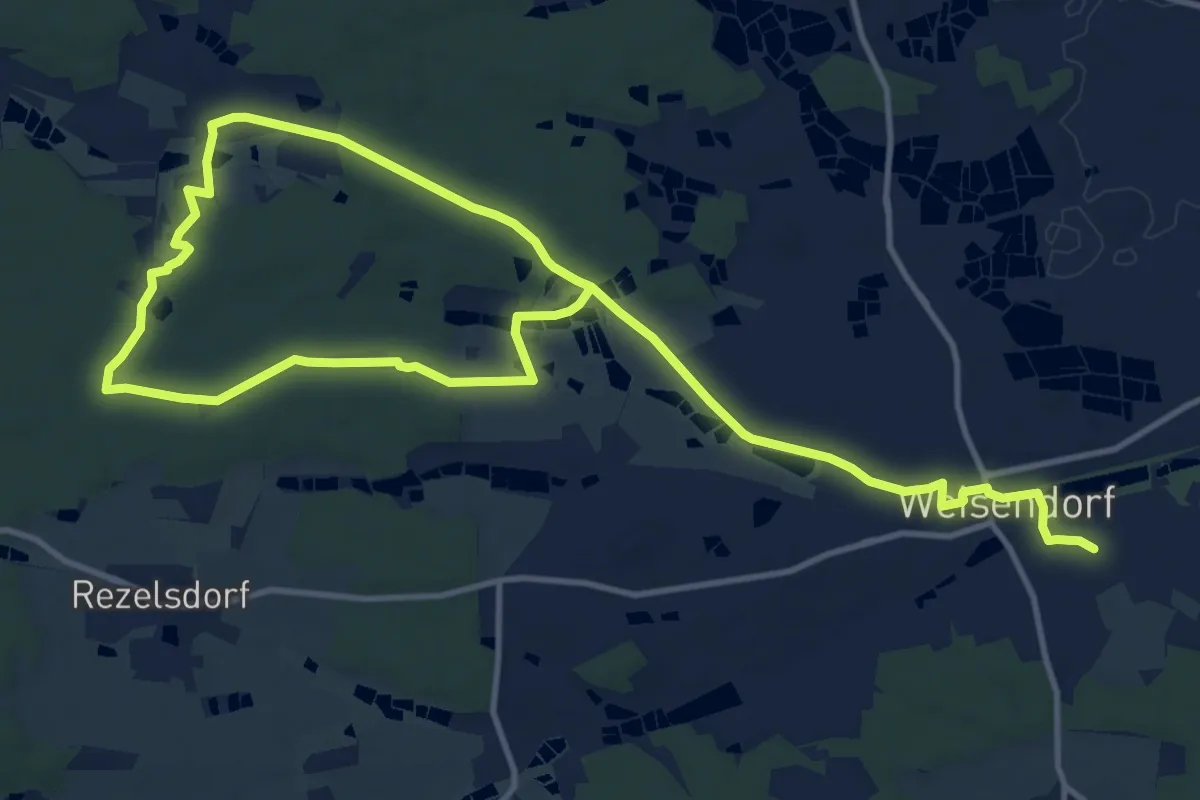
Medium · Trail
Weisendorfer Rundwanderweg 6
10.6 km · ↑ 138 m · 2 h 57 min
Demanding · Trail
Weisendorfer Rundwanderweg 8
19.3 km · ↑ 181 m · 4 h 57 min
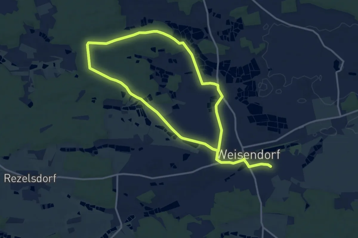
Medium · Trail
Weisendorfer Rundwanderweg 9
8.9 km · ↑ 60 m · 2 h 22 min
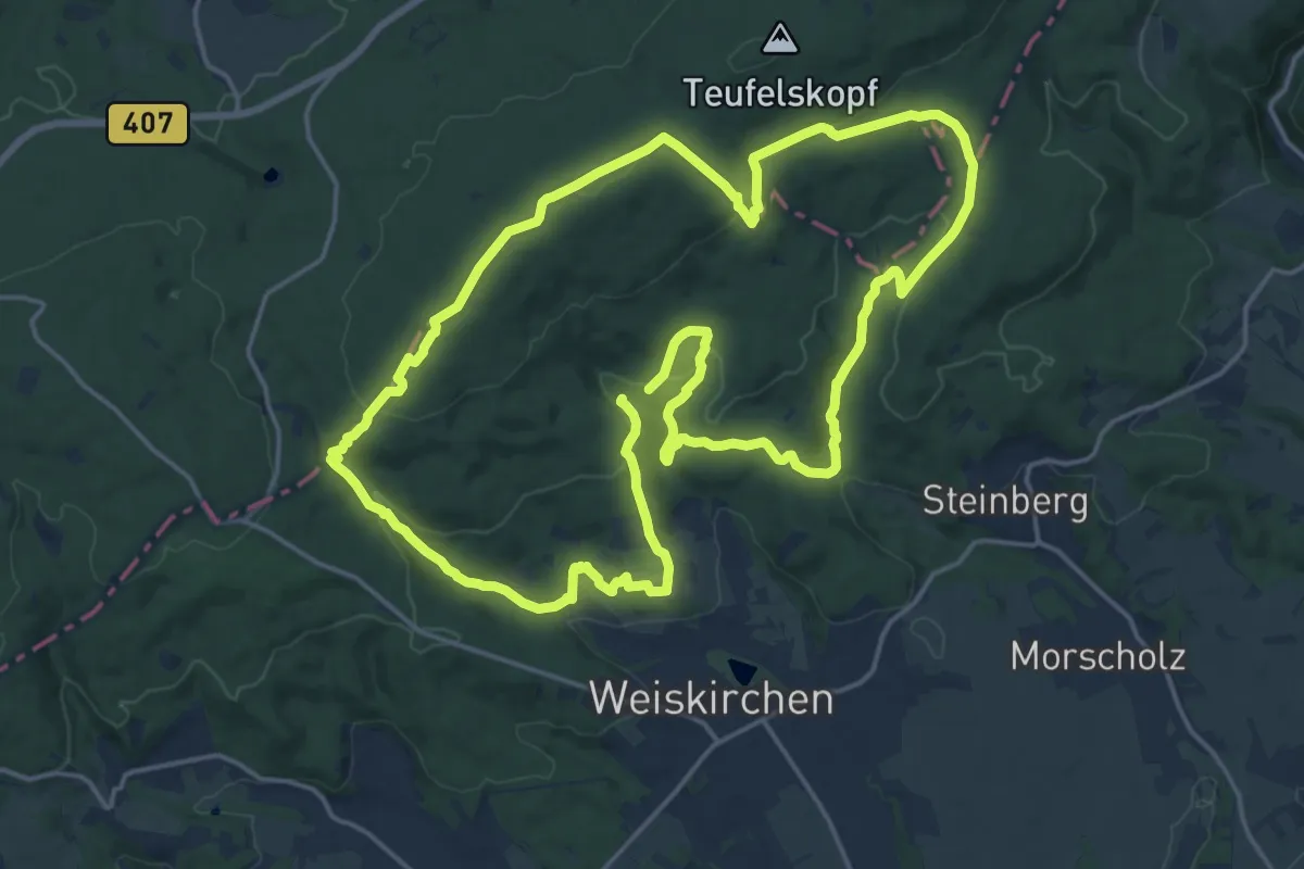
Medium · Summit
Weiskircher Höhen-Tour
17.8 km · ↑ 506 m · 5 h 33 min
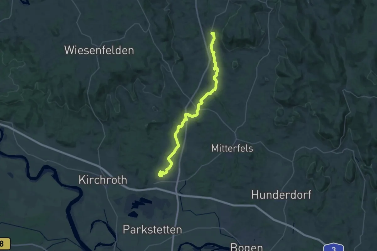
Medium · Trail
weiß auf grün 4, Wanderweg 'Naturpark Bayerischer Wald/Region Straubing (Kinsachtalwanderweg)'
15.5 km · ↑ 156 m · 4 h 13 min
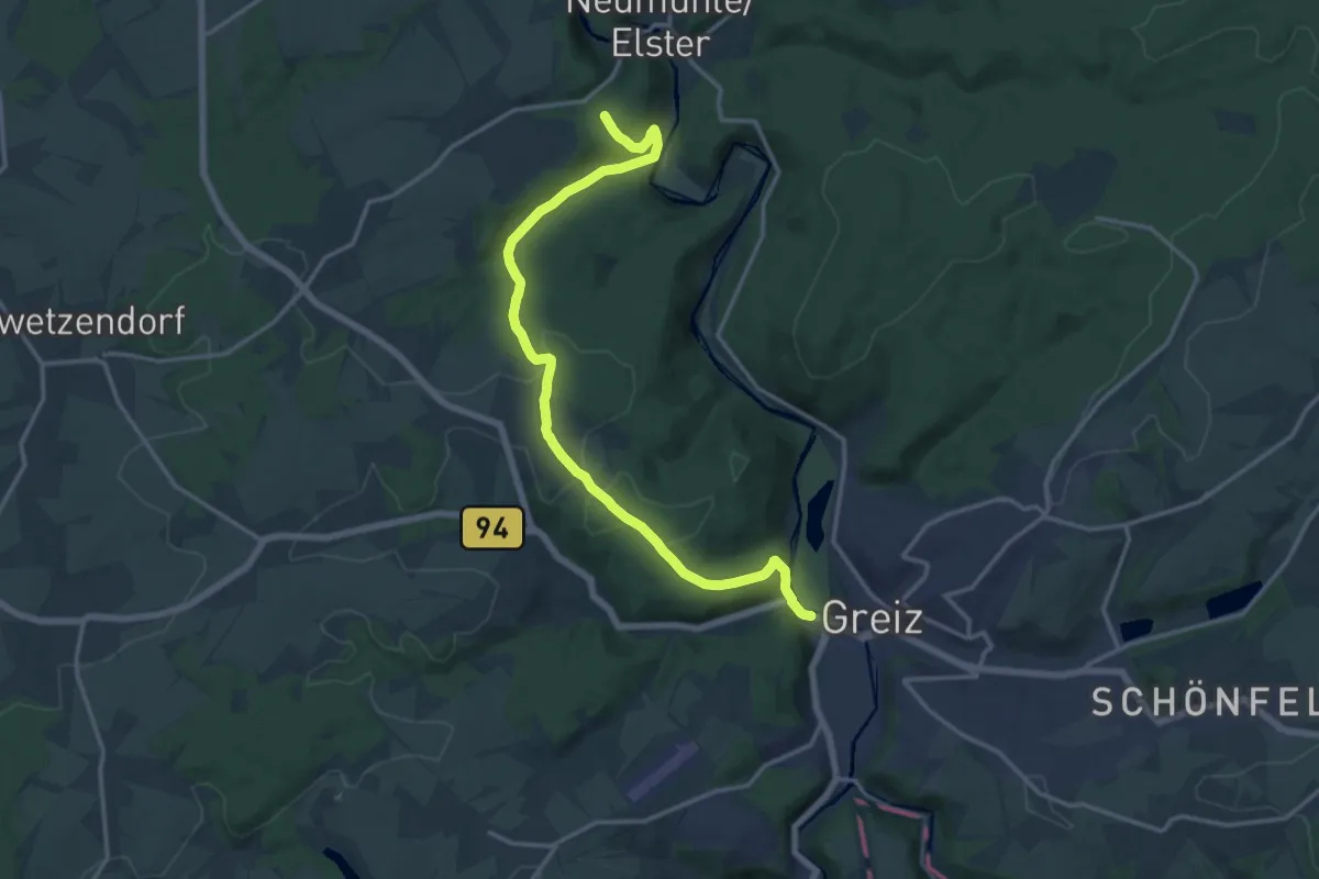
Medium · Trail
Weiße-Elster-Weg
15.3 km · ↑ 432 m · 4 h 33 min
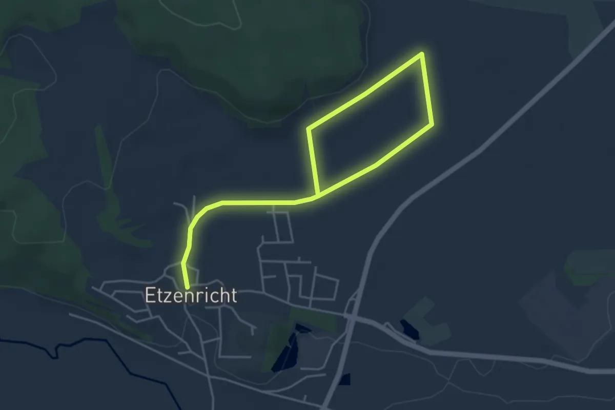
Easy · Trail
Weiße Marter
5.1 km · ↑ 60 m · 1 h 20 min
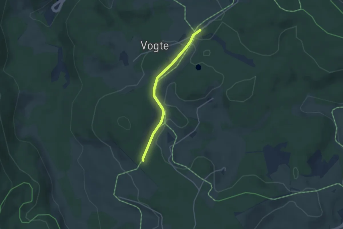
Easy · Trail
Weißenbacher Wald - Blindensee
2.7 km · ↑ 50 m · 45 min
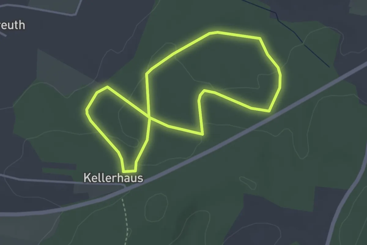
Easy · Trail
Weissenbachweg
3.0 km · ↑ 55 m · 53 min
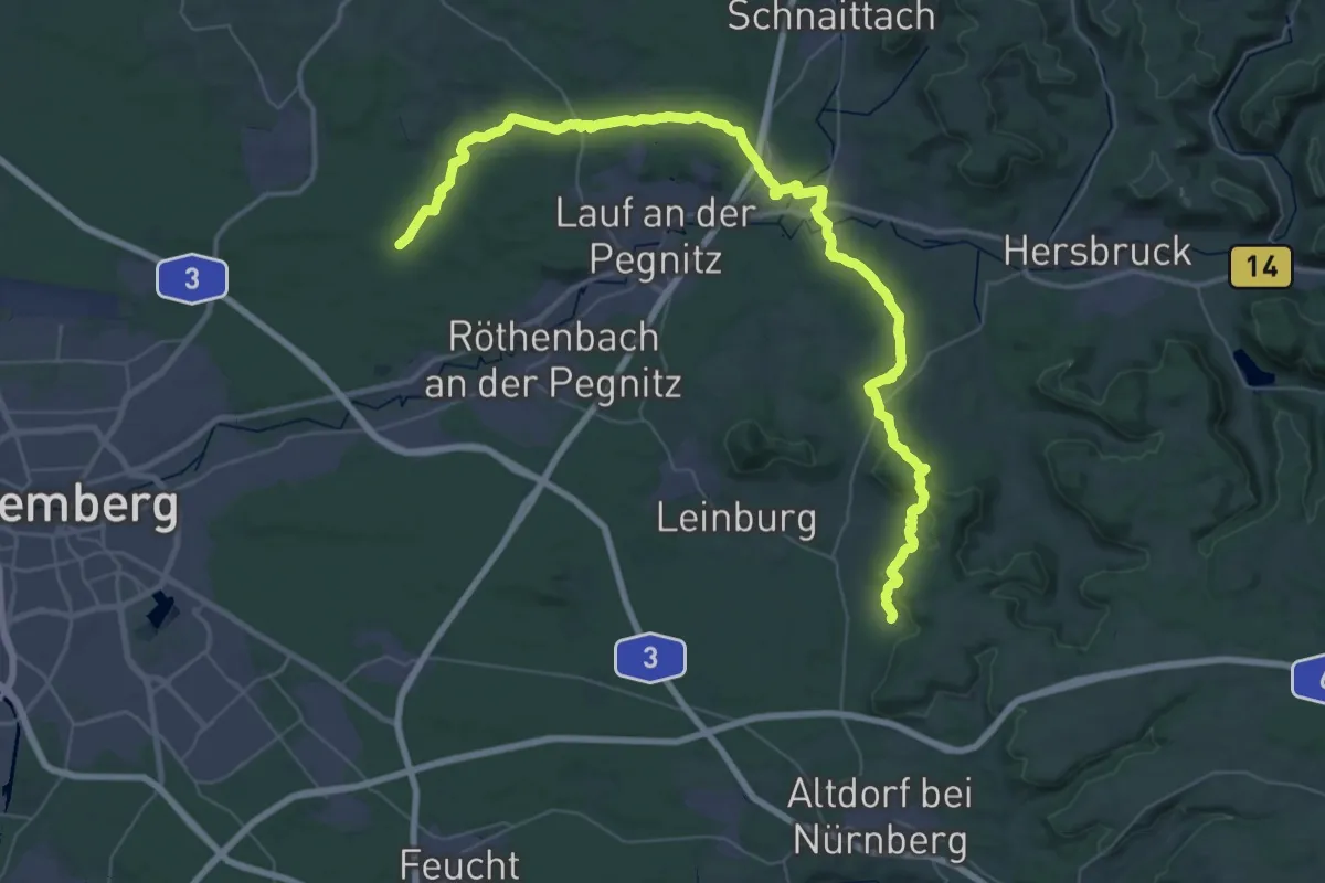
Demanding · Trail
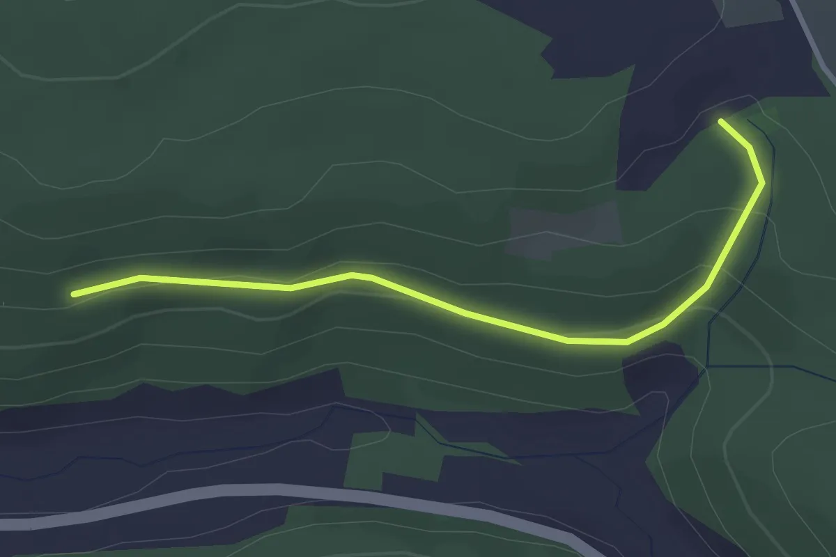
Weißenbrunn - Behringersdorf
27.8 km · ↑ 572 m · 8 h 14 min
Easy · Trail
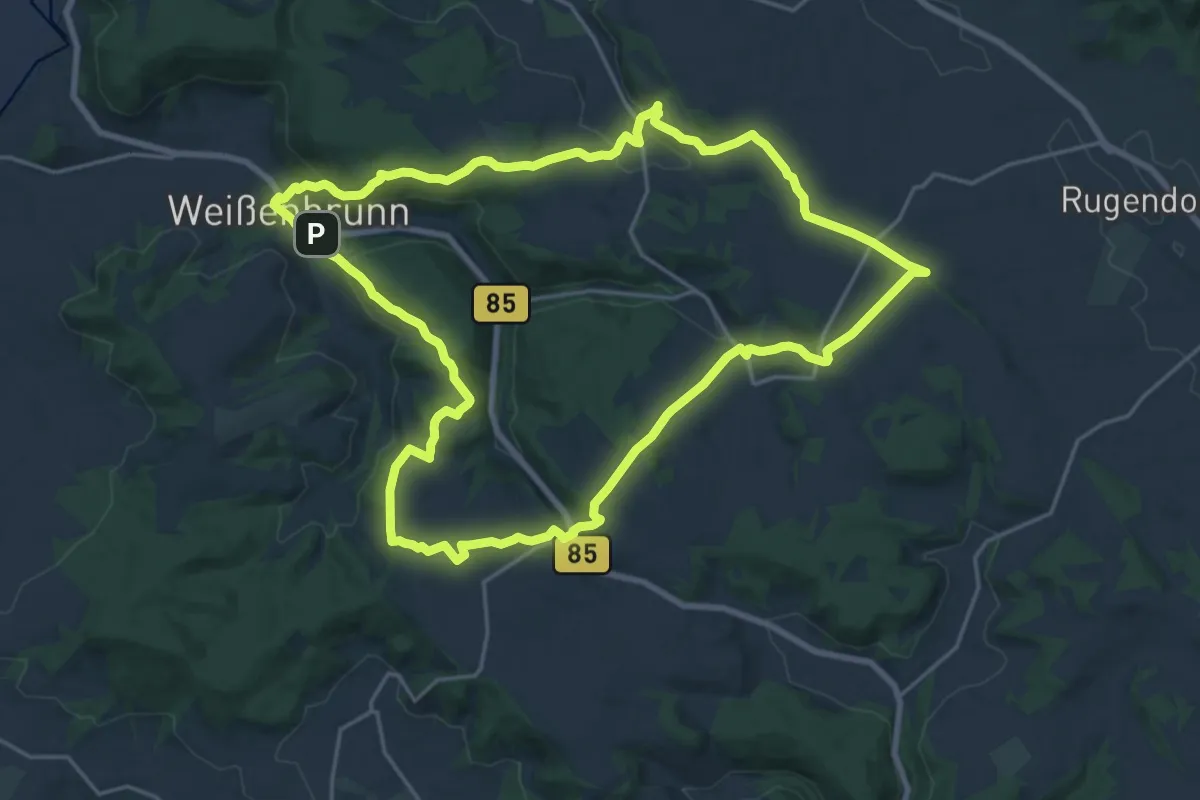
Weißenbrunner Panoramaweg
2.8 km · ↑ 106 m · 53 min
Demanding · Trail
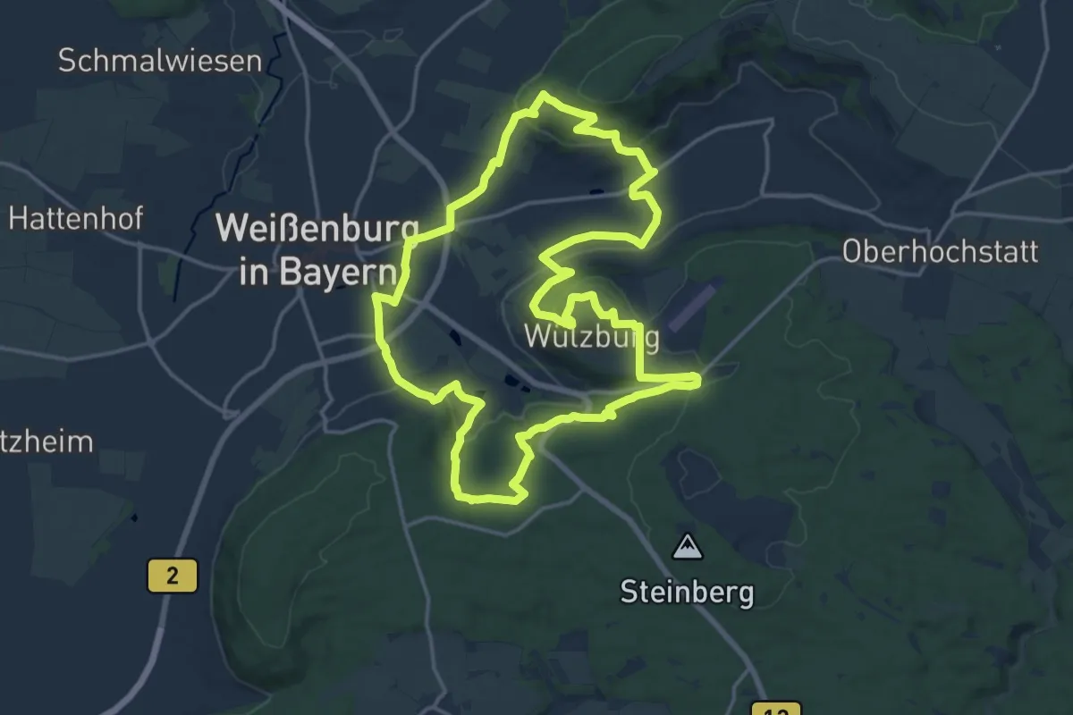
Weißenbrunner Panoramaweg KC54
19.8 km · ↑ 500 m · 6 h 2 min
Medium · Summit
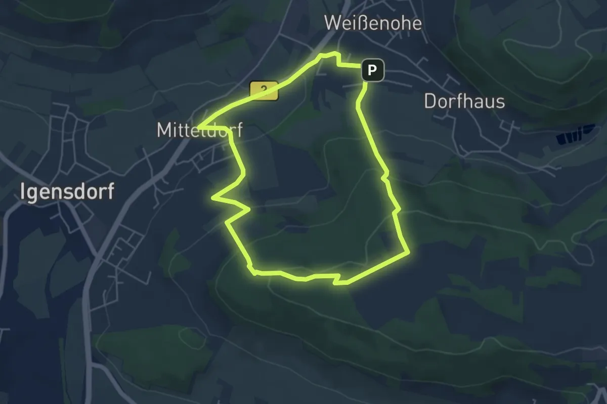
Weißenburg Nr. 13
15.7 km · ↑ 524 m · 5 h 3 min
Easy · Trail
Weißenoher Blaurautenweg
4.5 km · ↑ 171 m · 1 h 29 min
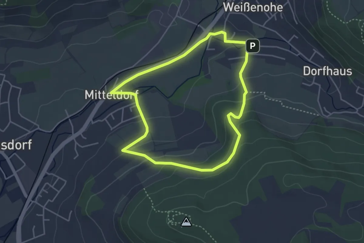
Easy · Trail
Weißenoher Gelbrautenweg
3.4 km · ↑ 109 m · 1 h 6 min
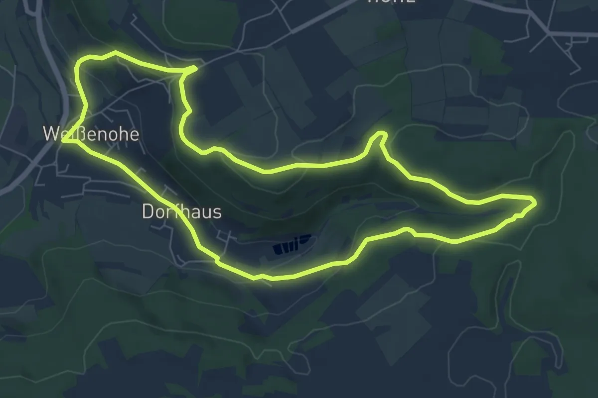
Medium · Trail
Weißenoher Gelbringweg
6.9 km · ↑ 184 m · 2 h 8 min
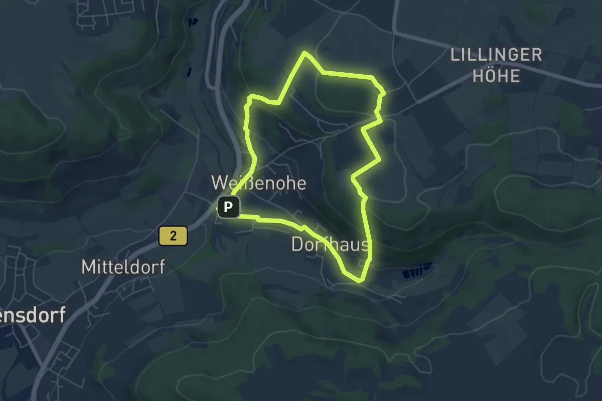
Medium · Trail
Weißenoher Grünrautenweg
4.9 km · ↑ 169 m · 1 h 36 min
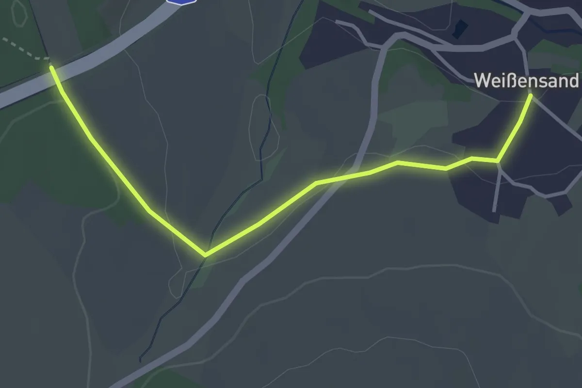
Easy · Trail
Weißensand-Mühlwand Teilstück
3.1 km · ↑ 48 m · 50 min