Trails in Germany
36,877 hiking trails, each with its route, climb, walking time and grade.
All trails, page 724 of 769
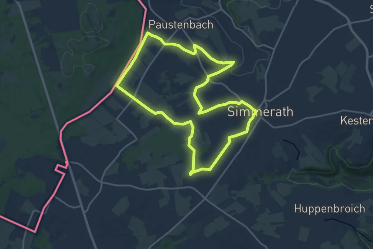
Medium · Trail
Westwall-Eifelkreuz
10.4 km · ↑ 85 m · 2 h 47 min
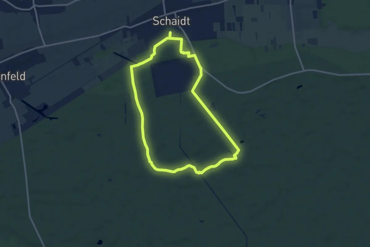
Medium · Trail
Westwallwanderweg Schaidt
8.5 km · ↑ 40 m · 2 h 13 min
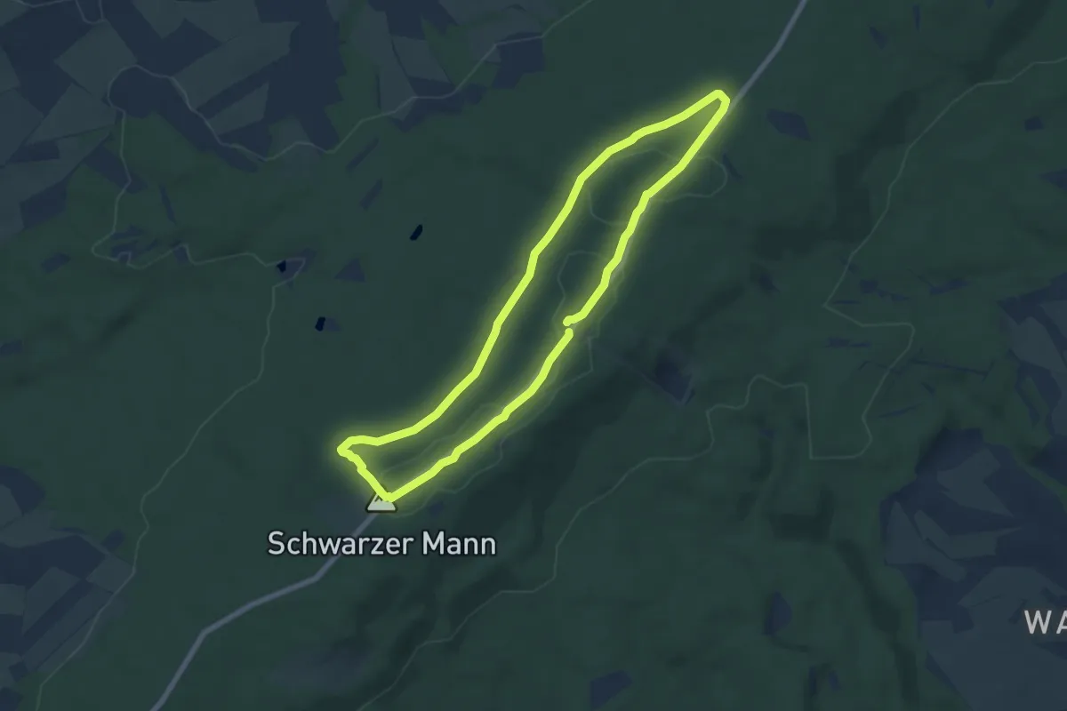
Easy · Summit
Westwallweg
6.2 km · ↑ 46 m · 1 h 38 min
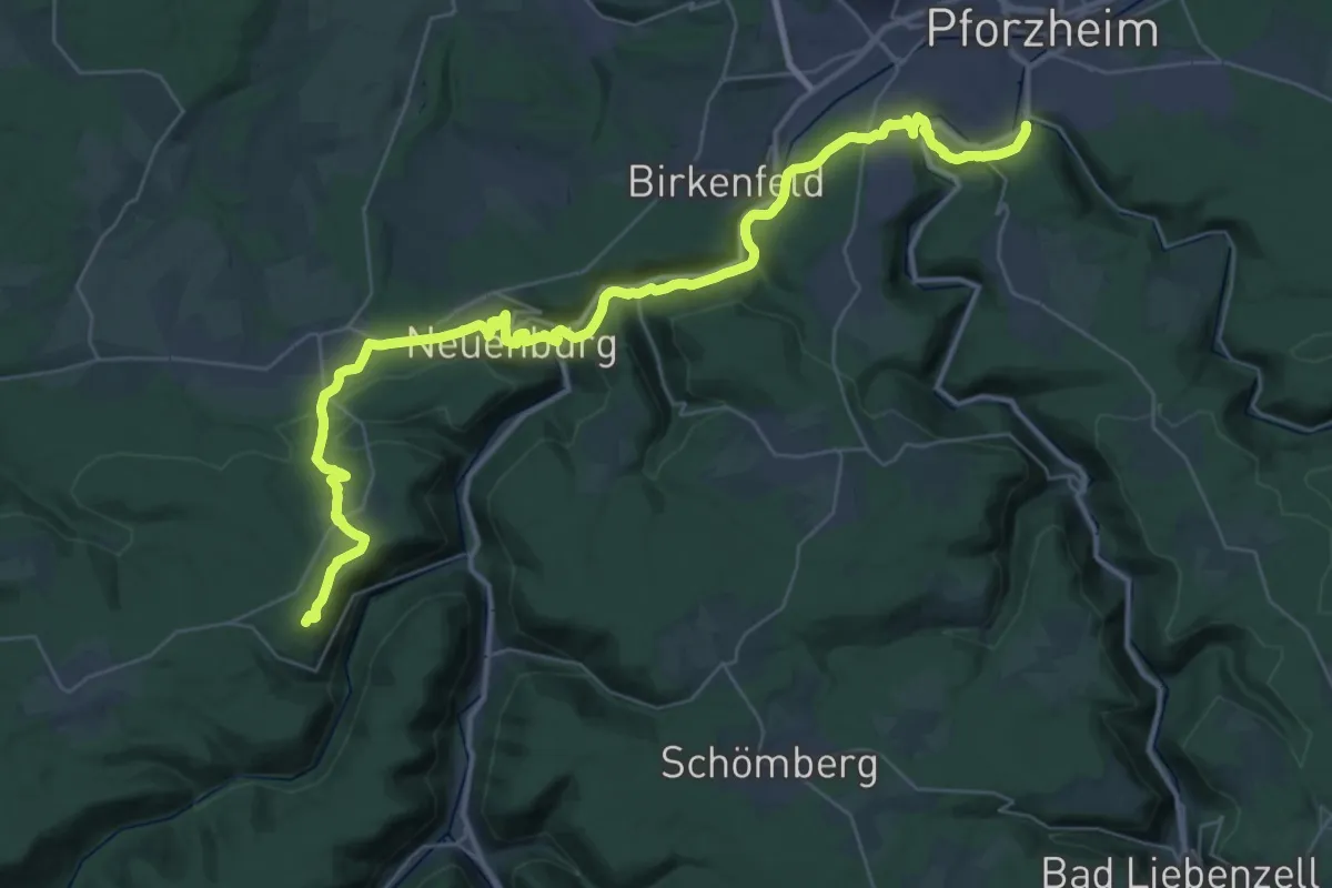
Demanding · Summit
Westweg [01. Pforzheim→Dobel]
42.3 km · ↑ 1004 m · 12 h 10 min
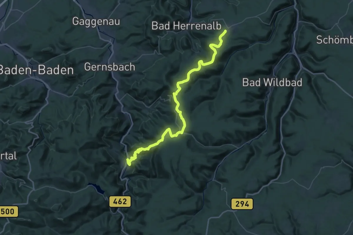
Demanding · Summit
Westweg [02. Dobel→Forbach]
50.3 km · ↑ 1664 m · 15 h 29 min
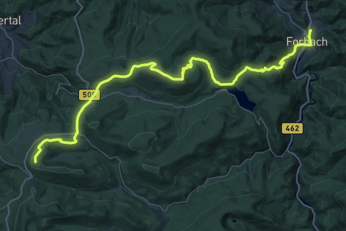
Demanding · Summit
Westweg [03. Forbach→Unterstmatt]
37.6 km · ↑ 1394 m · 11 h 54 min
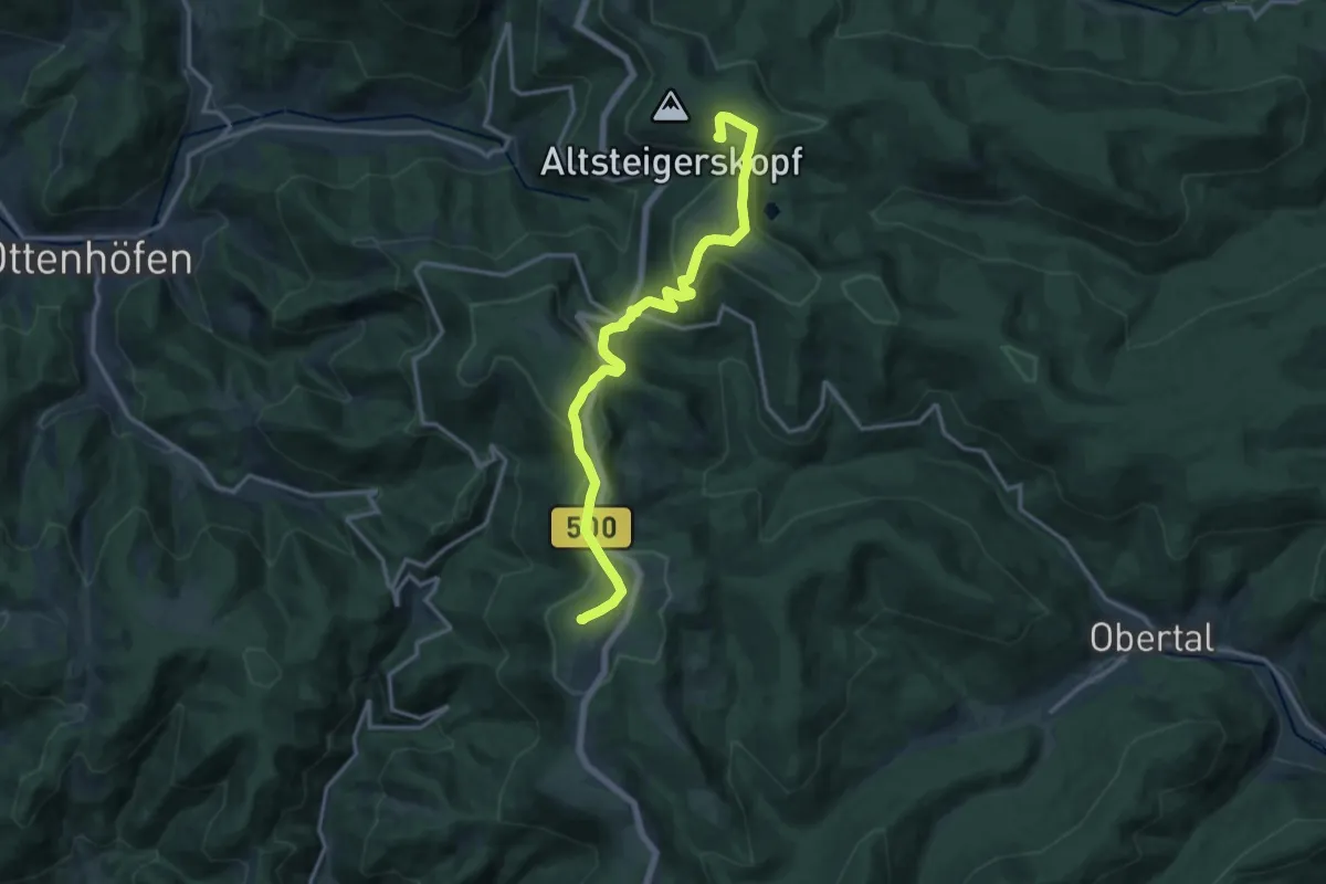
Medium · Summit
Westweg [04. Unterstmatt→Alexanderschanze]
14.4 km · ↑ 425 m · 4 h 19 min
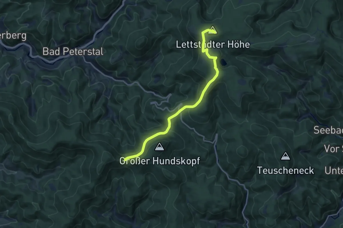
Medium · Summit
Westweg [05. Alexanderschanze→Hark]
11.9 km · ↑ 376 m · 3 h 38 min
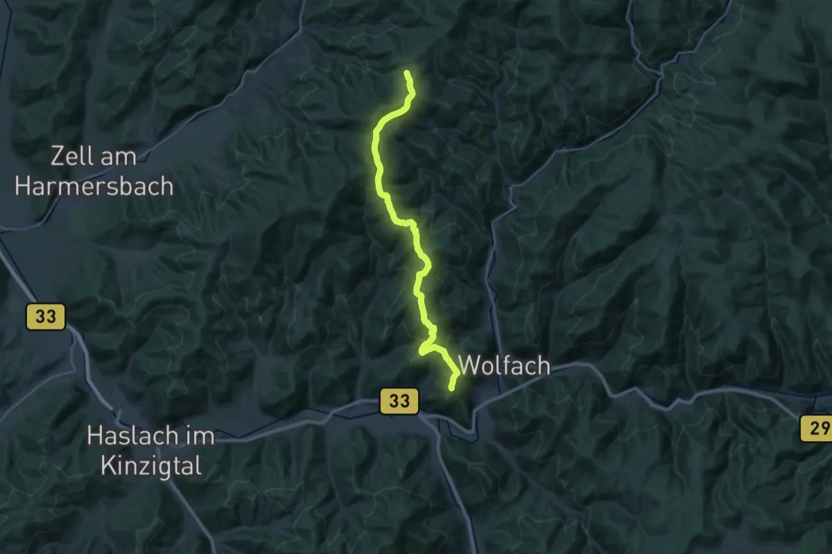
Demanding · Summit
Westweg [06. Hark→Hausach]
23.7 km · ↑ 948 m · 7 h 39 min
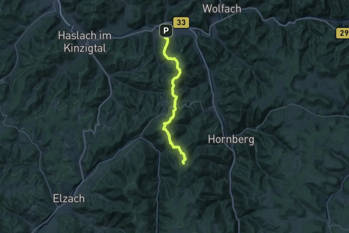
Demanding · Summit
Westweg [07. Hausach→Wilhelmshöhe]
26.9 km · ↑ 1458 m · 9 h 30 min
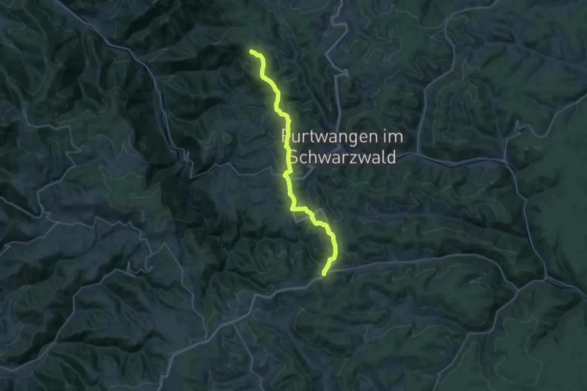
Demanding · Summit
Westweg [08. Wilhelmshöhe→Kalte Herberge]
25.9 km · ↑ 690 m · 7 h 37 min
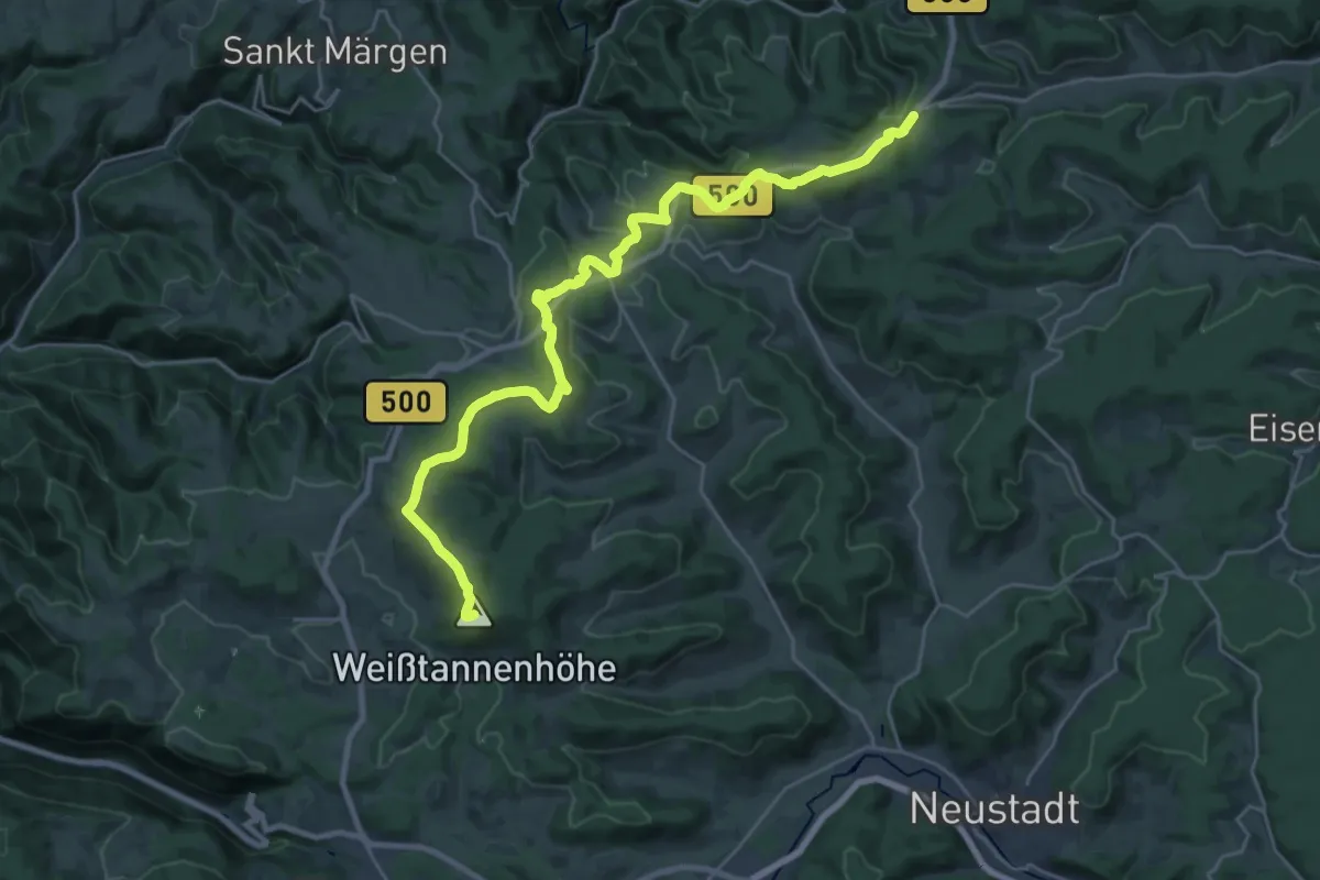
Demanding · Summit
Westweg [09. Kalte Herberge→Titisee]
27.9 km · ↑ 696 m · 8 h 5 min
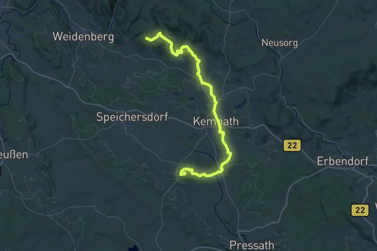
Demanding · Summit
Westweg Fichtelgebirge
51.7 km · ↑ 1227 m · 14 h 52 min
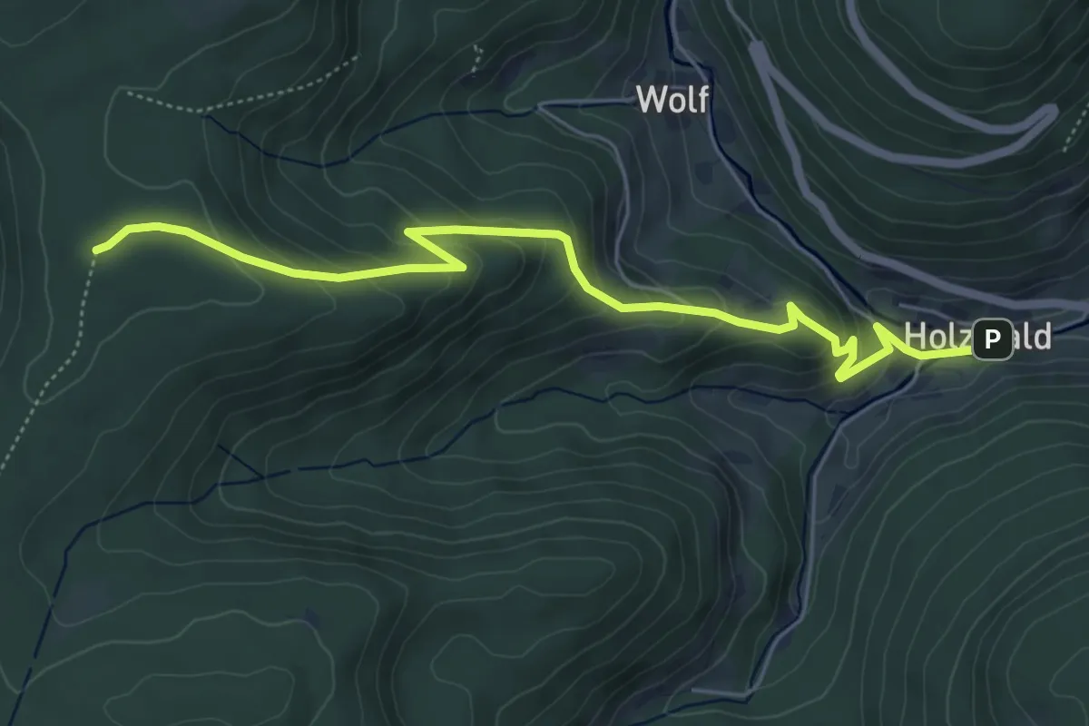
Easy · Trail
Westweg - Holzwald
5.8 km · ↑ 301 m · 2 h 1 min
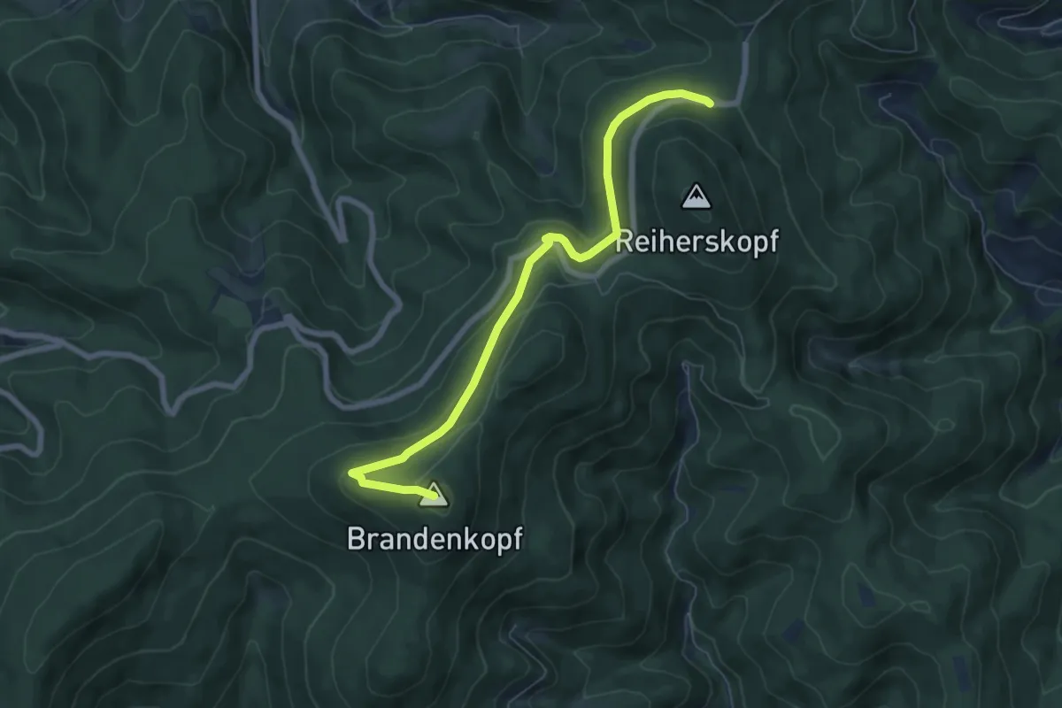
Easy · Summit
Westweg (Variante Brandenkopf)
6.7 km · ↑ 239 m · 2 h 6 min
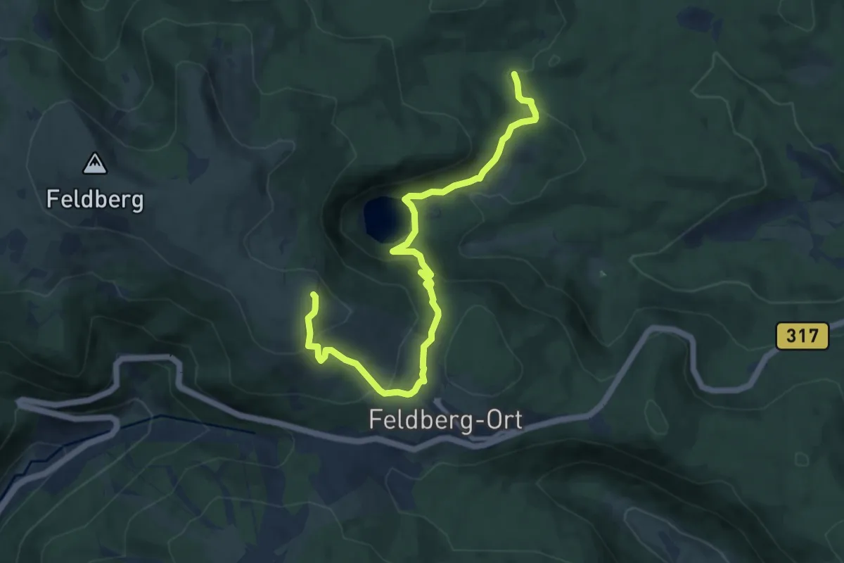
Medium · Trail
Westweg (Variante Feldberger Hof)
9.8 km · ↑ 459 m · 3 h 19 min
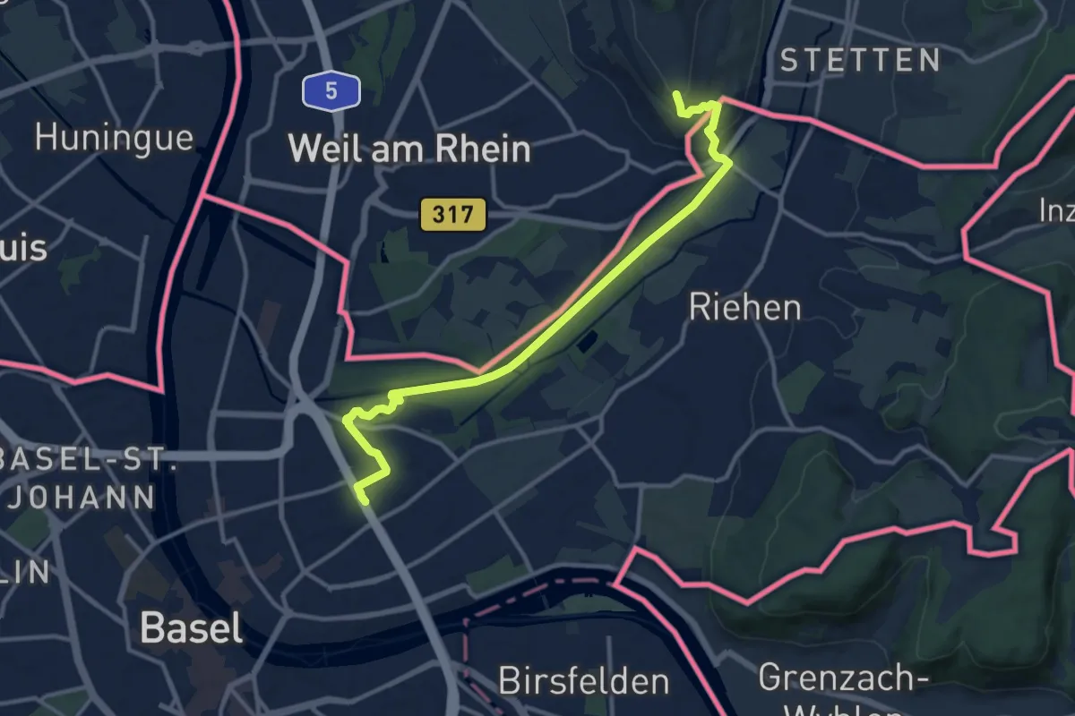
Medium · Trail
Westweg (Westliche Variante)
12.3 km · ↑ 150 m · 3 h 14 min
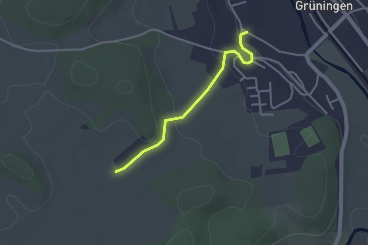
Easy · Trail
Wetterkreuz - Grüningen Laden
2.3 km · ↑ 52 m · 40 min
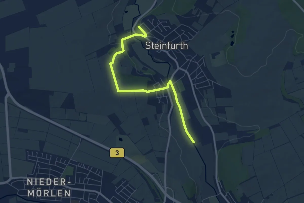
Easy · Trail
Wettertal-Wanderweg
3.3 km · ↑ 58 m · 56 min
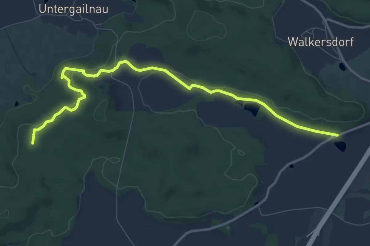
Medium · Summit
Wettringen - Wörnitz
9.0 km · ↑ 198 m · 2 h 33 min
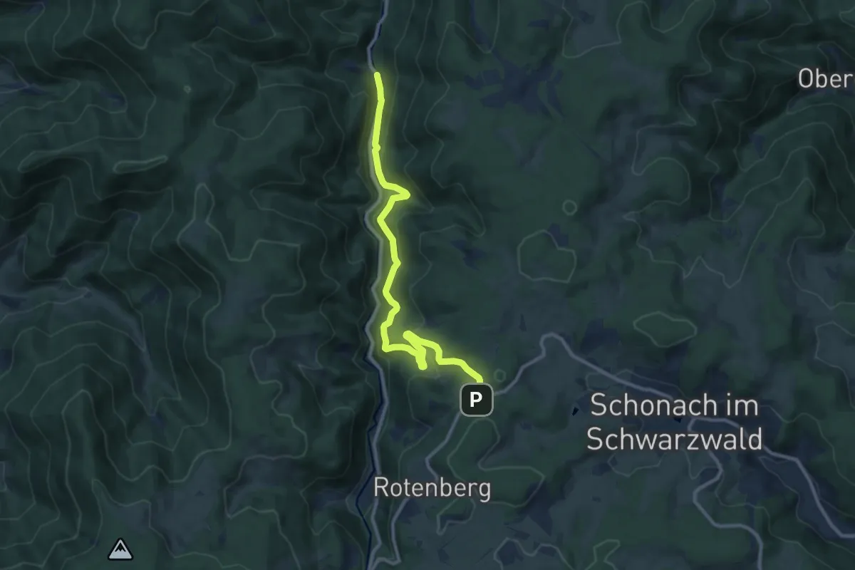
Medium · Trail
Wetzelweg - Wälderhaus
10.3 km · ↑ 499 m · 3 h 31 min
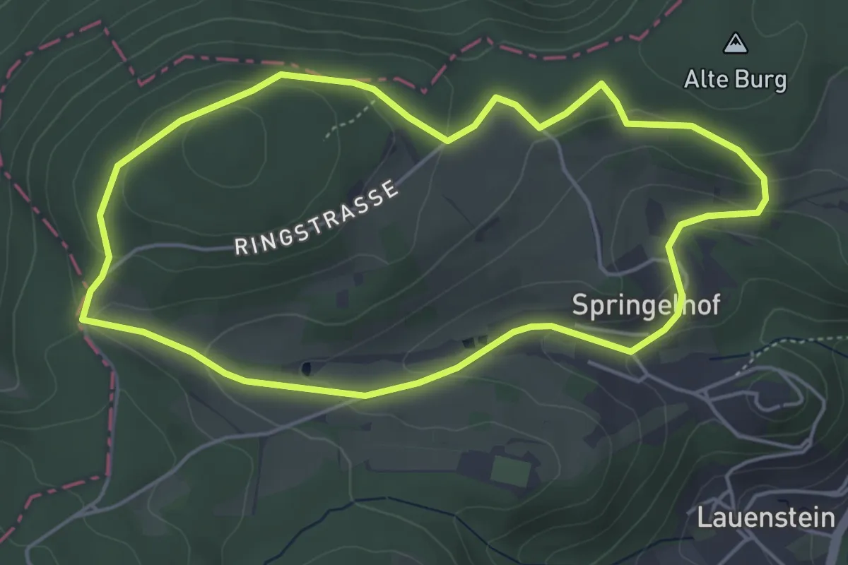
Easy · Summit
Wetzsteinmacher Weg
4.3 km · ↑ 142 m · 1 h 23 min
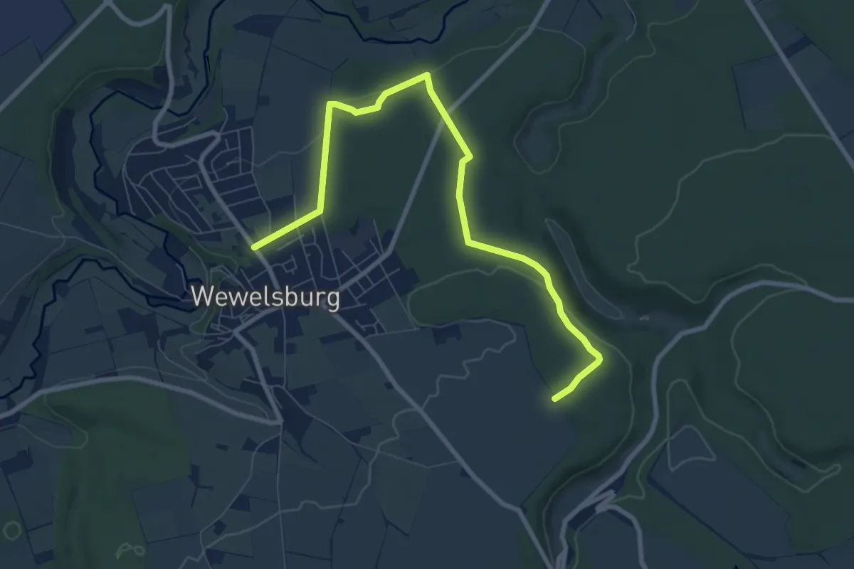
Easy · Trail
Wewelsburg Rundweg W1
4.0 km · ↑ 87 m · 1 h 9 min
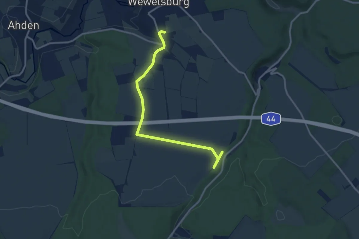
Easy · Trail
Wewelsburg Rundweg W2
3.8 km · ↑ 57 m · 1 h 4 min
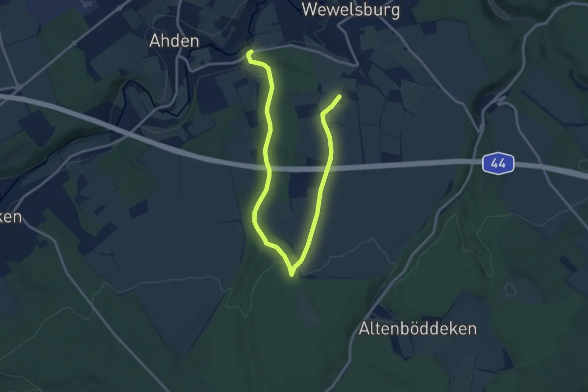
Easy · Trail
Wewelsburg Rundweg W3 Siebeneichen
5.6 km · ↑ 129 m · 1 h 39 min
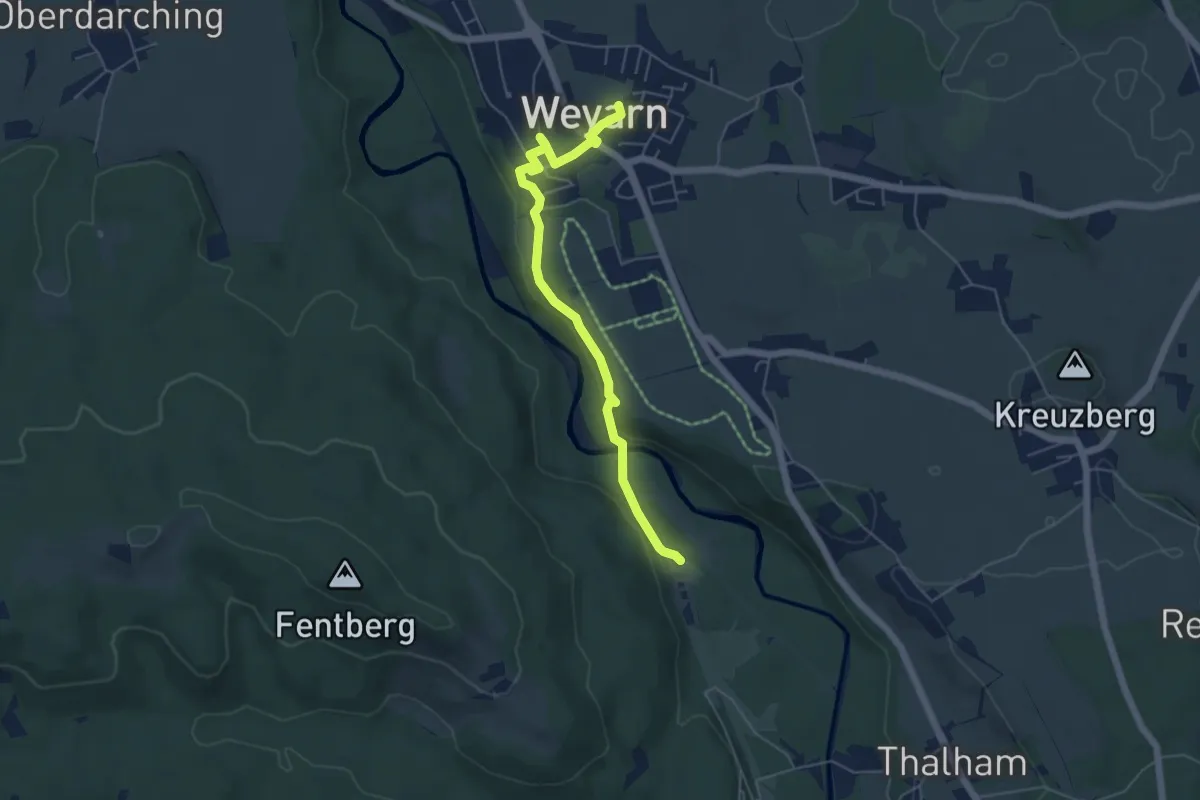
Easy · Trail
Weyarner Kulturpfad
5.2 km · ↑ 119 m · 1 h 30 min
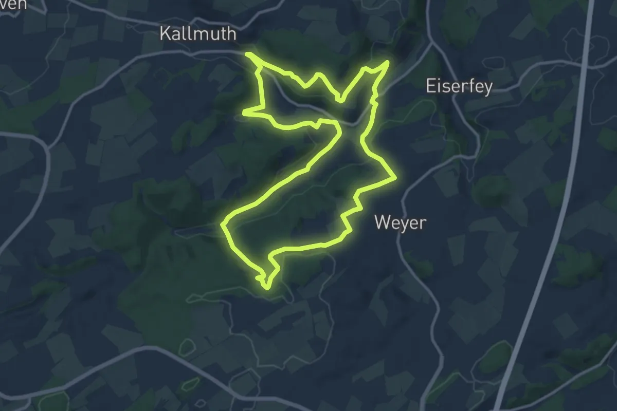
Medium · Trail
Weyer Rundweg 8
10.7 km · ↑ 302 m · 3 h 20 min
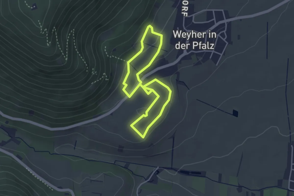
Easy · Trail
Weyherer Wein-Panorama Wanderweg
2.8 km · ↑ 79 m · 53 min
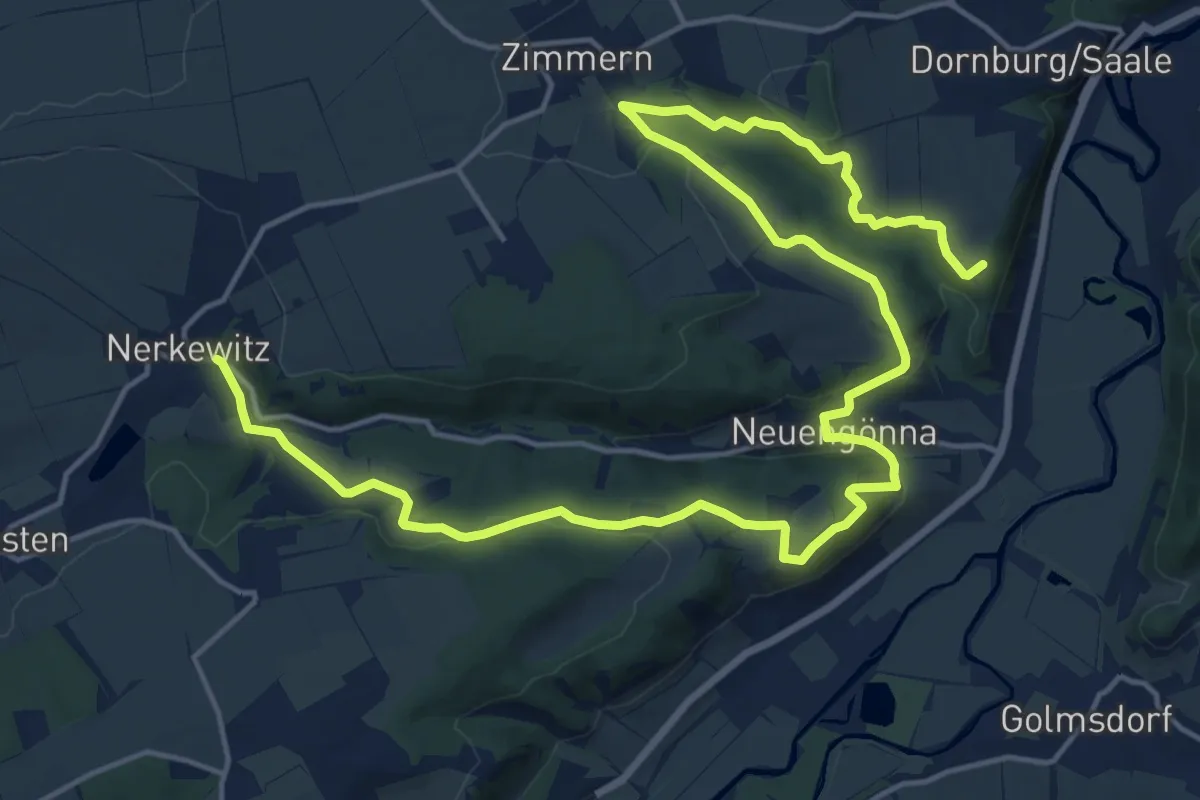
Demanding · Trail
w-green-w
23.1 km · ↑ 552 m · 6 h 39 min
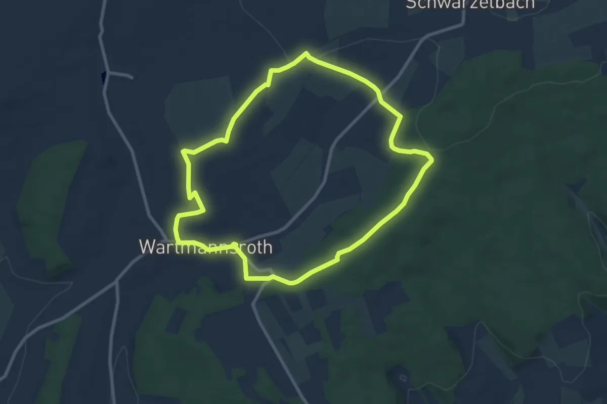
Easy · Trail
Whisky-Schleife
7.1 km · ↑ 94 m · 1 h 58 min
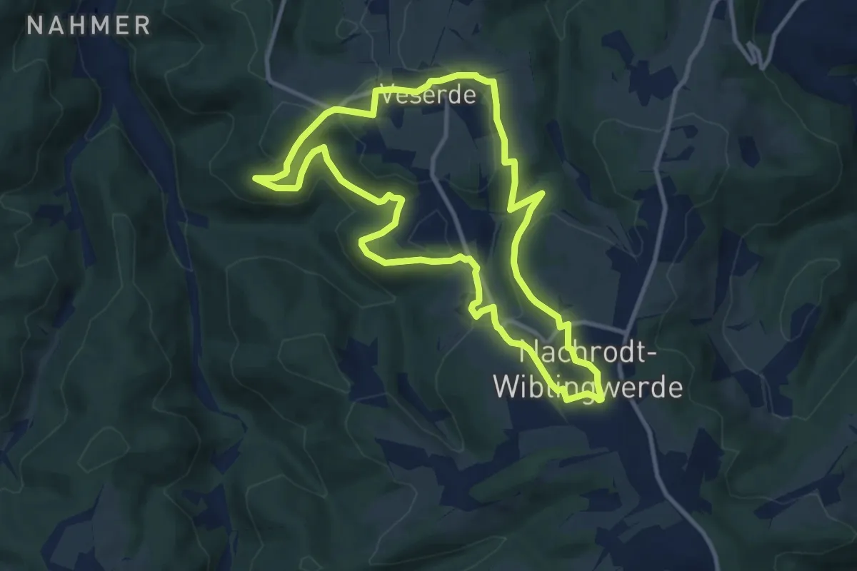
Medium · Trail
Wiblingwerde - Veserde
8.8 km · ↑ 240 m · 2 h 42 min
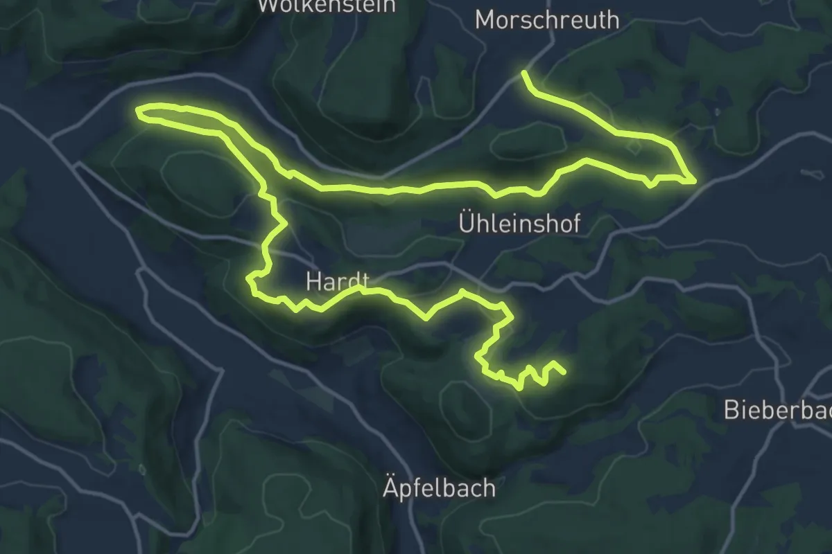
Demanding · Summit
Wichsenstein-Dicker Berg
25.2 km · ↑ 785 m · 7 h 39 min
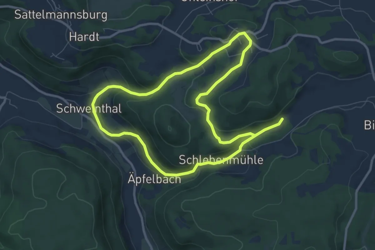
Medium · Trail
Wichsenstein-Schlehenmühle
13.7 km · ↑ 472 m · 4 h 16 min
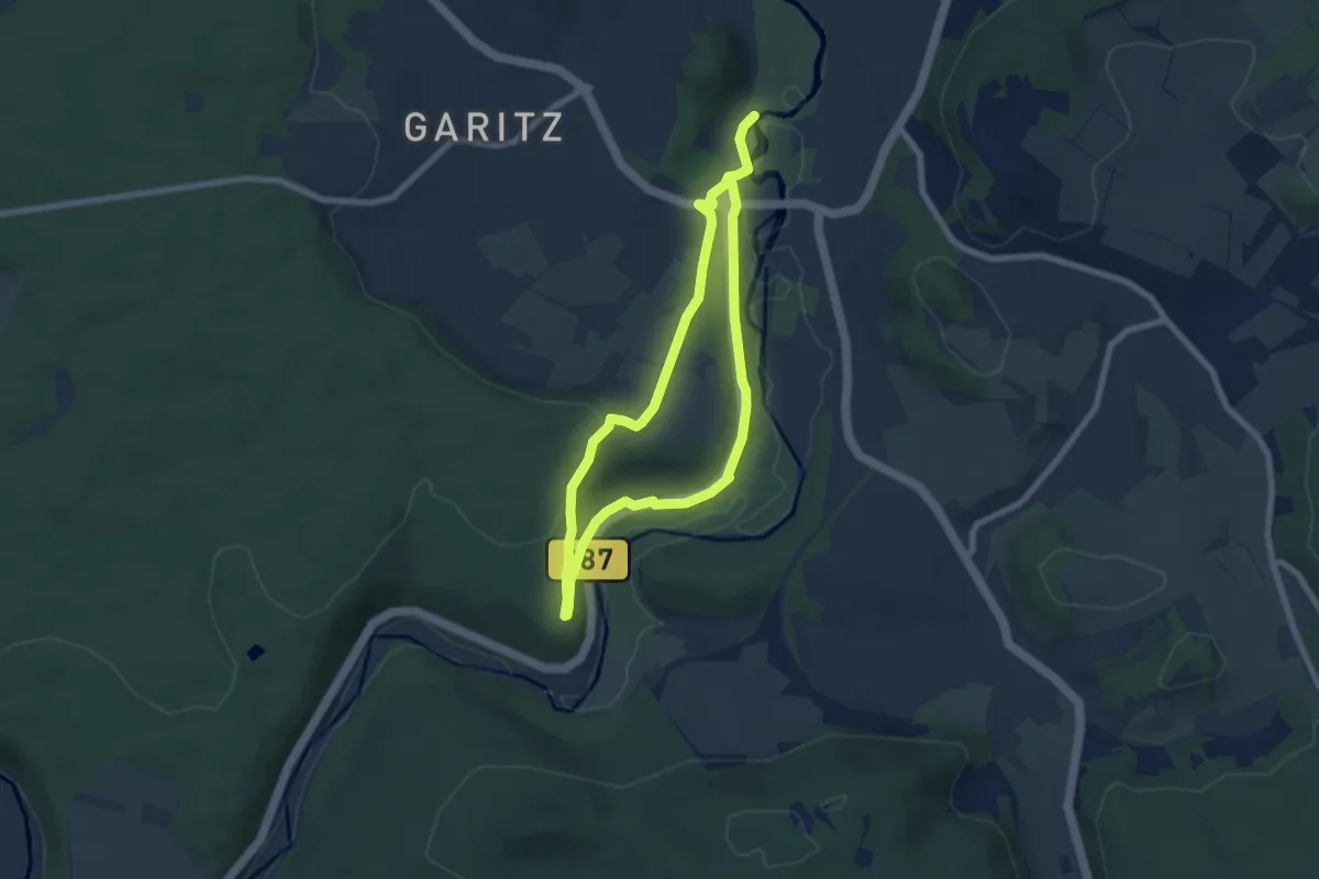
Easy · Trail
Wichtelhöhlen-Tour
5.6 km · ↑ 109 m · 1 h 38 min
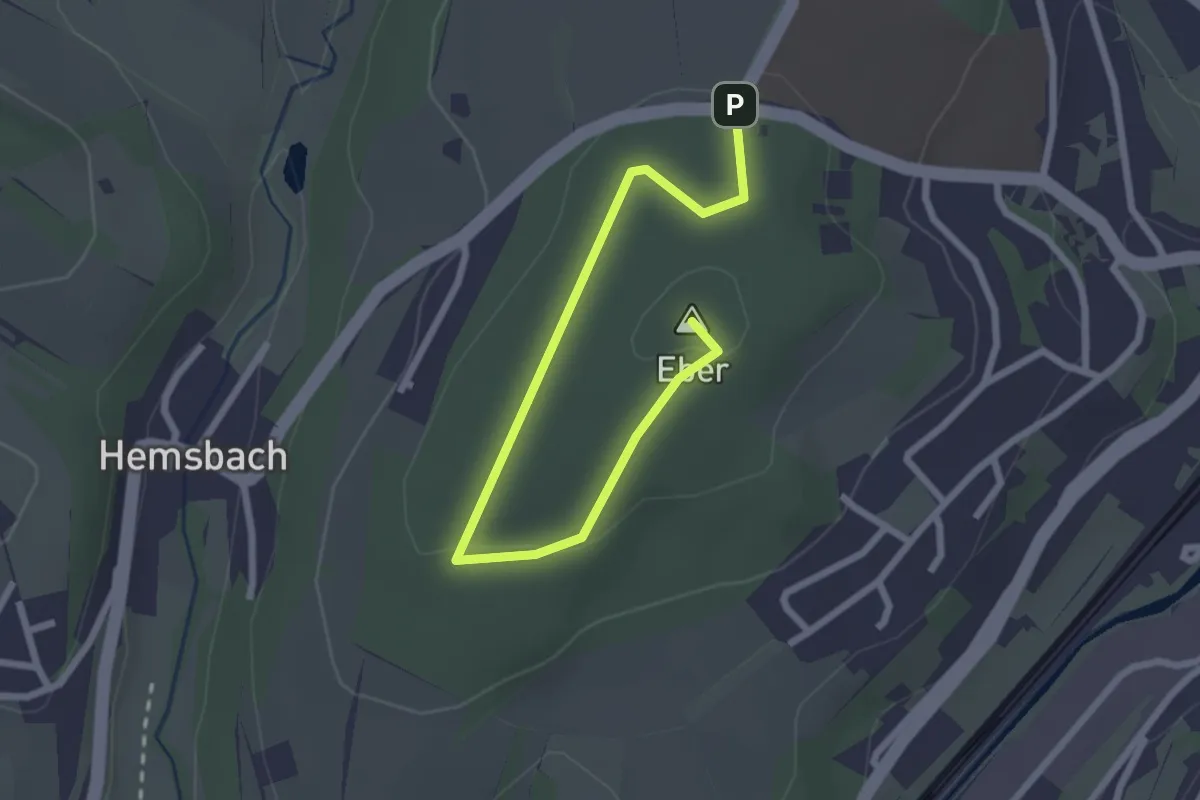
Easy · Summit
Wichtelpfad
2.8 km · ↑ 44 m · 45 min
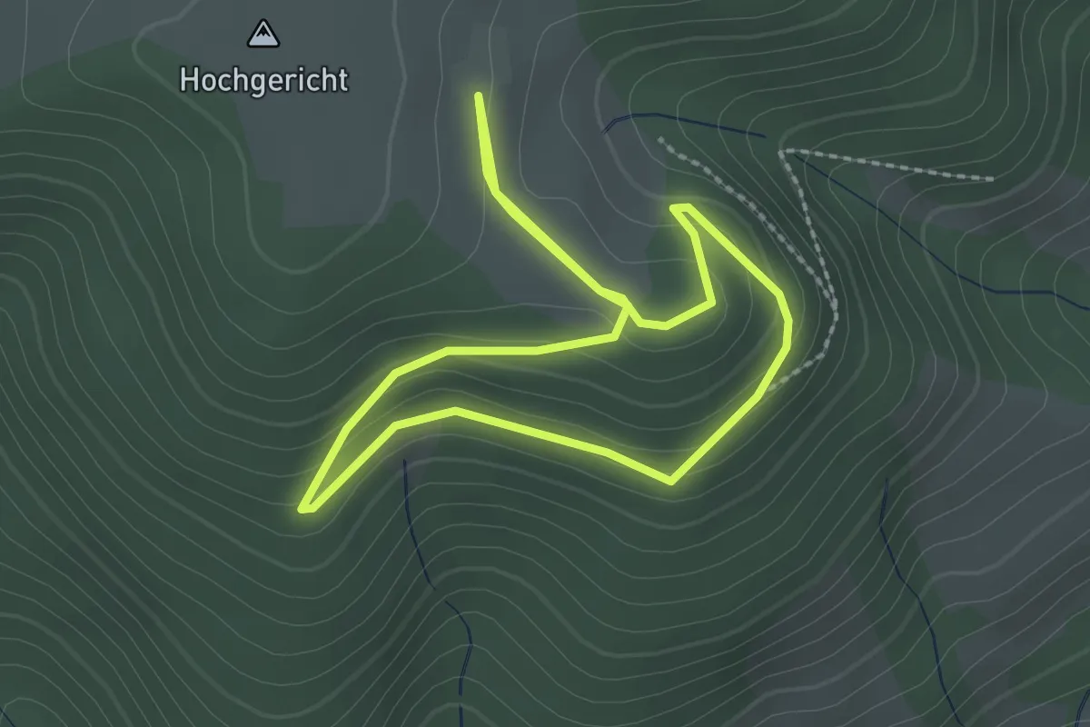
Easy · Trail
Wichtelweg
2.0 km · ↑ 74 m · 40 min
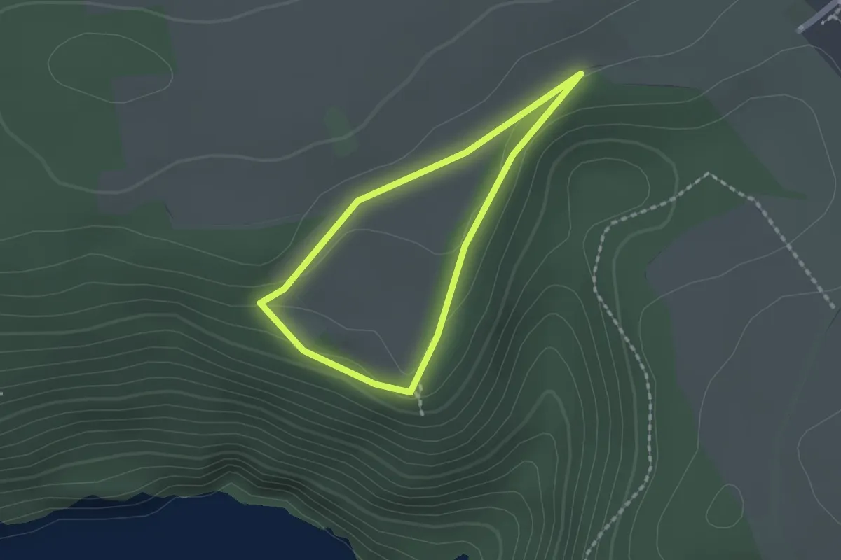
Easy · Trail
Wichtelweg
1.3 km · ↑ 32 m · 23 min
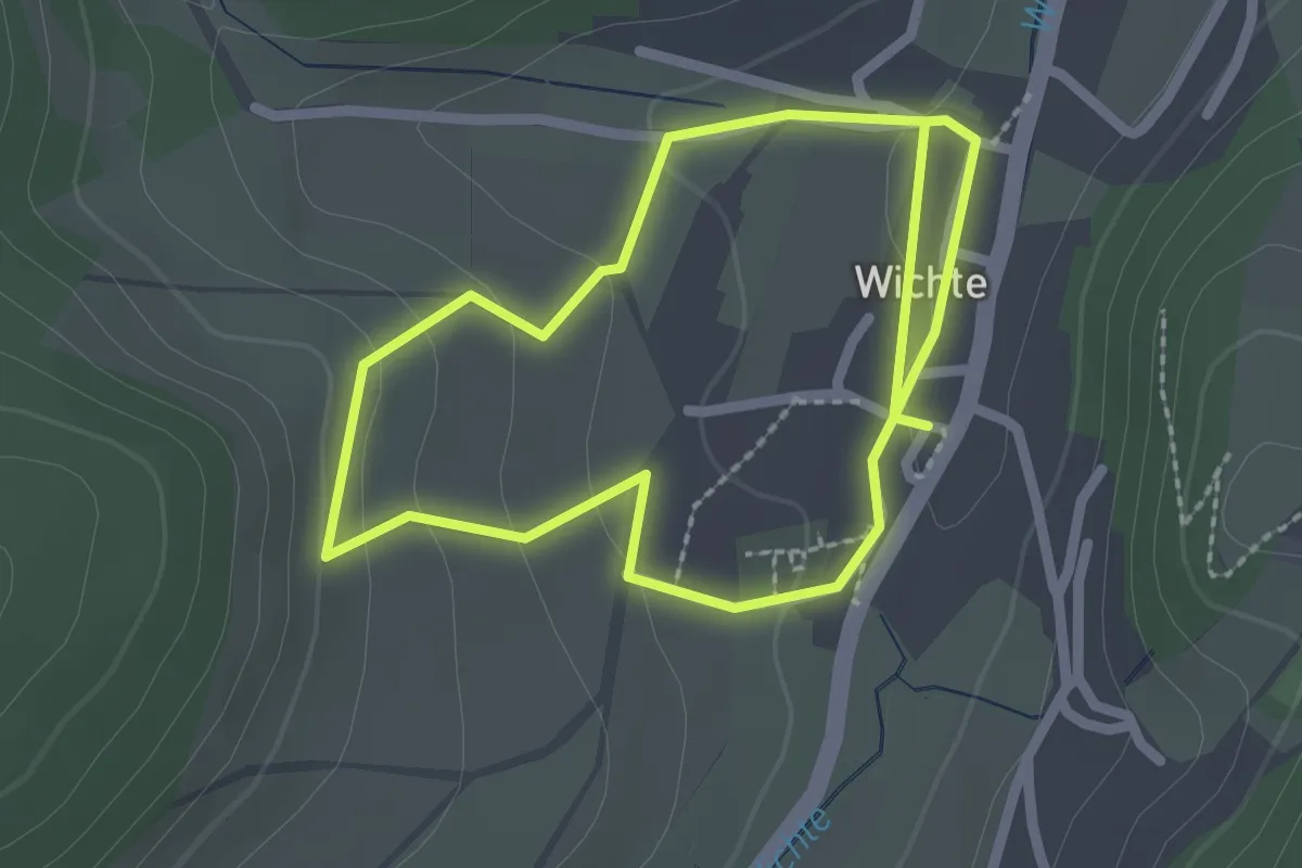
Easy · Trail
Wichte Rundweg W1
1.9 km · ↑ 58 m · 36 min
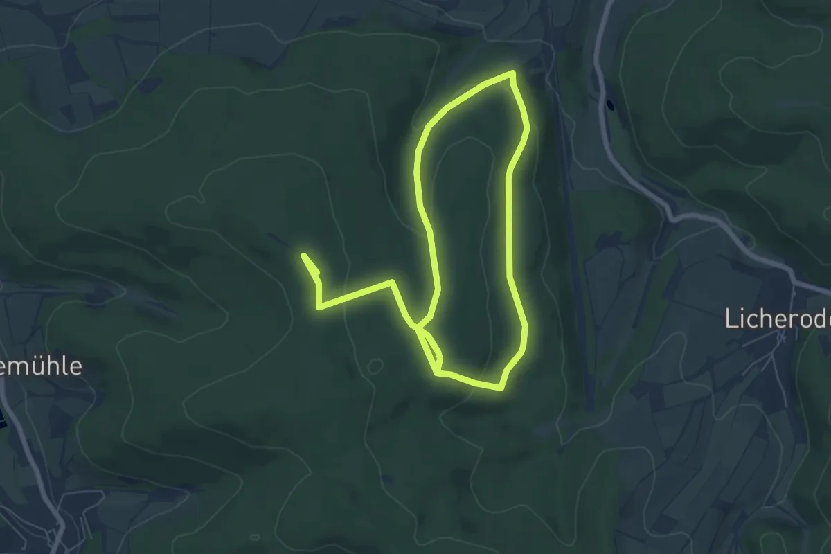
Easy · Trail
Wichte Rundweg W10
5.3 km · ↑ 137 m · 1 h 36 min
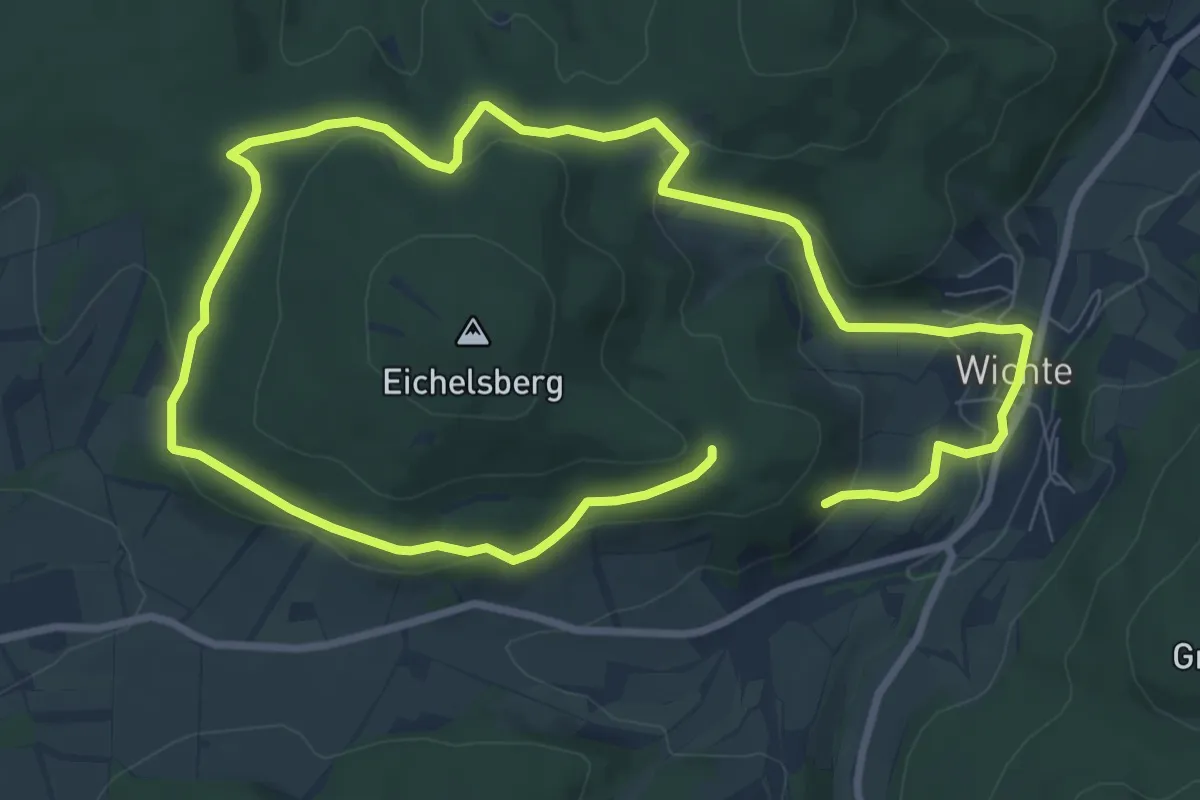
Easy · Trail
Wichte Rundweg W3
7.0 km · ↑ 227 m · 2 h 12 min
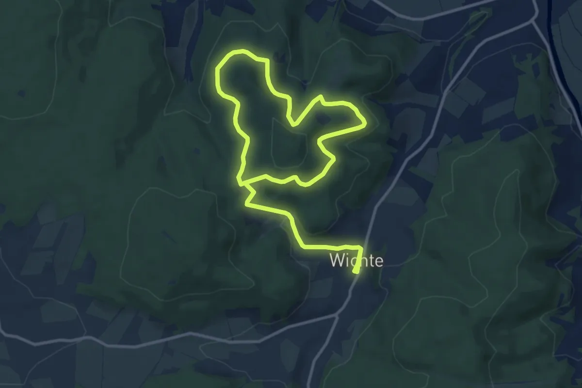
Easy · Trail
Wichte Rundweg W4
7.5 km · ↑ 270 m · 2 h 24 min
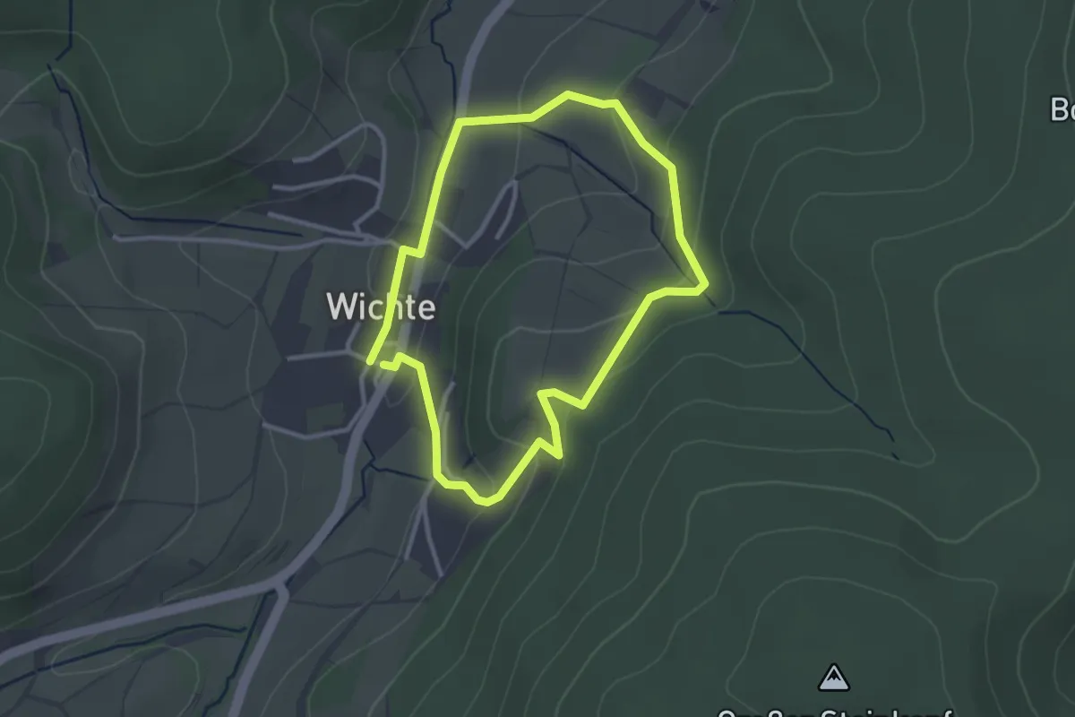
Easy · Trail
Wichte Rundweg W5
2.5 km · ↑ 86 m · 48 min
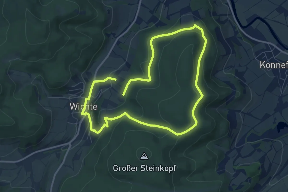
Easy · Trail
Wichte Rundweg W6
6.5 km · ↑ 168 m · 2 h
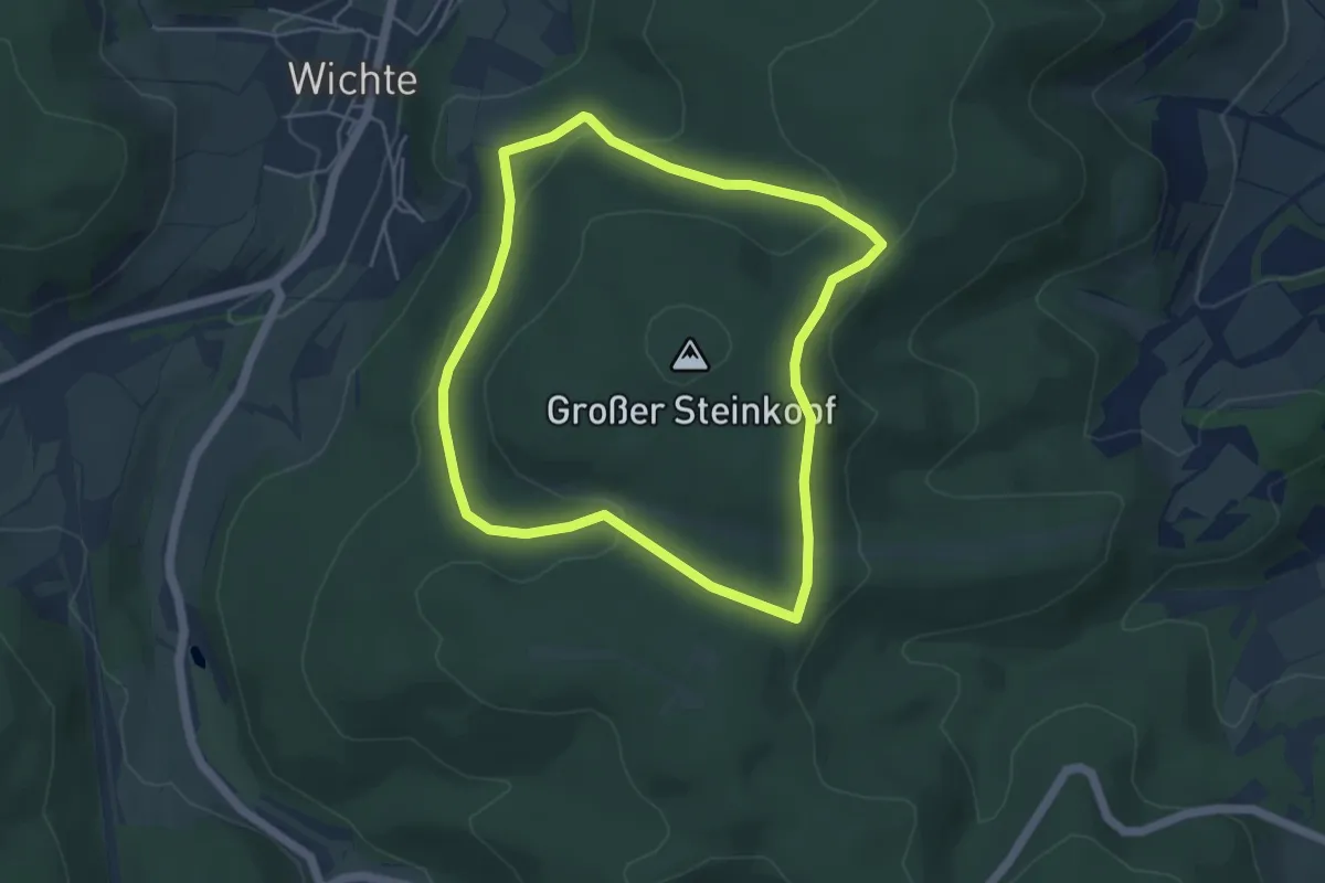
Easy · Trail
Wichte Rundweg W7
4.1 km · ↑ 120 m · 1 h 17 min
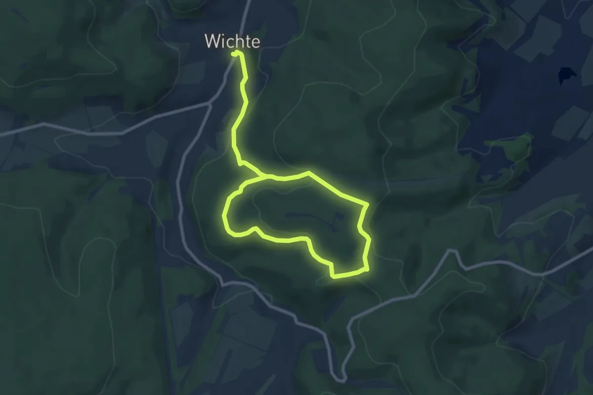
Easy · Summit
Wichte Rundweg W8
5.0 km · ↑ 216 m · 1 h 40 min
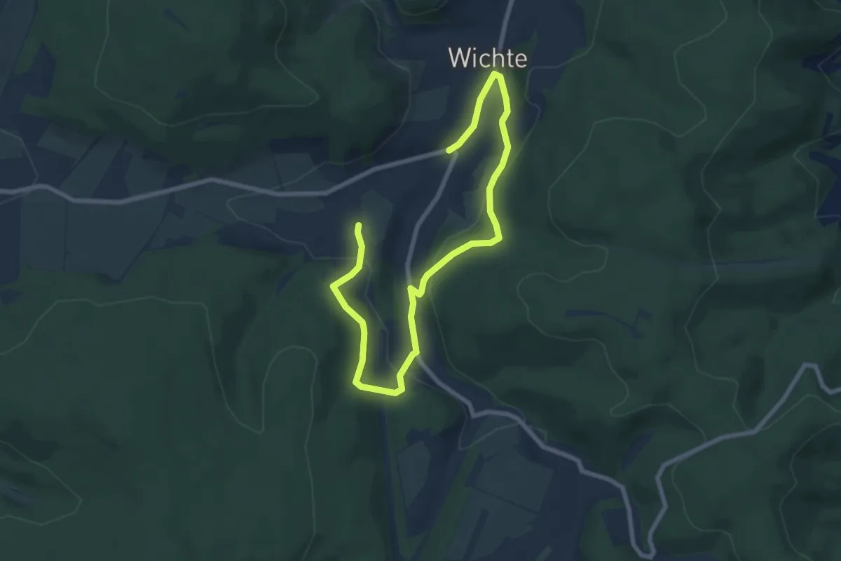
Easy · Trail
Wichte Rundweg W9
4.2 km · ↑ 166 m · 1 h 24 min
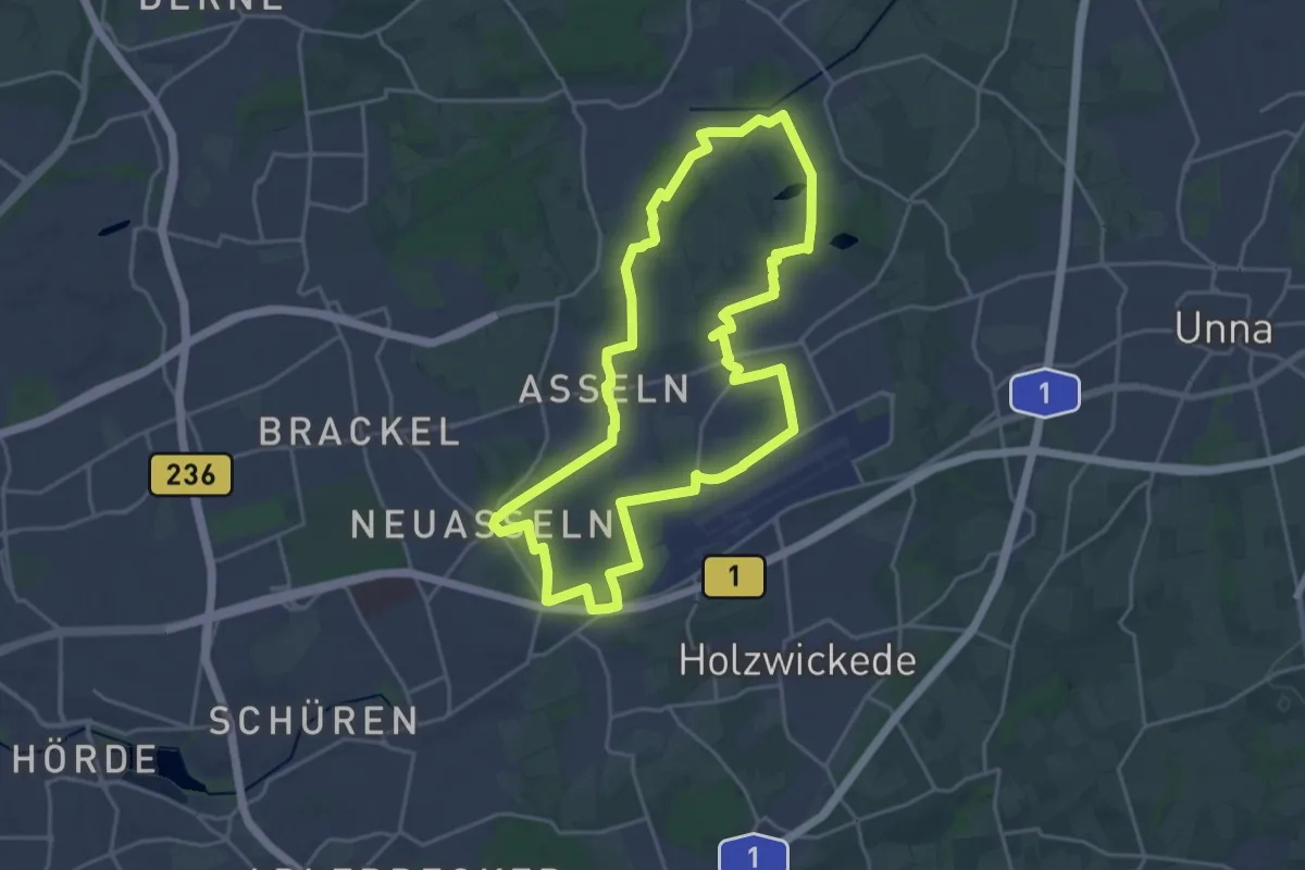
Demanding · Trail
Wickeder Rundweg
19.1 km · ↑ 100 m · 5 h
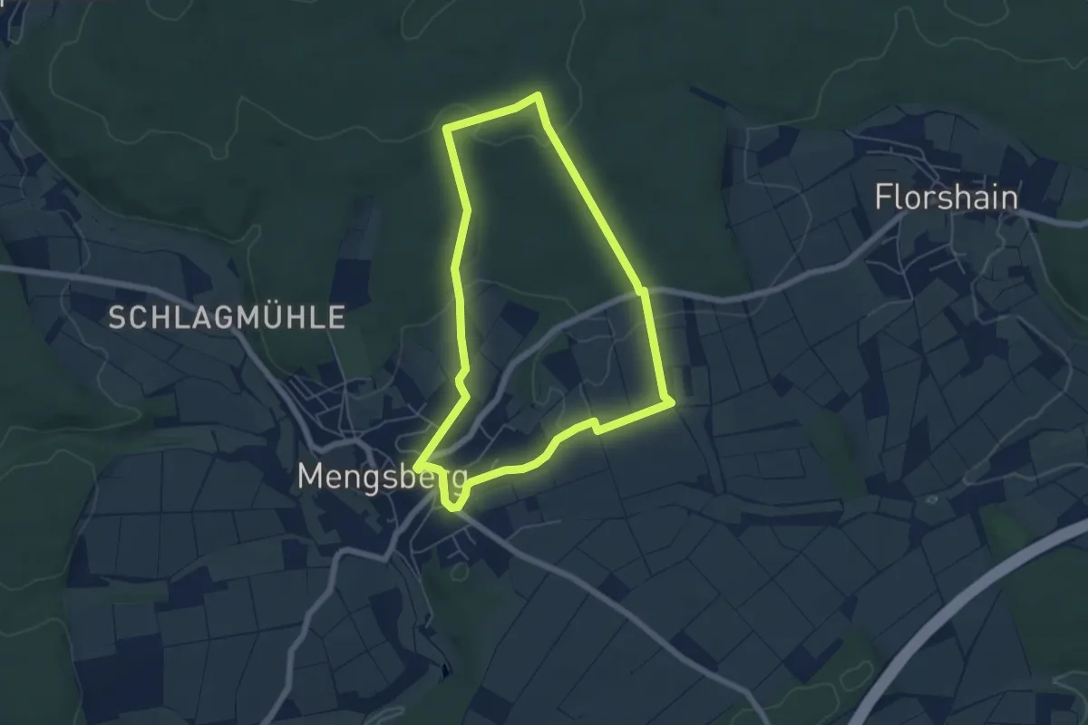
Easy · Trail
Wickenhohl/Möllerweg-Runde
4.9 km · ↑ 92 m · 1 h 26 min