Trails in Germany
36,877 hiking trails, each with its route, climb, walking time and grade.
All trails, page 725 of 769
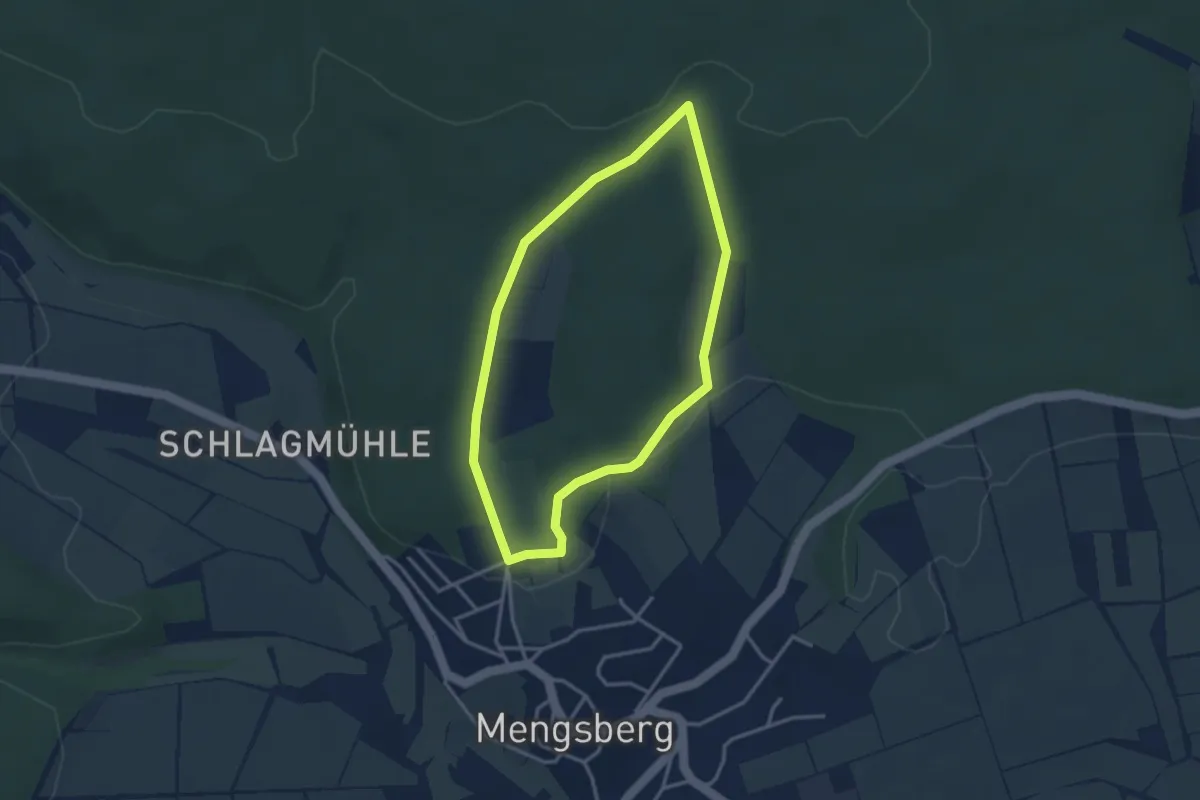
Easy · Trail
Wickenhohl/Sengfeld_Runde
2.7 km · ↑ 41 m · 47 min
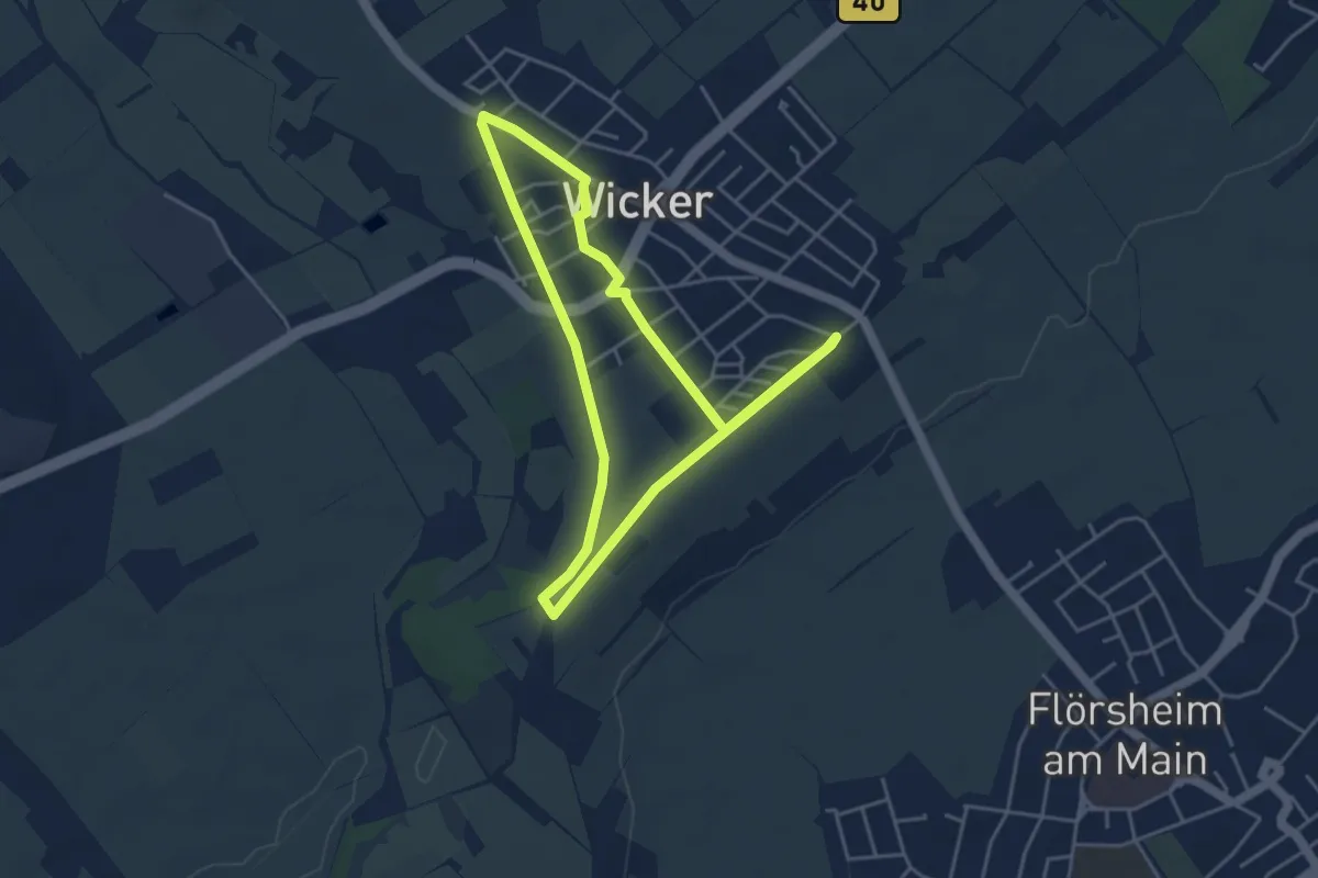
Easy · Trail
Wickerer Weinweg
3.9 km · ↑ 15 m · 1 h
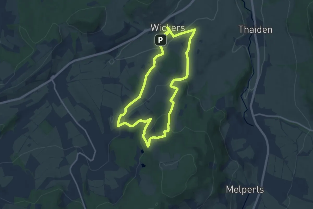
Medium · Summit
Wickers Rundwanderweg 16
8.1 km · ↑ 258 m · 2 h 35 min
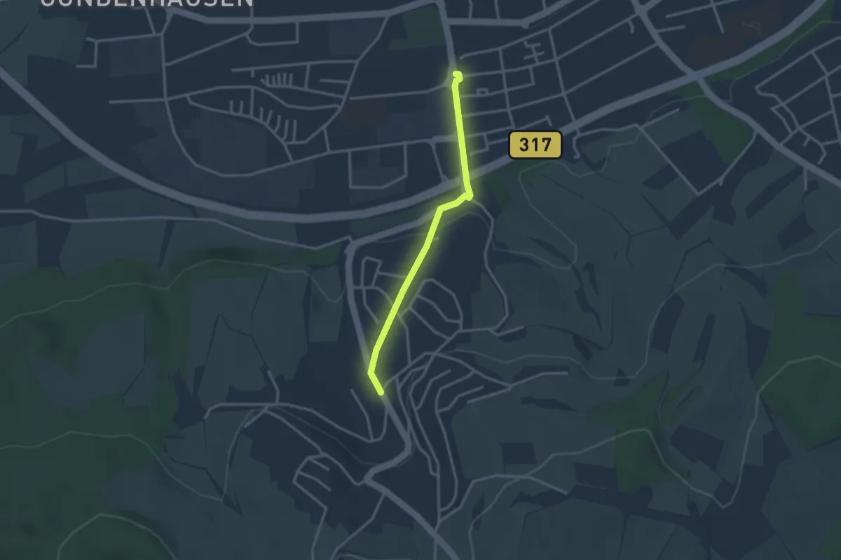
Easy · Trail
Wiechs Dorfmitte - Schopfheim Dreisternwerk
2.5 km · ↑ 61 m · 44 min
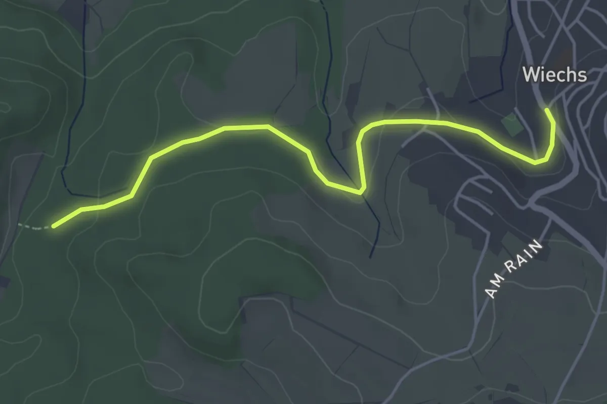
Easy · Trail
Wiechs Dorfmitte - Windleter Brünnli
4.5 km · ↑ 58 m · 1 h 11 min
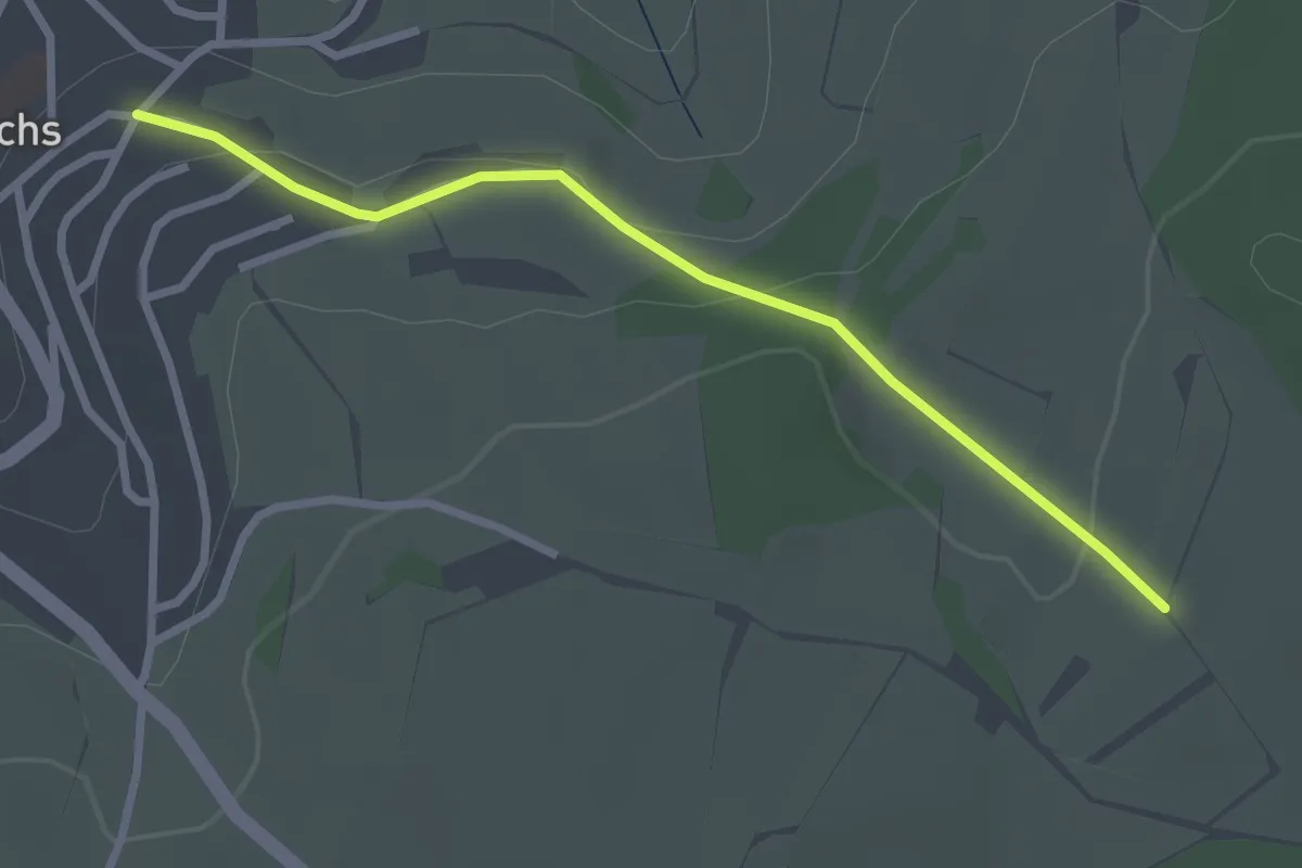
Easy · Trail
Wiechs Rebacker - Schäubler
2.7 km · ↑ 66 m · 46 min
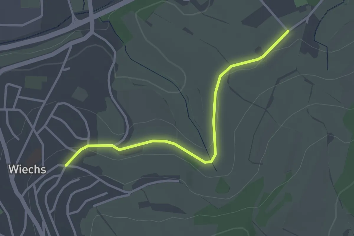
Easy · Trail
Wiechs Rebacker - Sengelen
2.8 km · ↑ 42 m · 44 min
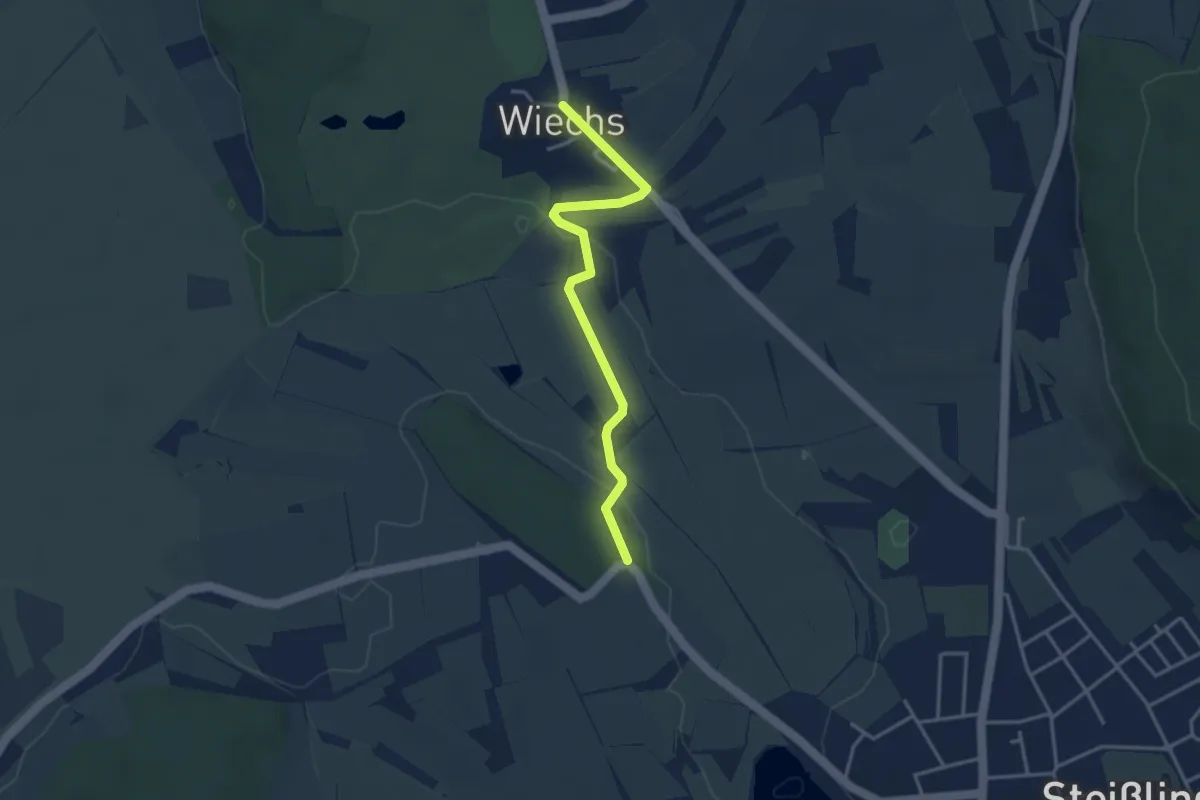
Easy · Trail
Wiechs - Schachenhölzle
3.4 km · ↑ 39 m · 53 min
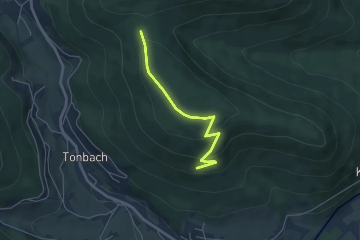
Easy · Trail
Wiedenberg - Feuerlehne
3.5 km · ↑ 140 m · 1 h 8 min
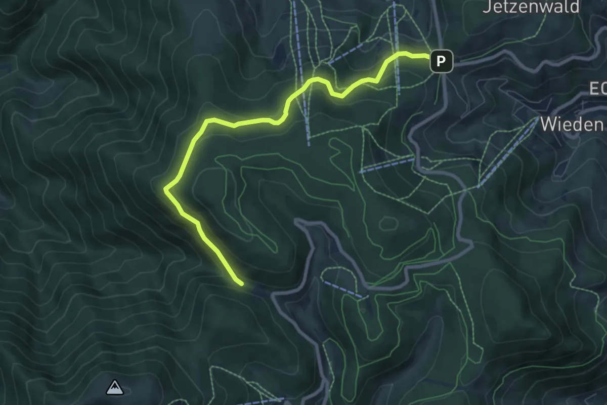
Medium · Trail
Wiedener Eck - Krinne
7.6 km · ↑ 381 m · 2 h 37 min
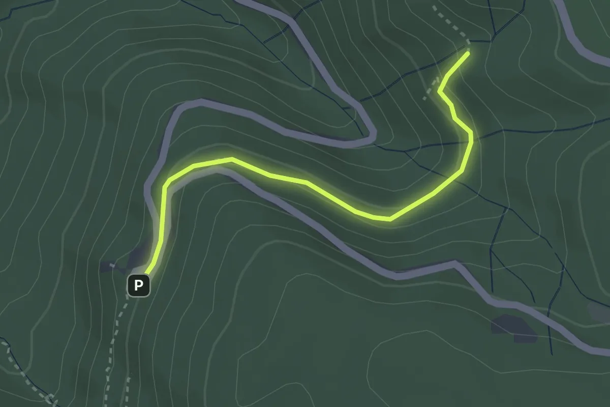
Easy · Trail
Wiedenfelsen - Paradiesweg
2.8 km · ↑ 138 m · 58 min
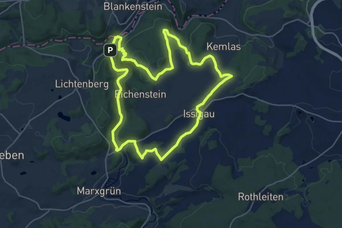
Medium · Summit
Wiedeturm-Weg
15.4 km · ↑ 390 m · 4 h 41 min
Medium · Summit
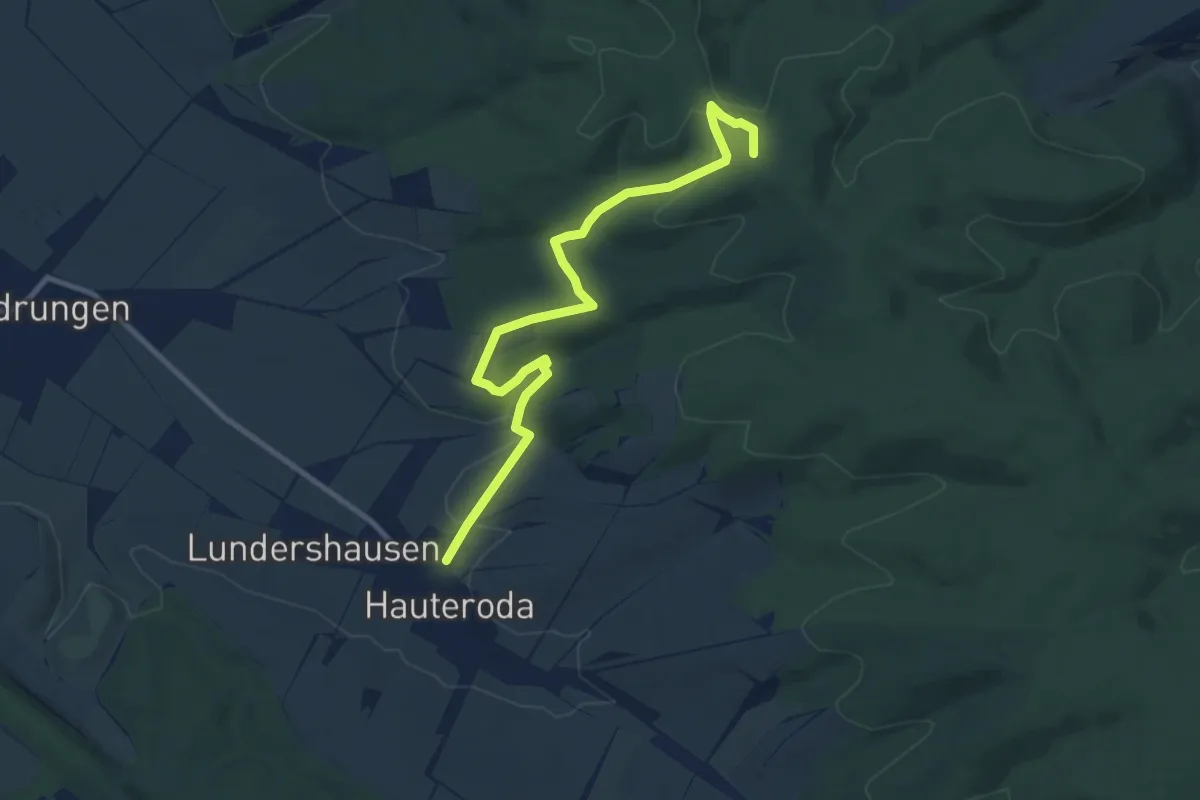
Wiegental-Wildnisweg
9.7 km · ↑ 287 m · 2 h 55 min
Easy · Trail
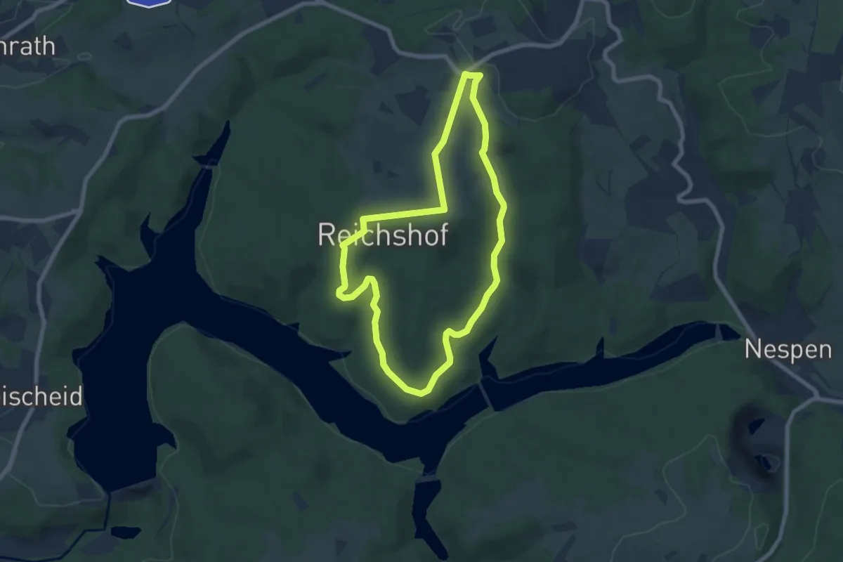
Wiehltalsperre A1
5.8 km · ↑ 92 m · 1 h 39 min
Easy · Trail
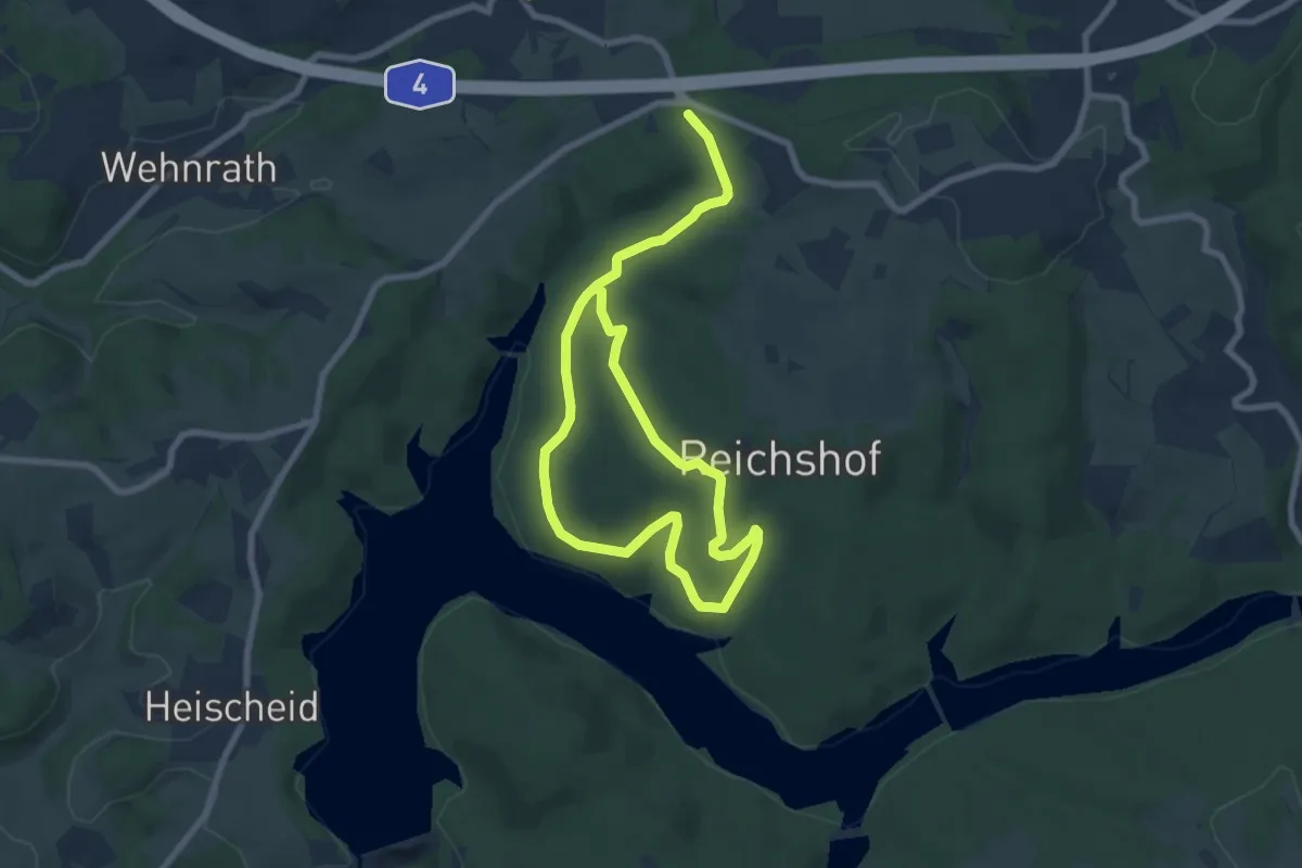
Wiehltalsperre A2
5.4 km · ↑ 132 m · 1 h 37 min
Easy · Trail
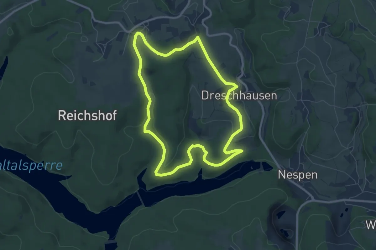
Wiehltalsperre A3
6.6 km · ↑ 131 m · 1 h 57 min
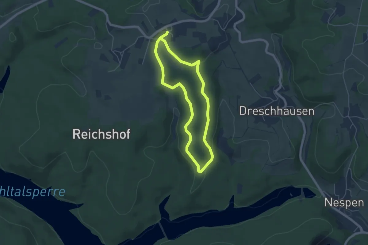
Easy · Trail
Wiehltalsperre A4
3.8 km · ↑ 72 m · 1 h 7 min
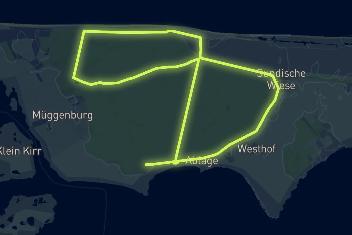
Medium · Trail
Wieker Weg - Rundweg
13.2 km · ↑ 13 m · 3 h 19 min
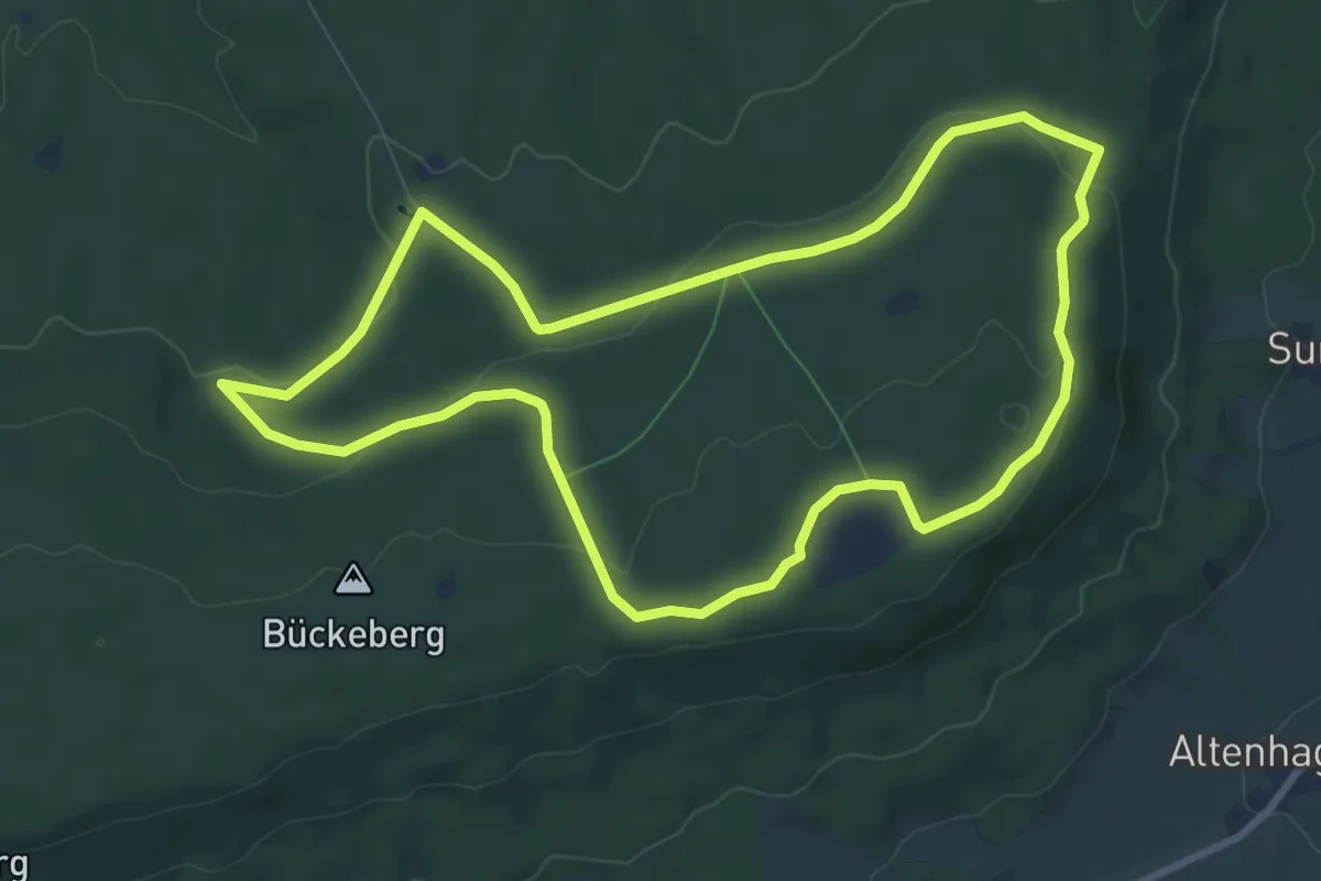
Medium · Trail
Wierser Tor-Rundweg
8.0 km · ↑ 154 m · 2 h 21 min
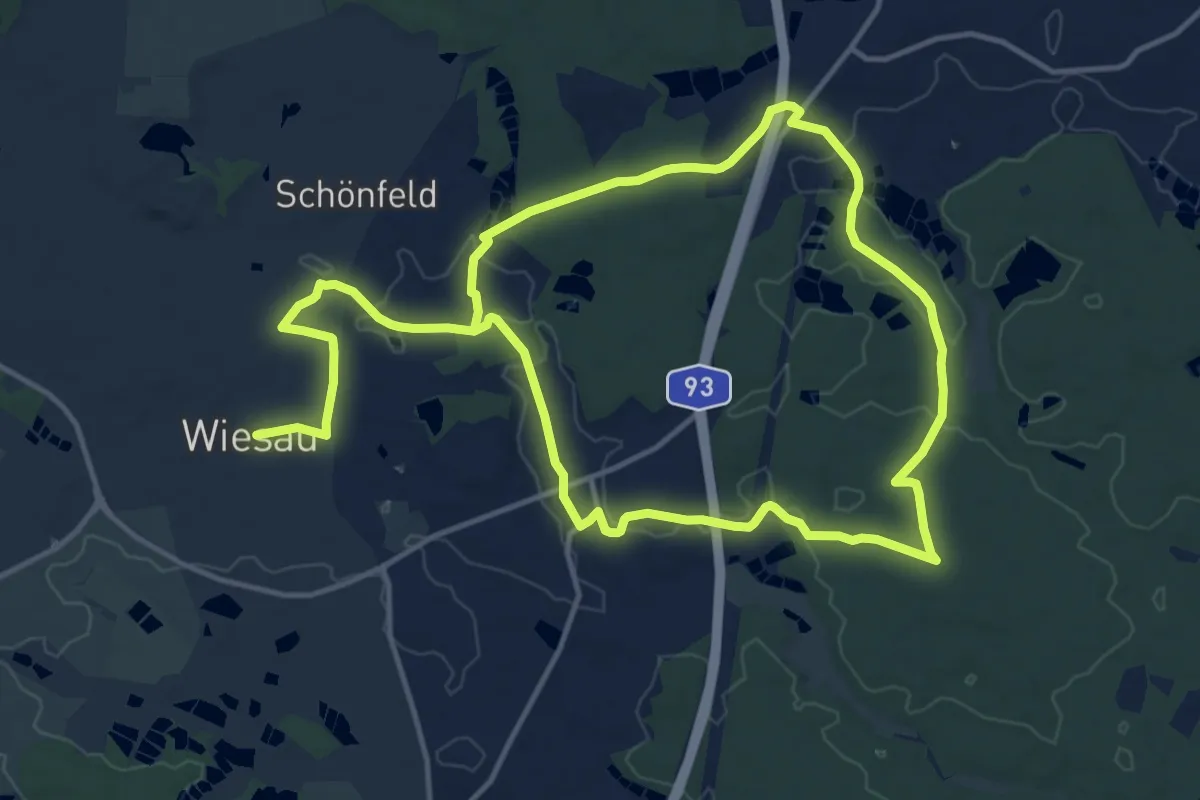
Demanding · Trail
Wiesau Wanderweg 1
24.2 km · ↑ 227 m · 6 h 13 min
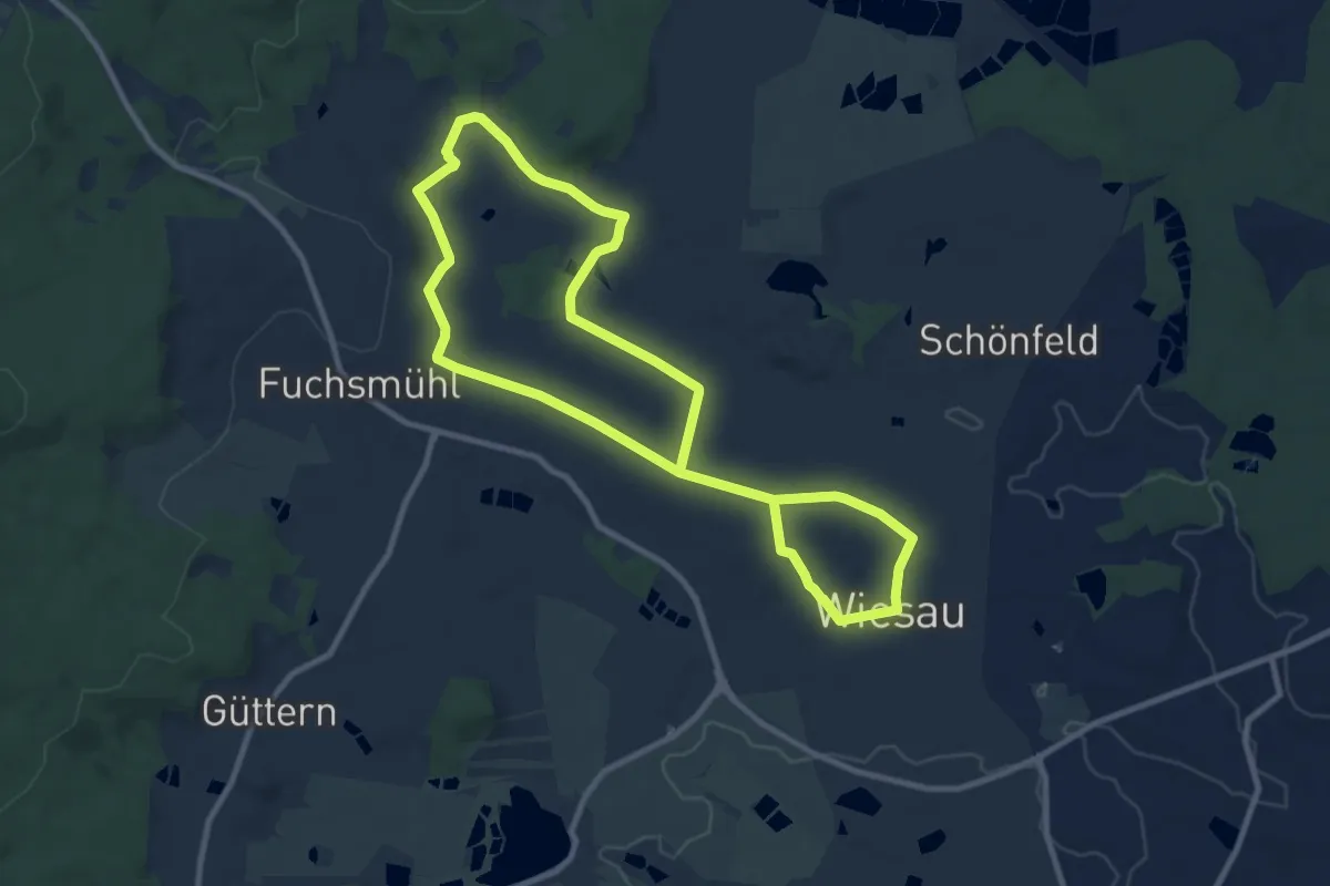
Medium · Trail
Wiesau Wanderweg 2
16.5 km · ↑ 260 m · 4 h 27 min
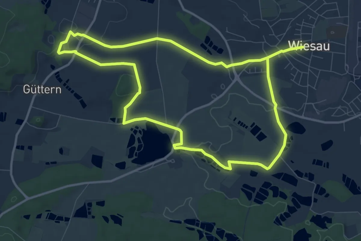
Medium · Trail
Wiesau Wanderweg 3
17.2 km · ↑ 169 m · 4 h 25 min
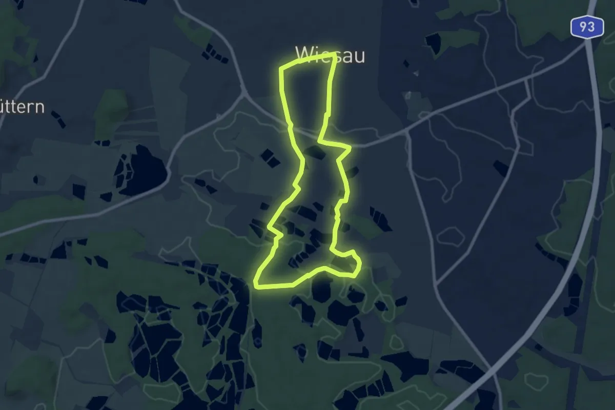
Easy · Trail
Wiesau Wanderweg 4
6.9 km · ↑ 65 m · 1 h 52 min
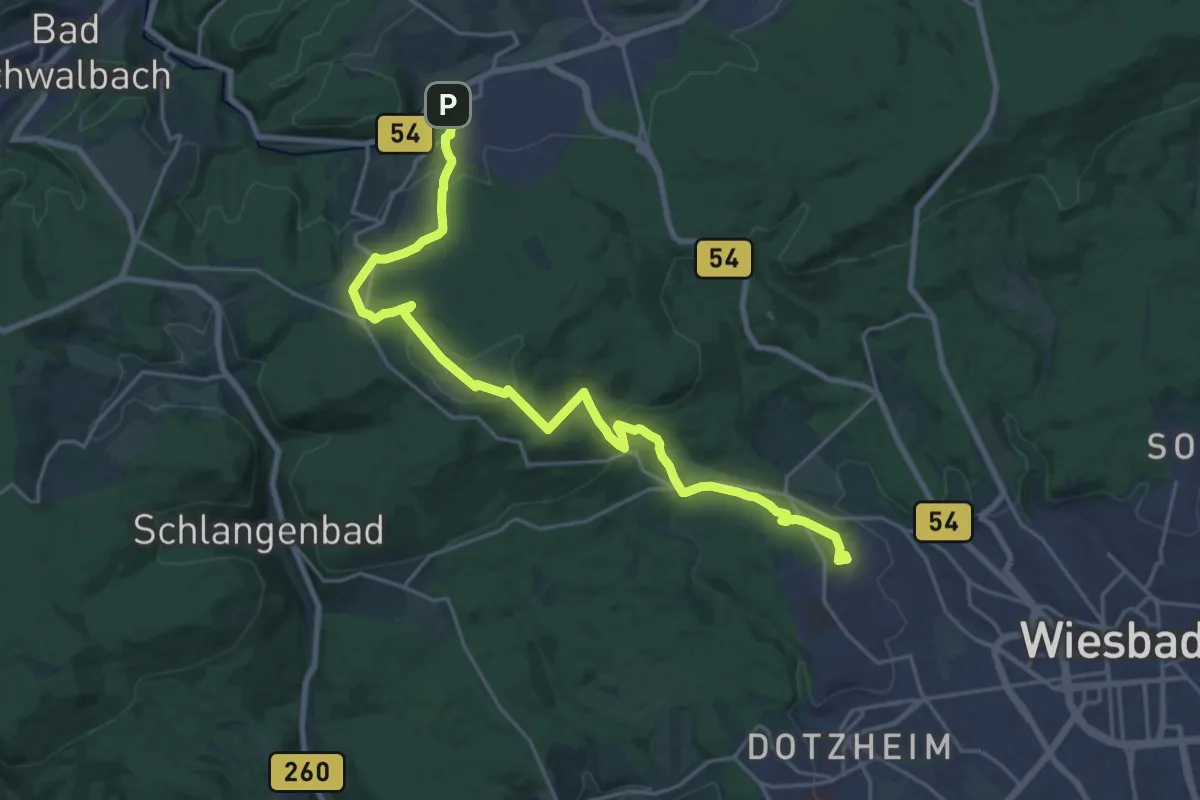
Demanding · Trail
Wiesbaden/Klarenthal - Bleidenstadt (blauer Punkt)
22.7 km · ↑ 715 m · 6 h 54 min
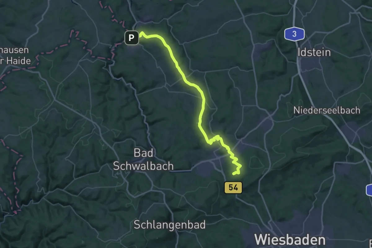
Demanding · Summit
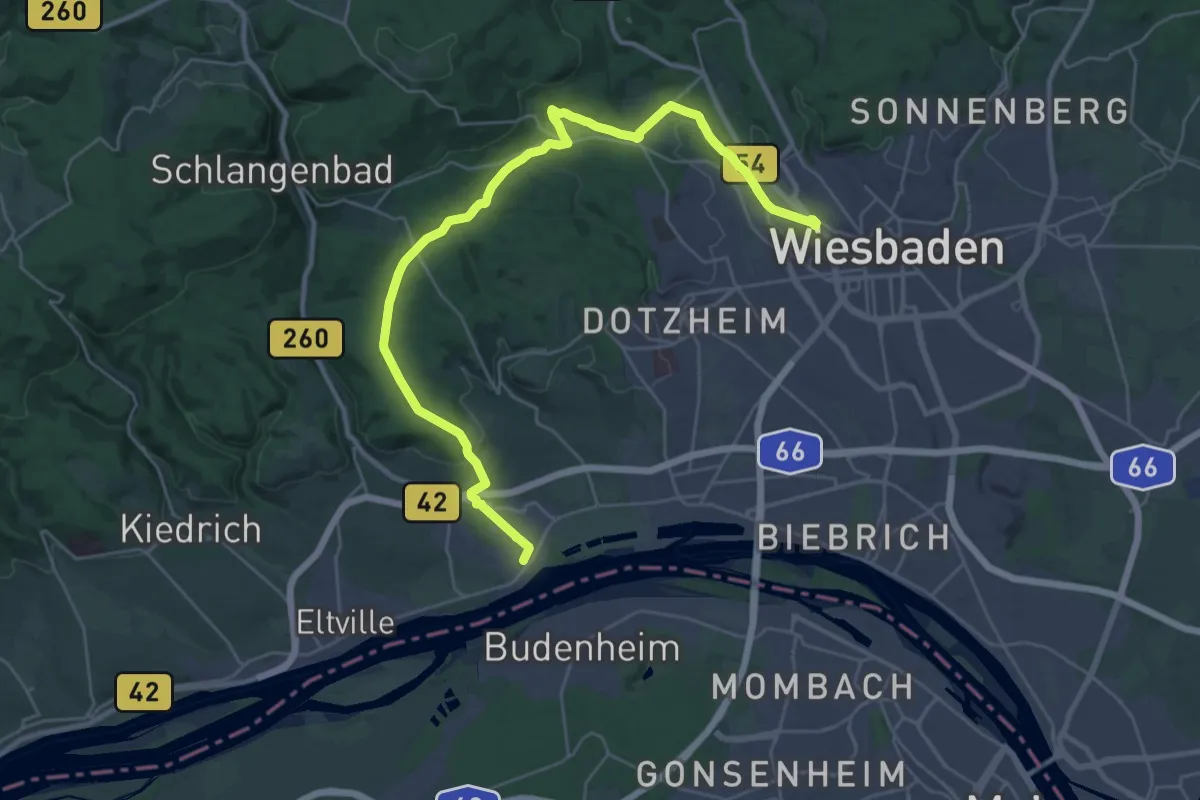
Wiesbaden - Michelbach (roter Balken)
41.1 km · ↑ 835 m · 11 h 30 min
Medium · Trail
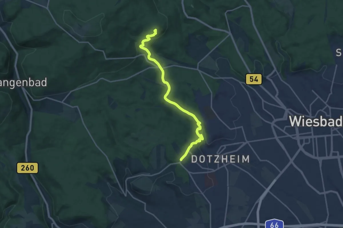
Wiesbaden - Niederwalluf
16.0 km · ↑ 327 m · 4 h 40 min
Medium · Summit
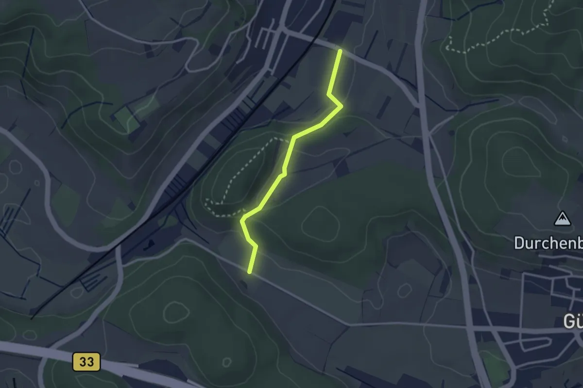
Wiesbaden/Schelmengraben - Bleidenstadt (roter Punkt)
12.9 km · ↑ 356 m · 3 h 49 min
Medium · Trail
Wieselbrunnen - Tiefbrunnen
2.3 km · ↑ 56 m · 41 min
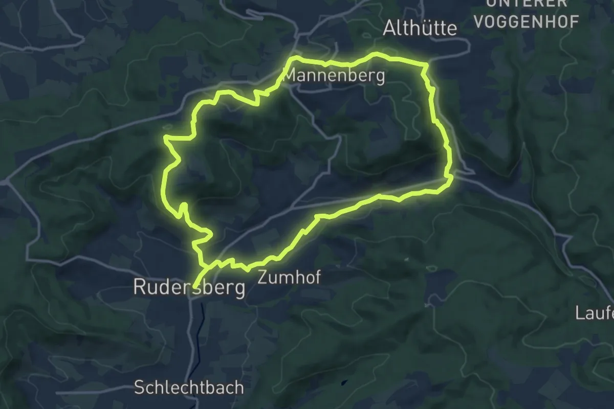
Medium · Summit
Wieselrundwanderweg 1
13.2 km · ↑ 327 m · 4 h
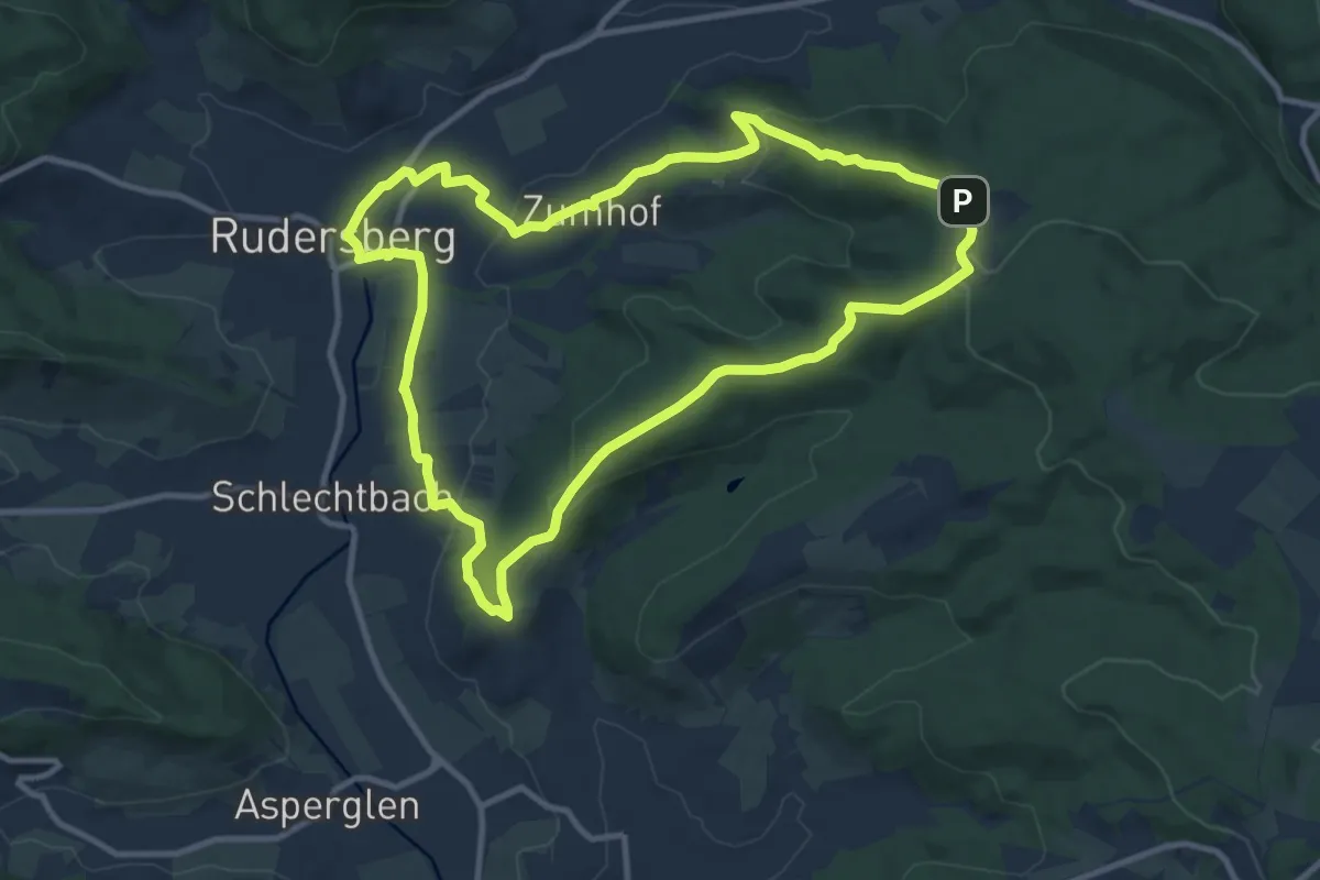
Medium · Trail
Wieselrundwanderweg 2
10.1 km · ↑ 237 m · 3 h 3 min
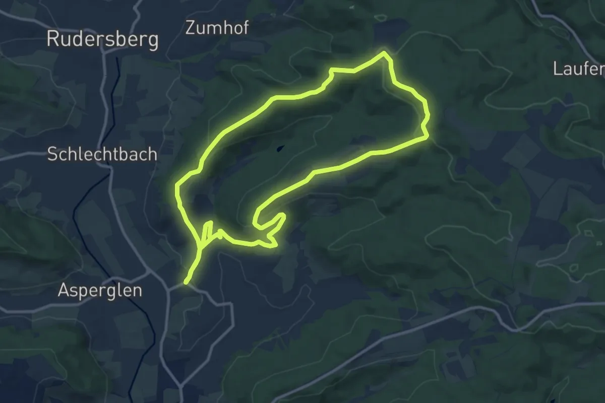
Medium · Trail
Wieselrundwanderweg 3
10.3 km · ↑ 283 m · 3 h 11 min
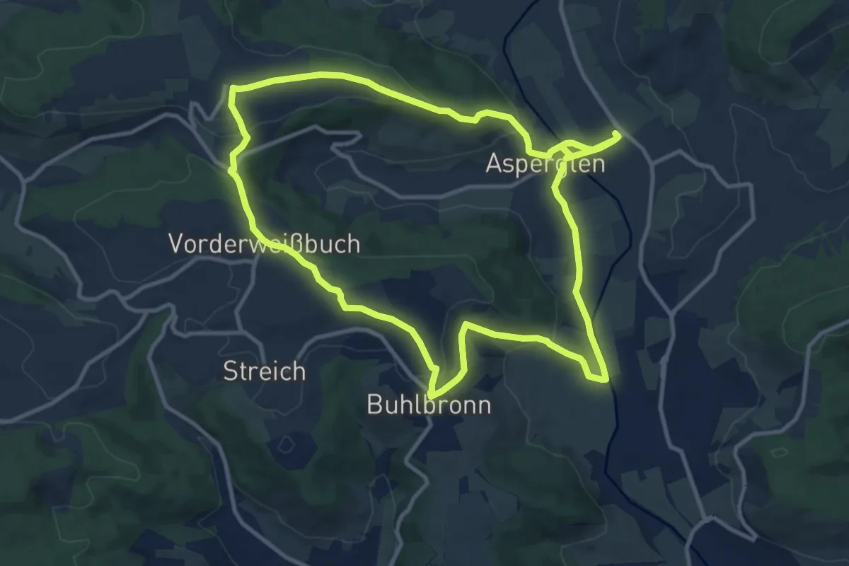
Demanding · Trail
Wieselrundwanderweg 4
21.2 km · ↑ 424 m · 5 h 55 min
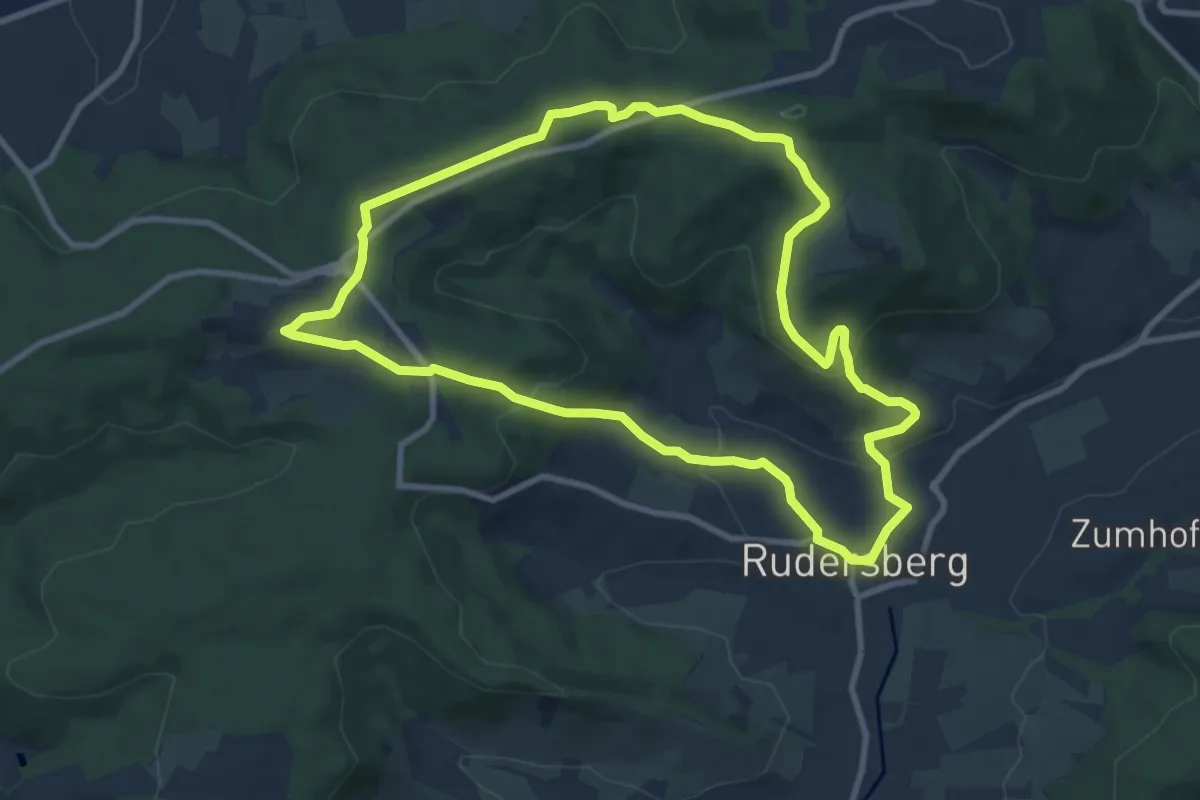
Medium · Trail
Wieselrundwanderweg 5
8.9 km · ↑ 250 m · 2 h 46 min
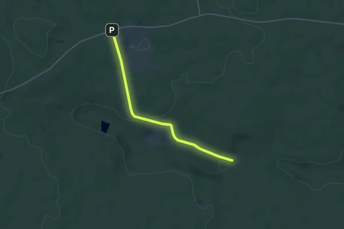
Easy · Trail
Wieselsbach - Beim Neuhäusle
3.2 km · ↑ 68 m · 54 min
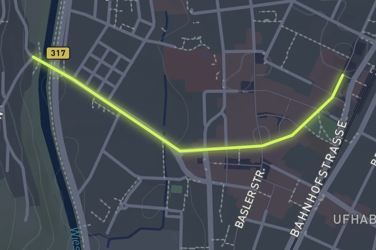
Easy · Trail
Wiesenbrücke Tüllingen - Lörrach Bahnhof
2.2 km · ↑ 21 m · 33 min
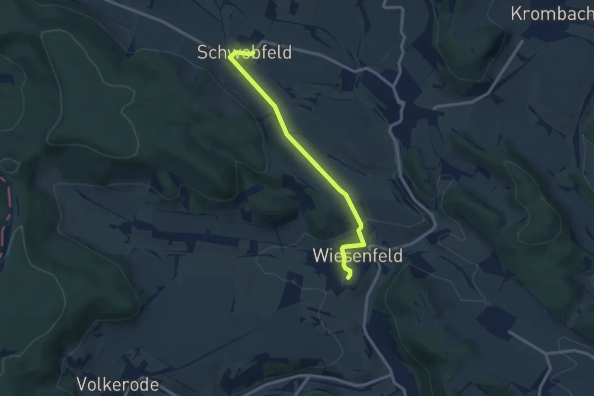
Easy · Trail
Wiesenfeld - Schwobfeld
6.1 km · ↑ 121 m · 1 h 42 min
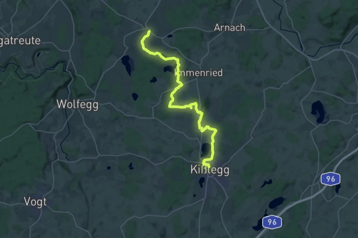
Demanding · Trail
Wiesengänger-Route Etappe 13
25.3 km · ↑ 311 m · 6 h 39 min
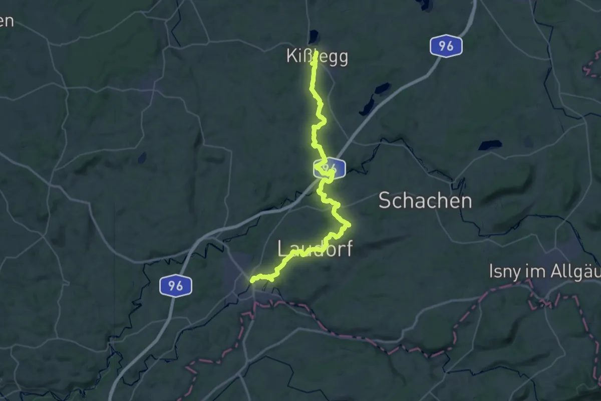
Demanding · Trail
Wiesengänger-Route Etappe 14
21.2 km · ↑ 236 m · 5 h 52 min
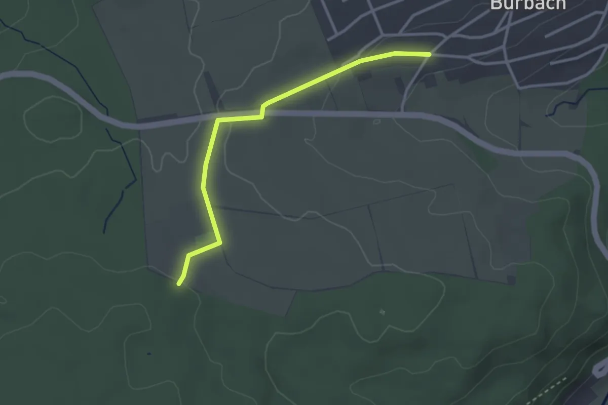
Easy · Trail
Wiesenhof - Johannesbrunnen
2.8 km · ↑ 46 m · 45 min
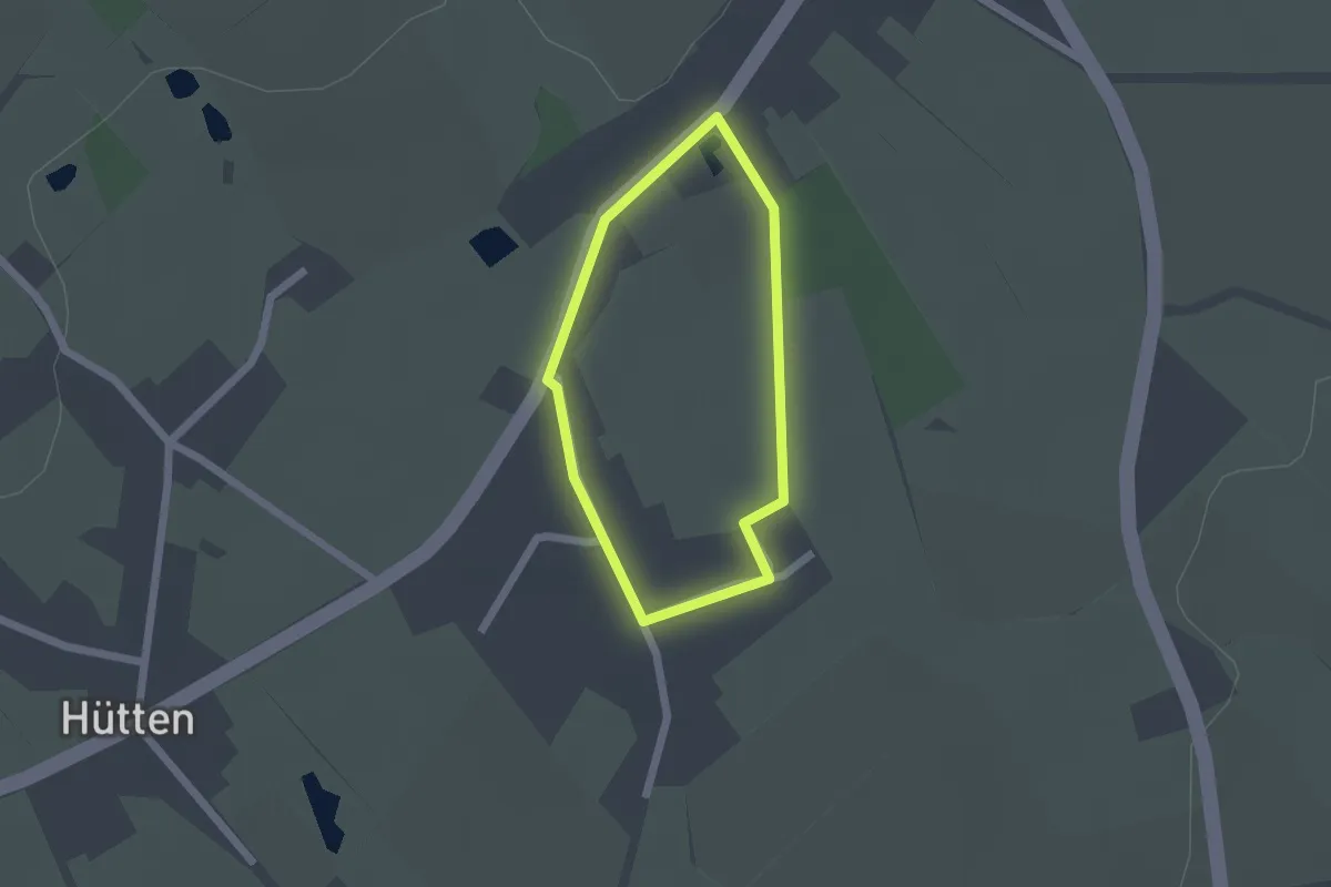
Easy · Trail
Wiesenhofweg
1.2 km · ↑ 4 m · 19 min
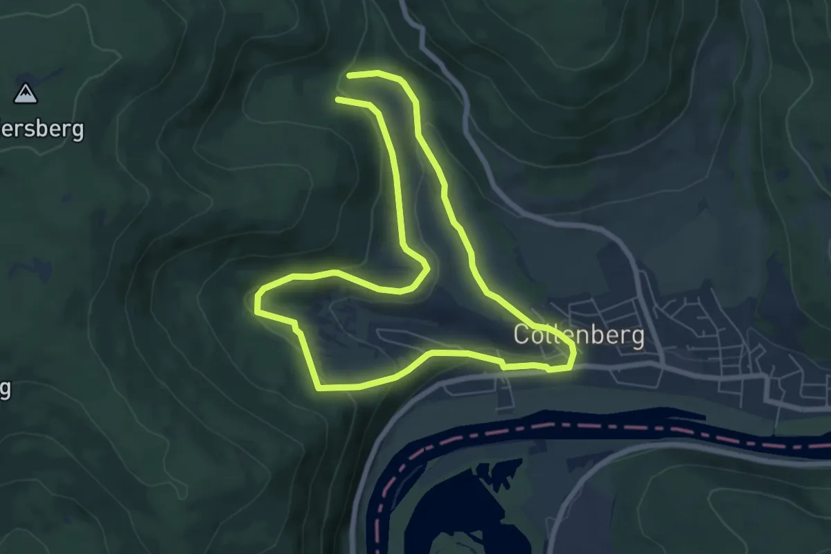
Easy · Trail
Wiesen- Kapelle
5.8 km · ↑ 180 m · 1 h 50 min
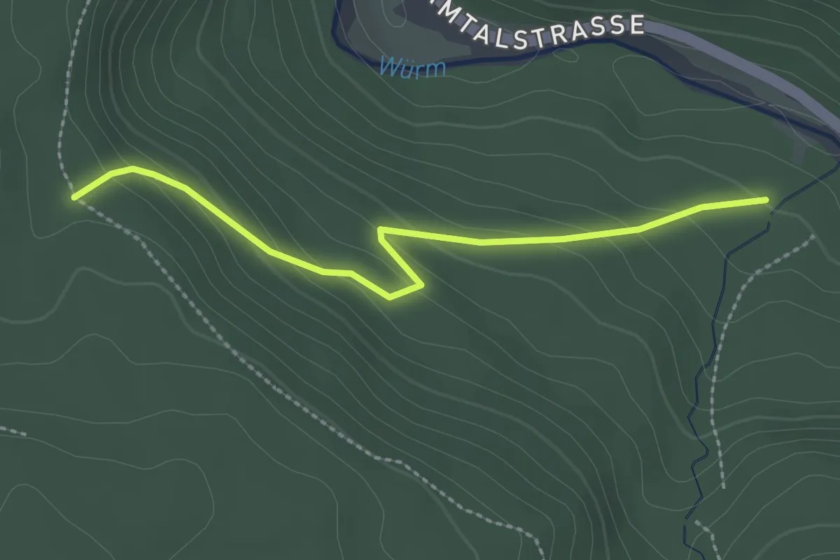
Easy · Trail
Wiesenklinge - Parkplatz Liebeneck
2.3 km · ↑ 135 m · 50 min
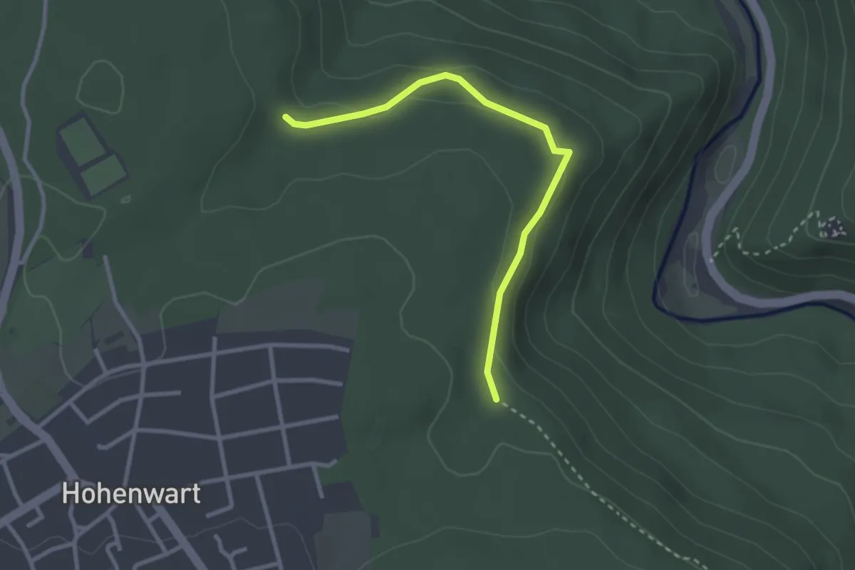
Easy · Trail
Wiesenklinge - Wildmauer
2.7 km · ↑ 89 m · 49 min
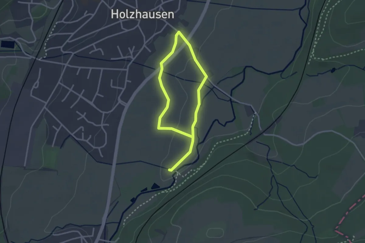
Easy · Trail
Wiesenlehrpfad Holzhausen
3.8 km · ↑ 32 m · 58 min
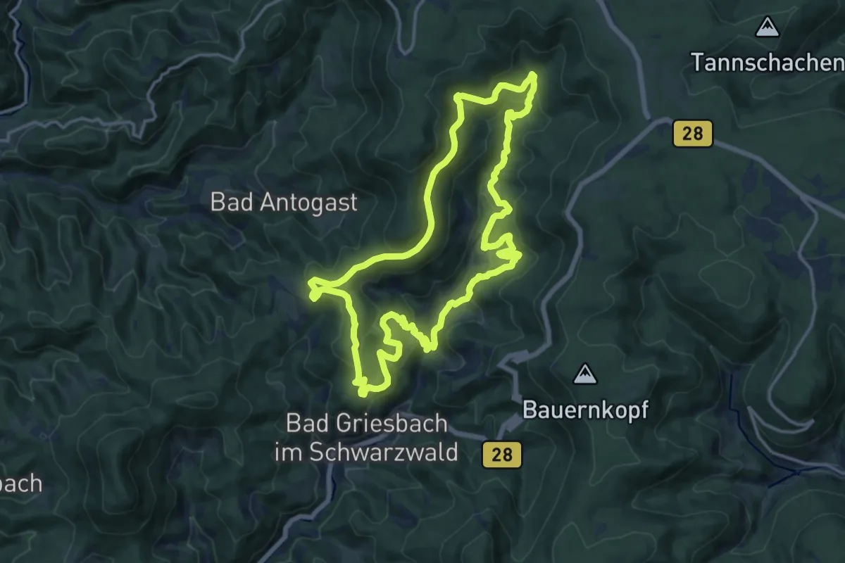
Medium · Trail
Wiesensteig
13.3 km · ↑ 651 m · 4 h 44 min
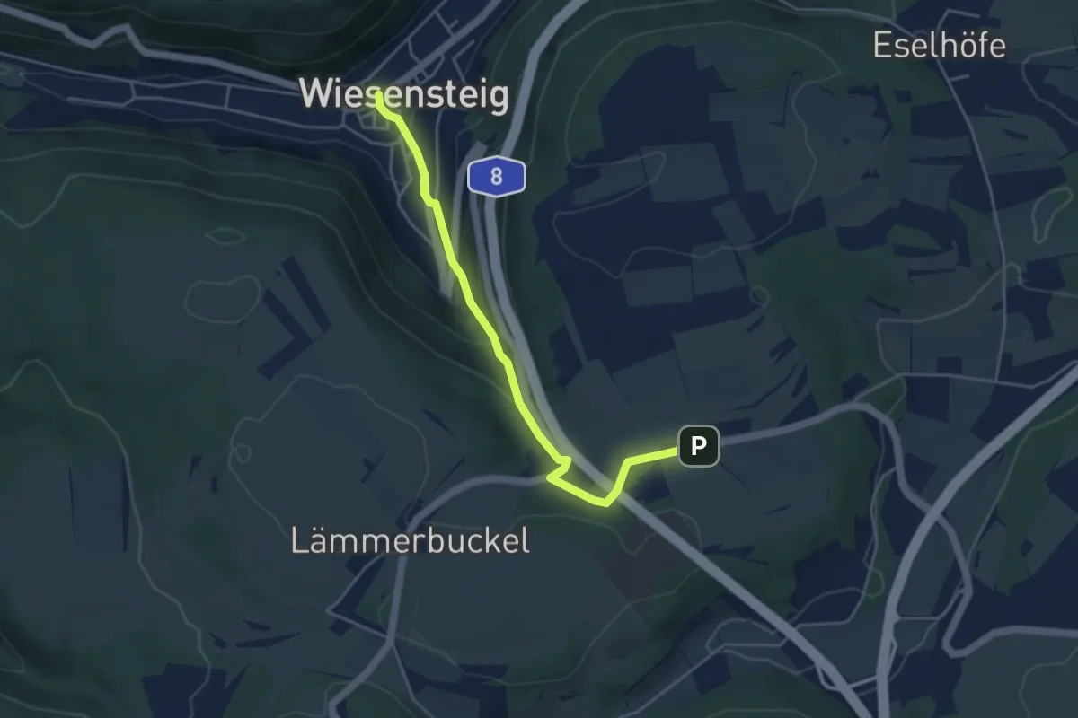
Easy · Trail
Wiesensteig - Lämmerbuckel
4.2 km · ↑ 196 m · 1 h 25 min
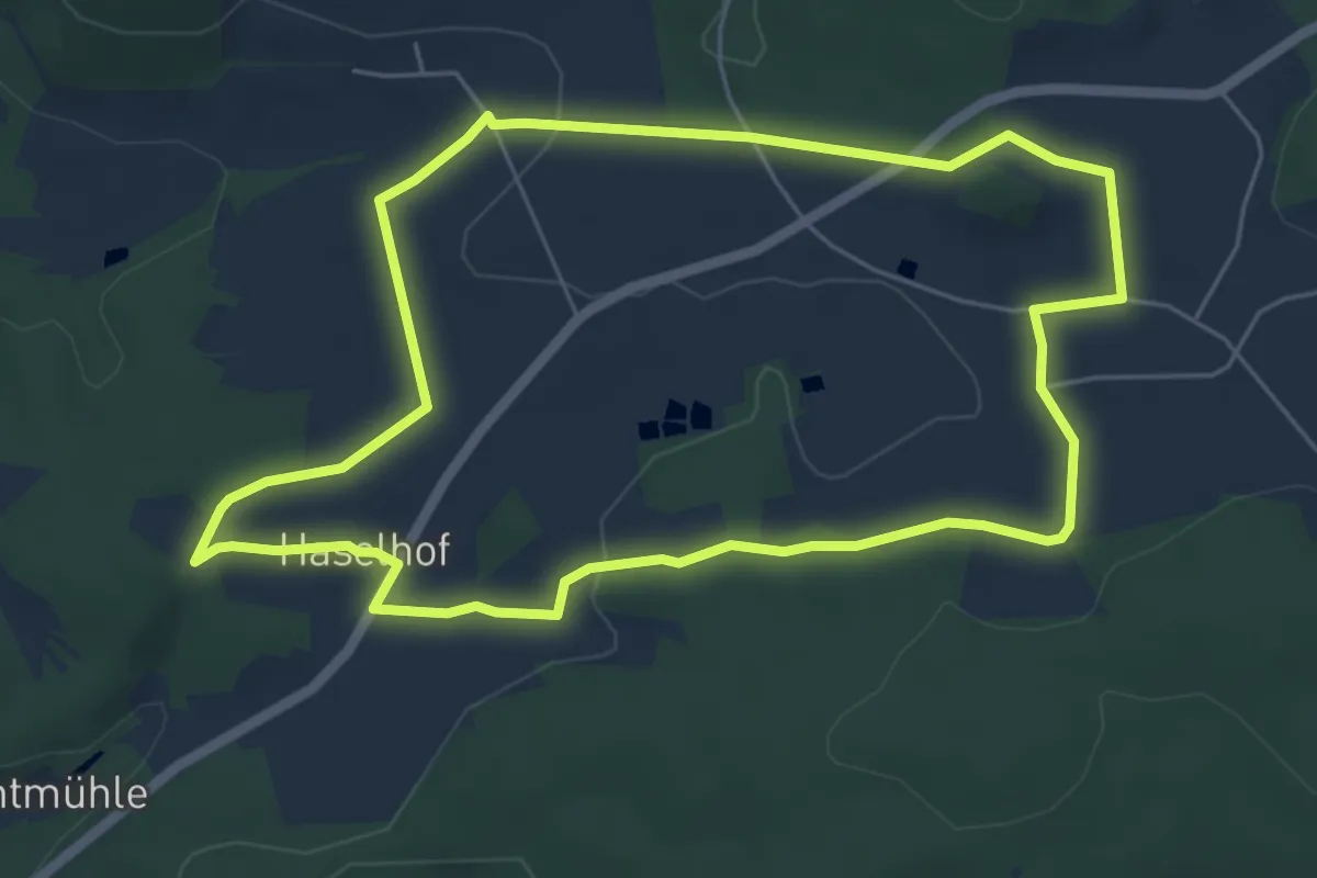
Easy · Trail
Wiesensüß-Rundwanderweg
5.4 km · ↑ 101 m · 1 h 34 min
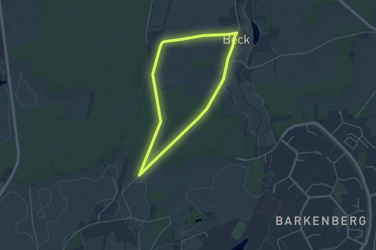
Easy · Trail
Wiesental Rundweg A5
3.3 km · ↑ 26 m · 53 min