Trails in Germany
36,877 hiking trails, each with its route, climb, walking time and grade.
All trails, page 728 of 769
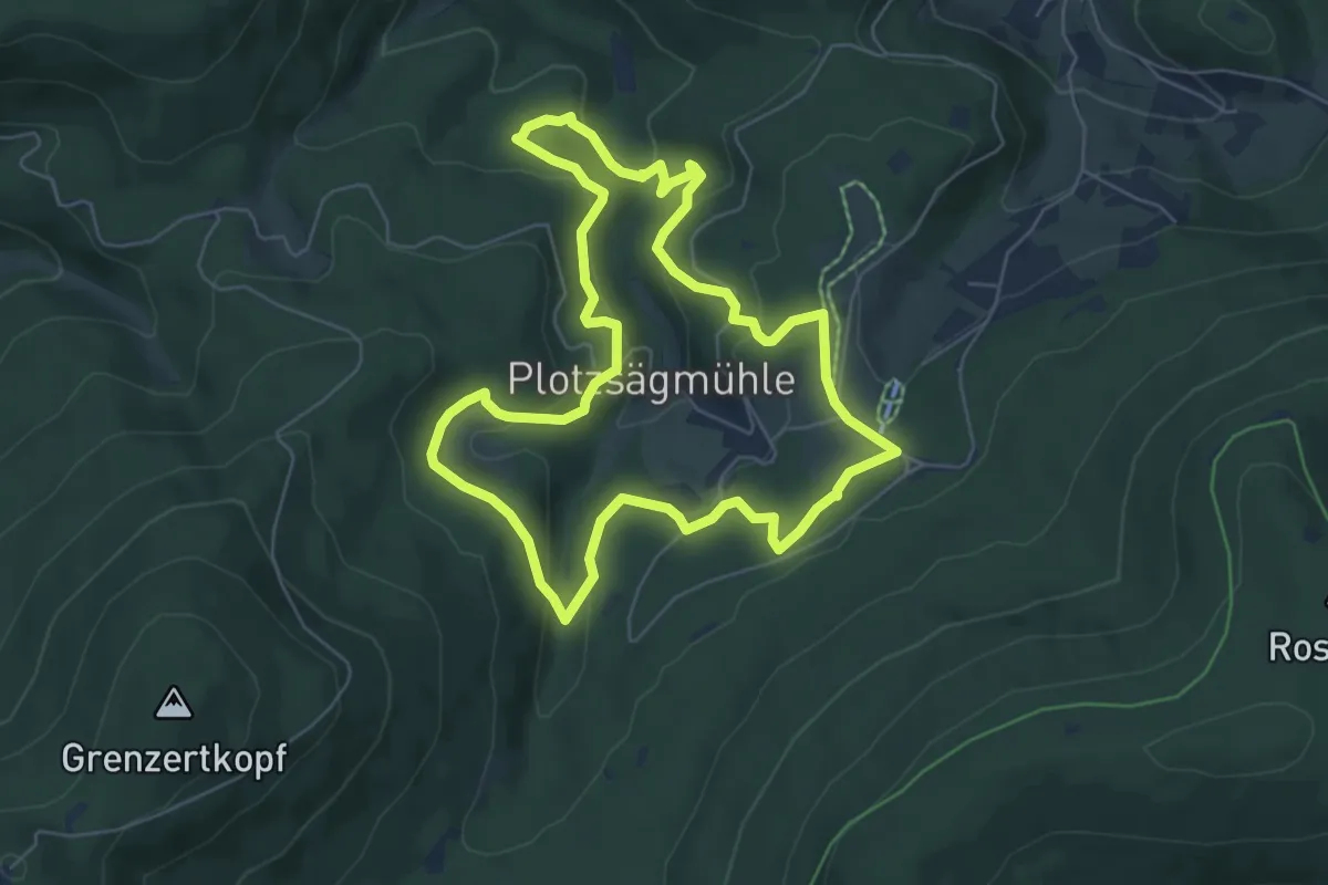
Easy · Trail
Wildkatzen Walderlebnis
5.9 km · ↑ 204 m · 1 h 55 min
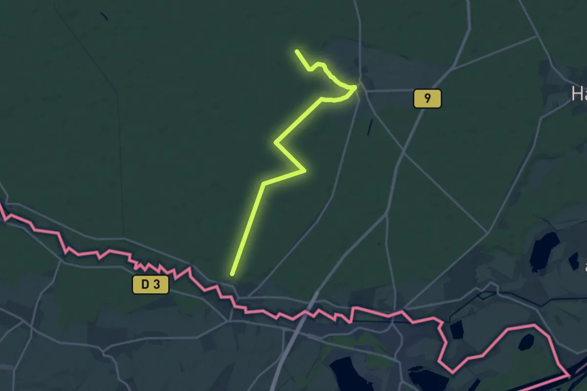
Easy · Trail
Wildkatzenweg
7.5 km · ↑ 28 m · 1 h 57 min
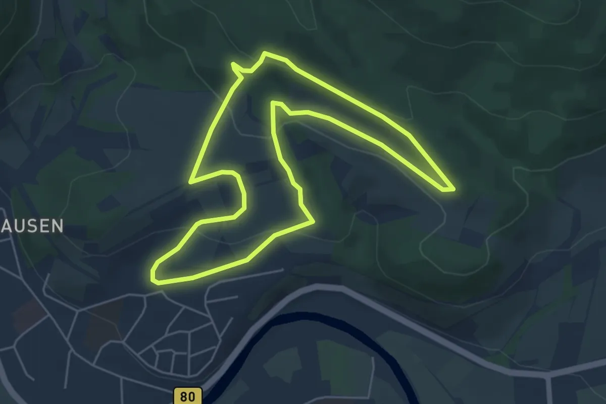
Easy · Trail
Wildkirschenweg
4.7 km · ↑ 134 m · 1 h 27 min
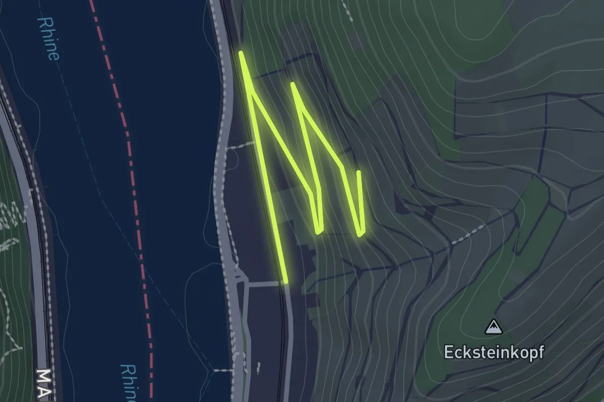
Easy · Trail
Wildkräuterweg Assmannshausen
3.0 km · ↑ 105 m · 56 min
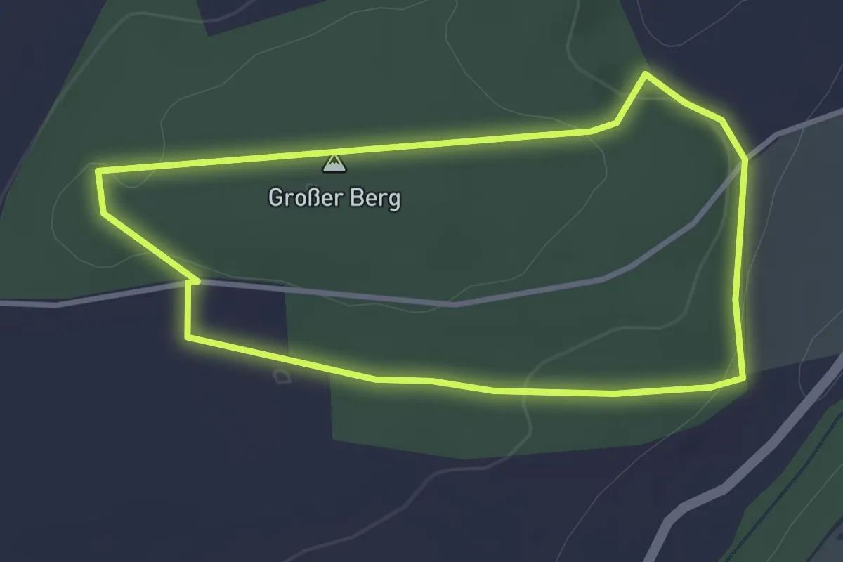
Easy · Trail
Wildlehrpfad des HVV Bilshausen
2.7 km · ↑ 60 m · 48 min
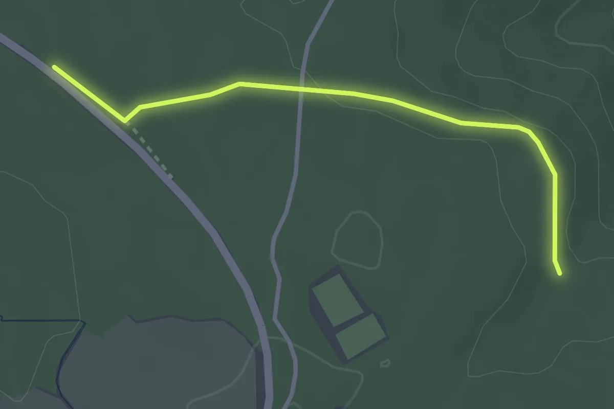
Easy · Trail
Wildmauer - Dreimarkstein
2.7 km · ↑ 33 m · 42 min
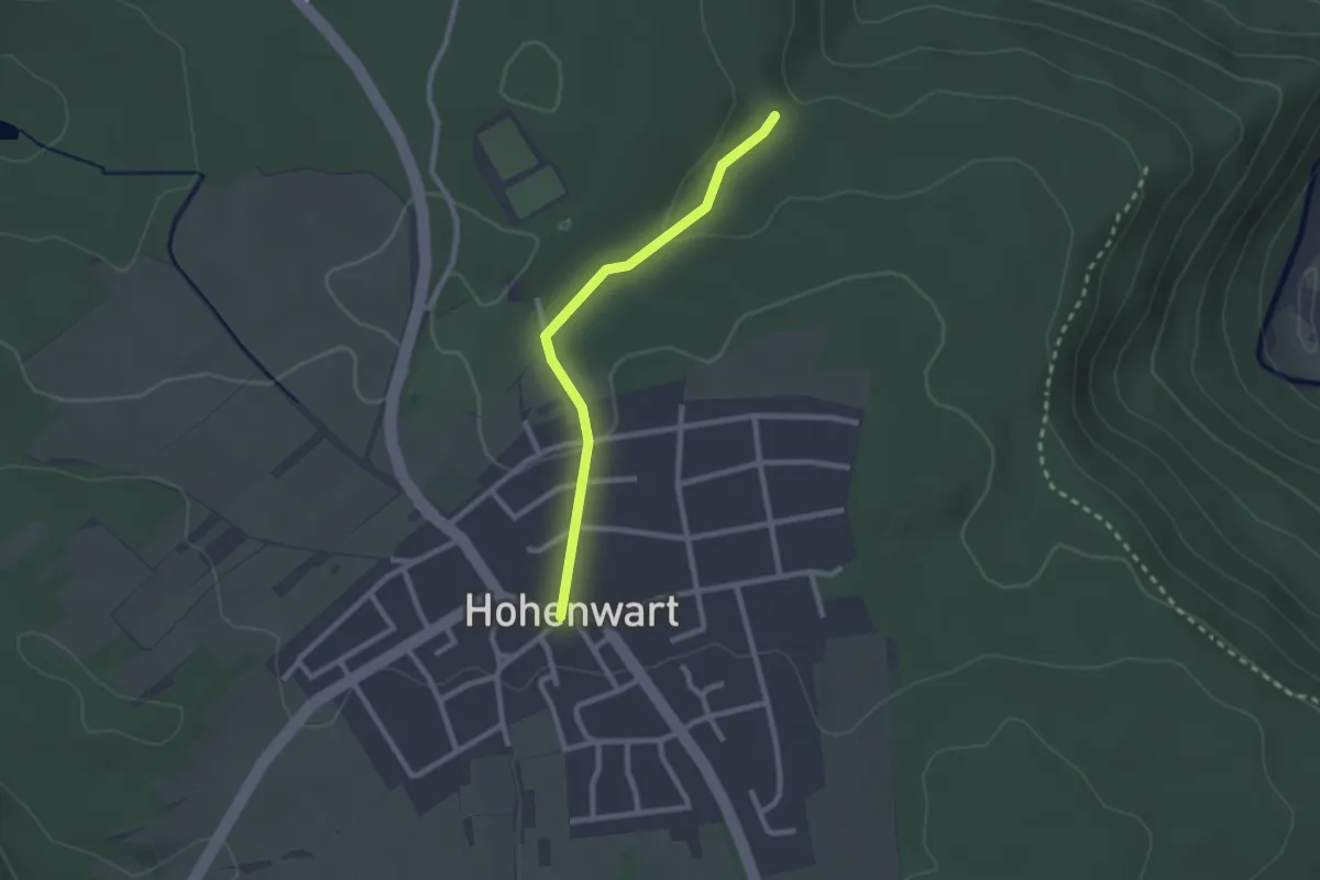
Easy · Trail
Wildmauer - Hohenwart Ortsmitte
2.1 km · ↑ 43 m · 36 min
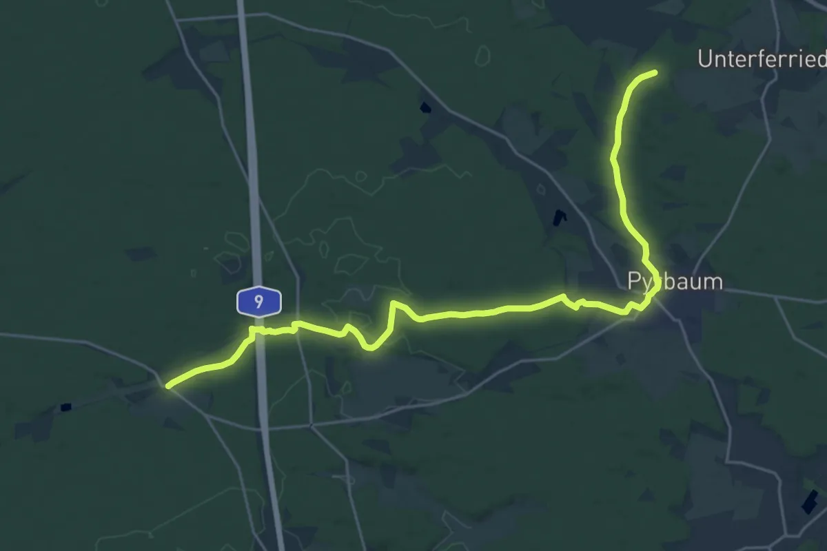
Medium · Trail
Wildmeistersteig
12.1 km · ↑ 64 m · 3 h 12 min
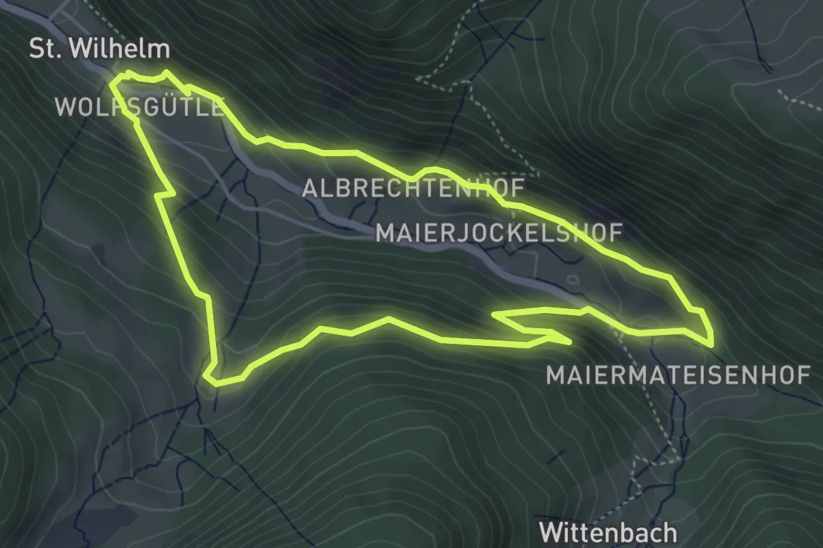
Medium · Trail
Wildnis-Erlebnispfad
4.9 km · ↑ 283 m · 1 h 50 min
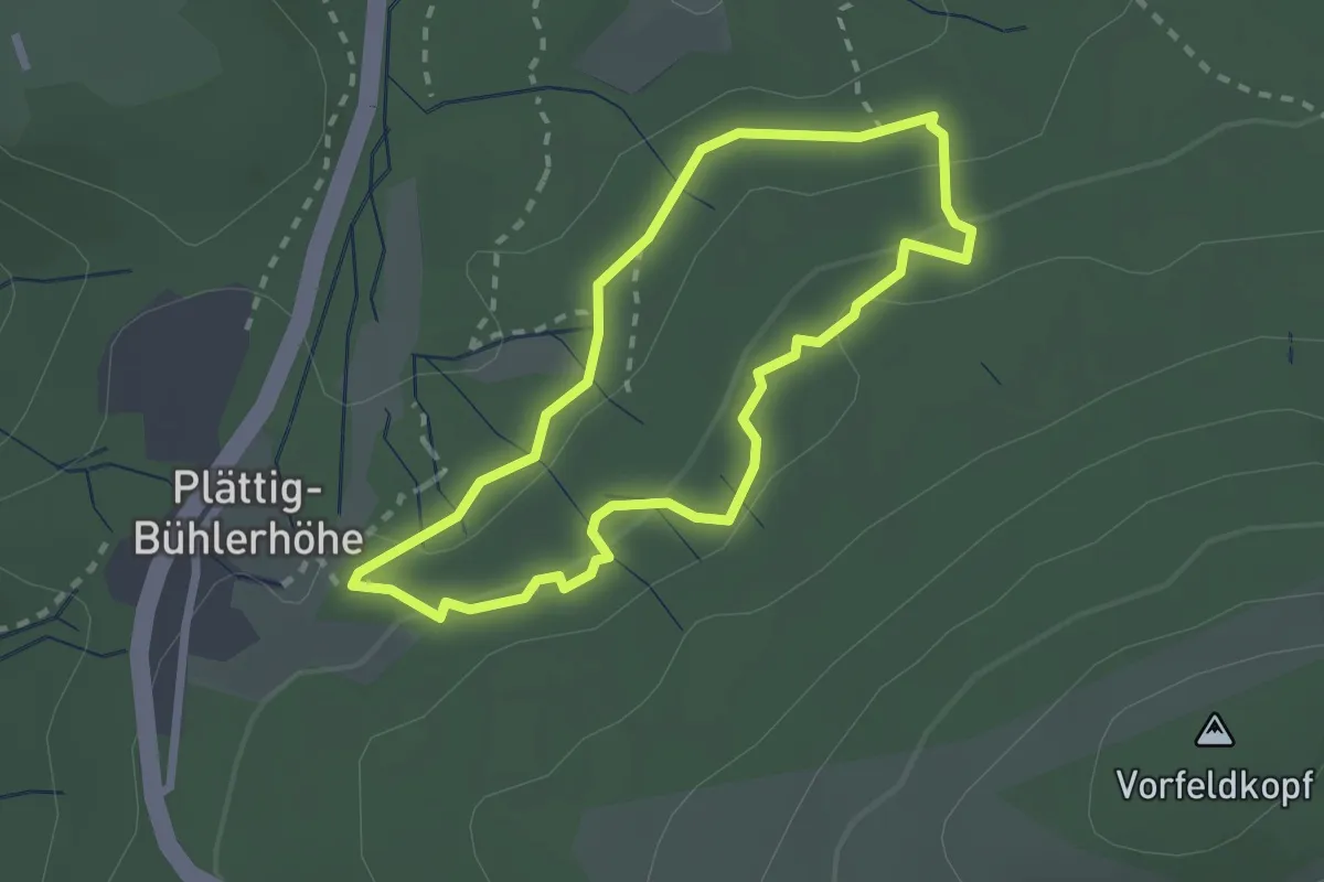
Demanding · Trail
Wildnispfad
2.1 km · ↑ 66 m · 40 min
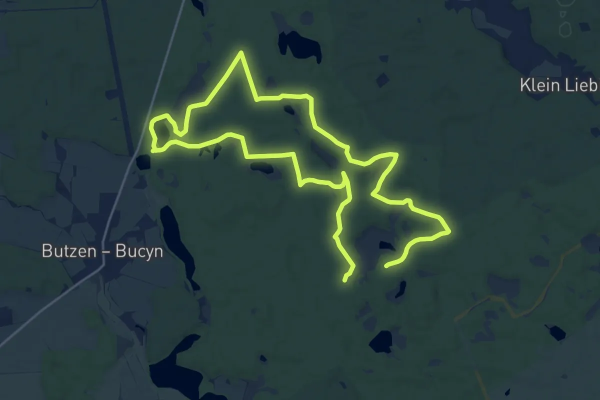
Medium · Summit
Wildnispfad Lieberoser Heide "Käuzchen" abgekürzt
14.5 km · ↑ 108 m · 3 h 51 min
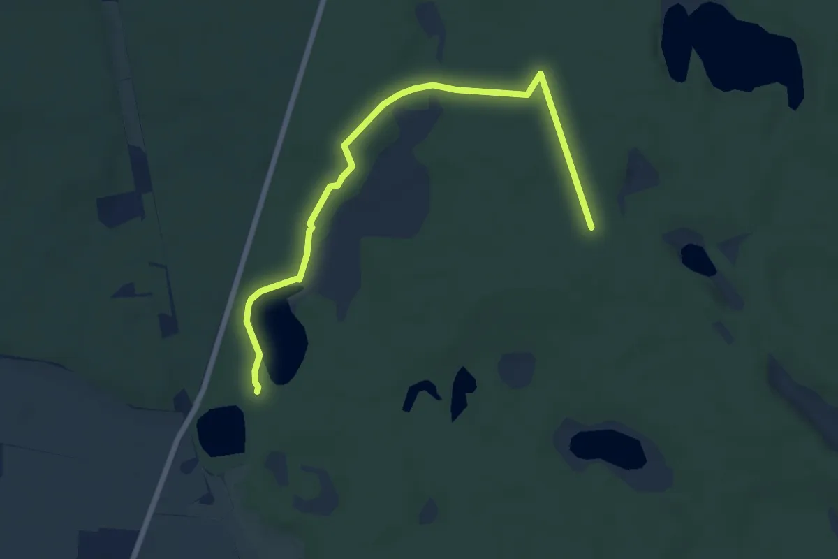
Easy · Trail
Wildnispfad Lieberoser Heide "Libelle"
6.1 km · ↑ 36 m · 1 h 32 min
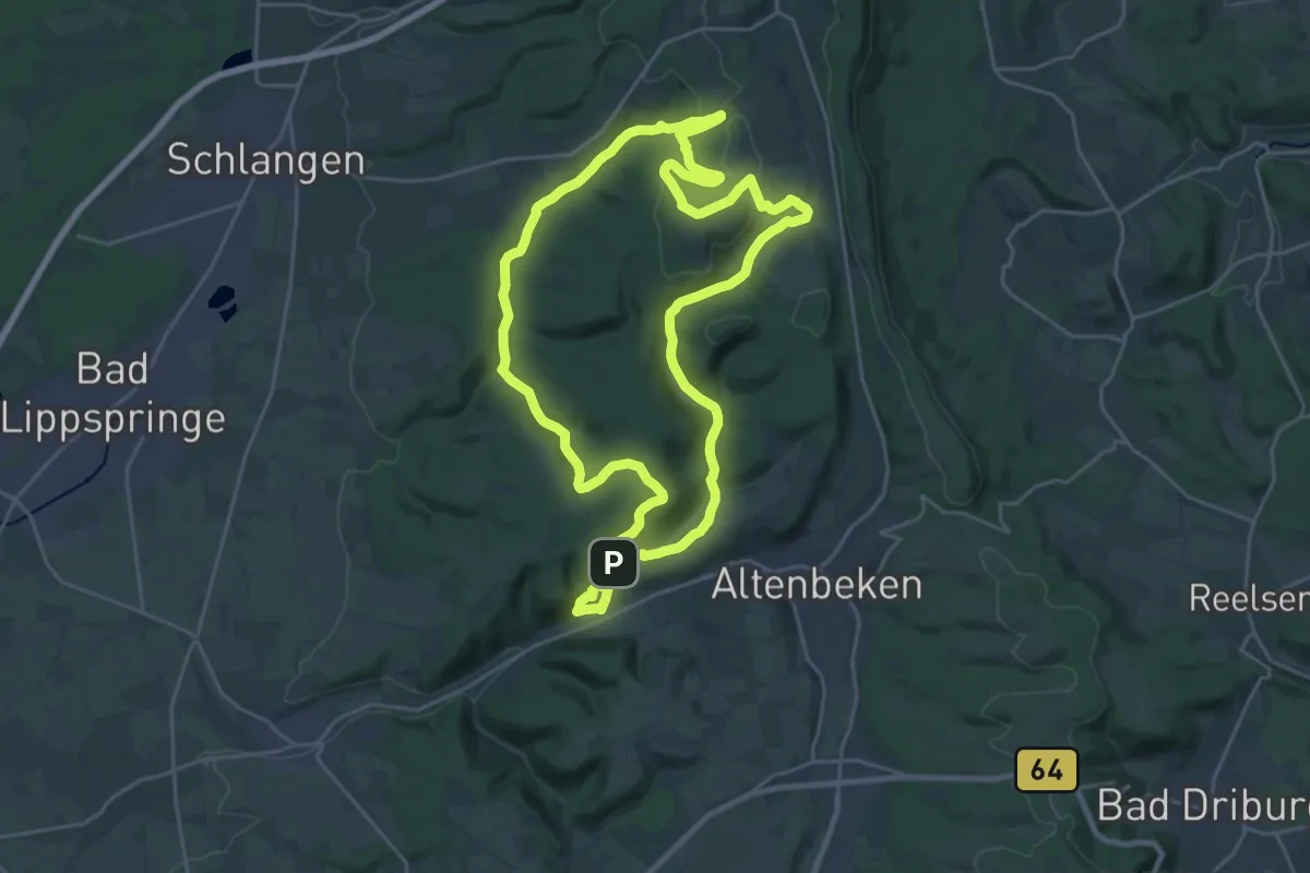
Demanding · Summit
Wildnis-Steig
22.7 km · ↑ 480 m · 6 h 43 min
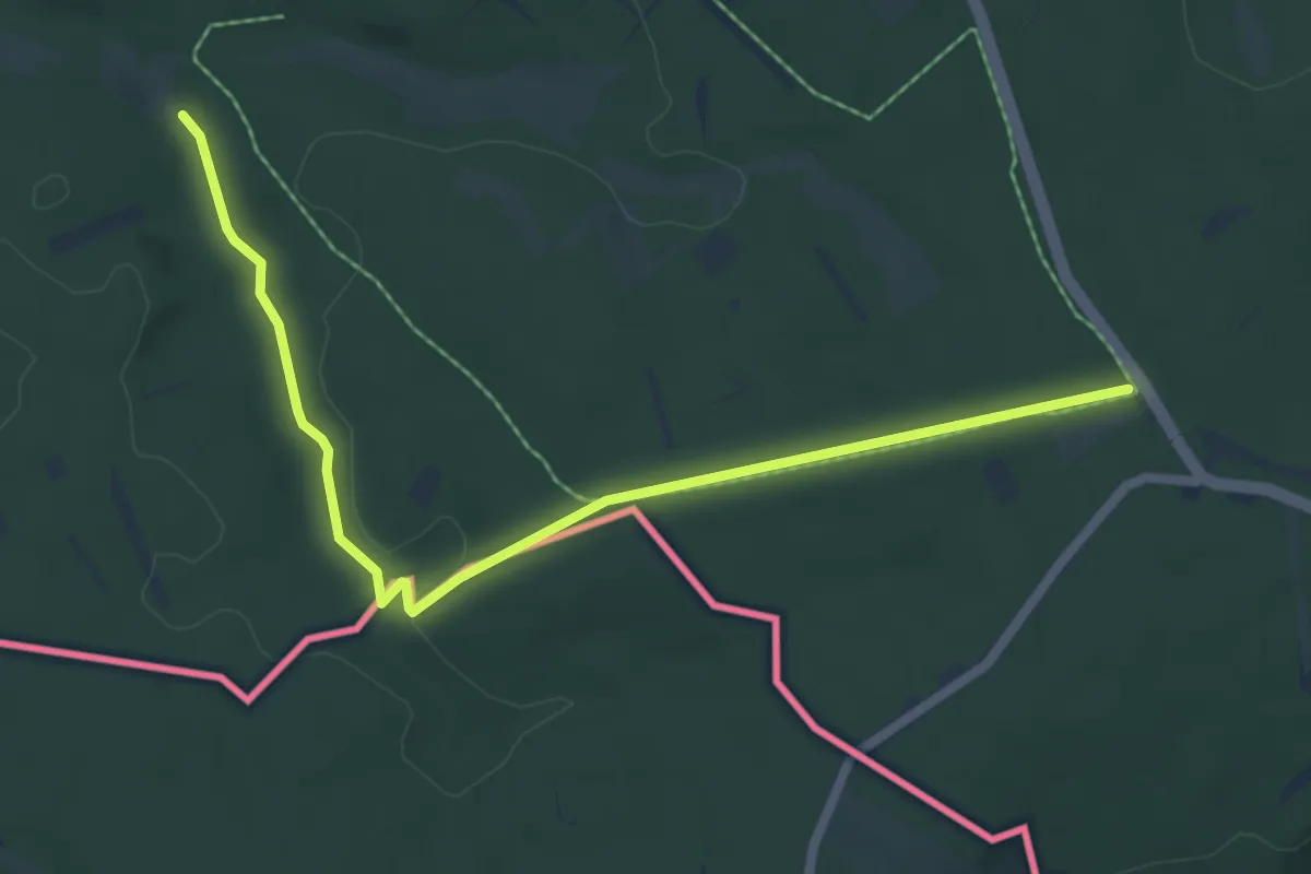
Easy · Trail
Wildnis-Trail
6.2 km · ↑ 61 m · 1 h 35 min
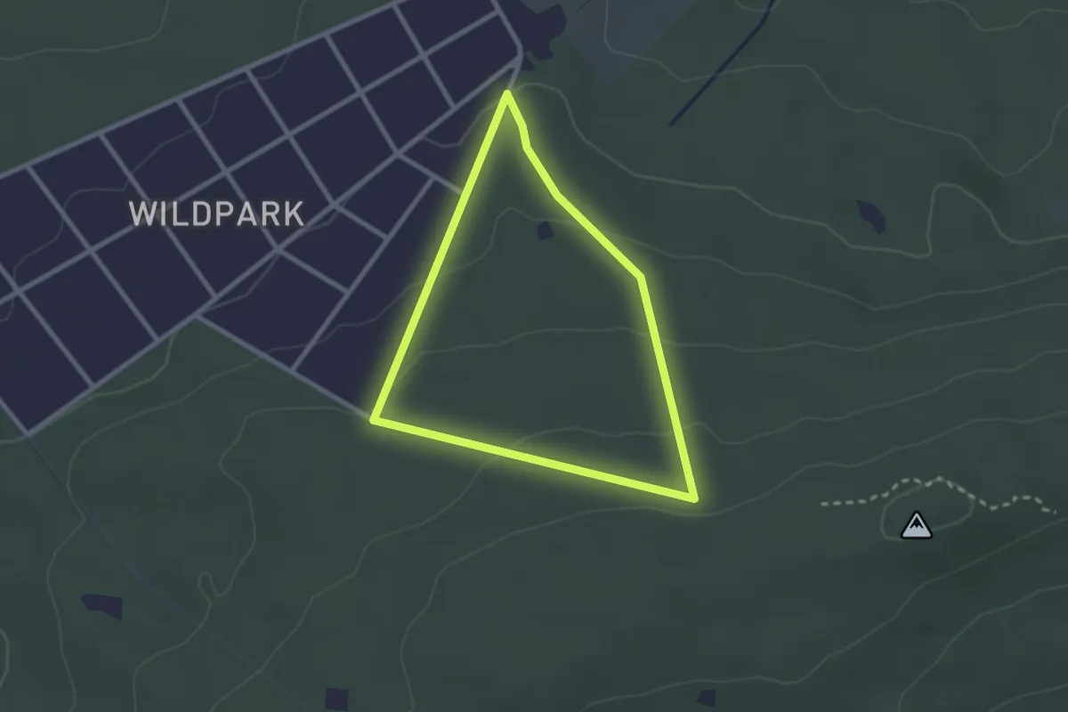
Easy · Trail
Wildpark: Ahornblatt
2.1 km · ↑ 64 m · 40 min
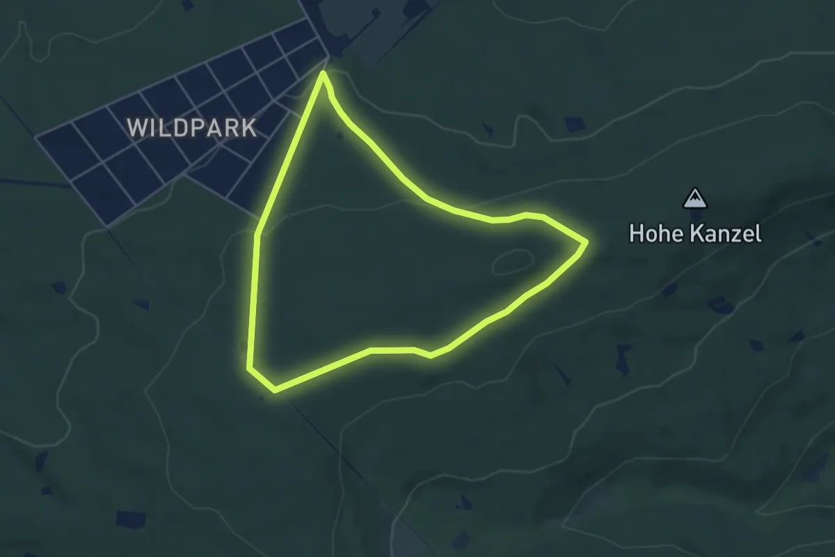
Easy · Trail
Wildpark: Lindenblatt
4.2 km · ↑ 92 m · 1 h 15 min
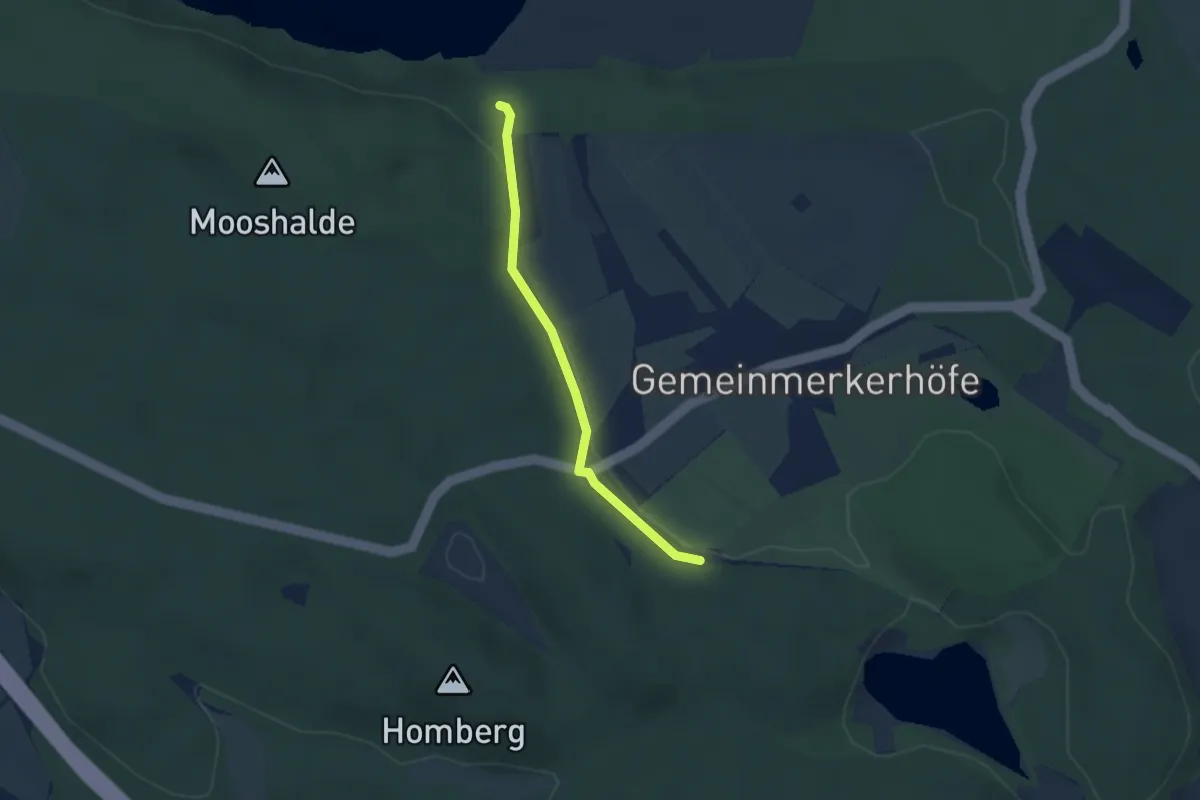
Easy · Trail
Wildpark - Mooshalde
2.4 km · ↑ 30 m · 38 min
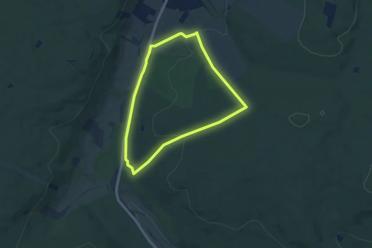
Easy · Trail
Wildparkroute Neuhaus
5.2 km · ↑ 140 m · 1 h 36 min
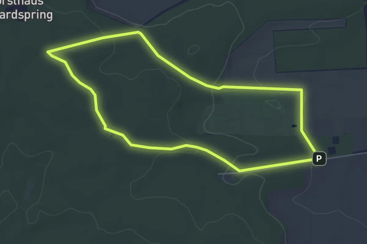
Easy · Summit
Wildparkrunde
4.1 km · ↑ 60 m · 1 h 10 min
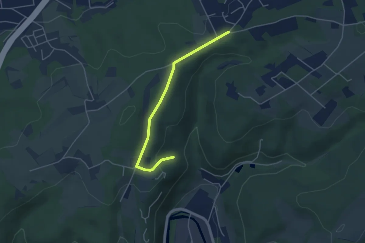
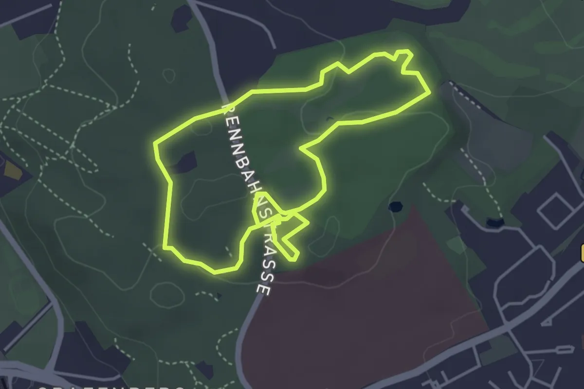
Easy · Trail
Wildpark Rundweg A2
1.7 km · ↑ 21 m · 29 min
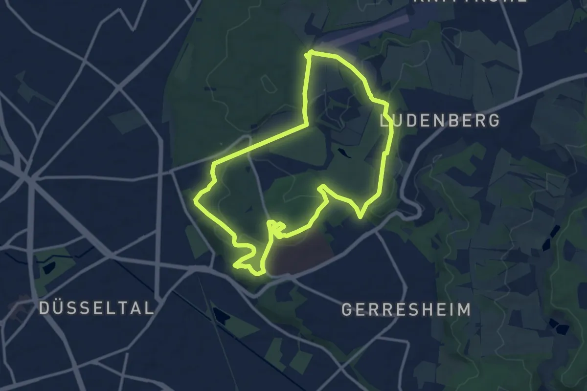
Easy · Trail
Wildpark Rundweg A3
3.4 km · ↑ 34 m · 55 min
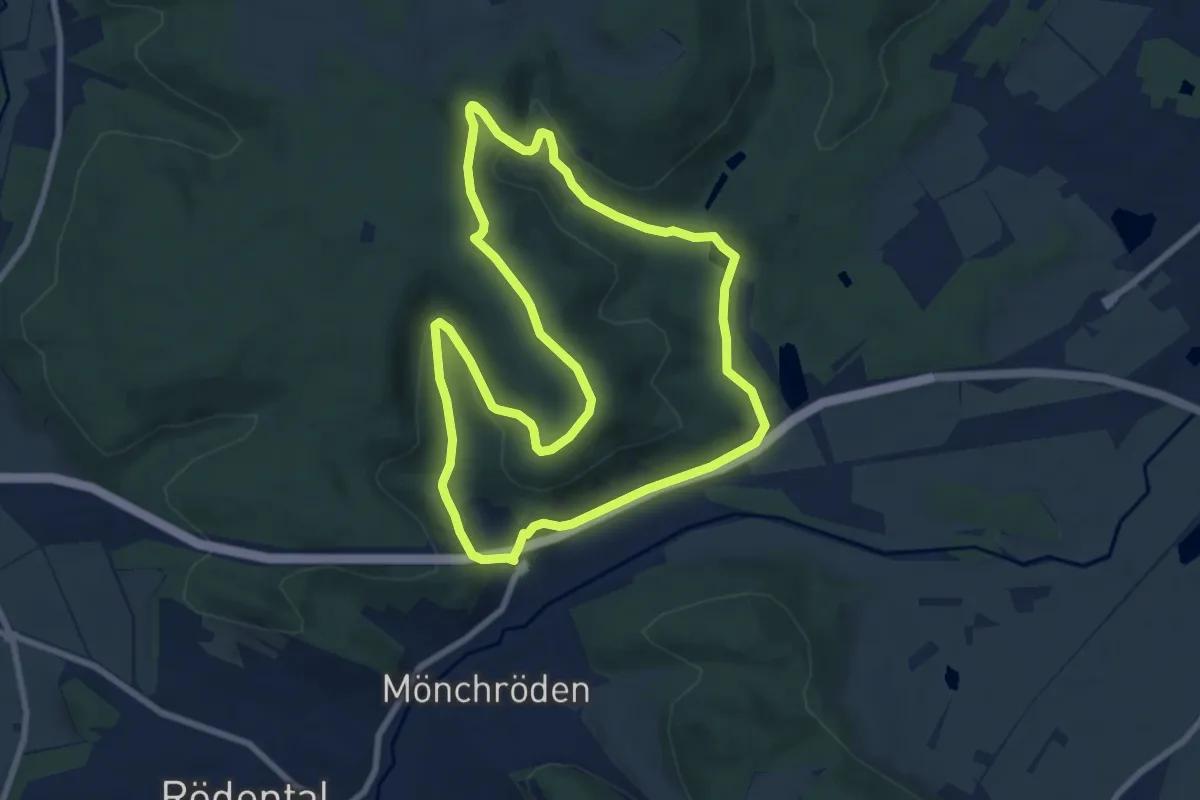
Medium · Trail
Wildpark Rundweg A4
9.1 km · ↑ 159 m · 2 h 38 min
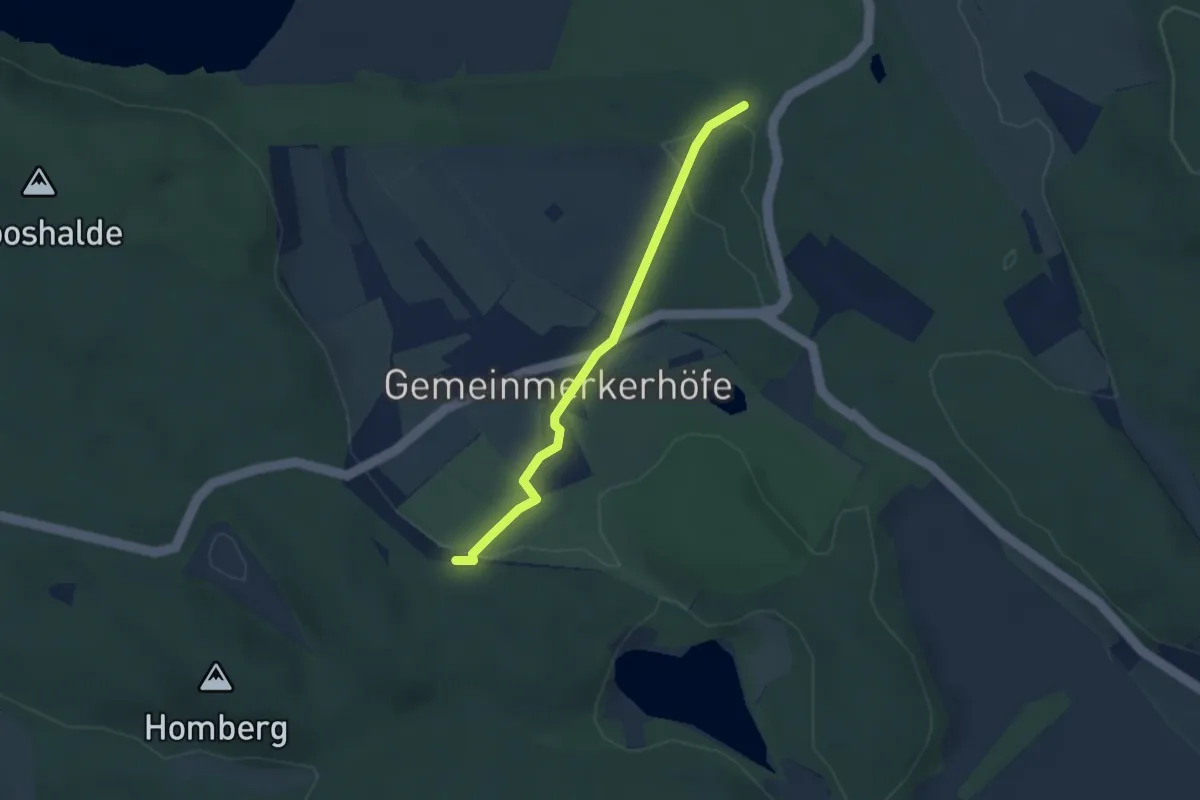
Medium · Summit
Wildparkweg
8.2 km · ↑ 181 m · 2 h 28 min
Easy · Trail
Wildpark - Zellerholz
2.6 km · ↑ 36 m · 42 min
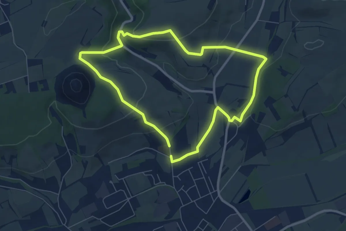
Easy · Trail
Wildrosenpfad
5.9 km · ↑ 167 m · 1 h 49 min
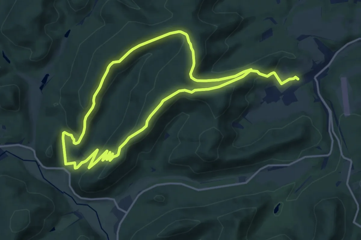
Medium · Summit
Wildsau-Tour
10.8 km · ↑ 363 m · 3 h 32 min
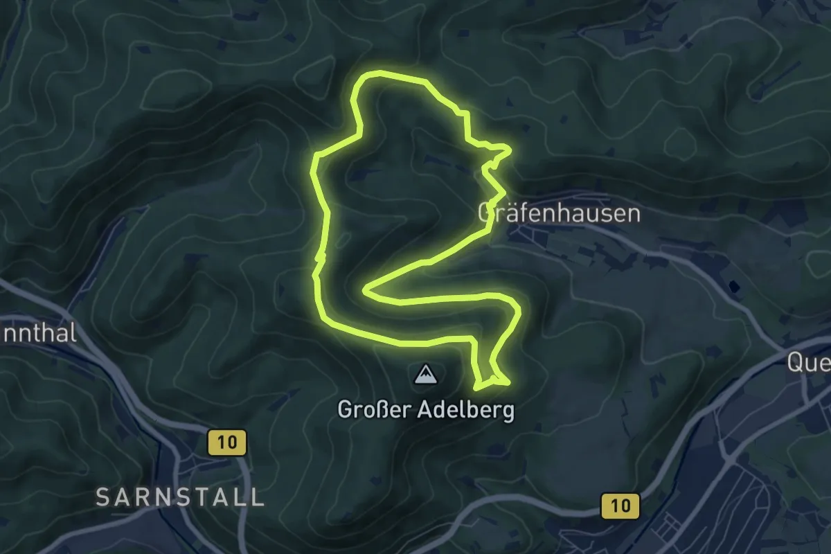
Medium · Summit
Wildsauweg Gräfenhausen
7.0 km · ↑ 355 m · 2 h 31 min
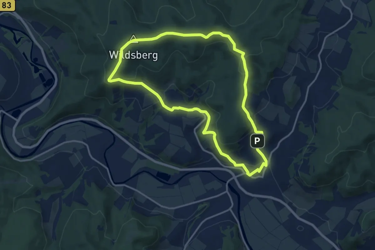
Medium · Summit
Wildsberghüttenweg
10.2 km · ↑ 324 m · 3 h 15 min
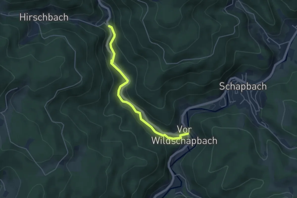
Easy · Trail
Wildschapbach - Vor Wildschapbach
4.0 km · ↑ 120 m · 1 h 12 min
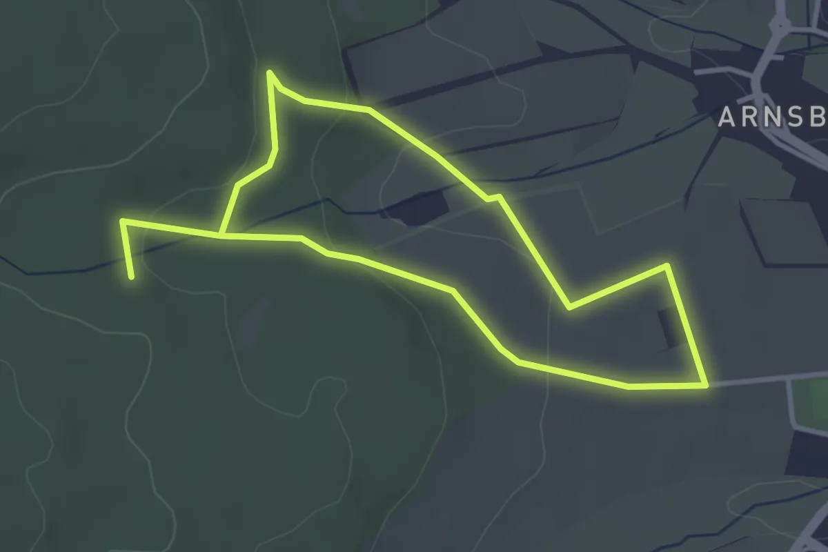
Easy · Trail
Wildschweinroute
2.7 km · ↑ 59 m · 48 min
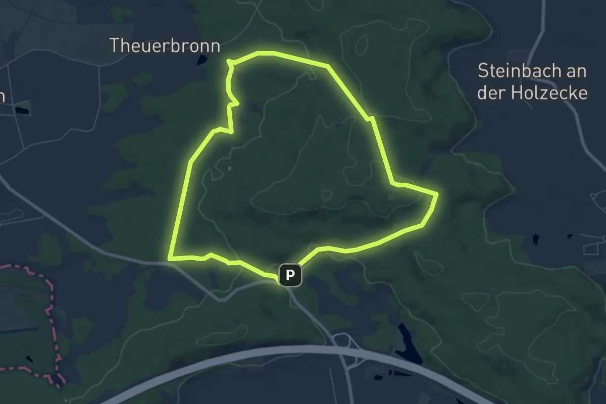
Easy · Trail
Wildschweinweg Schnelldorf
6.9 km · ↑ 98 m · 1 h 56 min
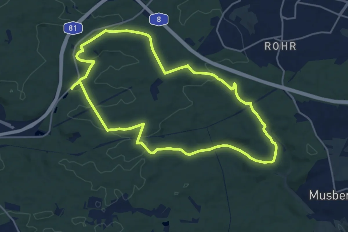
Medium · Trail
Wildschweinweg Sindelfingen (große Runde)
11.2 km · ↑ 186 m · 3 h 12 min
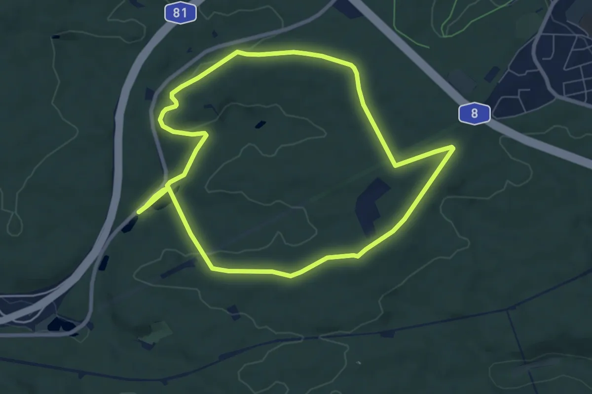
Easy · Trail
Wildschweinweg Sindelfingen (kleine Runde)
6.7 km · ↑ 87 m · 1 h 51 min
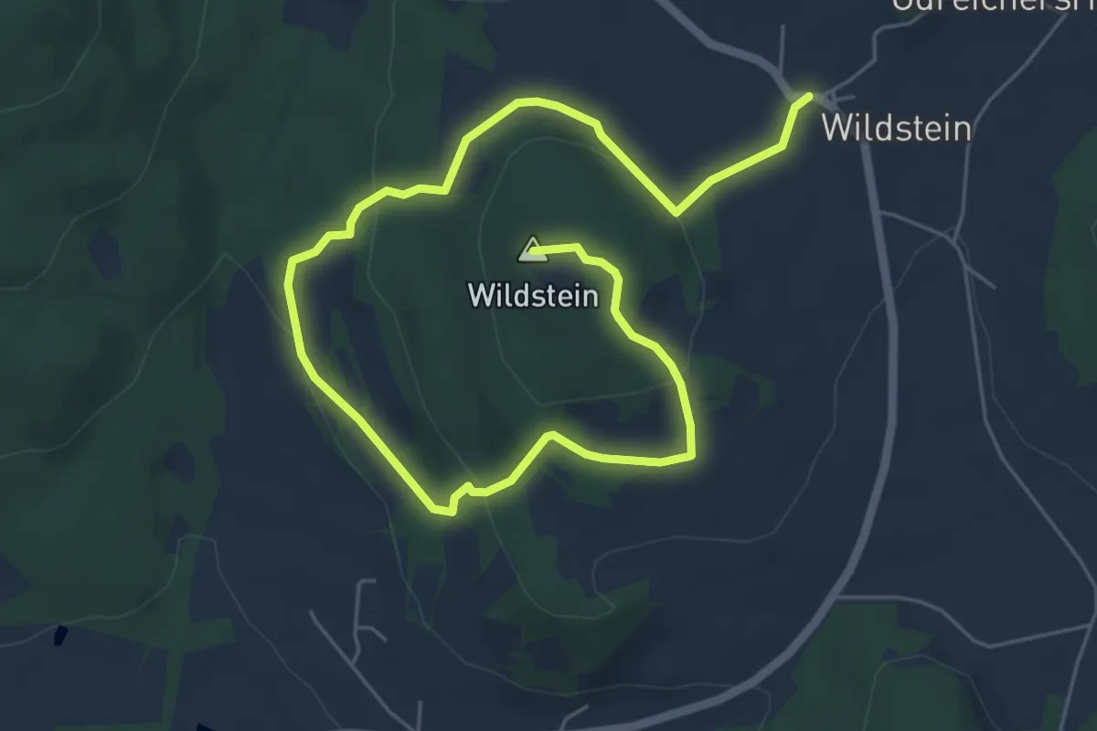
Easy · Summit
Wildsteiner Rundwanderweg
7.8 km · ↑ 291 m · 2 h 28 min
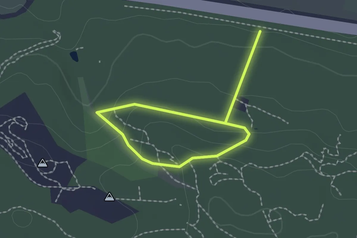
Easy · Trail
Wild-Wald-Erlebnispfad
2.4 km · ↑ 68 m · 42 min
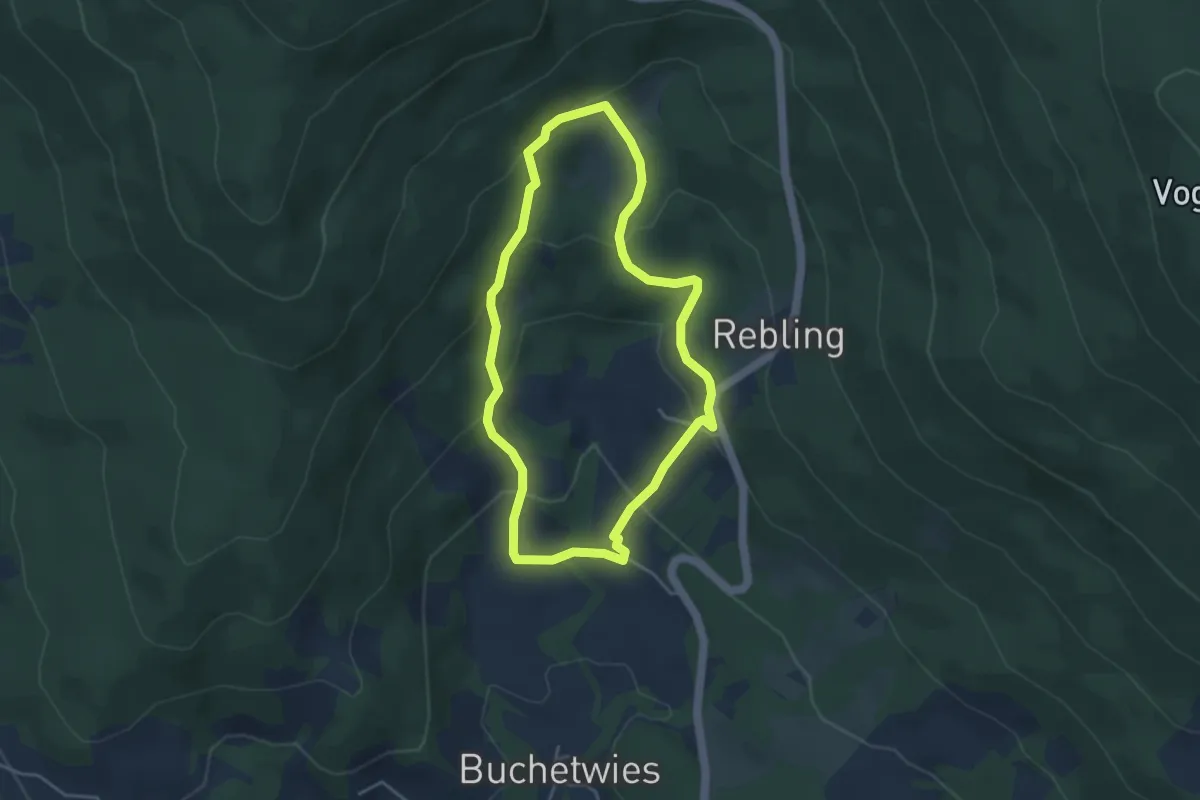
Easy · Trail
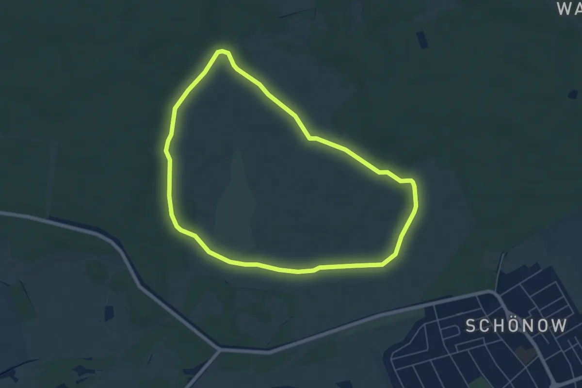
Wildwanderweg
3.6 km · ↑ 186 m · 1 h 18 min
Easy · Trail
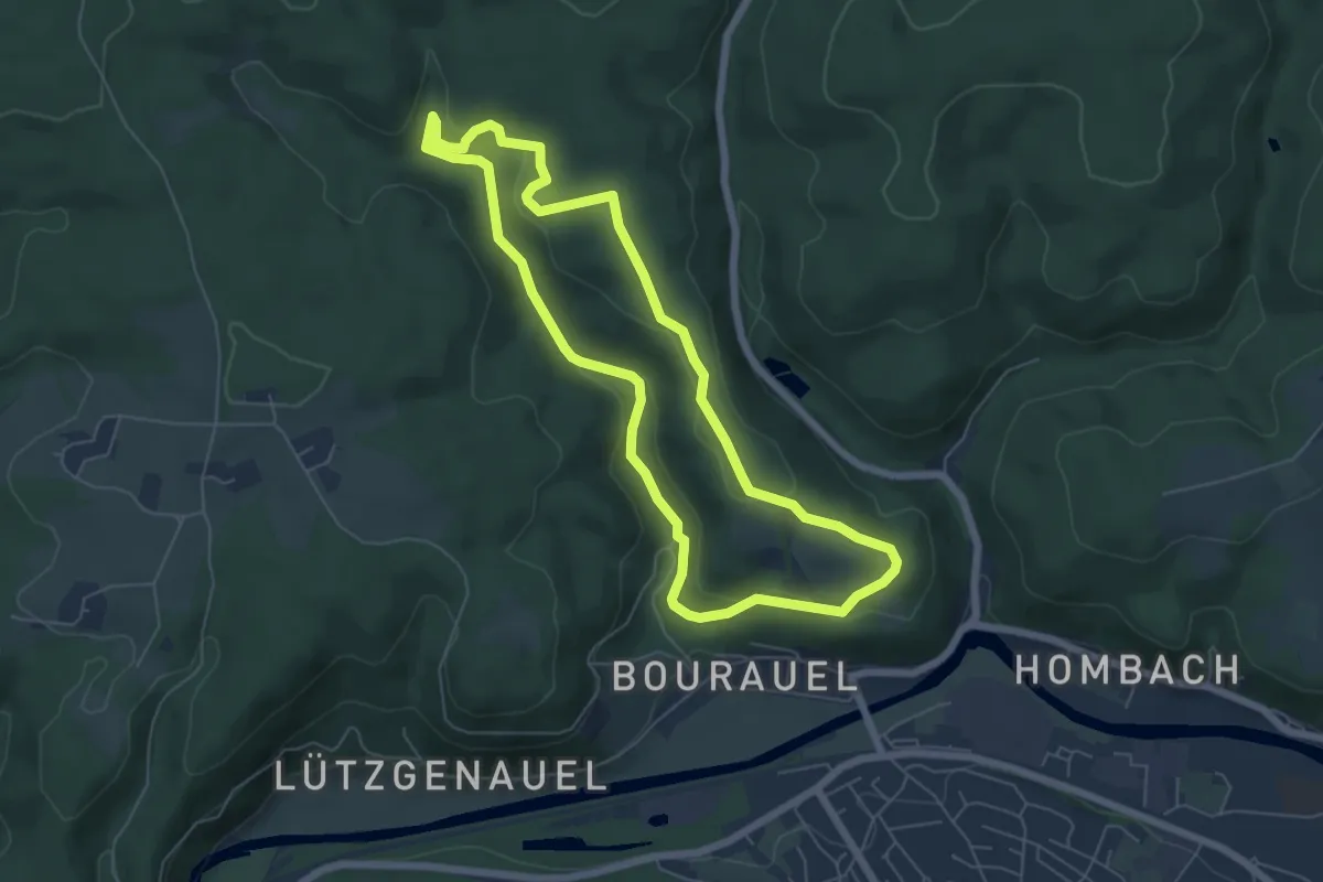
Wildwanderweg
5.1 km · ↑ 8 m · 1 h 18 min
Easy · Trail
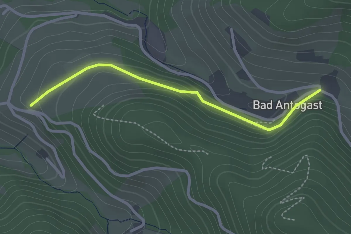
Wildwiesenweg (Erlebnisweg Sieg Nr. 9)
5.5 km · ↑ 143 m · 1 h 41 min
Easy · Trail
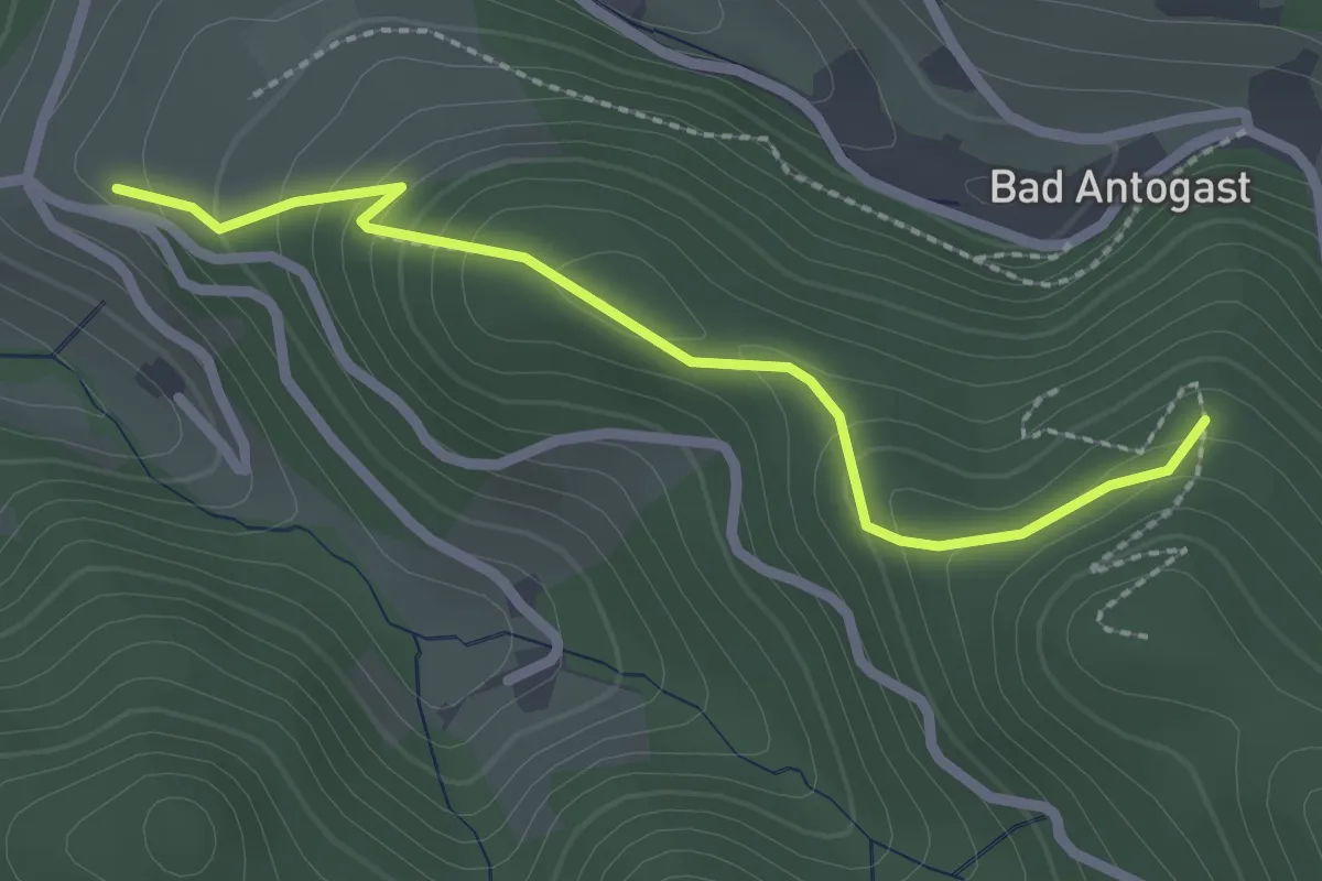
Wilfeneck - Bad Antogast
2.1 km · ↑ 64 m · 38 min
Easy · Trail
Wilfeneck - Bad Antogast Pavillion
2.3 km · ↑ 165 m · 54 min
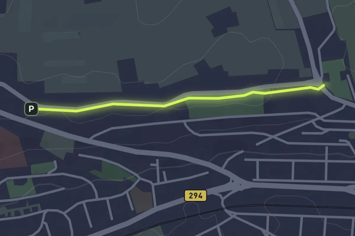
Easy · Trail
Wilferdinger Höhe - Hauptfriedhof
2.2 km · ↑ 4 m · 32 min
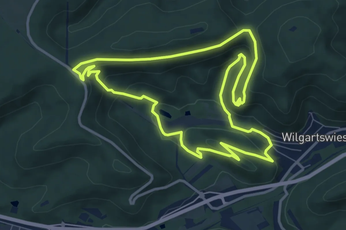
Medium · Summit
Wilgartswieser Biosphären-Pfad (Premiumwanderweg)
7.3 km · ↑ 335 m · 2 h 33 min
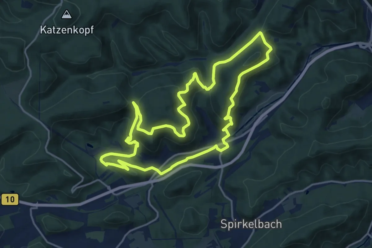
Medium · Summit
Wilgartswieser Burgen-Tour
12.0 km · ↑ 582 m · 4 h 15 min
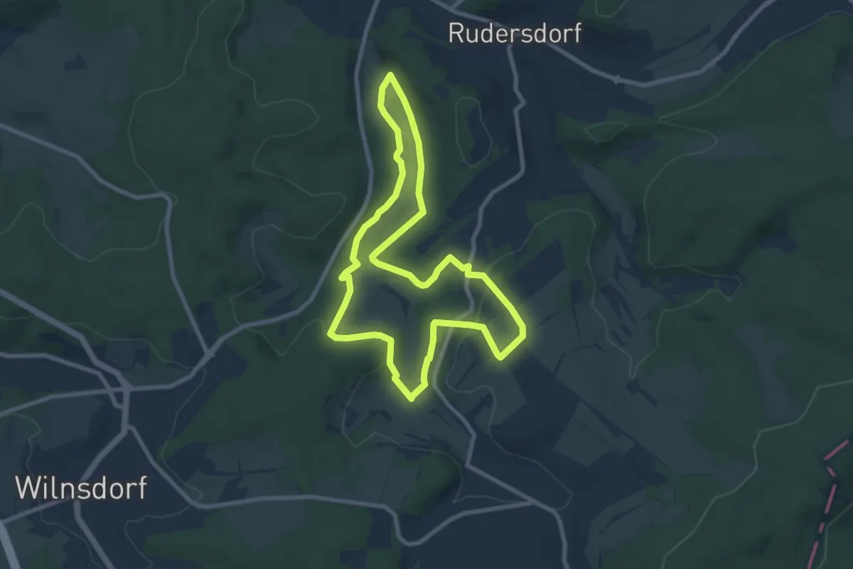
Easy · Trail
Wilgersdorf Rundweg A2
7.0 km · ↑ 147 m · 2 h 4 min
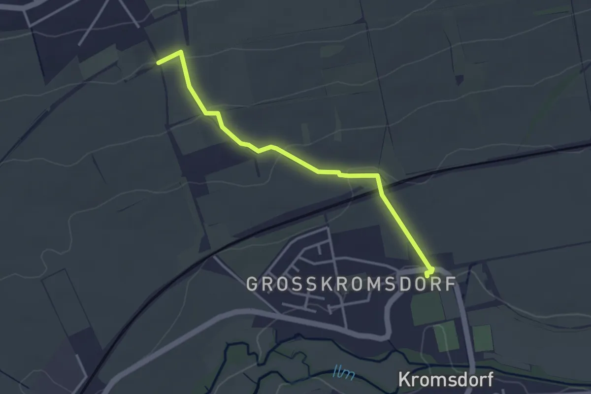
Easy · Trail
Wilhelm-Ernst-Weg
2.9 km · ↑ 81 m · 52 min
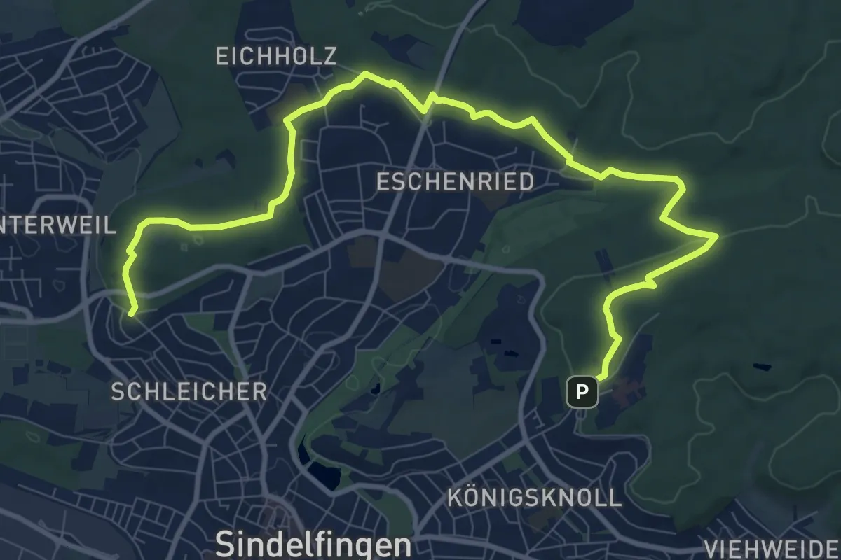
Medium · Trail
Wilhelm-Ganzhorn Weg
11.7 km · ↑ 205 m · 3 h 13 min
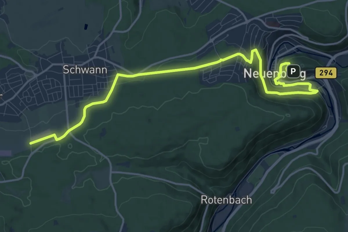
Medium · Trail
Wilhelm-Ganzhorn-Weg
13.6 km · ↑ 345 m · 3 h 57 min
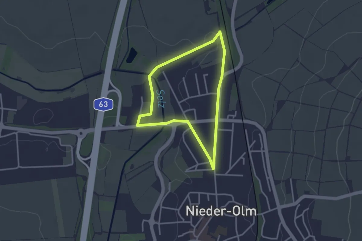
Easy · Trail
Wilhelm Holzamer Literaturweg Mühlenweg
2.3 km · ↑ 13 m · 36 min