Trails in Germany
36,877 hiking trails, each with its route, climb, walking time and grade.
All trails, page 729 of 769
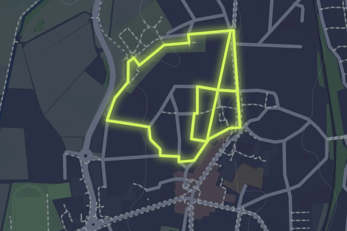
Easy · Trail
Wilhelm Holzamer Literaturweg Nestweg
1.7 km · ↑ 9 m · 27 min
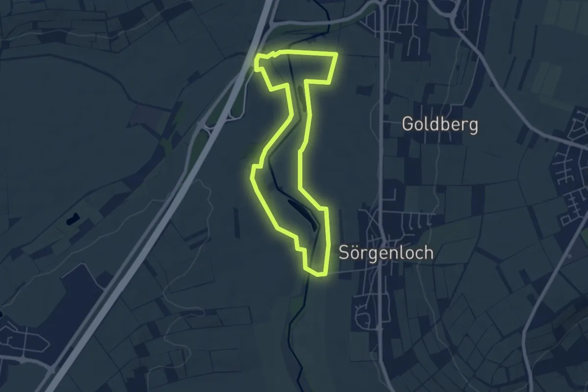
Easy · Trail
Wilhelm Holzamer Literaturweg Selztalweg
4.9 km · ↑ 18 m · 1 h 15 min
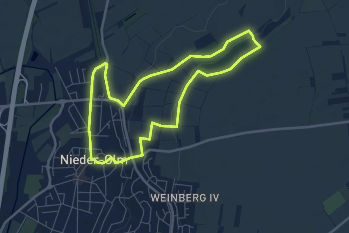
Easy · Trail
Wilhelm Holzamer Literaturweg Wingertweg
5.3 km · ↑ 108 m · 1 h 33 min
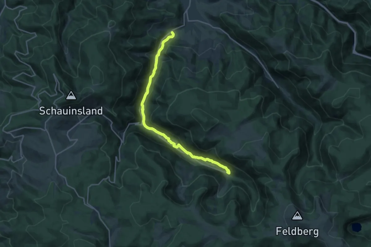
Medium · Trail
Wilhelmitenpfad
15.2 km · ↑ 556 m · 4 h 47 min
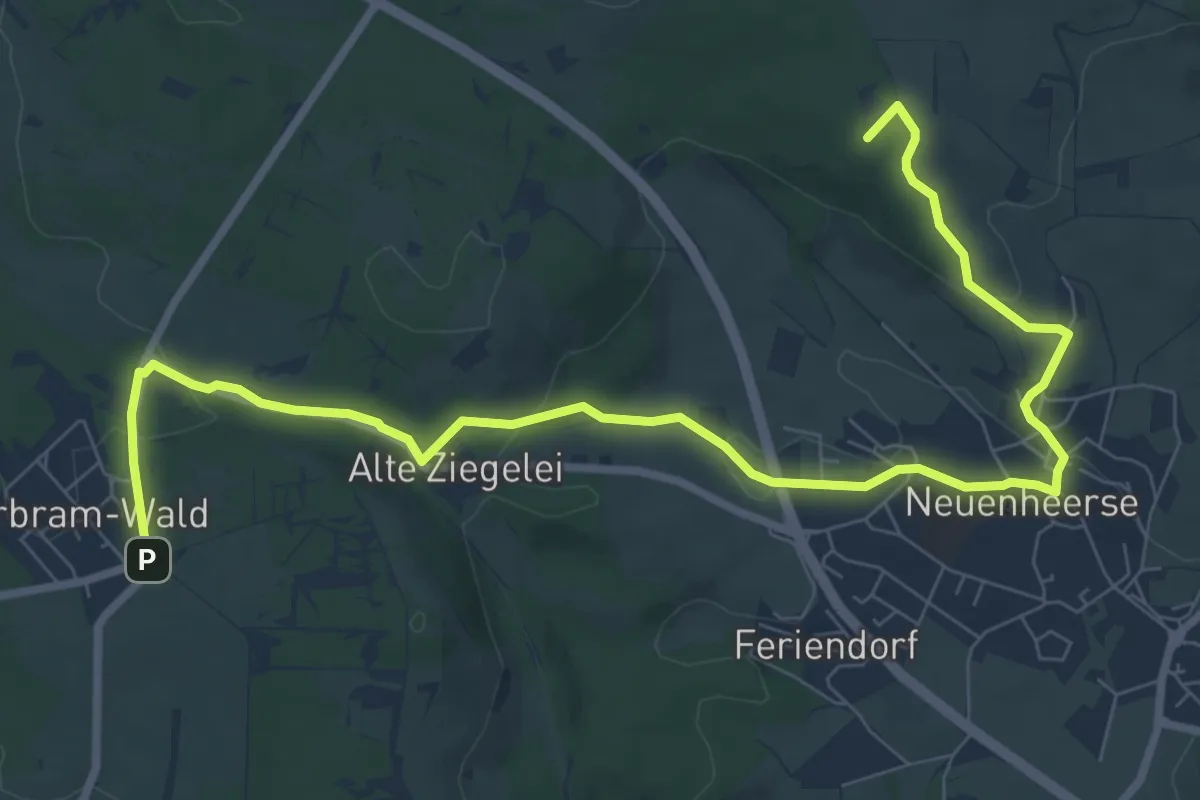
Medium · Summit
Wilhelm-Oeke-Weg
9.4 km · ↑ 234 m · 2 h 44 min
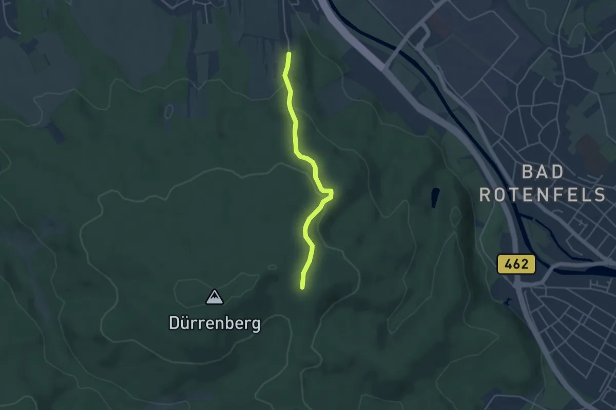
Easy · Trail
Wilhelmsbuckel - Schöneichhütte
3.5 km · ↑ 115 m · 1 h 4 min
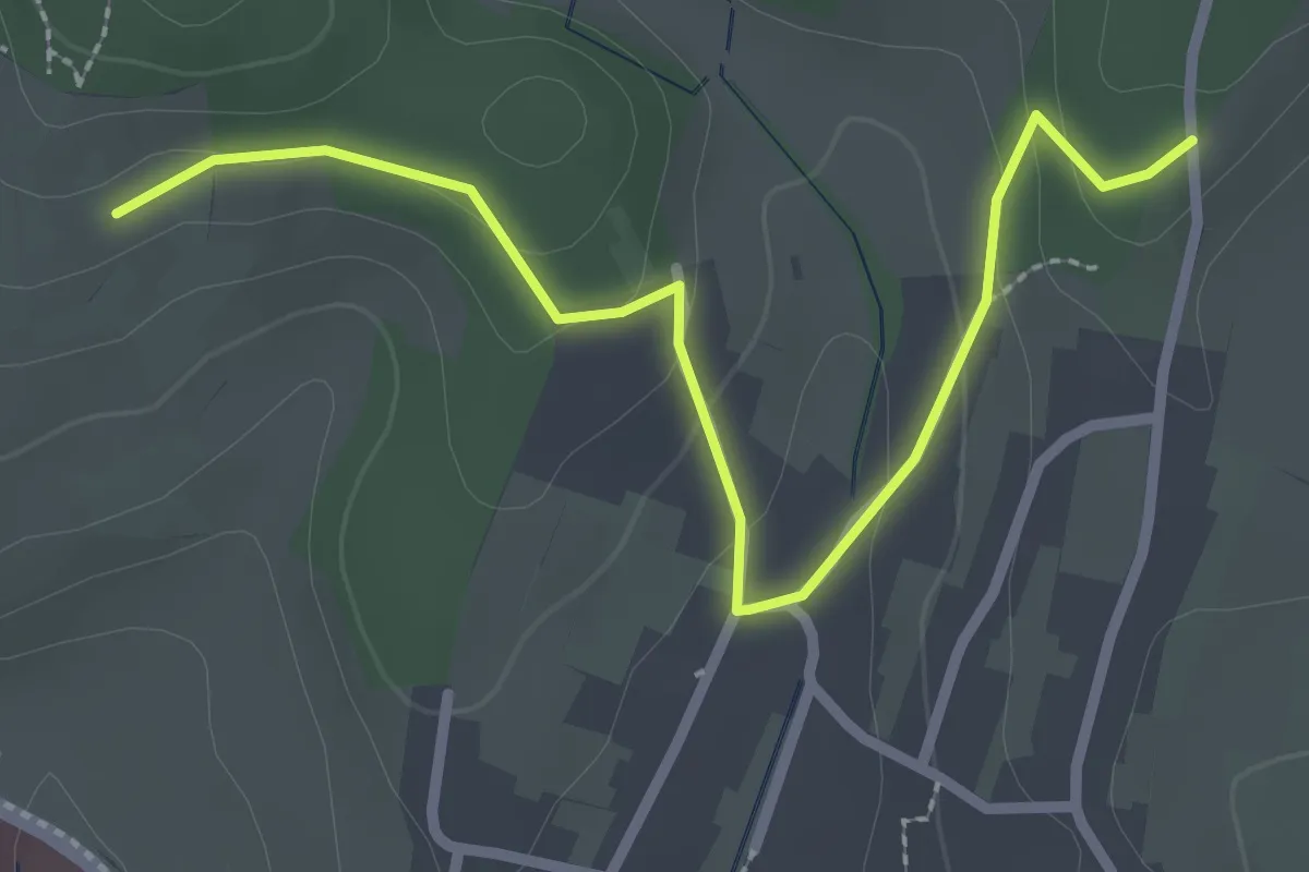
Easy · Trail
Wilhelmshöhe - Friedhof Windenreute
2.9 km · ↑ 89 m · 52 min
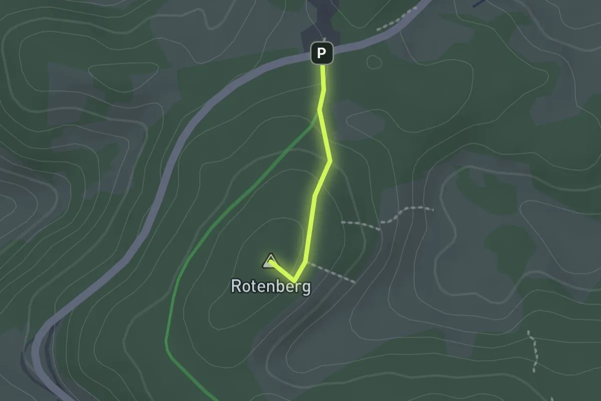
Easy · Summit
Wilhelmshöhe - Gitschbühl
1.1 km · ↑ 40 m · 21 min
Easy · Trail
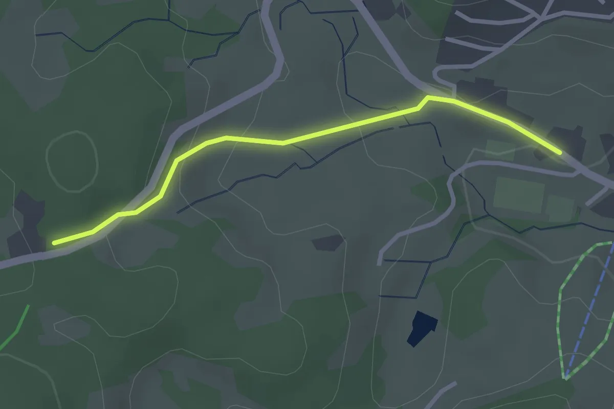
Wilhelmshöhe - Sportzentrum Schonach
2.4 km · ↑ 82 m · 45 min
Easy · Trail
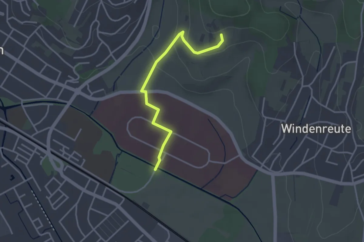
Wilhelmshöhe - Zentrum für Psychatrie
2.9 km · ↑ 65 m · 50 min
Medium · Trail
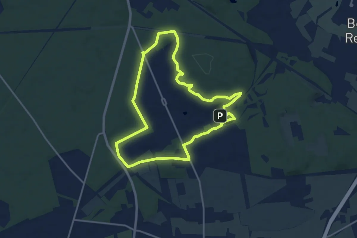
Wilhelmshorster Rundwanderweg
8.5 km · ↑ 63 m · 2 h 16 min
Easy · Trail
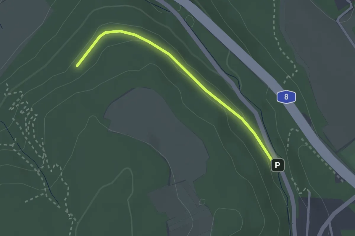
Wilhelmsplatz - Fallbrunnen
2.2 km · ↑ 30 m · 36 min
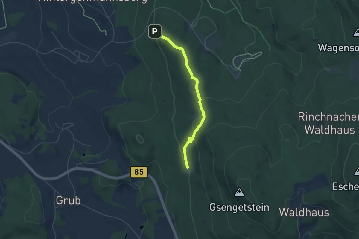
Easy · Trail
Wilhelmweg
4.5 km · ↑ 127 m · 1 h 21 min
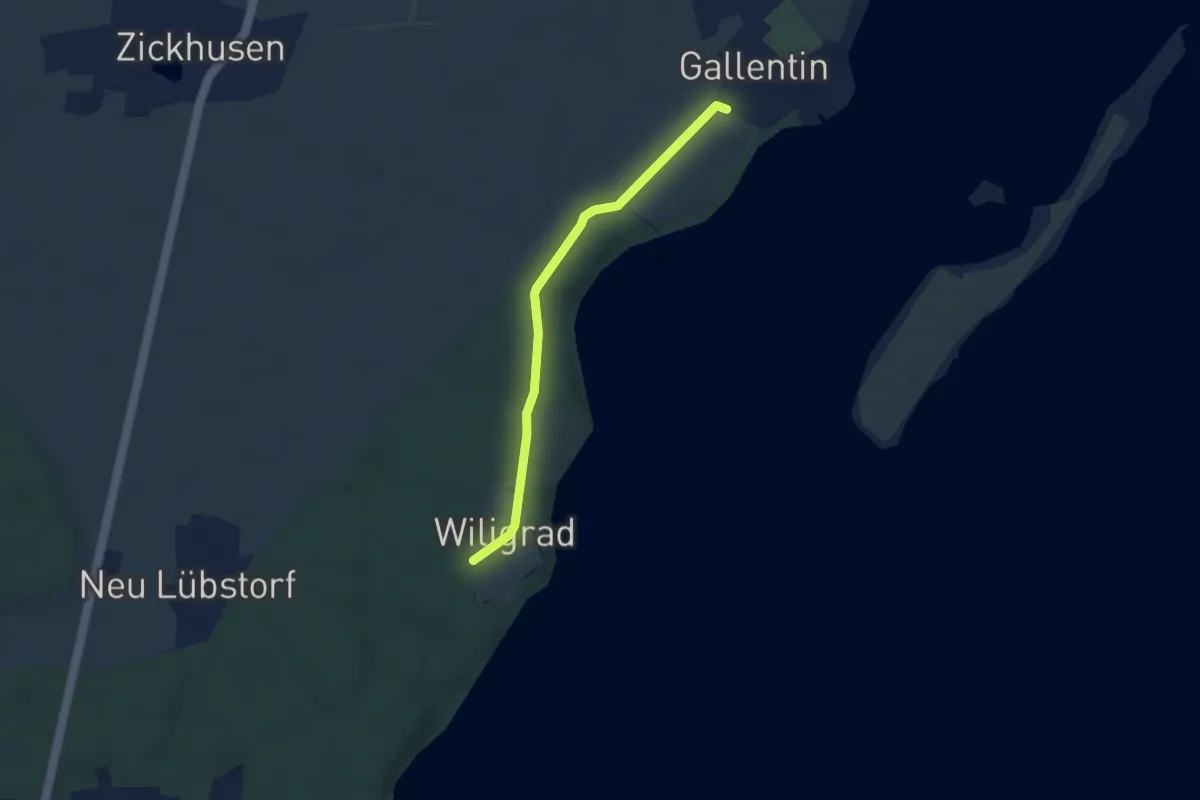
Easy · Trail
Wiligrad - Gallentin
4.7 km · ↑ 22 m · 1 h 10 min
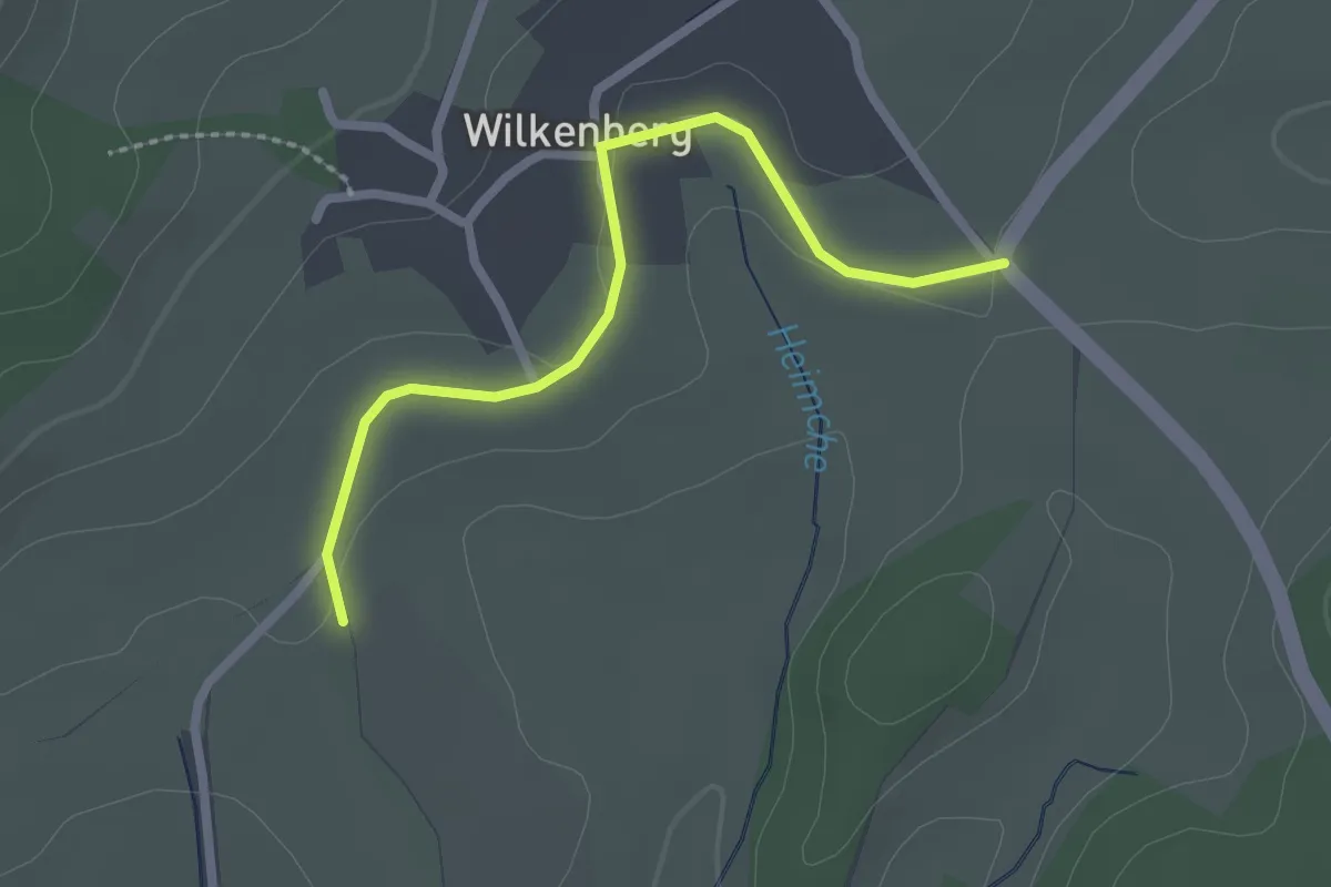
Easy · Trail
Wilkenberg Rundweg A1 Kötzhelle
2.1 km · ↑ 27 m · 33 min
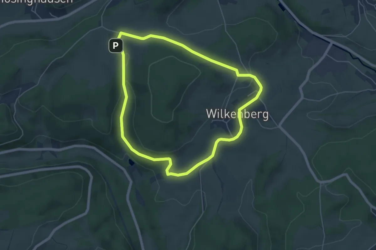
Easy · Trail
Wilkenberg Rundweg A2 Horst
4.5 km · ↑ 100 m · 1 h 20 min
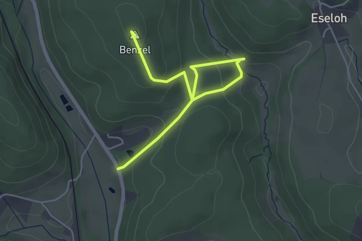
Easy · Summit
Wilkenberg Rundweg A3 Benzel
4.0 km · ↑ 166 m · 1 h 19 min
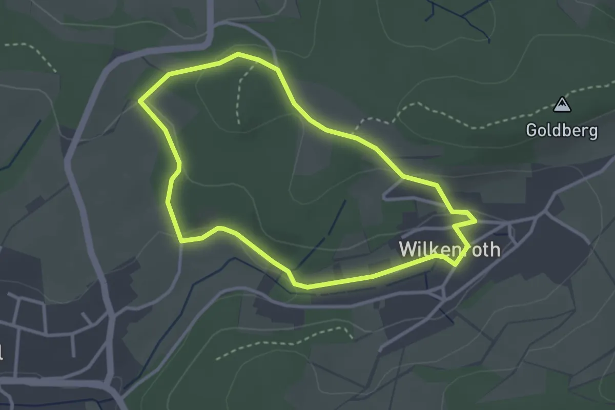
Easy · Trail
Wilkenroth Rundweg A2
2.6 km · ↑ 29 m · 42 min
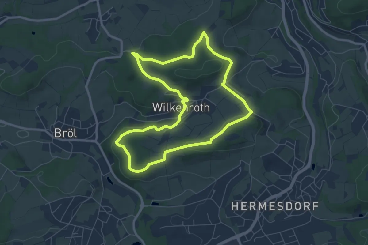
Easy · Summit
Wilkenroth Rundweg A3
6.0 km · ↑ 104 m · 1 h 44 min
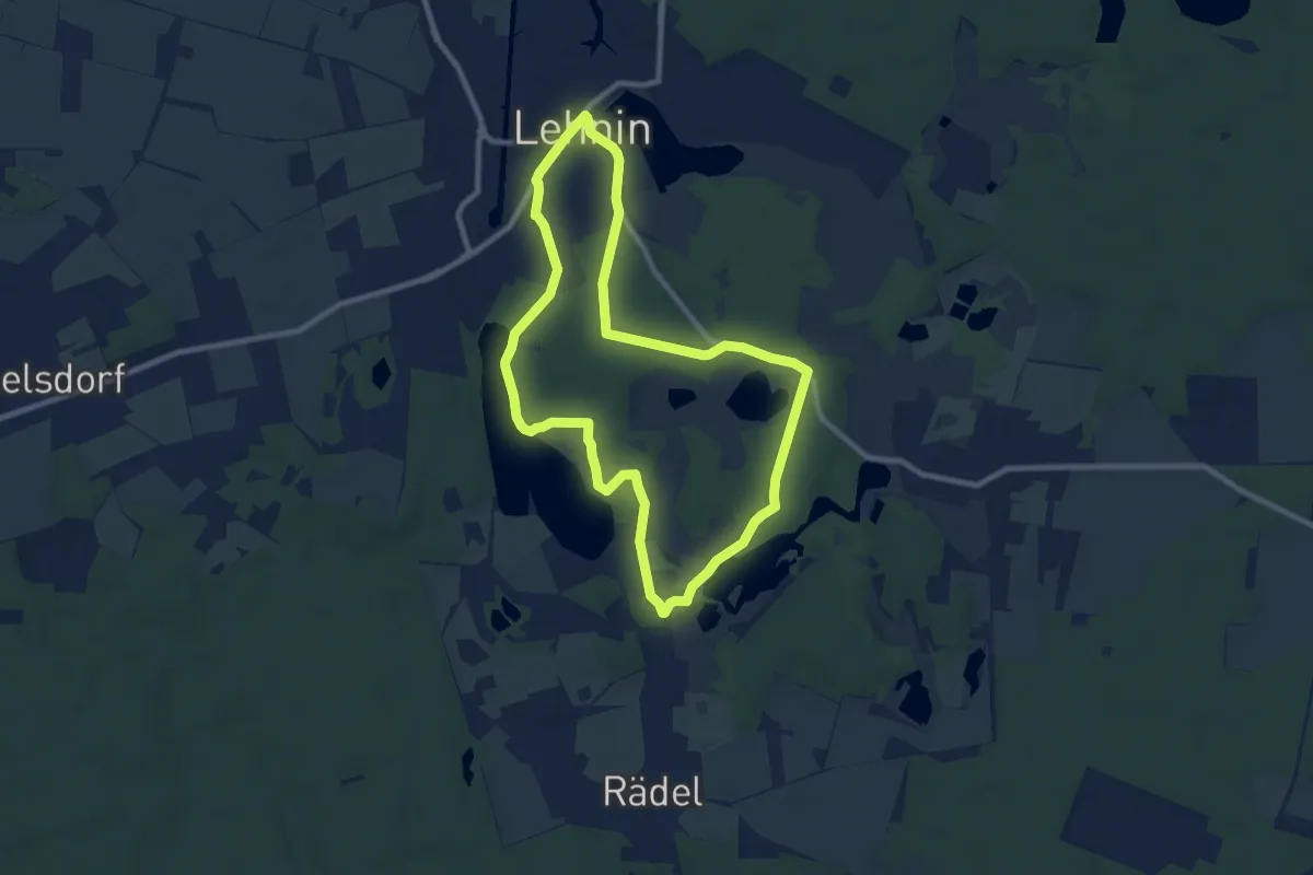
Easy · Trail
Willibald Alexis Wanderweg
7.9 km · ↑ 46 m · 2 h 4 min
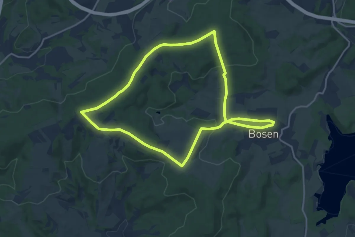
Medium · Summit
Willibrord-Pilgerweg
9.3 km · ↑ 190 m · 2 h 44 min
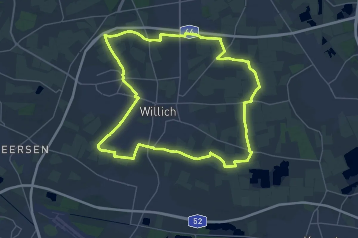
Demanding · Trail
Willich Rundweg Kreis
20.0 km · ↑ 0 m · 5 h
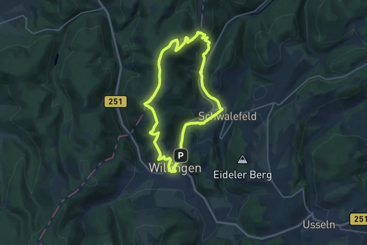
Medium · Summit
Willingen W8
11.9 km · ↑ 377 m · 3 h 48 min
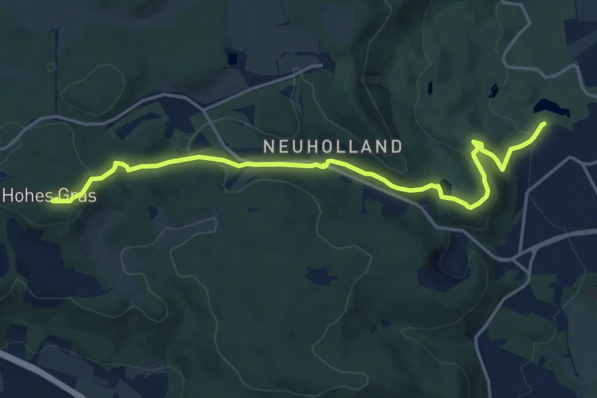
Medium · Summit
Willi-Seidel-Weg
11.8 km · ↑ 356 m · 3 h 34 min
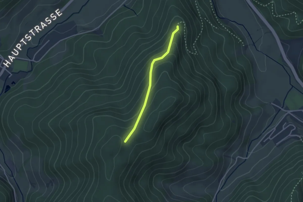
Easy · Trail
Willy-Kern-Hütte - Bannstein
2.2 km · ↑ 121 m · 47 min
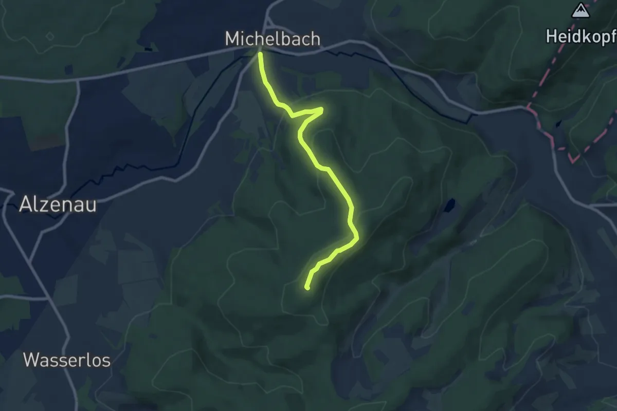
Easy · Summit
Willy Windisch Weg
7.1 km · ↑ 292 m · 2 h 19 min
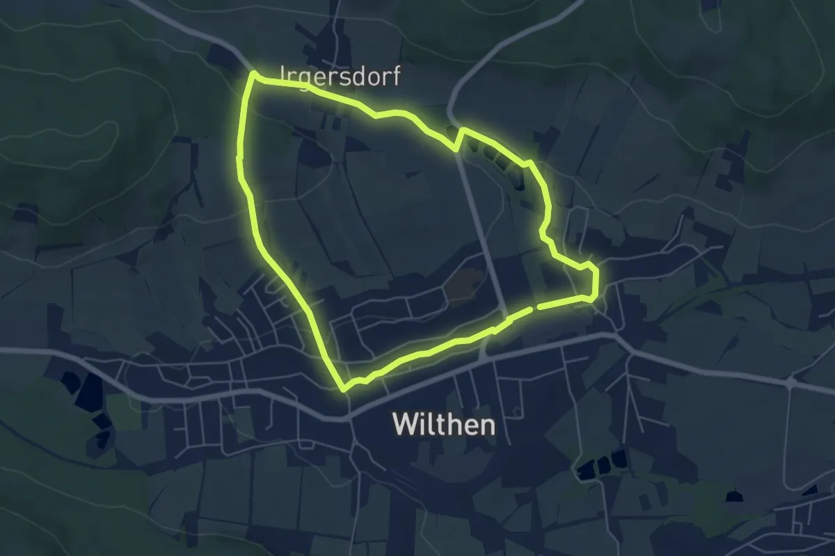
Easy · Summit
Wilthen Nord Rundwanderweg
5.2 km · ↑ 99 m · 1 h 31 min
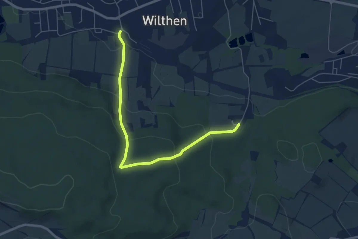
Easy · Trail
Wilthen Süd Rundwanderweg
2.6 km · ↑ 122 m · 56 min
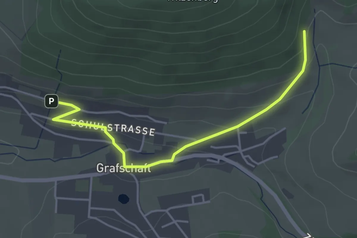
Easy · Trail
Wilzenberg Rundweg A4
3.8 km · ↑ 120 m · 1 h 9 min
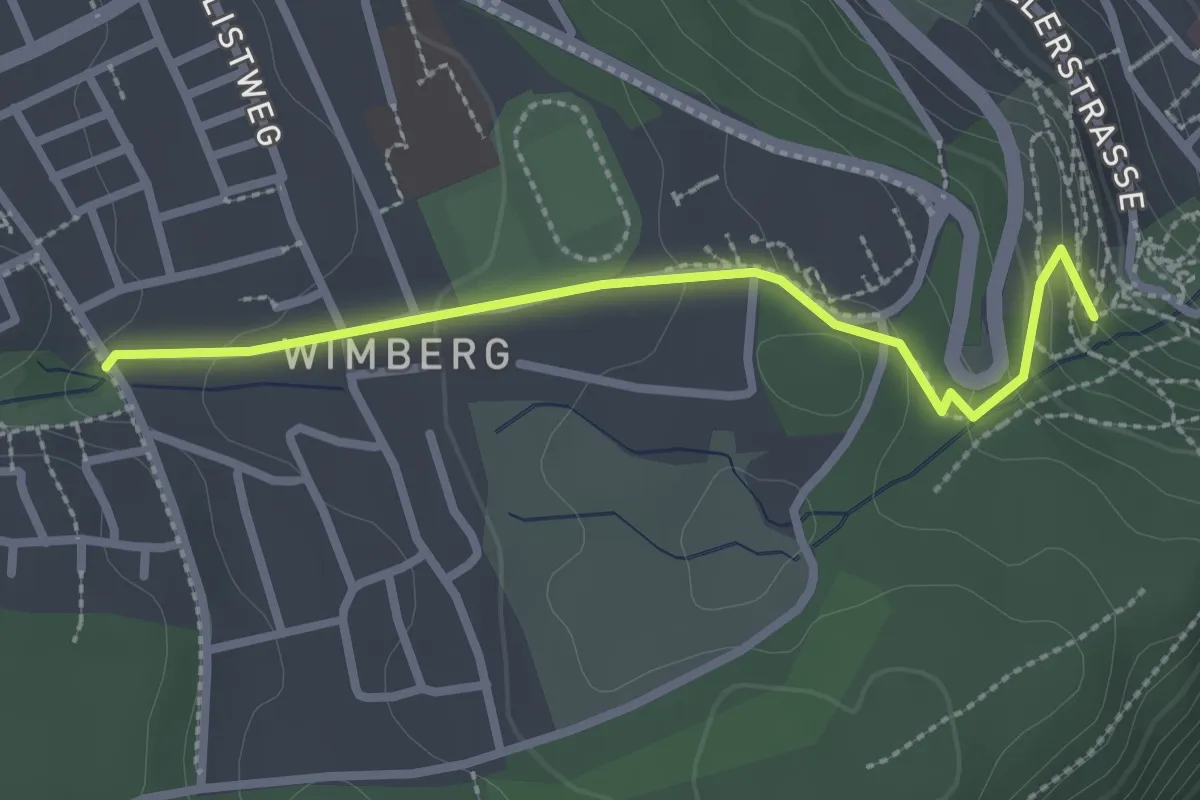
Easy · Trail
Wimberg Mädig - Schießbach
2.5 km · ↑ 96 m · 47 min
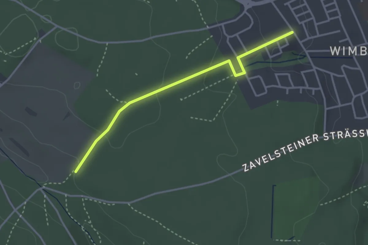
Easy · Trail
Wimberg - Speßhardter Mauer
3.0 km · ↑ 88 m · 54 min
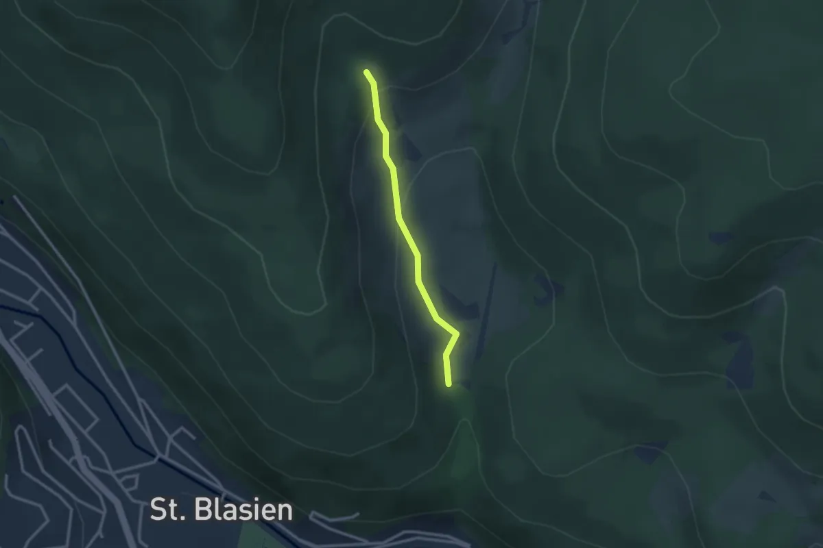
Easy · Trail
Windbergbrücke - Windberghof
2.1 km · ↑ 93 m · 42 min
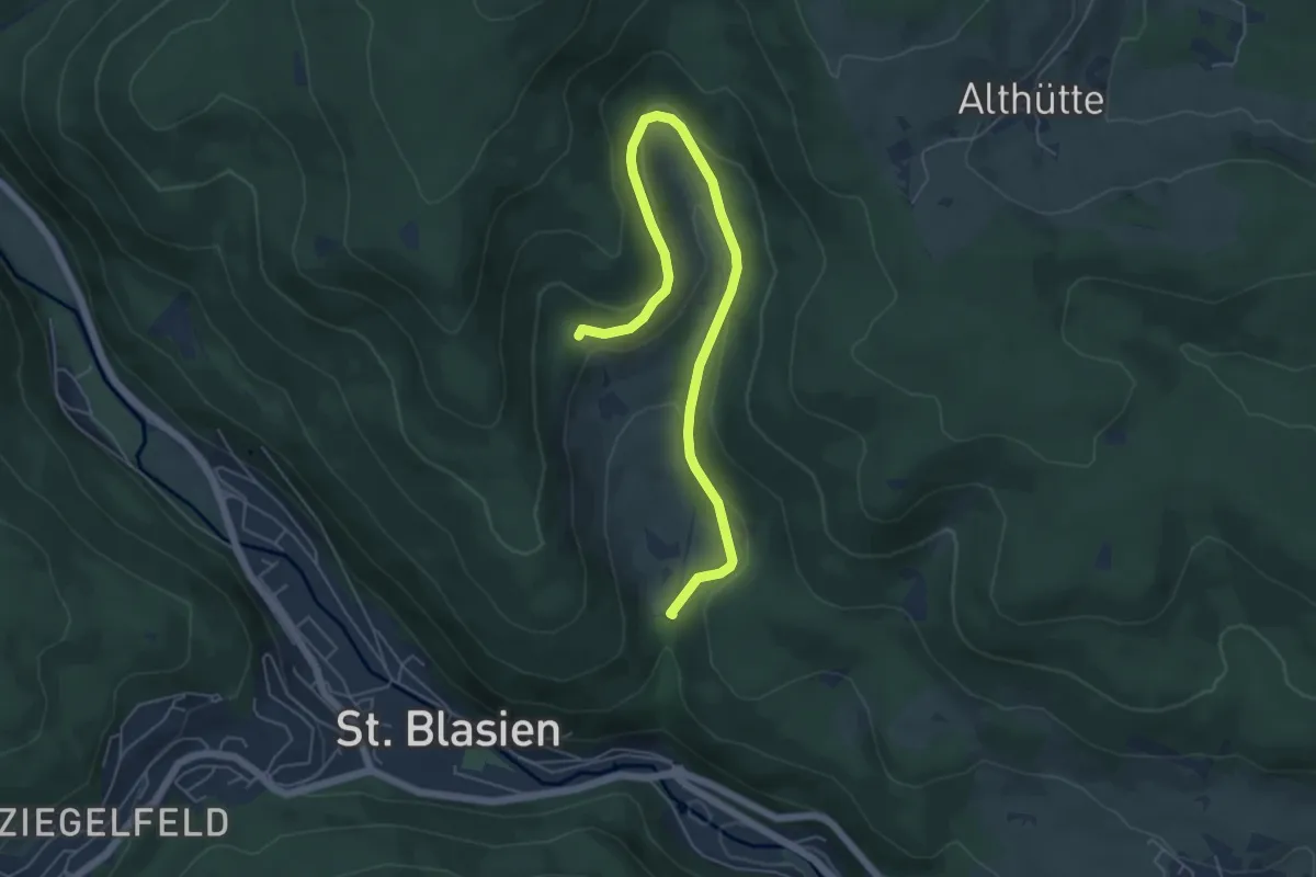
Easy · Trail
Windberghof - Windberghütte
6.2 km · ↑ 249 m · 2 h
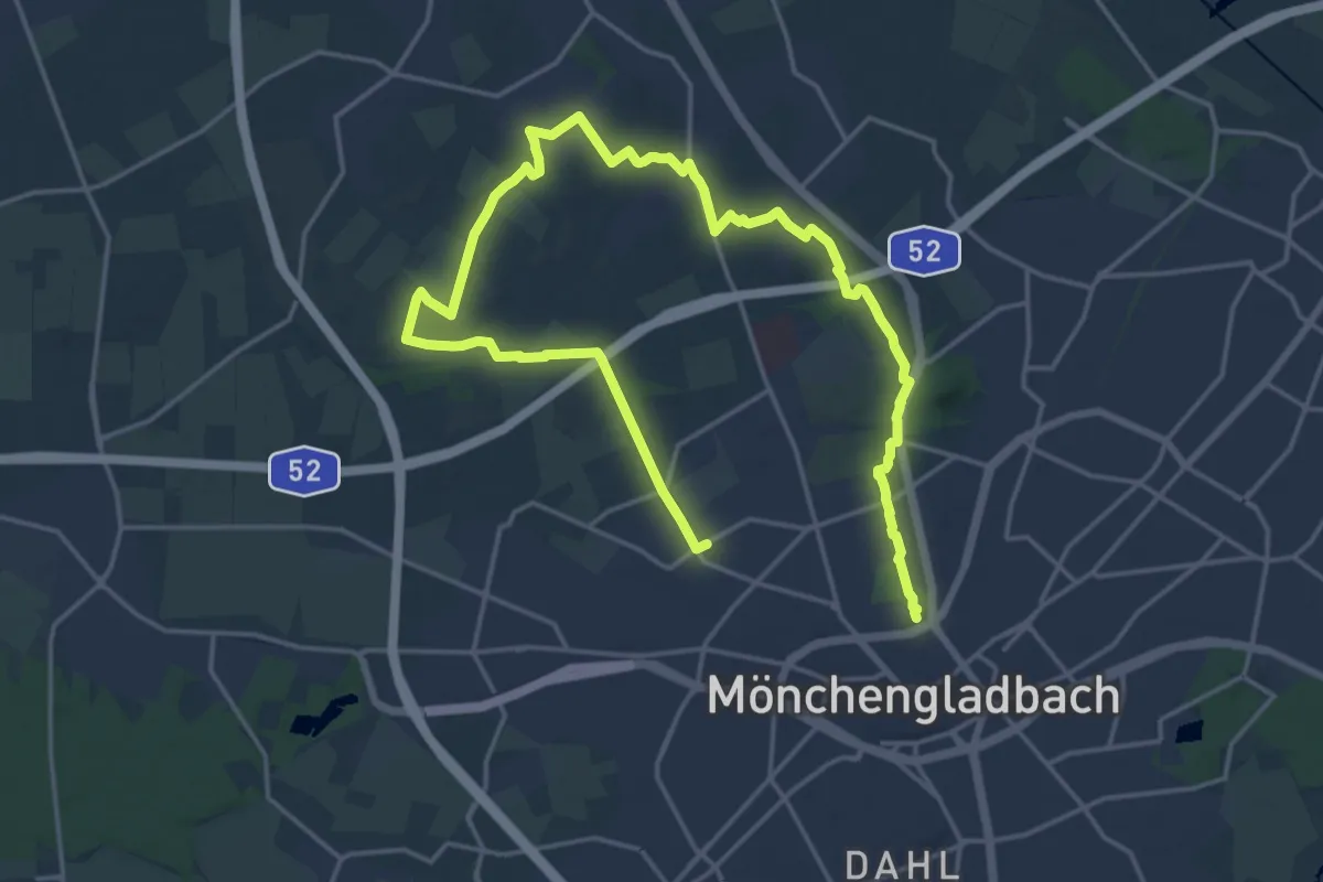
Demanding · Trail
Windberg - Kaiser-Friedrich-Halle
25.4 km · ↑ 135 m · 6 h 18 min
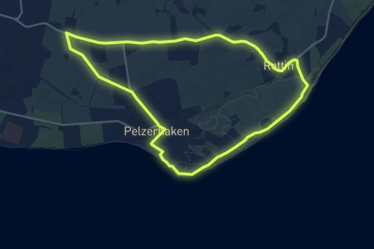
Medium · Trail
Windberg-Route, Pelzerhaken
8.9 km · ↑ 26 m · 2 h 17 min
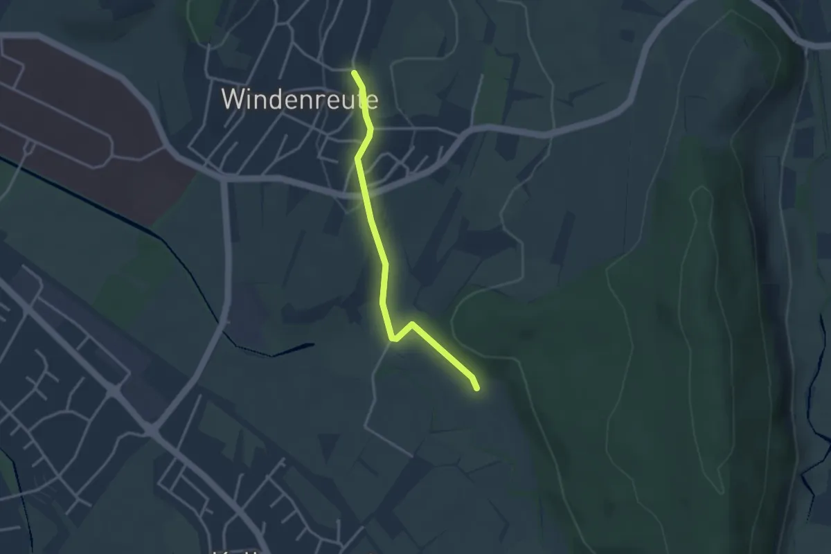
Easy · Trail
Windenreute Feuerwehr - Backofen
2.7 km · ↑ 56 m · 46 min
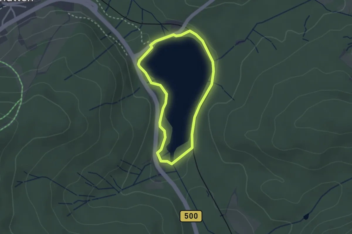
Easy · Trail
Windgfällweiher Seerundweg
2.1 km · ↑ 48 m · 37 min
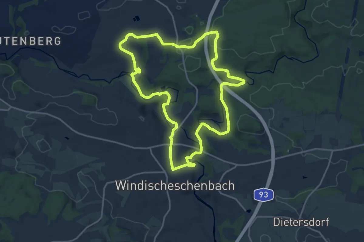
Medium · Trail
Windischeschenbach Rundwanderweg Nr. 10
10.7 km · ↑ 171 m · 3 h 3 min
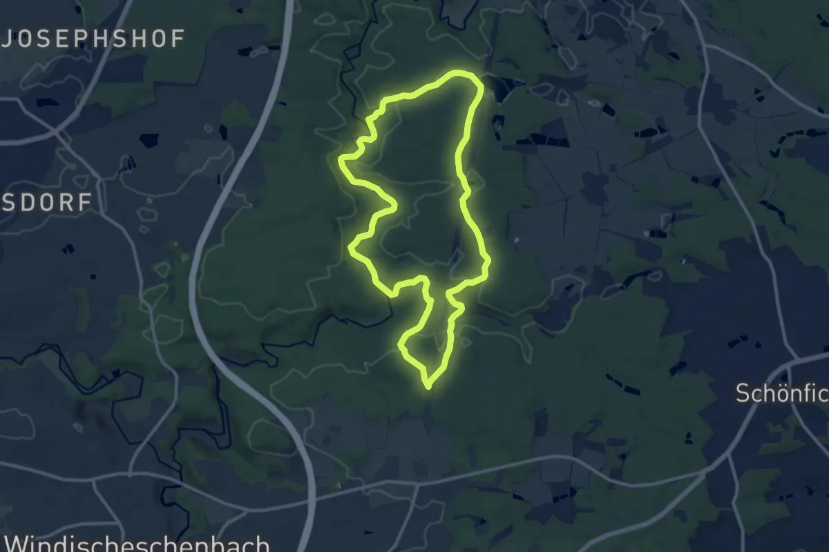
Medium · Trail
Windischeschenbach Rundwanderweg Nr. 2
10.0 km · ↑ 176 m · 2 h 54 min
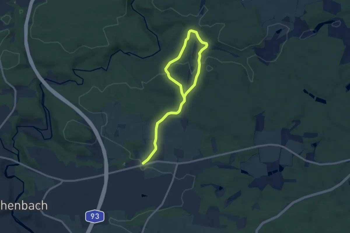
Easy · Trail
Windischeschenbach Rundwanderweg Nr. 3
4.0 km · ↑ 76 m · 1 h 10 min
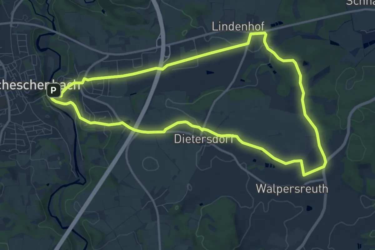
Medium · Trail
Windischeschenbach Rundwanderweg Nr. 4
9.3 km · ↑ 120 m · 2 h 35 min
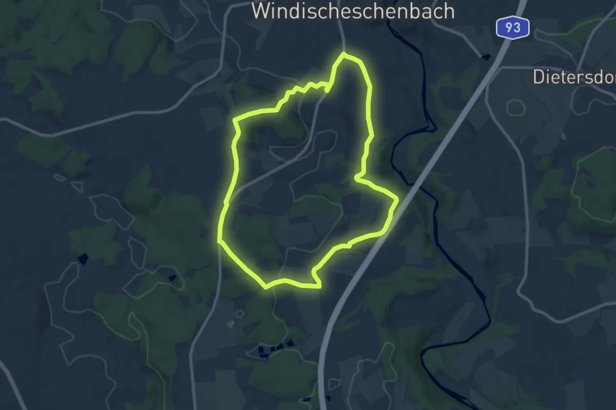
Easy · Trail
Windischeschenbach Rundwanderweg Nr. 5
7.7 km · ↑ 137 m · 2 h 13 min
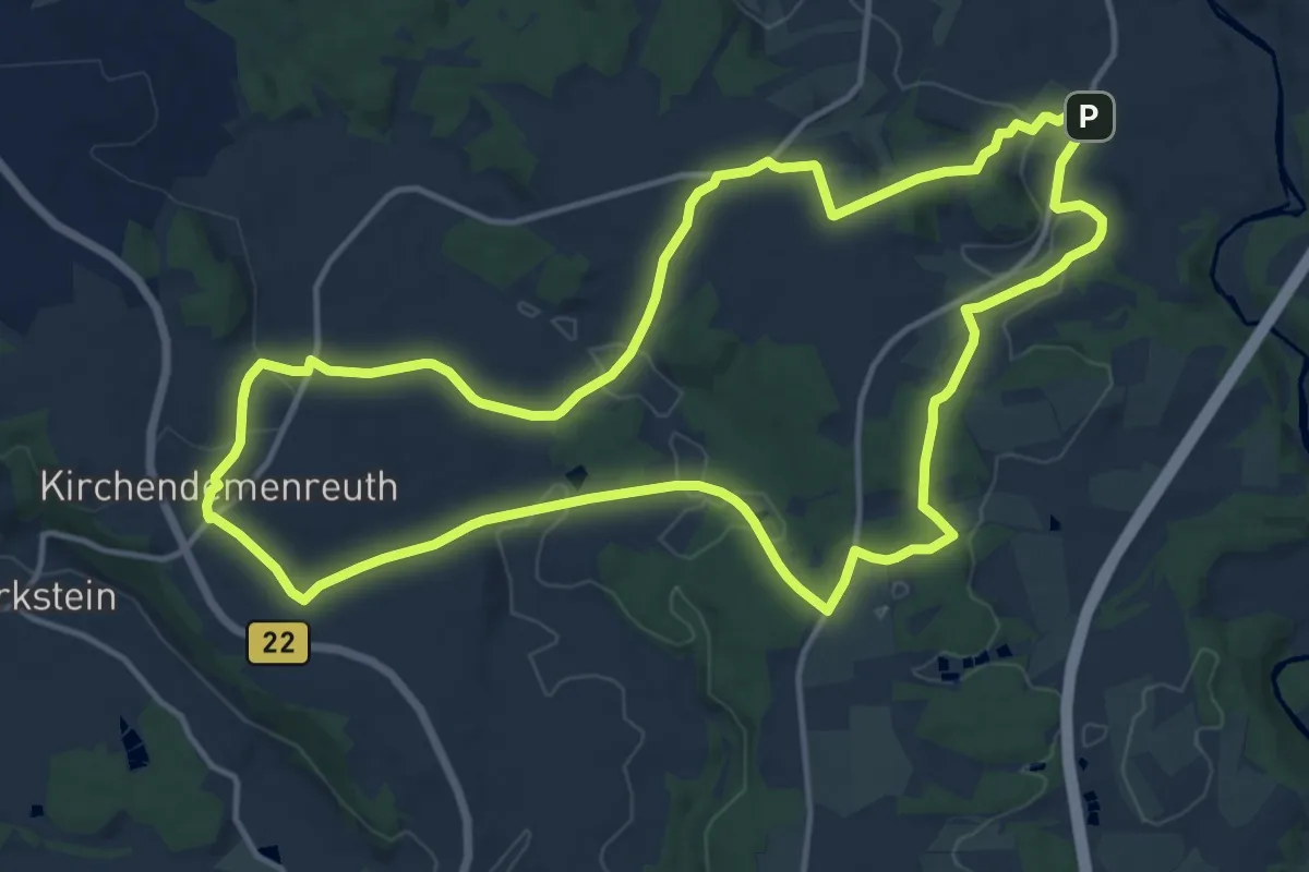
Medium · Trail
Windischeschenbach Rundwanderweg Nr. 7
14.1 km · ↑ 285 m · 4 h 8 min
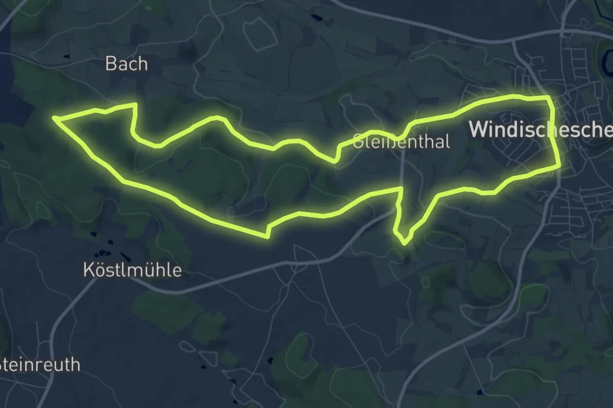
Medium · Summit
Windischeschenbach Rundwanderweg Nr. 8
10.4 km · ↑ 194 m · 3 h 2 min
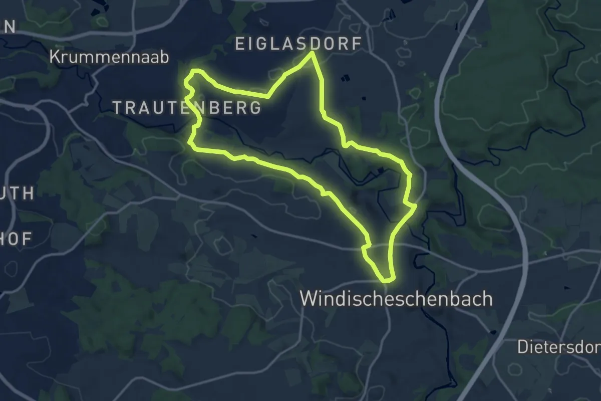
Medium · Trail
Windischeschenbach Rundwanderweg Nr. 9
11.8 km · ↑ 203 m · 3 h 23 min
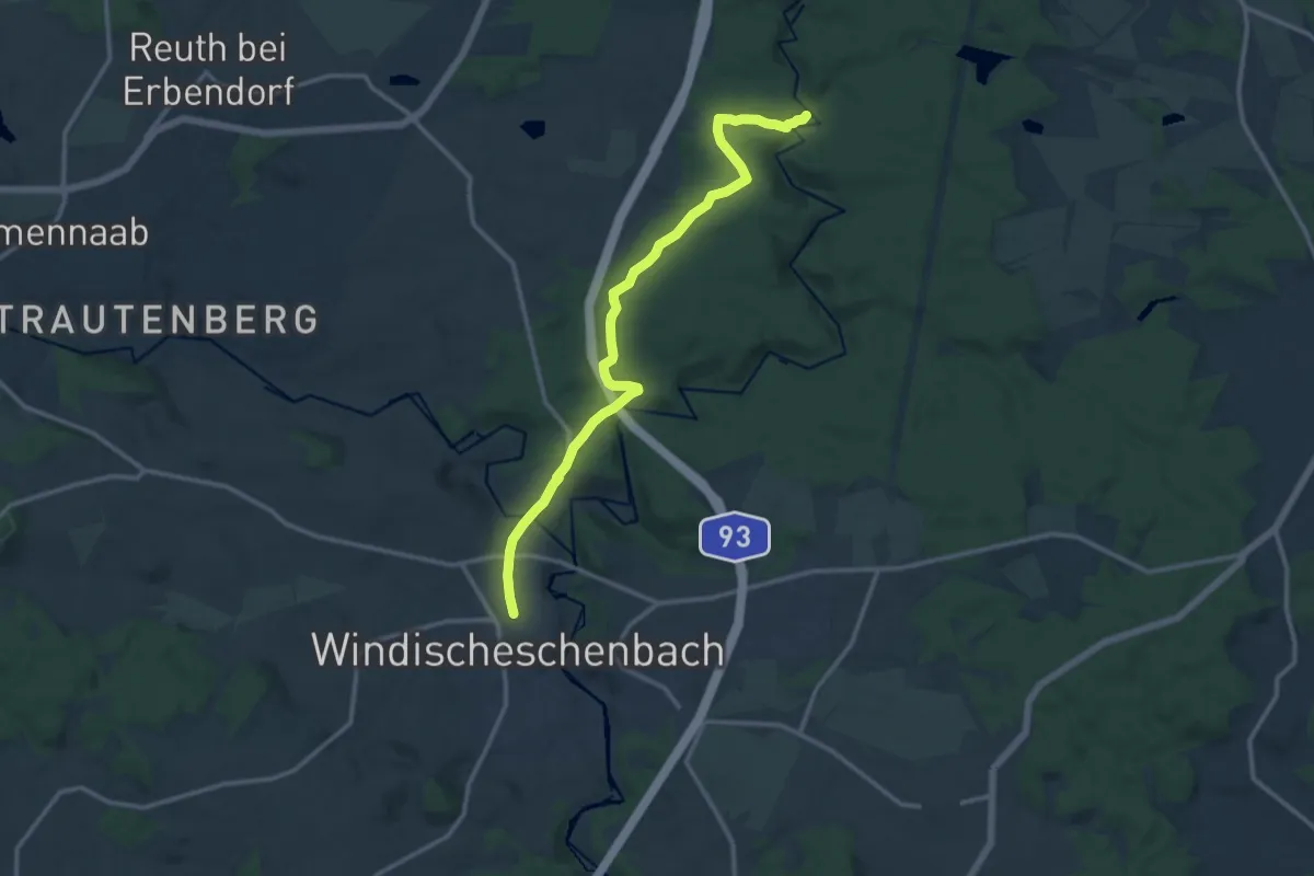
Medium · Trail
Windischeschenbach Wanderweg 1
12.5 km · ↑ 252 m · 3 h 29 min
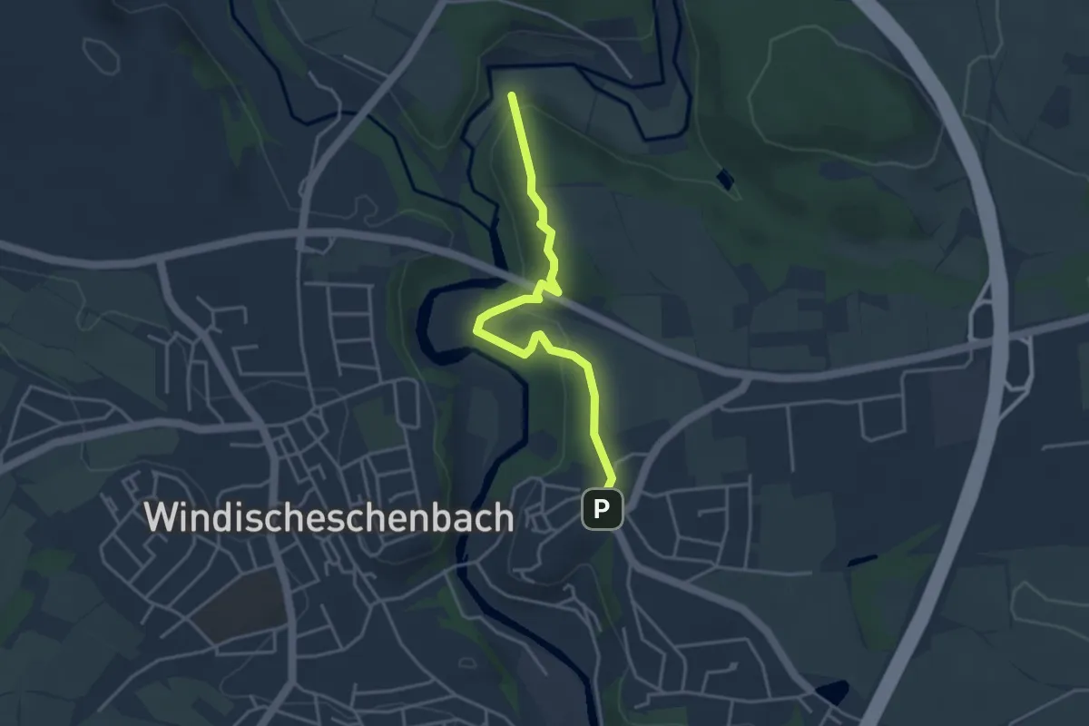
Easy · Trail
Windischeschenbach Wanderweg 11
3.4 km · ↑ 109 m · 1 h 2 min
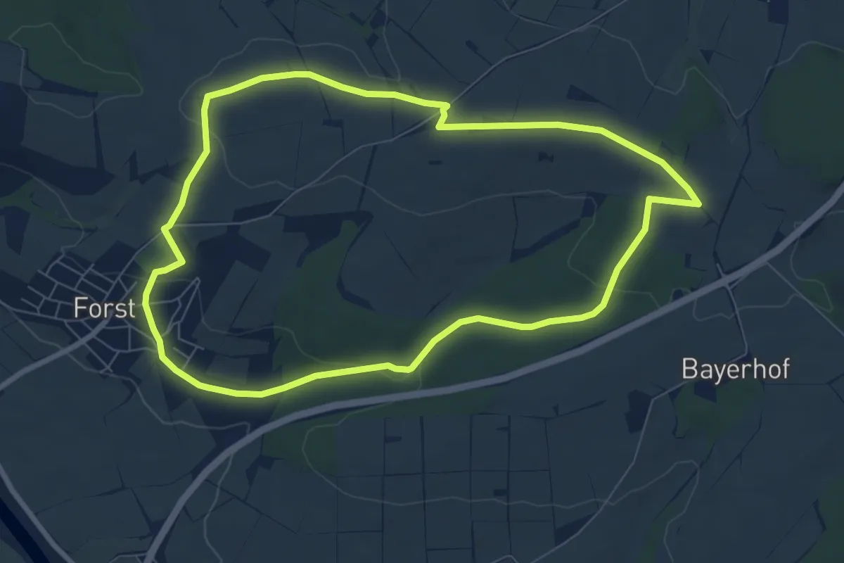
Easy · Trail
Windkraftweg Forst
7.0 km · ↑ 128 m · 2 h 2 min