Trails in Germany
36,877 hiking trails, each with its route, climb, walking time and grade.
All trails, page 730 of 769
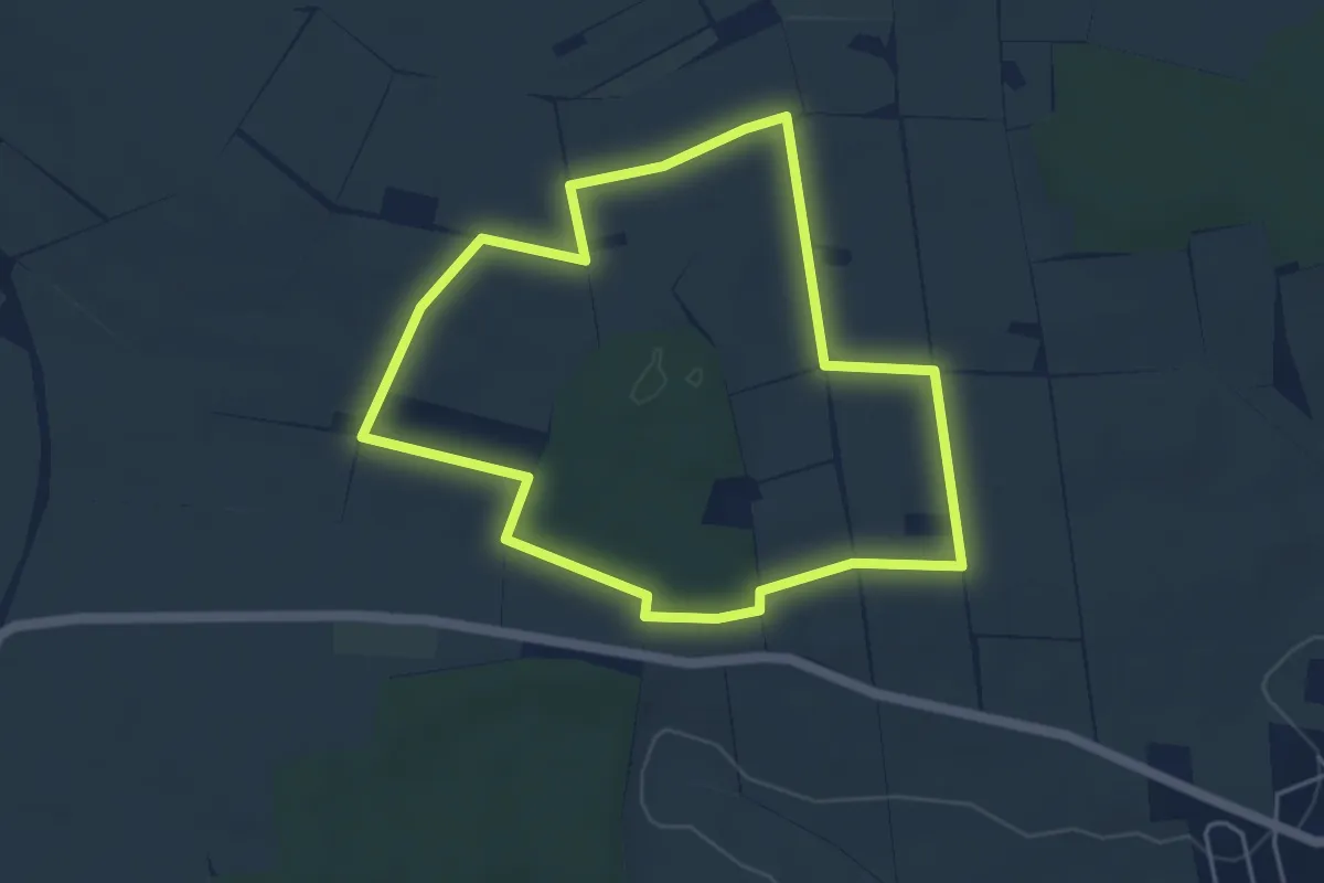
Easy · Trail
Windlehrpfad Schwanfeld
4.2 km · ↑ 24 m · 1 h 6 min
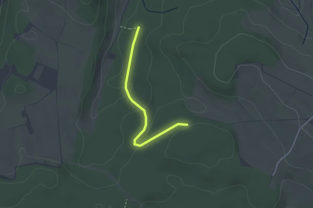
Easy · Trail
Windleter Brünnli - Im Haargarten
2.4 km · ↑ 67 m · 43 min
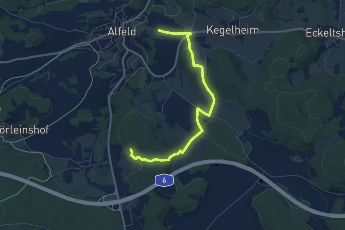
Easy · Trail
Windloch-Wanderweg (3)
3.4 km · ↑ 93 m · 1 h 3 min
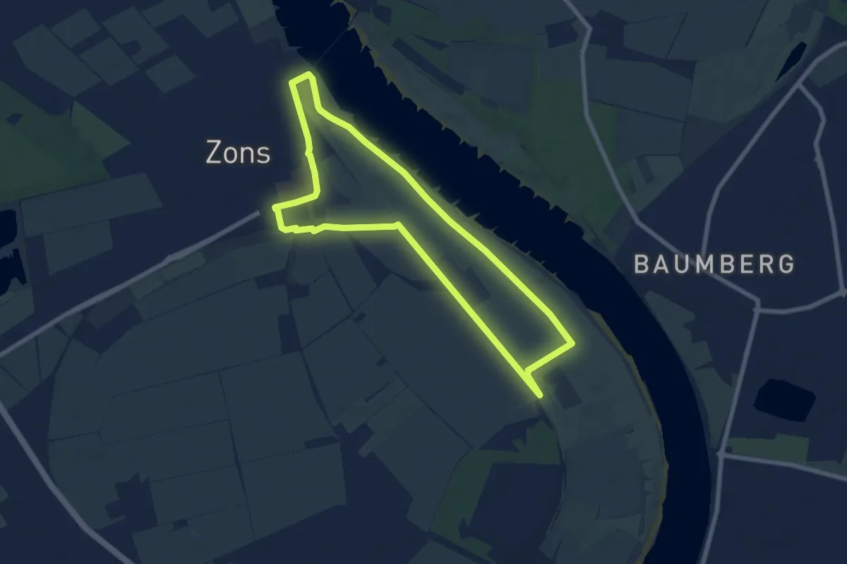
Easy · Trail
Windmühle mit Welle unten
6.1 km · ↑ 5 m · 1 h 32 min
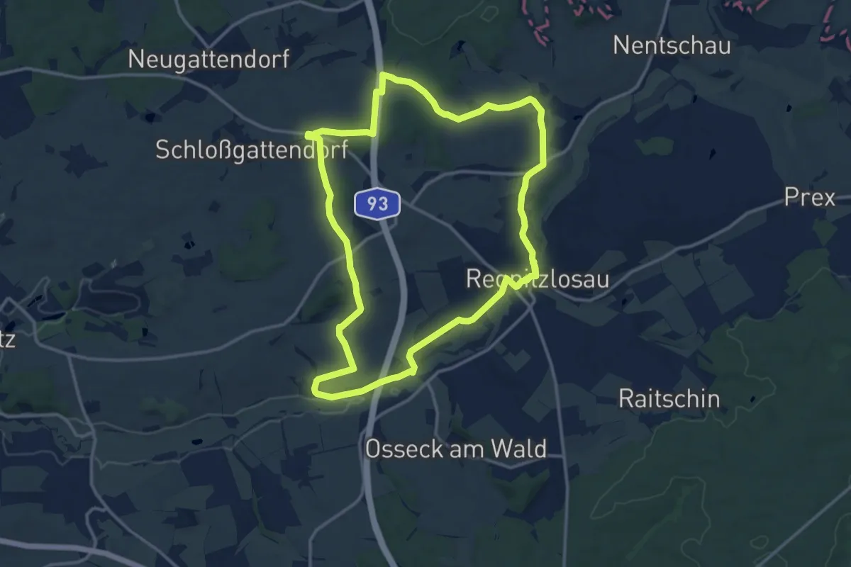
Medium · Trail
Windparkweg
12.0 km · ↑ 163 m · 3 h 21 min
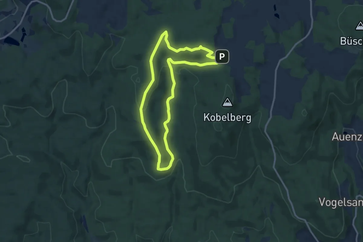
Easy · Trail
Windradl - Rundwanderweg
7.9 km · ↑ 192 m · 2 h 24 min
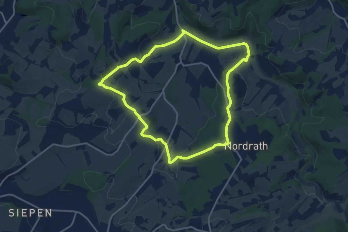
Medium · Trail
Windrather Kapelle Rundweg A2
8.1 km · ↑ 208 m · 2 h 28 min
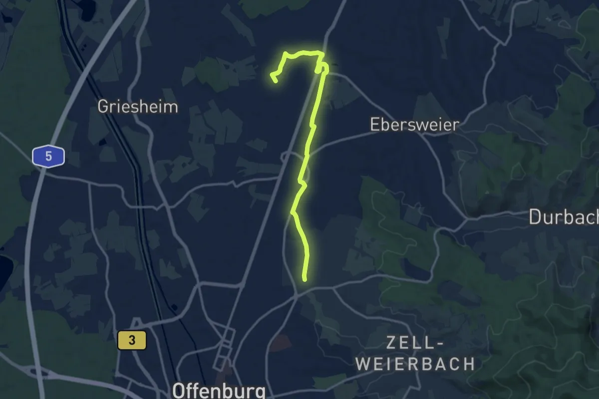
Medium · Trail
Windschläg Kirche - Winkelbach
10.8 km · ↑ 13 m · 2 h 34 min
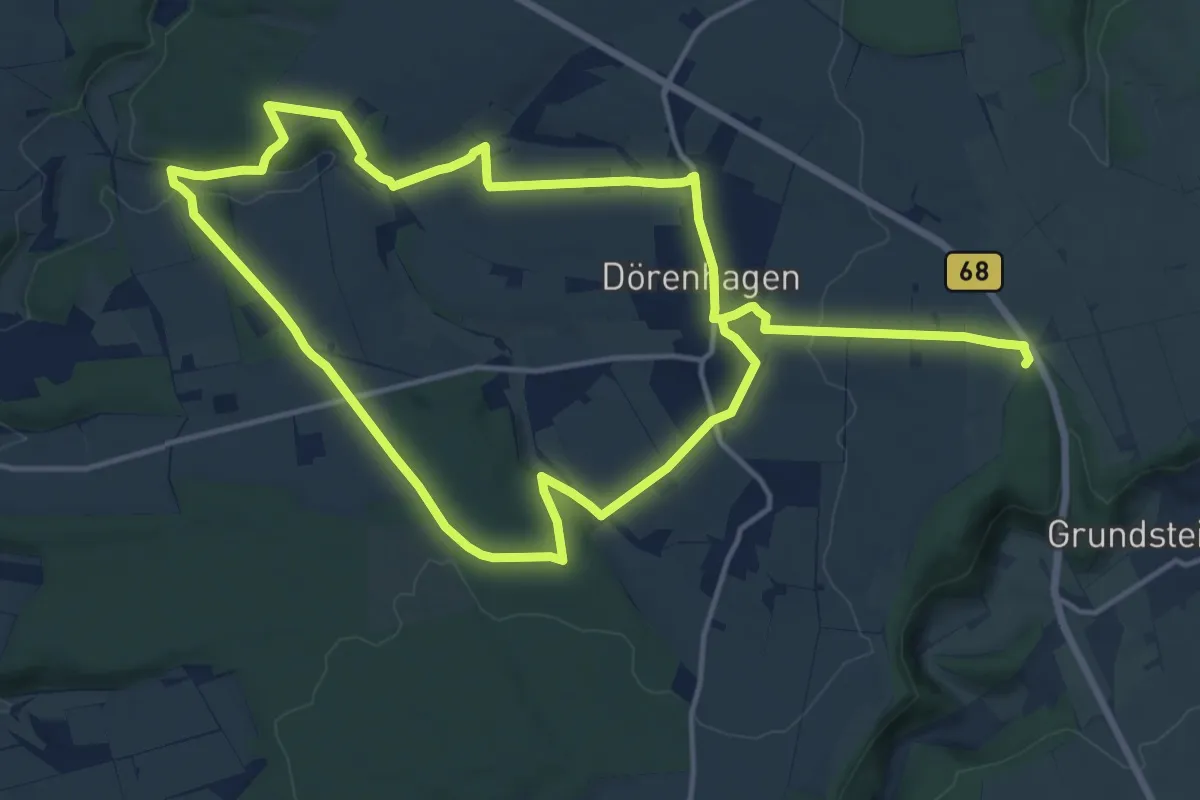
Medium · Trail
Wind-Wald-Wiesen-Weg Ost
13.0 km · ↑ 174 m · 3 h 38 min
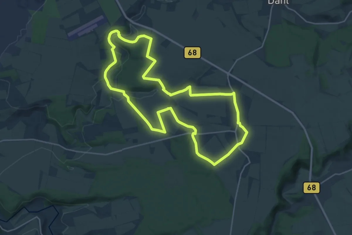
Medium · Trail
Wind-Wald-Wiesen-Weg West
15.5 km · ↑ 228 m · 4 h 22 min
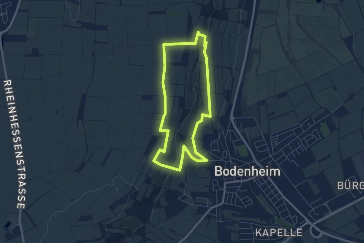
Easy · Trail
Wingerts-Blicke
5.6 km · ↑ 92 m · 1 h 36 min
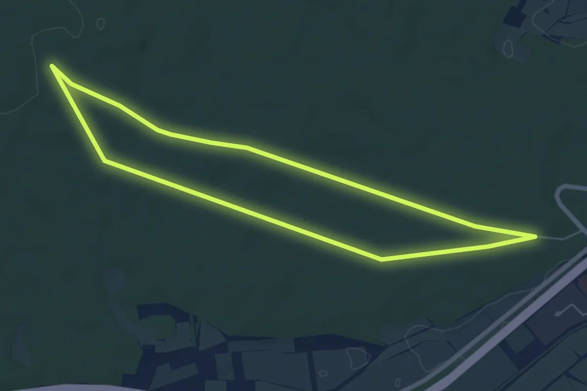
Easy · Trail
Wingertsborn-Weg
5.4 km · ↑ 39 m · 1 h 27 min
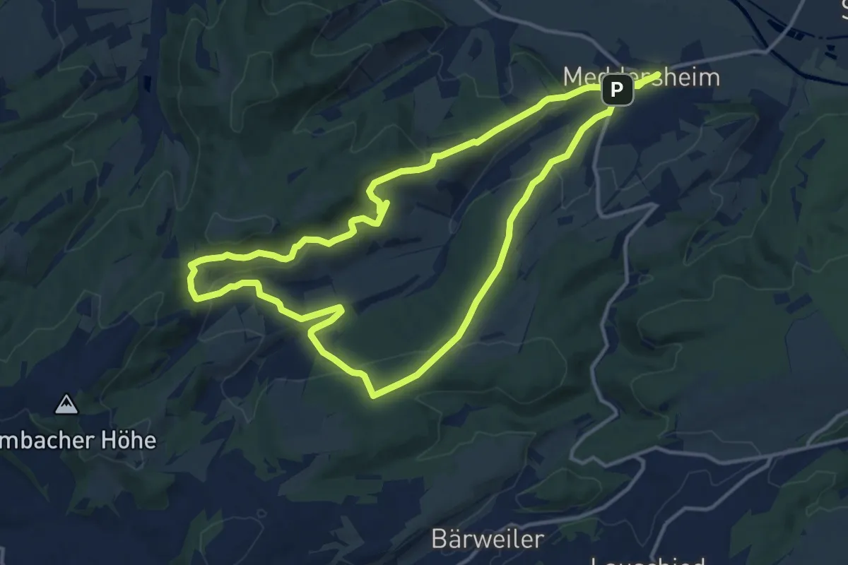
Medium · Trail
Wingertsweg
12.3 km · ↑ 359 m · 3 h 51 min
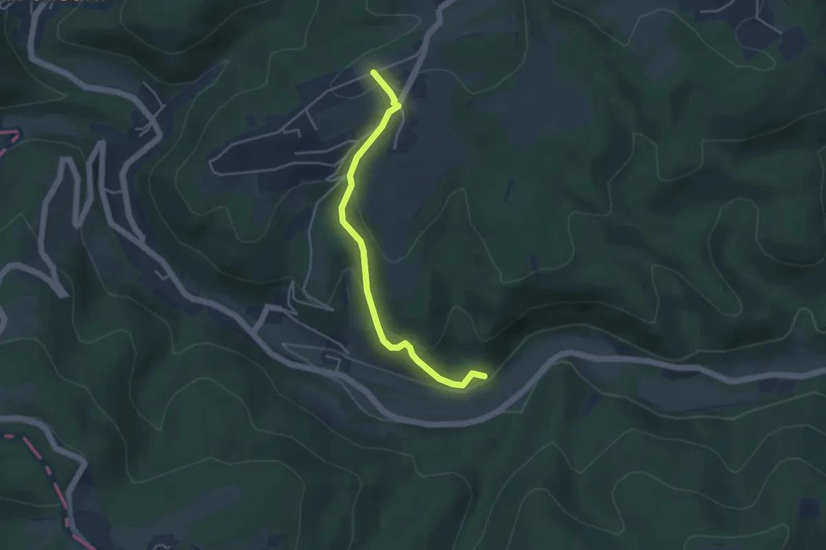
Easy · Trail
Wingertsweg
3.4 km · ↑ 170 m · 1 h 10 min
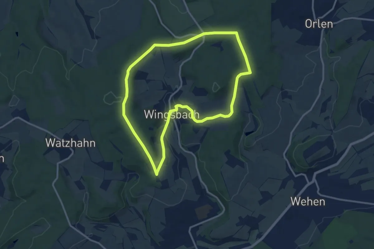
Medium · Summit
Wingsbacher Rundwanderweg
8.5 km · ↑ 128 m · 2 h 24 min
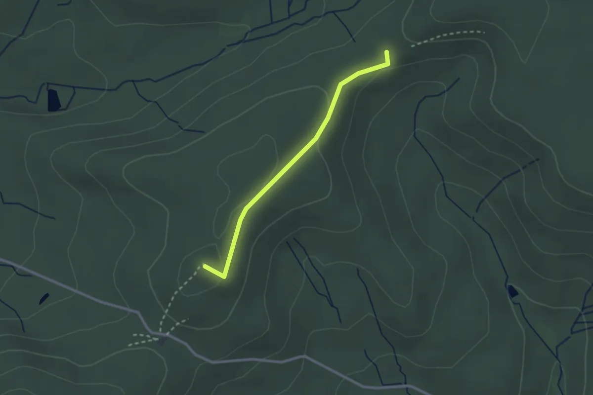
Easy · Summit
Winkel Altenberg - Auf dem Stoß
2.1 km · ↑ 38 m · 35 min
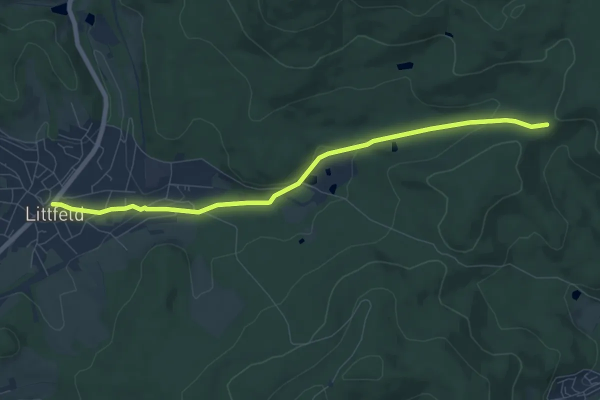
Easy · Trail
Winkel Auf dem Stoß nach Littfeld
7.6 km · ↑ 157 m · 2 h 9 min
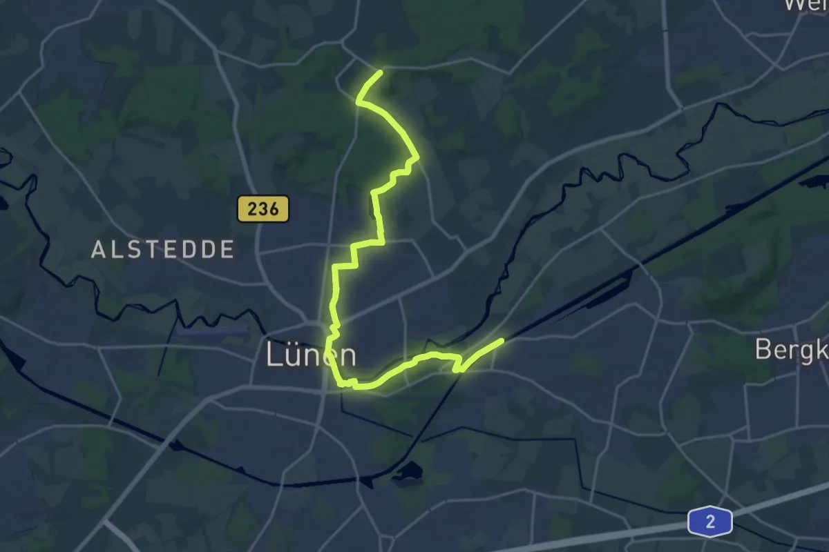
Demanding · Trail
Winkel Bergkamen - Cappenberg
19.6 km · ↑ 96 m · 4 h 51 min
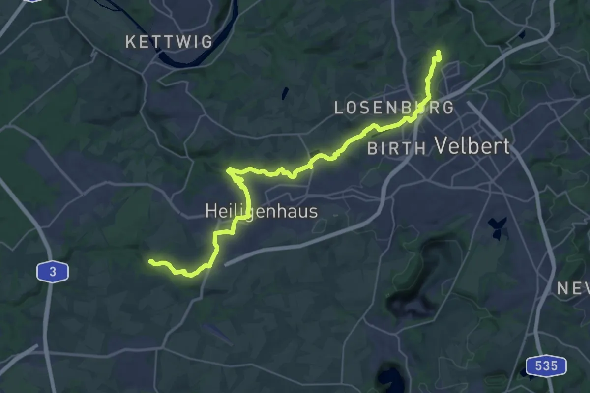
Demanding · Trail
Winkel Birth - Haus Anger
25.8 km · ↑ 488 m · 7 h 9 min
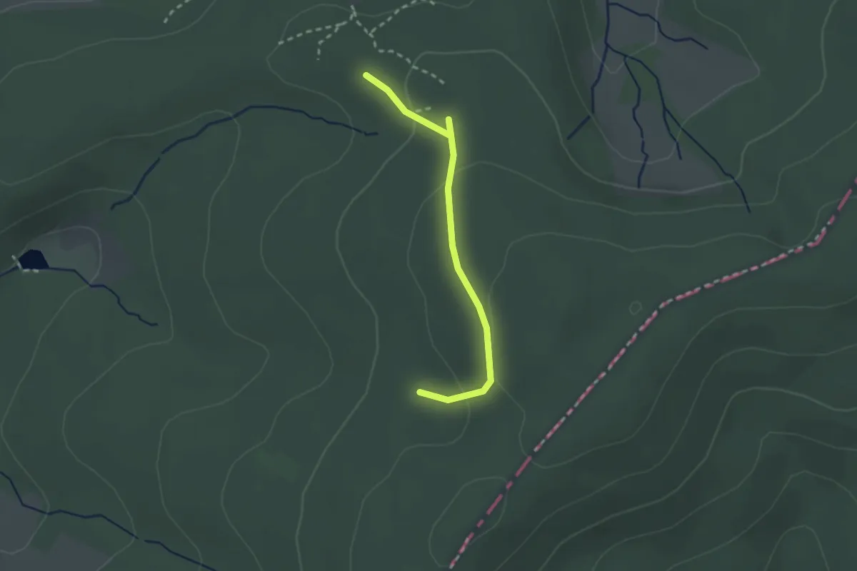
Easy · Trail
Winkel Dillbrecht
2.1 km · ↑ 75 m · 40 min
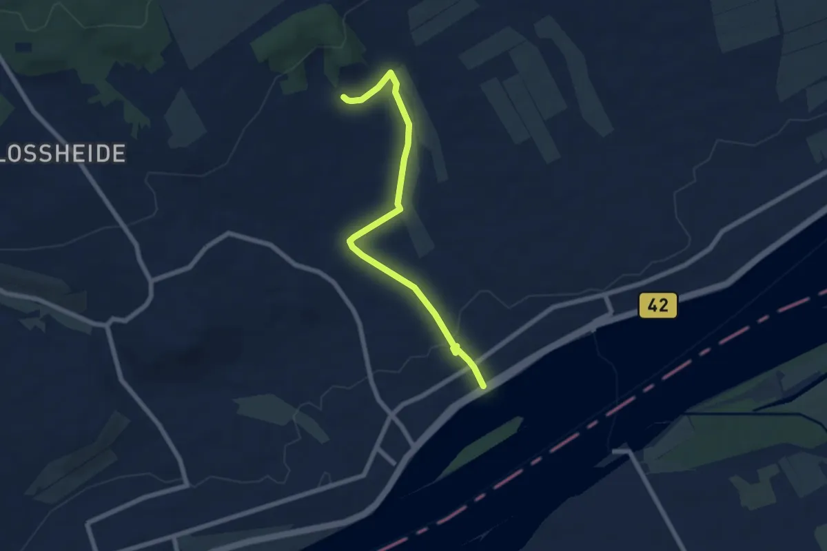
Easy · Trail
Winkeler Flötenweg
5.7 km · ↑ 94 m · 1 h 33 min
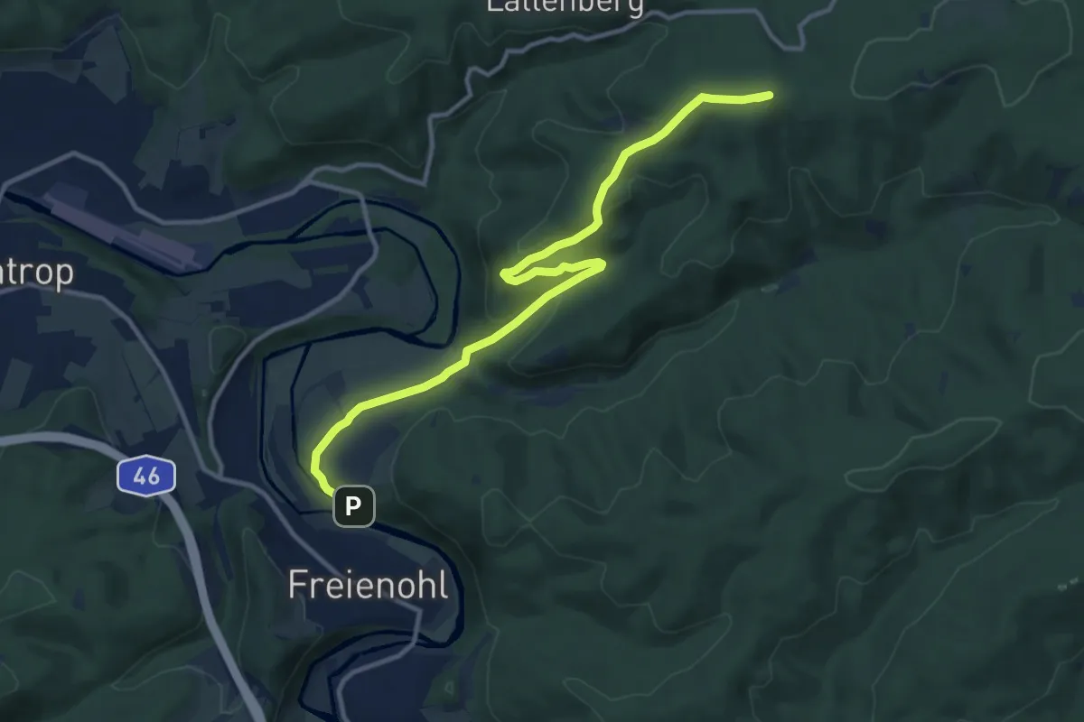
Medium · Summit
Winkel Freienohl - Großer Berg
11.5 km · ↑ 338 m · 3 h 27 min
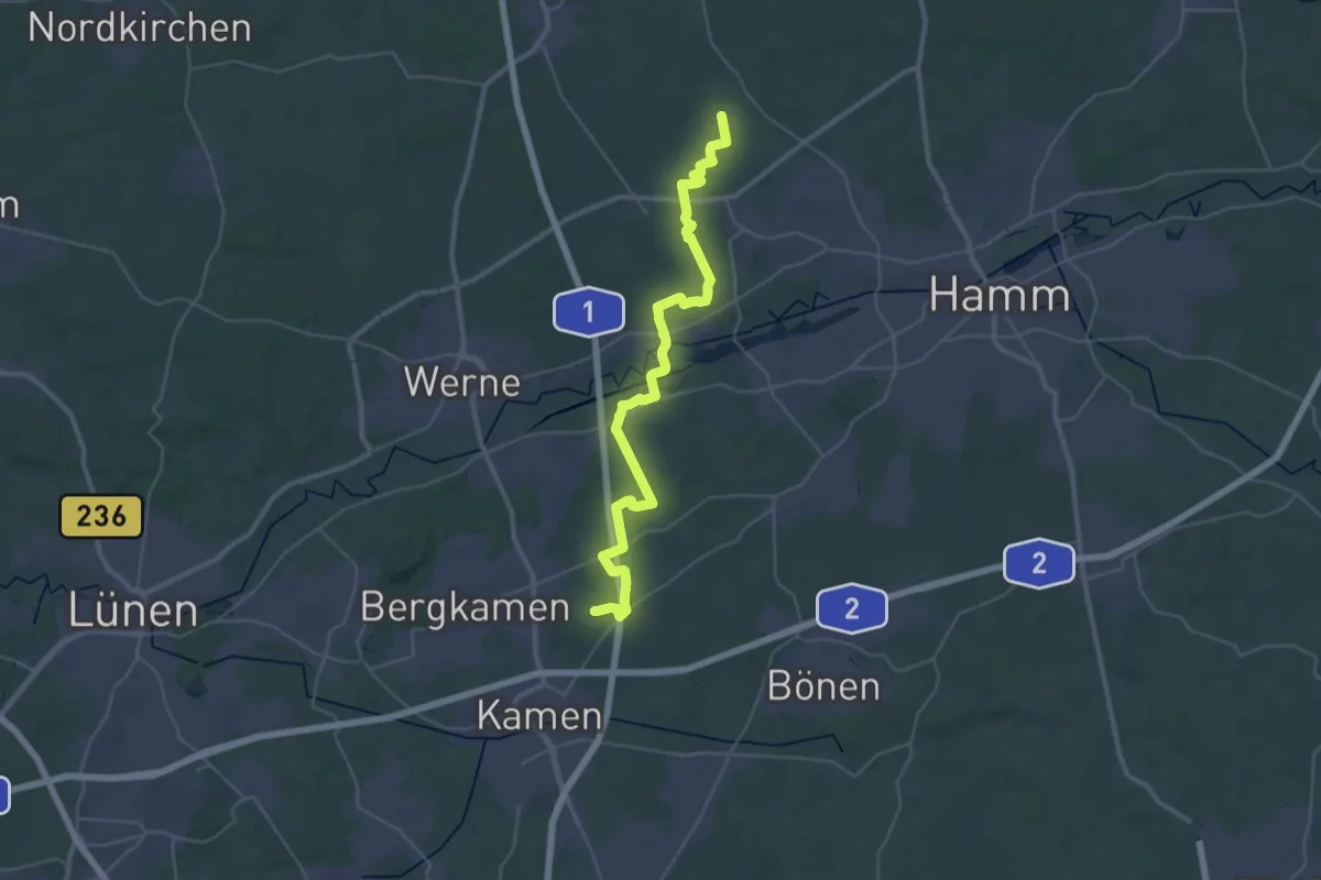
Demanding · Trail
Winkel Geinegge - Kamen
18.1 km · ↑ 87 m · 4 h 44 min
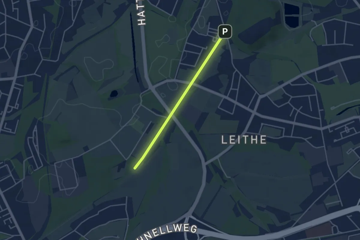
Easy · Trail
Winkel Gelsenkirchen - Bottrop
1.4 km · ↑ 0 m · 21 min
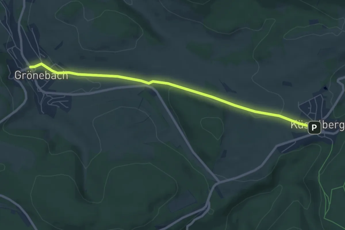
Easy · Trail
Winkel Grönebach - Küstelberg
6.4 km · ↑ 79 m · 1 h 41 min
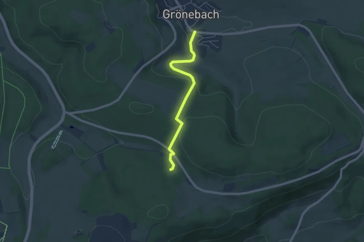
Easy · Trail
Winkel Grönebach - Ruhrquelle
4.0 km · ↑ 123 m · 1 h 13 min
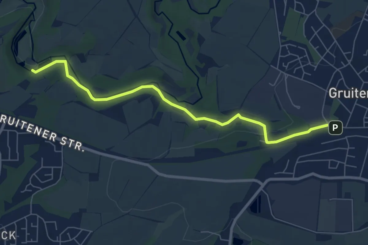
Easy · Trail
Winkel Gruiten - Winkelsmühle
5.8 km · ↑ 41 m · 1 h 28 min
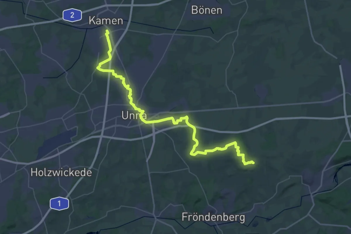
Demanding · Trail
Winkel Kamen - Bausenhagen
22.1 km · ↑ 277 m · 6 h 4 min
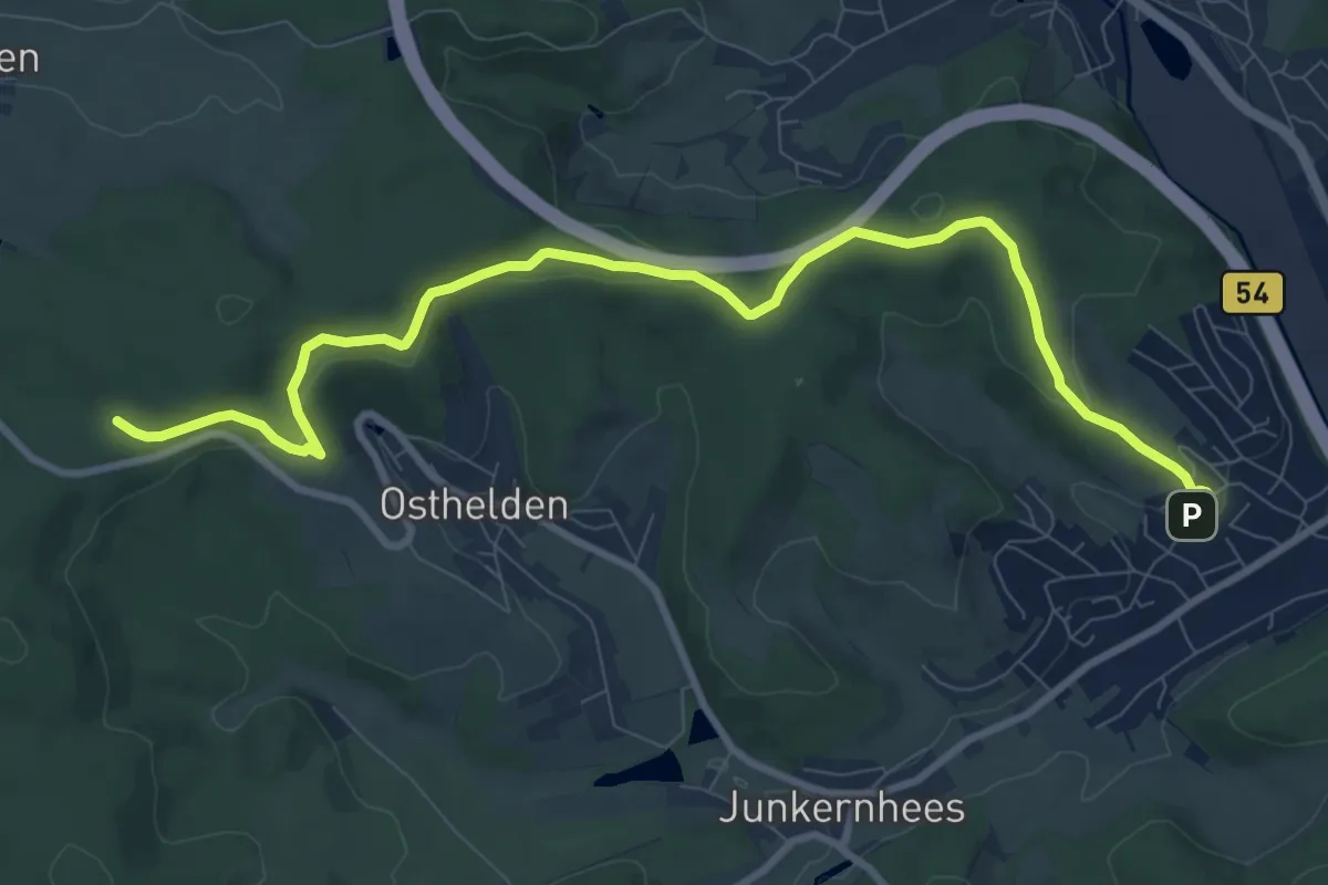
Medium · Trail
Winkel Kreuztal nach X24
9.8 km · ↑ 230 m · 2 h 49 min
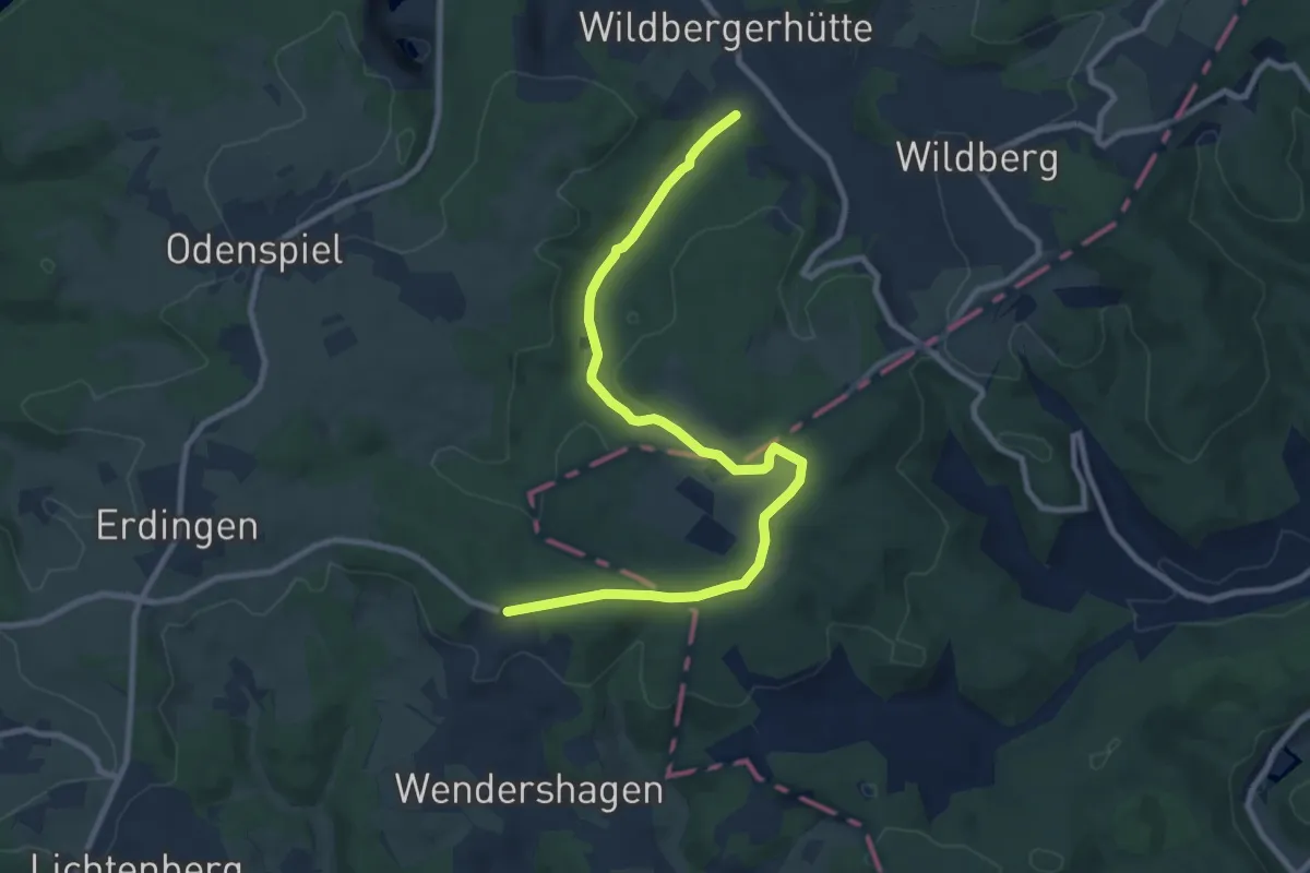
Medium · Trail
Winkel Lichtenberg - Odenspiel
9.6 km · ↑ 162 m · 2 h 37 min
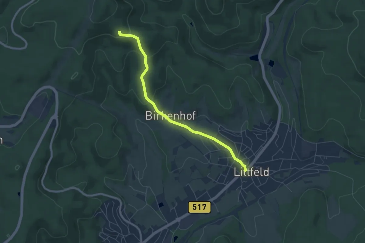
Easy · Trail
Winkel Littfeld - Graevenstein
5.6 km · ↑ 178 m · 1 h 42 min
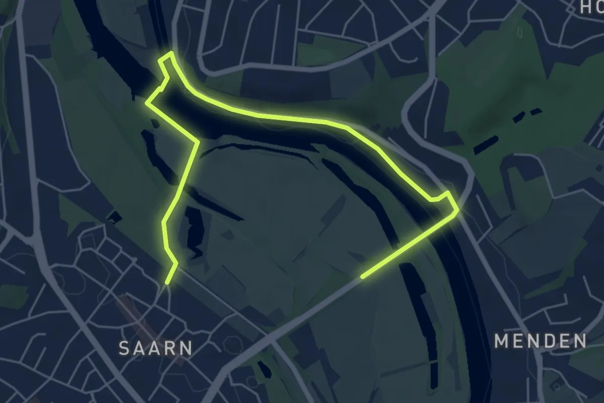
Easy · Trail
Winkel Mülheim - Auberg
6.2 km · ↑ 49 m · 1 h 35 min
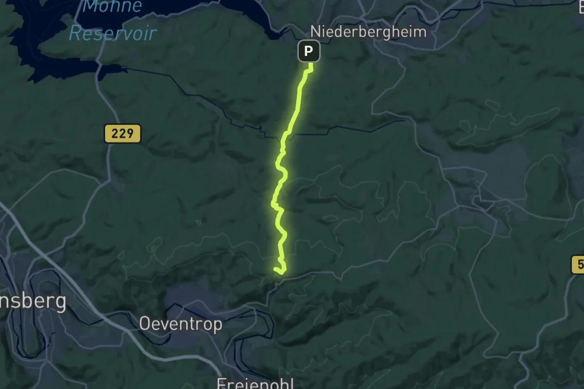
Medium · Summit
Winkel Oeventrop - Völlinghausen
17.3 km · ↑ 525 m · 5 h 13 min
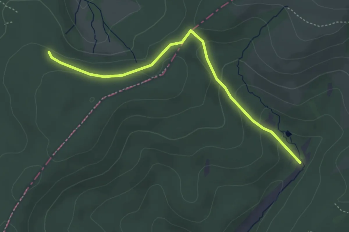
Easy · Trail
Winkel Rudersdorf-Offdilln
4.0 km · ↑ 100 m · 1 h 9 min
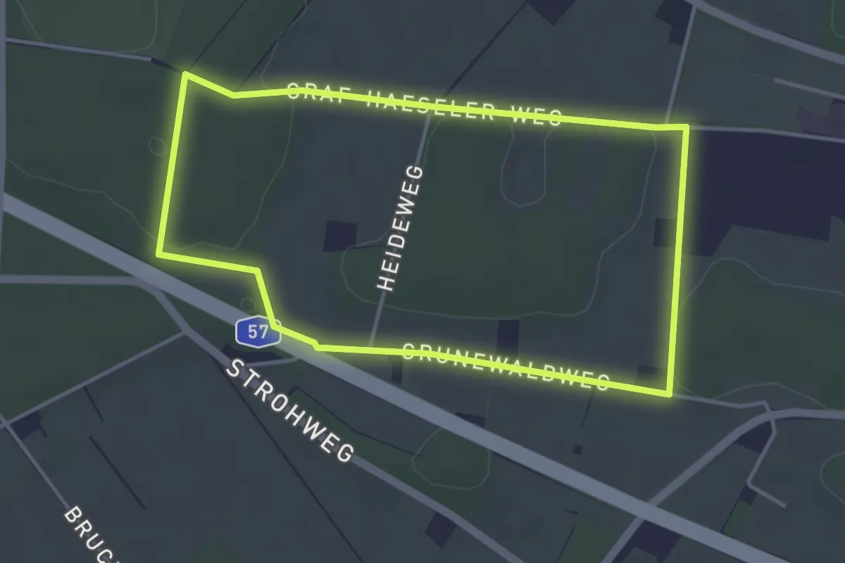
Easy · Trail
Winkelscher Bruch Rundweg A7
3.4 km · ↑ 8 m · 53 min
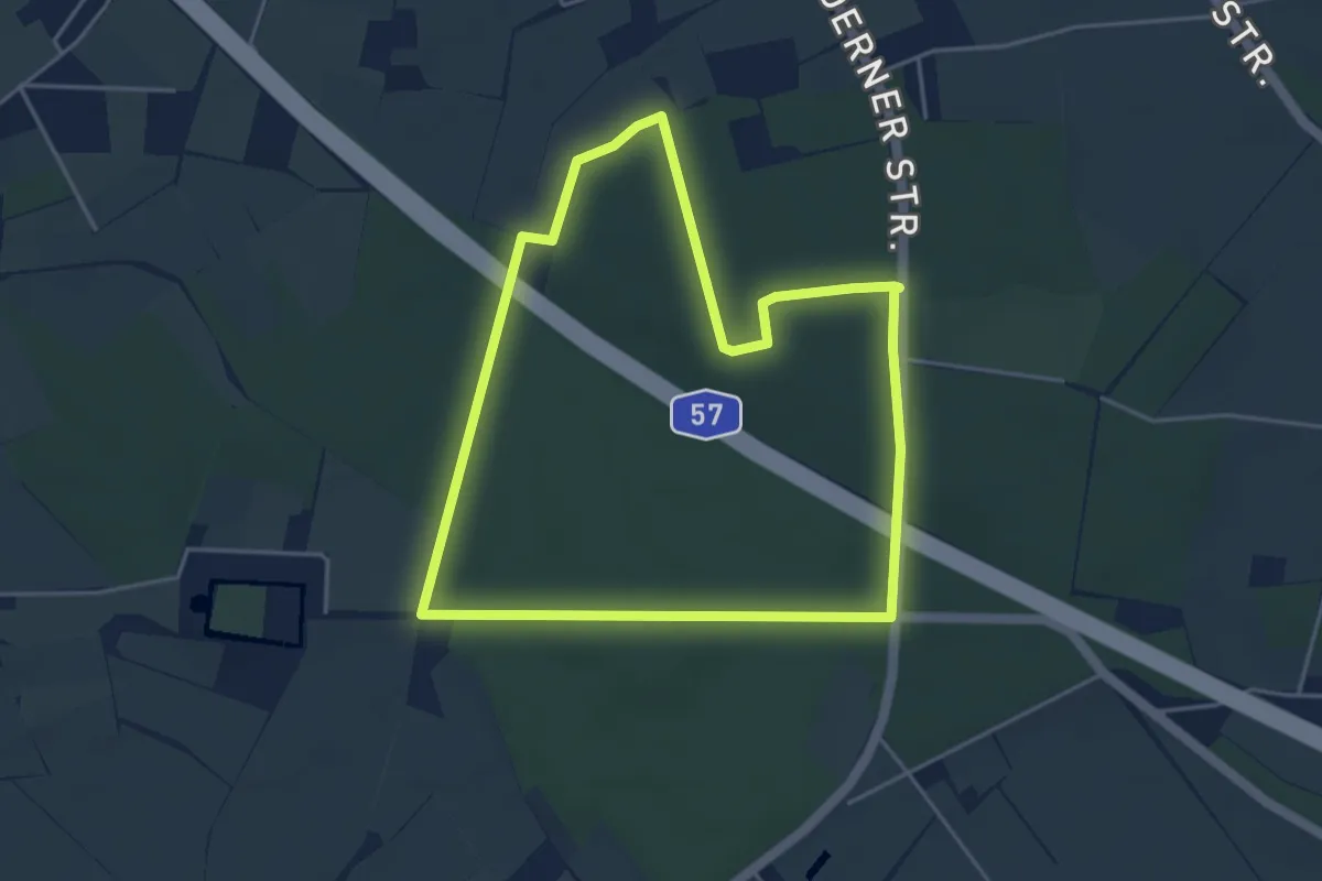
Easy · Trail
Winkelscher Busch Rundweg A8
3.9 km · ↑ 22 m · 1 h 2 min
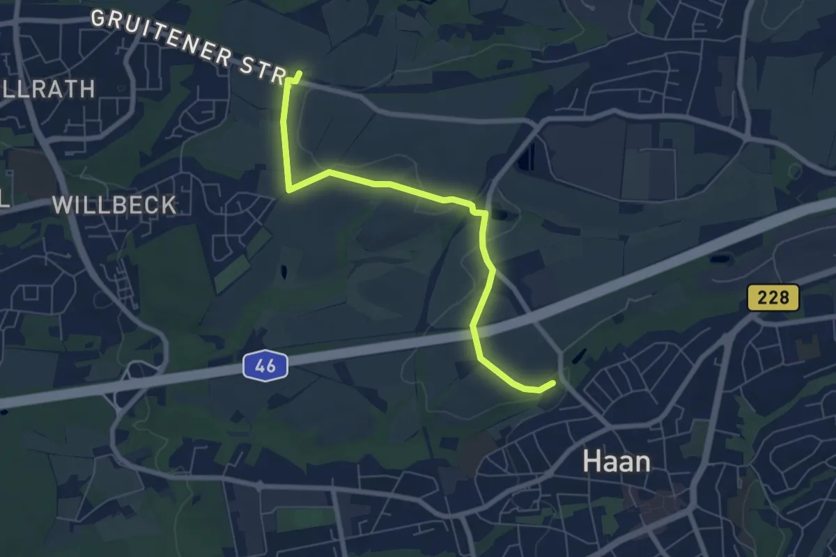
Easy · Trail
Winkel Verbindungsweg Haan
5.9 km · ↑ 22 m · 1 h 26 min
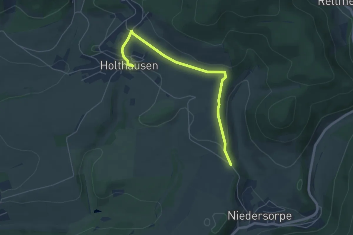
Easy · Trail
Winkhausen Rundweg W2
4.5 km · ↑ 109 m · 1 h 18 min
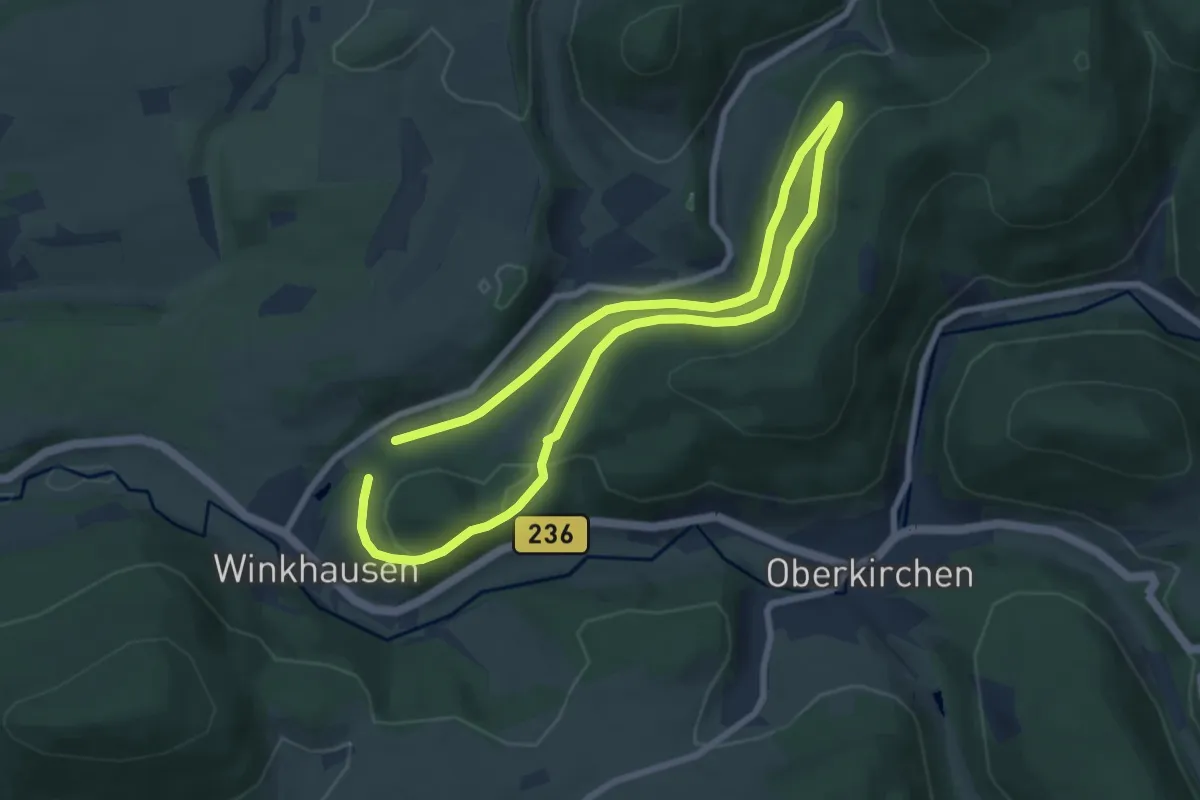
Easy · Trail
Winkhausen Rundweg W3
5.9 km · ↑ 165 m · 1 h 50 min
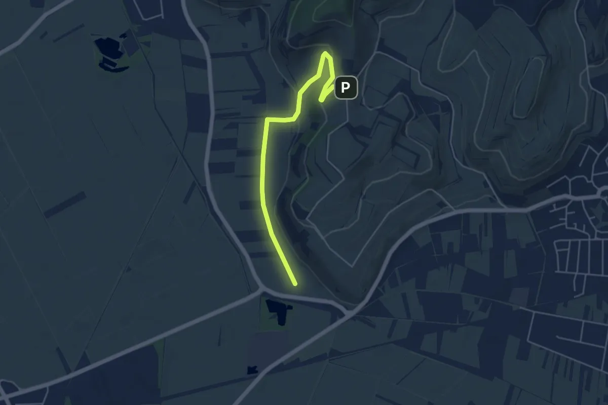
Easy · Trail
Winkler Ebene - Blankenhornsberg
4.6 km · ↑ 117 m · 1 h 20 min
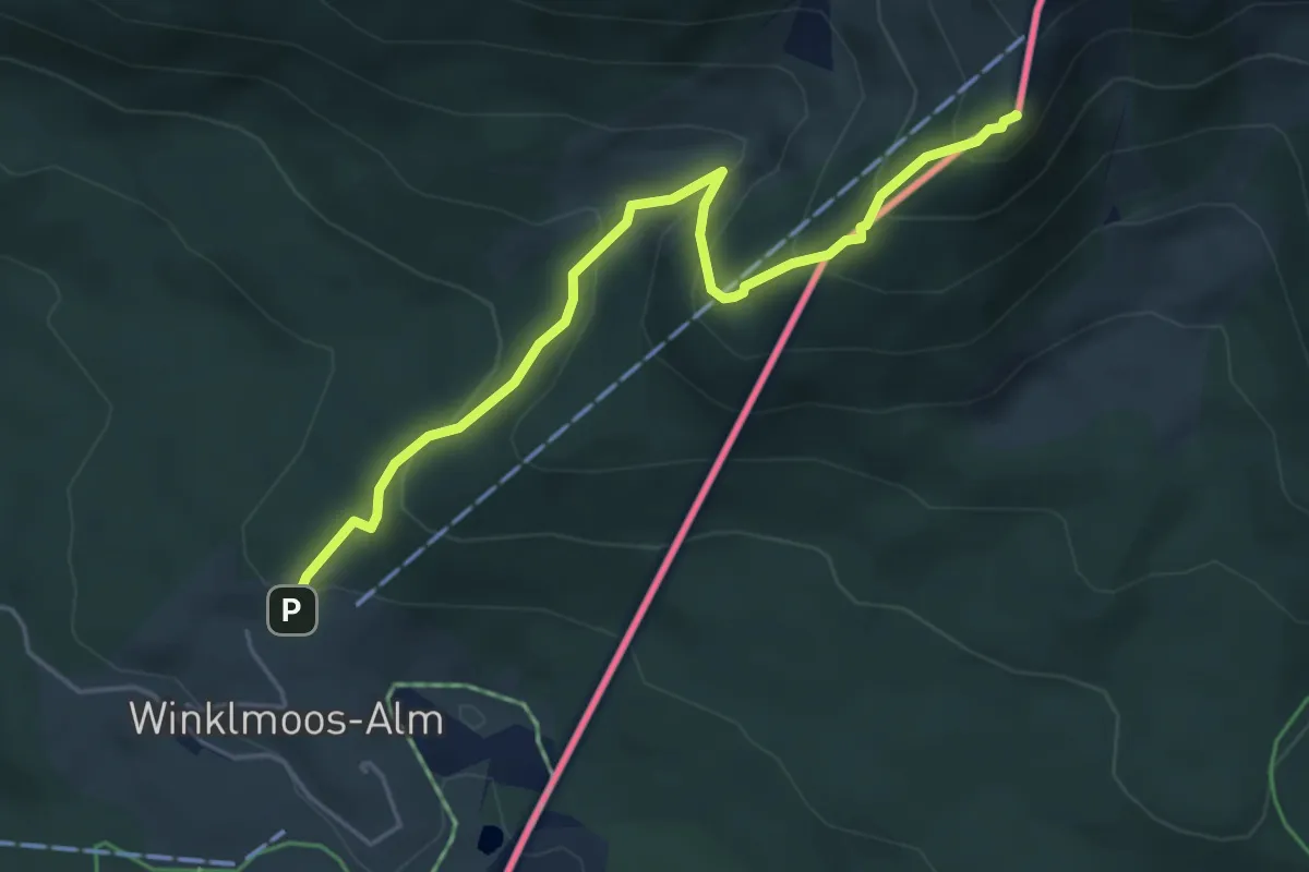
Medium · Summit
Winklmoosalm - Dürrnbachhorn
4.8 km · ↑ 386 m · 1 h 58 min
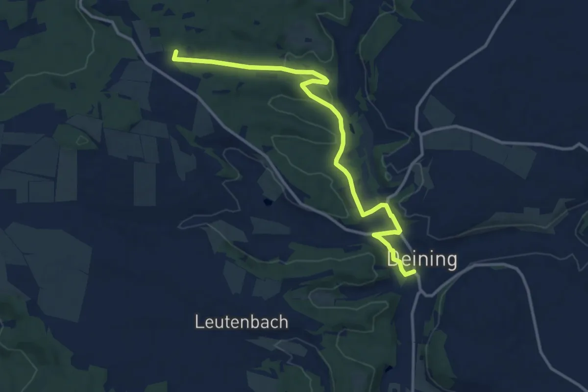
Easy · Trail
Winnberger Runde
5.1 km · ↑ 141 m · 1 h 32 min
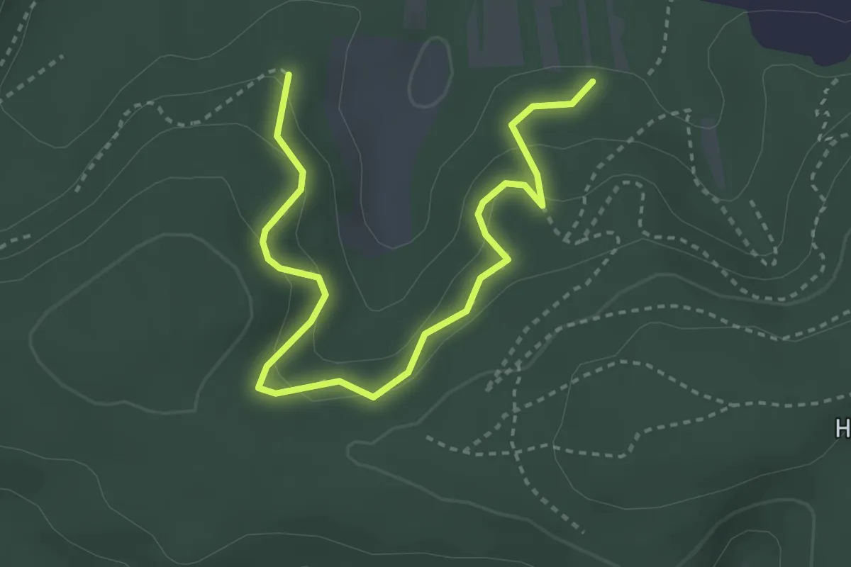
Easy · Trail
Winnetour
3.8 km · ↑ 232 m · 1 h 23 min
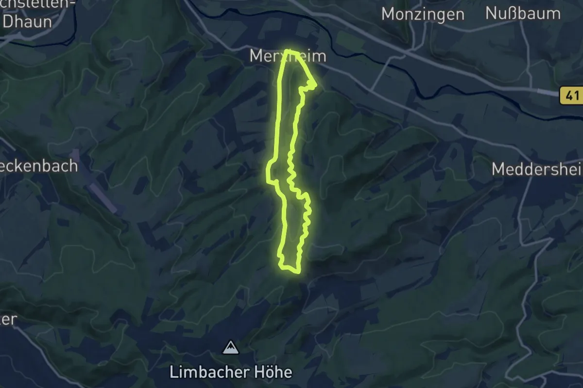
Medium · Summit
Winschendeller Weiher X1
8.8 km · ↑ 353 m · 2 h 57 min
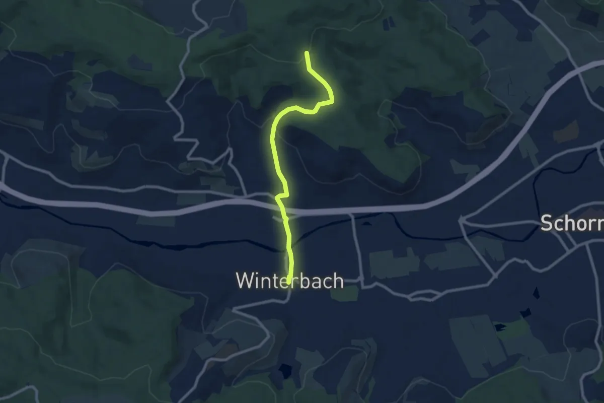
Easy · Trail
Winterbach Königstein Buoch
6.9 km · ↑ 155 m · 1 h 58 min
Easy · Trail
Winterbauer Mühle - Lauterbach Albert-Gold-Straße
3.5 km · ↑ 116 m · 1 h 5 min
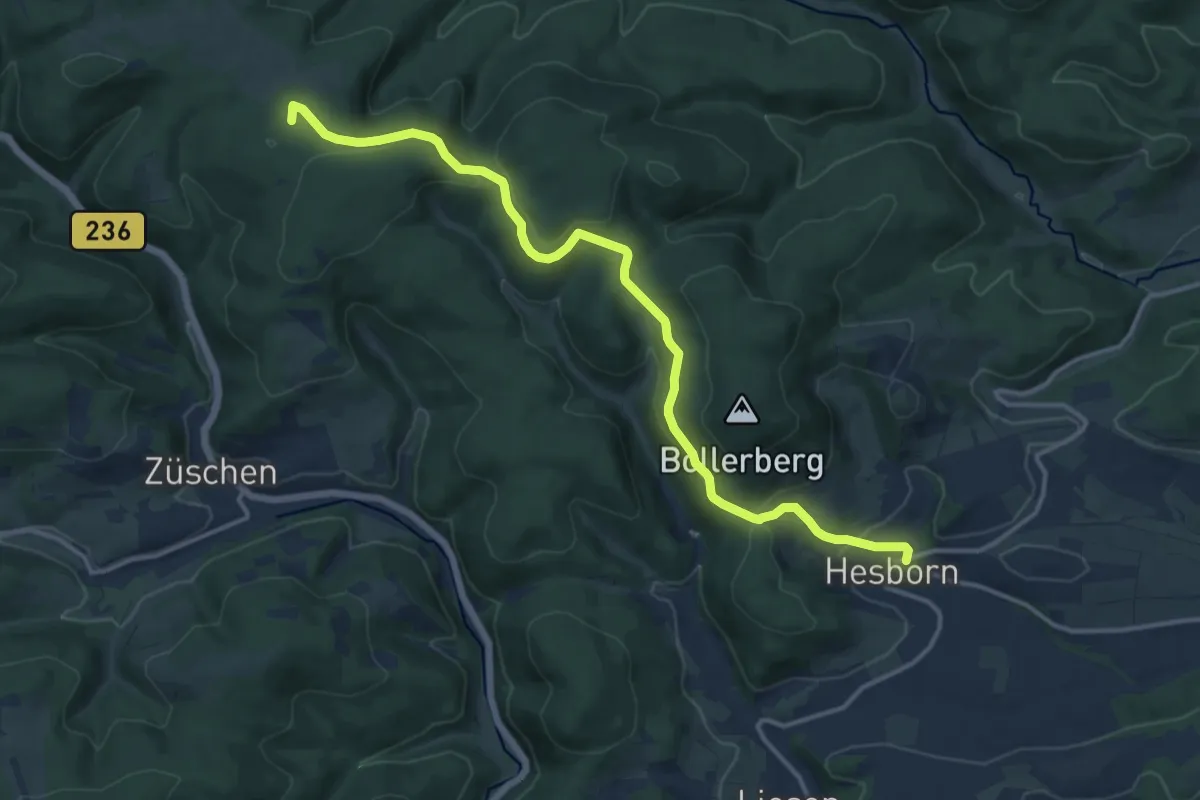
Medium · Summit
Winterberg- Hesborn [O]
13.3 km · ↑ 333 m · 3 h 51 min
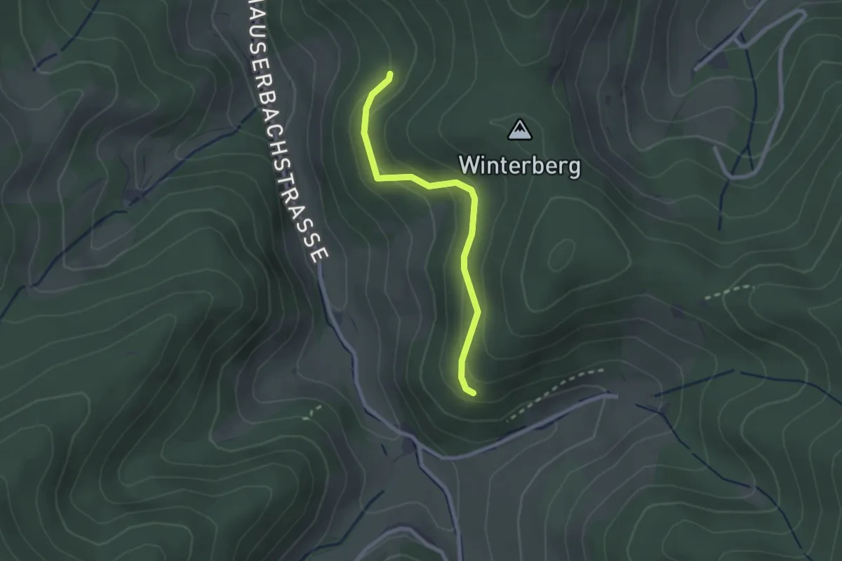
Easy · Trail
Winterberg - Reutegrund
2.0 km · ↑ 88 m · 40 min