Trails in Germany
36,877 hiking trails, each with its route, climb, walking time and grade.
All trails, page 731 of 769
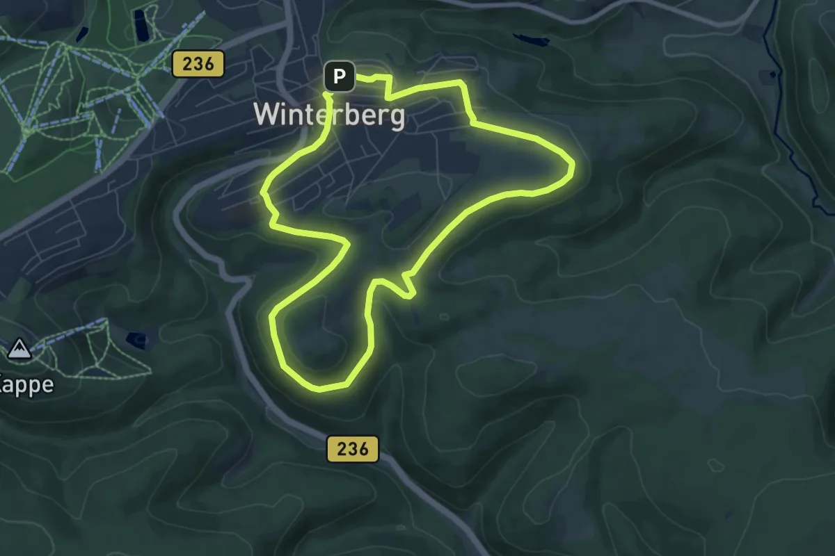
Easy · Trail
Winterberg Rundweg W1 Schmantel-Mollbecke-Weg
6.6 km · ↑ 76 m · 1 h 49 min
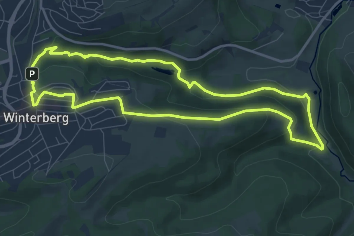
Easy · Trail
Winterberg Rundweg W2 Helletalweg
6.9 km · ↑ 204 m · 2 h 11 min
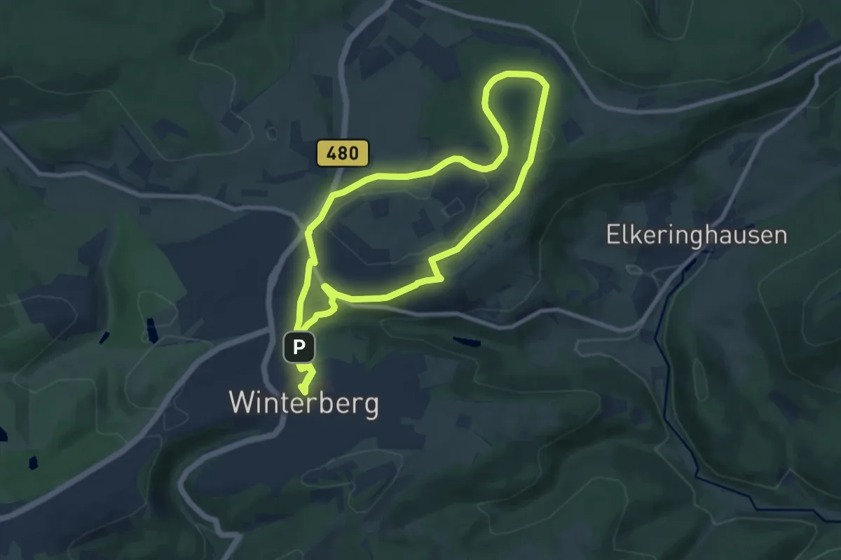
Easy · Trail
Winterberg Rundweg W3 Ruhrkopfweg
7.8 km · ↑ 116 m · 2 h 12 min
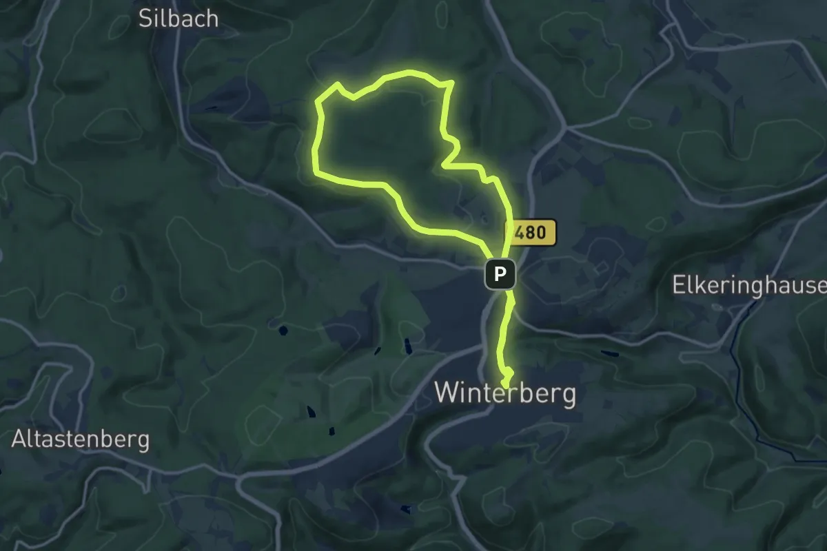
Medium · Trail
Winterberg Rundweg W4 Kuhlenbergweg
11.8 km · ↑ 138 m · 3 h 15 min
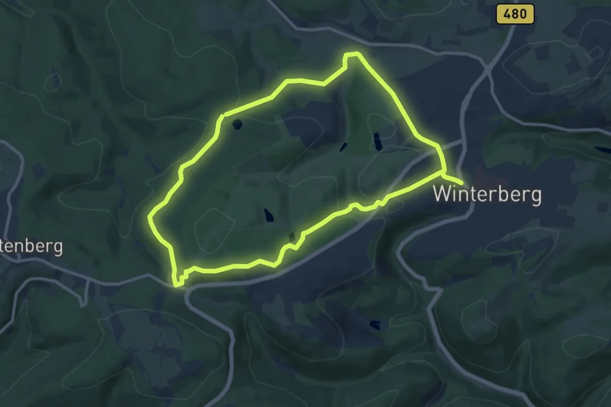
Medium · Trail
Winterberg Rundweg W5 Brembergweg
8.5 km · ↑ 217 m · 2 h 36 min
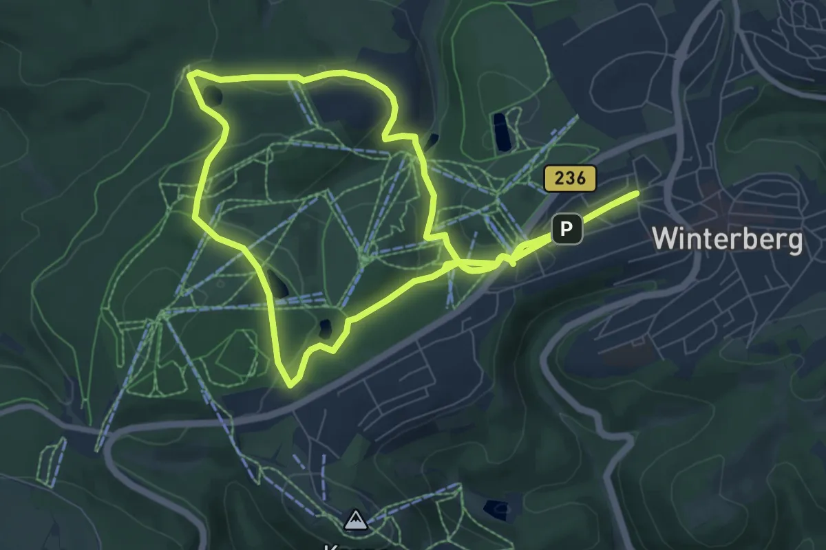
Easy · Trail
Winterberg Rundweg W6 Sürenbergweg
7.5 km · ↑ 175 m · 2 h 15 min
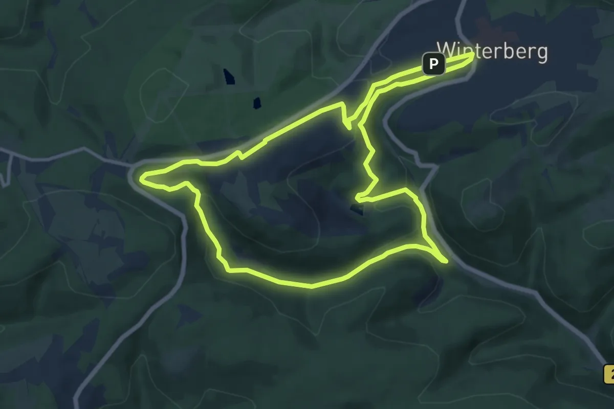
Medium · Trail
Winterberg Rundweg W7 Rauchlochweg
9.3 km · ↑ 226 m · 2 h 49 min
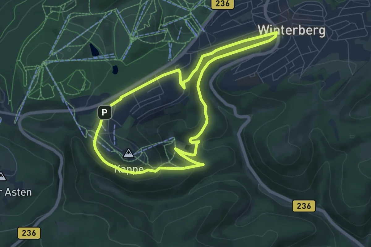
Easy · Trail
Winterberg Rundweg W8 Kappe-Silbecke-Weg
6.7 km · ↑ 141 m · 1 h 58 min
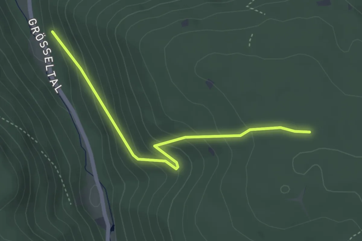
Easy · Trail
Winterhälde - Grösseltalberg
3.7 km · ↑ 240 m · 1 h 23 min
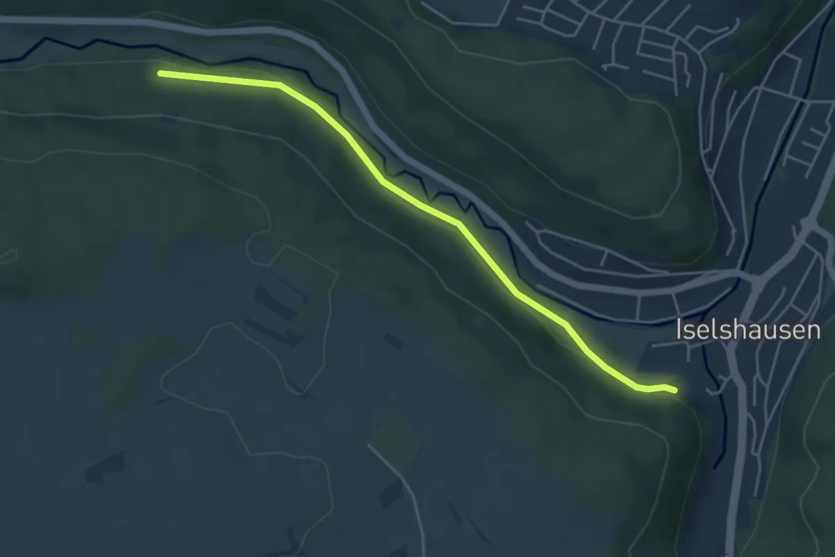
Easy · Trail
Winterhalde - Hinter den Gärten
4.2 km · ↑ 52 m · 1 h 6 min
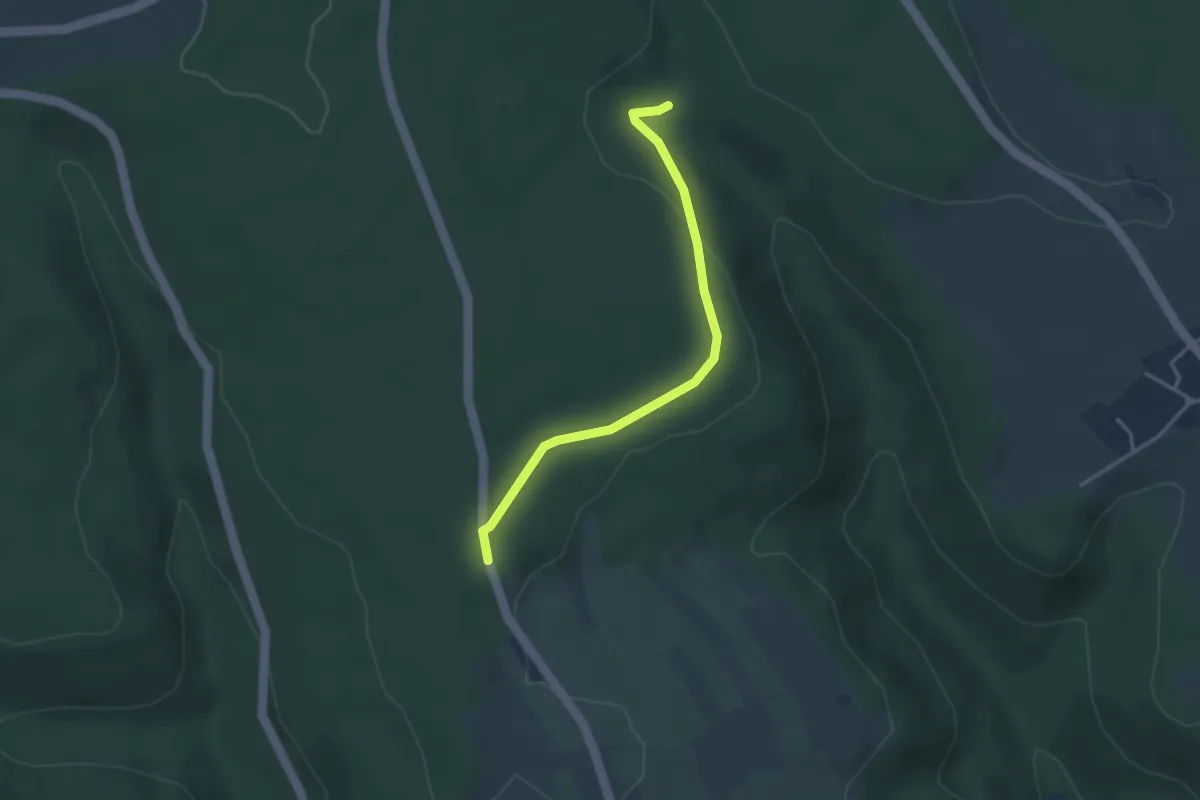
Easy · Trail
Winterhalde - Hornberger Höhe
3.1 km · ↑ 44 m · 50 min
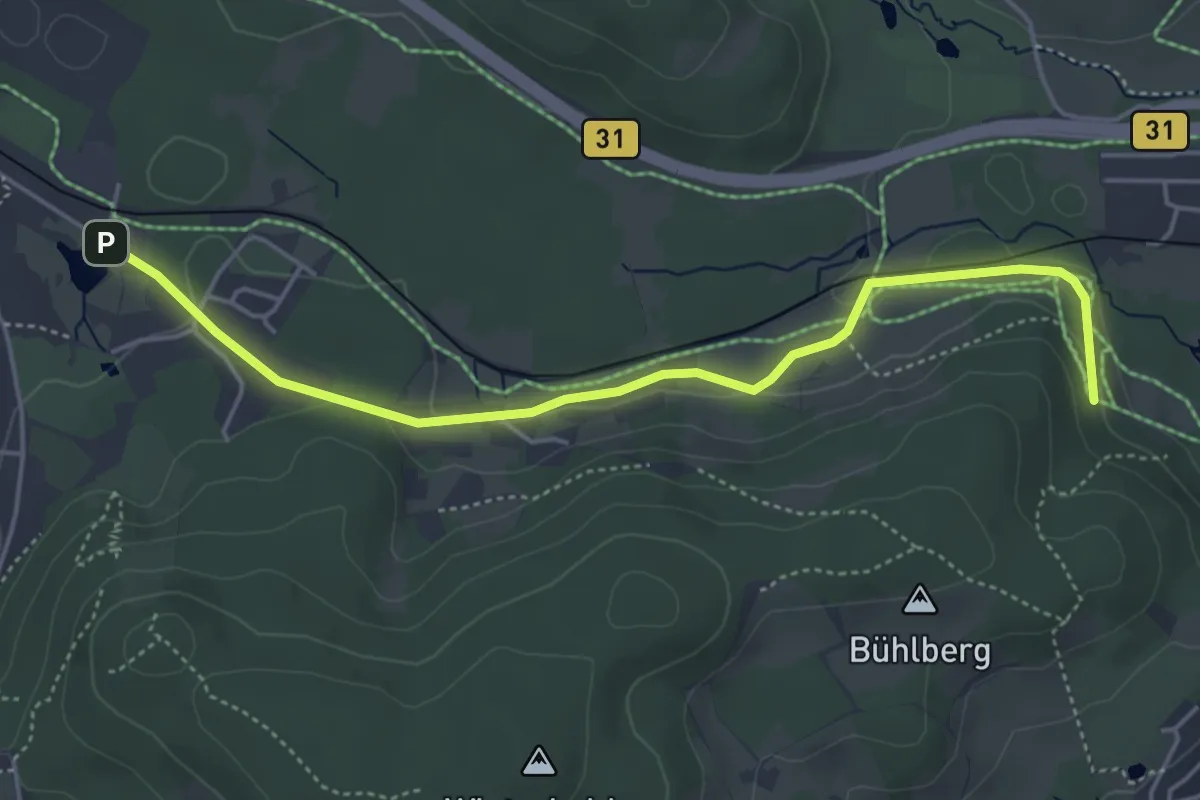
Easy · Trail
Winterhaldenweg - Adlerweiher
4.9 km · ↑ 93 m · 1 h 21 min
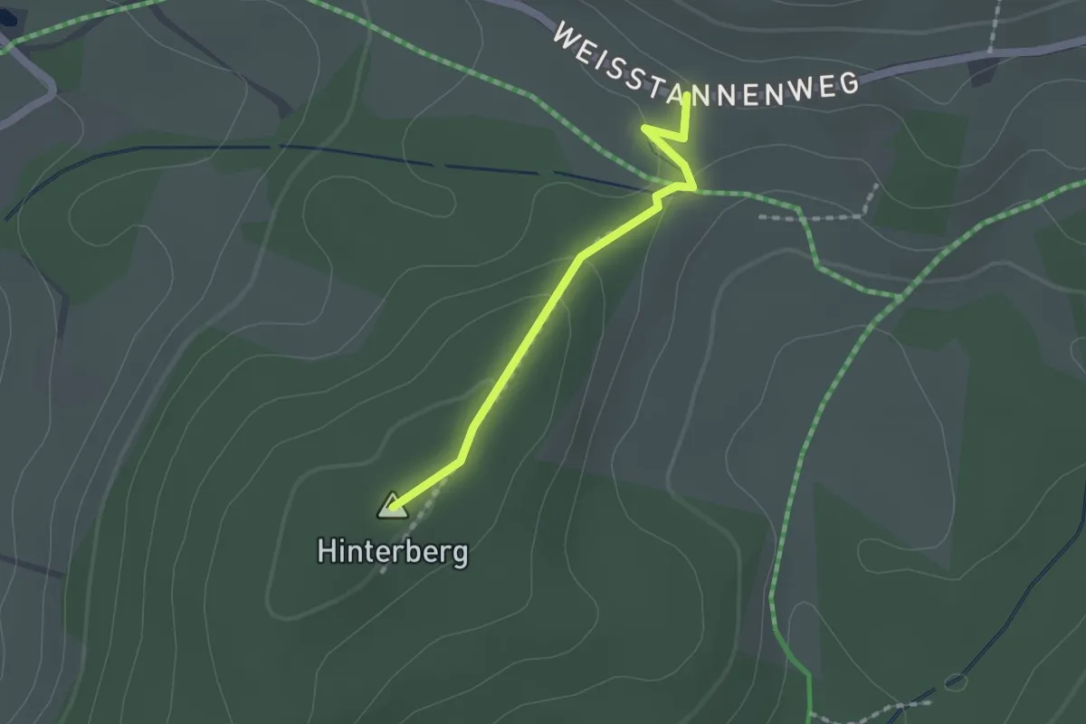
Easy · Summit
Winterhalden - Zehntwald
1.4 km · ↑ 44 m · 25 min
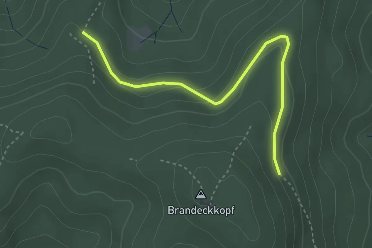
Easy · Trail
Winterhuse - Buchwald
3.1 km · ↑ 97 m · 56 min
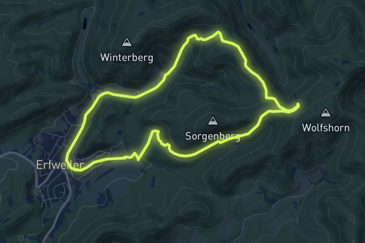
Medium · Summit
Winterkirchel-Tour
7.9 km · ↑ 289 m · 2 h 36 min
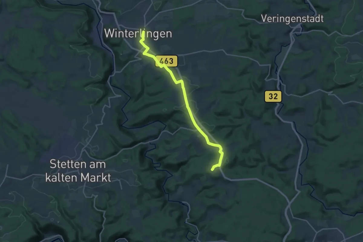
Medium · Summit
Winterlingen - Fürstenhöhe
17.5 km · ↑ 222 m · 4 h 36 min
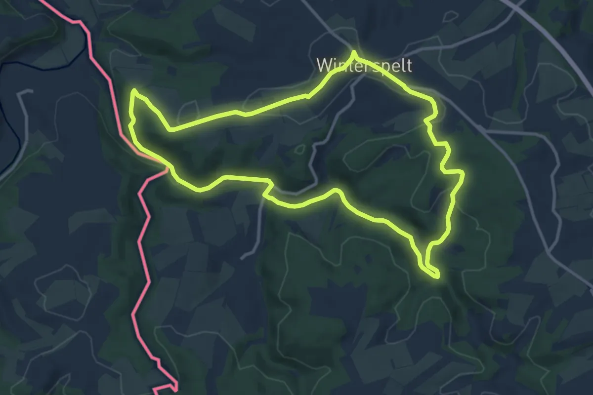
Medium · Trail
Winterpelt 2
9.3 km · ↑ 156 m · 2 h 39 min
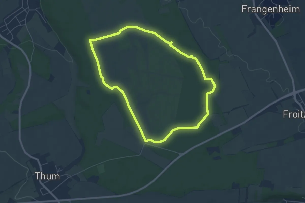
Easy · Trail
Winterrunde NSG Dover Heide
5.2 km · ↑ 13 m · 1 h 20 min
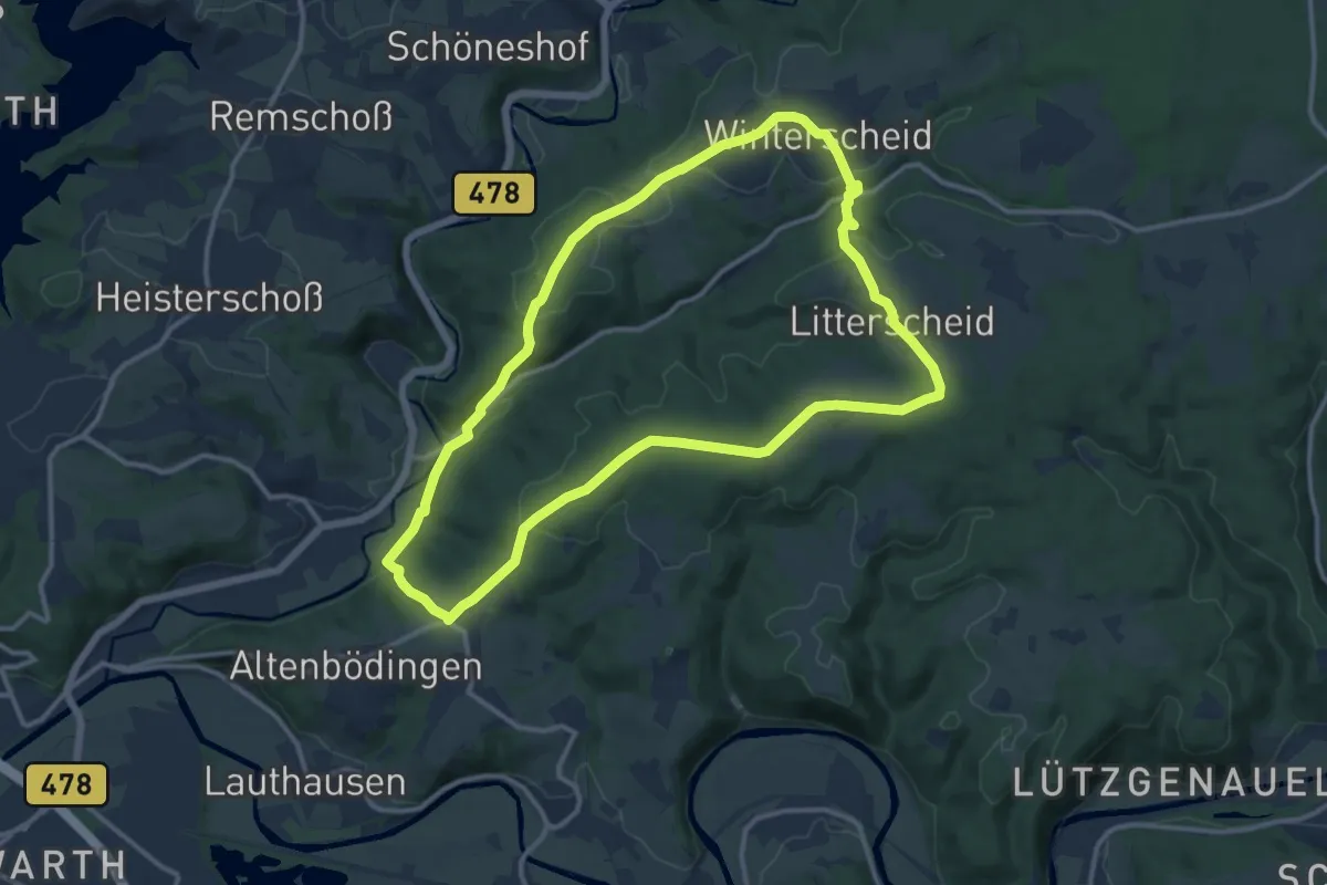
Medium · Trail
Winterscheidermühle Rundweg A10
11.3 km · ↑ 264 m · 3 h 24 min
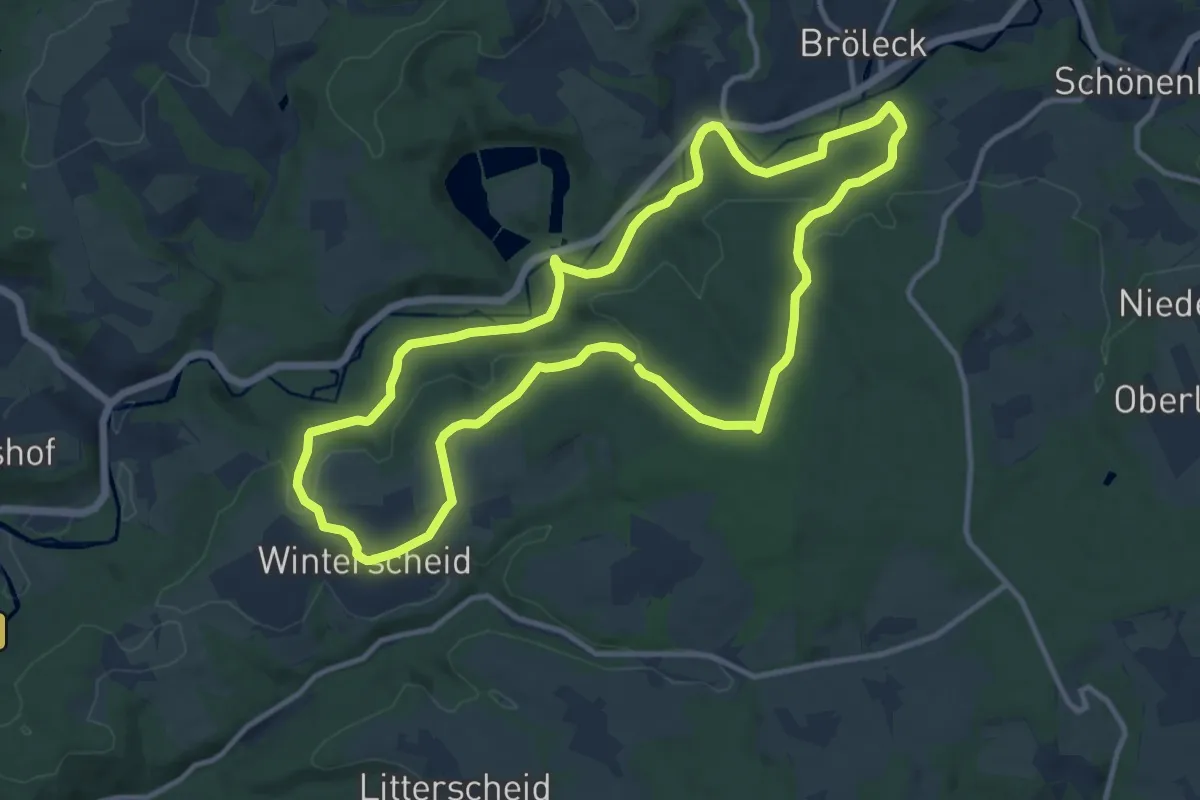
Medium · Trail
Winterscheid Rundweg A6
10.6 km · ↑ 237 m · 3 h 10 min
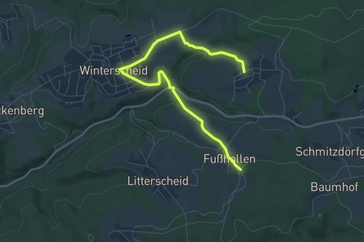
Easy · Trail
Winterscheid Rundweg A7
3.9 km · ↑ 85 m · 1 h 10 min
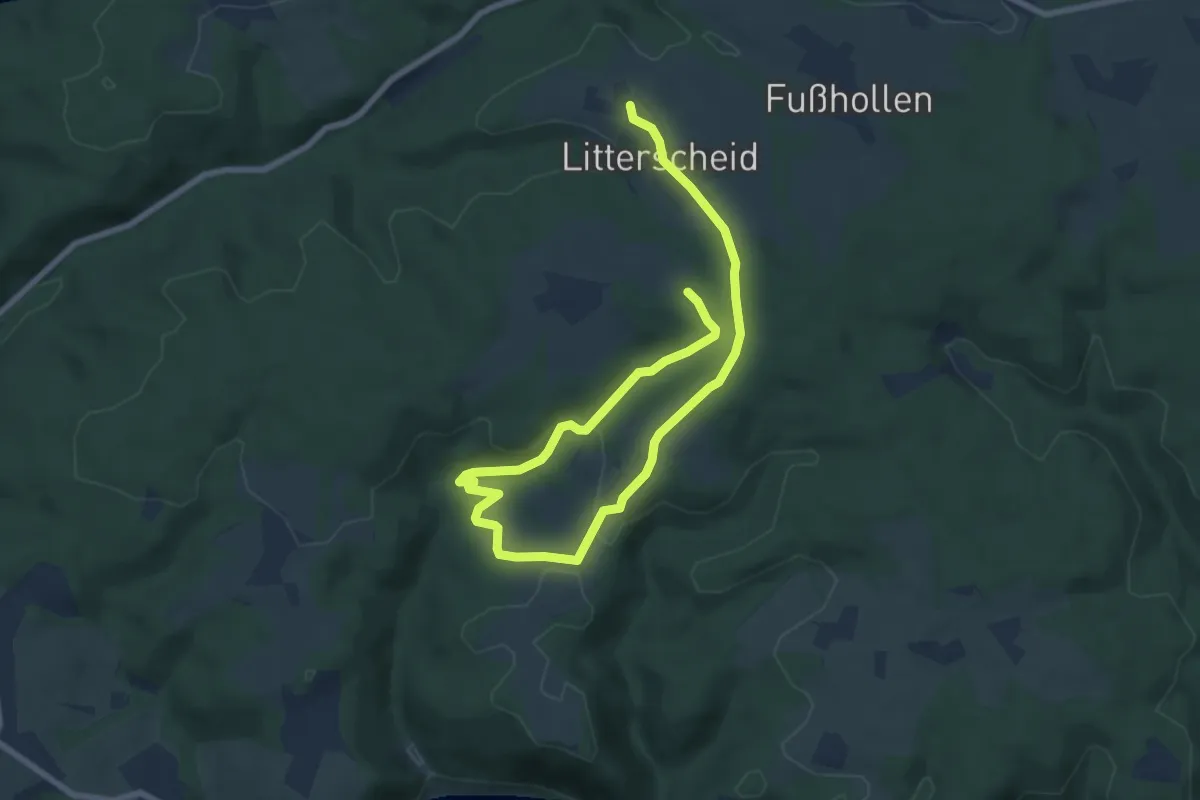
Medium · Trail
Winterscheid Rundweg A9
4.9 km · ↑ 119 m · 1 h 30 min
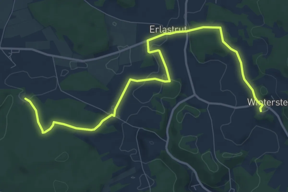
Medium · Trail
Winterstein-Lillachquelle
9.8 km · ↑ 162 m · 2 h 40 min
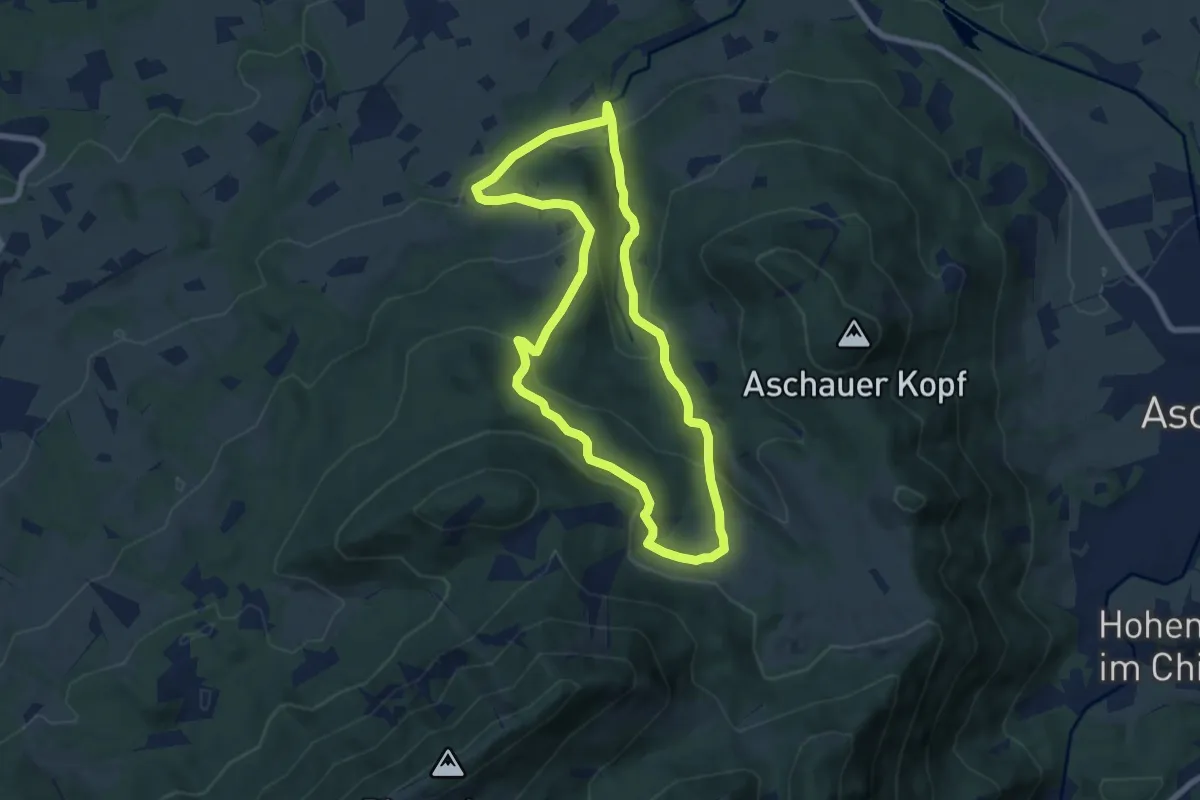
Medium · Trail
Winterstuben-Runde
6.9 km · ↑ 310 m · 2 h 24 min
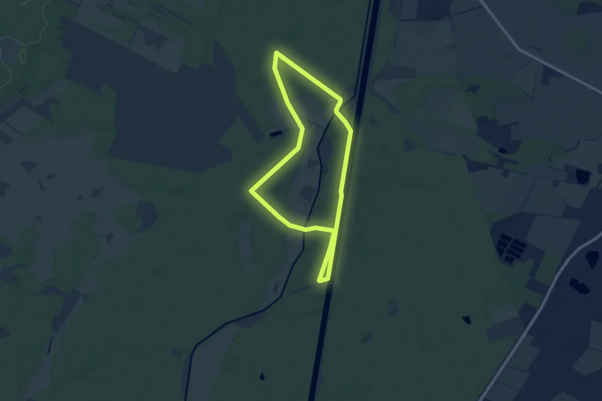
Easy · Trail
Wintertour im Emmer Leu
6.0 km · ↑ 18 m · 1 h 33 min
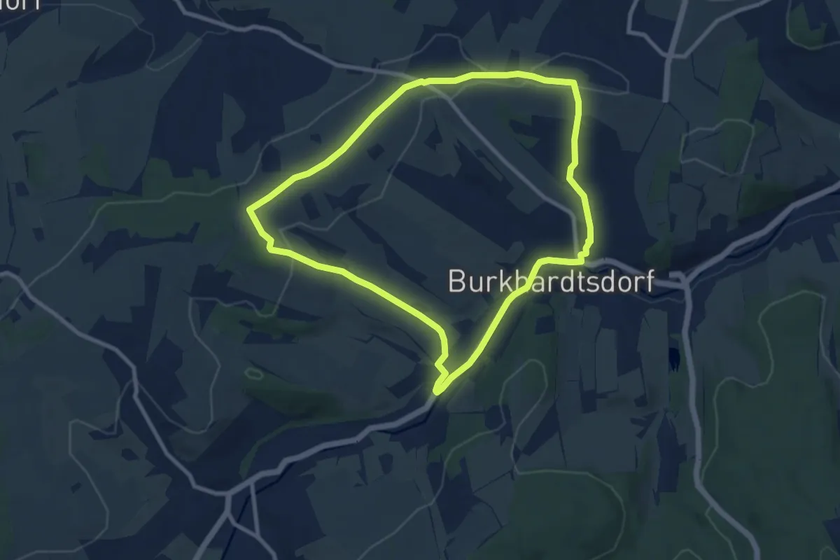
Easy · Trail
Winterwanderung
7.8 km · ↑ 120 m · 2 h 12 min
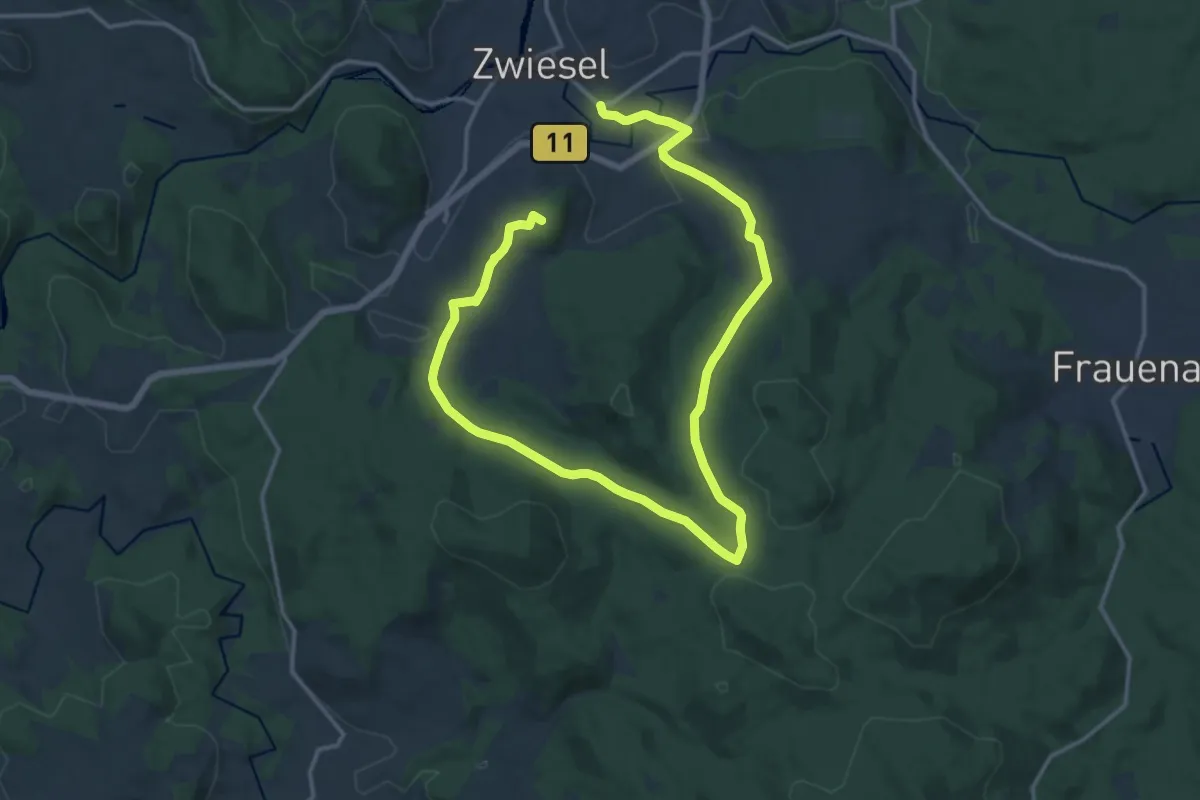
Demanding · Summit
Winterwanderweg 8
21.1 km · ↑ 529 m · 6 h 7 min
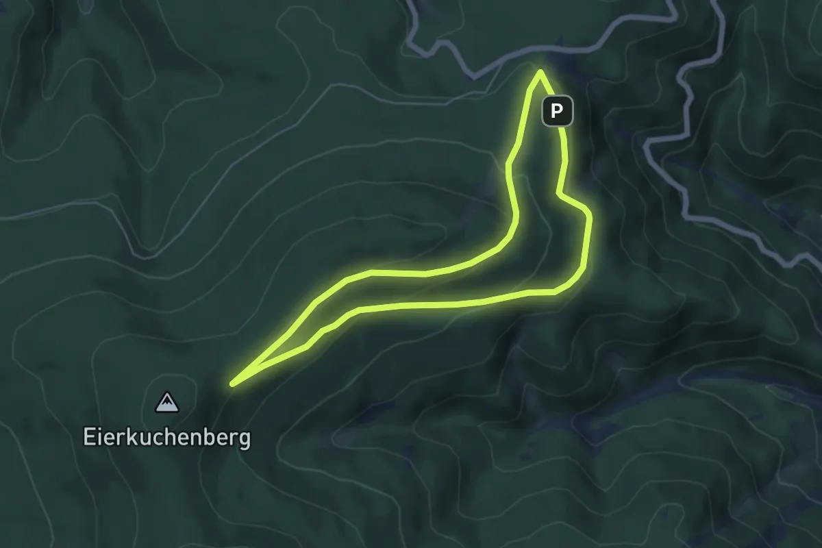
Easy · Summit
Winterwanderweg rote Lache 1
4.9 km · ↑ 190 m · 1 h 38 min
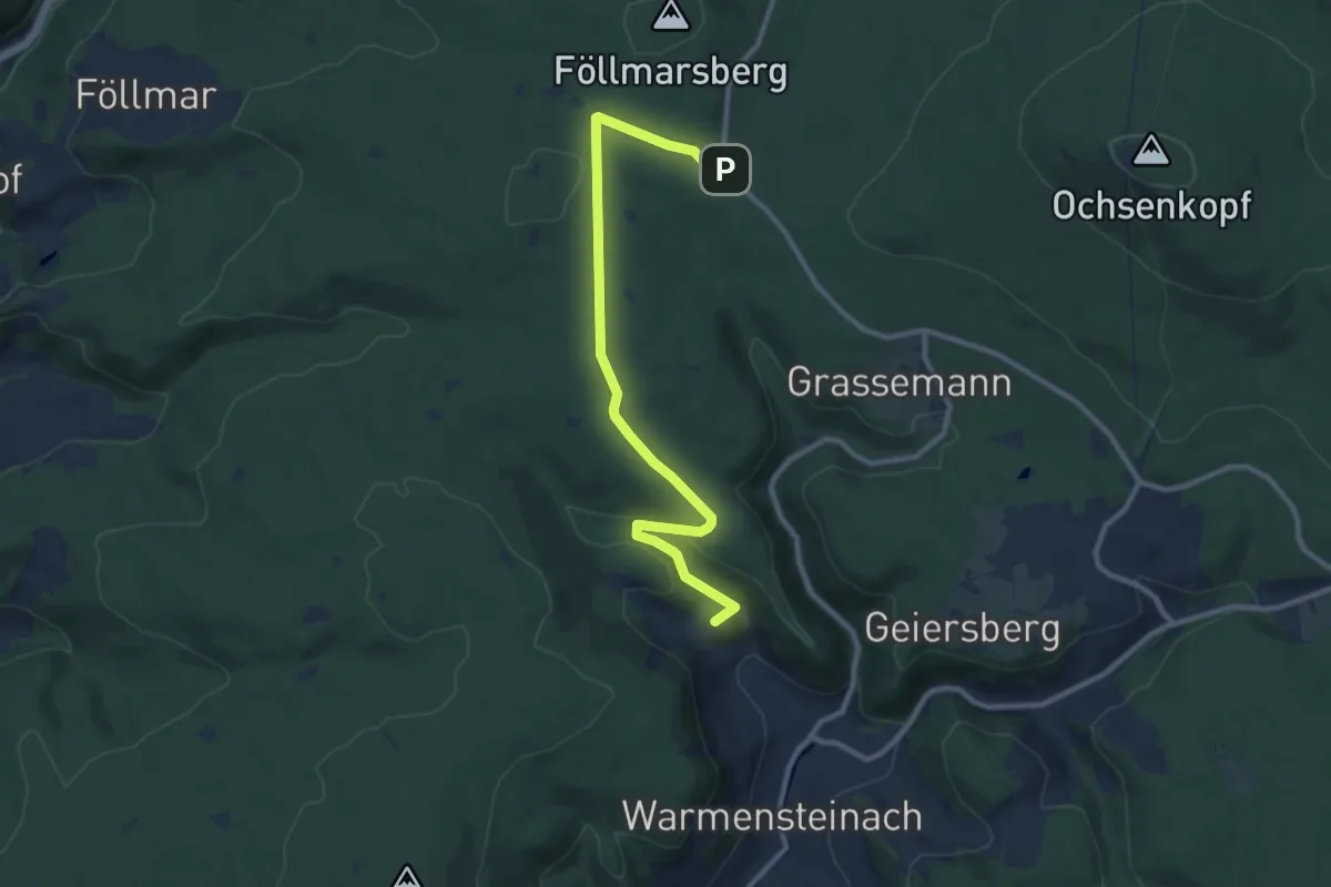
Medium · Summit
Winterwanderweg Warmensteinach-Täfelein
10.0 km · ↑ 188 m · 2 h 47 min
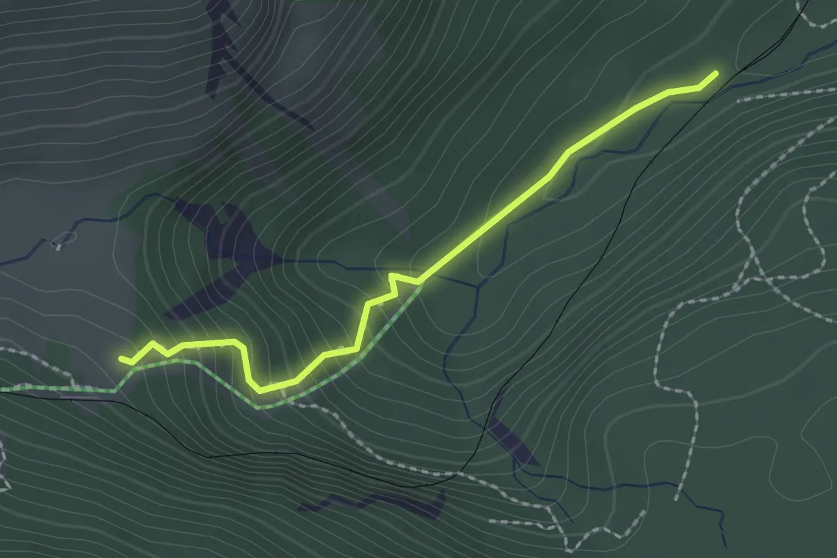
Demanding · Cabin
Winterweg Mitteralm
2.0 km · ↑ 186 m · 52 min
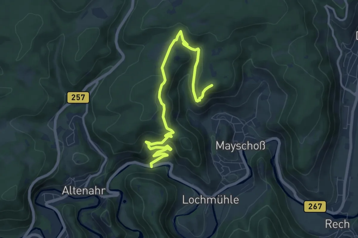
Demanding · Summit
Winzerweg
9.1 km · ↑ 373 m · 2 h 57 min
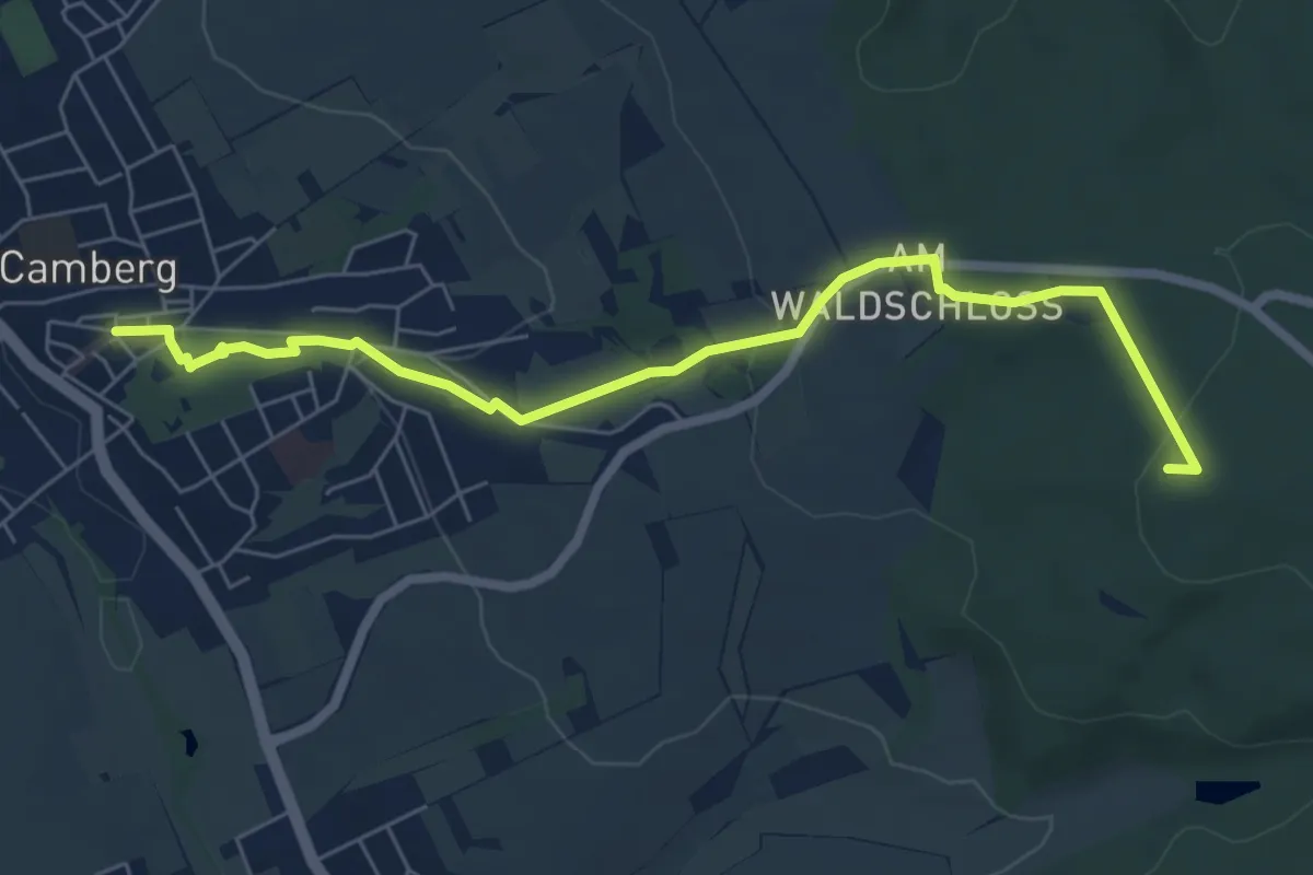
Easy · Trail
Wipfel-Wander-Weg 1
6.5 km · ↑ 150 m · 1 h 52 min
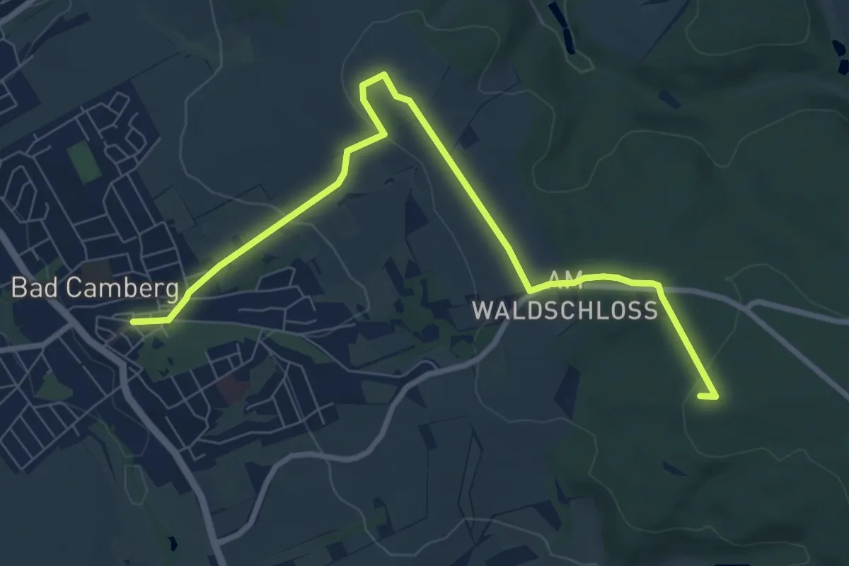
Medium · Trail
Wipfel-Wander-Weg 2
8.3 km · ↑ 169 m · 2 h 19 min
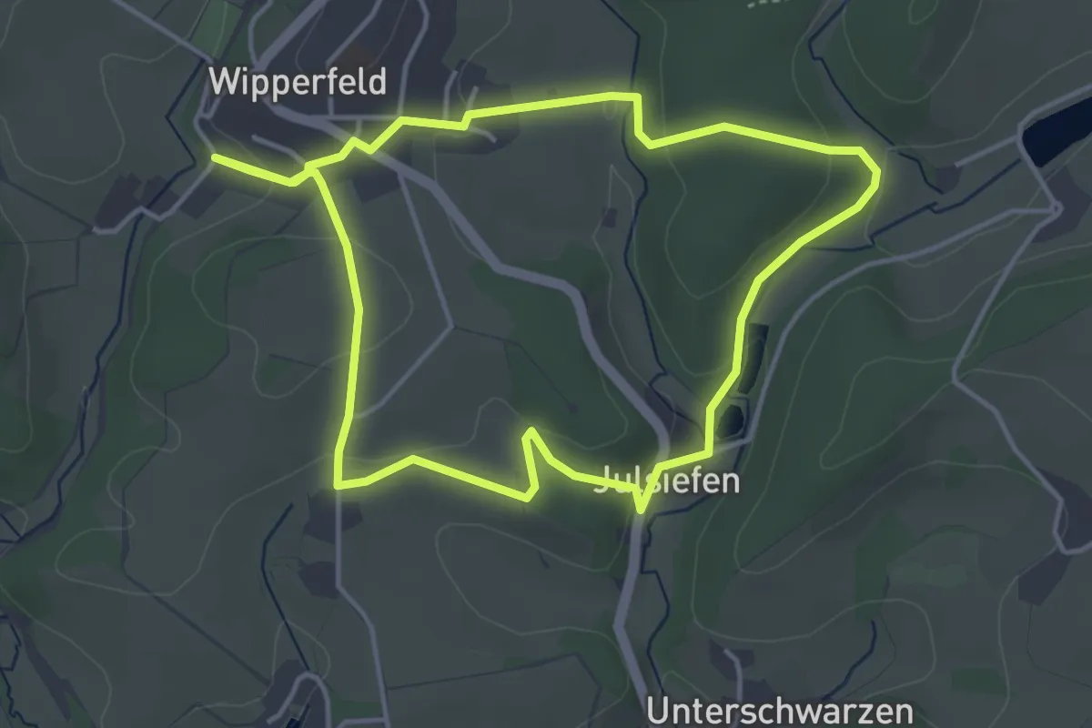
Easy · Trail
Wipperfeld Rundweg A2
3.7 km · ↑ 105 m · 1 h 9 min
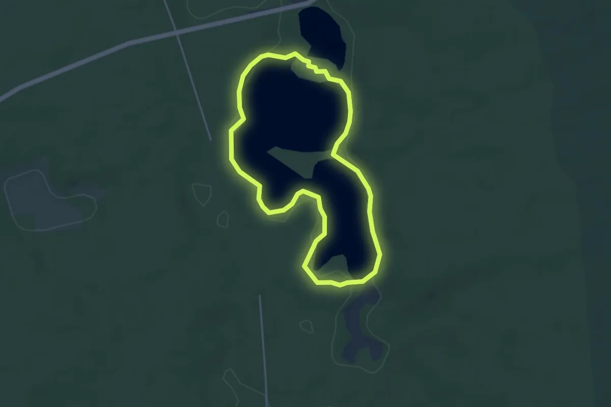
Easy · Trail
Wirchensee Rundwanderweg.
3.5 km · ↑ 22 m · 55 min
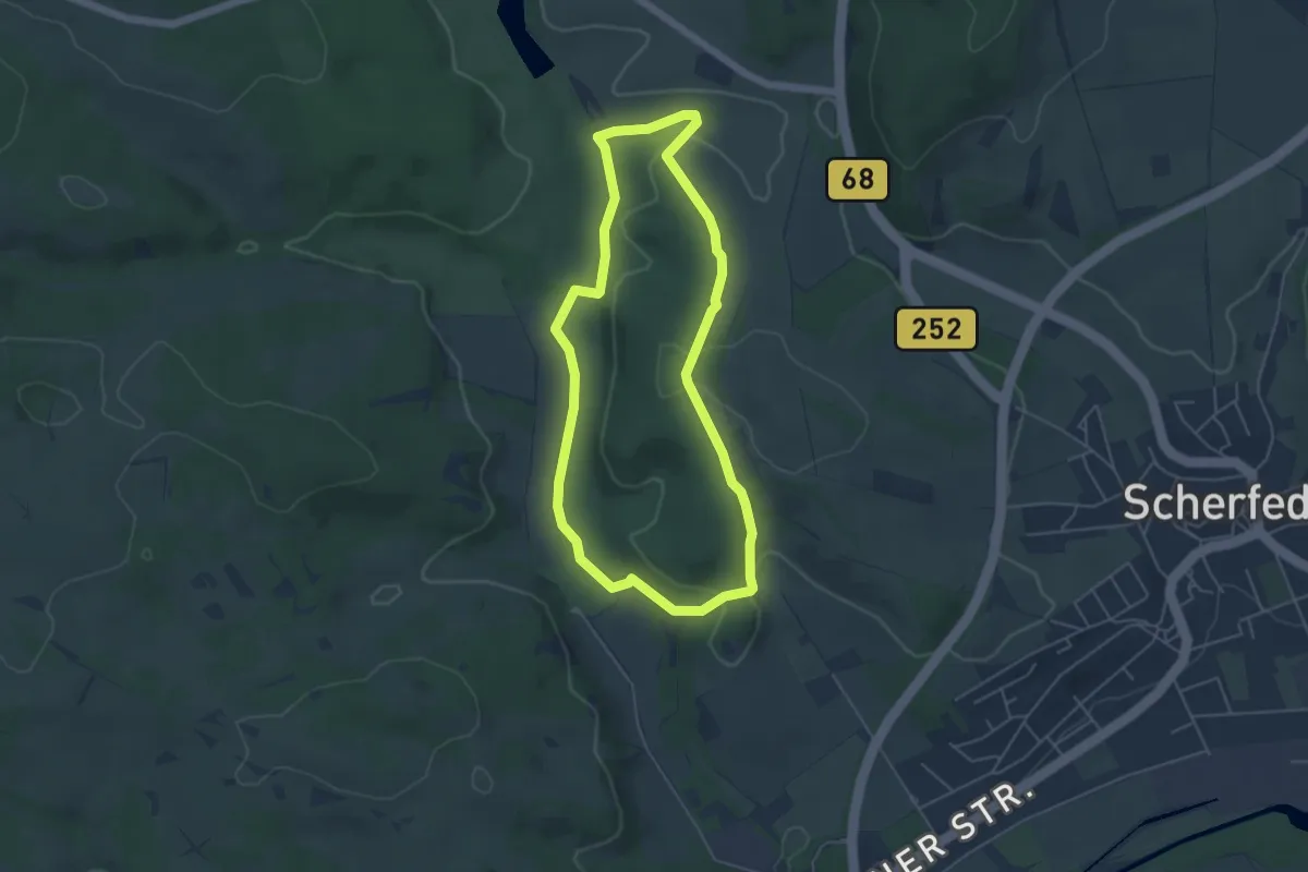
Easy · Trail
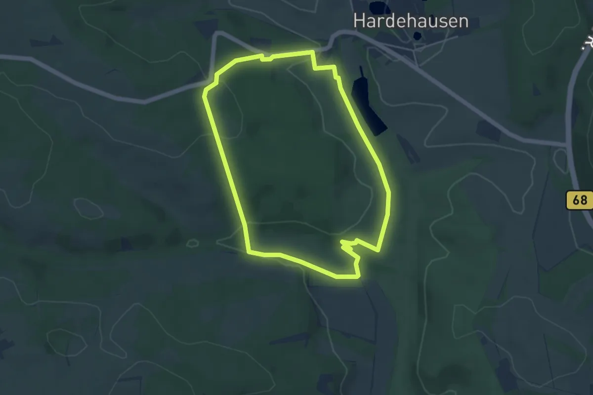
Wisentweg Ost
4.3 km · ↑ 89 m · 1 h 16 min
Easy · Trail
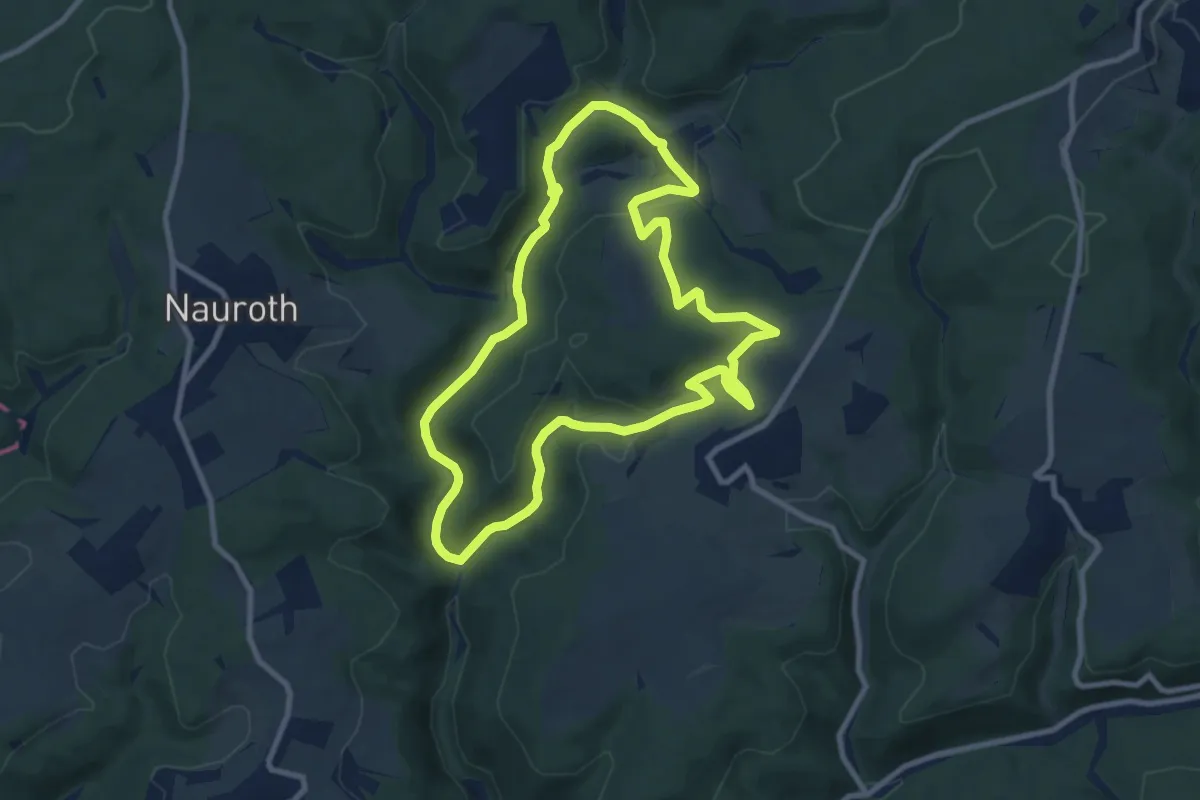
Wisentweg West
3.8 km · ↑ 79 m · 1 h 8 min
Medium · Trail
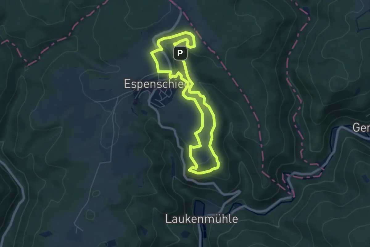
Wisper Geflüster
8.3 km · ↑ 262 m · 2 h 39 min
Easy · Summit
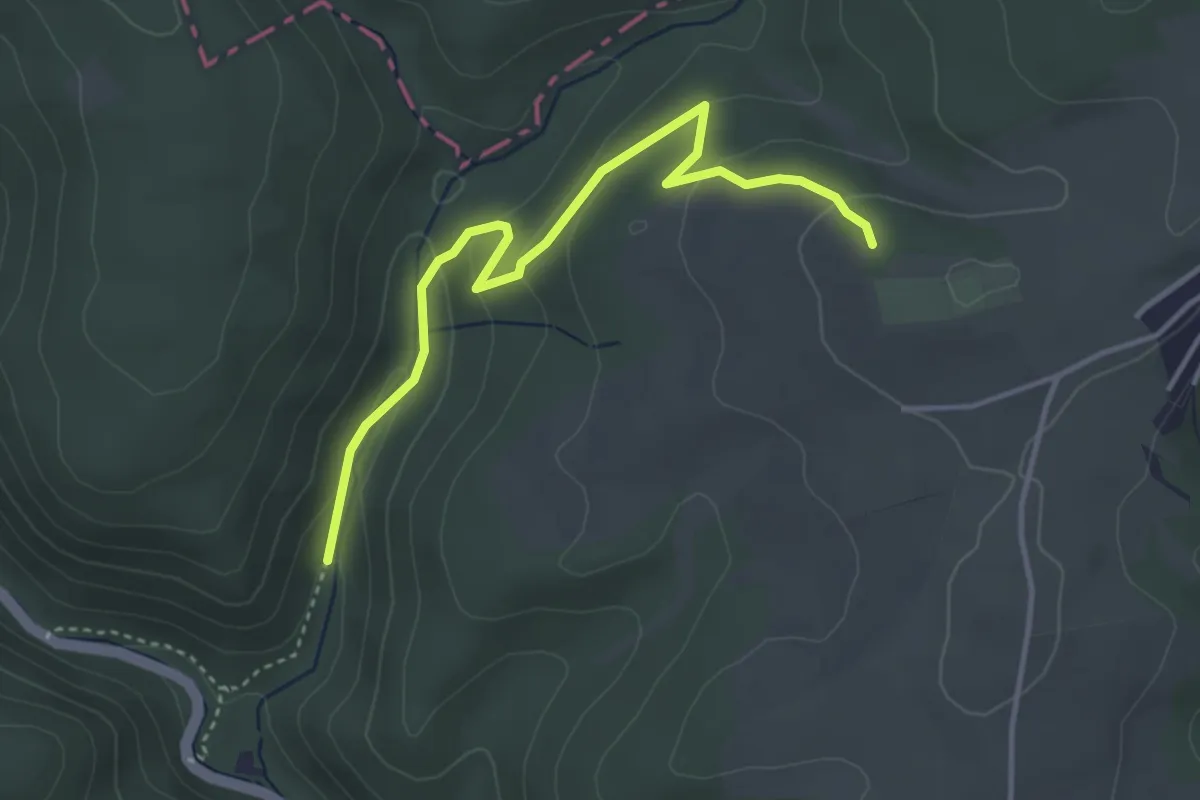
Wispertaler Krönchen
5.0 km · ↑ 147 m · 1 h 35 min
Easy · Trail
Wispertalsteig
1.9 km · ↑ 4 m · 32 min
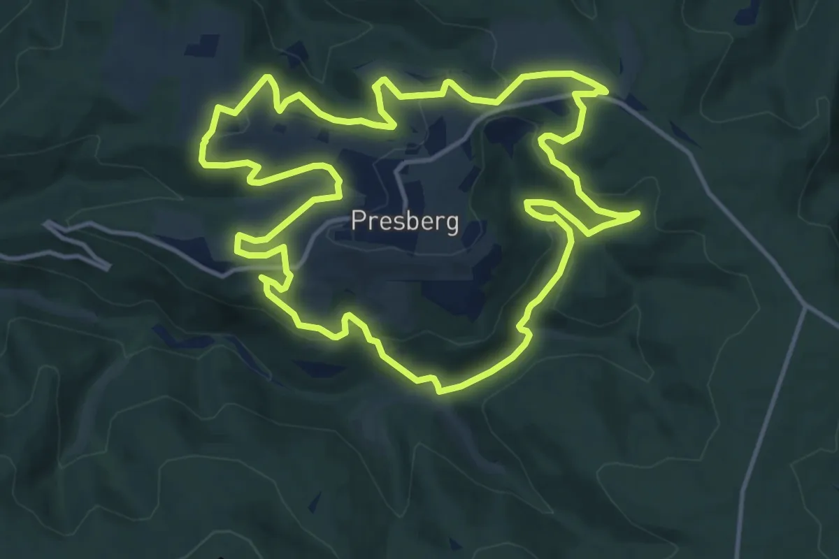
Medium · Summit
Wisper-Trail: Via Monte Preso
12.2 km · ↑ 400 m · 3 h 54 min
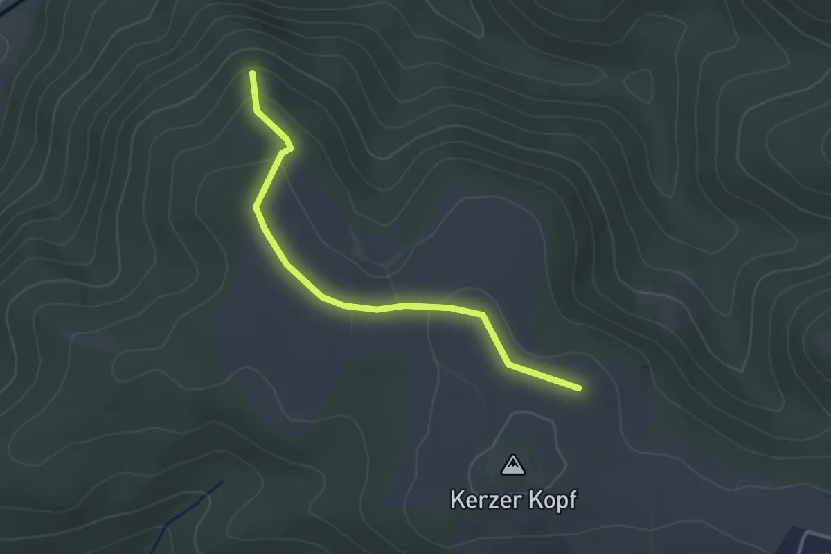
Easy · Trail
Wisper Trail: Zuweg Teufelsfelsen
2.9 km · ↑ 81 m · 51 min
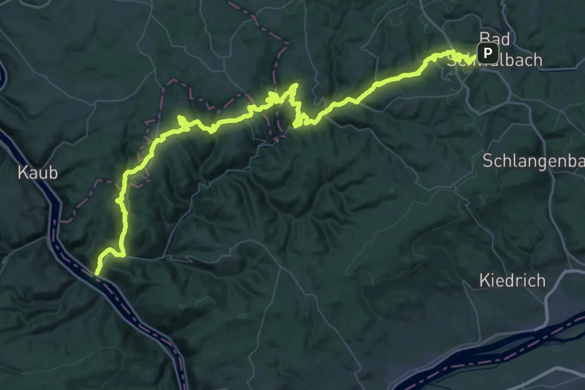
Demanding · Trail
Wisper-Wanderweg
38.0 km · ↑ 1073 m · 11 h 57 min
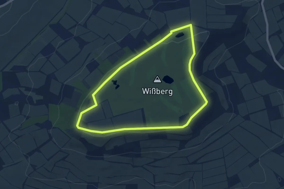
Easy · Trail
Wißberg Panoramaweg
4.1 km · ↑ 27 m · 1 h 5 min
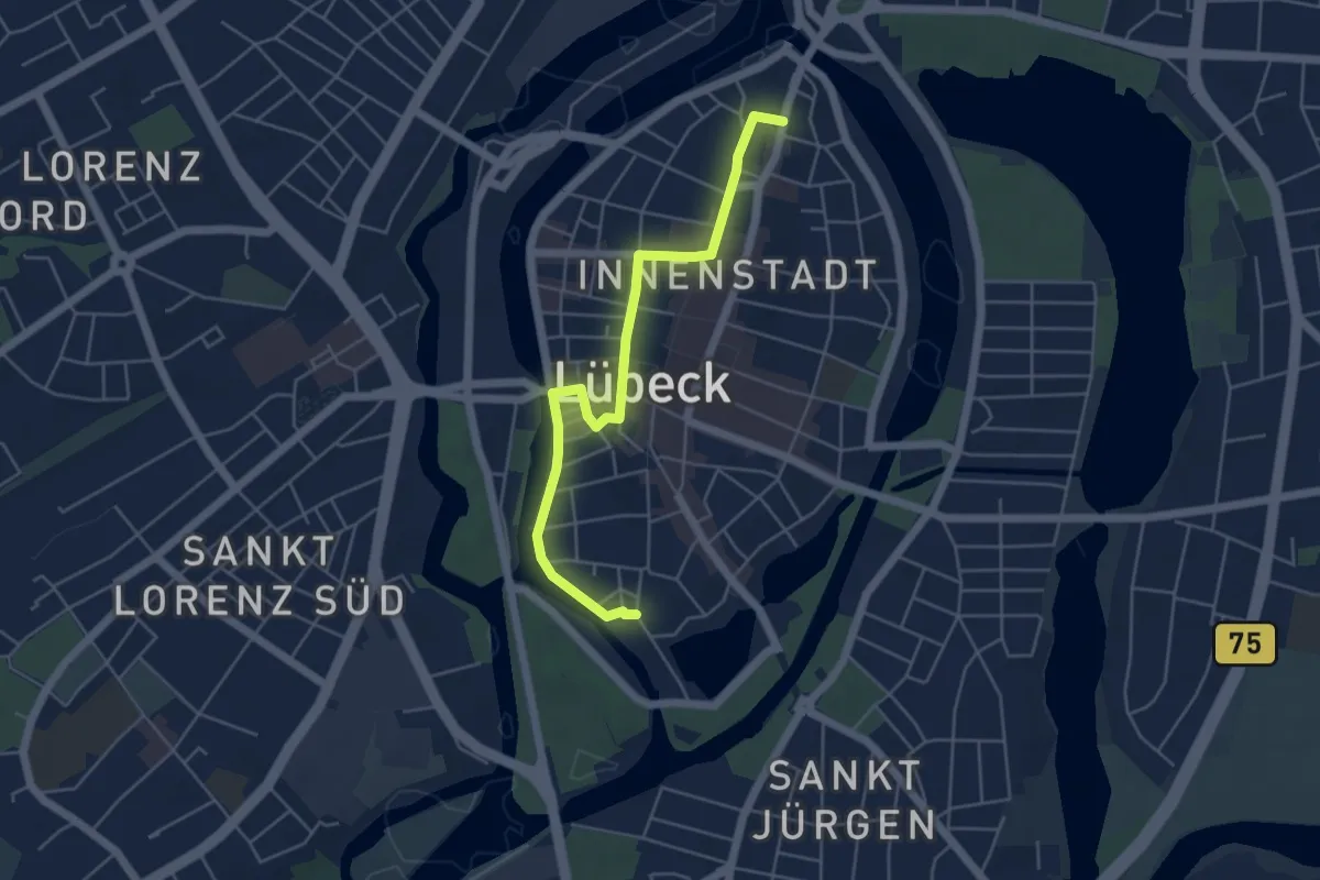
Easy · Trail
Wissenschaftspfad
4.4 km · ↑ 15 m · 1 h 5 min
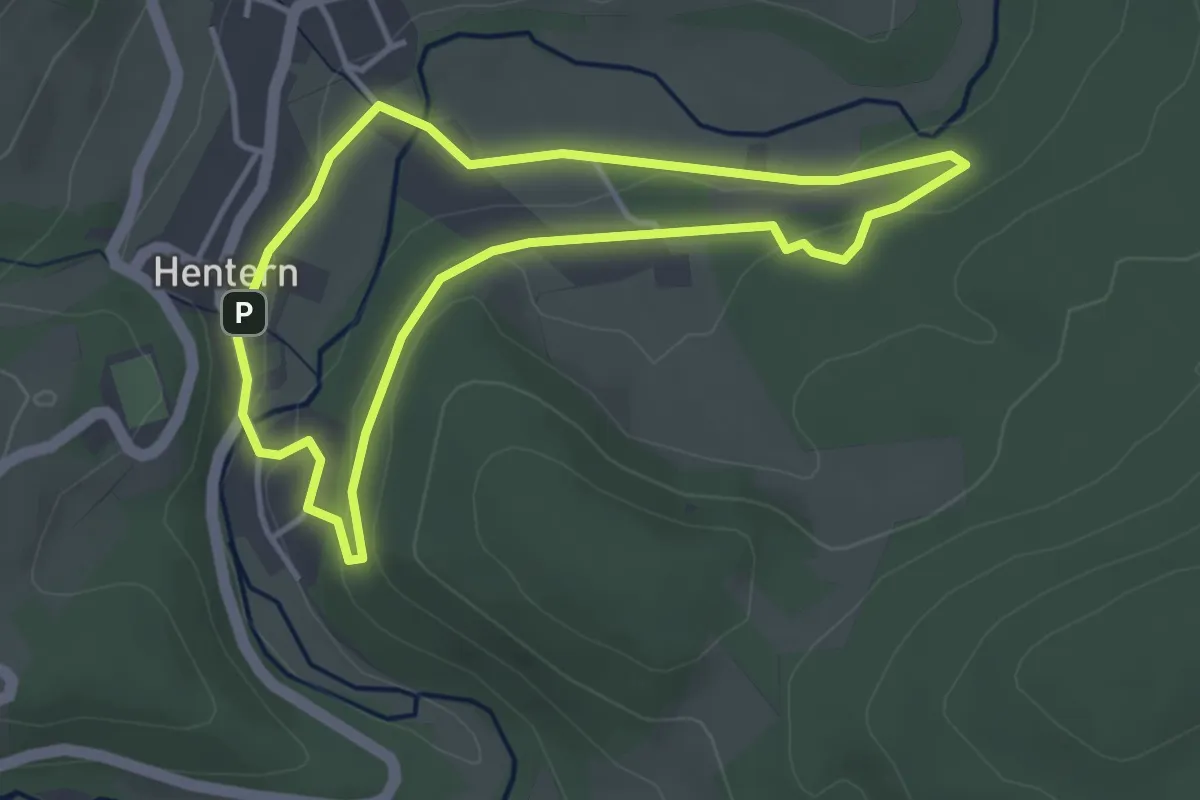
Easy · Trail
Wissenspfad Hentern
3.3 km · ↑ 49 m · 56 min
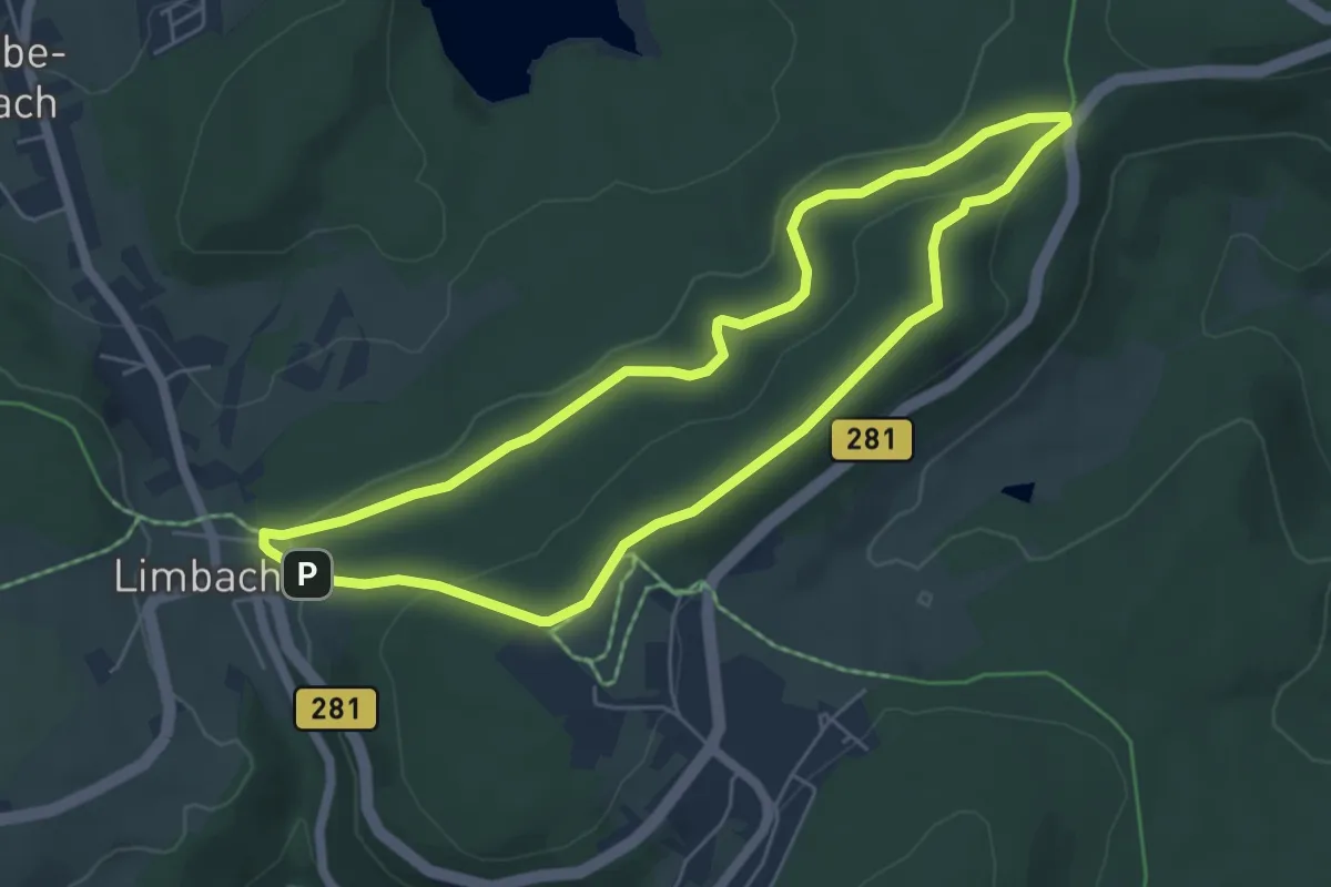
Easy · Summit
Wissens- und Spielewanderweg
4.9 km · ↑ 117 m · 1 h 29 min
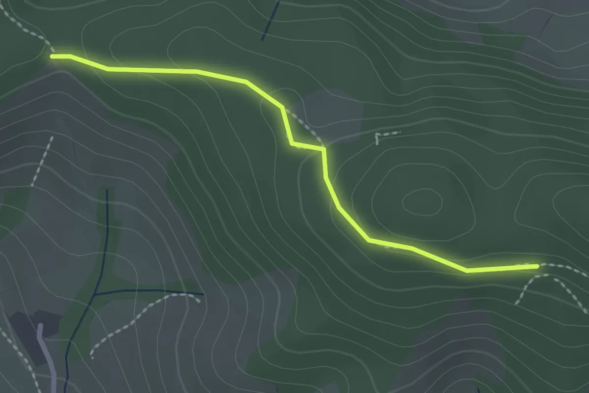
Easy · Trail
Wissereck - Im Schlosswald
2.1 km · ↑ 76 m · 39 min