Trails in Germany
36,877 hiking trails, each with its route, climb, walking time and grade.
All trails, page 732 of 769
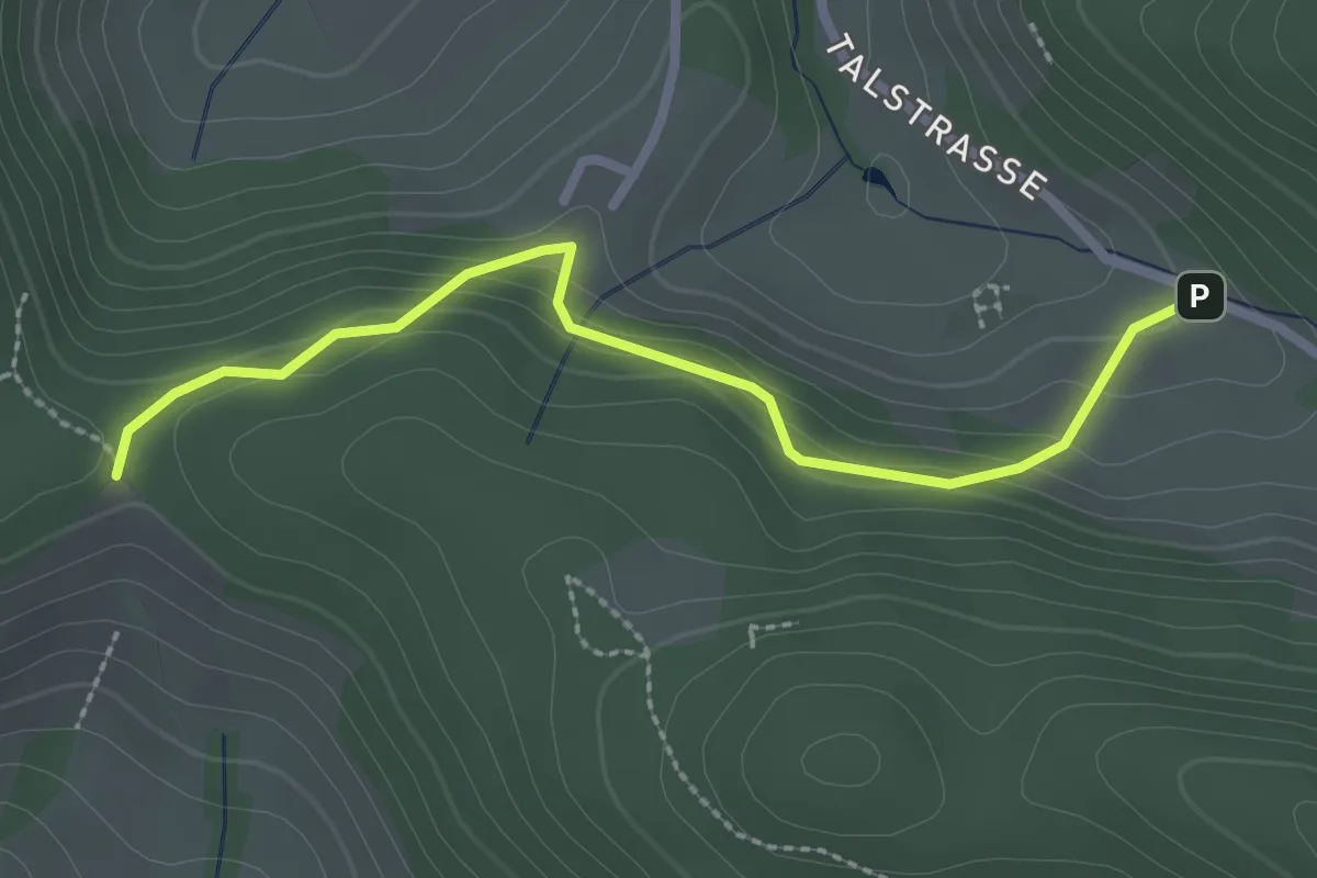
Easy · Trail
Wissereck - Reschhof
2.5 km · ↑ 107 m · 49 min
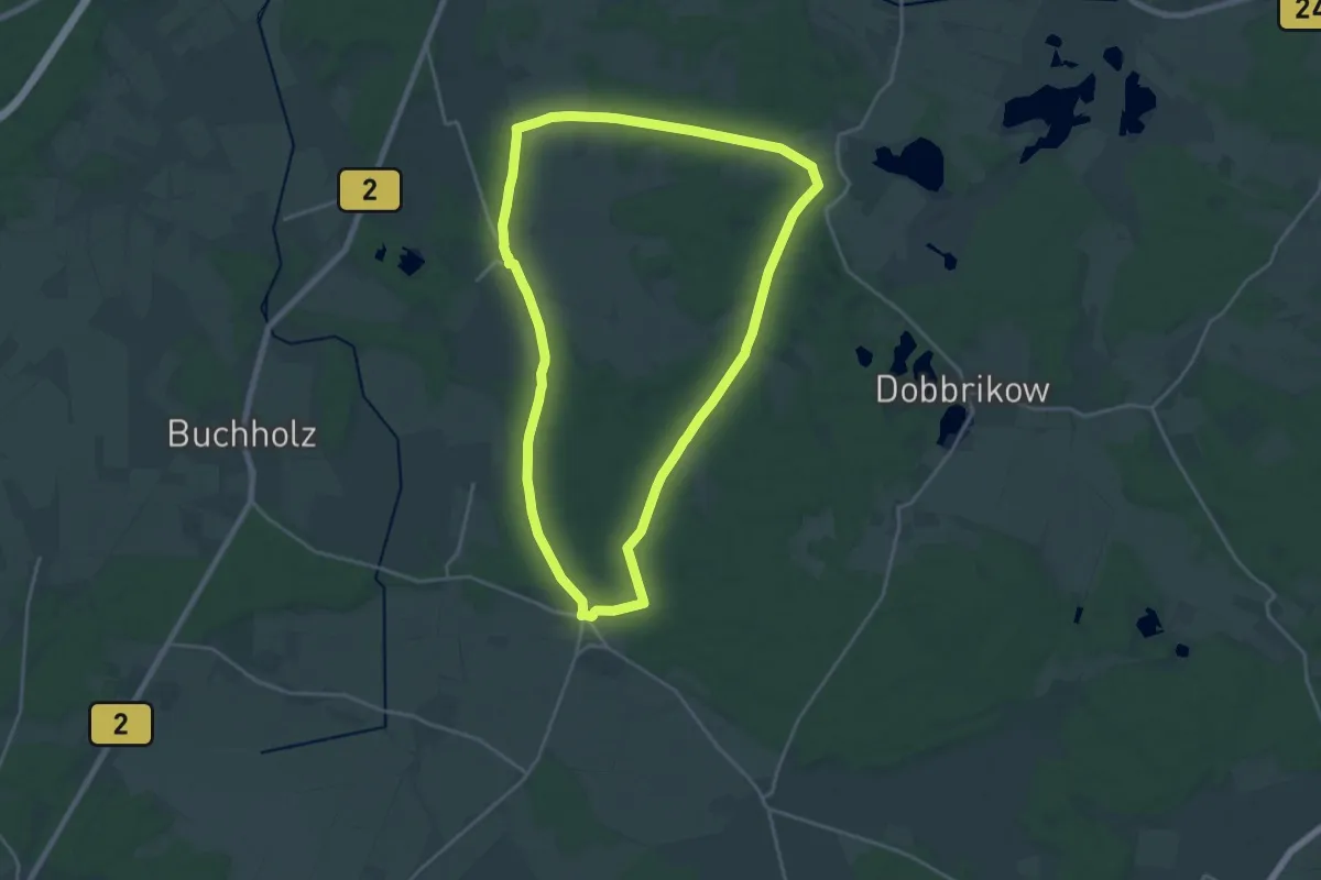
Demanding · Summit
Wittbrietzener Rundweg
18.0 km · ↑ 91 m · 4 h 42 min
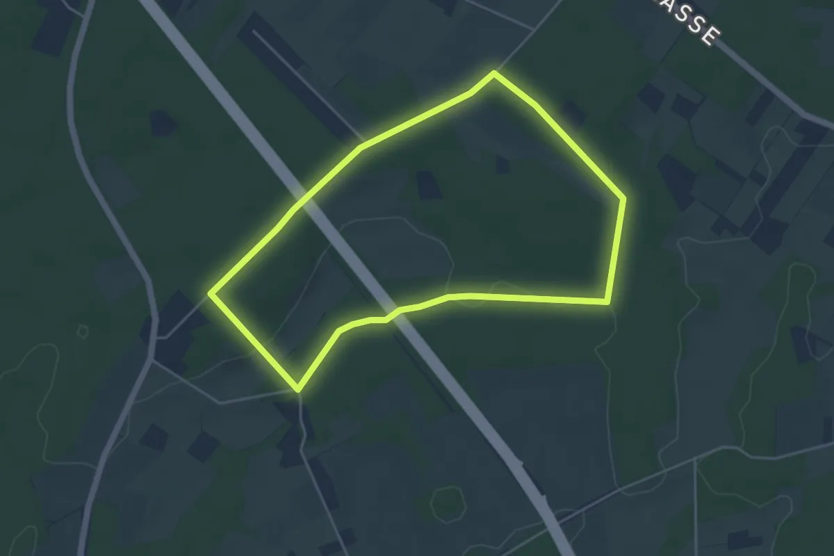
Easy · Trail
Witte Huss Rundweg A3
3.8 km · ↑ 30 m · 1 h 1 min
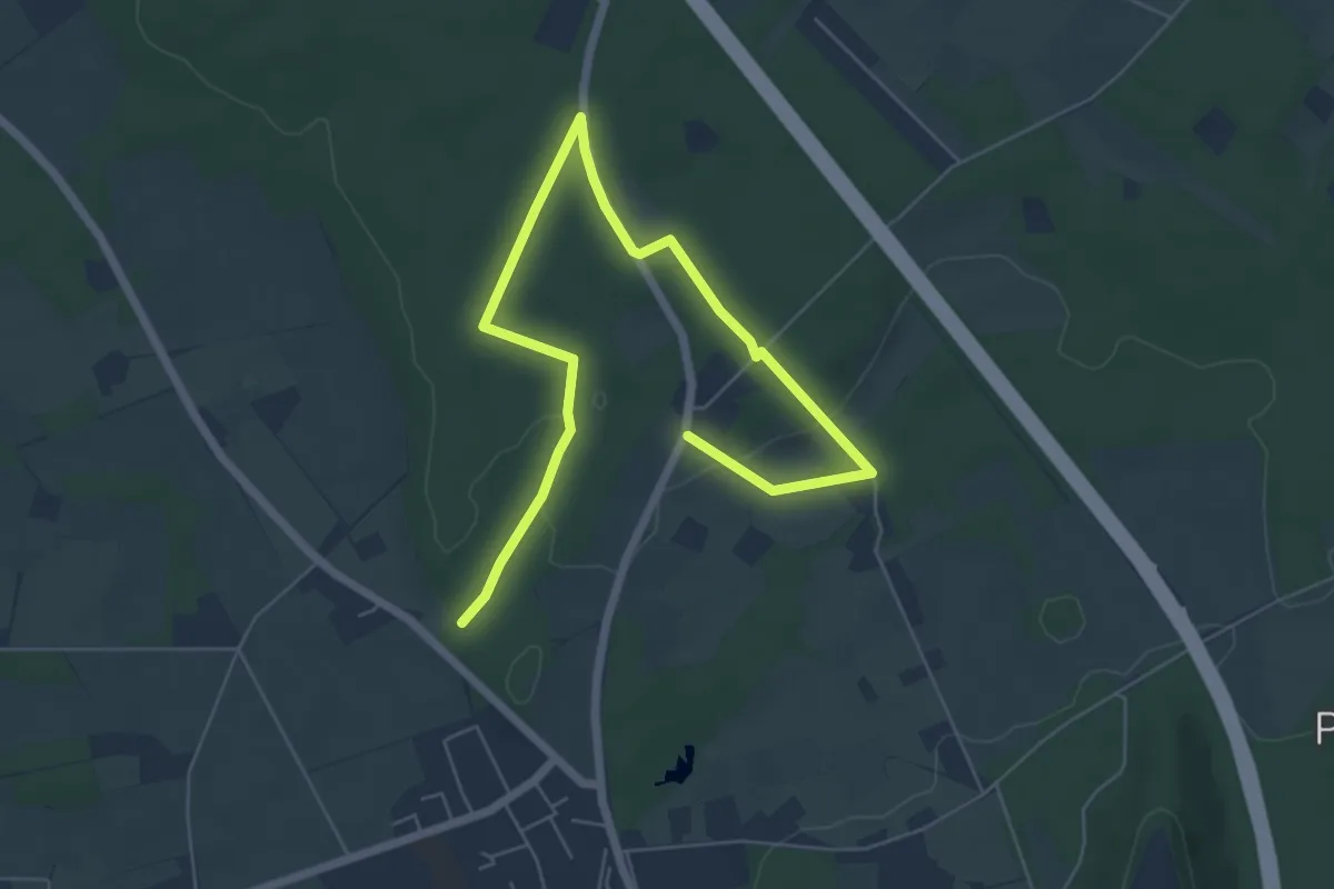
Easy · Trail
Witte Huss Rundweg A4
3.6 km · ↑ 41 m · 58 min
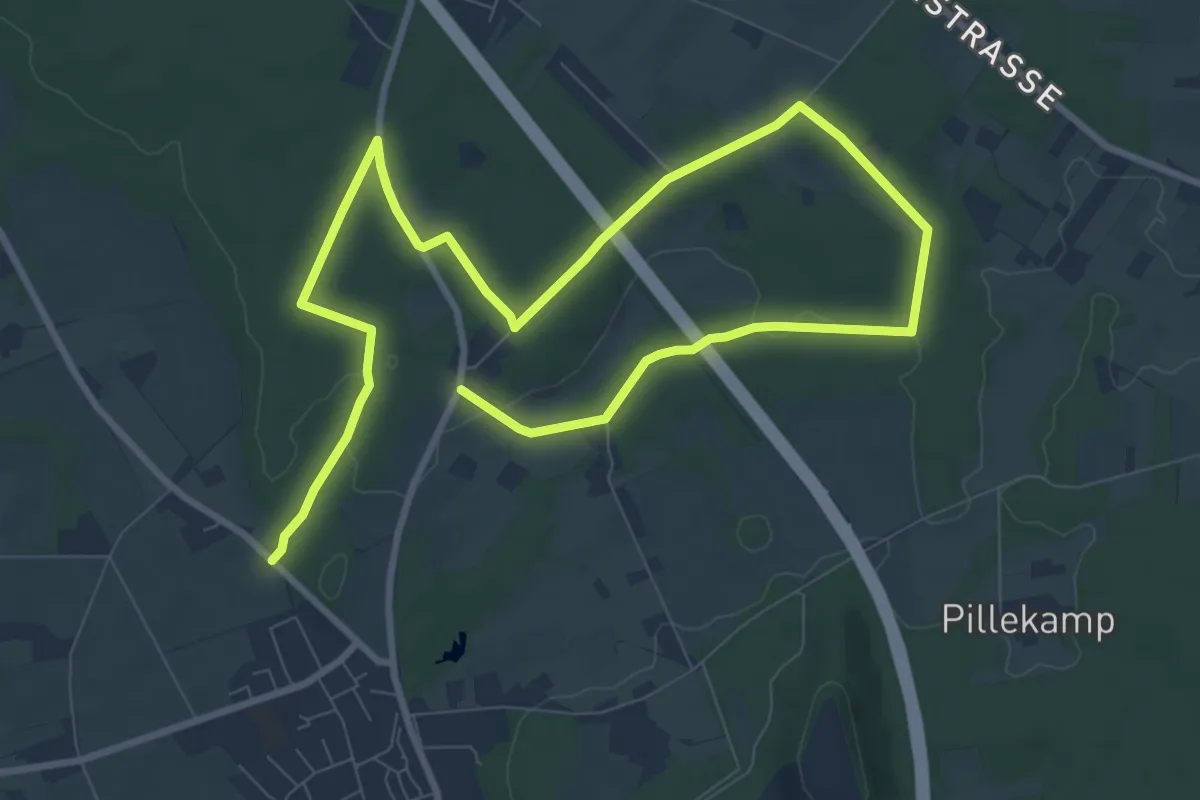
Easy · Trail
Witte Huss Rundweg A5
6.6 km · ↑ 35 m · 1 h 44 min
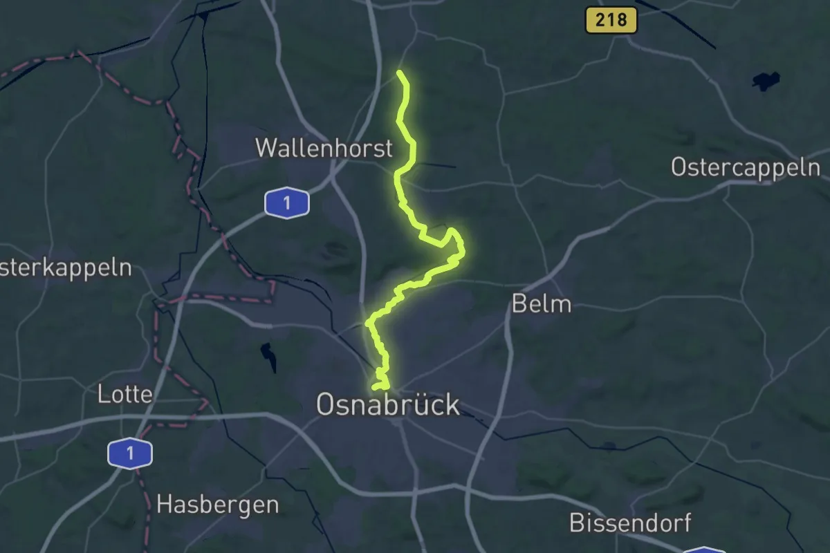
Medium · Trail
Wittekindsweg - Etappe 1
17.4 km · ↑ 166 m · 4 h 43 min
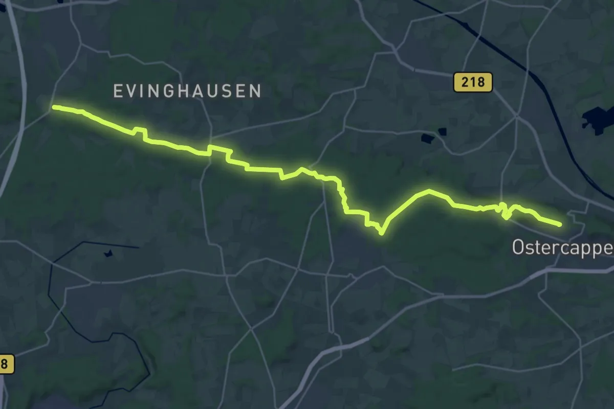
Demanding · Summit
Wittekindsweg - Etappe 2
30.3 km · ↑ 427 m · 8 h 4 min
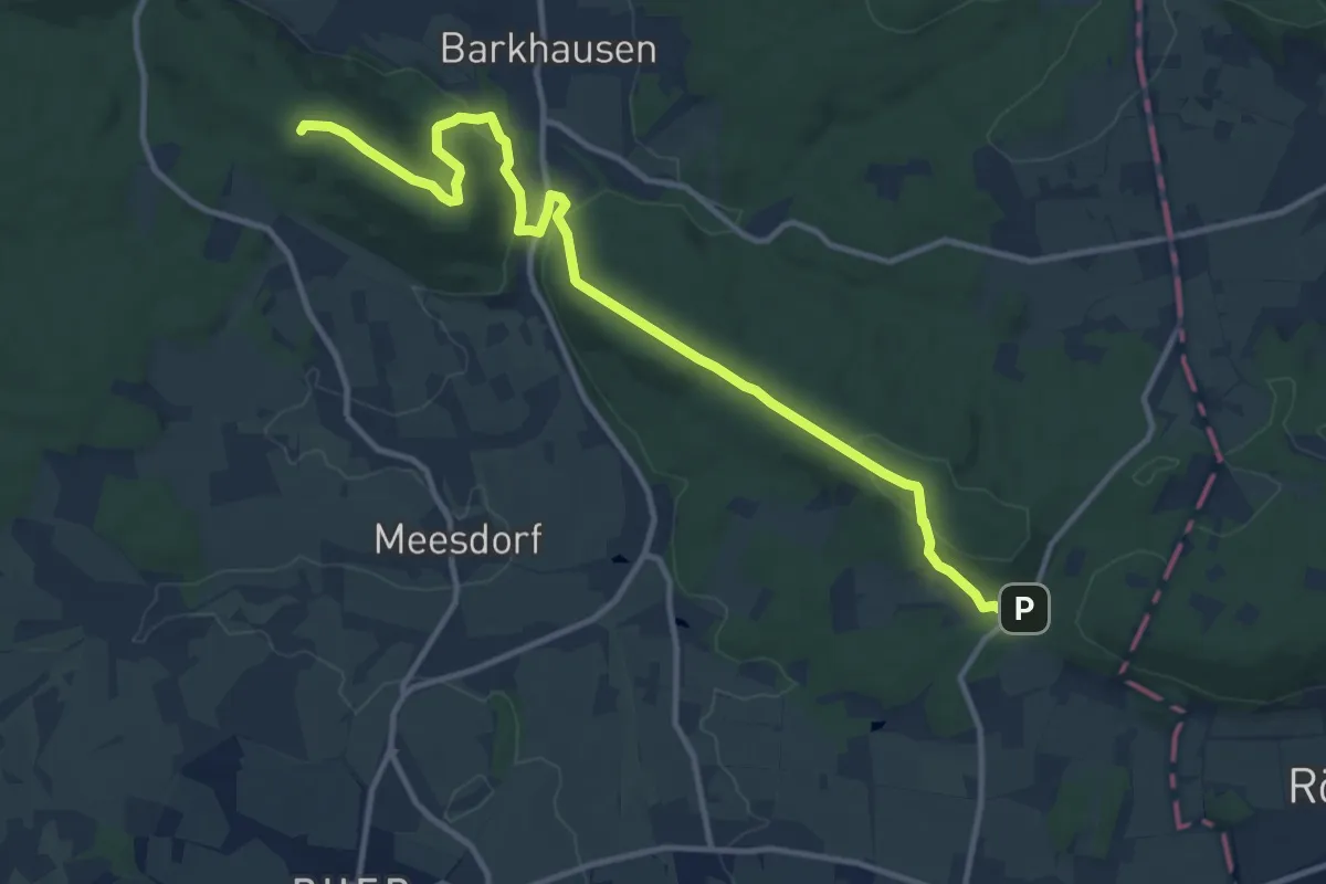
Medium · Summit
Wittekindsweg - Etappe 3
12.0 km · ↑ 381 m · 3 h 39 min
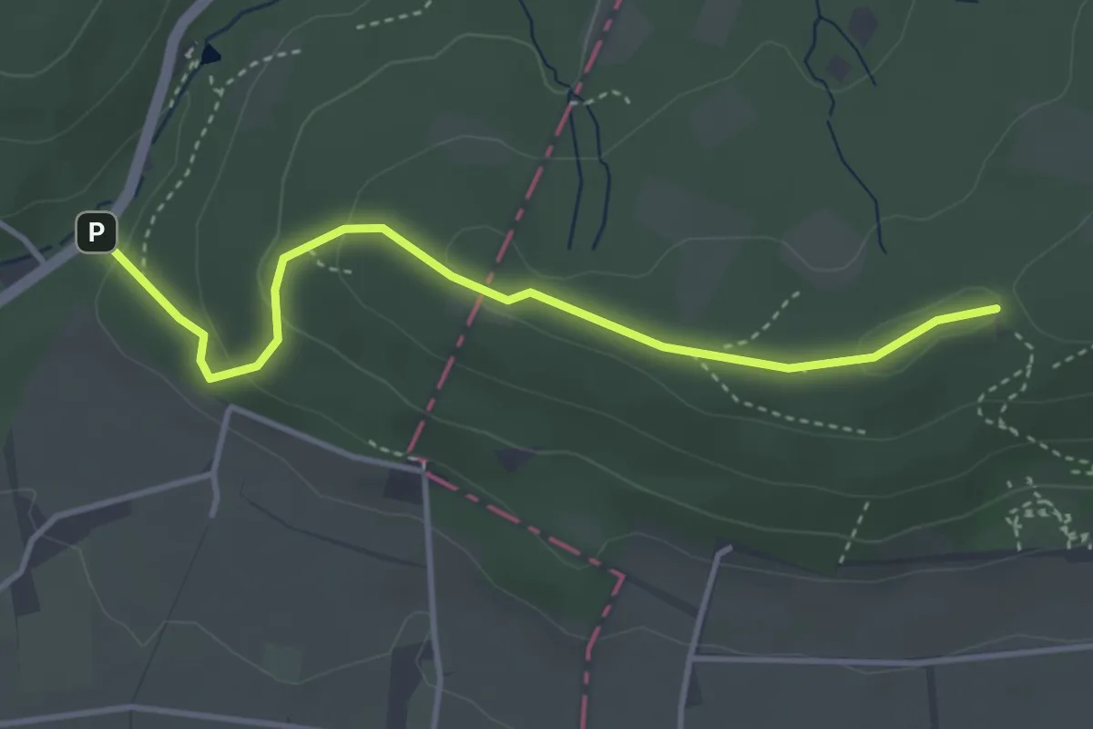
Medium · Trail
Wittekindsweg - Etappe 4
3.4 km · ↑ 108 m · 1 h 2 min
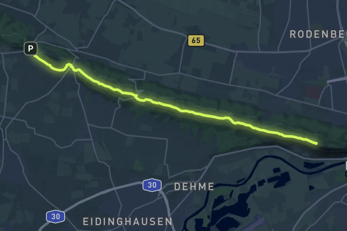
Demanding · Summit
Wittekindsweg - Etappe 5
21.1 km · ↑ 426 m · 5 h 55 min
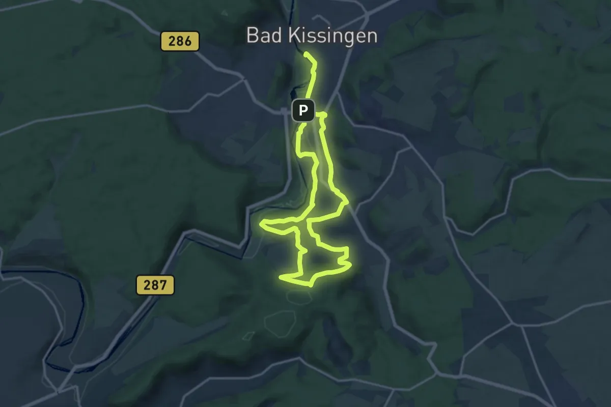
Medium · Trail
Wittelsbacher Turm Rundwanderung
11.1 km · ↑ 260 m · 3 h 20 min
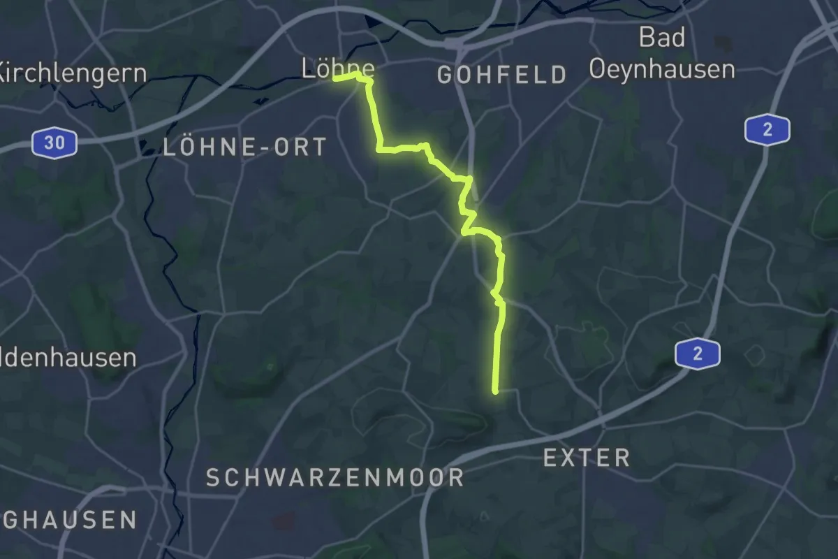
Medium · Trail
Wittelweg
17.6 km · ↑ 157 m · 4 h 29 min
Medium · Trail
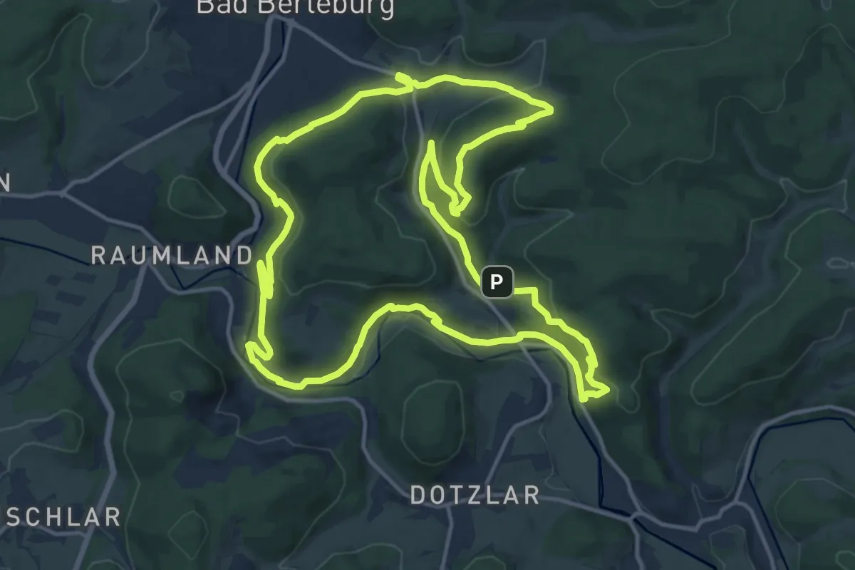
Wittgensteiner Schieferpfad
13.6 km · ↑ 468 m · 4 h 25 min
Easy · Trail
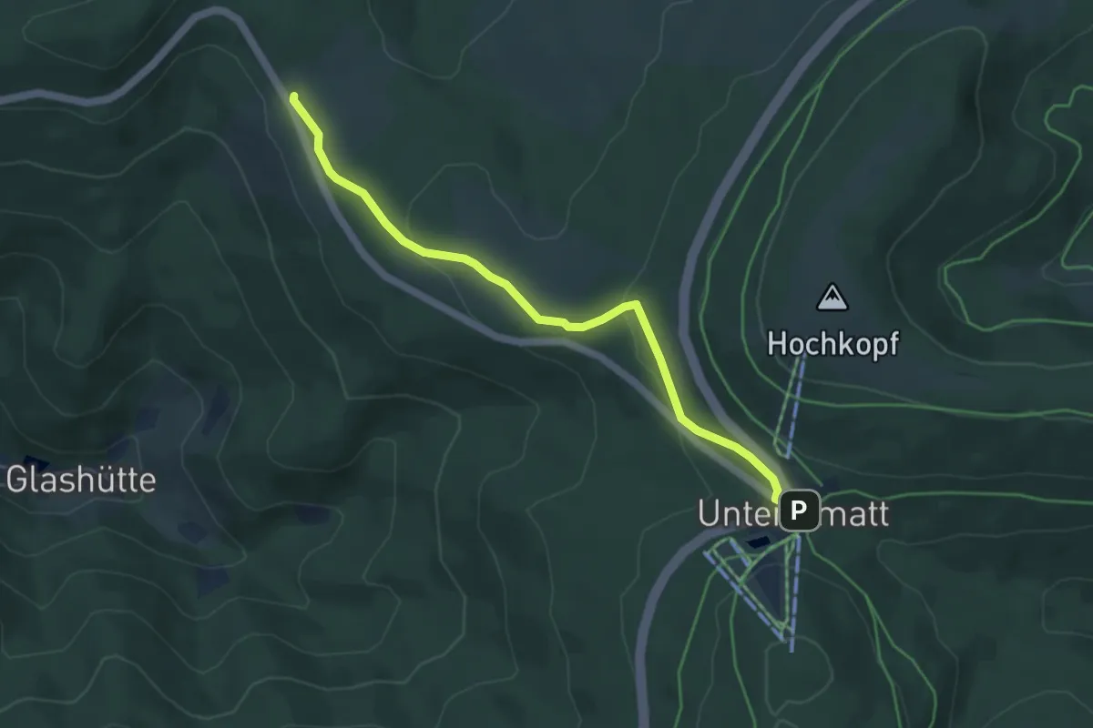
Wittig - Unterstmatt
4.5 km · ↑ 135 m · 1 h 22 min
Medium · Summit
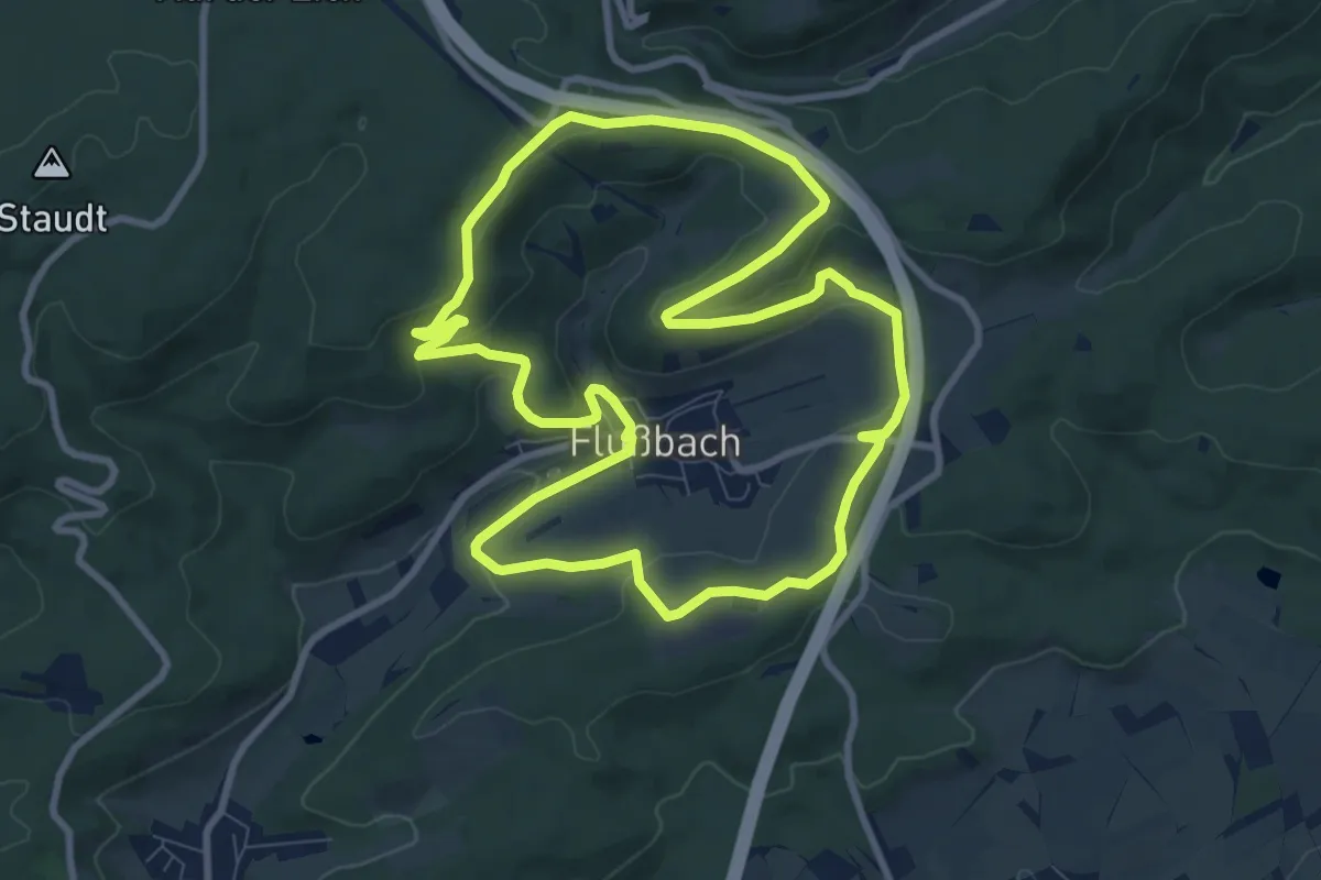
Wittlich 1
8.6 km · ↑ 217 m · 2 h 38 min
Medium · Summit
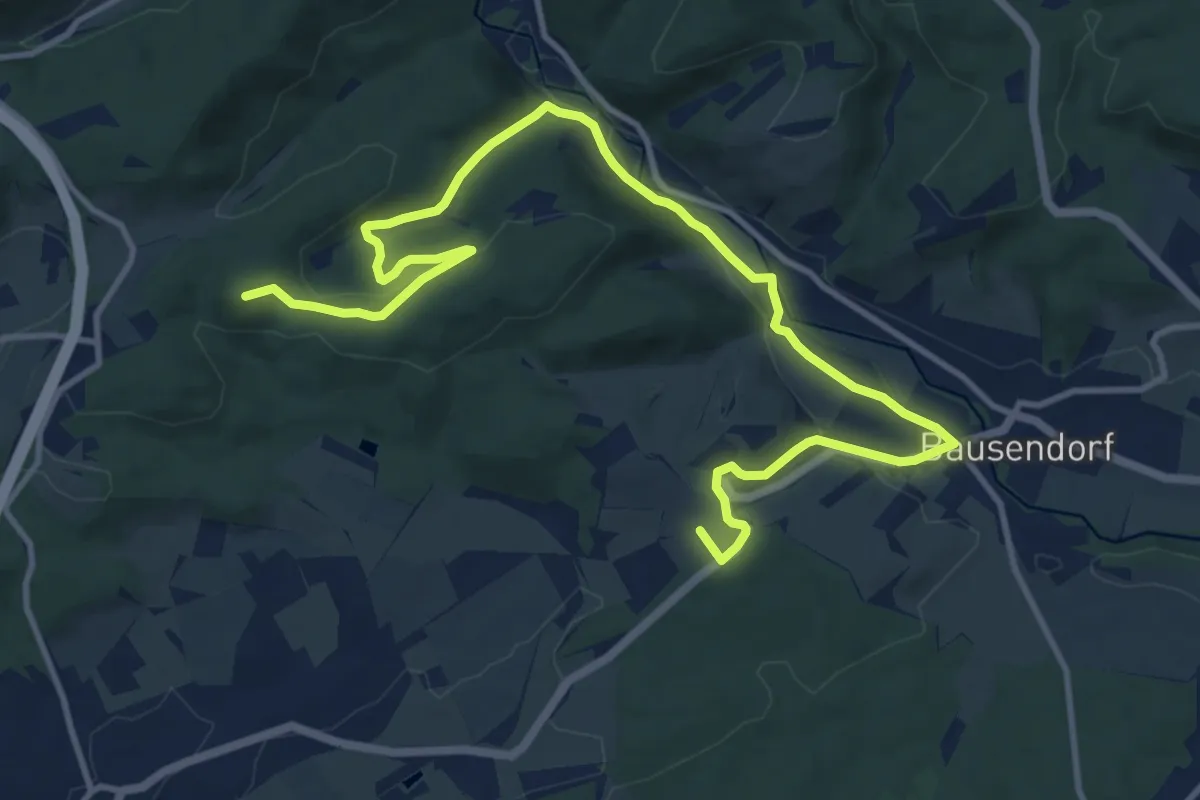
Wittlich 22
14.2 km · ↑ 268 m · 3 h 56 min
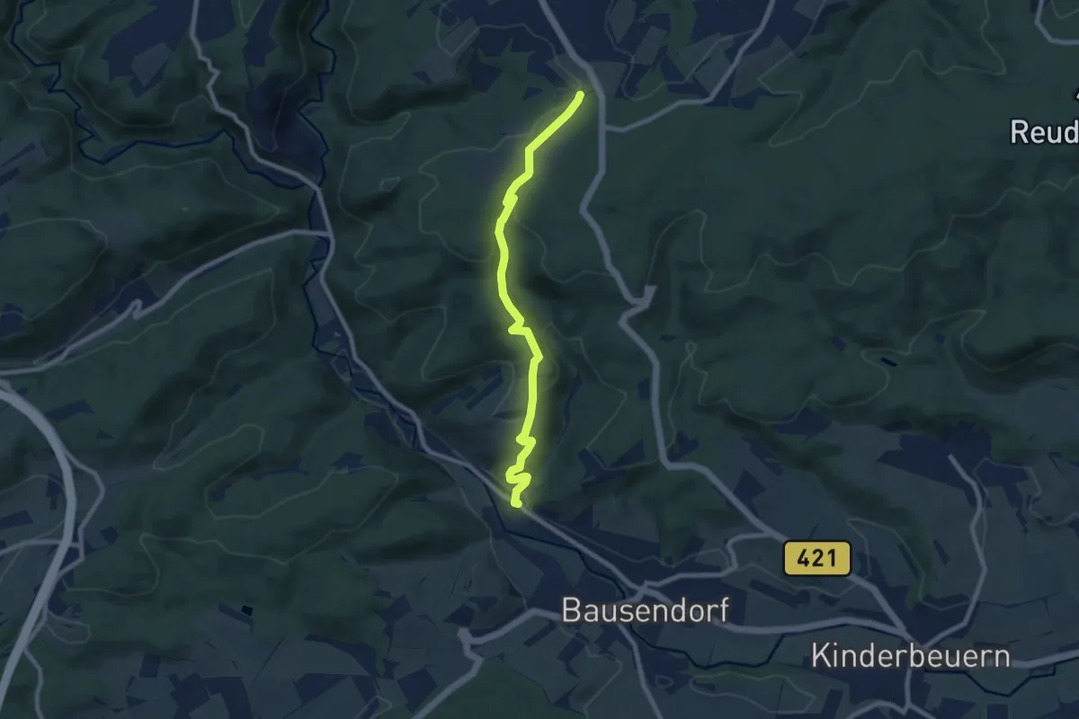
Easy · Trail
Wittlich 24
7.7 km · ↑ 245 m · 2 h 20 min
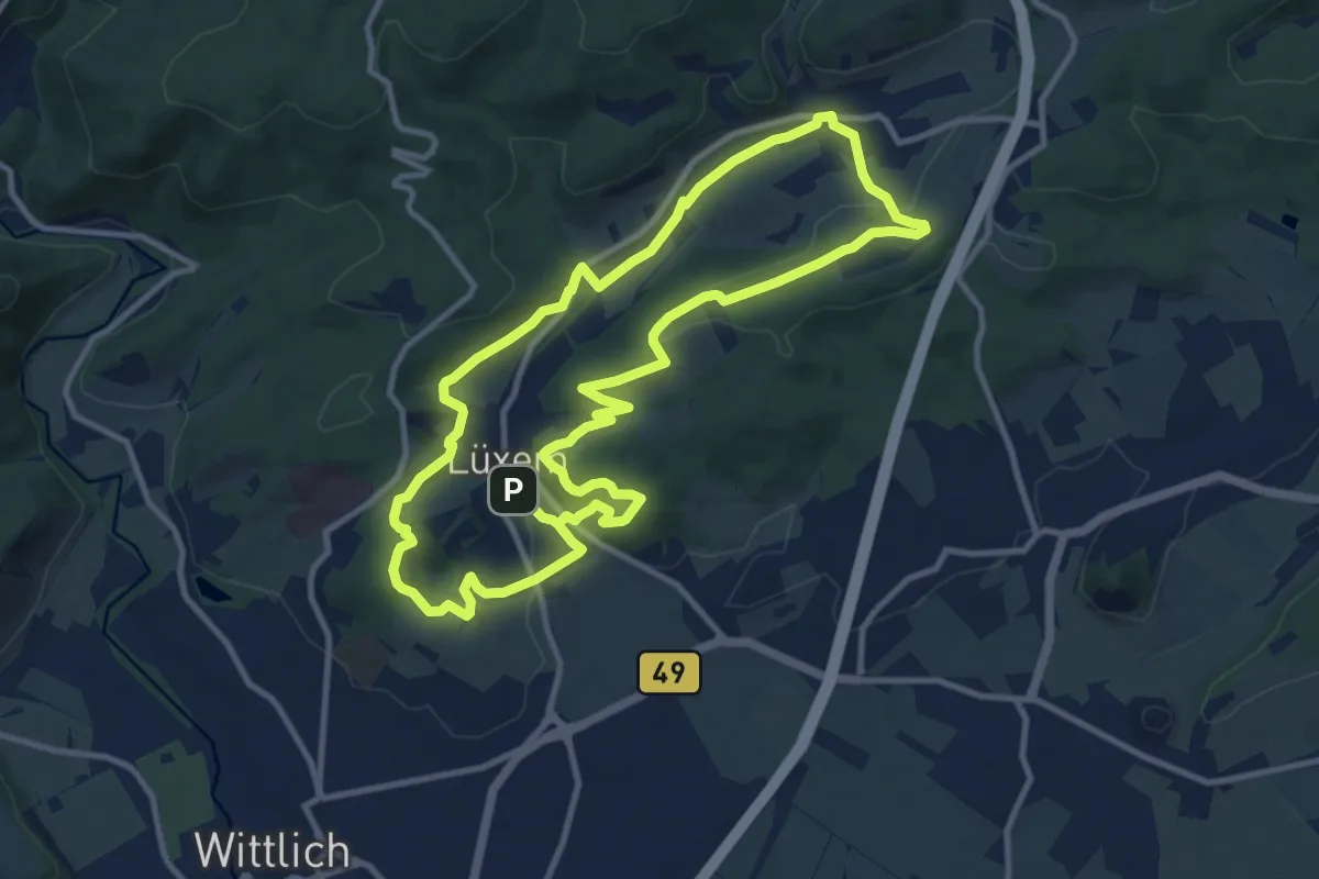
Medium · Summit
Wittlich 3
10.4 km · ↑ 257 m · 3 h 10 min
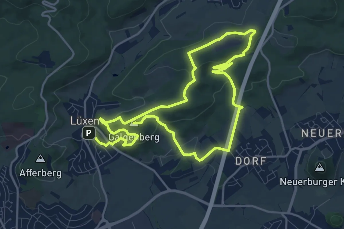
Medium · Summit
Wittlich 4
17.0 km · ↑ 450 m · 5 h
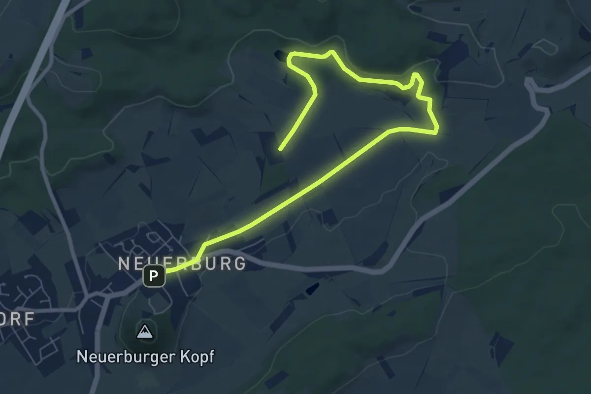
Medium · Trail
Wittlich 5
8.4 km · ↑ 110 m · 2 h 13 min
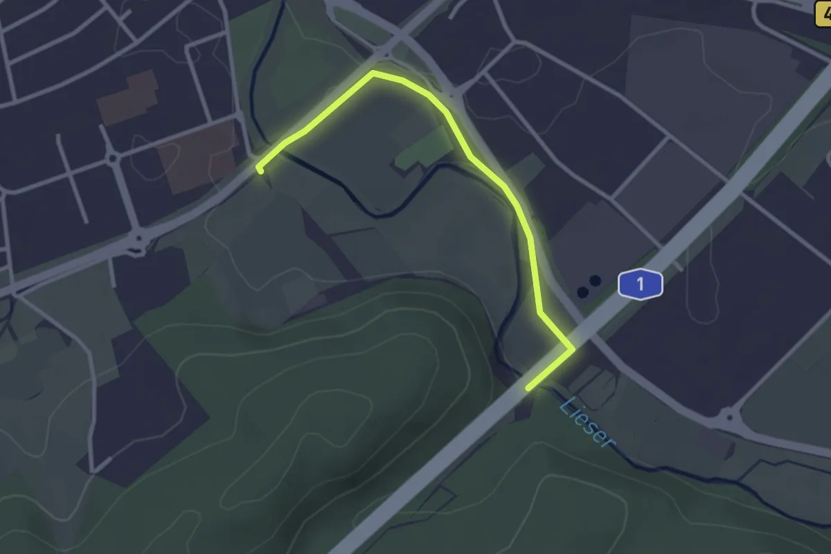
Easy · Trail
Wittlich 6
2.6 km · ↑ 13 m · 38 min
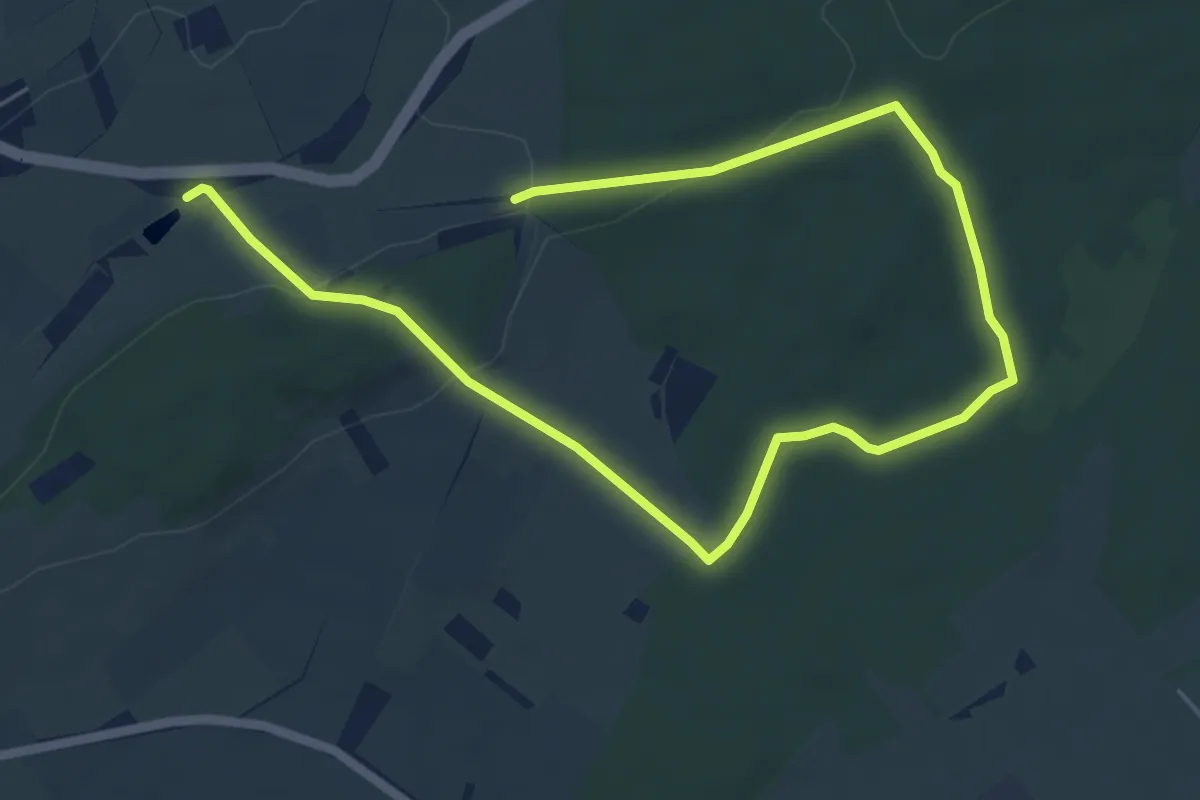
Medium · Trail
Wittlich 7
8.0 km · ↑ 146 m · 2 h 13 min
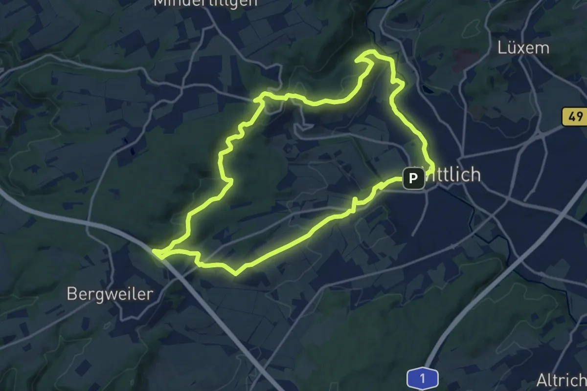
Medium · Trail
Wittlich 8
13.9 km · ↑ 318 m · 4 h 10 min
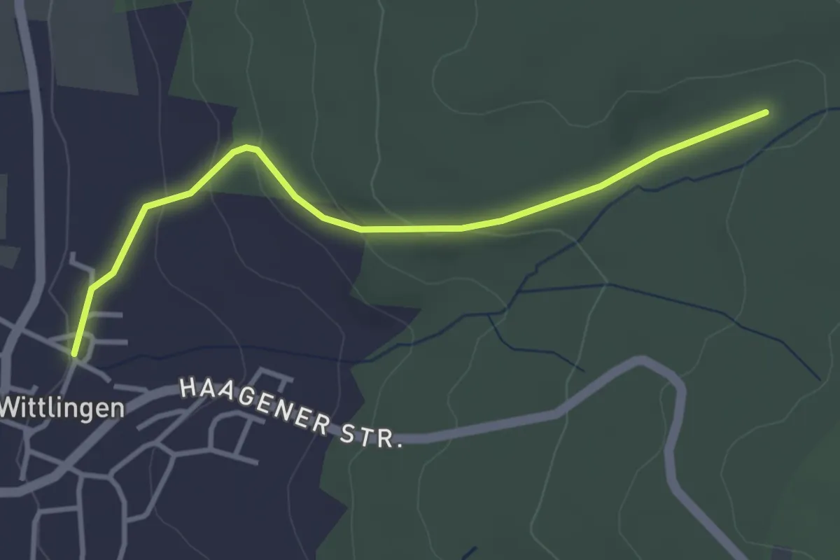
Easy · Trail
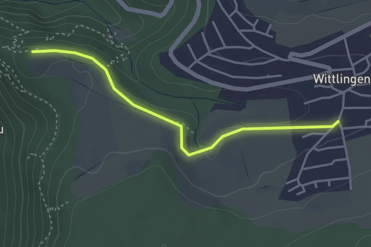
Wittlingen Am Rathaus - Eselplatz
3.3 km · ↑ 115 m · 1 h 1 min
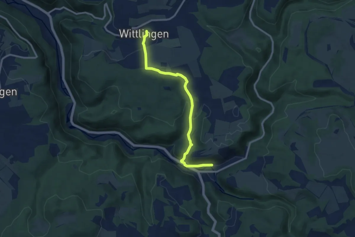
Easy · Trail
Wittlingen - Hohenwittlingen
2.9 km · ↑ 42 m · 47 min
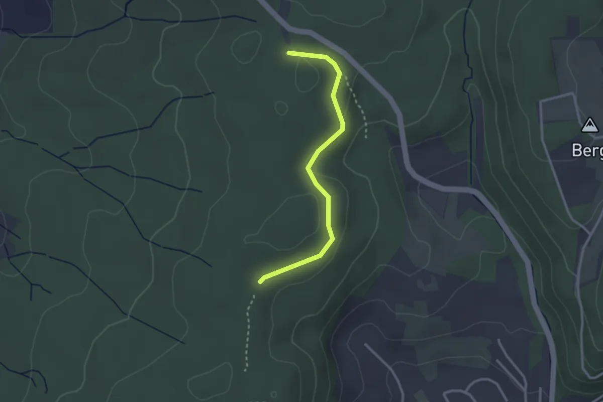
Easy · Trail
Wittlingen - Seeburg
7.2 km · ↑ 282 m · 2 h 19 min
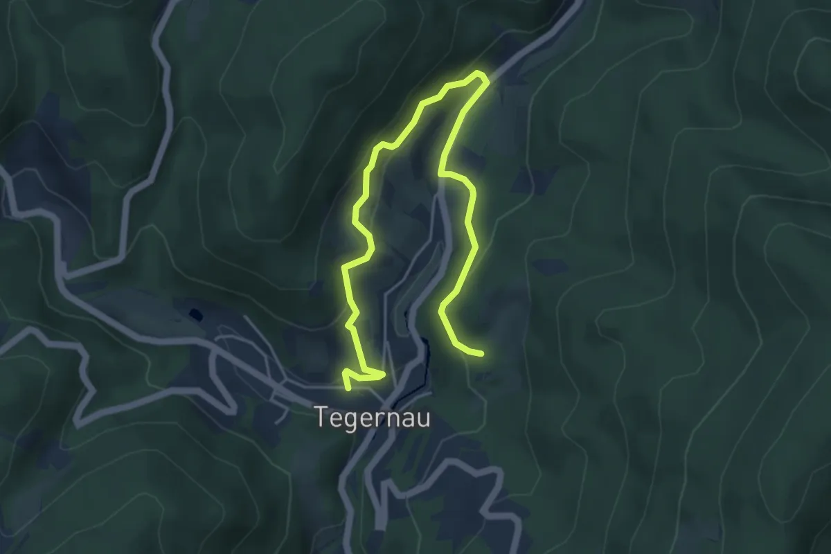
Easy · Trail
Wittlinger Trimm-Dich-Pfad - Am Trimm-Dich-Pfad
2.6 km · ↑ 34 m · 40 min
Easy · Trail
Wittmättle - Tegernau Kircheckweg
5.5 km · ↑ 303 m · 1 h 57 min
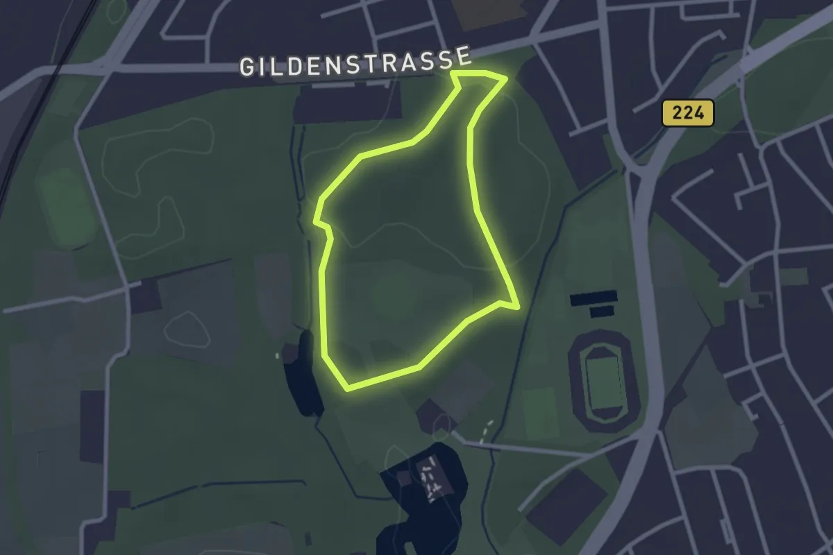
Easy · Trail
Wittringen Rundweg A1
1.9 km · ↑ 23 m · 32 min
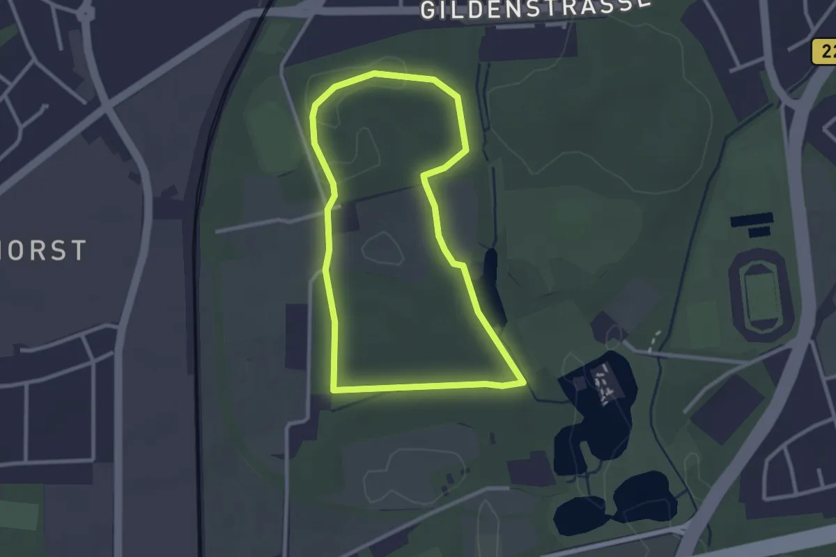
Easy · Trail
Wittringen Rundweg A2
2.3 km · ↑ 15 m · 36 min
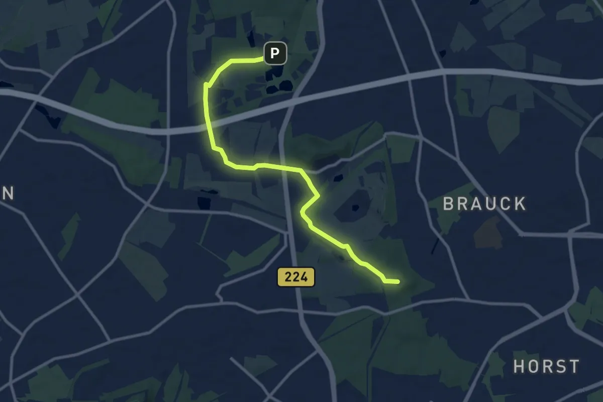
Medium · Summit
Wittringer Weg
8.8 km · ↑ 47 m · 2 h 11 min
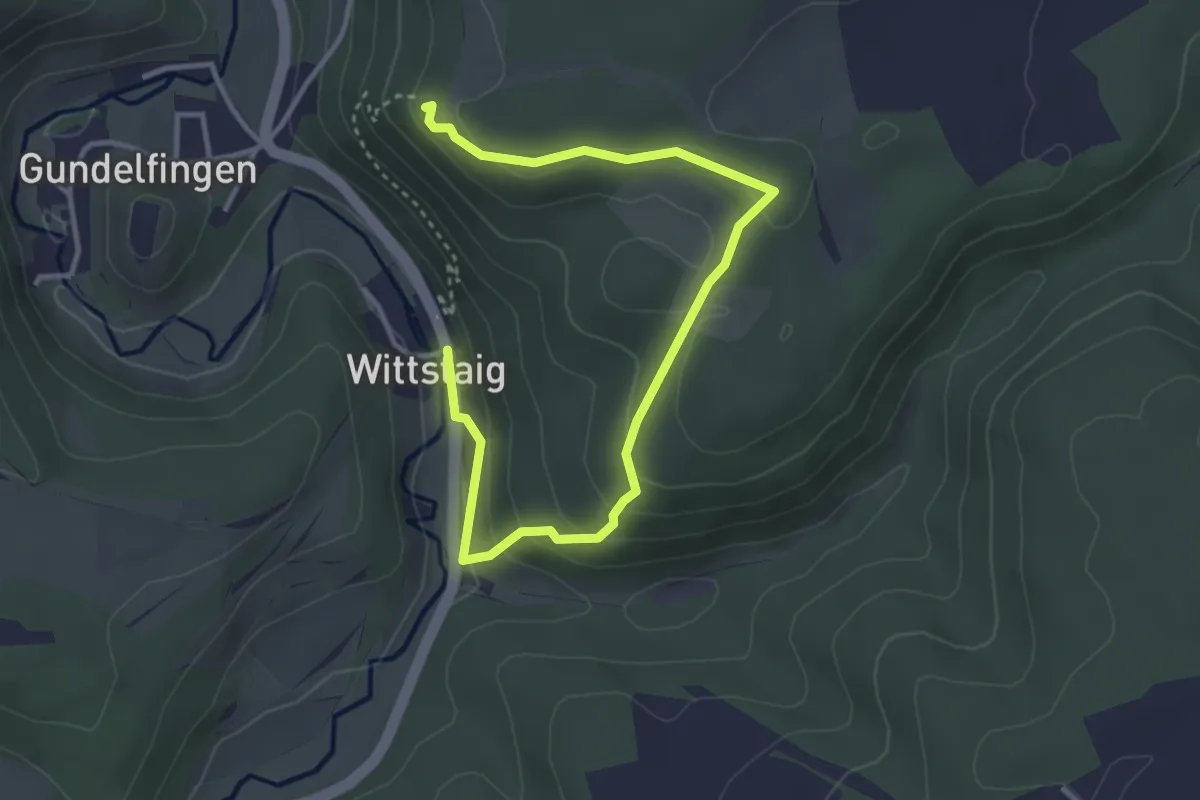
Medium · Trail
Wittstaig - Hohengundelfingen
4.2 km · ↑ 201 m · 1 h 26 min
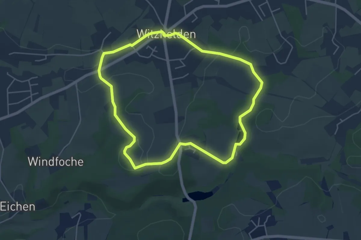
Easy · Trail
Witzhelden Rundweg A1
4.0 km · ↑ 76 m · 1 h 10 min
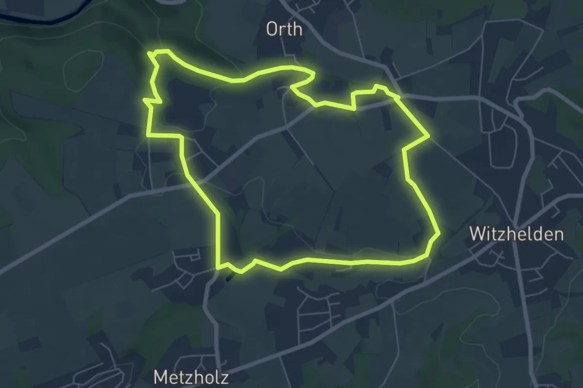
Easy · Trail
Witzhelden Rundweg A2
5.7 km · ↑ 97 m · 1 h 38 min
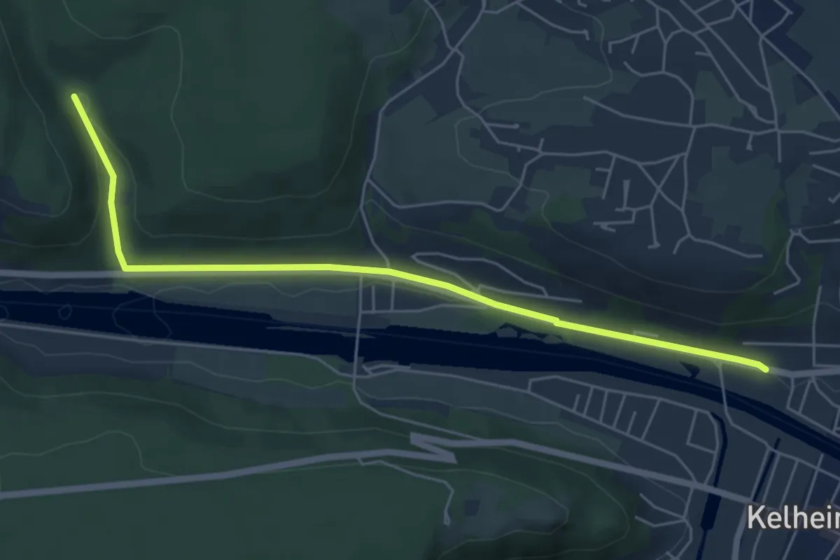
Easy · Trail
W ... Kelheim - ... (Grünes Rechteck)
5.7 km · ↑ 84 m · 1 h 31 min
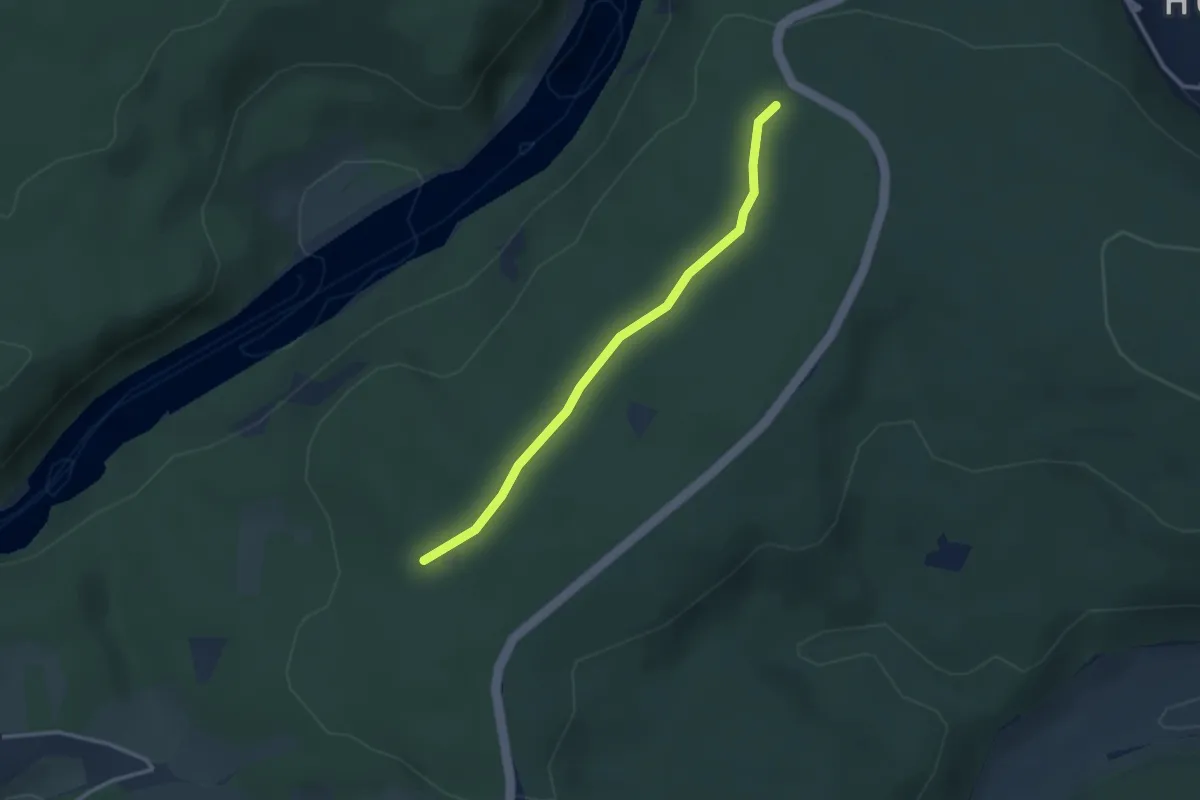
Easy · Trail
W ... Kelheim - Weltenburg (Grünes Rechteck)
2.7 km · ↑ 19 m · 41 min
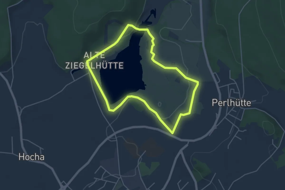
Easy · Trail
Wm02 (Perlseerundwanderweg)
3.7 km · ↑ 60 m · 1 h 4 min
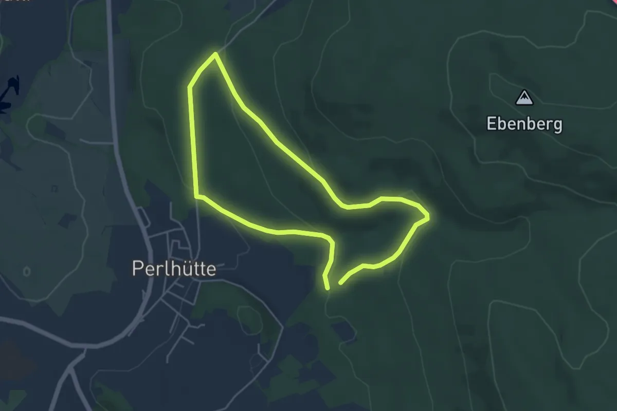
Easy · Trail
Wm04 (Notarsteig)
3.8 km · ↑ 97 m · 1 h 10 min
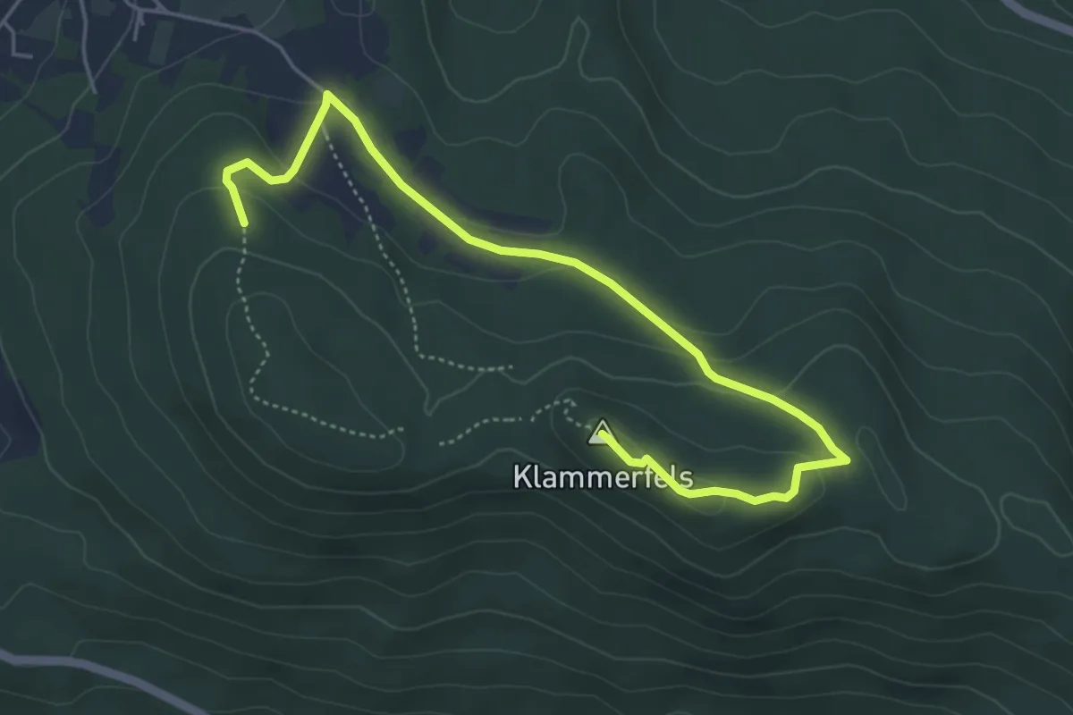
Medium · Summit
Wm06 (Klammerfelssteig)
5.4 km · ↑ 146 m · 1 h 36 min
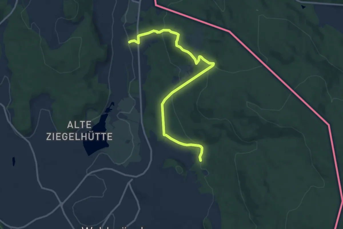
Easy · Summit
Wm07 (Napoleonweg)
4.9 km · ↑ 181 m · 1 h 40 min
Easy · Trail
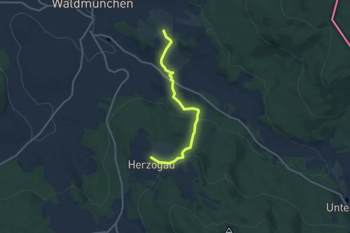
Wm08 (Fuchsienwiesweg)
6.4 km · ↑ 253 m · 2 h 3 min
Easy · Trail
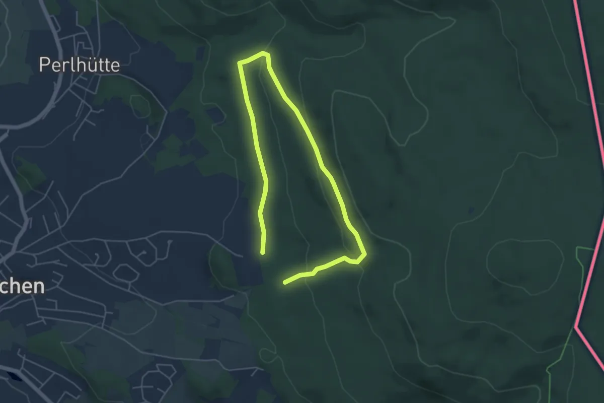
Wm10 (Kohlenmeilerweg)
3.4 km · ↑ 117 m · 1 h 5 min
Medium · Trail
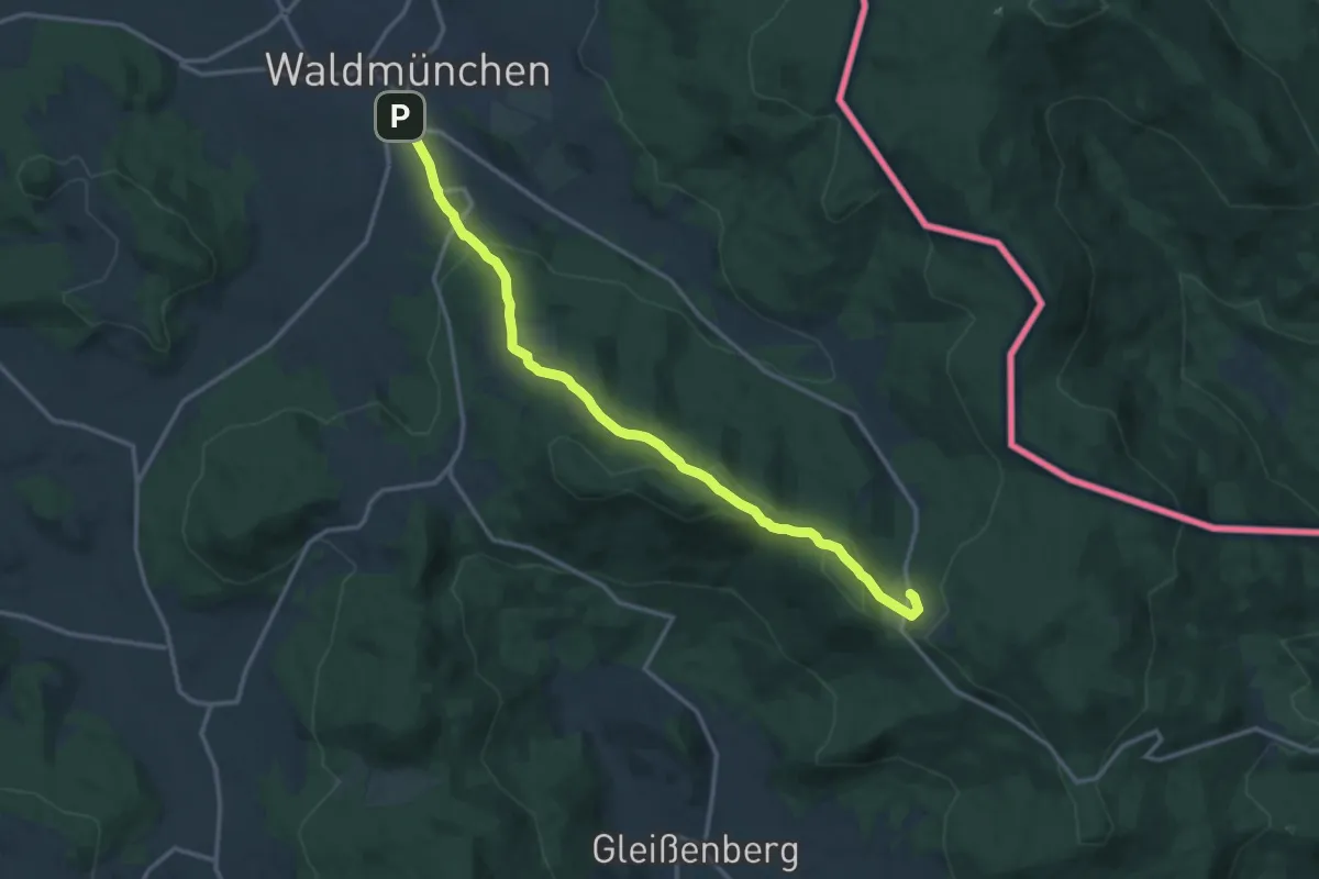
Wm11 (Grüntannlweg)
13.9 km · ↑ 489 m · 4 h 20 min
Easy · Summit
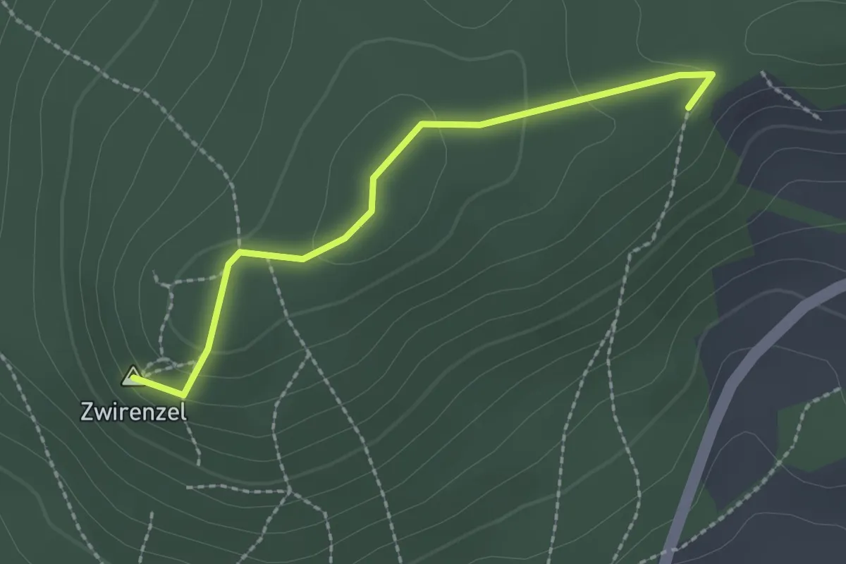
Wm14 »Geiganter Zwirenzelweg«
2.0 km · ↑ 80 m · 39 min
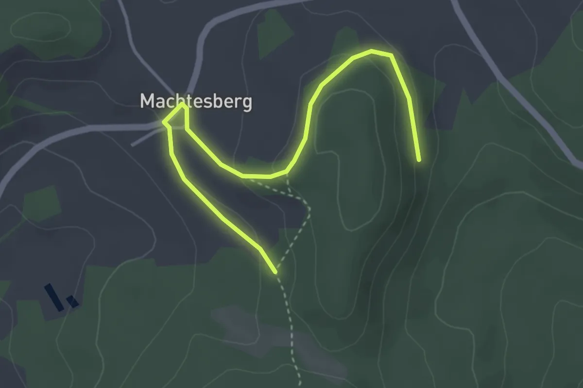
Easy · Trail
Wm16 »Machtesberger Weg«
3.7 km · ↑ 134 m · 1 h 10 min
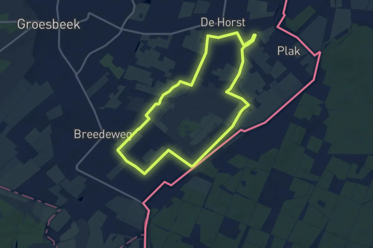
Easy · Trail
WNW Arnhem Nijmegen - Groesbeek Breedeweg - zwarte route
7.8 km · ↑ 4 m · 1 h 58 min
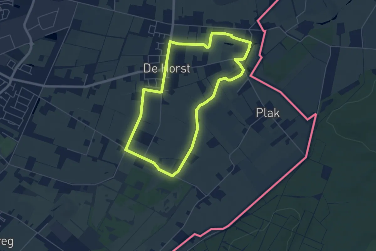
Easy · Trail
WNW Arnhem Nijmegen - Groesbeek de Horst - blauwe route
4.7 km · ↑ 0 m · 1 h 11 min
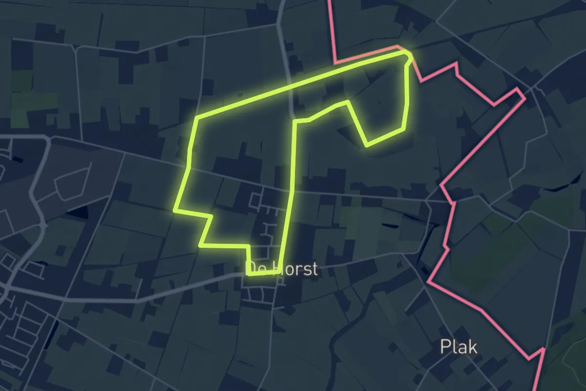
Easy · Trail
WNW Arnhem Nijmegen - Groesbeek De Horst - groene route
5.0 km · ↑ 4 m · 1 h 15 min