Trails in Germany
36,877 hiking trails, each with its route, climb, walking time and grade.
All trails, page 734 of 769
Medium · Trail
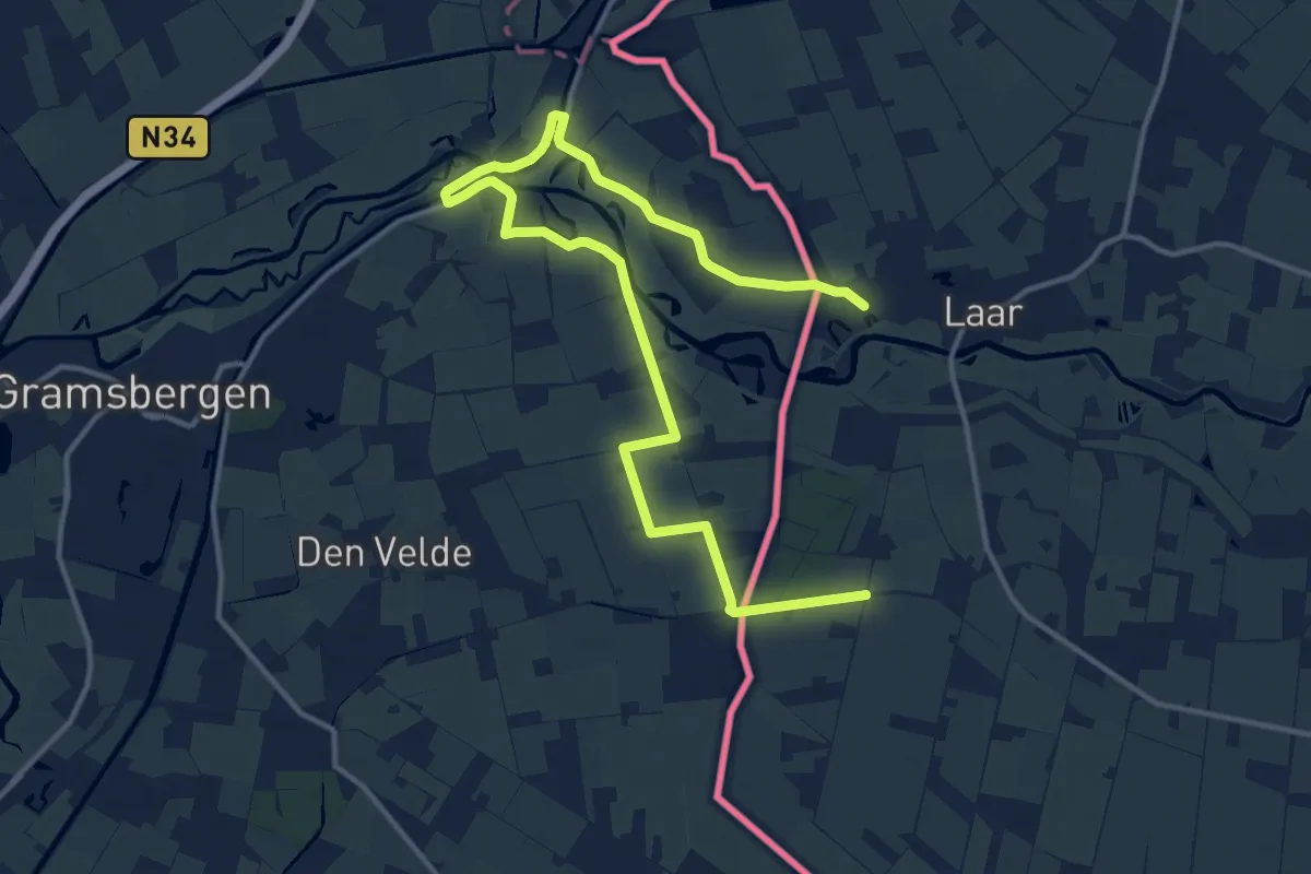
WNW Vechtdal -De Haandrik/Holthemerbroek/Laar - gele route
8.1 km · ↑ 0 m · 2 h 2 min
Easy · Trail
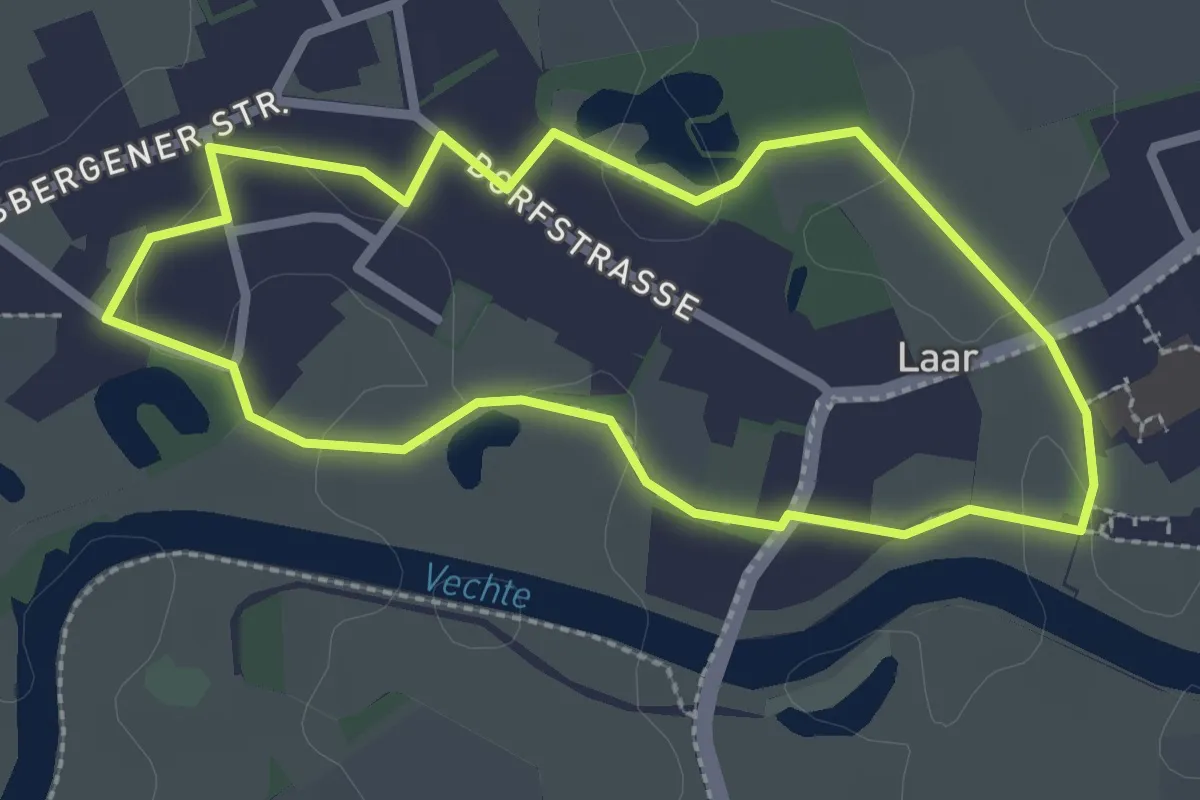
WNW Vechtdal - Laar - rode route
2.2 km · ↑ 4 m · 33 min
Medium · Trail
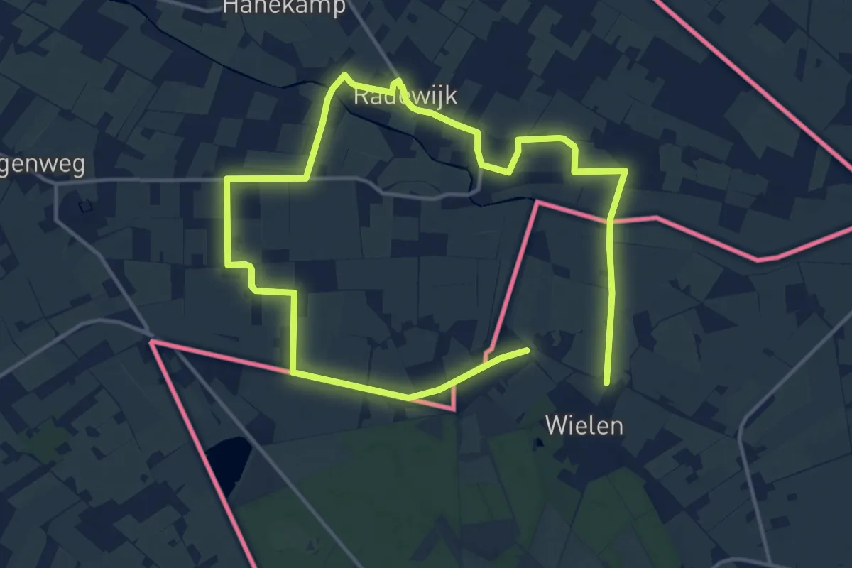
WNW Vechtdal - Radewijk - groene route
10.3 km · ↑ 4 m · 2 h 35 min
Medium · Summit
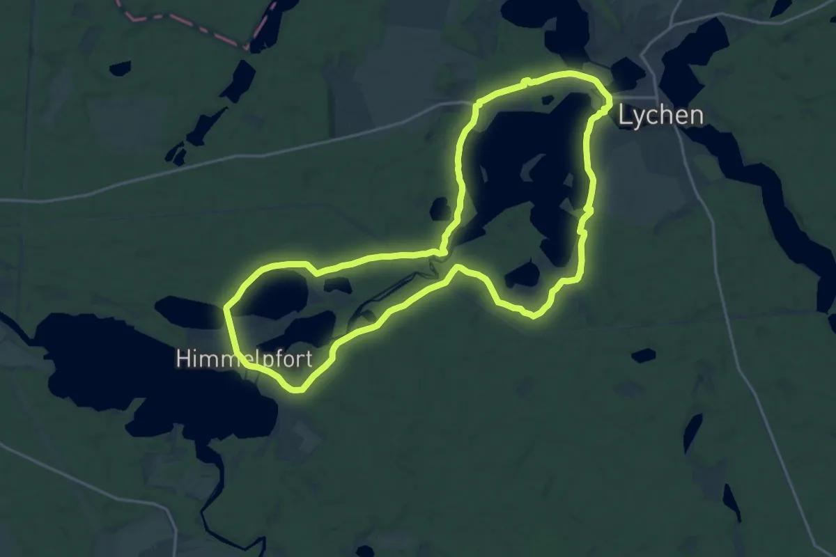
Woblitzrundweg
17.6 km · ↑ 122 m · 4 h 40 min
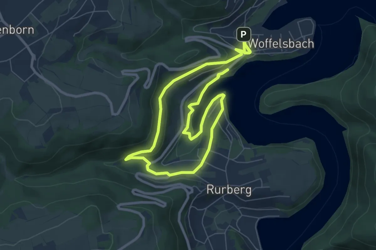
Medium · Trail
Woffelsbach - Rurberg - Woffelsbach
10.8 km · ↑ 204 m · 2 h 59 min
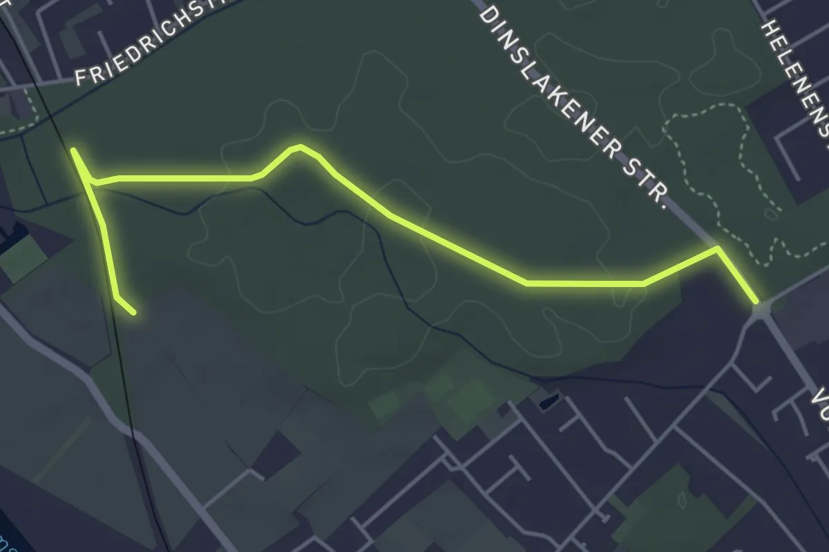
Easy · Trail
Wohnungswald Rundweg A1
2.2 km · ↑ 13 m · 34 min
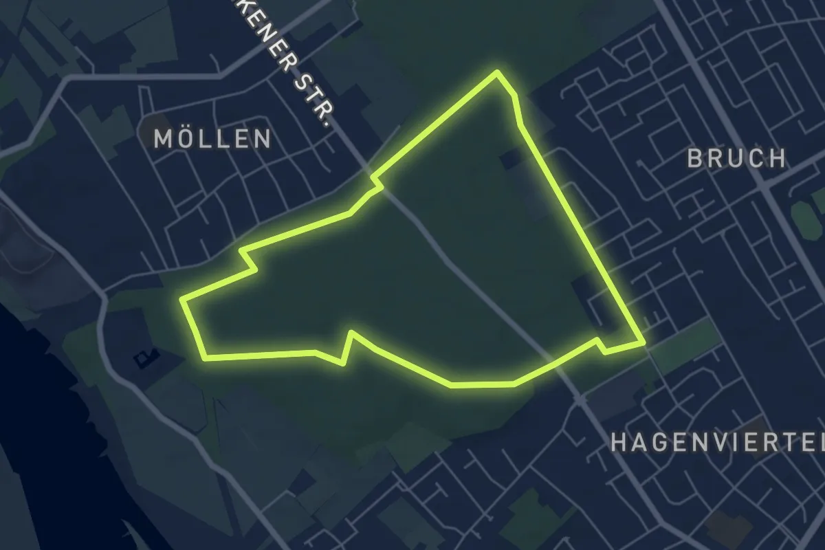
Easy · Trail
Wohnungswald Rundweg A2
5.1 km · ↑ 14 m · 1 h 19 min
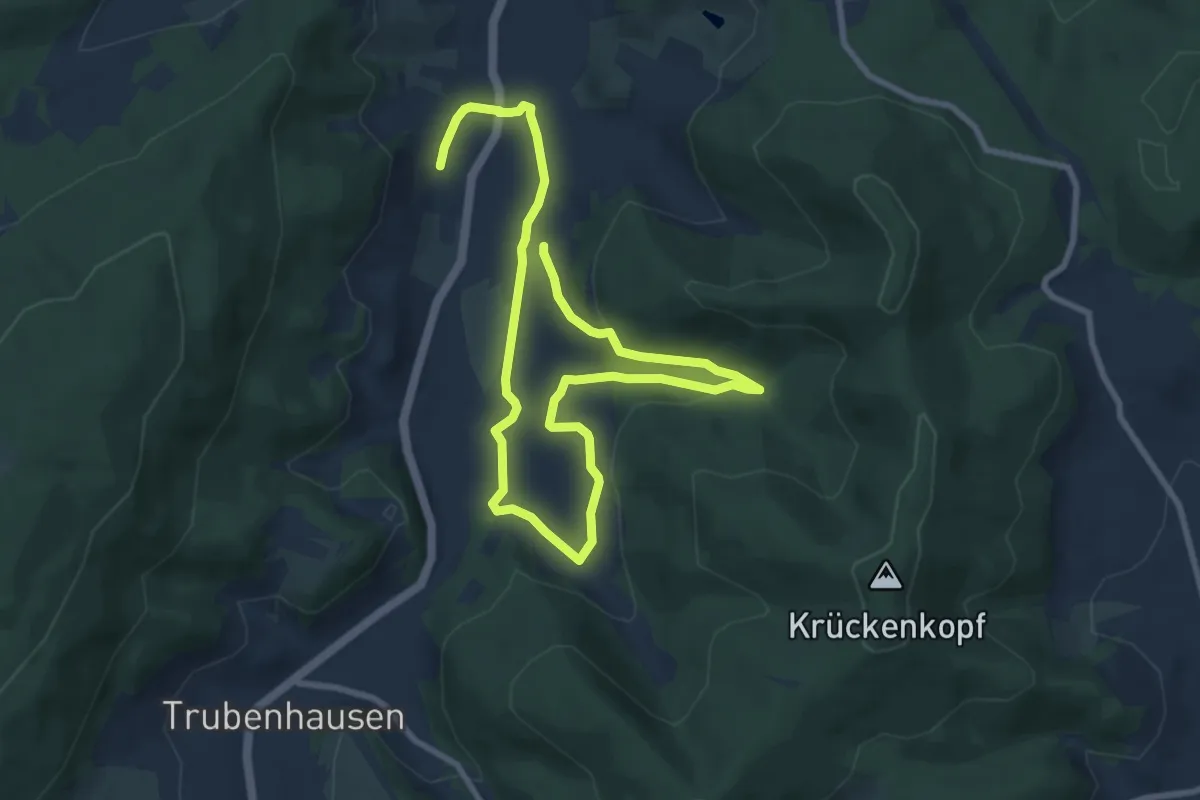
Medium · Trail
Woinsrunger Wanderweg
11.6 km · ↑ 353 m · 3 h 31 min
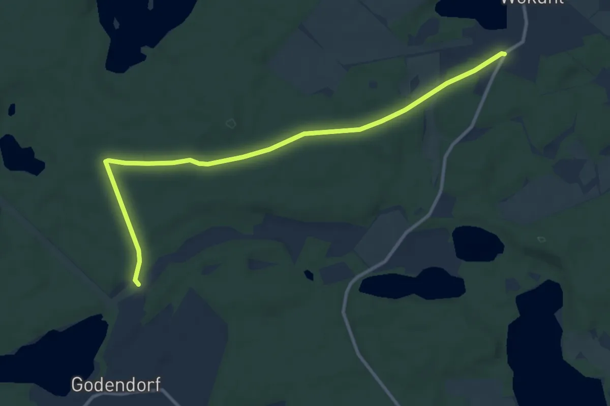
Medium · Trail
Wokuhl-Godendorf
8.5 km · ↑ 43 m · 2 h 6 min
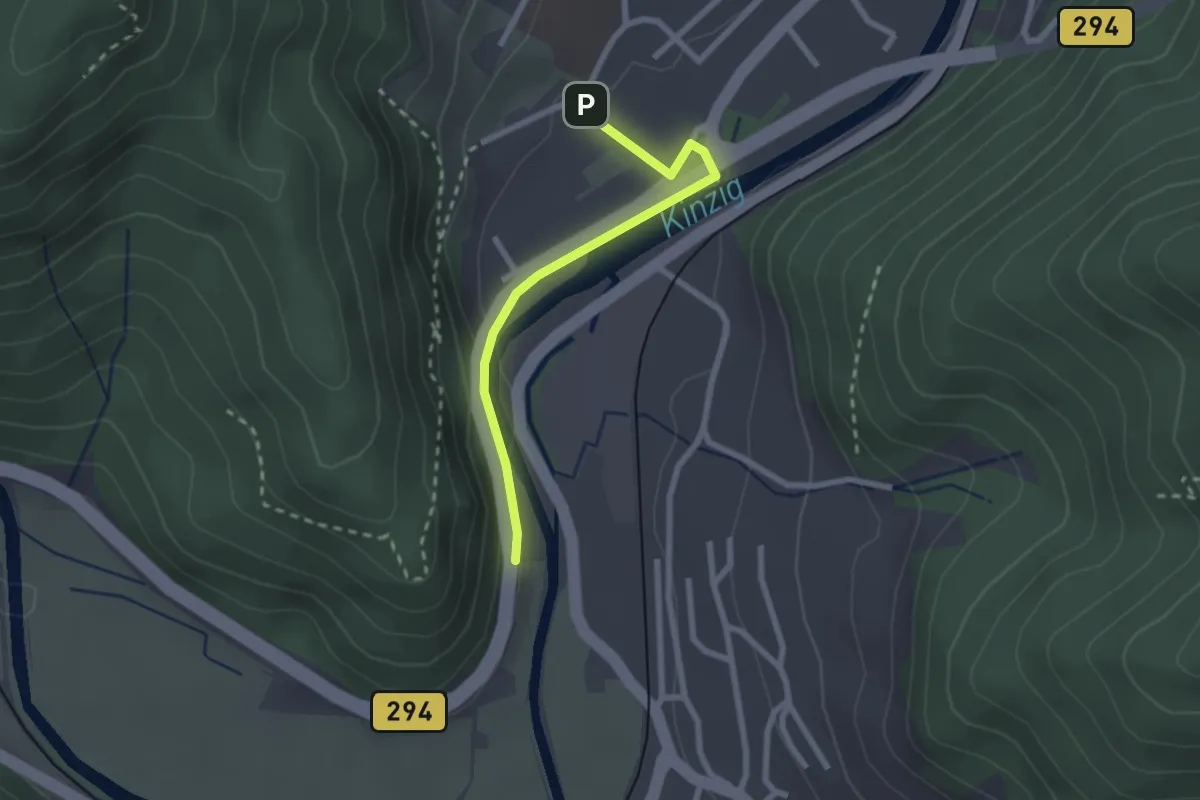
Easy · Trail
Wolfach Glashütte - Radwegbrücke
2.2 km · ↑ 68 m · 40 min
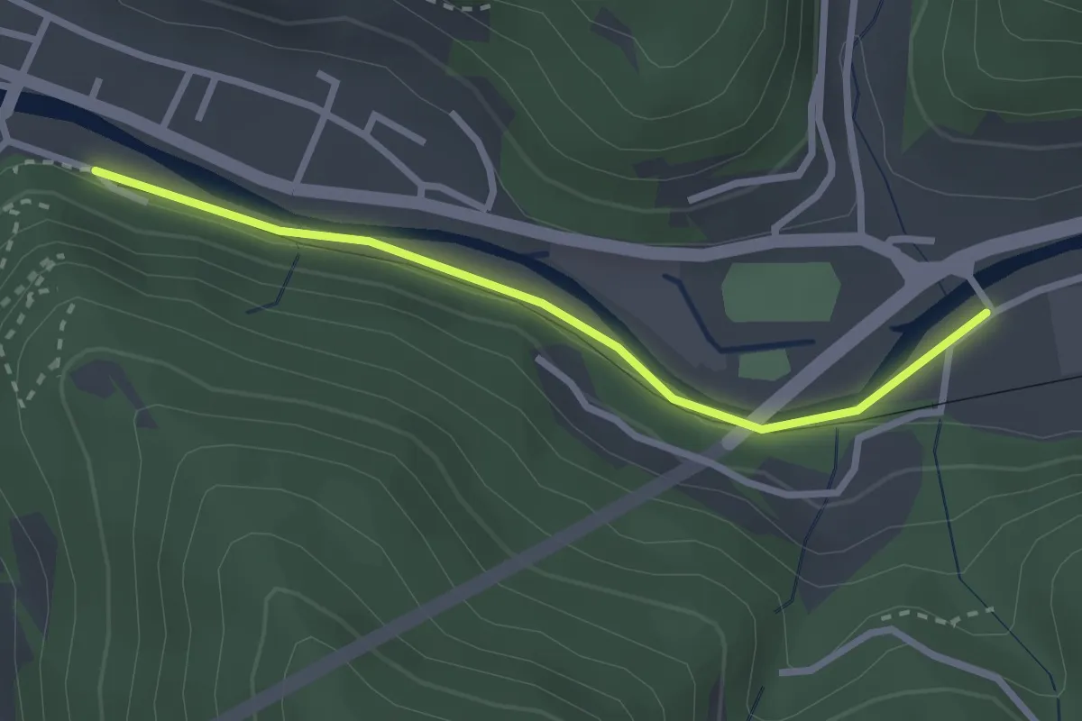
Easy · Trail
Wolfach Schmelzebrücke - St. Jakobsweg
2.5 km · ↑ 30 m · 39 min
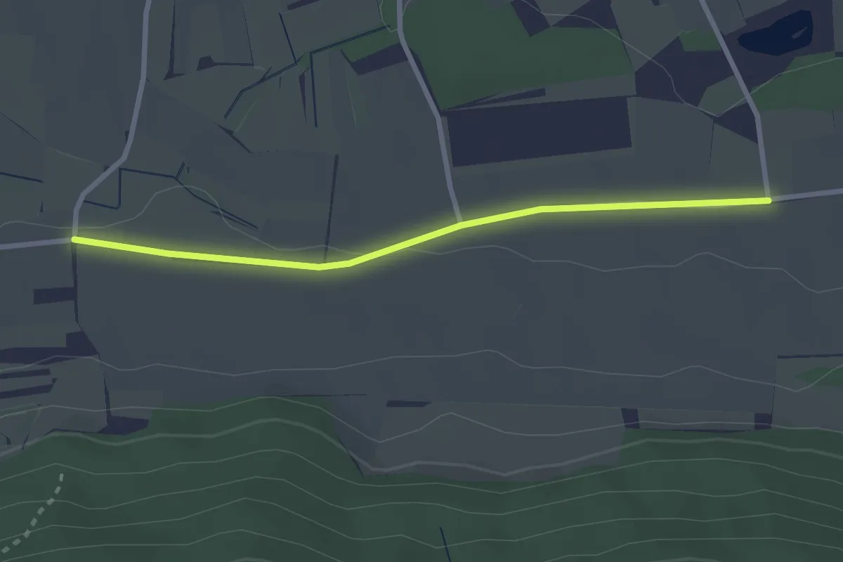
Easy · Trail
Wolfacker - Feldkreuz Hittisheim
2.5 km · ↑ 13 m · 38 min
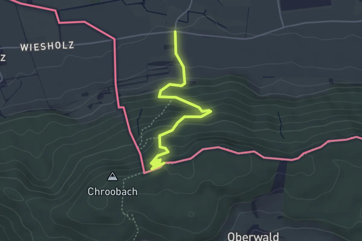
Easy · Trail
Wolfacker - Serpentinenweg
3.8 km · ↑ 238 m · 1 h 25 min
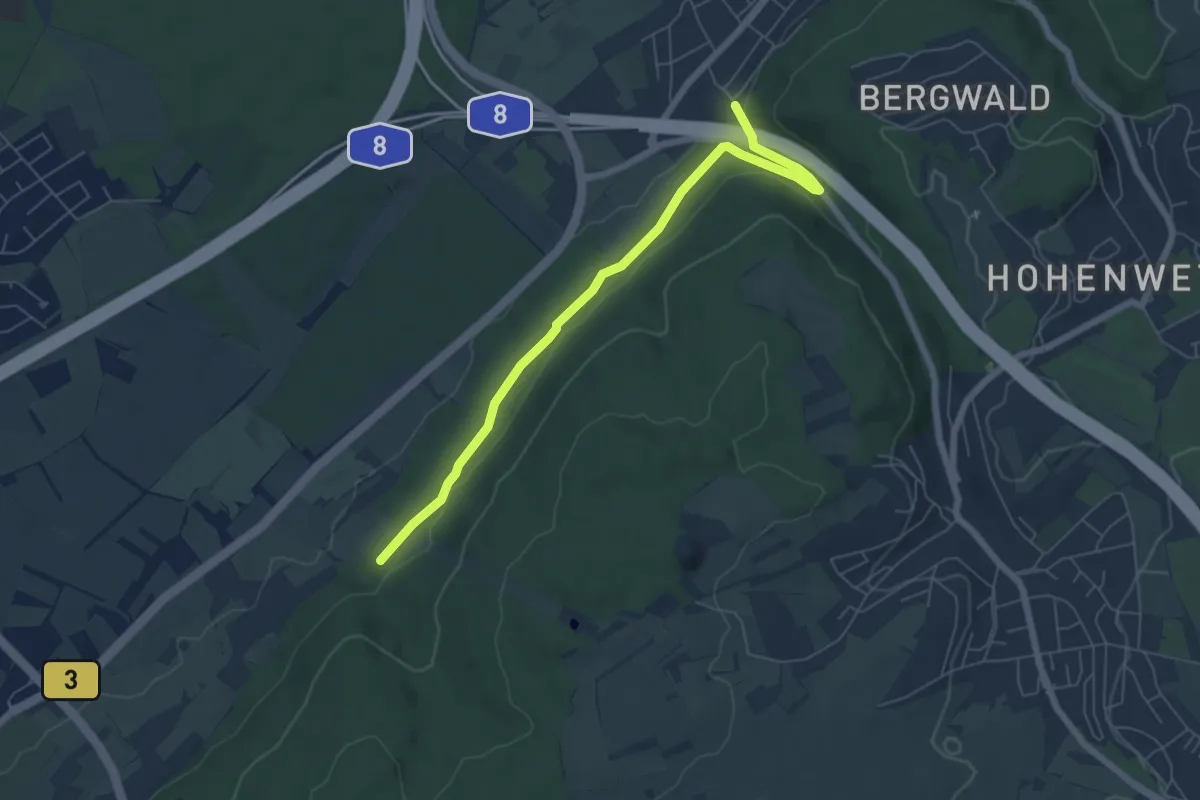
Easy · Trail
Wolfartsweier Freibad - Alter Saumweg
6.2 km · ↑ 144 m · 1 h 47 min
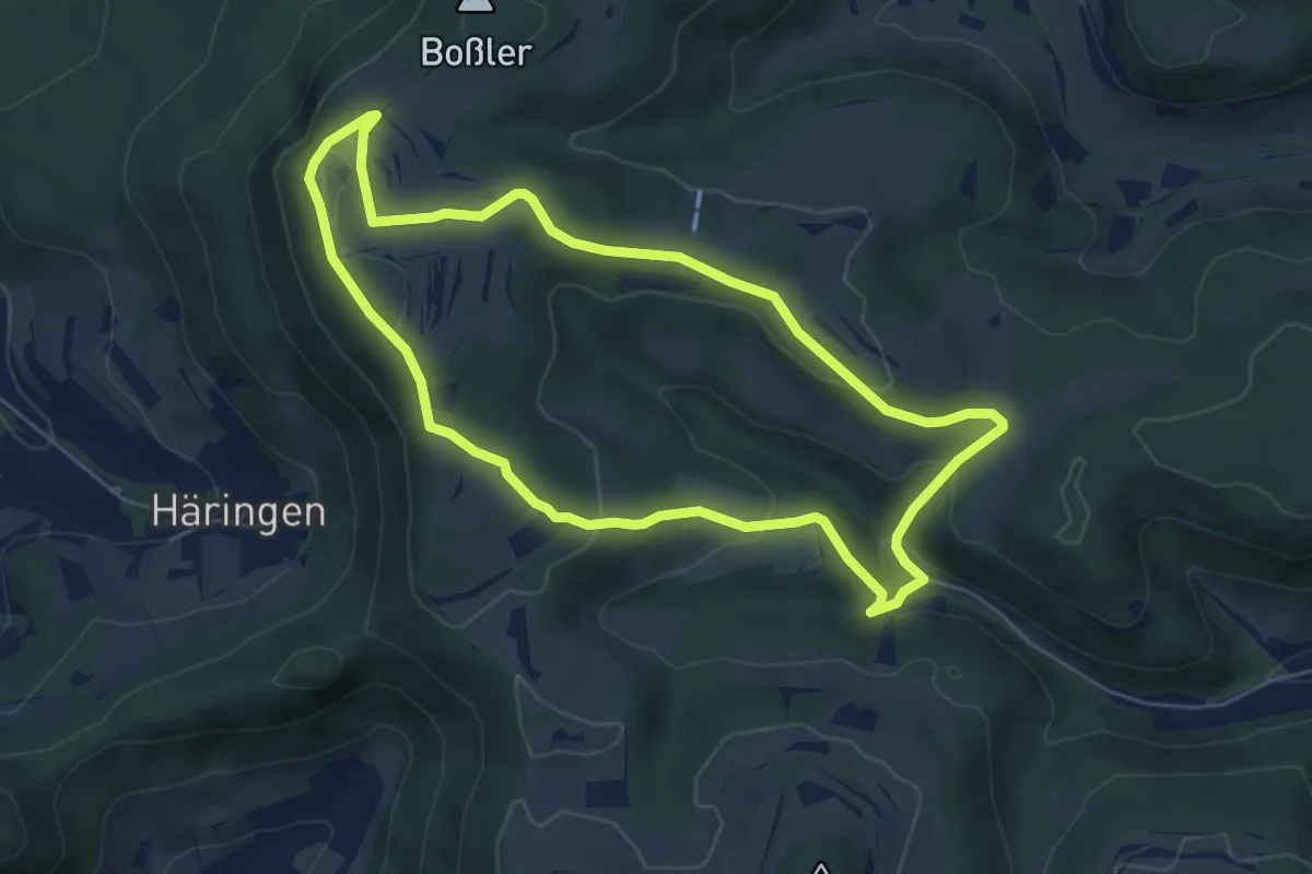
Easy · Trail
Wolfbühlrunde
5.7 km · ↑ 171 m · 1 h 47 min
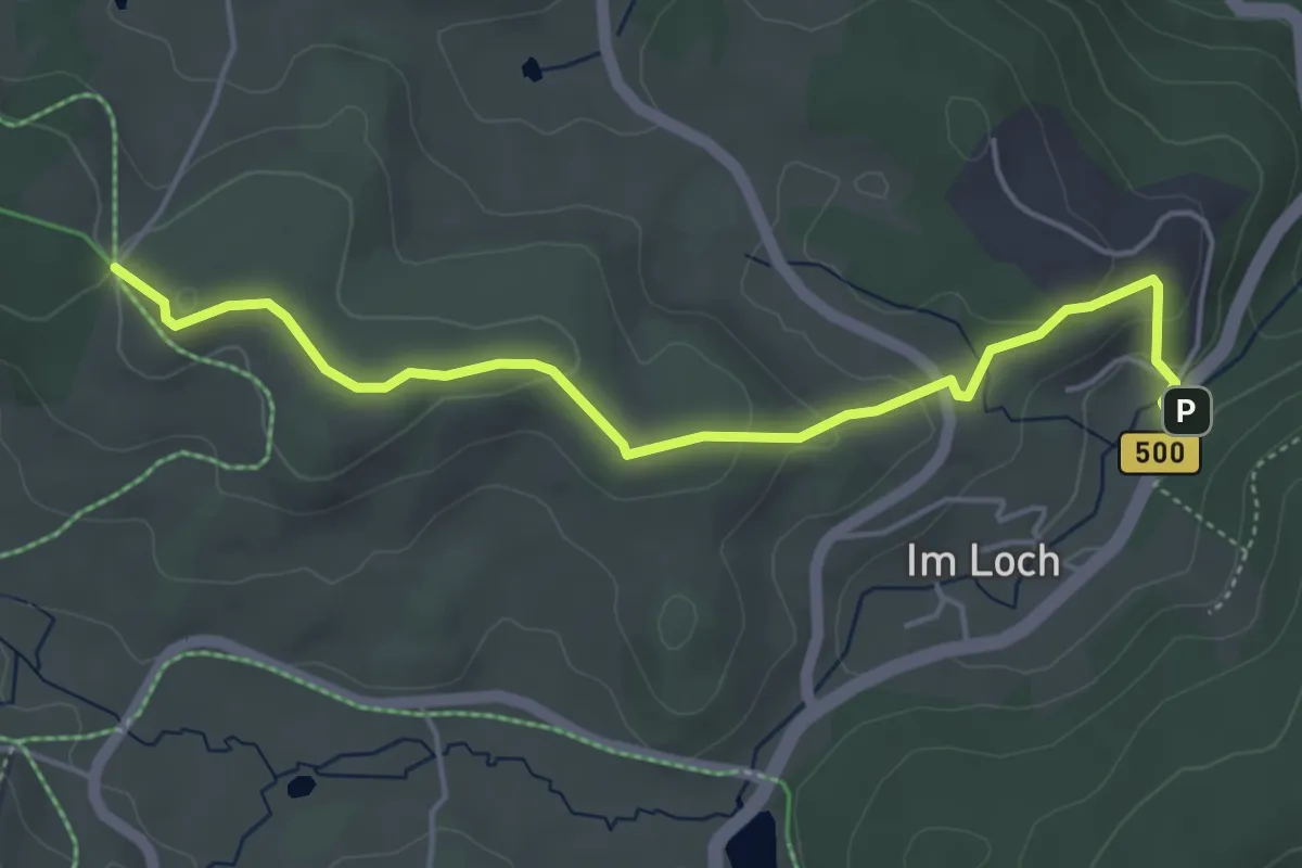
Easy · Trail
Wolfdeibishöhe - Adelheid
4.8 km · ↑ 136 m · 1 h 26 min
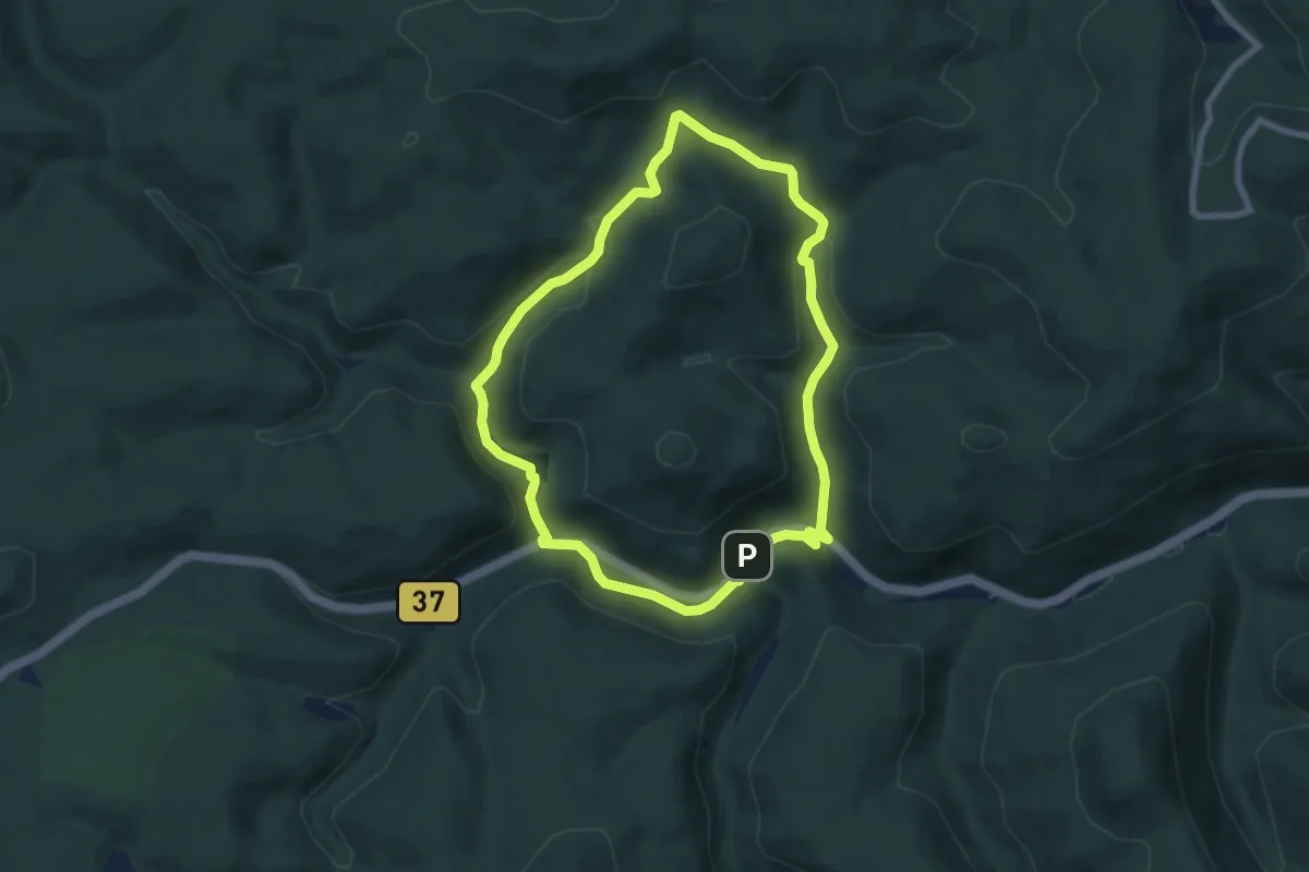
Easy · Trail
Wolfental
6.5 km · ↑ 212 m · 2 h 5 min
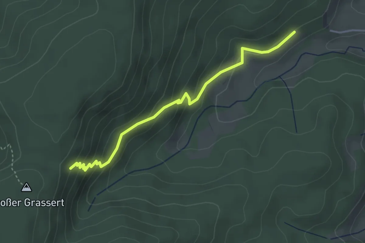
Easy · Trail
Wolfersbacher Halde - Wolfersbacher Wand
3.6 km · ↑ 228 m · 1 h 21 min
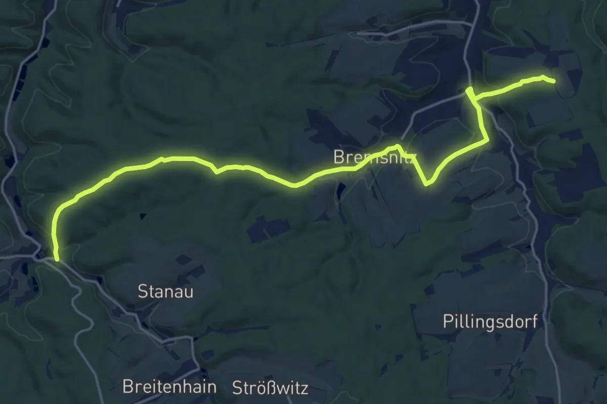
Demanding · Trail
Wolfersdorf - Rothvorwerk
18.3 km · ↑ 451 m · 5 h 18 min
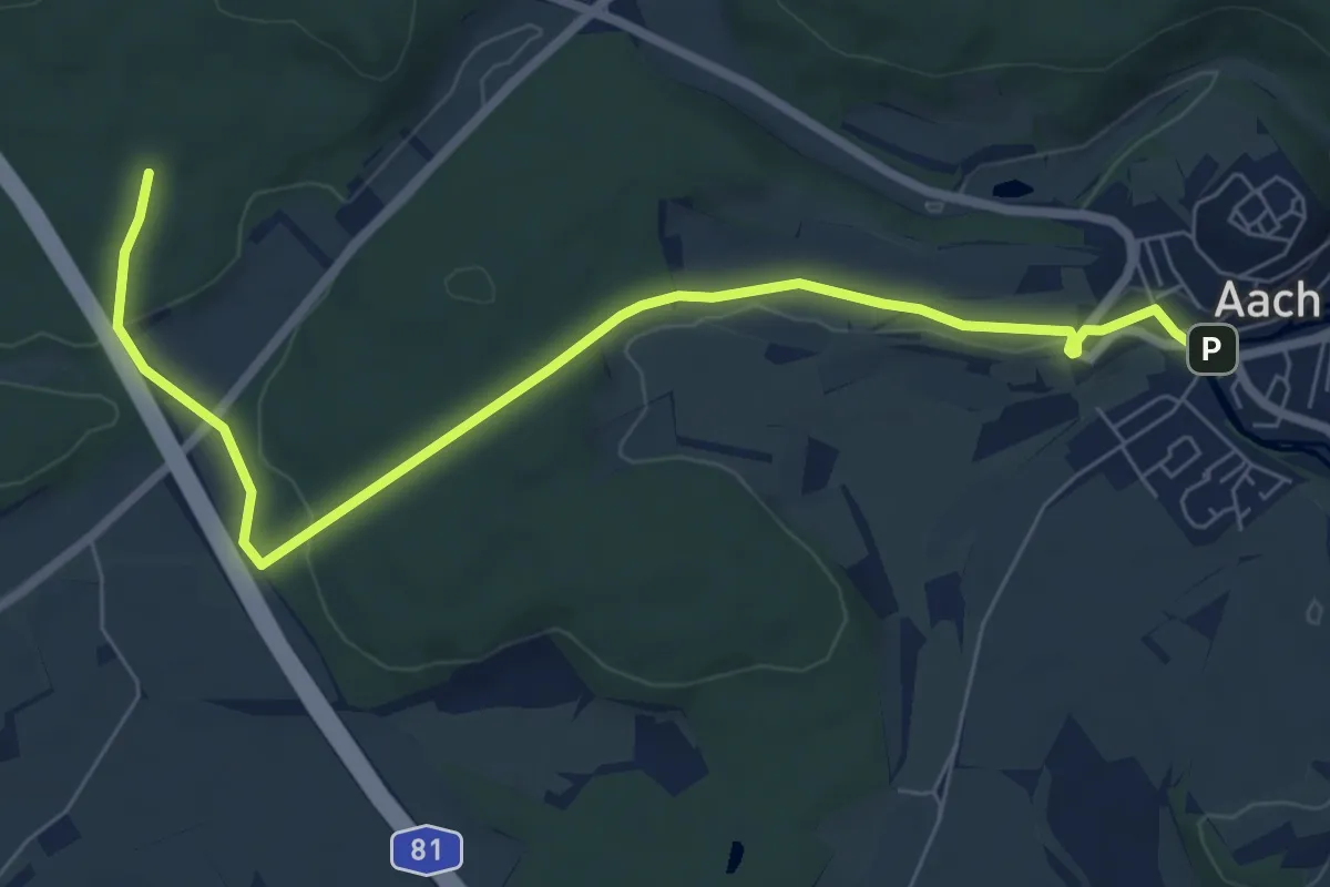
Easy · Trail
Wolfert - Aach Im Dorf
7.8 km · ↑ 155 m · 2 h 10 min
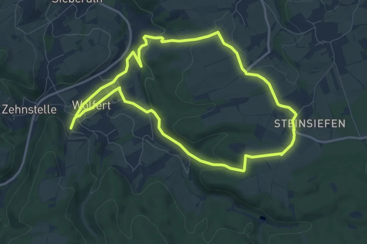
Easy · Trail
Wolfert Rundweg 1
7.5 km · ↑ 156 m · 2 h 13 min
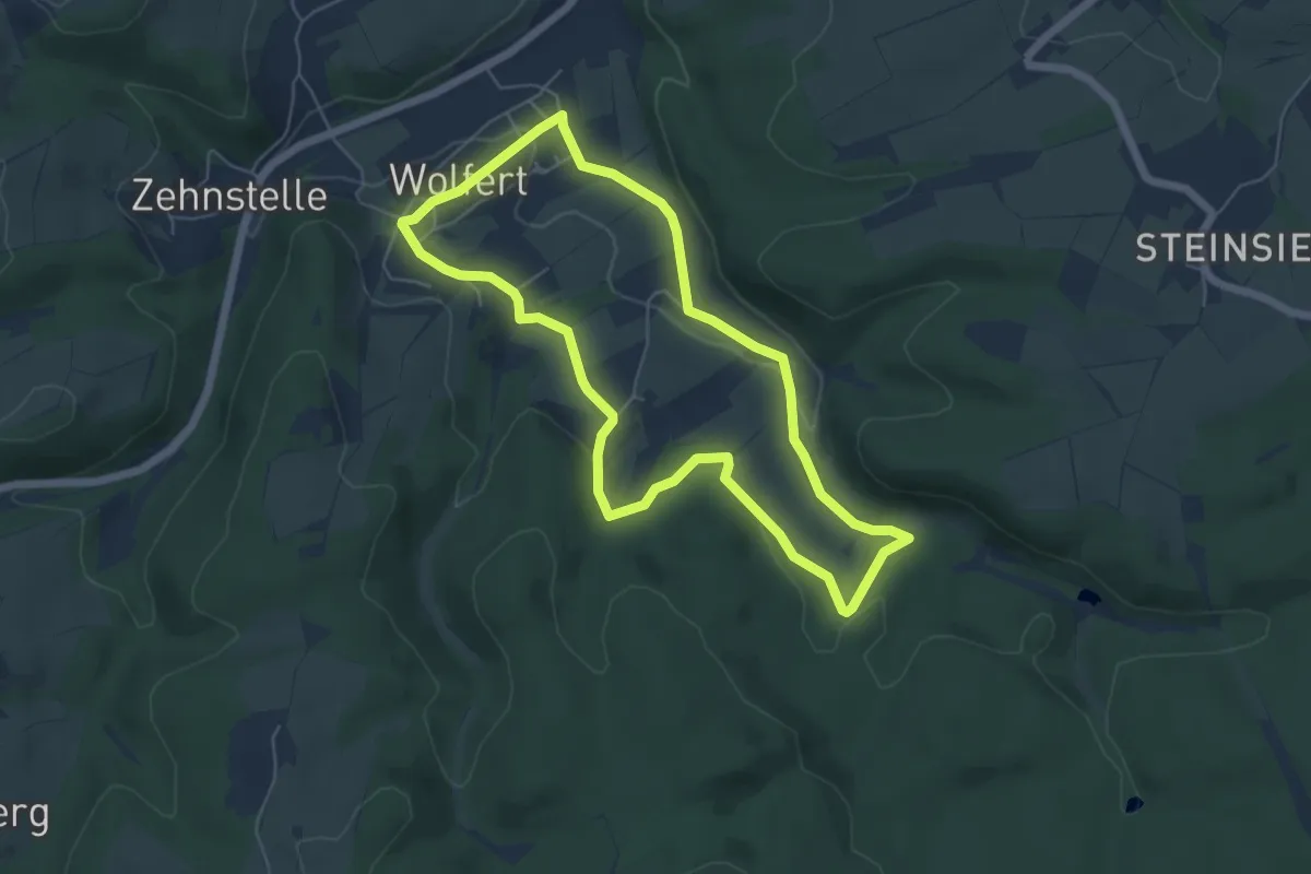
Easy · Trail
Wolfert Rundweg 2
5.0 km · ↑ 98 m · 1 h 28 min
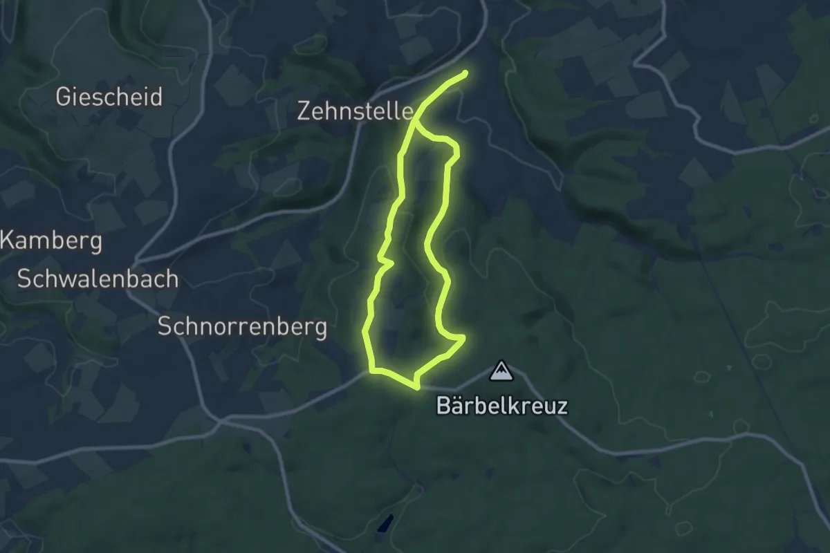
Medium · Trail
Wolfert Rundweg 3
12.8 km · ↑ 326 m · 3 h 44 min
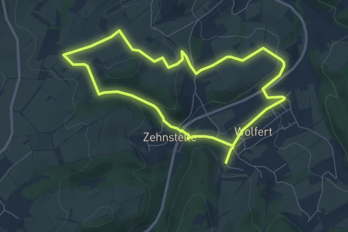
Easy · Trail
Wolfert Rundweg 4
5.4 km · ↑ 127 m · 1 h 38 min
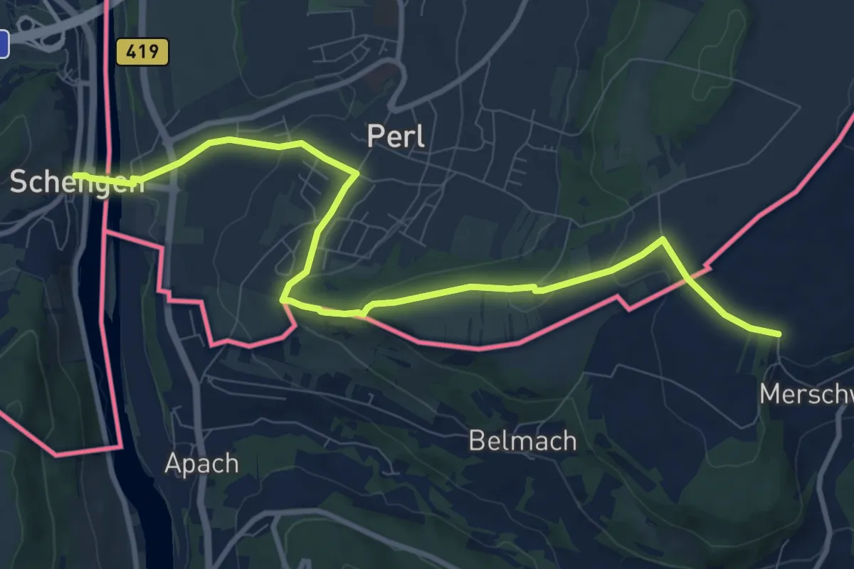
Medium · Trail
Wolfgang-Maria-Rabe-Weg
10.0 km · ↑ 246 m · 2 h 53 min
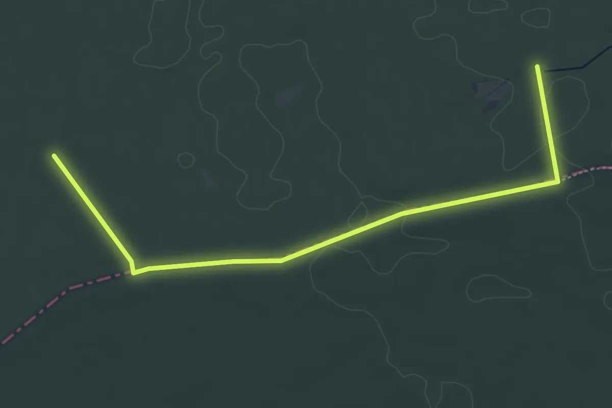
Easy · Trail
Wolfgang - Rundwanderweg Ahorn
2.7 km · ↑ 0 m · 41 min
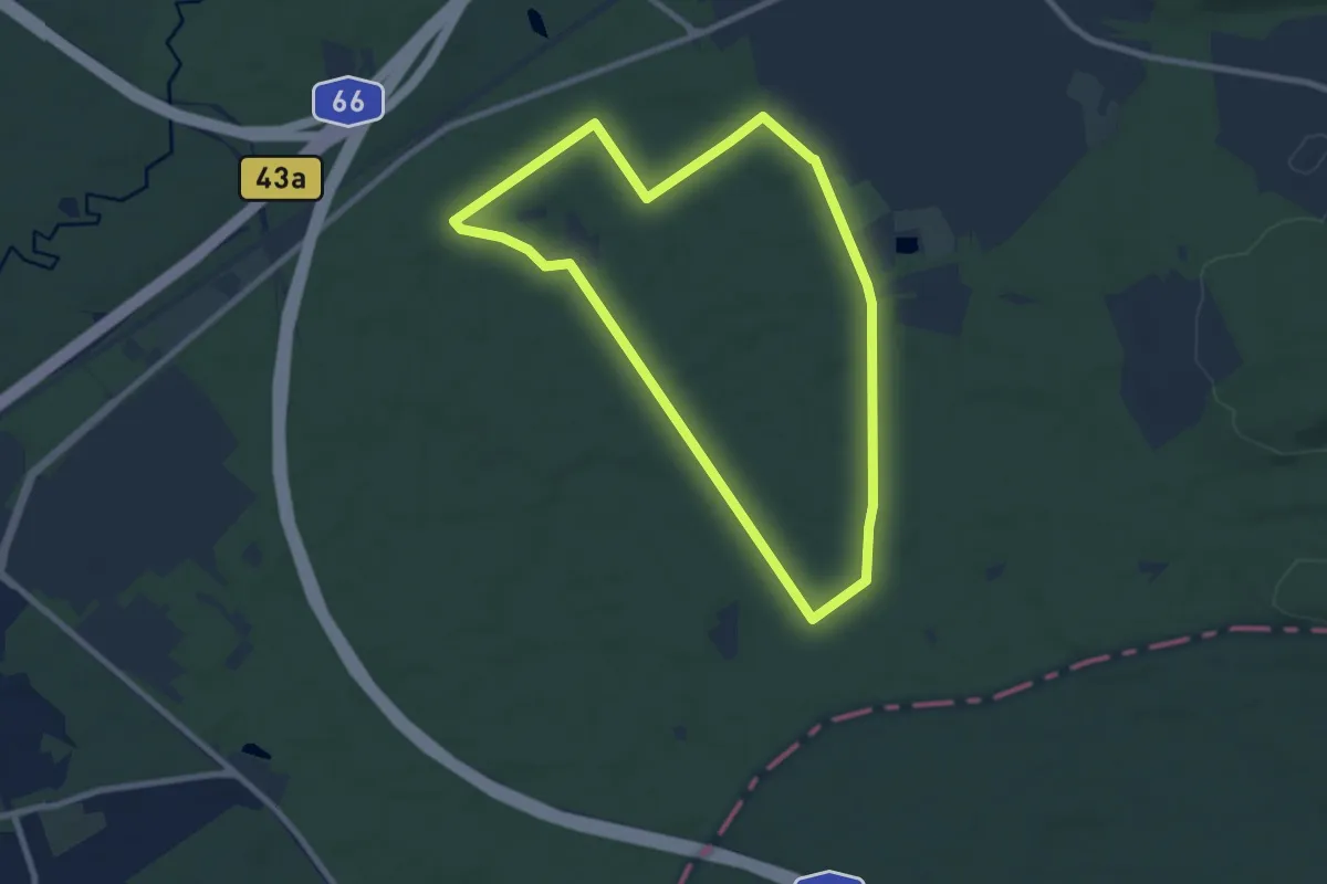
Easy · Trail
Wolfgang - Rundwanderweg Keiler
7.5 km · ↑ 17 m · 1 h 55 min
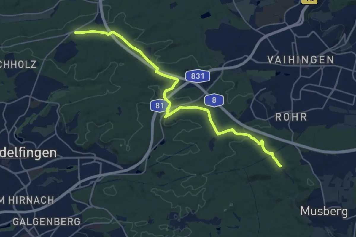
Demanding · Trail
Wolfgang-Schleh-Weg
18.4 km · ↑ 225 m · 4 h 49 min
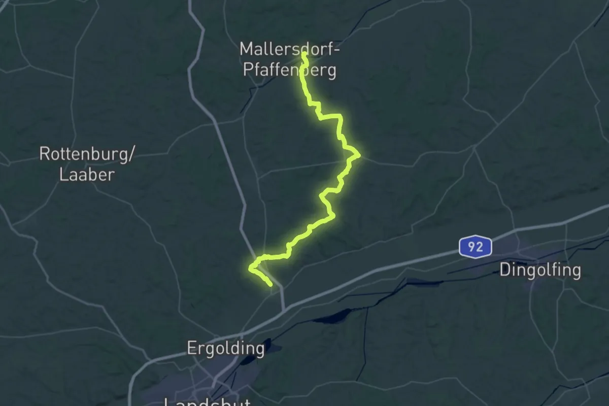
Demanding · Pilgrim path
Wolfgangweg - 03 - Mallersdorf-Essenbach
30.2 km · ↑ 456 m · 8 h 32 min
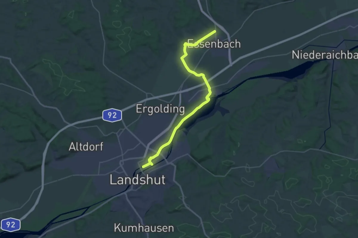
Medium · Pilgrim path
Wolfgangweg - 04 - Essenbach-Landshut
13.5 km · ↑ 13 m · 3 h 24 min
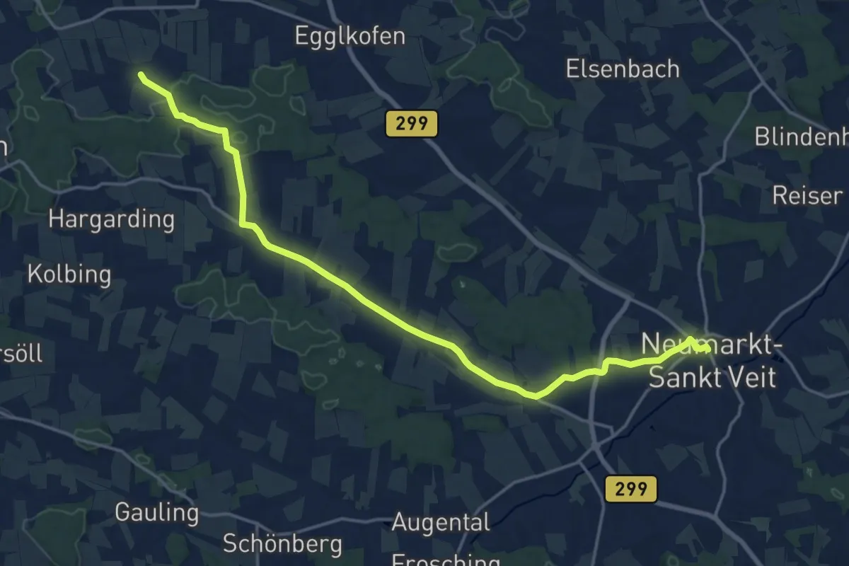
Medium · Pilgrim path
Wolfgangweg - 06 - Vilsbiburg-Neumarkt
8.9 km · ↑ 97 m · 2 h 25 min
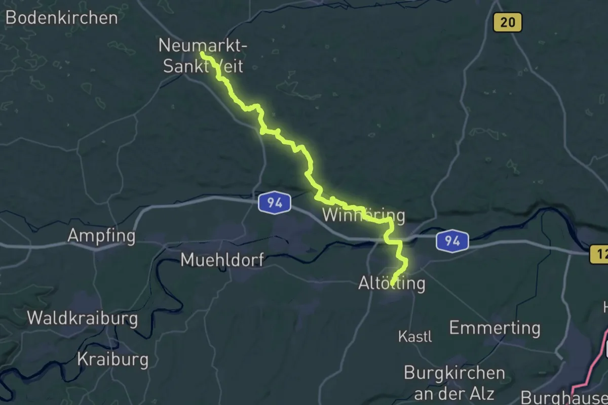
Demanding · Pilgrim path
Wolfgangweg - 07 - Neumarkt-Altötting
28.7 km · ↑ 310 m · 7 h 50 min
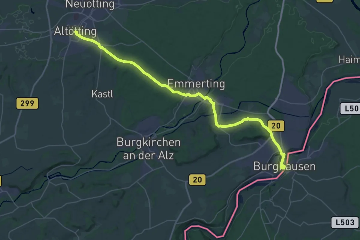
Medium · Pilgrim path
Wolfgangweg - 08 - Altötting-Burghausen
16.8 km · ↑ 120 m · 4 h 29 min
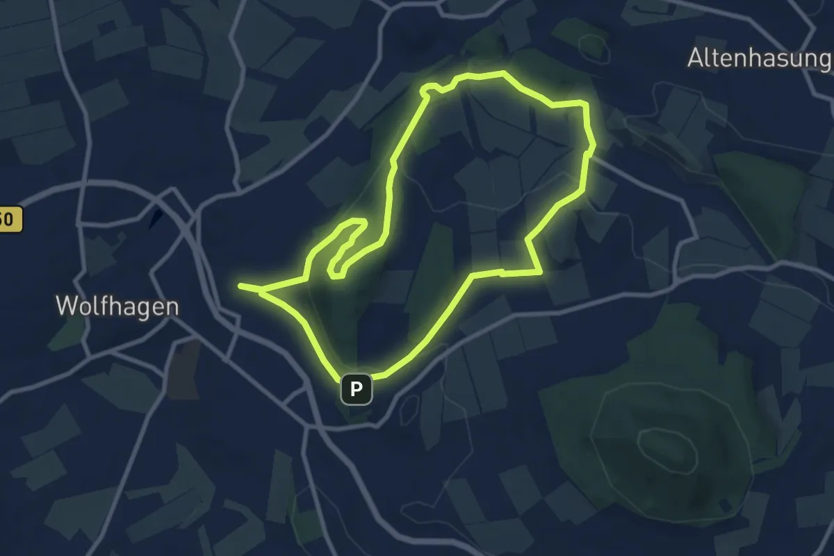
Easy · Summit
Wolfhagen, W2 - Um den Ofenberg
7.8 km · ↑ 193 m · 2 h 22 min
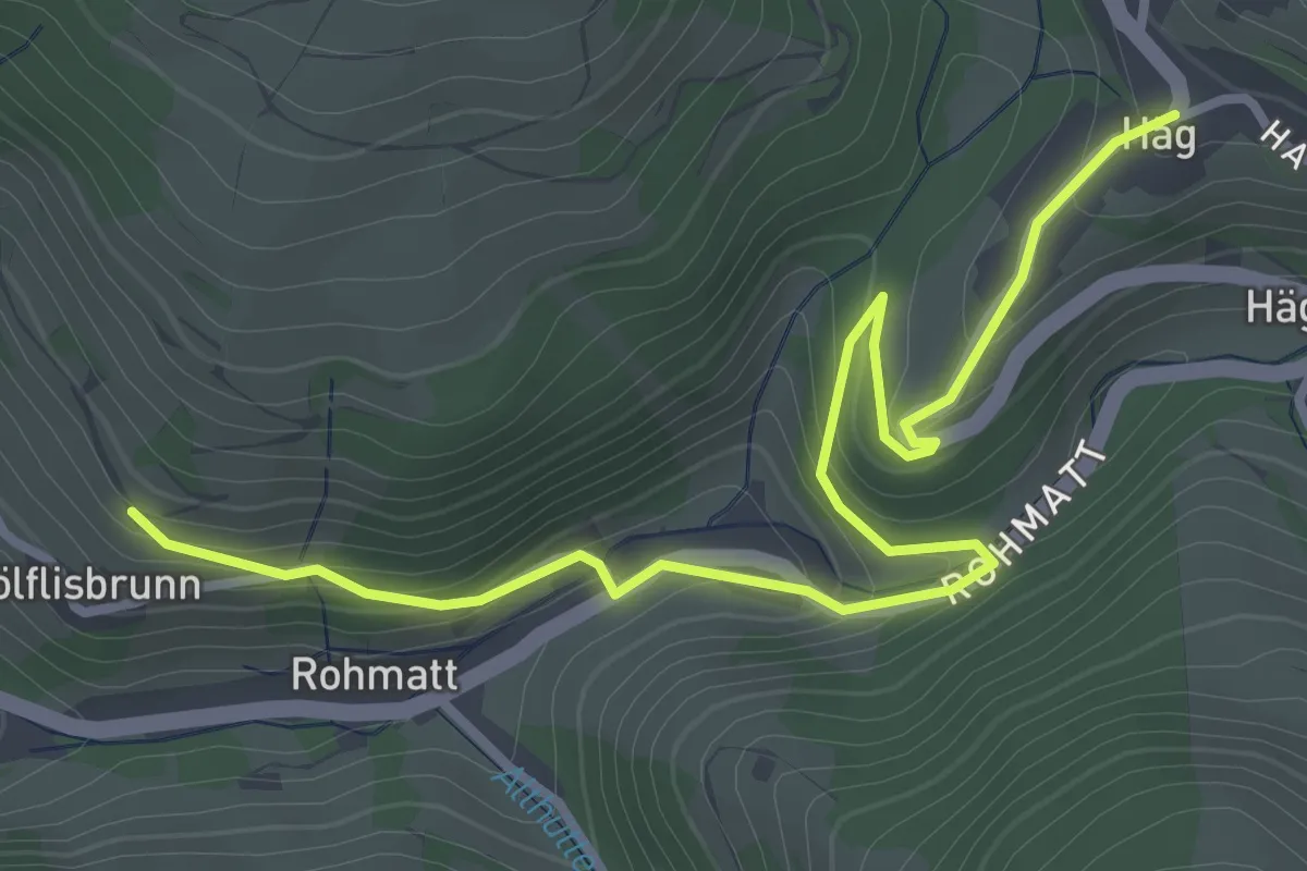
Easy · Trail
Wölflisbrunnen - Häg Dorfmitte
3.7 km · ↑ 229 m · 1 h 23 min
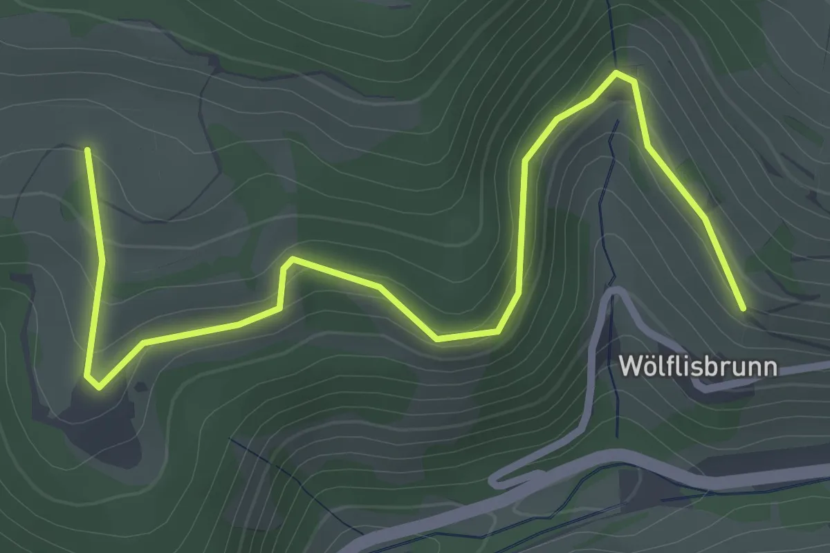
Easy · Trail
Wölflisbrunnen - Schweine
3.0 km · ↑ 172 m · 1 h 5 min
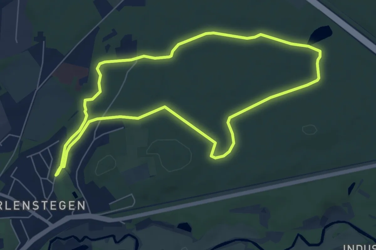
Easy · Trail
Wolfram-Unger-Weg
5.7 km · ↑ 14 m · 1 h 28 min
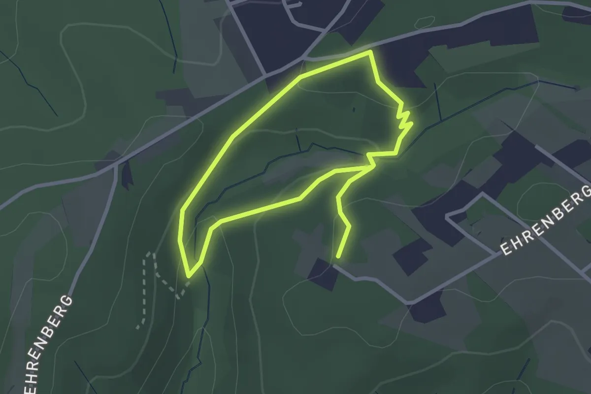
Easy · Trail
Wolfsbecke Rundweg A1
2.0 km · ↑ 67 m · 38 min
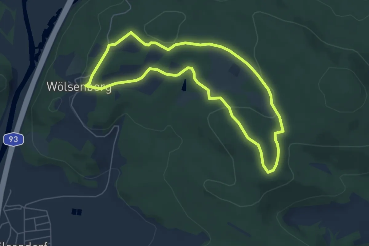
Easy · Summit
Wolfsberg
4.7 km · ↑ 98 m · 1 h 24 min
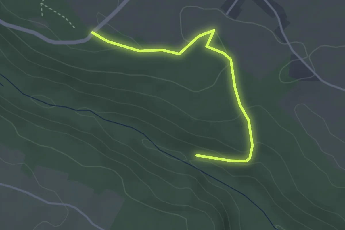
Easy · Trail
Wolfsberghütte - Hofmühle
3.2 km · ↑ 101 m · 59 min
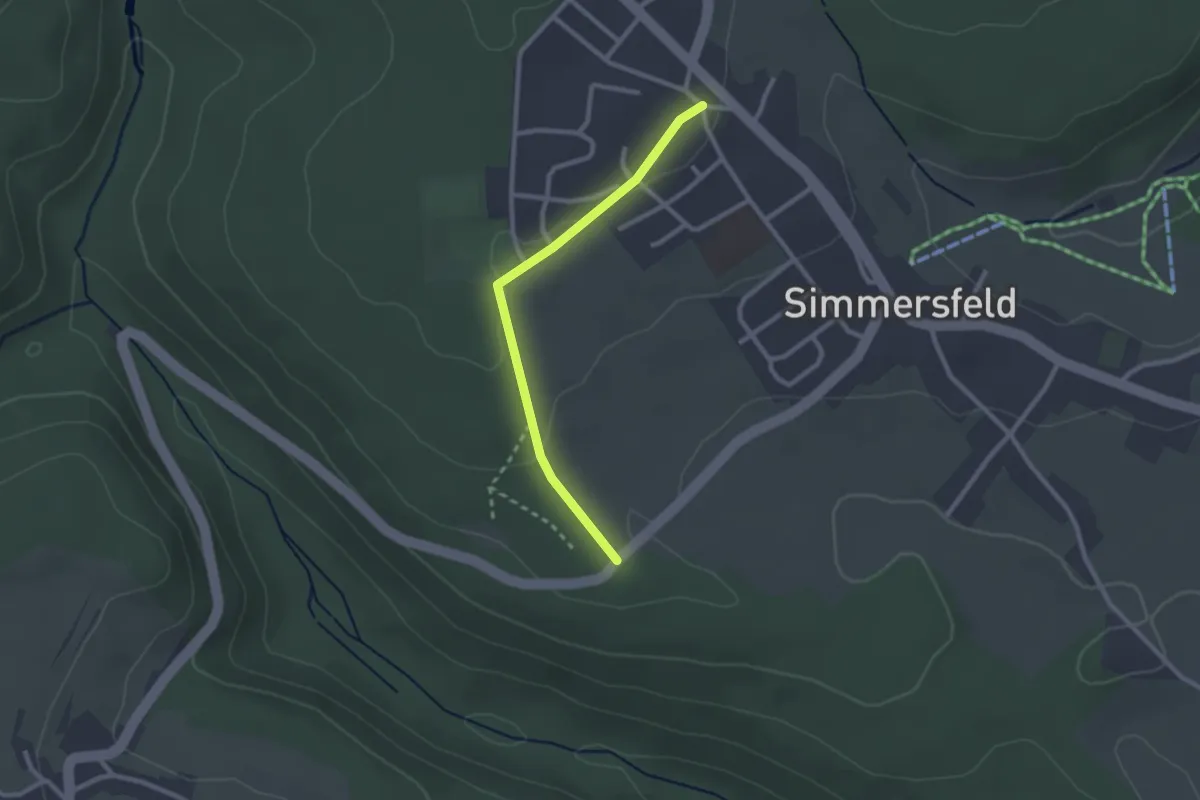
Easy · Trail
Wolfsberghütte - Simmersfeld Dielstraße
2.3 km · ↑ 38 m · 37 min
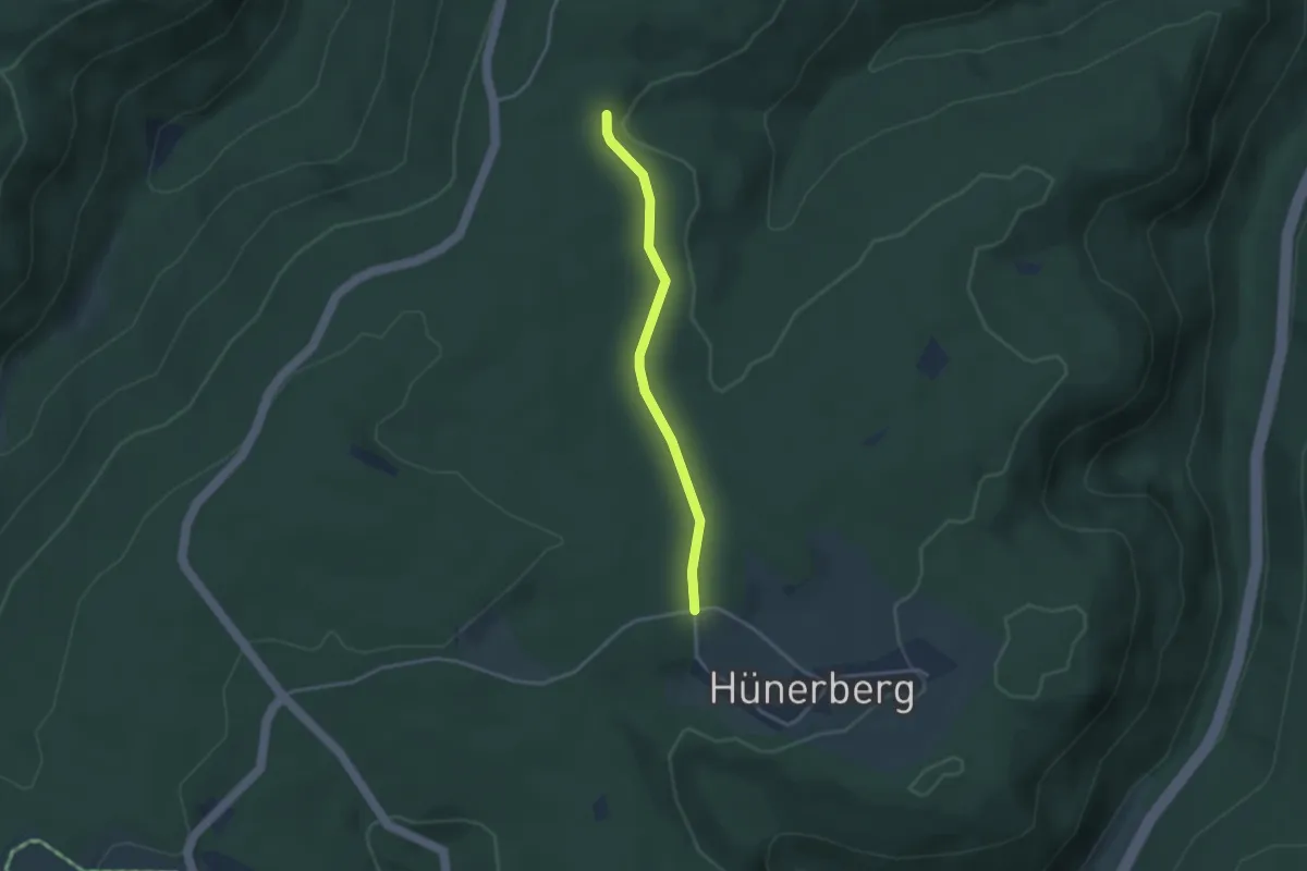
Easy · Trail
Wolfsbruck - Hünerberg
2.8 km · ↑ 44 m · 46 min
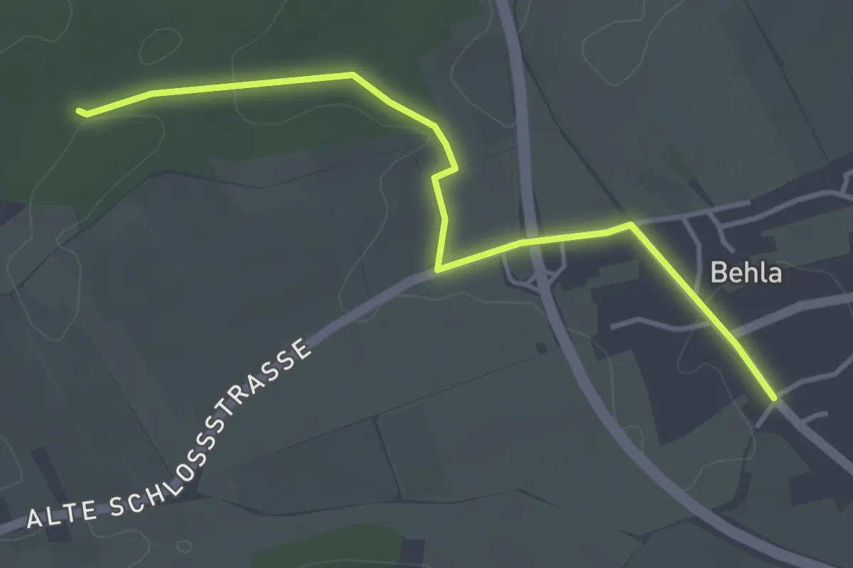
Easy · Trail
Wolfsbühl - Behla
3.7 km · ↑ 34 m · 57 min
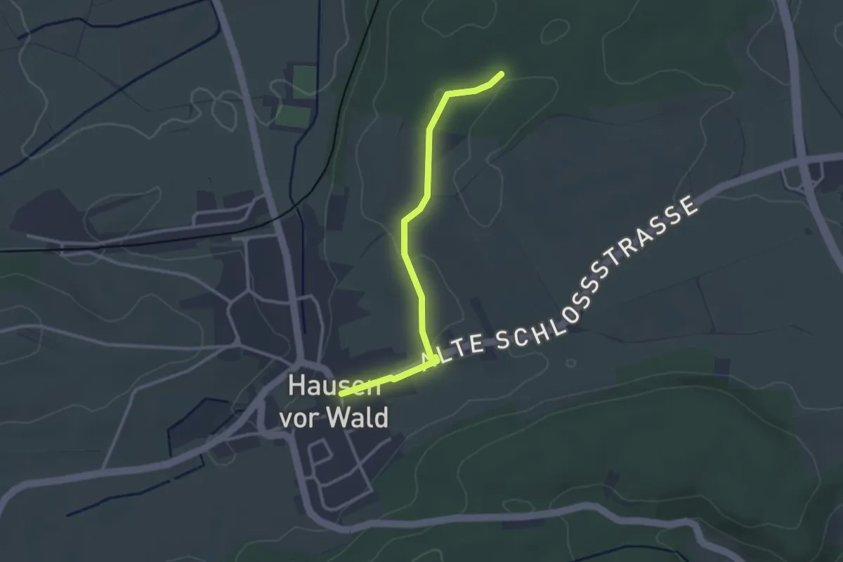
Easy · Trail
Wolfsbühl - Hausen vor Wald Rathaus
2.7 km · ↑ 27 m · 41 min
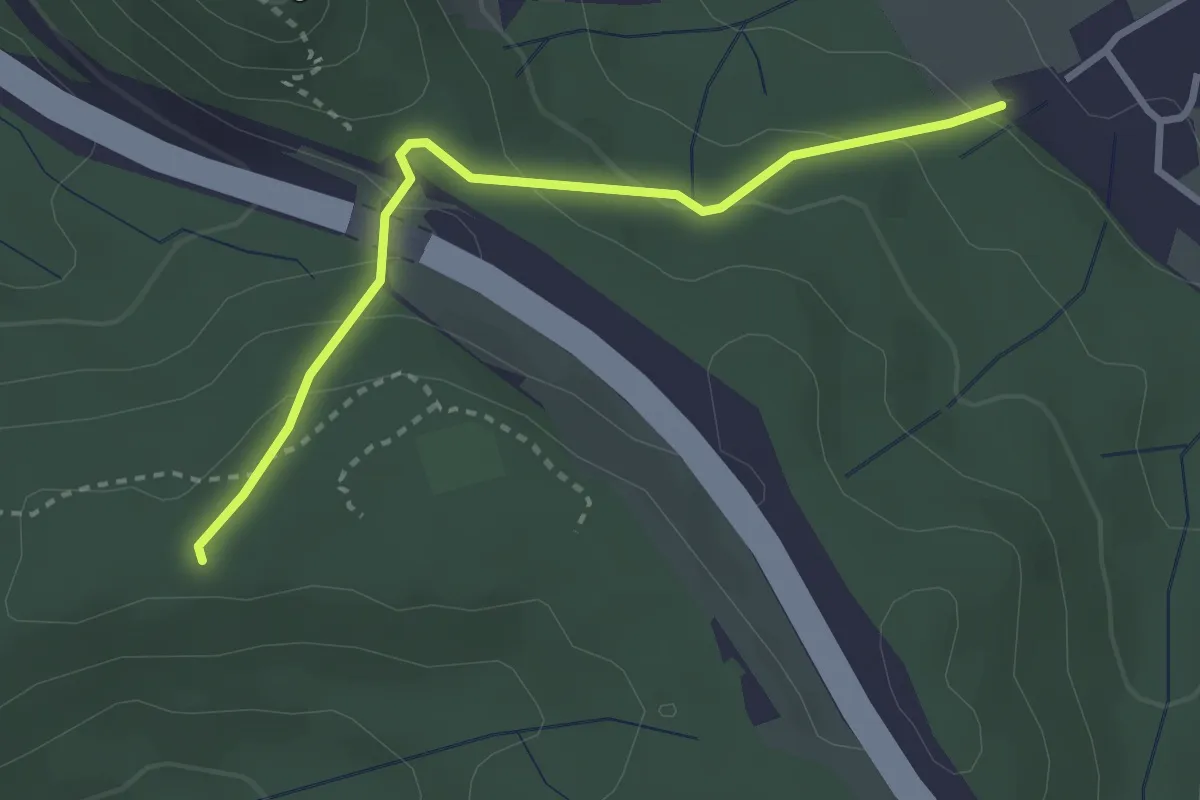
Easy · Trail
Wolfscherre - Eckwälden
2.8 km · ↑ 127 m · 57 min
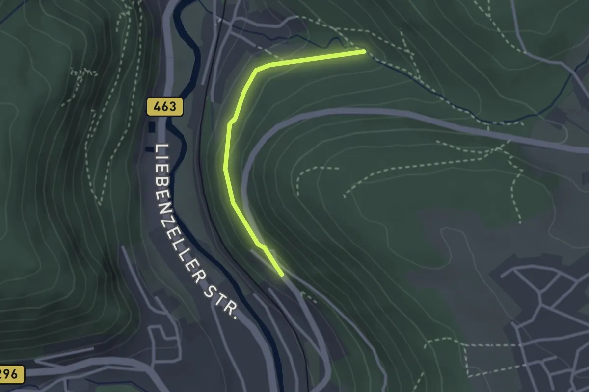
Easy · Trail
Wolfschlucht - Ottenbronner Berg
2.2 km · ↑ 94 m · 44 min
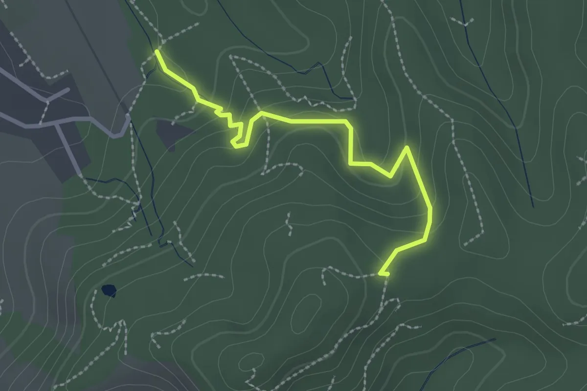
Easy · Trail
Wolfschlucht - Sattel
2.3 km · ↑ 114 m · 48 min
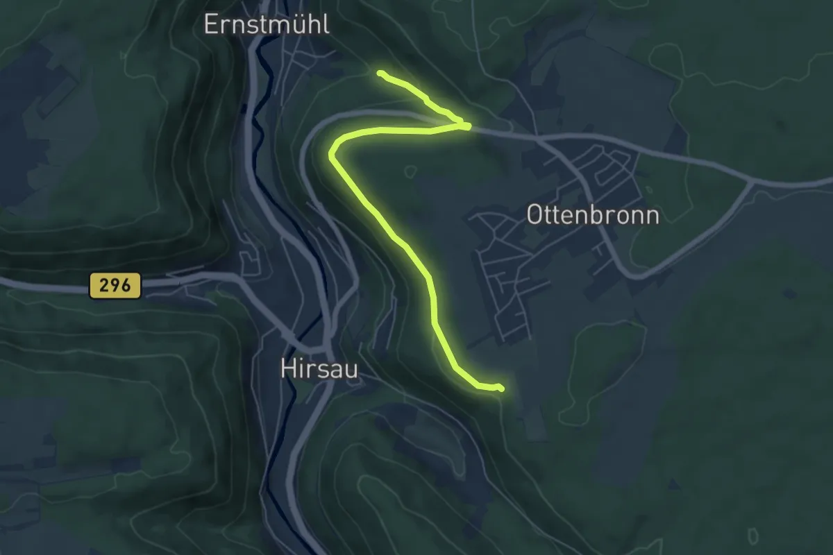
Medium · Trail
Wolfschlucht - Überzwercher Weg
5.7 km · ↑ 131 m · 1 h 37 min