Trails in Germany
36,877 hiking trails, each with its route, climb, walking time and grade.
All trails, page 735 of 769
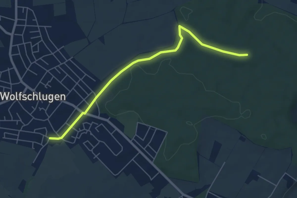
Easy · Trail
Wolfschlugen - Waldhauser Schloß (HW3)
5.1 km · ↑ 32 m · 1 h 16 min
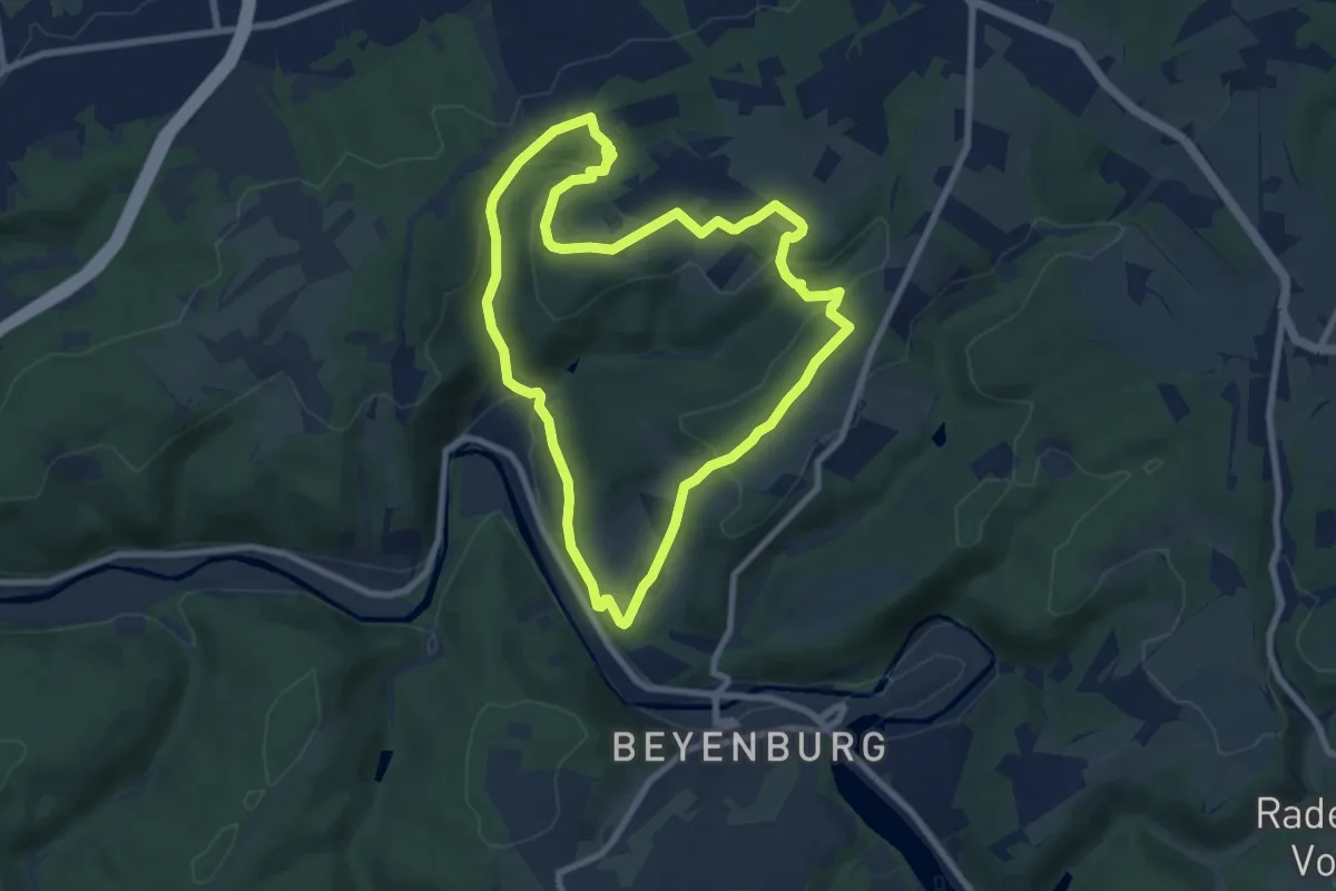
Easy · Trail
Wolfsegge Rundweg A3
7.3 km · ↑ 233 m · 2 h 20 min
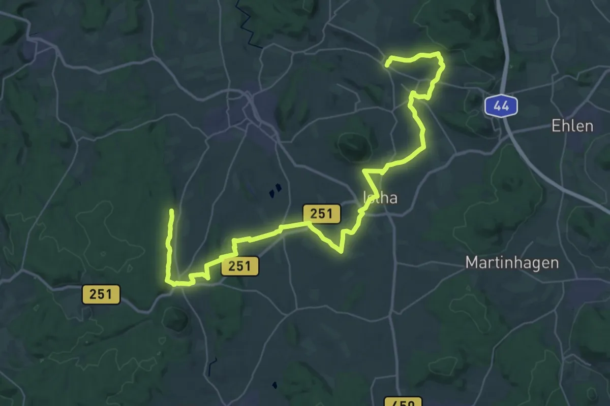
Demanding · Trail
Wolfsfährte
19.8 km · ↑ 295 m · 5 h 35 min
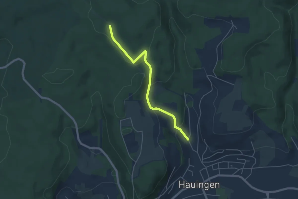
Easy · Trail
Wolfsgrube - Jungholzweg
4.2 km · ↑ 152 m · 1 h 19 min
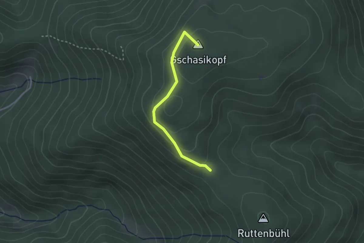
Easy · Summit
Wolfsgrubenhütte - Schwiegrube
2.3 km · ↑ 74 m · 42 min
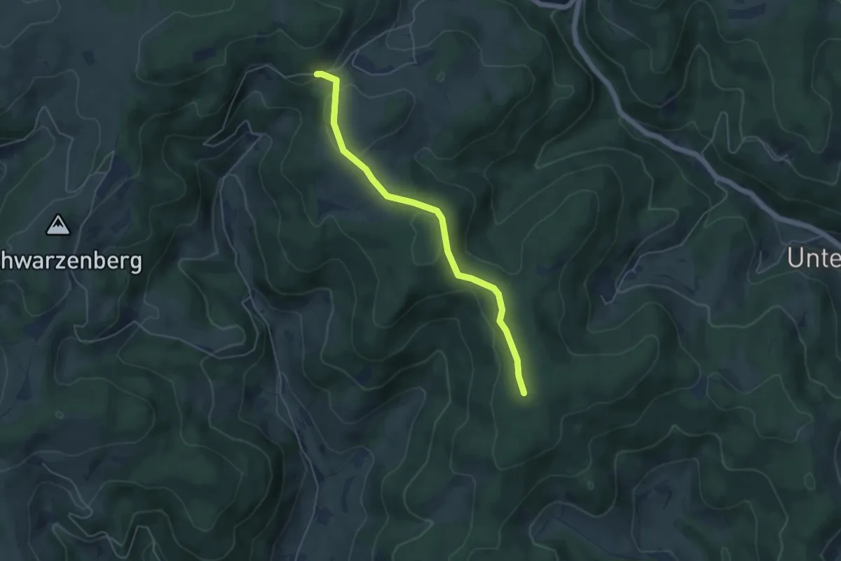
Easy · Trail
Wolfsgrube - Rauchsbühl
4.5 km · ↑ 115 m · 1 h 19 min
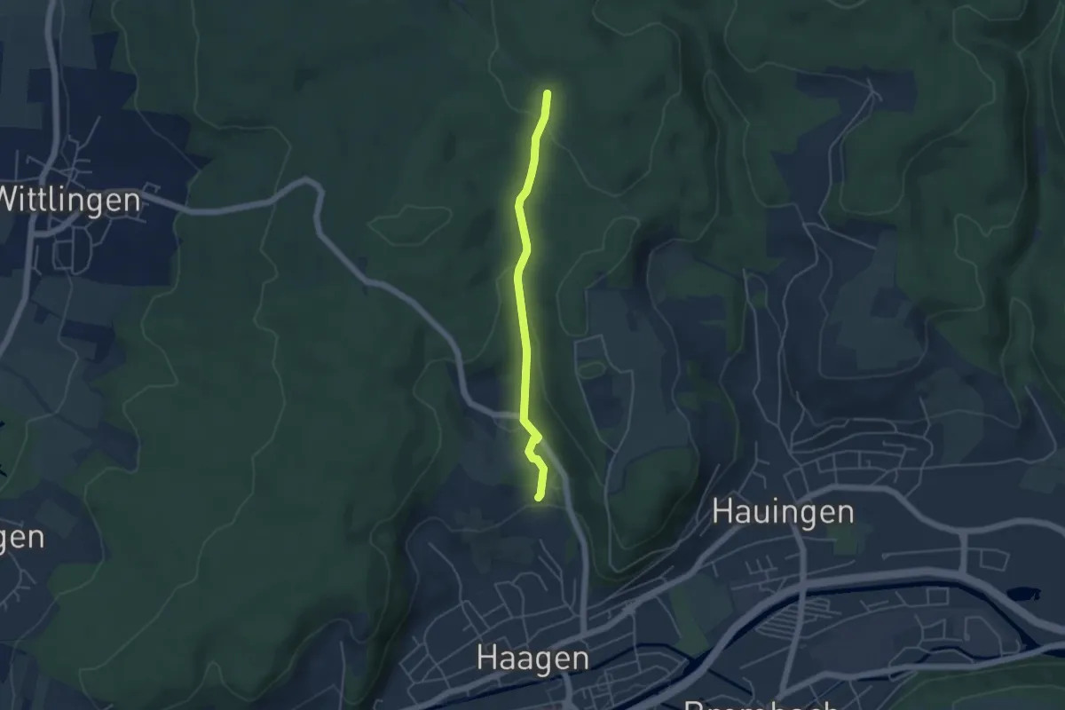
Easy · Trail
Wolfsgrube - Scherbenacker
3.9 km · ↑ 115 m · 1 h 11 min
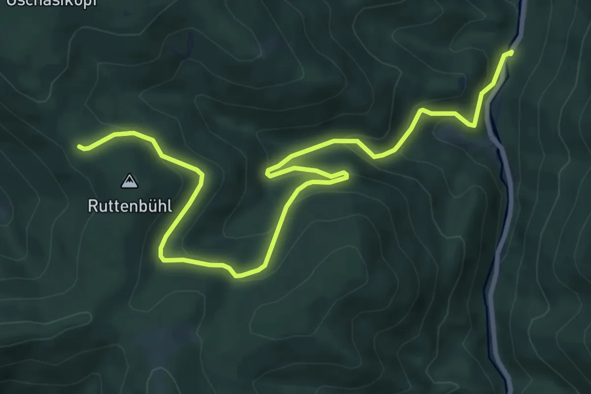
Medium · Trail
Wolfsgrube - Unterer Schönbühl
8.9 km · ↑ 509 m · 3 h 12 min
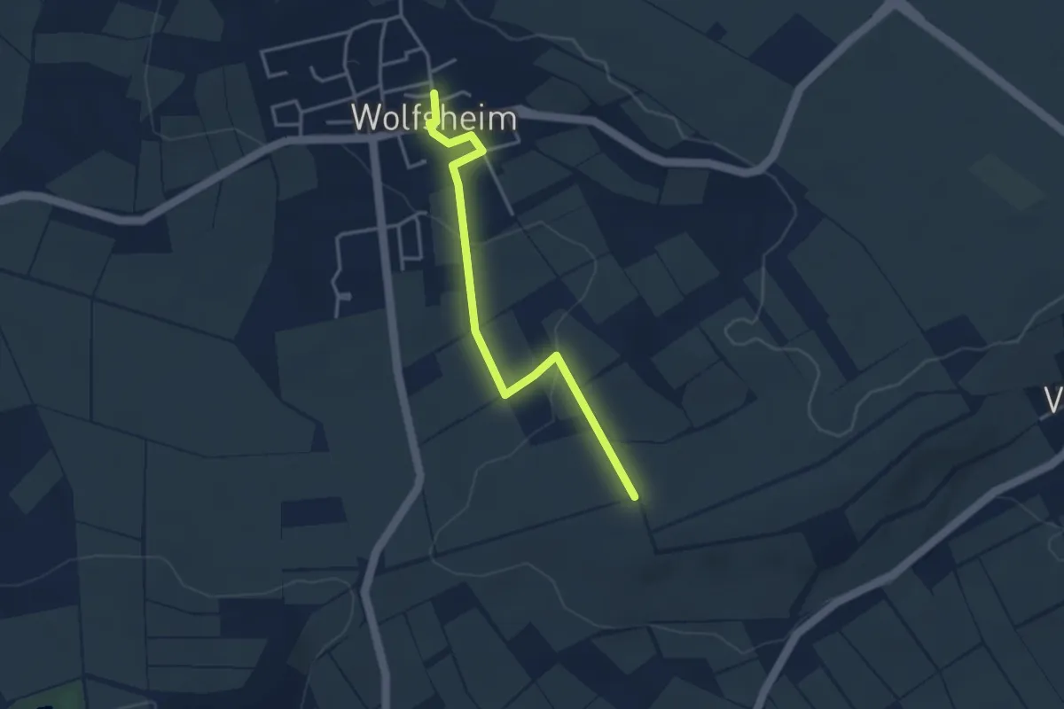
Easy · Trail
Wolfsheim
1.6 km · ↑ 33 m · 29 min
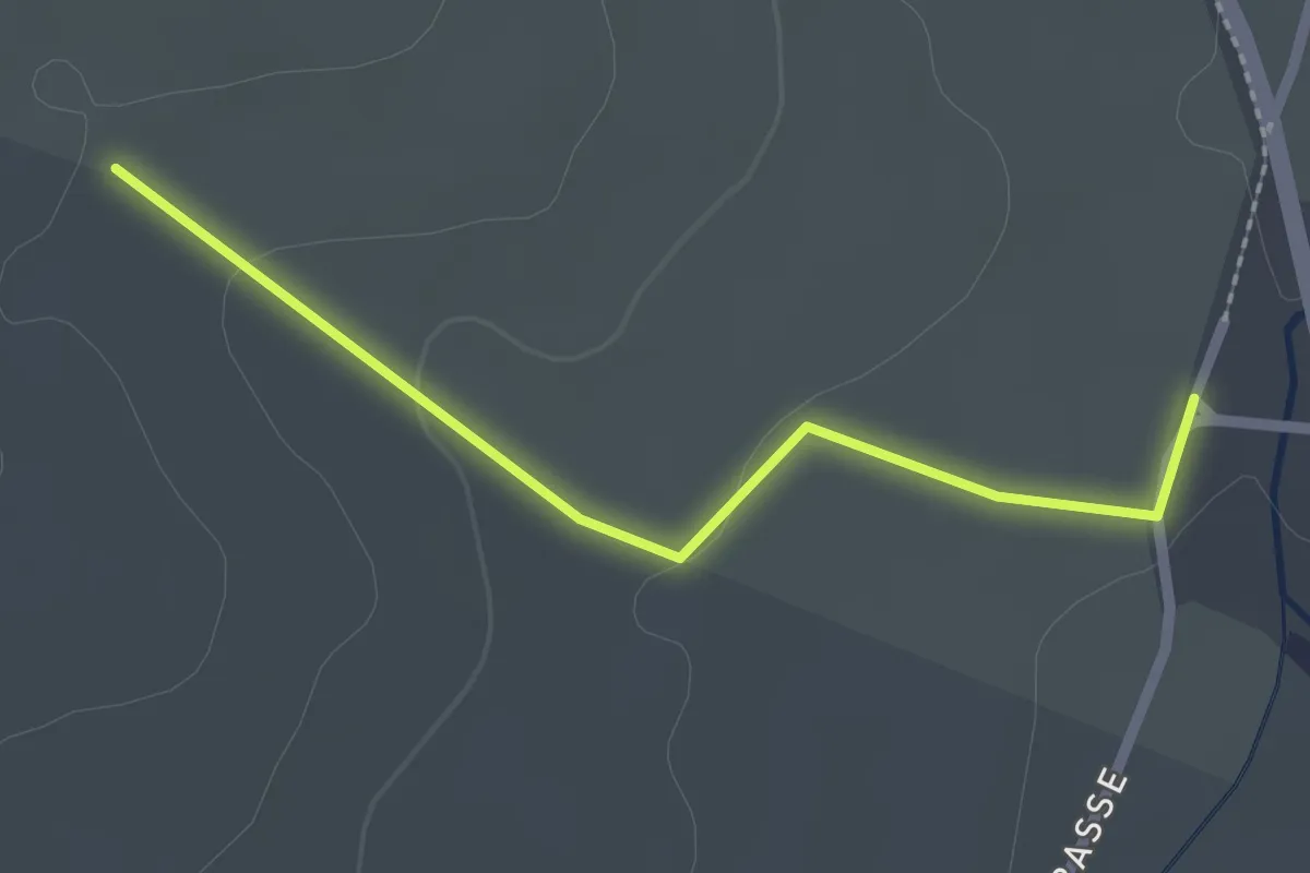
Easy · Trail
Wolfsheule - Bruckrain
2.2 km · ↑ 34 m · 35 min
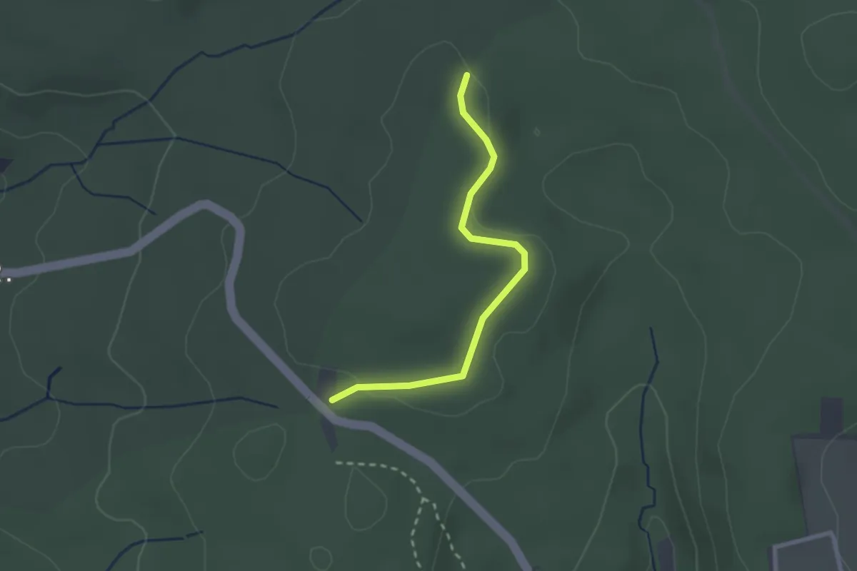
Easy · Trail
Wolfsloch - Wittlinger Höhe
2.3 km · ↑ 14 m · 34 min
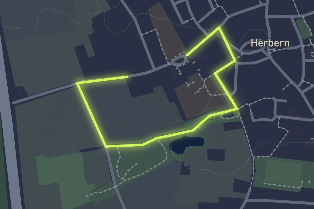
Easy · Trail
Wolfspfad
2.3 km · ↑ 0 m · 33 min
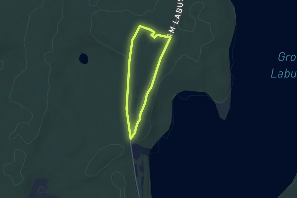
Easy · Trail
Wolfspfad Zwenzow
2.0 km · ↑ 4 m · 31 min
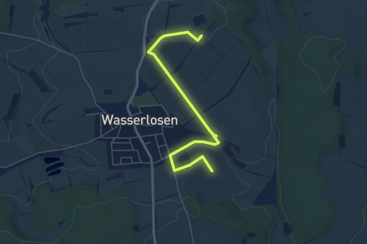
Easy · Trail
Wolfspfoten-Pfad
2.6 km · ↑ 31 m · 44 min
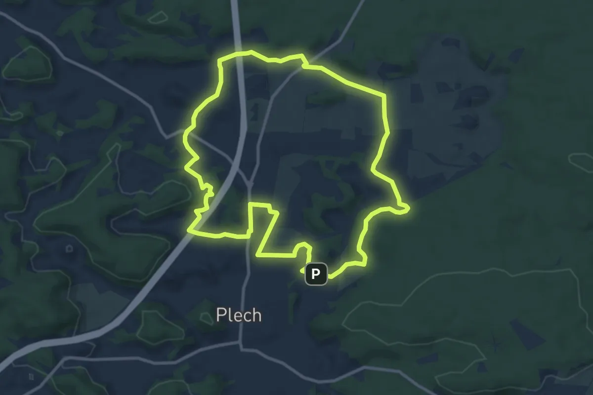
Medium · Summit
Wolfs-Runde
9.1 km · ↑ 149 m · 2 h 36 min
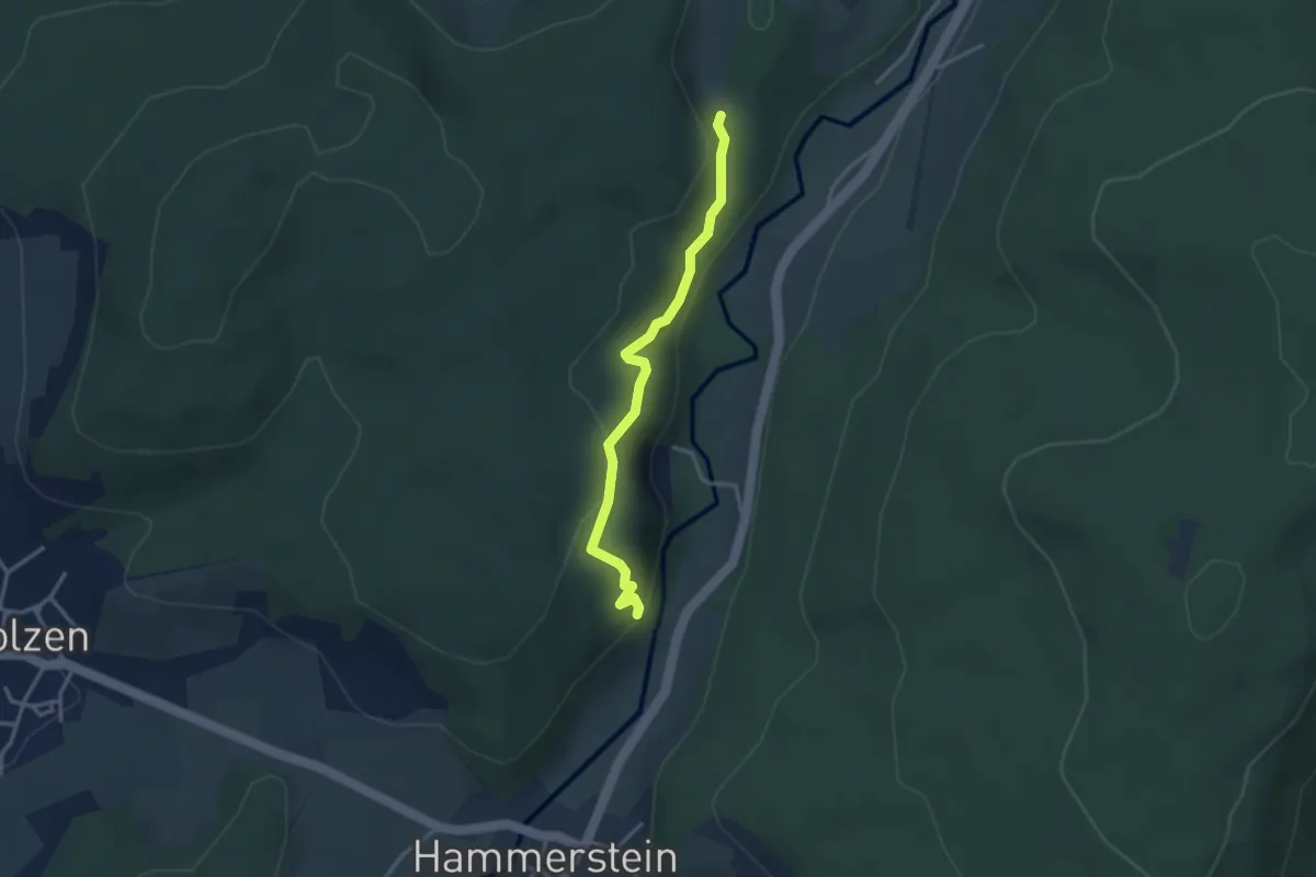
Medium · Trail
Wolfsschlucht - Brudersloch
3.0 km · ↑ 120 m · 59 min
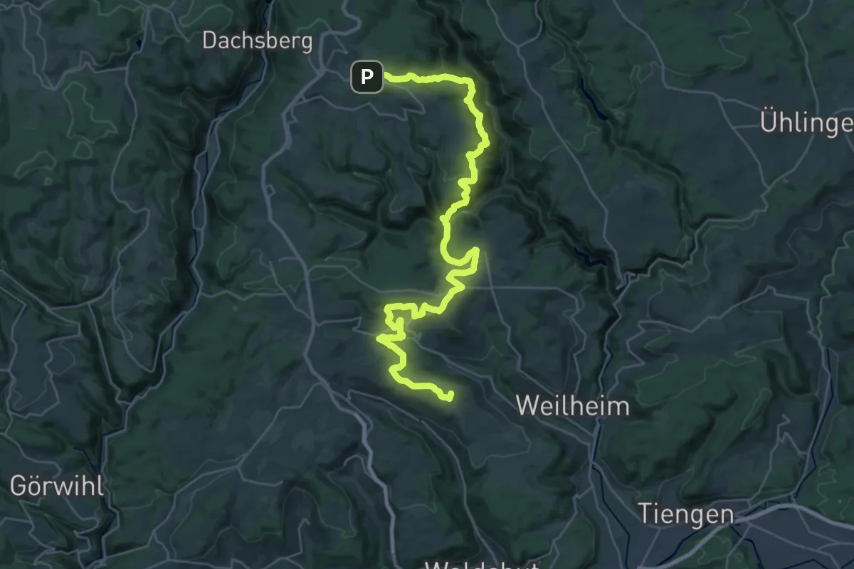
Demanding · Summit
Wolfssteig
35.6 km · ↑ 1320 m · 11 h 16 min
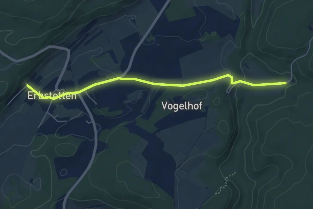
Easy · Trail
Wolfstal-Erbstetten
4.5 km · ↑ 109 m · 1 h 18 min
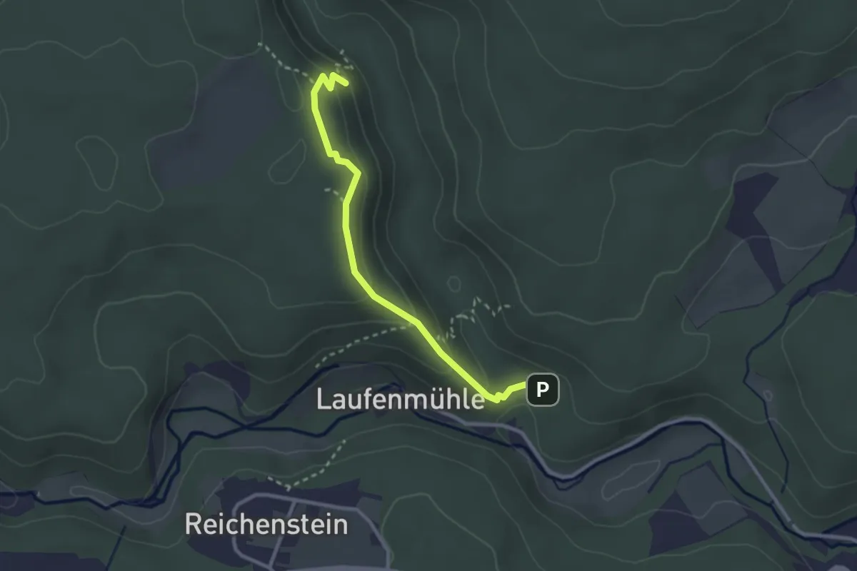
Medium · Trail
Wolfstal Höhenweg/Nebenweg des Schwäbischen Albvereins (blaue Gabel)
2.6 km · ↑ 148 m · 56 min
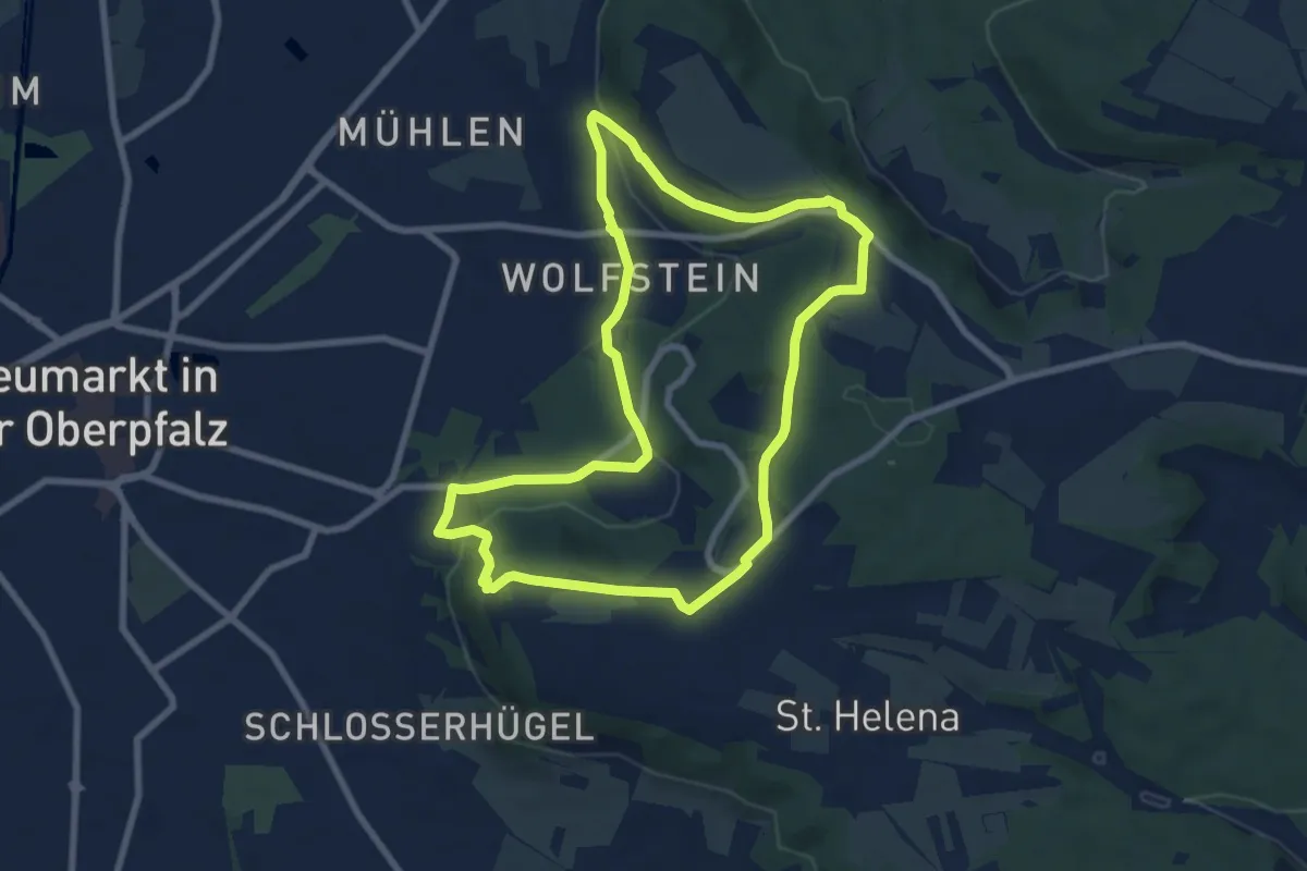
Medium · Trail
Wolfsteinweg
7.5 km · ↑ 169 m · 2 h 14 min
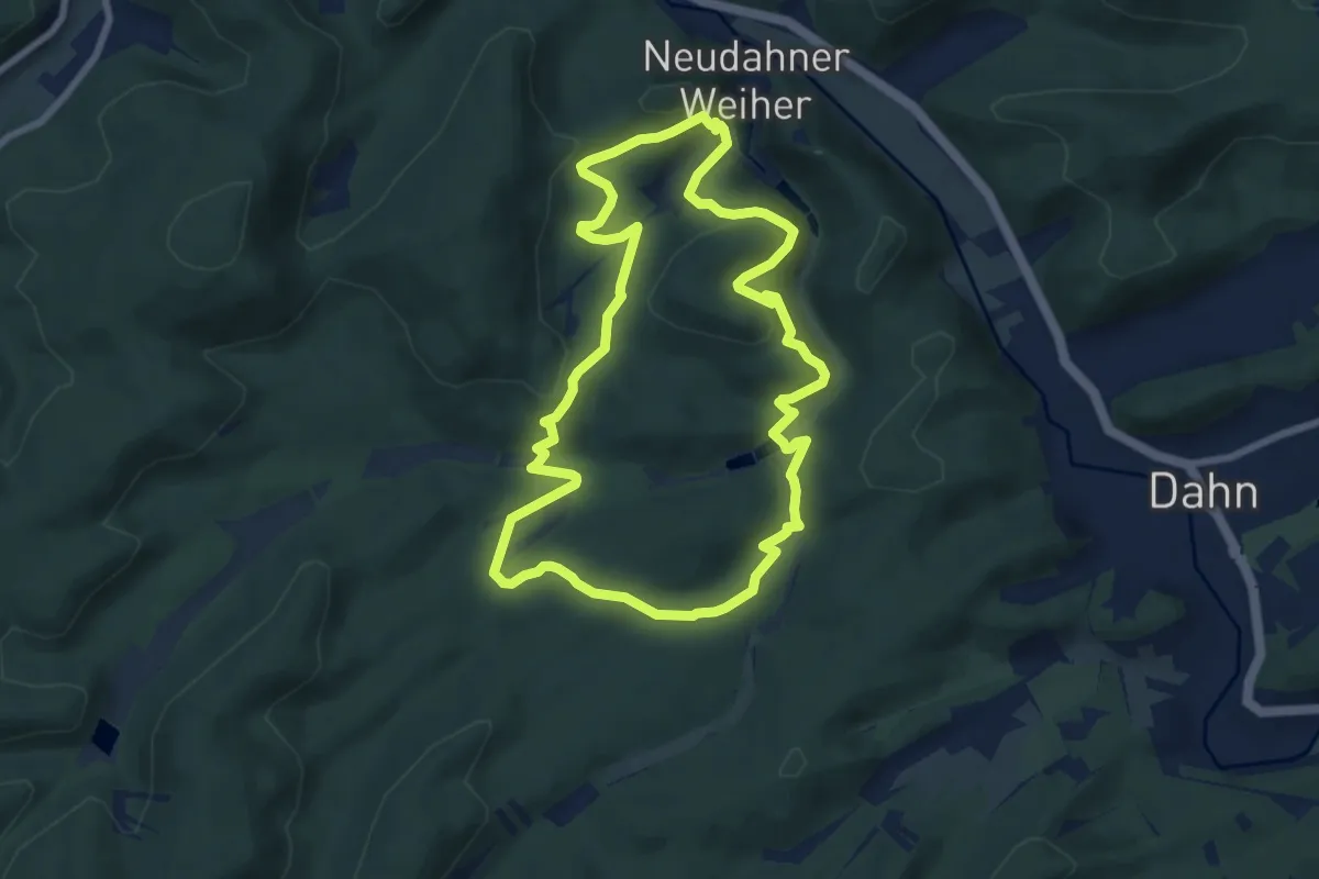
Easy · Summit
Wolfs-Tour
7.3 km · ↑ 297 m · 2 h 29 min
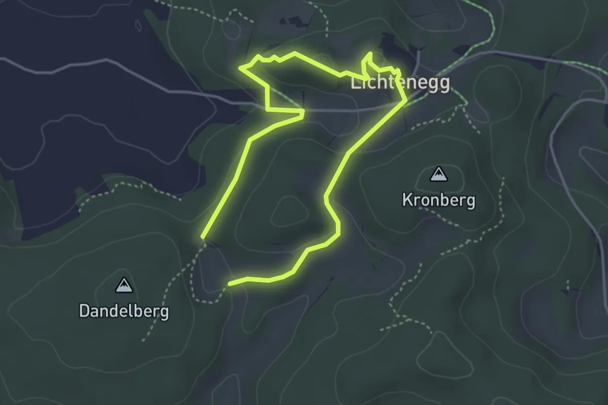
Medium · Trail
Wolfswaldweg (32)
2.8 km · ↑ 49 m · 48 min
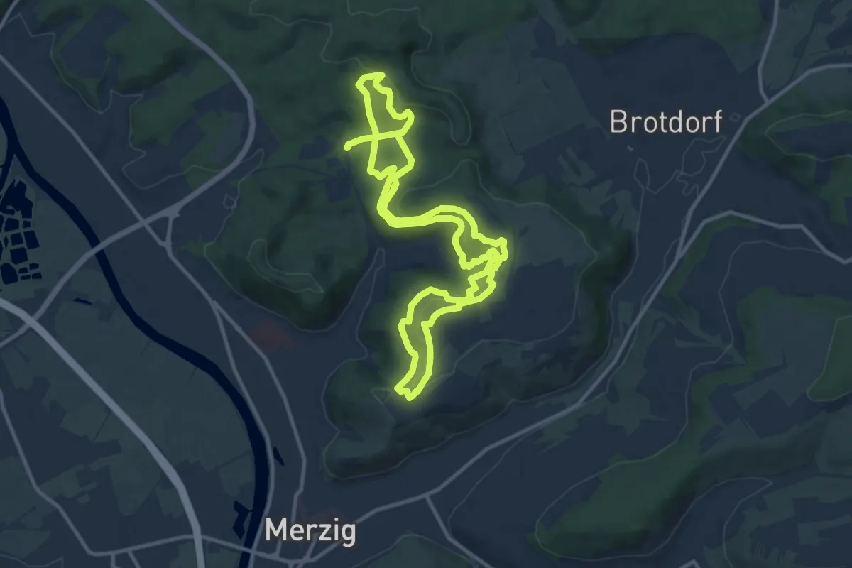
Medium · Trail
Wolfsweg
10.2 km · ↑ 297 m · 3 h 12 min
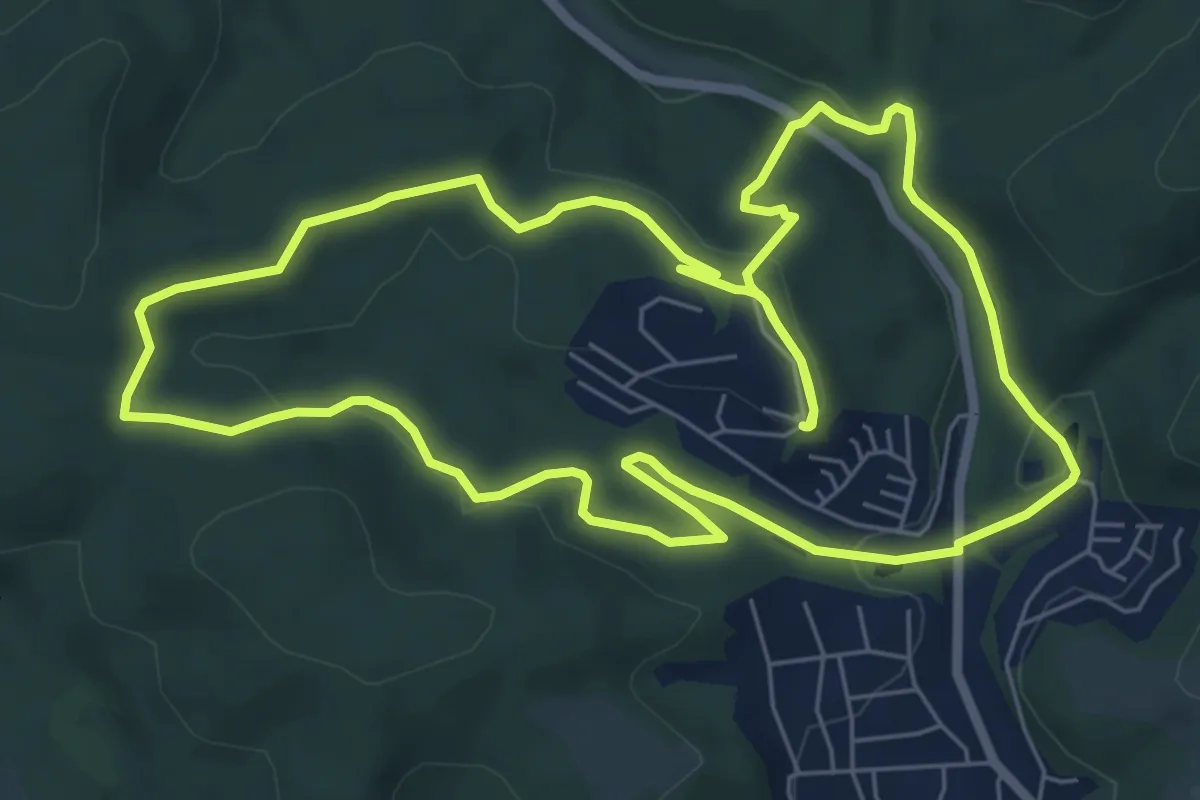
Easy · Trail
Wolfsweg
7.0 km · ↑ 156 m · 2 h 6 min
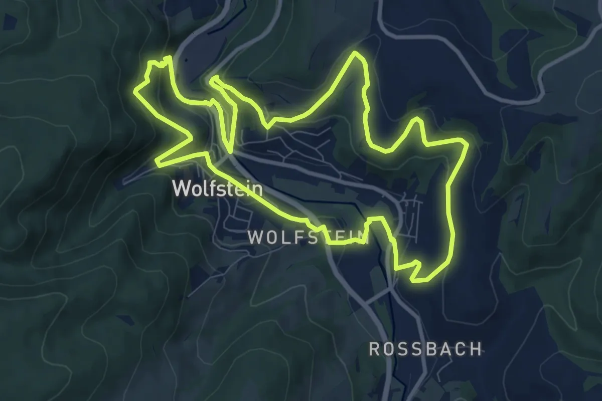
Medium · Trail
Wolfsweg
8.7 km · ↑ 333 m · 2 h 55 min
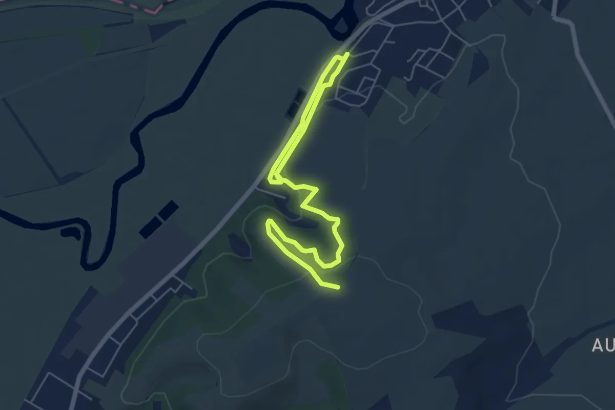
Easy · Trail
Wolfterweg
6.5 km · ↑ 239 m · 2 h 3 min
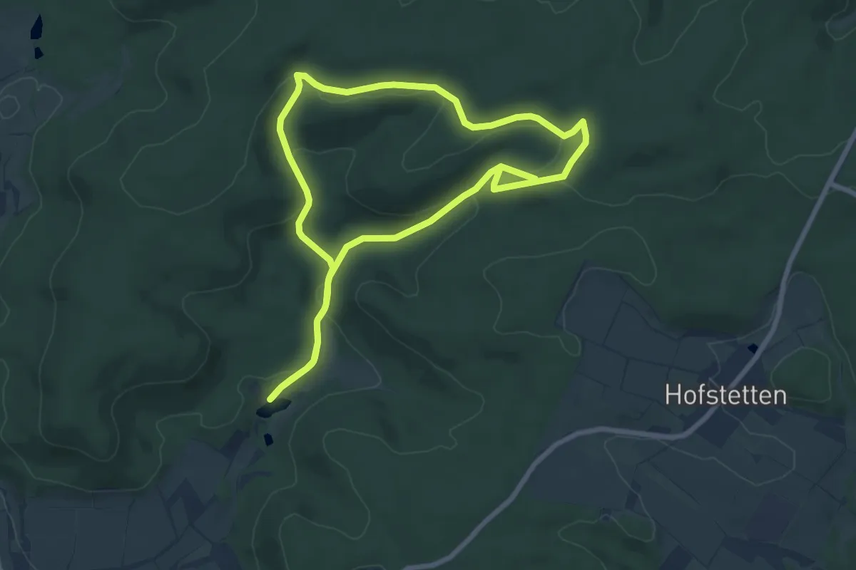
Easy · Trail
Wolftour Altershausen
6.5 km · ↑ 187 m · 2 h 1 min
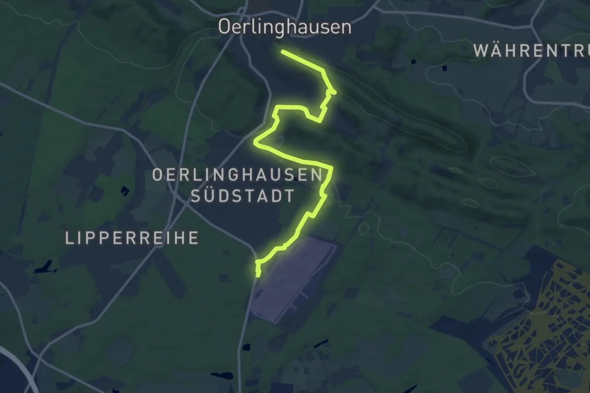
Easy · Trail
Wolkensteig
5.6 km · ↑ 197 m · 1 h 46 min
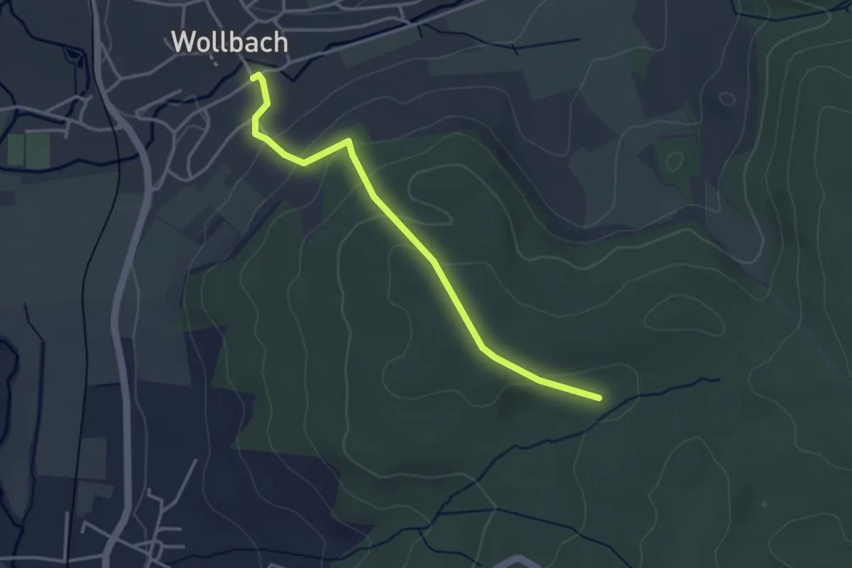
Easy · Trail
Wollbach Kronenplatz - Eselplatz
3.2 km · ↑ 136 m · 1 h 4 min
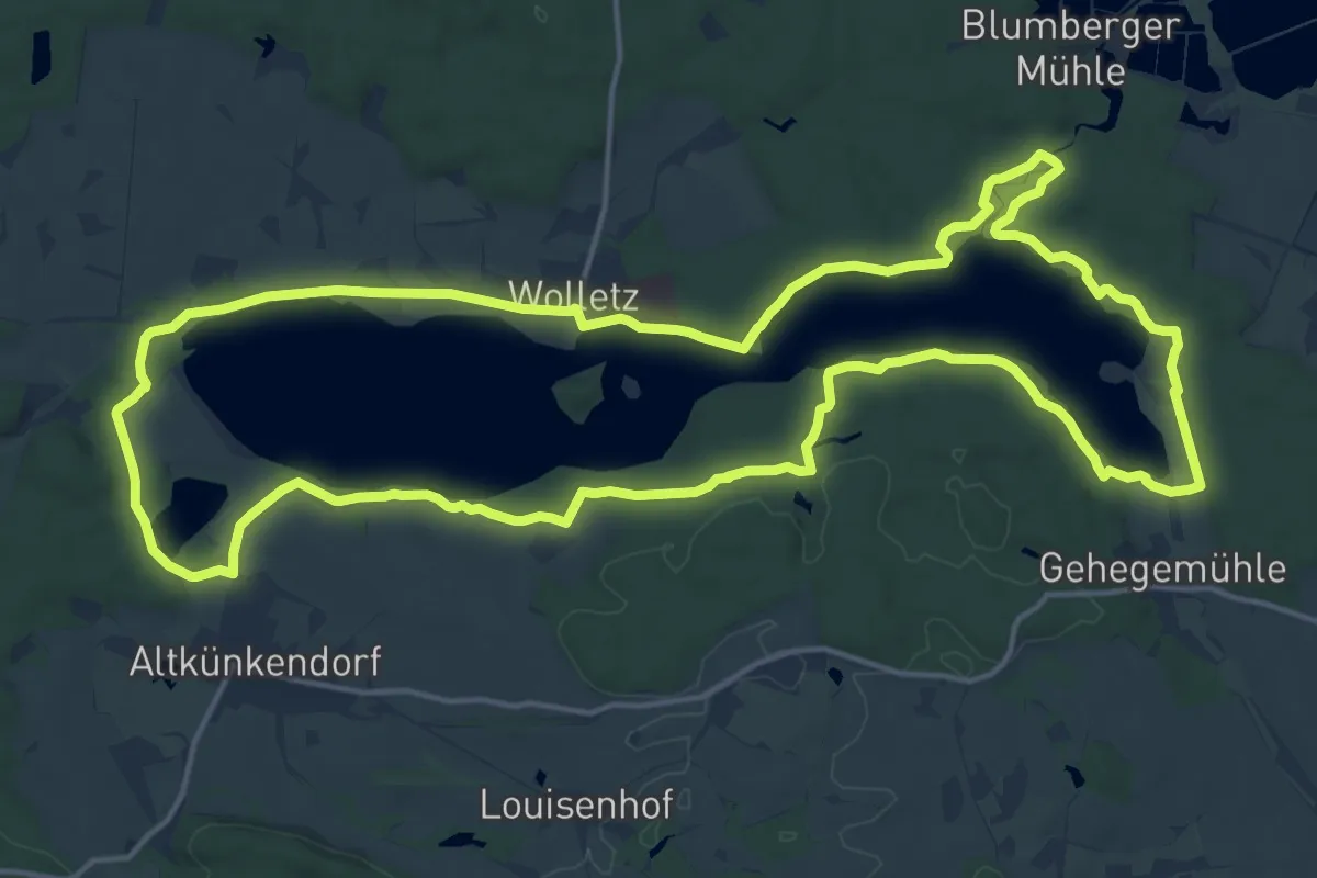
Medium · Trail
Wolletzseerundweg
16.4 km · ↑ 157 m · 4 h 26 min
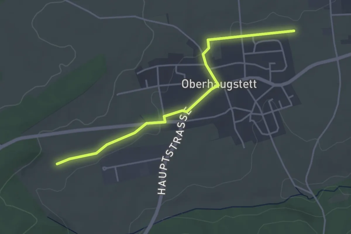
Easy · Trail
Wöllhäuser - Unterer Hummelberg
3.9 km · ↑ 17 m · 57 min
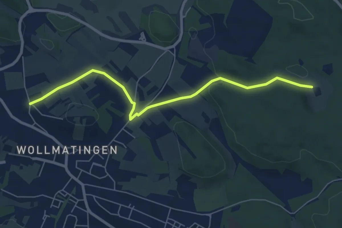
Easy · Trail
Wollmatingen Hafner - St. Katharina
5.5 km · ↑ 83 m · 1 h 29 min
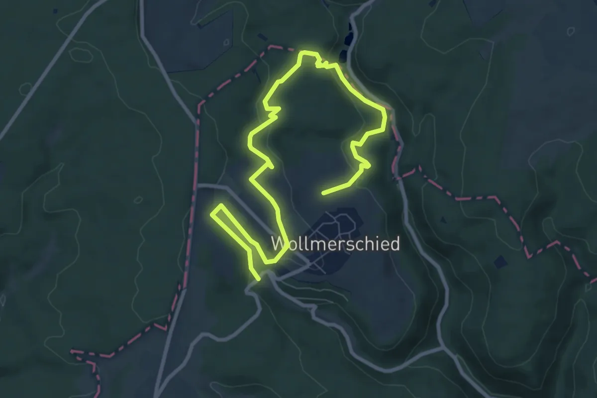
Easy · Trail
Wollmerschieder Grenzweg
5.0 km · ↑ 153 m · 1 h 34 min
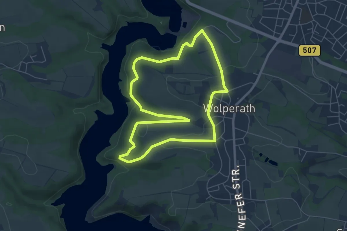
Easy · Trail
Wolperath Rundweg A2
5.2 km · ↑ 112 m · 1 h 33 min
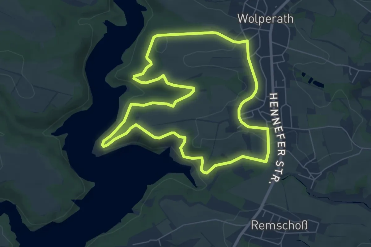
Easy · Trail
Wolperath Rundweg A3
5.9 km · ↑ 139 m · 1 h 47 min
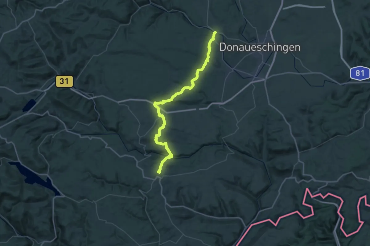
Demanding · Summit
Wolterdingen - Bonndorf
50.8 km · ↑ 1111 m · 14 h 23 min
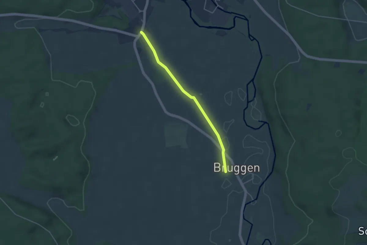
Easy · Trail
Wolterdingen Hubertshofener Straße - Bruggen
3.3 km · ↑ 4 m · 47 min
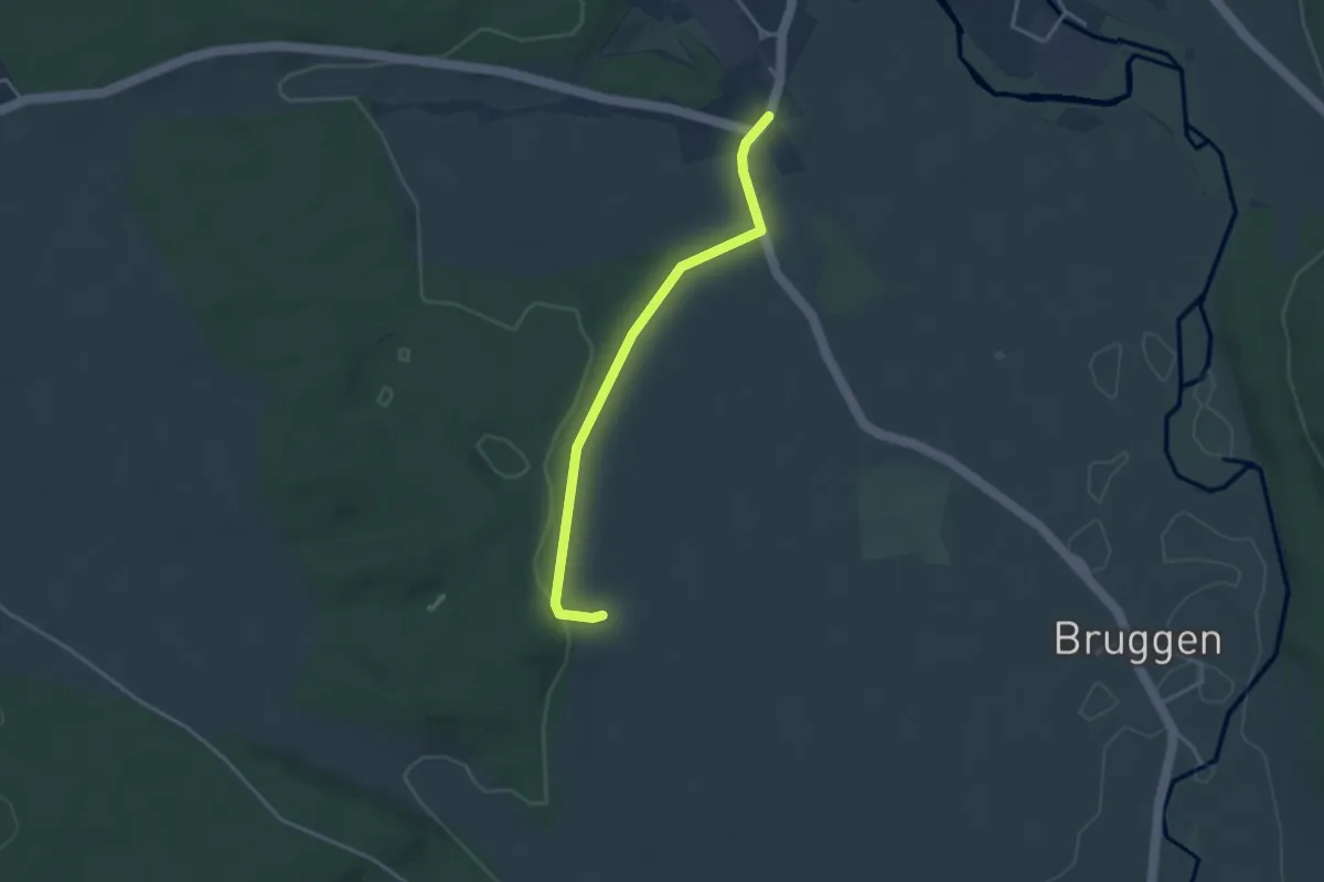
Easy · Trail
Wolterdingen Hubertshofener Straße - Brugger Wald
3.2 km · ↑ 57 m · 53 min
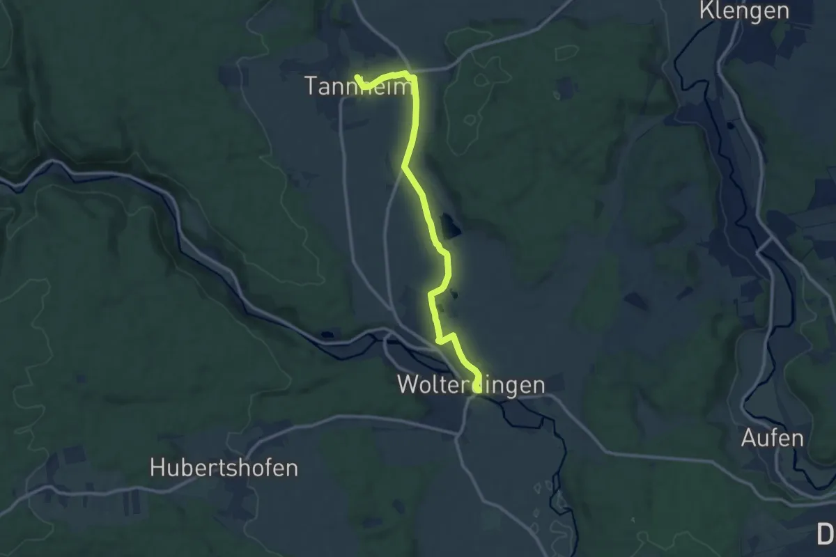
Medium · Trail
Wolterdingen Rathaus - Tannheim
9.9 km · ↑ 54 m · 2 h 27 min
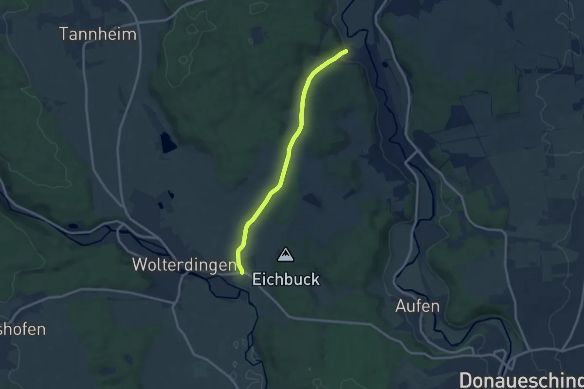
Easy · Trail
Wolterdingen Weiherbachbrücke - Haselbuck
7.6 km · ↑ 94 m · 2 h
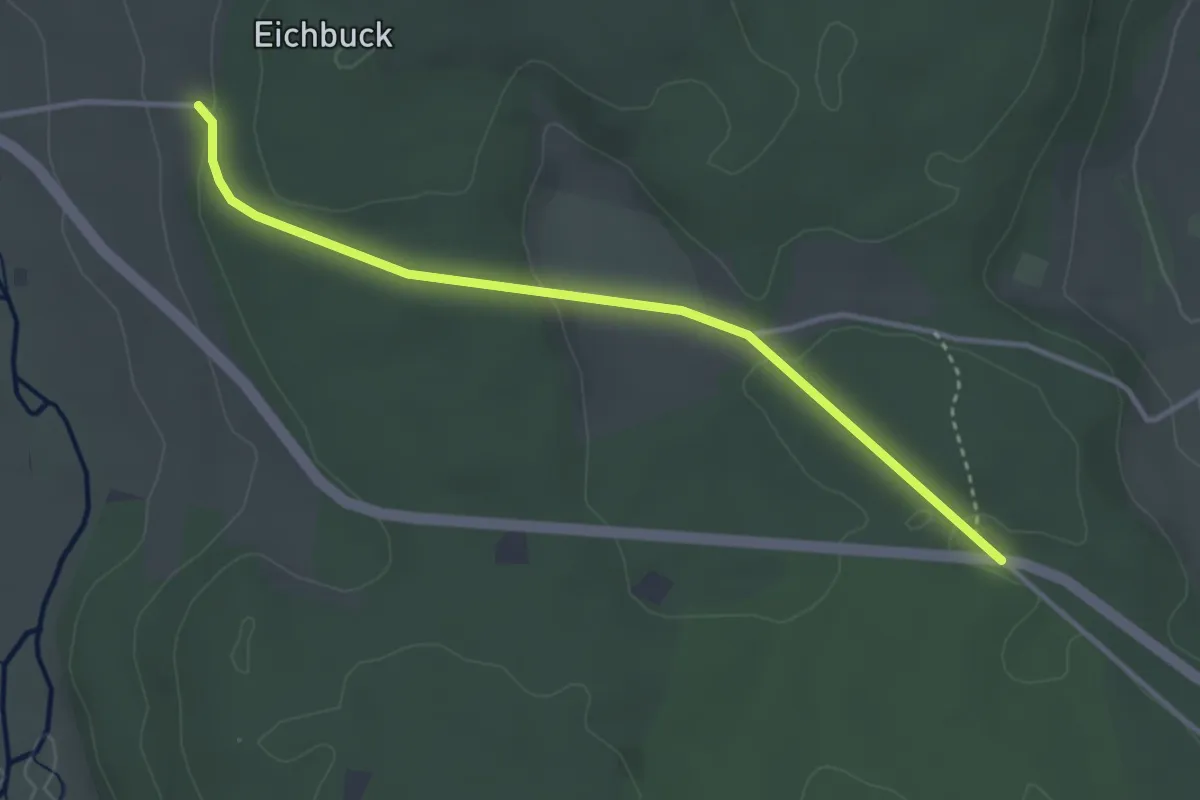
Easy · Trail
Wolterdinger Steige - Waldparkplatz Fronholz
3.4 km · ↑ 74 m · 58 min
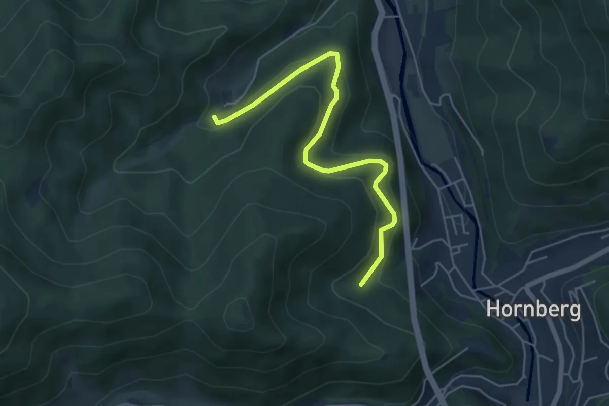
Easy · Trail
Wonnenbach - Vogelbrunnen
4.4 km · ↑ 241 m · 1 h 34 min
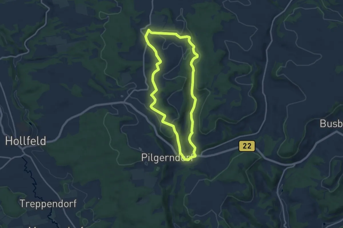
Medium · Trail
Wonsees Erbachtal-Wanderweg
8.9 km · ↑ 151 m · 2 h 33 min
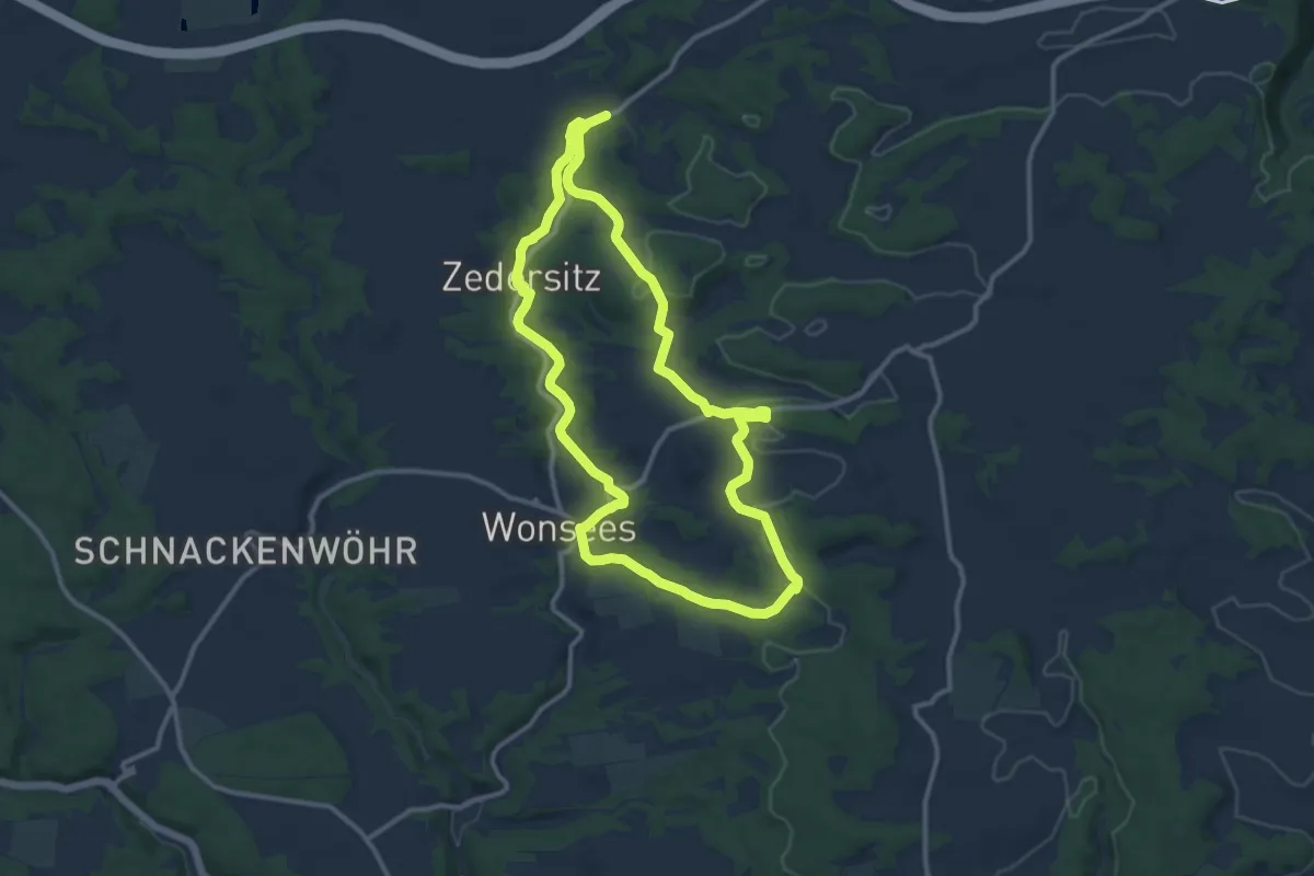
Medium · Trail
Wonsees Große Erlebnisrunde
10.7 km · ↑ 177 m · 3 h 3 min
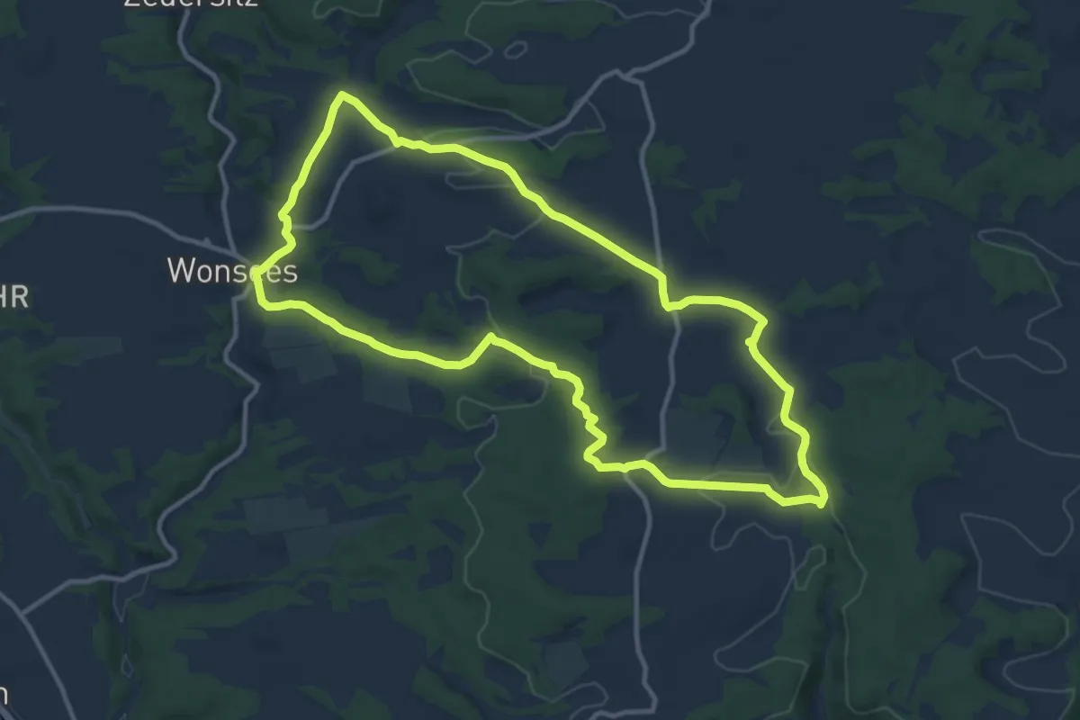
Medium · Trail
Wonsees Rundwanderweg "Blauer Ring"
10.8 km · ↑ 169 m · 3 h 4 min
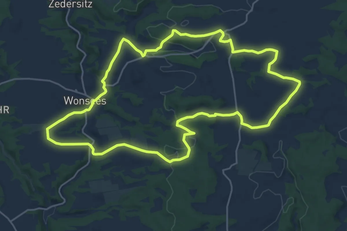
Medium · Trail
Wonsees Rundwanderweg "Roter Ring"
13.9 km · ↑ 222 m · 3 h 57 min
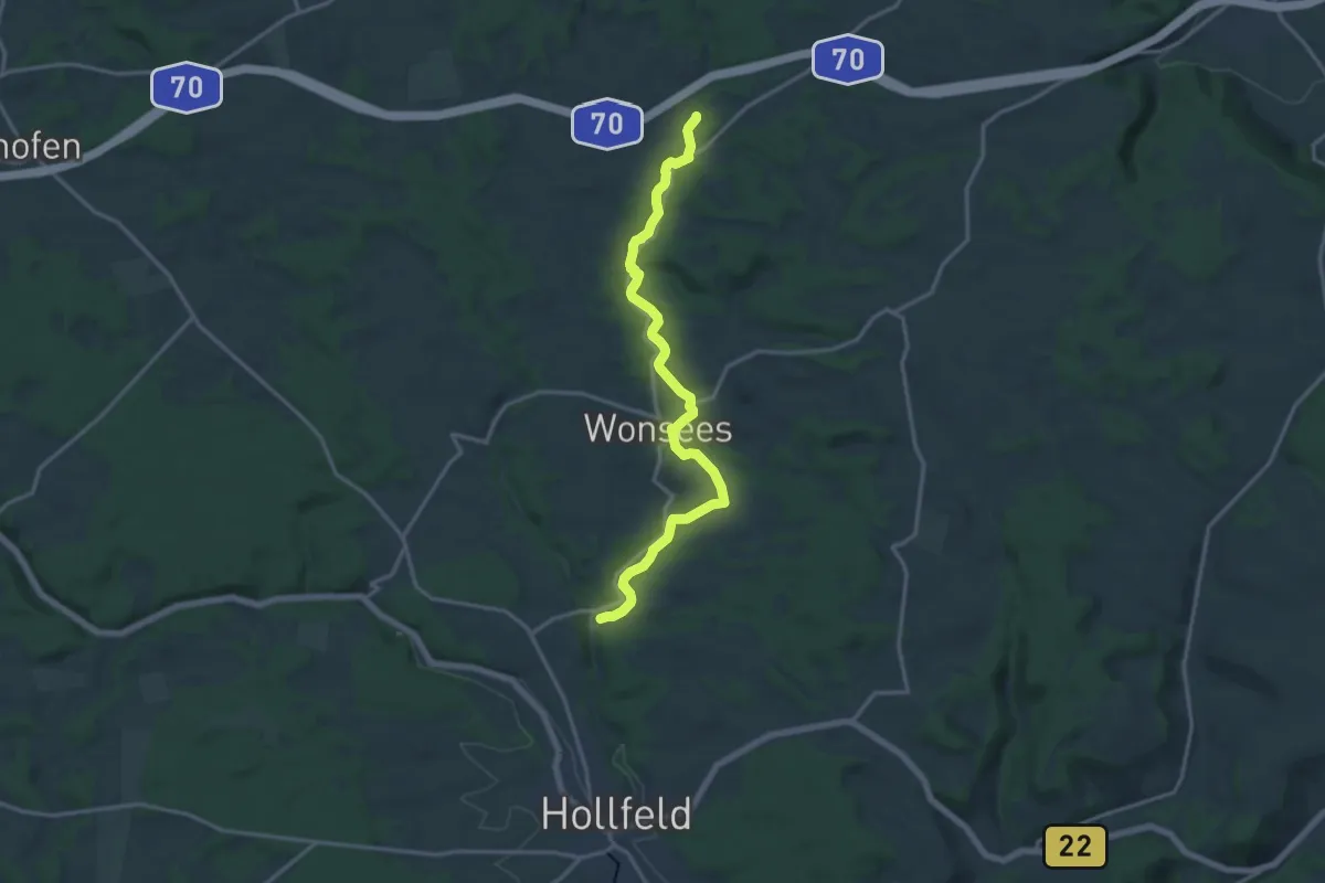
Medium · Trail
Wonsees Schwalbachtal-Wanderweg
15.0 km · ↑ 186 m · 3 h 56 min
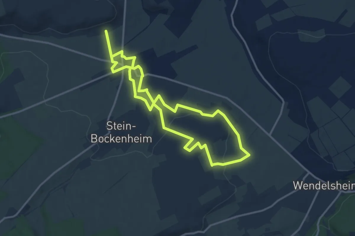
Medium · Trail
Wonsheimer Sonnenbergtour
8.3 km · ↑ 114 m · 2 h 20 min