Trails in Germany
36,877 hiking trails, each with its route, climb, walking time and grade.
All trails, page 736 of 769
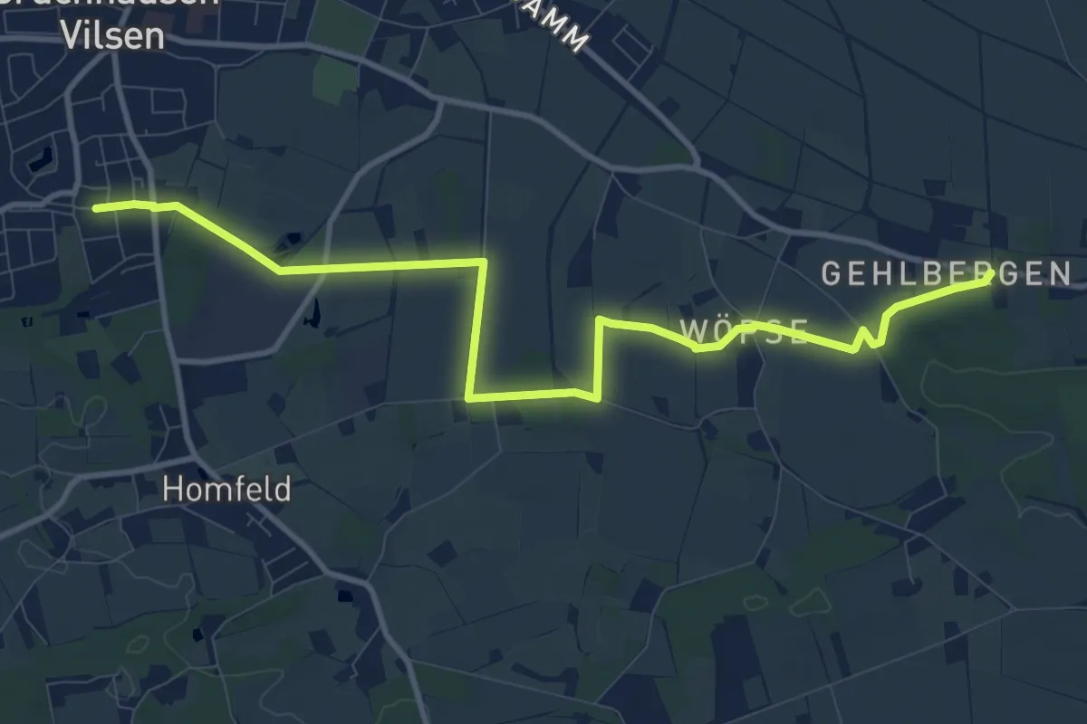
Medium · Trail
Wöpser Kirchweg
10.1 km · ↑ 34 m · 2 h 28 min
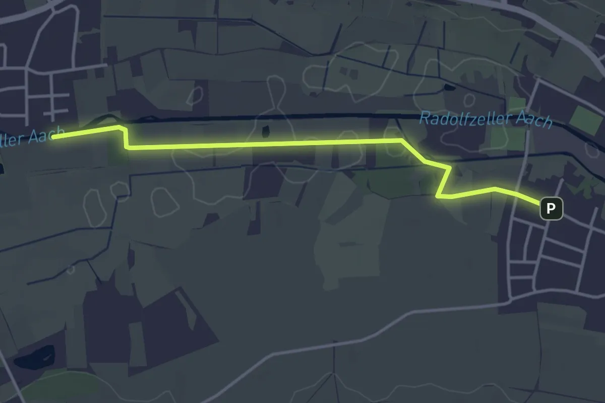
Easy · Trail
Worblingen Aachbrückle - Bohlingen Zum Stationenweg
3.7 km · ↑ 9 m · 54 min
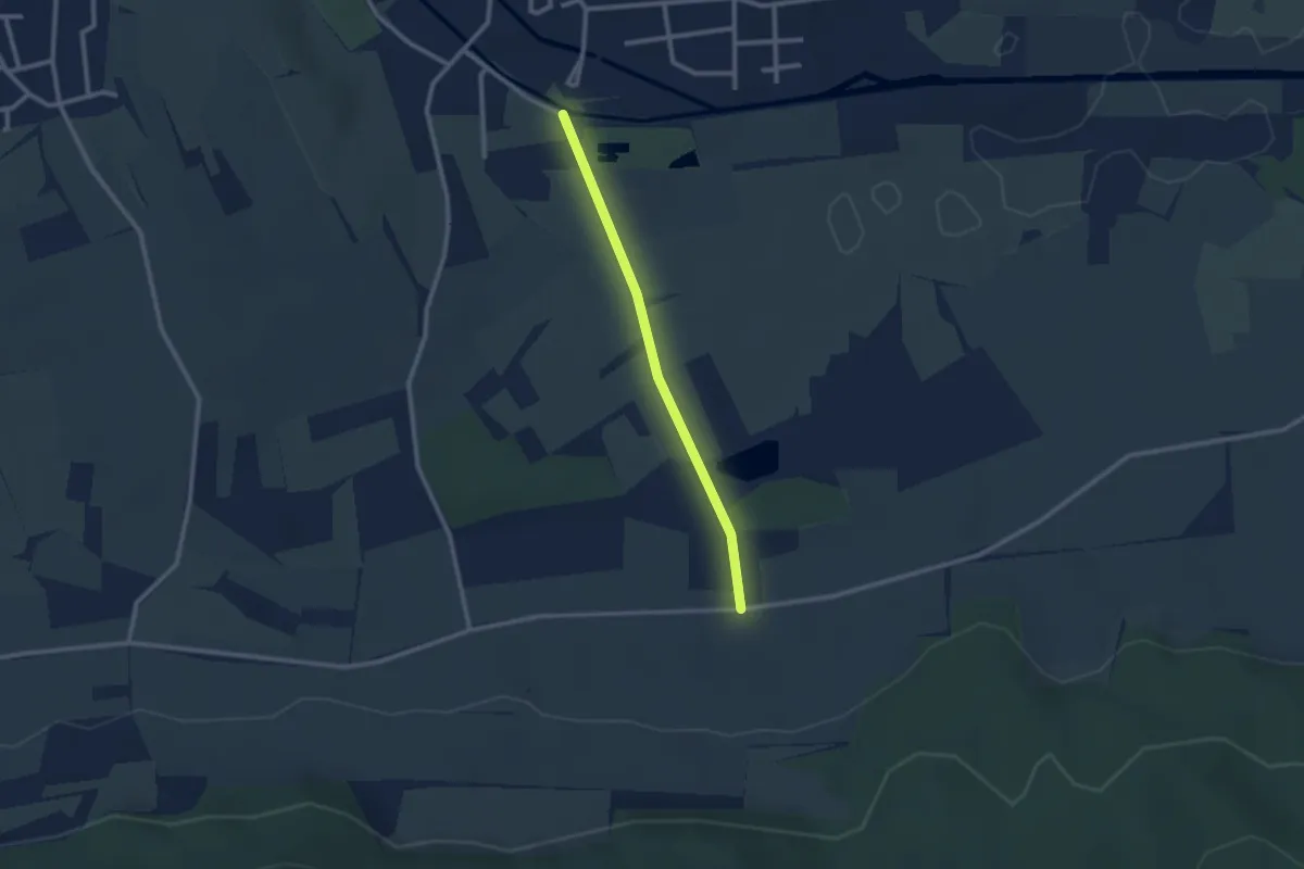
Easy · Trail
Worblingen Schwimmbad - Feldkreuz Hittisheim
2.2 km · ↑ 18 m · 33 min
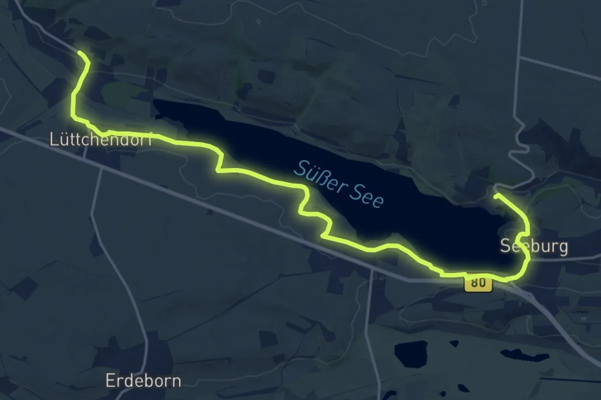
Medium · Trail
Wormsleben-Seeburg
17.6 km · ↑ 78 m · 4 h 20 min
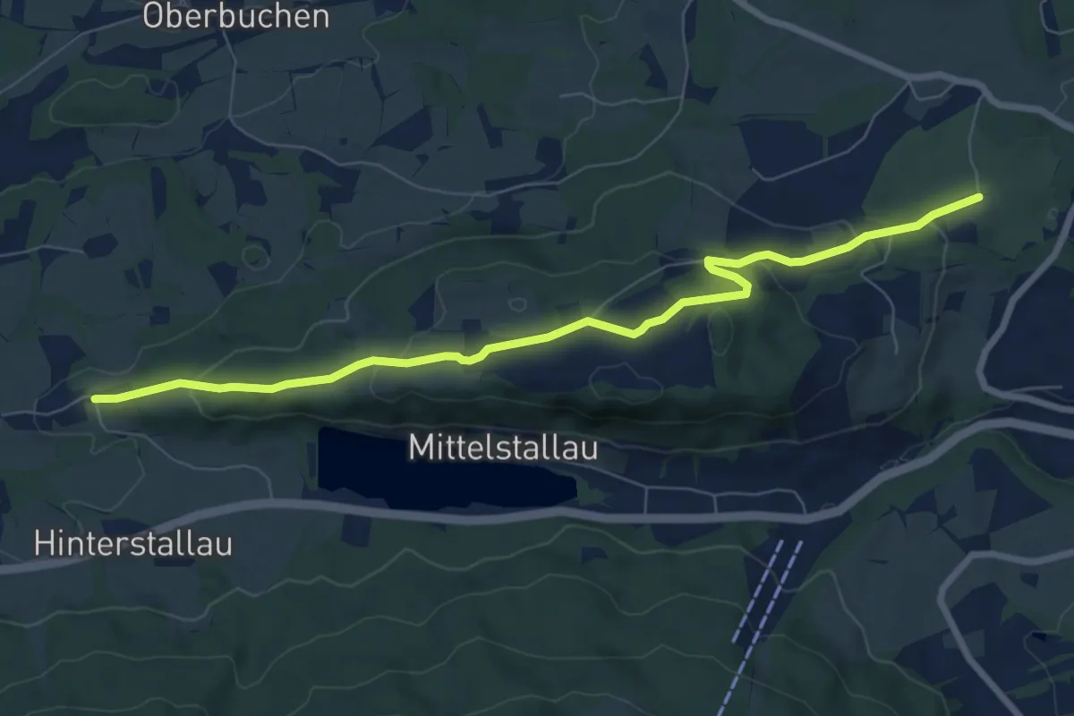
Easy · Trail
Wörnern - Bad Tölz
7.9 km · ↑ 248 m · 2 h 24 min
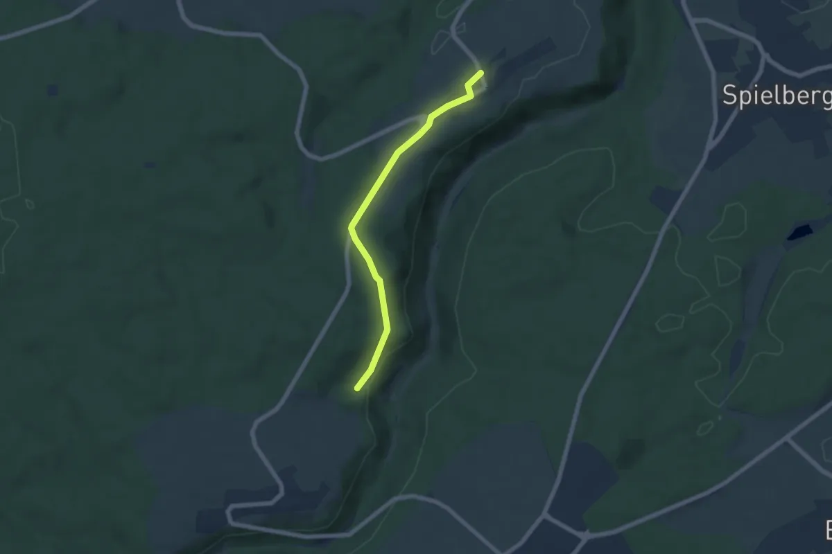
Easy · Trail
Wörnersberg - Baumplatzsteige
5.0 km · ↑ 111 m · 1 h 26 min
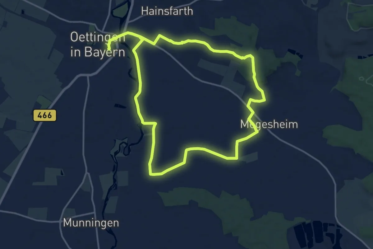
Demanding · Trail
Wörnitztal-Riesrandweg
23.6 km · ↑ 172 m · 5 h 57 min
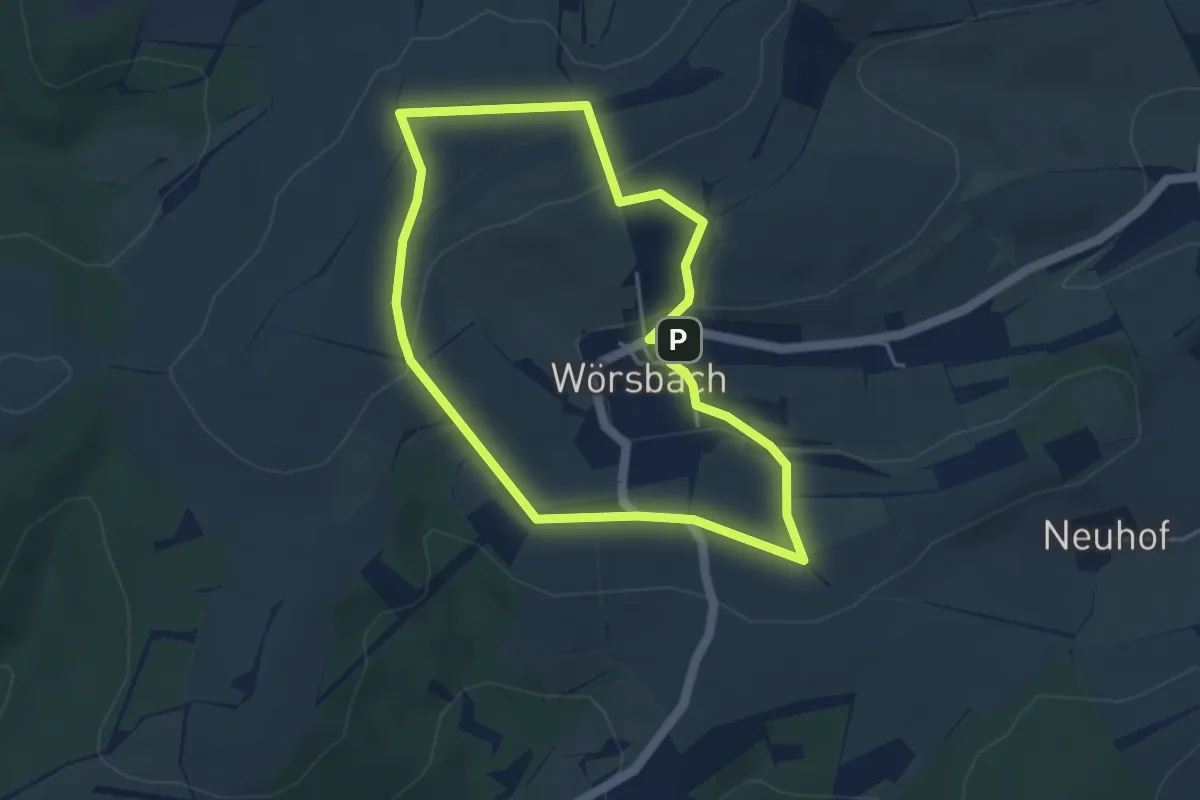
Easy · Summit
Wörsbacher Erlebnistour
3.8 km · ↑ 90 m · 1 h 9 min
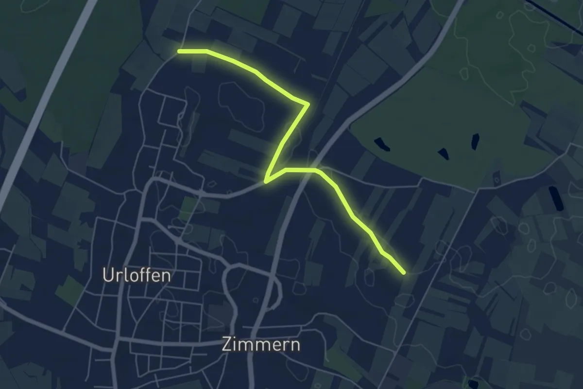
Easy · Trail
Wörth - Brunnacker
5.3 km · ↑ 14 m · 1 h 17 min
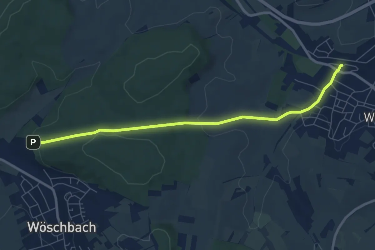
Easy · Trail
Wöschbach Sportplatz - Wössingen Bahnhof
6.5 km · ↑ 139 m · 1 h 50 min
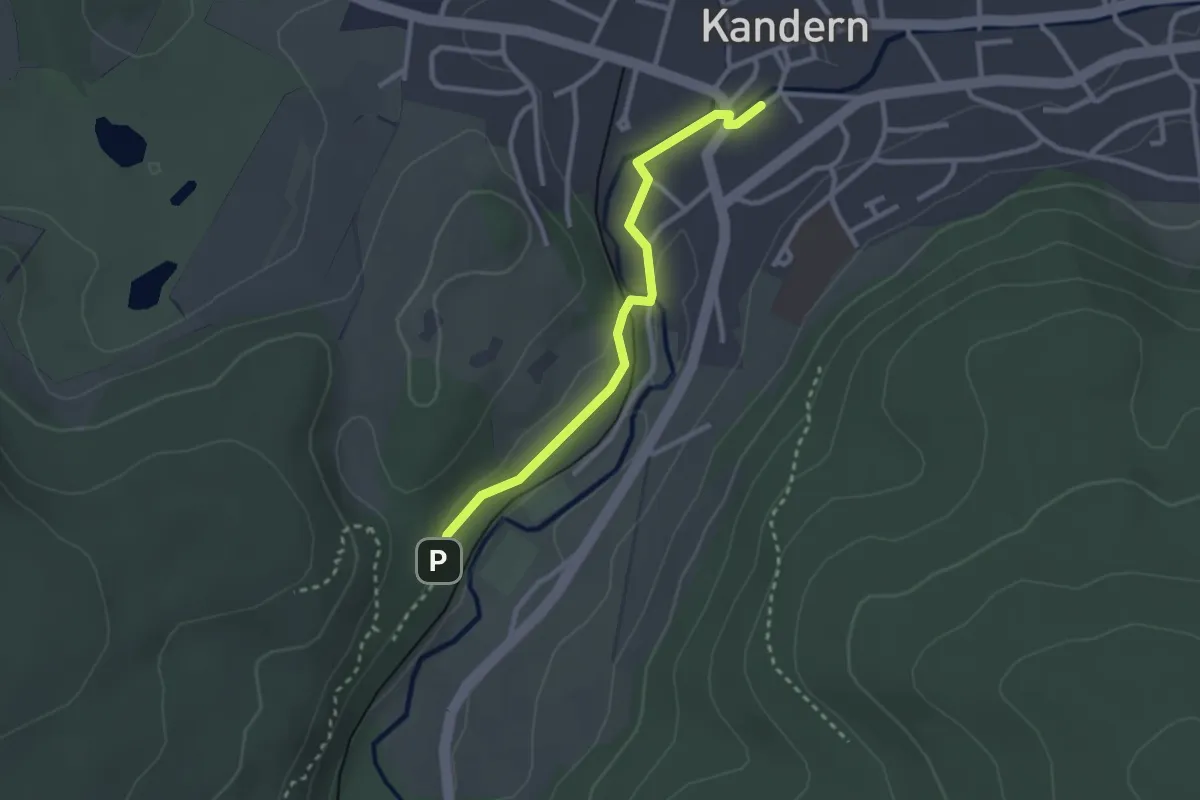
Easy · Trail
Wöschplatzbrunnen - Hebelbrünnli
2.6 km · ↑ 31 m · 41 min
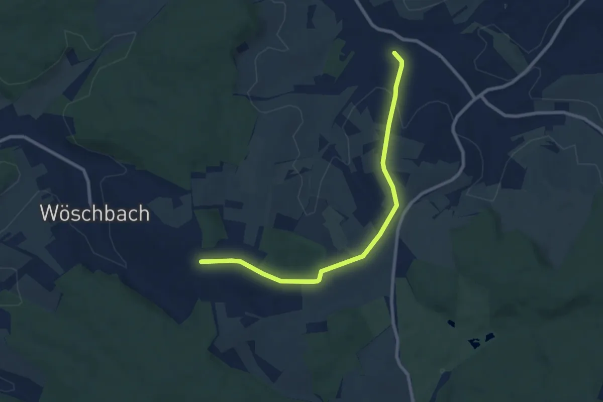
Easy · Trail
Wössingen Durlacher Allee - Löffelbusch Kreuz
7.0 km · ↑ 86 m · 1 h 50 min
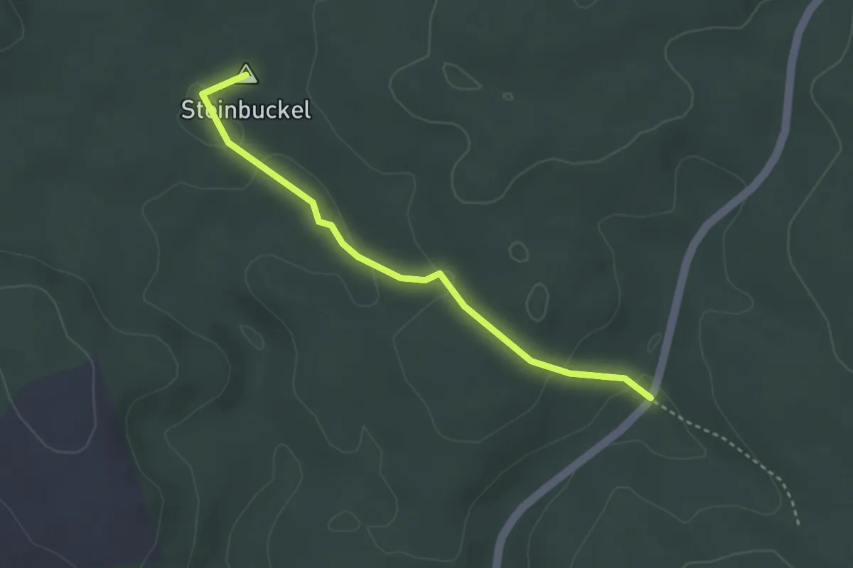
Easy · Summit
WR 2 Rundwanderweg Sperbereck (Rote Raute)
3.1 km · ↑ 79 m · 54 min
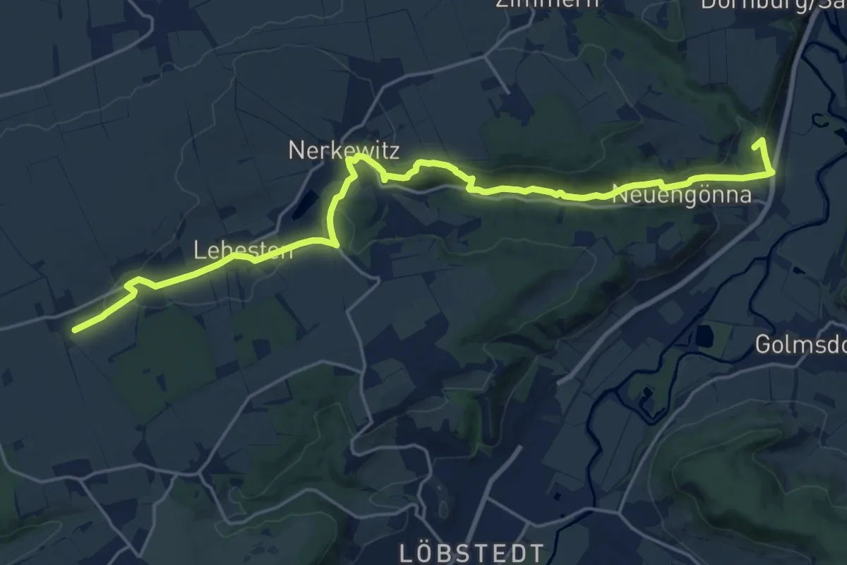
Demanding · Summit
w-red-w
20.4 km · ↑ 444 m · 5 h 46 min
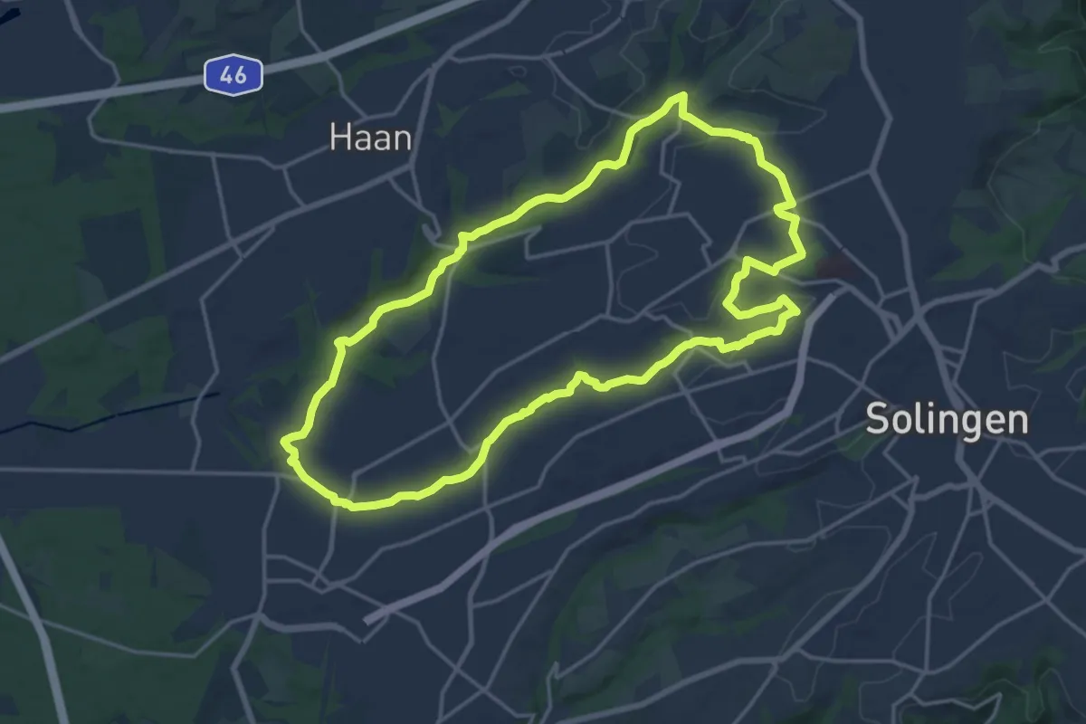
Medium · Trail
(W) Rund um Wald
15.6 km · ↑ 207 m · 4 h 21 min
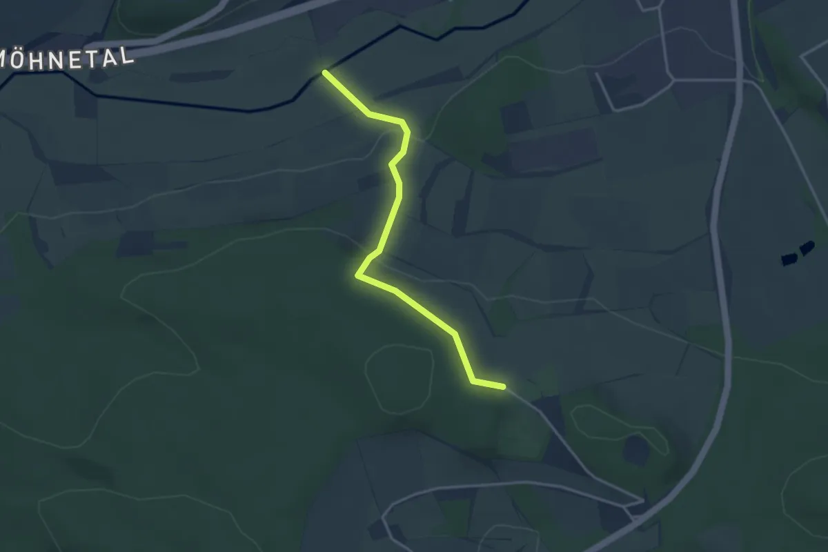
Easy · Trail
[W] Sauerland-Waldroute - Bergstadt-Route
2.9 km · ↑ 93 m · 53 min
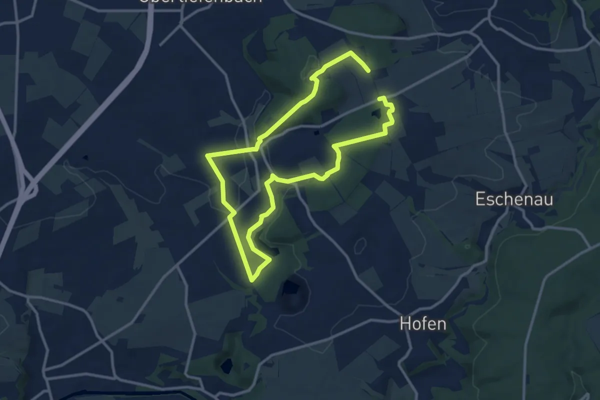
Medium · Trail
WSW WaldSofaWeg
16.1 km · ↑ 268 m · 4 h 23 min
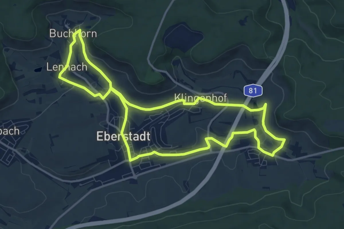
Medium · Trail
WT10 Brunnen und Quellen in Eberstadt
9.4 km · ↑ 105 m · 2 h 34 min
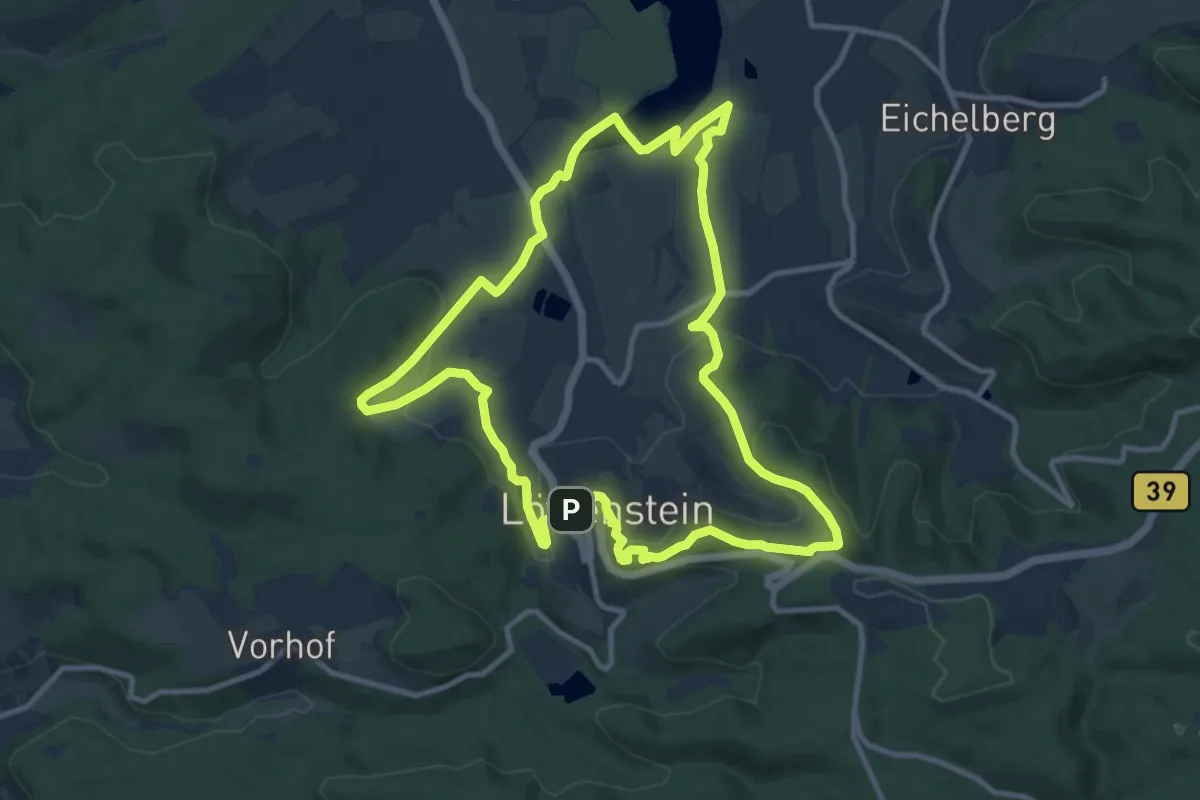
Medium · Trail
WT11 Weinbergtour Löwenstein
10.4 km · ↑ 310 m · 3 h 17 min
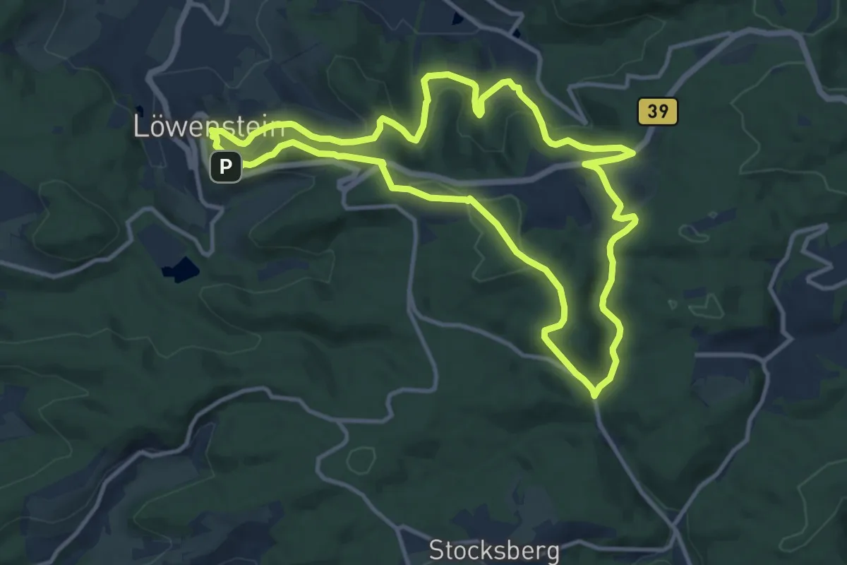
Medium · Trail
WT12 Wald- und Wiesentour Löwenstein
10.6 km · ↑ 331 m · 3 h 22 min
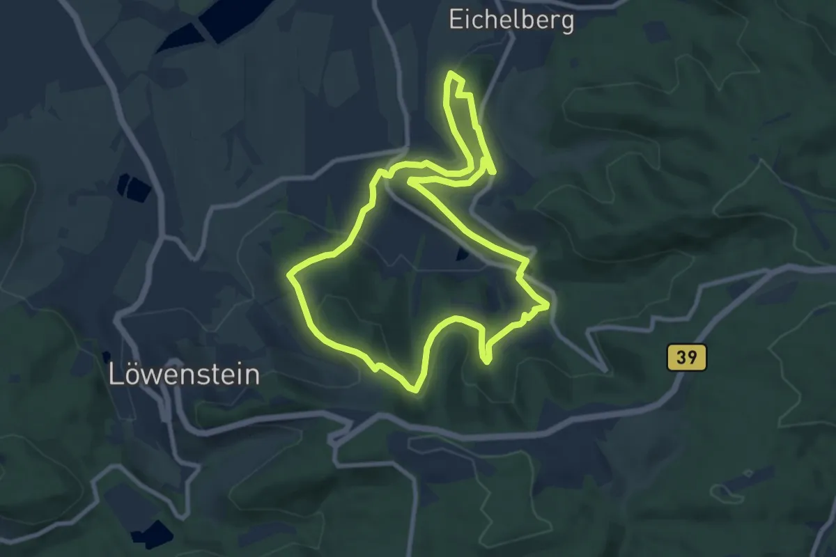
Easy · Trail
WT13 Von Toten und Seherinnen
7.3 km · ↑ 220 m · 2 h 19 min
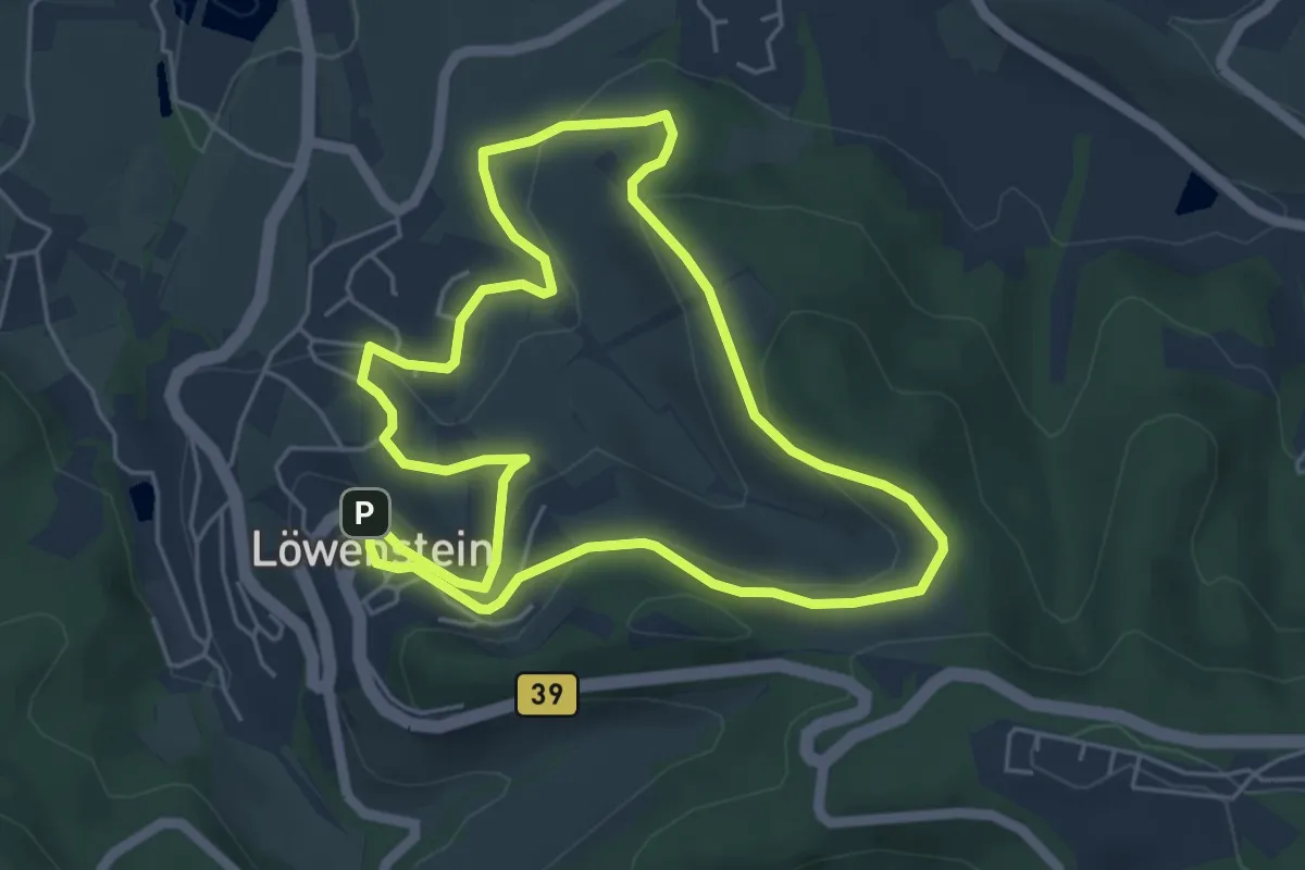
Easy · Trail
WT14 - Durch Reben und Mauergärten
5.0 km · ↑ 156 m · 1 h 35 min
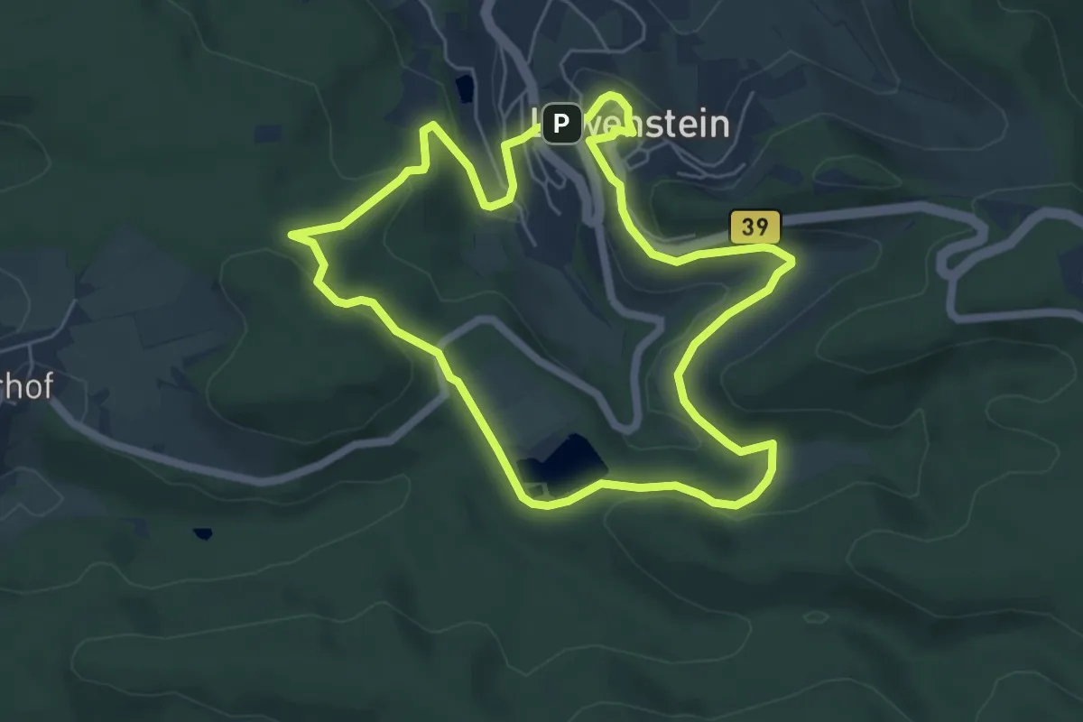
Easy · Summit
WT15 Wasser-Tour
5.3 km · ↑ 152 m · 1 h 39 min
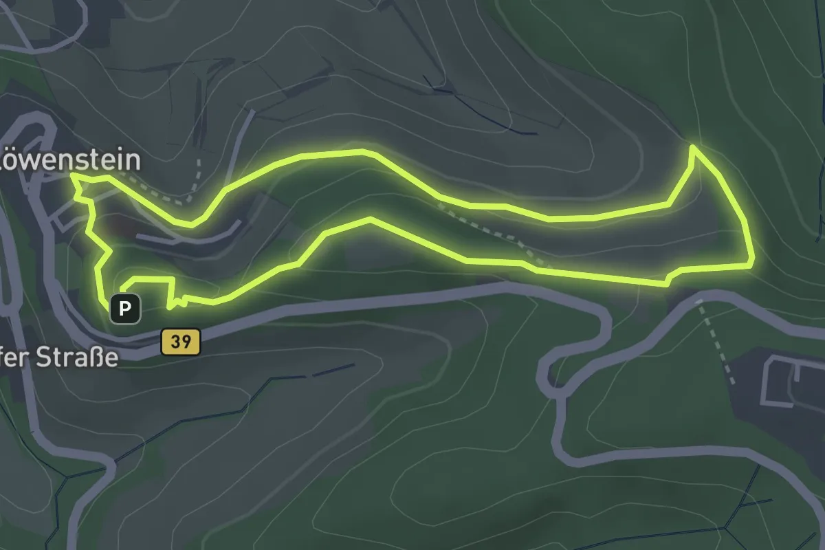
Easy · Trail
WT16 - Burgruine, Aussichten und Motorräder
3.3 km · ↑ 115 m · 1 h 4 min
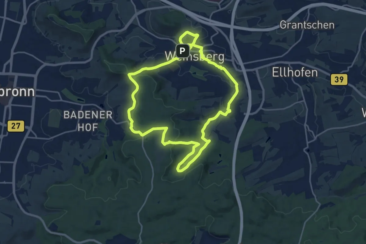
Medium · Summit
WT1 Zwischen Stadtsee und Waldheide
13.3 km · ↑ 271 m · 3 h 54 min
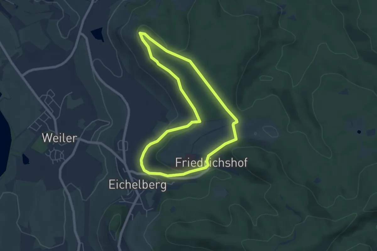
Easy · Trail
WT20 - Ab ins Paradies!
4.9 km · ↑ 106 m · 1 h 27 min
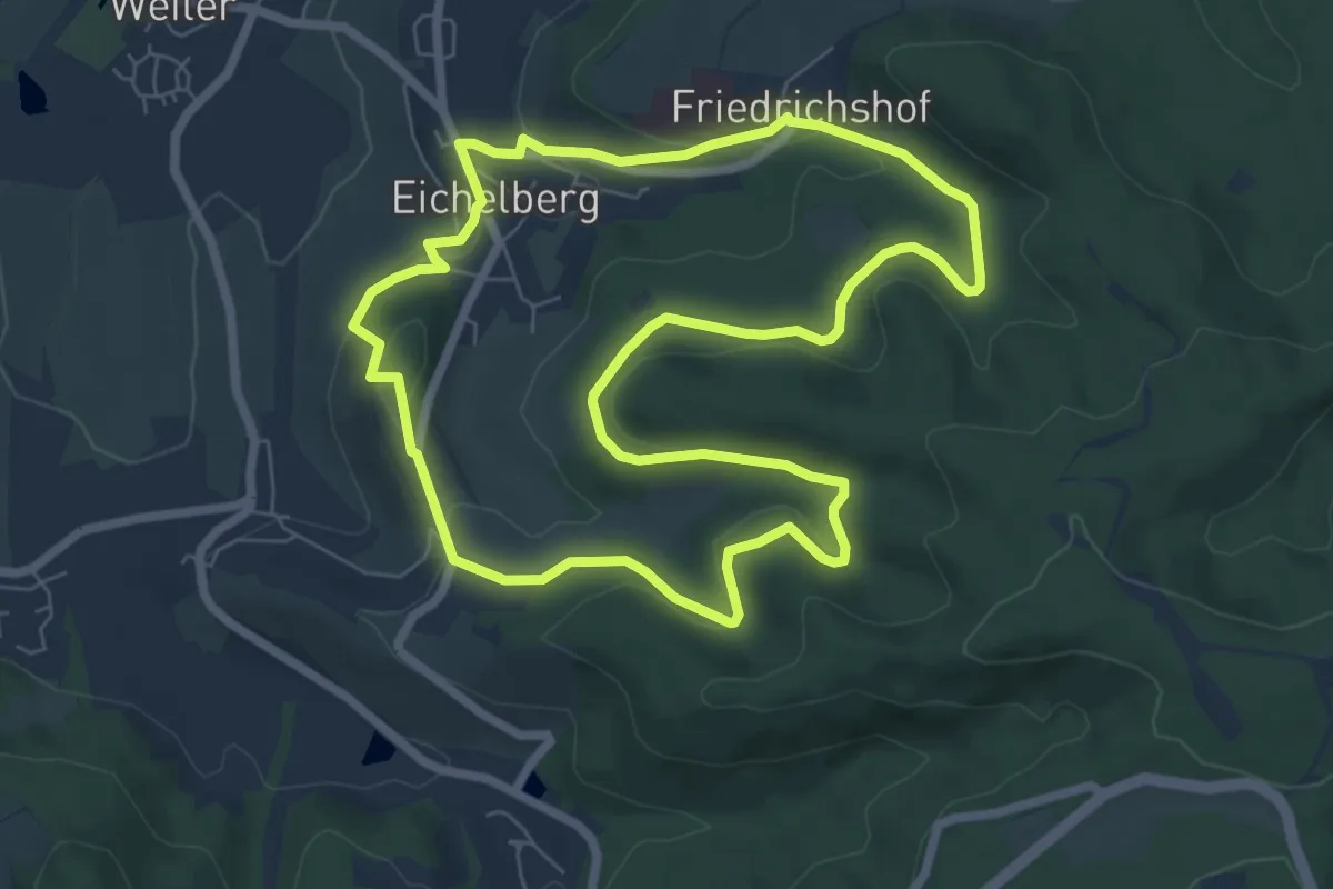
Easy · Trail
WT21 - Durch Wald und Wein
6.8 km · ↑ 155 m · 2 h 2 min
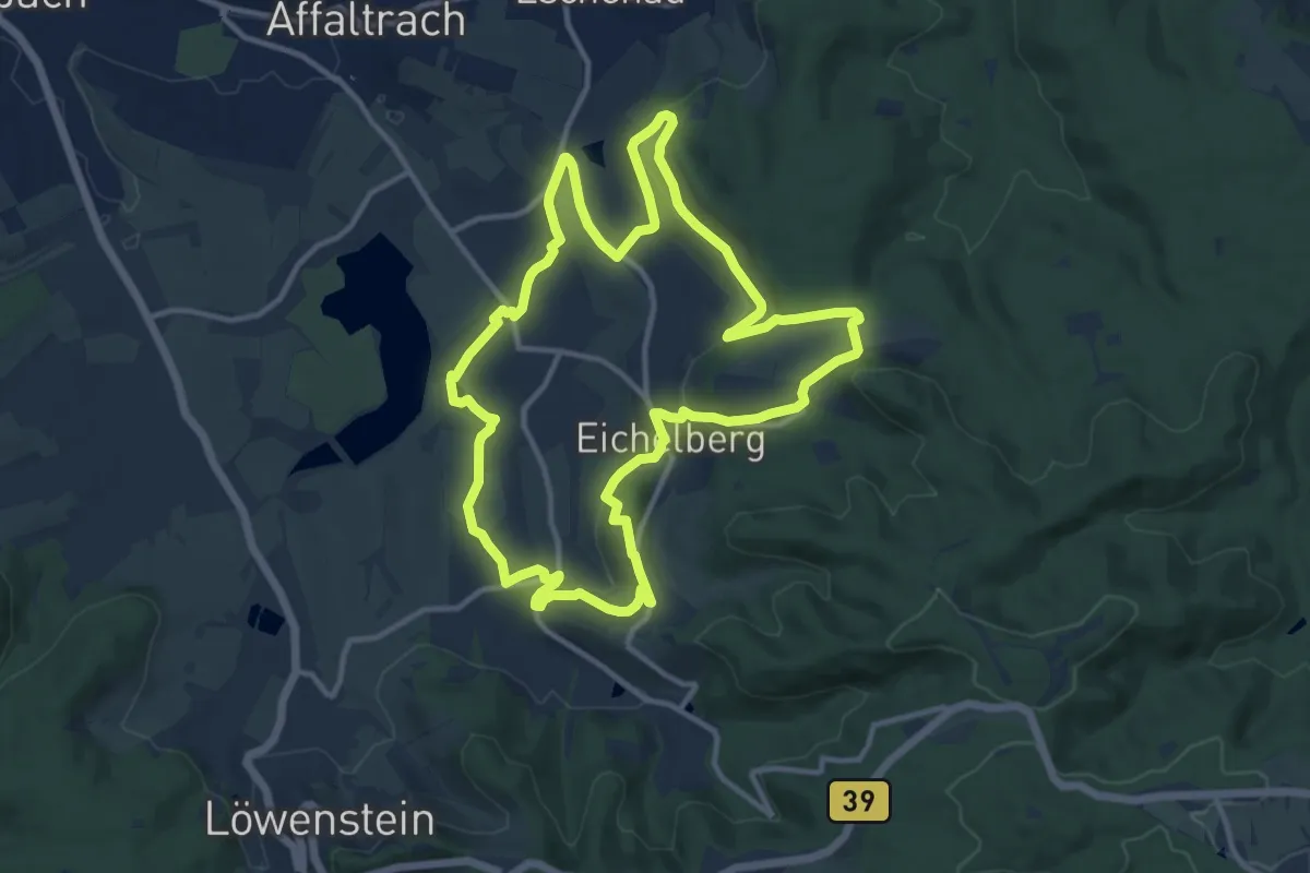
Medium · Trail
WT22 Von Paradies zu Paradies
11.6 km · ↑ 260 m · 3 h 28 min
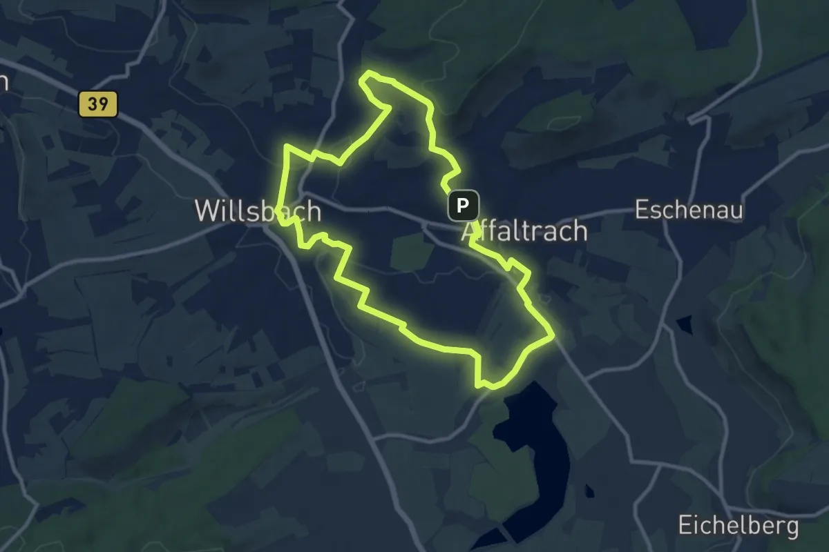
Medium · Trail
WT23 - Wasser, Wald und Wein
9.0 km · ↑ 149 m · 2 h 34 min
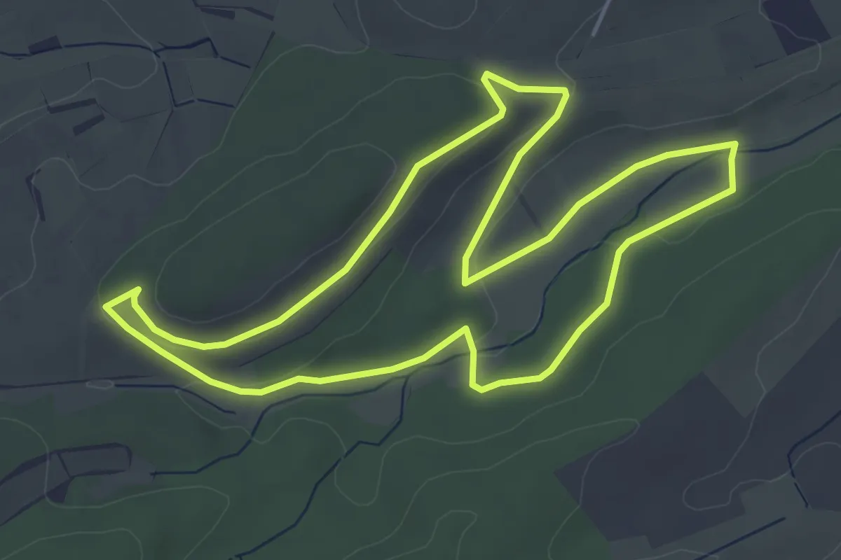
Easy · Trail
WT24 Föhrenberg-Tour
4.9 km · ↑ 67 m · 1 h 21 min
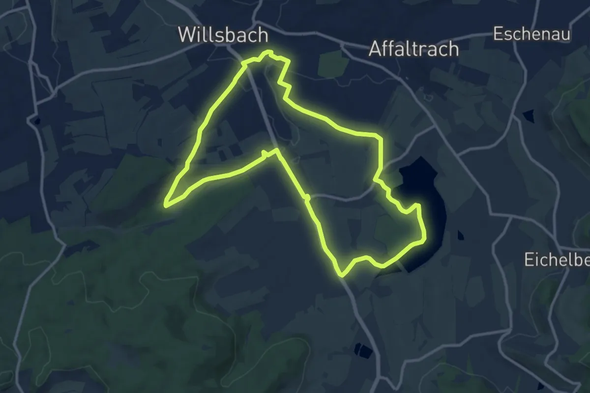
Medium · Trail
WT25 Vom Autal zum Breitenauer See
10.0 km · ↑ 106 m · 2 h 44 min
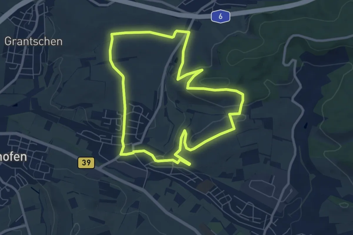
Easy · Summit
WT26 - Rauhberg-Tour zum Altenberg
6.4 km · ↑ 145 m · 1 h 55 min
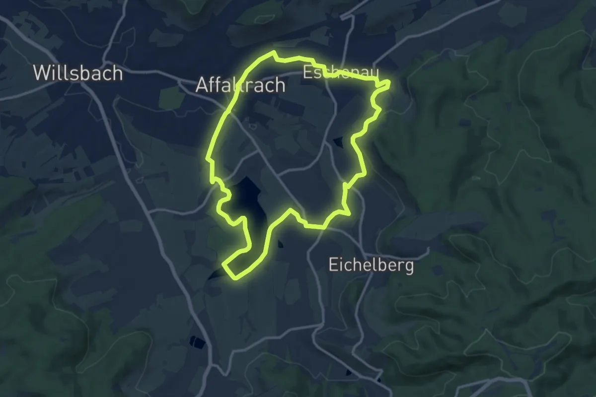
Medium · Trail
WT2 Von Wasser und Wein
10.5 km · ↑ 164 m · 2 h 59 min
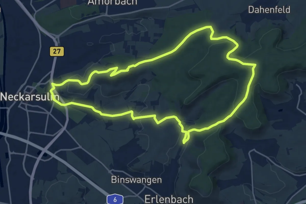
Medium · Summit
WT3 Kleine Hügeltour durch Wiesen, Wald und Weinberge
13.9 km · ↑ 284 m · 4 h 5 min
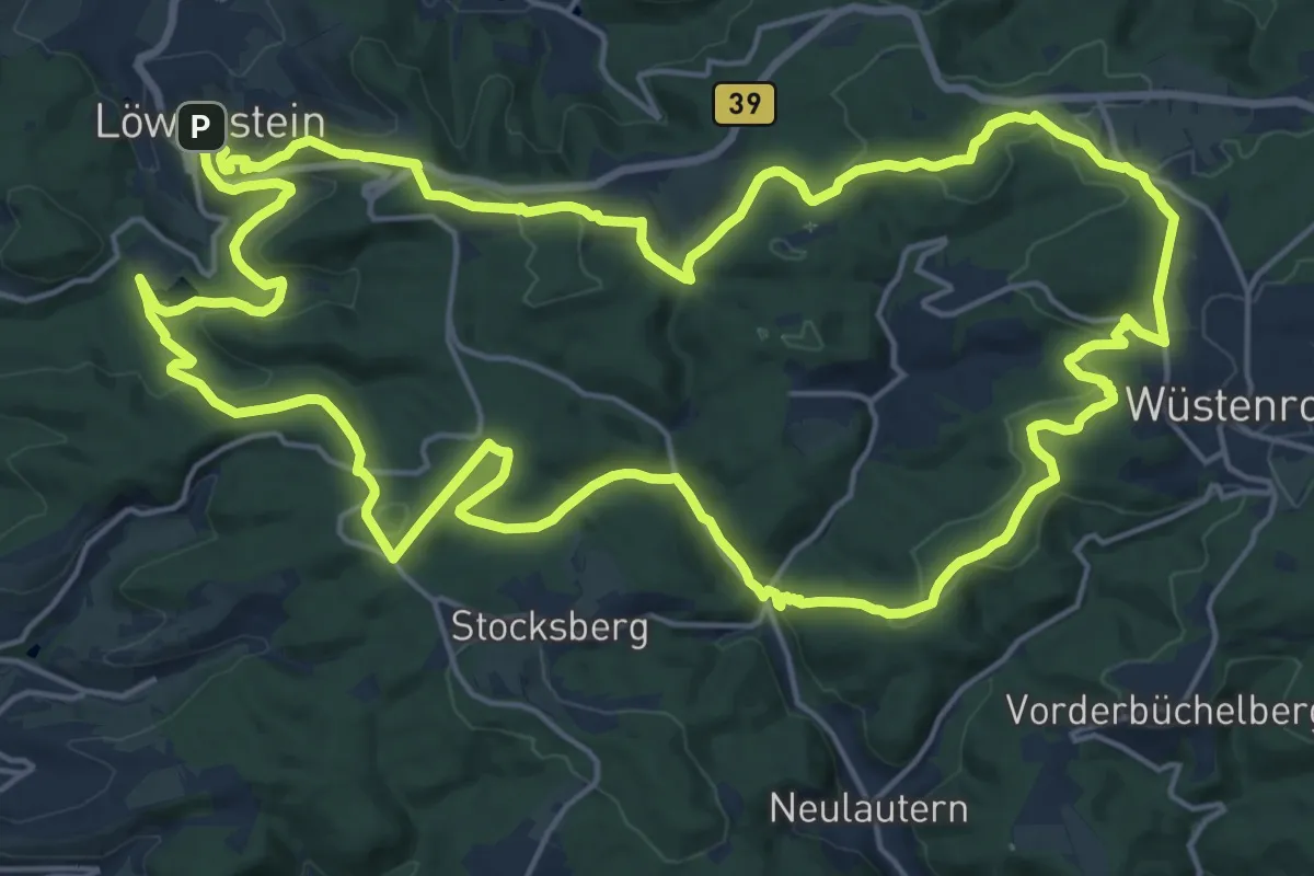
Demanding · Trail
WT4 Auf den Spuren von Dichtern und Denkern
21.5 km · ↑ 486 m · 6 h 25 min
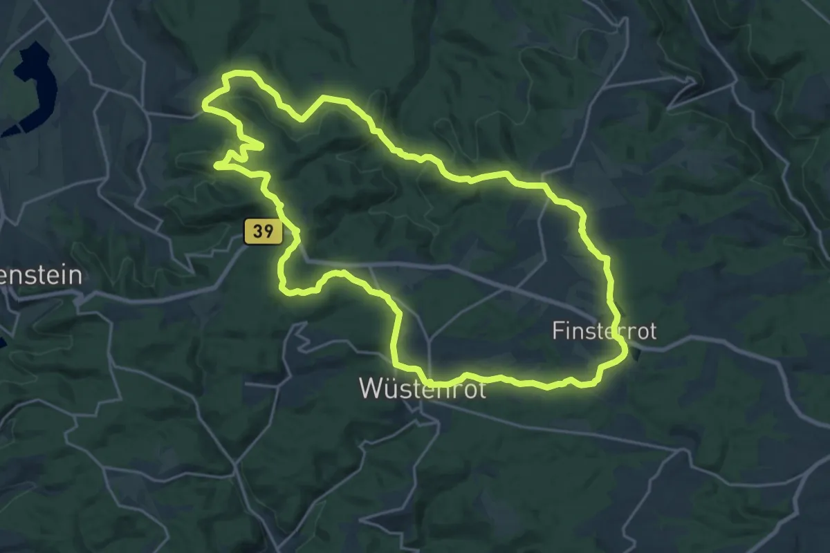
Demanding · Trail
WT6 Natur pur rund um Wüstenrot
20.5 km · ↑ 418 m · 6 h 2 min
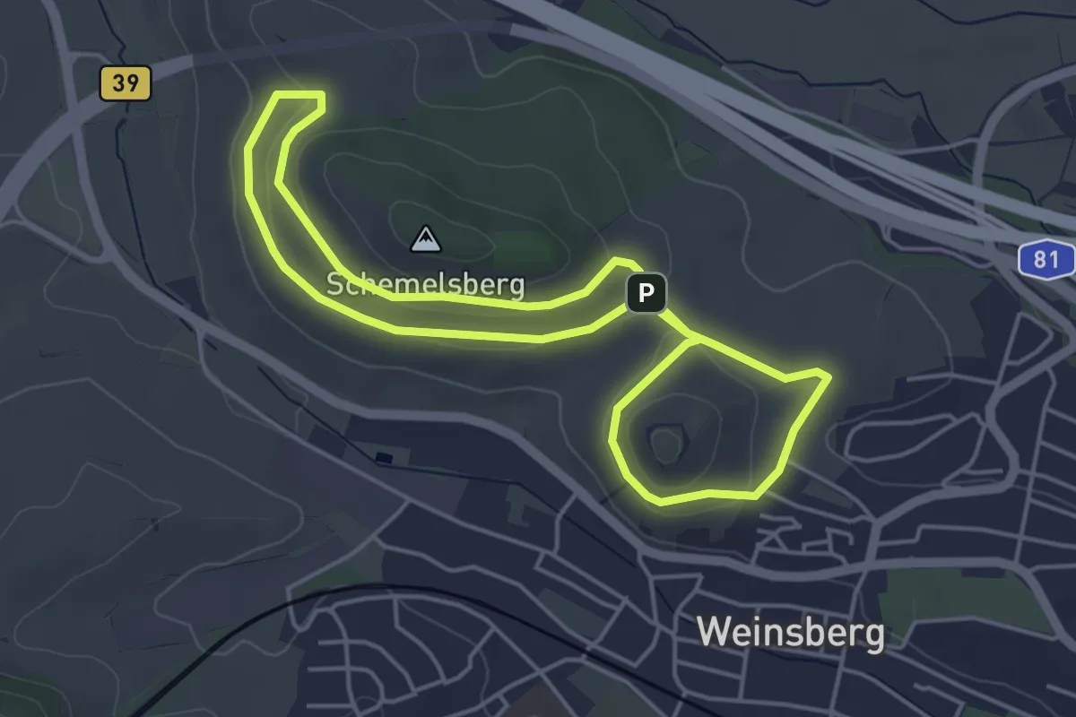
Easy · Summit
WT7 Wein- und Rosenrundweg Weinsberg
4.2 km · ↑ 88 m · 1 h 14 min
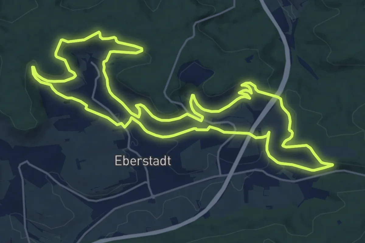
Medium · Trail
WT8 Wengertschleife
16.2 km · ↑ 372 m · 4 h 51 min
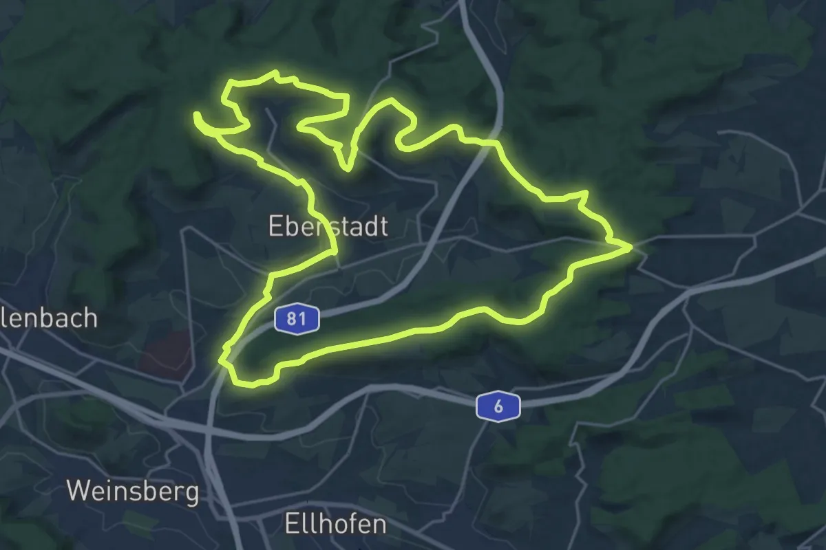
Demanding · Trail
WT9 Panoramaweg Eberstadt
22.1 km · ↑ 352 m · 6 h 17 min
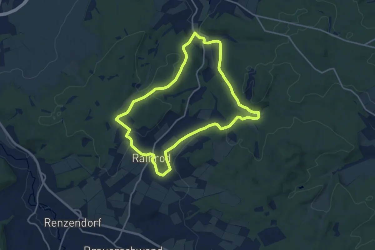
Medium · Summit
WT SchwalmTALwanderweg Waldtour
10.3 km · ↑ 182 m · 2 h 58 min
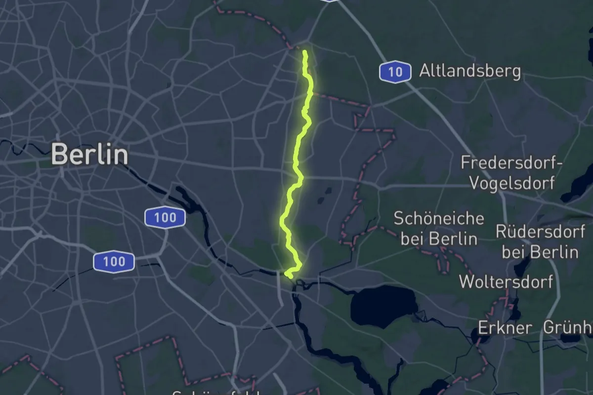
Medium · Trail
Wuhletalweg
16.5 km · ↑ 62 m · 4 h 15 min
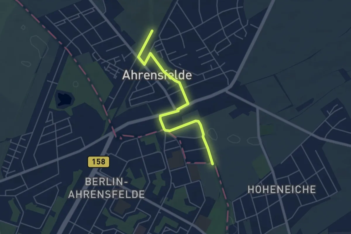
Easy · Trail
Wuhle-Wanderweg
4.4 km · ↑ 0 m · 1 h 2 min
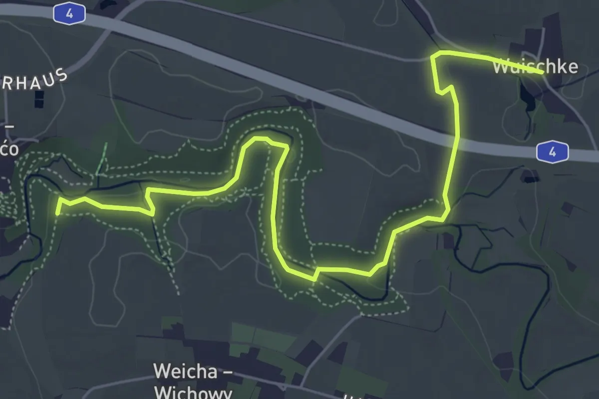
Easy · Trail
Wuischke - Skala (gelber Punkt)
6.2 km · ↑ 73 m · 1 h 38 min
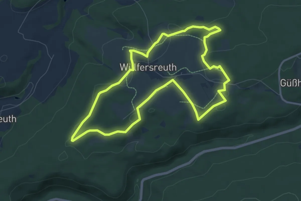
Easy · Trail
Wülfersreuth Panoramaweg
7.4 km · ↑ 146 m · 2 h 10 min
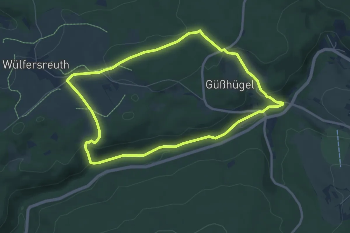
Easy · Trail
Wülfersreuth Rundweg Nr. 2
6.0 km · ↑ 133 m · 1 h 48 min
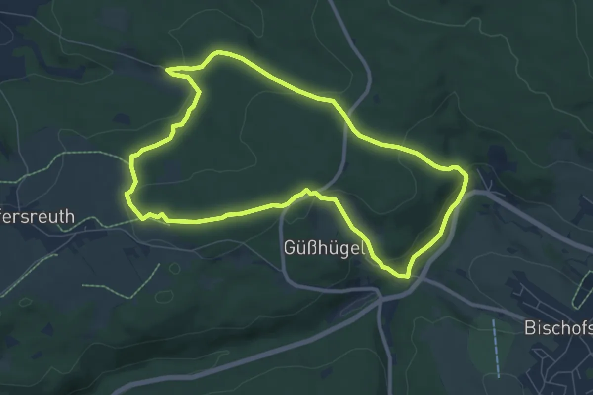
Easy · Trail
Wülfersreuth Rundweg Nr. 3
6.7 km · ↑ 183 m · 2 h 4 min
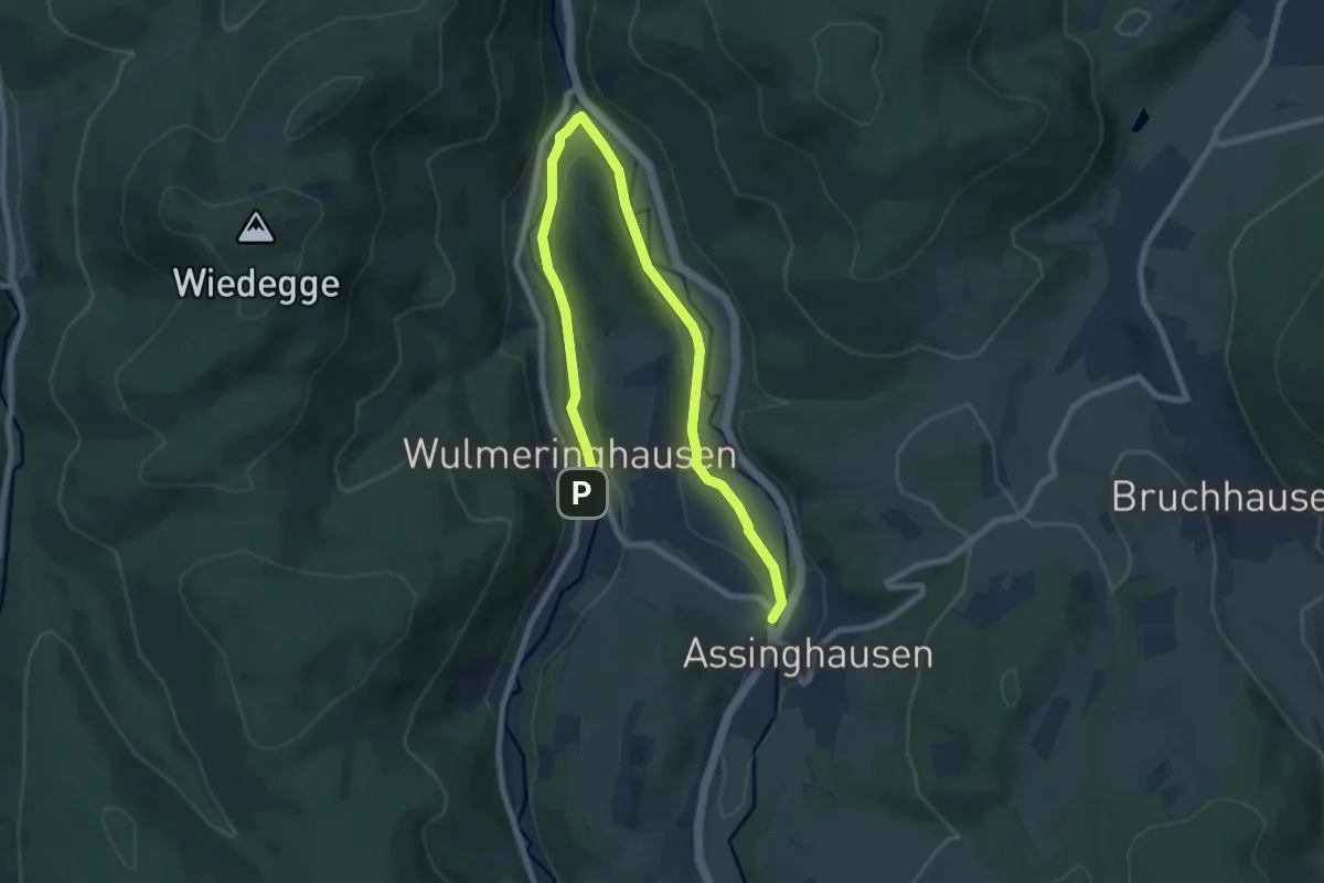
Medium · Trail
Wulmeringhausen Rundweg W1
9.5 km · ↑ 186 m · 2 h 39 min
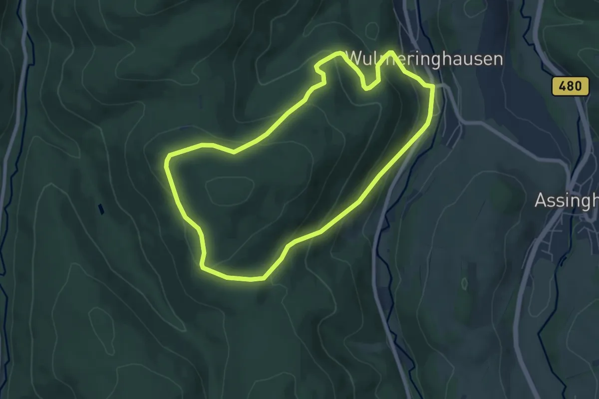
Easy · Summit
Wulmeringhausen Rundweg W2
5.7 km · ↑ 264 m · 1 h 59 min