Trails in Germany
36,877 hiking trails, each with its route, climb, walking time and grade.
All trails, page 737 of 769
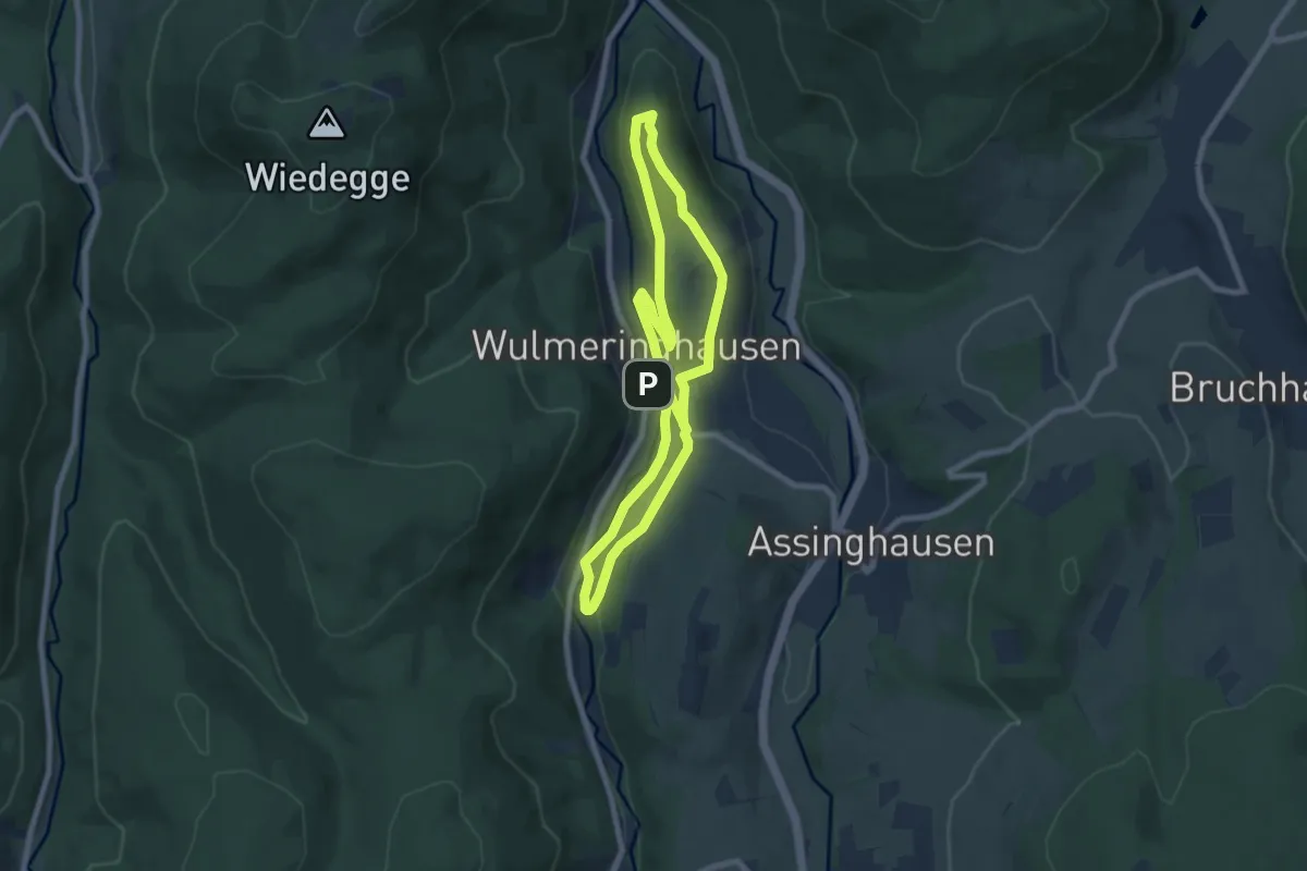
Easy · Summit
Wulmeringhausen Rundweg W3
6.4 km · ↑ 161 m · 1 h 57 min
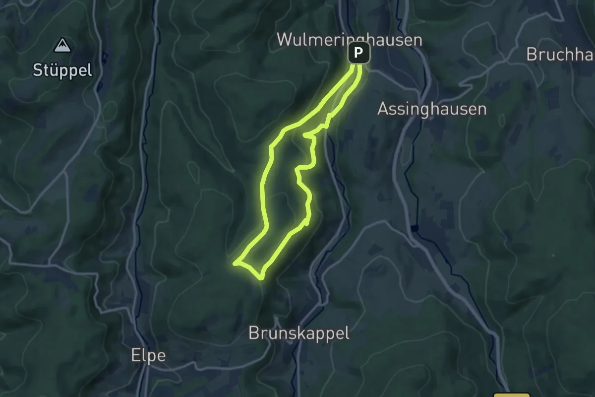
Medium · Summit
Wulmeringhausen Ziegenberg-Rundweg W4
8.4 km · ↑ 290 m · 2 h 44 min
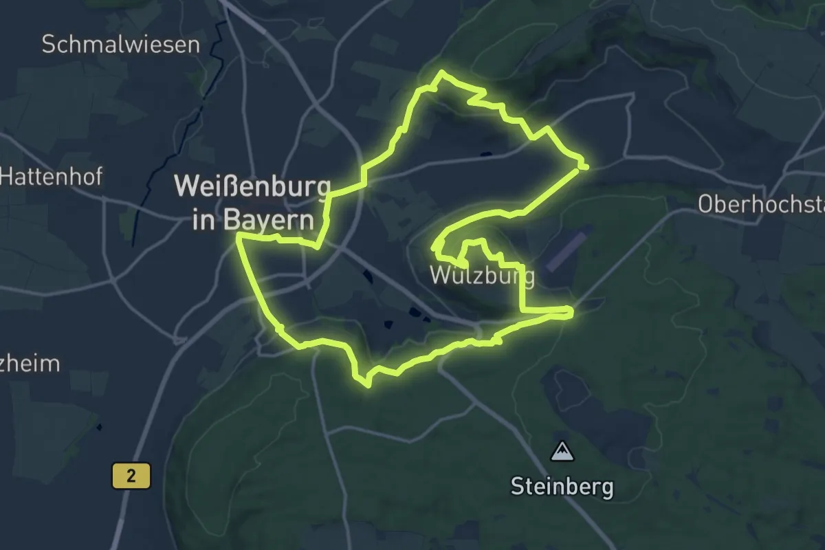
Medium · Summit
Wülzburgweg
15.8 km · ↑ 465 m · 4 h 58 min
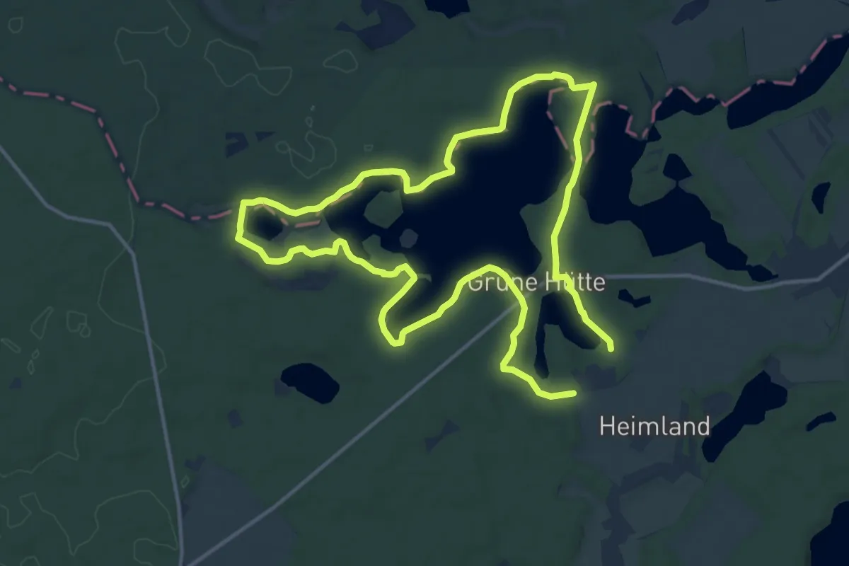
Medium · Trail
Wummsee-Rundwanderweg
10.8 km · ↑ 105 m · 2 h 56 min
Easy · Trail
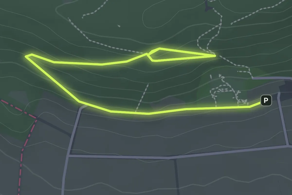
Wunderwald Rödinghausen
3.6 km · ↑ 75 m · 1 h
Medium · Summit
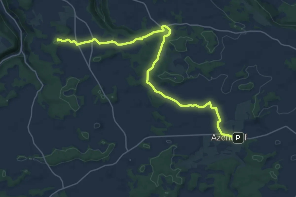
Wunkendorfer Querweg
16.3 km · ↑ 158 m · 4 h 11 min
Easy · Trail
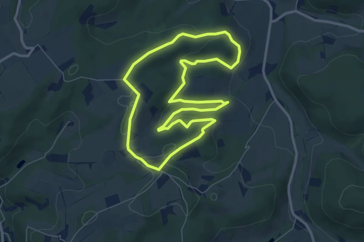
Wünnerhof Rundweg A6
5.6 km · ↑ 165 m · 1 h 46 min
Medium · Trail
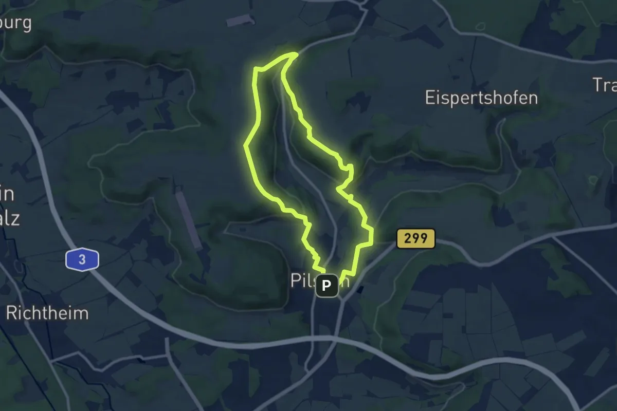
Wünner Rundweg
8.4 km · ↑ 223 m · 2 h 35 min
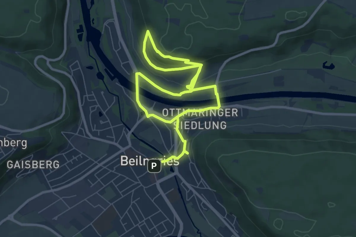
Easy · Trail
Wünschelruten-Rundweg
5.4 km · ↑ 153 m · 1 h 42 min
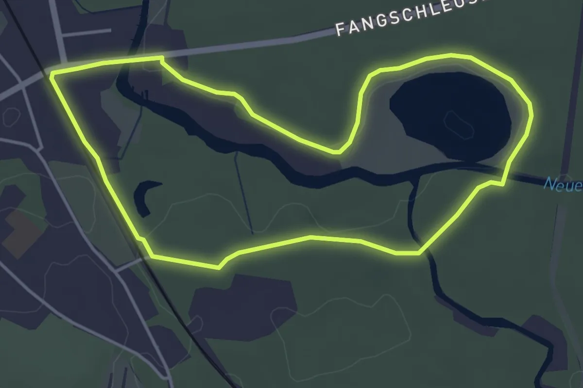
Easy · Trail
Wupatz‘ Lehrpfad
3.6 km · ↑ 18 m · 56 min
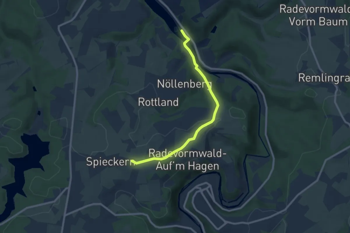
Easy · Trail
Wuppertaler Rundweg
2.9 km · ↑ 128 m · 57 min
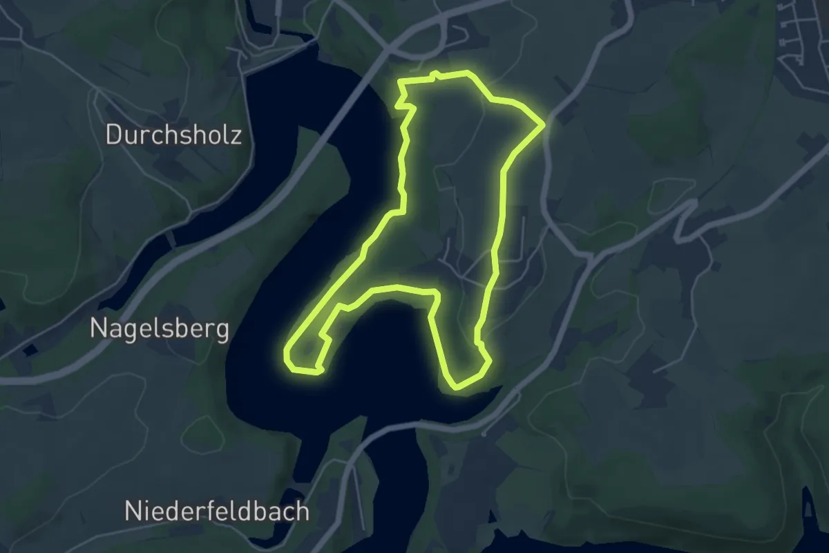
Easy · Trail
Wupper-Talsperre Rundweg A1
4.6 km · ↑ 99 m · 1 h 21 min
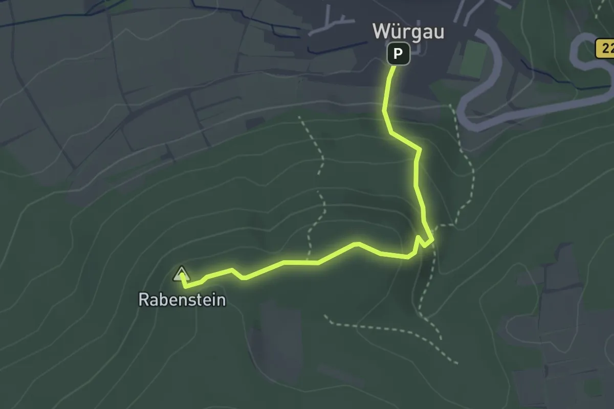
Easy · Summit
Würgau - Rabenstein
2.9 km · ↑ 168 m · 1 h 3 min
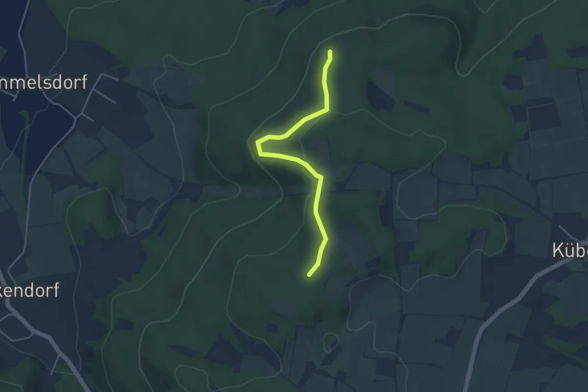
Medium · Summit
Würgau - Rabenstein - Heidenstein
3.4 km · ↑ 116 m · 1 h 4 min
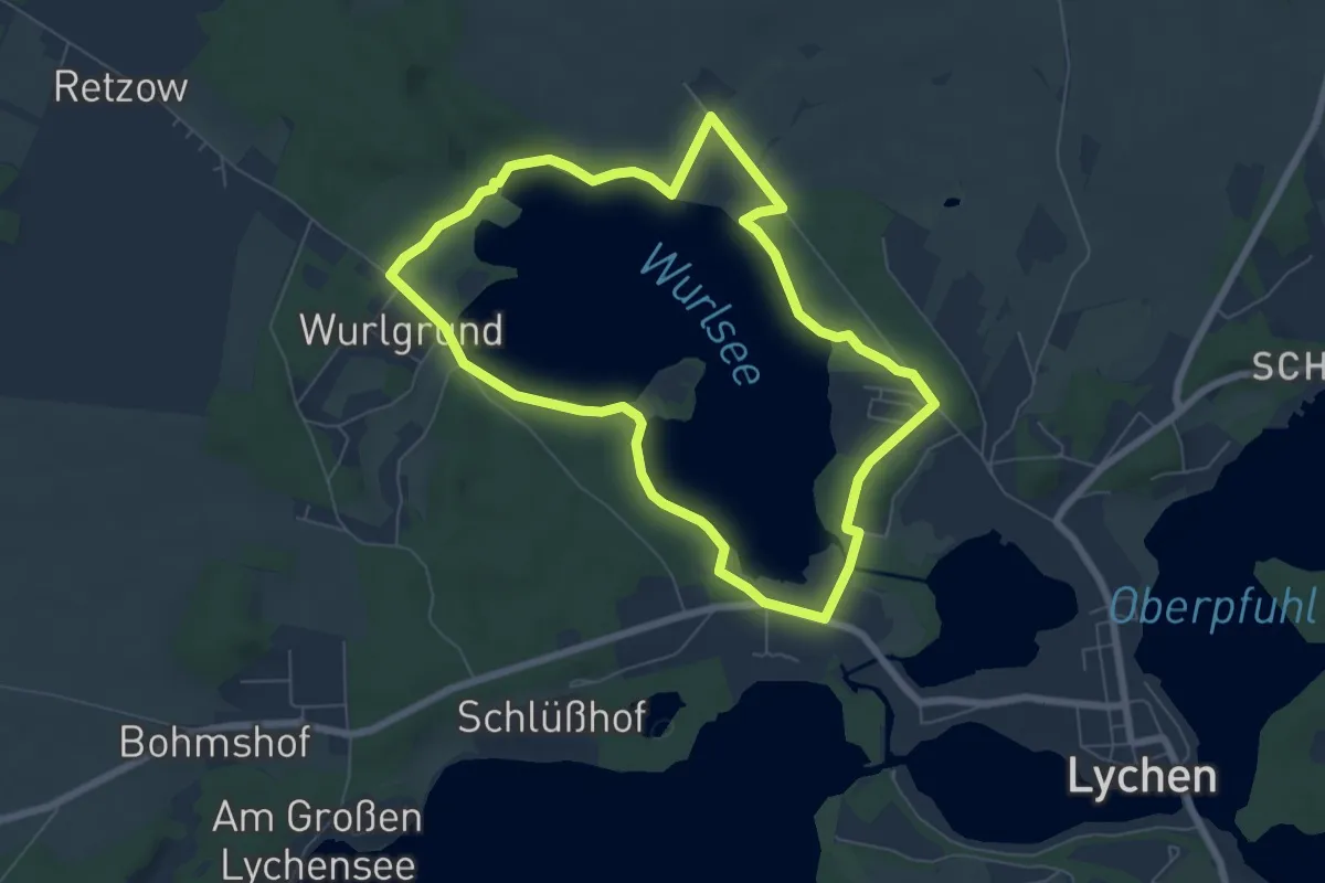
Easy · Trail
Wurlseerundweg
5.7 km · ↑ 52 m · 1 h 33 min
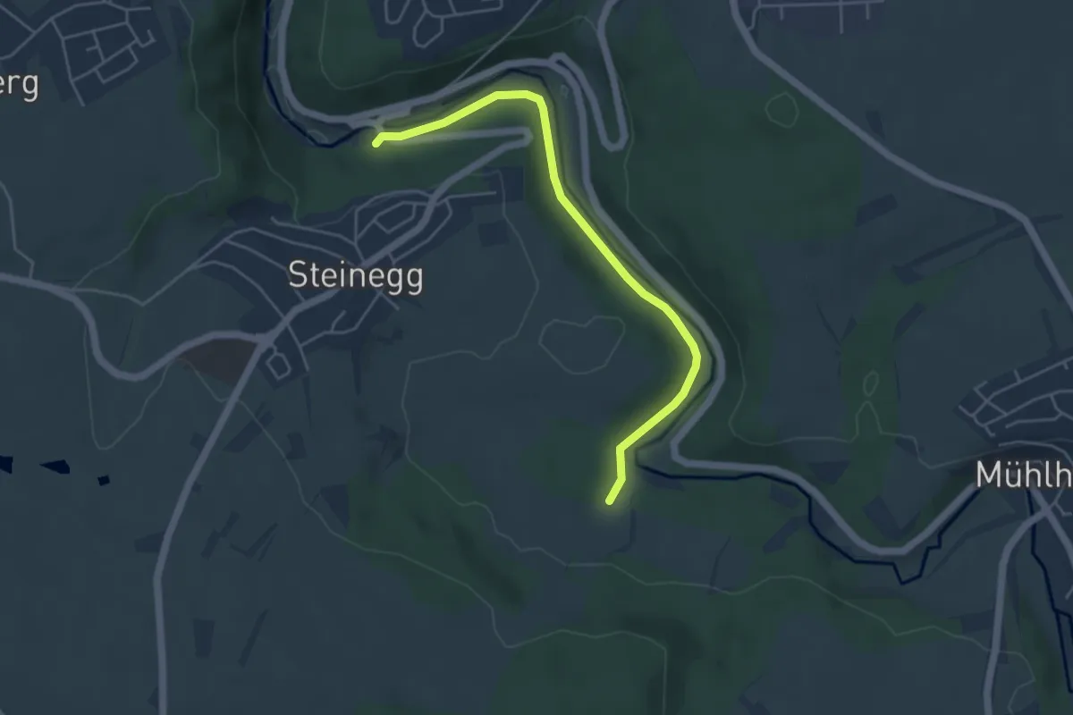
Easy · Trail
Würmbrücke - Unterer Hau
4.4 km · ↑ 43 m · 1 h 8 min
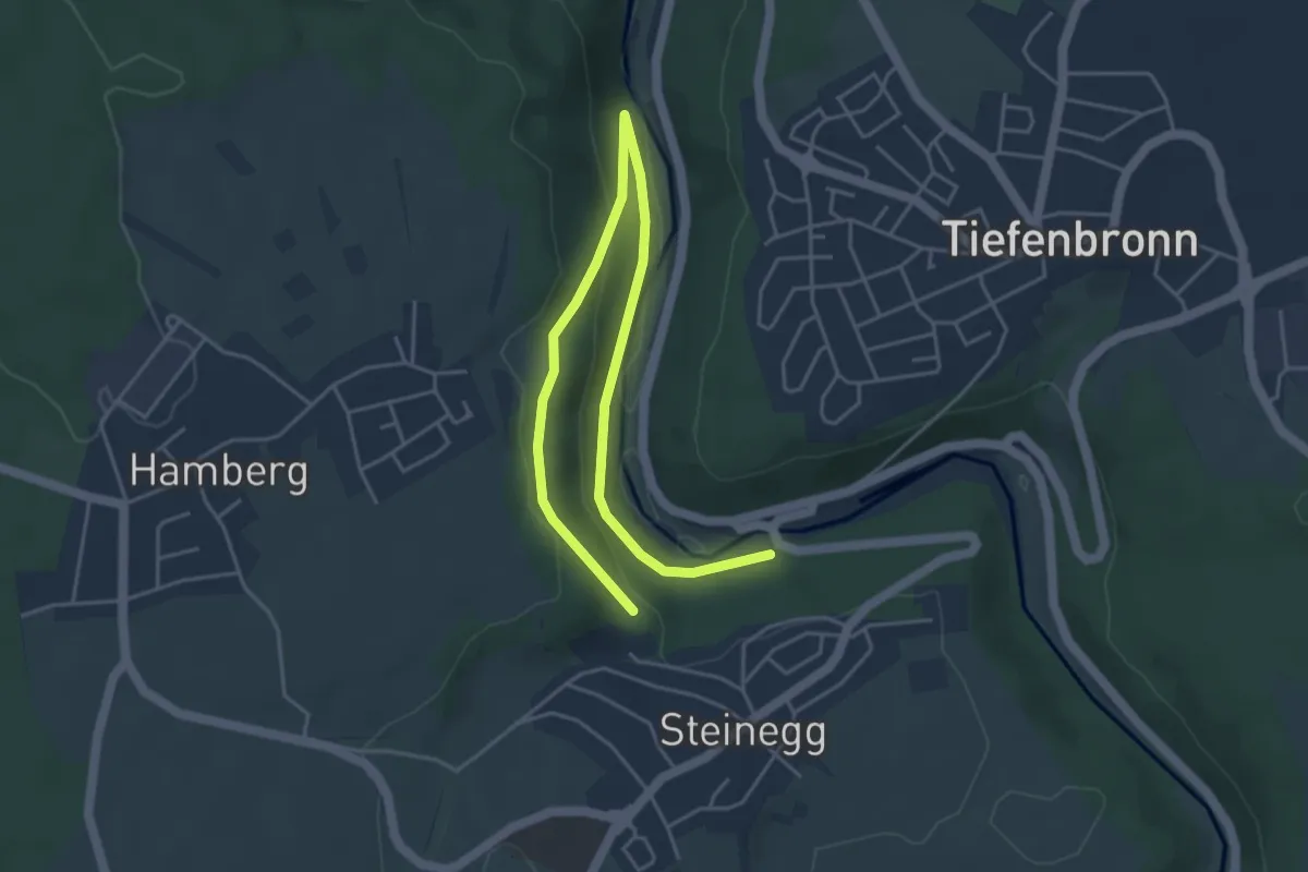
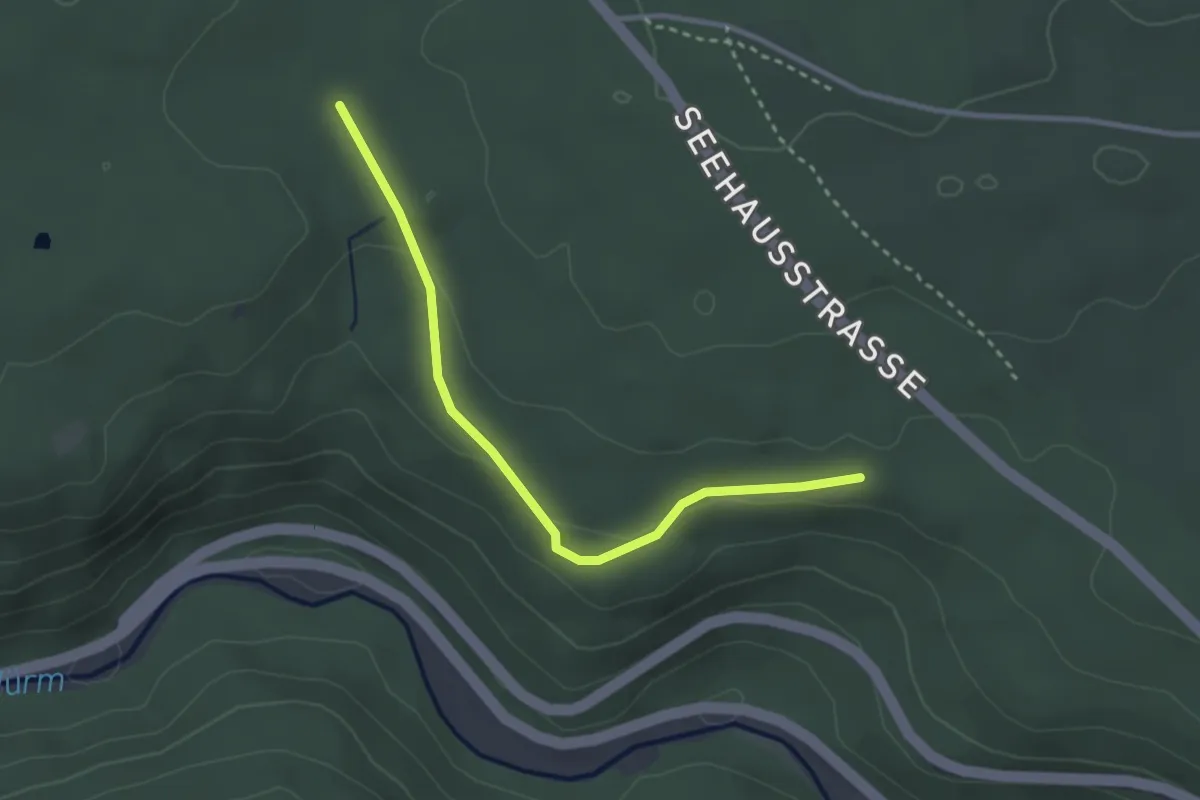
Easy · Trail
Würmbrücke - Waldkapelle
5.6 km · ↑ 189 m · 1 h 45 min
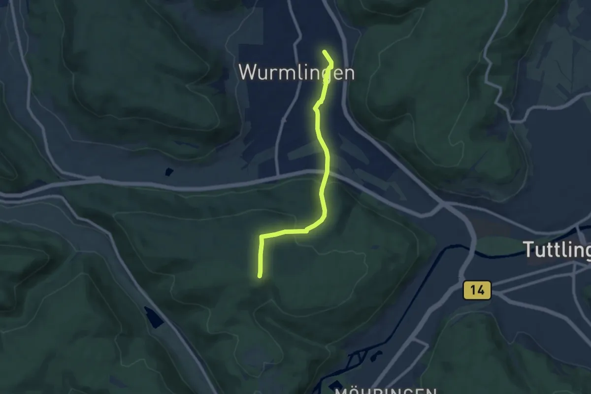
Easy · Trail
Würmhalde - Obere Klinge
2.8 km · ↑ 55 m · 47 min
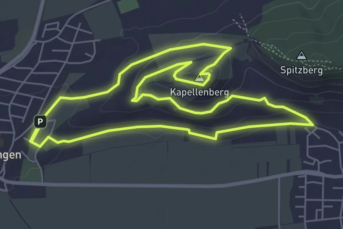
Easy · Trail
Wurmlingen - Mühlstein
6.6 km · ↑ 207 m · 2 h
Easy · Summit
Wurmlinger Kapellenwegle
5.4 km · ↑ 137 m · 1 h 39 min
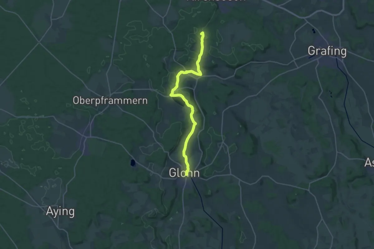
Demanding · Summit
Würmsee-Inntal-Weitwanderweg (weiß auf rot)
20.4 km · ↑ 408 m · 5 h 42 min
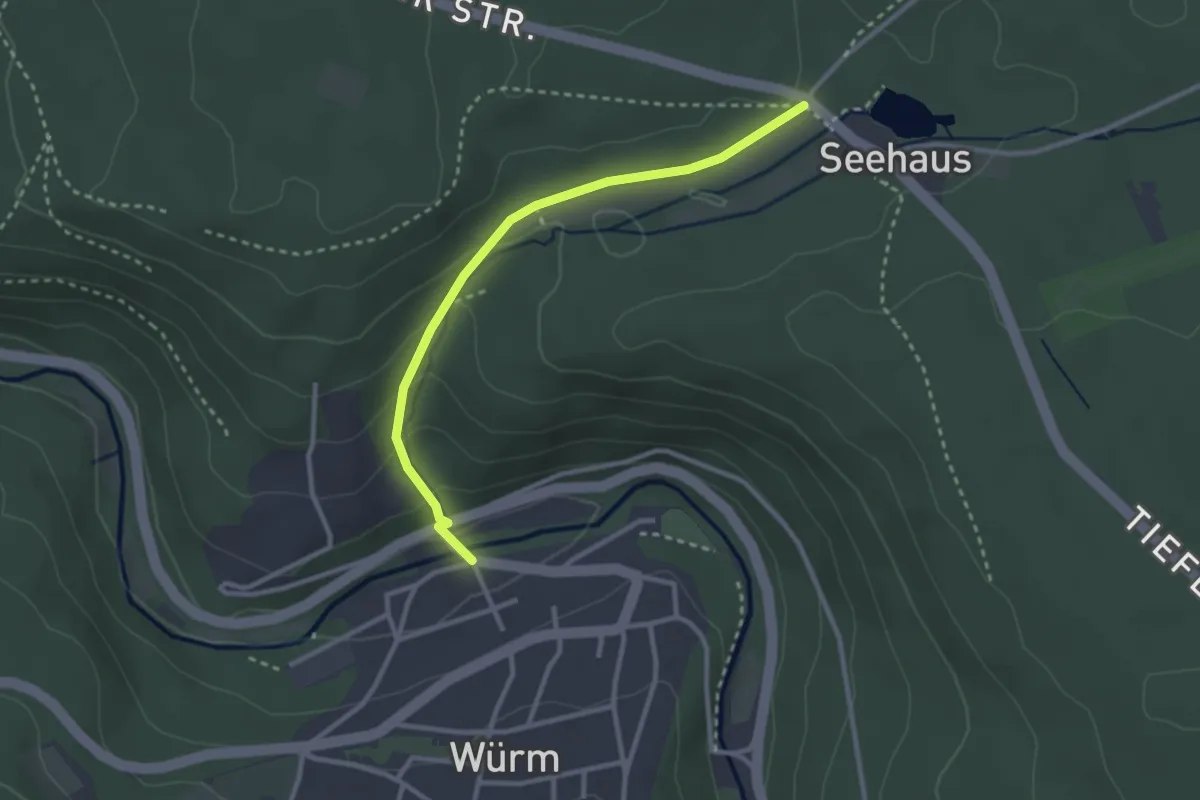
Easy · Trail
Würm Würmbrücke - Beim Seehaus
2.7 km · ↑ 127 m · 55 min
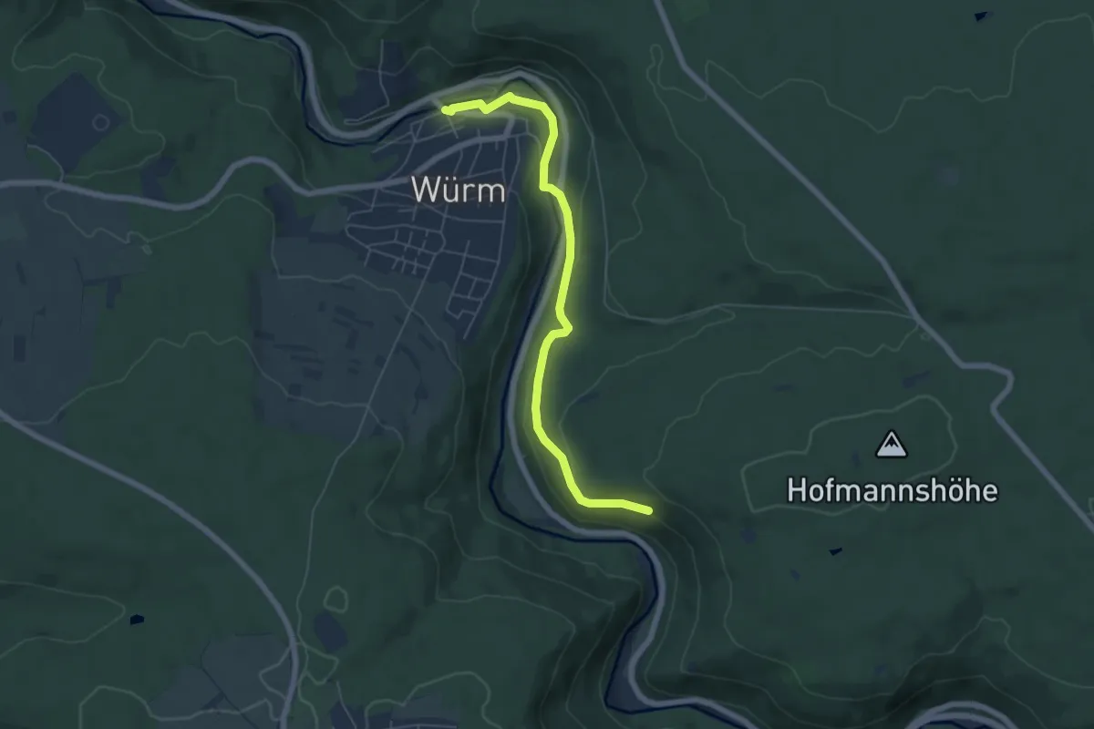
Easy · Trail
Würm Würmbrücke - Liebenecker Kopf
5.7 km · ↑ 131 m · 1 h 38 min
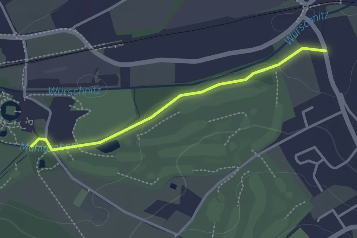
Easy · Trail
Würschnitztalwanderweg
2.2 km · ↑ 8 m · 32 min
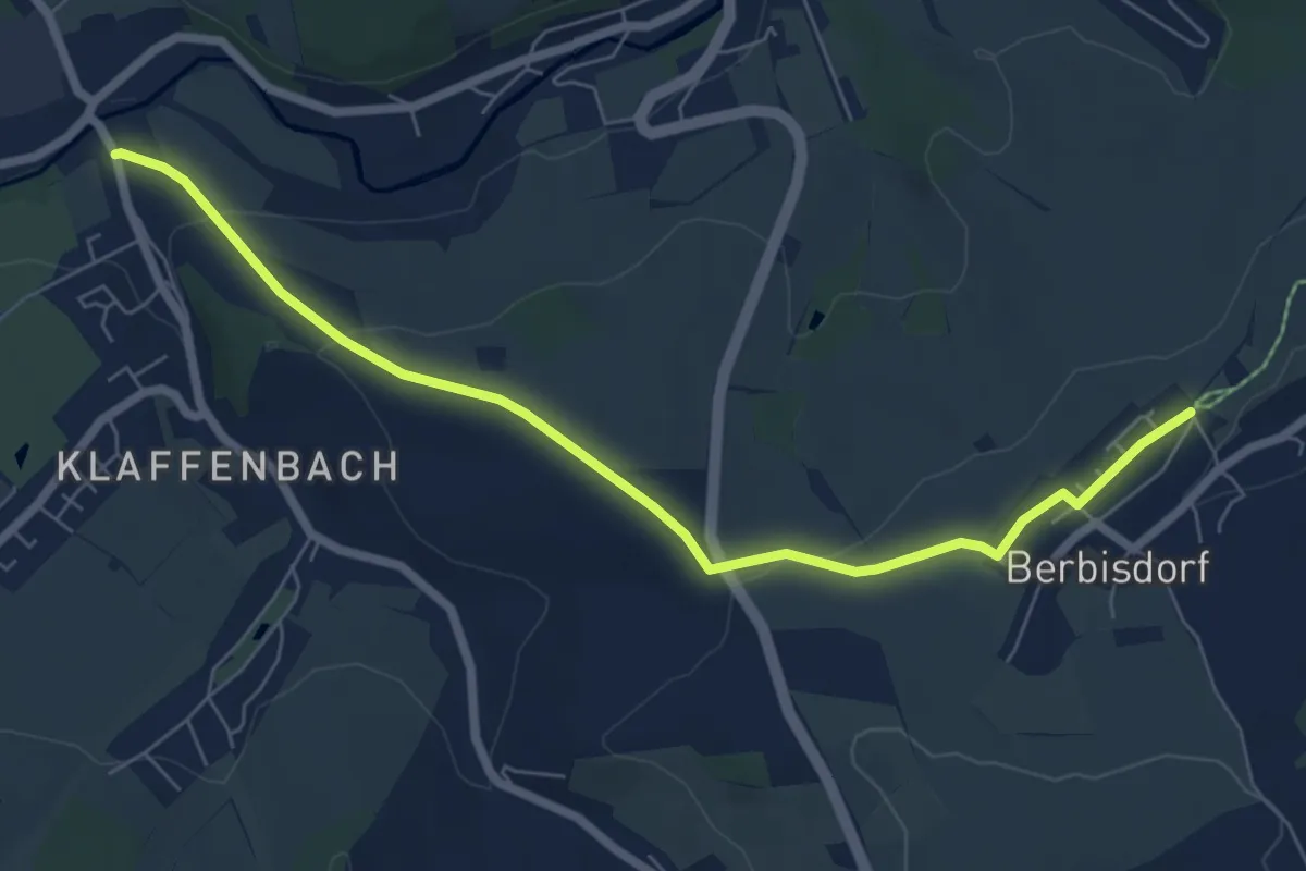
Easy · Trail
Würschnitztalwanderweg
6.6 km · ↑ 147 m · 1 h 53 min
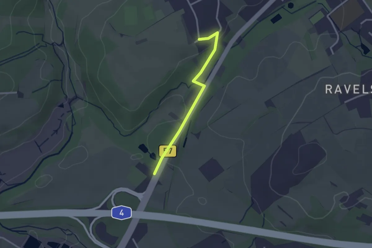
Easy · Trail
Würselen (9) - Würselen (44)
2.1 km · ↑ 27 m · 33 min
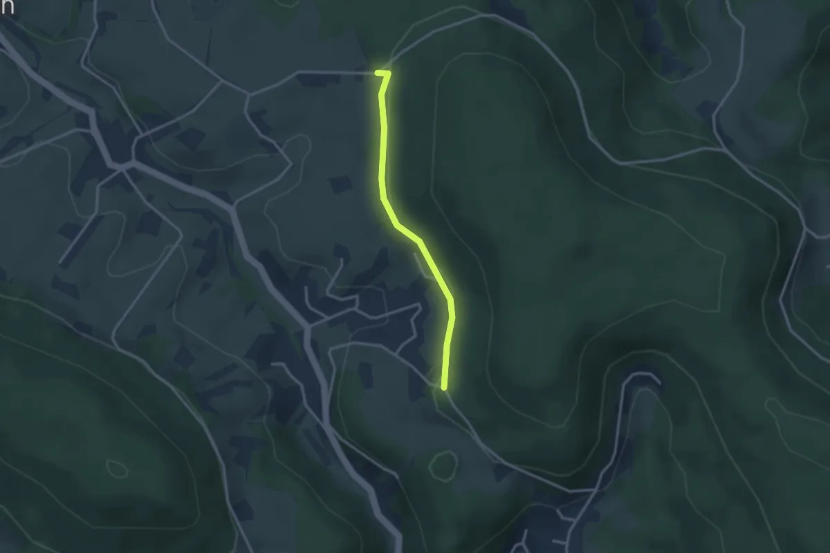
Easy · Trail
Wursthof - Hölzlehof
2.4 km · ↑ 47 m · 40 min
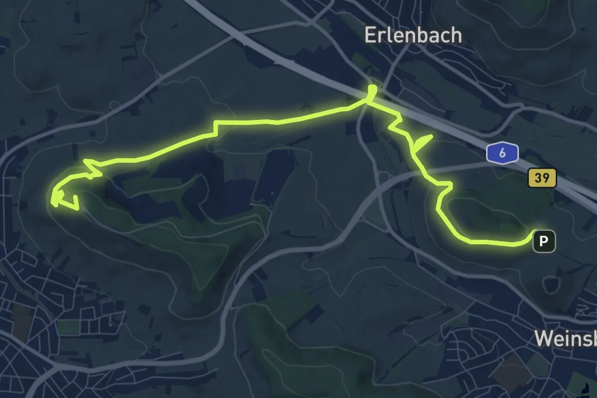
Medium · Summit
Württemberger Wein Wanderweg
12.2 km · ↑ 258 m · 3 h 26 min
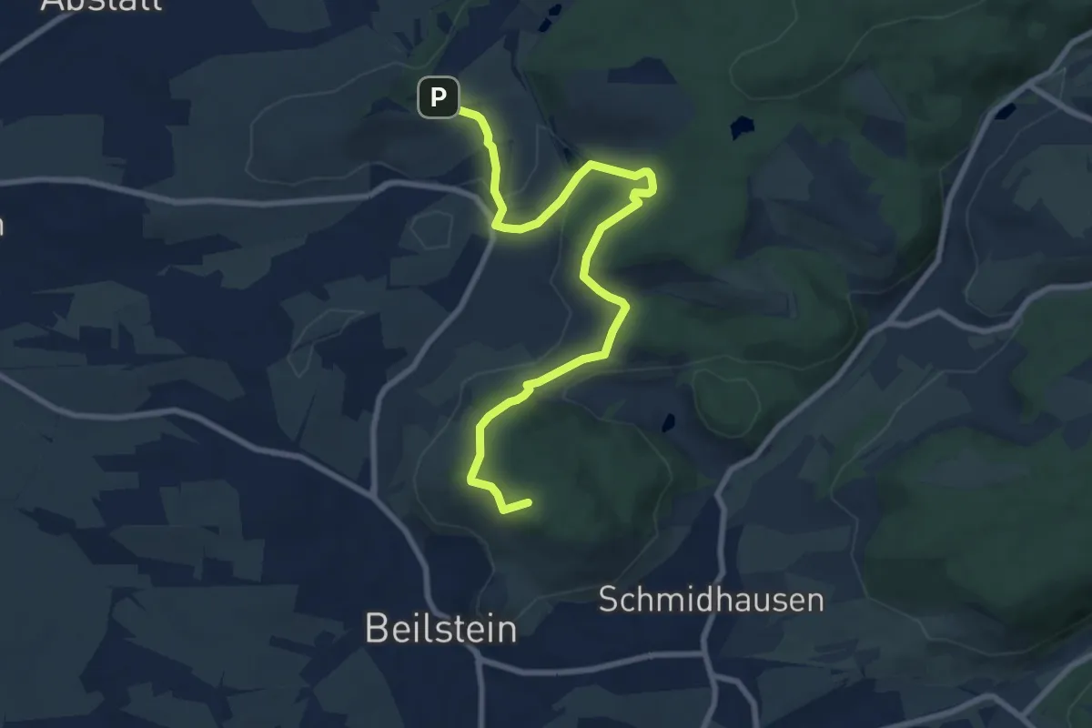
Medium · Summit
Württembergischer Weinwanderweg
8.7 km · ↑ 230 m · 2 h 33 min
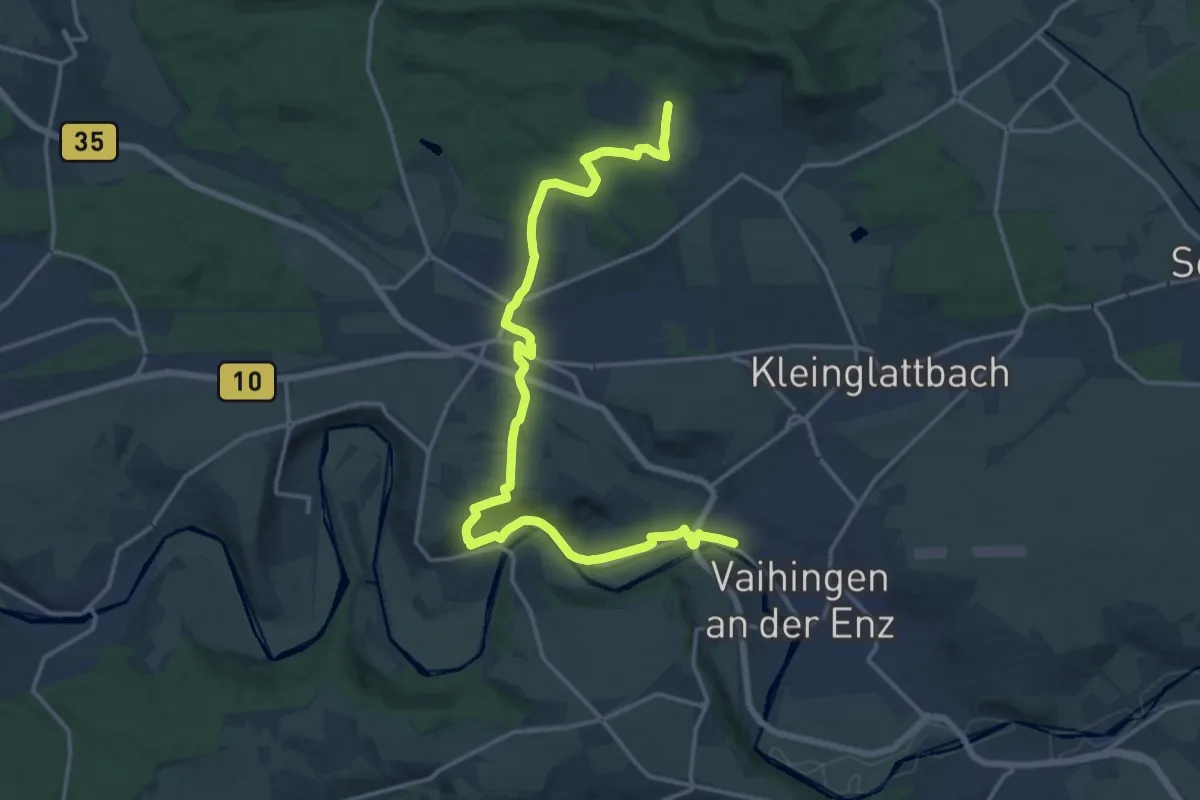
Demanding · Trail
Württembergischer Weinwanderweg (Zabergäu-Stromberg-Schleife)
18.9 km · ↑ 400 m · 5 h 20 min
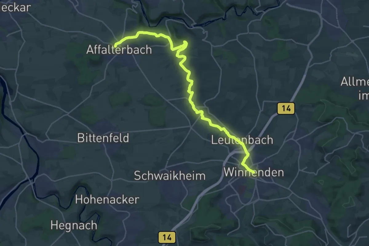
Demanding · Trail
Württ. Weinwanderweg (Affalterbach - Winnenden)
24.4 km · ↑ 221 m · 6 h 14 min
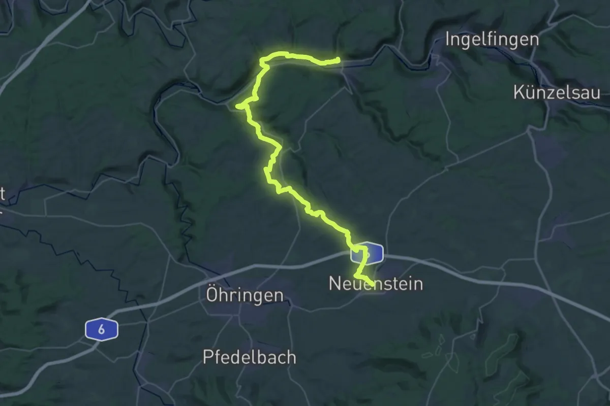
Demanding · Trail
Württ. Weinwanderweg (Forchtenberg - Neuenstein)
20.6 km · ↑ 330 m · 5 h 54 min
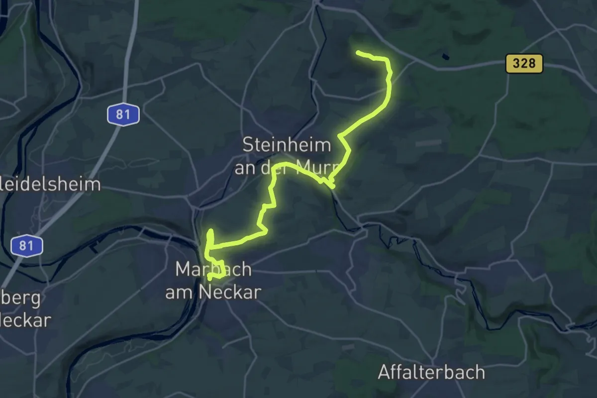
Demanding · Summit
Württ. Weinwanderweg (Großbottwar - Marbach)
22.2 km · ↑ 401 m · 6 h 7 min
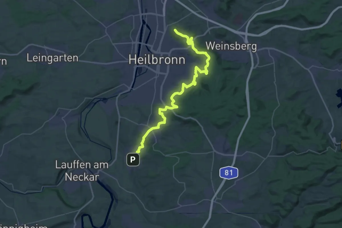
Demanding · Summit
Württ. Weinwanderweg (Heilbronn-Talheim)
34.7 km · ↑ 793 m · 9 h 55 min
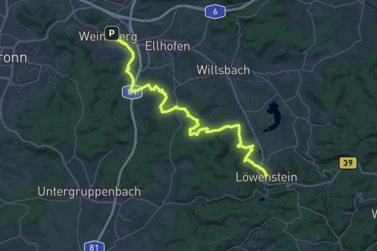
Medium · Trail
Württ. Weinwanderweg (Löwenstein - Weinsberg)
15.7 km · ↑ 391 m · 4 h 42 min
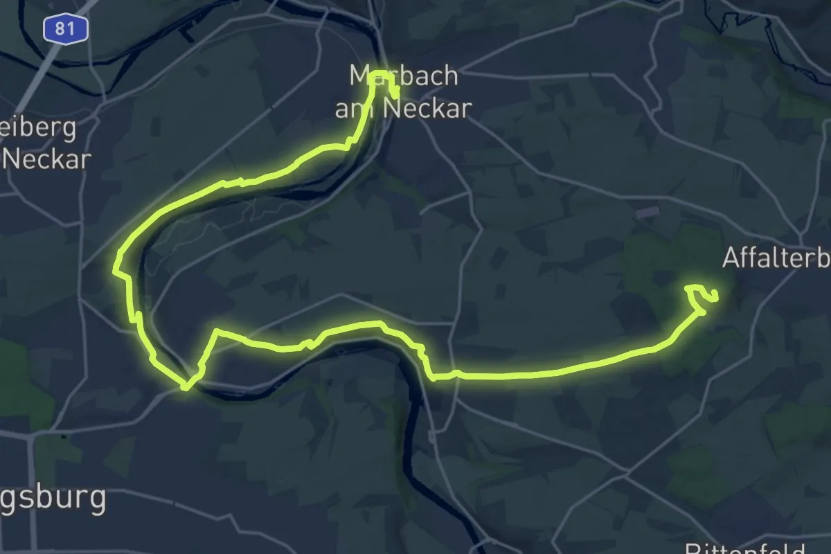
Demanding · Summit
Württ. Weinwanderweg (Marbach - Affalterbach)
31.5 km · ↑ 473 m · 8 h 28 min
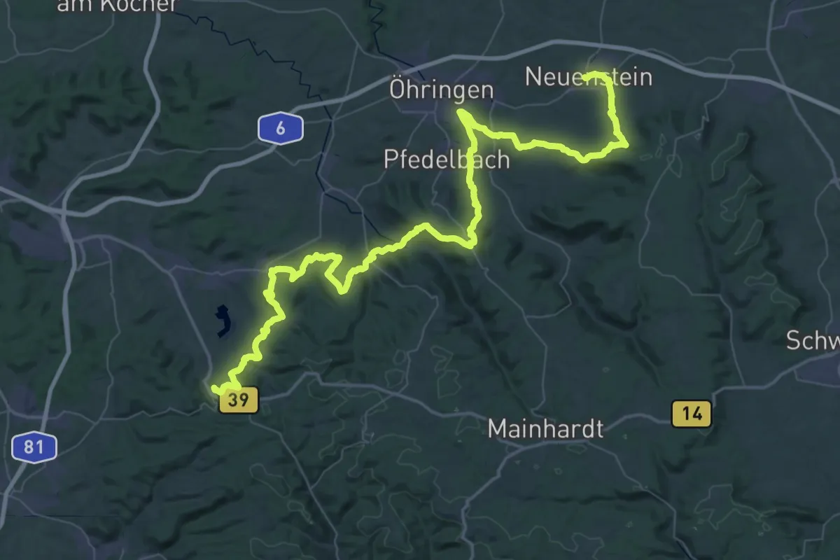
Demanding · Trail
Württ. Weinwanderweg (Neuenstein - Löwenstein)
38.7 km · ↑ 1007 m · 11 h 48 min
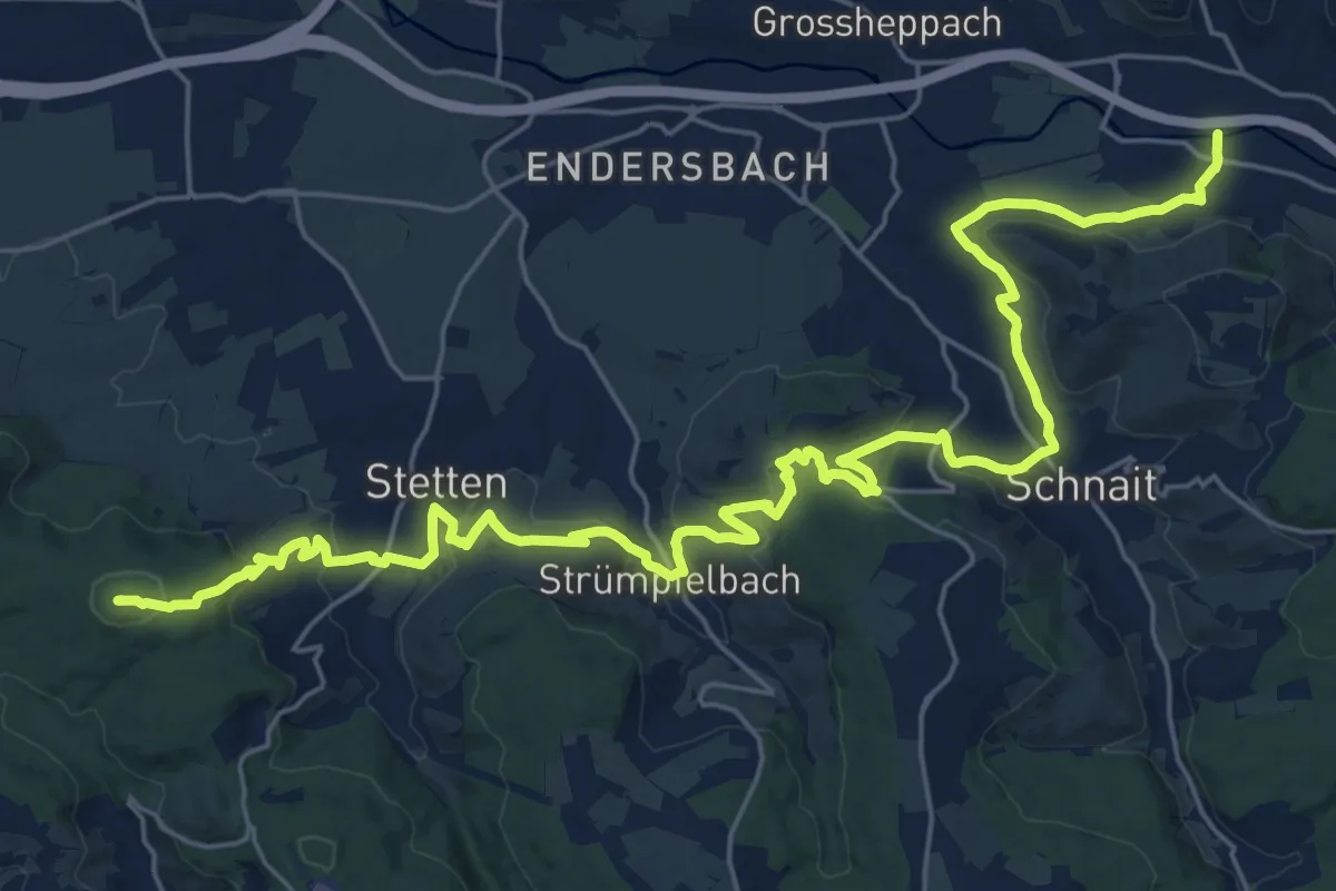
Demanding · Summit
Württ. Weinwanderweg (Remshalden - Esslingen)
31.2 km · ↑ 872 m · 9 h 16 min
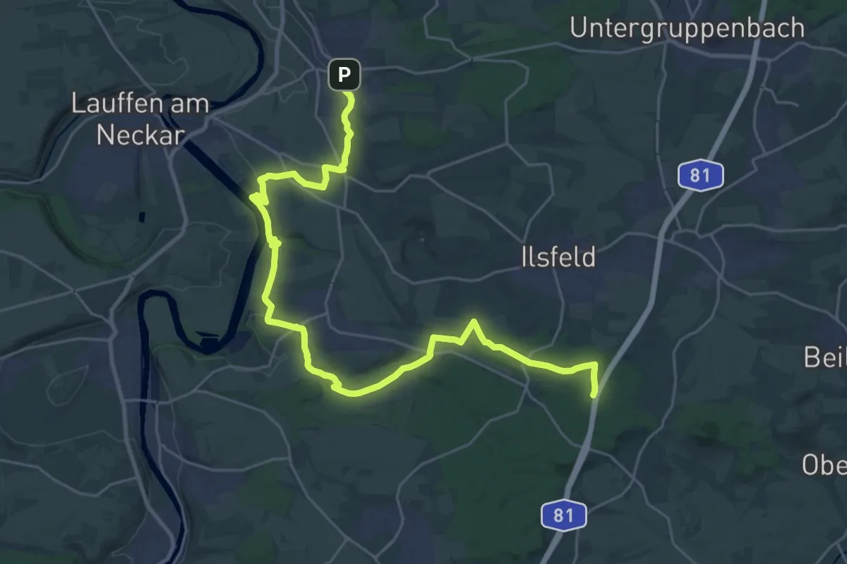
Demanding · Trail
Württ. Weinwanderweg (Talheim - Winzerhausen)
29.2 km · ↑ 473 m · 7 h 55 min
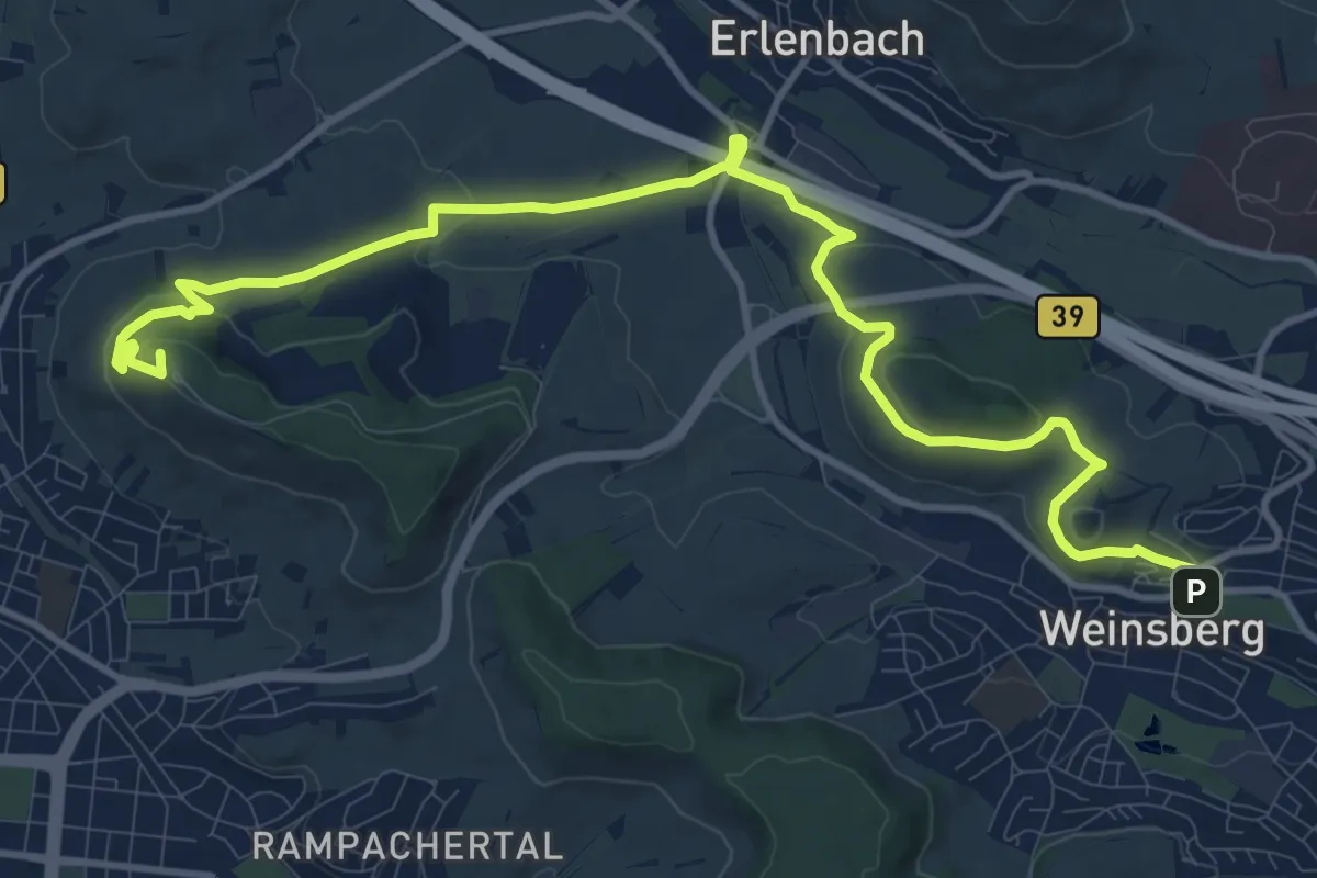
Medium · Summit
Württ. Weinwanderweg (Weinsberg - Heibronn)
13.9 km · ↑ 312 m · 3 h 58 min
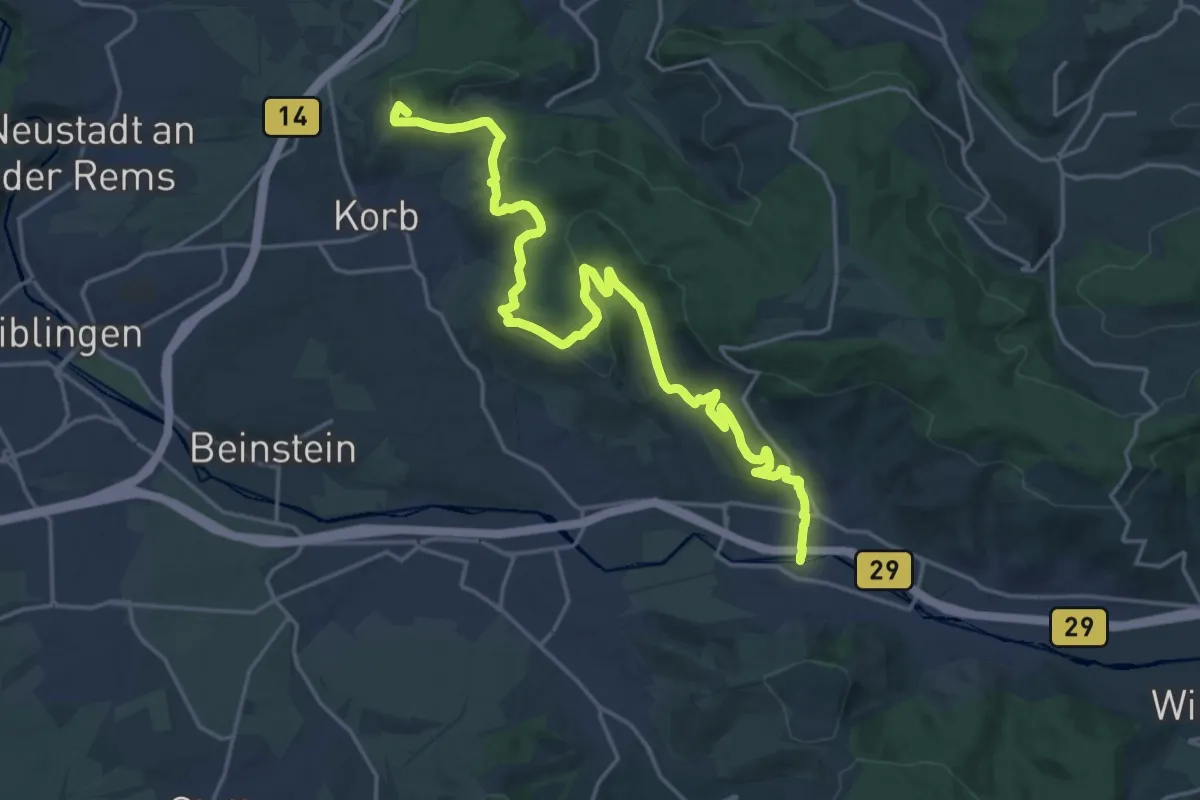
Demanding · Summit
Württ. Weinwanderweg (Winnenden - Remshalden)
22.5 km · ↑ 752 m · 6 h 57 min
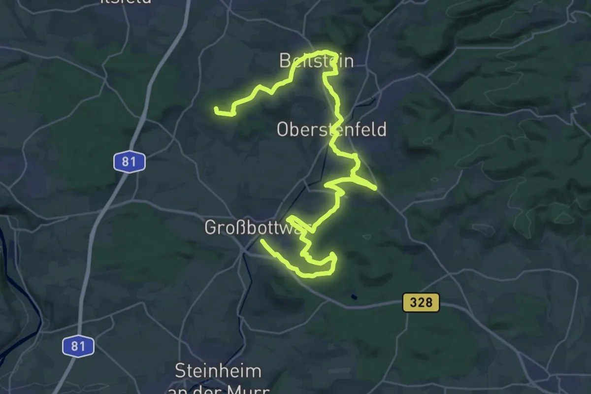
Demanding · Summit
Württ. Weinwanderweg (Winzerhausen - Großbottwar)
37.8 km · ↑ 1008 m · 11 h 7 min
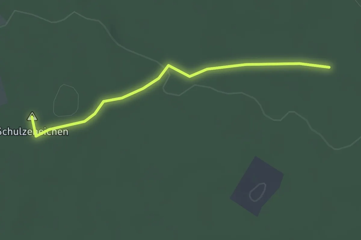
Easy · Summit
Würzbach Oberdorf - Große Streuwald Kiefer
2.5 km · ↑ 26 m · 38 min
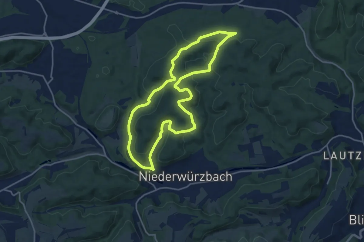
Medium · Summit
Würzbach Runde
10.4 km · ↑ 322 m · 3 h 17 min
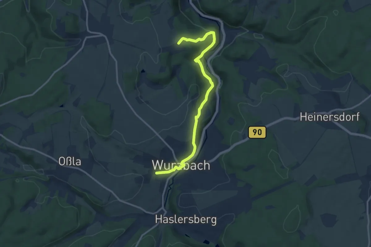
Easy · Trail
Wurzbach: Rundwanderweg grünes Dreieck
4.5 km · ↑ 123 m · 1 h 24 min
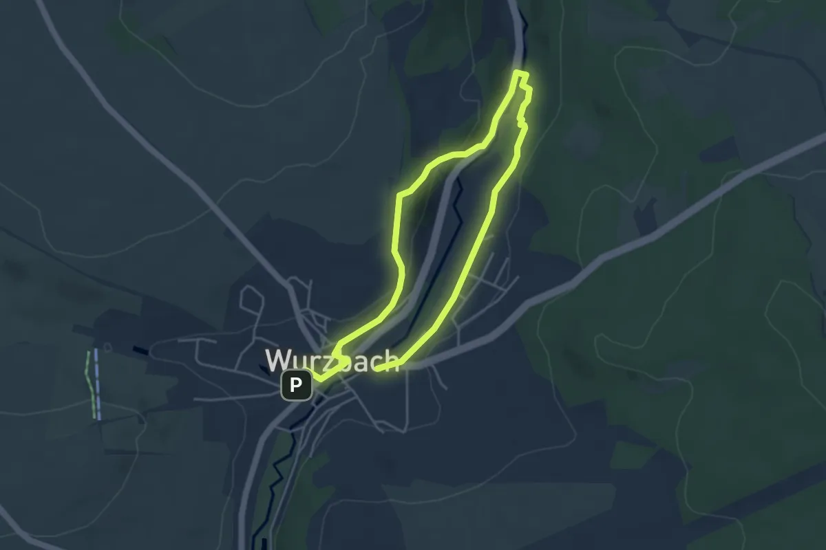
Easy · Trail
Wurzbach: Rundweg 2
6.3 km · ↑ 113 m · 1 h 44 min
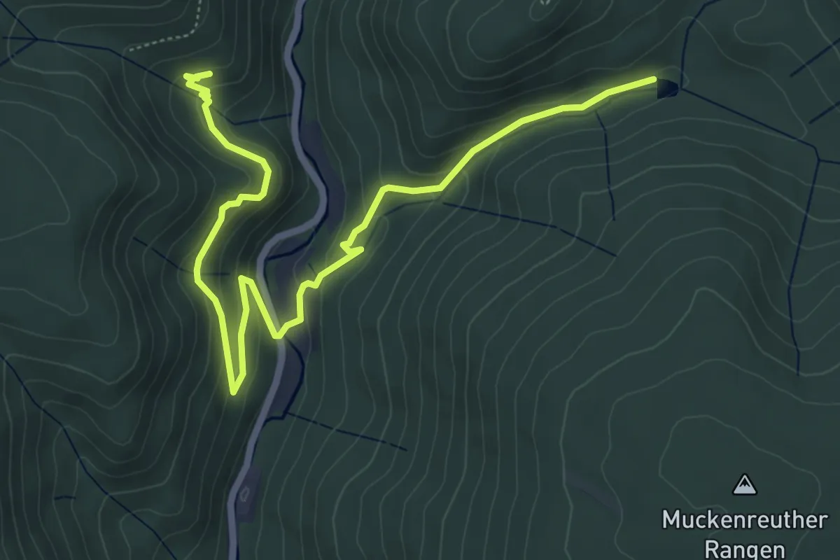
Medium · Trail
Wurzbachweiher-Jägersteig
6.8 km · ↑ 382 m · 2 h 26 min
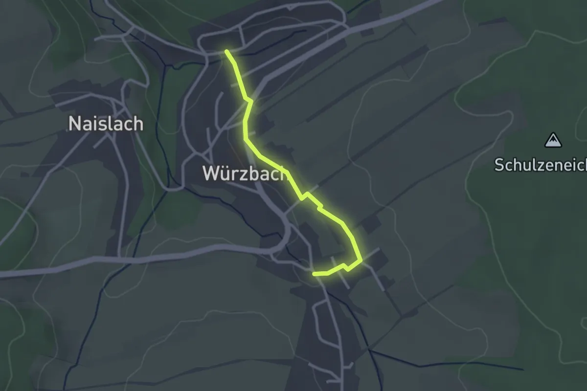
Easy · Trail
Würzbach - Würzbach Waldstraße
2.3 km · ↑ 31 m · 36 min