Trails in Germany
36,877 hiking trails, each with its route, climb, walking time and grade.
All trails, page 738 of 769
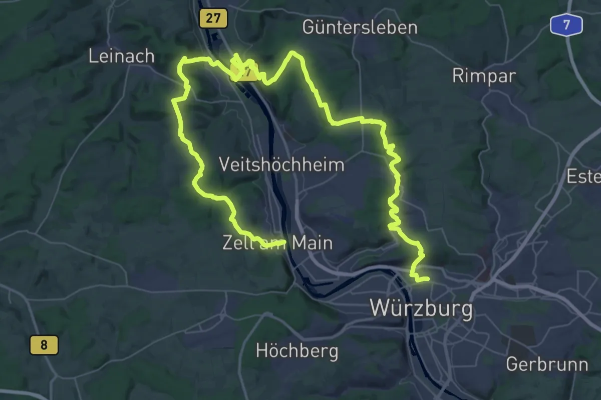
Demanding · Trail
Würzburg-Erlabrunn-Zell
26.6 km · ↑ 604 m · 7 h 57 min
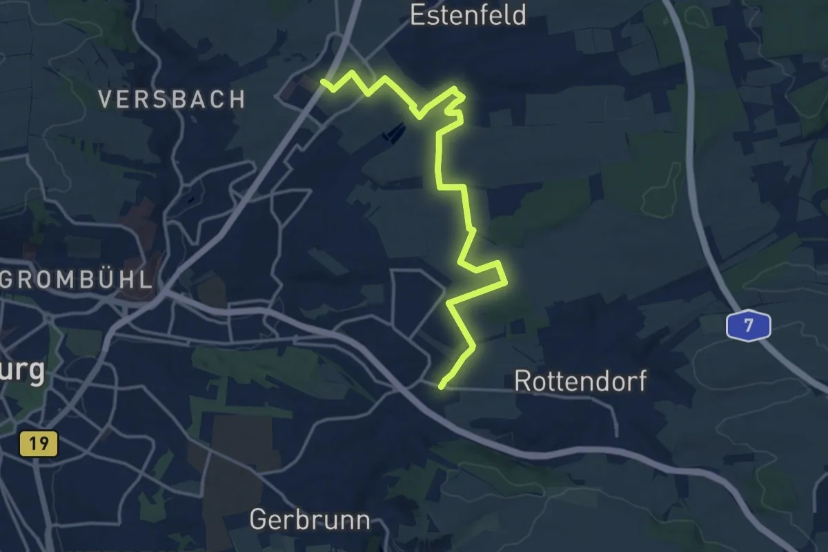
Medium · Trail
Würzburgs Stadtgrenze, 1. Teil
14.6 km · ↑ 166 m · 3 h 48 min
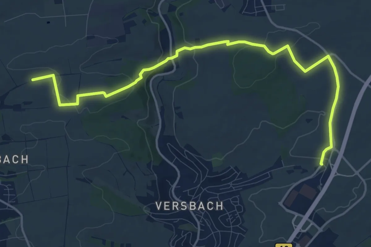
Medium · Trail
Würzburgs Stadtgrenze, 2. Teil
12.9 km · ↑ 260 m · 3 h 36 min
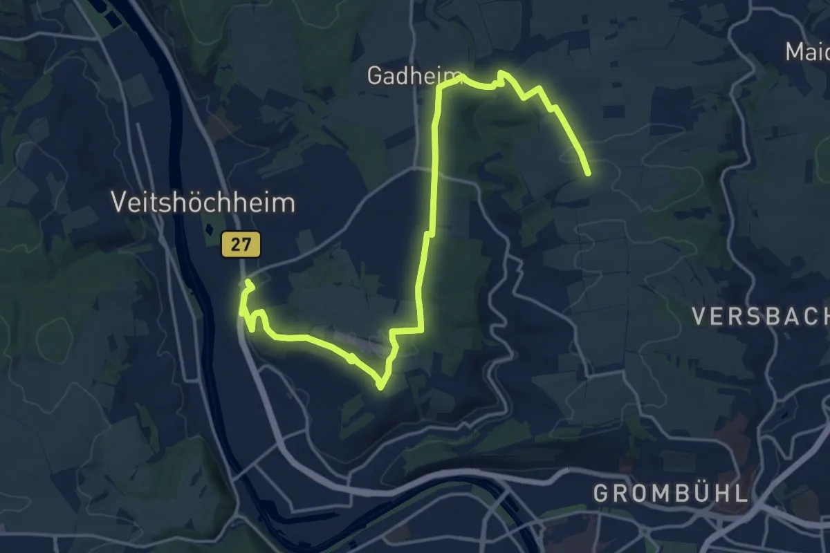
Demanding · Trail
Würzburgs Stadtgrenze, 3. Teil
19.0 km · ↑ 374 m · 5 h 17 min
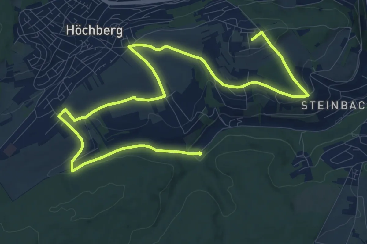
Medium · Summit
Würzburgs Stadtgrenze, 4. Teil
16.4 km · ↑ 277 m · 4 h 29 min
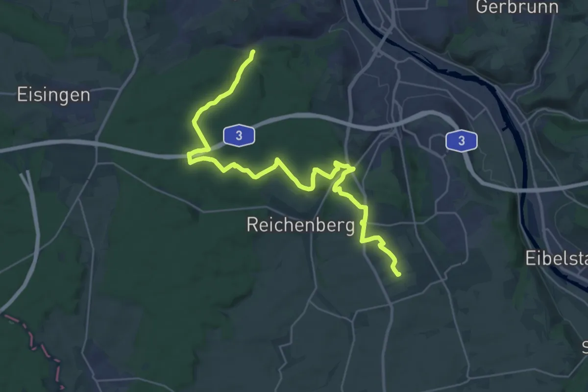
Demanding · Trail
Würzburgs Stadtgrenze, 5. Teil
26.8 km · ↑ 443 m · 7 h 17 min
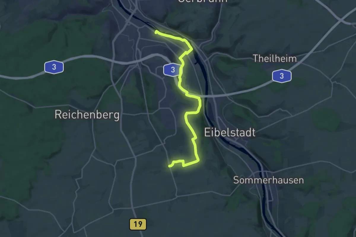
Demanding · Trail
Würzburgs Stadtgrenze, 6. Teil
20.5 km · ↑ 216 m · 5 h 18 min
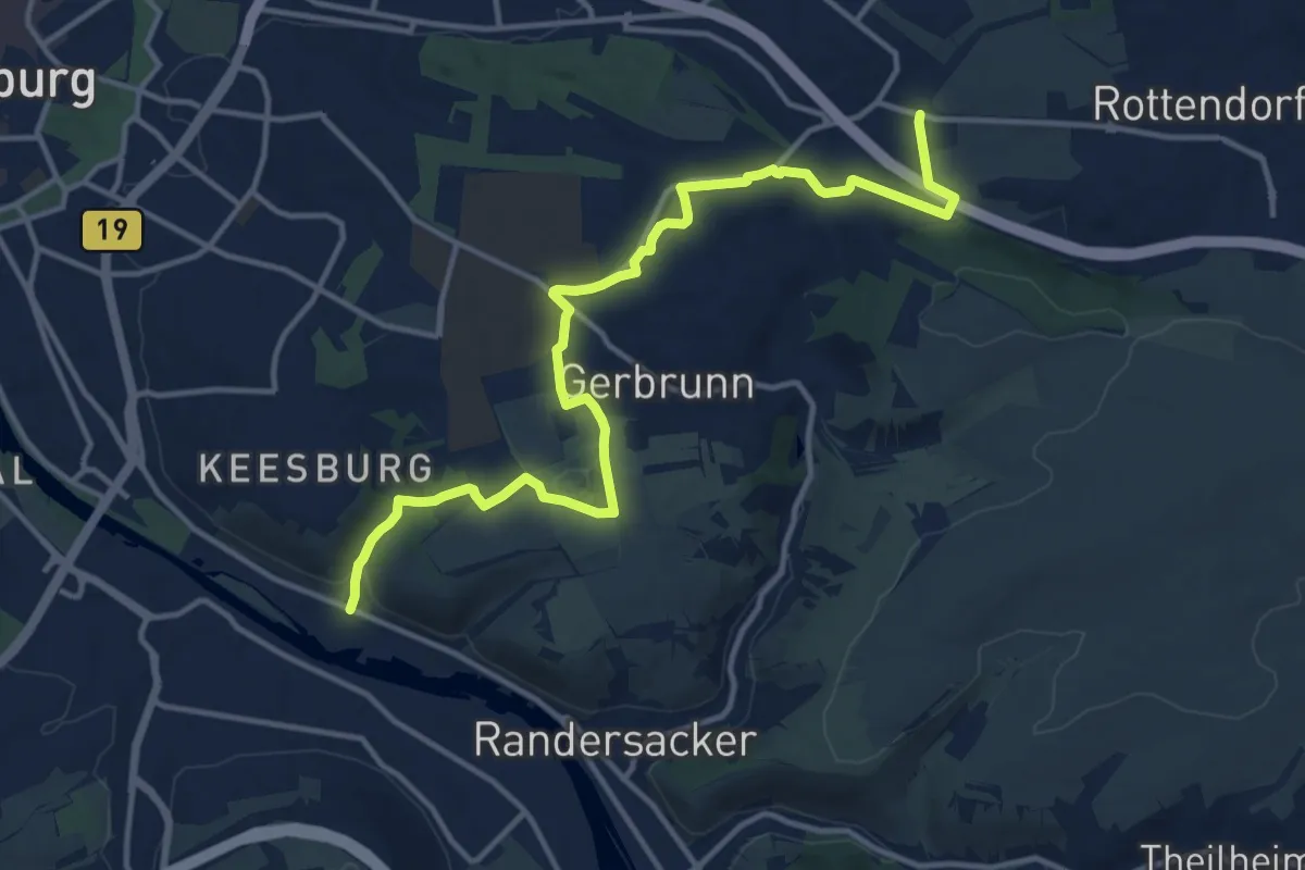
Medium · Trail
Würzburgs Stadtgrenze, 7. Teil
14.2 km · ↑ 229 m · 3 h 51 min
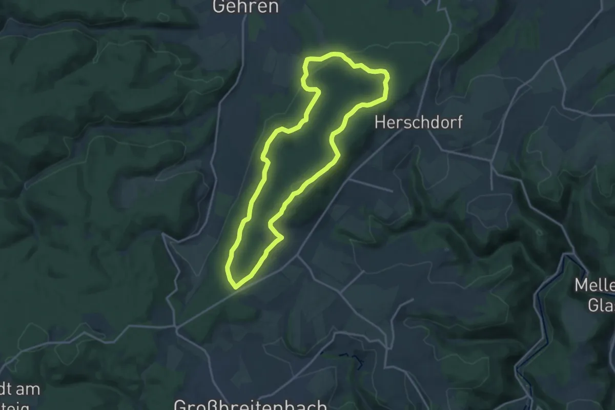
Medium · Summit
Wurzelkurtpfad
12.7 km · ↑ 363 m · 3 h 58 min
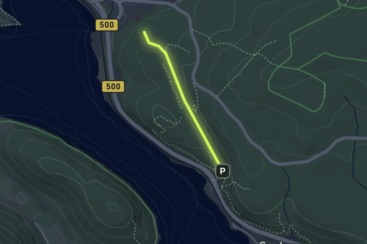
Easy · Trail
Wurzelpfad
2.2 km · ↑ 55 m · 38 min
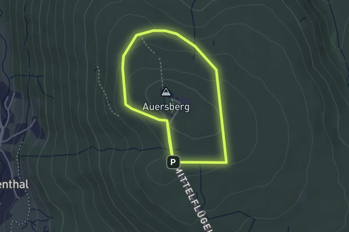
Easy · Trail
Wurzelrudis-Gipfelrunde
2.7 km · ↑ 97 m · 53 min
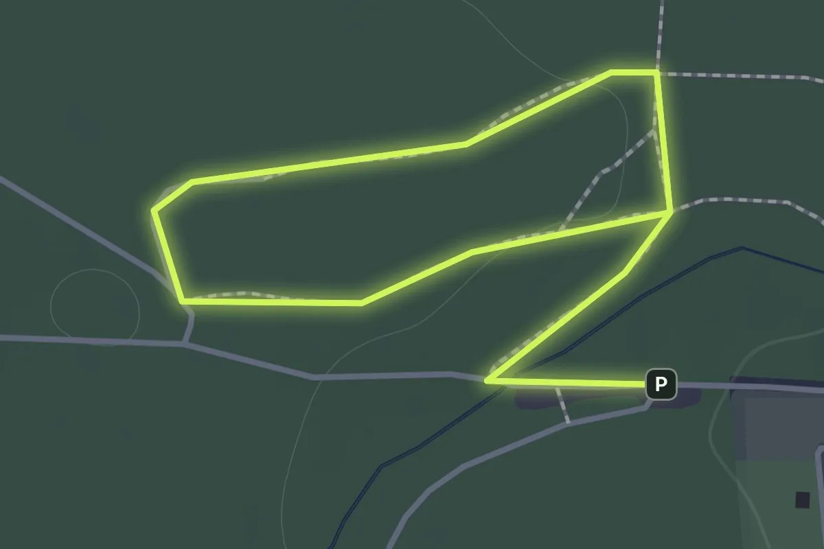
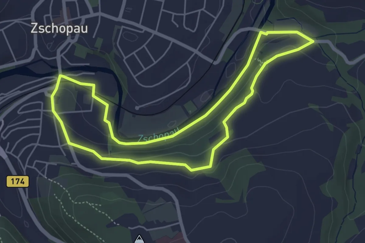
Easy · Trail
Wurzelrunde
1.0 km · ↑ 9 m · 16 min
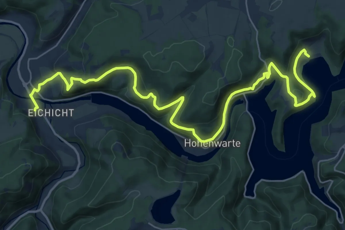
Easy · Trail
Wurzelweg
4.5 km · ↑ 108 m · 1 h 21 min
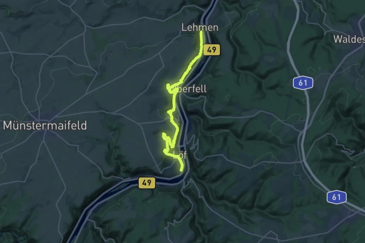
Demanding · Trail
Wurzelweg - Kaulsdorf-Hohenwarte-Saalthal Alter
23.7 km · ↑ 857 m · 7 h 27 min
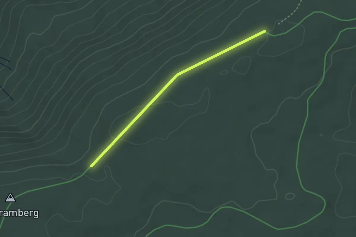
Demanding · Trail
Würzlaysteig
20.6 km · ↑ 1231 m · 7 h 31 min
Easy · Trail
Wüstenlochhöhe - Toter Mann
2.6 km · ↑ 22 m · 40 min
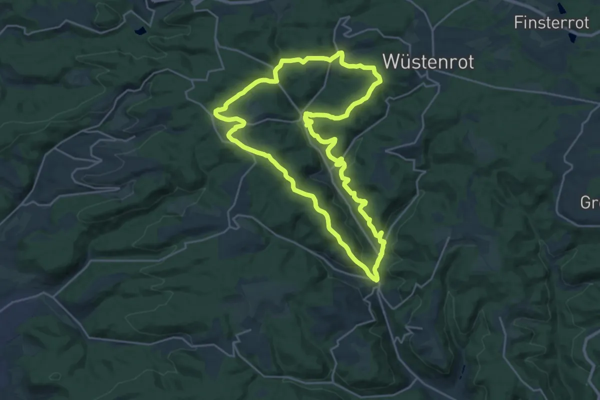
Demanding · Summit
Wüstenrot - Rundwanderweg 1
18.3 km · ↑ 600 m · 5 h 52 min
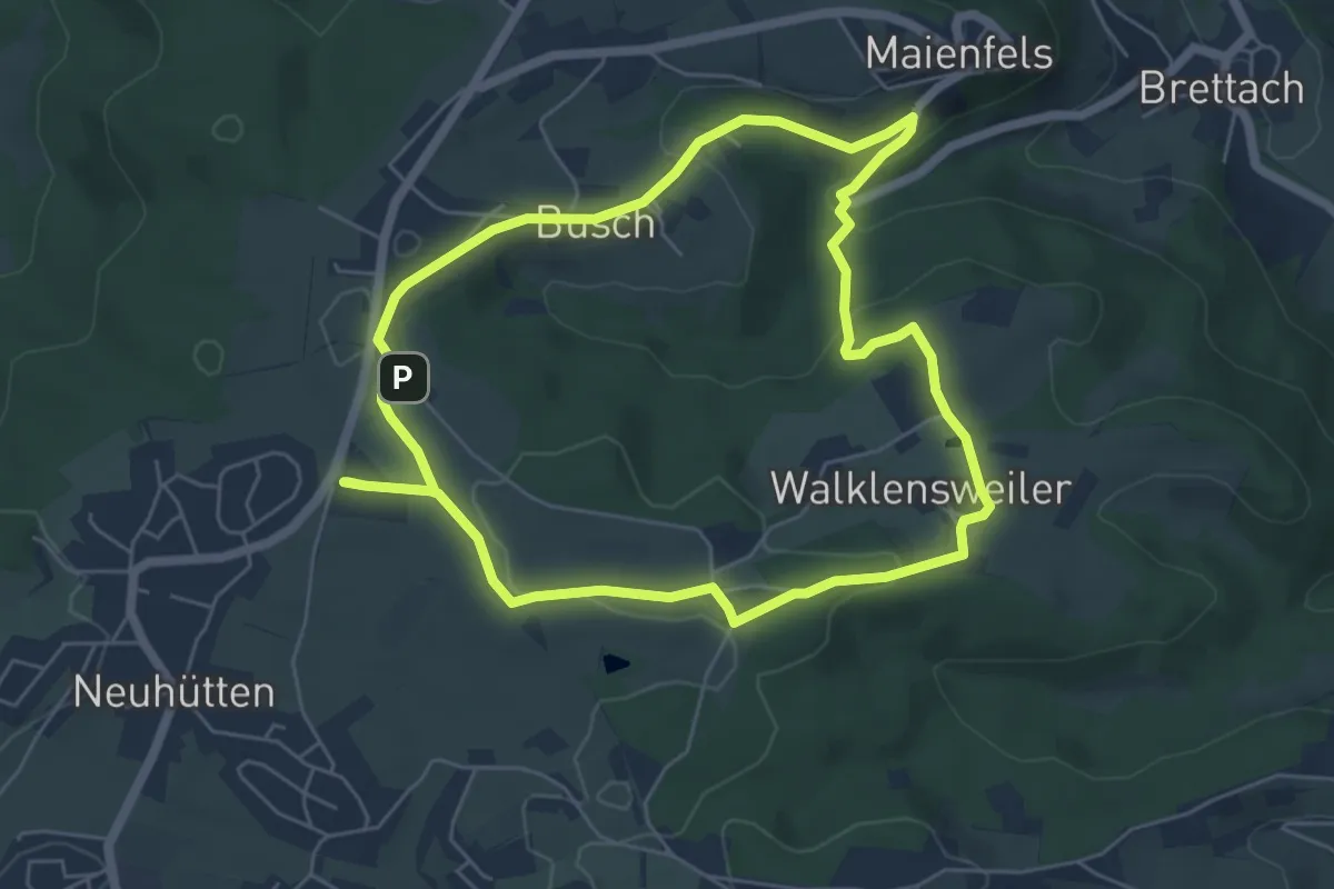
Medium · Trail
Wüstenrot - Rundwanderweg 2
5.5 km · ↑ 116 m · 1 h 38 min
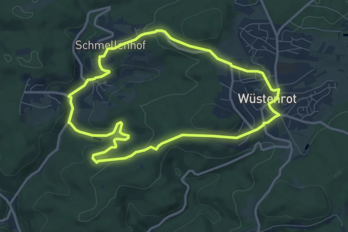
Easy · Trail
Wüstenrot - Rundwanderweg 3
7.0 km · ↑ 189 m · 2 h 10 min
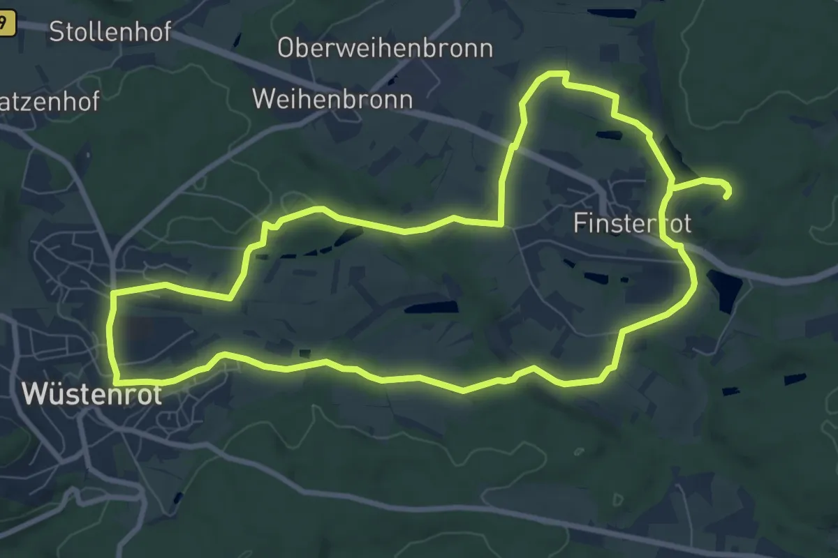
Medium · Trail
Wüstenrot - Rundwanderweg 4
8.7 km · ↑ 122 m · 2 h 27 min
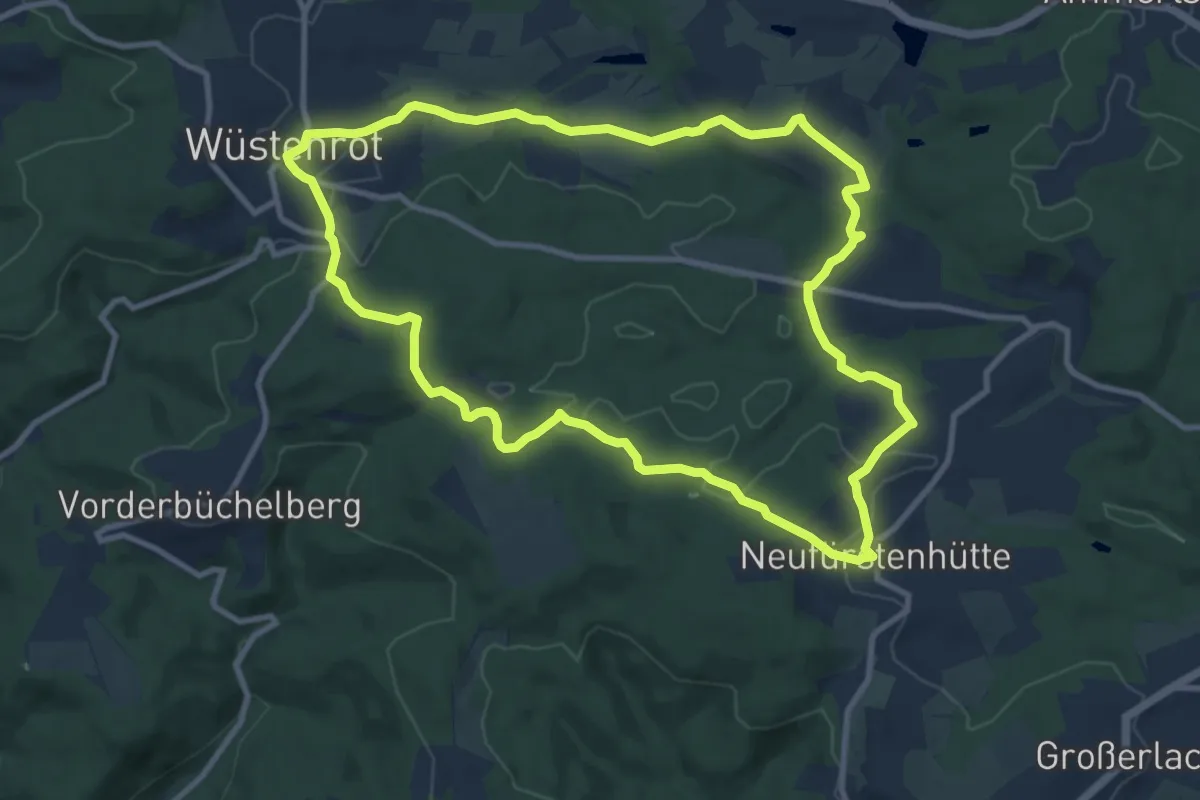
Medium · Trail
Wüstenrot - Rundwanderweg 5
9.9 km · ↑ 184 m · 2 h 52 min
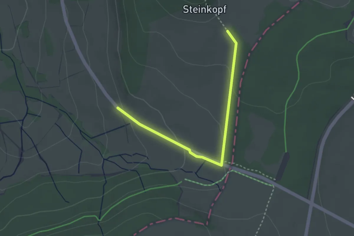
Easy · Trail
Wüstensachsen, Rundweg 10
2.9 km · ↑ 75 m · 51 min
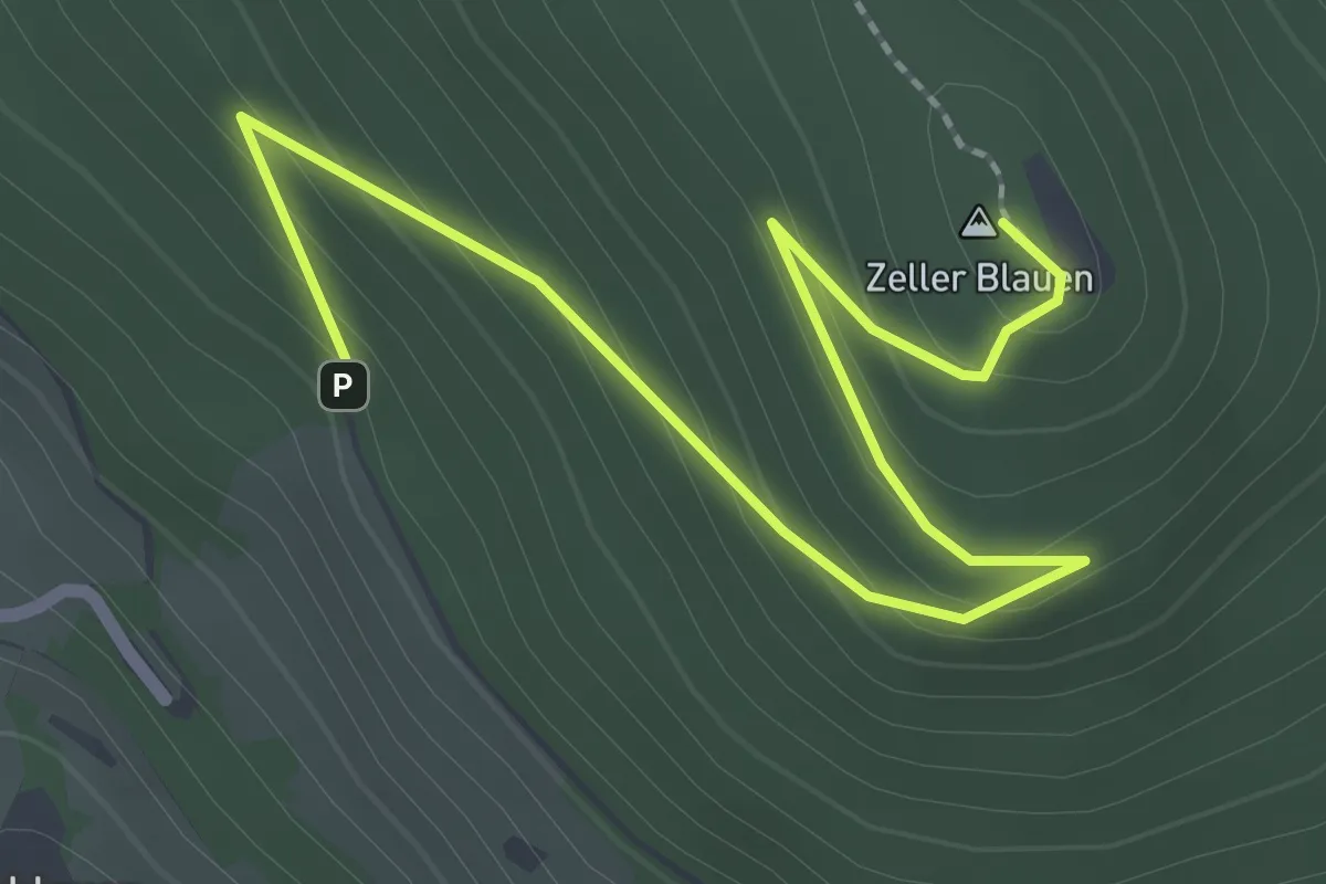
Easy · Summit
Wüstmatt - Zeller Blauen
2.9 km · ↑ 160 m · 1 h 2 min
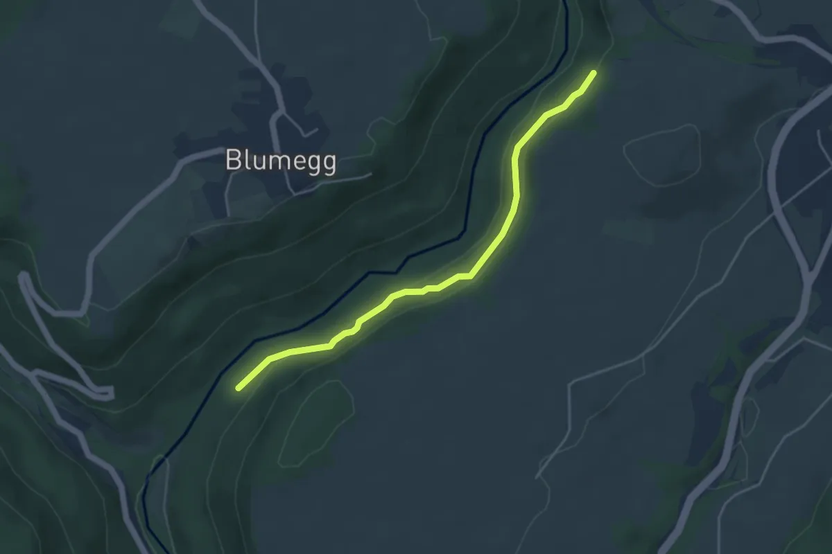
Medium · Trail
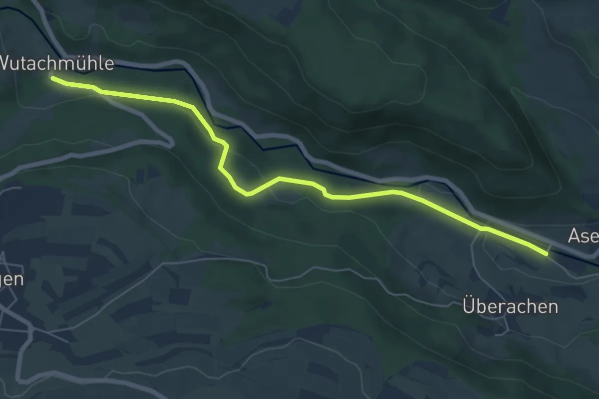
Wutachflühen Bei der Muttergottes - Bei der Eisenbahnbrücke
4.1 km · ↑ 218 m · 1 h 26 min
Easy · Trail
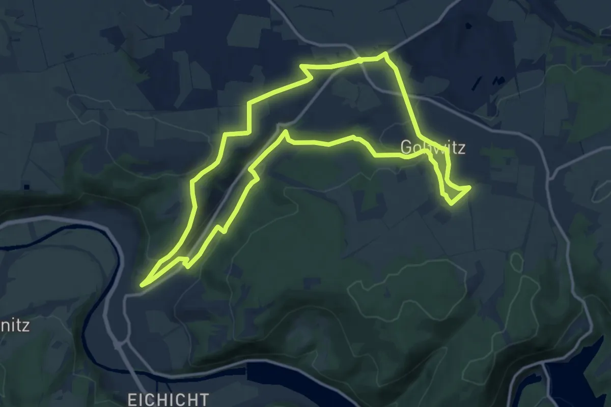
Wutachmühle Ehemalige Gipsmühle - Wutachbrücke Überachen
5.9 km · ↑ 152 m · 1 h 43 min
Medium · Trail
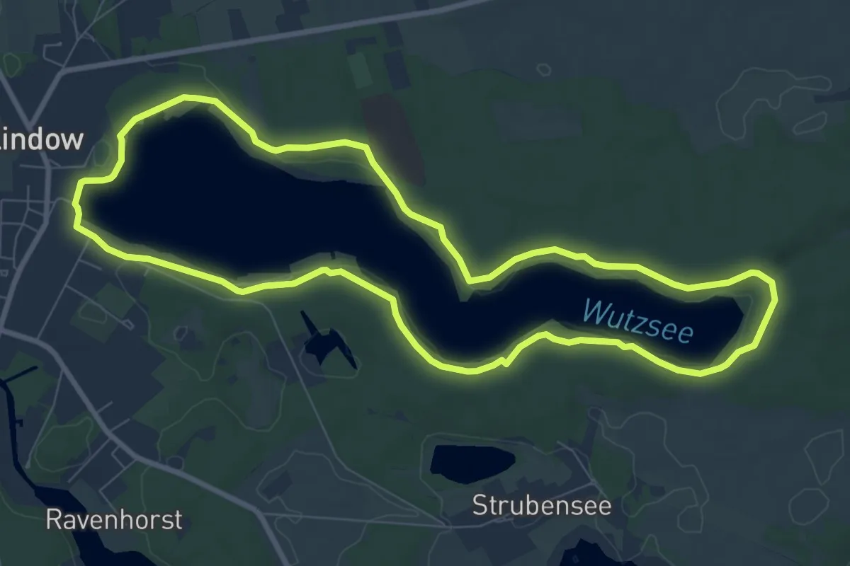
Wutschental-Weg
11.2 km · ↑ 264 m · 3 h 23 min
Easy · Trail
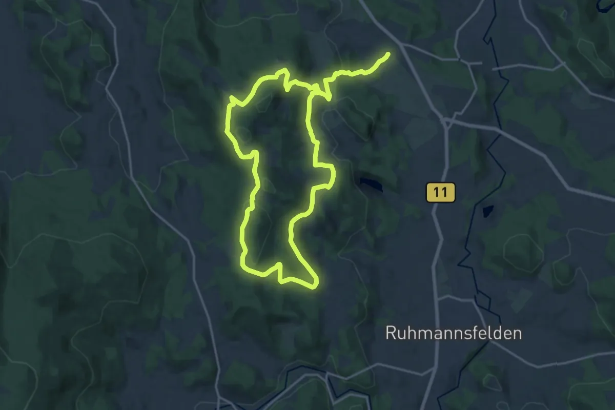
Wutzseerundwanderweg
7.5 km · ↑ 46 m · 1 h 59 min
Medium · Trail
WW 21 Panoramasteig
13.2 km · ↑ 480 m · 4 h 17 min
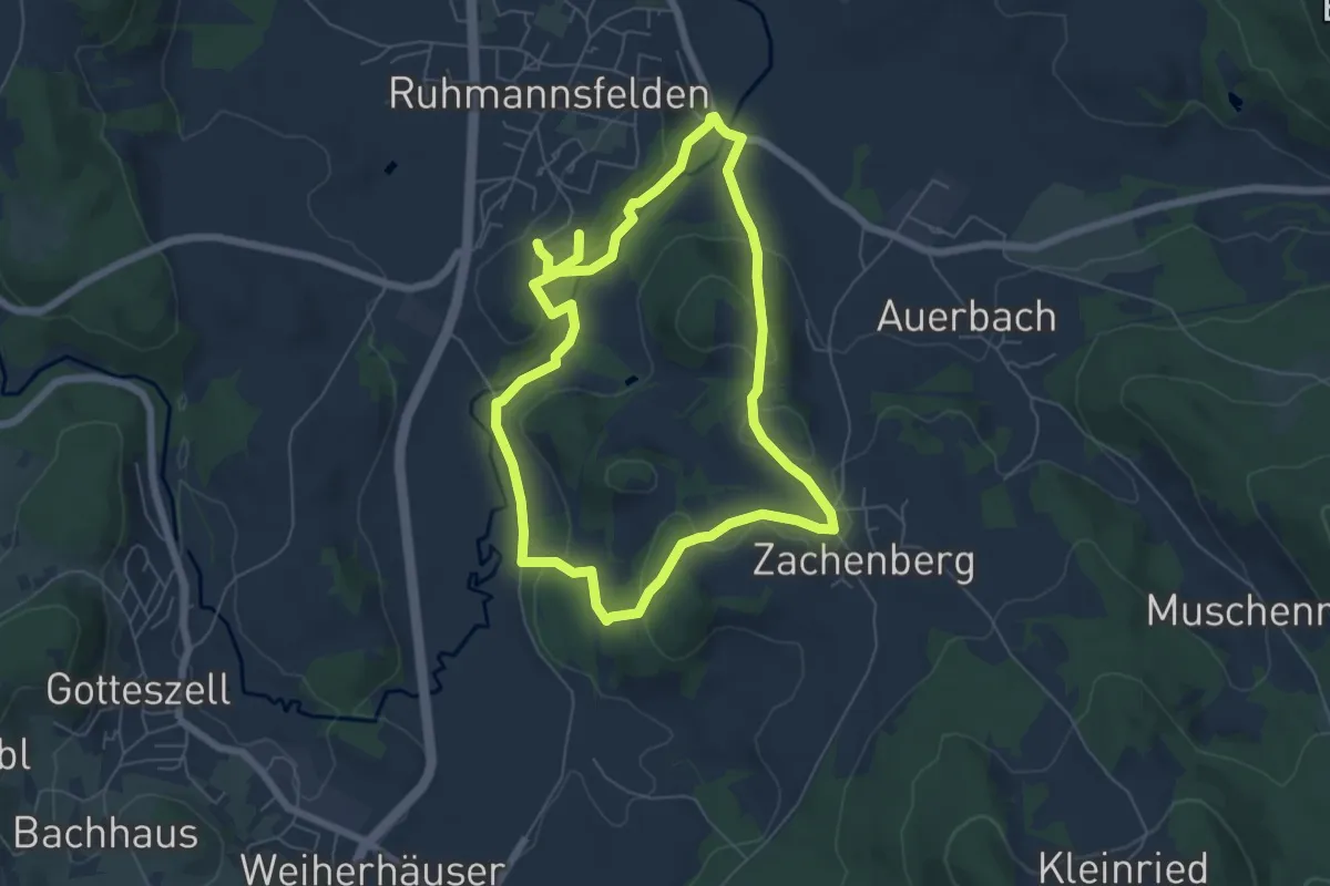
Easy · Summit
WW6 Osterbrünnlrundweg
5.6 km · ↑ 146 m · 1 h 43 min
Medium · Trail
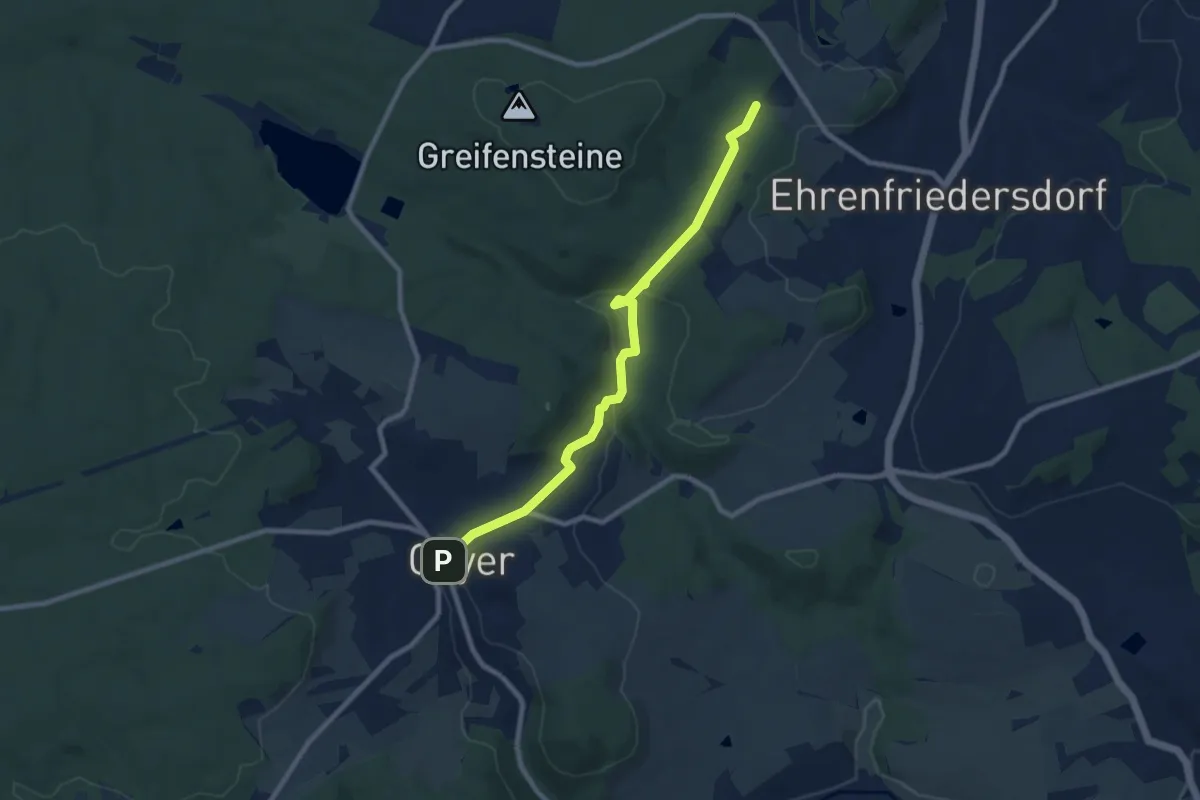
Ww Ab Fernwanderweg Eisenach-Budapest nach Geyer
8.2 km · ↑ 170 m · 2 h 18 min
Easy · Trail
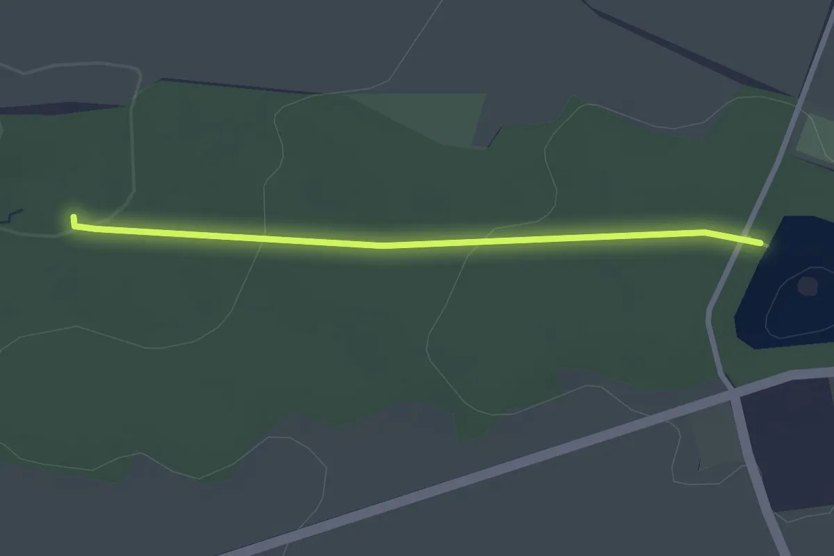
Ww ab Kreuzung Bürgerwaldrundweg - Staubecken
2.2 km · ↑ 51 m · 38 min
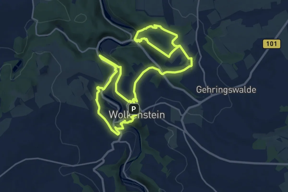
Demanding · Trail
Ww Alpiner Wandersteig
20.2 km · ↑ 545 m · 5 h 57 min
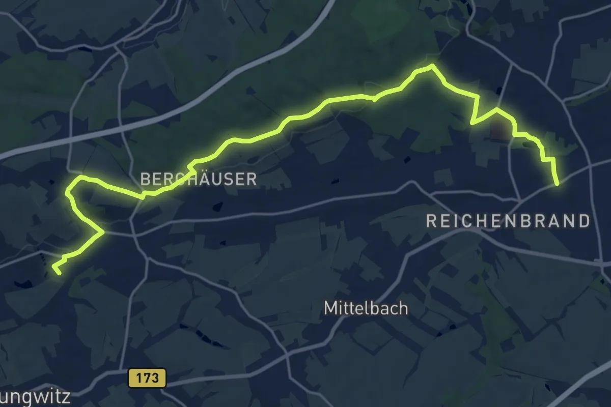
Demanding · Summit
Ww Alte Bierstraße
20.3 km · ↑ 363 m · 5 h 35 min
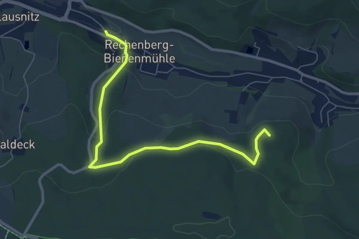
Easy · Summit
Ww Alternativer Kamm
5.9 km · ↑ 224 m · 1 h 52 min
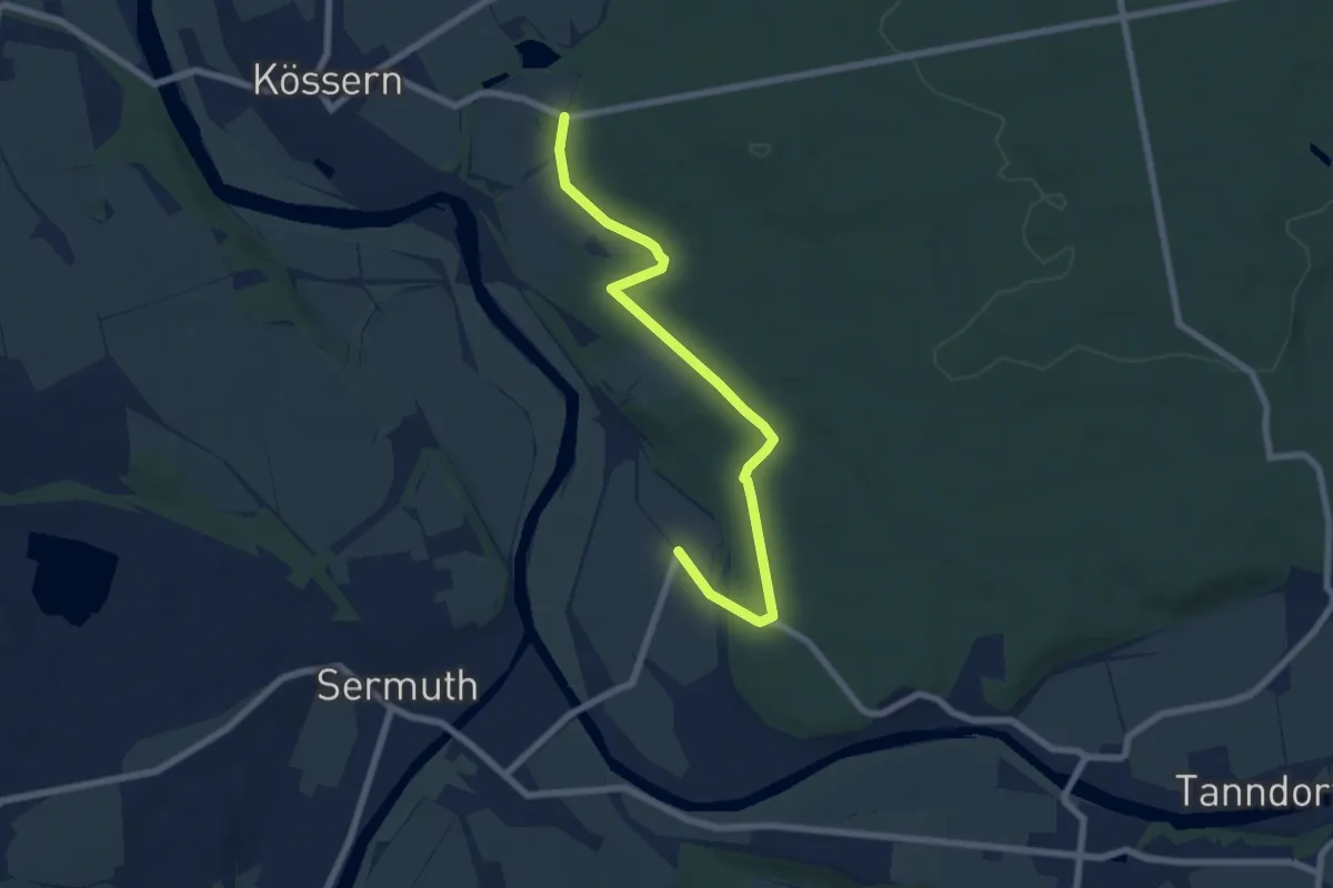
Easy · Trail
Ww Am Rande des Thümmlitzwaldes
6.6 km · ↑ 81 m · 1 h 45 min
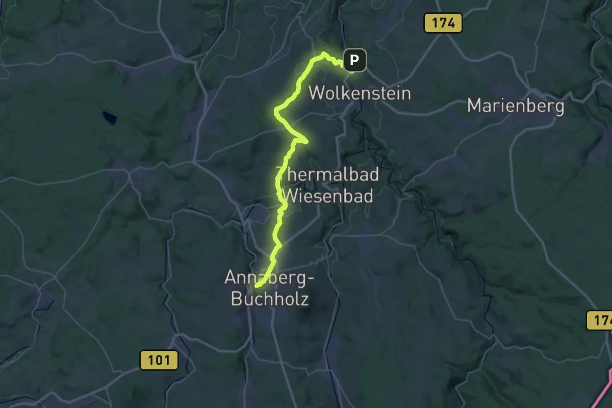
Medium · Trail
Ww Annaberg-Wiesa-Neundorf-HP Warmbad
16.7 km · ↑ 434 m · 5 h
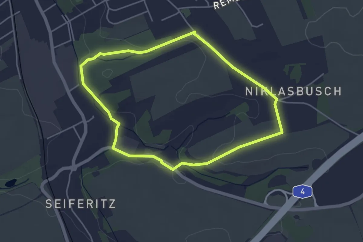
Easy · Trail
Ww Annapark - Nicklasbusch Rundweg
3.3 km · ↑ 34 m · 54 min
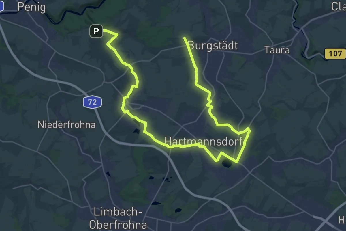
Medium · Trail
Ww Anschlussweg rot bei Burgstädt- Herrenhaide - Hartmannsdorf - Mühlau - Höllmühle
17.4 km · ↑ 173 m · 4 h 42 min
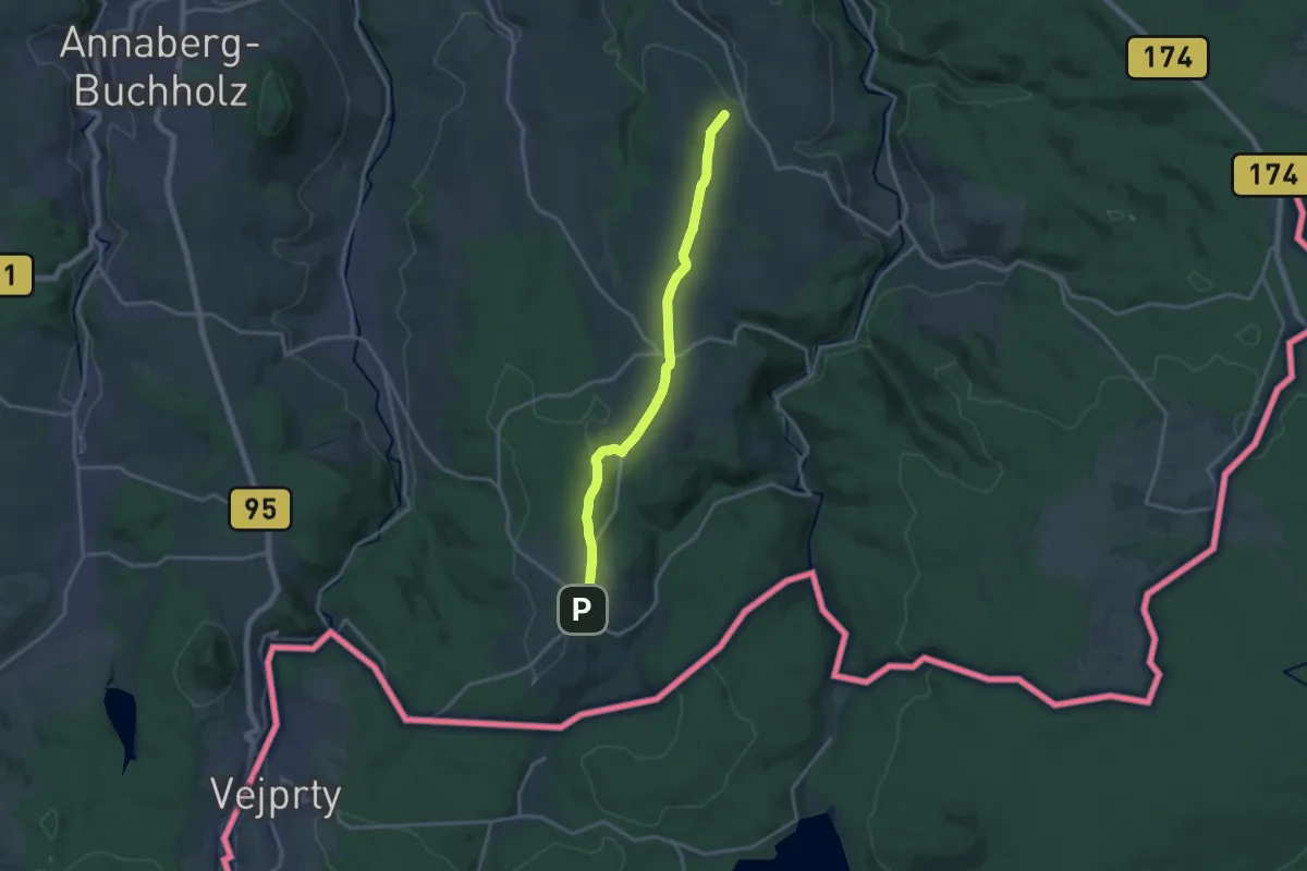
Medium · Trail
Ww Arnsfeld-Grumbach- Jöhstadt
14.6 km · ↑ 263 m · 4 h 2 min
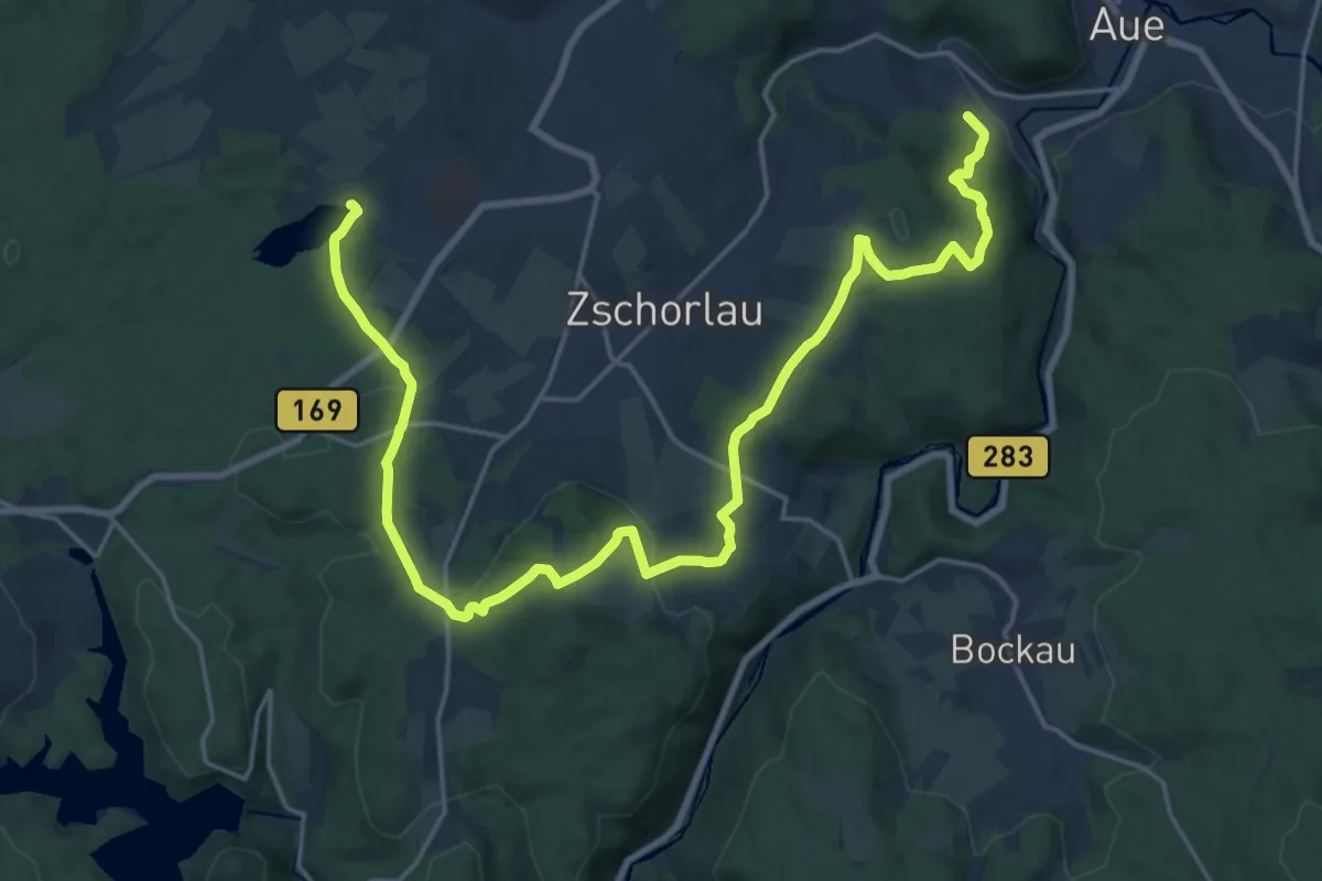
Demanding · Trail
Ww Aue - Albernau - Filzteich
25.1 km · ↑ 491 m · 6 h 59 min
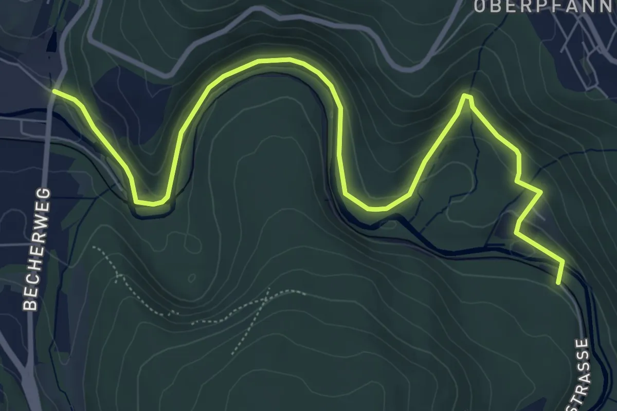
Medium · Trail
Ww Aue - Lauter
7.8 km · ↑ 217 m · 2 h 18 min
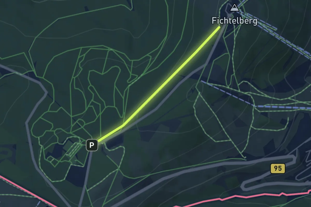
Easy · Trail
Ww Auersberg - Fichtelberg
3.0 km · ↑ 77 m · 53 min
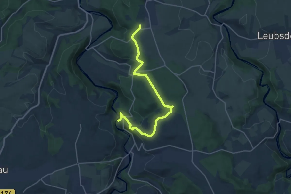
Medium · Trail
Ww Augustusburg-Witzschdorf in Augustusburg schlecht markiert
14.1 km · ↑ 367 m · 4 h 7 min
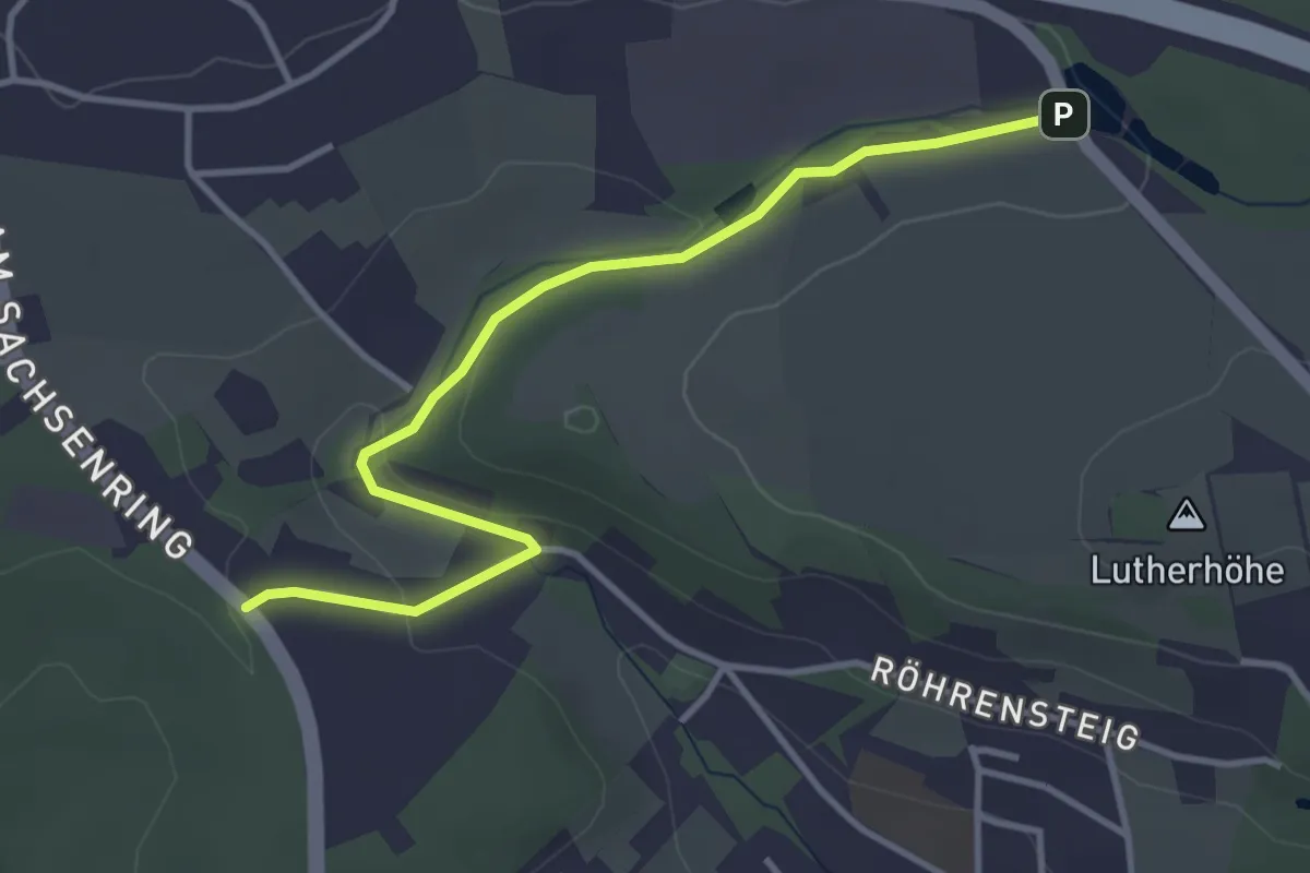
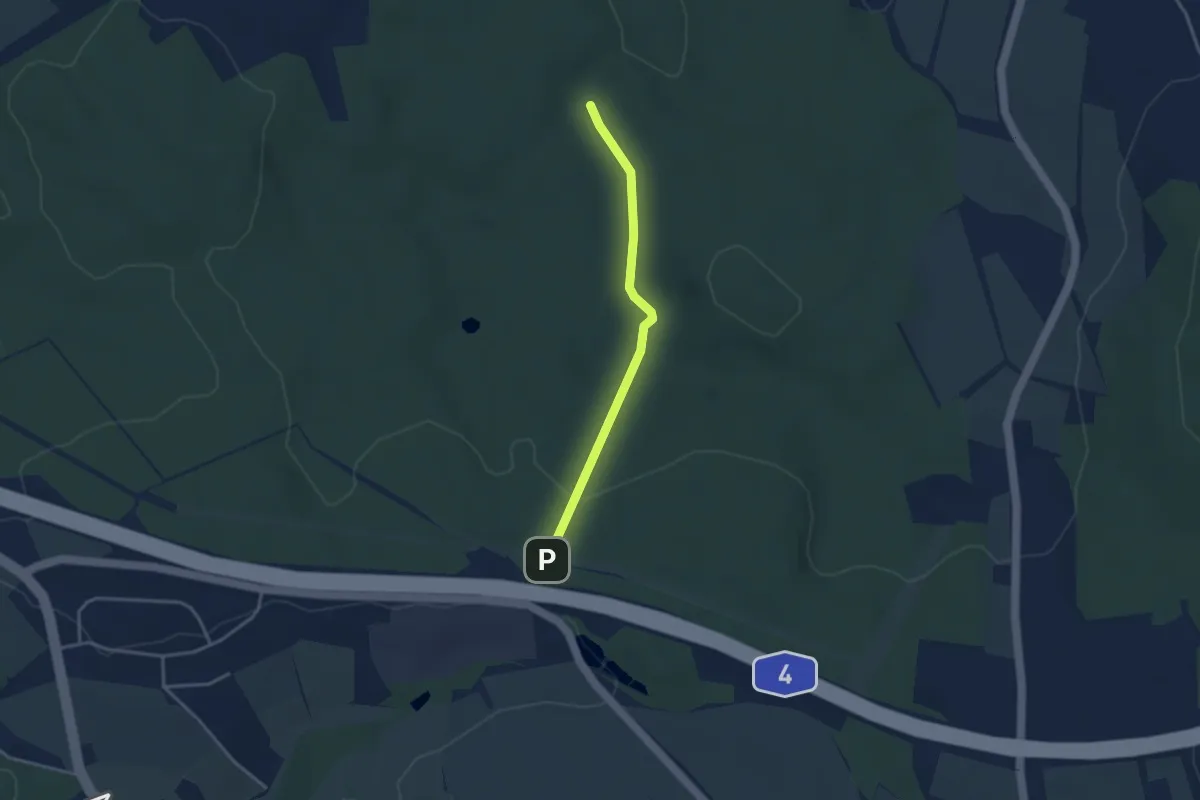
Easy · Trail
Ww Autobahn A 4- Heiterer Blick
3.6 km · ↑ 62 m · 59 min
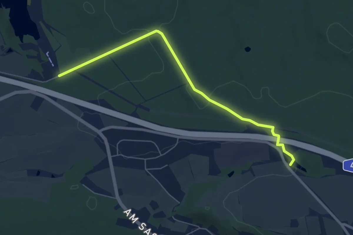
Easy · Trail
Ww Autobahn A4 - Karl-May-Höhle
2.9 km · ↑ 46 m · 46 min
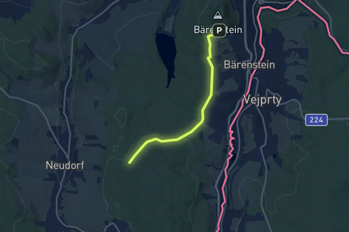
Easy · Trail
Ww Autobahn A 4-Stausee Oberwald
5.5 km · ↑ 21 m · 1 h 20 min
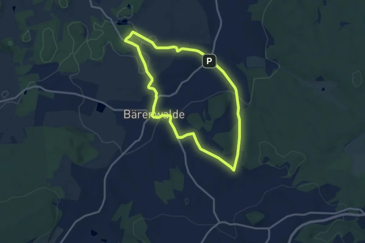
Medium · Trail
Ww Bärenstein, Parkplatz am Fuße des Berges-Richtung Kretscham-Rothensehma
8.2 km · ↑ 160 m · 2 h 17 min
Easy · Summit
Ww Bärenwalde - Lichtenau/Lochhäuser - Bärenwalde
6.6 km · ↑ 156 m · 2 h