Trails in Germany
36,877 hiking trails, each with its route, climb, walking time and grade.
All trails, page 739 of 769
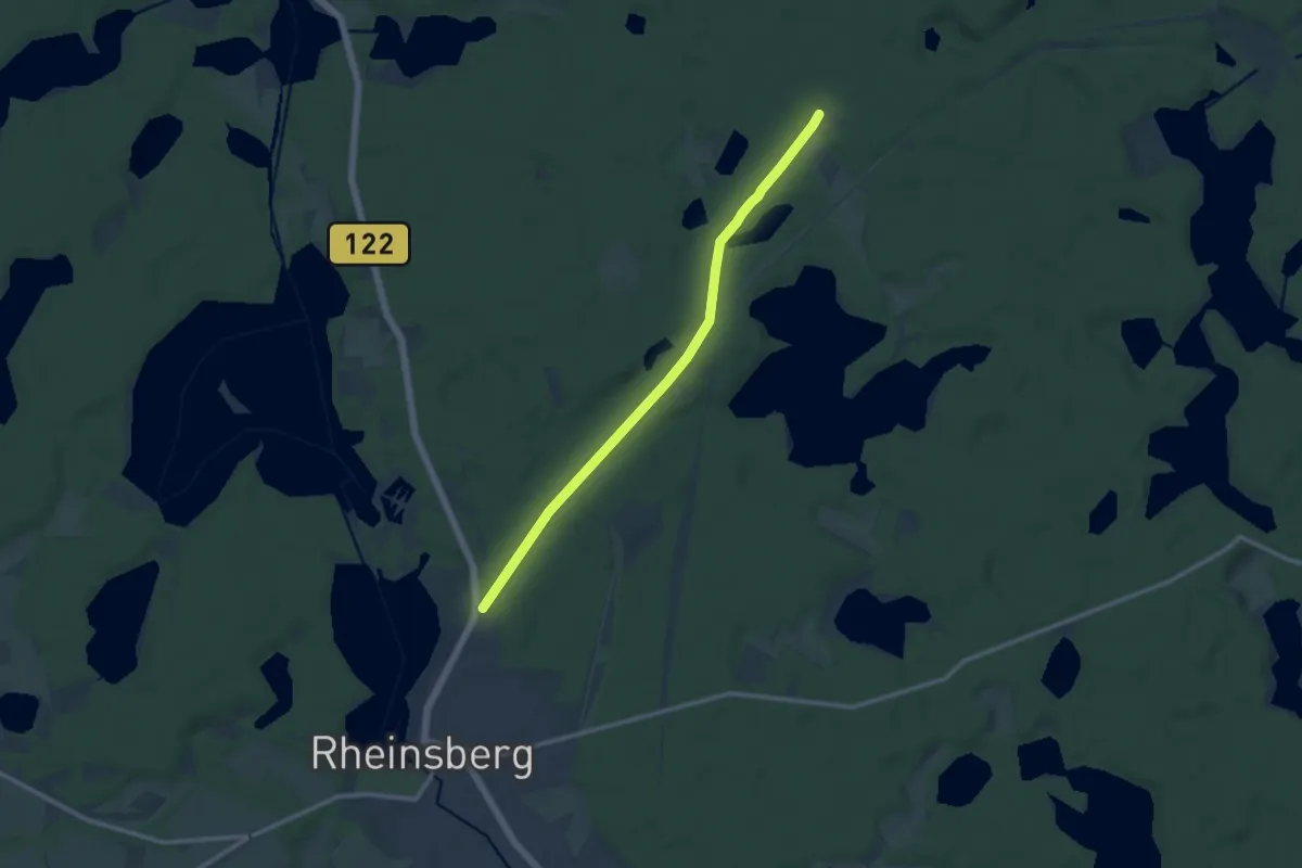
Medium · Trail
Ww Beerenbusch - Rheinsberg
9.5 km · ↑ 54 m · 2 h 22 min
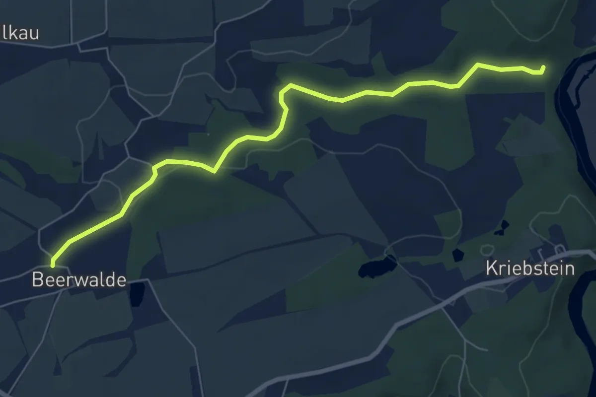
Easy · Trail
Ww Beerwalde - Zschopautalweg
6.0 km · ↑ 88 m · 1 h 37 min
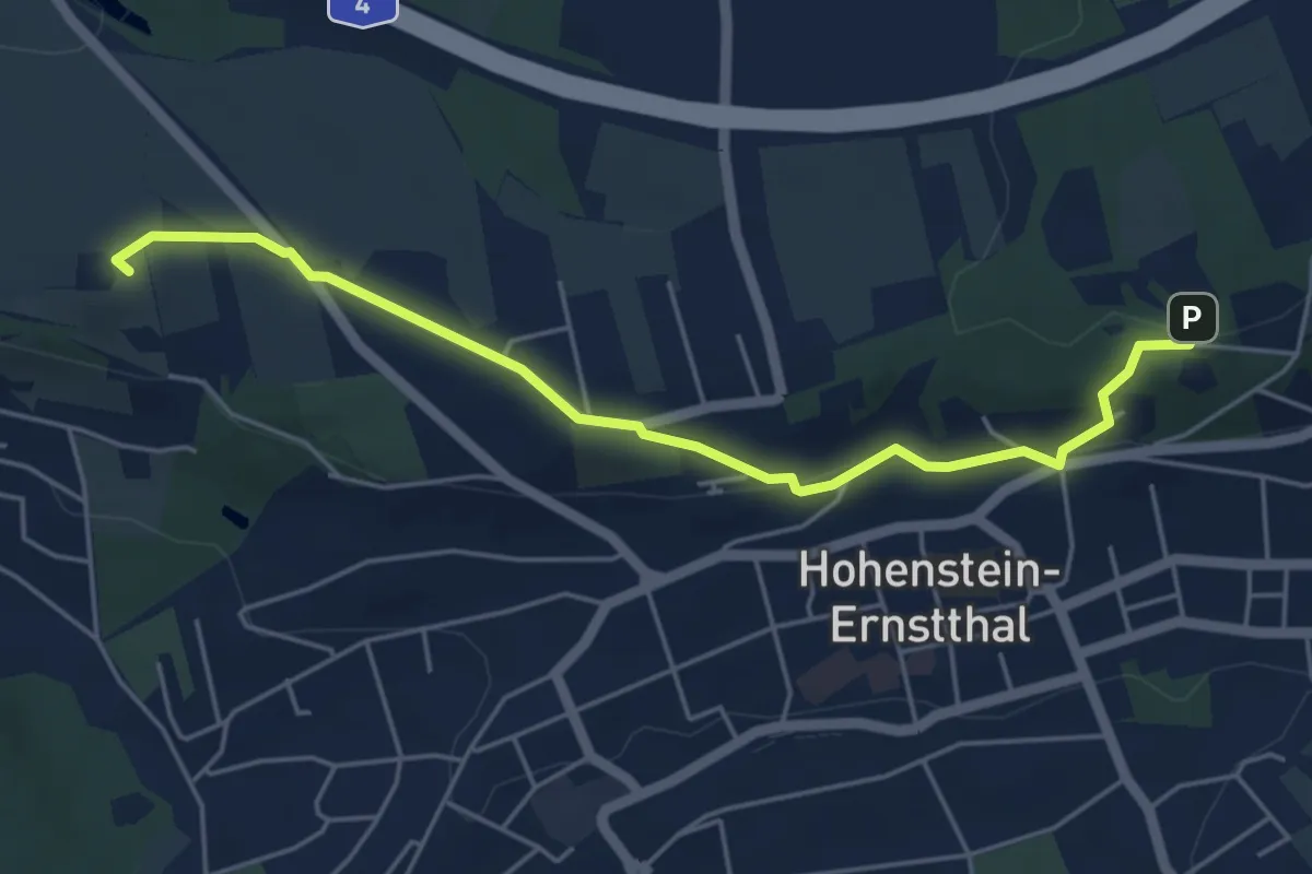
Easy · Summit
Ww Berggasthaus - Lutherhöhe über Karlstraße
4.8 km · ↑ 101 m · 1 h 22 min
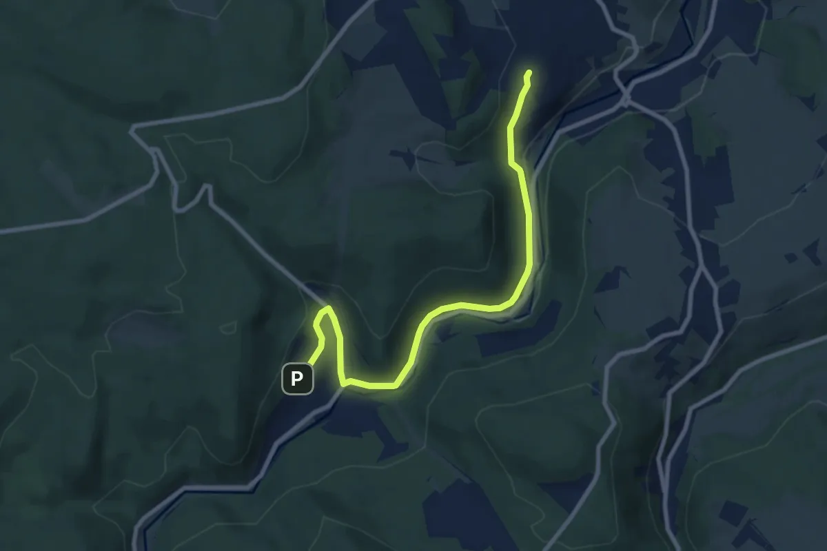
Easy · Trail
WW Bermsgrün-Antonsthal
7.6 km · ↑ 198 m · 2 h 13 min
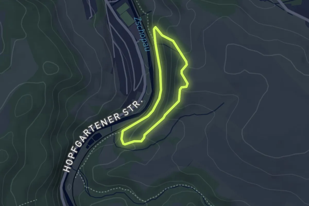
Easy · Trail
Ww Besenberg Rundweg
2.3 km · ↑ 109 m · 49 min
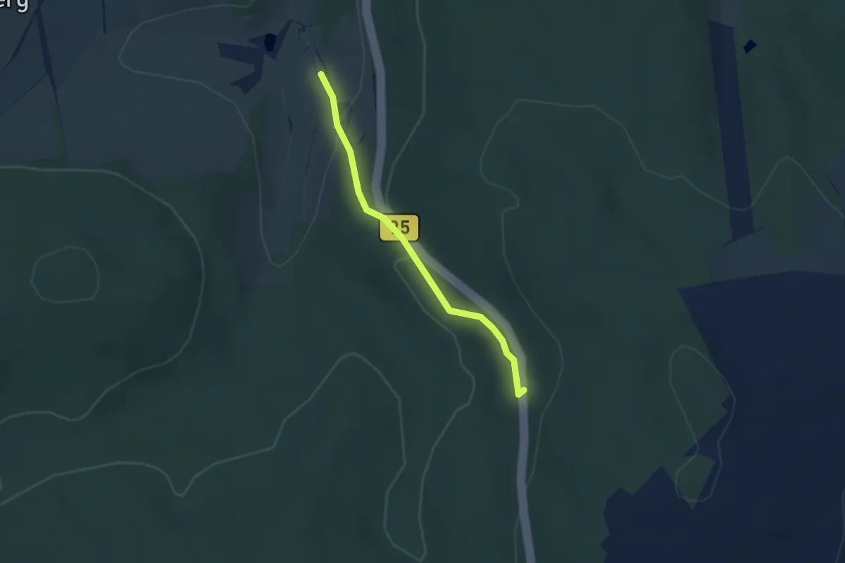
Easy · Trail
Ww Besenschänke-Richtung Burkhardtsdorf
2.4 km · ↑ 98 m · 47 min
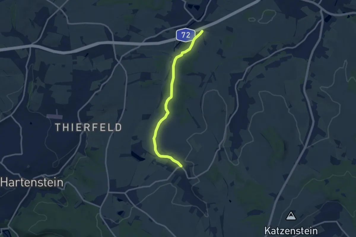
Medium · Trail
WW Beuthaer Wald
8.1 km · ↑ 83 m · 2 h 6 min
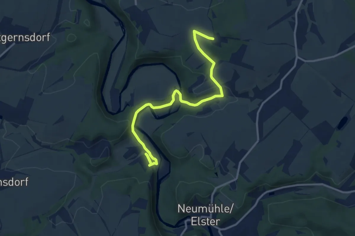
Medium · Trail
WW (blauer Balken)
8.4 km · ↑ 231 m · 2 h 29 min
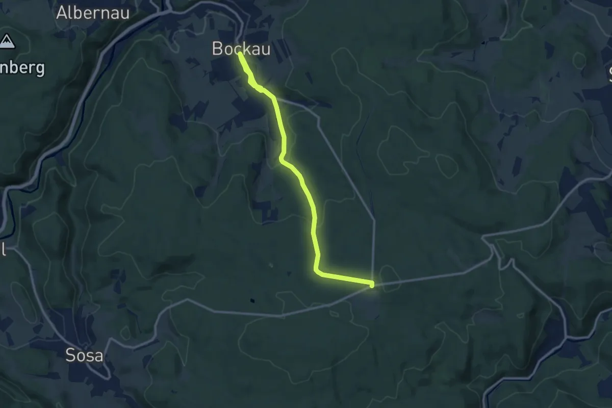
Medium · Trail
Ww Bockau - Jägerhaus
10.9 km · ↑ 307 m · 3 h 14 min
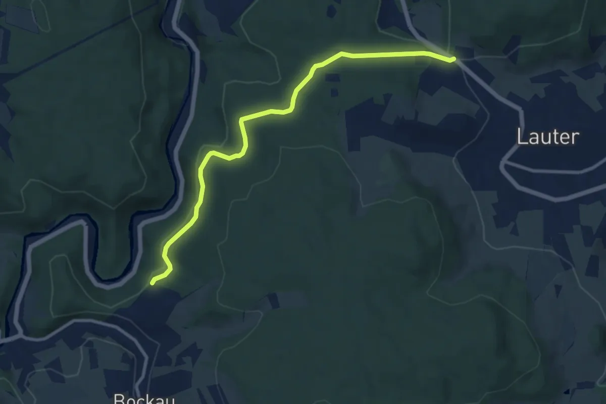
Medium · Trail
Ww Bockau - Lauter, in Bockau Markierung mangelhaft
8.4 km · ↑ 175 m · 2 h 21 min
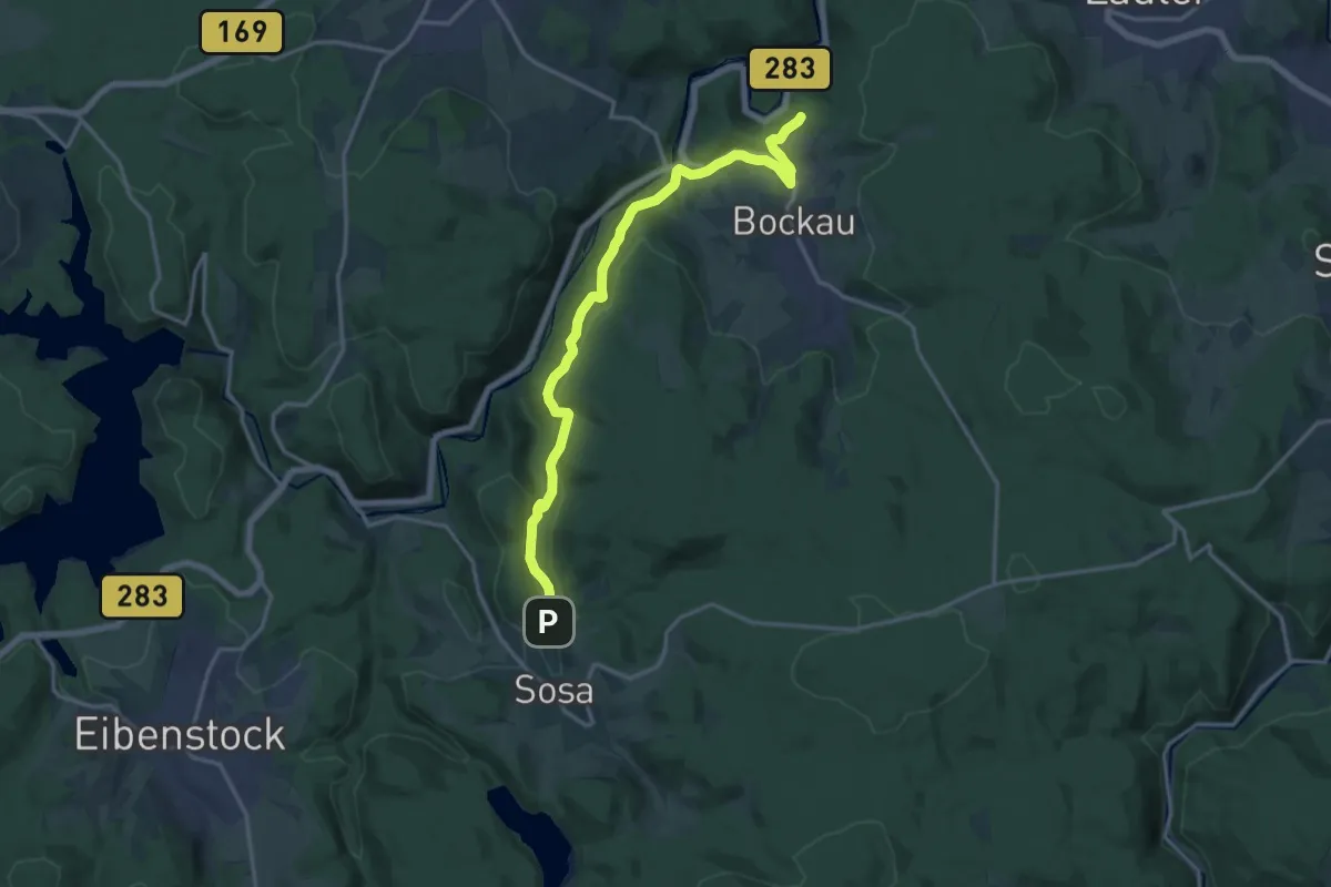
Medium · Trail
Ww Bockau - Straße Blauenthal/Sosa, Markierung mangelhaft
15.6 km · ↑ 388 m · 4 h 32 min
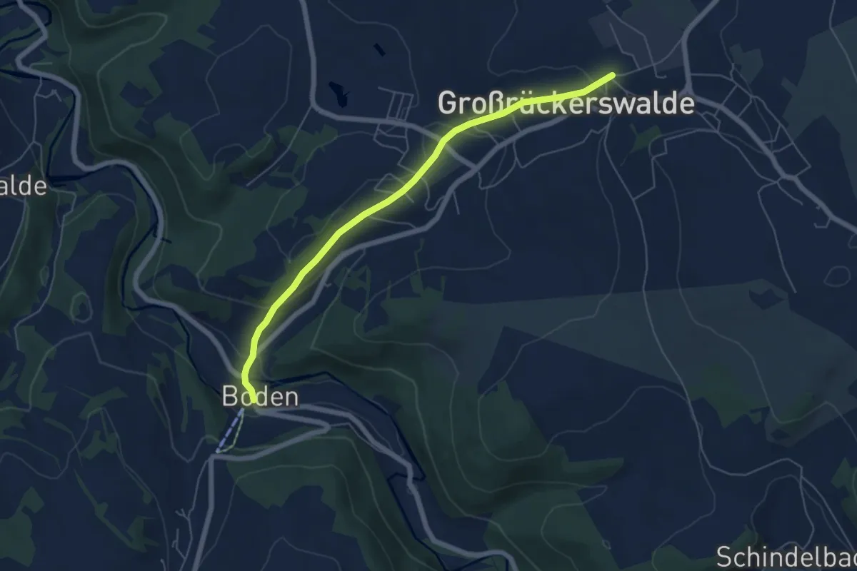
Easy · Trail
Ww Boden-Großrückerswalde Wehrkirche
5.4 km · ↑ 169 m · 1 h 38 min
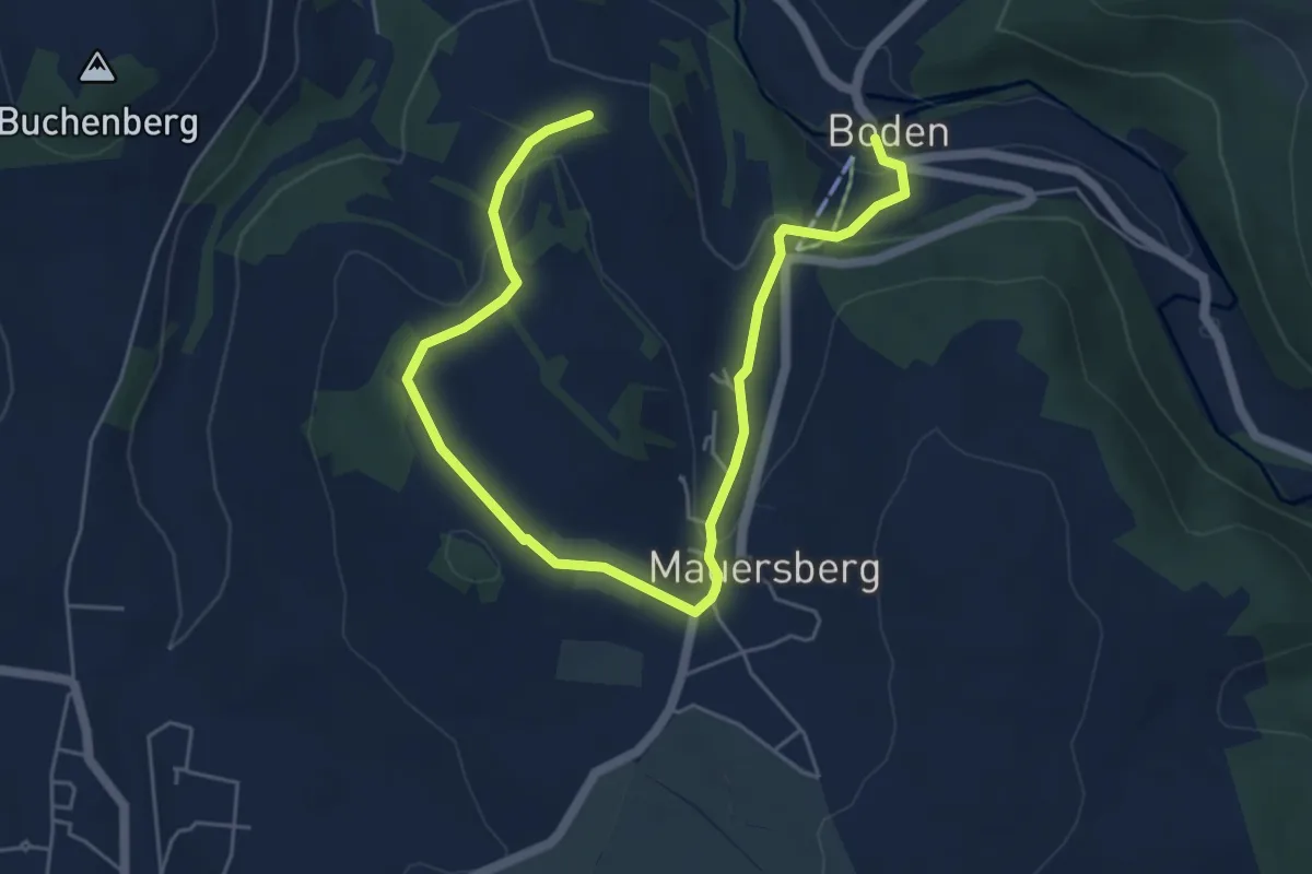
Easy · Trail
Ww Boden-Mauersberg-Heidehäuser
6.7 km · ↑ 213 m · 2 h 2 min
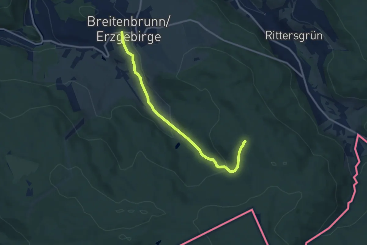
Easy · Trail
Ww Breitenbrunn - Klughaus - Anschluß Richtung Halbmeile
7.3 km · ↑ 208 m · 2 h 10 min
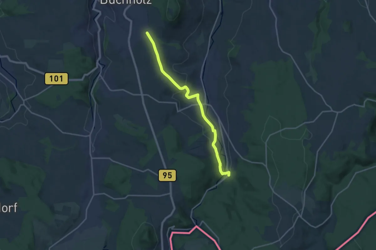
Medium · Trail
Ww Brettmühle-Annaberg
12.2 km · ↑ 303 m · 3 h 33 min
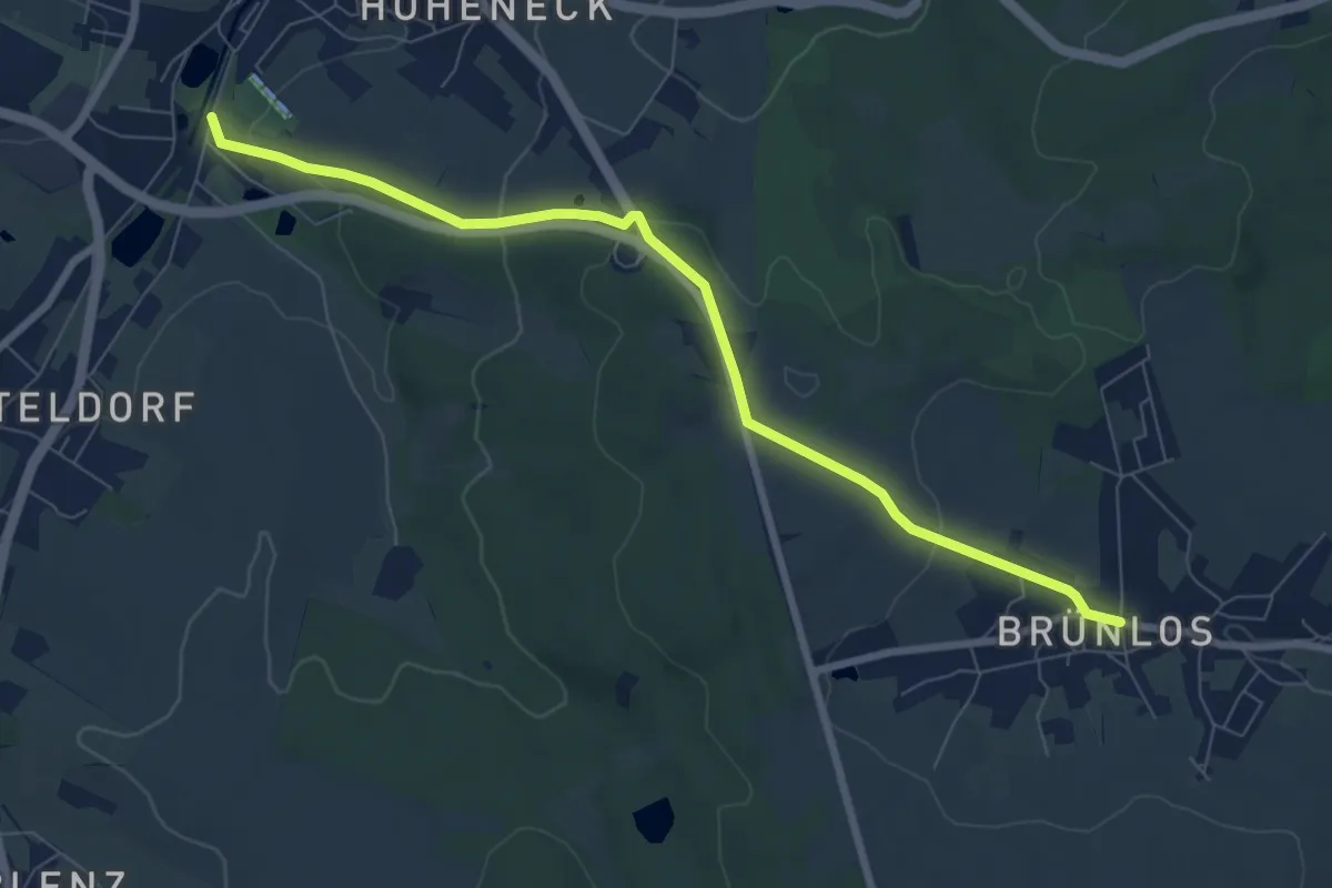
Easy · Trail
WW Brünlos-Stollberg
7.5 km · ↑ 177 m · 2 h 9 min
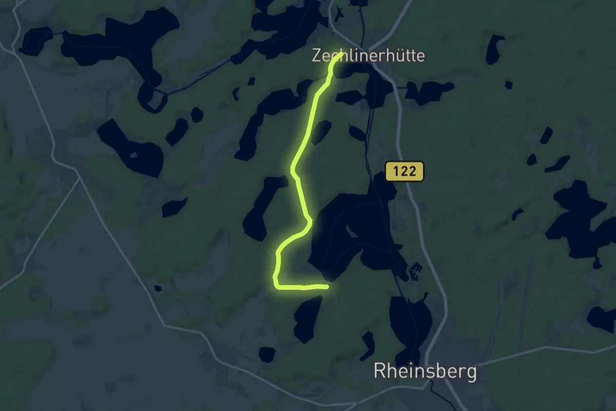
Medium · Trail
Ww Bungalowsiedlung "Am Rheinsberger See" - Zechlinerhütte
12.6 km · ↑ 110 m · 3 h 13 min
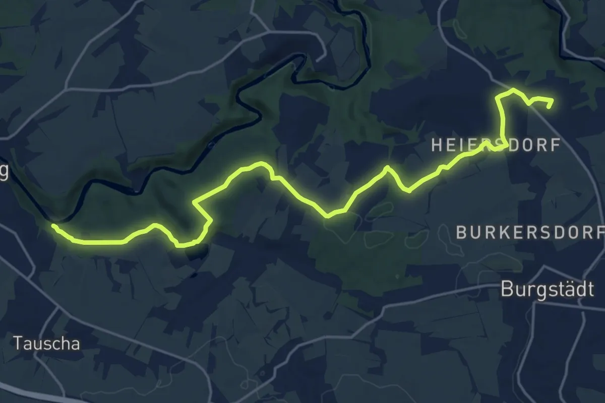
Medium · Summit
Ww Burgstädt-Höllmühle-Zwickauer Mulde
18.0 km · ↑ 277 m · 4 h 51 min
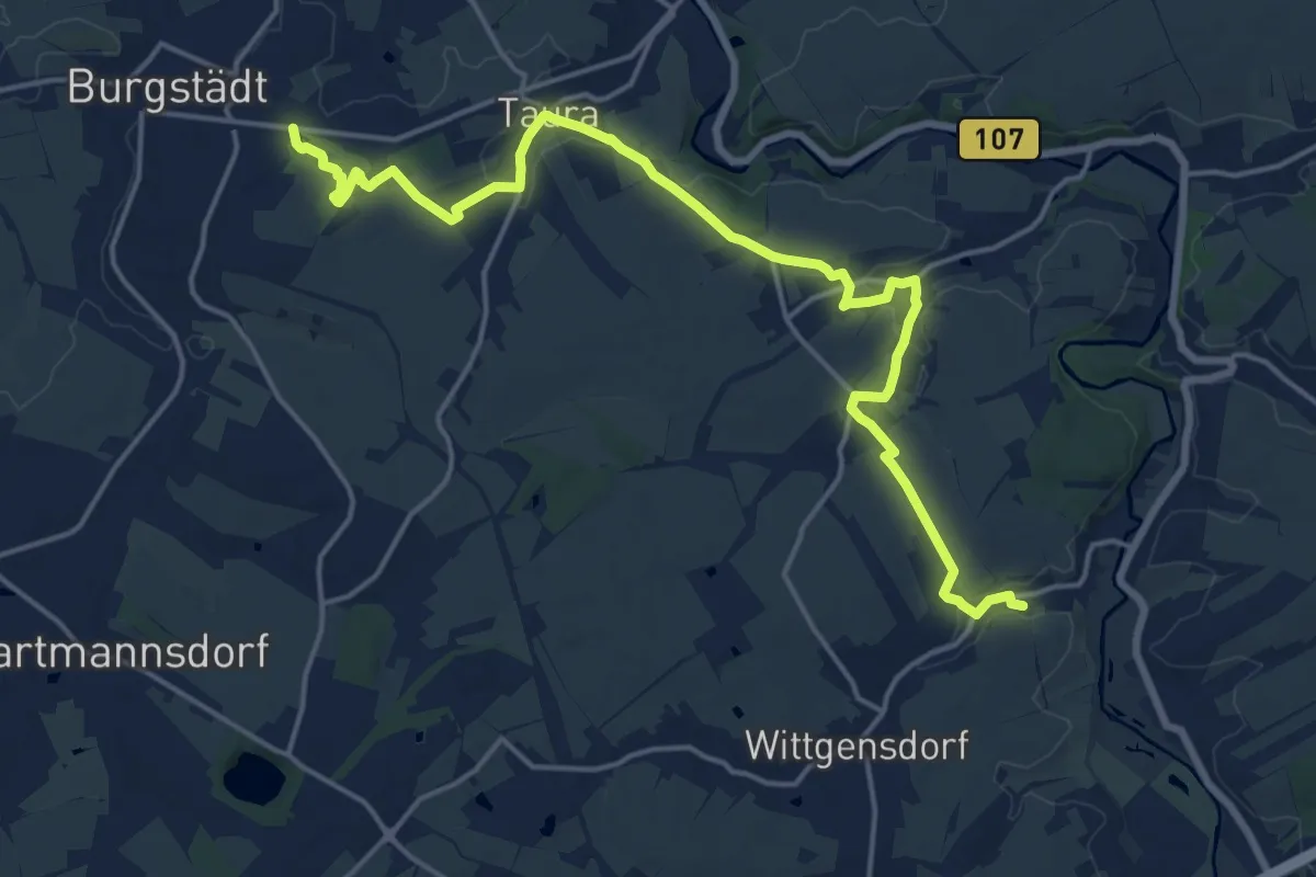
Demanding · Trail
Ww Burgstädt- Köthensdorf-Wittgensdorf
18.3 km · ↑ 236 m · 4 h 49 min
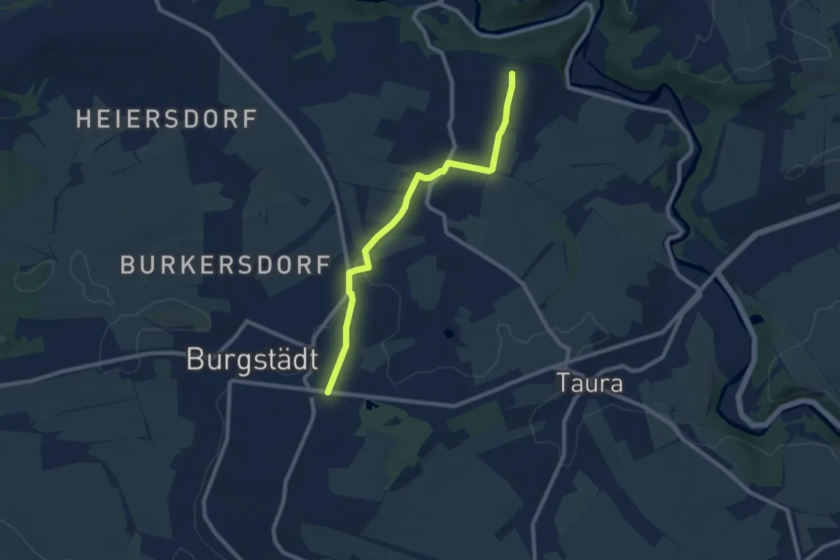
Easy · Trail
Ww Burgstädt-Mohsdorf ü. Kirchsteig weiter bis Anschl Ww gelber Strich weißer Grund
6.4 km · ↑ 50 m · 1 h 37 min
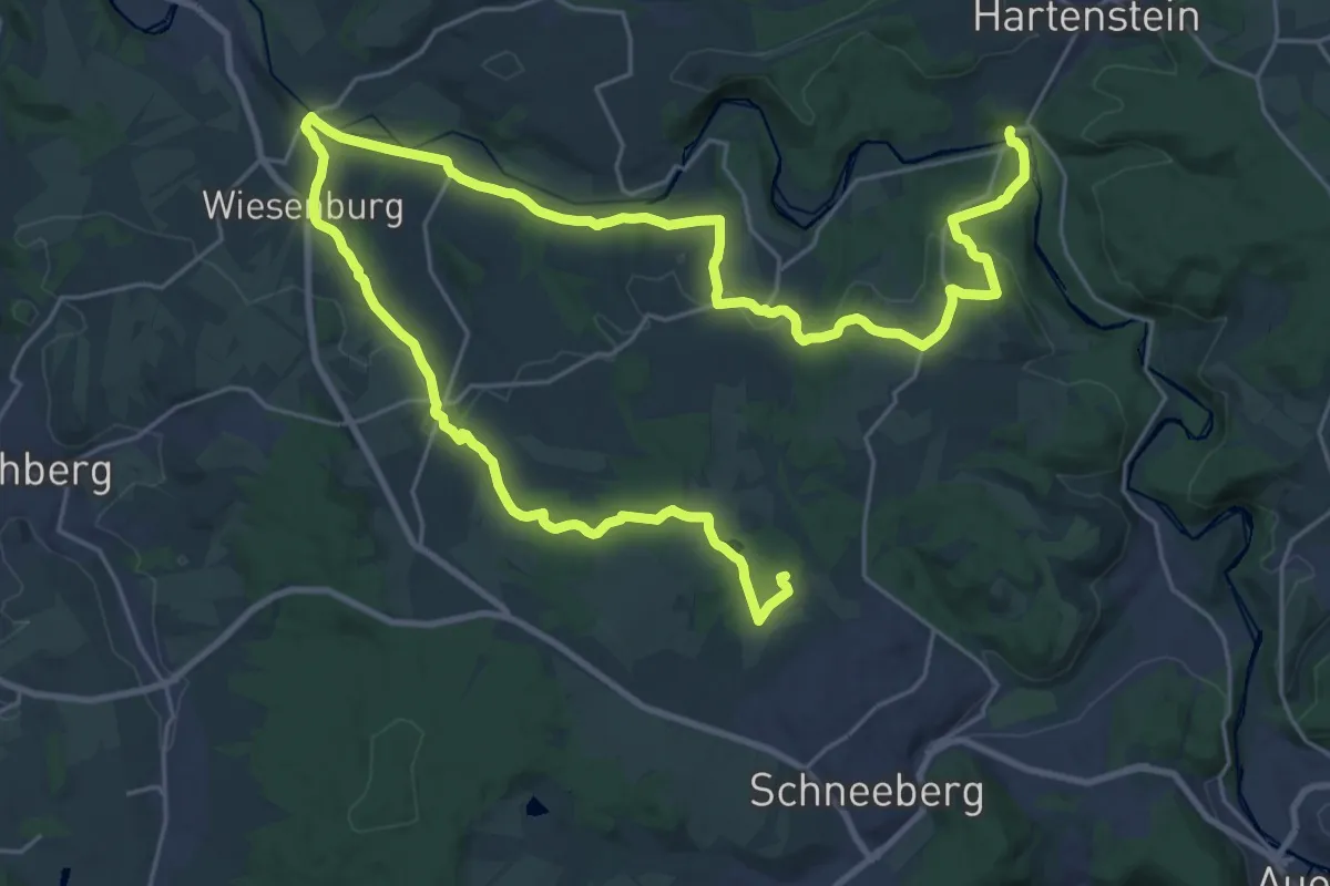
Demanding · Summit
Ww. Burg Stein - Wiesenburg - Keilberg (gelb)
38.8 km · ↑ 724 m · 10 h 44 min
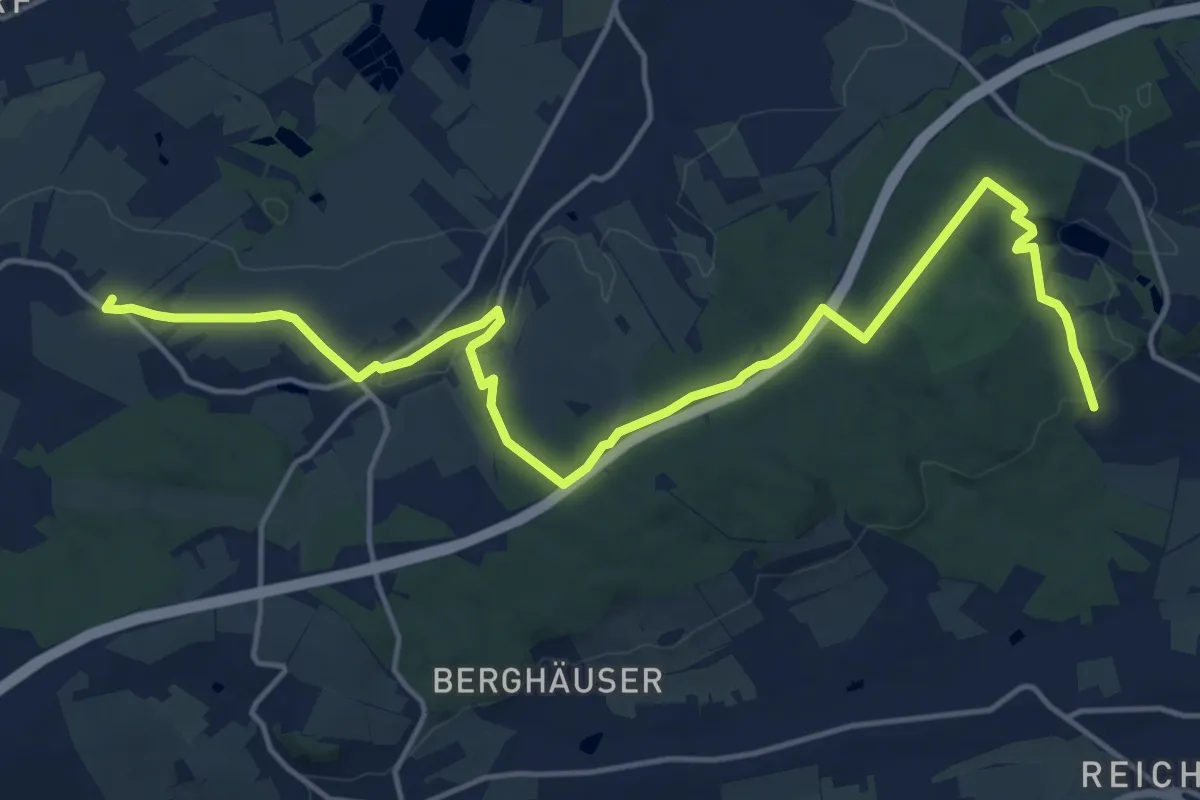
Demanding · Summit
Ww Chemnitz-Rabenstein, Pleißa, Langenberger Höhe
18.0 km · ↑ 286 m · 4 h 52 min
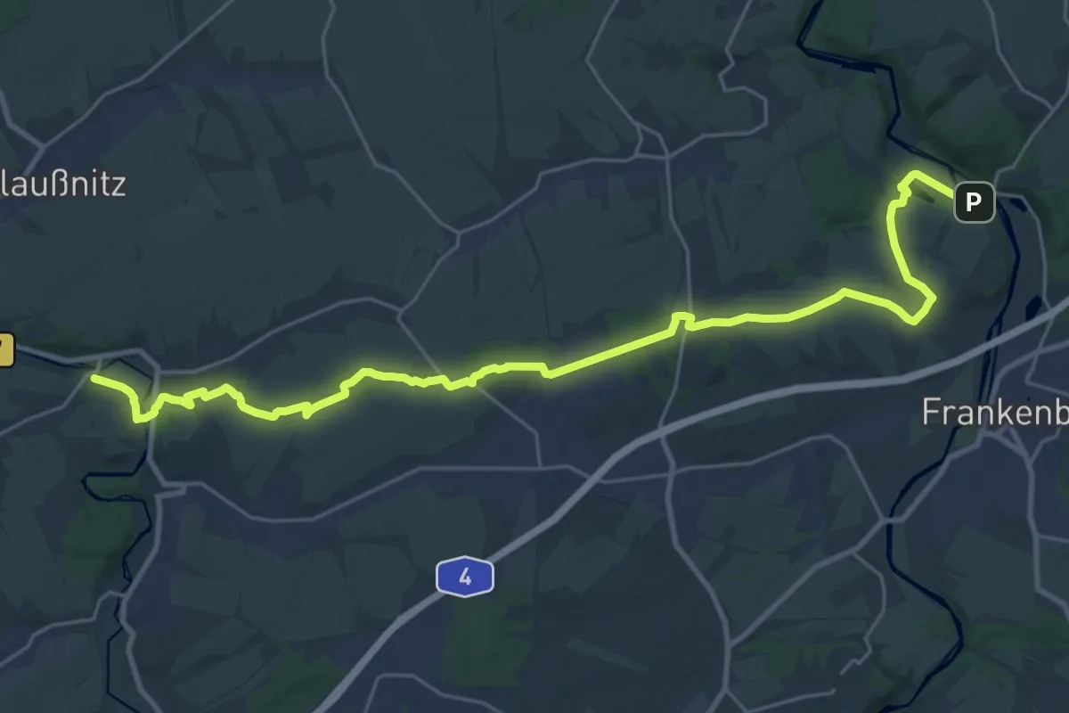
Demanding · Trail
Ww Chemnitztal - Köthensdorf - Bhf. Oberlichtenau - Merzdorf - Sachsenburg
27.0 km · ↑ 274 m · 6 h 59 min
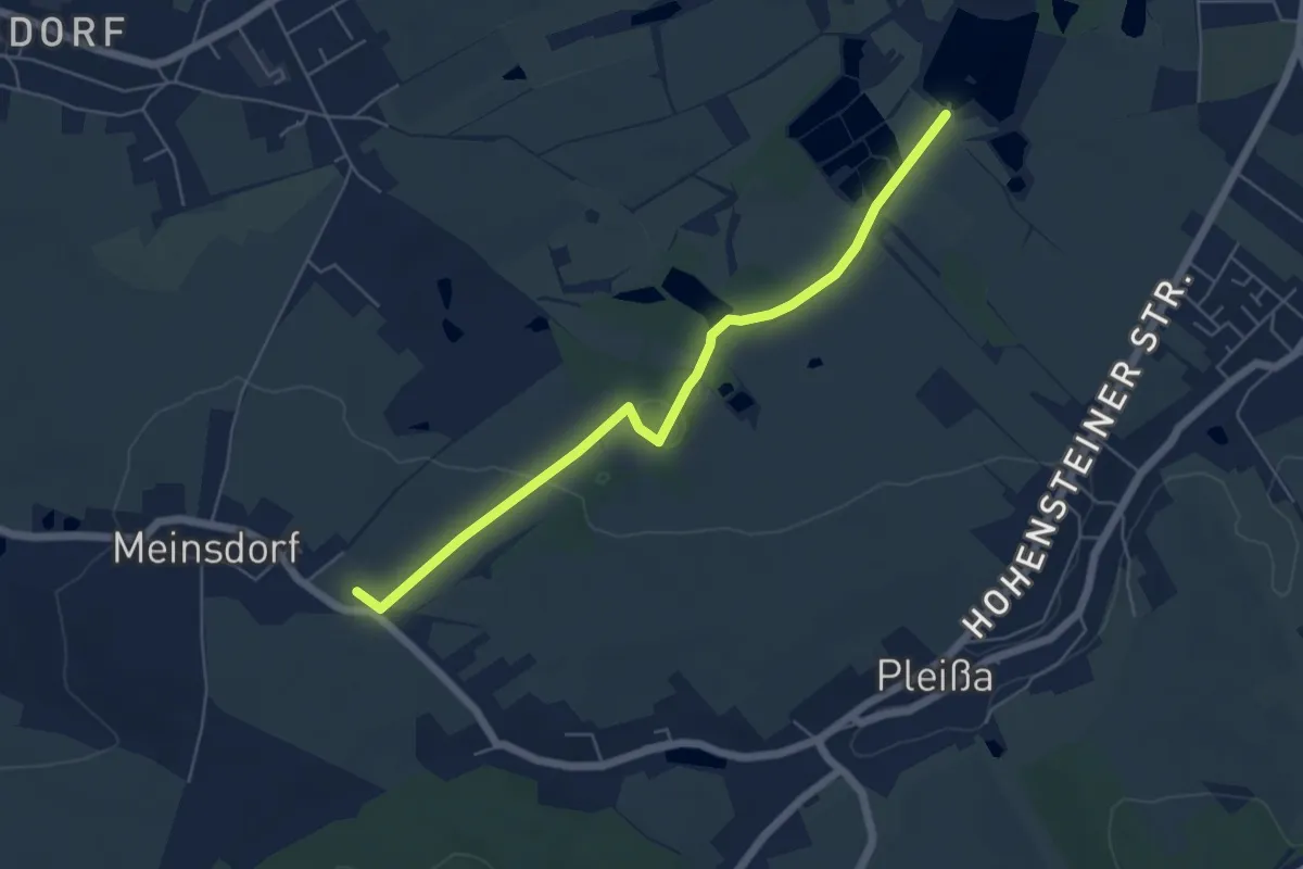
Easy · Summit
Ww Chursdorf-Limbach-O.-Meinsdorf
5.2 km · ↑ 72 m · 1 h 23 min
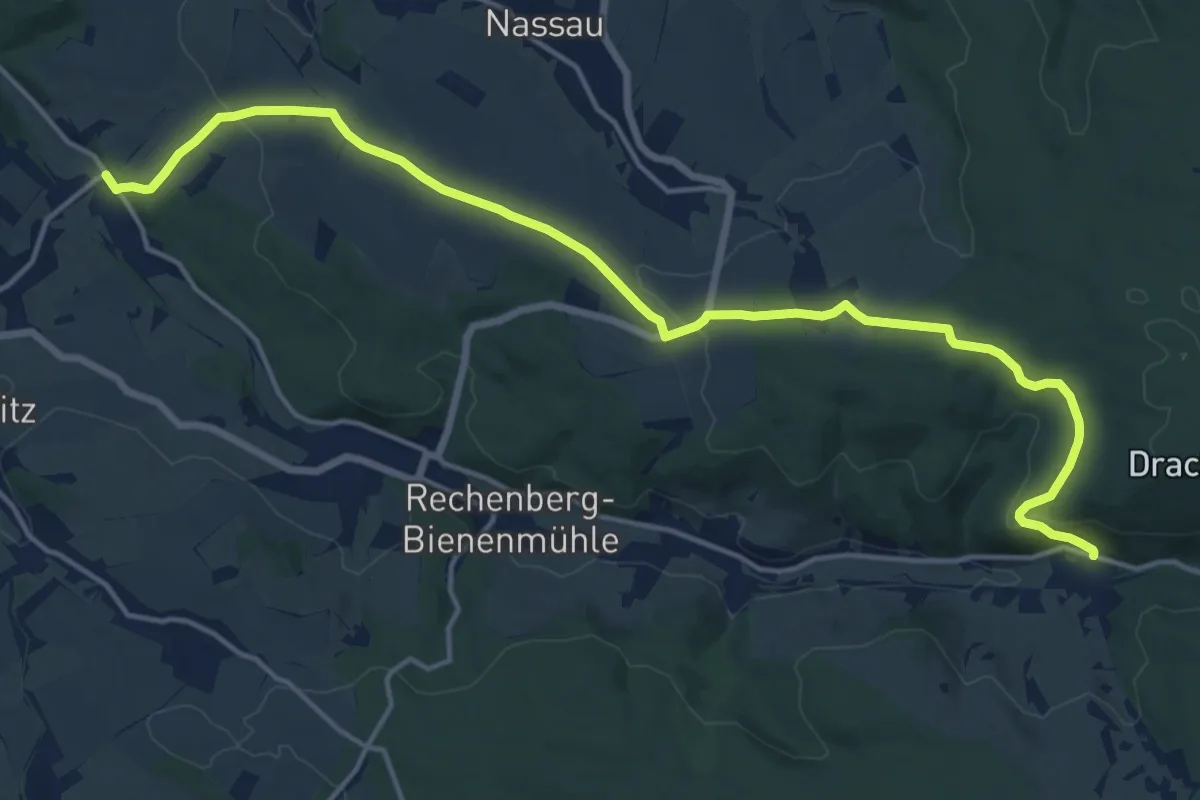
Medium · Trail
Ww Clausnitz über Altes Forsthaus - Holzhau
17.0 km · ↑ 451 m · 5 h
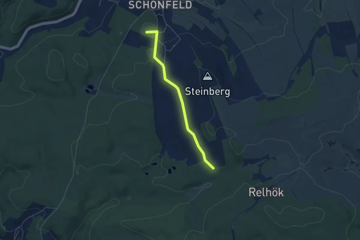
Easy · Summit
Ww Clemensstein-Schönfeld
4.2 km · ↑ 31 m · 1 h 3 min
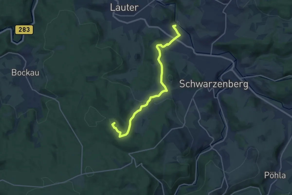
Medium · Summit
Ww Conradswiese-Morgenleithe-Schwarzenberg-Lauter
13.1 km · ↑ 425 m · 4 h 1 min
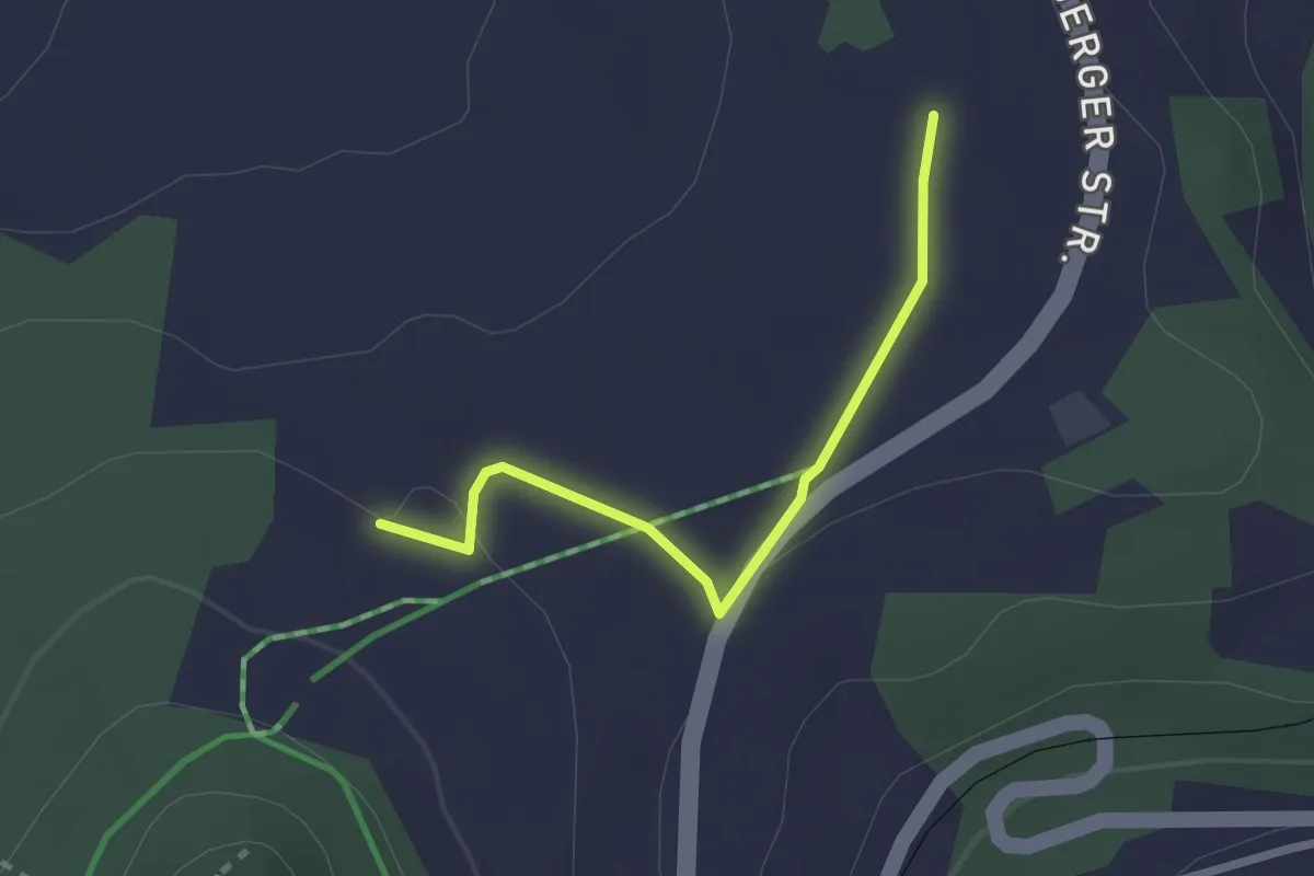
Easy · Trail
Ww Cranzahl-Bärenstein-Königswalde
2.1 km · ↑ 27 m · 33 min
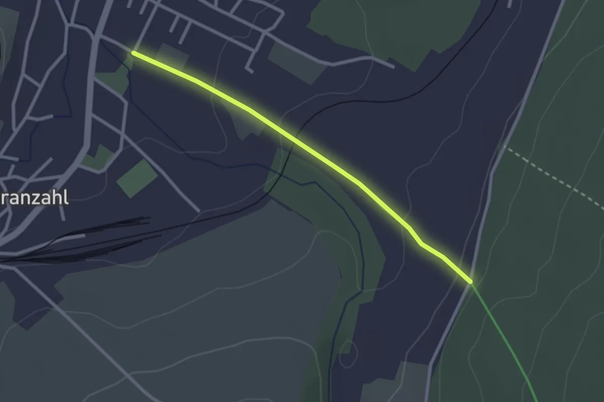
Easy · Trail
Ww Cranzahl Ortsmitte - Anschluß Bärenstein-Königswalde
2.3 km · ↑ 82 m · 43 min
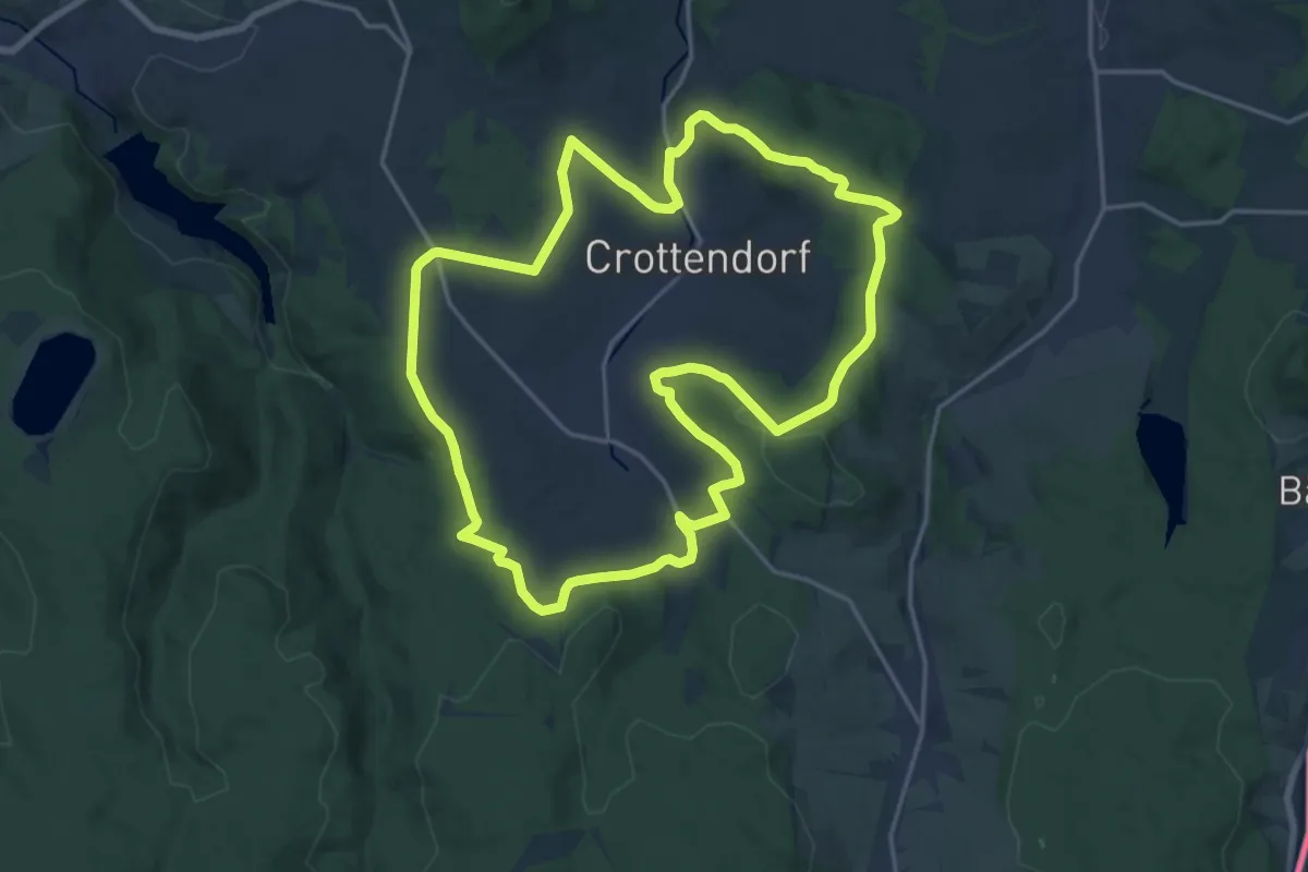
Medium · Summit
Ww Crottendorfer Rundwanderweg
17.6 km · ↑ 427 m · 5 h 19 min
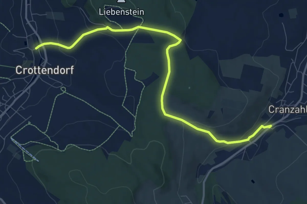
Medium · Trail
Ww Crottendorf-Firstenweg-Cranzahl
9.1 km · ↑ 244 m · 2 h 41 min
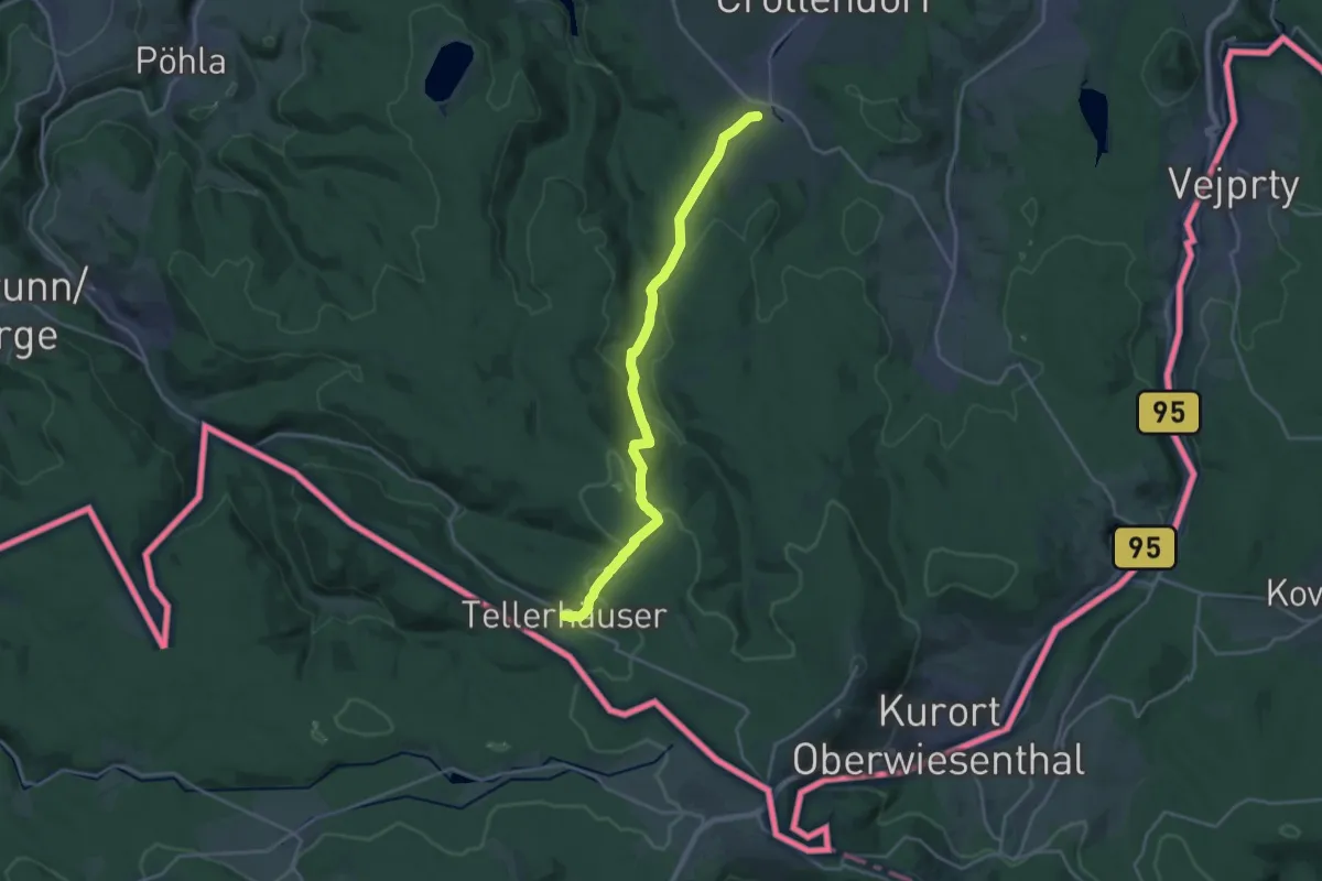
Demanding · Trail
Ww Crottendorf- Tellerhäuser
18.4 km · ↑ 628 m · 5 h 42 min
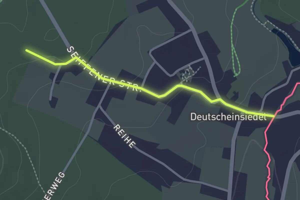
Easy · Trail
Ww Deutscheinsiedel - Seiffen
2.1 km · ↑ 36 m · 35 min
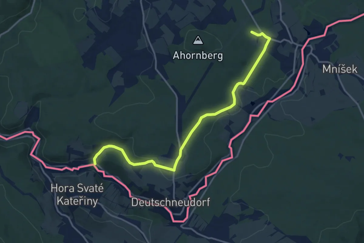
Medium · Trail
Ww Deutschkatharinenberg - Brüderwiese - Bad Einsiedel
11.0 km · ↑ 180 m · 2 h 59 min
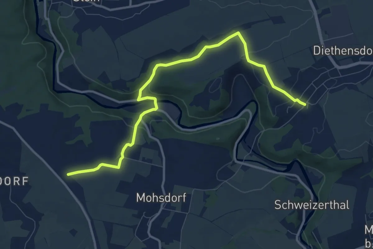
Medium · Trail
Ww Diethensdorf-Mohsdorf-Anschl. an Ww roter Strich, weißer Grund
9.4 km · ↑ 165 m · 2 h 34 min
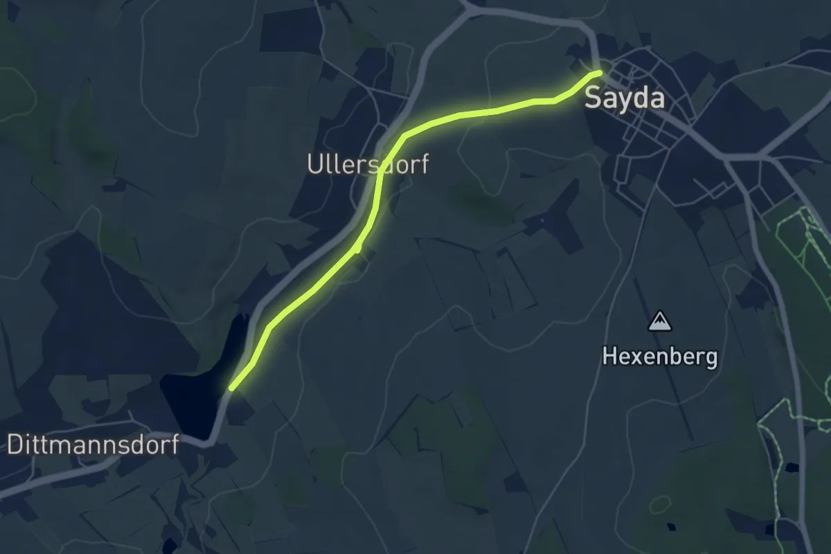
Easy · Trail
Ww Dittmannsdorf-Sayda
5.0 km · ↑ 106 m · 1 h 24 min
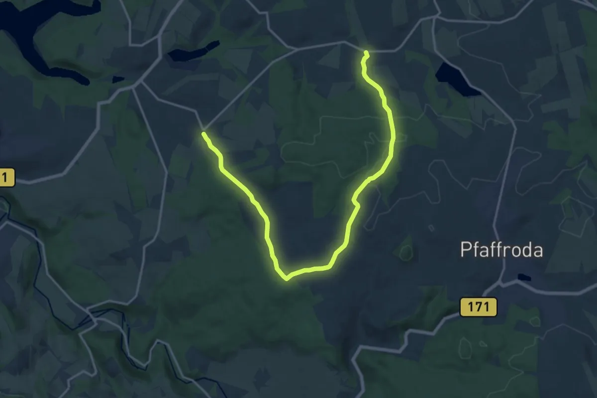
Medium · Trail
WW Dörnthal-Hutha-Forchheim
15.6 km · ↑ 304 m · 4 h 21 min
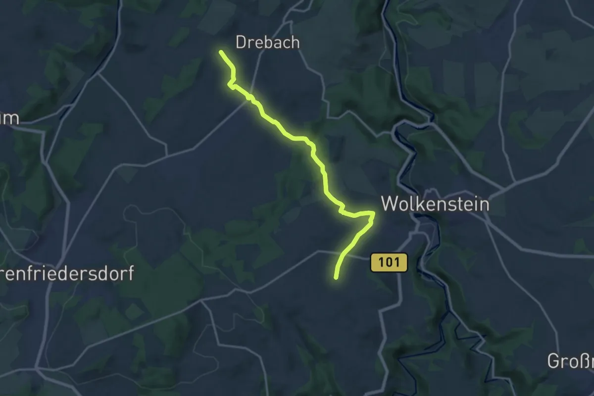
Medium · Trail
WW Drebach-Falkenbach
12.5 km · ↑ 340 m · 3 h 41 min
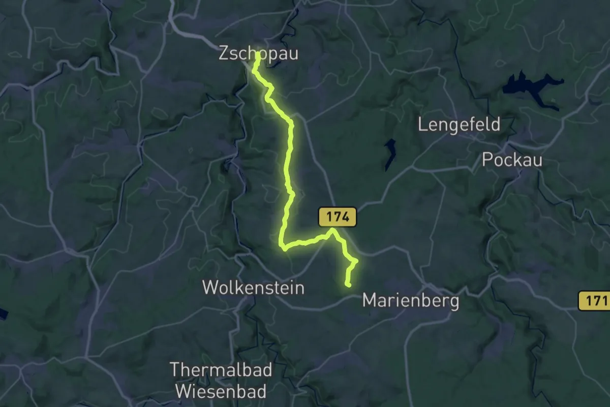
Demanding · Summit
Ww Drei-Brüderhöhe- Zschopau
31.1 km · ↑ 652 m · 8 h 46 min
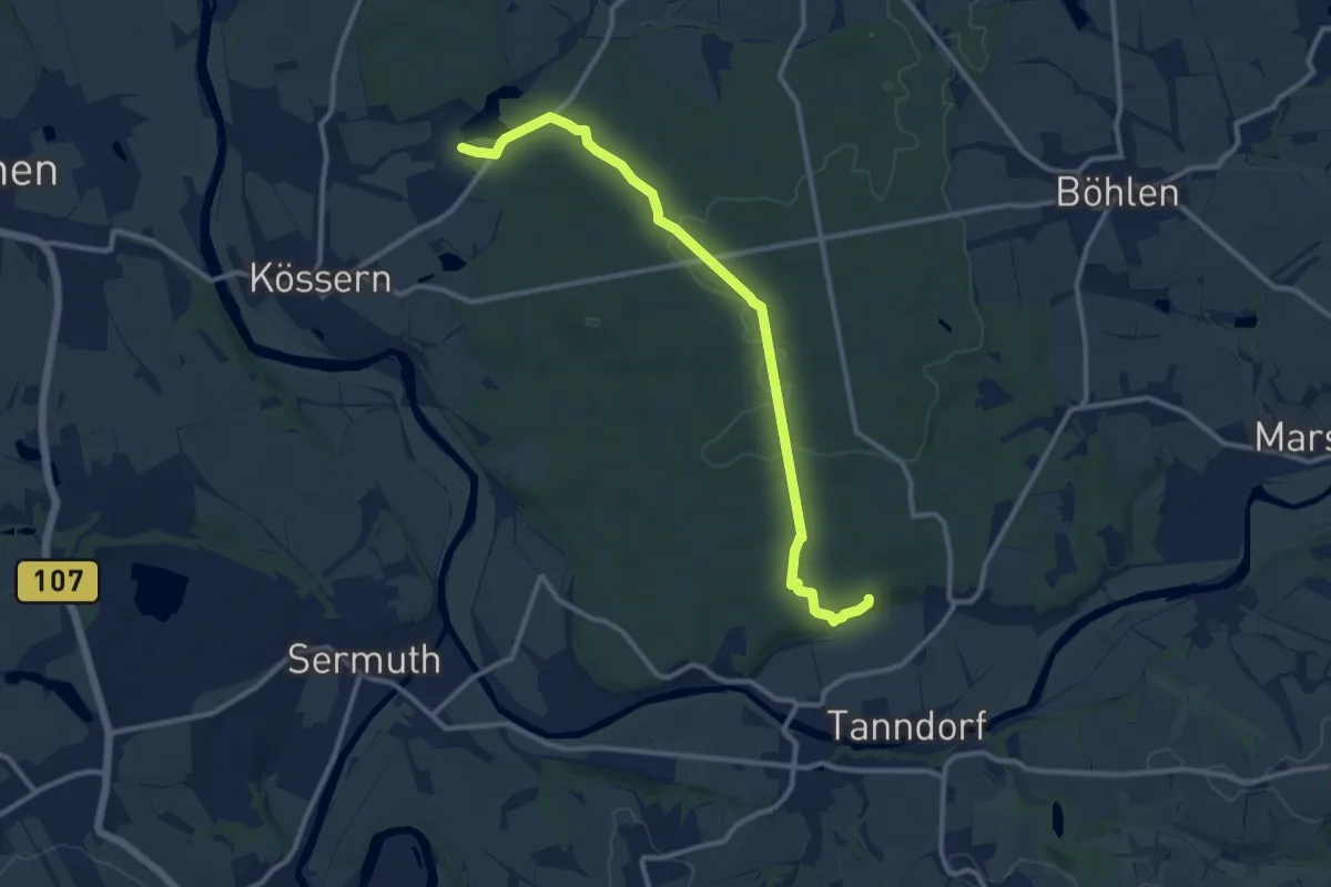
Medium · Trail
Ww durch den Thümmlitzwald (Teilstück des markierten Wanderweges)
10.6 km · ↑ 138 m · 2 h 48 min
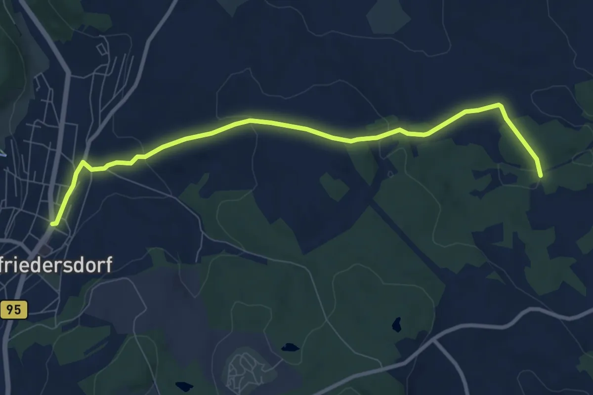
Easy · Trail
Ww Ehrenfriedersdorf-Faule Brücke
7.9 km · ↑ 184 m · 2 h 15 min
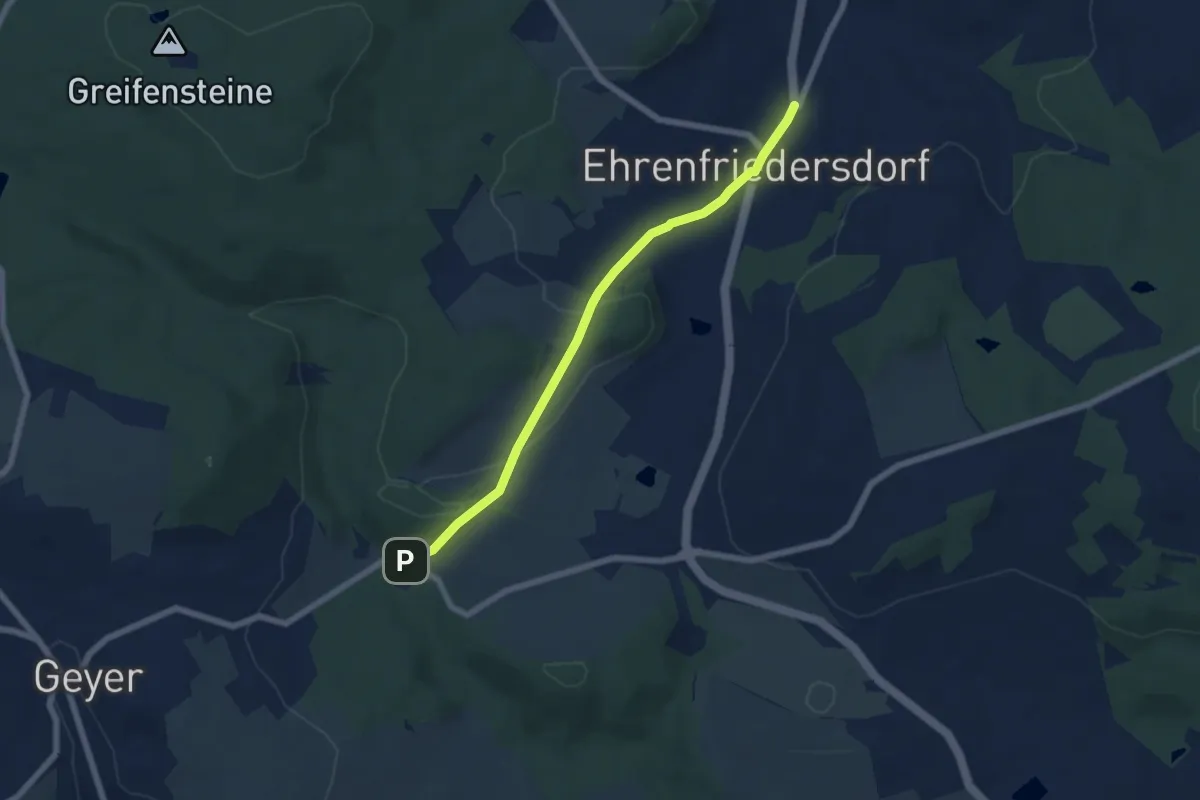
Easy · Trail
Ww Ehrenfriedersdorf-Greifenbachmühle
5.6 km · ↑ 133 m · 1 h 36 min
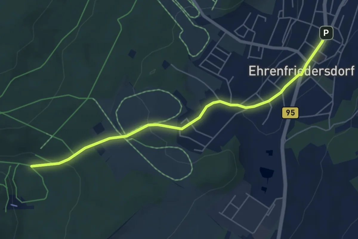
Easy · Trail
Ww Ehrenfriedersdorf-Greifenbachtal
5.0 km · ↑ 88 m · 1 h 22 min
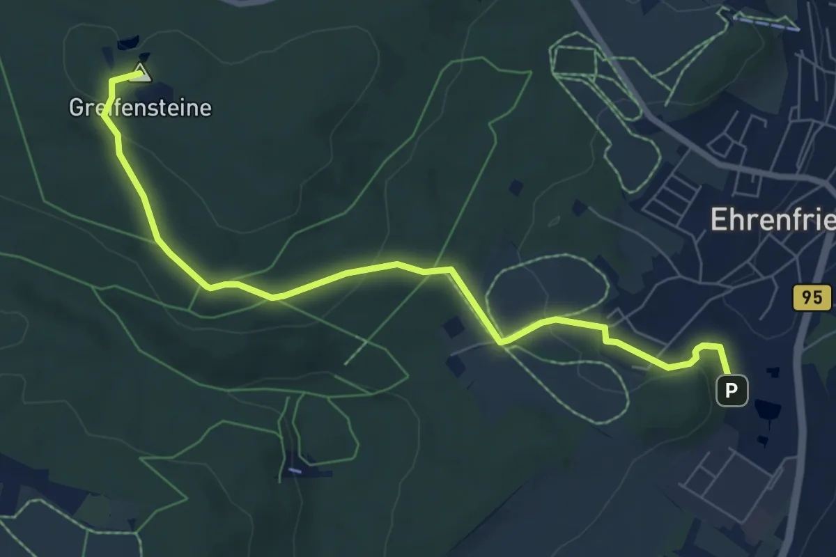
Easy · Summit
Ww Ehrenfriedersdorf-Greifensteine
6.9 km · ↑ 160 m · 1 h 59 min
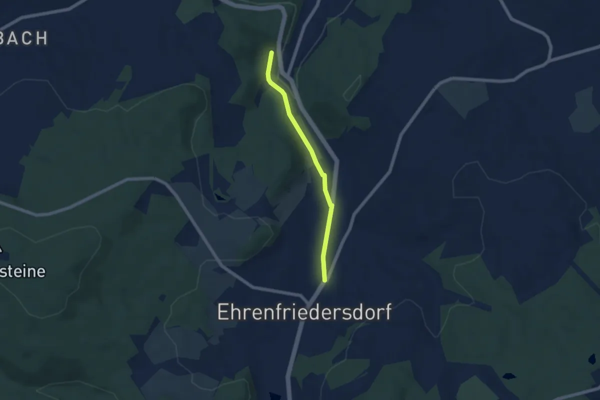
Easy · Trail
WW Ehrenfriedersdorf-Thum
4.2 km · ↑ 46 m · 1 h 6 min
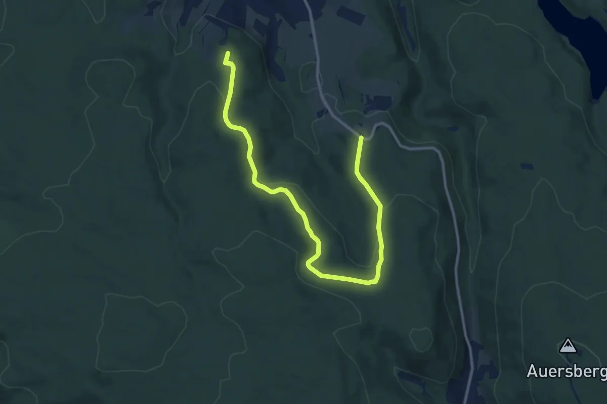
Medium · Summit
Ww Eibenstock - Waldhausen über Dönitzbachtal
10.8 km · ↑ 265 m · 3 h 7 min
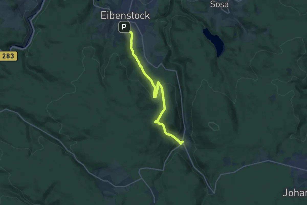
Medium · Trail
Ww Eibenstock - Waldhausen - Wildenthal
14.6 km · ↑ 416 m · 4 h 21 min
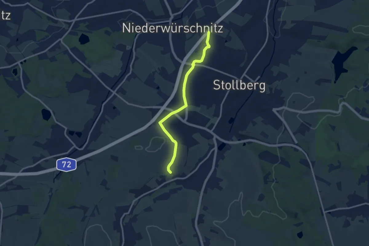
Easy · Trail
WW Eichenbusch-Mitteldorf
7.8 km · ↑ 80 m · 2 h 1 min