Trails in Germany
36,877 hiking trails, each with its route, climb, walking time and grade.
All trails, page 740 of 769
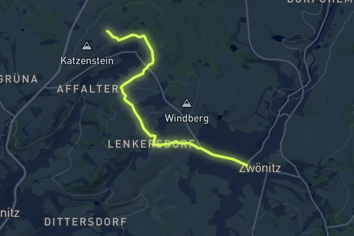
Medium · Trail
Ww Eisenweg-Greifenbachstauweier
12.7 km · ↑ 213 m · 3 h 27 min
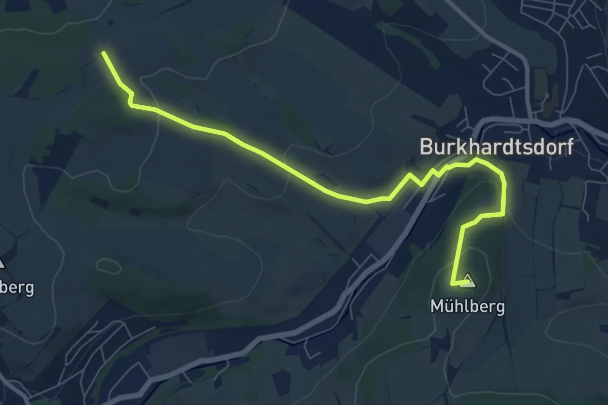
Easy · Summit
Ww Eisenweg-Mühlberg-Abtwald Tischl, Markierung mangelhaft
7.1 km · ↑ 210 m · 2 h 8 min
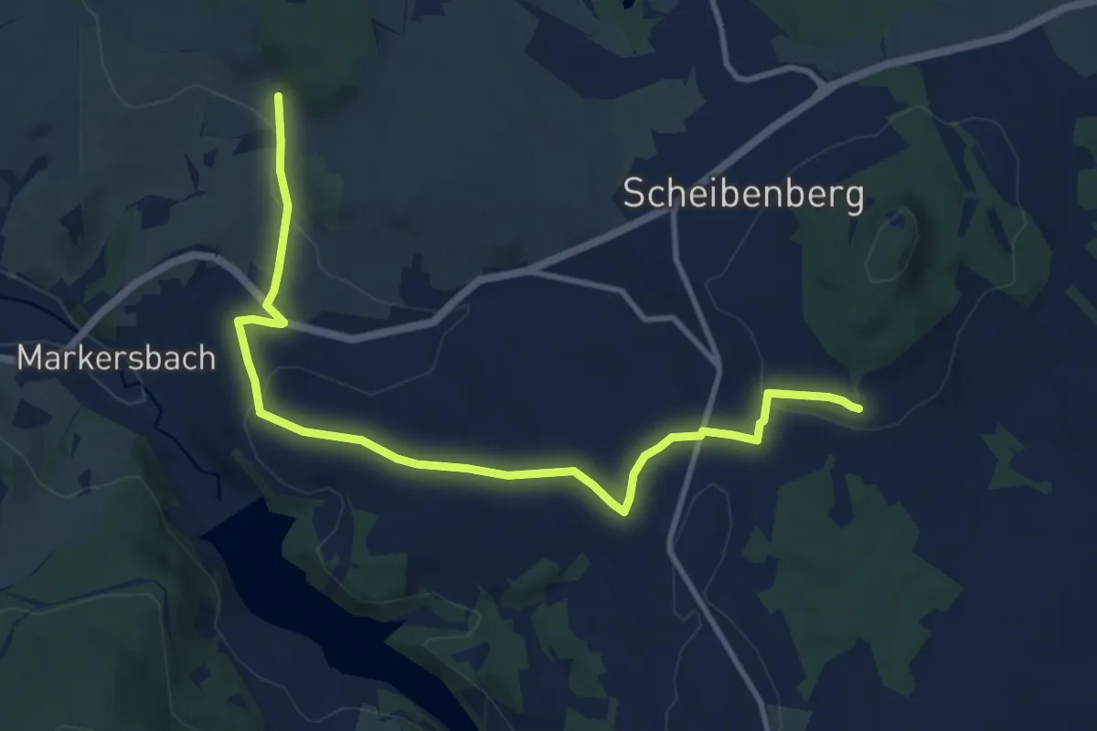
Medium · Trail
Ww Emmler - Markersbach- Fuß des Scheibenberges
11.0 km · ↑ 217 m · 3 h 5 min
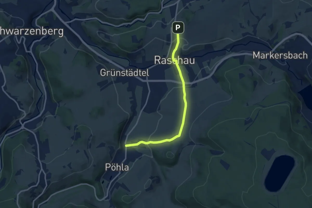
Medium · Trail
Ww Emmlerweg - Raschau - E3 - Pöhla
8.2 km · ↑ 295 m · 2 h 35 min
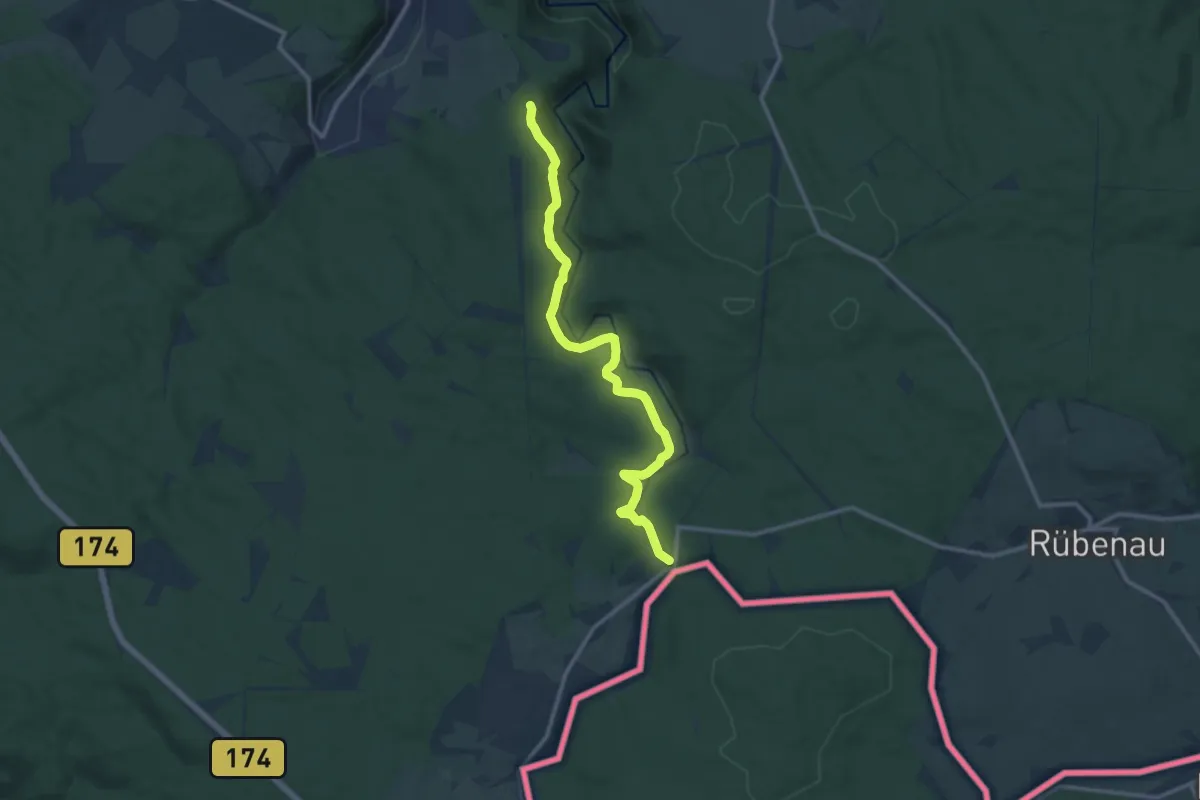
Medium · Trail
Ww entlang des "Grünen Grabens"
11.5 km · ↑ 141 m · 3 h 1 min
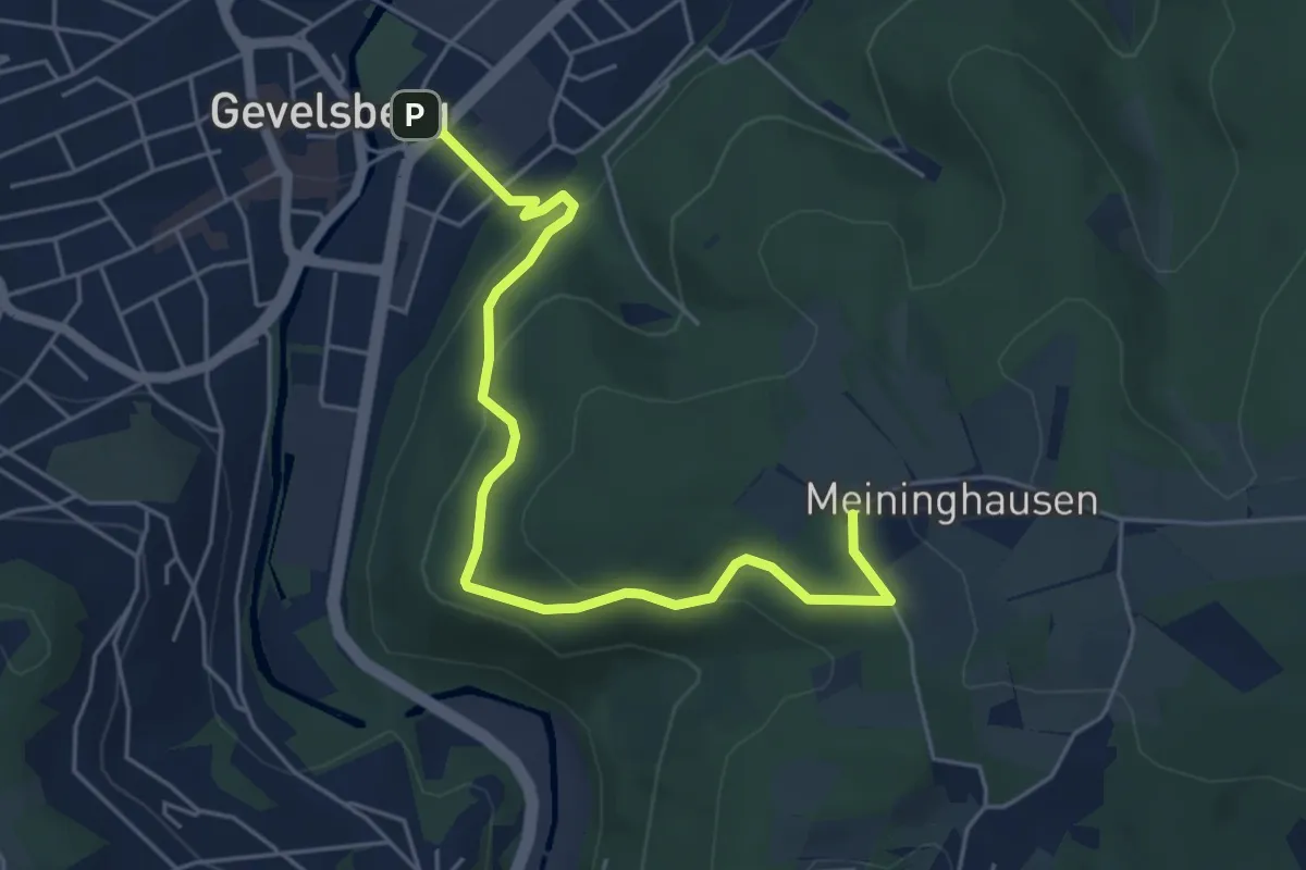
Easy · Trail
[W] Weststieg
5.2 km · ↑ 238 m · 1 h 44 min
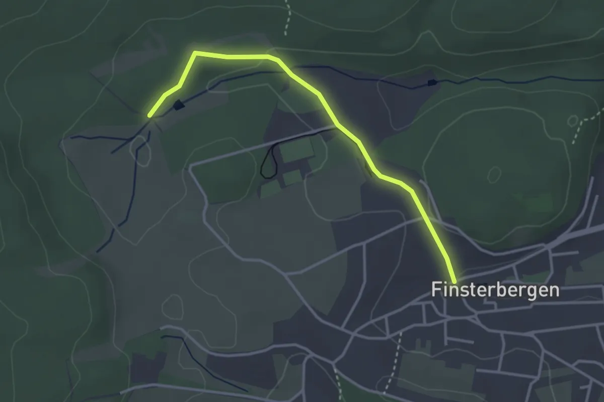
Easy · Trail
Ww Finsterbergen - Richtung Friedrichroda Anschluß an Ww mit Markierung gelbes Dreieck
3.0 km · ↑ 29 m · 46 min
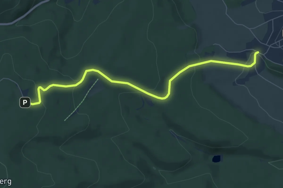
Easy · Trail
Ww Finsterbergen - Spießberghaus
6.7 km · ↑ 225 m · 2 h 4 min
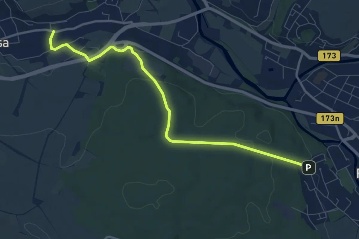
Easy · Trail
Ww Flöha-Niederwiesa, Markierung mangelhaft
7.8 km · ↑ 188 m · 2 h 14 min
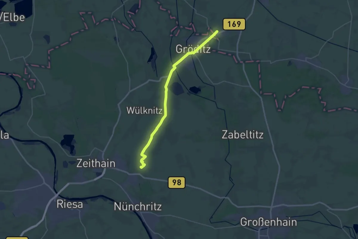
Demanding · Summit
Ww Floßkanalroute
27.6 km · ↑ 22 m · 6 h 34 min
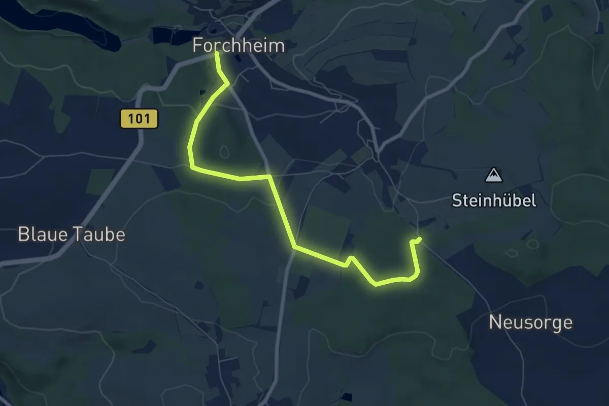
Easy · Trail
WW Forchheim-Neusorge
6.8 km · ↑ 108 m · 1 h 51 min
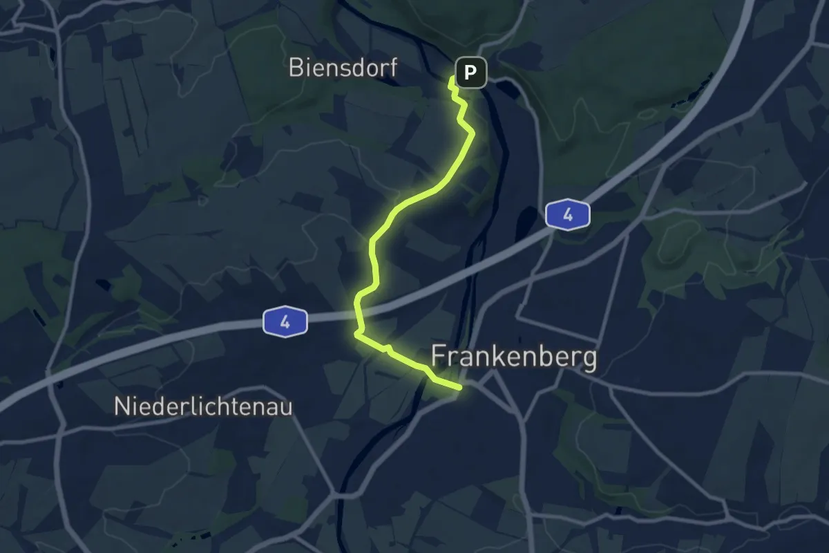
Easy · Trail
Ww Frankenberg - Merzdorf - Sachsenburg
7.9 km · ↑ 102 m · 2 h 5 min
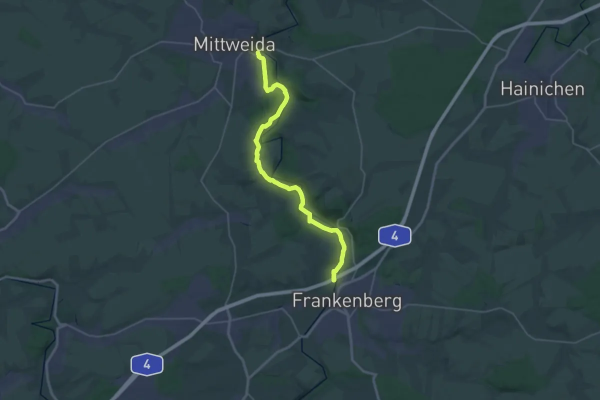
Demanding · Trail
Ww Frankenberg-Sachsenburg-Mittweida, Zschopautalweg links der Zschopau
21.4 km · ↑ 278 m · 5 h 39 min
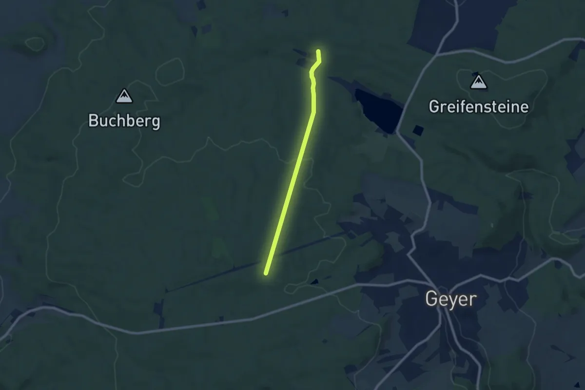
Easy · Trail
Ww Gaststätte Waldhaus-Jugendherberge Hormersdorf
6.1 km · ↑ 115 m · 1 h 42 min
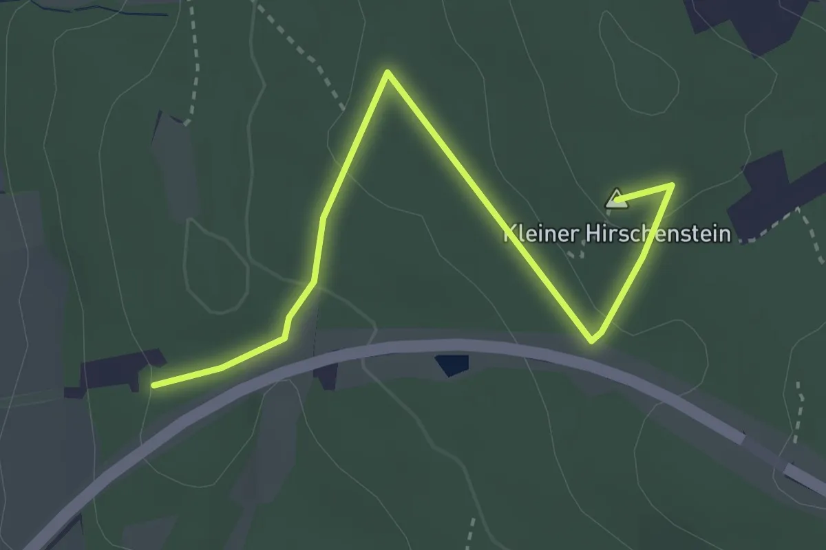
Easy · Summit
Ww Gelber Punkt
3.2 km · ↑ 81 m · 56 min
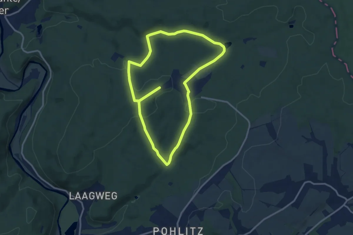
Medium · Trail
WW (gelber Punkt)
15.5 km · ↑ 337 m · 4 h 24 min
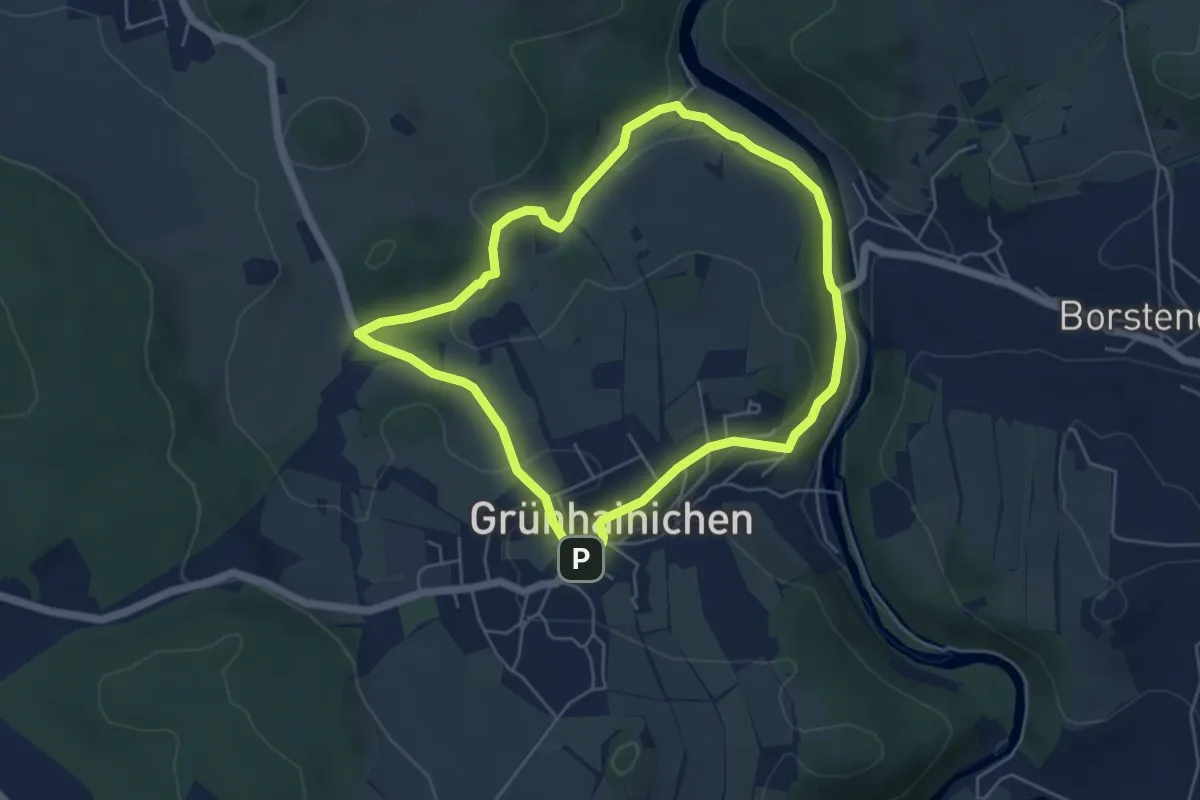
Easy · Trail
WW gelb Rundweg Gruenhainichen Nord
4.6 km · ↑ 116 m · 1 h 25 min
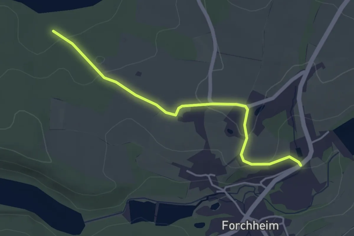
Easy · Trail
WW gelb-Strich Forchheim
3.6 km · ↑ 86 m · 1 h 2 min
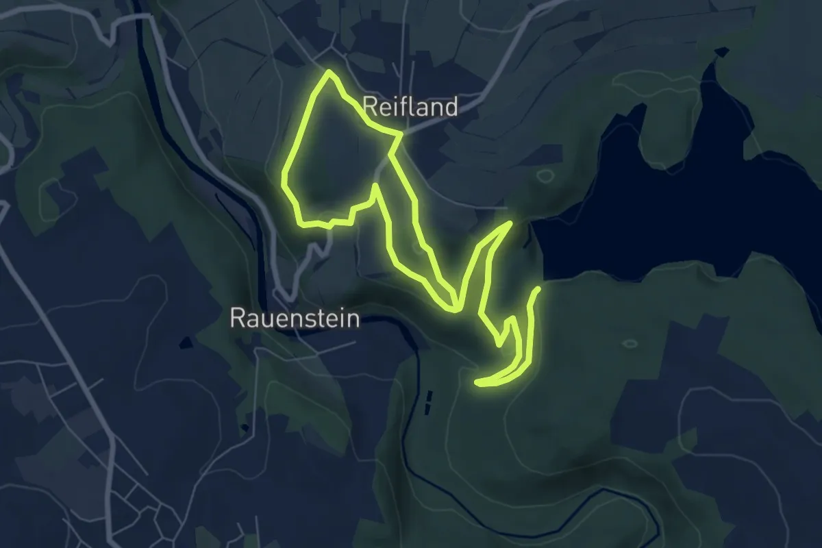
Medium · Trail
WW gelb-Strich Forchheim
11.4 km · ↑ 269 m · 3 h 16 min
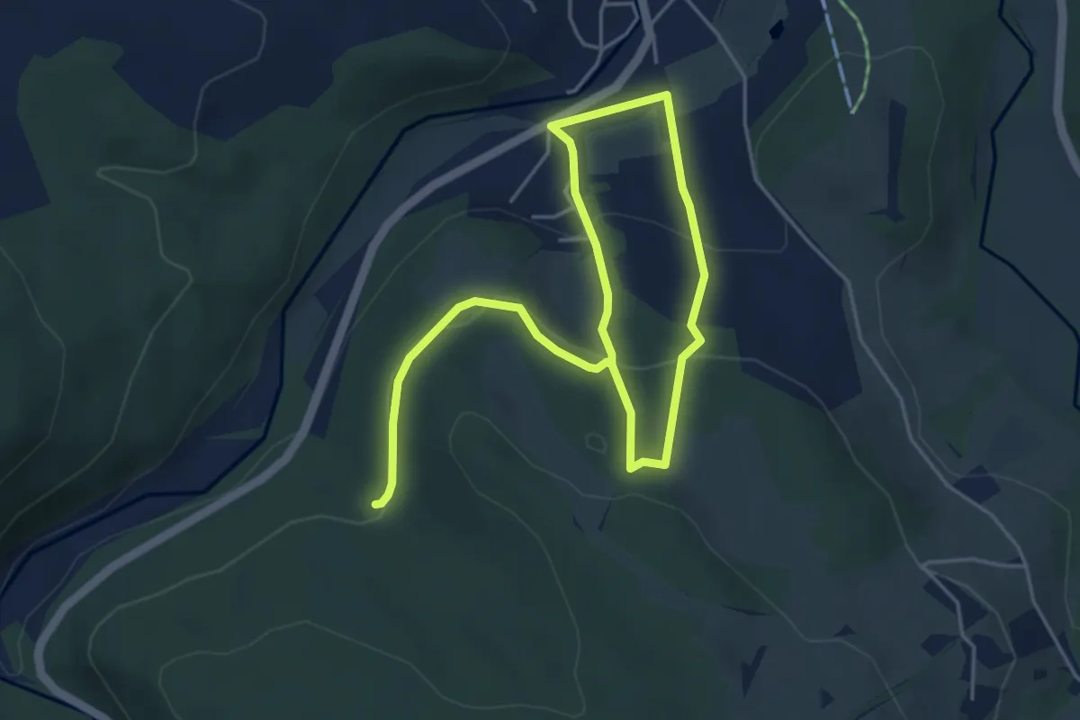
Easy · Trail
WW gelb-Strich Pockau
6.3 km · ↑ 267 m · 2 h 4 min
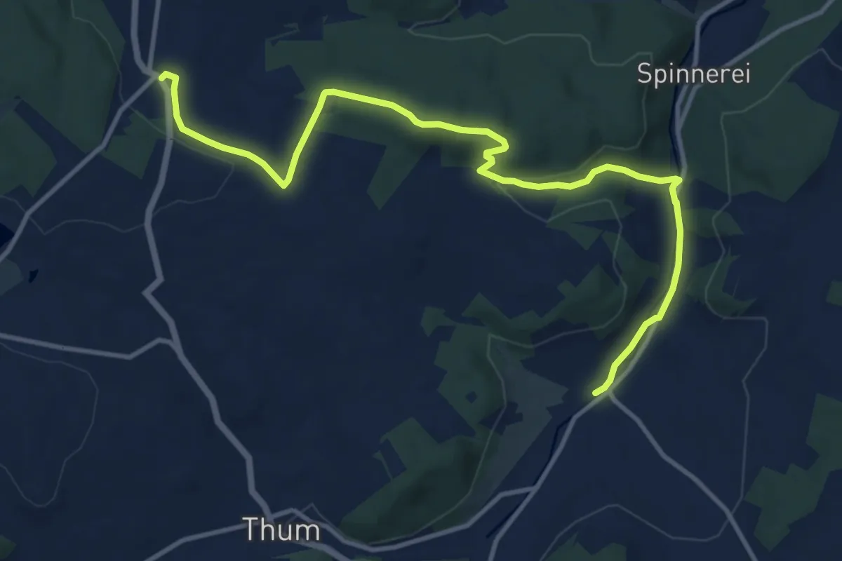
Medium · Trail
WW Gelenau-Herold
11.5 km · ↑ 189 m · 3 h 7 min
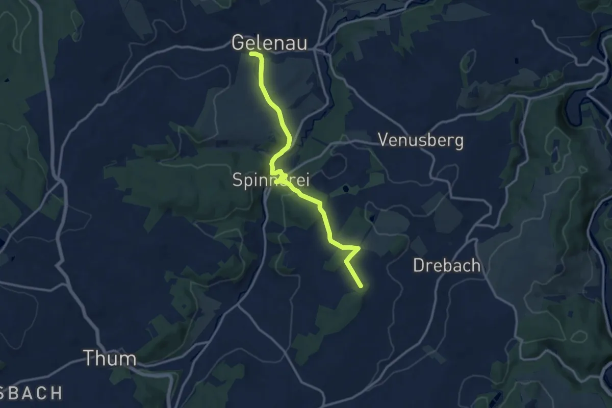
Medium · Trail
Ww Gelenau-Planetenweg
10.2 km · ↑ 227 m · 2 h 54 min
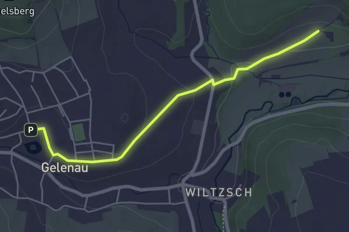
Easy · Trail
WW Gelenau-Wilischweg
4.1 km · ↑ 56 m · 1 h 5 min
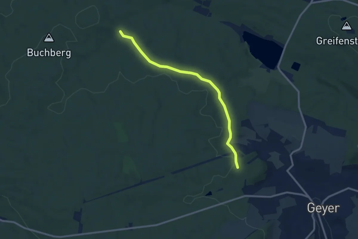
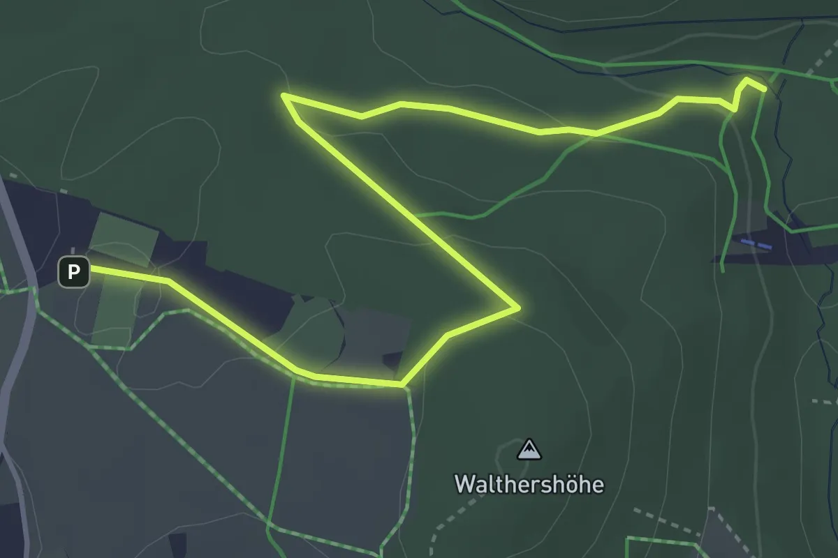
Easy · Trail
Ww Geyer-Anschluss blau markierten Weg
6.4 km · ↑ 88 m · 1 h 42 min
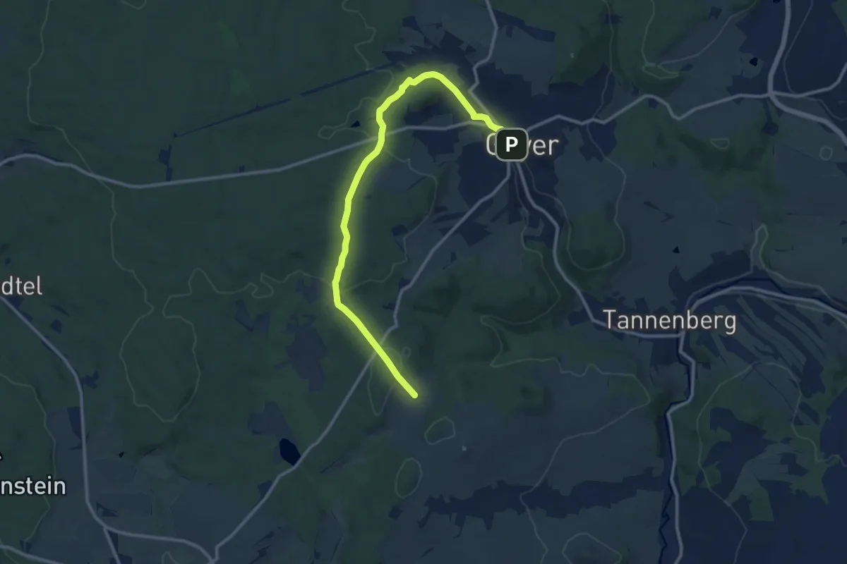
Easy · Trail
Ww Geyer-Erlebnisbad-Sprungschanzen
4.6 km · ↑ 84 m · 1 h 15 min
Medium · Trail
Ww Geyer-Hermannsdorf
11.1 km · ↑ 246 m · 3 h 9 min
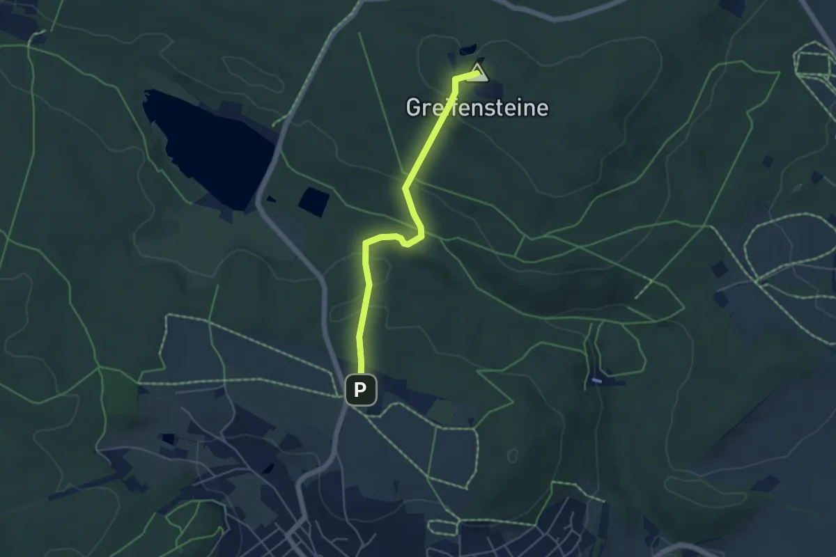
Easy · Summit
Ww Geyer - Pochwaldweg-Sportplatz - Greifensteine
4.0 km · ↑ 126 m · 1 h 13 min
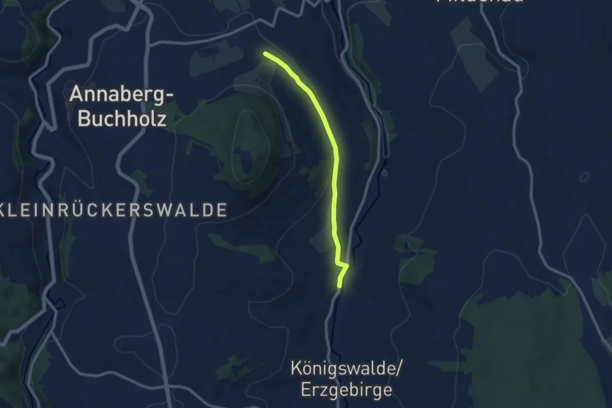
Easy · Trail
Ww Geyersdorf-Königswalde
6.3 km · ↑ 105 m · 1 h 42 min
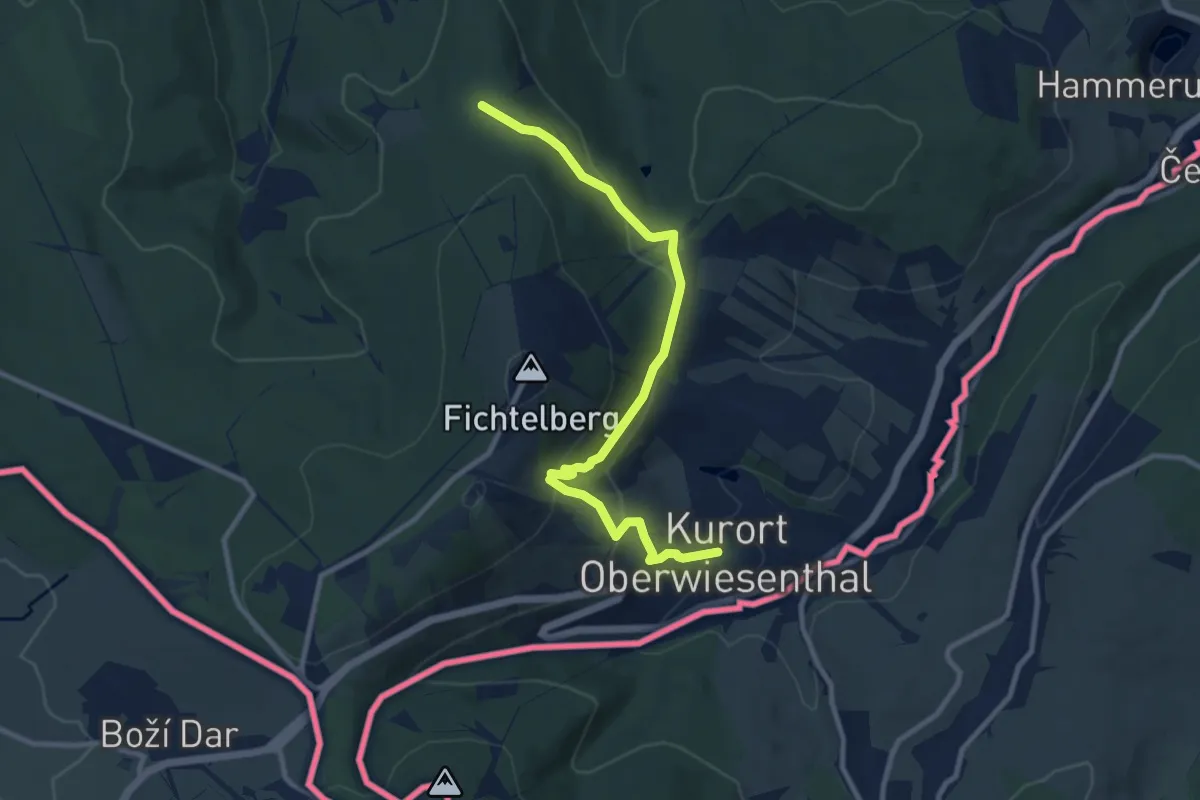
Medium · Trail
WW Gifthüttenberg-Waldeck-Fichtelberg-Oberwiesenthal
9.5 km · ↑ 437 m · 3 h 11 min
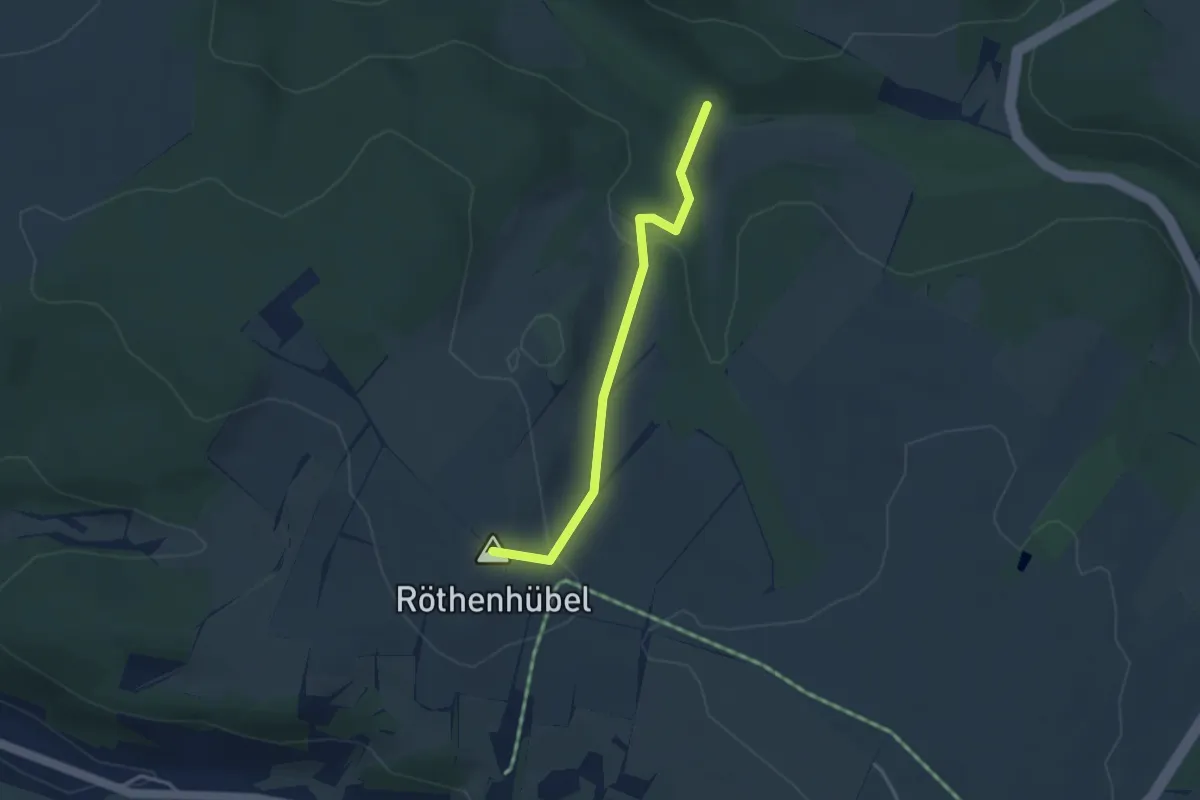
Easy · Summit
Ww Gimmlitztal - Röthenhübel
3.0 km · ↑ 92 m · 55 min
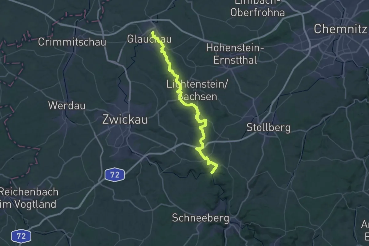
Demanding · Trail
Ww Glauchau-Hartenstein
31.2 km · ↑ 518 m · 8 h 53 min
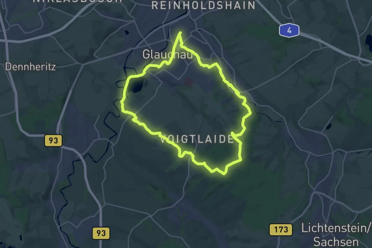
Demanding · Trail
Ww Glauchau–Wernsdorf–Rümpfwald–Niederlungwitz–Glauchau
19.2 km · ↑ 208 m · 5 h 16 min
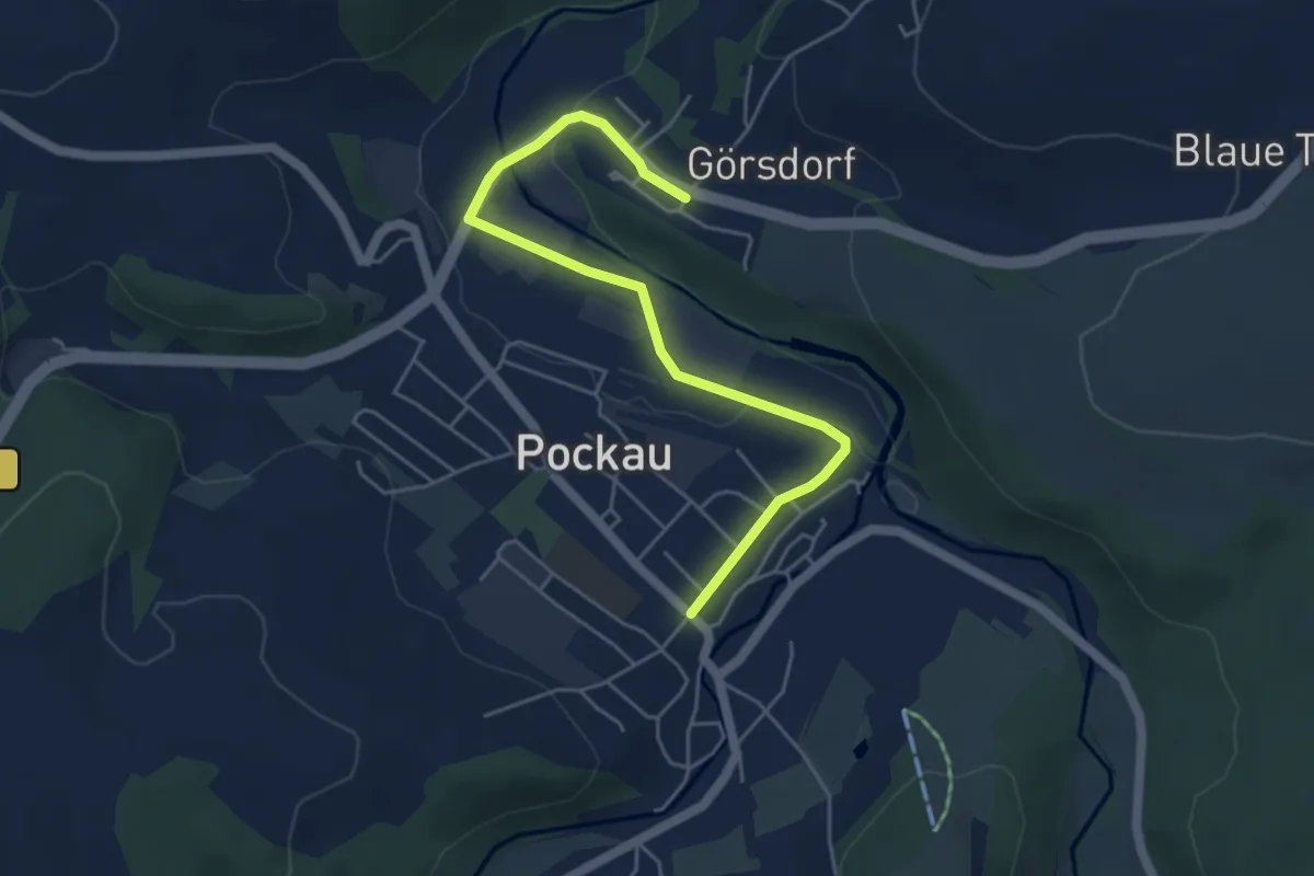
Easy · Trail
WW Görsdorf-Pockau
4.9 km · ↑ 52 m · 1 h 16 min
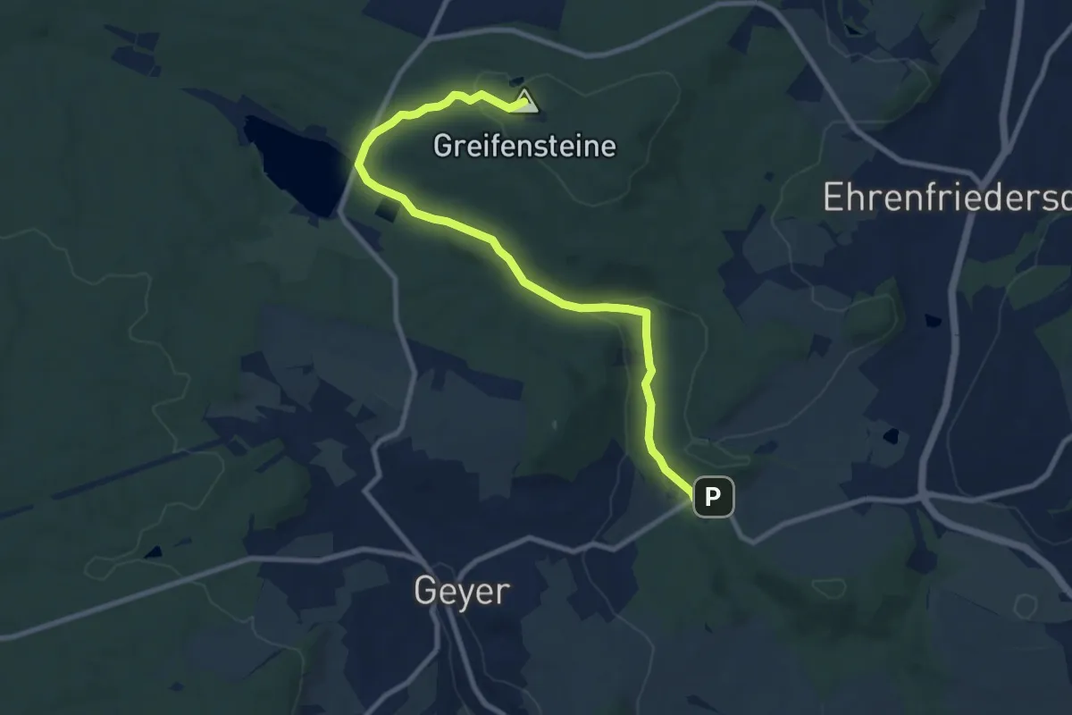
Medium · Summit
Ww Greifenbachmühle-Greifenbachstauweiher
9.0 km · ↑ 152 m · 2 h 28 min
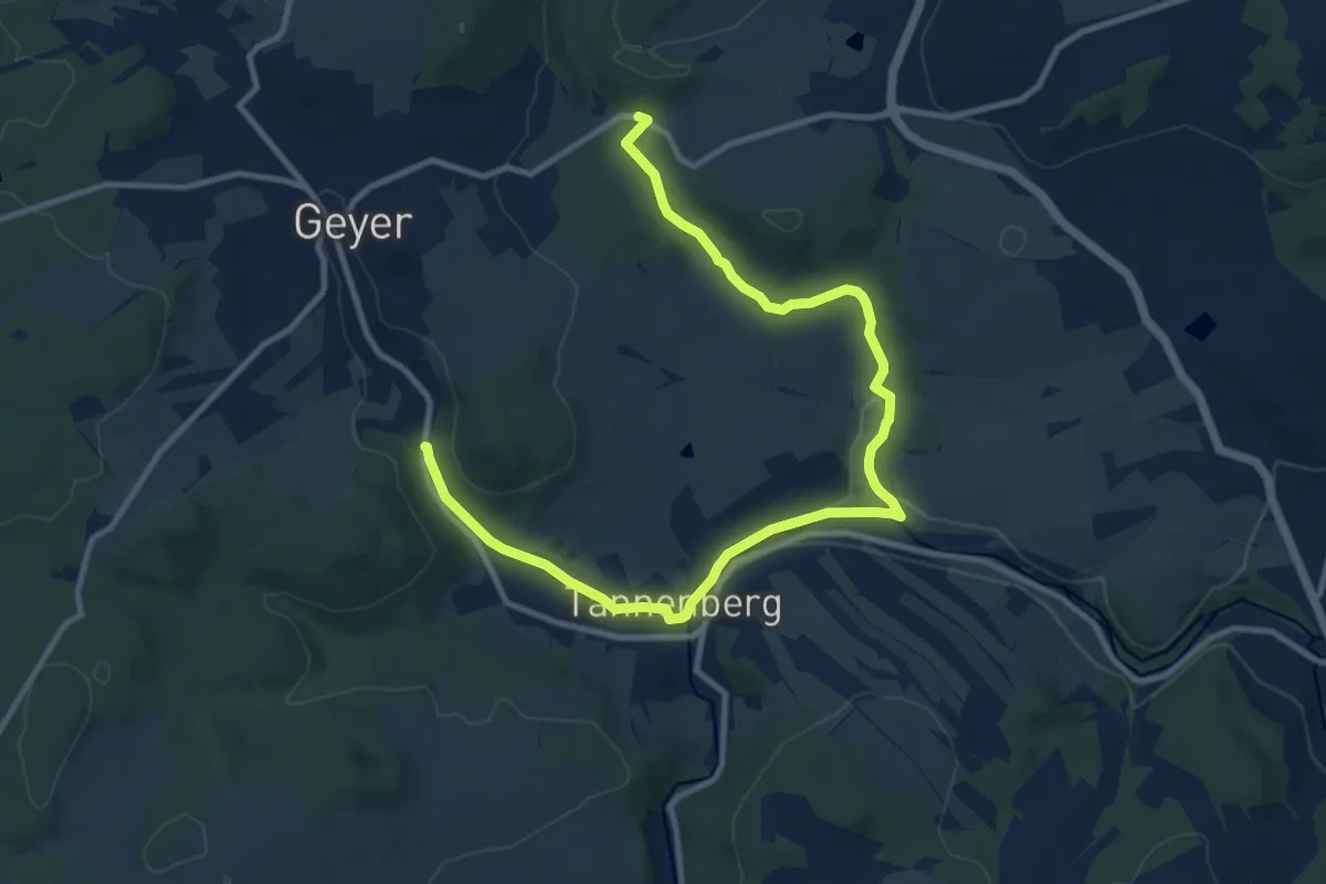
Medium · Trail
Ww Greifenbachmühle-Tannenberg
12.2 km · ↑ 145 m · 3 h 11 min
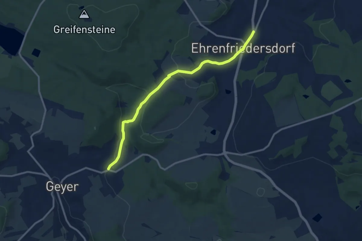
Easy · Trail
Ww Greifenbachtal-Ehrenfriedersdorf
7.5 km · ↑ 111 m · 2 h 1 min
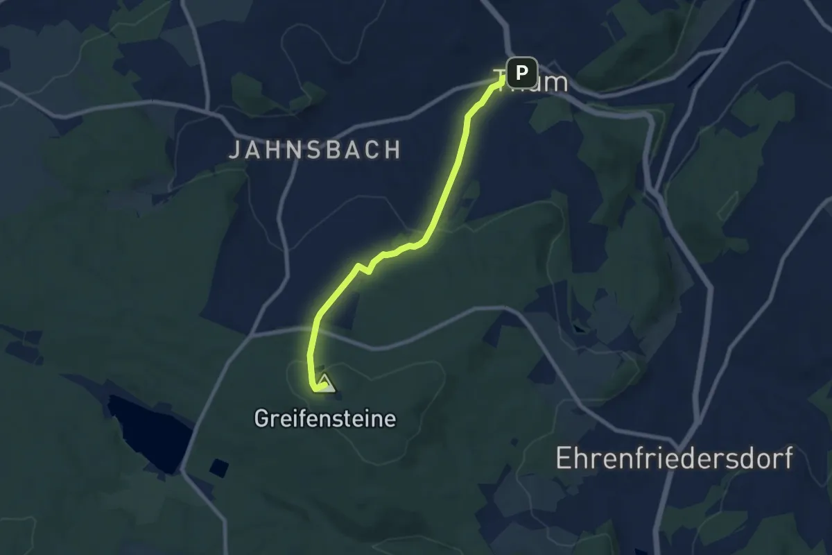
Easy · Summit
Ww Greifensteine-Thum
6.6 km · ↑ 204 m · 2 h
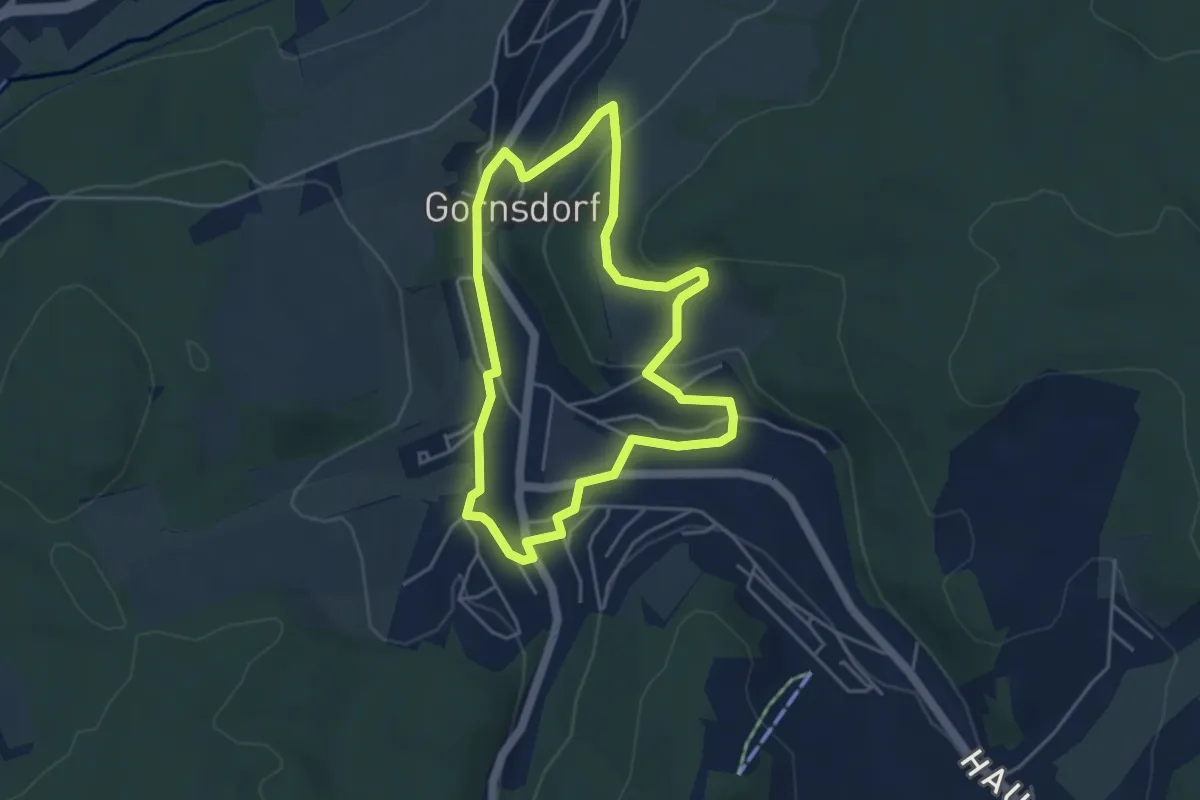
Easy · Trail
WW Greifi Gornsdorf
3.8 km · ↑ 88 m · 1 h 9 min
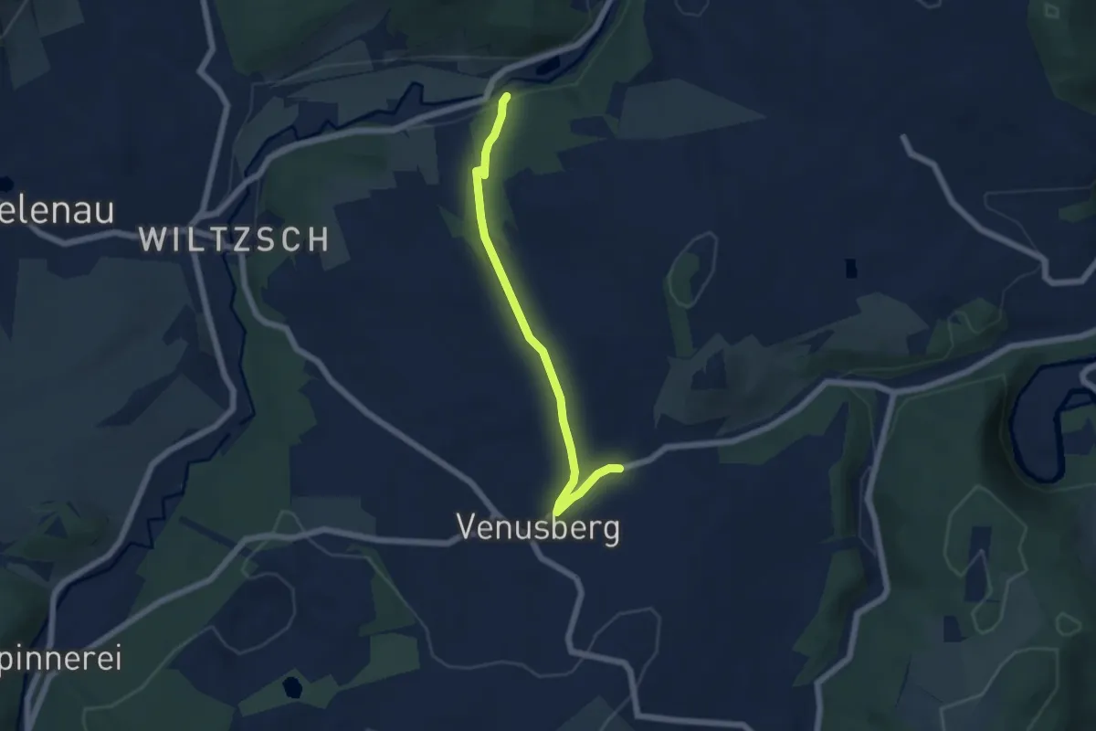
Easy · Trail
Ww Grießbach - Anschluss an Willischthalweg
4.9 km · ↑ 123 m · 1 h 25 min
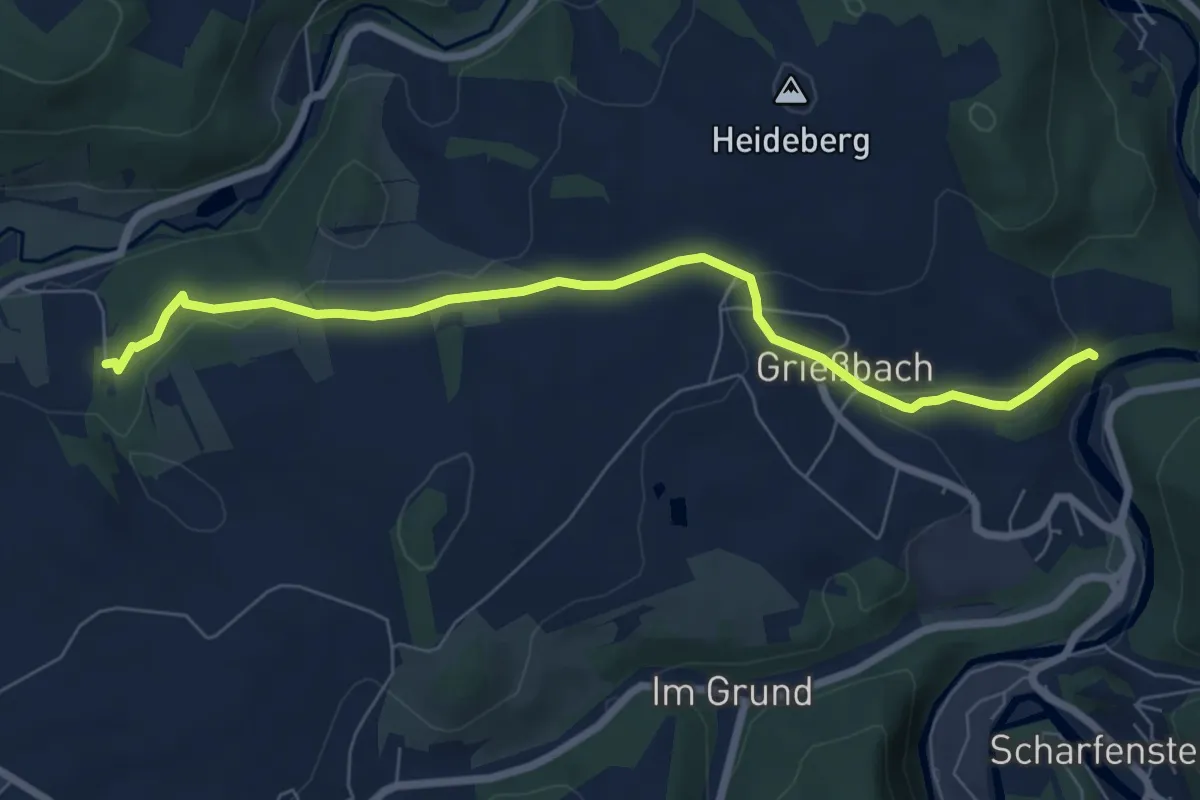
Easy · Trail
WW Grießbach-Waldhof
6.8 km · ↑ 134 m · 1 h 53 min
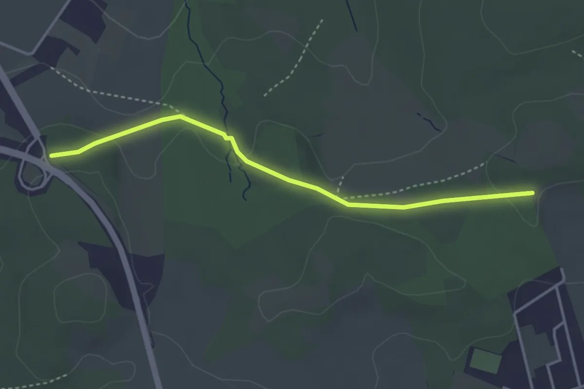
Easy · Trail
WW Großer Heuweg-Zwönitzer Strasse
3.3 km · ↑ 59 m · 55 min
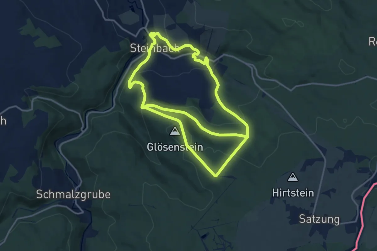
Demanding · Trail
Ww Großer Ringweg Steinbach - Satzung
22.0 km · ↑ 713 m · 6 h 45 min
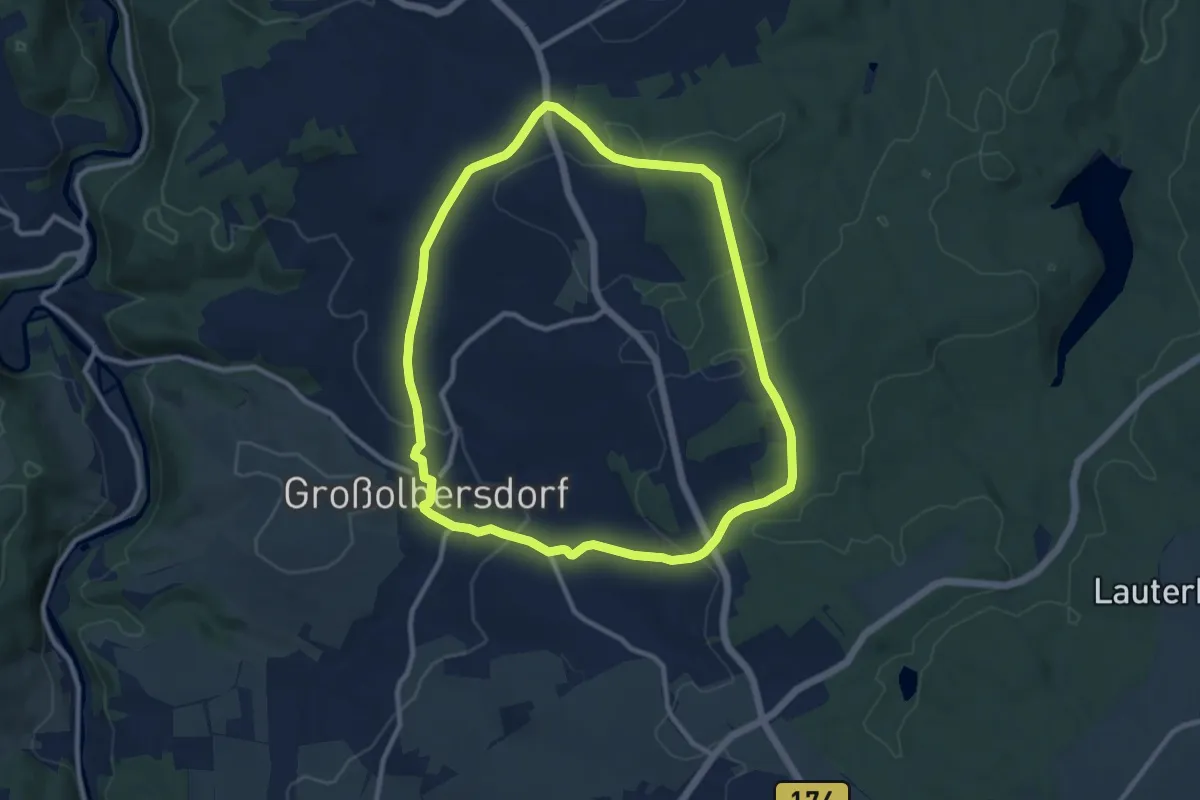
Medium · Trail
Ww Großer Rundweg Großolbersdorf
9.2 km · ↑ 175 m · 2 h 40 min
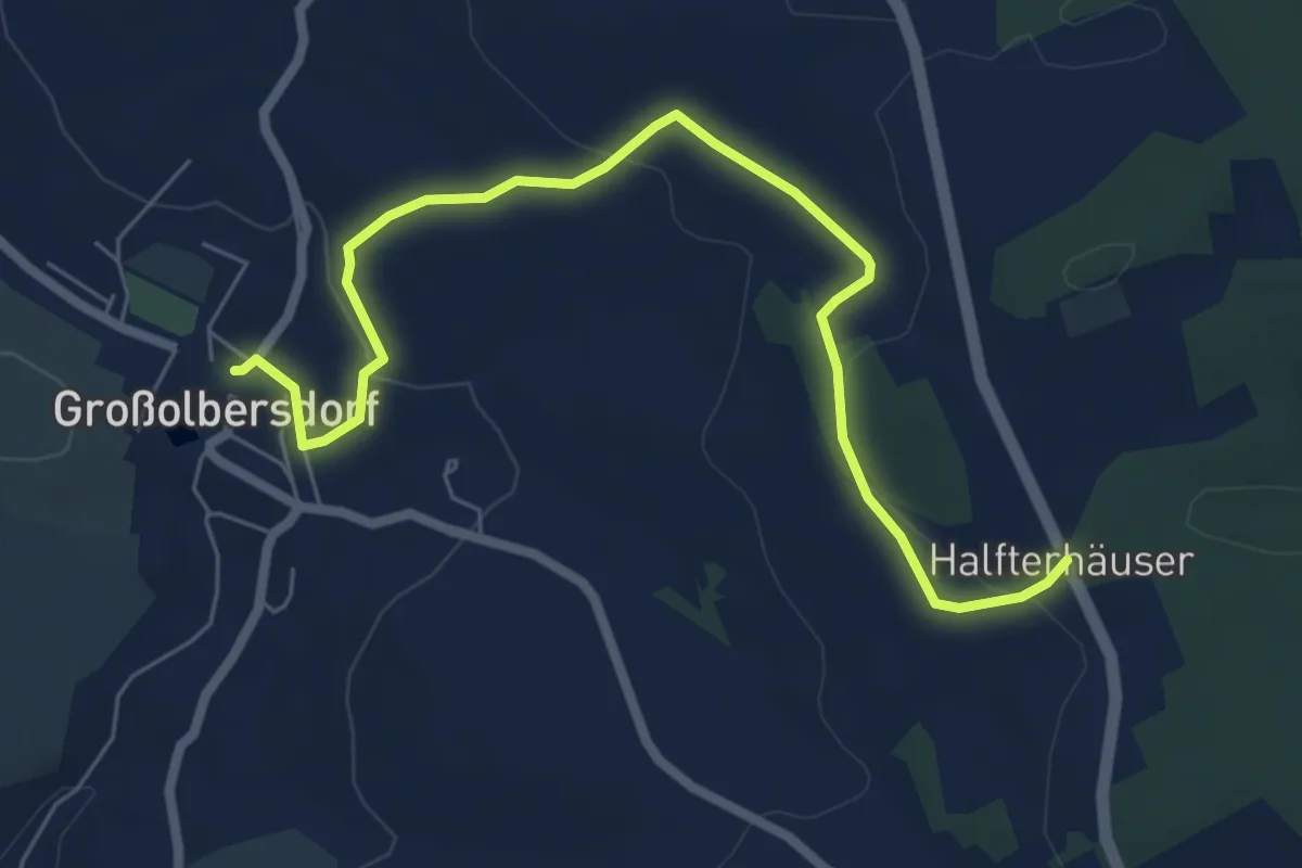
Easy · Trail
Ww Großolbersdorf-Halfterhäuser über Zeisighübel
6.8 km · ↑ 151 m · 1 h 56 min
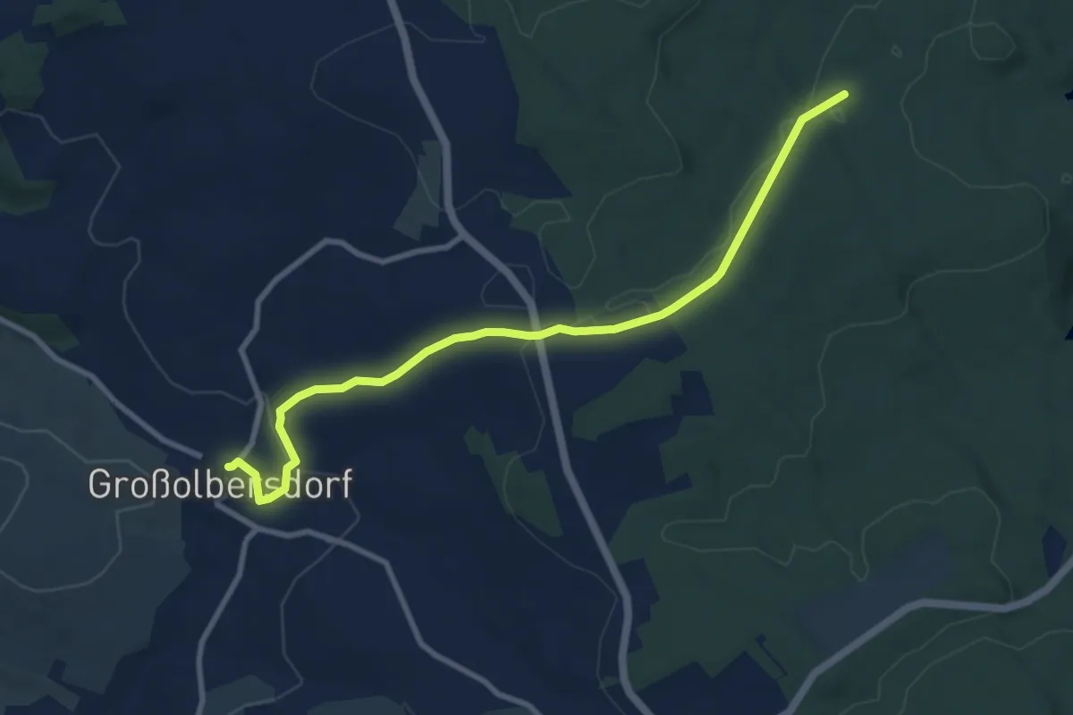
Medium · Trail
Ww Großolbersdorf-Kalte Küche
8.5 km · ↑ 144 m · 2 h 19 min
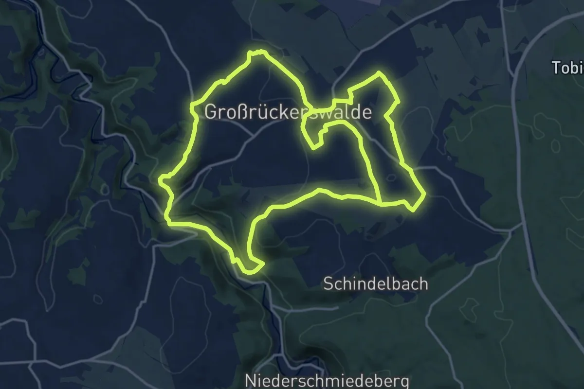
Medium · Trail
Ww Großrückerswalder Rundweg
15.1 km · ↑ 317 m · 4 h 29 min
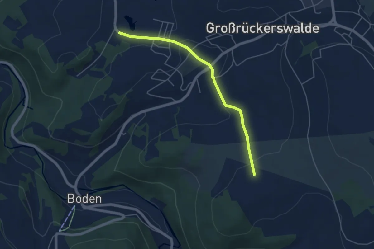
Easy · Trail
Ww Großrückerswalder Rundweg Zubringer
3.9 km · ↑ 91 m · 1 h 8 min
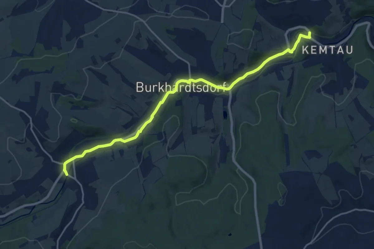
Medium · Trail
WW gruen-Strich B180
13.2 km · ↑ 77 m · 3 h 17 min