Trails in Germany
36,877 hiking trails, each with its route, climb, walking time and grade.
All trails, page 741 of 769
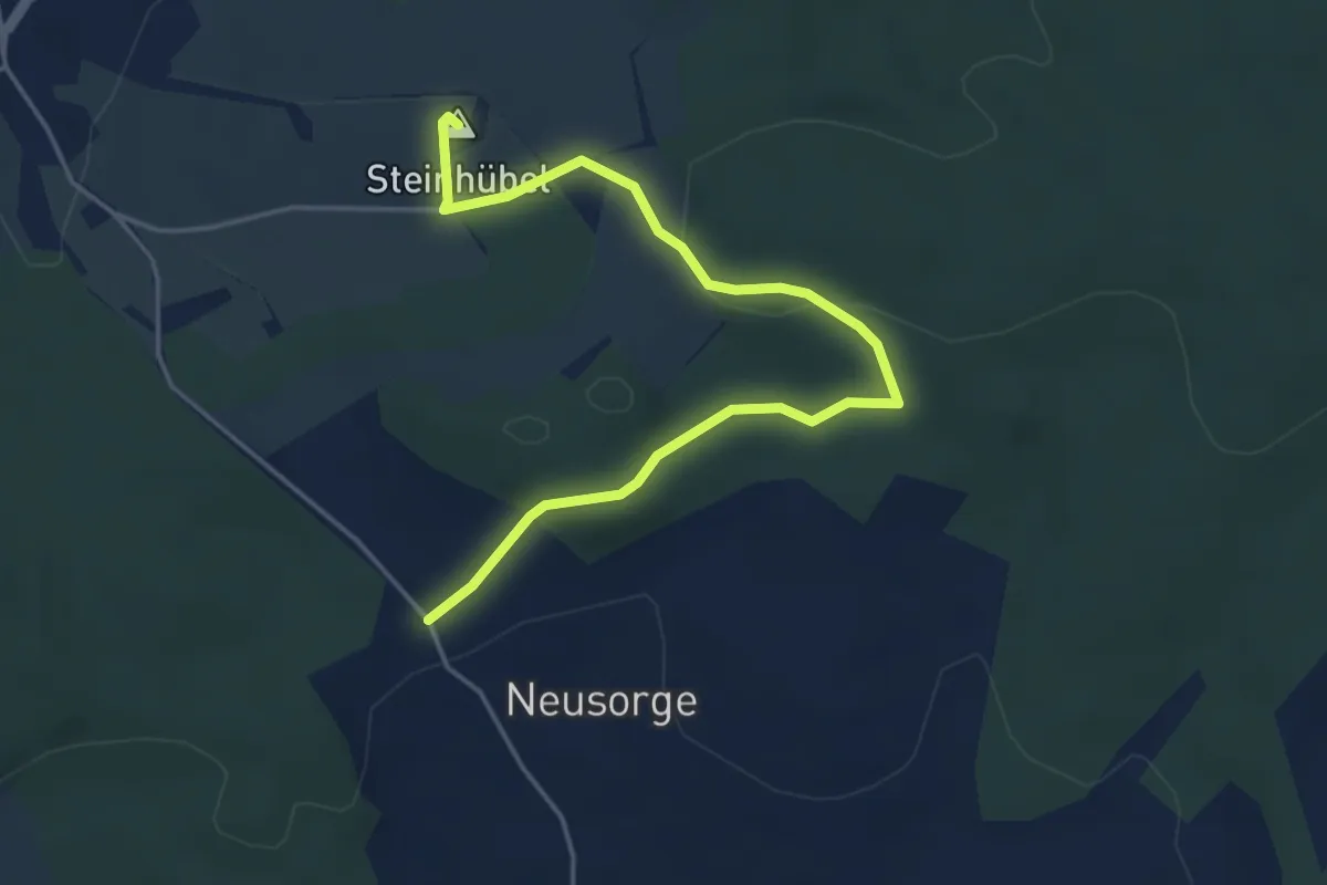
Easy · Summit
WW gruen-Strich Forchheim
4.6 km · ↑ 85 m · 1 h 17 min
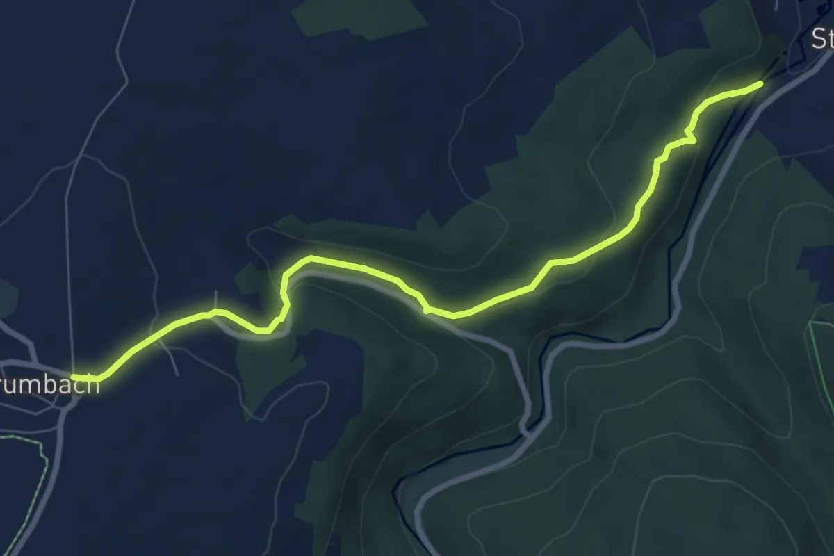
Easy · Trail
Ww Grumbach-Steinbach
7.4 km · ↑ 242 m · 2 h 16 min
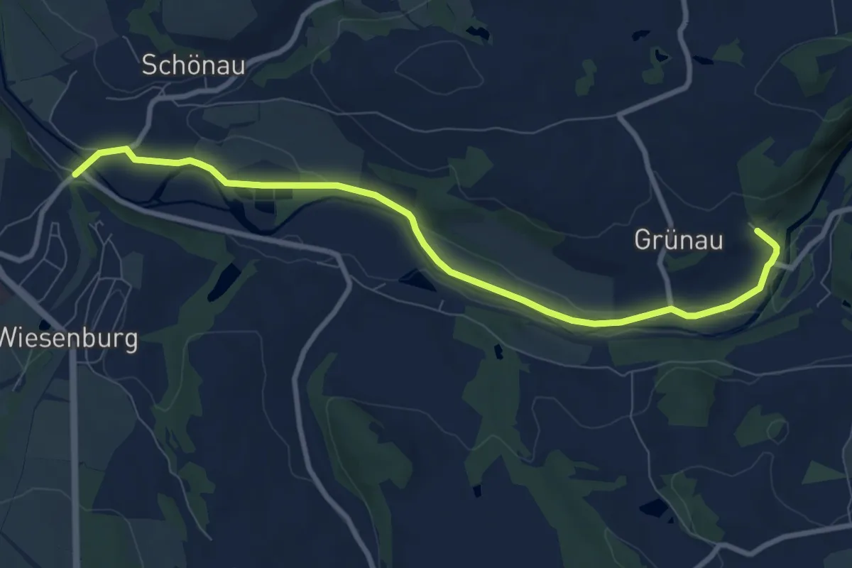
Medium · Trail
Ww Grünau - Wiesenburg (Muldenweg)
8.4 km · ↑ 66 m · 2 h 7 min
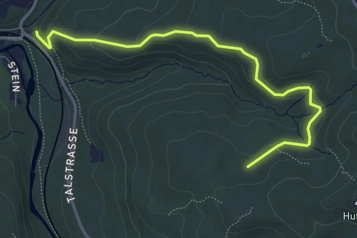
Easy · Trail
WW (grüner Balken)
6.3 km · ↑ 205 m · 1 h 56 min
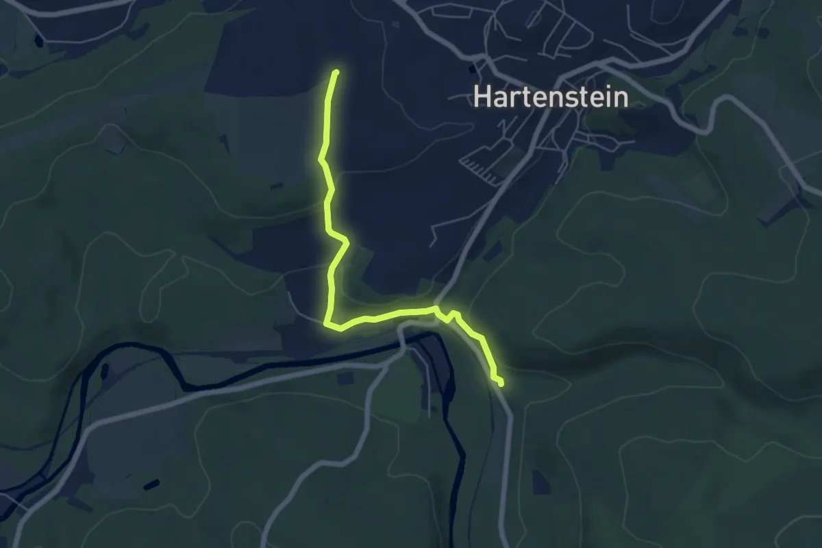
Medium · Trail
WW (grüner Punkt)
4.9 km · ↑ 139 m · 1 h 27 min
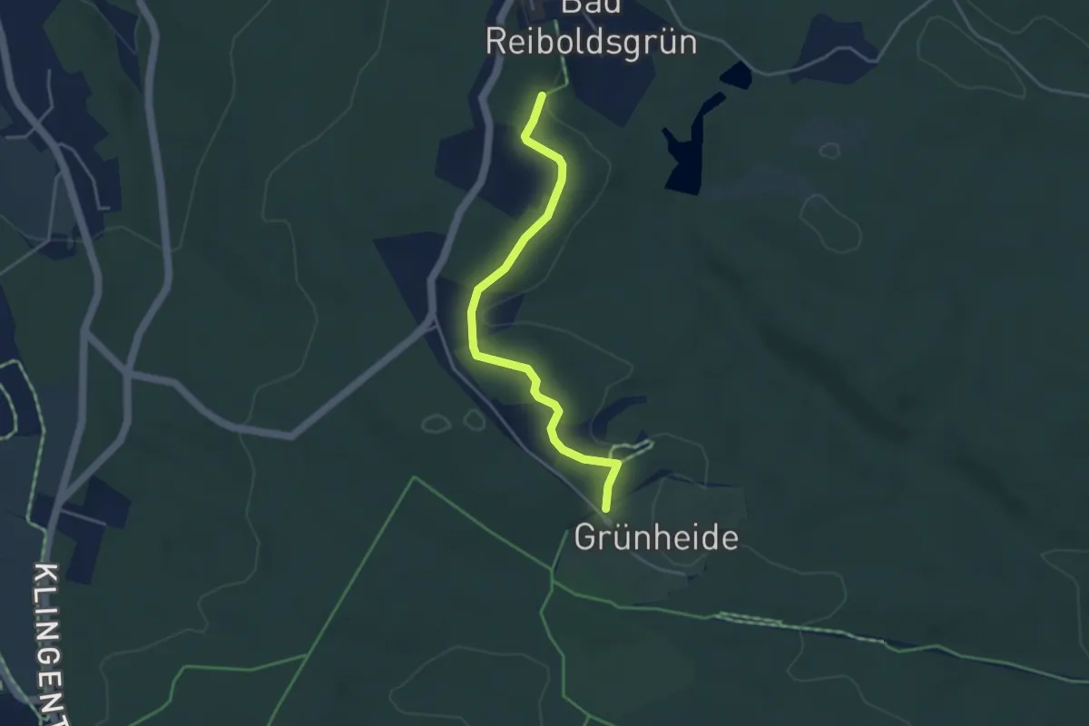
Easy · Trail
Ww Grünheide - Bad Reiboldsgrün
3.6 km · ↑ 49 m · 57 min
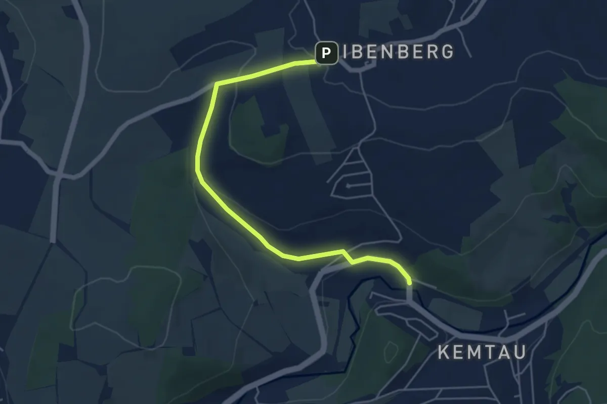
Easy · Trail
WW grün-Strich Eibenberg
4.6 km · ↑ 105 m · 1 h 19 min
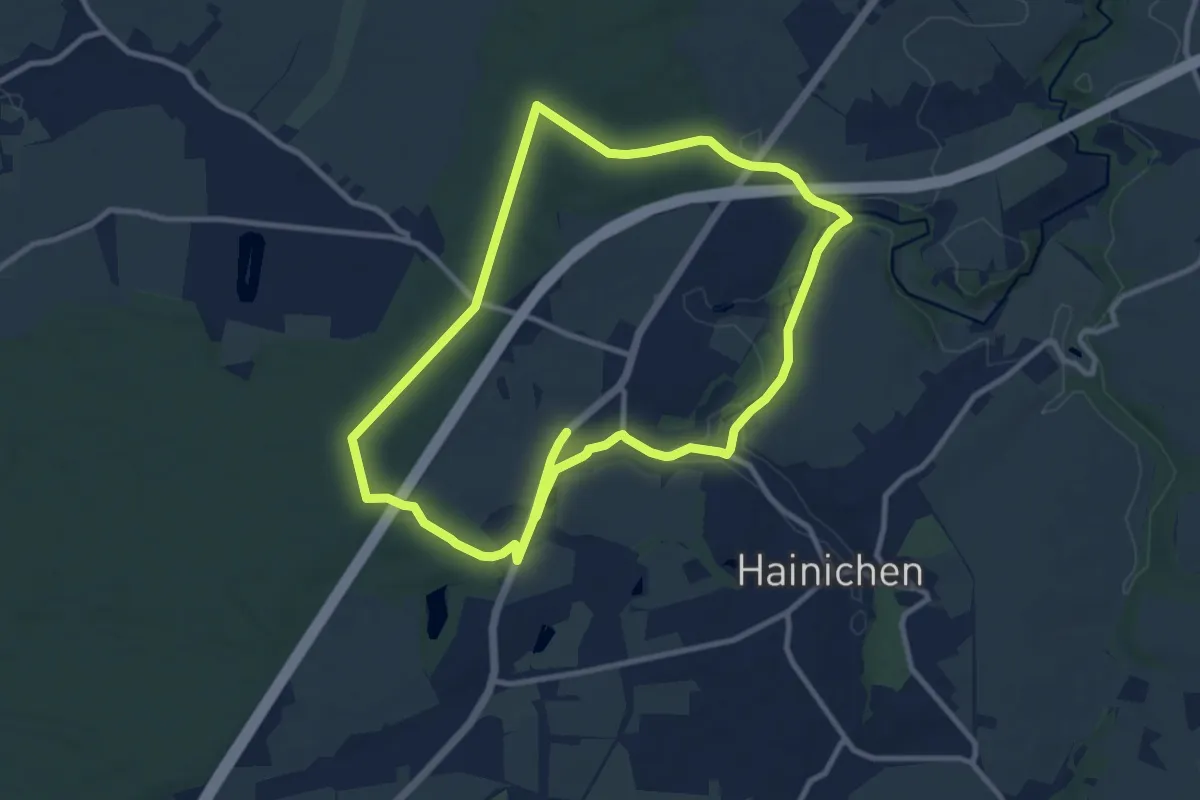
Demanding · Trail
Ww Hainichen- Rossauer Wald-Schlegel-Hainichen, Markierung mangelhaft
18.2 km · ↑ 155 m · 4 h 38 min
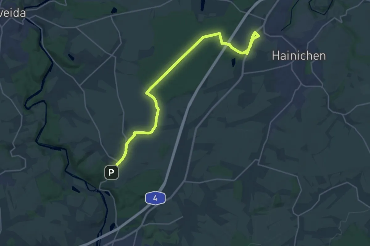
Demanding · Trail
Ww Hainichen - Sachsenburg
19.3 km · ↑ 128 m · 4 h 50 min
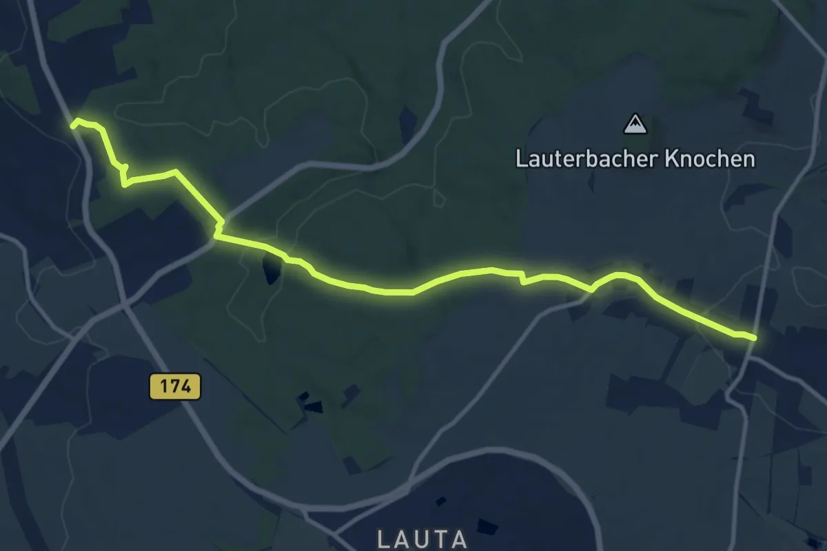
Medium · Trail
Ww Halfterhäuser-Lauterbach
10.7 km · ↑ 176 m · 2 h 55 min
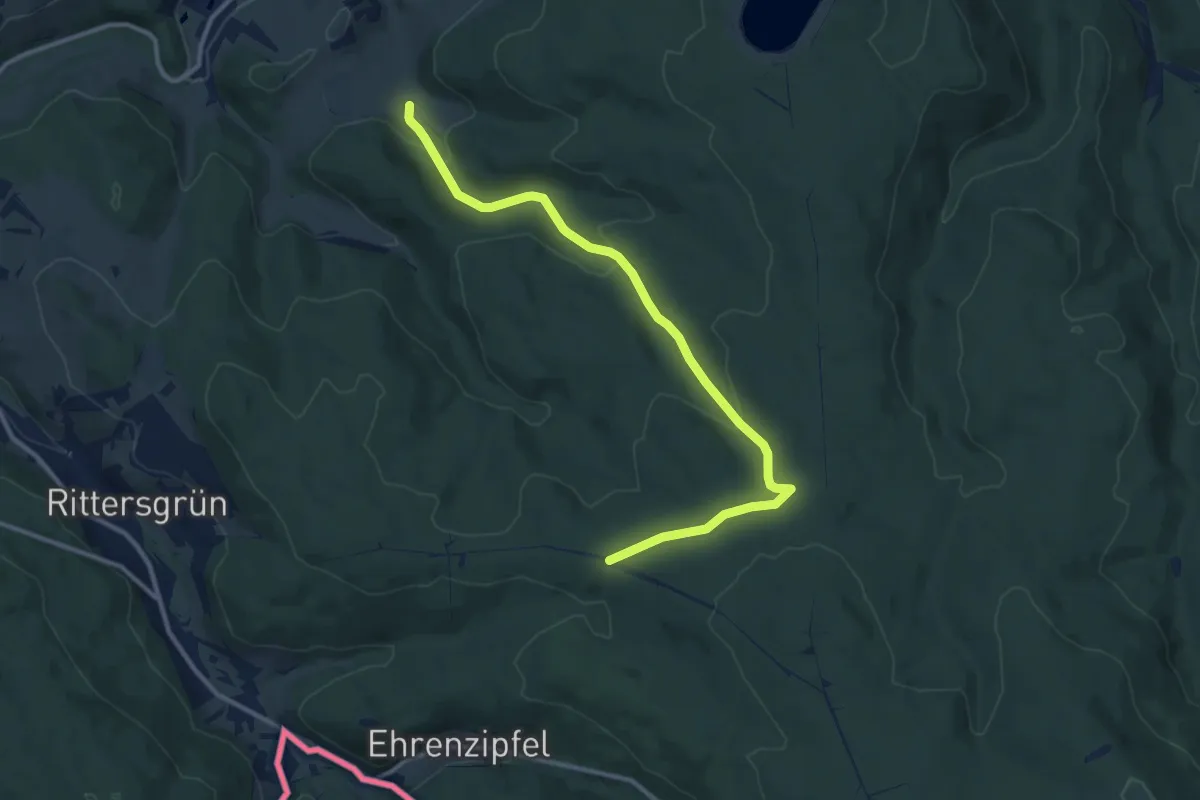
Medium · Trail
Ww Hämmerleinkreuz - Ephraimshaus
11.2 km · ↑ 336 m · 3 h 22 min
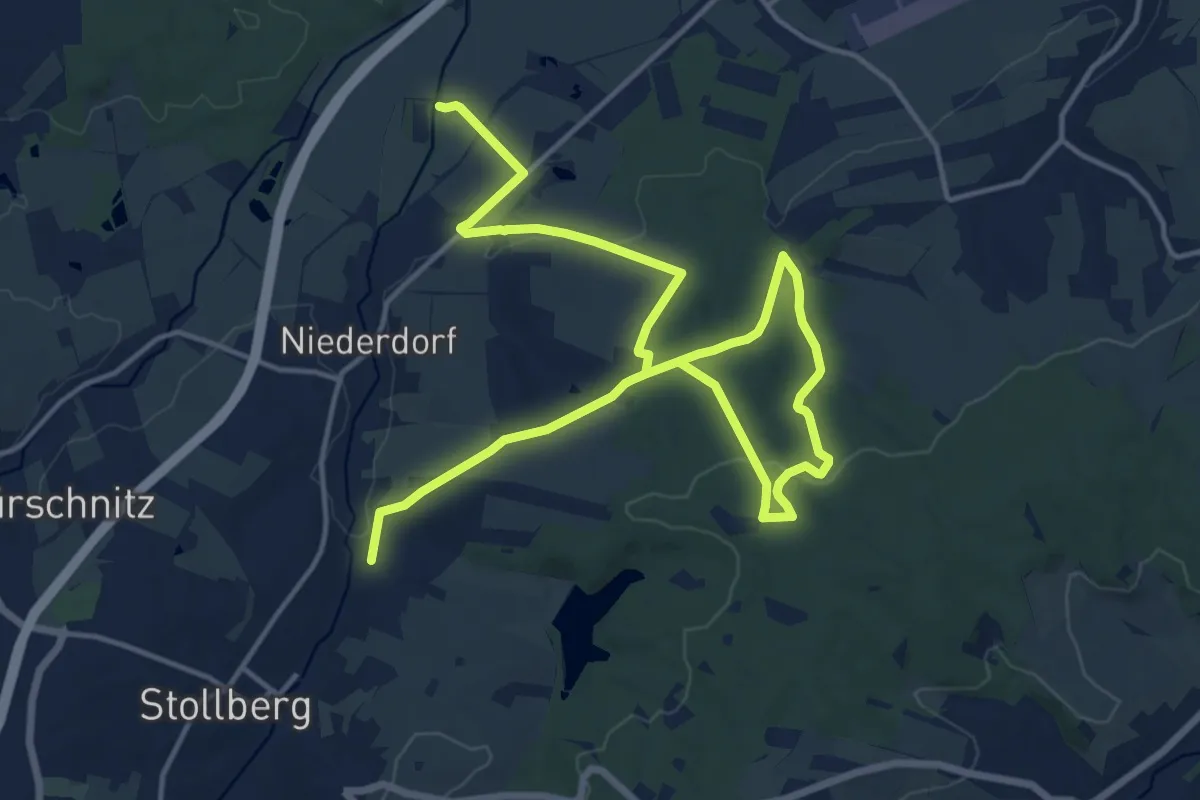
Demanding · Trail
WW Hauwald gruen-strich
20.8 km · ↑ 406 m · 5 h 47 min
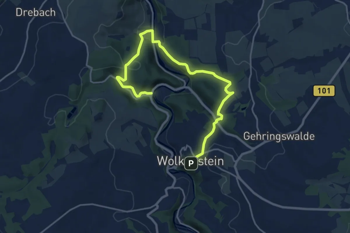
Medium · Trail
Ww Heidelbachtal-Hopfgarten-Warmbad-Wolkenstein
13.5 km · ↑ 473 m · 4 h 13 min
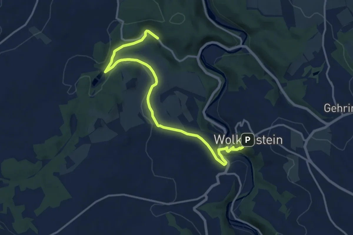
Medium · Trail
Ww Heidelbachtal-Schönbrunn-Wolkenstein
10.6 km · ↑ 231 m · 3 h
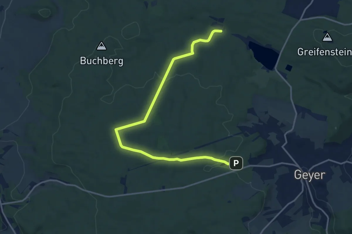
Medium · Trail
Ww Heideteich-Jugendherberge Hormersdorf
12.4 km · ↑ 200 m · 3 h 22 min
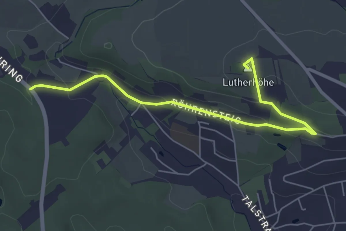
Easy · Summit
Ww Heiterer Blick - Lutherhöhe
5.0 km · ↑ 95 m · 1 h 23 min
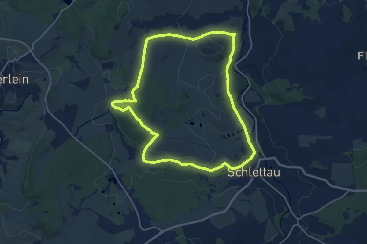
Medium · Trail
Ww Hermannsdorfer Ringweg
12.2 km · ↑ 209 m · 3 h 30 min
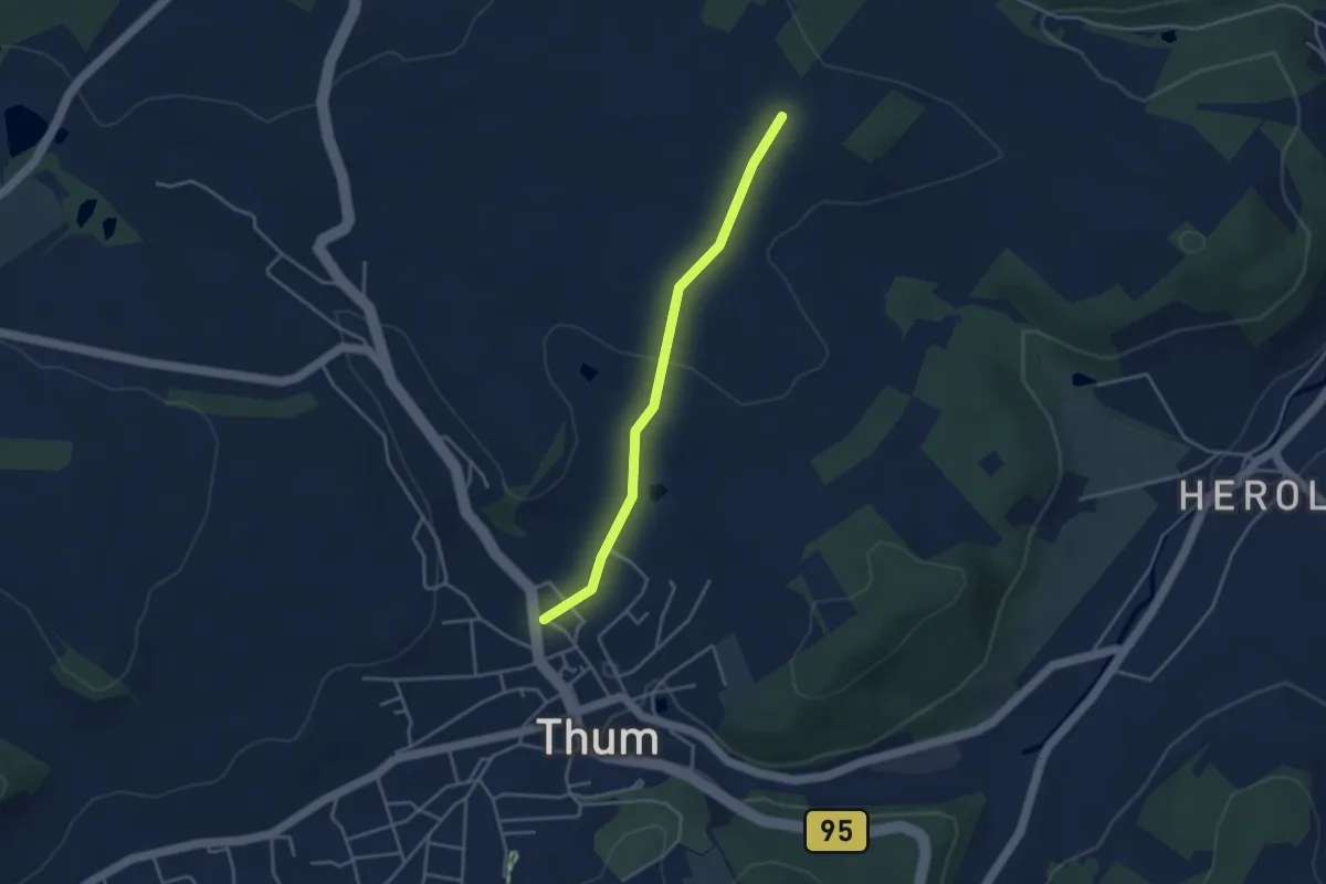
Easy · Trail
Ww Herold-Forsthäuser-Thum
3.2 km · ↑ 60 m · 54 min
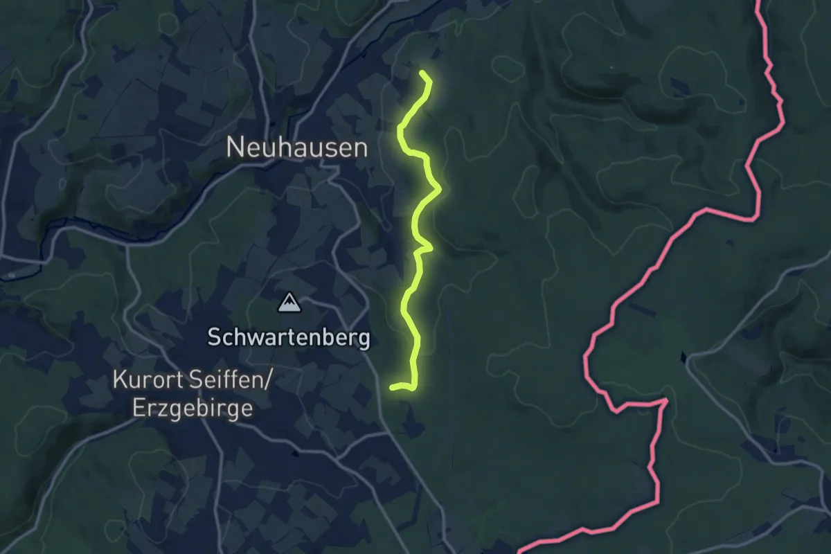
Medium · Summit
Ww Herrenweg bei Bad Einsiedel - Kneippbecken Rauschenbach
9.1 km · ↑ 251 m · 2 h 41 min
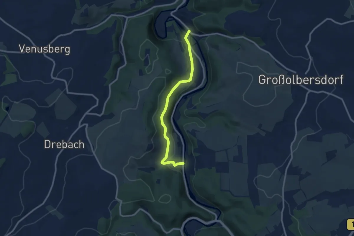
Easy · Trail
Ww Hopfgarten - Scharfenstein
6.8 km · ↑ 215 m · 2 h 5 min
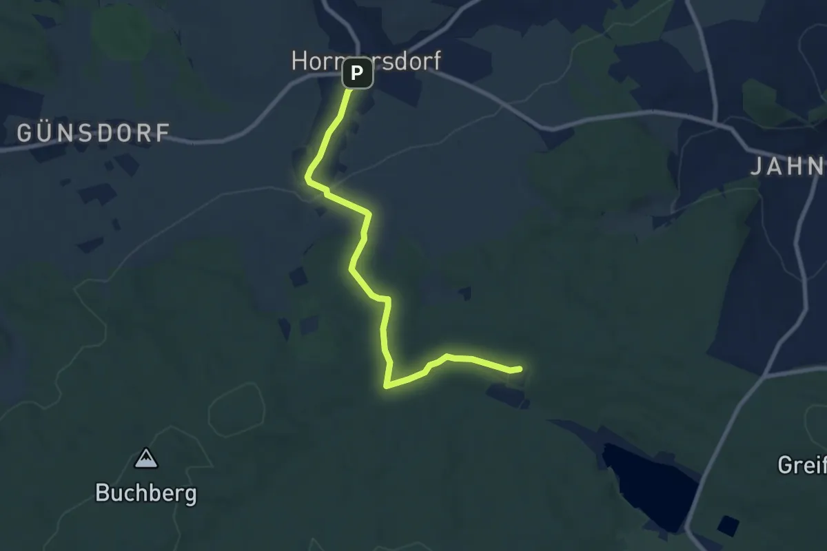
Easy · Trail
Ww Hormersdorf - Jugendherberge, Markierung mangelhaft
7.1 km · ↑ 166 m · 2 h 2 min
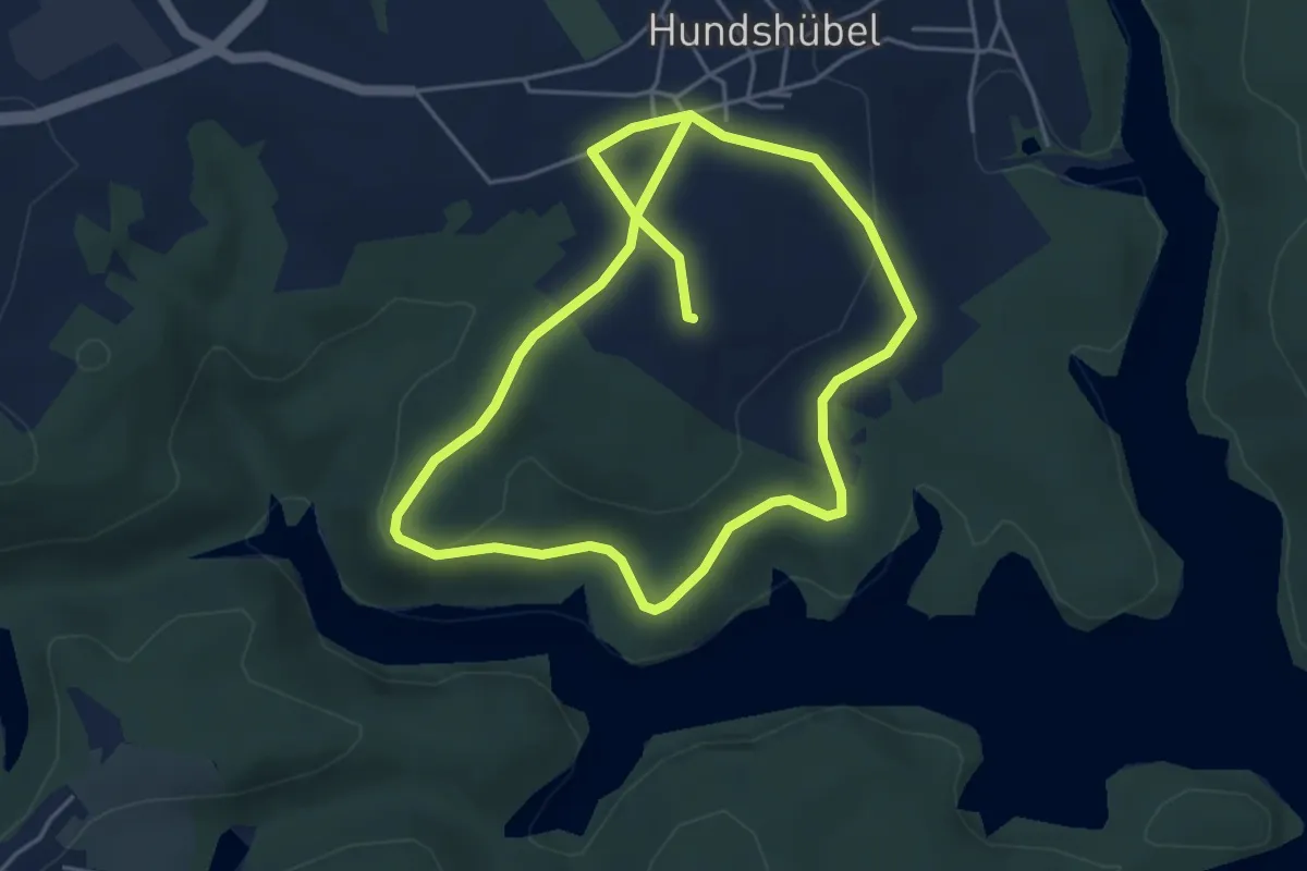
Medium · Trail
Ww Hundshübler Rundwanderweg
8.3 km · ↑ 161 m · 2 h 18 min
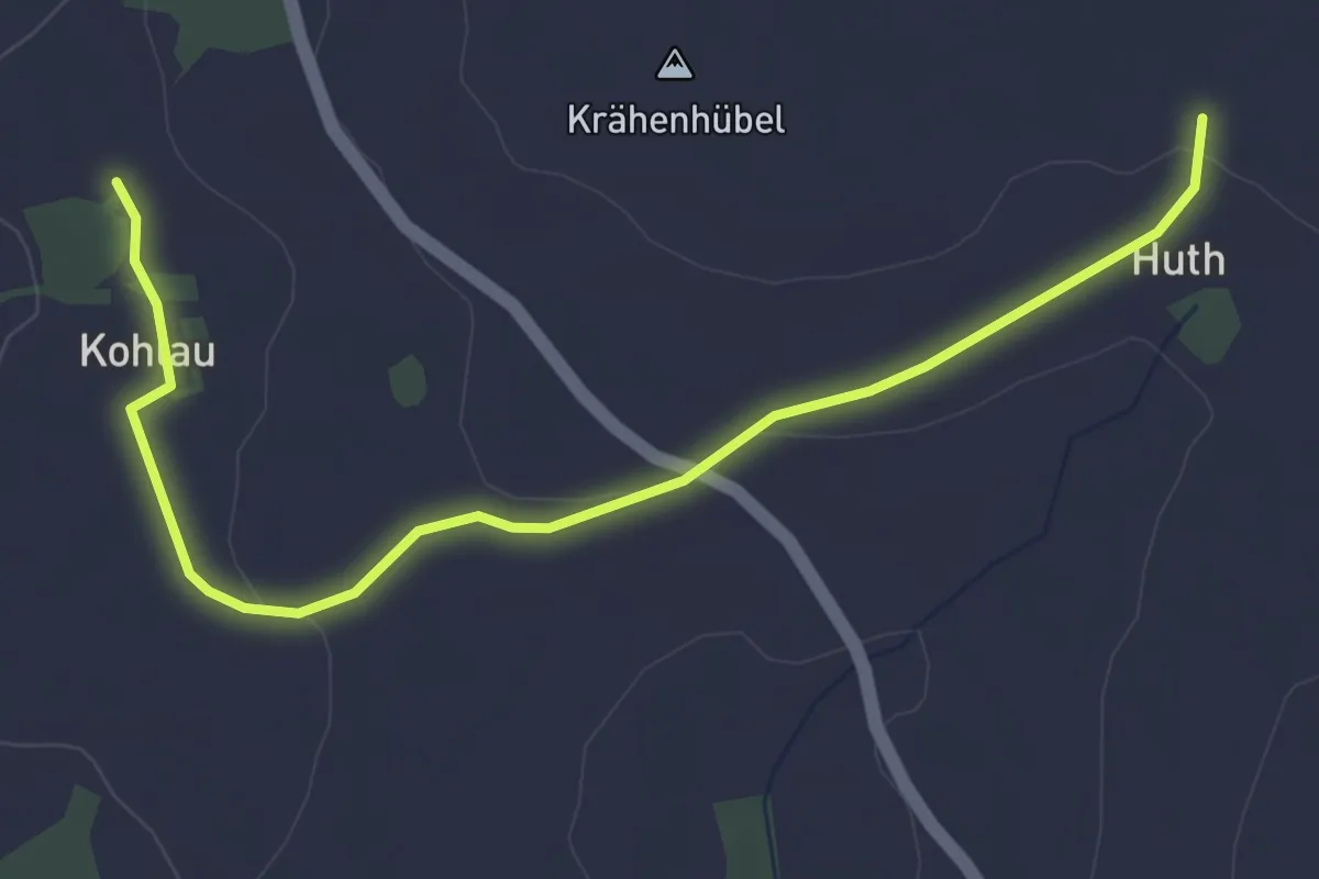
Easy · Trail
Ww Huth - Vorwerk Kohlau
4.1 km · ↑ 58 m · 1 h 6 min
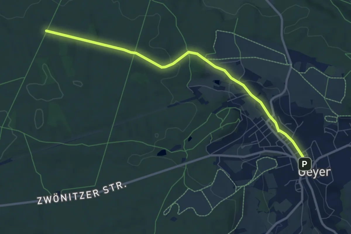
Easy · Trail
Ww II. Schneise-Geyer
7.6 km · ↑ 140 m · 2 h 6 min
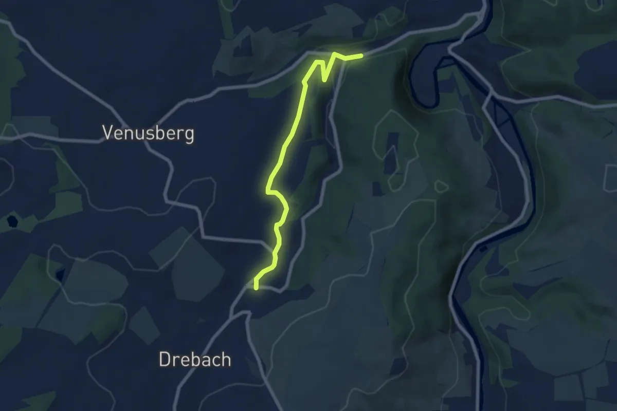
Easy · Trail
WW Im Grund - Rittergut Drebach
5.6 km · ↑ 113 m · 1 h 34 min
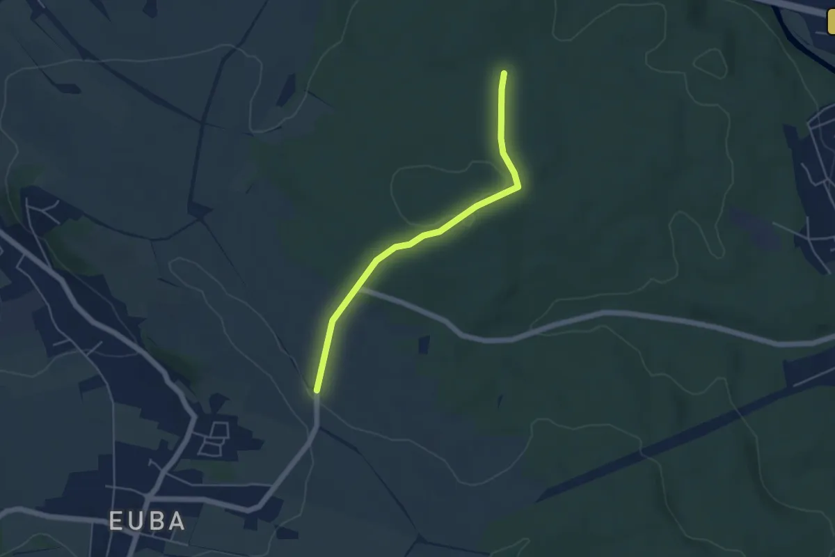
Easy · Trail
Ww in die Struth, Markierung mangelhaft
4.0 km · ↑ 55 m · 1 h 5 min
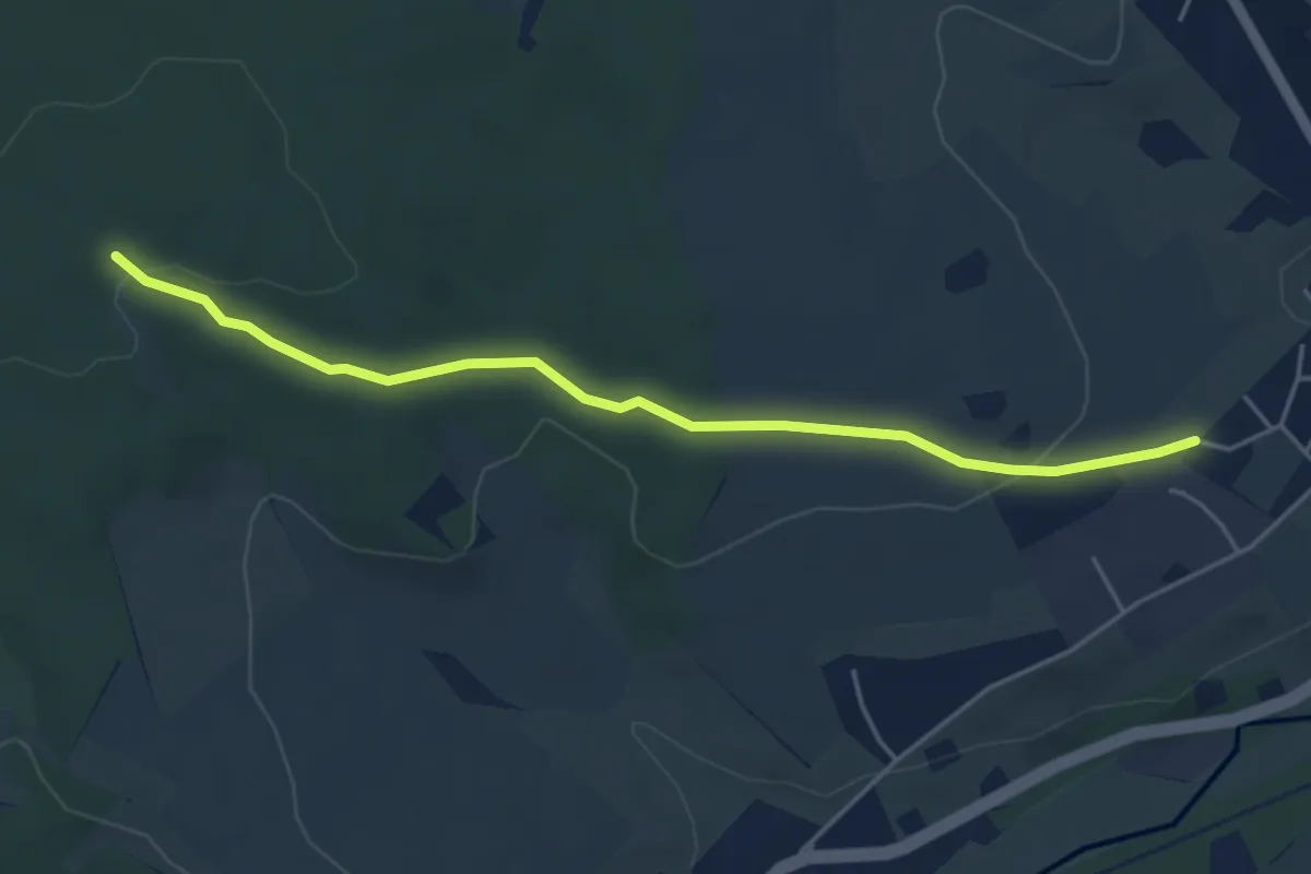
Easy · Trail
Ww Jägerhorn - Meinersdorf
4.3 km · ↑ 105 m · 1 h 15 min
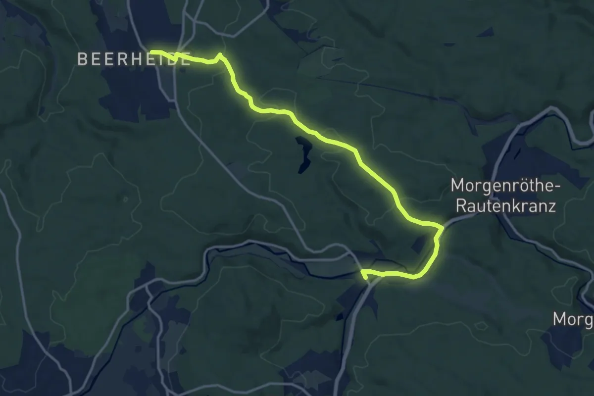
Medium · Trail
Ww Jägersgrün - Beerheide
13.0 km · ↑ 175 m · 3 h 26 min
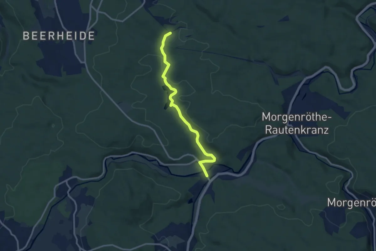
Medium · Trail
Ww Jägersgrün - Vogtlandsee - Grünheide
8.0 km · ↑ 123 m · 2 h 9 min
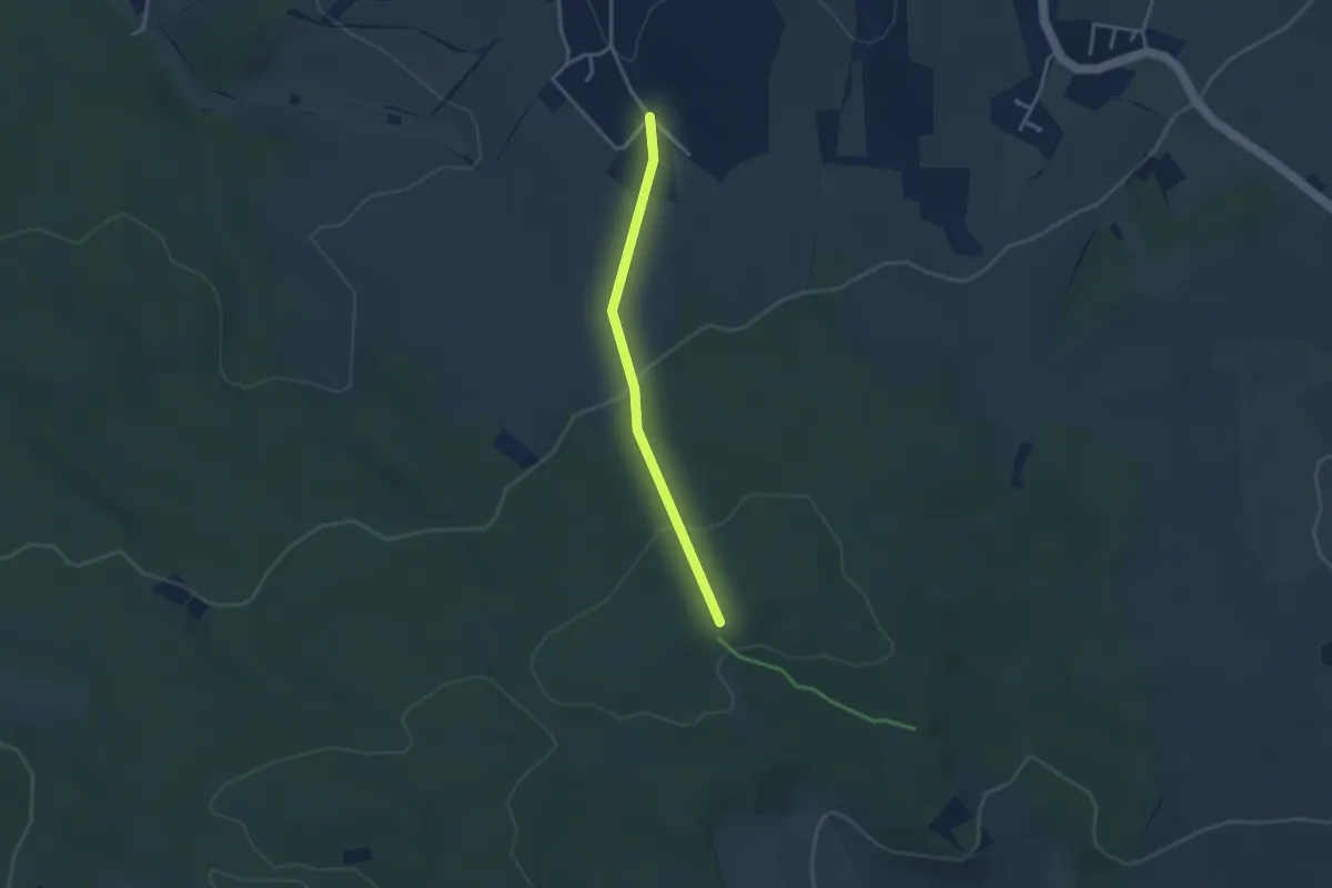
Easy · Trail
WW Jahnsdorf-Eisenweg
2.7 km · ↑ 98 m · 52 min
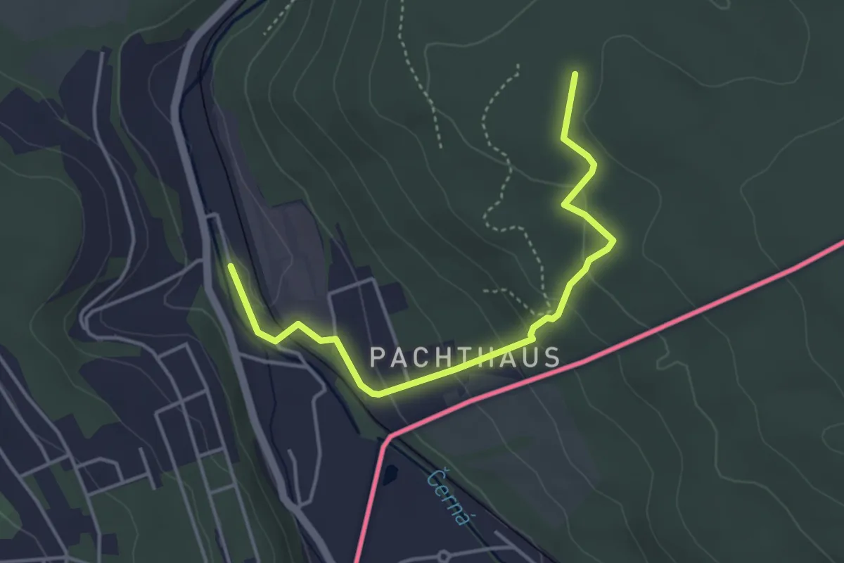
Easy · Trail
Ww Johanngeorgenstadt - Rabenberg - Breitenbrunn
3.8 km · ↑ 140 m · 1 h 12 min
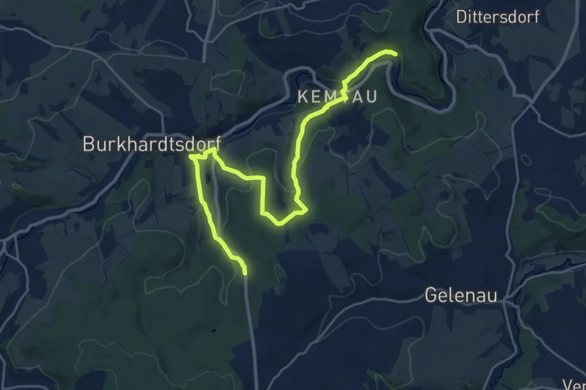
Medium · Trail
WW Kamerun-Kemtau-Burkhardtsdorf-Besenschänke
17.1 km · ↑ 471 m · 5 h 3 min
Medium · Trail
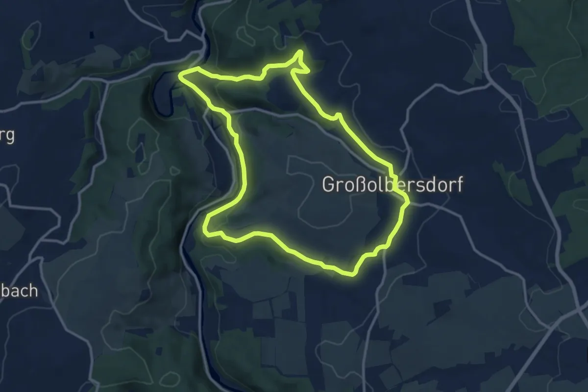
Ww Karl-Stülpner-Rundweg
9.9 km · ↑ 218 m · 2 h 58 min
Medium · Summit
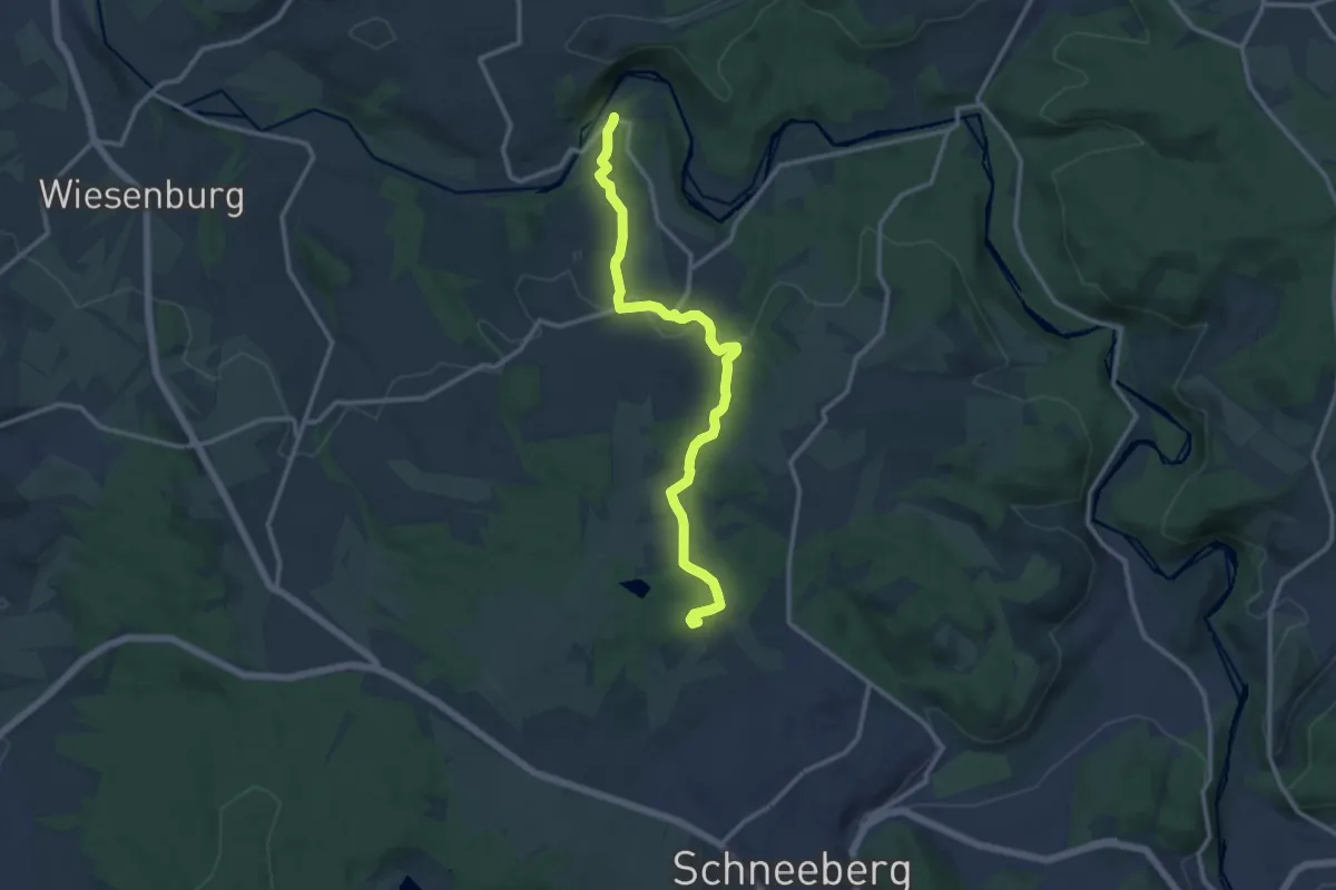
Ww Keilberg-Fährbrücke
11.8 km · ↑ 276 m · 3 h 23 min
Medium · Summit
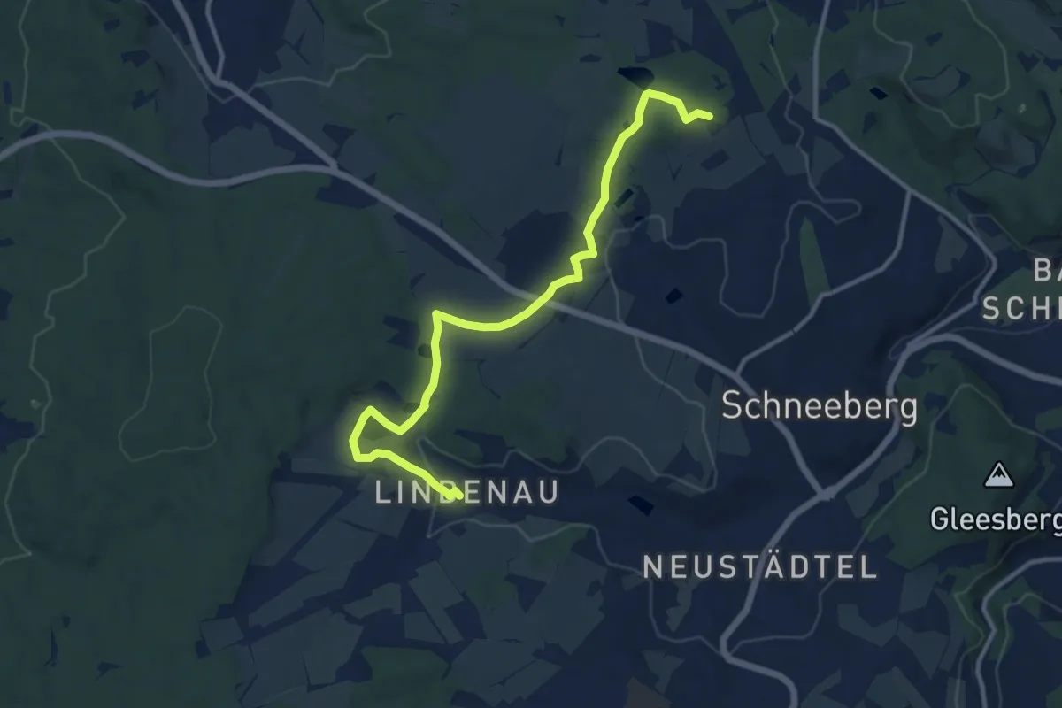
Ww Keilberg - Lindenau
11.4 km · ↑ 175 m · 3 h 4 min
Easy · Trail
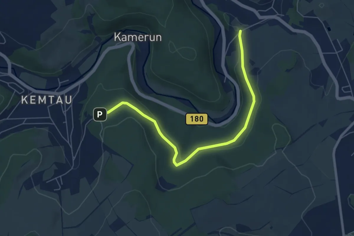
Ww Kemtau - Dittersdorf
5.7 km · ↑ 115 m · 1 h 36 min
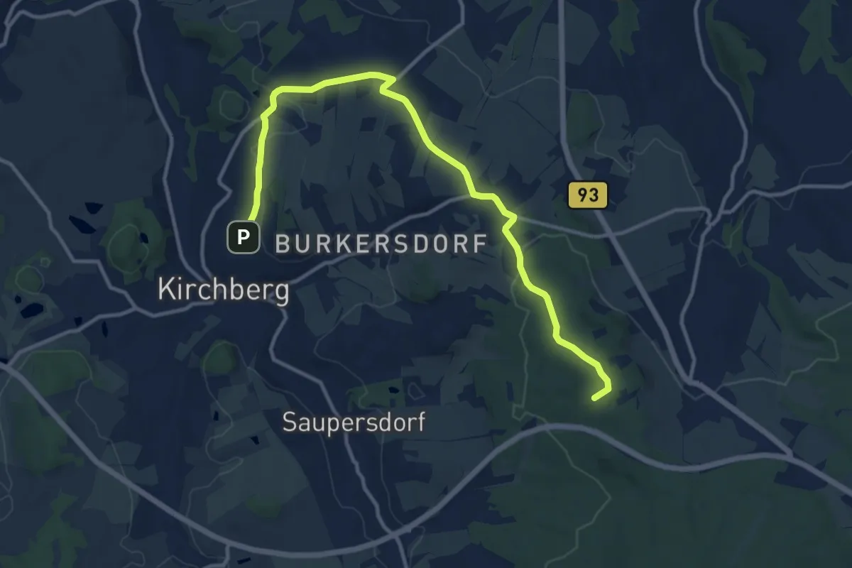
Medium · Summit
Ww. Kirchberg - Burkersdorf - Weißbach (gelb)
11.9 km · ↑ 205 m · 3 h 16 min
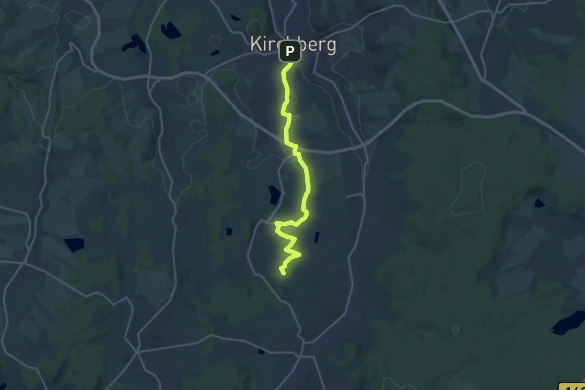
Medium · Summit
Ww Kirchberg - Giegengrün - Crinitzberg
12.7 km · ↑ 231 m · 3 h 31 min
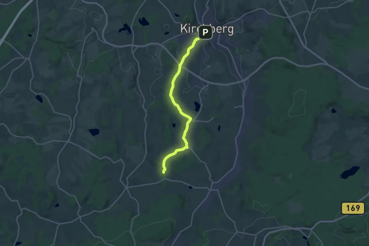
Medium · Trail
Ww Kirchberg - Giegengrün - Obercrinitz
14.2 km · ↑ 186 m · 3 h 45 min
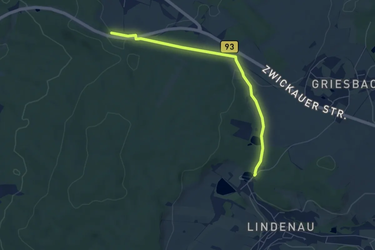
Easy · Trail
WW Kirchberg-Stockteich
6.0 km · ↑ 83 m · 1 h 35 min
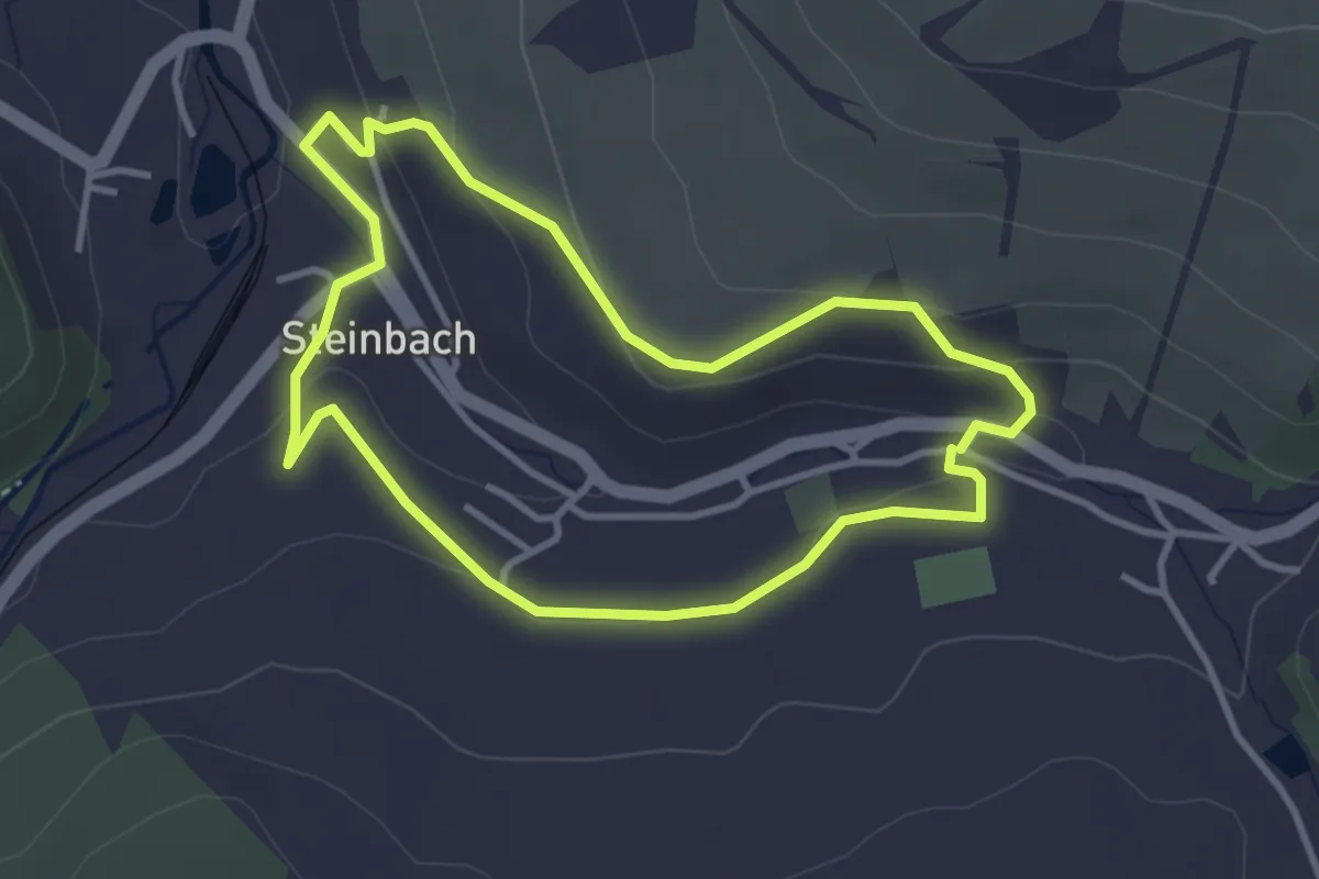
Easy · Trail
Ww Kleiner Ringweg Steinbach
3.1 km · ↑ 80 m · 57 min
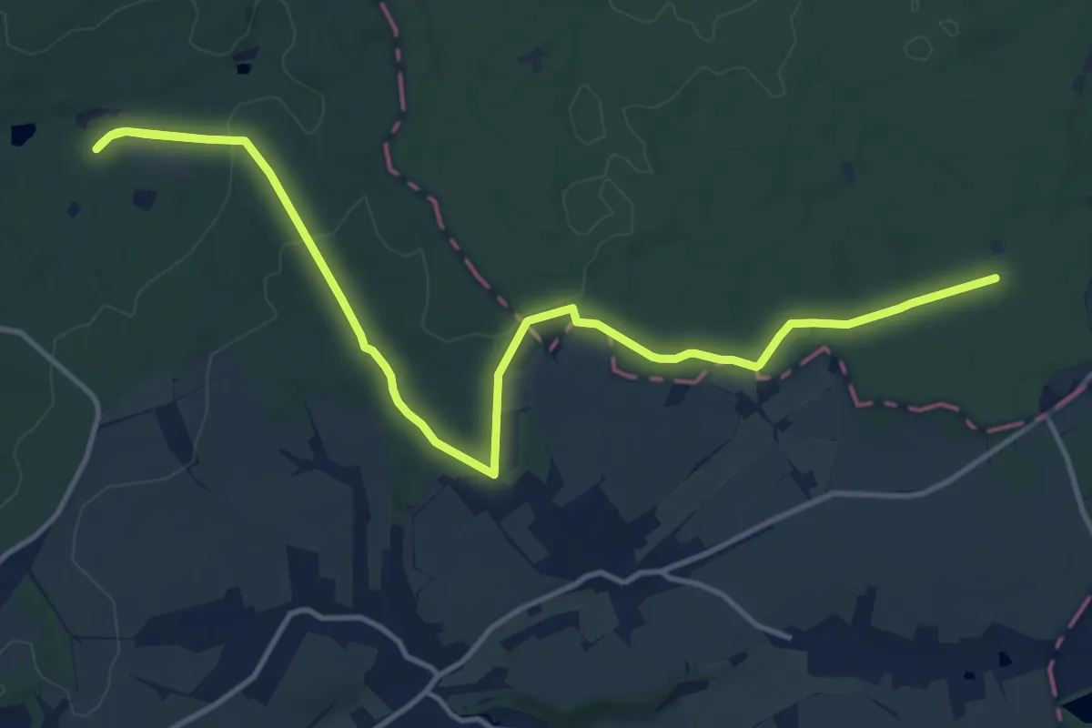
Medium · Trail
WW Kleinreinsdorf - Trünzig-Walddorf (grüner Balken)
15.2 km · ↑ 234 m · 4 h 6 min
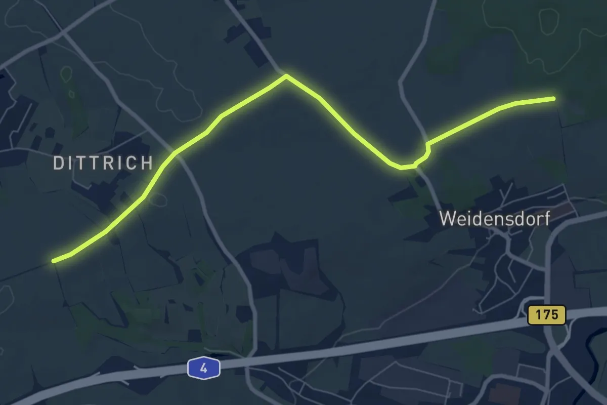
Easy · Trail
Ww Klosterholz - Dittrich
7.3 km · ↑ 12 m · 1 h 45 min
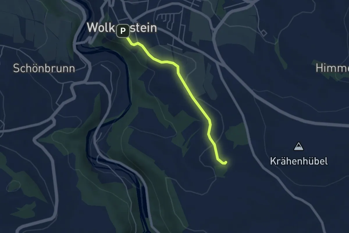
Easy · Trail
Ww Kohlau - Wolkenstein
3.6 km · ↑ 72 m · 1 h
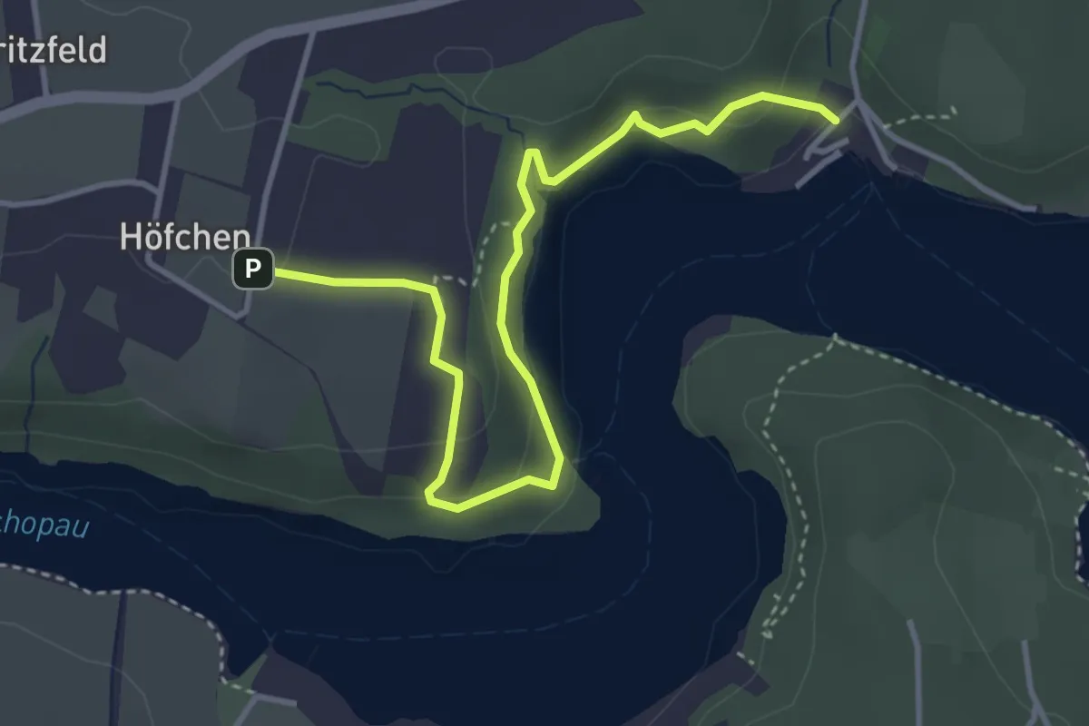
Easy · Trail
Ww Kriebstein Bootsanleger - Höfgen
3.9 km · ↑ 152 m · 1 h 15 min
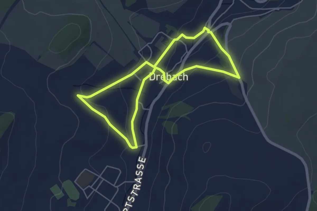
Easy · Trail
WW Krokusblüte
3.6 km · ↑ 83 m · 1 h 5 min
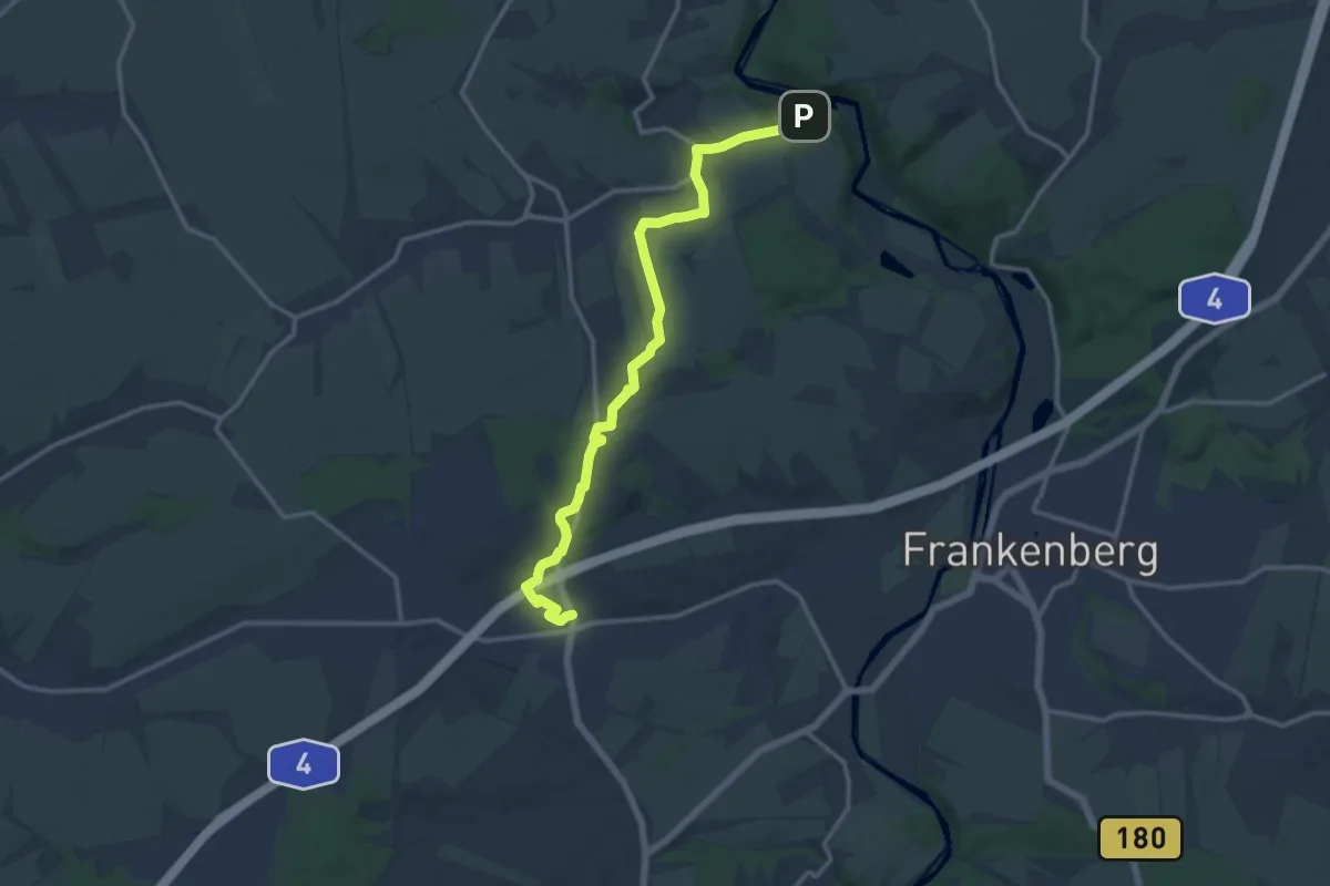
Medium · Trail
Ww Krumbach - Sonnenlandpark - Oberlichtenau
12.9 km · ↑ 160 m · 3 h 24 min
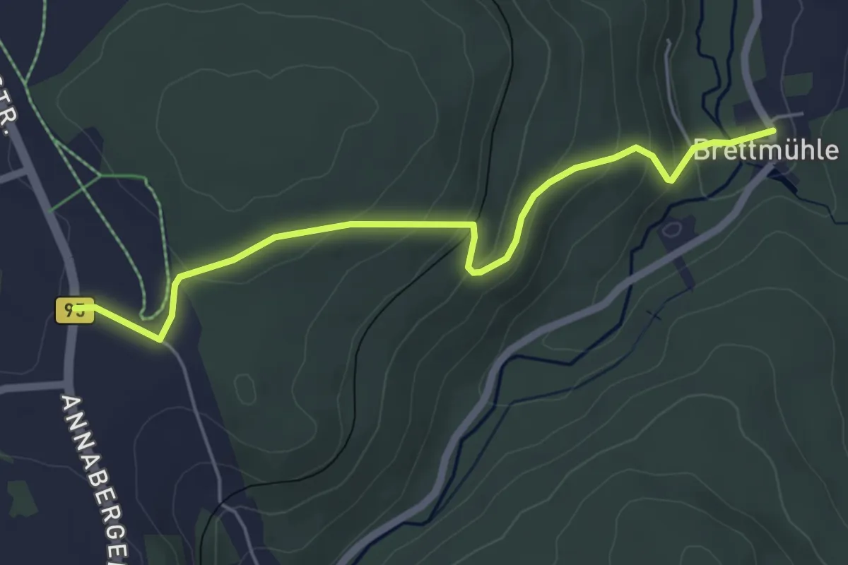
Easy · Trail
Ww Kühberg B95 - Brettmühle
4.8 km · ↑ 232 m · 1 h 38 min