Trails in Germany
36,877 hiking trails, each with its route, climb, walking time and grade.
All trails, page 742 of 769
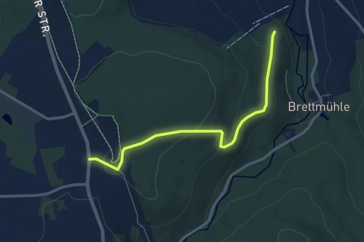
Easy · Trail
Ww Kühberg B95 - Königswalde
4.9 km · ↑ 191 m · 1 h 35 min
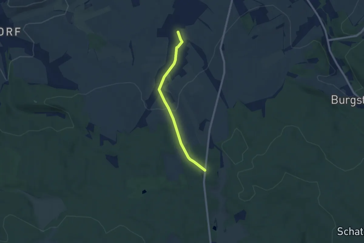
Easy · Trail
Ww Kühnhaide-Gaststätte Moosheide
4.9 km · ↑ 132 m · 1 h 27 min
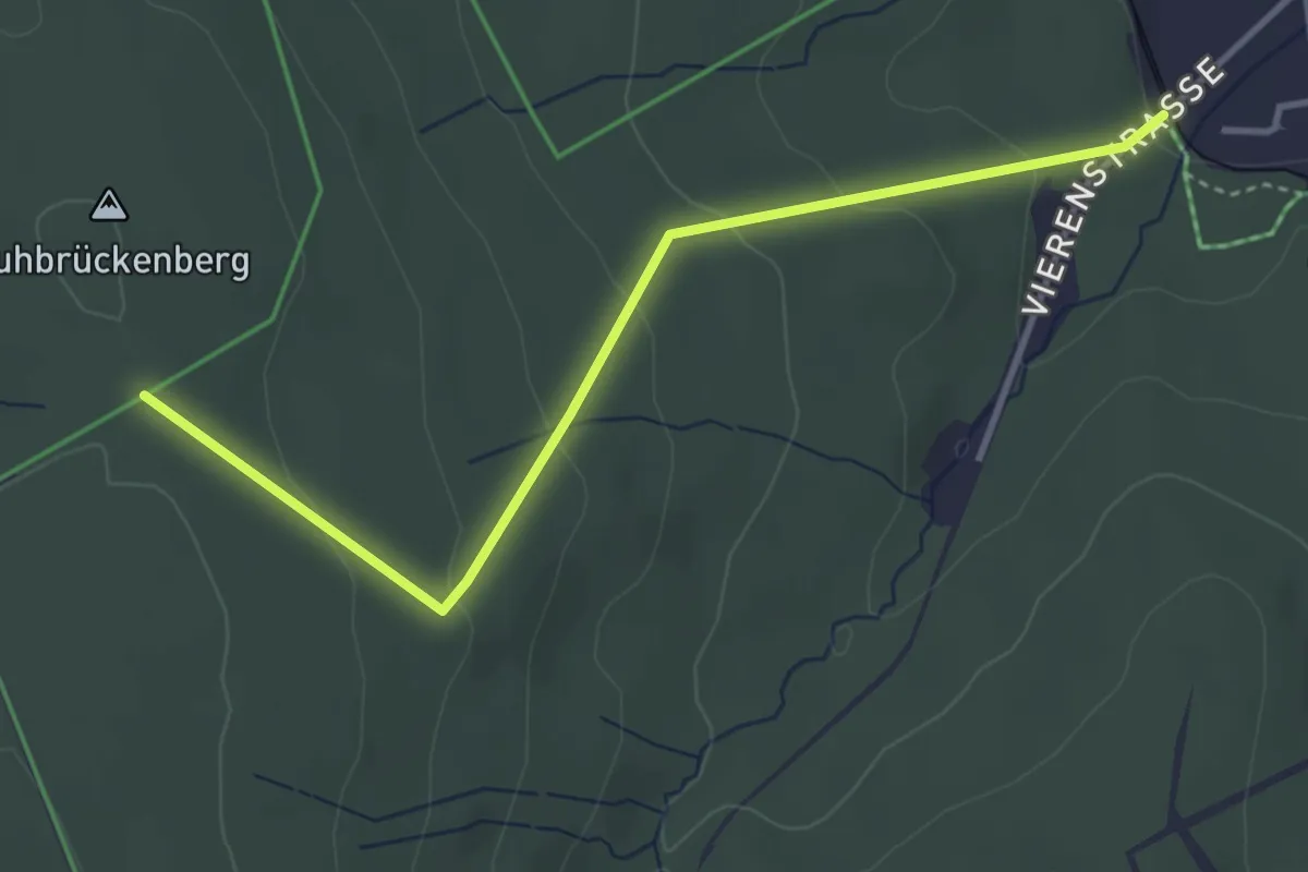
Easy · Trail
Ww Kuhrückenweg-Bhf,- Vierenstraße
3.6 km · ↑ 154 m · 1 h 11 min
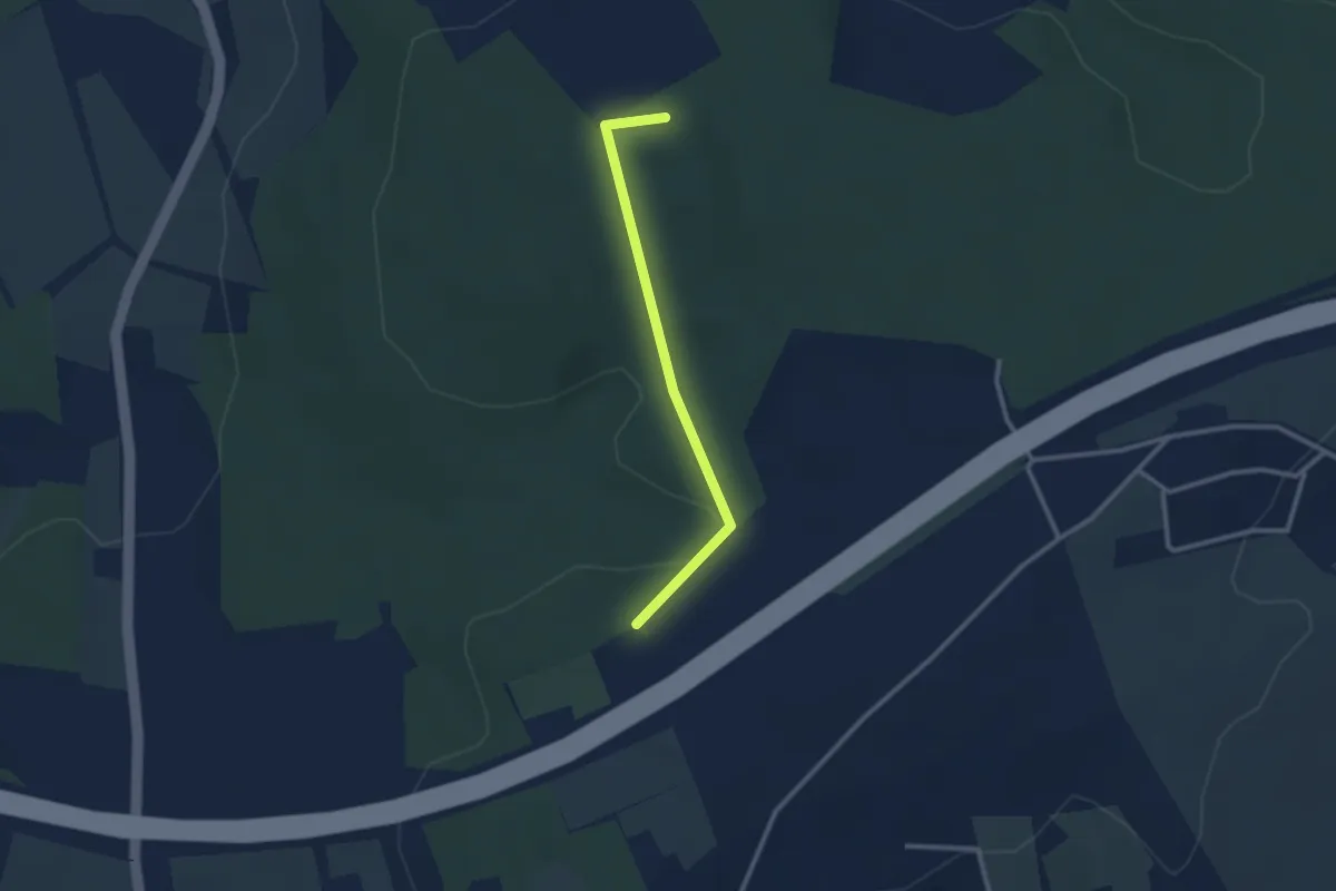
Easy · Summit
Ww Langenberger Höhe- Pfaffenberg
2.3 km · ↑ 43 m · 38 min
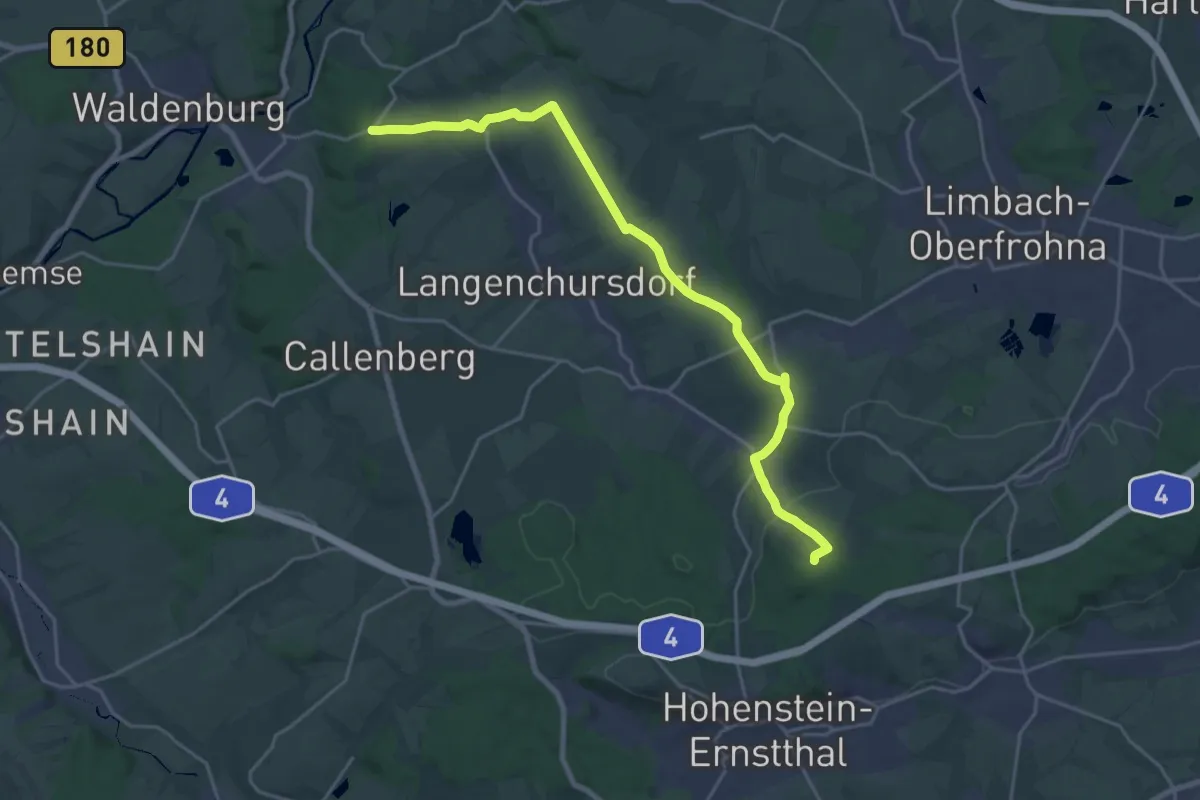
Demanding · Summit
Ww Langenchursdorf - Langenberger Höhe
21.3 km · ↑ 312 m · 5 h 42 min
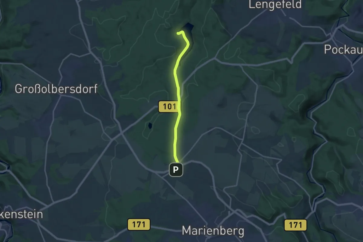
Medium · Trail
Ww Lauta-Neunzenhainer Talsperre
10.1 km · ↑ 162 m · 2 h 44 min
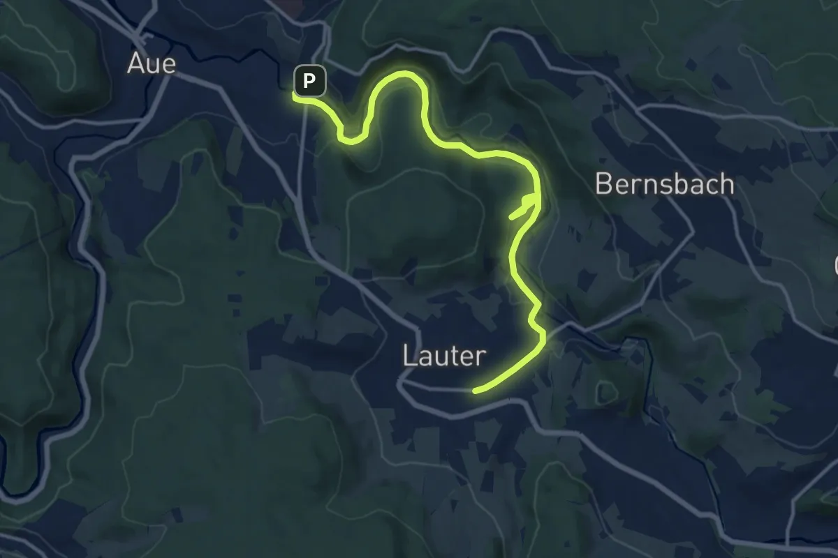
Medium · Trail
Ww Lauter - Aue gelb markiert
13.6 km · ↑ 263 m · 3 h 47 min
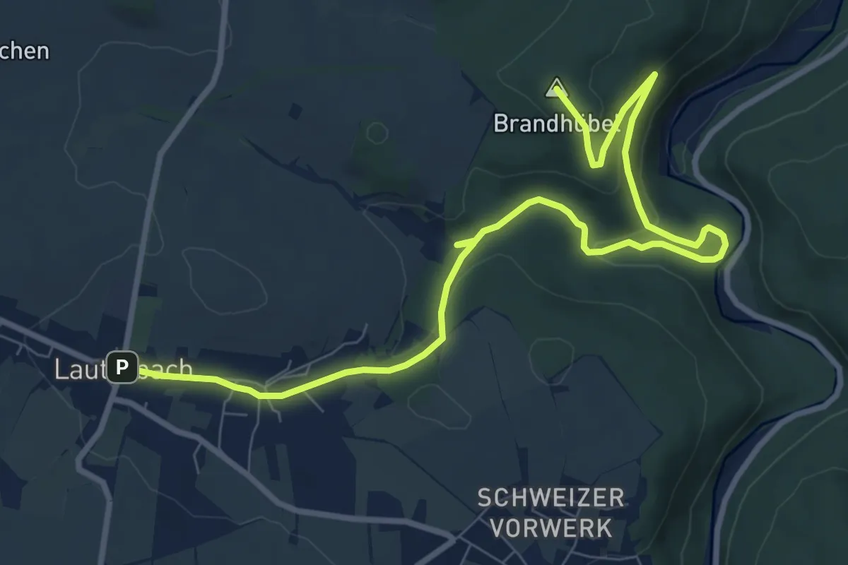
Medium · Summit
Ww Lauterbach-Strobelmühle-Judeichhöhe-Pockau
9.9 km · ↑ 260 m · 2 h 54 min
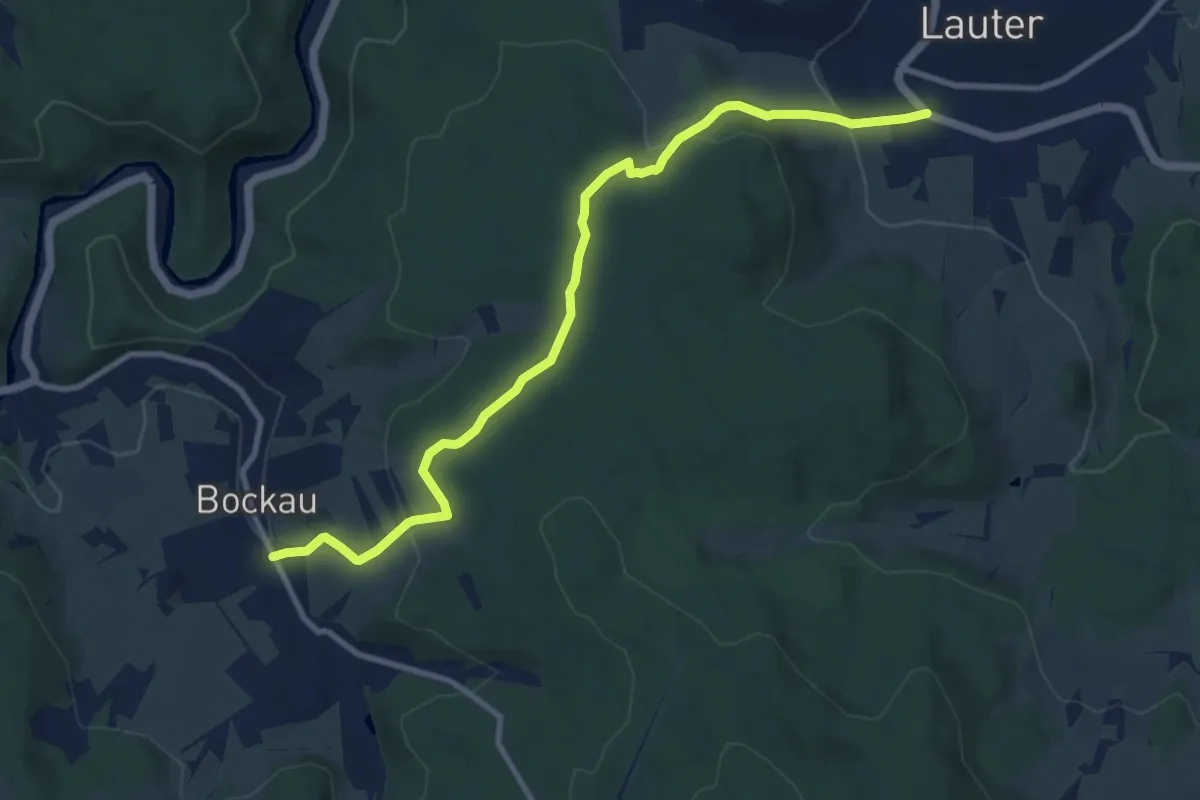
Medium · Trail
Ww Lauter - Bockau
9.8 km · ↑ 370 m · 3 h 8 min
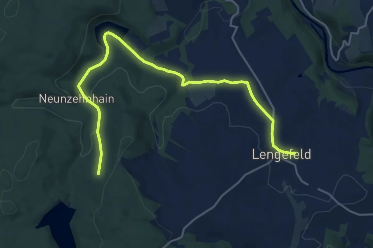
Medium · Trail
WW Lengefeld-TS Neunzehnhain I
11.3 km · ↑ 244 m · 3 h 11 min
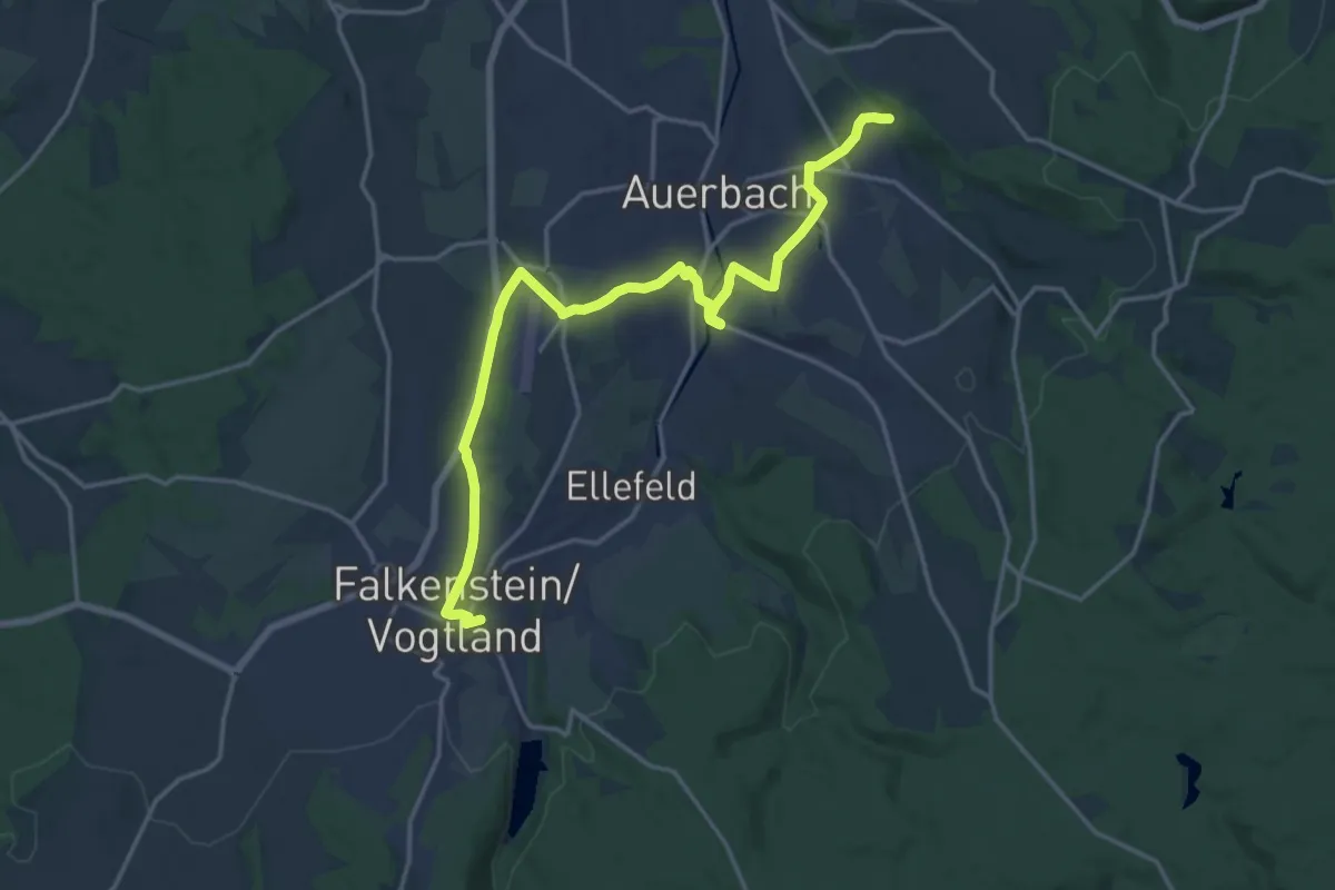
Medium · Trail
Ww Lenkmühle - Auerbach - Falkenstein.
17.5 km · ↑ 307 m · 4 h 47 min
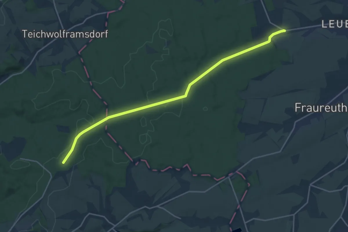
Medium · Trail
WW Leubnitz - Greiz-Pohlitz
15.5 km · ↑ 142 m · 3 h 57 min
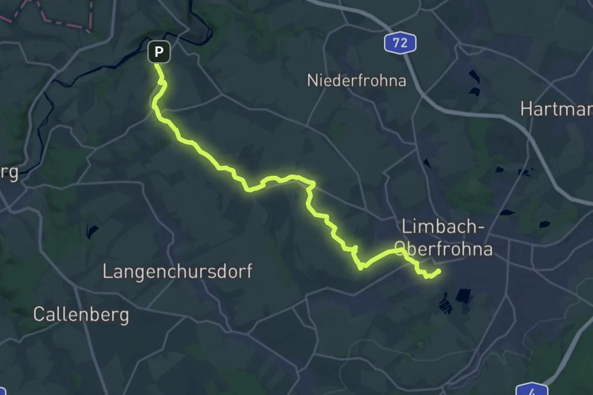
Demanding · Trail
Ww Limbach-O.-Bräunsdorf-Wolkenburg
23.7 km · ↑ 207 m · 6 h 2 min
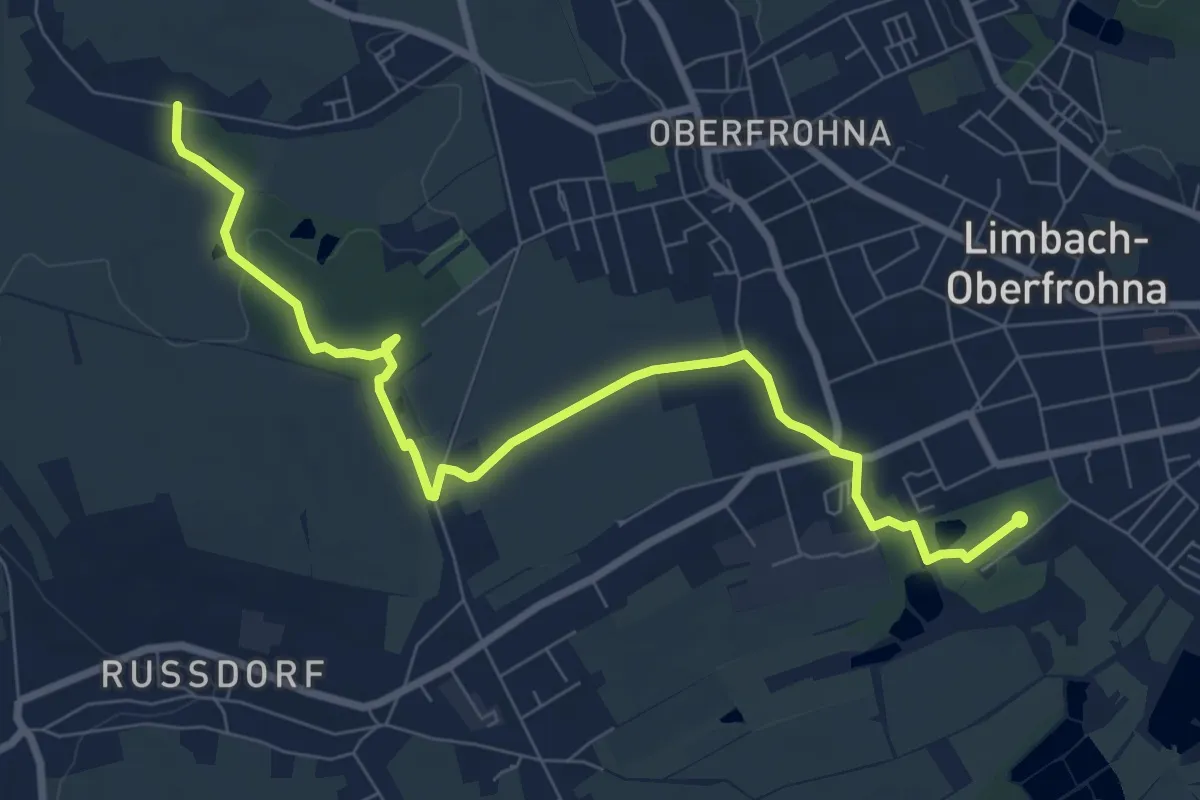
Medium · Trail
Ww Limbach-O.-Bräunsdorf-Zwickauer Mulde
8.8 km · ↑ 51 m · 2 h 12 min
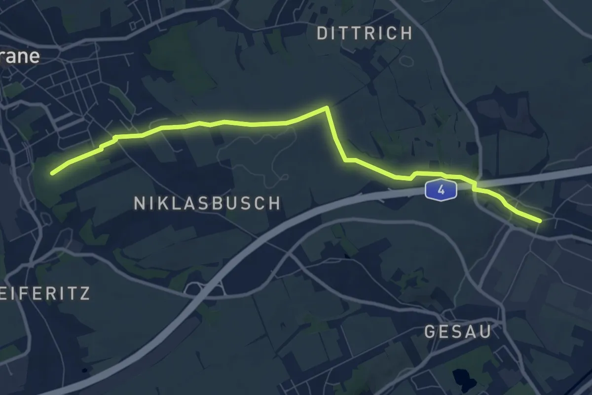
Medium · Trail
Ww Lipprandis - Meerane Annapark
8.6 km · ↑ 87 m · 2 h 14 min
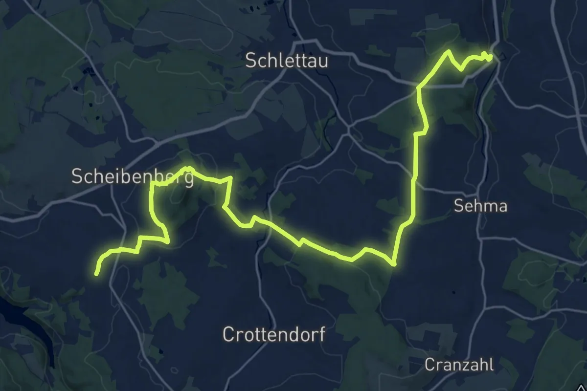
Demanding · Trail
Ww Markersbach-Buchholz
26.6 km · ↑ 659 m · 7 h 43 min
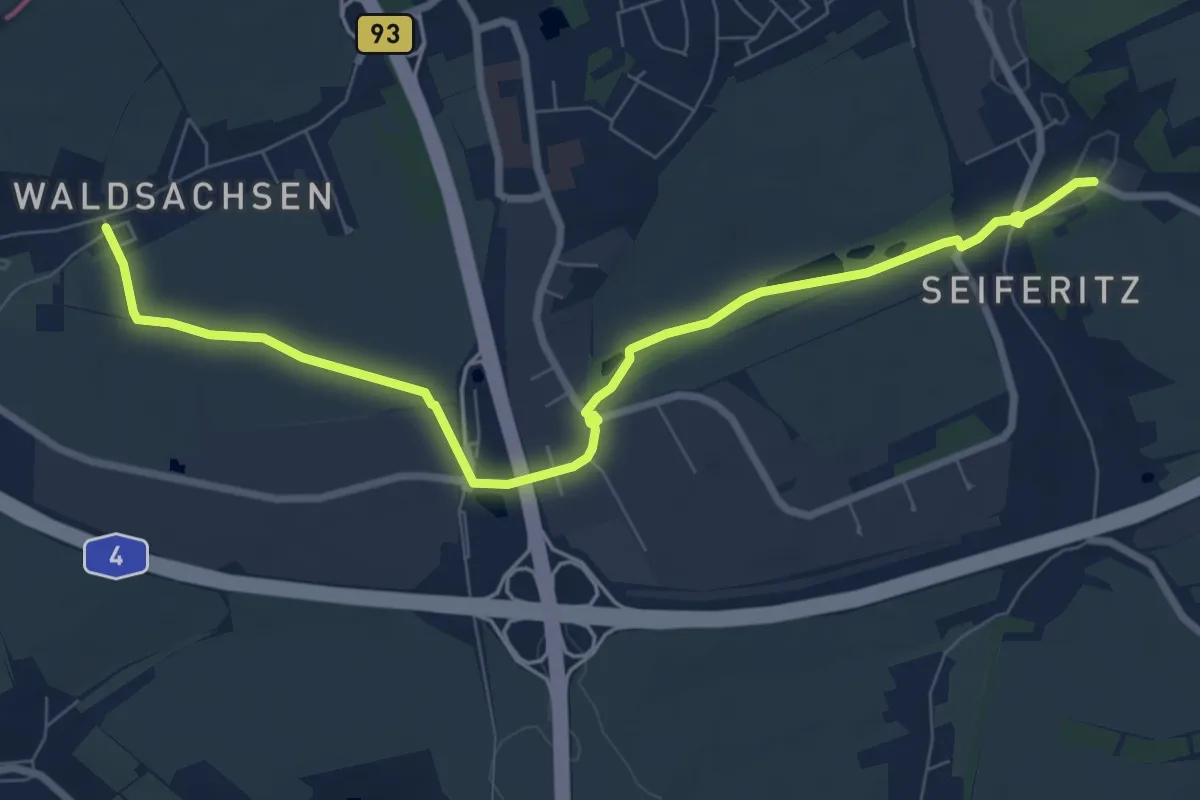
Medium · Trail
Ww Meerane - Waldsachsen
8.2 km · ↑ 66 m · 2 h 5 min
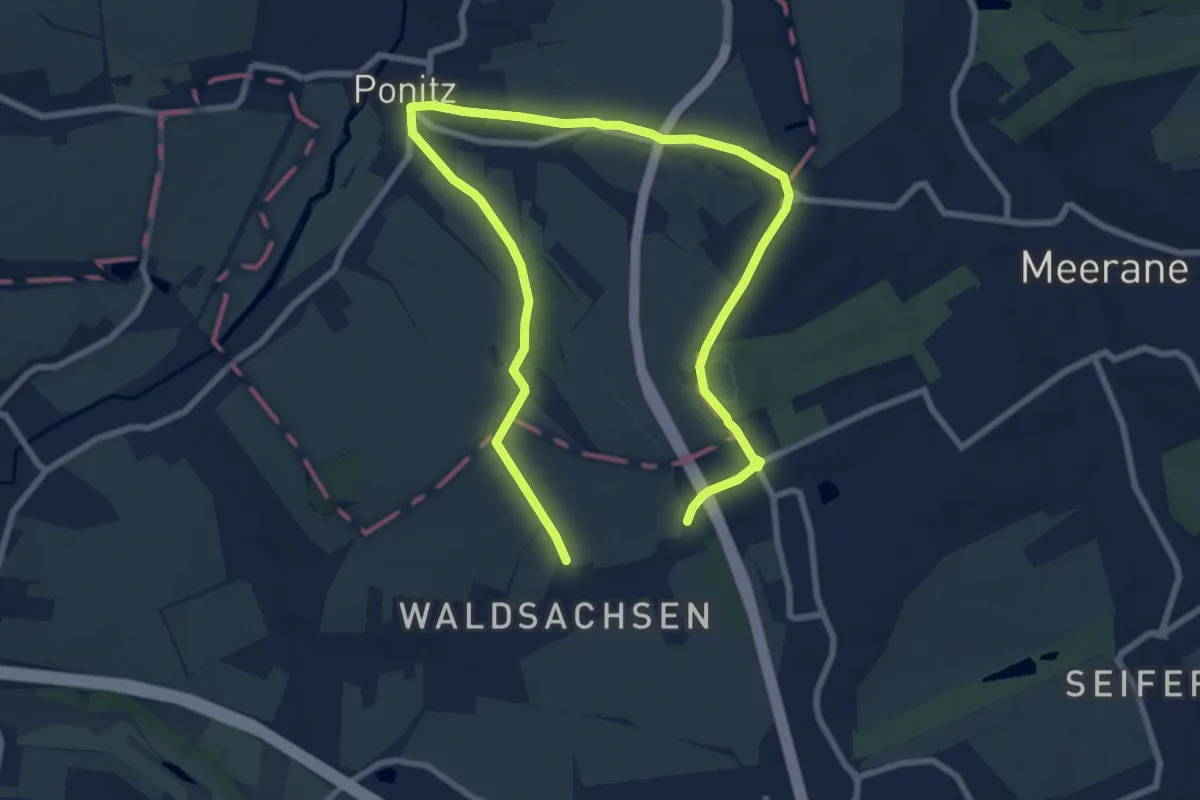
Medium · Trail
Ww Meerane - Waldsachsen - Ponitz - Meerane
11.8 km · ↑ 181 m · 3 h 11 min
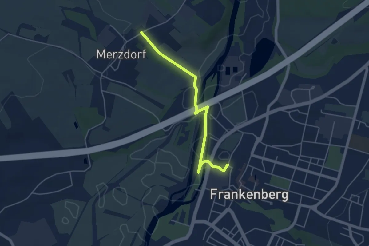
Easy · Trail
Ww Merzdorf - Frankenberg bis Zschopautalwanderweg
3.8 km · ↑ 44 m · 59 min
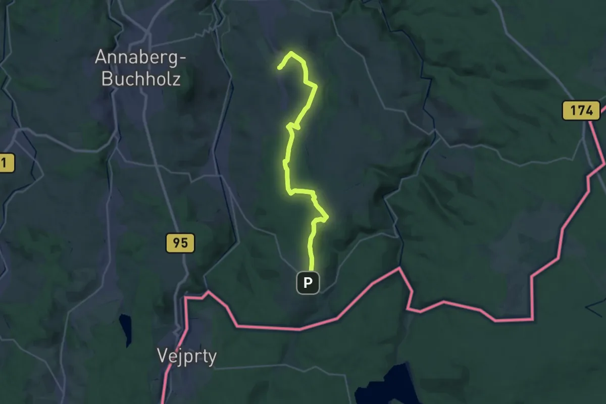
Demanding · Trail
Ww Mildenau- Jöhstadt
21.8 km · ↑ 331 m · 5 h 52 min
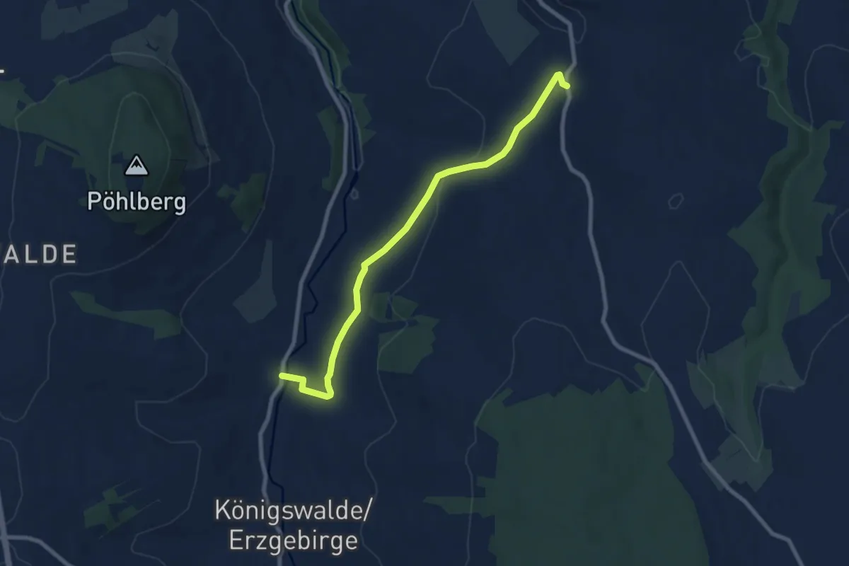
Easy · Trail
Ww Mildenau- Königswalde
7.3 km · ↑ 133 m · 2 h 1 min
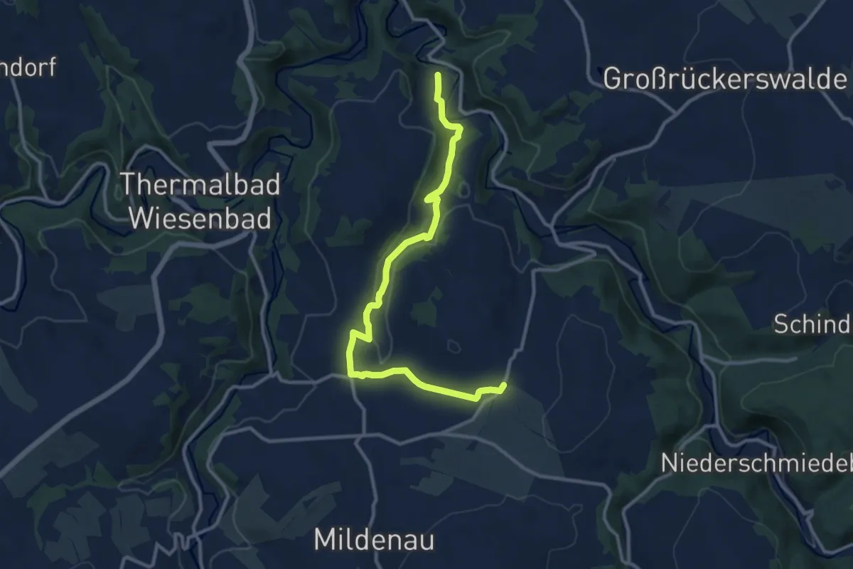
Medium · Trail
Ww Mildenau-Streckewalde über Sandbachtal
10.8 km · ↑ 217 m · 3 h 1 min
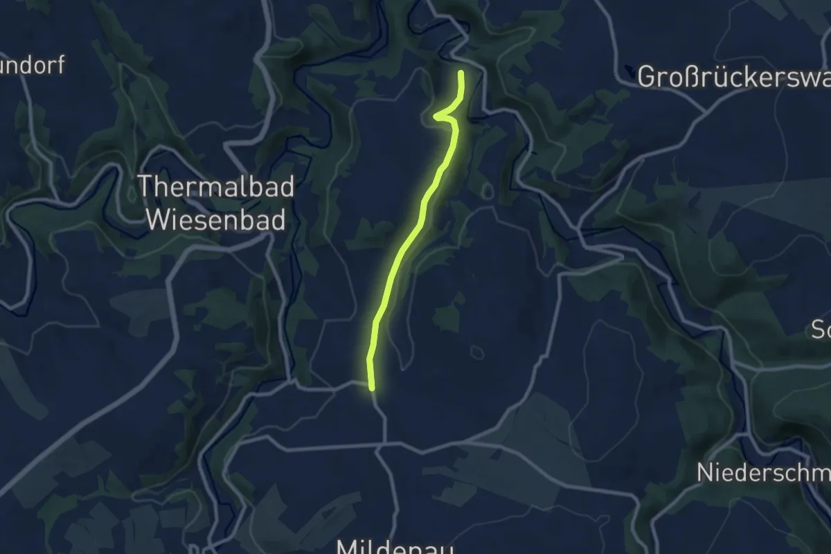
Easy · Trail
Ww Mildenau-Streckewalde über Straßel
6.6 km · ↑ 144 m · 1 h 53 min
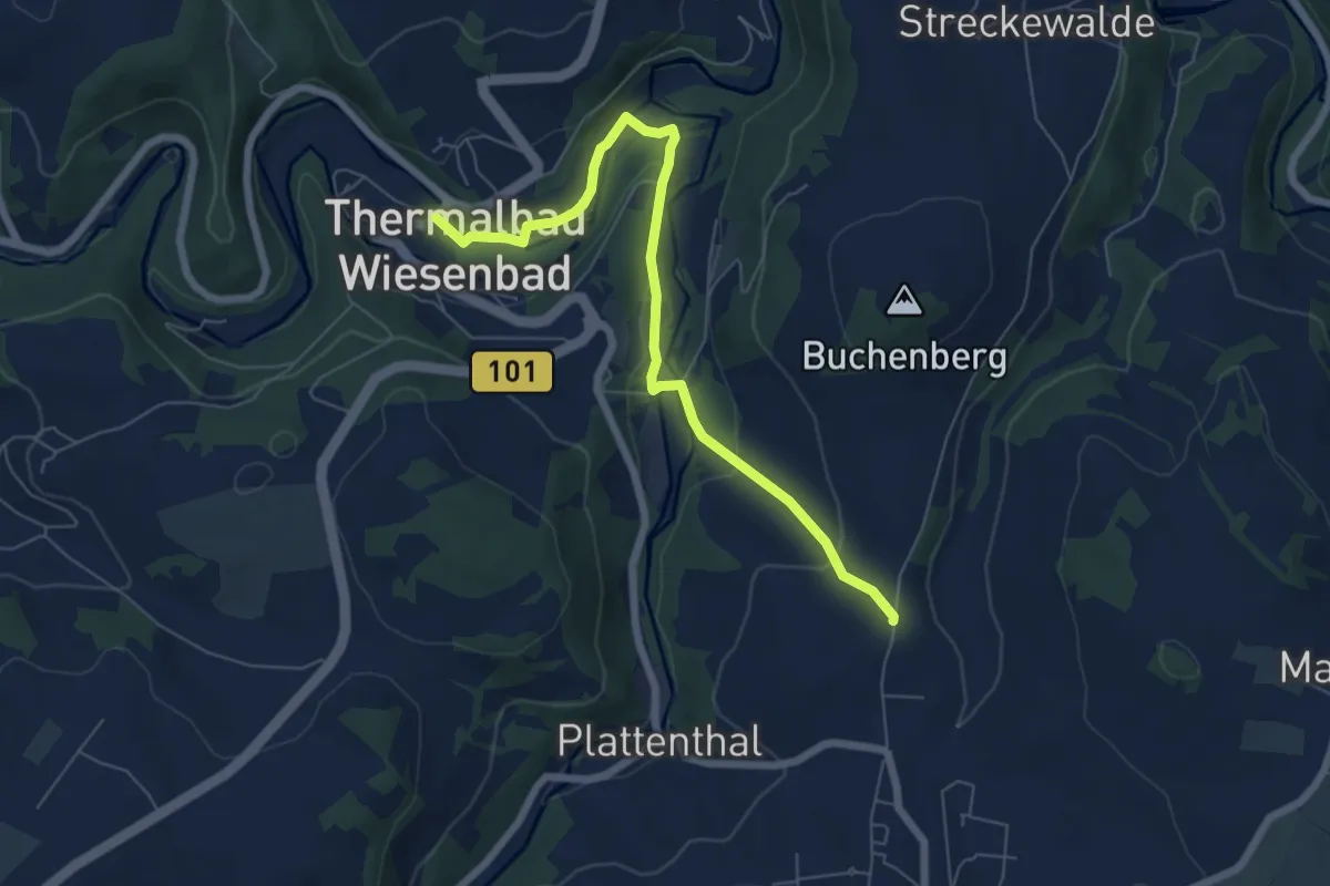
Easy · Trail
Ww Mildenau - Thermalbad Wiesenbad
6.3 km · ↑ 139 m · 1 h 47 min
Easy · Trail
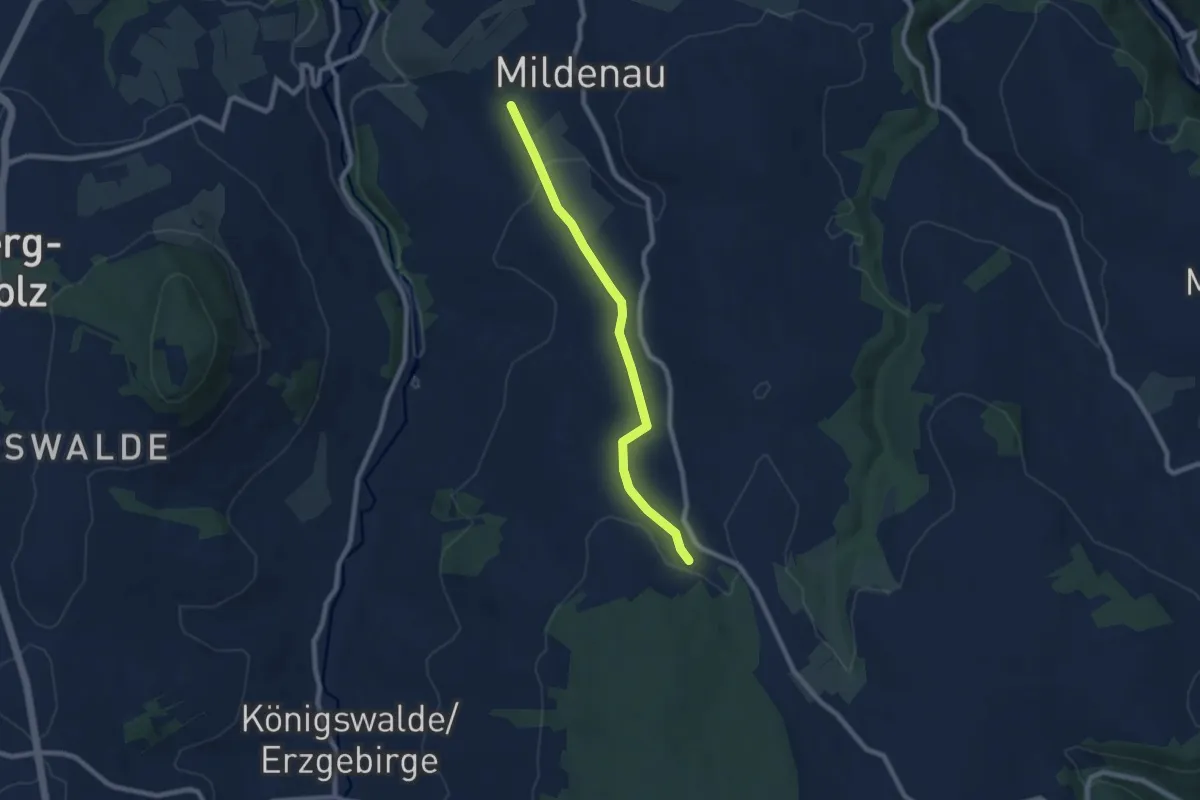
Ww Mildenau- Wanderparkplatz Richtung Jöhstadt
7.1 km · ↑ 116 m · 1 h 56 min
Medium · Trail
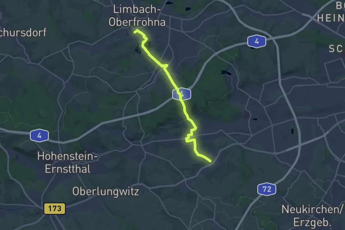
Ww Mittelbach-Grüna-Limbach-Oberfrohna
17.3 km · ↑ 258 m · 4 h 39 min
Medium · Trail
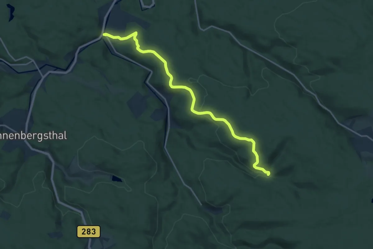
Ww Morgenröthe - Drei Bächel
14.5 km · ↑ 306 m · 4 h 5 min
Medium · Trail
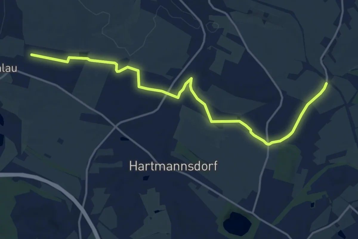
Ww Mühlau Gewerbegeb.-Bahnstrecke Chemnitz/Leipzig
11.5 km · ↑ 98 m · 2 h 56 min
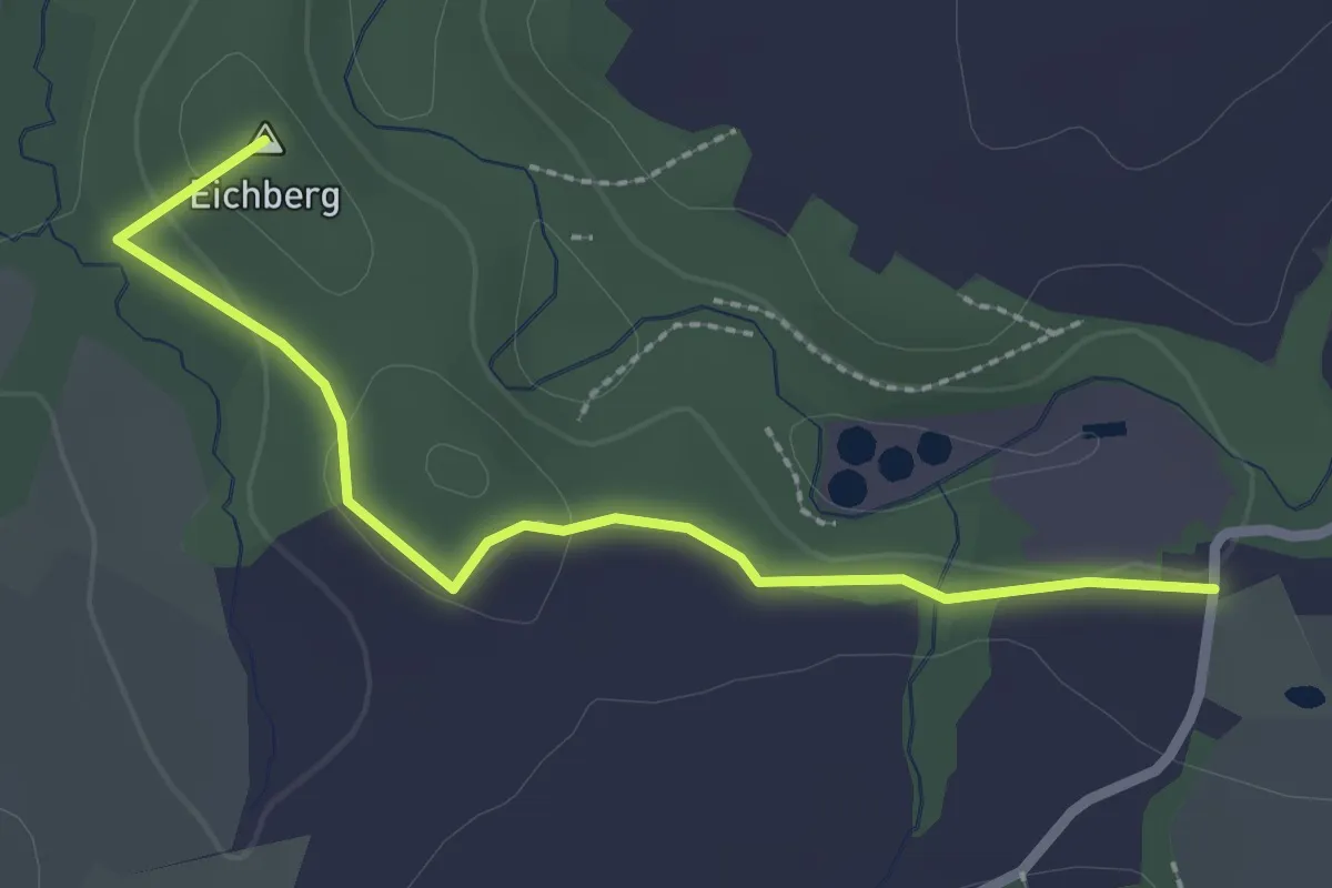
Easy · Summit
Ww Muldentalweg - Parkplatz Heiersdorf
2.4 km · ↑ 23 m · 36 min
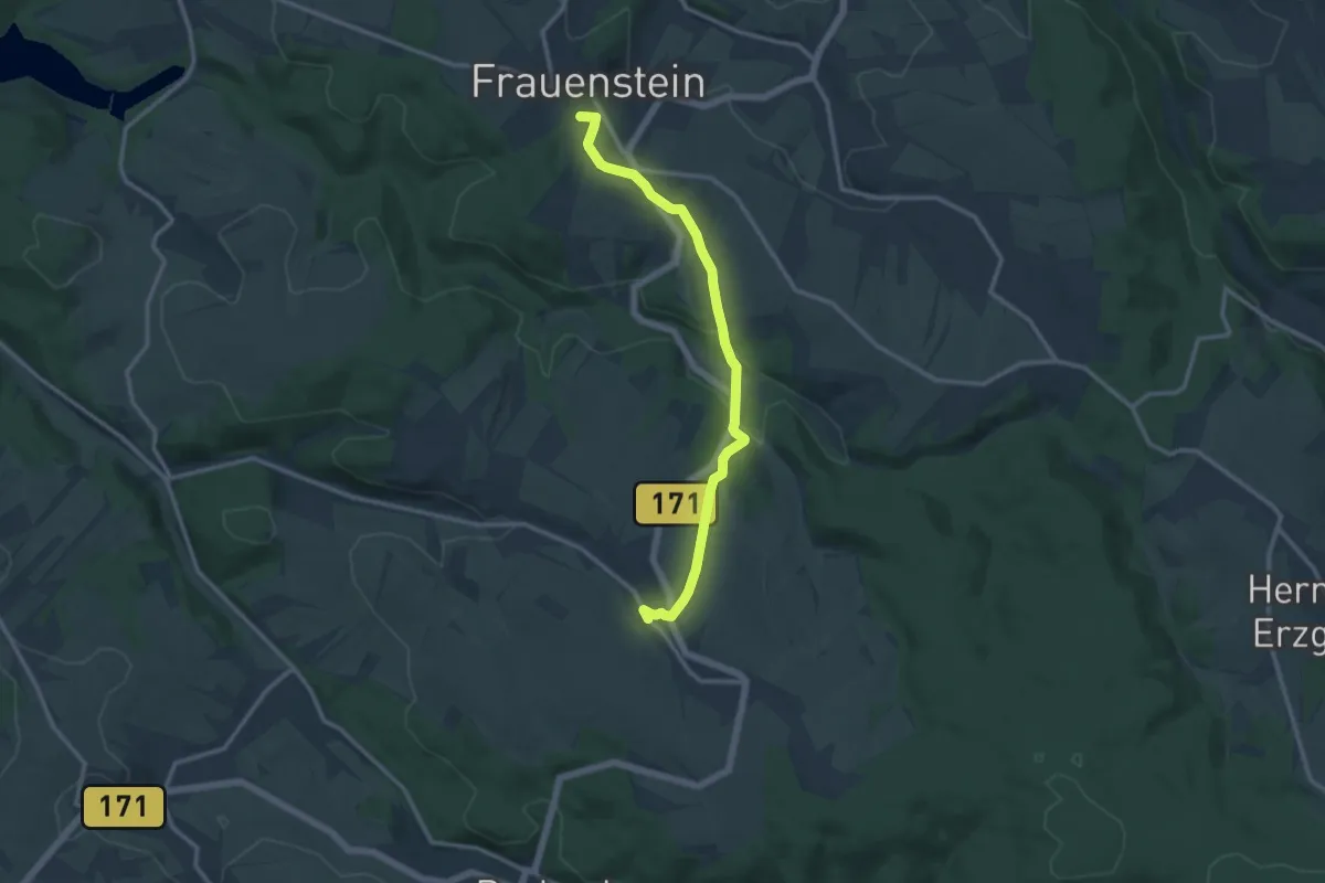
Medium · Summit
Ww Nassau - Frauenstein
11.2 km · ↑ 220 m · 3 h 8 min
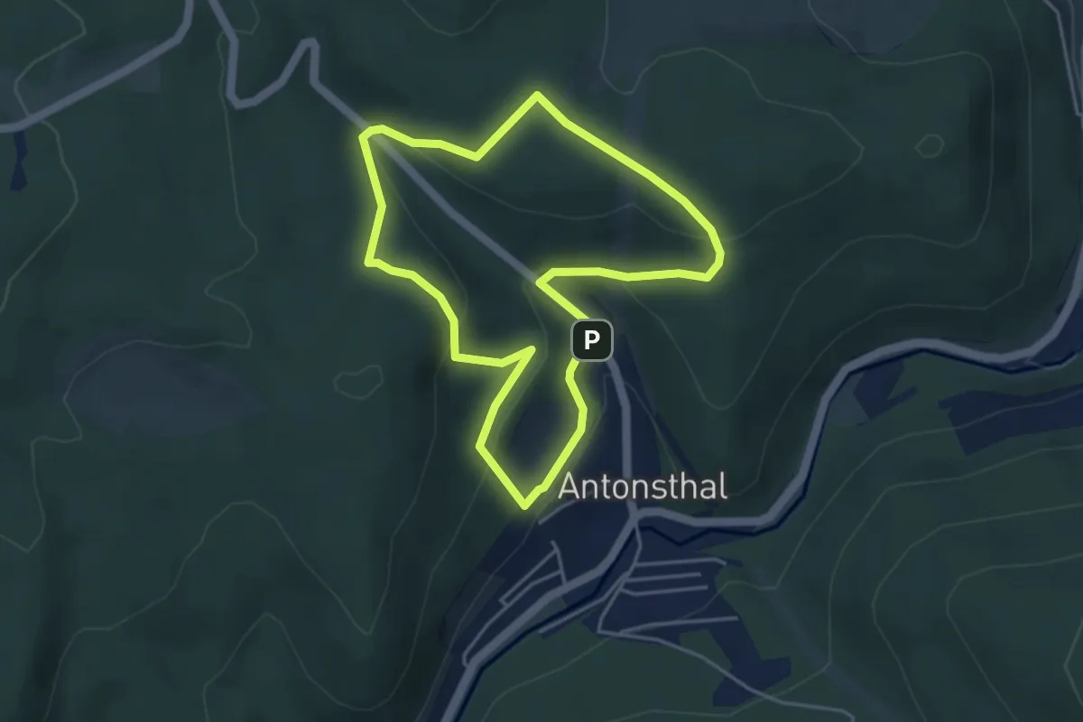
Easy · Trail
WW Naturlehrpfad Halsbachtal
3.8 km · ↑ 150 m · 1 h 16 min
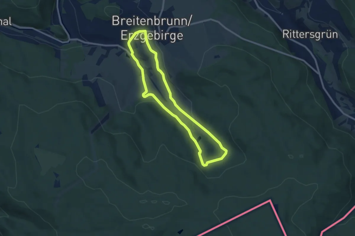
Easy · Trail
WW Naturlehrpfad Klughausgrund
6.1 km · ↑ 167 m · 1 h 54 min
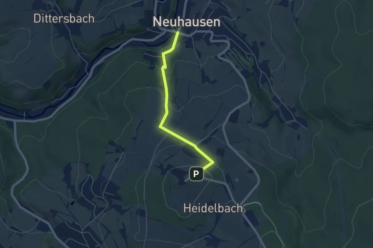
Easy · Trail
Ww Neuhausen - Schwartenberg
4.2 km · ↑ 219 m · 1 h 29 min
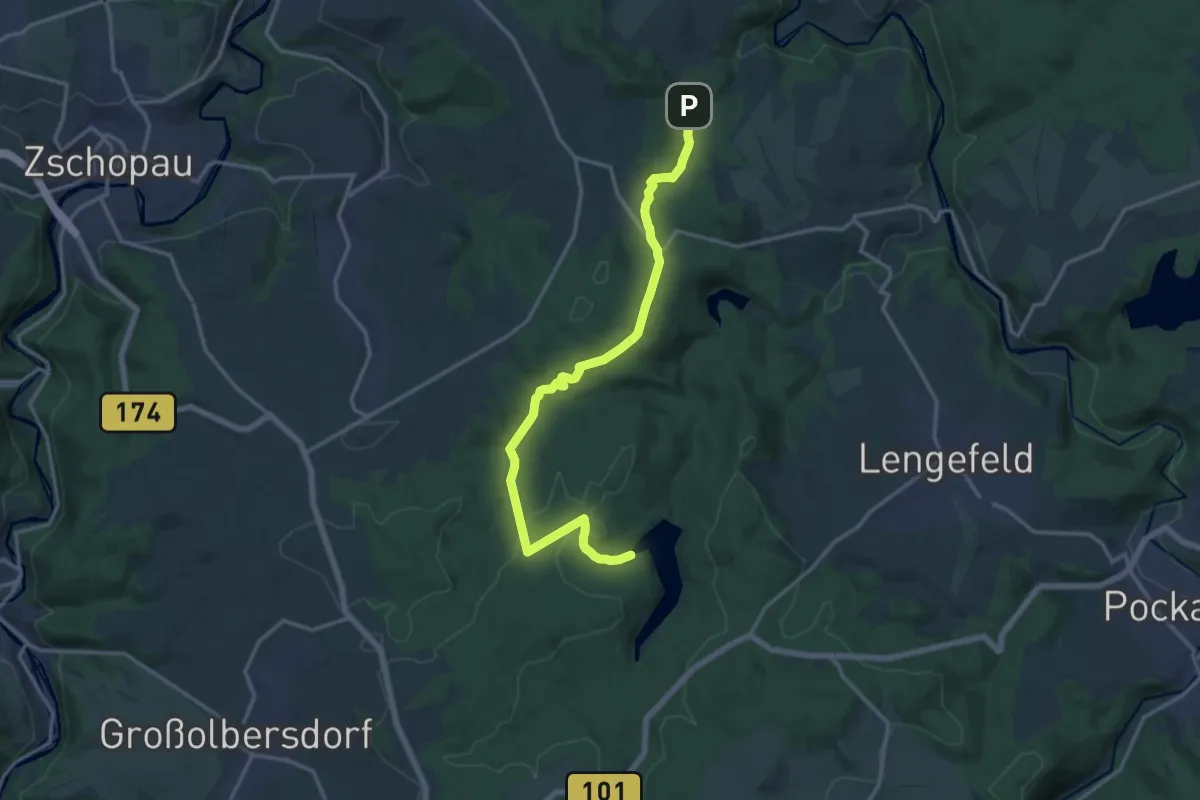
Medium · Trail
Ww Neunzehnhainer Talsperre II-Börnichen
14.8 km · ↑ 336 m · 4 h 13 min
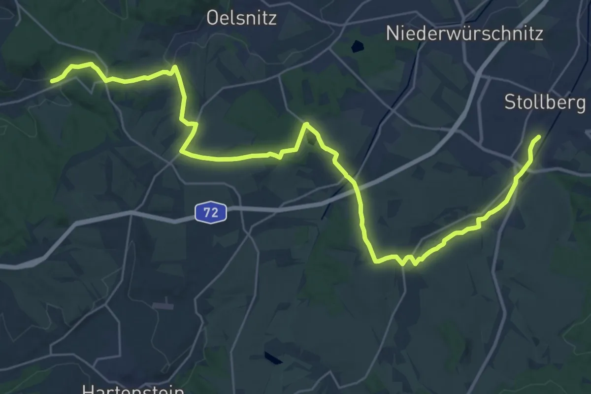
Demanding · Trail
WW Neuschönberg-Neuwürschnitz-Oberdorf-STL
28.8 km · ↑ 382 m · 7 h 38 min
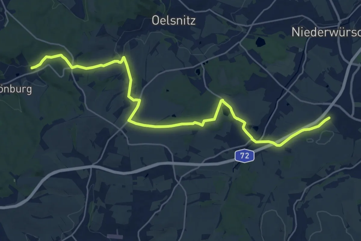
Demanding · Trail
WW Neuschönburg-Neuwürschnitz-Stollberg
20.9 km · ↑ 315 m · 5 h 37 min
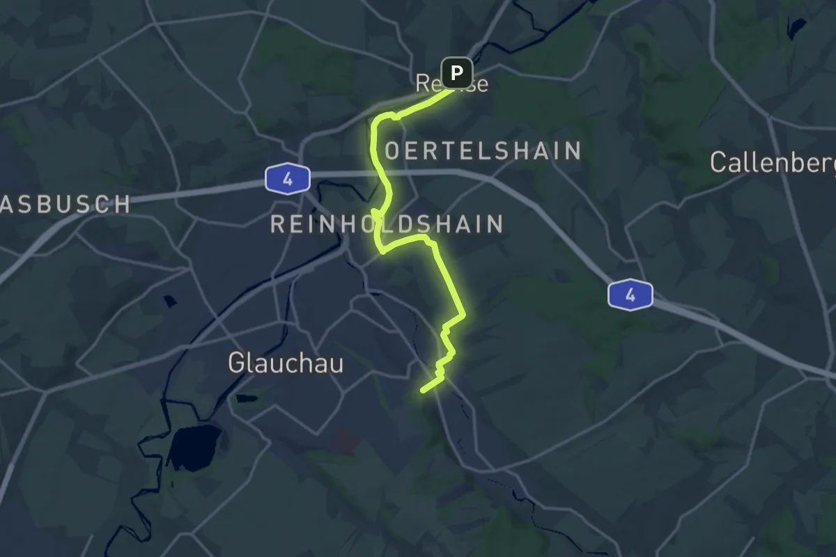
Medium · Trail
Ww Niederlungwitz - Remse
14.1 km · ↑ 146 m · 3 h 38 min
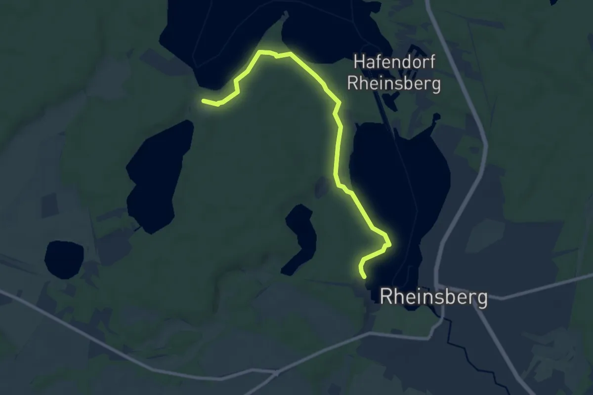
Easy · Trail
Ww Obelisk Rheinsberg - Bungalowsiedlung "Am Rheinsberger See"
7.0 km · ↑ 60 m · 1 h 46 min
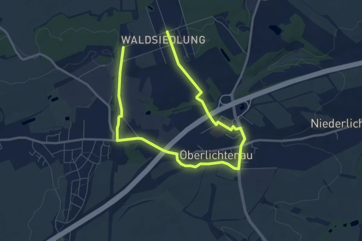
Medium · Trail
Ww Oberlichtenau-Waldsiedlung
9.1 km · ↑ 63 m · 2 h 17 min
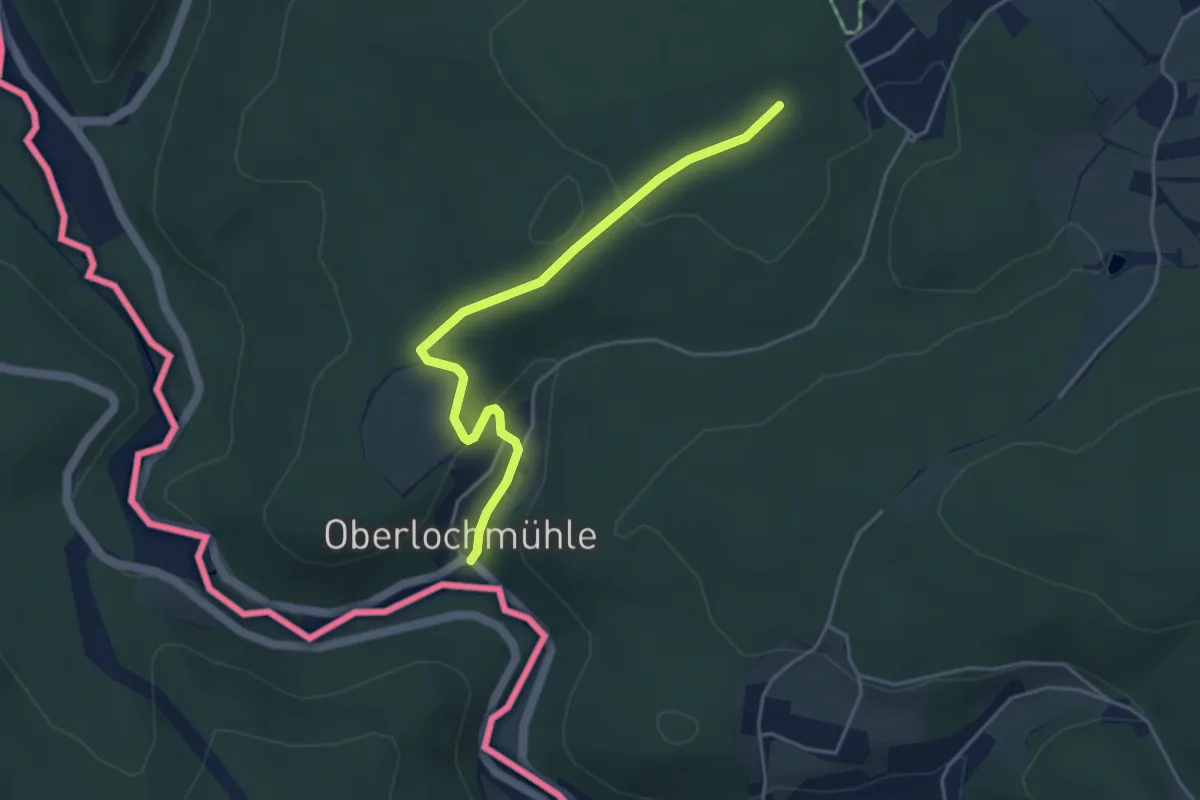
Easy · Trail
Ww Oberlochmühle - Seiffen
4.0 km · ↑ 92 m · 1 h 9 min
Easy · Trail
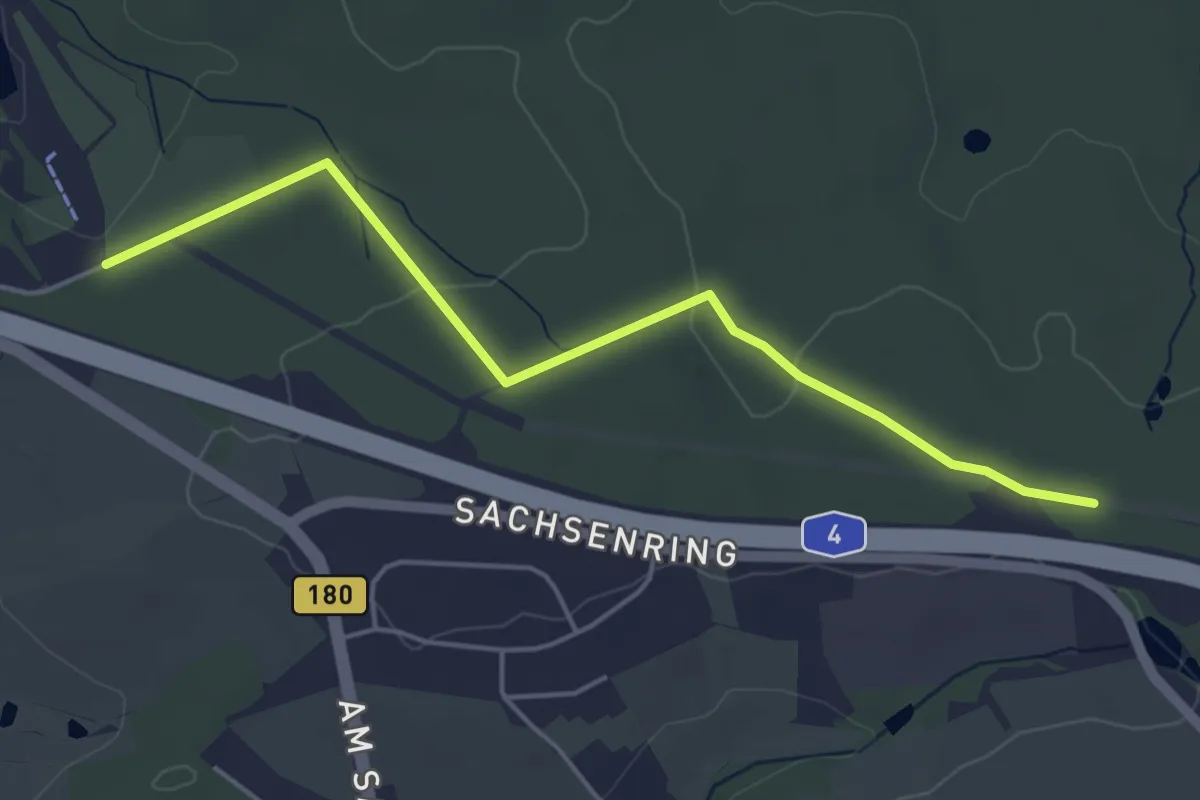
Ww Oberwald - Stausee Oberwald
4.5 km · ↑ 28 m · 1 h 7 min
Medium · Trail
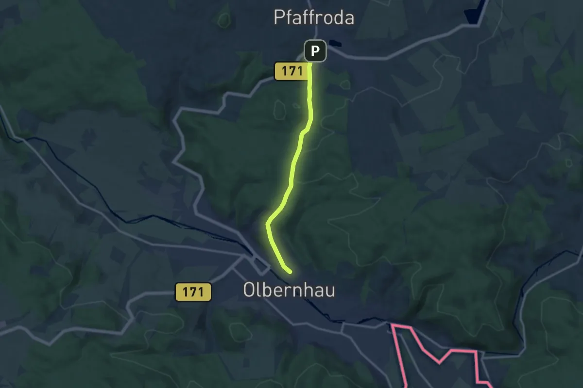
Ww Olbernhau-Pfaffroda
8.5 km · ↑ 228 m · 2 h 30 min
Demanding · Trail
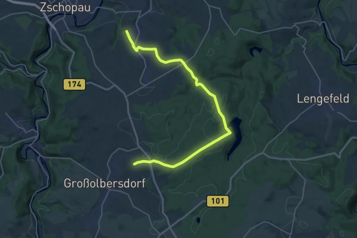
Ww Parkplatz B 174 Neunzehnhainer Talsperre II-Zschopau
18.7 km · ↑ 445 m · 5 h 23 min
Medium · Trail
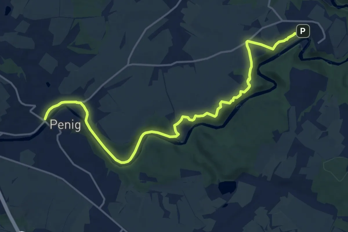
Ww Penig-Rochsburg-Lunzenau
13.7 km · ↑ 238 m · 3 h 44 min
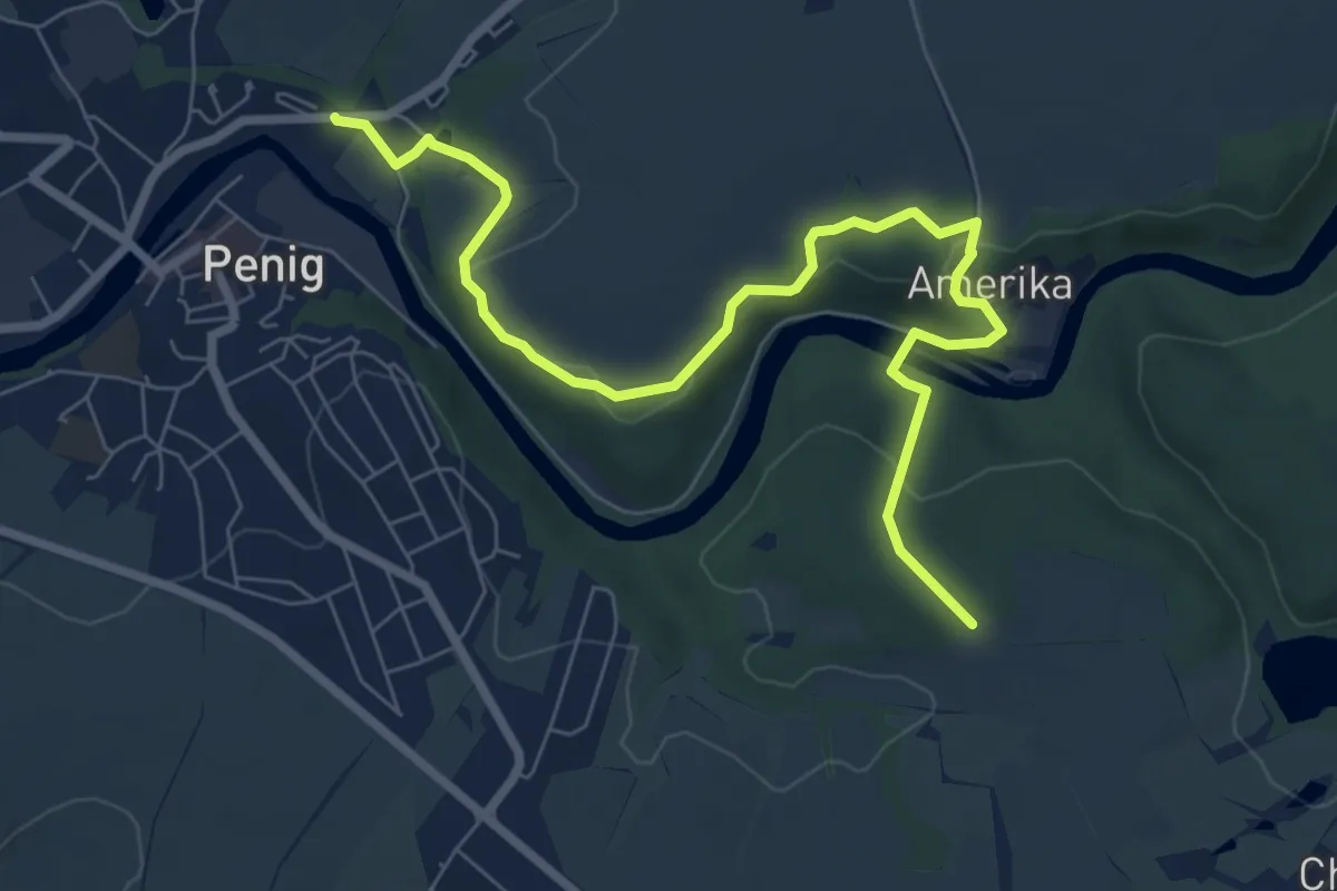
Easy · Trail
Ww Penig- weiße Spitze- Amerika-steinerner Tisch
7.8 km · ↑ 187 m · 2 h 15 min
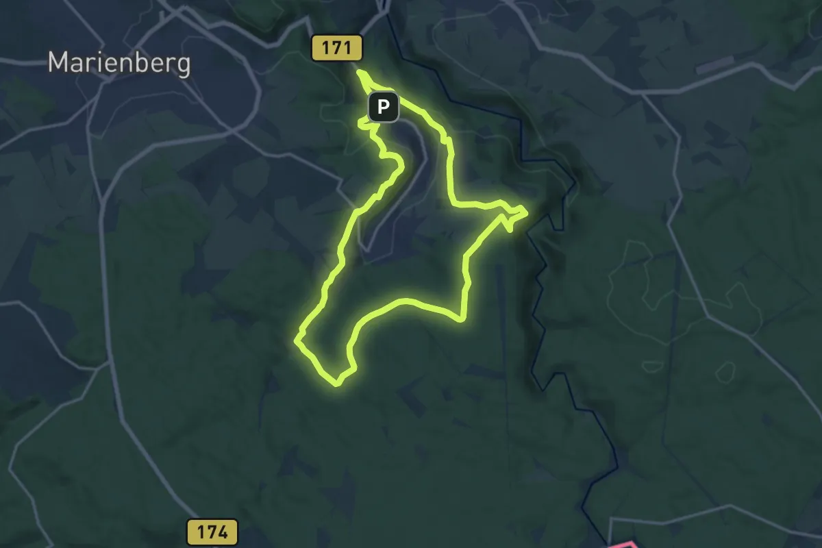
Medium · Summit
Ww Pobershauer Rundweg
13.3 km · ↑ 283 m · 3 h 56 min
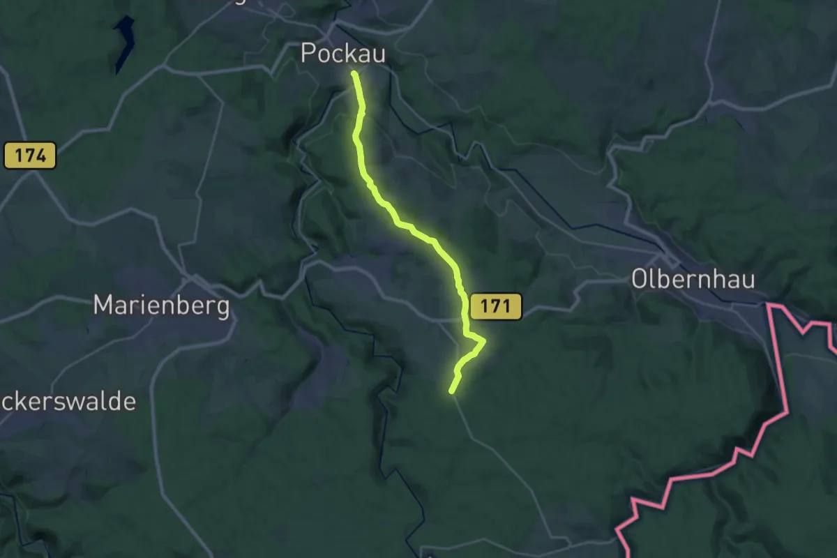
Demanding · Trail
Ww Pockau-Ansprung Oberdorf
19.8 km · ↑ 408 m · 5 h 33 min
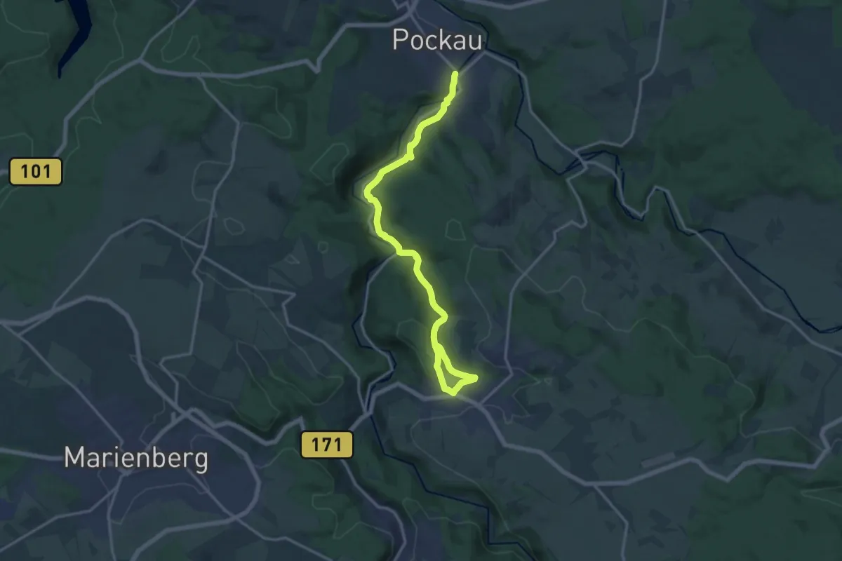
Expert · Trail
Ww Pockau über Kneesenbachtal - Zöblitz
14.7 km · ↑ 404 m · 4 h 21 min