Trails in Germany
36,877 hiking trails, each with its route, climb, walking time and grade.
All trails, page 743 of 769
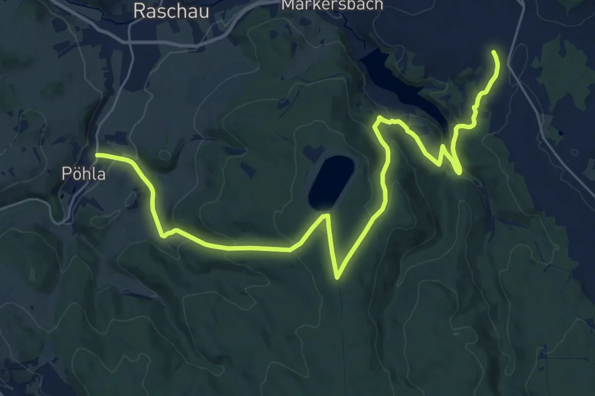
Demanding · Trail
Ww Pöhla - Markersbach - Fuß des Scheibenberges, In Pöhla Markierung mangelhaft
26.3 km · ↑ 827 m · 8 h
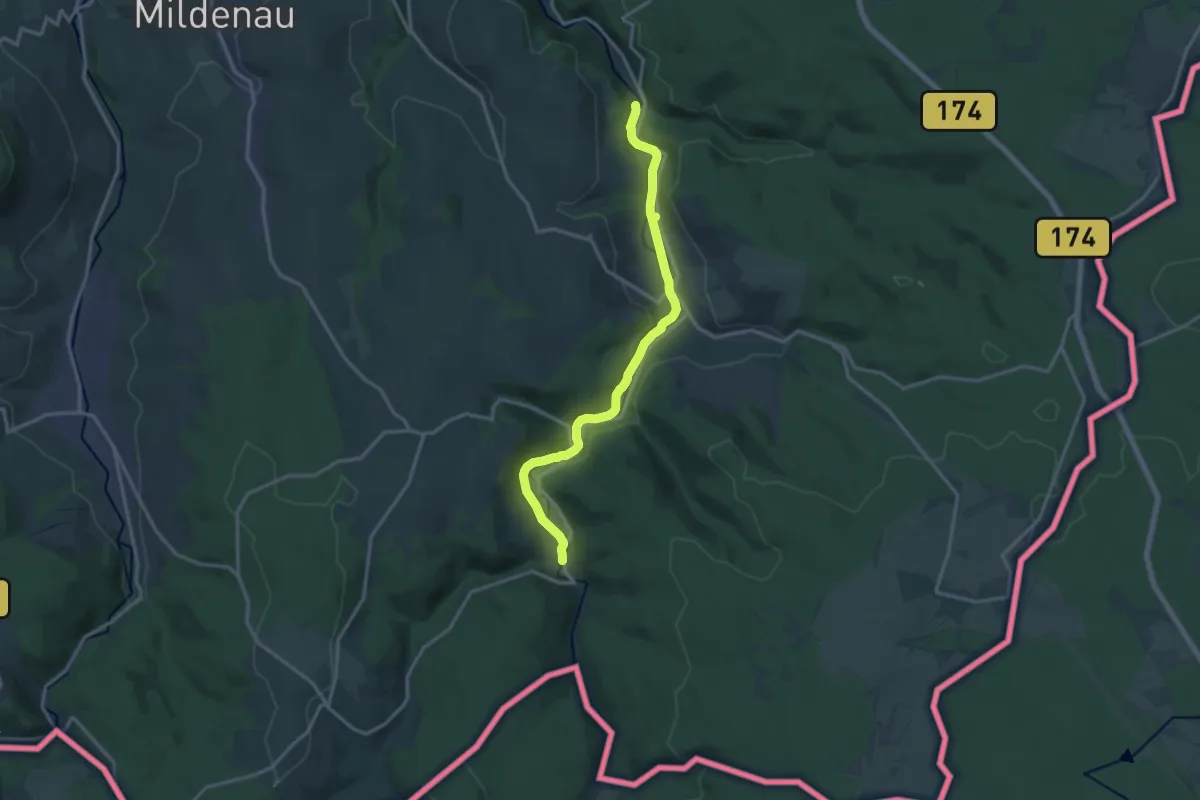
Medium · Trail
Ww Preßnitztal ab Haselbach-Schmalzgrube
14.3 km · ↑ 194 m · 3 h 48 min
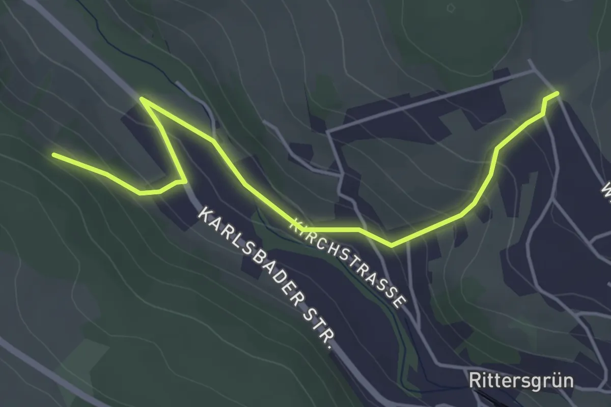
Easy · Trail
WW Querverbindung Rittersgrün
4.3 km · ↑ 210 m · 1 h 28 min
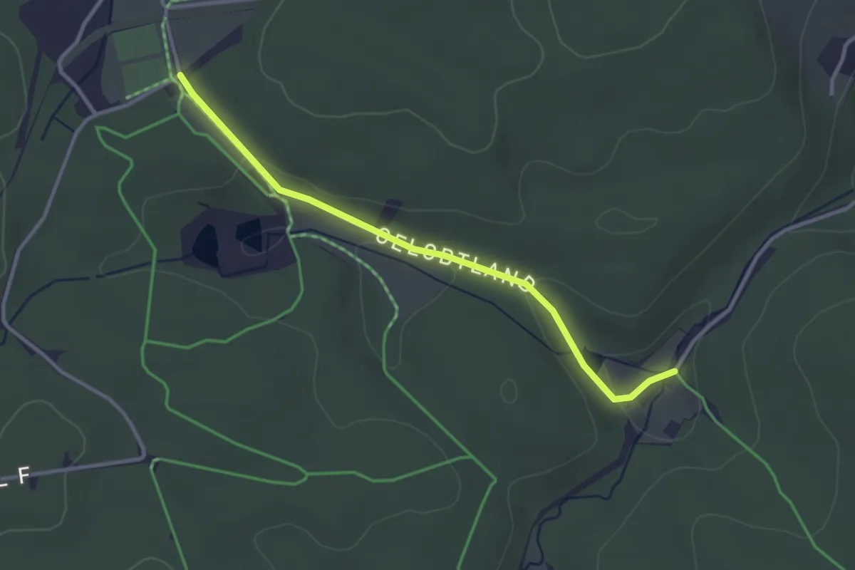
Easy · Trail
Ww Rätzens-Brettmühle-Gelobtland
2.9 km · ↑ 49 m · 47 min
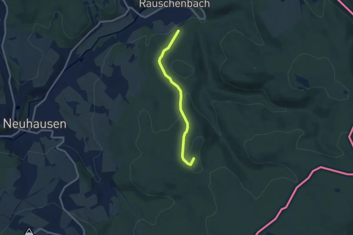
Easy · Summit
Ww Rauschenbach - Schutzhütte am Zigeunerweg,
5.2 km · ↑ 190 m · 1 h 38 min
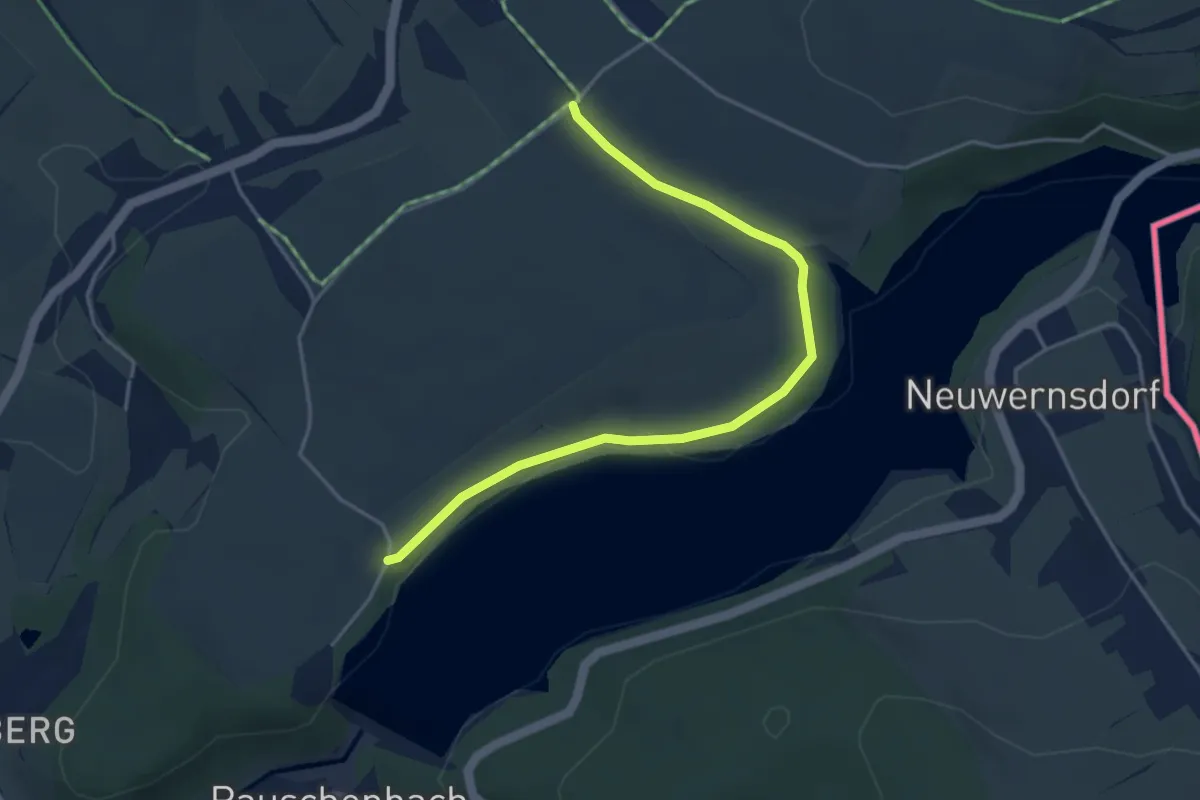
Easy · Trail
Ww Rauschenbachtalsperre - Cämmerswalde
4.0 km · ↑ 46 m · 1 h 3 min
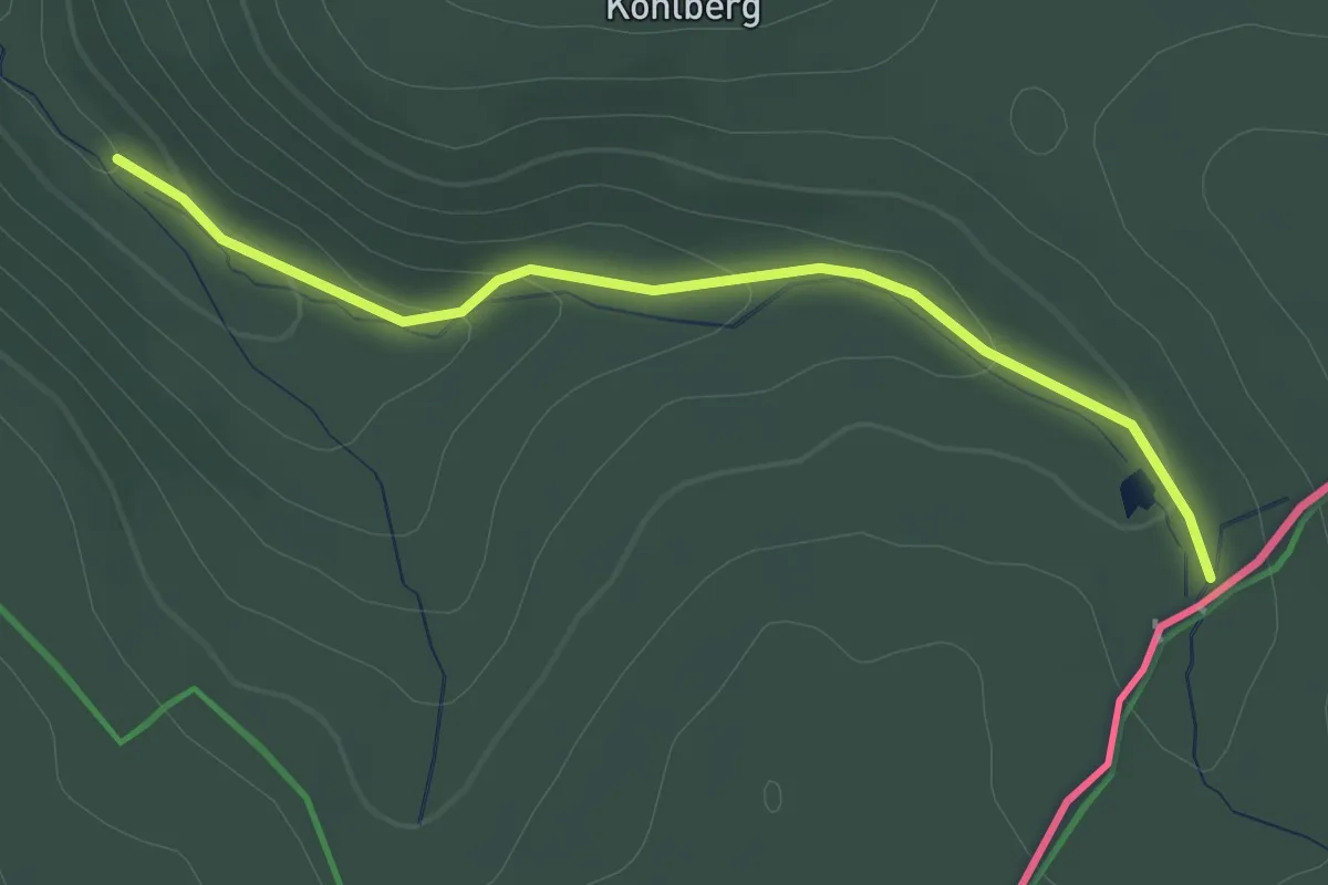
Easy · Trail
Ww Rauschenbach - Zigeunerweg, Markierung z.T. mangelhaft
2.3 km · ↑ 54 m · 39 min
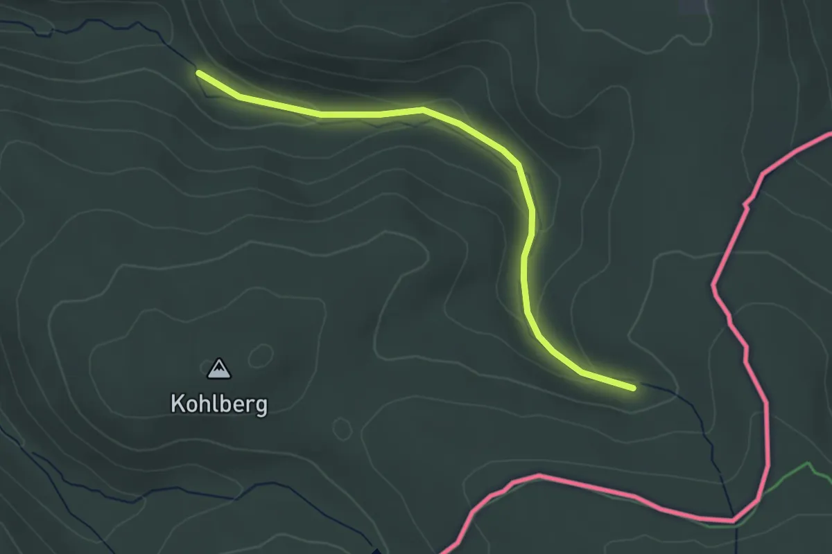
Easy · Trail
Ww Rauschenflußweg, Markierung z.T. mangelhaft
3.2 km · ↑ 92 m · 58 min
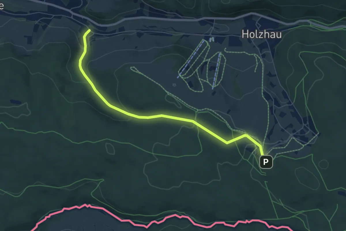
Easy · Trail
Ww Rechenberg - Fischerbaude, Markierung sehr sparsam
6.6 km · ↑ 197 m · 2 h
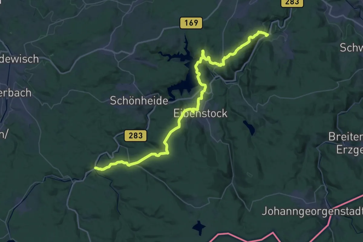
Demanding · Trail
Ww Rechenhaus-Albernau-Neidhardtsthal-Eibenstock-Rautenkranz
23.9 km · ↑ 534 m · 7 h 14 min
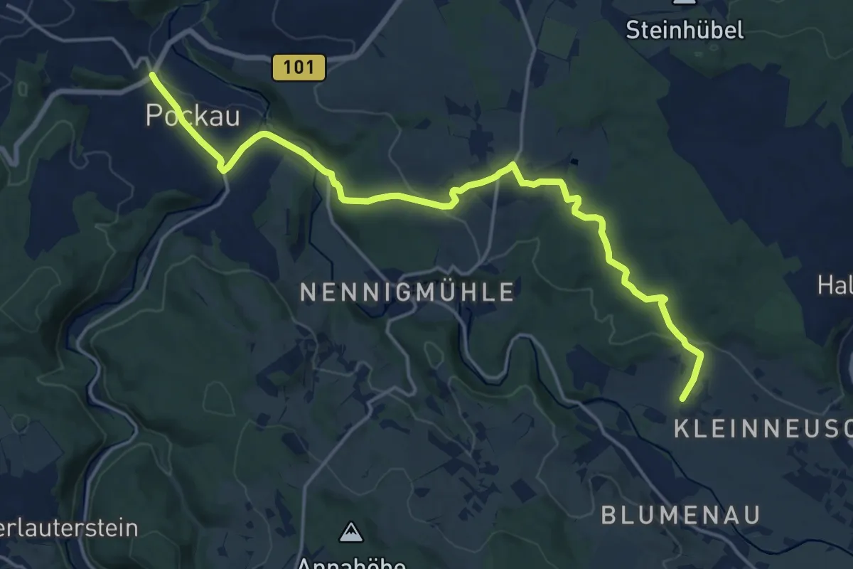
Medium · Trail
Ww Reukersdorf-Wernsdorf-Pockau
16.7 km · ↑ 414 m · 4 h 51 min
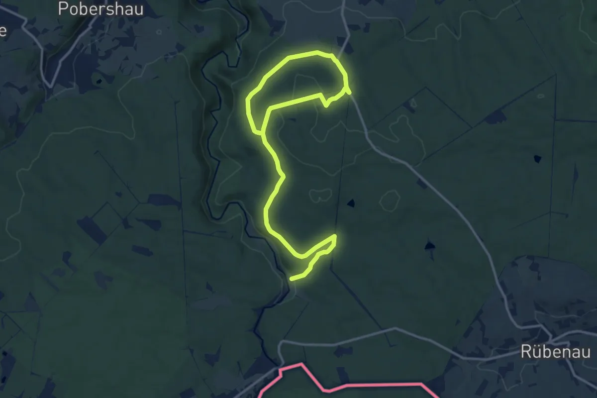
Medium · Trail
Ww Richtung Raubschloßruine Liebenstein Schwarzwassertal
15.2 km · ↑ 217 m · 4 h 3 min
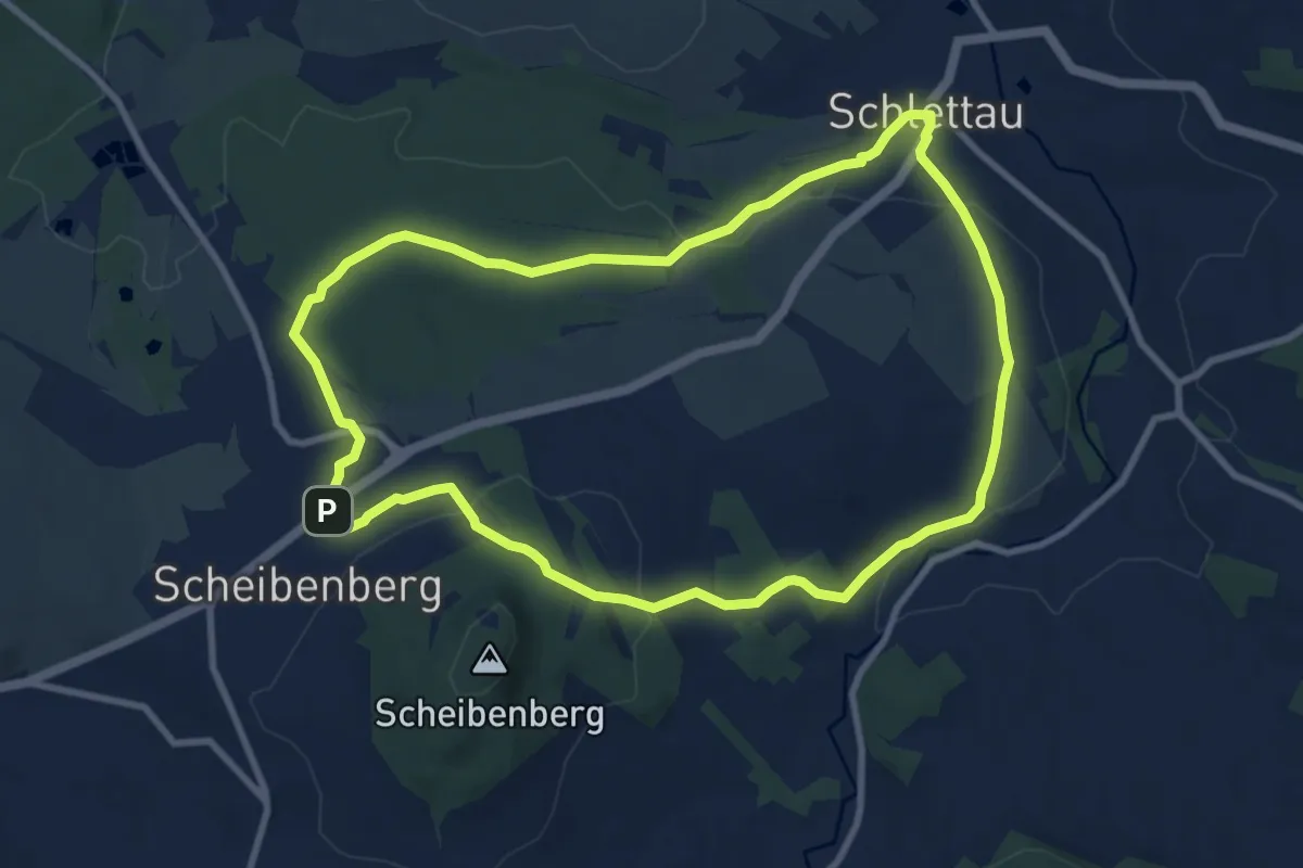
Medium · Trail
Ww Ringweg Schlettau
8.7 km · ↑ 190 m · 2 h 35 min
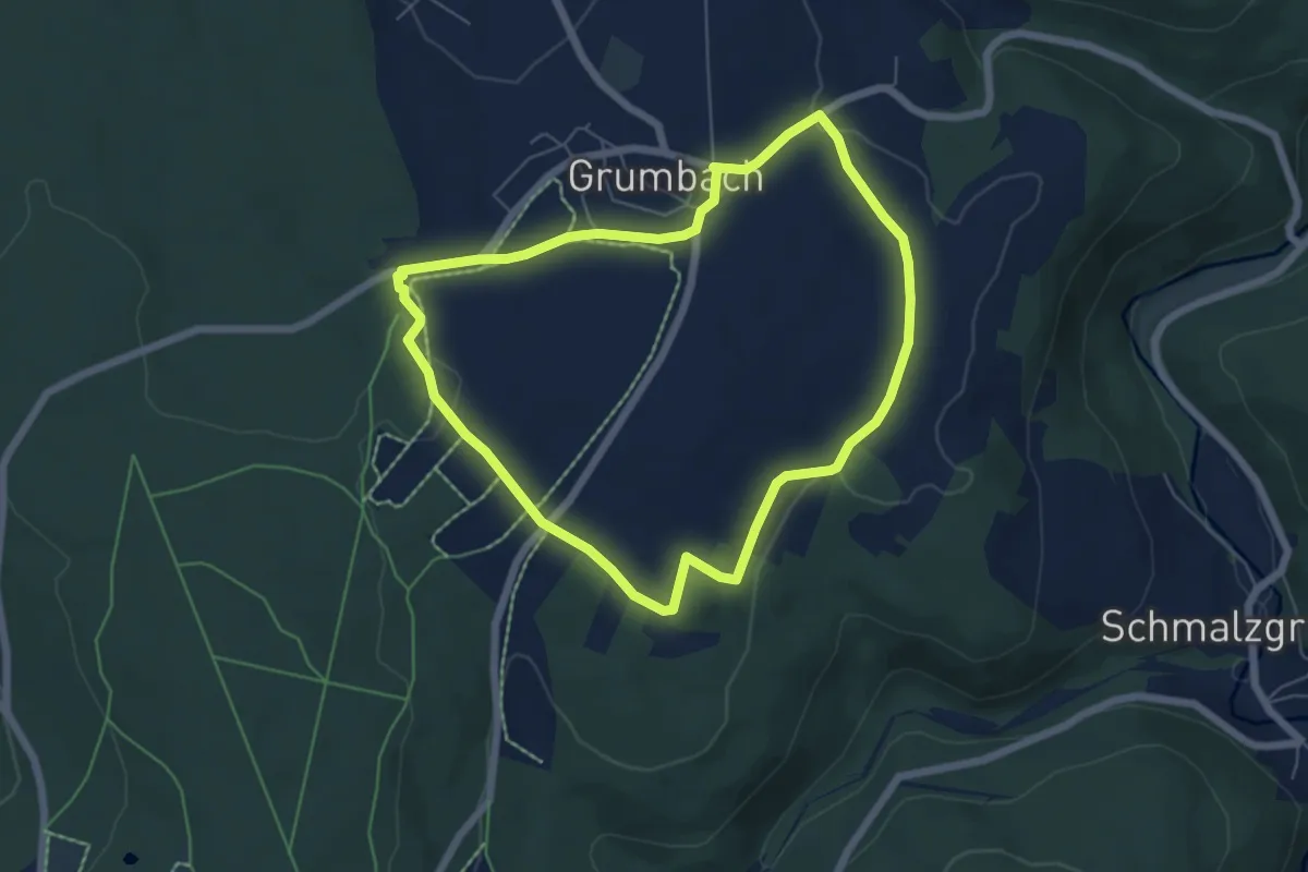
Easy · Trail
Ww Ringweg um Grumbach
5.3 km · ↑ 59 m · 1 h 27 min
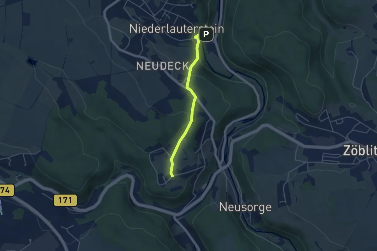
Easy · Trail
Ww Rittersberg-Niederlauterstein
3.4 km · ↑ 121 m · 1 h 4 min
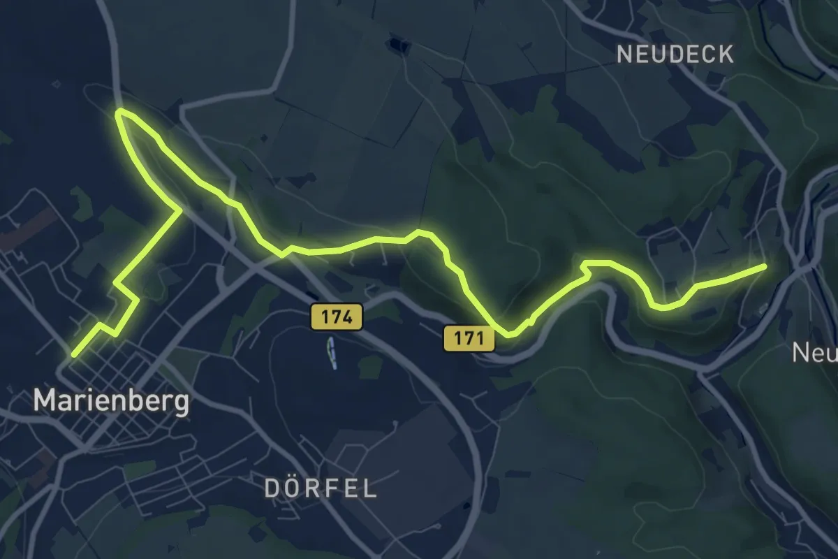
Medium · Trail
Ww Rittersberg-Umgehungsstraße Marienberg-Marienberg
11.5 km · ↑ 245 m · 3 h 14 min
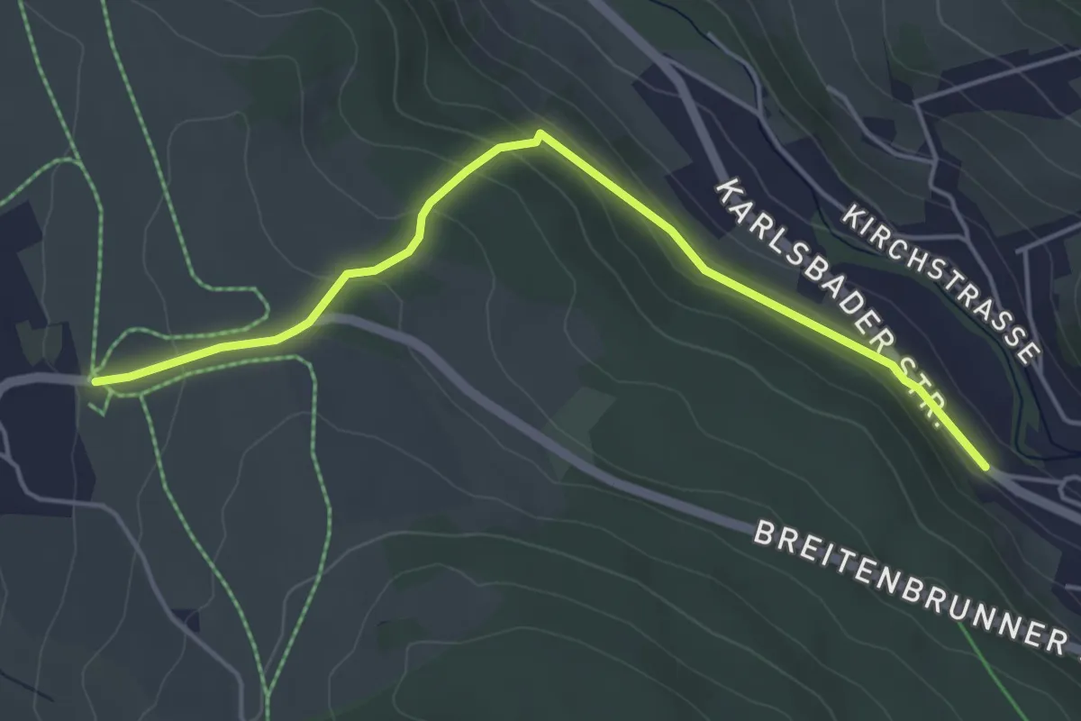
Easy · Trail
WW Rittersgrün-Breitenbrunn
4.4 km · ↑ 150 m · 1 h 22 min
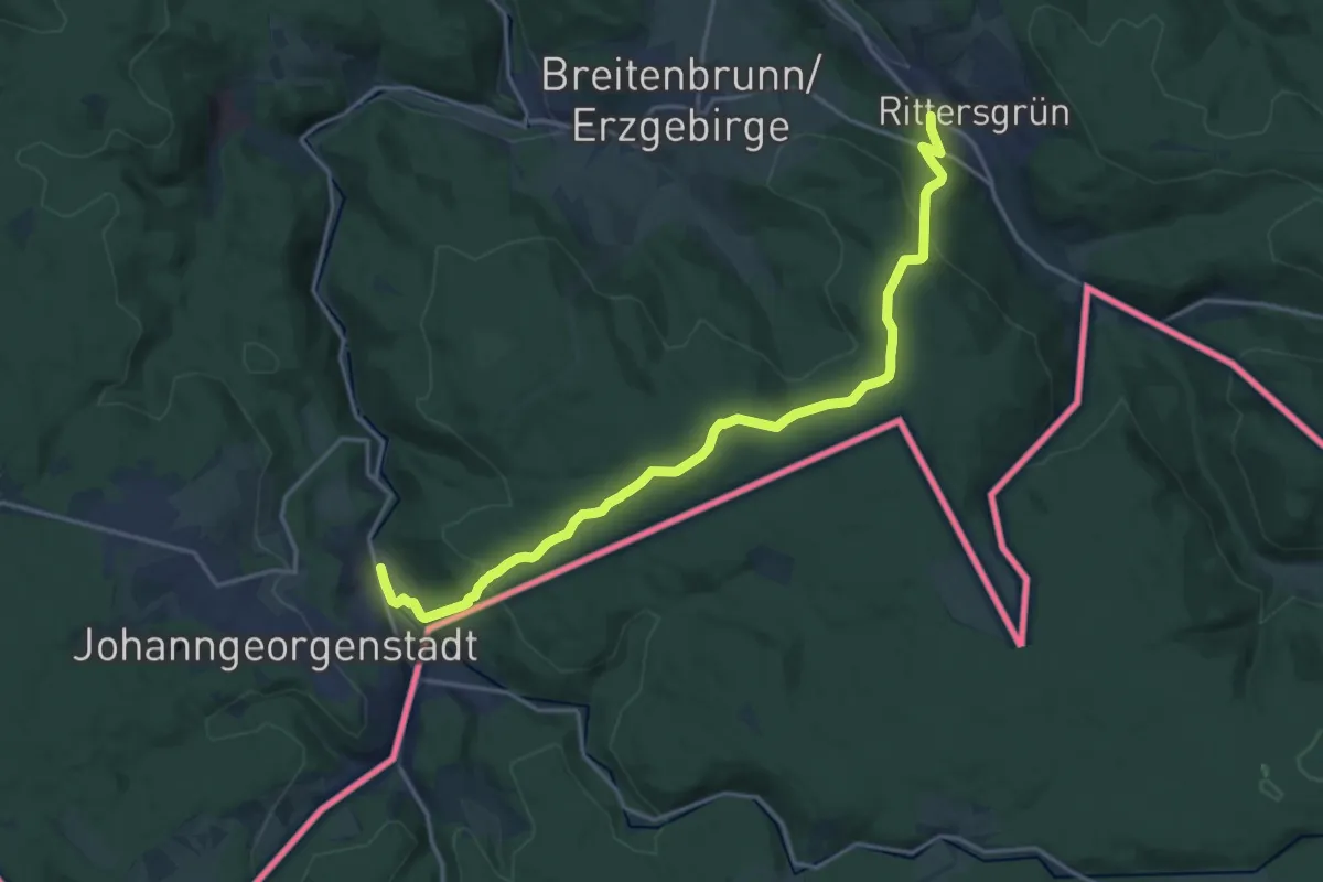
Medium · Trail
Ww Rittersgrün - Johanngeorgenstadt
17.5 km · ↑ 499 m · 5 h 13 min
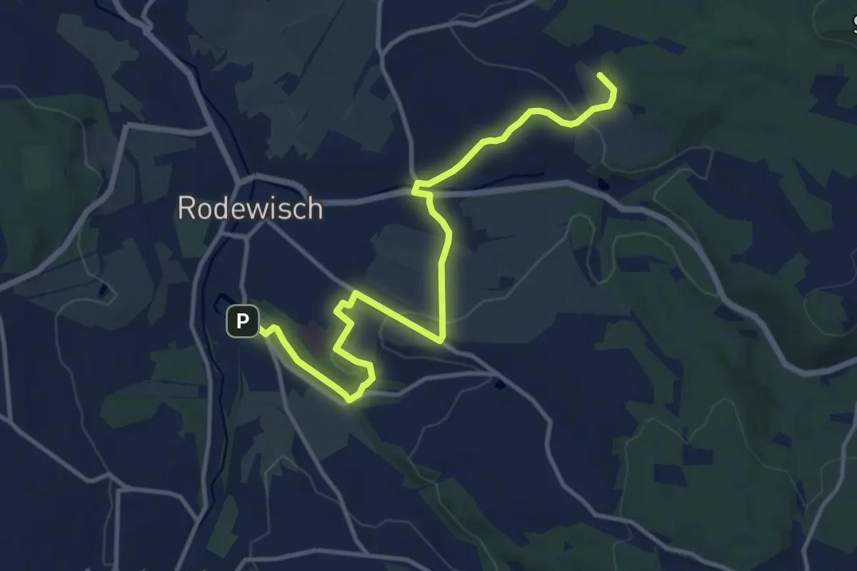
Medium · Trail
Ww Rodewisch - Rebesbrunn - Anschluß rote Markierung Richtung Steinberg
11.1 km · ↑ 257 m · 3 h 11 min
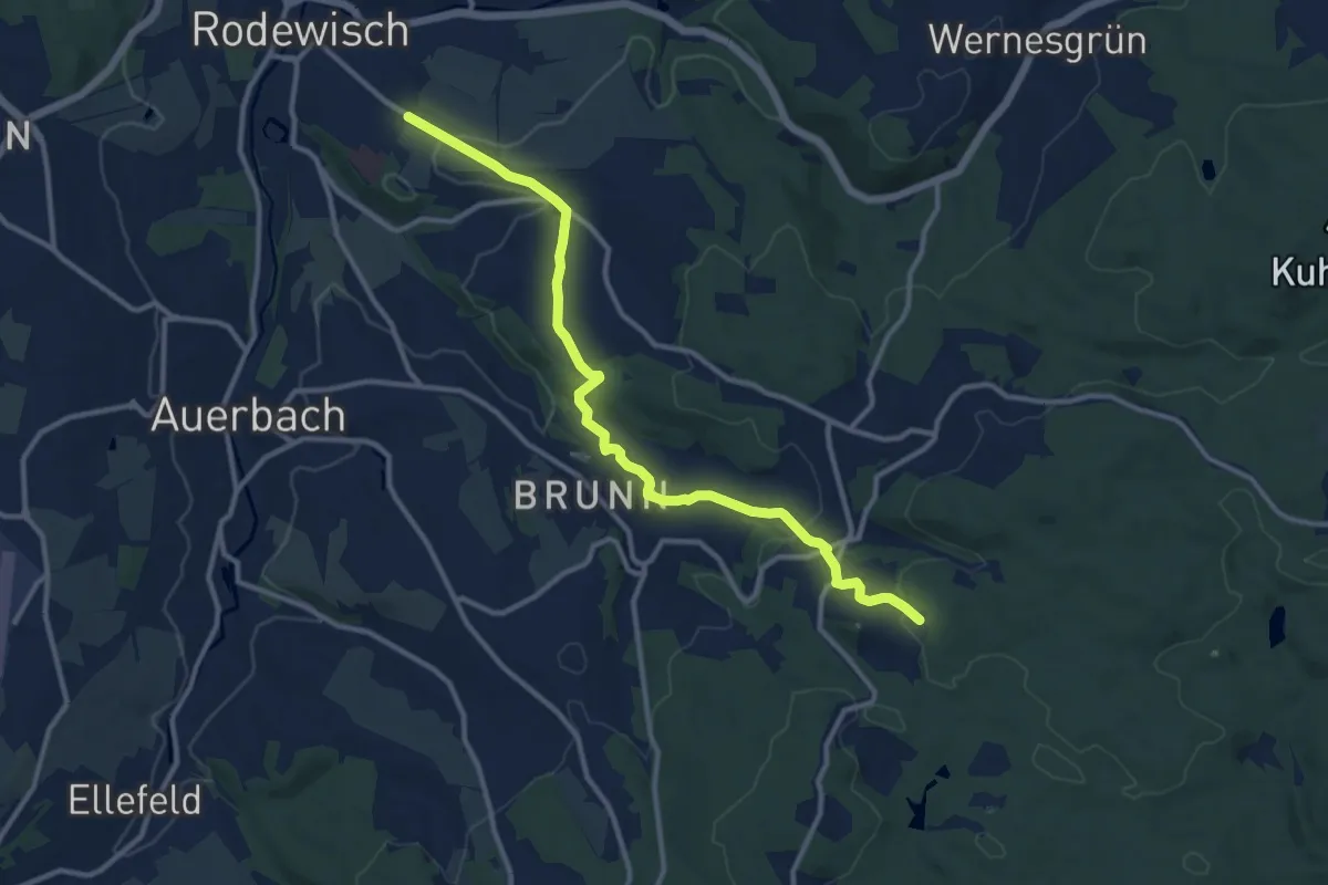
Medium · Trail
Ww Rodewisch - Rützengrün - Vogelsgrün
11.3 km · ↑ 300 m · 3 h 19 min
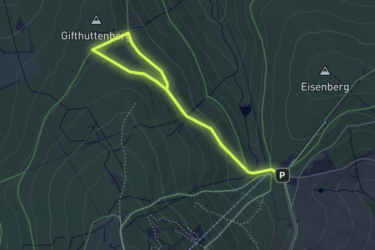
Easy · Trail
Ww Rotes Vorwerk - Pförtelstraße
4.4 km · ↑ 109 m · 1 h 17 min
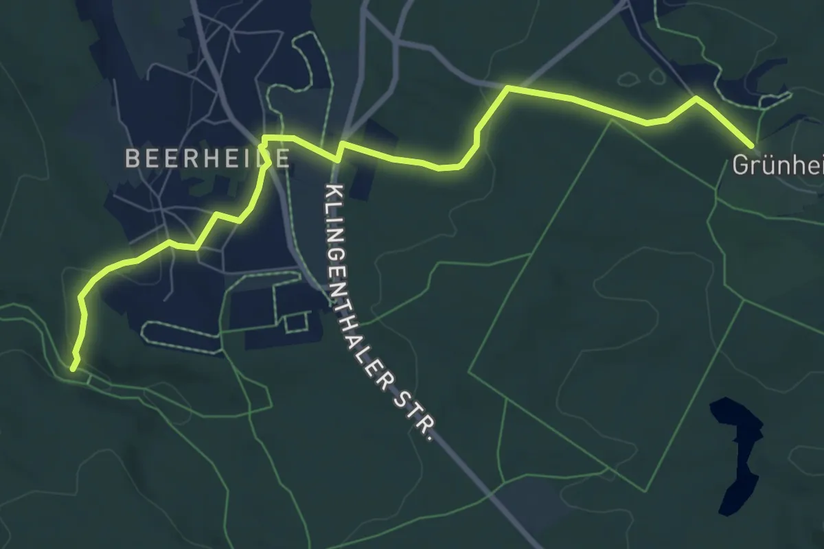
Easy · Trail
Ww Röthelstein - Beerheide - Grünheide
7.9 km · ↑ 163 m · 2 h 13 min
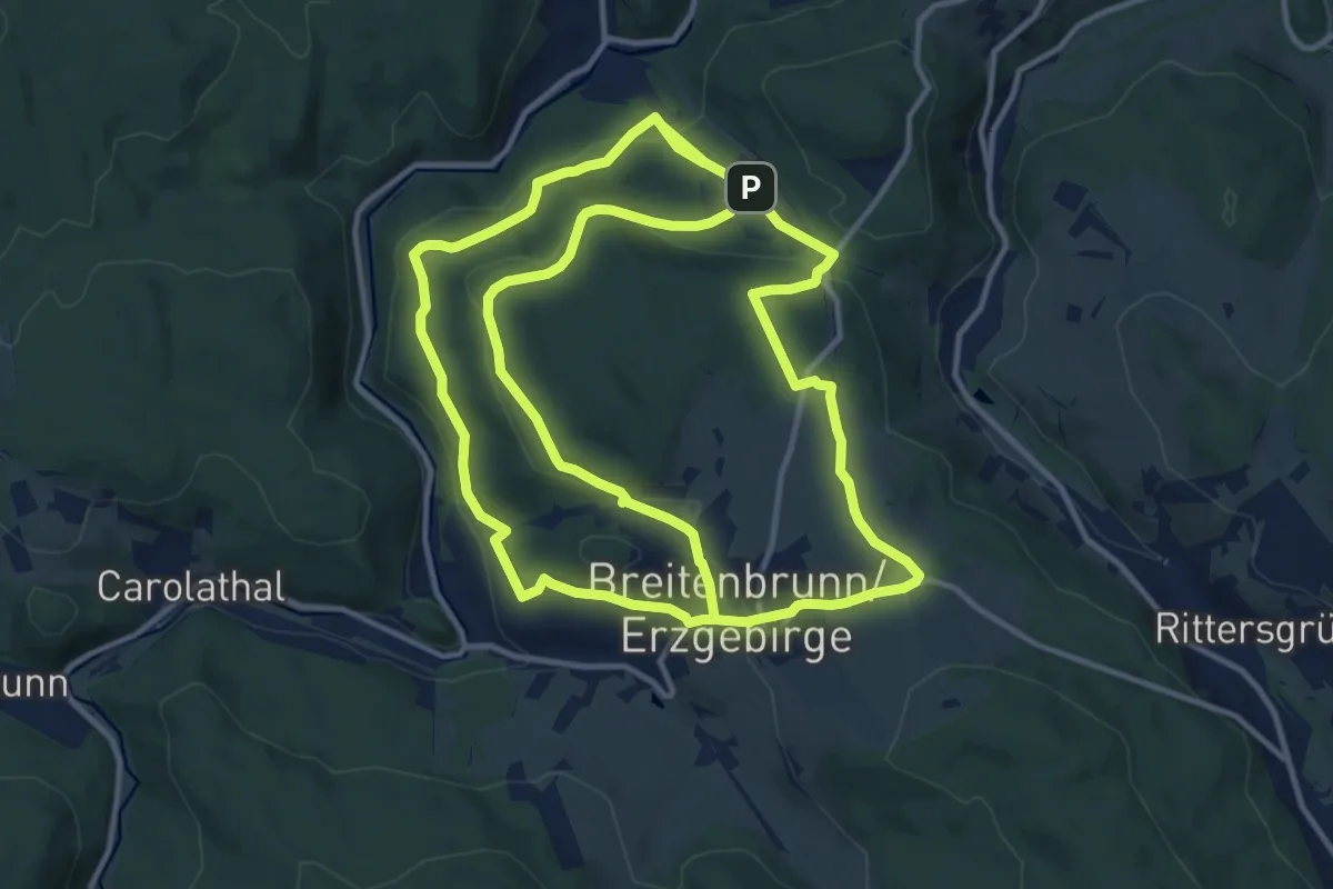
Medium · Trail
WW Rund um Breitenbrunn
13.7 km · ↑ 391 m · 4 h 15 min
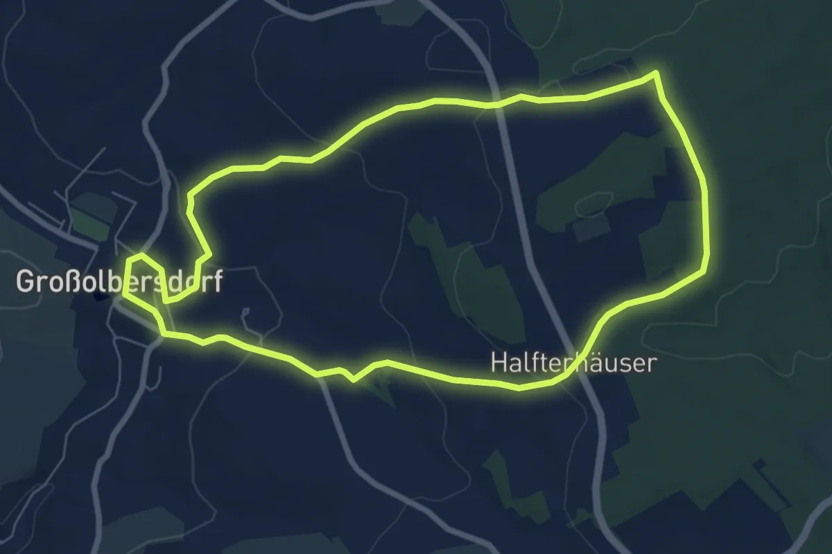
Easy · Trail
Ww Rund um den Zeißighübel
6.6 km · ↑ 138 m · 1 h 57 min
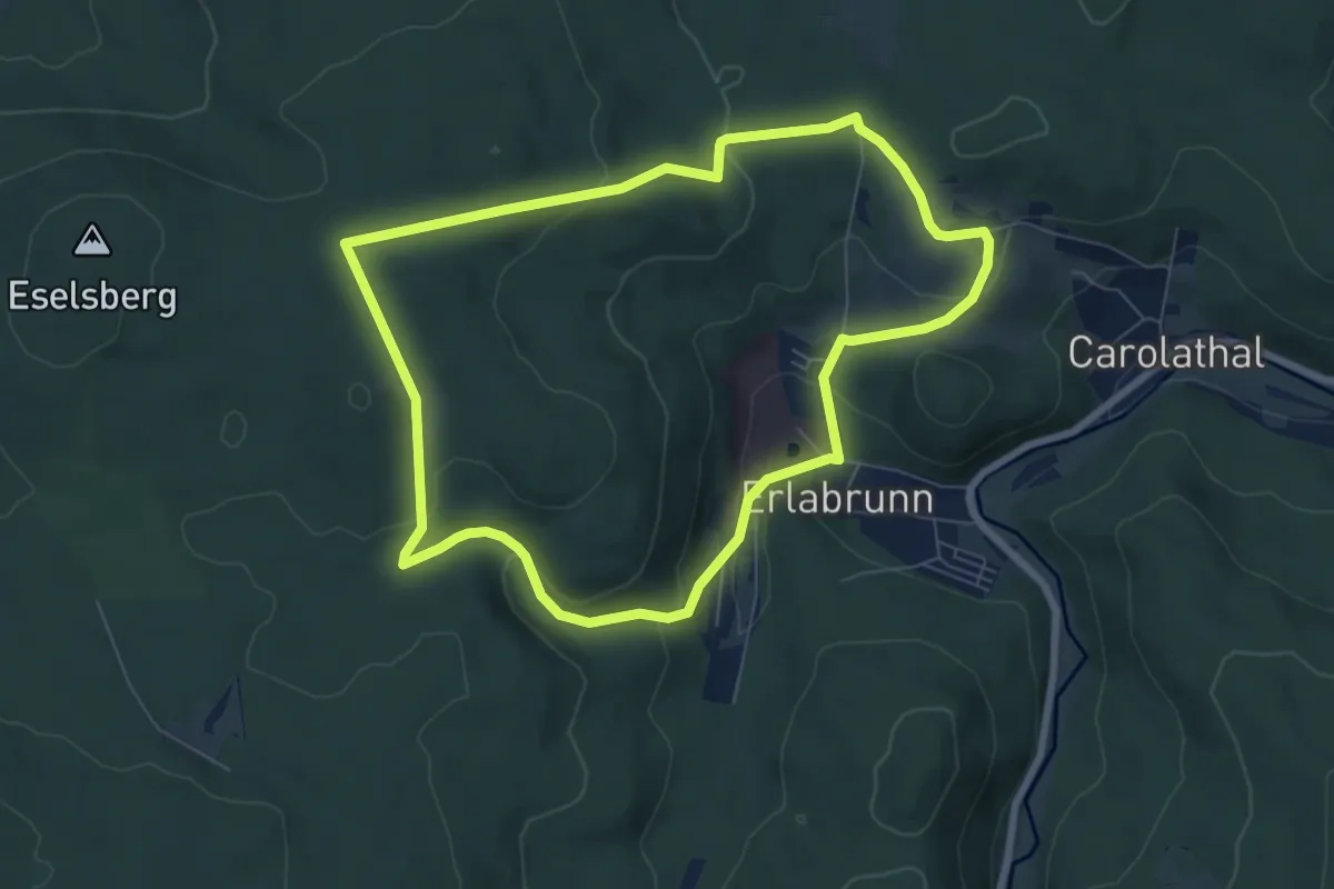
Easy · Trail
WW Rund um Erlabrunn
6.7 km · ↑ 214 m · 2 h 8 min
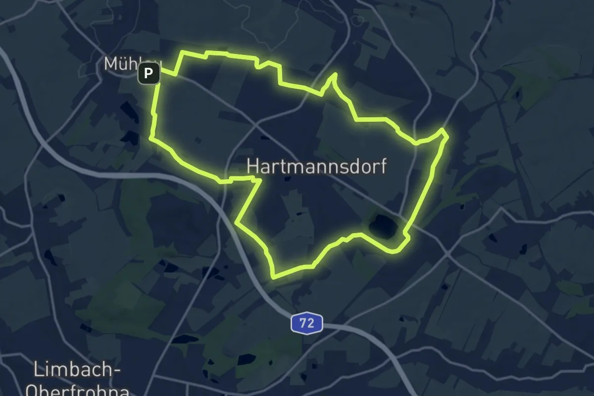
Medium · Trail
Ww Rund um Hartmannsdorf
13.7 km · ↑ 117 m · 3 h 41 min
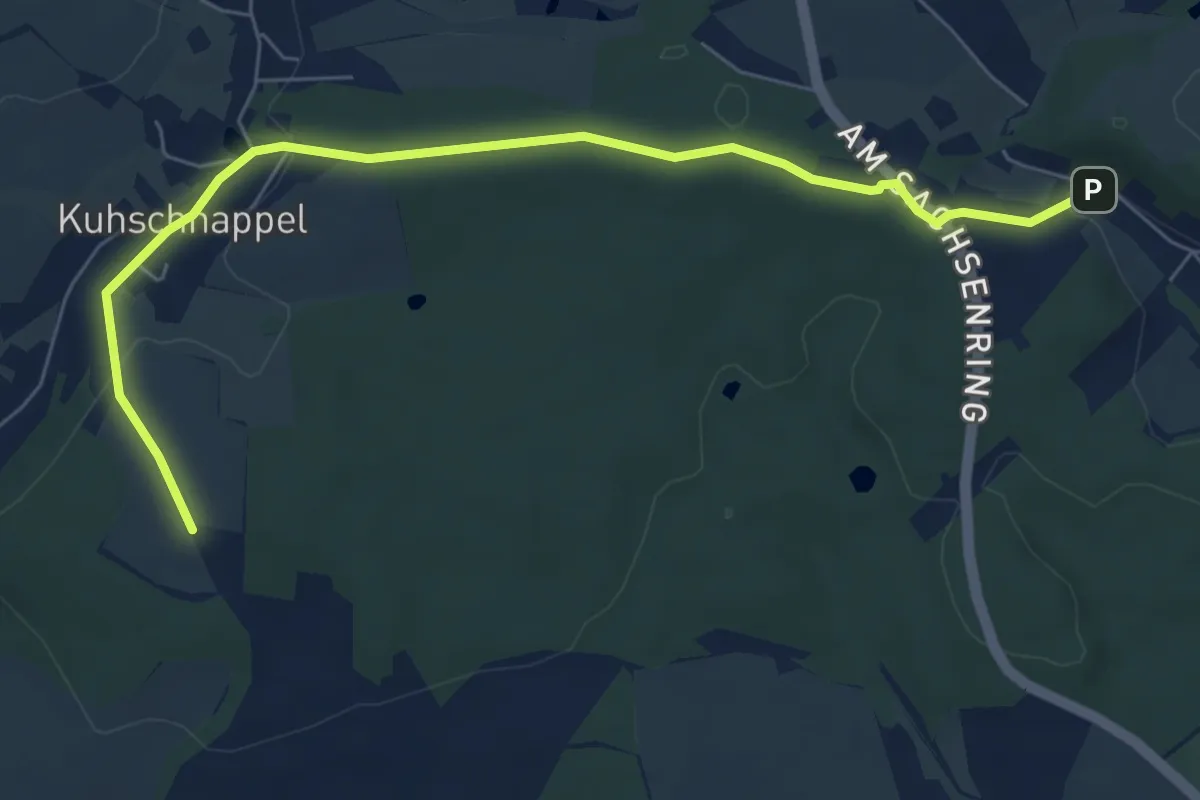
Easy · Trail
Ww Rund um Hohenstein-Ernstthal, Teilstück
6.9 km · ↑ 149 m · 1 h 57 min
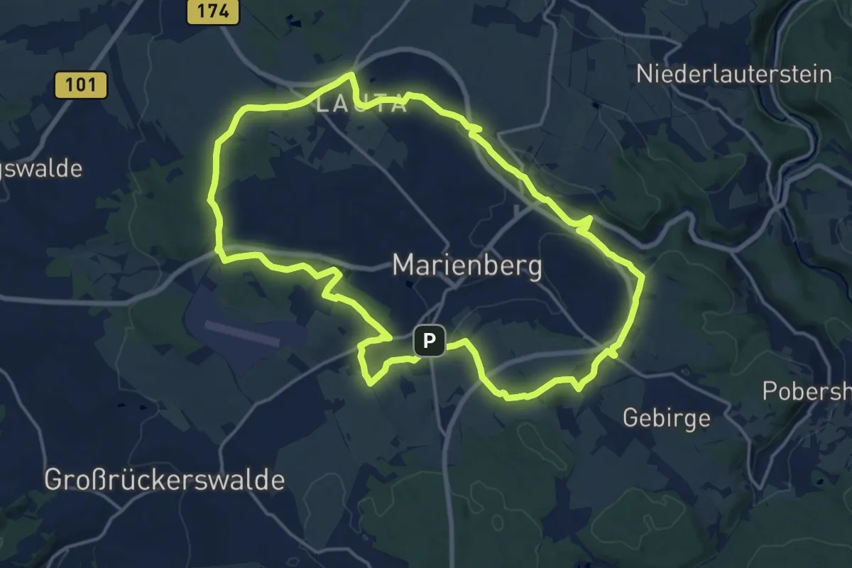
Medium · Summit
Ww Rund um Marienberg
15.6 km · ↑ 246 m · 4 h 27 min
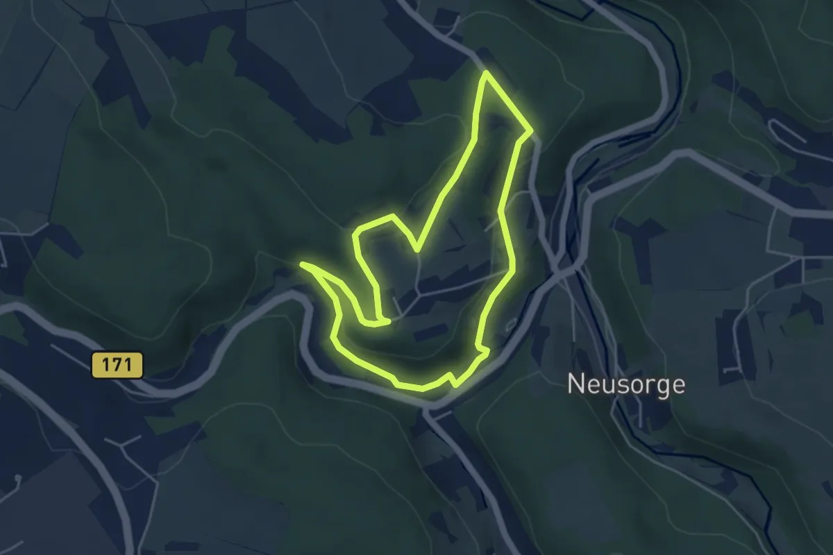
Easy · Trail
Ww Rund um Rittersberg
3.9 km · ↑ 97 m · 1 h 12 min
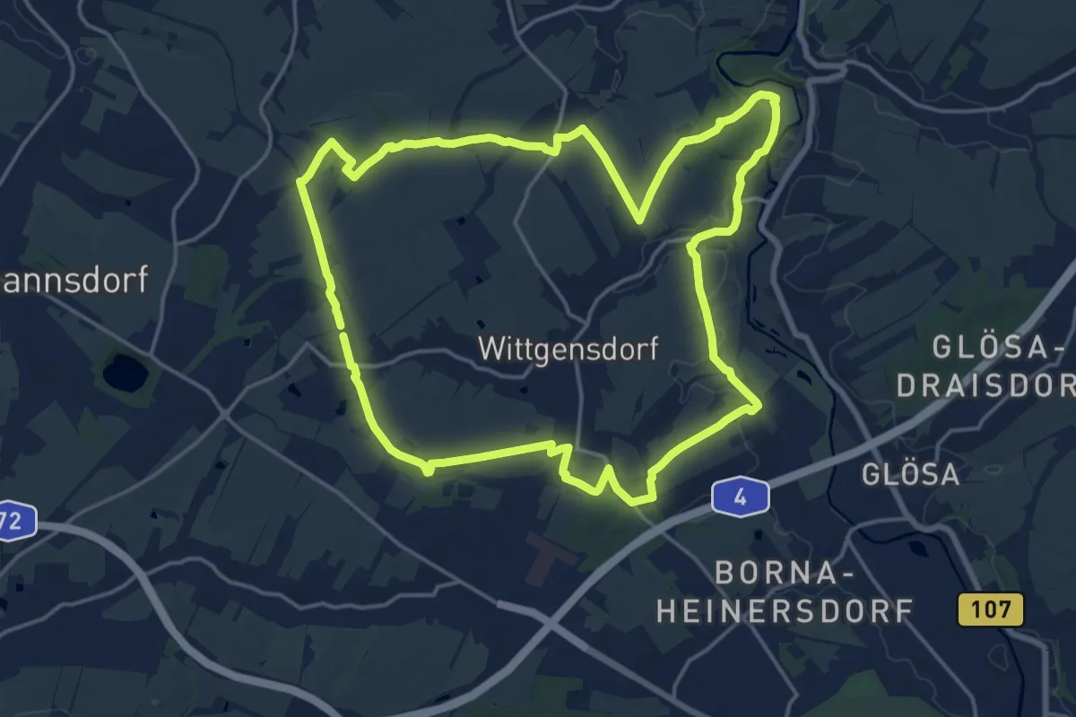
Medium · Trail
Ww Rund um Wittgensdorf
16.4 km · ↑ 166 m · 4 h 28 min
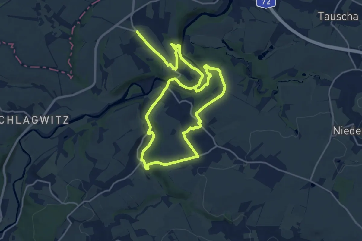
Demanding · Trail
Ww rund um Wolkenburg
21.6 km · ↑ 421 m · 6 h 1 min
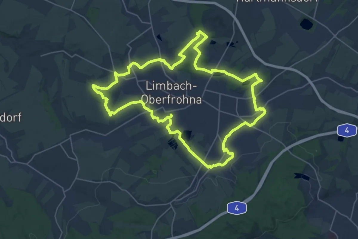
Demanding · Trail
Ww Rundwanderweg Limbach-Oerfrohna
20.1 km · ↑ 174 m · 5 h 24 min
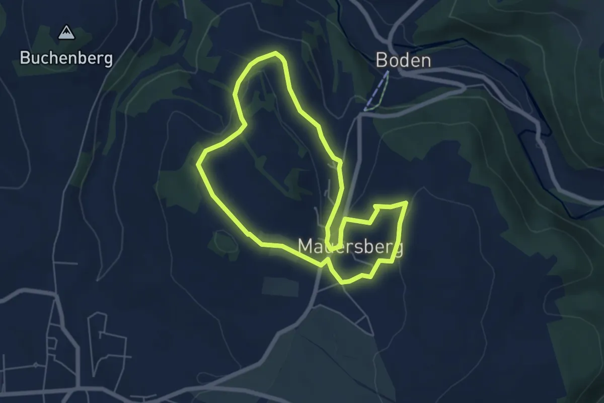
Easy · Trail
Ww Rundwanderweg Mauersberg
4.7 km · ↑ 114 m · 1 h 25 min
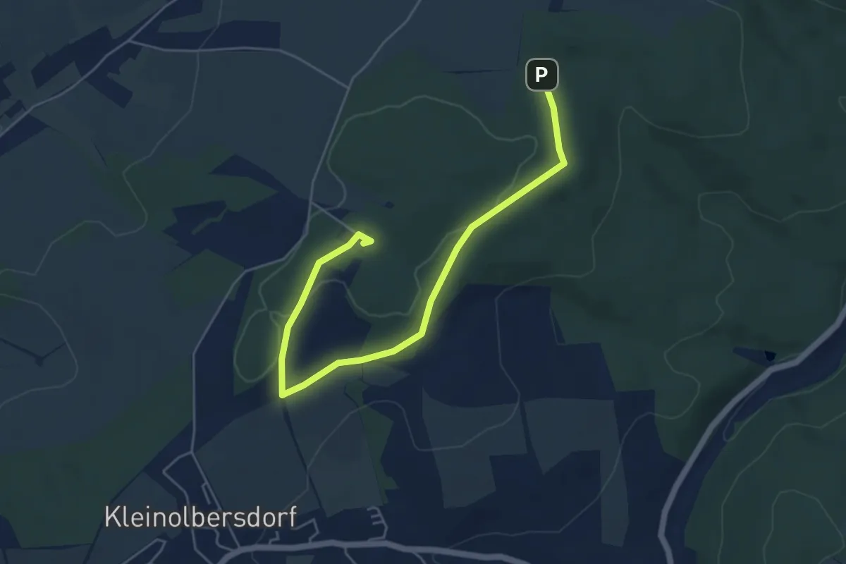
Easy · Summit
Ww Rundweg Adelsberg
5.3 km · ↑ 87 m · 1 h 27 min
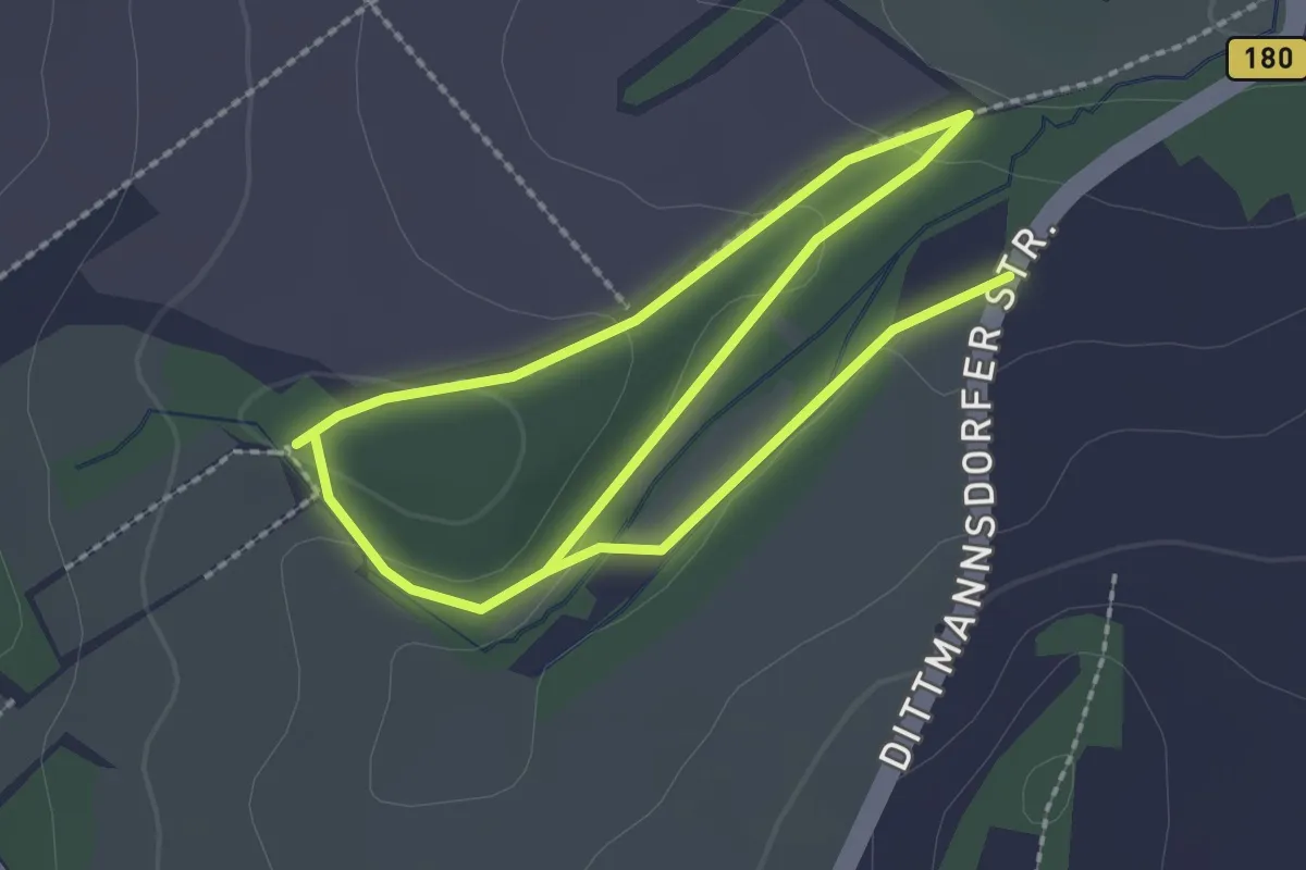
Easy · Trail
Ww Rundweg am Wall
3.8 km · ↑ 71 m · 1 h 3 min
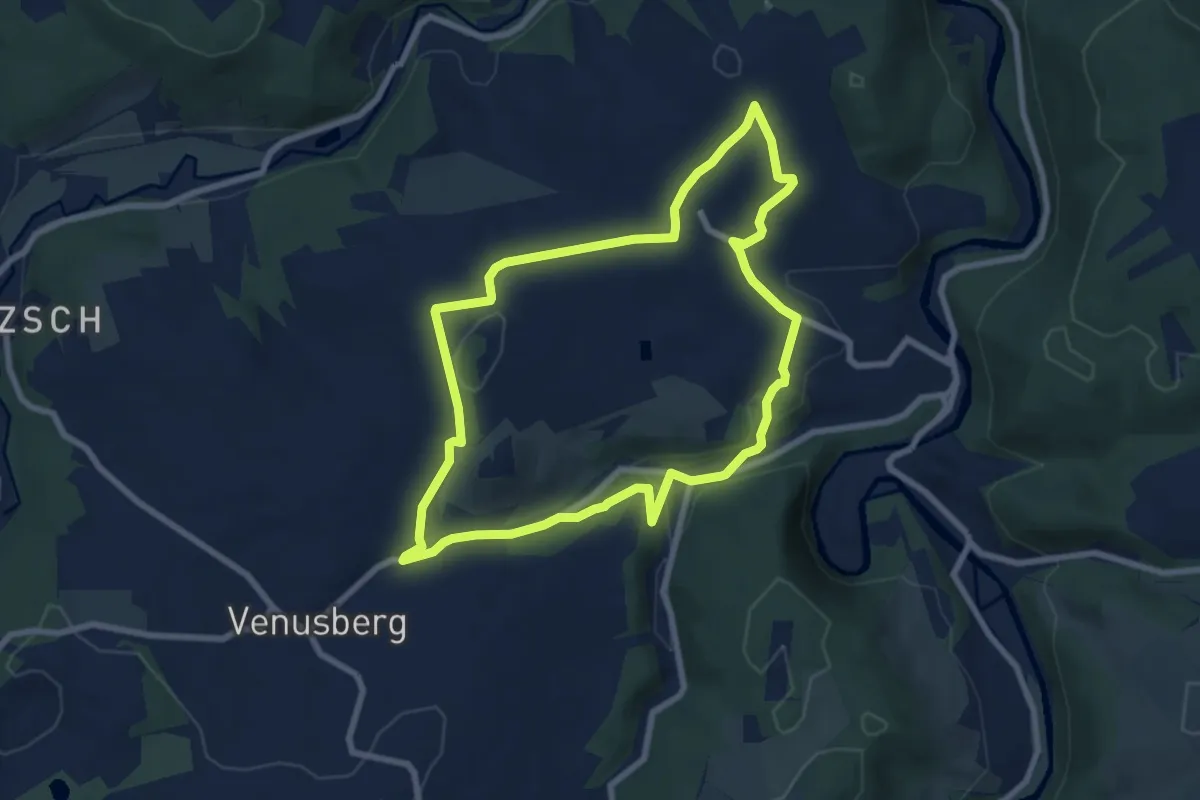
Easy · Trail
Ww Rundweg Grießbach, Markierung z.T. mangelhaft.
6.9 km · ↑ 152 m · 2 h 4 min
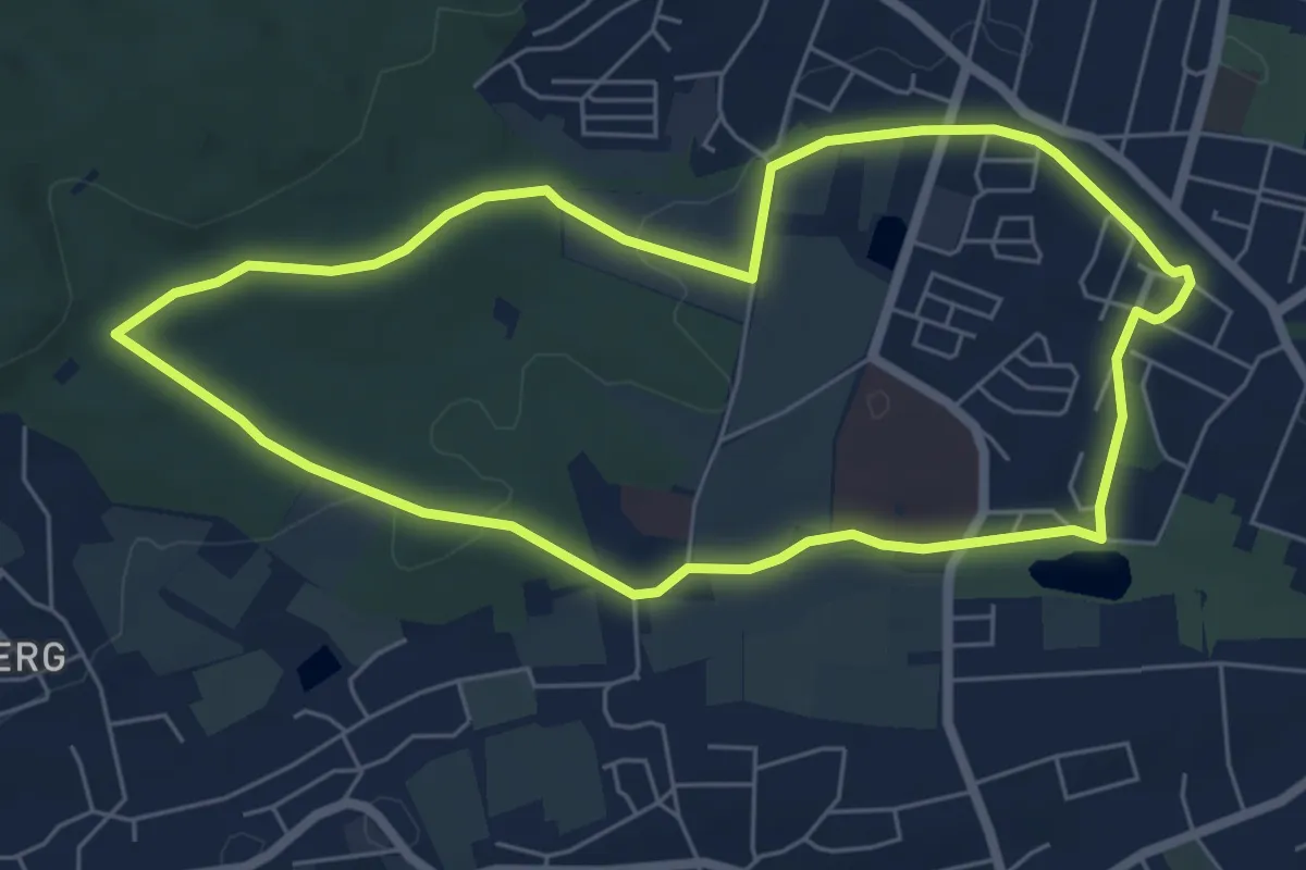
Easy · Trail
Ww Rundweg Grüna
5.6 km · ↑ 61 m · 1 h 32 min
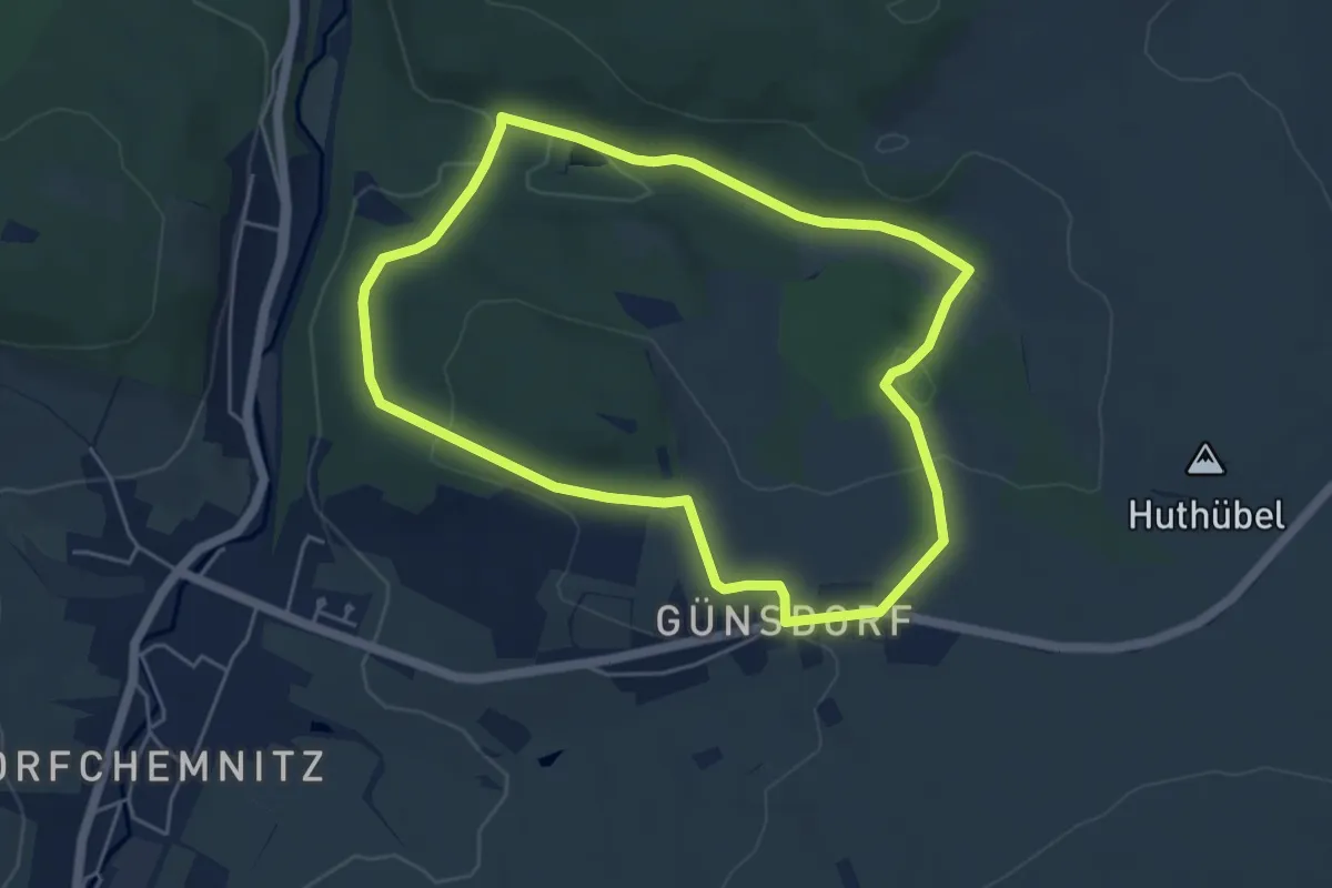
Easy · Trail
Ww "Rundweg Günsdorf"
4.5 km · ↑ 79 m · 1 h 18 min
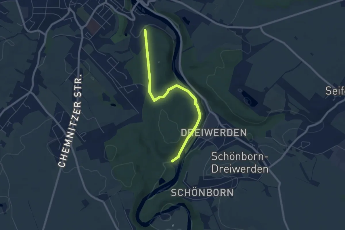
Easy · Trail
Ww Rundweg Mittweida
5.4 km · ↑ 95 m · 1 h 29 min
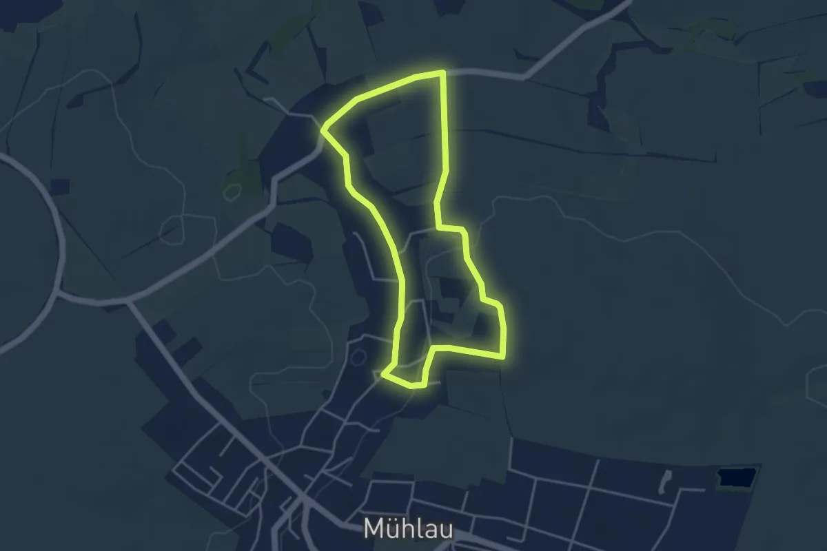
Easy · Summit
Ww Rundweg Mühlau
3.3 km · ↑ 46 m · 55 min
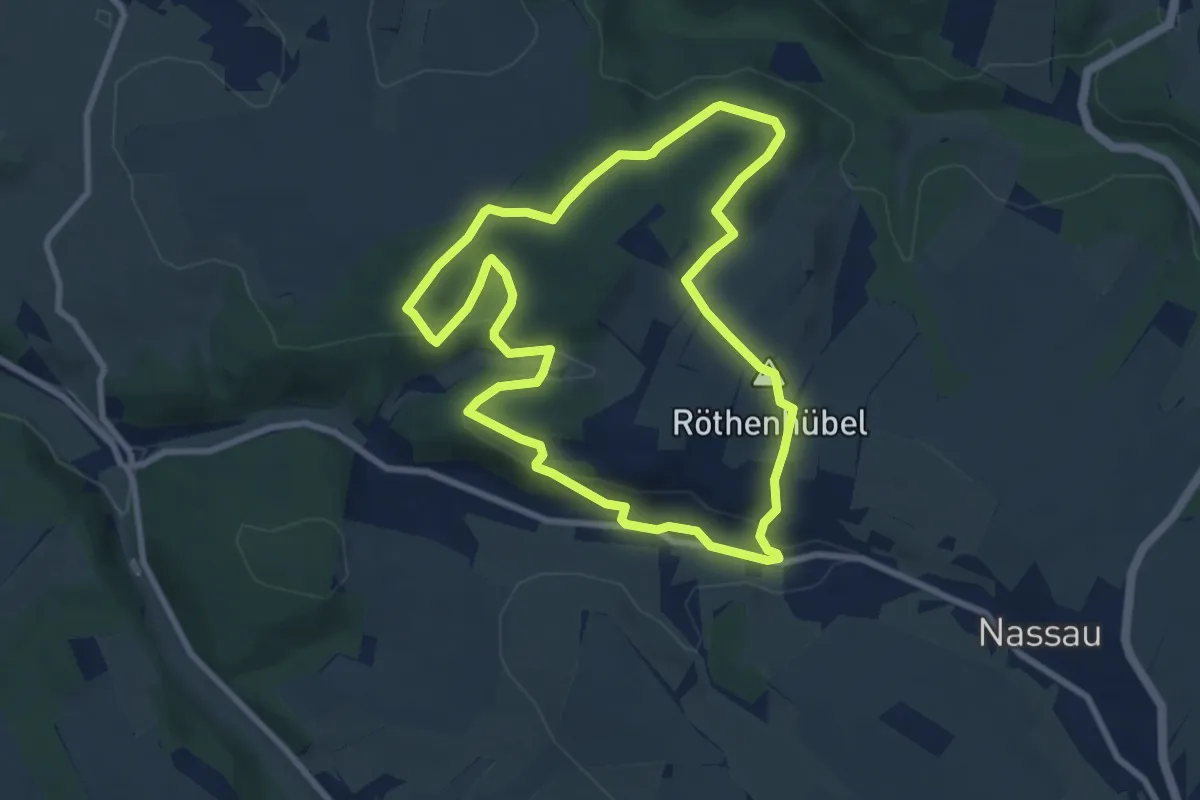
Easy · Summit
Ww Rundweg Nassau
7.6 km · ↑ 207 m · 2 h 21 min
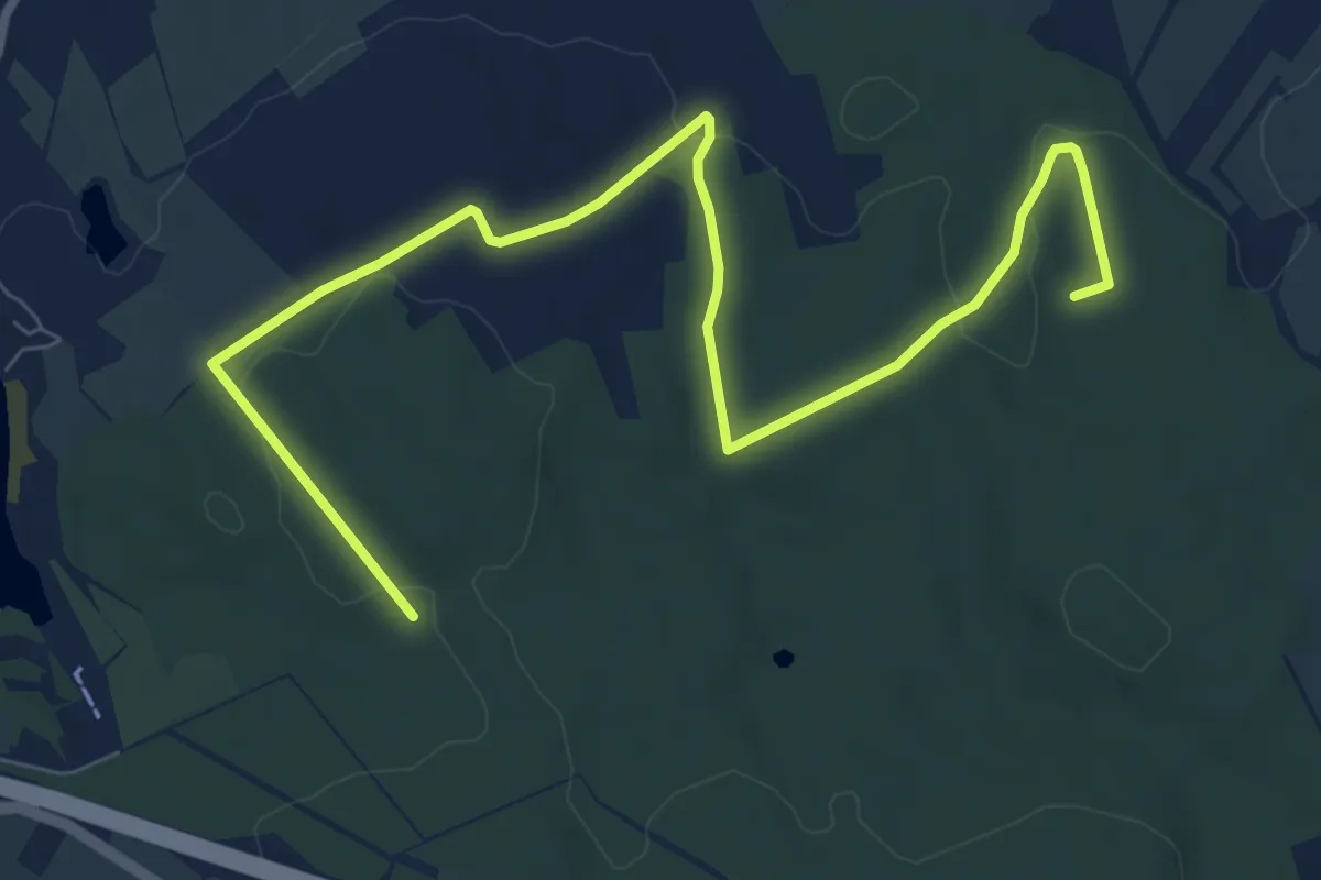
Medium · Summit
Ww Rundweg Oberwald
9.4 km · ↑ 135 m · 2 h 30 min
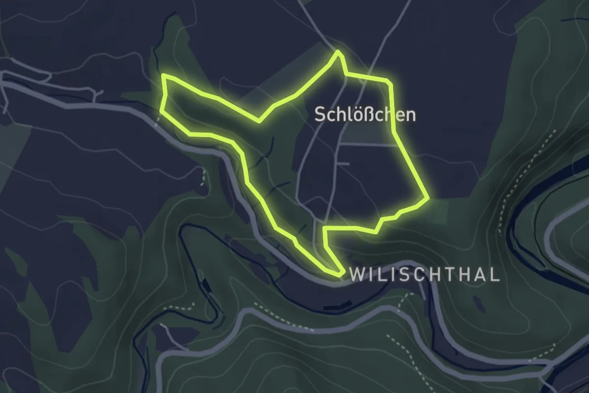
Easy · Trail
Ww Rundweg Schlösschen
3.2 km · ↑ 83 m · 58 min
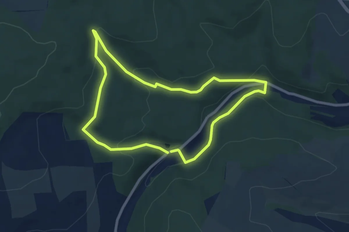
Medium · Trail
Ww Rundweg Sternmühle
4.5 km · ↑ 132 m · 1 h 25 min
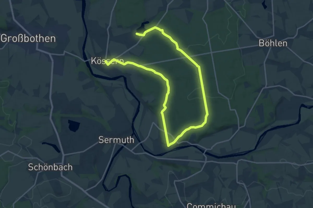
Demanding · Trail
Ww Rundweg Thümmlitzwald
20.9 km · ↑ 192 m · 5 h 21 min
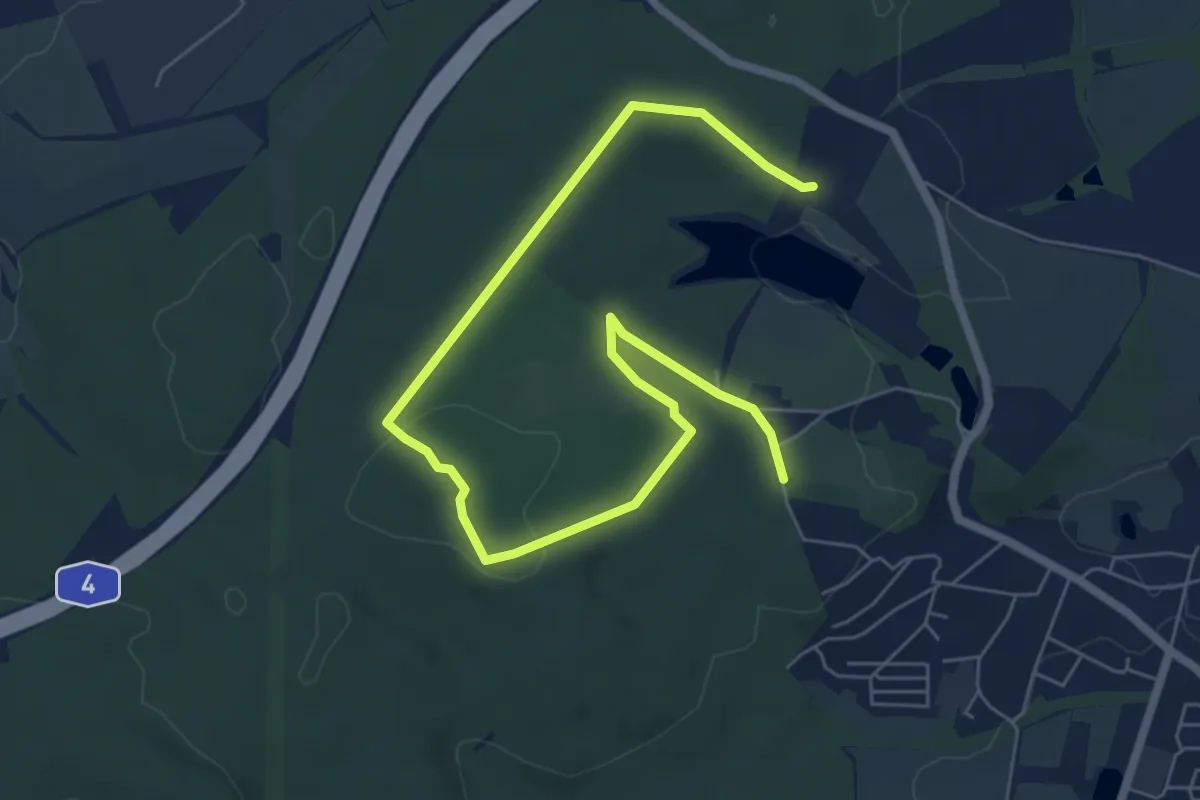
Easy · Trail
Ww Rundweg Tiergehege
7.8 km · ↑ 100 m · 2 h 3 min
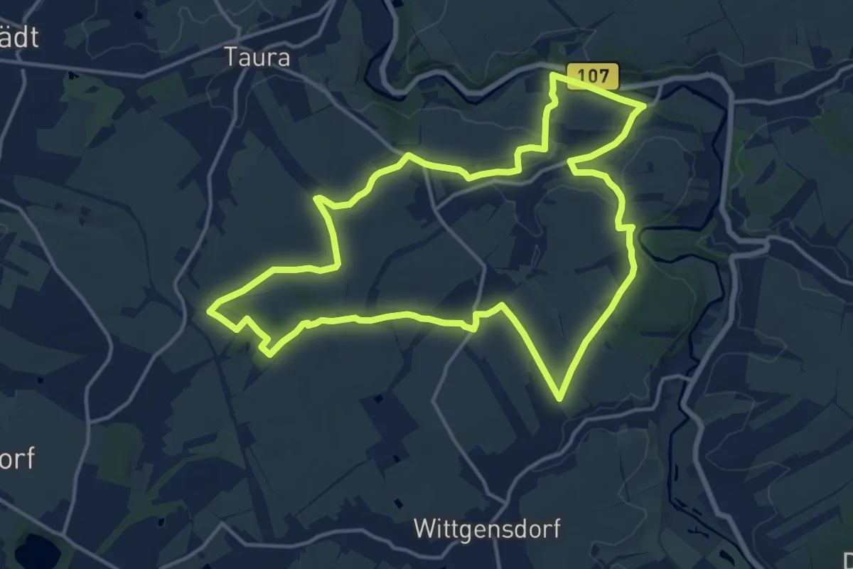
Medium · Trail
Ww Rundweg um Köthensdorf
13.5 km · ↑ 106 m · 3 h 36 min
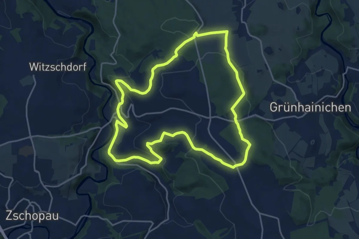
Medium · Trail
Ww Rundweg Waldkirchen
12.7 km · ↑ 336 m · 3 h 54 min