Trails in Germany
36,877 hiking trails, each with its route, climb, walking time and grade.
All trails, page 744 of 769
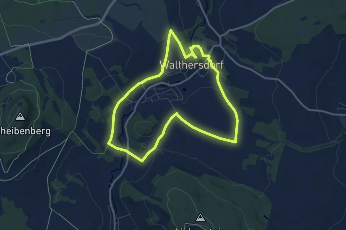
Easy · Trail
Ww Rundweg Walthersdorf
6.7 km · ↑ 98 m · 1 h 53 min
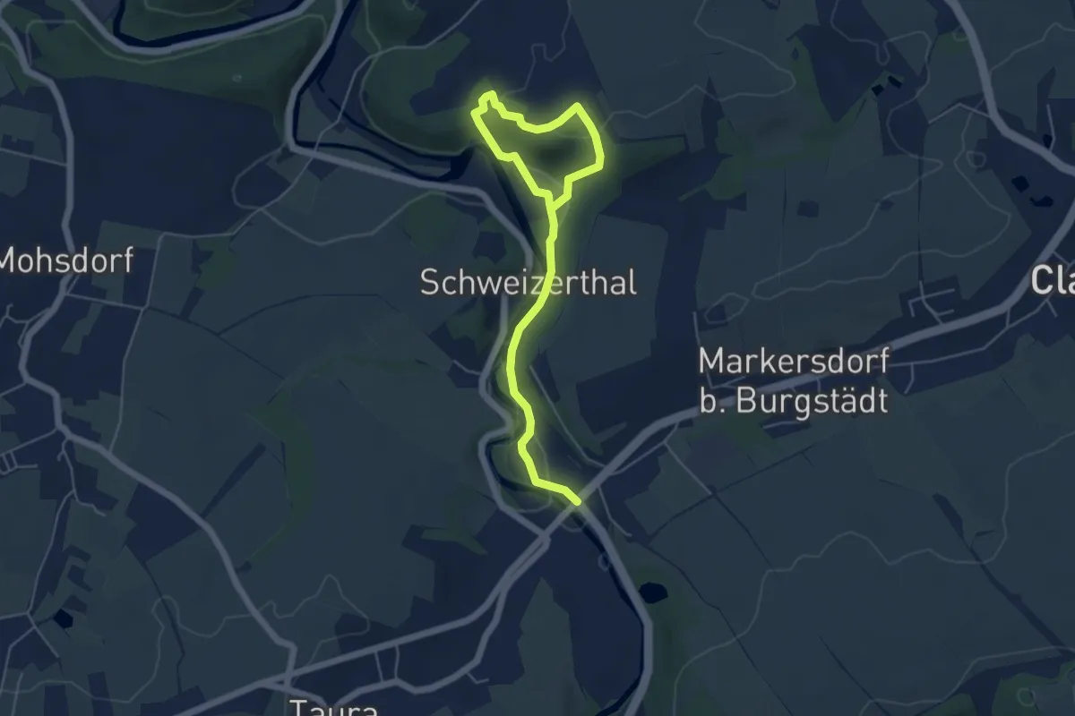
Easy · Trail
Ww Rundweg Wurzelberg
5.8 km · ↑ 158 m · 1 h 42 min
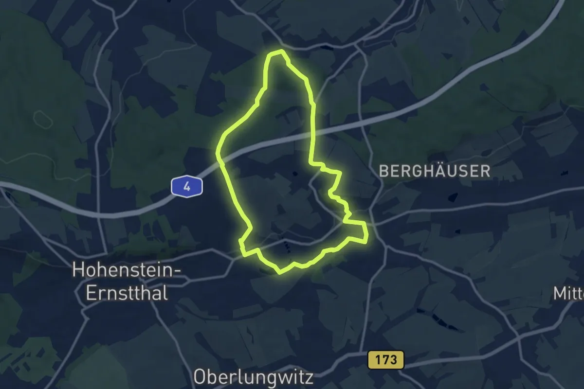
Medium · Summit
Ww Rundweg Wüstenbrand
8.8 km · ↑ 135 m · 2 h 30 min
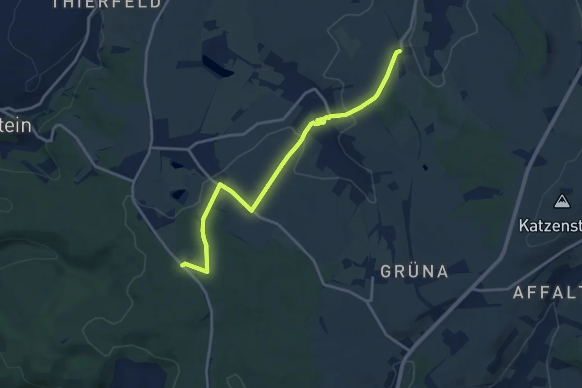
Medium · Trail
WW S255-Beutha
8.6 km · ↑ 171 m · 2 h 24 min
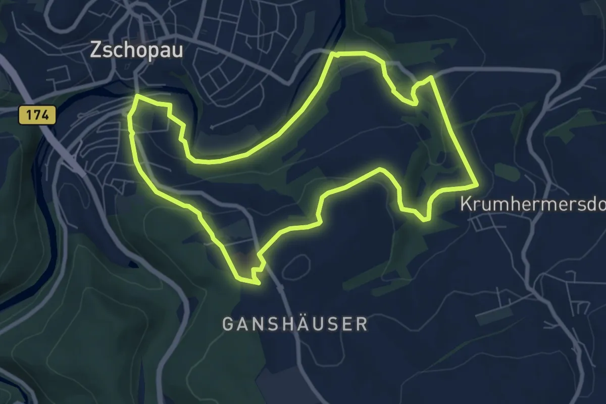
Easy · Summit
Ww Salz-erz-Tour Zschopau
7.0 km · ↑ 203 m · 2 h 12 min
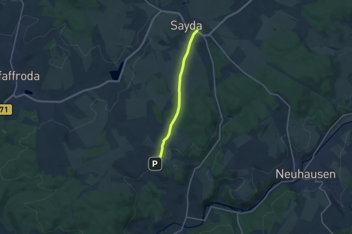
Medium · Trail
Ww Sayda - Heidersdorf
8.0 km · ↑ 103 m · 2 h 7 min
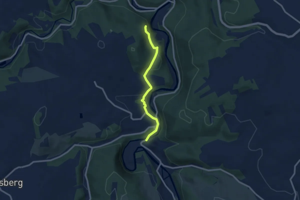
Medium · Trail
Ww Scharfenstein - Affenstein
5.0 km · ↑ 151 m · 1 h 30 min
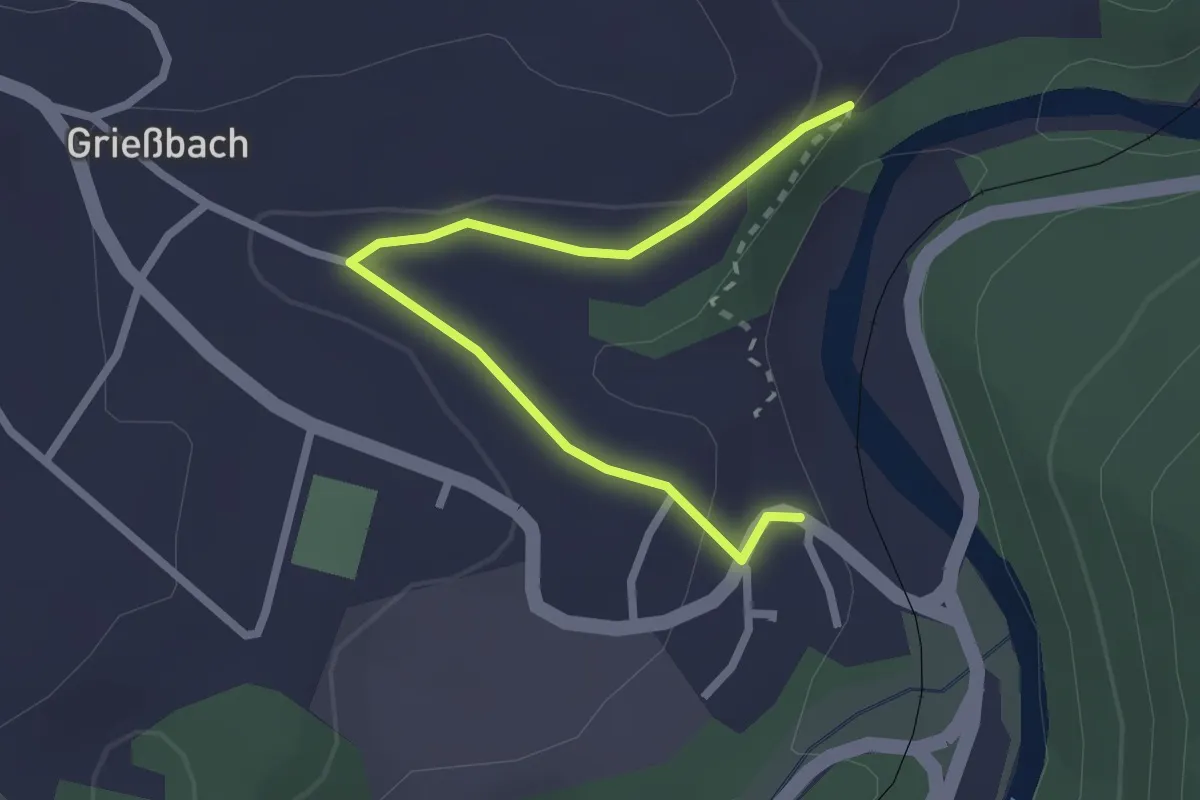
Easy · Trail
WW Scharfenstein-Affenstein Variante
2.4 km · ↑ 48 m · 40 min
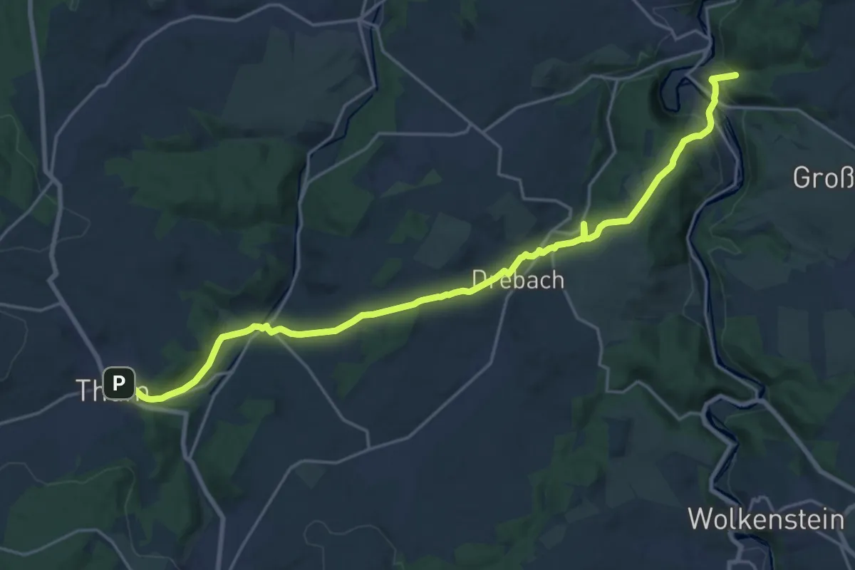
Demanding · Trail
Ww Scharfenstein - Drebach - Herold - Thum
19.8 km · ↑ 502 m · 5 h 45 min
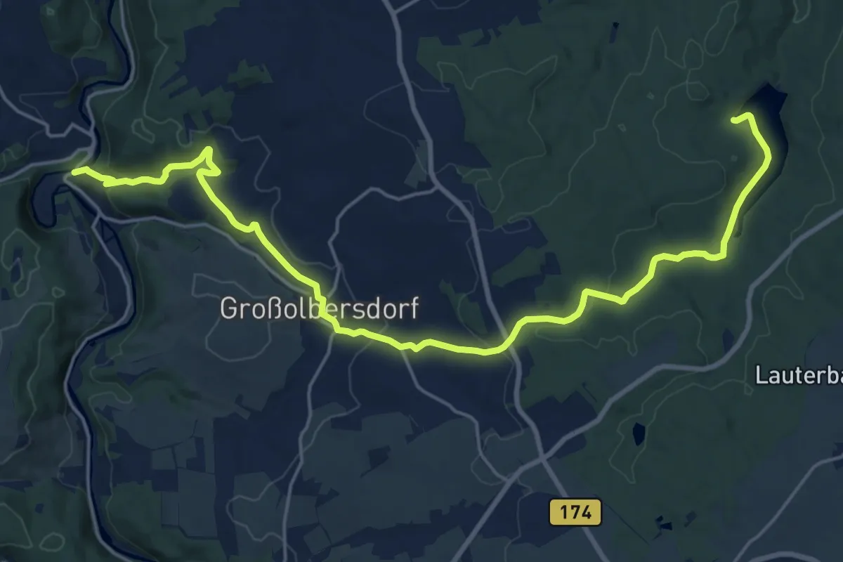
Demanding · Trail
Ww Scharfenstein-Halfterhäuser-Neunzenhainer Talsperre
21.3 km · ↑ 446 m · 5 h 59 min
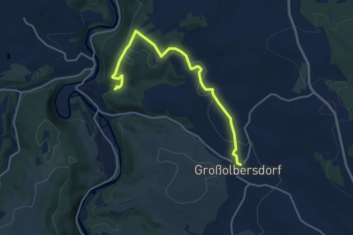
Medium · Trail
Ww: Scharfenstein-Kanzel-Großolbersdorf
9.0 km · ↑ 272 m · 2 h 43 min
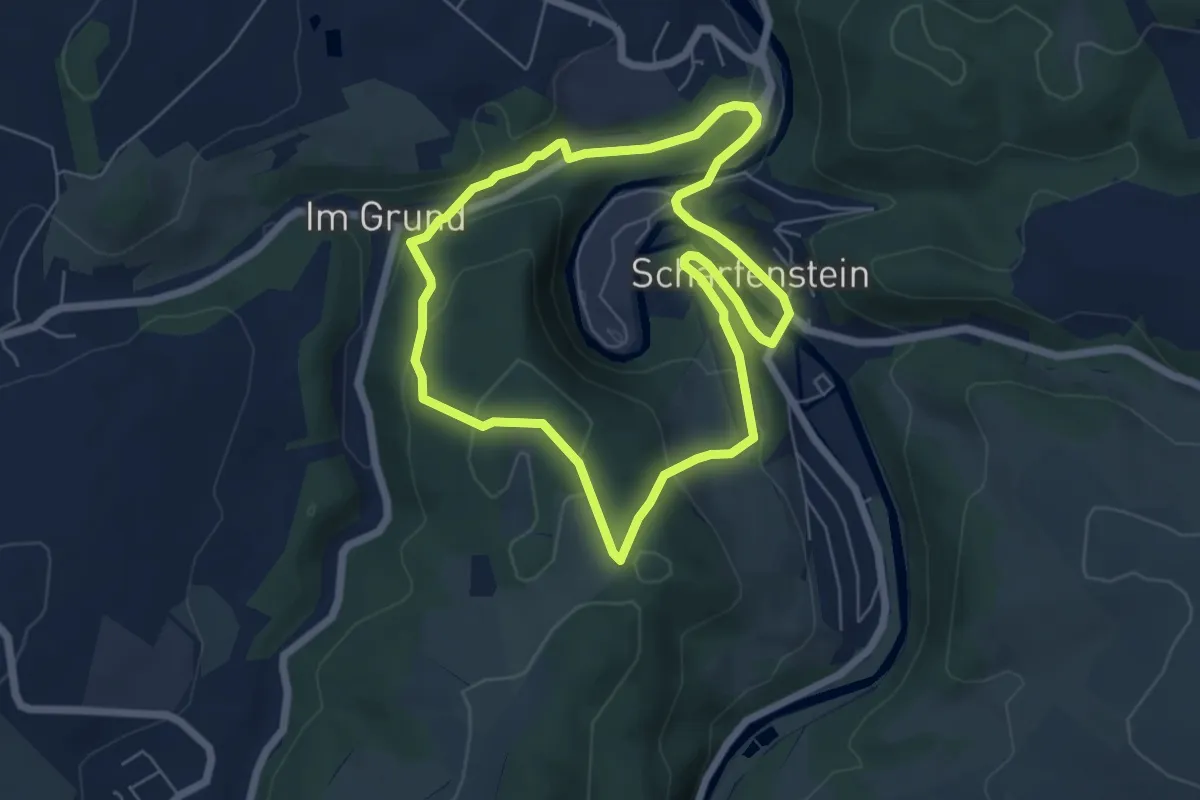
Medium · Trail
Ww Scharfenstein - Oberer Kuhberg - Zänker - Scharfenstein
5.2 km · ↑ 168 m · 1 h 41 min
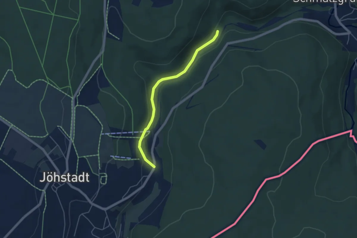
Easy · Trail
Ww Schlössel-Grumbach
3.7 km · ↑ 78 m · 1 h 3 min
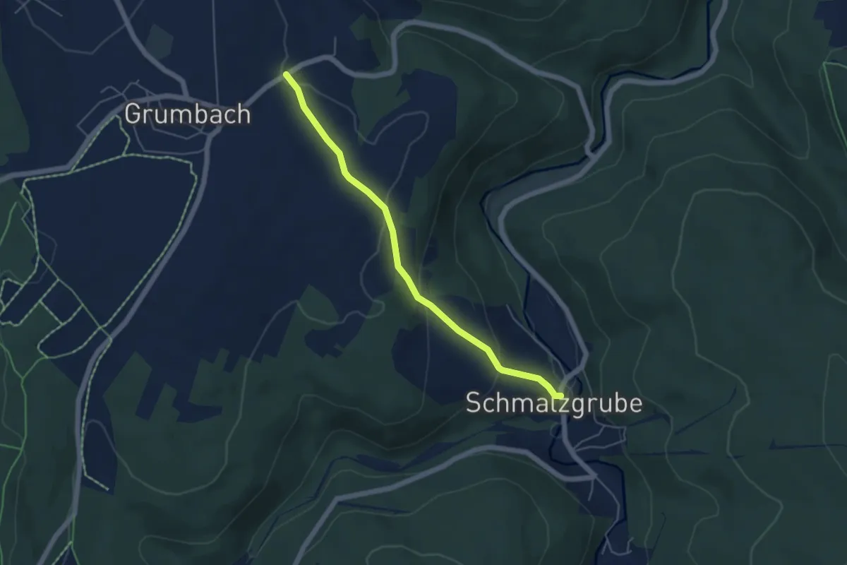
Easy · Trail
Ww Schmalzgrube-Grumbach
4.4 km · ↑ 161 m · 1 h 24 min
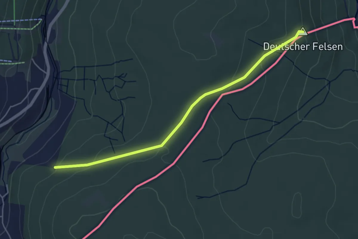
Easy · Summit
Ww Schmalzgrube-Jöhstadt
4.0 km · ↑ 91 m · 1 h 8 min
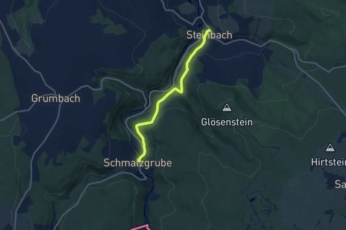
Easy · Trail
Ww Schmalzgrube - Steinbach
7.9 km · ↑ 281 m · 2 h 29 min
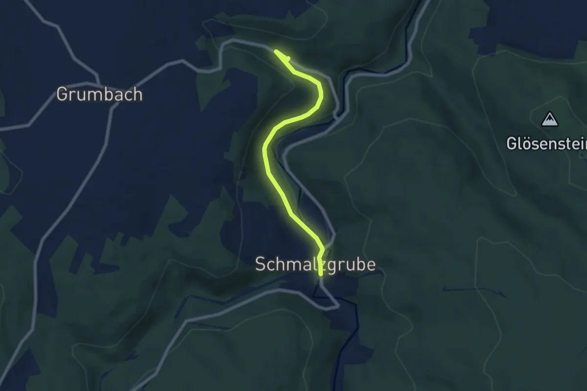
Easy · Trail
Ww Schmalzgrube über Floßzechenweg-Grumbach
5.2 km · ↑ 107 m · 1 h 28 min
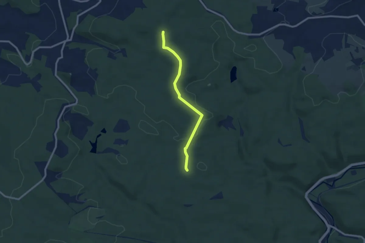
Easy · Trail
WW Schnarrtanne-Jungfernsprung
5.4 km · ↑ 65 m · 1 h 26 min
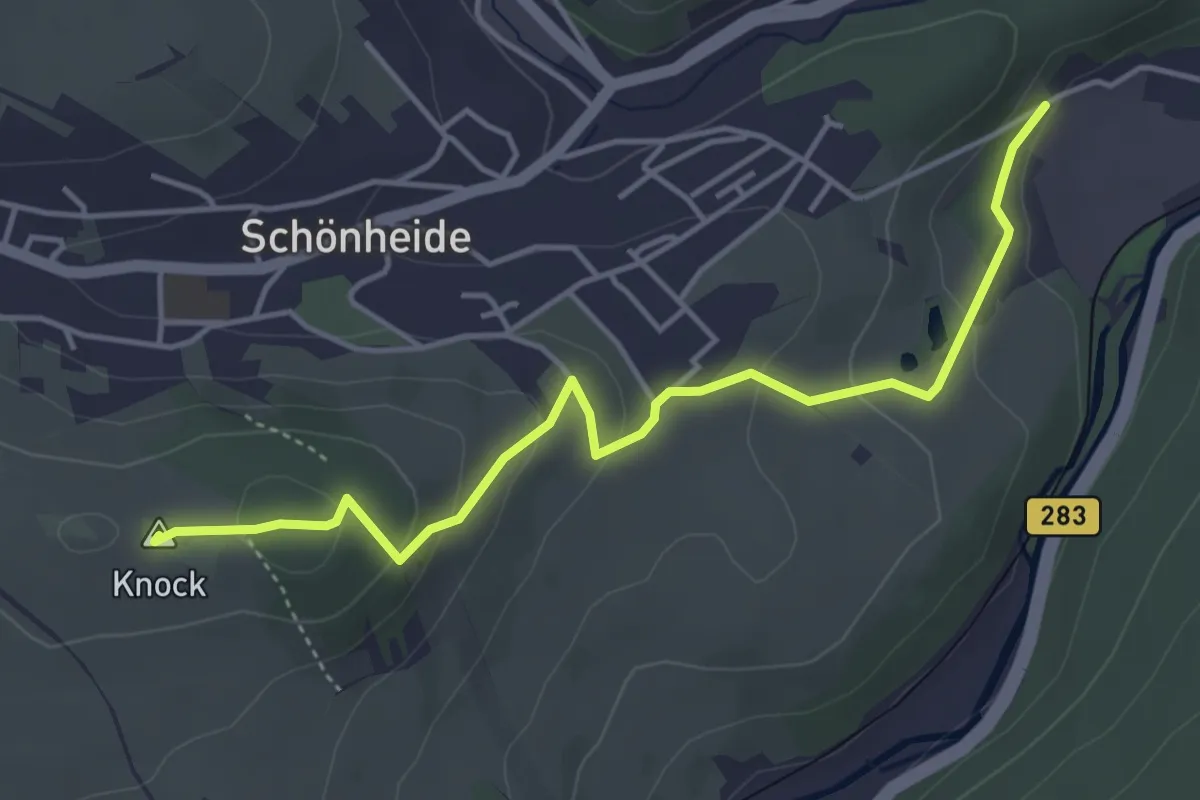
Easy · Summit
Ww Schönheide Süd - Schönheide West
4.3 km · ↑ 162 m · 1 h 22 min
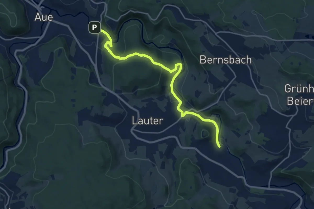
Medium · Trail
Ww Schwarzenberg/Neuwelt - Lauter - Aue
13.1 km · ↑ 402 m · 3 h 58 min
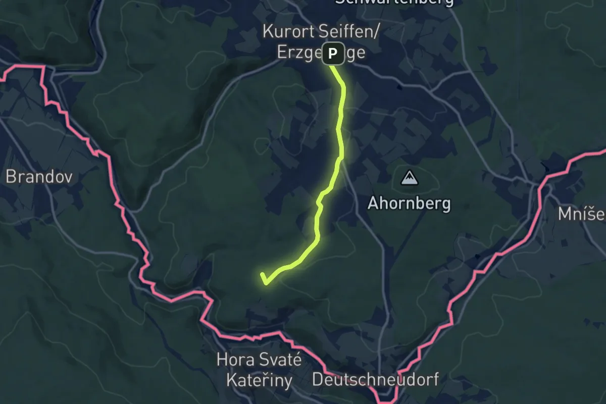
Medium · Summit
Ww Seiffen - Deutschkatharinenberg
8.3 km · ↑ 137 m · 2 h 16 min
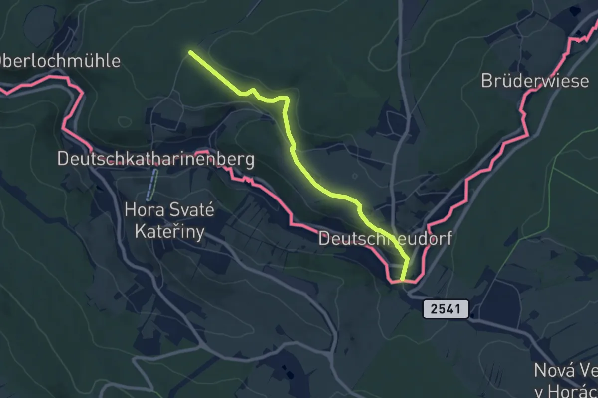
Easy · Trail
Ww Seiffen-Deutschneudorf
5.8 km · ↑ 155 m · 1 h 42 min
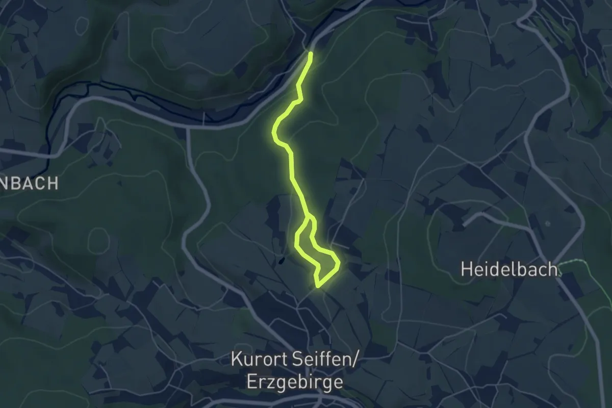
Easy · Trail
Ww Seiffen - Dittersbach
5.1 km · ↑ 152 m · 1 h 32 min
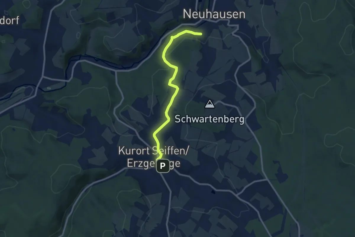
Easy · Trail
Ww Seiffen - Neuhausen
7.4 km · ↑ 187 m · 2 h 10 min
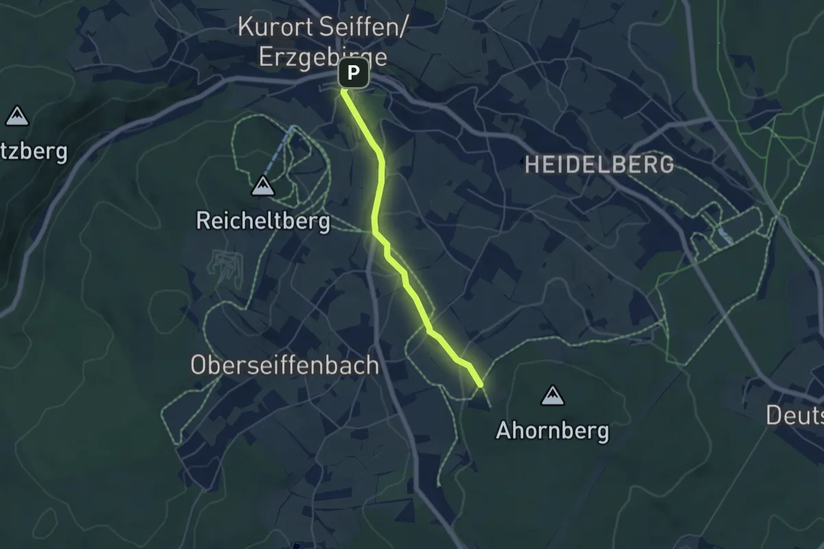
Easy · Trail
Ww Seiffen - Schutzhütte am Rundweg
4.2 km · ↑ 128 m · 1 h 16 min
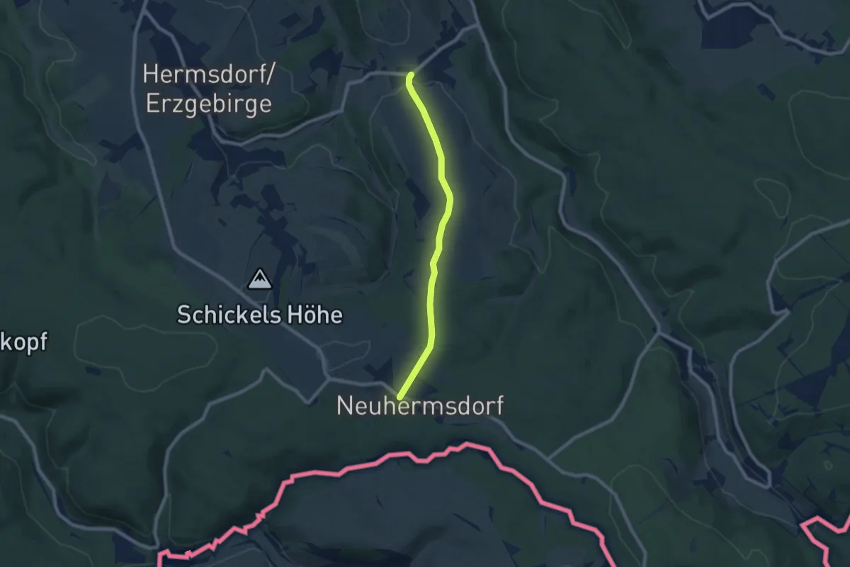
Easy · Trail
Ww Seyde-Neuhermsdorf
6.3 km · ↑ 102 m · 1 h 42 min
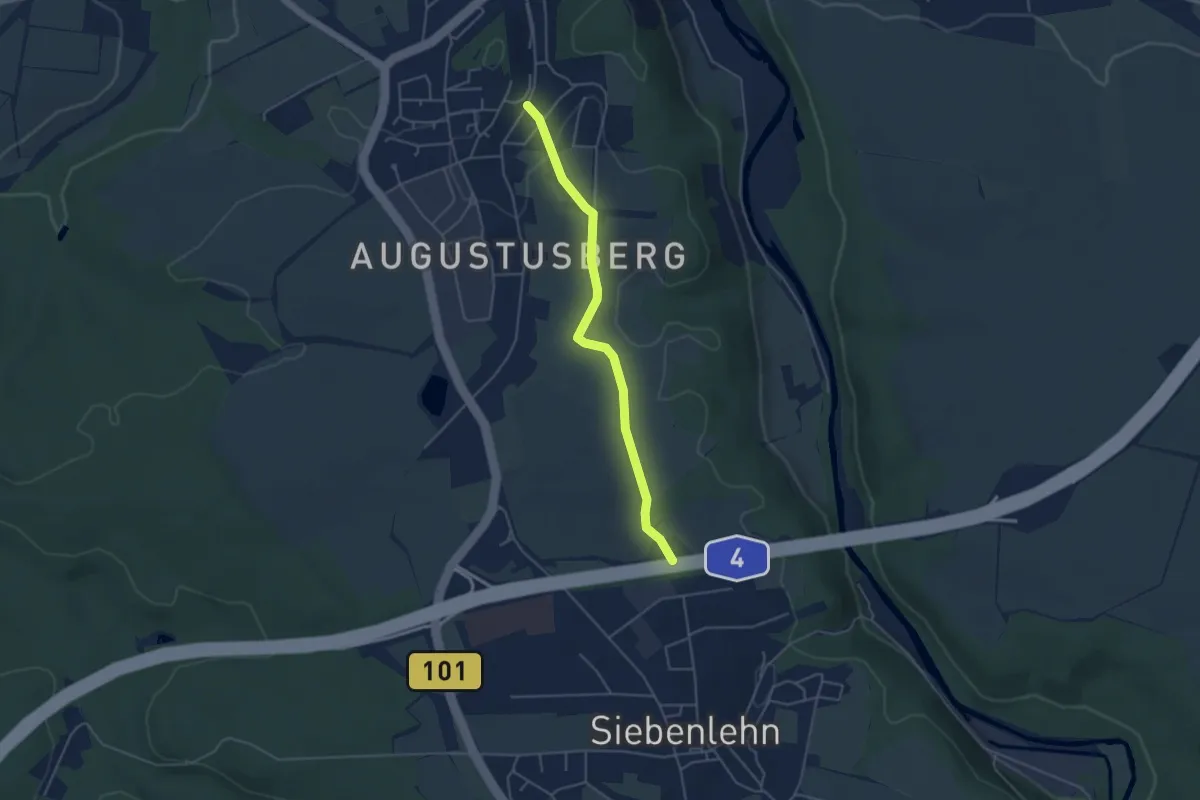
Easy · Trail
Ww Siebenlehn-Nossen
4.0 km · ↑ 44 m · 1 h 2 min
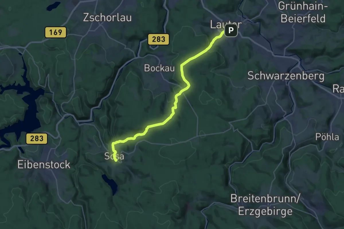
Demanding · Trail
Ww Sosa-Gretels Ruh bei Bockau- Lauter
23.2 km · ↑ 683 m · 6 h 57 min
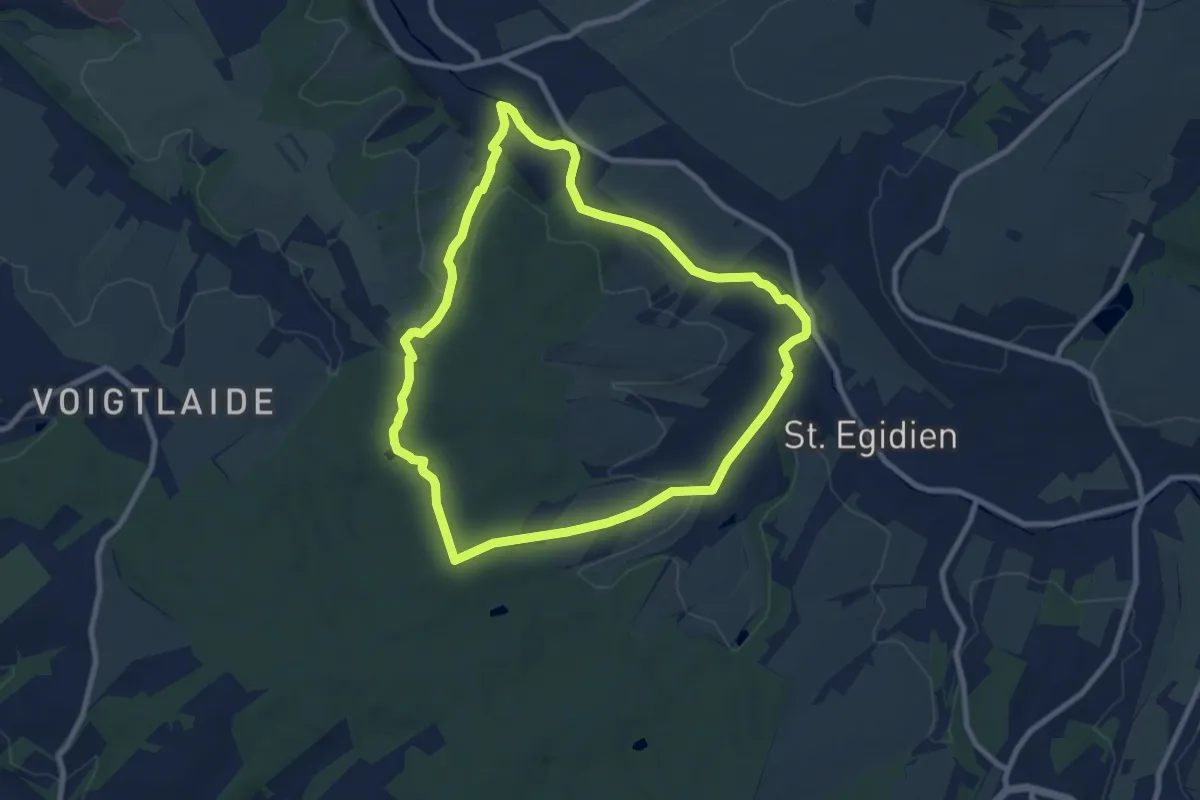
Easy · Trail
Ww St. Egidien - Rümpfwald - Rundweg
7.8 km · ↑ 123 m · 2 h 14 min
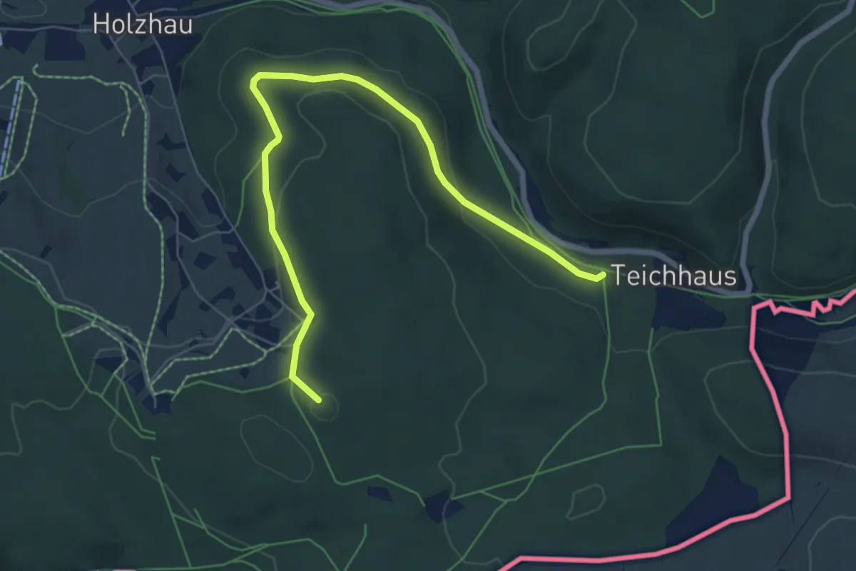
Easy · Summit
Ww Steinbruchweg und Schwarzer Buschweg, Markierung sehr sparsam
6.6 km · ↑ 133 m · 1 h 51 min
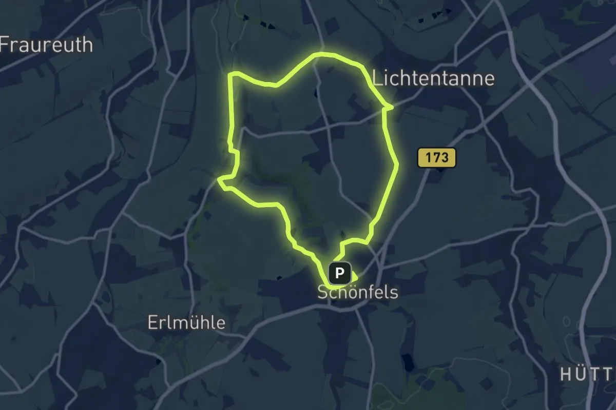
Medium · Summit
WW Steinpleis - Burg Schönfels
9.2 km · ↑ 121 m · 2 h 33 min
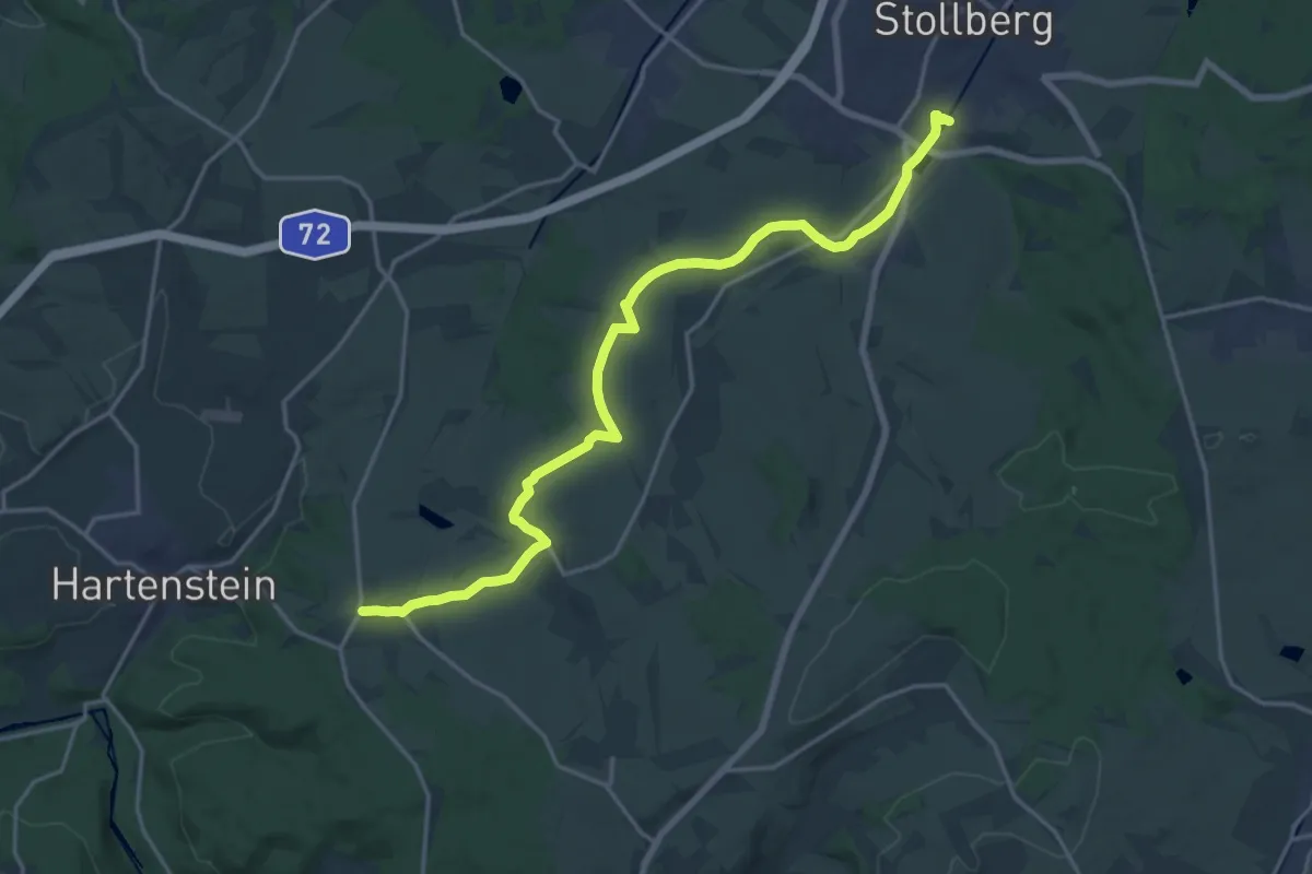
Demanding · Trail
WW Stollberg-Raum
18.6 km · ↑ 167 m · 4 h 45 min
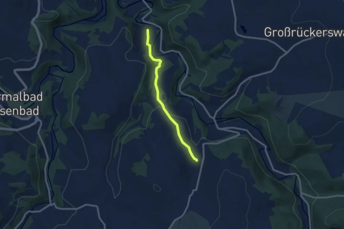
Easy · Trail
Ww Streckewalde-Mauersberg über Heidehäuser
5.0 km · ↑ 154 m · 1 h 31 min
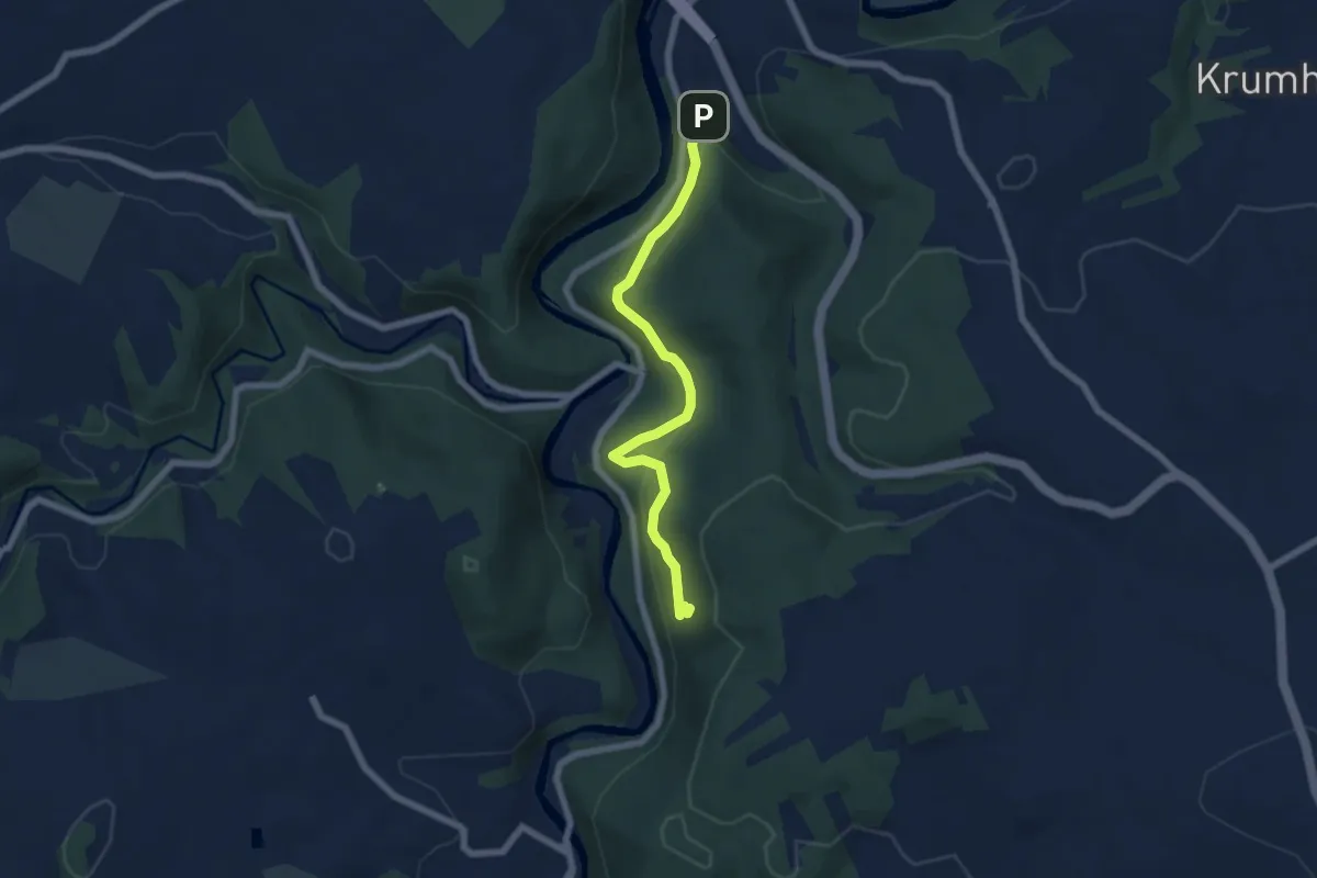
Medium · Trail
Ww Stülpnersteig
5.8 km · ↑ 203 m · 1 h 48 min
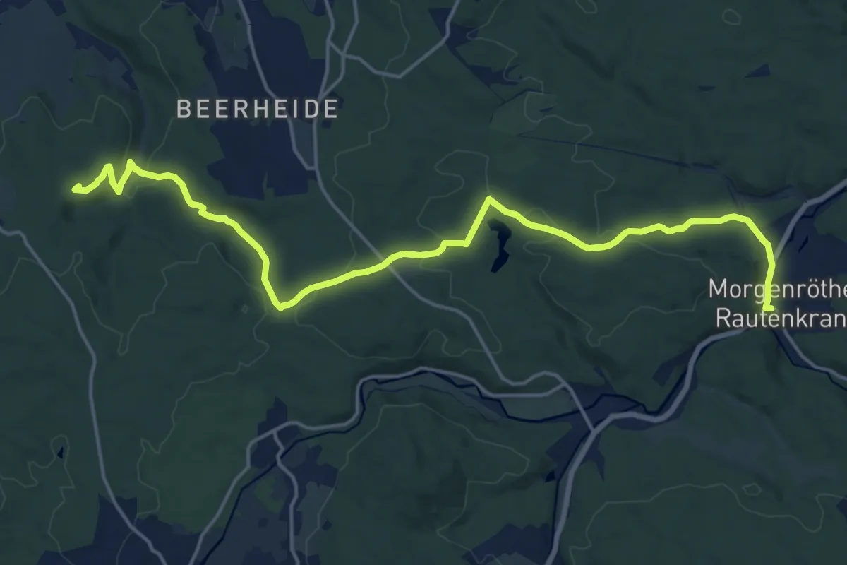
Medium · Summit
Ww Talsperre Falkenstein - Morgenröthe-Rautenkranz
17.9 km · ↑ 345 m · 4 h 58 min
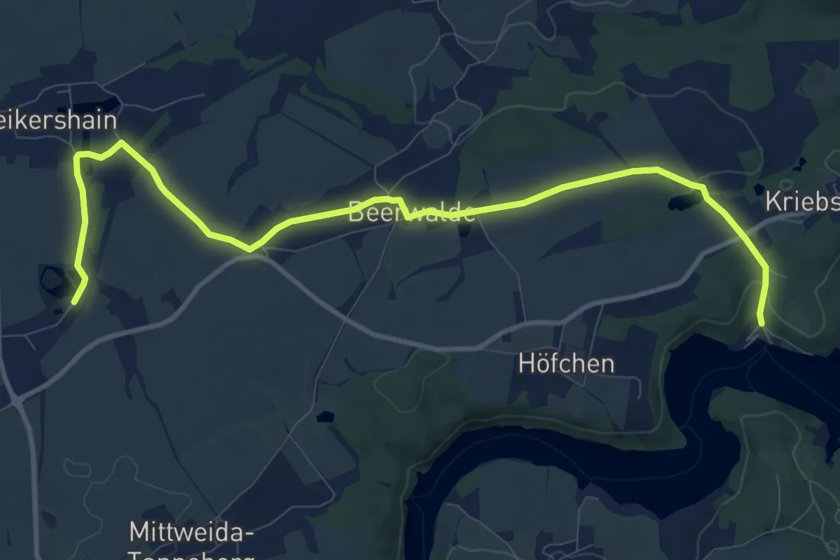
Medium · Trail
Ww Talsperre Kriebstein Anlegestelle - Bhf. Schweikershain
10.7 km · ↑ 106 m · 2 h 46 min
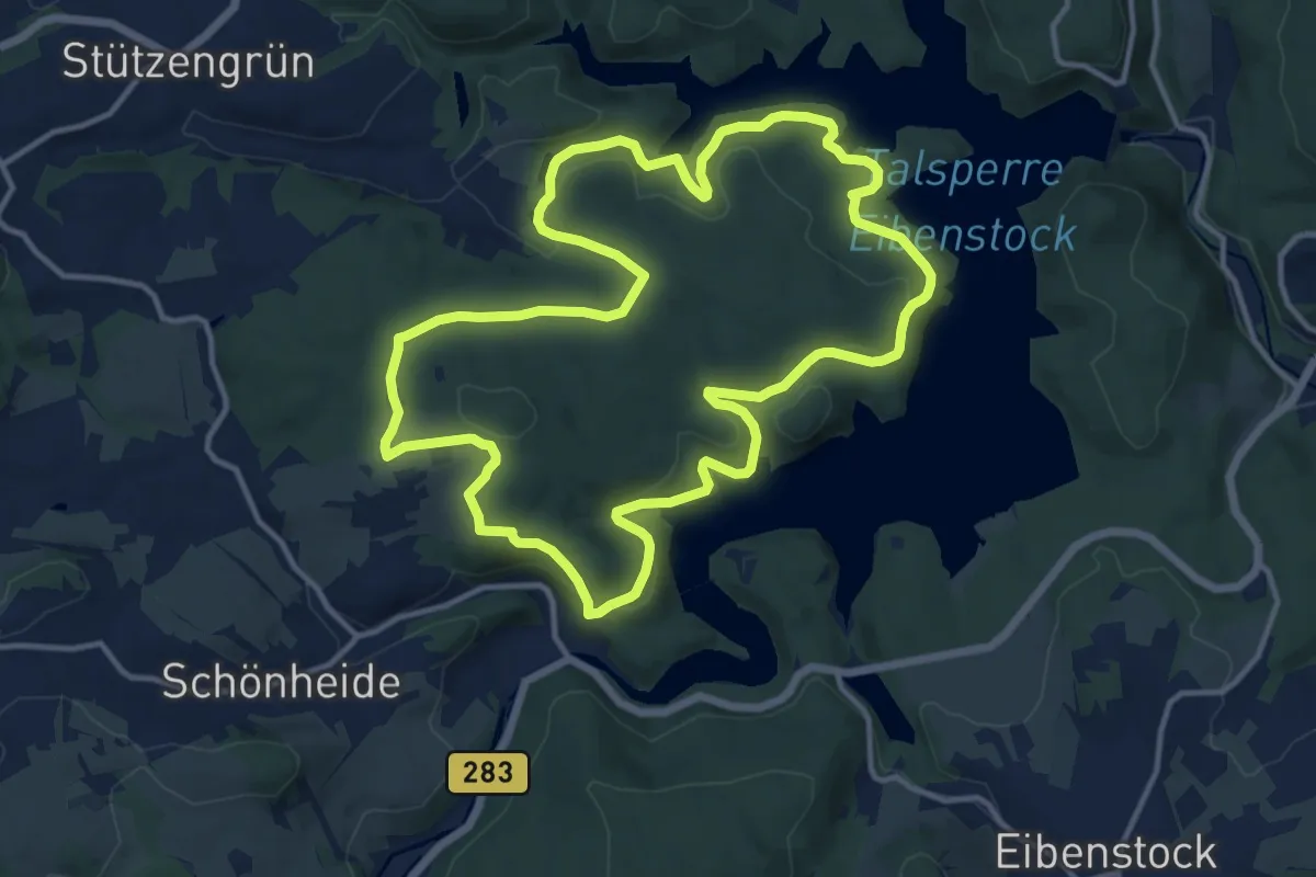
Medium · Summit
Ww Talsperrenrundweg
12.5 km · ↑ 327 m · 3 h 50 min
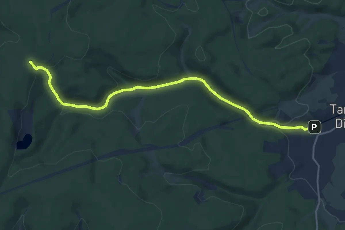
Medium · Trail
Ww Tambach-Dietharz - Rennsteig
10.4 km · ↑ 266 m · 3 h 2 min
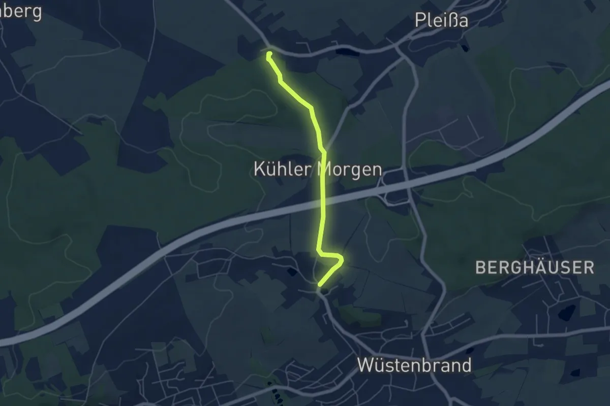
Easy · Trail
Ww Tannmühle-Wüstenbrand
4.4 km · ↑ 56 m · 1 h 9 min
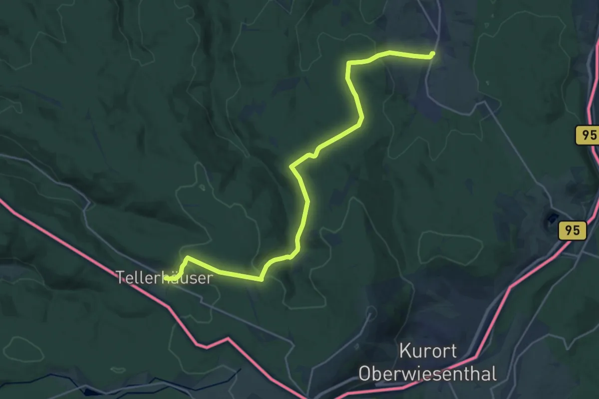
Demanding · Trail
Ww Tellerhäuser - Neudorf
20.4 km · ↑ 596 m · 6 h 7 min
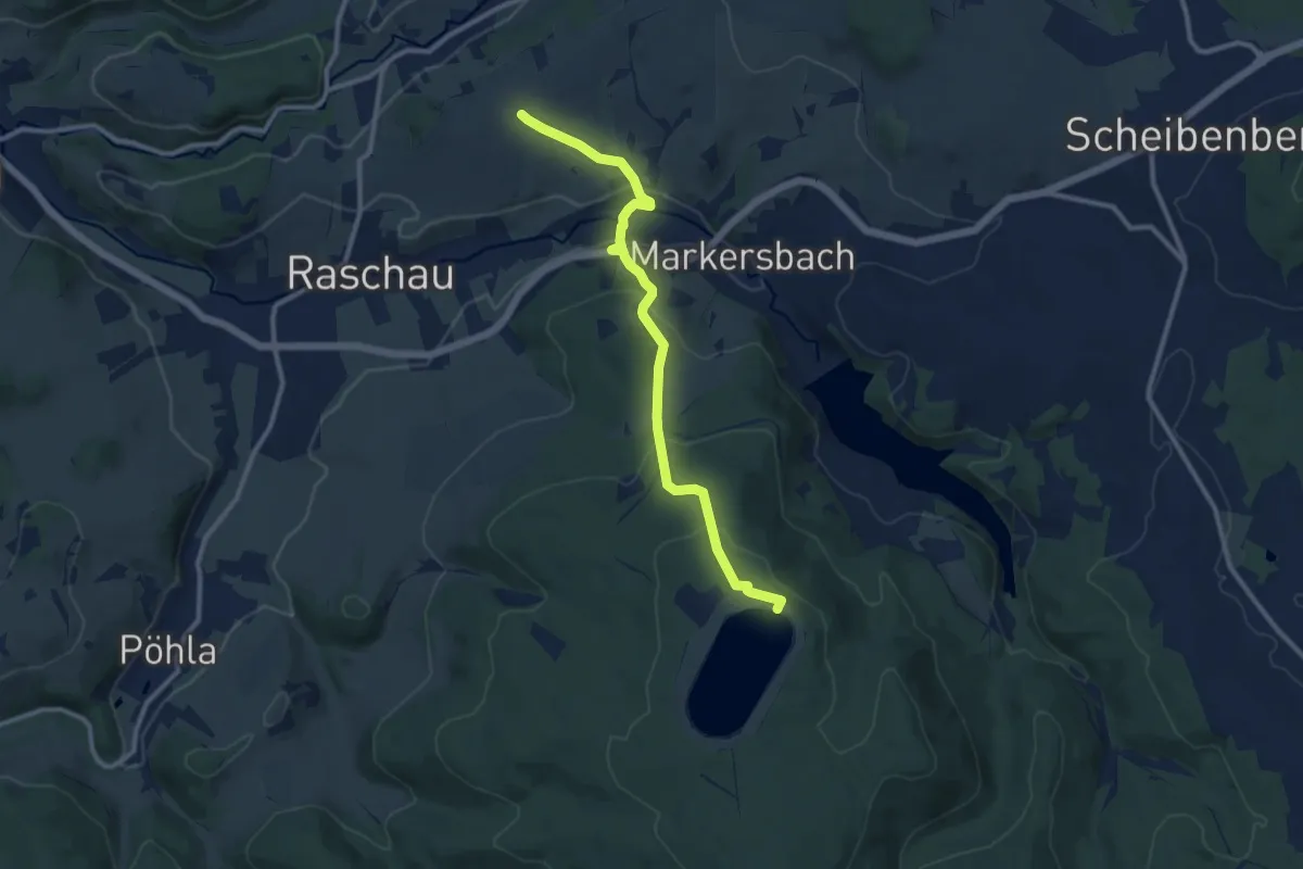
Medium · Summit
Ww Tellerhäuser - Oberbecken - Markersbach - Emmlerweg
9.7 km · ↑ 406 m · 3 h 10 min
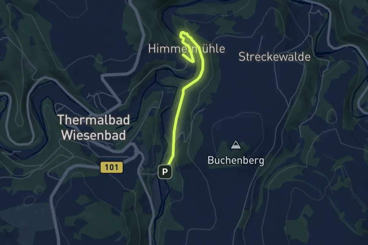
Easy · Trail
Ww Thermalbad Wiesenbad - Himmelmühle - Anschluss Zschopautalweg
4.3 km · ↑ 65 m · 1 h 10 min
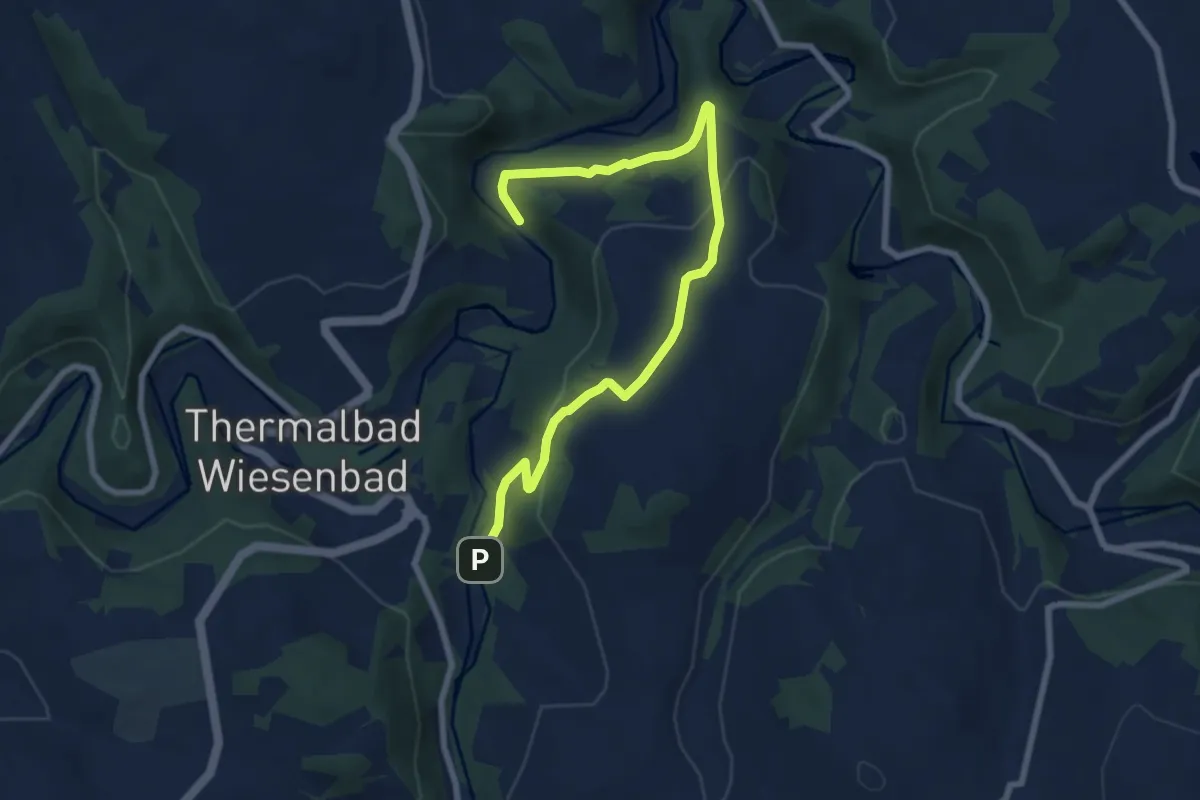
Easy · Trail
Ww Thermalbad Wiesenbad - Himmelmühle über Streckewalde
7.8 km · ↑ 245 m · 2 h 22 min
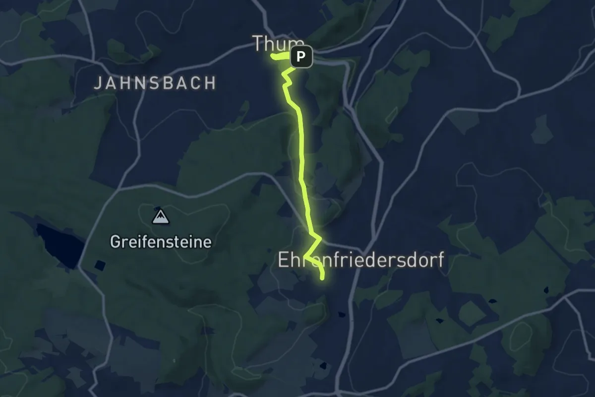
Medium · Trail
Ww Thum-Bergweg-Ehrenfriedersdorf
8.2 km · ↑ 163 m · 2 h 17 min
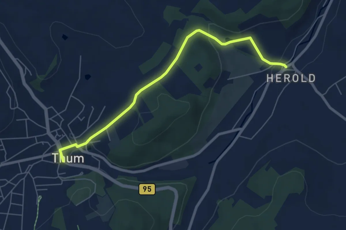
Easy · Trail
Ww Thum-Herold über Knochenhäuser
5.2 km · ↑ 126 m · 1 h 31 min
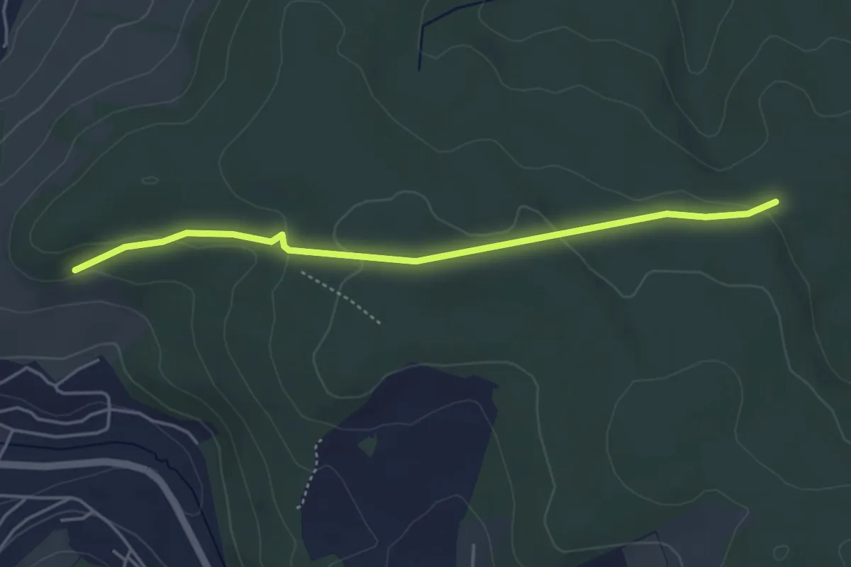
Easy · Trail
WW Tischl-Gornsdorf
4.1 km · ↑ 97 m · 1 h 10 min
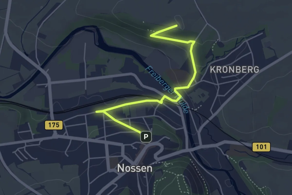
Easy · Summit
Ww über den Kirschberg, Markierung mangelhaft.
4.5 km · ↑ 98 m · 1 h 17 min
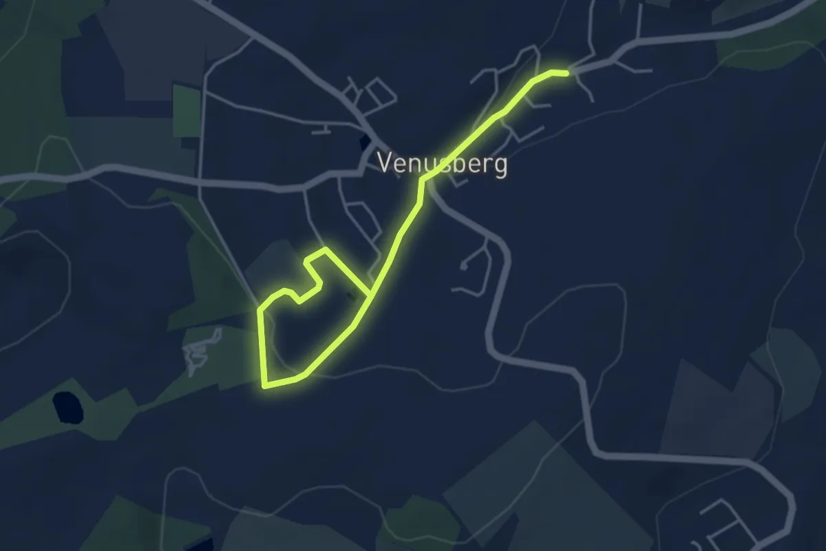
Easy · Trail
WW Venusberg-Steinberg
4.3 km · ↑ 80 m · 1 h 12 min