Trails in Germany
36,877 hiking trails, each with its route, climb, walking time and grade.
All trails, page 745 of 769
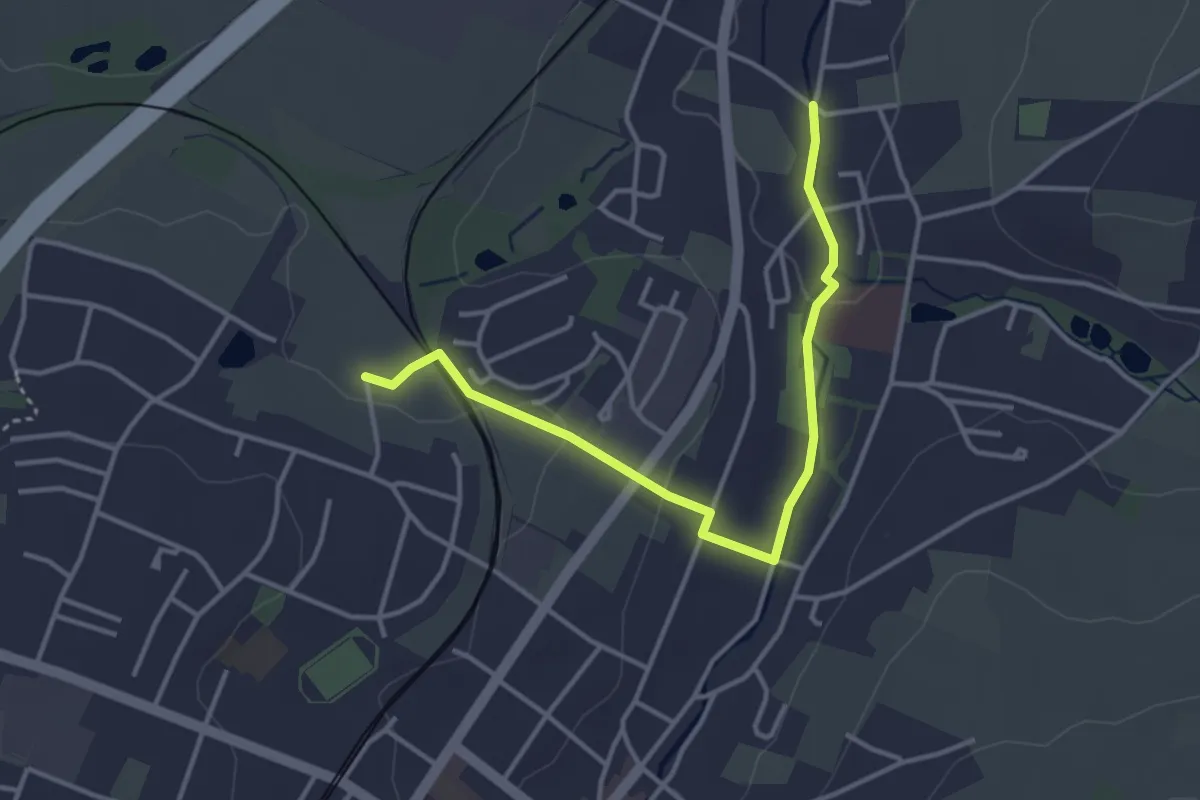
Easy · Trail
WW Verbindung grün-Strich
3.6 km · ↑ 53 m · 58 min
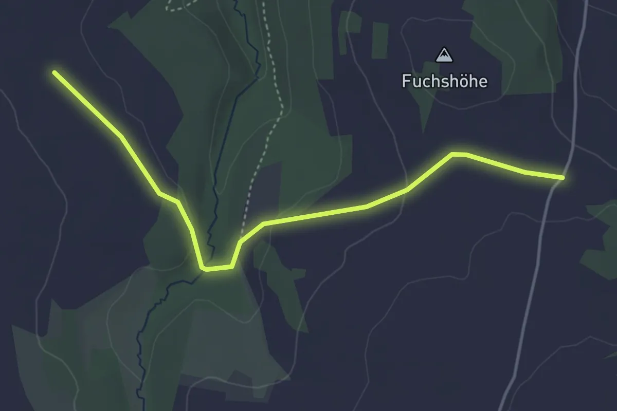
Easy · Trail
Ww Verbindung Mildenau- Arnsfeld
4.1 km · ↑ 58 m · 1 h 5 min
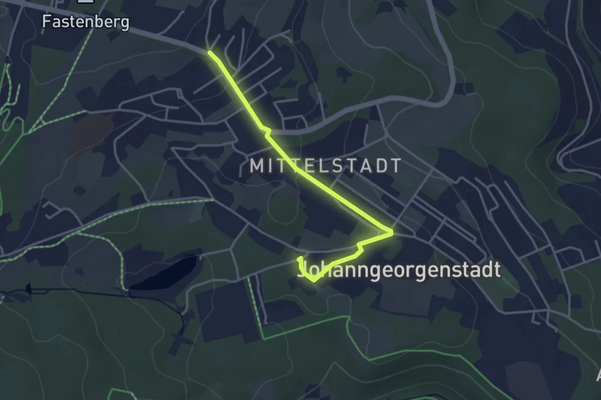
Easy · Trail
WW Verbindung Steinbachtal-Oberjugel
3.1 km · ↑ 59 m · 52 min
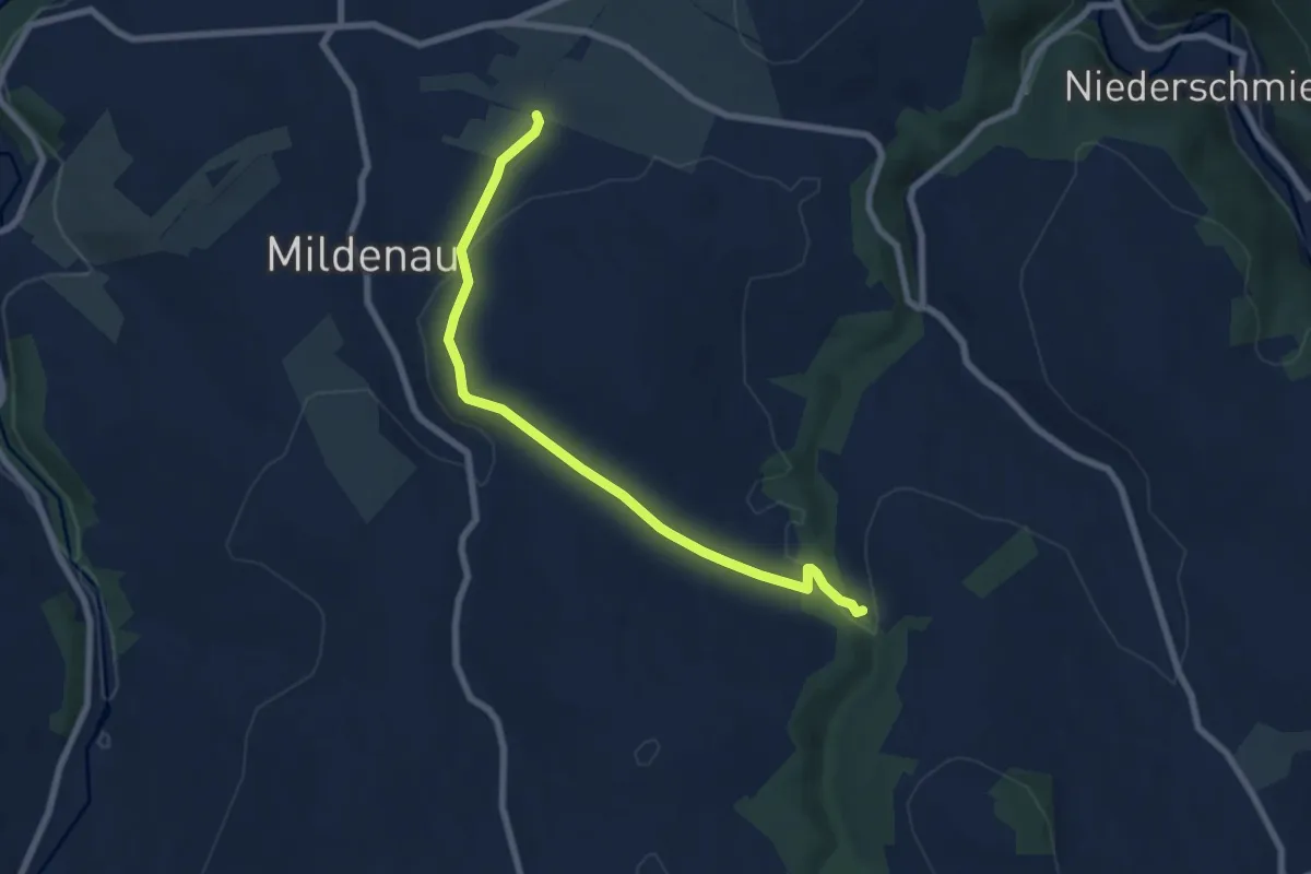
Easy · Trail
Ww vom E3 bei Mildenau-Rauschenbachmühle
6.9 km · ↑ 116 m · 1 h 53 min
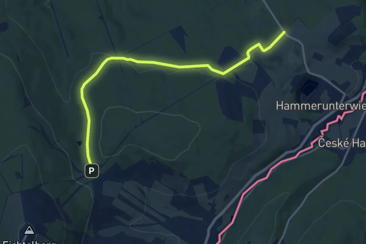
Medium · Trail
WW Waldeck-Neudorfer Strasse
8.8 km · ↑ 186 m · 2 h 29 min
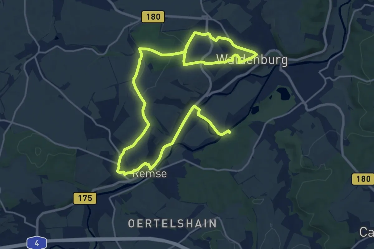
Demanding · Trail
Ww Waldenburg - Remse - Kerztsch
21.3 km · ↑ 285 m · 5 h 38 min
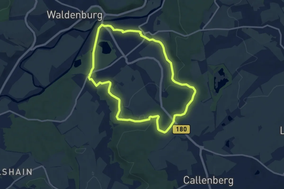
Easy · Trail
Ww Waldenburg Ringwanderweg
7.5 km · ↑ 140 m · 2 h 11 min
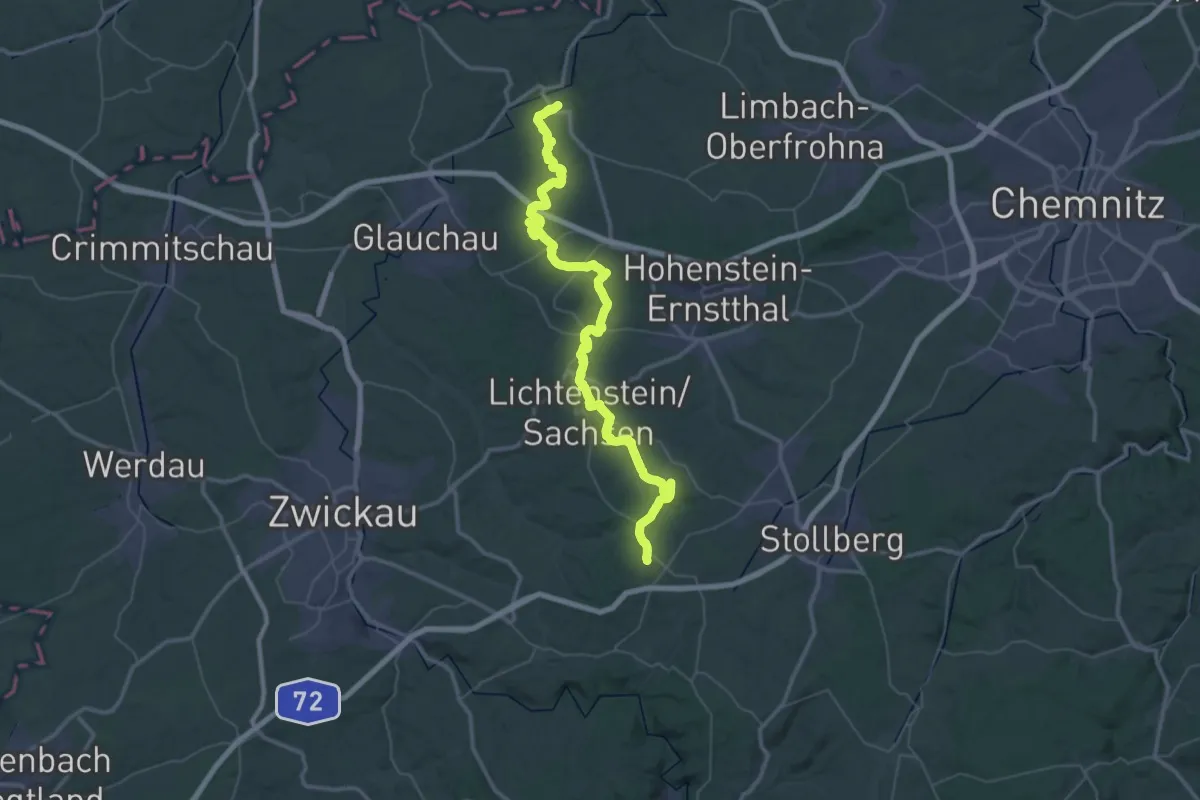
Demanding · Summit
Ww Waldenburg-Wildenfels
62.5 km · ↑ 994 m · 16 h 55 min
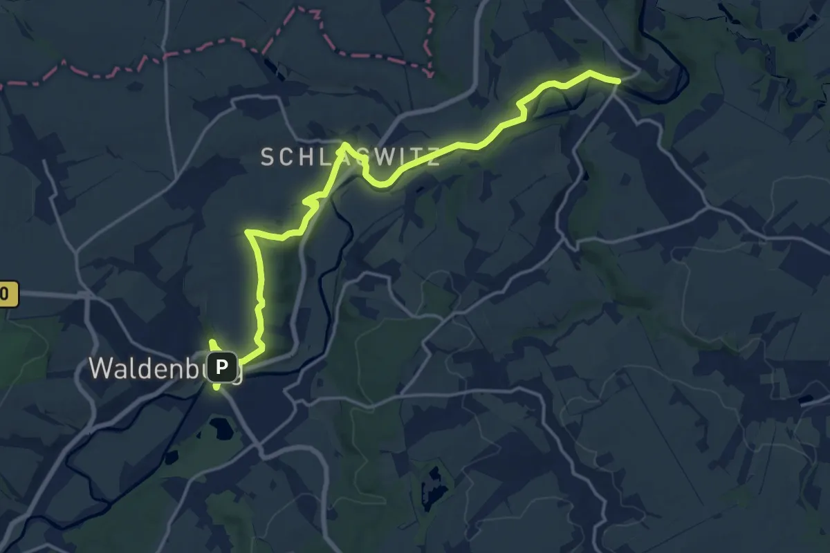
Medium · Trail
Ww Waldenburg - Wolkenburg
17.1 km · ↑ 250 m · 4 h 34 min
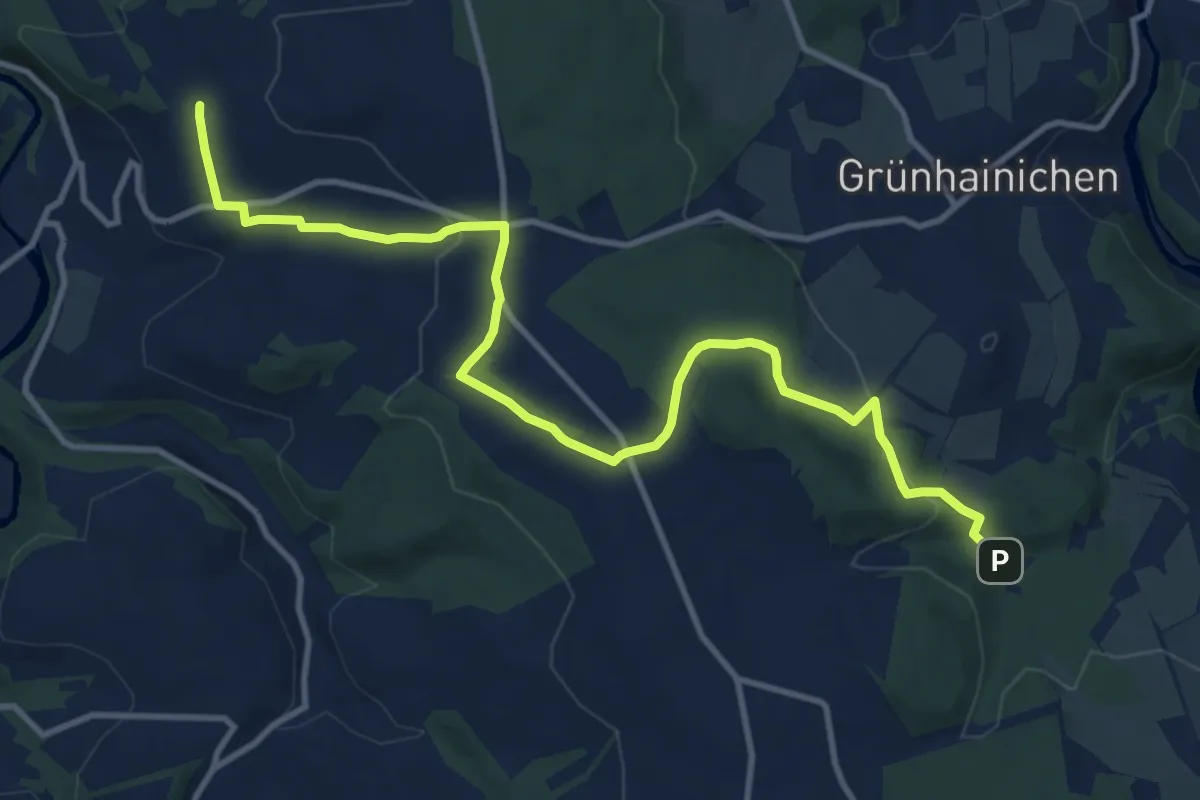
Medium · Trail
Ww Waldkirchen-Schwarzmuehle
12.3 km · ↑ 314 m · 3 h 35 min
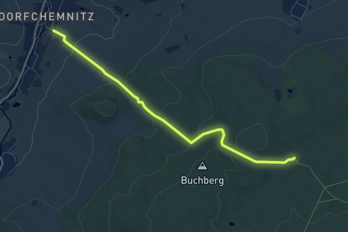
Easy · Trail
Ww Waldrand Hormersdorf - Geyerscher Wald, Markierung mangelhaft
7.6 km · ↑ 244 m · 2 h 19 min
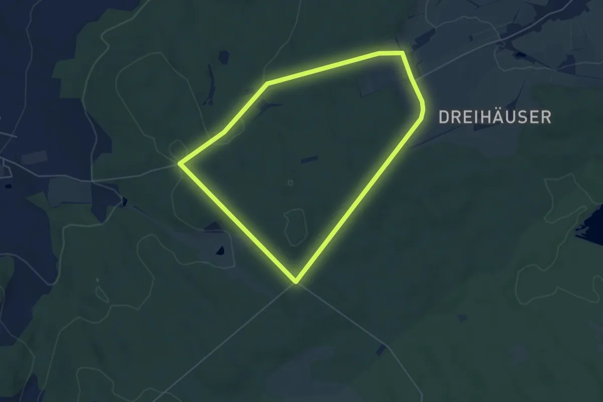
Easy · Trail
Ww Waldschänke Lindenau - Hartmannsdorf
4.8 km · ↑ 75 m · 1 h 22 min
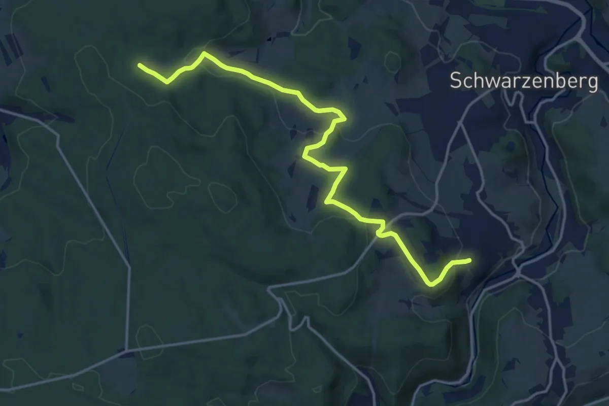
Medium · Trail
Ww Waldschulheim Conradswiese - Bermsgrün
14.2 km · ↑ 391 m · 4 h 12 min
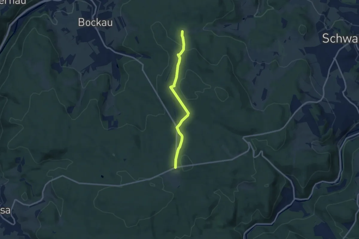
Easy · Trail
Ww Waldschulheim Conradswiese - Jägerhaus
7.8 km · ↑ 241 m · 2 h 22 min
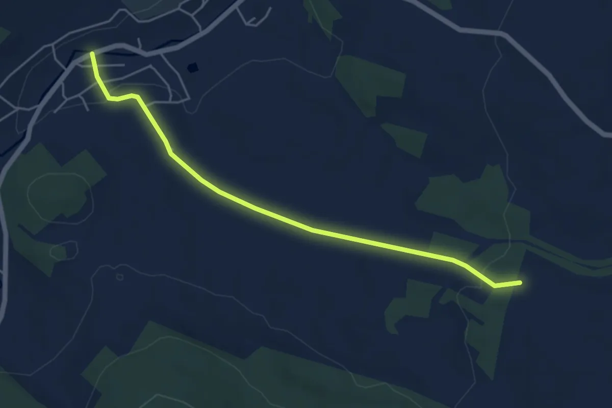
Easy · Trail
Ww Walthersdorf-Sehma (Markierung z.T. mangelhaft)
4.4 km · ↑ 58 m · 1 h 10 min
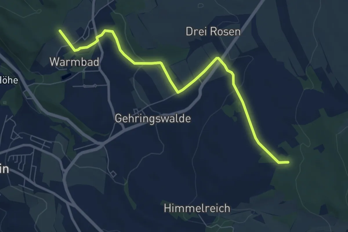
Easy · Trail
Ww Warmbad über Palmbaum - Anschluß an EB
7.1 km · ↑ 125 m · 1 h 56 min
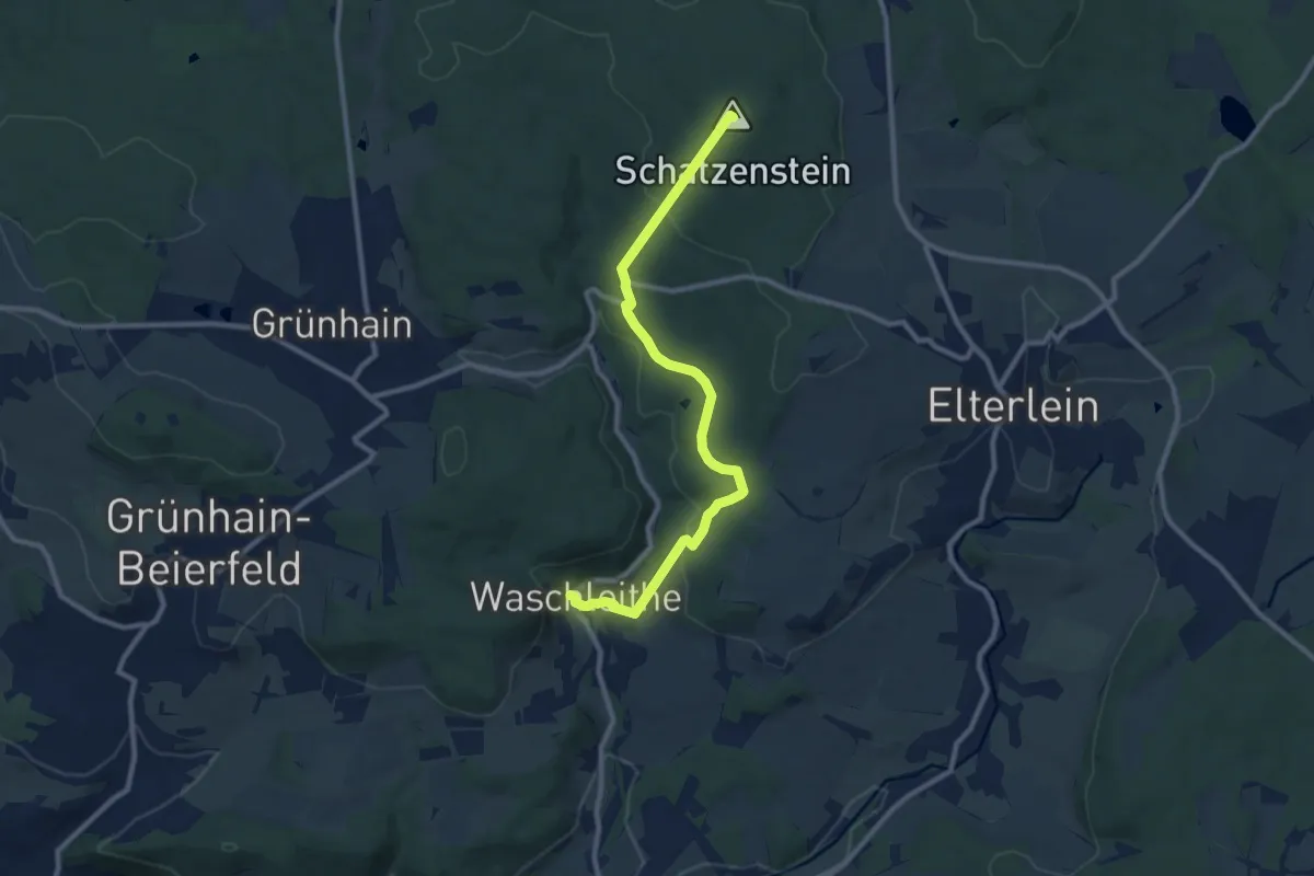
Medium · Summit
WW Waschleithe-Schatzenstein
9.6 km · ↑ 285 m · 2 h 52 min
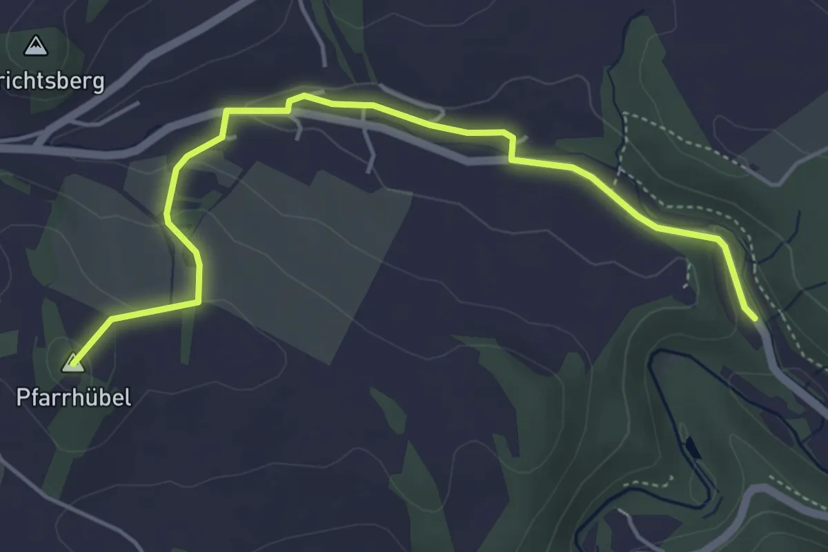
Easy · Summit
Ww Weißbach - Gelenau
4.6 km · ↑ 95 m · 1 h 18 min
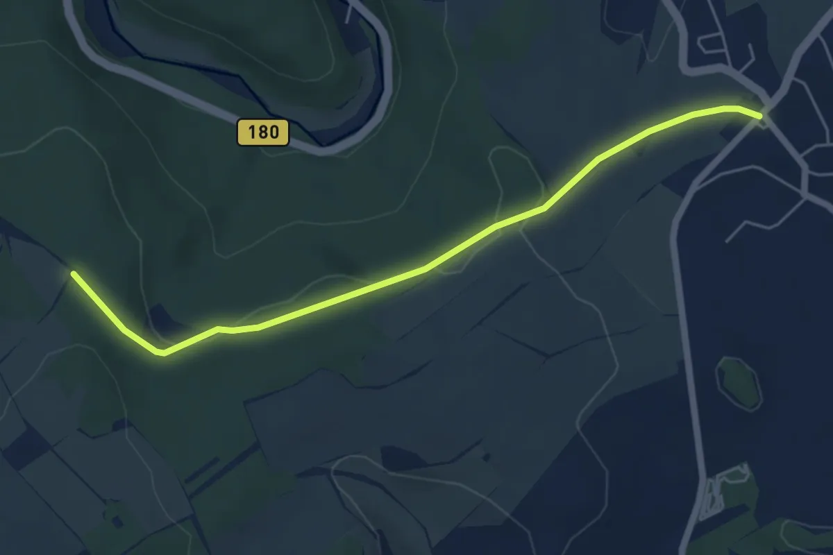
Easy · Trail
Ww Weißbach - Richtung Kemtau
5.0 km · ↑ 79 m · 1 h 21 min
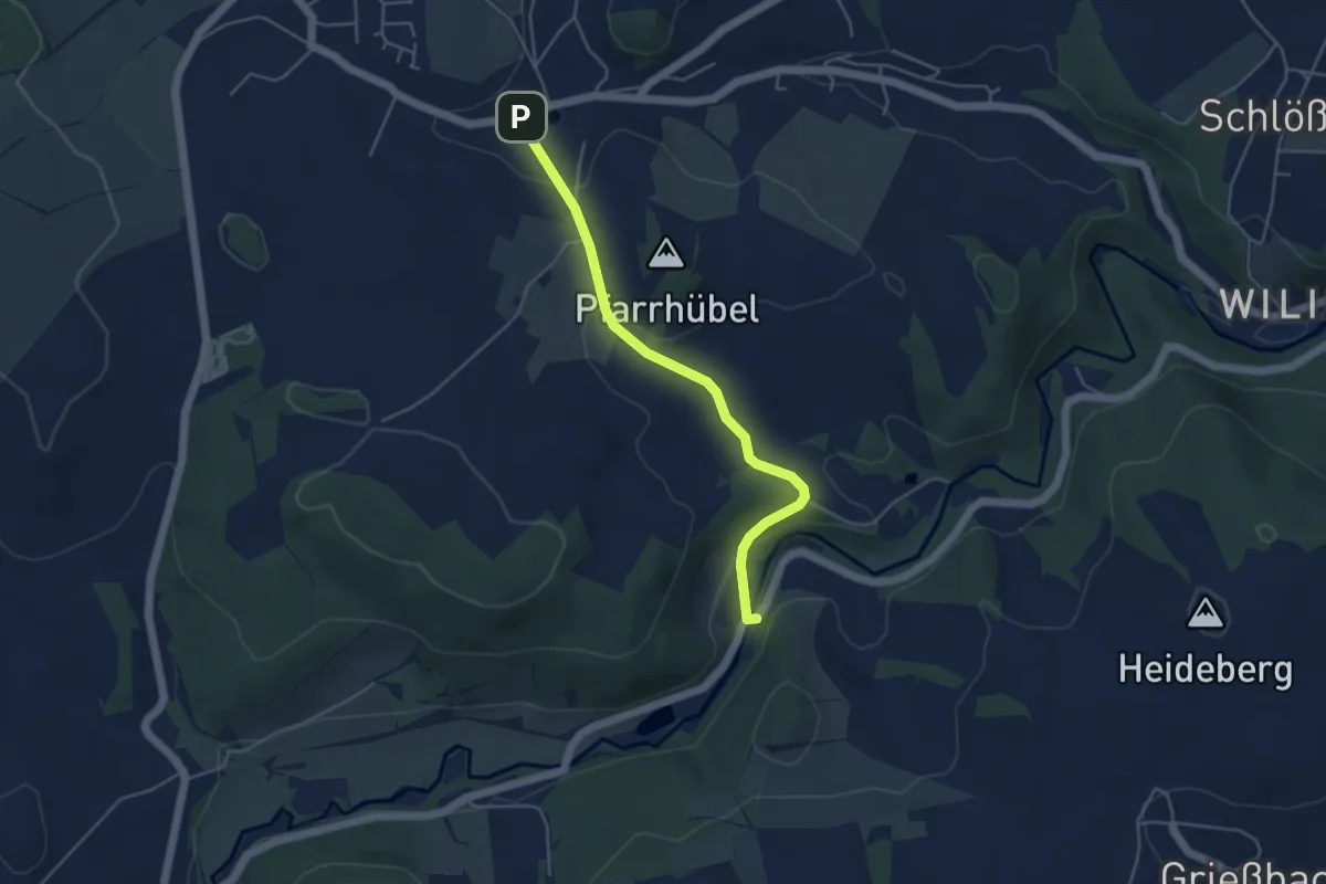
Easy · Trail
Ww Weißbach - Tal der Wilisch
4.1 km · ↑ 82 m · 1 h 9 min
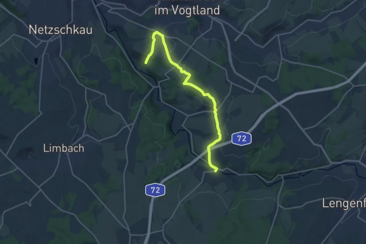
Medium · Trail
Ww Weißensand-Schneidenbach-Rotschau-Mühlwand
12.6 km · ↑ 249 m · 3 h 30 min
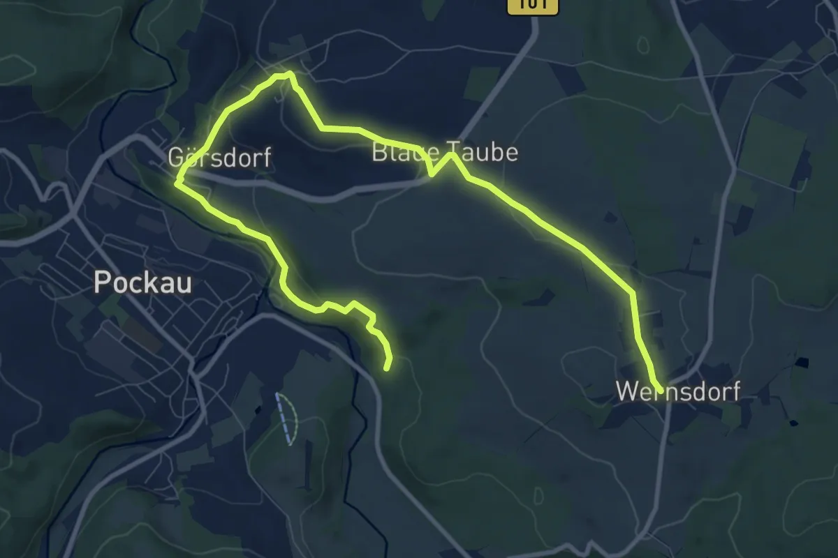
Medium · Trail
WW Wernsdorf-Görsdorf
11.9 km · ↑ 324 m · 3 h 31 min
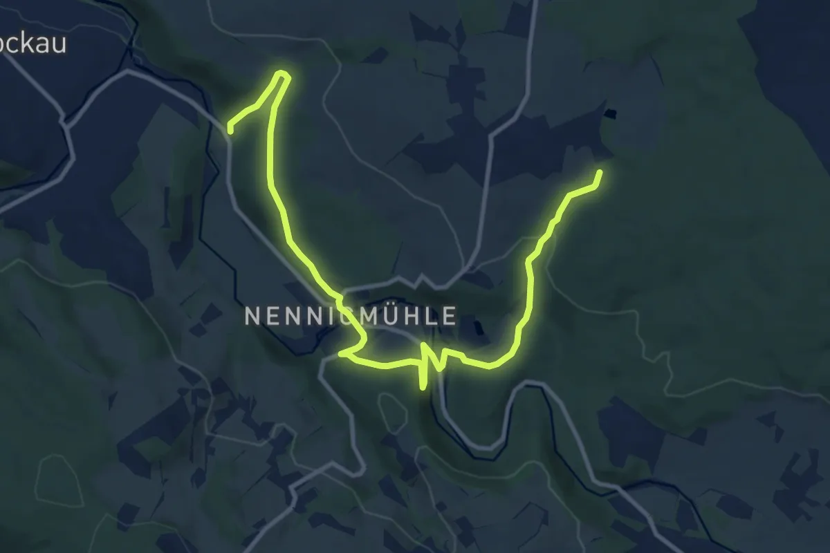
Medium · Trail
WW Wernsdorf-Nennigmühle
11.4 km · ↑ 331 m · 3 h 25 min
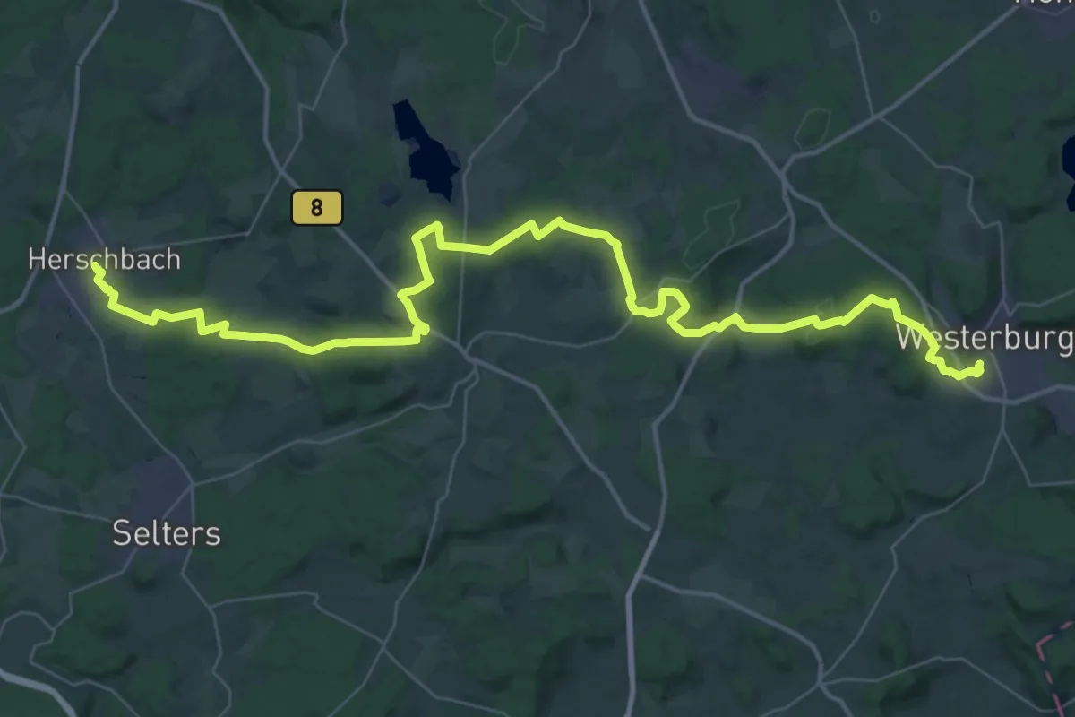
Demanding · Trail
WW Westerwald Etappe 4 Herschbach - Westerburg
25.2 km · ↑ 375 m · 7 h 9 min
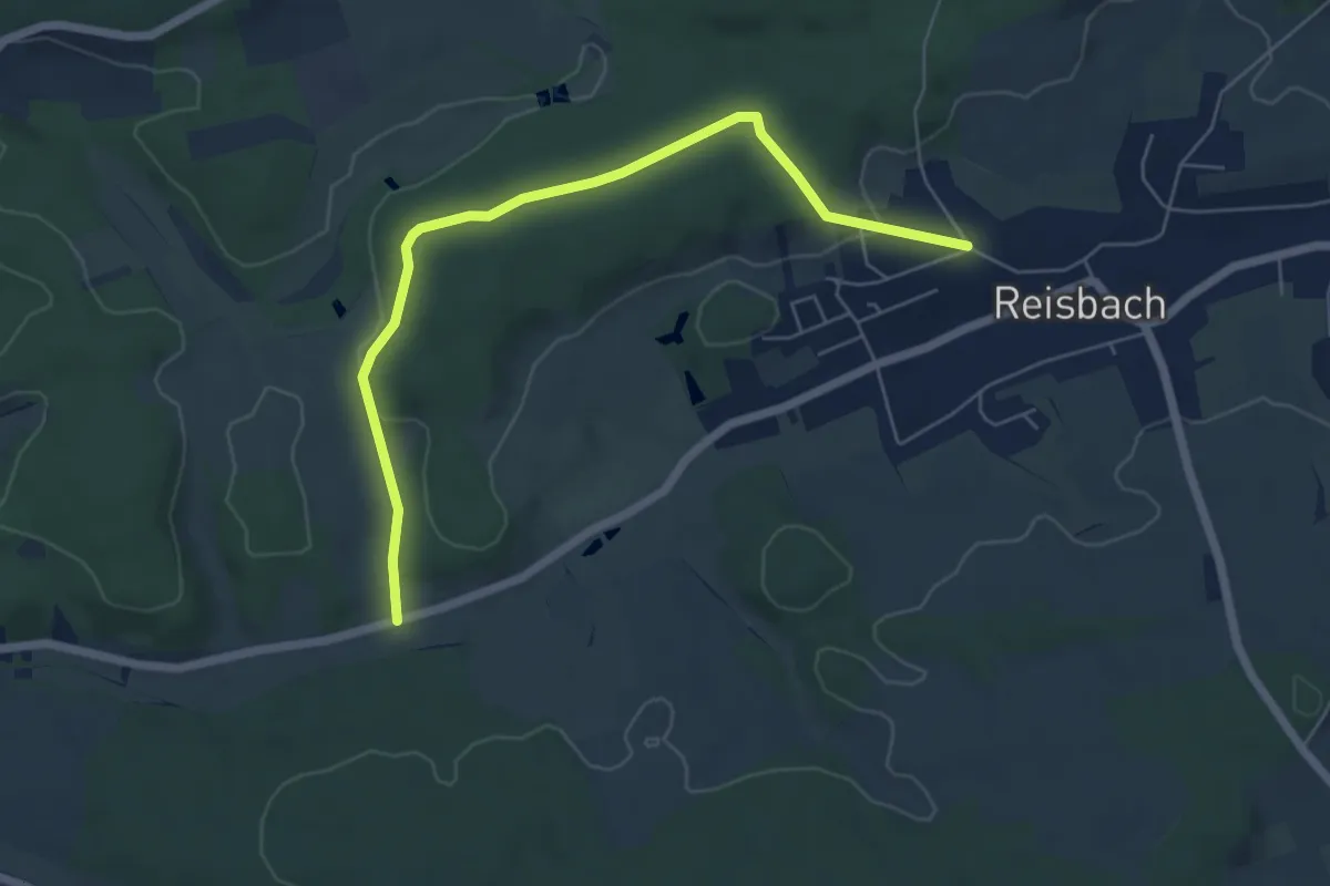
Easy · Trail
WWWHülzweiler
5.9 km · ↑ 123 m · 1 h 39 min
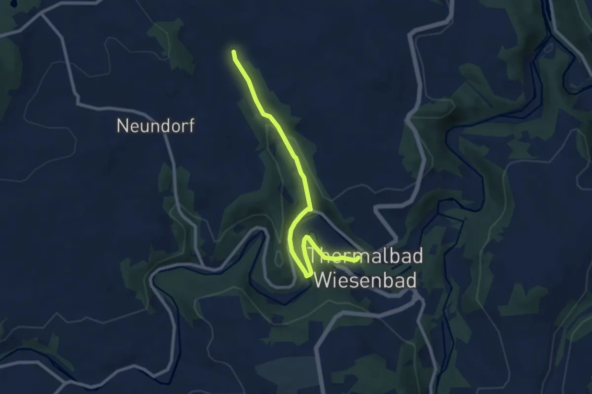
Easy · Trail
WW_Wie_Neundorf
6.5 km · ↑ 142 m · 1 h 51 min
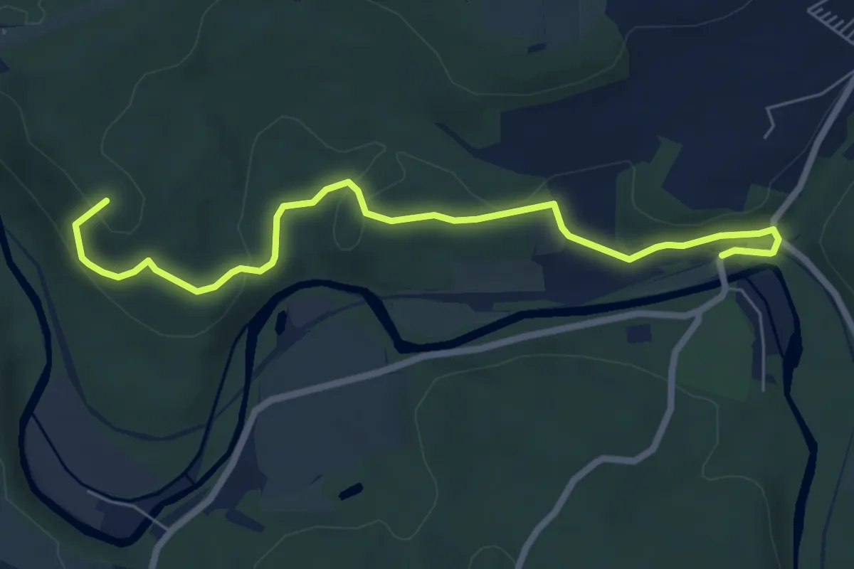
Medium · Summit
Ww Wildenfels-Bahnhof Hartenstein
6.4 km · ↑ 160 m · 1 h 51 min
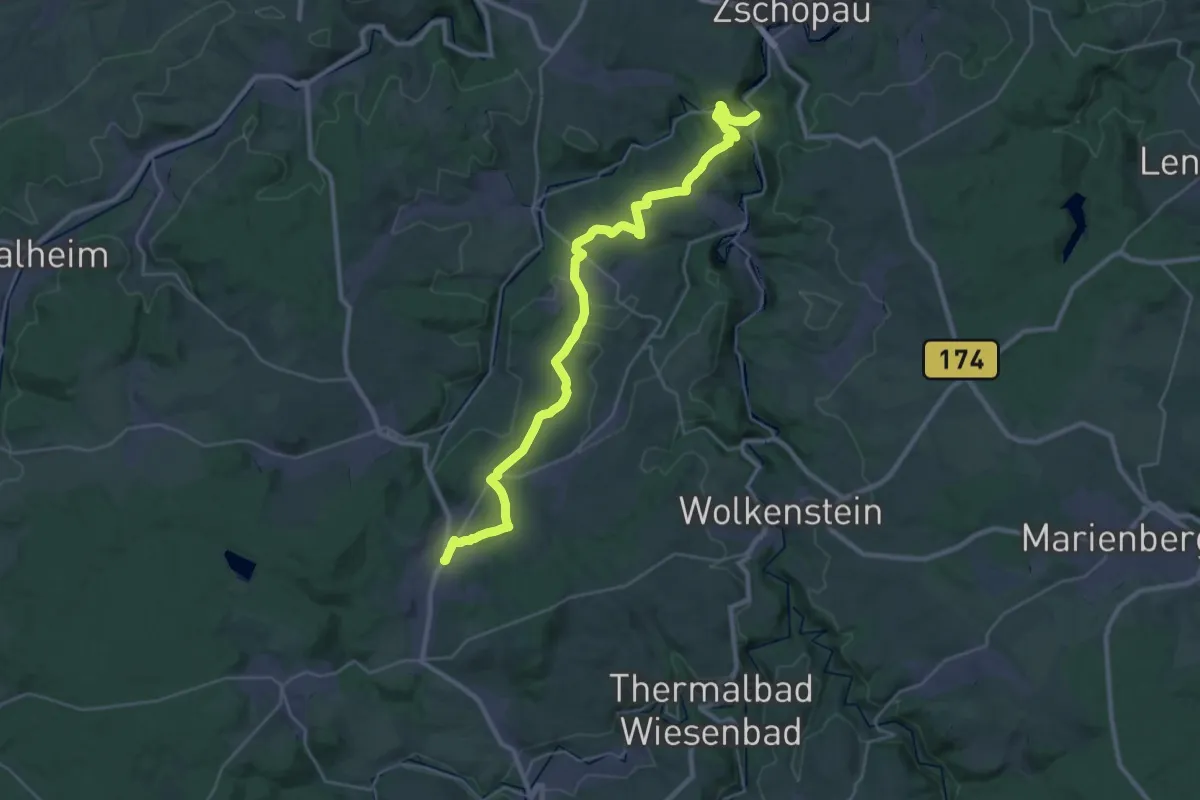
Medium · Trail
Ww Wilischthal-Affenstein-Grießbach-Venusberg-Ehrenfriedersdorf
15.5 km · ↑ 366 m · 4 h 34 min
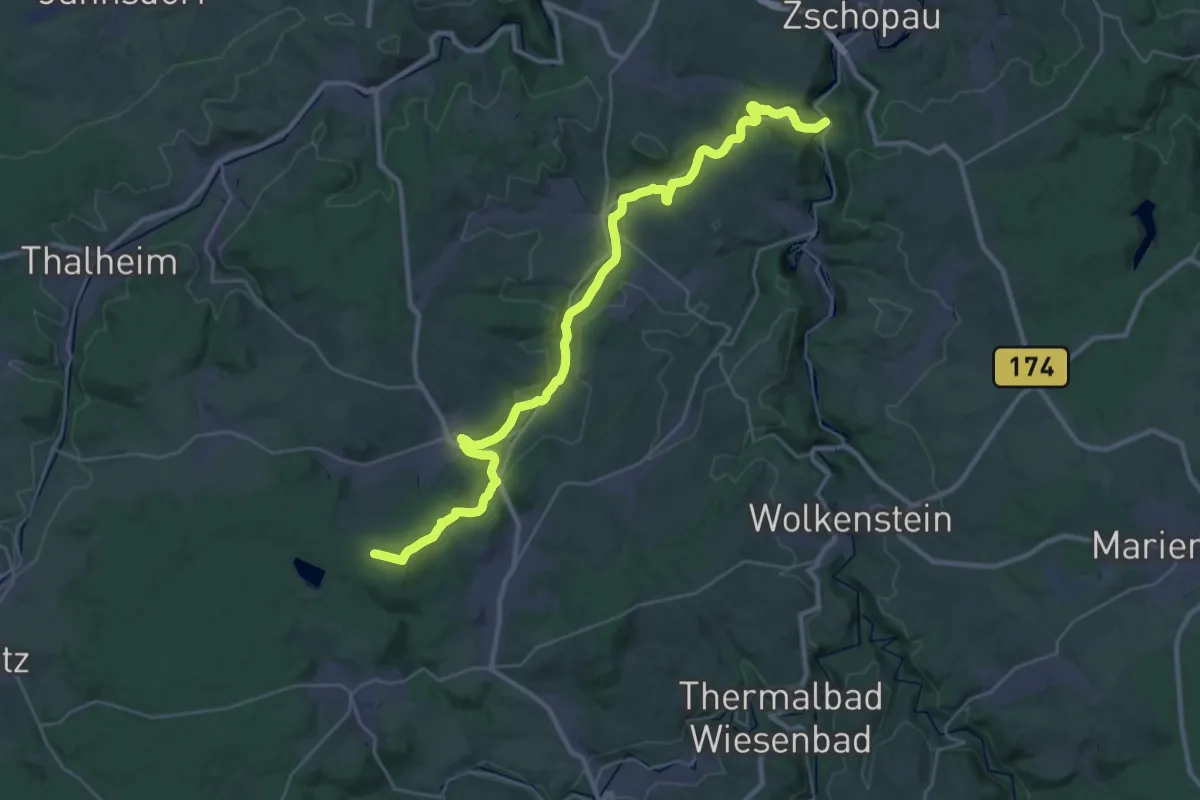
Demanding · Summit
Ww Wilischthalwanderweg
35.8 km · ↑ 639 m · 9 h 50 min
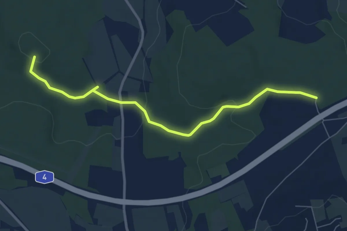
Easy · Summit
Ww Wind- Pfarrgrund- Fichtental-Karl-May-Höhle
6.0 km · ↑ 110 m · 1 h 40 min
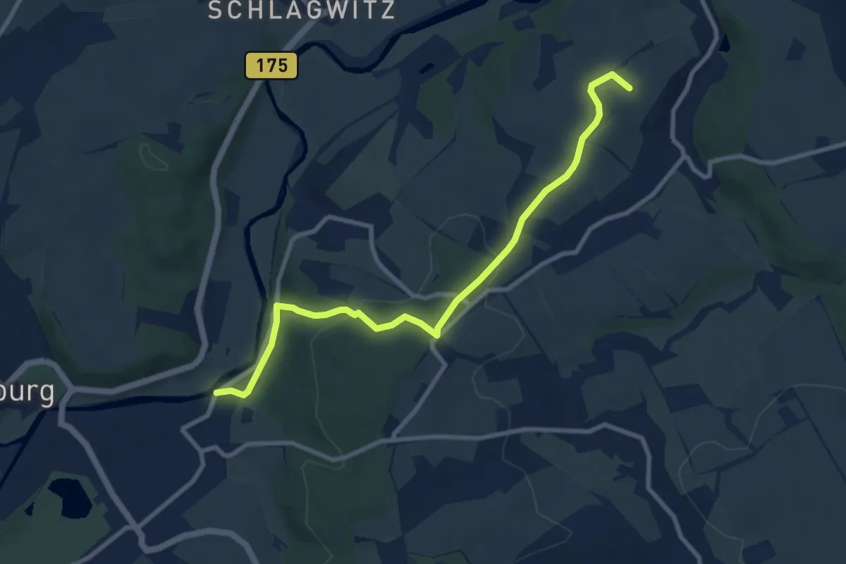
Easy · Summit
Ww Wolkenburg - Höllgrund -Waldenburg
7.9 km · ↑ 176 m · 2 h 15 min
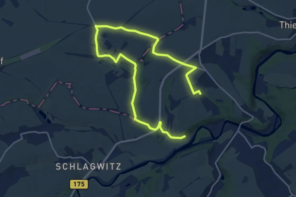
Medium · Trail
Ww Wolkenburg - Wolpersdorf -Wolkenburg
13.9 km · ↑ 159 m · 3 h 37 min
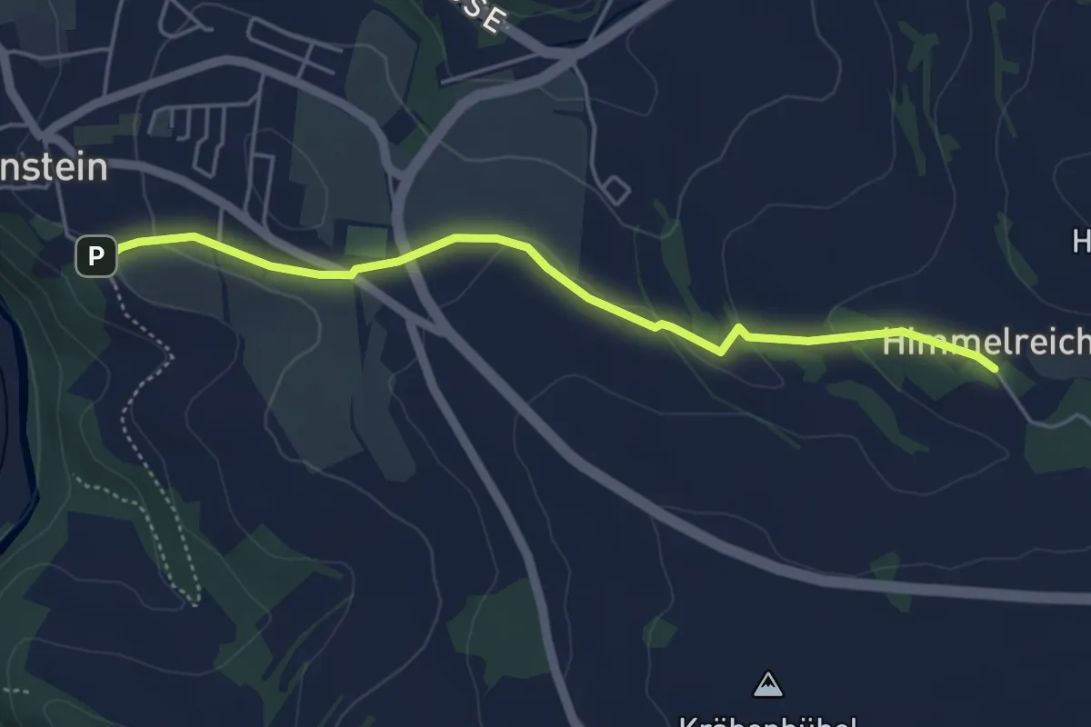
Easy · Trail
Ww Wolkenstein-Himmelreich
4.3 km · ↑ 72 m · 1 h 11 min
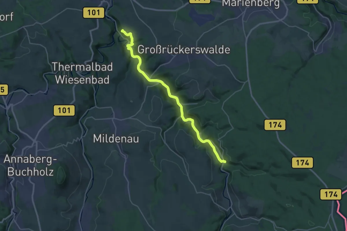
Demanding · Summit
Ww Wolkenstein-Streckewalde-Boden-Reitzenhain
20.1 km · ↑ 280 m · 5 h 22 min
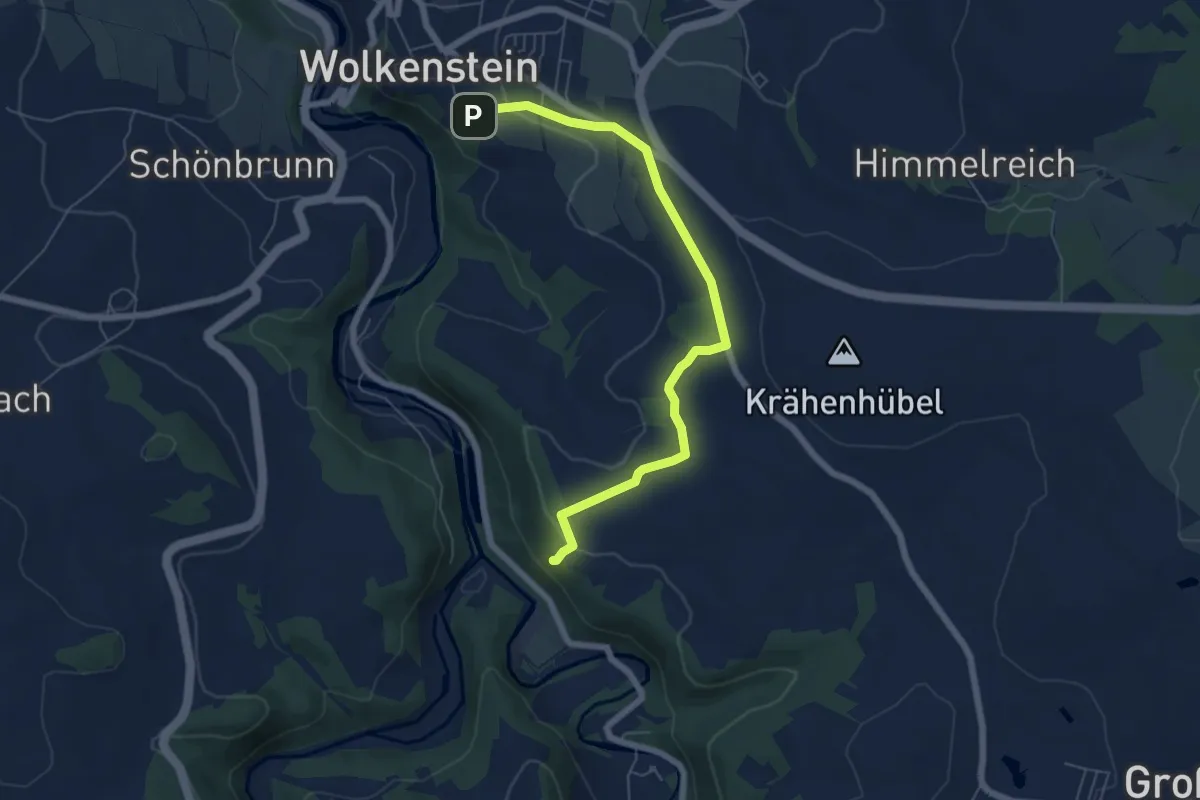
Easy · Summit
Ww Wolkenstein-Zeisigstein
6.0 km · ↑ 129 m · 1 h 42 min
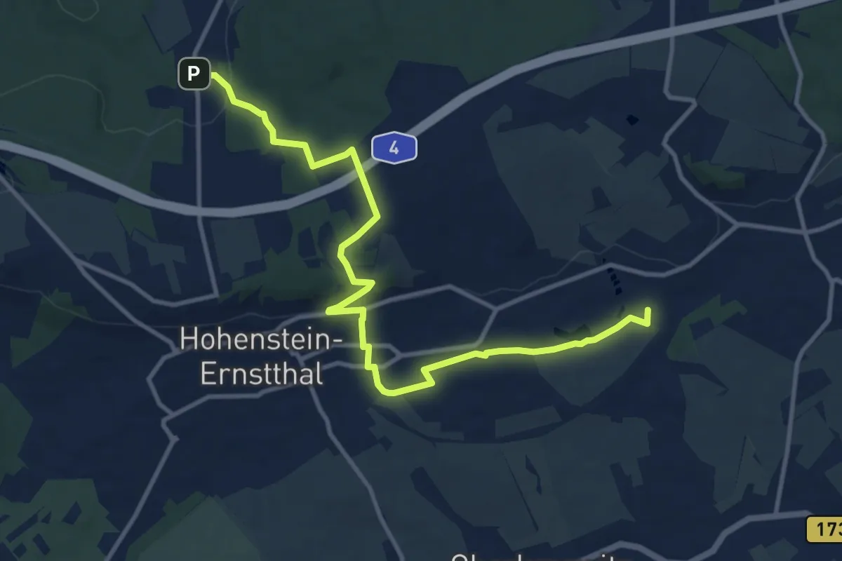
Medium · Summit
Ww Wüstenbrand-Hohenstein-E.-Pfaffengrund-Wiesental
11.0 km · ↑ 239 m · 3 h 7 min
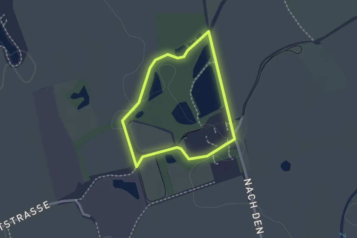
Easy · Trail
WW Ziegelei-Rundweg
1.4 km · ↑ 4 m · 21 min
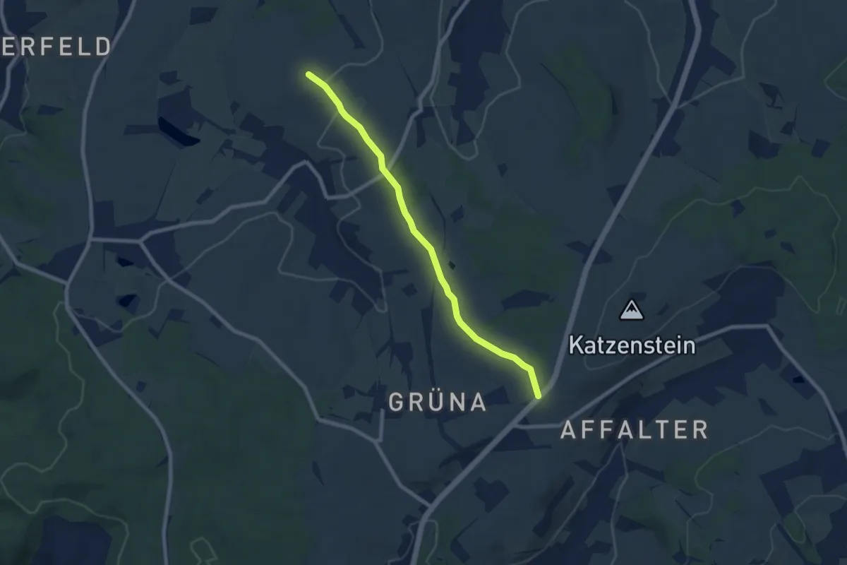
Easy · Trail
WW Ziegelweg
6.6 km · ↑ 95 m · 1 h 46 min
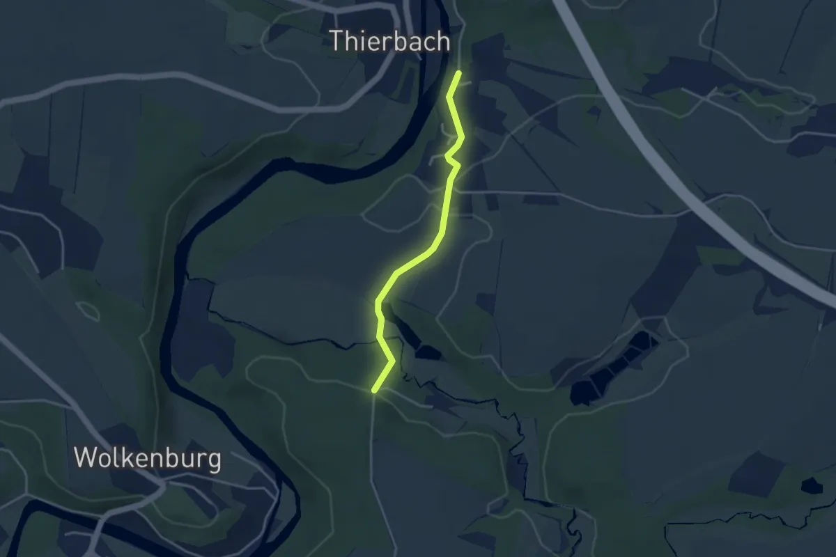
Easy · Trail
Ww Zinnberg - Anschluß grün Höllmühle - Wolkenburg
2.9 km · ↑ 88 m · 52 min
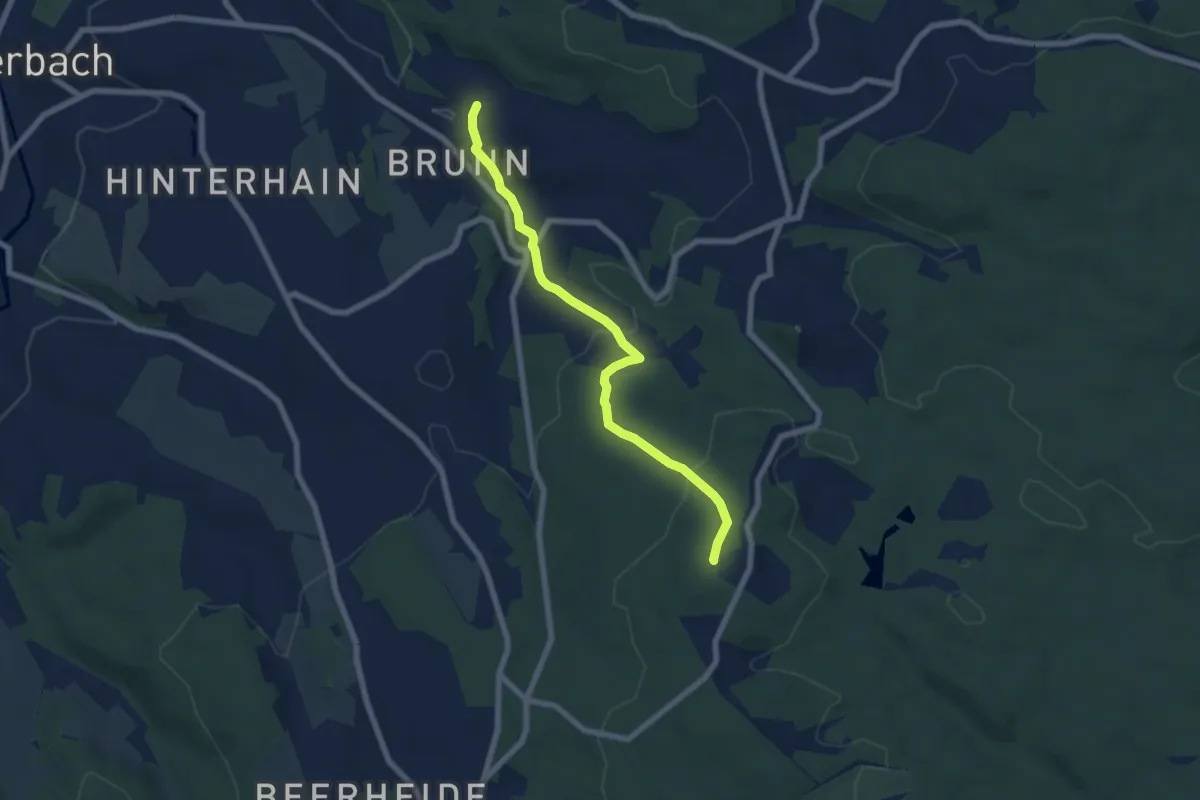
Easy · Summit
Ww Zöbischhaus - Brunn
6.2 km · ↑ 236 m · 1 h 59 min
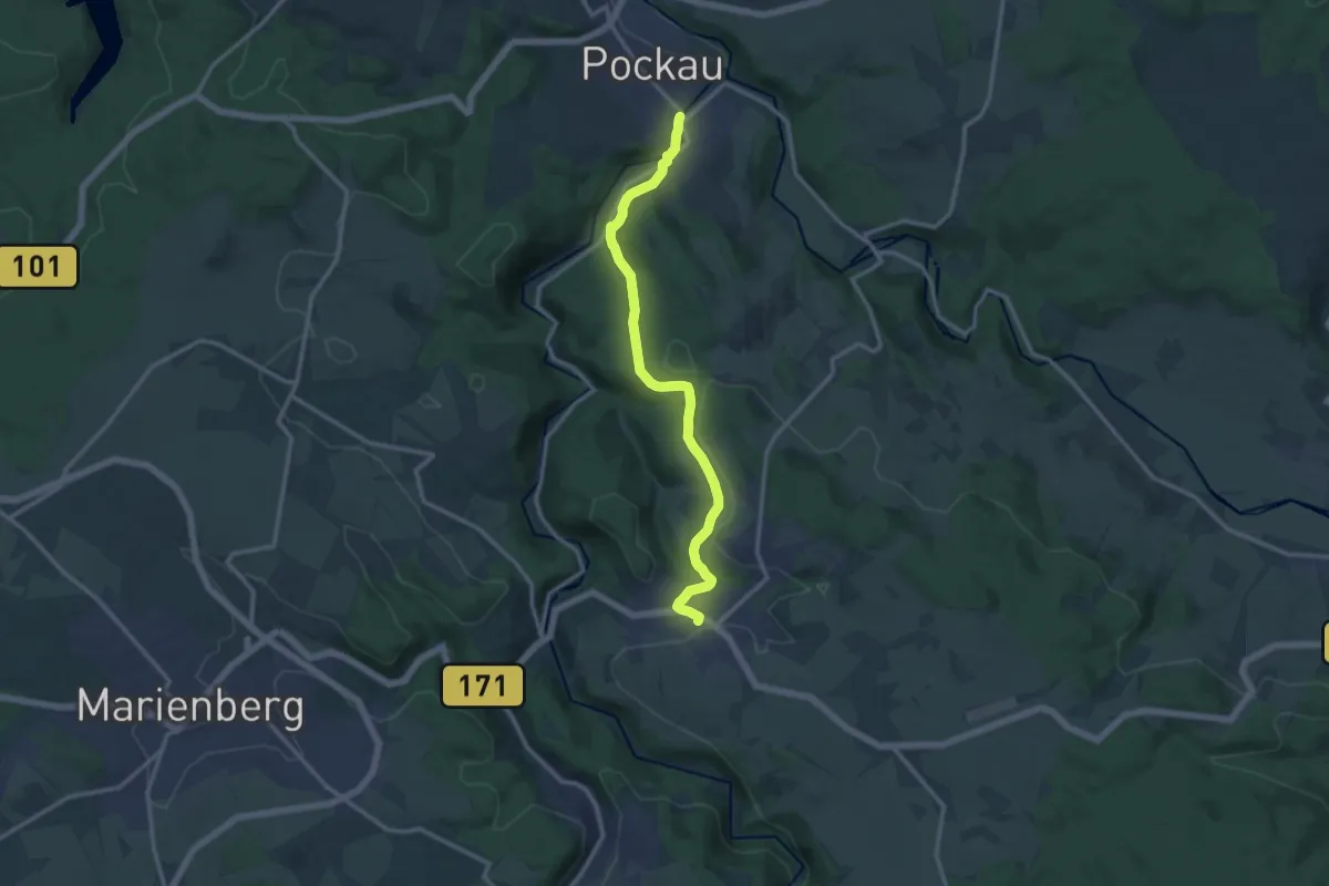
Medium · Trail
Ww Zöblitz-Pockau über Vorwerk
12.1 km · ↑ 305 m · 3 h 31 min
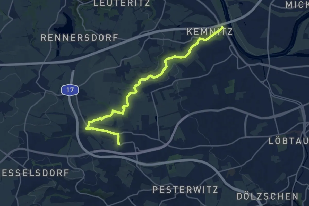
Medium · Trail
WW Zschonergrund
15.3 km · ↑ 189 m · 4 h 1 min
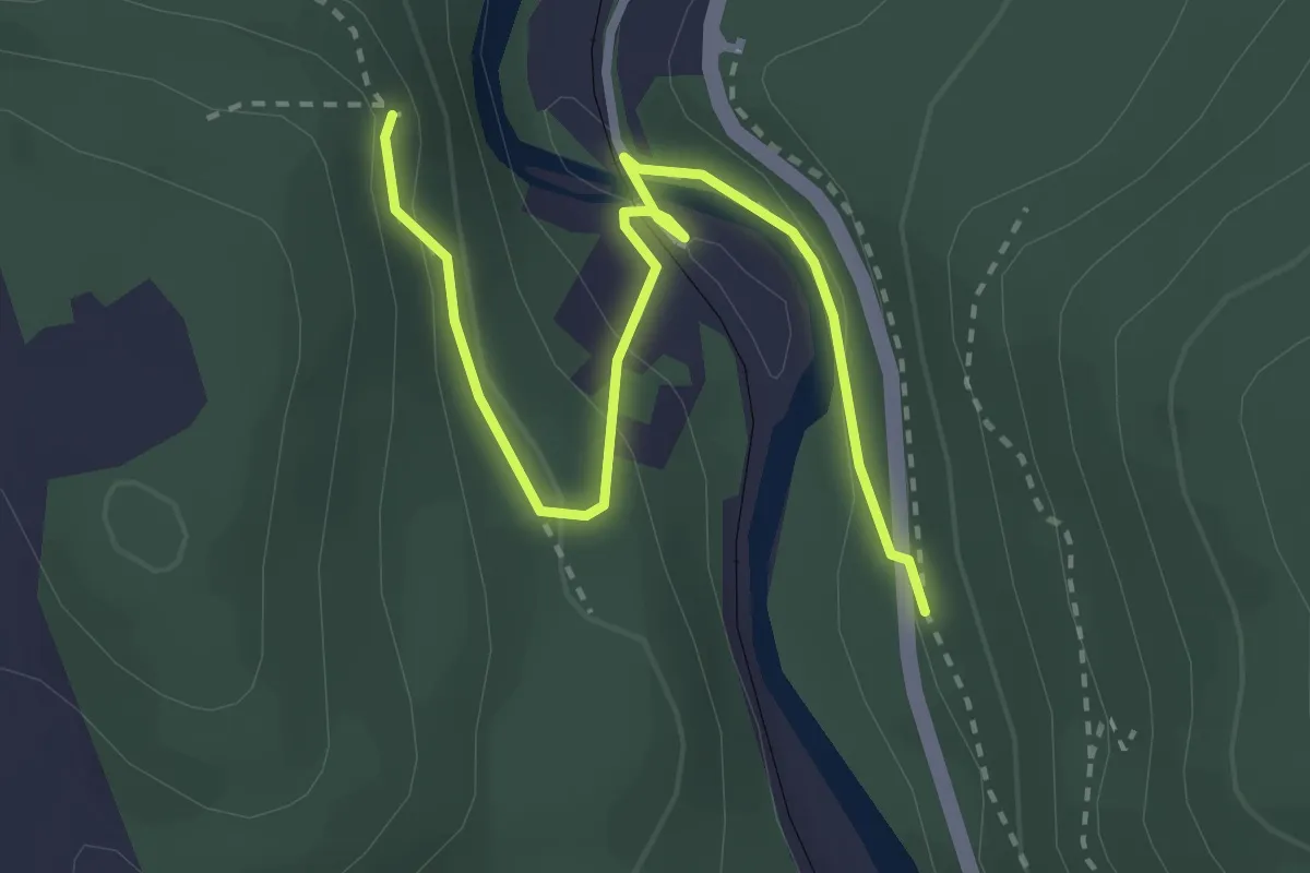
Easy · Trail
Ww Zschopauta- Wanderweg Wilischthal - Affenstein
3.0 km · ↑ 121 m · 59 min
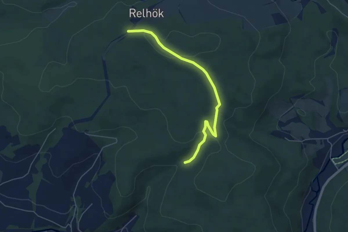
Easy · Trail
Ww Zugang zum Kamm
4.5 km · ↑ 112 m · 1 h 18 min
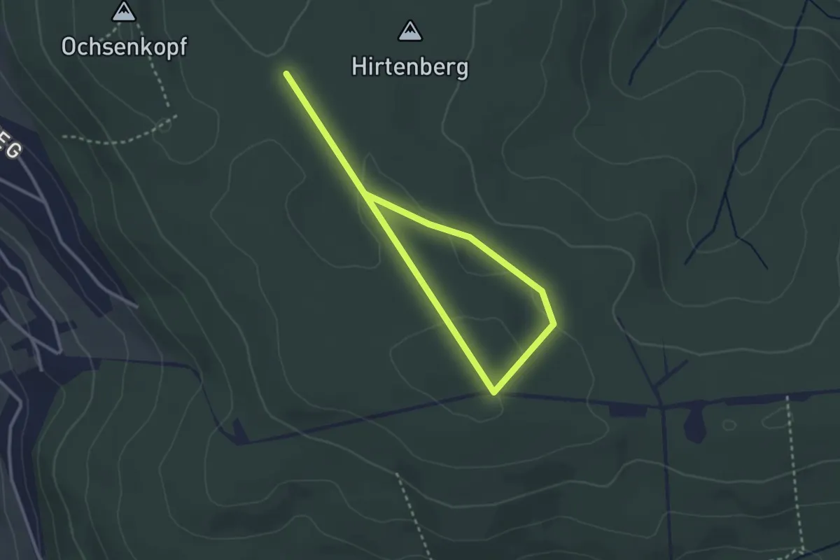
Easy · Trail
Ww zum Ochsenkopf
3.9 km · ↑ 70 m · 1 h 4 min
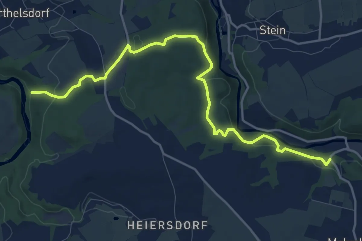
Medium · Trail
Ww Zwickauer Mulde-Mohsdorf
10.5 km · ↑ 278 m · 3 h 5 min
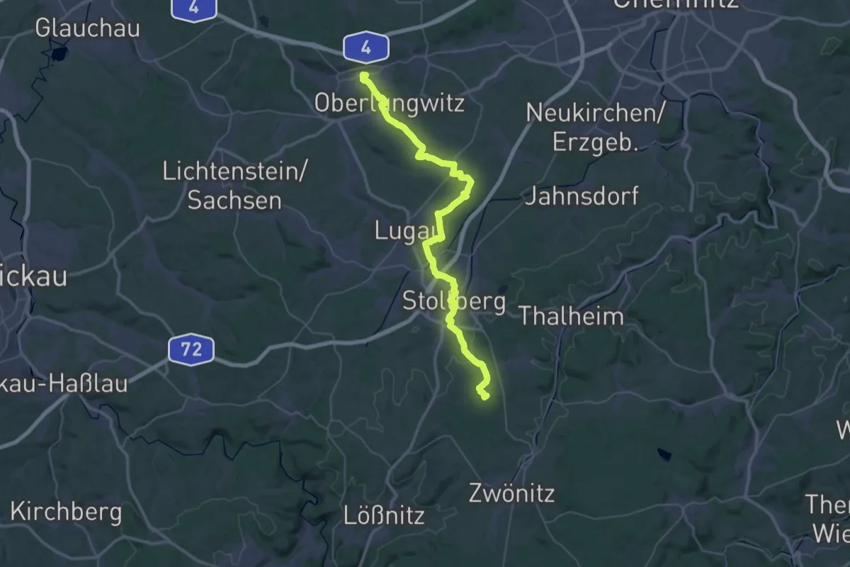
Demanding · Summit
Ww Zwönitz-Hohenstein-Ernstthal, Markierung z.T. mangelhaft
45.1 km · ↑ 597 m · 11 h 57 min
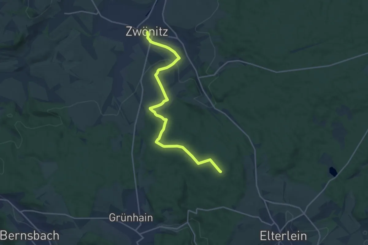
Medium · Summit
Ww Zwönitz-Schatzenstein
14.2 km · ↑ 276 m · 3 h 58 min