Trails in Germany
36,877 hiking trails, each with its route, climb, walking time and grade.
All trails, page 746 of 769
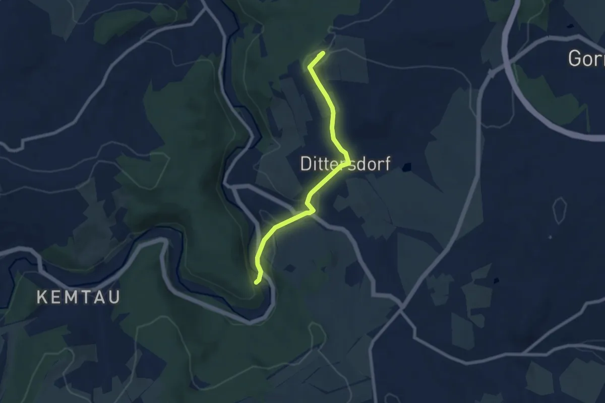
Easy · Summit
Ww Zwönitztalweg - Dittersdorf, Markierung mangelhaft
5.7 km · ↑ 124 m · 1 h 38 min
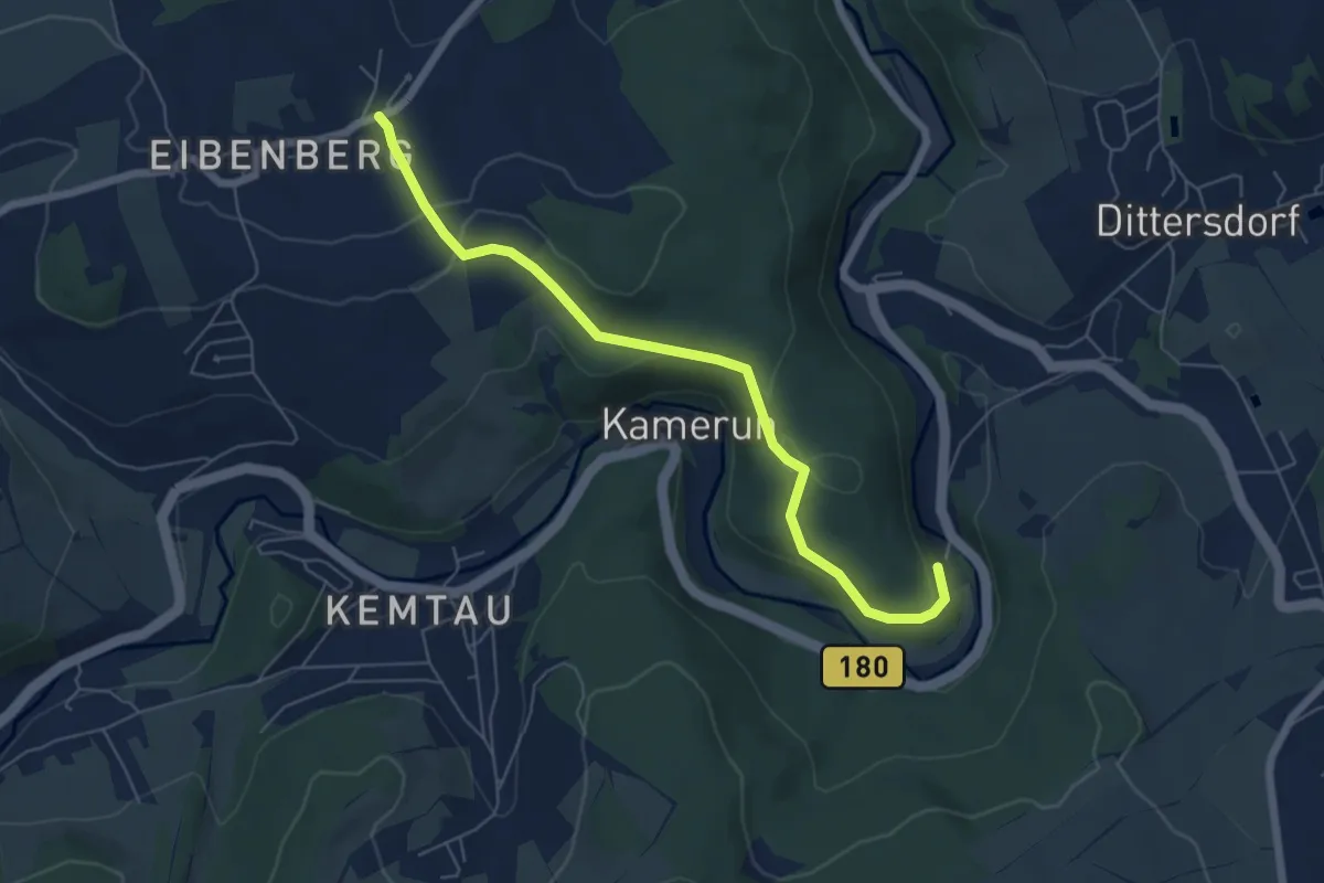
Easy · Trail
Ww Zwönitztalweg - Eibenberg
5.8 km · ↑ 149 m · 1 h 42 min
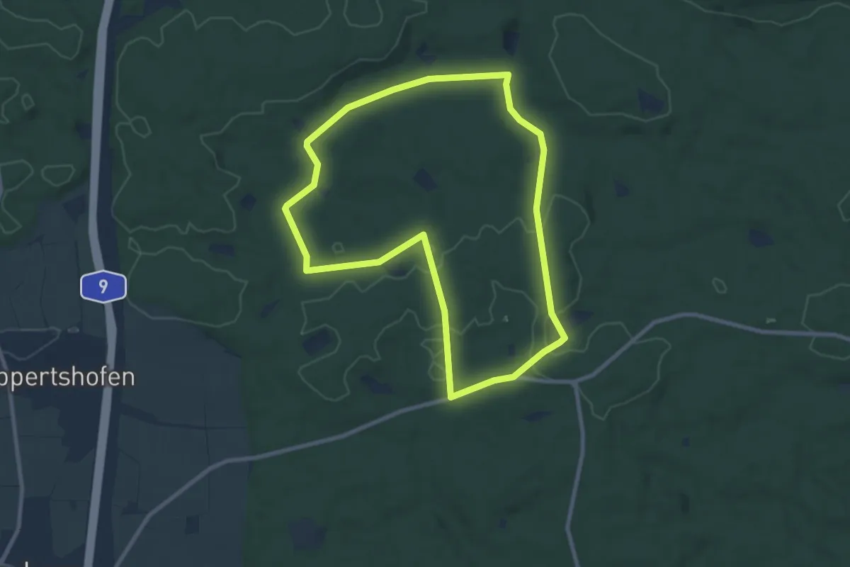
Easy · Trail
X
7.8 km · ↑ 83 m · 2 h 7 min
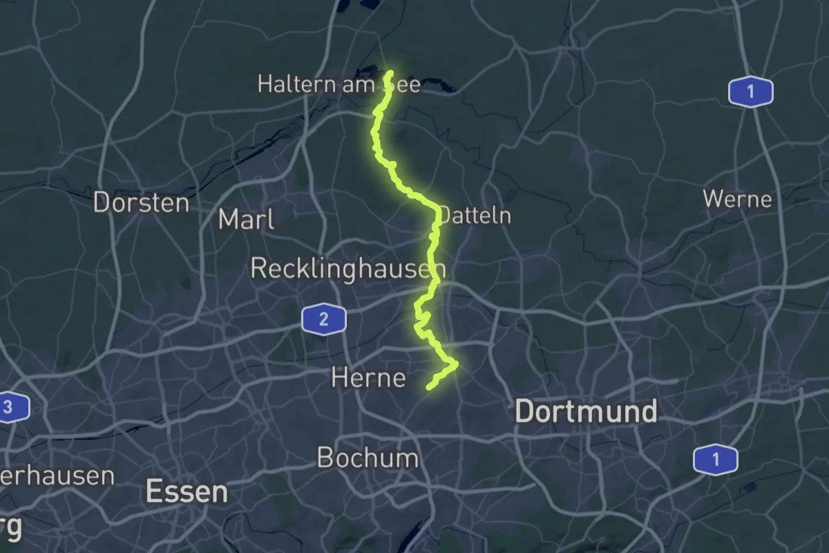
Demanding · Trail
X10 Herne, Gysenbergpark - Haltern Jugendherberge
36.8 km · ↑ 246 m · 9 h 45 min
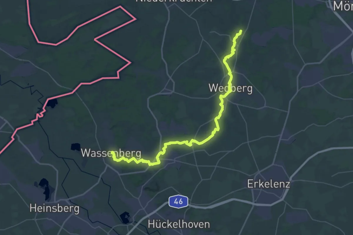
Demanding · Trail
X10 Naturparkweg
21.1 km · ↑ 94 m · 5 h 30 min
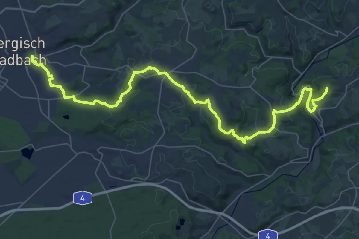
Medium · Trail
X11a Rheinischer Weg Bergisch Gladbach
15.0 km · ↑ 508 m · 4 h 47 min
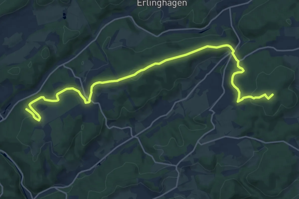
Medium · Summit
X11a Rheinischer Weg [Gummersbach]
16.7 km · ↑ 481 m · 4 h 59 min
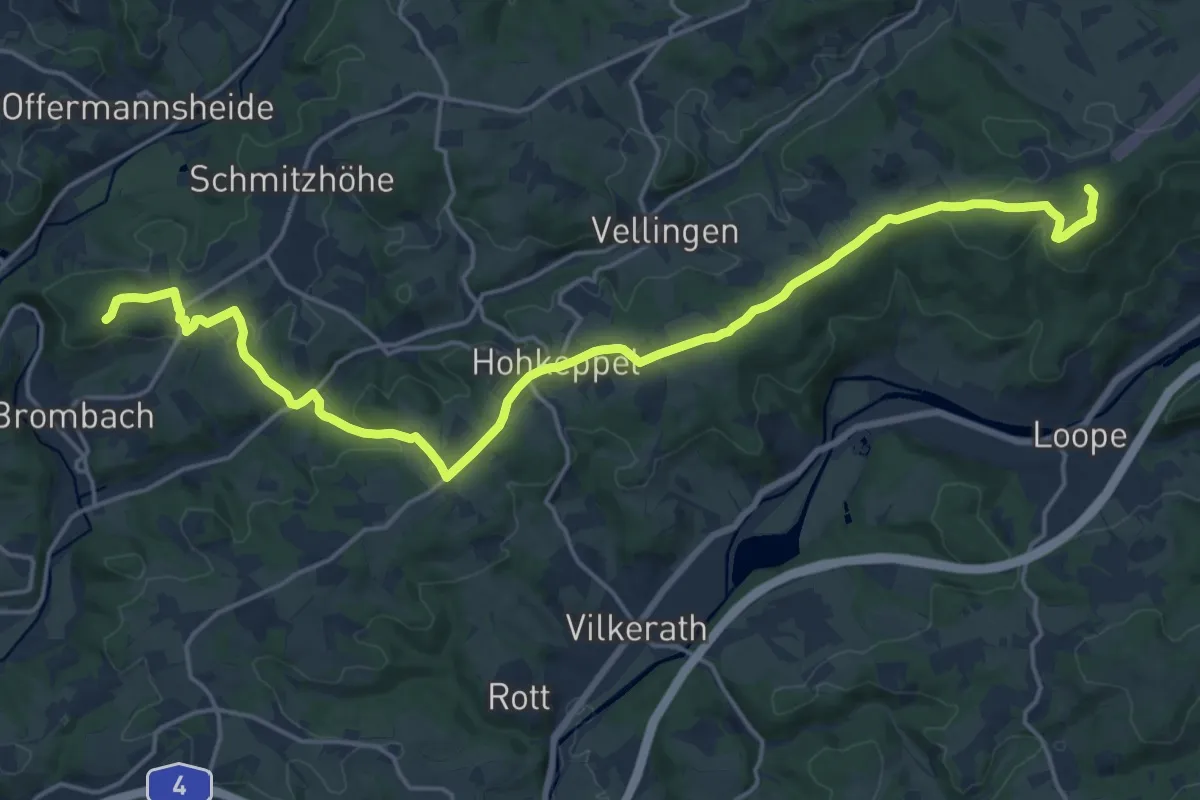
Demanding · Summit
X11a Rheinischer Weg [Lindlar]
20.3 km · ↑ 435 m · 5 h 44 min
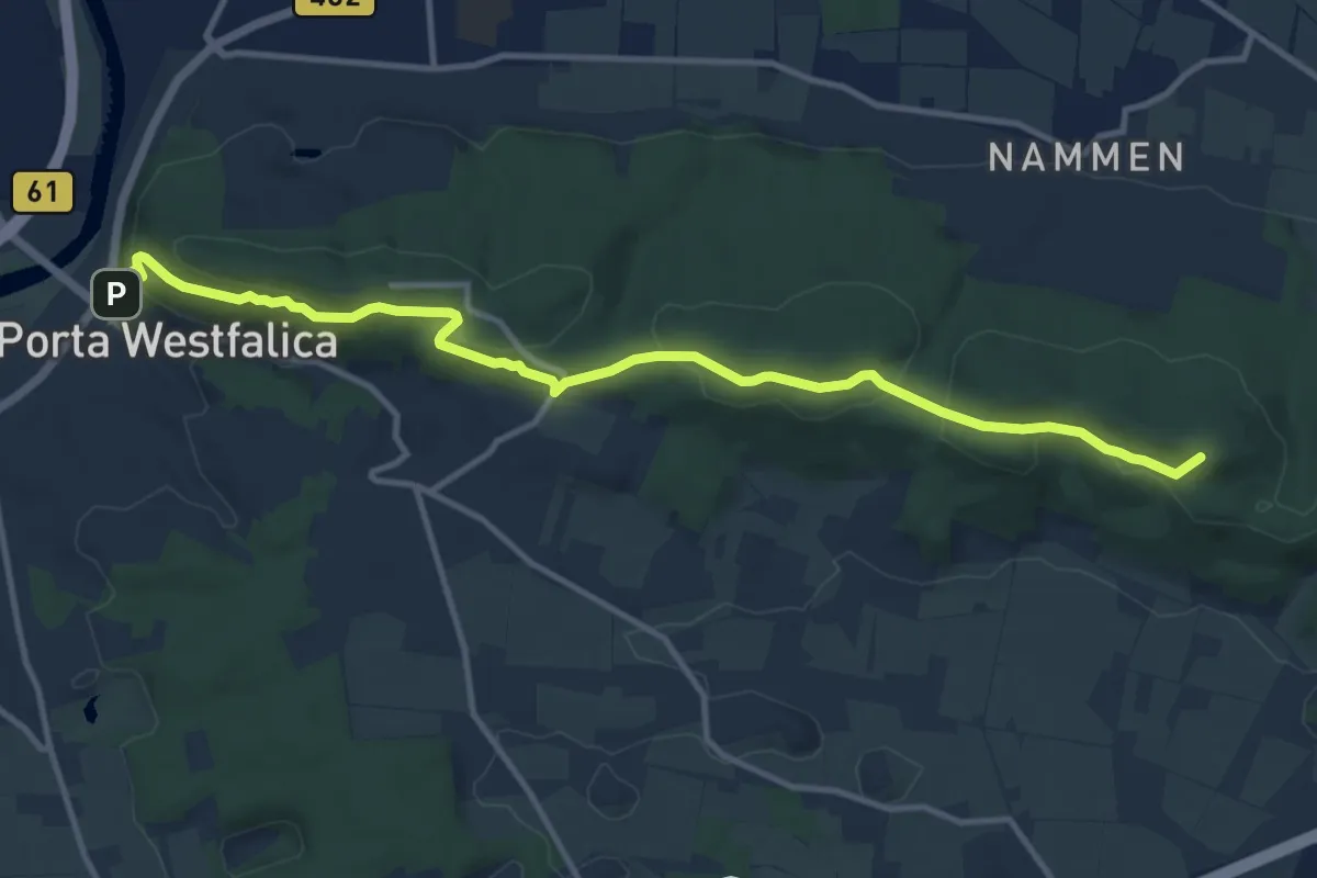
Medium · Summit
X11 - Bückeberge Weg
11.6 km · ↑ 412 m · 3 h 39 min
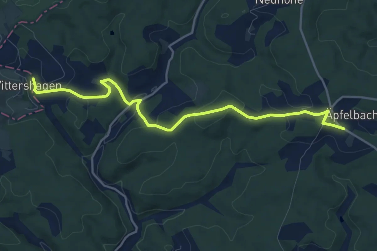
Medium · Trail
X11 Lenne-Sieg-Weg [Friesenhagen]
9.8 km · ↑ 209 m · 2 h 46 min
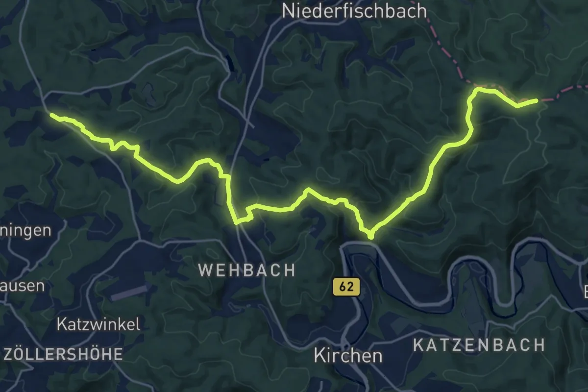
Demanding · Trail
X11 Lenne-Sieg-Weg [Kirchen]
23.6 km · ↑ 854 m · 7 h 26 min
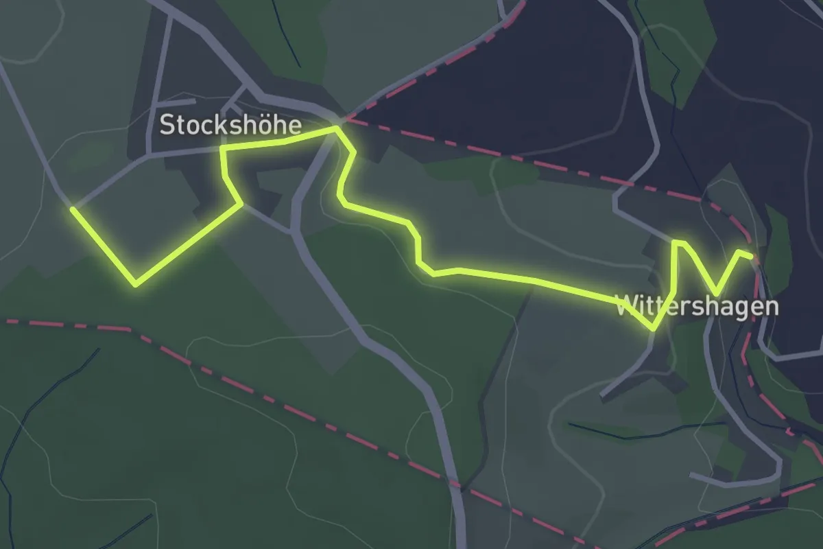
Easy · Trail
X11 Lenne-Sieg-Weg [Morsbach]
3.4 km · ↑ 44 m · 54 min
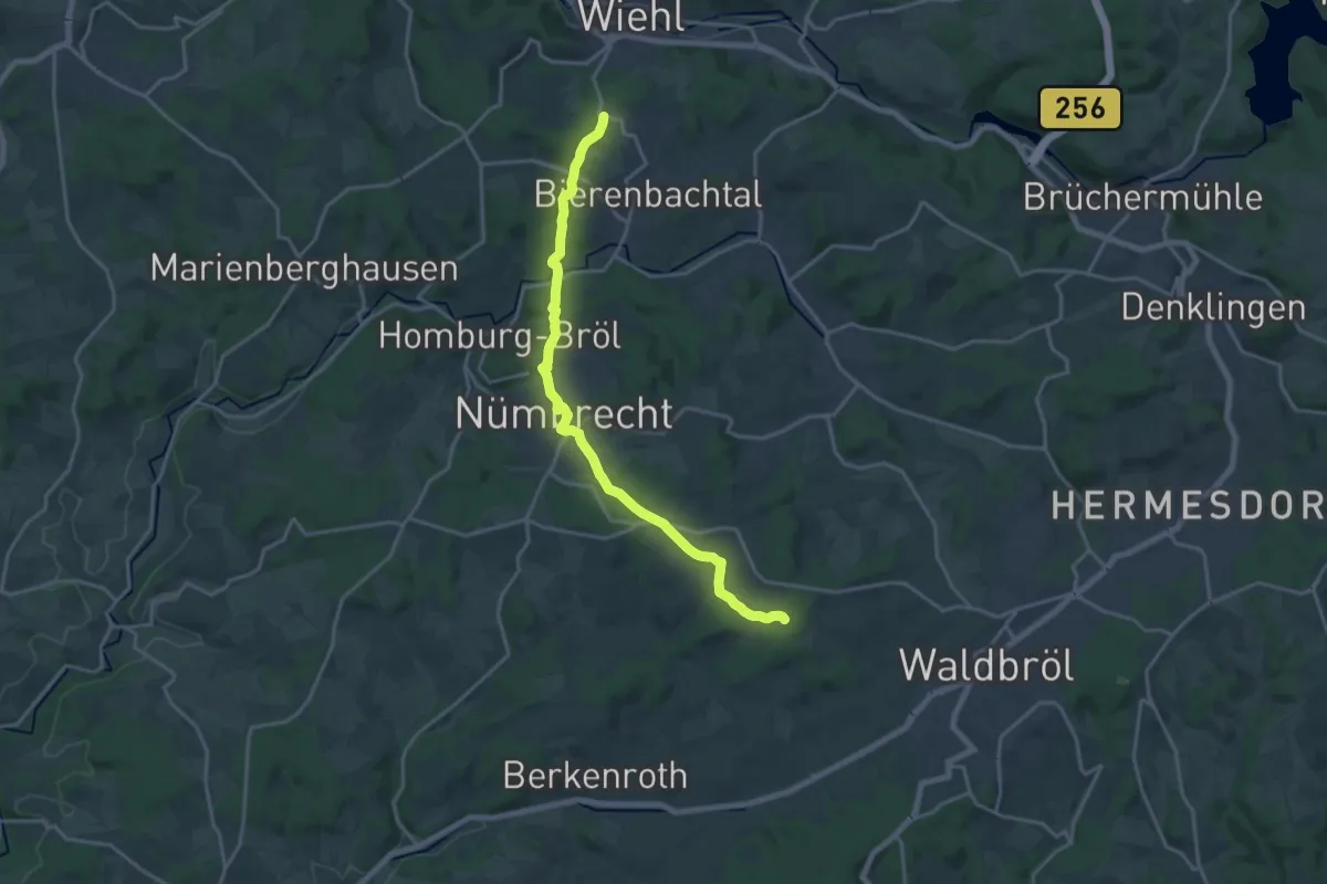
Medium · Trail
X11 Lenne-Sieg-Weg [Nümbrecht]
17.1 km · ↑ 346 m · 4 h 47 min
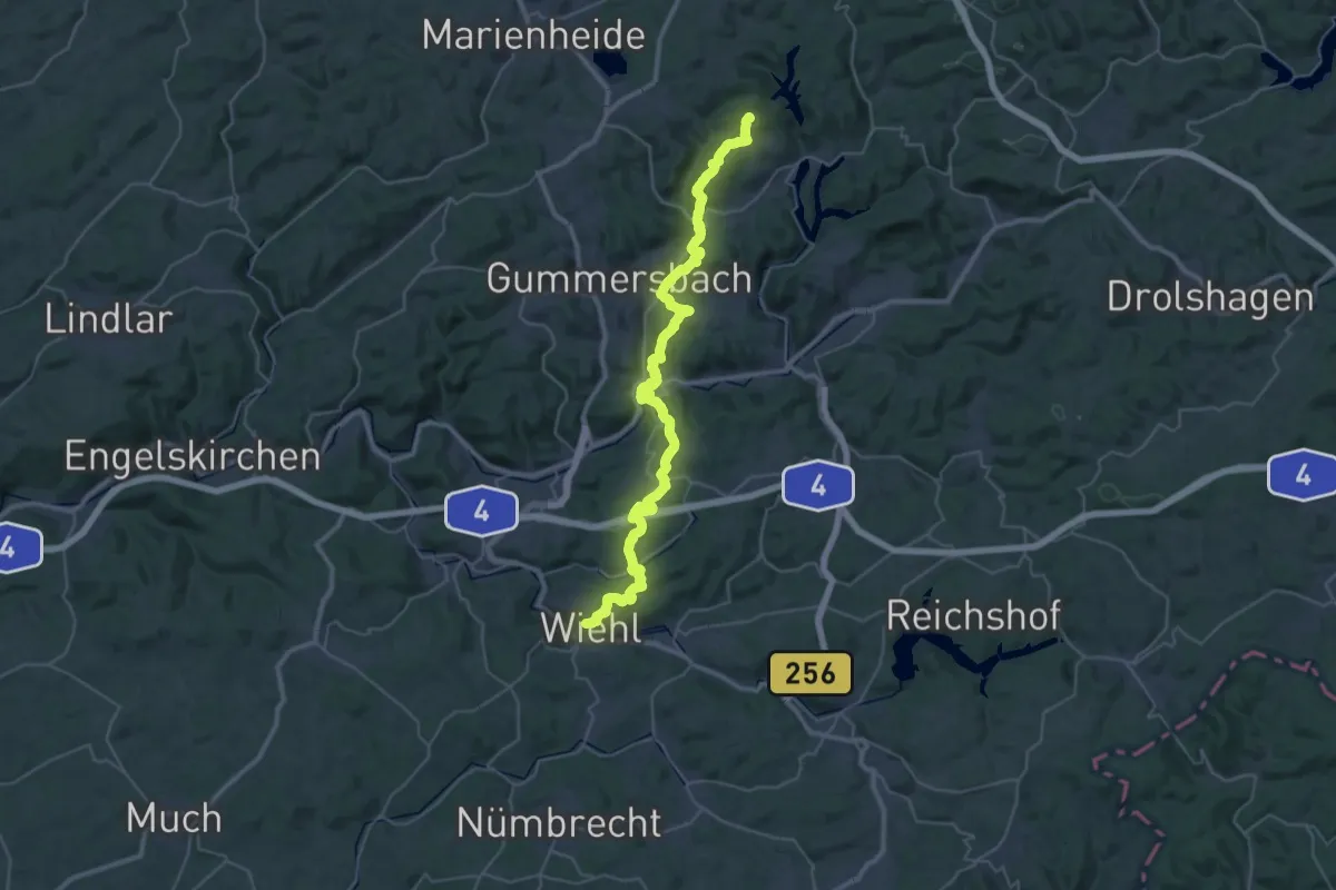
Demanding · Summit
X11 Lenne-Sieg-Weg (Plettenberg-Wiehl)
40.5 km · ↑ 1284 m · 12 h 20 min
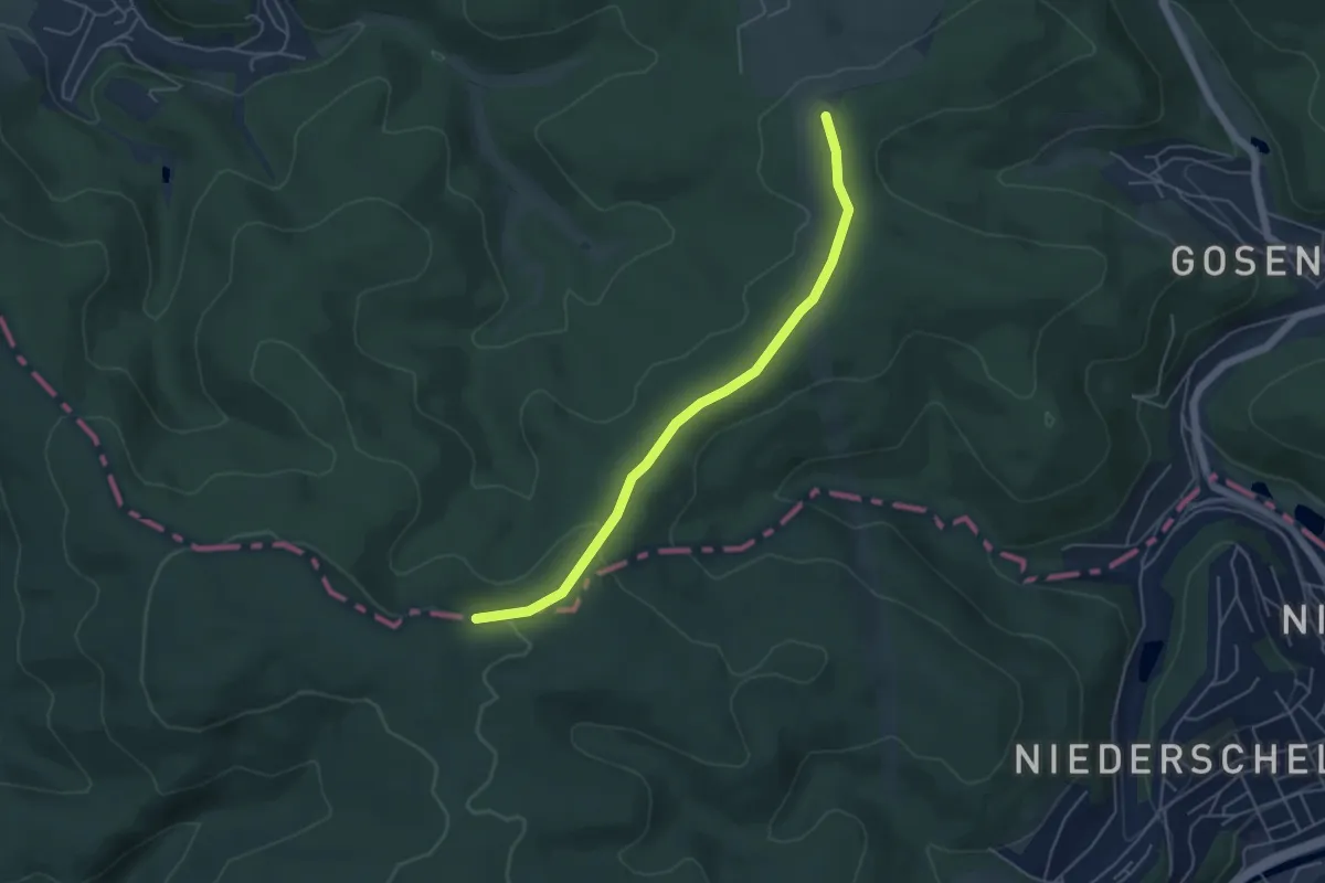
Easy · Trail
X11 Lenne-Sieg-Weg [Siegen]
4.5 km · ↑ 91 m · 1 h 16 min
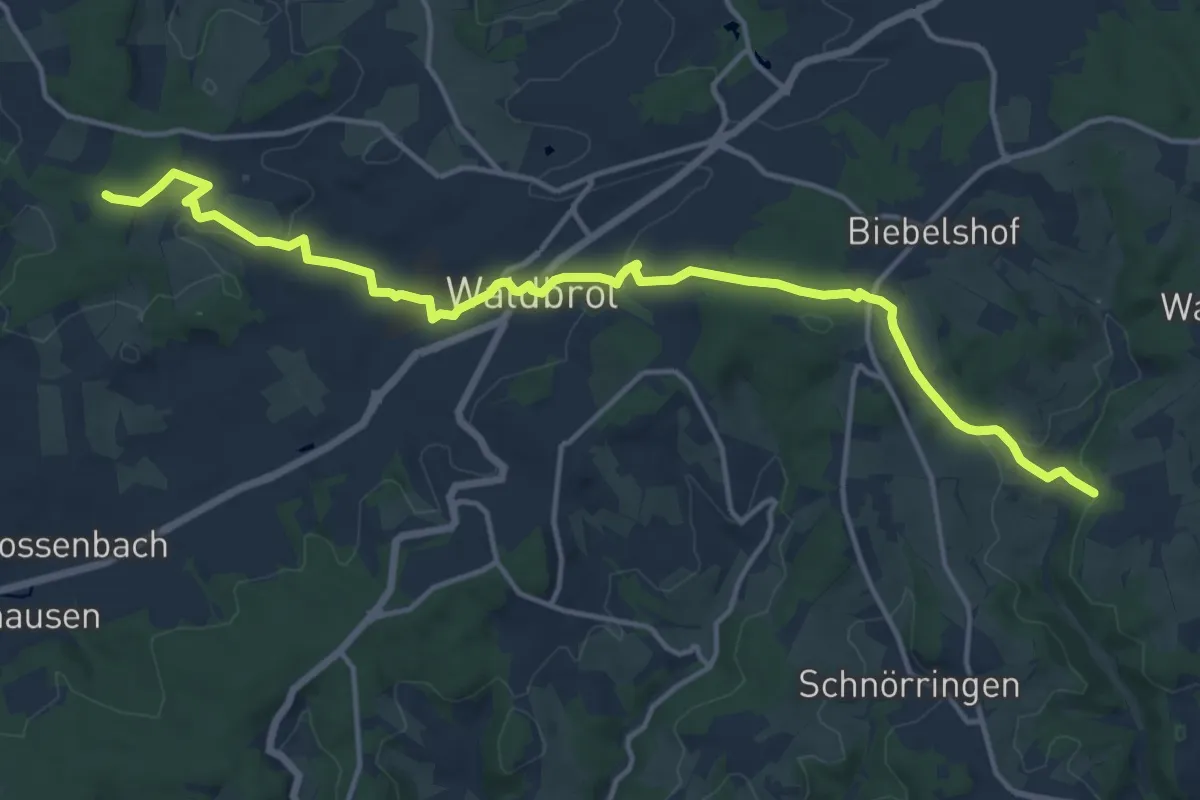
Medium · Trail
X11 Lenne-Sieg-Weg [Waldbröl]
15.3 km · ↑ 326 m · 4 h 19 min
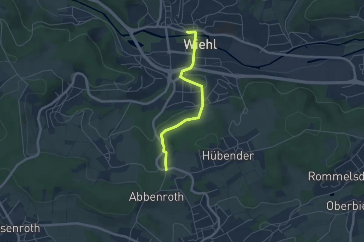
Easy · Trail
X11 Lenne-Sieg-Weg [Wiehl]
3.9 km · ↑ 93 m · 1 h 7 min
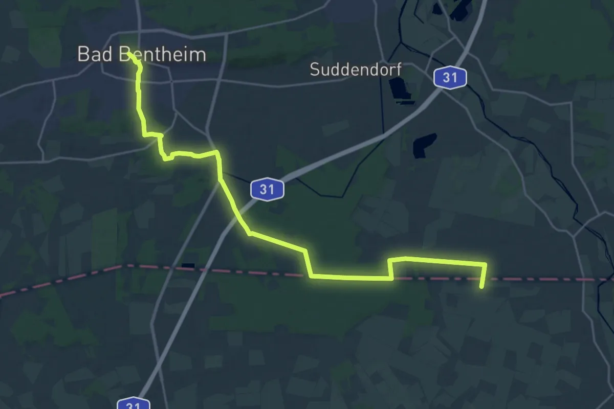
Demanding · Summit
X12 Bad Bentheim - Dülmen
22.0 km · ↑ 81 m · 5 h 22 min
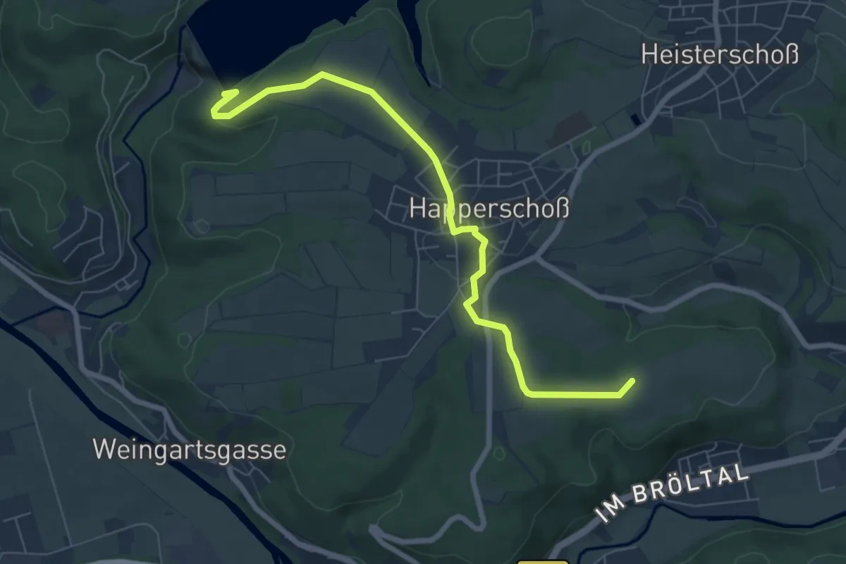
Easy · Summit
X12 Richard-Schirrmann-Weg Hennef
6.6 km · ↑ 96 m · 1 h 46 min
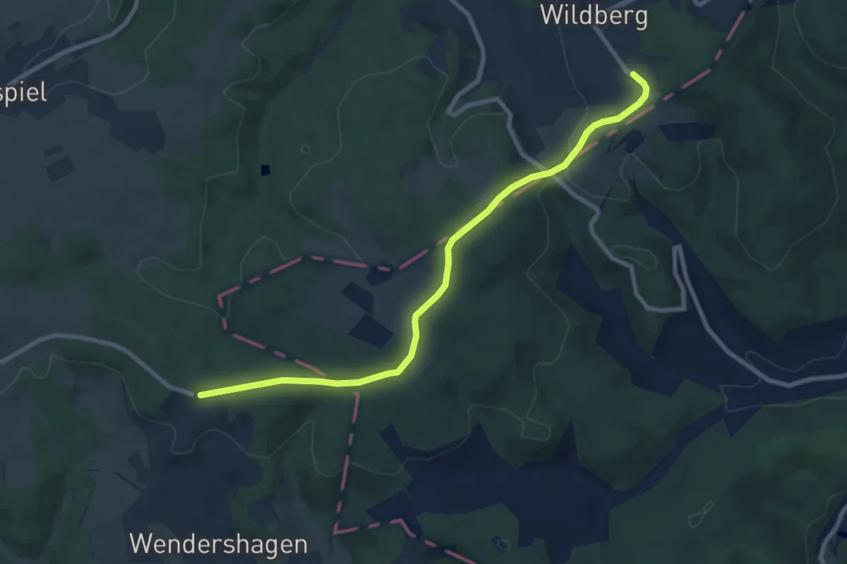
Easy · Trail
X12 Richard-Schirrmann-Weg [Reichshof]
7.4 km · ↑ 155 m · 2 h 5 min
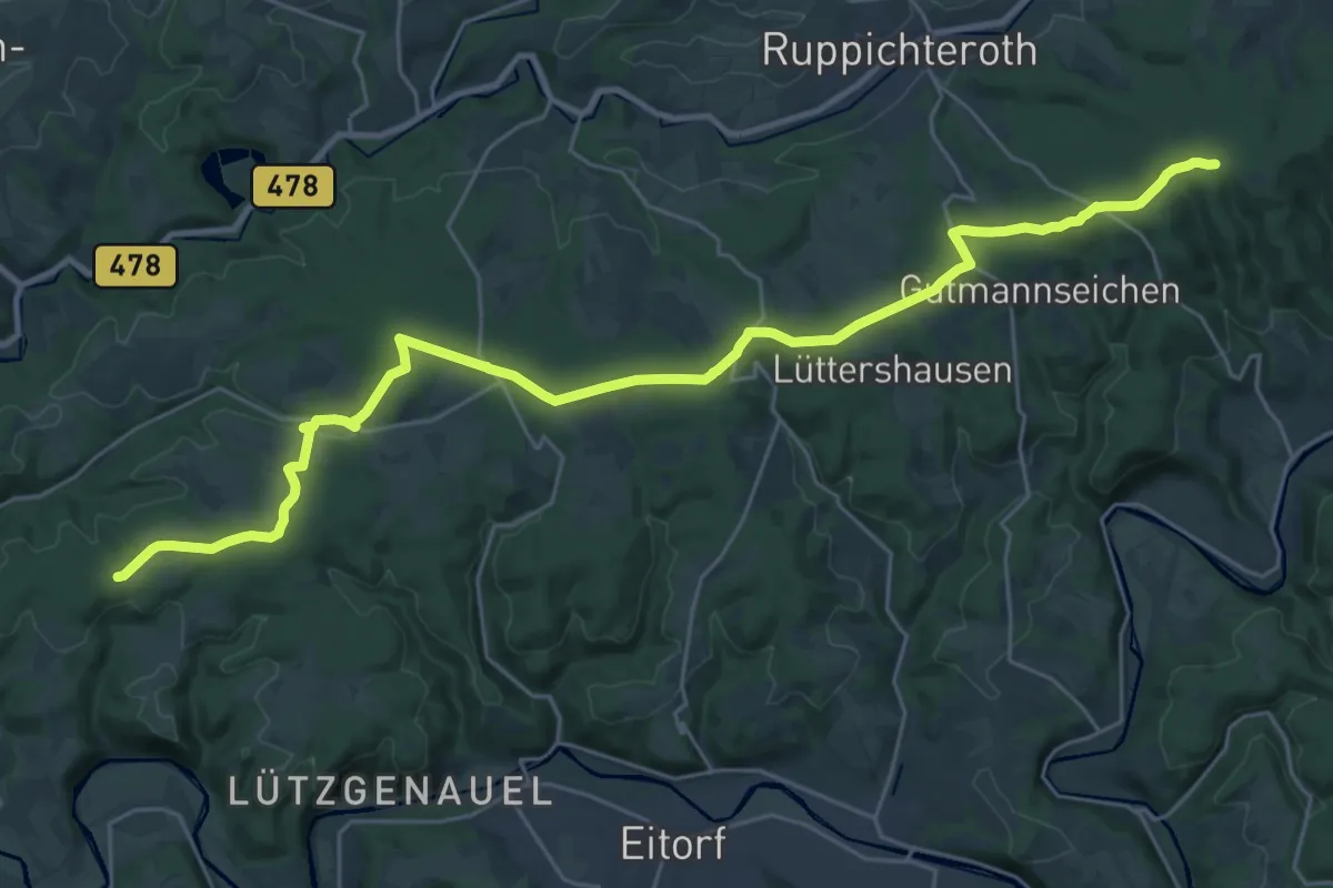
Demanding · Trail
X12 Richard-Schirrmann-Weg [Ruppichteroth]
29.3 km · ↑ 293 m · 7 h 33 min
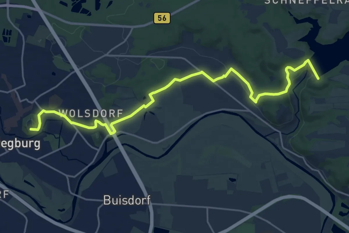
Medium · Summit
X12 Richard-Schirrmann-Weg [Siegburg]
15.7 km · ↑ 271 m · 4 h 17 min
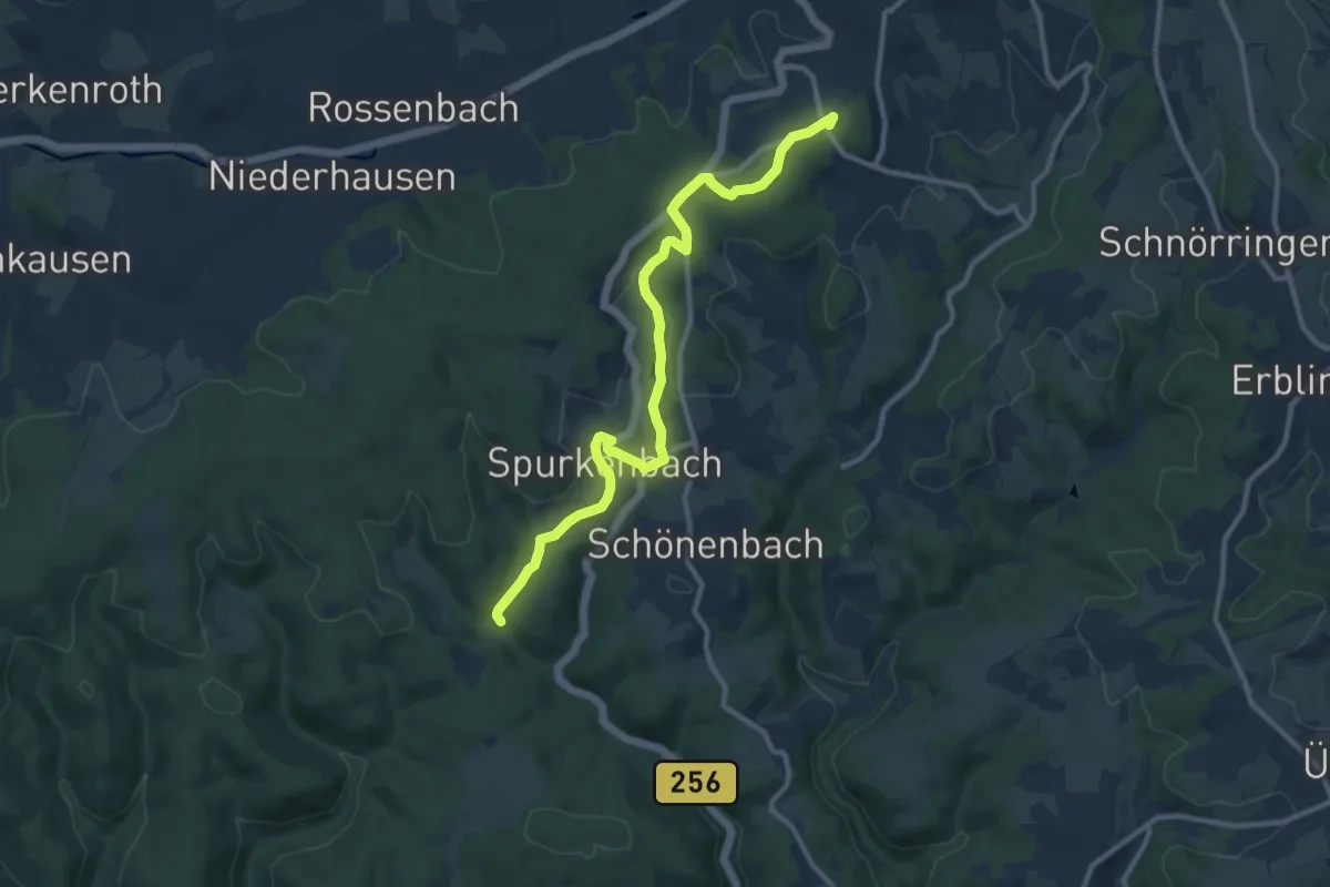
Medium · Summit
X12 Richard-Schirrmann-Weg [Waldbröl]
10.6 km · ↑ 195 m · 2 h 55 min
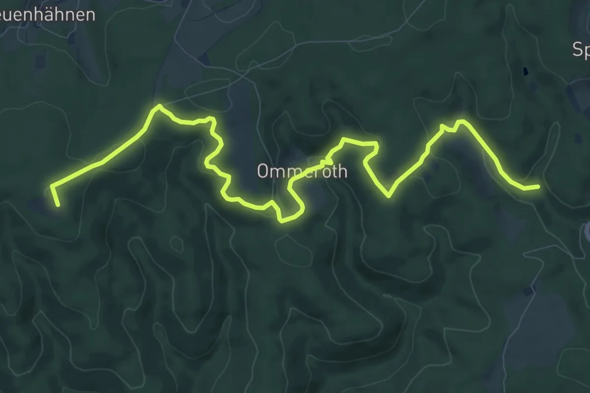
Medium · Summit
X12 Richard-Schirrmann-Weg (Windeck)
12.1 km · ↑ 308 m · 3 h 31 min
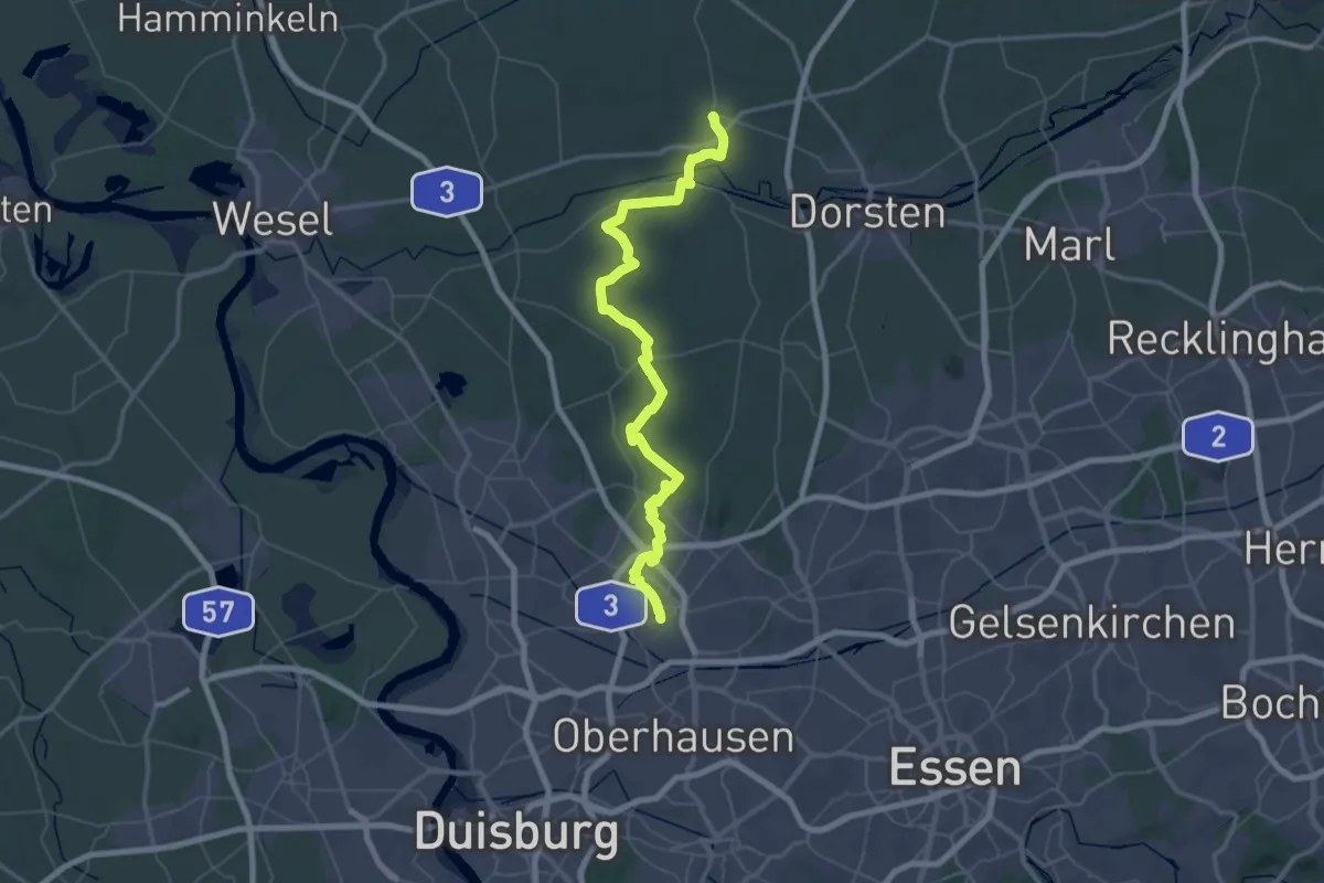
Demanding · Trail
X12 Sterkrade - Schermbeck
32.4 km · ↑ 144 m · 8 h 25 min
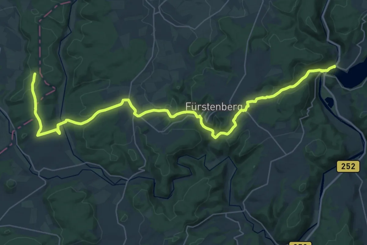
Medium · Trail
X13 Hanseweg (Etappe 6)
15.5 km · ↑ 262 m · 4 h 31 min
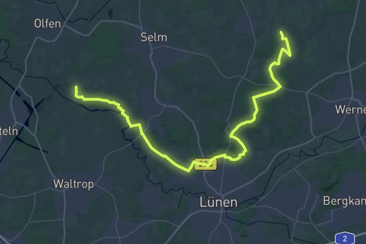
Demanding · Trail
X14 Hermann-Kusch-Weg
25.4 km · ↑ 147 m · 6 h 39 min
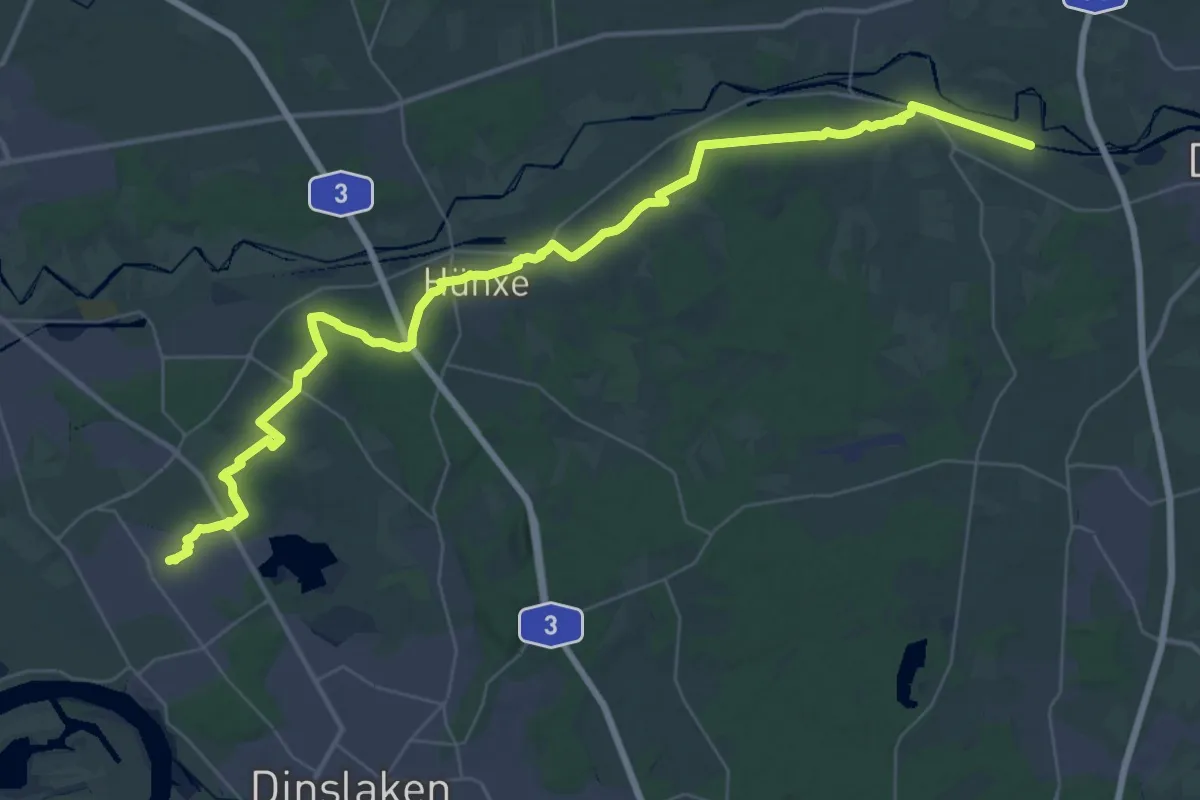
Demanding · Trail
X14 Voerde, Bahnhof - Olfen, Rauschenburg
22.3 km · ↑ 85 m · 5 h 46 min
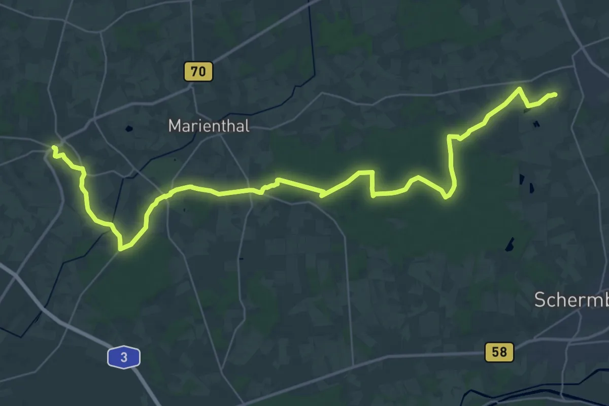
Demanding · Trail
X15 Brünen - Dülmen
18.8 km · ↑ 47 m · 4 h 49 min
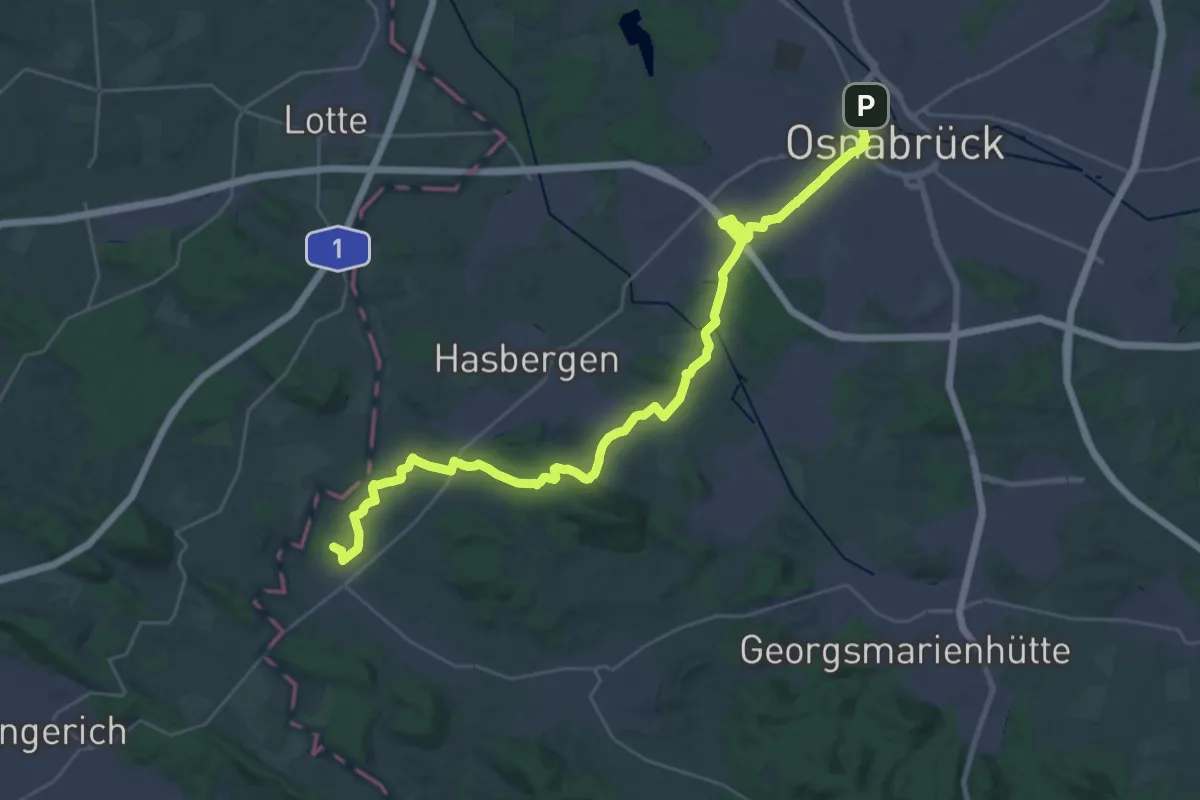
Demanding · Summit
X15 Osnabrück - Hamm
31.1 km · ↑ 339 m · 8 h 4 min
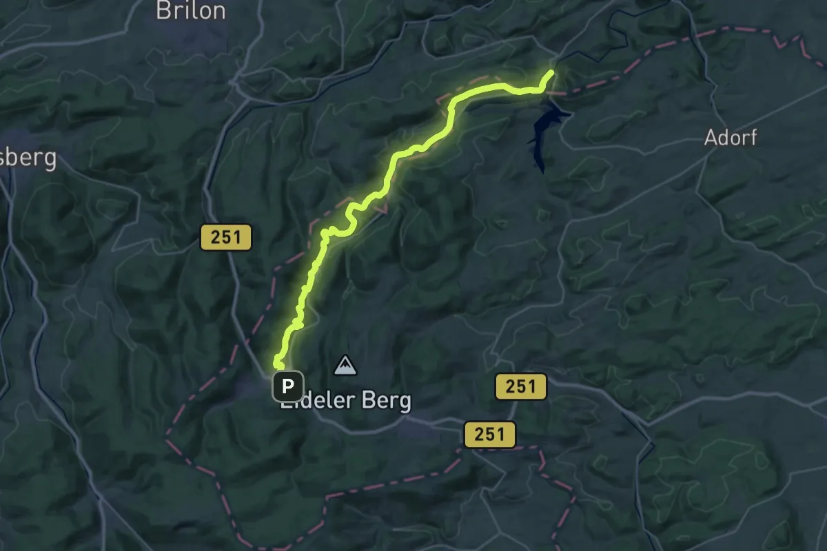
Medium · Trail
X15 Uplandweg (Etappen 1-3)
16.8 km · ↑ 362 m · 5 h 5 min
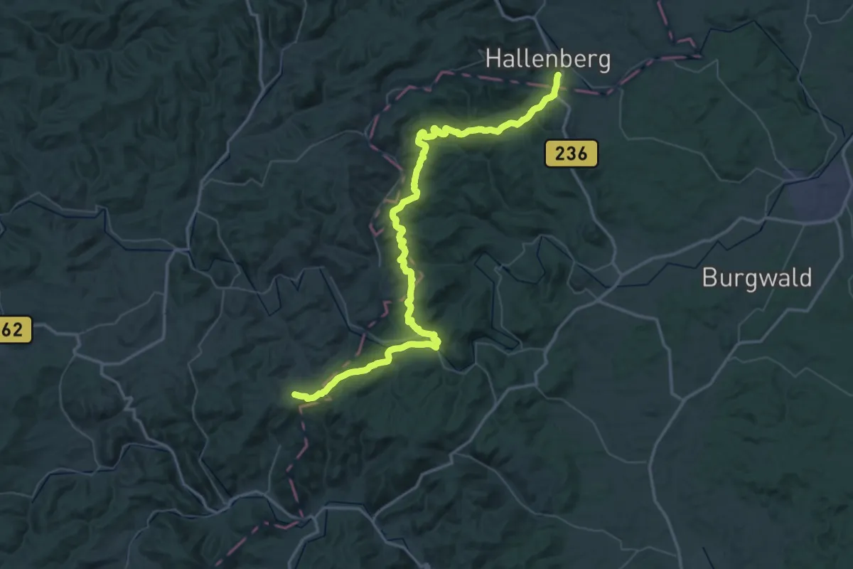
Demanding · Trail
X15 Uplandweg (Etappen 4-6)
29.8 km · ↑ 579 m · 8 h 46 min
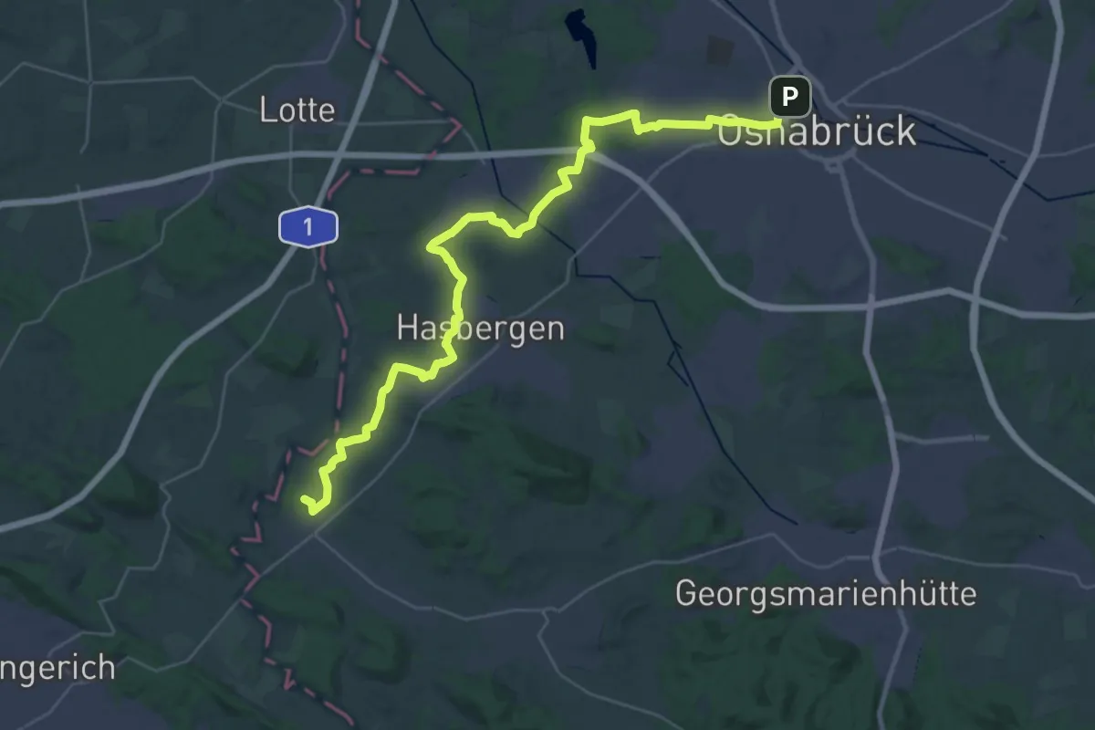
Demanding · Summit
X1648 Westfälischer Friede Weg
32.9 km · ↑ 189 m · 8 h 10 min
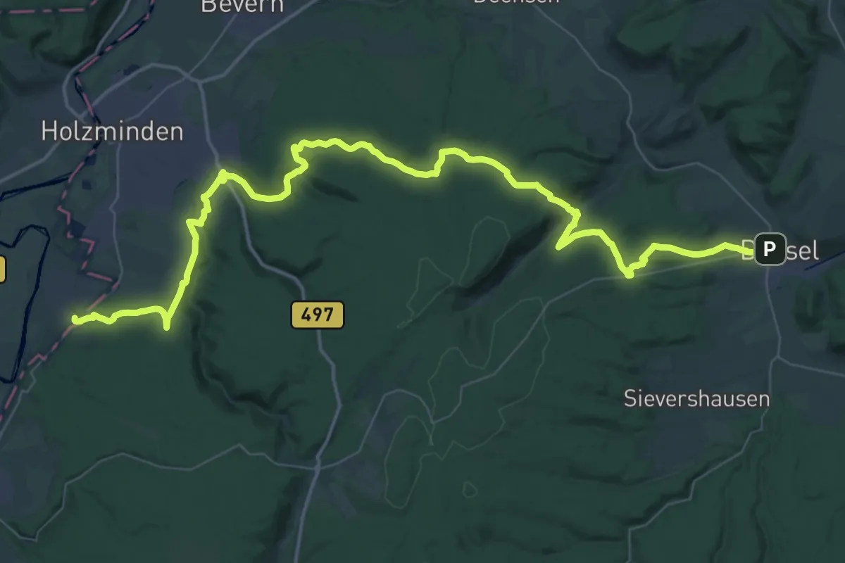
Demanding · Trail
X16 Egge-Weser-Weg
27.8 km · ↑ 606 m · 8 h 17 min
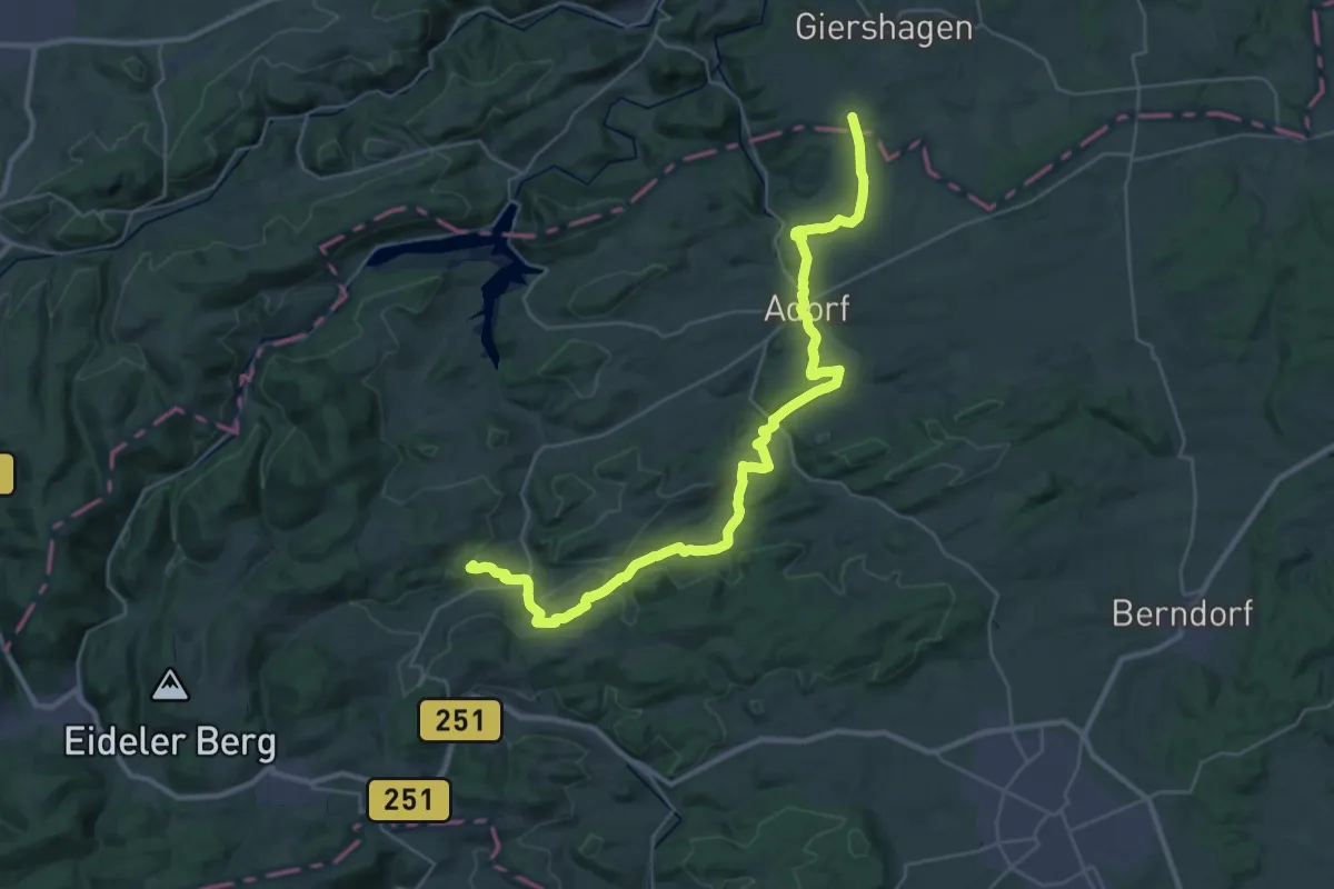
Demanding · Summit
X16 Kaiser-Otto-Weg
35.8 km · ↑ 765 m · 10 h 7 min
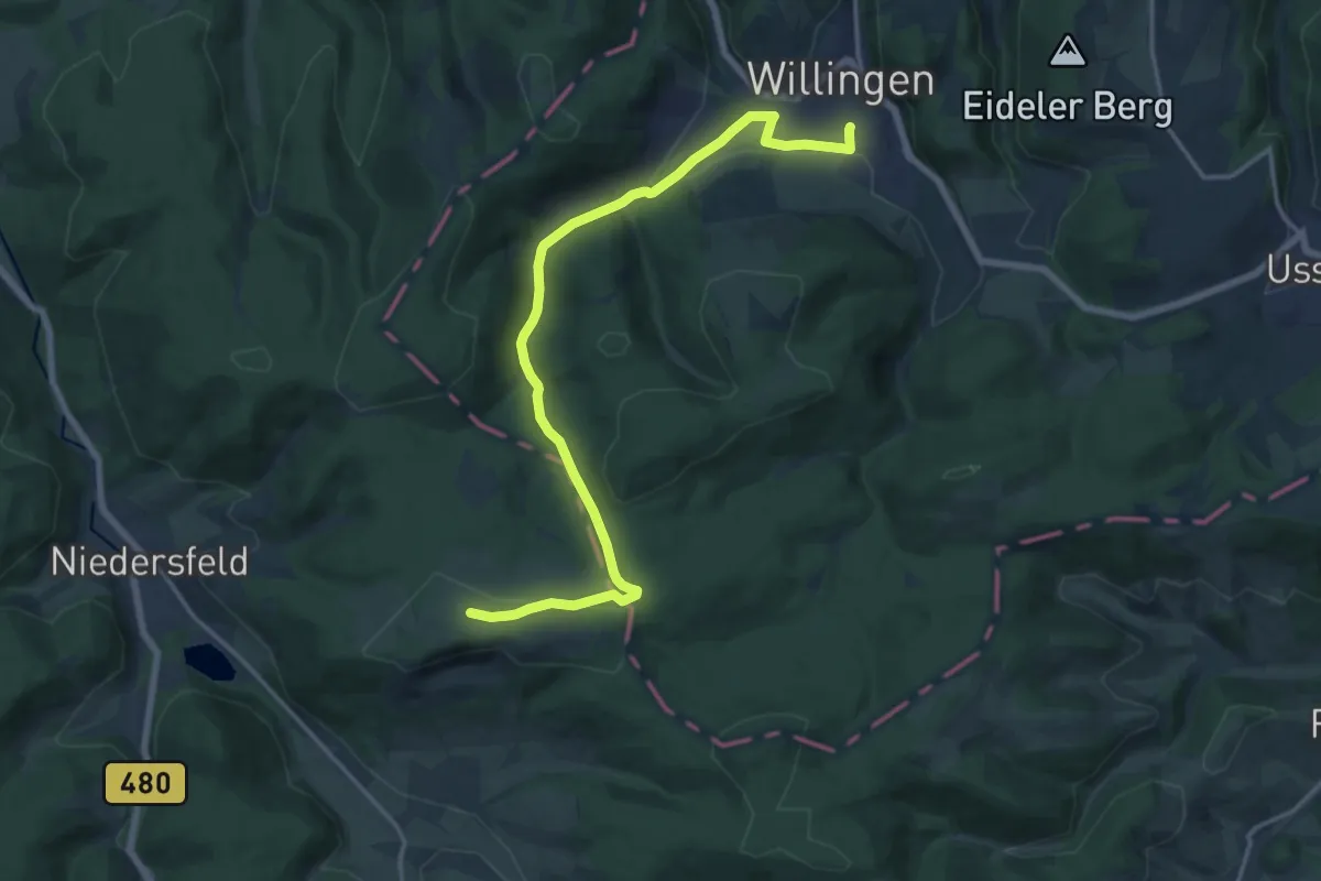
Medium · Trail
X16 Kaiser-Otto-Weg
15.7 km · ↑ 298 m · 4 h 21 min
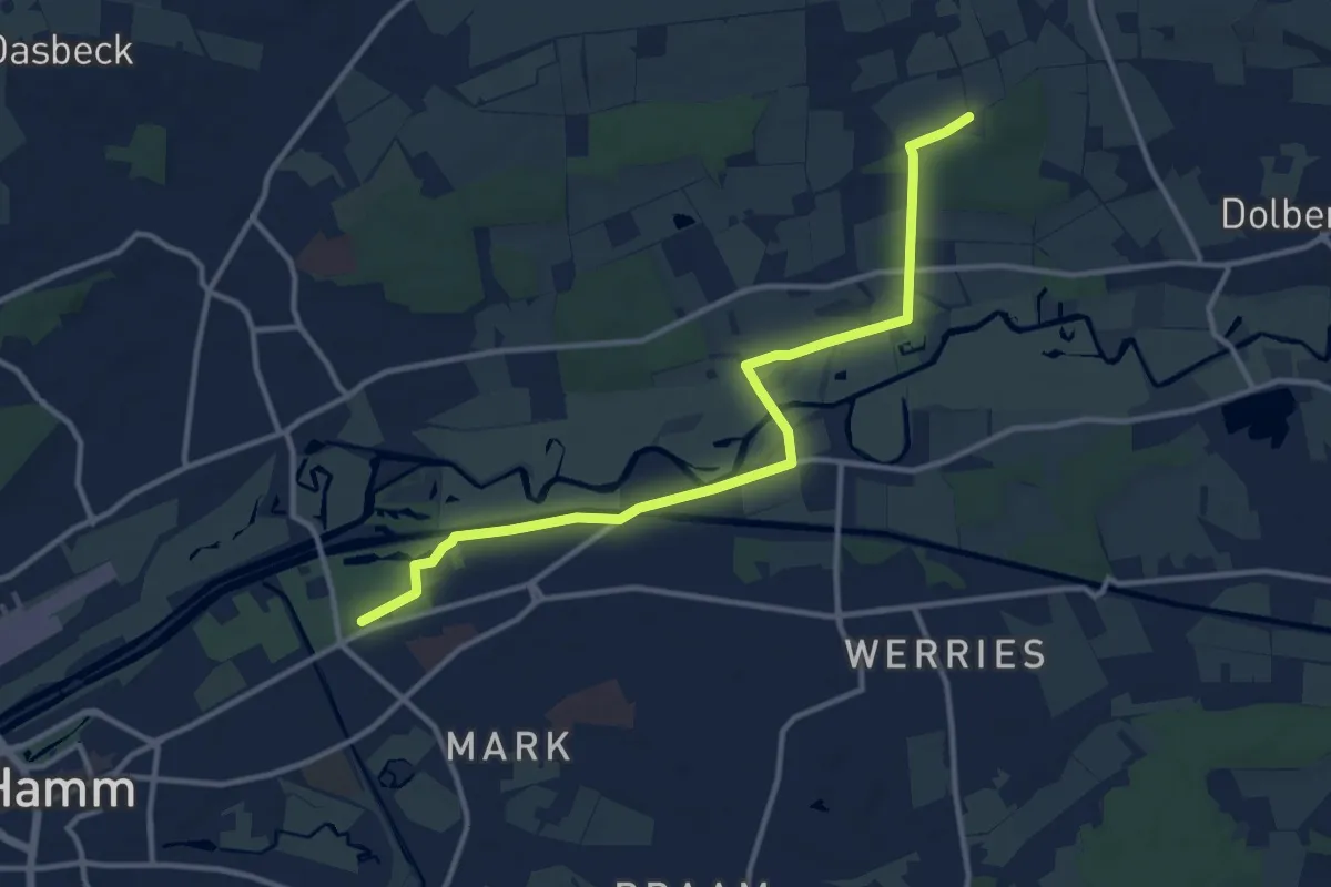
Medium · Trail
X17 Bad Iburg - Hamm
11.3 km · ↑ 38 m · 2 h 45 min
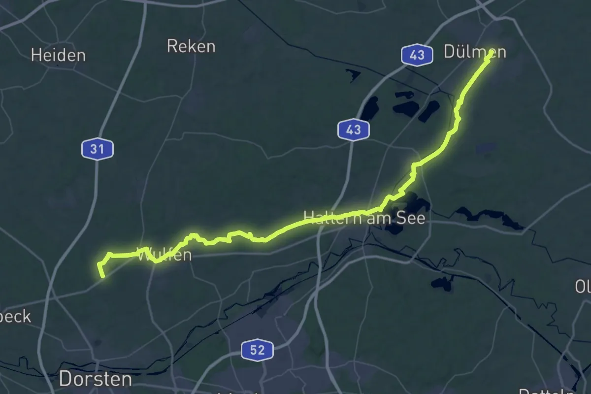
Demanding · Trail
X17 Dorsten-Deuten - Dülmen
33.0 km · ↑ 142 m · 8 h 32 min
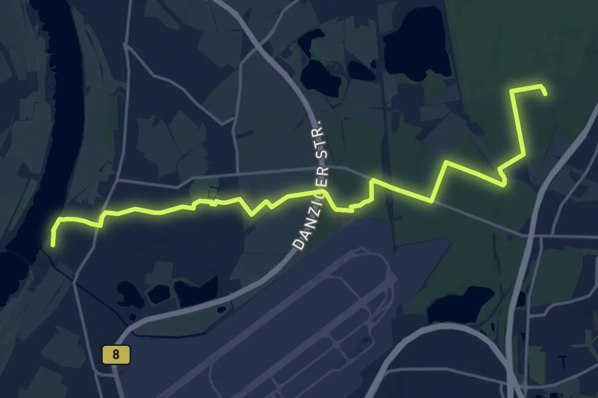
Medium · Trail
X17 Harkortweg [Düsseldorf]
16.1 km · ↑ 63 m · 3 h 56 min
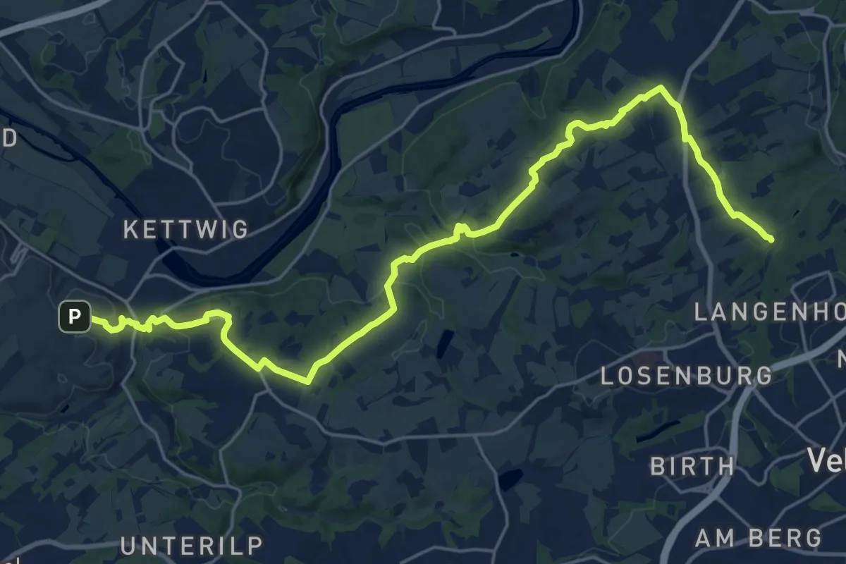
Demanding · Trail
X17 Harkortweg [Essen]
23.2 km · ↑ 510 m · 6 h 35 min
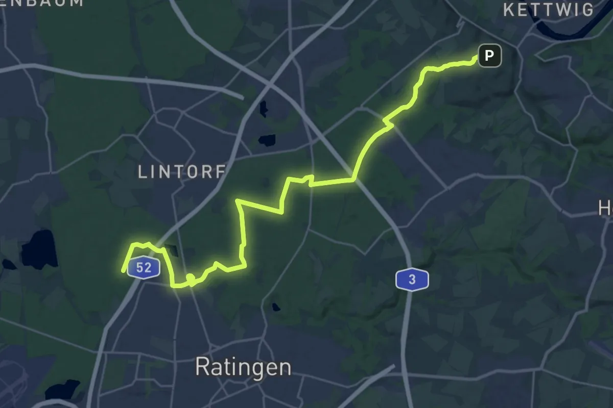
Demanding · Trail
X17 Harkortweg [Ratingen]
26.5 km · ↑ 228 m · 6 h 44 min
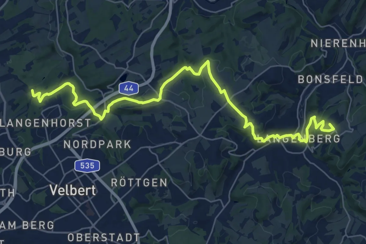
Demanding · Summit
X17 Harkortweg [Velbert-Werdohl]
24.8 km · ↑ 647 m · 7 h 16 min
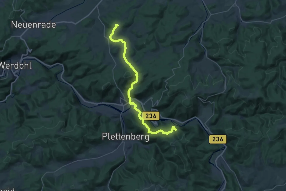
Demanding · Summit
[X18] Christine-Koch-Weg
27.2 km · ↑ 991 m · 8 h 34 min
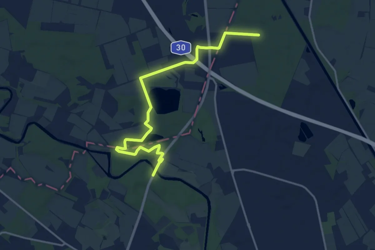
Medium · Trail
X18 Rheine - Lienen
10.6 km · ↑ 47 m · 2 h 36 min
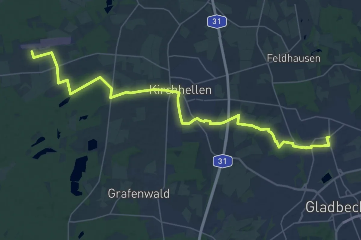
Demanding · Trail
X19 Gladbeck-Zweckel - Hünxe
26.3 km · ↑ 87 m · 6 h 23 min
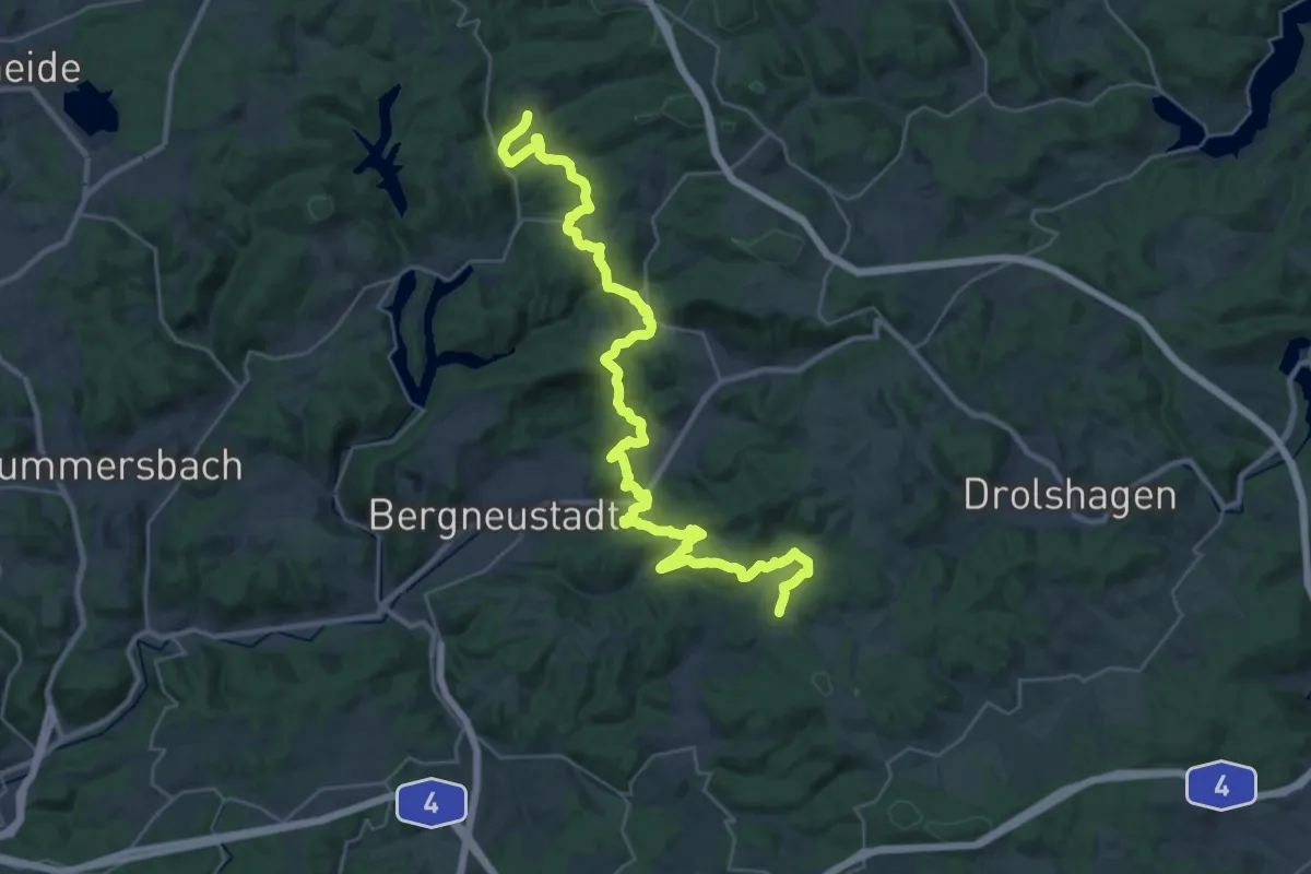
Medium · Trail
X19 Schlösserweg [Bergneustadt]
17.4 km · ↑ 531 m · 5 h 29 min
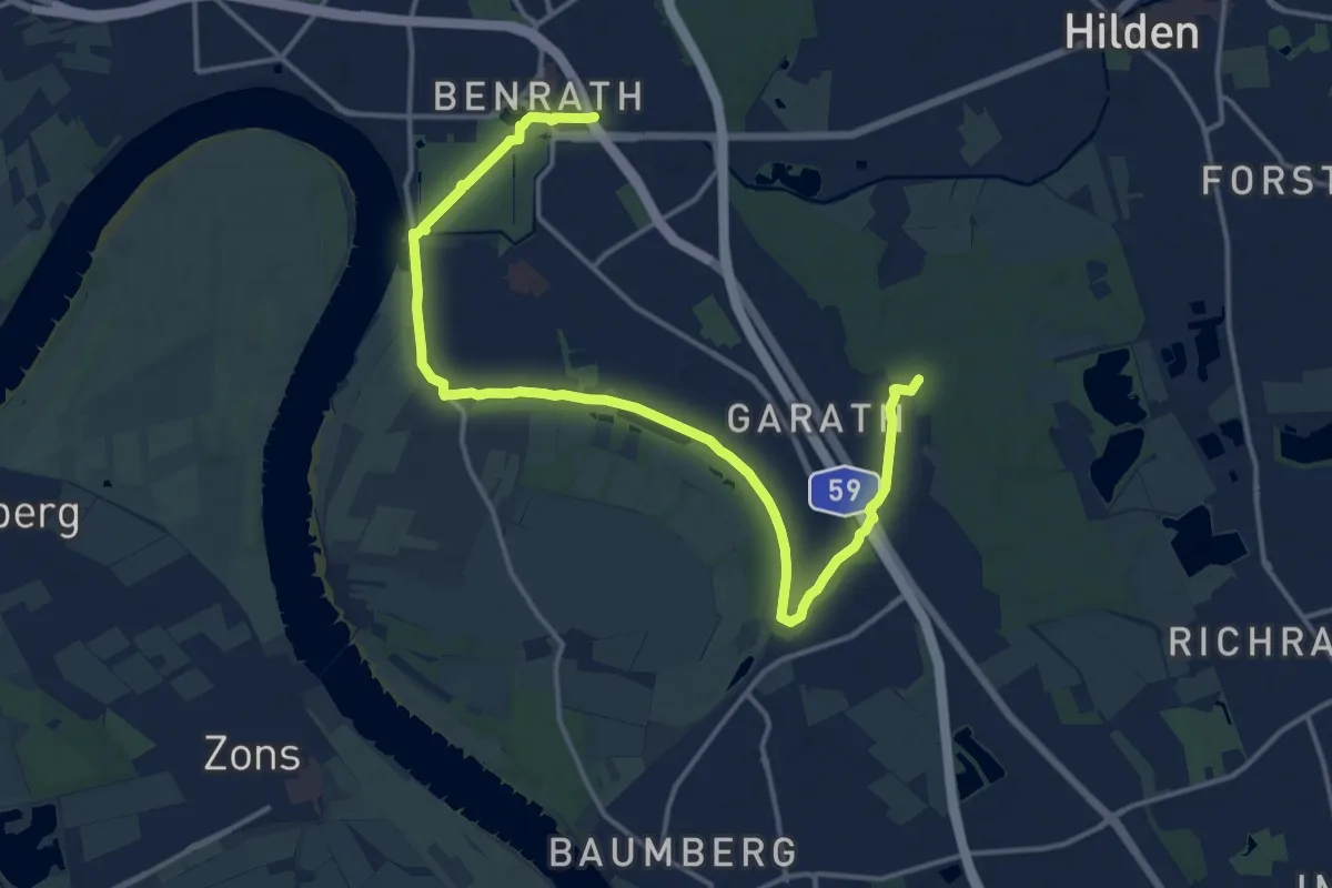
Medium · Trail
X19 Schlösserweg [Düsseldorf]
16.6 km · ↑ 54 m · 4 h 2 min
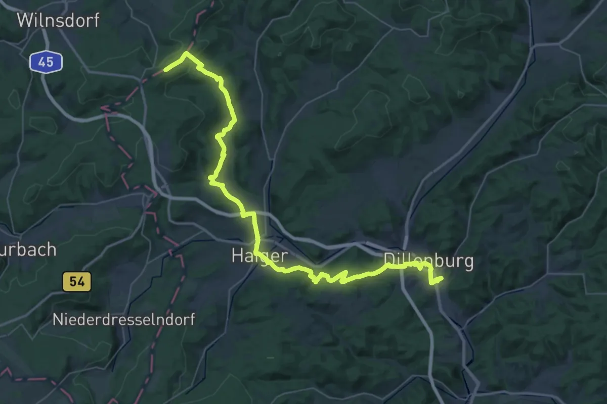
Demanding · Trail
X19 Schlösserweg [Haiger]
20.3 km · ↑ 587 m · 6 h 11 min