Trails in Germany
36,877 hiking trails, each with its route, climb, walking time and grade.
All trails, page 748 of 769
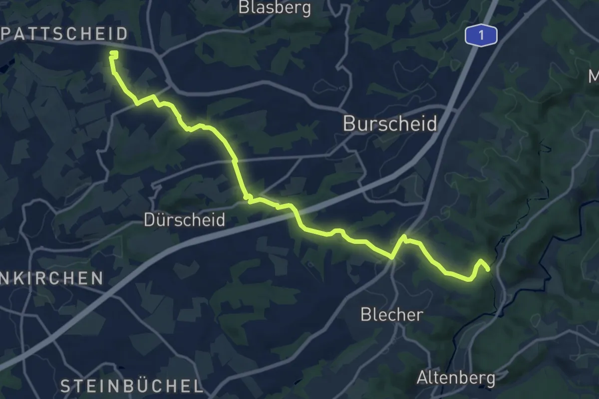
Medium · Trail
X30 Neandertalweg [Burscheid]
14.1 km · ↑ 245 m · 3 h 51 min
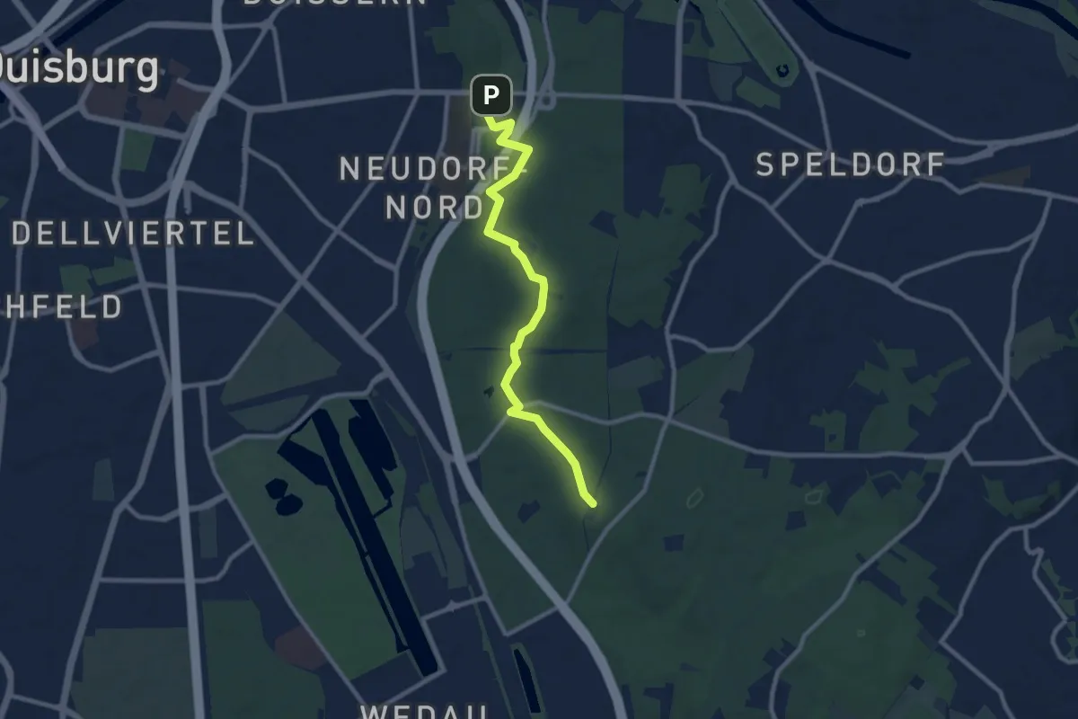
Medium · Trail
X30 Neandertalweg [Duisburg]
8.6 km · ↑ 99 m · 2 h 15 min
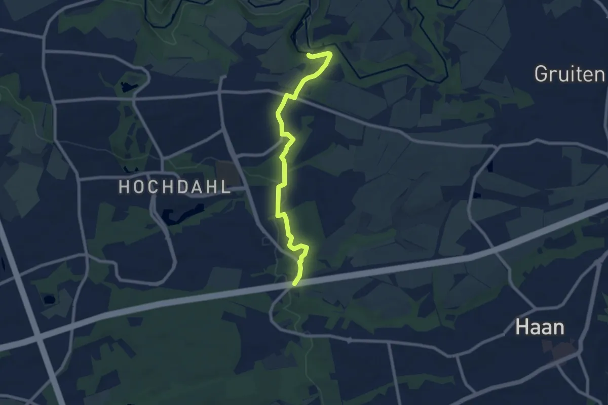
Easy · Trail
X30 Neandertalweg [Erkrath]
6.4 km · ↑ 92 m · 1 h 42 min
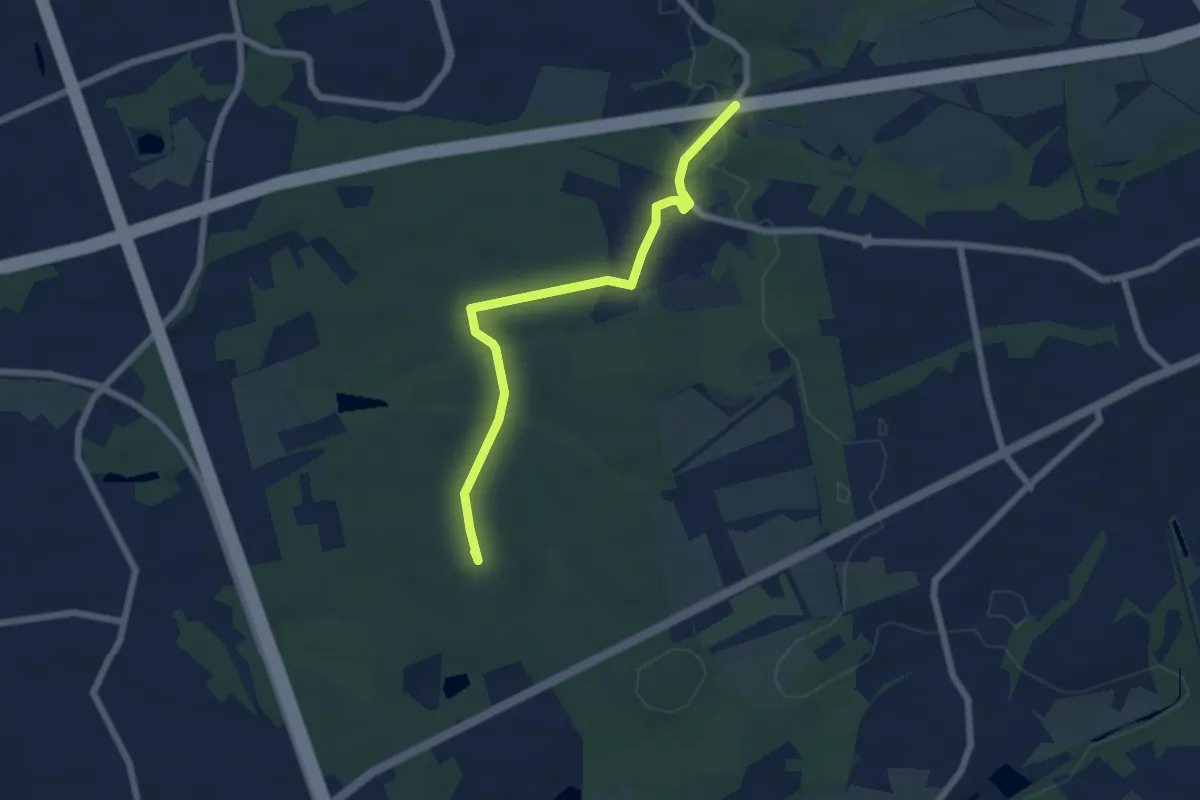
Easy · Summit
X30 Neandertalweg [Hilden]
5.6 km · ↑ 44 m · 1 h 25 min
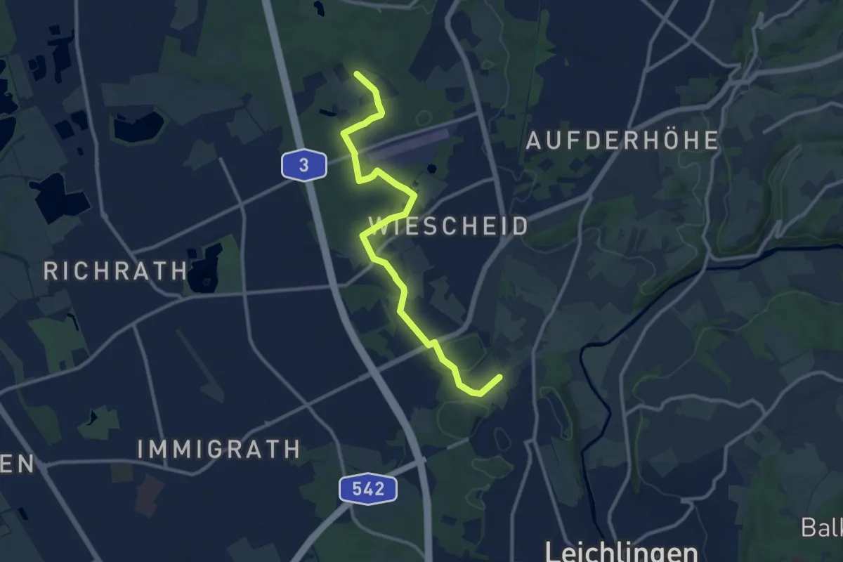
Medium · Trail
X30 Neandertalweg [Langenfeld]
9.9 km · ↑ 74 m · 2 h 30 min
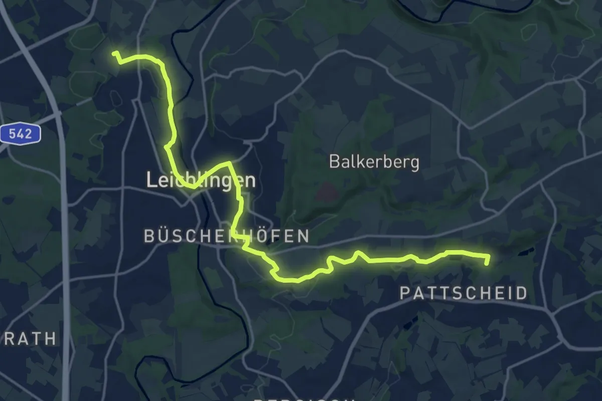
Medium · Trail
X30 Neandertalweg [Leichlingen]
17.3 km · ↑ 208 m · 4 h 32 min
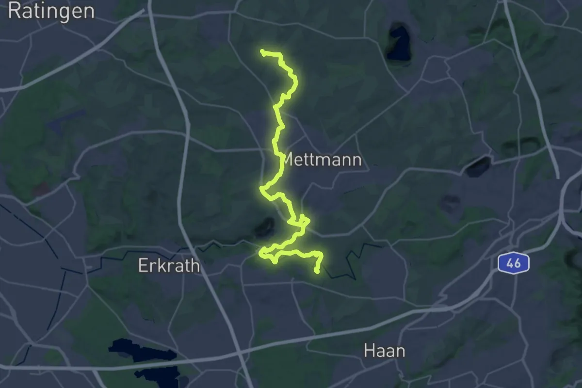
Medium · Trail
X30 Neandertalweg [Mettmann]
15.5 km · ↑ 163 m · 4 h 14 min
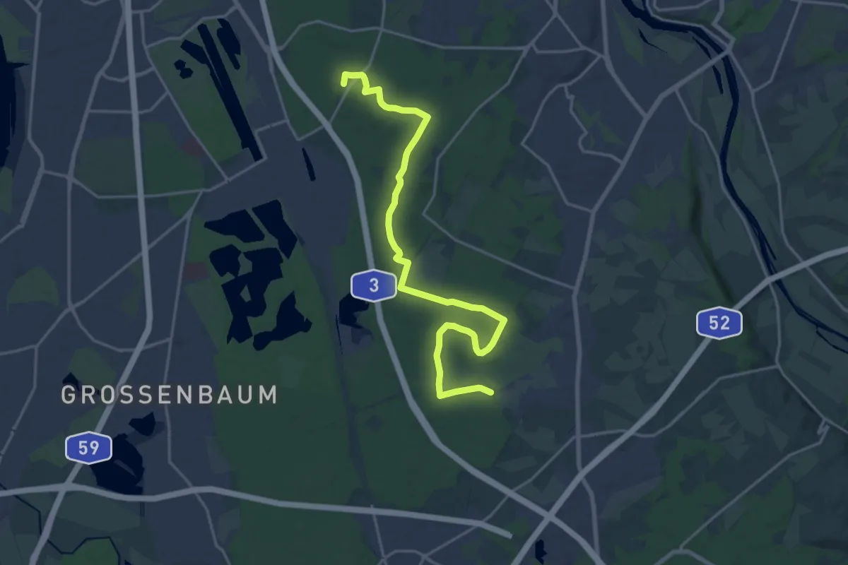
Demanding · Summit
X30 Neandertalweg [Mülheim an der Ruhr]
18.4 km · ↑ 125 m · 4 h 36 min
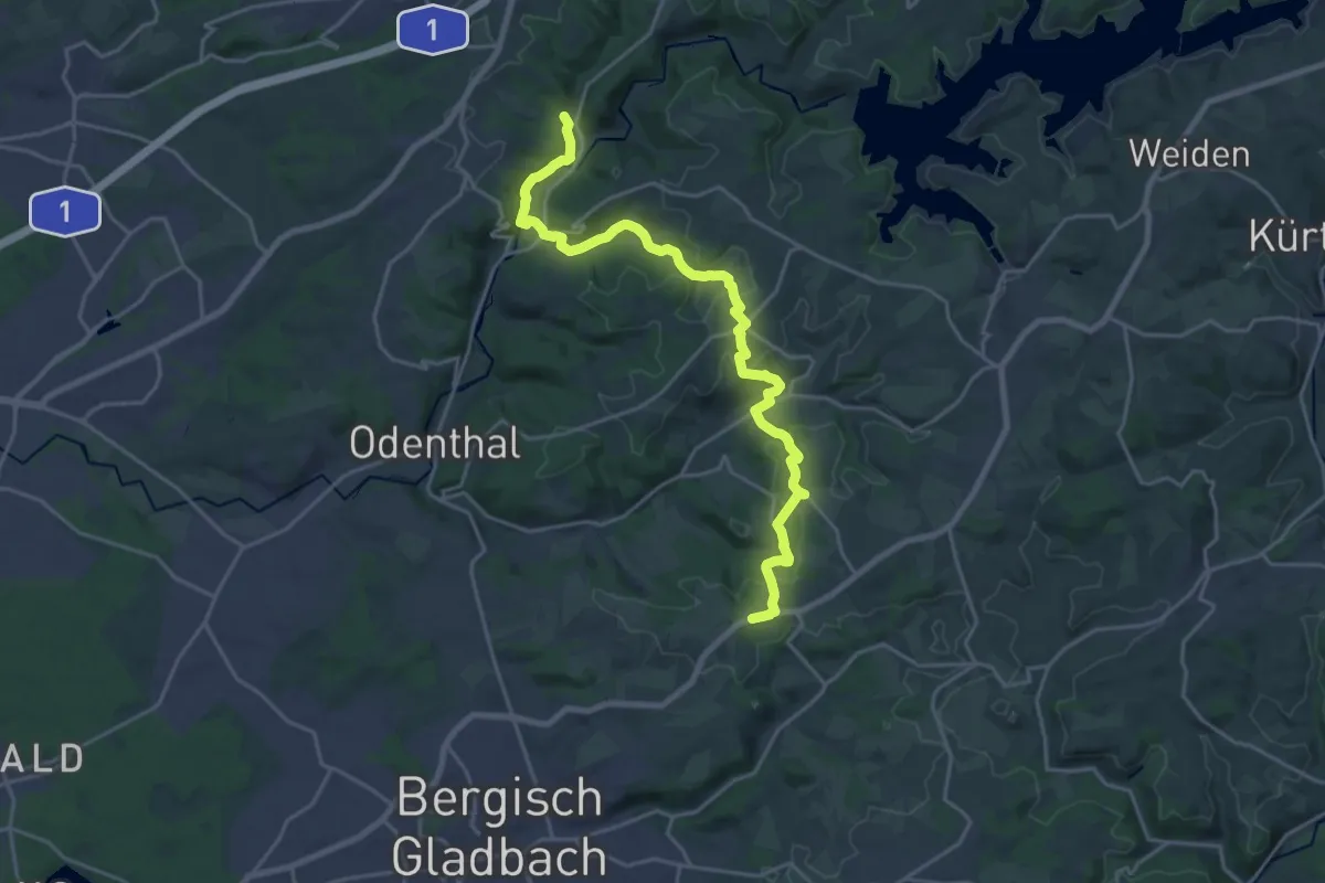
Demanding · Trail
X30 Neandertalweg [Odenthal]
20.5 km · ↑ 551 m · 6 h 3 min
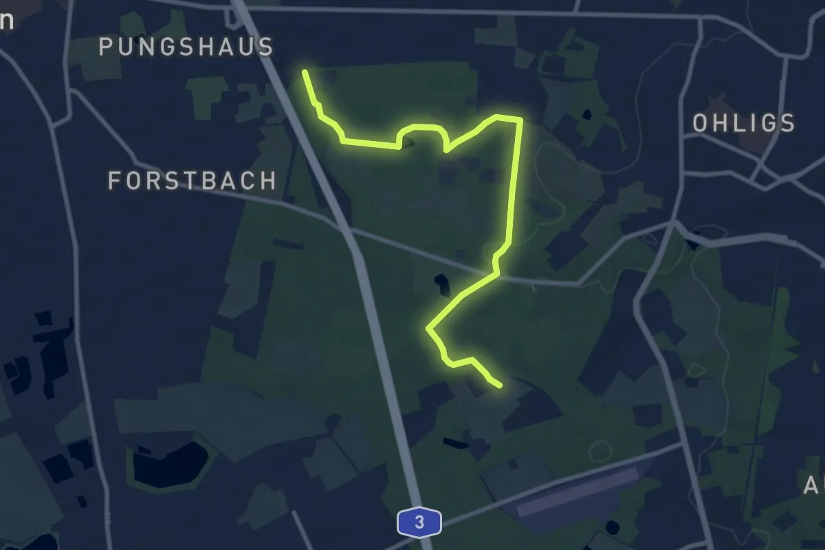
Medium · Trail
X30 Neandertalweg [Solingen]
8.2 km · ↑ 63 m · 2 h 4 min
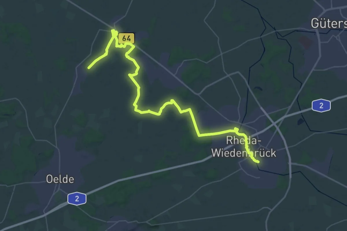
Demanding · Trail
X3 Bocholt - Rheda-Wiedenbrück
21.0 km · ↑ 64 m · 5 h 24 min
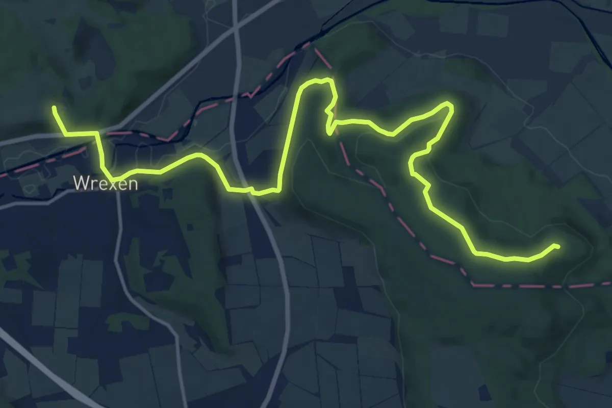
Medium · Summit
X3 Diemel-Ems-Weg
14.4 km · ↑ 374 m · 4 h 13 min
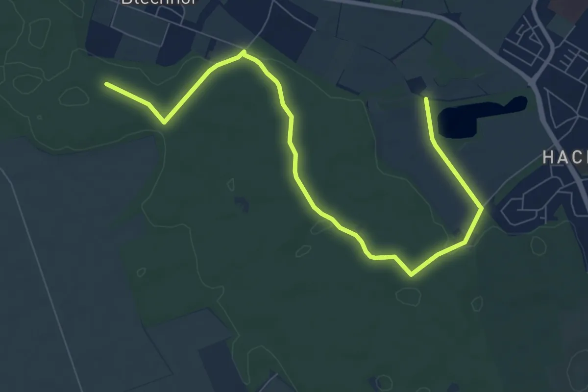
Medium · Trail
X3 Rhein-Netteseen-Weg
8.4 km · ↑ 45 m · 2 h 5 min
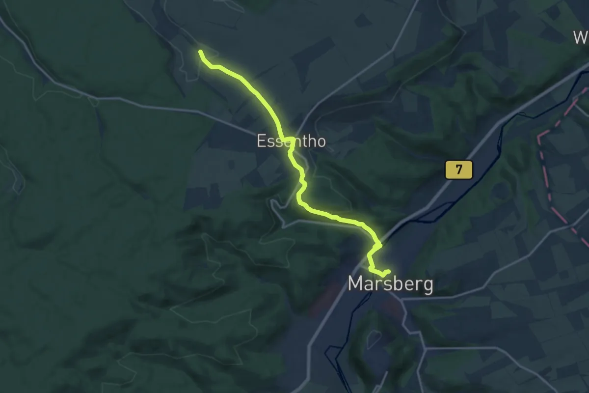
Medium · Summit
X4 Lippe-Diemel-Weg
12.1 km · ↑ 247 m · 3 h 24 min
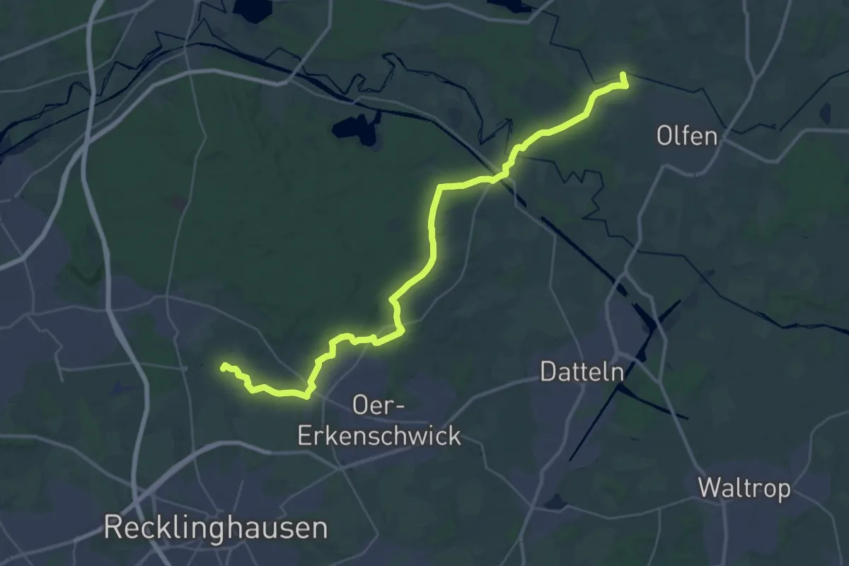
Demanding · Summit
X4 Marl-Sinsen Bf - Olfen, Füchtelner Mühle
35.4 km · ↑ 216 m · 8 h 49 min
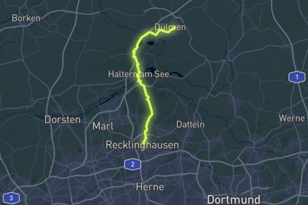
Demanding · Trail
X5 Recklinghausen Hbf - Dülmen Bf
35.3 km · ↑ 226 m · 9 h 19 min
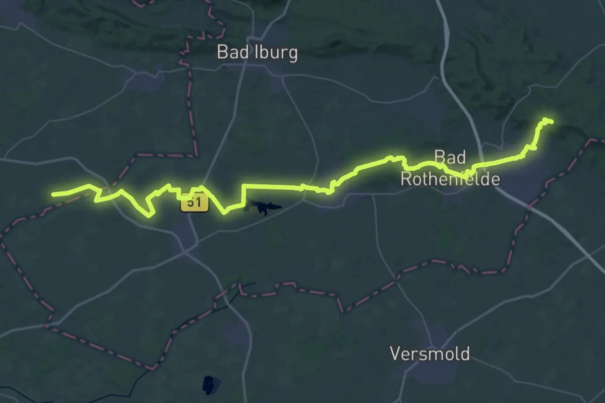
Demanding · Summit
X5 Vreden - Dissen
58.1 km · ↑ 496 m · 14 h 48 min
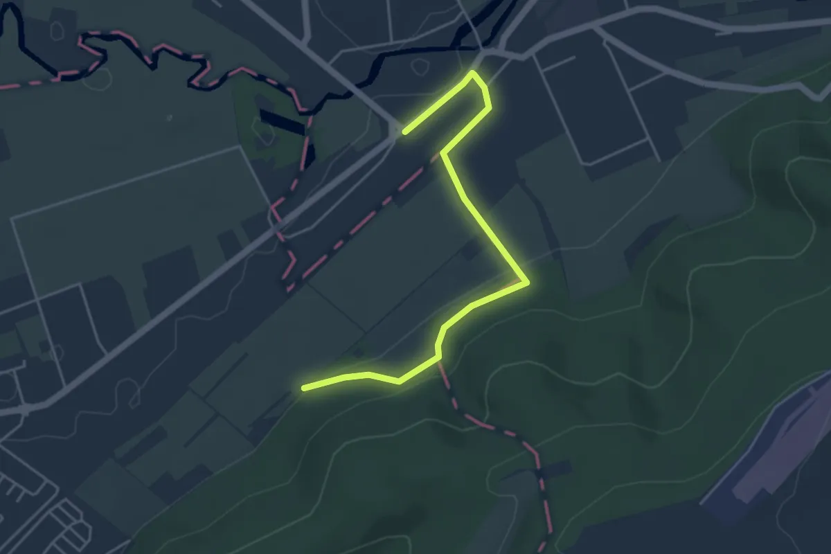
Easy · Trail
X6 Niedersachsenweg
4.0 km · ↑ 120 m · 1 h 12 min
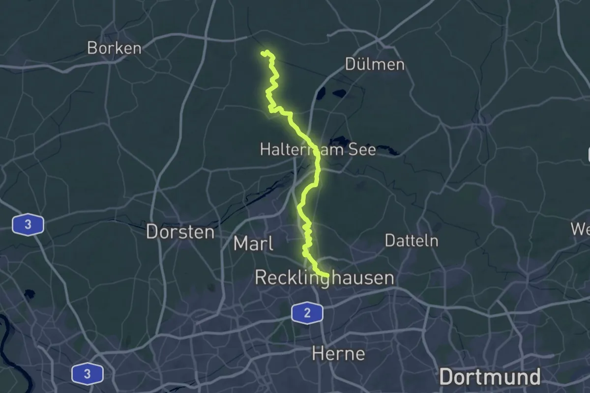
Demanding · Trail
X6 Recklinghausen <=> Maria-Veen
37.6 km · ↑ 266 m · 9 h 58 min
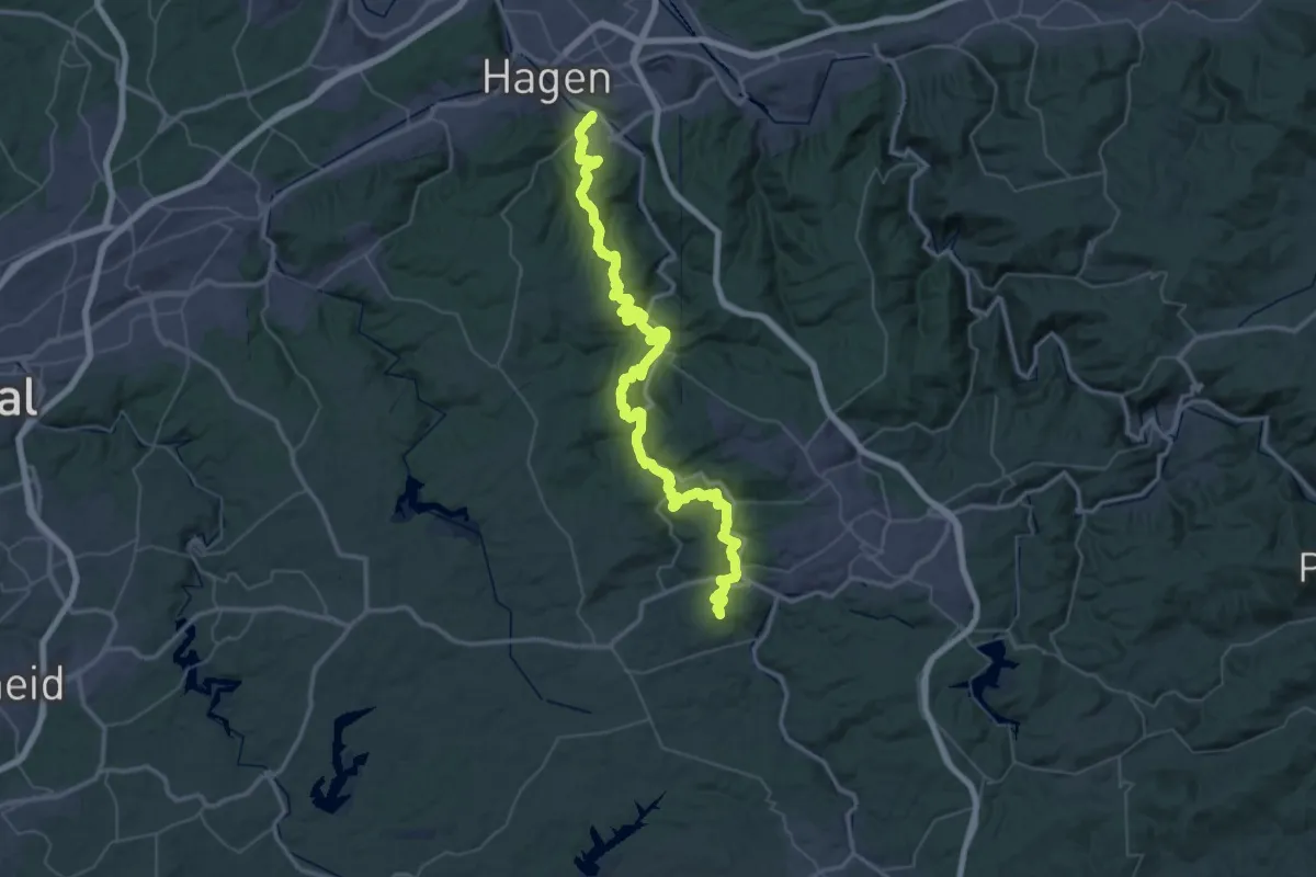
Demanding · Summit
X6 Robert-Kolb-Weg (Etappe: Hagen bis Haus Rhade)
58.6 km · ↑ 2034 m · 18 h 14 min
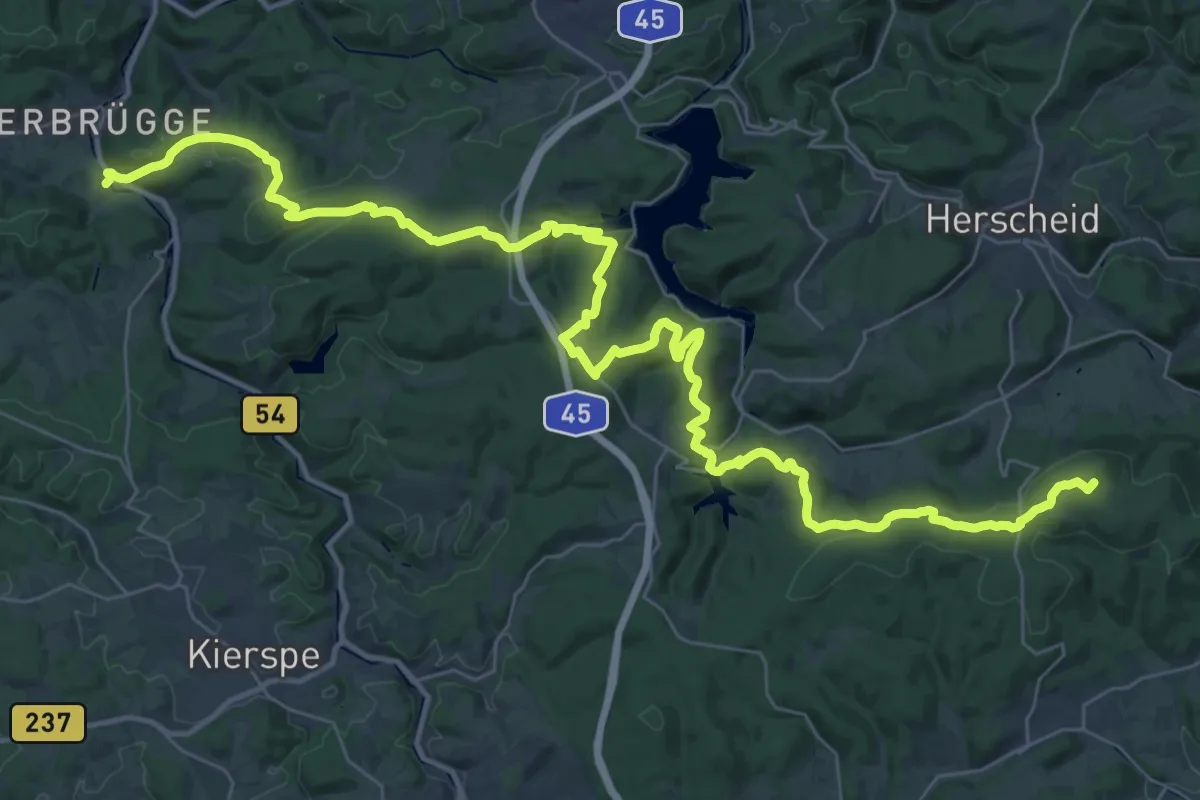
Demanding · Summit
X6 Robert-Kolb-Weg (Etappe: Haus Rhade bis Attendorn)
45.7 km · ↑ 1174 m · 13 h 20 min
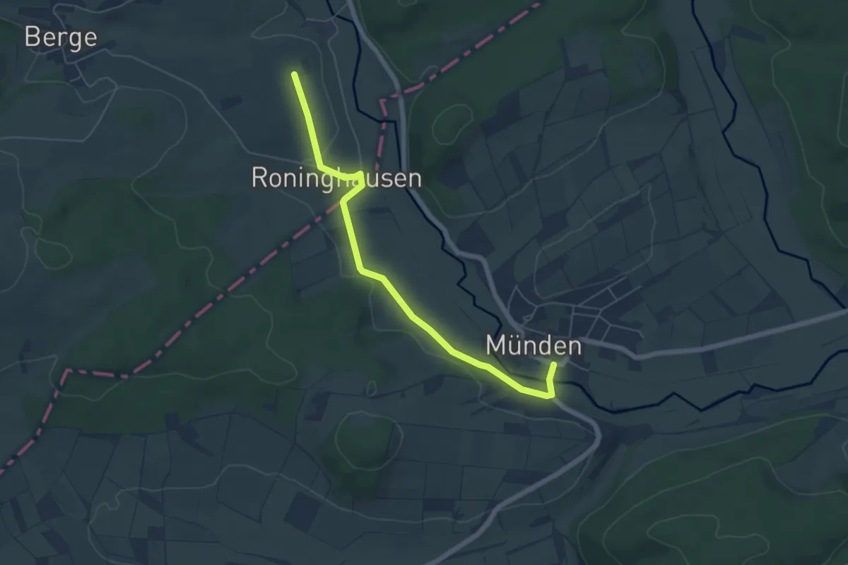
Easy · Trail
X6 Robert-Kolb-Weg (Etappe: Jagdhaus bis Münden)
5.3 km · ↑ 51 m · 1 h 21 min
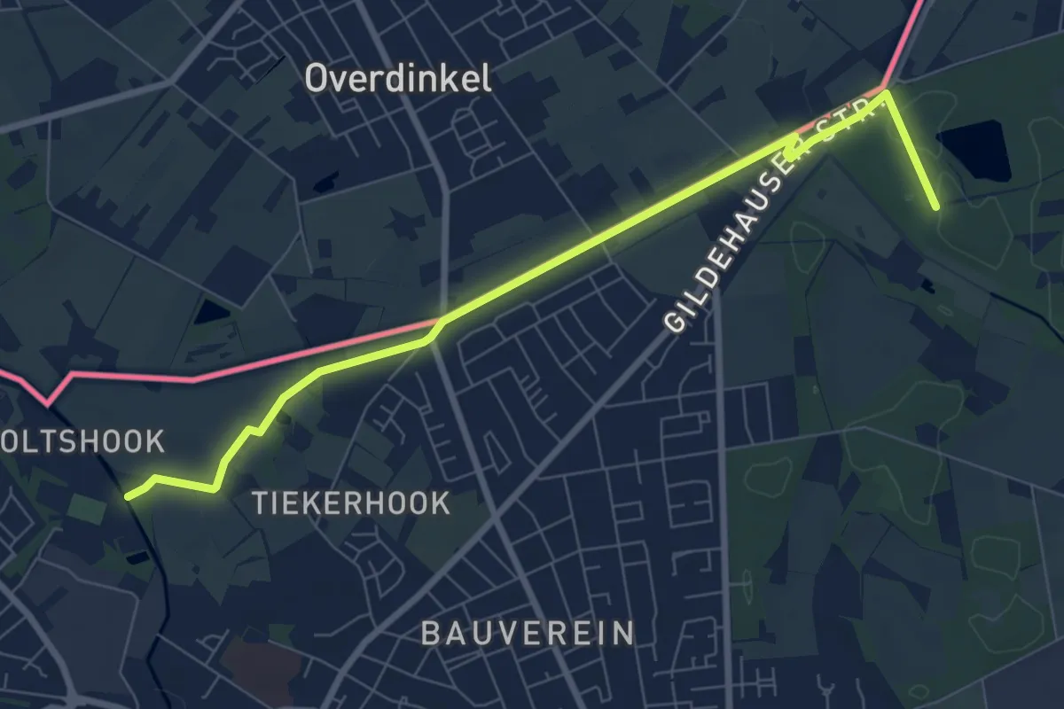
Easy · Trail
X7 Gronau - Riesenbeck
7.3 km · ↑ 13 m · 1 h 45 min
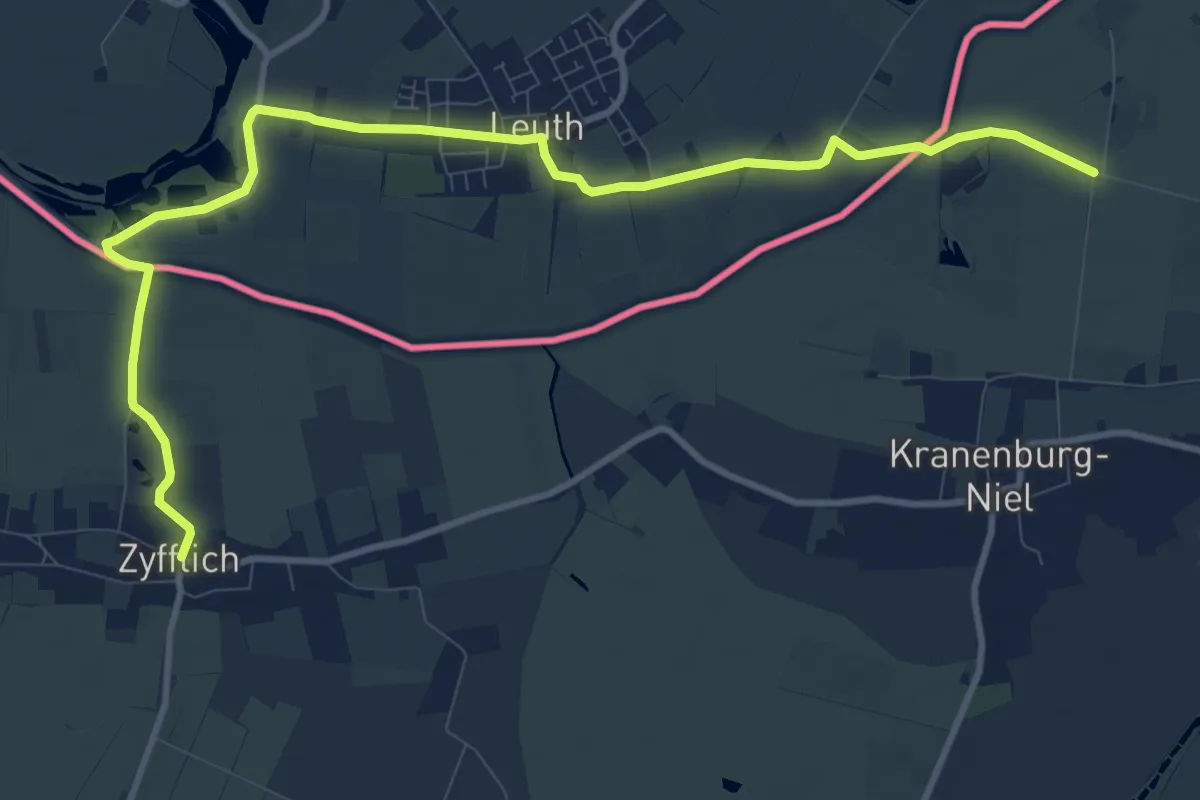
Medium · Trail
X7 Kleverlandweg
11.5 km · ↑ 0 m · 2 h 43 min
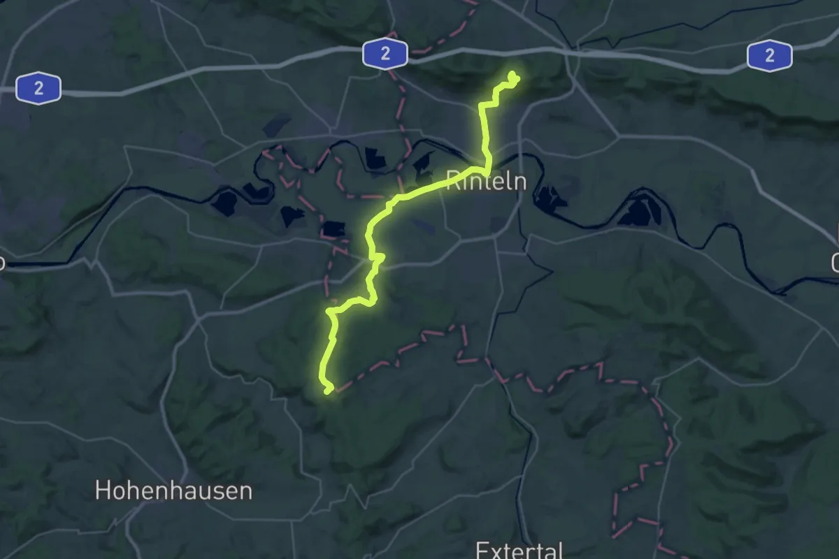
Demanding · Summit
X7 Runenweg
29.9 km · ↑ 502 m · 8 h 9 min
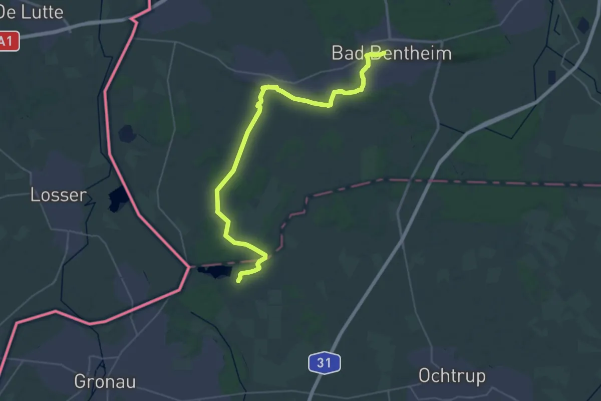
Demanding · Summit
X8 Bad Bentheim - Bislich
27.3 km · ↑ 170 m · 6 h 49 min
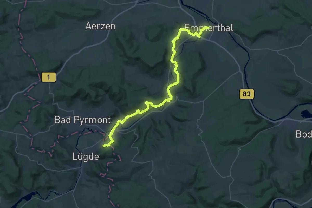
Demanding · Trail
X8 Emmerweg
18.6 km · ↑ 373 m · 5 h 30 min
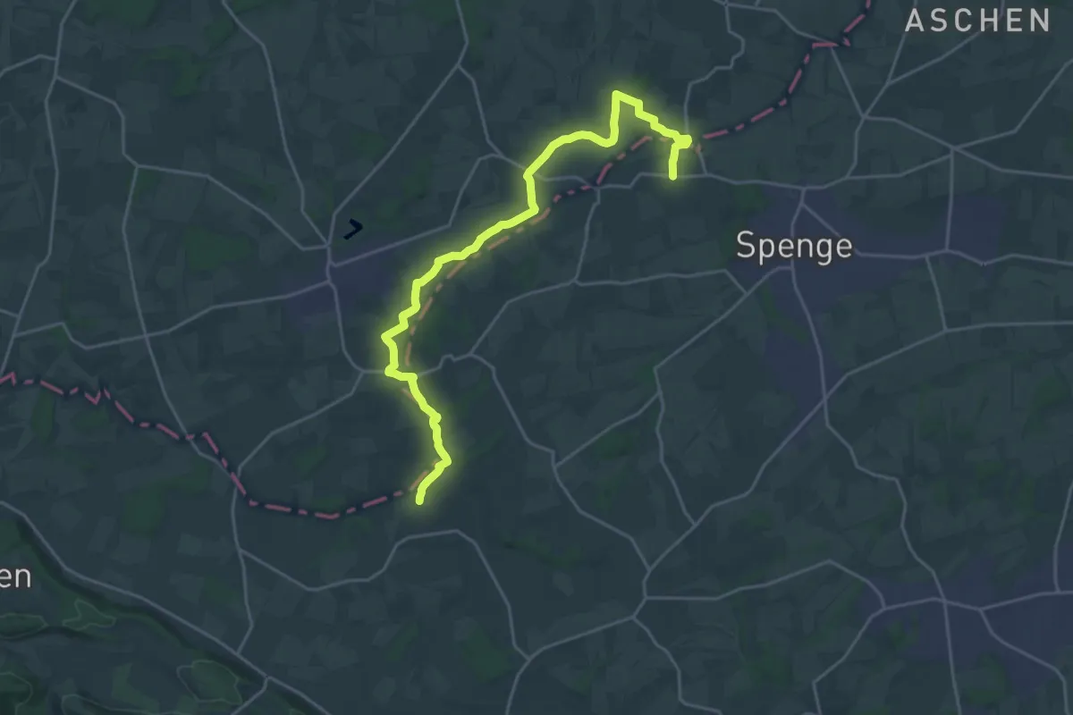
Demanding · Trail
X8 Talweg
21.4 km · ↑ 130 m · 5 h 20 min
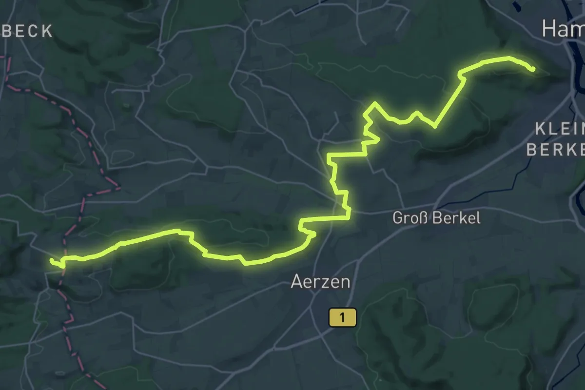
Demanding · Summit
X9 Hansaweg
38.3 km · ↑ 754 m · 10 h 41 min
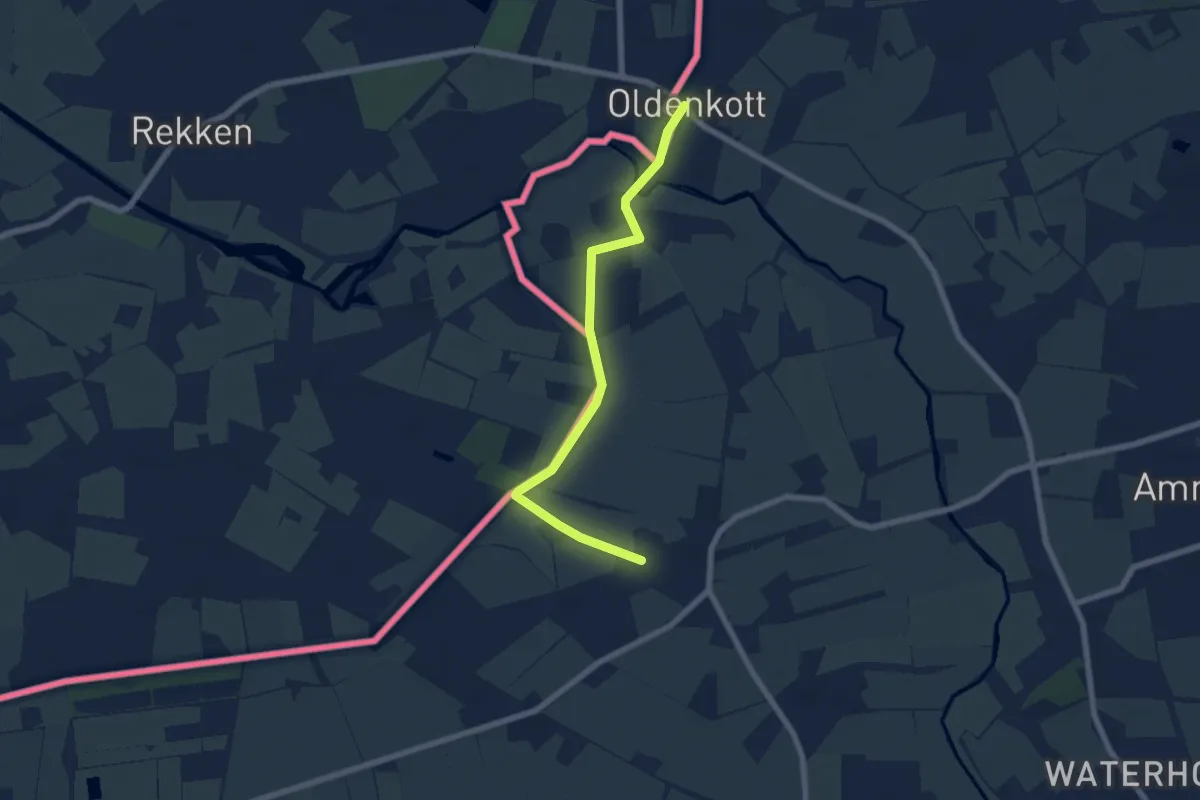
Easy · Trail
X9 Oldenkott - Reken - Gladbeck
5.9 km · ↑ 4 m · 1 h 24 min
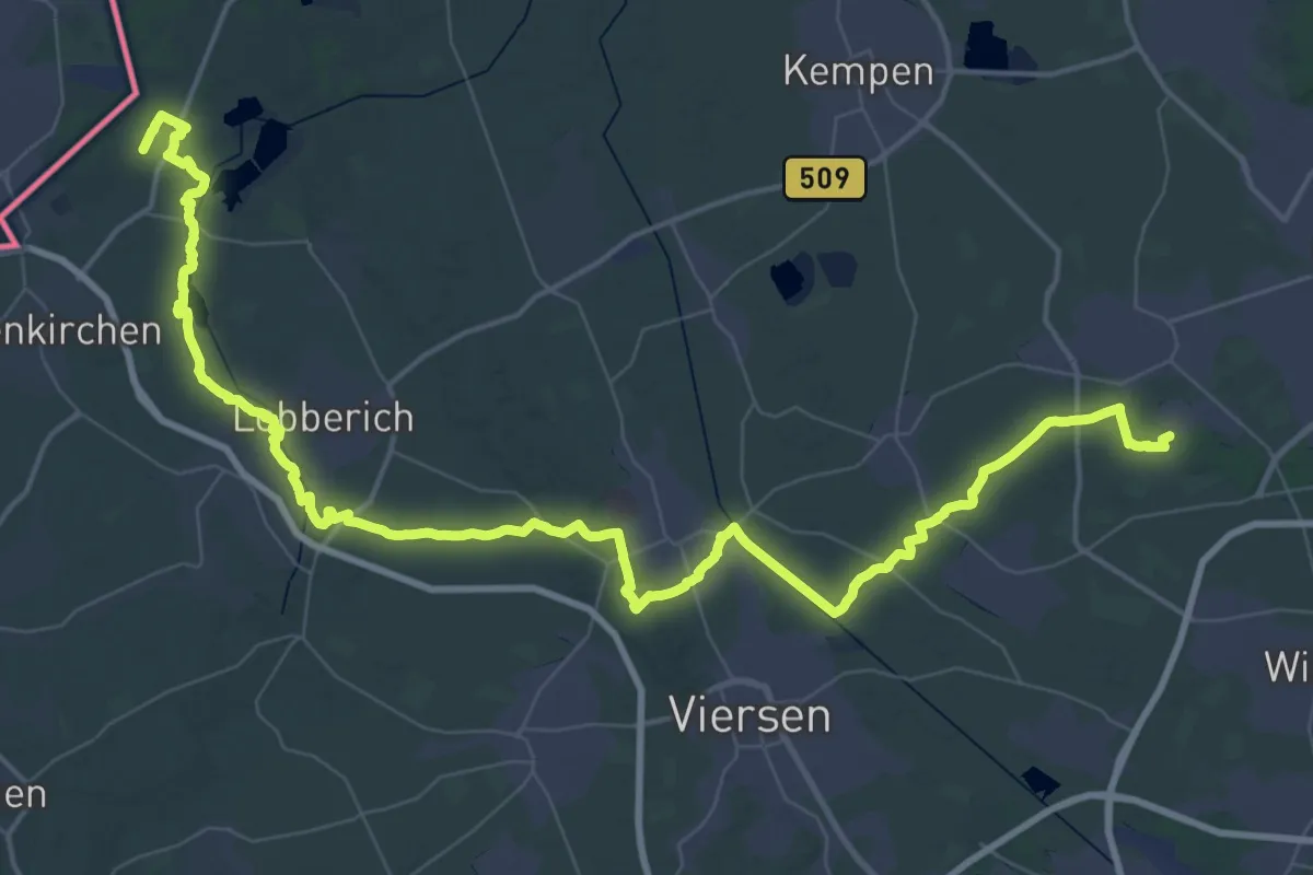
Demanding · Trail
X9 Rhein-Maas-Weg
34.2 km · ↑ 117 m · 8 h 48 min
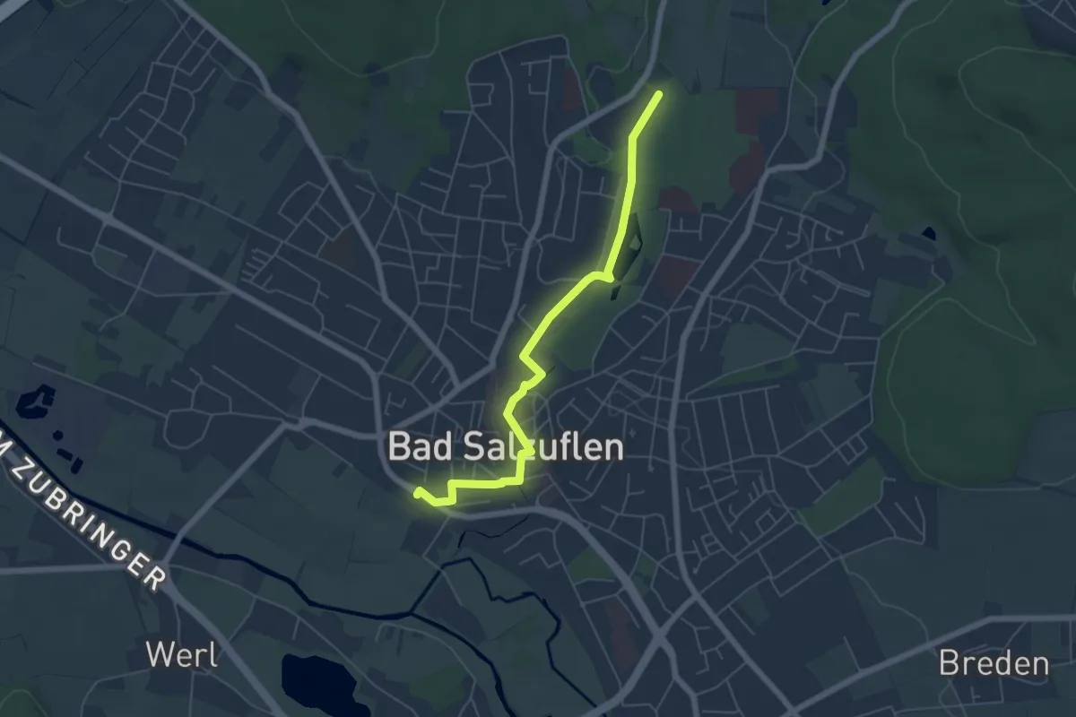
Easy · Trail
X9 Zuweg
5.1 km · ↑ 35 m · 1 h 17 min
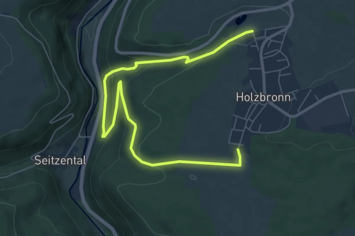
Demanding · Trail
Xanderklinge Rundweg
7.5 km · ↑ 295 m · 2 h 25 min
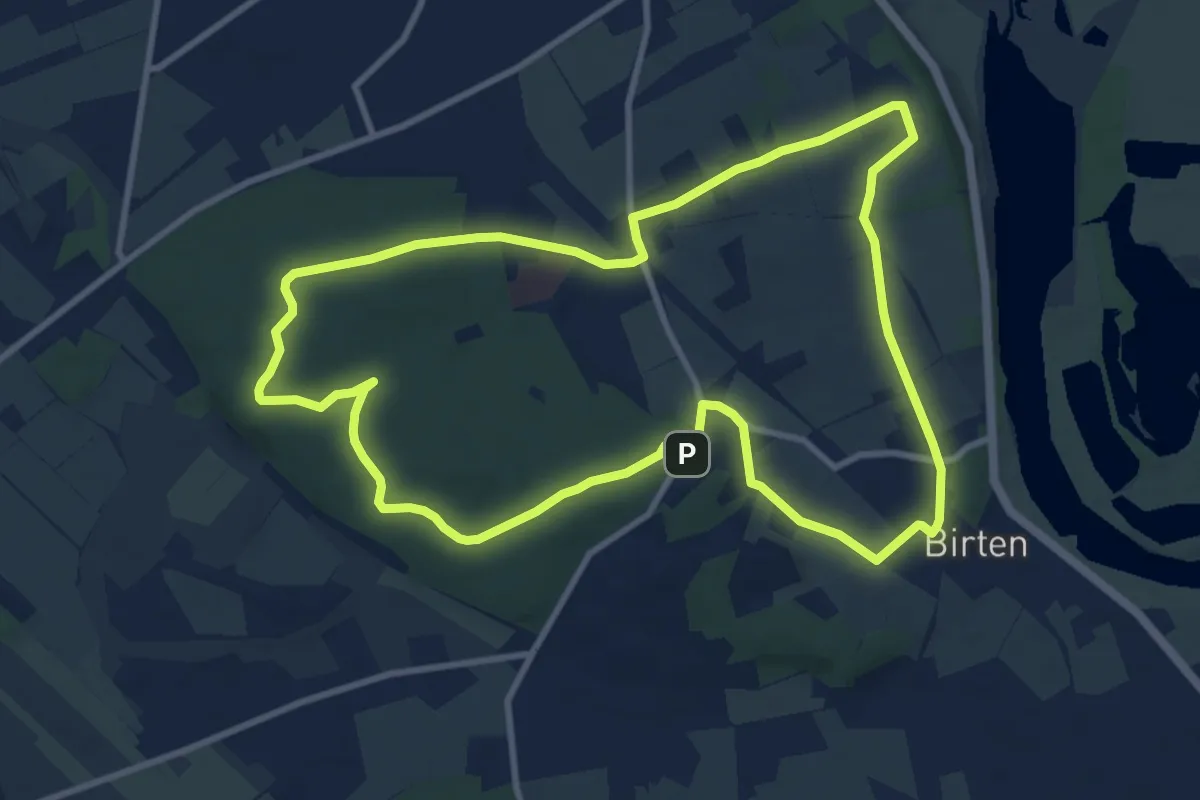
Medium · Summit
Xantener Hees, Rundweg A3
9.2 km · ↑ 97 m · 2 h 30 min
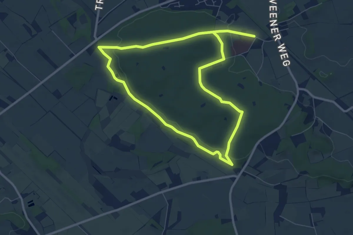
Easy · Summit
Xantener Hees, Rundweg A4
6.1 km · ↑ 66 m · 1 h 41 min
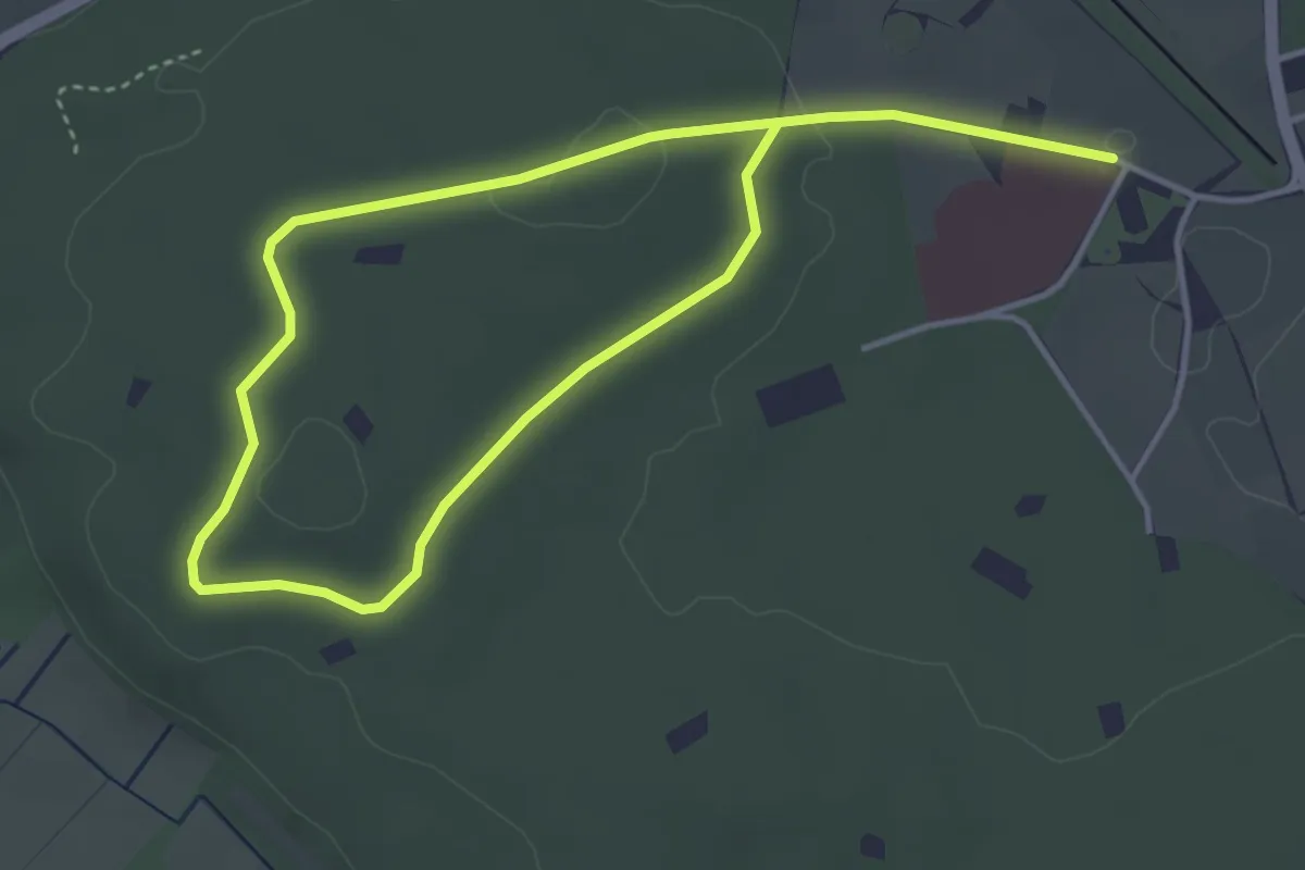
Easy · Summit
Xantener Hees, Rundweg A5
2.9 km · ↑ 14 m · 46 min
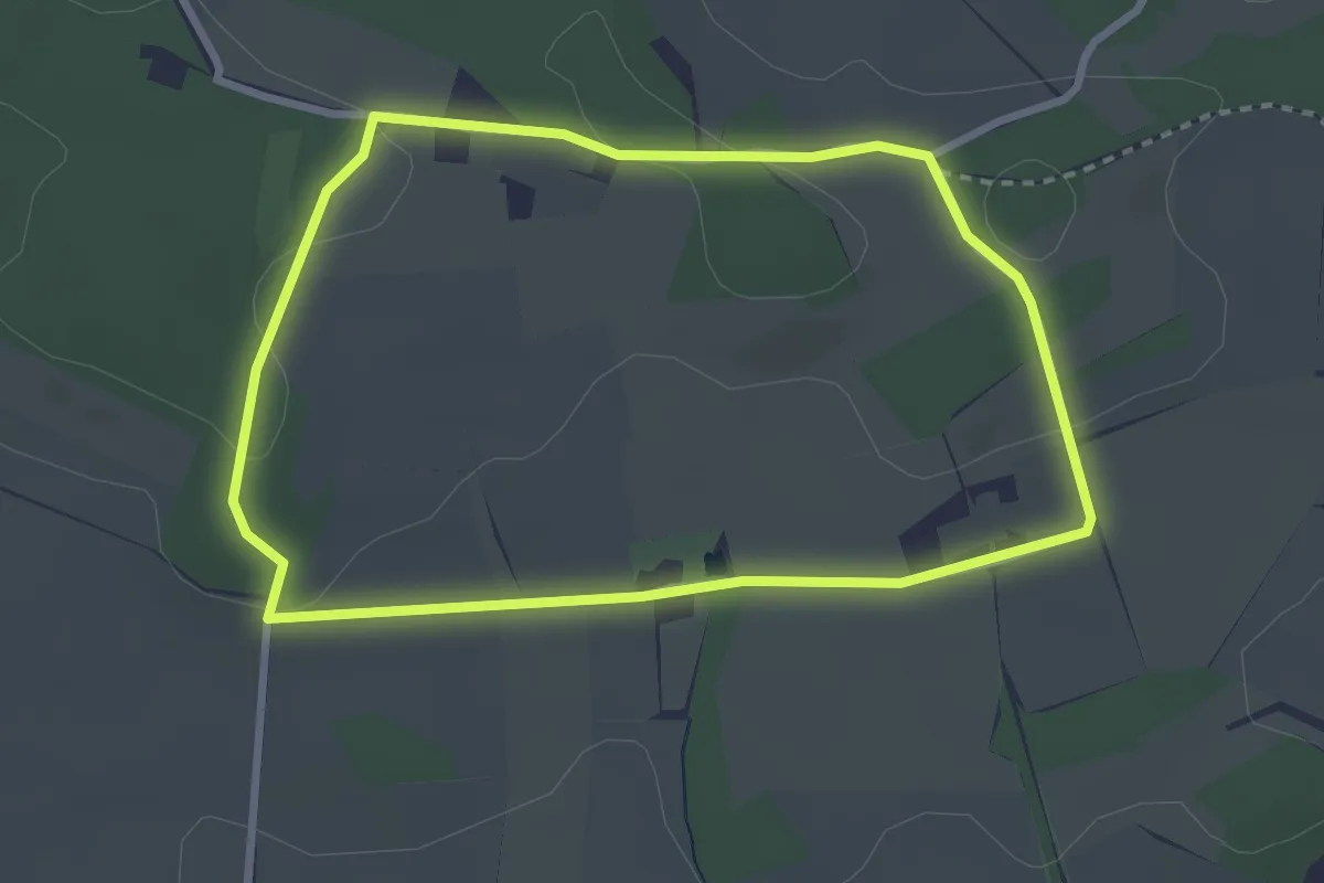
Easy · Trail
Xantener Straße Rundweg A3
2.5 km · ↑ 41 m · 43 min
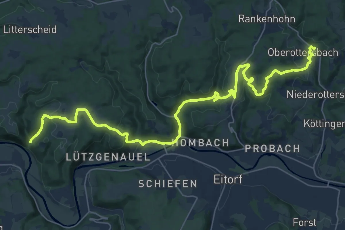
Demanding · Trail
[XS] Sieghöhenweg [Eitorf]
24.9 km · ↑ 694 m · 7 h 23 min
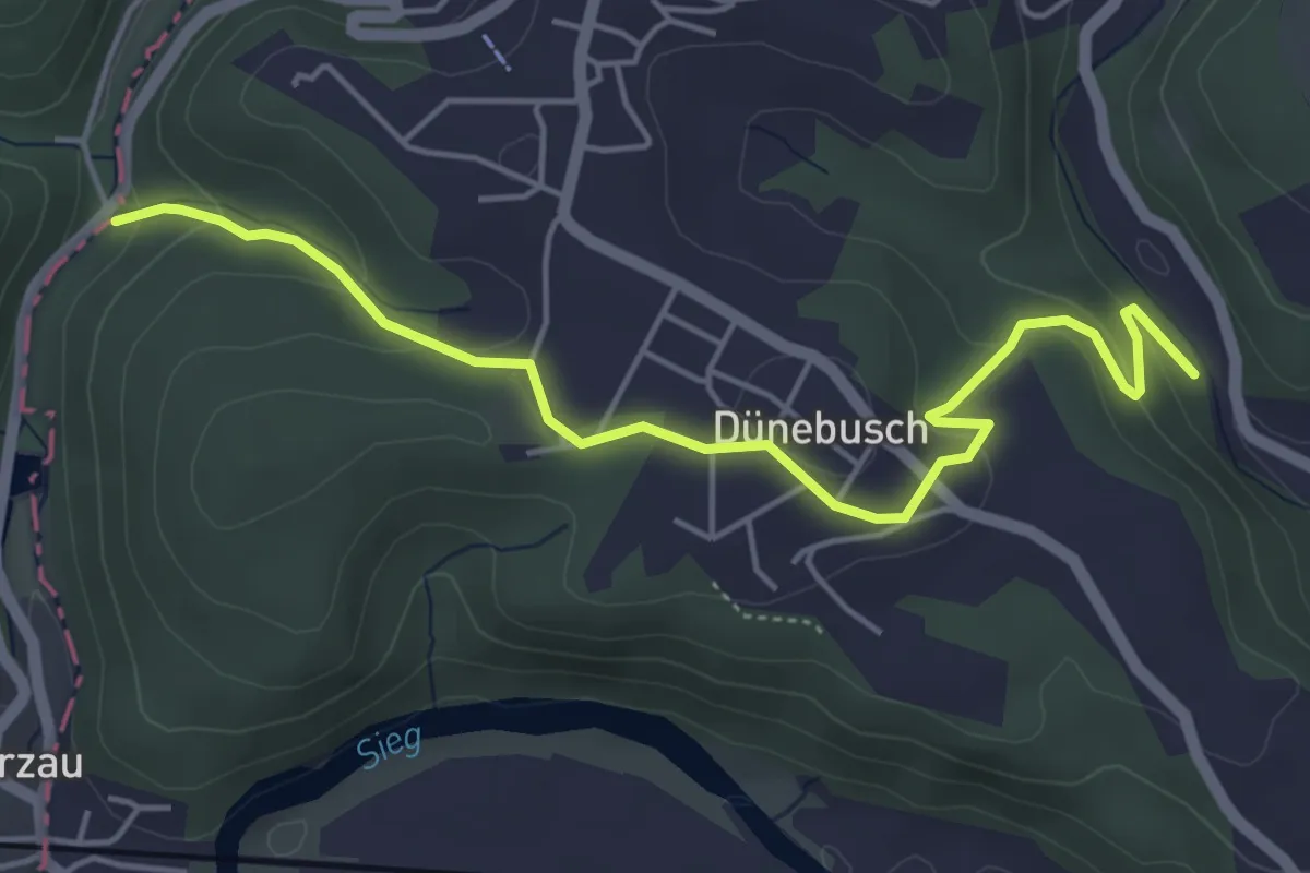
Easy · Trail
[XS] Sieghöhenweg [Hamm(Sieg)]
4.8 km · ↑ 172 m · 1 h 31 min
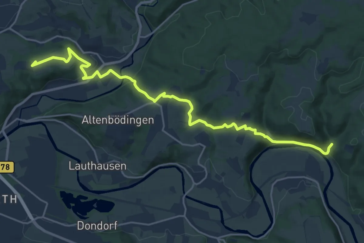
Medium · Summit
[XS] Sieghöhenweg [Hennef]
14.8 km · ↑ 458 m · 4 h 29 min
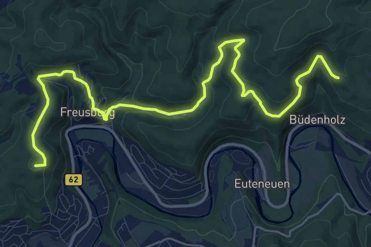
Medium · Summit
[XS] Sieghöhenweg [Kirchen]
15.8 km · ↑ 617 m · 5 h 4 min
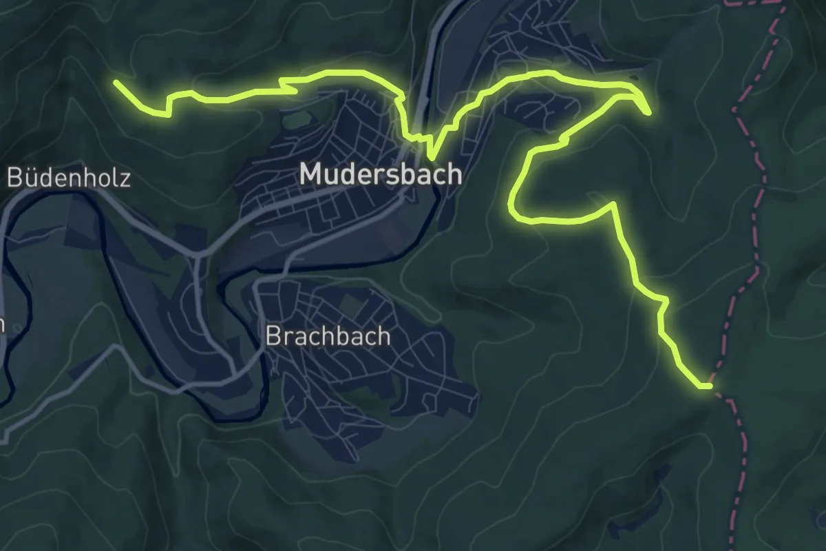
Medium · Trail
[XS] Sieghöhenweg [Mudersbach]
14.0 km · ↑ 475 m · 4 h 21 min
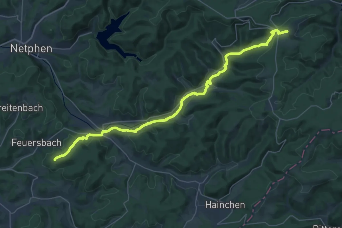
Demanding · Trail
[XS] Sieghöhenweg Netphen
26.5 km · ↑ 579 m · 7 h 30 min
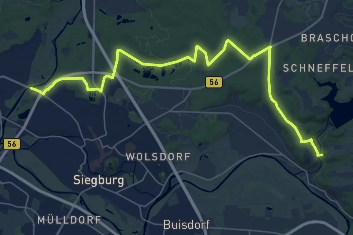
Demanding · Trail
[XS] Sieghöhenweg [Siegburg]
22.5 km · ↑ 266 m · 5 h 54 min
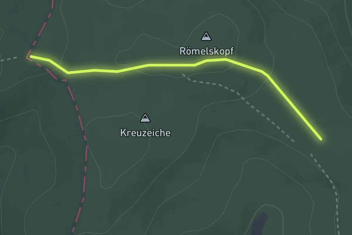
Easy · Trail
[XS] Sieghöhenweg [Siegen]
2.3 km · ↑ 33 m · 37 min
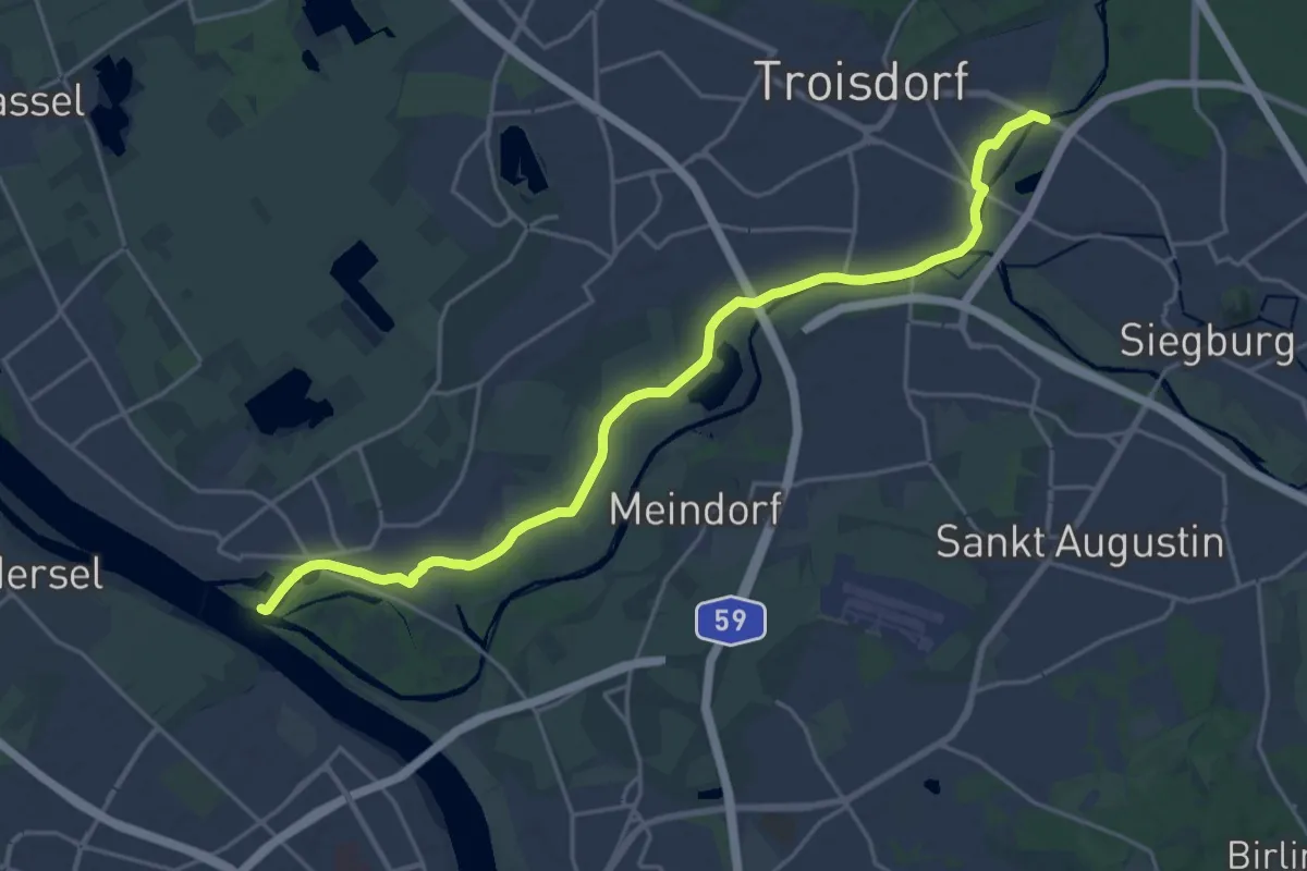
Demanding · Trail
[XS] Sieghöhenweg [Troisdorf]
20.9 km · ↑ 13 m · 4 h 58 min
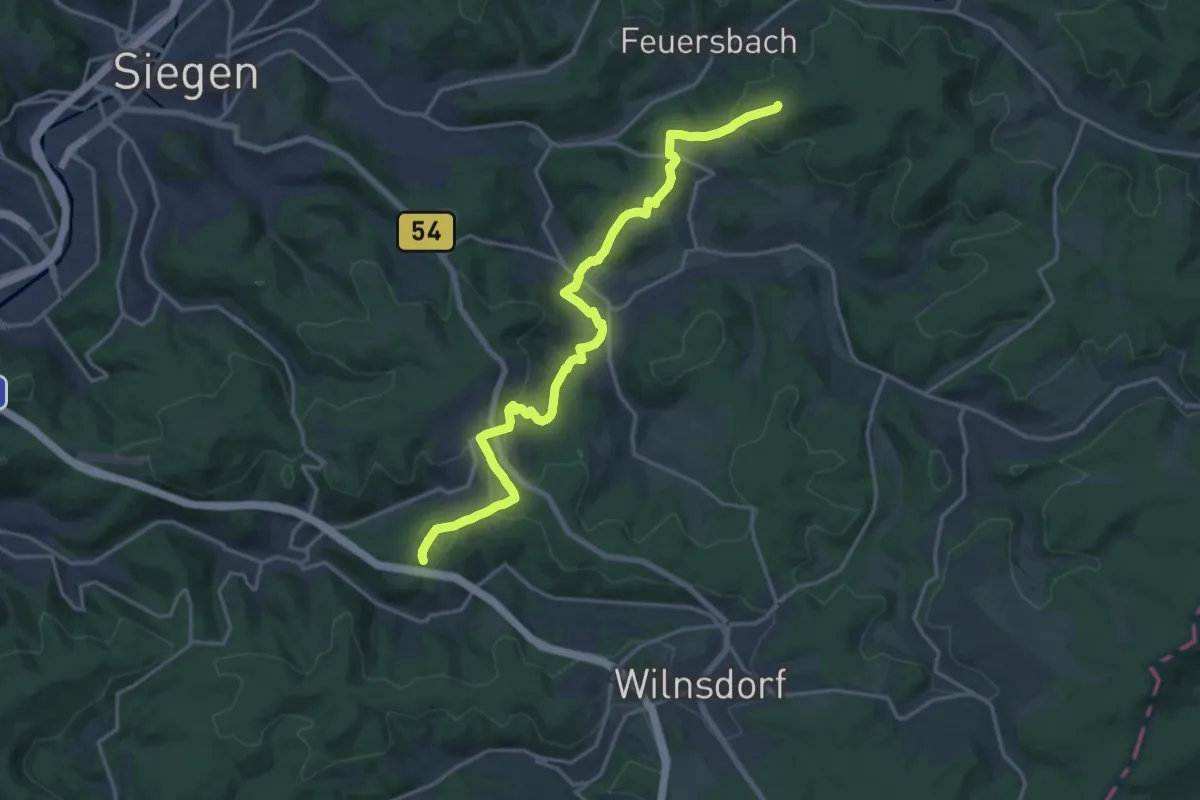
Medium · Trail
[XS] Sieghöhenweg [Wilnsdorf]
17.7 km · ↑ 414 m · 5 h 5 min
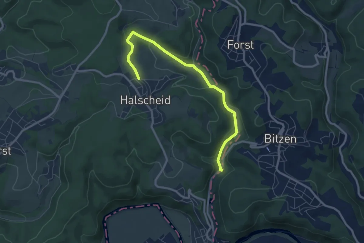
Easy · Trail
[XS] Sieghöhenweg [Windeck]
6.4 km · ↑ 182 m · 1 h 55 min